I recently received this electronic QSL card from Radio New Zealand for my reception of their station on 17675 kHz on 13th August 2024.
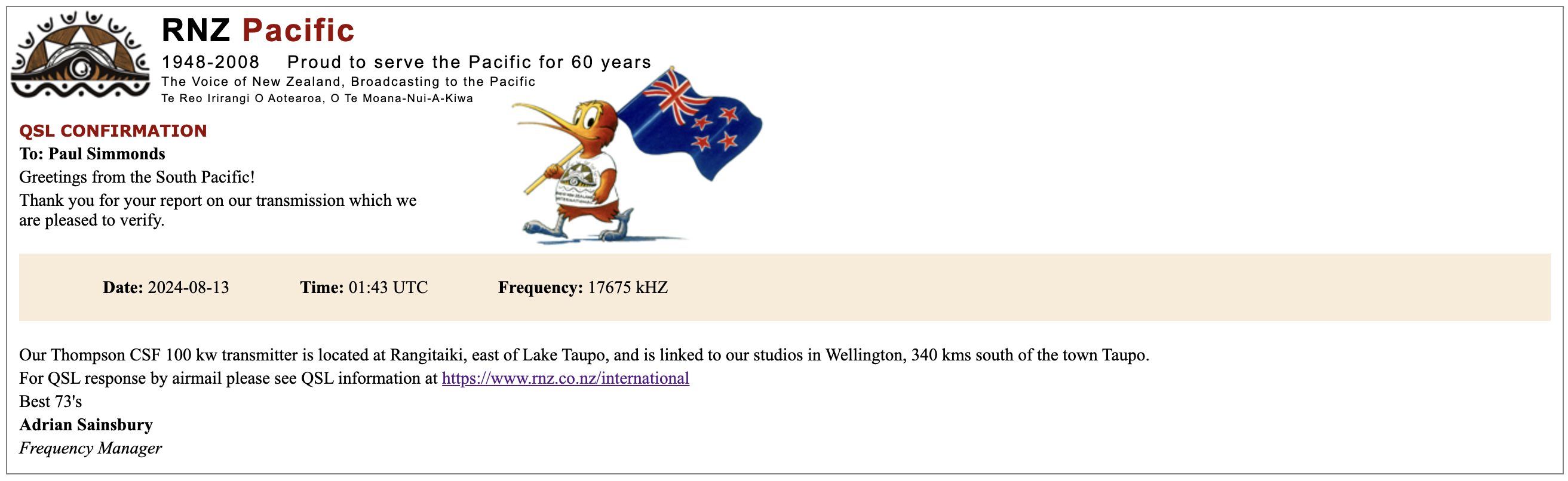

I recently received this electronic QSL card from Radio New Zealand for my reception of their station on 17675 kHz on 13th August 2024.
I received these two QSL cards from Radio Free Asia in the mail recently.
9330 kHz – 29th June 2024.

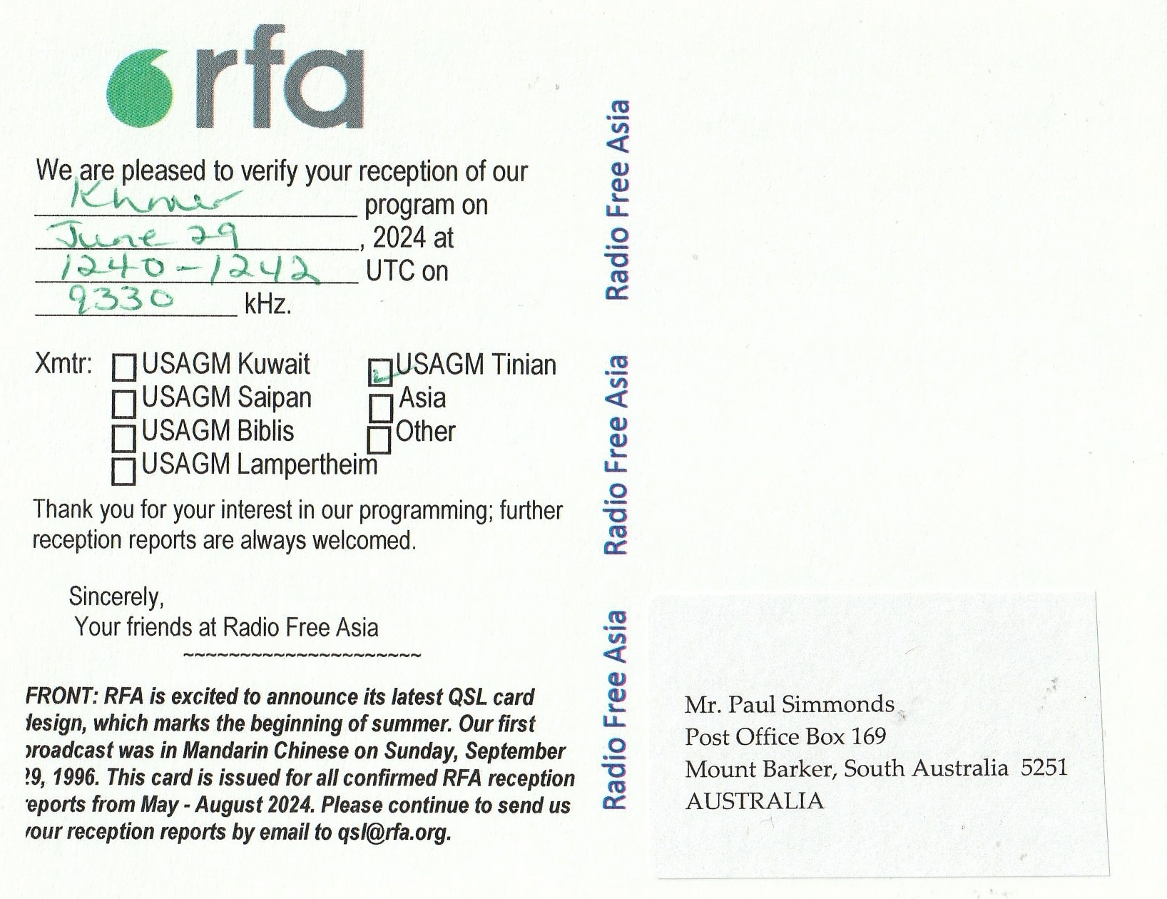
13580 kHz 29th June 2024.


On Sunday morning 18th August 2024, I headed to McDonalds at Renmark for some breakfast and also filled the 4WD up with diesel. I then headed towards the Victorian border with the intention of crossing over into VK3 and attending the Werrimul Hotel with members of the Riverland Radio Club and the Sunraysia Radio Group.
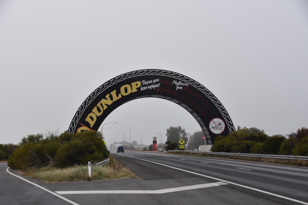
As I approached the Victorian border, I stopped to take a photograph of the big Dunlop Tyre. It was constructed when Adelaide held the Australian Formula 1 Grand Prix.
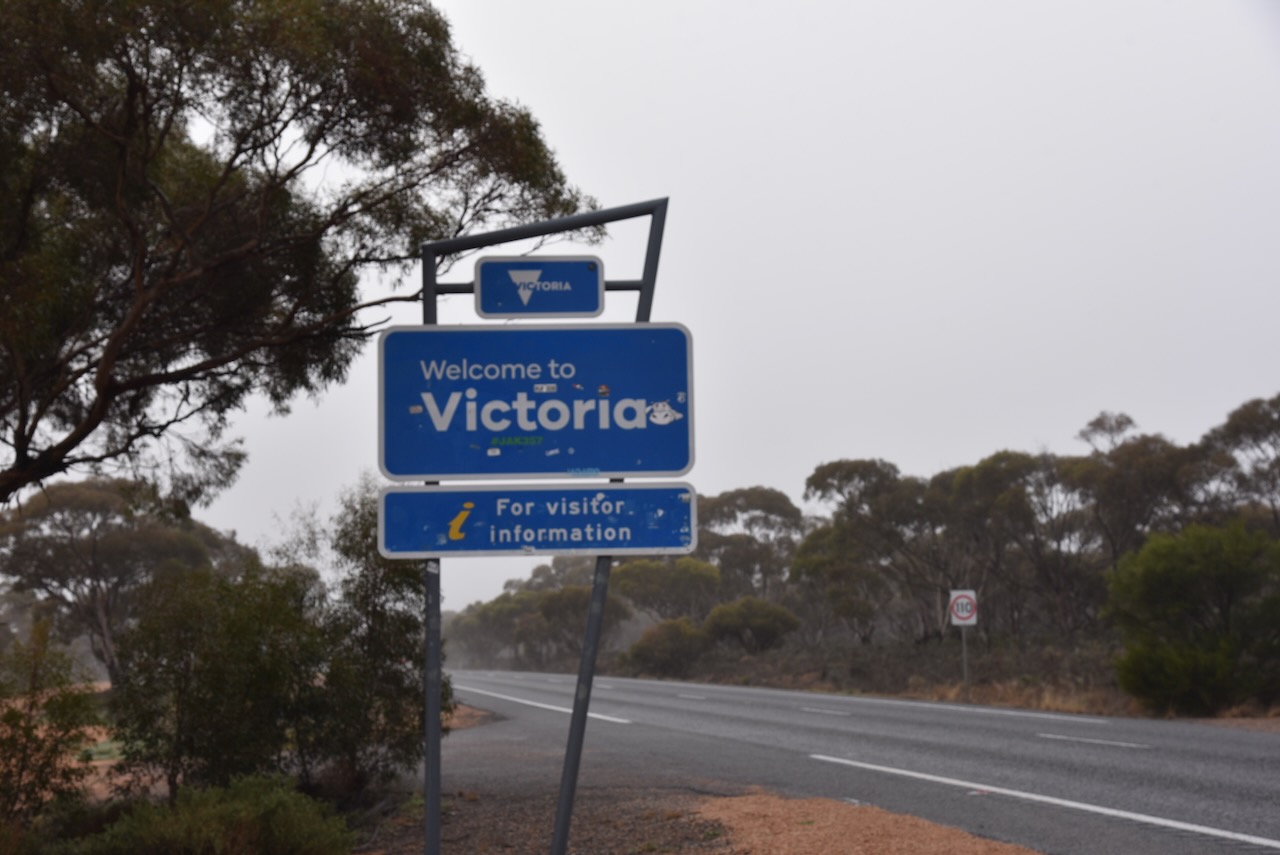
I then drove a short distance and reached the South Australian and Victorian State border.
I soon entered into the Karween district in Victoria. I stopped off briefly to visit Andy VK5LA who was activating the Morkala Bushland Reserve VKFF-4119. We had a quick chat before I hit the road once again.
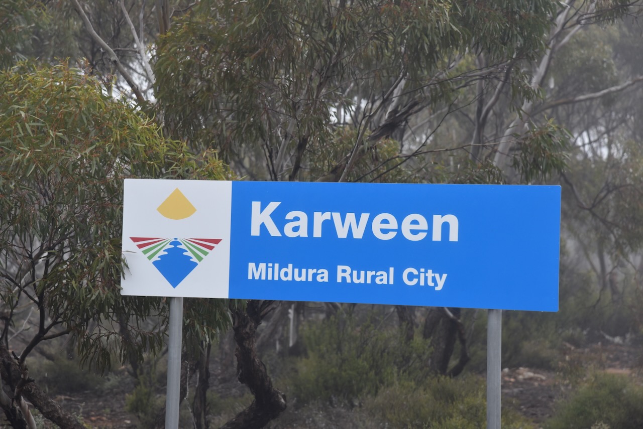
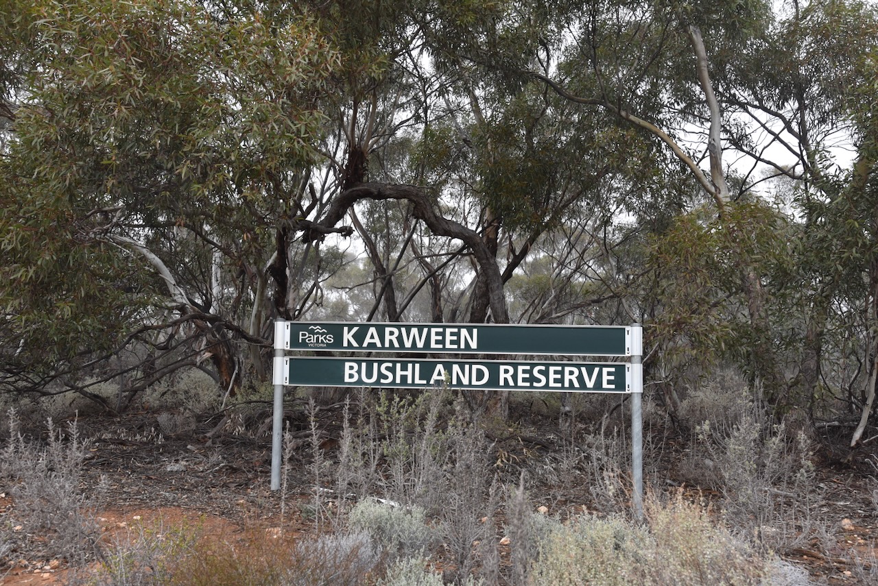
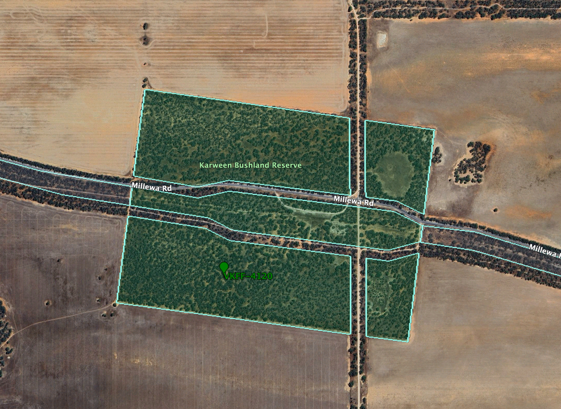
I then drove a short distance down Millewa Road to the Karween Bushland Reserve VKFF-4120, where I stopped to undertake an activation for the World Wide Flora Fauna (WWFF) program.
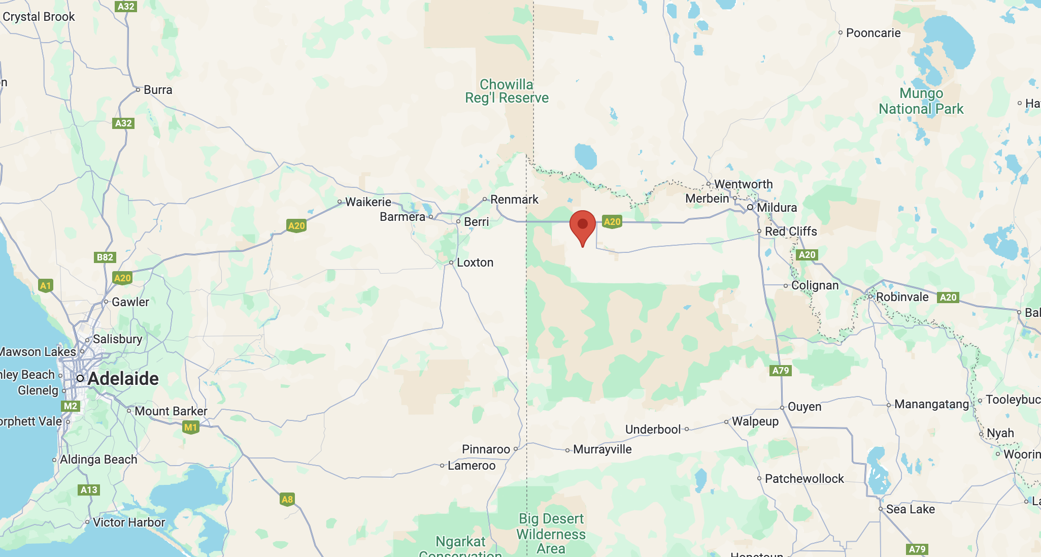
Above:- Map showing the location of the Karween Bushland Reserve. Map c/o Google Maps.
Karween is located in the Millewa region of northwestern Victoria. Millewa is an aboriginal name for the Murray River. In 1923 the Millewa region was opened up for selection. Settlement commenced from Red Cliffs and extended west until 1928. (Aussie Towns 2024) (Millewa The First 50 Years)
Karween is an aboriginal word meaning ‘grass tree’. Virtually nothing remains here nowadays. But in its day this was a thriving little community. The Karween State School opened on the 7th day of May 1928. From 1928 to 1943, a total of 97 children attended the school. (Millewa The First 50 Years) (Place Names Victoria)
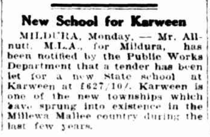
Above:- Article from The Sun, Tue 23 Aug 1927. Image c/o Trove.
The Karween Bushland Reserve is located on the northern and southern side of Millewa Road at the intersection with Karween S and Karween N Road.

The Karween Bushland Reserve is about 78 hectares in size and was established on the 8th day of May 1990. (CAPAD 2022)
Above:- An aerial view of the Karween Bushland Reserve. Image c/o Google Earth.
I found a clearing in the mallee scrub and set up my station. I ran the Yaesu FT857, 40 watts, and the 20/40/80m, linked dipole for this activation.
I worked the following stations on 40m SSB:-
I worked the following stations on 20m SSB:-
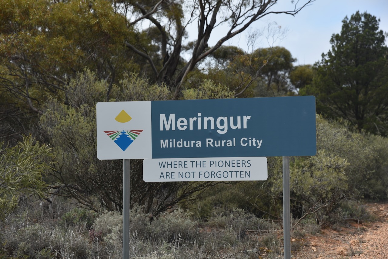
I needed to get to Werrimul so I packed up and headed east along Millewa Road. I stopped briefly at the little town of Meringur. Meringur is an aboriginal word meaning grey female kangaroo. Meringur was once known as The Hut. In October 1924 a survey of the Parish of Meringur was made by Rickley L. Turner. The layout of allotments included a town reserve of 100 acres. In March 1926 Robert Poole subdivided this area into nine sections allowing for a recreation and a school reserve. (Millewa The First 50 Years) (Place Names Victoria)
Meringur was once a thriving community with its own Australian Rules football team.
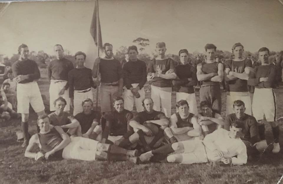
Above:- The Meringur Football team 1926. Image c/o Millewa History Photos Facebook page.
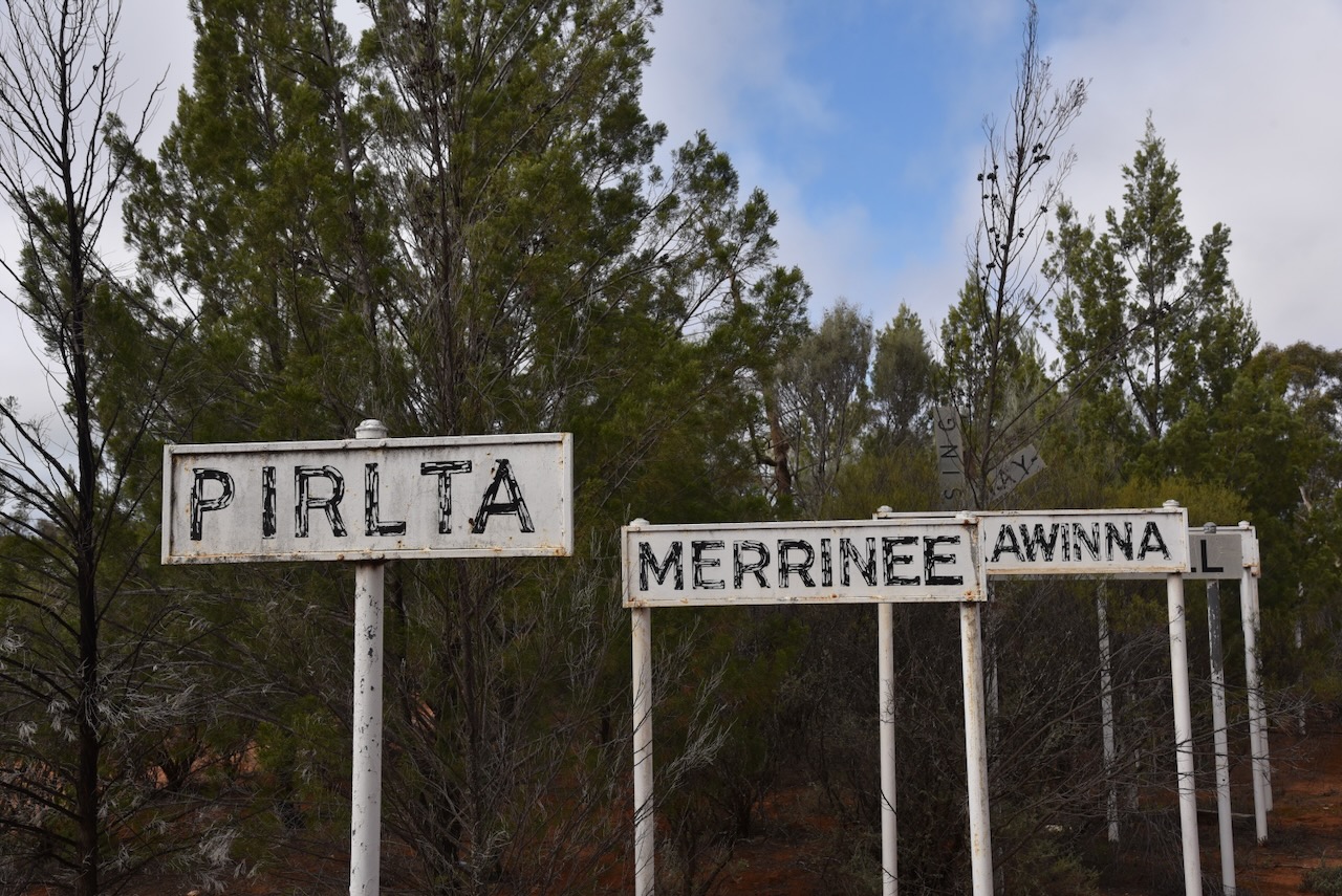
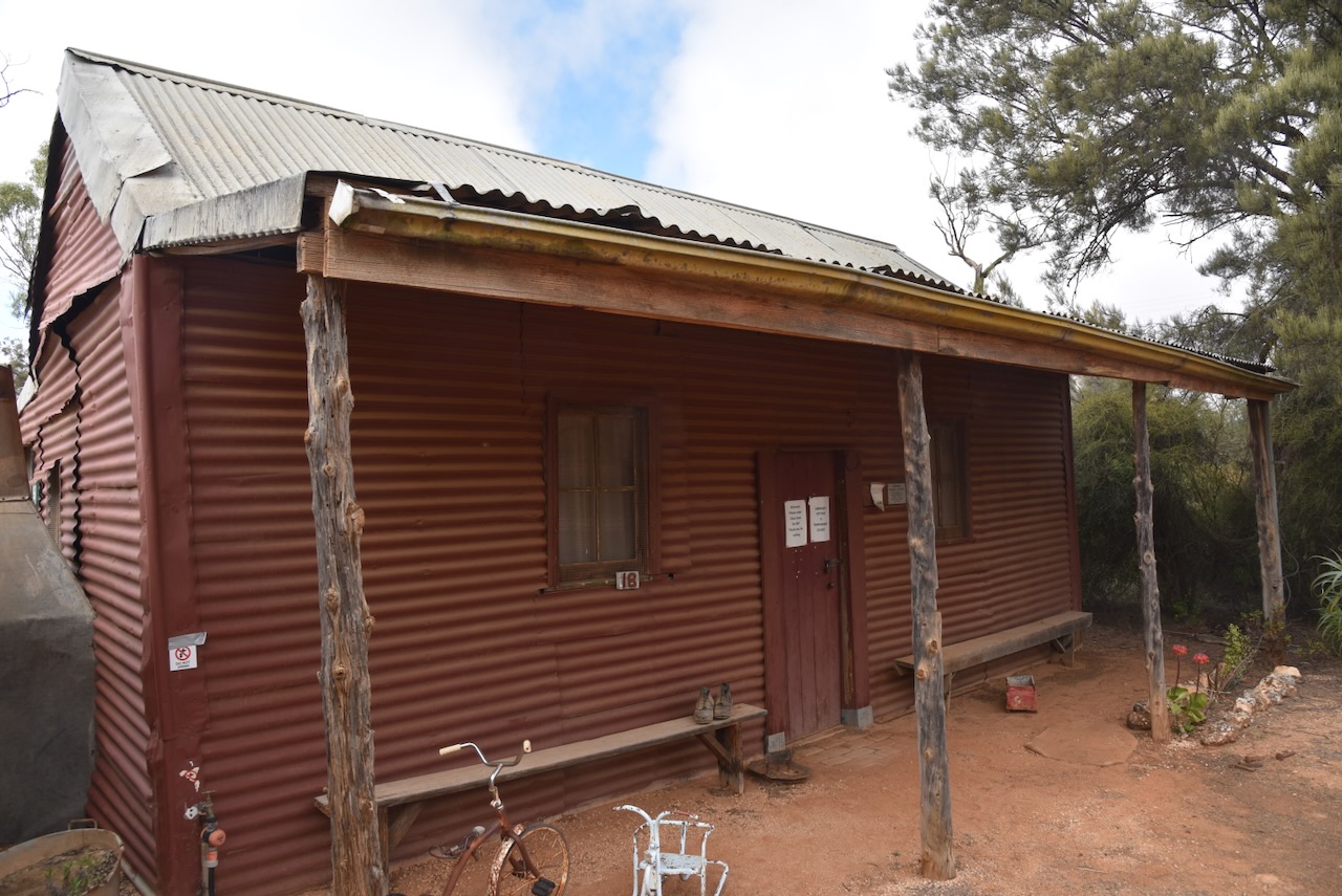
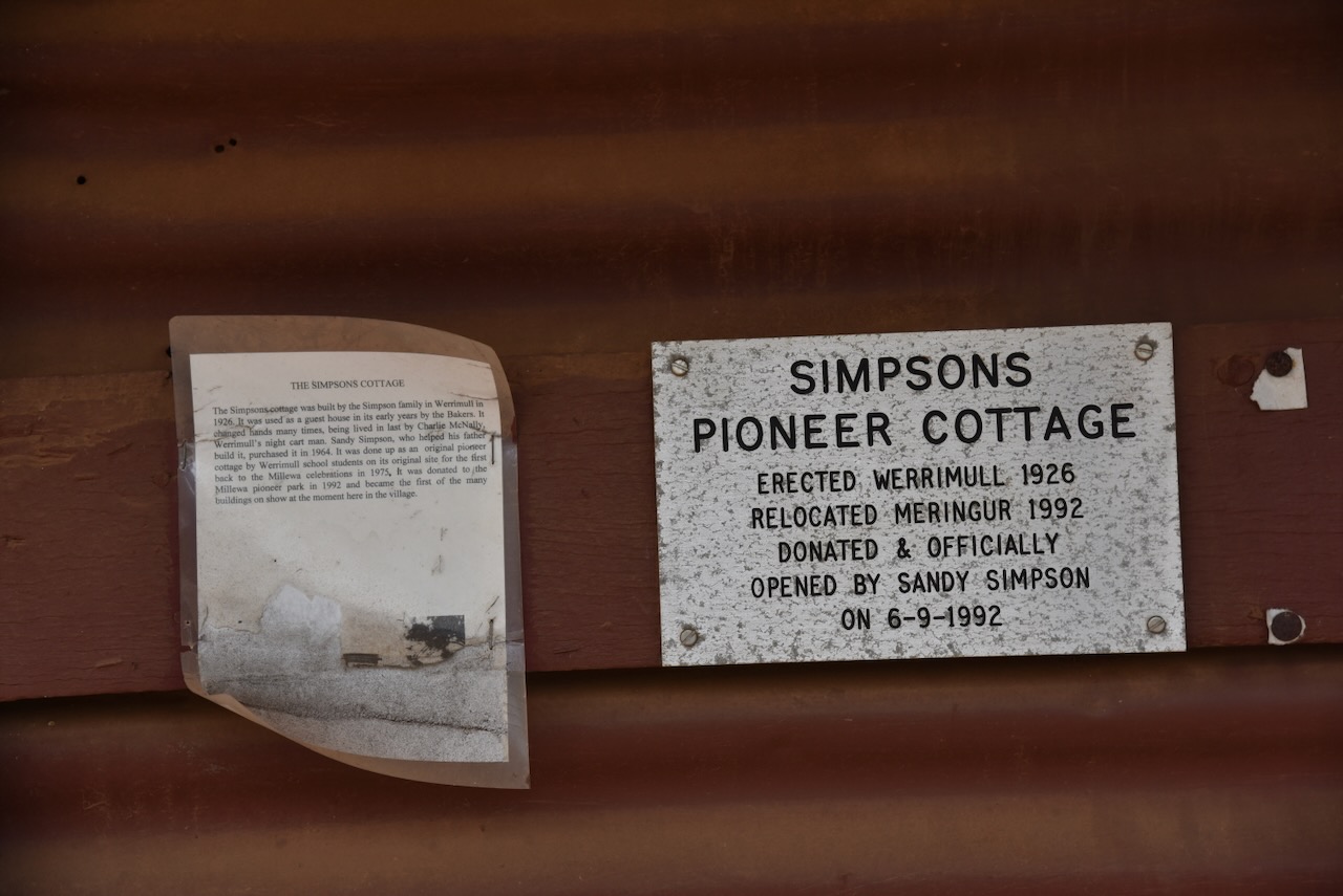
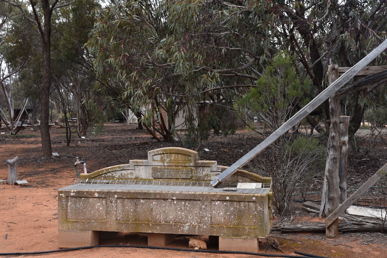
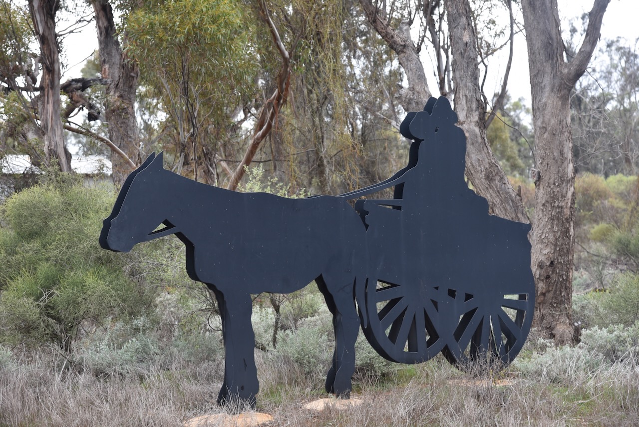
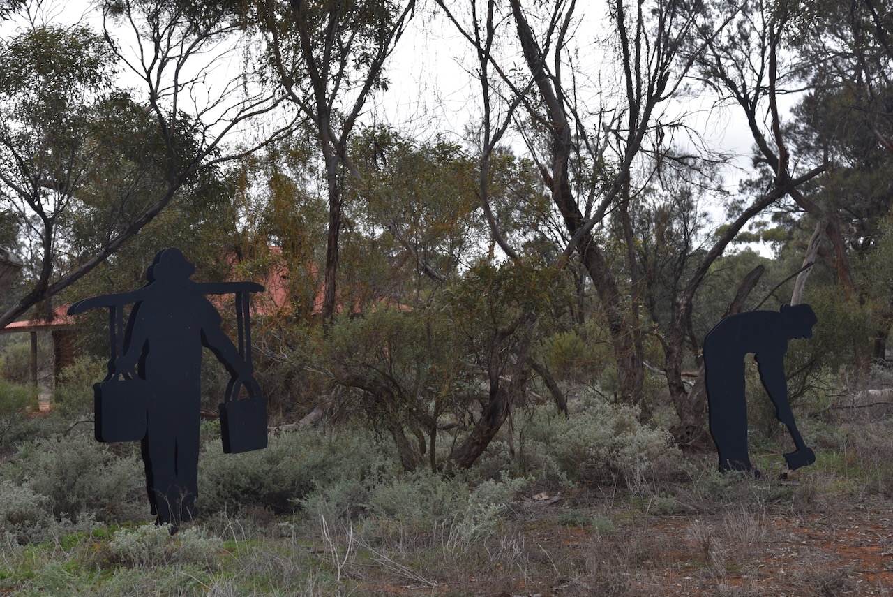
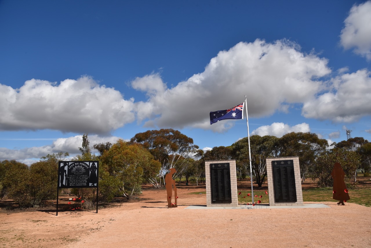
I had a little bit of time up my sleeve so I stopped at the Milliewa Pioneer Park. I have visited here before, but it is such an interesting place I wanted to have another quick look. It was established in 1986 to recognise the efforts of the early settlers of the district.

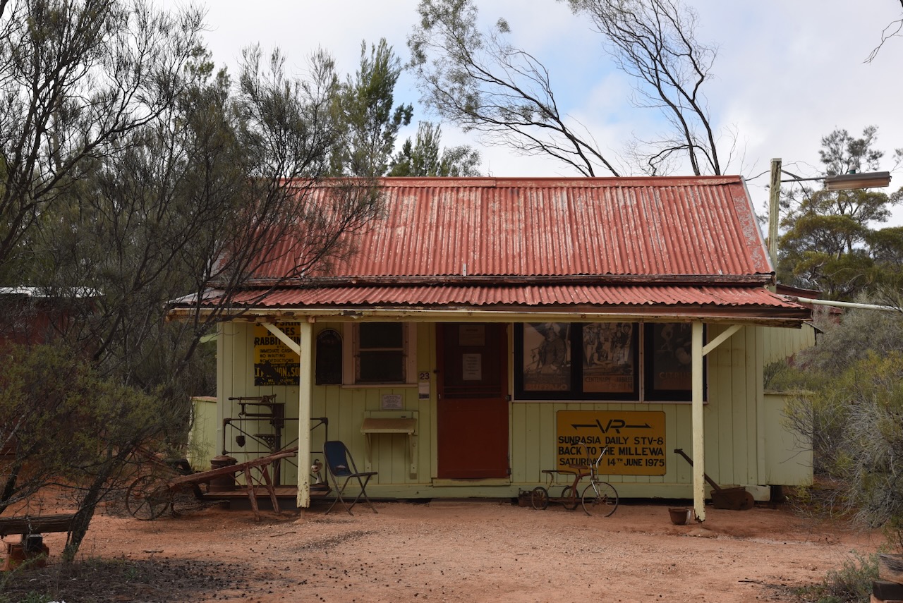
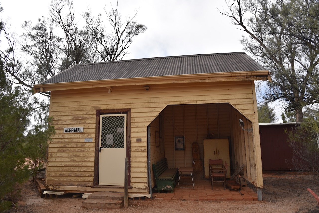
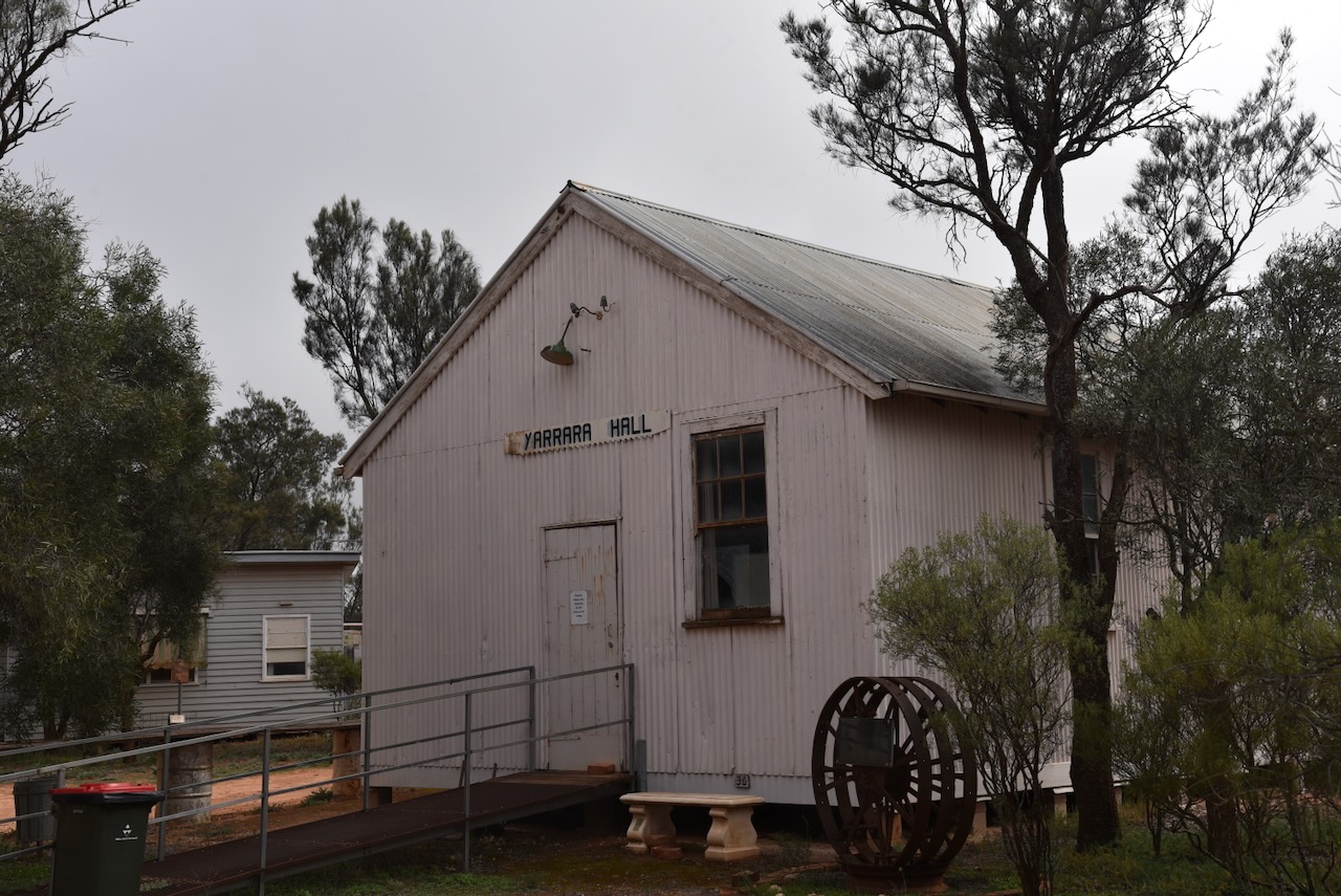


I then drove into the town of Werrimul which is about 65 km west of Mildura. Werrimul is an aboriginal word meaning emu. It is now the main centre of the Millewa district. (Place Names Victoria)


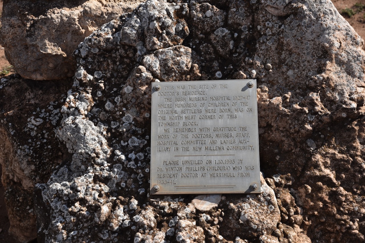

I then attended lunch at the historic Werrimul Hotel. It lays claim to being Victoria’s most outback hotel. It was a very nice meal and a great afternoon chatting with hams from the Riverland the Mildura region.


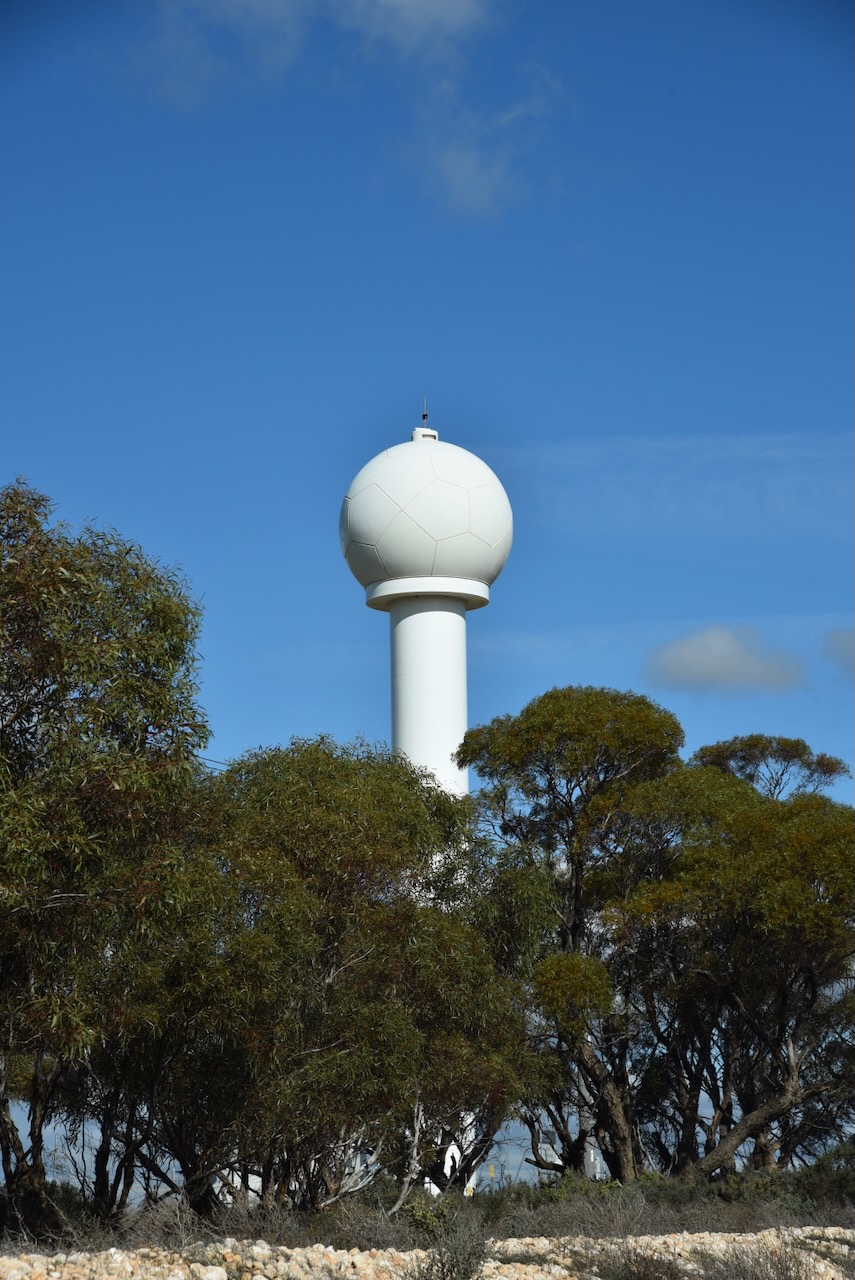
After leaving Werrimul I headed to my accommodation at Lake Cullulleraine. Along the way, I passed the Cullulleraine weather radar that services northwestern Victoria. Work commenced on the project in 2020. (ABC 2020)
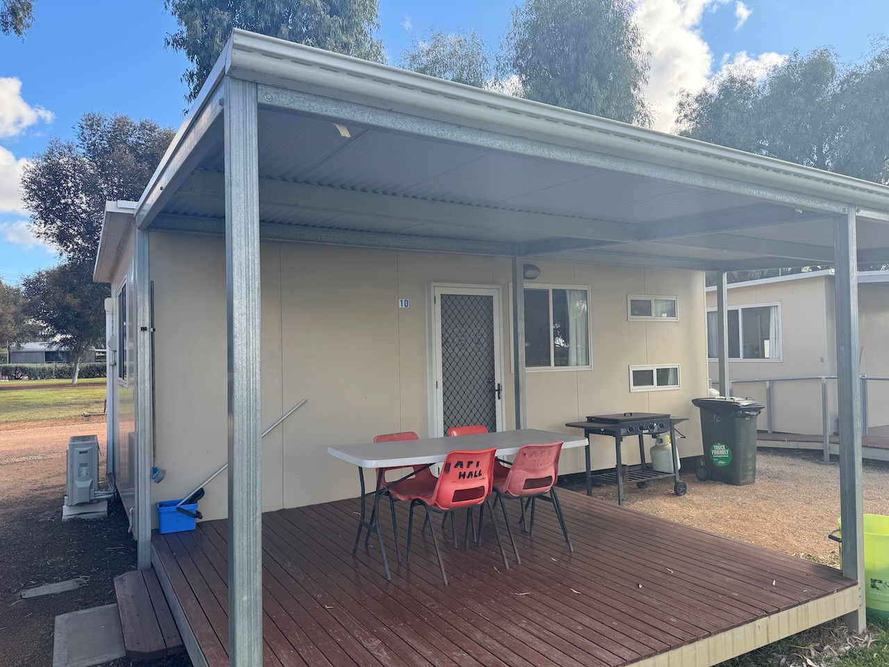
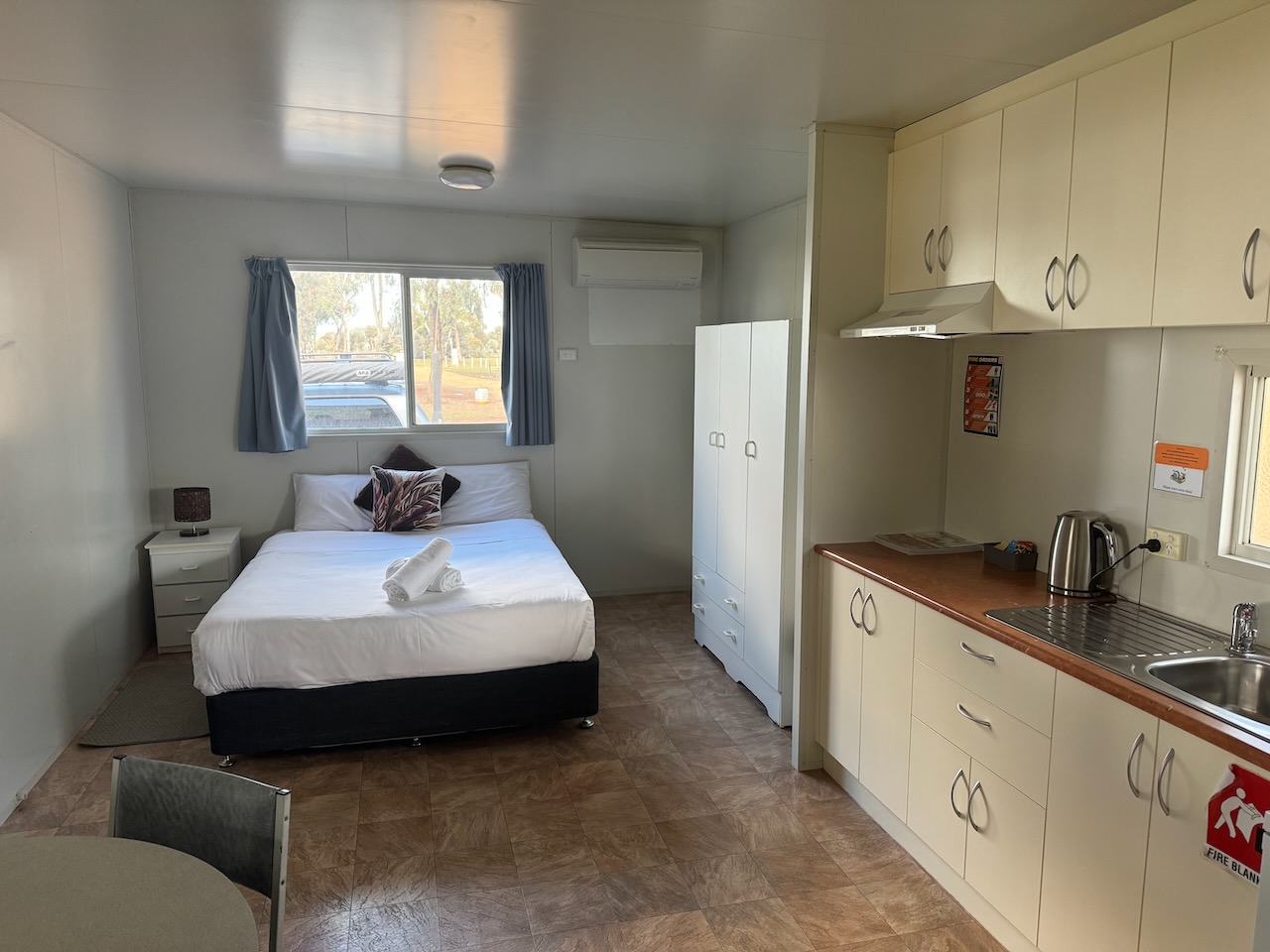
I booked into my accommodation at the Bushmans Rest Caravan Park at Lake Cullulleraine.
I then headed out to activate a few more parks.
References.
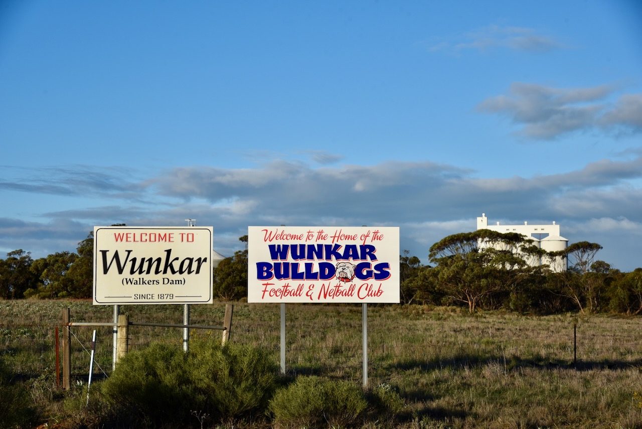
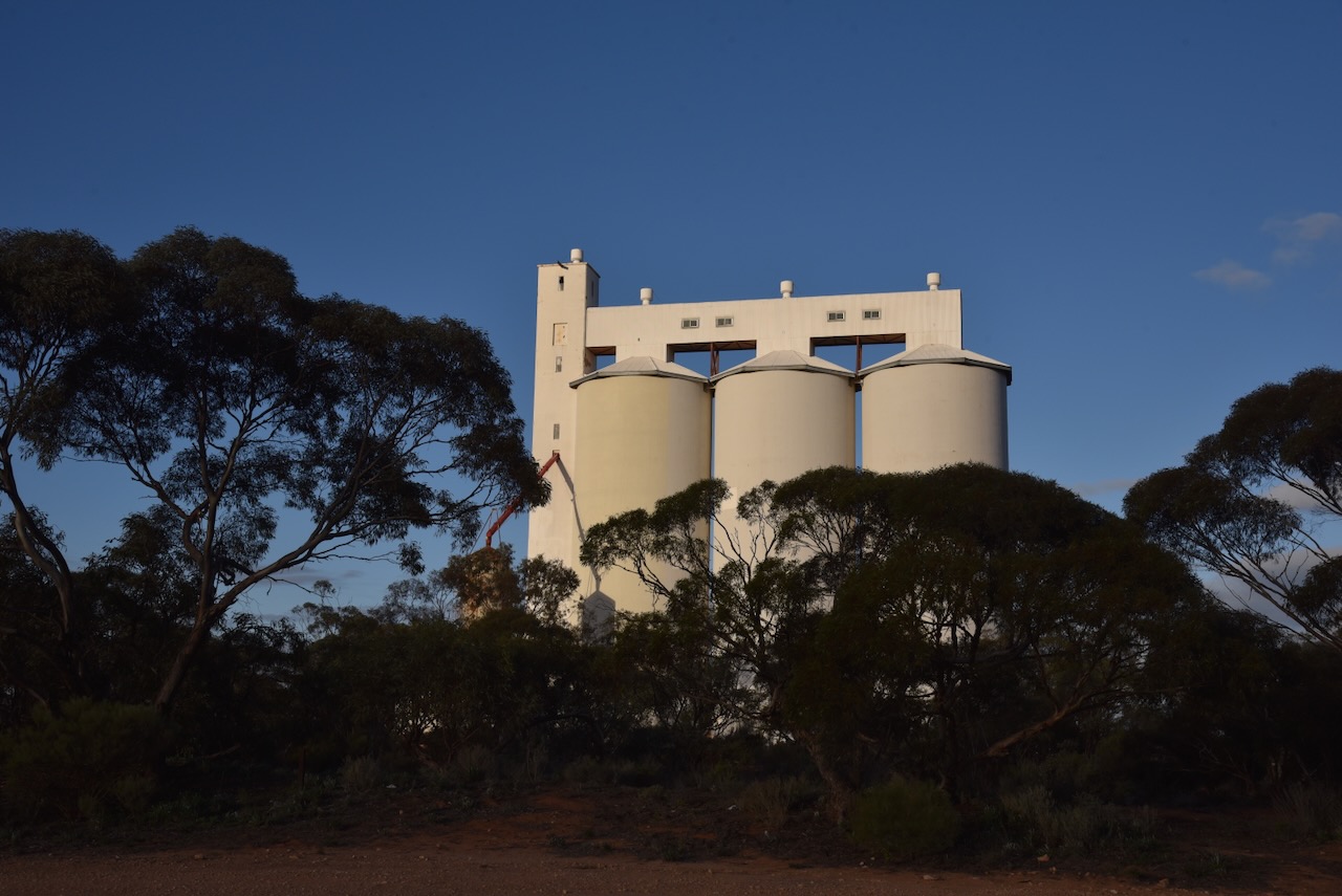
My next activation for Saturday 17th August 2024 was the Wunkar silo VK-WNR5 for the Silos On The Air (SiOTA) program.
Wunkar is located about 232 km northeast of the city of Adelaide.
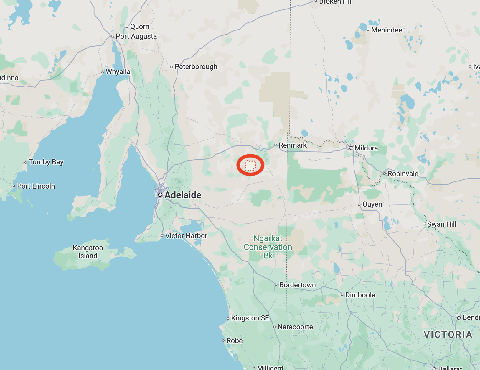
Above: The map shows the location of Wunkar, South Australia. Map c/o Google Maps.
Wunkar is about 27 km west of Loxton in the Riverland region of South Australia. Wunkar is an aboriginal word meaning ‘grass’.
The area was taken up by pastoral leases during the mid-1850s and was known as Walker’s Dam. It appears the name came from three brothers named Walker who were shepherds in the area. (Flickr 2024)
The town was proclaimed on the 3rd day of March 1927 and was originally known as Walkers Dam. The School was originally known as Walkers Dam and was changed to Wunkar in 1926. The school closed in 1974. (SA Place Names 2012)
The Wunkar silos are located at the former railway station on the old Wanbi to Moorook railway line which was also known as the Yinkanie Railway Line. The line was opened on the 4th day of September 1925 and was closed on the 1st day of May 1971. (Wikipedia 2024)
Above: The map shows the Yinkanie Line. Image c/o Wikipedia.
The Wunkar silos were the only silos located on the Yinkanie Line. They were opened in 1960. This followed an announcement in mid-1959 by the General Manager of South Australian Co-operative Bulk Handling Ltd. (Flickr 2024) (Pt Lincoln Times 1959) (Wikipedia 2024)
I last activated the Wunkar silos in January 2023.
I parked adjacent to the silos and operated from the 4WD, running the Icom IC-7000, 100 watts, and the Codan 9350 antenna with the 1.5-metre stainless steel whip.
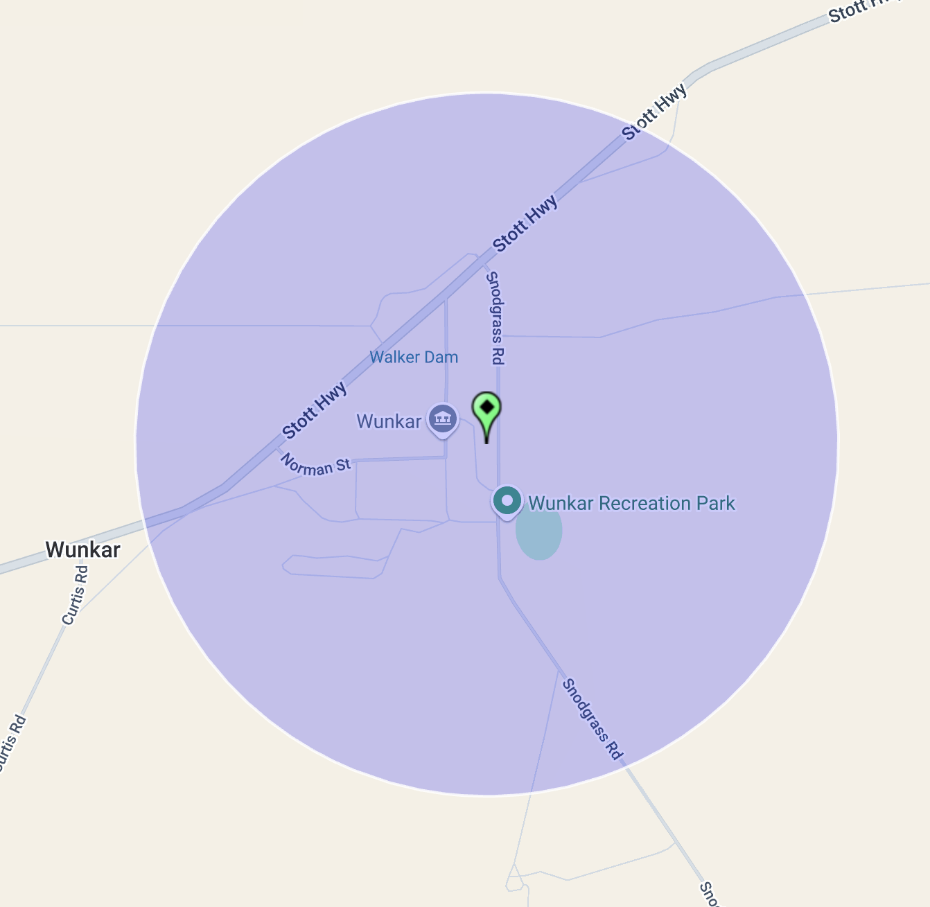
Above:- Map showing the activation zone at the Wunkar silo. Image c/o SiOTA website.
I worked the following stations on 40m SSB:-
After leaving Wunkar I drove into Renmark and booked into my accommodation. That evening I enjoyed a great meal, a few bundy and cokess, and plenty of laughs with Ivan VK5HS and Peter VK5PE.
References.
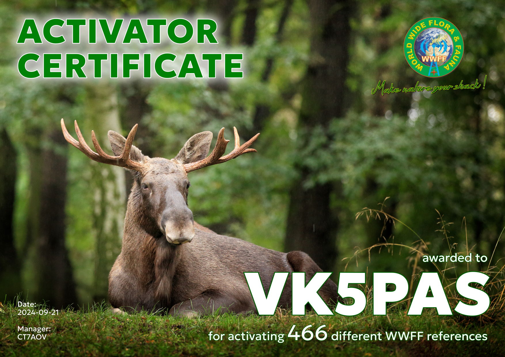
About a week ago I received in my email Inbox, my latest WWFF Activator certificate. It is issued for having activated a total of 466 different references and reaching at least 44 QSOs in each.
Thank you to all of the WWFF Hunters and thank you to Hugo CT7AOV the Award Manager.
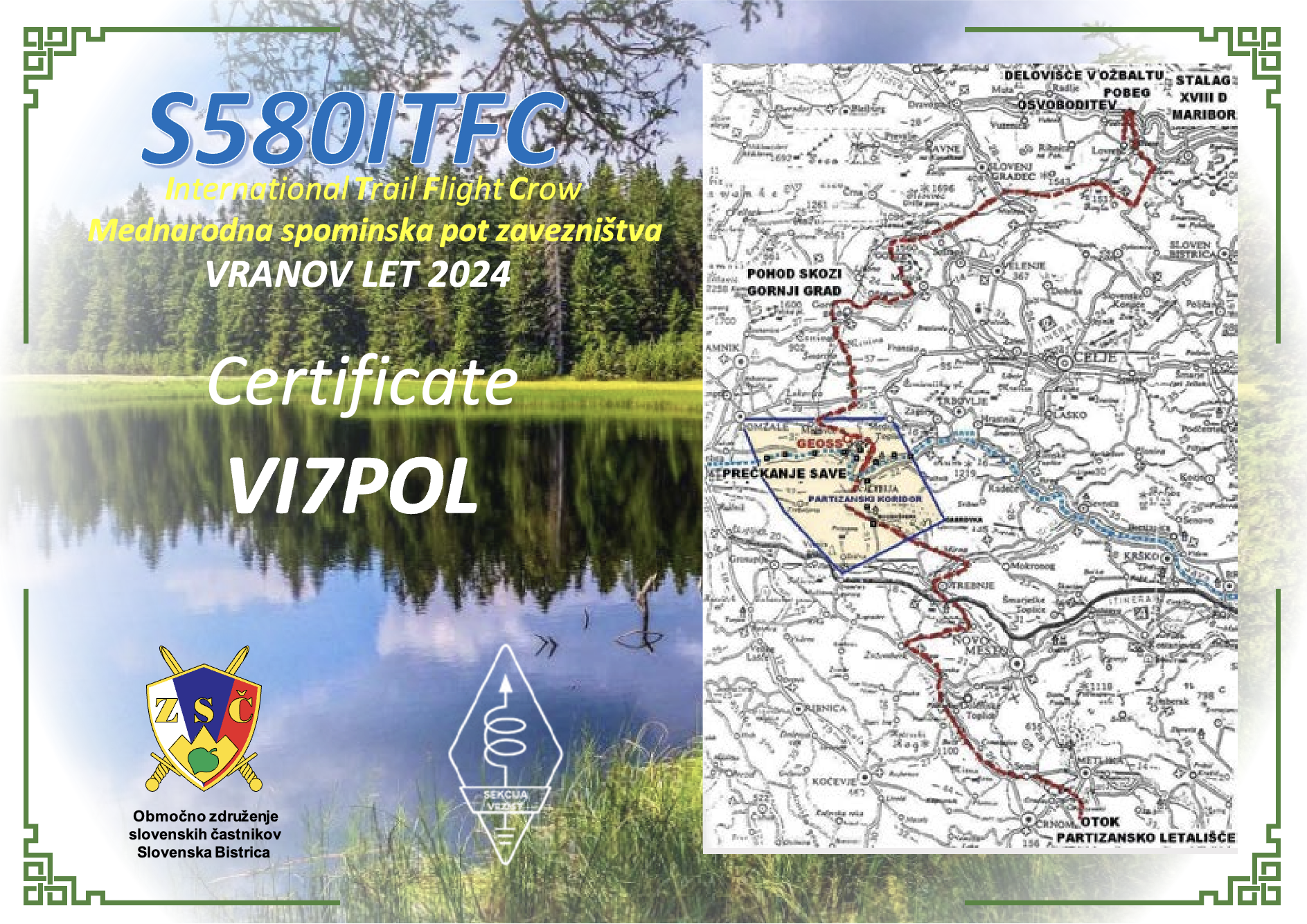
This morning I received a very pleasant surprise in my email inbox. It was a certificate from S580ITC whilst I was operating as VI7POL.
The S580ITC callsign commemorates the 80th anniversary of the largest partisan rescue operation of Allied soldiers from nazi captivity.
Below is an excellent video explaining the most successful POW escape of the Second World War.
Amateur Radio, Short Wave Listening, travel and history
Amateur radio experiences with VK1DA
Brisbane - Australia
german amateur radio station
Summits On The Air
SOTA on the peaks, wilderness QRP and some bushwalking
A fine WordPress.com site
Amateur Radio Adventures
Summits on the Ai
Amateur radio station from Belgium
Radio craft, homebrew, QRP/SOTA, AM
Ego loqui ad viros super montes
My adventures with Amateur Radio and Geocaching!
The rantings of VK2GAZ on his SOTA experiences in Australia
A survivor, with minor cuts and abrasions.
The Art and Craft of Blogging
The latest news on WordPress.com and the WordPress community.
Blog of Justin Giles-Clark VK7TW's SOTA and amateur radio adventures.
Occasional SOTA & Microwave operation
