
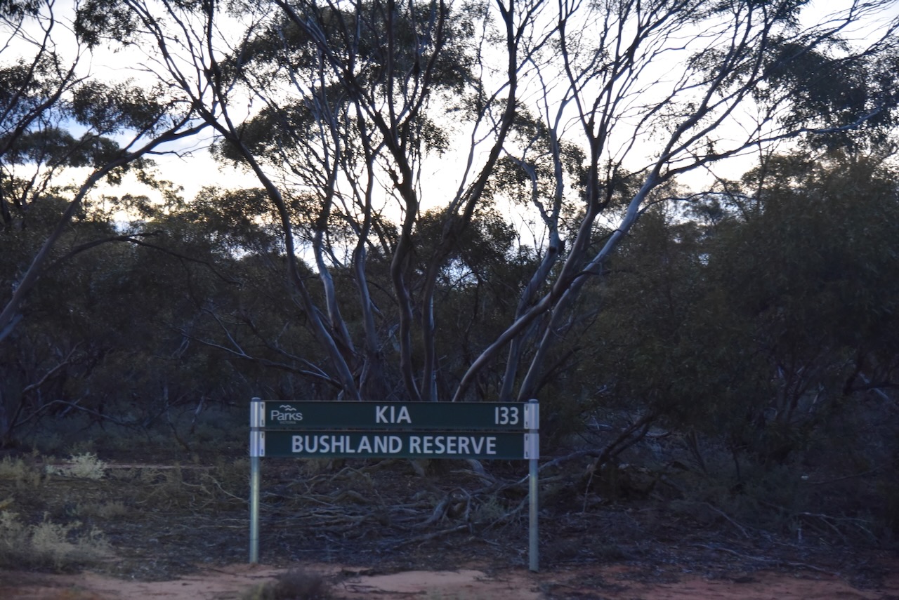
After leaving the Kiamal Bushland Reserve I headed out to activate the Kia I33 Bushland Reserve VKFF-4231.
The reserve is located about 12 km north of Ouyen in northwest Victoria.

Above:- Map showing the location of the Kia I33 Bushland Reserve. Map c/o Google Maps.
The Kia district is now known as Kiamal. It is an aboriginal word with various meanings, including squat, emu, war spear, and fibrous tree. (Blake 1978)

Above:- An aerial view looking north towards the park from Ouyen. Image c/o Google Maps.
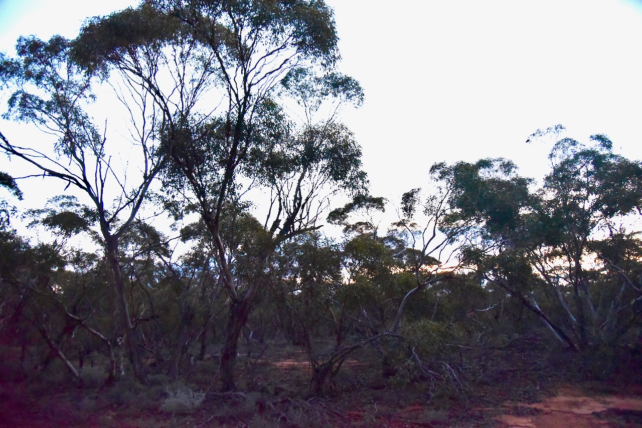
The reserve is located on the western side of Calder Highway and on the northern side of Lonergan Road.

Above:- An aerial view of the Kia I33 Bushland Reserve. Image c/o Google Earth.
The Kia I33 Bushland Reserve is about 51 hectares in size and was established on the 1st day of May 1979. (CAPAD 2022)
I ran the Yaesu FT857, 40 watts, and the 20/40/80m linked dipole for this activation.
I worked the following stations on 40m SSB:-
- VK3PF/p (Yea River, Yea Streamside Reserve VKFF-3928)
- VK4SMA
- VK3EJ
- VK5WU
- VK3CEO
- VK5AYL
- VK3CA
- VK3HM
- VK7PJM
- VK5PL
- VK4FDJL
- VK4WAB
- ZL3MR
- VK4EMP
- VK4TI
- VK4GKO
- VK5LA
- VK5KAW
- Vk5FANA
- VK5WA/m
- VK3UAO
- KG5CIK
- VK3PAJ
- VK1ARQ
- VK3VIN
- VK4AGE
- VK7MAT
- VK7MAD
- VK4HMI
- VK6JK
- VK3MIJ
- VK3ZK
I worked the following stations on 40m AM:-
- VK3ZK
- VK3CEO
- VK4SMA
- VK4AGE
- VK3UAO
- VK5WU
- VK3CA
- VK3HM
- VK5FB
- VK5LA
- VK5KAW
I worked the following stations on 40m FM:-
- VK3UAO
- VK3CA
- VK3HM
- VK5LA
- VK5KAW
- VK5FB
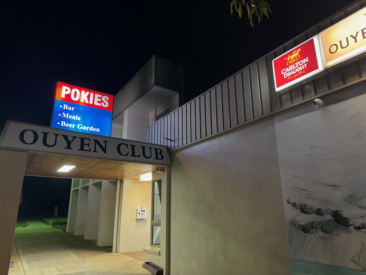
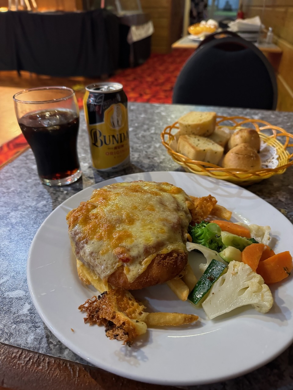
After leaving the park I headed back into Ouyen and went out for dinner at the Ouyen Club where I enjoyed a very nice meal and a few cold Bundy and cokes.
References.
- Dcceew.gov.au. (2023). Collaborative Australian Protected Areas Database (CAPAD) 2022 – DCCEEW. [online] Available at: https://www.dcceew.gov.au/environment/land/nrs/science/capad/2022 [Accessed 3 Nov. 2024].
- Leslie James Blake, 1978, Place Names of Victoria.
