
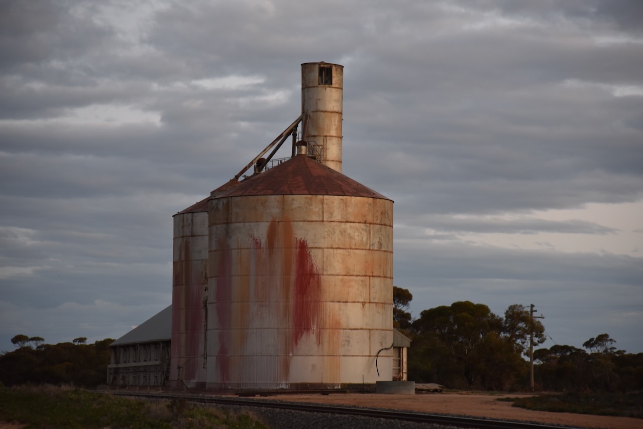
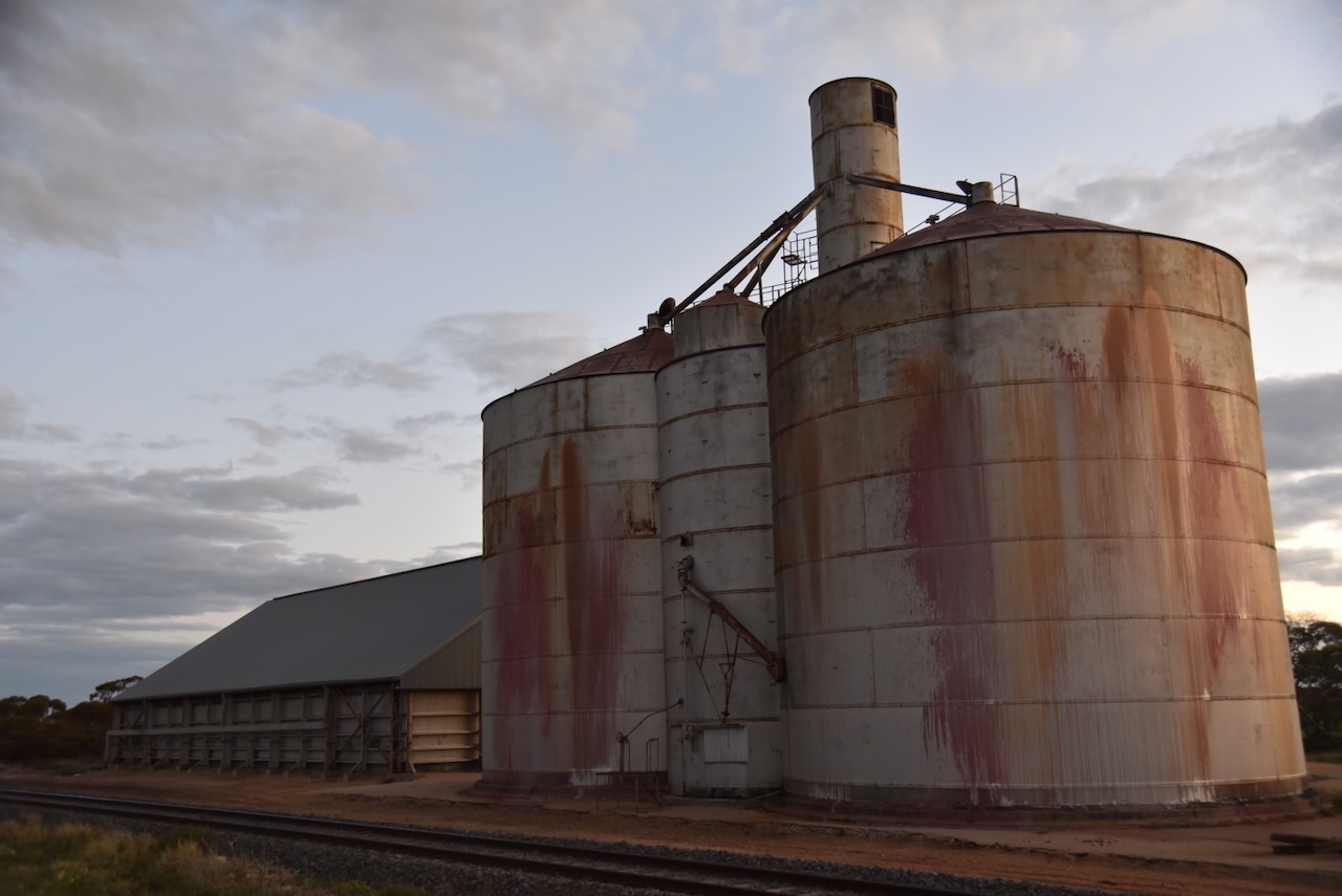
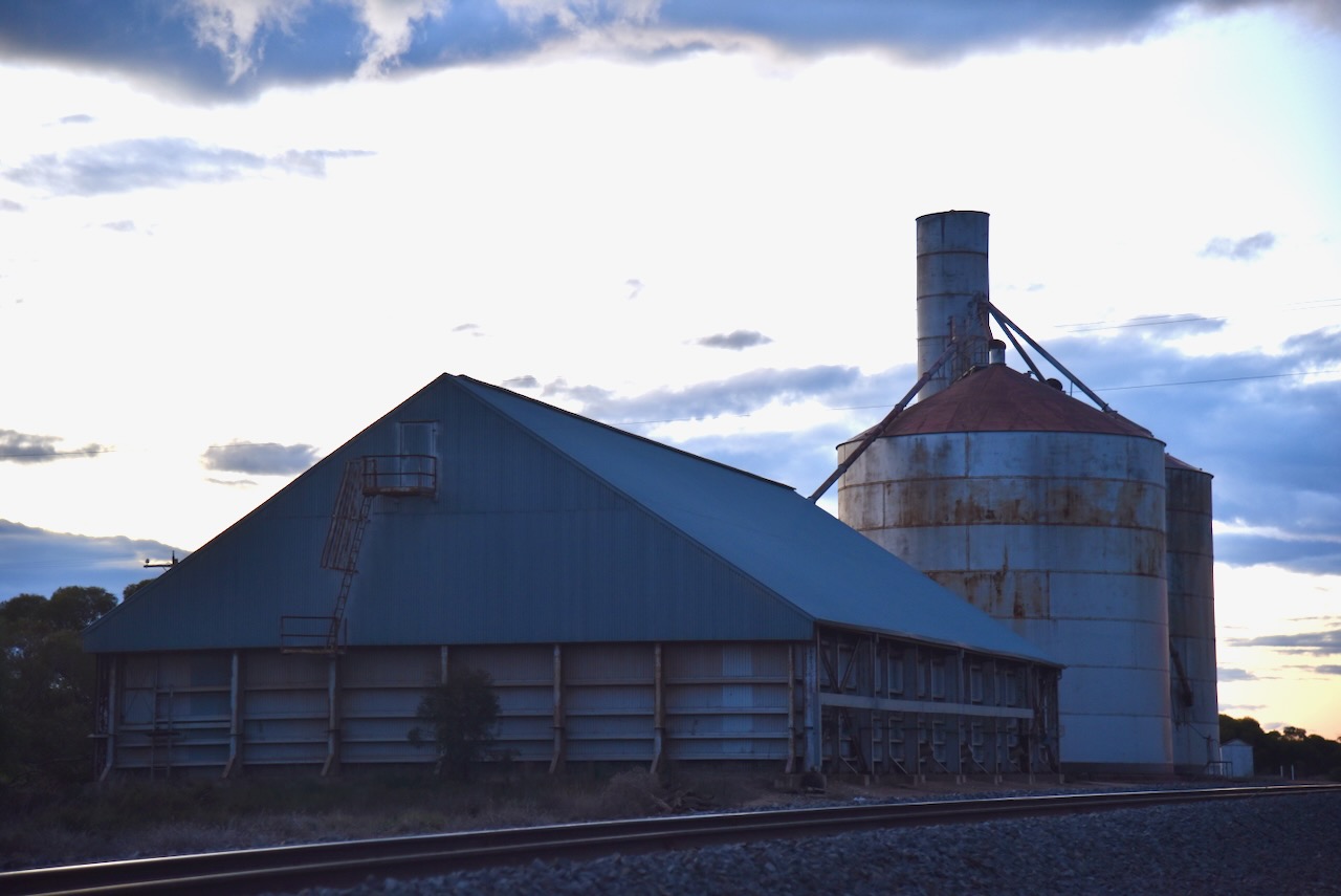
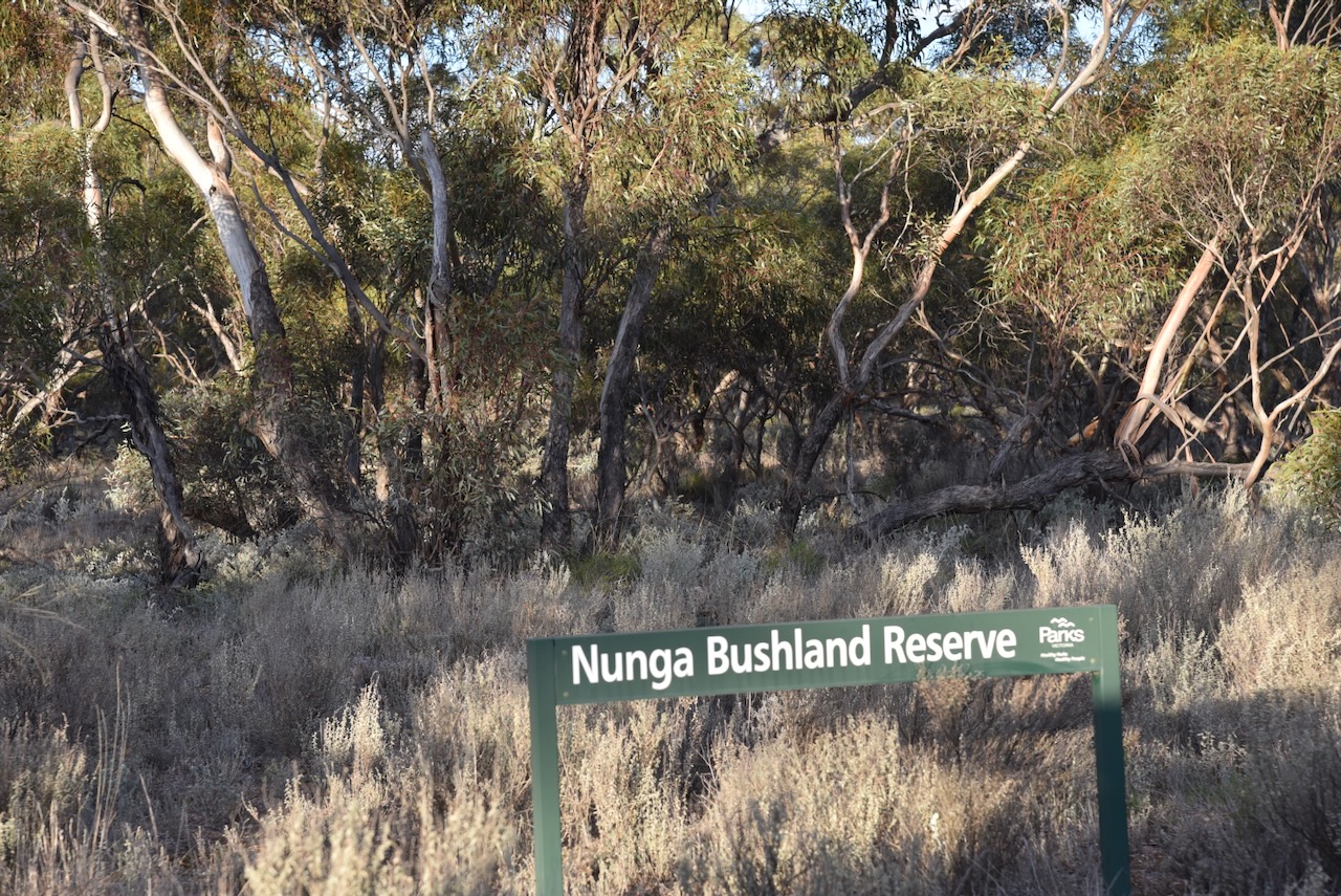
The next activation for Tuesday 20th August 2024, was the Nunga Bushland Reserve VKFF-4241 and the Nunga silo VK-NNG3.
Nunga is about 7 km south of Ouyen on the Calder Highway in northwest Victoria.
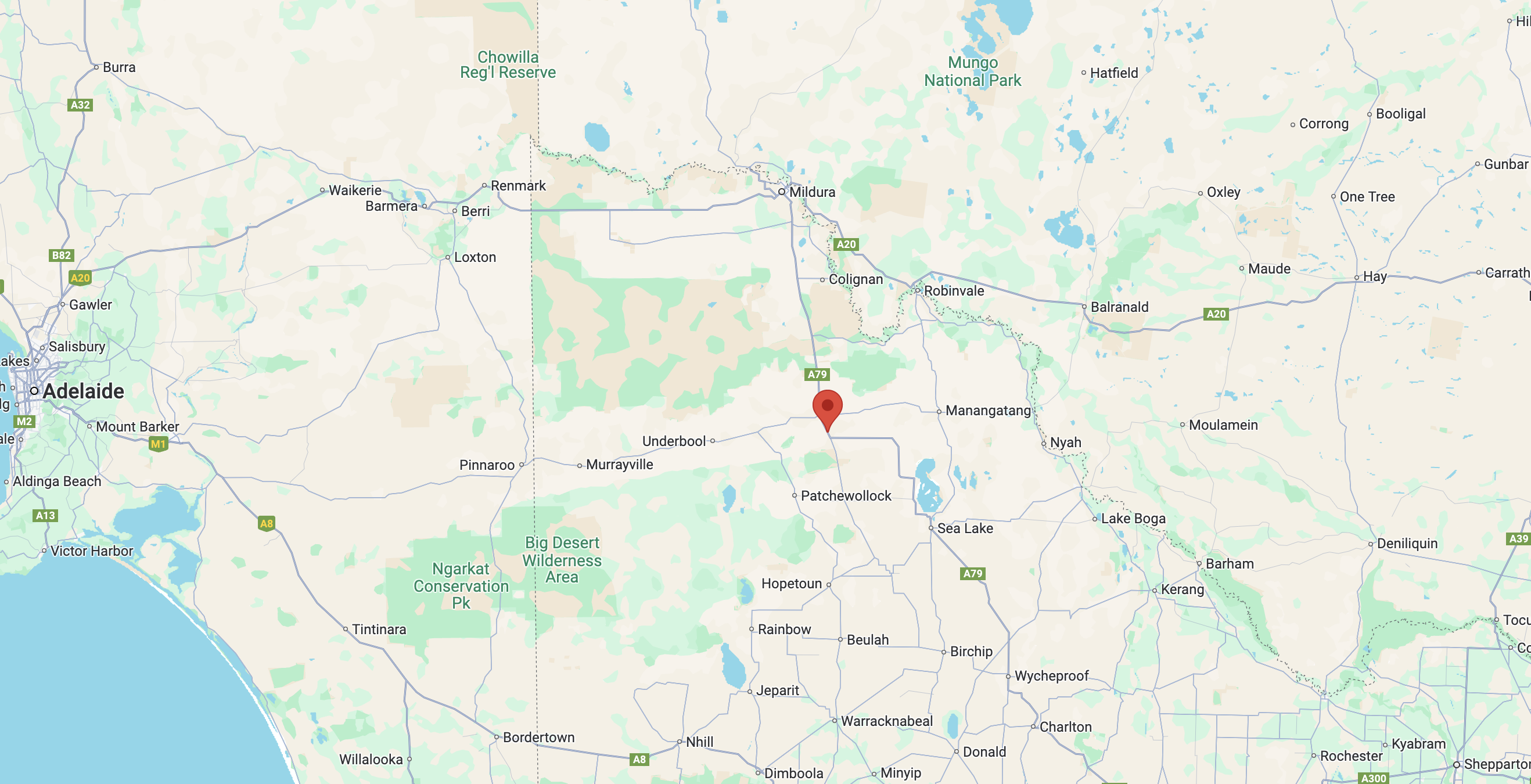
Above:- Map showing the location of the Nunga Bushland Reserve. Map c/o Google Maps.
Nunga is an aboriginal word for ‘day. Interestingly it is also a term of self-identification for Aboriginal Australians and was originally used by Aboriginal people in the southern settled areas of South Australia. (Blake 1978) (Wikipedia 2024)
At one time Nunga had a State School and also had its own cricket club.
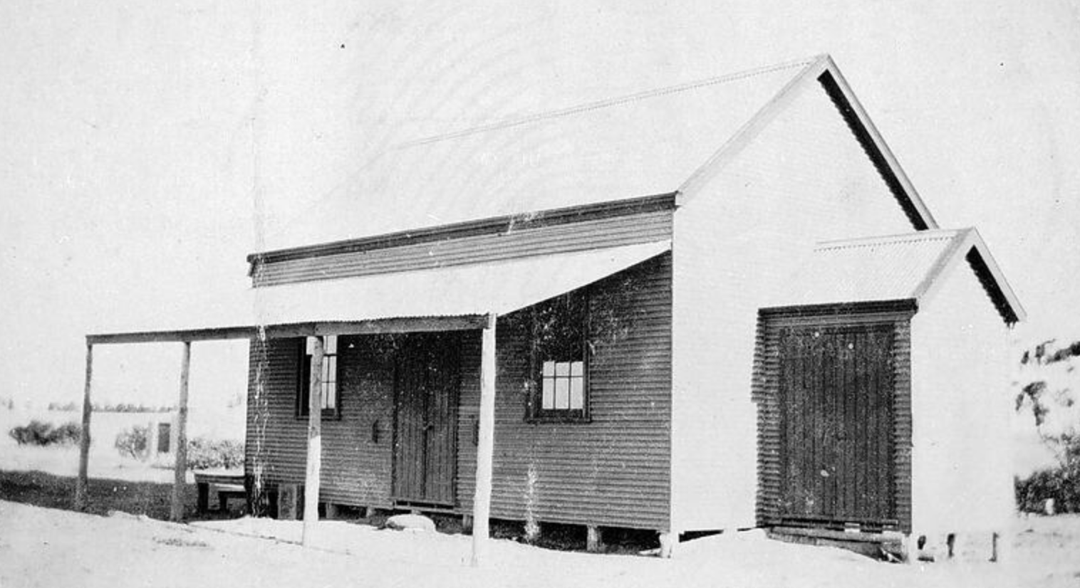
Above:- The State School, No. 3756, at Nunga. Image c/o Museums Victoria.
During the 1940’s Nunga saw a significant mice plague.
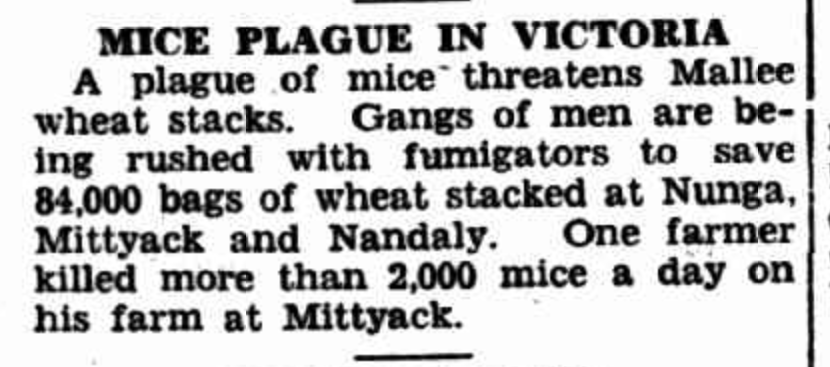
Above:- Article from The Inverell Times Wed 9 Apr 1947. Image c/o Trove.
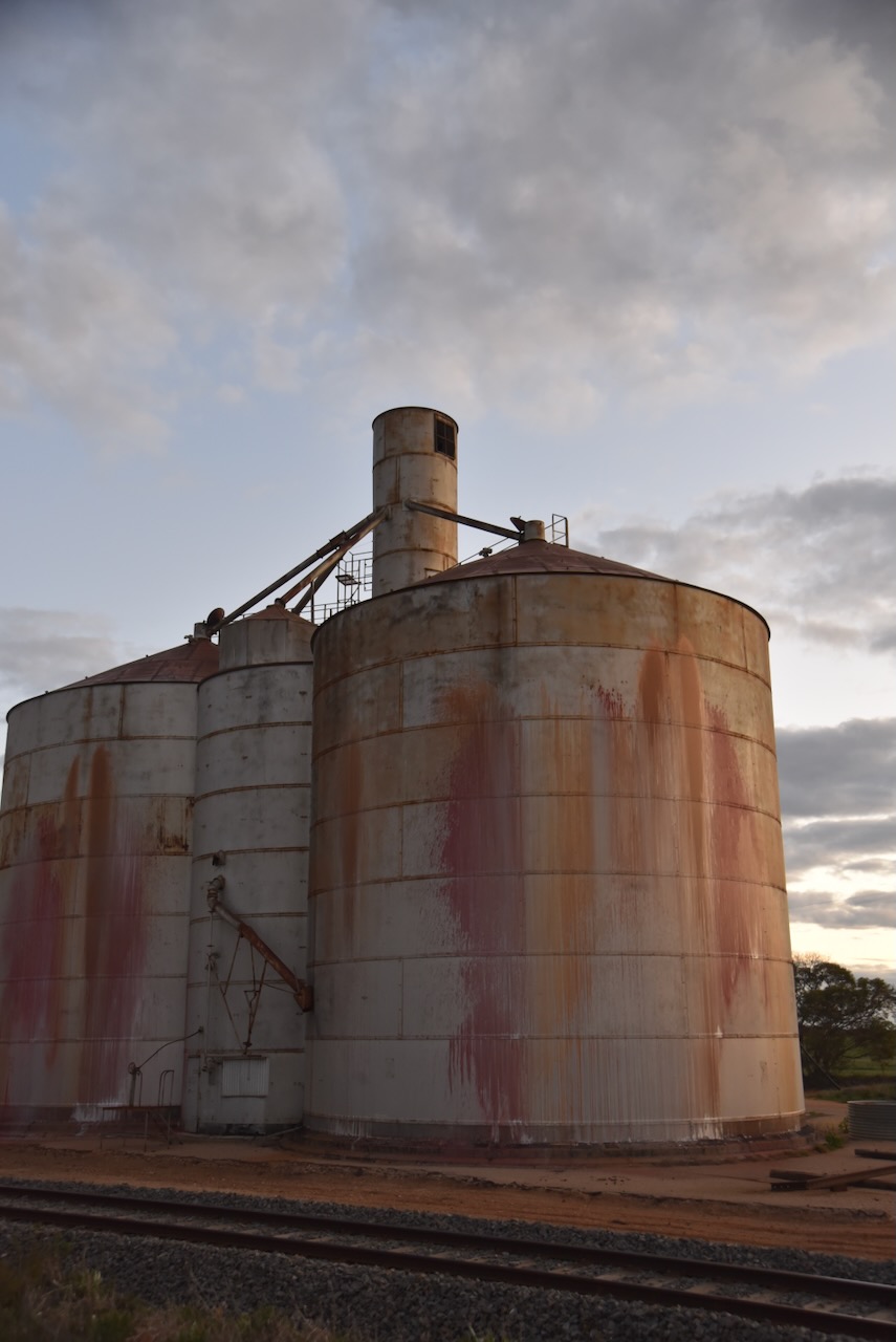
The Nunga silos are located on Dunkley Road on the western side of the Calder Highway
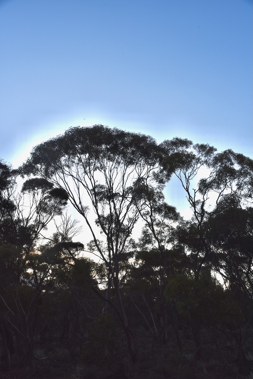
The Nunga Bushland Reserve is located on the eastern side of the Calder Highway.
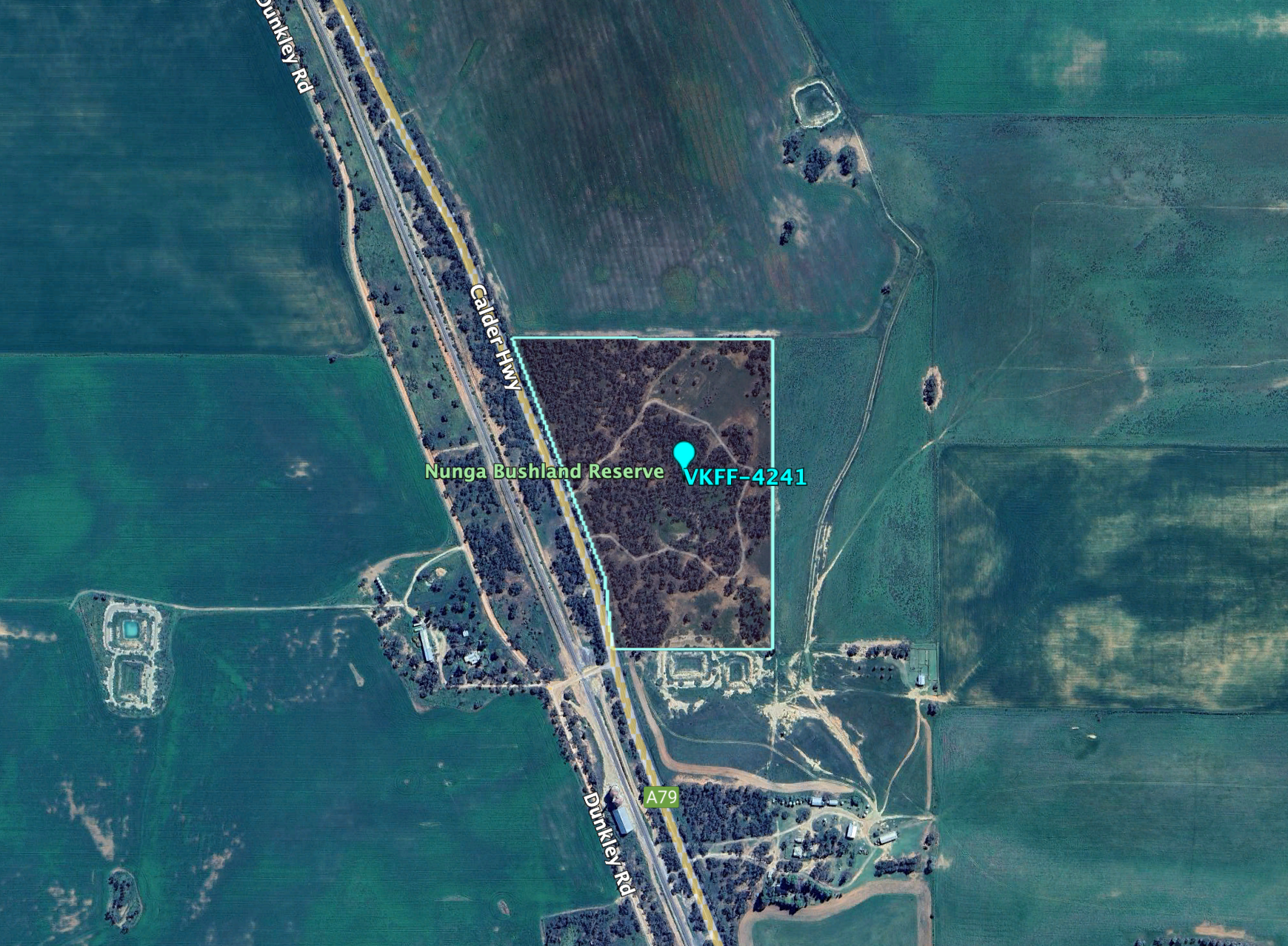
Above:- An aerial view of the park. Image c/o Google Earth.
The park is about 14 hectares in size and was established on the 1st day of May 1979. (CAPAD 2022)

I accessed the park via a 4WD track that led into the park. I ran the Yaesu FT857d, 40 watts, and the 20/40/80m linked dipole for this activation.
I worked the following stations on 40m SSB:-
- VK2VW
- VK2HFI
- VK2AKA
- VK2BUG
- VK3PF/m
- VK5GY
- VK2TOT
- VK7PJM
- VK3VIN
- VK2IO
- VK2GEZ
- VK4SMA
- VK2EXA
- Vk2TM
- VK3BEL
- VK4HMI
- VK3CA
- VK3ACZ
- VK3MTT
- VK5PL
- VK1DI
- VK5WU
- VK3HJW
- VK2GQR
- VK3SQ
- VK2BD
- VK4EMP
- VK4TI
- VK4GKO
- VK5UV
- VK5JK
- VK3MJR
- VK3SO
- VK3SFG
- VK3PWG
- VK3TTK
- VK3ANL
- VK3APJ
- VK4HNS
- VK2SLB
- VK2BRN
- VK2KBT
- VK5LA
- VK5KAW
- VK4FDJL
- VK4WAB
- VK2MOE
- VK1MO
- VK3BBB
- VK2CCP
- VK3CJN
- VK3QHU
- VK2PBC
- VK2YAK
- VK4YAK
- VK3GJG
- VK3UAO
- VK2WGW
- VK5PE/m
- VK3GB
- VK6DS
- VK3MGM
- VK1ARQ
- VK4LGC
- VK2KDA
I worked the following stations on 40m AM:-
- VK3CA
- VK3HM
I worked the following stations on 40m FM:-
- VK3CA
- VK3HM
References.
- Dcceew.gov.au. (2023). Collaborative Australian Protected Areas Database (CAPAD) 2022 – DCCEEW. [online] Available at: https://www.dcceew.gov.au/environment/land/nrs/science/capad/2022 [Accessed 10 Nov. 2024].
- Leslie James Blake, 1978, Place Names of Victoria.
- Wikipedia Contributors (2022). Nunga. Wikipedia.
