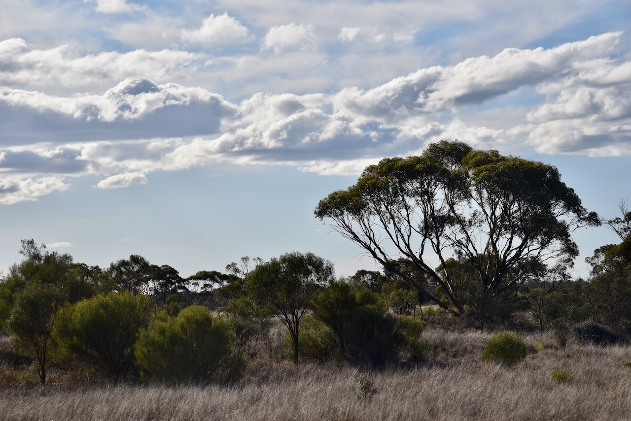
After leaving the Pidgeon Tank Bushland Reserve on Thursday 22nd August 2024, I drove a short distance to my next park activation, the Symes Bushland Reserve VKFF-4202.
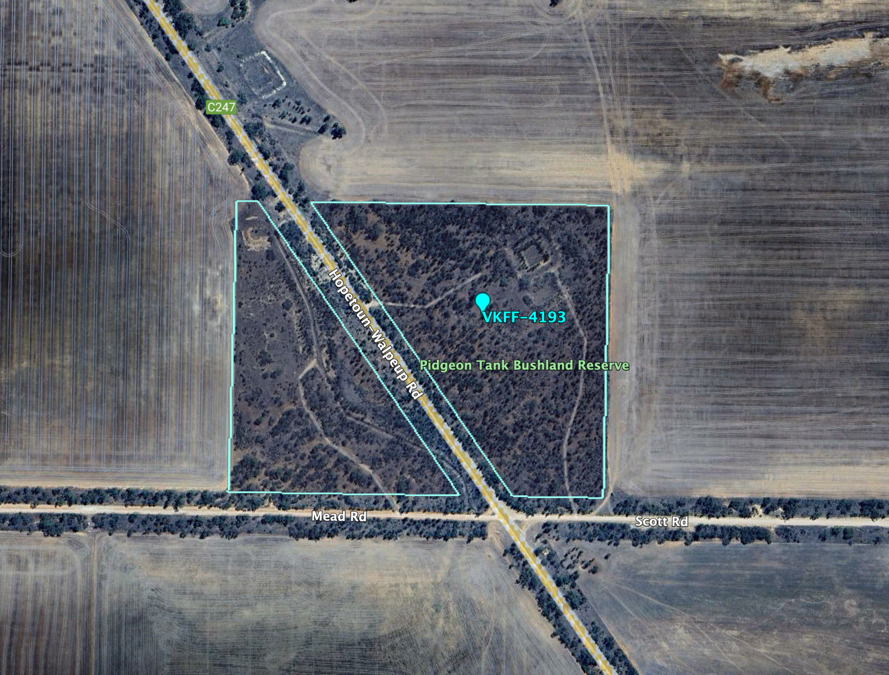
The reserve is about 30 km southwest of Ouyen in northwest Victoria.
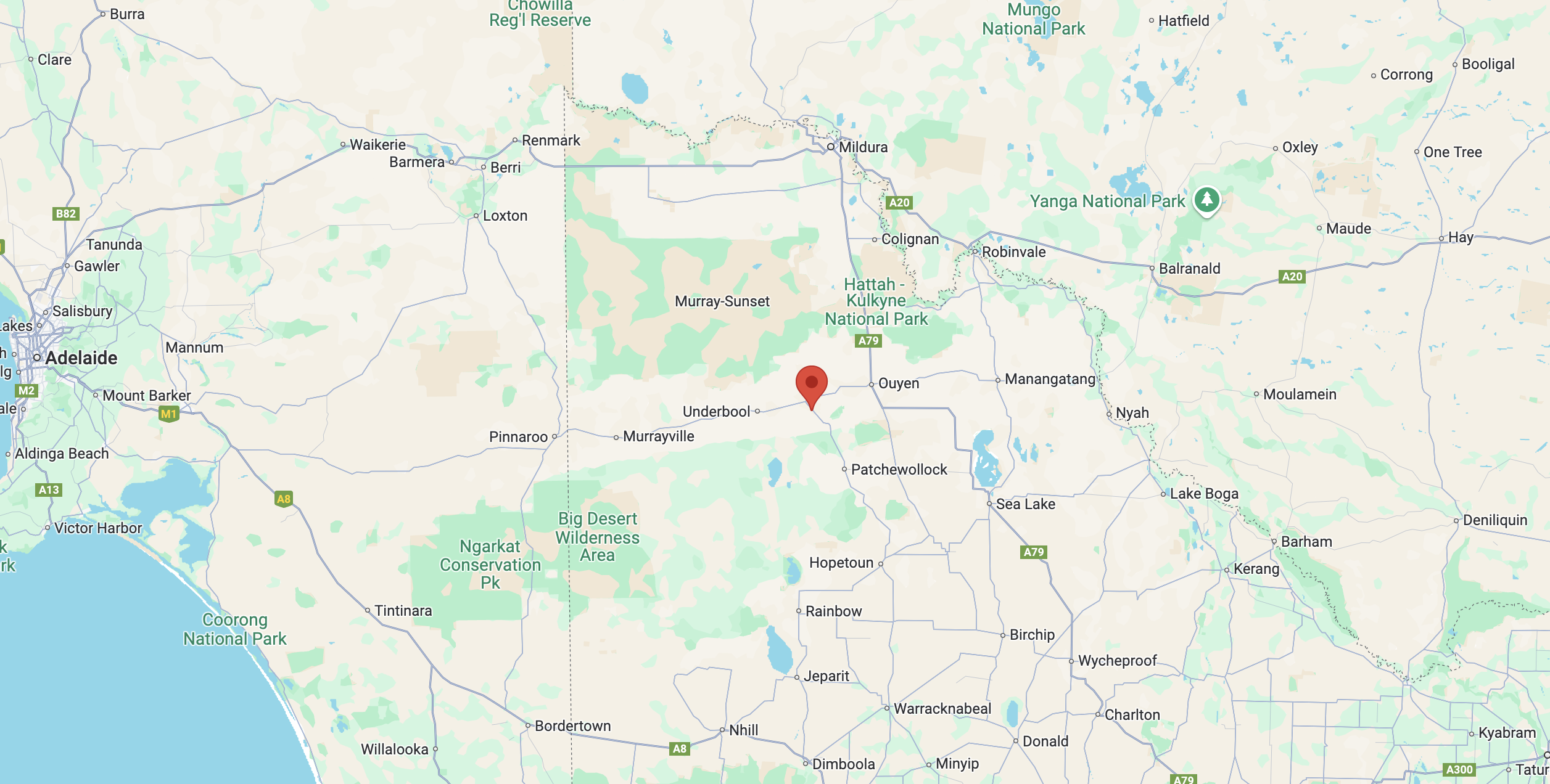
Above:- Map showing the location of the Symes Bushland Reserve. Map c/o Google Maps.
The reserve is located on the western side of Hopetoun-Walpeup Road at the junction of Munro Road.
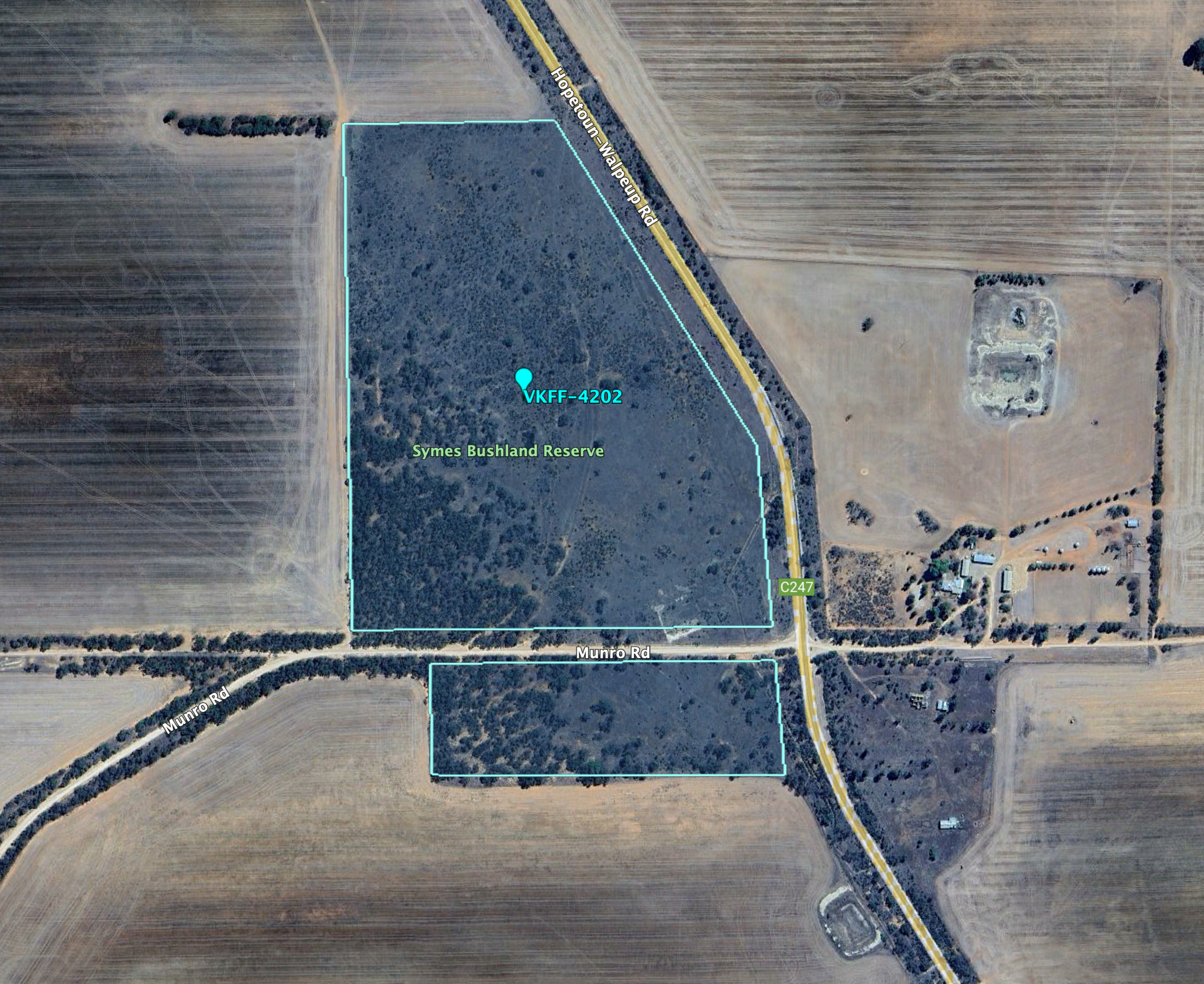
Above:- An aerial view of the Symes Bushland Reserve. Image c/o Google Earth.
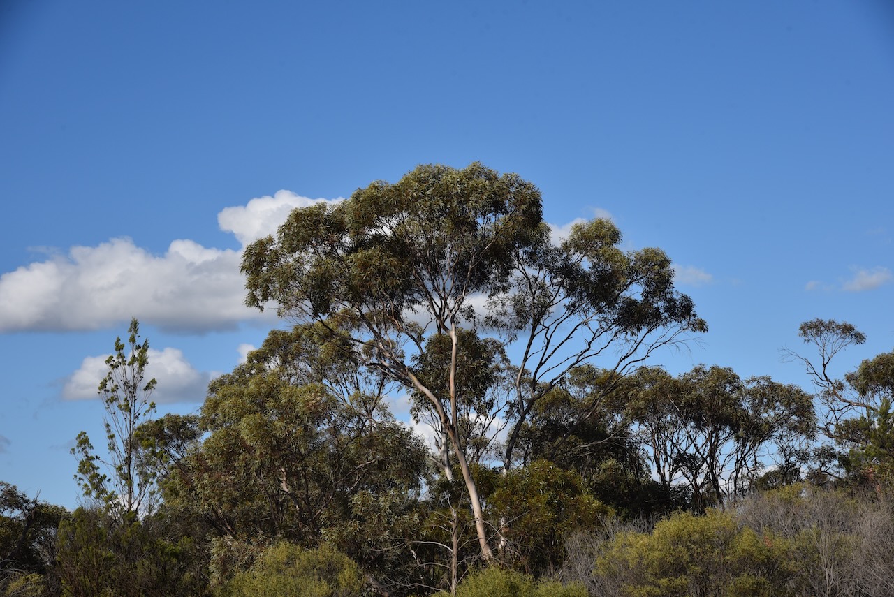
The reserve is about 30 hectares in size and was established on the 1st day of May 1979. (CAPAD 2022)
I ran the Yaesu FT857d, 40 watts, and the 20/40/80m linked dipole for this activation.
I worked the following stations on 20m SSB:-
- VK4EMP
- VK4TI
- VK4GKO
- VK5MAZ
- VK5QA/4
- VK3CLD/4
- VK2DBF/4
- F5PYI
- M1TES/M
- ON4BB
- VK2IO
- VK2GEZ
- DL1EBR
- VK2VW
- VK2HFI
- VK2AKA
- VK2BUG
- UT5PI
- VK4SMA
- F1BLL
- VK4HNS
- S58AL
- SQ9CWO
- OH6GAZ
- DH4PSG
- F5NZO
- DK4RM
- OP7M
- IZ5JMZ
- EA3MP
- IK1GPG
- KG5CIK
- SP9RXP
- S52KM
- IW2NXI
- VK4PDX
- VK7HAM
- OH1MM
- ON4LO
- ON7ZM
- ZL4NVW/P (ZLFF-0006)
- ZL3RIK
- ON4VT
- OK2TS
- IK3HMB
- VK6TTF
- EA1GIB
- OM5TX
- VK6CB
- VK2JJM
- SP1JQJ
I worked the following stations on 40m SSB:-
- VK3SQ
- VK2BD
- VK2YW
- VK3HJW
- VK3APJ
- VK3EJ
- VK4FDJL
- VK3MIJ
- VK3VIN
- VK3PF
- VK4DNO
- VK2IO
- VK2GEZ
- VK2MOE
- VK1MO
- VK2YAK
- VK4YAK
- VK2EXA
- VK3ANL
- VK7HAM
- VK5JK
- VK1DI
- VK5WY
- VK3SKS
- VK3KRL
- VK7PJM
- VK3SO
- VK3SFG
- VK3WSG
- VK3TV
- VK3ACZ
- VK4EMP
- VK4TI
- VK4GOZ
- VK3MCK
- VK5MRS
With 87 QSOs in the log, I packed up and headed west towards Murrayville where I planned on staying for a few nights.
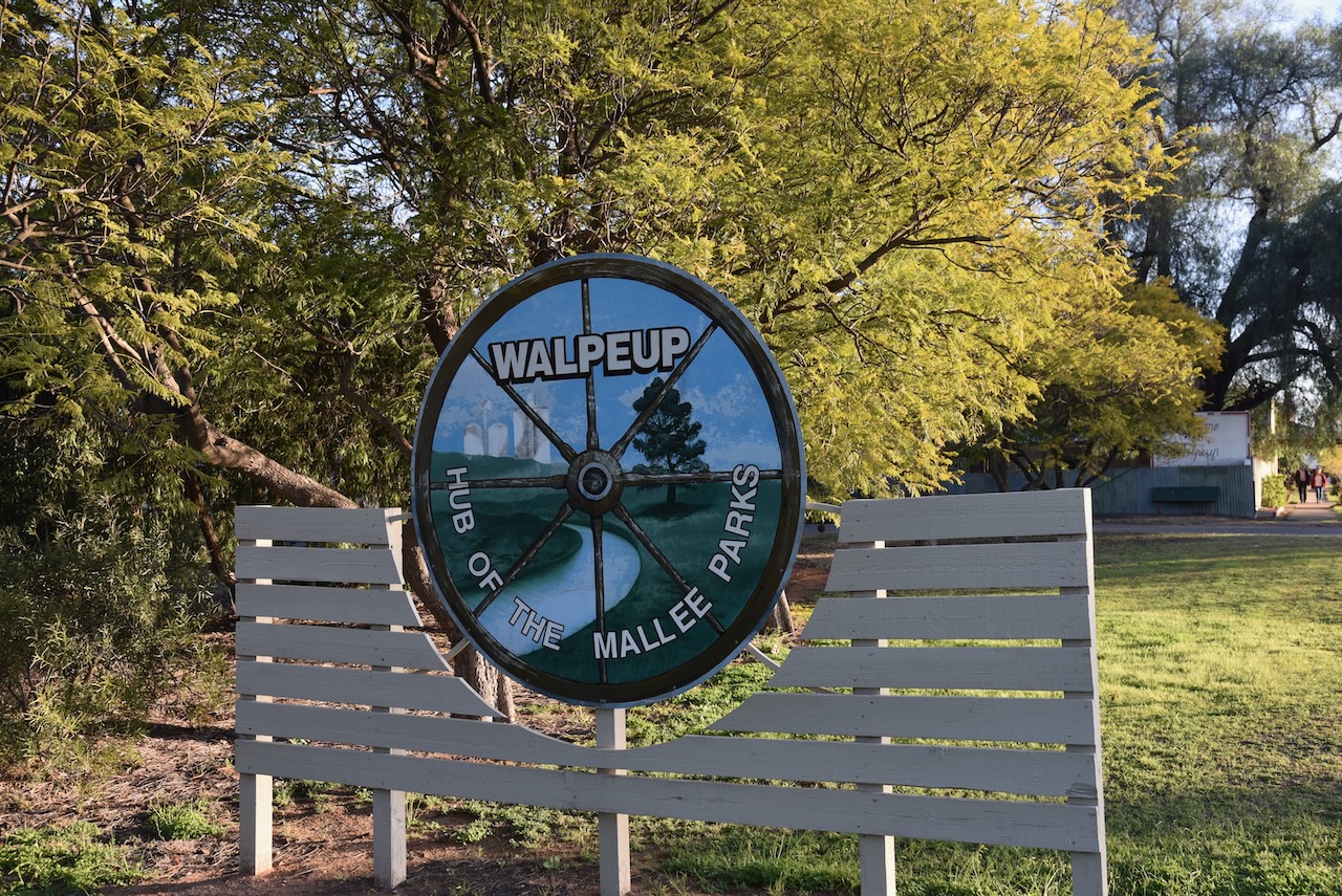
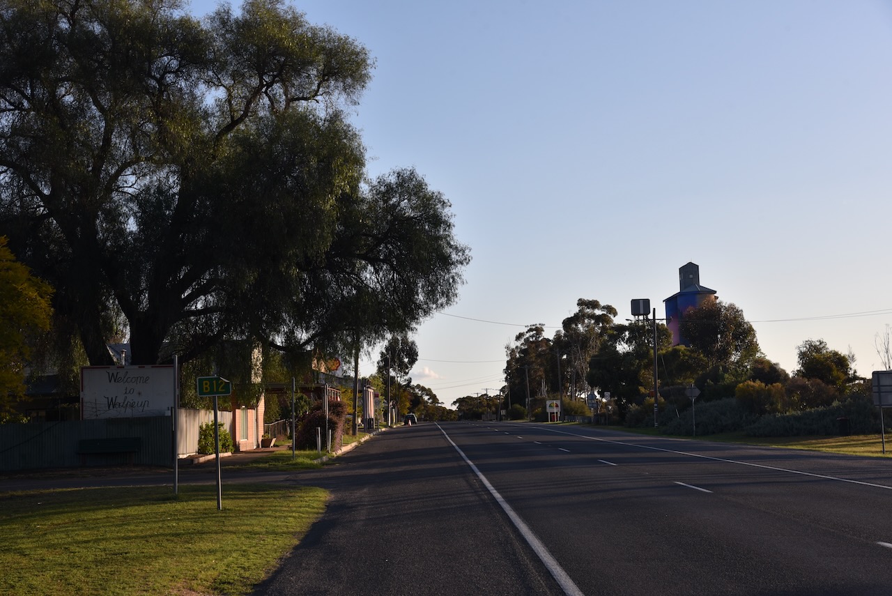
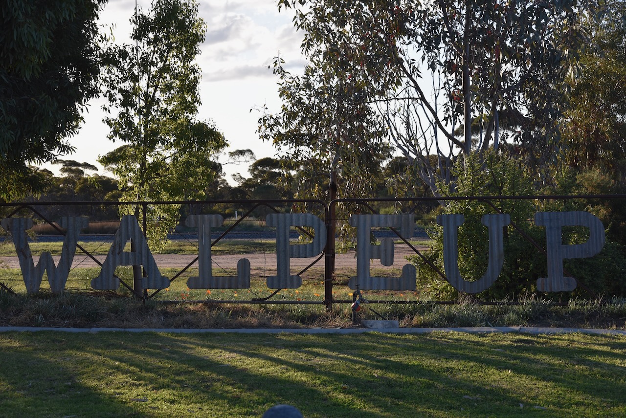
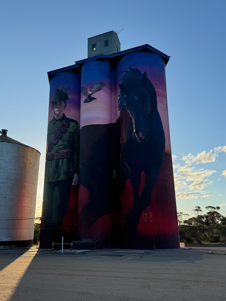
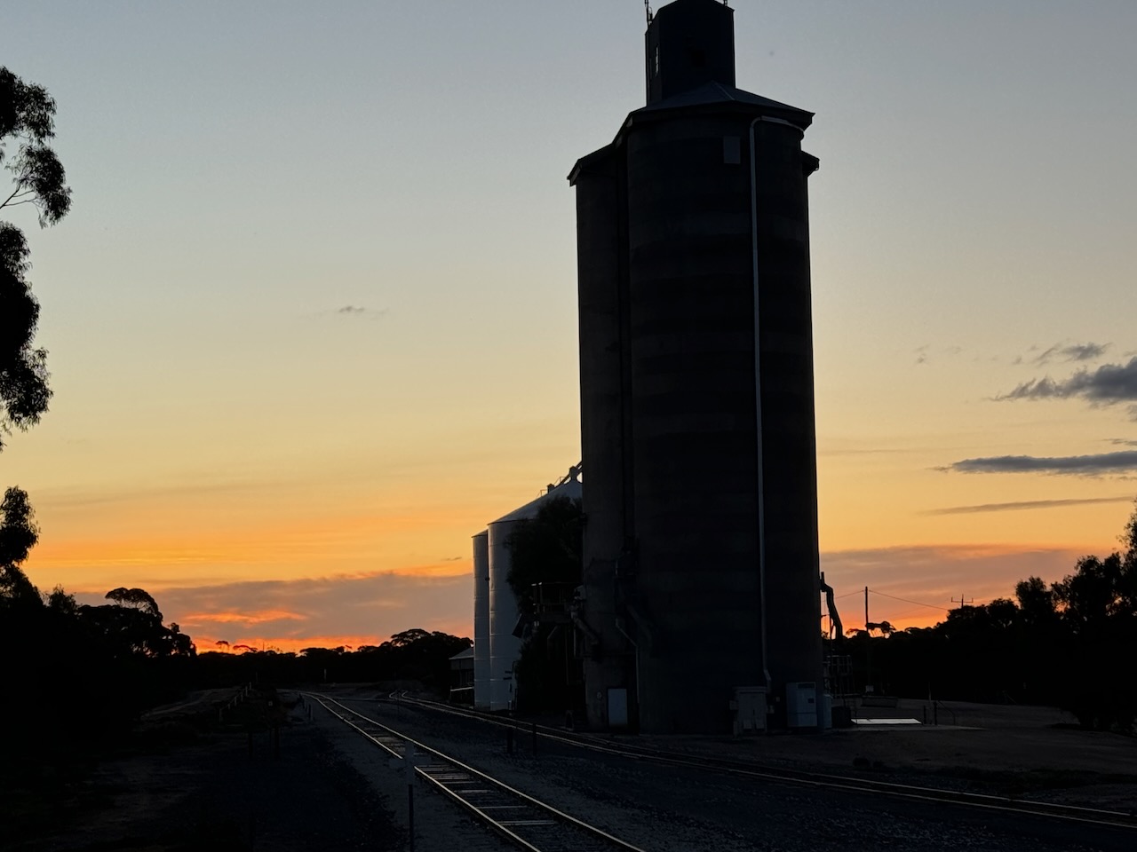
Along the way, I stopped briefly at Walpeup. I have been here dozens of times before, but I wanted to have another look at the silo art in the town.
There are various interpretations on the meaning of Walpeup. Some suggest it is derived from the aboriginal word wolpeep meaning a boil (body sore). Others state that Walpeup means stumpy-tailed lizard and others claim it is an aboriginal word for an indigenous acacia. (Blake 1978) (Victorian Places)
In 1861 German explorer and scientist George Neumayer named the Walpeup area Consolation Plains. Neumayer was a member of the Exploration Committee of the Royal Society of Victoria which organised the Burke and Wills Expedition. Neumayer joined the expedition at Swan Hill and remained with the expedition party until the Darling River at Bilbarka, before returning. (Wikipedia 2024)
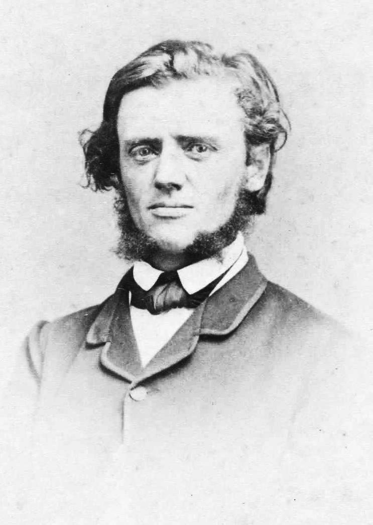
Above:- George Neumayer in c. 1860. Image c/o Trove.
In 1903 the railway line was extended northwards from Woomelang via Ouyen, finally joining with Mildura. There was a settlement at nearby Pinnaroo in South Australia with good farming land. A study revealed that the land between Pinnaroo and Ouyen was of similar good quality. The availability of water was confirmed by the sinking of test bores. Between 1910 to 1911 the State Rivers and Water Supply Commission constructed catchment tanks. In 1912 the railway line from Ouyen to Murrayville was completed. In 1909 the first farm selections were offered along the railway route. The post office was opened on the 16th day of December 1912. (Wikipedia) (Victorian Places)
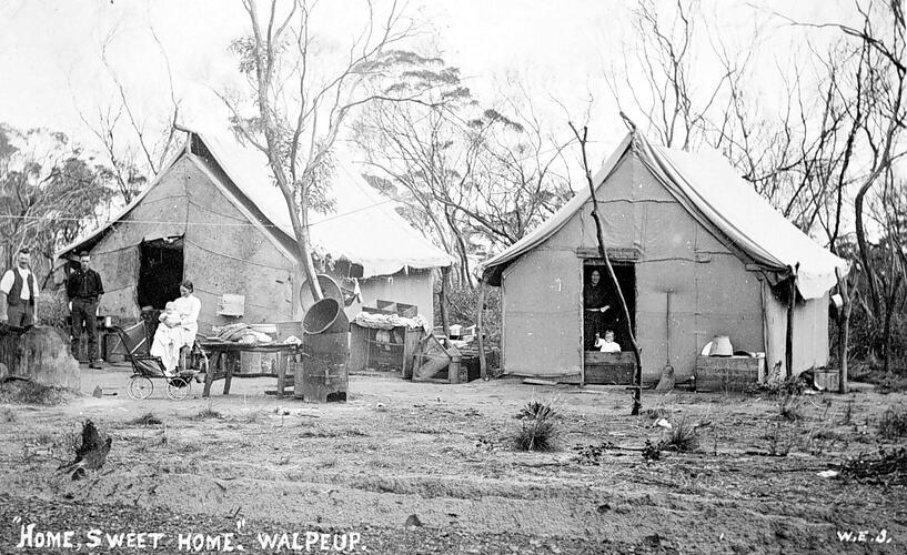
Above:- Homes in Walpeup. c. 1911. Image c/o Museums Victoria.
In 1909 a store was opened at Walpeup and this was followed by the Walpeup Primary School in 1912 which operated from the ‘Little White Hall.’ In 1911 the Shire of Walpeup was proclaimed, however, the administrative centre was at Ouyen. Council meetings alternated between Ouyen and Murrayville. The Walpeup South State School (No. 3939) also known as Hungry Hut, was opened in 1912 and closed in 1951. (Victorian Places) (Wikipedia)
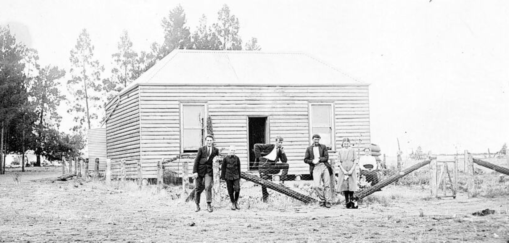
Above:- The Walpeup School, c. 1911. Image c/o Museums Victoria.
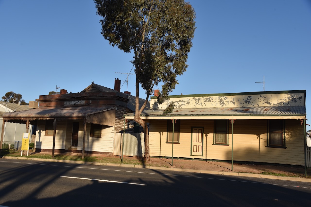
By 1920 Walpeup had a population of about 400 people and had a general store, a blacksmith, a butcher, a bank branch and other businesses. The original public hall was replaced in 1923 with a brick memorial hall. (Victorian Places)
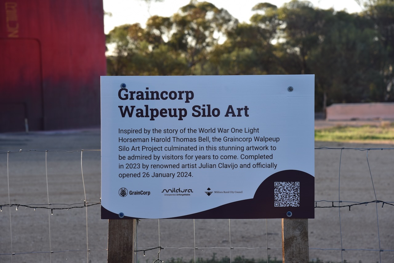
The Walpeup silo features World War One Light Horseman Harold Thomas Bell. The silo art is the work of artists Julian Clavijo and Camilo Delgardo. It was completed in 2023.

Below is a great video on the Walpeup silo.
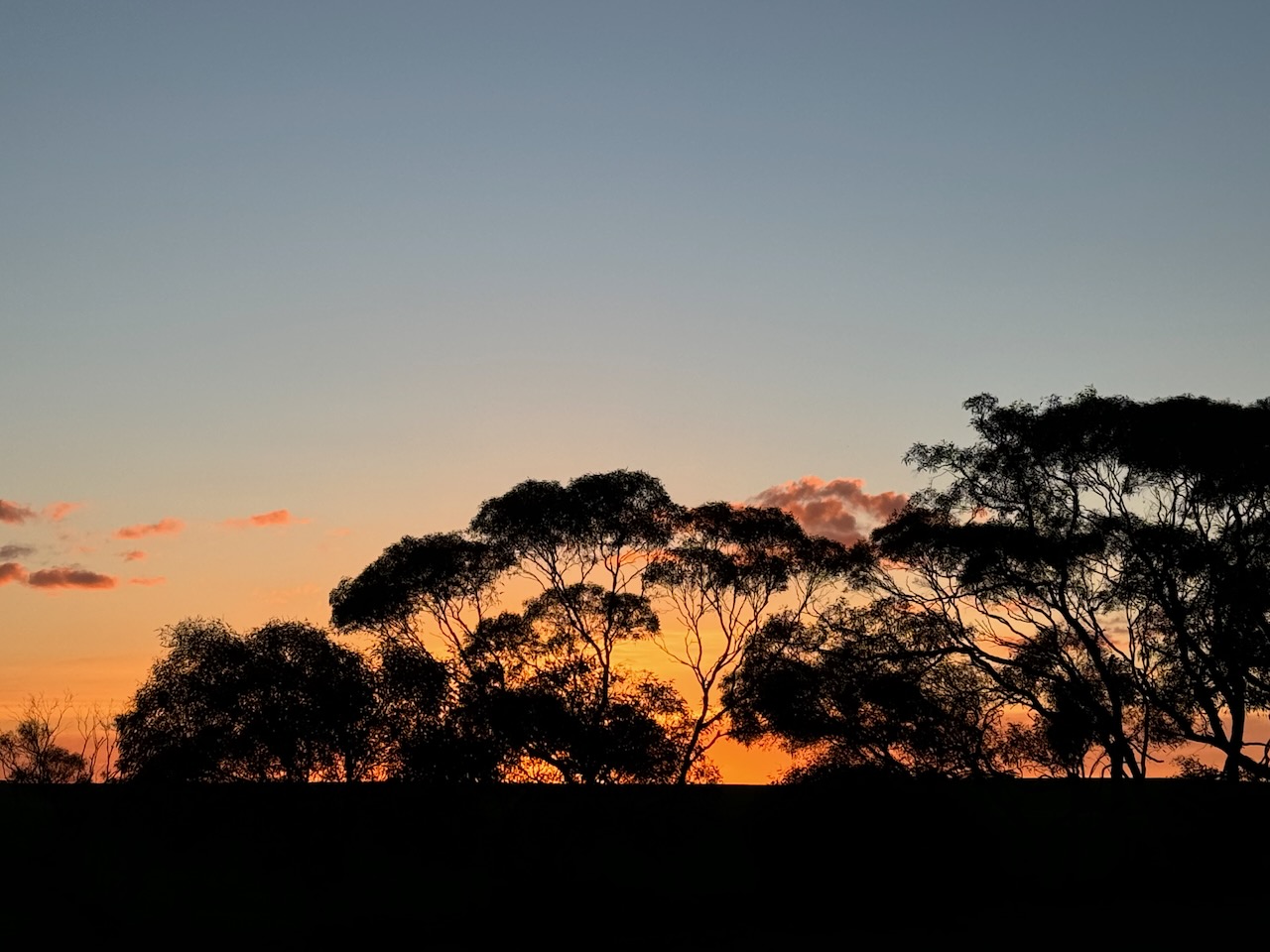
As I drove into Murrayville the sun was setting and I enjoyed a magnificent sunset.
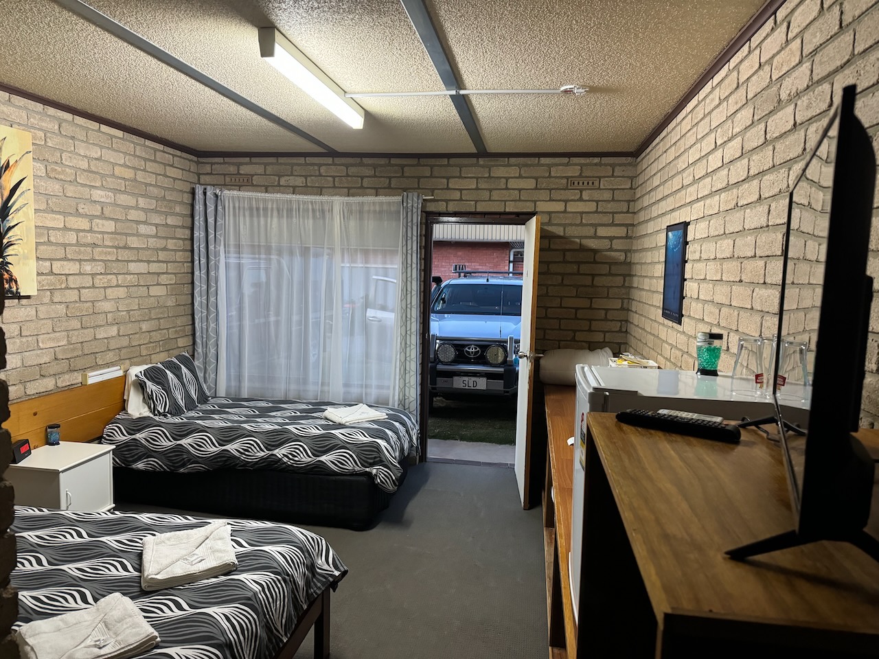
I then booked into my accommodation at the Murrayville Hotel.
After heaving a bite to eat I decided to head out to activate a final park for the day.
References.
- Australiansiloarttrail.com. (2022). \r\n \n Walpeup Silo Art\n \r\n. [online] Available at: https://www.australiansiloarttrail.com/walpeup [Accessed 20 Nov. 2024].
- Dcceew.gov.au. (2023). Collaborative Australian Protected Areas Database (CAPAD) 2022 – DCCEEW. [online] Available at: https://www.dcceew.gov.au/environment/land/nrs/science/capad/2022 [Accessed 20 Nov. 2024].
- Leslie James Blake, 1978, Place Names of Victoria.
- Victorianplaces.com.au. (2014). Walpeup | Victorian Places. [online] Available at: https://www.victorianplaces.com.au/walpeup [Accessed 20 Nov. 2024].
- Wikipedia Contributors (2024). Georg von Neumayer. Wikipedia.
- Wikipedia Contributors (2024). Walpeup. Wikipedia.