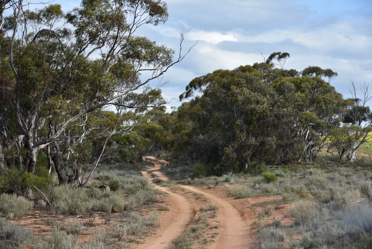
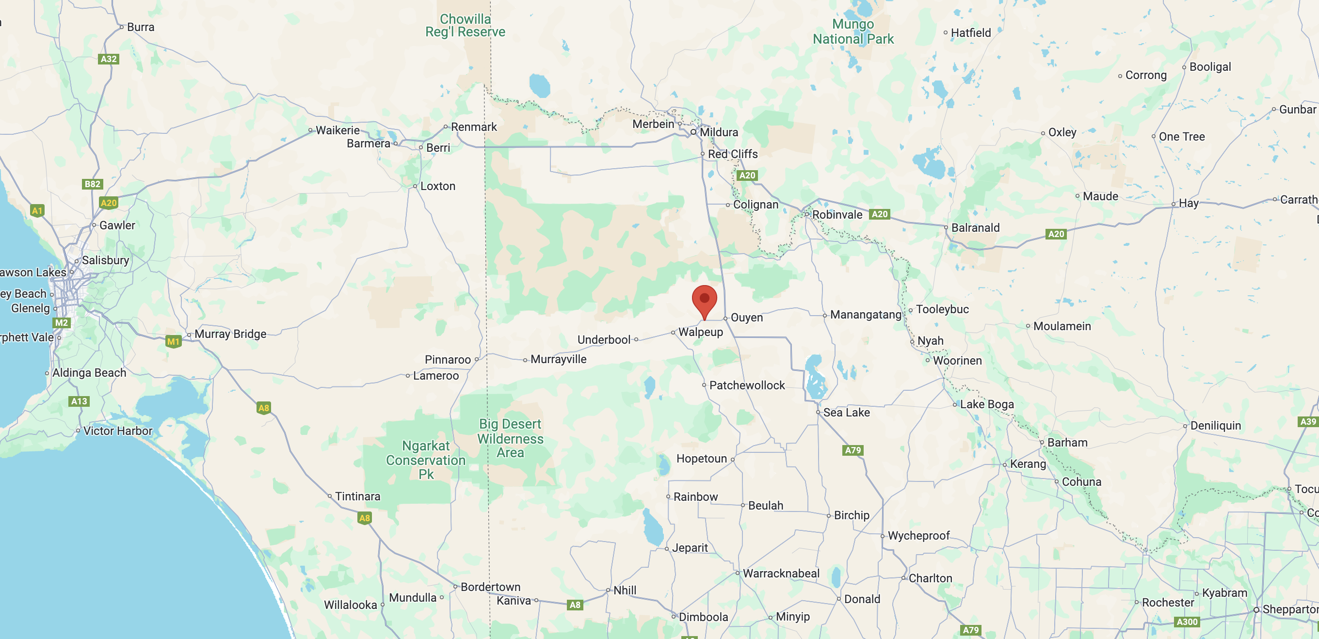
My first activation for Thursday 22nd August 2024 was the Ouyen I244 Bushland Reserve VKFF-4208 and the Ouyen silo VK-OYN3.
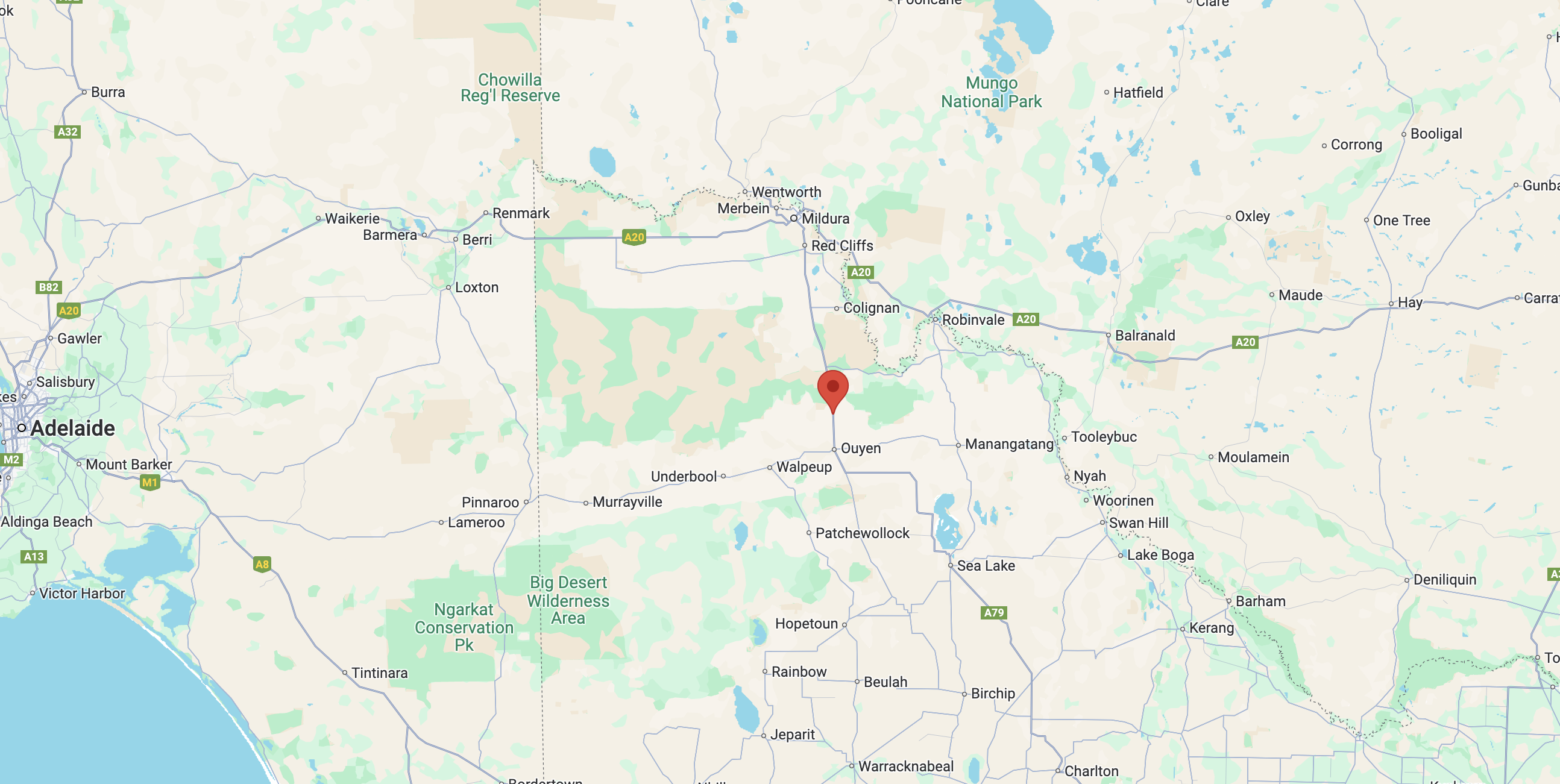
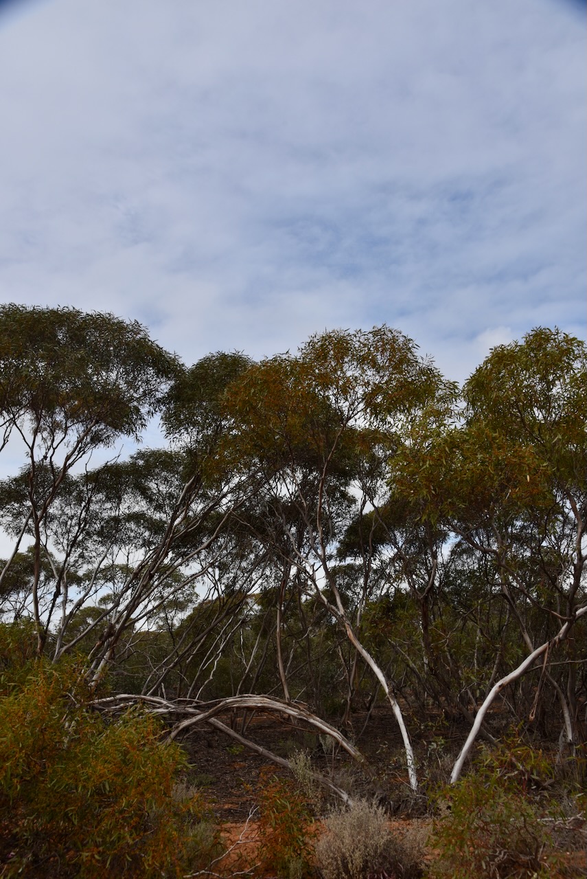
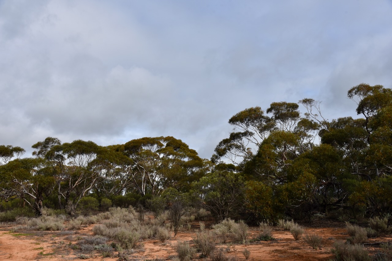
The reserve is located on the southwest edge of the town of Ouyen in northwest Victoria.
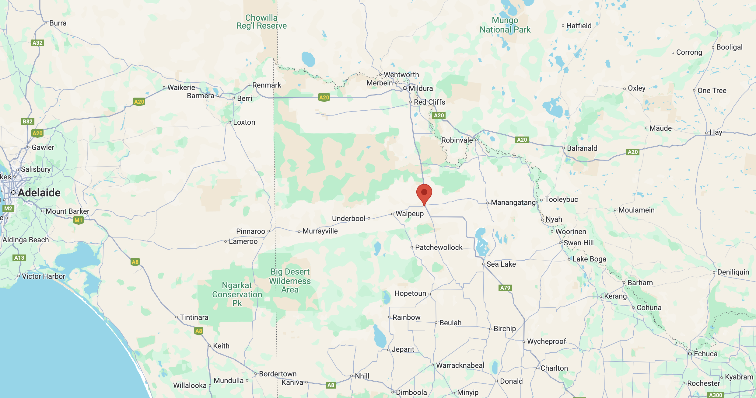
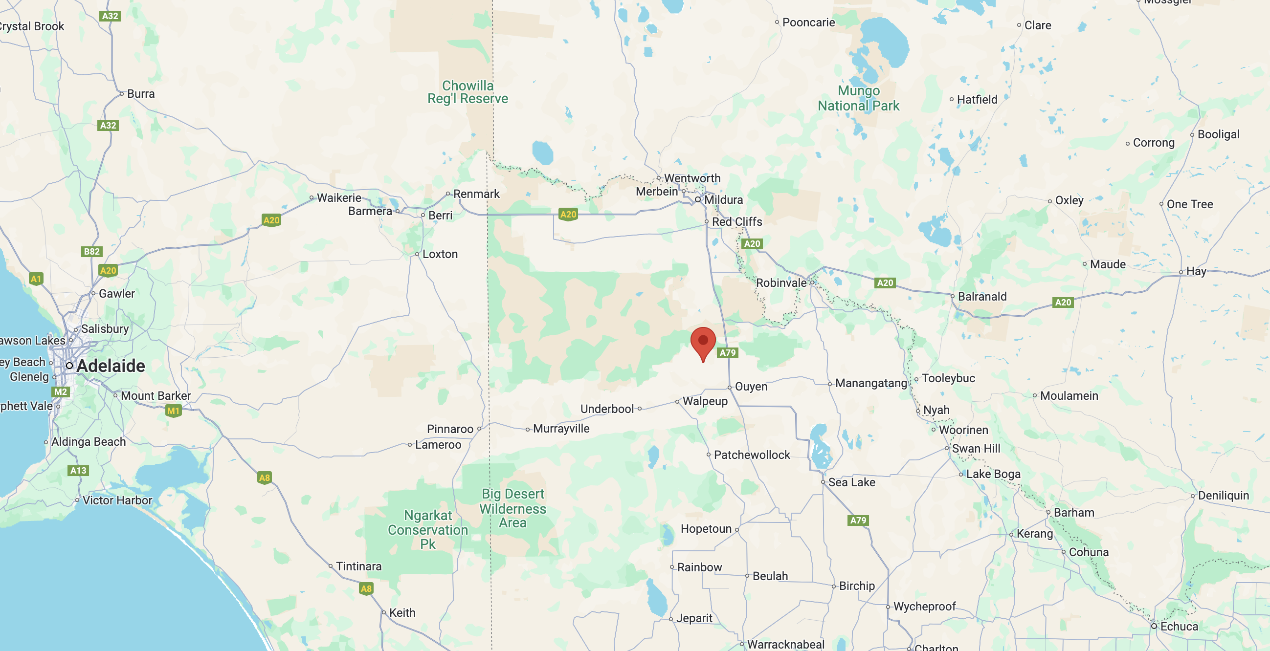
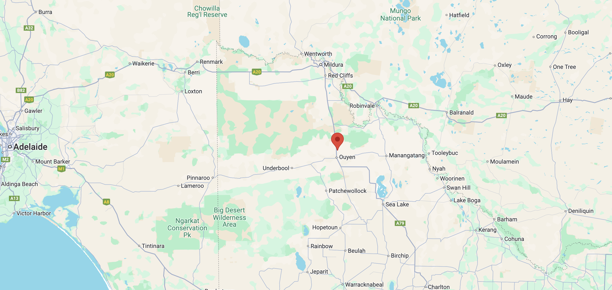
Above:- Map showing the location of the Ouyen I244 Bushland Reserve. Map c/o Google Maps.
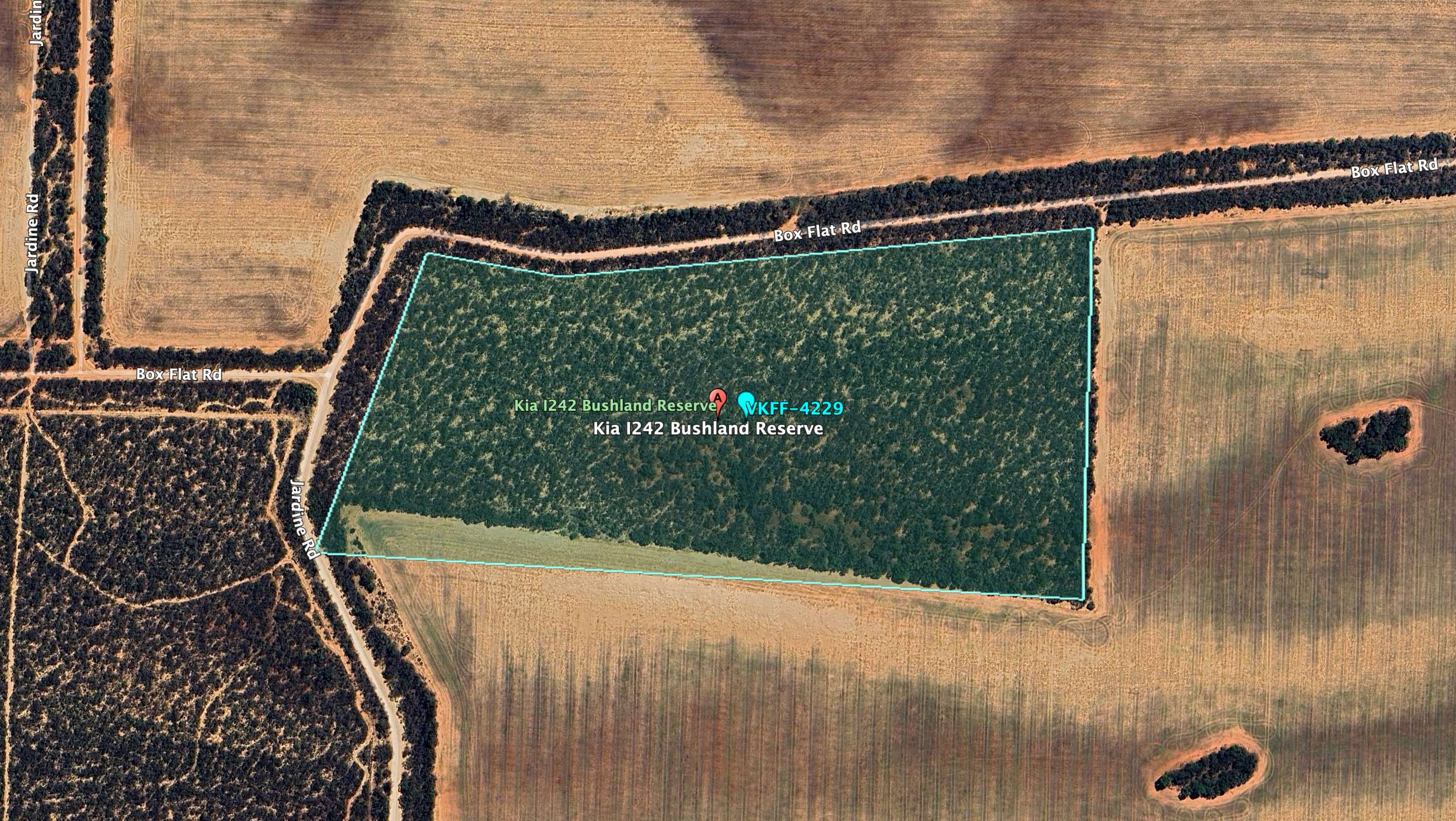
The reserve is located on the northern and southern sides of the Mallee Highway.
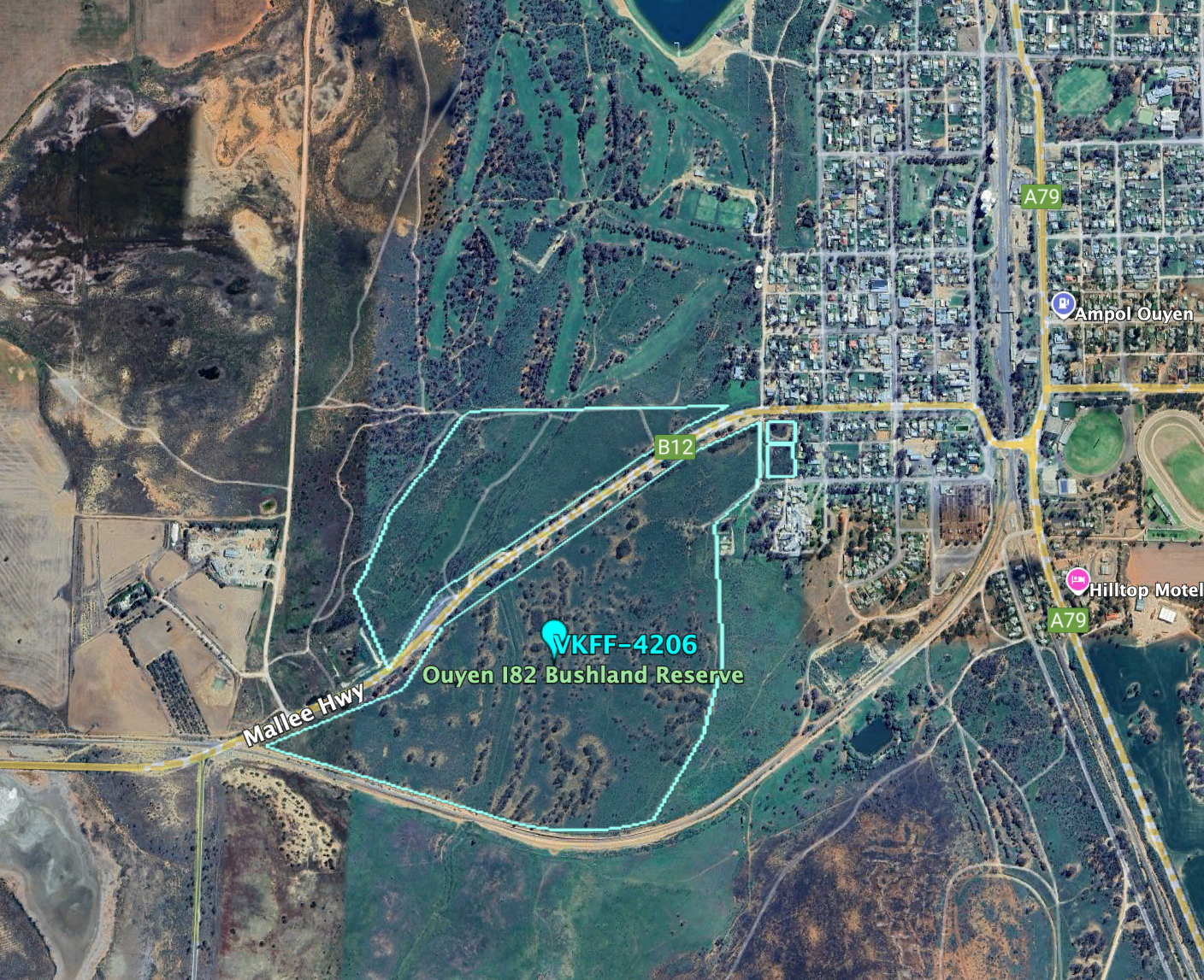
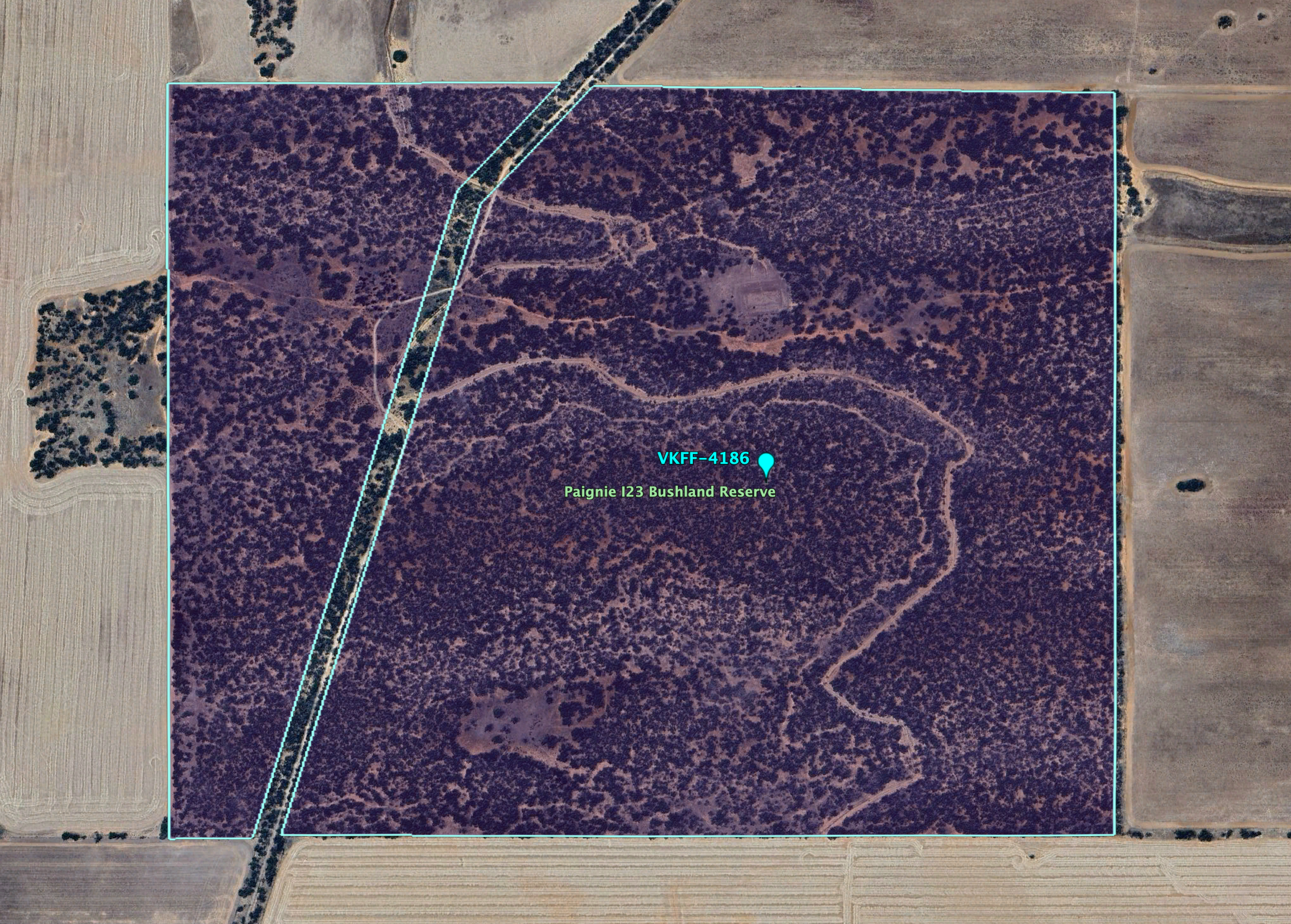
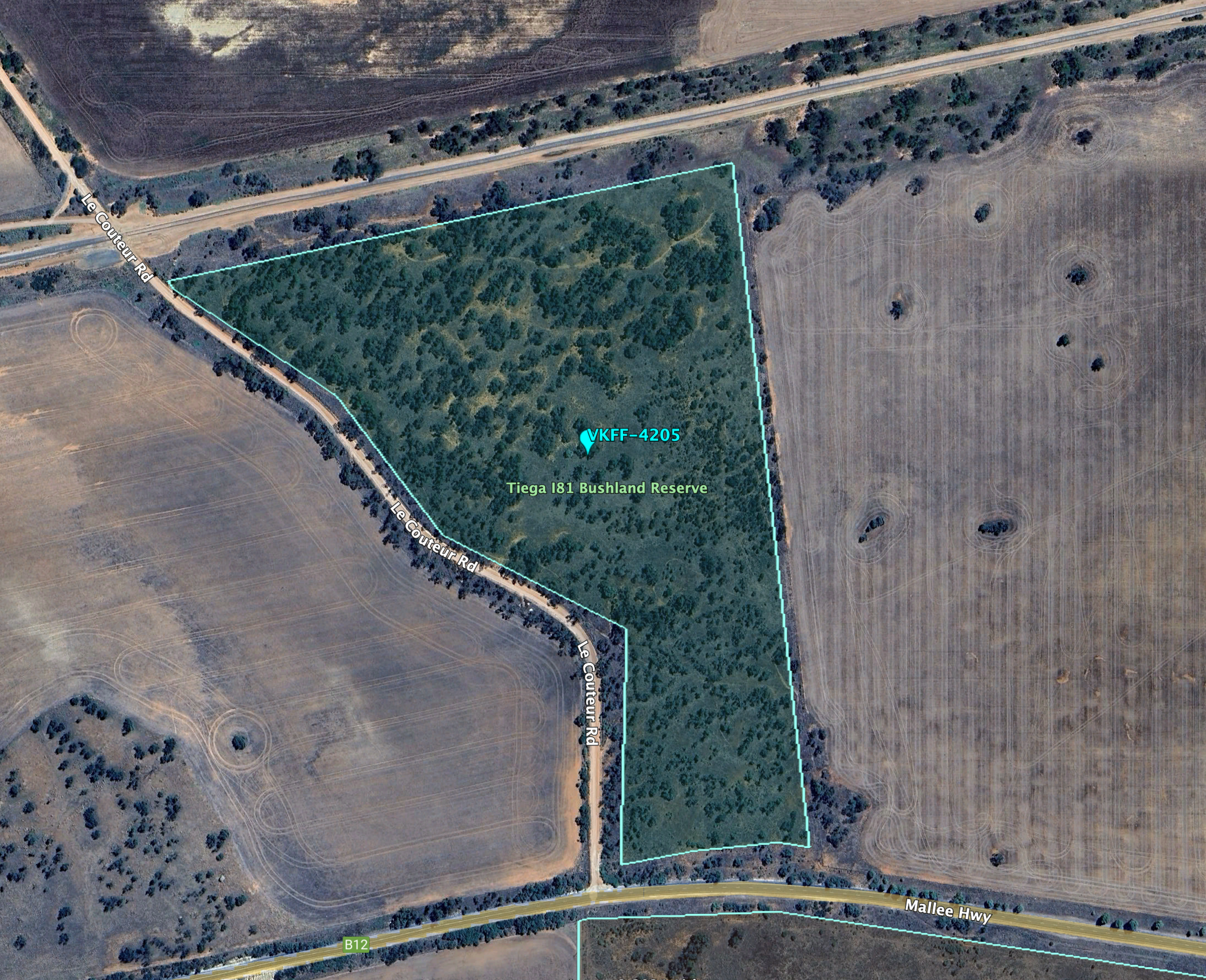
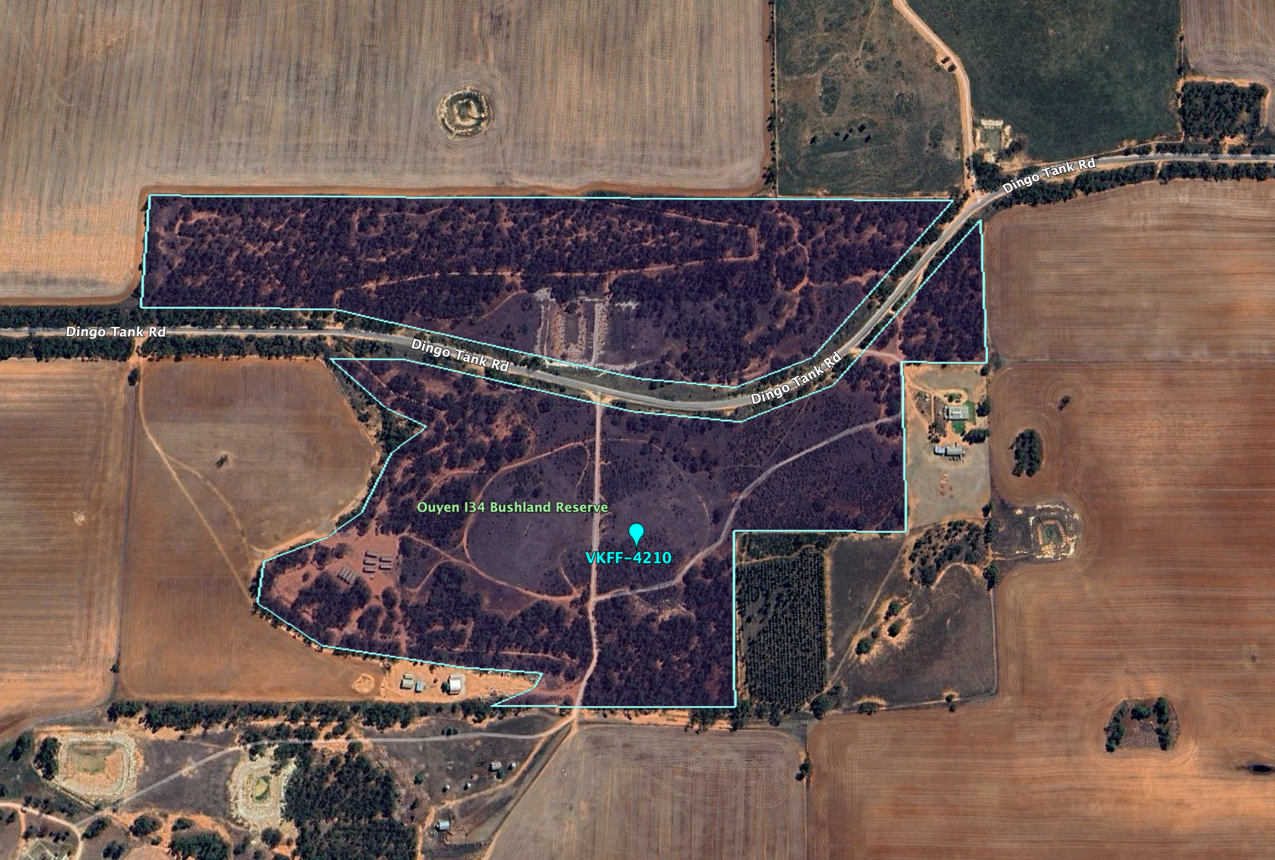
Above:- An aerial view of the Ouyen I244 Bushland Reserve. Image c/o Google Earth.
The reserve is about 75 hectares in size and was established on the 1st day of May 1979. (CAPAD 2022)
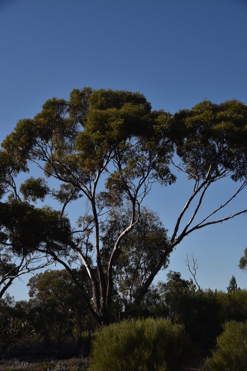

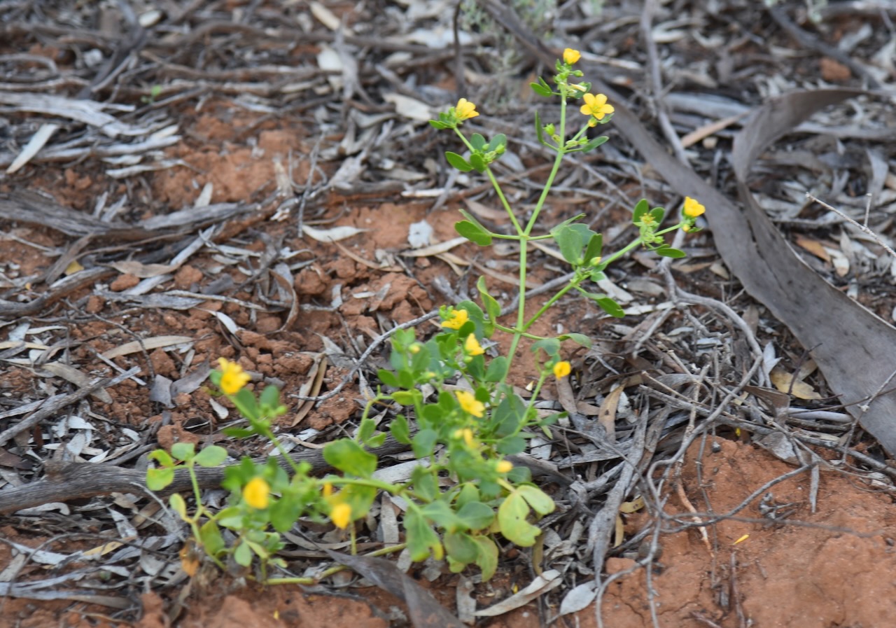
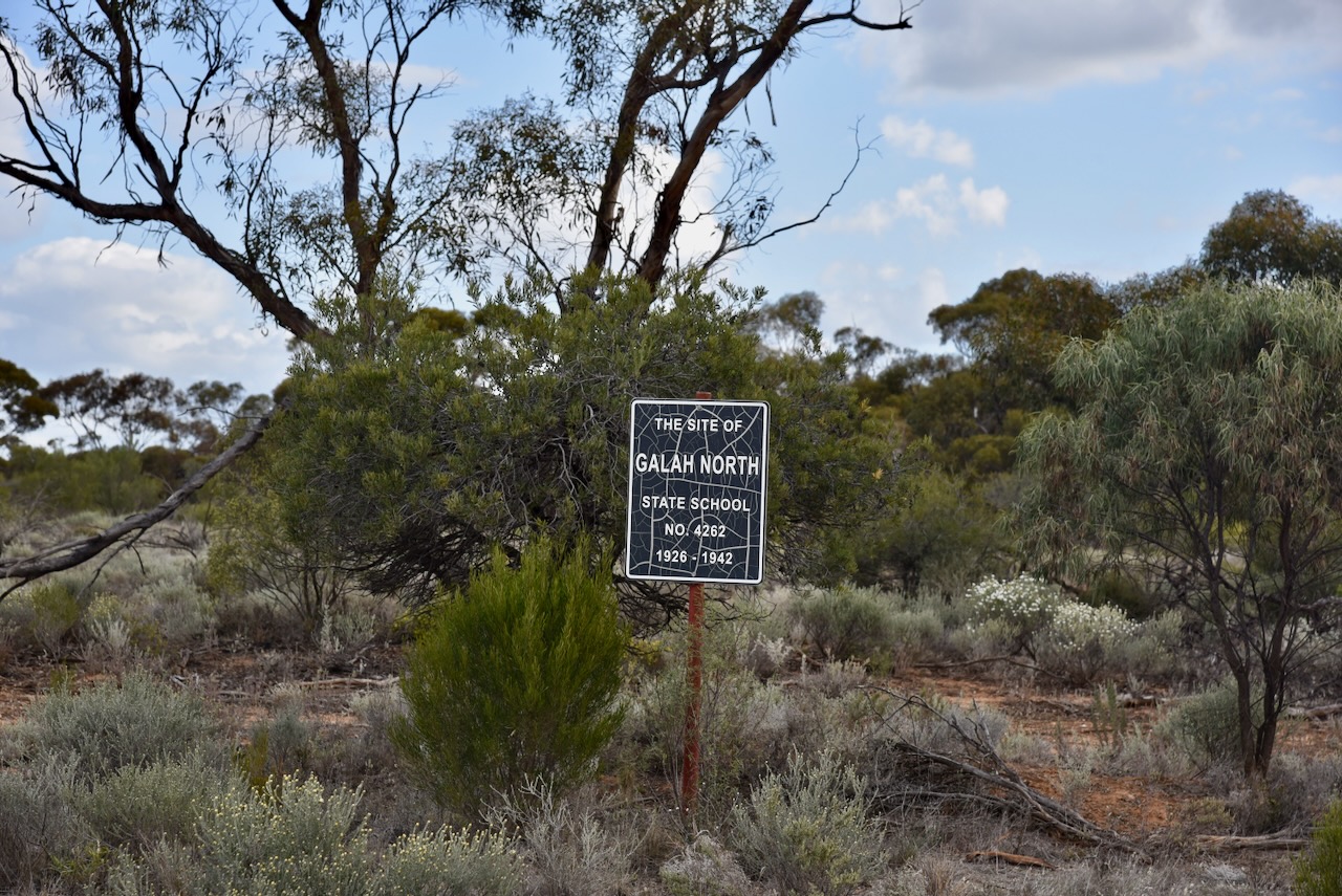
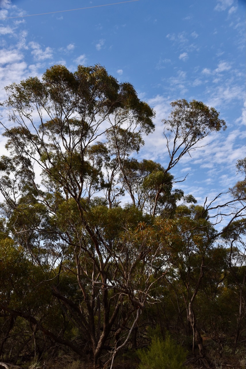
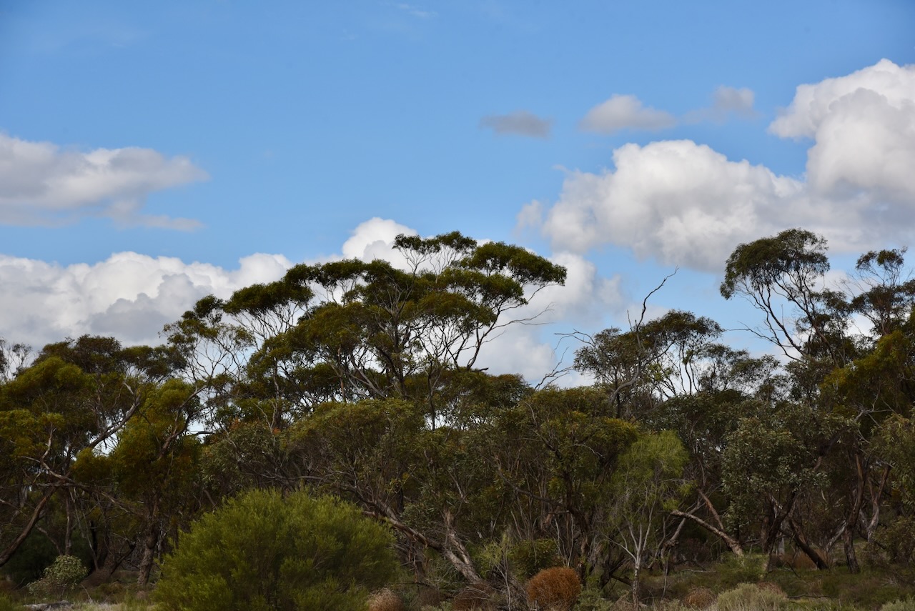
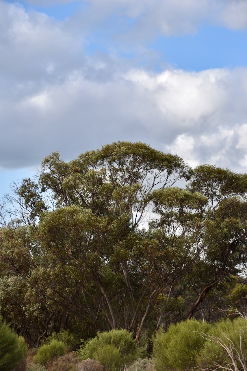
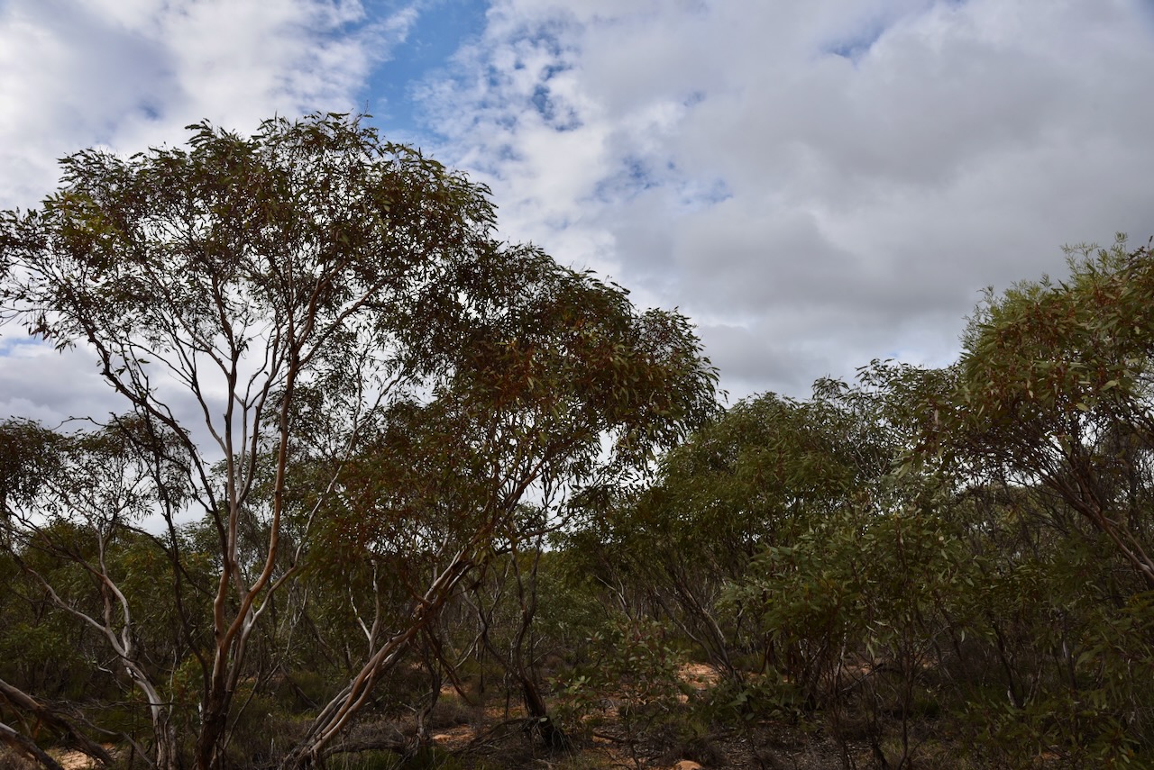
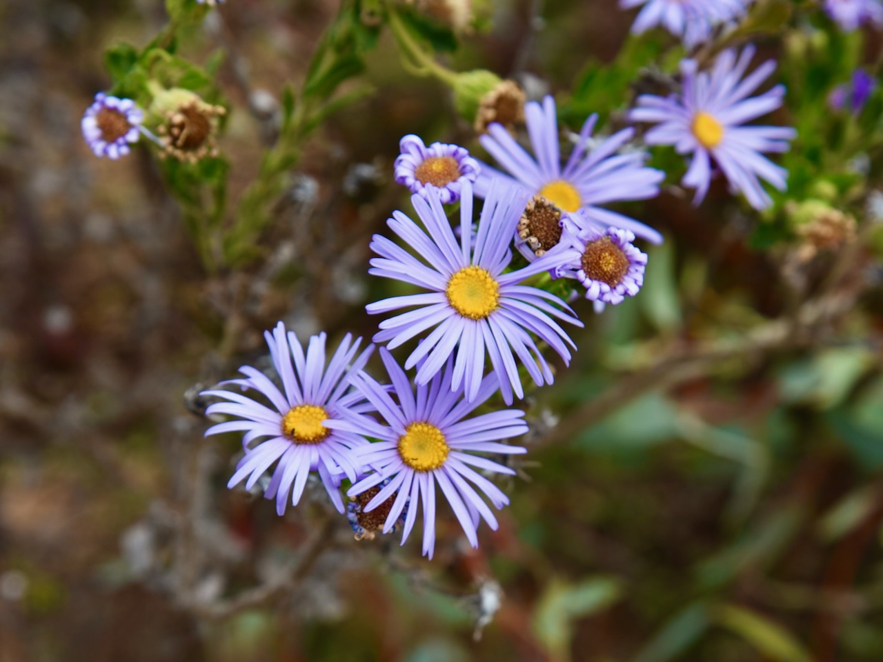
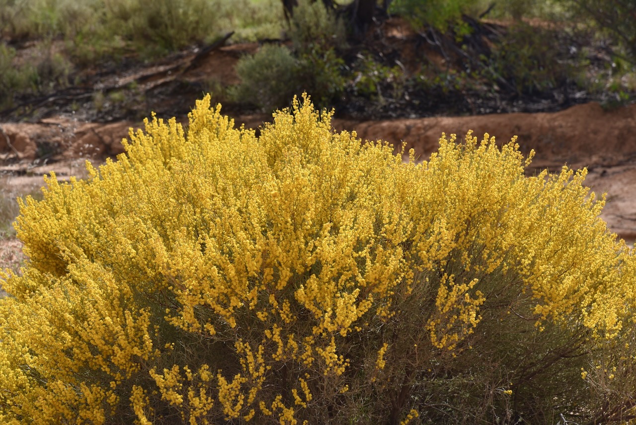
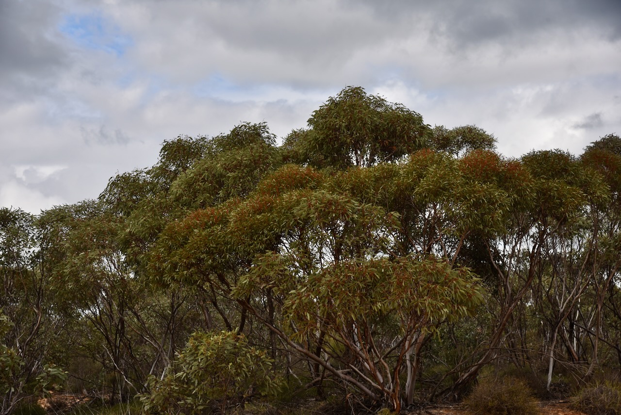
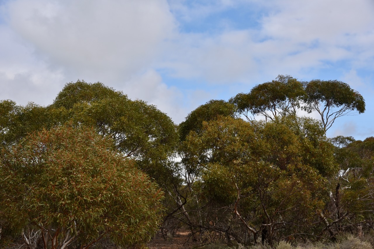
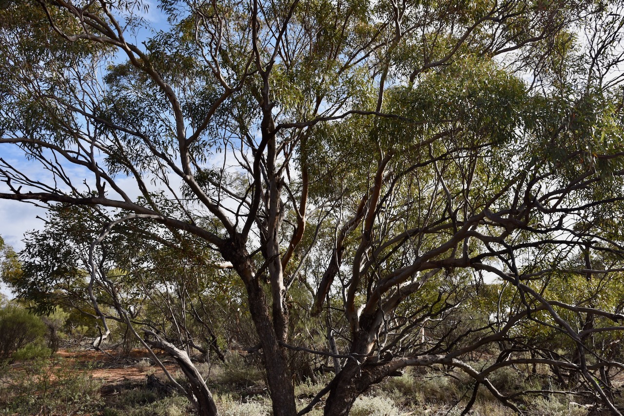
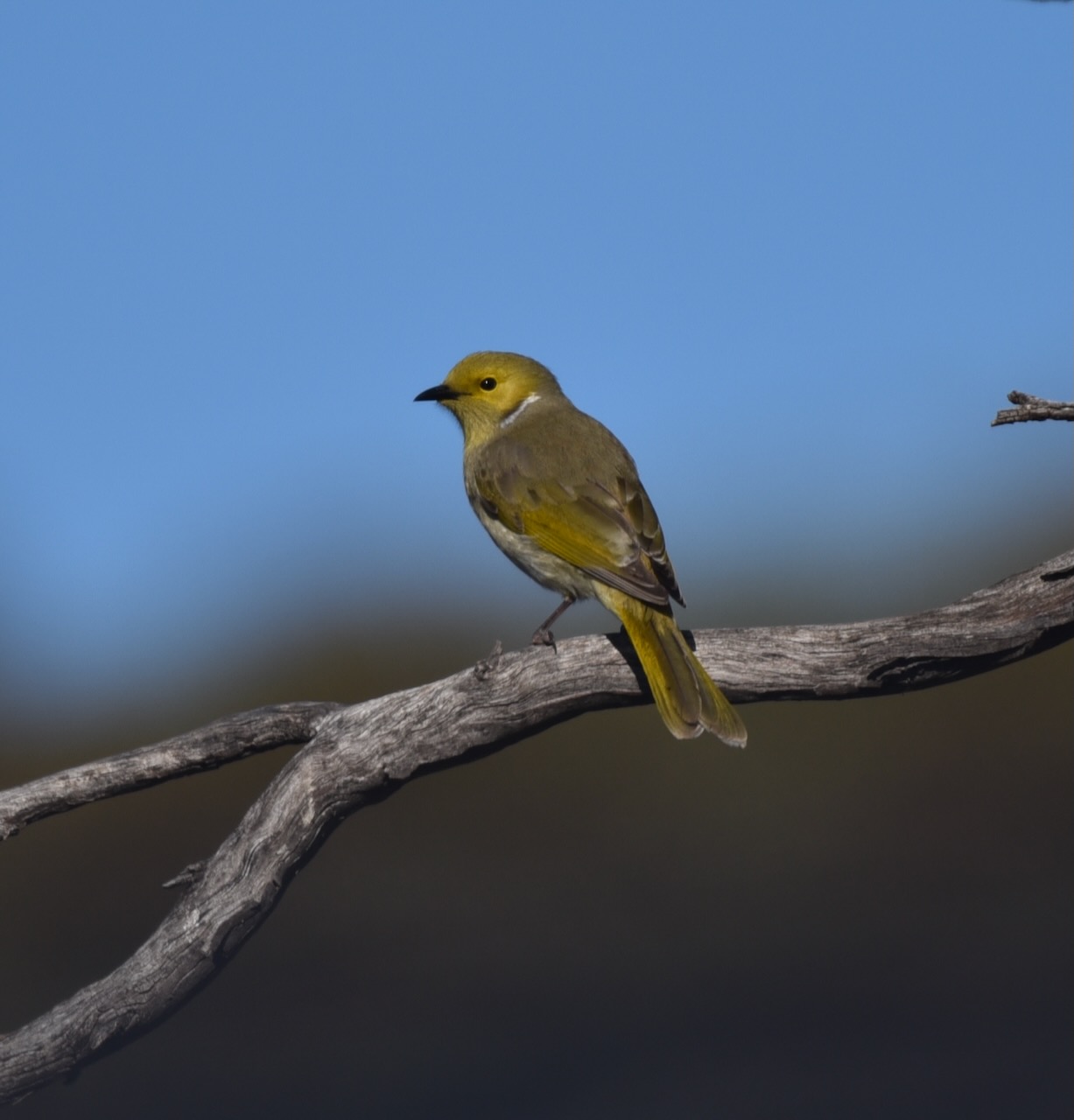
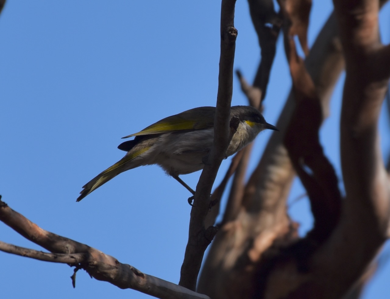
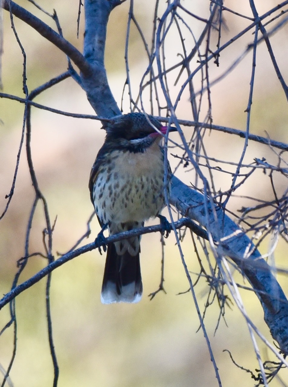
There was quite a bit of birdlife in the park, and in between activating I managed to get off a few snaps which can be seen below.
I set up in the very top northeast corner of the park which was in the activation zone of the Ouyen silo.
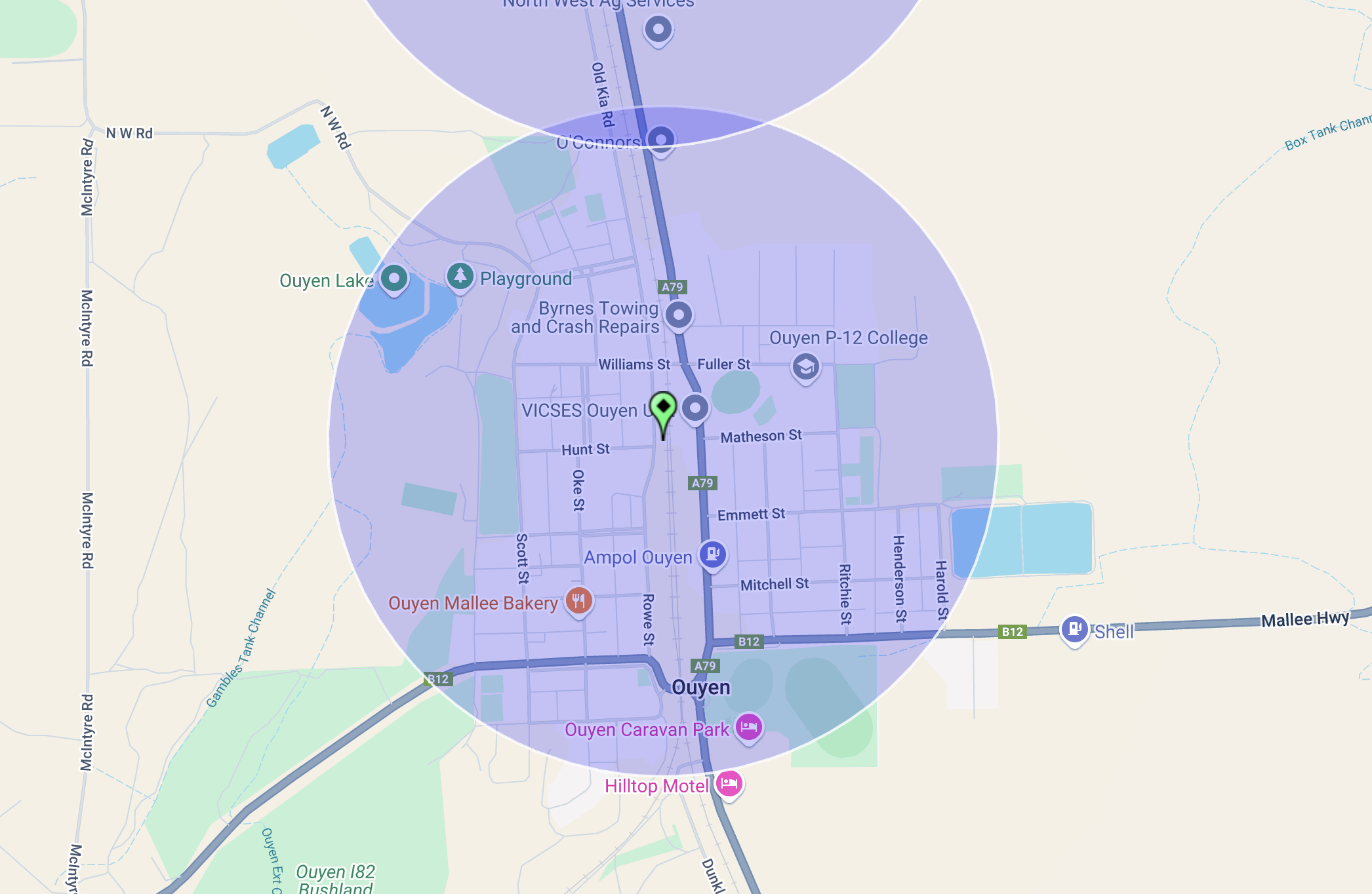
Above:- Map showing the activation zone at the Ouyen silo. Image c/o SiOTA website.
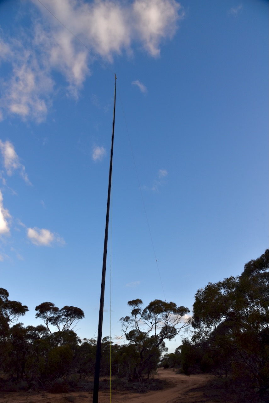
I ran the Yaesu FT857d, 40 watts, and the 20/40/80m linked dipole.
I worked the following stations on 40m SSB:-
- VK3PF
- VK3CA
- VK3HM
- VK5MAZ
- VK3WSG
- VK1ARQ
- VK2SLB
- VK2BRN
- VK2KBT
- VK5AAF
- VK5MH
- VK3APJ
- VK3AWA
- VK2EXA
- VK3CJN
- VK3QHU
- VK3HJW
- VK3EJ
- VK3BAP
- VK2VAR
- VK2GOM
- VK4EMP
- VK4TI
- VK4GOZ
- VK3KRL
- VK3SO
- VK3SFG
- VK3CEO
- VK4HNS
- VK3AMO
- VK2IO
- VK2GEZ
- VK3BBB
- VK2CCP
- VK2VW
- VK2HFI
- VK2AKA
- VK2BUG
- VK3SQ
- VK2BD
- VK3VIN
- VK3MTT
- VK3MCK
- VK1DI
- VK3UAO
- VK1AAF
- VK5WU
I worked the following stations on 20m SSB:-
- VK4EMP
- VK4TI
- VK4GOZ
- VK3ZPF
- VK3JW
- VK5MAZ
- VK3PF
- VK2IO
- VK2GEZ
References.
- Dcceew.gov.au. (2023). Collaborative Australian Protected Areas Database (CAPAD) 2022 – DCCEEW. [online] Available at: https://www.dcceew.gov.au/environment/land/nrs/science/capad/2022 [Accessed 15 Nov. 2024].