
Our next planned activation for the trip on Thursday 20th October 2024 was the Patchewollock North Bushland Reserve VKFF-4244.
The park is located between Walpeup and Patchewollock in northwest Victoria. It is about 436 km northwest of Melbourne.

Above:- Map showing the location of the Ptachewollock North Bushland Reserve. Map c/o Google Maps.
Marija and I drove down to Pinnaroo where we stopped briefly for something to eat and a coffee. We then travelled east and crossed over the State border into Victoria.
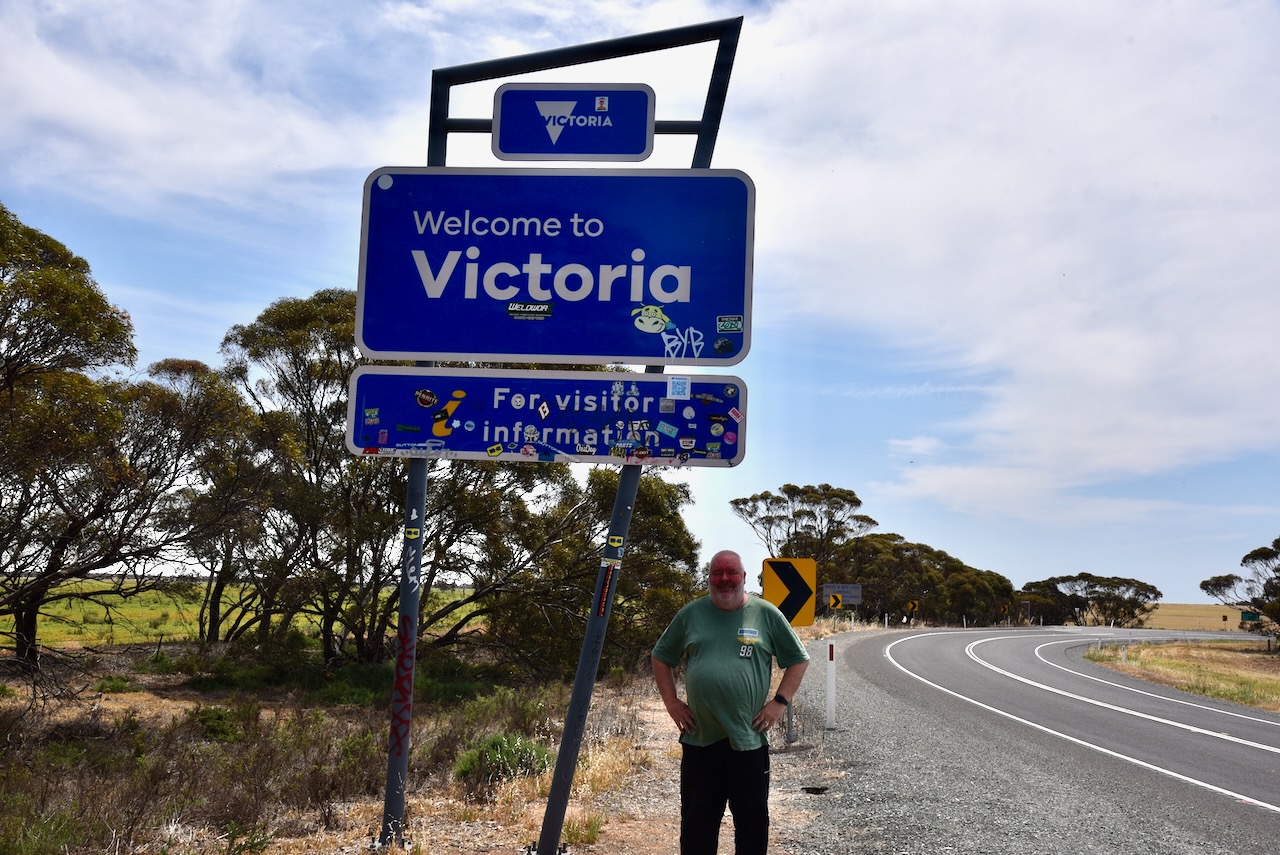
We continued east along the Mallee Highway, which we had driven along dozens of times previously. Many people would probably find this drive boring, but there is a lot of history to be seen along the way. At Walpeup we turned right onto the Hopetoun-Walpeup Road and headed south.
Along the way, there were signs warning drivers to take care of Malleefowl. The Malleefowl, also known as Gnow, Lowan and Mallee Hen, is a ground-dwelling bird that is seldom seen and is shy. They are listed as Vulnerable nationally. And we were lucky enough to see one on the side of the road as we approached the park. (Bush Heritage 2024)
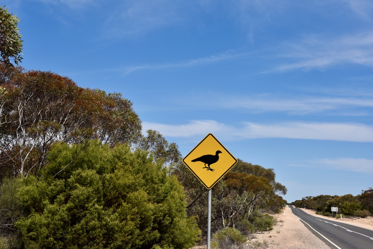
Unfortunately by the time we had pulled over and turned around, a truck came by and scared the Mallefowl into the scrub. Despite being unable to get a photograph, Marija and I were very excited. It was the first time that Marija had seen a Malleefowl and only my second time. (Bush Heritage 2024)
Below is an excellent video on the Malleefowl.
Marija and I had been to the town of Patchewollock previously and we were running short of time, so this time around we did not visit the town.
Patchewollock is believed to be the corruption of two aboriginal words, ‘putje’ meaning ‘plenty’ and ‘wallah’ meaning ‘porcupine grass’. Thus ‘the place of plenty porcupine grass’. Prior to European settlement of the district, the land was occupied by the Wegaia aboriginal people. By 1747 European settlers had commenced grazing on the land. In 1914 the town of Patchewollock was established as a town surrounded by soldier settlement farms. (Aussie Towns 2024)
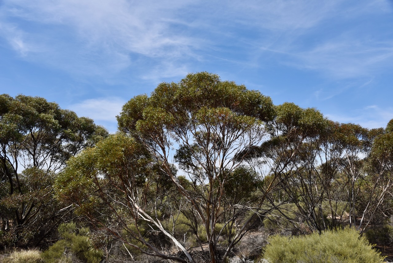
The Patchewollock North Bushland Reserve is located on the eastern side of the Hopetoun-Walpeup Road at the junction of the Ouyen-Patchewollock Road. Crane Road also divides the park into two sections, the northern section and the southern section.
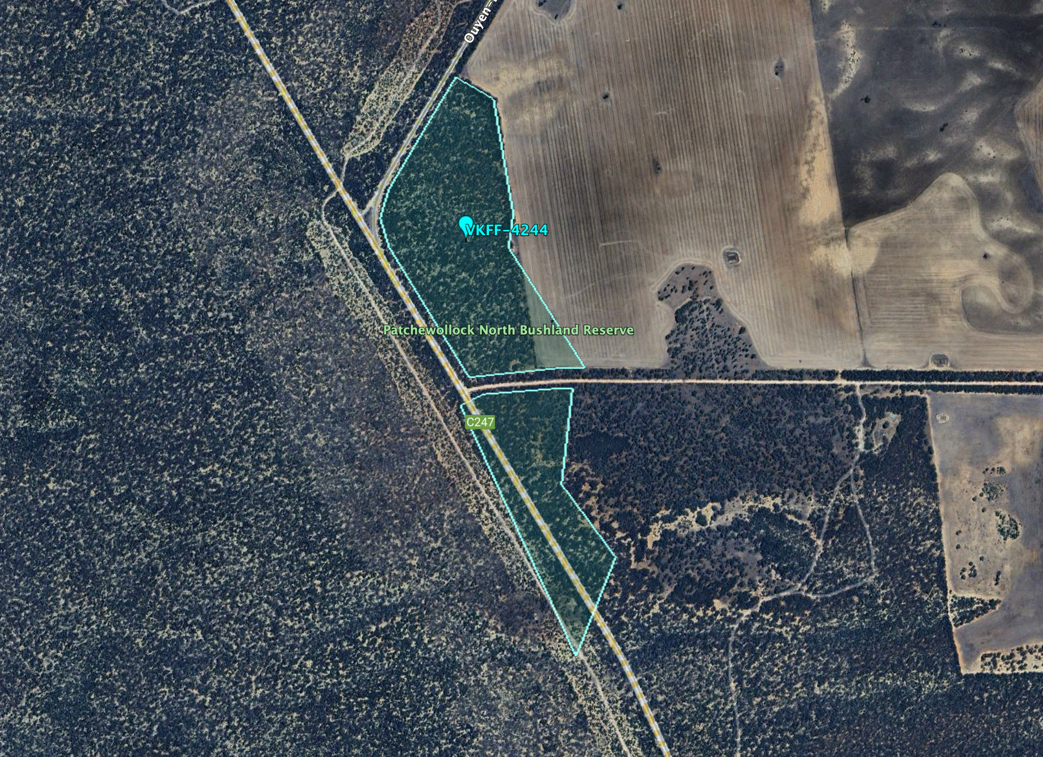
Above:- An aerial view of the reserve. Image c/o Google Earth.
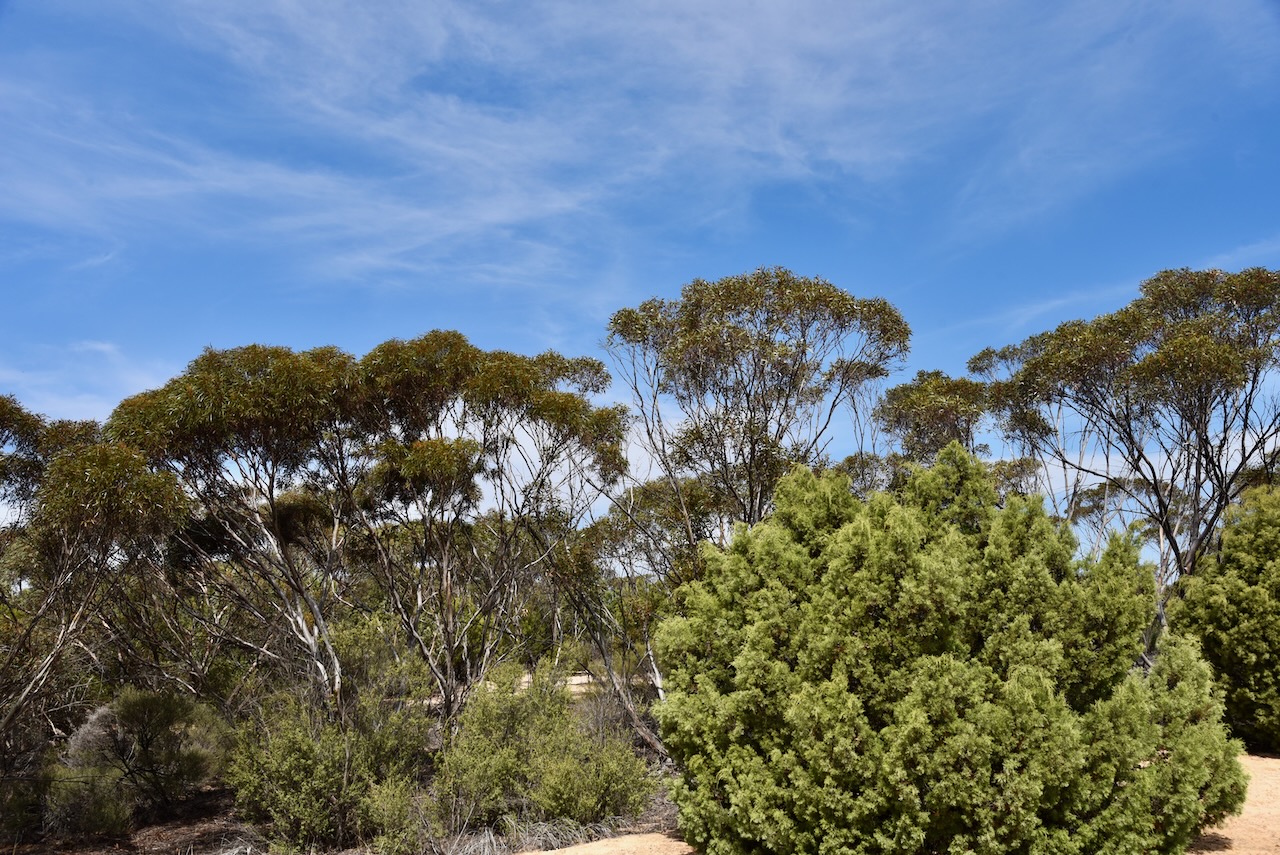
The reserve is about 40 hectares in size and was established on the 1st day of May 1979. (CAPAD 2022)
We were running a bit short of time, so we both qualified the park for VKFF with at least 10 QSOs, and then headed off. This is a park we will need to return to with the aim of getting 44 QSOs to qualify the park for the WWFF global program.
Marija worked the following stations on 40m SSB:-
- VK5GY/p (Scott Conservation Park VKFF-0934)
- VK3WSG
- VK3PF
- VK3UP/P
- VK5CZ/P
- VK2LEE
- VK3GJG
- VK5TRM
- VK5DW
- VK5AMH
I worked the following station on 40m SSB:-
- VK5GY/p (Scott Conservation Park VKFF-0934)
- VK3WSG
- VK3PF
- VK3UP/P
- VK5CZ/P
- VK2LEE
- VK3GJG
- VK5TRM
- VK5DW
- VK5AMH
- VK3HJW
- VK3ZS
- VK3VIN
- VK3ZSC
- VK1AO
- VK2MET
- VK2VW
- VK2HFI
- VK2AKA
- VK2BUG
- VK5WU
- VK5TN
- VK3UAO
- VK3DAK
- VK3ZK
- VK3PMW
I worked the following stations on 20m SSB:-
- VK4SMA
- VK2VW
- VK2HFI
- VK2AKA
- VK2BUG
References.
- Aussie Towns. (2021). Patchewollock, VIC – Aussie Towns. [online] Available at: https://www.aussietowns.com.au/town/patchewollock-vic. [Accessed 23 Dec. 2024].
- Bush Heritage Australia. (2020). Malleefowl. [online] Available at: https://www.bushheritage.org.au/species/malleefowl?srsltid=AfmBOoqHGdYuS3AoJJSoqaxIu0ucEgXiWn1bIeJ8nOl3OkAv19TiuqsV [Accessed 23 Dec. 2024].
- Dcceew.gov.au. (2023). Collaborative Australian Protected Areas Database (CAPAD) 2022 – DCCEEW. [online] Available at: https://www.dcceew.gov.au/environment/land/nrs/science/capad/2022 [Accessed 23 Dec. 2024].
