
Our first park activation for Tuesday 22nd October 2024 was the Warracknabeal Rifle Range Flora Reserve VKFF-2478.
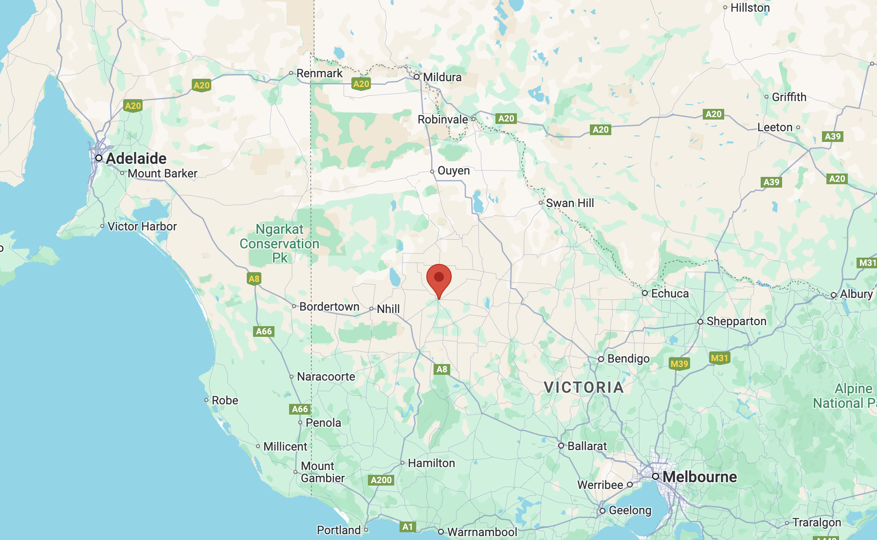
Above:- Map showing the location of the Warracknabeal Rifle Range Flora Reserve. Map c/o Google Maps.
The reserve is located on the northern side of Golf Links Road, opposite the Warracknabeal Golf Club.
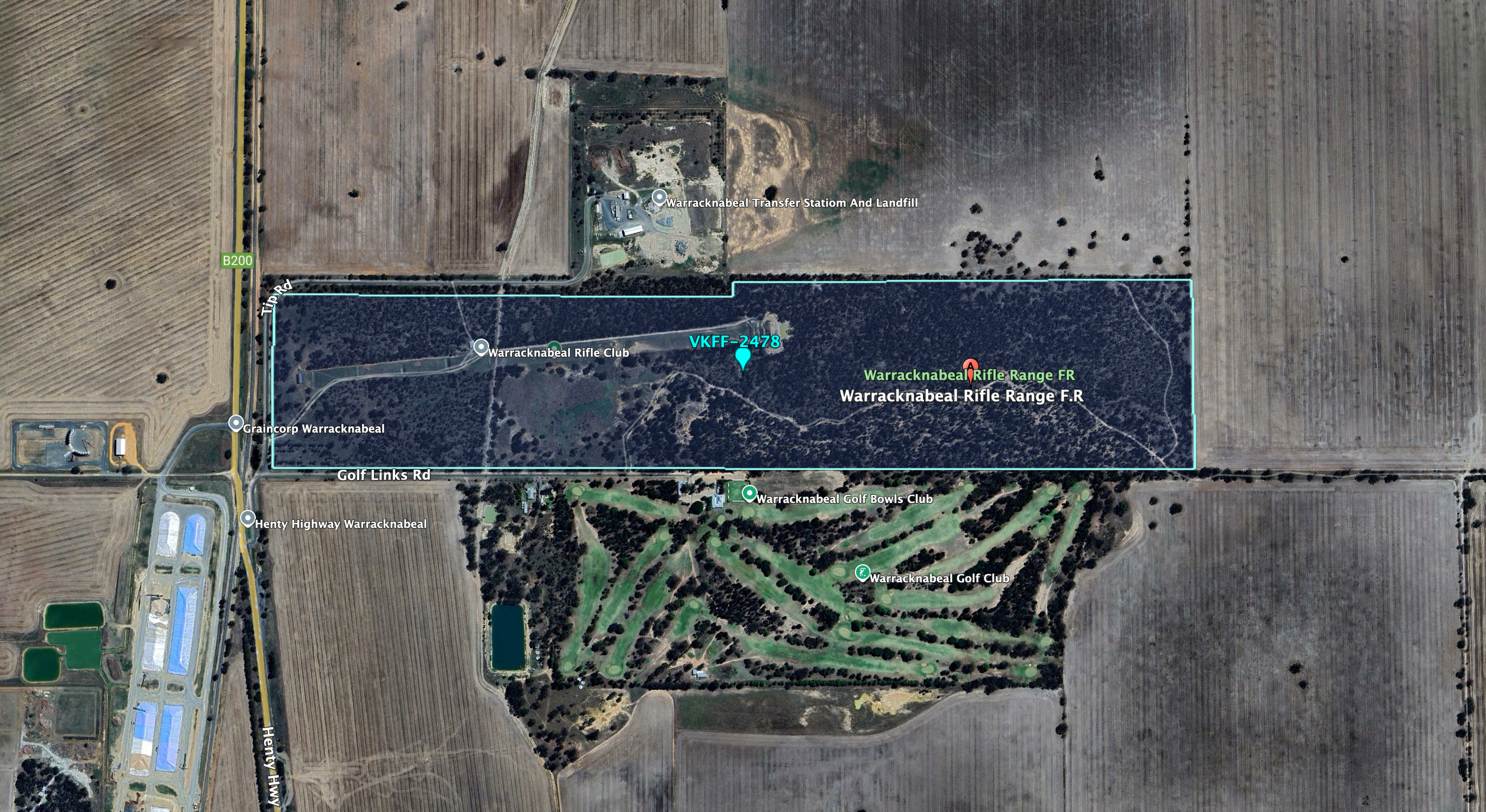
Above:- Aerial view of the reserve. Image c/o Google Earth.
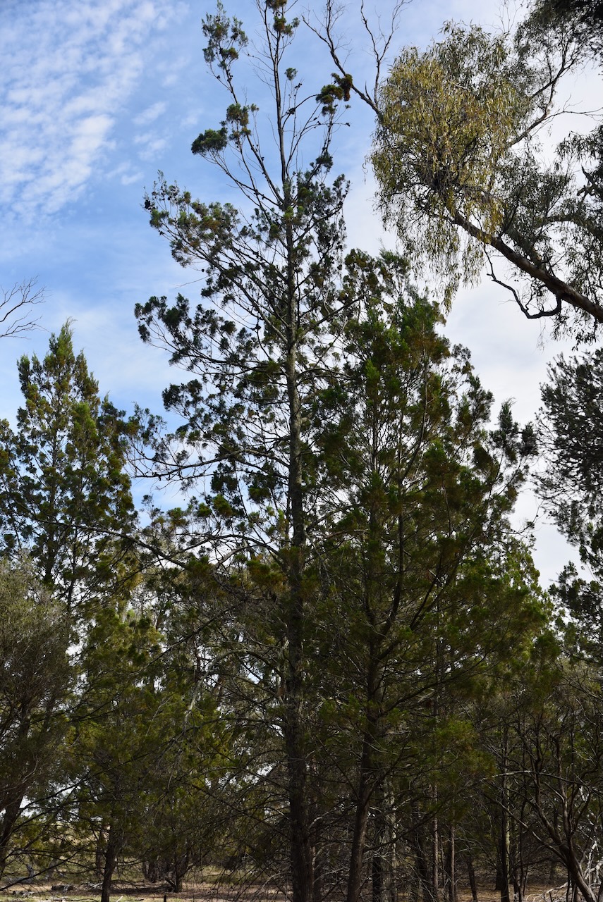
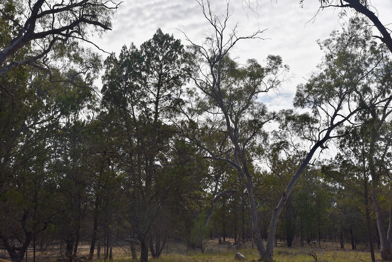
The reserve is about 71 hectares in size and was established on the 26th day of February 1957. A total of 39 native flora species have been recorded in the park. (CAPAD 2022) (VicFlora n.d.)
Marija and I ran the Yaesu FT857, 40 watts, and the 20/40/80m linked dipole for this activation.
Marija worked the following stations on 40m SSB:-
- VK3PF
- VK3KAI
- VK3SQ
- VK2BD
- VK5AAF
- VK3CEO
- VK2VAR
- VK2GOM
- VK5IS
- VK5PE
- VK3DWL
- VK4DNO
- VK1AO
- VK2MET
- VK5DW
- VK5AYL
- VK1AD
- VK1NAM
- VK3TKK/P (Ah Knows Gully Reference Area VKFF-6228)
I worked the following stations on 40m SSB:-
- VK3PF
- VK3KAI
- VK3SQ
- VK2BD
- VK5AAF
- VK3CEO
- VK2VAR
- VK2GOM
- VK5IS
- VK5PE
- VK3DWL
- VK4DNO
- VK1AO
- VK2MET
- VK5DW
- VK5AYL
- VK1AD
- VK1NAM
- VK3NDG
- VK3FACD
- VK3BTP
- VK3NVY
- VK2IO
- VK2GEZ
- VK3ZSC
- VK5HAA
- VK7FEAT
- VK3TKK/P (Ah Knows Gully Reference Area VKFF-6228)
I worked the following stations on 40m FT8:-
- VK4DNO
- VK3PF
- VK3SQ
- VK3KAI
- VK3DNO
- VK3APJ
I worked the following stations on 20m FT8:-
- VK1AO
- VK2MET
- VK3PF
- VK3KAI
- VK4EMP
- VK4TI
- VK4GKO
- VK7XX
I worked the following stations on 20m SSB:-
- VK4NH
- VK4DXA
- ZL3MR
- VK1AO
- VK2MET
- VK2VW
- VK2HFI
- VK2AKA
- VK2BUG
- VK4EMP
- VK4TI
- VK4GKO
- ZL3TBC
References.
- Dcceew.gov.au. (2023). Collaborative Australian Protected Areas Database (CAPAD) 2022 – DCCEEW. [online] Available at: https://www.dcceew.gov.au/environment/land/nrs/science/capad/2022 [Accessed 4 Jan. 2025].
- vicflora.rbg.vic.gov.au. (n.d.). Flora of Victoria. [online] Available at: https://vicflora.rbg.vic.gov.au. [Accessed 4 Jan. 2025].
