Woomelang Bushland Reserve VKFF-6135 and Woomelang silo VK-WMG3

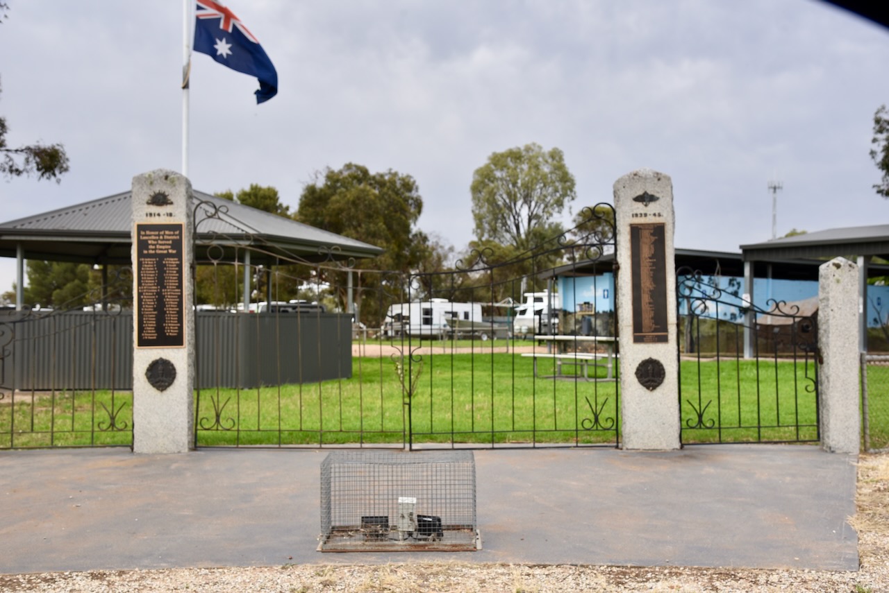
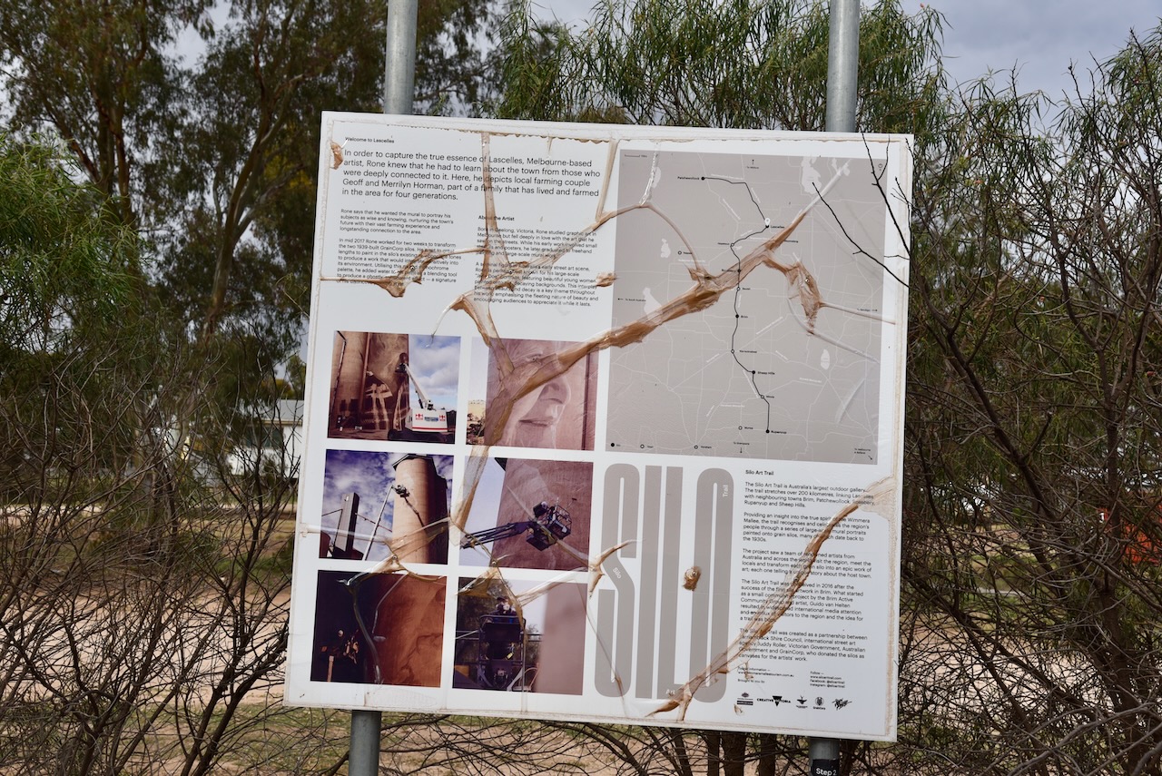
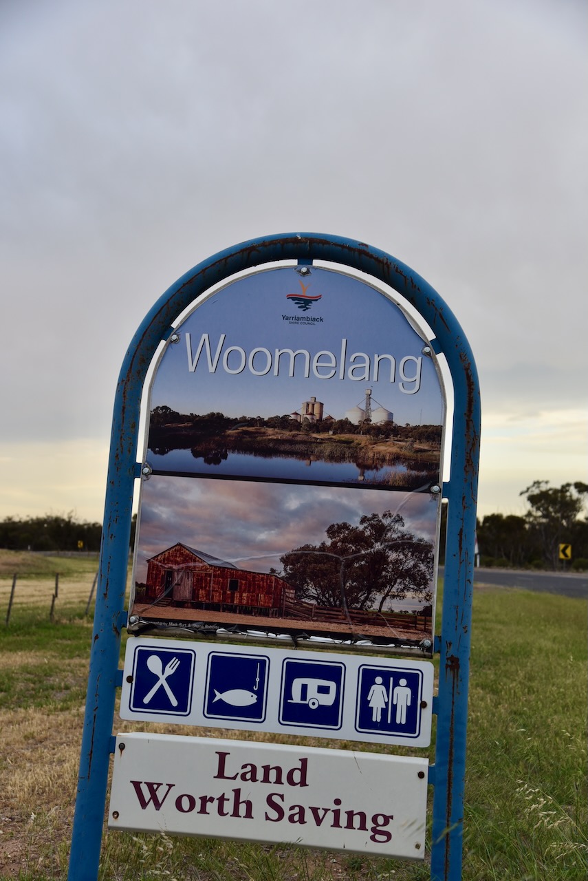
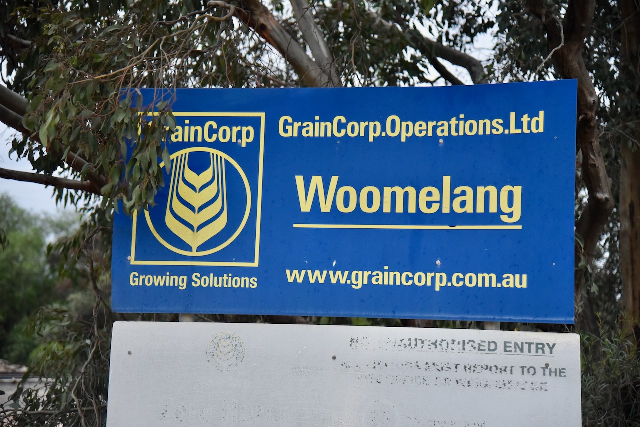
Our final activation for Tuesday 22nd October 2024, was the Woomelang Bushland Reserve VKFF-6135 and the Woomelang silo VK-WMG3.

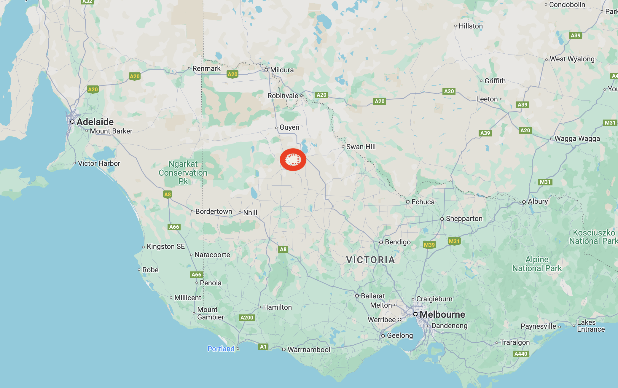
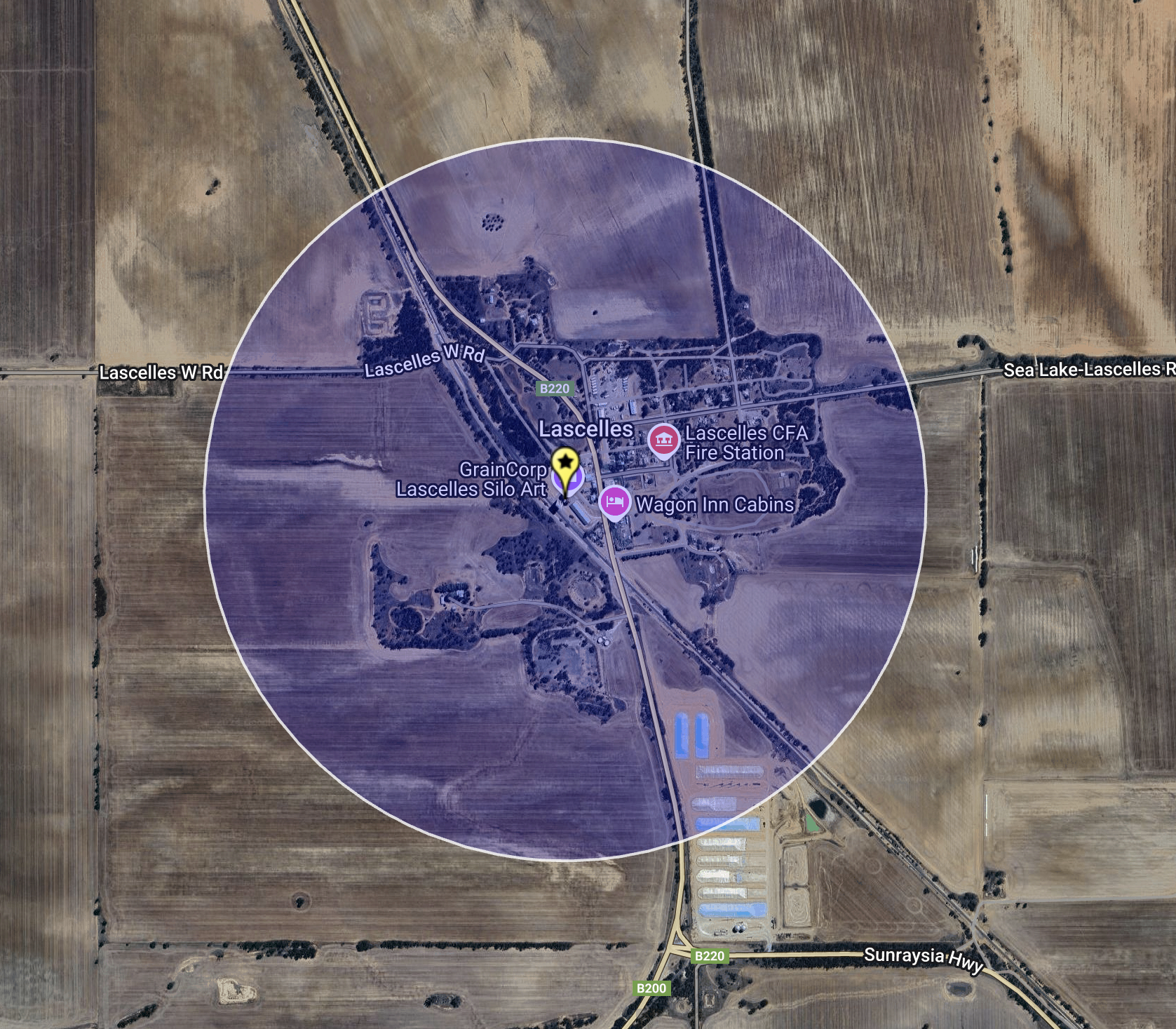
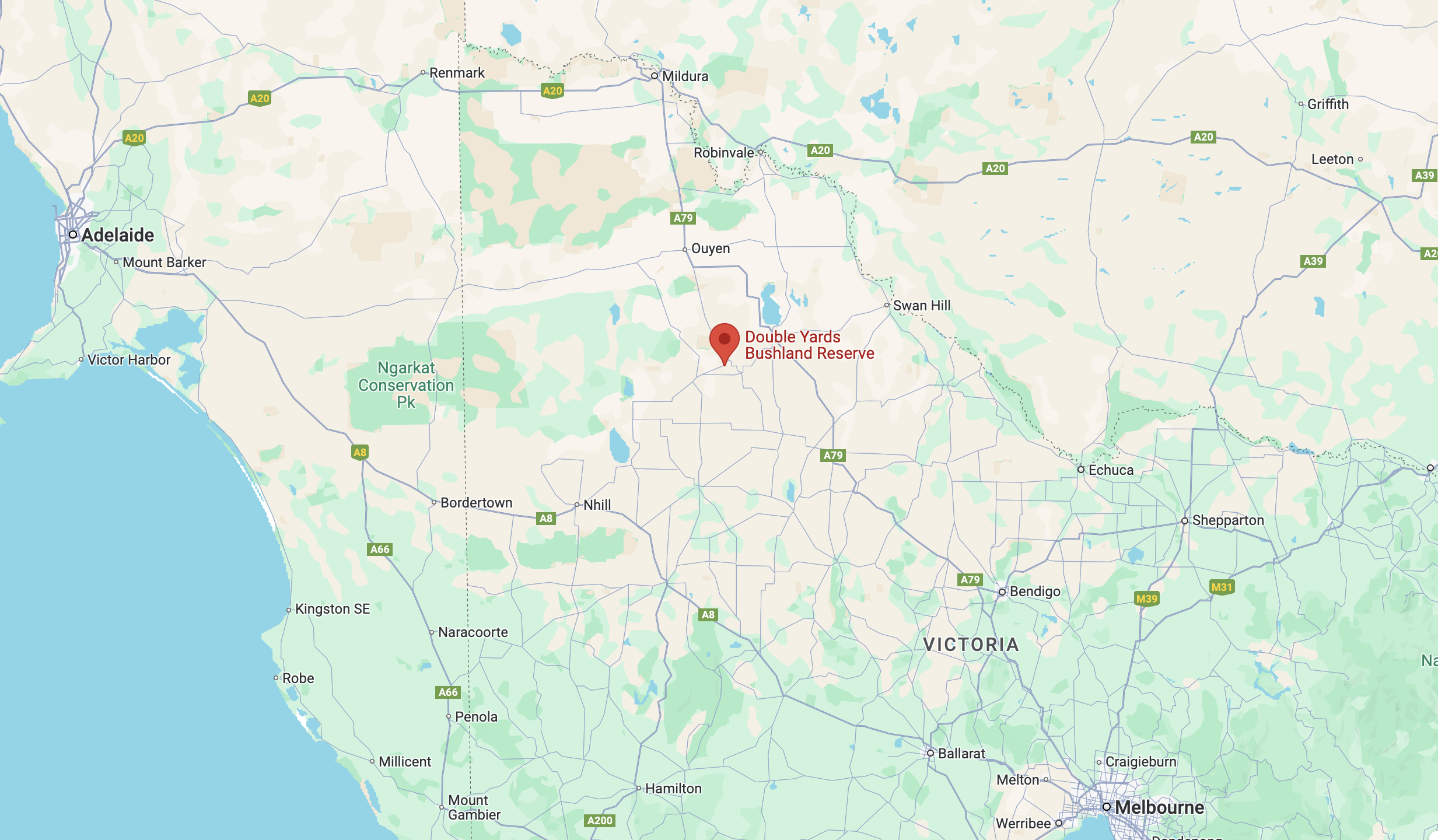
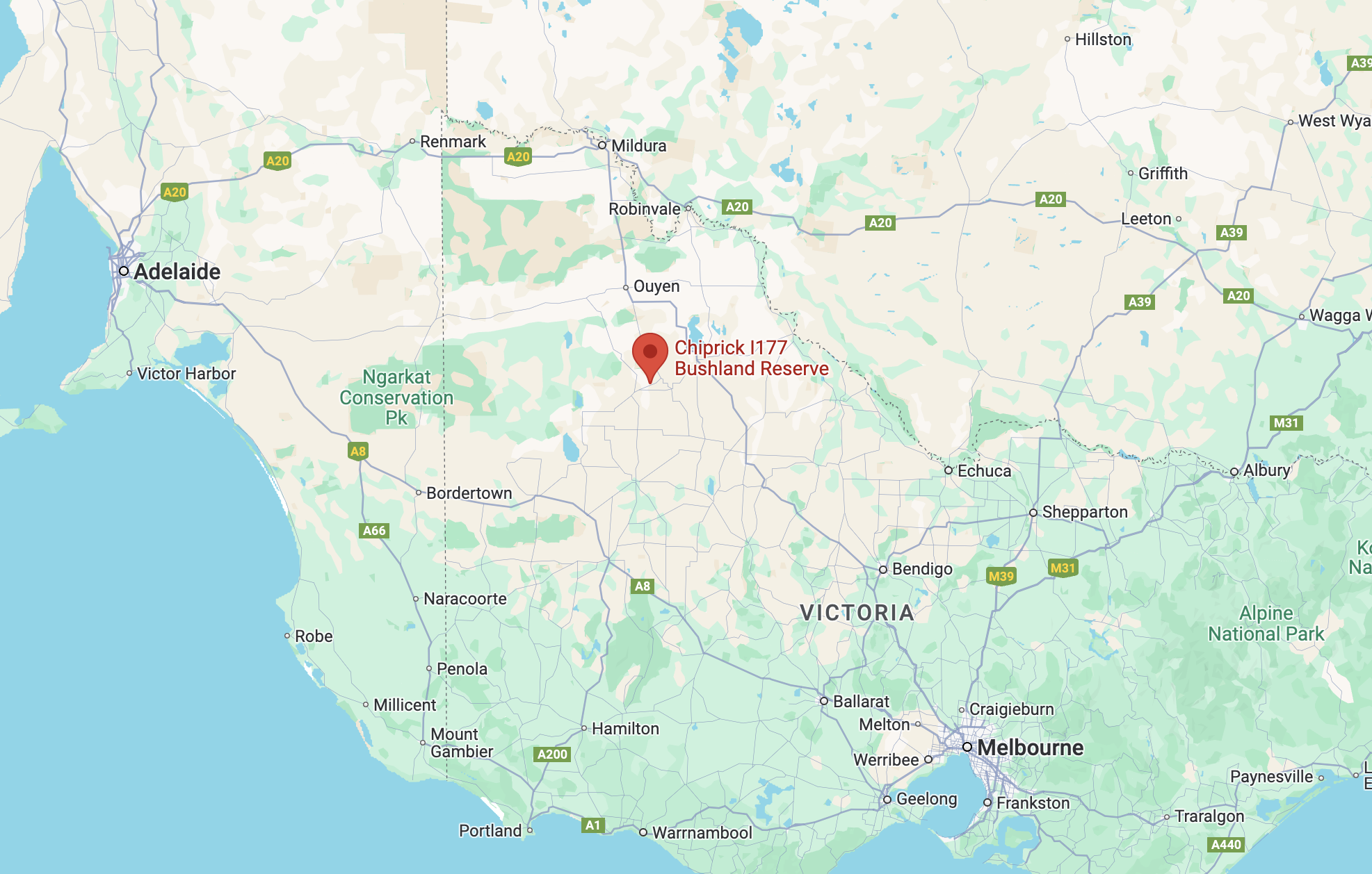
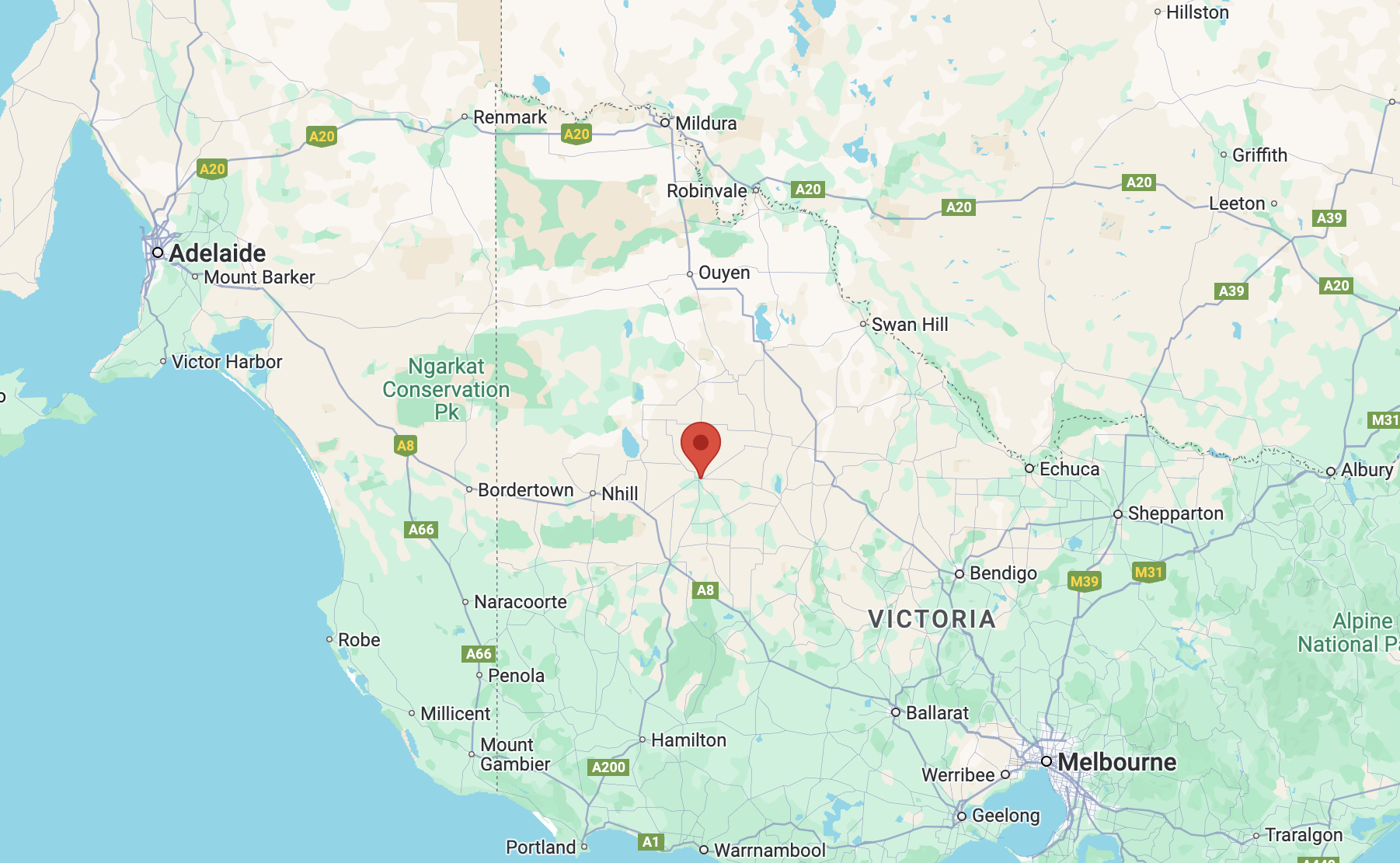
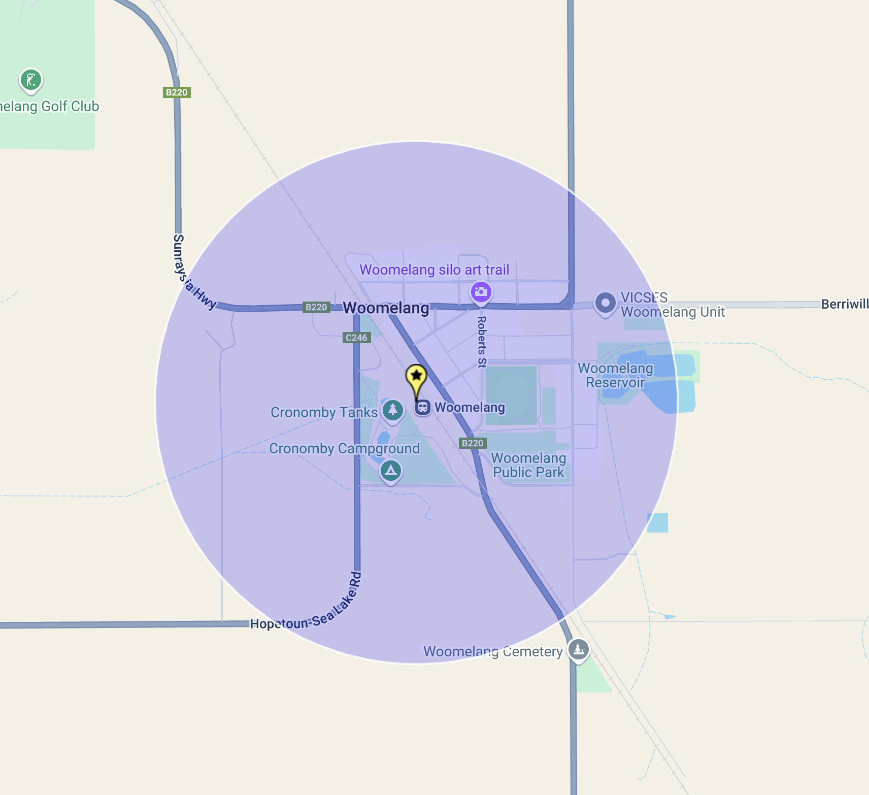
Woomelang is a small town located about 363 km northwest of the city of Melbourne.

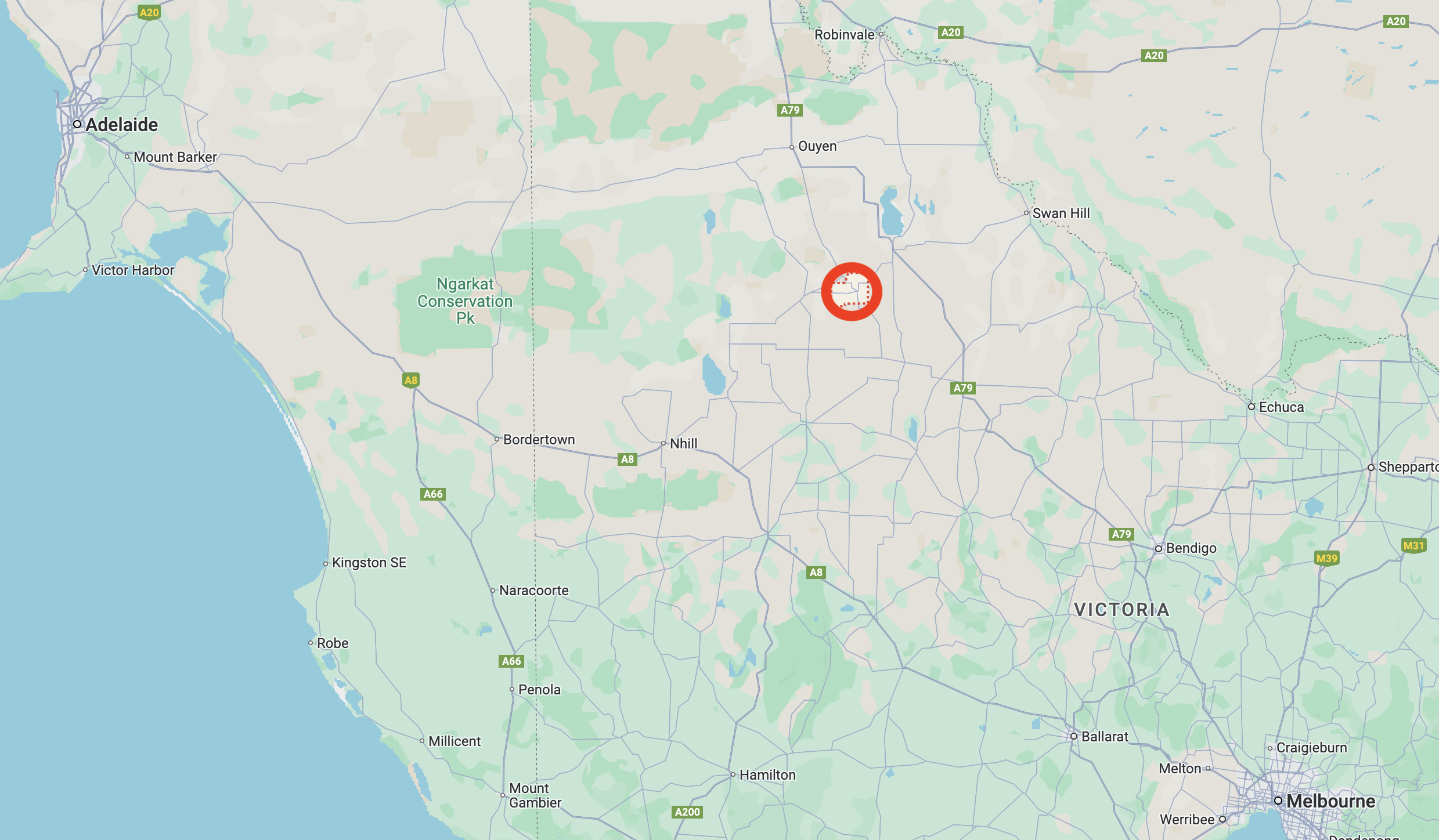
Above:- Map showing the location of Woomelang, Victoria. Map c/o Google Maps.

Woomelang is an aboriginal word for poor or miserable. It’s not a great name for a town. Perhaps they should have settled with the original name which was Cronomby Tanks. Despite the meaning of its name, Woomelang is a nice little town, well worth a visit. (Blake 1978)

Prior to European settlement, the Woomelang area was home to the Wegaiai and Wotjobaluk aboriginal people. By the 1870s Europeans had settled in the area and a settlement known as Cronomby Tanks was established. It had a hotel and a general store. Cronomby Tanks were farm water storages on the Lake Wilhelmina pastoral station. They were also used to fill visiting steam engines with water. (Aussie Towns 2024) (Victorian Places 2015)

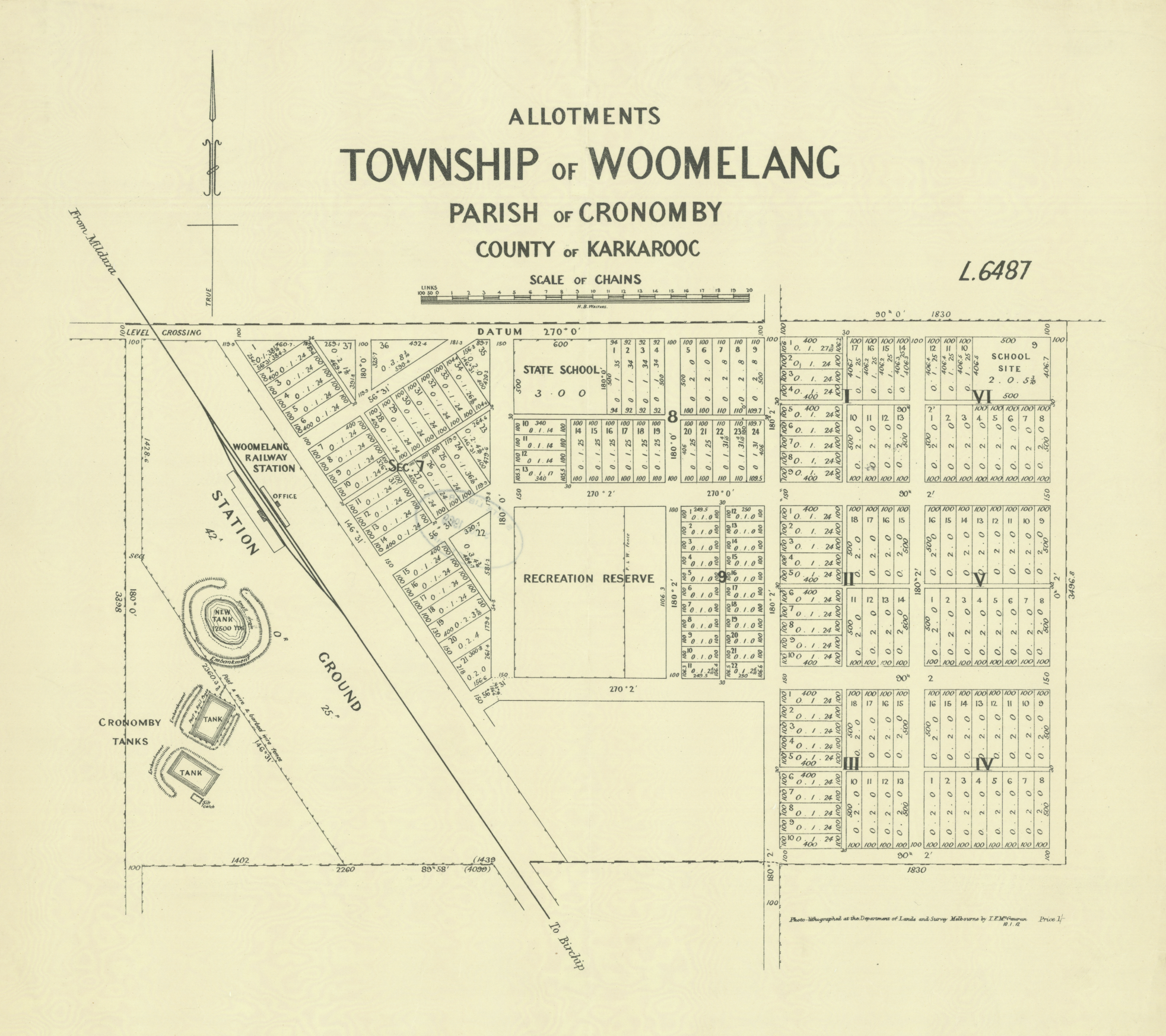
Above:- Plan of the township of Woomelang. Image c/o State Library Victoria.

In 1897 the name of the town was changed from Cronomby Tanks to Woomelang. It has been reported that a traveller riding a horse named Melang, said ‘Whoa Melang’ and thus the township became known as Woomelang. However, this is only local folklore and there is no apparent evidence to support the claim. In fact, the town was renamed to avoid confusion with another similar-sounding railway station. (Aussie Towns 2024) (Victorian Places 20215)

On the 10th day of August 1900, the Post office opened. In 1904 the Woomelang Football Club was established. They initially competed in the Woomelang District Football Association in 1911 and in 1912 there were undefeated premiers. In 1951 Woomerlang merged with the Lascelles Football Club. (Aussie Towns 2024) (Phoenix 2022) (Wikipedia 2023)

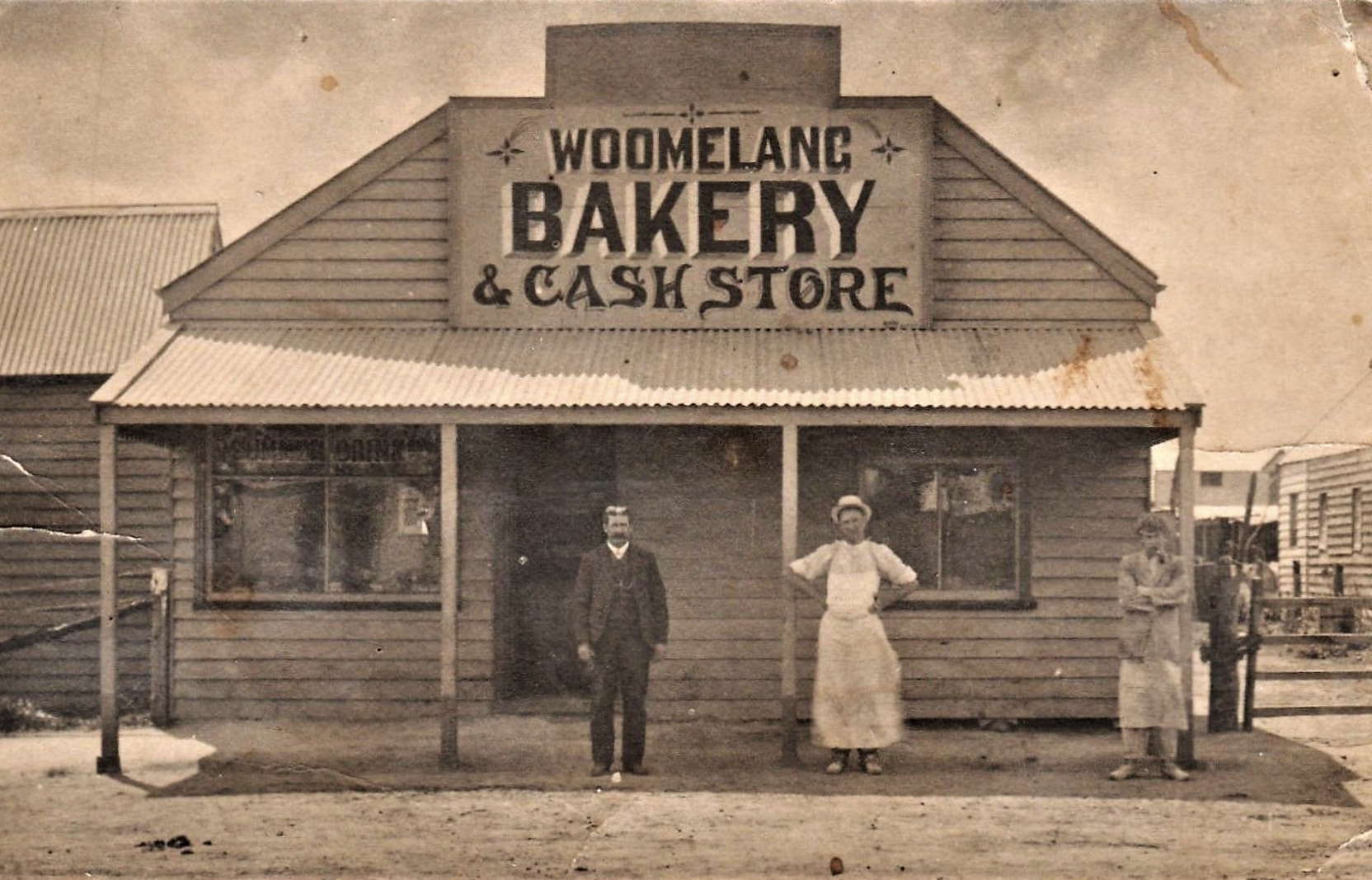
The Woomelang bakery, c. 1914. Image c/o flickr.

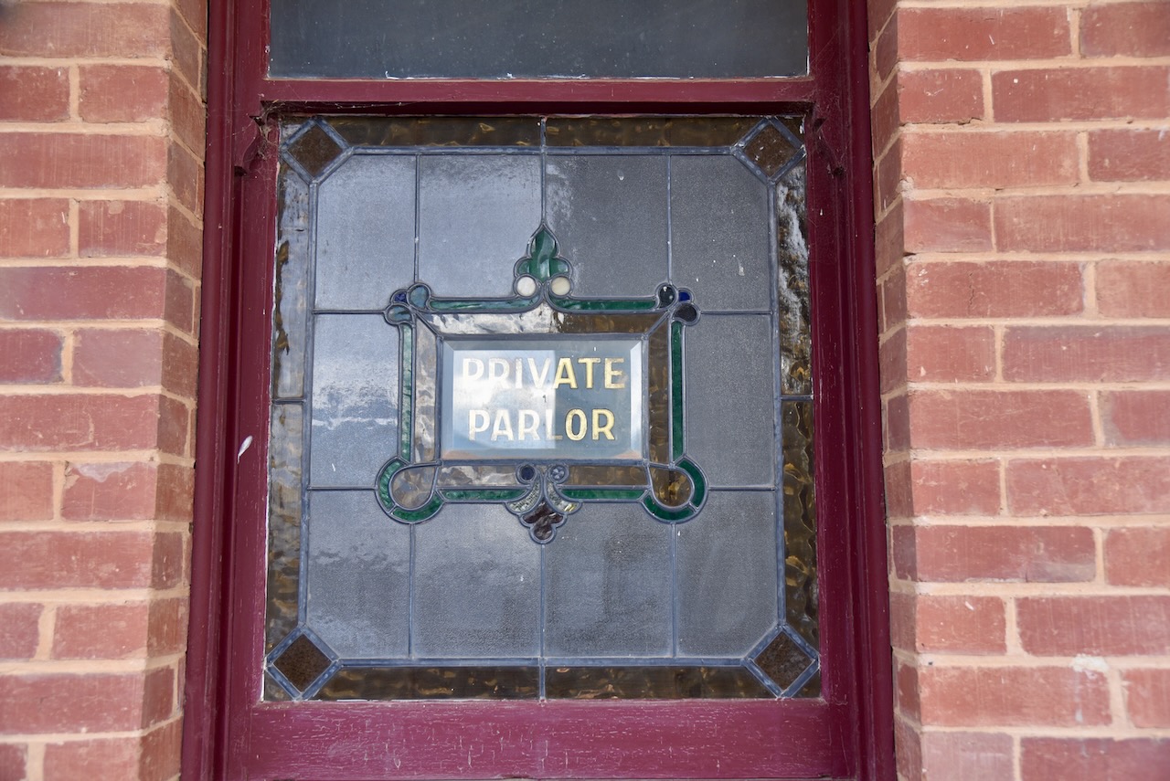
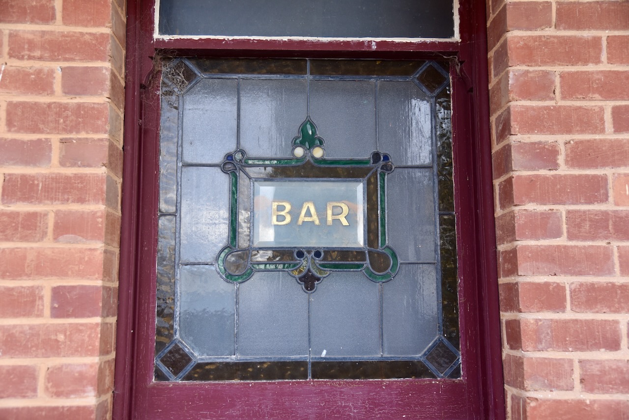
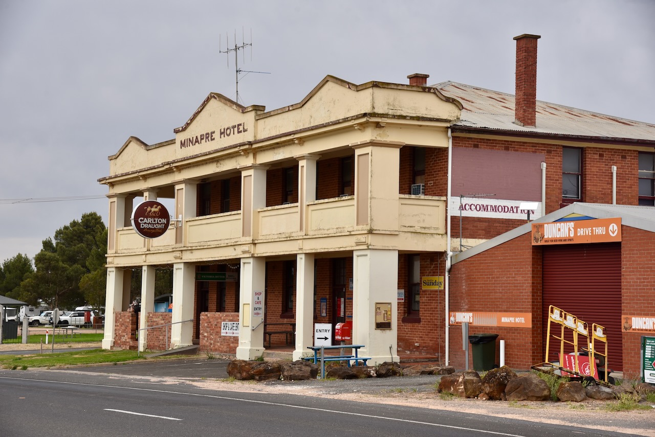
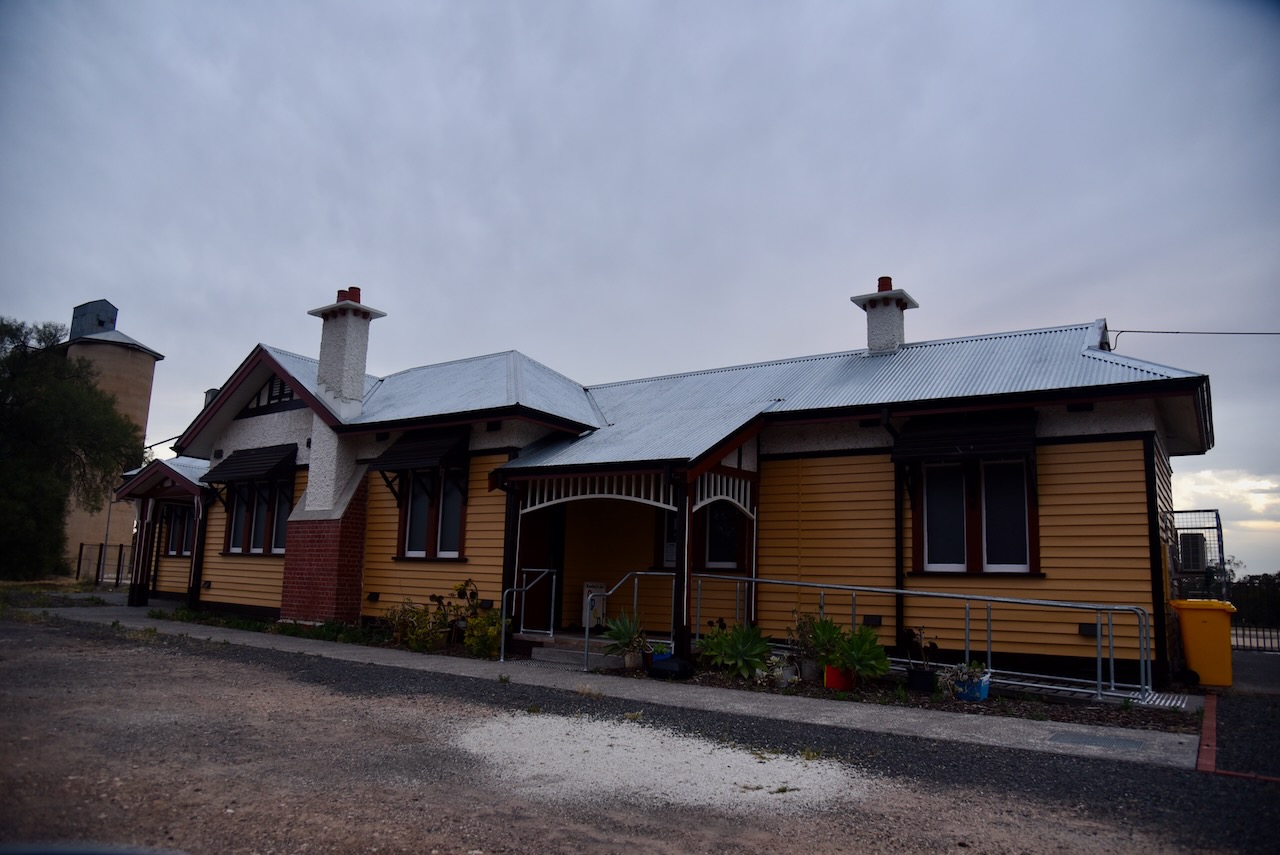
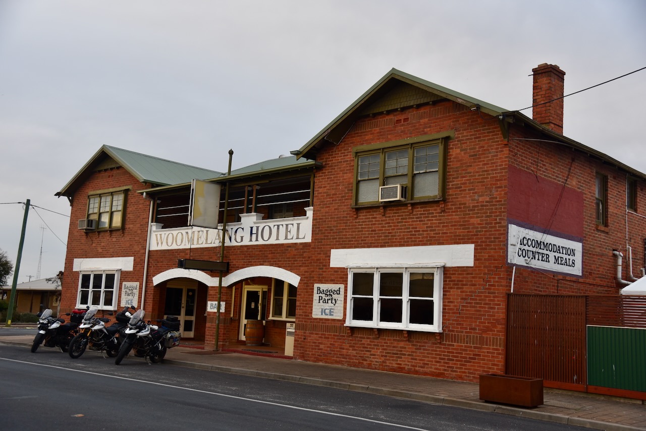
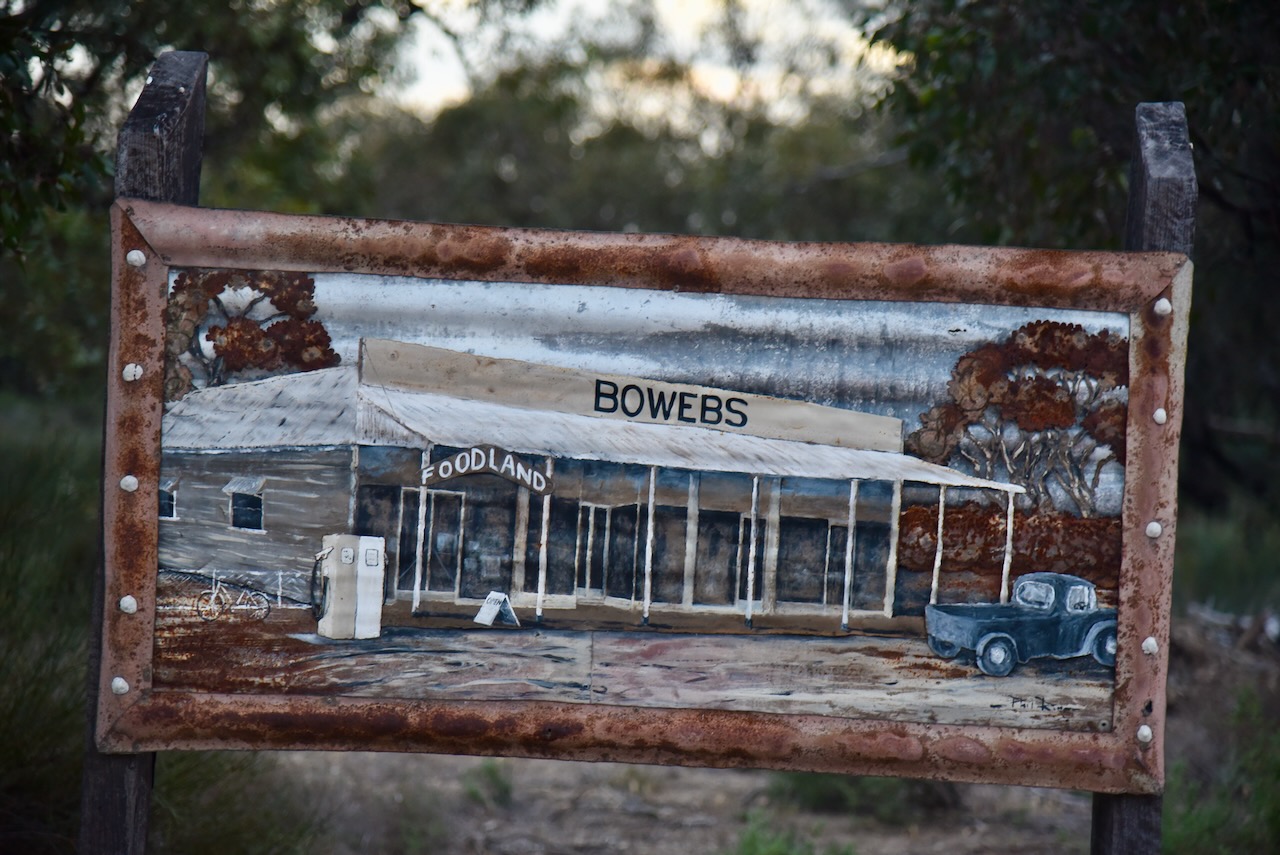
Two historic buildings in the town include the old railway station and the former hotel.

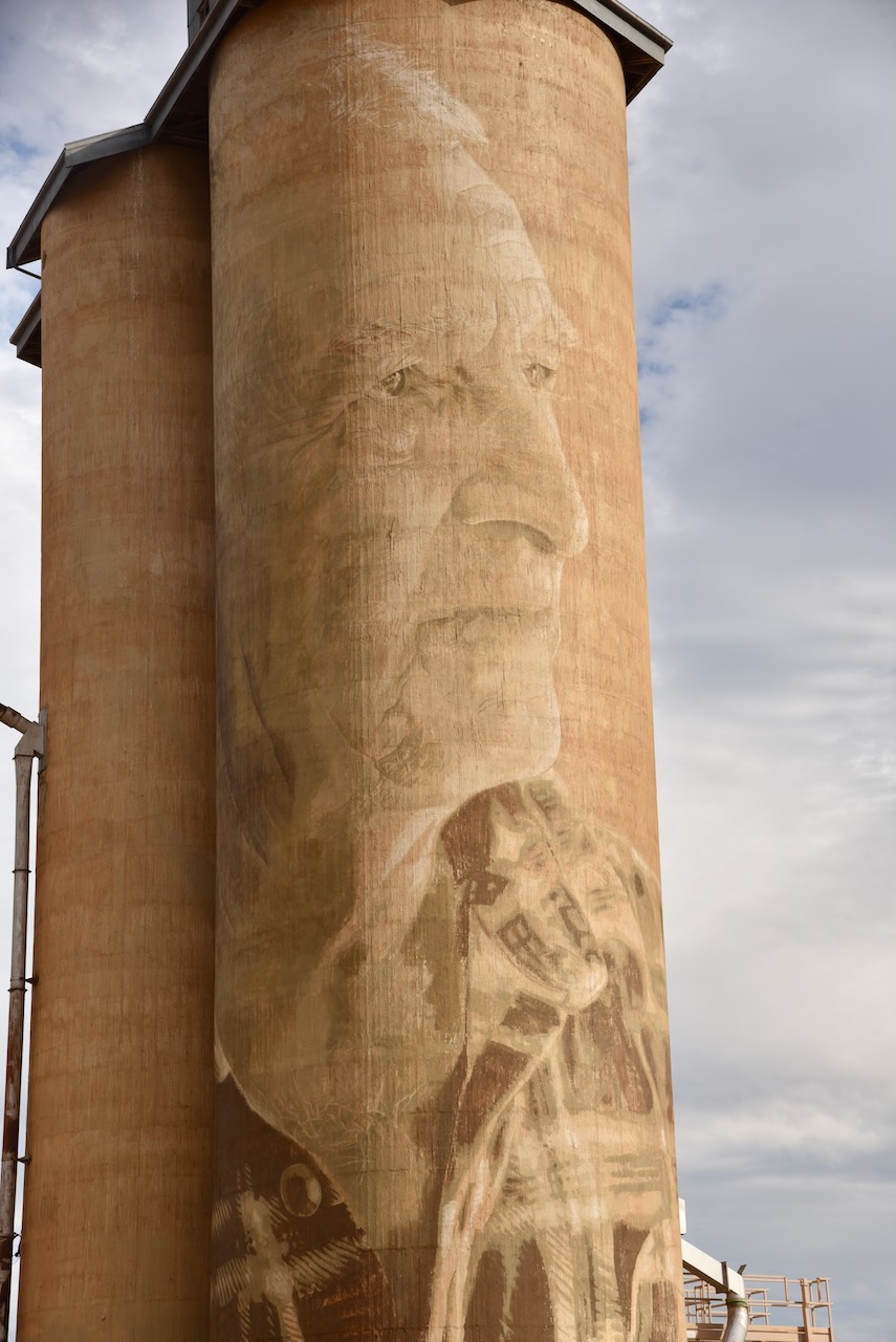
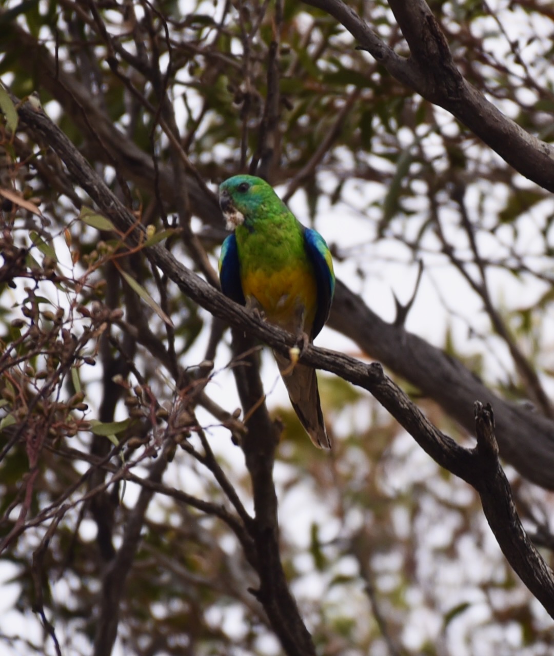
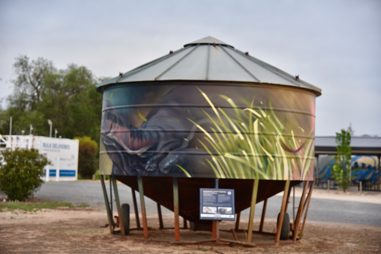
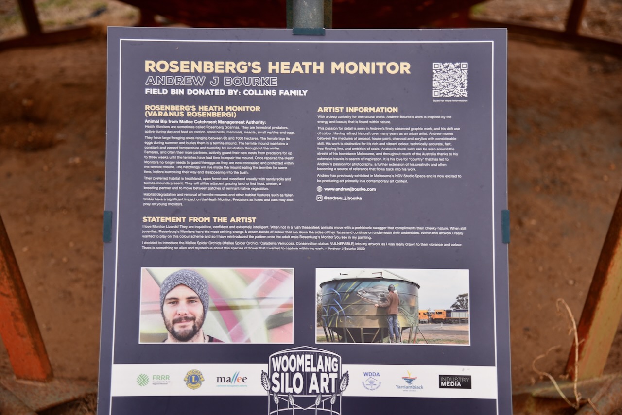
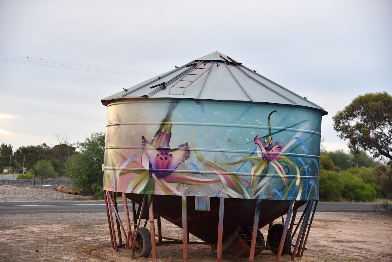
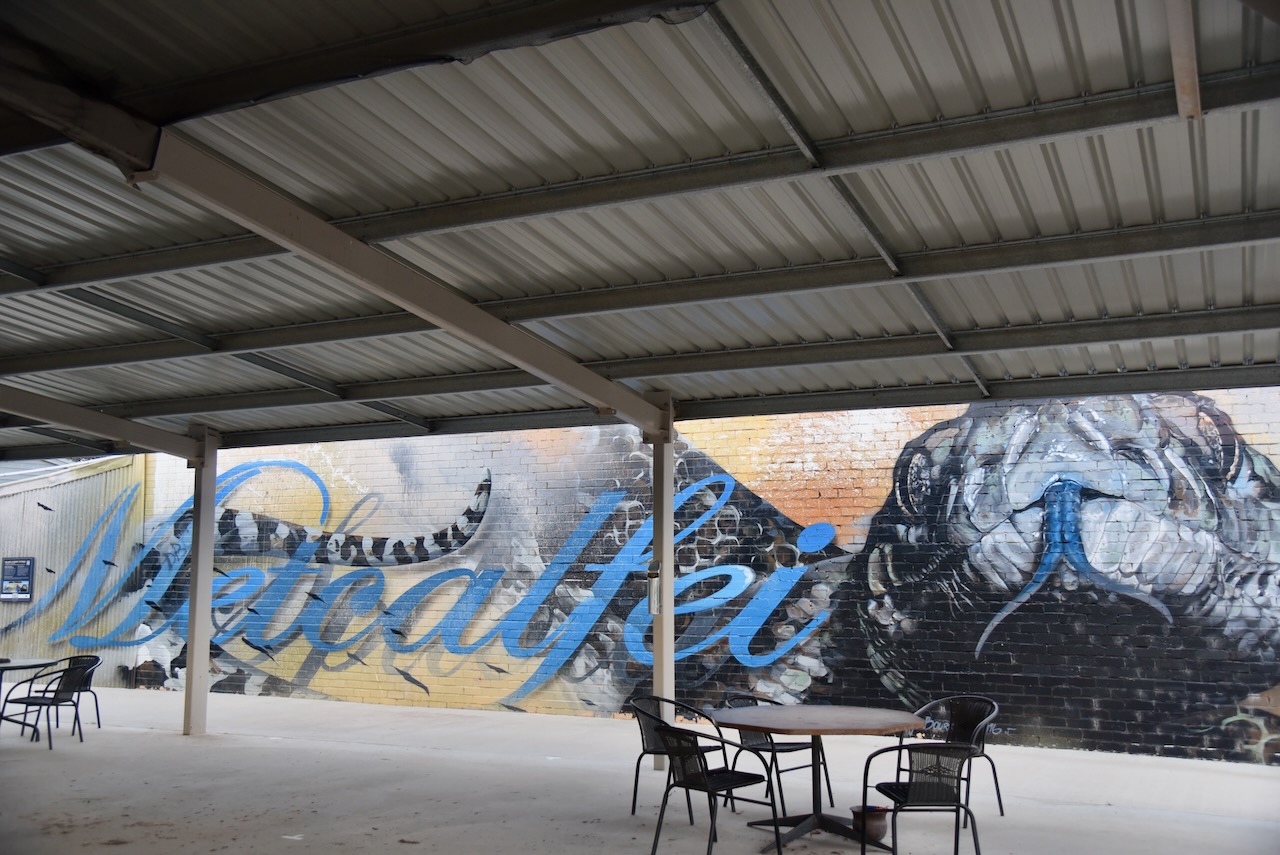
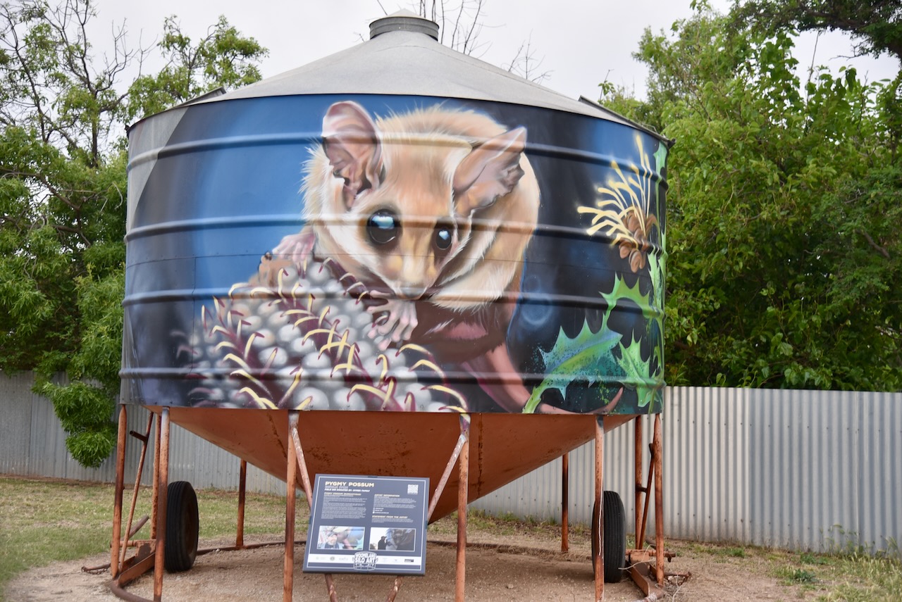
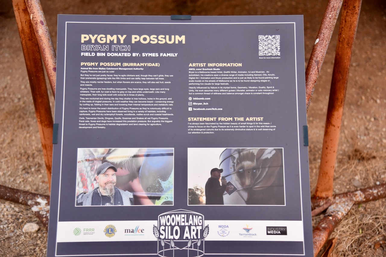
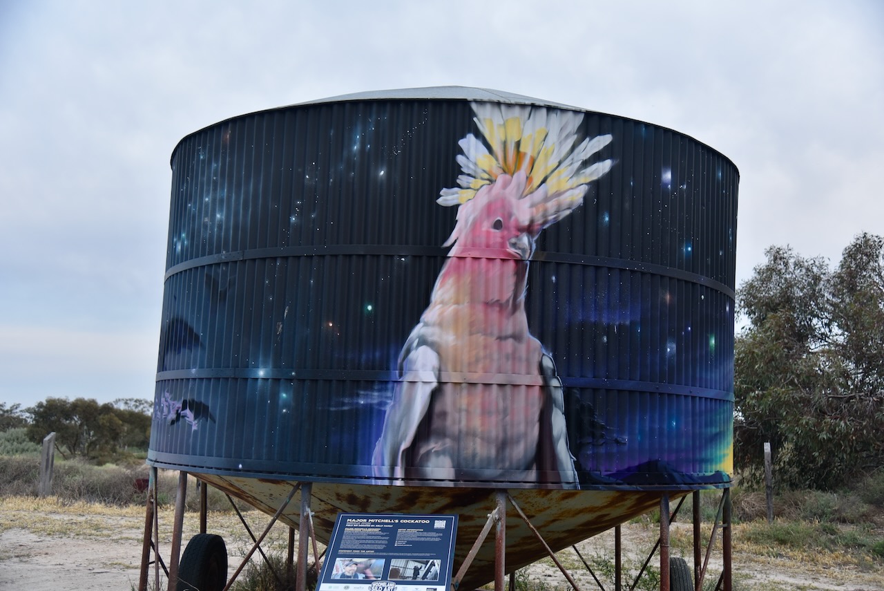
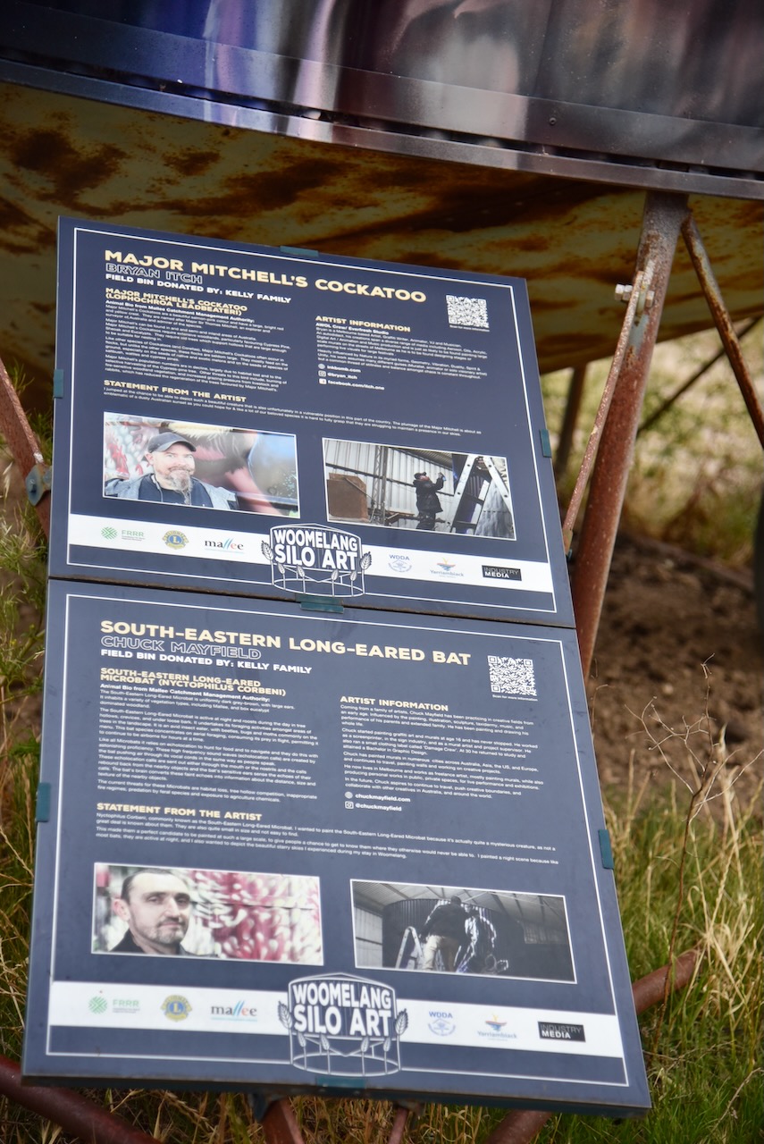
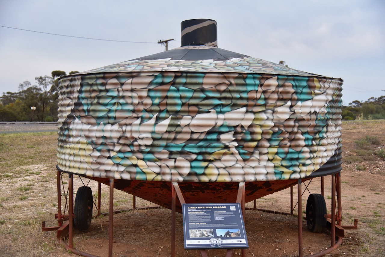
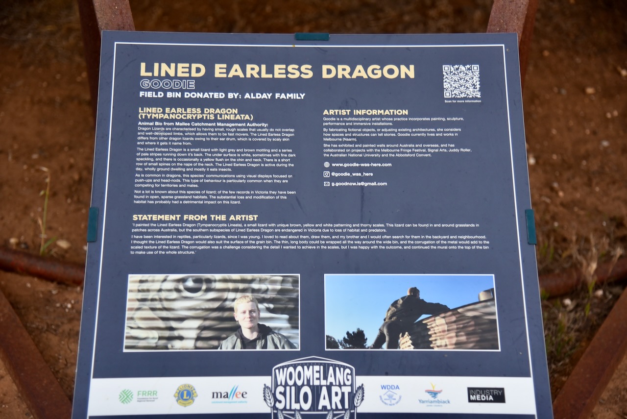
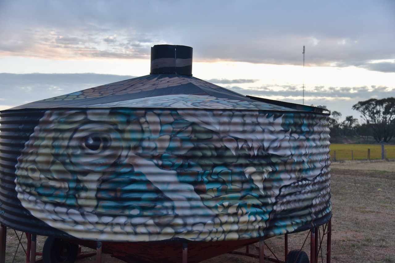
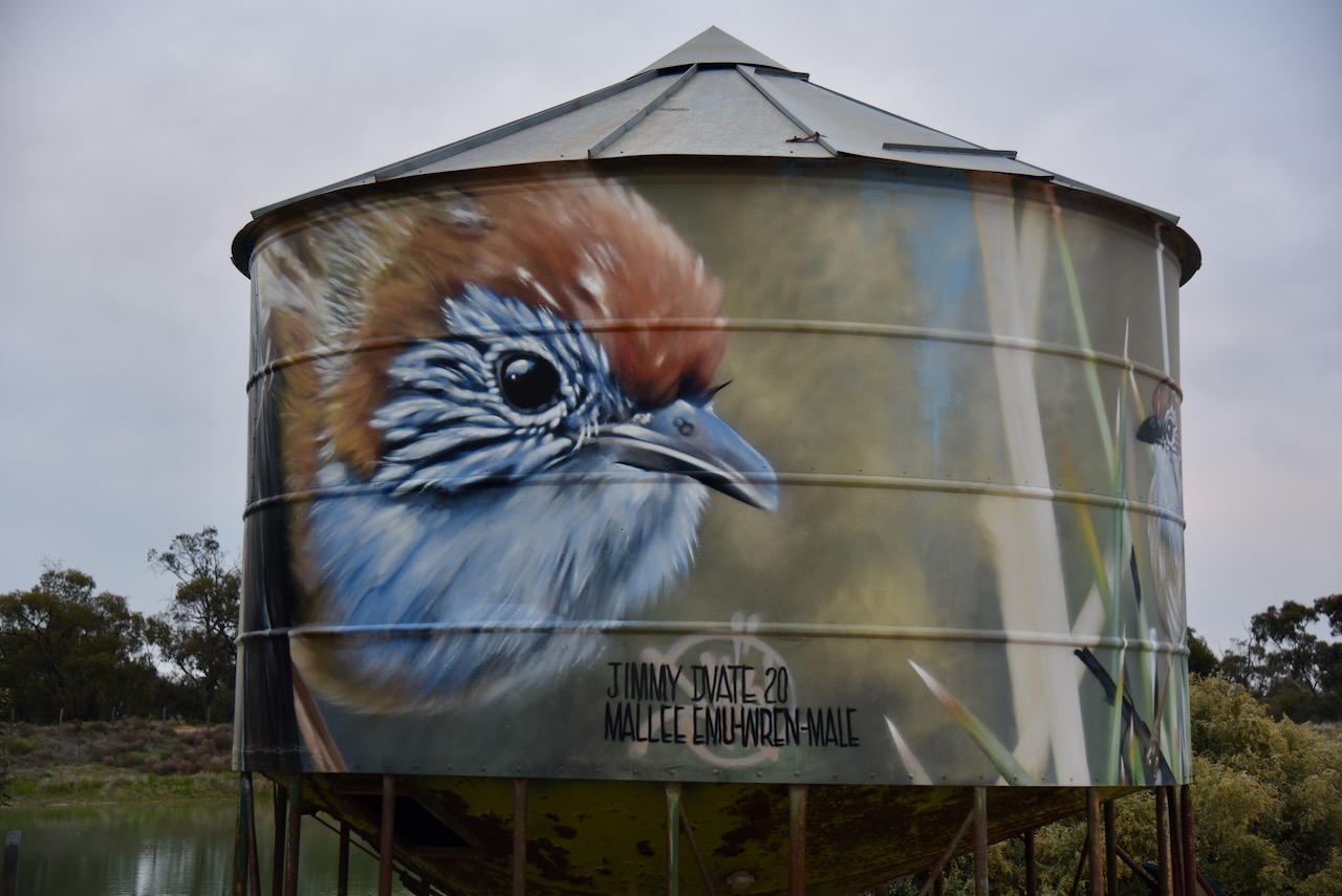
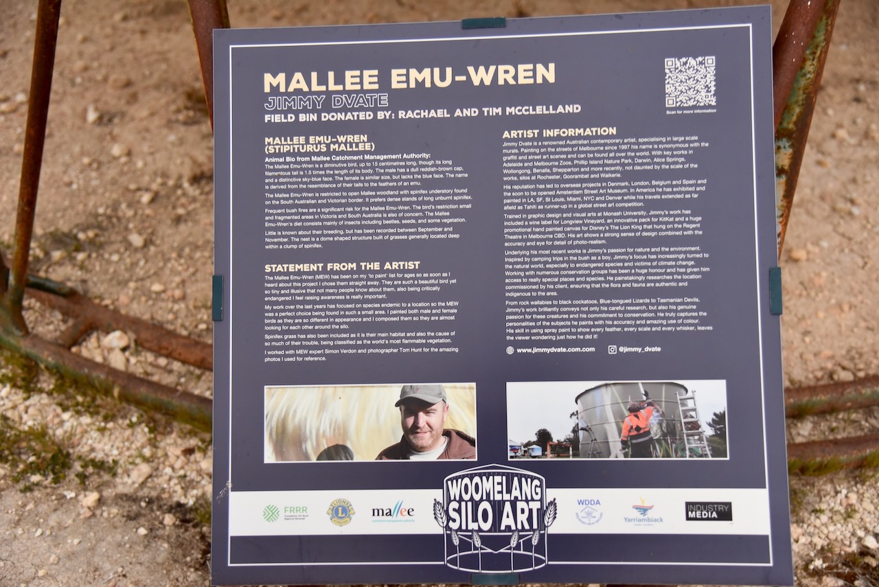
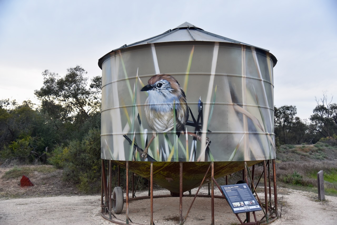
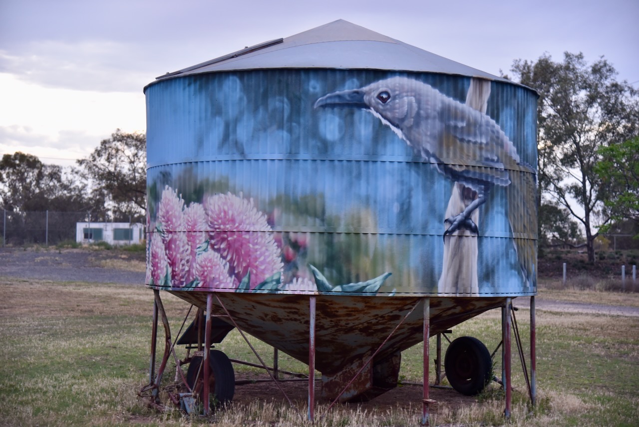
In June 2020, Woomelang invited seven artists to transform mini silo bins into pieces of art. Among the artists involved were Jimmy Dvate, Andrew J Bourke, and Kaffeine. Each bin features an endangered species that is native to the Woomelang area including the Spotted tail quoll. Other painted bins feature a pygmy possum, a Heath monitor, and a Mallee Emu-Wren. (Aussie Towns 2024) (Australian Silo Art n.d.)

Below is an excellent video on the idea of the Woomelang Silo Art Trail.

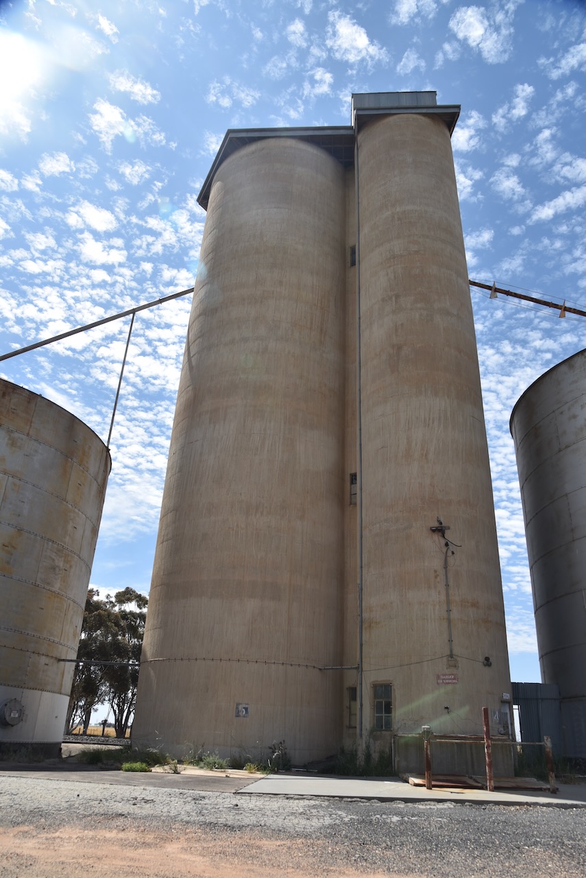
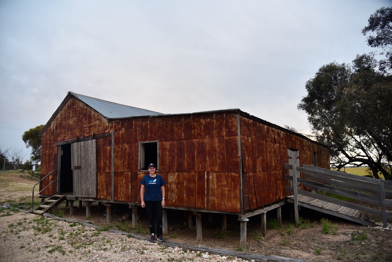
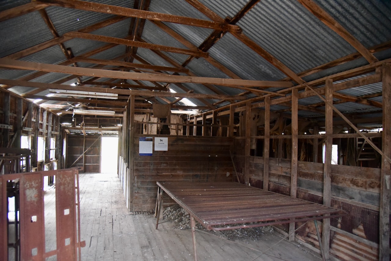
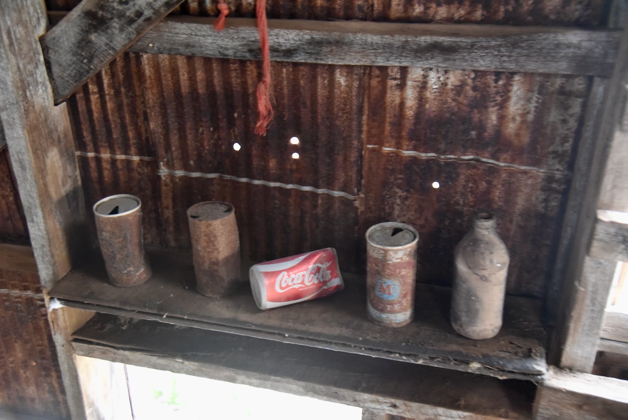
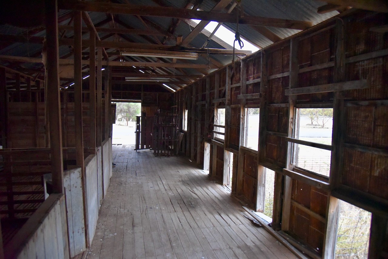
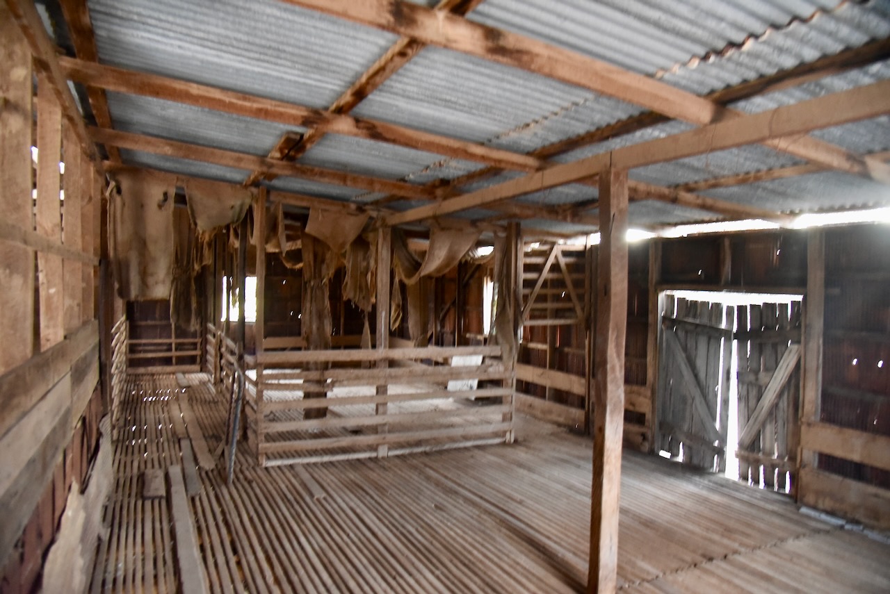
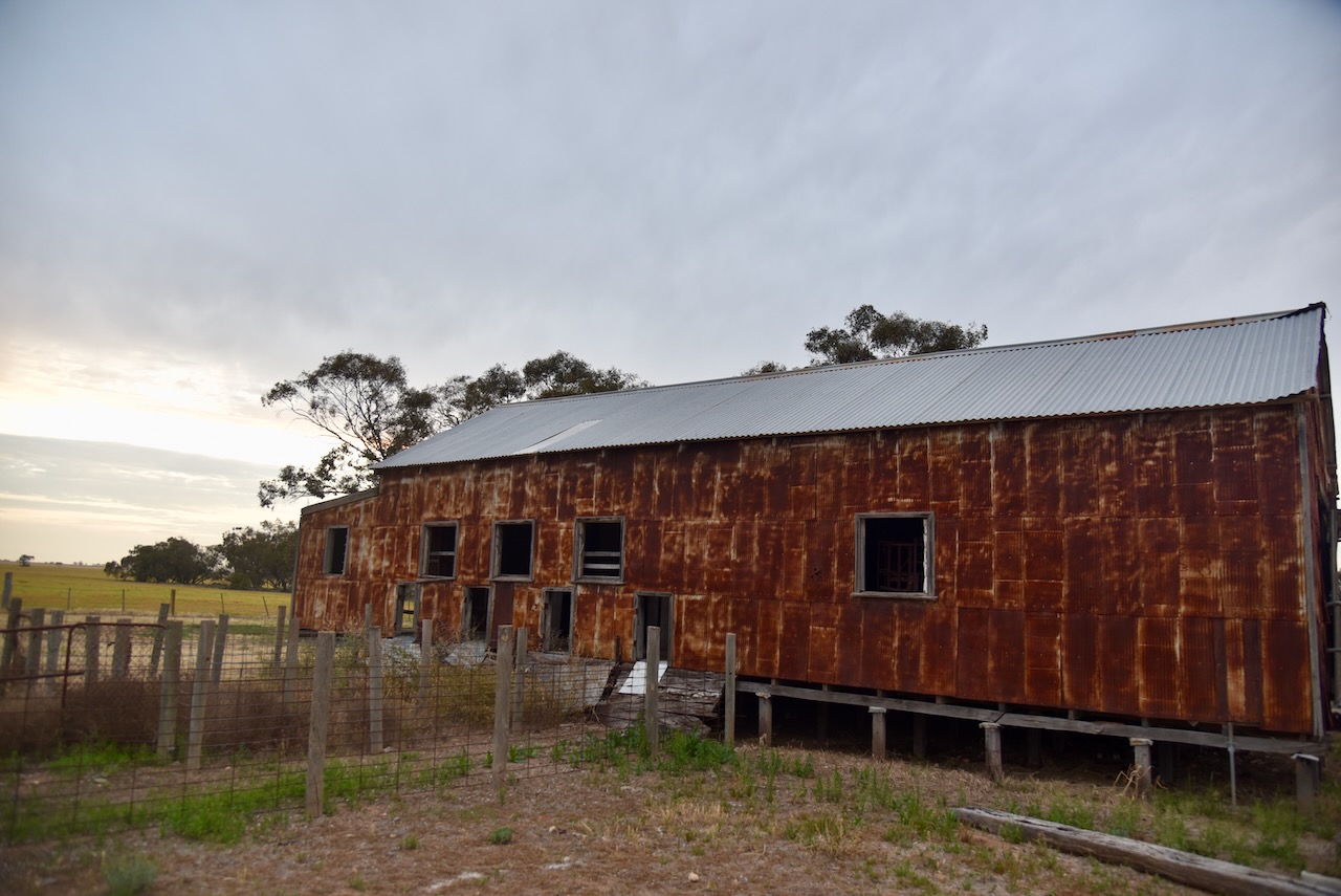
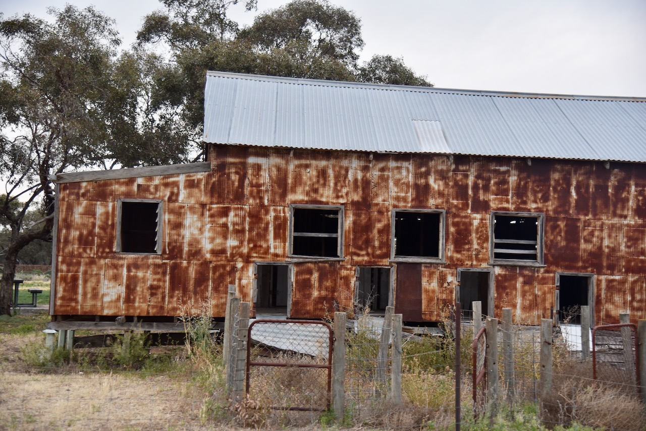
Marija and I had specifically driven out to this part of Victoria to visit the old Woomelang shearing shed. It was constructed during the Second World War and due to wartime shortages of materials, the shed is constructed of compacted egg tins. (Aussie Towns 2024) (Wikipedia 2023)

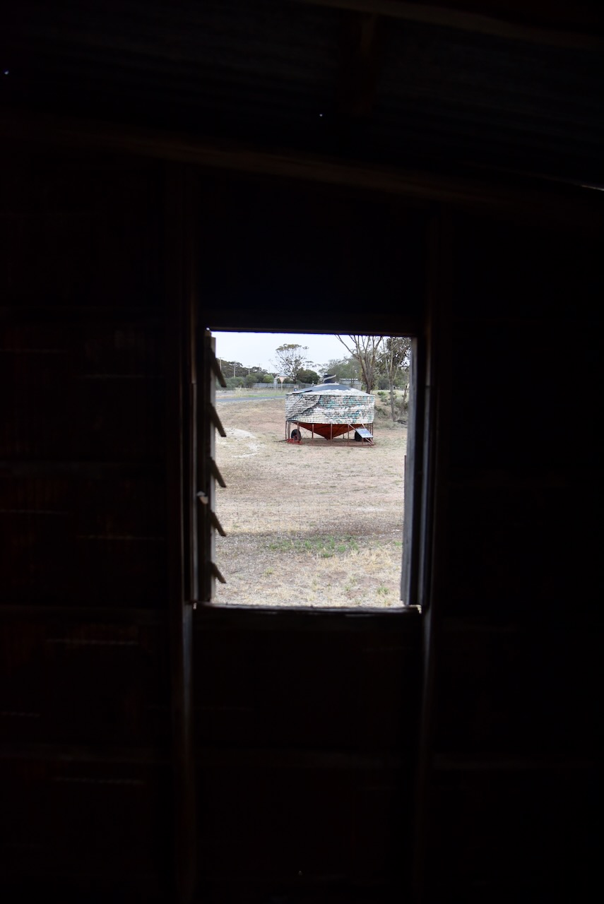
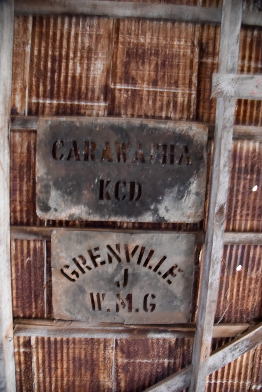
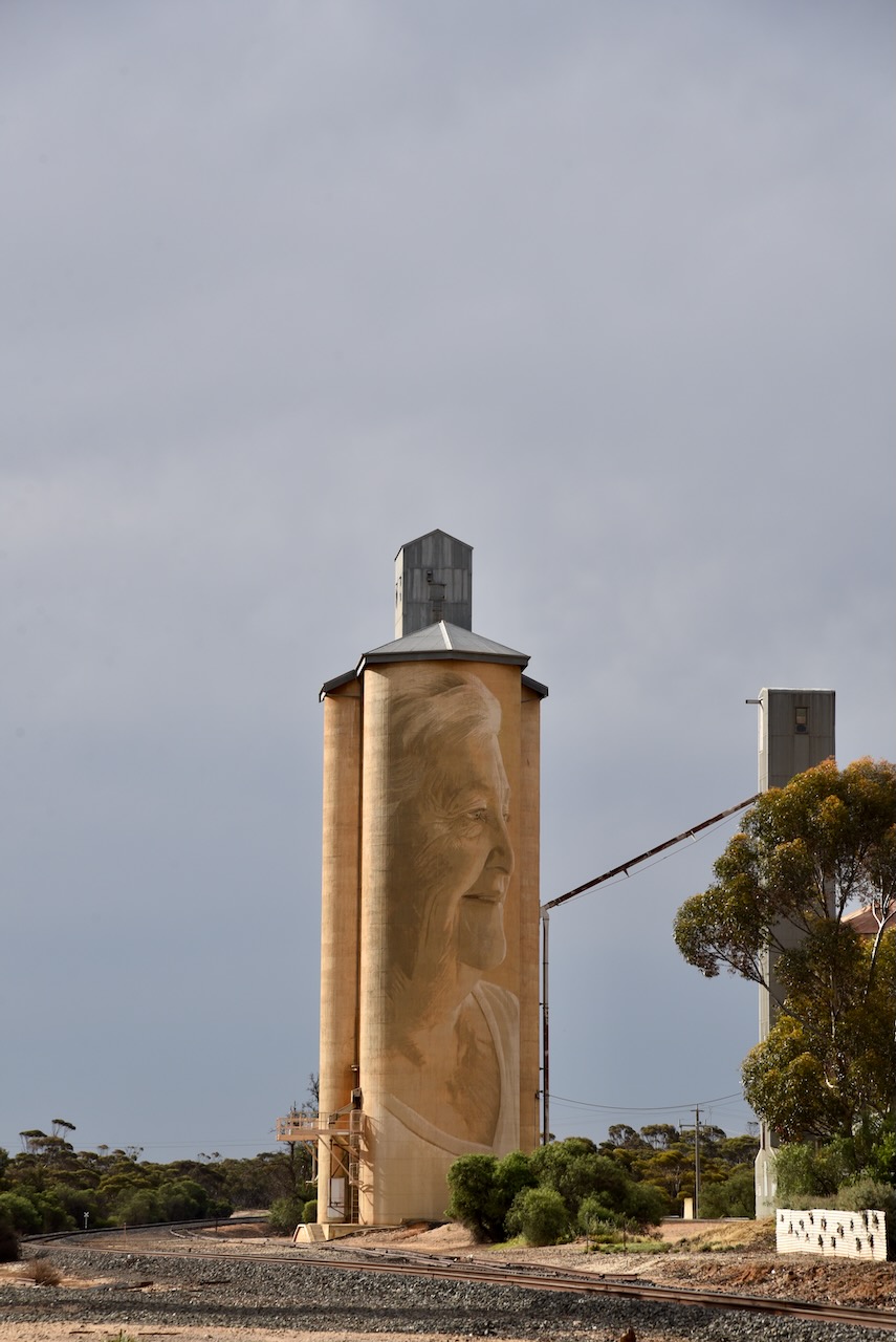
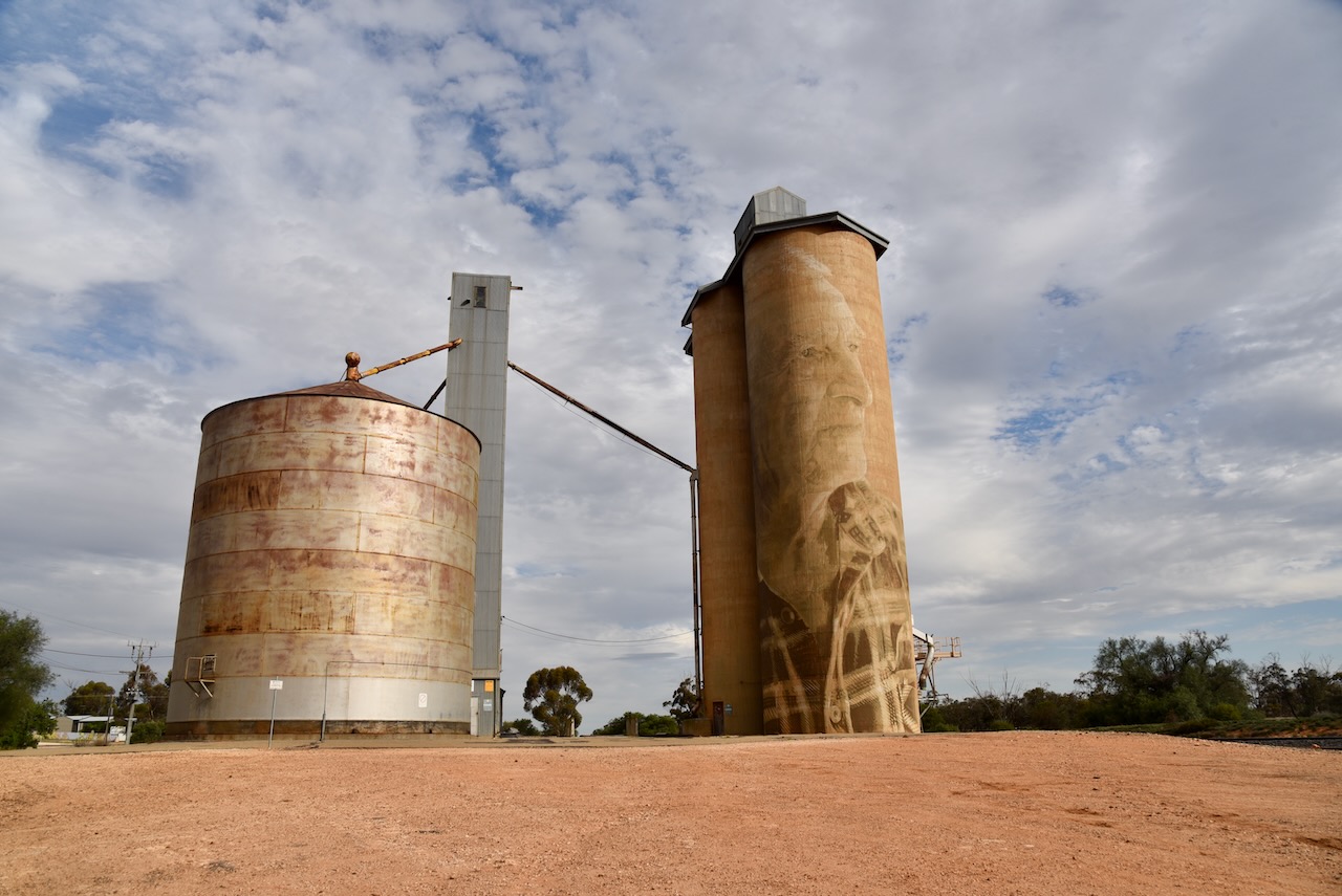
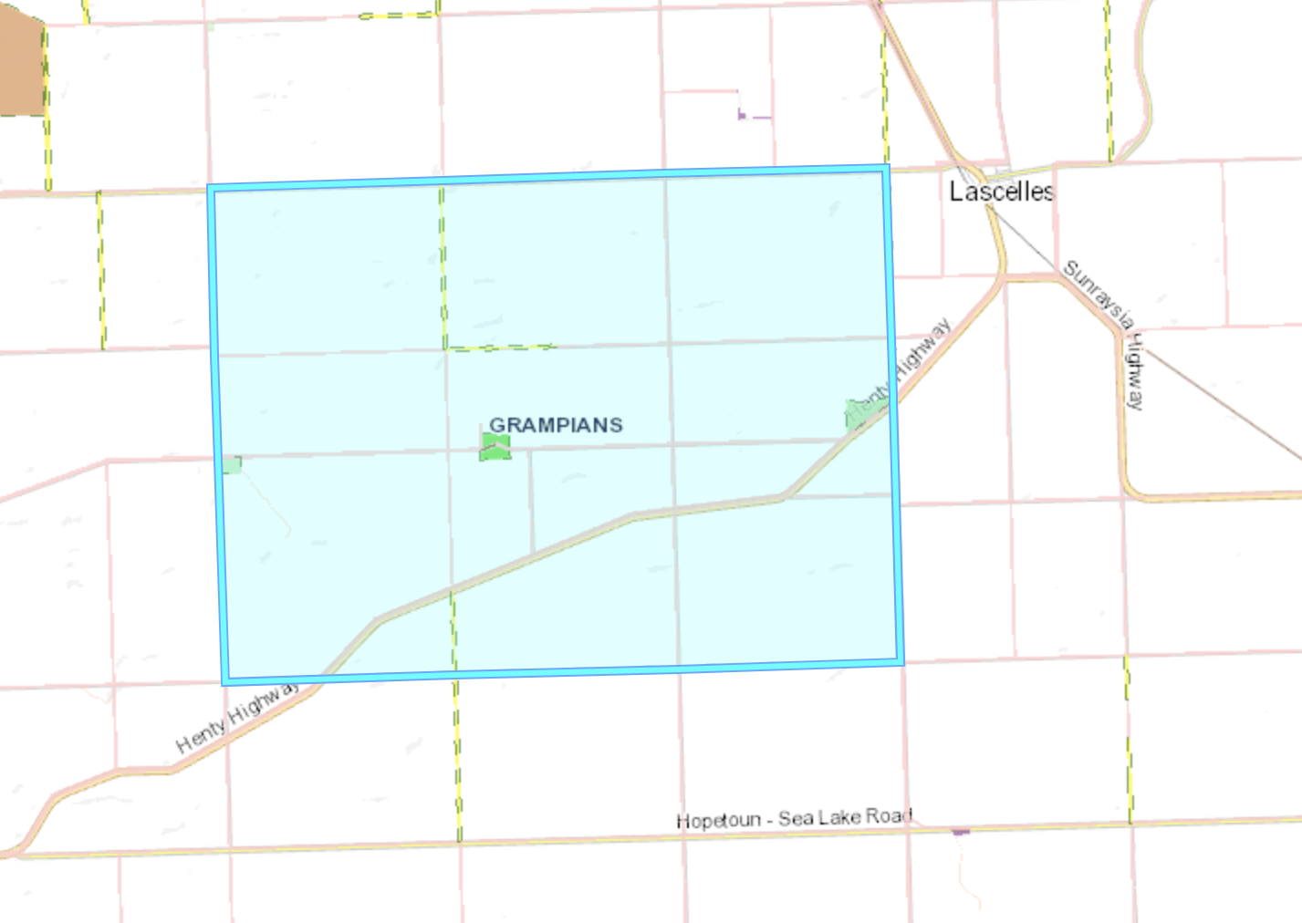
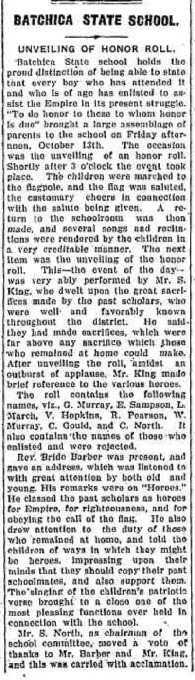
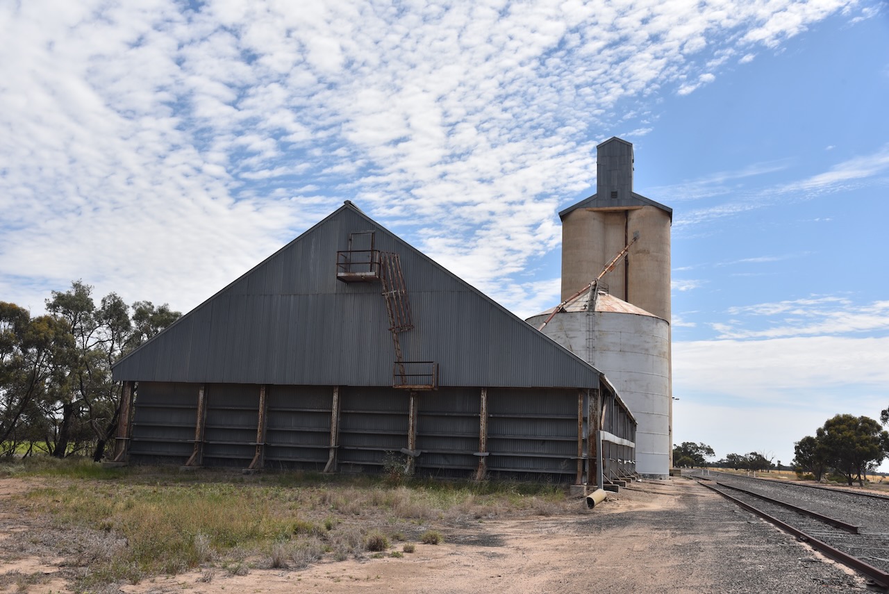
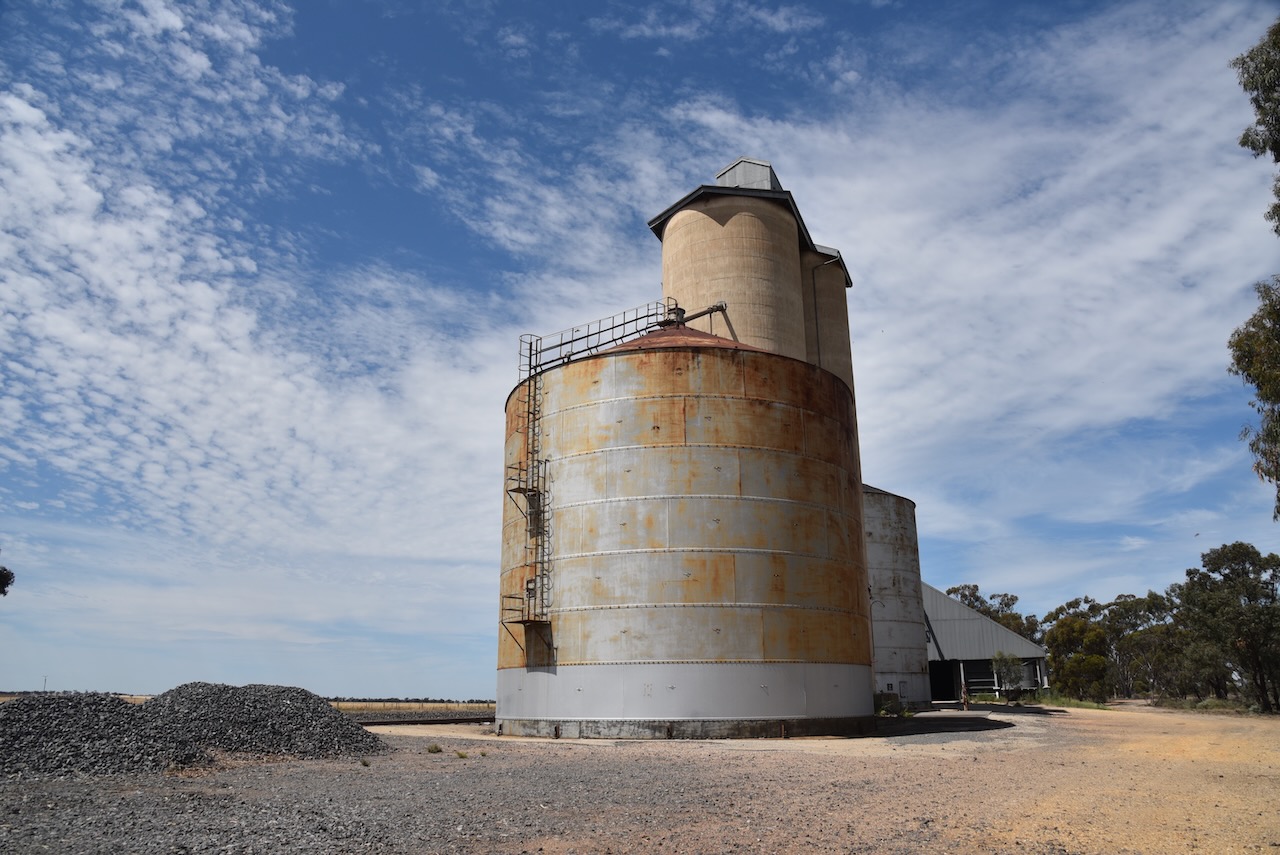
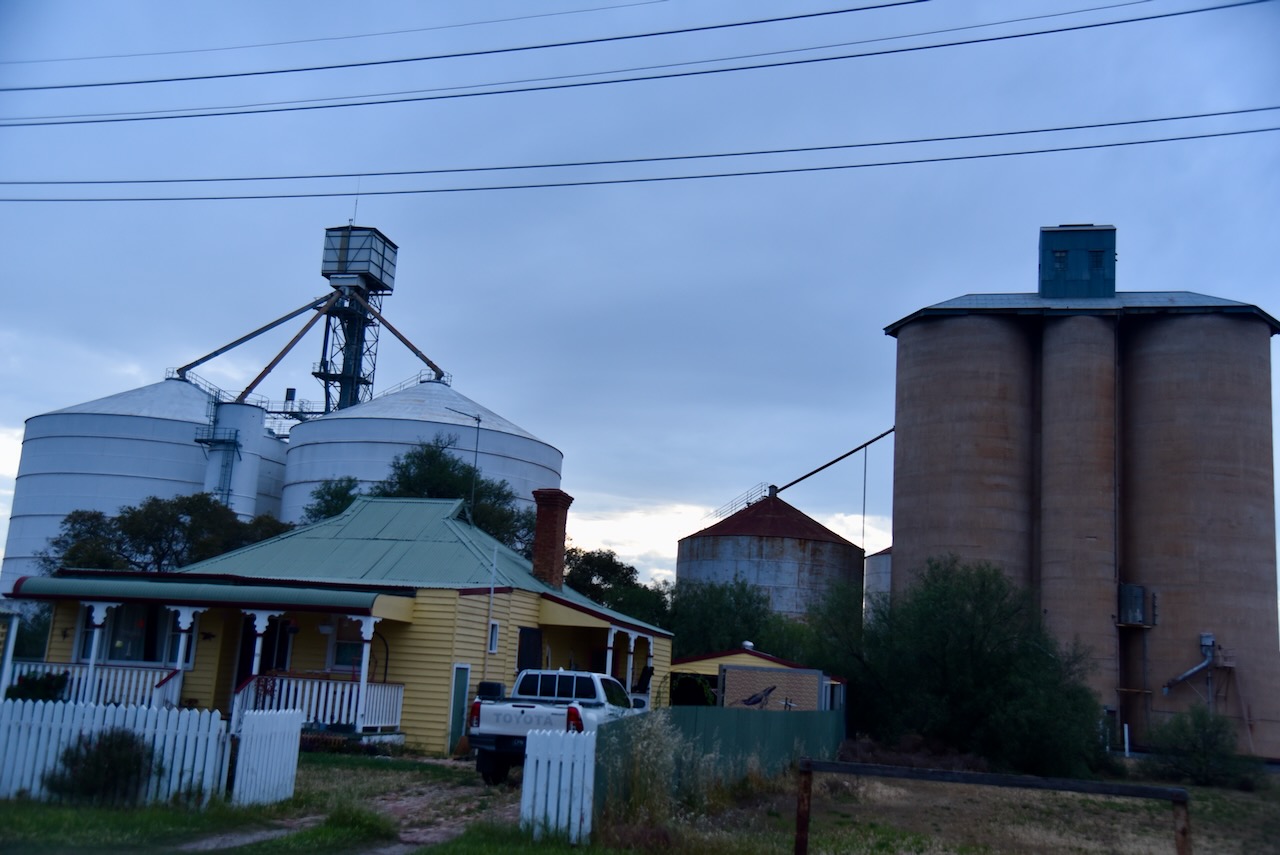
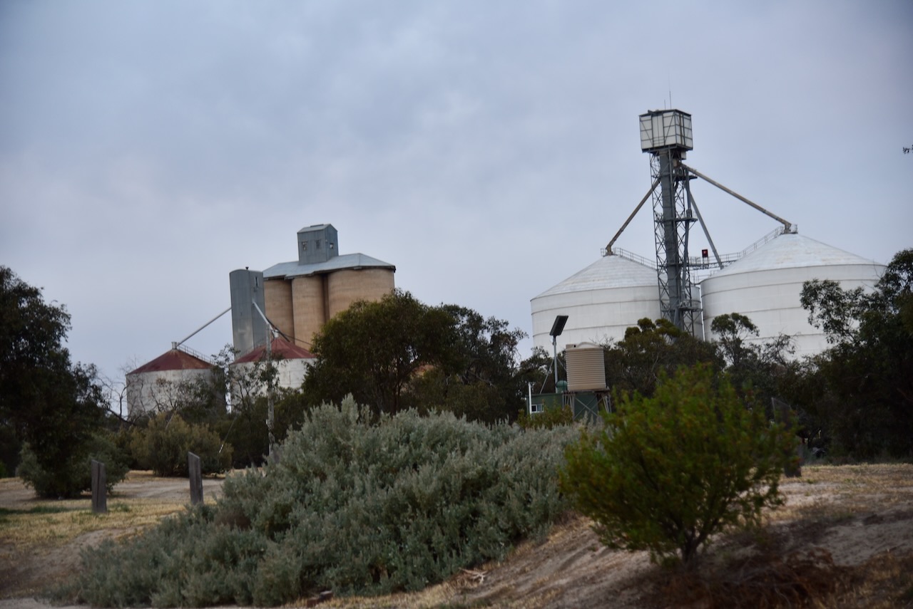
We then headed to the Woomelang silos which are located on the railway line. Access via the Cronomby campground. The silos were built in 1939. (Victorian Places 2015)

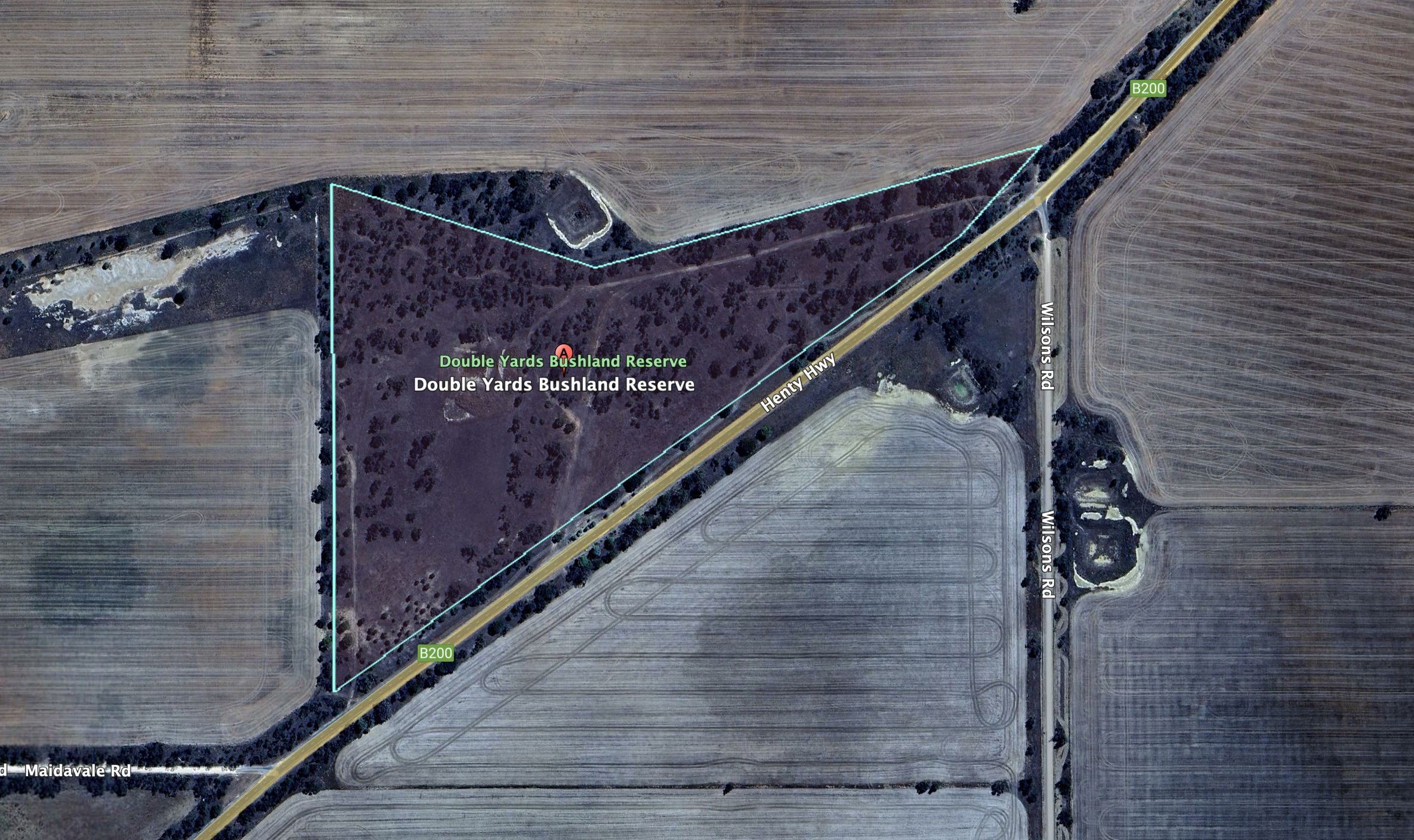
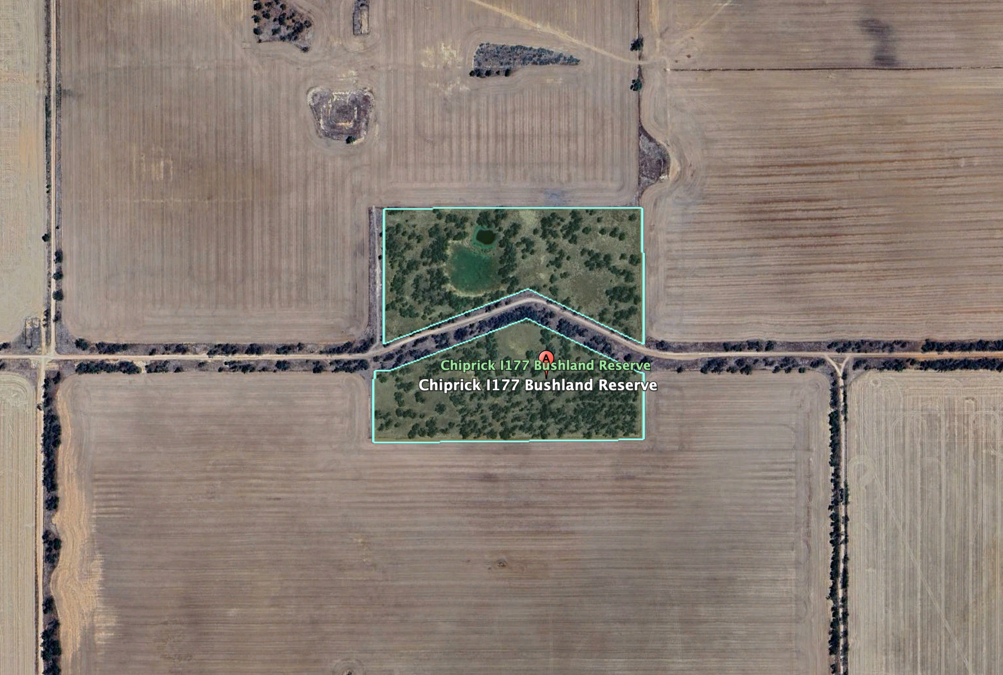
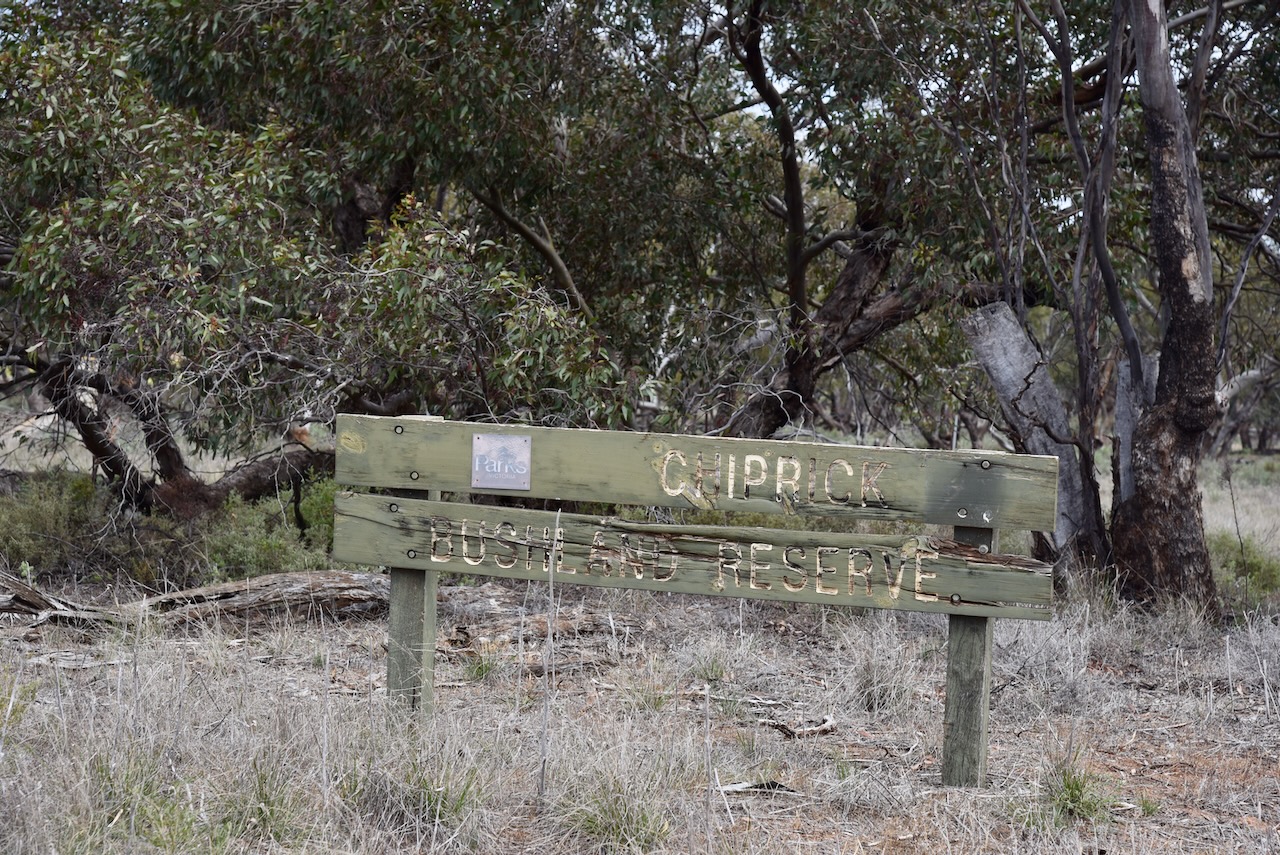
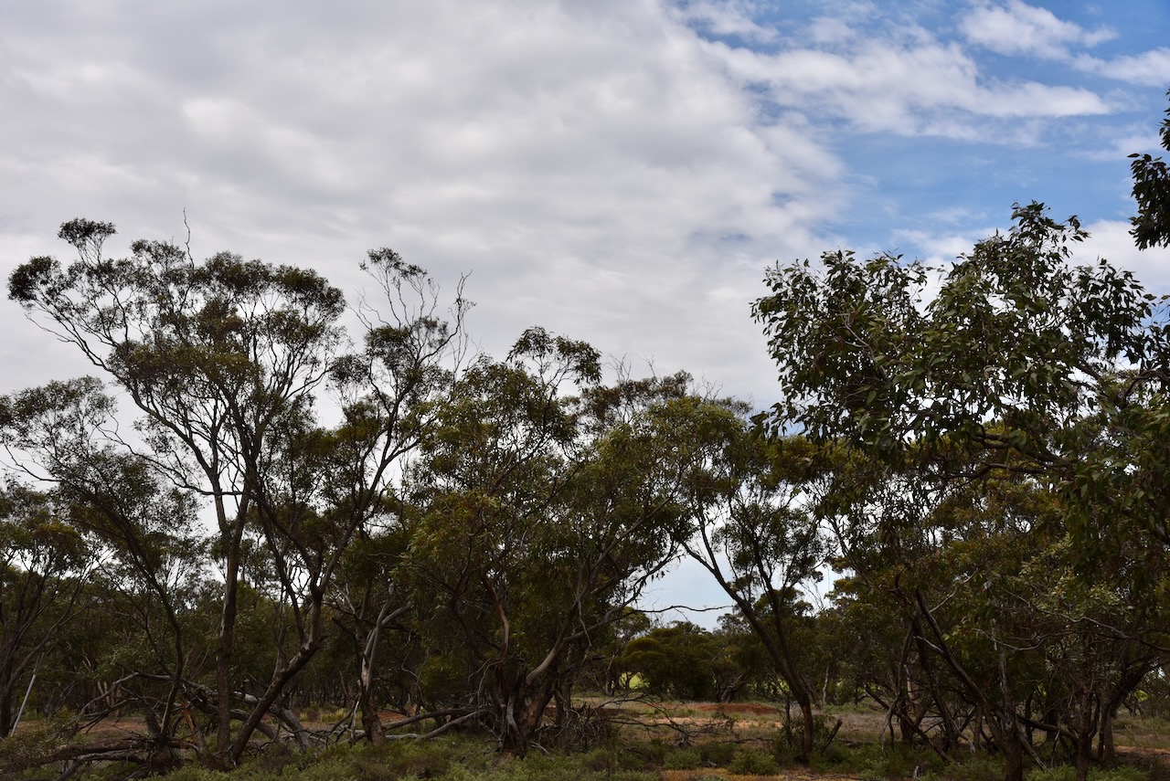
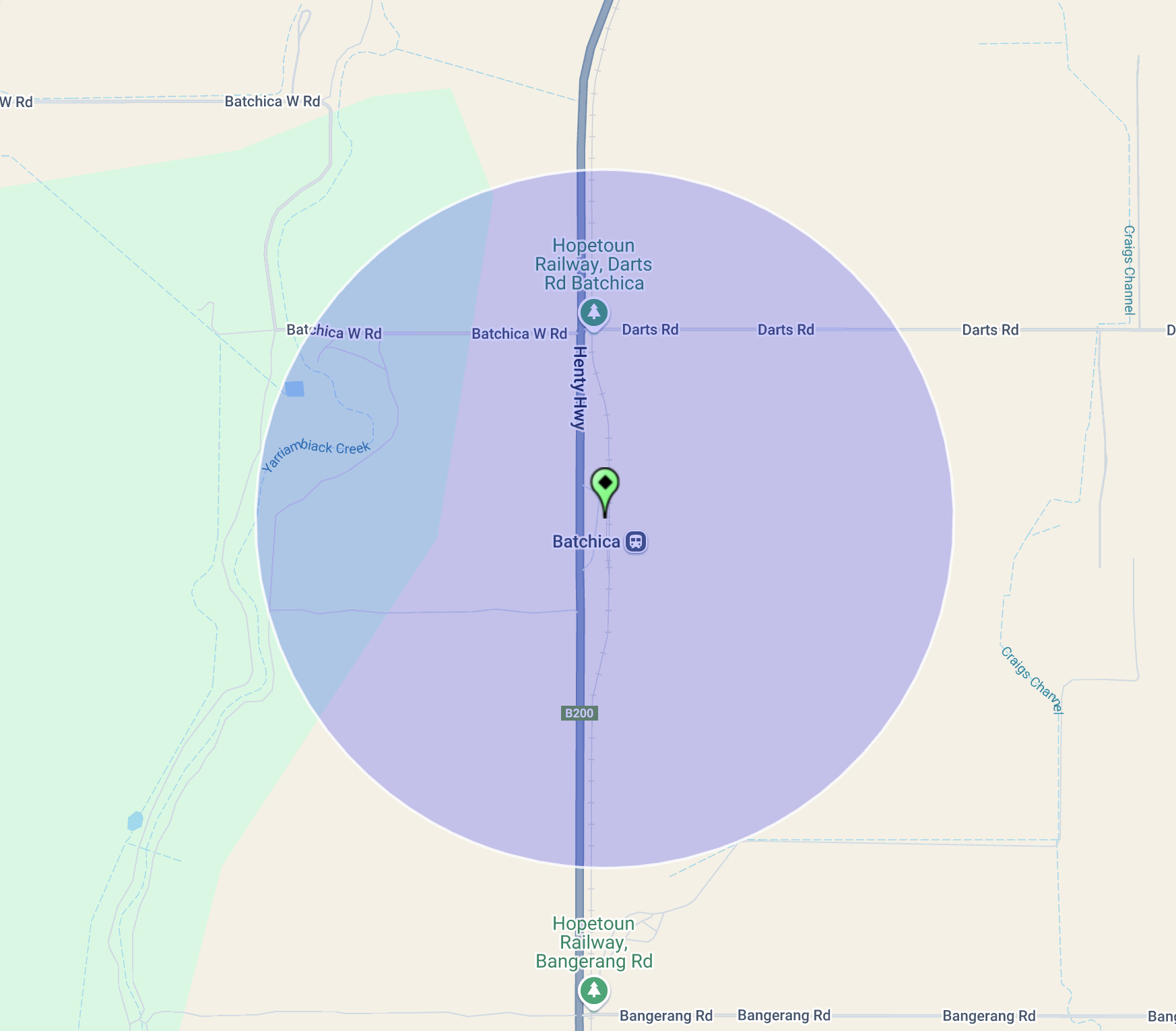
We also hoped to activate the Woomelang Bushland Reserve, which showed up on our mapping site as a tiny piece of scrub off the Hopetoun-Sea Lake Road and two other sections that were just to the southeast of the Woomelang Recreation Reserve.

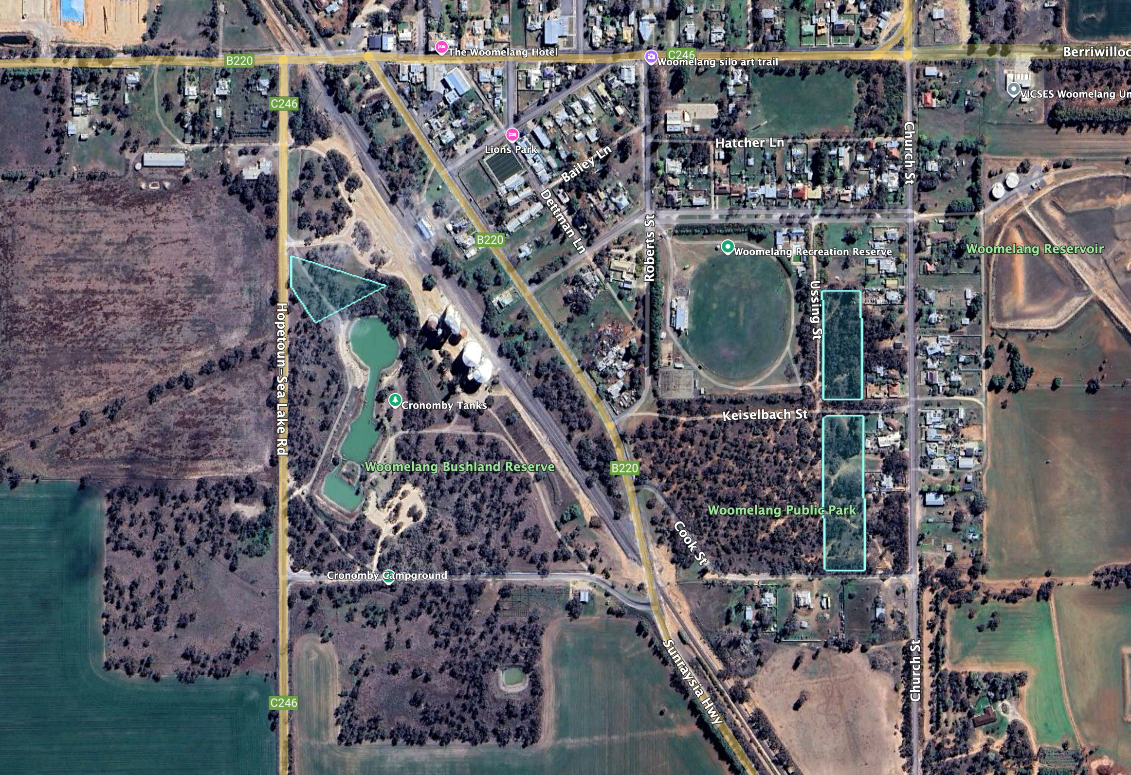
Above:- An aerial view of the Woomelang Bushland Reserve. Image c/o Google Earth.

The three sections of the reserve are about 9 hectares in size and the reserve was established on the 8th day of May 1990. (CAPAD 2022)

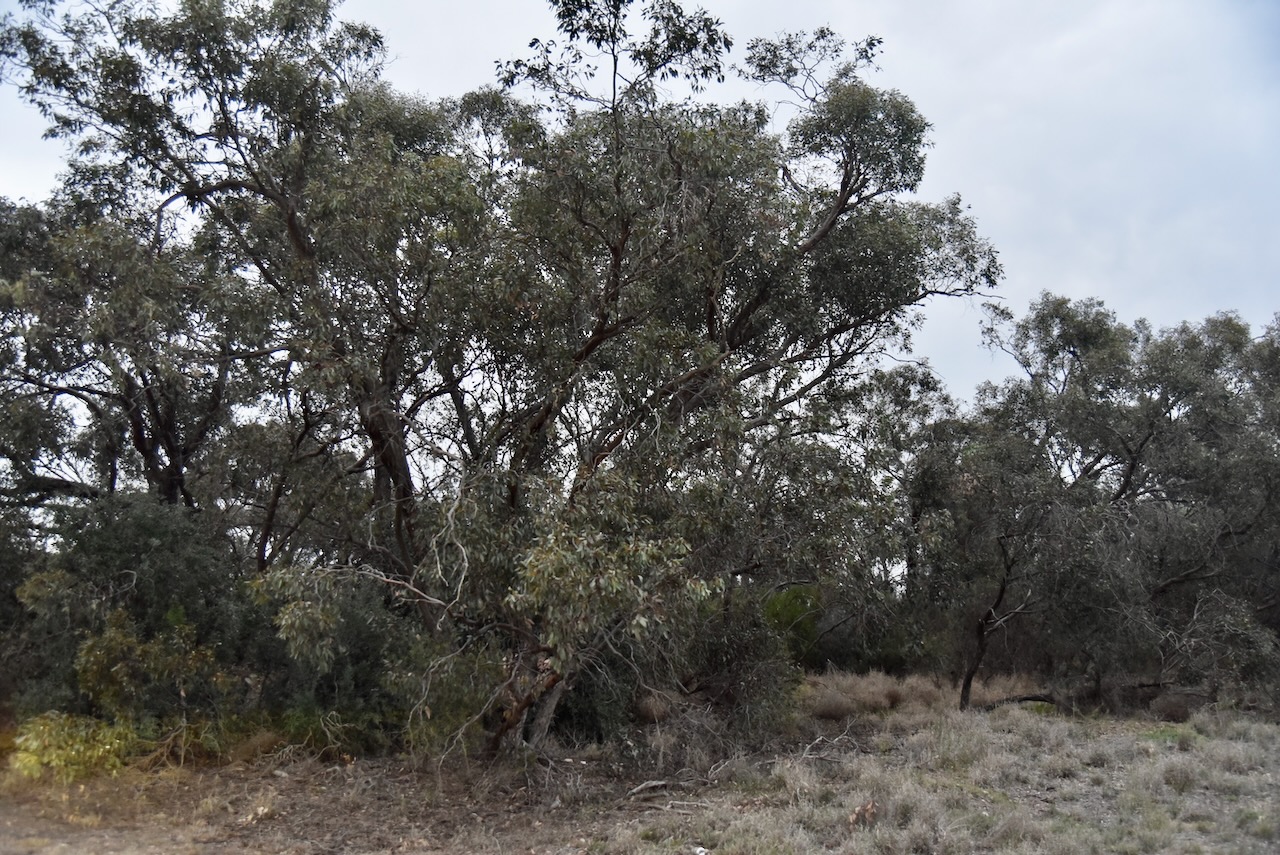
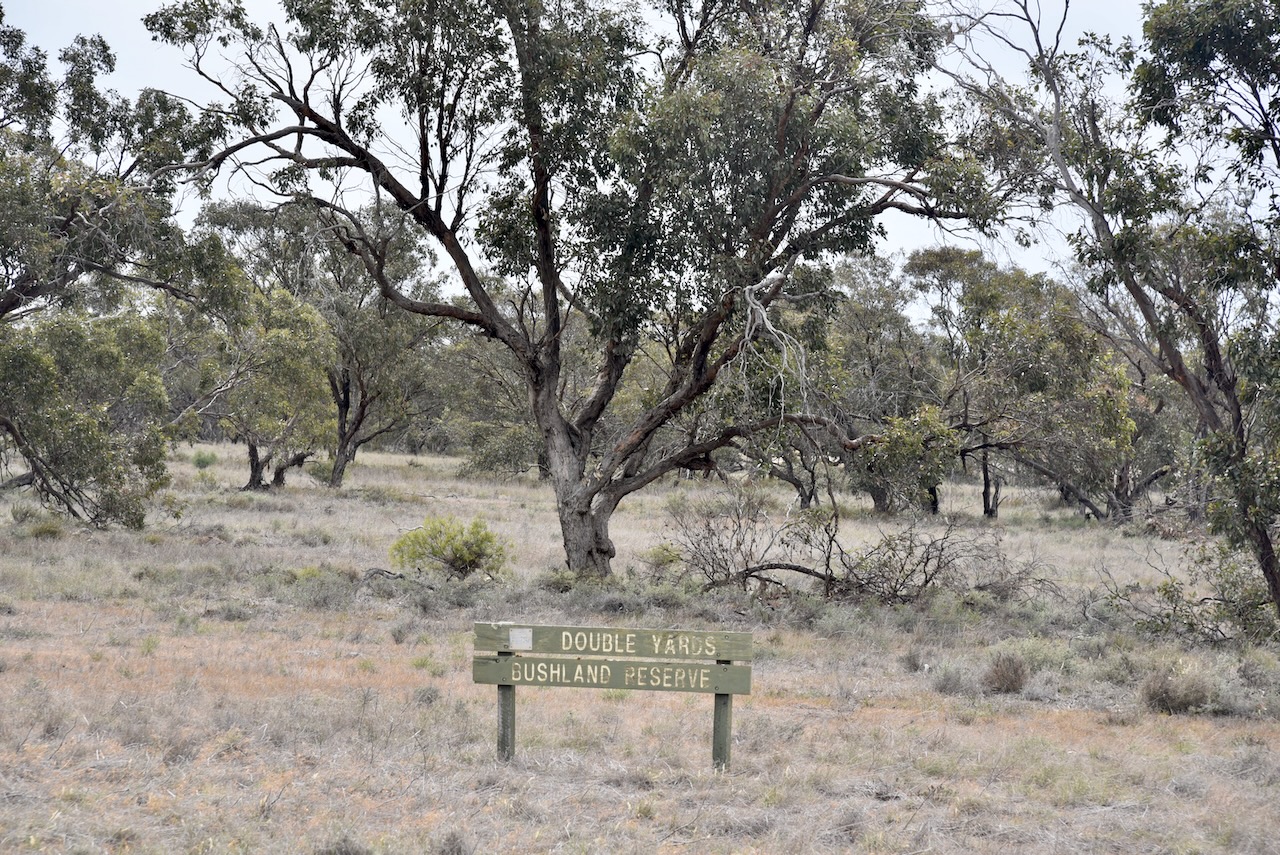
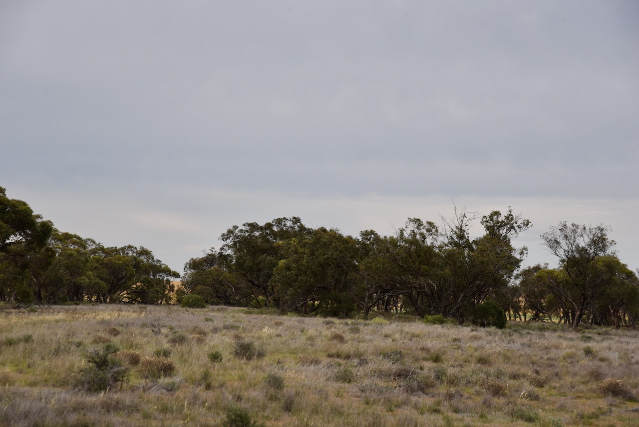
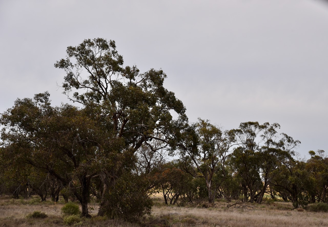
We opted to operate from the section of scrub off the Hopetoun-Sea Lake Road. But it wasn’t easy. It was getting dark and there was only just enough room to string out the dipole.

Above:- the activation zone at the Woomelang silos. Image c/o SiOTA website.

Marija worked the following stations on 40m SSB:-

  1. VK5HS
  2. VK3PF
  3. VK2IO
  4. VK2GEZ
  5. VK4HMI
  6. VK5WU
  7. VK5DW
  8. VK3WSG
  9. VK7DW
  10. VK1AO
  11. VK2MET

I worked the following stations on 40m SSB:-

  1. VK5HS
  2. VK3PF
  3. VK2IO
  4. VK2GEZ
  5. VK4HMI
  6. VK5WU
  7. VK5DW
  8. VK3WSG
  9. VK7DW
  10. VK1AO
  11. VK2MET
  12. VK3TZT
  13. VK3APJ
  14. VK7PJM
  15. VK5LA
  16. VK5KAW
  17. VK4NH
  18. VK4DXA
  19. VK5FANA
  20. VK3GJG
  21. VK4XF
  22. KD1CT
  23. VK3PWG
  24. VK3TTK
  25. VK2LEE
  26. VK7AAE
  27. VK5HW
  28. VK3UAO

I worked the following stations on 80m SSB:-

  1. VK5HS
  2. VK2IO
  3. VK2GEZ
  4. VK5LA
  5. VK5KAW
  6. VK3PWG
  7. VK3TTK
  8. VK3PF
  9. VK3WSG
  10. VK5MRE
  11. VK3KIY
  12. VK3VEF
  13. VK5MRS
  14. VK3CWM
  15. VK5LDM
  16. VK3APJ

We packed up and then drove back to Warracknabeal.

References.

  1. Aussie Towns. (2024). Woomelang, VIC – Aussie Towns. [online] Available at: https://www.aussietowns.com.au/town/woomelang-vic [Accessed 5 Jan. 2025].
  2. ‌Dcceew.gov.au. (2023). Collaborative Australian Protected Areas Database (CAPAD) 2022 – DCCEEW. [online] Available at: https://www.dcceew.gov.au/environment/land/nrs/science/capad/2022 [Accessed 5 Jan. 2025].‌
  3. Leslie James Blake, 1978, Place Names of Victoria.
  4. Phoenixauctions.com.au. (2022). Post Office List – Phoenix. [online] Available at: https://www.phoenixauctions.com.au/cgi-bin/wsPhoenix.sh/Viewpocdwrapper.p?SortBy=VIC&filter=. [Accessed 5 Jan. 2025].‌
  5. ‌Victorianplaces.com.au. (2015). Woomelang | Victorian Places. [online] Available at: https://www.victorianplaces.com.au/woomelang [Accessed 5 Jan. 2025].‌
  6. Wikipedia Contributors (2023). Woomelang. Wikipedia.‌
  7. http://www.australiansiloarttrail.com. (n.d.). Woomelang Mobile Silo Art. [online] Available at: https://www.australiansiloarttrail.com/woomelang. [Accessed 5 Jan. 2025].‌‌

Lascelles silo VK-LSS3

Our next activation for Tuesday 22nd October 2024 was the Lascelles silo VK-LSS3 for the Silos On The Air (SiOTA) program.

Lascelles is located about 377 km northwest of the city of Melbourne.

Above:- Map showing the location of Lascelles, Victoria. Map c/o Google Maps.

The township of Lascelles is named in honour of Edward Harewood Lascelles (b. 1847. d. 1917), a pastoralist and businessman. He was born in 1847 in Van Diemans Land (Tasmania). By the age of 21, he was a partner in his uncle’s wool broker firm in Geelong. He became an expert wool classer and broker. (Wessels 1974)

During the 1870s Lascelles developed an interest in the Mallee region of Victoria. He became the owner of Lake Corrong sheep station. The property later included the Minapre and Wilhelmina runs. (Wessels 1974)

In 1887 Lascelles married Ethel Dennys. They had six children. Lascelles died in 1917. (Wessels 1974)

Above:- Edward Harewood Lascelles. Image c/o Wikipedia.

Prior to European settlement, the Lascelles area was home to the Wergaia and Wotjobaluk aboriginal people. In 1891 Edward Lascelles surveyed the nearby township of Hopetoun and he also served the township of Minapre. The Lascelles Post office opened in 1903 following the arrival of the railway. By 1905 Minapre had a hotel and a Mechanics Institute. The following year a school was opened, followed by a Presbyterian church. In 1909 Minapre was renamed Lascelles. At its peak, Lascelles had its own football team. (Aussie Towns 2021) (Phoenix 2022)

Following an unusually warm winter in 1917, Lascelles suffered from a mouse plague. It was so large that mice filled every square inch of ground. It is estimated that over 100 million mice were slaughtered before the end of the plague. (Trove 2025)

Above:- Article from The Argus Melbourne, Sat 31 Mar 1917. Image c/o Trove

Other than the silo art there is not a lot to see in Lascelles. We stopped to view the Lascelles War Memorial Gates that were erected to honour the men of Lascelles and District who served during the First World War. (Vwma.org.au 2024)

The grain silos at Lascelles were built in 1939. (Aussie Towns 2021)

The silos are part of the Australian SIlo Art Trail. They were painted by artist Rone and feature a local farming couple, Greg and Merrilyn Horman. (Aussie Towns 2021)

Rone painted the silos in mid-2017. It took Rone two weeks to paint the silos. He used a unique technique which included the addition of water to the paint. (Australiansiloarttrail 2024)

Marija and I parked on Lascelles W Road and operated from the 4WD. We ran the Icom IC-7000, 100 watts, and the Codan 9350 antenna with the 1.5 metre stainless steel whip.

Above:- The activation zone at the Lascelles silo. Image c/o SiOTA website.

Marija worked the following stations on 40m SSB:-

  1. VK3CJN
  2. VK3QHU
  3. VK3PF
  4. VK3APJ

I worked the following stations on 40m SSB:-

  1. VK3CJN
  2. VK3QHU
  3. VK3PF
  4. VK3APJ
  5. VK1AO
  6. VK2MET
  7. VK4NH
  8. VK4DXA
  9. VK2LEE
  10. VK2IO
  11. VK3ALF
  12. VK7DD
  13. VK1TTY
  14. VK7PJM
  15. VK2SLB
  16. VK4MPB (Rosins Lookout Conservation Park VKFF-1635)
  17. VK4CEG (Rosins Lookout Conservation Park VKFF-1635)
  18. VK5AYL
  19. VK5HS
  20. VK4EMP
  21. VK4TI
  22. VK4GKO
  23. VK1CBR

Following the quick activation we headed to the Minapre Hotel for dinner. Marija and I had driven past this hotel a few years prior and thought it was such an impressive building that we had to visit.

Above:- Article from the Ouyen Mail, Wed 5 Oct 1927. Image c/o Trove.

Sadly our visit was not a memorable one. The meal (average) took a very long time to come out despite the hotel not being busy. And to make things worse there was a local who clearly had consumed a little too much alcohol who was swearing and cursing in the outside beer garden area. When joined by some other people, he commenced to swear and brag how he was going build some cabins to rip off the tourist suckers (that is my polite language) who came to the town to look at the silo art.

Meal consumed and we were out of there.

References.

  1. Aussie Towns. (2021). Lascelles, VIC – Aussie Towns. [online] Available at: https://www.aussietowns.com.au/town/lascelles-vic [Accessed 5 Jan. 2025].
  2. ‌Australiansiloarttrail.com. (2024). Lascelles Silo Art. [online] Available at: https://www.australiansiloarttrail.com/lascelles [Accessed 5 Jan. 2025].
  3. ‌Phoenixauctions.com.au. (2022). Post Office List – Phoenix. [online] Available at: https://www.phoenixauctions.com.au/cgi-bin/wsPhoenix.sh/Viewpocdwrapper.p?SortBy=VIC&filter=. [Accessed 5 Jan. 2025]‌
  4. ‌Trove. (2025). MICE PLAGUE. – MILLIONS SLAUGHTERED. Numbers Not Decreasing. – The Argus (Melbourne, Vic. : 1848 – 1957) – 31 Mar 1917. [online] Available at: https://trove.nla.gov.au/newspaper/article/1607868 [Accessed 5 Jan. 2025].
  5. ‌Vwma.org.au. (2024). Lascelles War Memorial Gates, Lascelles, Victoria, Australia. [online] Available at: https://vwma.org.au/explore/memorials/3301 [Accessed 5 Jan. 2025].
  6. ‌Wessels, S.F. (1974). Lascelles, Edward Harewood (1847–1917). [online] Anu.edu.au. Available at: https://adb.anu.edu.au/biography/lascelles-edward-harewood-582 [Accessed 5 Jan. 2025]‌

Double Yards Bushland Reserve VKFF-4916

After packing up at Chiprick I177 Bushland Reserve on Tuesday 22nd October 2024, Marija and I headed to our next activation, the Double Yards Bushland Reserve VKFF-4916.

The reserve is located about 4 km southwest of Lascelles and about 380 km northwest of the city of Melbourne.

Above:- Map showing the location of Double Yards Bushland Reserve. Map c/o Google Maps.

The reserve is located on the northwest side of Henty Highway between Maidavale Road and Wilsons Road.

Above:- An aerial view of Double Yards Bushland Reserve. Image c/o Google Earth.

The Henty Highway is named in honour of Edward Henty (b. 1810. d. 1878) who was a British colonist and regarded as the first permanent European settler of the Port Phillip District. (Wikipedia 2023)

Above:- Edward Henty. Image c/o Wikipedia.

The reserve is about 15 hectares in size and was established on the 1st day of May 1979. (CAPAD 2022)

Marija worked the following stations on 20m SSB:-

  1. VK2VW
  2. VK2HFI
  3. VK2AKA
  4. VK2BUG
  5. VK1AO
  6. VK2MET
  7. VK4NH
  8. VK4DXA
  9. ZL3MR

Marija worked the following stations on 40m SSB:-

  1. VK5TN

I worked the following stations on 20m SSB:-

  1. VK2VW
  2. VK2HFI
  3. VK2AKA
  4. VK2BUG
  5. VK1AO
  6. VK2MET
  7. VK4NH
  8. VK4DXA
  9. ZL3MR

I worked the following stations on 40m SSB:-

  1. VK5TN
  2. VK1AO
  3. VK2MET
  4. VK2IO
  5. VK2GEZ
  6. VK5NOU
  7. VK2LEE
  8. VK3NCR/P
  9. VK3SQ
  10. VK2BD
  11. VK5WU
  12. VK7PJM
  13. VK4NH
  14. VK4DXA
  15. VK3AHM
  16. VK3DL
  17. VK3ALF
  18. VK3MJF/P
  19. VK3MDC
  20. VK5FANA
  21. VK3APJ
  22. VK3QHU
  23. VK3CJN
  24. VK3MGM

I worked the following stations on 40m FT8:-

  1. VK5LA
  2. VK3APJ
  3. VK3CEO
  4. VK2IO
  5. VK1AO
  6. VK2MET
  7. VK3SQ
  8. VK3PF
  9. VK4ZP
  10. VK3KAI
  11. VK3UAO
  12. VK4GKO
  13. VK3NCR
  14. VK4EMP

References.

  1. Dcceew.gov.au. (2023). Collaborative Australian Protected Areas Database (CAPAD) 2022 – DCCEEW. [online] Available at: https://www.dcceew.gov.au/environment/land/nrs/science/capad/2022 [Accessed 5 Jan. 2025].‌
  2. Wikipedia. (2023). Edward Henty. [online] Available at: https://en.wikipedia.org/wiki/Edward_Henty [Accessed 5 Jan 2025]‌

Chiprick I177 Bushland Reserve VKFF-4776

Our next activation for Tuesday 22nd October 2024 was the Chiprick I177 Bushland Reserve VKFF-4776.

The reserve is located about 18 km northwest of Hopetoun and about 387 km northwest of the city of Melbourne.

Above:- Map showing the location of the Chiprick I177 Bushland Reserve. Map c/o Google Maps.

The reserve is located on Maidavale Road, Hopetoun.

Above:- An aerial view of the Chiprick I177 Bushland Reserve. Image c/o Google Earth.

It is located in the Parish of Chiprick. Chiprick is derived from the aboriginal word chipjerreng meaning rage. (Blake 1978)

Above:- The Parish of Chiprick. Image c/o MapshareVic

The reserve is about 12 hectares in size and was established on the 1st day of May 1979. (CAPAD 2022)

We ran the Yaesu FT857, 40 watts, and the 20/40/80m linked dipole for this activation.

Marija worked the following stations on 40m SSB:-

  1. VK5HS
  2. VK3SSS
  3. VK3FQSO
  4. VK5WU
  5. VK3PF
  6. VK3KAI
  7. VK3APJ
  8. VK3CEO
  9. VK1AO
  10. VK2MET

I worked the following stations on 40m SSB:-

  1. VK5HS
  2. VK3SSS
  3. VK3FQSO
  4. VK5WU
  5. VK3PF
  6. VK3KAI
  7. VK3APJ
  8. VK3CEO
  9. VK1AO
  10. VK2MET
  11. VK5TN
  12. VK3HJW
  13. VK5NHG
  14. VK2UW/M
  15. VK2SLO
  16. VK3PWG
  17. VK3TTK
  18. VK3UAO
  19. VK5FANA

I worked the following stations on 40m FT8:-

  1. VK3KAI
  2. VK3CEO
  3. VK3PF
  4. VK3APJ
  5. VK3UAO
  6. VK5WU
  7. VK1AD
  8. VK5DXT
  9. VK1AO
  10. VK7XX
  11. VK5CZ
  12. VK4DNO
  13. VK3DL
  14. VK3DNO
  15. VK3SQ
  16. VK2BYF

I worked the following stations on 20m FT8:-

  1. VK1AO
  2. VK2SN
  3. VK5CZ
  4. VK1AD
  5. VK1NAM

I worked the following stations on 20m SSB:-

  1. VK4NH
  2. VK4DXZ
  3. VK2VW
  4. VK2HFI
  5. VK2AKA
  6. VK2BUG
  7. VK2MG
  8. ZL3MR
  9. VK1AO
  10. VK2MET

References.

  1. Dcceew.gov.au. (2023). Collaborative Australian Protected Areas Database (CAPAD) 2022 – DCCEEW. [online] Available at: https://www.dcceew.gov.au/environment/land/nrs/science/capad/2022 [Accessed 5 Jan. 2025].‌
  2. Leslie James Blake, 1978, Place Names of Victoria.

Batchica silo VK-BTA3

Our next activation for Tuesday 22nd October 2024 was the Batchica silo VK-BTA3 for the Silos On The Air (SiOTA) program.

Batchica is located about 290 km northwest of Melbourne and about 9 km north of Warracknabeal.

Above:- Map showing the location of Batchica, Victoria. Map c/o Google Maps.

Batchica is derived from an aboriginal word batchik meaning fly. The Batchica Post Office opened at Yallangip South in 1908. It was renamed Batchica in 1909 and closed in 1931. Batchica once had a State School. In 1 1916 newspaper article it was reported that “Batchica State School holds the proud distinction of being able to state that every boy who has attended it and who is of age has enlisted to assist the Empire in its present struggle.” I wonder how many of those paid the ultimate sacrifice? (Blake 1978) (Wikipedia 2024)

Above:- Article from the Warracknabeal Herald, Tue 17 Oct 1916. Image c/o Trove.

The Batchica silos are located on the eastern side of Henty Highway between Darts Road and Batchica Lane.

Marija and I parked right alongside the silo and operated from the 4WD. We ran the Icom IC-7000, 100 watts, and the Codan 9350 antenna with the 1.5 metre stainless steel whip.

Above:- The activation zone at the Batchica silo. Map c/o SiOTA website.

Marija worked the following stations on 40m SSB:-

  1. VK3PF
  2. VK3TKK/P (Ah Knows Gully Reference Area VKFF-6228)
  3. VK1AO
  4. VK2MET
  5. VK3APJ
  6. VK4DNO
  7. VK3DNO
  8. VK3ZSC
  9. VK3TKK/P (Lerderderg River Heritage Area VKFF-4434)

I worked the following stations on 40m SSB:-

  1. VK3PF
  2. VK3TKK/P (Ah Knows Gully Reference Area VKFF-6228)
  3. VK1AO
  4. VK2MET
  5. VK3APJ
  6. VK4DNO
  7. VK3DNO
  8. VK3ZSC
  9. VK3TKK/P (Lerderderg River Heritage Area VKFF-4434)
  10. VK5DW
  11. VK3DAC

I worked the following stations on 20m SSB:-

  1. VK4EMP
  2. VK4TI
  3. VK4GKO
  4. VK1AO
  5. VK2MET
  6. VK2MG
  7. VK4NH
  8. VK4DXA
  9. ZL1TM
  10. VK2VW
  11. VK2HFI
  12. VK2AKA
  13. VK2BUG

References.

  1. Leslie James Blake, 1978, Place Names of Victoria.
  2. Wikipedia Contributors (2024). Warracknabeal. Wikipedia.‌