
Our next activation for Wednesday 23rd October 2024 was the Bangerang I101 Bushland Reserve VKFF-4539.
The reserve is located about 15 km east of Warracknabeal and about 328 km northwest of the city of Melbourne.
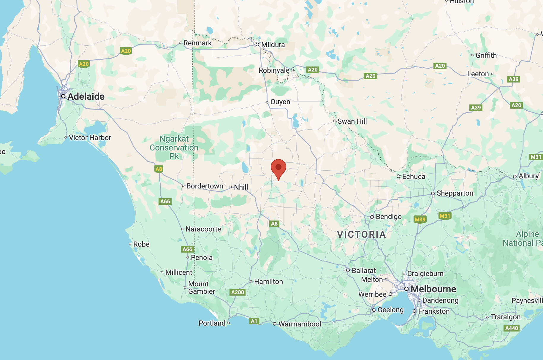
Above:- Map showing the location of the Bangerang I101 Bushland Reserve. Map c/o Google Maps.
Before activating Bangerang I101 Bushland Reserve, we drove past the Kellalac Bushland Reserve to see if access was possible. However, after viewing the park on MapshareVic we found that the land was leased and we could not see a nearby farmhouse.
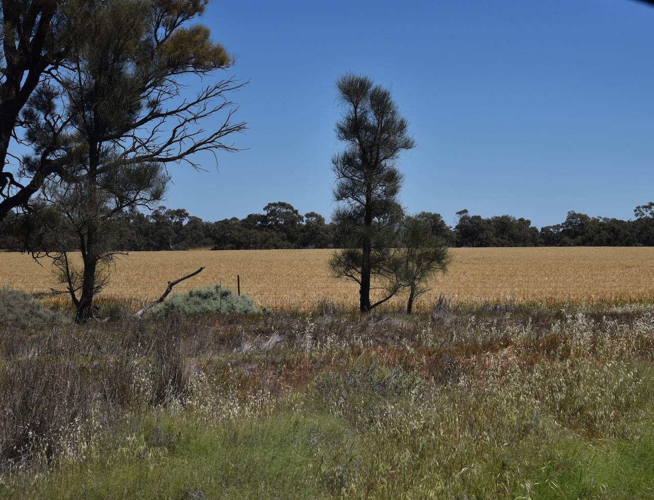
Above:- View of the Kellalac Bushland Reserve.
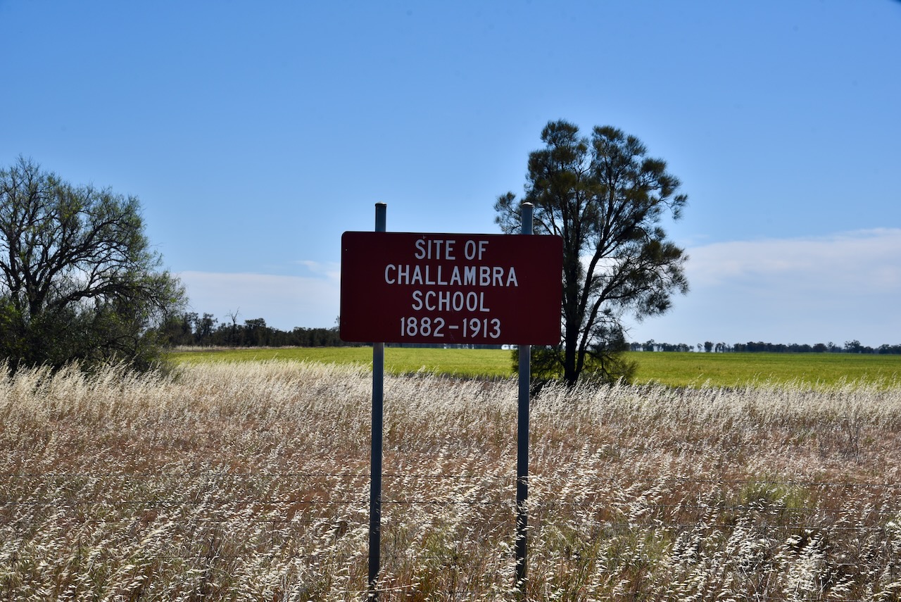
We then stopped briefly to look at the site of the old Challambra School which operated from 1882 to 1913. Challambra is derived from an aboriginal word allambee meaning to sit or recline. (Blake 1978)
The Bangerang I101 Bushland Reserve also showed as being leased on MapshareVic. However, we could see a nearby farmhouse so we decided to try our luck. Marija spoke with the extremely friendly landowner who allowed us access to the reserve.
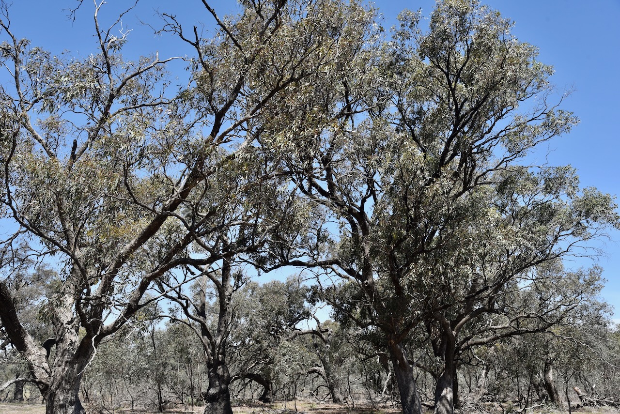
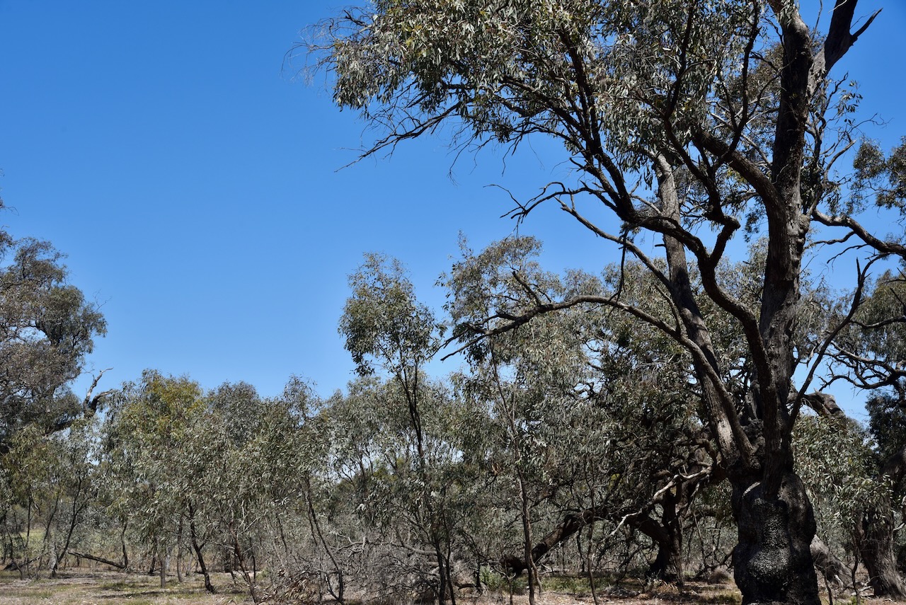
Access to the reserve is via a dirt track running off the southern side of Borung Highway. The Highway is named after the Boorung aboriginal people. (Wikipedia 2024)
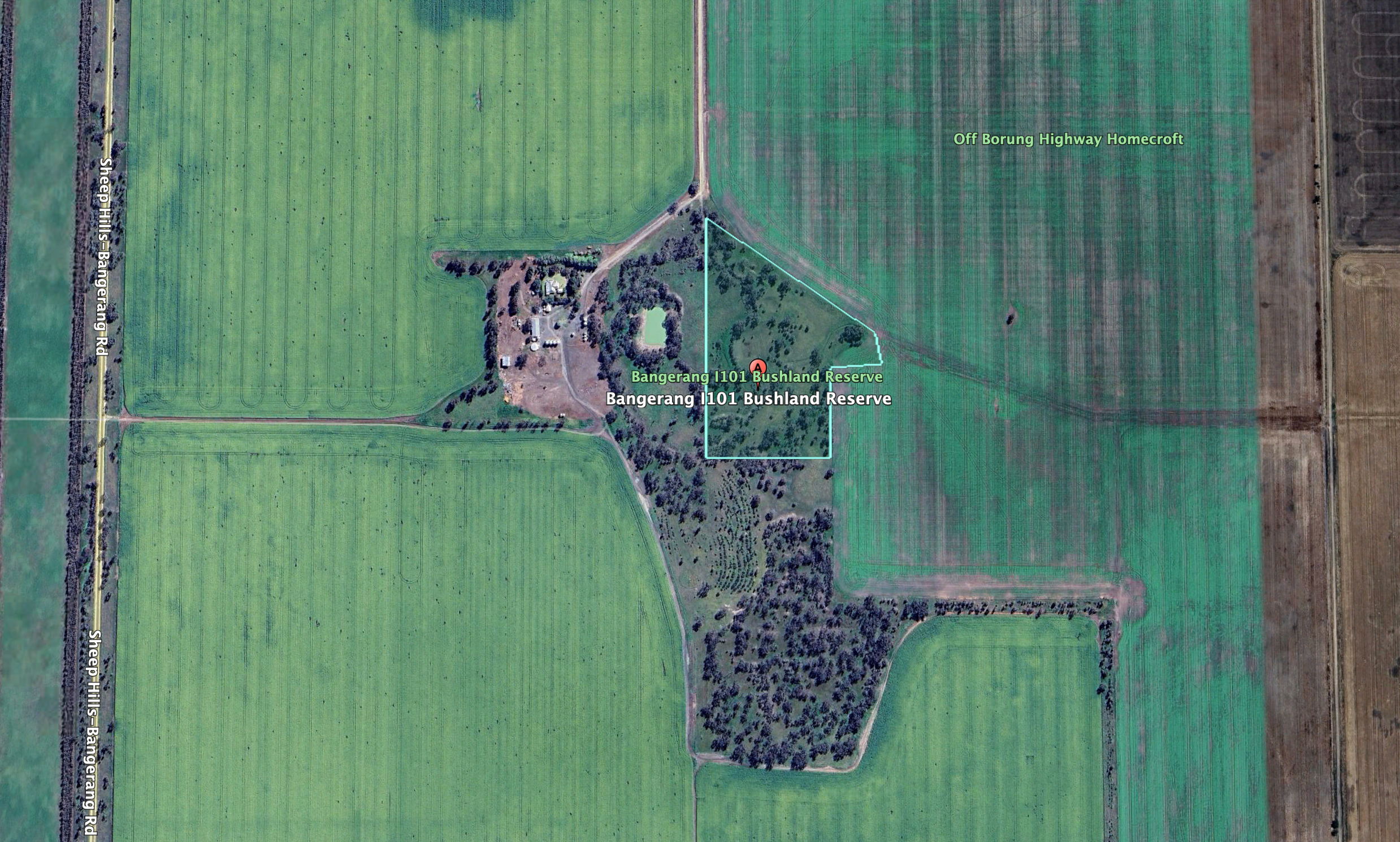
Above:- An aerial view of the Bangerang I101 Bushland Reserve. Image c/o Google Earth.
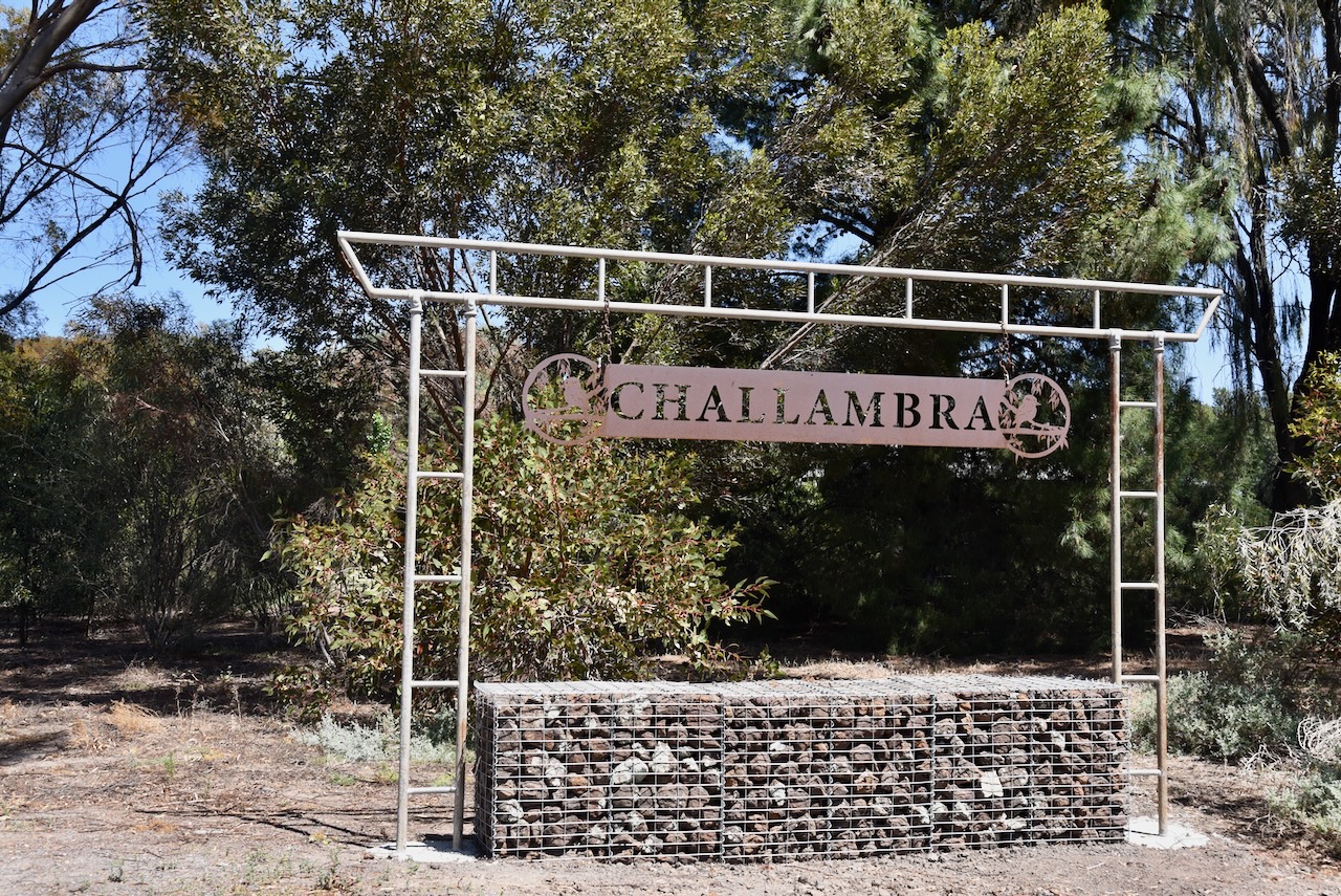
The reserve is about 7 hectares in size and was established on the 22nd day of September 1987. Bangerang is derived from the aboriginal words barn meaning bullock and gerang meaning leaf or branch. (Blake 1978) (CAPAD 2022)
We ran the Yaesu FT857, 40 watts, and the 20/40/80m linked dipole for this activation.
It was a pleasure to get Phillip in the log on 40m. It was Phillip’s first HF contact.
Marija worked the following stations on 40m SSB:-
- VK3SQ
- VK2BD
- VK5CZ
- VK5HS
- VK5NHG
- VK3CEO
- VK3APJ
- VK3MGM
- VK3NCR
- VK3AMO
I worked the following stations on 40m SSB:-
- VK3SQ
- VK2BD
- VK5CZ
- VK5HS
- VK5NHG
- VK3CEO
- VK3APJ
- VK3MGM
- VK3NCR
- VK3AMO
- VK2AGU
- VK3KRL
- VK1AO
- VK2MET
- VK5WU
- VK3BFT
- VK2KYO
- VK7KT
- VK3ACR
- VK2IO/M
- VK2GEZ/M
- VK3LRO
- VK3PWG
- VK3TTK
- VK2SLB
- VK2BRN
- VK2KBT
- VK3ZSC
- VK5PE
- VK7XX
- VK5DW
- VK5QA
- VK5TN
- VK3DL
- VK5NOU
I worked the following station on 40m AM:-
- VK5DW
I worked the following stations on 40m FT8:-
- VK5LA
- VK3CEO
- VK3APJ
- VK1AD
- VK1NAM
I worked the following stations on 20m SSB:-
- VK2VW
- VK2HFI
- VK2AKA
- VK2BUG
- VK5HS
References.
- Dcceew.gov.au. (2023). Collaborative Australian Protected Areas Database (CAPAD) 2022 – DCCEEW. [online] Available at: https://www.dcceew.gov.au/environment/land/nrs/science/capad/2022 [Accessed 7 Jan. 2025].
- Leslie James Blake, 1978, Place Names of Victoria.
- Wikipedia Contributors (2024). Borung Highway. Wikipedia.
