
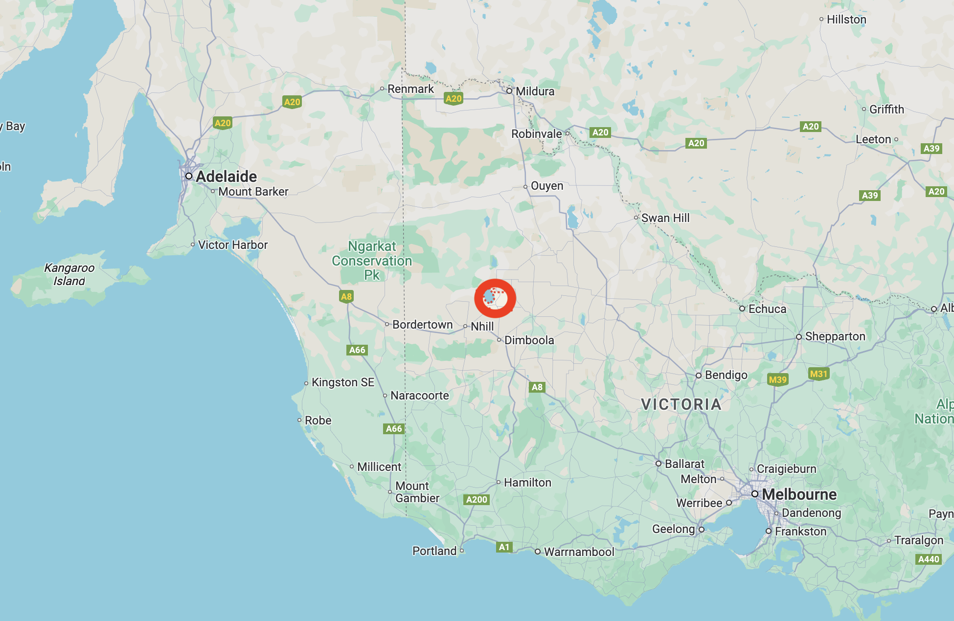
After leaving Jeparit, Marija and I drove a short distance north towards Ellam where we planned on activating the Ellam silo VK-ELM3.
Ellam is located about 384 km northwest of the city of Melbourne, and about 15 km north of the town of Jeparit.
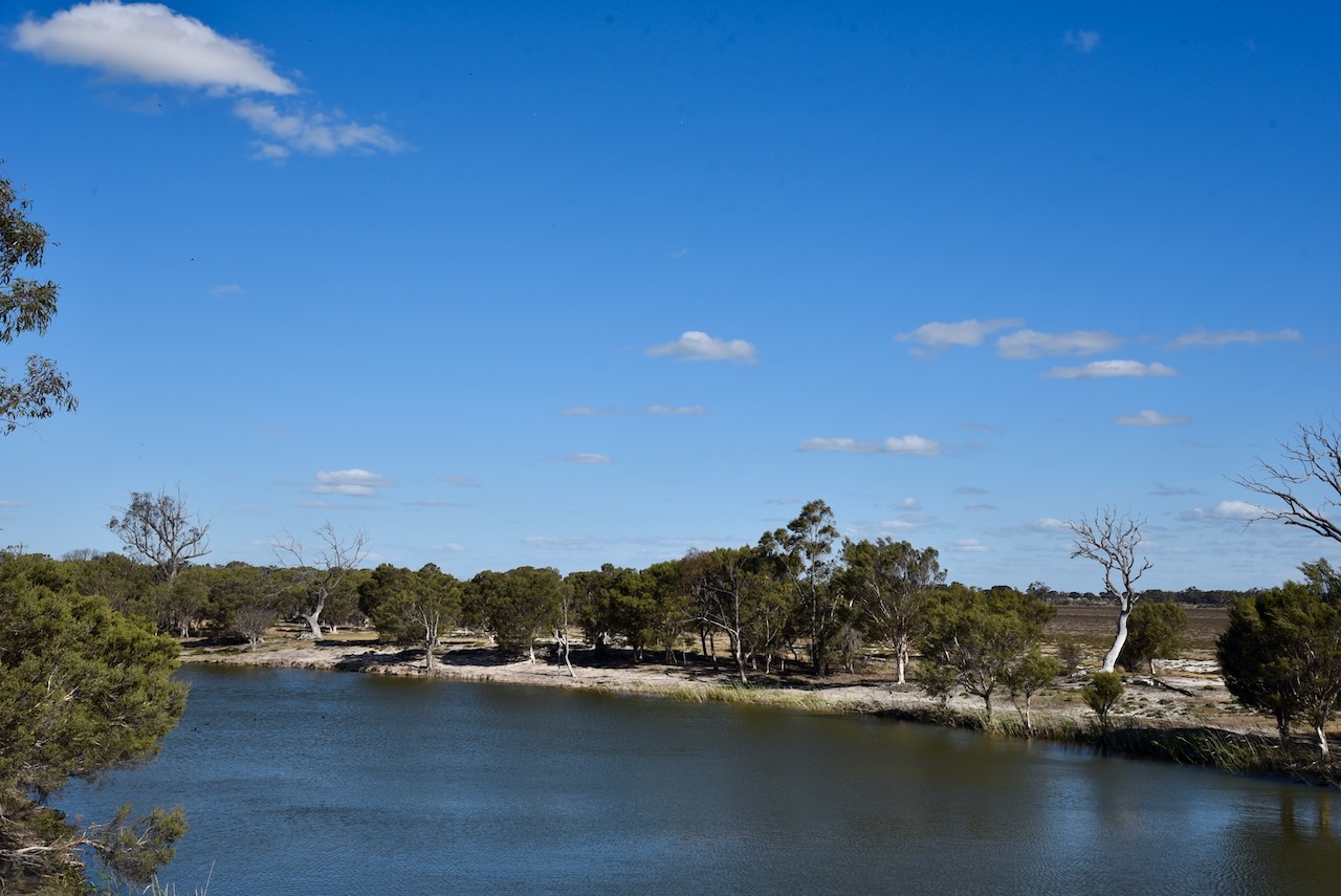
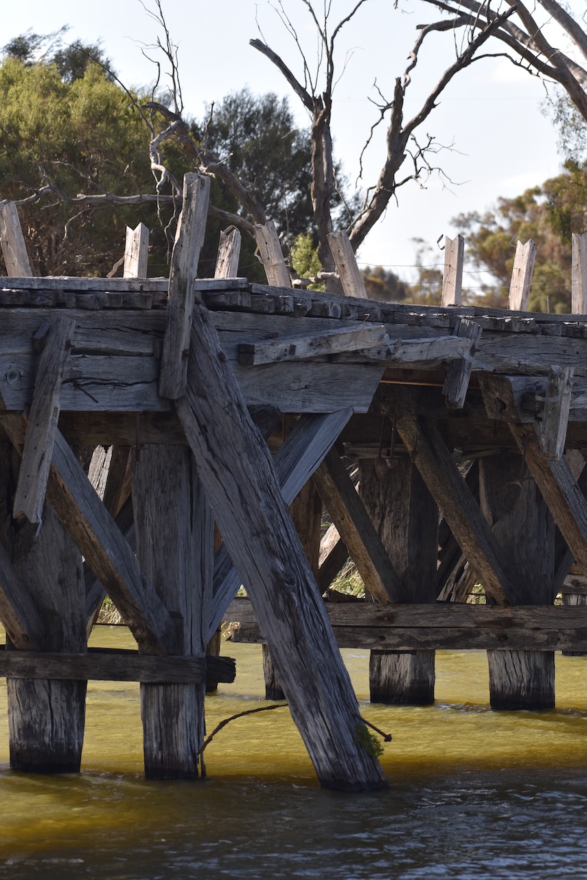
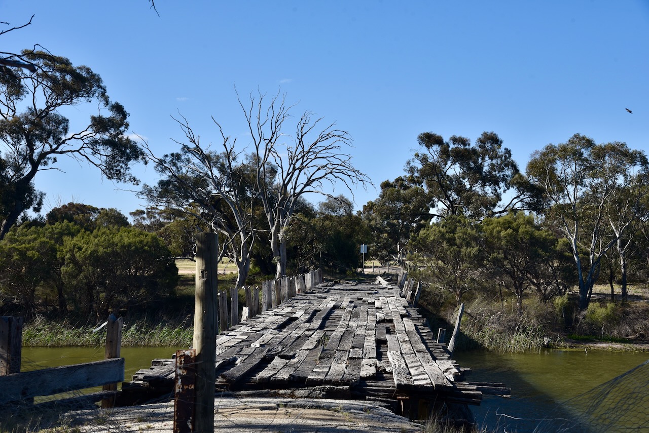
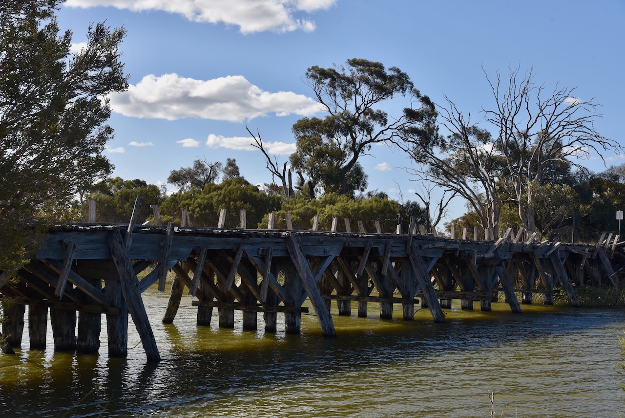
Marija and I drove down to the Wimmera River along the way to view the old bridge. The Wimmera River flows for a distance of about 278 km. It rises from the Great Dividing Range below Elmhurst and flows generally north and west before reaching its mouth at Lake Hindmarsh. The Wimmera River is joined by 14 minor tributaries. (Wikipedia 2023)
The Jeparit Bridge was constructed in 1891 and was opened the following year in 1892. It is one of Victoria’s oldest surviving timber road bridges. (Vic.gov.au, 2025)
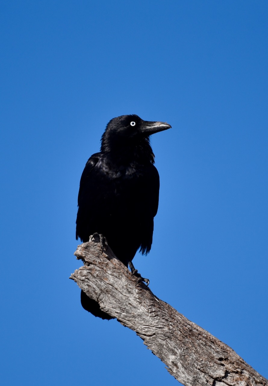
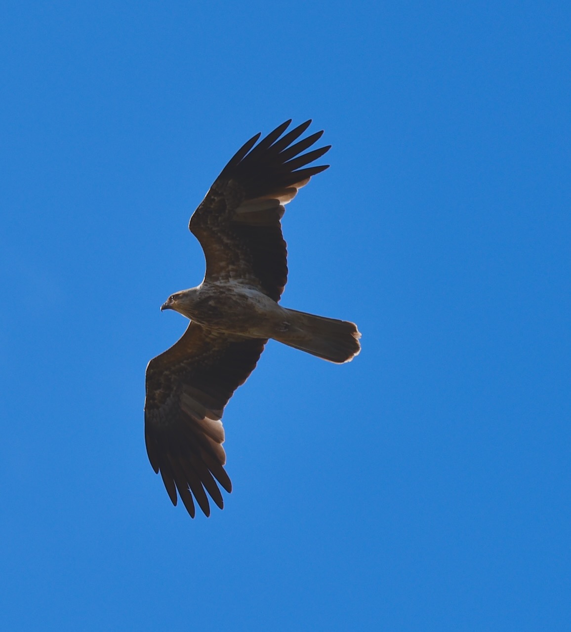
There was a variety of birdlife along this stretch of the Wimmera River.
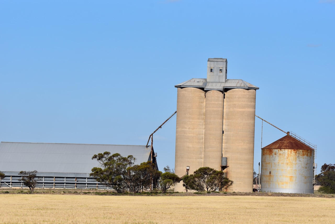
We then drove to the Ellam silos. They are located on the Ellam-Willenabrina Road. Ellam is Mallee spelt backwards. (Blake 1978)
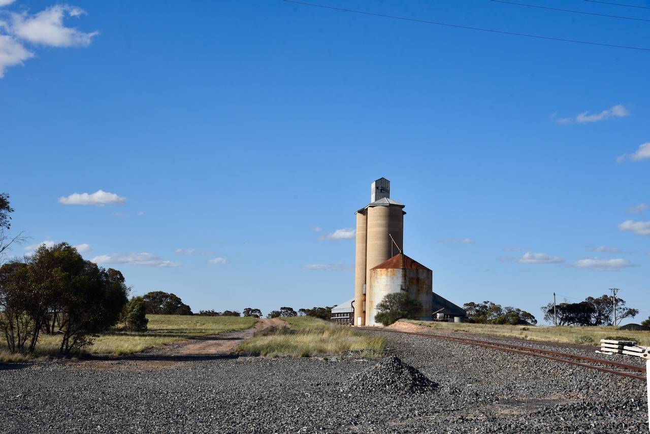
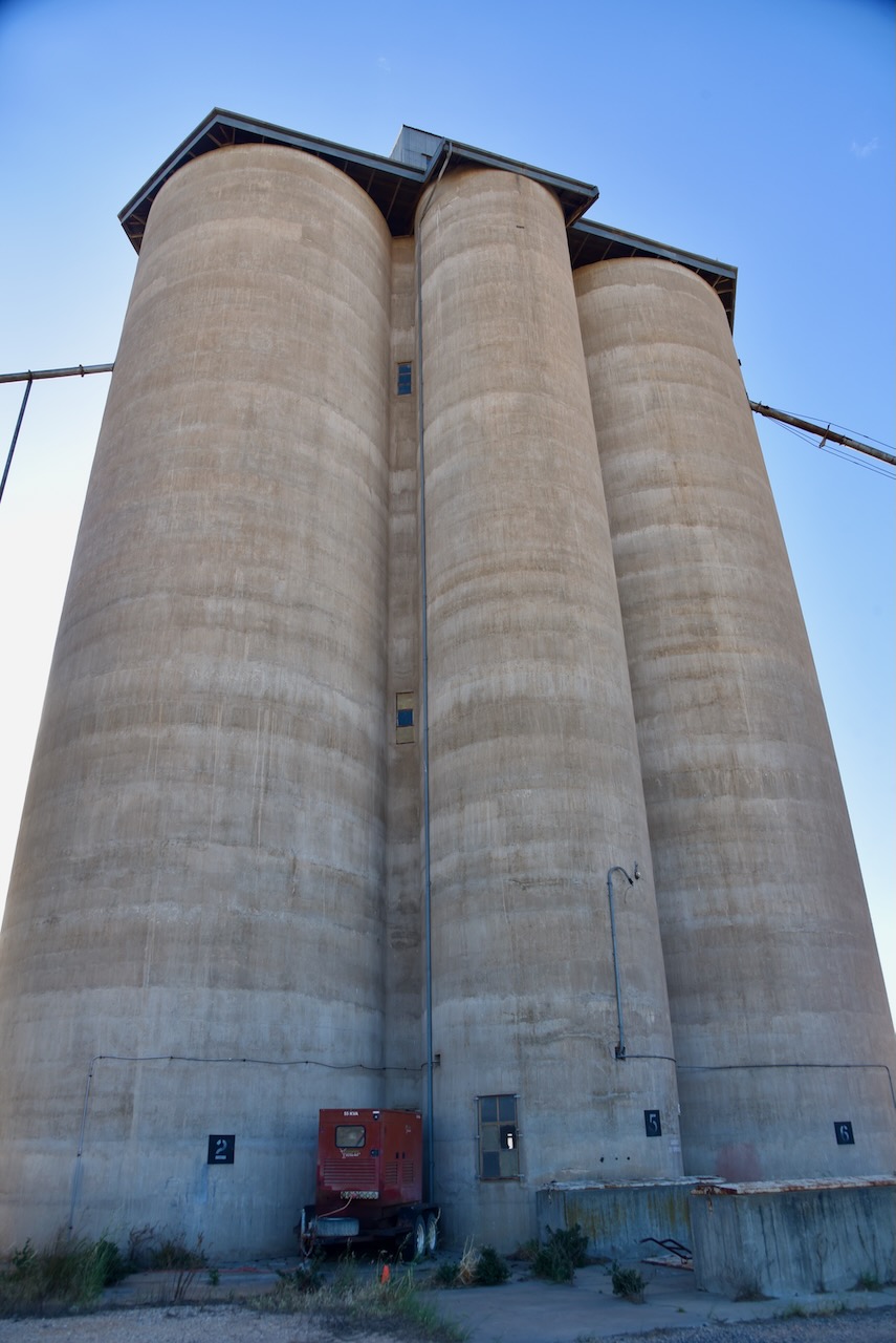
We parked right alongside the silos and operated from the 4WD. We ran the Icom IC-7000, 100 watts, and the Codan 9350 antenna with the 1.5 metre staineless steel whip.
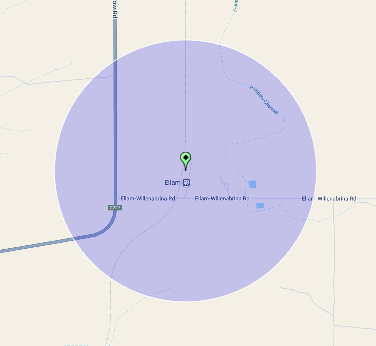
Above:- the activation zone at the Ellam silo. Image c/o SiOTA website.
Marija worked the following stations on 40m SSB:-
- VK5LA
- VK3DAC
- VK4FE/p
- VK3DL
I worked the following stations on 40m SSB:-
- VK5LA
- VK3DAC
- VK4FE/p
- VK3DL
- VK3APJ
- VK3PF
- VK1AO
- VK2MET
- VK3QH
- VK3SQ
- VK2BD
- VK5EBA
- VK3PWG
- VK3TTK
- VK5FB
- VK2VOM
- VK5GMH
References.
- Leslie James Blake, 1978, Place Names of Victoria.
- Vic.gov.au. (2025). VHD. [online] Available at: https://vhd.heritagecouncil.vic.gov.au/places/68607 [Accessed 8 Feb. 2025].
- Wikipedia Contributors (2023). Wimmera River. Wikipedia.
