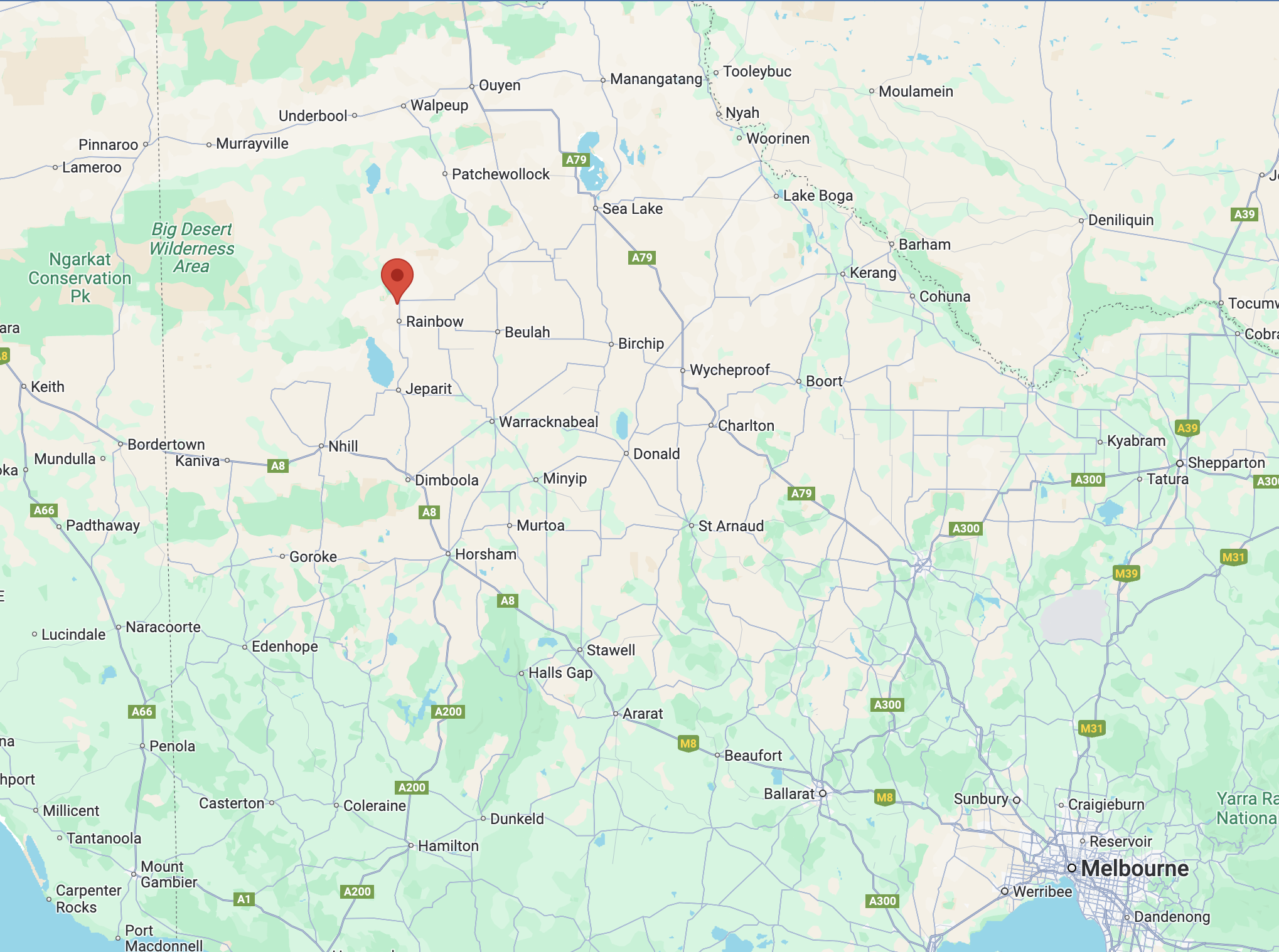
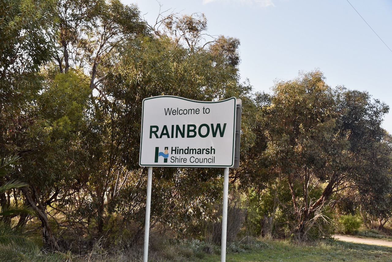
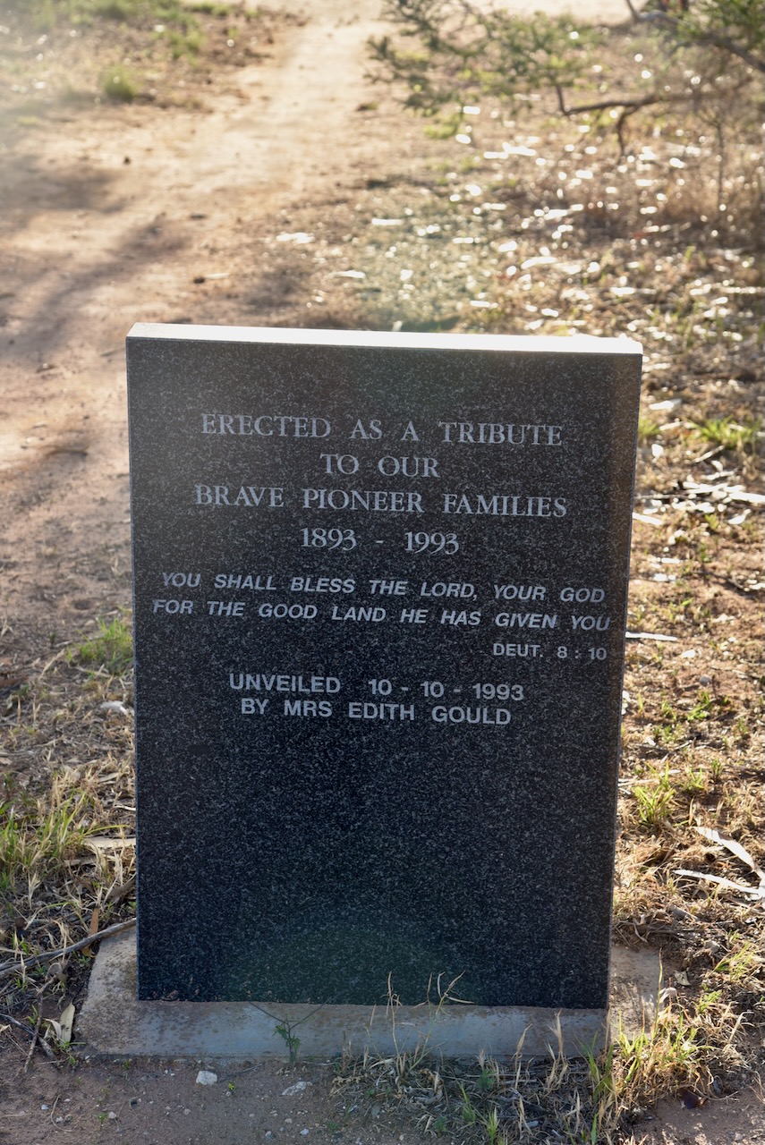
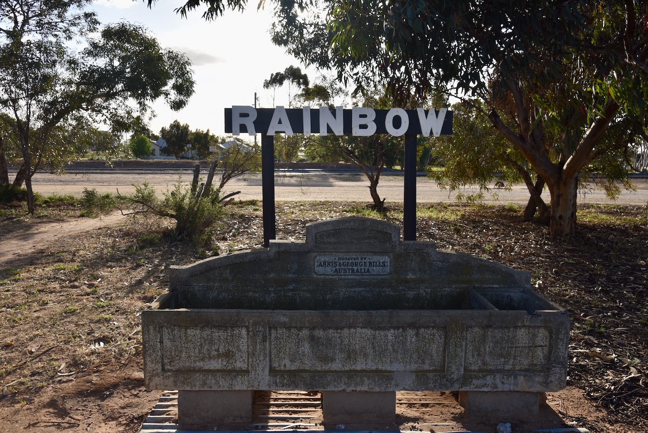
Our final activation for Wednesday 23rd October 2024, was the Rainbow Bushland Reserve VKFF-5759 and the Rainbow silo VK-RNW3.
The reserve is located about 402 km northwest of Melbourne.
Above:- Map showing the location of the Rainbow Bushland Reserve. Map c/o Google Maps.
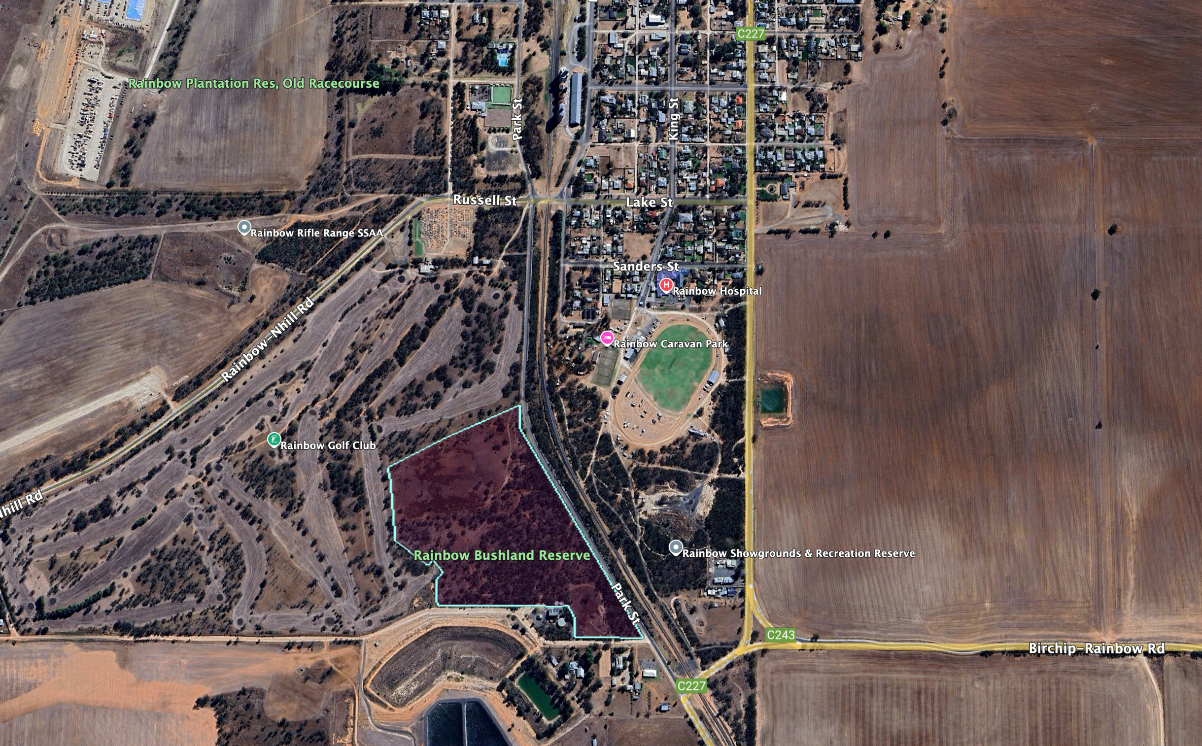
The reserve is located on the western side of Park Street and the northern side of Kruger Road.
Above:- An aerial view of the Rainbow Bushland Reserve and the township of Rainbow. Image c/o Google Earth.
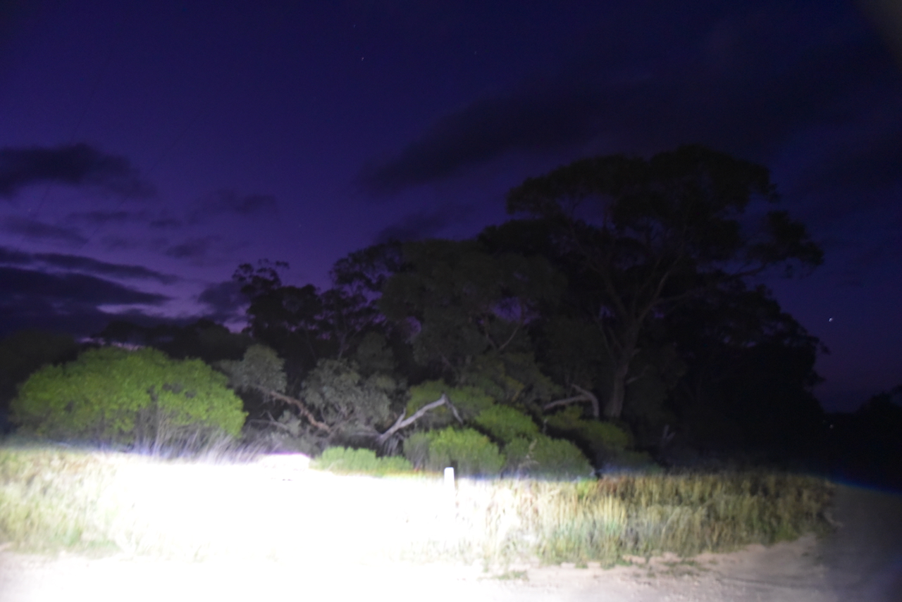
By the time we reached the reserve it was totally dark. The Rainbow Bushland Reserve is about 12 hectares in size and was established on the 8th day of May 1990. (CAPAD 2024)
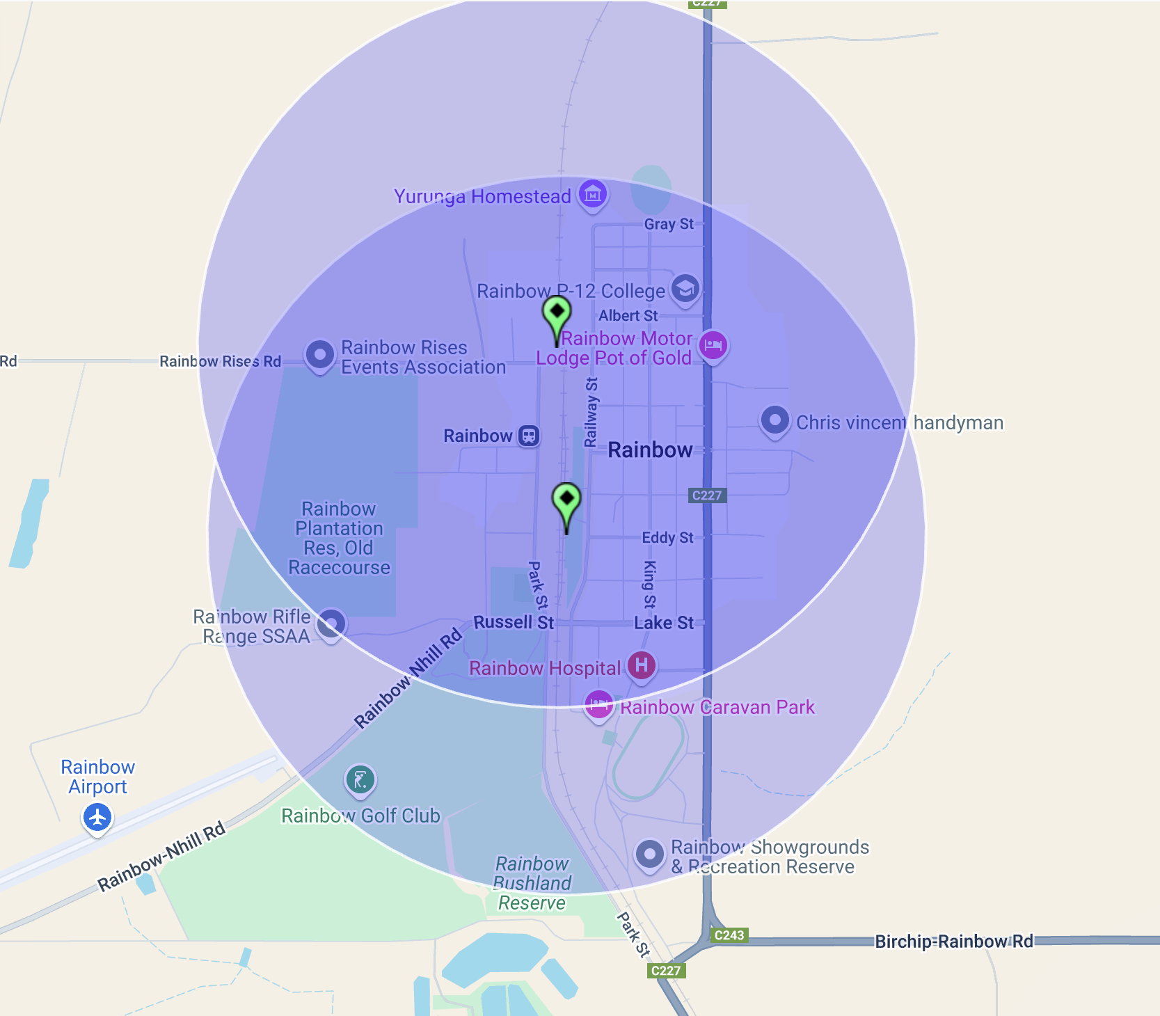
We positioned ourselves in the northern section of the park in the activation zone of the Rainbow silo VK-RNW3. Unfortunately we were just outside of the activation zone of the Rainbiow 2 silo VK-RNO3.
We ran the Yaesu FT857, 40 watts, and the 20/40/80m linked dipole for this activation.
Above:- the activation zone at the Rainbow silo. Image c/o SiOTA website.
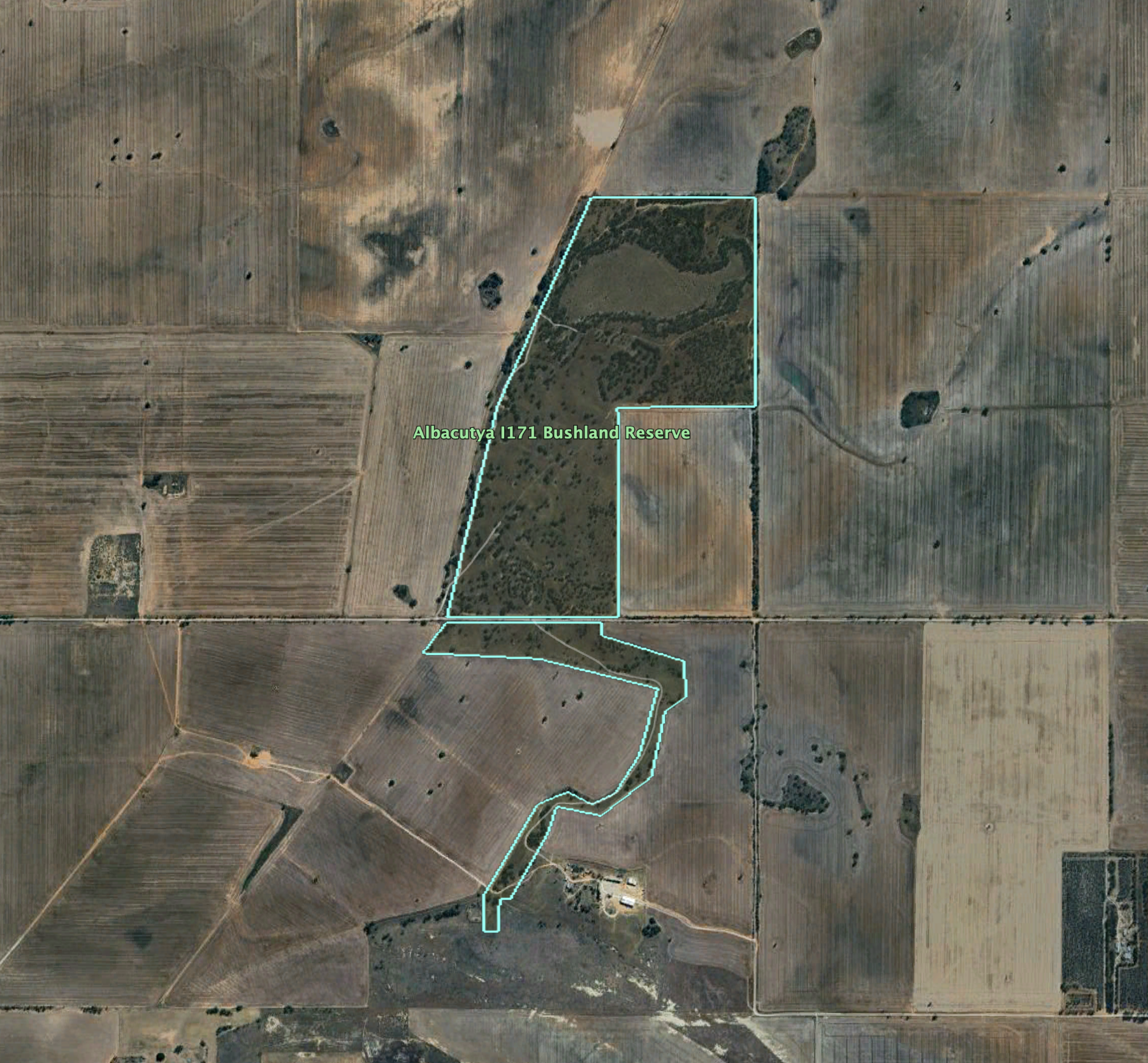
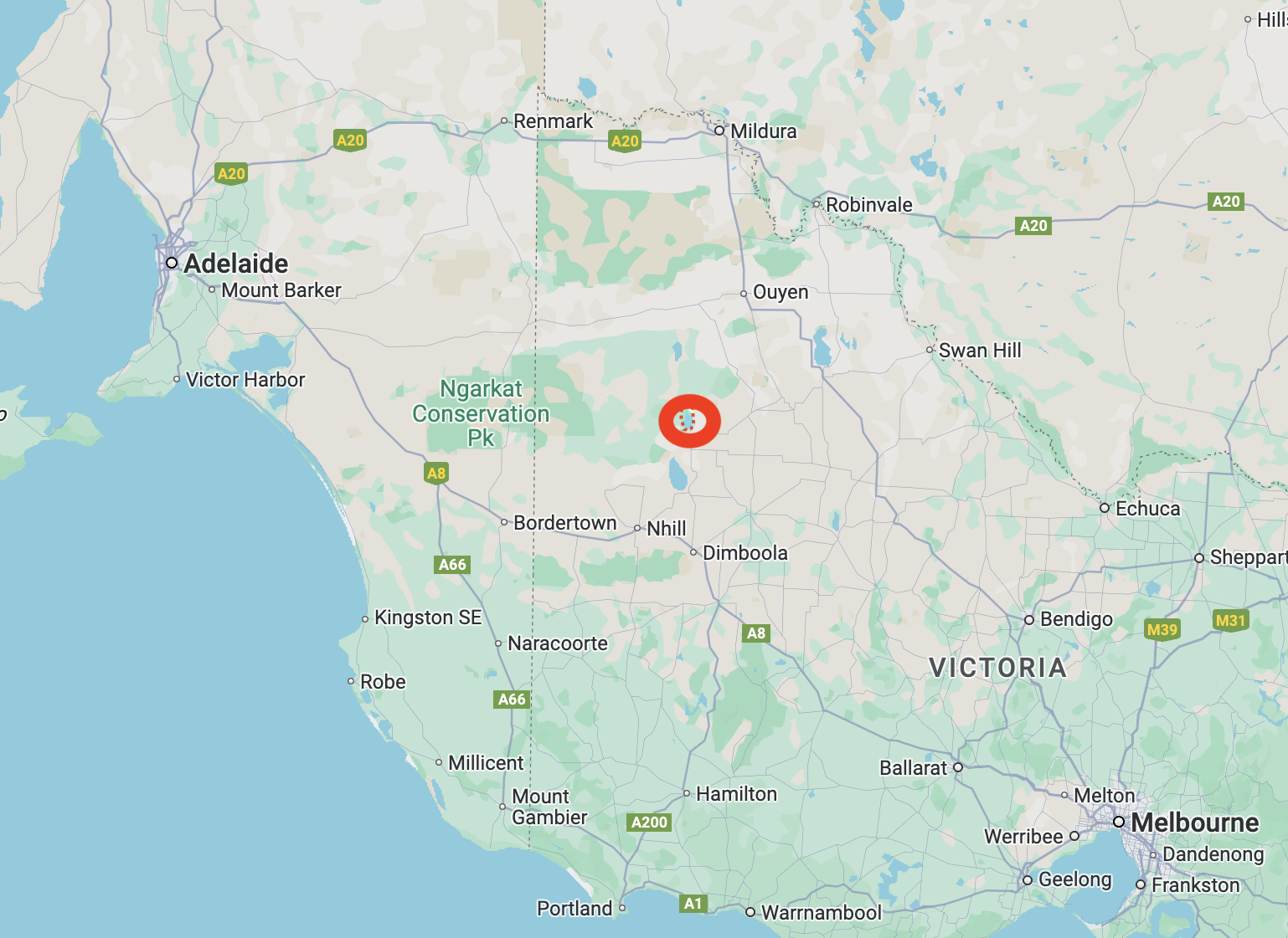
After leaving the Albacutya I257 Bushland Reserve on 23rd October 2024, Marija and I drove the short distance to our next park activation, the Albacutya I171 Bushland ReserveVKFF-4472.
The reserve is located about 9 km north of Rainbow in northwest Victoria.
Above:- Map showing the location of the Albacutya I171 Bushland Reserve. Map c/o Google Maps.
The reserve is located on the northern side of Bullock Bottom Road.
Above:- An aerial view of the reserve. Image c/o Google Earth.
The reserve is about 133 hectares in size and was established on the 1st day of May 1979. It is signposted as the Bullocks Bottom Bushland Reserve.
This was another easy park to access, with an open gate and a 4WD track leading into the park. It was almost dark by the time we set up. Marija and I ran the Yaesu FT857, 40 watts, and the 20/40/80m linked dipole for this activation.
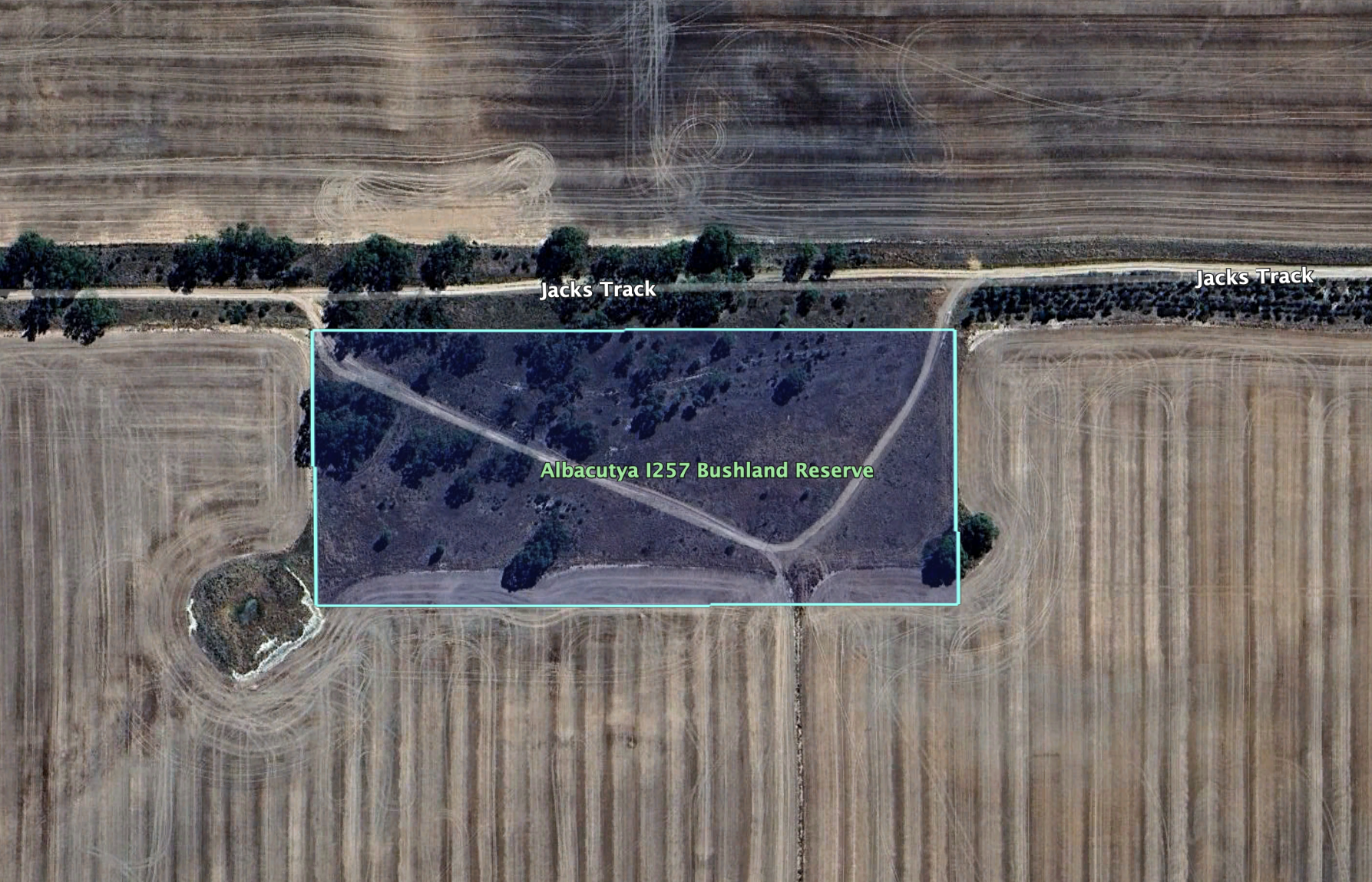
After dinner on 23rd October 2024, Marija and I activated the Albacutya I257 Bushland Reserve VKFF-4473.
The reserve is located about 9 km north of Rainbow.
Above:- Map showing the location of the Albacutya I257 Bushland Reserve. Map c/o Google Maps.
The reserve is located on the southern side of Jacks Track, a few hundred metres from the Hopetoun-Rainbow Road.
Above:- Aerial view of the reserve. Image c/o Google Earth.
Albacutya is derived from the Wergaia aboriginal word for nearby Lake Albacatya “Ngelbakutya”. (Griffin 2018)
The reserve is about 4 hectares in size and was established on the 8th day of May 1990. It is signposted as Griggs Reserve.
This was an easy park to access. There were no fences and there was a 4WD track leading into the park. Marija operated from the 4WD, running the Icom IC-7000, 100 watts, and the Codan 9350 antenna with the 1.5 metres stainless steel whip.
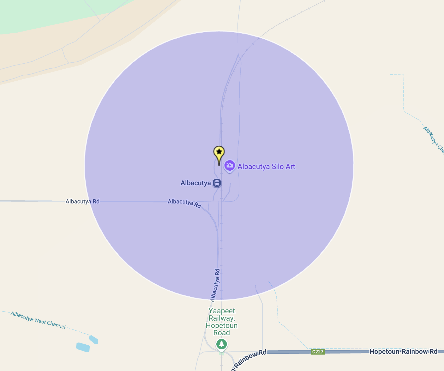
After leaving the Elam silo on 23rd October 2024, Marija and I continued north towards our next activation, the Albacutya silo VK-ALA3.
Above:- Map showing the location of Albacutya. Map c/o Google Maps.
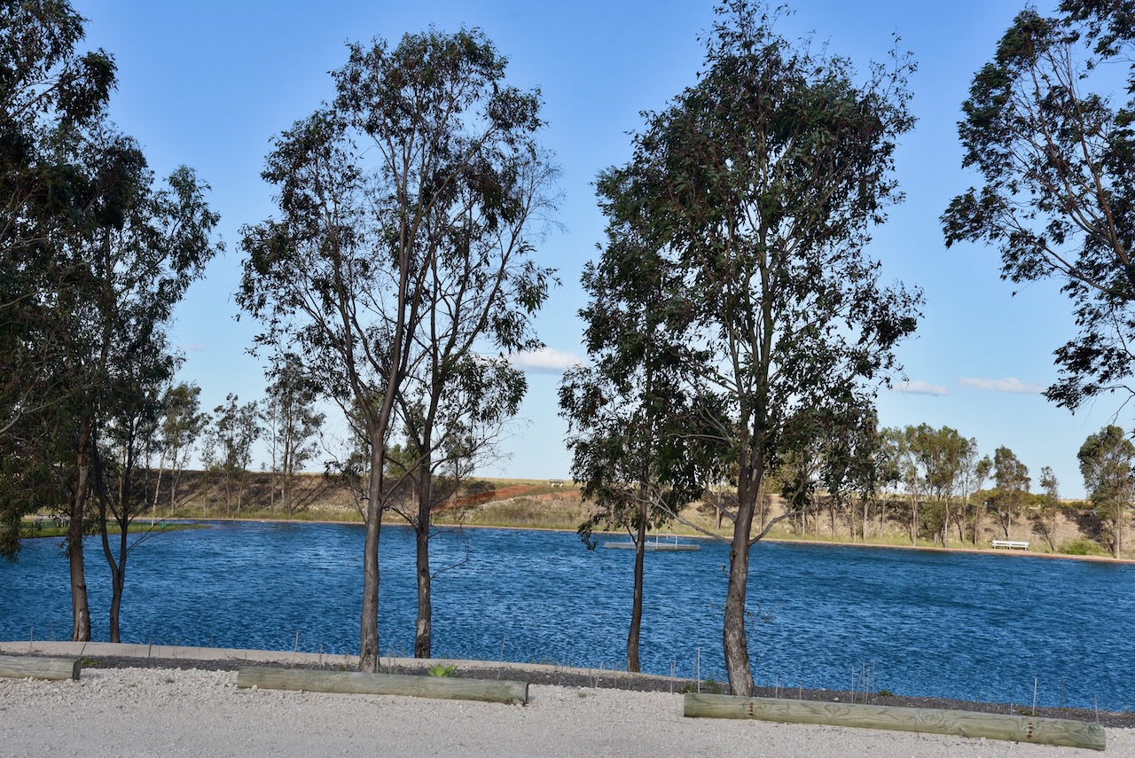
As we drove into the town of Rainbow, we stopped briefly to look at Rainbow Lake, a man-made lake popular for swimming and kayaking.
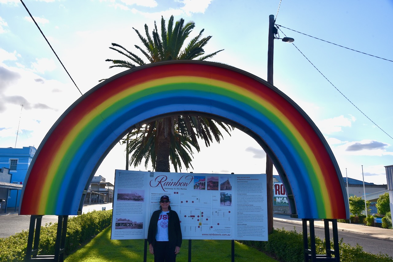
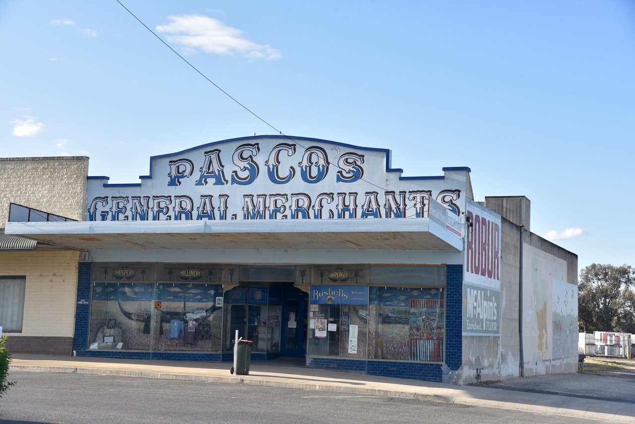
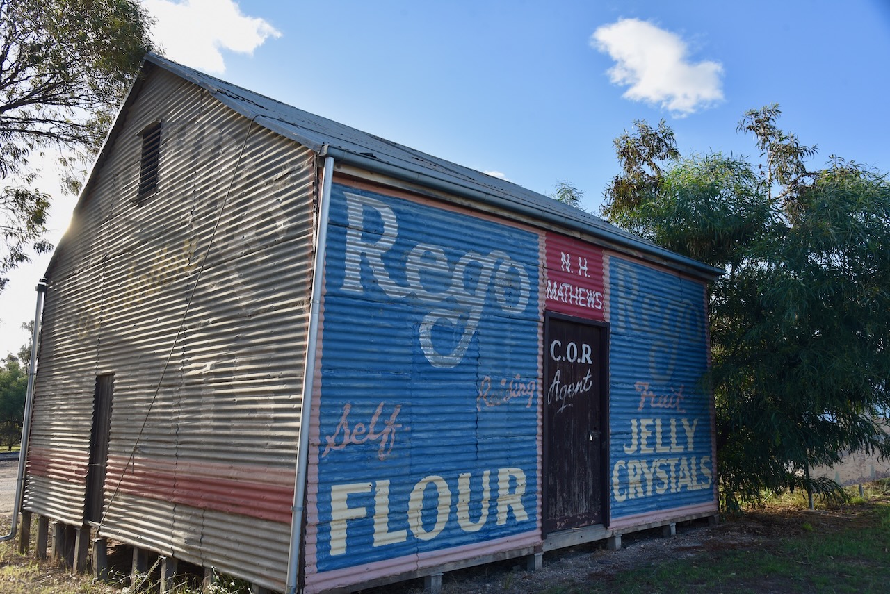
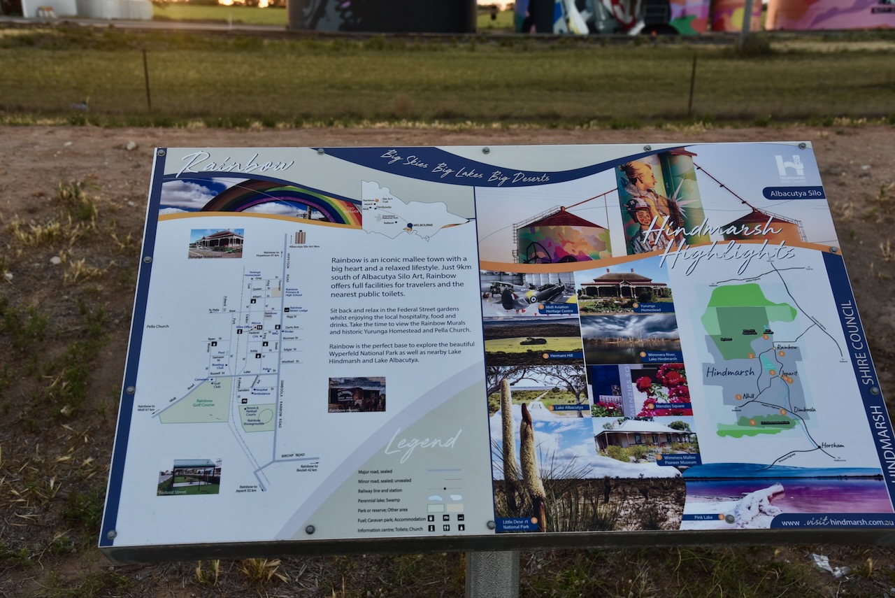
We then visited the little town of Rainbow on the southern edge of the Victorian Mallee country. The town’s name comes from a property in the area known as ‘Rainbow Rise’ which in turn was named due to it being located near a crescent-shaped ridge that in spring was alive with colourful wildflowers. (Aussie Towns 2025)
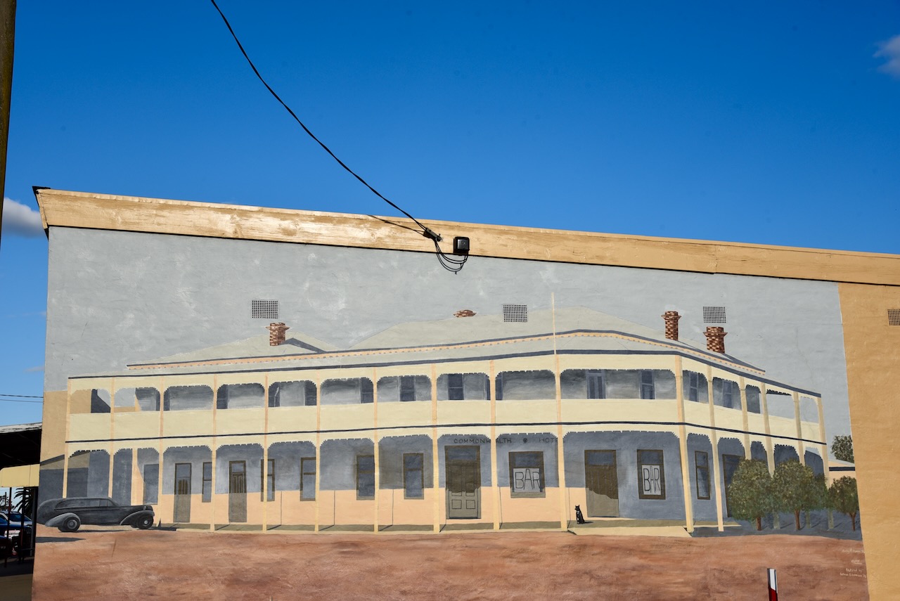
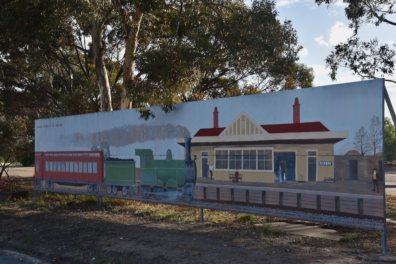
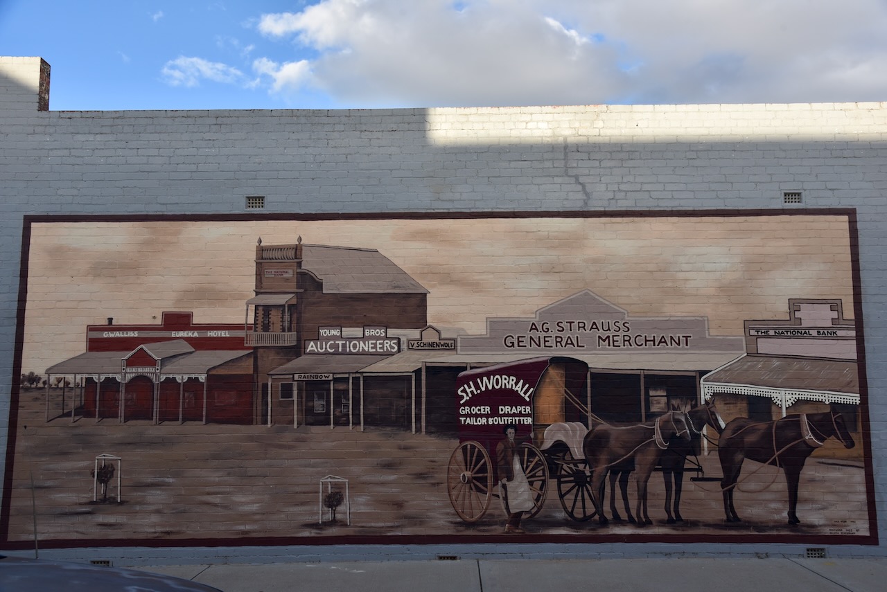
Rainbow has several murals that are located in and around Federal Street. The Centennary of Rail to Rainbow mural depicts one of the first passenger trains into Rainbow Station. The Commonwealth Hotel mural depicts the magnificent hotel that was demolished in 1959.
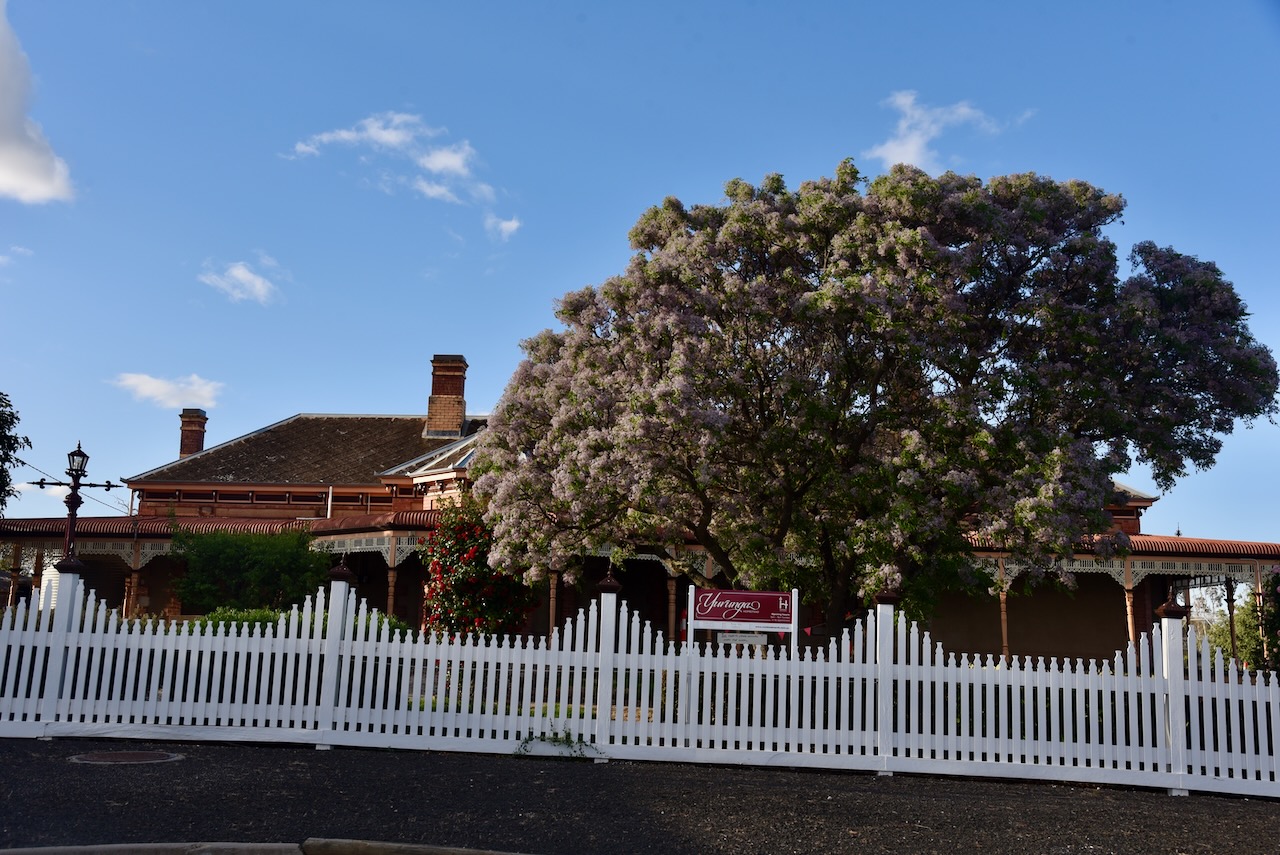
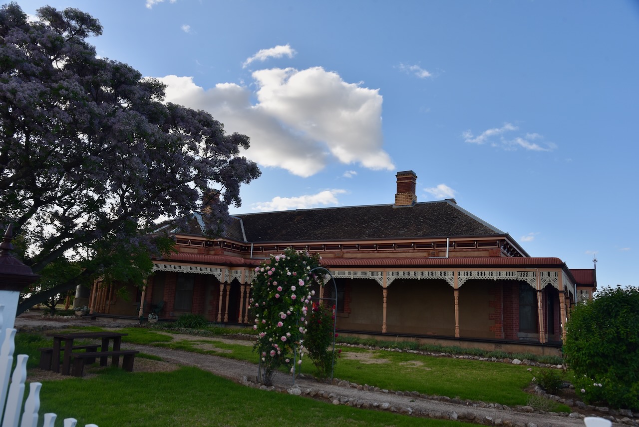
Marija and I then had a look at Yurunga Homestead in Rainbow. This heritage listed Edwardian style home was built in 1909 by Mr. A.G. Cust. (Visit Wimmera Mallee 2025)
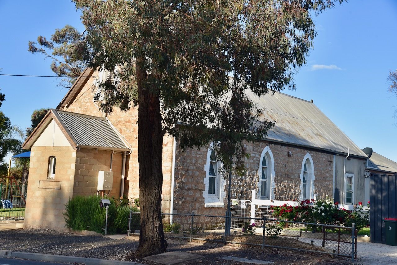
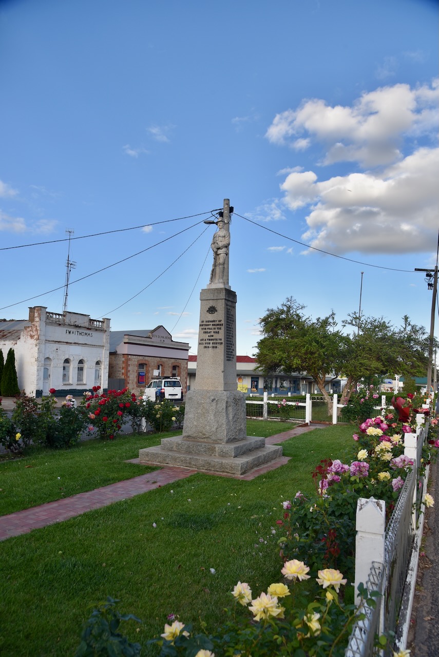
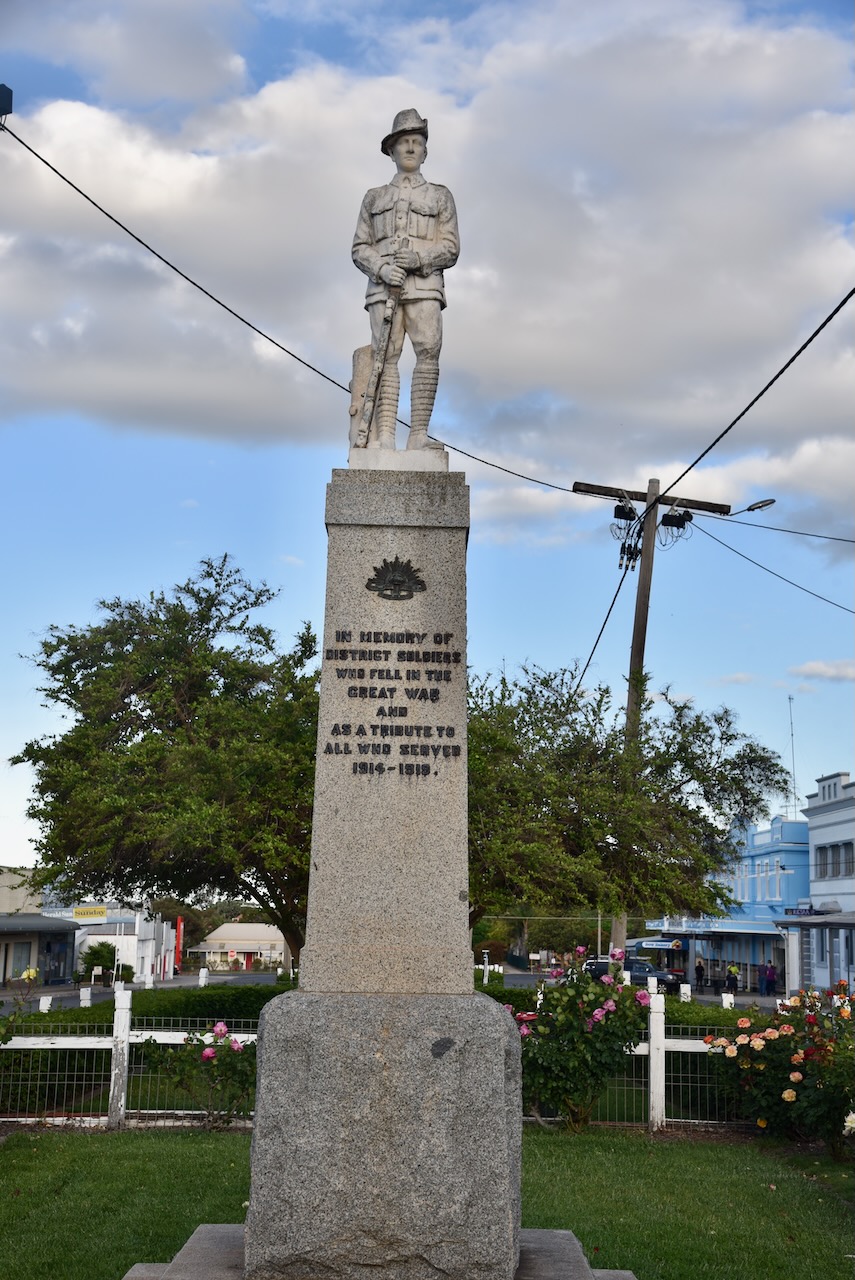
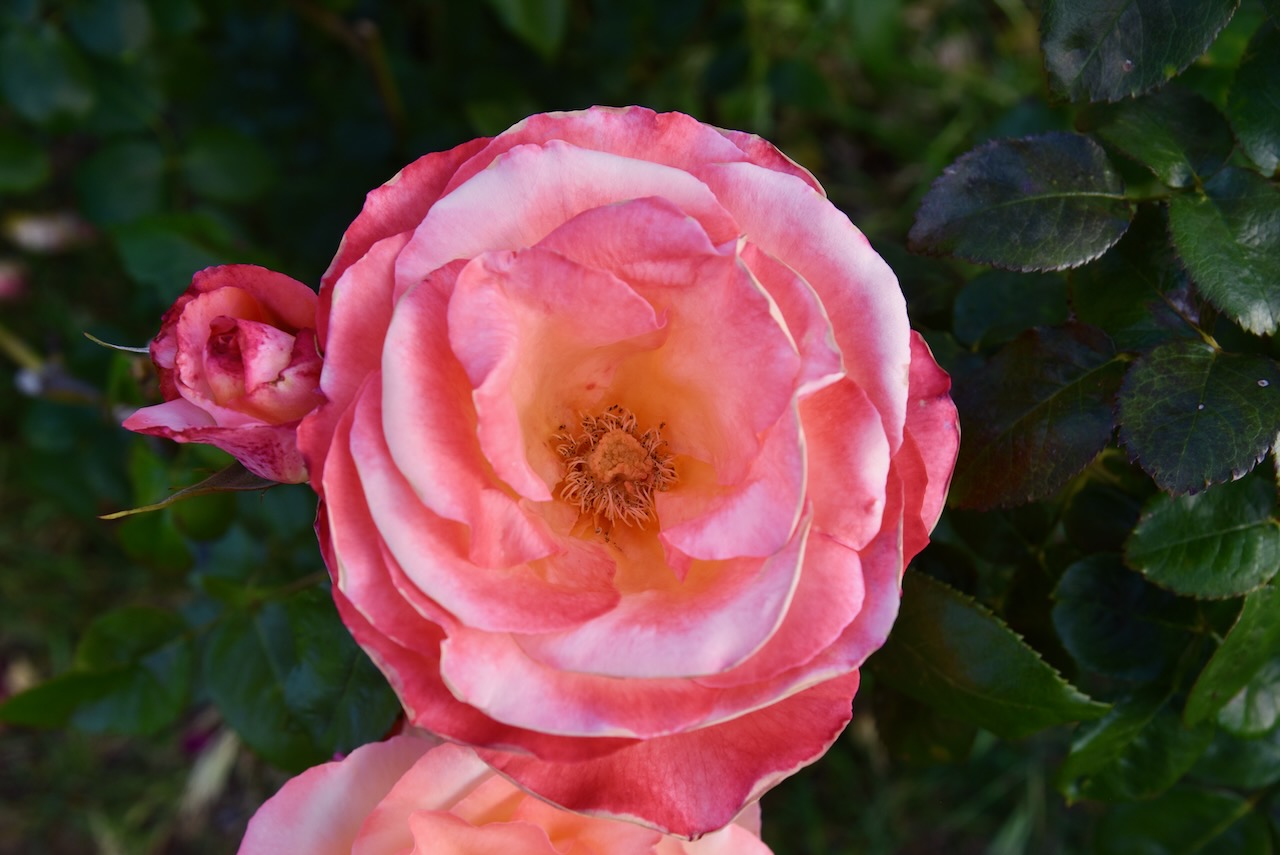
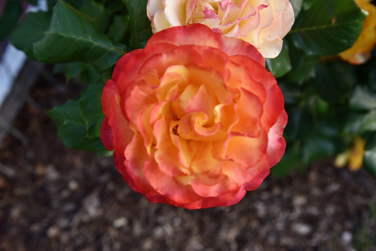
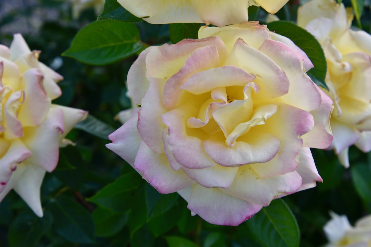
Rainbow is a beautiful little town. In the main street, Federal Street, you can find the Rainbow War Memorial. The monument commemorates all those from the Rainbow district who served in World War One and World War Two.
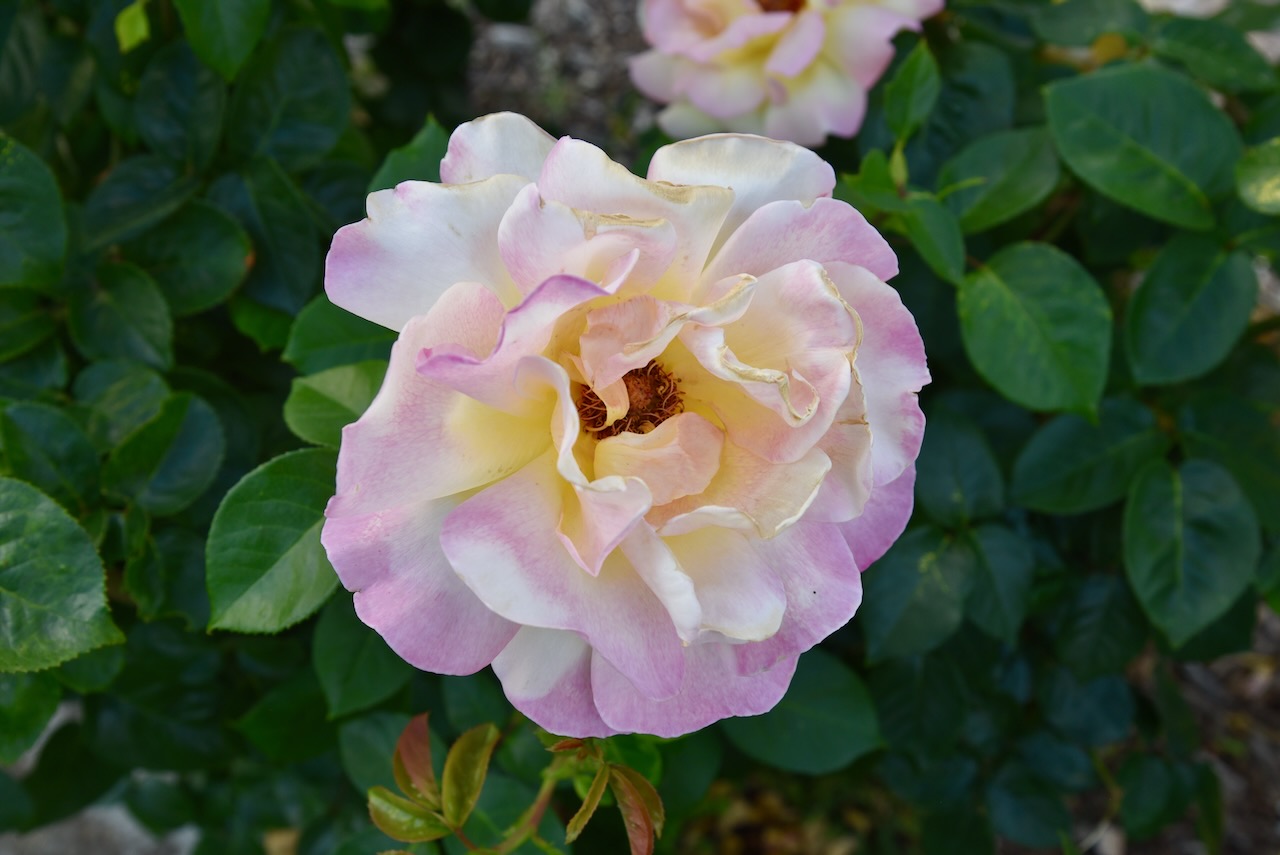
The monument is surrounded by dozens of rose bushes which were in full bloom during our visit.
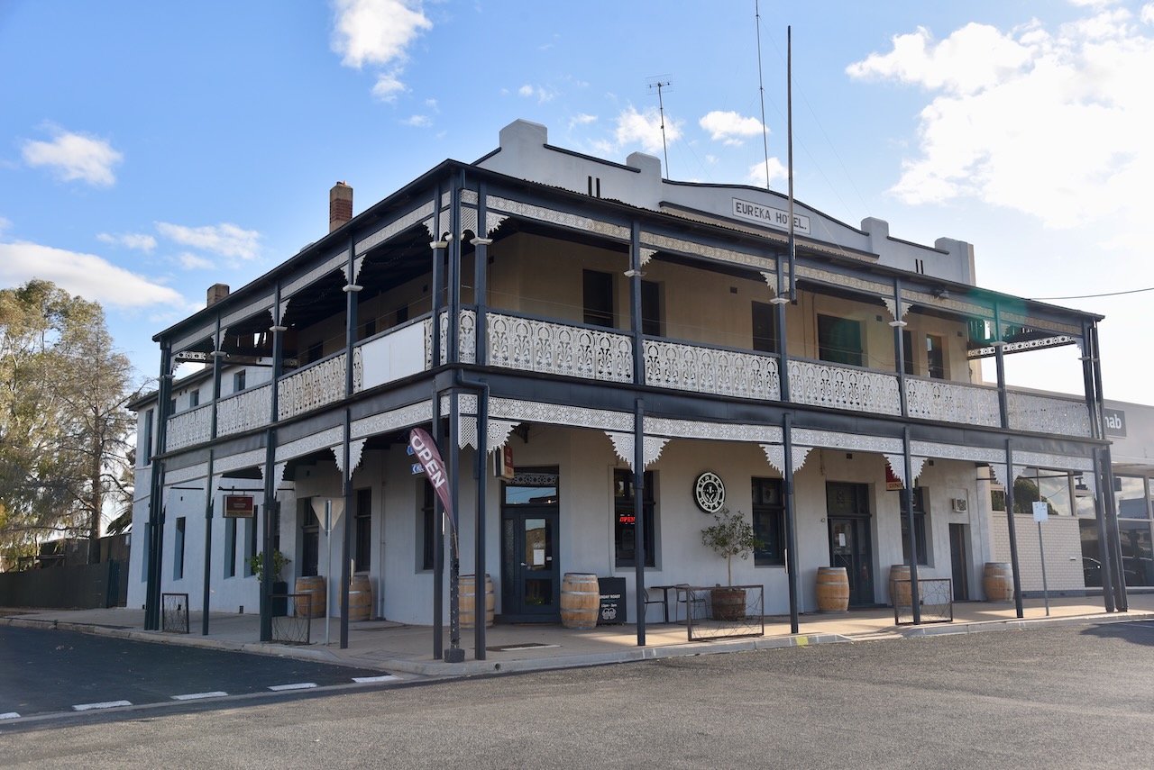
Marija and I then had dinner at the Eureka Hotel in Rainbow. The Eureka Hotel was built in 1905. (Flickr 2025)
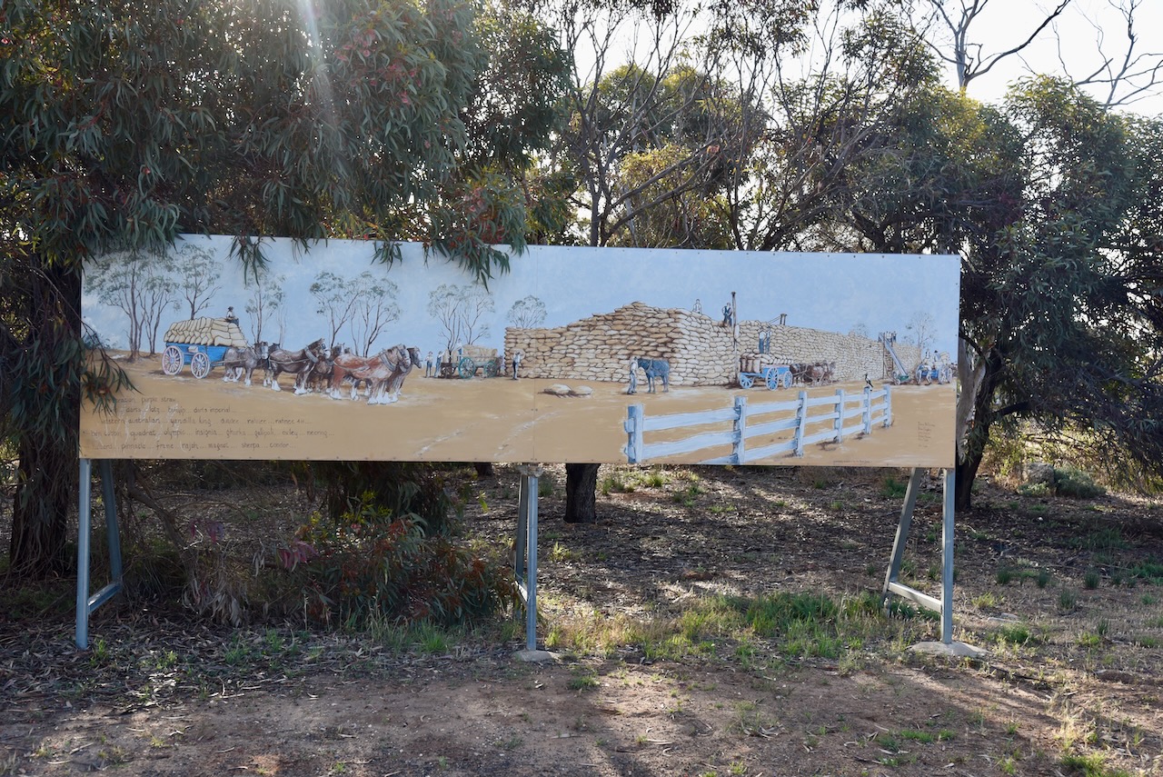
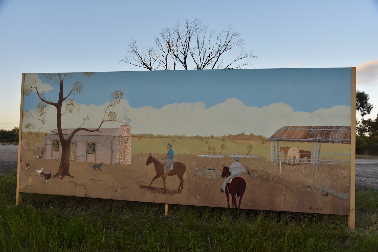
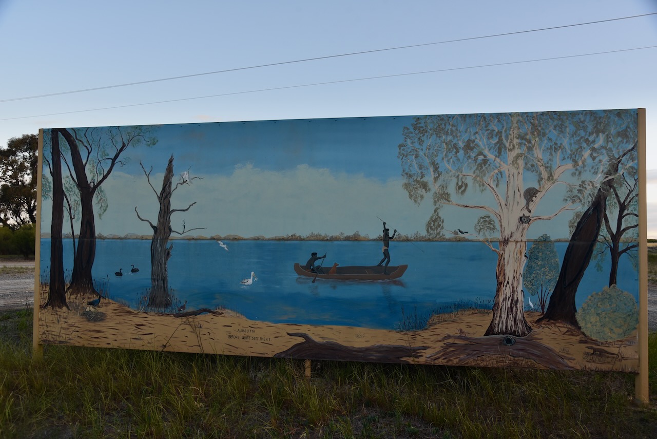
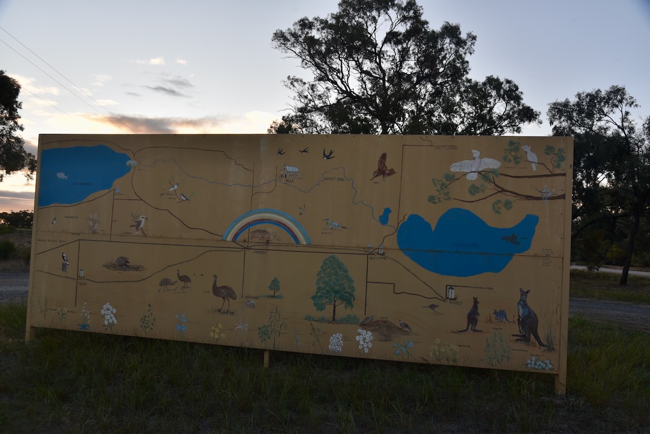
On our way to the Albacutya silo we stopped to have a look at the murals located on the corner of Hopetoun-Rainbow Road and Albacutya Road. There are three murals painted on large panels. They depict the history of nearby Lake Albacutya.
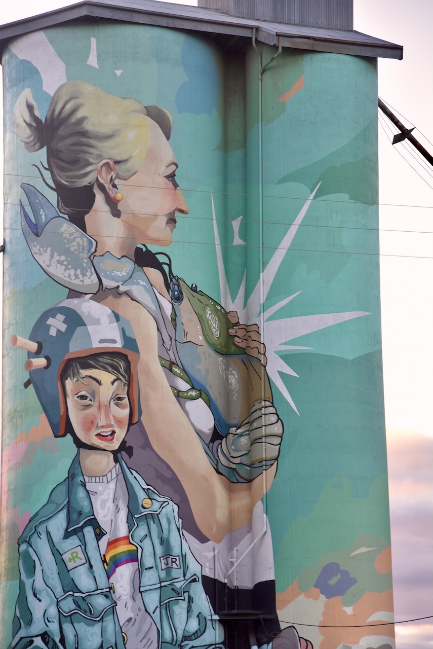
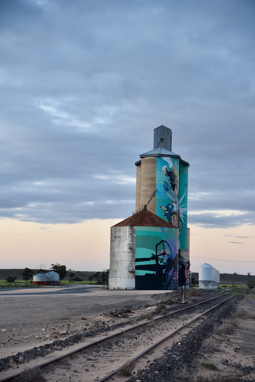
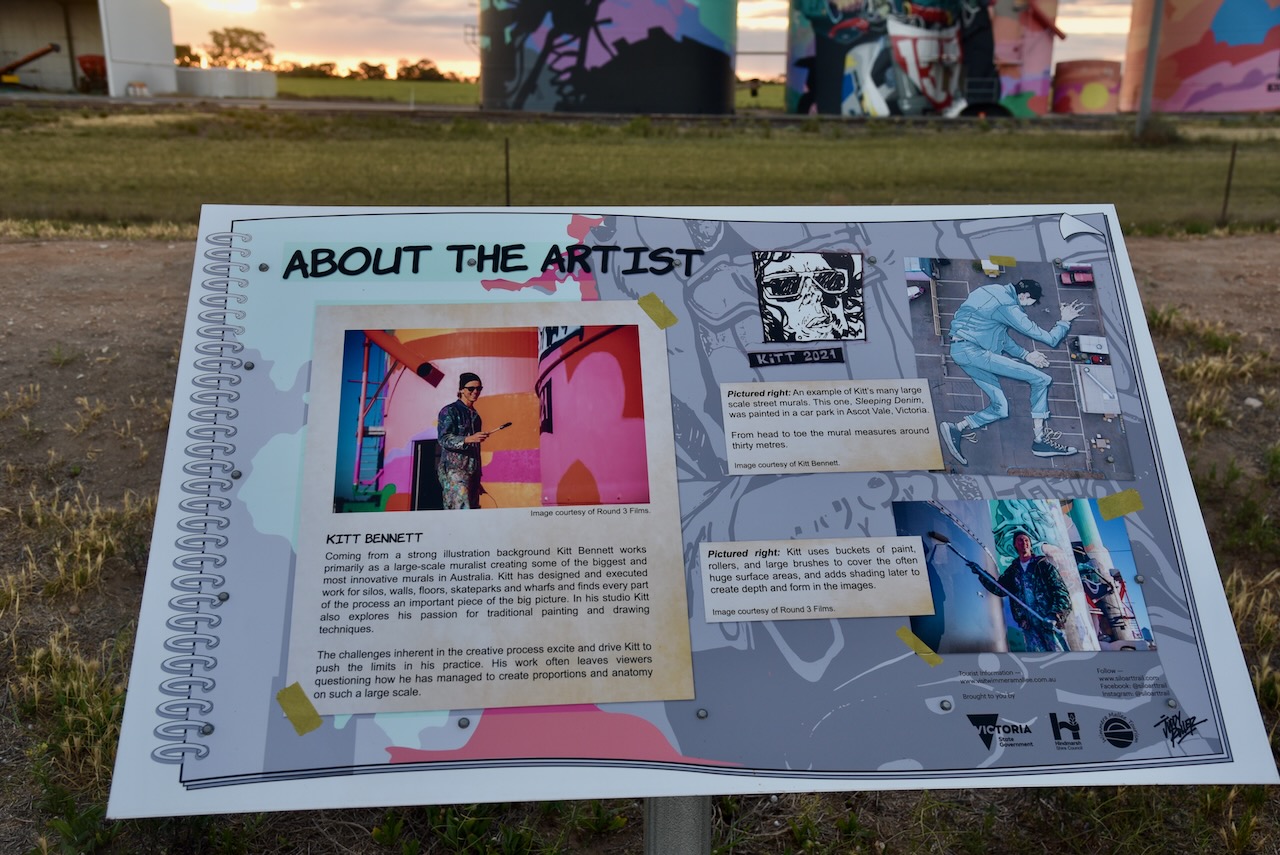
The Albacutya silos are part of the Australian Silo Art Trail. The silo art was completed in May 2021 and is the work of Melbourne artist Kitt Bennett. (Australiansiloarttrail.com, 2022)
Kitt Bennett spent several weeks exploring the local area and speaking with locals. He commenced compiling a series of sketches and paintings that would form the basis of the final design of the silos. Kitt drew on his childhood experience in growing up in the bush and catching yabbies in the creeks. The concept of the boy on the motorbike was based on the son of the silo owner.
Marija and I parked in the silo carpark and operated from the 4WD. We ran the Icom IC-7000, 100 watts, and the Codan 9350 antenna with the 1.5 metre stainless steel whip.
Above:- Map showing the activation zone at the Albacutya silo. Image c/o SiOTA website.
Flickr. (2025). Rainbow. One of the two grand hotels built in Rainbow in 1905. This is the Eureka Hotel. Almost next door is the Royal Hotel. [online] Available at: https://www.flickr.com/photos/82134796@N03/24108525150 [Accessed 12 Feb. 2025].