
After leaving the Albacutya I257 Bushland Reserve on 23rd October 2024, Marija and I drove the short distance to our next park activation, the Albacutya I171 Bushland Reserve VKFF-4472.
The reserve is located about 9 km north of Rainbow in northwest Victoria.
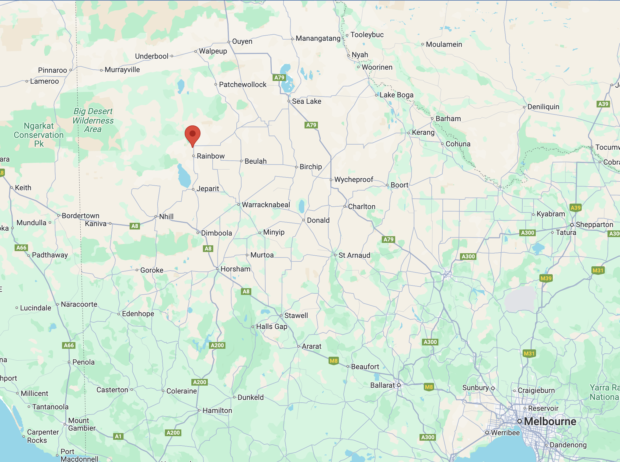
Above:- Map showing the location of the Albacutya I171 Bushland Reserve. Map c/o Google Maps.
The reserve is located on the northern side of Bullock Bottom Road.
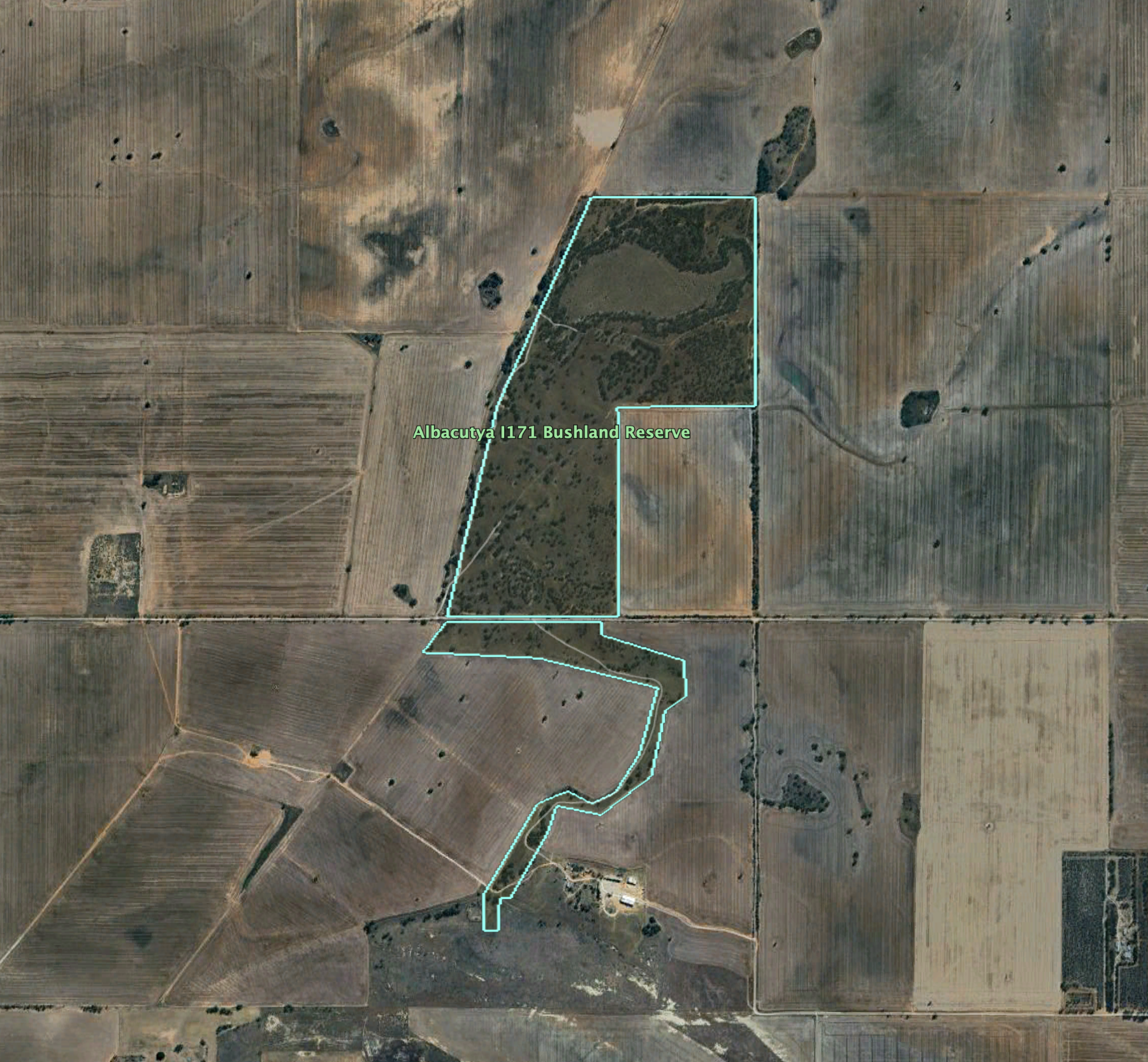
Above:- An aerial view of the reserve. Image c/o Google Earth.
The reserve is about 133 hectares in size and was established on the 1st day of May 1979. It is signposted as the Bullocks Bottom Bushland Reserve.
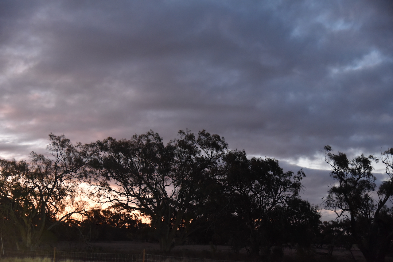

This was another easy park to access, with an open gate and a 4WD track leading into the park. It was almost dark by the time we set up. Marija and I ran the Yaesu FT857, 40 watts, and the 20/40/80m linked dipole for this activation.
Marija worked the following stations on 40m SSB:-
- VK3PF
- VK3KAI
- VK5LA
- VK5KAW
- VK3PWG
- VK3TTK
- VK3SQ
- VK2BD
- VK1AO
- VK2MET
I worked the following stations on 40m SSB:-
- VK3PF
- VK3KAI
- VK5LA
- VK5KAW
- VK3PWG
- VK3TTK
- VK3SQ
- VK2BD
- VK1AO
- VK2MET
- VK3APK
- VK7PJM
- VK4SMA
- VK5DW
- VK4MRH
- VK2LQ
- VK2PCT
- VK4HMI
- VK2IO/M
- VK2GEZ/M
- VK3WSG
- VK5HS
- VK3KRL
- VK2EG
References.
- Dcceew.gov.au. (2023). Collaborative Australian Protected Areas Database (CAPAD) 2022 – DCCEEW. [online] Available at: https://www.dcceew.gov.au/environment/land/nrs/science/capad/2022 [Accessed 14 Mar. 2025].
