
After dinner on 23rd October 2024, Marija and I activated the Albacutya I257 Bushland Reserve VKFF-4473.
The reserve is located about 9 km north of Rainbow.
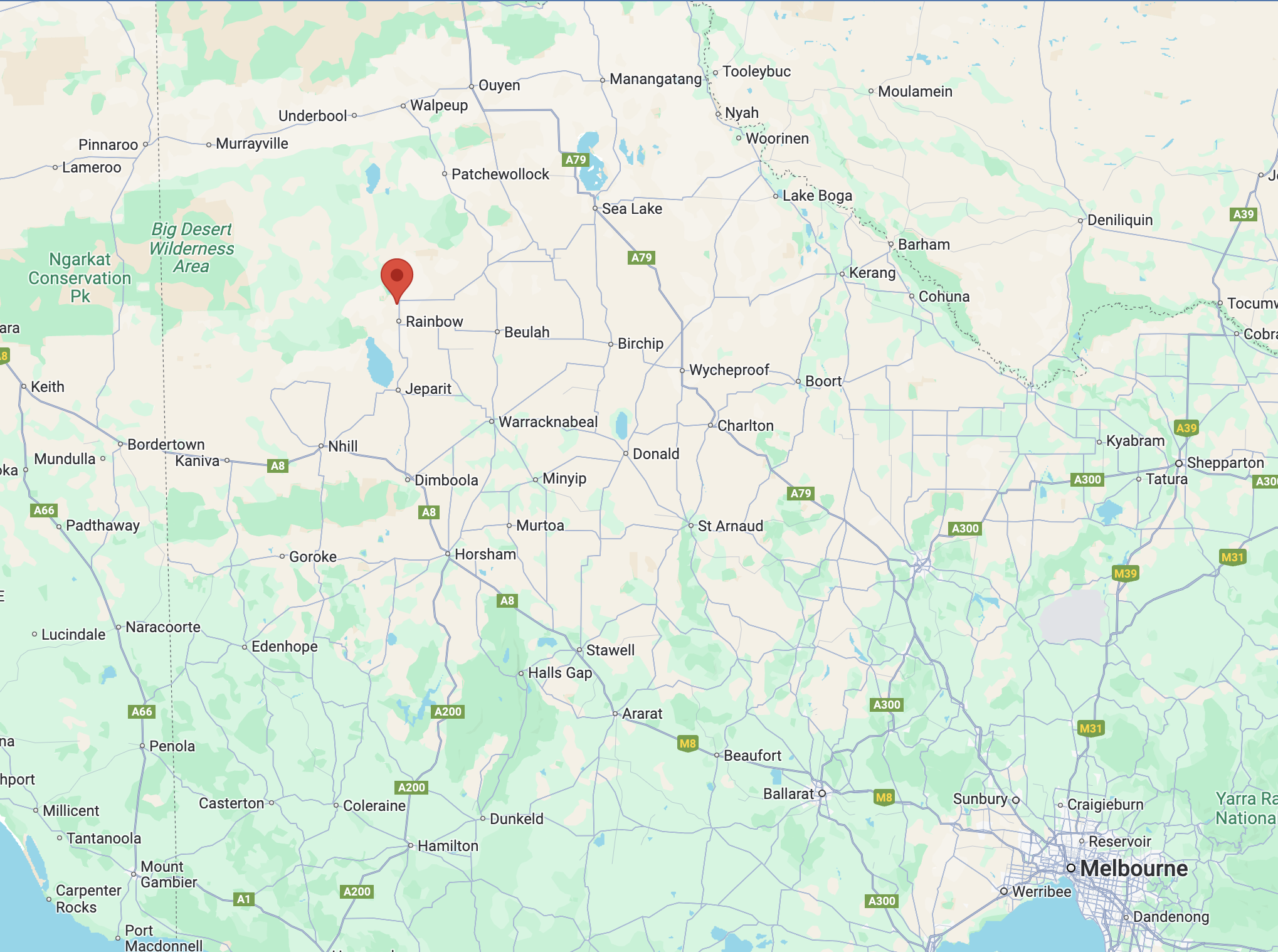
Above:- Map showing the location of the Albacutya I257 Bushland Reserve. Map c/o Google Maps.
The reserve is located on the southern side of Jacks Track, a few hundred metres from the Hopetoun-Rainbow Road.
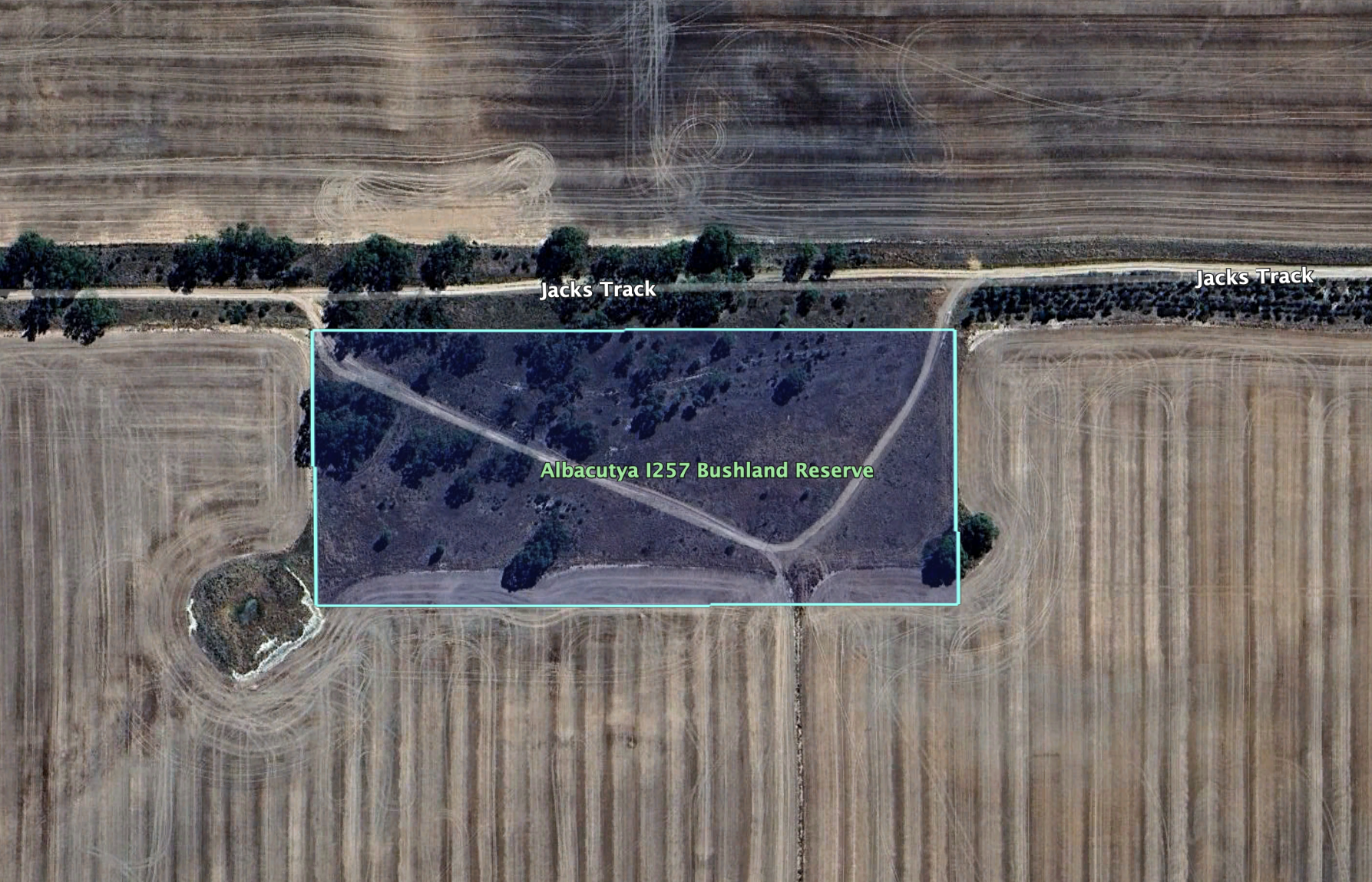
Above:- Aerial view of the reserve. Image c/o Google Earth.
Albacutya is derived from the Wergaia aboriginal word for nearby Lake Albacatya “Ngelbakutya”. (Griffin 2018)
The reserve is about 4 hectares in size and was established on the 8th day of May 1990. It is signposted as Griggs Reserve.

This was an easy park to access. There were no fences and there was a 4WD track leading into the park. Marija operated from the 4WD, running the Icom IC-7000, 100 watts, and the Codan 9350 antenna with the 1.5 metres stainless steel whip.
Marija worked the following stations on 40m SSB:-
- VK3SQ
- VK2BD
- VK3PF
- VK3KAI
- VK1AO
- VK2MET
- VK4HMI
- VK4SMA
- VK7PJM
- VK3APJ
I worked the following stations on 40m SSB:-
- VK3SQ
- VK2BD
- VK3PF
- VK3KAI
- VK1AO
- VK2MET
- VK4HMI
- VK4SMA
- VK7PJM
- VK3APJ
- VK3KRL
- VK3PWG
- VK3TKK
- VK3GJG
- VK5LA
- VK5KAW
- VK2IO/m
- VK2GEZ/m
- VK2EG
- VK2PV/p
- VK4MRH
- VK3WSG
References.
- Dcceew.gov.au. (2023). Collaborative Australian Protected Areas Database (CAPAD) 2022 – DCCEEW. [online] Available at: https://www.dcceew.gov.au/environment/land/nrs/science/capad/2022 [Accessed 14 Mar. 2025].
- Griffin, Darren; Muir, Ben, 2018, “Barringgi Gadyin – The Wimmera River and Wotjobaluk Connection to Country”
