
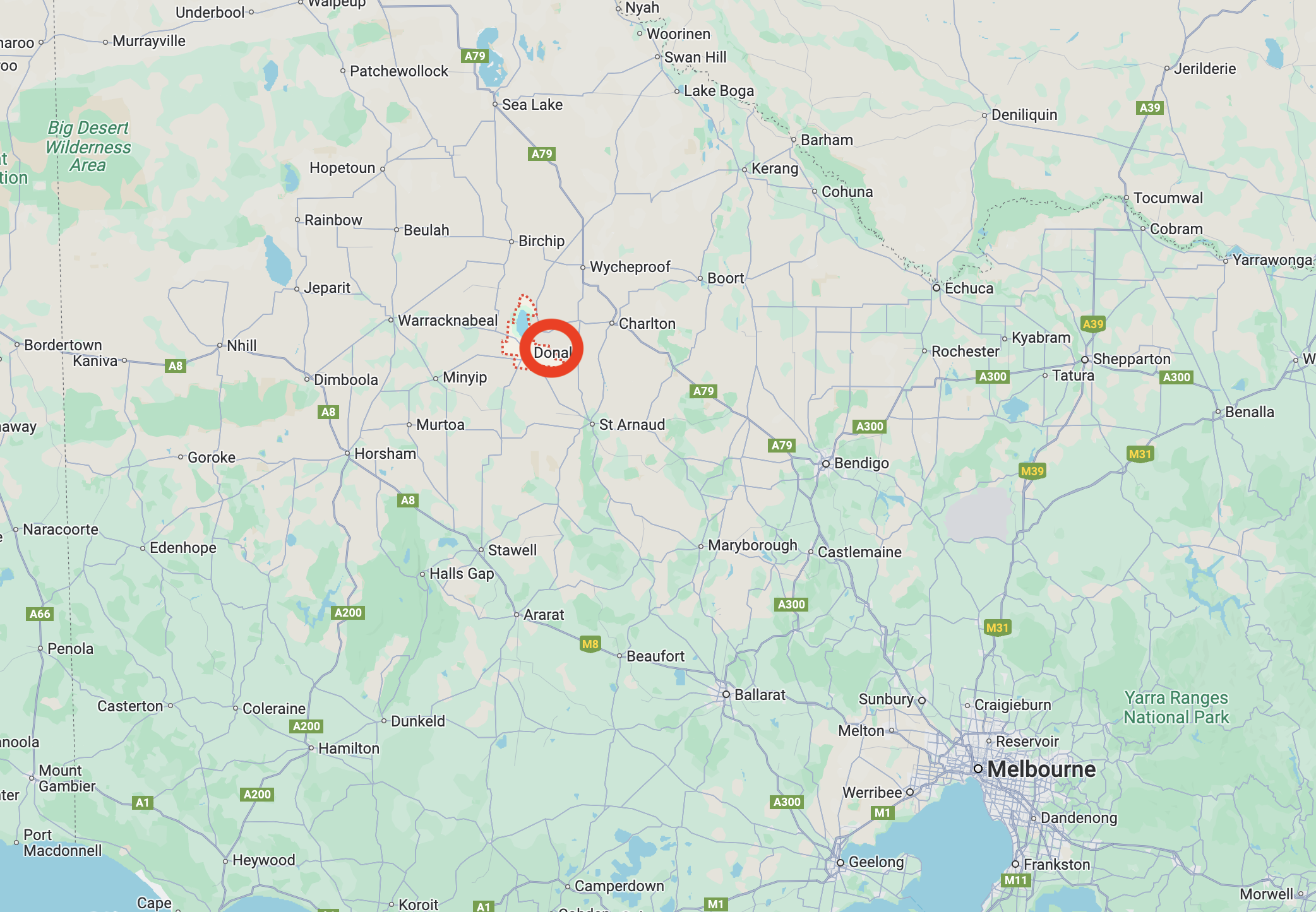
After leaving the Carron I124 Bushland Reserve on 24th October 2024, Marija and I travelled to Donald where we intended to activate the two silos, Donald silo VK-DND3 and Donald South silo VK-DNT3.
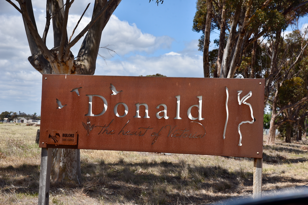
Donald is a town of about 1,400 people and is a service centre for the surrounding district which grows wheat, barley, peas, lentils, canola, safflower and lambs and wool. The town lies on the banks of the Richardson River. Donald is known as the ‘Home of the Duck’ due to the large number of waterbirds located on the local waterways. (Aussie Towns 2018)
The town was named after the Donald family from Scotland. In 1844 William, John and James Donald established ‘Banyenong’ pastoral run. Banyenong was an aboriginal word meaning ‘plenty of water’. By 1863 a store and liquor shanty had been established alongside of a bridge crossing the Richardson River, upstream from Benyenong homestead. The proprietor was Johann August Meyer. His establishment was met with strong disapproval by William Donald and other pastoralists in the district. (Donaldhistory.org.au 2018) (Trove 2025)
The following year in 1864 the bridge was relocated and Meyer constructed a weatherboard store and hotel at the site of the present Mount Jeffcott Hotel. Edward Miller then built the Royal Hotel and the town became known as Richardson Bridge. Two years later, the name ‘Donald’ appeared on survey maps. (Donaldhistory.org.au 2018)
By the 1870s the town had several stores, blacksmiths, bakers, and flour mills. The railway reached the town in 1882. (Donaldhistory.org.au 2018)
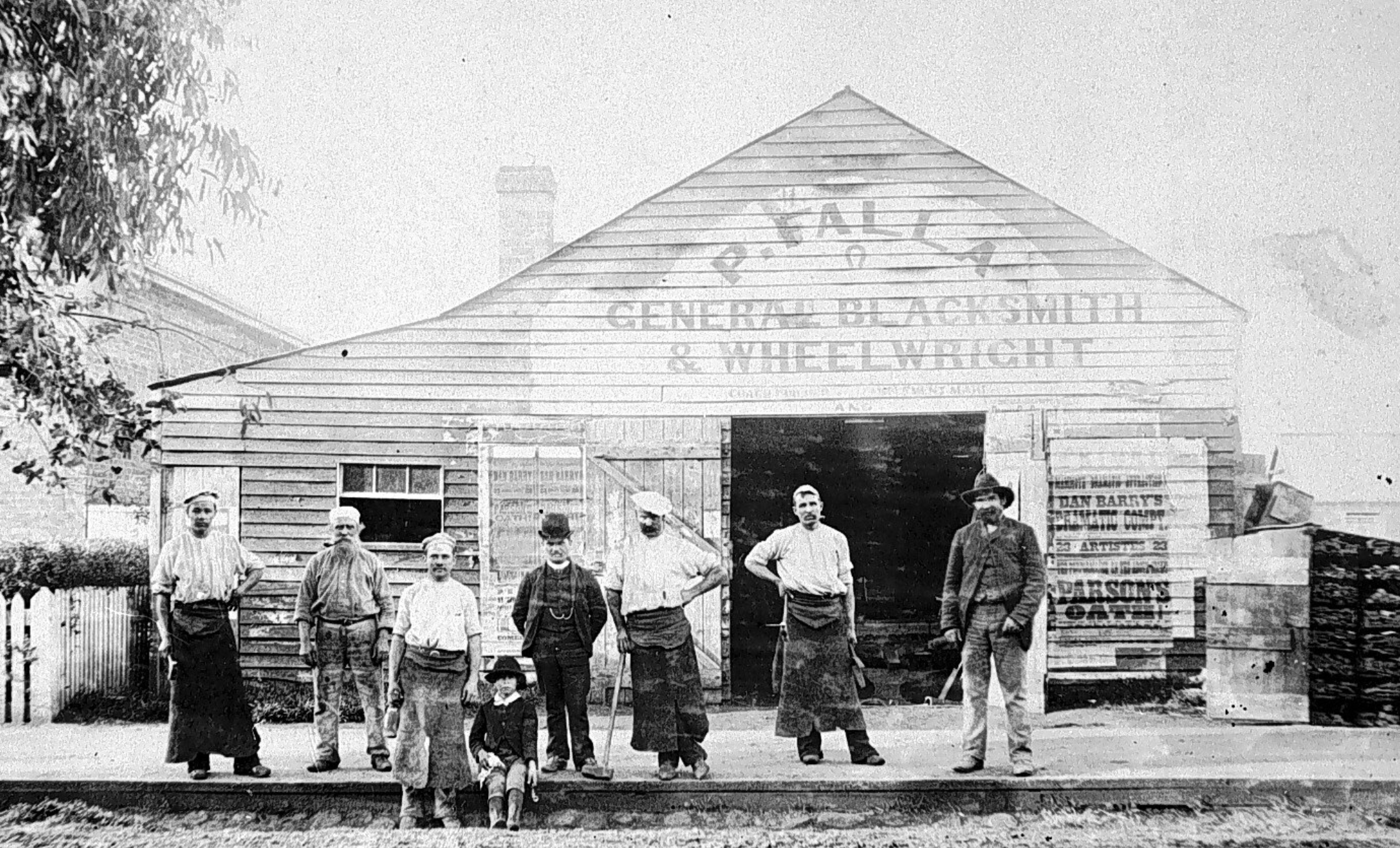
Above:- Falla General Blacksmith & Wheel-Wright, c. 1895. Image c/o Lost Country Victoria Facebook page
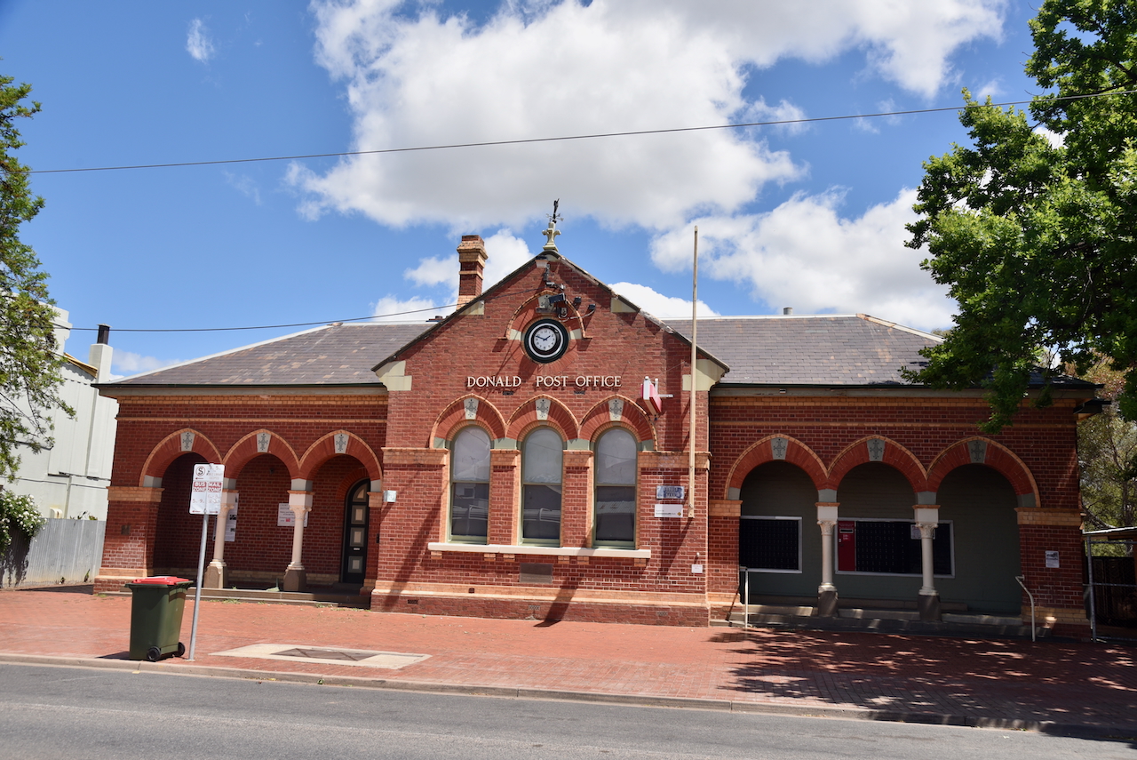
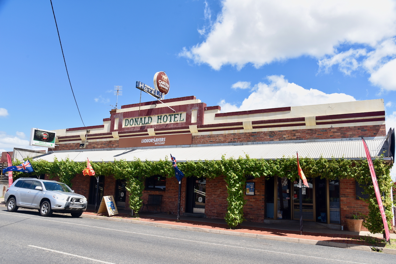
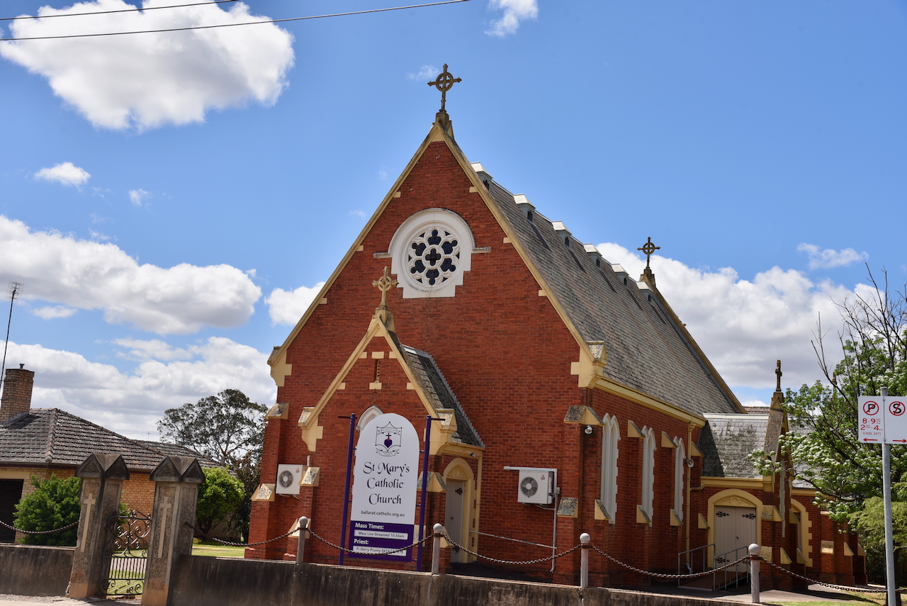
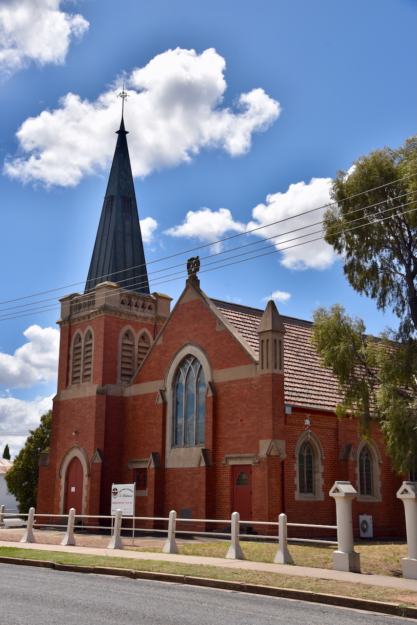
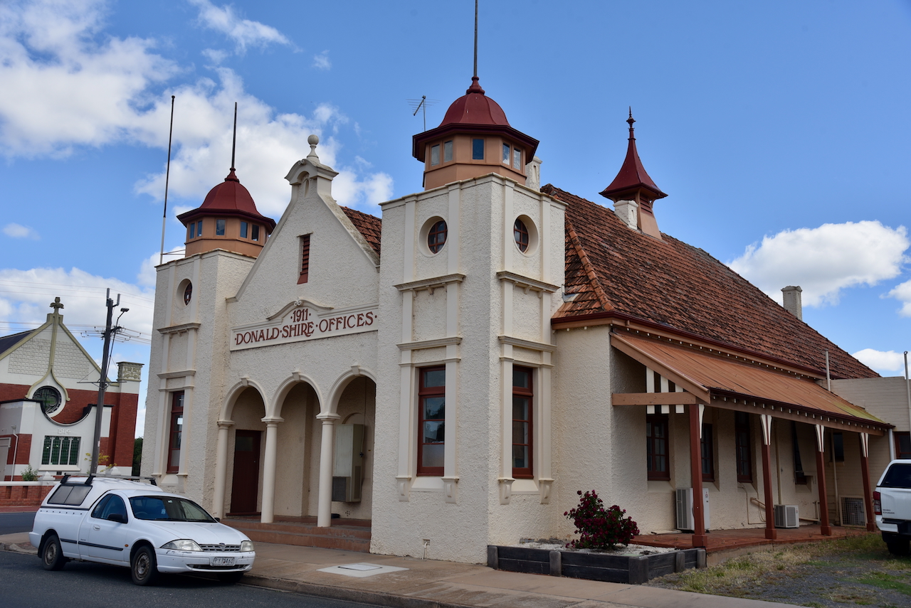
Donald is a beautiful little town with lots of historic buildings.
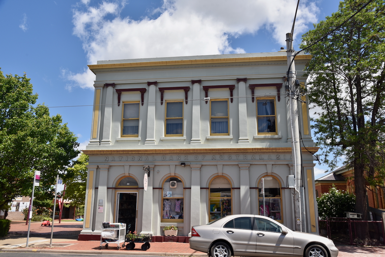
The old National Bank building is located in Wood Street. It as built in 1885 by the Colonial Bank. The manager’s residence was above the bank chambers. In 1918 the Colonial Bank was amalgamated with the National Australia Bank (NAB) in 1918 it became a NAB bank. The NAB later amalgamated with the CBC and the building was sold. (Aussie Towns 2018)
The M.E. Morgans building on the main street of Donald was built in 1906. (Aussie Towns 2018)

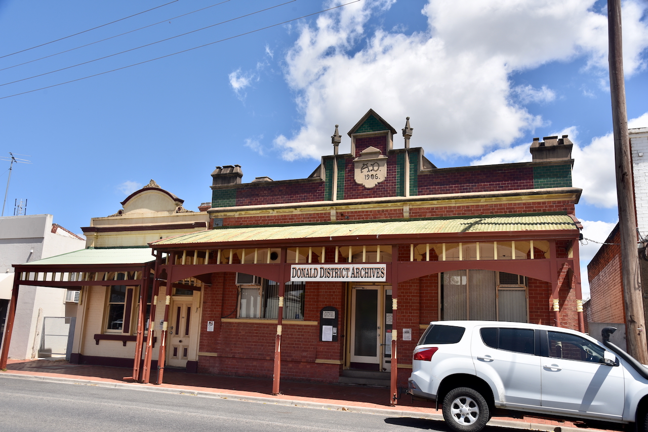
The old Oakley Thompson building on Woods Street was built in 1906. It is now the Donald District Archive. (Aussie Towns 2018)
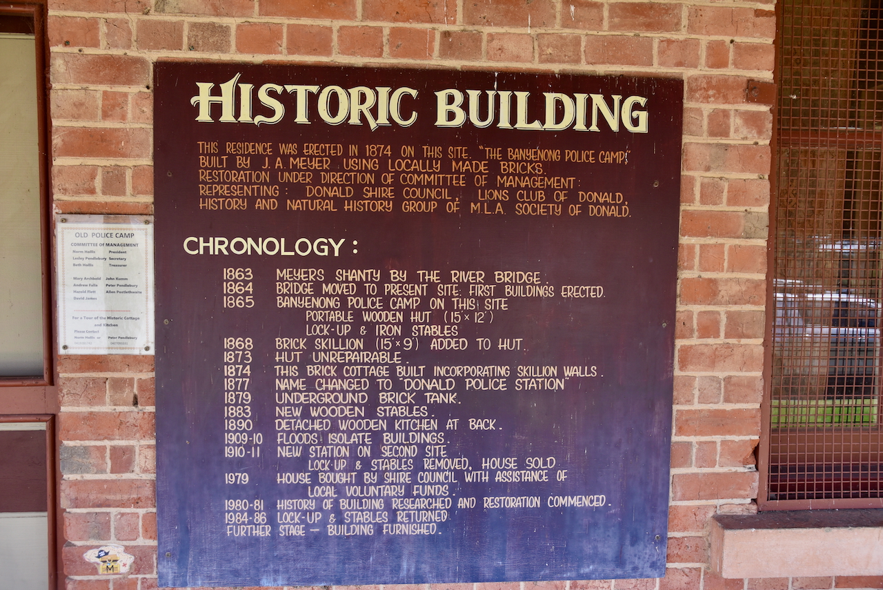
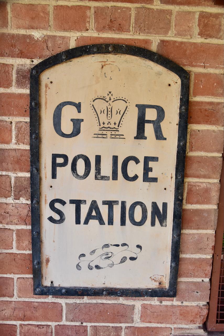
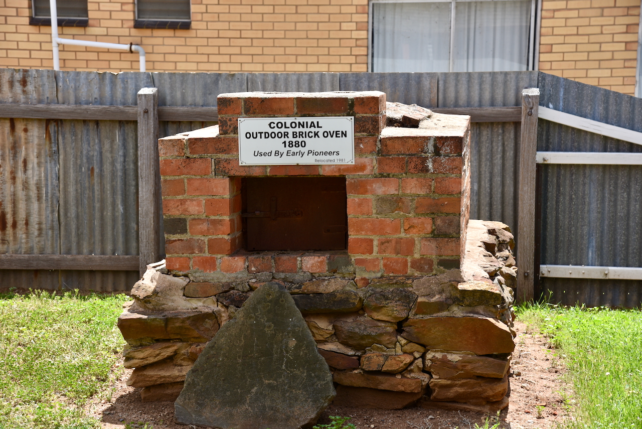
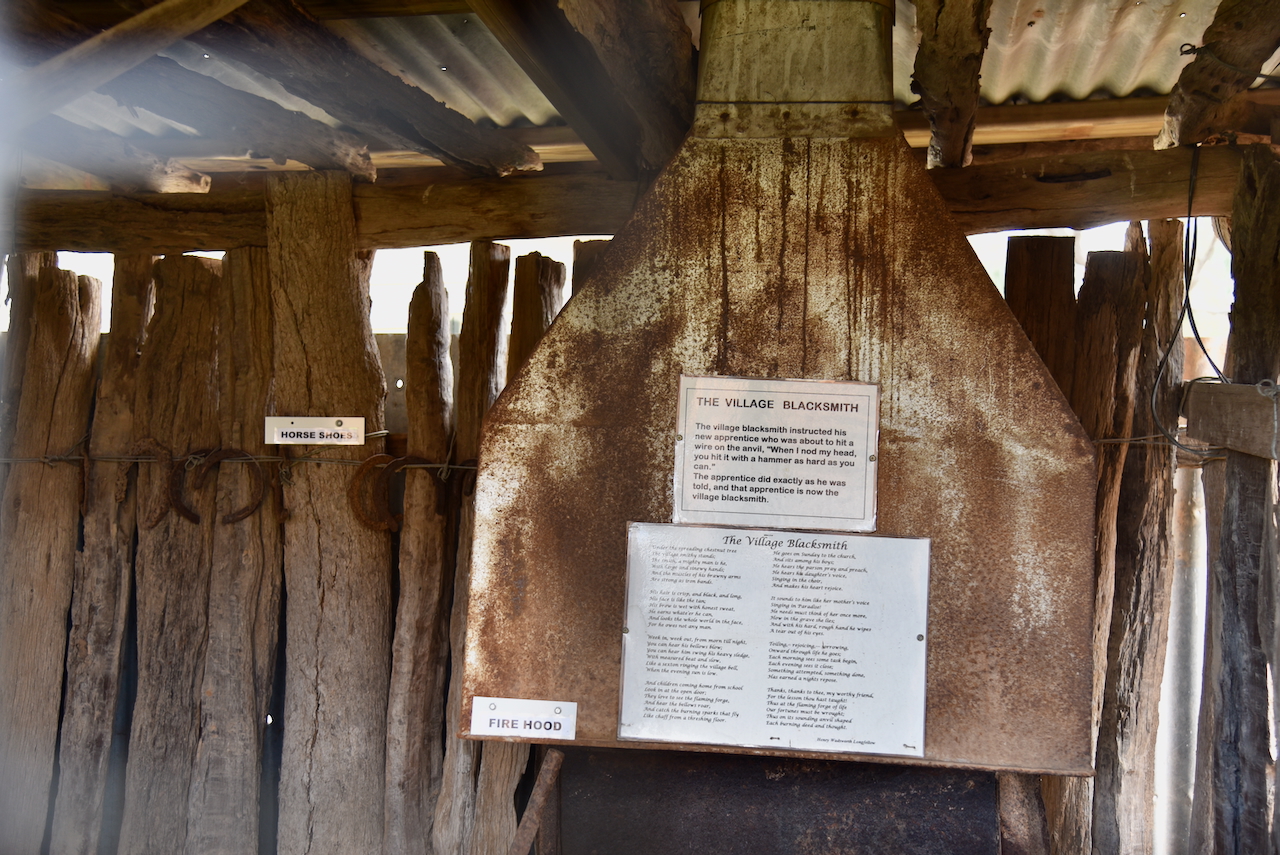
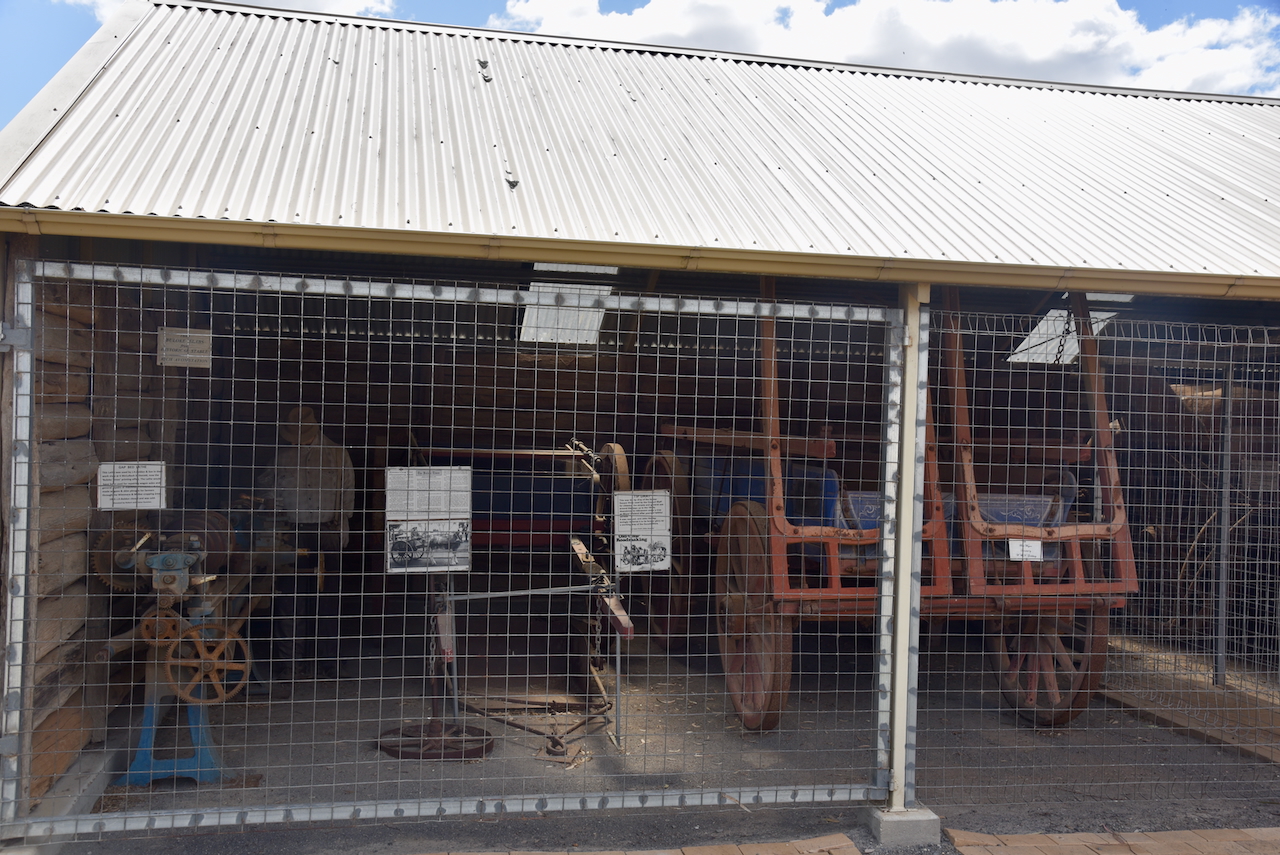
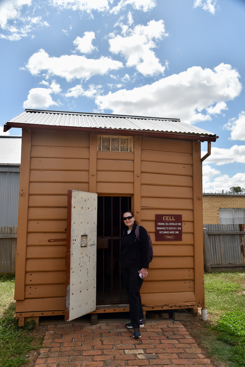
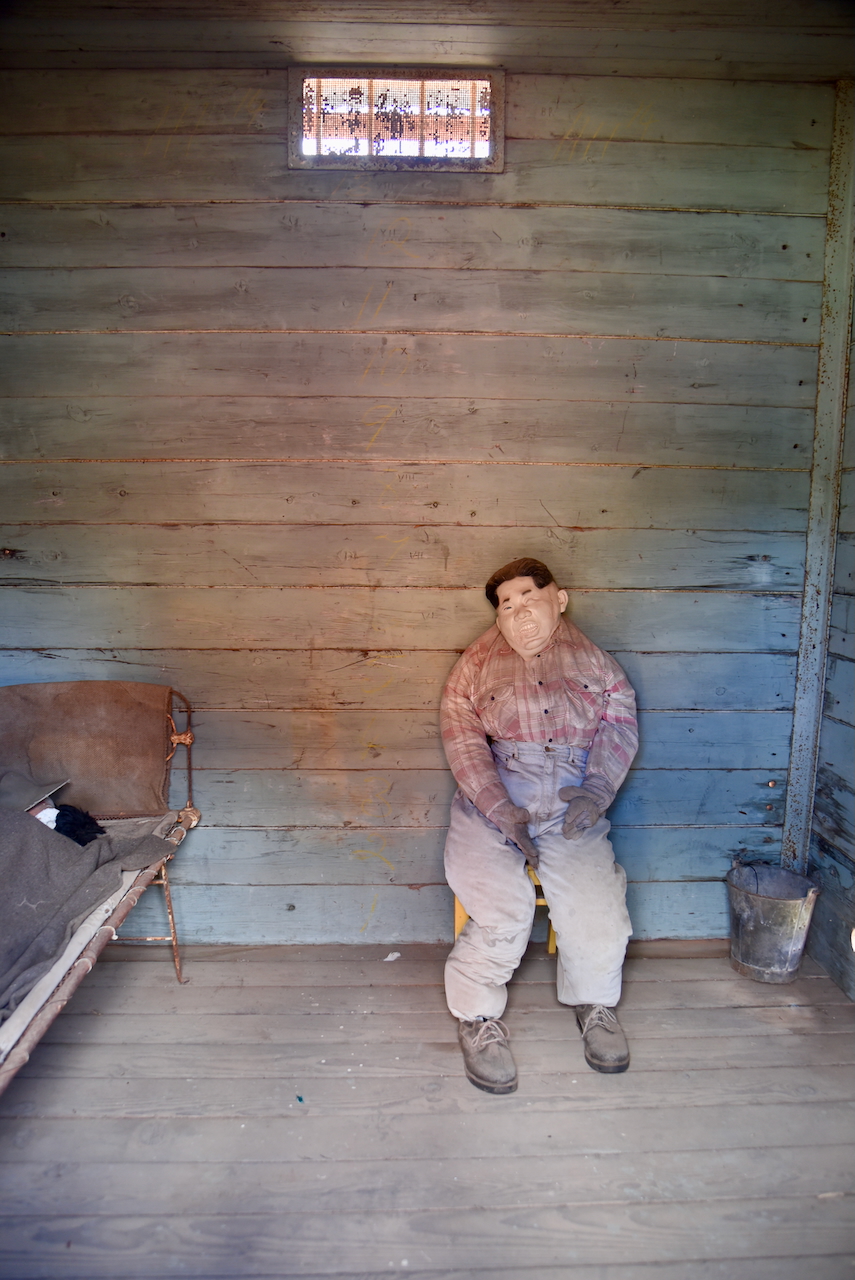
After having a quick look around the town, Marija and I visited the Old Police Camp. This was the first police station in the Donald district. It is located on Wood Street and was known as Richardson Crossing. The police building is a small four-roomed house constructed in 1869. It was established to control the drunken behaviour of shepherds. (Donaldlearninggroup.com.au, 2024)
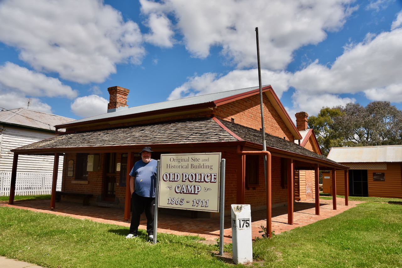
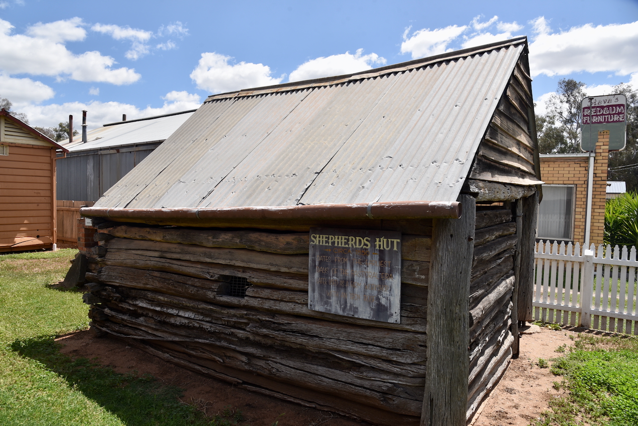
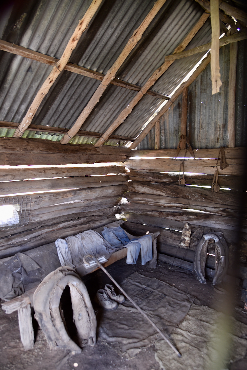
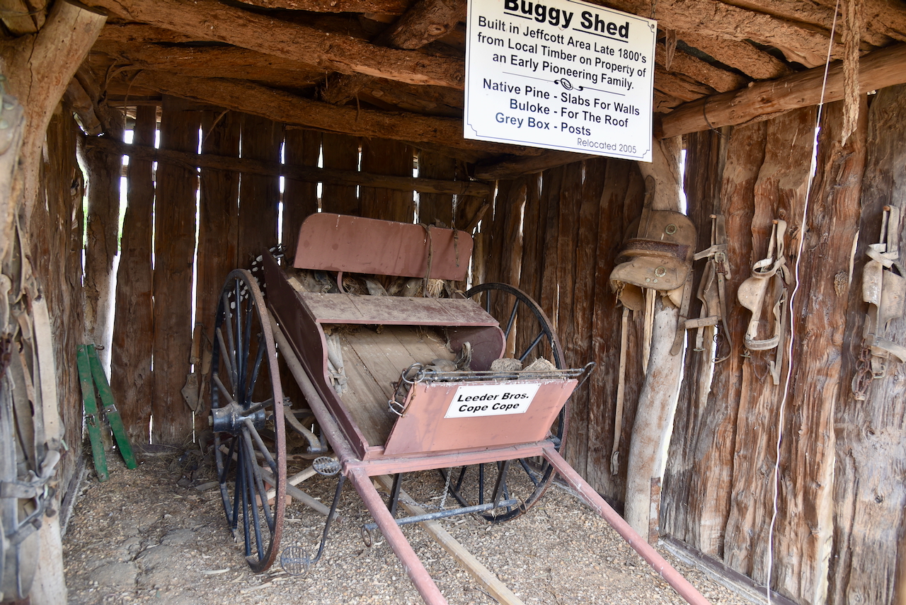
The site contains other historical buildings that have been relocated from farms in the district. This includes an old shepherd’s hut from the 1840s. (Donaldlearninggroup.com.au, 2024)
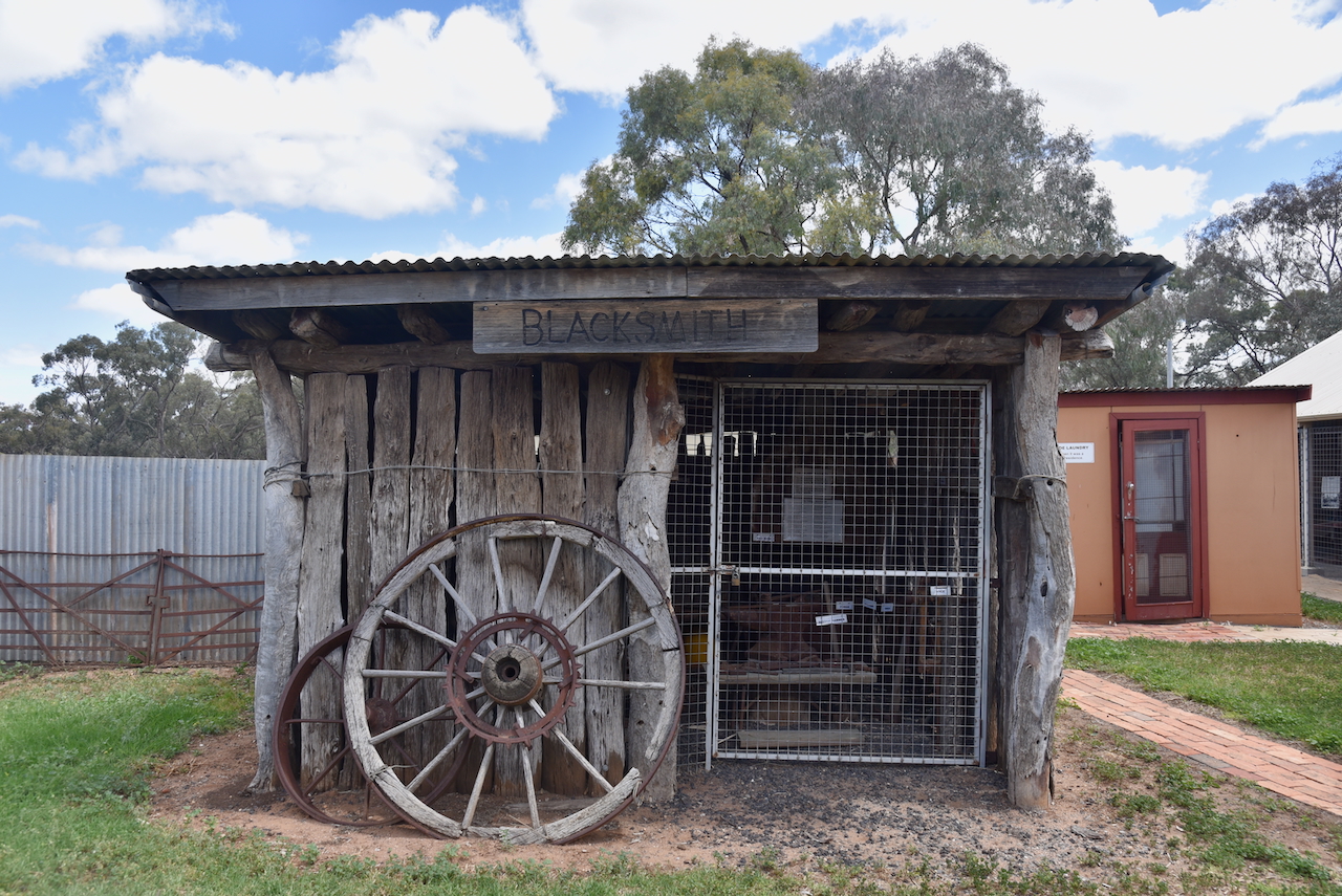
The park contains the original cell from 1865.
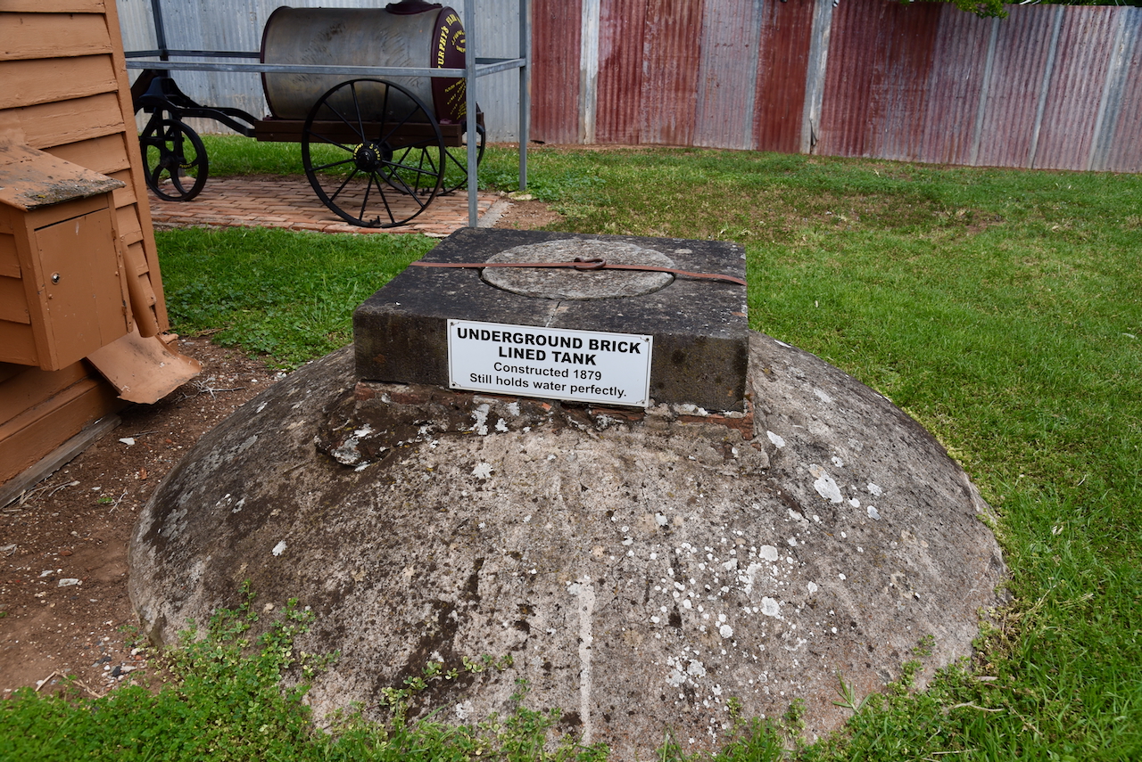
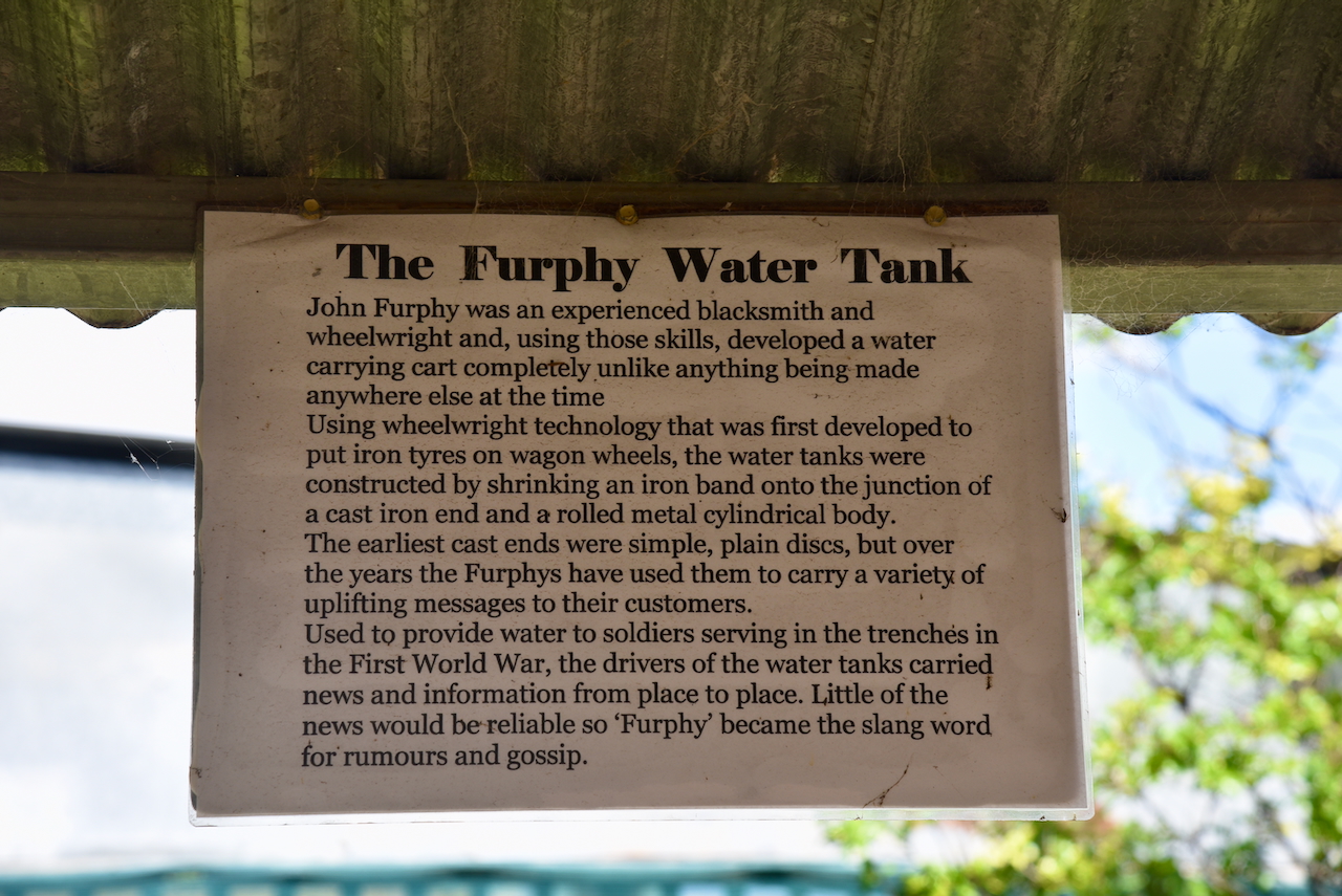
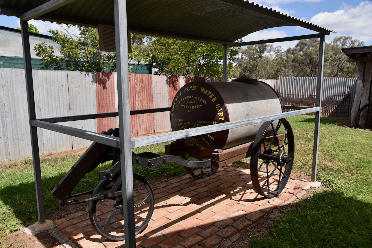
You can also locate an old Furphy water tank. They were invented by John Furphy, an experienced blacksmith and wheelwright. They were used to provide water to soldiers serving in the trenches during the First World War.
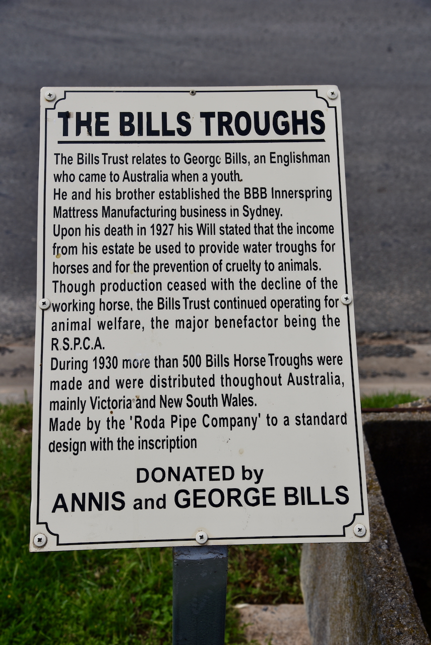
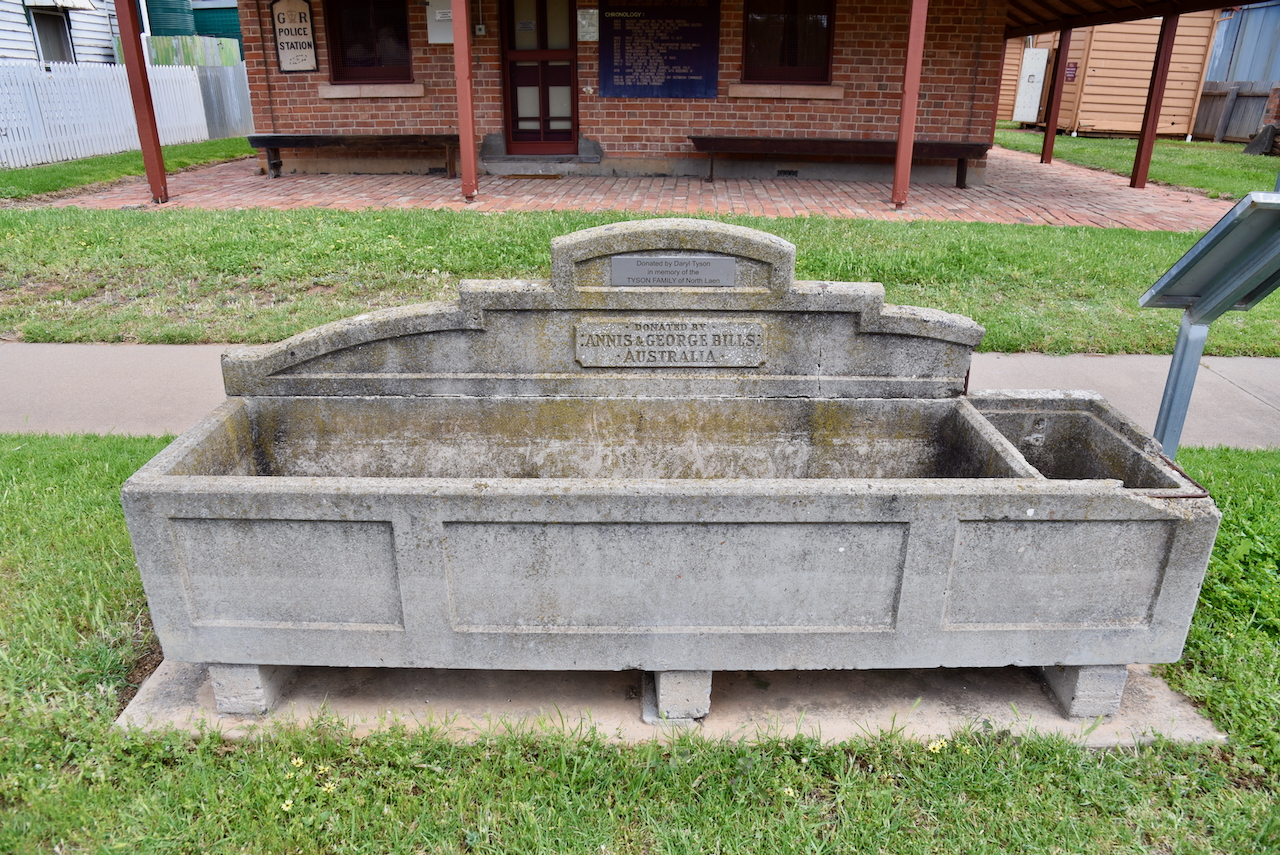
Located in front of the Old Police Camp is a Bill’s Horse Trough. I have written about Bills Horse troughs before and it can be found at https://vk5pas.org/2023/12/17/werrimul-bushland-reserve-vkff-4122-and-werrimul-silo-vk-wru3/
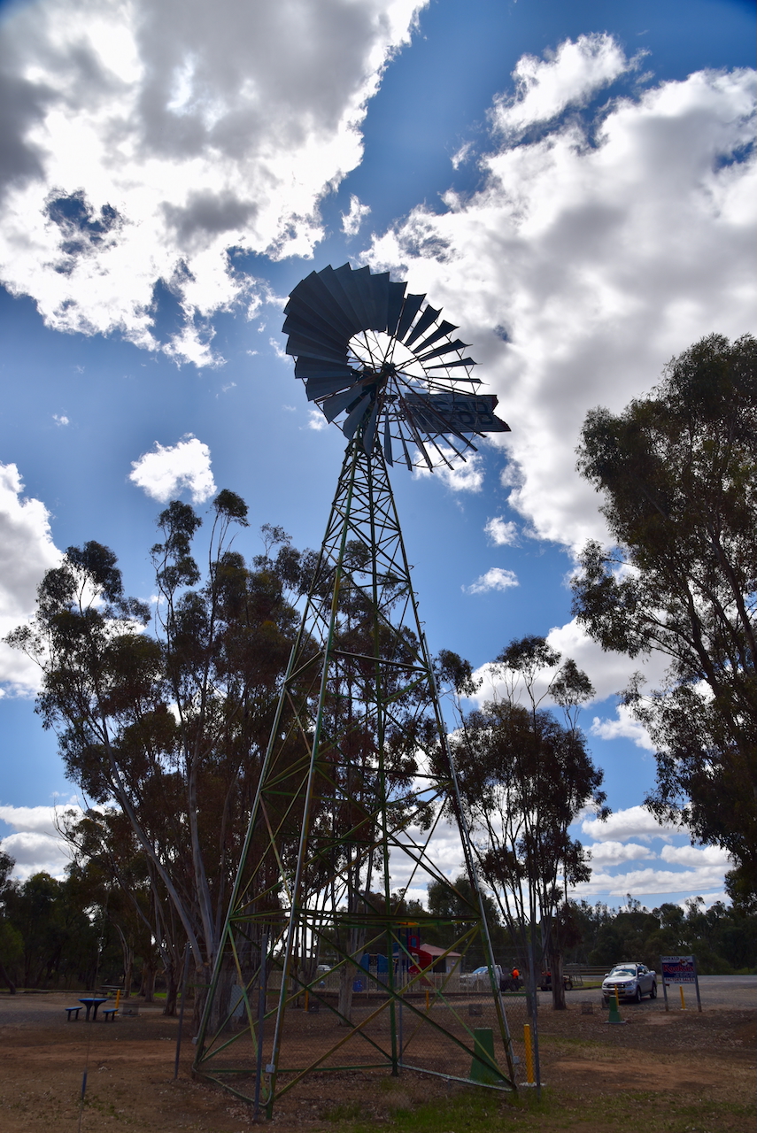
We then headed to Apex Park and viewed the giant windmill measuring 7.62 metres. It was originally installed at the Donald pumping station in 1913. It was later used for irrigation on Glengar station before being donated. (Aussie Towns 2018) (Donaldlearninggroup.com.au, 2024)
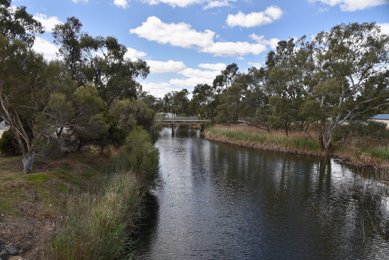
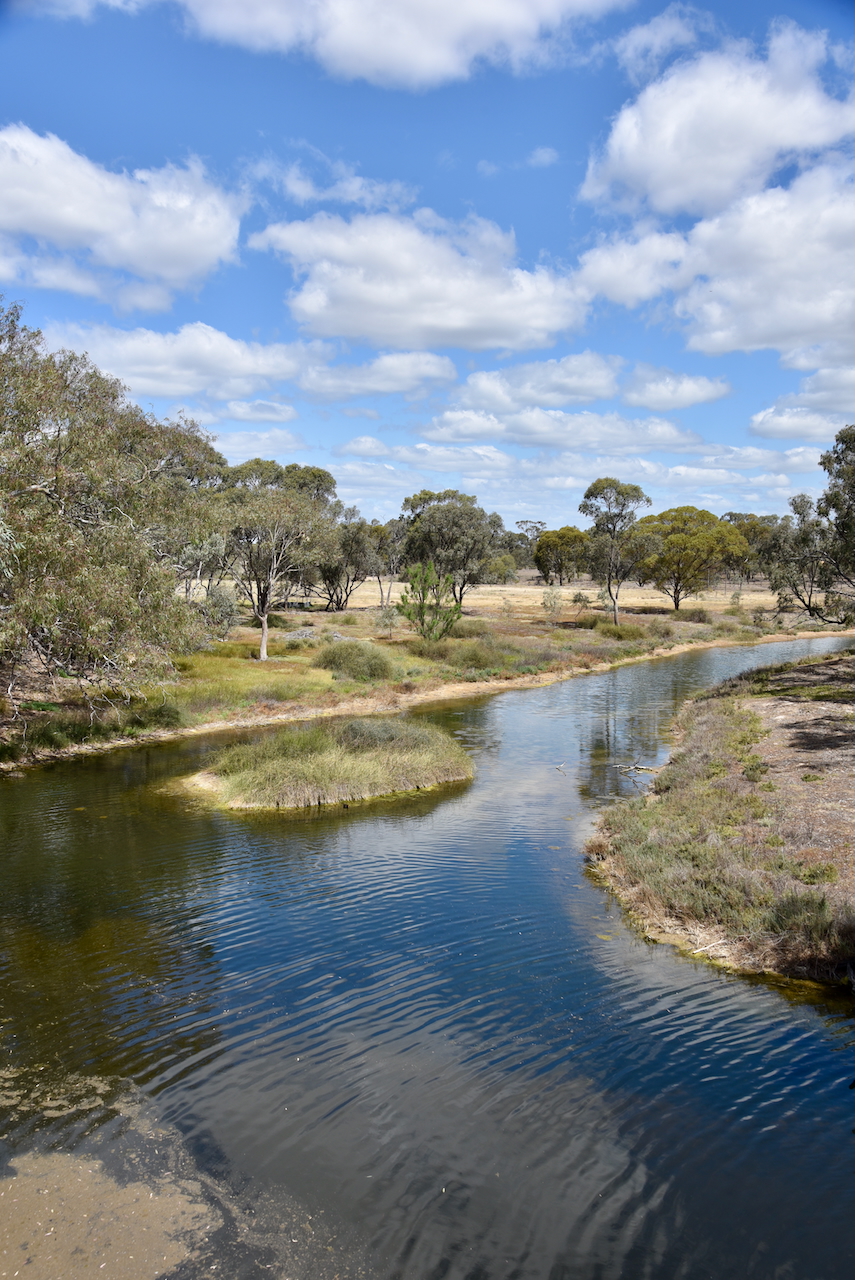
We then drove down to the Richardson River which passes through Donald. The river rises on the northern slopes of the Great Dividing Range and flows north for about 119 km and drains into Lake Buloke. It is named after John Matthew Richardson who fell from his horse during the 1836 expedition of Major Thomas Mitchell. (Wikipedia 2023)
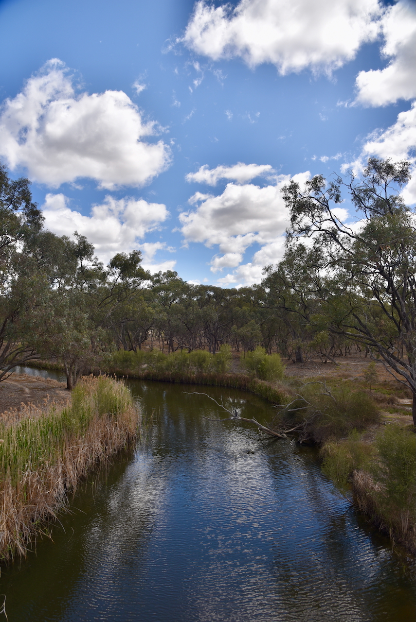
We then viewed Bullock’s Head on the Richardson River in Byrne Street. It is a natural formation on an old gum tree that is strikingly similar to that of a Bullock’s Head. Donald has been the subject of several floods where the water has reached the ‘mouth of Bullock’s Head. (Aussie Towns 2018 (Donaldlearninggroup.com.au, 2024)
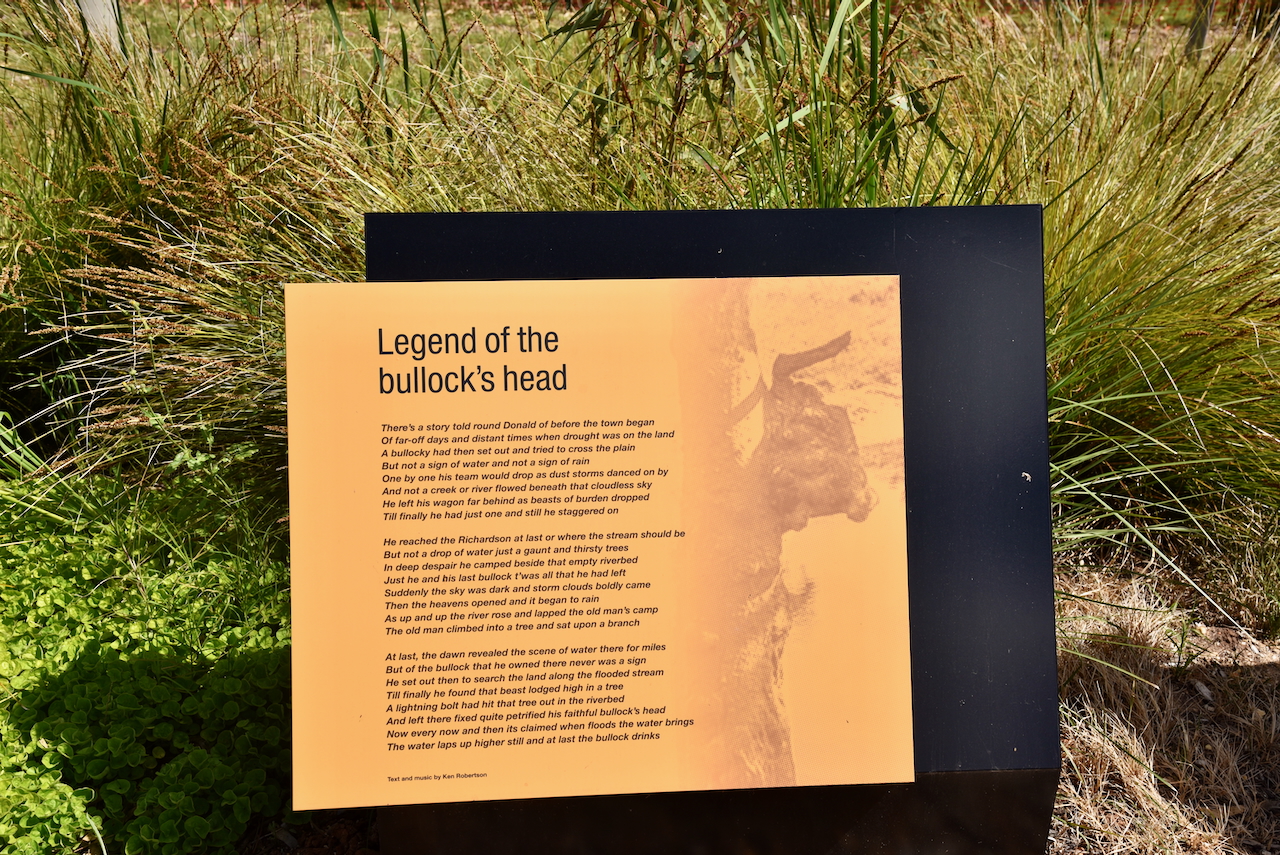
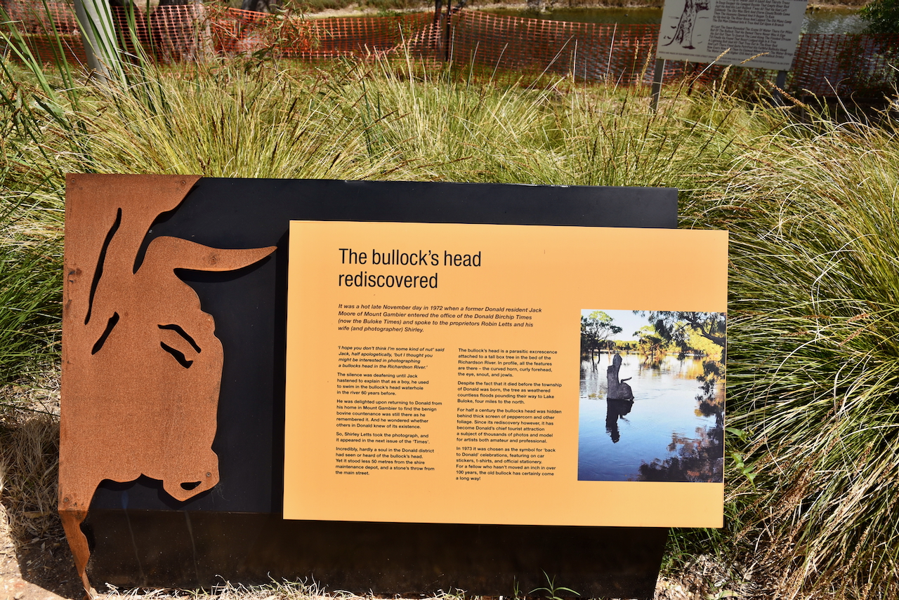
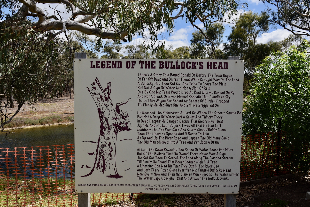
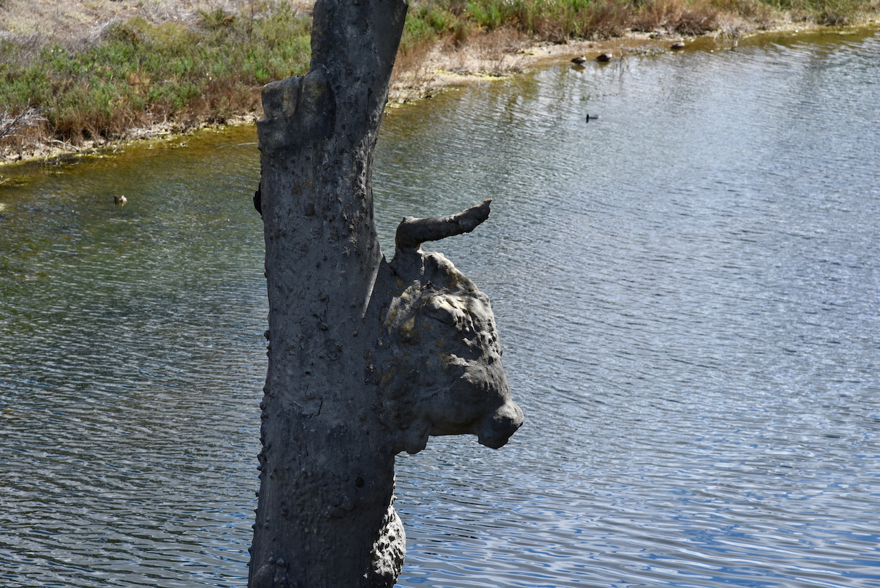
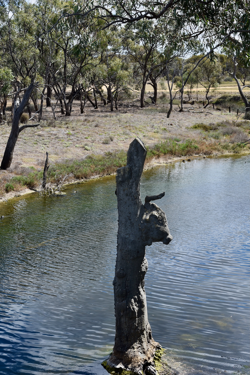
Significant floods have occurred in 1909, 1918, 1956, 1975, 1992, and 2011. The most severe flood was in January 2011 when the tops of the horns of the Bullock’s Heads were just visible. A viewing platform and information boards can be found here. (Aussie Towns 2018 (Donaldlearninggroup.com.au, 2024)
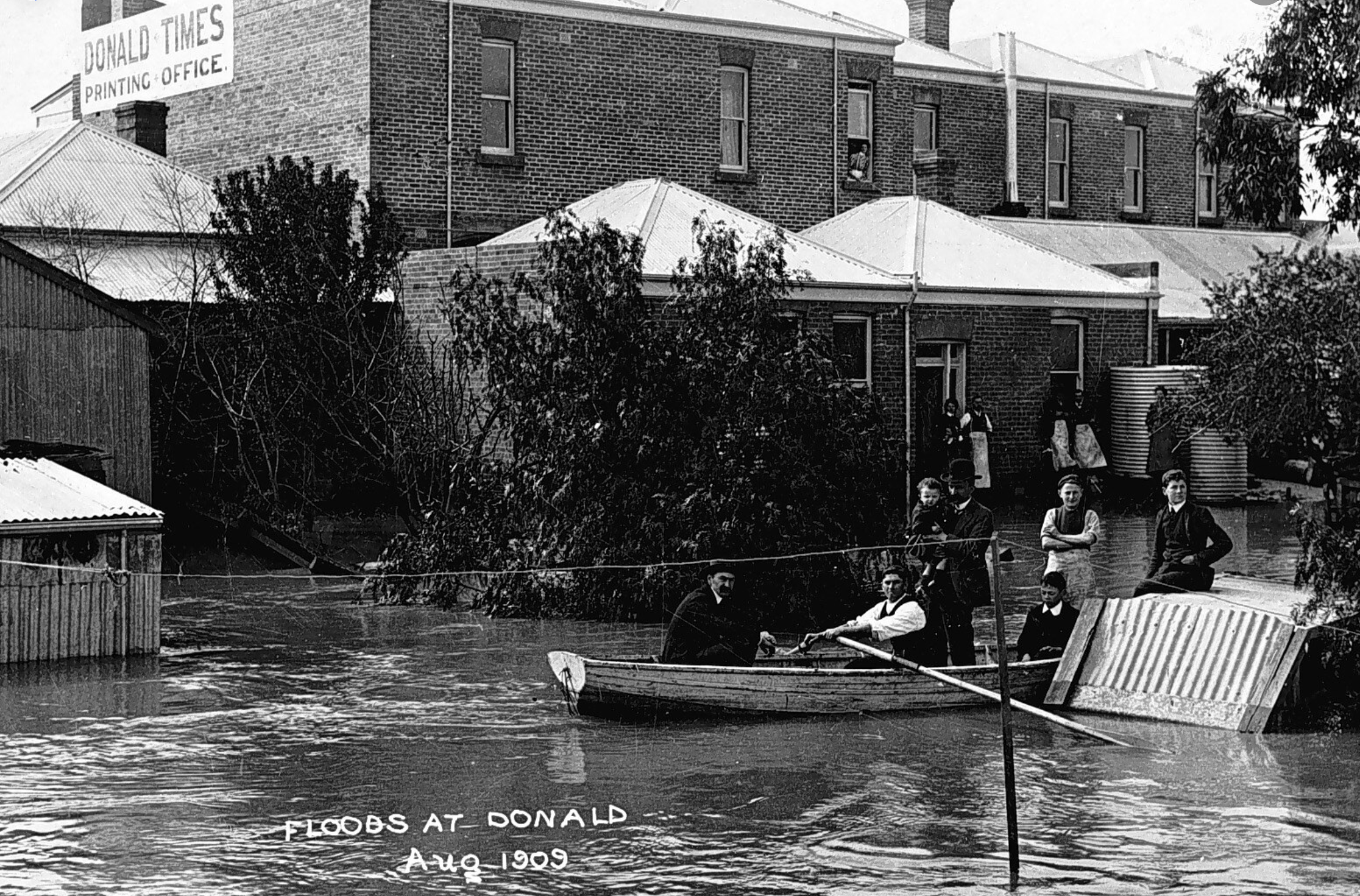
Above:- Floods at Donald, 1909. Image c/o Lost Country Victoria Facebook page.
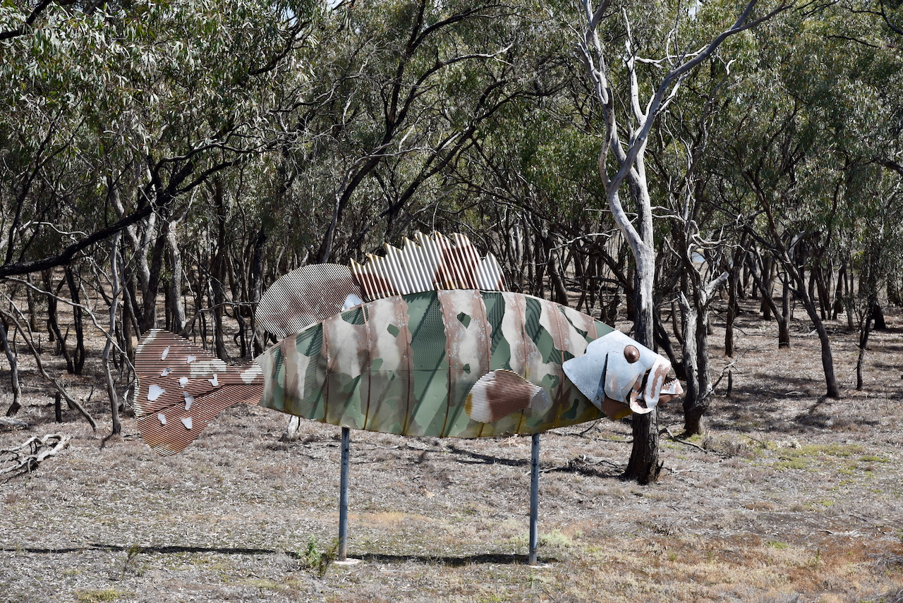
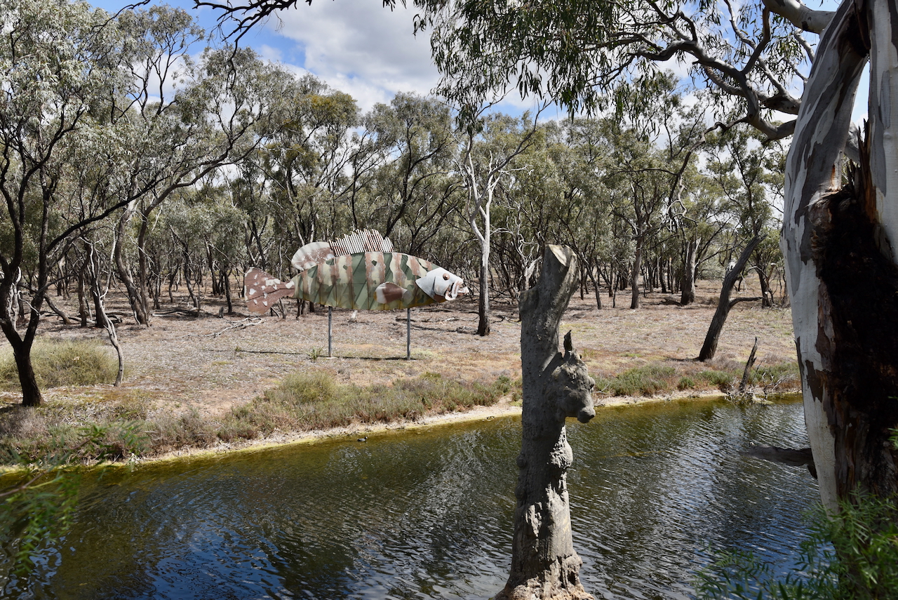
On the opposite side of the Richardson River is a large metal sculpture of a Nassau Grouper. It was used in the 2006 Melbourne Commonwealth Games ceremony and later donated to Buloke Shire. (Aussie Towns 2018) (Donaldlearninggroup.com.au, 2024)
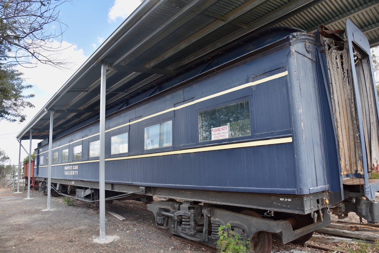
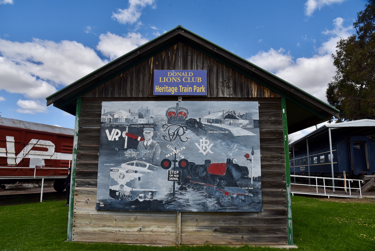
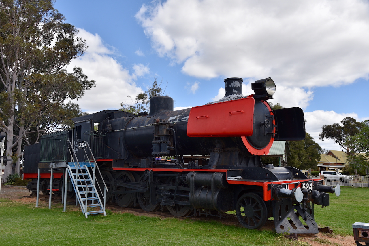
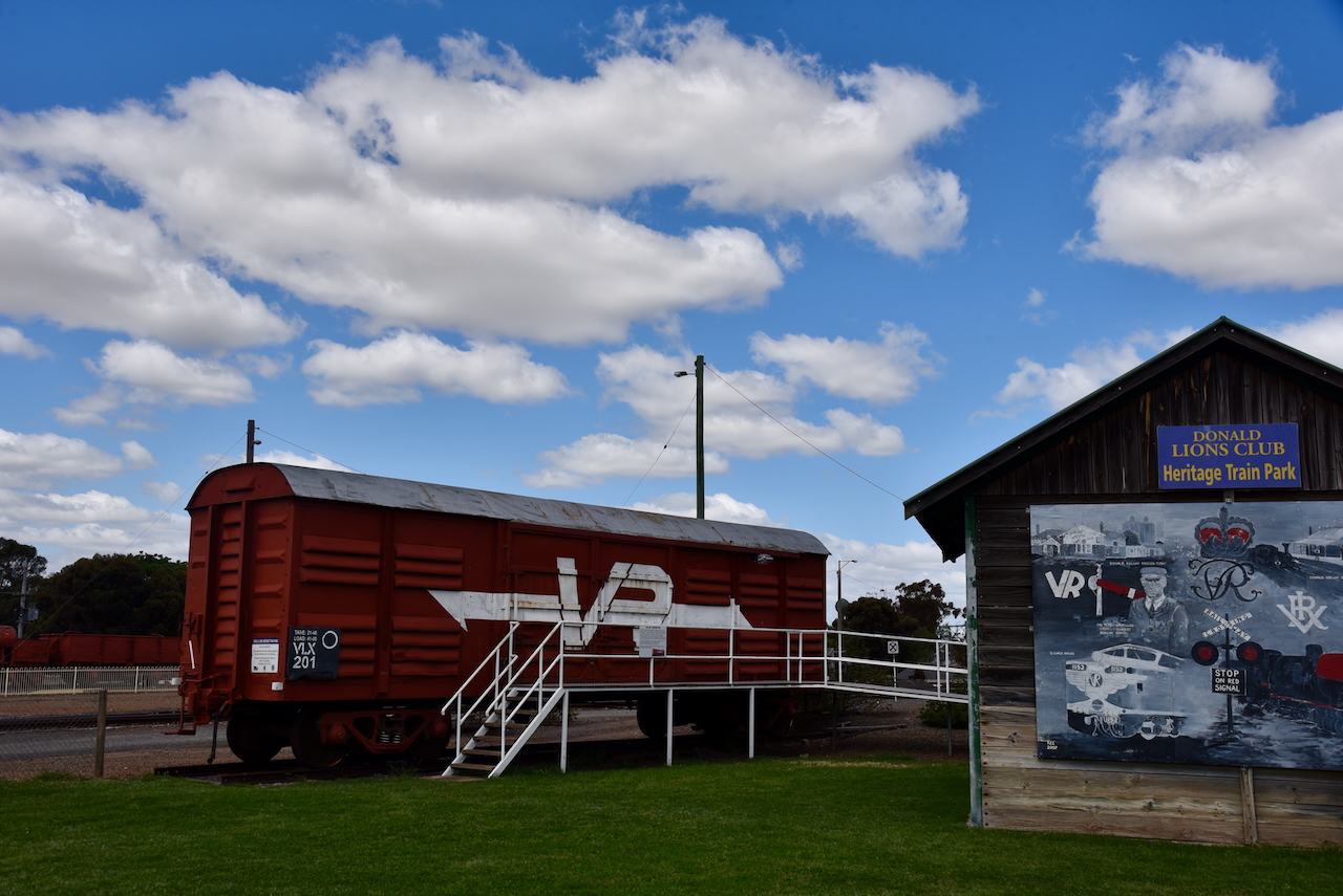
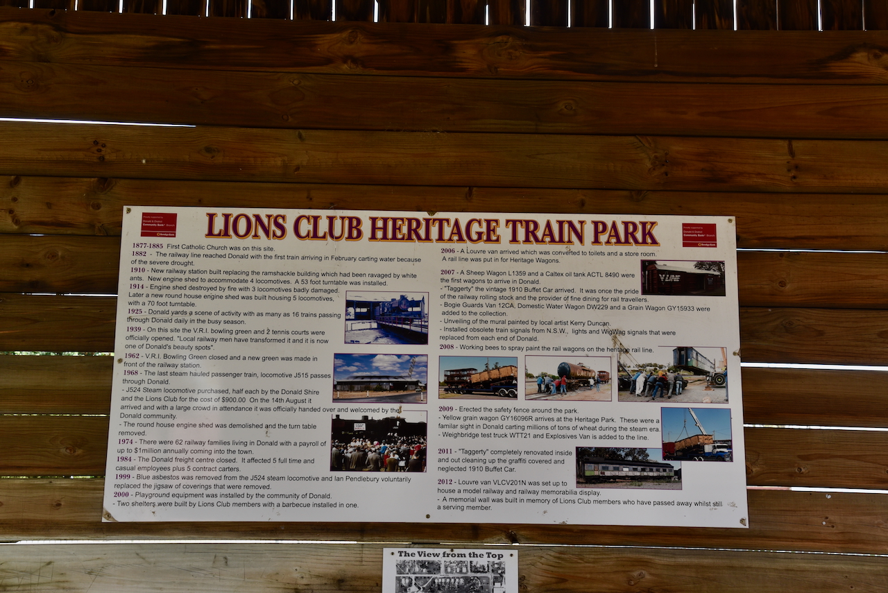
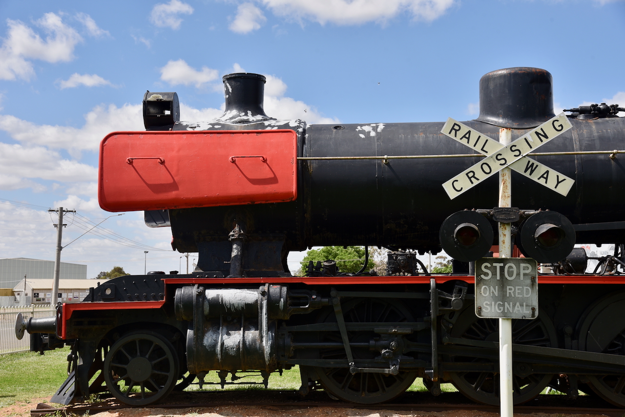
Our next stop in Donald was Heritage Train Park on Hammill Street. The park features an old J524 steam train and other rolling stock. (Aussie Towns 2018)
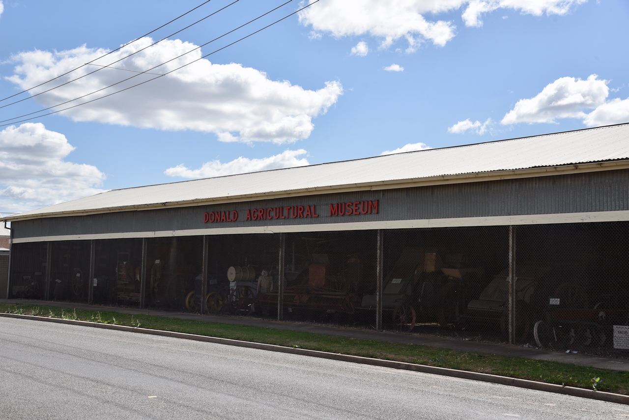
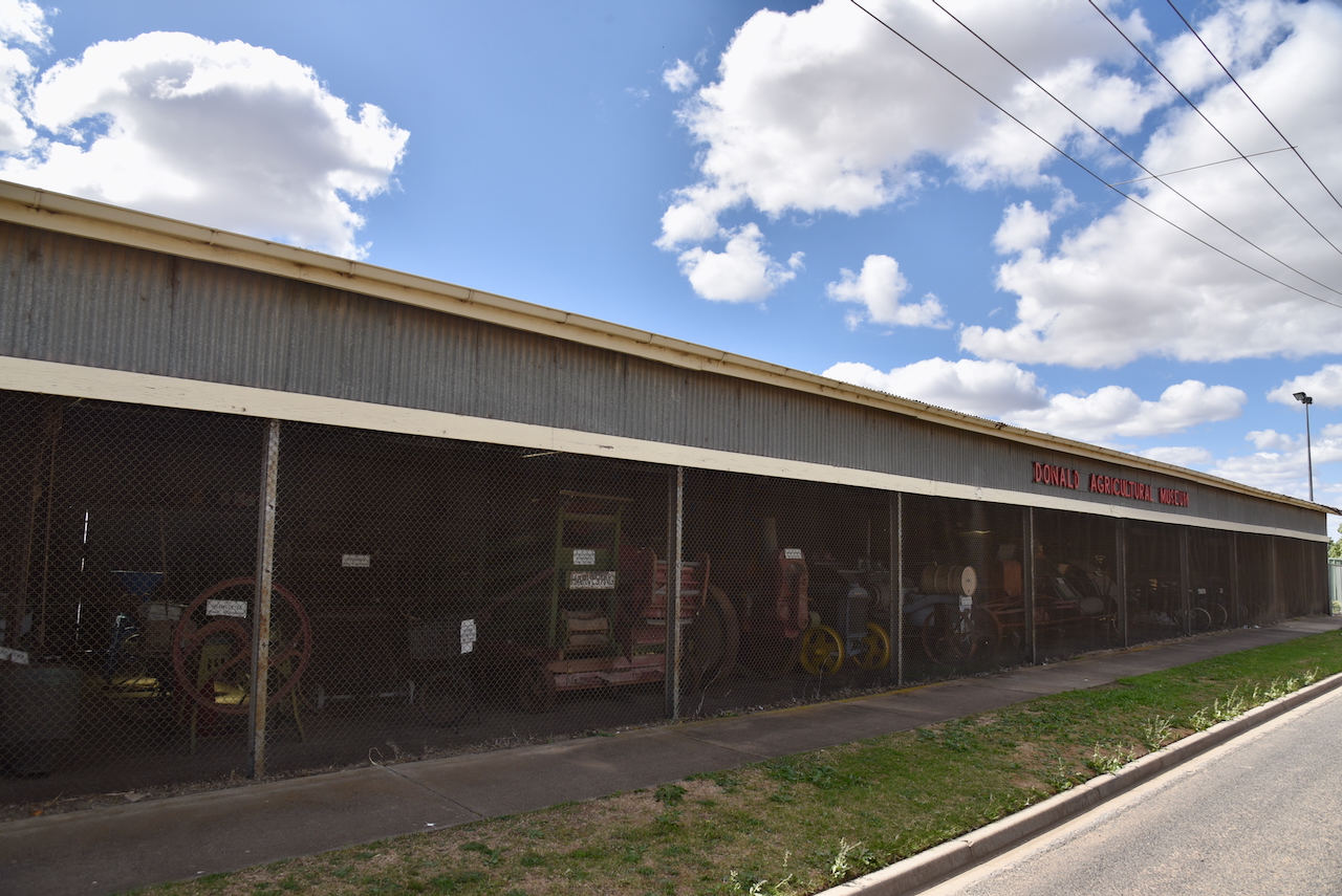
We then had a quick look at the Agricultural Museum that is located in front of the Donald Showground in Hammill Street. It features a collection of historic agricultural machinery.
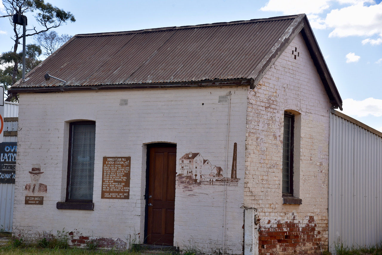
Opposite is the old Donald flour mill and weigh station that was built in 1878
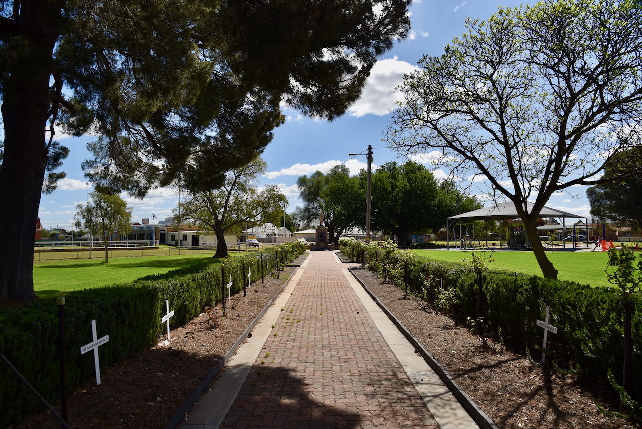
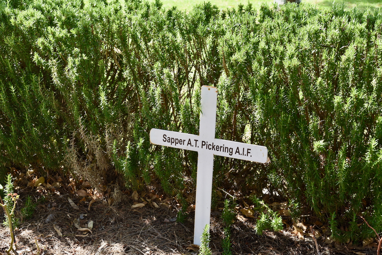
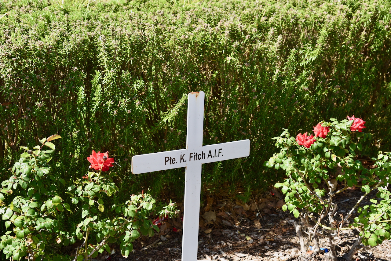
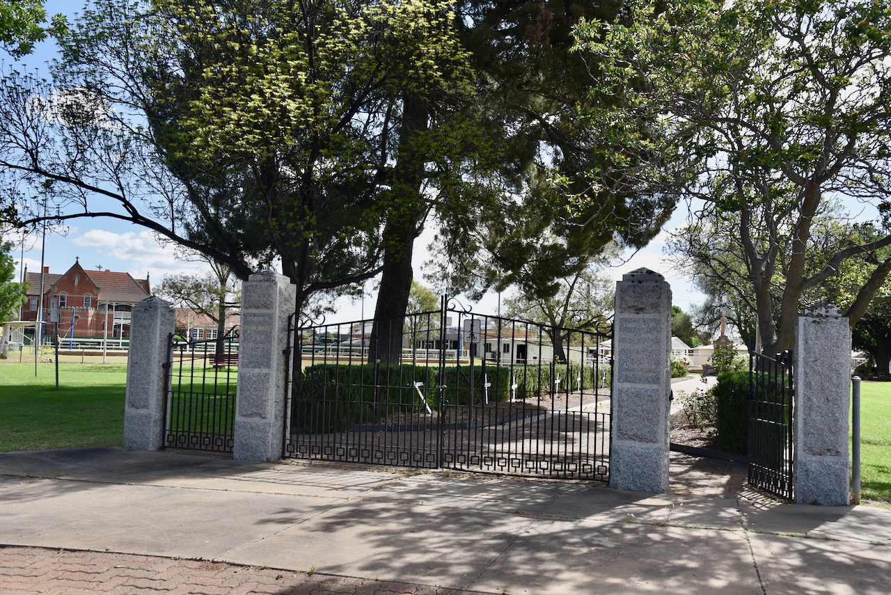
We then visited Donald Memorial Park located on the corner of Houston Street and Campbell Street. This was Donald’s first park. It contains a memorial to remember all those from the district who served in the various conflicts. It was originally erected to commemorate those killed during the First World War. (Aussie Towns 2018) (Monument Australia 2025)
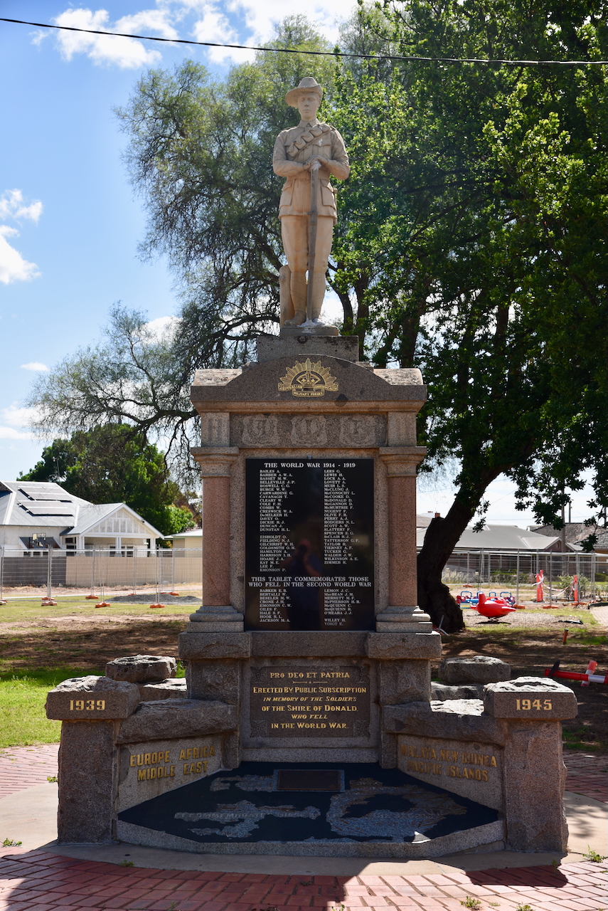
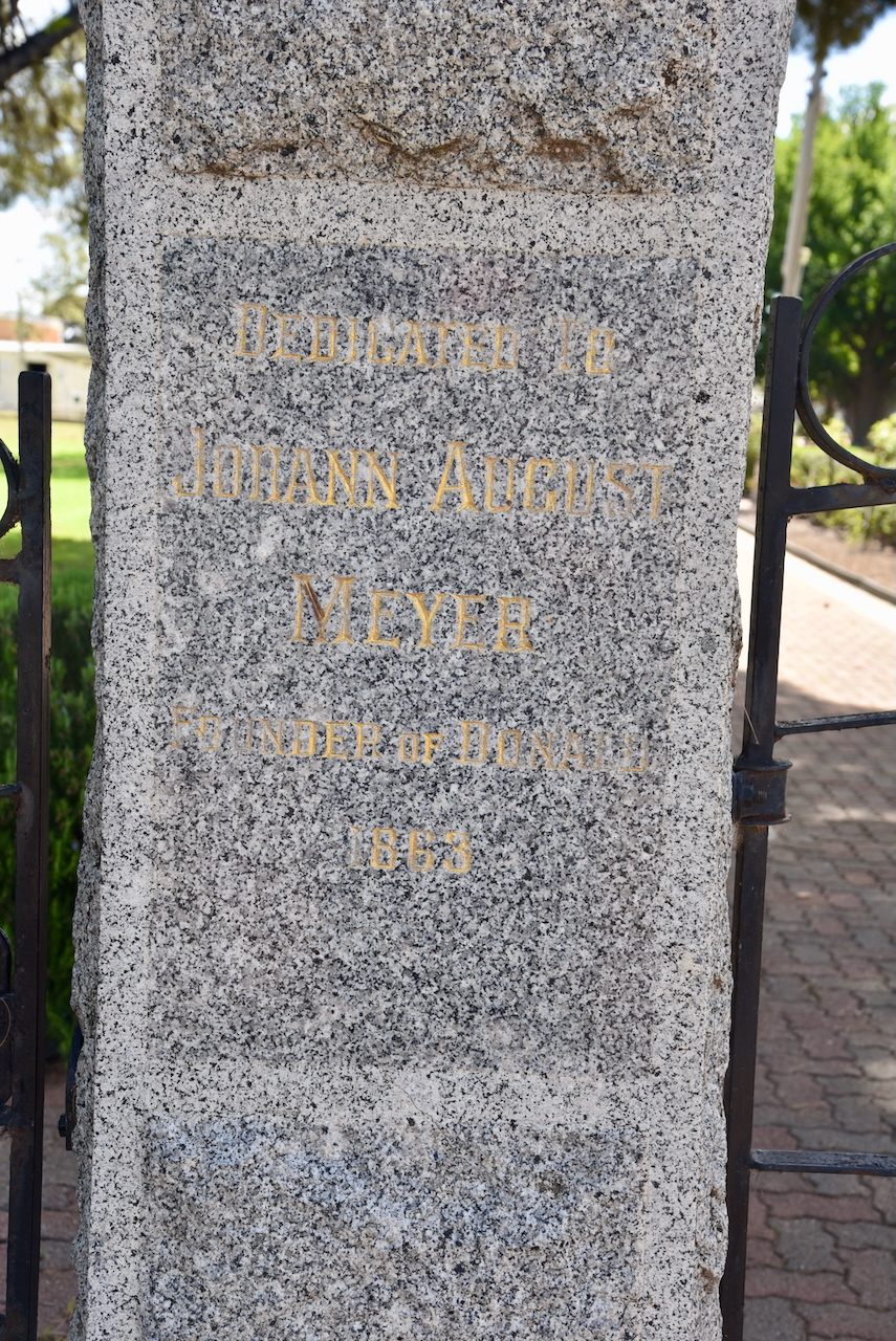
The park also has memorial gates to commemorate the founder of Donald, Johann August Meyer. The gates were erected in 1963. (Monument Australia 2025)
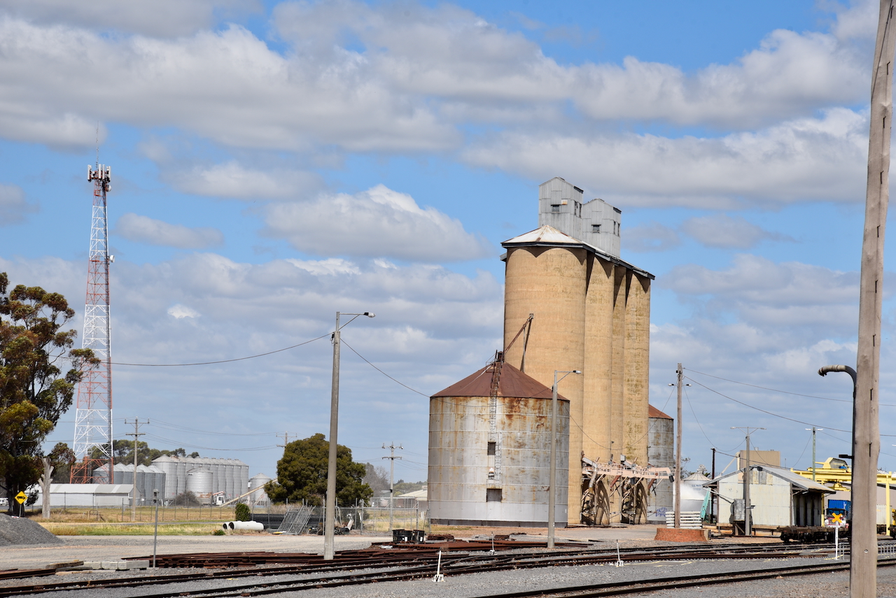
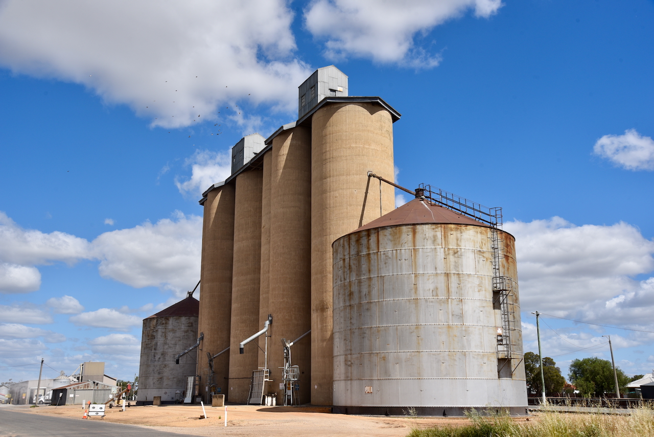
The Donald silos VK-DND3 are located in Mill Street.
Marija and I parked on Racecourse Road within the activation zone of the two silos. We operated from the 4WD, running the Icom IC-7000, 100 watts, and the Codan 9350 antenna with the 1.5-metre stainless steel whip.
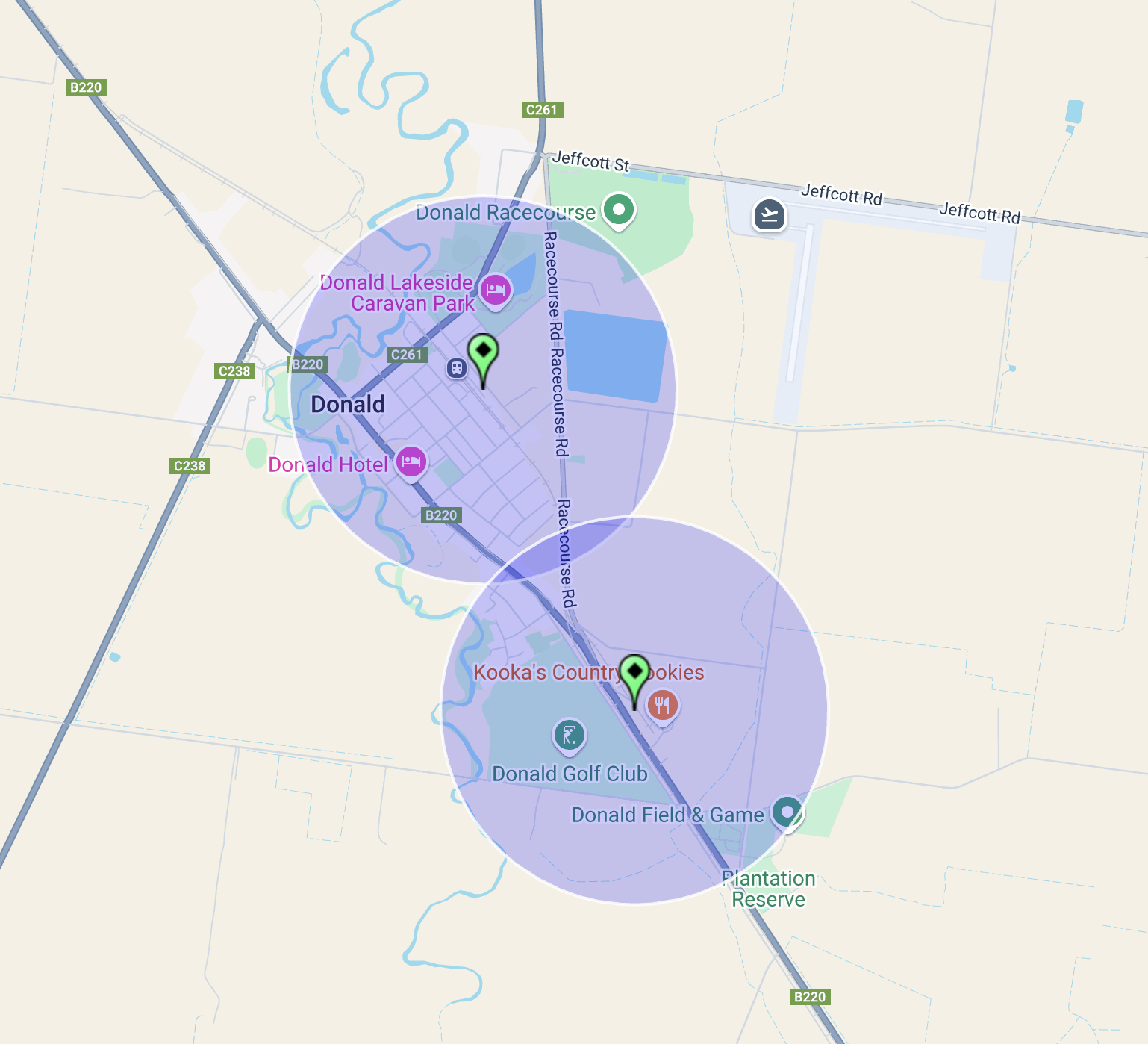
Above:- The activation zones of the two silos at Donald, Victoria. Map c/o SiOTA website.
This was probably the worst band conditions Marija and I had ever experienced. There had been a large X-class flare. We called CQ for about 10 minutes on 40m and had absolutely no takers. Fortunately, we were able to get a handful of stations each on the 20m band.
Marija worked the following stations on 20m SSB:-
- VK4PDX
- VK4JT
- VK4LMB
- VK4GRZ
I worked the following stations on 20m SSB:-
- VK4PDX
- VK4JT
- VK4LMB
- VK4GRZ
- VK4WC
References.
- Aussie Towns. (2018). Donald, VIC – Aussie Towns. [online] Available at: https://www.aussietowns.com.au/town/donald-vic [Accessed 17 Mar. 2025].
- Donaldhistory.org.au. (2018). Donald | Donald History Society Inc. [online] Available at: https://donaldhistory.org.au/welcome/donald/ [Accessed 17 Mar. 2025].
- Donaldlearninggroup.com.au. (2024). Tourism. [online] Available at: https://www.donaldlearninggroup.com.au/tourism [Accessed 19 Mar. 2025].
- Trove. (2025). HISTORY OF DONALD – No. 67 of The Weekly Times Country Towns Series – Weekly Times (Melbourne, Vic. : 1869 – 1954) – 7 Feb 1931. [online] Available at: https://trove.nla.gov.au/newspaper/article/223190398?searchTerm=country%20towns [Accessed 19 Mar. 2025].
- UBC Web Design (2025). Donald War Memorial | Monument Australia. [online] Monumentaustralia.org.au. Available at: https://www.monumentaustralia.org.au/themes/conflict/multiple/display/31041-donald-war-memorial [Accessed 19 Mar. 2025].
- UBC Web Design (2016). Johann August Meyer | Monument Australia. [online] Monumentaustralia.org.au. Available at: https://monumentaustralia.org.au/themes/people/settlement/display/31044-johann-august-meyer [Accessed 19 Mar. 2025].
- Wikipedia Contributors (2023). Richardson River (Victoria). Wikipedia.
