
It was now Friday 25th October 2024, with the 2024 VKFF National Get-Together commencing with a Friday evening dinner.
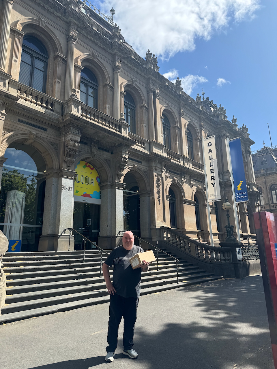
After breakfast Marija and I headed to the Bendigo Visitor Centre to collect some tourist brochures that we had arranged to pick up for the Get-Together attendee pack.
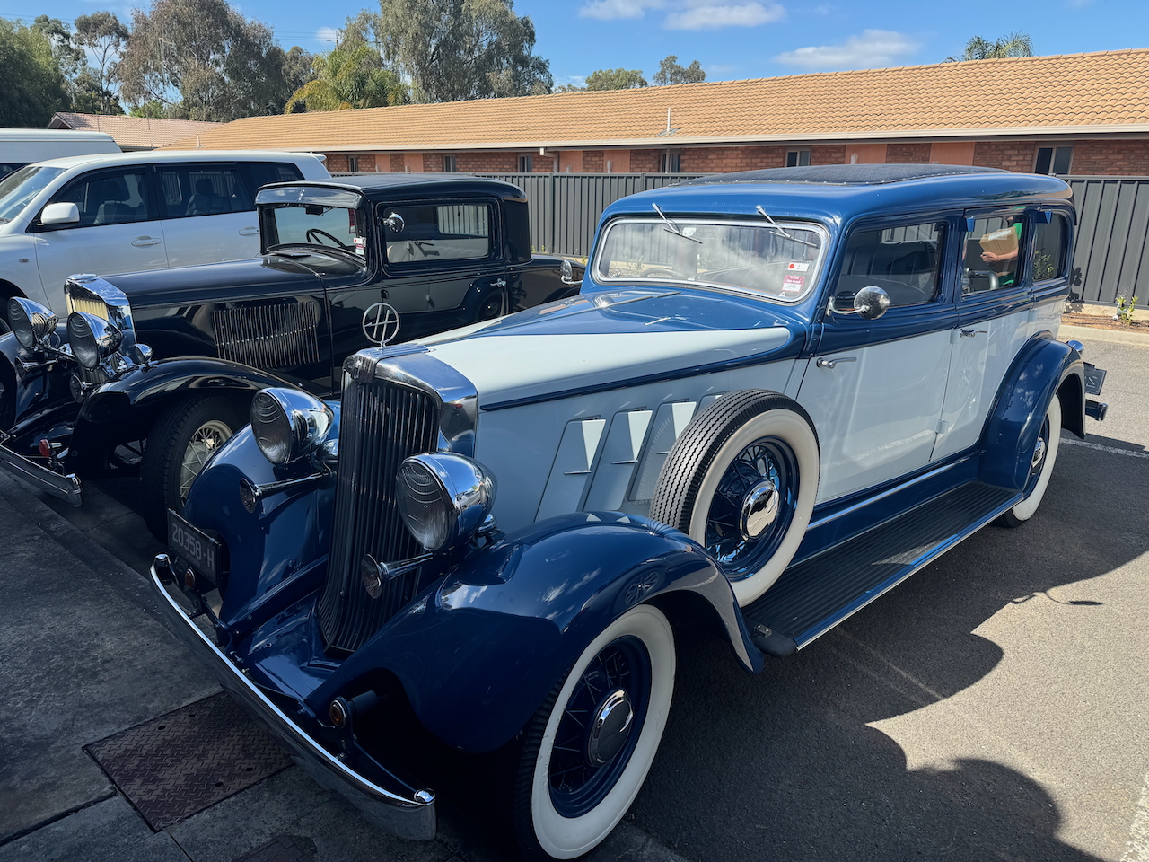
We headed back to the motel, admiring some of the collectable cars that were parked in the carpark.
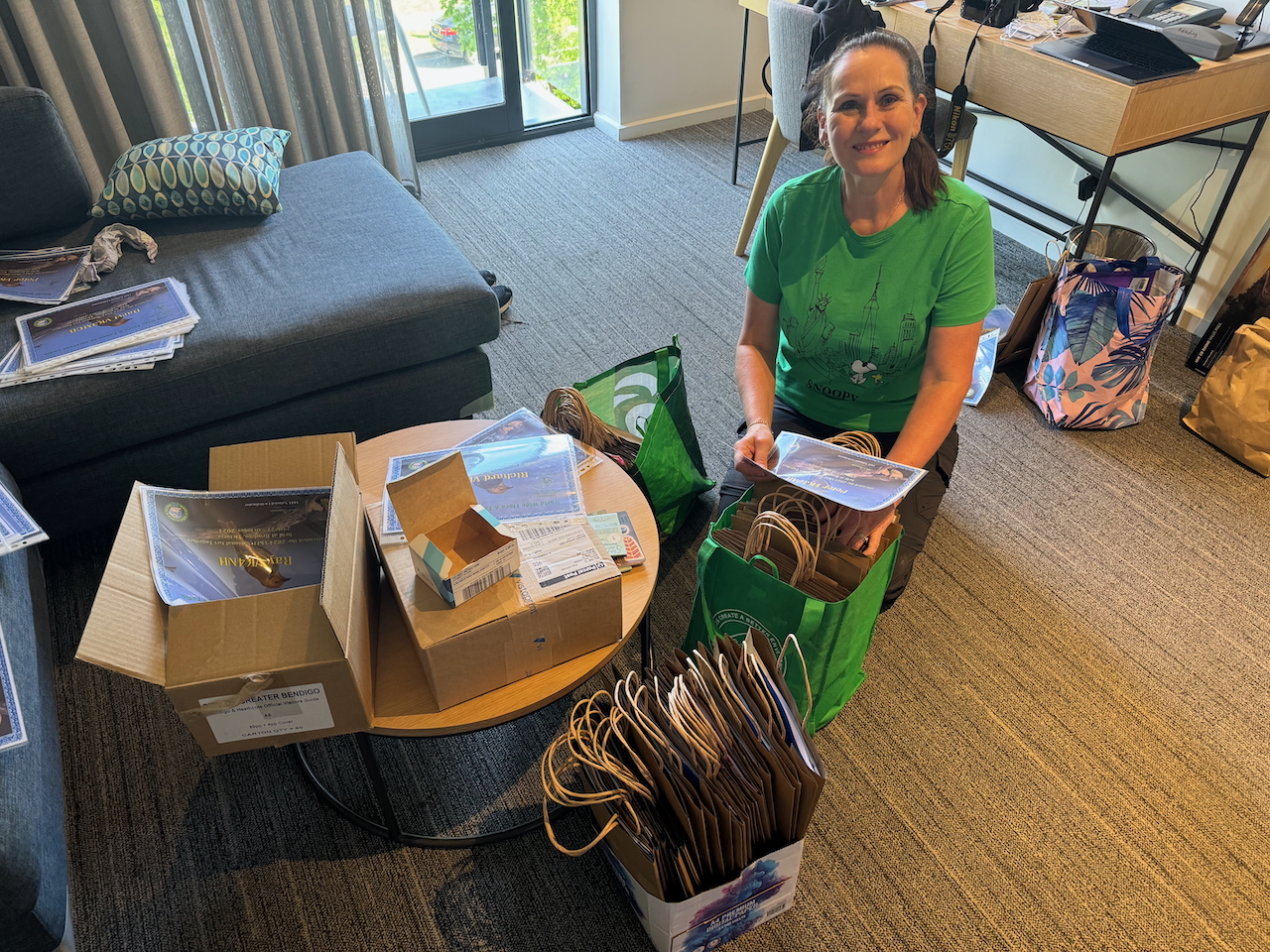
We then commenced to pack the welcome packs for all of the attendees.
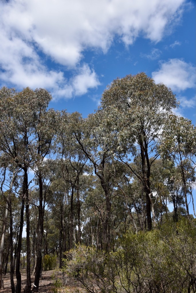
Marija decided to stay back in the motel to rehearse her presentation, while I headed out to activate the California Gully Bushland Reserve VKFF-4723.
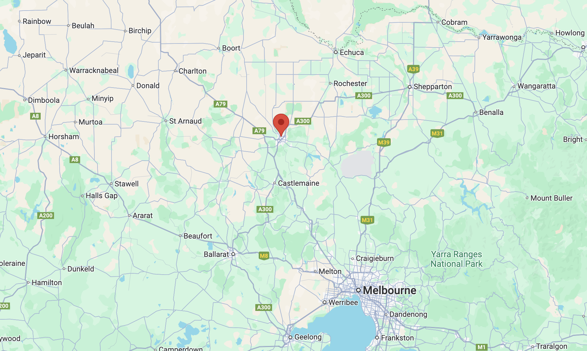
Above:- Map showing the location of the California Gully Bushland Reserve. Map c/o Google Maps.
The reserve is located in the Bendigo suburb of California Gully, about 4 km northwest of Bendigo city centre. In April 1852 gold was discovered in California Gully and a rush followed of miners from the Californian gold diggings. About 18,000 miners from California came to the area. As a result, the area was known as California Gully. (Victorianplaces.com.au, 2015)
By the 1870s the area saw a large influx of Cornish miners. A township was formed on Eaglehawk Road. The White Horse Hotel was built during the 1870s. In 1883 a large school was built on the west side of the town on an elevated site known as Bell Topper Hill. Its name comes from the English miners making a bonfire on their bell topper hats. (Victorianplaces.com.au, 2015)
The mines at California Gully had a long production period. One of those was the North Johnson group which operated from 1861 to 1920 and yielded over 320,000 oz. of gold and £334,020 dividends, after commencing in 1853. (Heritage, 2017) (Victorianplaces.com.au, 2015)
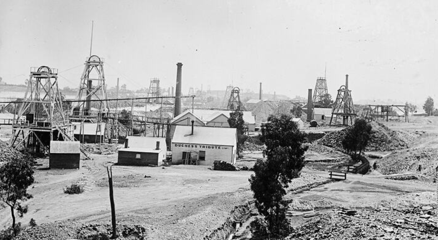
Above:- California Gully, c. 1895. Image c/o Museums Victoria.
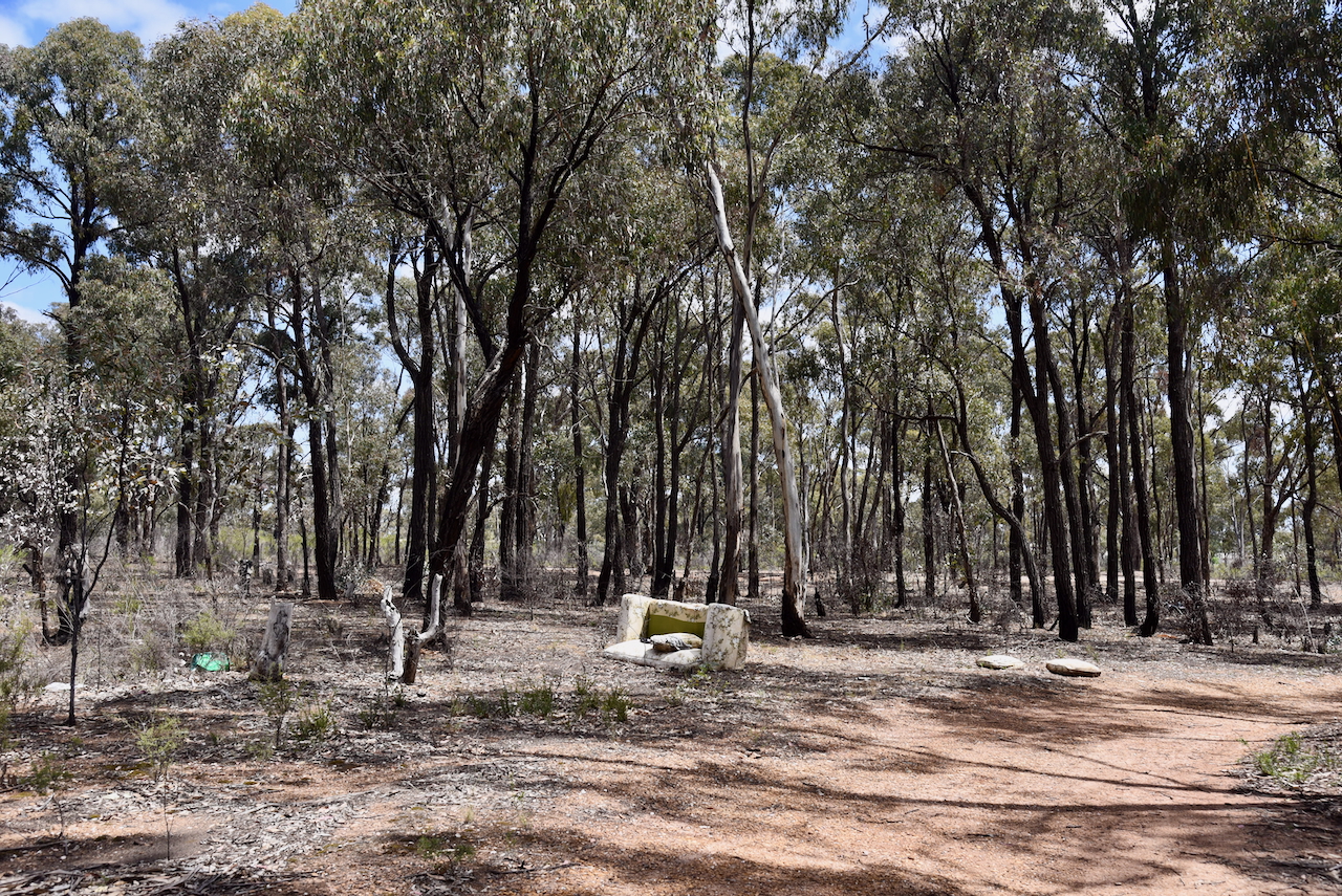
Sadly, as I drove into the reserve I noticed rubbish everywhere. Clearly some of the good people of Bendigo use the reserve as a dumping point for their rubbish.
The reserve is located between Prouses Road, Holdsworth Road, Sandhurst Road and Jobs Gully Road.
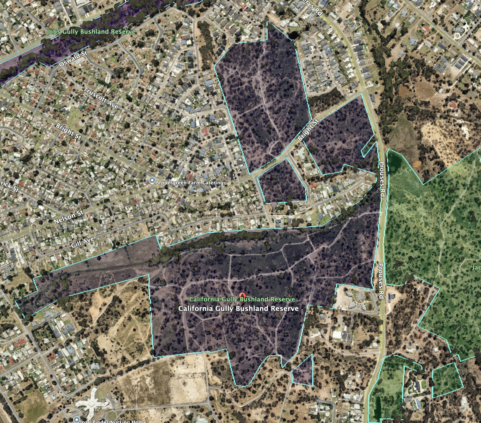
Above:- Aerial view of the California Gully Bushland Reserve. Image c/o Google Earth
The reserve is about 48 hectares in size and was established on the 26th day of February 2002. (CAPAD 2022)
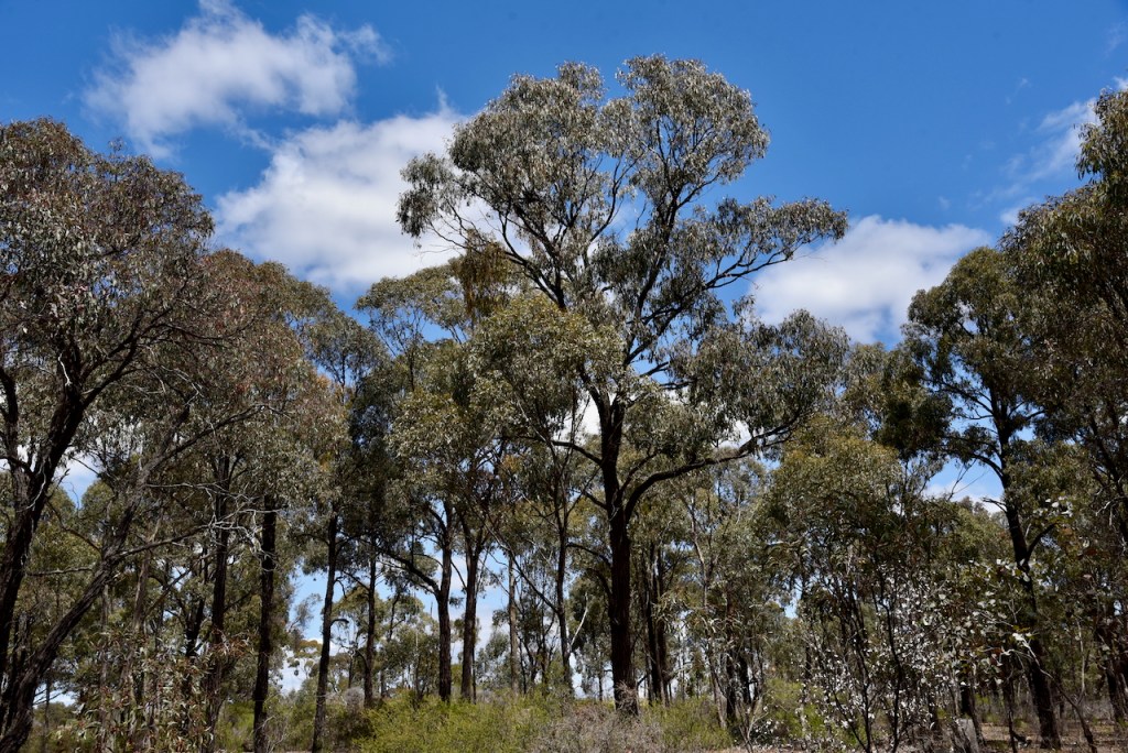
I drove into the park via a 4WD track. I ran the Yaesu FT857, 40 watts, and the 20/40/80m linked dipole for this activation.
I logged a total of 46 stations including 8 Park to Park QSOs.
It was a pleasure to log Lew VK5DU at his very first park activation.
I worked the following stations on 40m SSB:-
- VK3WSG
- VK3UH
- VK3MGM
- VK2IO/P (Gemmill Swamp Wildlife Reserve VKFF-2318)
- VK2GEZ/P (Gemmill Swamp Wildlife Reserve VKFF-2318)
- VK3CWF
- VK1CHW/P (Waranga H116 Bushland Reserve VKFF-6020)
- VK3VIN
- VK3LF/P (Macedon Regional Park VKFF-0972)
- VK5FR/M
- VK2LEE
- VK3APJ
- VK3HAX
- VK3KRL
- VK2USH
- VK1AD
- VK1NAM
- VK3PF
- VK1DA/P (Chiltern-Mount Pilot National Park VKFF-0620)
- VK2KYO
- VK5HS/M
- VK2KNV/M
- VK4YIA
- VK2XSE/M
- VK3GCM/P (Boort silo VK-BRZ3)
- VK3EQ/P (SOTA VK3/ VE-014 & Alpine National Park VKFF-0619)
- VK3YV/M
- VK5FL/P
- VK5DU/P (Kyeema Conservation Park VKFF-0826)
- VK3HJW
- VK3CEO
I worked the following stations on 40m AM:-
- VK3APJ
- VK5HS/M
I worked the following stations on 40m FT8:-
- VK1AD
- VK1NAM
- VK3APJ
I worked the following stations on 20m SSB:-
- VK3TKK/P (Holly Street Natural Features Reserve VKFF-5138)
- VK2VW
- VK2HFI
- VK2AKA
- VK2BUG
- VK2LEE
- VK4CEG
- VK2FR
- VK5QA/P
I worked the following station on 20m FT8:-
- VK3VB
References.
- Dcceew.gov.au. (2023). Collaborative Australian Protected Areas Database (CAPAD) 2022 – DCCEEW. [online] Available at: https://www.dcceew.gov.au/environment/land/nrs/science/capad/2022 [Accessed 24 Mar. 2025].
- Heritage (2017). Heritage. [online] Heritage. Available at: https://www.heritage.vic.gov.au/. [Accessed 24 Mar. 2025].
- Victorianplaces.com.au. (2015). California Gully | Victorian Places. [online] Available at: https://www.victorianplaces.com.au/california-gully [Accessed 24 Mar. 2025].
