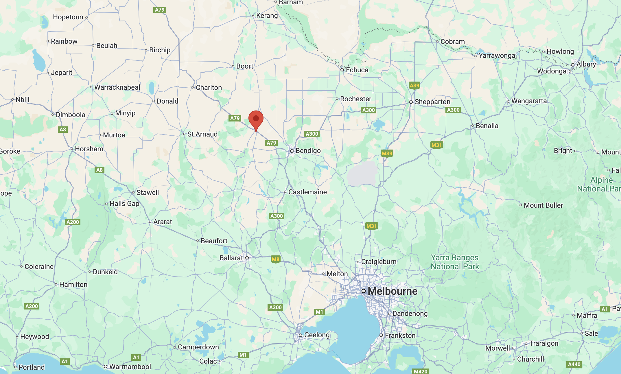
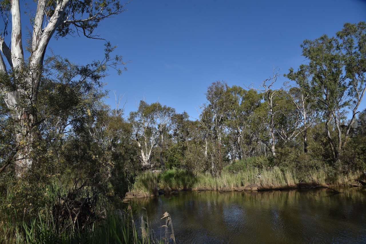
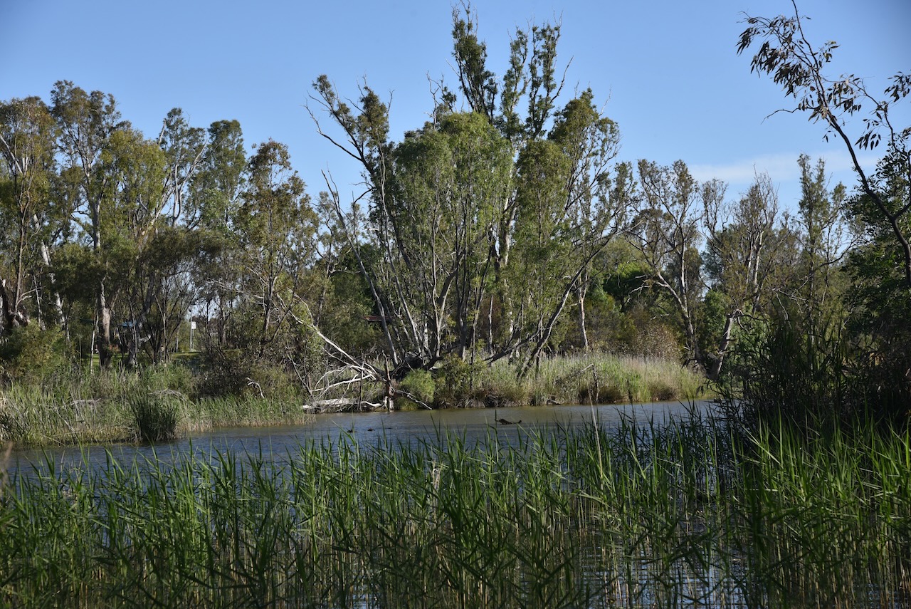
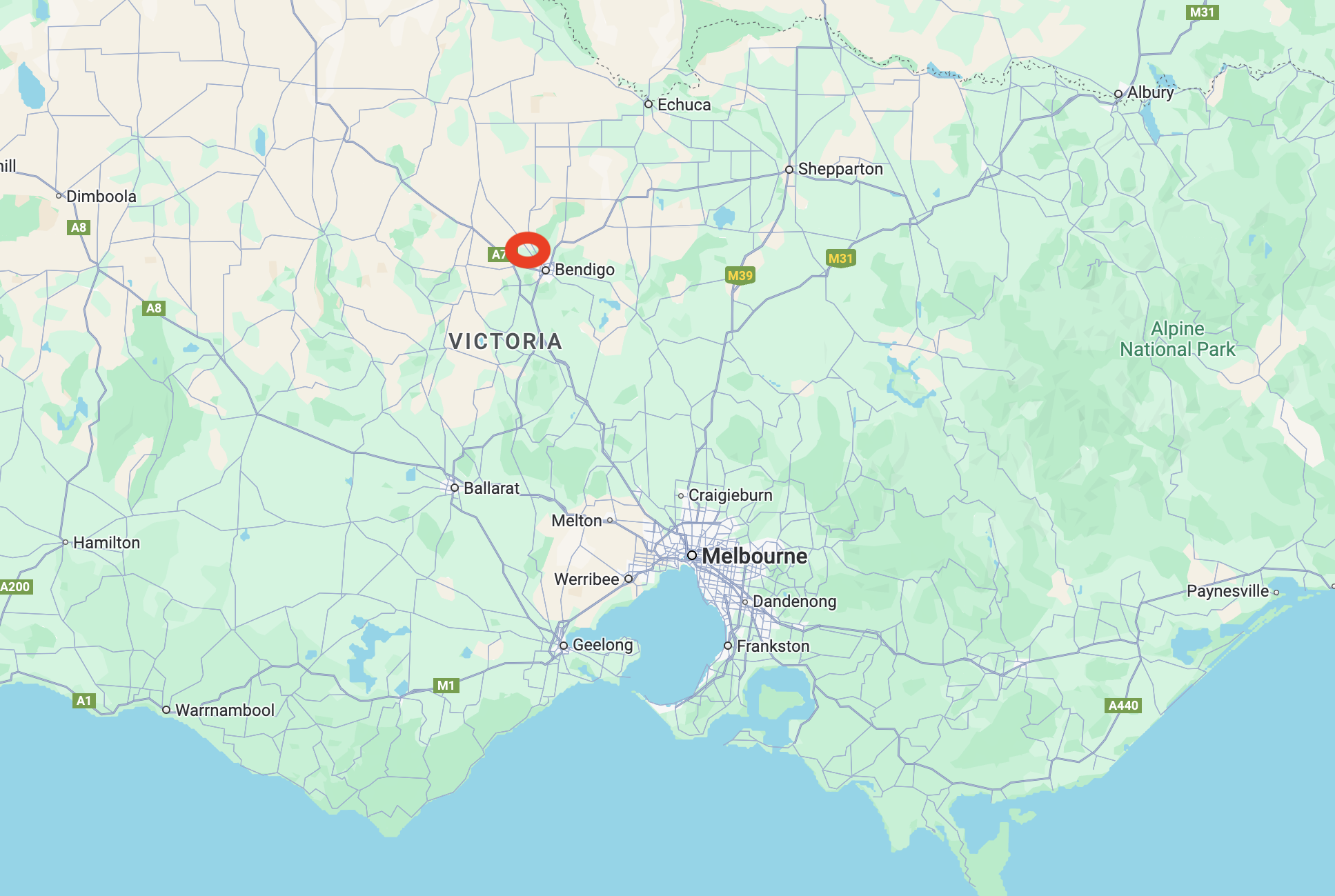
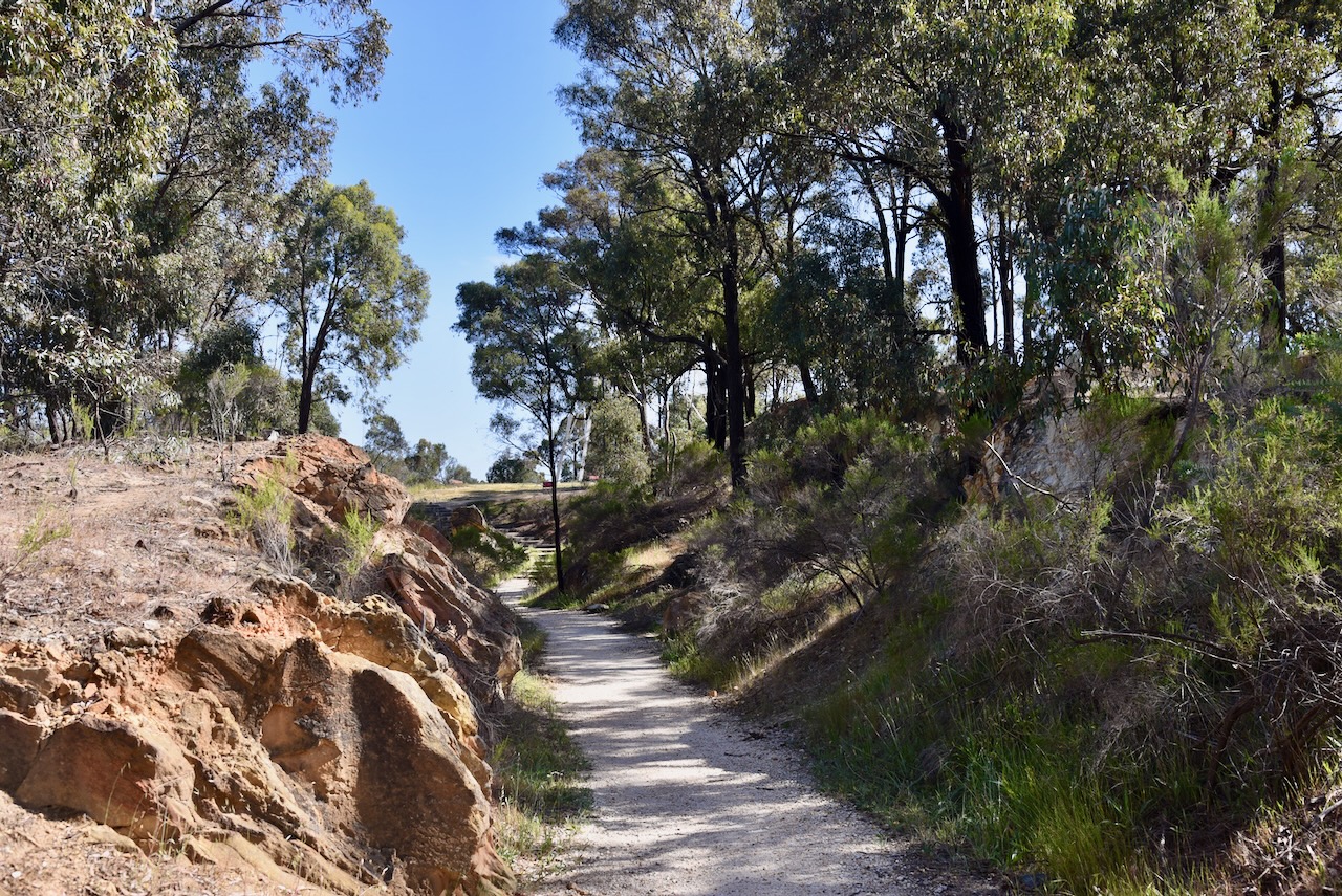
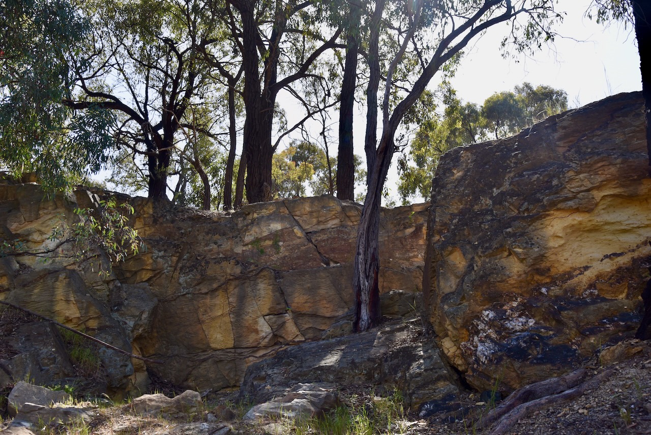
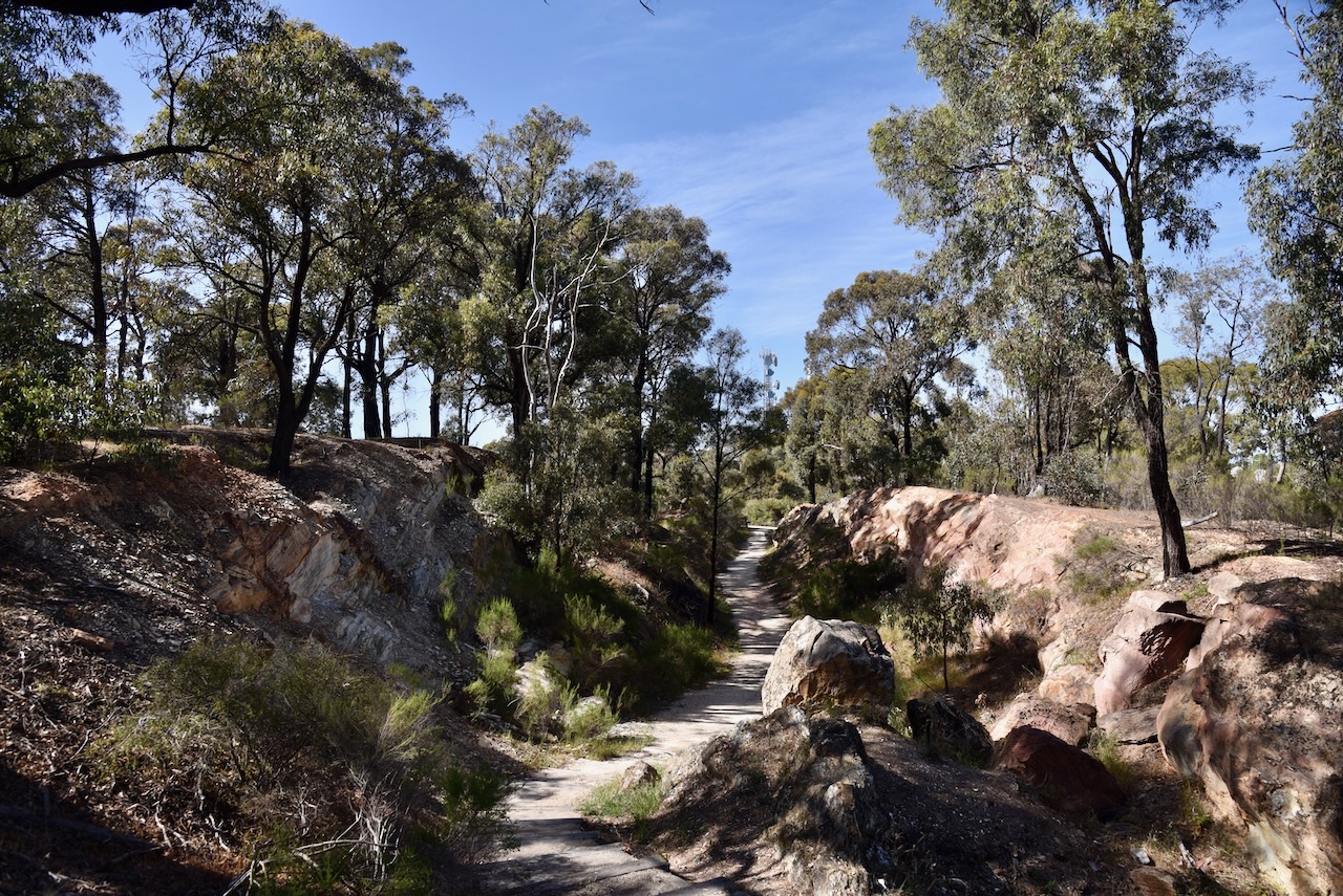
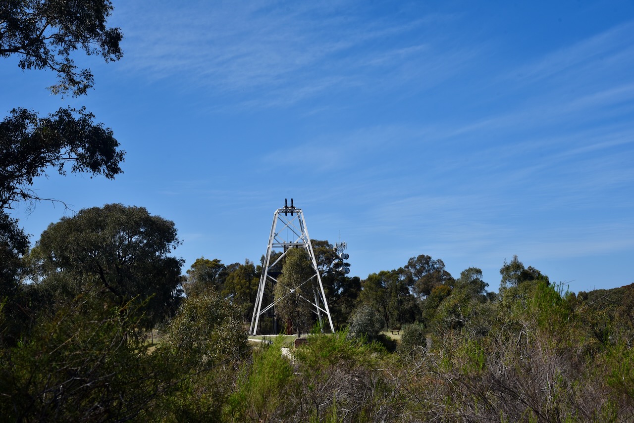
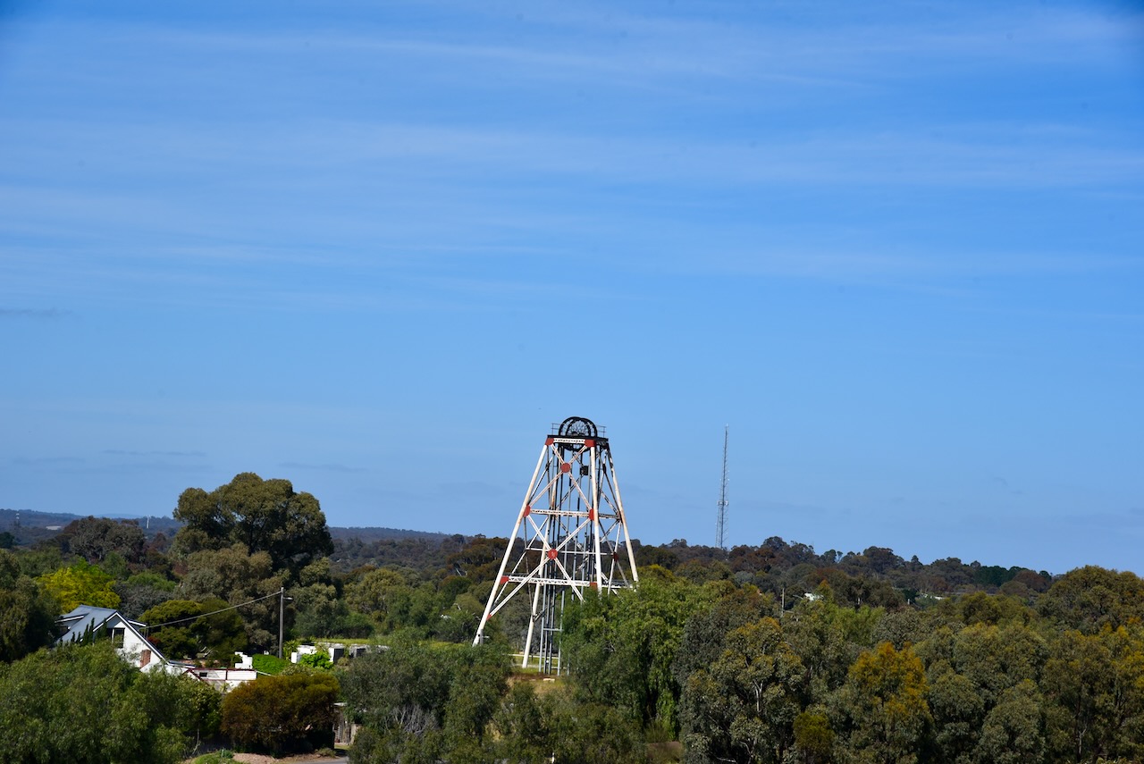
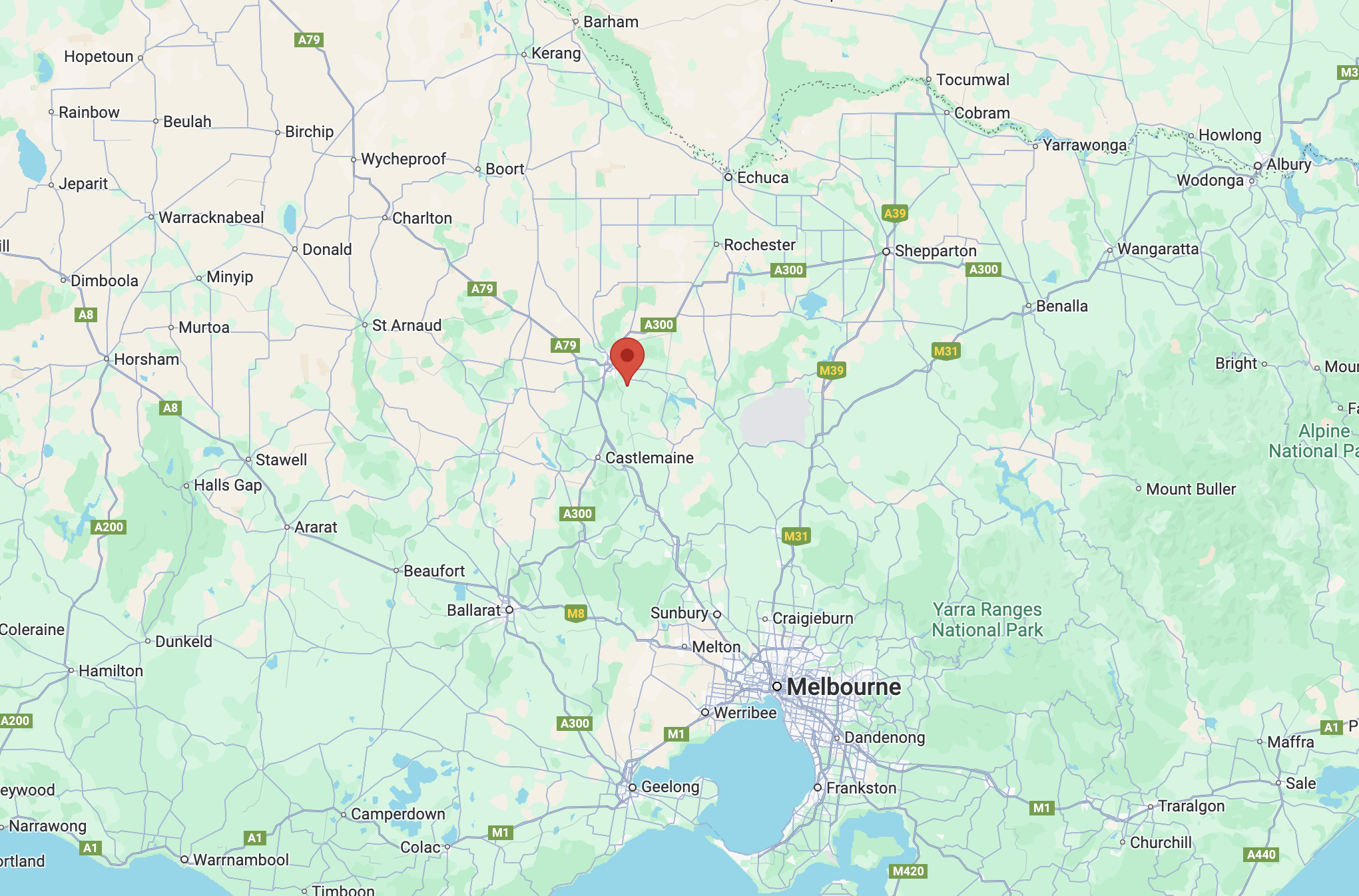
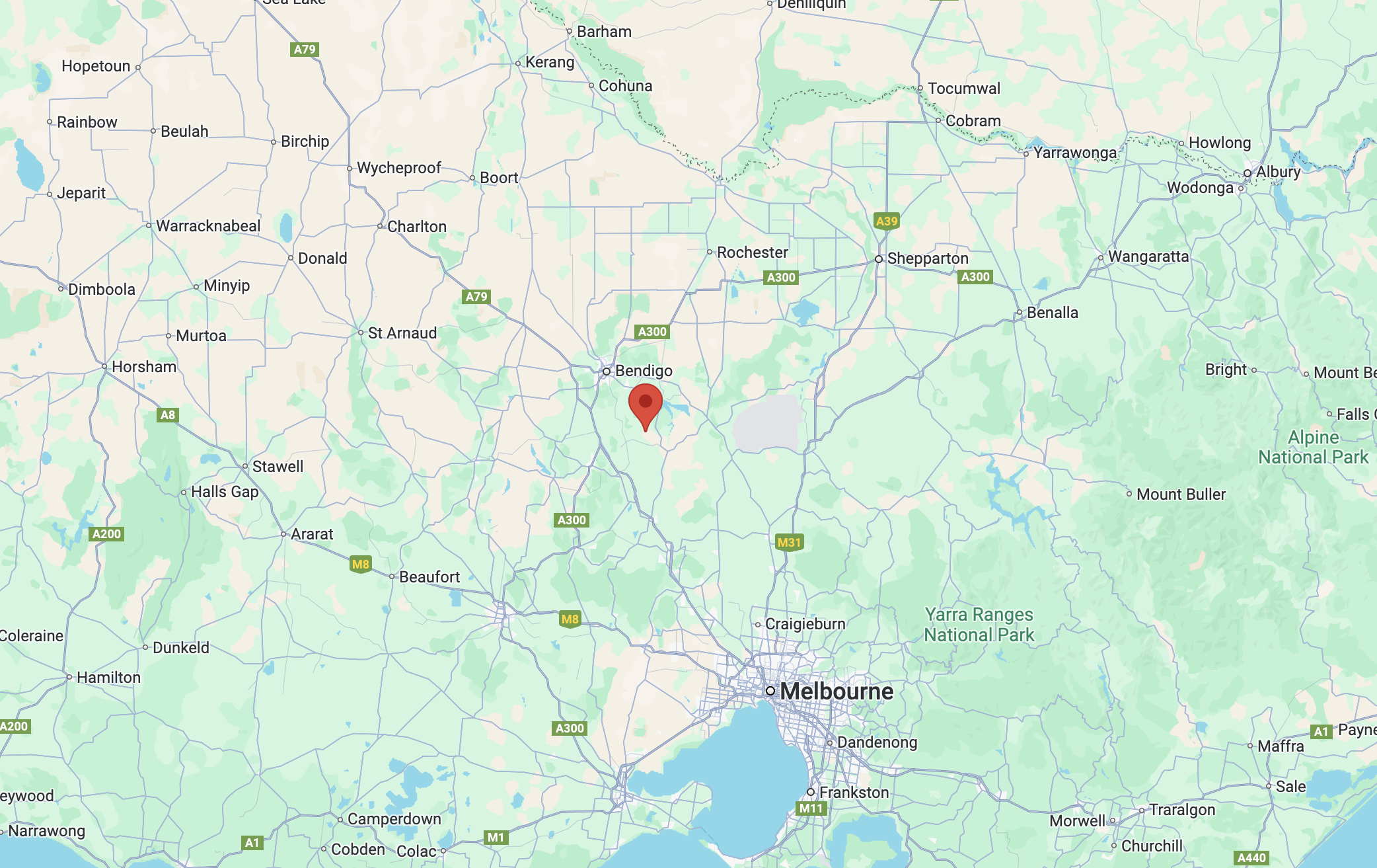
Our final activation for Monday, 28th October 2024, was the Wilsons Hill Nature Conservation Reserve VKFF-2230. The park is about 17 km west of Bendigo in central Victoria.
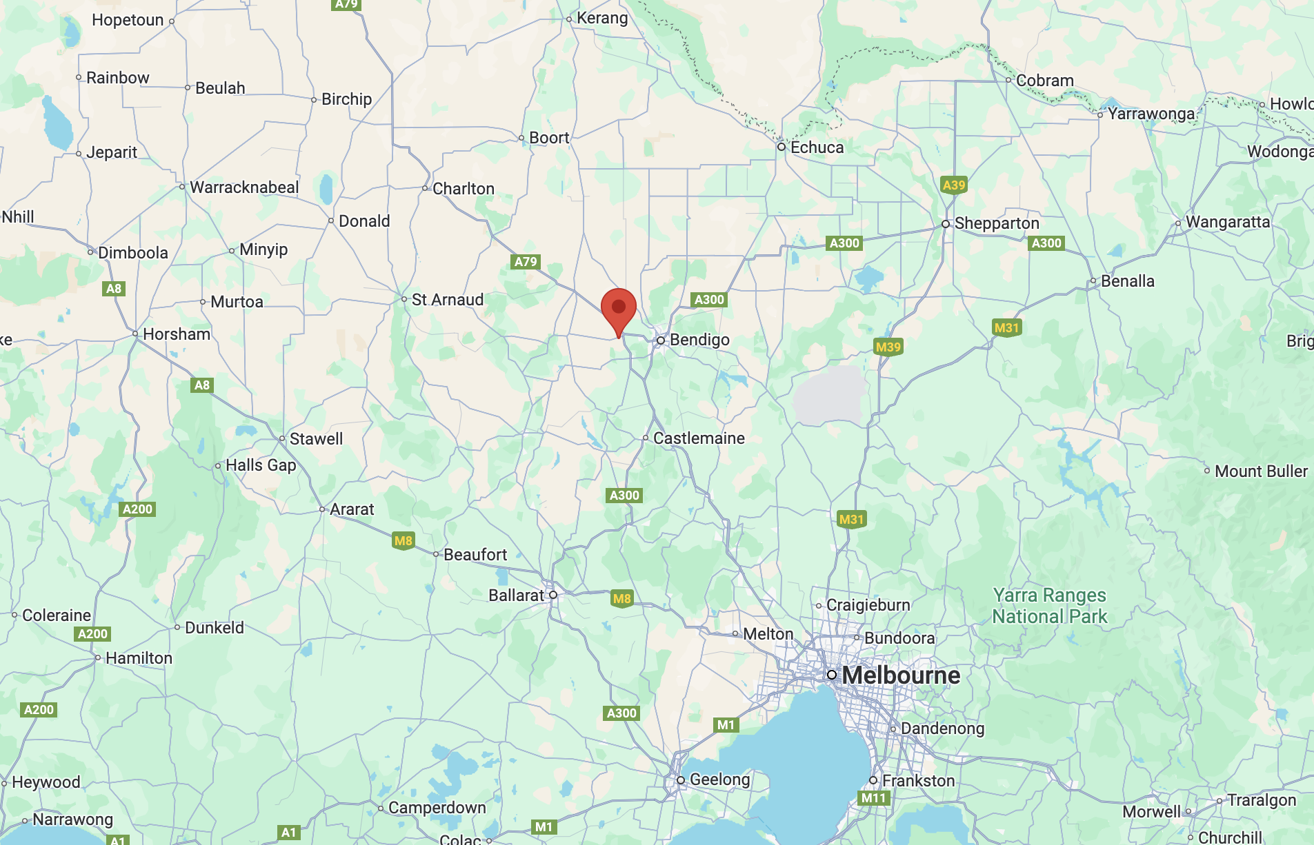
Above:- Map showing the location of Wilsons Hill NCR. Map c/o Google Map.
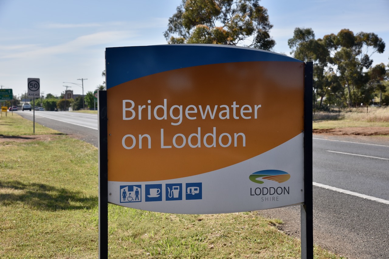
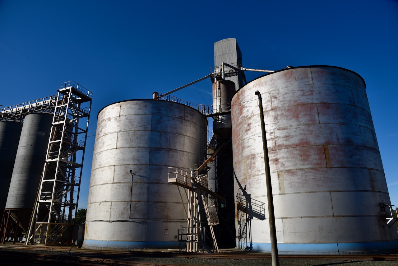
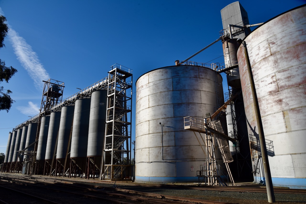
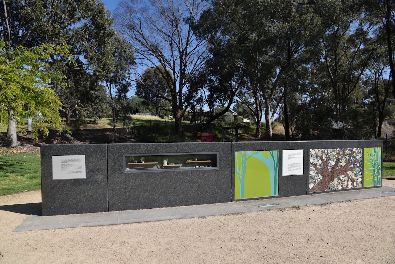
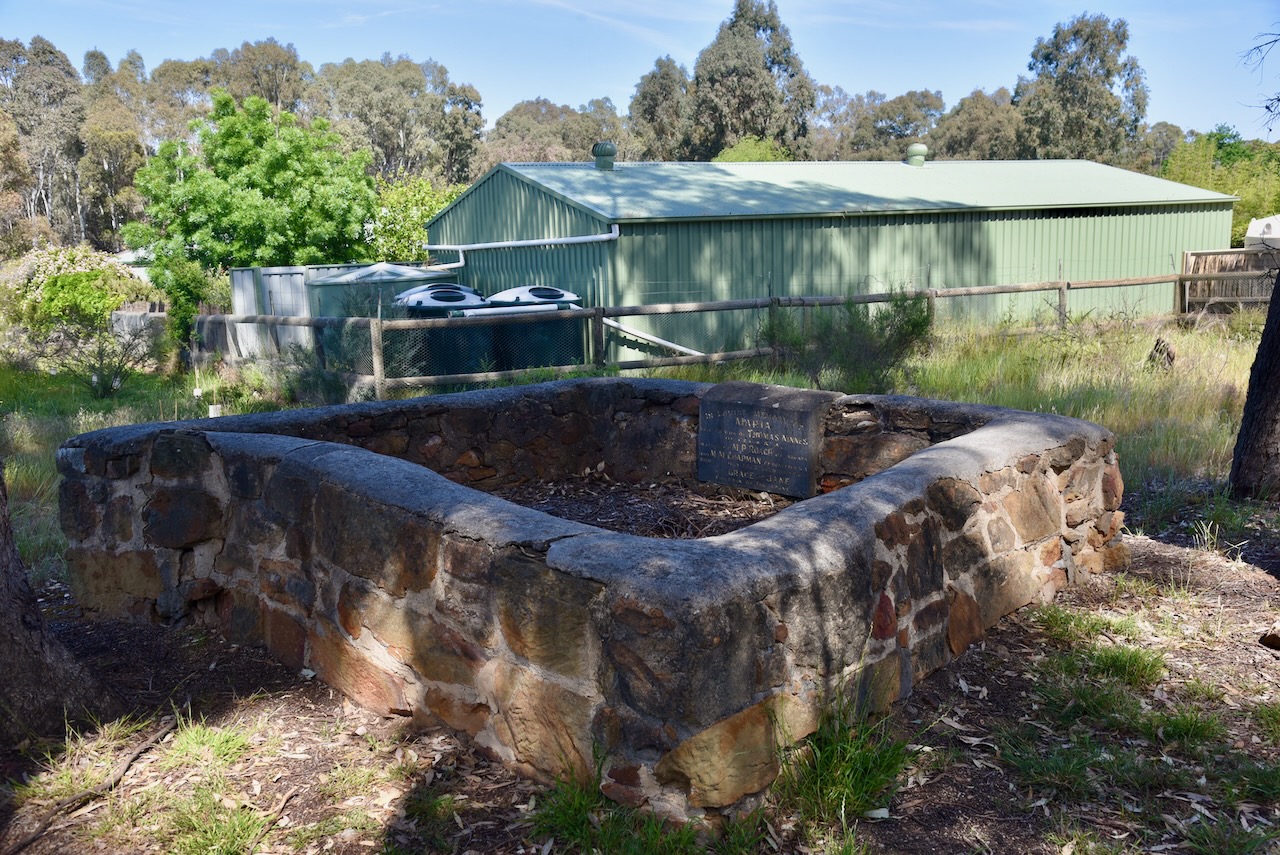
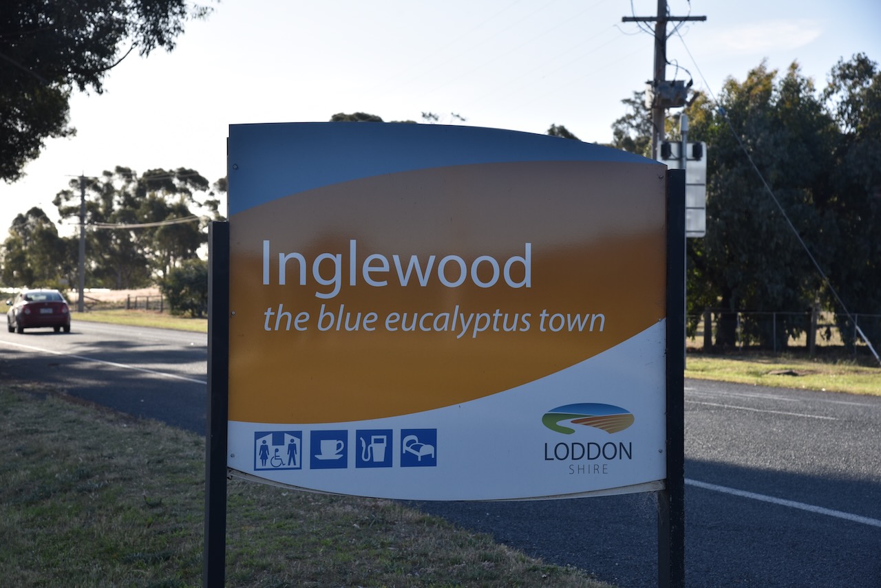
Before activating the park, we strolled around the historic town of Inglewood.
Prior to European settlement, the Inglewood region was home to the Taurngurong Aboriginal people. The first Europeans in the area were graziers who settled in the area during the 1840s. During the 1850s, the Loddon and Glenalbyn pastoral runs were established. (Aussie Towns, 2020)
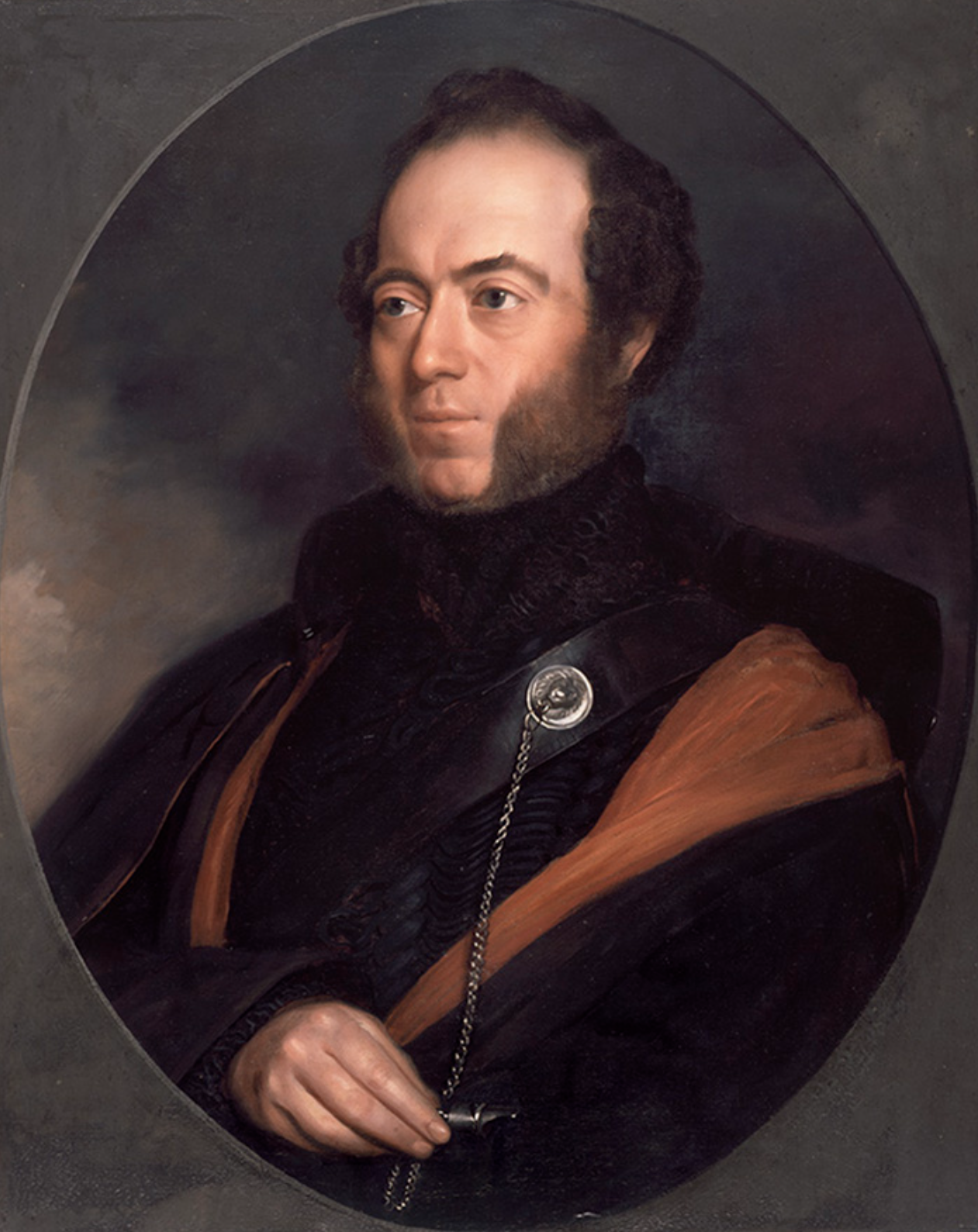
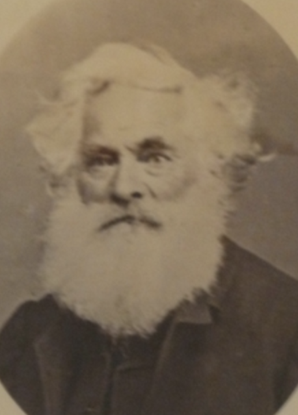
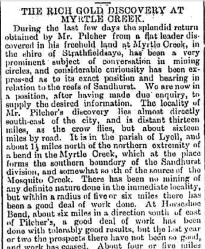
Gold was discovered in the area in mid-1852, and a town sprang up as a result. The Reverend William Hall (b. 1811. d. 1887) owned Glenalbyn run, and it is believed that Inglewood was named at the suggestion of his wife, who came from Inglewood Forest, Cumberland, England. Virtually nothing remains of the town, known as Old Inglewood (Victorianplaces.com.au, 2015)
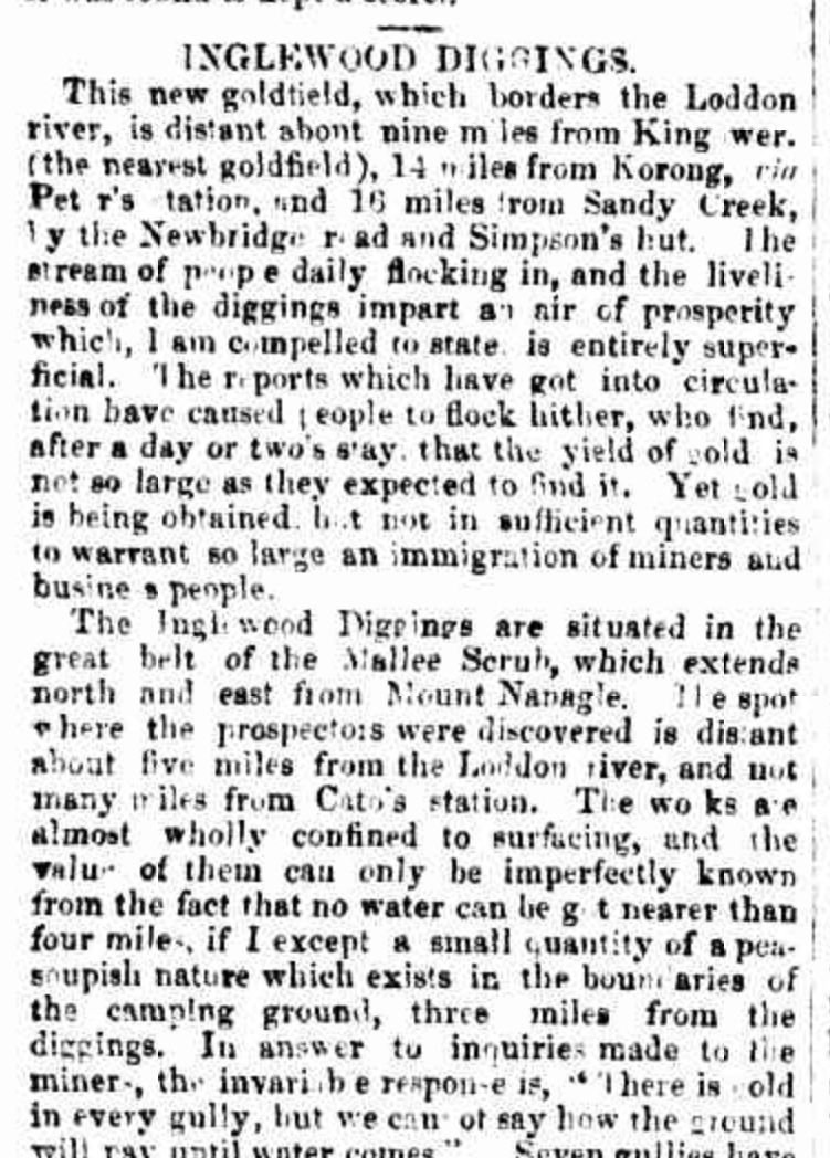
Above:- Part of an article from the Bendigo Advertiser, Tues 13 Dec 1859. Image c/o Trove.
In 1860, gold was discovered near the northern end of the present township of Inglewood. This resulted in the establishment of a more permanent township of Inglewood. At its peak, the goldfield at Inglewood had over 10,000 miners. (Victorianplaces.com.au, 2015)
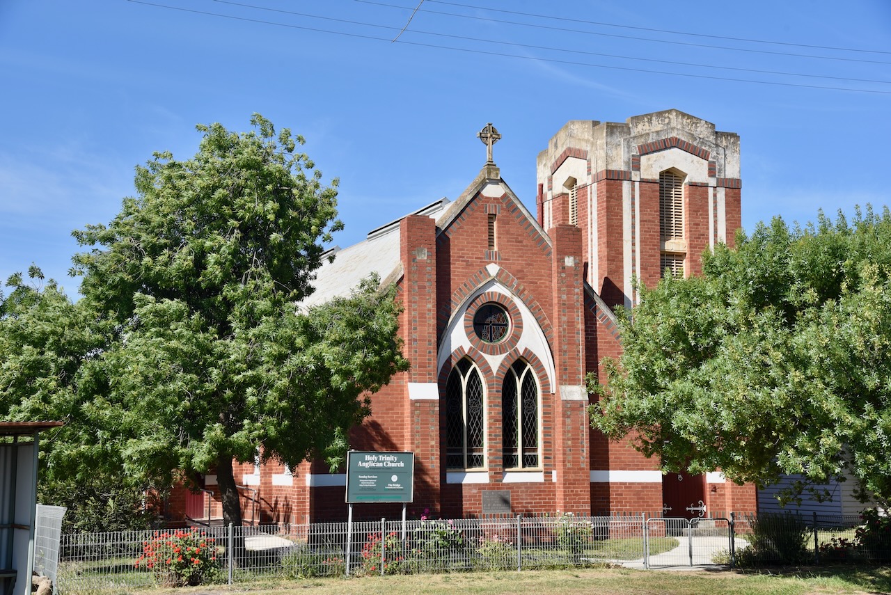
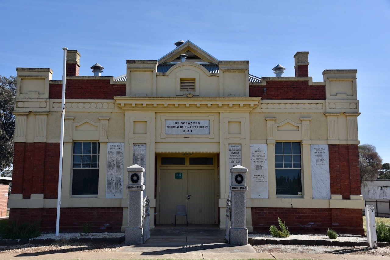
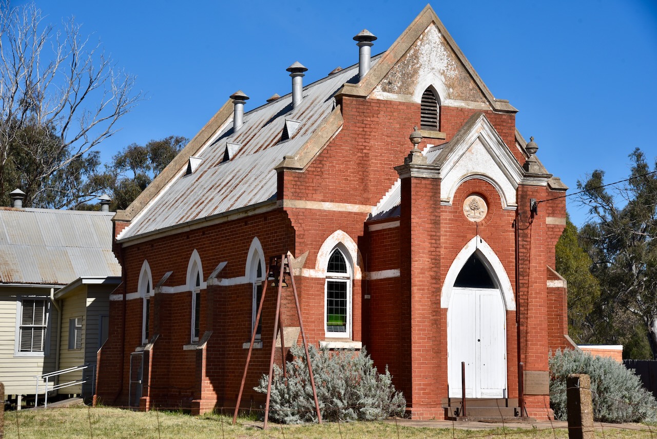
In 1863, a Presbyterian church and a hospital were constructed. An Anglican church was built in 1864, followed by a Methodist church and a mechanics’ institute hall in 1865. In 1866, a courthouse and a fire station were opened. It is highly likely the firehouse was established as a result of a catastrophic fire in Ingelwood in 1862 that resulted in the destruction of several commercial buildings. It was described as ‘the most extensive fire that had ever occurred in the colony’. (Victorianplaces.com.au, 2015)
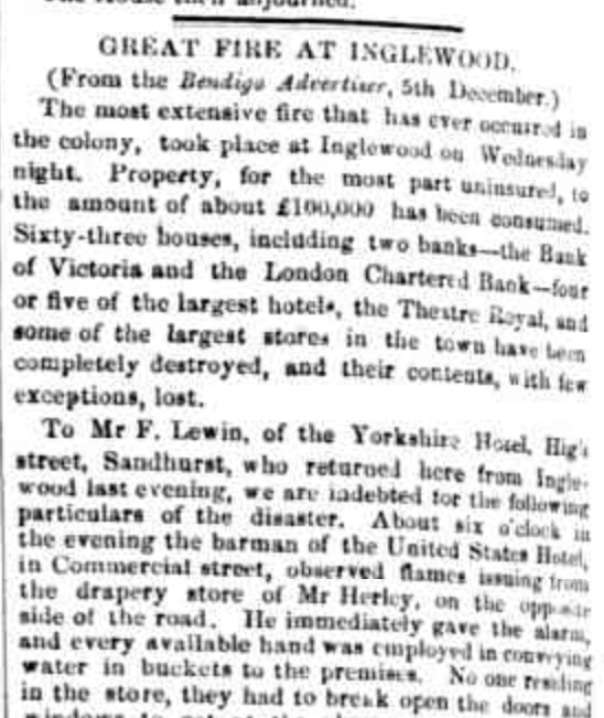
Above:- part of an article from The Star, Ballarat, Sat 6 Dec 1862. Image c/o Trove.
Below is a great video on historic Inglewood.
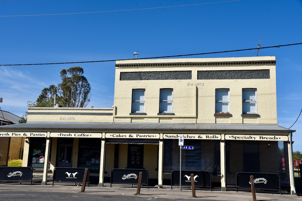
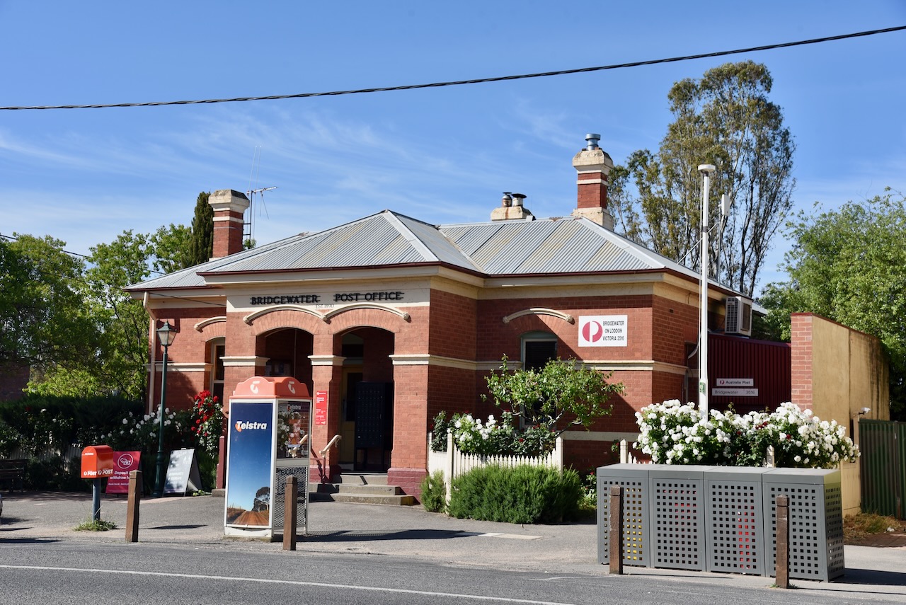
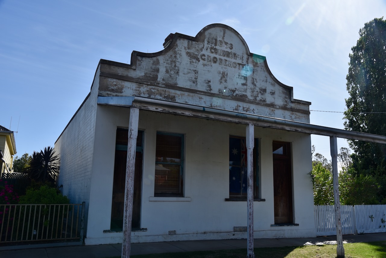
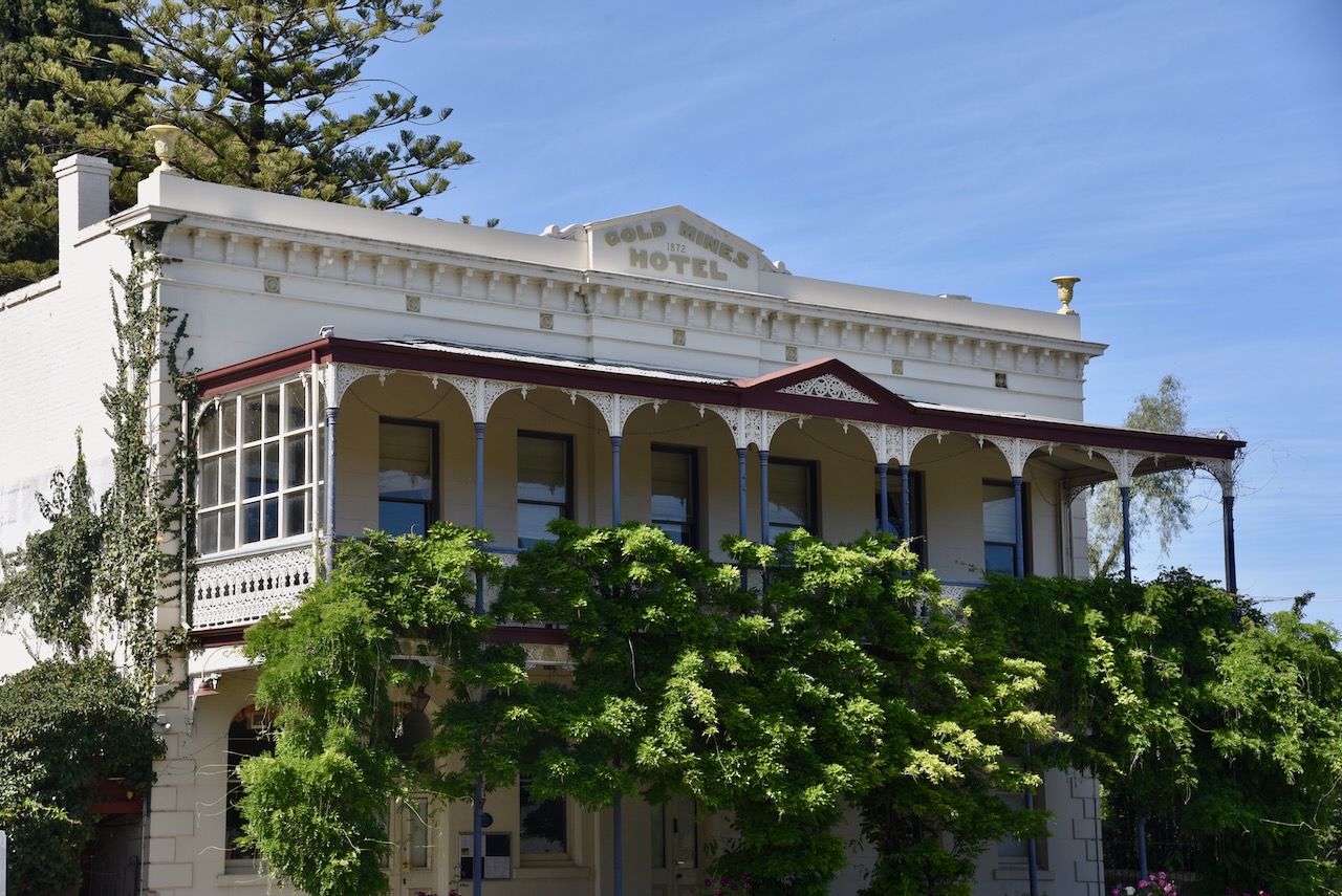
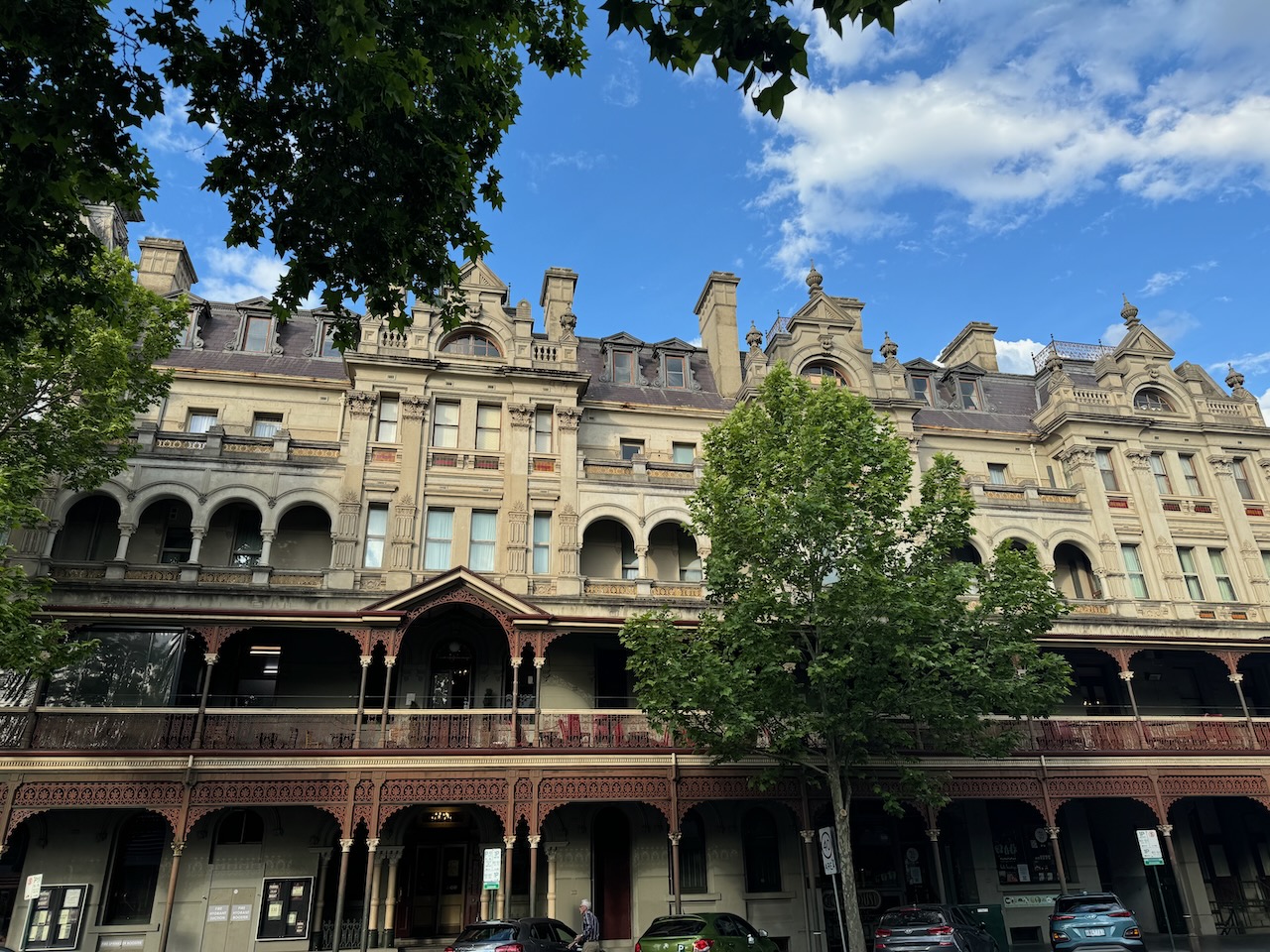
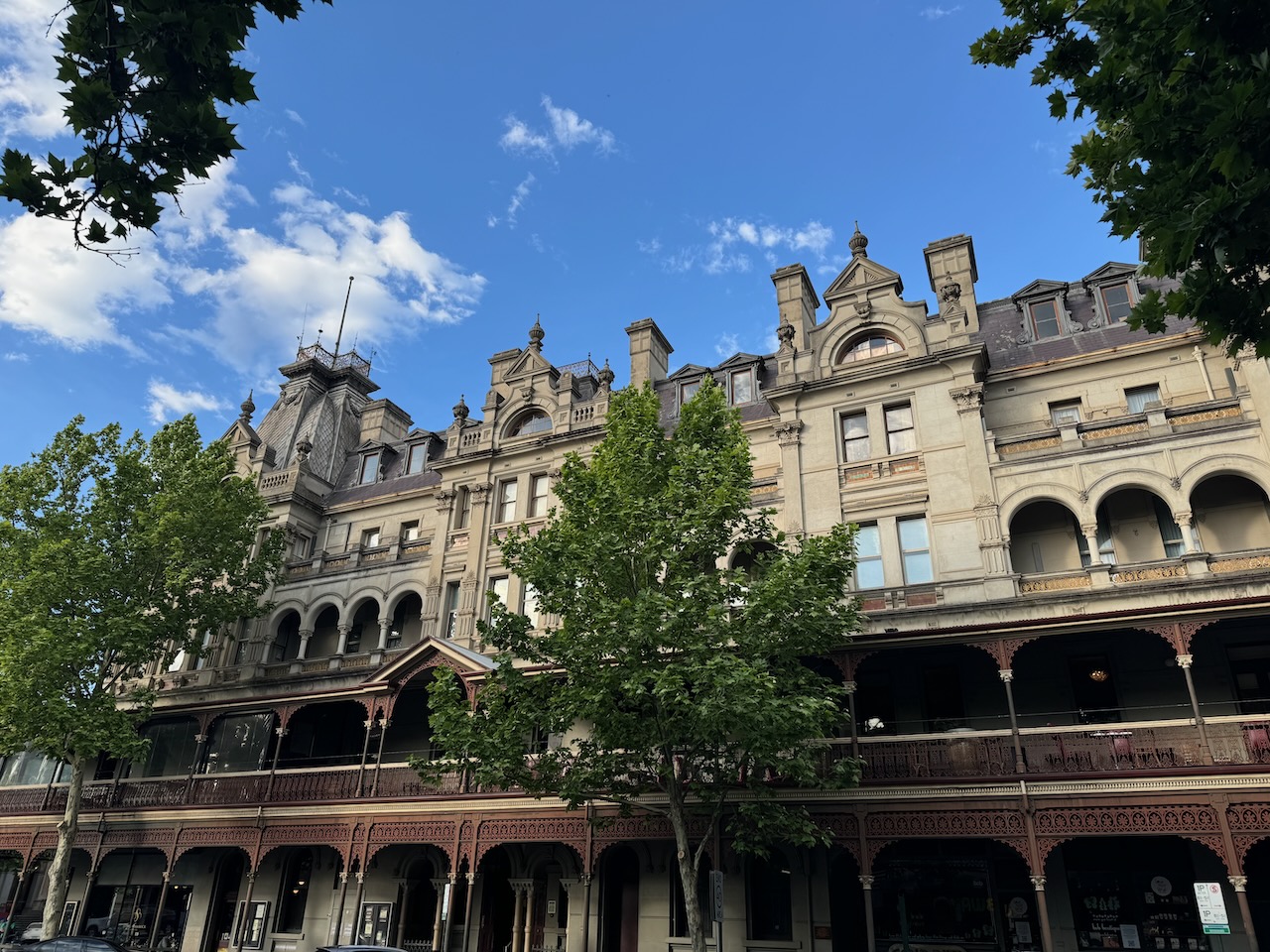
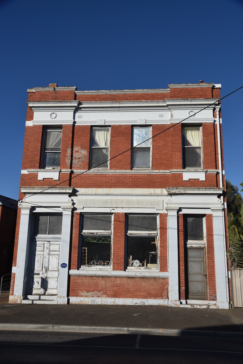
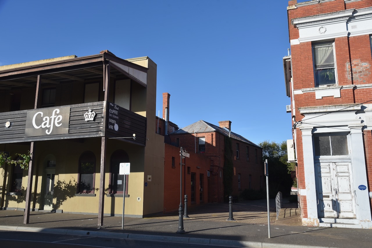
Numerous historic buildings remain in Inglewood. We spent about an hour looking around the time, but you could easily spend half a day here wandering around town. Many of the historic buildings have blue plaques that explain the history of the building.
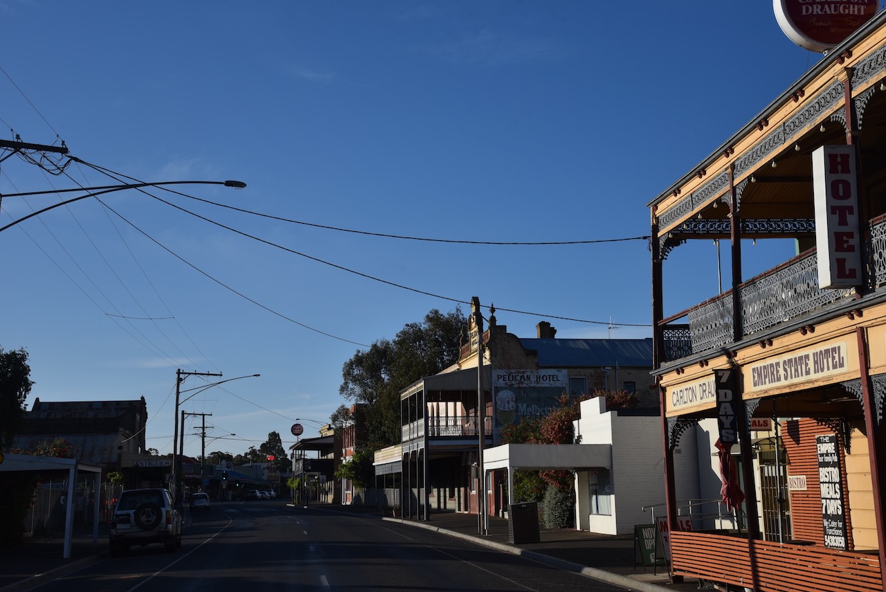
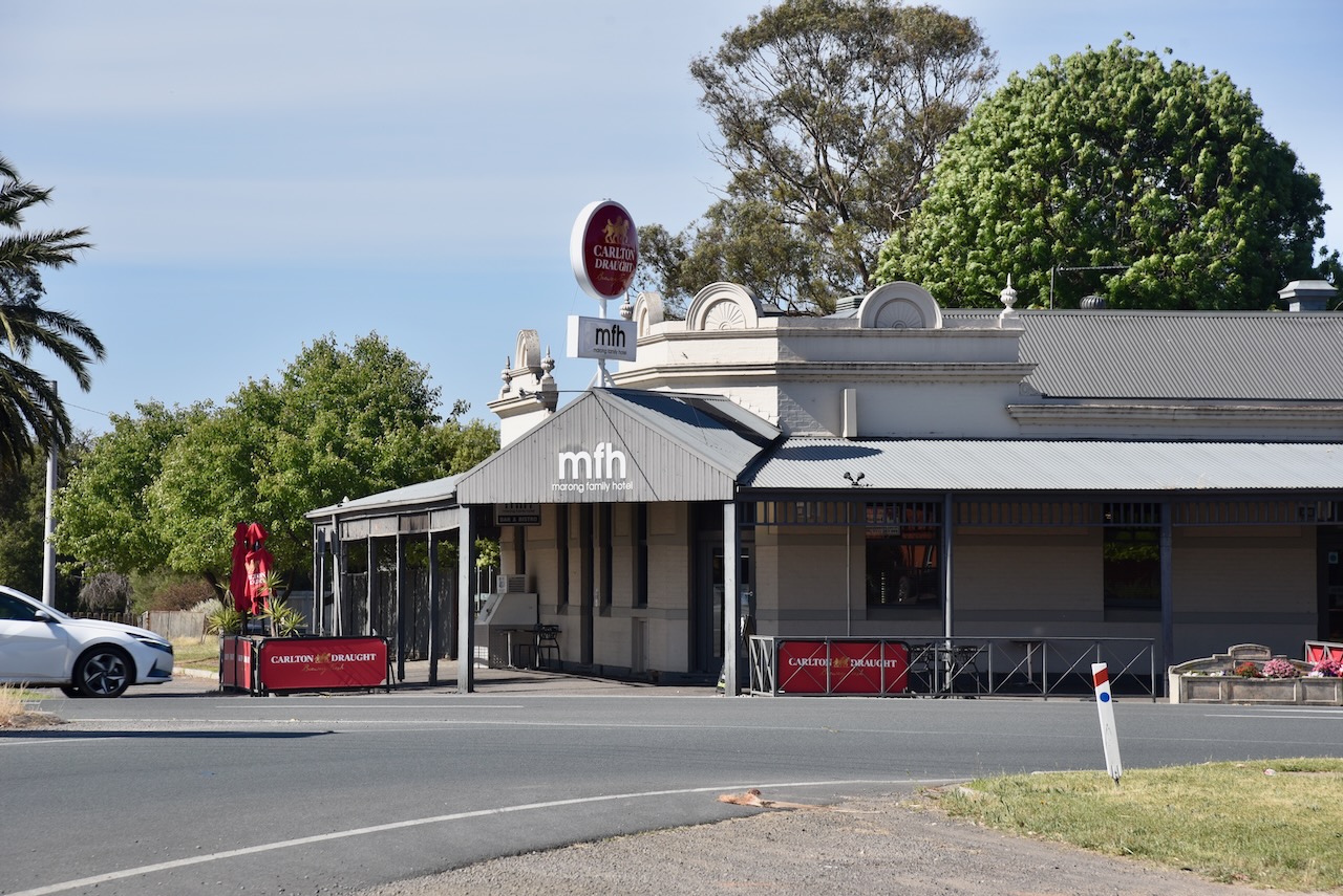
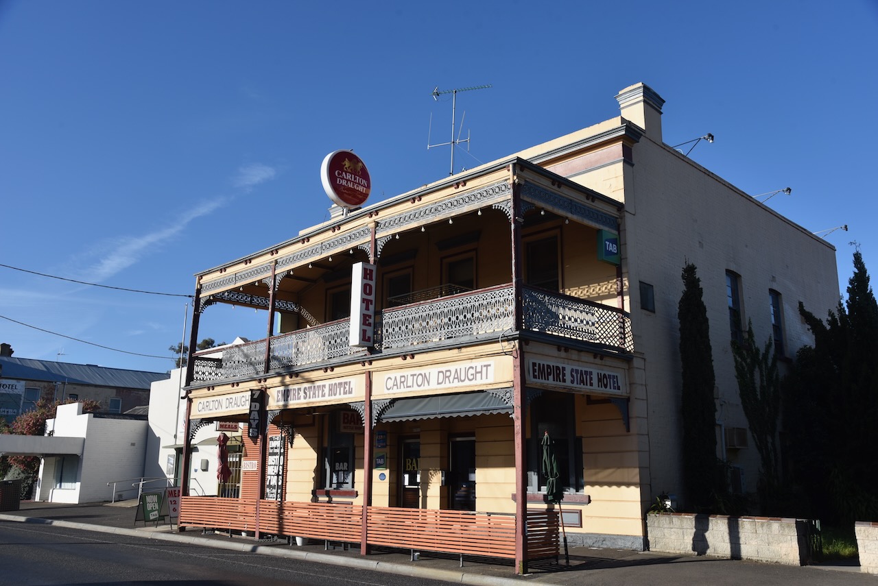
The original Empire State Hotel was built in 1861, but was destroyed during the 1862 fire. It reopened in 1873 and is Inglewood’s second oldest surviving hotel. (Chirp Internet, 2025)
I found this very interesting video on YouTube on the story behind the Empire State Hotel.
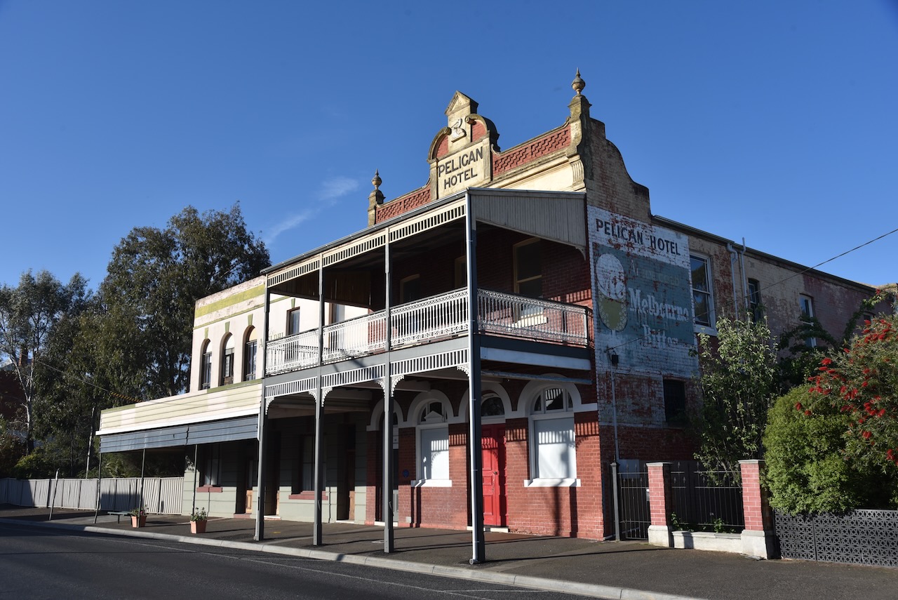
The former Pelican Hotel was built in 1907 to replace earlier hotels on the site that were destroyed during the 1862 fire. (Herald, 2024)
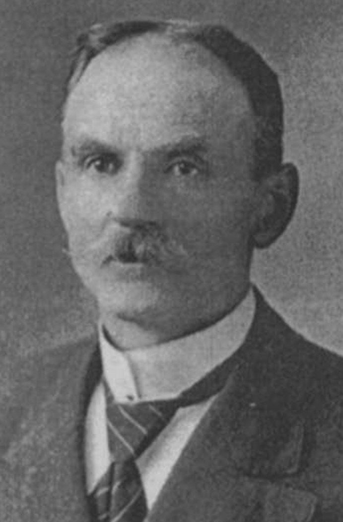
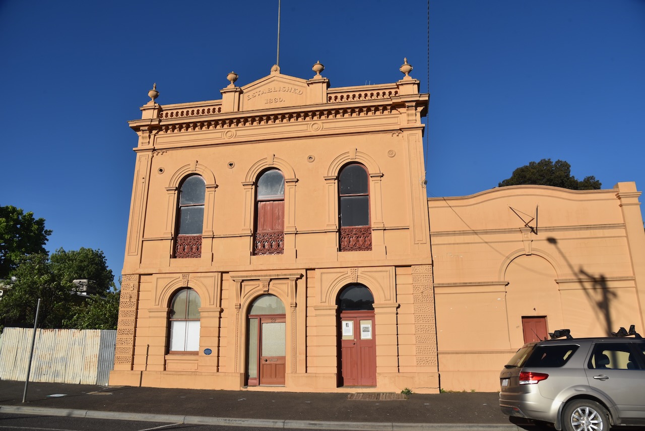
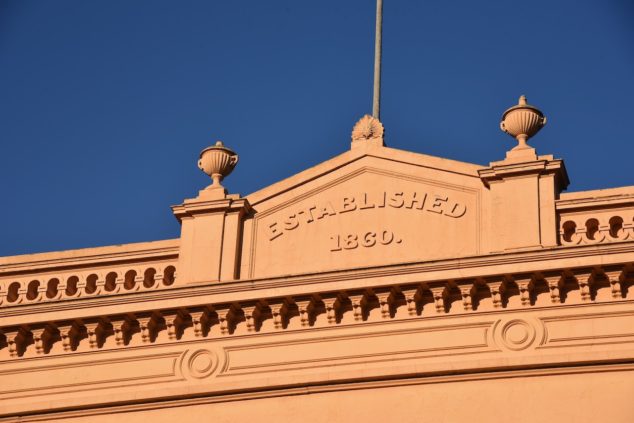
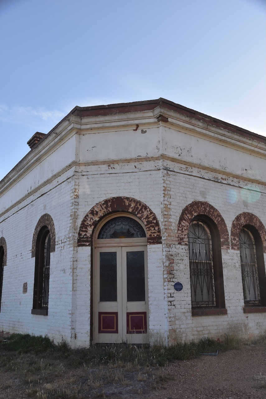
The State Savings Bank was built on the site of the Bobby Burns Hotel, whose license was surrendered in April 1908. In 1913, the old hotel was purchased by the State Savings Bank of Victoria and demolished to make way for the new bank building. George Pallet and Son, contractors of Richmond, built the bank, and the Borough Mayor, Charles Ansett, father of Sir Reginald Ansett, officially opened it on the 29th day of May 1914. The bank closed its Inglewood branch in August 1993.
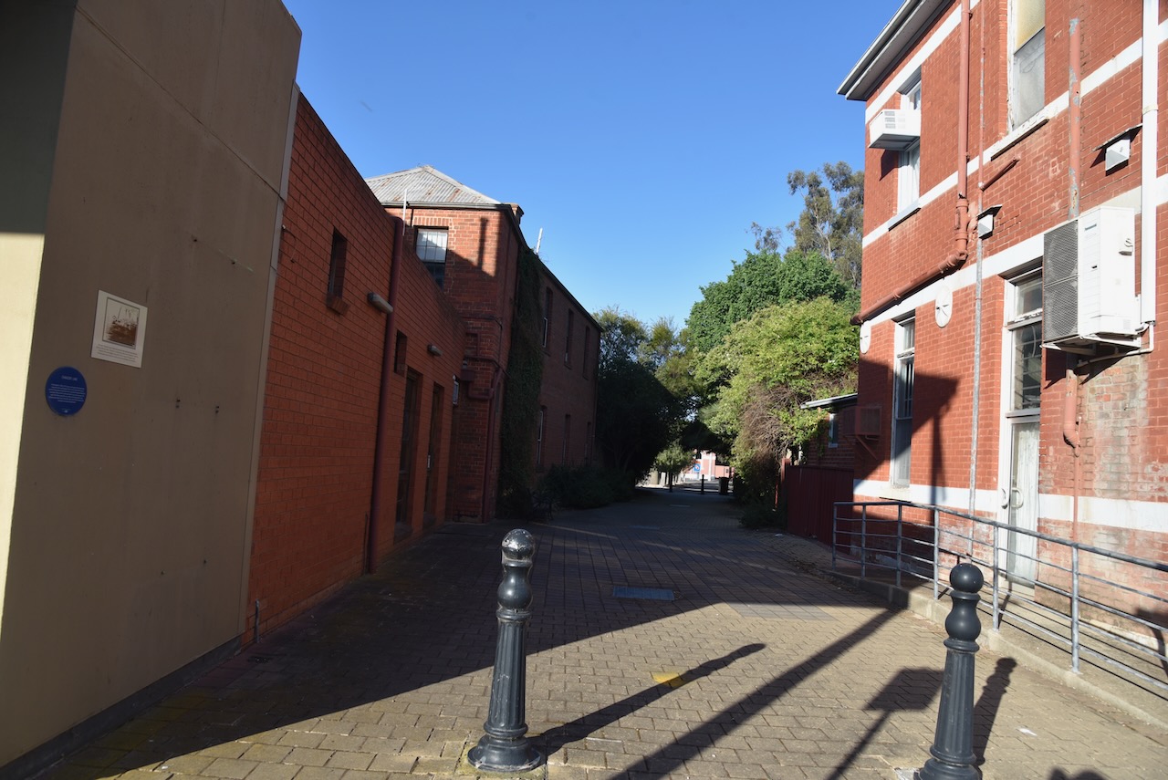
Chancery Lane once featured a line of narrow-fronted shops on both sides that included the Inglewood Advertiser newspaper office and the Courthouse Hotel. Following the Great Fire of 1862, most of the Chancery Lane businesses relocated. The name ‘Chancery Lane’ follows the custom of thus naming the street that leads directly to the law courts. ‘Chancery’ is a shortening of the word ‘Chancellory’ which in England is the second highest court after the Privy Council.
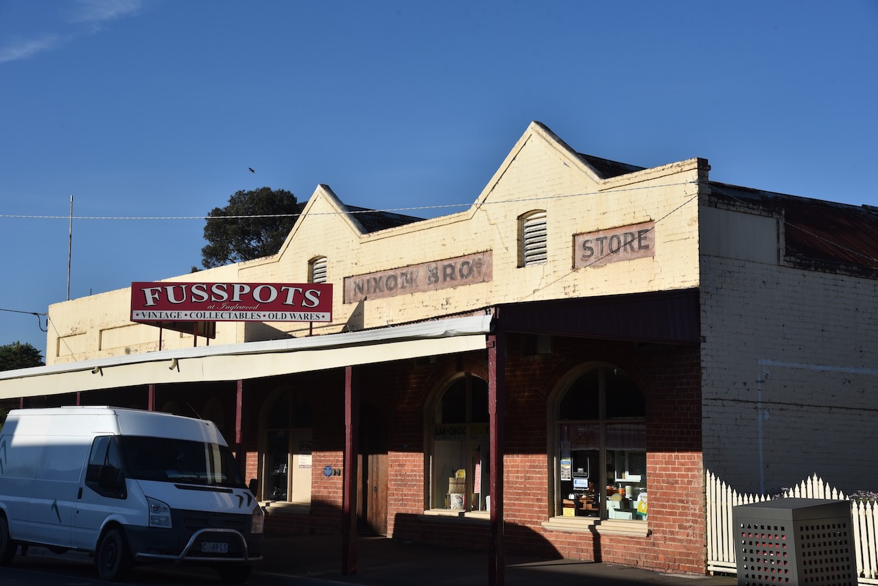
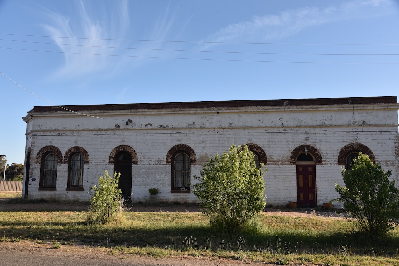
George Nixon established his first store in a tent on the Old Inglewood goldfields in late 1859. The brick shop that he built on this site prevented the Great Fire of 1862 from progressing further along Brooke Street. In the late 1860s, George Nixon built the Exchange Hotel on the south end of his store, rebuilding it again in 1889. The hotel was delicensed in 1914, and his grandsons moved the grocery business back to the hotel area. The original shop on the north side was demolished in 1960. Roy Nixon sold the business in 1964 after 104 years of family ownership.
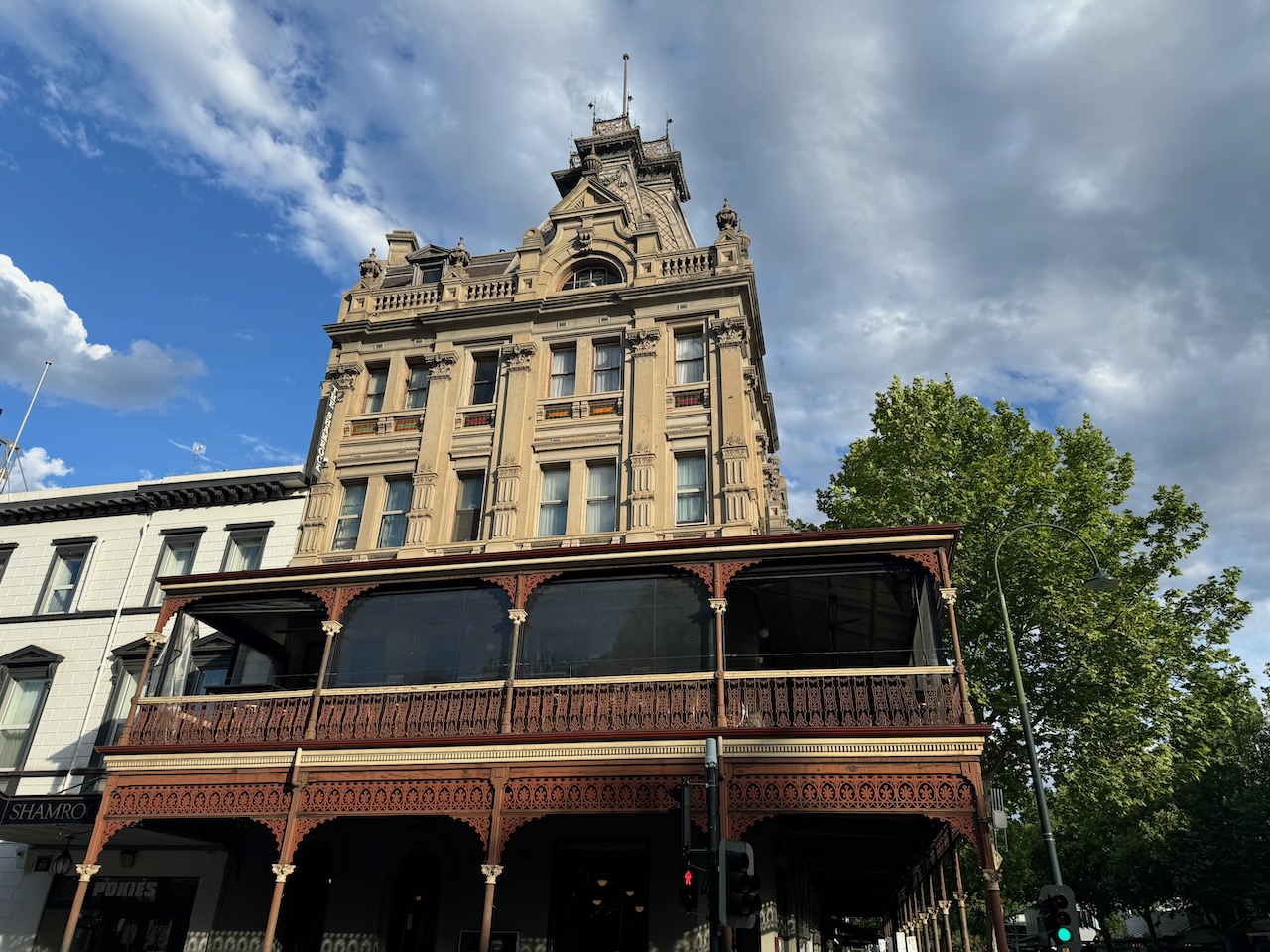
The first Charlie Napier Hotel was built in 1860 by John Sorg. Following windstorm damage in 1862, it was rebuilt again in timber. In 1874, Frederick Klein and Elizabeth Sorg demolished the old building and replaced it with a single-storey brick structure. The second storey was added in 1879 and a billiard room in 1909. In 1906, a painter who signed himself ‘Len Moodie’ completed a series of wall murals in the bar room. The hotel was delicensed in 1967 and sometime after this the beautiful balcony and lacework verandah were removed. In 1995, Heritage Victoria listed the building.
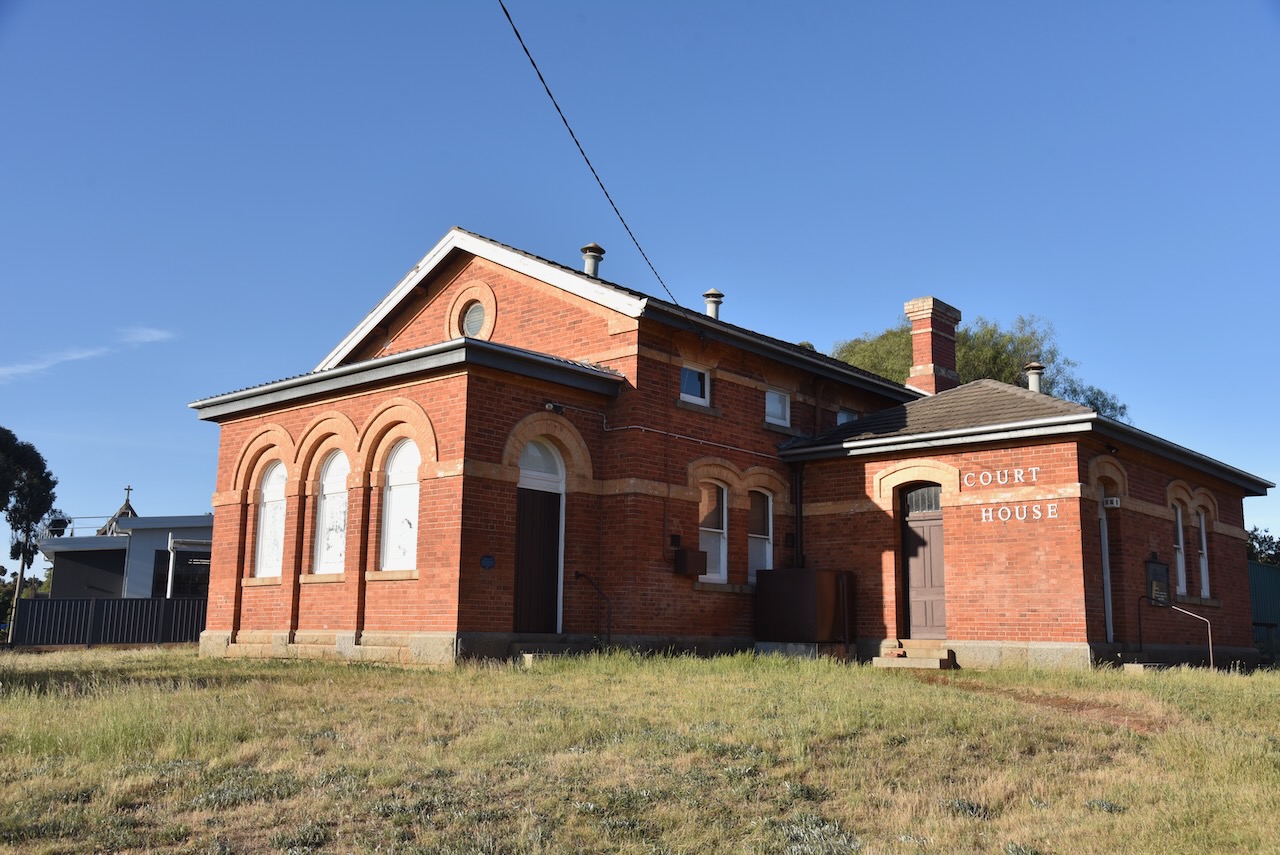
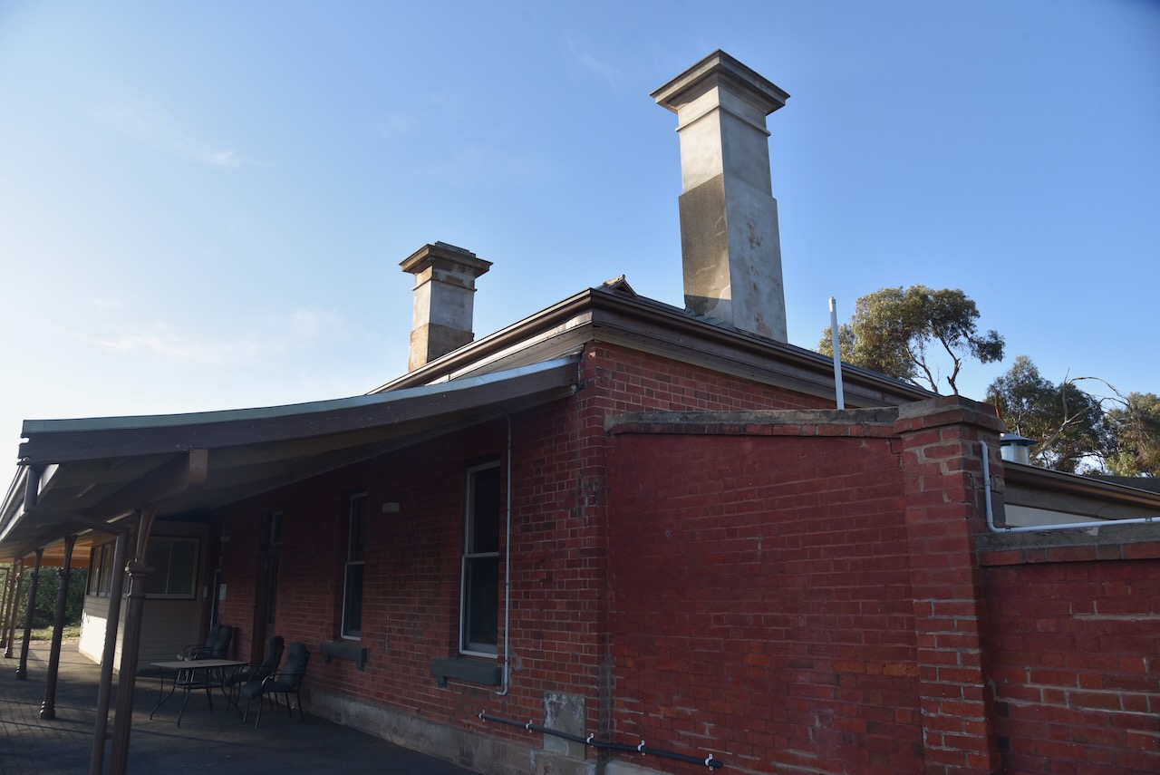
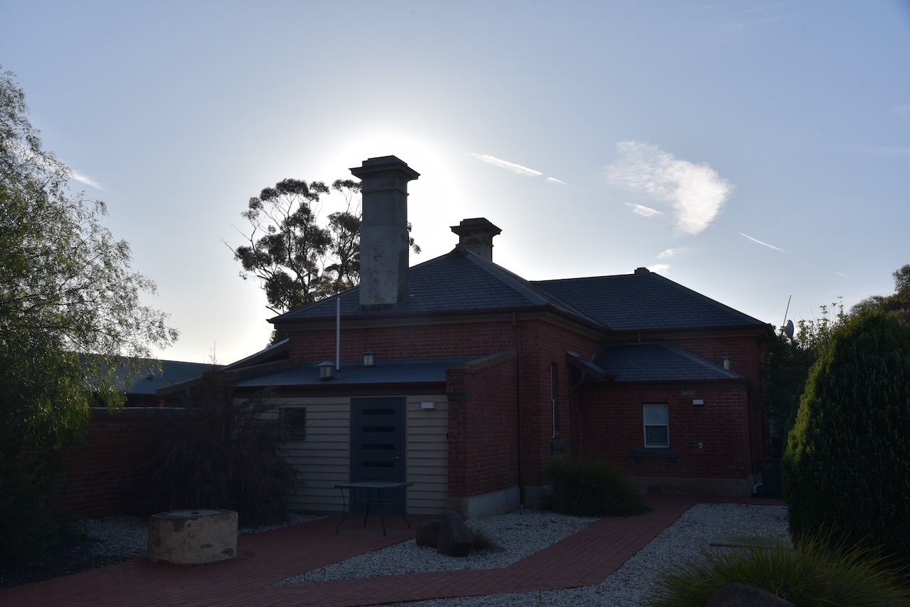
The building of the Inglewood Courthouse commenced in 1866 to a standard Public Works design on what was then known as Hospital Hill. The first court case was heard on the 12th day of May 1869. Regular sittings at the Court House accommodated the Court of Petty Sessions, the Mining Warden’s Court and the County Court. The courthouse was finally closed in 1983 and since then has been used by the Inglewood District Historical Society.
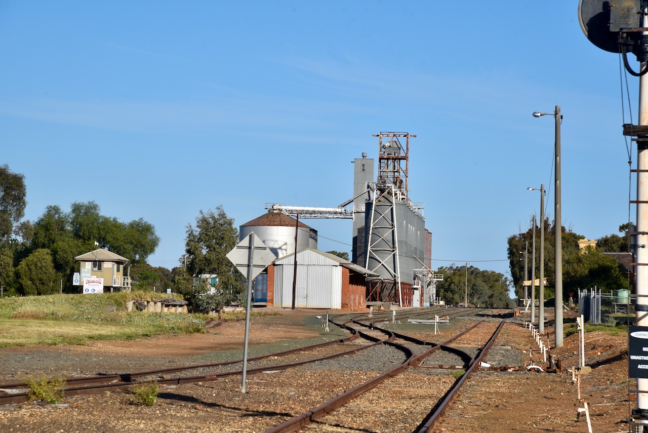
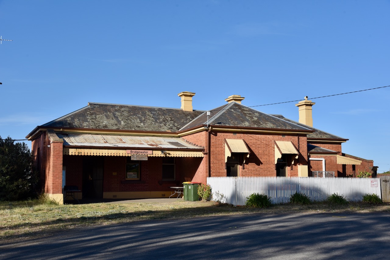
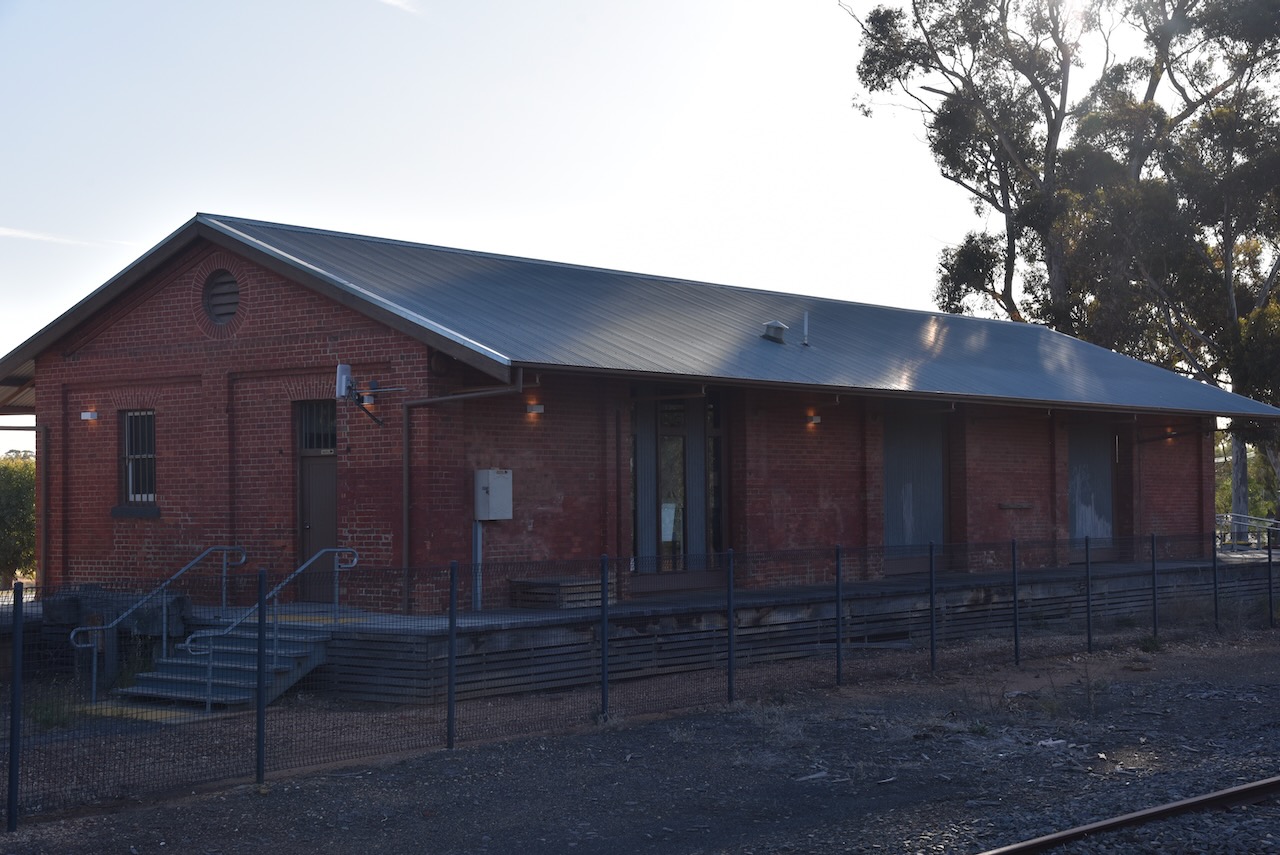
The Sandhurst to Inglewood railway was opened on the 17th day of November 1876 by His Excellency, The Governor, Sir G.F. Bowen, at a ceremony in a marquee in Verdon Street. The line from Sandhurst was built by Thomas Doran, taking twenty months to complete. Mr. Isaac Summerland built the station buildings. The overhead walkway above the tracks was opened in July 1888. The walkway and turntable were removed some years ago. The passenger train service ceased in the 1880s with only freight trains using the lines now.
The first licensee of the Railway Hotel is believed to be Alice Watts in 1879, followed by Moses Toghill in 1881. The hotel was built after the railway line reached Inglewood in 1876. It was known for some years as ‘The Weighbridge Hotel’. It became the Railway Hotel in about 1885. With the railway station nearby, the hotel was in a prime position to gain patronage from train passengers as well as locals. The hotel was delicensed in 1963 and is now a private residence.
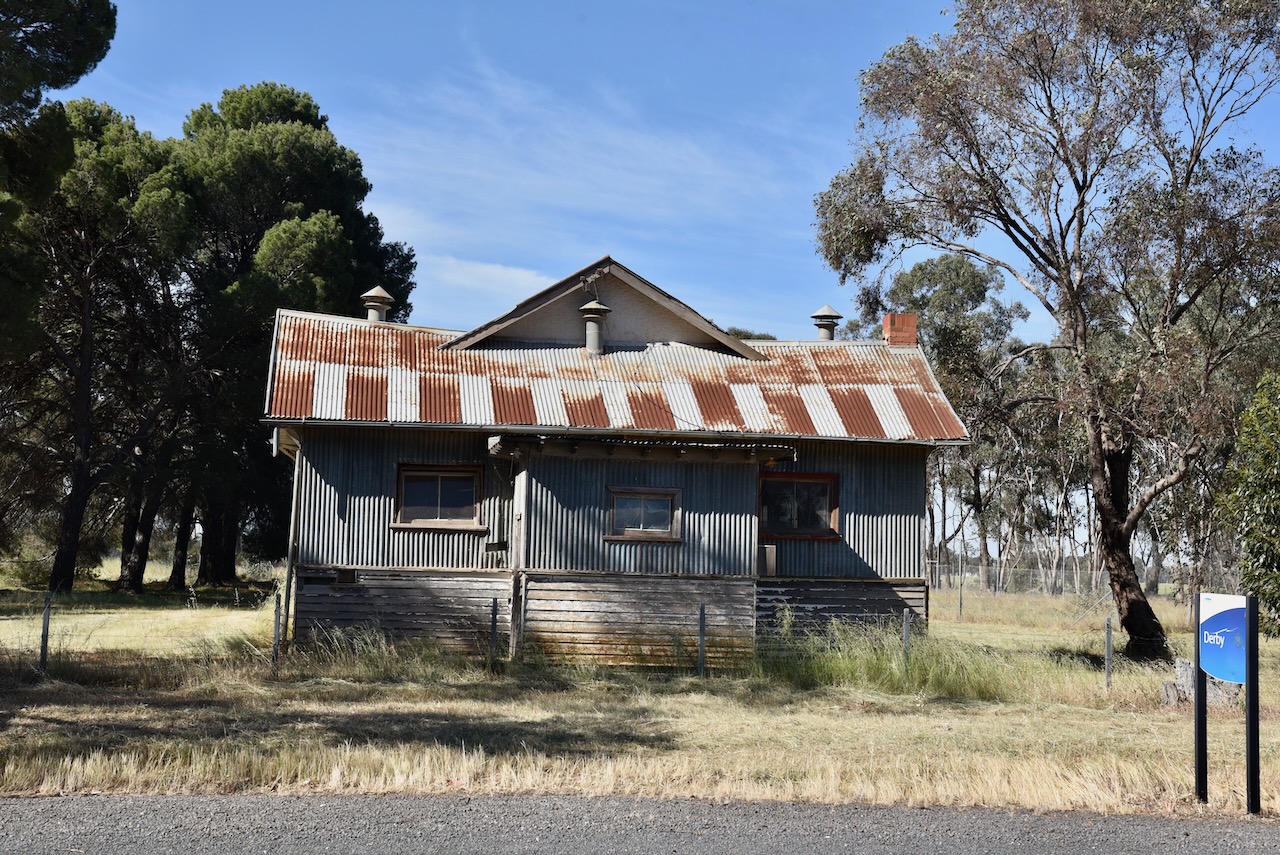
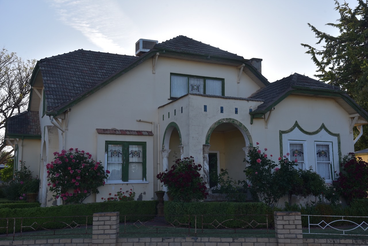
From the 1880s, the Dr. Bill Brennan residence was the site of Morgan and Miller’s blacksmith shop. The old timber and corrugated iron building stood idle for several years before demolition in the late 1920s. The current house was built for Dr. Bill Brennan as a private residence and dental surgery, opening for business in 1934.
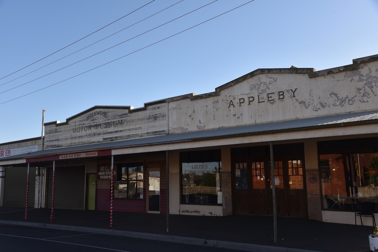
In 1916, Jim Turpie and Alan Gillespie opened a farm implement business, which included the district’s first tractors. Soon, it was to become a motor car garage with Charles Boyle as the mechanic, who later took over the business. In 1927, Fred Applebey purchased the premises and extended the workshop, and build a car showroom with a residence behind it. The car showroom with its polished wooden floor opened as ‘The Dance Palais’ in 1931. The family business was sold in 1983 and has since been used as a motor garage, car museum, antique shop and take-away food shop.
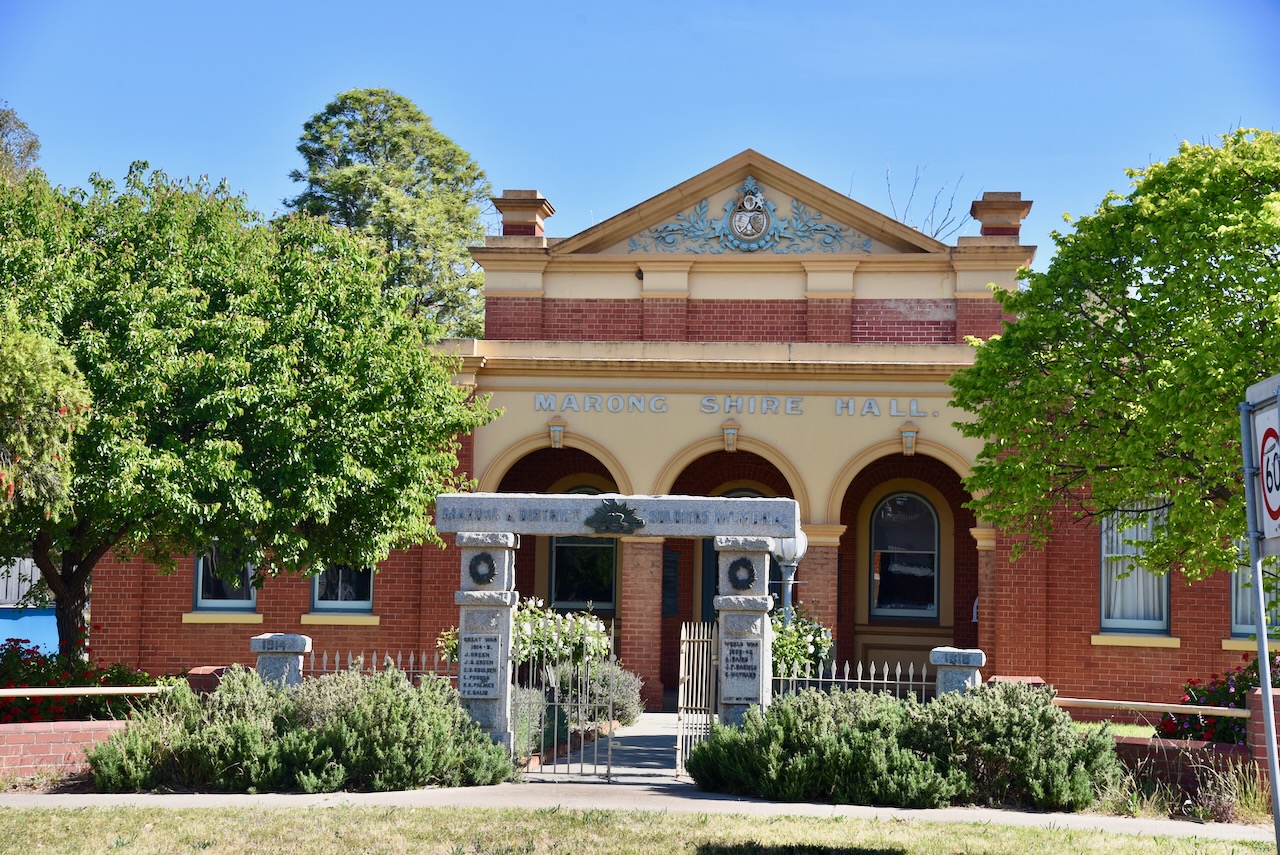
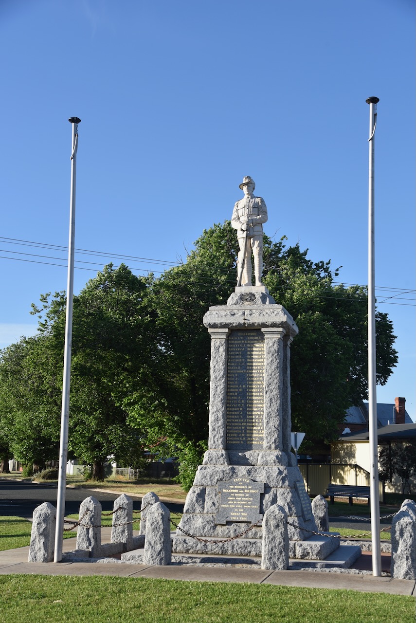
The Inglewood War Memorial is a reminder of those locals who paid the supreme sacrifice to protect this country.
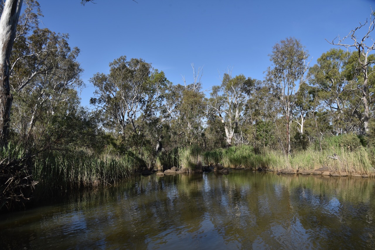
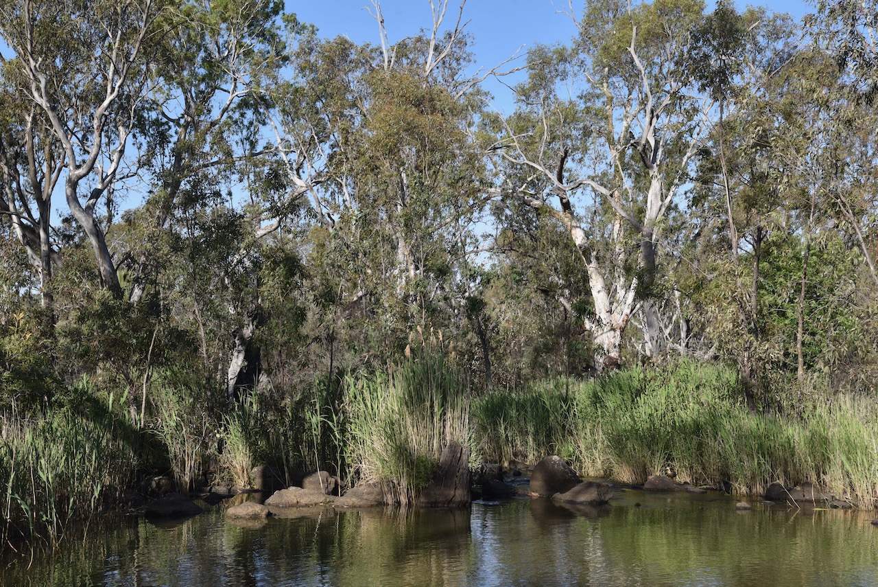
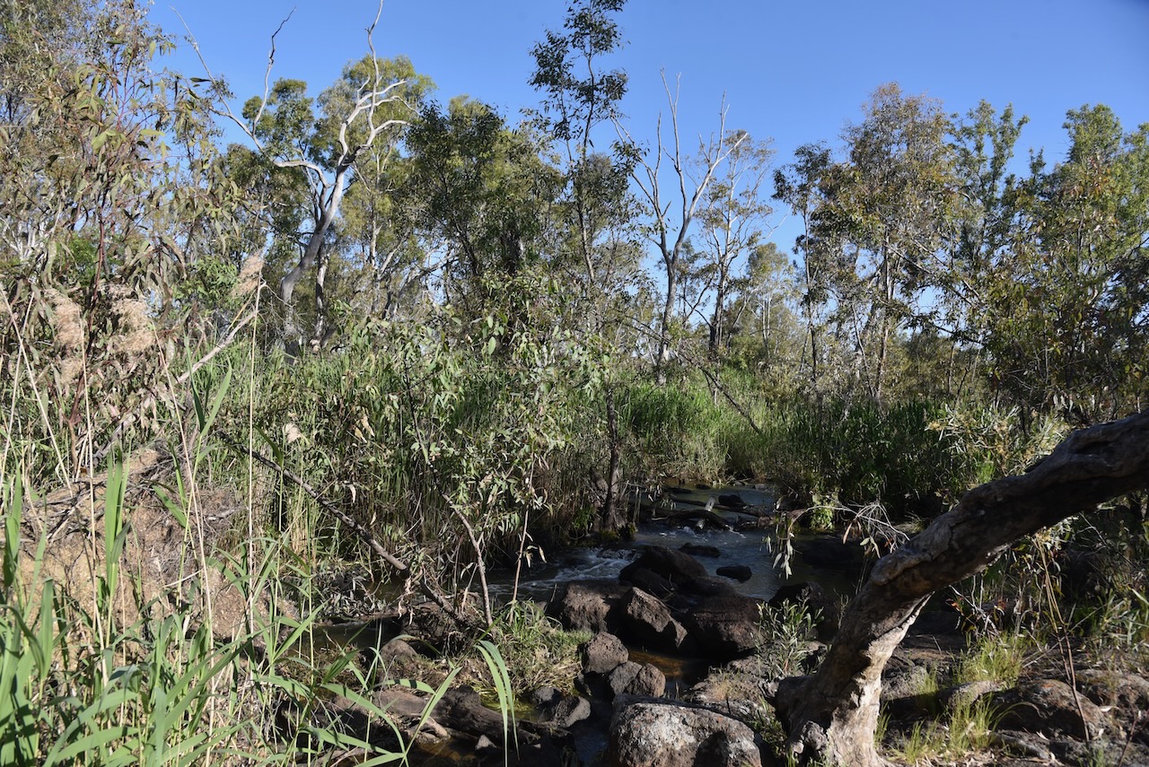
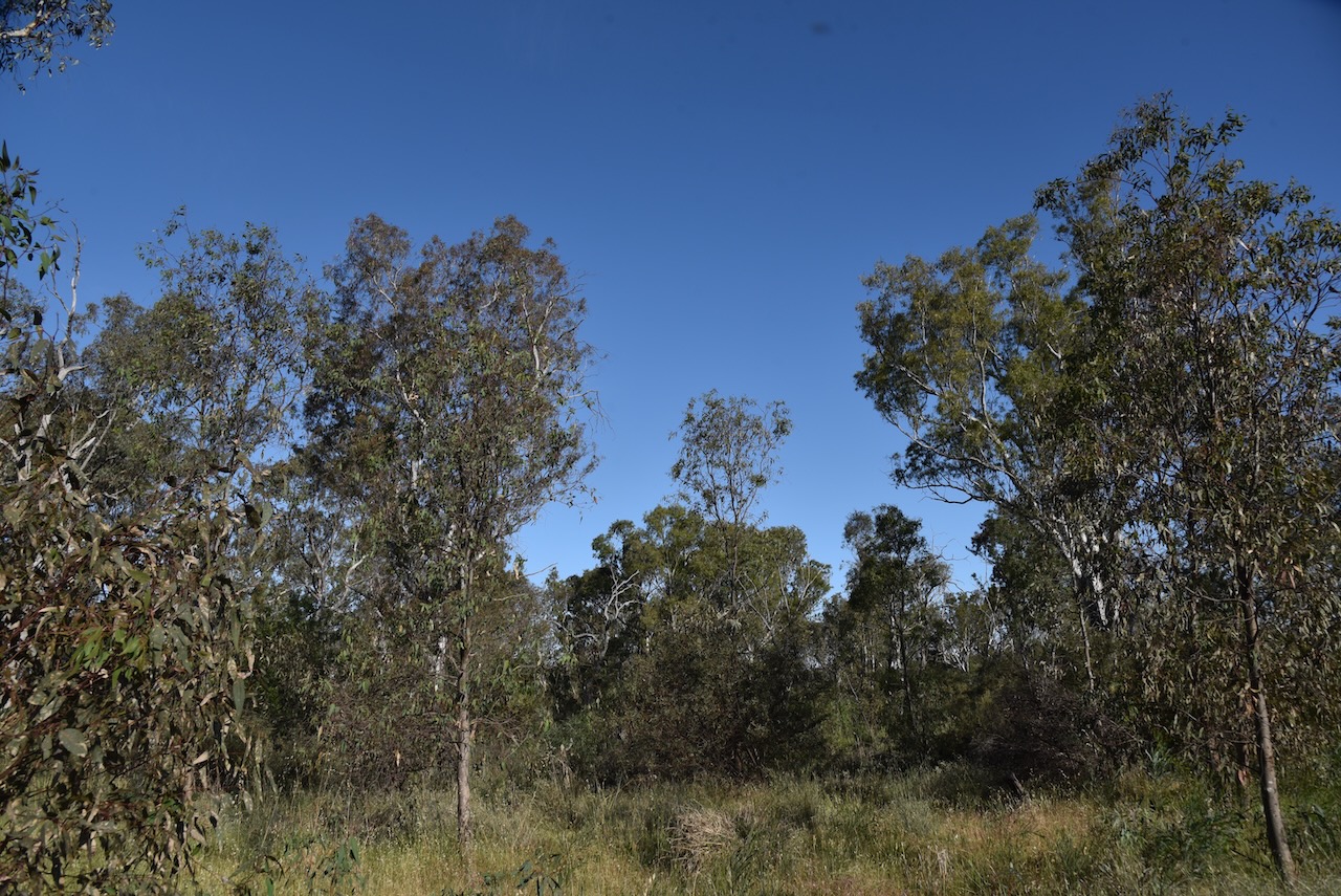
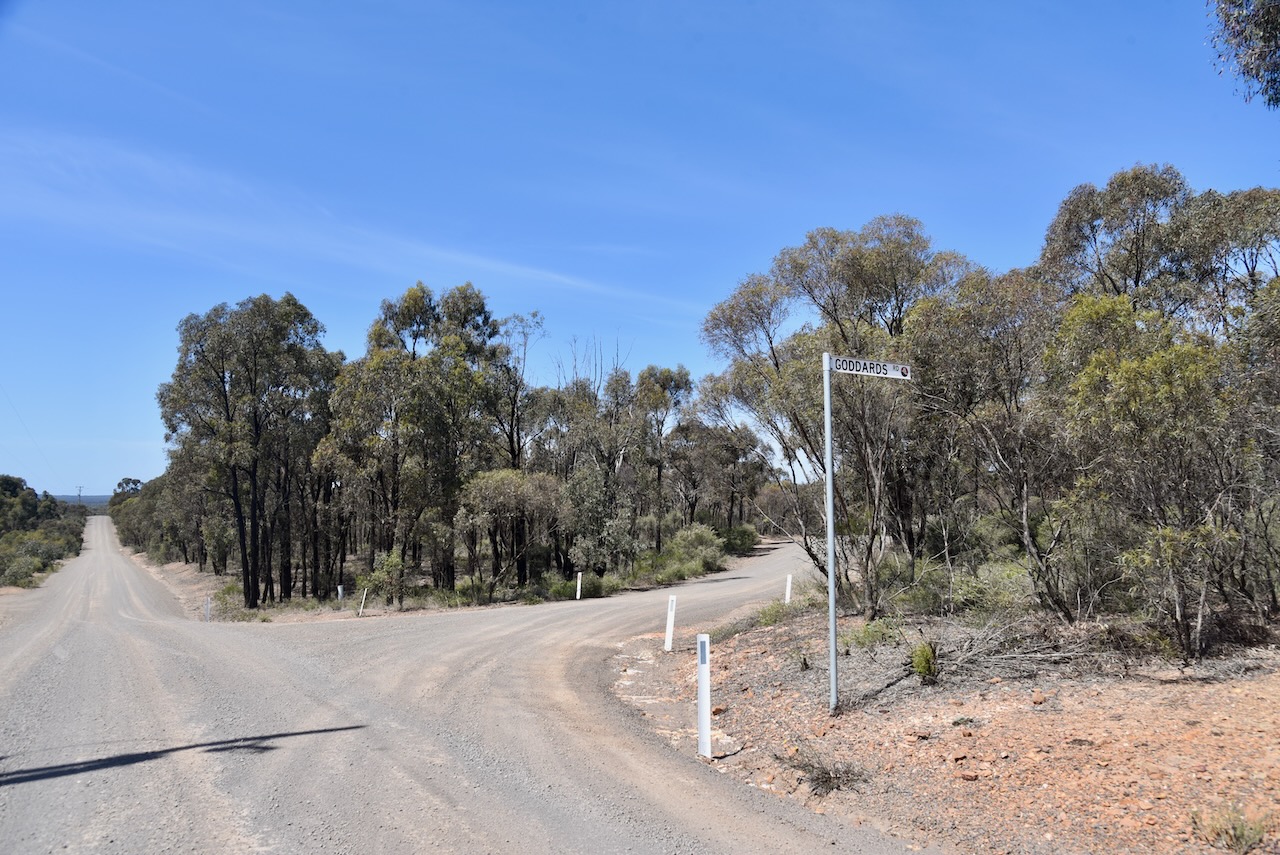
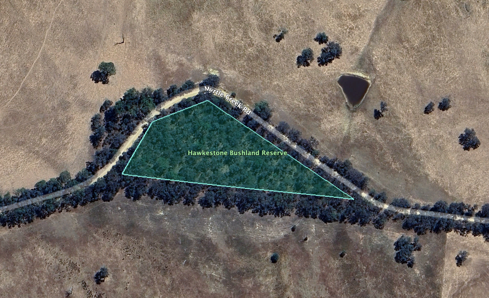
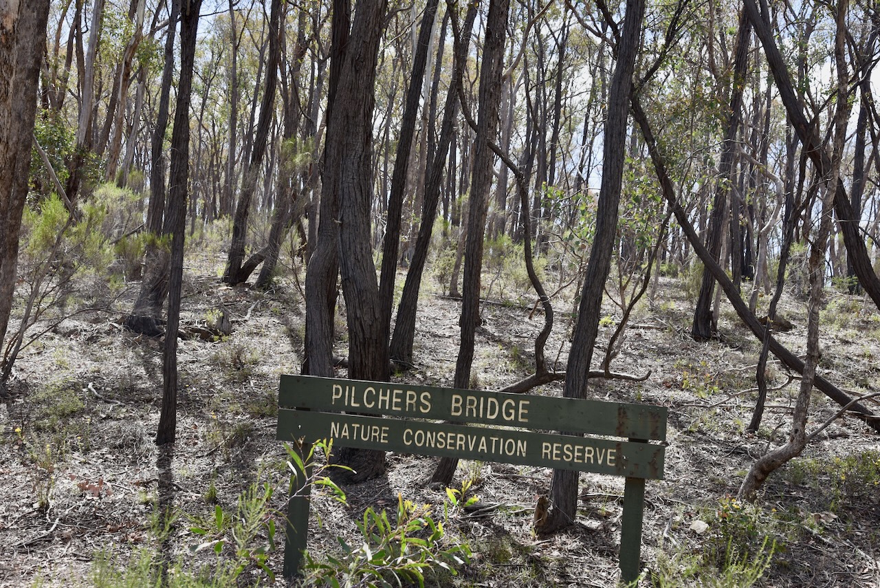
Marija and I then headed to Wilsons Hill Nature Conservation Reserve, which is located on the southern side of Wilsons Hill Road off the Wimmera Highway.
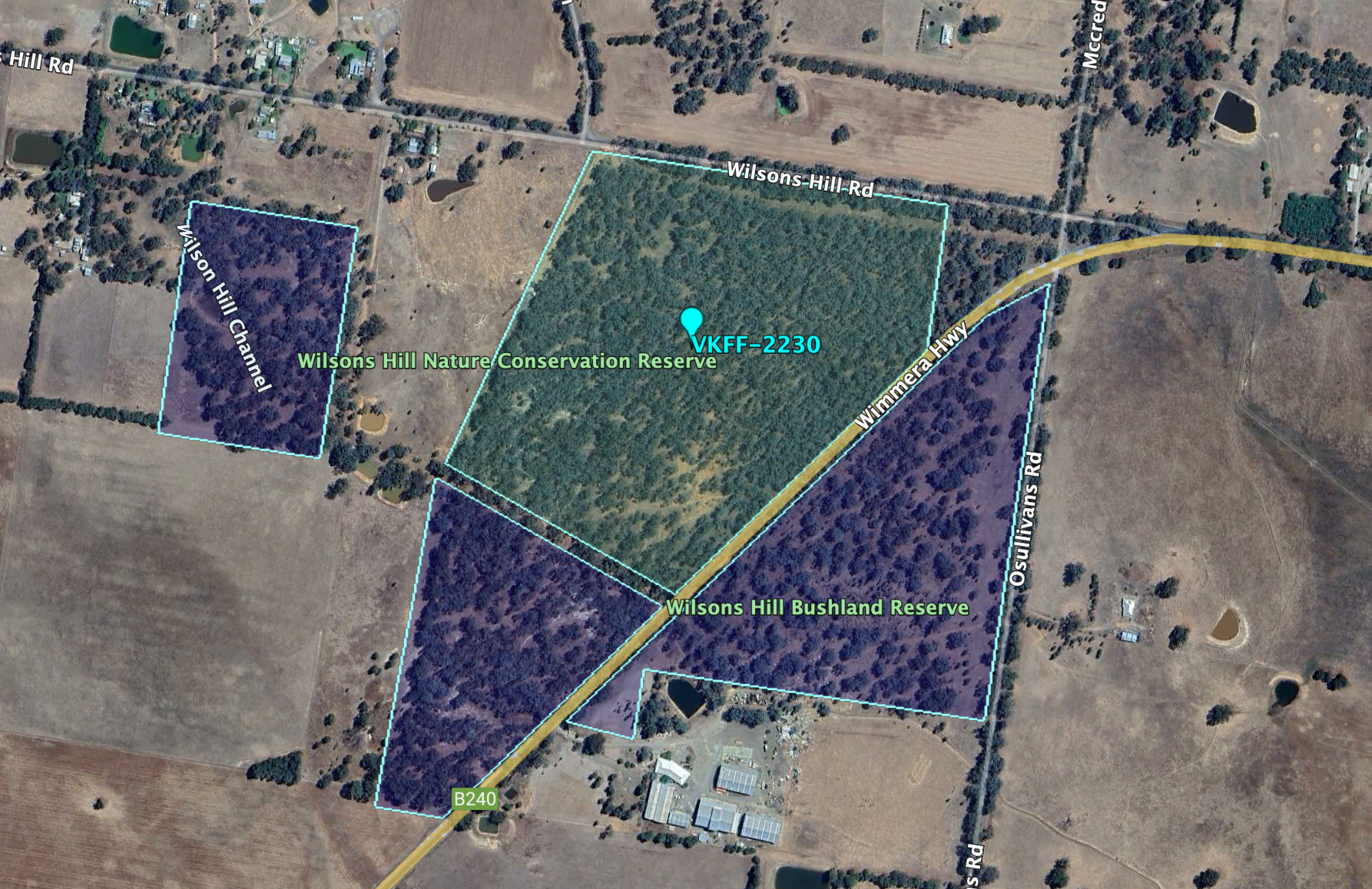
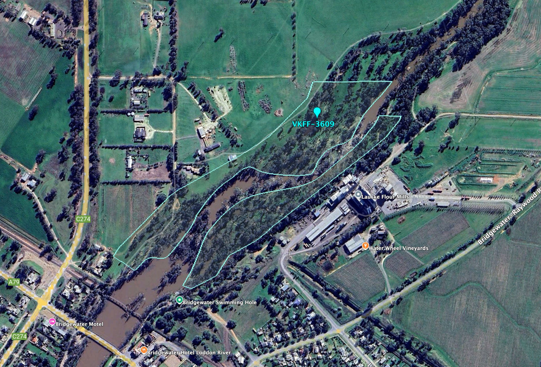
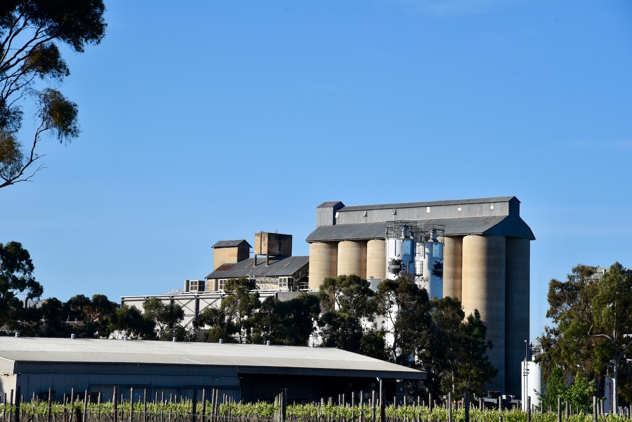
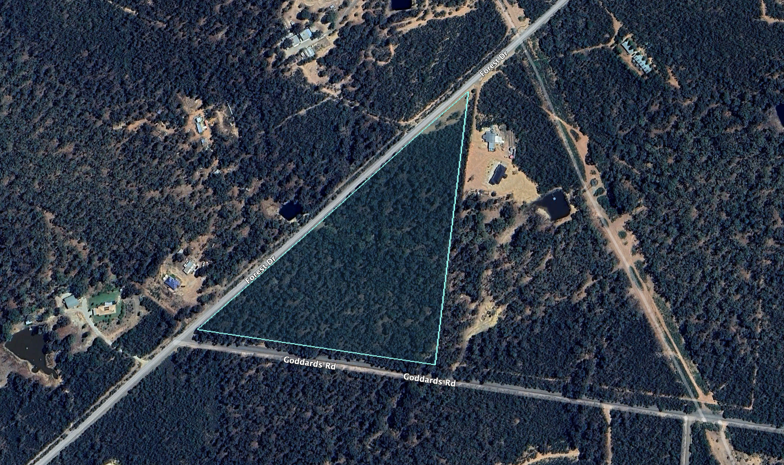
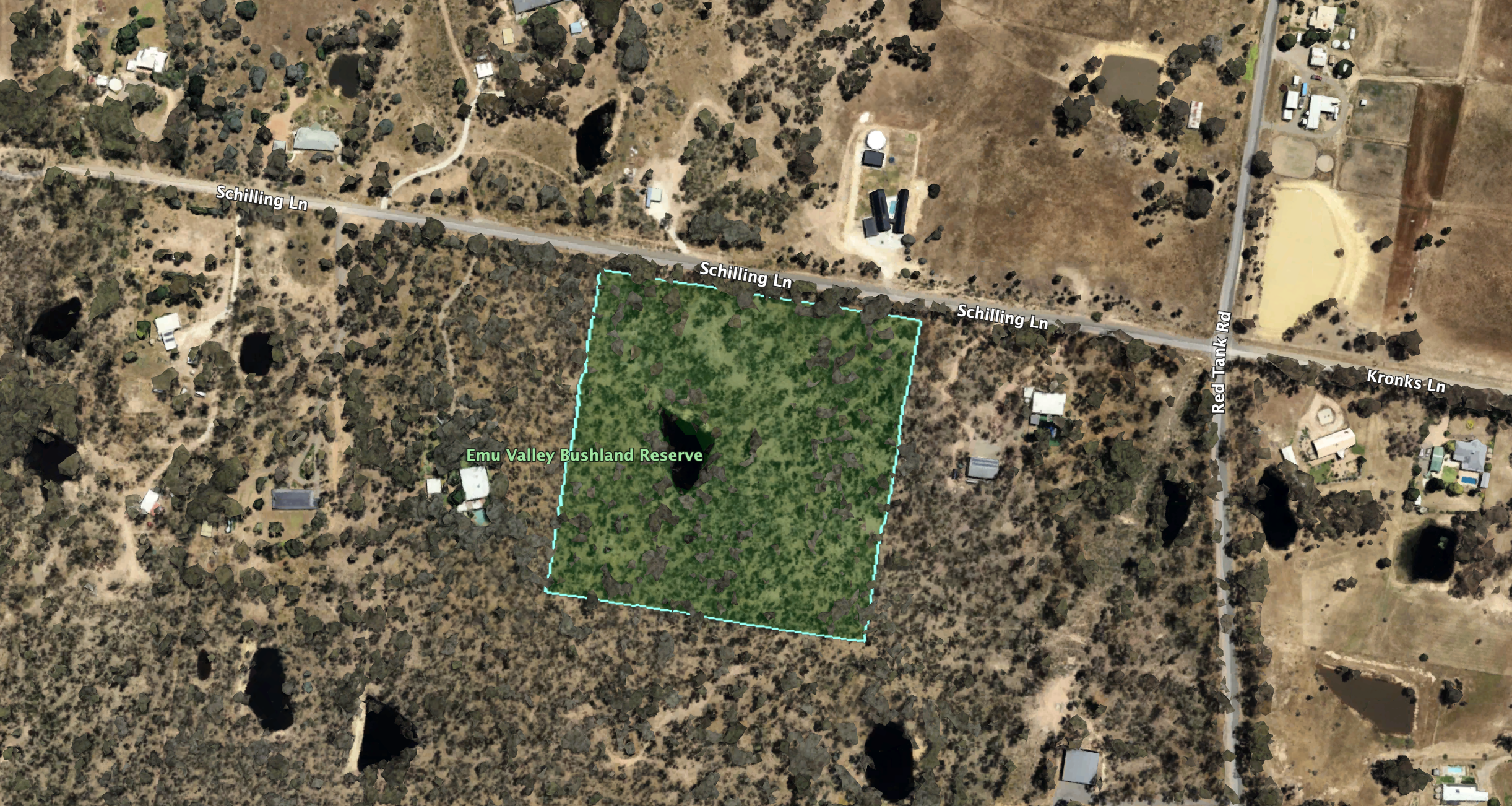
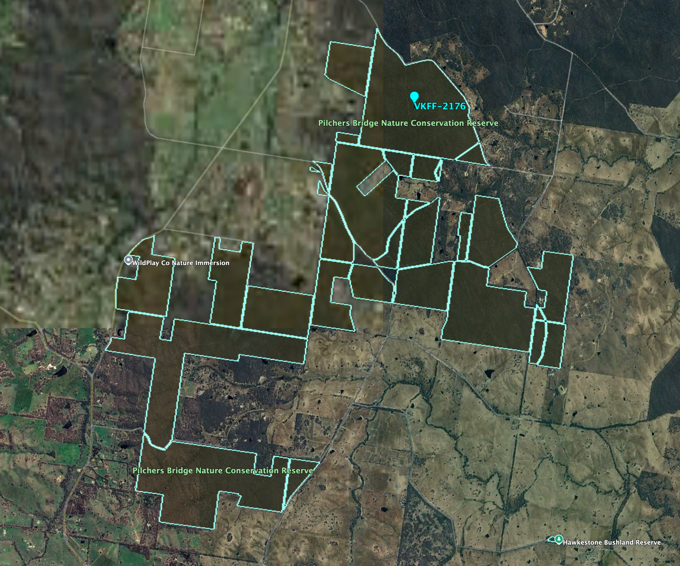
Above:- An aerial view of Wilsons Hill NCR. Image c/o Google Earth.
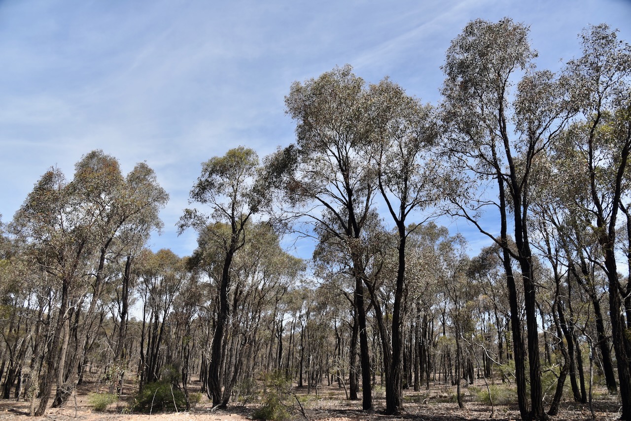
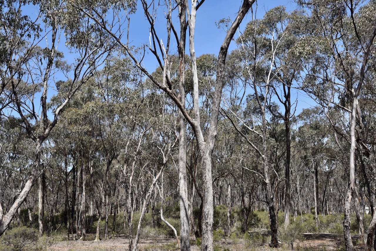
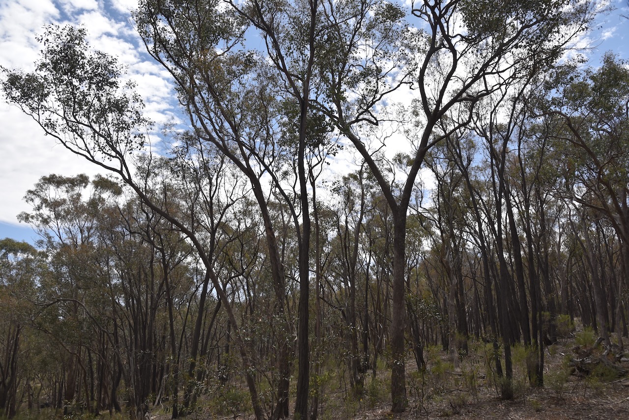
The reserve is about 20 hectares in size and was established on the 26th day of February 2002. (CAPAD 2022)
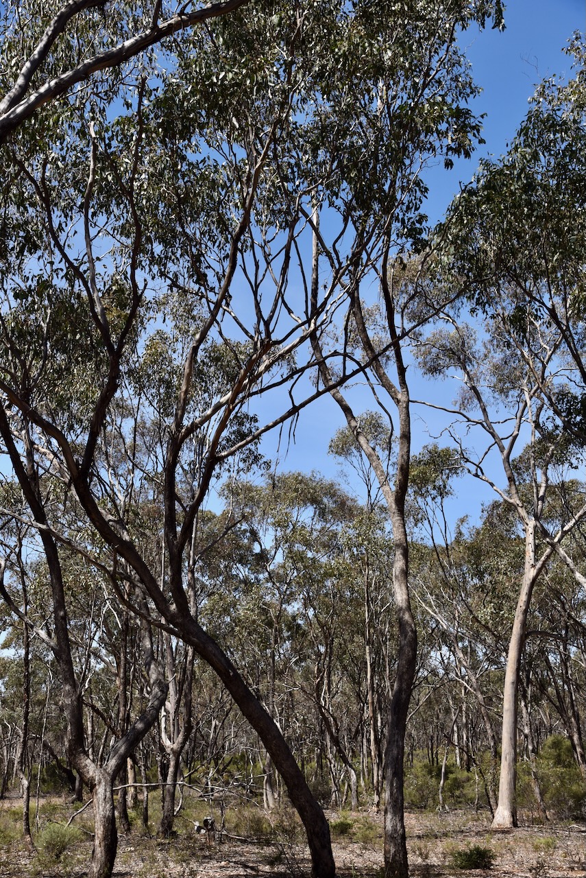
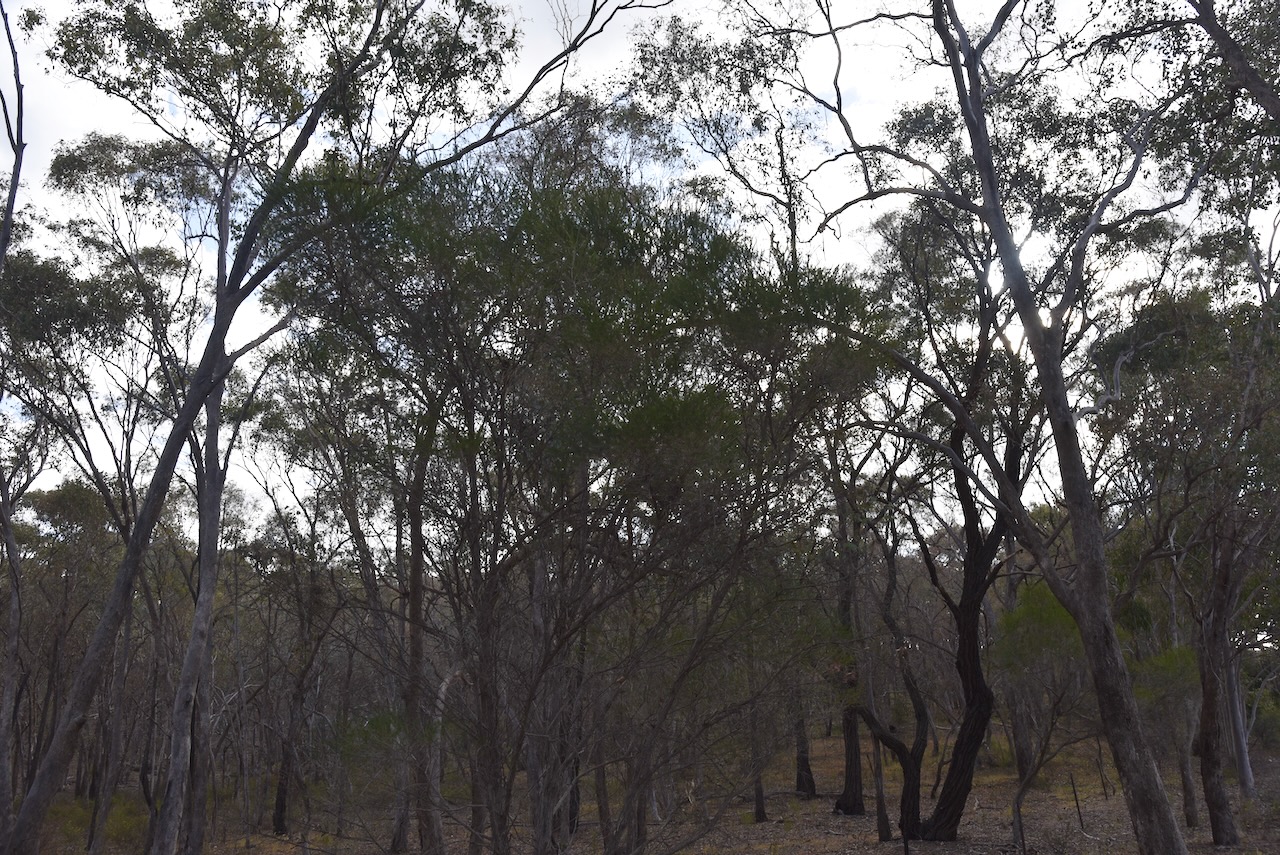
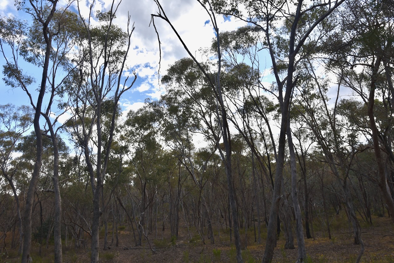
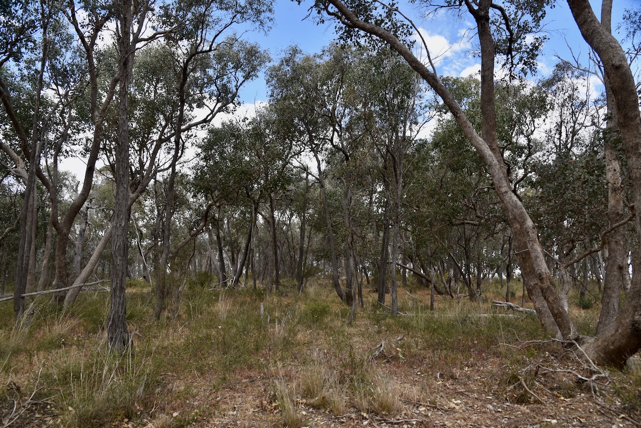
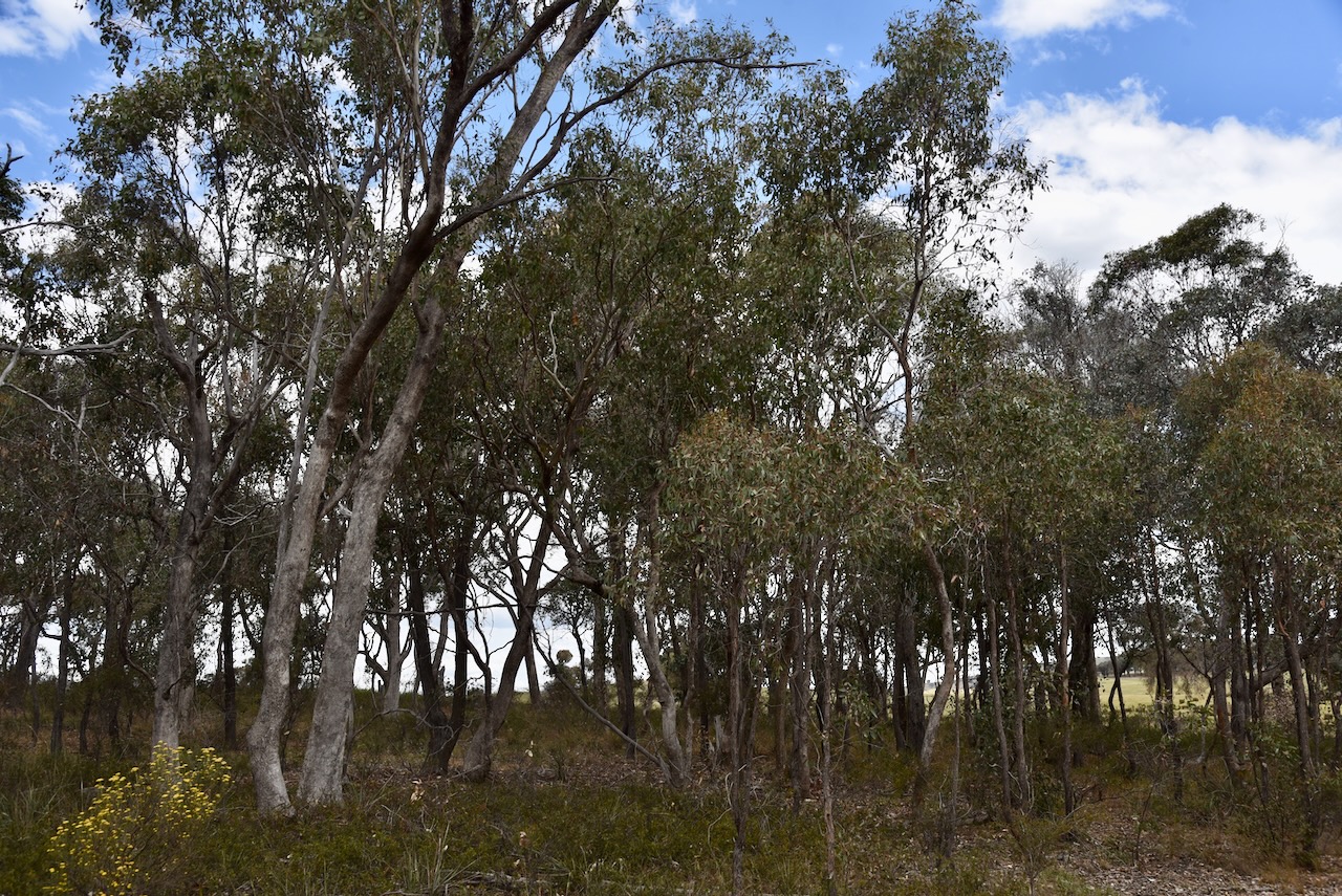
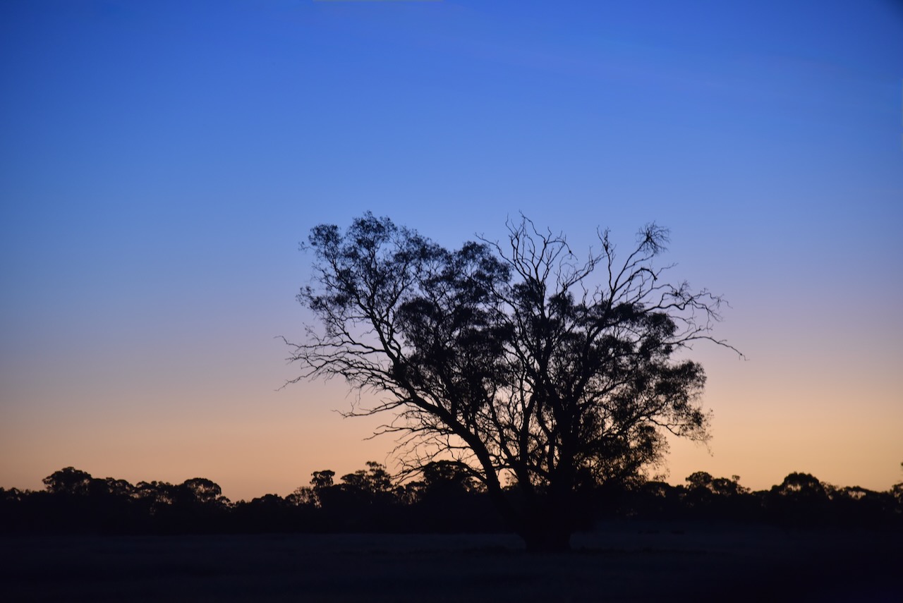
Unfortunately by the time we had reached the park is was almost completely dark, so we did not get to have a look at the park.
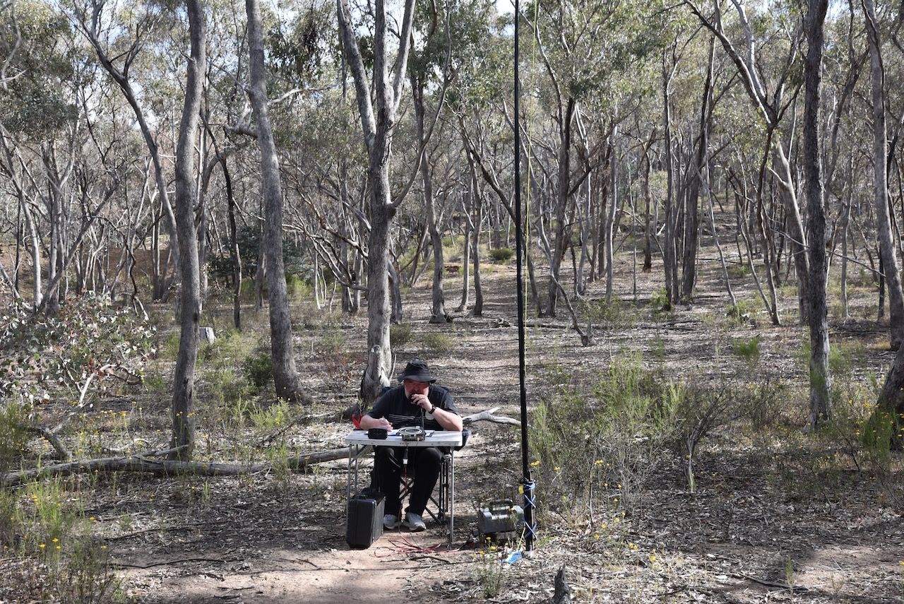
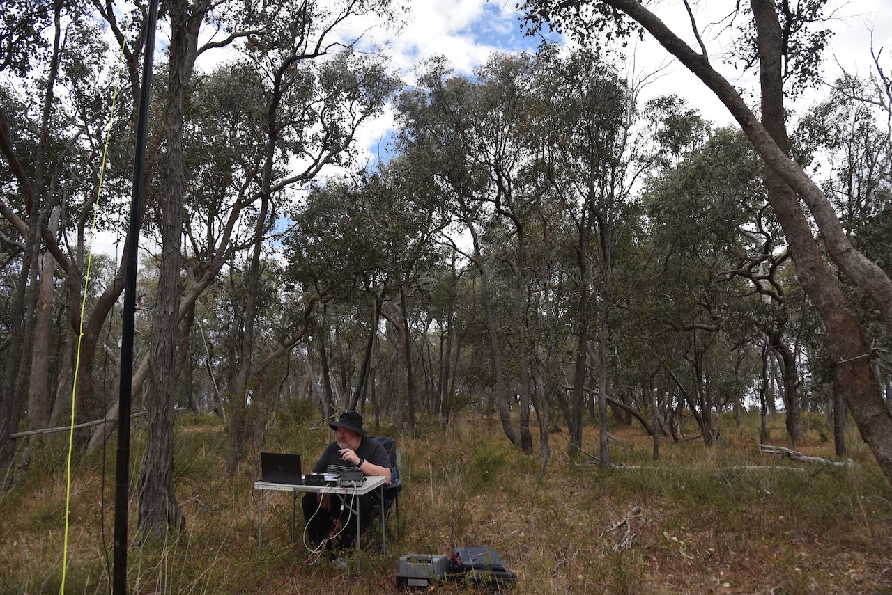
We ran the Yaesu FT857, 40 watts, and the 20/40/80m linked dipole for this activation.
Marija worked the following stations on 40m SSB:-
- VK7PJM
- VK4HMI
- VK1AO
- VK2MET
- VK5SPJ/M
- VK5WU
- VK2EG
- VK2AAJ
- VK3STV
- VK2QR
- ZL2FN
- VK7MAD
I worked the following stations on 40m SSB:-
- VK7PJM
- VK4HMI
- VK1AO
- VK2MET
- VK2MG
- VK5SPJ/M
- VK5WU
- VK2EG
- VK2AAJ
- VK3STV
- VK2QR
- ZL2FN
- VK7MAD
- VK3APJ
- VK3GJG
- VK2SS
- VK3DL
- VK3ATA
- VK2LEE
- VK3MRG
- VK3CEO
- VK2IO/M
- VK2GEZ/M
- VK7PSJ
- VK3TDX
- VK2WE
- VK3TGL
- VK7ACE
- VK3PF
- VK2UXO
- VK4SMA
- VK2MKY
- VK5DW
- VK3ZGA
- JF7RJM
- VK2YW
- VK5HSX
- VK5IE
- VK3DO
- VK3AHJ
- VK5NOU
- VK3JK
- VK5AV
- VK3QA
- VK3YV
- VK7AAE
- VK3AGM
- VK5DDD
I worked the following stations on 40m AM:-
- VK5DW
- VK3CEO
- VK3PF
- VK2LEE
- VK3ZGA
- VK2YW
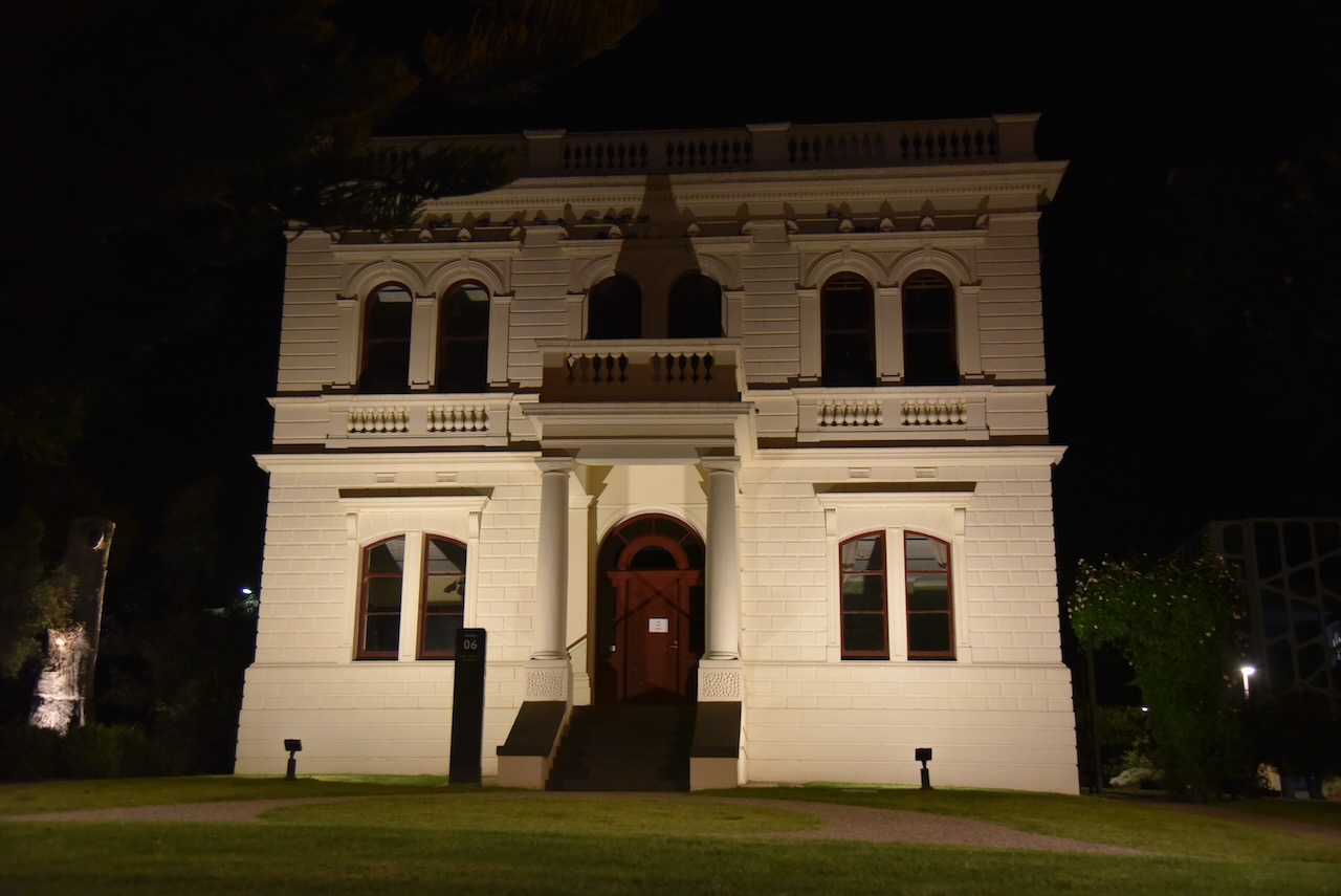
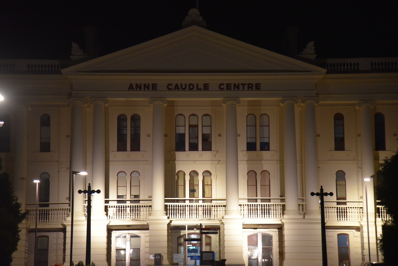
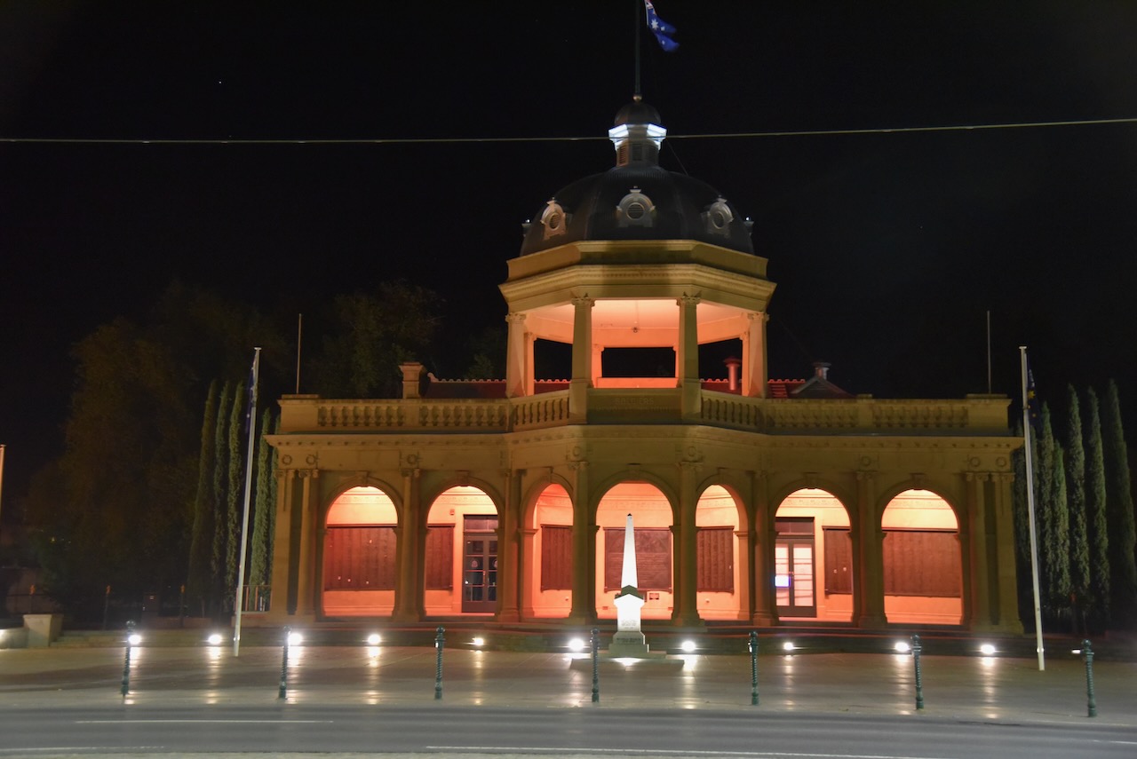
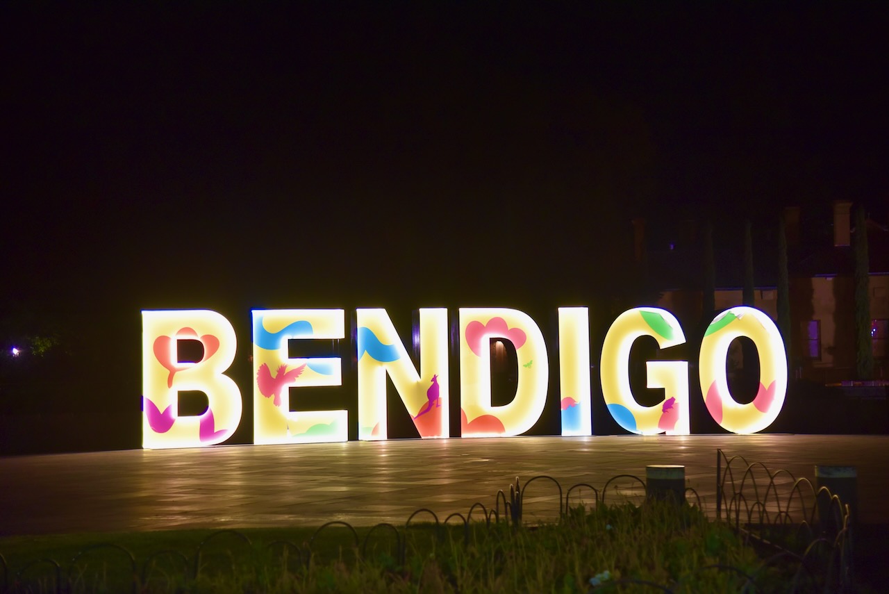
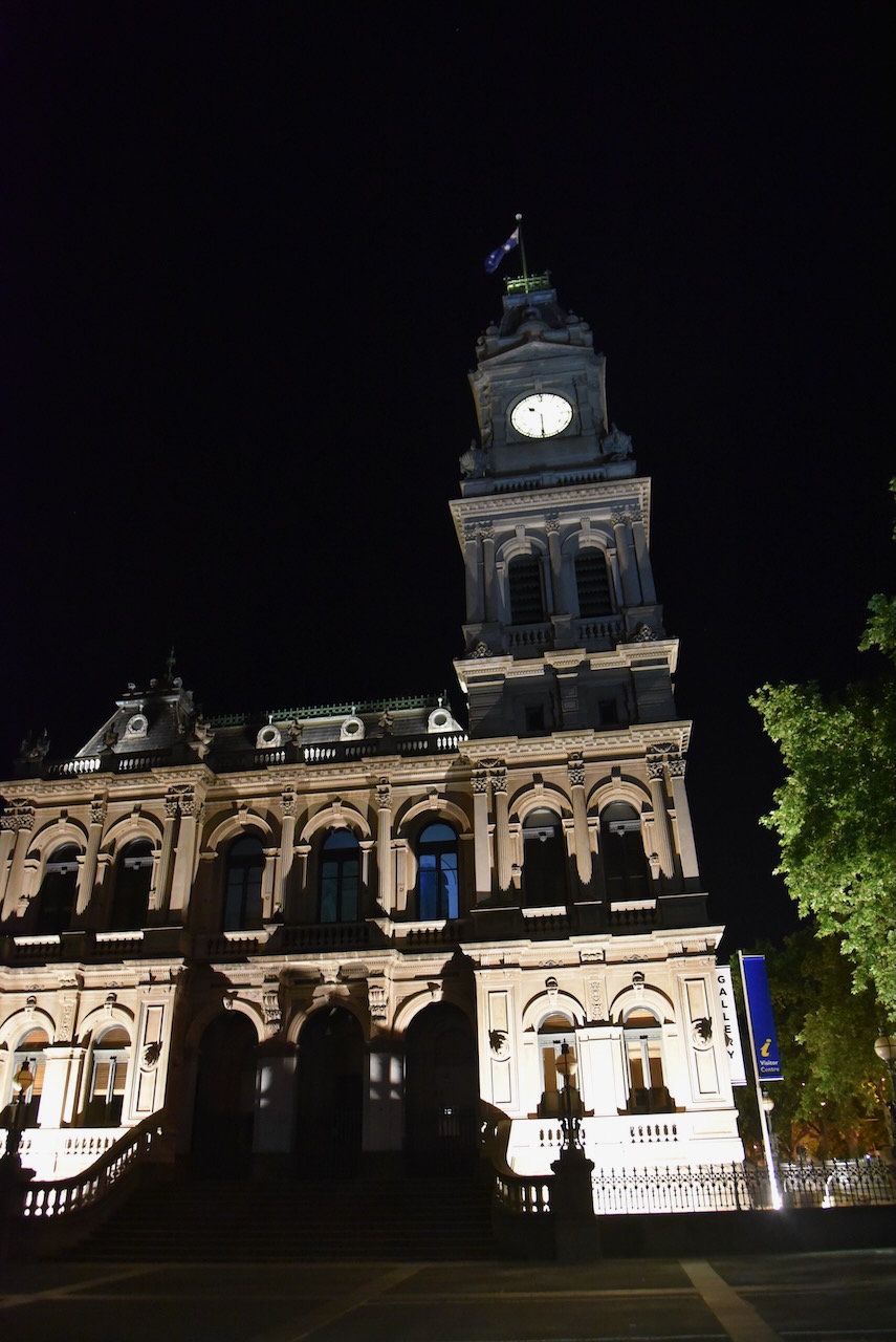
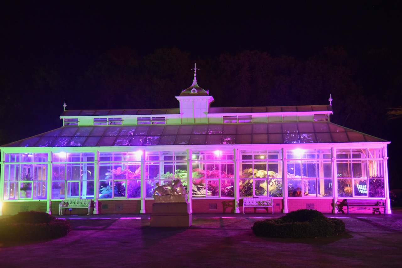
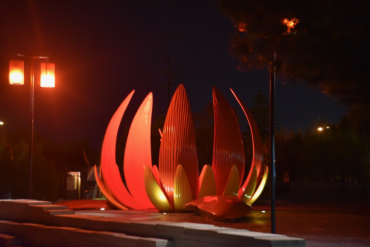
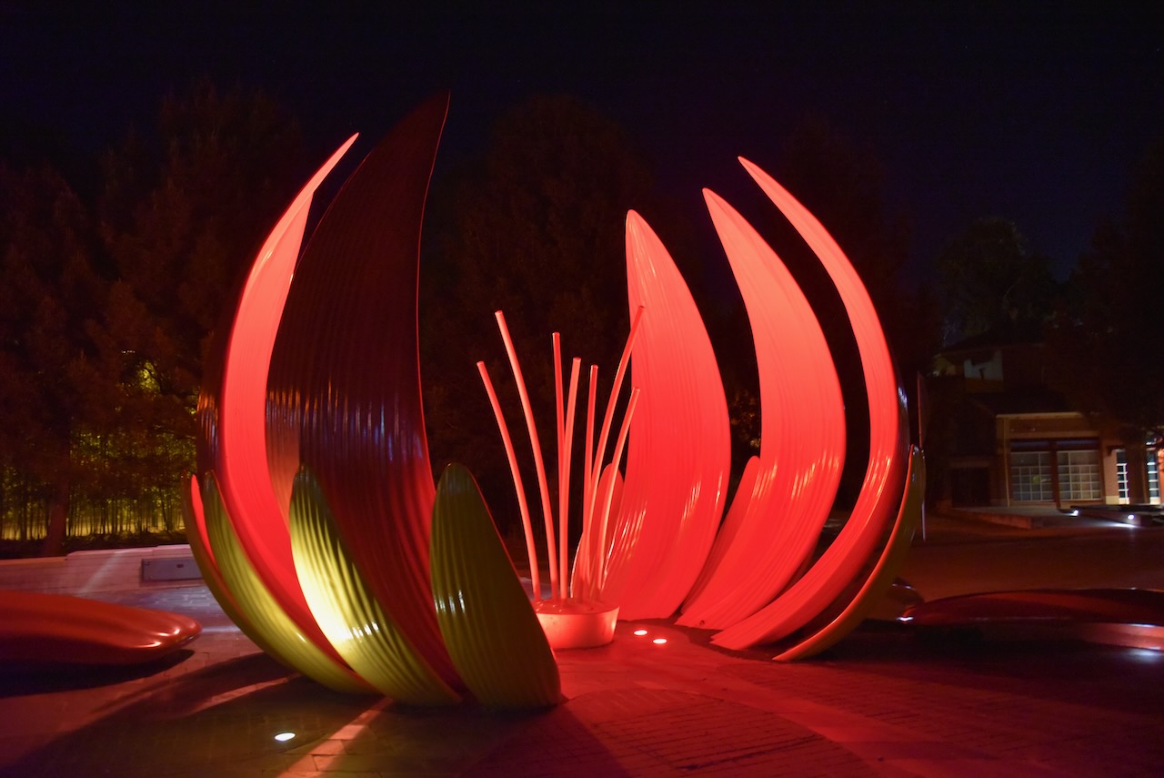
After packing up, Marija and I headed back into Bendigo. We drove around for about 20 minutes, admiring many of the historic buildings lit up at night.
References.
- Aussie Towns. (2020). Inglewood, VIC – Aussie Towns. [online] Available at: https://www.aussietowns.com.au/town/inglewood-vic [Accessed 22 Apr. 2025].
- Chirp Internet (2025). Empire State Hotel in Inglewood < Victoria | Gday Pubs – Enjoy our Great Australian Pubs. [online] Gdaypubs.com.au. Available at: https://www.gdaypubs.com.au/VIC/inglewood/64348/empire-state-hotel.html [Accessed 23 Apr. 2025].
- Dcceew.gov.au. (2023). Collaborative Australian Protected Areas Database (CAPAD) 2022 – DCCEEW. [online] Available at: https://www.dcceew.gov.au/environment/land/nrs/science/capad/2022 [Accessed 23 Apr. 2025].
- Herald, L. (2024). Otto flies at old Pelican Hotel – Loddon Herald. [online] Loddon Herald. Available at: https://www.loddonherald.com.au/news/otto-flies-at-old-pelican-hotel [Accessed 23 Apr. 2025].
- Victorianplaces.com.au. (2015). Inglewood | Victorian Places. [online] Available at: https://www.victorianplaces.com.au/inglewood [Accessed 22 Apr. 2025].