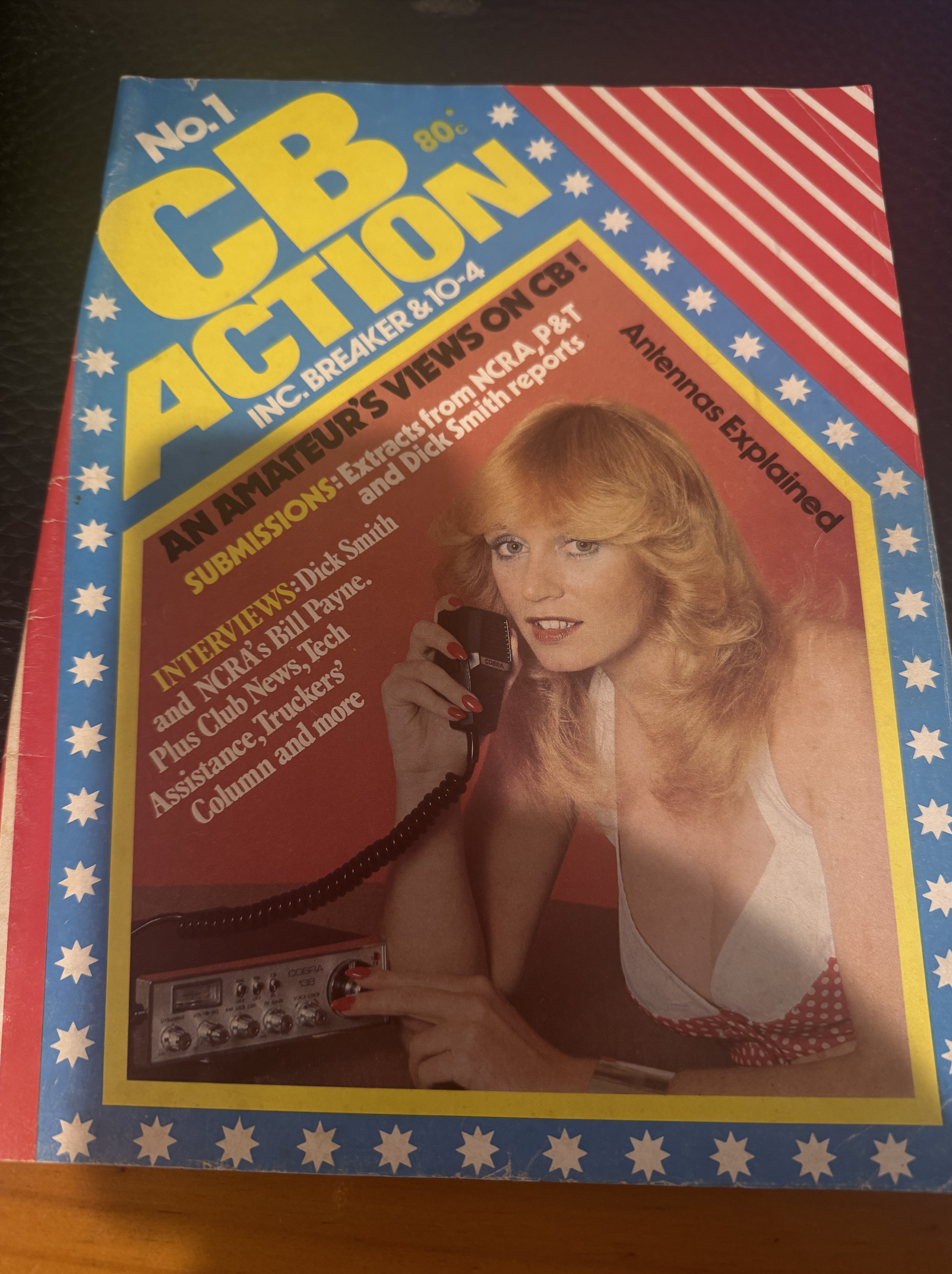
I managed to recently acquire this….CB Action Vol. 1 No. 1 issued in 1977.
CB Action ran until May/June 1995, until its name was changed to ‘Radio and Communications.’

I managed to recently acquire this….CB Action Vol. 1 No. 1 issued in 1977.
CB Action ran until May/June 1995, until its name was changed to ‘Radio and Communications.’
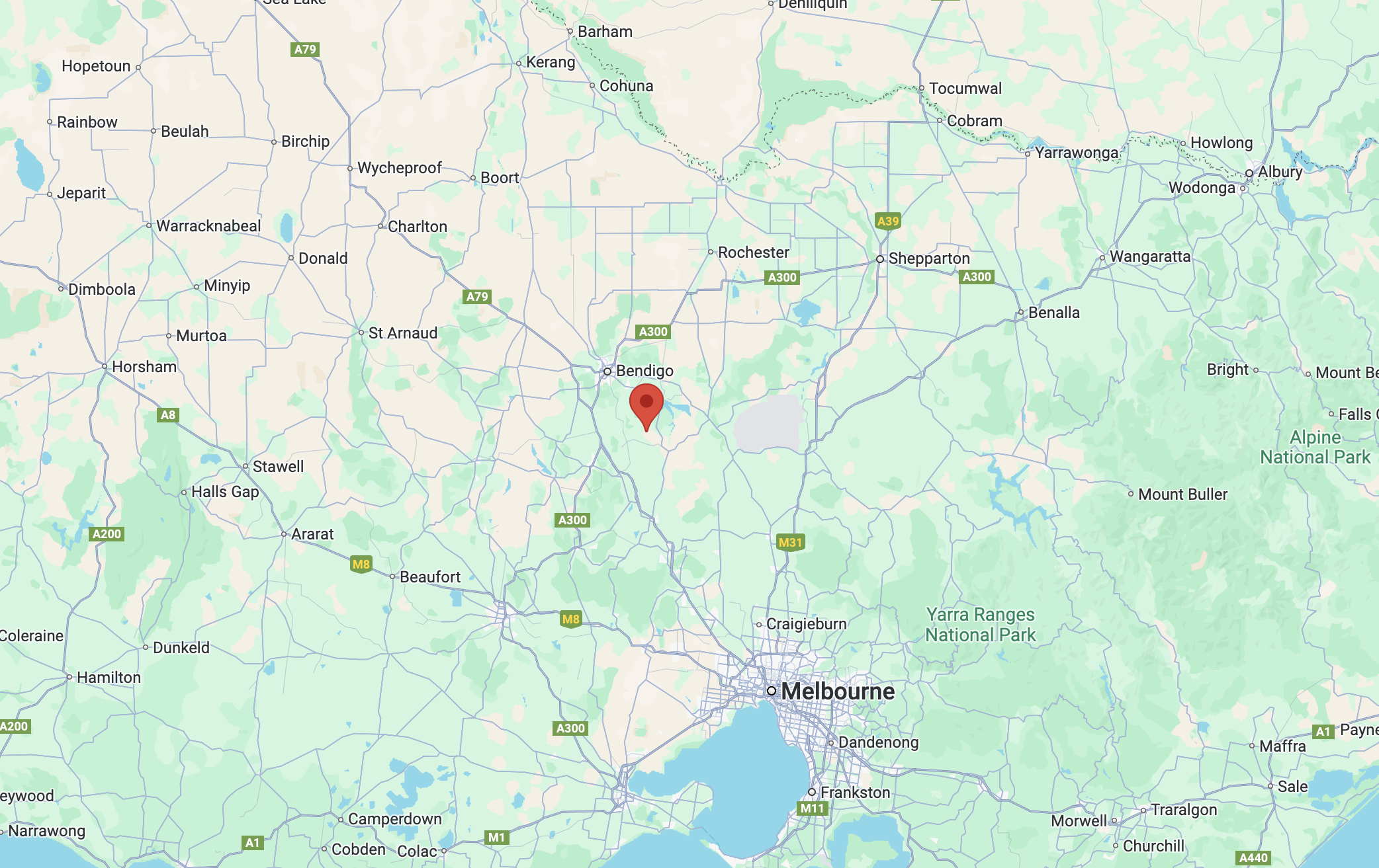
Our final activation for 27th October 2024 was the Emu Valley Bushland Reserve VKFF-4969, which is located about 10 km southeast of Bendigo.
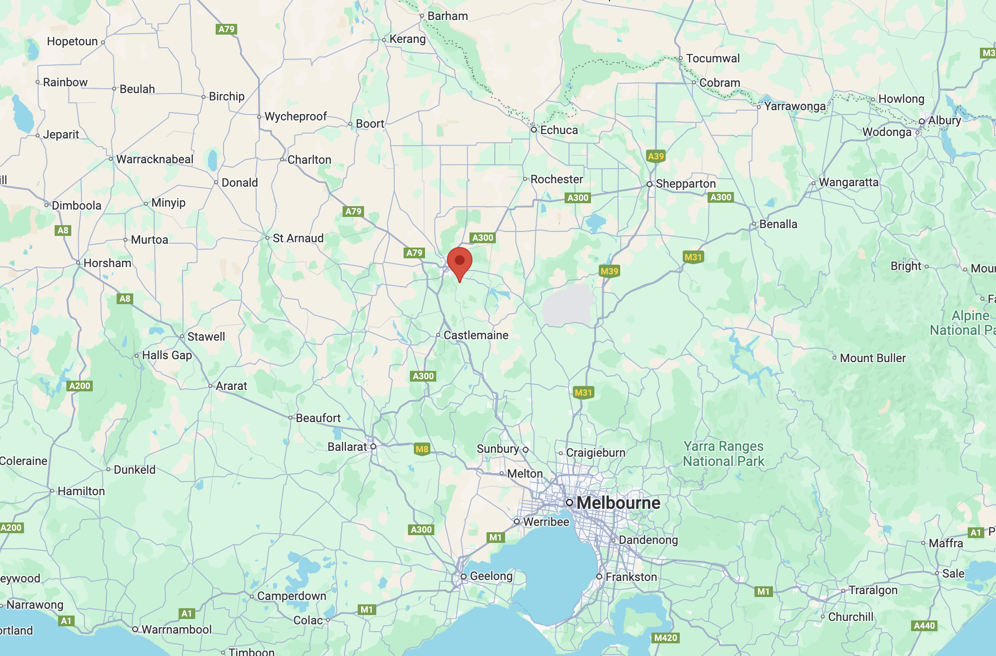
Above:- Map showing the location of Emu Valley Bushland Reserve. Map c/o Google Maps.
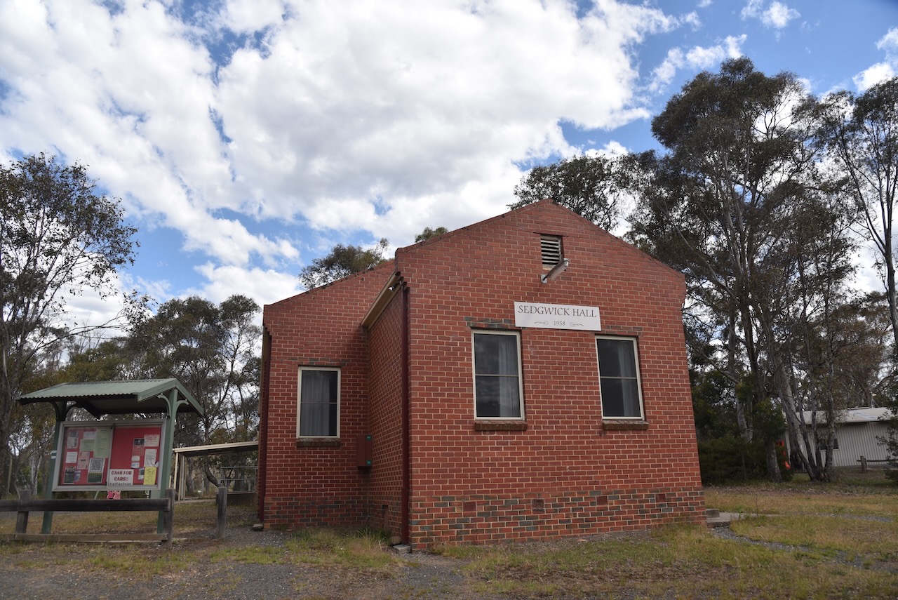
On the way, we stopped to have a look at the Sedgwick Hall built in 1959. Sedwick is a small town and rural district that was known as Upper Emu Creek until 1903. It was renamed Sedgwick after British geologist Professor Adam Sedgwick.
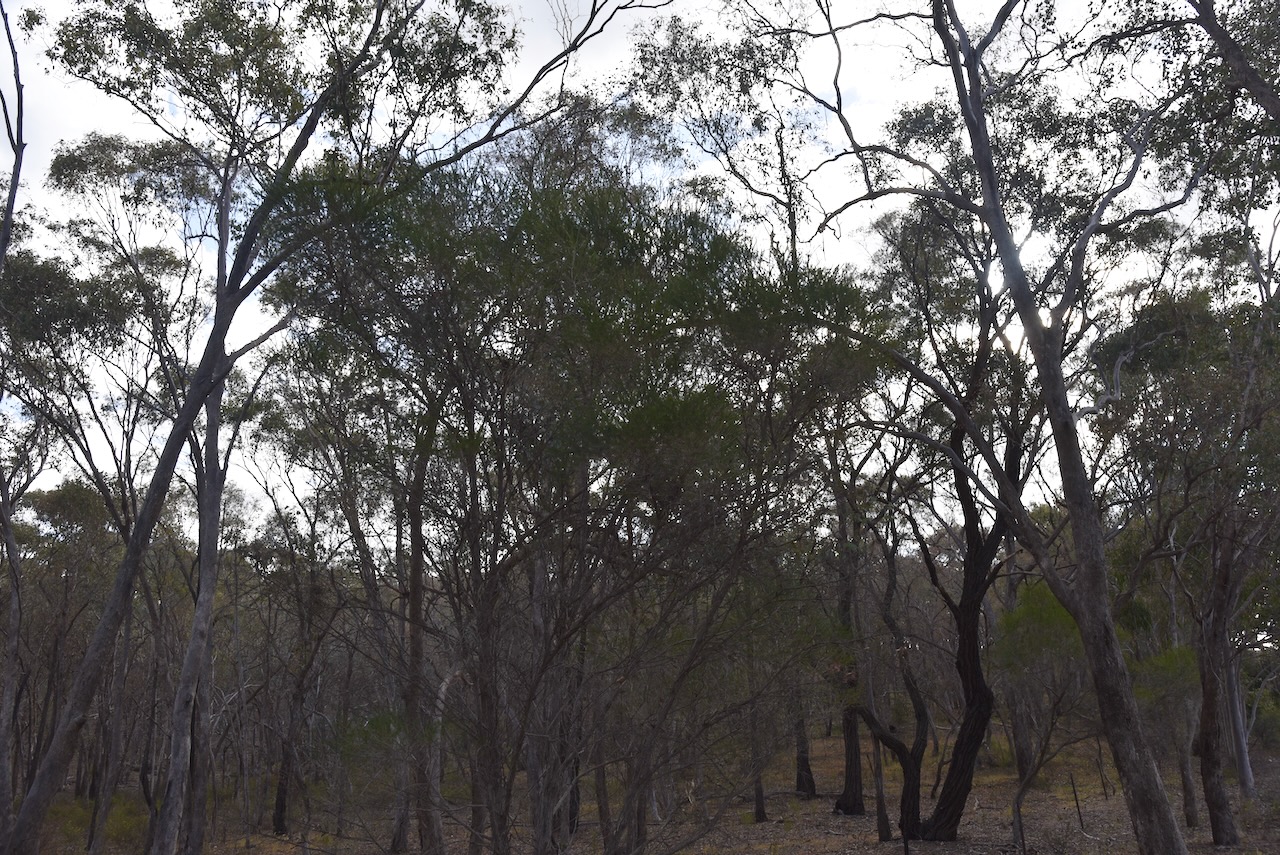
The Emu Valley Bushland Reserve is located on the southern side of Schilling Lane, Emu Creek.
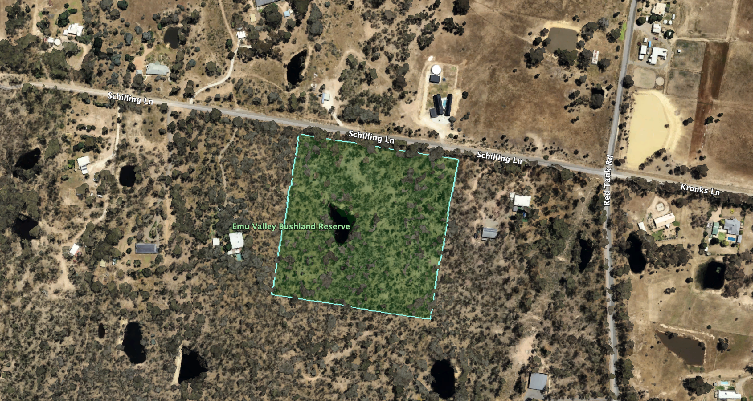
Above:- An aerial view of the reserve. Image c/o Google Earth.
Emu Creek consists of several creeks named after the flightless Australian bird, the Emu. The reserve is about 4 hectares in size and was established on the 26th day of February 2002. (Blake 1978) (CAPAD 2022)
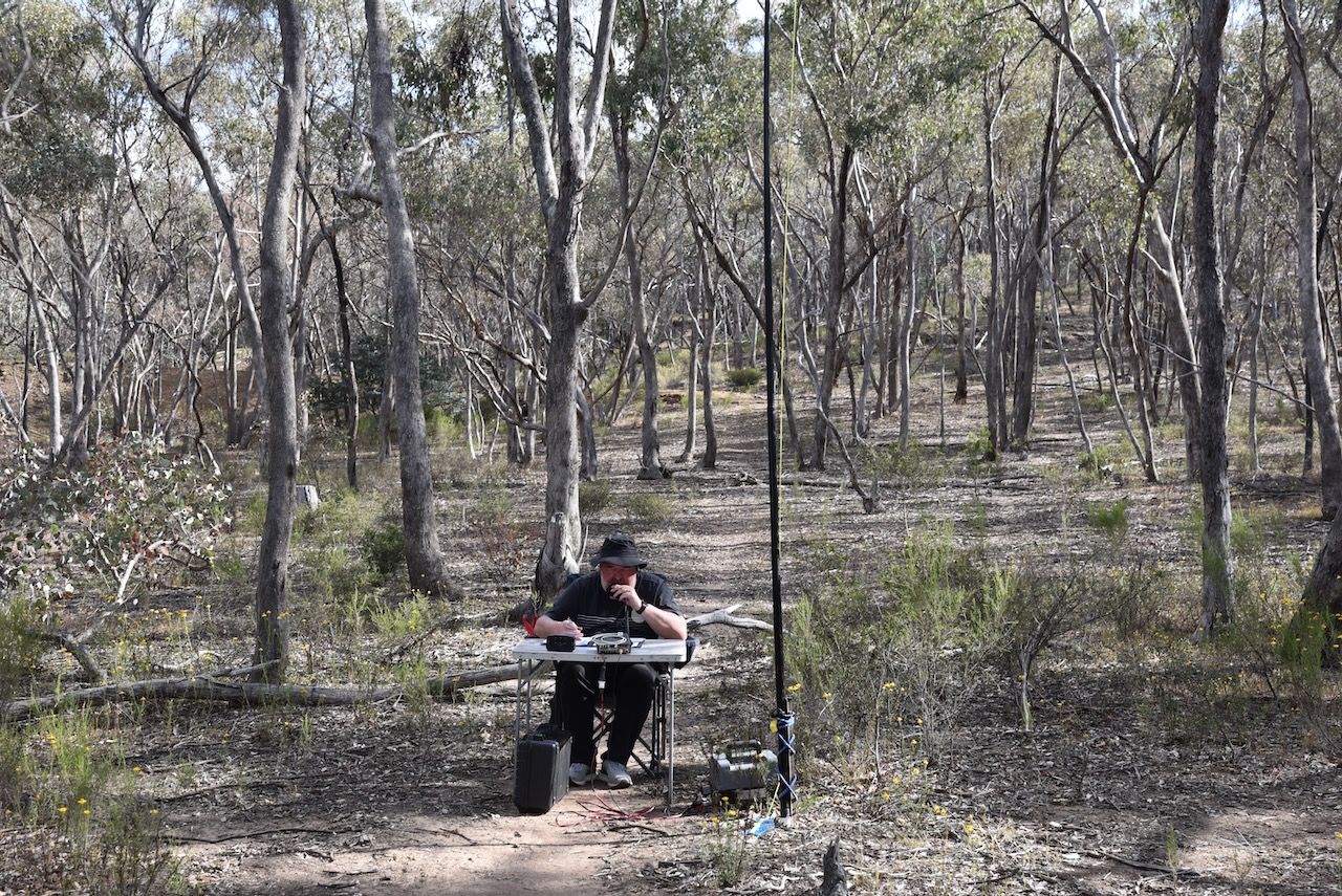
We parked the car and walked into the park, which did not have any fencing. We ran the Yaesu FT857, 40 watts, and the 20/40/80m linked dipole. The 20m band on SSB was pretty much a wipeout due to a contest, and as a result, the QRM was very high.
Marija worked the following stations on 40m SSB:-
Marija worked the following station on 20m SSB:-
I worked the following stations on 40m SSB:-
I worked the following stations on 20m SSB:-
I worked the following stations on 20m FT8:-
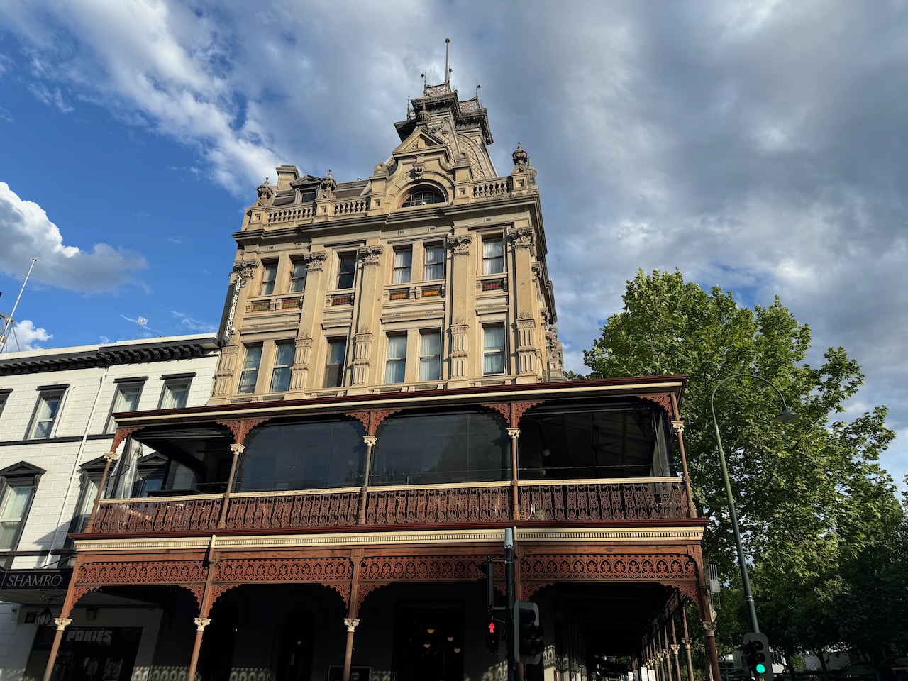
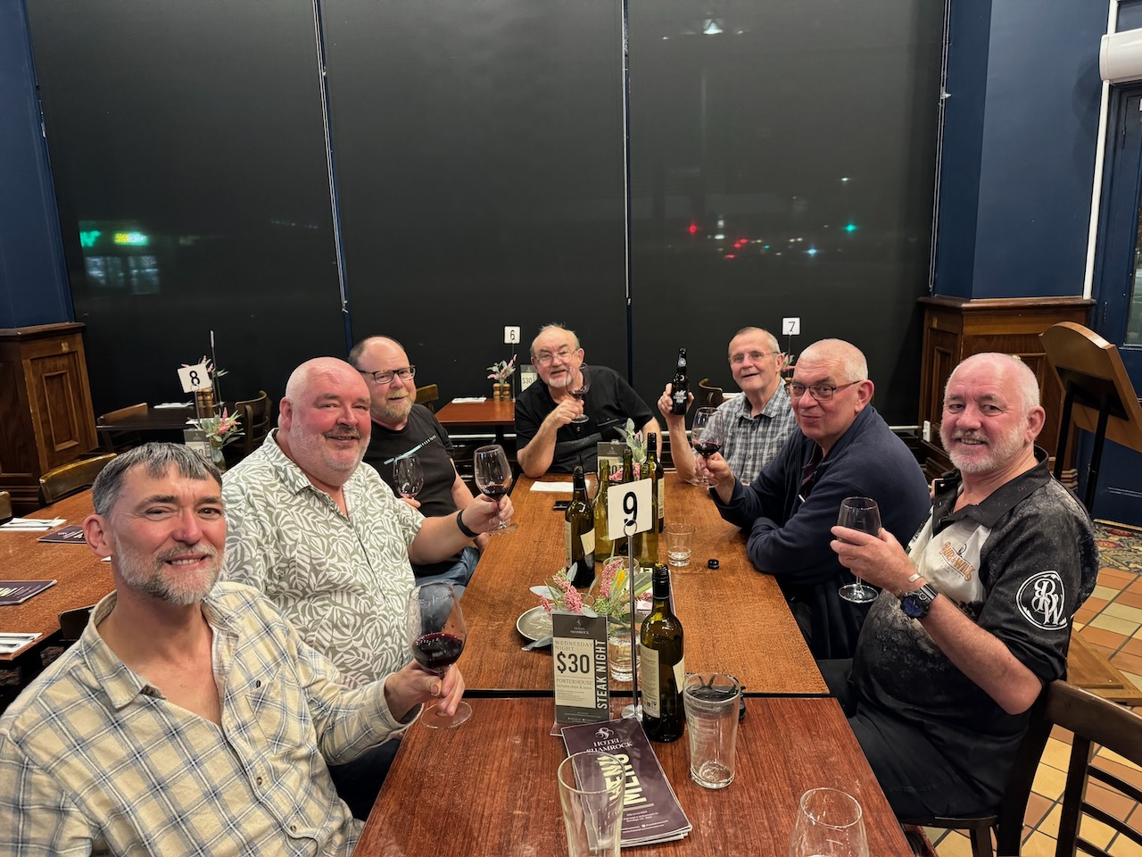
We packed up and headed back to the motel for a shower and then headed off to the historic Shamrock Hotel in Bendigo for an evening meal with some of those who were still around from the 2024 VKFF National Get Together.
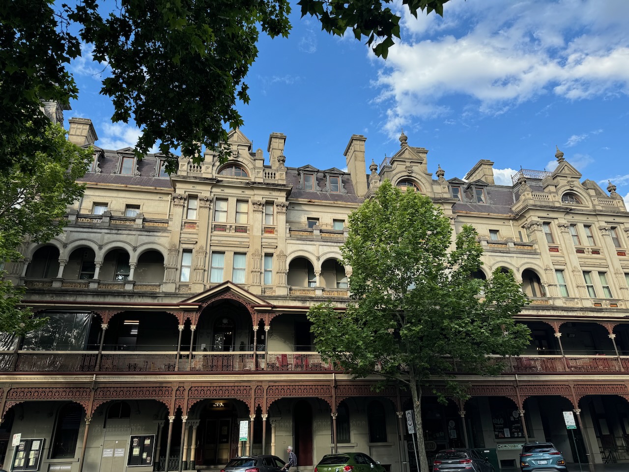
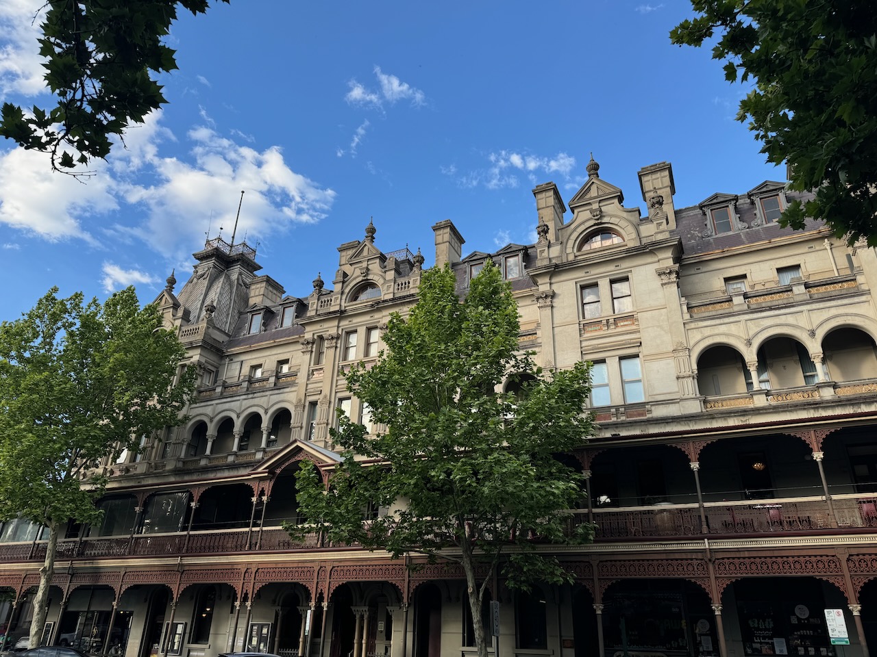
It was another great night of plenty of amateur radio tales, solving the world’s problems, and lots of laughs.
References.
Our next activation for 27th October 2024 was the Hawkestone Bushland Reserve VKFF-5113. The reserve is located about 37 km southeast of Bendigo and about 140 km northwest of Melbourne.
Above:- Map showing the location of the Hawkestone Bushland Reserve. Map c/o Google Maps.
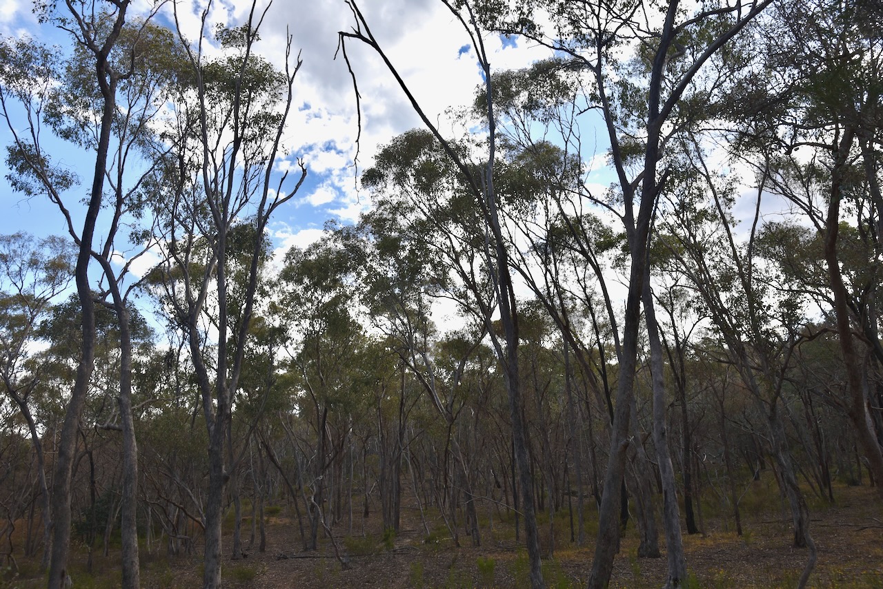
The reserve is located on the southern side of Myrtle Creek between Pattersons Road and Bartys Road.
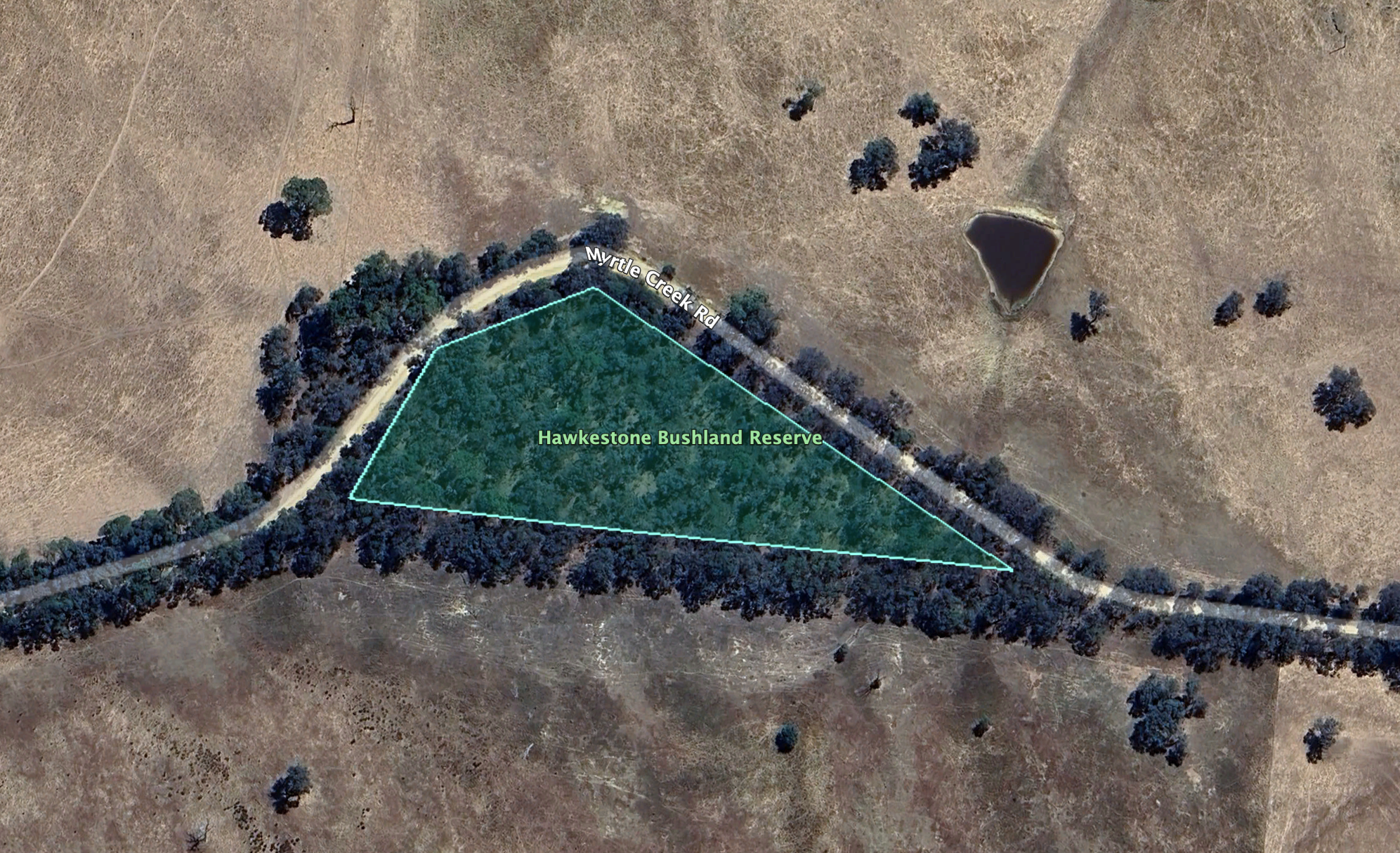
This is just a small park, being about 1.3 hectares in size. It was established on the 24th day of August 1982. (CAPAD 2022)
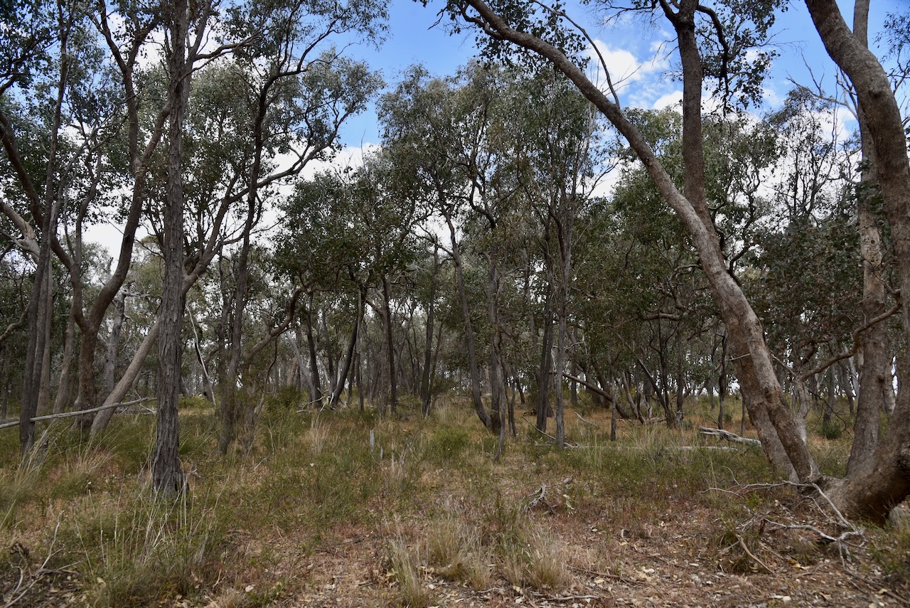
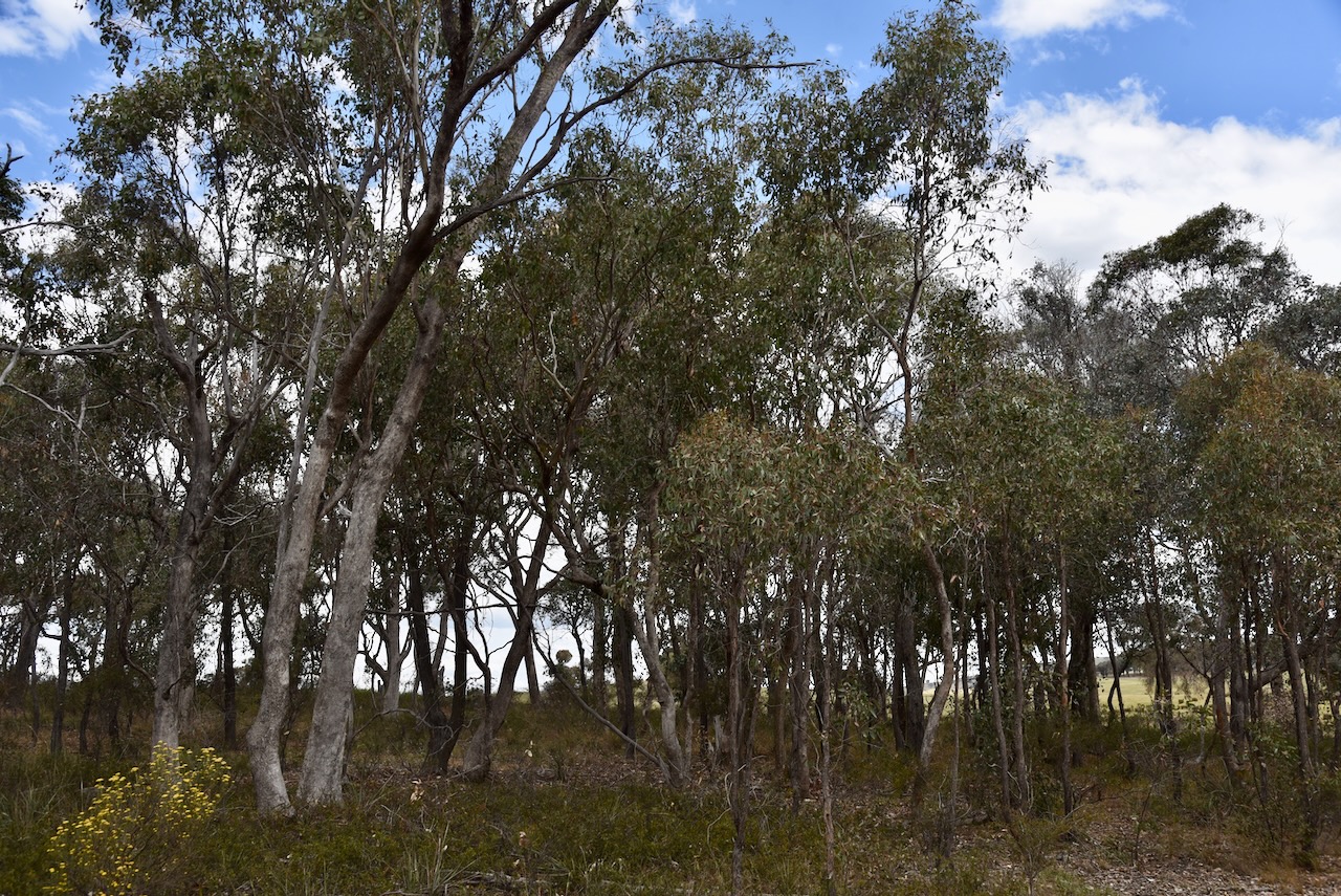
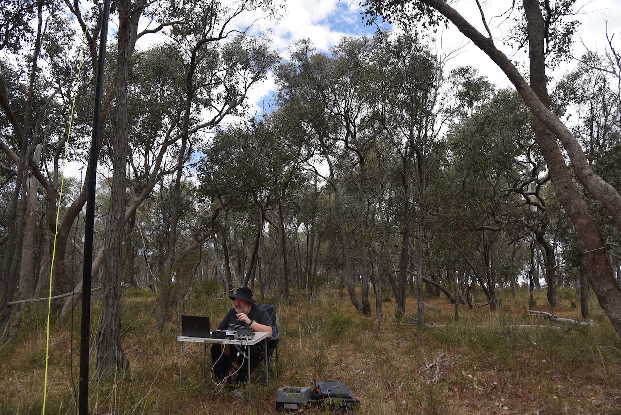
This was quite a difficult park to access due to the thick vegetation. Our 20/40/80m dipole was on all sorts of angles with the 80m sections lying on the ground. We ran the Yaesu FT857 and 40 watts.
The bands were alive with park activators from the 2024 VKFF National Get Together at Bendigo. We made a total of 41 Park to Park contacts during the activation.
Marija worked the following stations on 40m SSB:-
I worked the following stations on 40m SSB:-
I worked the following stations on 20m SSB:-
I worked the following stations on 20m FT8:-
I worked the following stations on 40m FT8:-
References.
Amateur Radio, Short Wave Listening, travel and history
Amateur radio experiences with VK1DA
Brisbane - Australia
german amateur radio station
Summits On The Air
SOTA on the peaks, wilderness QRP and some bushwalking
A fine WordPress.com site
Amateur Radio Adventures
Summits on the Ai
Amateur radio station from Belgium
Radio craft, homebrew, QRP/SOTA, AM
Ego loqui ad viros super montes
My adventures with Amateur Radio and Geocaching!
The rantings of VK2GAZ on his SOTA experiences in Australia
A survivor, with minor cuts and abrasions.
The Art and Craft of Blogging
The latest news on WordPress.com and the WordPress community.
Blog of Justin Giles-Clark VK7TW's SOTA and amateur radio adventures.
Occasional SOTA & Microwave operation
