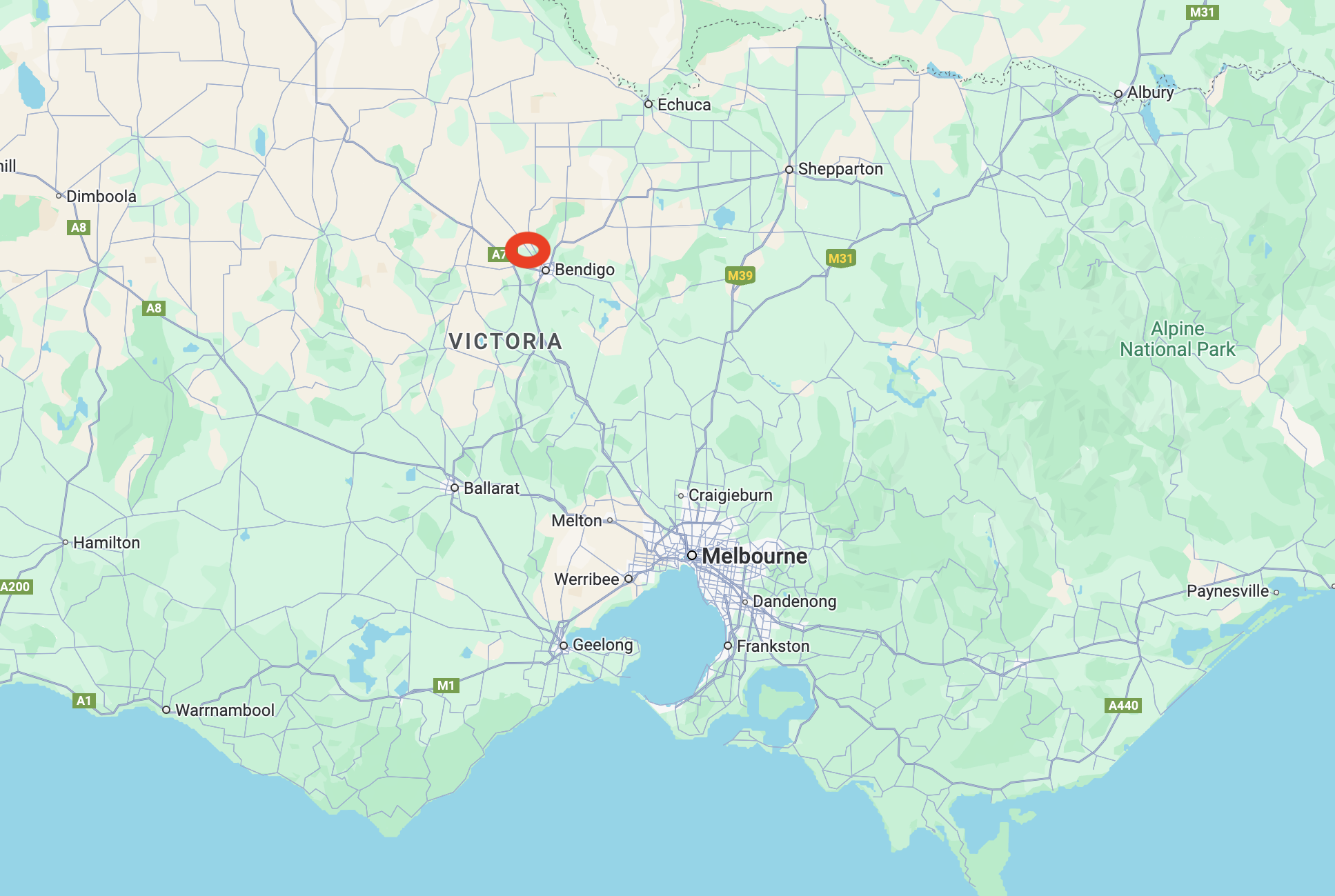
On 28th October 2024, after leaving the Marong H8A Bushland Reserve, Marija and I headed towards Bridgewater where we intended to activate the Bridgewater Streamside Reserve VKFF-3609 and the two silos, the Bridgewater silo VK-BRA3 and the Laucke silo VK-LCE3.
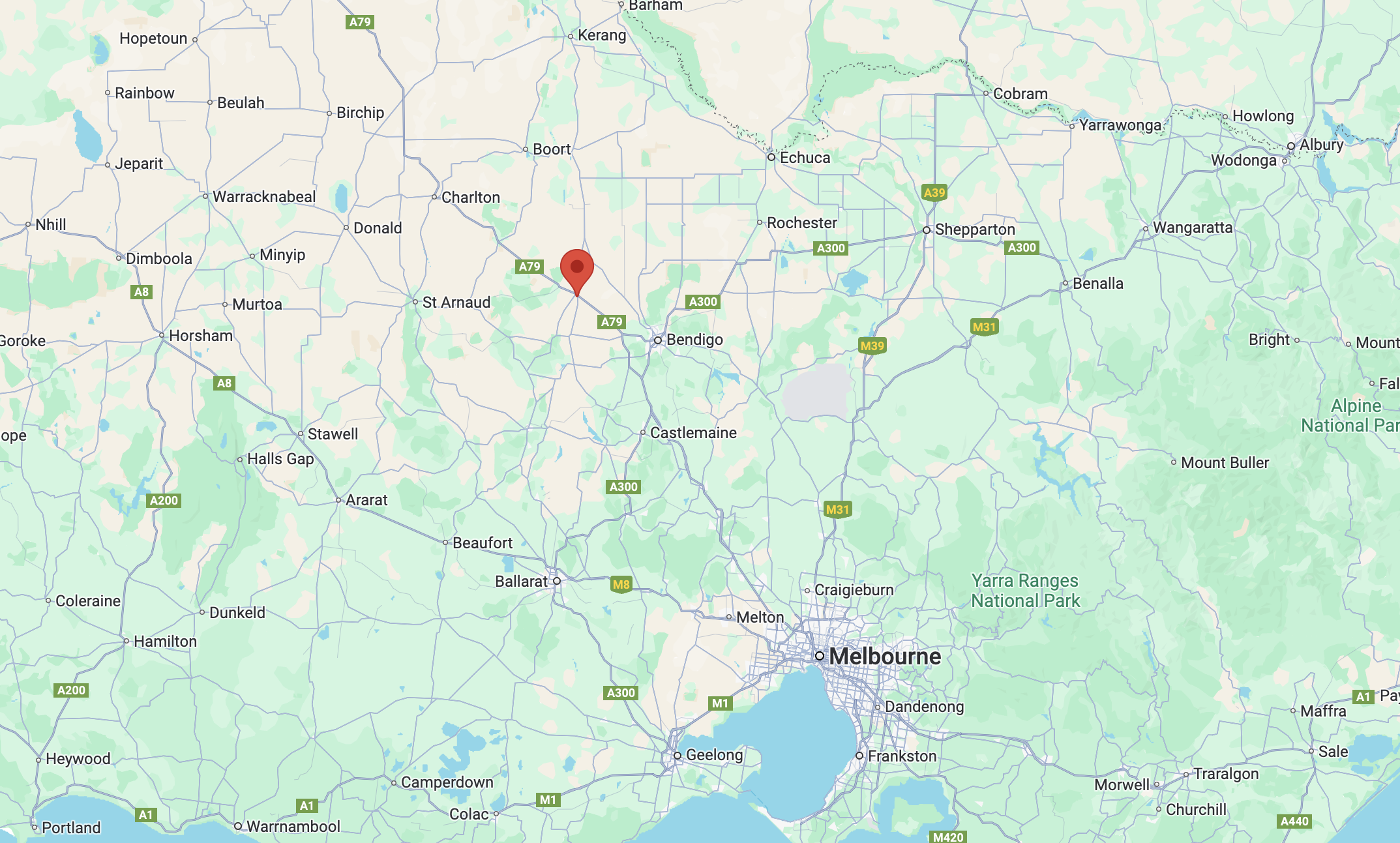
Above:- Map showing the location of Bridgewater on Loddon. Map c/o Google Maps.
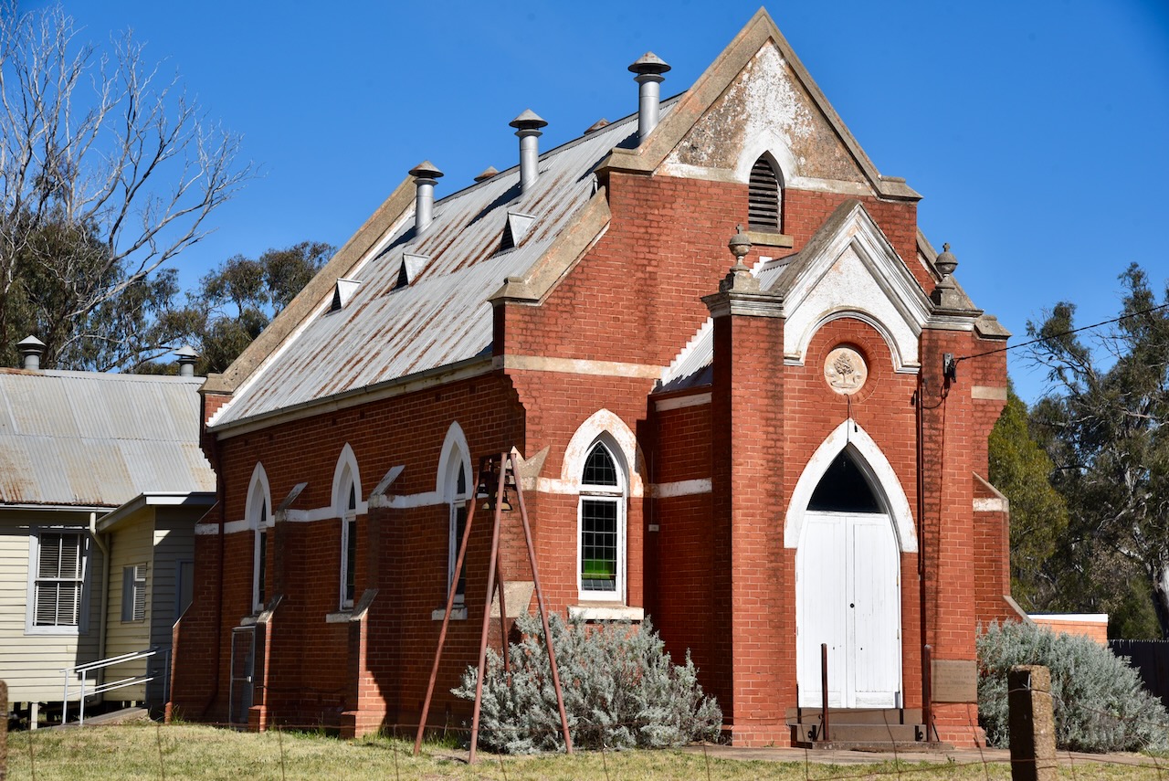
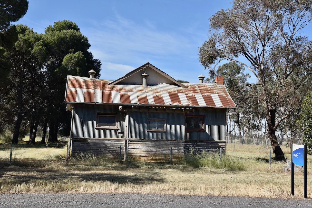
Along the way, we stopped briefly to have a look at the old hall in Derby. Blink and you will miss this place, which was once located on the Derby Gold Line, first worked in 1855. (Blake 1978)
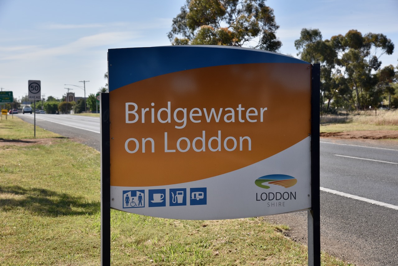
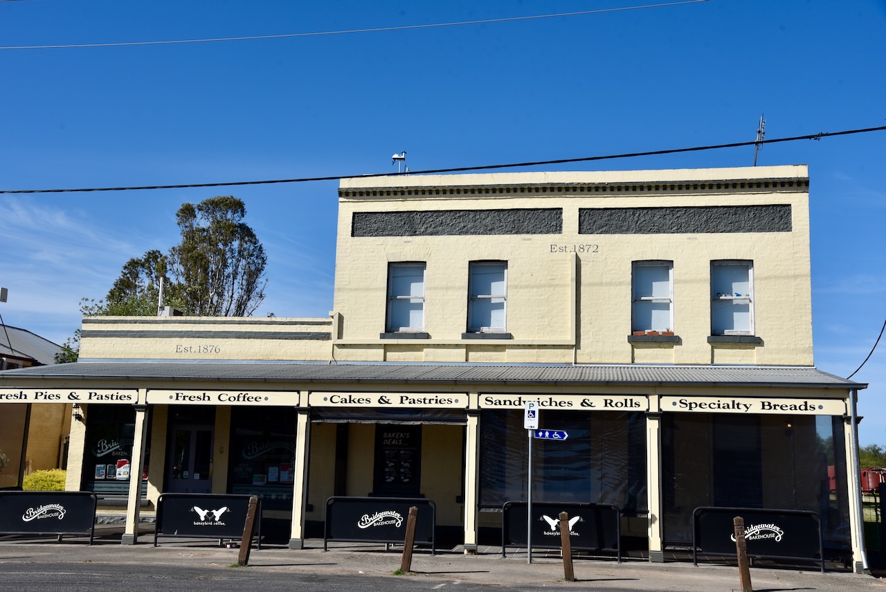
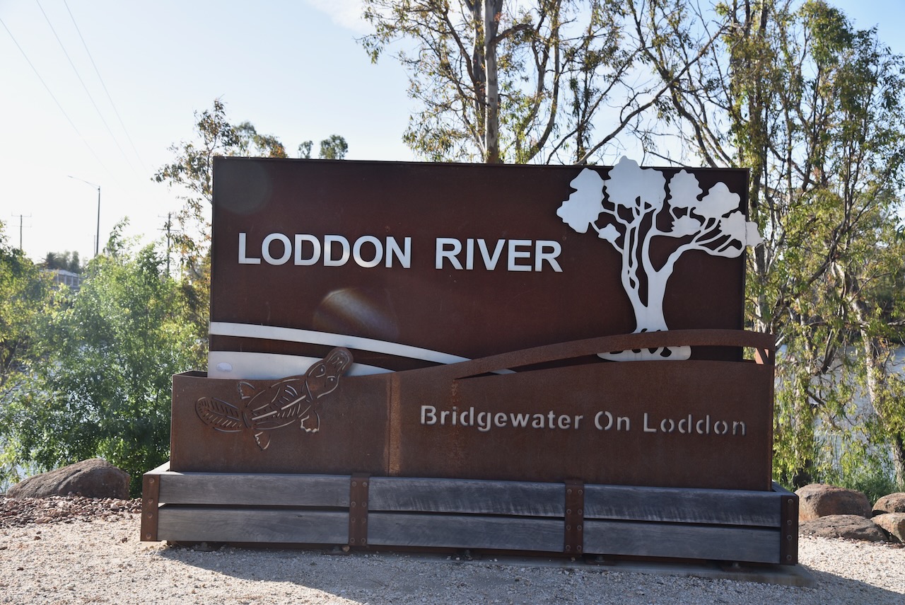
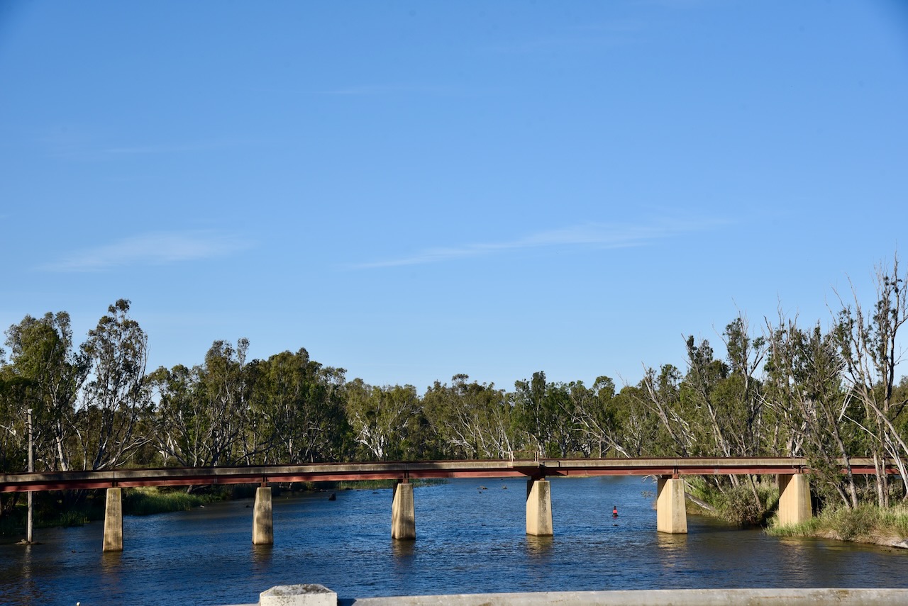
Bridgewater on Loddon is located on the Calder Highway where it crosses the Loddon River. It became a settlement for miners at Inglewood, which was located about 6 km away. This was due to the water at Inglewood becoming unsuitable for drinking purposes. Within two years of the twosnhip being established, a bridge was constructed over the Loddon River in 1862. Six years later, in 1868, the Post office was opened. In 1871, a school was opened. By 1874, a flour mill had been established. (Victorianplaces.com.au, 2015)
The Loddon River’s headwaters rise on the northern slopes of the Great Dividing Range east of Daylesford and descend to flow north into the Little Murray River near Swan Hill. It is Victoria’s second-longest river after the Goulburn River. It flows for a distance of about 392 km. It was discovered and named by Major Thomas Mitchell in 1836. It was named after the Loddon River in Berkshire. (Blake 1978) (Wikipedia 2023)
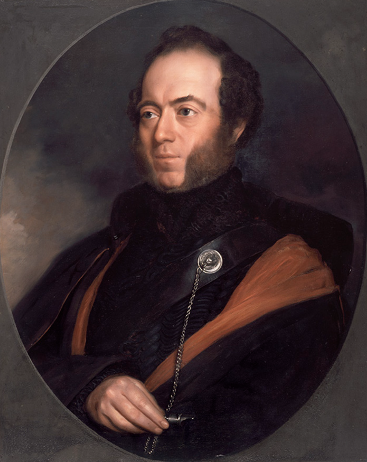
Above:- Major Thomas Mitchell. Image c/o Wikipedia.
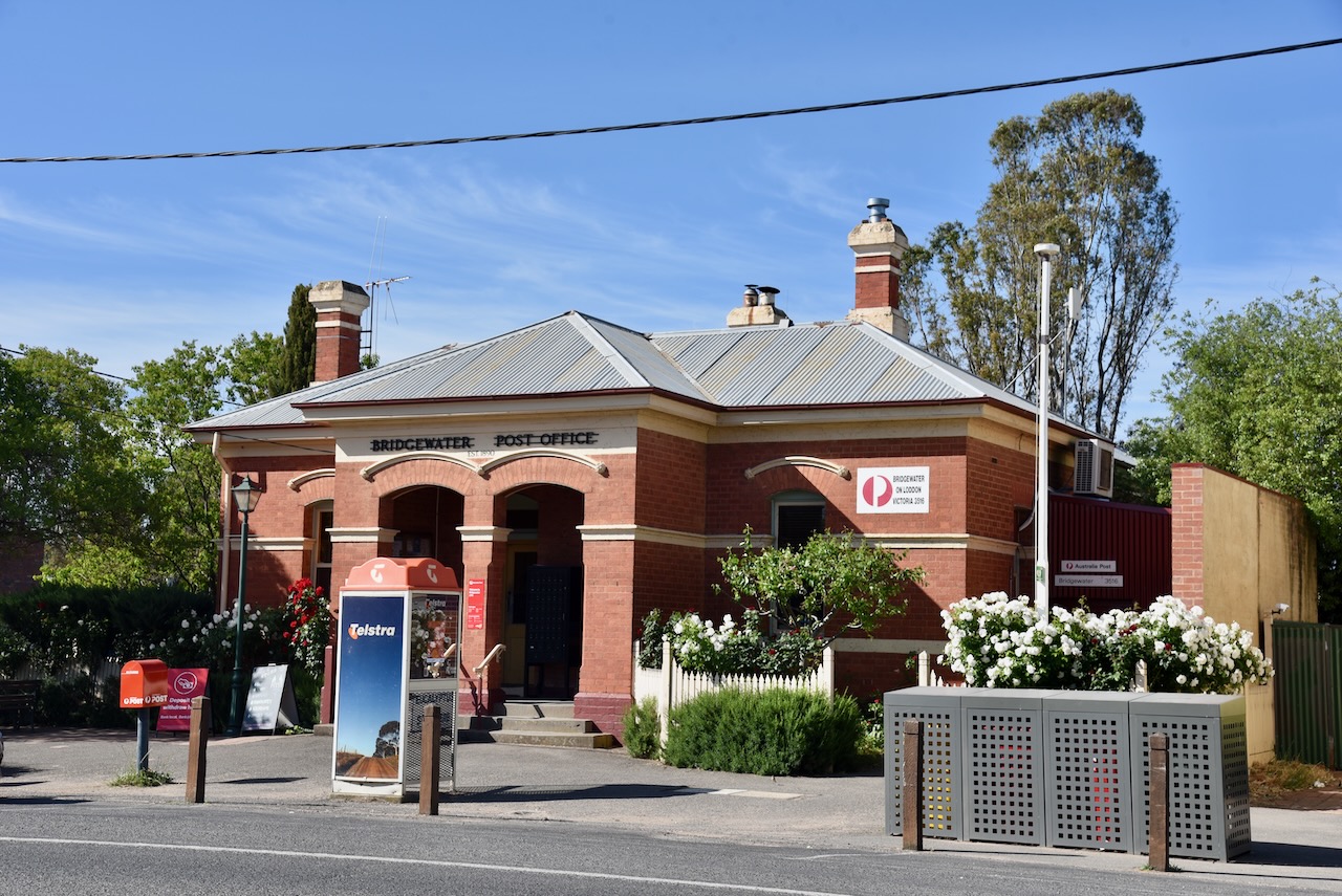
During September 2010 and again in January 2011, the Loddon experienced significant flooding, along with numerous other areas of Victoria. Homes and businesses in Bridgewater on Loddon River experienced flooding. This included the hotel, the post office, the police station, and the caravan park. (Victorianplaces.com.au, 2015)
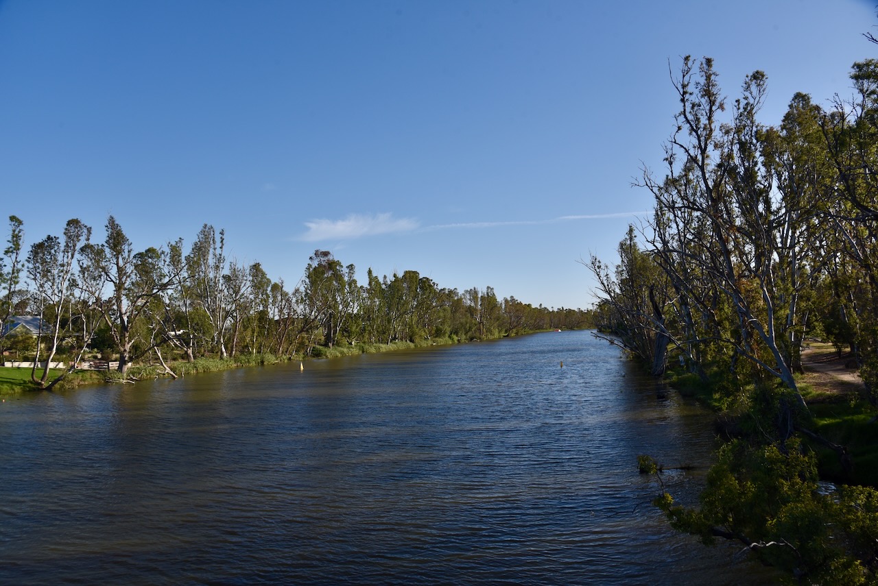
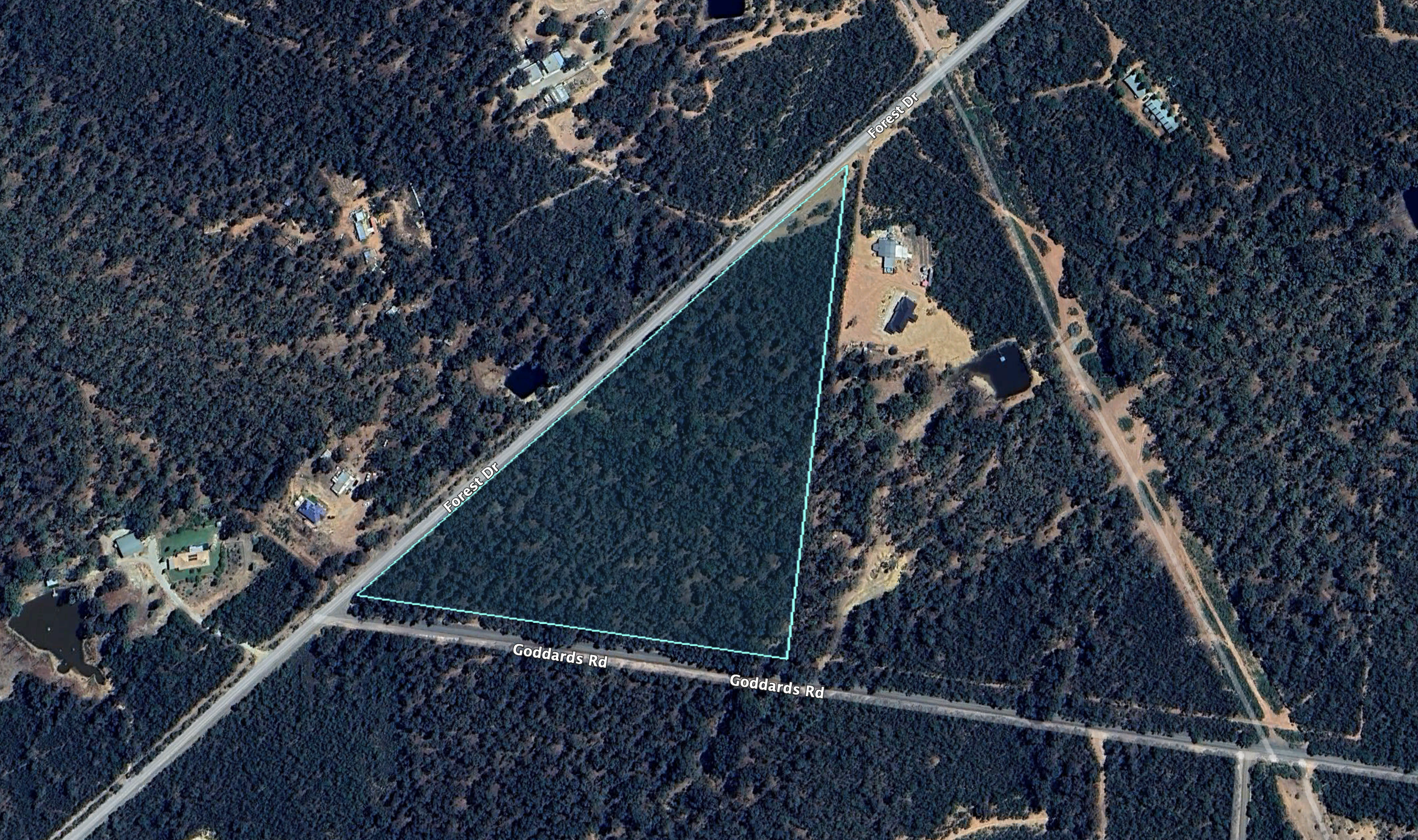
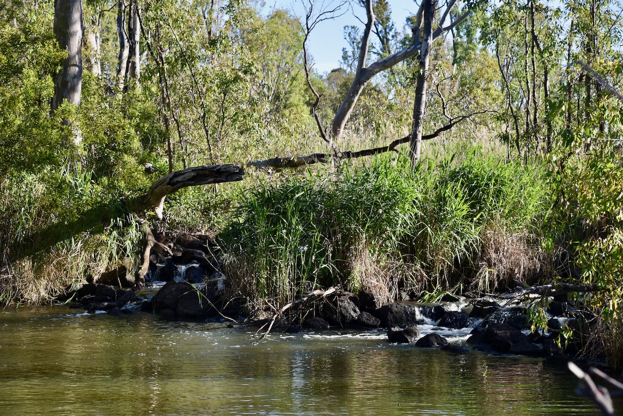
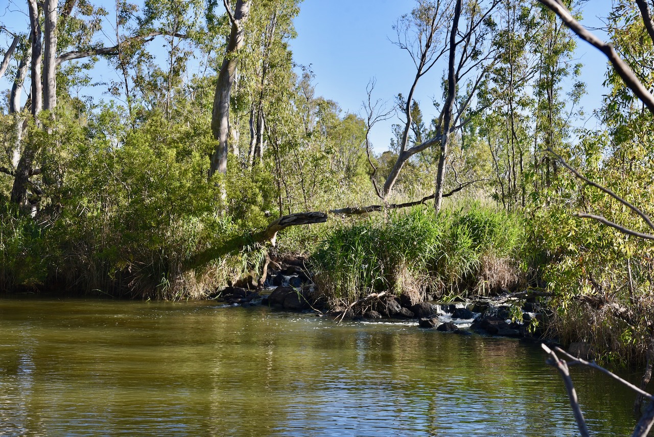
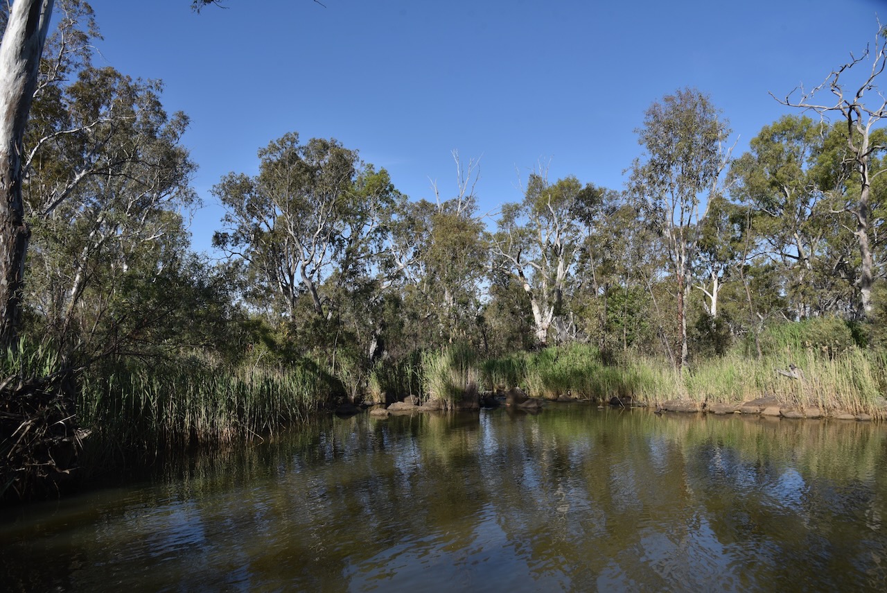
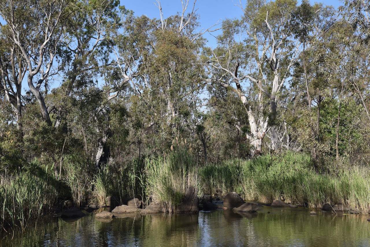
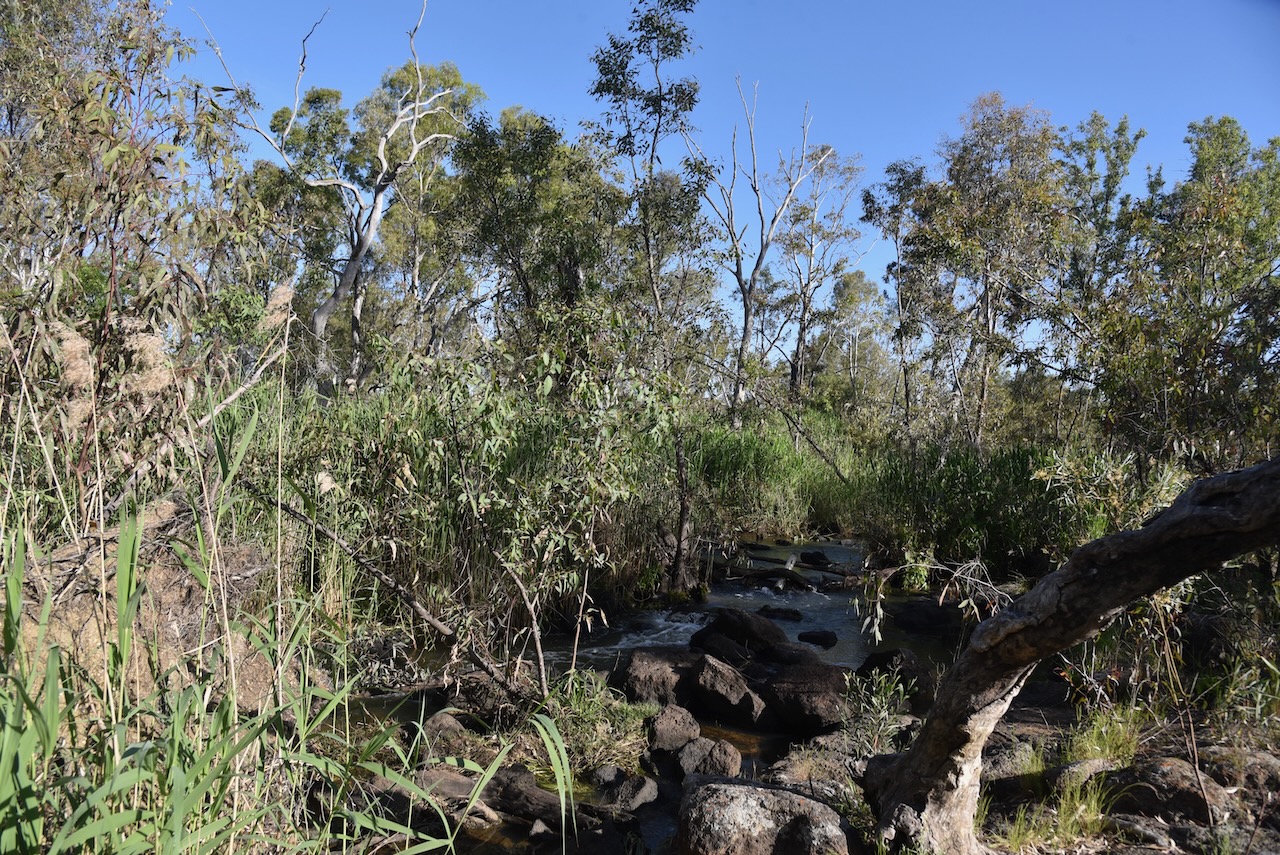
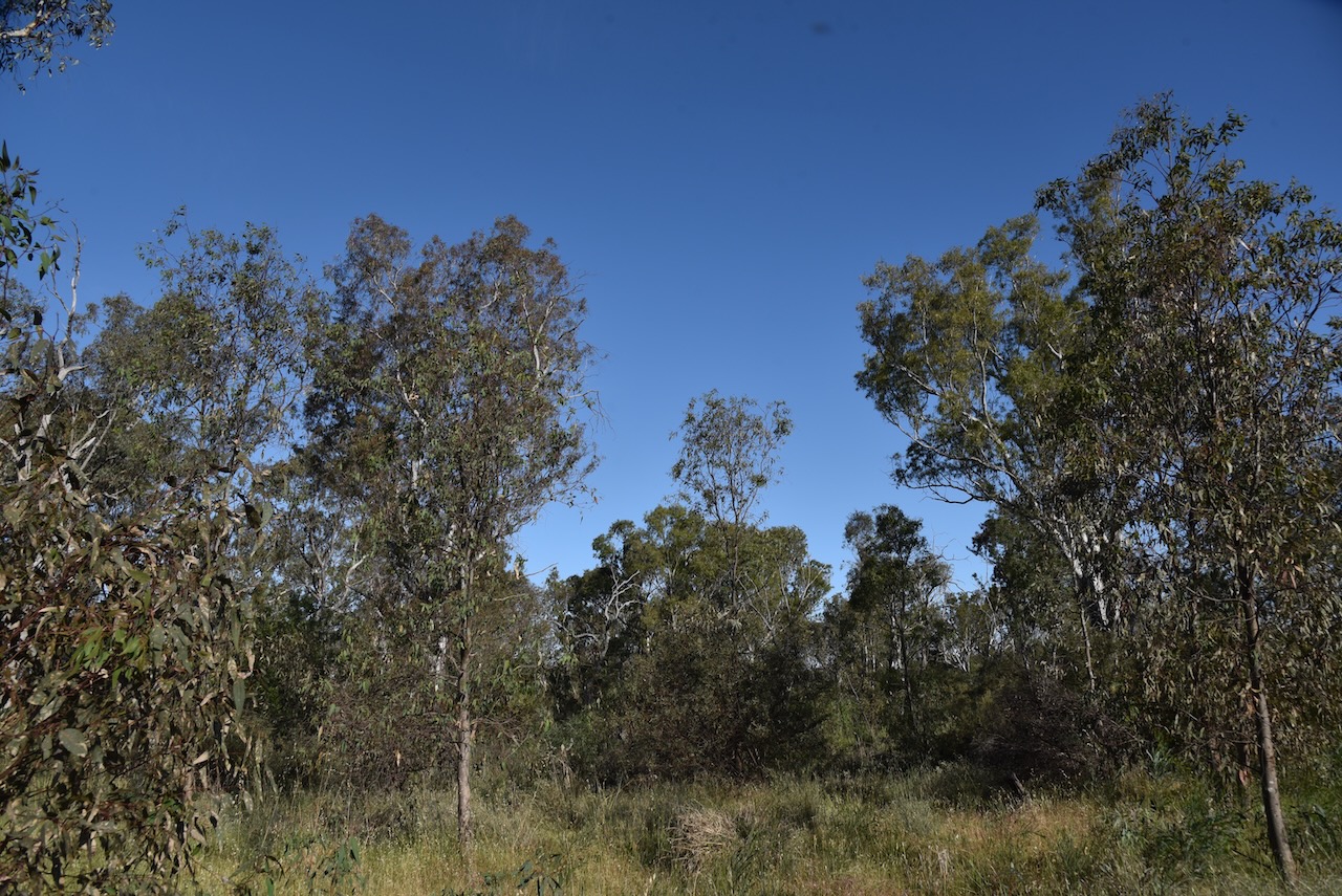
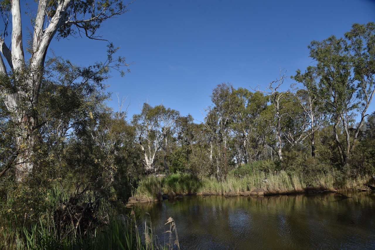
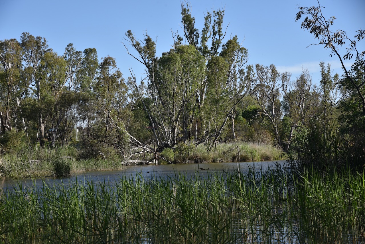
The Bridgewater Streamside Reserve is on either side of the Loddon River on the northeastern side of the town.
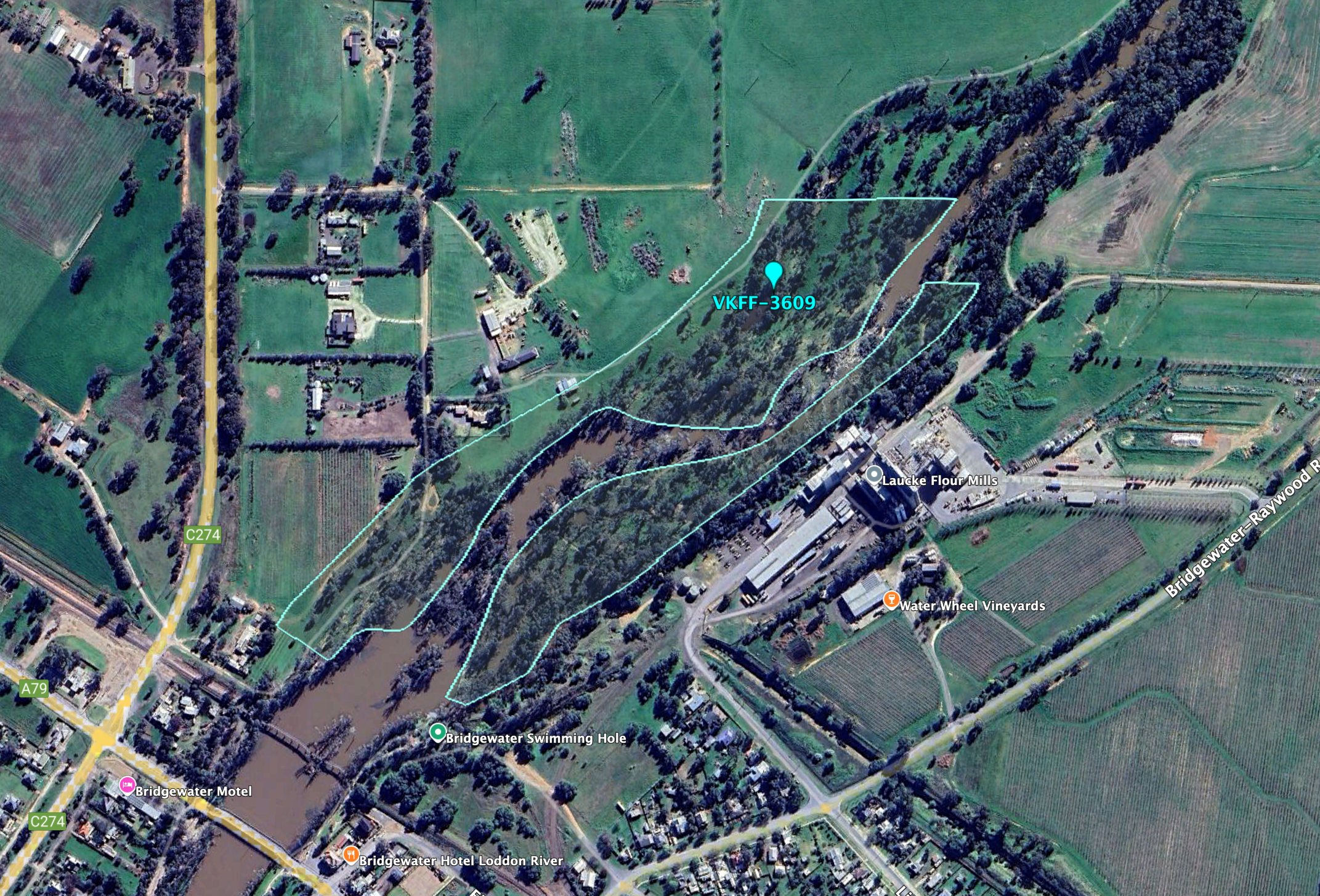
Above:- An aerial view of the Bridgewater Streamside Reserve. Image c/o Google Earth.
The reserve is about 14 hectares in size and was established on the 24th day of August 1982. (CAPAD 2022)
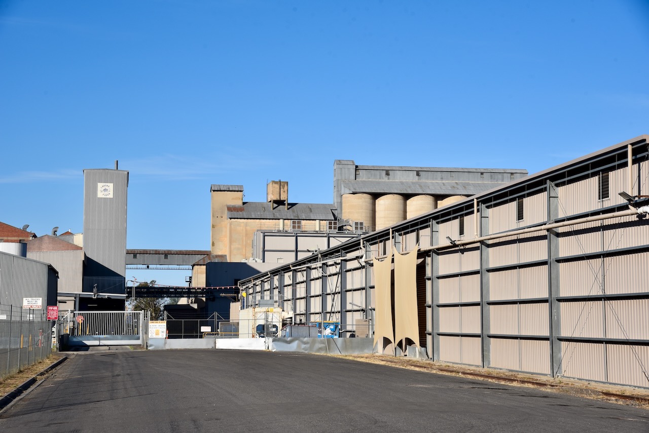
The Bridgewater silo VK-BRA3 is located alongside the railway line on Brougham Street. Four steel silos with a total capacity of 280,000 bushels were built in 1963, for the storage of wheat, barley, and oats. (Victorianplaces.com.au, 2015)
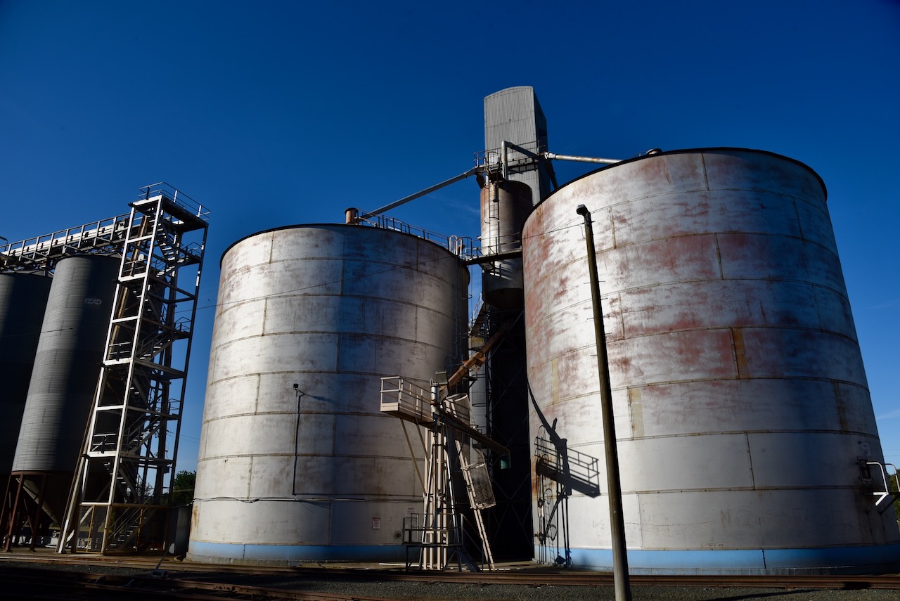
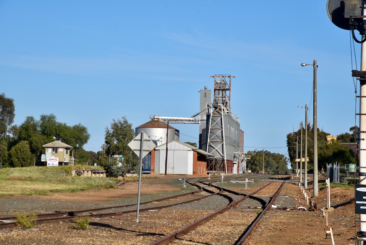
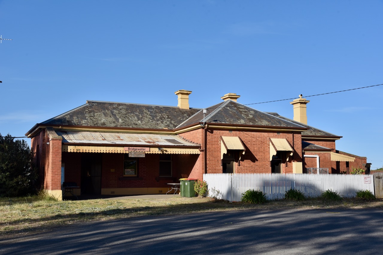
Nearby is the old Bridgewater on Loddon railway station. The railway station and the original rail bridge were opened in 1876. (Stationspast.net, 2025)
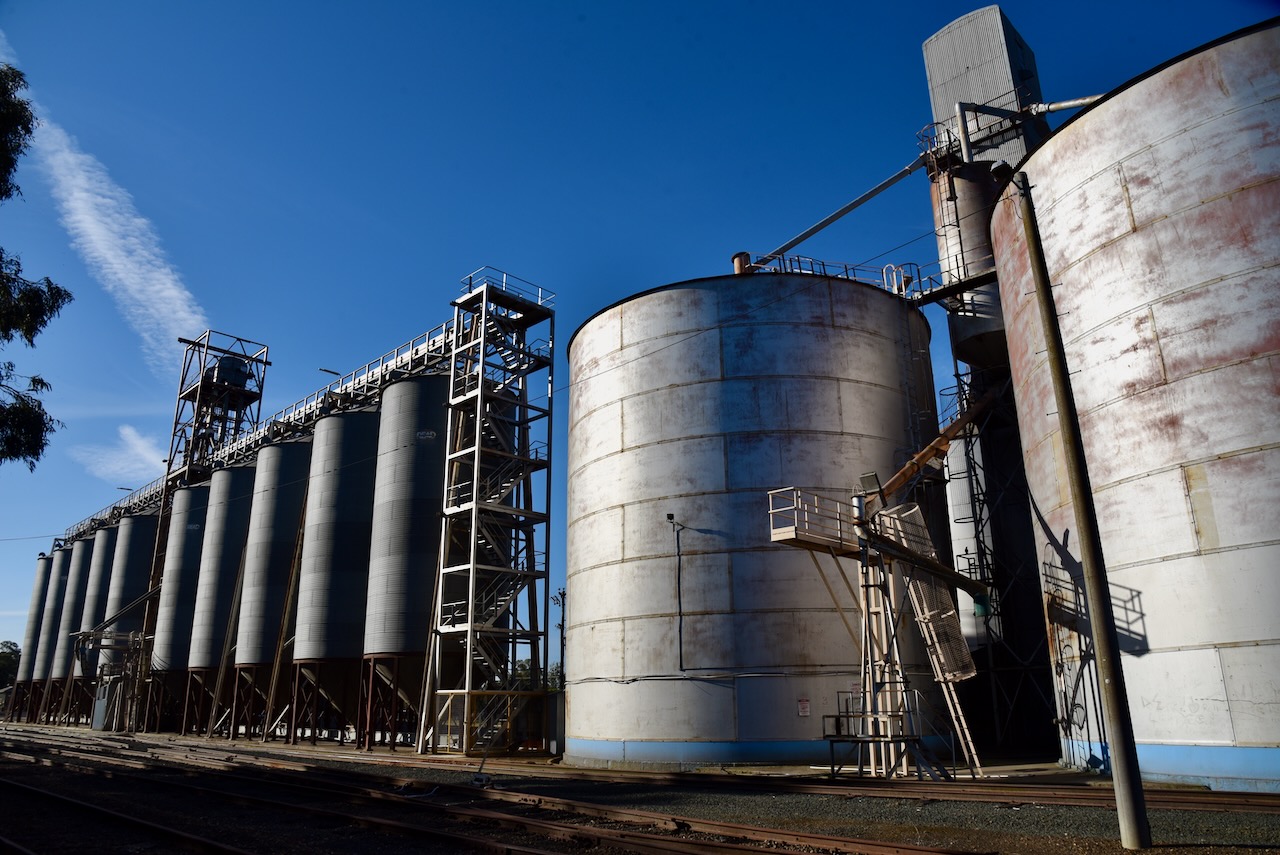
The Laucke silos VK-LCE3 are located on Lily Street.
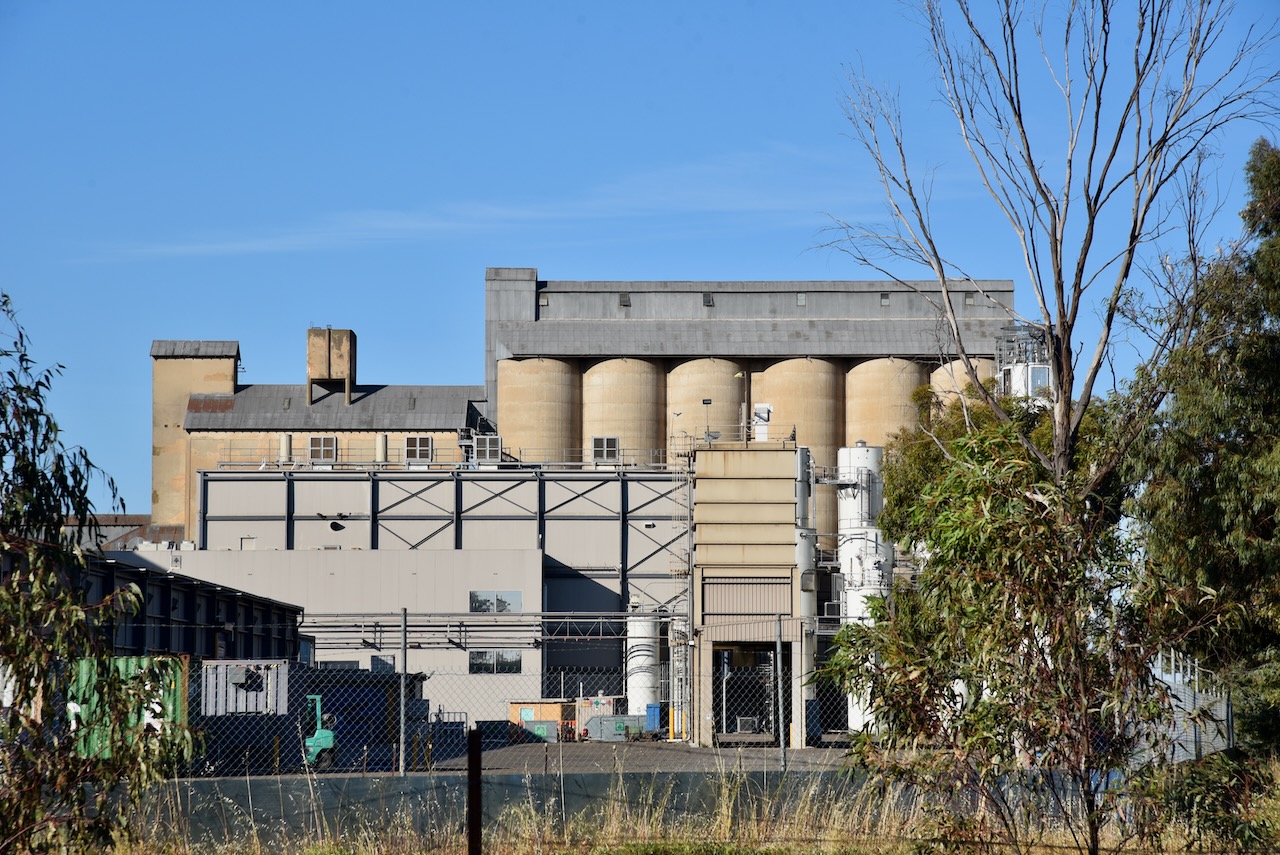
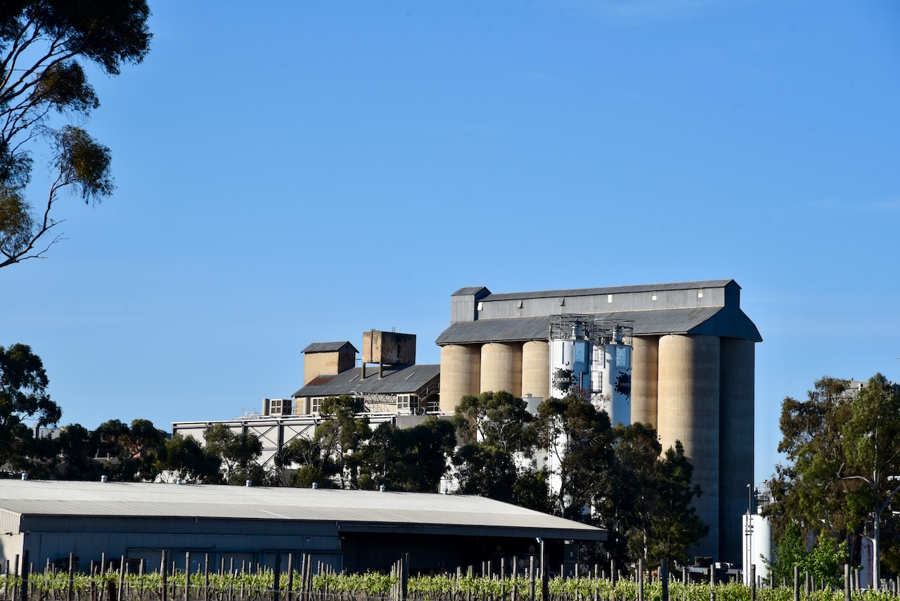
The Laucke flour mill is one of Victoria’s five operating mills. Friedrich Laucke arrived in South Australia in 1895 from the Kingdom of Prussia (current day Germany). He commenced employment with Edwin Davey and Sons at Salisbury, north of Adelaide, as a miller. By 1899, he had acquired the Greenock flour mill in the Barossa Valley. His operations expanded with the purchase of other mills, including Strathalbyn, Angaston, Eudunda, and Stockwell. (Laucke.com.au, 2025) (Victorianplaces.com.au, 2015)
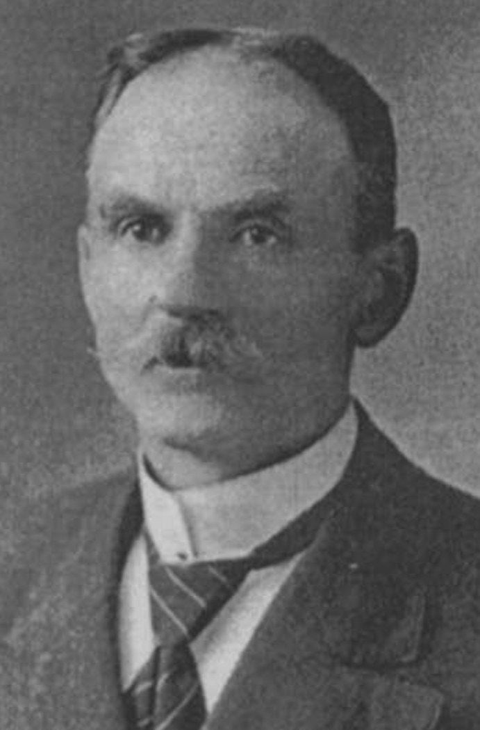
Above:- Friedrich Laucke. Image c/o ancestry.com.au
Marija and I set up near Chinamans Hole, in the park, and within the activation zone of the two silos. We ran the Yaesu FT857, 40 wattsm, and the 20/40/80m linked deipole.
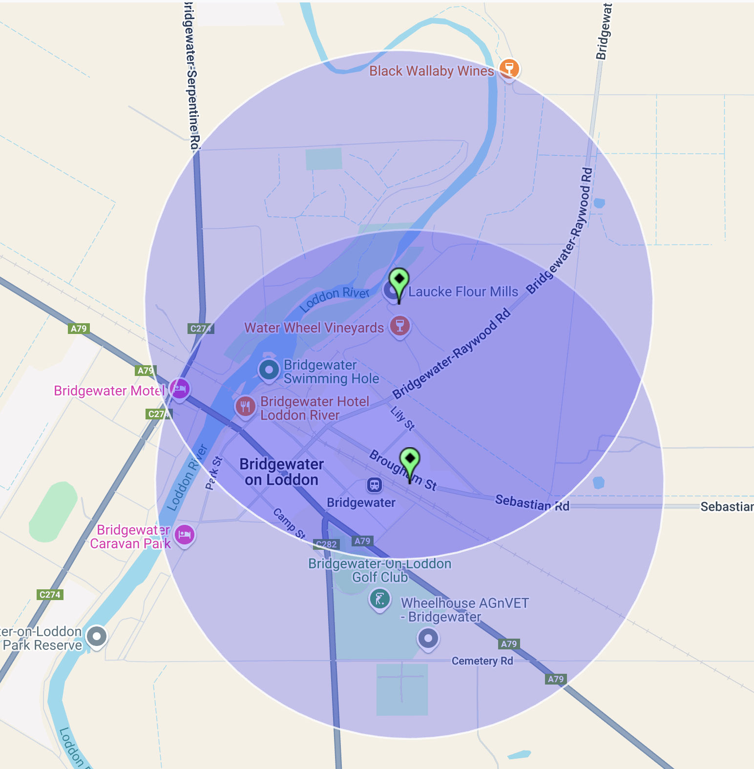
Above:- The activation zones at the two silos at Bridgewater on Loddon. Image c/o SiOTA website.
Marija worked the following stations on 40m SSB:-
- VK3PF/P (VKFF-5947)
- VK3WSG
- VK2IO/P (SOTA VK3/ VC-019 & VKFF-2402)
- VK2GEZ/ P (SOTA VK3/ VC-019 & VKFF-2402)
- VK1CHW
- VK3MCA
- VK2VW
- VK2HFI
- VK2AKA
- VK2BUG
I worked the following stations on 40m SSB:-
- VK3PF/P (VKFF-5947)
- VK3WSG
- VK2IO/P (SOTA VK3/ VC-019 & VKFF-2402)
- VK2GEZ/ P (SOTA VK3/ VC-019 & VKFF-2402)
- VK1CHW
- VK3MCA
- VK2VW
- VK2HFI
- VK2AKA
- VK2BUG
- VK3APJ
- VK3SQ
- VK2BD
- VK3MGM
- VK5QA
- VK7PJM
- VK3HJW
- VK3GJG
- VK1AO
- VK2MET
- VK3UAO
- VK3KRL
- VK2LEE
- VK3CJN
- VK3QHU
- VK3VIN
- VK3CEO
I worked the following stations on 20m SSB:-
- OH1XT
- VK4EW
- ZL1HIM
- OH1MM
- ZL3MR
- ZL1TM
- VK4EMP
- VK4TI
- VK4GKO
- OH2CGU
- UT5PI
- KG5CIK
- IW2BNA
- SQ9FMC
- F5PYI
I worked the following stations on 20m FT8:-
- UA3PAB
- EW8CW
- VK4EMP
- VK4TI
- VK4GKO
- NA3M
- DJ1AA
I worked the following station on 20m AM:-
- VK4EW
References.
- Dcceew.gov.au. (2023). Collaborative Australian Protected Areas Database (CAPAD) 2022 – DCCEEW. [online] Available at: https://www.dcceew.gov.au/environment/land/nrs/science/capad/2022 [Accessed 13 Apr. 2025].
- Laucke.com.au. (2025). Our Heritage | Laucke. [online] Available at: https://www.laucke.com.au/about/our-heritage [Accessed 13 Apr. 2025].
- Leslie James Blake, 1978, Place Names of Victoria.
- Stationspast.net. (2025). Bridgewater. [online] Available at: https://www.stationspast.net/victoria/north-west-of-bendigo/bridgewater/ [Accessed 13 Apr. 2025].
- Victorianplaces.com.au. (2015). Bridgewater | Victorian Places. [online] Available at: https://www.victorianplaces.com.au/bridgewater [Accessed 13 Apr. 2025].
- Wikipedia Contributors (2023). Loddon River. Wikipedia.