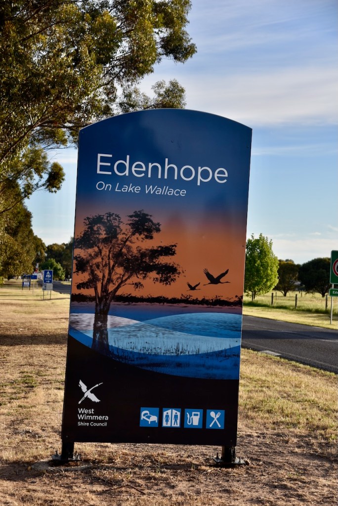
Late on the afternoon of Wednesday, 30th October 2024, Marija and I arrived at Edenhope, where we had planned to stay for a few nights on the final leg of our Bendigo trip.
We booked into our accommodation at the Edenhope Lakeside Tourist Park.
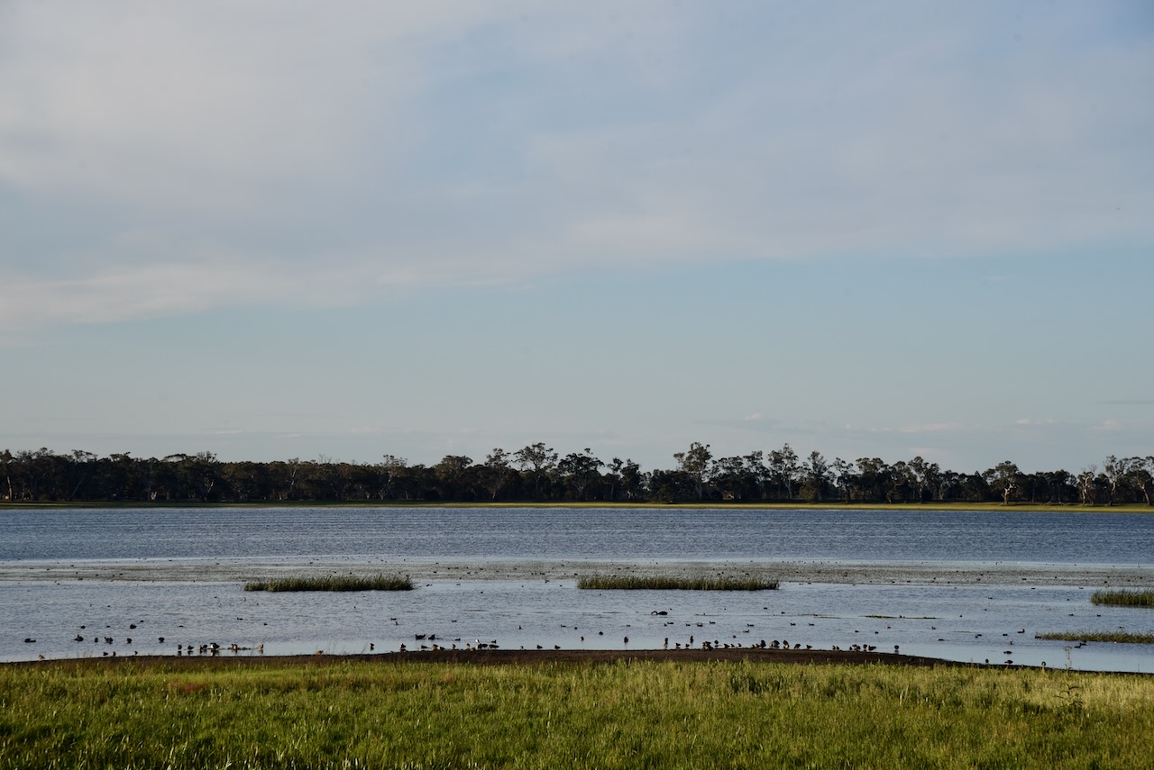
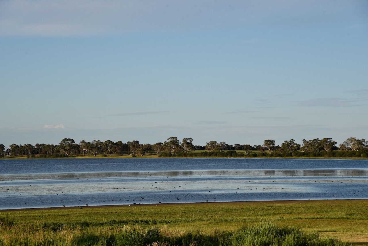
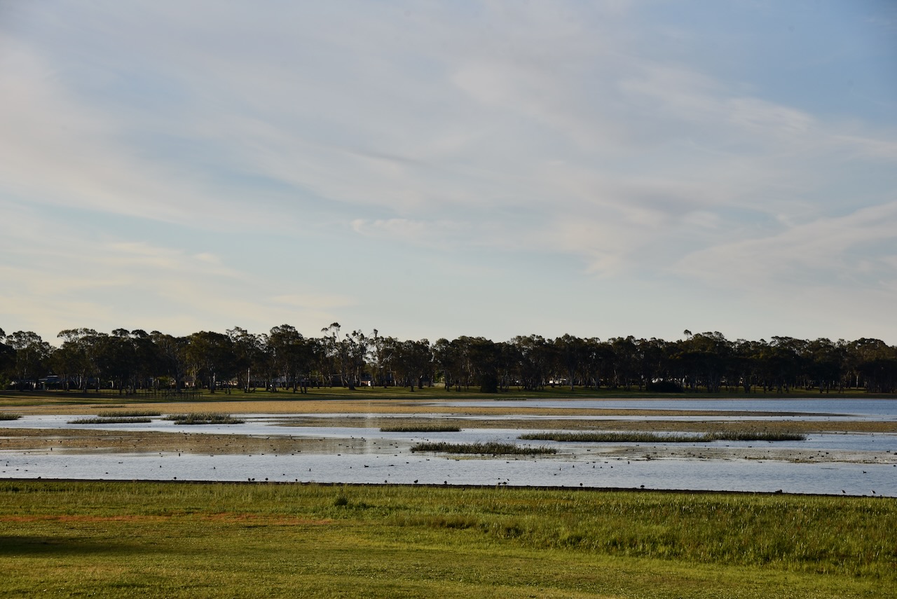
The park is located on the shores of Lake Wallace. The lake was discovered in 1843 by William Wallace. (Blake 1978)
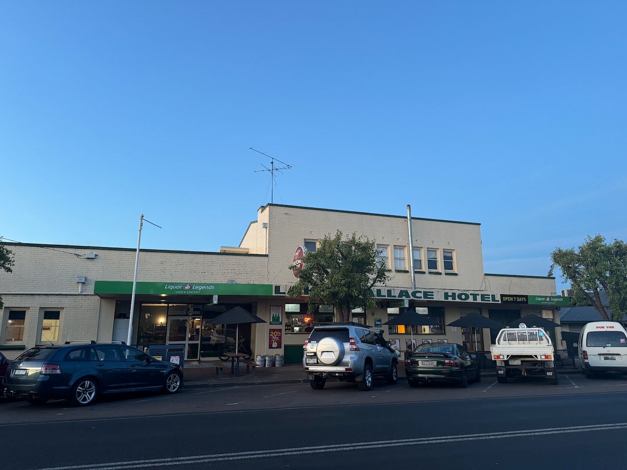
We then headed out for a very nice evening meal at the Lake Wallace Hotel.
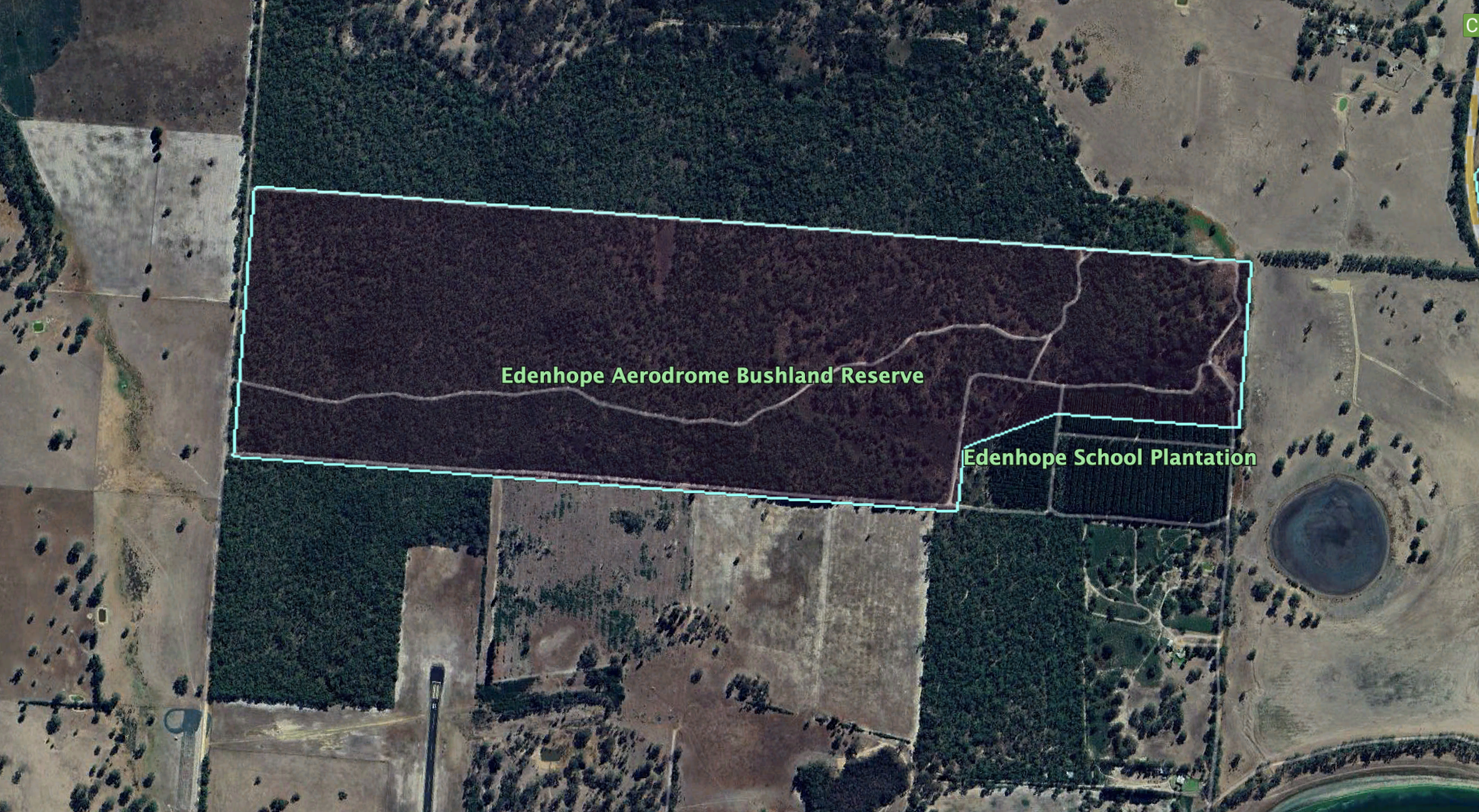
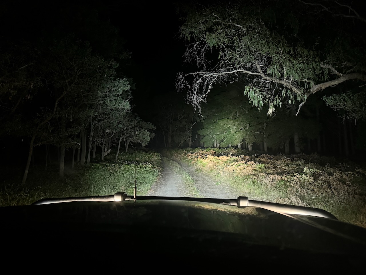
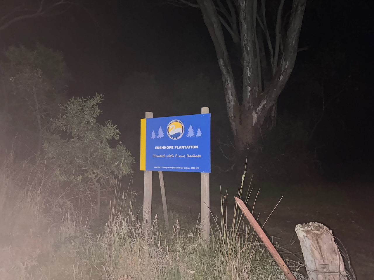
After dinner, we decided to head out to activate the Edenhope Aerodrome Bushland Reserve VKFF-4954.
The reserve is located north of the town of Edenhope, with its southern boundary being the Edenhope Airport.
Above:- An aerial view of the Edenhope Aerodrome Bushland Reserve. Image c/o Google Earth.
The reserve is about 121 hectares in size and was established on the 22nd day of November 1983. (CAPAD 2022)
We accessed the park via a dirt track at the end of Lake Street, passing through the Edenhope School plantation.
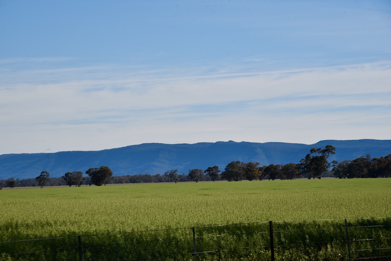
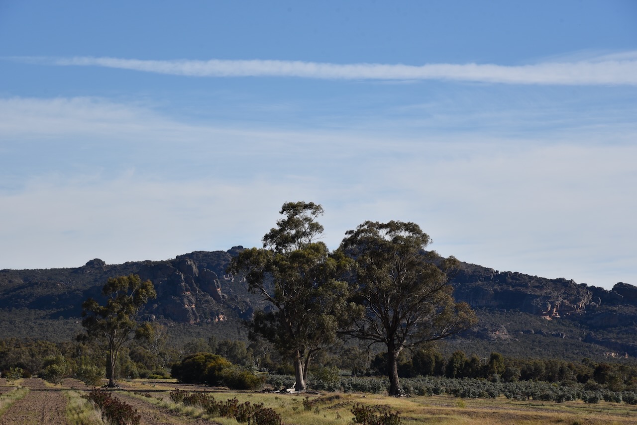
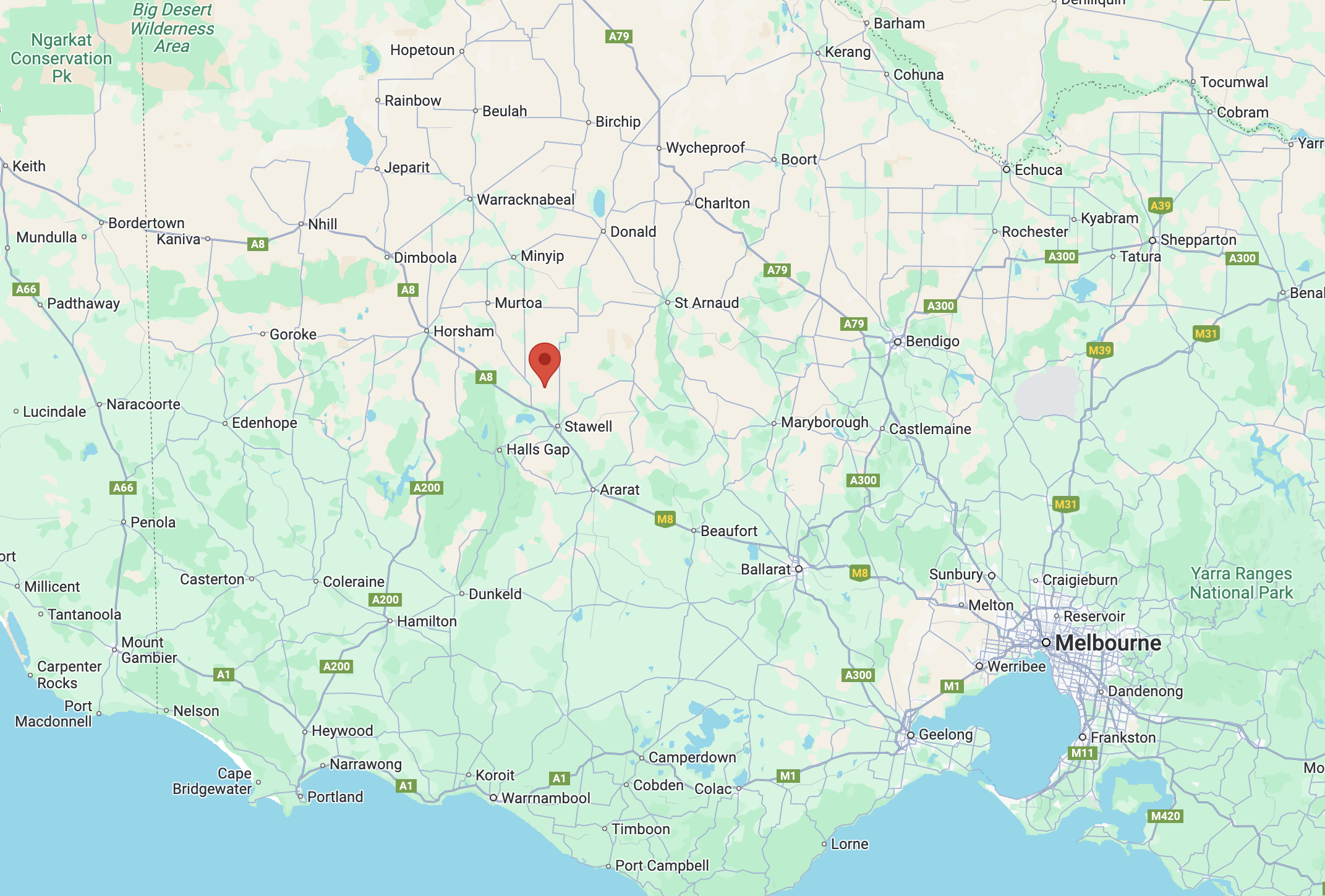
Marija and I packed up at Glenorchy and continued on our way to Edenhope in southwest Victoria. We were rewarded with some very nice views of the Grampians National Park along the way.
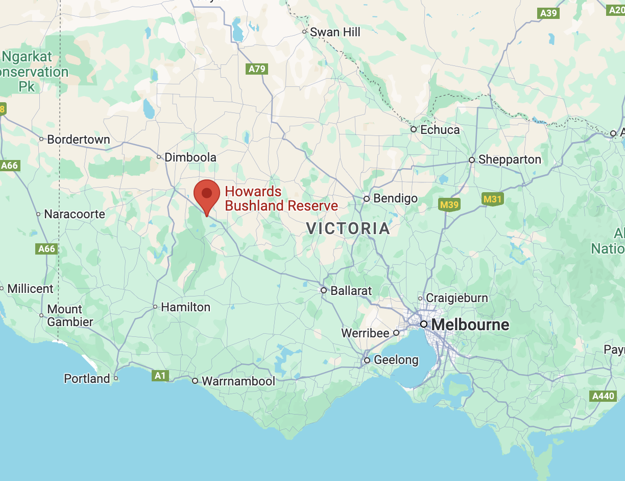
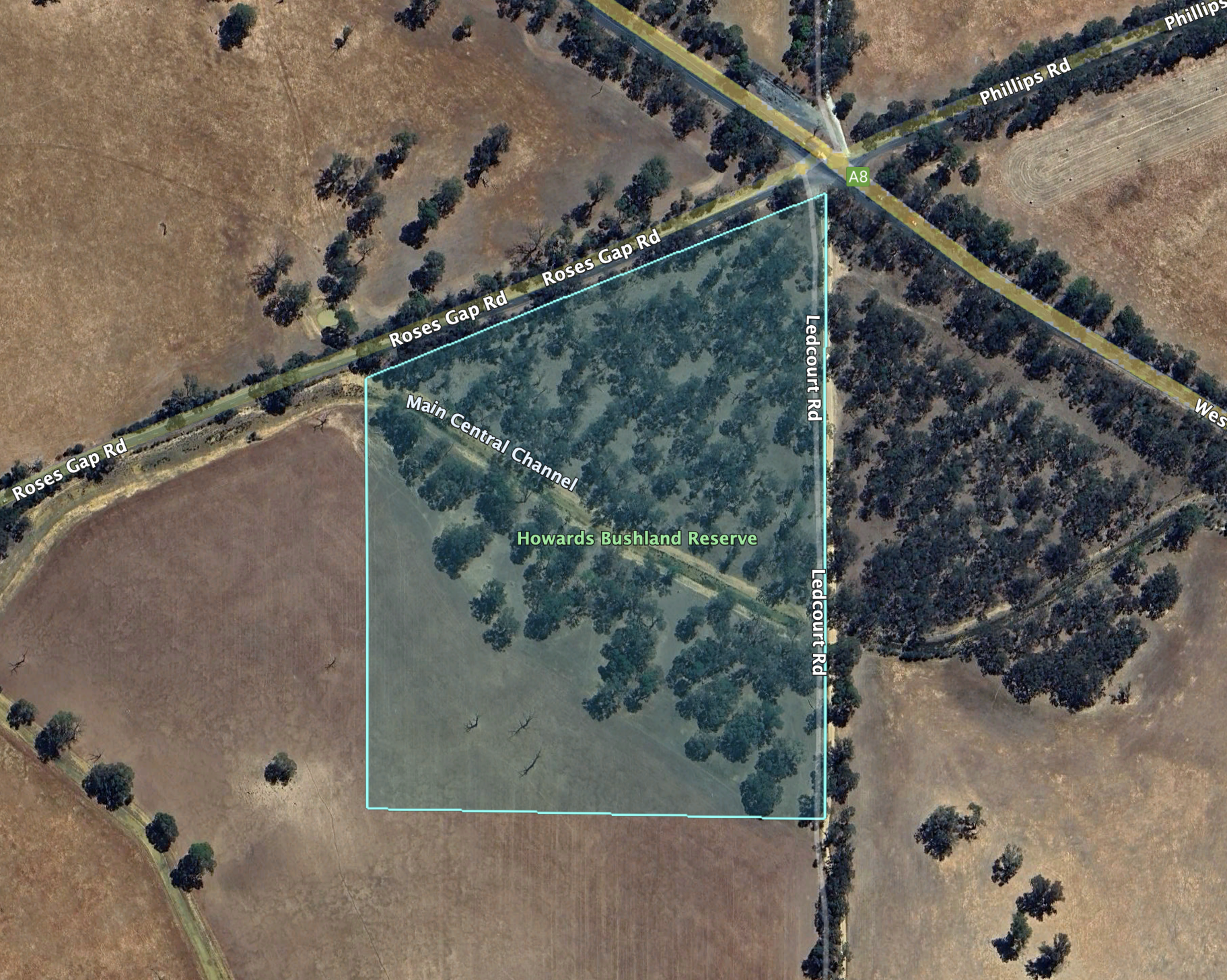
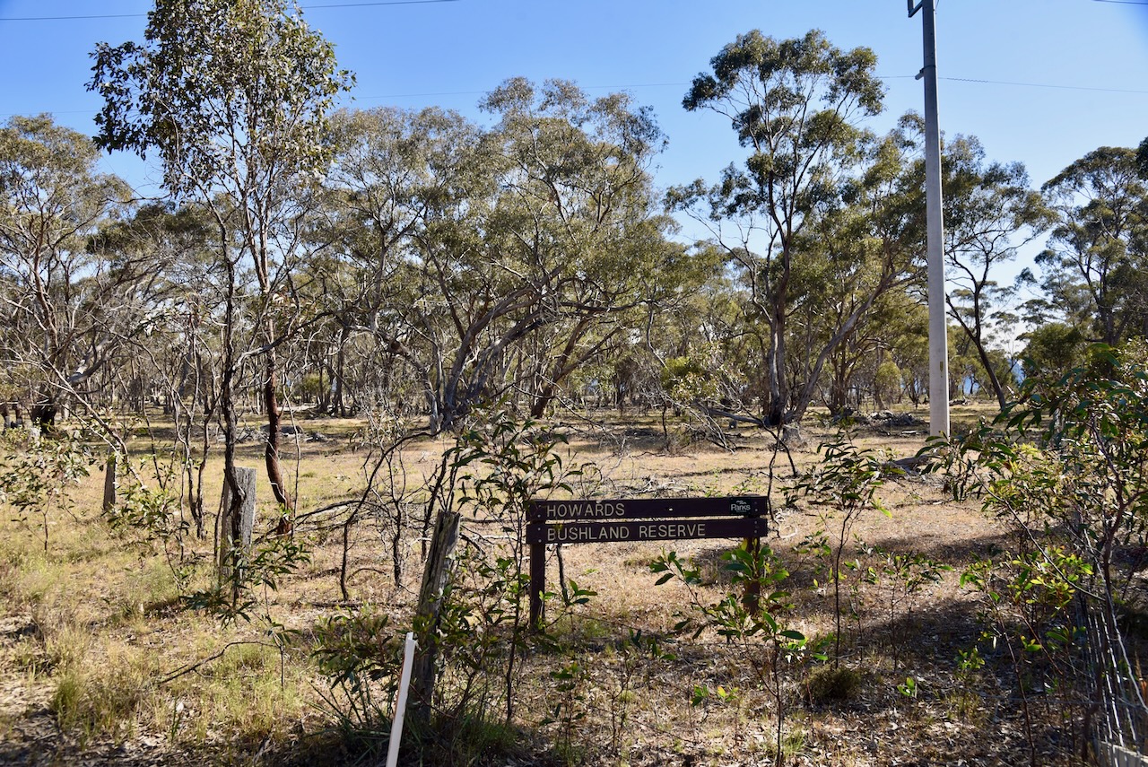
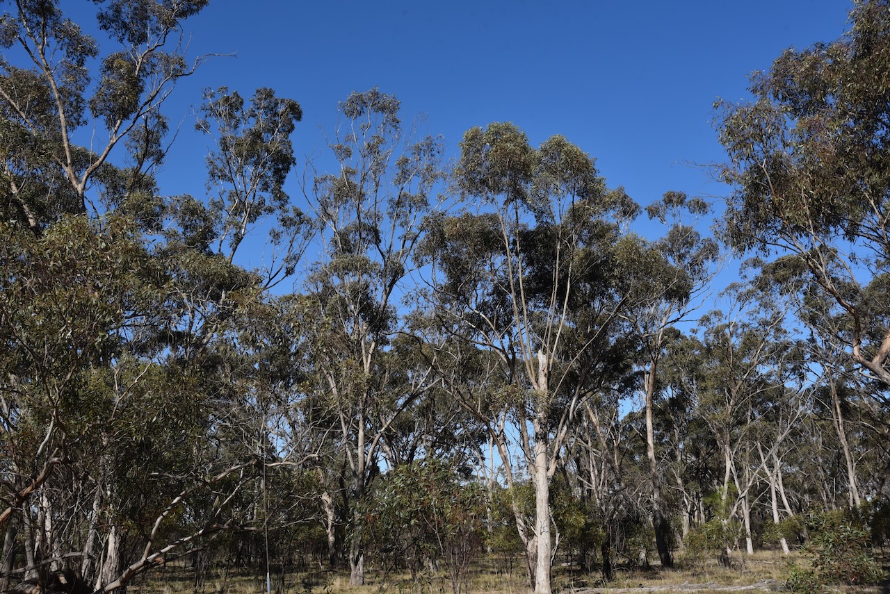
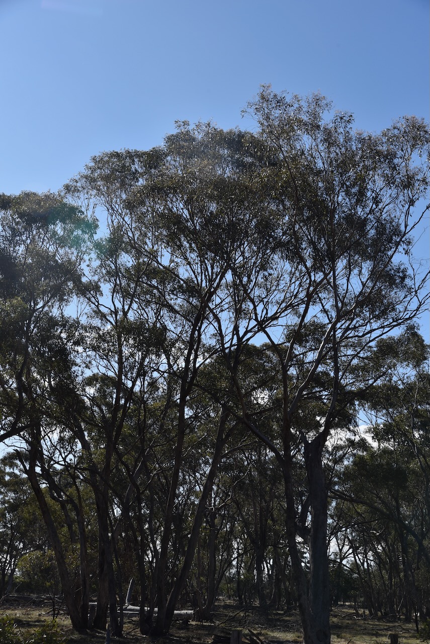
Our next park activation for the day was Howards Bushland Reserve VKFF-5143. The park is located about 24 km northwest of Stawell in western Victoria.
Above:- Map showing the location of Howards Bushland Reserve. Map c/o Google Maps.
The reserve is located on the corner of Western Highway, Roses Gap Road, and Ledcourt Road.
Above:- Aerial view of Howards Bushland Reserve. Image c/o Google Earth.
The reserve is about 12 hectares in size and was established on the 22nd day of November 1983. (CAPAD 2022)
Marija worked the following stations on 20m SSB:-
OH1MM
VK2VW
VK2HFI
VK2AKA
VK2BUG
ZL4NVW
VK1AO
VK2MET
OH1XT
Marija worked the following stations on 40m SSB:-
VK3PF
VK3WSG
I worked the following stations on 20m SSB:-
OH1MM
VK2VW
VK2HFI
VK2AKA
VK2BUG
ZL4NVW
VK1AO
VK2MET
OH1XT
I worked the following stations on 40m SSB:-
VK33PF
VK3WSG
VK3MGM
VK2LEE
VK3DL
VK5HS
VK2USH
VK2GQR
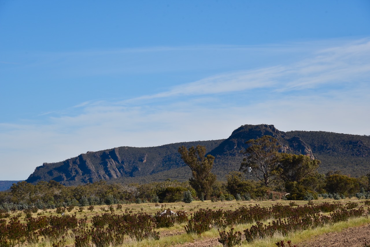
Marija and I packed up and continued towards Edenhope, enjoying the views of the Grampians National Park.
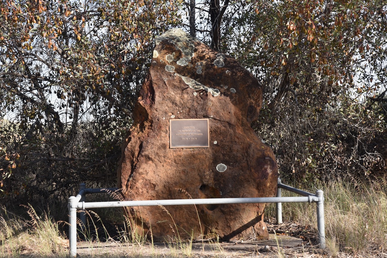
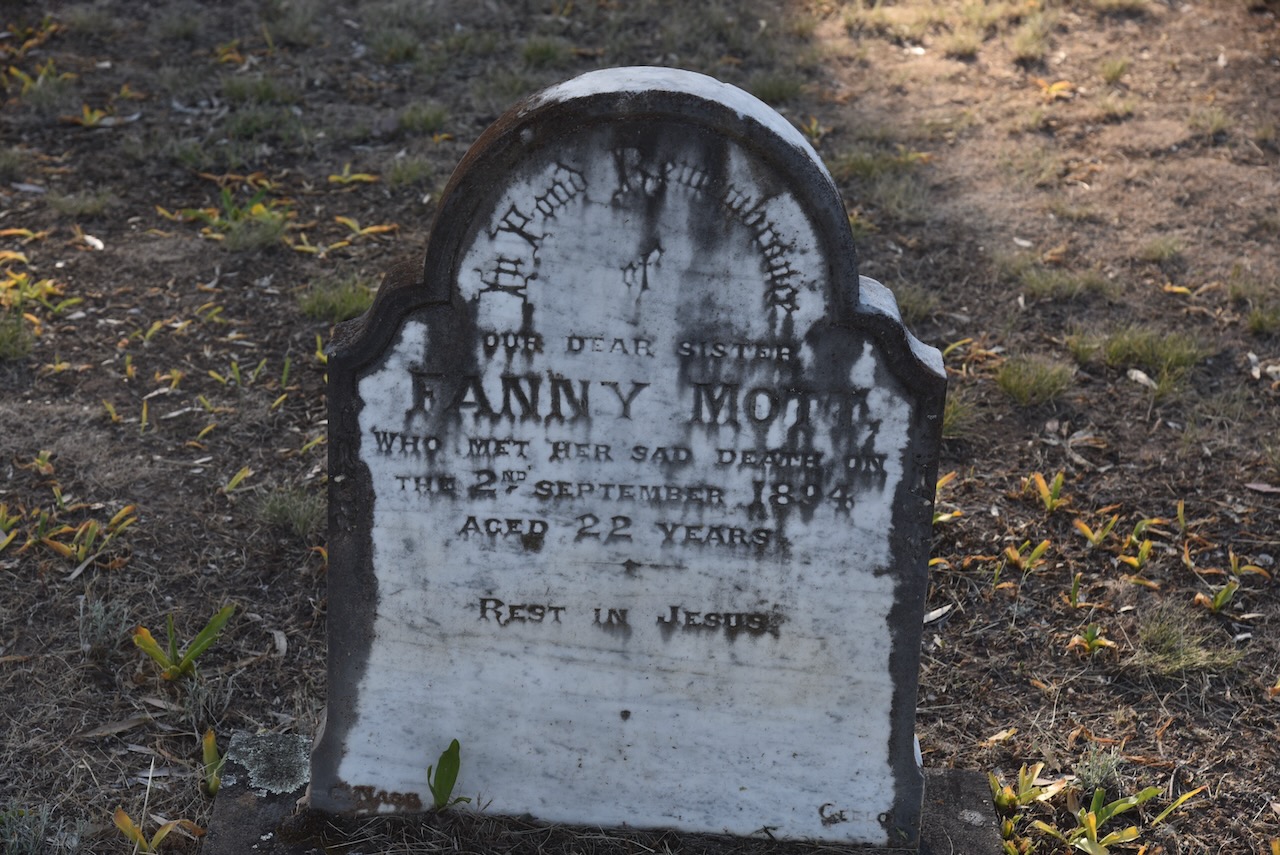
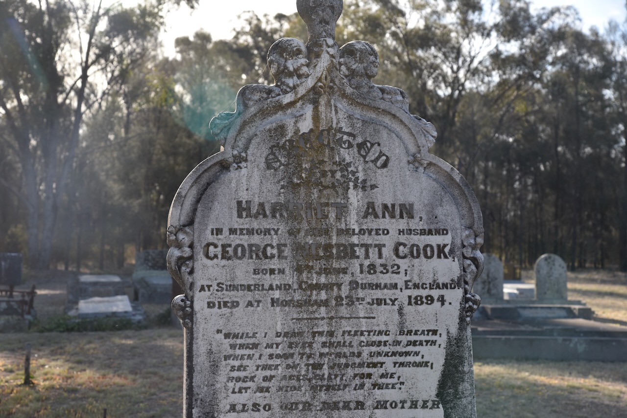
We detoured to have a look at the Nurrabiel cemetery. There is a monument here to commemorate the pioneers of the Nurrabiel district.
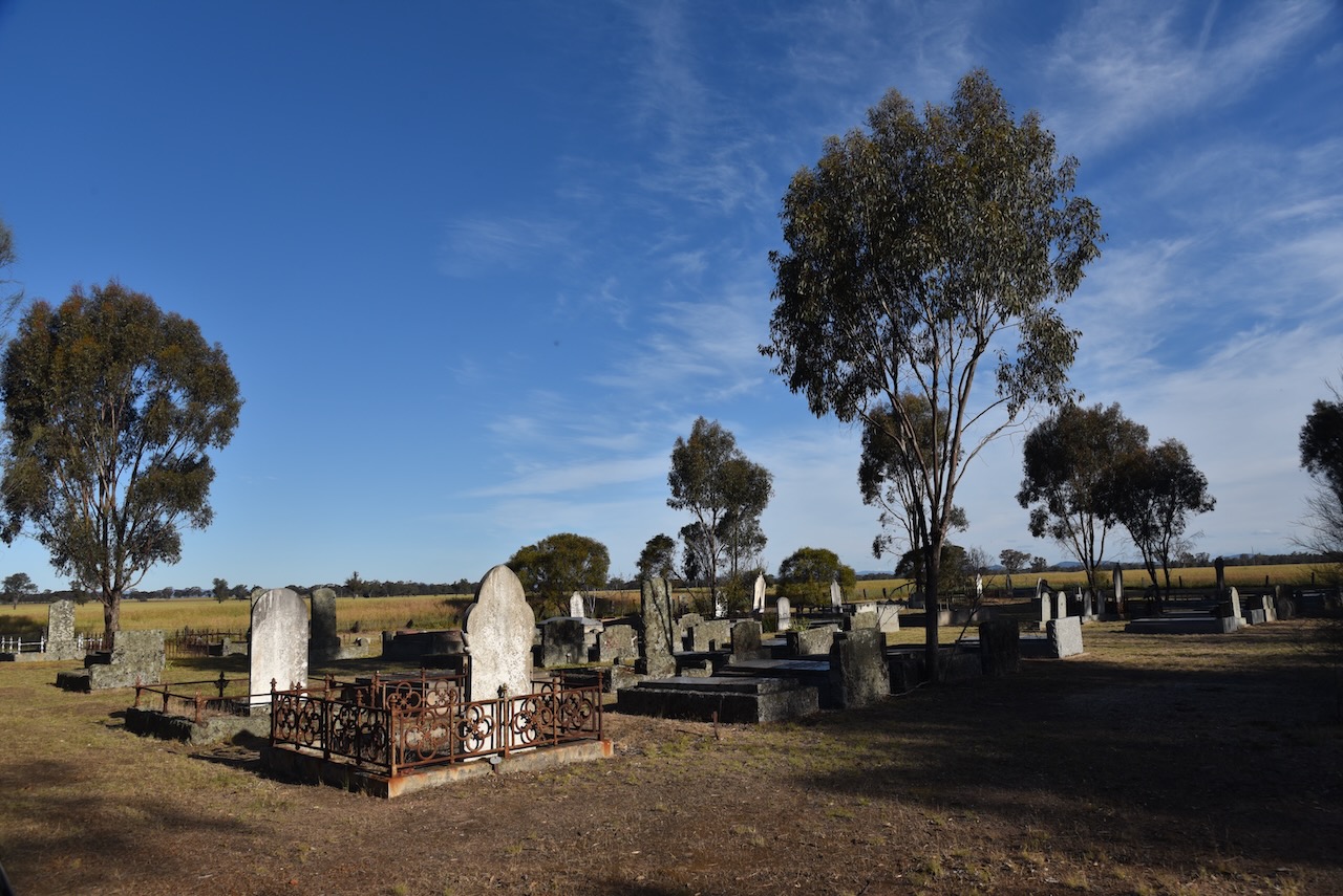
There are several historic headstones in the cemetery, including some of my ancestors from the Mott family.
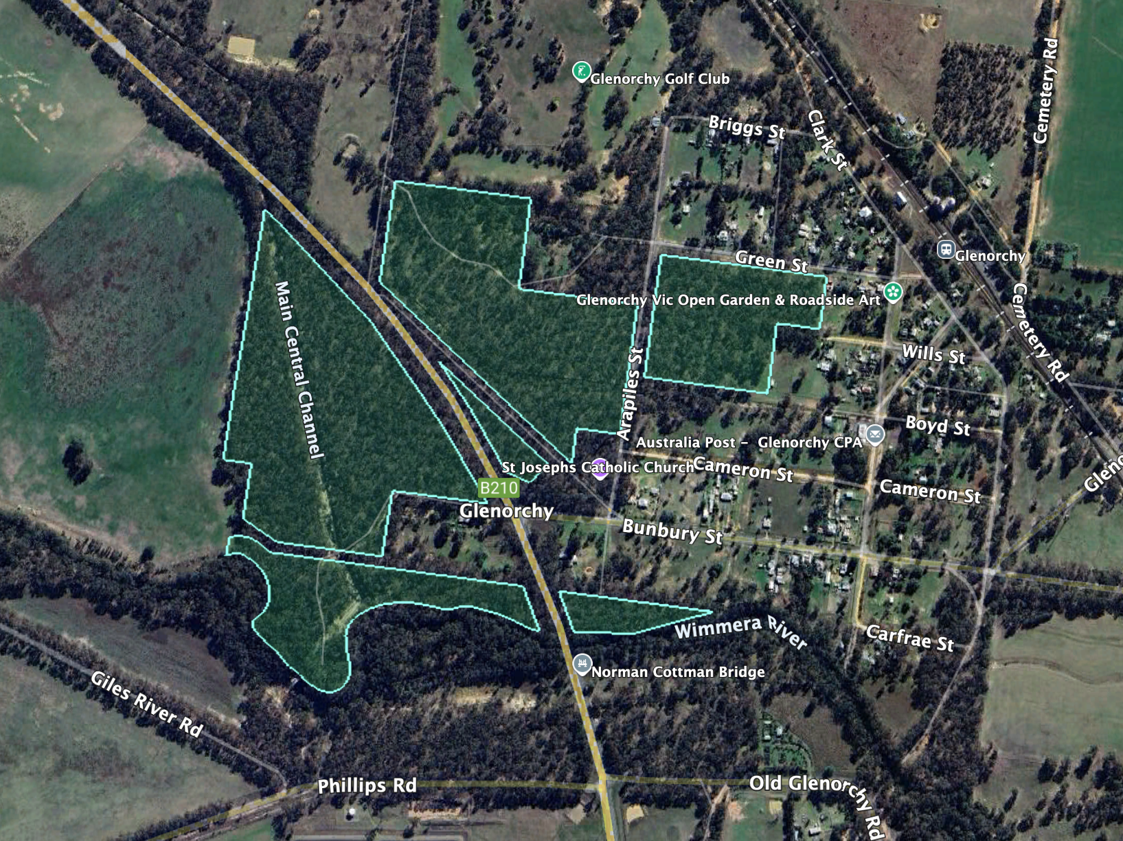
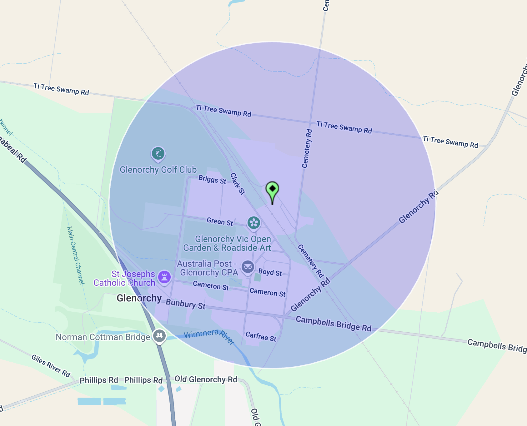
Our next activation for Wednesday, 30th October 2024, was the Glenorchy I5 Bushland Reserve VKFF-5041, and the Glenorchy silo VK-GLY3. Glenorchy is located about 22 km northwest of Stawell and about 256 km northwest of Melbourne.
Above:- Map showing the location of Glenorchy, Victoria.
The town of Glenorchy was established around the Four Posts Inn, which was opened in 1847. It was patronised by pastoral workers and was located at a crossing place on the Wimmera River. By 1849, Glenorchy had a store, a blacksmith and a post office. In 1850, the town of Glenorchy was surveyed by Robert Buchanan and township allotments were sold. By the mid-1850s, Glenorchy had several other hotels, including the Royal Hotel, which was built in 1855 and demolished in 1968. Glenorchy’s first school was opened in 1858. The current school was built in 1875. (Victorianplaces.com.au, 2015)
The town was named after Glen Orchy in Argyllshire, Scotland. Glenorchy is a Gaelic word meaning ‘glen of tumbling waters’. (Blake 1978)
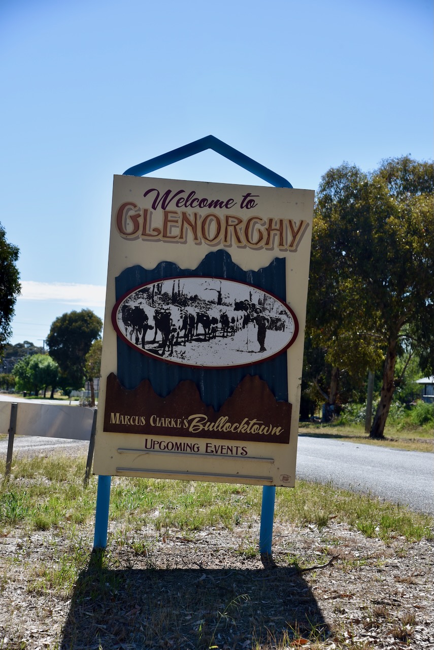
Glenorchy was described as Bullocktown by the English-born Australian novelist Marcus Andrew Hislop Clarke in his Bullocktown Sketches published in the Australasian newspaper. Clarke is best known for his 1874 novel For the Term of His Natural Life. (Blake 1978) (Victorianplaces.com.au, 2015) (Wikipedia Contributors, 2025)
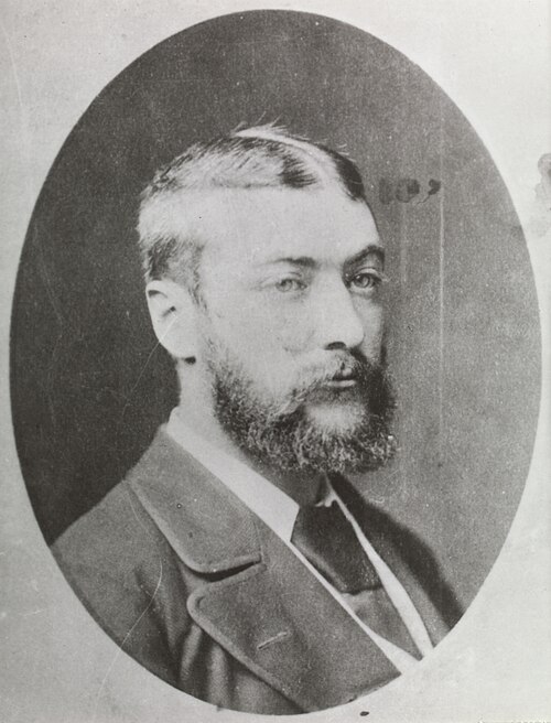
Above:- Marcus Clarke. Image c/o Wikipedia.
Glenorchy’s population in 2021 was 131 people. (Wikipedia Contributors, 2025)
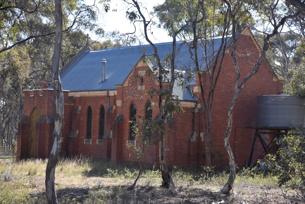
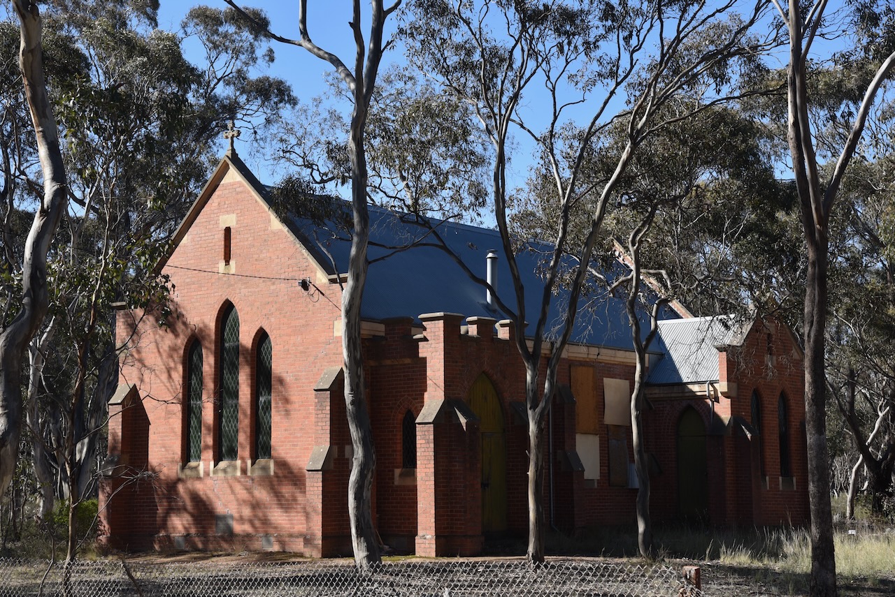
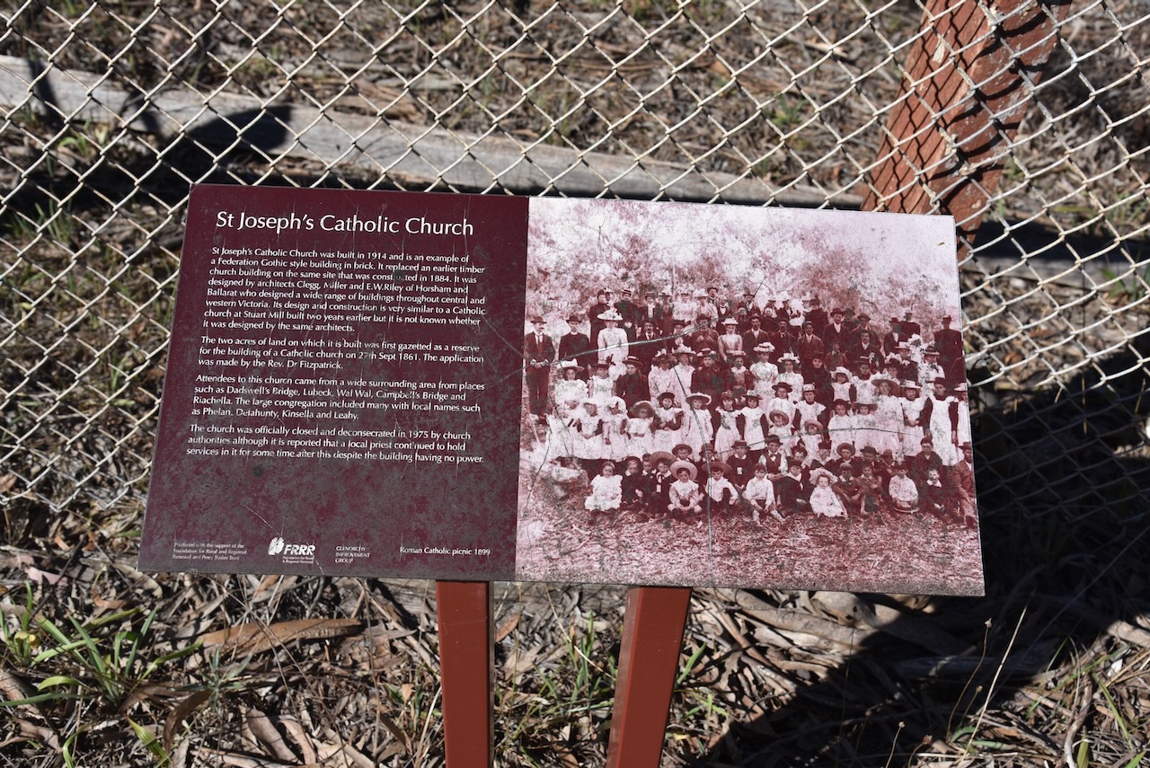
One of the historic buildings remaining in Glenorchy is the former St Joseph’s Catholic Church, which was built in 1914. It replaced an earlier timber church on the same site.
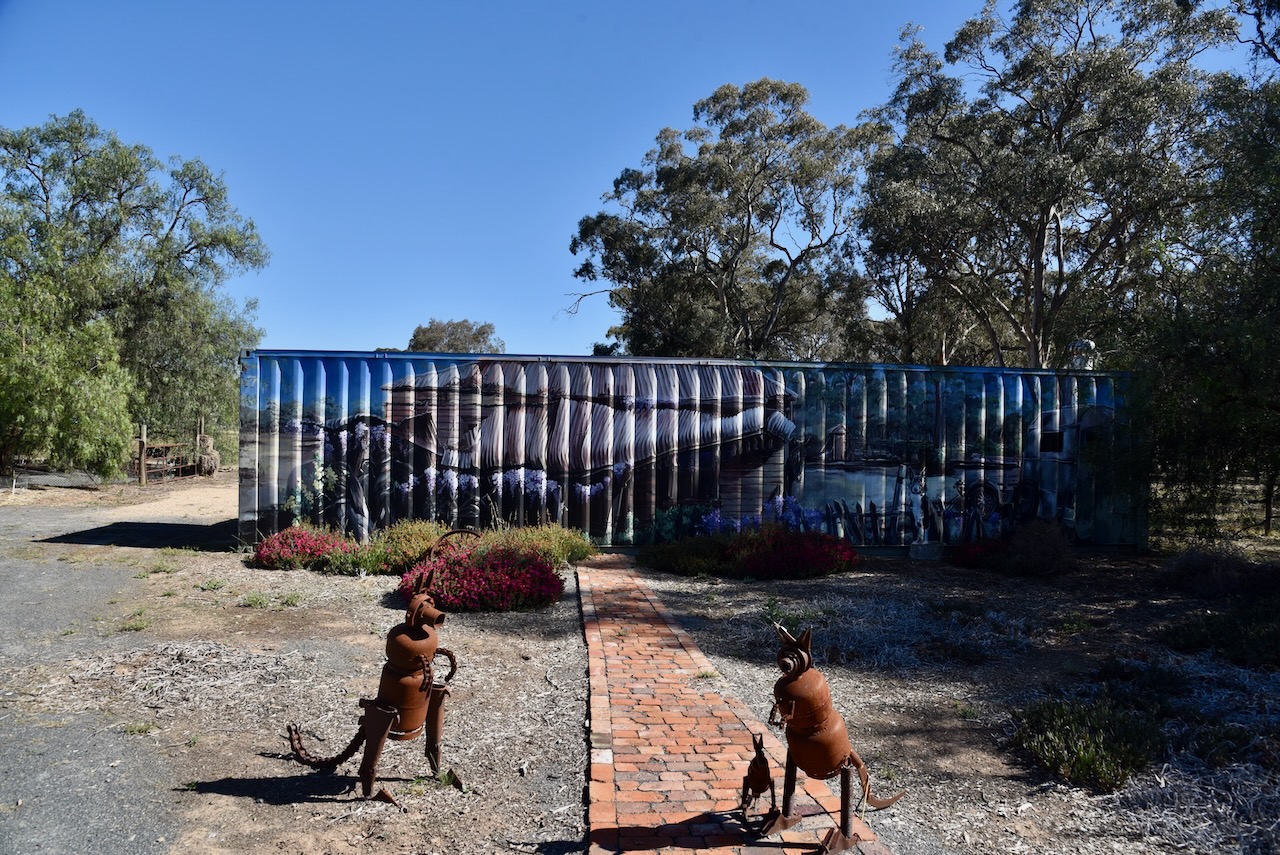
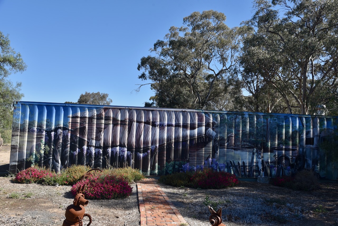
On Forest Street, Glenorchy, you can find the Glenorchy Vic Open Garden and Roadside Art. There is a shipping container that features a mural.
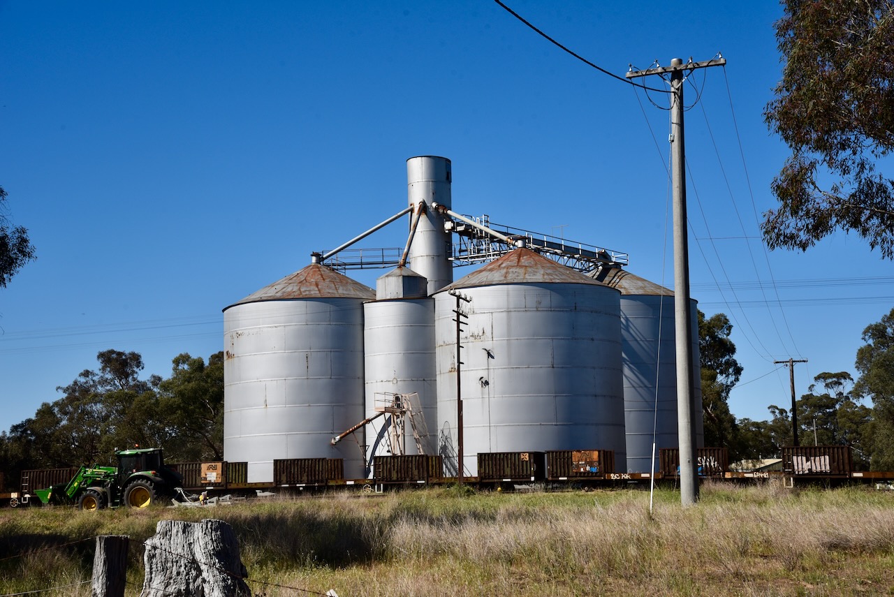
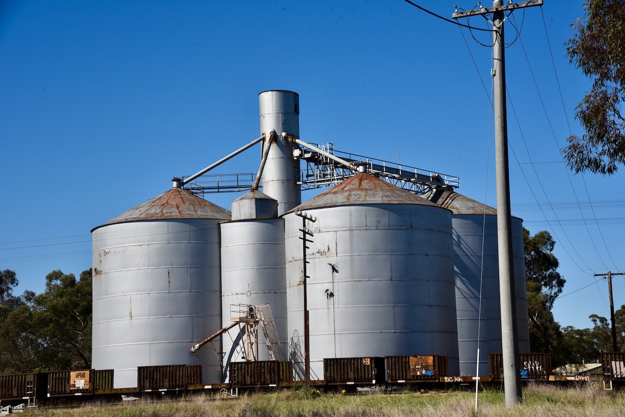
The Glenorchy silos are located adjacent to the railway line on MacKay Road.
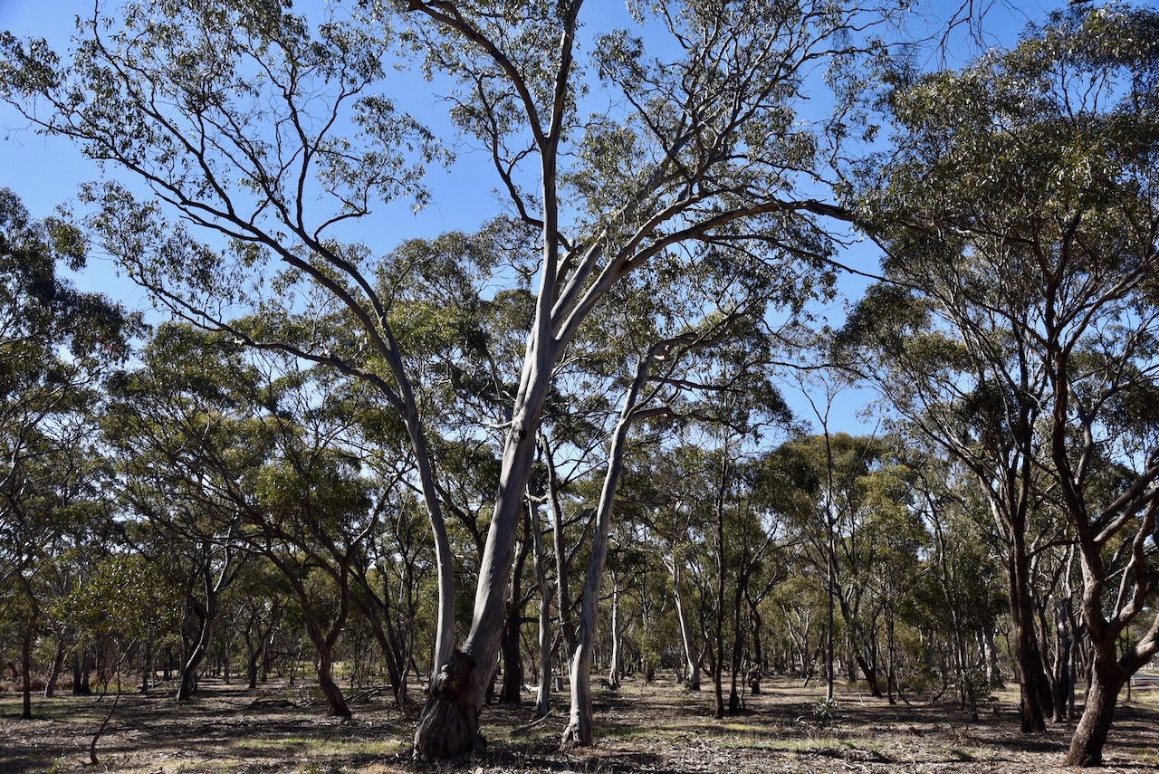
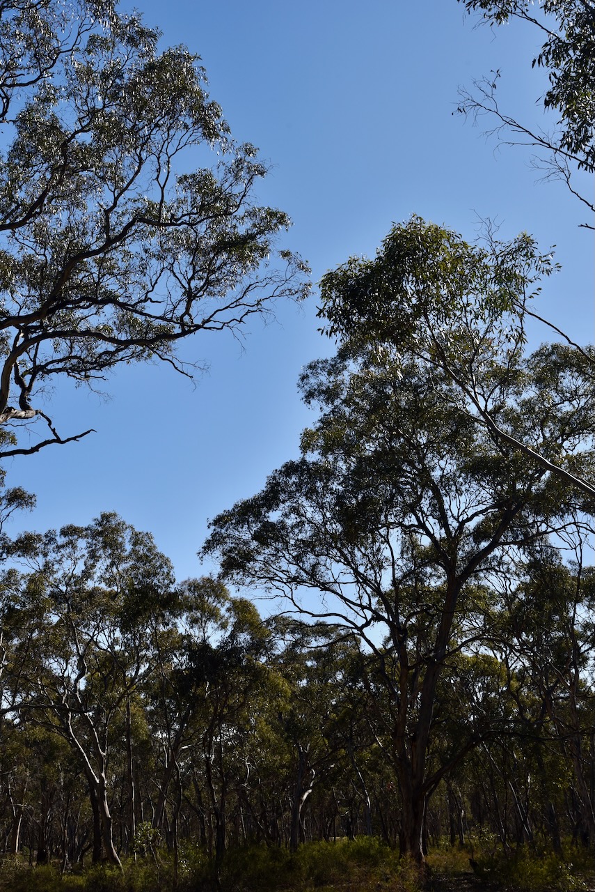
The Glenorchy I5 Bushland Reserve consists of six separate pieces of remnant bushland surrounding the town of Glenorchy.
Above:- An aerial view of the Glenorchy I5 Bushland Reserve. Image c/o Google Earth
The reserve is about 44 hectares in size and was established on the 24th day of August 1982. (CAPAD 2022)
Marija and I set up off Arapiles Street in the reserve, in the activation zone of the silo.
Above:- Map showing the activation zone at the Glenorchy silo. Map c/o SiOTA website.
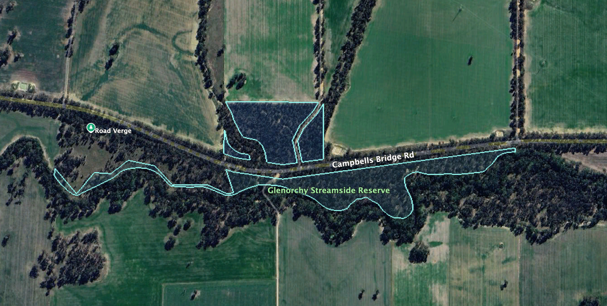
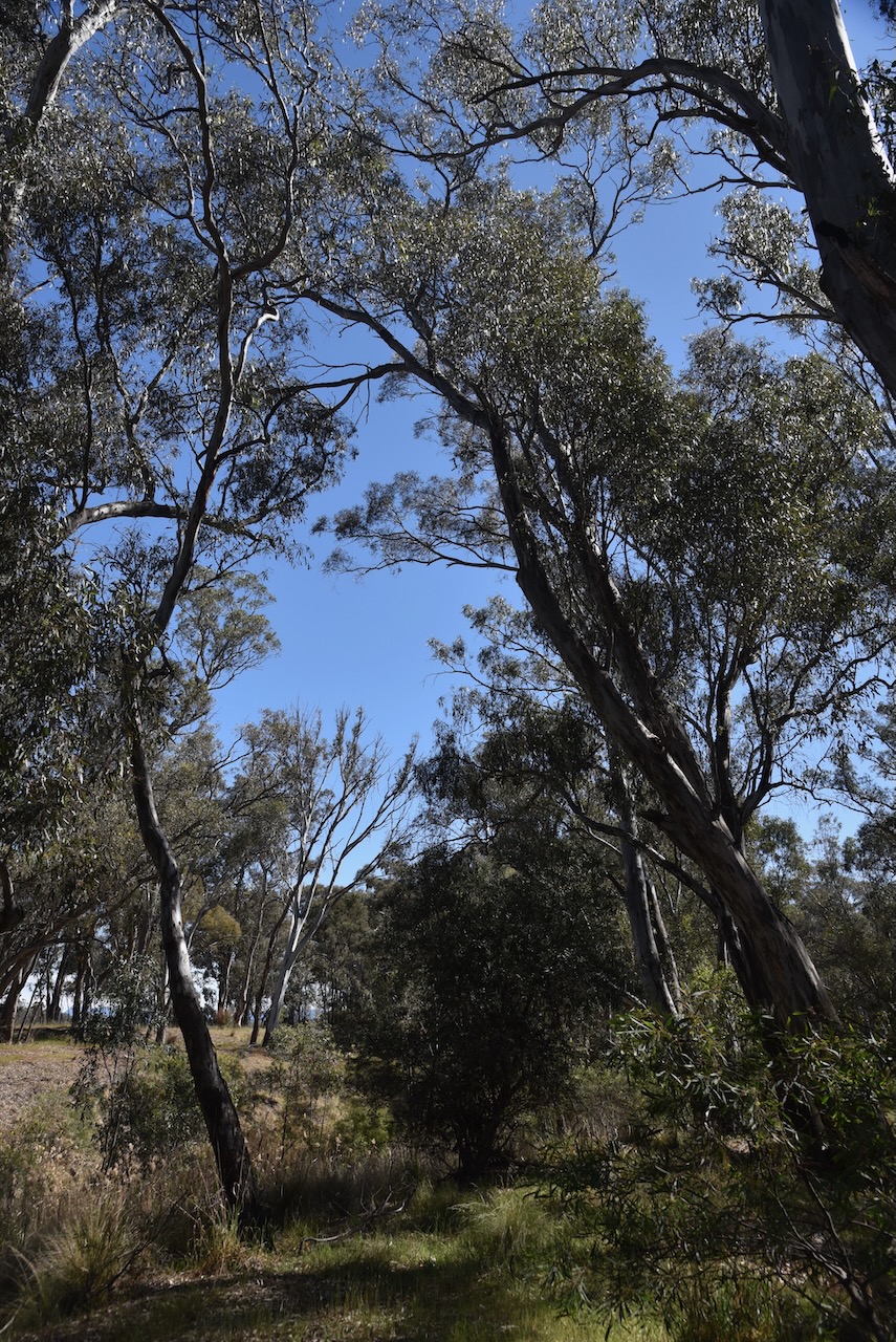
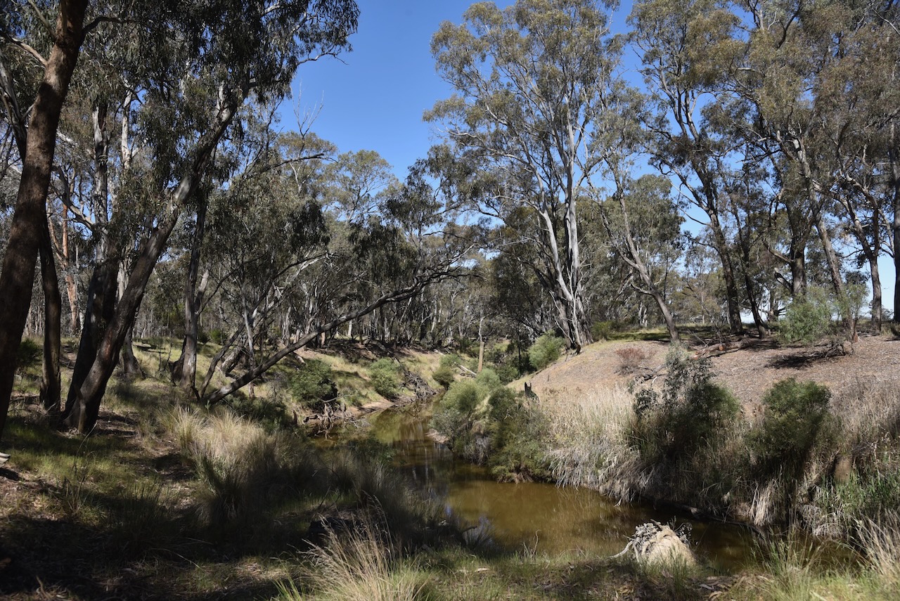
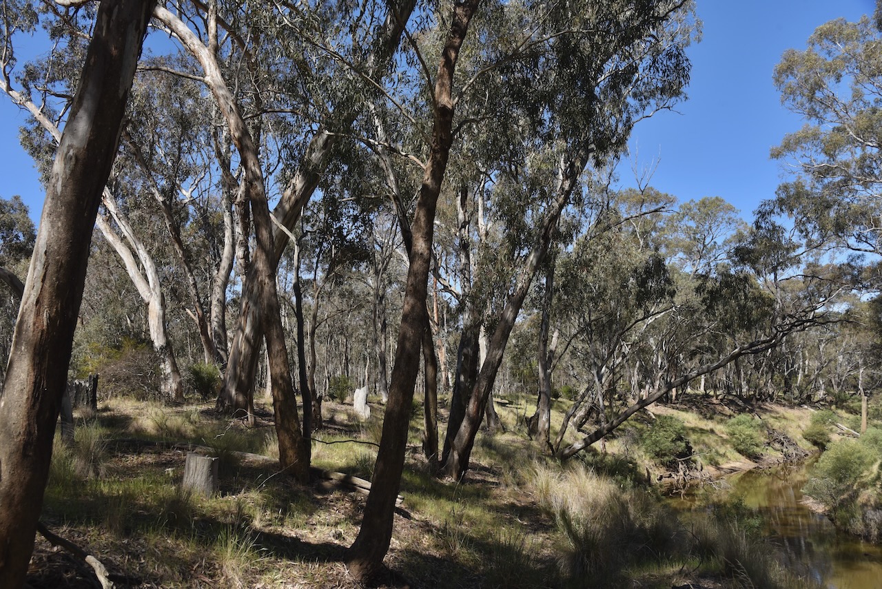
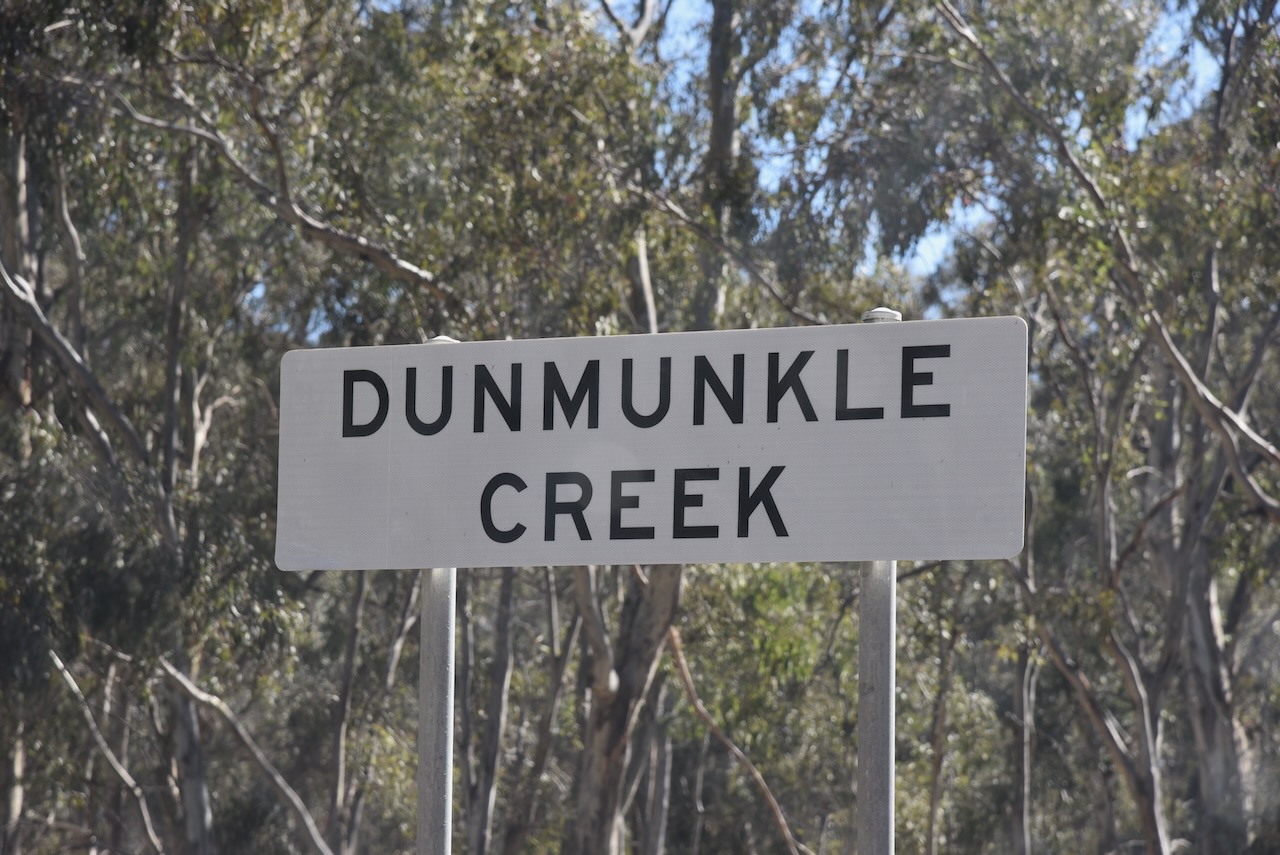
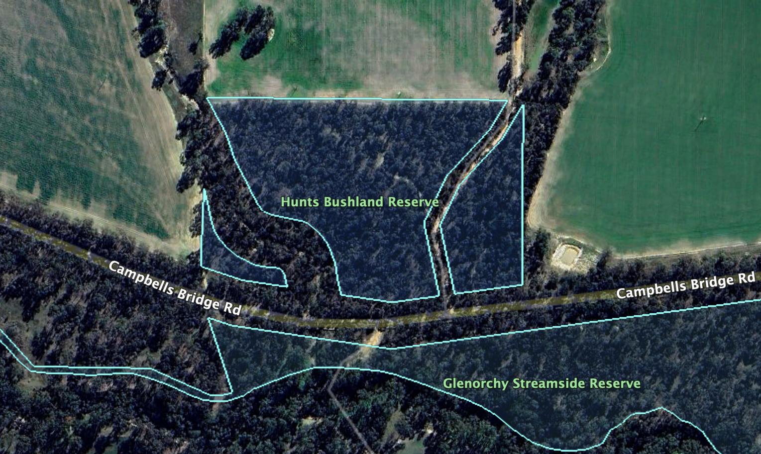
After activating Hunts Bushland Reserve on 30th October 2024, Marija VK5MAZ and I crossed Campbells Bridge Road and activated the Glenorchy Streamside Reserve VKFF-3707.
Above:- Map showing the location of the Glenorchy Streamside Reserve. Map c/o Google Maps.
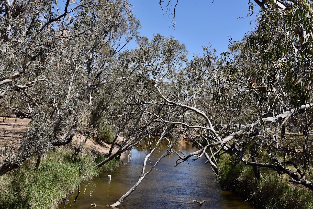
The reserve is located on the southern side of Campbell’s Bridge Road. The southern boundary of the park is the Wimmera River. Dunmunkle Creek, a distributary of the Wimmera River, can be found here. The creek takes its name from the Celtic word dun, meaning chief’s dwelling, and muckle, meaning great. (Blake 1978)
Above:- An aerial view of the reserve. Image c/o Google Earth.
The reserve is about 13 hectares in size and was established on the 24th day of August 1982. (CAPAD 2022)
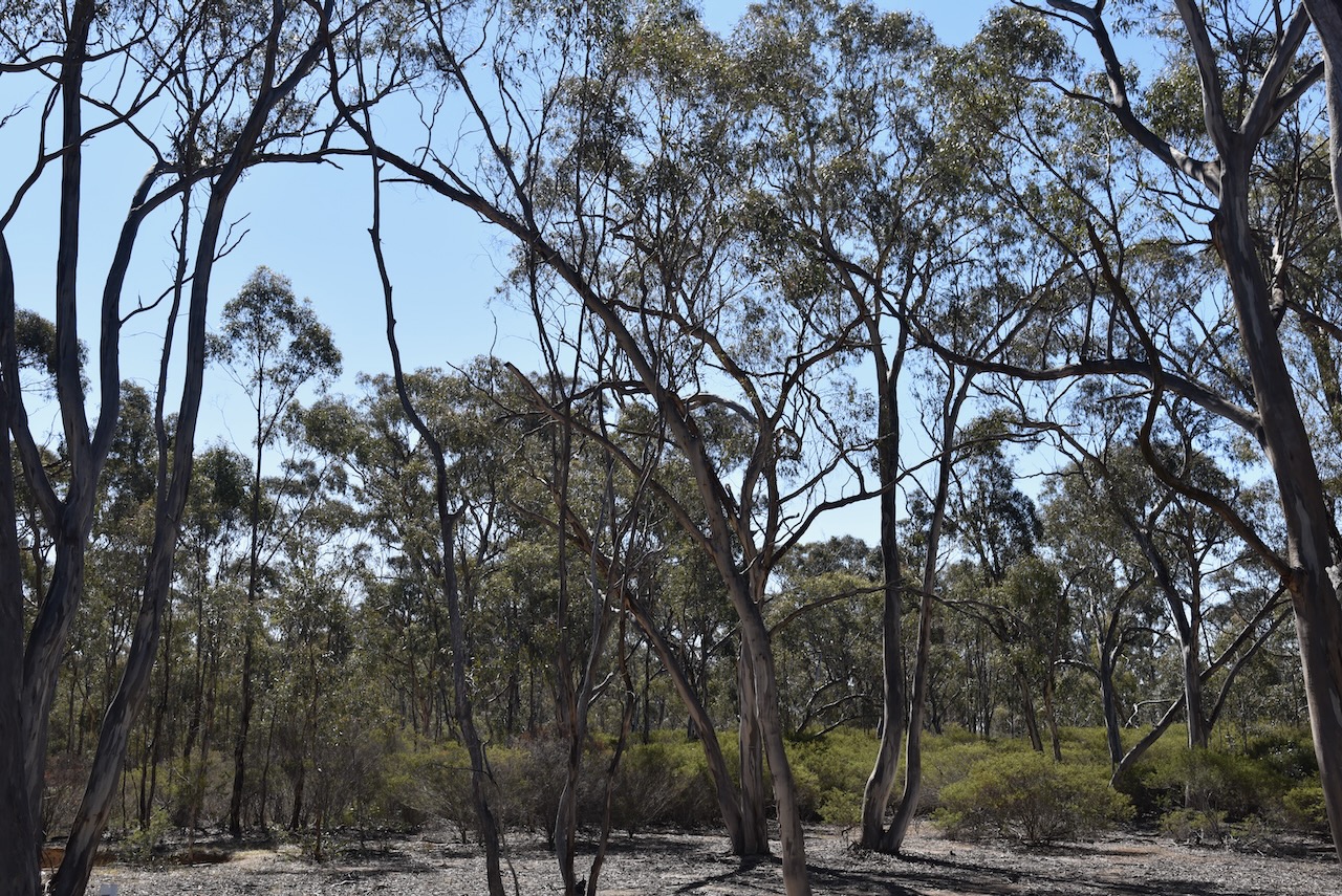
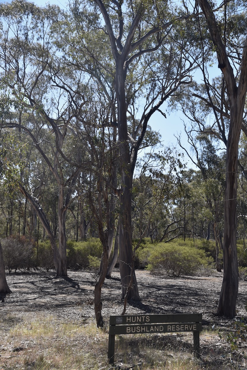
Our next activation for Wednesday, 30th October 2024, was the Hunts Bushland Reserve VKFF-5151. The reserve is located about 21 km north of Stawell in western Victoria.
Above:- Map showing the location of Hunts Bushland Reserve. Map c/o Google Maps.
The park is located on the northern side of Campbells Bridge Road at the junction with Swedes Creek Road.
Above:- An aerial view of Hunts Bushland Reserve. Image c/o Google Earth
The reserve is about 8 hectares in size and was established on the 24th day of August 1982. (CAPAD 2022)
The highlight of this activation was working Tim VK3IFR aeronautical mobile.
On Wednesday, 30th October 2024, Marija and I left the Waanyarra Nature Conservation Reserve and headed towards our next activation.
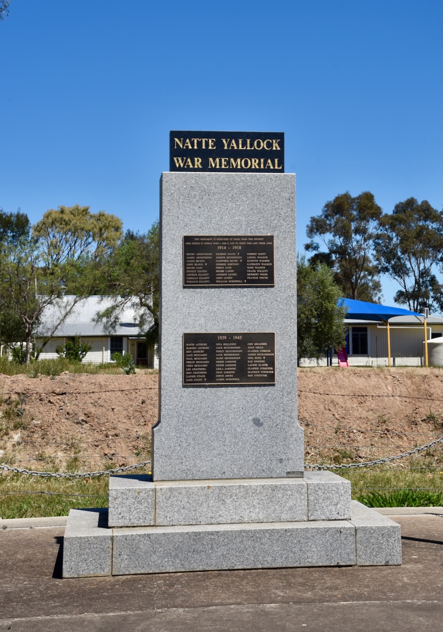
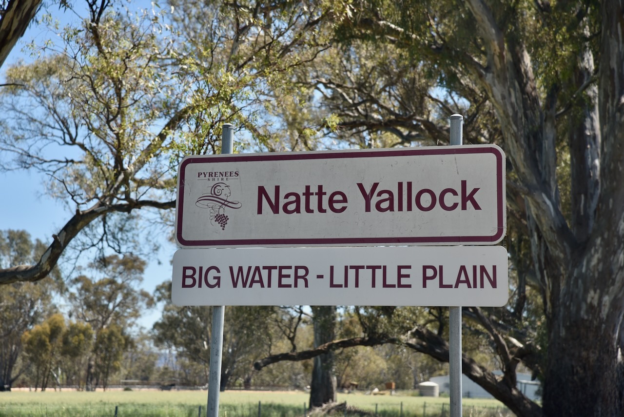
We stopped briefly at Natte Yallock, a small town on the Avoca River, about 200 km northwest of Melbourne. It was named in the 1840s after Nettylloc pastoral run, which was taken up in 1841. It is taken from the Aboriginal words nattai and yalloc, both meaning water. Land in the area was taken up for farm selections in the 1860s. The village sprang up as it was located at a ford across the Avoca River. By 1862, Natte Yallock had two hotels and a school. By 1864, a bridge had been constructed on the Avoca River. In 1868, a Wesleyan chapel was built, which was utilised as a school, replacing the leaky timber slab school structure. (Victorianplaces.com.au, 2015)
We left Natte Yallock and continued on towards Edenhope. There were some nice views of Kara Kara National Park along the way.
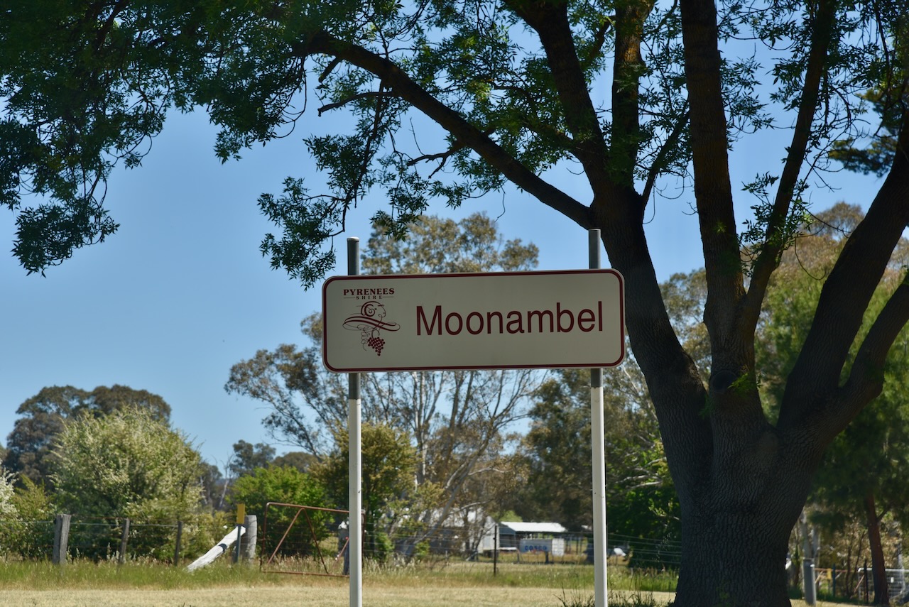
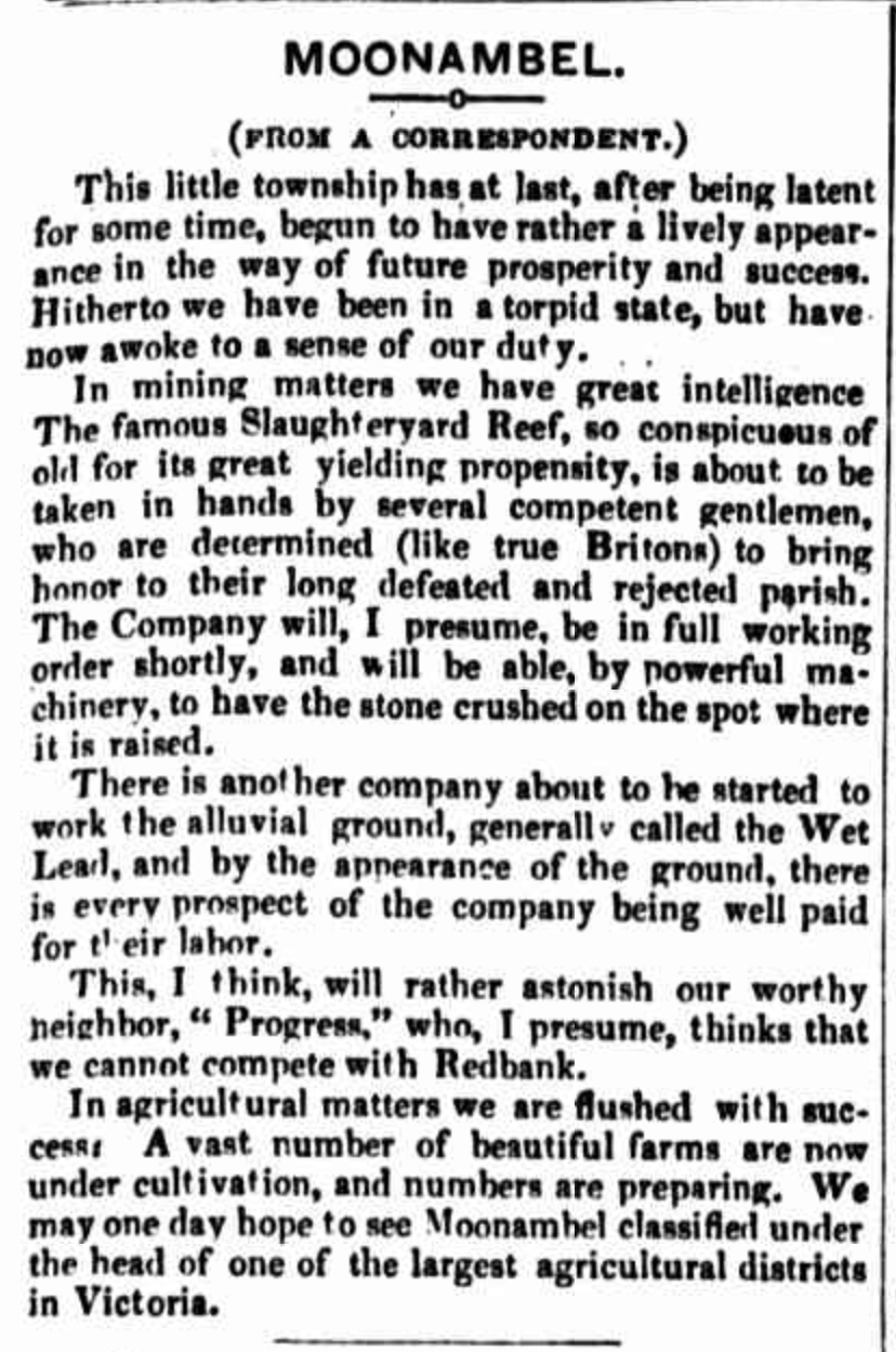
Our next stop was the little town of Moonambel, located south of the Kara Kara National Park, in the Pyrenees region of Victoria.
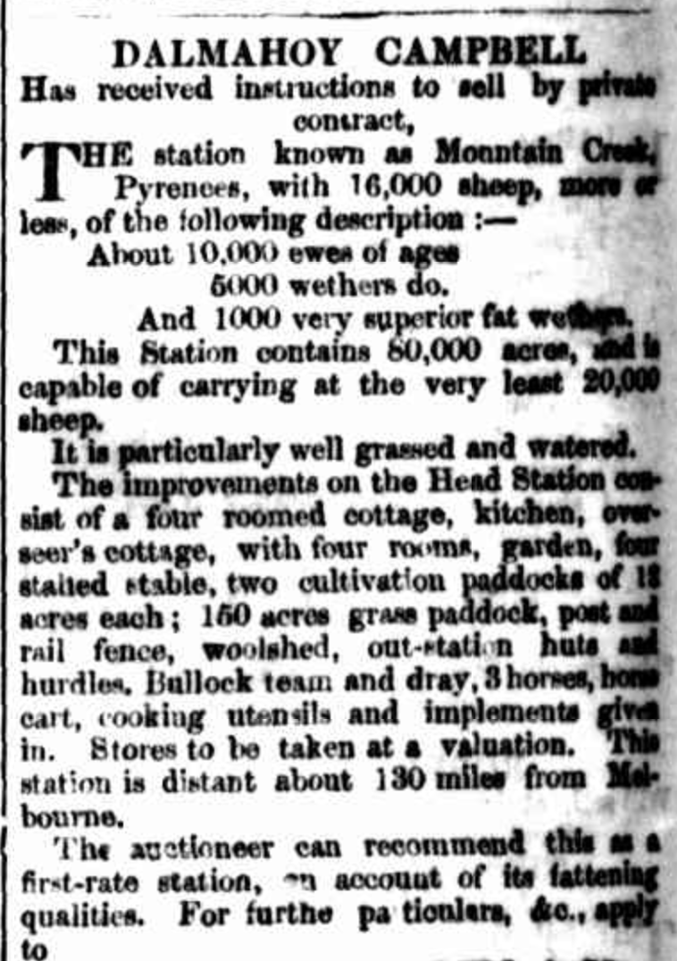
The site of Moonambel was part of the Mountain Creek pastoral run, established by Colin McKinnon in the 1850s, which was 80,000 acres in size and had 16,000 sheep. (Avoca Heritage 1995)(Trove 2025)
Above:- Article re the sale of Mountain Creek station, from The Argus, Fri 8 Apr 1853. Image c/o Trove.
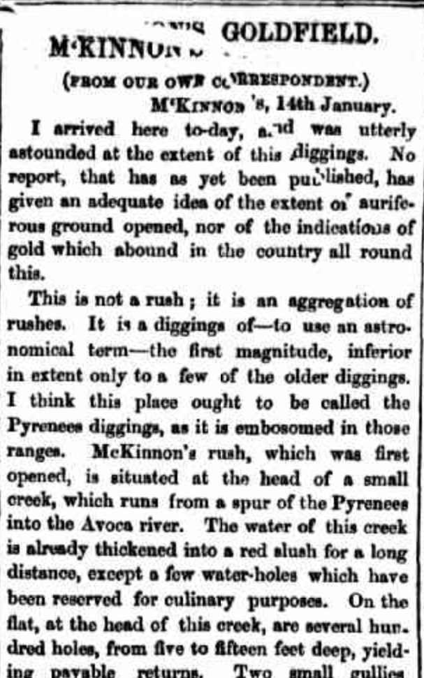
The creek valley was used from about 1852 as a gold escort route between the Victorian goldfields and Adelaide. Gold was discovered in the Moonambel district in late 1860, and the settlement was originally known as Mountain Creek. By December 1860, it was estimated that there were between 10,000 to 12,000 miners on the goldfield. (Avoca Heritage 1995) (Victorianplaces.com.au, 2015)
Above:- part of an article from The Herald, Fri 18 Jan 1861. Image c/o Trove
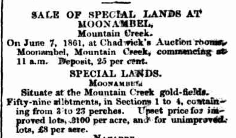
By December 1860, the town had been surveyed and there were several substantial buildings being built. By May 1861, the township that had developed on the Mountain Creek diggings was named Moonambel and town allotments were offered for sale at Moonambel. (Avoca Heritage 1995)
Above:- Advertisement from The Age, Fri 24 May 1861. Image c/o Trove
In October 1861, Moonambel was proclaimed as a municipality. It is believed that Moonambel is an Aboriginal word meaning ‘hollow in the hills’. In 1864, it was united with the Avoca Shire. By 1861, an Anglican school had opened, and this was replaced by a brick government building in 1875. In its early days, Moonambel had several hotels, but this was reduced to one, the Commercial Hotel, which was built in 1861. In 1871 Moonambel’s population was 280 people. (Avoca Heritage 1995) (Victorianplaces.com.au, 2015)
Above:- An article from The Avoca Mail, Sat 1 Jul 1865. Image co Trove
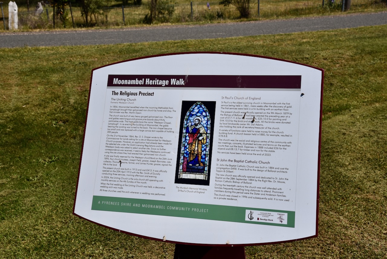
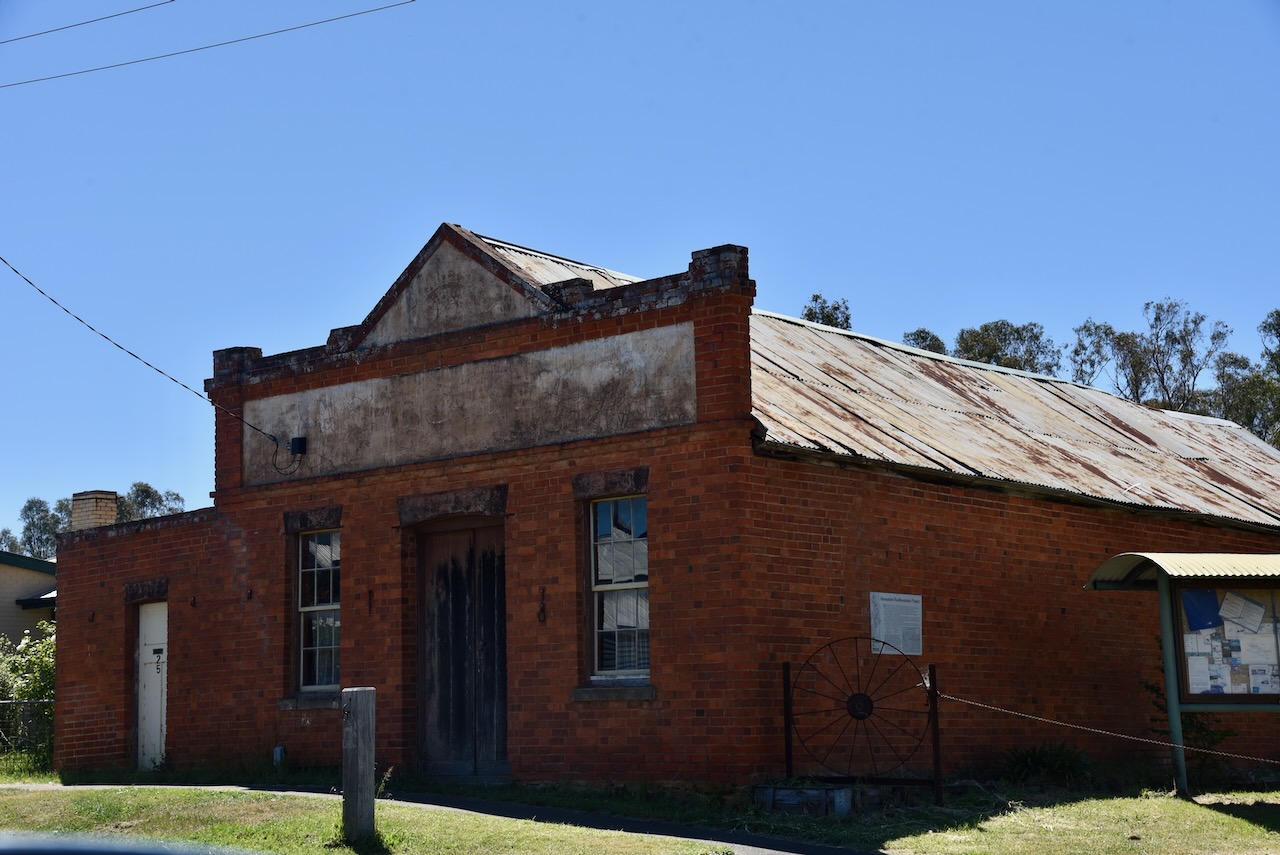
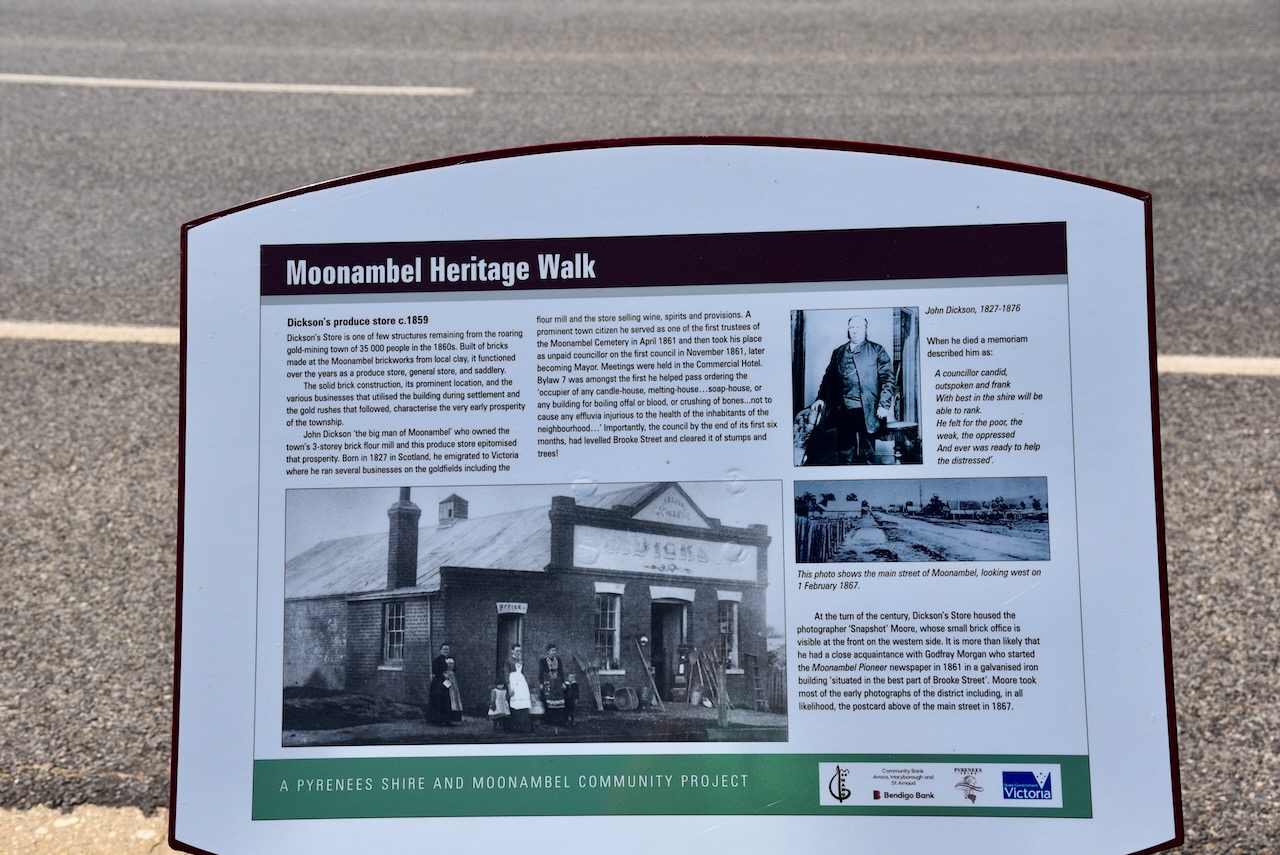
Moonamble has a magnificent heritage walk, with the many historic buildings featuring information boards detailing the history of the building.
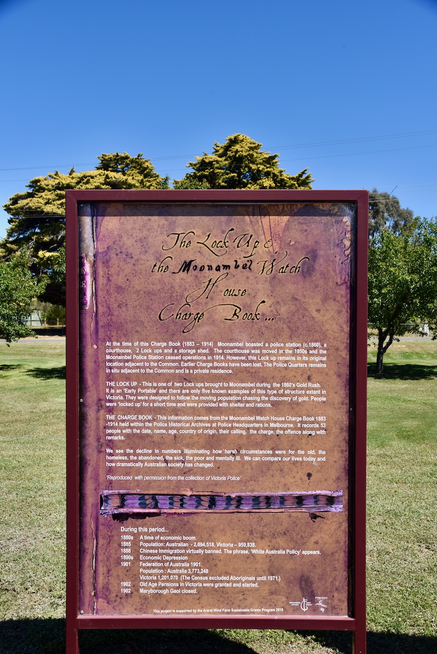
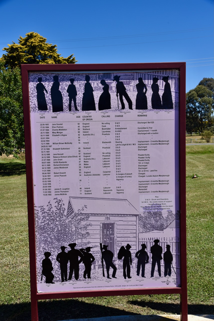
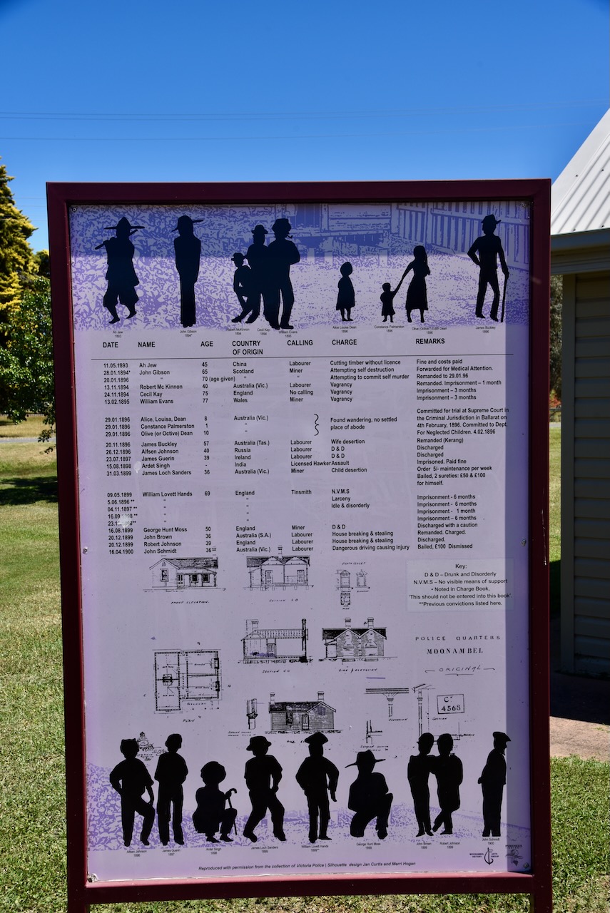
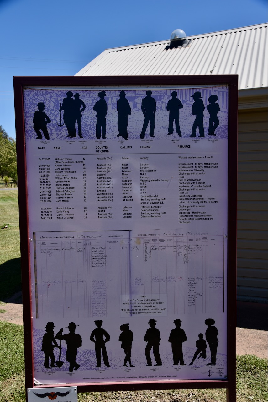
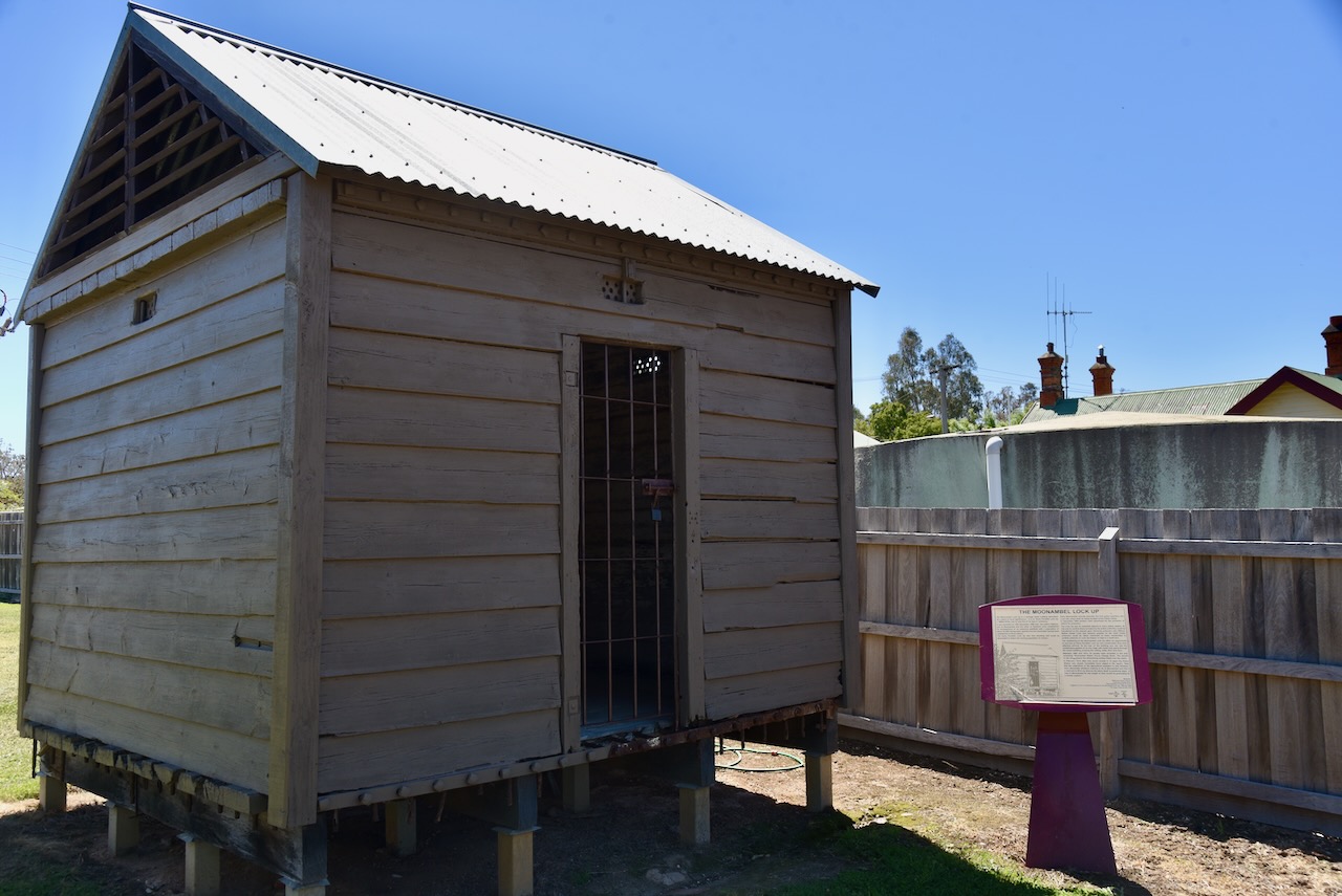
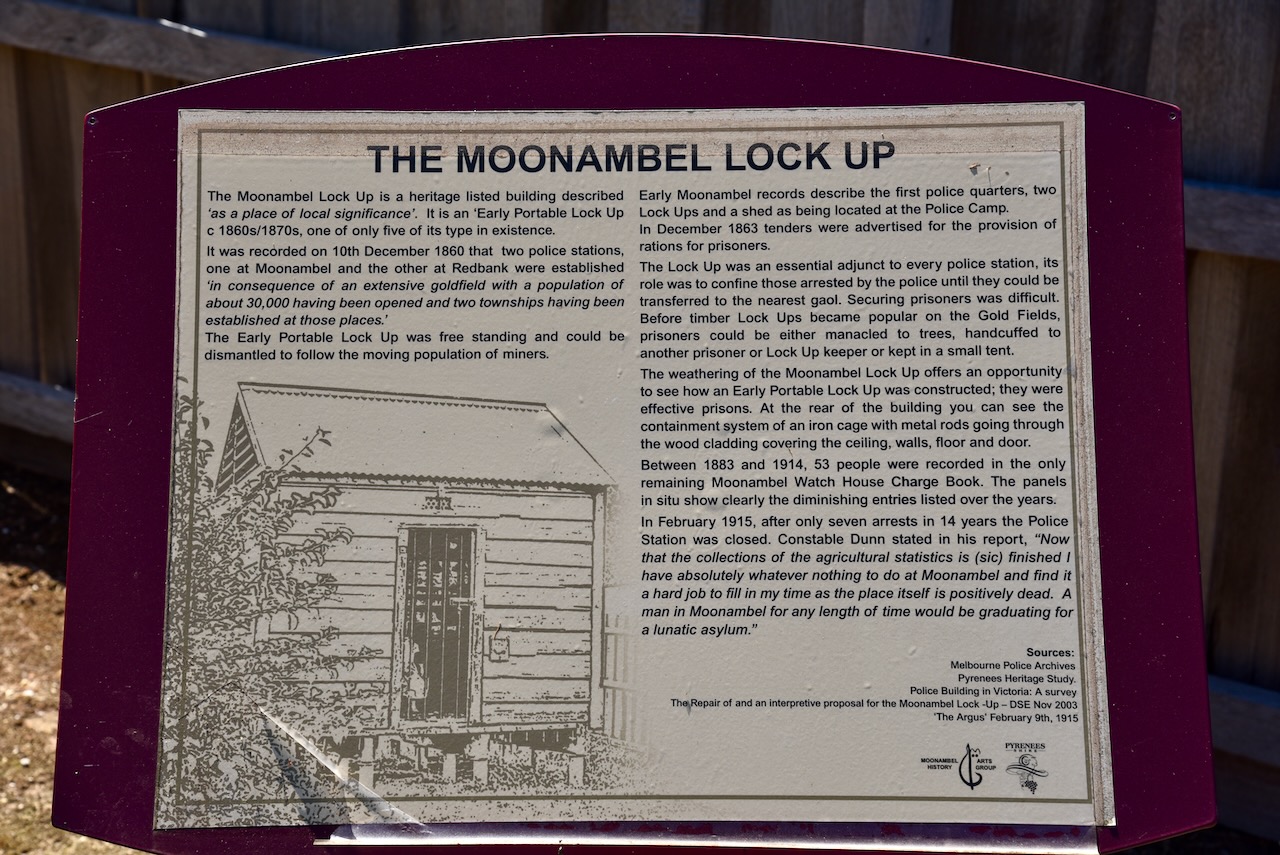
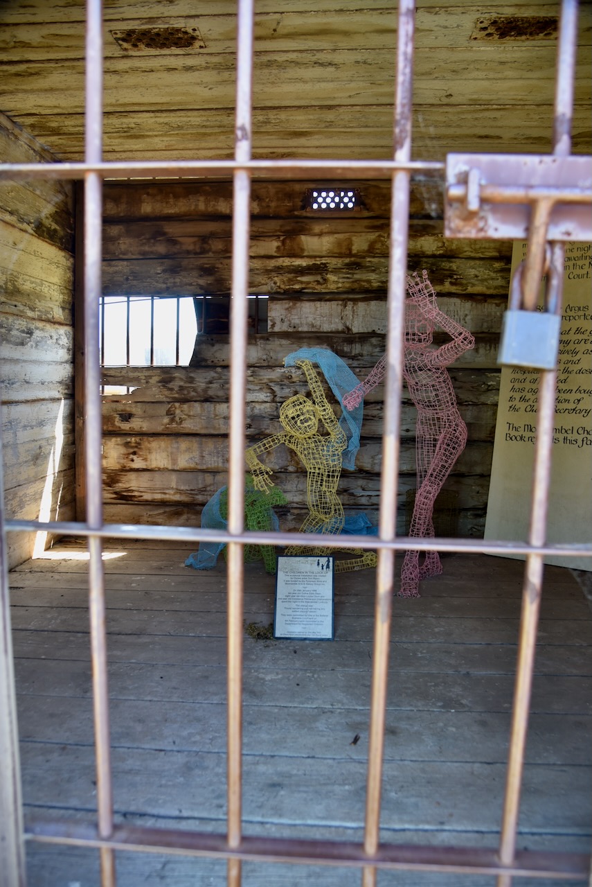
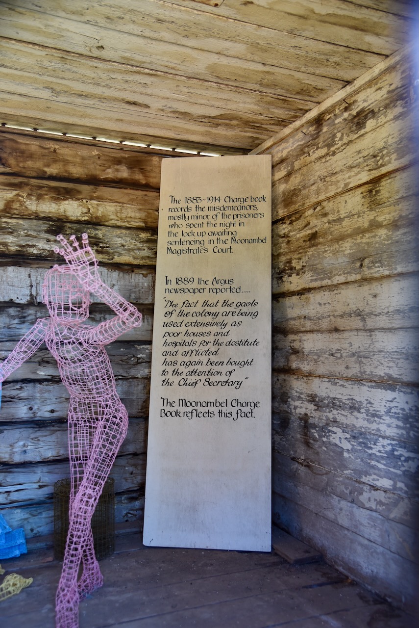
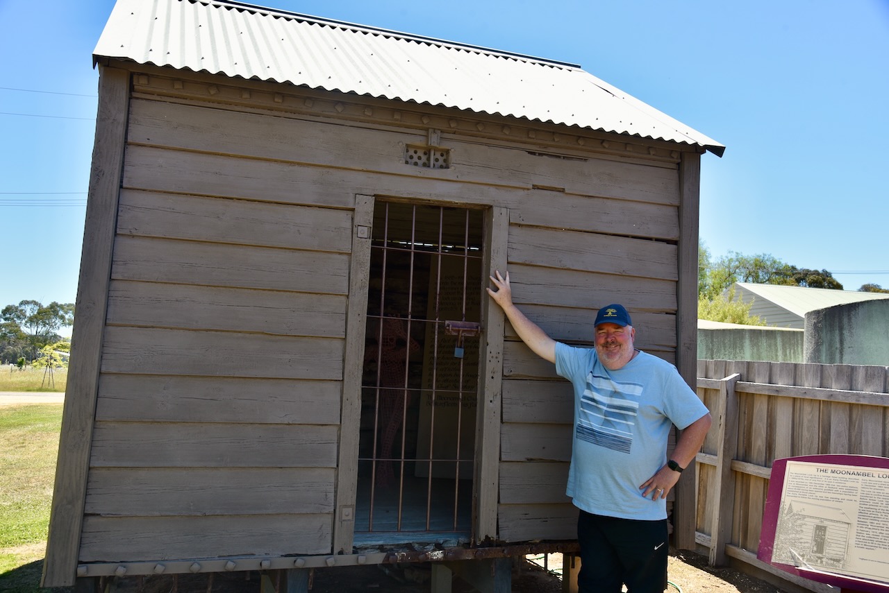
One of the interesting structures is the Moonambel Lock-up, which was one of two lock-ups that were brought to Moonambel during the 1860s gold rush. There are only five examples of this type of early portable lock-up in Victoria.
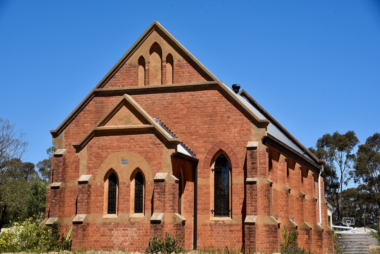
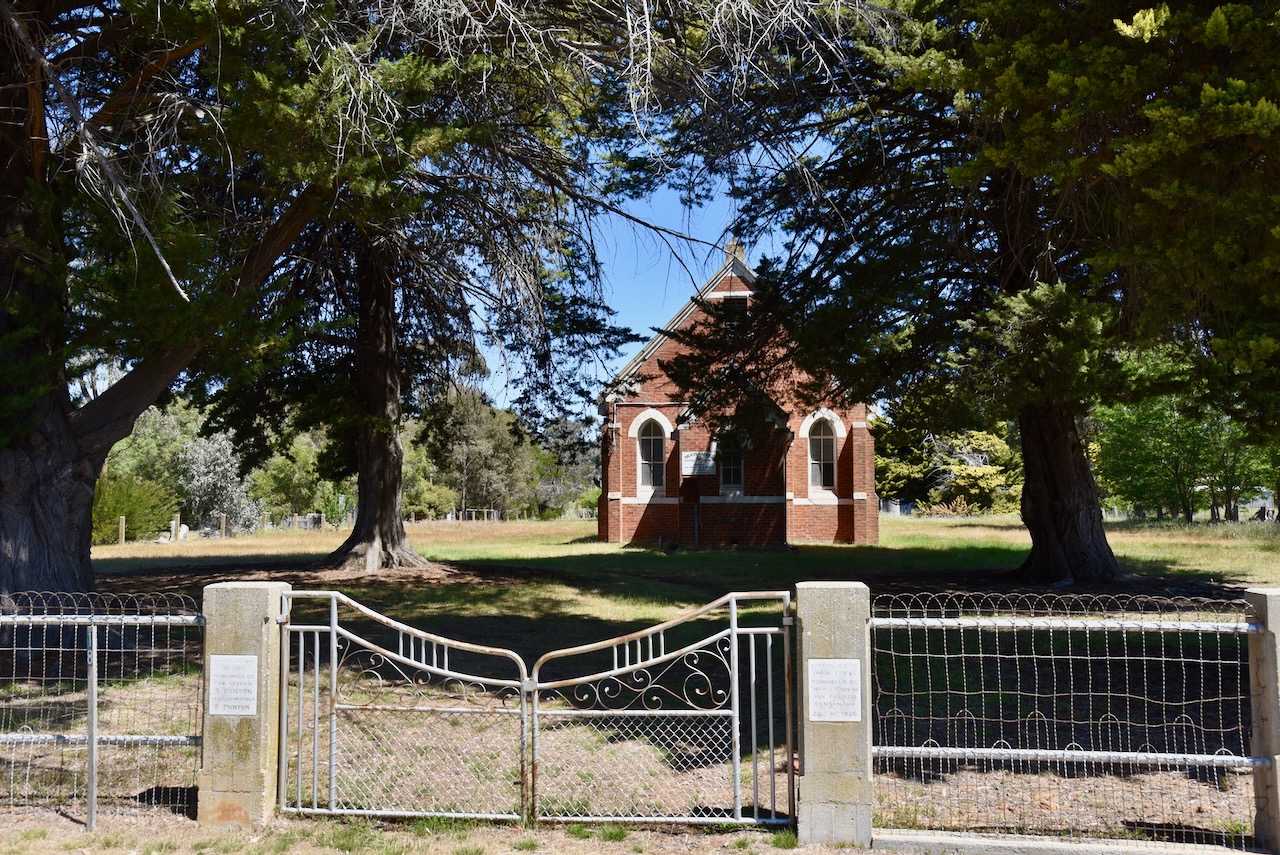
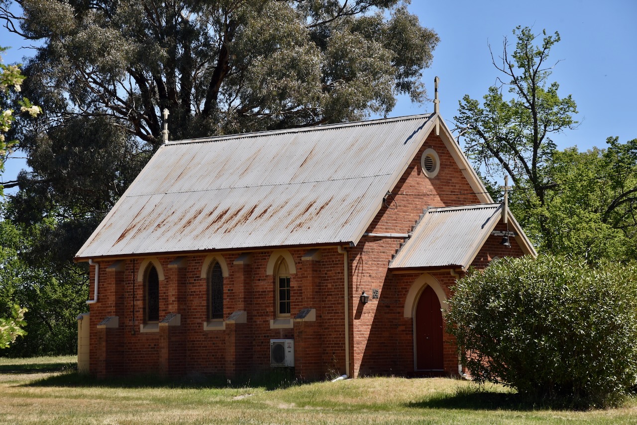
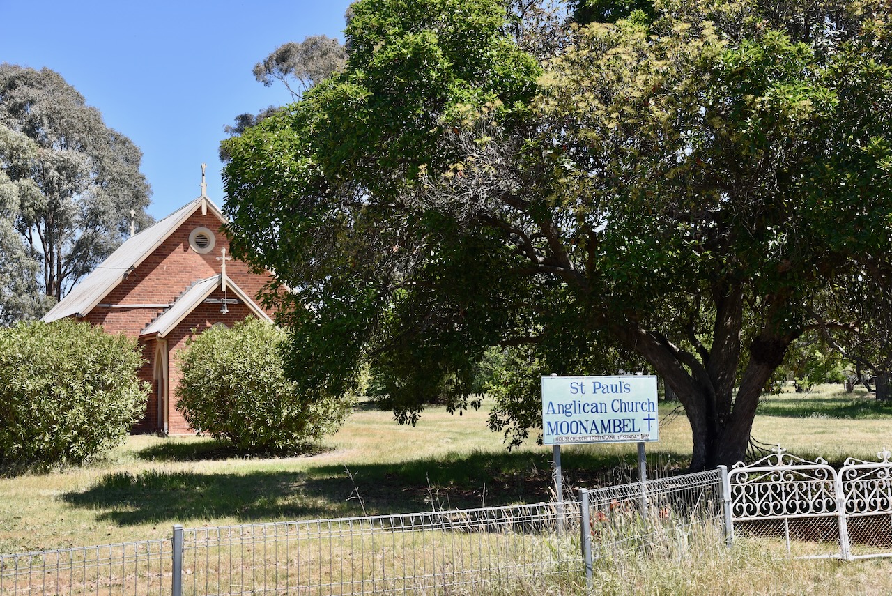
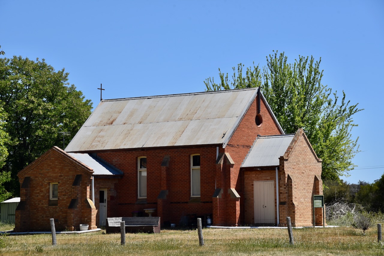
Moonambel contains the Uniting Church, St Paul’s Church of England, built in 1861, and St John the Baptist Catholic Church, built in 1884.
Another building of note is Dickson’s produce store, which was built in 1859.
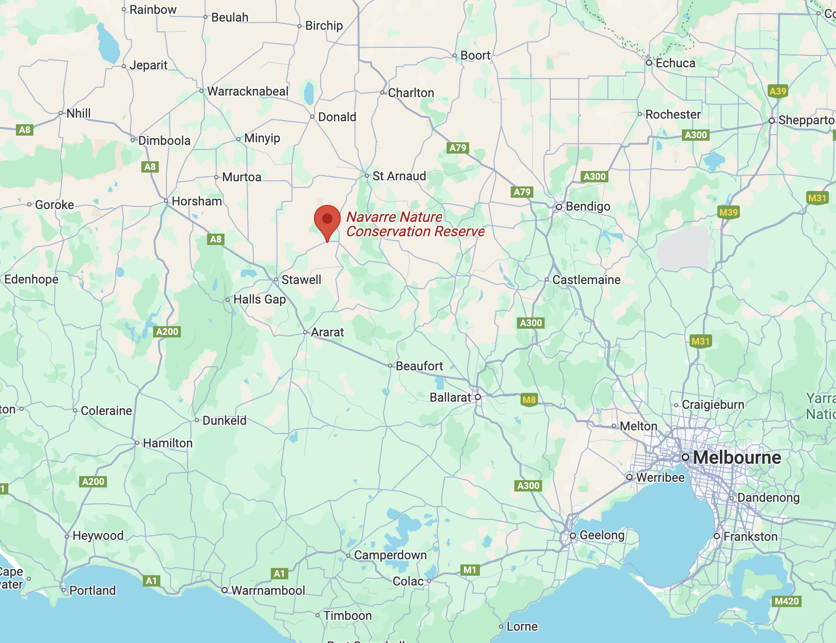
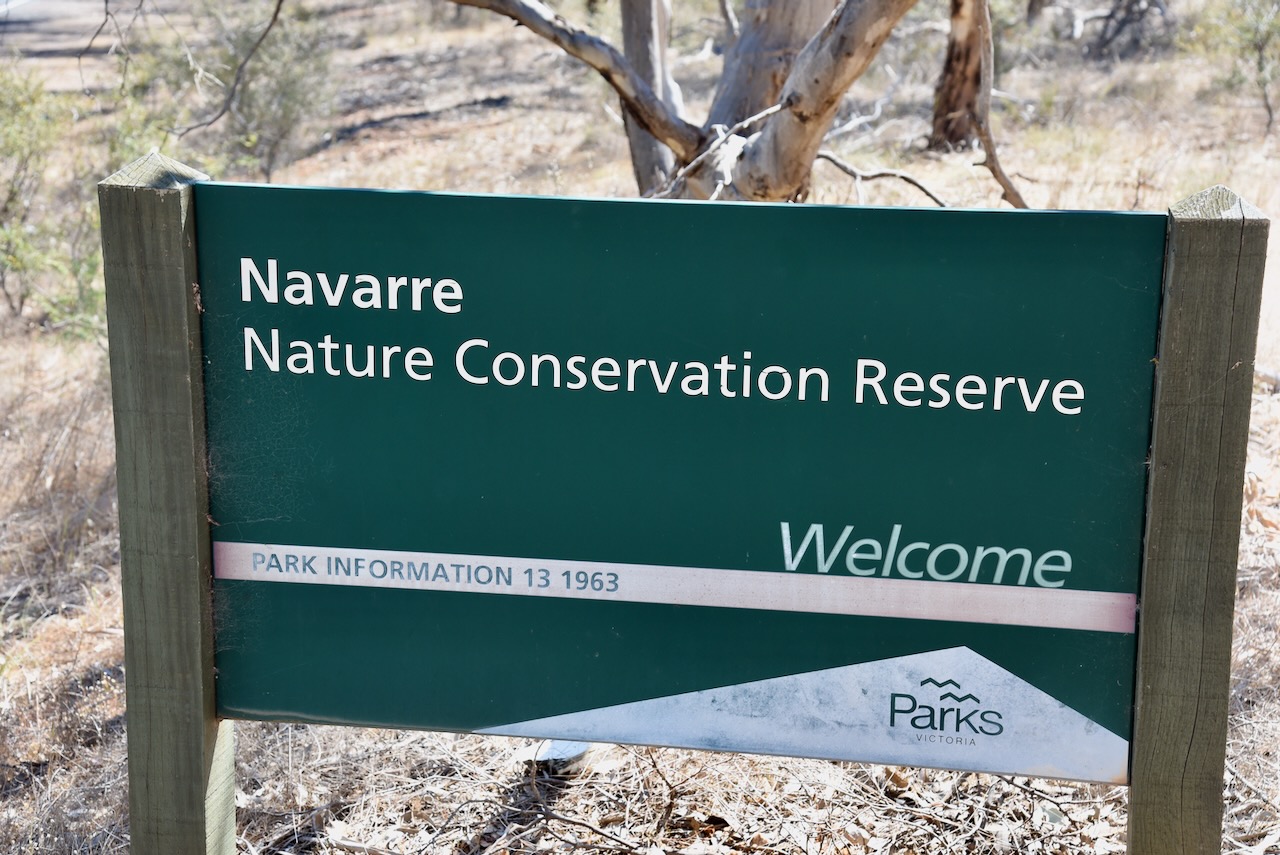
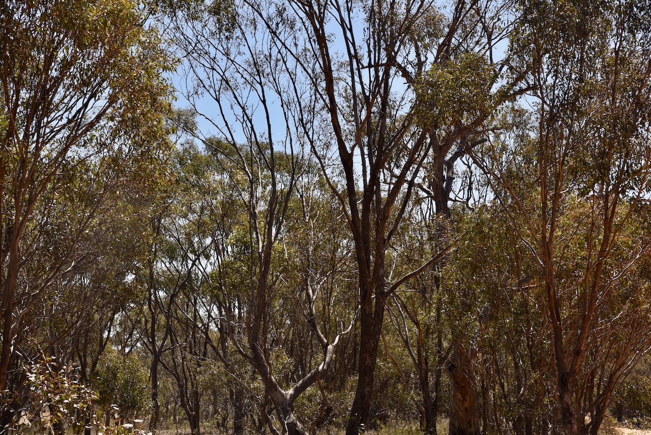
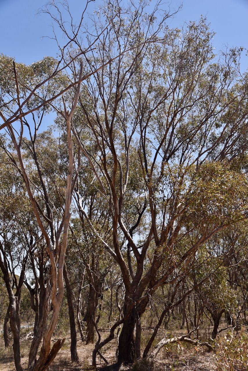
We continued west to our next park activation, the Navarre Nature Conservation Reserve VKFF-2164. The park is located about 232 km northwest of Melbourne, between Stawell and St Arnaud
Above:- Map showing the location of the Navarre Nature Conservation Reserve.
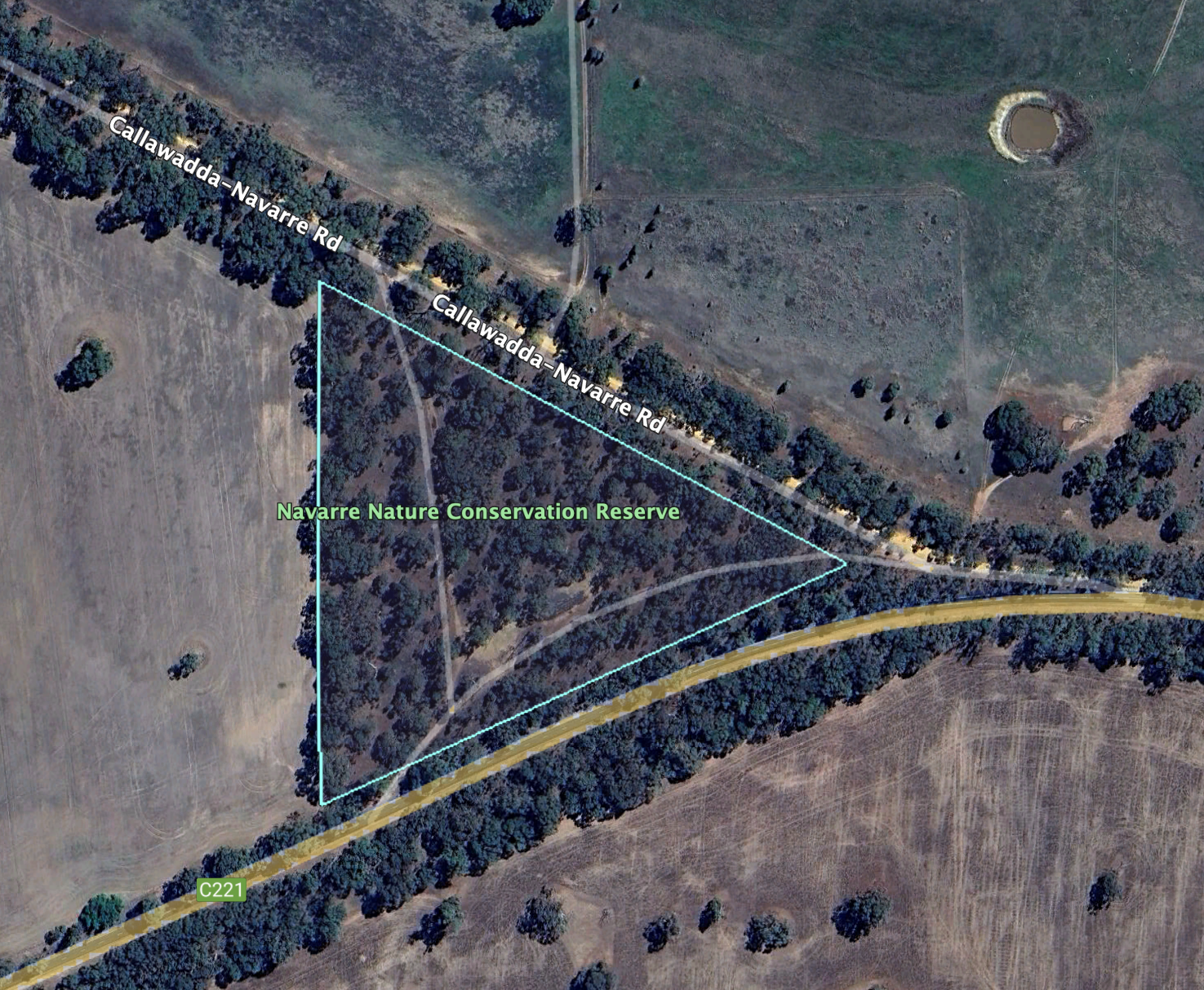
The reserve is located on the corner of Callawadda-Navarre Road and Stawell-Avoca Road.
Above:- An aerial view of the Navarre Nature Conservation Reserve. Image c/o Google Earth.
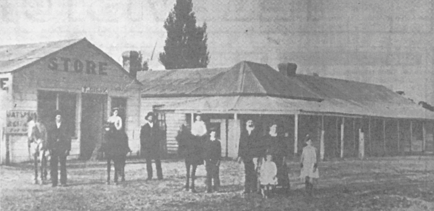
The Navarre area was part of the Decameron station in the 1840s, owned by James Allan Cameron. Navarre commenced as the site of an inn, which was established by Robert Beazley in 1848 alongside a stock route that was located on the boundary between Decameron run and Woodlands run. In 1850, a second inn was established by Robert Beazley. (Blake 1978) (Filmballarathepburnandbeyond.com.au, 2025)
Gold was discovered at Mount Alexander in 1851, and this saw the two inns become a popular stopping point for the gold miners on their way to the diggings. In 1855, the town was surveyed. Navarre takes its name from the ancient Spanish kingdom in the Pyrenees Mountains. The Navarre Post Office opened in February 1856. On the 13th day of September 1861, the town was officially proclaimed. By 1868, the town had a store, a post office and a school. (Blake 1978) (Filmballarathepburnandbeyond.com.au, 2025)
Above:- the old Navarre Inn and general store. Image c/o Victorian Collections.
The reserve is about 4 hectares in size and was established on the 26th day of February 2002. (CAPAD 2022)
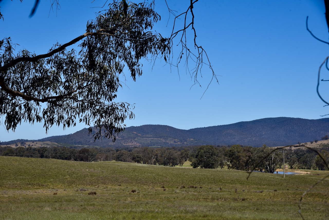
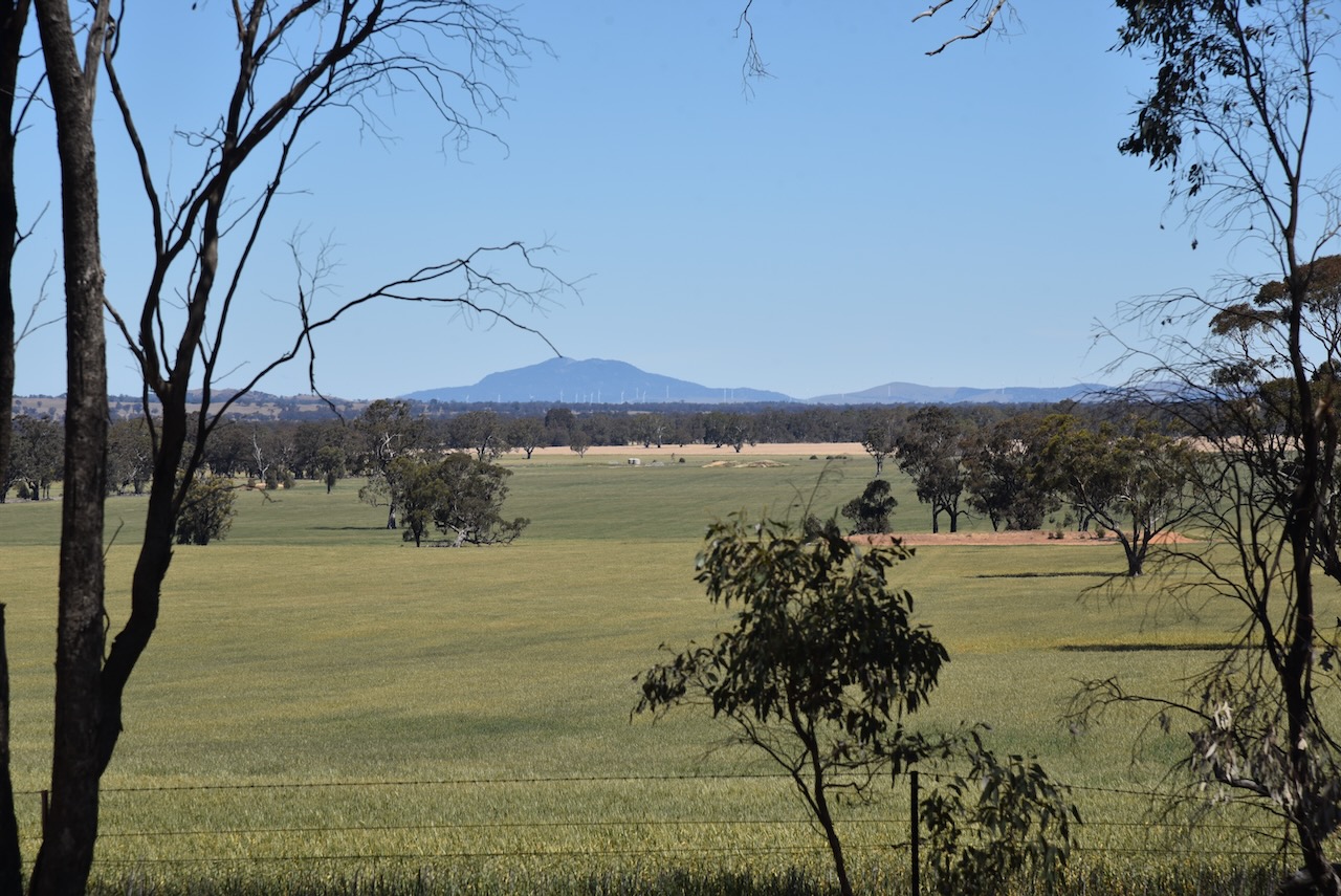
There were some nice views of the Kara Kara National Park and the Grampians National Park from Navarre.
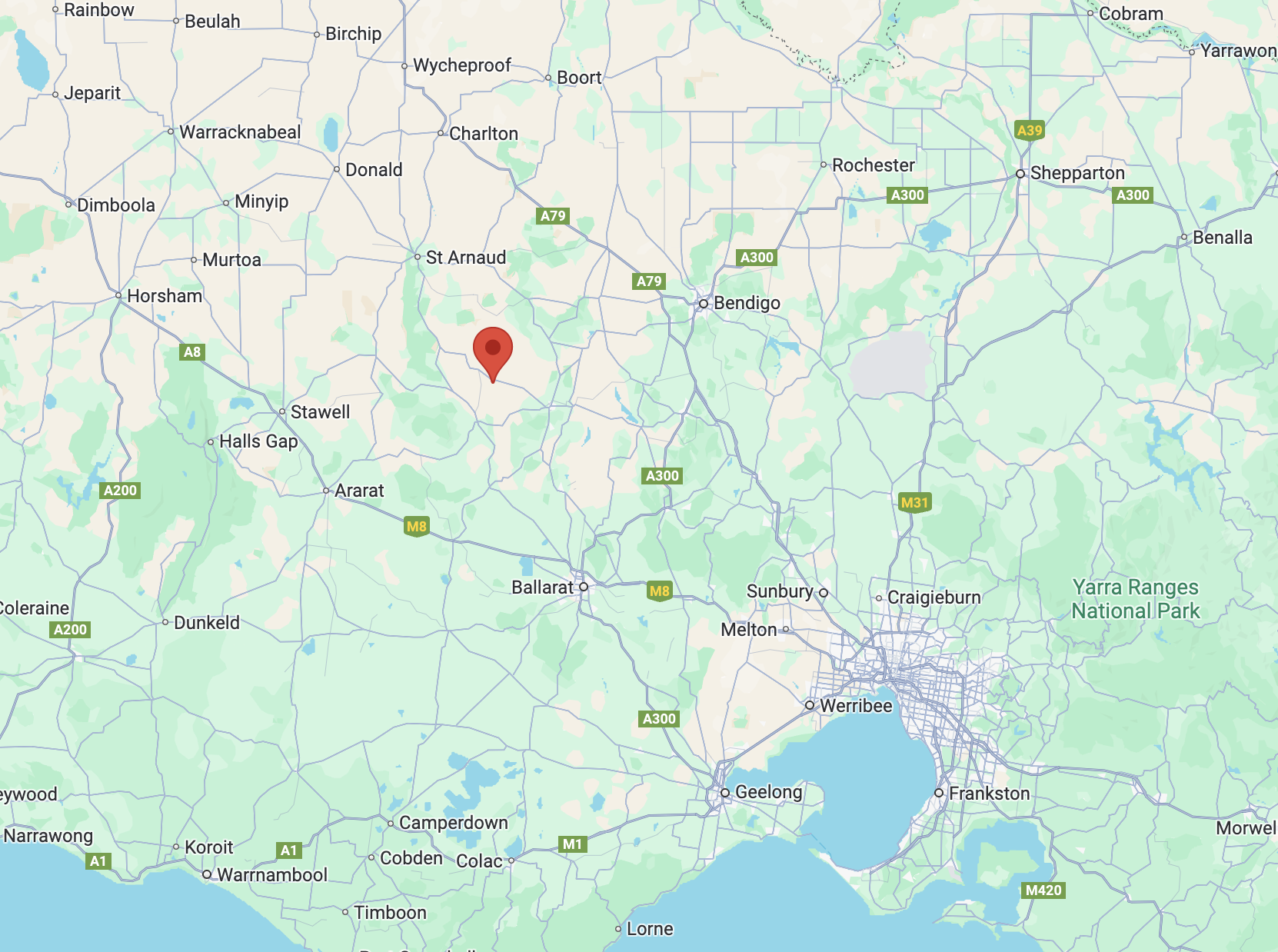
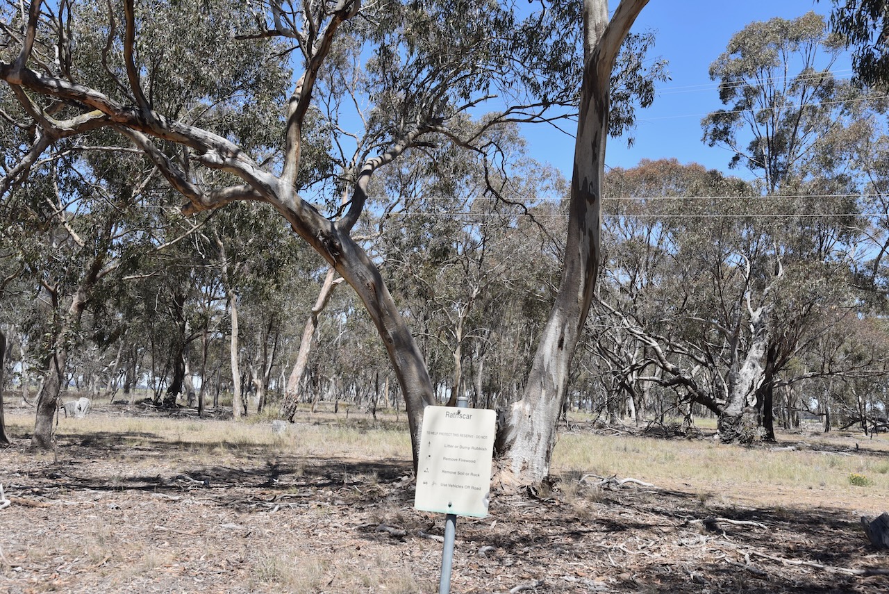
Our next activation for Wednesday, 30th October 2024, was the Rathscar Bushland Reserve VKFF-5760. The park is located about 21 km northwest of Maryborough and about 204 km northwest of Melbourne.
Above:- Map showing the location of the Rathscar Bushland Reserve. Map c/o Google Maps.
Rathescar Station was taken up by Mervyn Archdale in 1841. The name is derived from Irish rath, meaning earthworks or court, and scar, meaning crag or cliff. Rathescar was about 43,000 acres in size and had a grazing capability of 11,000 sheep. (Blake 1978) (Trove 2025)
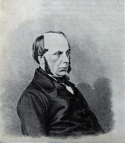
John Leslie Fitzgerald Vesey Foster (b. 1818 d. 1900) acquired part of the Rathescar Run in the 1850s. Foster was a civil servant, landowner and author, who was born in Dublin, Ireland.
Above:- John Leslie Fitzgerald Vesey Foster. Image c/o Victorian Collections.
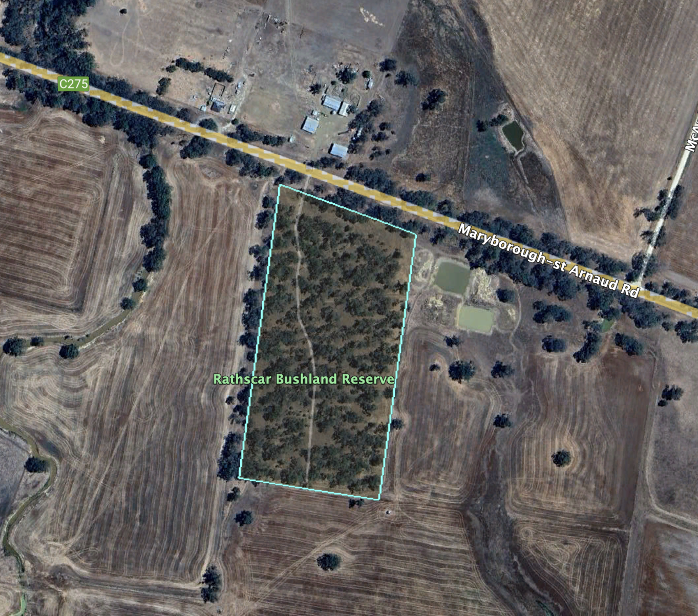
The park is located on the southern side of the Maryborough-St Arnaud Road, near McArdles Lane.
Above:- An aerial view of the Rathscar Bushland Reserve. Image c/o Google Earth.
The reserve is about 8 hectares in size and was established on the 24th day of August 1982. (CAPAD 2022)
We ran the Yaesu FT857, 40 watts, and the 20/40/80m linked dipole for this activation.
Leslie James Blake, 1978, Place Names of Victoria.
Trove. (2025). CLAIMS TO LEASES OF CROWN LANDS BEYOND THE SETTLED DISTRICTS. – WESTERN PORT DISTRICT. – The Sydney Morning Herald (NSW : 1842 – 1954) – 23 Oct 1848. [online] Available at: https://trove.nla.gov.au/newspaper/article/12906207 [Accessed 24 May 2025].
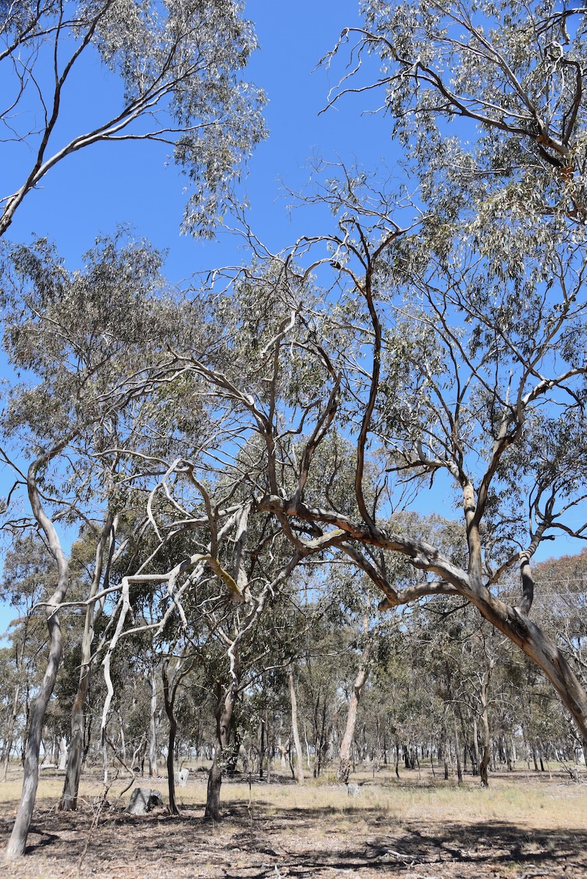
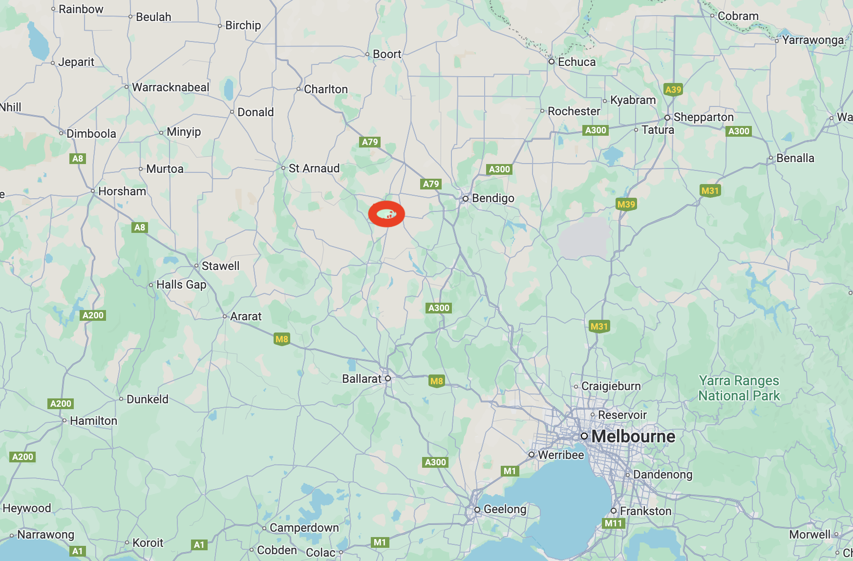
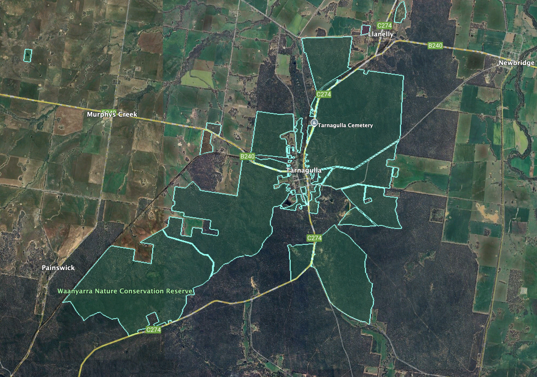
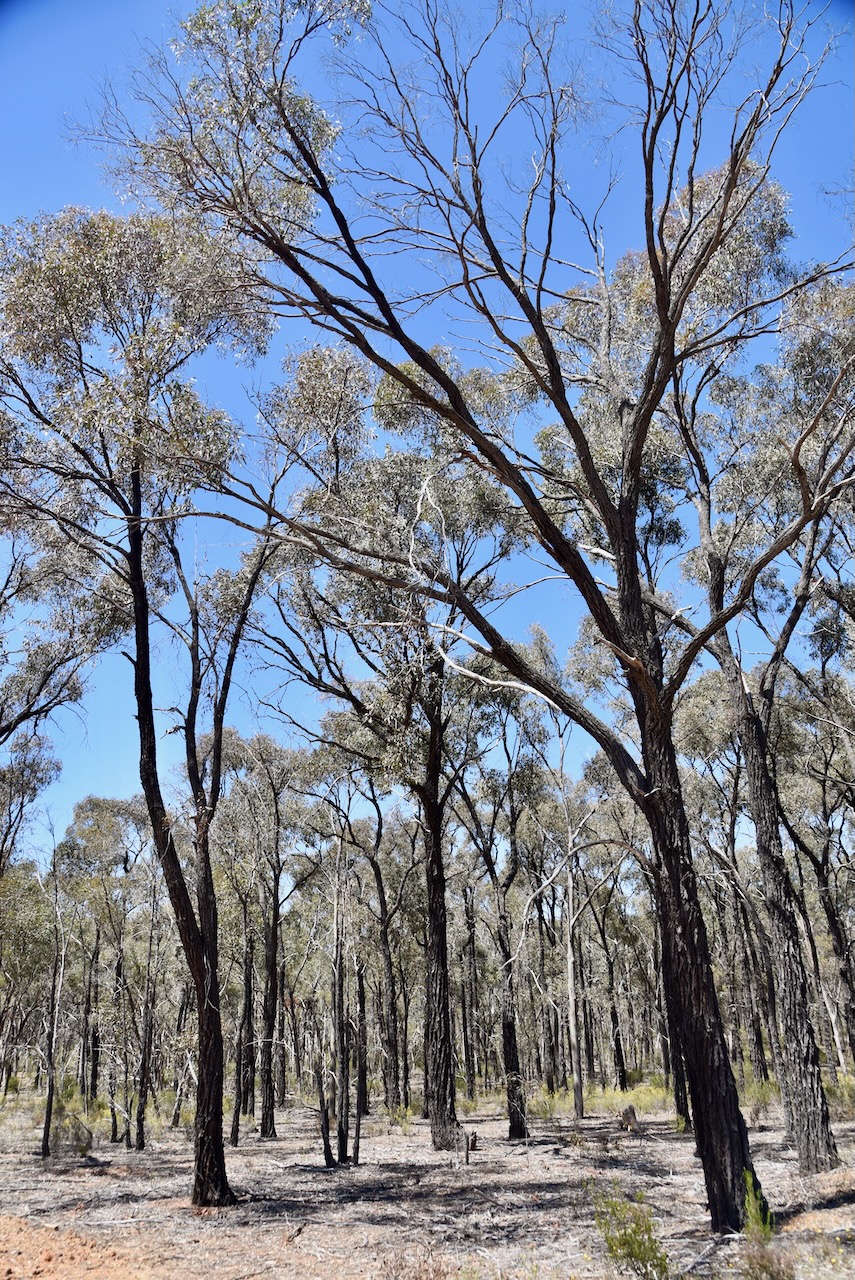
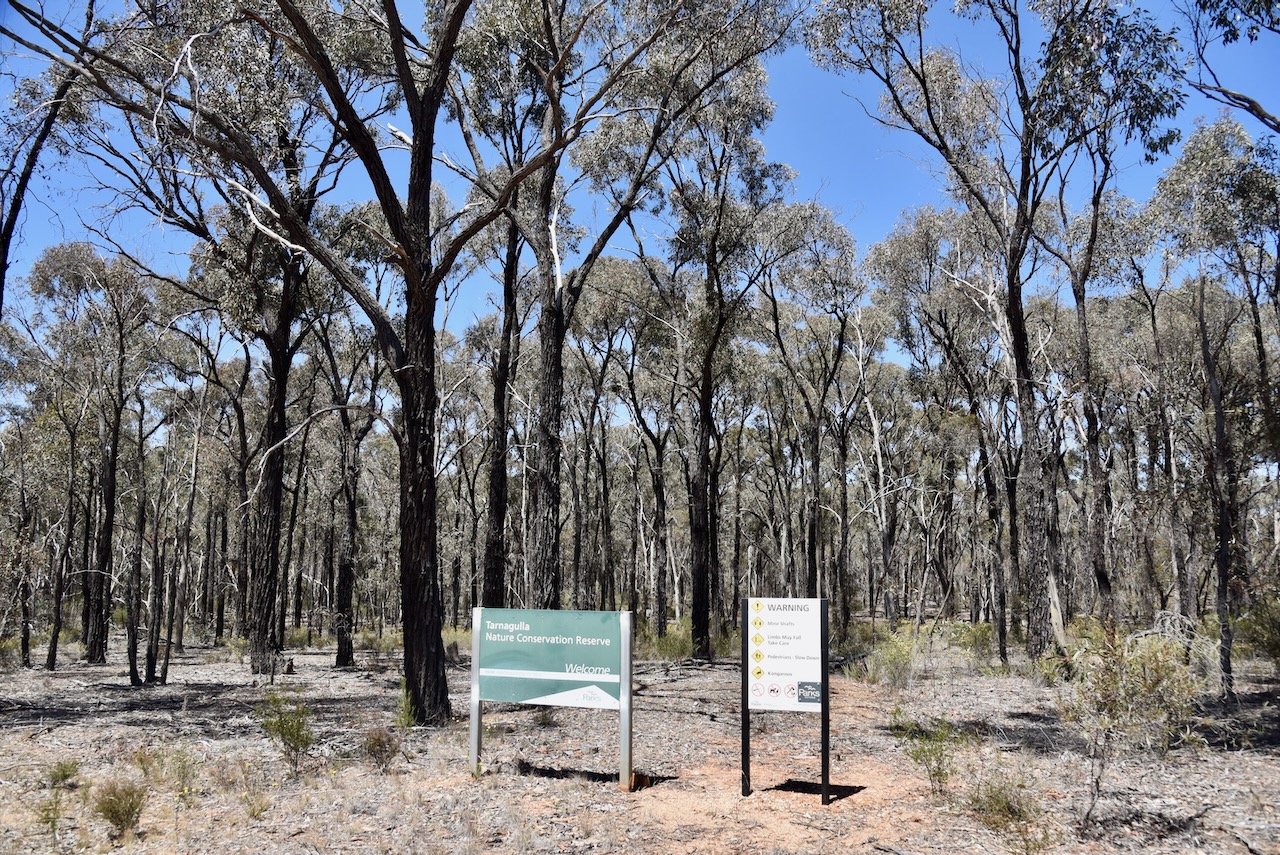
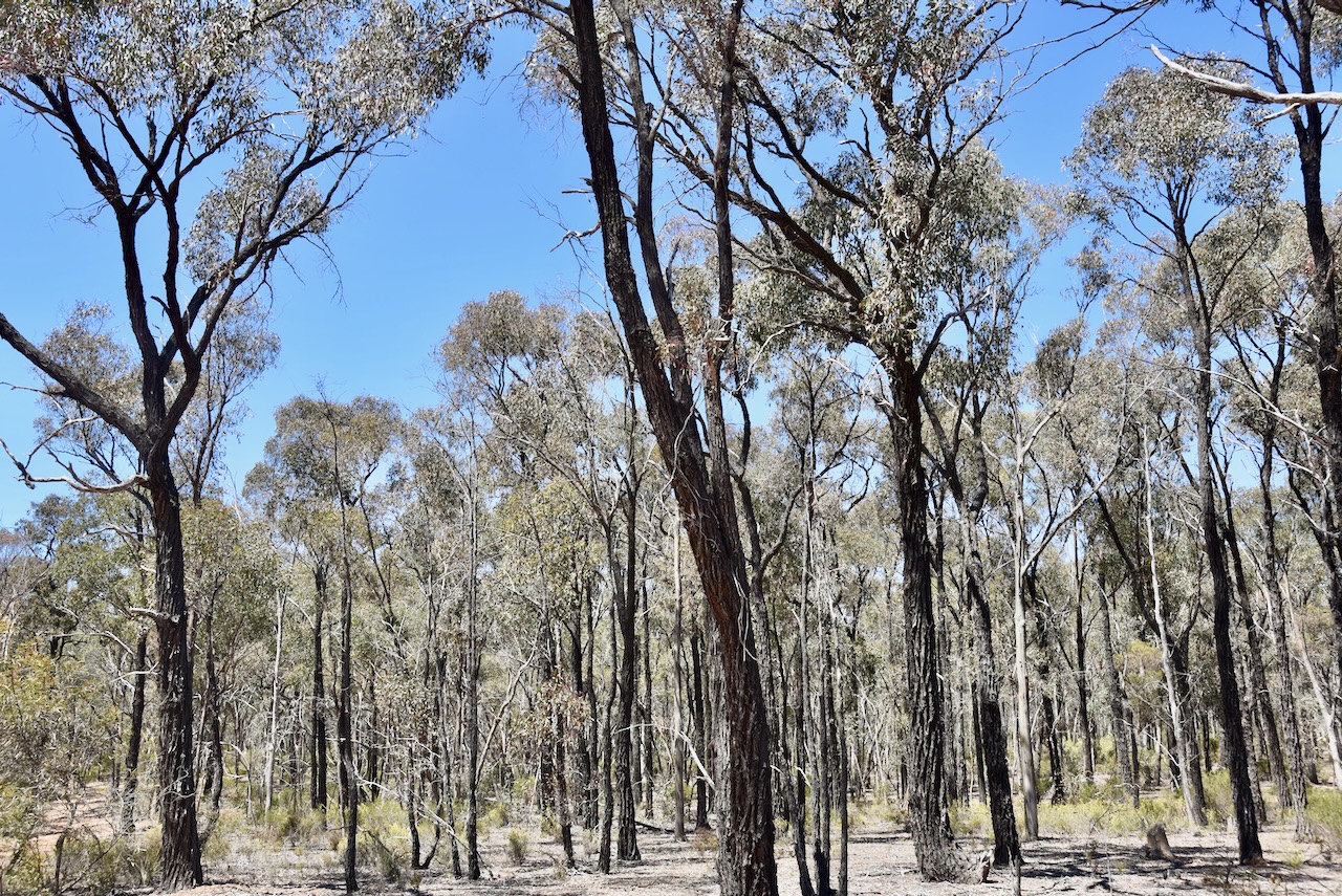
Our next park activation for 30th October 2024 was the Waanyarra Nature Conservation Reserve VKFF-2220. The park is located in central Victoria, about 179 km north of Melbourne.
Above:- Map showing the location of the Waanyarra Nature Conservation Reserve. Map c/o Google Maps
This is a large park and is centred around the town of Tarnagulla.
Above:- An aerial view of the Waanyara NCR. Image c/o Google Earth.
The reserve is about 2,863 hectares in size and was established on the 24th day of August 1982. It is signposted as the Tarnagulla Nature Conservation Reserve. (CAPAD 2022)
Waanyarra is derived from the original word wahn, meaning crow and yarra meaning ever moving. Thus, Waanyarra means ‘crow flying’. Other references indicate that it is an aboriginal word meaning ‘running water’. (Blake 1978) (Waanyarra 2017)
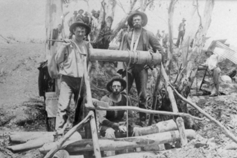
Gold was discovered in the area in 1853 in Jones Creek. The area was initially known as Jones Creek, but in 1861 the name was changed to Waanyarra by surveyor Phillip Chauncy. It was once a thriving gold mining town with 2 hotels, several stores, a school and a Post Office. The foundations of the Jones Creek School No. 339 can be found. The school operated from 1857 to 1873 with an average of 16 pupils. (Blake 1978) (State of Vic 2004)
The ‘Welcome Inn’, Morton’s Old Hotel, was constructed in 1850 by a convict, Michael Moreton. It was a replica of his home in Ireland. The building served as Michael’s family of eight, a provisions store and a public bar for the local miners. (State of Vic 2004)
We drove into the park and operated from the 4WD, running the Icom IC7000, 100 watts, and the 20/40/80m linked dipole.
Marija worked the following stations on 20m SSB:-
VK2VW
VK2HFI
VK2AKA
VK2BUG
VK1AO
VK2MET
Marija worked the following stations on 40m SSB:-
VK5HS
VK3PF
VK3KAI
VK2USH
I worked the following stations on 20m SSB:-
VK2VW
VK2HFI
VK2AKA
VK2BUG
VK1AO
VK2MET
I worked the following stations on 40m SSB:-
VK5HS
VK3PF
VK3KAI
VK2USH
VK7LG
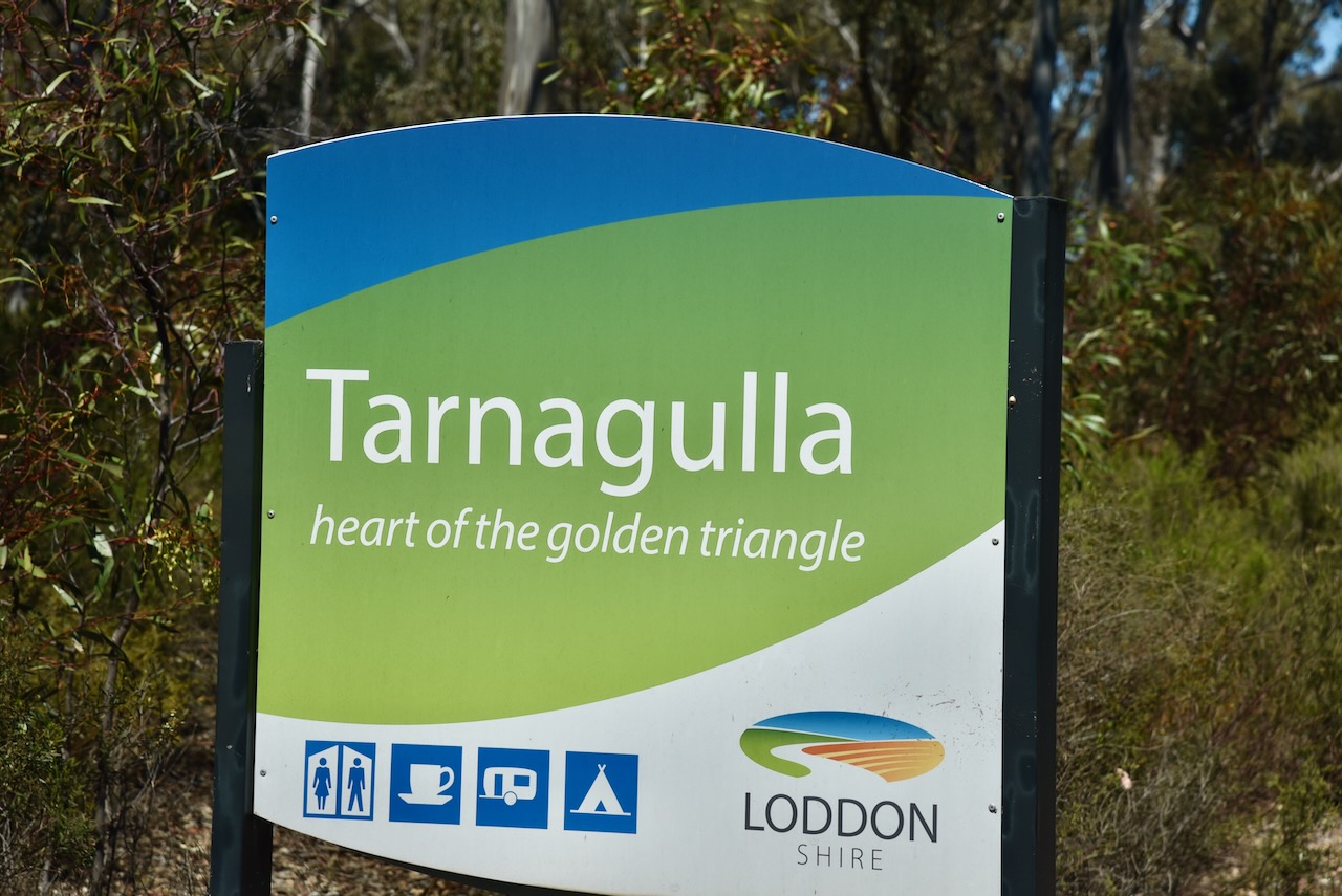
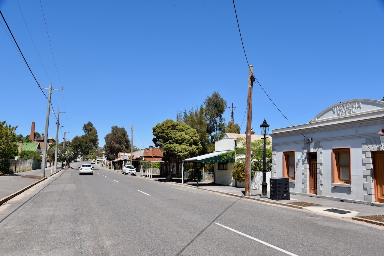
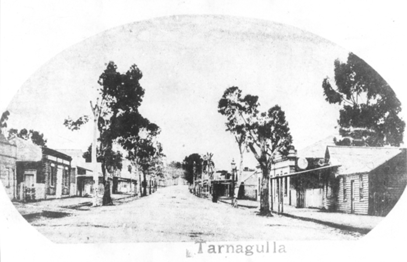
We left the park and drove into the lovely little town of Tarnagulla. We have been to this historic town previously and find its history to be fascinating.
In 1852, gold was discovered in a nearby stream called Sandy Creek. Up to 5,000 miners rushed to the area, and a settlement sprang up known as Sandy Creek until 1860, when it was renamed Tarnagulla, after nearby Tarnagulla station. (Aussie Towns 2023)
By the mid 1860s Tarnagulla had two banks, five bakers, two breweries, three butchers, four blacksmiths, two bootmakers, one corn factory, four crushing machines, two chemists, two drapers, a fruiterer, a gold broker, four hotels, an ironmonger, a miller, a painter, nine general stores, three surgeons, a share broker, a steam saw miller, a tailor, a tobacconist, two wheelwrights, and a watchmaker. (Aussie Towns 2023)
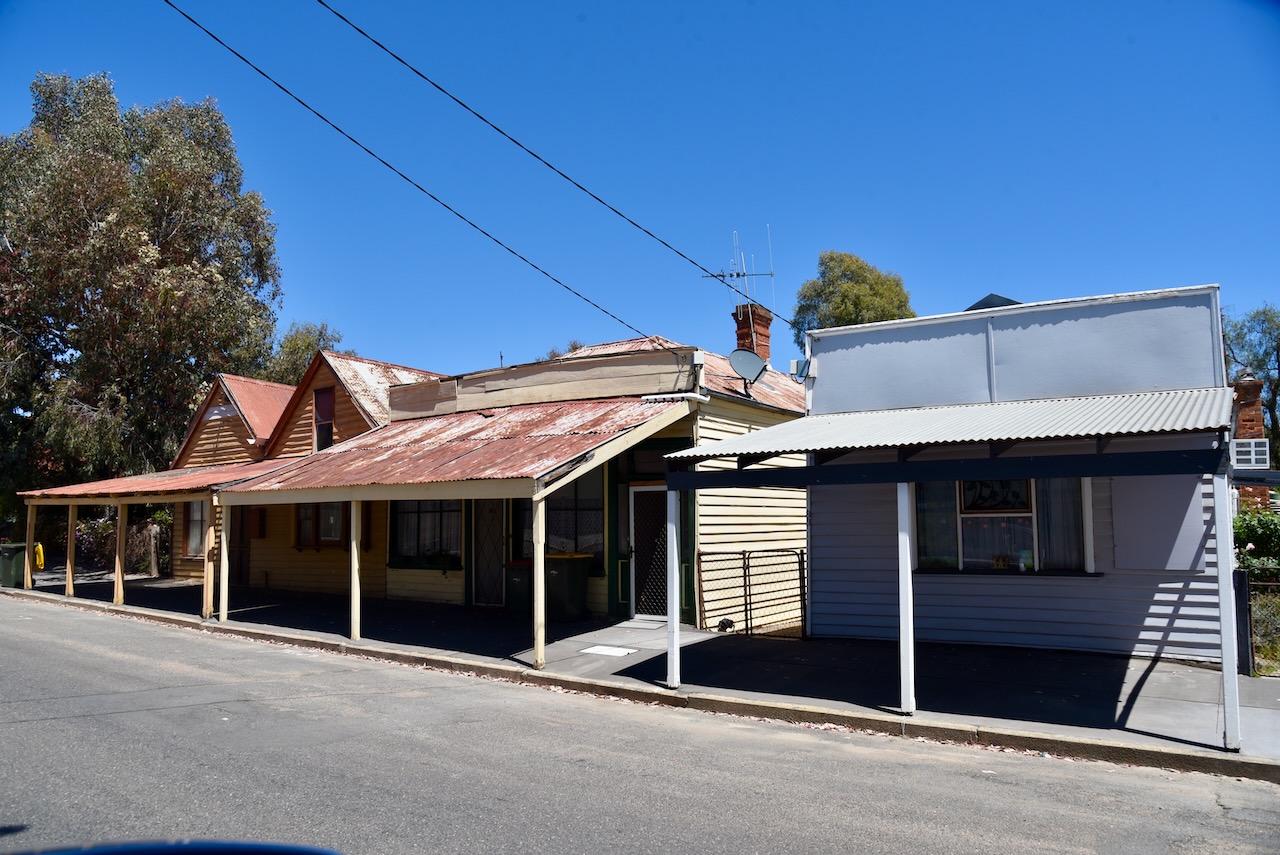
You could spend hours here wandering around, admiring the many historic buildings that date back to the Gold Rush era.
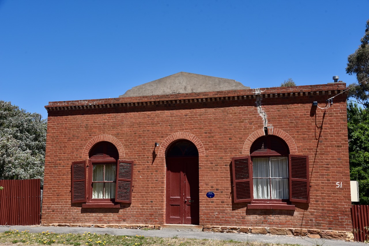
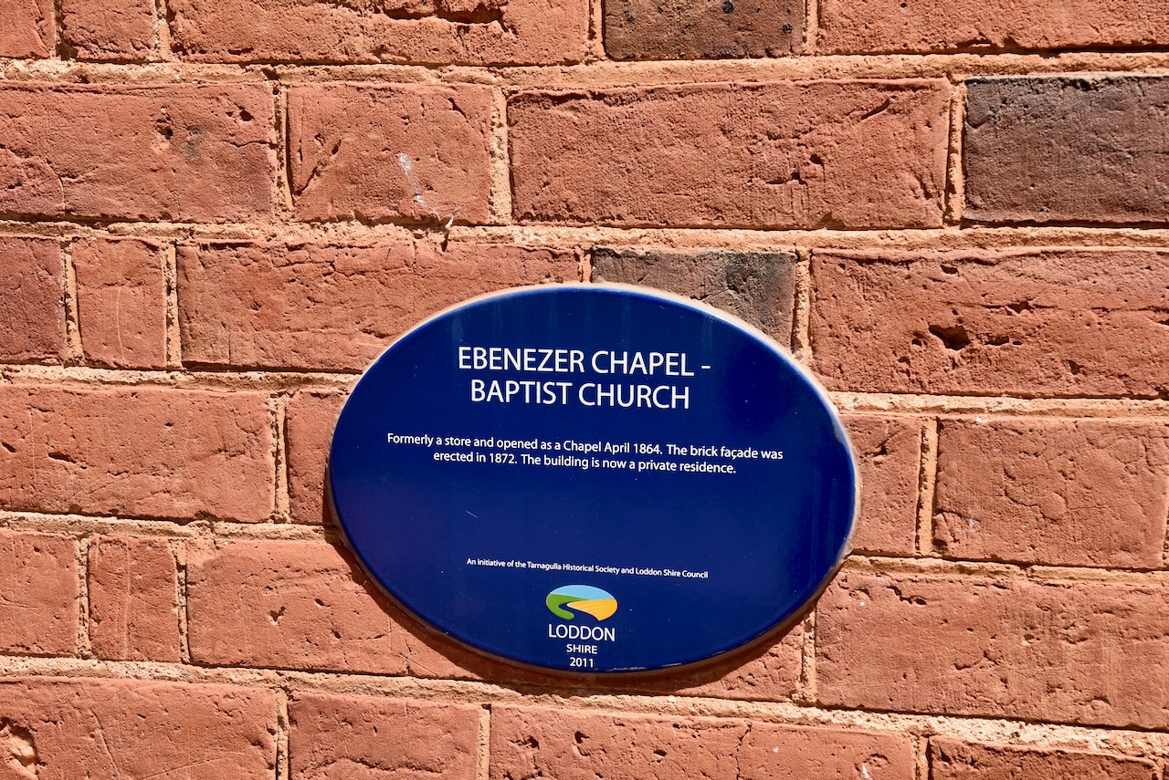
Ebenezer Chapel – Baptist Church was formerly a store and opened as a Chapel in April 1864. The brick facade was erected in 1872.
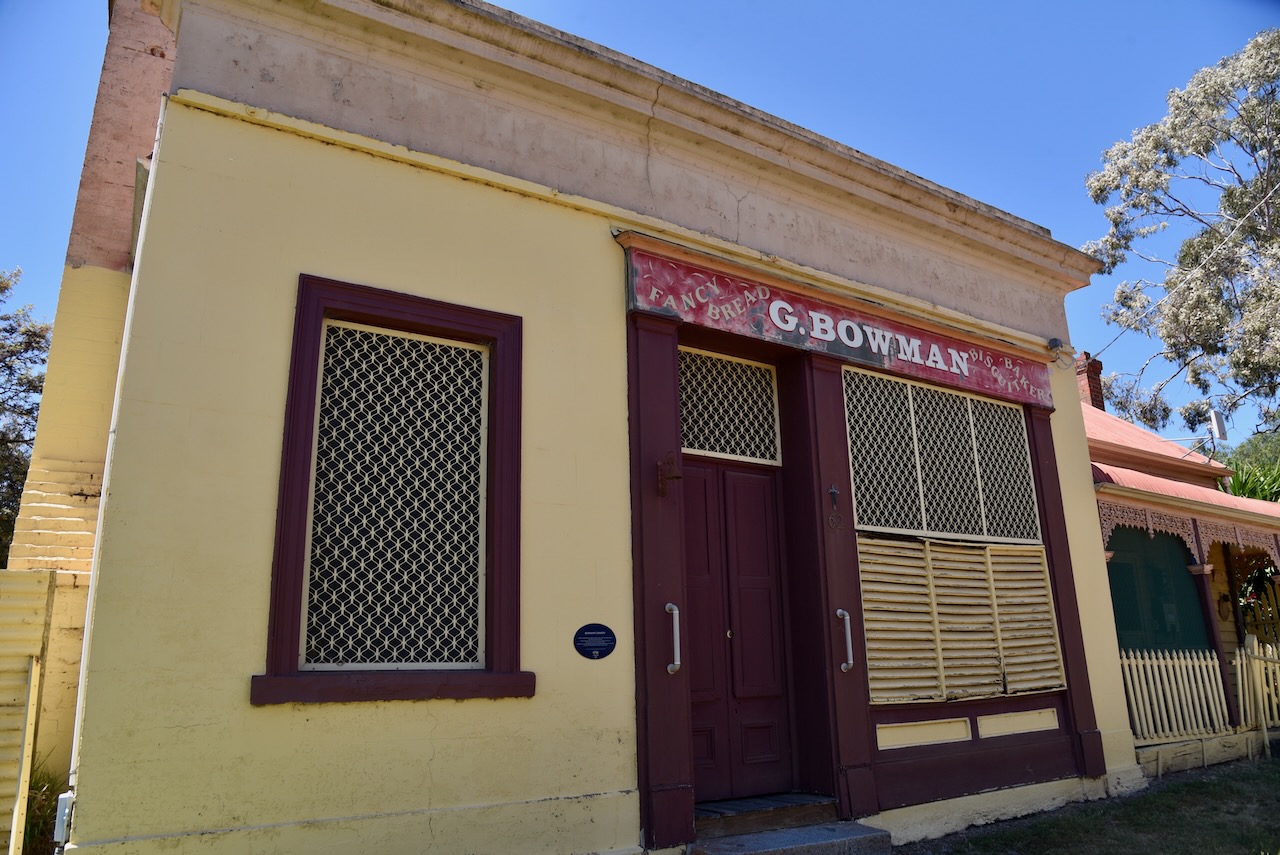
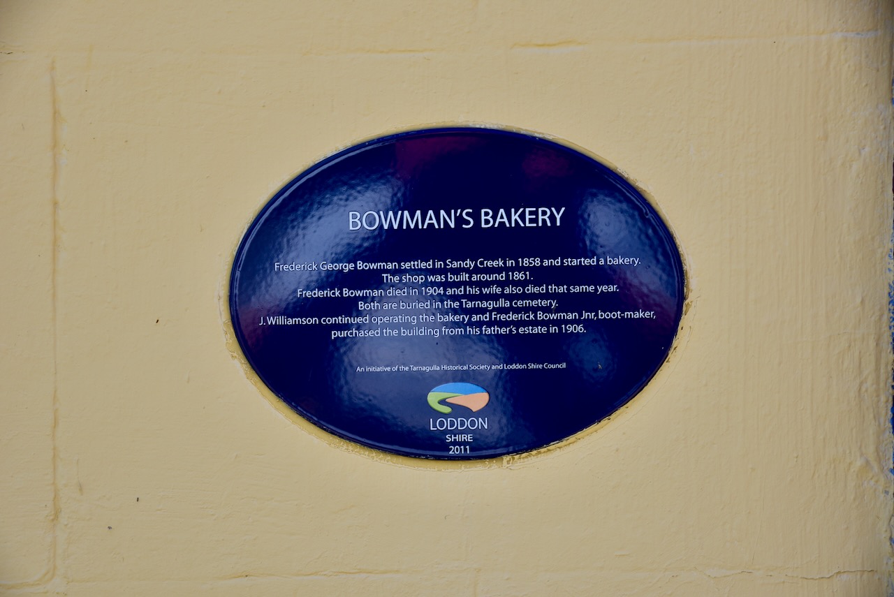
Bowman’s Bakery was built in about 1861 and was operated by Frederick George Bowman who had settled in the area in 1858. He died in 1904, with his wife also passing away in that year. They are both buried at the Tarnagulla cemetery. Following their death, J. Williamson continued operating the bakery and Frederick Bowman Jr, boot maker, purchased the building from his father’s estate in 1906.
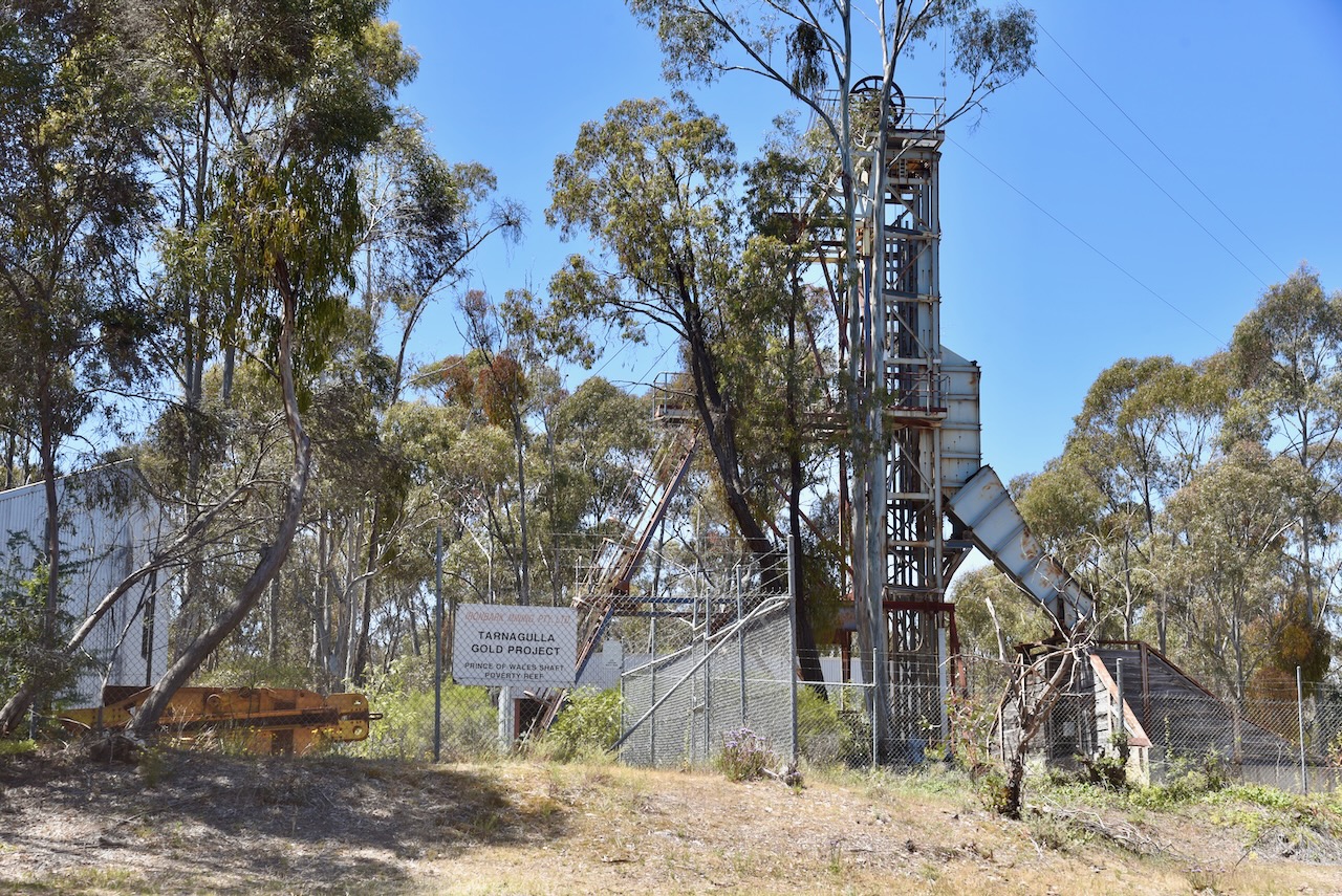
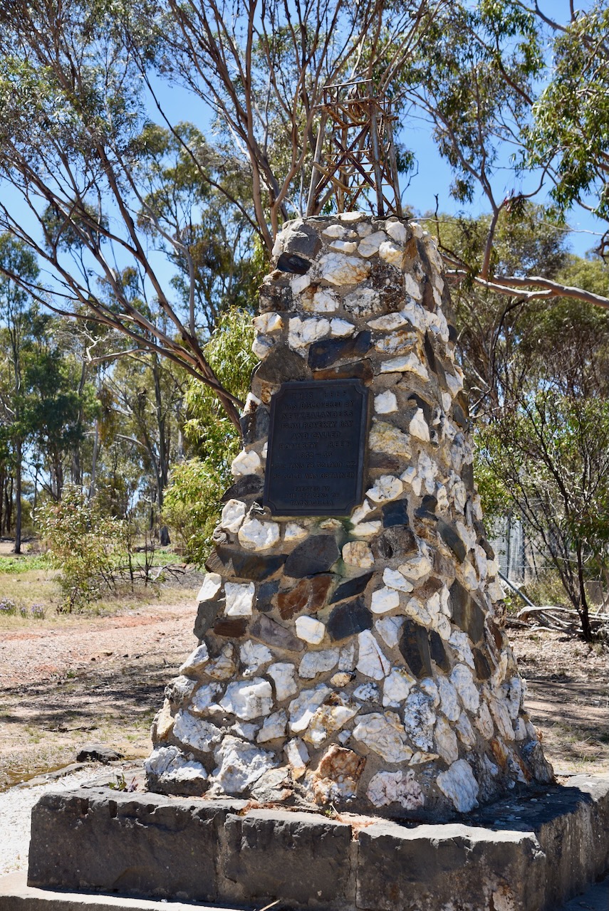
We then visited the marker recording the site of the Poverty Reef gold mine. In 1852, gold was discovered here by D. Hatt, who was wrecked at Poverty Bay in New Zealand and was rescued by a Maori woman. He named the mine the Poverty Reef. Over a 13 month period a total of 13.5 tons (13.7 metric tonnes) of gold was mined from an area measuring just 3 metres wide and 120 metres long. The Poverty Reef gold mine was one of the richest deposits of reef gold found anywhere in the world. (Aussie Towns 2023)
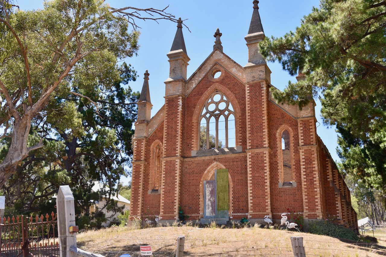
The ruins of the majestic Wesleyan Methodist church, built in 1864, can be found on the top of a small hill in Tarnagulla. Sadly the church was severely damaged by a bushifre in 2000.
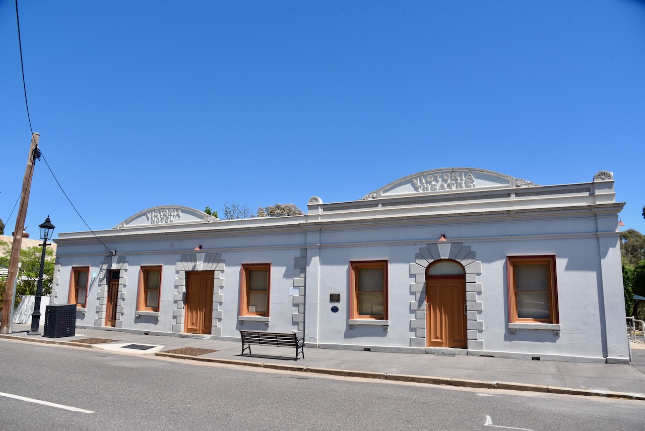
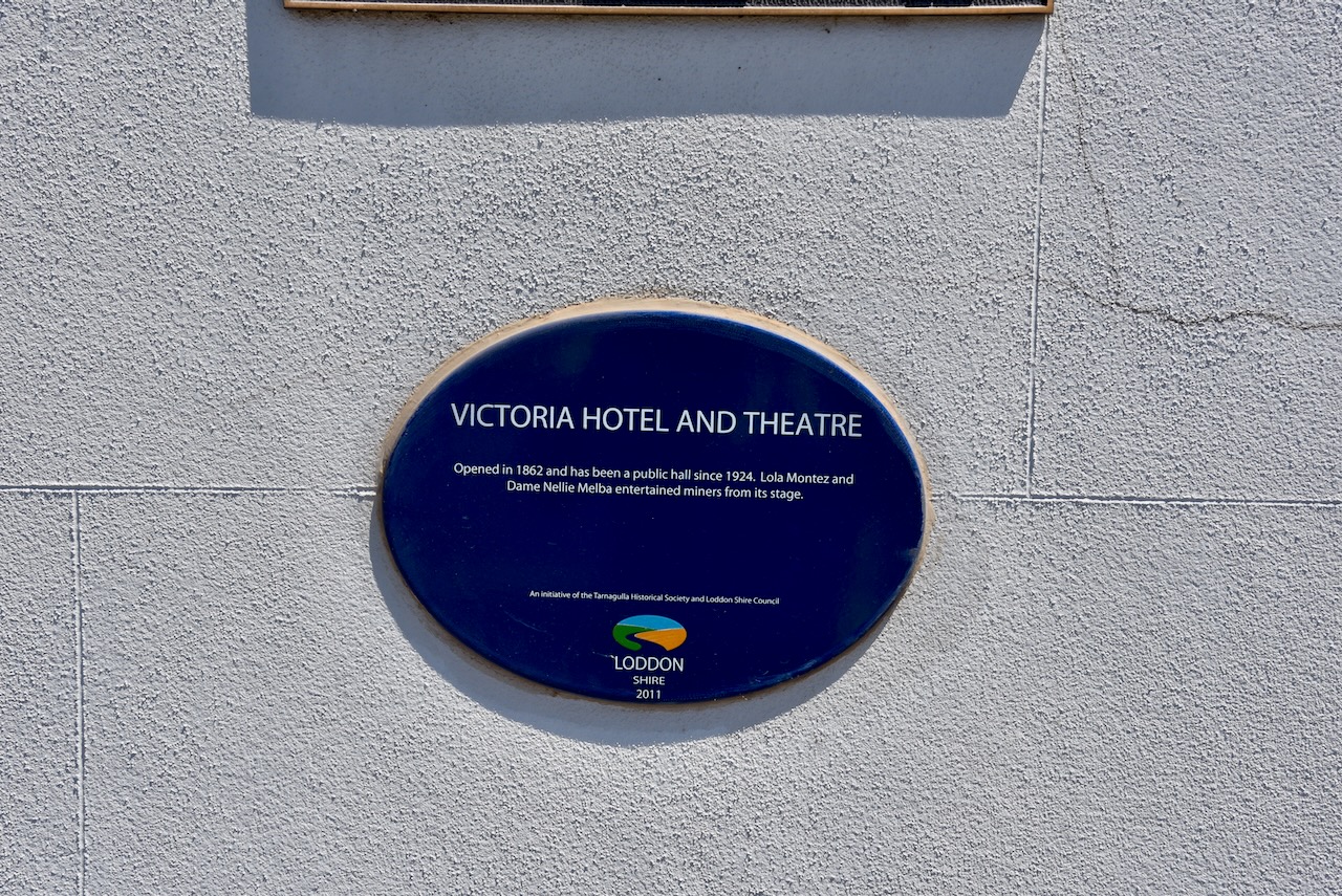
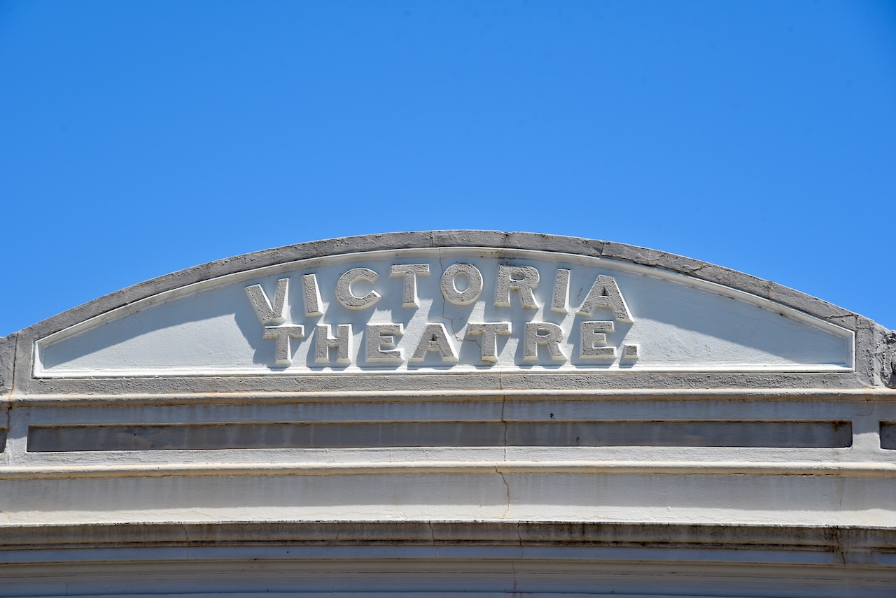
The Victoria Hotel and Theatre was opened in 1862 and has been a public hall since 1924. Lola Montez and Dame Nellie Melba have entertained miners from its stage.
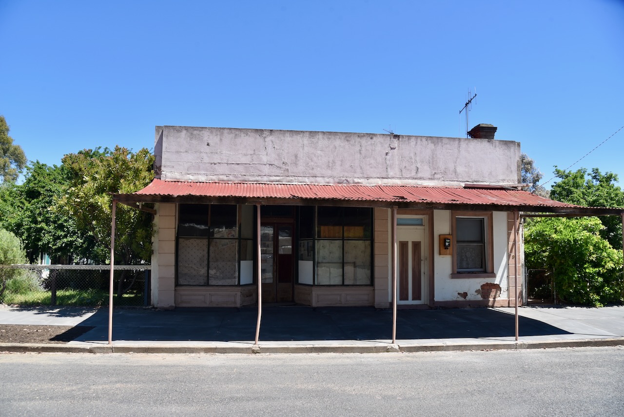
The town contains many former shops. You can close your eyes and imagine what life must have been like in this incredible little town back in the day.
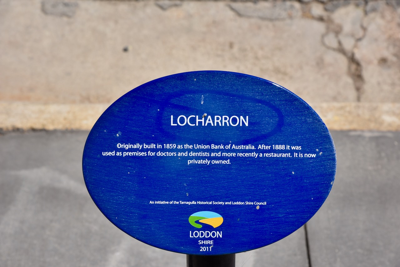
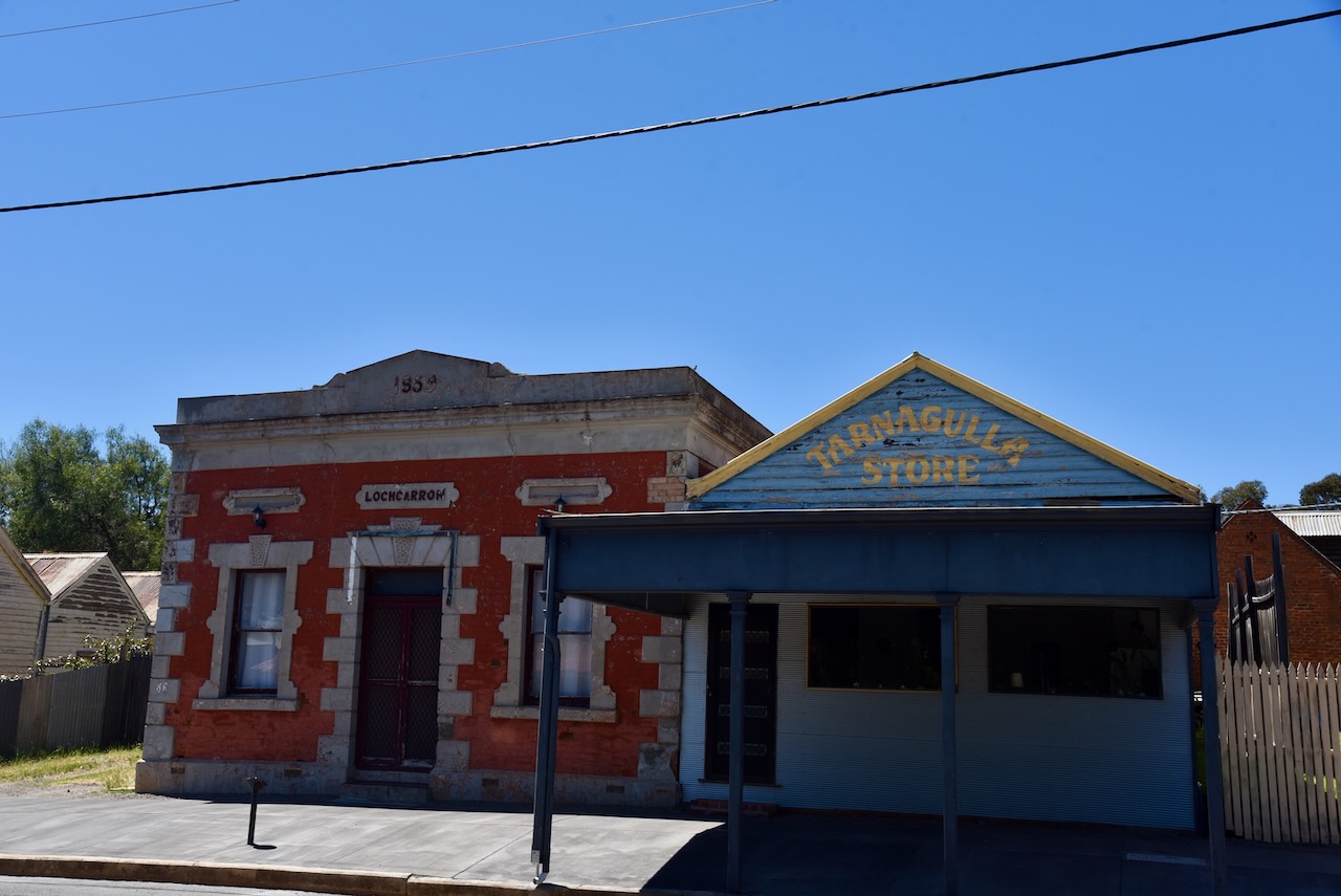
Locharron was originally built in 1859 as the Union Bank of Australia. After 1888 it was used as premises for doctors and dentists and, more recently, as a restaurant.
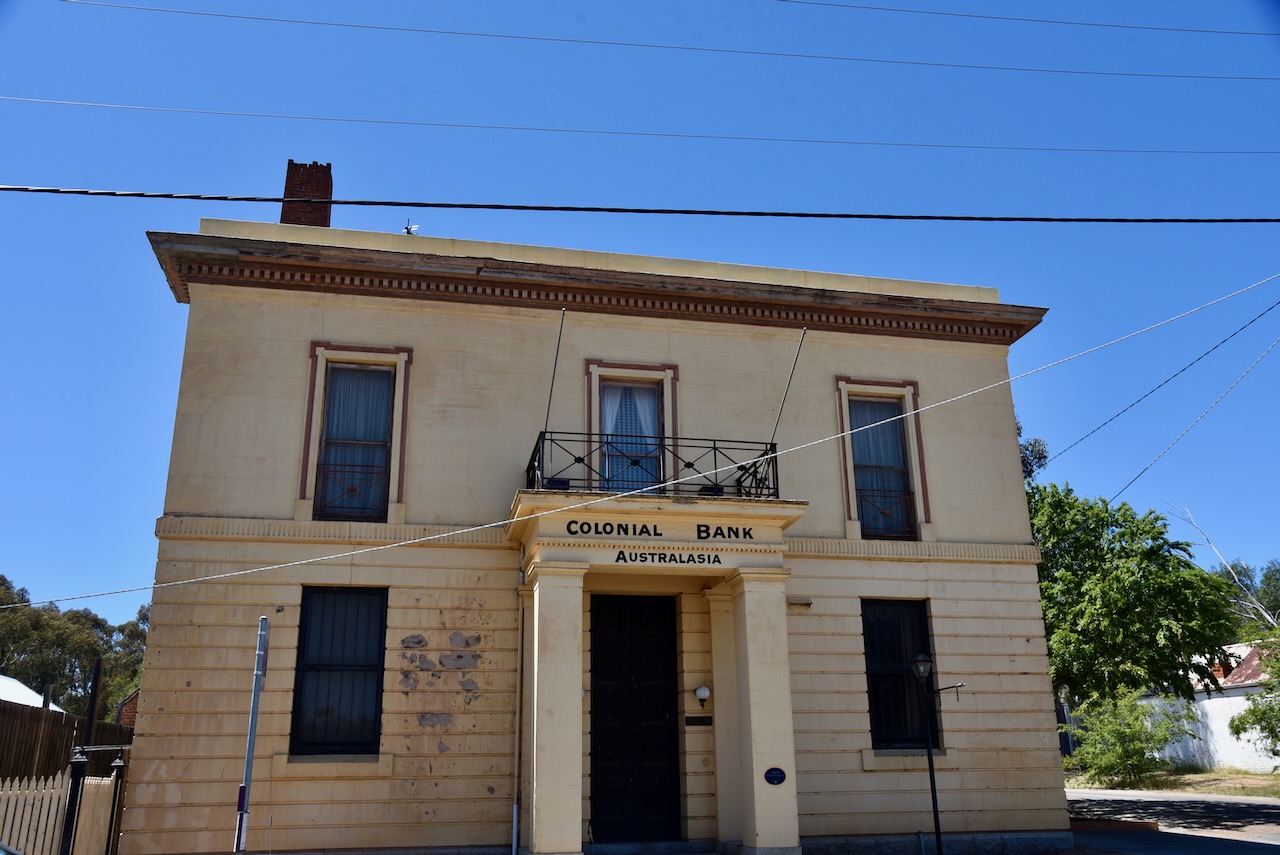
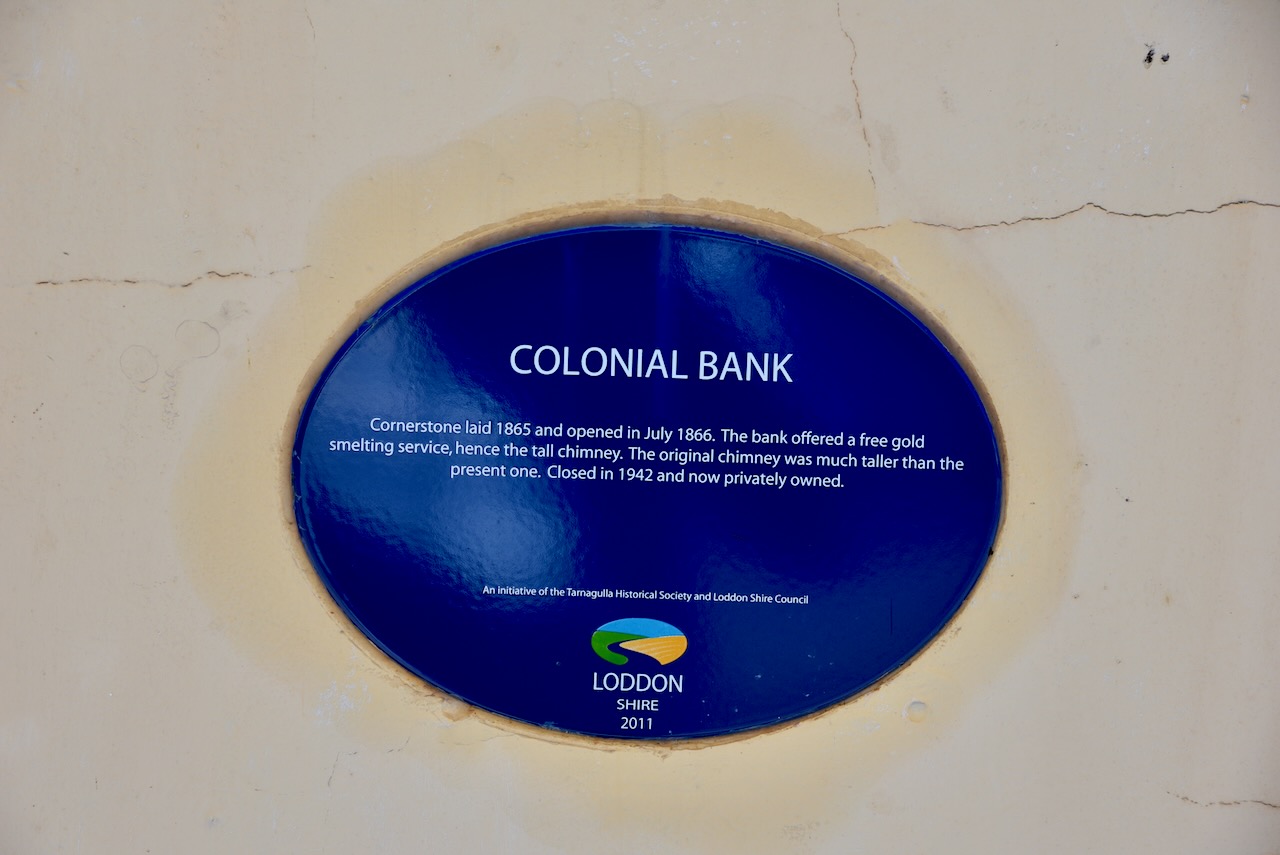
The cornerstone of the Colonial Bank was laid in 1865 and was opened in July 1866. The bank offered a free gold smelting service, hence the tall chimney. The original chimney was much taller than the present one. It was closed in 1942.
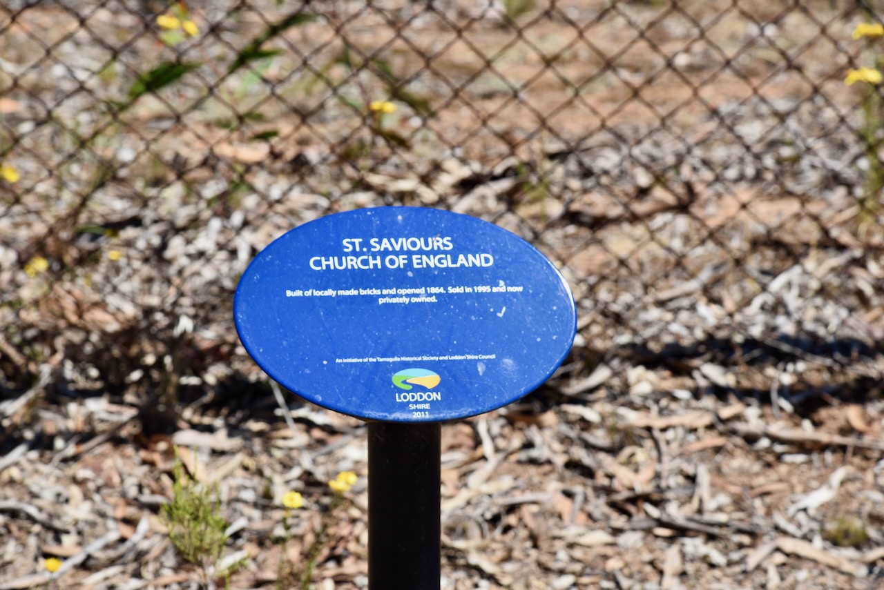
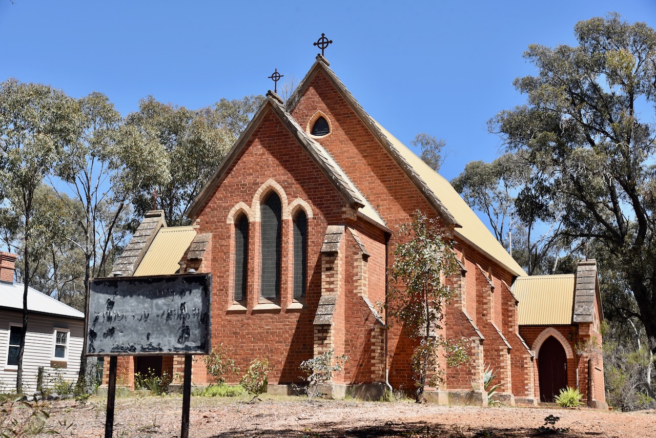
St Saviour’s Church of England was built of locally made bricks and was opened in 1864.
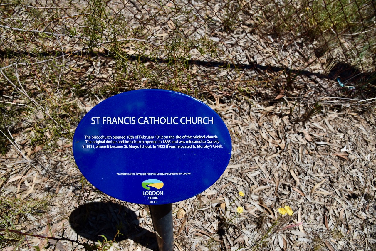
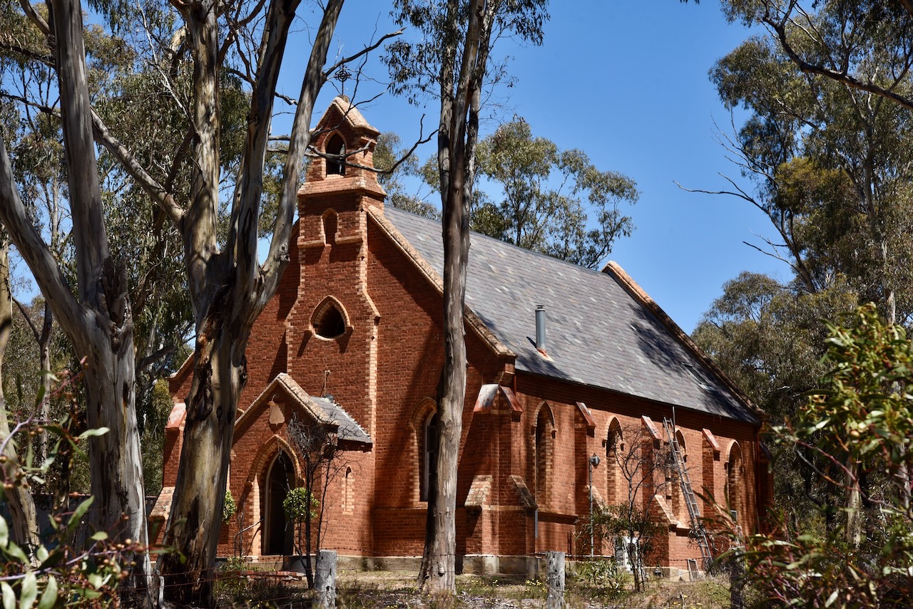
St Francis Catholic Church was opened on the 18th day of February 1912 on the site of the original church. The original timber and iron church opened in 1865 and was relocated to Dunolly in 1911, where it became St Mary’s School. In 1923 ,it was relocated to Murphy’s Creek.
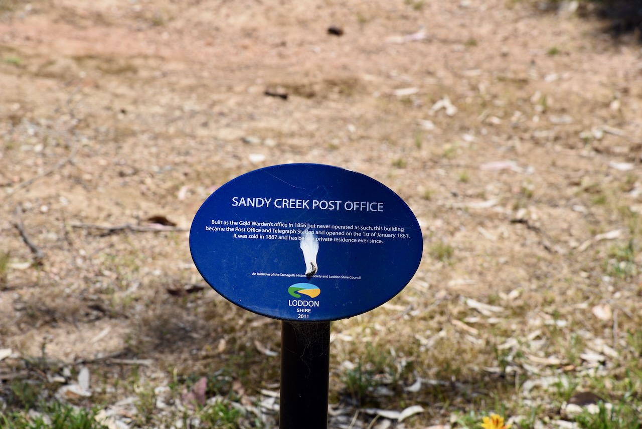
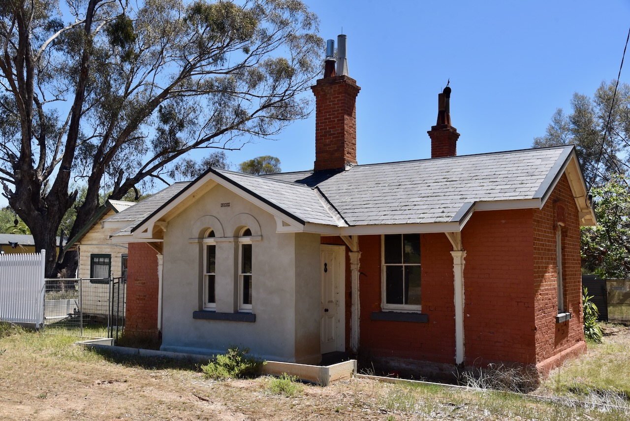
The Sandy Creek Post Office was built as the Gold Warden’s office in 1856. However, it never operated for that purpose and became the Post Office and Telegraph Station, opening on the 1st day of January 1861.
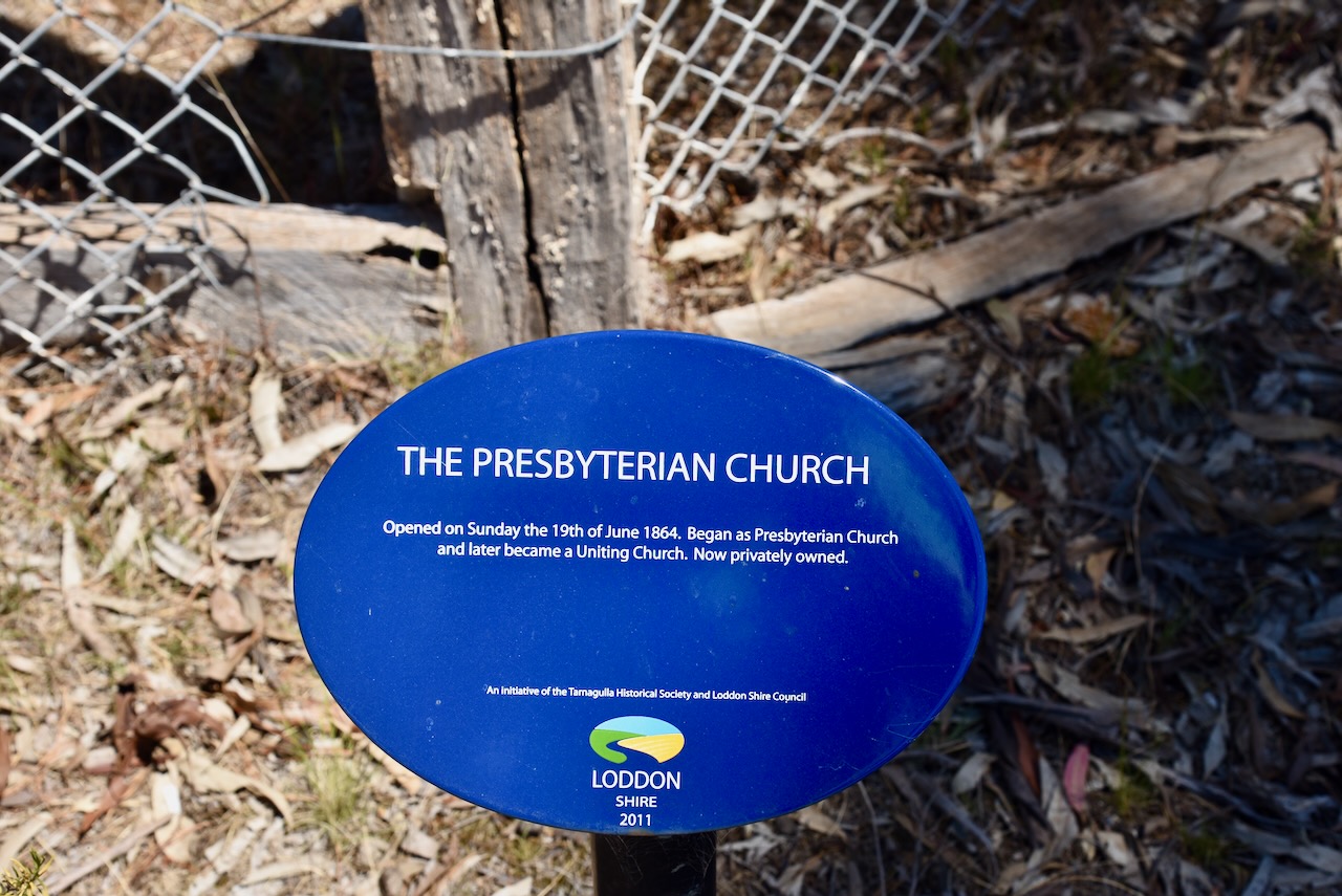
The Presbyterian Church opened on Sunday, the 19th day of June 1864. It commenced as a Presbyterian church and later became a Uniting Church.
We then left Tarnagulla and headed to our next park activation.
Designed by Contexture International | http://www.contextureintl.com (2017). Waanyarra Revisited | Dedicated to the ‘Golden Triangle’ locality of Waanyarra, in Central Victoria, Australia. [online] Waanyarra.com. Available at: https://www.waanyarra.com/ [Accessed 24 May 2025].
Leslie James Blake, 1978, Place Names of Victoria.
State of Victoria, 2004, Forest Notes: The Historic Waanyarra Area Dunolly State Forest.