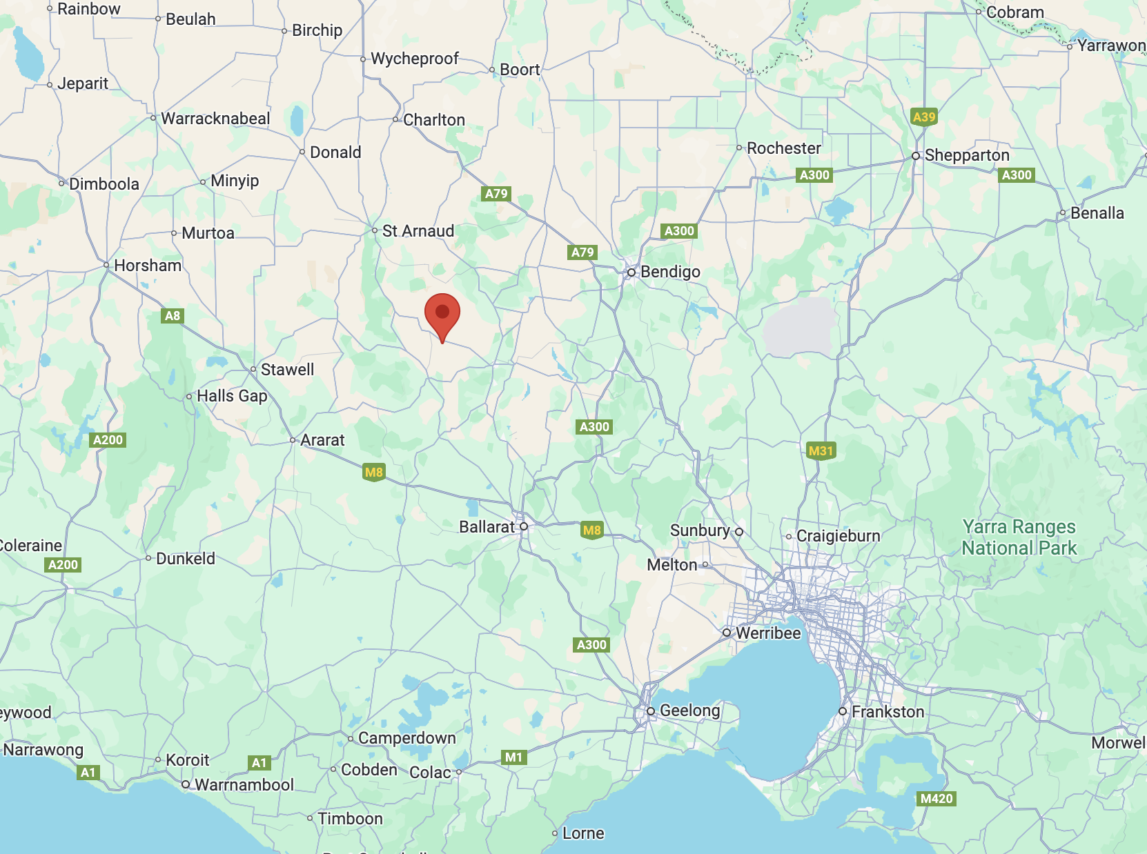
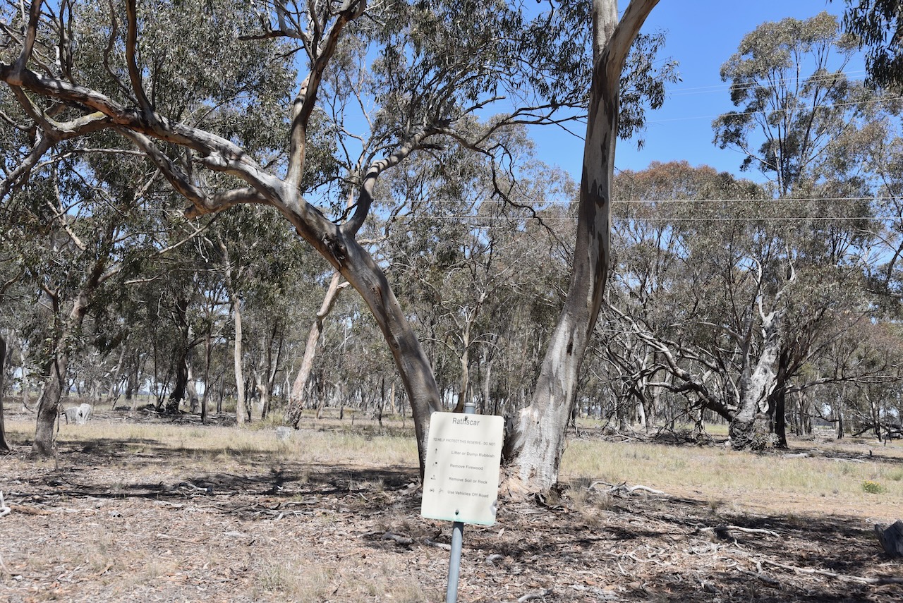
Our next activation for Wednesday, 30th October 2024, was the Rathscar Bushland Reserve VKFF-5760. The park is located about 21 km northwest of Maryborough and about 204 km northwest of Melbourne.
Above:- Map showing the location of the Rathscar Bushland Reserve. Map c/o Google Maps.
Rathescar Station was taken up by Mervyn Archdale in 1841. The name is derived from Irish rath, meaning earthworks or court, and scar, meaning crag or cliff. Rathescar was about 43,000 acres in size and had a grazing capability of 11,000 sheep. (Blake 1978) (Trove 2025)
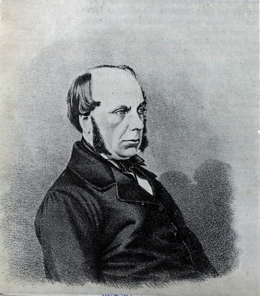
John Leslie Fitzgerald Vesey Foster (b. 1818 d. 1900) acquired part of the Rathescar Run in the 1850s. Foster was a civil servant, landowner and author, who was born in Dublin, Ireland.
Above:- John Leslie Fitzgerald Vesey Foster. Image c/o Victorian Collections.
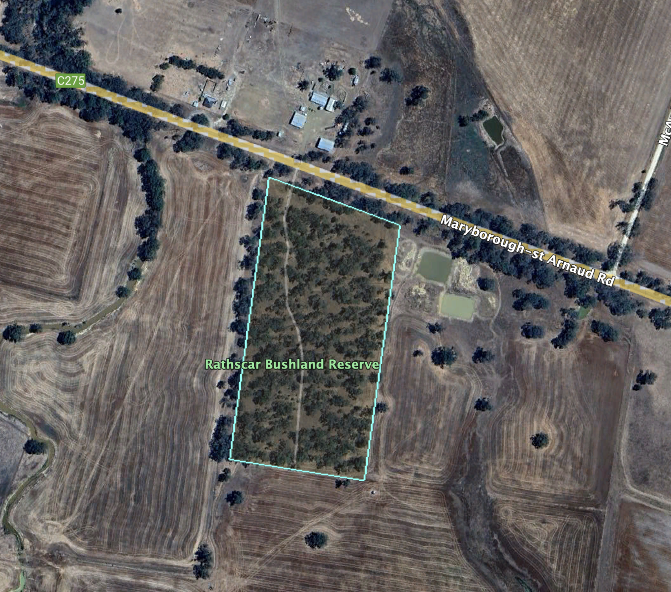
The park is located on the southern side of the Maryborough-St Arnaud Road, near McArdles Lane.
Above:- An aerial view of the Rathscar Bushland Reserve. Image c/o Google Earth.
The reserve is about 8 hectares in size and was established on the 24th day of August 1982. (CAPAD 2022)
We ran the Yaesu FT857, 40 watts, and the 20/40/80m linked dipole for this activation.
Leslie James Blake, 1978, Place Names of Victoria.
Trove. (2025). CLAIMS TO LEASES OF CROWN LANDS BEYOND THE SETTLED DISTRICTS. – WESTERN PORT DISTRICT. – The Sydney Morning Herald (NSW : 1842 – 1954) – 23 Oct 1848. [online] Available at: https://trove.nla.gov.au/newspaper/article/12906207 [Accessed 24 May 2025].
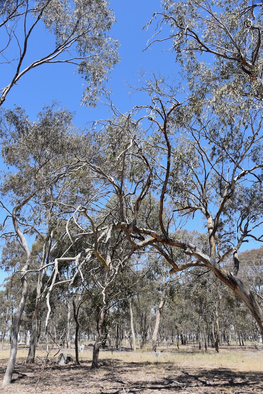
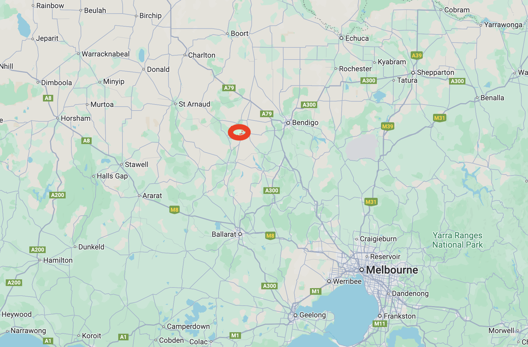
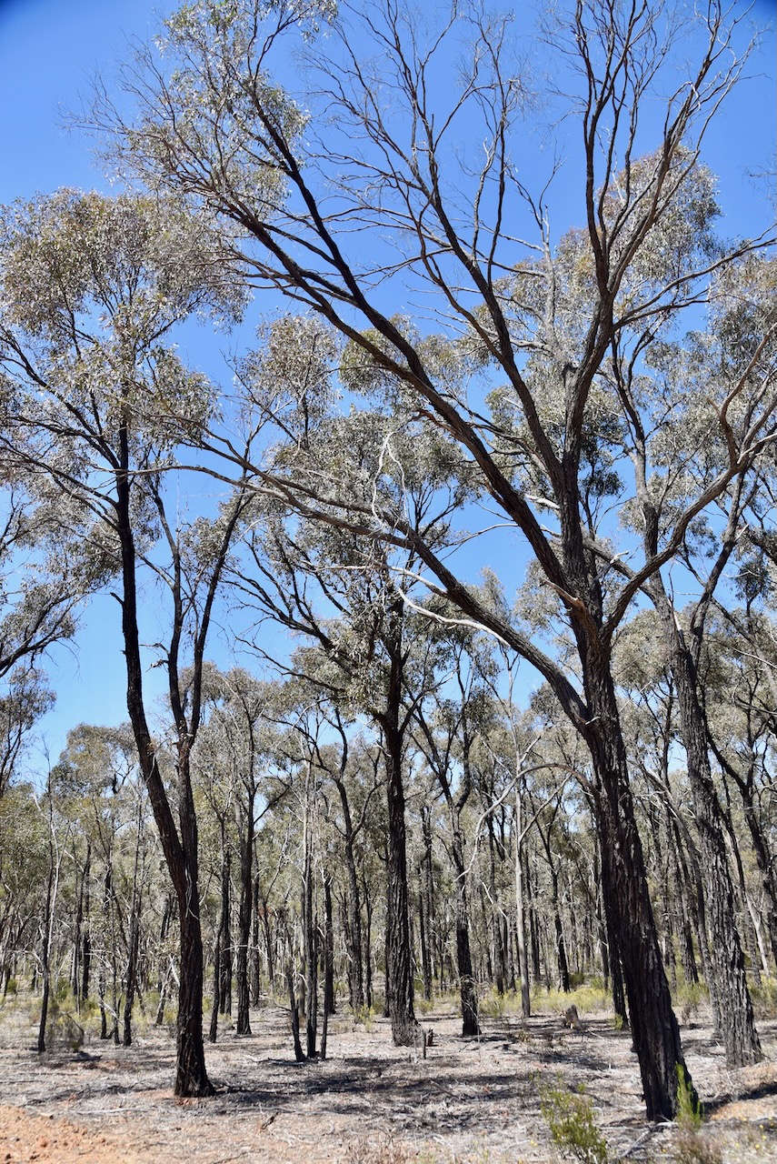
Our next park activation for 30th October 2024 was the Waanyarra Nature Conservation Reserve VKFF-2220. The park is located in central Victoria, about 179 km north of Melbourne.
Above:- Map showing the location of the Waanyarra Nature Conservation Reserve. Map c/o Google Maps
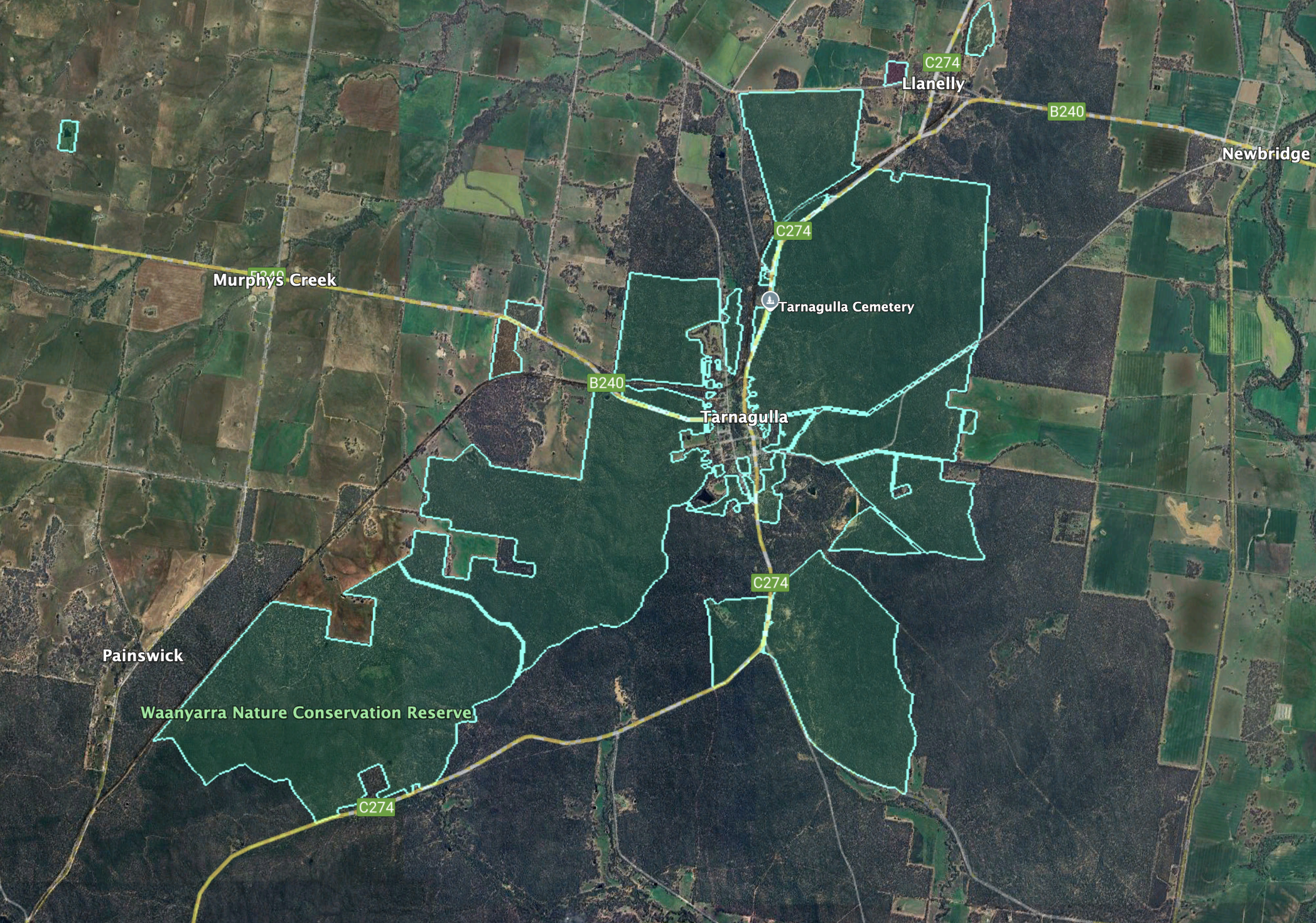
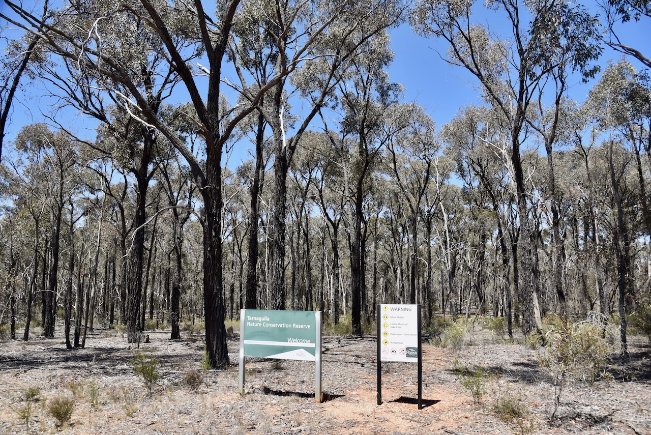
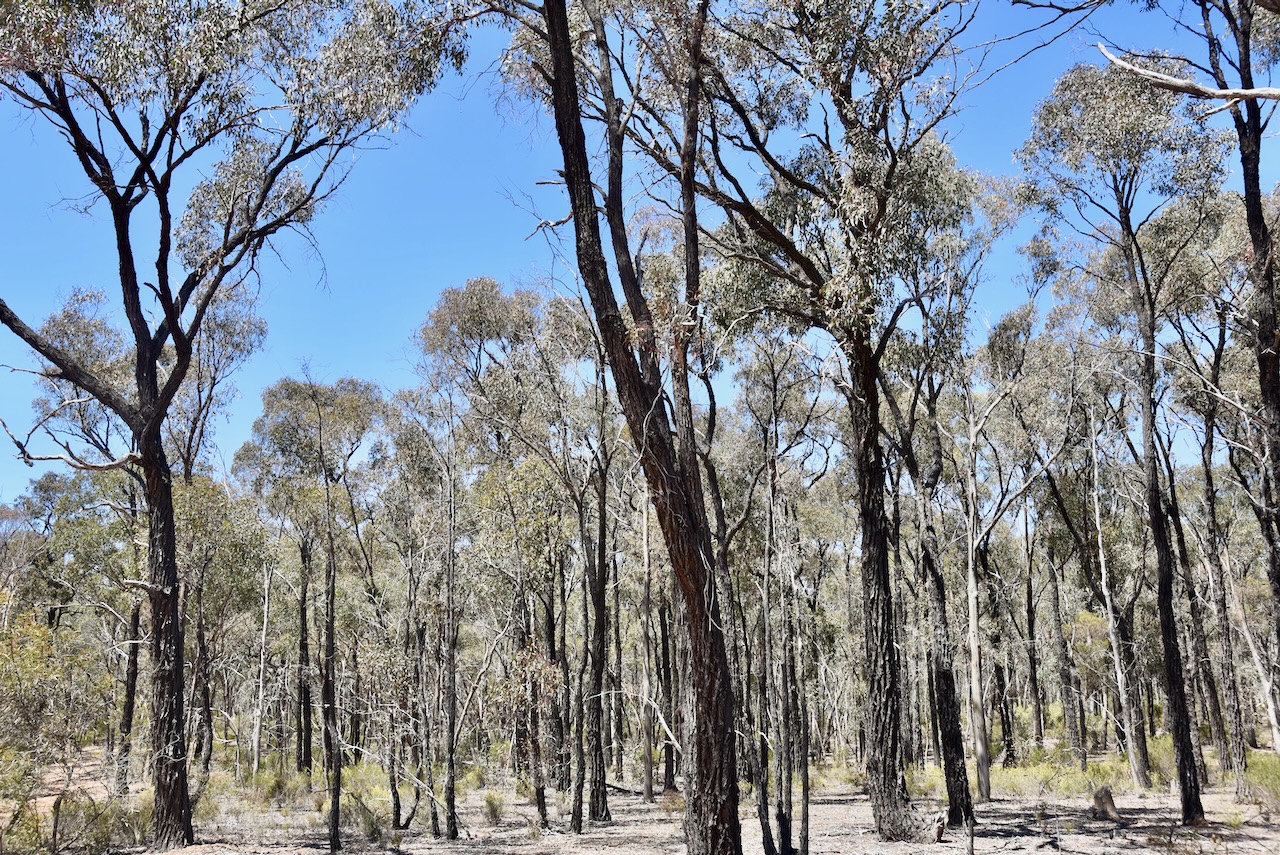
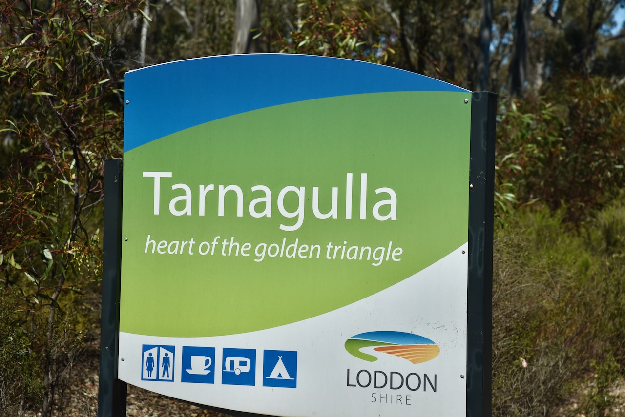
This is a large park and is centred around the town of Tarnagulla.
Above:- An aerial view of the Waanyara NCR. Image c/o Google Earth.
The reserve is about 2,863 hectares in size and was established on the 24th day of August 1982. It is signposted as the Tarnagulla Nature Conservation Reserve. (CAPAD 2022)
Waanyarra is derived from the original word wahn, meaning crow and yarra meaning ever moving. Thus, Waanyarra means ‘crow flying’. Other references indicate that it is an aboriginal word meaning ‘running water’. (Blake 1978) (Waanyarra 2017)
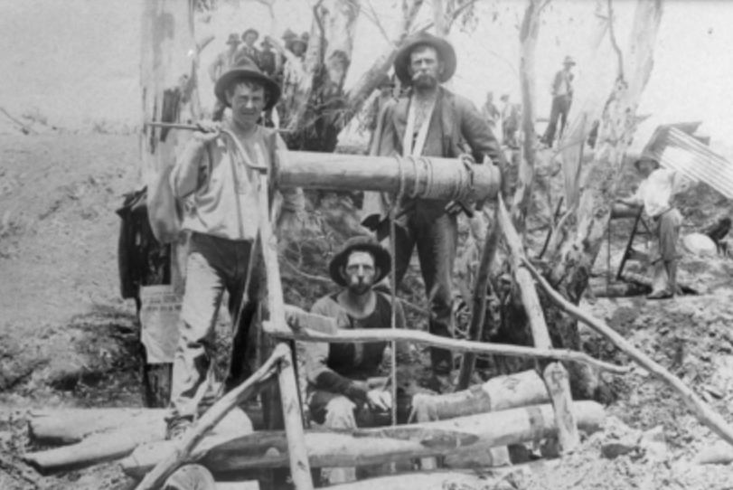
Gold was discovered in the area in 1853 in Jones Creek. The area was initially known as Jones Creek, but in 1861 the name was changed to Waanyarra by surveyor Phillip Chauncy. It was once a thriving gold mining town with 2 hotels, several stores, a school and a Post Office. The foundations of the Jones Creek School No. 339 can be found. The school operated from 1857 to 1873 with an average of 16 pupils. (Blake 1978) (State of Vic 2004)
The ‘Welcome Inn’, Morton’s Old Hotel, was constructed in 1850 by a convict, Michael Moreton. It was a replica of his home in Ireland. The building served as Michael’s family of eight, a provisions store and a public bar for the local miners. (State of Vic 2004)
We drove into the park and operated from the 4WD, running the Icom IC7000, 100 watts, and the 20/40/80m linked dipole.
Marija worked the following stations on 20m SSB:-
VK2VW
VK2HFI
VK2AKA
VK2BUG
VK1AO
VK2MET
Marija worked the following stations on 40m SSB:-
VK5HS
VK3PF
VK3KAI
VK2USH
I worked the following stations on 20m SSB:-
VK2VW
VK2HFI
VK2AKA
VK2BUG
VK1AO
VK2MET
I worked the following stations on 40m SSB:-
VK5HS
VK3PF
VK3KAI
VK2USH
VK7LG
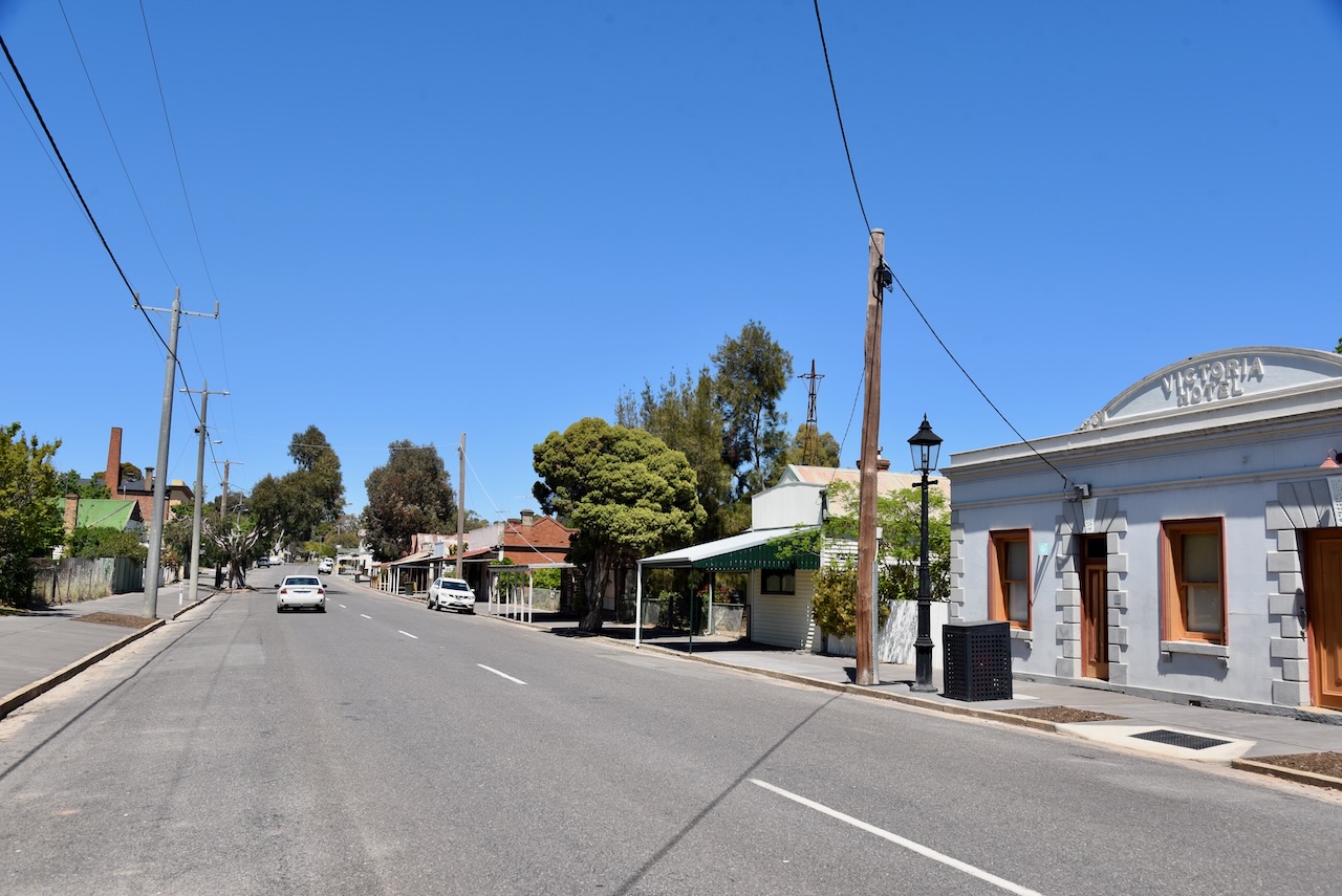
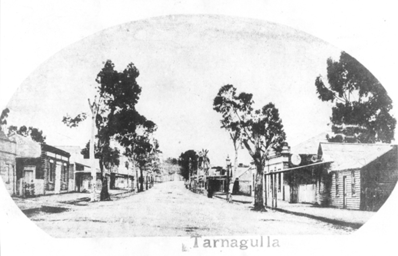
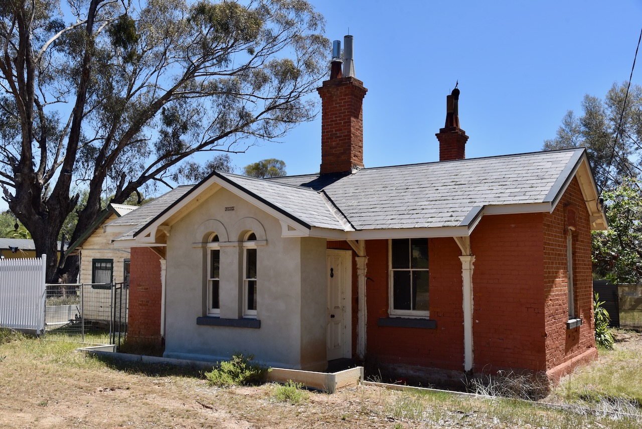
We left the park and drove into the lovely little town of Tarnagulla. We have been to this historic town previously and find its history to be fascinating.
In 1852, gold was discovered in a nearby stream called Sandy Creek. Up to 5,000 miners rushed to the area, and a settlement sprang up known as Sandy Creek until 1860, when it was renamed Tarnagulla, after nearby Tarnagulla station. (Aussie Towns 2023)
By the mid 1860s Tarnagulla had two banks, five bakers, two breweries, three butchers, four blacksmiths, two bootmakers, one corn factory, four crushing machines, two chemists, two drapers, a fruiterer, a gold broker, four hotels, an ironmonger, a miller, a painter, nine general stores, three surgeons, a share broker, a steam saw miller, a tailor, a tobacconist, two wheelwrights, and a watchmaker. (Aussie Towns 2023)
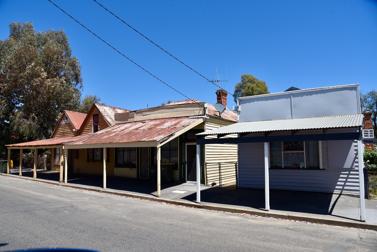
You could spend hours here wandering around, admiring the many historic buildings that date back to the Gold Rush era.
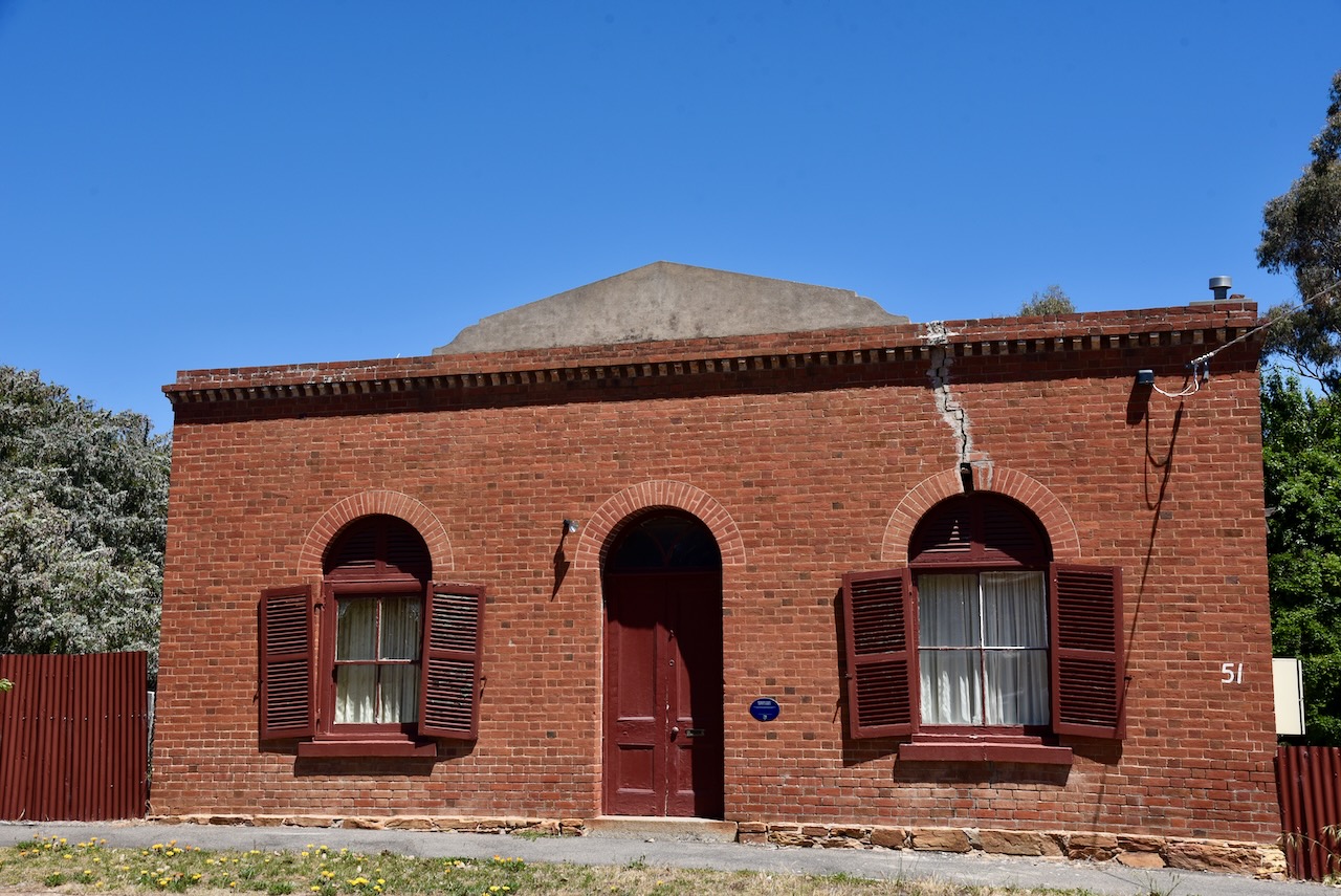
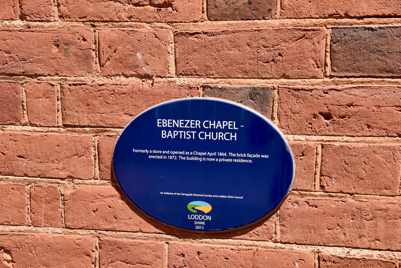
Ebenezer Chapel – Baptist Church was formerly a store and opened as a Chapel in April 1864. The brick facade was erected in 1872.
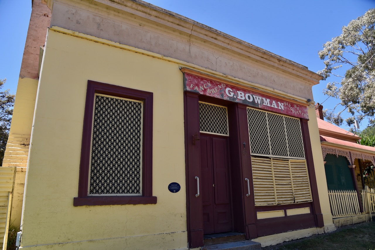
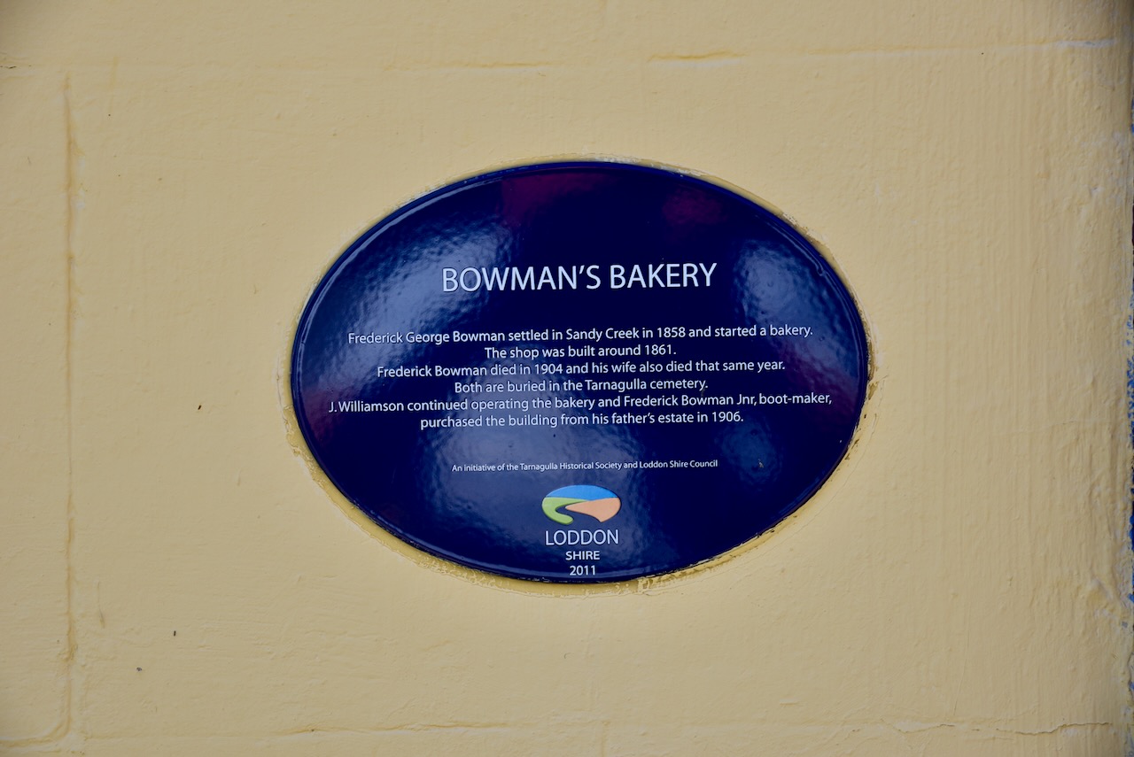
Bowman’s Bakery was built in about 1861 and was operated by Frederick George Bowman who had settled in the area in 1858. He died in 1904, with his wife also passing away in that year. They are both buried at the Tarnagulla cemetery. Following their death, J. Williamson continued operating the bakery and Frederick Bowman Jr, boot maker, purchased the building from his father’s estate in 1906.
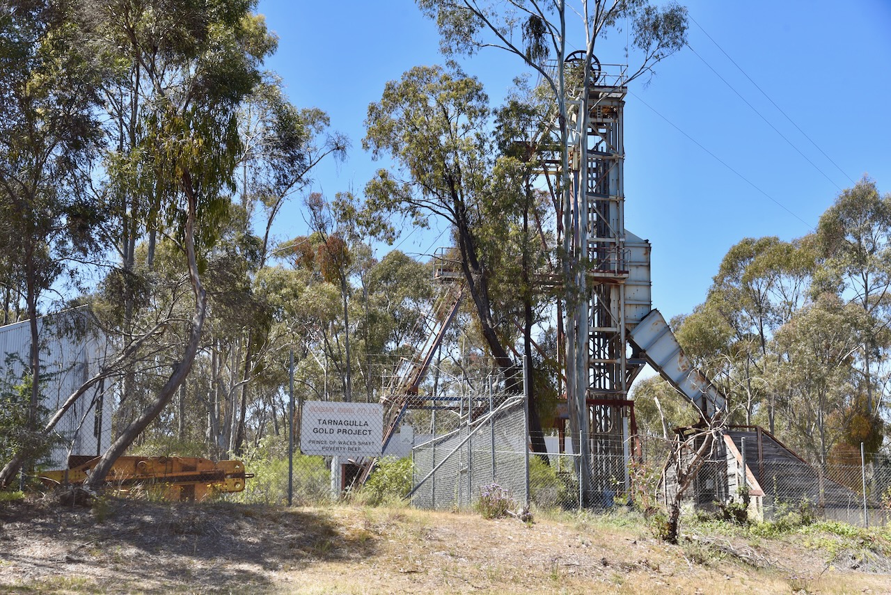
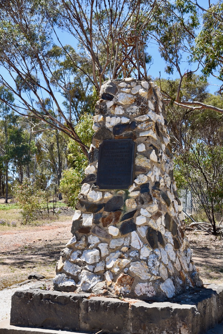
We then visited the marker recording the site of the Poverty Reef gold mine. In 1852, gold was discovered here by D. Hatt, who was wrecked at Poverty Bay in New Zealand and was rescued by a Maori woman. He named the mine the Poverty Reef. Over a 13 month period a total of 13.5 tons (13.7 metric tonnes) of gold was mined from an area measuring just 3 metres wide and 120 metres long. The Poverty Reef gold mine was one of the richest deposits of reef gold found anywhere in the world. (Aussie Towns 2023)
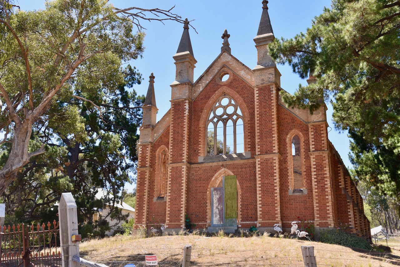
The ruins of the majestic Wesleyan Methodist church, built in 1864, can be found on the top of a small hill in Tarnagulla. Sadly the church was severely damaged by a bushifre in 2000.
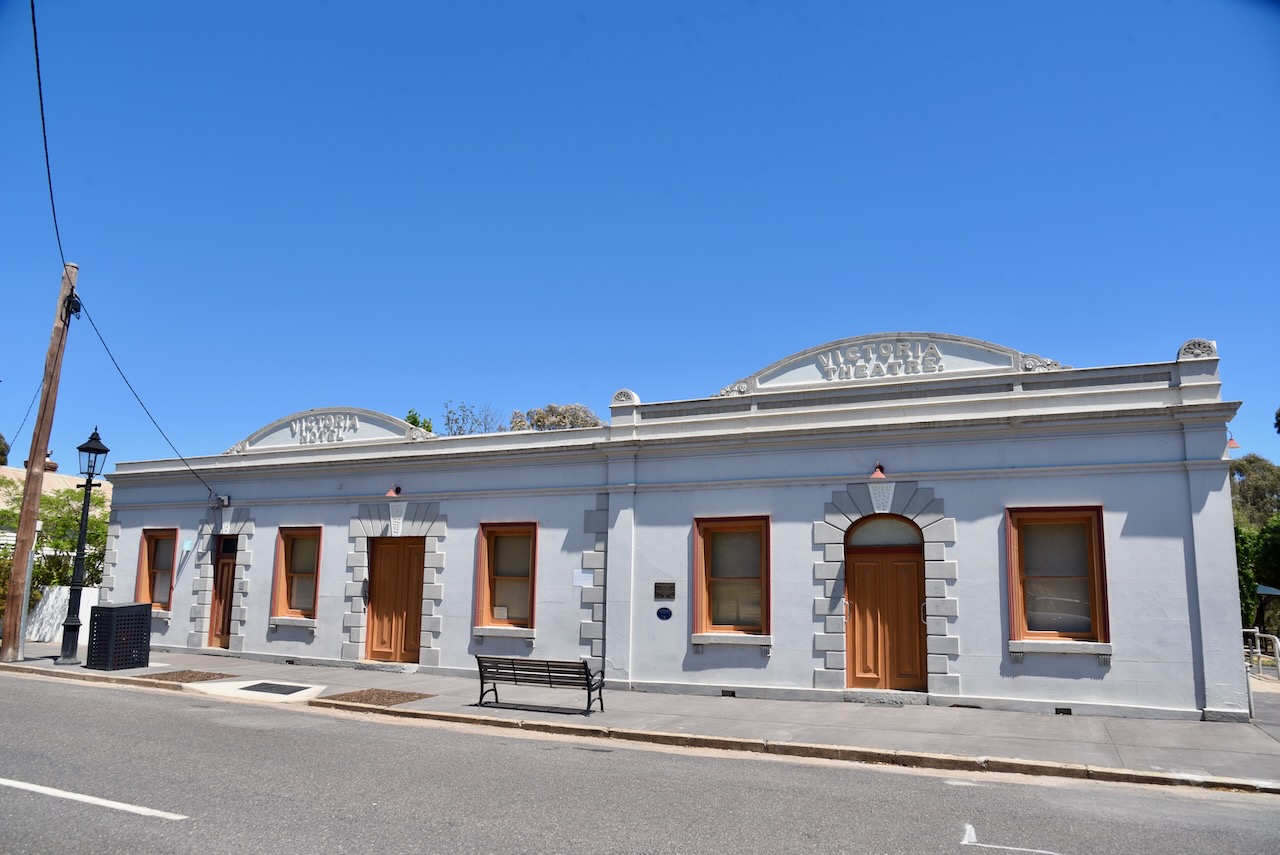
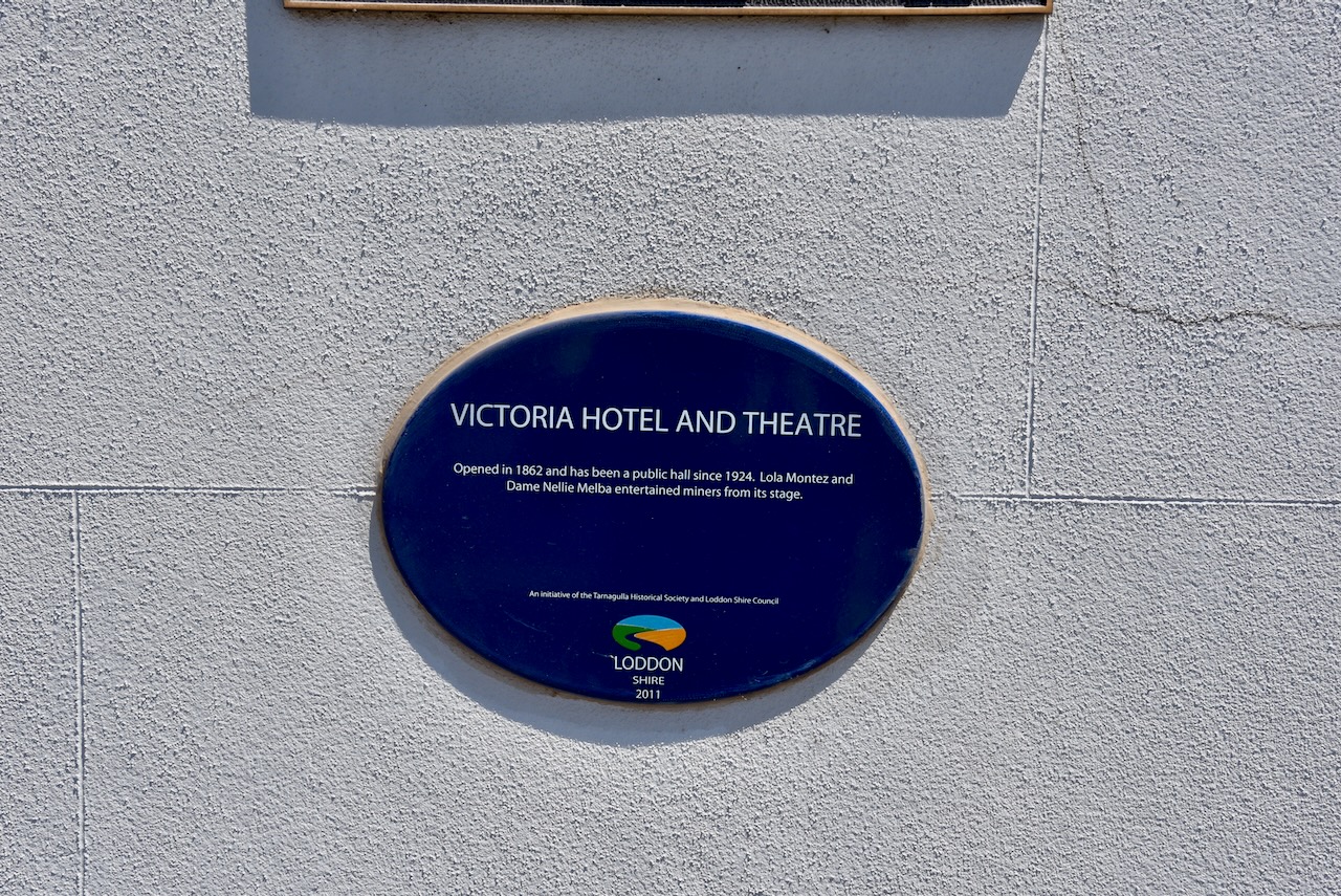
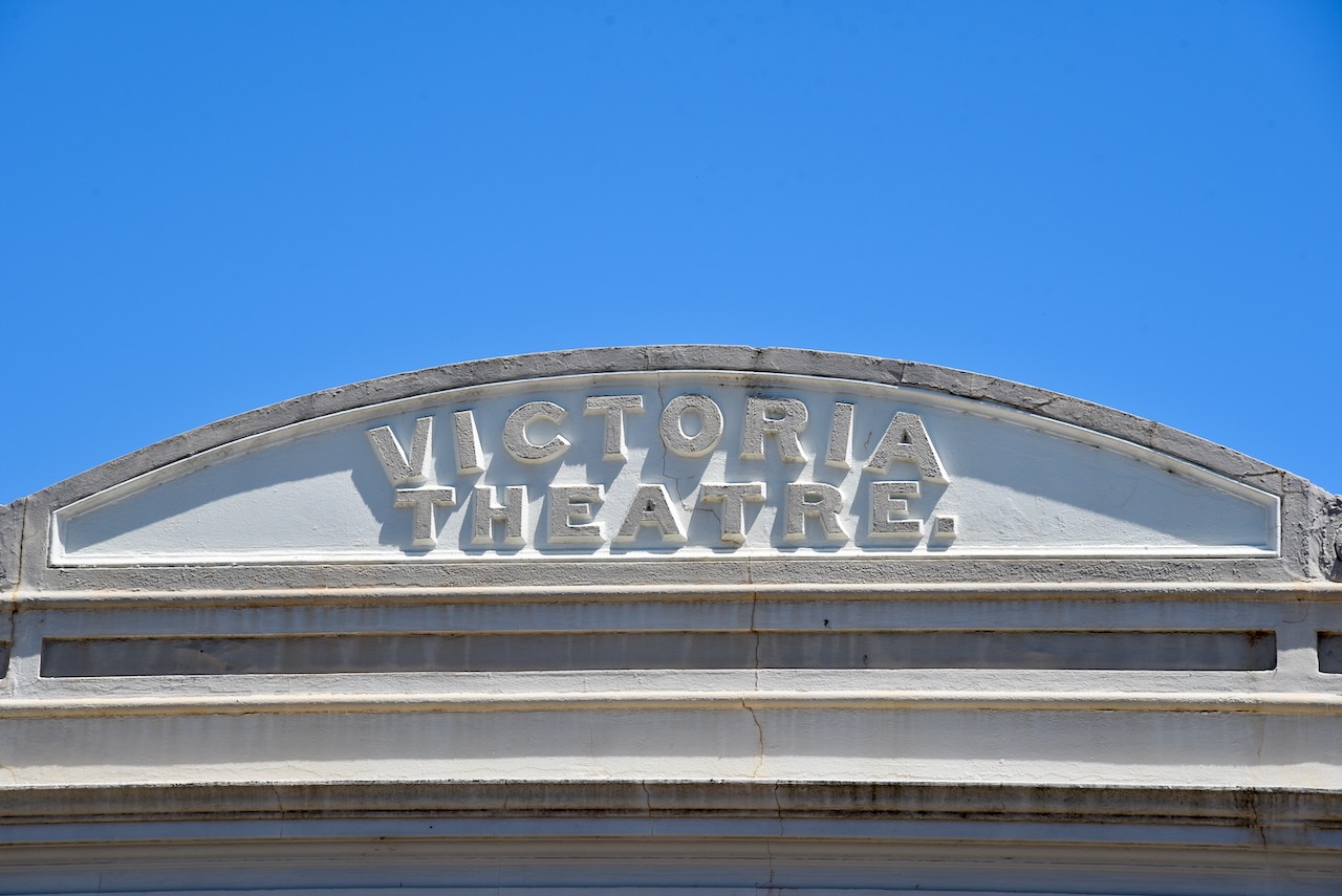
The Victoria Hotel and Theatre was opened in 1862 and has been a public hall since 1924. Lola Montez and Dame Nellie Melba have entertained miners from its stage.
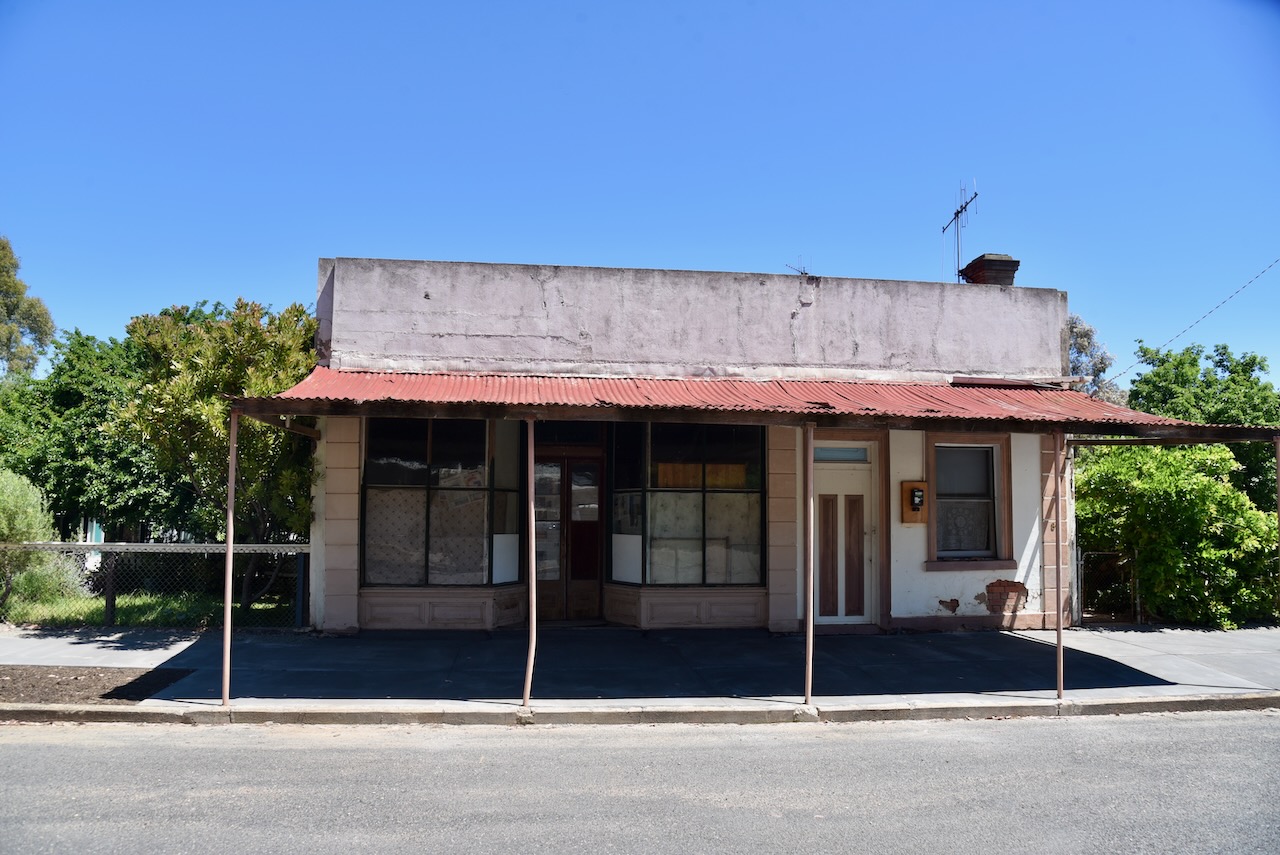
The town contains many former shops. You can close your eyes and imagine what life must have been like in this incredible little town back in the day.
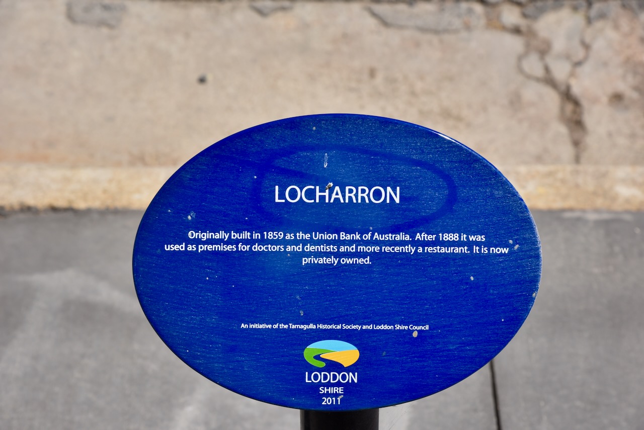
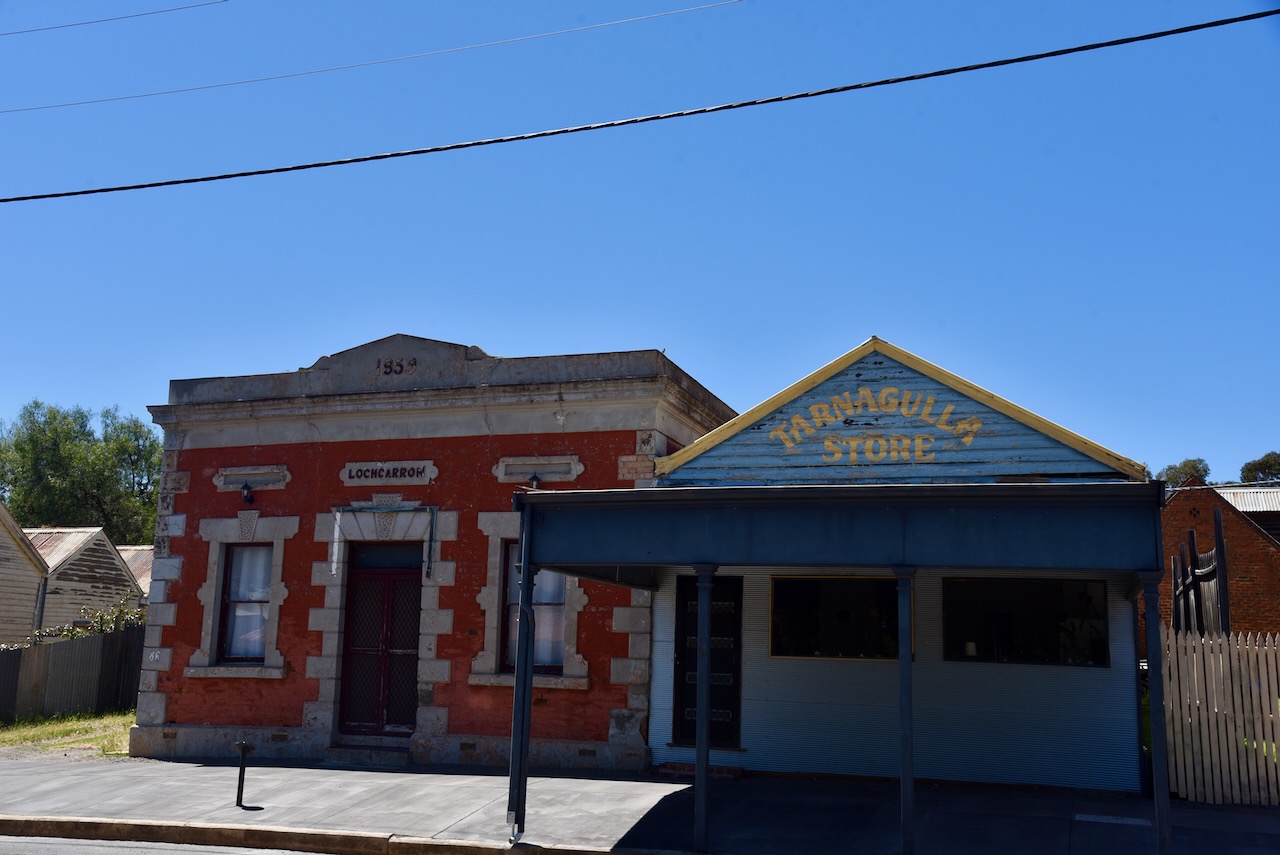
Locharron was originally built in 1859 as the Union Bank of Australia. After 1888 it was used as premises for doctors and dentists and, more recently, as a restaurant.
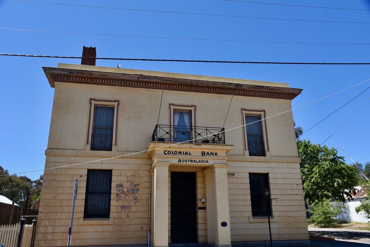
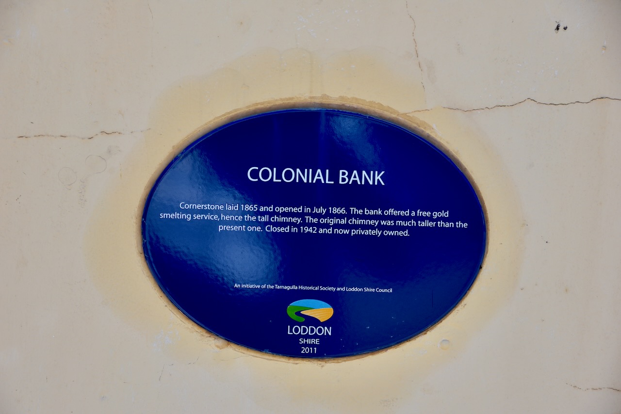
The cornerstone of the Colonial Bank was laid in 1865 and was opened in July 1866. The bank offered a free gold smelting service, hence the tall chimney. The original chimney was much taller than the present one. It was closed in 1942.
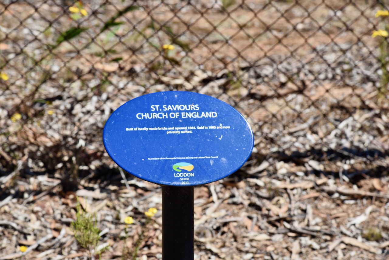
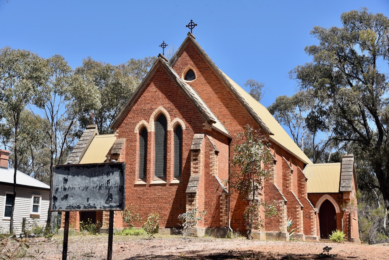
St Saviour’s Church of England was built of locally made bricks and was opened in 1864.
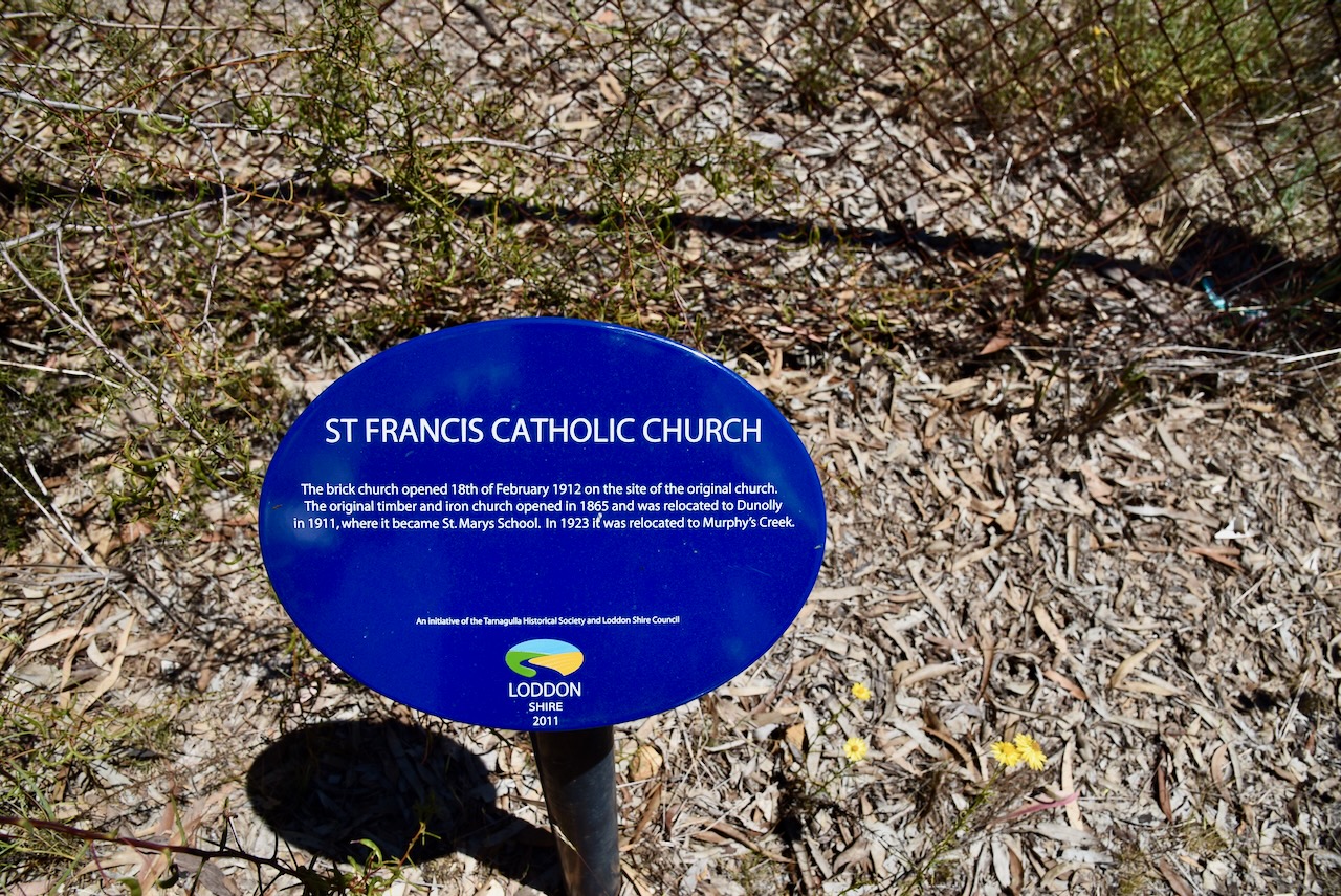
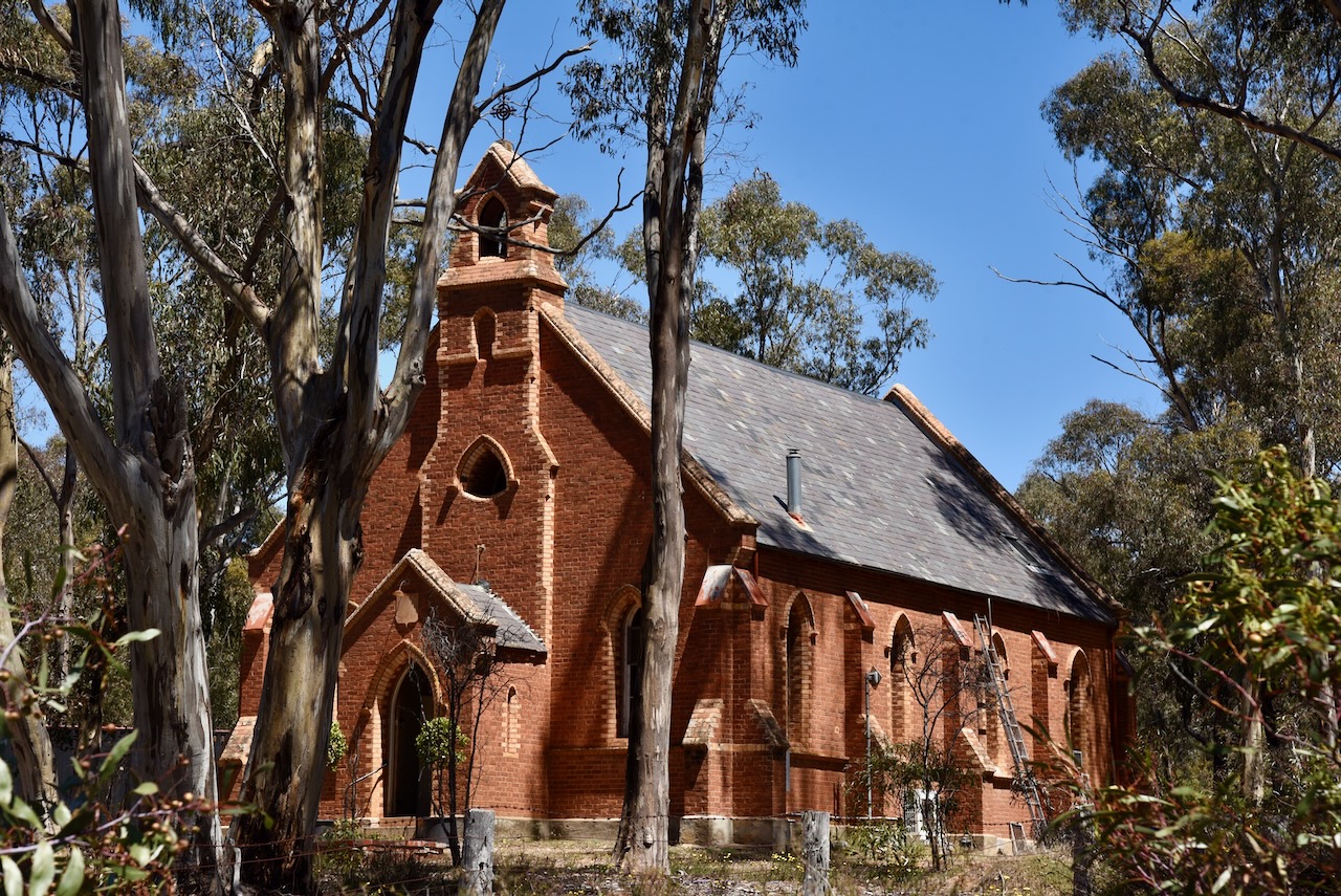
St Francis Catholic Church was opened on the 18th day of February 1912 on the site of the original church. The original timber and iron church opened in 1865 and was relocated to Dunolly in 1911, where it became St Mary’s School. In 1923 ,it was relocated to Murphy’s Creek.
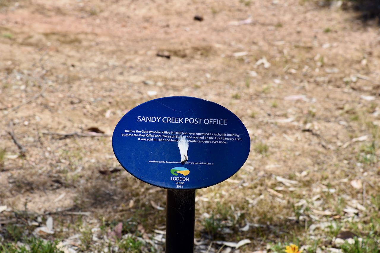
The Sandy Creek Post Office was built as the Gold Warden’s office in 1856. However, it never operated for that purpose and became the Post Office and Telegraph Station, opening on the 1st day of January 1861.
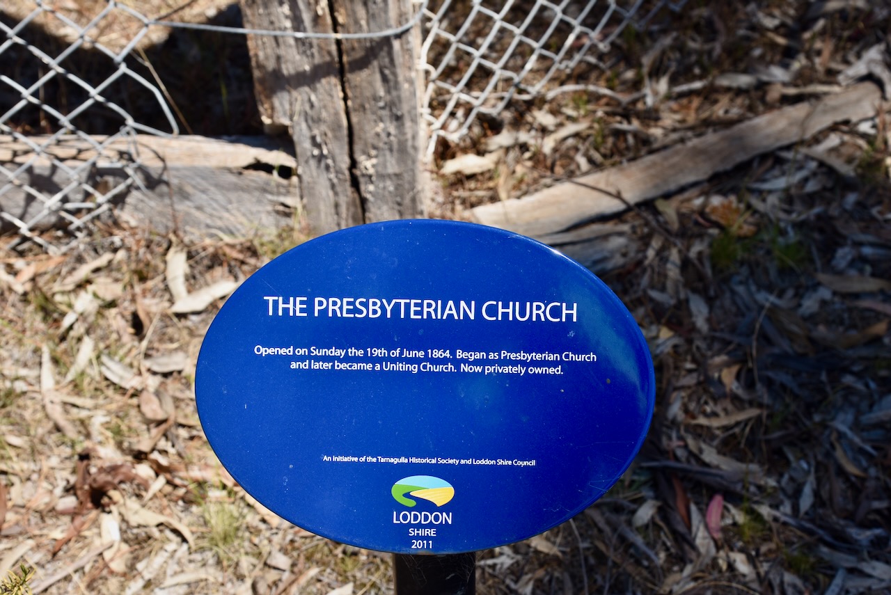
The Presbyterian Church opened on Sunday, the 19th day of June 1864. It commenced as a Presbyterian church and later became a Uniting Church.
We then left Tarnagulla and headed to our next park activation.
Designed by Contexture International | http://www.contextureintl.com (2017). Waanyarra Revisited | Dedicated to the ‘Golden Triangle’ locality of Waanyarra, in Central Victoria, Australia. [online] Waanyarra.com. Available at: https://www.waanyarra.com/ [Accessed 24 May 2025].
Leslie James Blake, 1978, Place Names of Victoria.
State of Victoria, 2004, Forest Notes: The Historic Waanyarra Area Dunolly State Forest.