After activating Hunts Bushland Reserve on 30th October 2024, Marija VK5MAZ and I crossed Campbells Bridge Road and activated the Glenorchy Streamside Reserve VKFF-3707.
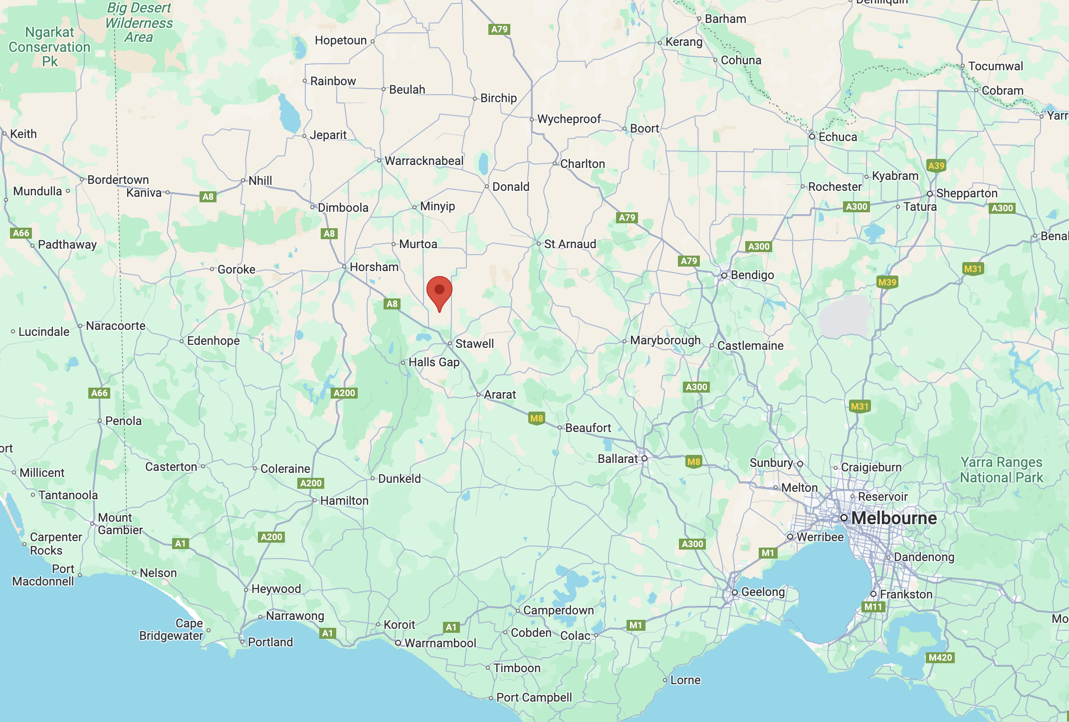
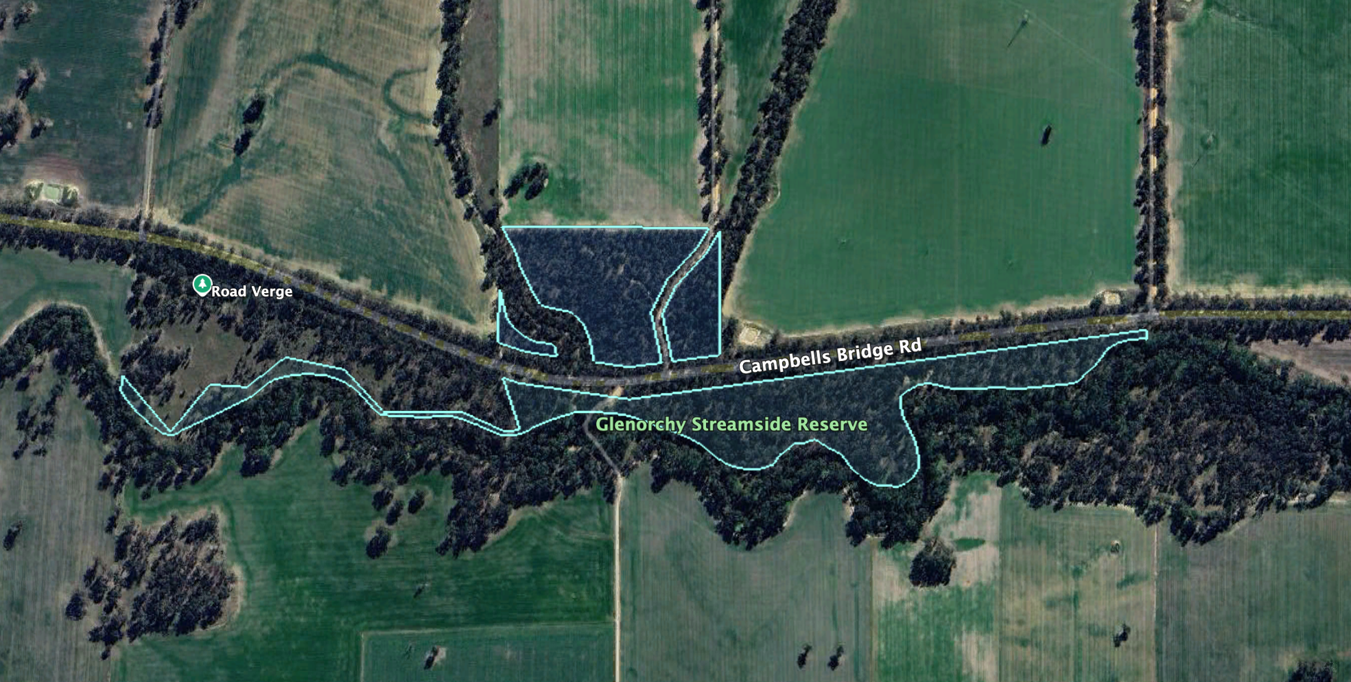
Above:- Map showing the location of the Glenorchy Streamside Reserve. Map c/o Google Maps.
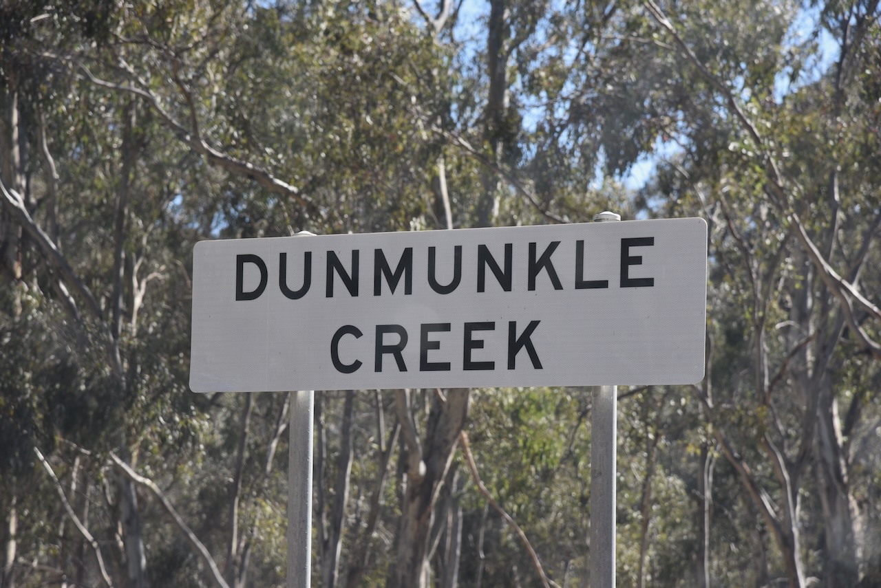
The reserve is located on the southern side of Campbell’s Bridge Road. The southern boundary of the park is the Wimmera River. Dunmunkle Creek, a distributary of the Wimmera River, can be found here. The creek takes its name from the Celtic word dun, meaning chief’s dwelling, and muckle, meaning great. (Blake 1978)
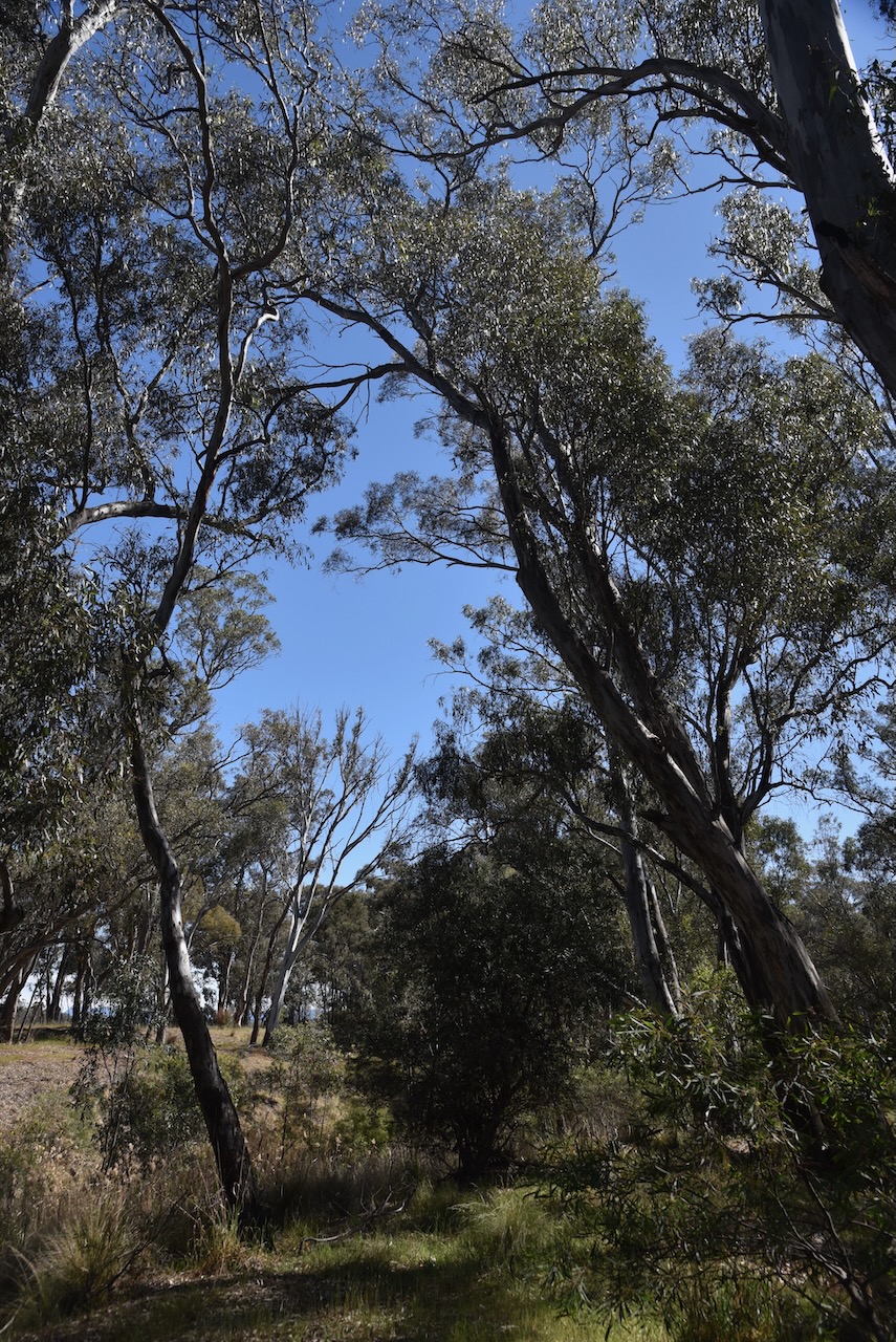
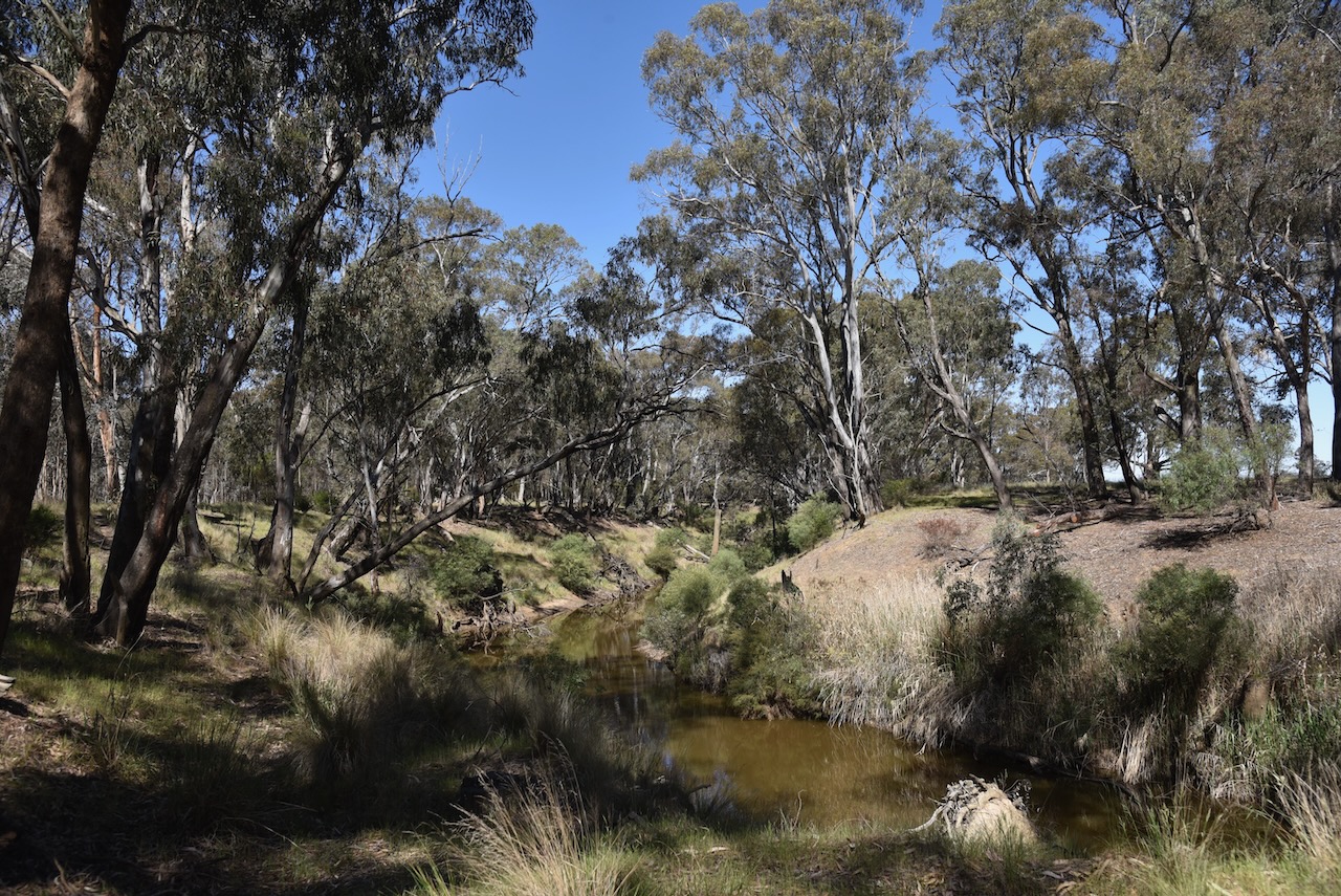
Above:- An aerial view of the reserve. Image c/o Google Earth.
The reserve is about 13 hectares in size and was established on the 24th day of August 1982. (CAPAD 2022)
Marija worked the following stations on 20m SSB:-
- VK4EMP
- VK4TI
- VK4GKO
- VK2VW
- VK2HFI
- VK2AKA
- VK2BUG
- VK1AO
- VK2MET
Marija worked the following stations on 40m SSB:-
- VK5CZ
- VK3PF/M
- VK2HAK
I worked the following stations on 20m SSB:-
- VK4EMP
- VK4TI
- VK4GKO
- VK2VW
- VK2HFI
- VK2AKA
- VK2BUG
- VK1AO
- VK2MET
I worked the following stations on 40m SSB:-
- VK5CZ
- VK3PF/M
- VK3WSG
- VK2HAK
- VK7AN
References.
- Dcceew.gov.au. (2023). Collaborative Australian Protected Areas Database (CAPAD) 2022 – DCCEEW. [online] Available at: https://www.dcceew.gov.au/environment/land/nrs/science/capad/2022 [Accessed 28 May. 2025].
- Leslie James Blake, 1978, Place Names of Victoria.