Edenhope Aerodrome Bushland Reserve VKFF-4954

Late on the afternoon of Wednesday, 30th October 2024, Marija and I arrived at Edenhope, where we had planned to stay for a few nights on the final leg of our Bendigo trip.

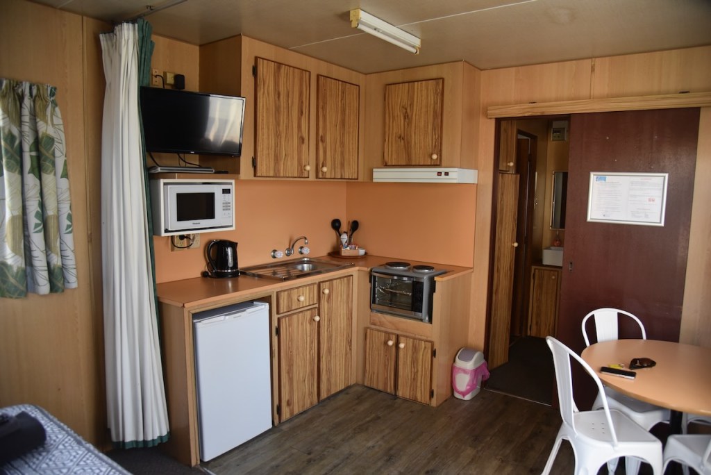
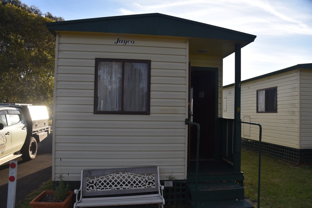
We booked into our accommodation at the Edenhope Lakeside Tourist Park.

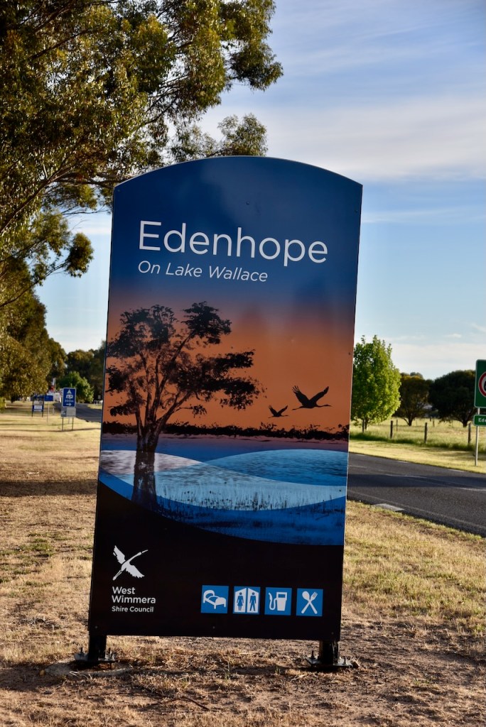
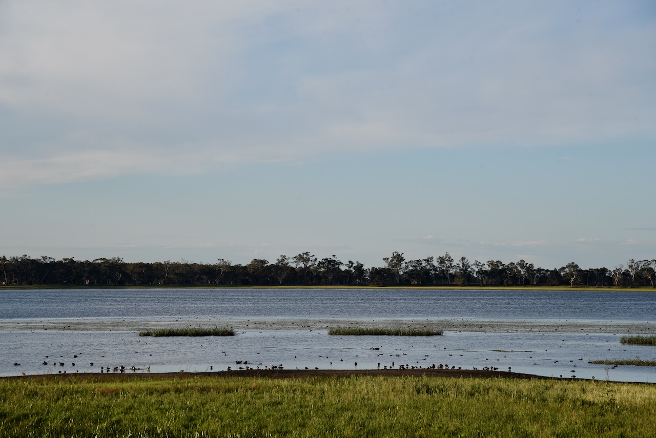
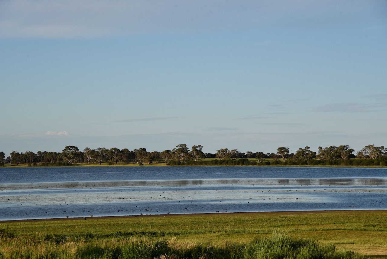
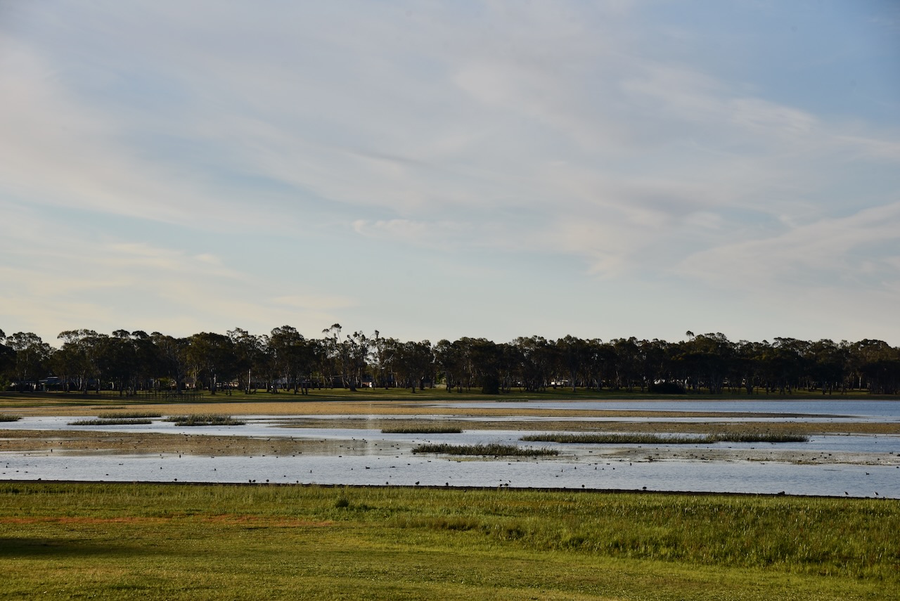
The park is located on the shores of Lake Wallace. The lake was discovered in 1843 by William Wallace. (Blake 1978)

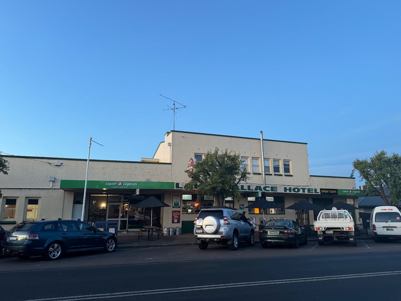
We then headed out for a very nice evening meal at the Lake Wallace Hotel.

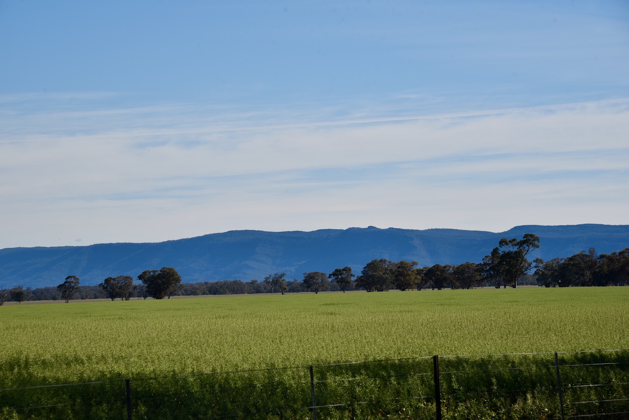
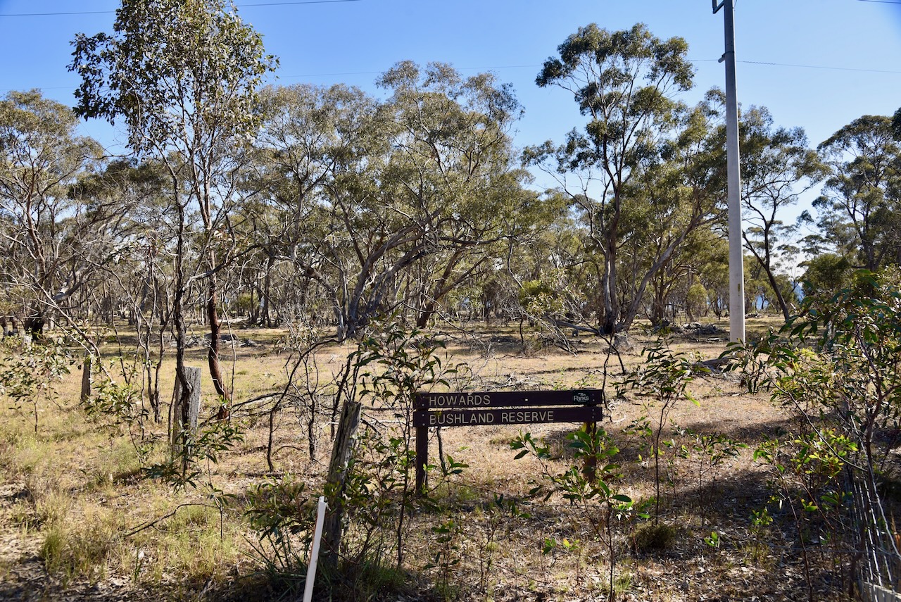
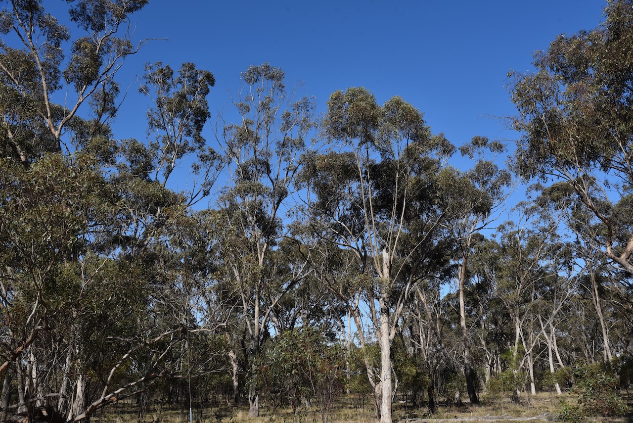
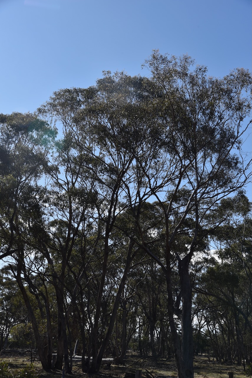
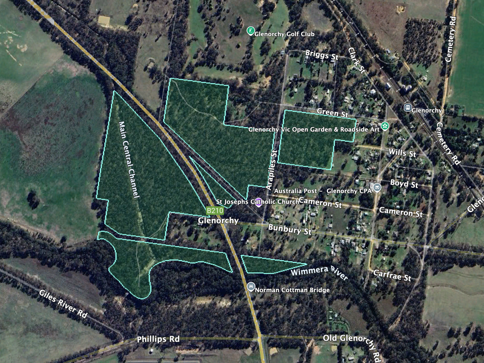
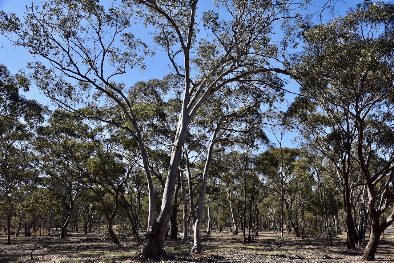
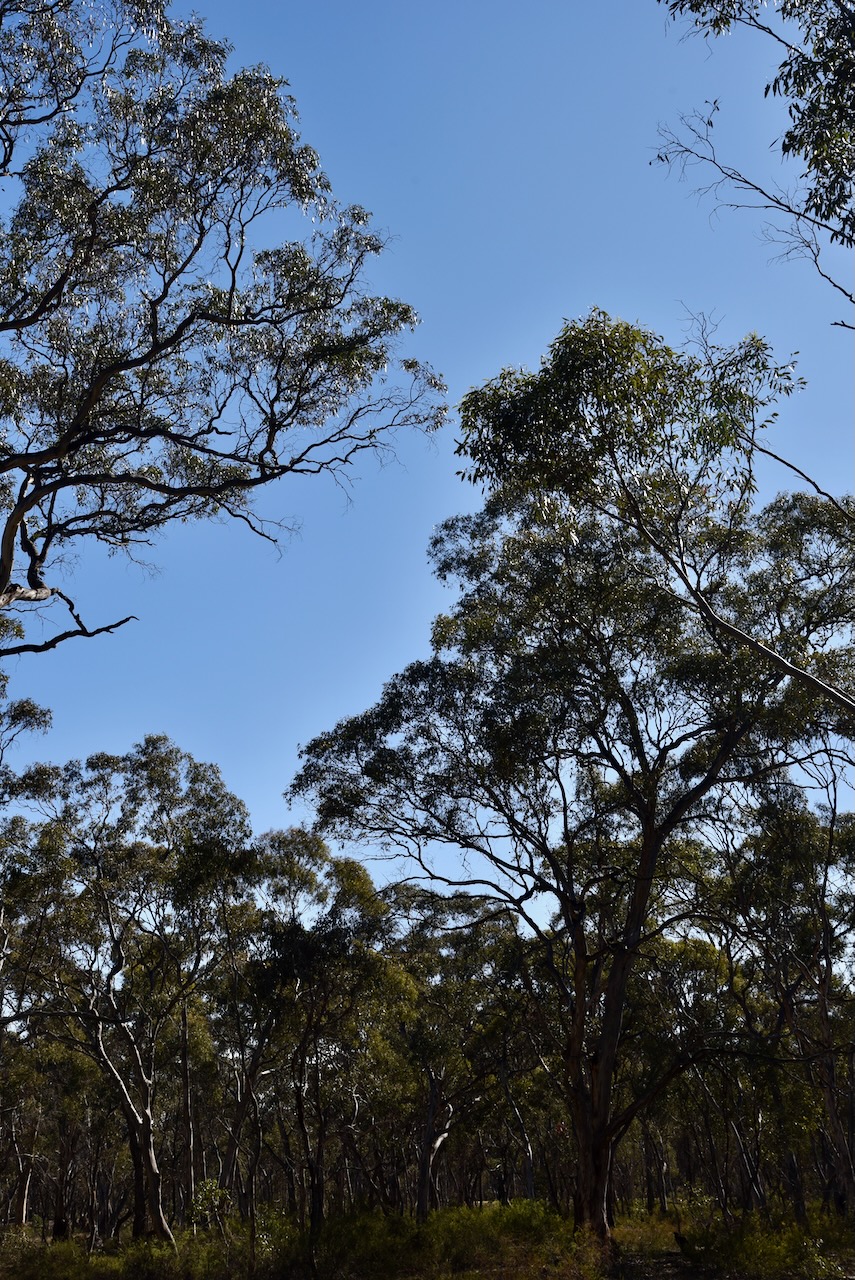
After dinner, we decided to head out to activate the Edenhope Aerodrome Bushland Reserve VKFF-4954.

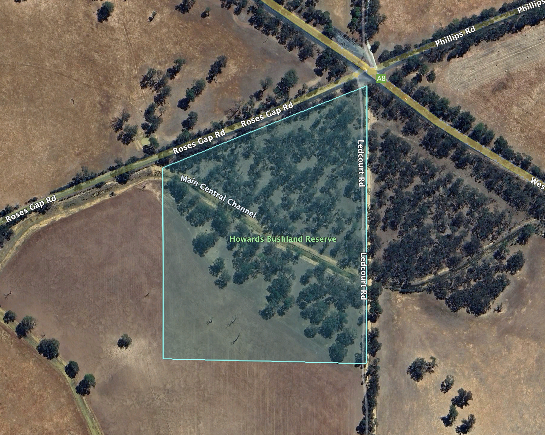
The reserve is located north of the town of Edenhope, with its southern boundary being the Edenhope Airport.

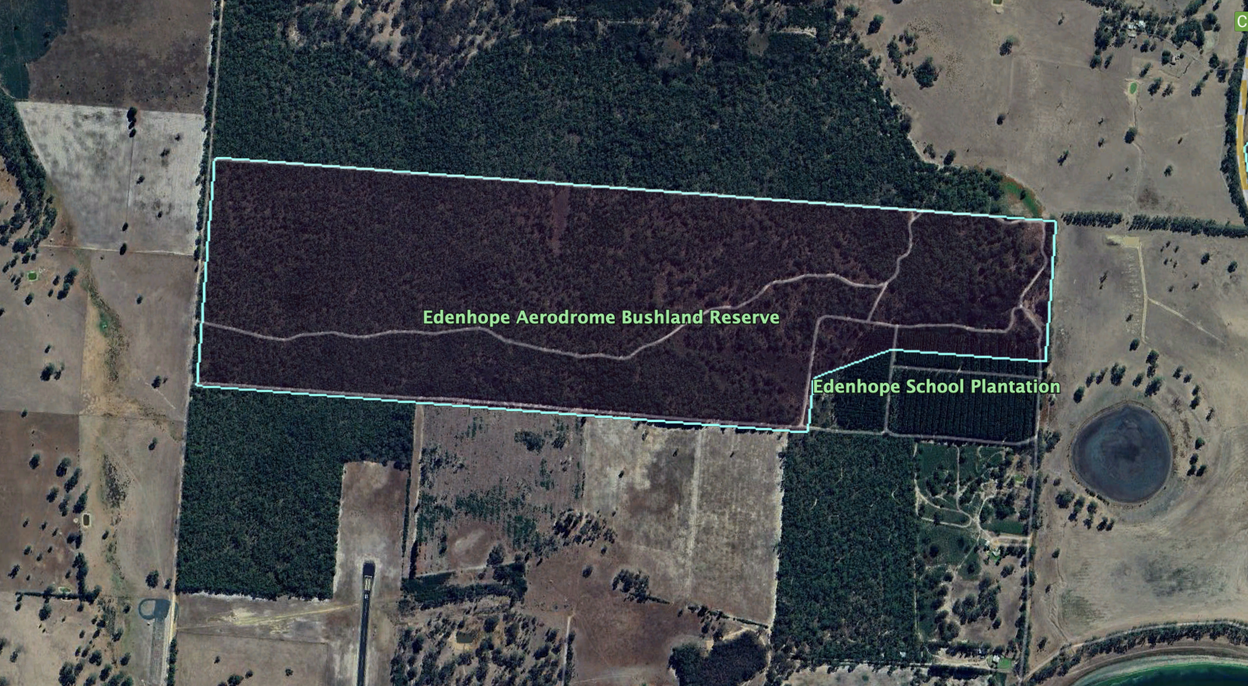
Above:- An aerial view of the Edenhope Aerodrome Bushland Reserve. Image c/o Google Earth.

The reserve is about 121 hectares in size and was established on the 22nd day of November 1983. (CAPAD 2022)

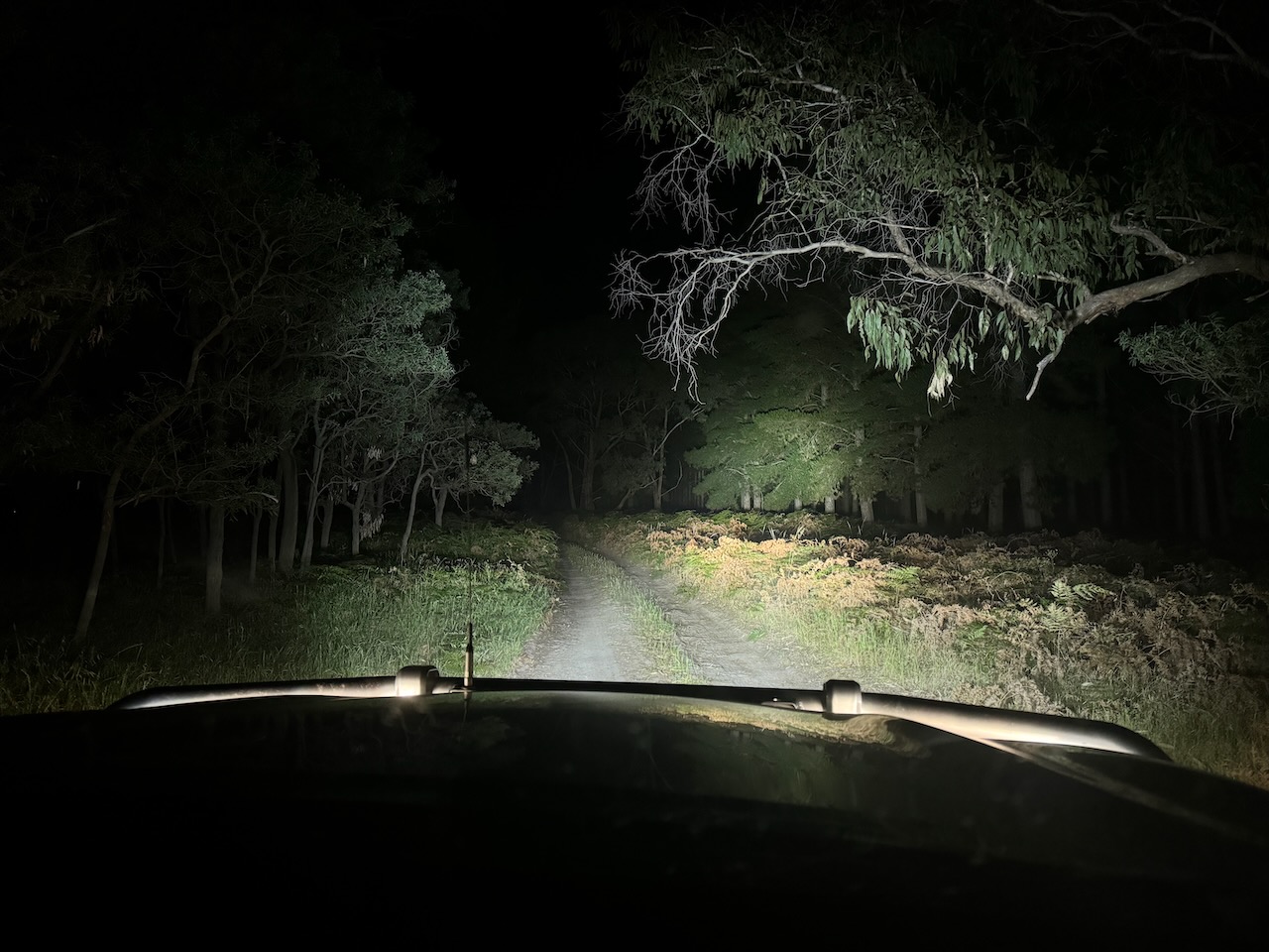
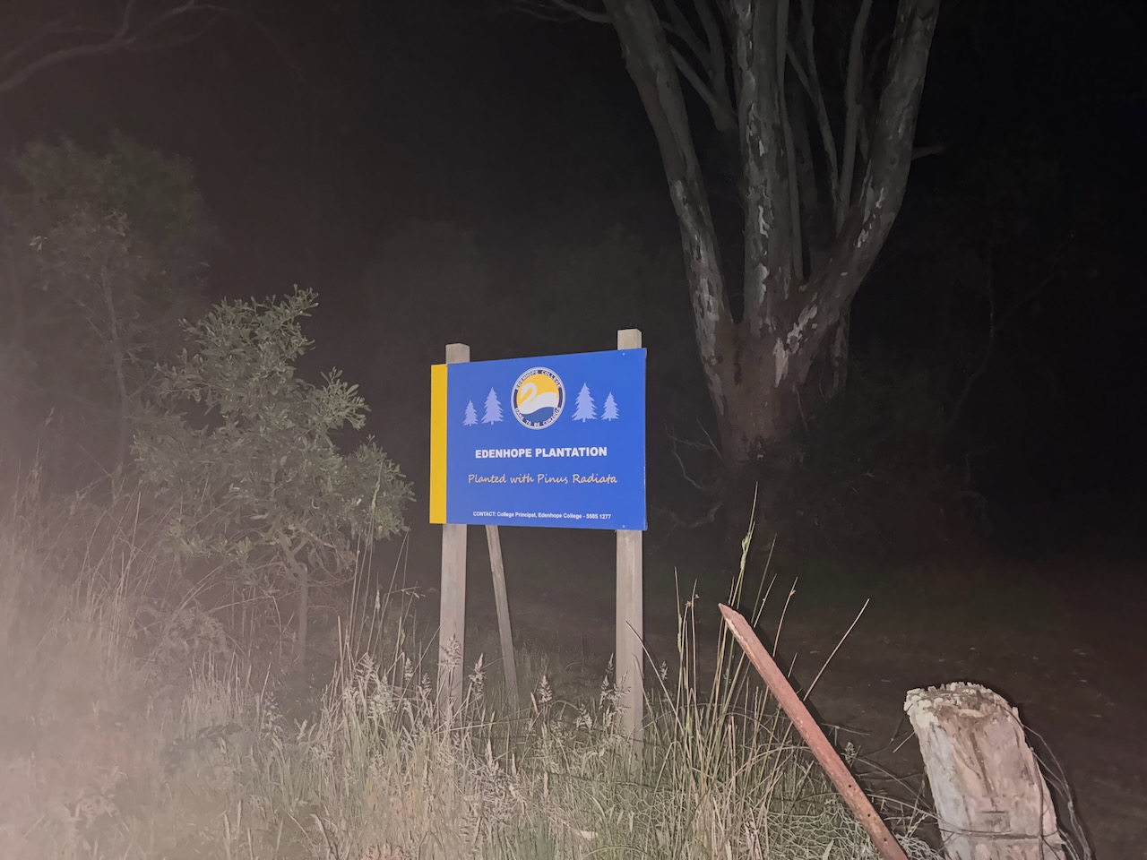
We accessed the park via a dirt track at the end of Lake Street, passing through the Edenhope School plantation.

Marija worked the following stations on 40m SSB:-

  1. YJ0VV
  2. VK6MIL
  3. VK1AO
  4. VK2MET
  5. VK4KLX
  6. VK3CEO
  7. VK3GJG
  8. VK5LA
  9. VK5KAW
  10. VK3KRL
  11. VK3GOW

I worked the following stations on 40m SSB:-

  1. YJ0VV
  2. VK6MIL
  3. VK1AO
  4. VK2MET
  5. VK4KLX
  6. VK3CEO
  7. VK3GJG
  8. VK5LA
  9. VK5KAW
  10. VK3KRL
  11. VK3GOW
  12. VK7MAT
  13. VK2DWP
  14. VK3MCA
  15. VK3PF
  16. VK3KAI
  17. VK2HA
  18. VK2LQ
  19. VK2PCT
  20. VK7PSJ
  21. VK2BMT
  22. VK3CAL
  23. VK3CAT
  24. VK3APC
  25. KD1CT
  26. VK2LEE
  27. VK4EMP
  28. VK4TI
  29. VK4GKO
  30. VK6BMR

I worked the following stations on 40m FT8:-

  1. VK3PF
  2. VK3CEO
  3. VK3KAI
  4. VK1AO
  5. AD8FD
  6. VK3DEK
  7. VK3KRL
  8. VK3APJ
  9. VK7MAT
  10. N2WK
  11. N3XLS
  12. VK4EMP
  13. VK4TI
  14. VK4GKO
  15. K9NN

References.

  1. Dcceew.gov.au. (2023). Collaborative Australian Protected Areas Database (CAPAD) 2022 – DCCEEW. [online] Available at: https://www.dcceew.gov.au/environment/land/nrs/science/capad/2022 [Accessed 29 May. 2025].‌
  2. Leslie James Blake, 1978, Place Names of Victoria.

Howards Bushland Reserve VKFF-5143

Marija and I packed up at Glenorchy and continued on our way to Edenhope in southwest Victoria. We were rewarded with some very nice views of the Grampians National Park along the way.

Our next park activation for the day was Howards Bushland Reserve VKFF-5143. The park is located about 24 km northwest of Stawell in western Victoria.

Above:- Map showing the location of Howards Bushland Reserve. Map c/o Google Maps.

The reserve is located on the corner of Western Highway, Roses Gap Road, and Ledcourt Road.

Above:- Aerial view of Howards Bushland Reserve. Image c/o Google Earth.

The reserve is about 12 hectares in size and was established on the 22nd day of November 1983. (CAPAD 2022)

Marija worked the following stations on 20m SSB:-

  1. OH1MM
  2. VK2VW
  3. VK2HFI
  4. VK2AKA
  5. VK2BUG
  6. ZL4NVW
  7. VK1AO
  8. VK2MET
  9. OH1XT

Marija worked the following stations on 40m SSB:-

  1. VK3PF
  2. VK3WSG

I worked the following stations on 20m SSB:-

  1. OH1MM
  2. VK2VW
  3. VK2HFI
  4. VK2AKA
  5. VK2BUG
  6. ZL4NVW
  7. VK1AO
  8. VK2MET
  9. OH1XT

I worked the following stations on 40m SSB:-

  1. VK33PF
  2. VK3WSG
  3. VK3MGM
  4. VK2LEE
  5. VK3DL
  6. VK5HS
  7. VK2USH
  8. VK2GQR

Marija and I packed up and continued towards Edenhope, enjoying the views of the Grampians National Park.

We detoured to have a look at the Nurrabiel cemetery. There is a monument here to commemorate the pioneers of the Nurrabiel district.

There are several historic headstones in the cemetery, including some of my ancestors from the Mott family.

References.

  1. Dcceew.gov.au. (2023). Collaborative Australian Protected Areas Database (CAPAD) 2022 – DCCEEW. [online] Available at: https://www.dcceew.gov.au/environment/land/nrs/science/capad/2022 [Accessed 29 May. 2025].‌
  2. UBC Web Design (2025). Pioneers of Nurrabiel | Monument Australia. [online] Monumentaustralia.org.au. Available at: https://monumentaustralia.org.au/themes/landscape/settlement/display/32978-pioneers-of-nurrabiel/ [Accessed 29 May 2025].‌

Glenorchy I5 Bushland Reserve VKFF-5041 and Glenorchy silo VK-GLY3

Our next activation for Wednesday, 30th October 2024, was the Glenorchy I5 Bushland Reserve VKFF-5041, and the Glenorchy silo VK-GLY3. Glenorchy is located about 22 km northwest of Stawell and about 256 km northwest of Melbourne.

Above:- Map showing the location of Glenorchy, Victoria.

The town of Glenorchy was established around the Four Posts Inn, which was opened in 1847. It was patronised by pastoral workers and was located at a crossing place on the Wimmera River. By 1849, Glenorchy had a store, a blacksmith and a post office. In 1850, the town of Glenorchy was surveyed by Robert Buchanan and township allotments were sold. By the mid-1850s, Glenorchy had several other hotels, including the Royal Hotel, which was built in 1855 and demolished in 1968. Glenorchy’s first school was opened in 1858. The current school was built in 1875. (Victorianplaces.com.au, 2015)

The town was named after Glen Orchy in Argyllshire, Scotland. Glenorchy is a Gaelic word meaning ‘glen of tumbling waters’. (Blake 1978)

Glenorchy was described as Bullocktown by the English-born Australian novelist Marcus Andrew Hislop Clarke in his Bullocktown Sketches published in the Australasian newspaper. Clarke is best known for his 1874 novel For the Term of His Natural Life. (Blake 1978) (Victorianplaces.com.au, 2015) (Wikipedia Contributors, 2025)

Above:- Marcus Clarke. Image c/o Wikipedia.

Glenorchy’s population in 2021 was 131 people. (Wikipedia Contributors, 2025)

One of the historic buildings remaining in Glenorchy is the former St Joseph’s Catholic Church, which was built in 1914. It replaced an earlier timber church on the same site.

On Forest Street, Glenorchy, you can find the Glenorchy Vic Open Garden and Roadside Art. There is a shipping container that features a mural.

The Glenorchy silos are located adjacent to the railway line on MacKay Road.

The Glenorchy I5 Bushland Reserve consists of six separate pieces of remnant bushland surrounding the town of Glenorchy.

Above:- An aerial view of the Glenorchy I5 Bushland Reserve. Image c/o Google Earth

The reserve is about 44 hectares in size and was established on the 24th day of August 1982. (CAPAD 2022)

Marija and I set up off Arapiles Street in the reserve, in the activation zone of the silo.

Above:- Map showing the activation zone at the Glenorchy silo. Map c/o SiOTA website.

Marija worked the following stations on 40m SSB:-

  1. VK2HAK
  2. VK5HS
  3. VK5MOS
  4. VK1AO
  5. VK2MET
  6. VK3PF/M
  7. VK1DA/P (SOTA VK3/ VC-040 & VKFF-0972)
  8. VK2DA/P (SOTA VK3/ VC-040 & VKFF-0972)
  9. VK2VW
  10. VK2HFI
  11. VK2AKA
  12. VK2BUG

Marija worked the following stations on 20m SSB:-

  1. VK2VW
  2. VK2HFI
  3. VK2AKA
  4. VK2BUG
  5. ZL4NVW
  6. KG5CIK

I worked the following stations on 40m SSB:-

  1. VK2HAK
  2. VK5HS
  3. VK5MOS
  4. VK1AO
  5. VK2MET
  6. VK3PF/M
  7. VK1DA/P (SOTA VK3/ VC-040 & VKFF-0972)
  8. VK2DA/P (SOTA VK3/ VC-040 & VKFF-0972)
  9. VK2VW
  10. VK2HFI
  11. VK2AKA
  12. VK2BUG
  13. VK3MCA
  14. VK3WSG
  15. VK3CEO
  16. VK1CHW

I worked the following stations on 20m SSB:-

  1. VK2VW
  2. VK2HFI
  3. VK2AKA
  4. VK2BUG

References.

  1. Victorianplaces.com.au. (2015). Glenorchy | Victorian Places. [online] Available at: https://www.victorianplaces.com.au/glenorchy [Accessed 29 May 2025].
  2. ‌Wikipedia Contributors (2025). Marcus Clarke. Wikipedia.‌