
Our next activation for Wednesday, 30th October 2024, was the Glenorchy I5 Bushland Reserve VKFF-5041, and the Glenorchy silo VK-GLY3. Glenorchy is located about 22 km northwest of Stawell and about 256 km northwest of Melbourne.
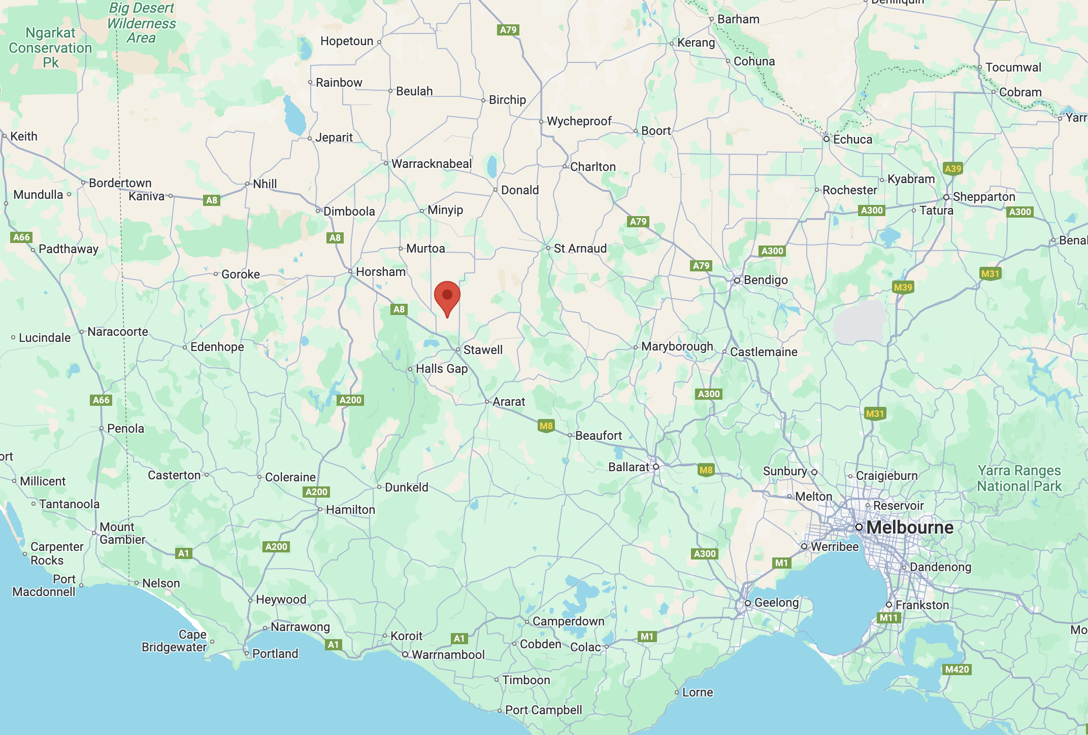
Above:- Map showing the location of Glenorchy, Victoria.
The town of Glenorchy was established around the Four Posts Inn, which was opened in 1847. It was patronised by pastoral workers and was located at a crossing place on the Wimmera River. By 1849, Glenorchy had a store, a blacksmith and a post office. In 1850, the town of Glenorchy was surveyed by Robert Buchanan and township allotments were sold. By the mid-1850s, Glenorchy had several other hotels, including the Royal Hotel, which was built in 1855 and demolished in 1968. Glenorchy’s first school was opened in 1858. The current school was built in 1875. (Victorianplaces.com.au, 2015)
The town was named after Glen Orchy in Argyllshire, Scotland. Glenorchy is a Gaelic word meaning ‘glen of tumbling waters’. (Blake 1978)
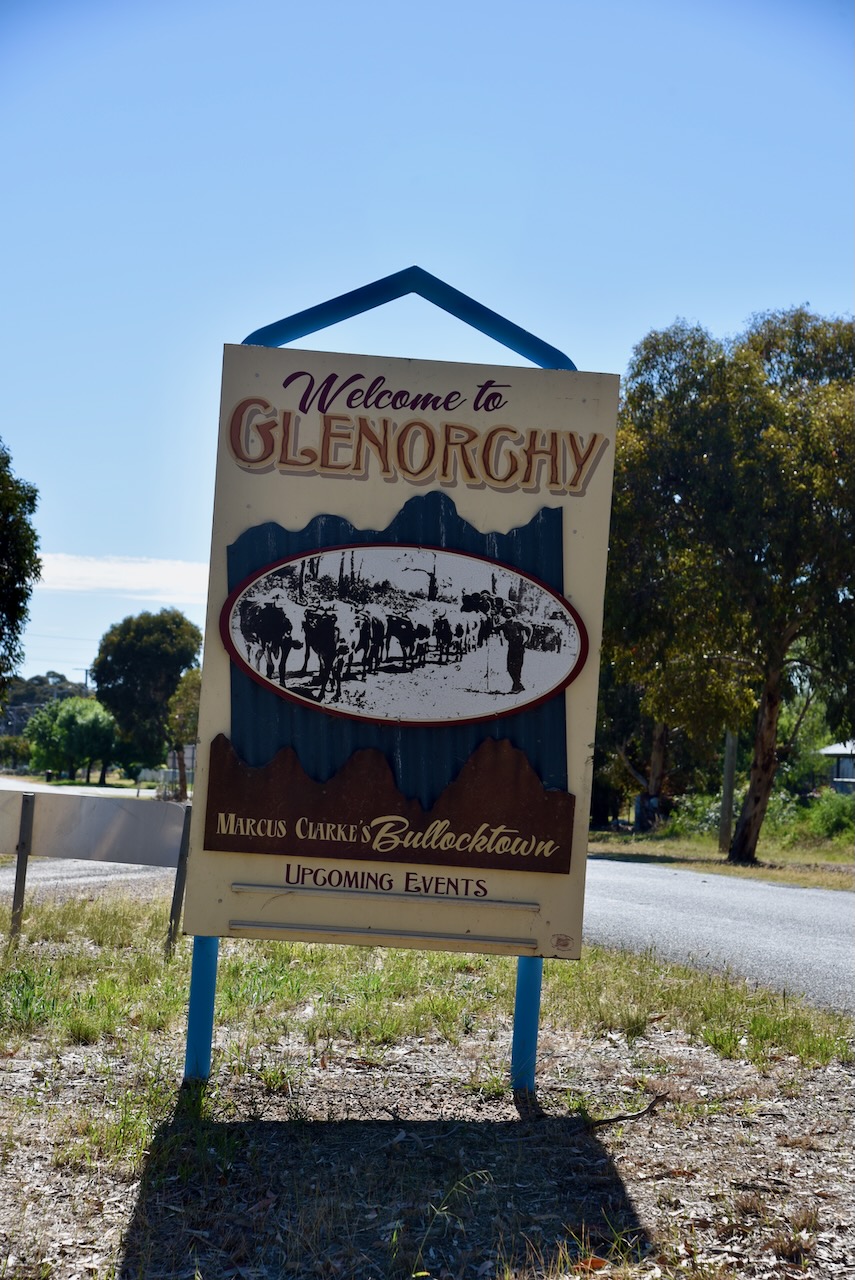
Glenorchy was described as Bullocktown by the English-born Australian novelist Marcus Andrew Hislop Clarke in his Bullocktown Sketches published in the Australasian newspaper. Clarke is best known for his 1874 novel For the Term of His Natural Life. (Blake 1978) (Victorianplaces.com.au, 2015) (Wikipedia Contributors, 2025)
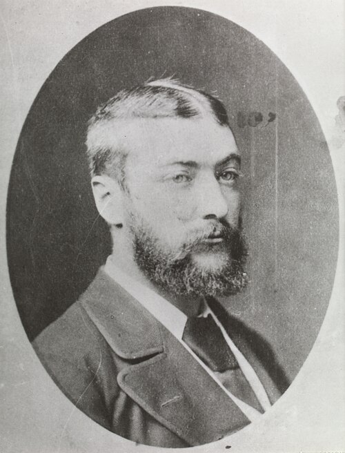
Above:- Marcus Clarke. Image c/o Wikipedia.
Glenorchy’s population in 2021 was 131 people. (Wikipedia Contributors, 2025)
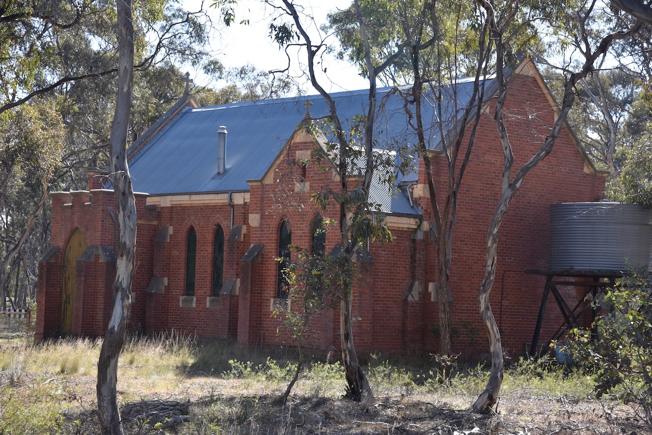
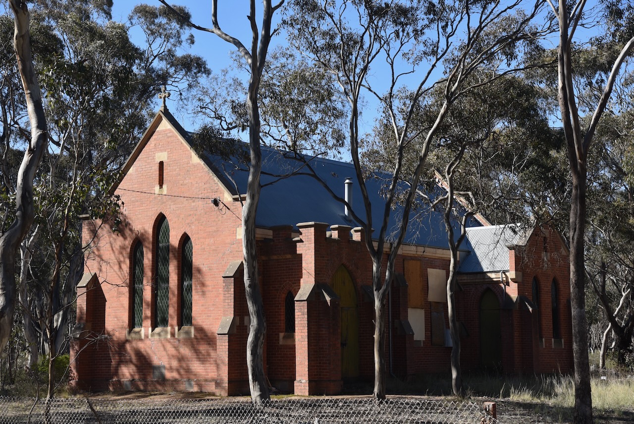
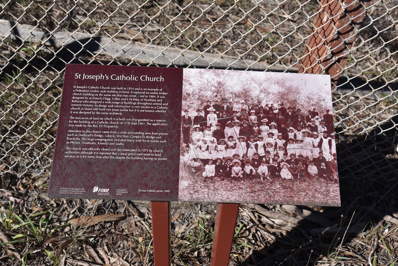
One of the historic buildings remaining in Glenorchy is the former St Joseph’s Catholic Church, which was built in 1914. It replaced an earlier timber church on the same site.
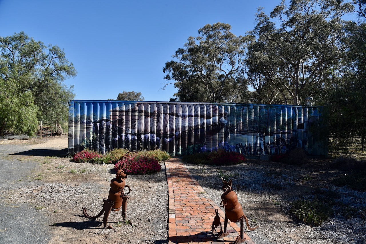
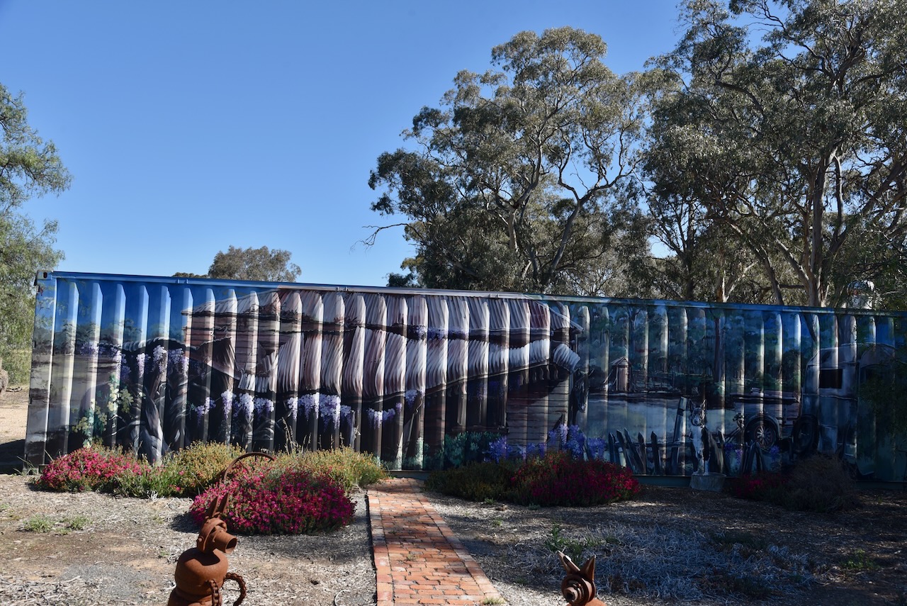
On Forest Street, Glenorchy, you can find the Glenorchy Vic Open Garden and Roadside Art. There is a shipping container that features a mural.
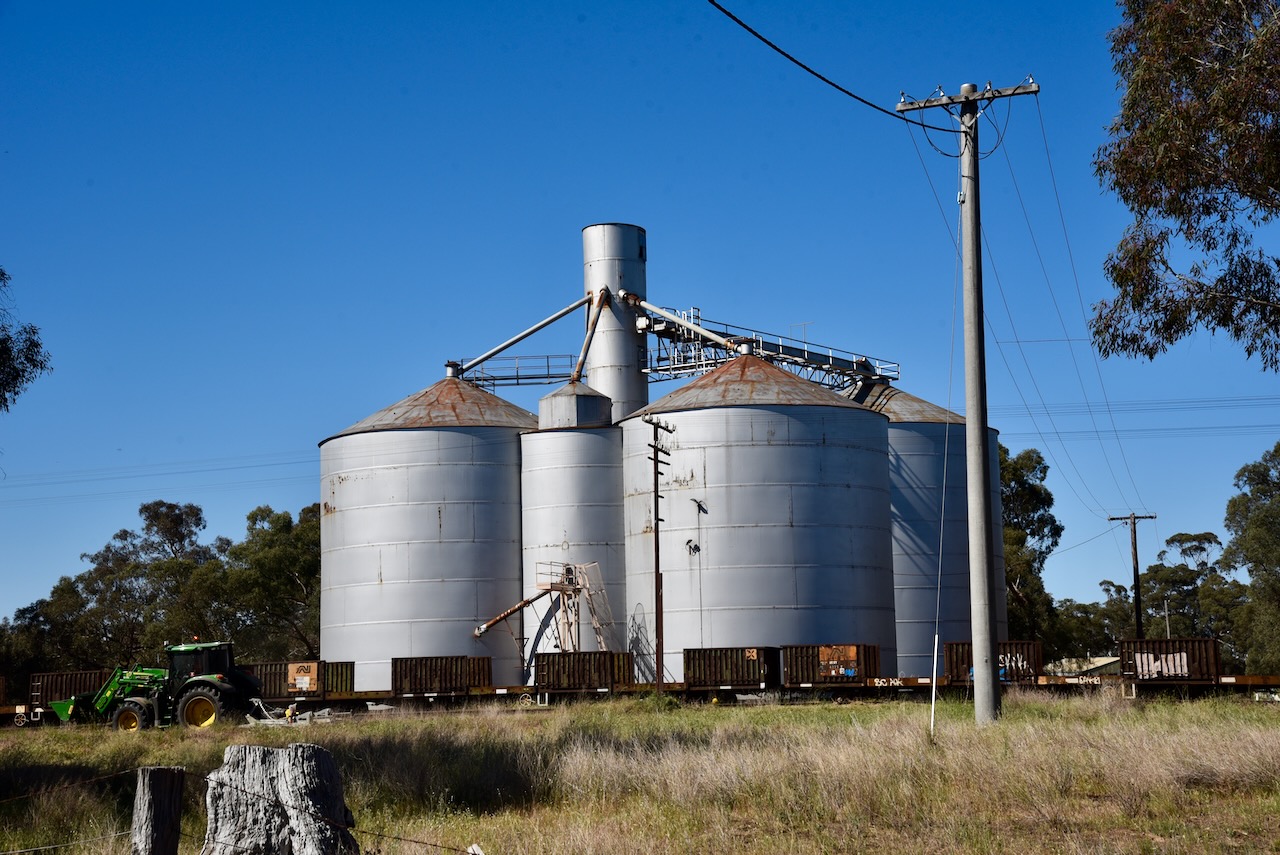
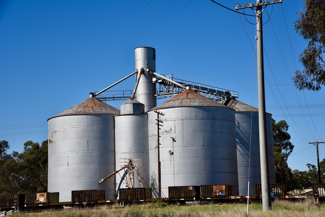
The Glenorchy silos are located adjacent to the railway line on MacKay Road.
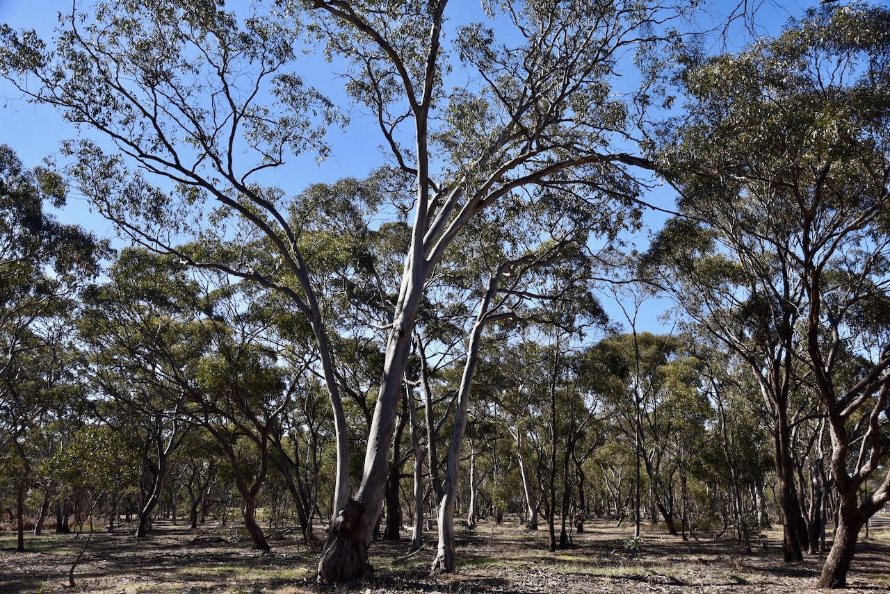
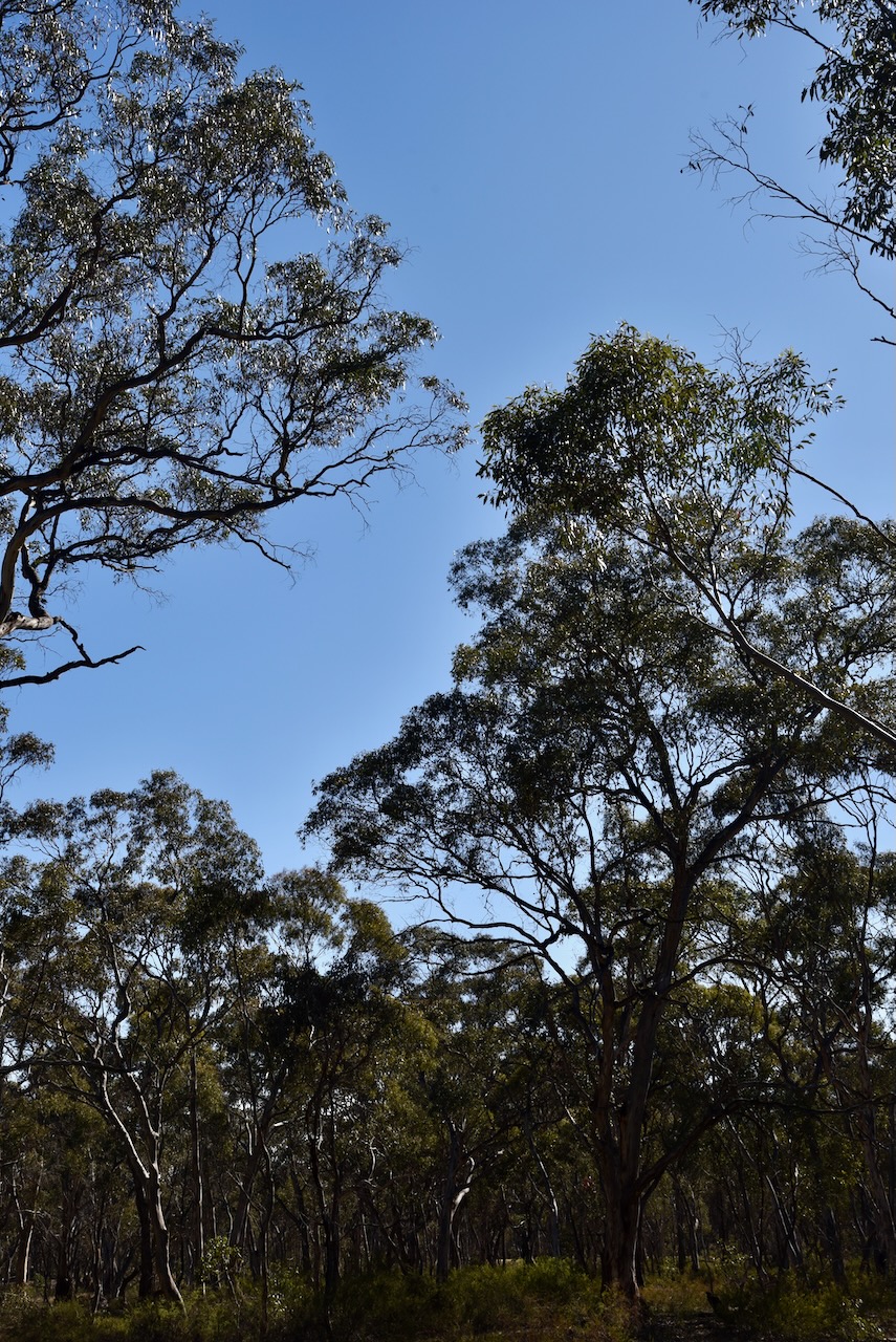
The Glenorchy I5 Bushland Reserve consists of six separate pieces of remnant bushland surrounding the town of Glenorchy.
Above:- An aerial view of the Glenorchy I5 Bushland Reserve. Image c/o Google Earth
The reserve is about 44 hectares in size and was established on the 24th day of August 1982. (CAPAD 2022)
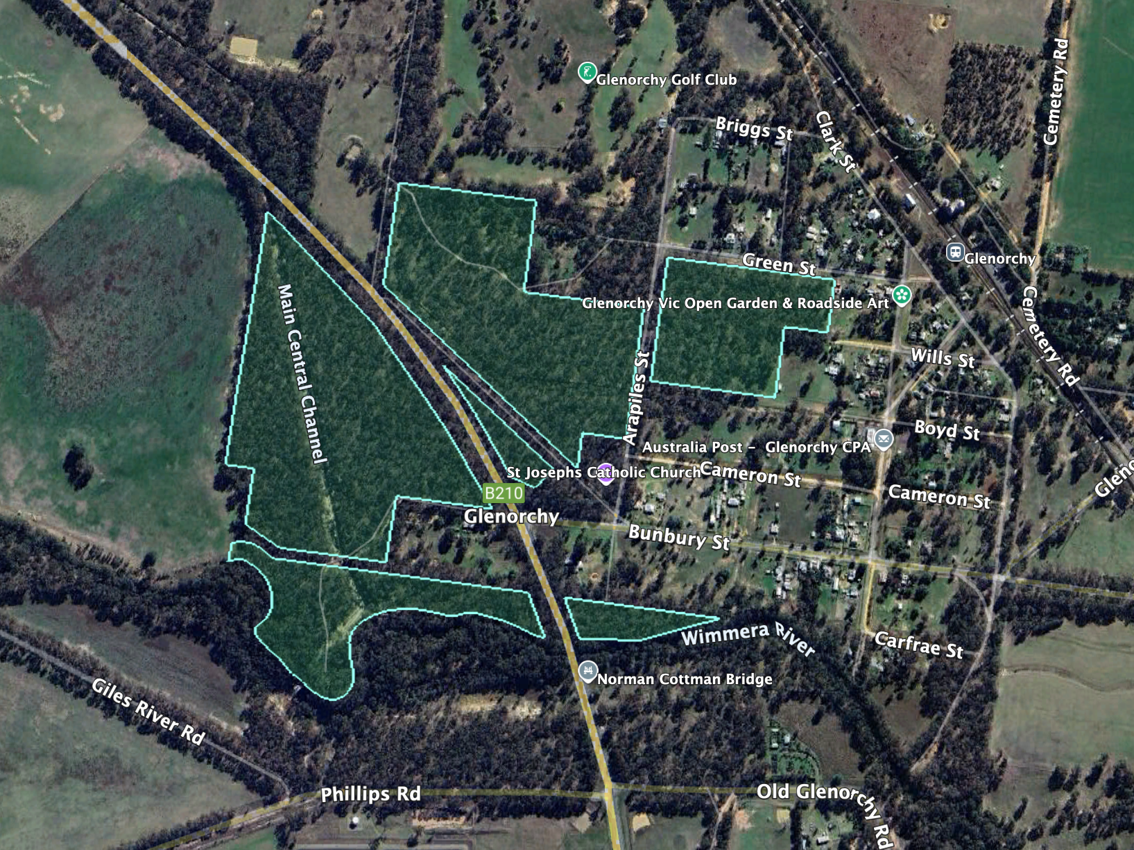
Marija and I set up off Arapiles Street in the reserve, in the activation zone of the silo.
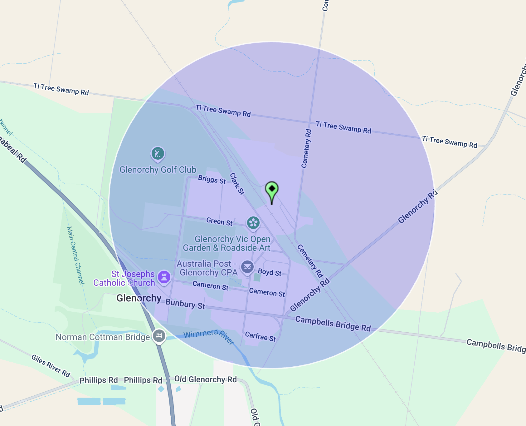
Above:- Map showing the activation zone at the Glenorchy silo. Map c/o SiOTA website.
Marija worked the following stations on 40m SSB:-
- VK2HAK
- VK5HS
- VK5MOS
- VK1AO
- VK2MET
- VK3PF/M
- VK1DA/P (SOTA VK3/ VC-040 & VKFF-0972)
- VK2DA/P (SOTA VK3/ VC-040 & VKFF-0972)
- VK2VW
- VK2HFI
- VK2AKA
- VK2BUG
Marija worked the following stations on 20m SSB:-
- VK2VW
- VK2HFI
- VK2AKA
- VK2BUG
- ZL4NVW
- KG5CIK
I worked the following stations on 40m SSB:-
- VK2HAK
- VK5HS
- VK5MOS
- VK1AO
- VK2MET
- VK3PF/M
- VK1DA/P (SOTA VK3/ VC-040 & VKFF-0972)
- VK2DA/P (SOTA VK3/ VC-040 & VKFF-0972)
- VK2VW
- VK2HFI
- VK2AKA
- VK2BUG
- VK3MCA
- VK3WSG
- VK3CEO
- VK1CHW
I worked the following stations on 20m SSB:-
- VK2VW
- VK2HFI
- VK2AKA
- VK2BUG
References.
- Victorianplaces.com.au. (2015). Glenorchy | Victorian Places. [online] Available at: https://www.victorianplaces.com.au/glenorchy [Accessed 29 May 2025].
- Wikipedia Contributors (2025). Marcus Clarke. Wikipedia.
