Dergholm State Park VKFF-0756

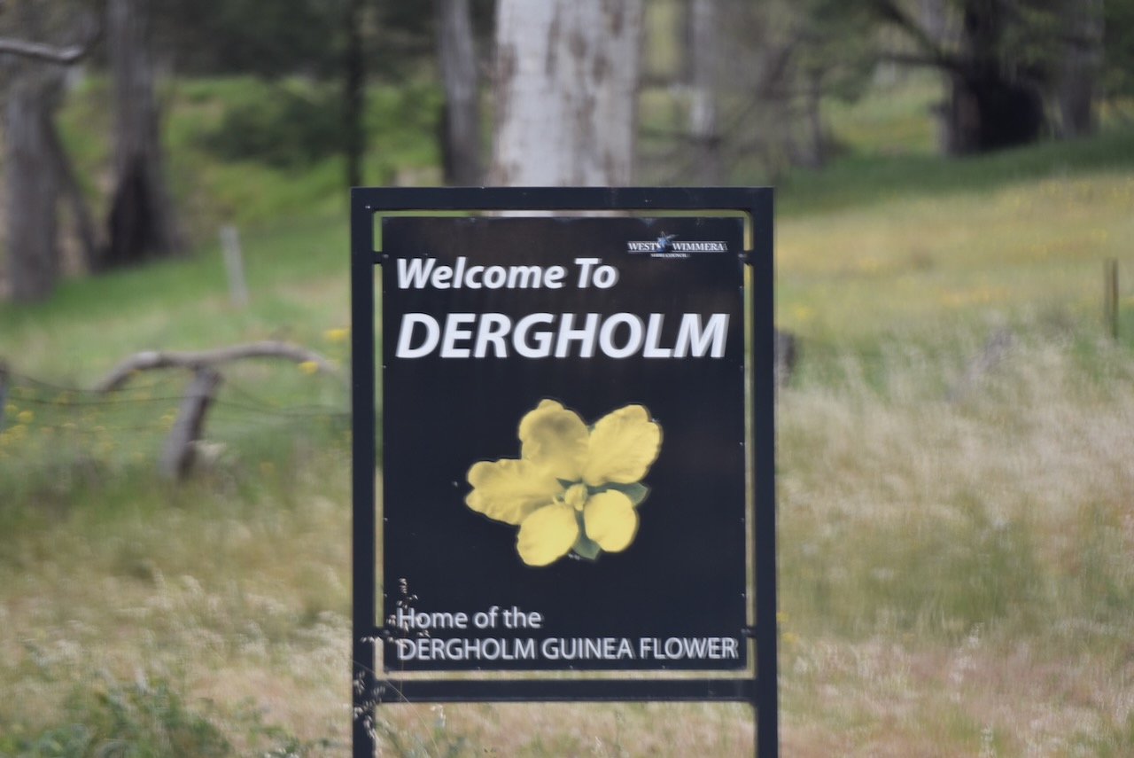
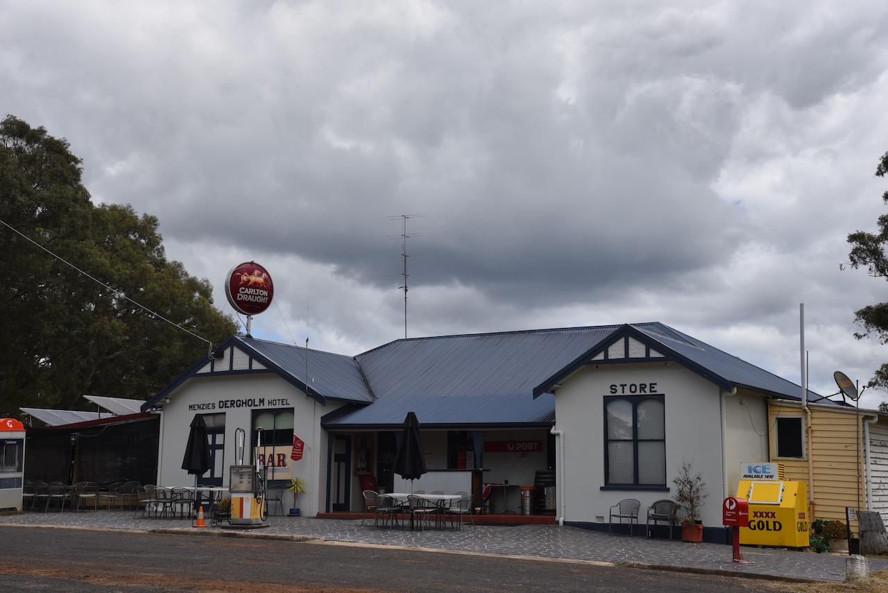
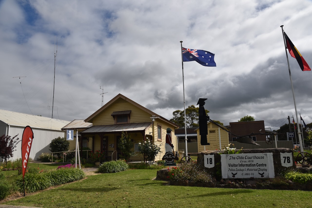
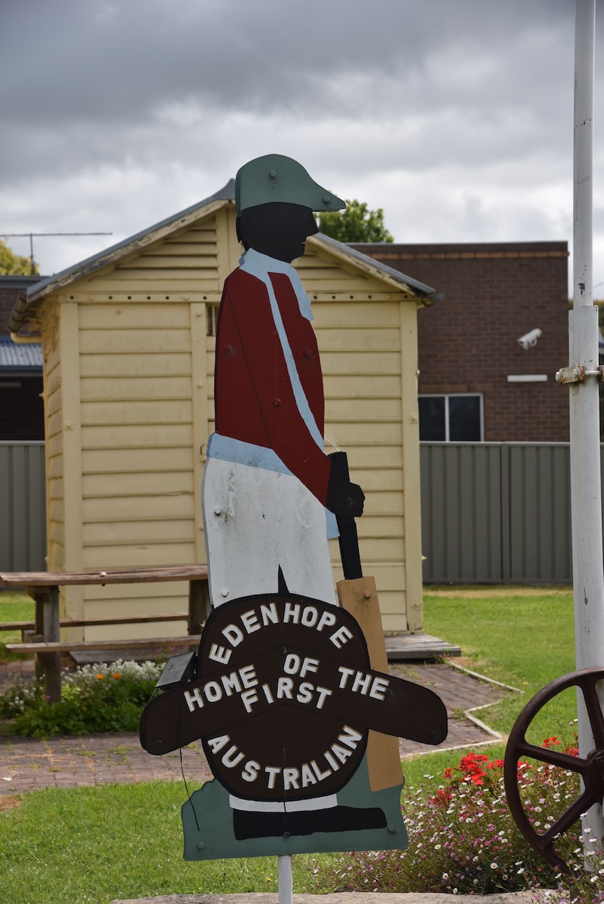
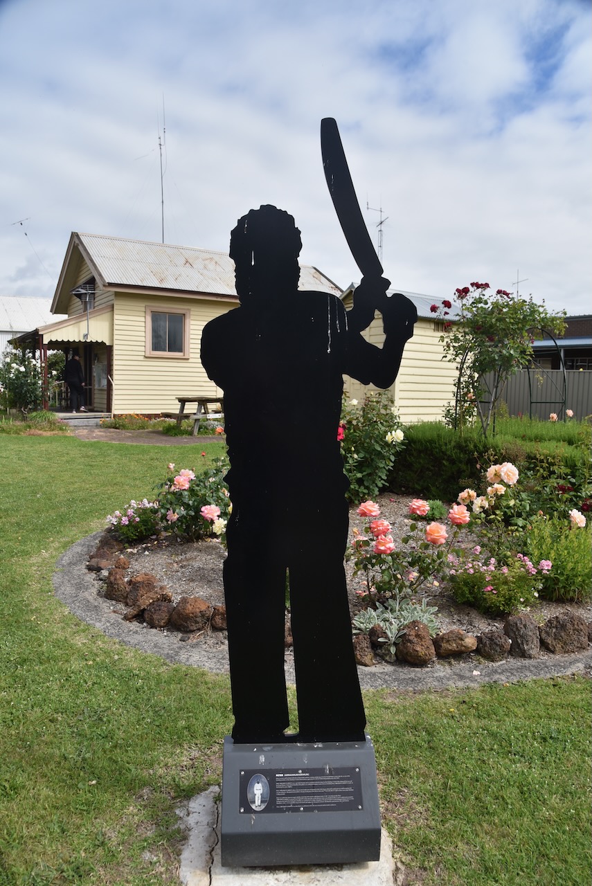
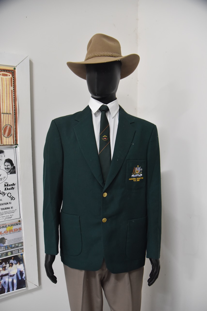
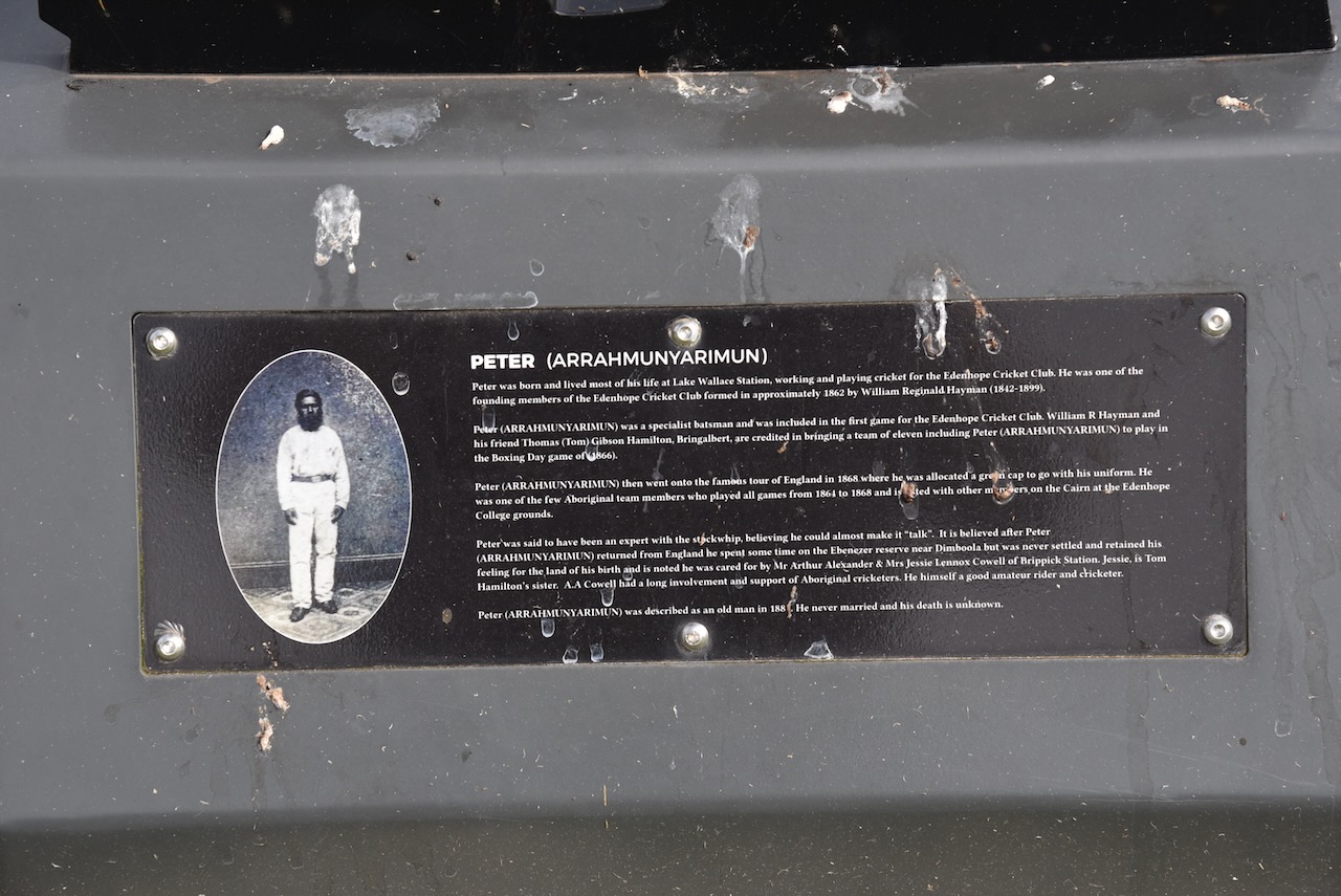
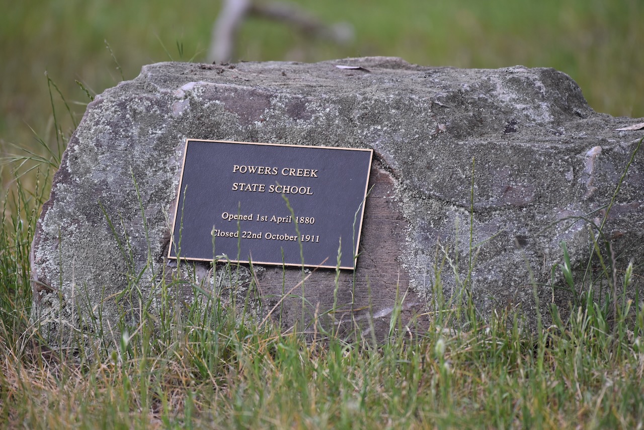
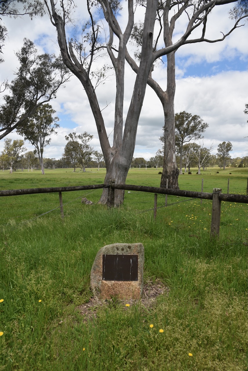
After leaving the Dergholm Streamside Reserve on Thursday, 31st October 2024, we drove to the monument for Brimbunyah ‘Red Cap’, who was one of the First Eleven Aboriginal cricket team that toured England in 1868.

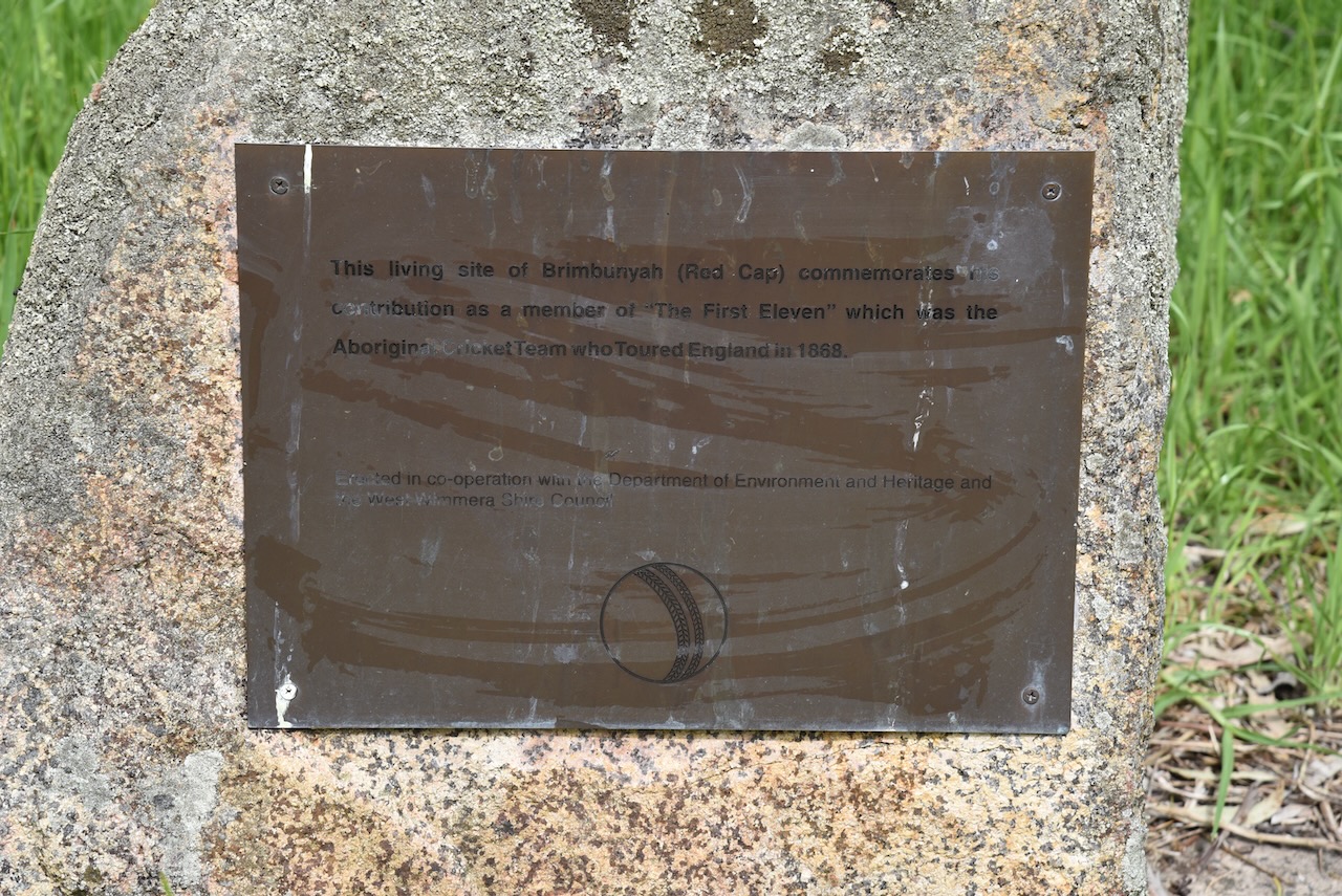
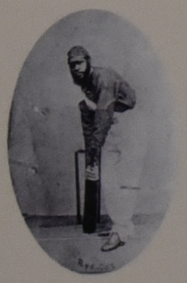
The date of birth of Brimbunyah ‘Red Cap’ is not known. He represented Australia in every one of the 47 matches. His highest score was 56, with his strike rate with the ball second only to Twopenny. On his return to Australia, Red Cap obtained a grant of 40 acres of land near the Dergholm River where he built a hut. He was employed on standard European wages as a shearer. He died between 1891 and 1894.

We left Red Cap’s monument and crossed the Glenelg River on the Dergholm-Chtewynd Road.

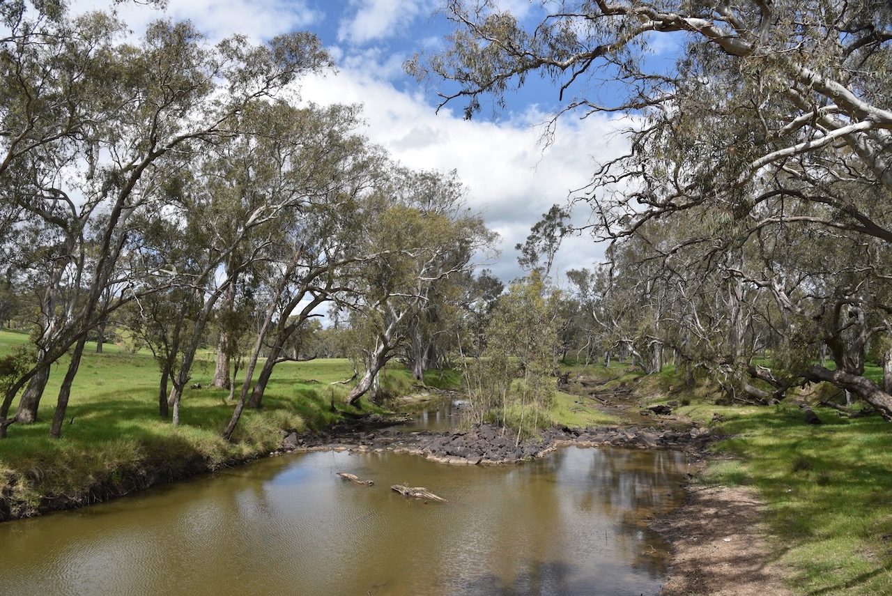
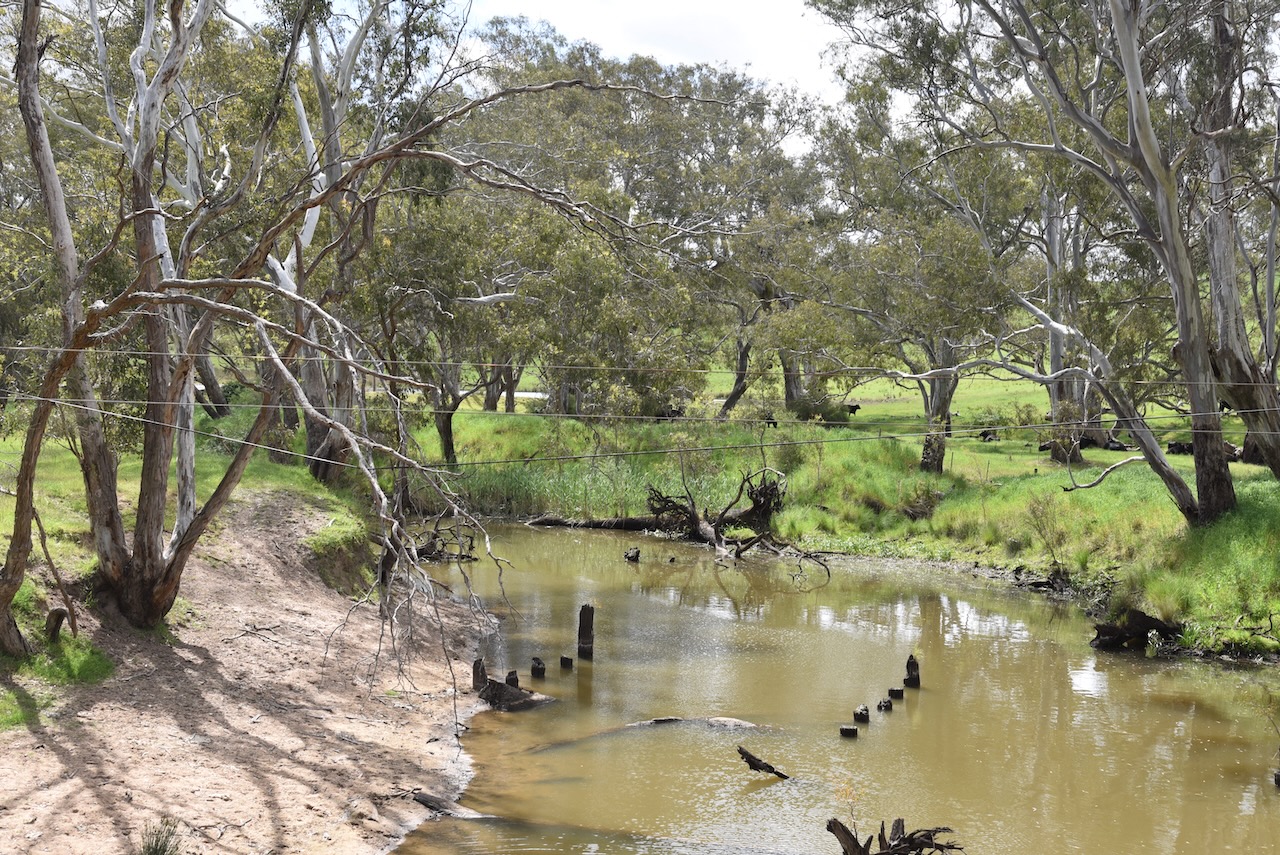
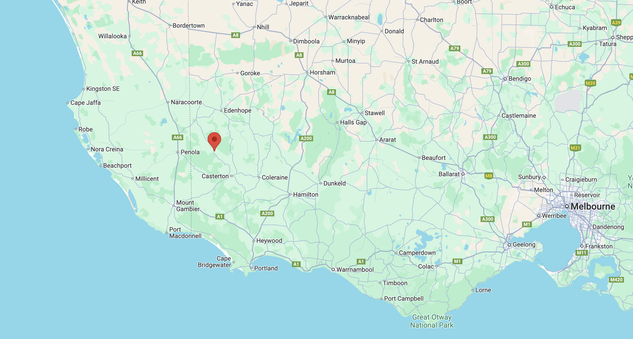
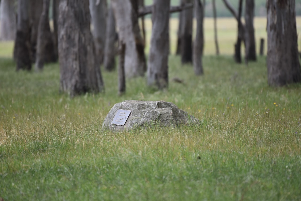
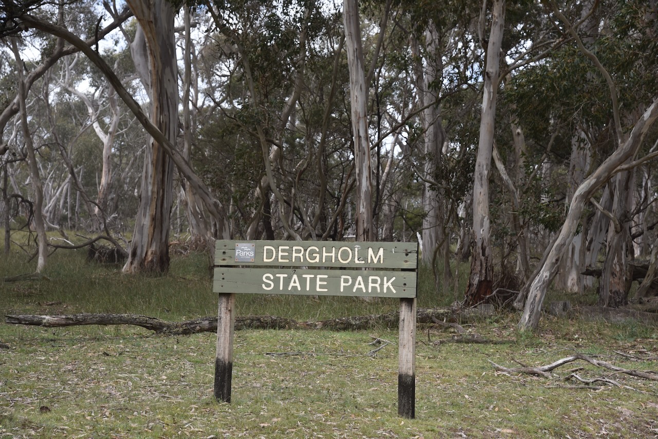
We soon reached our fourth park for the day, the Dergholm State Park VKFF-0756.

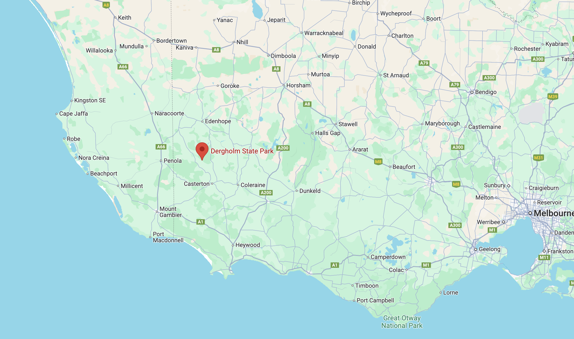
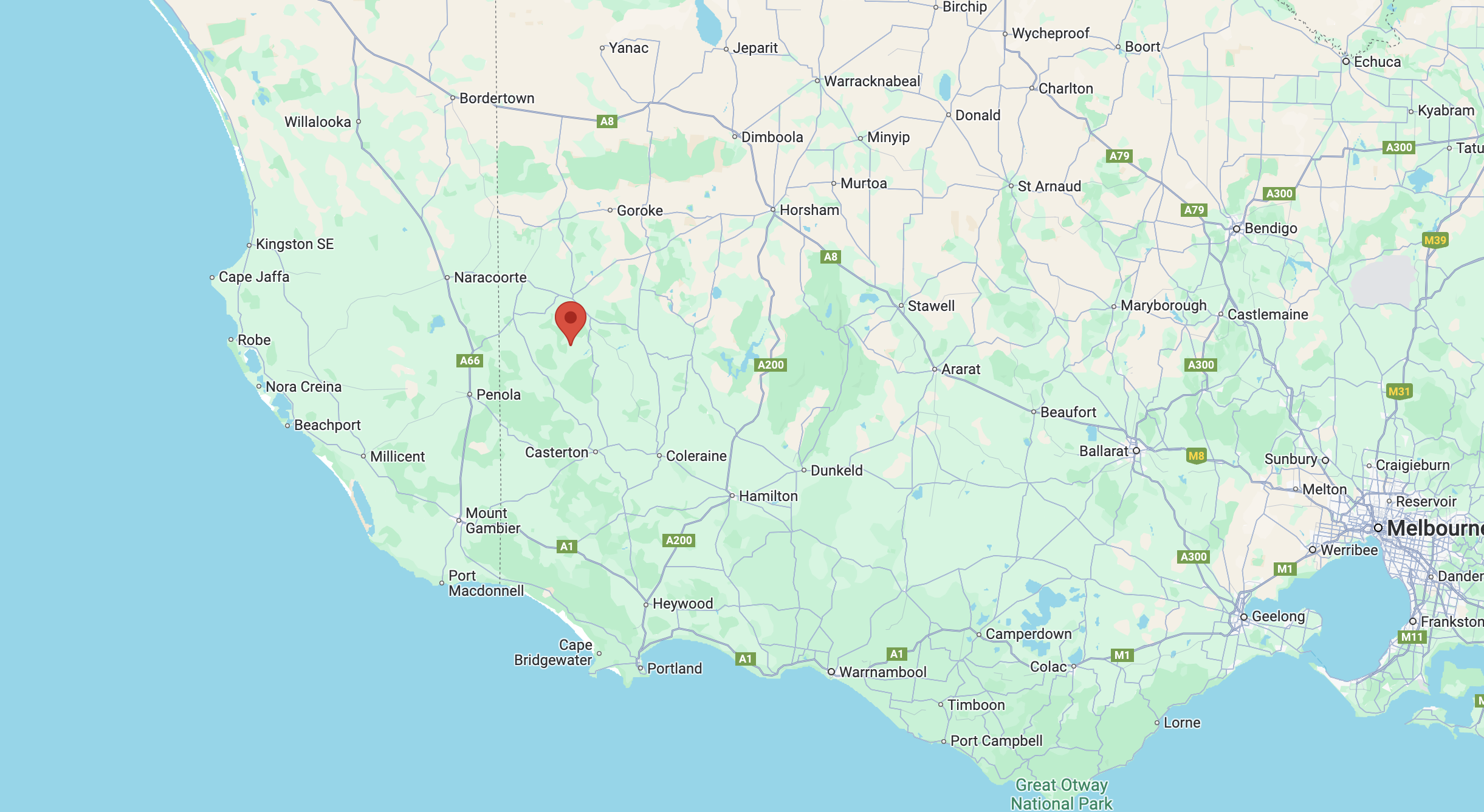
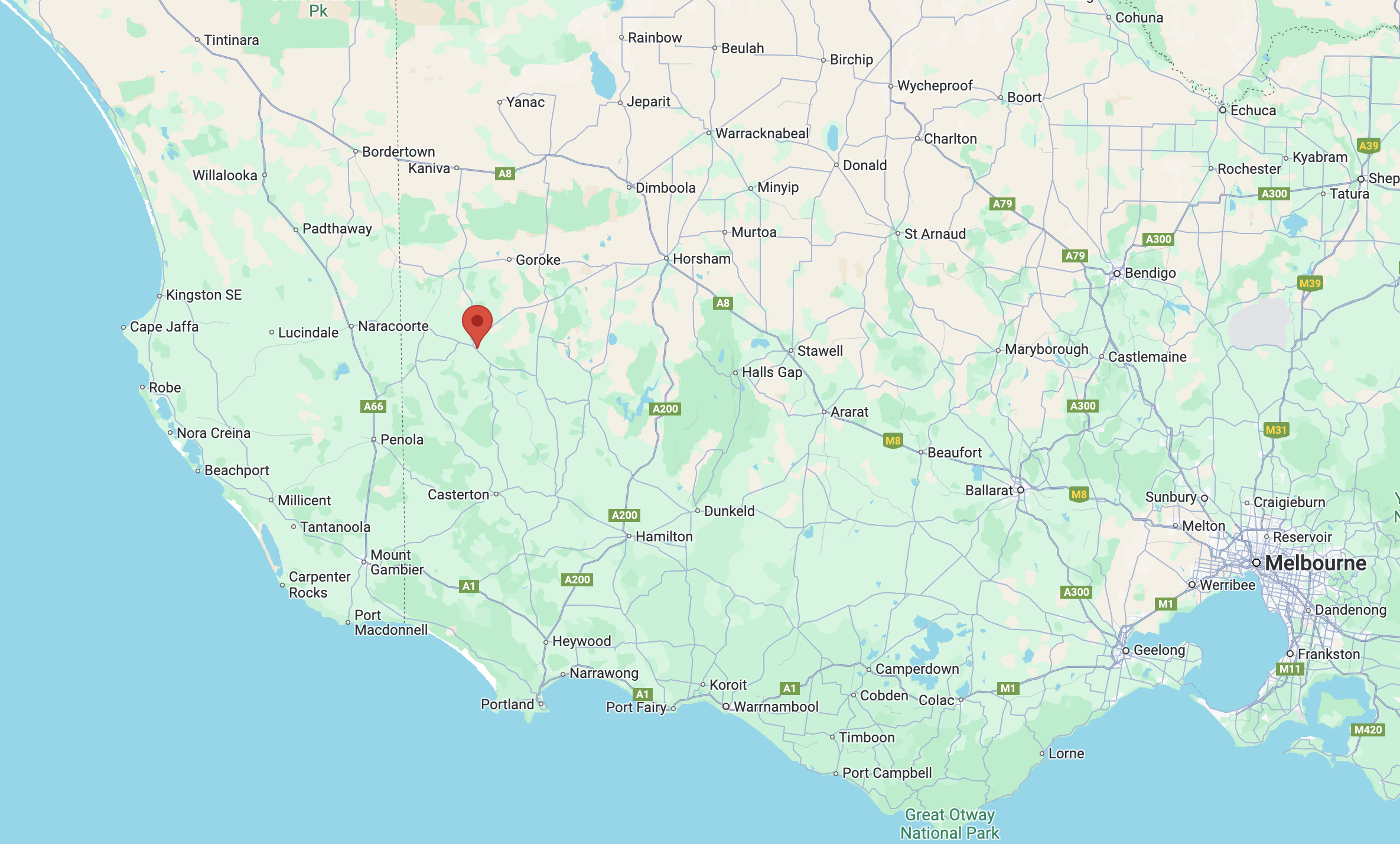
Above:- Map showing the location of the Dergolm State Park. Map c/o Google Maps.

The Dergholm State Park is separated into two sections. The park is about 10,882 hectares in size and was established on the 23rd day of September 1992. (CAPAD 2022)

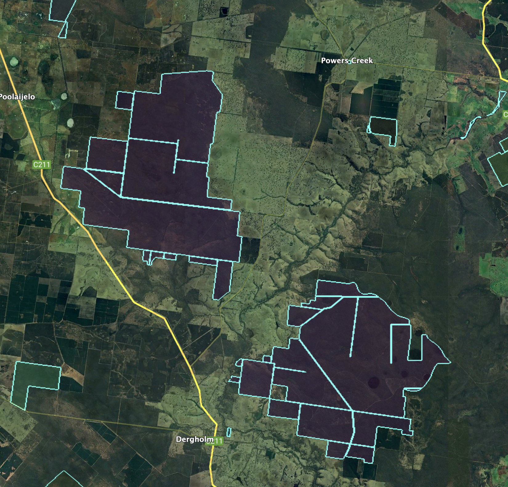
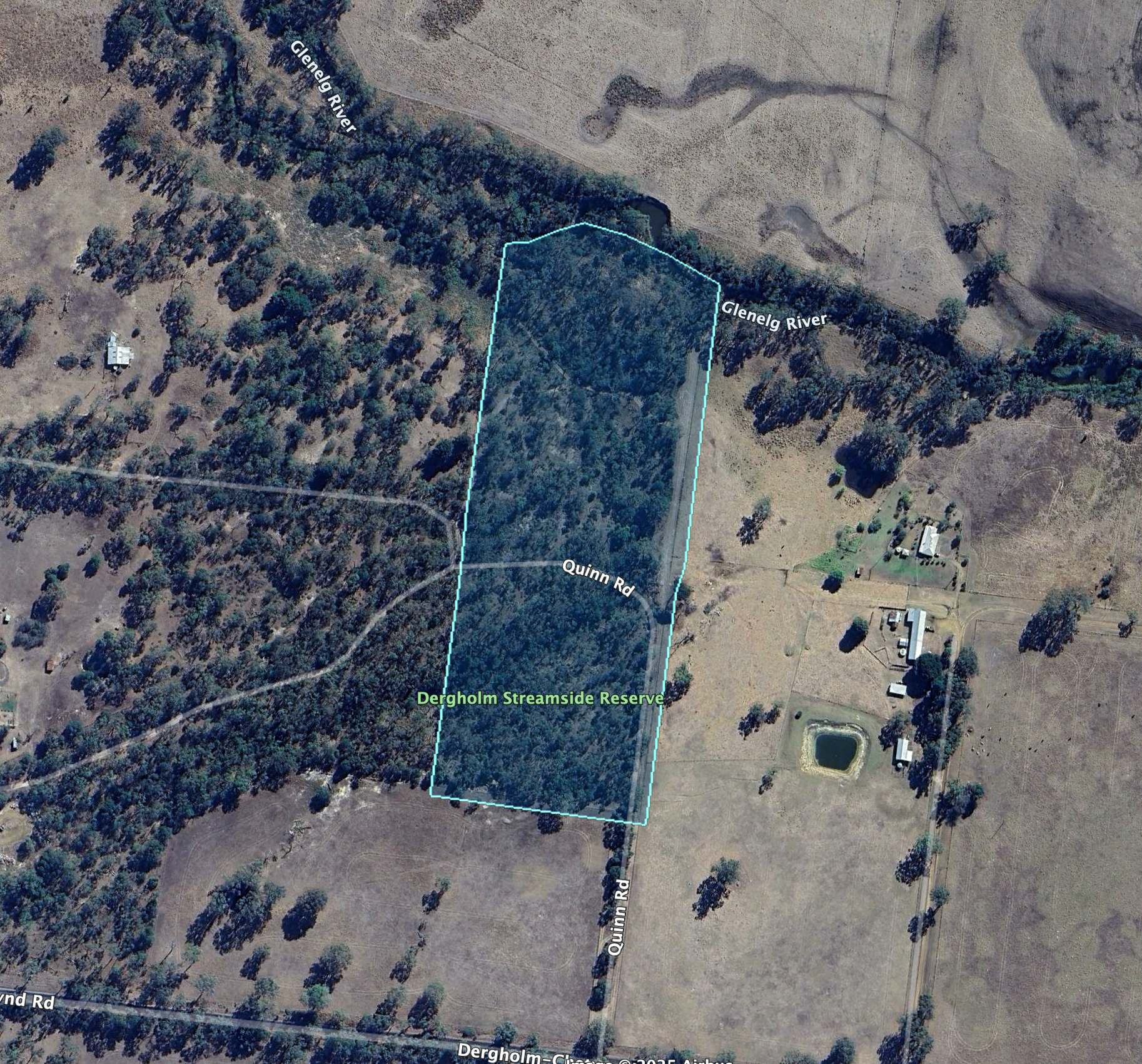
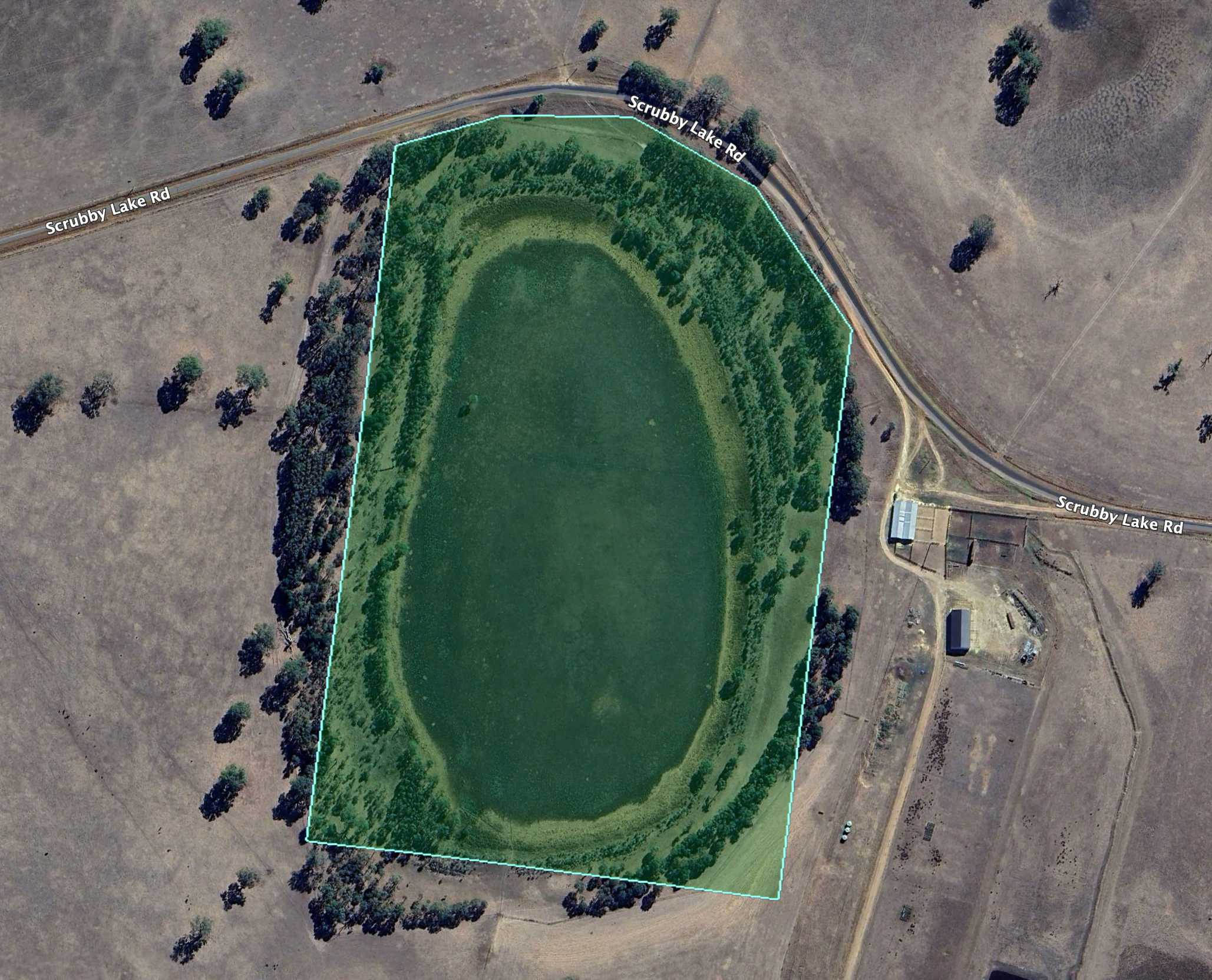
Above:- An aerial view of the Dergholm State Park. Image c/o Google Earth.

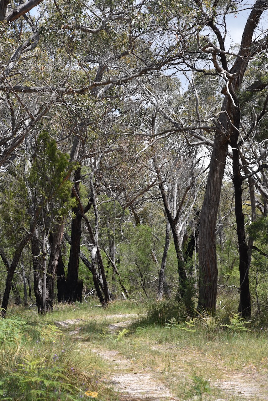
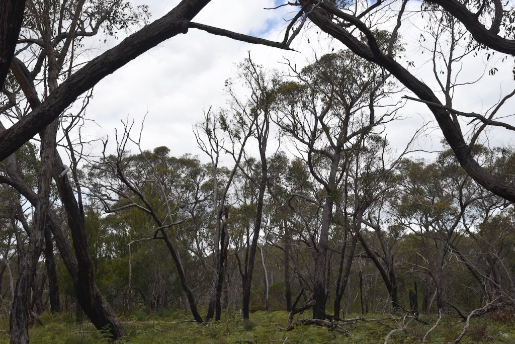
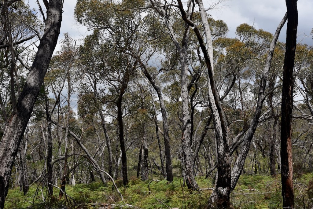
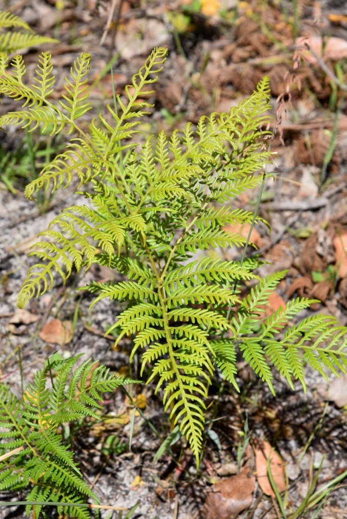
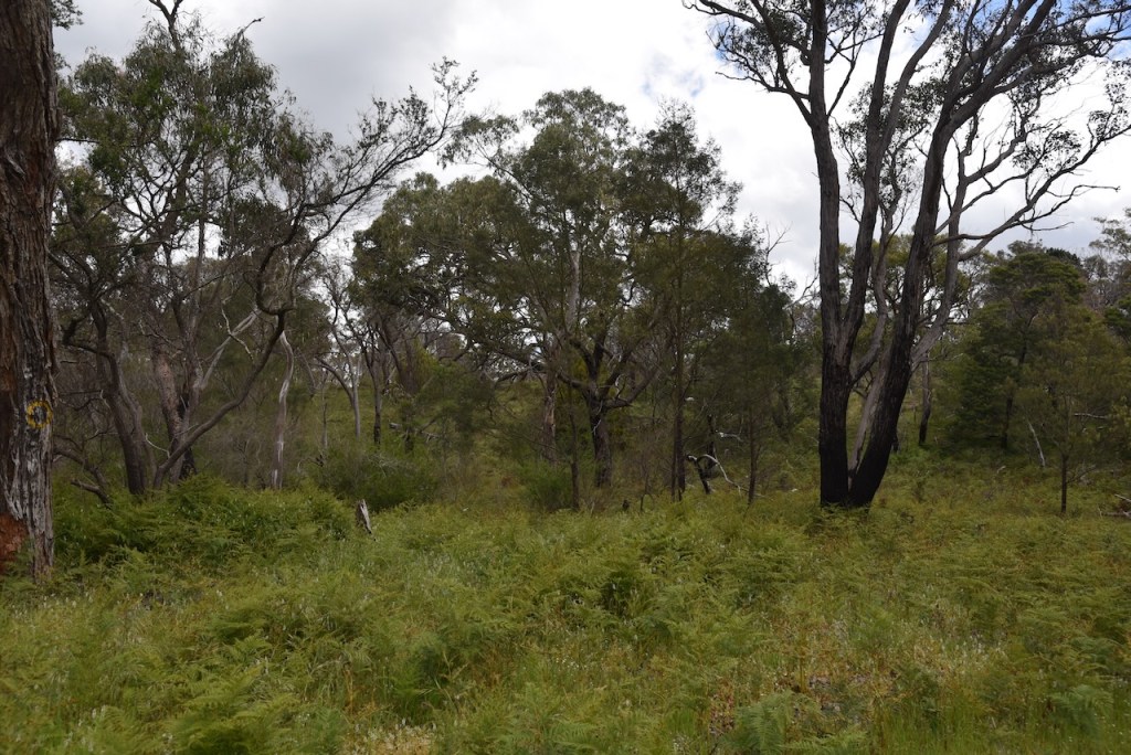
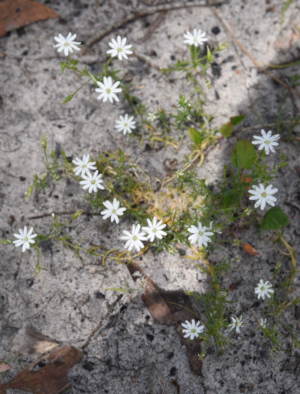
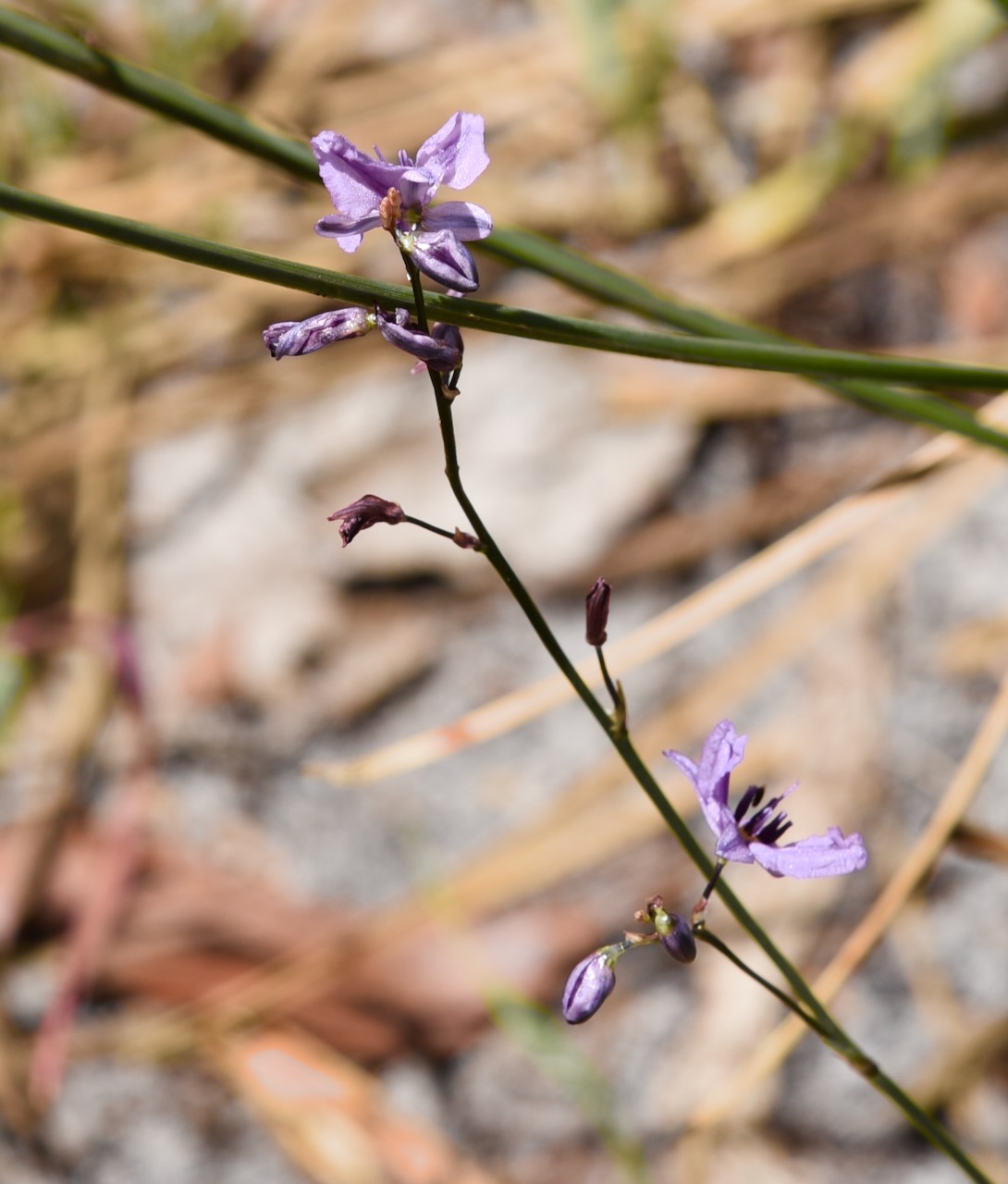
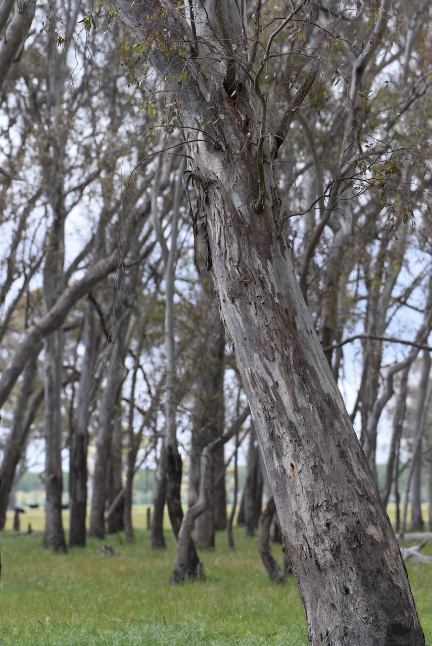
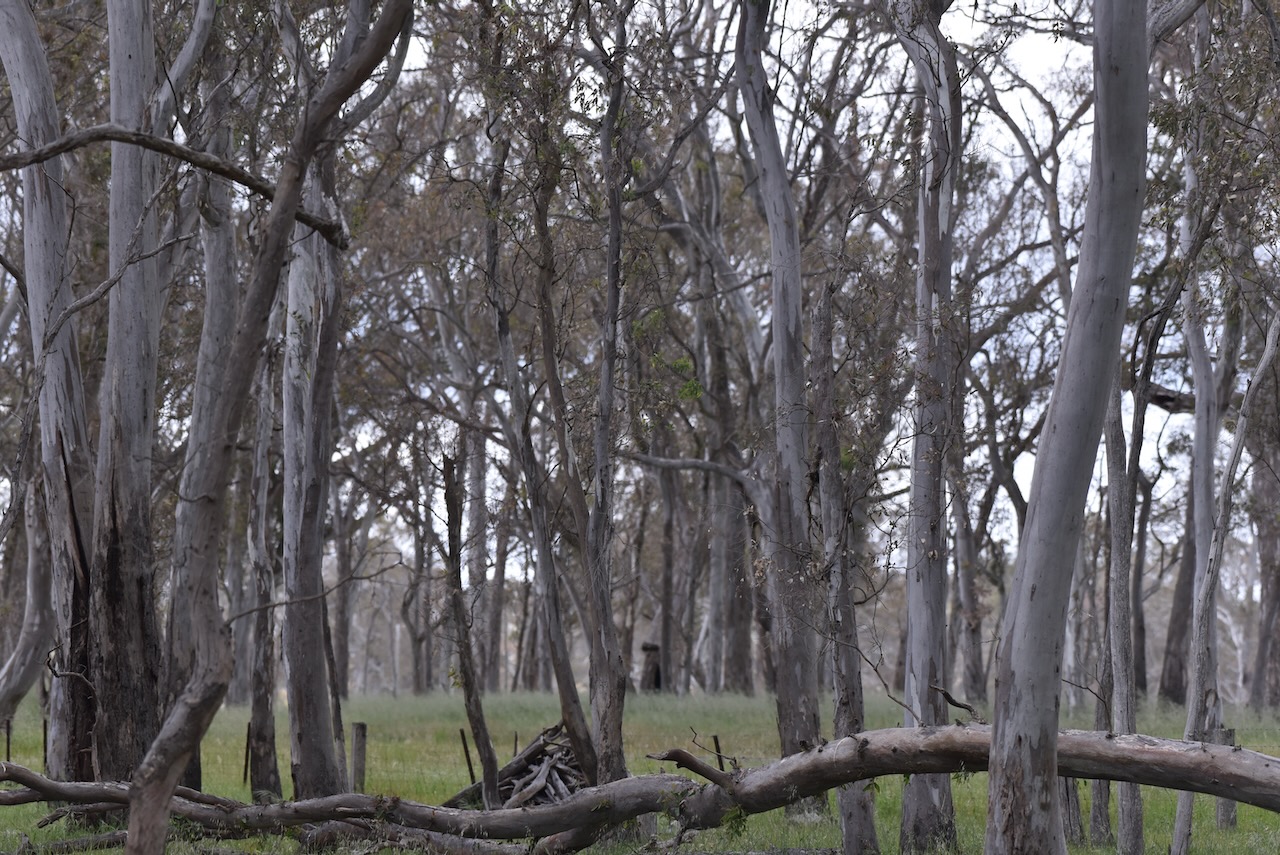
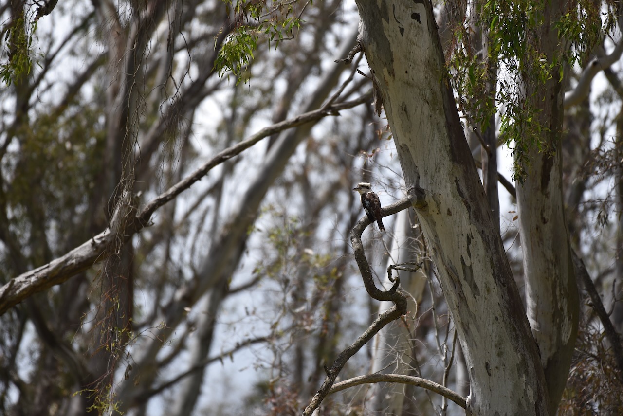
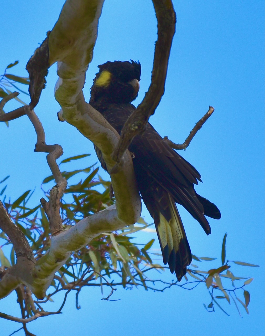
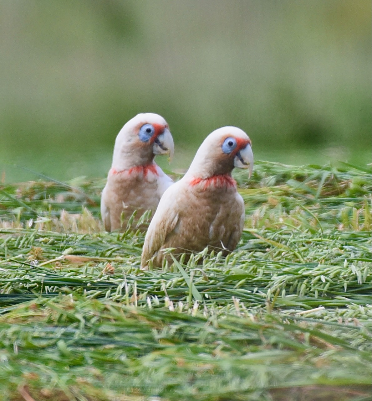
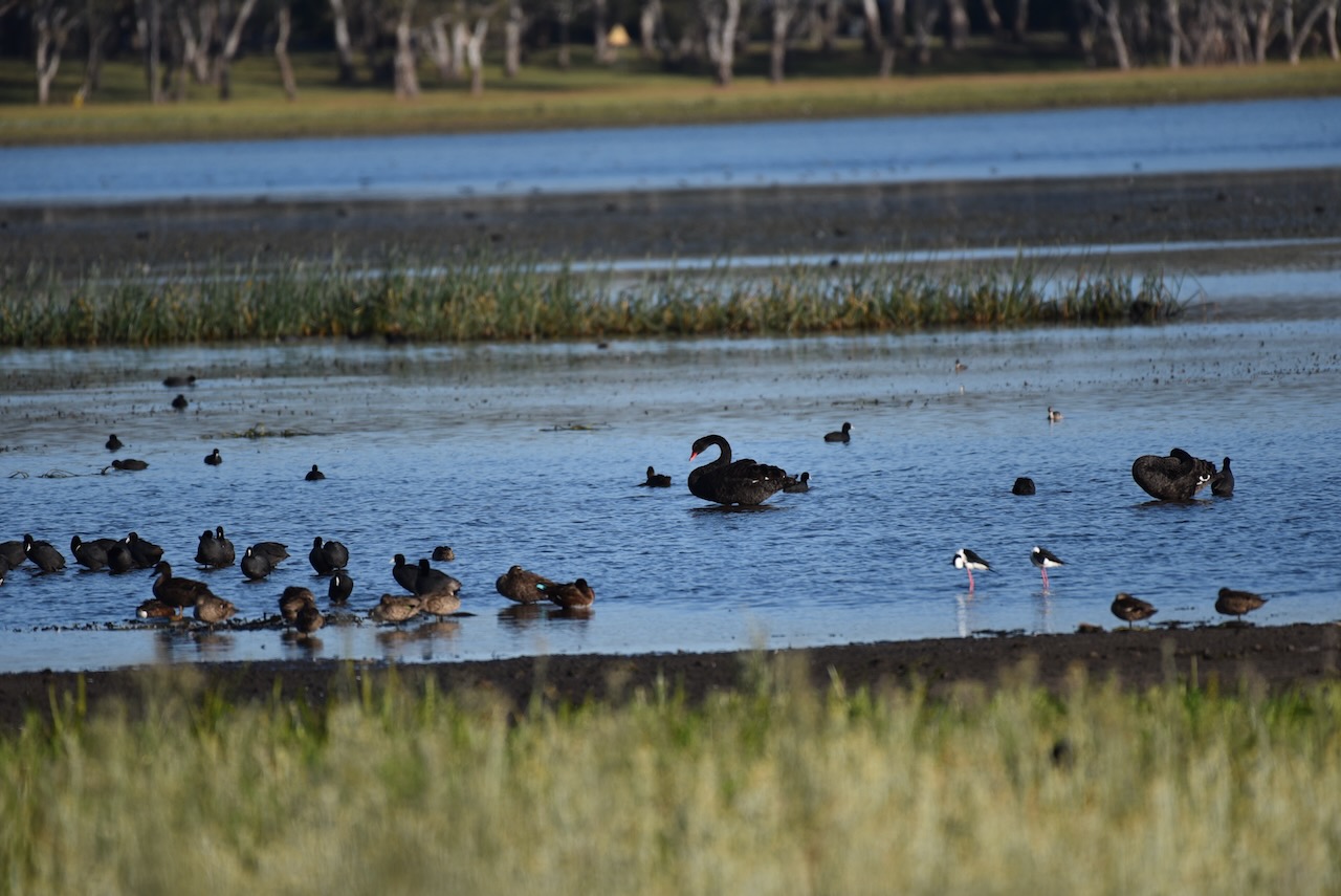
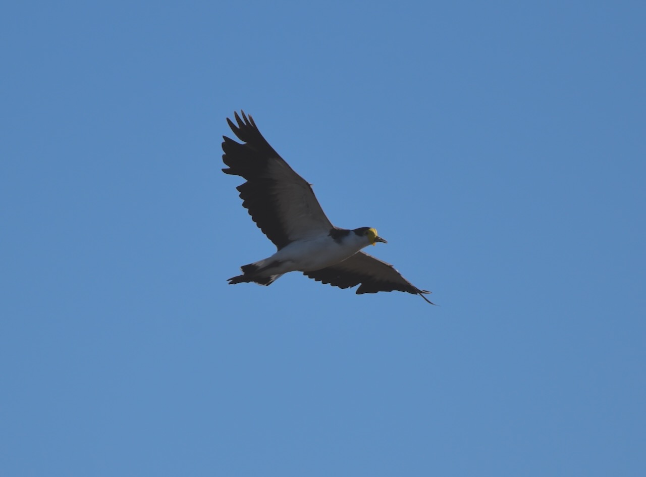
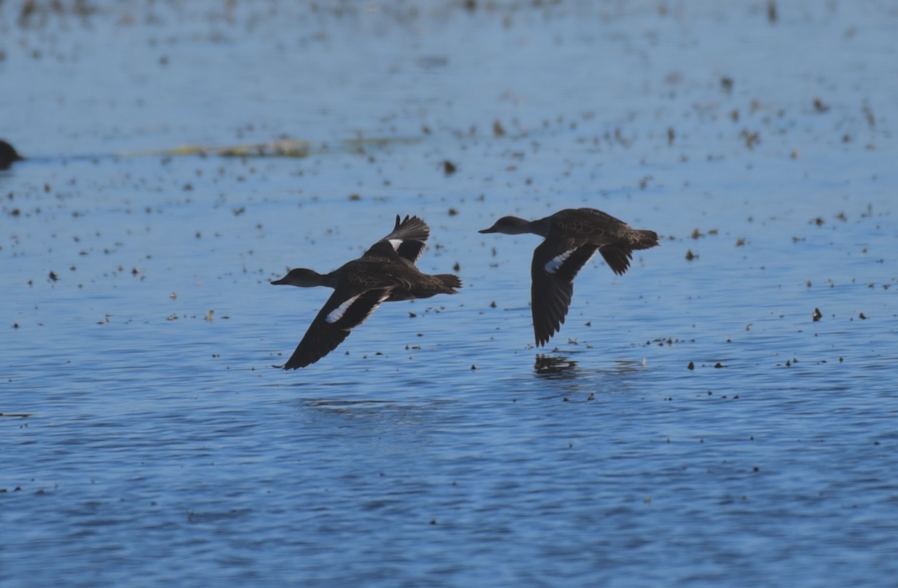
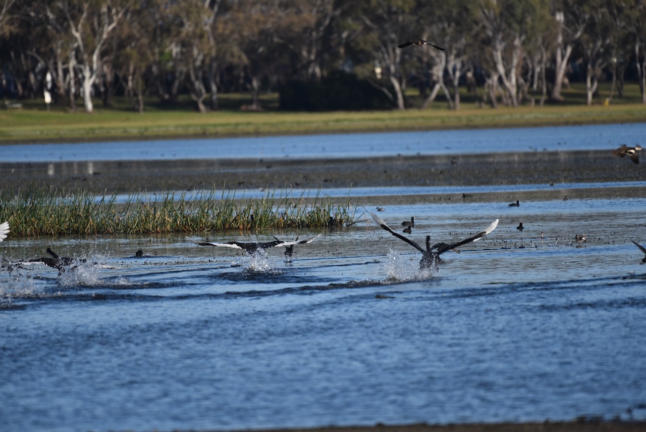
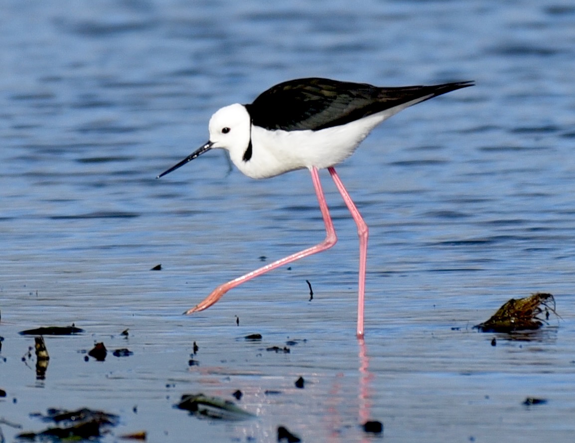
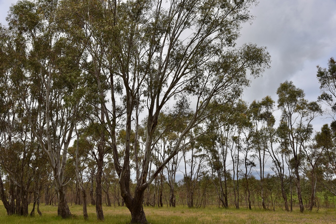
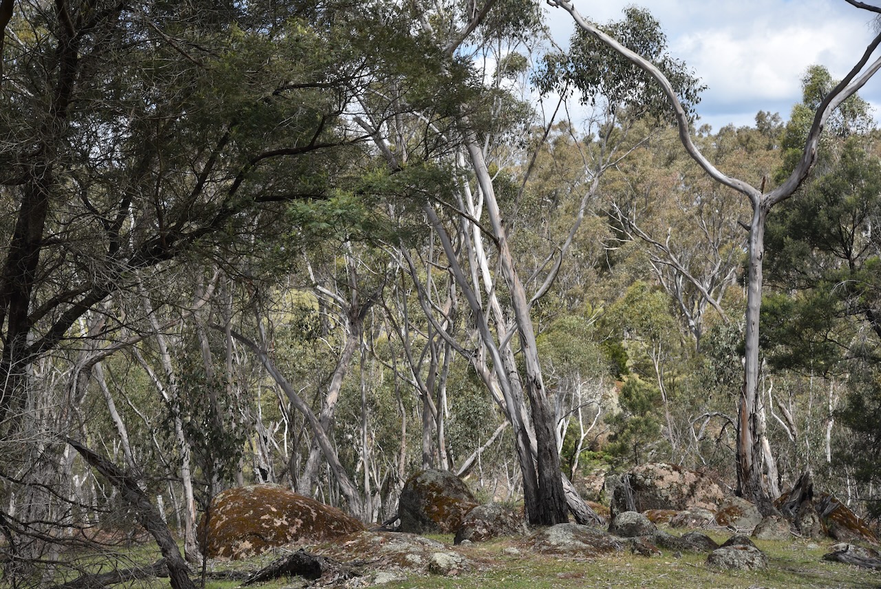
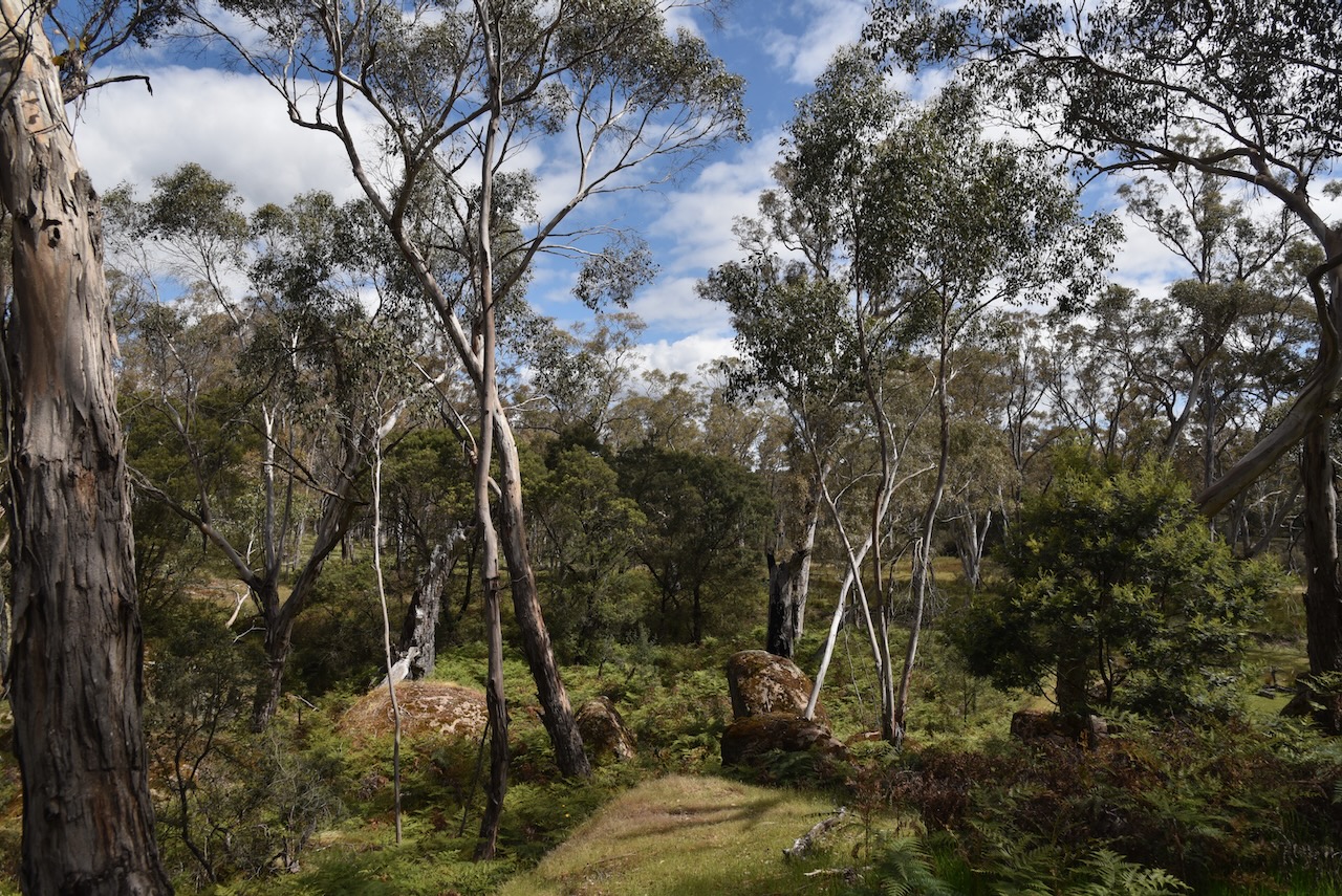
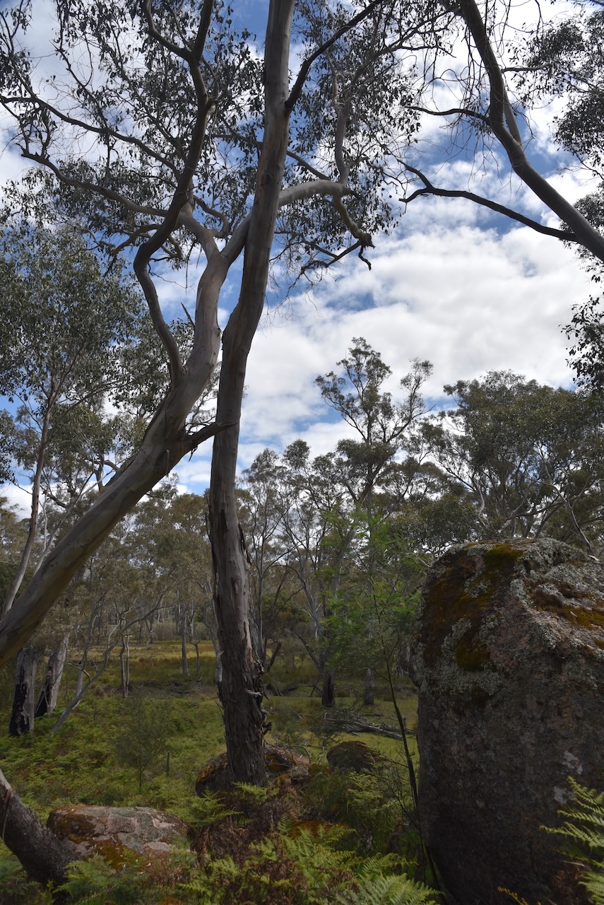
The park contains woodlands, open forests, heaths, and dry swamps. The park is traversed by the Glenelg River. The park is home to echidnas, koalas, eastern grey kangaroos, and sugar gliders. You can also find marbled geckos, eastern blue-tongued lizards and tiger snakes. Birdlife includes the red-tailed black cockatoo, swift parrot and powerful owl. (Wikipedia 2023)

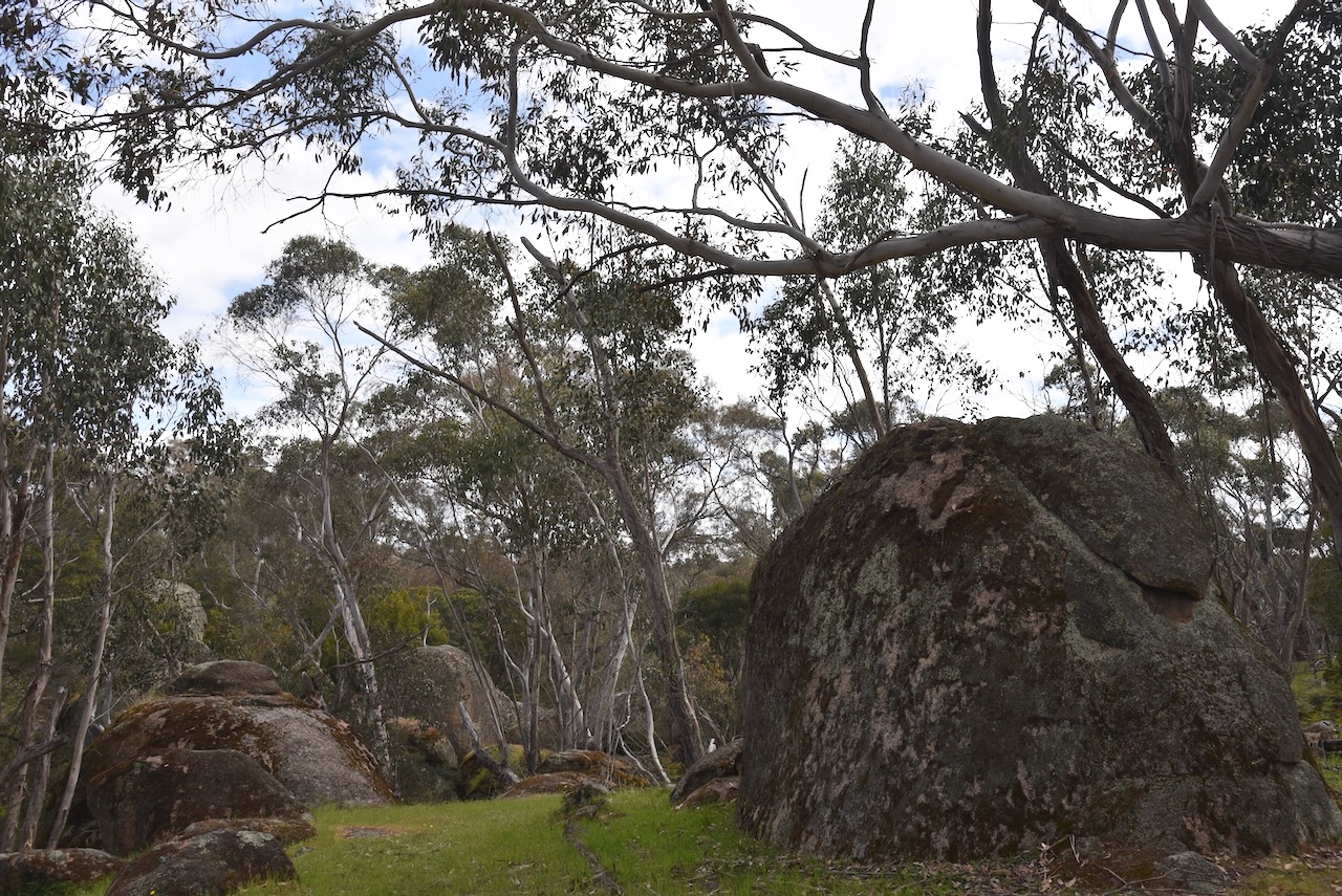
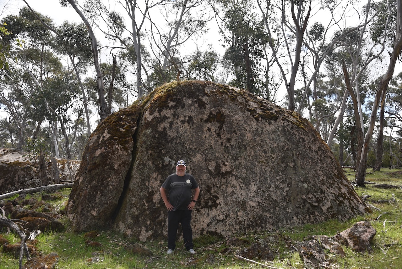
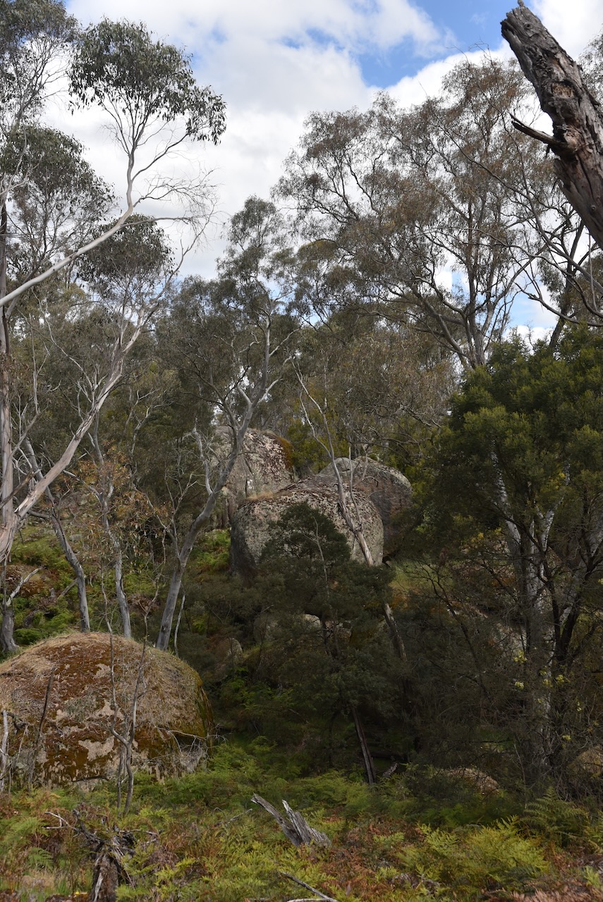
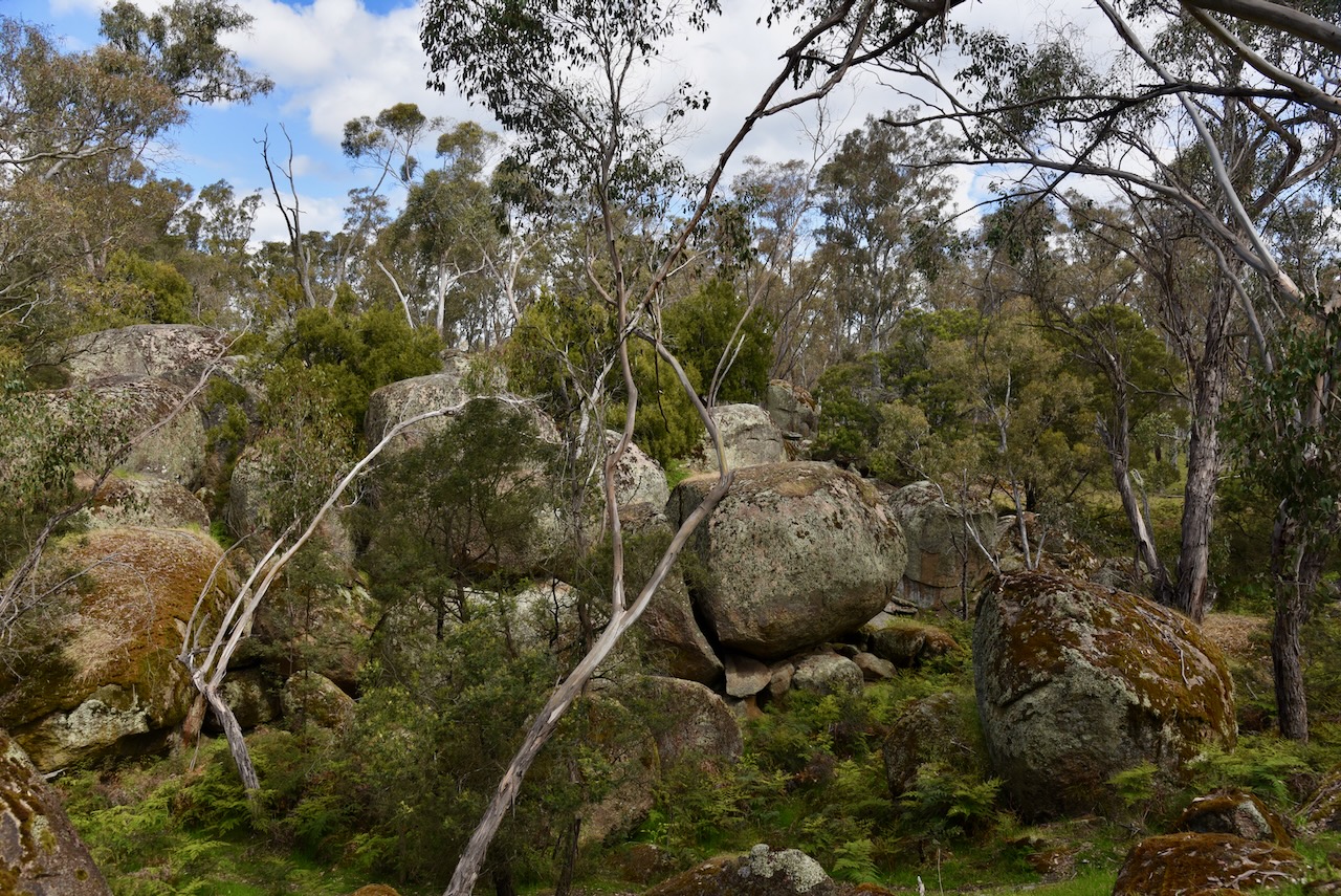
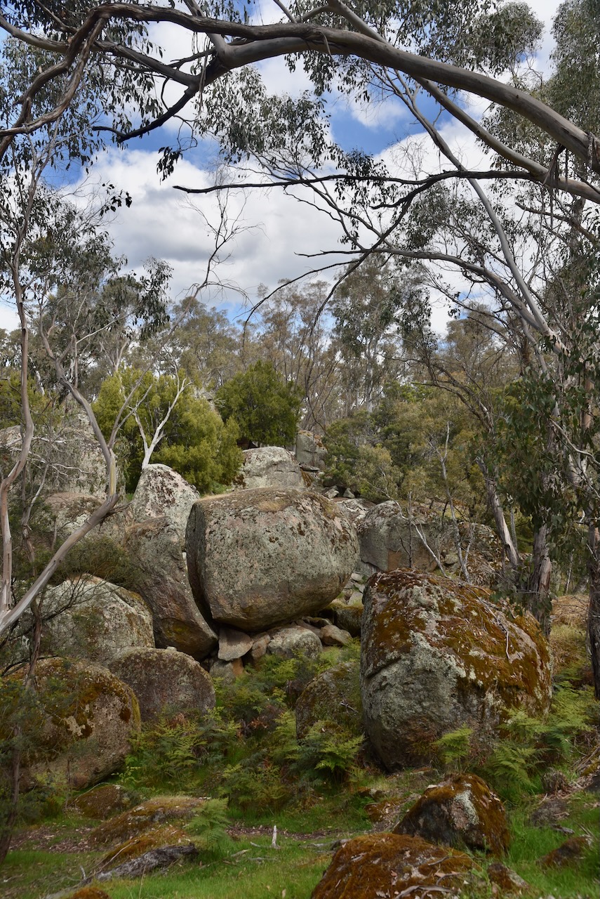
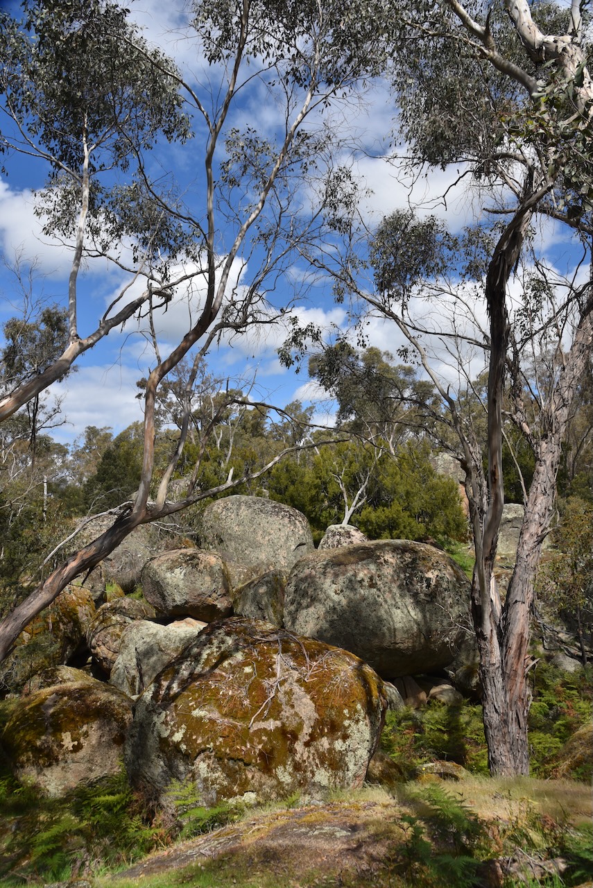
Prior to activating, Marija and I visited Bailey’s Rocks, a series of large 500 million-year-old granite rocks.

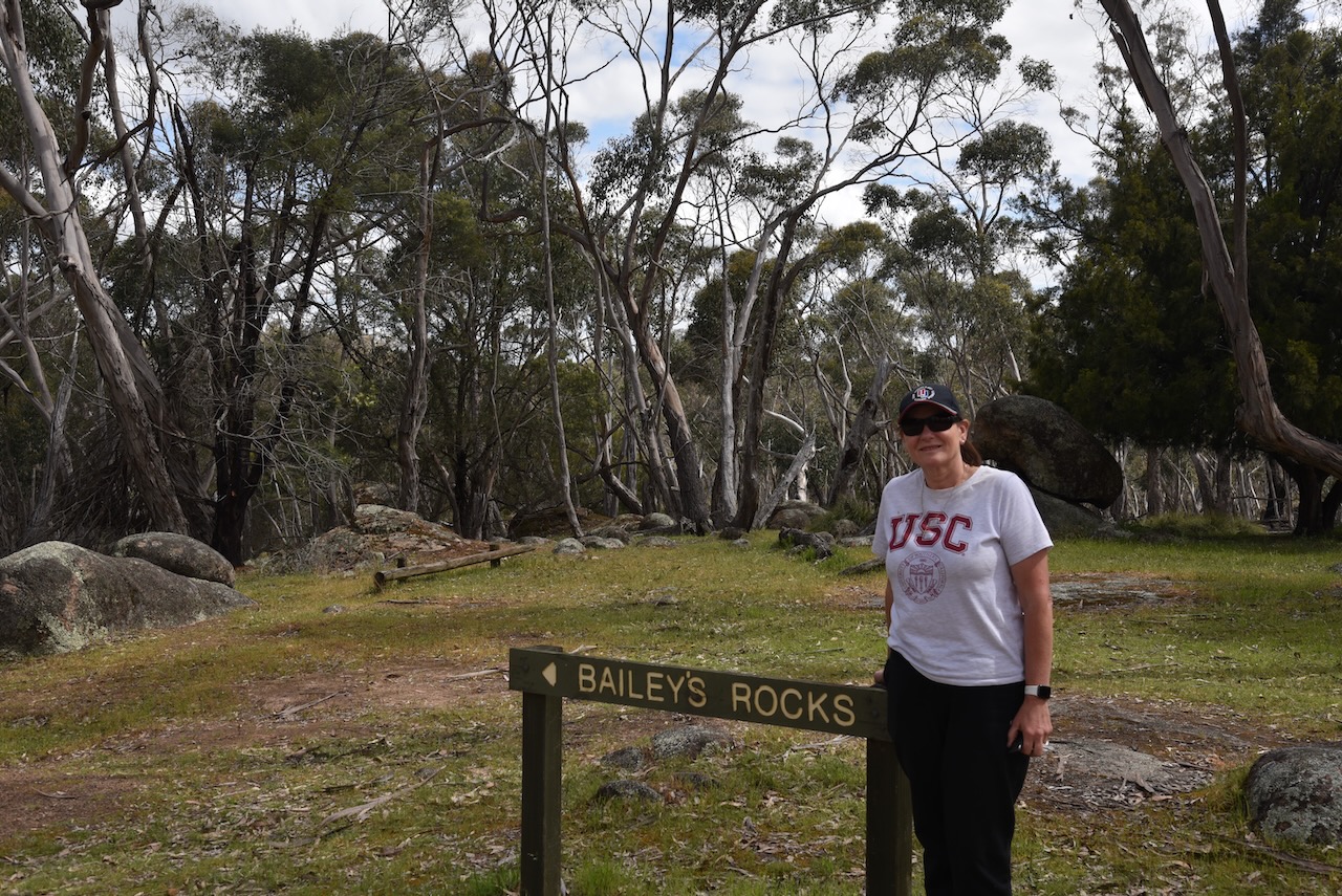
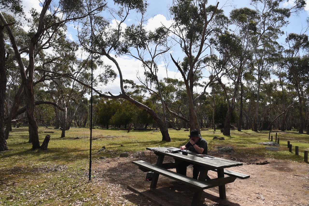
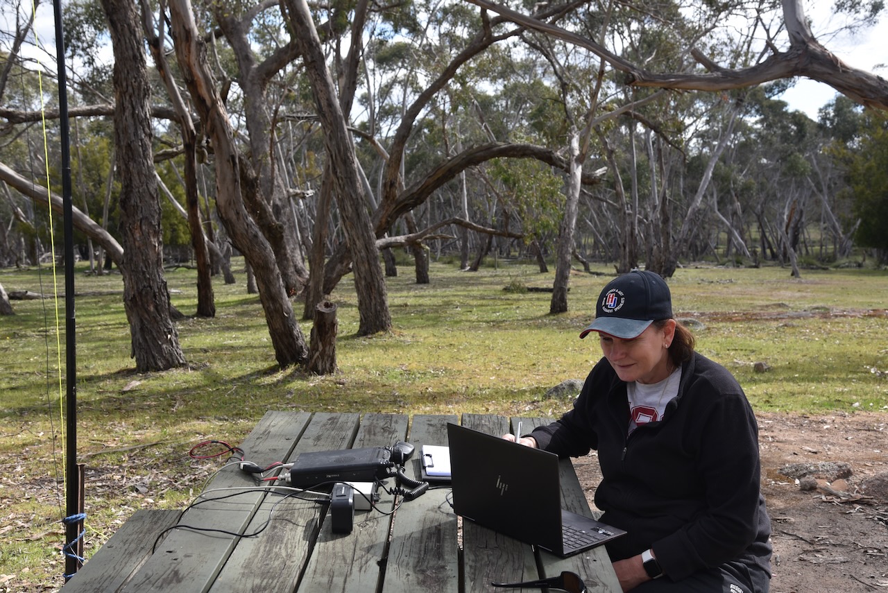
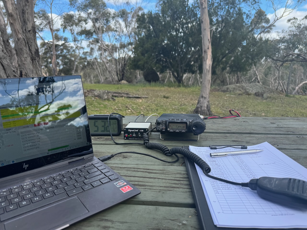
Marija and I operated from the Bailey’s Rocks camping area. We ran the Yaesu FT857, 40 watts, and the 20/40/80m linked dipole.

Marija worked the following stations on 40m SSB:-

  1. VK2HAK
  2. VK2IO/P (VKFF-2903)
  3. VK2GEZ/P (VKFF-2903)
  4. VK3WSG/P (VKFF-5754
  5. VK3PF
  6. VK3CEO
  7. VK5MK
  8. VK5CZ
  9. VK3HJW
  10. VK3YY/P (SOTA VK3/ VT-016)
  11. VK7AN

I worked the following stations on 40m SSB:-

  1. VK2HAK
  2. VK2IO/P (VKFF-2903)
  3. VK2GEZ/P (VKFF-2903)
  4. VK3WSG/P (VKFF-5754
  5. VK3PF
  6. VK3CEO
  7. VK5MK
  8. VK5CZ
  9. VK3HJW
  10. VK3YY/P (SOTA VK3/ VT-016)
  11. VK7AN
  12. VK3VIN
  13. VK7PJM
  14. VK1DI
  15. VK2VAR
  16. VK2GOM
  17. VK3UP
  18. VK5WY/M
  19. VK3APJ
  20. VK7EE
  21. VK1CHW
  22. VK3DL
  23. VK5PE
  24. VK3AMO
  25. VK5HAA
  26. VK3HBG
  27. VK3SQ
  28. VK2BD

I worked the following stations on 20m SSB:-

  1. VK1AO
  2. VK2MET
  3. VK4EW

I worked the following station on 20m FT8:-

  1. F5UOU

I worked the following stations on 40m FT8:-

  1. VK3CEO
  2. VK3APJ
  3. VK5CZ
  4. VK3SQ
  5. VK3PF
  6. VK3KAI
  7. VK3UH
  8. VK3UAO
  9. VK1DI
  10. VK1AO

I worked the following stations on 40m AM:-

  1. VK2IO/P (VKFF-2903)
  2. VK2GEZ/P (VKFF-2903)
  3. VK3SQ
  4. VK2BD

References.

  1. Dcceew.gov.au. (2023). Collaborative Australian Protected Areas Database (CAPAD) 2022 – DCCEEW. [online] Available at: https://www.dcceew.gov.au/environment/land/nrs/science/capad/2022 [Accessed 3 Jun. 2025]
  2. Wikipedia Contributors (2023). Dergholm State Park. Wikipedia.‌

Dergholm Streamside Reserve VKFF-3670

After leaving Powers Creek, we headed for our third park activation for Thursday, 31st October 2024, the Dergholm Streamside Reserve VKFF-3670. The reserve is located in southwest Victoria, about 395 km west of Melbourne.

Above:- Map showing the location of the Dergholm Streamside Reserve. Map c/o Google Maps.

The park is located on the edge of the little town of Dergholm, the home of the Dergholm Guinea flower.

The reserve is located at the end of Quinn Road. The northern boundary of the reserve is the Glenelg River.

Above:- An aerial view of the reserve. Image c/o Google Earth.

The Glenelg River rises in the Grampian Mountains and flows generally north, then west, then south, for over 350 km. It is the longest river in southwest Victoria and the third longest in Victoria. The river was named by Major Thomas Mitchell in 1836 after Colonial Secretary Baron Glenelg, Charles Grant. (Wikipedia, 2019)

Above:- Charles Grant, 1st Baron Glenelg. Image c/o Wikipedia

We accessed the park via Quinn Road, off Casterton-Apsley Road.

The reserve is about 7 hectares in size and was established on the 26th day of June 1984. (CAPAD 2022)

There were numerous small native flowers in bloom in the park during our visit.

Sadly, the band conditions were still very poor. We ran the Yaesu FT857, 40 watts, and the 20/40/80m linked dipole.

I worked the following stations on 40m SSB:-

  1. VK3XXY
  2. VK5CZ
  3. VK2USH/P (VKFF-2062)
  4. VK3SQ
  5. VK2BD
  6. VK1AO
  7. VK2MWT
  8. VK3CEO
  9. VK3TDX
  10. VK3WSG/P (VKFF-5754)
  11. VK7PJM

I worked the following station on 20m SSB:-

  1. ZL3MR

I worked the following stations on 40m FT8:-

  1. VK3KAI
  2. VK3CEO
  3. VK2VAR
  4. VK3PF
  5. VK3APJ
  6. VK2GOM
  7. VK3SQ
  8. VK3MCA
  9. VK3KRL

References.

  1. Dcceew.gov.au. (2023). Collaborative Australian Protected Areas Database (CAPAD) 2022 – DCCEEW. [online] Available at: https://www.dcceew.gov.au/environment/land/nrs/science/capad/2022 [Accessed 3 Jun. 2025].‌
  2. Wikipedia. (2019). Glenelg River (Victoria). [online] Available at: https://en.wikipedia.org/wiki/Glenelg_River_(Victoria). [Accessed 3 Jun. 2025]‌

Powers Creek School Bushland Reserve VKFF-5744

After leaving Hurleys Bank Wildlife Reserve on Thursday, 31st October 2024, we headed back into Edenhope and visited the Edenhope Visitor Information Centre. The lady who was volunteering for at the centre for the day was very friendly and incredibly informative.

The centre is located in the former Edenhope Courthouse, which was built in 1878. You can also view the old wooden prison lockup that was built between 1860 and 1870. (Visit Wimmera Mallee, 2025)

The museum has a good collection of cricket memorabilia, particularly related to the Aboriginal cricket team that toured England in 1868.

We then headed to our second park activation for the day, the Powers Creek School Bushland Reserve VKFF-5744. The reserve is about 20 km south of Edenhope.

Above:- Map showing the location of Powers Creek School Bushland Reserve. Map c/o Google Maps.

I have been unable to find out any information on this particular Powers Creek. There is another Powers Creek in the Gippsland region of Victoria.

The reserve is located at the intersection of Powers Creek-Bourke Bridge Road, Dergholm-Edenhope Road, and Kadnook Track.

Above:- An aerial view of Powers Creek School Bushland Reserve. Image c/o Google Earth.

The reserve is about 3 hectares in size and was established on the 22nd day of November 1983. (CAPAD 2022)

The reserve contains a monument for the Powers Creek State School, which opened on the 1st day of April 1880 and closed on the 22nd day of October 1911.

Marija and I were hoping to spot some Red-tailed Black Cockatoos. Unfortunately, we were not so lucky, but we did see several Yellow-tailed Black Cockatoos and Long-billed Corellas.

The park had an unlocked gate. We set up just inside the gate and ran the Yaesu FT857, 40 watts, and the 20/40/80m linked dipole.

Sadly, the band conditions were very poor, and it started raining during the activation, so we packed up and headed off to activate another park.

Marija worked the following stations on 40m SSB:-

  1. VK3CEO
  2. VK3PF
  3. VK3KAI
  4. VK3SQ
  5. VK2BD
  6. VK2IO/P (VKFF-1816)
  7. VK2GEZ/P (VKFF-1816)

Marija worked the following stations on 20m SSB:-

  1. VK1AO
  2. VK2MET
  3. ZL3MR

I worked the following stations on 40m SSB:-

  1. VK3CEO
  2. VK3PF
  3. VK3KAI
  4. VK3SQ
  5. VK2BD
  6. VK2IO/P (VKFF-1816)
  7. VK2GEZ/P (VKFF-1816)
  8. VK5MOS
  9. VK1CHW

I worked the following stations on 20m SSB:-

  1. VK1AO
  2. VK2MET
  3. ZL3MR
  4. VK4EMP
  5. VK4TI
  6. VK4GKO
  7. VK2VW
  8. VK2HFI
  9. VK2AKA
  10. VK2BUG

I worked the following stations on 20m FT8:-

  1. VK1AO
  2. VK7XX
  3. VK2MET

I worked the following stations on 40m FT8:-

  1. VK3CEO
  2. VK1DI
  3. VK1AD
  4. VK1AO
  5. VK3PF
  6. VK1CHW
  7. VK1NAM
  8. VK3KAI
  9. VK3MCA

References.

  1. Dcceew.gov.au. (2023). Collaborative Australian Protected Areas Database (CAPAD) 2022 – DCCEEW. [online] Available at: https://www.dcceew.gov.au/environment/land/nrs/science/capad/2022 [Accessed 3 Jun. 2025].‌
  2. Visit Wimmera Mallee. (2025). Edenhope Information Centre and Courthouse – Visit Wimmera Mallee. [online] Available at: https://visitwimmeramallee.com.au/business-listing/edenhope-information-centre-and-courthouse/ [Accessed 3 Jun. 2025].‌

Hurleys Bank Wildlife Reserve VKFF-5152

It was now Thursday, 31st October 2024, and getting towards the end of our Bendigo trip. We had breakfast at the cabin and enjoyed the view of Lake Wallace from our front verandah. The lake was teeming with birdlife, but they were very squittish and it was difficult to get close for some good photographs.

After breakfast, we headed to our first park activation for the day, the Hurleys Bank Wildlife Reserve VKFF-5152. The park is just 2.5 km east of Edenhope in southwest Victoria.

Above:- Map showing the location of Hurleys Bank Wildlife Reserve. Map c/o Google Maps.

The reserve is located on the southern side of Scrubby Lake Road.

Above:- An aerial view of Hurleys Bank Wildlife Reserve. Image c/o Google Earth.

The reserve is about 22 hectares in size and was established on the 22nd day of November 1983. (CAPAD 2022)

There was a fence surrounding the park, so we sought permission from the farmer to access the reserve. We ran the Yaesu FT857, 40 watts, and the 20/40/80m linked dipole.

Marija worked the following stations on 40m SSB:-

  1. VK7PJM
  2. VK3PF
  3. VK3KAI
  4. VK1DI
  5. VK3VIN
  6. VK2IO/P (VKFF-1816)
  7. VK2GEZ/P (VKFF-1816)
  8. VK2AB
  9. VK3APJ
  10. VK4NH
  11. VK4DXA
  12. VK3CEO
  13. VK1CHW
  14. VK3WSG/P (VKFF-5752)

Marija worked the following stations on 20m SSB:-

  1. VK3WSG/P (VKFF-5752)

I worked the following stations on 40m SSB:-

  1. VK7PJM
  2. VK3PF
  3. VK3KAI
  4. VK1DI
  5. VK3VIN
  6. VK2IO/P (VKFF-1816)
  7. VK2GEZ/P (VKFF-1816)
  8. VK2AB
  9. VK3APJ
  10. VK4NH
  11. VK4DXA
  12. VK3CEO
  13. VK1CHW
  14. VK3WSG/P (VKFF-5752)
  15. VK2VW
  16. VK2HFI
  17. VK2AKA
  18. VK2BUG
  19. VK3SQ
  20. VK2BD
  21. VK3GYH
  22. VK3HJW
  23. VK3MCK

I worked the following stations on 40m AM:-

  1. VK3APJ
  2. VK3PF
  3. VK3KAI
  4. VK3WSG/P (VKFF-5752)

I worked the following stations on 40m FT8:-

  1. VK1DI
  2. VK3CEO
  3. VK3PF
  4. VK3UAO
  5. VK3PJ
  6. VK3KAI
  7. VK2VAR
  8. VK2GOM
  9. VK3BAP

I worked the following stations on 20m SSB:-

  1. VK2VW
  2. VK2HFI
  3. VK2AKA
  4. VK2BUG
  5. VK4EMP
  6. VK4TI
  7. VK4GKO
  8. VK1AO
  9. VK2MET

References.

  1. Dcceew.gov.au. (2023). Collaborative Australian Protected Areas Database (CAPAD) 2022 – DCCEEW. [online] Available at: https://www.dcceew.gov.au/environment/land/nrs/science/capad/2022 [Accessed 3 Jun. 2025].‌