
After leaving Powers Creek, we headed for our third park activation for Thursday, 31st October 2024, the Dergholm Streamside Reserve VKFF-3670. The reserve is located in southwest Victoria, about 395 km west of Melbourne.
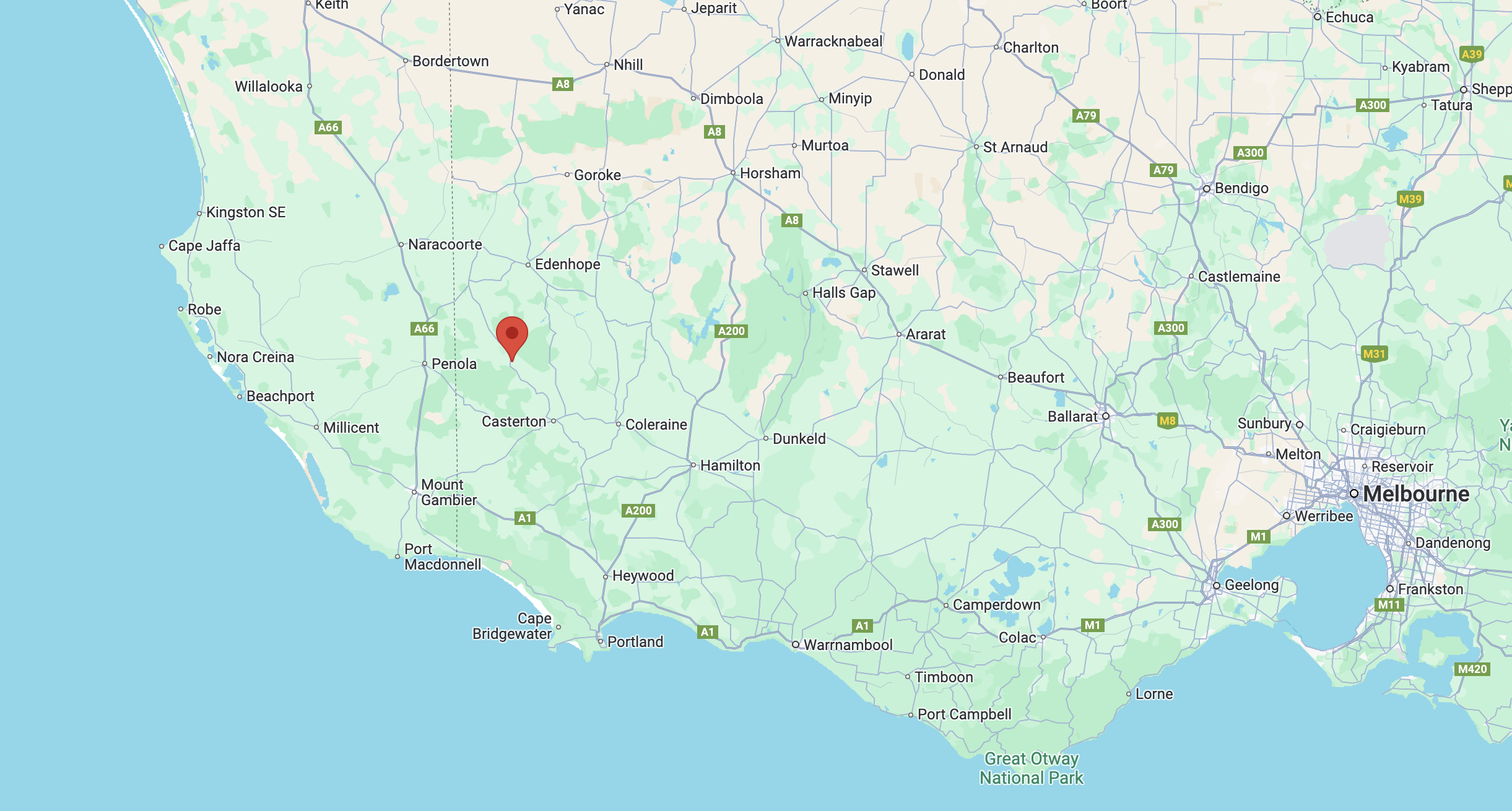
Above:- Map showing the location of the Dergholm Streamside Reserve. Map c/o Google Maps.
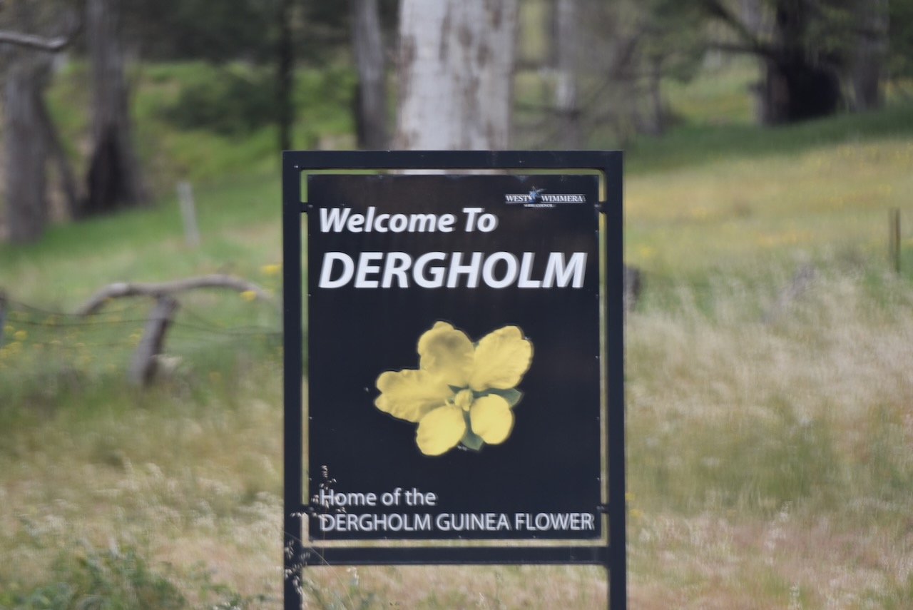
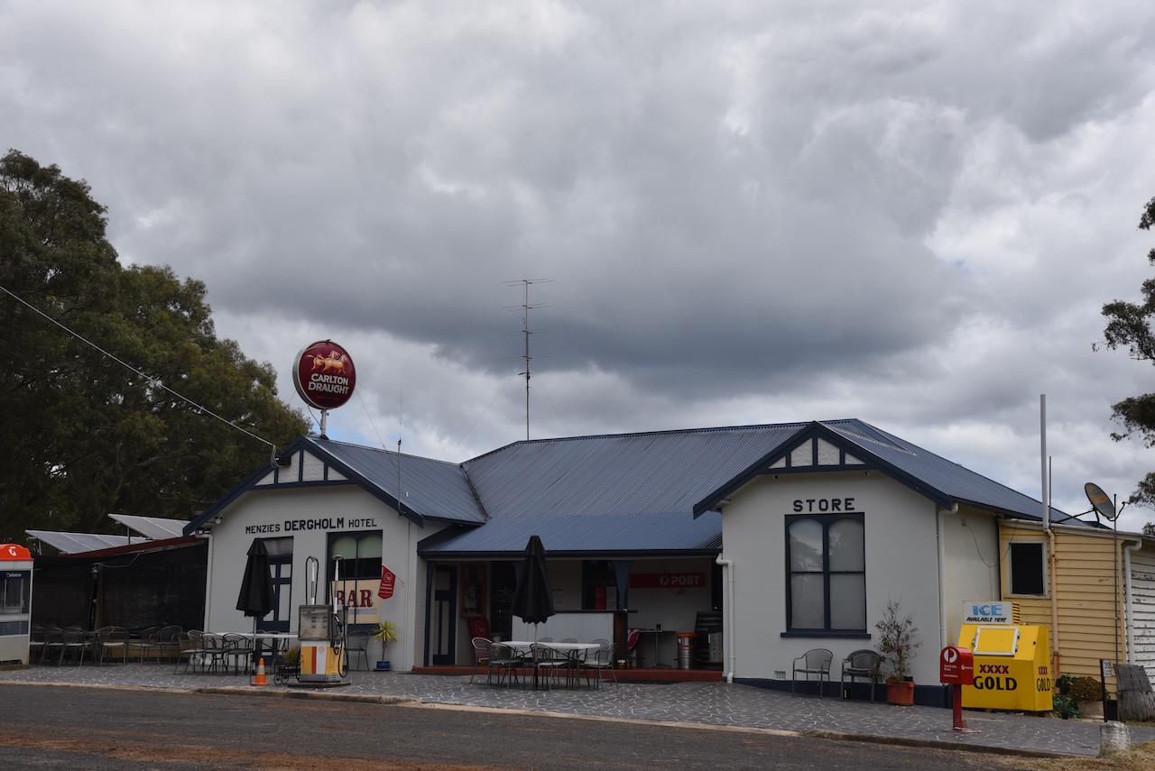
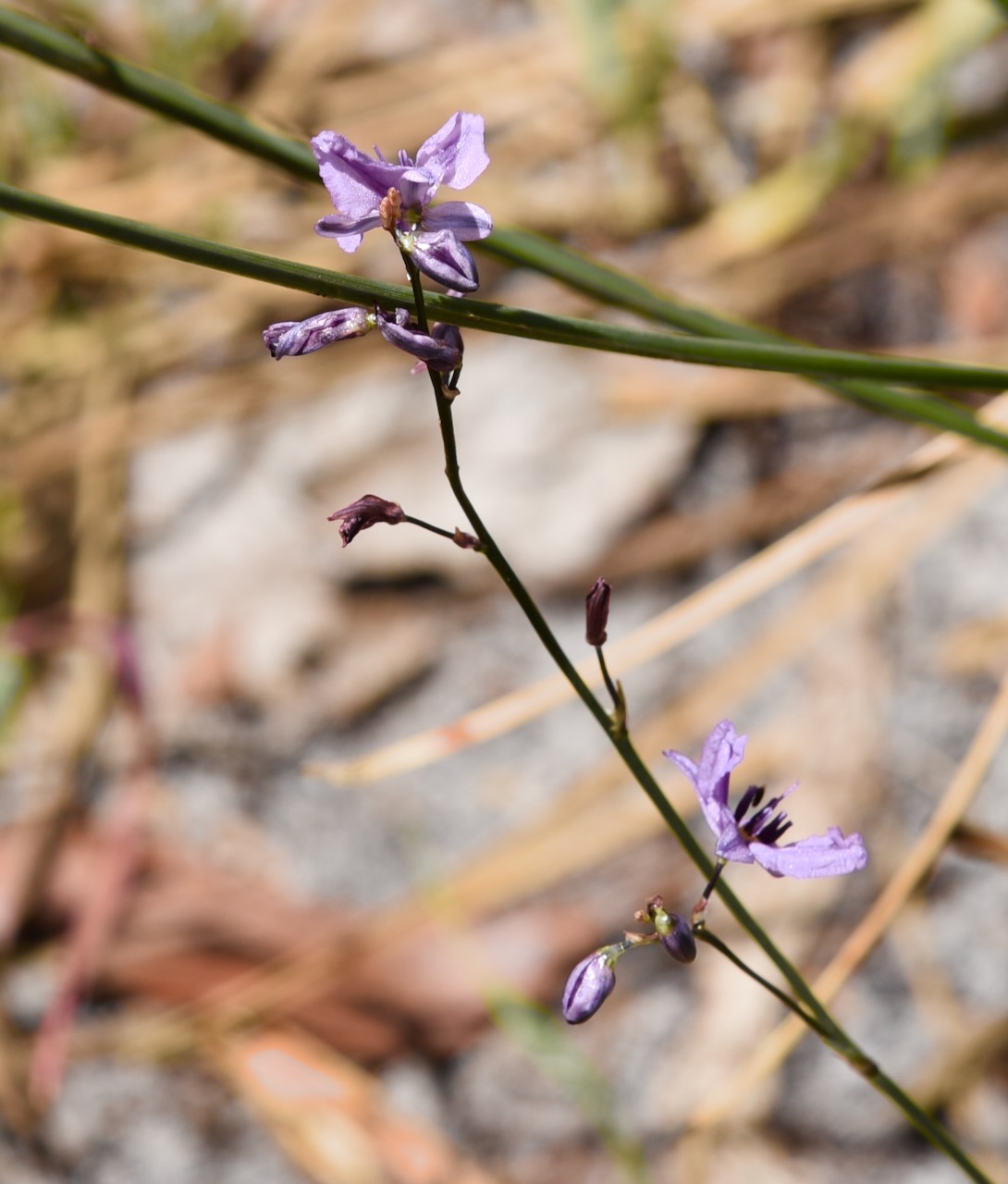
The park is located on the edge of the little town of Dergholm, the home of the Dergholm Guinea flower.
The reserve is located at the end of Quinn Road. The northern boundary of the reserve is the Glenelg River.
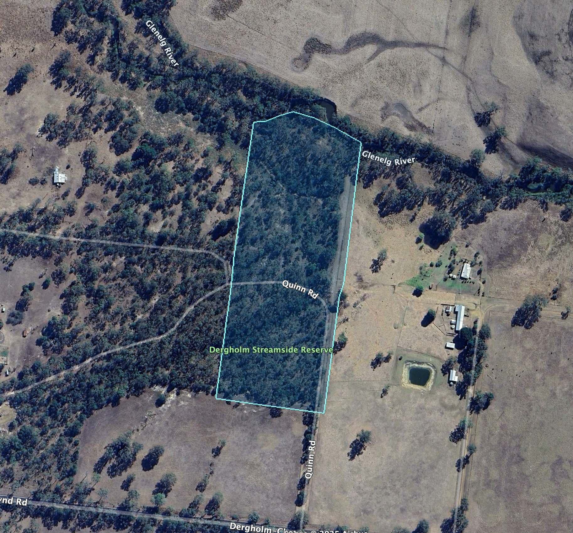
Above:- An aerial view of the reserve. Image c/o Google Earth.
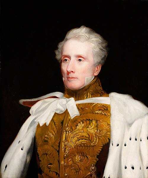
The Glenelg River rises in the Grampian Mountains and flows generally north, then west, then south, for over 350 km. It is the longest river in southwest Victoria and the third longest in Victoria. The river was named by Major Thomas Mitchell in 1836 after Colonial Secretary Baron Glenelg, Charles Grant. (Wikipedia, 2019)
We accessed the park via Quinn Road, off Casterton-Apsley Road.
The reserve is about 7 hectares in size and was established on the 26th day of June 1984. (CAPAD 2022)
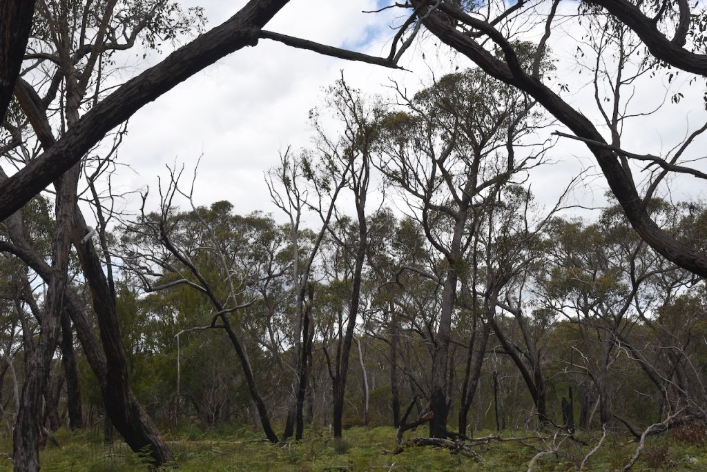
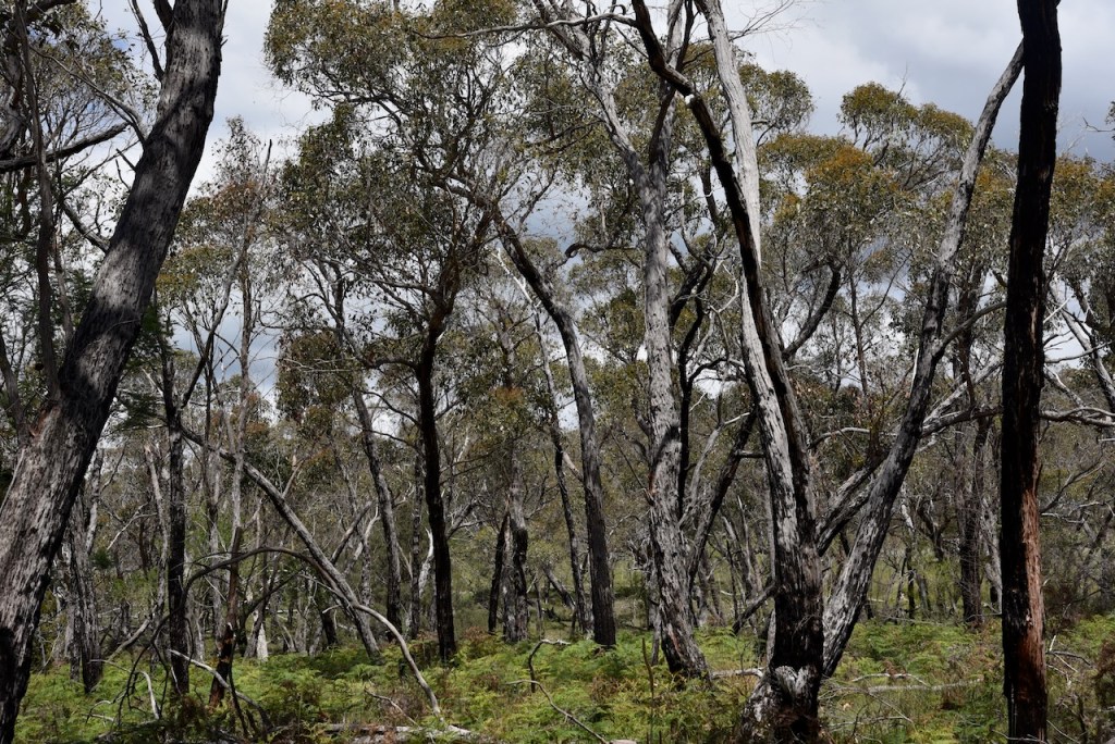
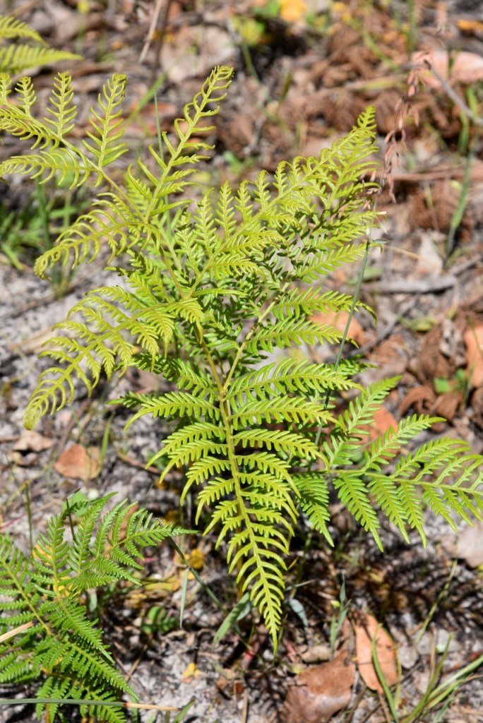
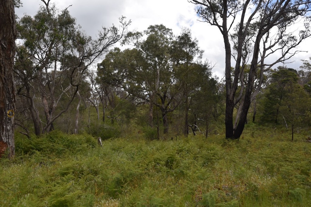
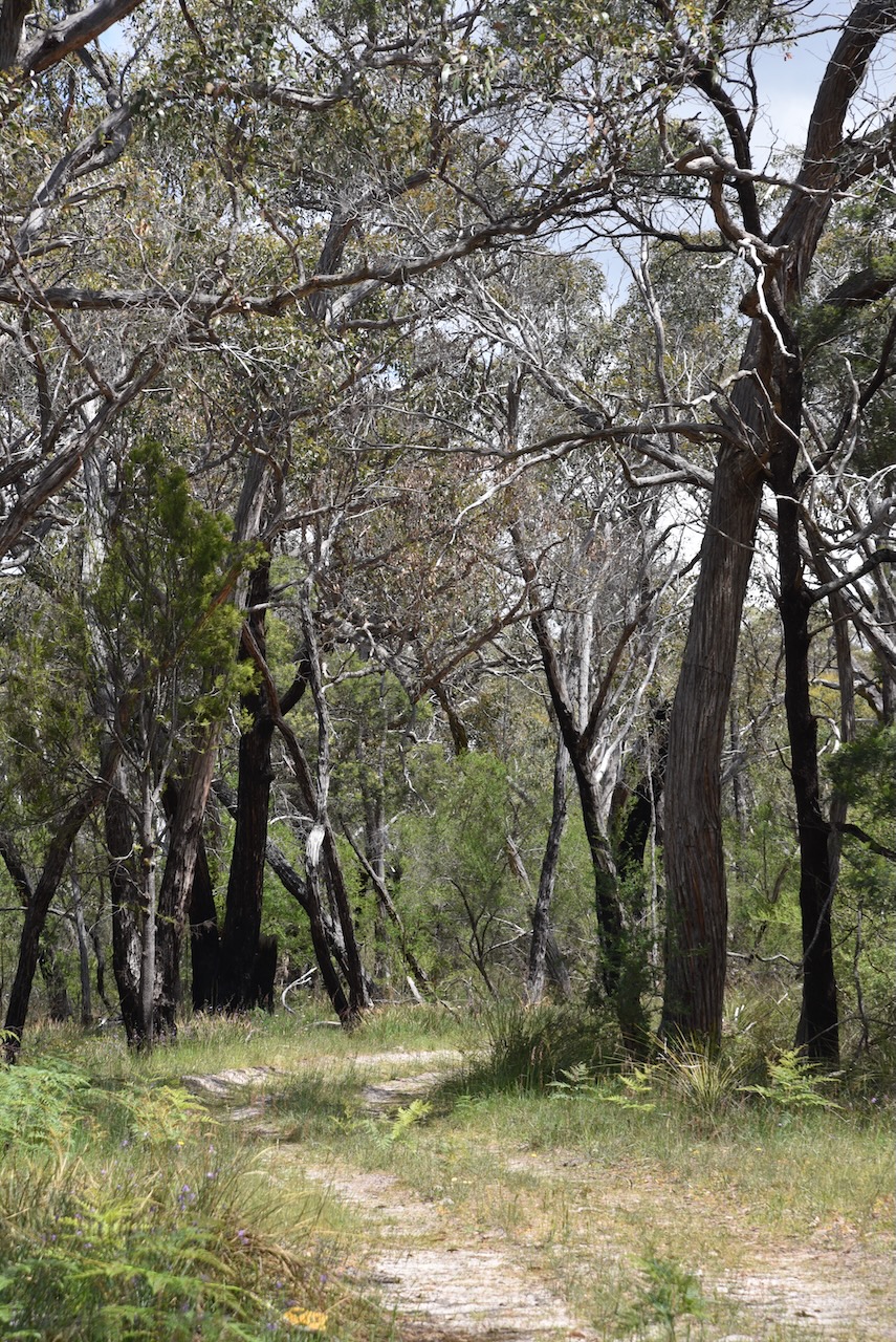
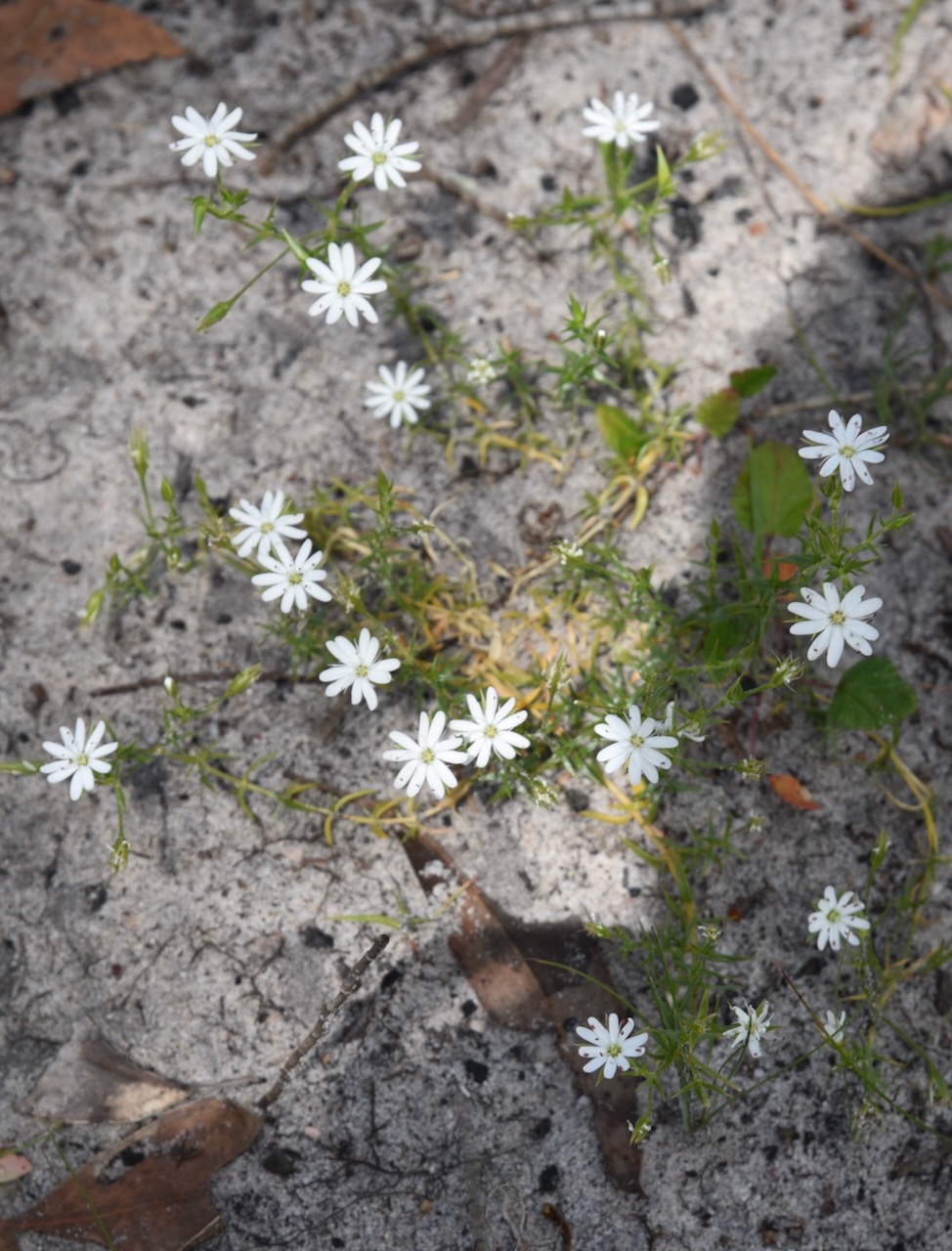
There were numerous small native flowers in bloom in the park during our visit.
Sadly, the band conditions were still very poor. We ran the Yaesu FT857, 40 watts, and the 20/40/80m linked dipole.
I worked the following stations on 40m SSB:-
- VK3XXY
- VK5CZ
- VK2USH/P (VKFF-2062)
- VK3SQ
- VK2BD
- VK1AO
- VK2MWT
- VK3CEO
- VK3TDX
- VK3WSG/P (VKFF-5754)
- VK7PJM
I worked the following station on 20m SSB:-
- ZL3MR
I worked the following stations on 40m FT8:-
- VK3KAI
- VK3CEO
- VK2VAR
- VK3PF
- VK3APJ
- VK2GOM
- VK3SQ
- VK3MCA
- VK3KRL
References.
- Dcceew.gov.au. (2023). Collaborative Australian Protected Areas Database (CAPAD) 2022 – DCCEEW. [online] Available at: https://www.dcceew.gov.au/environment/land/nrs/science/capad/2022 [Accessed 3 Jun. 2025].
- Wikipedia. (2019). Glenelg River (Victoria). [online] Available at: https://en.wikipedia.org/wiki/Glenelg_River_(Victoria). [Accessed 3 Jun. 2025]
