Our next activation for Friday, 1st November 2024, was the School Swamp Wildlife Reserve VKFF-5819. The reserve is located about 13 km north of Edenhope in southwest Victoria.
Above:- Map showing the location of School Swamp Wildlife Reserve. Map c/o Google Maps.
The reserve is located on the southern side of Old School Lane, which runs off Kaniva-Edenhope Road.
Above:- an aerial view of the School Swamp Wildlife Reserve. Image c/o Google Earth.
The reserve is about 30 hectares in size and was established on the 22nd day of November 1983. (CAPAD 2022)
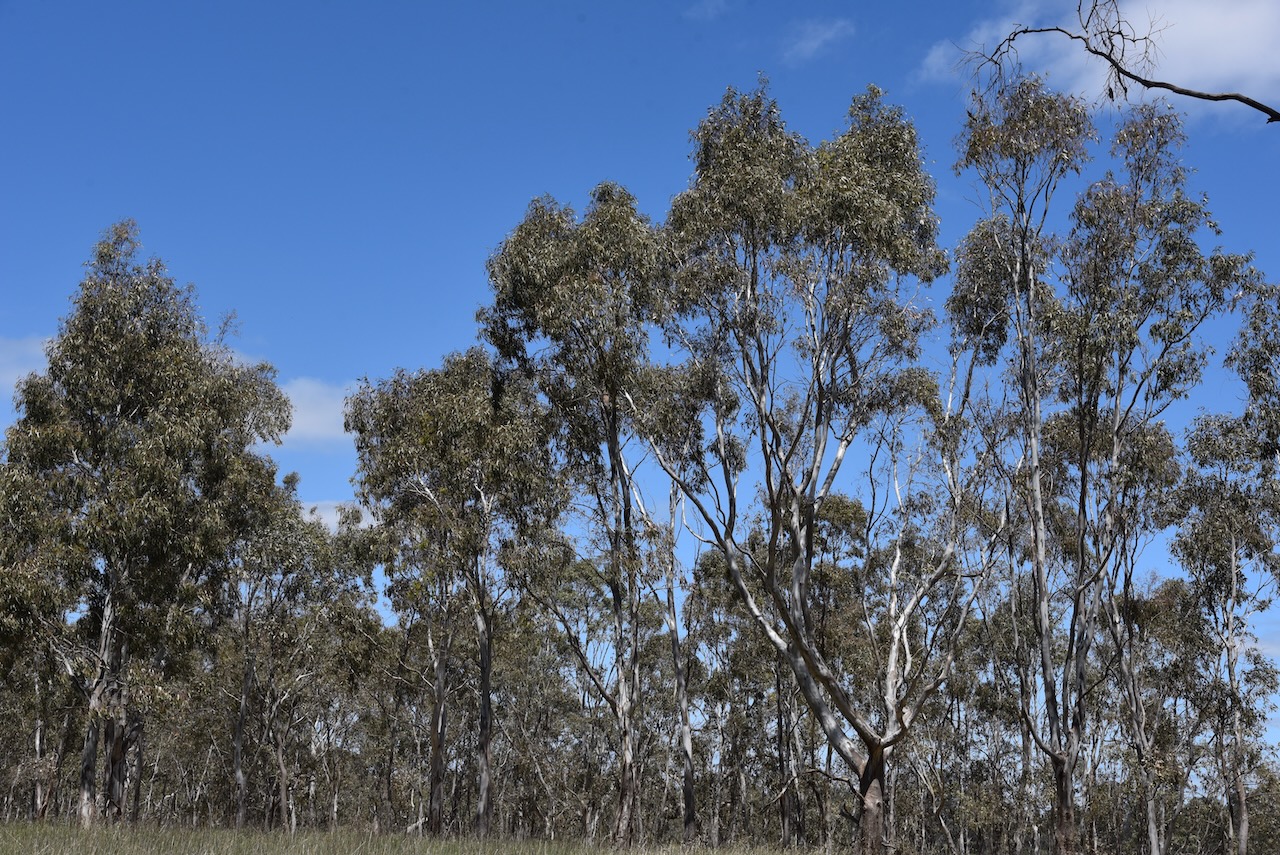
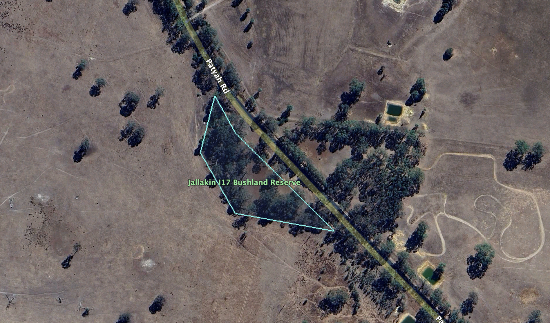
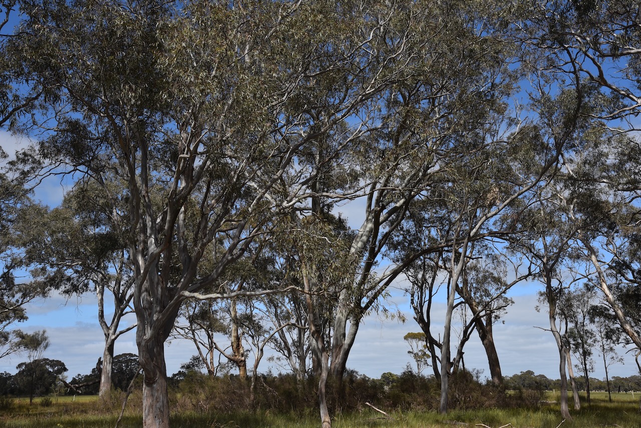
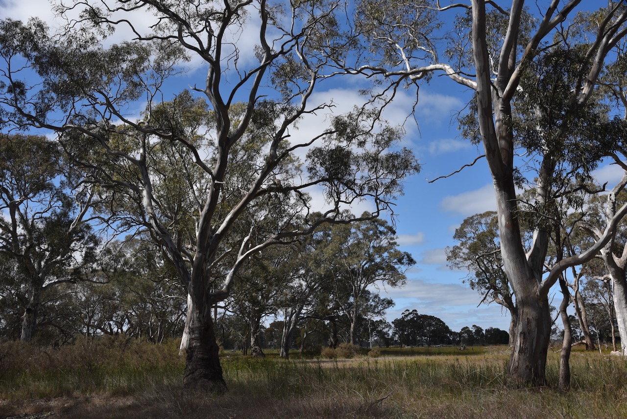
Our next park for Friday, 1st November 2024, was the Jallakin I17 Bushland Reserve VKFF-5166. The reserve is located about 8 km north of Edenhope in southwest Victoria.
Above:- Map showing the location of the Jallakin I17 Bushland Reserve. Map c/o Google Maps.
The Jallakin I17 Bushland Reserve is located on the western side of Patyah Road.
Above:- An aerial view of the Jallakin I17 Bushland Reserve. Map c/o Google Maps.
Jallakin is an Aboriginal word meaning kangaroo rat. (Blake 1978)
The reserve is about 7 hectares in size and was established on the 22nd day of November 1983. (CAPAD 2022)
We arrived at the park just before the UTC rollover, which we decided to take advantage of. Contacts made on either side of the UTC rollover would count towards our 10 QSOs and 44 QSOs required to qualify the park. We called CQ from the 4WD before setting up our normal portable station outside of the vehicle and logged 14 stations.
We then set up the fold-up table, deck chair, the Yaesu FT857, 40 watts, and the 20/40/80m linked dipole.
Marija worked the following stations on 40m SSB before the UTC rollover:-
VK3PF
VK3KAI
VK3CEO
VK2SLB
VK2BRN
VK2KBT
VK3DL
VK5DW
Marija worked the following stations on 40m SSB after the UTC rollover:-
VK5DW
VK2HRX/P (SOTA VK1/ AC-023 & VKFF-0054)
VK3PF
VK3KAI
VK1AD/P (SOTA VK2/ ST-001)
VK1NAM/P (SOTA VK2/ ST-001)
I worked the following stations on 40m SSB before the UTC rollover:-
VK3PF
VK3KAI
VK3CEO
VK2SLB
VK2BRN
VK2KBT
VK3DL
VK5DW
I worked the following stations on 40m SSB after the UTC rollover:-
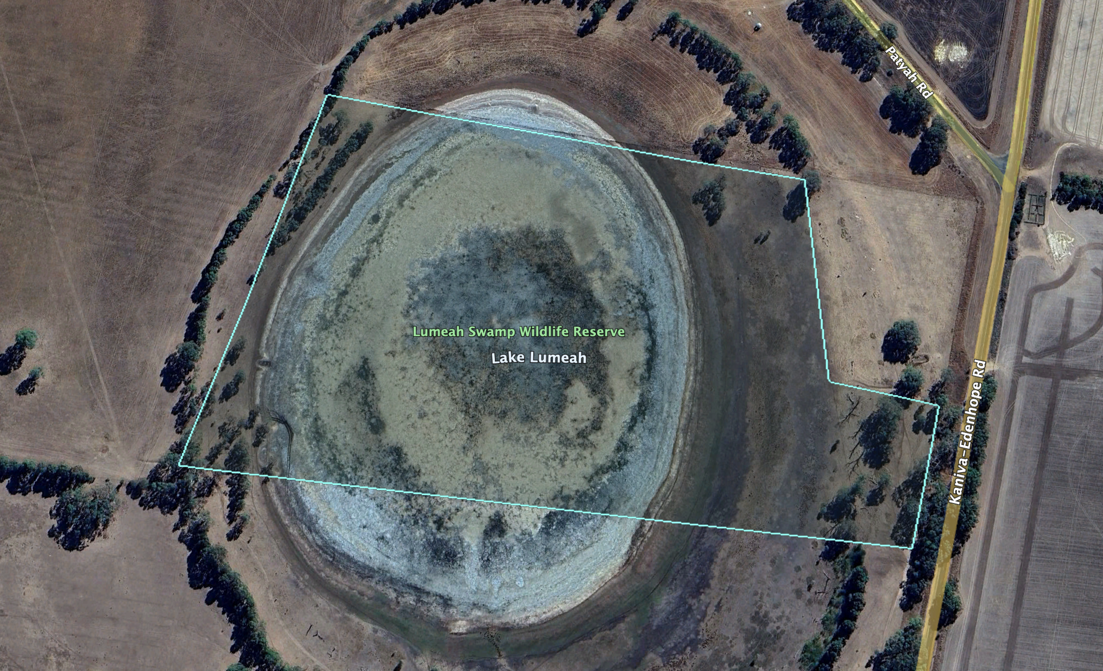
Our second park for Friday, 1st November 2024, was the Lumeah Swamp Wildlife Reserve VKFF-5401. The reserve is located just to the north of Edenhope in southwest Victoria.
Above:- Map showing the location of Lumeah Swamp Wildlife Reserve. Map c/o Google Maps
The Lumeah Swamp Wildlife Reserve is located on the corner of Kaniva-Edenhope Road and Patyah Road.
Above:- An aerial view of the Lumeah Swamp Wildlife Reserve. Image c/o Google Earth
The reserve is about 19 hectares in size and was established on the 22nd day of November 1983. (CAPAD 2022)
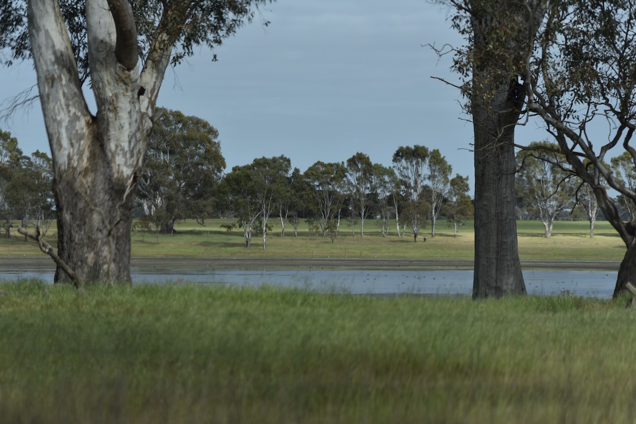
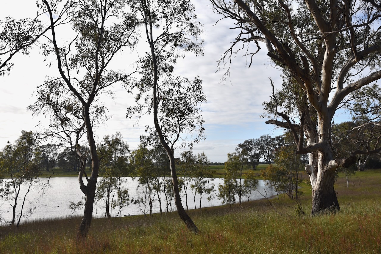
Our first park activation for Friday, 1st November 2024, was Sheepwash Wildlife Reserve VKFF-2437, located just to the north of Edenhope in southwest Victoria.
Above:- Map showing the location of Sheepwash Wildlife Reserve. Map c/o Google Maps.
The Sheepwash Wildlife Reserve is situated on the eastern side of the Kaniva-Edenhope Road.
Above:- an aerial view of the reserve. Image c/o Google Earth.
The reserve is about 12 hectares in size and was established on the 22nd day of November 1983. (CAPAD 2022)
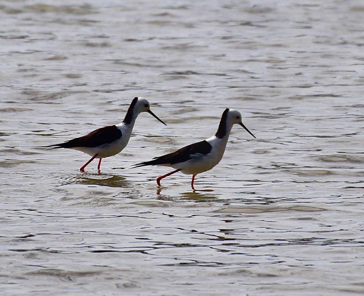
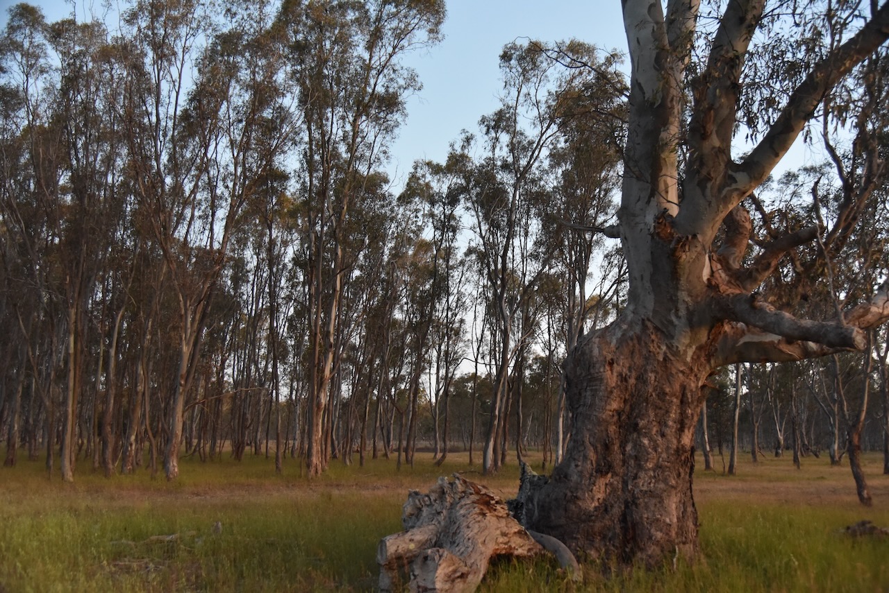
The swamp was full of water during our visit and alive with birdlife.
We ran the Yaesu FT857, 40 watts, and the 20/40/80m linked dipole for this activation.
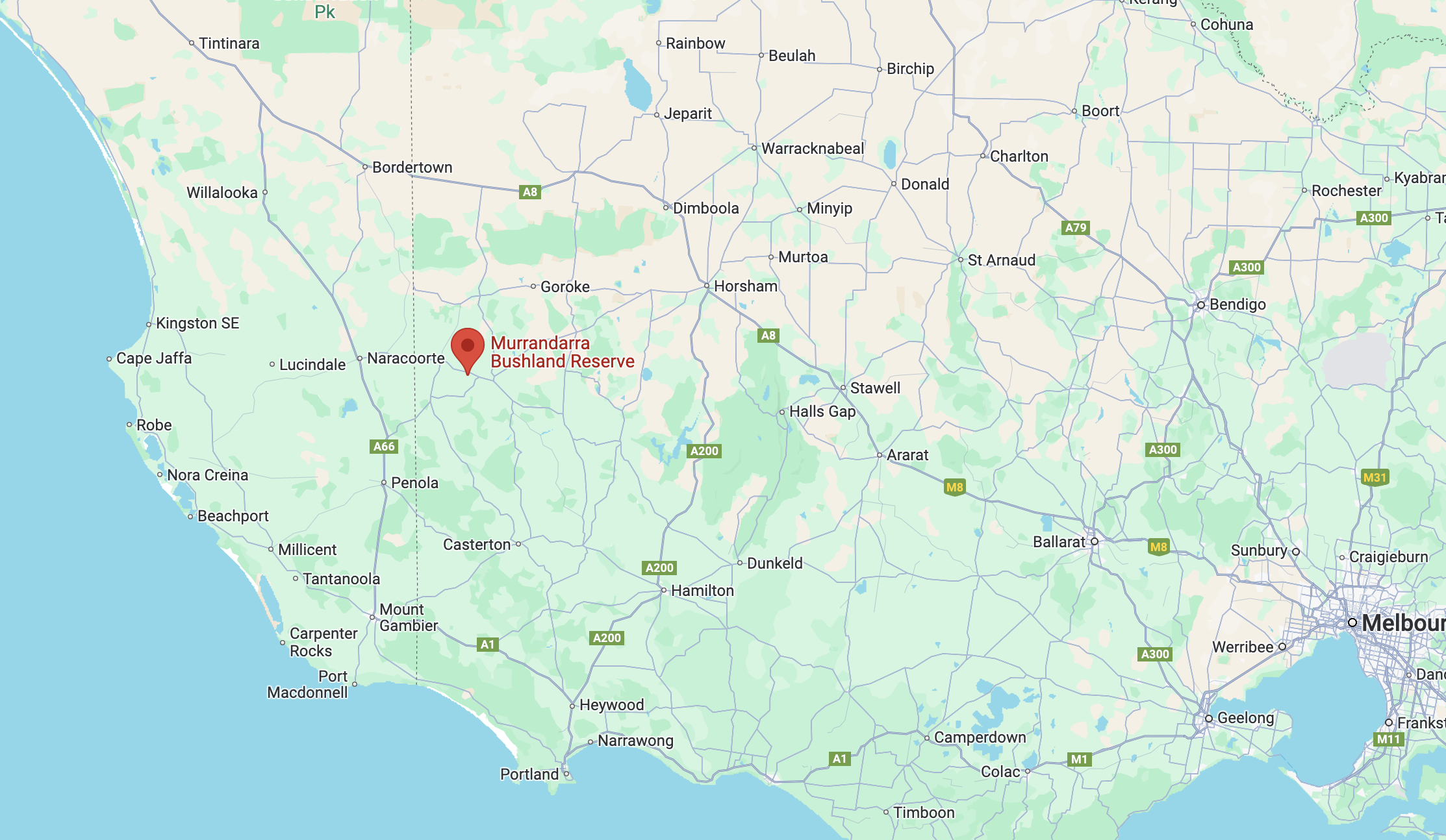
Our final activation for Thursday, 31st October 2024, was the Murrandarra Bushland Reserve VKFF-5603.
Above:- Map showing the location of the Murrandarra Bushland Reserve. Map c/o Google Maps.
Murrundarra is an Aboriginal word meaning thunder and lightning. The area was first settled by George Armytage (b. 1795. d. 1862), who ran a pastoral run in the area. (Blake 1978)
Above:- George Armytage. Image c/o Wikipedia.
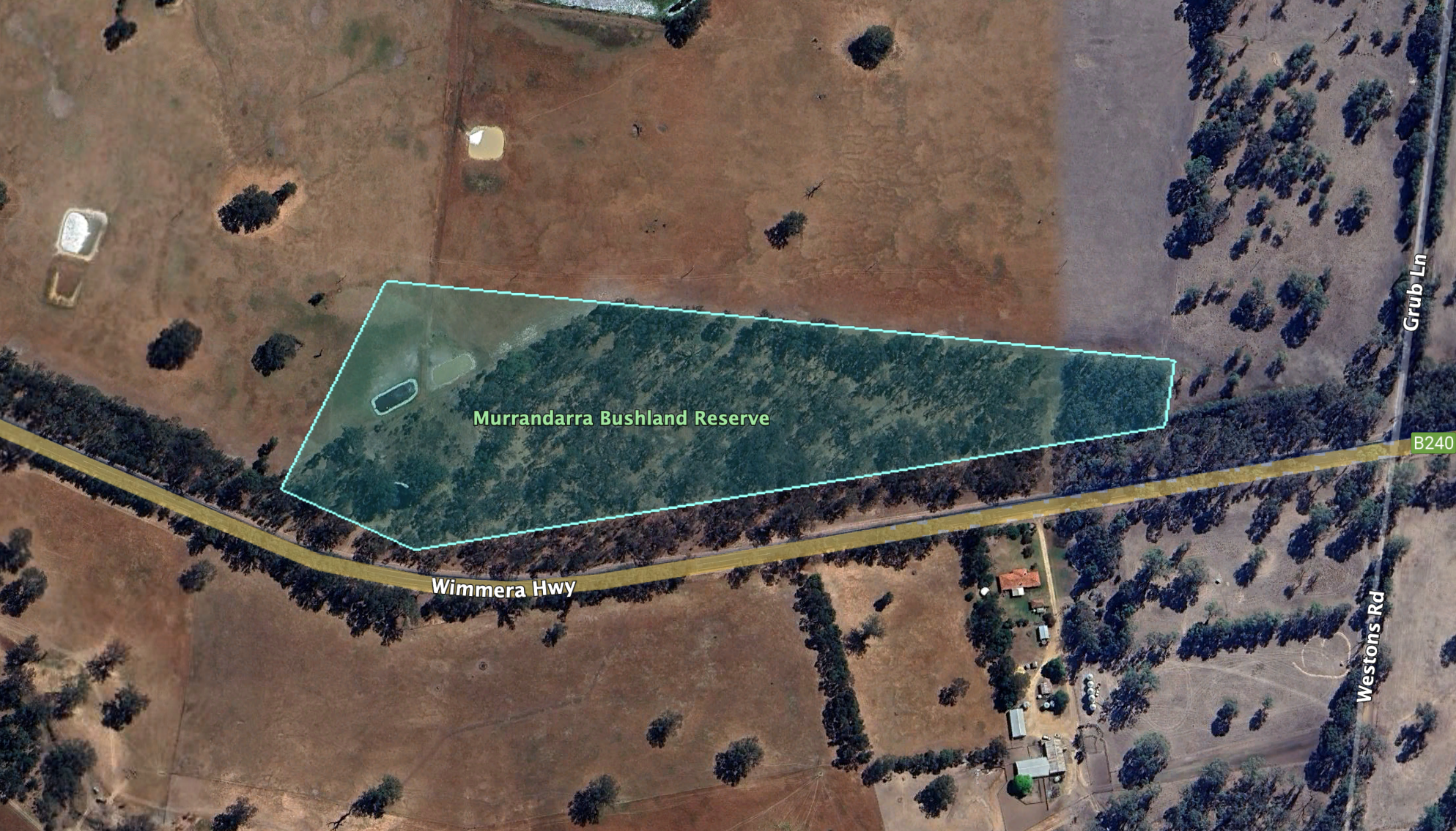
The Murrandarra Bushland Reserve is located on the southern side of the Wimmera Highway between Apsley and Edenhope.
The reserve is about 7 hectares in size and was established on the 22nd day of November 1983. (CAPAD)
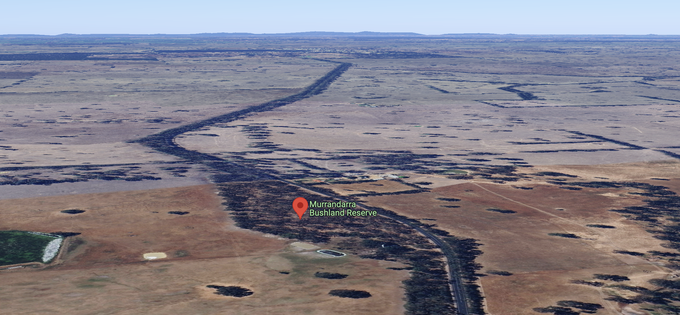
Above:- The Murrandarra Bushland Reserve, looking east towards Edenhope. Image c/o Google Maps.
Unfortunately, it was completely dark by the time we reached the park, so I did not take any photographs.
We found a small area to pull the 4WD into amongst the scrub, and we operated from the vehicle. We ran the Icom IC-7000, 100 watts, and the Codan 9350 antenna with the 1.5 metre stainless steel whip.
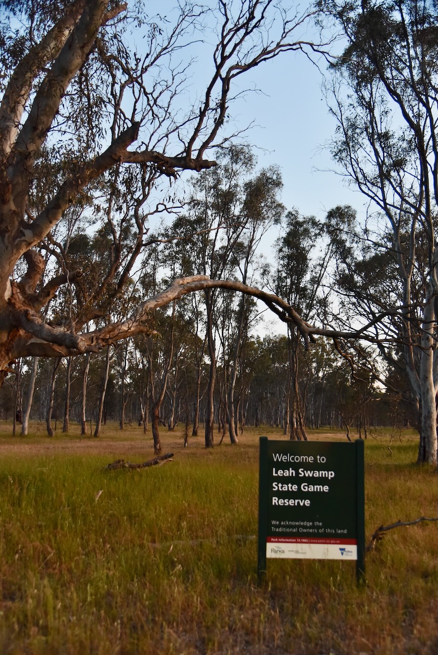
Our sixth park for Thursday, 31st October 2024, was the Leah Swamp Wildlife Reserve VKFF-5353. It is located about 7 km (by road) west of Apsley in southwest Victoria.
The Leah Swamp Wildlife Reserve is located on the eastern side of Newslands Settlement Road, south of the Wimmera Highway.
The reserve is about 225 hectares in size and was established on the 22nd day of November 1983. (CAPAD 2022)
When we arrived at the park, we found that the sign said Leah Swamp State Game Reserve. I believe ‘State Game Reserve’ is the old name for what is now known as a ‘Wildlife Reserve’.
We ran the Yaesu FT857, 40 watts, and the 20/40/80m linked diepole for this activation.
On Thursday, 31st October 2024, Marija and I left the Dergholm State Park and headed back to Apsley to get an evening meal.
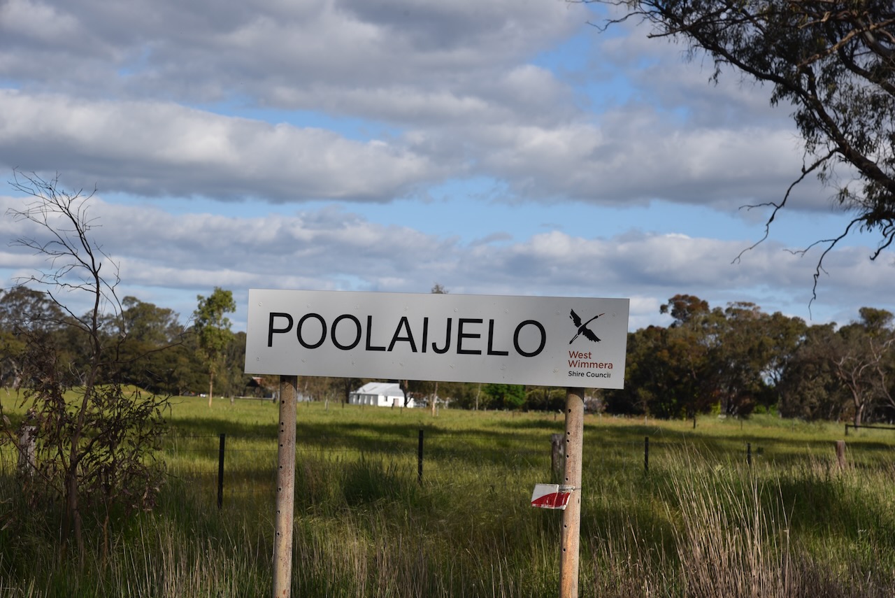
Along the way, we stopped at the little town of Poolaijelo. Don’t blink, you will miss this little place. Poolaijelo is an Aboriginal word meaning two swamps. Sadly, the tennis courts are overgrown with weeds, with the only substantial building being the Poolaijelo Memorial Hall. (Blake 1978)
There is a monument outside the hall that commemorates six soldier families who settled in the district in 1952. The monument was officially unveiled in May 2016 with a ceremony of about 60 people in attendance. (Poolaijelo 2016)
This area was devastated by fire in 1955
Above:- part of an article from The Daily News, Tues 4 Jan 1955. Image c/o Trove.
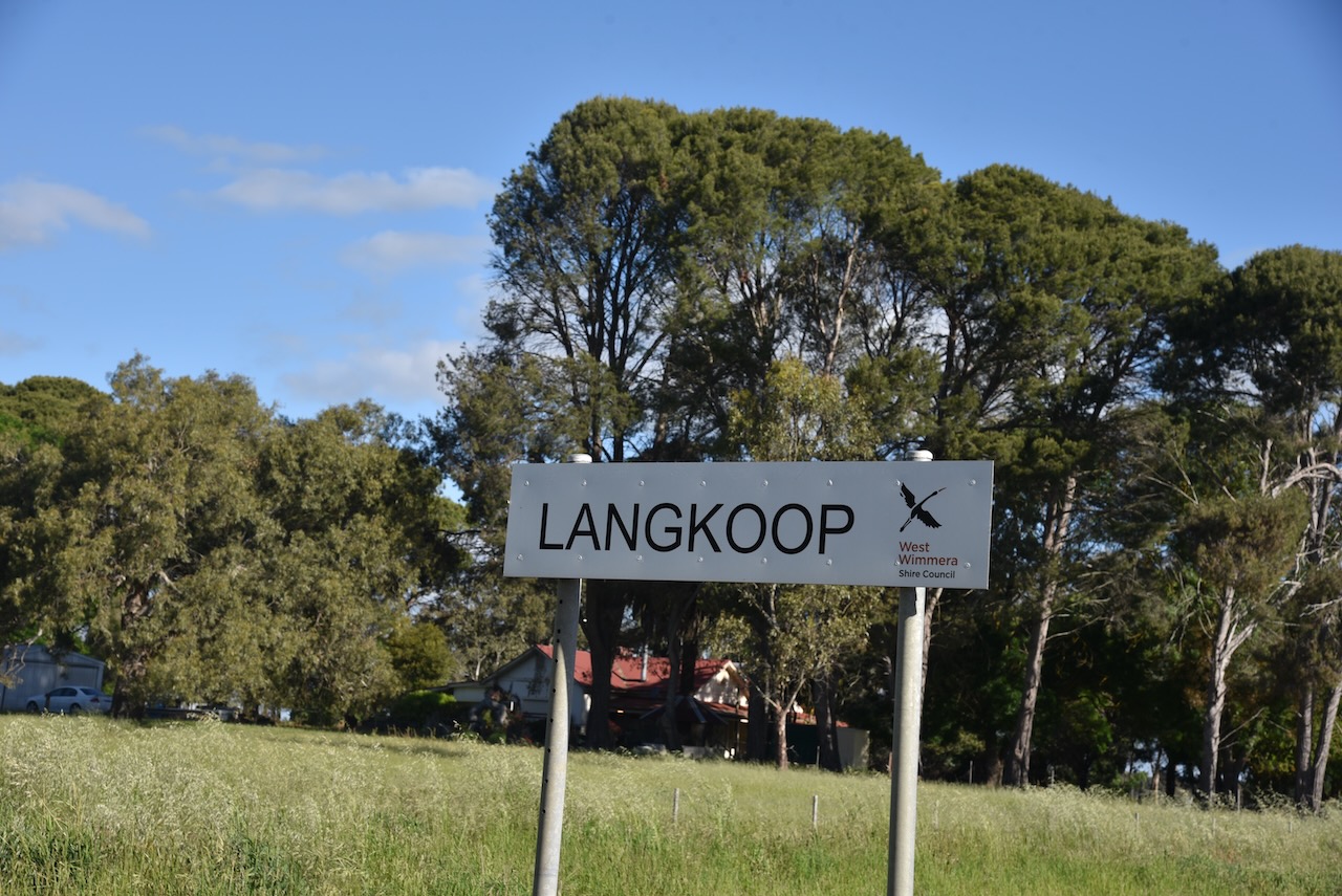
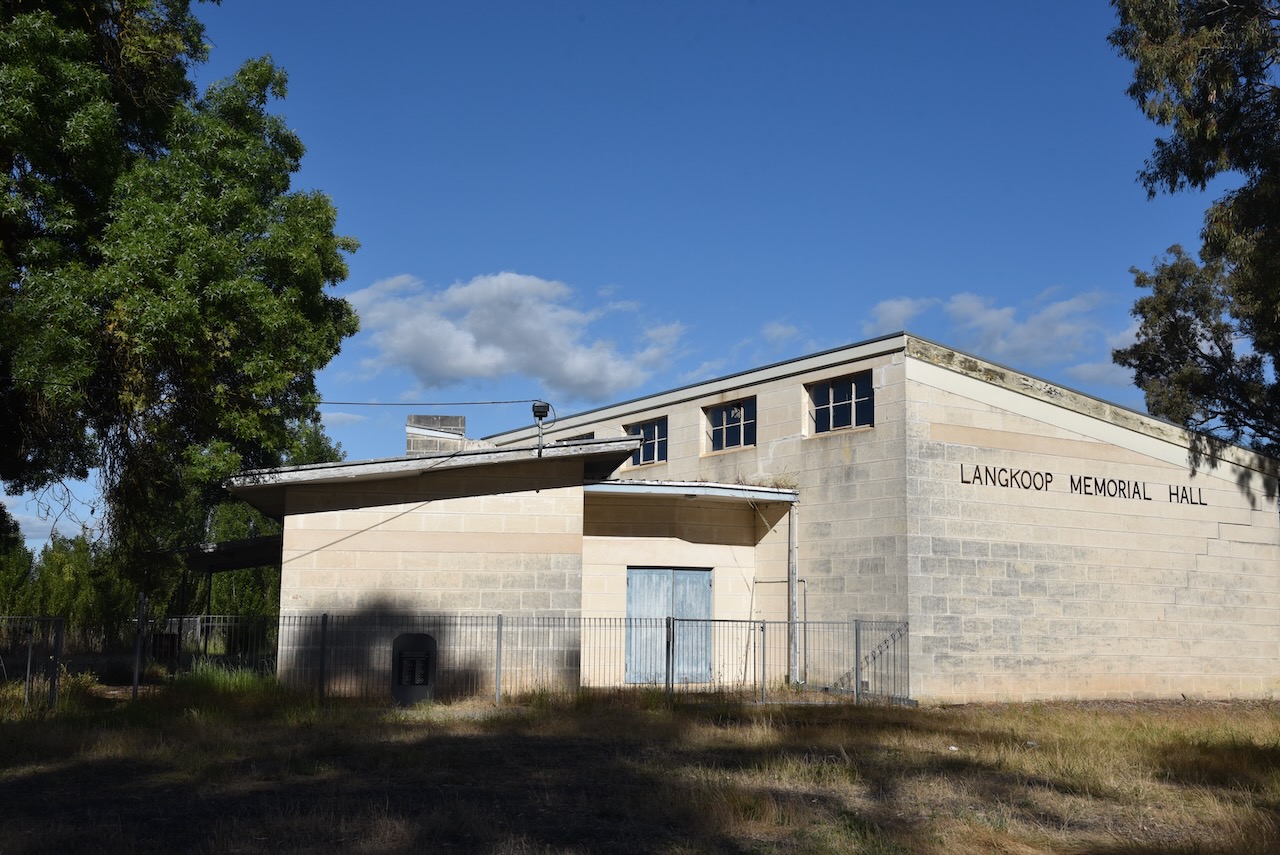
We continued on to Langkoop. Its name comes from the German words lang meaning long and kop meaning hill. Not much remains of this once-thriving little town. The Langkoop tennis club sign still stands, but the tennis courts are overrun with weeds. (Blake 1978)
In Langkoop, you can find a monument that commemorates the former WWI soldiers who obtained blocks on Elderslie Station, in the area south of Apsley now named Langkoop. (Elderslie 2025)
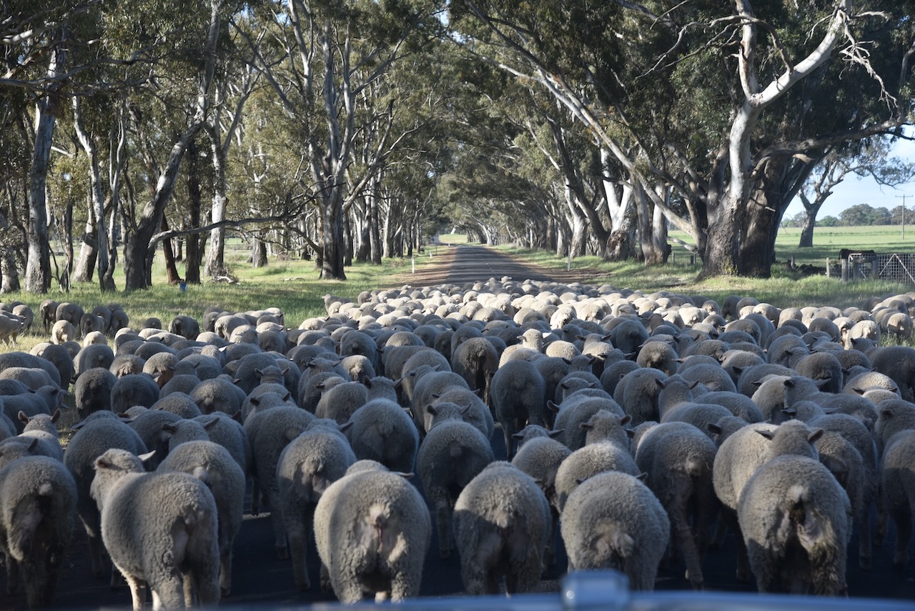
We continued north along the Casterton-Narracourte Road towards Apsley and encountered a distinct Australian scene…..sheep being herded by a farmer across the road.
We soon reached the town of Apsley, located about 10 km east of the State border of Victoria and South Australia.
Apsley was named by Surveyor Lindsay Clark in October 1851 after Apsley House, built for Lord Apsley, Earl of Bathurst, by Adams Brothers in Piccadilly, London. Apsley is from the words aspen and lea, meaning meadow. (Blake 1978)
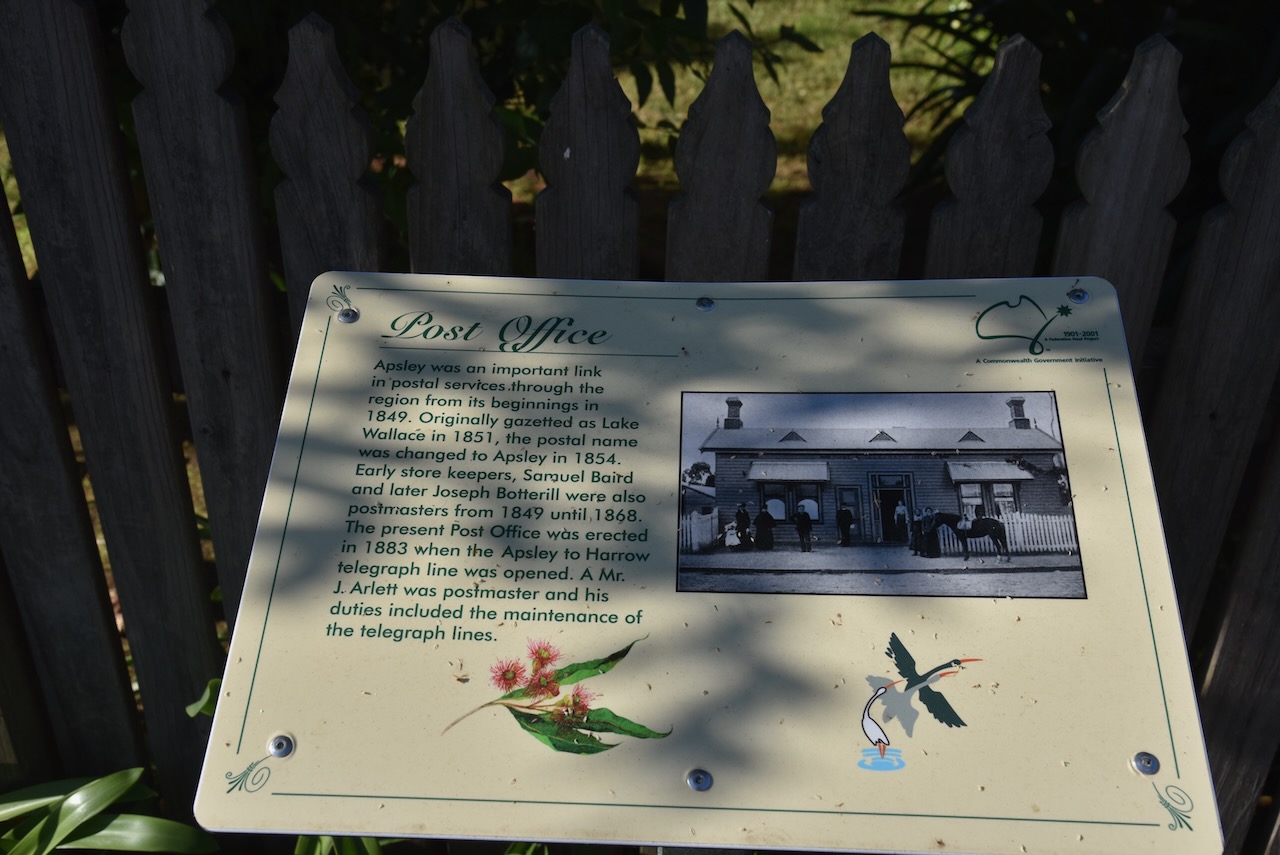
The Apsley district was occupied in the late 1840s with pastoral runs. A settlement commenced that was known as Lake Wallace, named after one of the pastoral runs. The settlement was situated at the junction of two roads leading to Adelaide, one from Casteron and the other from Cavendish. The town of Apsley was surveyed in 1851 and proclaimed in 1852. On the 1st day of January 1854, the Apsley Post Office opened, replacing the Lake Wallace Post Office that had opened in 1849. (Phoenix 2022) (Victorian Places 2025)
Following the proclamation of the town, the Border Inn and a store were established, and these were patronised by those travelling to the Victorian goldfields. (Victorian Places 2025)
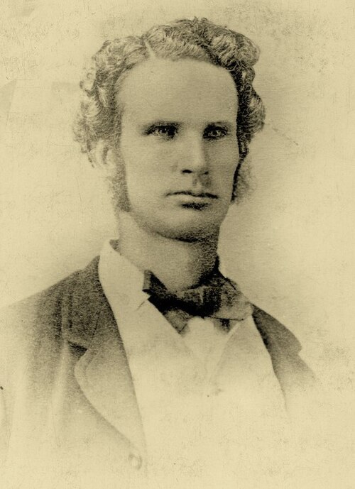
In 1855, a racing club was established. It is reported that the club hosted poet and writer Adam Lindsay Gordon.
Above:- Adam Lindsay Gordon. Image c/o Wikipedia.
During the 1850s, a customs house was established for trade between the two colonies of South Australia and Victoria. In 1861, the Apsley agricultural and pastoral society was established. The Apsley Common School opened in 1870. A mechanics institute was built in the 1880s. (Victorian Places 2025)
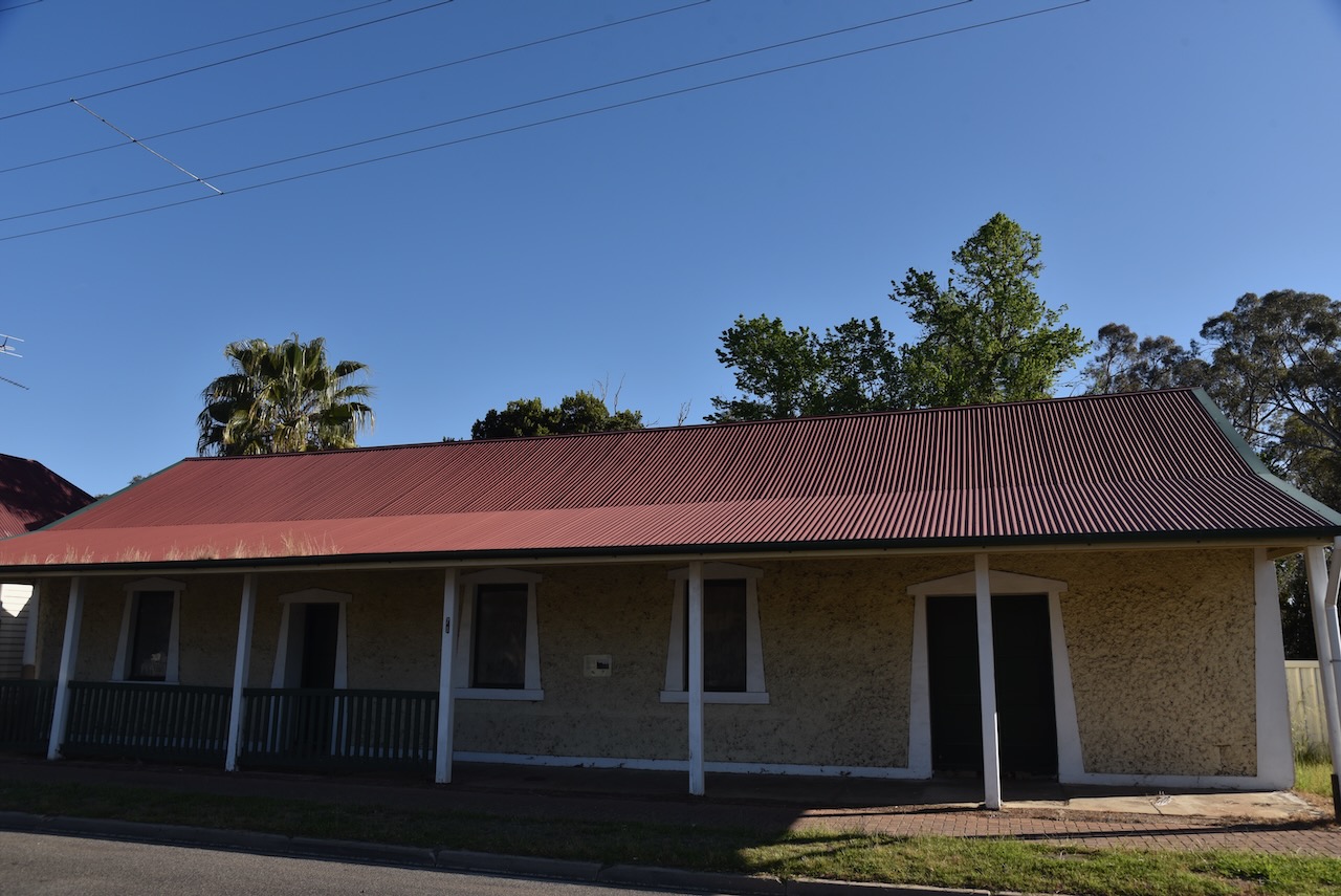
Several historic buildings remain in Apsley. This includes the old Church of England structure, which was built by W.T. Hoare in 1906 at a cost of 355 pounds. Prior to the construction of the church, services were held in a room in Mr Hoare’s home. St Johns Church close in 2019 and is now a private residence.
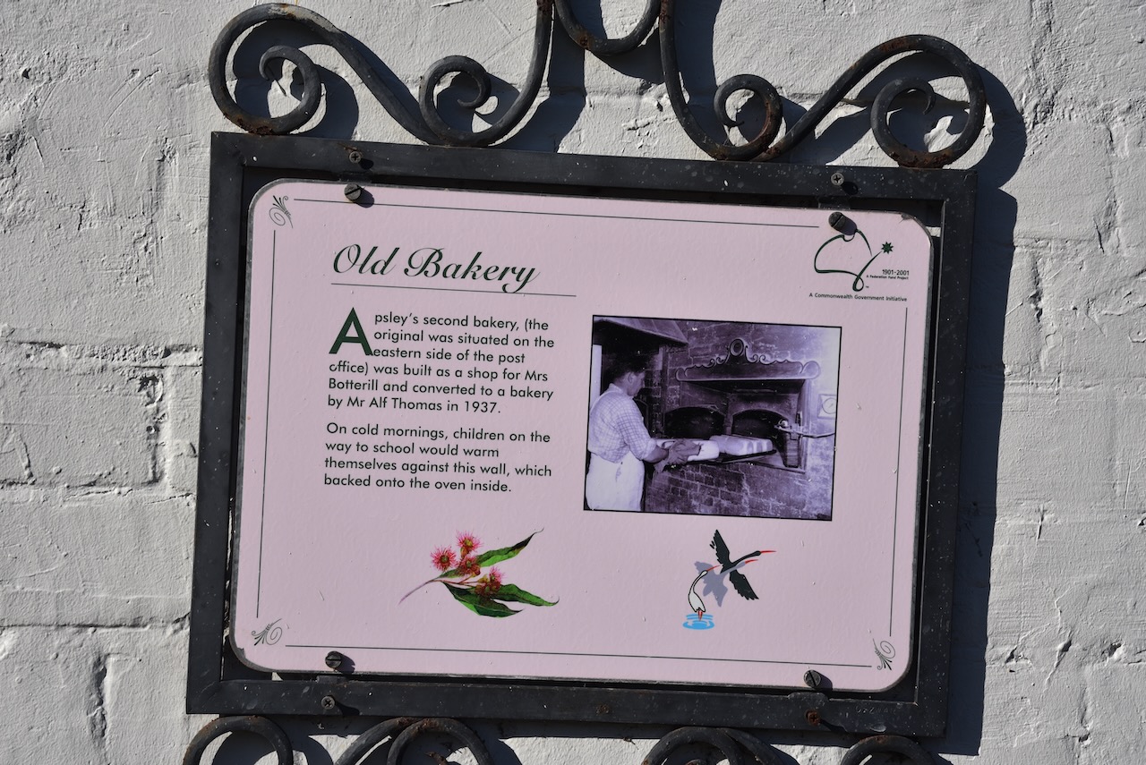
Apsley’s second bakery was built as a shop for Mrs. Botterill. It was converted to a bakery in 1937 by Mr. Alf Thomas. It was reported that on cold mornings, children on their way home from school, would warm themselves against the front wall which backed onto the oven.
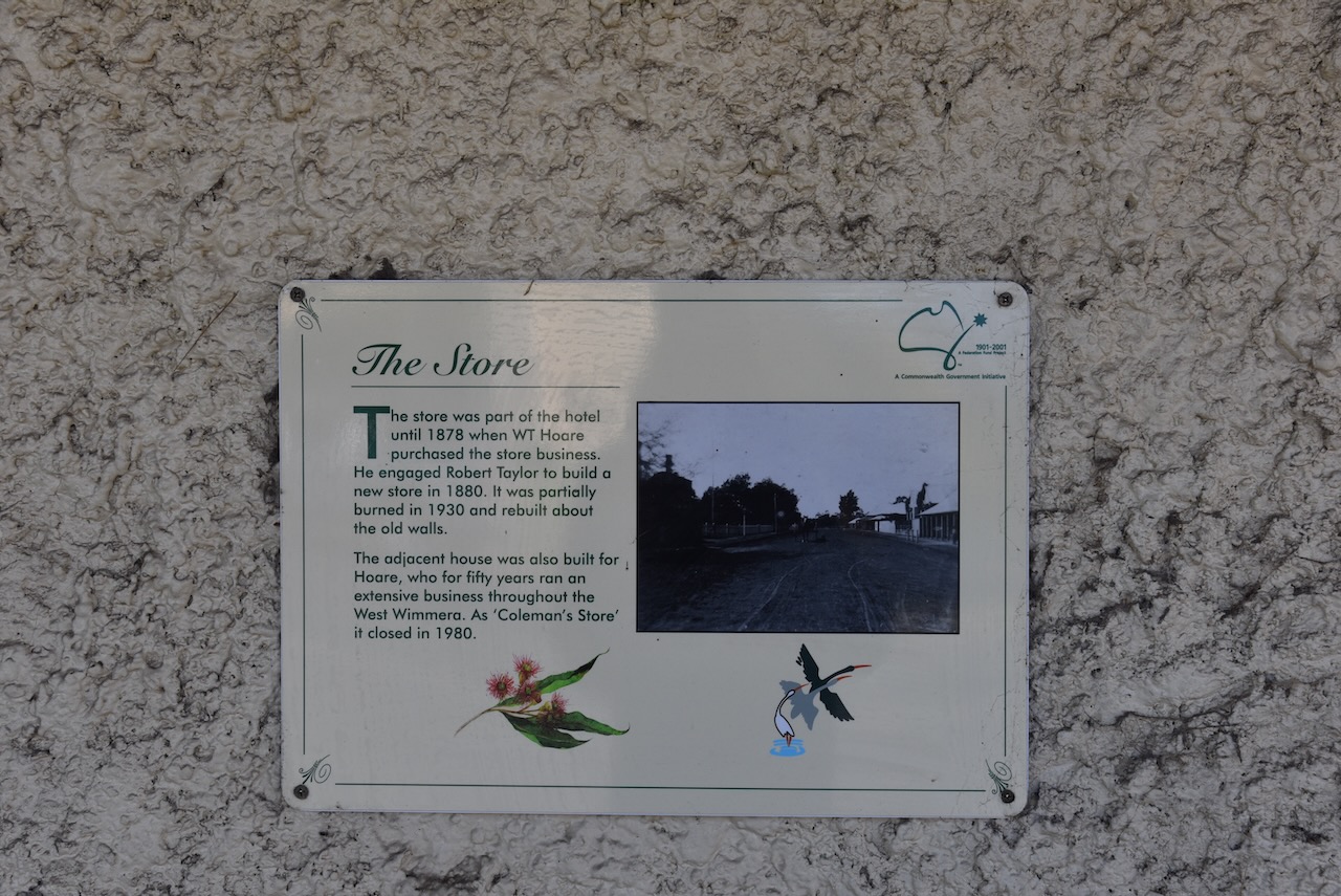
The Apsley Store was part of the hotel until 1878, when W.T. Hoare purchased the store business. In 1880, he engaged Robert Taylor to build another store. In 1930 the building was partically burnt and it was rebuilt around the old walls.
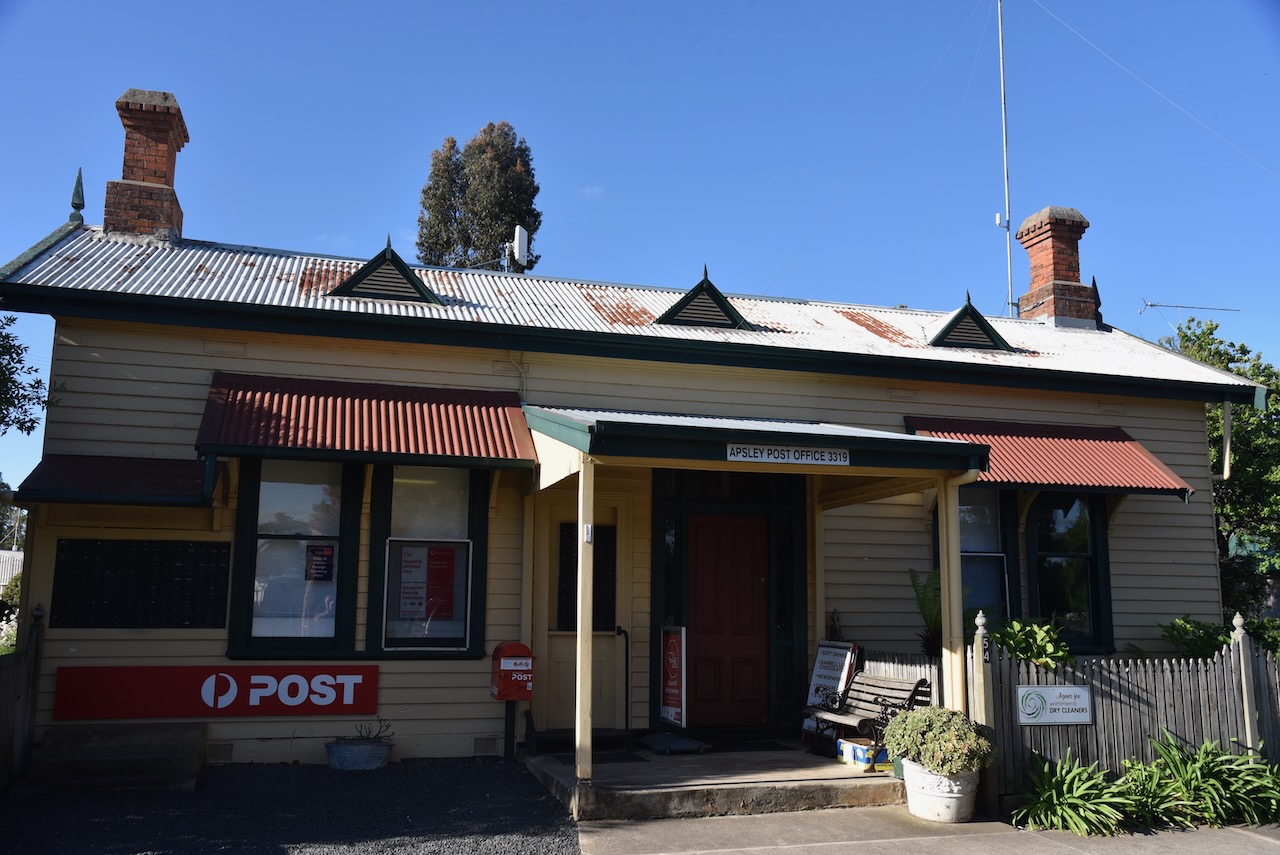
The present Apsley Post Office was built in 1883 when the Apsley to Harrow telegraph line was opened. Mr. J. Arlett was the postmaster. Part of his duties were the maintenance of the telegraph lines.
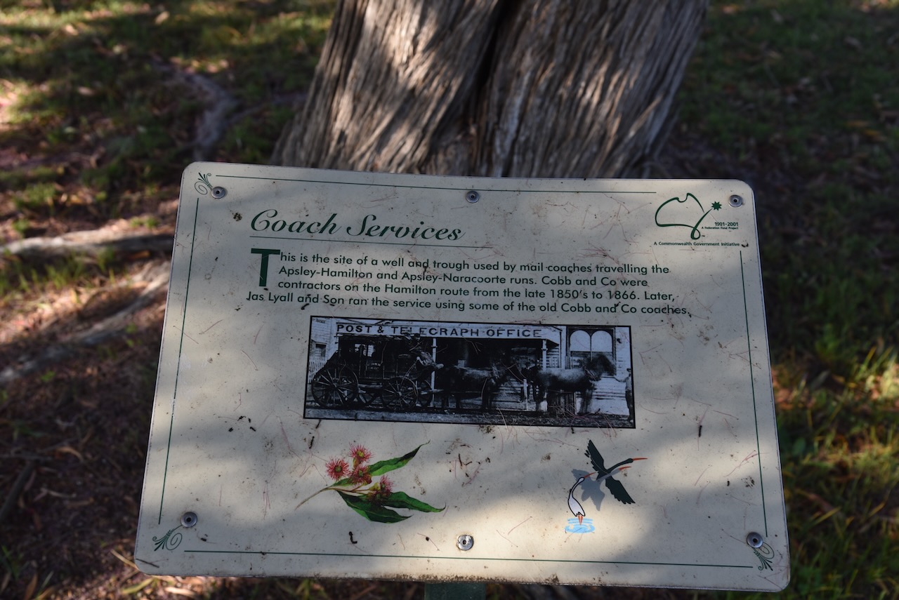
Near the Post Office is a sign that marks the site of a well and trough that was used by mail coaches travelling along the Apsley-Hamilton and Apsley-Narracoorte runs. From the late 1850s until 1866, Cobb and Co. were the contractors on the Hamilton route.
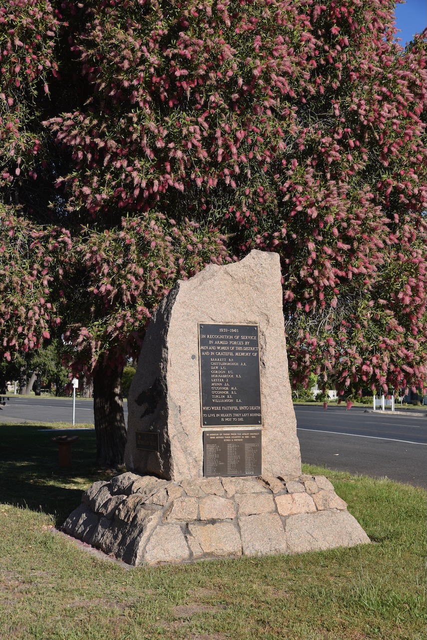
Near the Post Office is a monument to commemorate the men and women of the district who served in WWII.
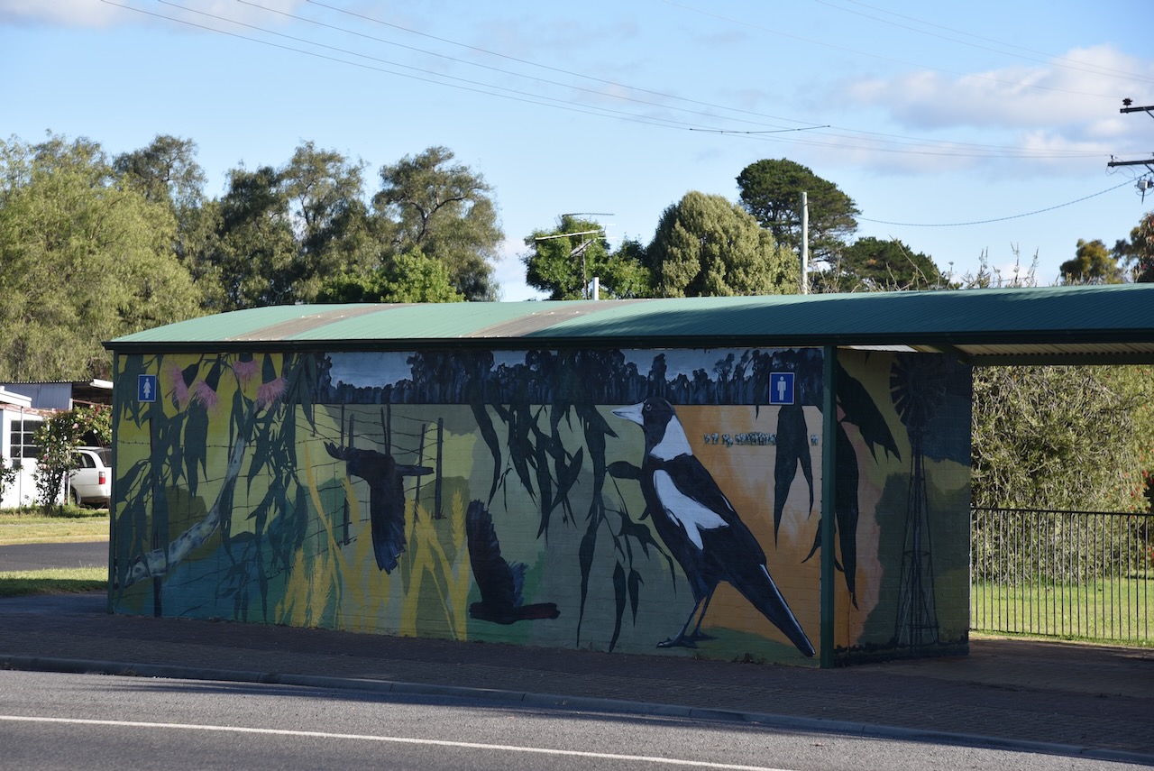
Adjacent to the Post Office is a toilet block which has been very colorfully painted with a mural.
You can also find a plaque which is in recognition of the 100-year commemoration of WWI.
The Apsley War Memorial was erected by the residents of Apsley to honour those who served during WWI.
We also visited the Apsley Finishing Post monument. The Apsley Racecourse commenced in 1855 and boasted prizes second only to the Melbourne Cup. The racecourse was originally situated opposite the Border Inn Hotel, with the finishing post being adjacent to the front door.
The Apsley Racing Club is the oldest surviving racing club in Victoria and predates the Melbourne Cup. (Racing.com, 2025)
At Federation Corner, you can find an information Bay that contains a large amount of information about Apsley and the surrounding district.
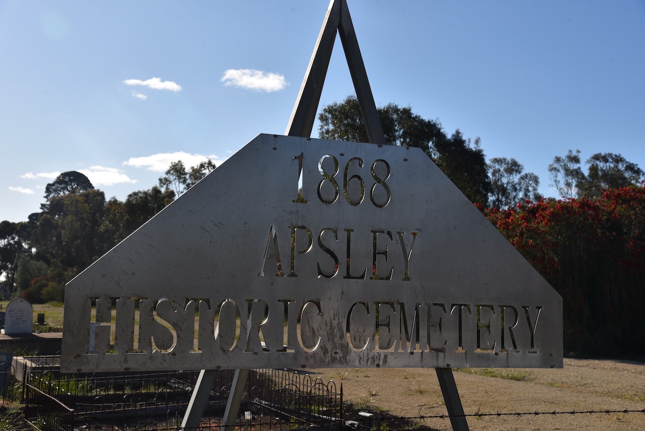
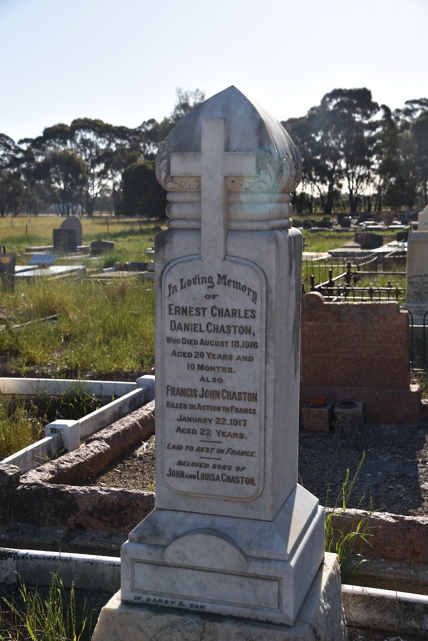
We then visited the Apsley Historic Cemetery, which was established in 1868. The cemetery contains numerous historic headstones of the pioneers of the district.
The cemetery contains a monument for Murrumgunerrimin ‘Jimmy Tarpot’, who was a member of ‘The First Eleven’, an Aboriginal cricket team that toured England in 1866.
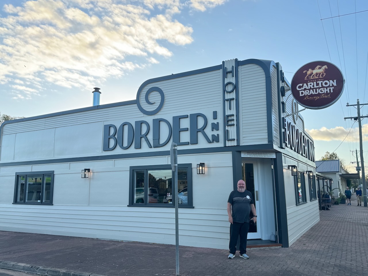
We then had an excellent meal at the Border Inn Hotel. The meal was superb and brought out to us very promptly, despite the hotel being very busy. We were so happy the hotel was open, as during our last visit to the area, the hotel was closed for repairs as a result of a car crashing through it.
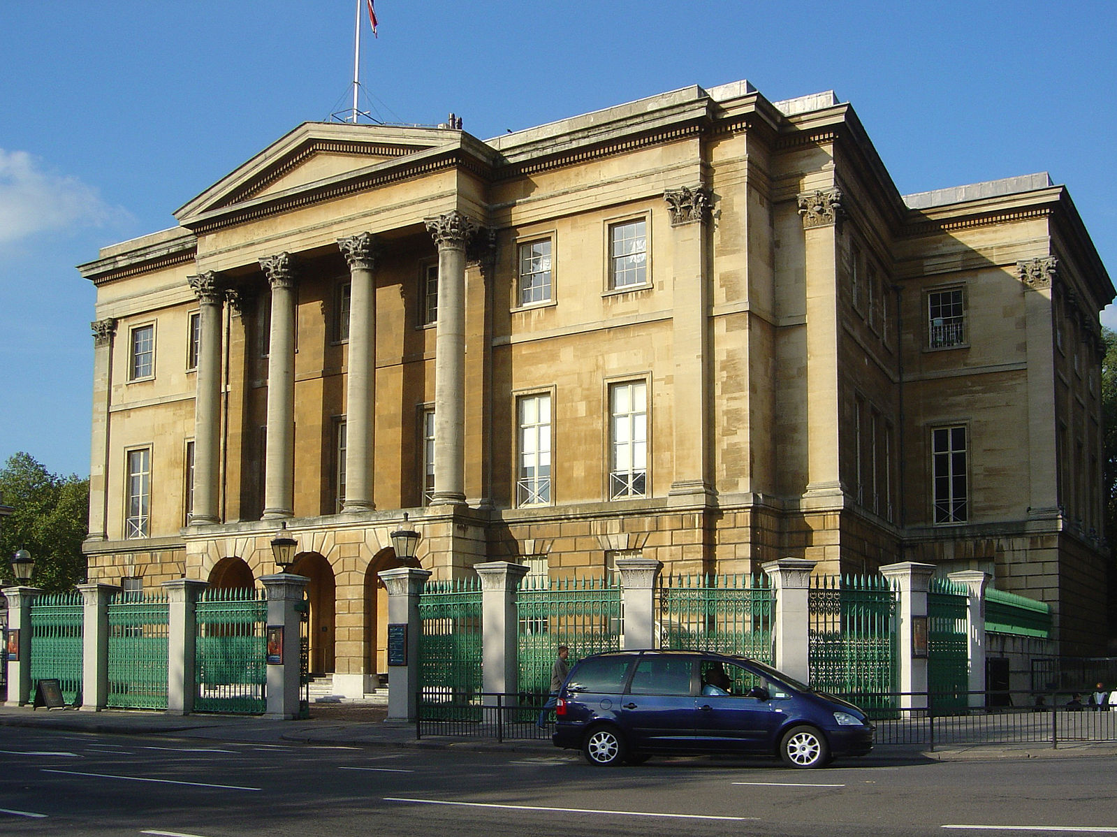
The original Apsley Hotel was built in 1850, with the first licence being issued by the Licensing Board of New South Wales. (The Border Inn Hotel, 2020)
Above:- The Apsley Hotel. Image c/o Apsley District Action Society.
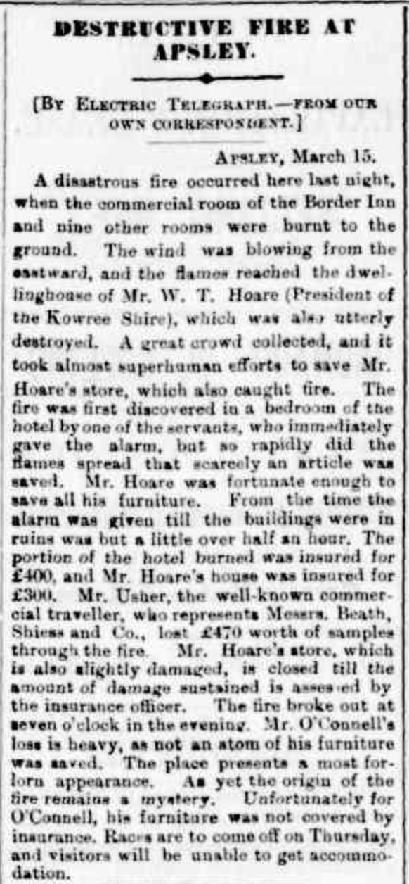
In 1887, the hotel was extensively damaged by fire. Following the fire, the Art Deco-style hotel was rebuilt on its current site. (The Border Inn Hotel, 2020)
Above:- Article from the Hamilton Spectator, Thu 17 Mar 1887. Image c/o Trove
Below is a link to ABC Melbourne with a very interesting conversation on hotels, including the Apsley Hotel.
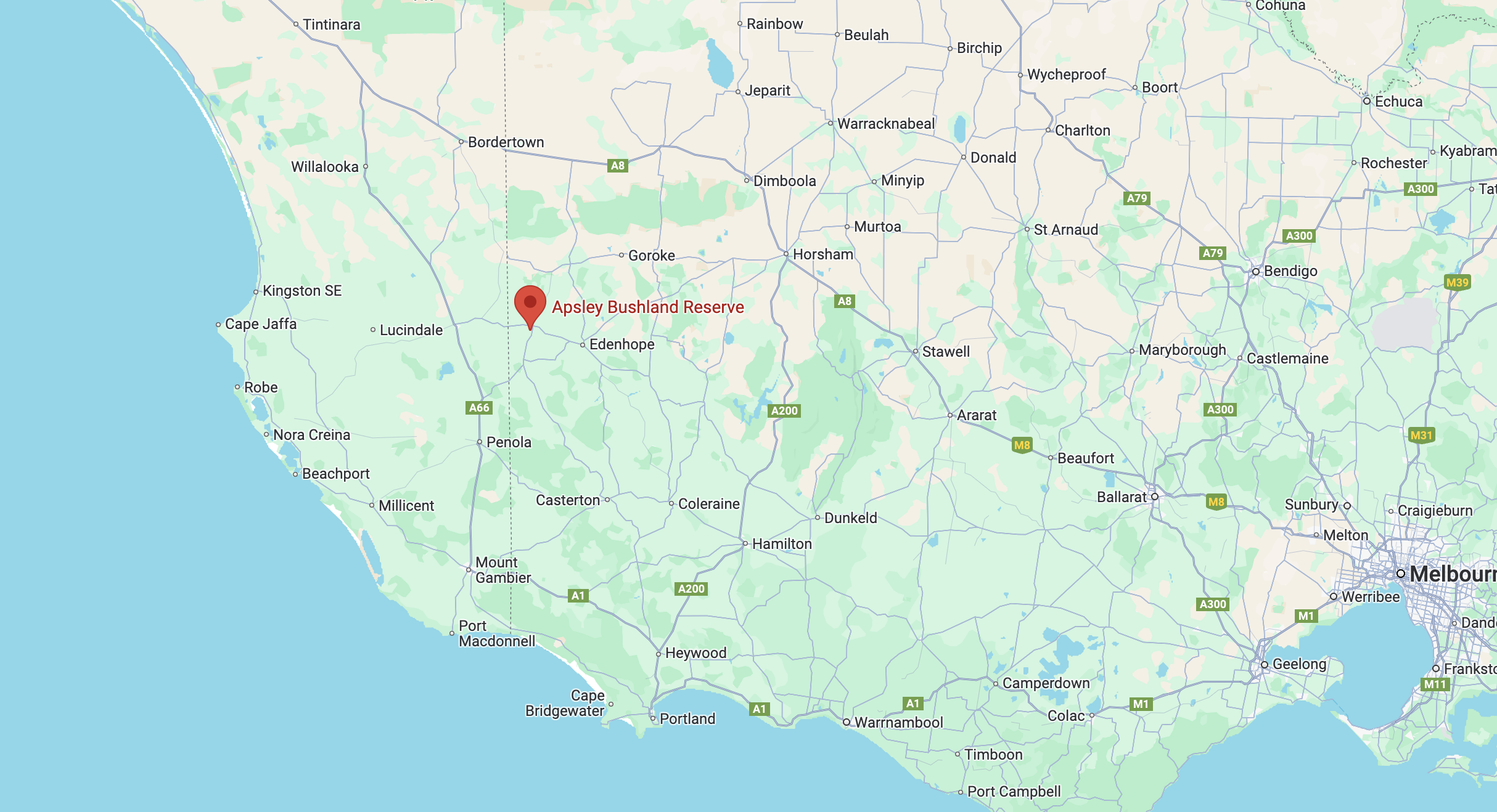
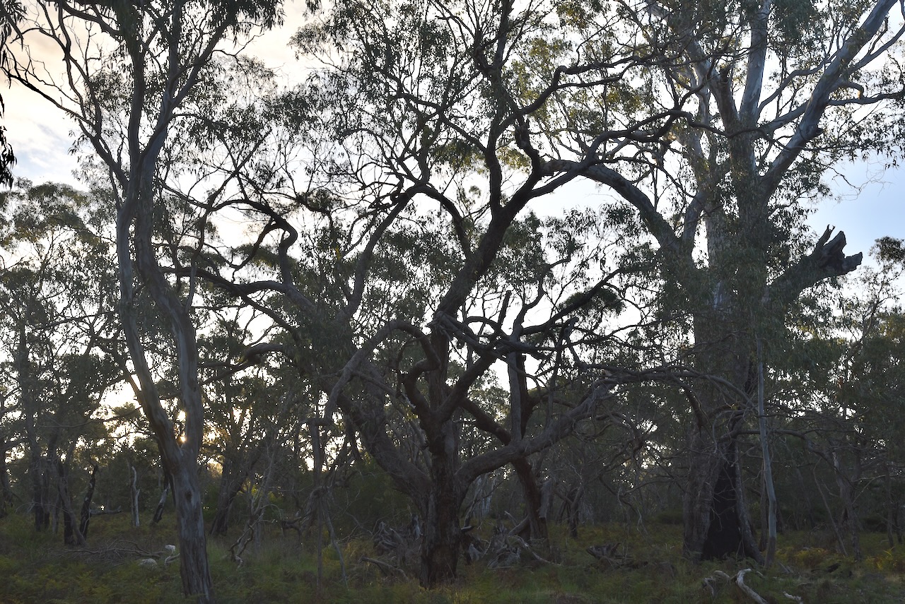
After dinner, we headed out to activate the Apsley Bushland Reserve VKFF-4495.
Above:- Map showing the location of the Apsley Bushland Reserve. Map c/o Google Maps.
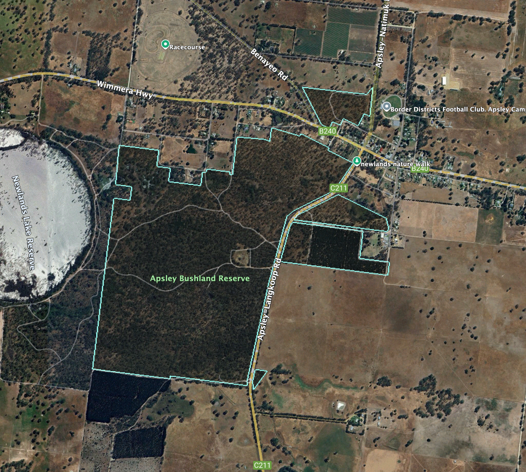
The Apsley Bushland Reserve consists of 4 separate sections of land surrounding the town of Apsley.
Above:- An aerial view of the Apsley Bushland Reserve. Image c/o Google Earth.
The reserve is about 259 hectares in size and was established on the 22nd day of November 1983. (CAPAD 2022)
We operated from the vehicle and ran the Icom IC7000, 100 watts, and the Codan 9350 antenna with the 1.5 metre stainless steel whip. It was incredibly noisy on the 40m band with very loud static crashes.