
Our final activation for Thursday, 31st October 2024, was the Murrandarra Bushland Reserve VKFF-5603.
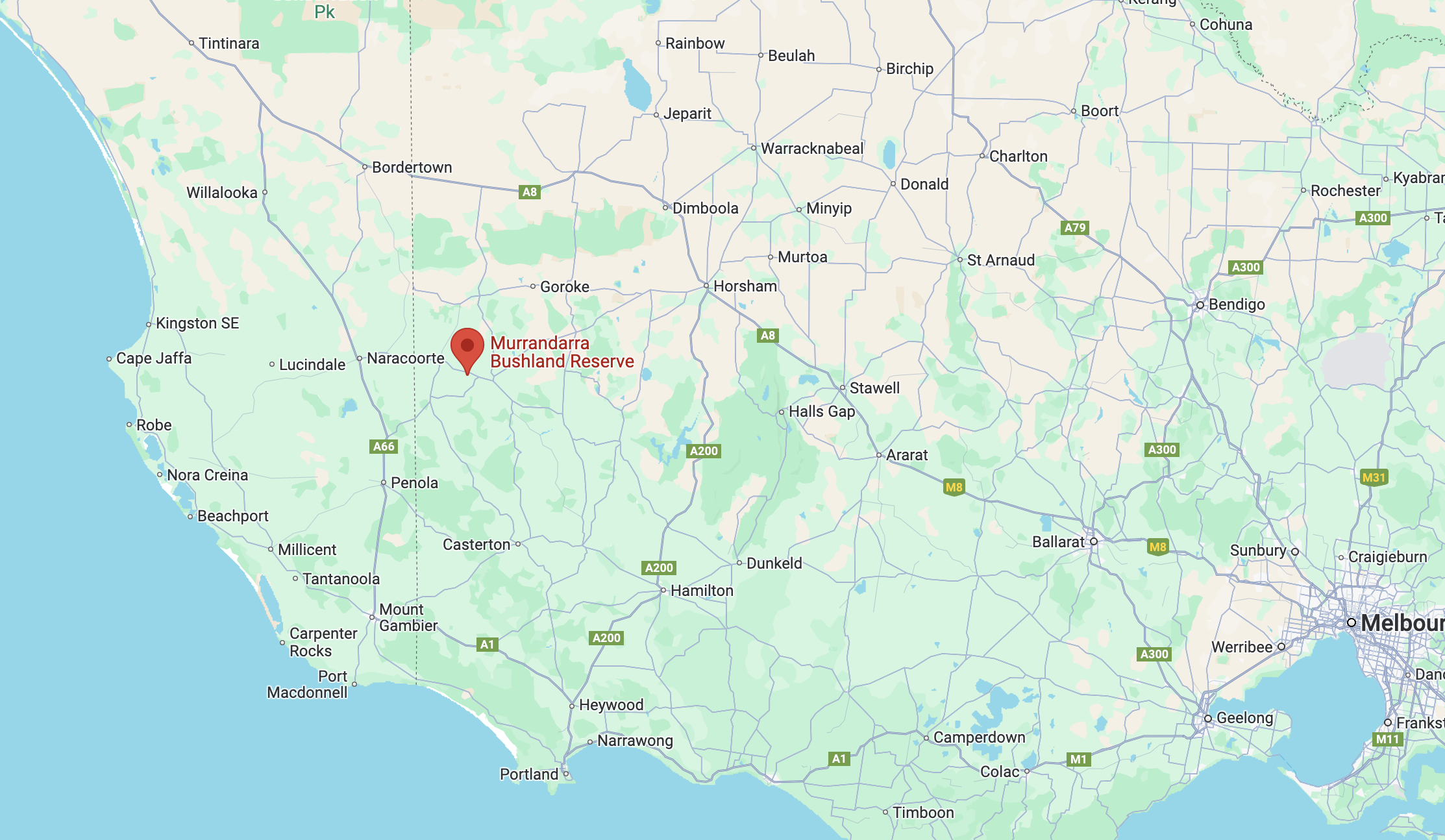
Above:- Map showing the location of the Murrandarra Bushland Reserve. Map c/o Google Maps.
Murrundarra is an Aboriginal word meaning thunder and lightning. The area was first settled by George Armytage (b. 1795. d. 1862), who ran a pastoral run in the area. (Blake 1978)

Above:- George Armytage. Image c/o Wikipedia.
The Murrandarra Bushland Reserve is located on the southern side of the Wimmera Highway between Apsley and Edenhope.
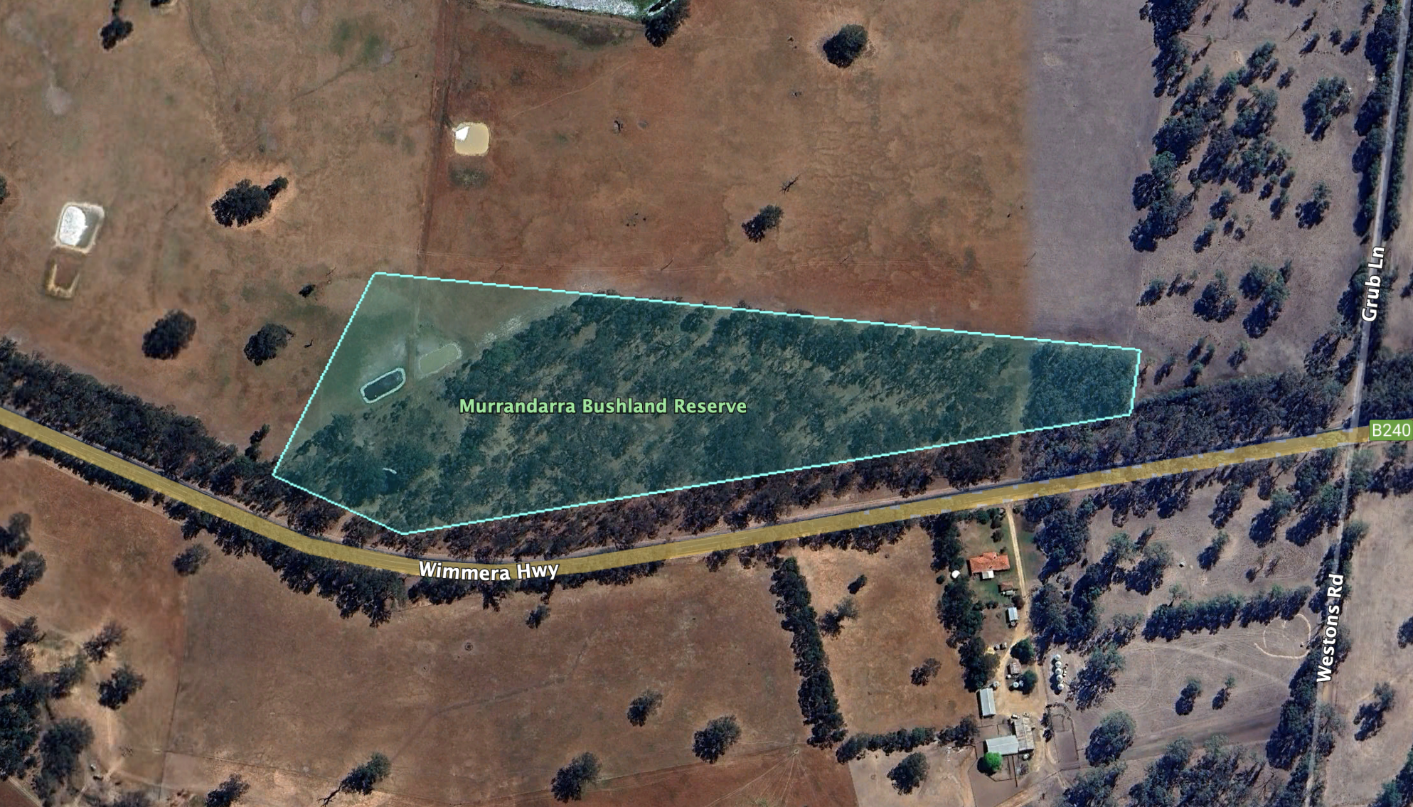
The reserve is about 7 hectares in size and was established on the 22nd day of November 1983. (CAPAD)
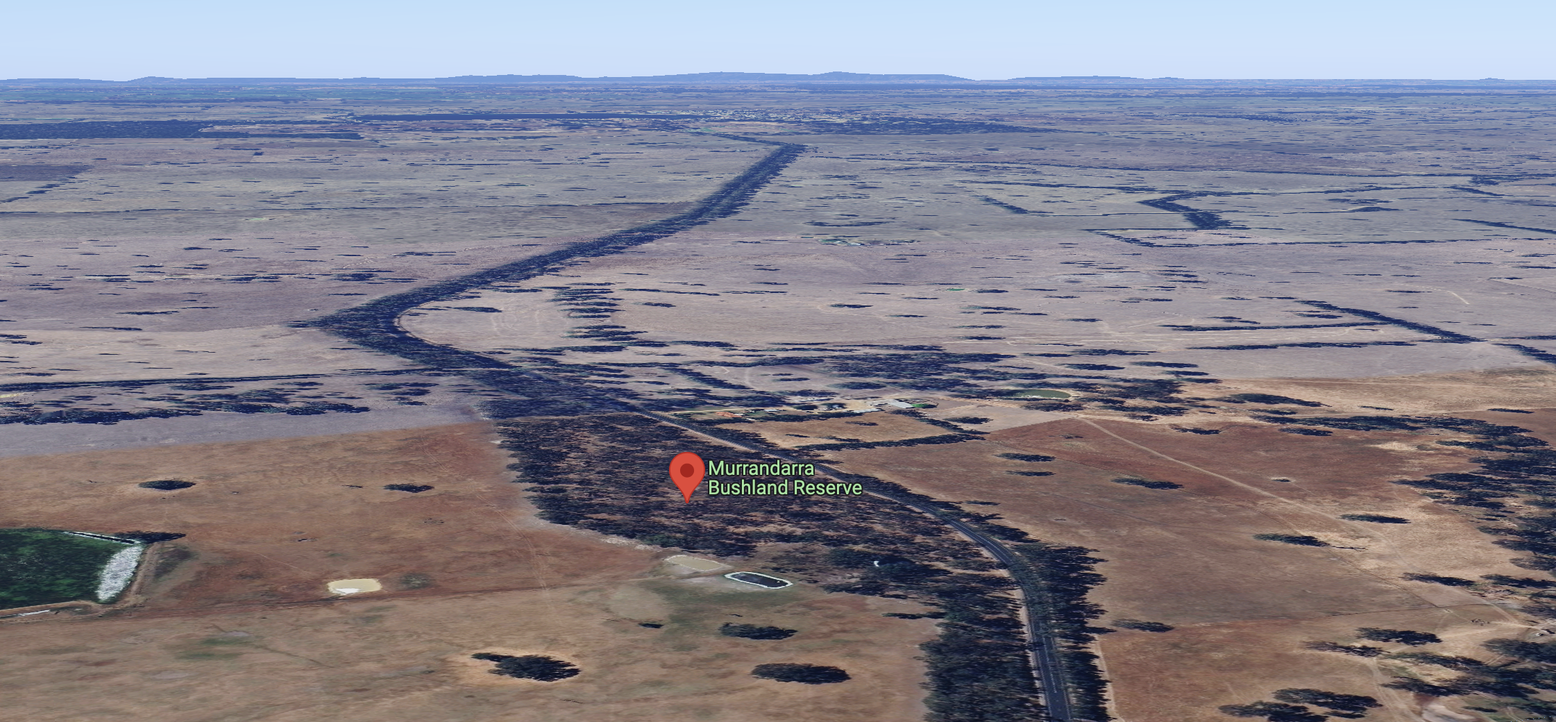
Above:- The Murrandarra Bushland Reserve, looking east towards Edenhope. Image c/o Google Maps.
Unfortunately, it was completely dark by the time we reached the park, so I did not take any photographs.
We found a small area to pull the 4WD into amongst the scrub, and we operated from the vehicle. We ran the Icom IC-7000, 100 watts, and the Codan 9350 antenna with the 1.5 metre stainless steel whip.
Marija worked the following stations on 40m SSB:-
- VK3PF
- VK3KAI
- VK7MAT
- VK3CEO
- VK3DL
- VK3WSG
- VK3APJ
- VK5DU
- VK5DC
- VK2BED
I worked the following stations on 40m SSB:-
- VK3PF
- VK3KAI
- VK7MAT
- VK3CEO
- VK3DL
- VK3WSG
- VK3APJ
- VK5DU
- VK5DC
- VK2BED
- JF7RJM
- KG8P
- VK2LEE
- VK1AO
- VK2MET
- VK4LGC
- VK7AAE
References.
- Dcceew.gov.au. (2023). Collaborative Australian Protected Areas Database (CAPAD) 2022 – DCCEEW. [online] Available at: https://www.dcceew.gov.au/environment/land/nrs/science/capad/2022 [Accessed 4 Jun. 2025].
- Leslie James Blake, 1978, Place Names of Victoria.
