
Our final activation for Saturday, 2nd November 2024 and our Bendigo trip for the 2024 VKFF National Get Together, was the Frances silo VK-FRS5.
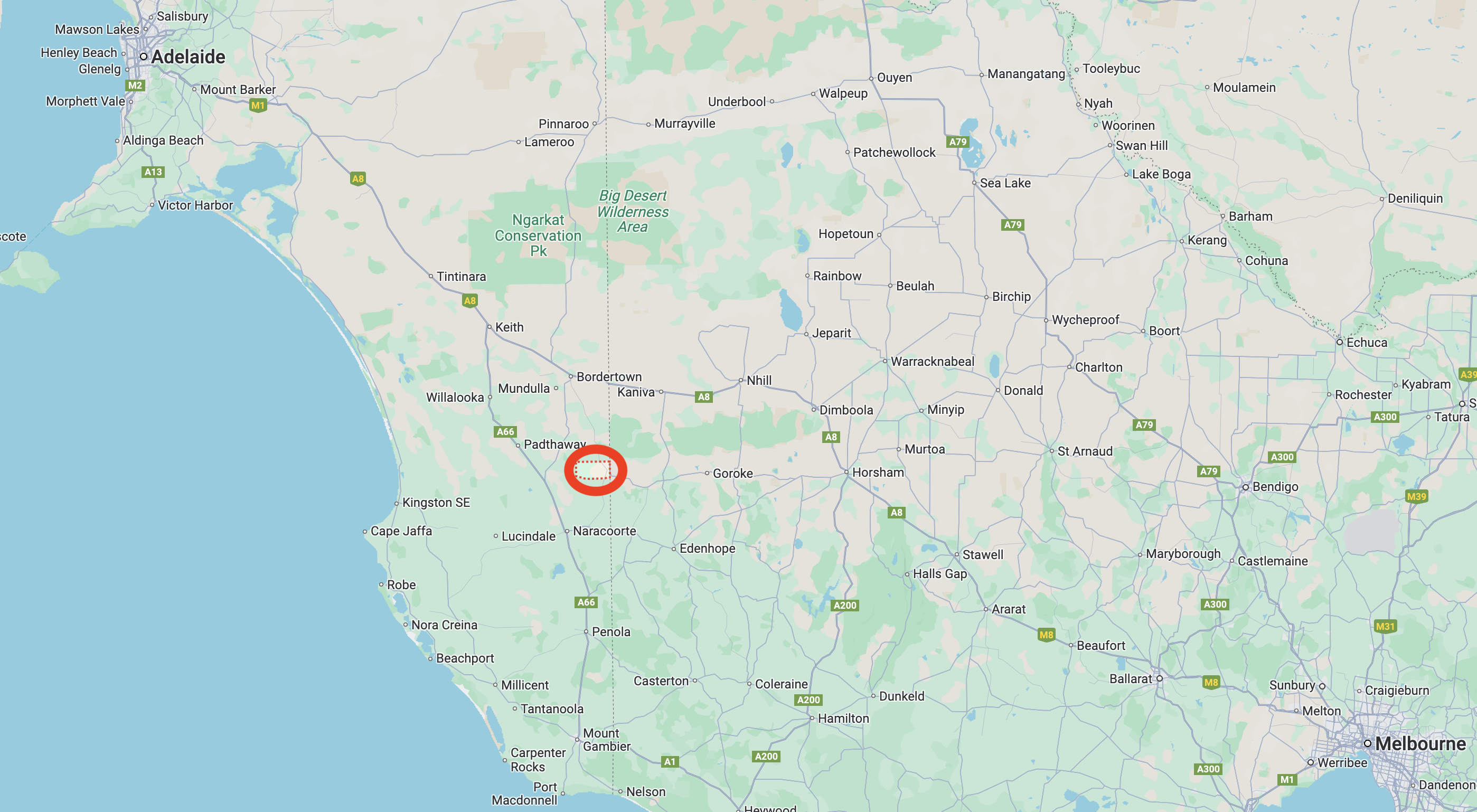
Above:- Map showing the location of Frances. Map c/o Google Maps.
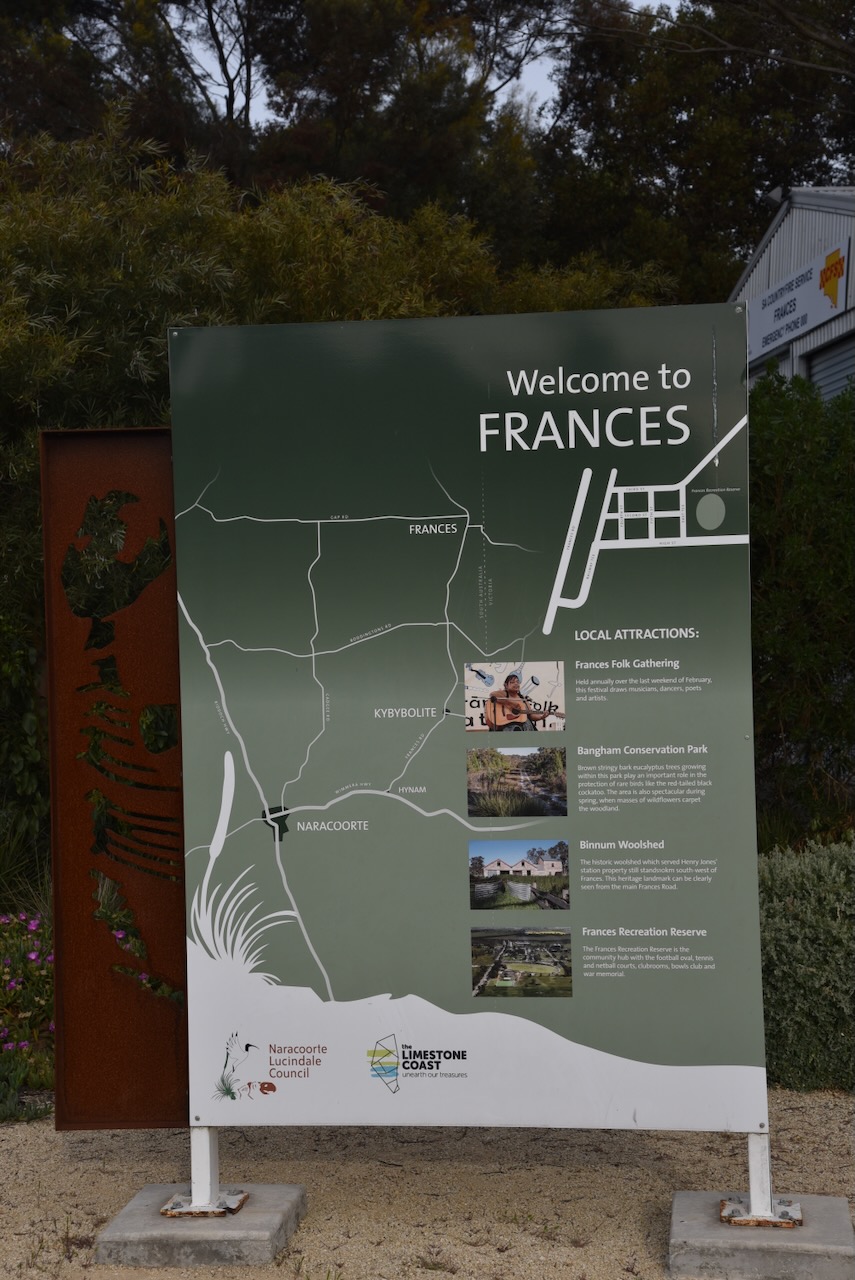
Frances is located about 291 km southeast of Adelaide and very close to the South Australia and Victoria state border.
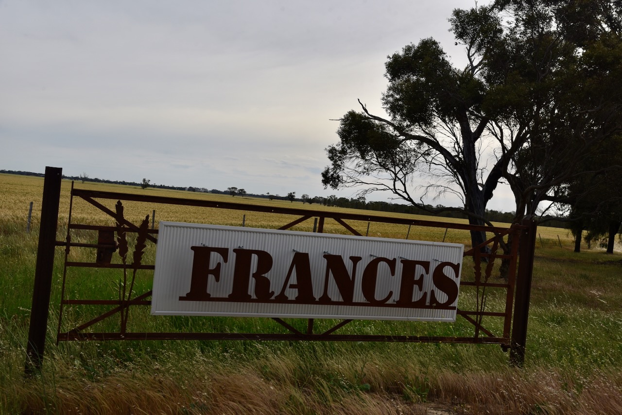
The town of Frances was first surveyed in July 1871. It is believed the name comes from the wife of Mr. Henry Jones of Binnum Station.
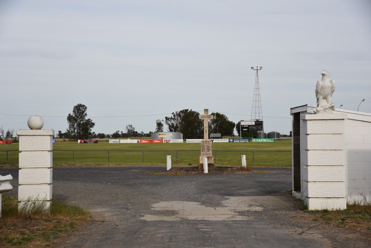
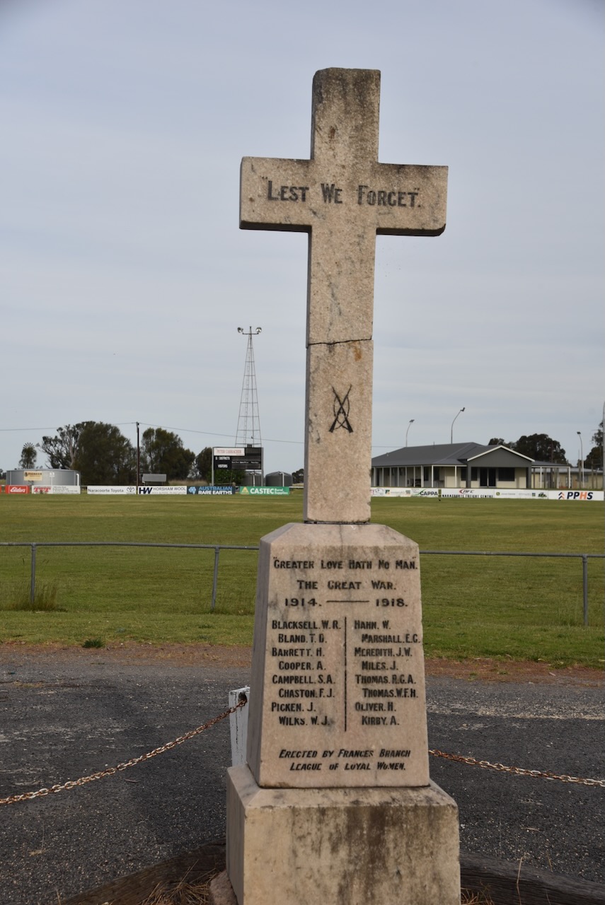
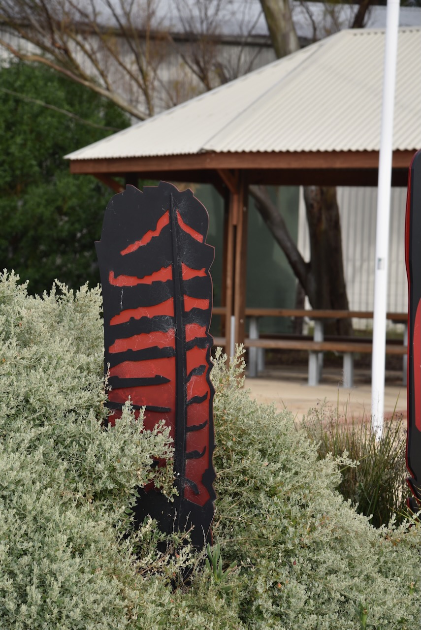
The Frances War Memorial is located just inside the entrance gates at the Recreation Reserve. It honours those brave men from the Frances district who lost their lives during the First World War.
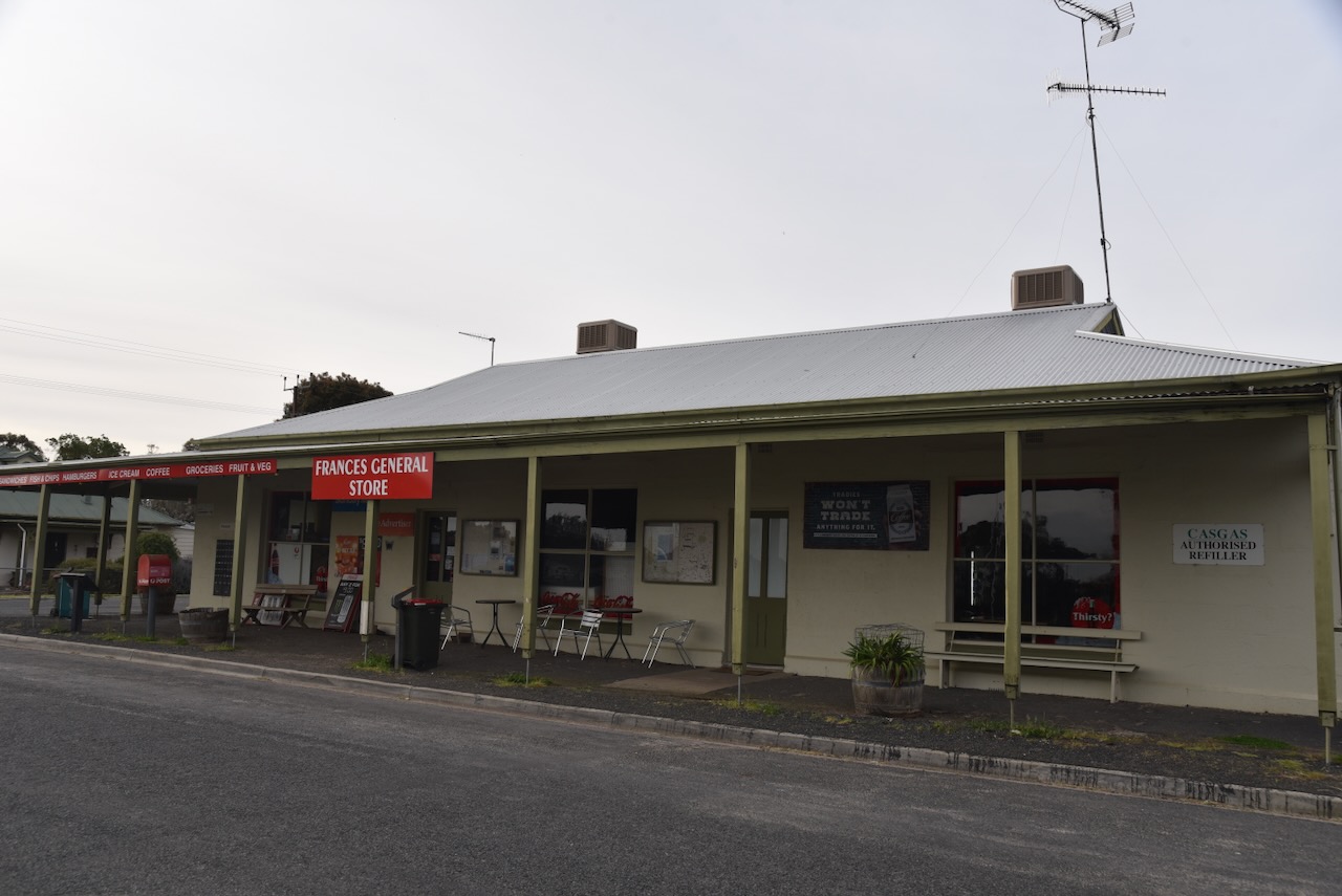
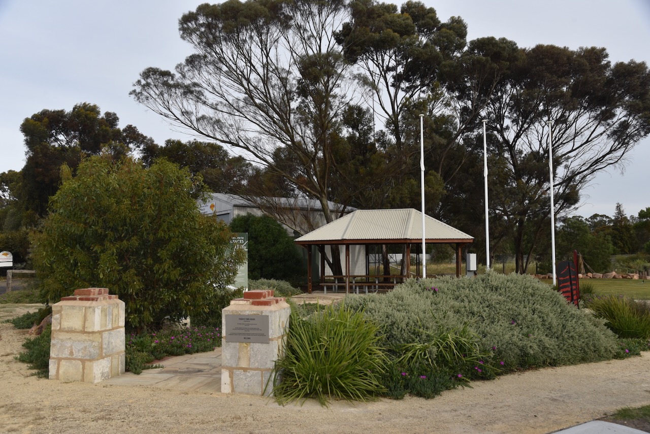
The Frances Town Square was established in 2021. The Catholic Church of St Bernard occupied the site from 1953 to 2010. The site was acquired by the Frances Folk Gathering Committee who successfully ran the Frances Folk Festival for 20 years from 2000 to 2020. At the initiative of the Frances Progress Association, the vacant site was then purchased by the Naracoorte Lucindale Council to be used a community space for people to gather.

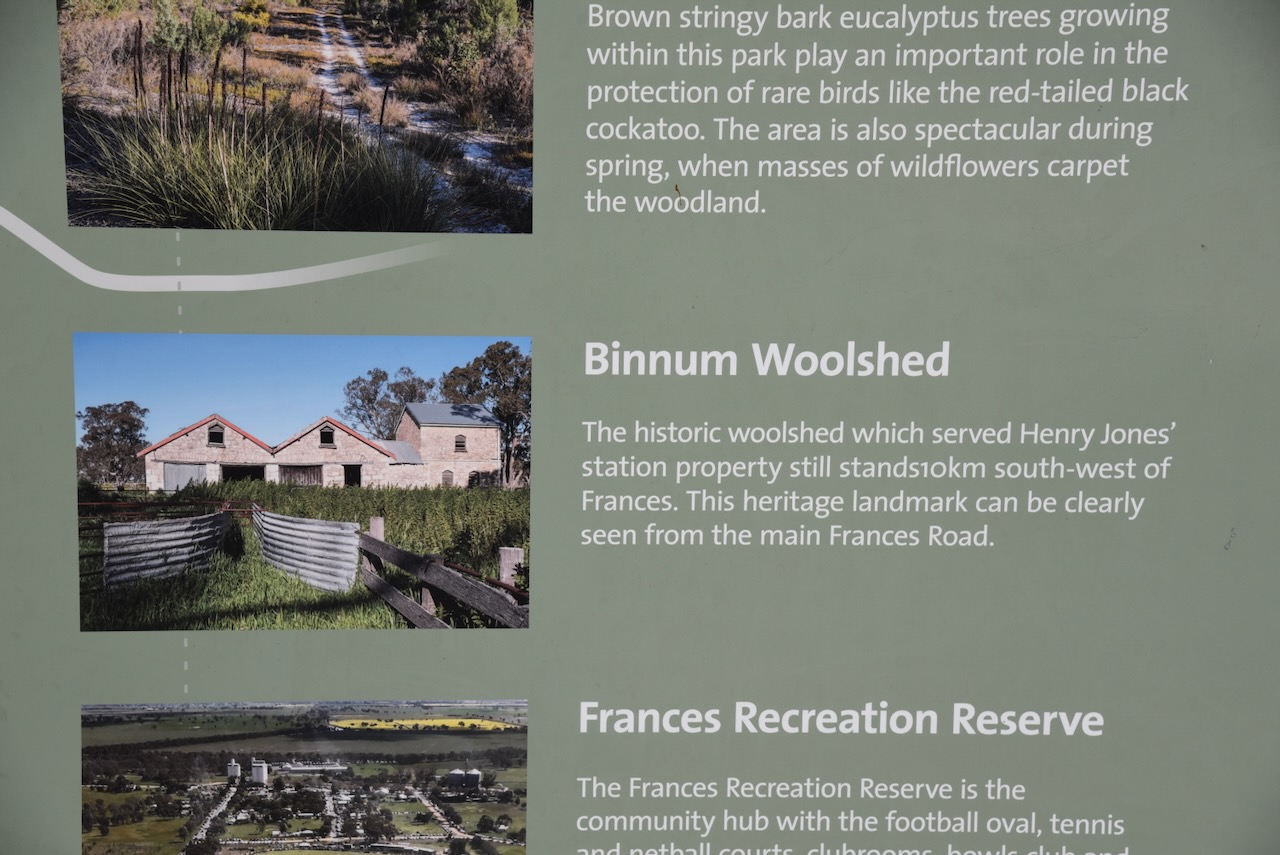
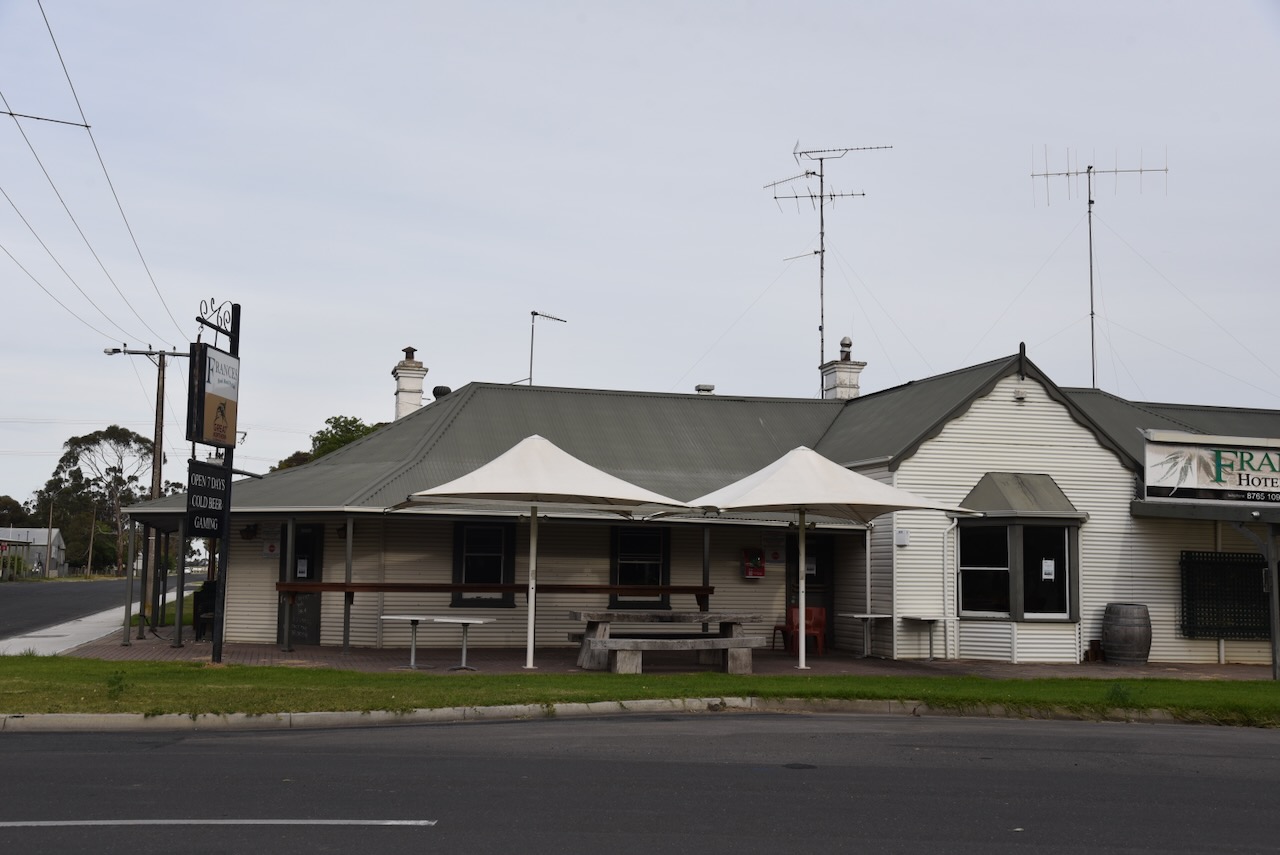
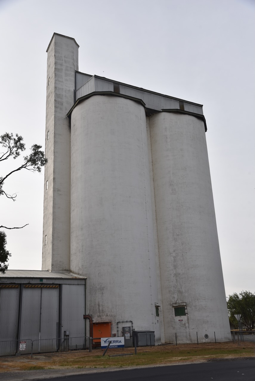
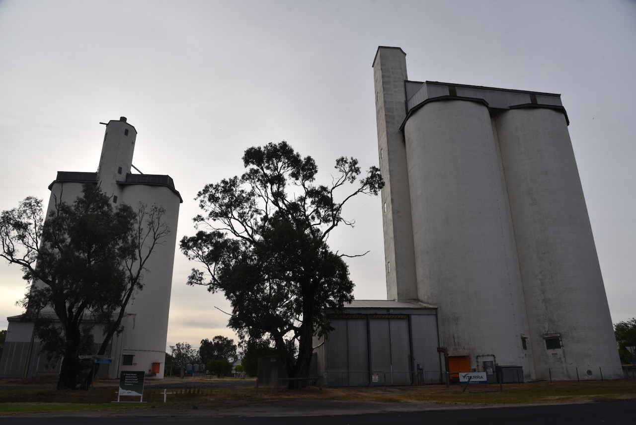
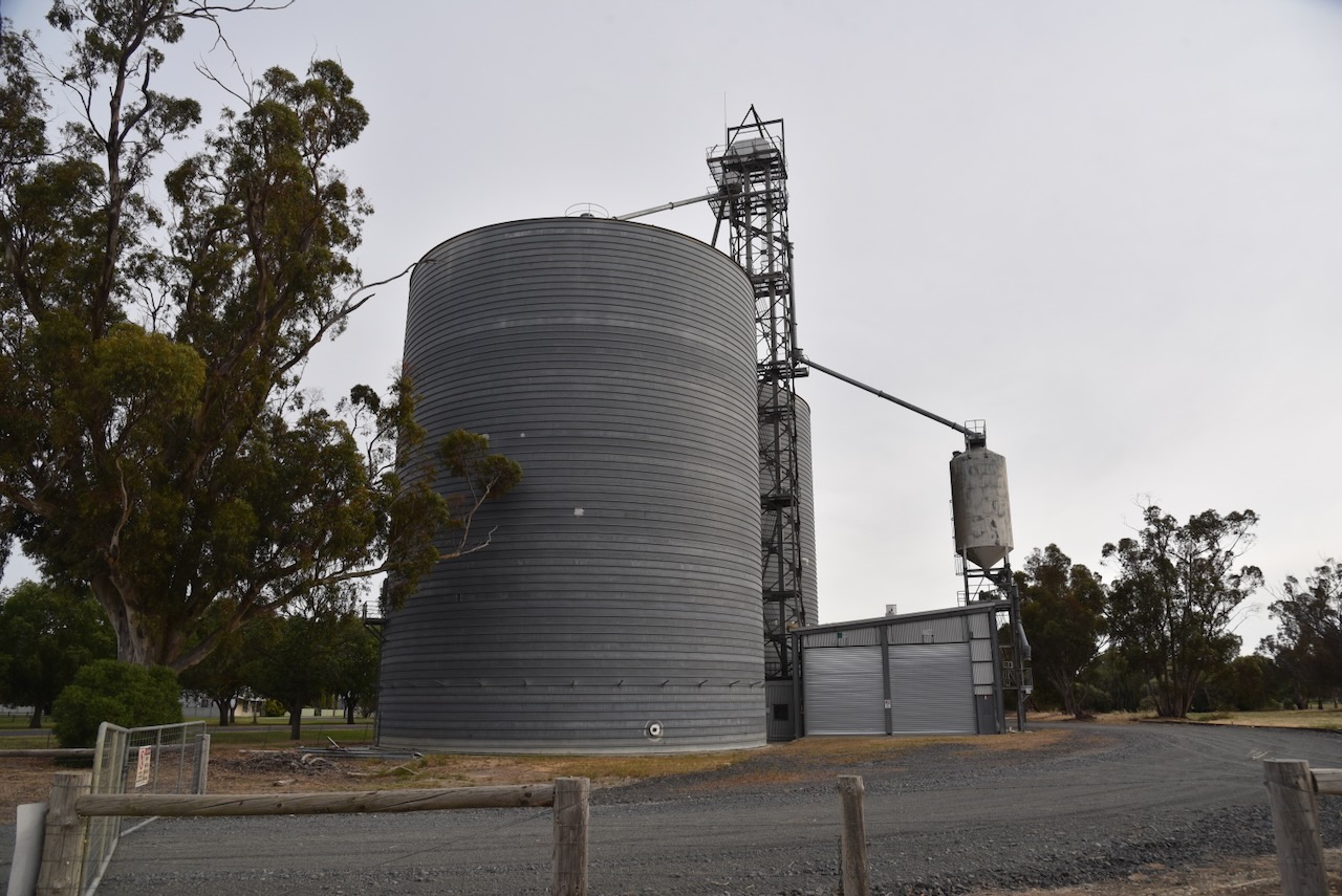
The Frances silos are located on the western side of Railway Terrace, between Frances Road. They consist of concrete silos and galvonised iron silos. The railway closed on the 12th day of April 1995. Despite this, Frances continues to be a receiving point for grain. (Wikipedia 2025)
Marija and I parked on Gap Road near Frances Road in the silo activation zone.
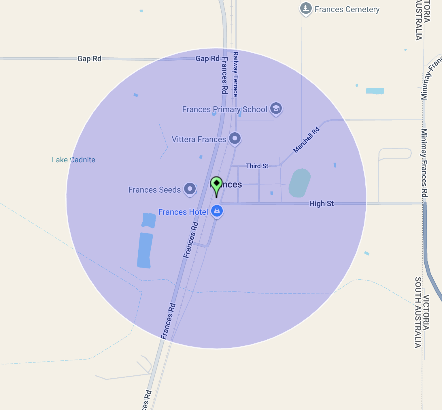
Above:- the activation zone at the Frances silos. Image c/o SiOTA website.
We operated from the 4WD, running the Icom IC-7000, 100 watts, and the Codan 930 antenna with the 1.5 metre stainless steel whip.
I worked the following stations on 40m SSB:-
- VK3PF
- Vk1AO
- VK2MET
- VK2HAK
- ZL3RIK
- VK1CHW
- VK5LA
References.
- Wikipedia Contributors (2025). Frances. Wikipedia.
