
On Saturday, 2nd September 2024, after leaving the Jallakin I15 Bushland Reserve, Marija and I continued on our journey to our home in South Australia.
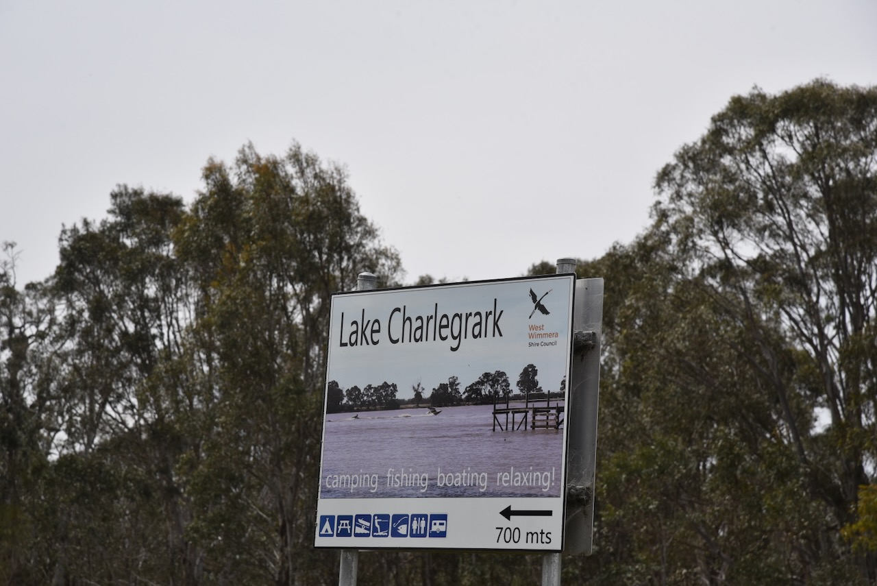
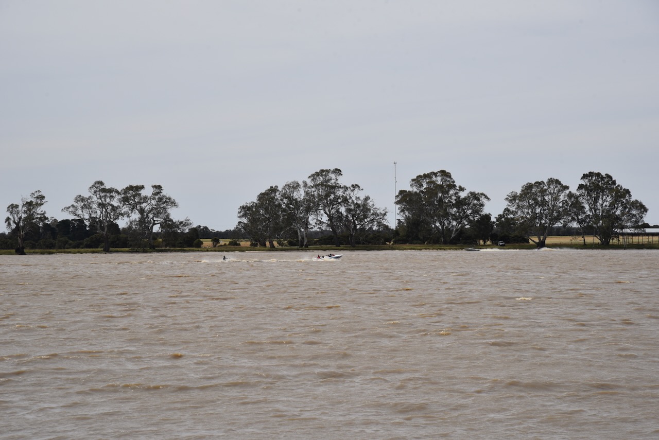
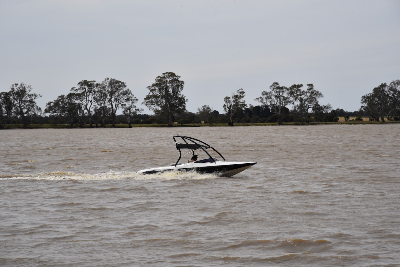
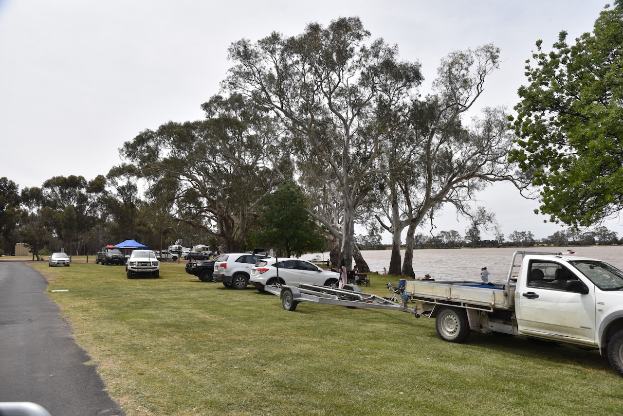
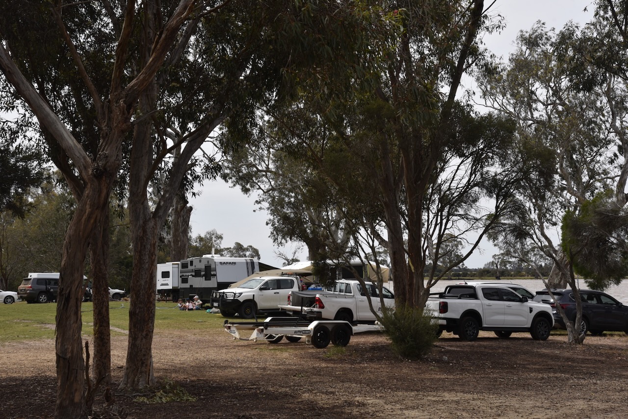
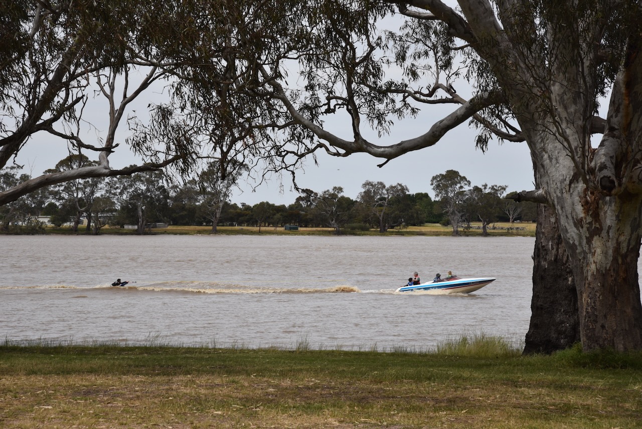
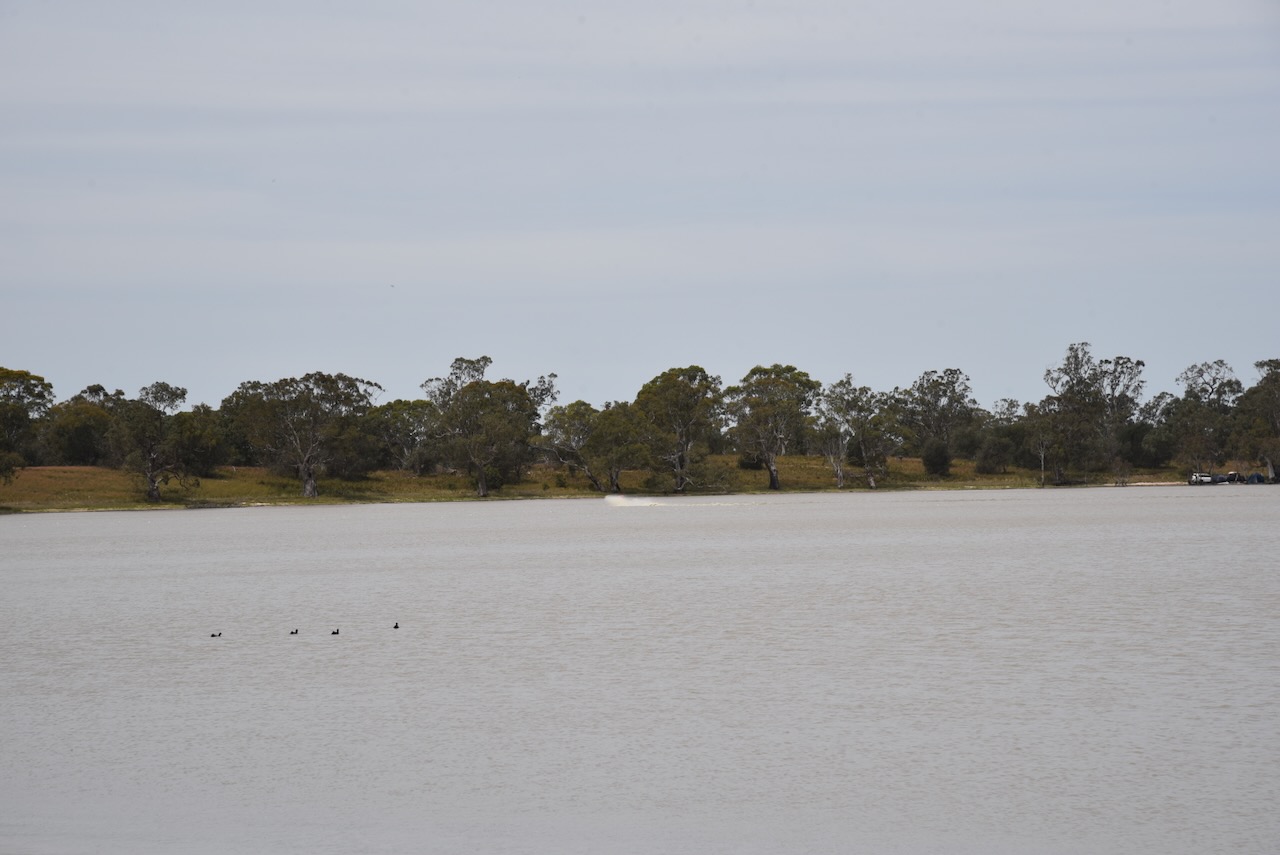
We stopped at Lake Charlegark, about 33 km north of Edenhope in southwest Victoria. Charlegark is from the Aboriginal words charrh, meaning earth and goorook, meaning big lake. The lake covers an area of about 40 hectares, and it was incredibly busy during our visit. (Blake 1978)
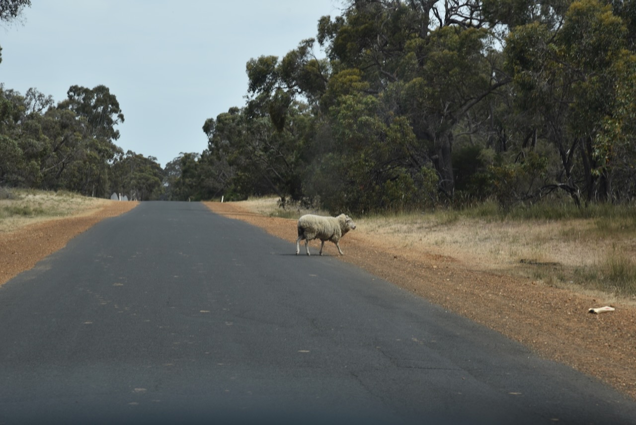
We left Charlegark and headed towards Lake Bringalbert. It was slow going at times along the way with kangaroos and stock crossing the road.
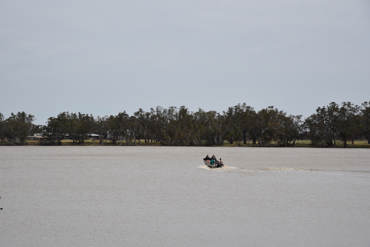
Lake Bringalbert takes its name from the Parish of Bringalbert. The earliest known European occupation of the area was Thomas Gibson, who squatted in the area in 1845. Bringalbert is an Aboriginal word for sandy spring or place of sickness. This was another place that was very busy with caravaners and campers during our visit. (Blake 1978).
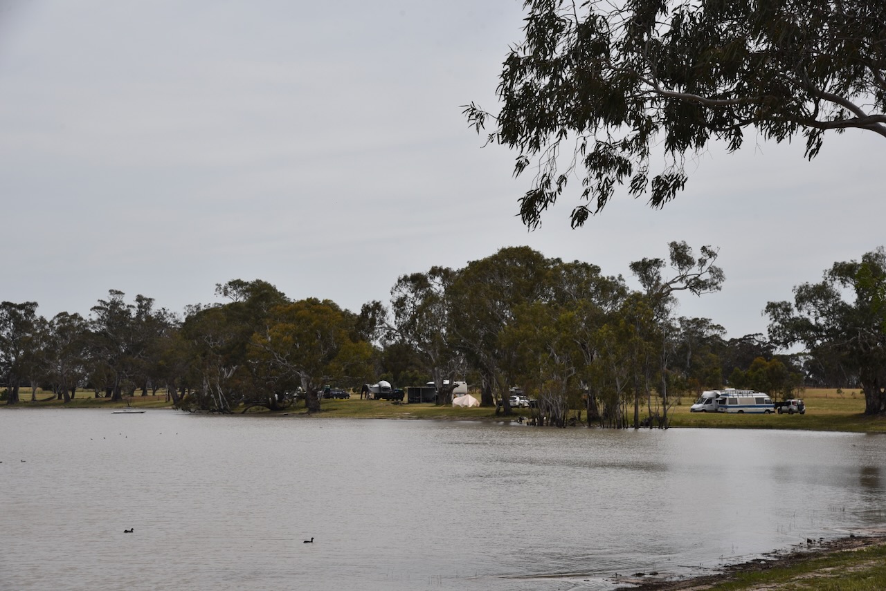
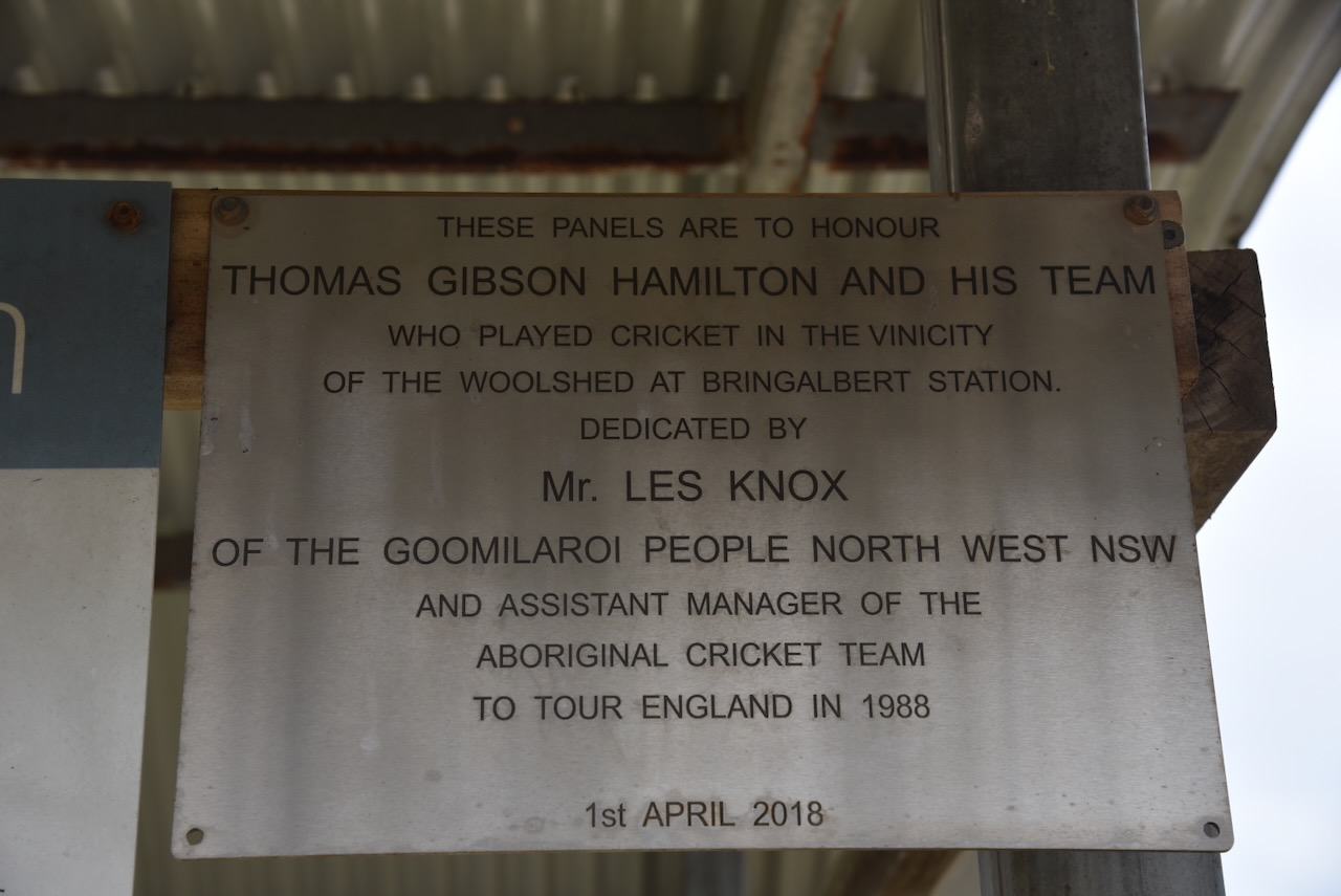
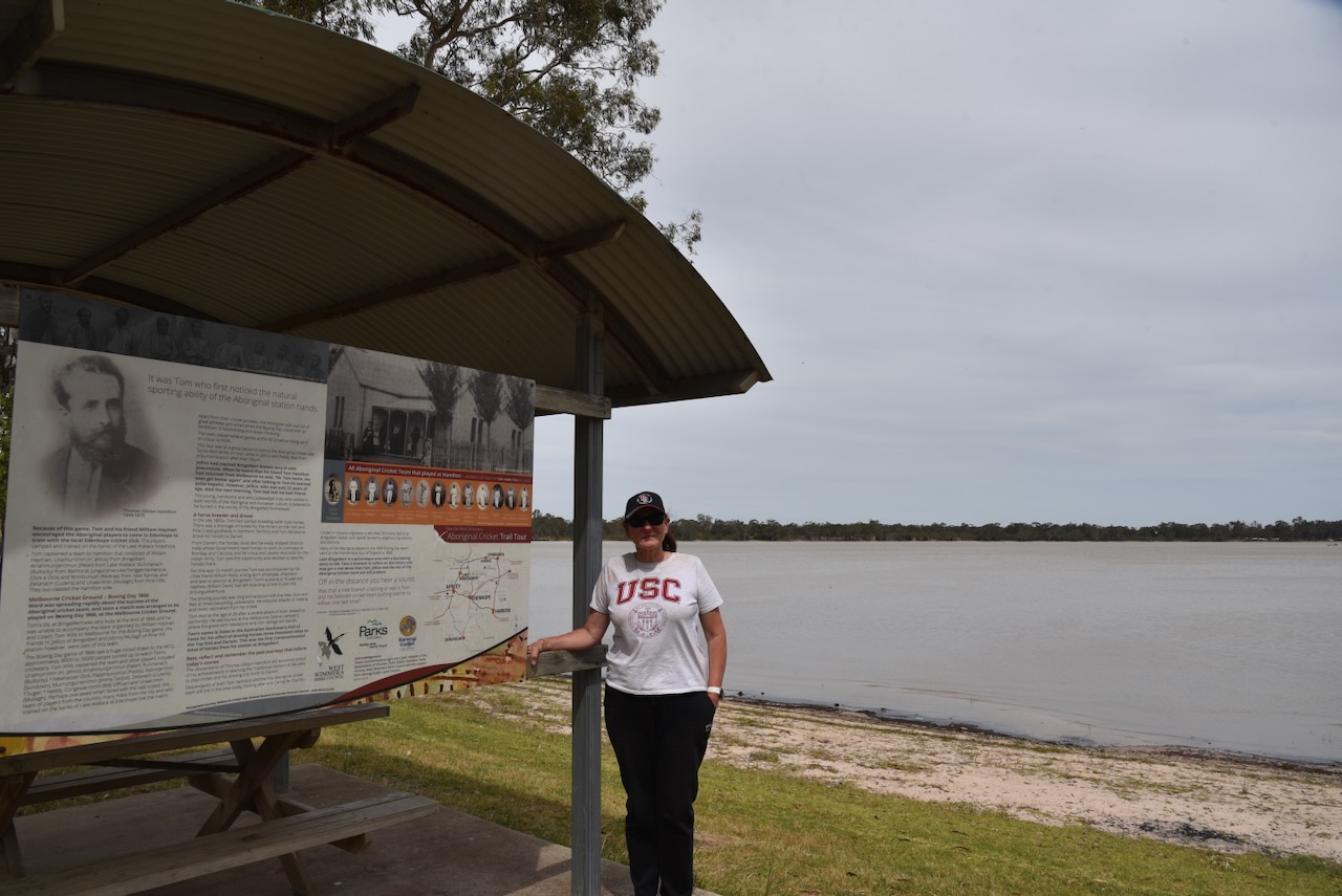
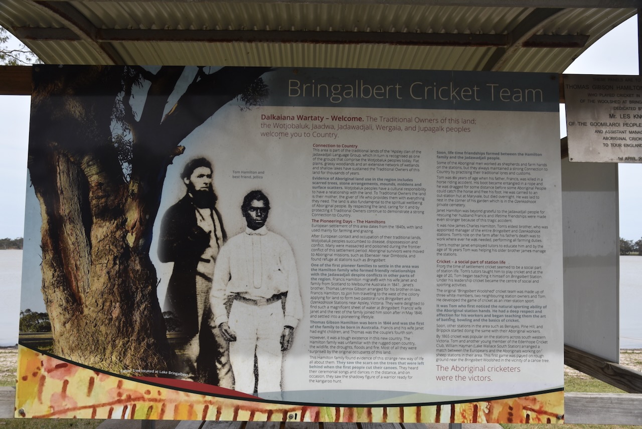
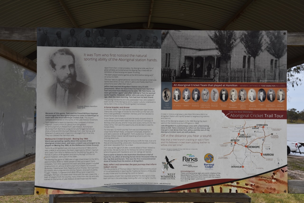
Lake Bringalbert was the site of the first cricket match between Aboriginal and European station hands. There is a monument here and some very interesting information boards.
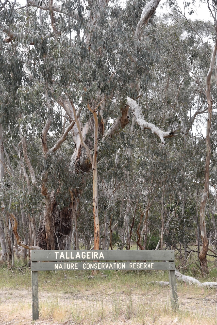
We left Lake Bringalbert and headed to the Tallageira Nature Conservation Reserve VKFF-2203, which is located very close to the South Australia and Victoria state border.

Above:- Map showing the location of the Tallageir NCR. Map c/o Google Maps.
As can be seen below, the reserve is divided into several separate pieces of native scrubland.
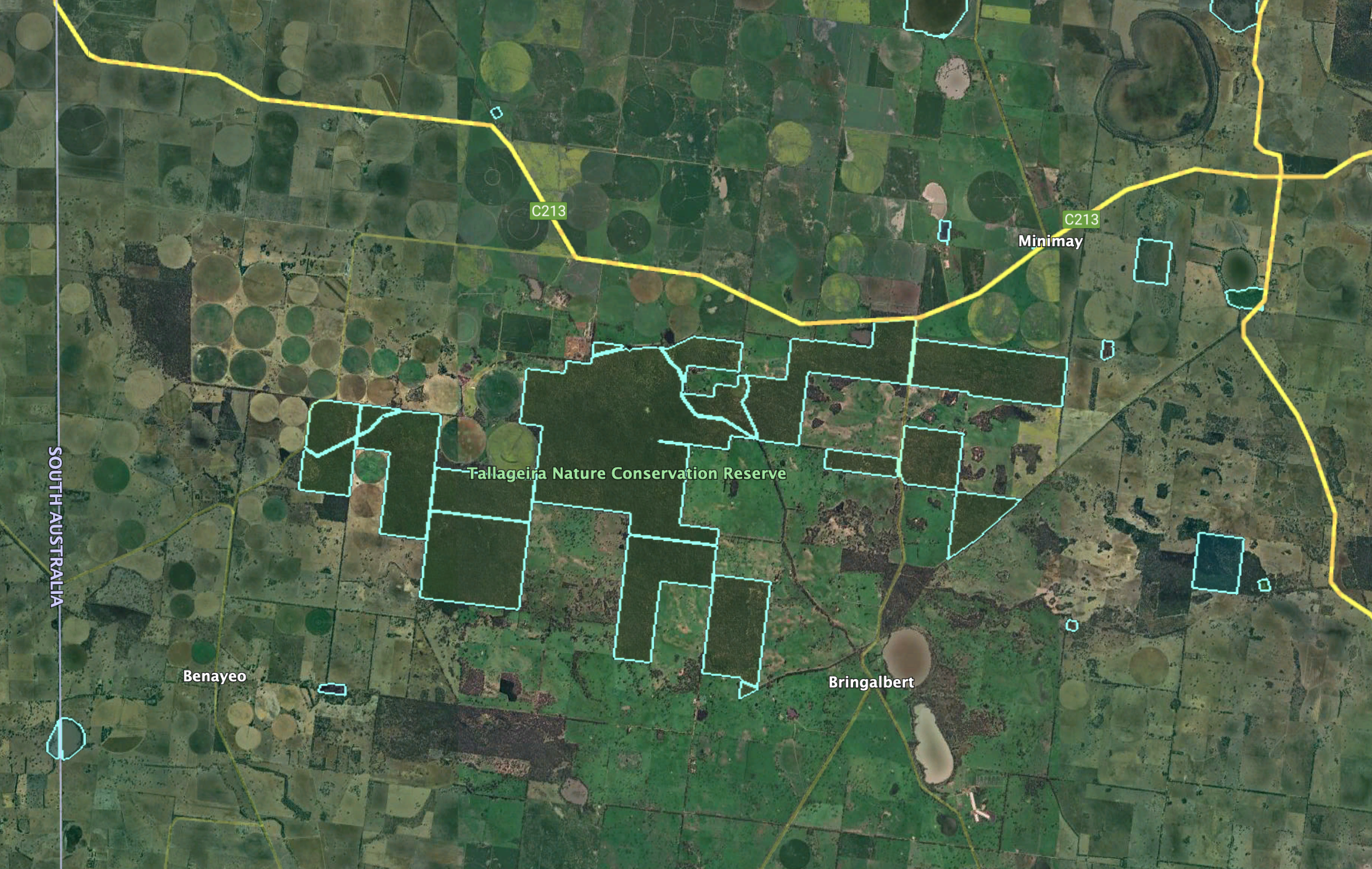
Above:- An aerial view of the Tallageir NCR. Image c/o Google Earth.
The reserve takes its name from the Tallageira pastoral run that was run by Derwas Jones in 1844. (Blake 1978)

Above:- Derwas Jones. Image c/o State Library South Australia.
The reserve is large, comprising about 3,750 hectares and was established on the 13th day of October 2004. (CAPAD 2022)
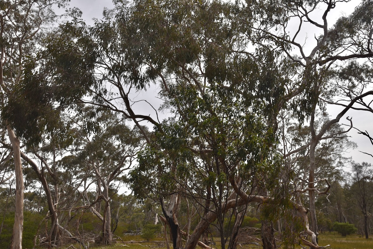

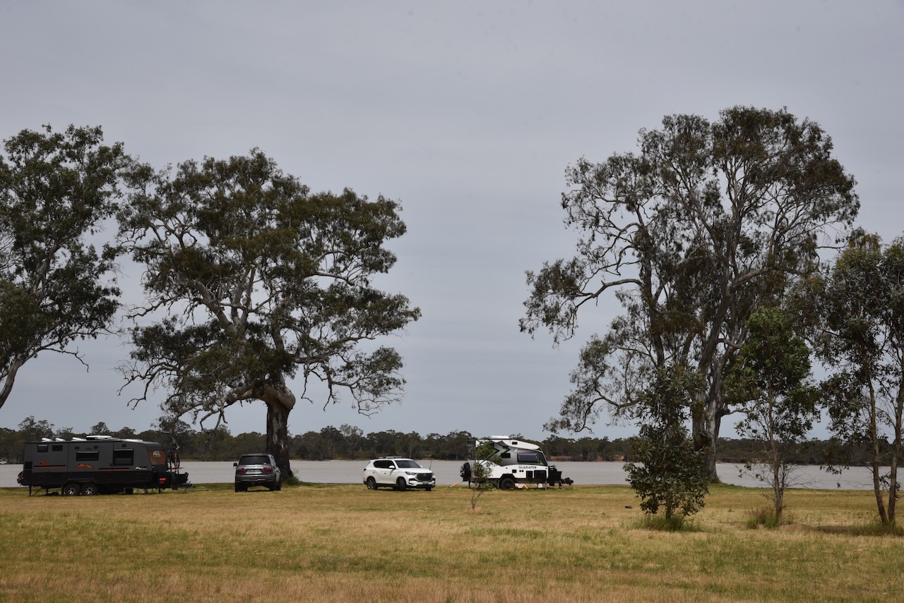
This was an easy park to access. We drove in and set up in a clearing amongst the scrub. We ran the Yaesu FT857, 40 watts, and the 20/40/80m linked dipole.
Marija worked the following stations on 40m SSB:-
- VK5HS
- VK5LA
- VK5KAW
- VK5CZ
- VK3SQ
- VK2BD
- VK3PF
- VK3KAI
- VK5WU
- VK5DW
- VK3WSG
- VK2VAR
- VK2GOM
- VK3YV/P (VKFF-0539)
I worked the following stations on 40m SSB:-
- VK5HS
- VK5LA
- VK5KAW
- VK5CZ
- VK3SQ
- VK2BD
- VK3PF
- VK3KAI
- VK5WU
- VK5DW
- VK3WSG
- VK2VAR
- VK2GOM
- VK3DL
- VK2VW
- VK2HFI
- VK2AKA
- VK2BUG
- VK3CEO
- VK7PJM
- VK5FB
- VK3YV/P (VKFF-0539)
- VK7EK
- VK3GJG/M
- VK2LEE
- VK3PI
- VK3MKE
- VK1AO
- VK2MET
I worked the following stations on 40m FT8:-
- VK3WSG
- VK5LA
- VK5WU
- VK2VAR
- VK3GV
- VK2GOM
- VK3PF
- VK1AO
- VK3CEO
- VK5MK
- VK5KAW
- VK7XX
- VK5CZ
I worked the following stations on 20m SSB:-
- VK1AO
- VK2MET
- VK2VW
- VK2HFI
- VK2AKA
- VK2BUG
- VK4XDR
- VK6DS
References.
- Dcceew.gov.au. (2023). Collaborative Australian Protected Areas Database (CAPAD) 2022 – DCCEEW. [online] Available at: https://www.dcceew.gov.au/environment/land/nrs/science/capad/2022 [Accessed 10 Jun. 2025].
- Leslie James Blake, 1978, Place Names of Victoria.
