In April 2025, I purchased the very first issue of CB Action on eBay. Issue No. 1 was released in 1977 and cost 80 cents.
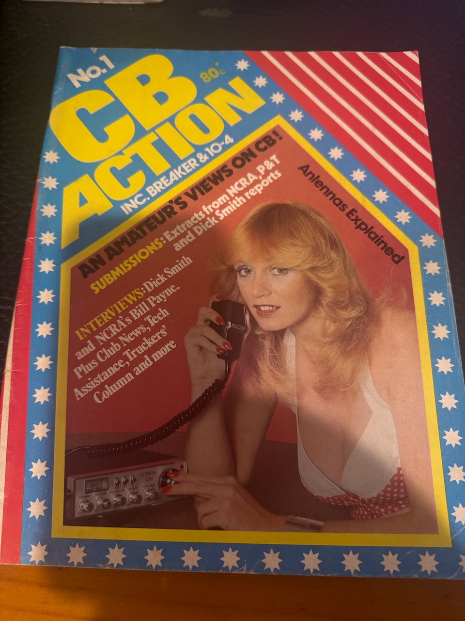

In April 2025, I purchased the very first issue of CB Action on eBay. Issue No. 1 was released in 1977 and cost 80 cents.
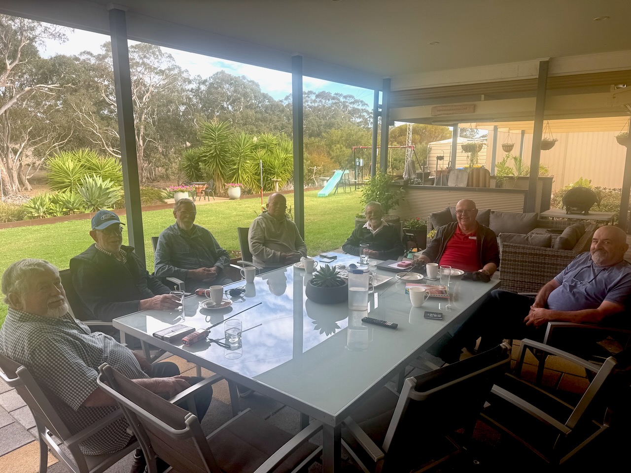
In April 2025, the Strathalbyn Amateur Radio Group met at my home. I delivered a short presentation on Short Wave Listening and also showed the gents my Bambu Labs 3D printer.
It was another great day.
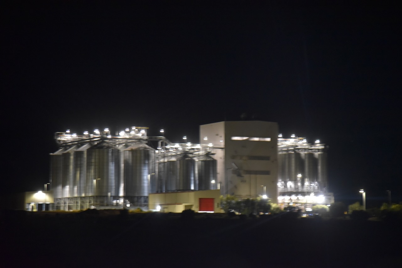
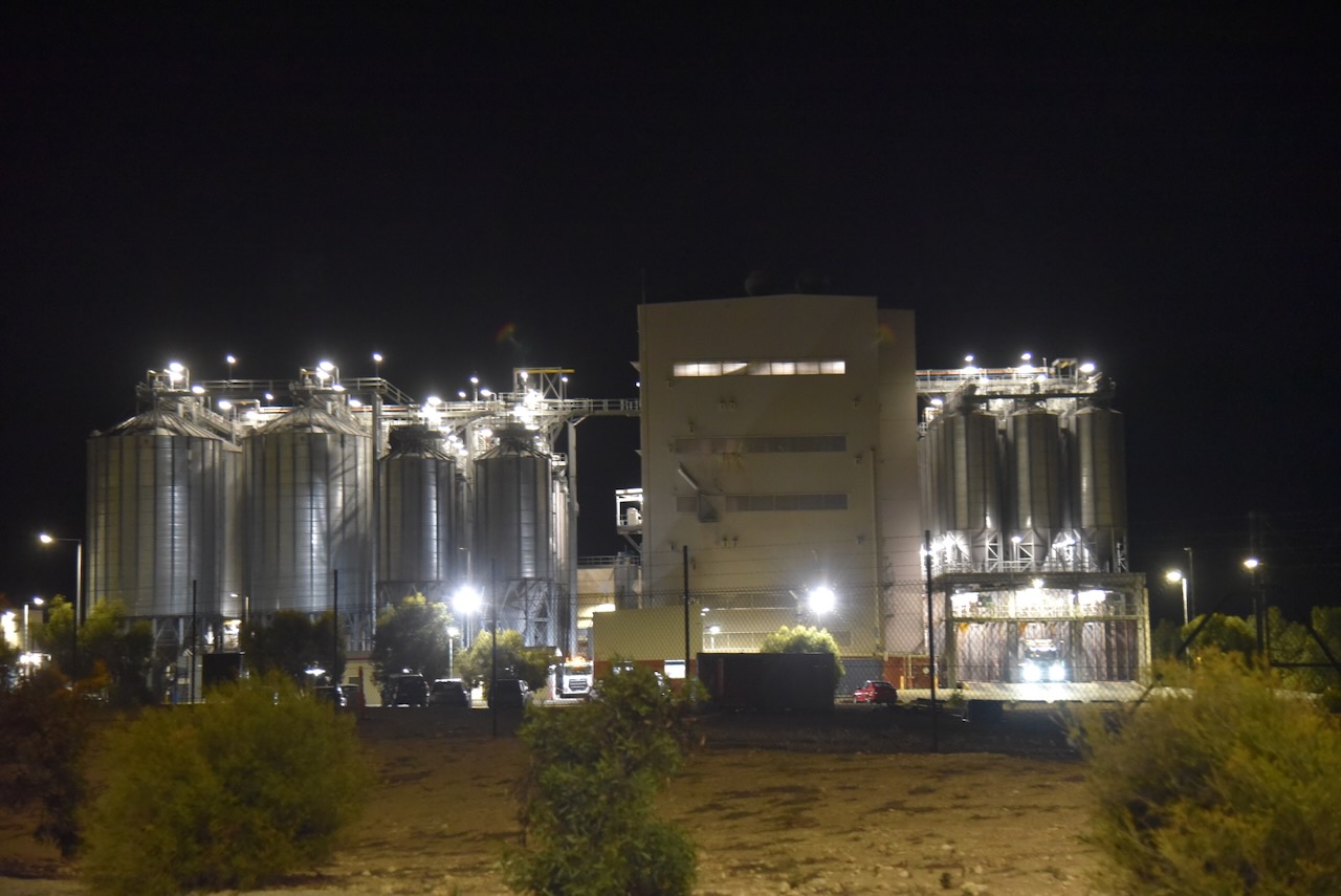
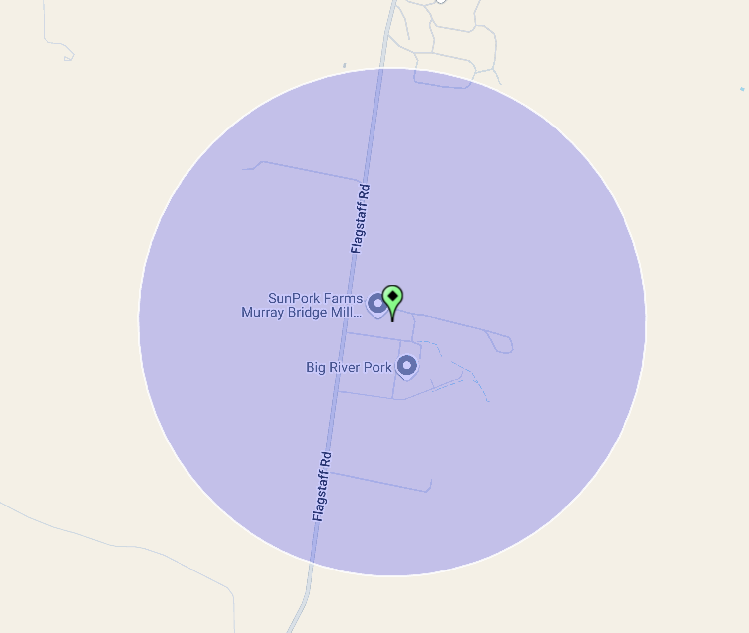
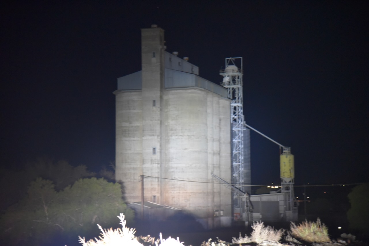
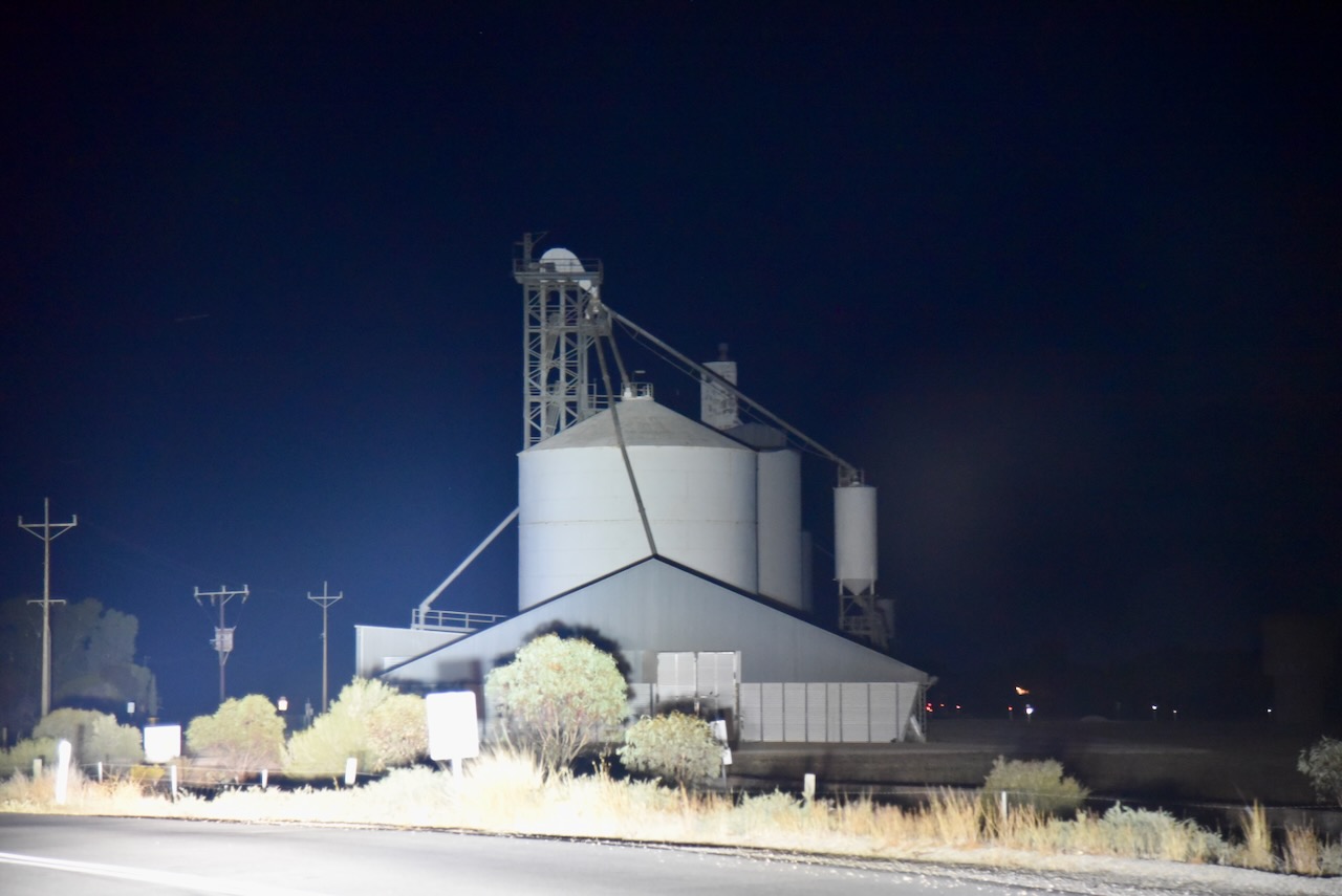
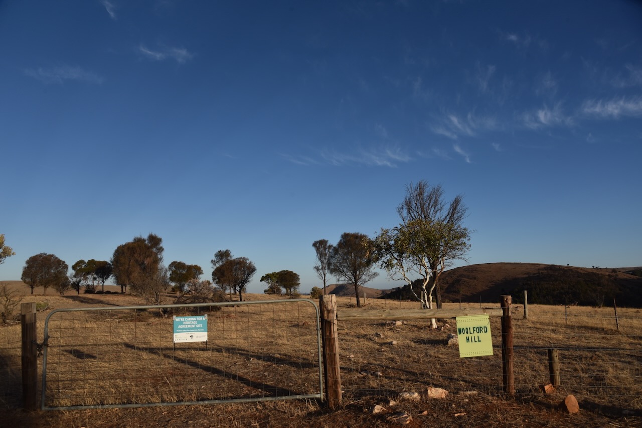
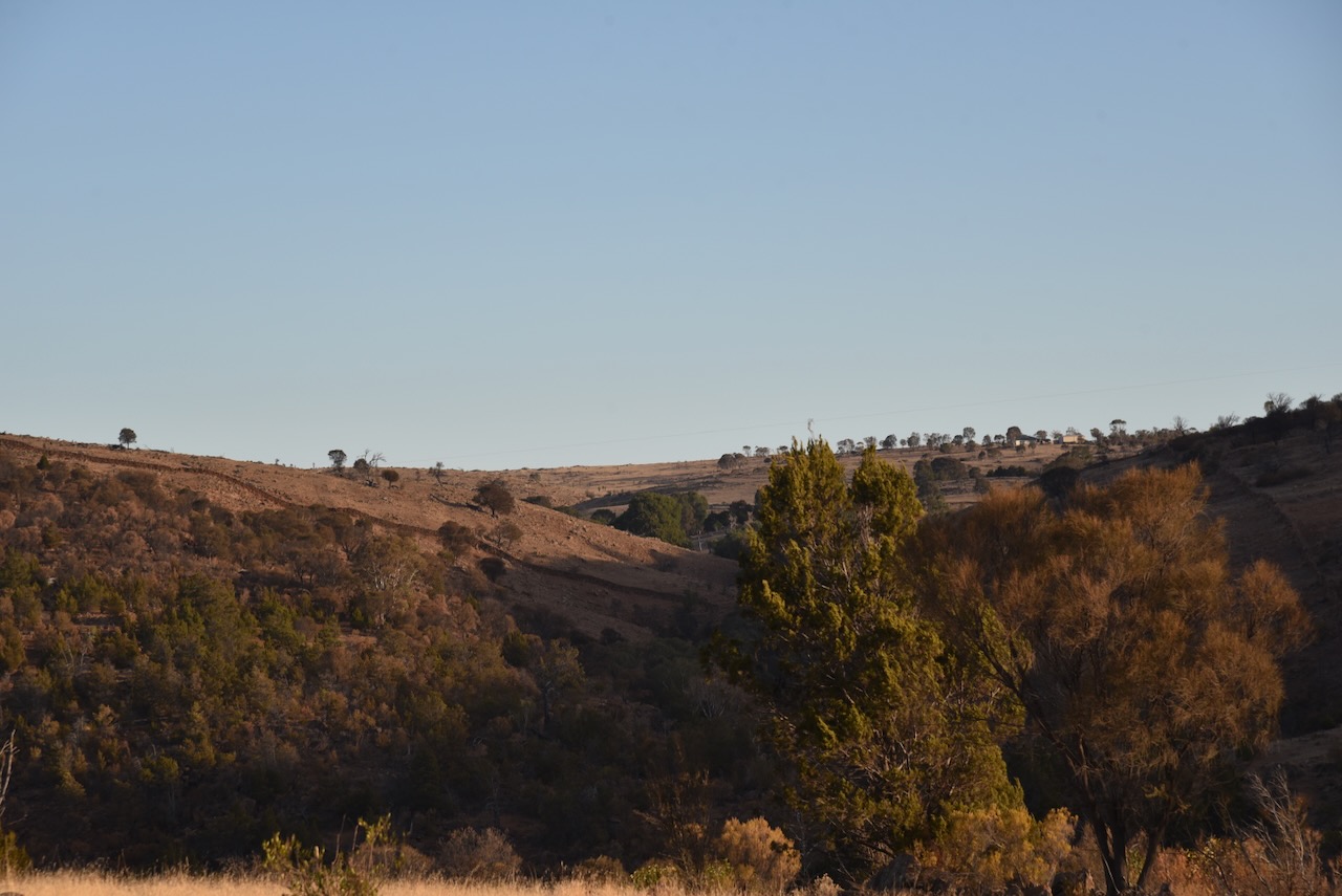
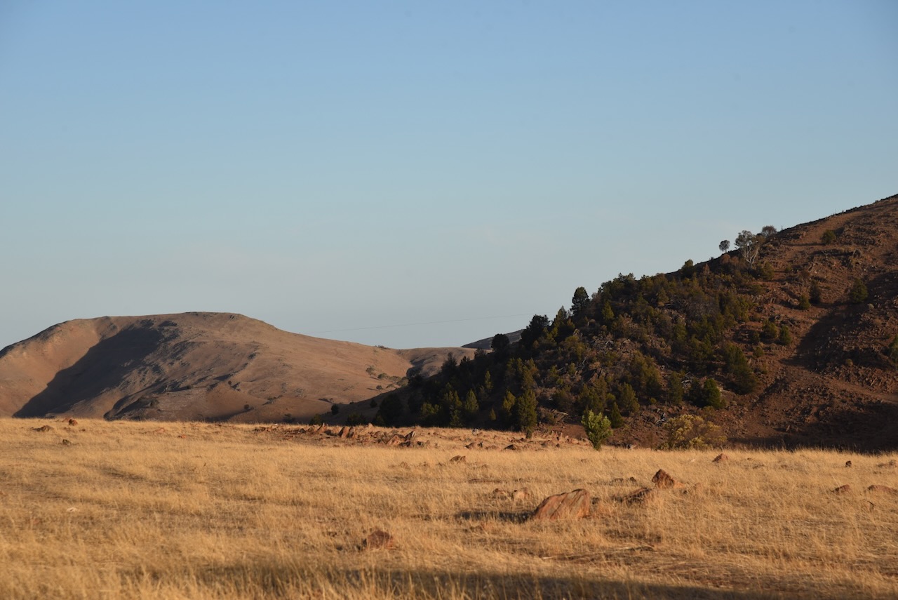
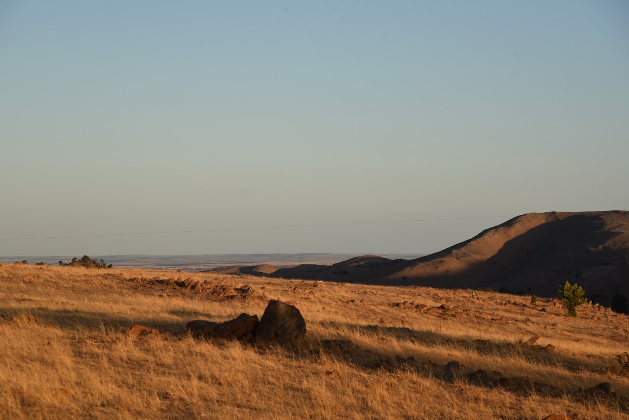
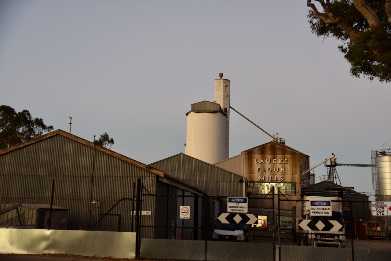
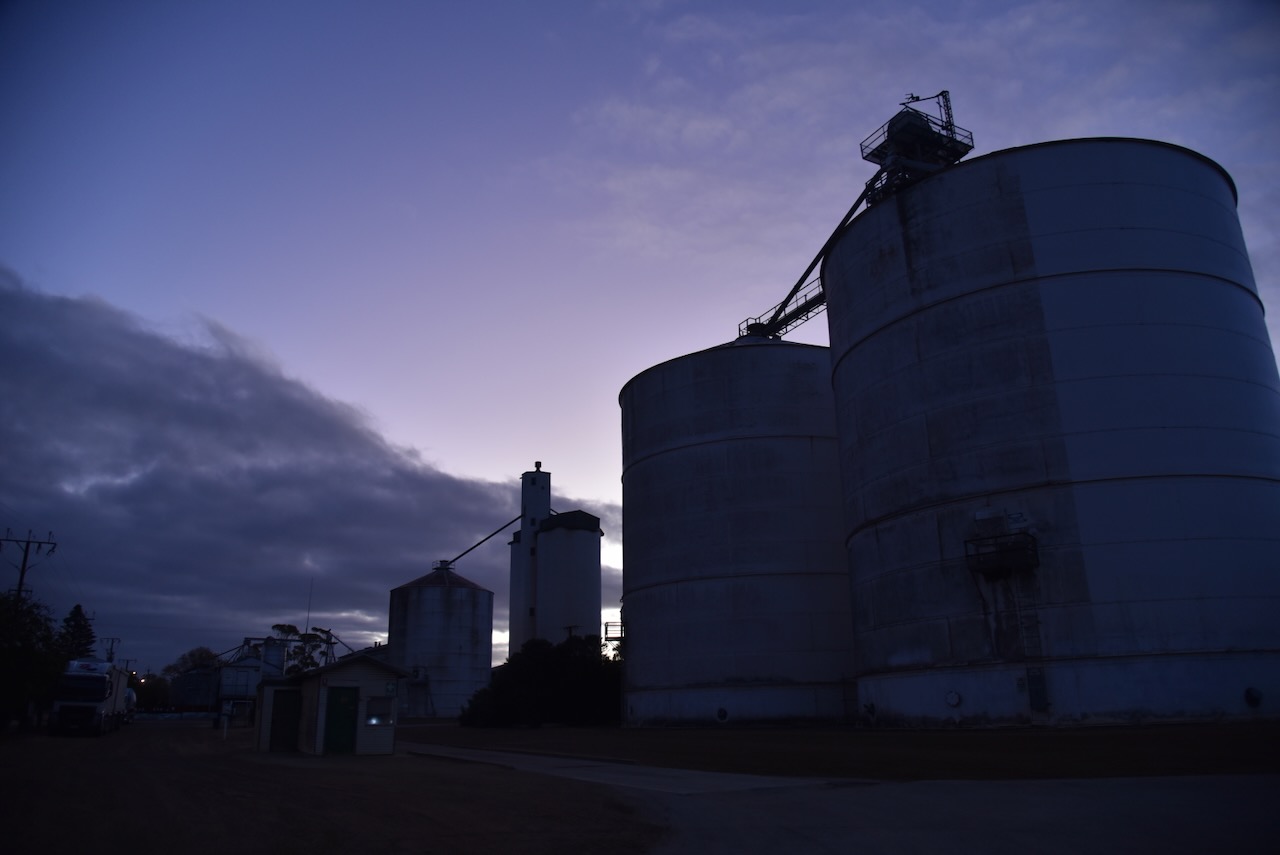
My final activation for 8th April 2025, was the White Sands silo VK-WHS5. White Sands is located about 9 km south of Murray Bridge and about 81 km southeast of Adelaide.

The White Sands silo is located on Flagstaff Road and is operated by Inghams.
The locality was named after the White Sands Ski Resort, a water skiing and wakeboarding facility, in March 2000. (Wikipedia 2024)

I parked on Flagstaff Road and operated from the 4WD, running the Icom IC-7000, 100 watts, and the Codan 9350 antenna with the 1.5 metre stainless steel whip.
Above:- the activation zone at the WHite Sands silo. Image c/o SiOTA website.
I worked the following stations on 80m SSB:-
I worked the following stations on 40m SSB:-
References.
After leaving Apamurra, I headed into Murray Bridge, where I got an evening meal.
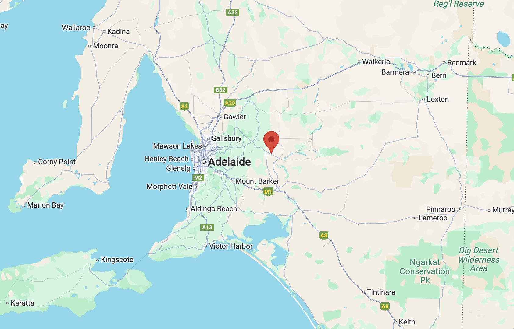
I then activated the Murray Bridge East silo VK-MRT5 and the Murray Bridge silo VK-MRE5. Again, I used the special event call of VI100IARU.

Above:- Map showing the location of Murray Bridge, east of Adelaide. Map c/o Google Maps.
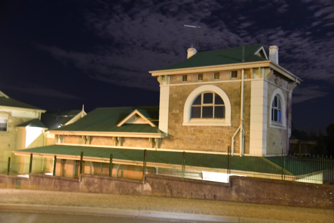
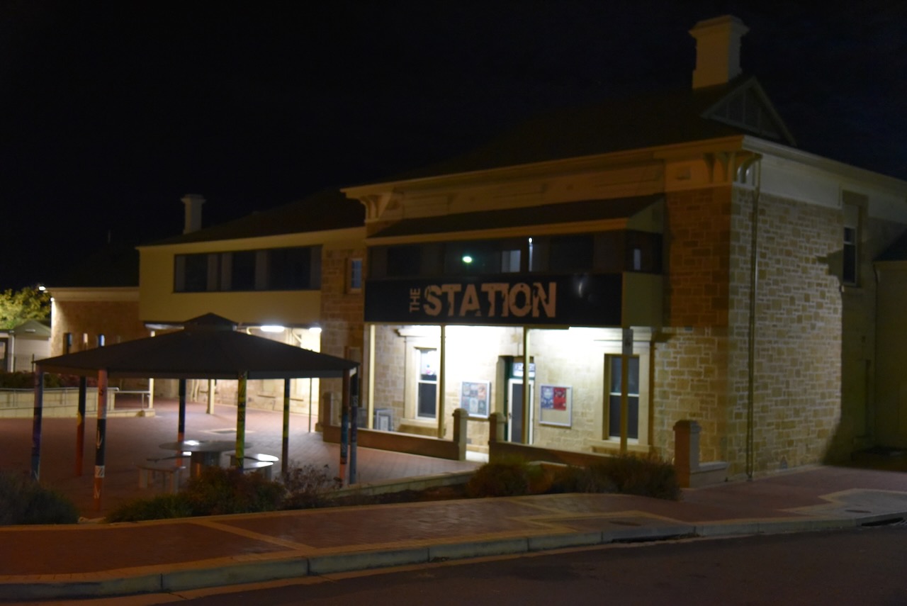
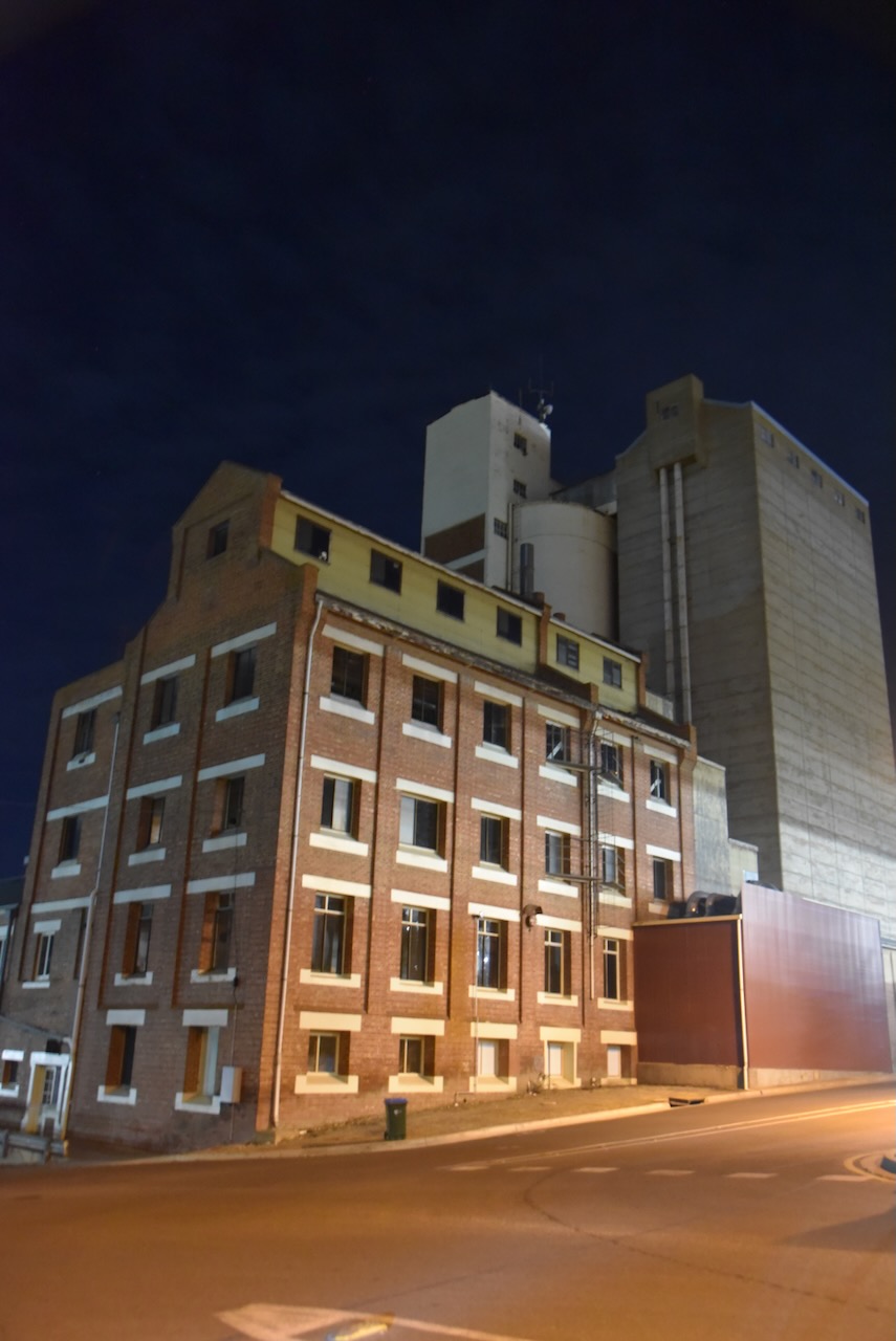
On my way to the activation zone for both silos, I passed the old Murray Bridge Railway Station on Railway Terrace. The station was opened in the 1880s as part of the Adelaide-Wolseley railway line. (Wikipedia 2025)
The Murray Bridge silo VK-MRE5 is located on Hume Reserve Road. The Murray Bridge East silo VK-MRT5 is located on Mary Terrace.
In 2023 it was planned that the Murray Bridge silos would become part of the Australian silo art trail. Sadly, this was cancelled.

I parked on Railway Terrace within the activation zone of the two silos and operated from the 4WD. I ran the Icom IC-7000, 100 watts, and the Codan 9350 antenna with the 1.5 metre stainless steel whip.

Above:- Map showing the activation zone at the two silos. Image c/o SiOTA website.
I worked the following stations on 40m SSB:-
References.
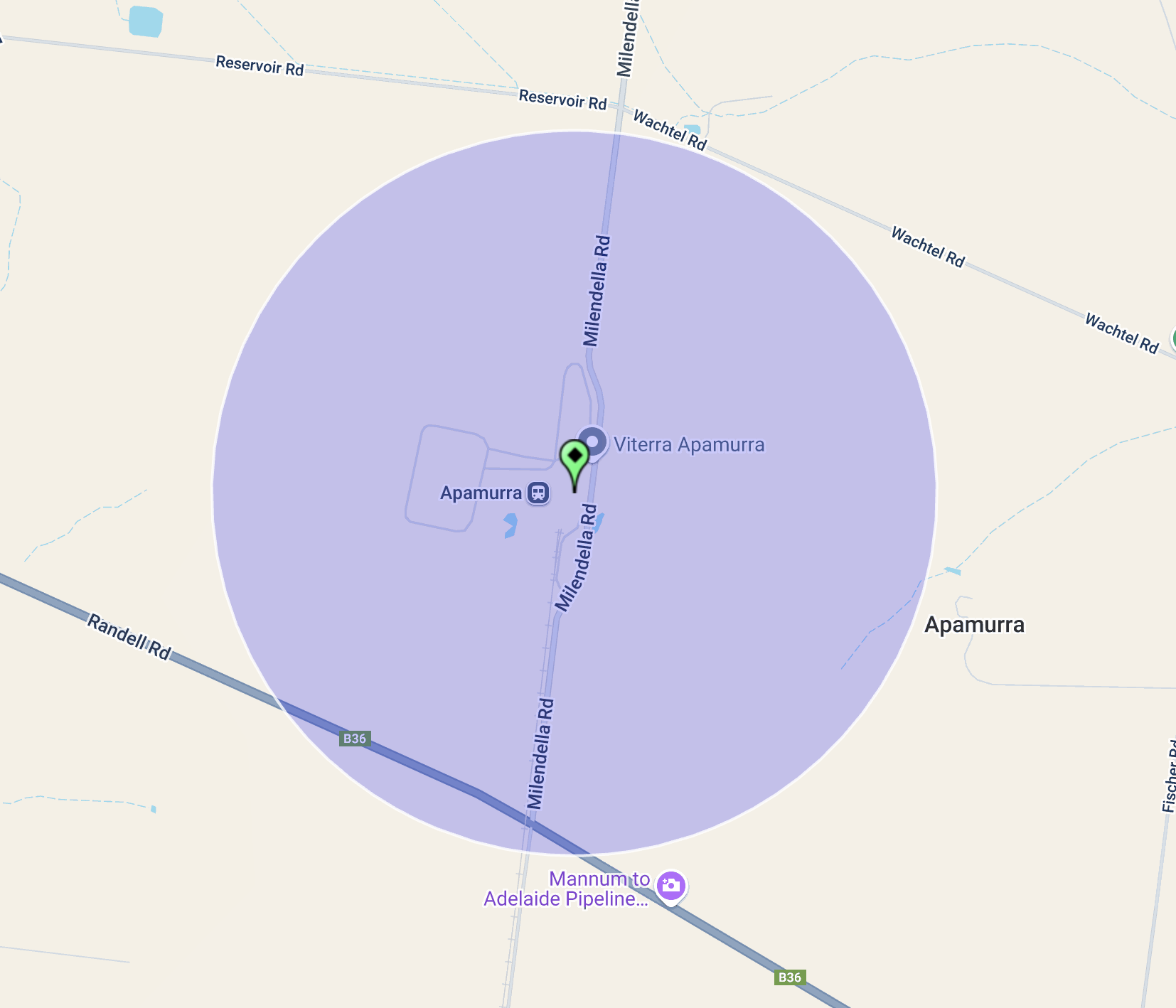
After leaving Cambrai on 8th April 2025, I headed to the Apamurra silo VK-APA5. Apamurra is located about 12 km northwest of Mannum and about 77 km northeast of Adelaide.
I have activated the Apamurra silo several times previously.
Apamurra is a railway siding on the former Monarto-Sedan railway. Apamurra is an Aboriginal word meaning ‘fresh water’. The township of Apamurra was laid out in 1921 on part sections 30-31, Hundred of Finniss, by Johann Gottfried Hartmann. It comprised 19 allotments contiguous to the railway station. On the 17th day of February 1922, the Apamurra Post Office opened. It closed on the 31st day of July 1971. (Place Names 2023)
The Apamurra silos are located on Milendella Road.
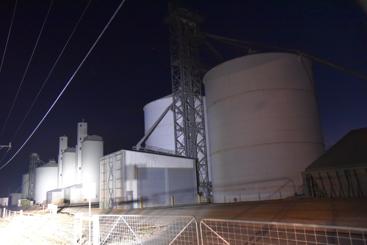
I parked on Milendella Road outside of the silos and operated from the 4WD, running the Icom IC-7000, 100 watts, and the Codan 9350 antenna with the 1.5 metre stainless steel whip.
Above:- the activation zone at the Apamurra silo. Image c/o SiOTA website.
I worked the following stations on 40m SSB:-
References.
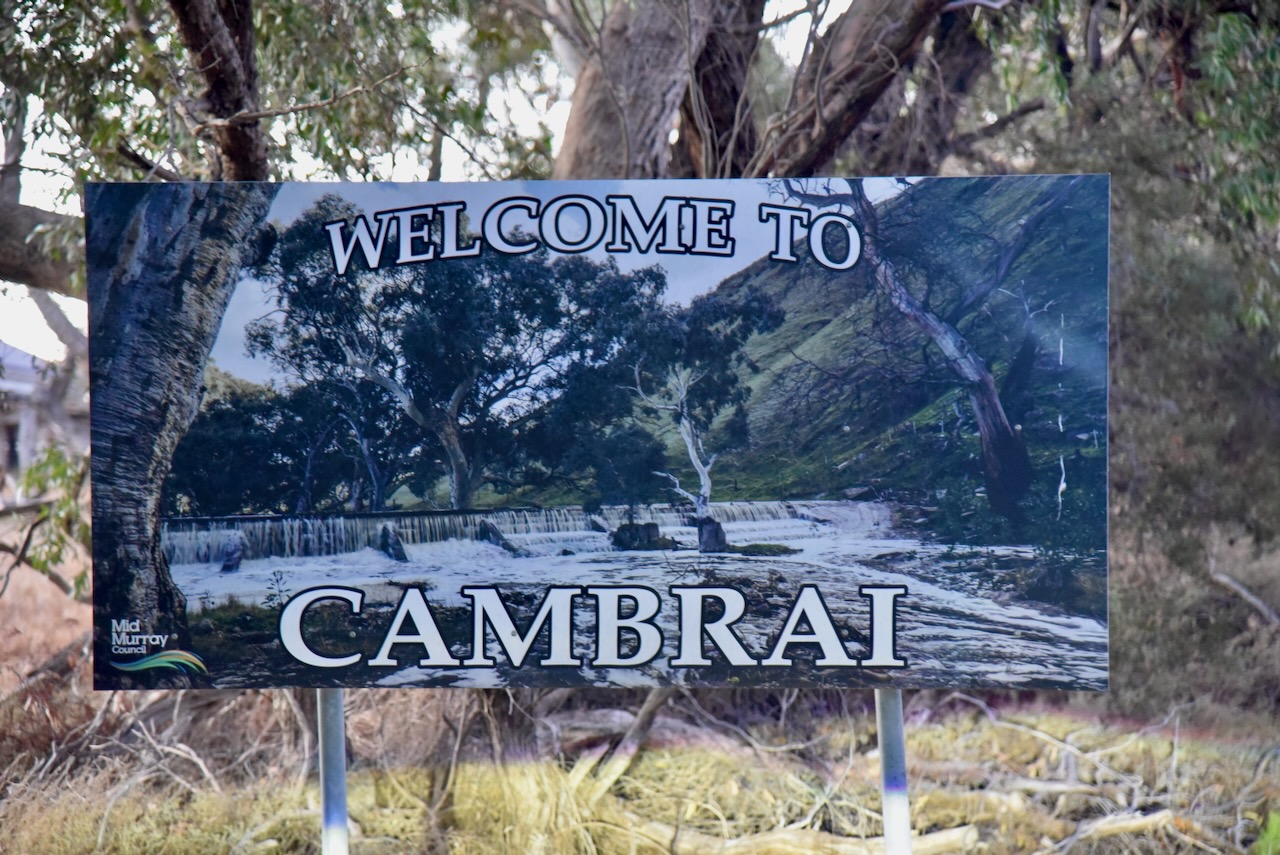
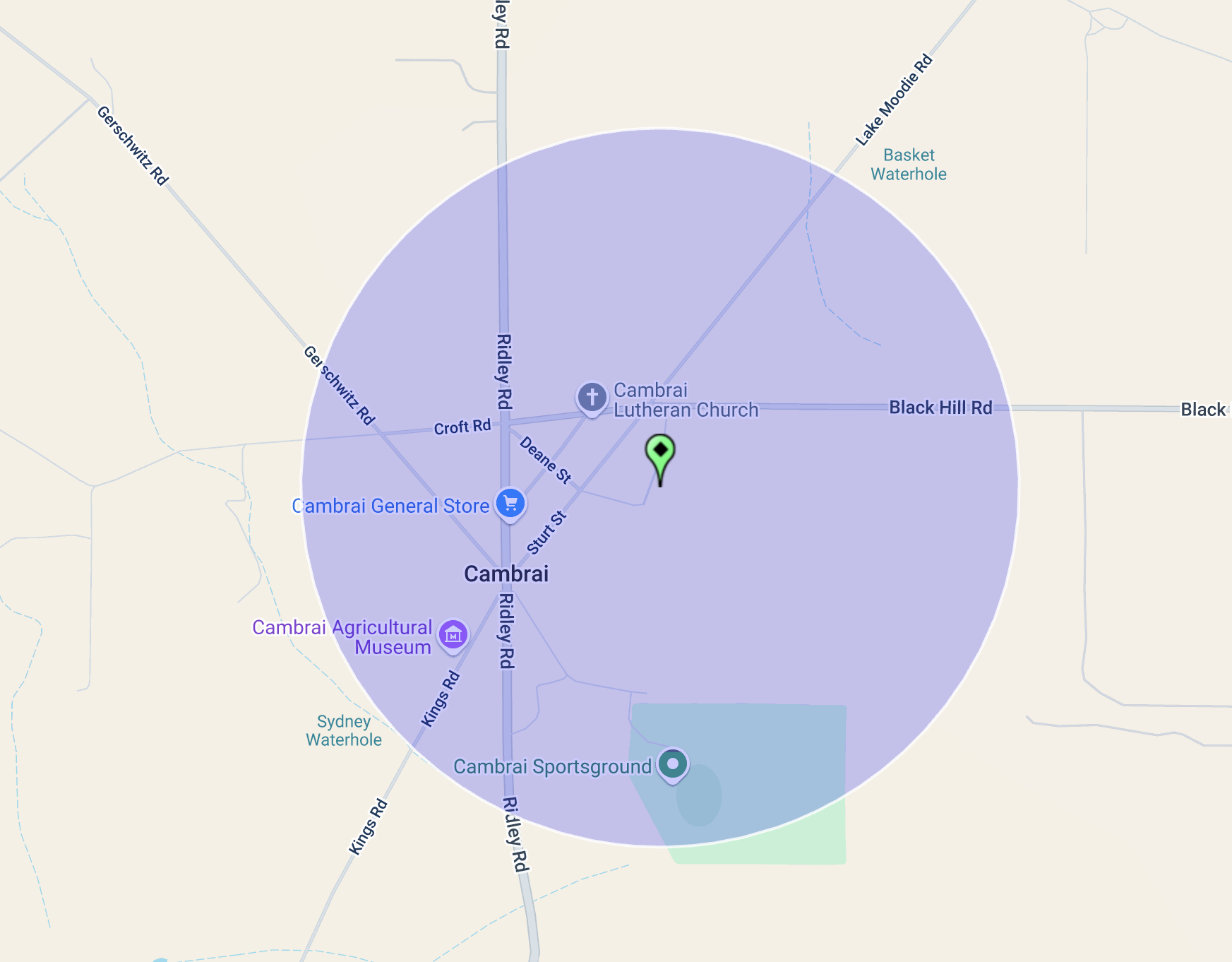
After leaving the Derek Sutcliffe Reserve on 8th April 2025, I headed to the town of Cambrai where I intended to activate the Cambrai silo VK-CMI5 for the Silos On The Air (SiOTA) program.

Above:- Map showing the location of Cambrai. Map c/o Google Maps.
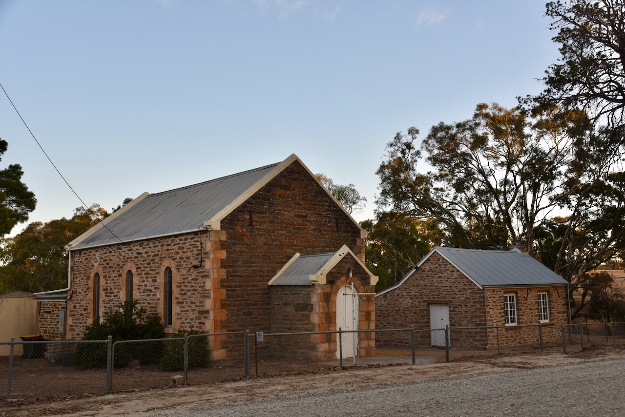
I headed west on Jutland Road and stopped briefly to admire the old South Rhine Presbyterian (later Uniting) Church. The Foundation Stone was laid on the 26th day of April 1882, by Thomas Gray. Its closing service was held on the 25th day of April 2010. (Facebook 2022)
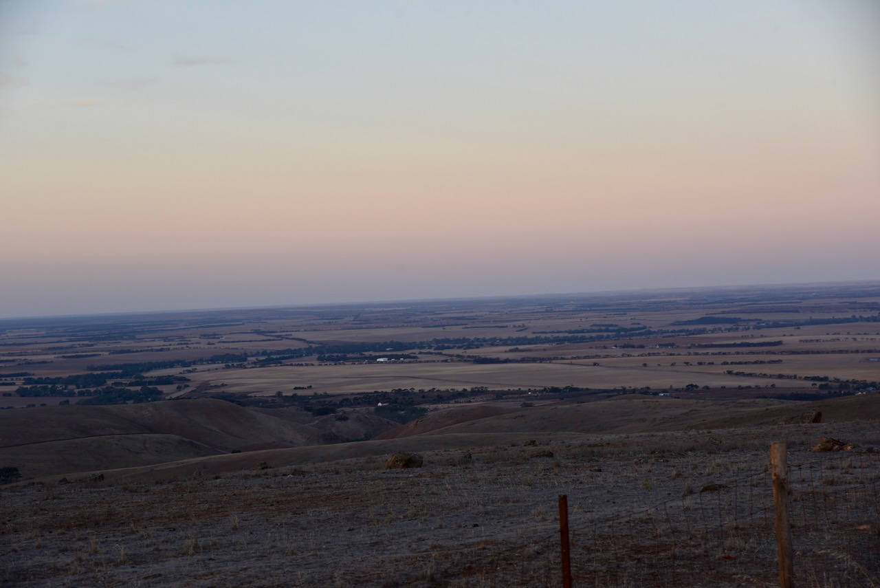
The sun was setting as I headed to Cambrai, and I enjoyed a magnificent sunset.

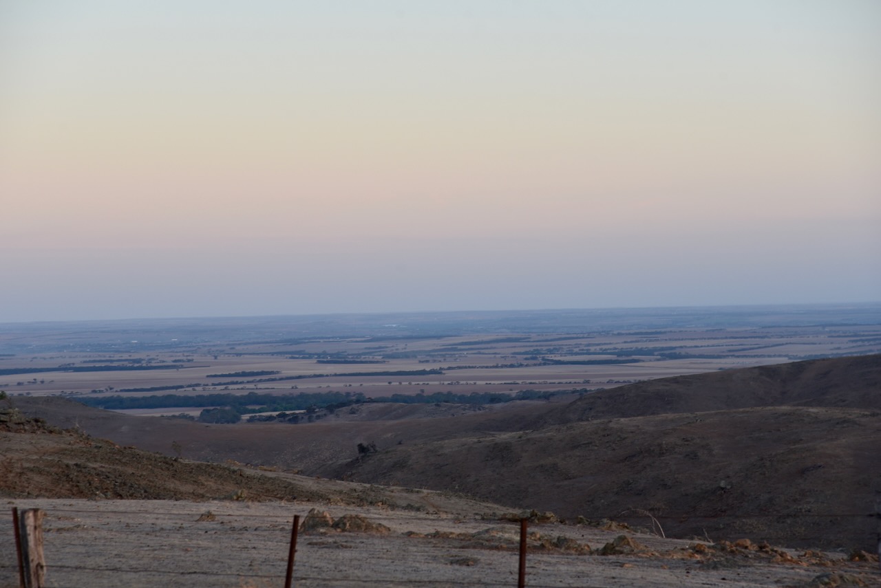
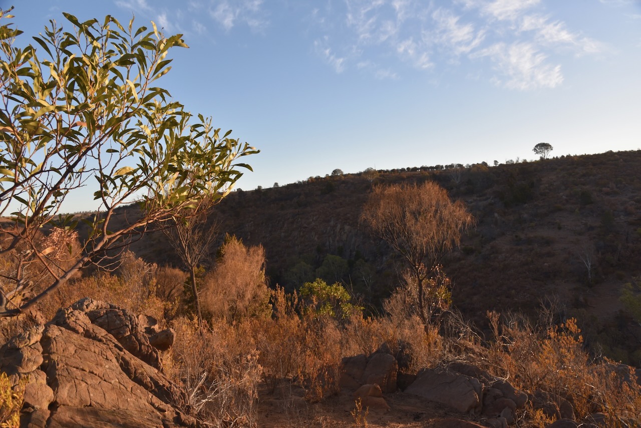
I stopped briefly at one of the lookouts with some amazing views out across the plains towards Victoria.
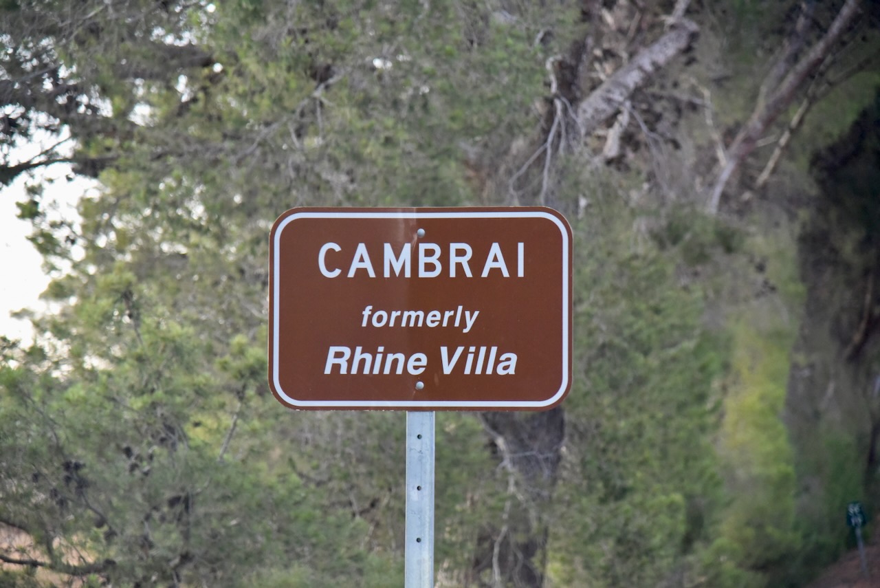
I soon reached the town of Cambrai, which was formerly known as Rhine Villa. It was one of several towns that were renamed during World War One to remove any connection with German place names. It was renamed Cambrai after the Battle of Cambrai. (Wikipedia 2025)
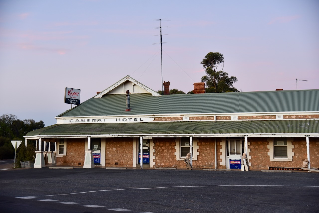
The Cambrai silos are located on SIlo Road.
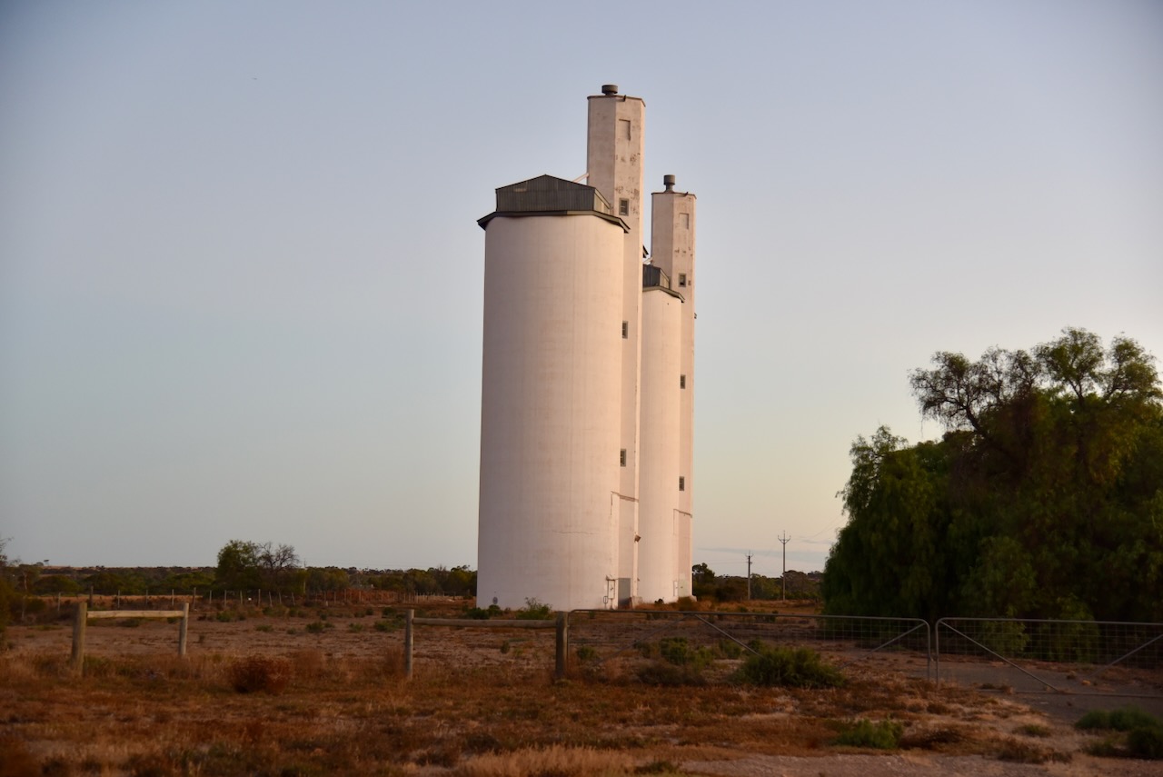
I parked near the gates of the silos ane operated from the 4WD. I ran the Icom IC-7000, 100 watts, and the Codan 9350 antenna with the 1.5 metre stainless steel whip.
Above:- the activation zone at the Cambrai silo. Image c/o SiOTA website.
I worked the following stations on 40m SSB:-
References.
My next activation for 8th April 2024 was the Derek Sutcliffe Memorial Reserve VKFF-6414. The park is located about 8 km east of the town of Springton and about 81 km northeast of the city of Adelaide.

The reserve is located on the southern side of Jutland Road, Springton.

The park commemorates Derek Sutcliffe, who was the first President of the Mount Pleasant Area Trees for Life Group. (Monument Aust 2025)
The reserve is about 20 hectares in size. It is surrounded by three other Heritage Agreements, including Guthrie Gorge.

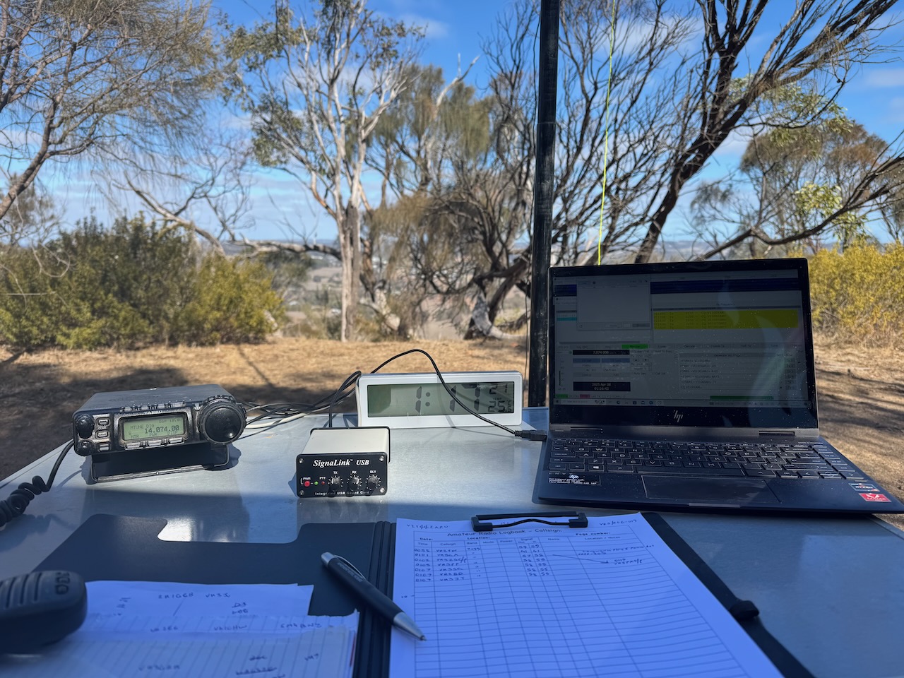
I ran the Yaesu FT857, 40 watts, and the 20/40/80m linked dipole.
I worked the following stations on 20m SSB:-
I worked the following stations on 20m FT8:-
I worked the following stations on 40m SSB:-
I worked the following stations on 40m FT8:-
References.
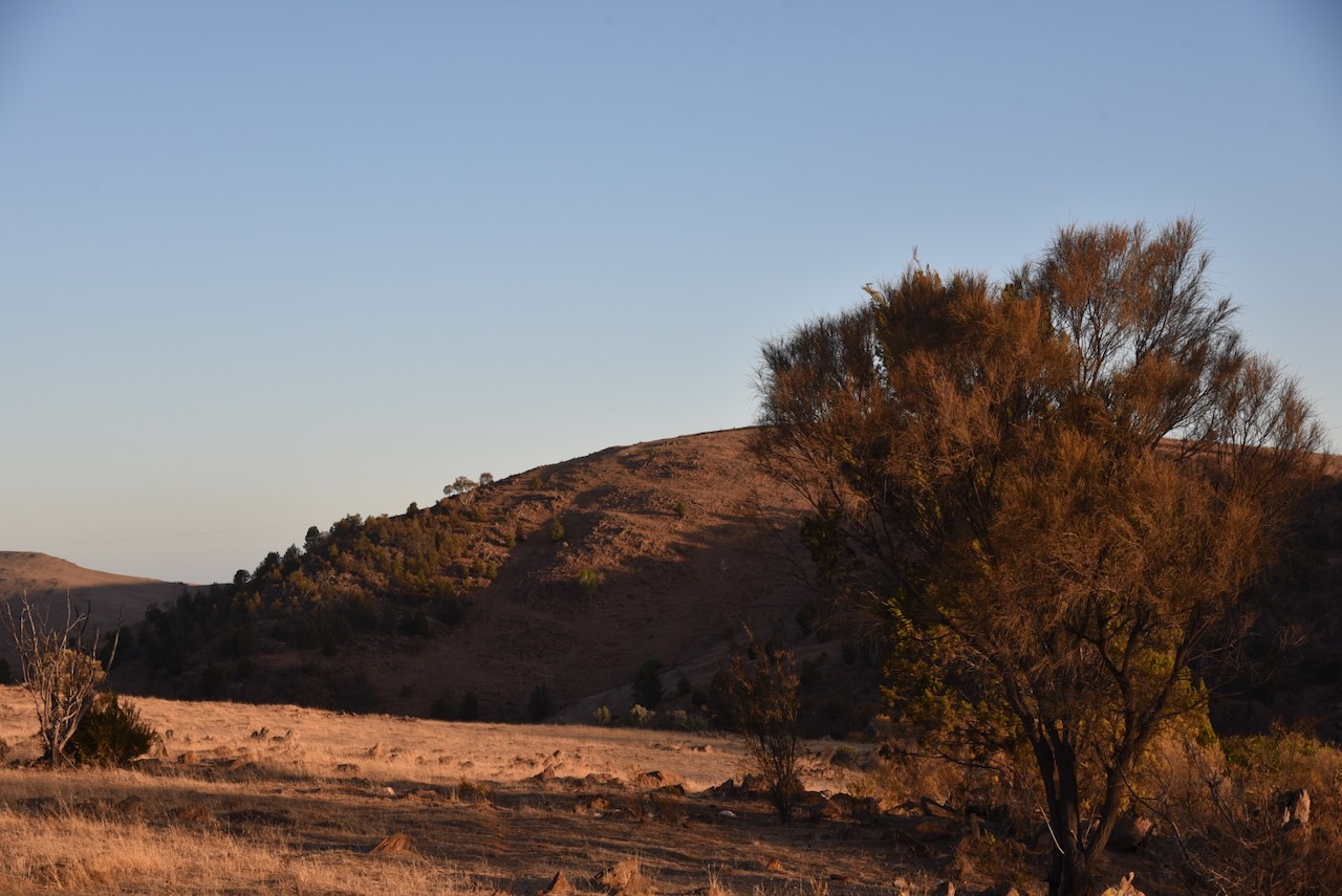
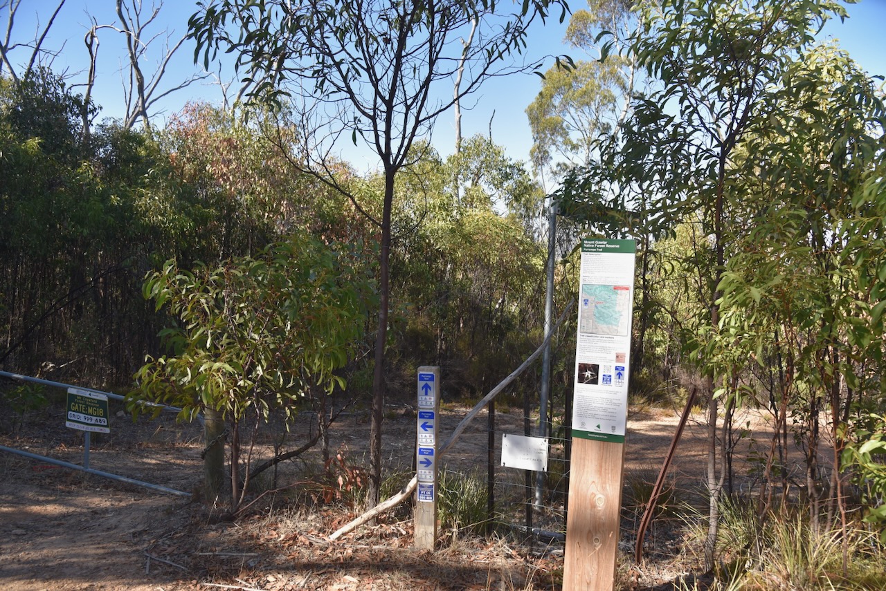
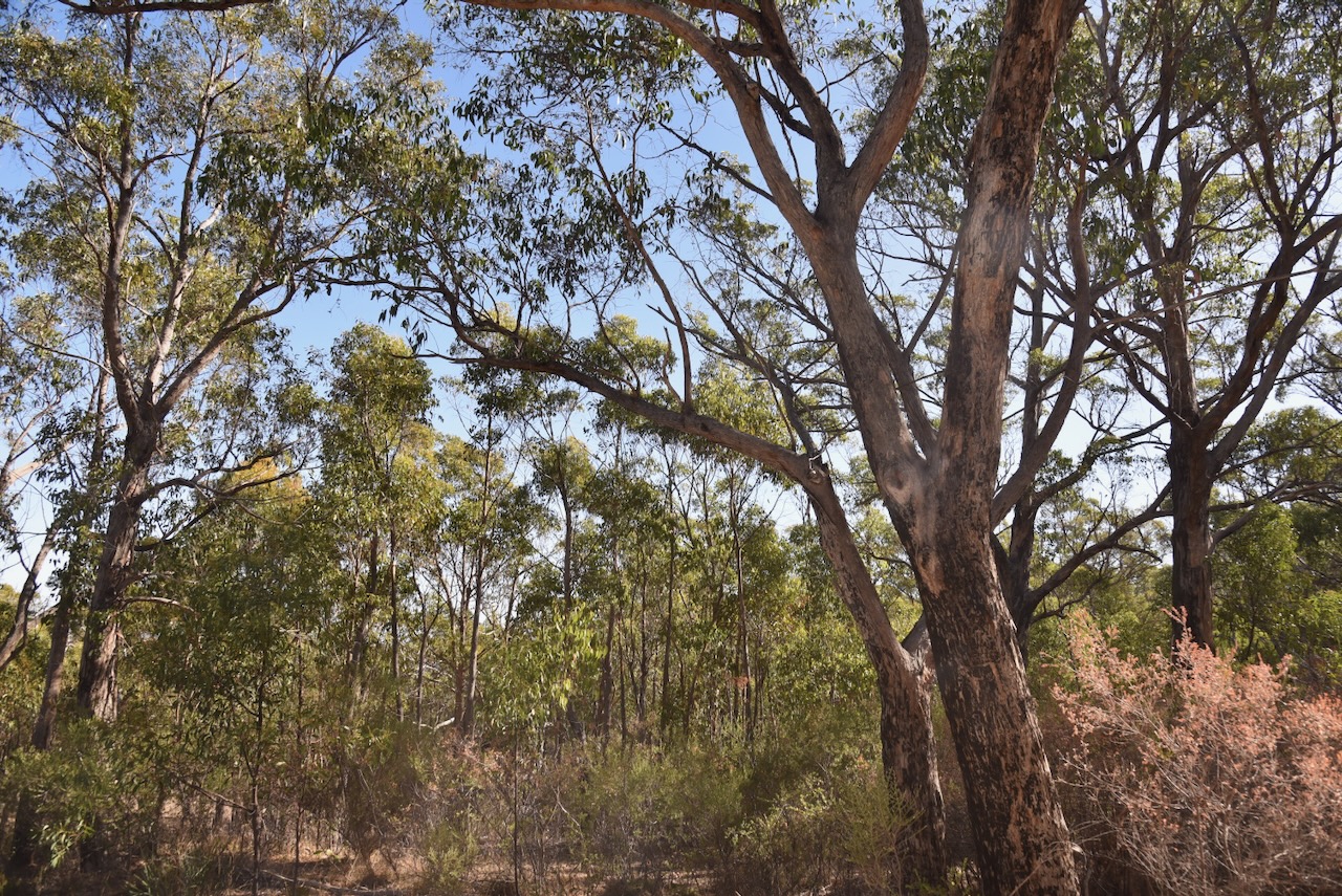
My next activation for Tuesday 8th April 2024, was the Mount Gawler summit VK5/ SE-013 for the Summits On The Air (SOTA) program and the Mount Gawler Native Forest Reserve VKFF-2888 for the World Wide Flora Fauna (WWFF) program.

Above:- Map showing the location of Mount Gawler. Map c/o Google Maps.
I have activated this summit and the park several times previously.
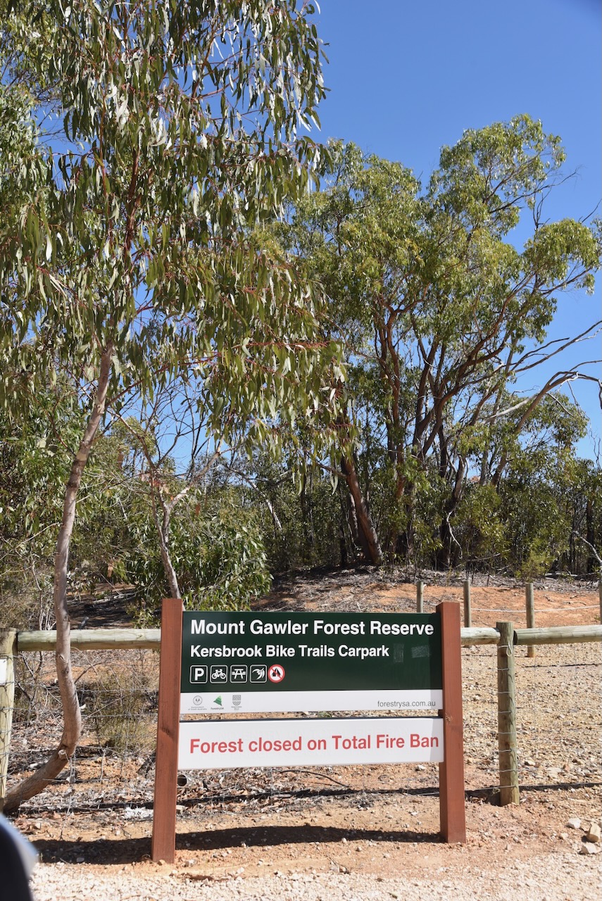
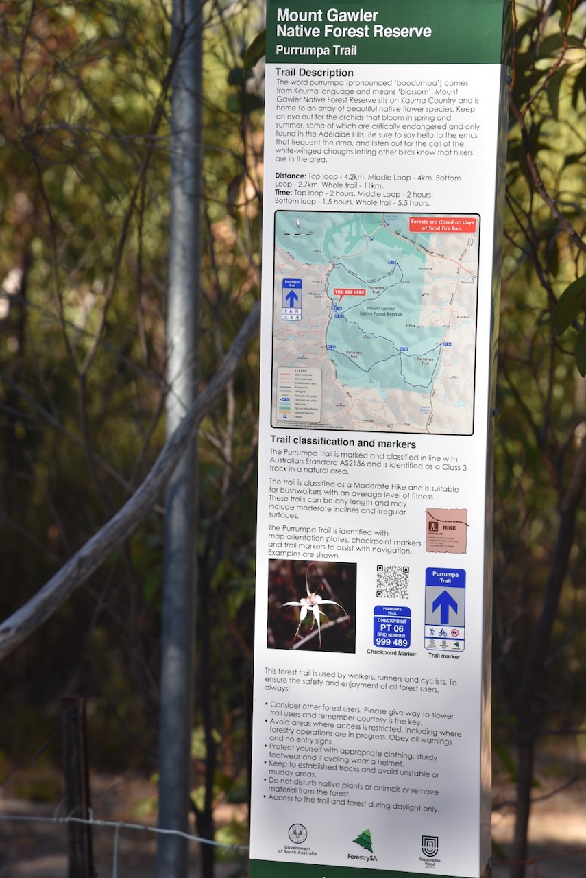
Mount Gawler Native Forest Reserve is about 1,044 hectares in size and consists of remnant native vegetation.
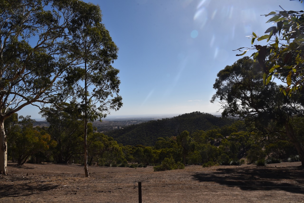
Mount Gawler is about 541 metres above sea level. It has been activated a total of 162 times for the SOTA program and is worth 2 points. (Sotadata.org.uk, 2025)

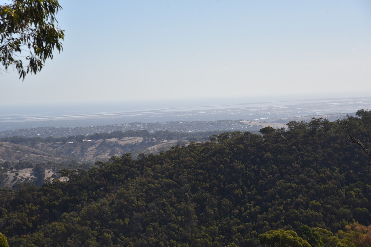
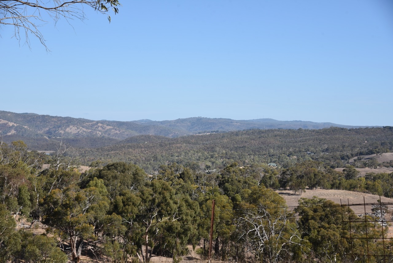
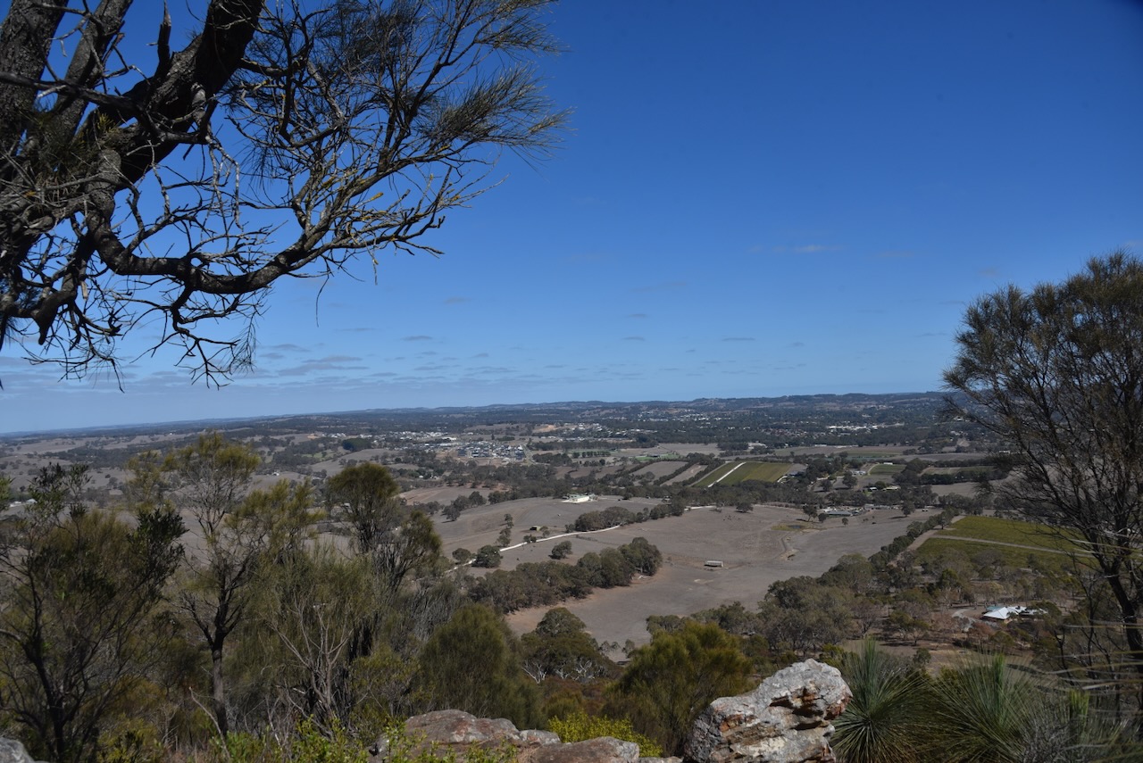
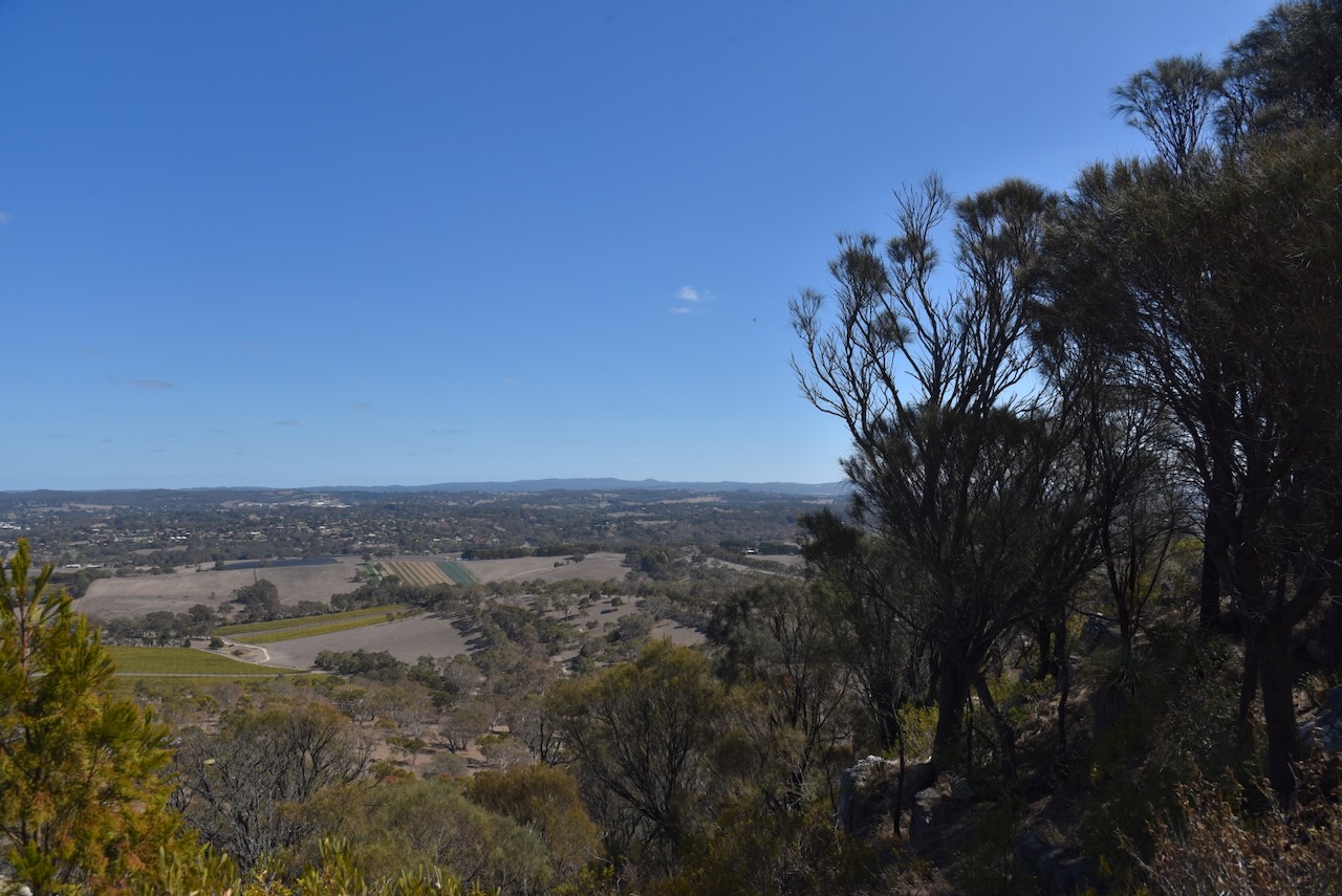
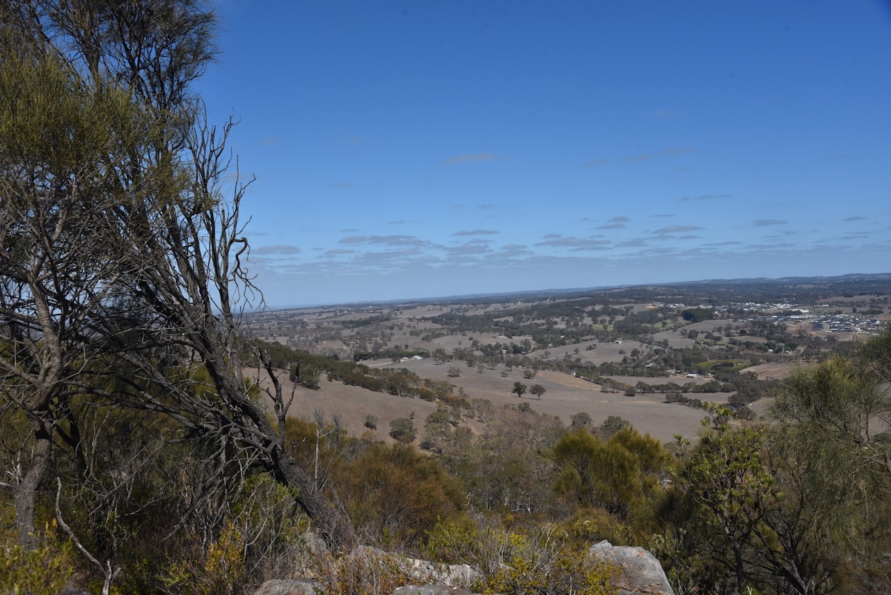
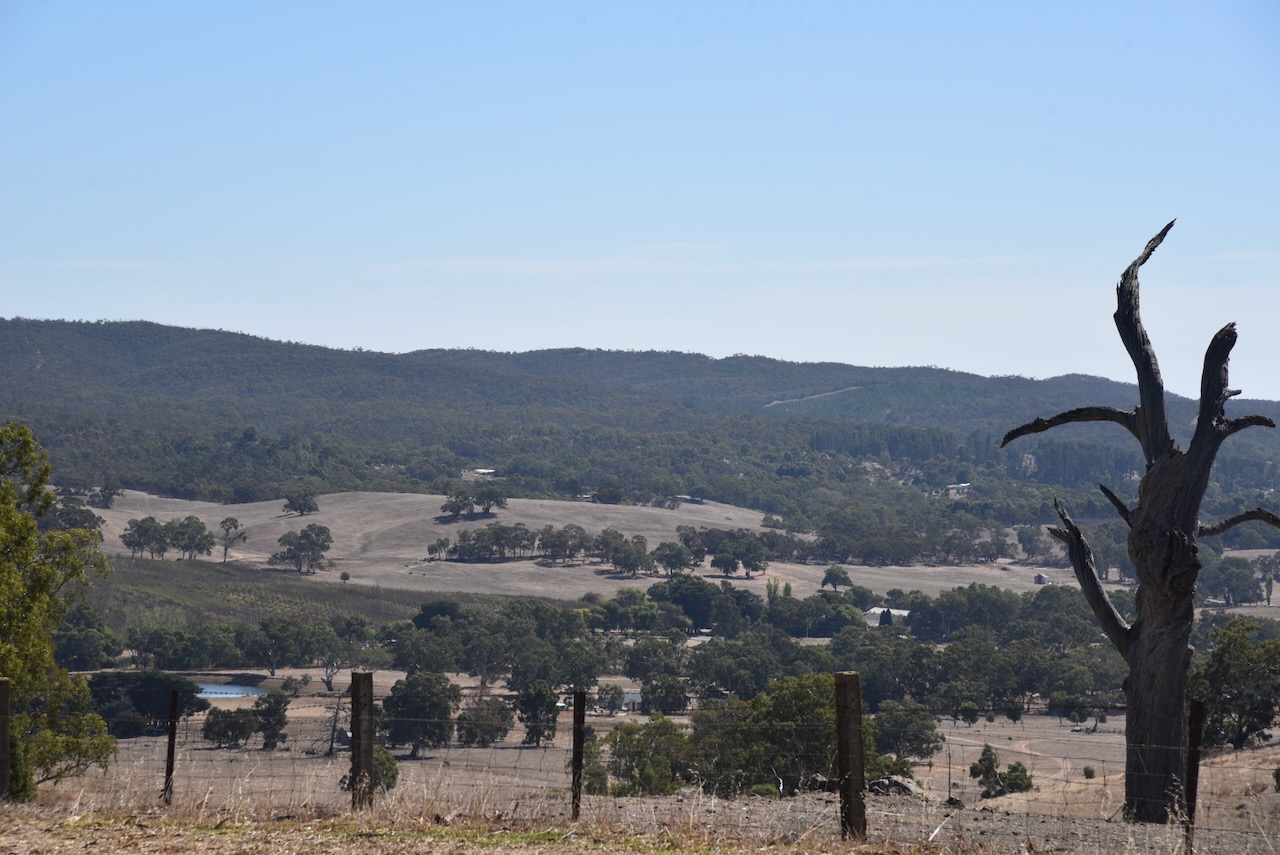
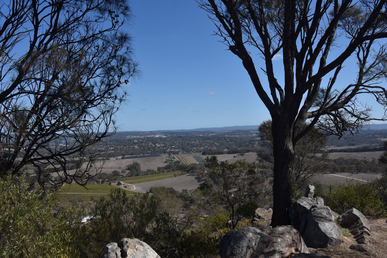
There are some nice views from the summit out to the east and the west.

I ran the Yaesu FT857, 40 watts, and the 20/40/80m linked dipole.
I worked the following stations on 40m SSB:-
I worked the following stations on 40m FT8:-
I worked the following stations on 20m FT8:-
I worked the following stations on 20m SSB:-
References.
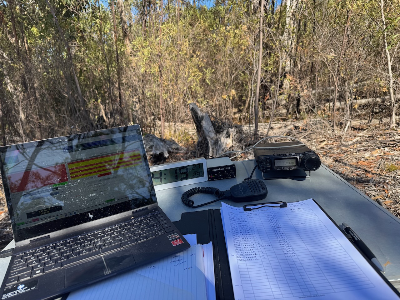
On Tuesday 8th April 2025, I activated Mount Barker VK5/ HSE-019 for the HEMA program. I used the special event call of VI100IARU. The summit is about 43 km southeast of Adelaide in the Mount Lofty Ranges ‘Adelaide Hills’.
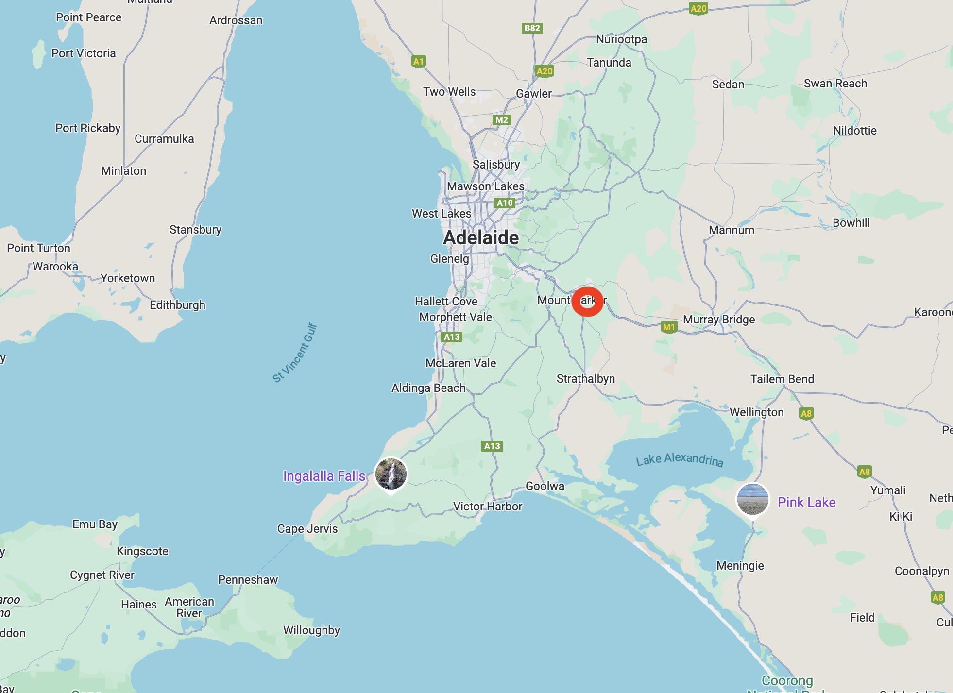
Above:- Map showing the location of Mount Barker summit. Map c/o Google Maps.
Mount Barker summit is 517 metres above sea level.

Above:- An aerial view of Mount Barker summit. Image c/o Google Earth.
Mount Barker summit was first sighted in 1830 by explorer Captain Charles Napier Sturt (b. 1795. d. 1869). At the time, he believed he was looking at Mount Lofty, which had previously been discovered. (Wikipedia 2025)
In 1831, the area was surveyed by Captain Collet Barker. He fixed the error made by Sturt. Sturt named the summit in honour of Captain Barker following his death at the hands of Aboriginal people just 2 days later. (Wikipedia 2025)
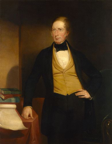
On the 27th day of November 1837, six years after its discovery, the Mount Barker summit was first climbed by Europeans. A six-man party climbed the summit, which comprised John Barton Hack, John Morphett, Samuel Stephens, Charles Stuart, Thomas Davis, and John Wade.

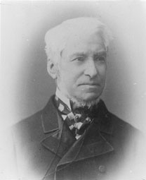
Above:- John Barton Hack (left) and John Morphet (right). Image sc/o Wikipedia
A steep dirt track leads up to the car park at the summit. The track is passable with a conventional vehicle.
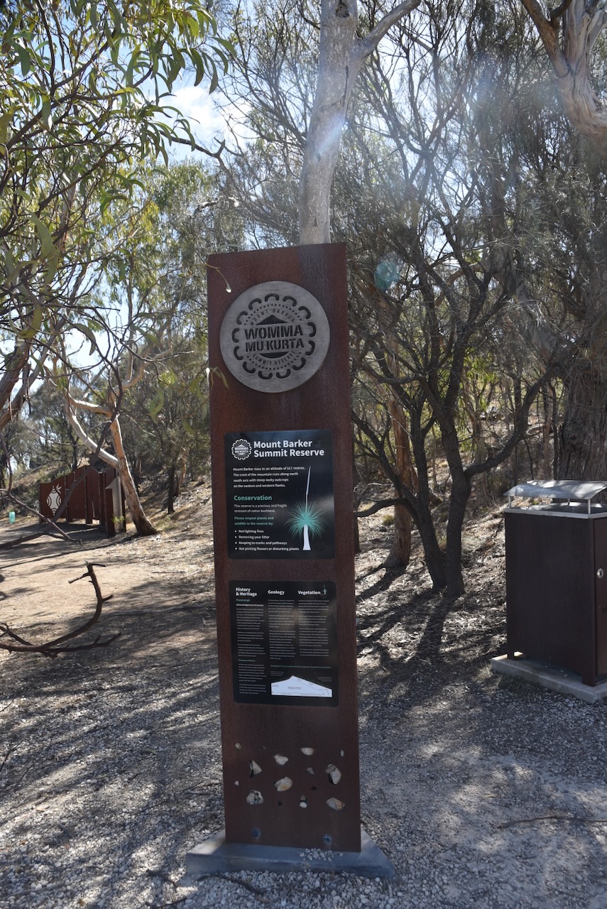
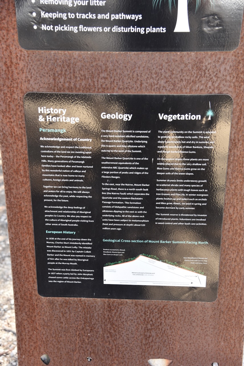
There is a sign in the car park which details the history & heritage, the geology, and the vegetation of the summit.
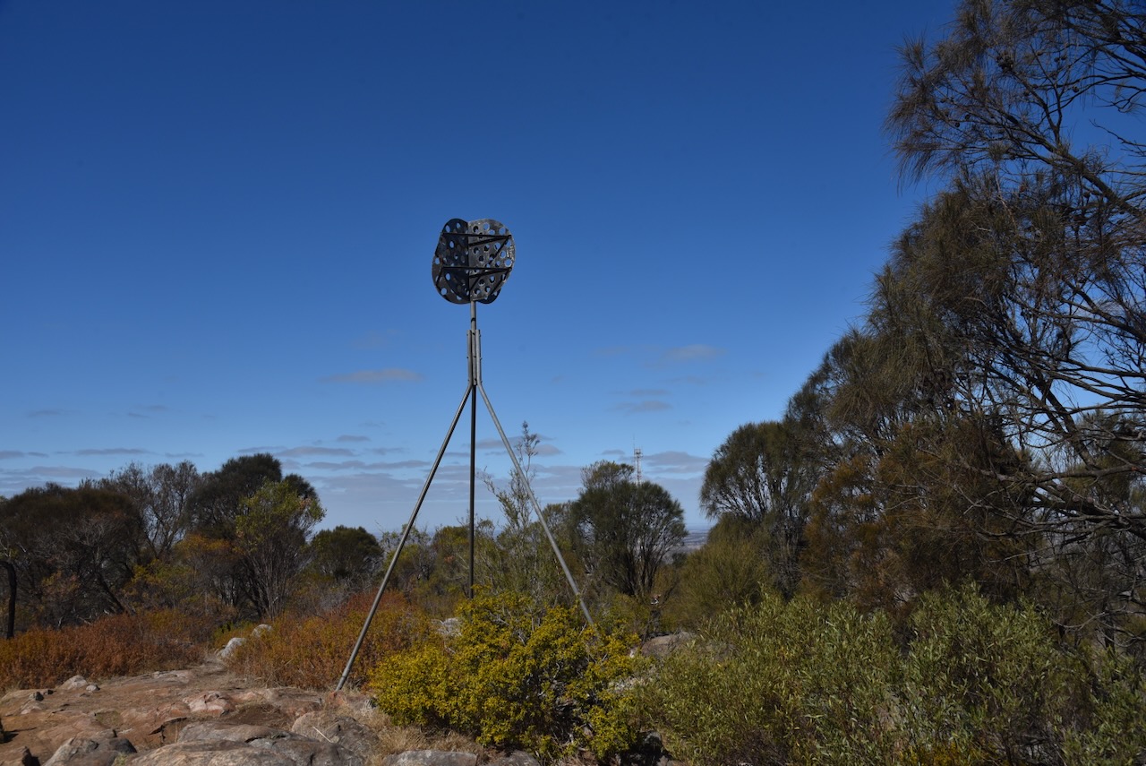
Mount Barker summit has a large transmission tower that services the SA Government Radio Network and mobile phone transmissions. There is also microwave radio equipment on the tower. (Wikipedia 2025)
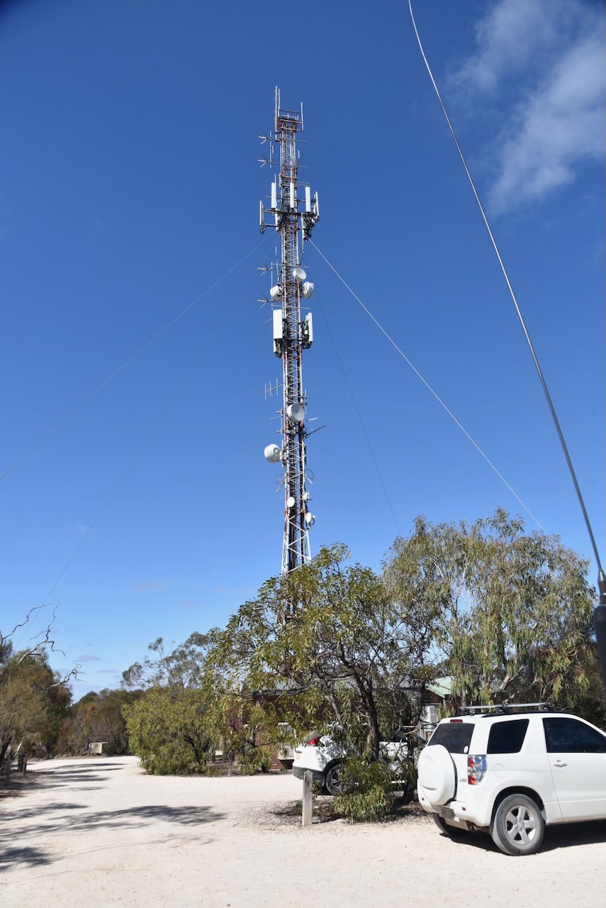
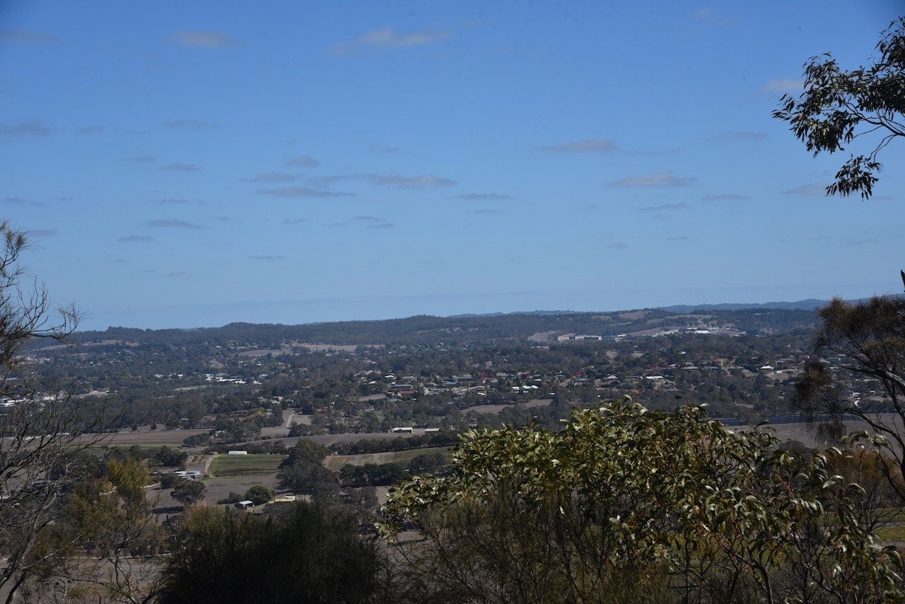
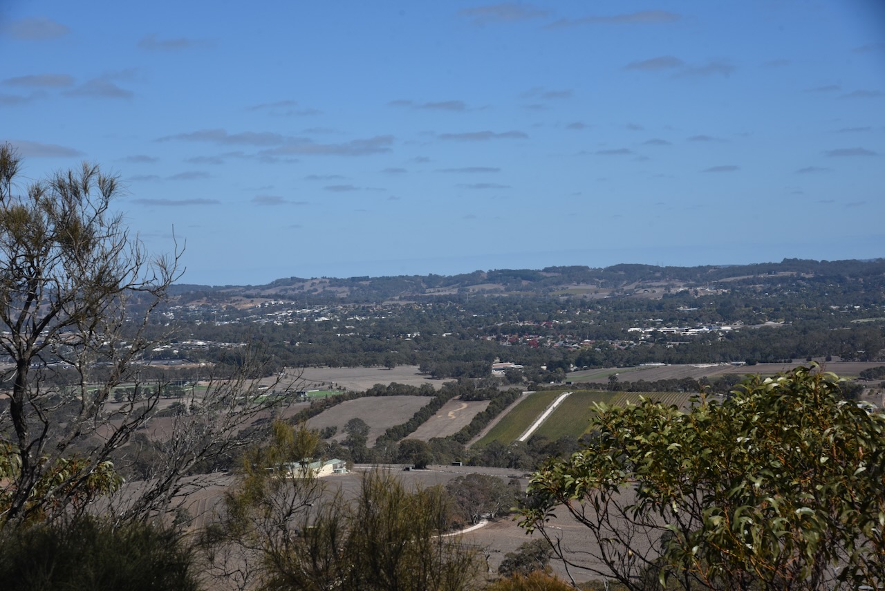
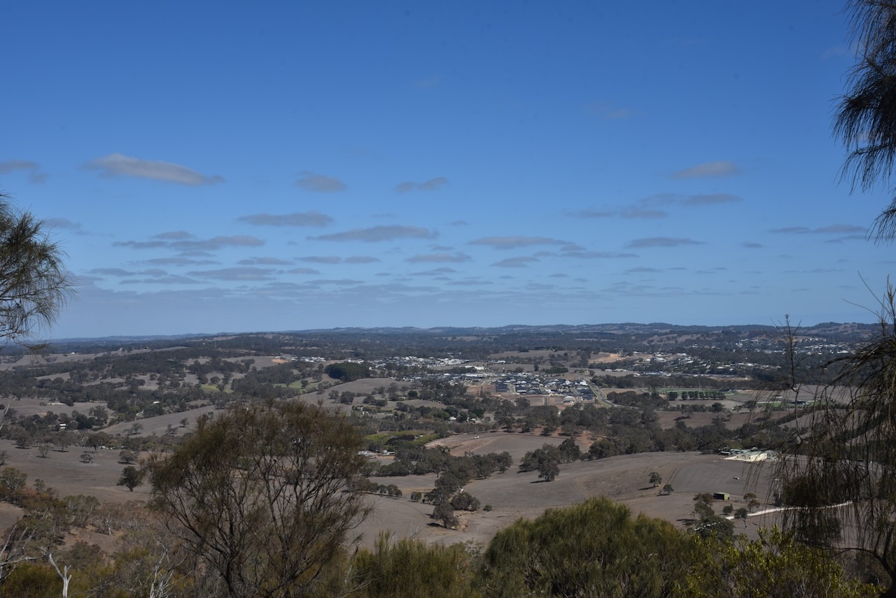
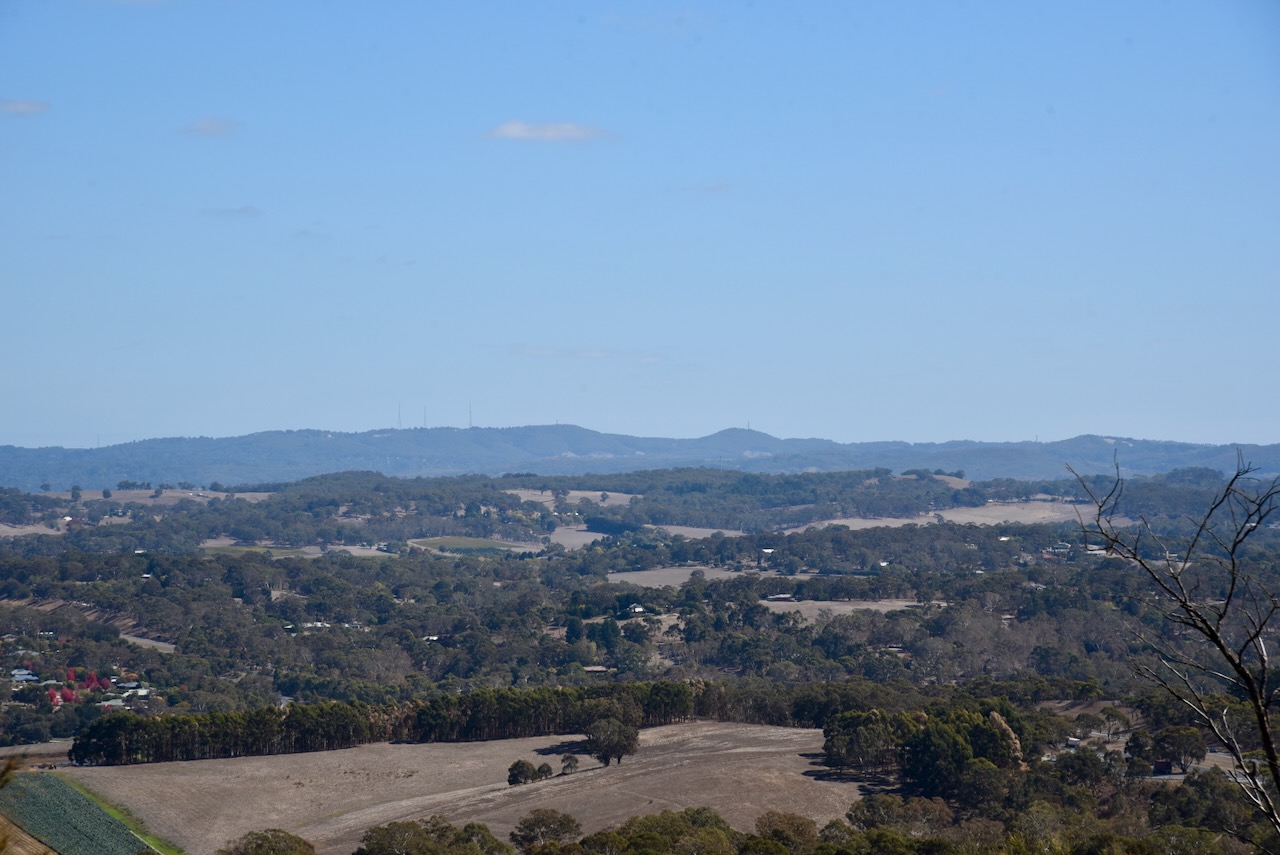
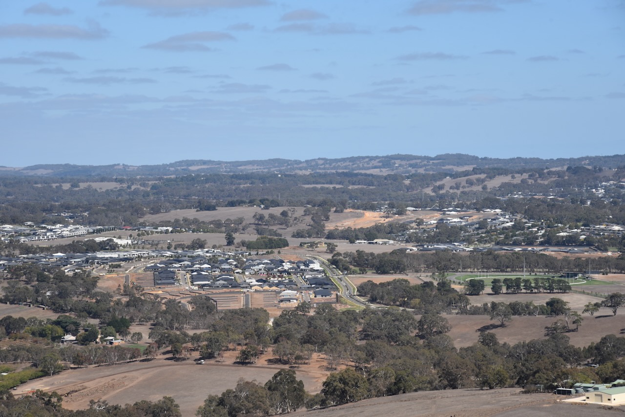
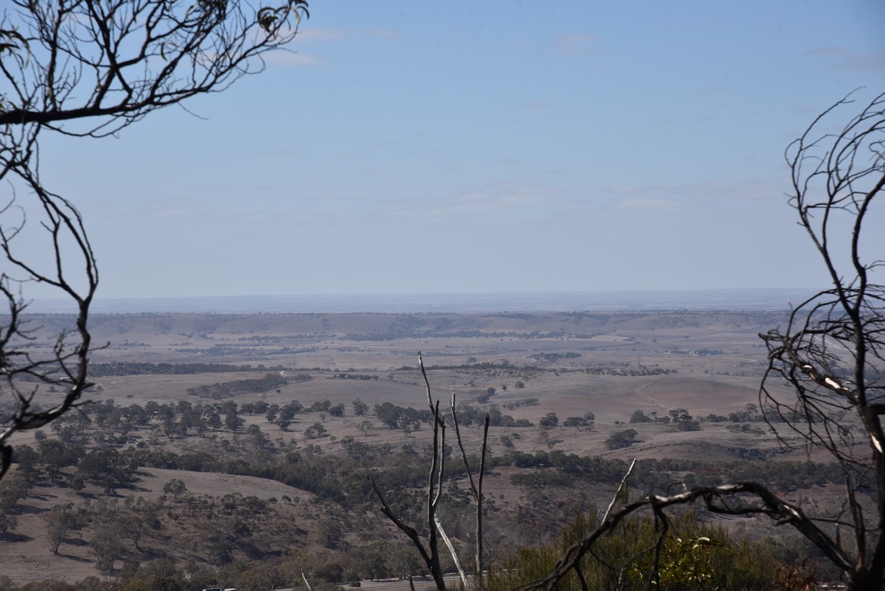
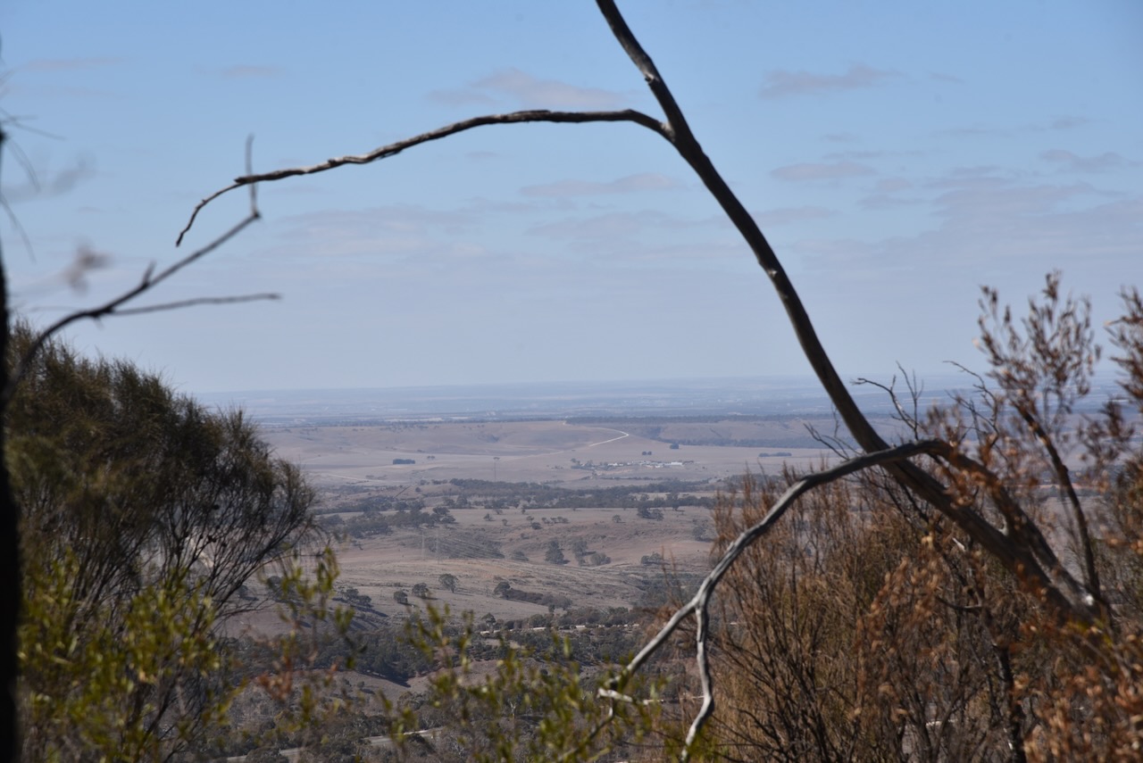
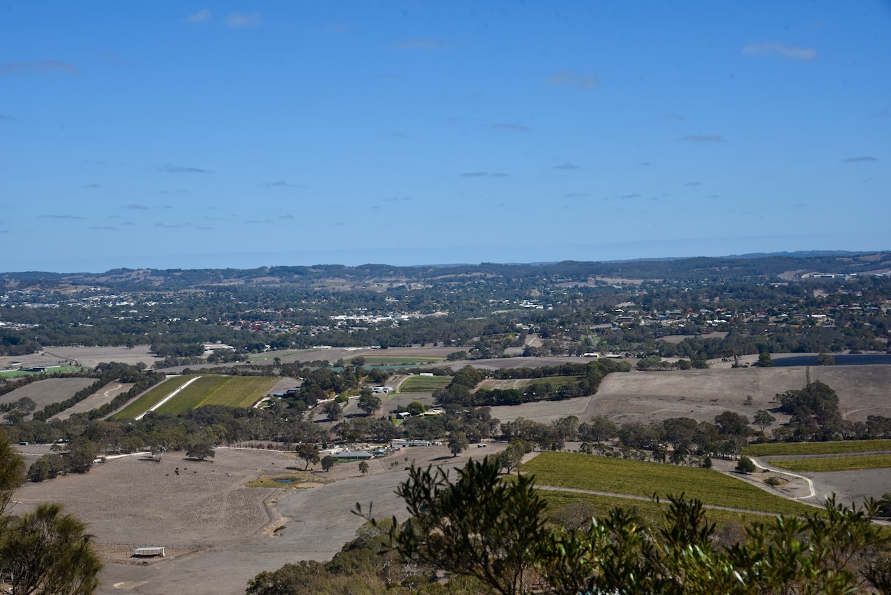
There are some nice views out to the west, back towards Adelaide, across Mount Barker, from the car park.
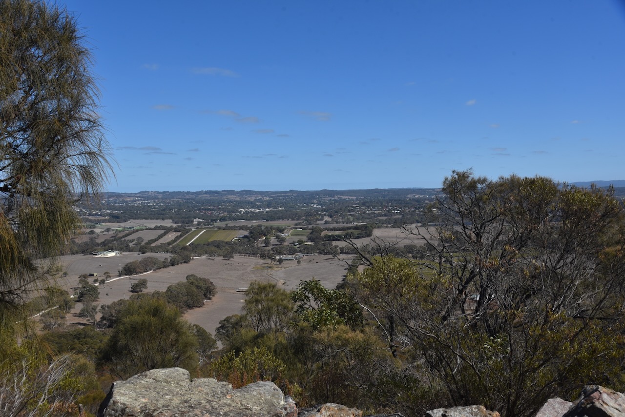
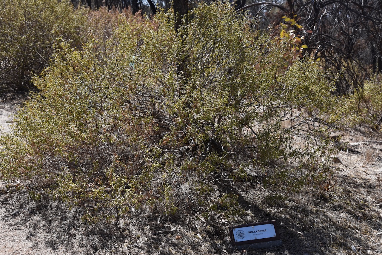
There is a track from the car park leading up to the top of the summit. Along the way, many of the native plants are marked.
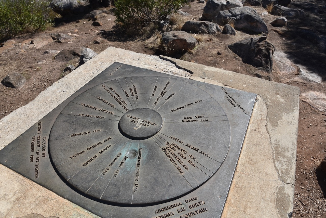
At the top of the summit, you can find an obelisk and a trig point.
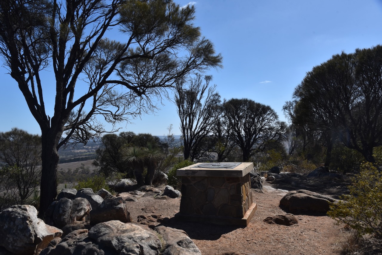

Again, there are some excellent views of the surrounding district.

I ran the Yaesu FT857, 40 watts, and the 20/40/80m linked dipole for this activation.
I worked the following stations on 40m SSB:-
I worked the following stations on 40m FT8:-
I worked the following stations on 20m FT8:-
I worked the following stations on 20m SSB:-
References.
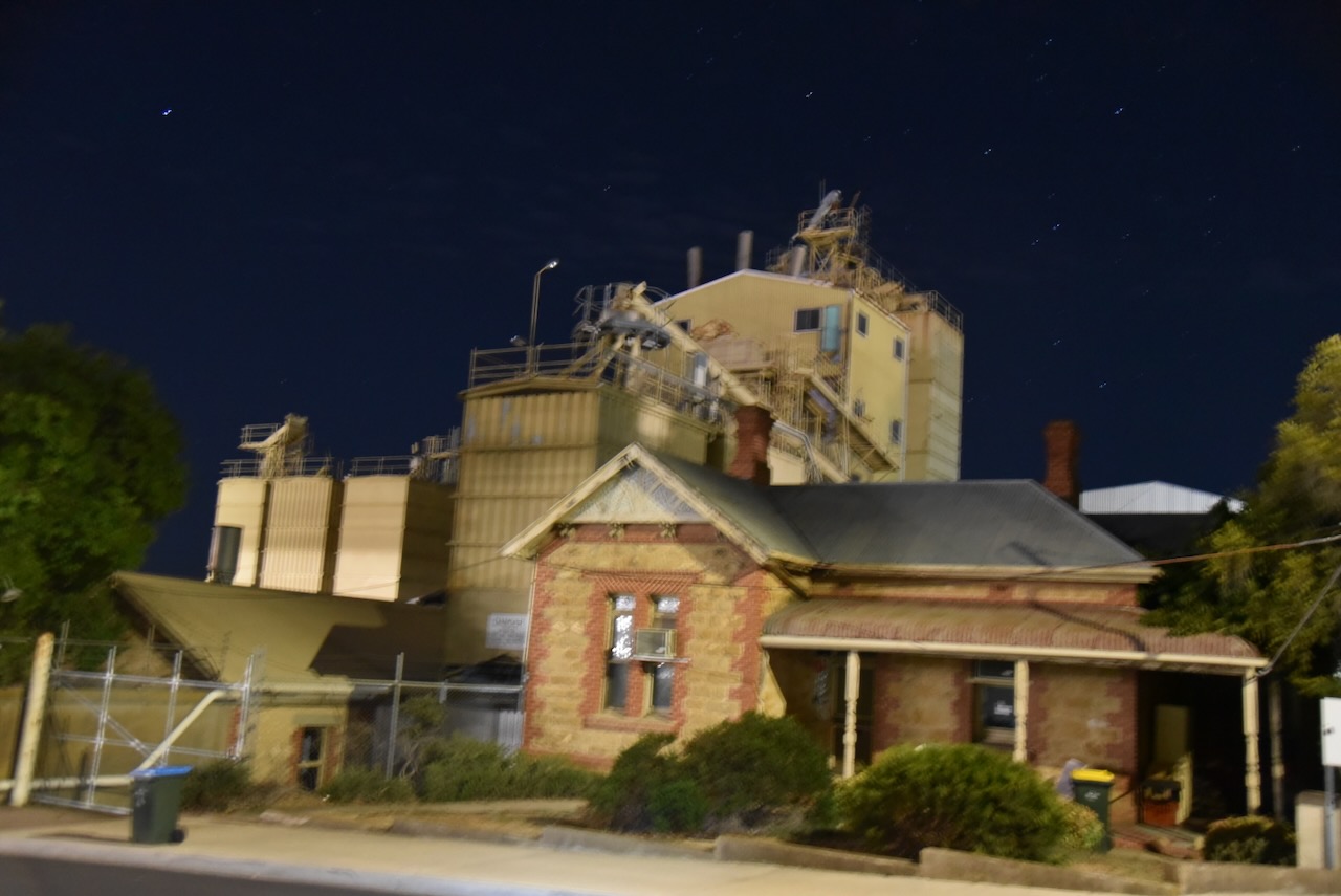
My final activation for 7th April 2025, was the Strathalbyn silo VK-STN5 for the Silos On The Air (SiOTA) program.

Above:- Map showing the location of Strathalbyn. Map c/o Google Maps.
I have activated the Strathalbyn silo several times previously.
For more information on the Strathalbyn silo, please see the post below….

I operated from the 4WD, running the Icom IC-7000, 100 watts, and the Codan 9350 antenna with the 1.5 metre stainless steel whip.
I worked the following stations on 40m SSB:-
Amateur Radio, Short Wave Listening, travel and history
Amateur radio experiences with VK1DA
Brisbane - Australia
german amateur radio station
Summits On The Air
SOTA on the peaks, wilderness QRP and some bushwalking
A fine WordPress.com site
Amateur Radio Adventures
Summits on the Ai
Amateur radio station from Belgium
Radio craft, homebrew, QRP/SOTA, AM
Ego loqui ad viros super montes
My adventures with Amateur Radio and Geocaching!
The rantings of VK2GAZ on his SOTA experiences in Australia
A survivor, with minor cuts and abrasions.
The Art and Craft of Blogging
The latest news on WordPress.com and the WordPress community.
Blog of Justin Giles-Clark VK7TW's SOTA and amateur radio adventures.
Occasional SOTA & Microwave operation
