
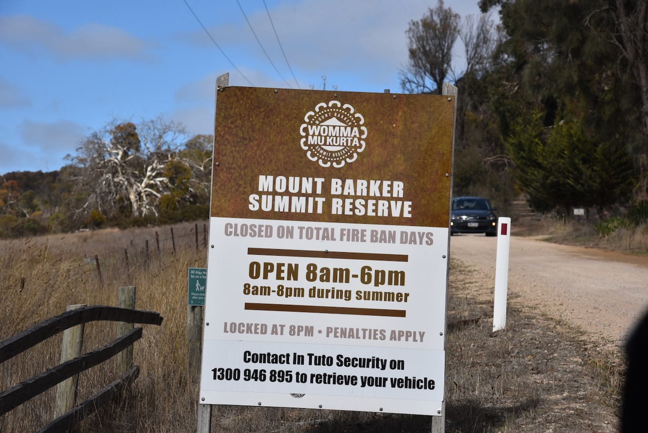
On Tuesday 8th April 2025, I activated Mount Barker VK5/ HSE-019 for the HEMA program. I used the special event call of VI100IARU. The summit is about 43 km southeast of Adelaide in the Mount Lofty Ranges ‘Adelaide Hills’.
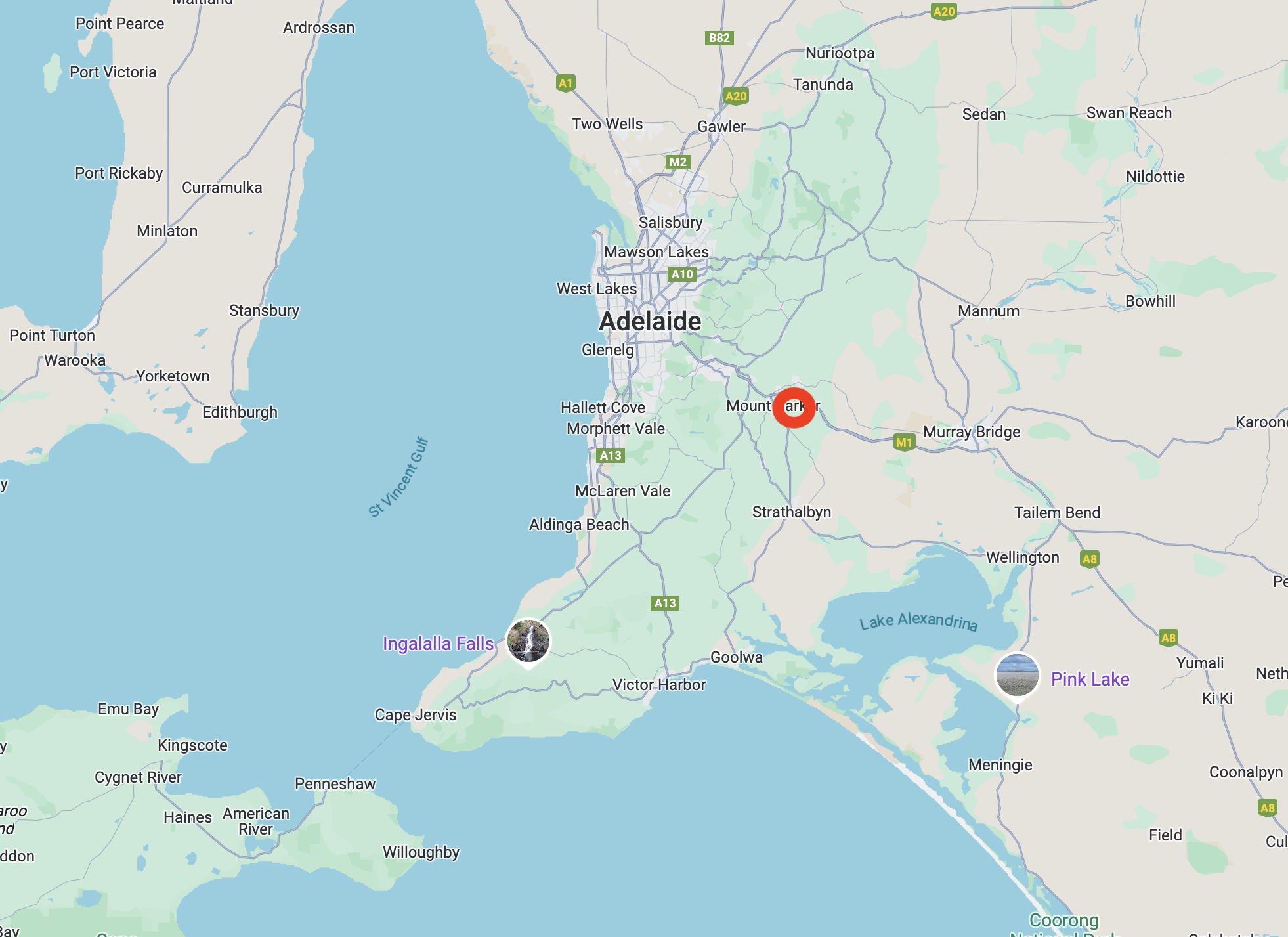
Above:- Map showing the location of Mount Barker summit. Map c/o Google Maps.
Mount Barker summit is 517 metres above sea level.

Above:- An aerial view of Mount Barker summit. Image c/o Google Earth.
Mount Barker summit was first sighted in 1830 by explorer Captain Charles Napier Sturt (b. 1795. d. 1869). At the time, he believed he was looking at Mount Lofty, which had previously been discovered. (Wikipedia 2025)
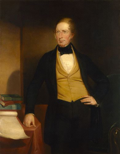
In 1831, the area was surveyed by Captain Collet Barker. He fixed the error made by Sturt. Sturt named the summit in honour of Captain Barker following his death at the hands of Aboriginal people just 2 days later. (Wikipedia 2025)
On the 27th day of November 1837, six years after its discovery, the Mount Barker summit was first climbed by Europeans. A six-man party climbed the summit, which comprised John Barton Hack, John Morphett, Samuel Stephens, Charles Stuart, Thomas Davis, and John Wade.

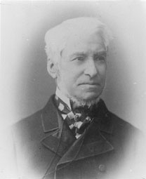
Above:- John Barton Hack (left) and John Morphet (right). Image sc/o Wikipedia
A steep dirt track leads up to the car park at the summit. The track is passable with a conventional vehicle.
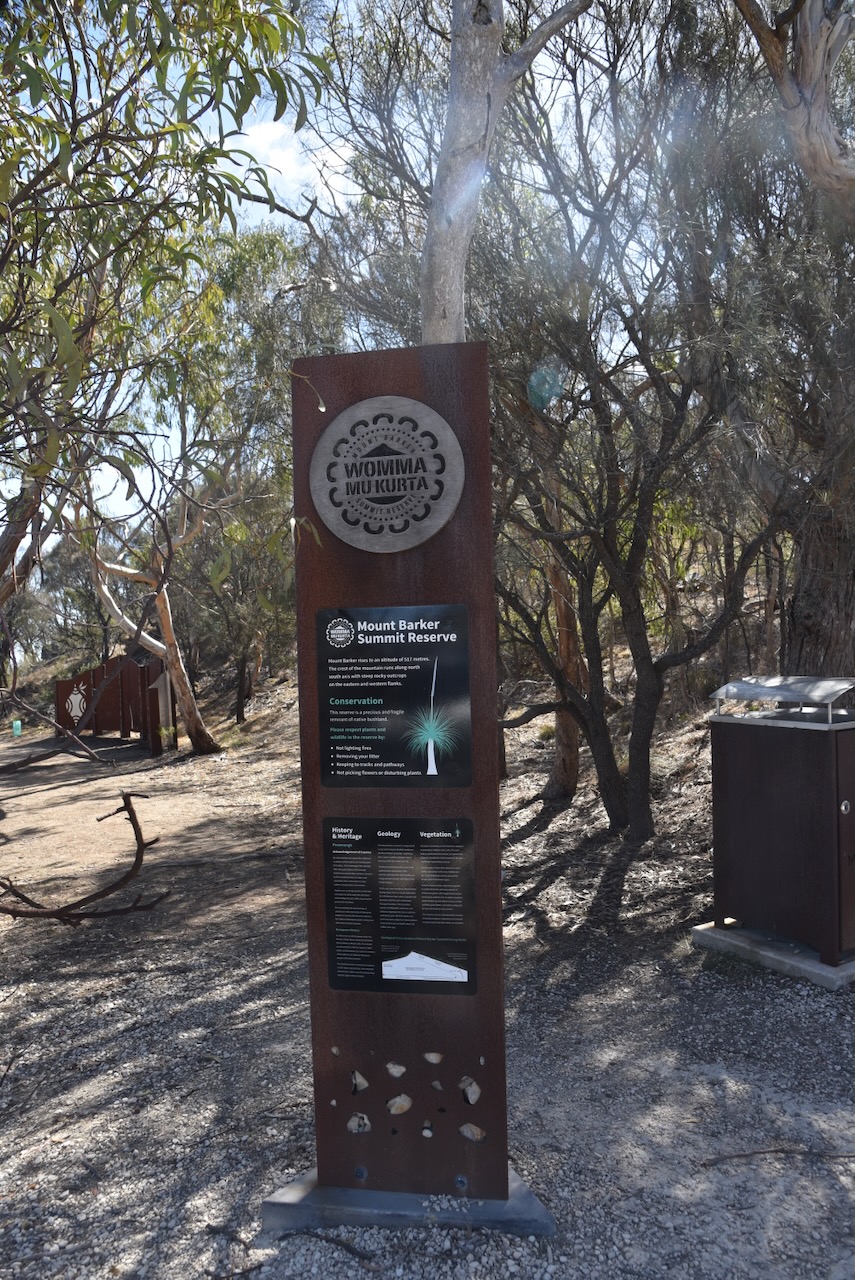
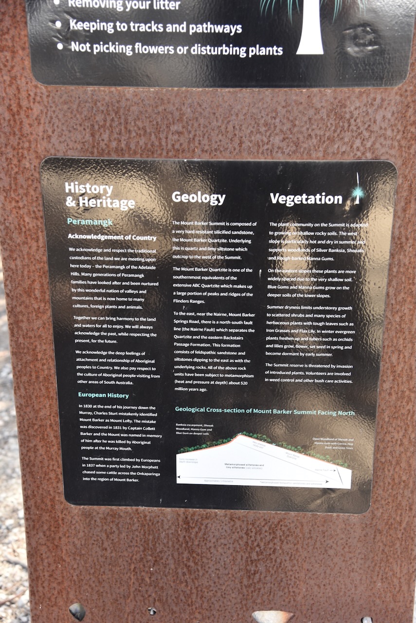
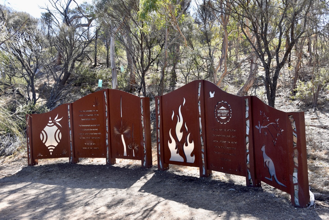
There is a sign in the car park which details the history & heritage, the geology, and the vegetation of the summit.
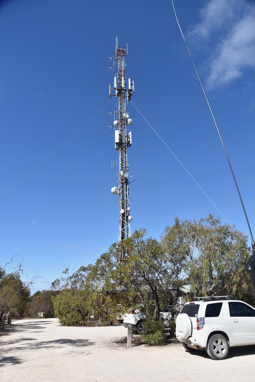
Mount Barker summit has a large transmission tower that services the SA Government Radio Network and mobile phone transmissions. There is also microwave radio equipment on the tower. (Wikipedia 2025)
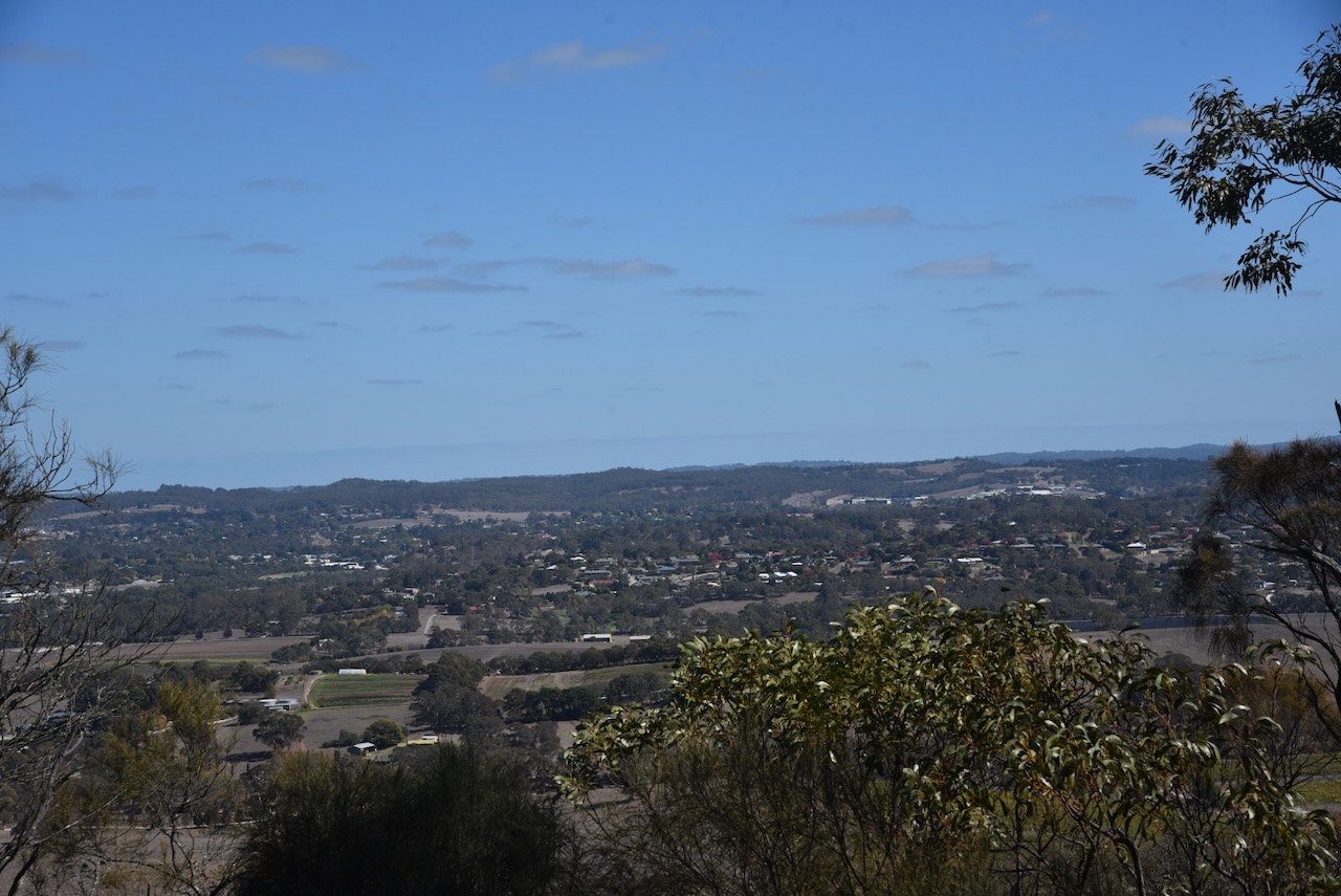
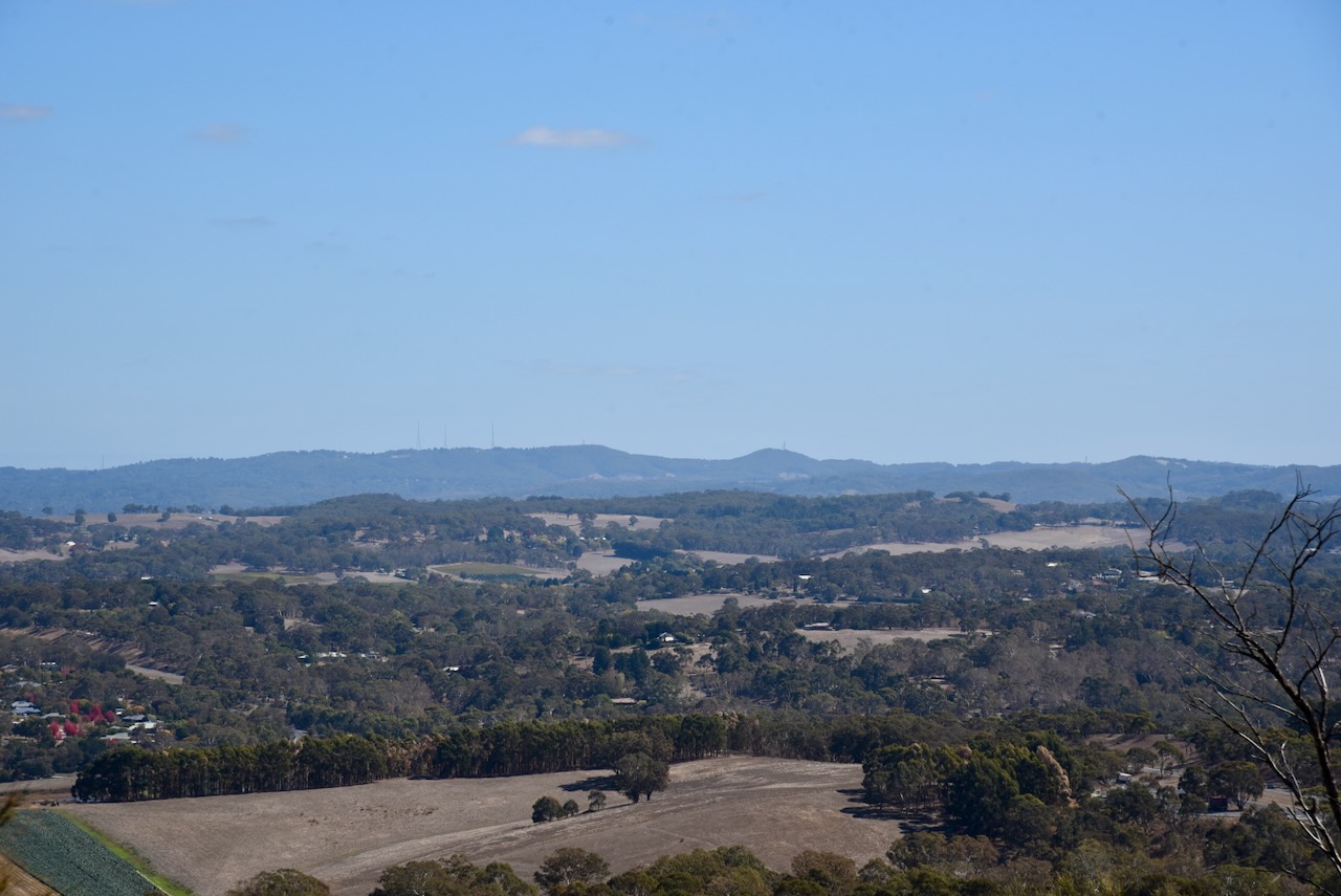
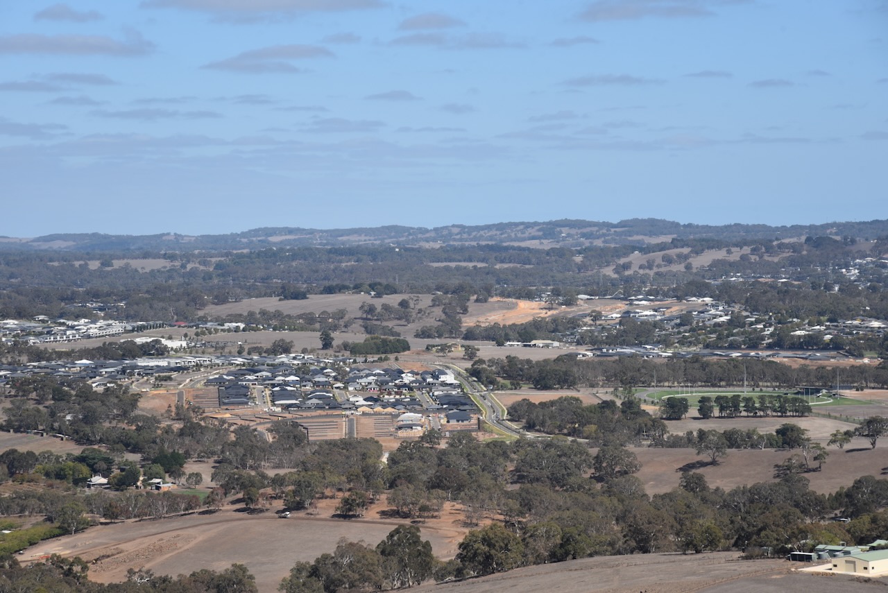
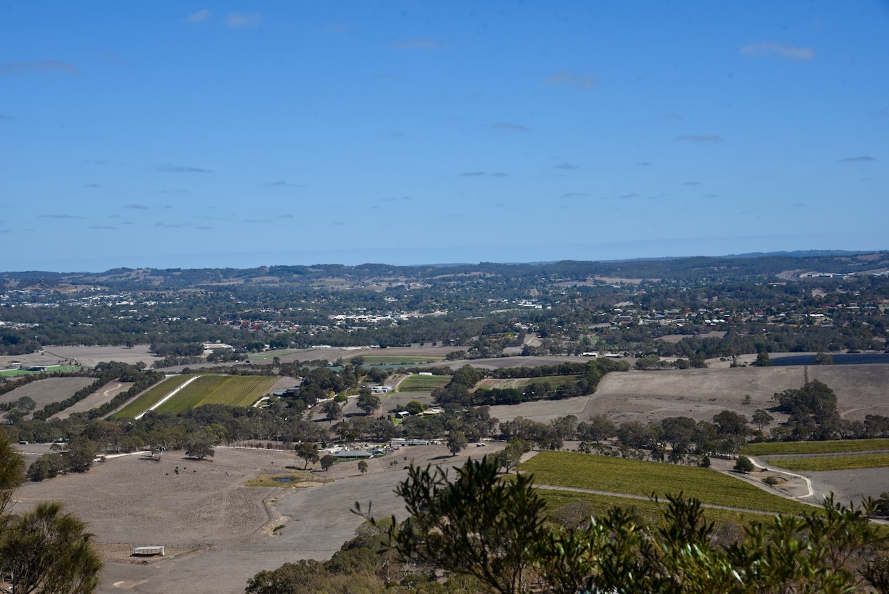
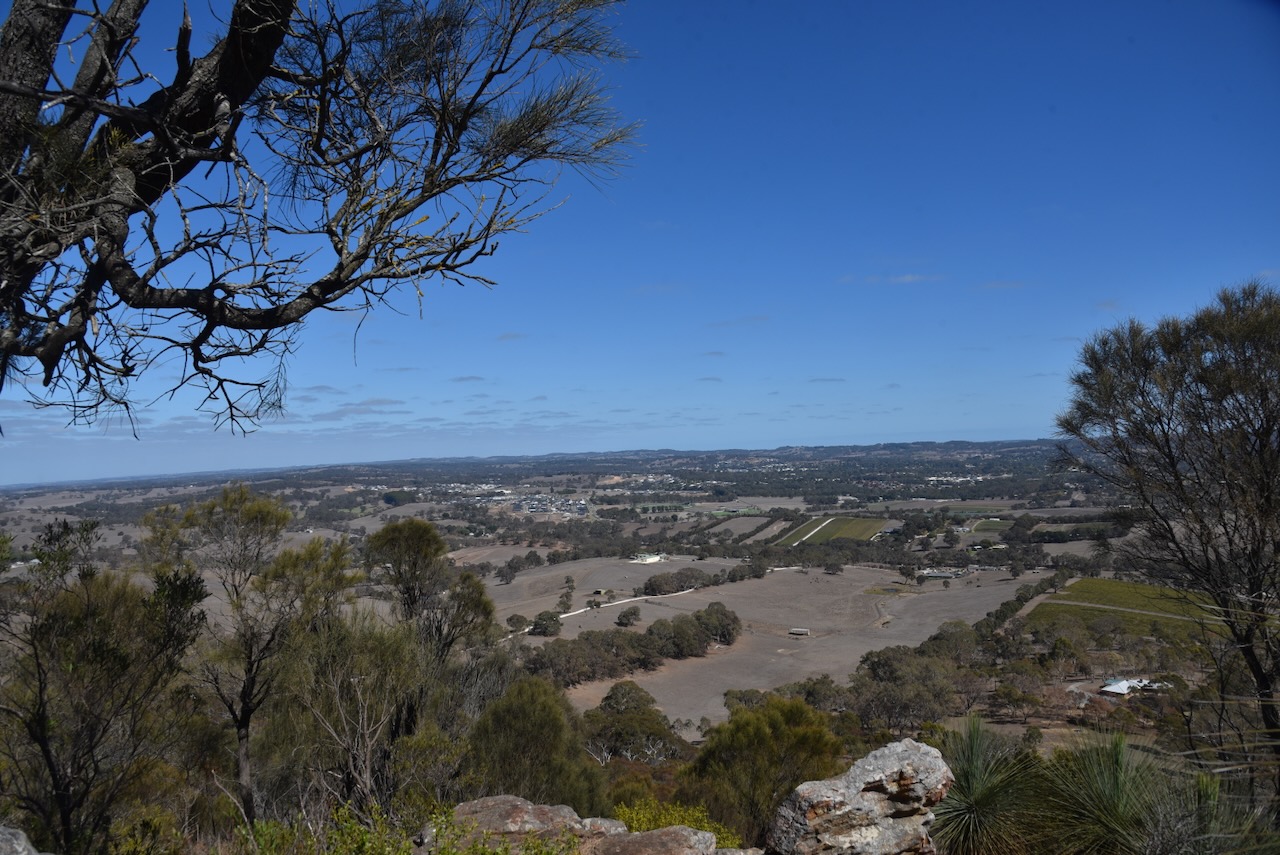
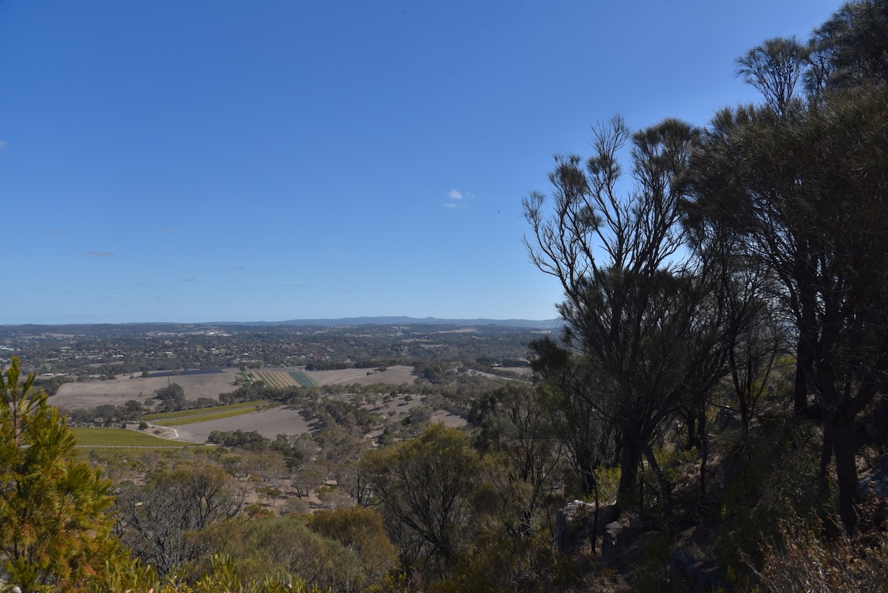
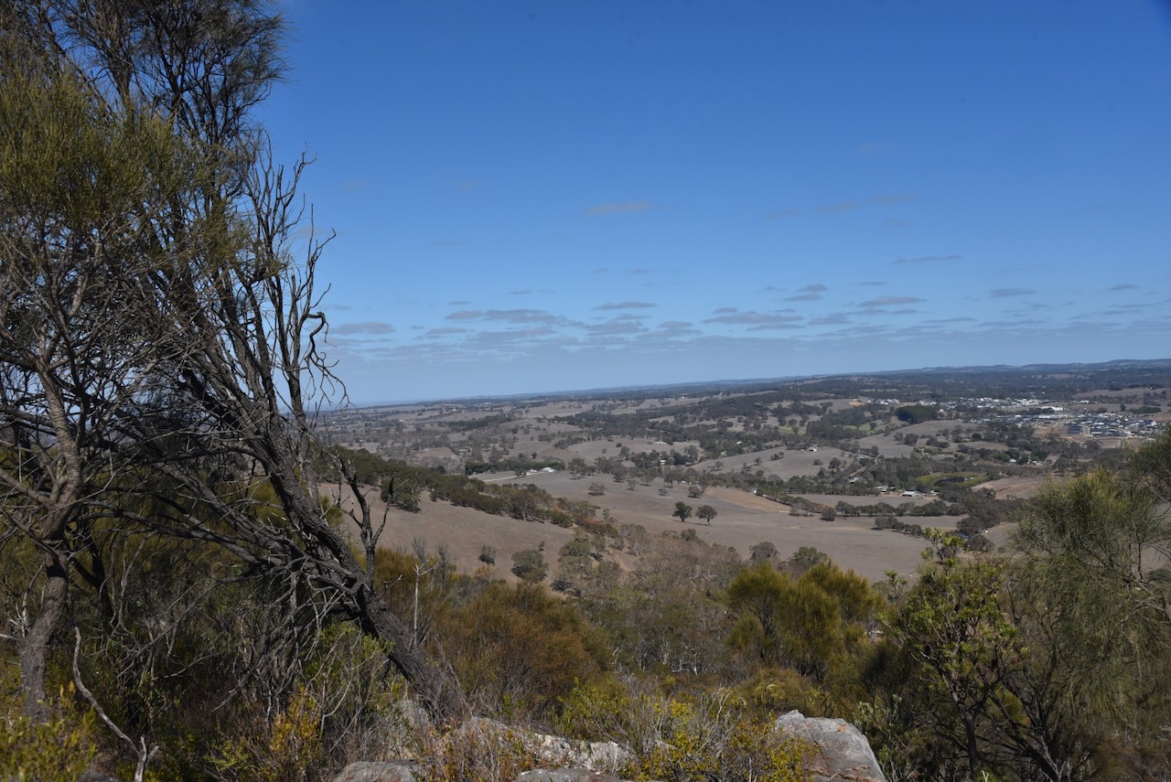
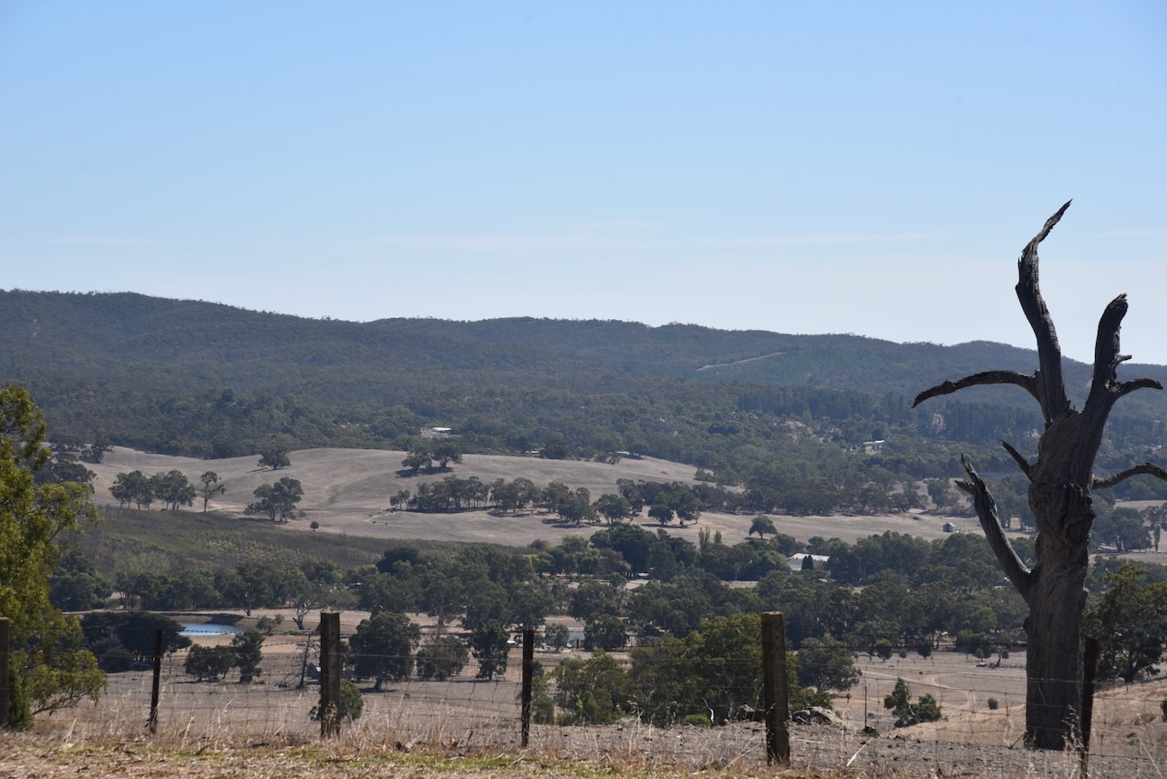
There are some nice views out to the west, back towards Adelaide, across Mount Barker, from the car park.
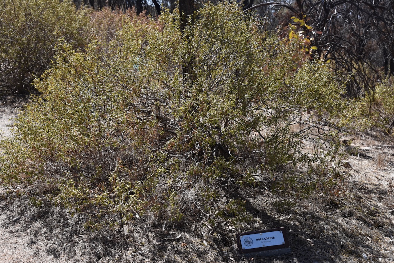
There is a track from the car park leading up to the top of the summit. Along the way, many of the native plants are marked.
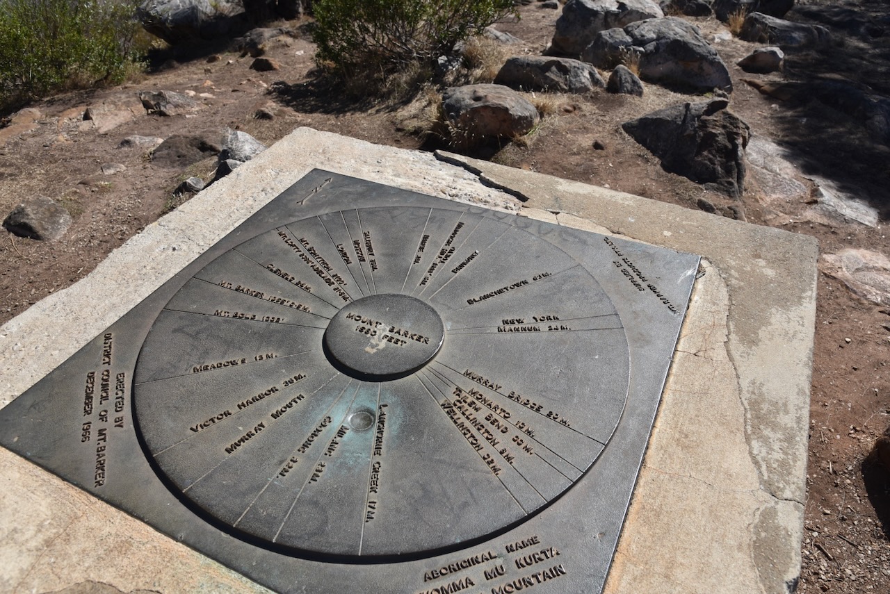
At the top of the summit, you can find an obelisk and a trig point.
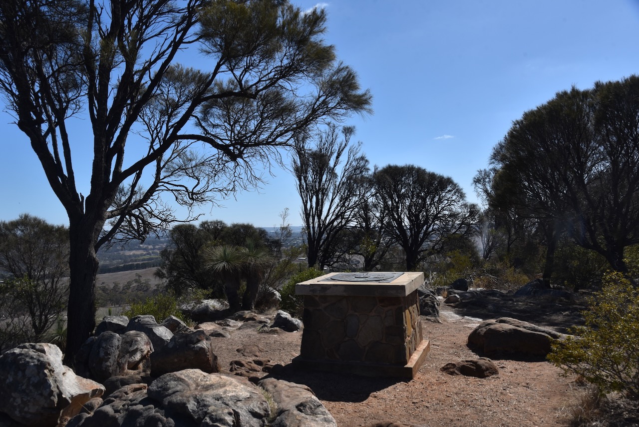

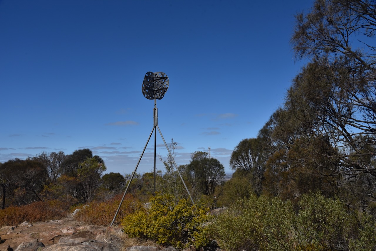
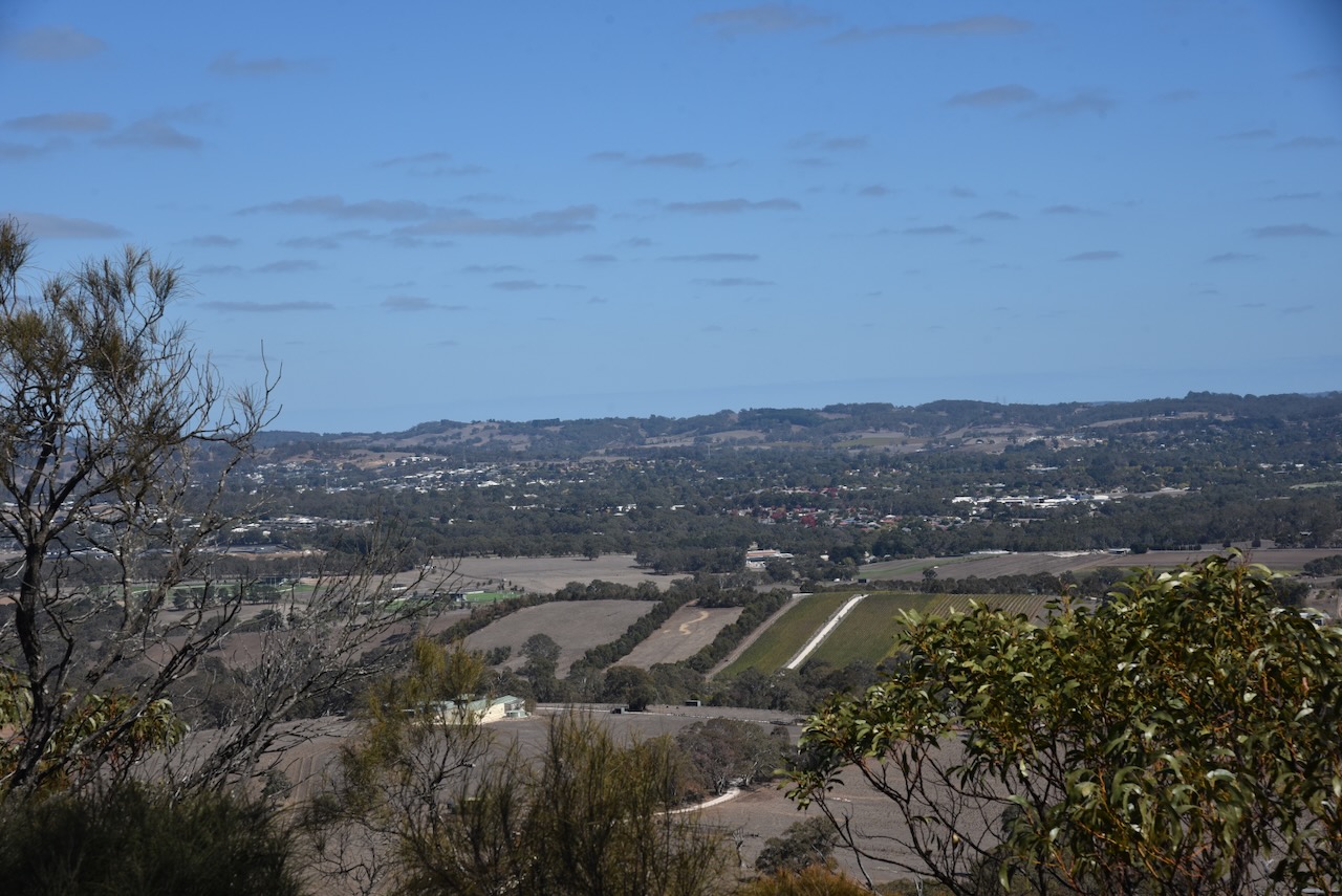
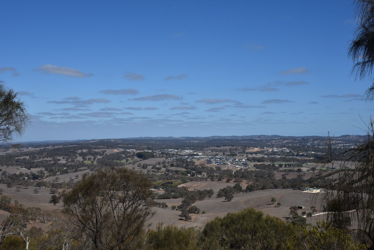
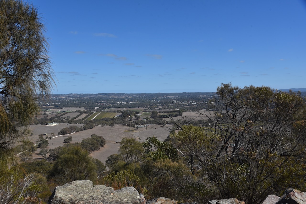
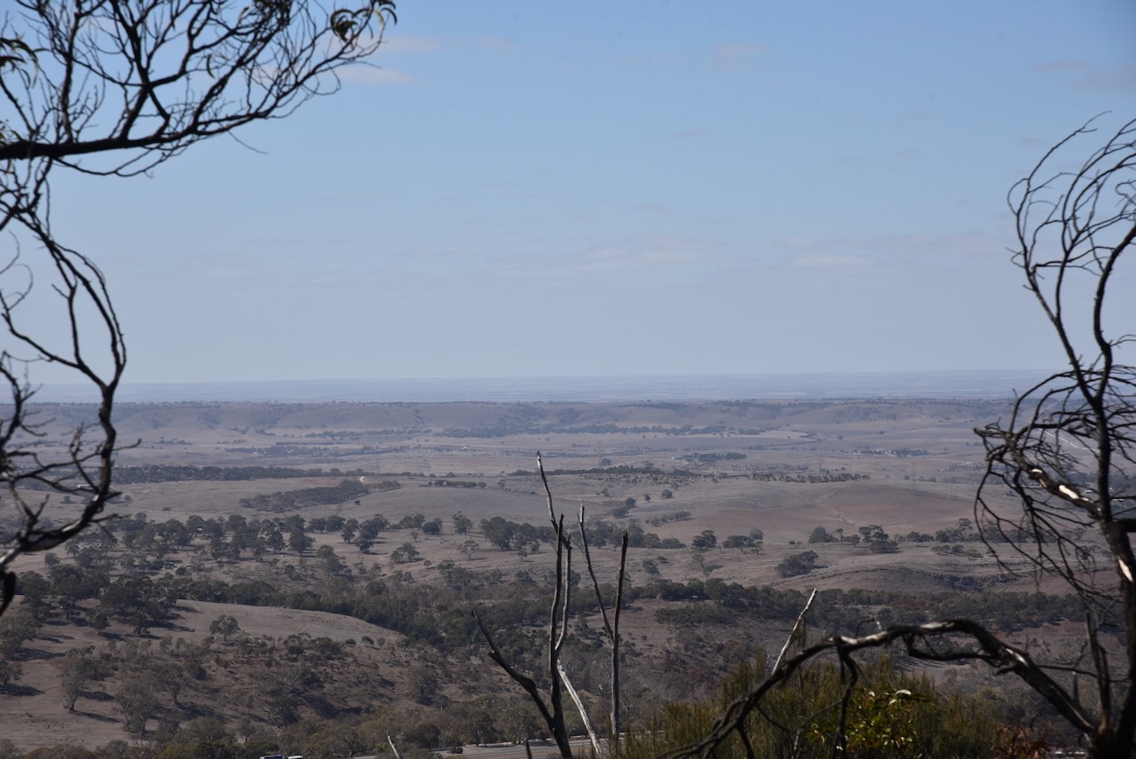
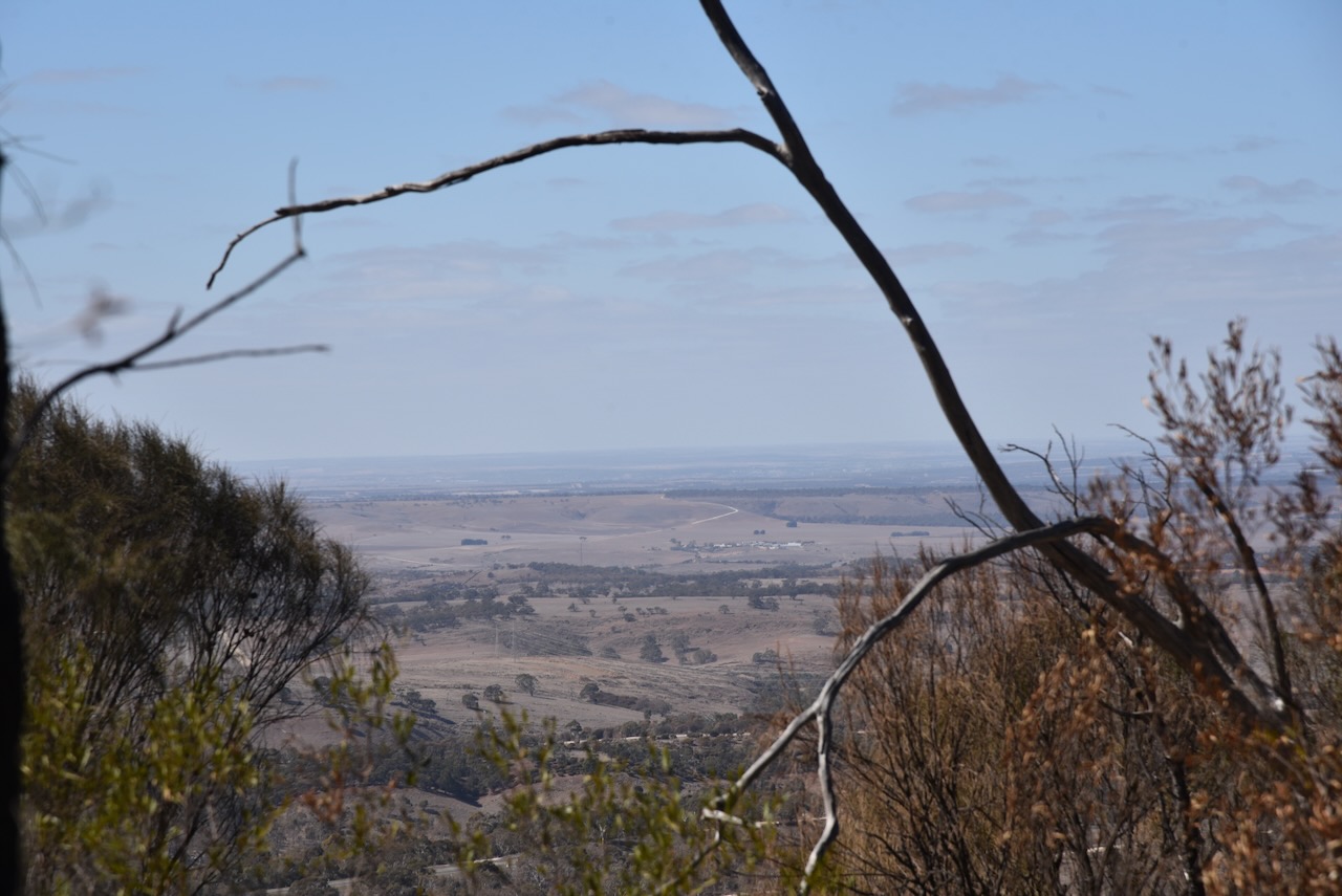
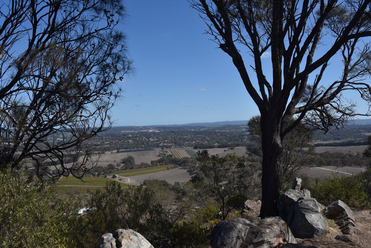
Again, there are some excellent views of the surrounding district.

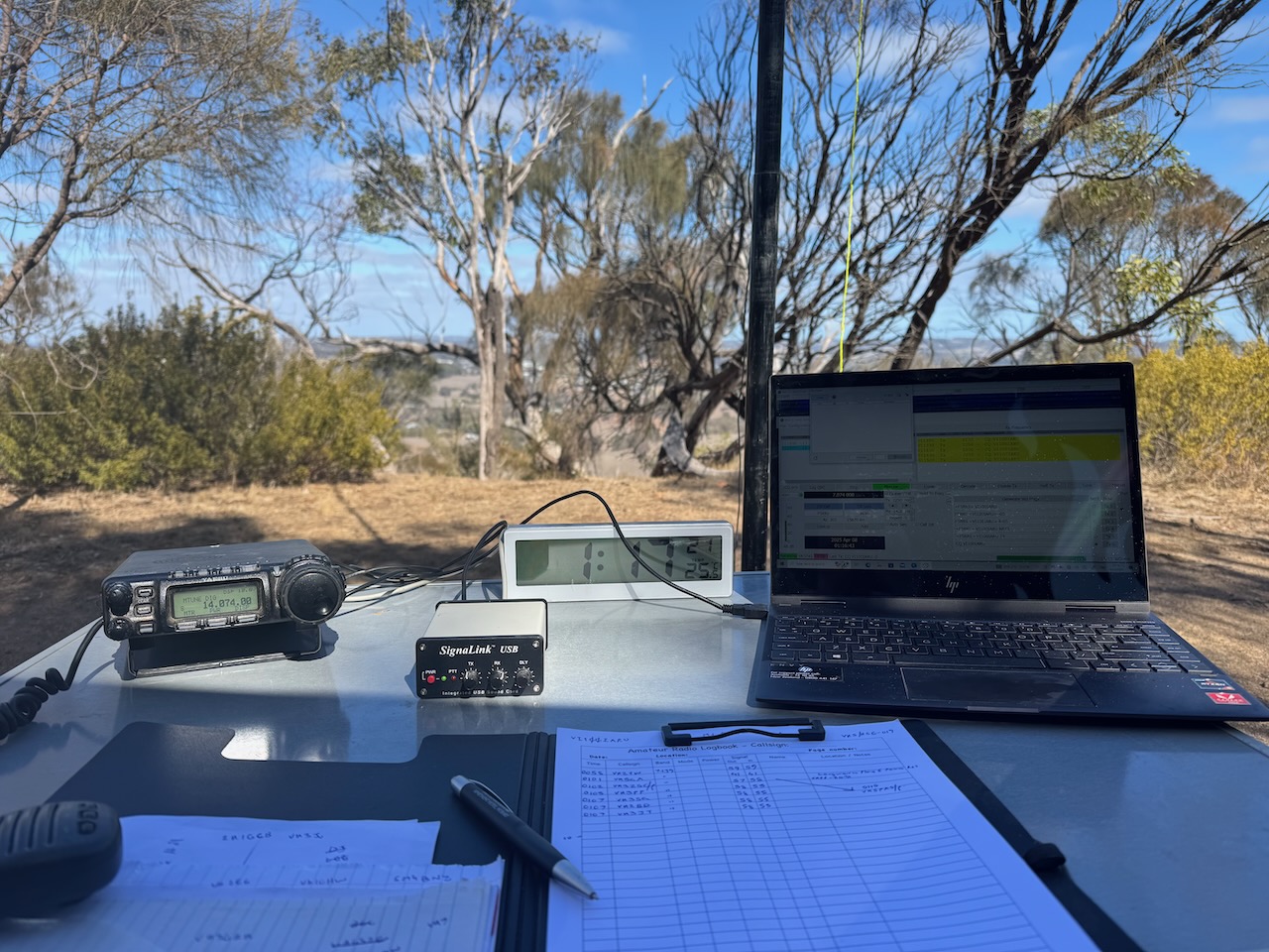
I ran the Yaesu FT857, 40 watts, and the 20/40/80m linked dipole for this activation.
I worked the following stations on 40m SSB:-
- VK2YW
- VK5QA
- VK3ZSC/P (VKFF-2031)
- VK3PF
- VK3SQ
- VK2BD
- VK3JT
I worked the following stations on 40m FT8:-
- VK3PF
- VK2IO
- VK4EW
- VK3SQ
I worked the following stations on 20m FT8:-
- VK1AD
- VK4EW
- VK1NAM
- VK3PF
- VK2IO
I worked the following stations on 20m SSB:-
- VK3PF
- VK1AO
- VK2MET
- VK1AD
- VK1NAM
- VK2VW
- VK2HFI
- VK2AKA
- VK2BUG
References.
- Wikipedia Contributors (2025). Mount Barker (South Australia). Wikipedia.
