
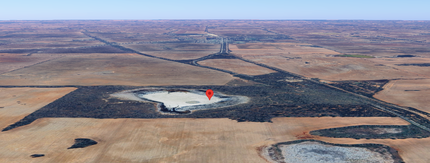
Our next park for Friday, 17th October 2025, was the Degraves Tank Flora Reserve VKFF-2305. The reserve is located about 408 km northwest of Melbourne and about 5 km south of Manangatang.
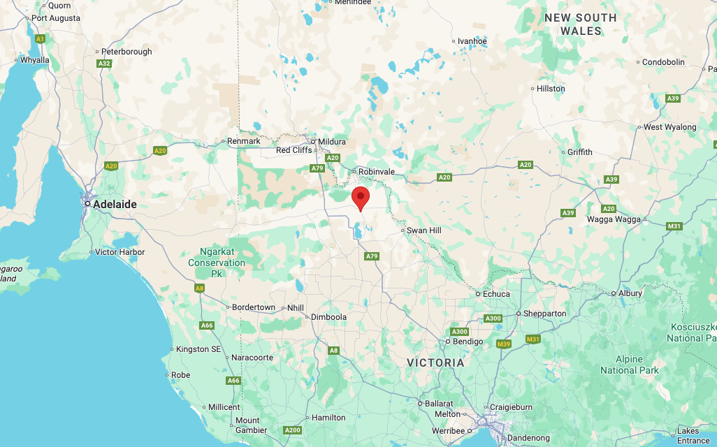
Above: Map showing the location of the Degraves Tank Flora Reserve. Map c/o Google Maps.
This was only the second time that the park had been activated for the World Wide Flora Fauna (WWFF) program. Mike VK6MB (now a silent key) first activated the reserve back in 2019.
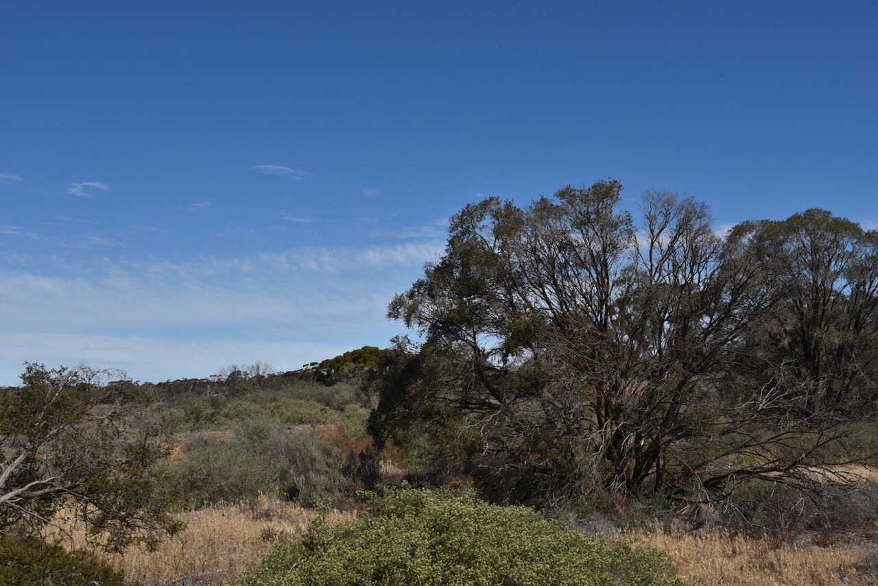
The reserve was easily accessible, with an open gate and a dirt track just to the south of Ridley Road.
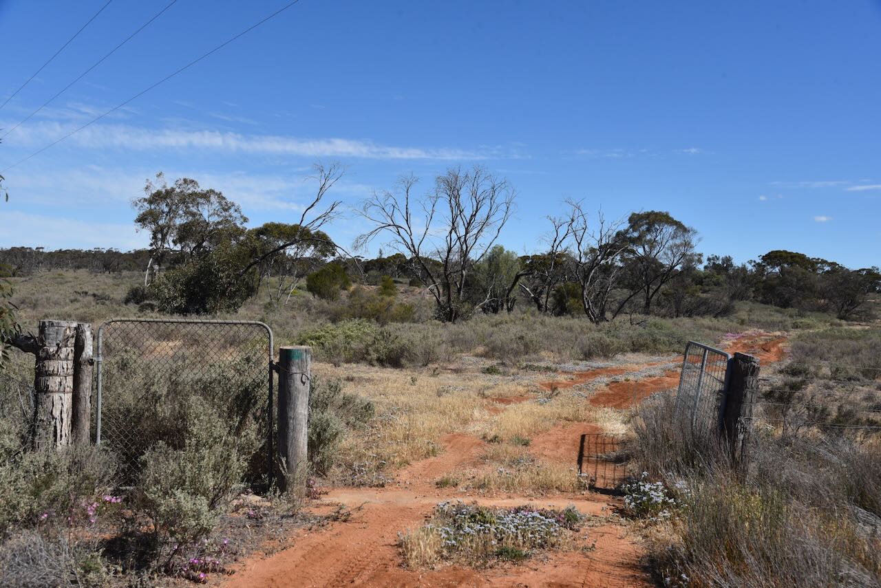
The reserve is bordered by Ridley Road to the north, the Robinvale-Sea Lake Road to the east, and private land to the west and the south.
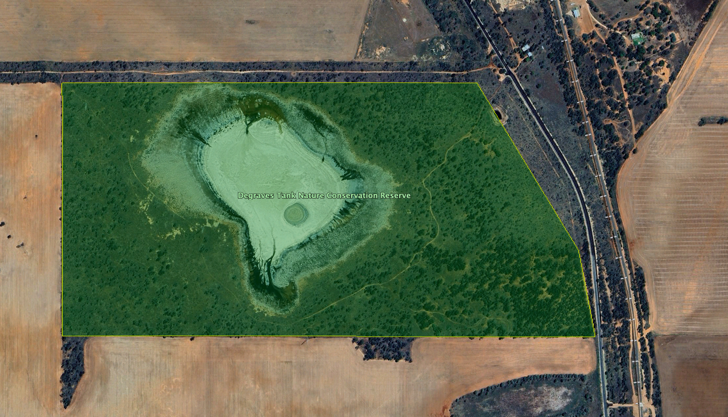
Above:- An aerial view of the reserve showing its boundaries. Image c/o Google Earth.
Parks Victoria has minimal information about this reserve on their website. The reserve is approximately 108 hectares in size and was established on May 8, 1990. (CAPAD 2024)
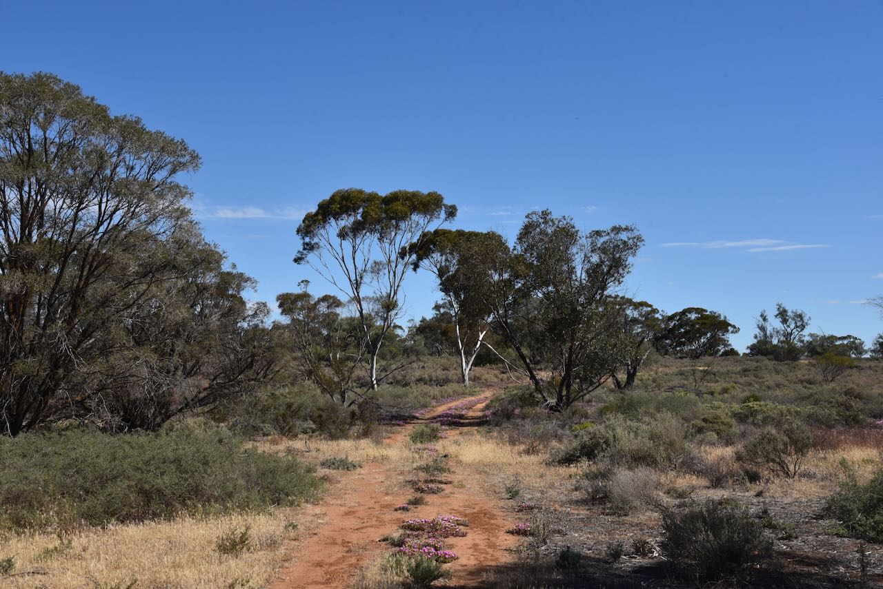
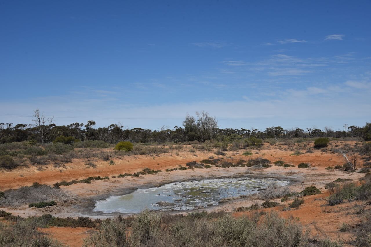
Above: An aerial view of the park looking north towards Manangatang. Image c/o Google Maps.
The park is located in the locality of Cocamba, which is derived from an Aboriginal word kookimbo meaning kookaburra. (Blake 1977)
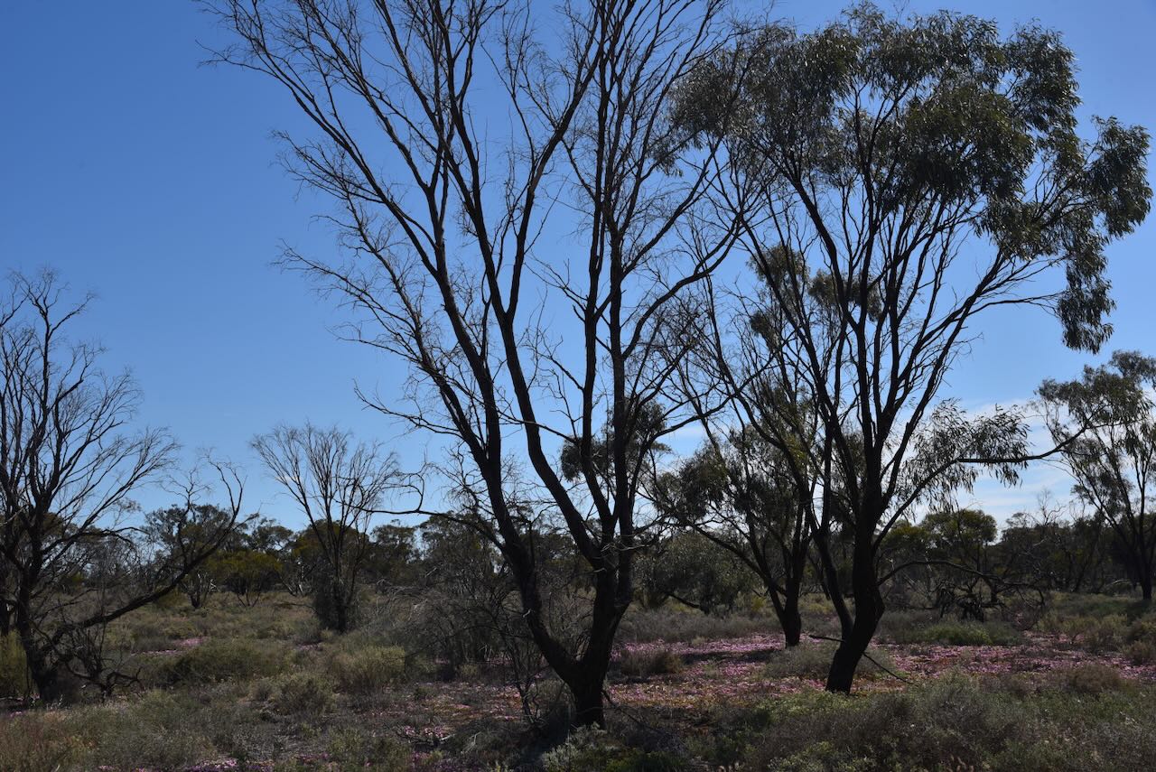
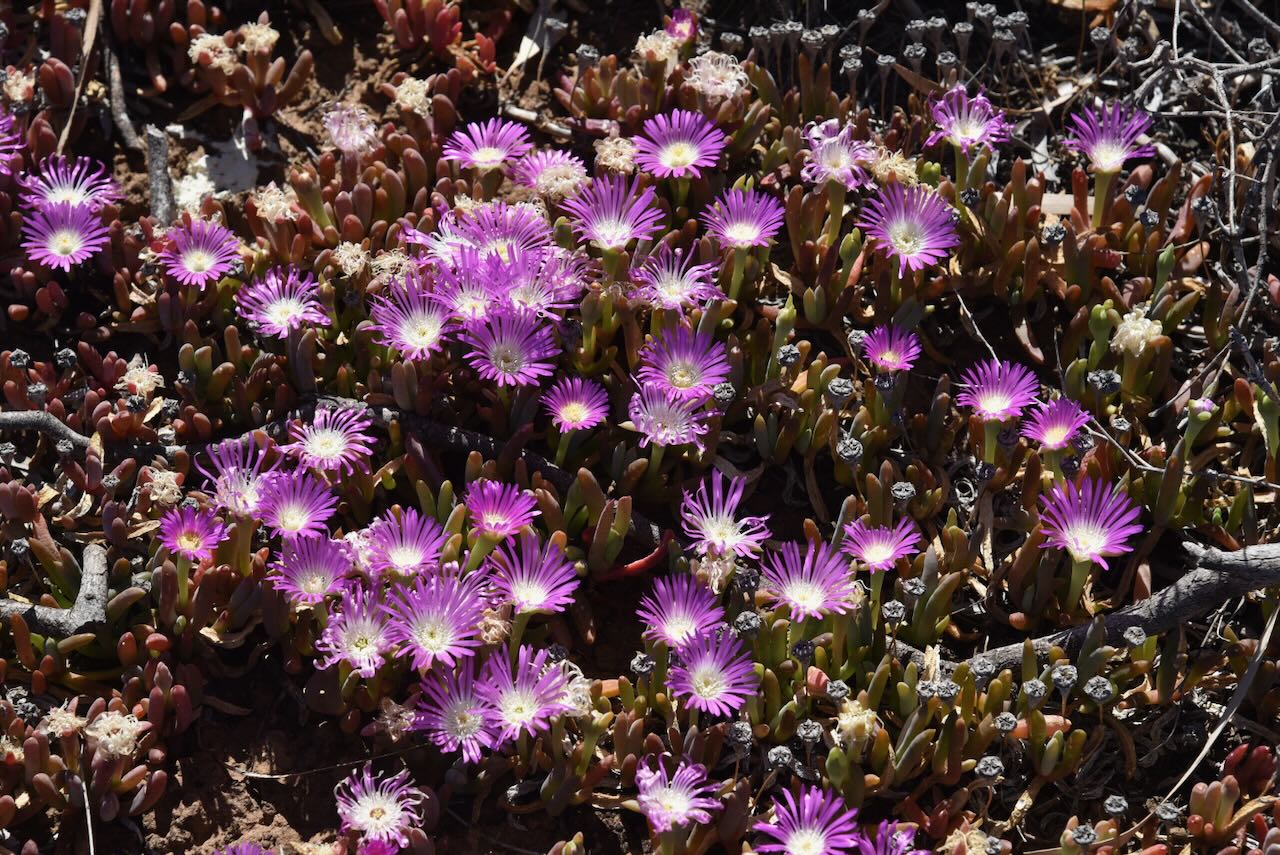
The dam ‘tank’ in the reserve was quite dry during our visit.
Marija and I set up on the side of the dirt track in the park. We ran the Yaesu FT857, 40 watts, and the 20/40/80m linked dipole.
We made a total of 101 QSOs on 40m SSB. Unfortunately, we were running short of time and did not get a chance to operate on the 20m band.
Marija worked the following stations on 40m SSB:-
- VK3SQ
- VK2BD
- VK3JT
- VK3APJ
- VK3ACZ
- VK2IO/P (VKFF-2784)
- VK2GEZ/P (VKFF-2784)
- VK5HS
- VK3ARM/P
- VK3PF
- VK3KAI
- VK3CLD
- VK5QA
- VK2DBF
- VK3UP/P
- VK3PAH
- VK3KRL
- VK2VIC
- VK1VIC
- VK2GOY
- VK3WSG
- VK3YE/P
- VK3MGM
- VK3FTOM
- VK3SPG
- VK3TDK
- VK3NYC
- VK3AMO
- VK3FS
- VK3ATT
- VK3HJW
- VK3DIY
- VK3MIJ
- VK3AKO
- VK3HY
- VK3ZSC
- VK3TDX
- VK2ZDM
- VK5FANA
- VK2PKT
- VK2KFT
- VK2YAK
- VK4YAK
- VK2VW
- VK2HFI
- VK2AKA
- VK2BUG
I worked the following stations on 40m SSB:-
- VK3SQ
- VK2BD
- VK3JT
- VK3APJ
- VK3ACZ
- VK2IO/P (VKFF-2784)
- VK2GEZ/P (VKFF-2784)
- VK5HS
- VK3ARM/P
- VK3PF
- VK3KAI
- VK3CLD
- VK5QA
- VK2DBF
- VK3UP/P
- VK3PAH
- VK3KRL
- VK2VIC
- VK1VIC
- VK2GOY
- VK3WSG
- VK3YE/P
- VK3MGM
- VK3FTOM
- VK3SPG
- VK3TDK
- VK3NYC
- VK3AMO
- VK3FS
- VK3ATT
- VK3HJW
- VK3DIY
- VK3MIJ
- VK3AKO
- VK3HY
- VK3ZSC
- VK3TDX
- VK2ZDM
- VK5FANA
- VK2PKT
- VK2KFT
- VK2YAK
- VK4YAK
- VK2VW
- VK2HFI
- VK2AKA
- VK2BUG
- VK5GTS
- VK3PWG
- VK3TTK
- VK7DD
- VK3VIN
- VK7DW
- VK3AIM
References.
- Blake, L, 1977, Place Names of Victoria
- Dcceew.gov.au. (2025). Collaborative Australian Protected Areas Database 2024 – DCCEEW. [online] Available at: https://www.dcceew.gov.au/environment/land/nrs/science/capad/2024.
