This morning, I learnt of the passing of Sharon Taratula from the American Radio Relay League (ARRL). I am an official DXCC card checker here in Australia and have dealt with Sharon over several years in her capacity as an Administrative Manager at the ARRL.
Sharon was always incredibly friendly, very helpful and a pleasure to deal with.
Sharon was only 63 years old. It is a reminder that life is precious and that every moment should be cherished.
I pass on my condolences to Sharon’s family and friends.
For more information on Sharon, please have a look at legacy.com
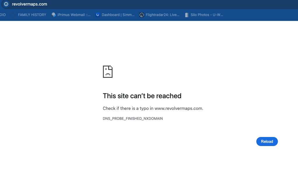
Tonight, I noticed that on my WordPress site, my RevolverMaps map was not visible. This was whilst using Chrome. I tried Safari, and it was visible.
I tried the RevolverMaps website and got the message below….
A little bit of searching on the web as to what the problem might be revealed that RevolverMaps shut down in November 2024. Clearly, I had not been paying enough attention to my WordPress site.
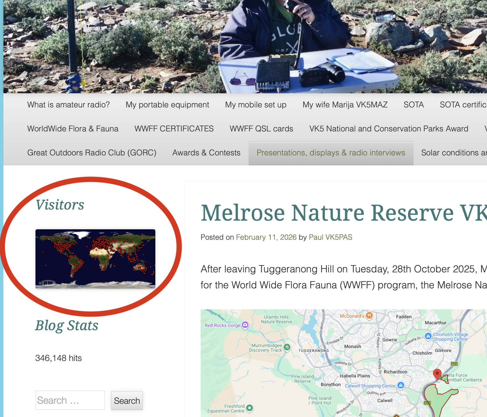
For about 16 years, RevolverMaps provided a service to thousands and thousands of websites around the world with a widget that could be placed on your website that tracked visitors to your site and showed a map and/or a revolving globe. And this was not just for amateur radio operators. Their widget appeared on thousands of other sites.
Below is the RevolverMaps map on my WordPress site.
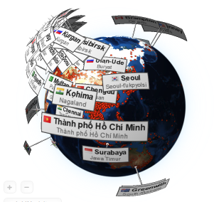
The rotating globe on RevolverMaps was always interesting to watch live when working a pileup.
The reason why RevolverMaps shut down is not known. From reading various threads on the web, it just shut down without any alleged warning.
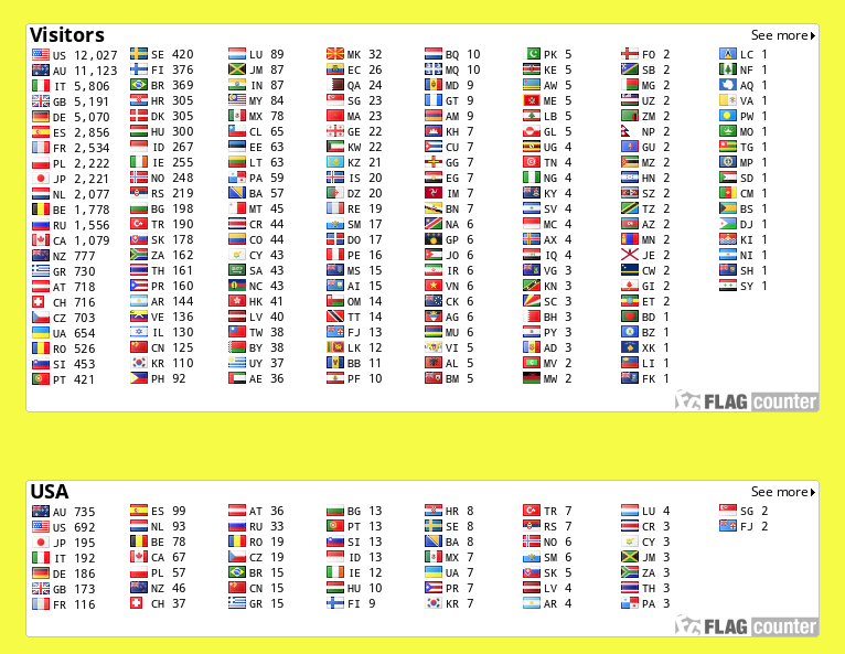
The other excellent site, called Flag Counter, is still working. Flag Counter’s free counter can be added to your website or blog and collects flags from around the world. Each time someone from a new country visits your website, a flag is added to your counter. Below are my flag counters from my QRZ.com page.
There are some other options as a replacement for RevolverMaps. They include:
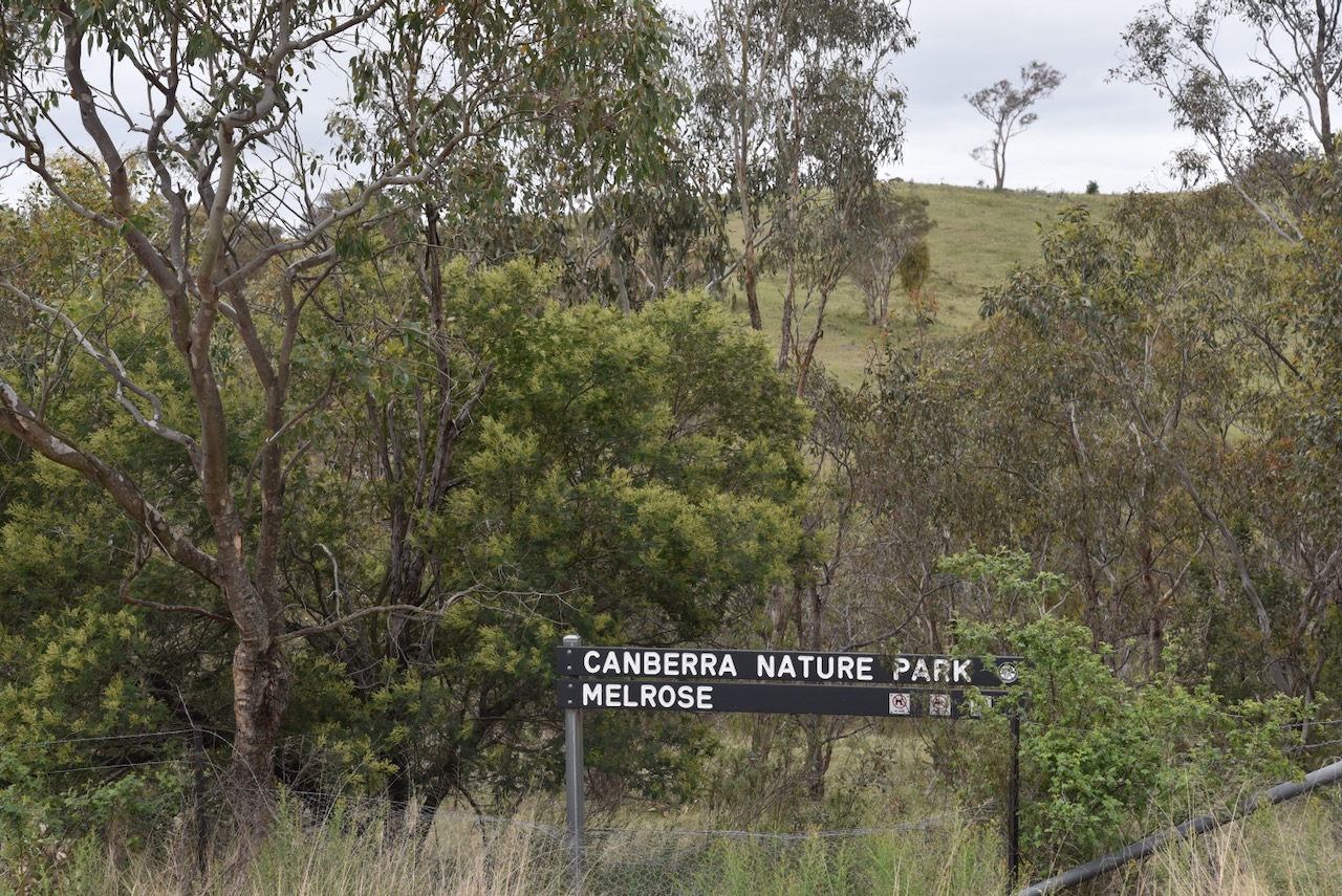
After leaving Tuggeranong Hill on Tuesday, 28th October 2025, Marija and I headed to our next activation for the World Wide Flora Fauna (WWFF) program, the Melrose Nature Reserve VKFF-3183.
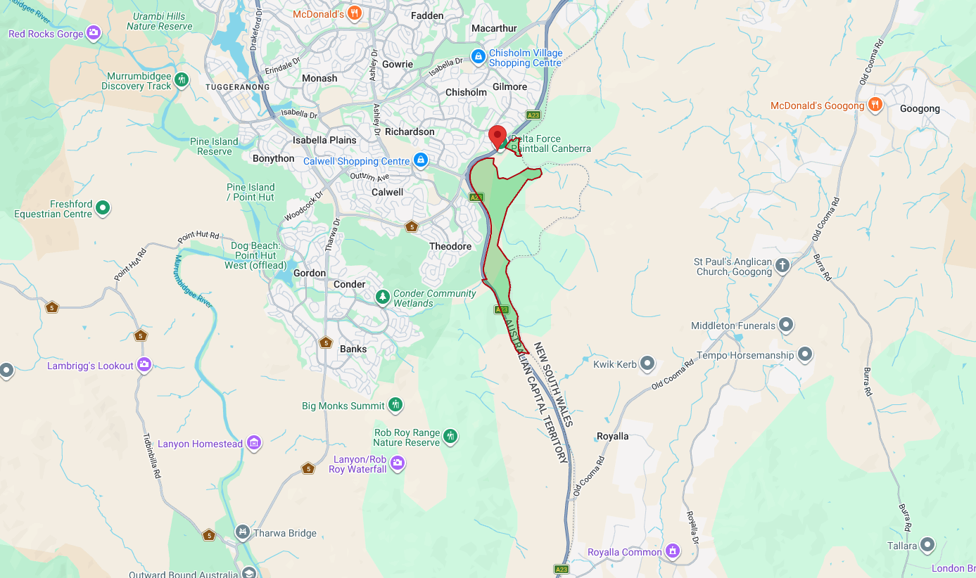
Above: Map showing the location and boundaries of Melrose Nature Reserve. Map c/o parks.act.gov.au
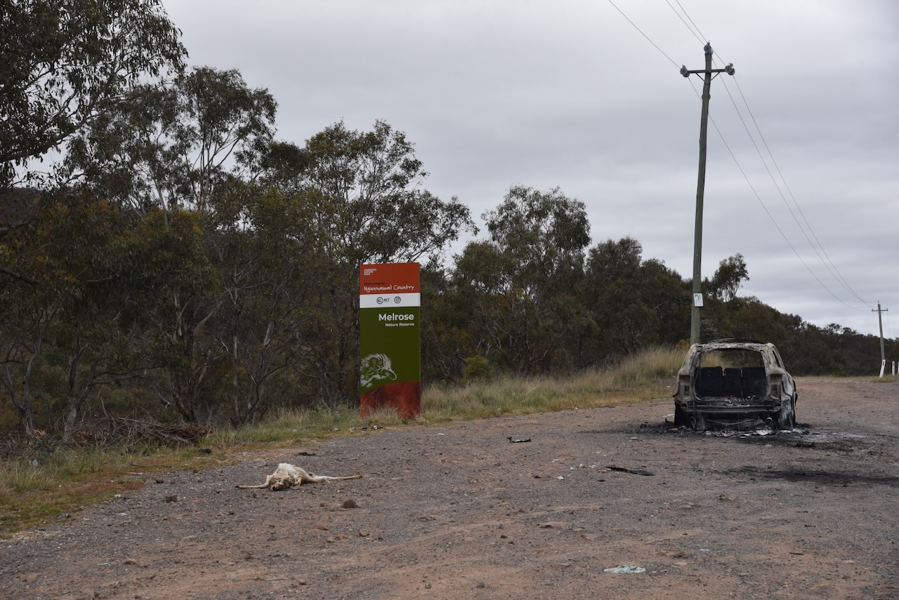
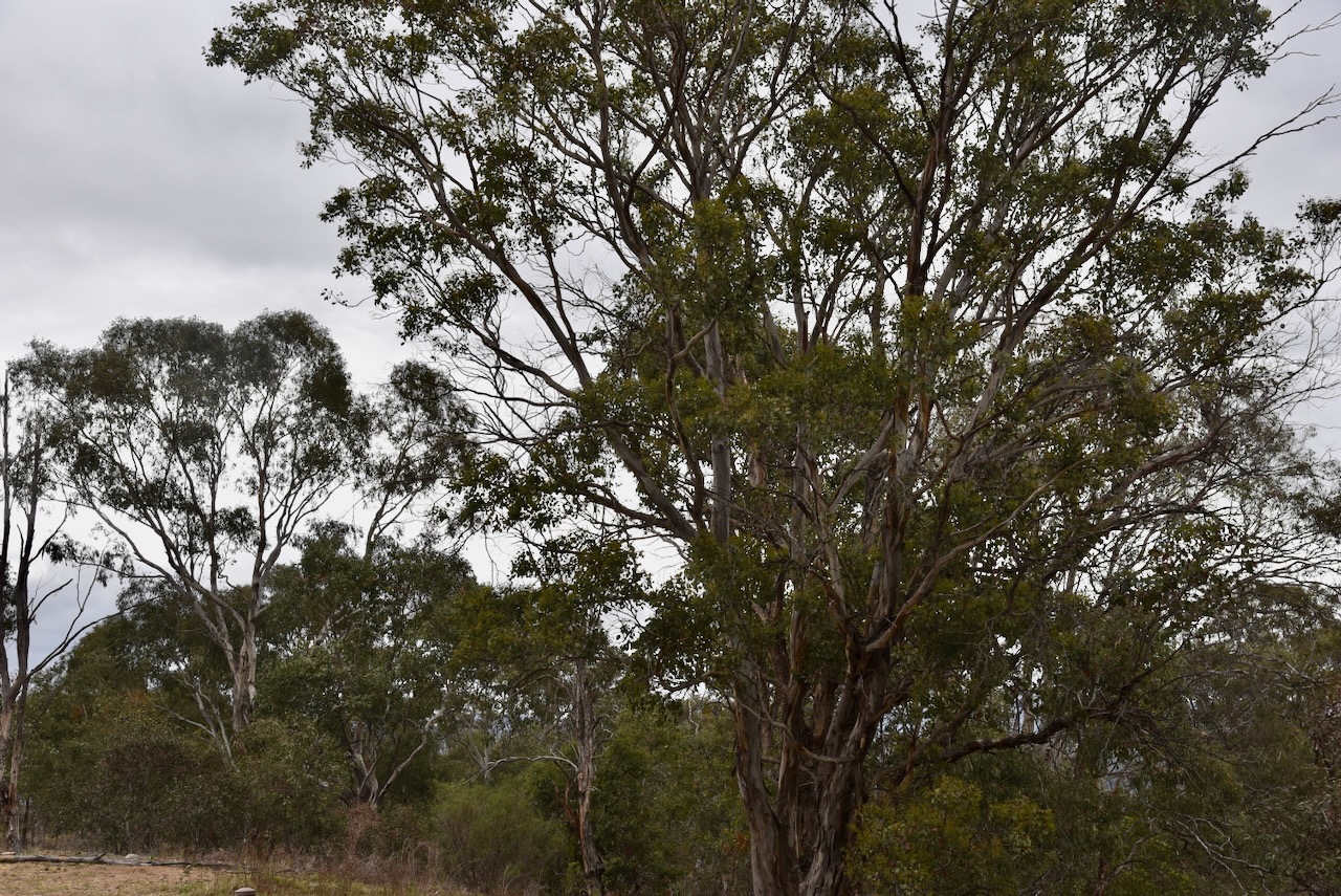
Over the years, Marija and I have activated some beautiful parks around Australia. I am saddened to report that this was not one of those. The rest area on the Monaro Highway, where the park sign is located, was littered with rubbish and a burnt-out car. In fact, the entire boundary of the park along Monaro Highway was full of rubbish. And the park itself was not much better, with discarded rubbish blowing over into the park. We even found discarded needles. This was one park which we were quick to activate and get out of asap.
Melrose Nature Reserve is about 193 hectares in size and was established in 1993. About 20% of the reserve contains the critically endangered Yellow Box-Blakely’s Red Gum Grassy woodland. (ACT Govt 2023)
Above: an aerial view of the reserve. Image c/o Google Maps
Grazing by European settlers has occurred in the area since the 1860s. In 1861, the NSW Crown Lands Alienation Act was enacted. This provided for the legal purchase and occupation of Crown land. The Brennan family established a house above Tuggeranong Creek. (ACT Govt 2023)
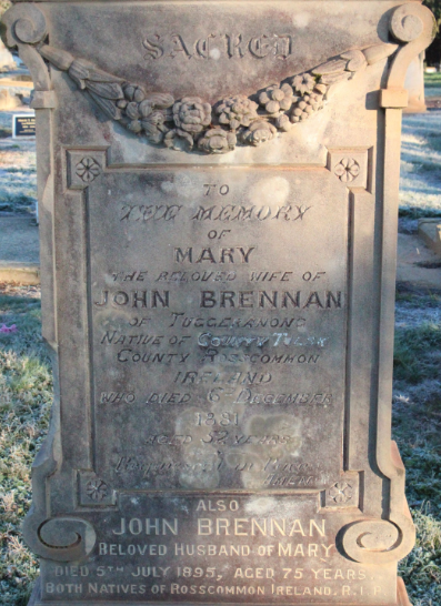
John Brennan was born c. 1820 in County Roscommon, Ireland. He married Mary Cunningham. Mary died in 1881. John died on the 5th day of July 1895 at Tuggeranong, ACT. They are buried at the Queanbeyan Riverside Cemetery, New South Wales. (ancestry 2016) (Chirp 2023) (Findagrave.com 2016)
Above: Headstone of John and Mary Brennan. Image c/o findagrave.com
In 1937, the majority of the land became part of the Melrose Valley Station. The ruins of the Brennan home can be found to the east of Tuggeranong Creek. (ACT Govt 2023)
In the northeast of the reserve is a former Travelling Stock Route (TSR), which is listed on the ACT Heritage Register. This TSR was 7 hectares in size and allowed cattle to be moved from properties located in the Tuggeranong Valley, along the Old Tuggeranong Road, to the Tuggeranong railway siding. The cattle were then transported by train to locations as far away as Sydney. (ACT Govt 2023)
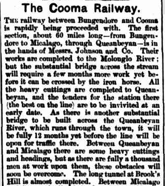
The New South Wales State border is the eastern boundary of Melrose Nature Reserve. It is followed by the old Bombala Railway Line just inside New South Wales. From 1887 to 1921, sections of this railway line southward from Queanbeyan were completed in stages. In 1988, the last passenger service was run on the line. In the following year, 1989, the last freight train operated. (ACT Govt 2023)
Above: part of an article from The Manaro Mercury, Wed 6 Jan 1886. Image c/o Trove
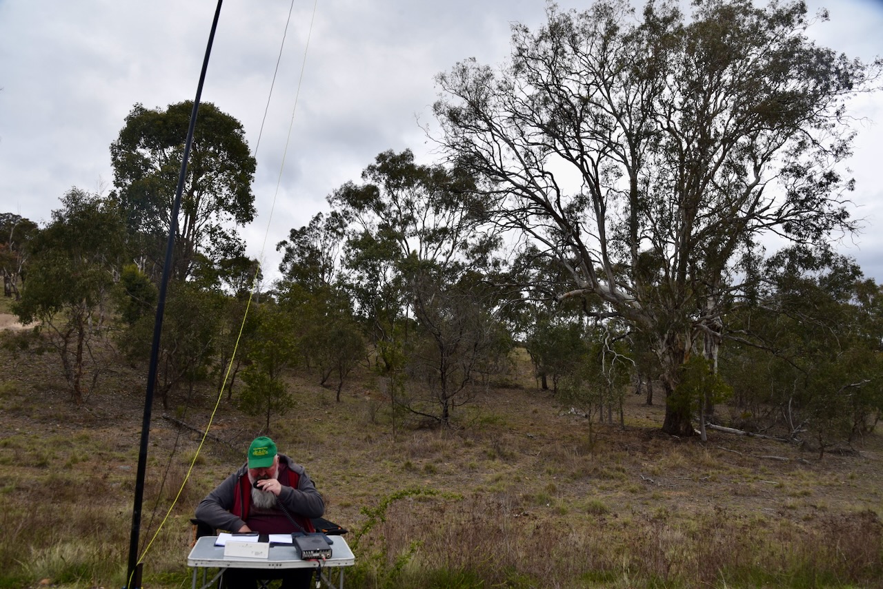
Marija and I operated from the reserve using the Yaesu FT857, 40 watts, and the 20/40/80m linked dipole, supported on the 7 metre heavy duty telescopic squid pole.
ancestry (2016). Ancestry® | Genealogy, Family Trees & Family History Records. [online] Ancestry.com.au. Available at: https://www.ancestry.com.au/. [Accessed 11 Feb. 2026].
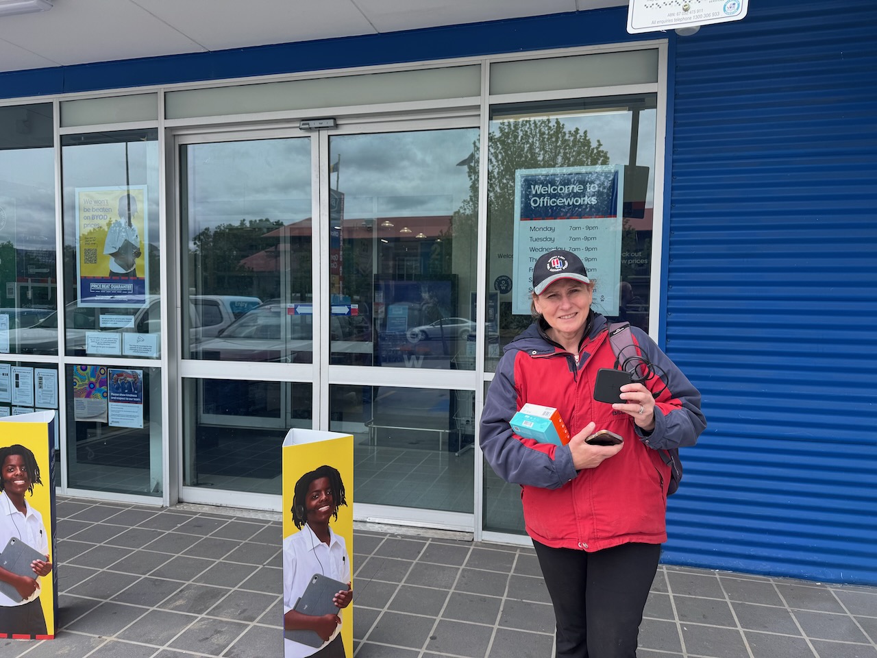
After our activation of Wanniassa Hills on Tuesday, 28th October 2025, Marija and I headed to Officeworks to purchase a new mobile phone for Marija. Unfortunately, during our activation of Justice Robert Hope Reserve the day before, we were totally rained out with torrential rain. Marija’s phone was damaged and would not charge.
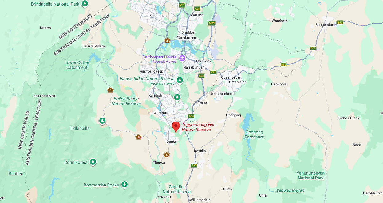
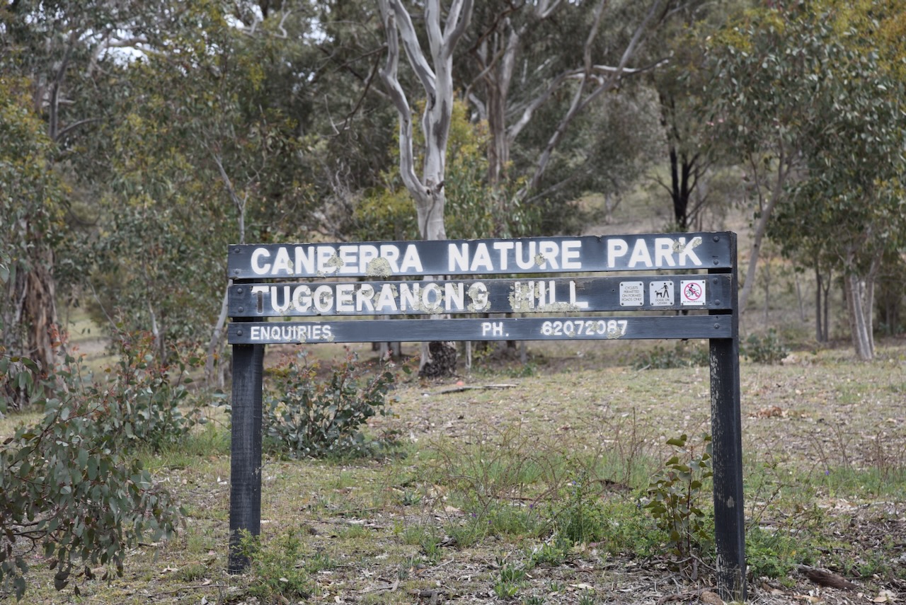
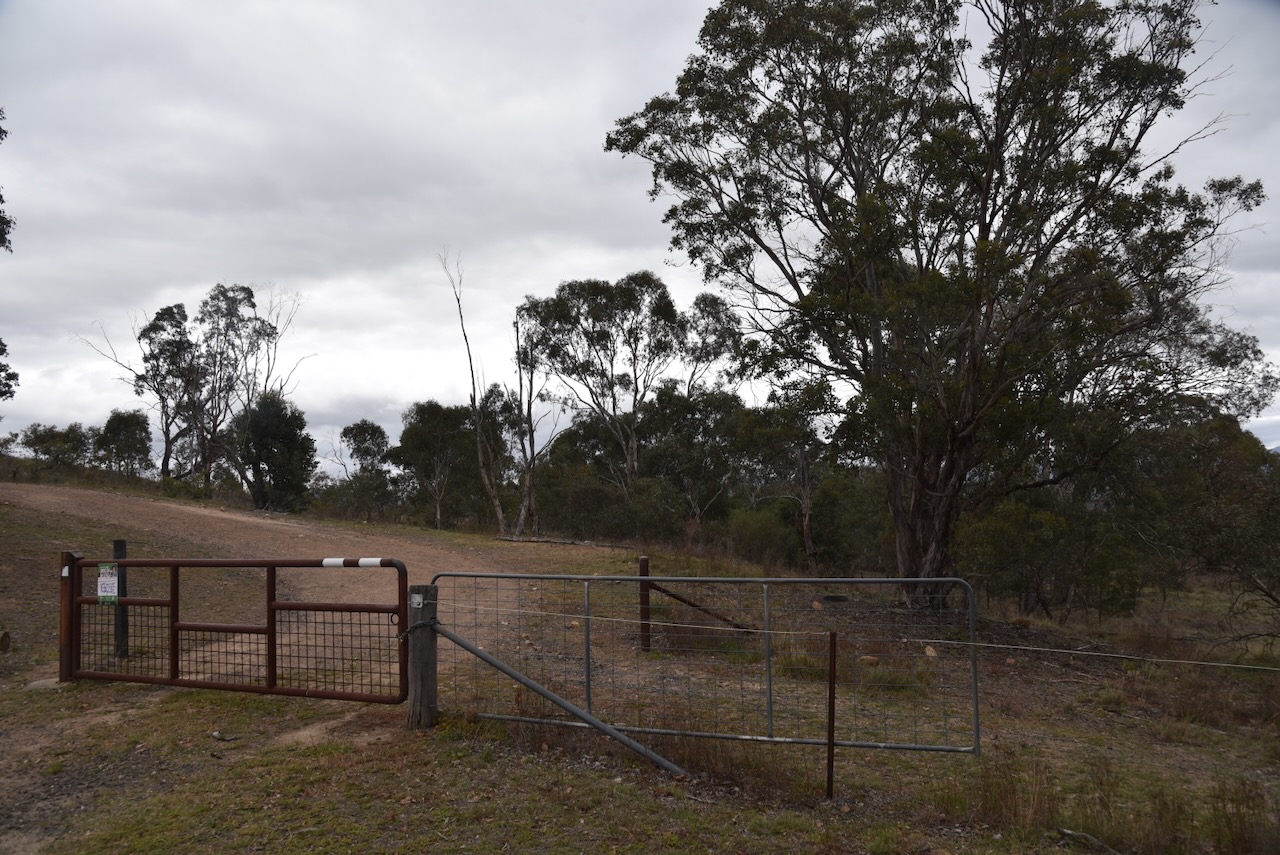
After leaving Oficeworks, we headed to the Tuggeranong Hill Nature Reserve VKFF-0863.
Above:- Map showing the location of the Tuggeranong Hill Nature Reserve. Map c/o Google Maps
The Tuggeranong Hill Nature Reserve is located in southern Canberra. Its northern boundary is Tharwa Avenue and the suburb of Calwell. Its eastern boundary is Monaro Highway. Its western boundary is Tharwa Drive and its southern boundary is the suburb of Conder.
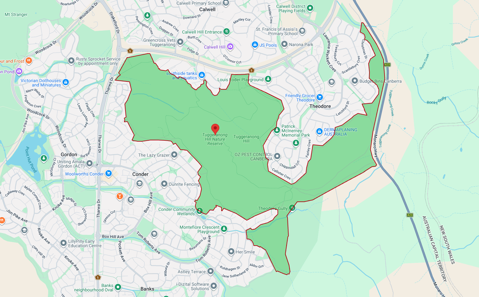
Above: a view of the reserve showing its boundaries. Map c/o parks.act.gov.au
Tuggeranong is derived from the Aboriginal Ngunnawal language, meaning ‘cold place.’ (Wikipedia 2026)
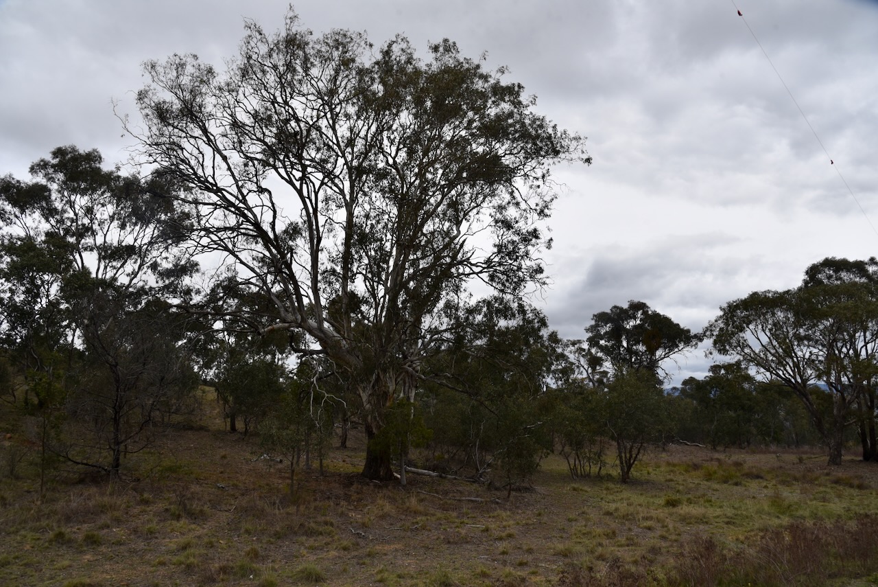
The reserve lies on the boundary between the 2 historic heritage-listed farming estates, Lanyon and Tuggeranong. Much of the native vegetation in Tuggeranong Hill has survived as the land is steep and rocky, and as such was not ploughed and a smaller number of trees were cleared. (ACT Govt 2023)
Tuggeranong Hill Nature Reserve is about 365 hectares in size and was established in 1993. It protects the critically endangered Yellow Box-Blakely’s Red Gum Grassy Woodland. The reserve contains a large area of Dropping She-oak open forest, which provides a food source for the vulnerable Glossy Black-cockatoo. (ACT Govt 2023)
In 2004 and 2006, two areas of land totalling 22 hectares were added to the reserve on the lower slopes of Tuggeranong Hill above the suburb of Conder. These 2 areas were to become residential blocks. However, surveys revealed that they contained a high diversity of plants and the land was saved from development. (ACT Govt 2023)
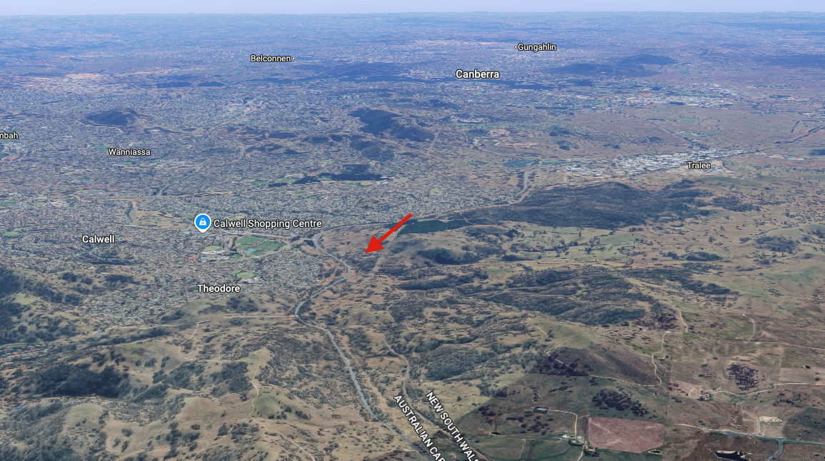
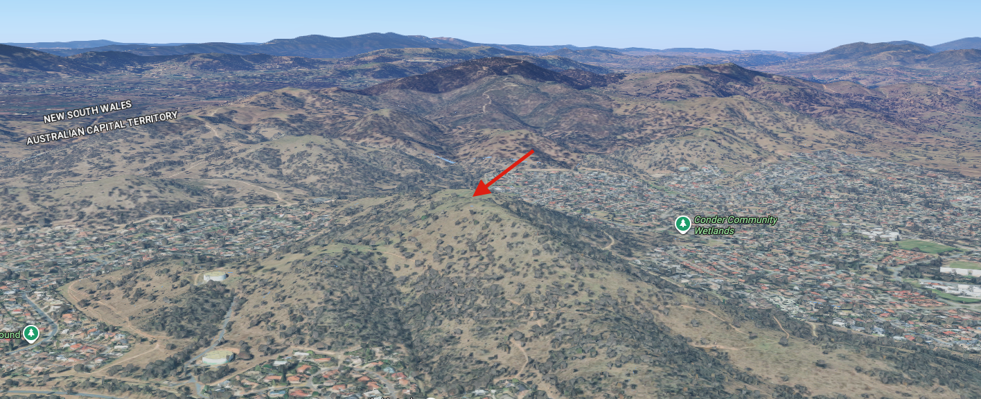
The reserve contains Tuggeranong Hill, a summit which qualifies for the Summits On The Air (SOTA) program. The summit is 855 metres above sea level. The summit requires a walk to get to the top, and we were pressed for time.
Above: An aerial view of the park showing the summit (indicated with an arrow). Image c/o Google Maps
Marija and I operated with the Yaesu FT857, 40 watts, and the 20/40/80m linked dipole.