
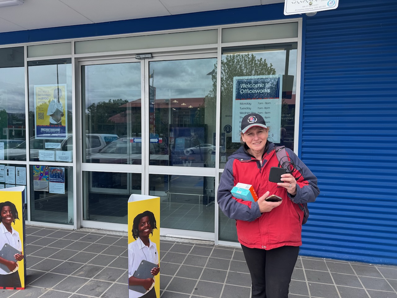
After our activation of Wanniassa Hills on Tuesday, 28th October 2025, Marija and I headed to Officeworks to purchase a new mobile phone for Marija. Unfortunately, during our activation of Justice Robert Hope Reserve the day before, we were totally rained out with torrential rain. Marija’s phone was damaged and would not charge.
After leaving Oficeworks, we headed to the Tuggeranong Hill Nature Reserve VKFF-0863.
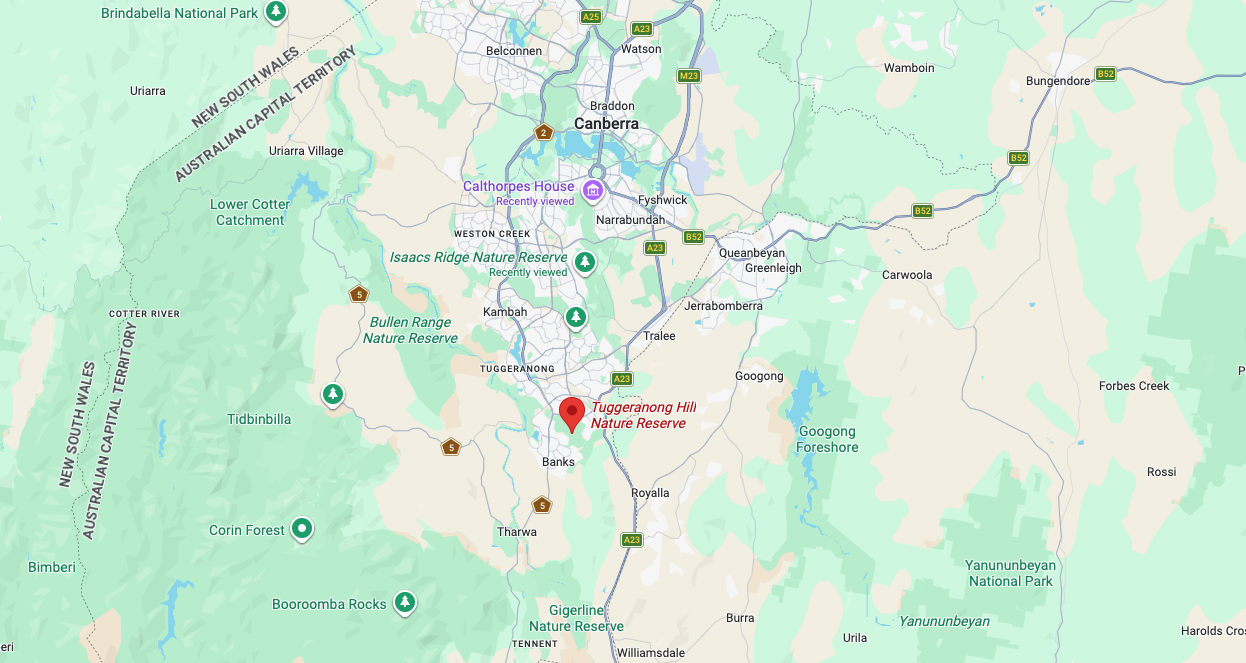
Above:- Map showing the location of the Tuggeranong Hill Nature Reserve. Map c/o Google Maps
The Tuggeranong Hill Nature Reserve is located in southern Canberra. Its northern boundary is Tharwa Avenue and the suburb of Calwell. Its eastern boundary is Monaro Highway. Its western boundary is Tharwa Drive and its southern boundary is the suburb of Conder.
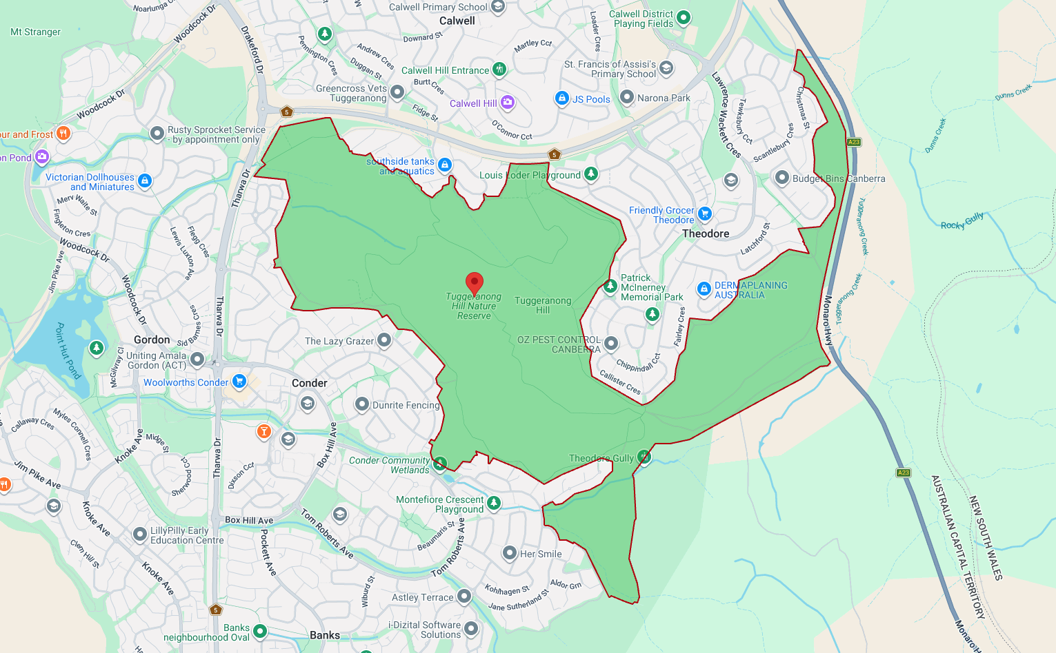
Above: a view of the reserve showing its boundaries. Map c/o parks.act.gov.au
Tuggeranong is derived from the Aboriginal Ngunnawal language, meaning ‘cold place.’ (Wikipedia 2026)
The reserve lies on the boundary between the 2 historic heritage-listed farming estates, Lanyon and Tuggeranong. Much of the native vegetation in Tuggeranong Hill has survived as the land is steep and rocky, and as such was not ploughed and a smaller number of trees were cleared. (ACT Govt 2023)
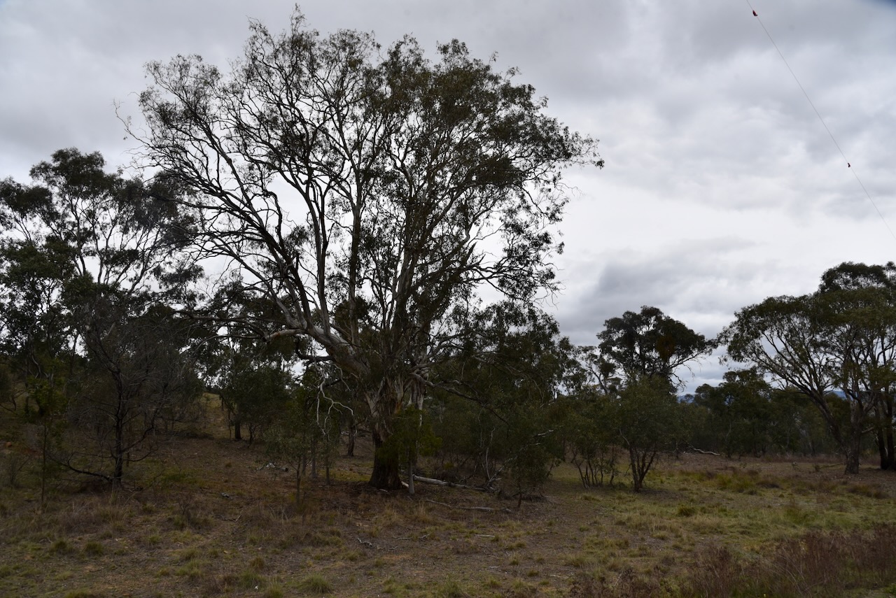
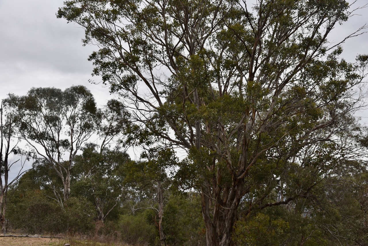
Tuggeranong Hill Nature Reserve is about 365 hectares in size and was established in 1993. It protects the critically endangered Yellow Box-Blakely’s Red Gum Grassy Woodland. The reserve contains a large area of Dropping She-oak open forest, which provides a food source for the vulnerable Glossy Black-cockatoo. (ACT Govt 2023)
In 2004 and 2006, two areas of land totalling 22 hectares were added to the reserve on the lower slopes of Tuggeranong Hill above the suburb of Conder. These 2 areas were to become residential blocks. However, surveys revealed that they contained a high diversity of plants and the land was saved from development. (ACT Govt 2023)
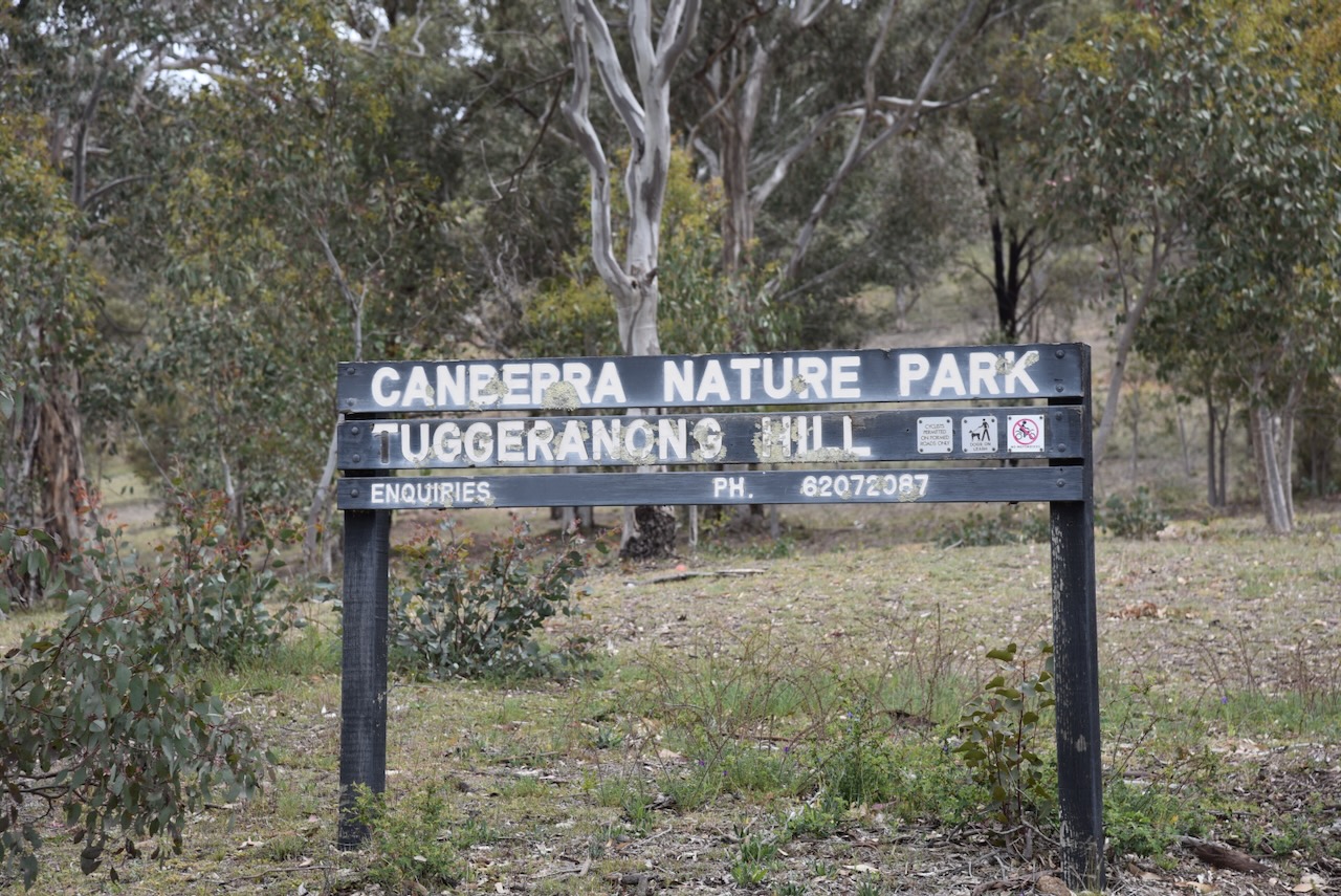
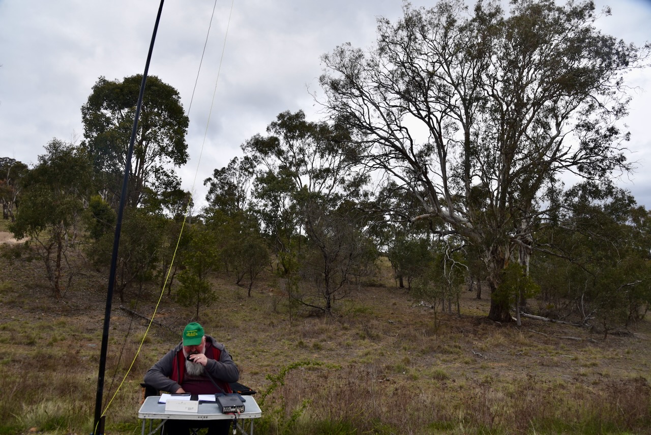
The reserve contains Tuggeranong Hill, a summit which qualifies for the Summits On The Air (SOTA) program. The summit is 855 metres above sea level. The summit requires a walk to get to the top, and we were pressed for time.
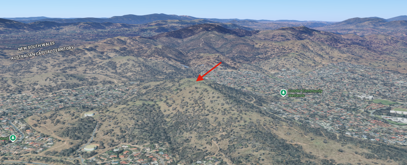
Above: An aerial view of the park showing the summit (indicated with an arrow). Image c/o Google Maps
Marija and I operated with the Yaesu FT857, 40 watts, and the 20/40/80m linked dipole.
Marija worked the following stations on 40m SSB:-
- VK2IO/P (VKFF-0993)
- VK2GEZ/P (VKFF-0993)
- VK3PF/P (VKFF-3062)
- VK3KAI/P (VKFF-3062)
- VK1AD
- VK1NAM
- VK2DAA
- VK1AD
- VK1AO
- VK2MET
- VK3UH
I worked the following stations on 40m SSB:-
- VK2IO/P (VKFF-0993)
- VK2GEZ/P (VKFF-0993)
- VK1AD
- VK1NAM
- VK1CHW
- VK2CHW
- VK3PF/P (VKFF-3062)
- VK3KAI/P (VKFF-3062)
- VK3MGM
- VK3DCQ
- VK3UCD
- VK3UH
- VK3DAC
- VK3EJ
- VK1AO
- VK2MET
- VK6ASK/M
- VK7EE
- VK5WU
- VK3KRL
- VK2VW
- VK2HFI
- VK2AKA
- VK2BUG
- VK2DNI/M
- VK3SQ
- VK3JT
- VK2BD
- VK2DA
- VK1DA
- VK3FTOM
- VK3BCM
- VK2VIC
- VK1VIC
- VK2GOY
- VK3APJ
- VK2NP
- VK2XWB
- VK5AYL
- VK2YAK
- VK4YAK
- VK3AMO
- VK3GCM/P (SIOTA VK-SRN3)
- VK3BEL
- VK3BEB
- VK5FANA
- VK7PJM
- VK2MOE
- VK1MO
- VK3CLD
- VK5QA
- VK2DBF
I worked the following stations on 20m SSB:-
- VK2IO/P (VKFF-0993)
- VK2GEZ/P (VKFF-0993)
- VK6XL
- ZL4NVW
References.
- ACT Government (2023). Tuggeranong Hill Nature Reserve. [online] Act.gov.au. Available at: https://www.parks.act.gov.au/find-a-nature-park/canberra-nature-park/tuggeranong-hill-nature-reserve. [Accessed 11 Feb. 2026]
- Wikipedia Contributors (2026). Tuggeranong. Wikipedia.
