
After leaving the Namadgi National Park on Wednesday, 29th October 2025, Marija and I headed to the Old Naas Travelling Stock Route (TSR) VKFF-0992.
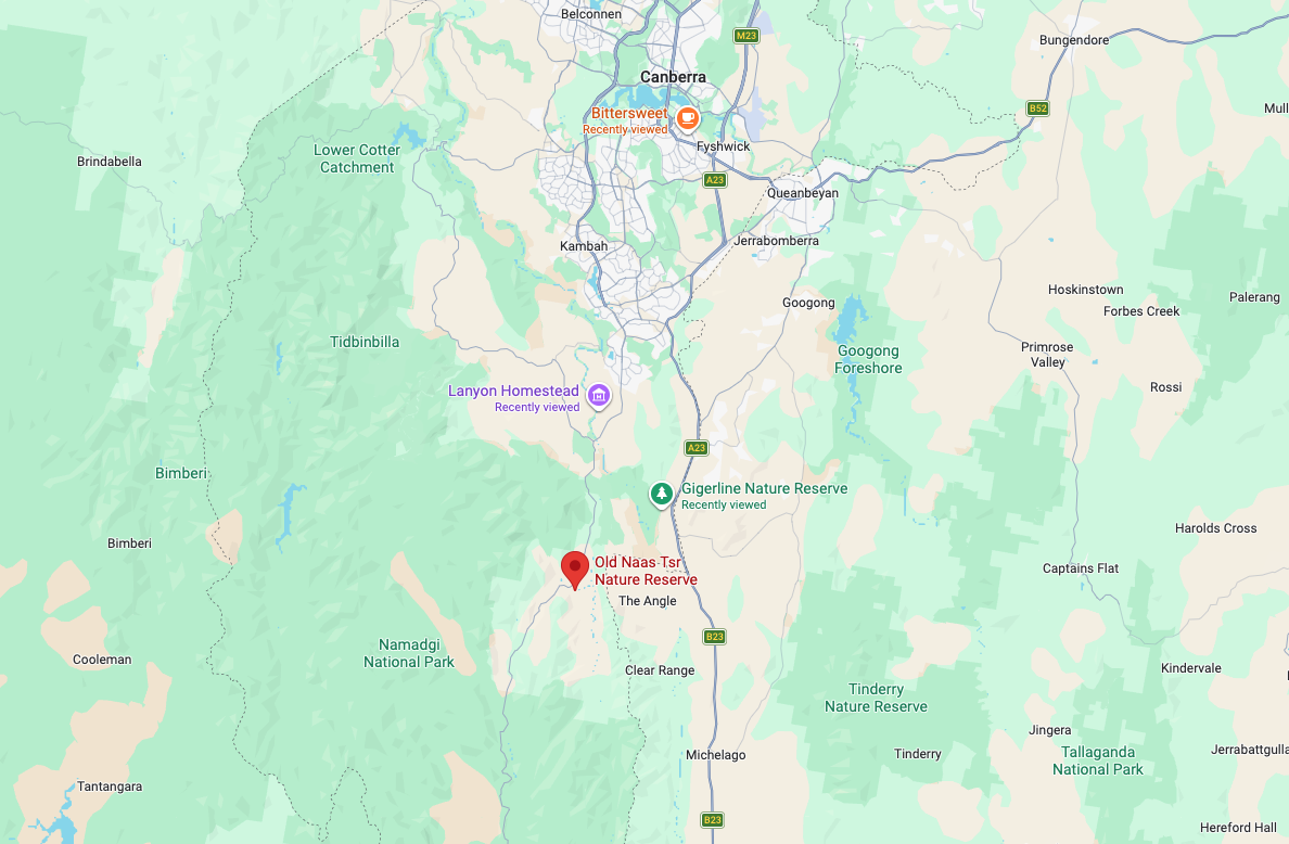
Above: Map showing the location of the Old Naas Travelling Stock Route. Map c/o Google Maps
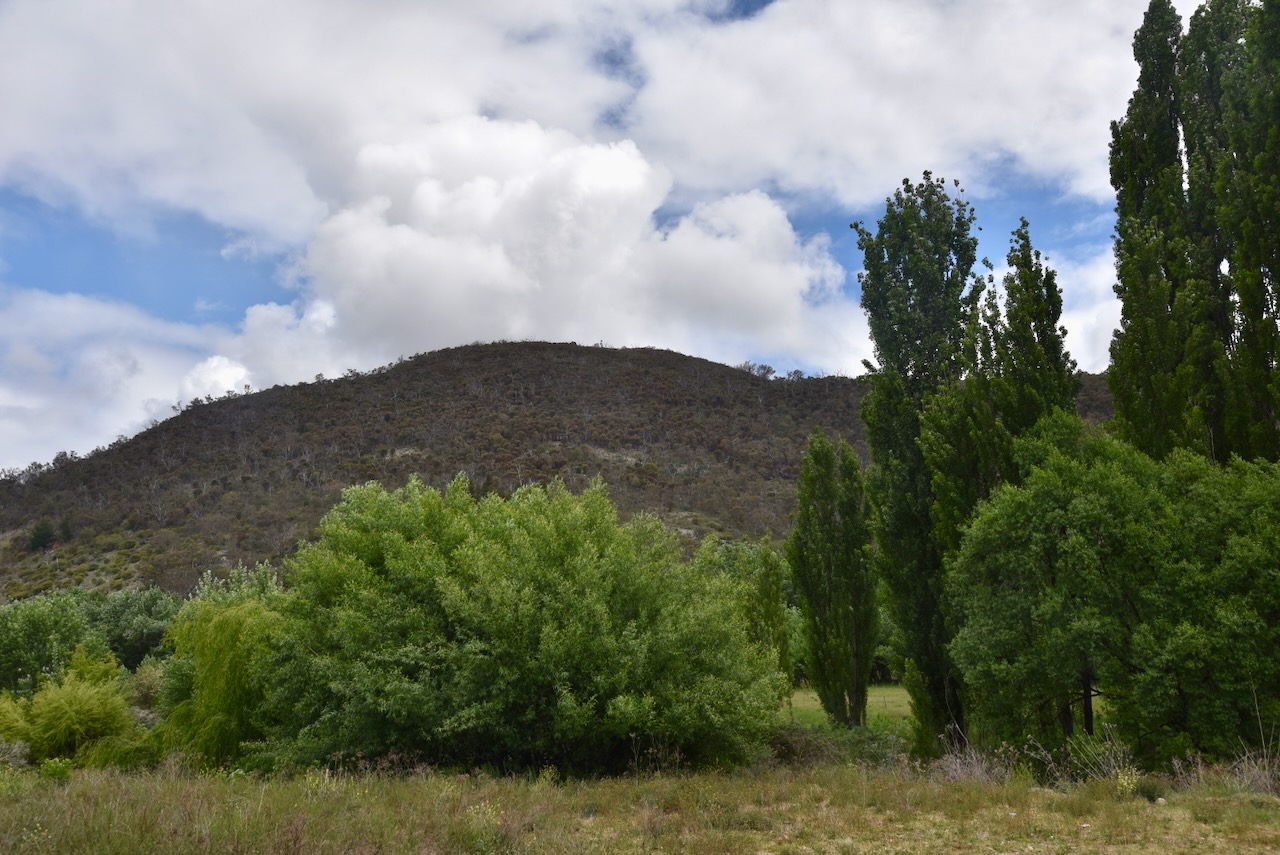
The TSR is located in the Naas Valley south of Canberra. It is located near the intersection of Naas Road, Boboyan Road and Top Naas Road.
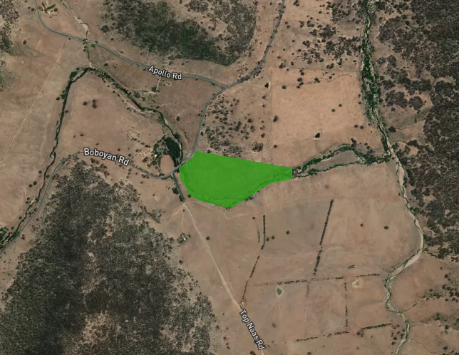
Above: the boundaries of the Old Naas Travelling Stock Route. Image c/o Protected Planet
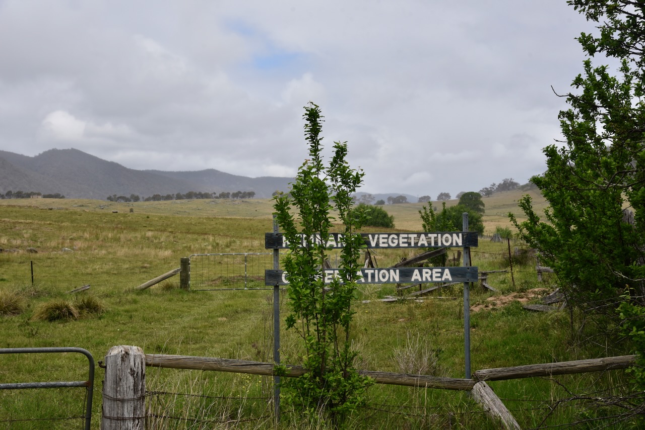
The Old Naas Travelling Stock Route is about 18 hectares in size and was established on the 18th day of March 2013. (CAPAD 2025)
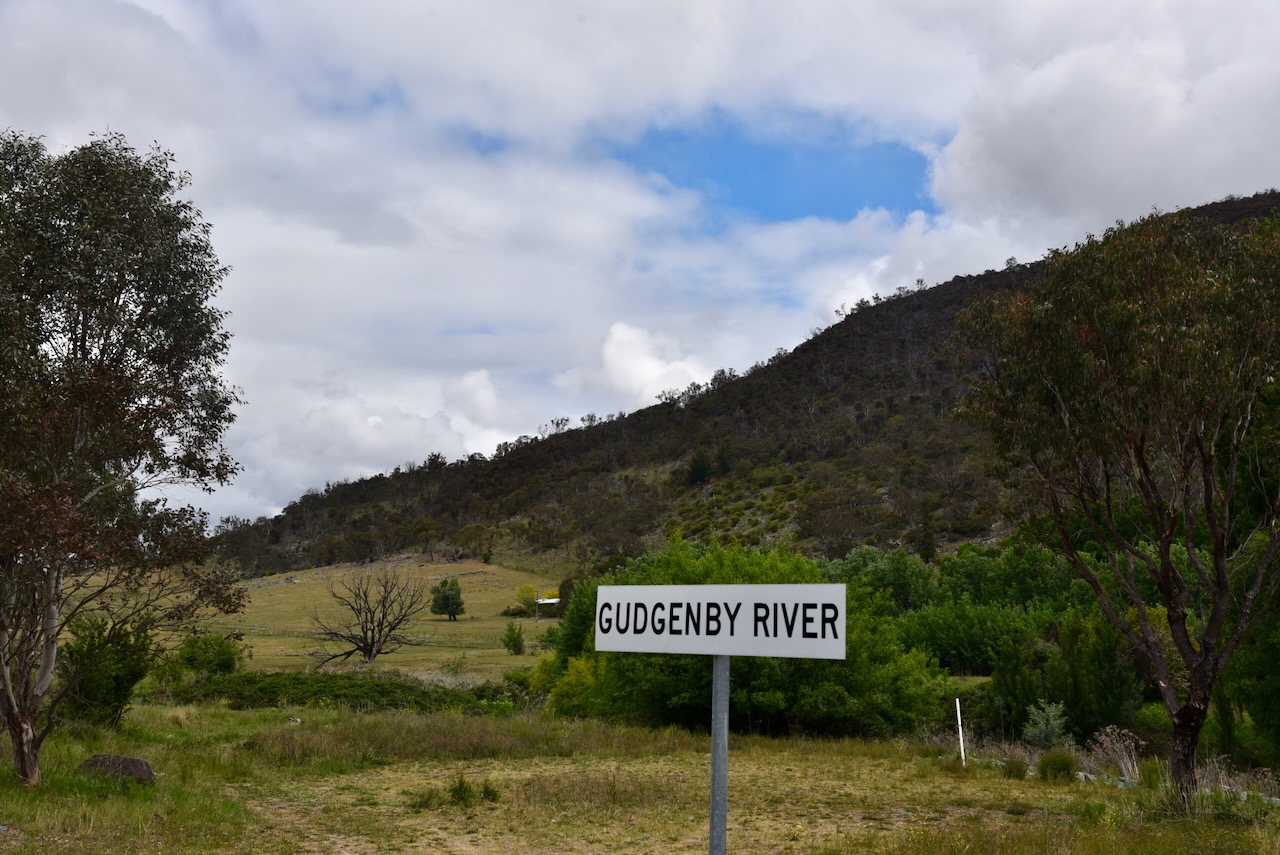
The Gugenby River flows through the TSR. The Gugenby is formed by the confluence of Bogong Creek and Middle Creek and rises within the Namadgi National Park. The river flows for a distance of about 35 km and is joined by nine tributaries, including the Naas River and Orroral River, before reaching its confluence with the Murrumbidgee River near Tharwa. (Wikipedia 2025)
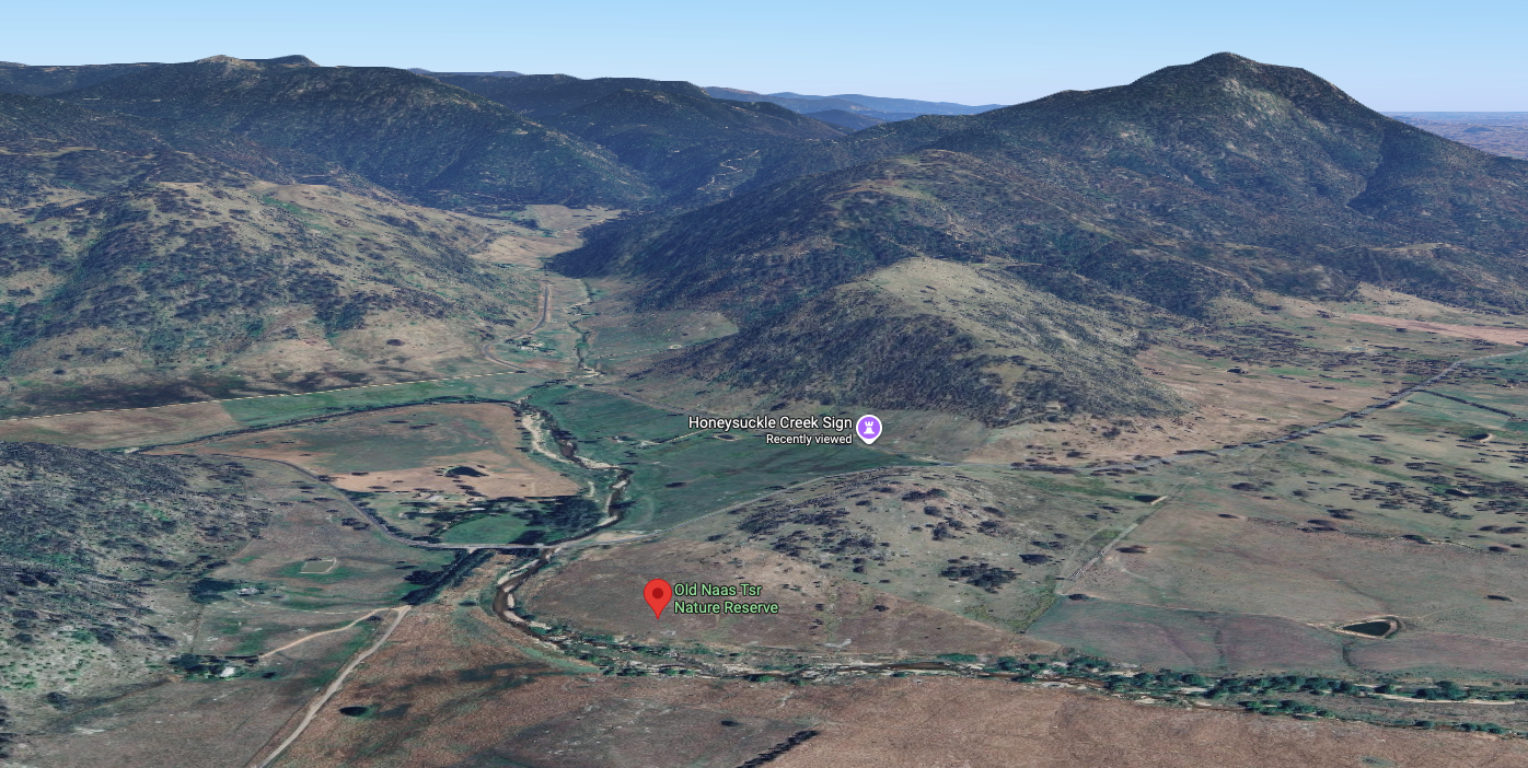
Above: An aerial view of the Old Naas TSR. Image c/o Google Maps
The first European settler in the Naas Valley was William Herbert. Herbert was initially a squatter in the district, but by 1848, he had been granted 2,428 hectares of land on a leasehold basis. He was born in 1778 in Wiltshire, England. In July 1816, he was convicted of breaking open and robbing the Wiltshire and Berkshire Canal Lockhouse and was sentenced to transportation for Life. He was transported to New South Wales aboard the Shipley, arriving in Sydney on the 24th day of April 1817. In 1818, he married Ann Sharkey. He was issued with a Ticket of Leave in September 1826. Herbert died on the 25th day of October 1857 in the Naas Valley. (Convictrecords.com.au 2026) (Wikipedia 2025)
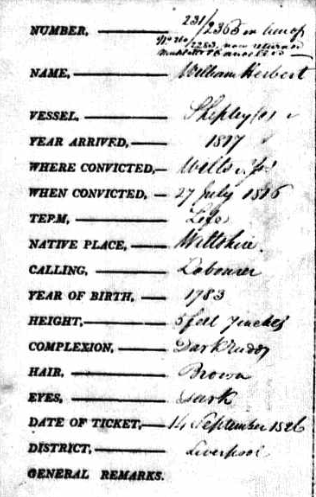
Above: the Register of Tickets of Leave for William Herbert. Image c/o ancestry.com.au
A travelling stock route (TSR) is an authorised thoroughfare for the walking of domestic livestock, e.g. cattle or sheep. They are colloquially known as The Long Paddock. Many of these TSRs were located along corridors that followed river systems. Today, their original transport purpose has mostly been superseded. (Wikipedia 2024)

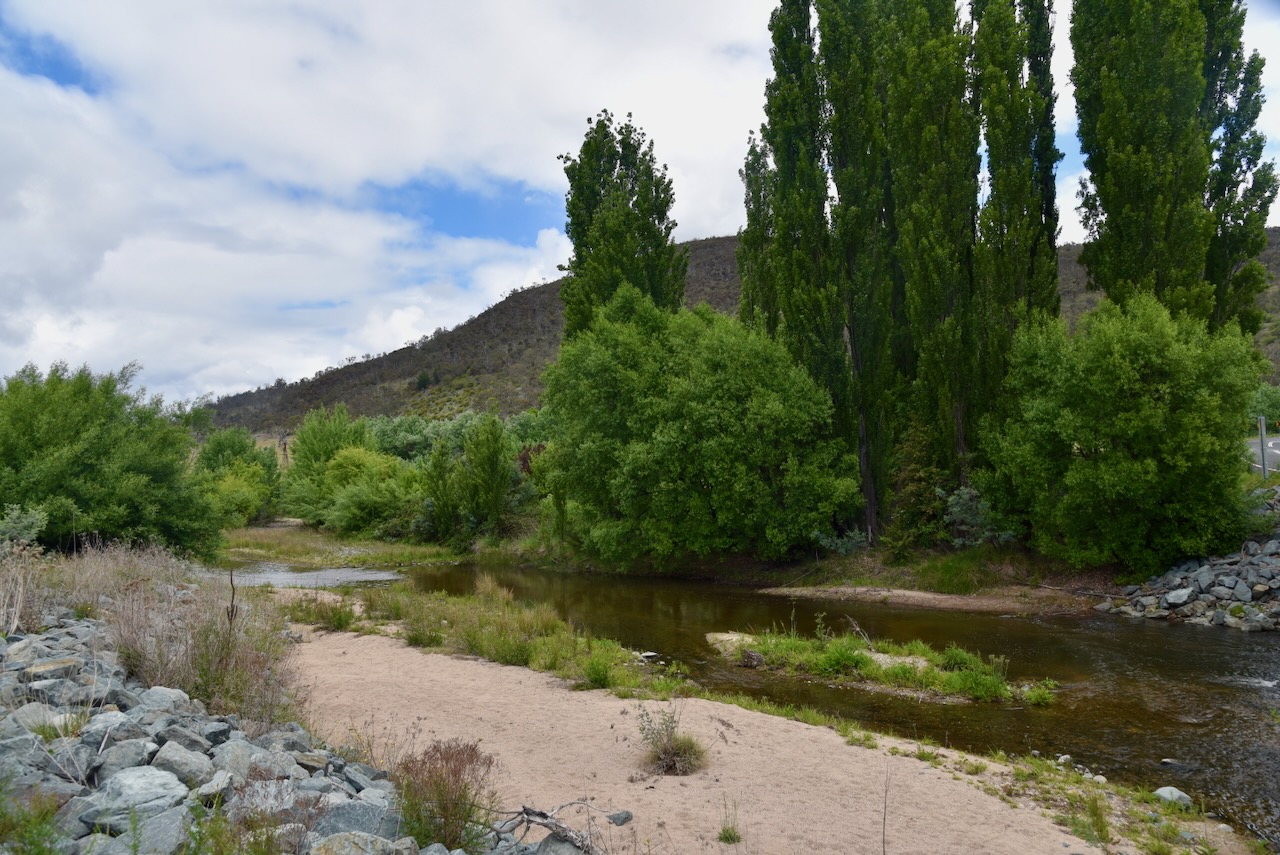
We pulled in alongside the river and operated using the Yaesu FT857, 40 watts, and the 20/40/80m linked dipole.
Marija worked the following stations on 40m SSB:-
- VK7HAM/p (VKFF-0028)
- VK7AN/P (VKFF-0028)
- VK7ZPE/P (VKFF-0028)
- VK2IO/P (VKFF-0864)
- VK2GEZ/P (VKFF-0864)
- VK1AD
- VK1NAM
- VK1AO
- VK2MET
- VK1CHW
- VK2CHW
- VK2VW
- VK2HFI
- VK2AKA
- VK2BUG
- VK3CLD
- VK5QA
- VK2DBF
- VK2ETI
- VK2AIT
- VK2AIQ
- VK2AIX
- VK2AIZ
- VK2VAR
- VK2GOM
- VK2DA
- VK1DA
- VK3PF/P (VKFF-2532)
- VK7IAN
- VK5HS
- VK3SG
- VK3PAH
- VK3MGM
- VK2HBR
- VK3APJ
- VK3ZAQ
- VK2MOE
- VK1MO
- VK3AUN
- VK3FS
- VK3ATT
- VK3KRL
- VK3SQ
- VK3JT
- VK2BD
- VK2VKF
I worked the following stations on 40m SSB:-
- VK7HAM/p (VKFF-0028)
- VK7AN/P (VKFF-0028)
- VK7ZPE/P (VKFF-0028)
- VK2IO/P (VKFF-0864)
- VK2GEZ/P (VKFF-0864)
- VK1AD
- VK1NAM
- VK1AO
- VK2MET
- VK1CHW
- VK2CHW
- VK2VW
- VK2HFI
- VK2AKA
- VK2BUG
- VK3CLD
- VK5QA
- VK2DBF
- VK2ETI
- VK2AIT
- VK2AIQ
- VK2AIX
- VK2AIZ
- VK2VAR
- VK2GOM
- VK2DA
- VK1DA
- VK3PF/P (VKFF-2532)
- VK7IAN
- VK5HS
- VK3SG
- VK3PAH
- VK3MGM
- VK2HBR
- VK3APJ
- VK3ZAQ
- VK2MOE
- VK1MO
- VK3AUN
- VK3FS
- VK3ATT
- VK3KRL
- VK3SQ
- VK3JT
- VK2BD
- VK2VKF
- VK3AKO
- VK2MOR
- VK7PJM
- VK3UP/M
References.
- Convictrecords.com.au. (2026). Available at: https://convictrecords.com.au/convicts/herbert/william/45254 [Accessed 14 Feb. 2026].
- Dcceew.gov.au. (2025). Collaborative Australian Protected Areas Database 2024 – DCCEEW. [online] Available at: https://www.dcceew.gov.au/environment/land/nrs/science/capad/2024. [Accessed 14 Feb 2026]
- Wikipedia Contributors (2025). Naas (valley). Wikipedia.
- Wikipedia Contributors (2025). Gudgenby River. Wikipedia.
- Wikipedia. (2024). Stock route. [online] Available at: https://en.wikipedia.org/wiki/Stock_route. [Accessed 14 Feb. 2026]
