Namadgi National Park VKFF-0377

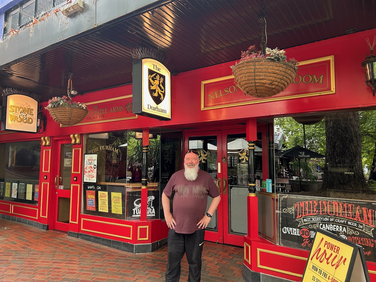
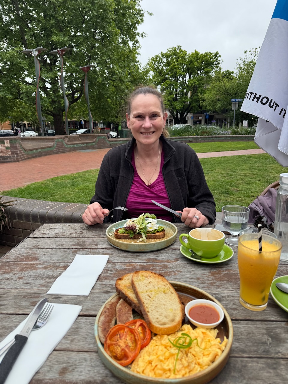
Our start for Wednesday, 29th October 2025, was breakfast at Kingston in Canberra. Marija and I had a beautiful cooked breakfast at the Bittersweet Cafe. We also revisited the nearby Durham Castle Arms Pub. Many years ago, I attended a course in Canberra with colleagues from across Australia. I phoned my great mate Tim up in Queensland to let him know that I was ‘back at the scene of the crime’ at the pub. We spent many a night there during my 6-week course in Canberra and had lots of laughs.

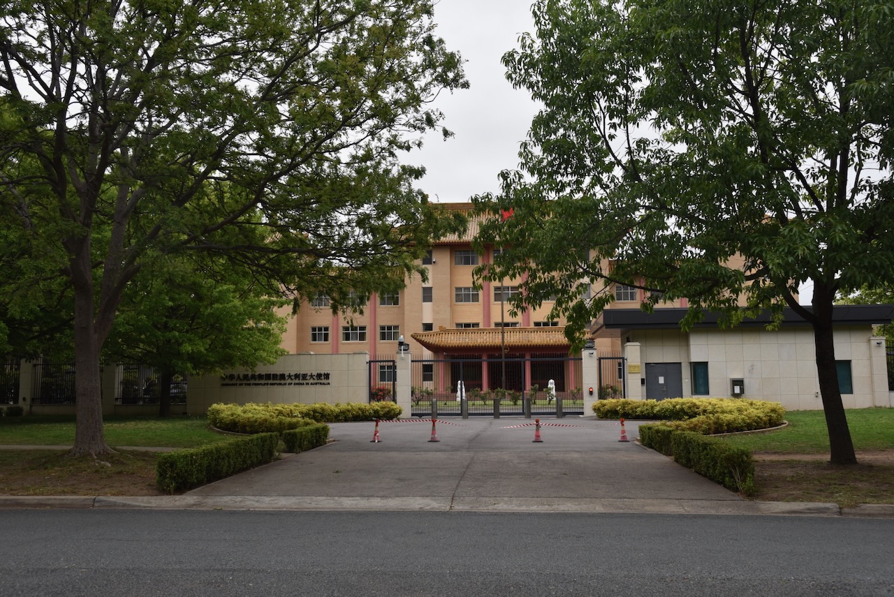
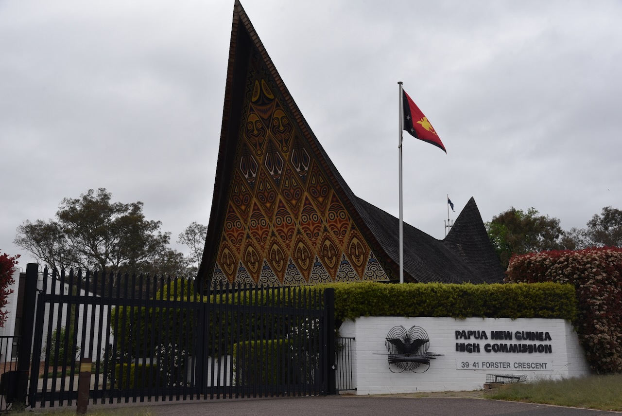
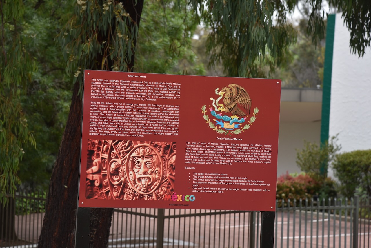
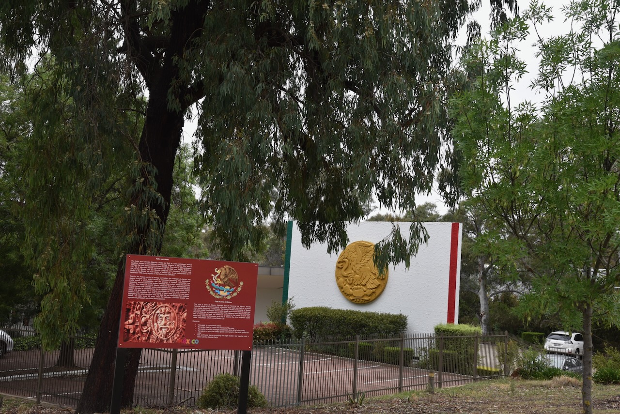
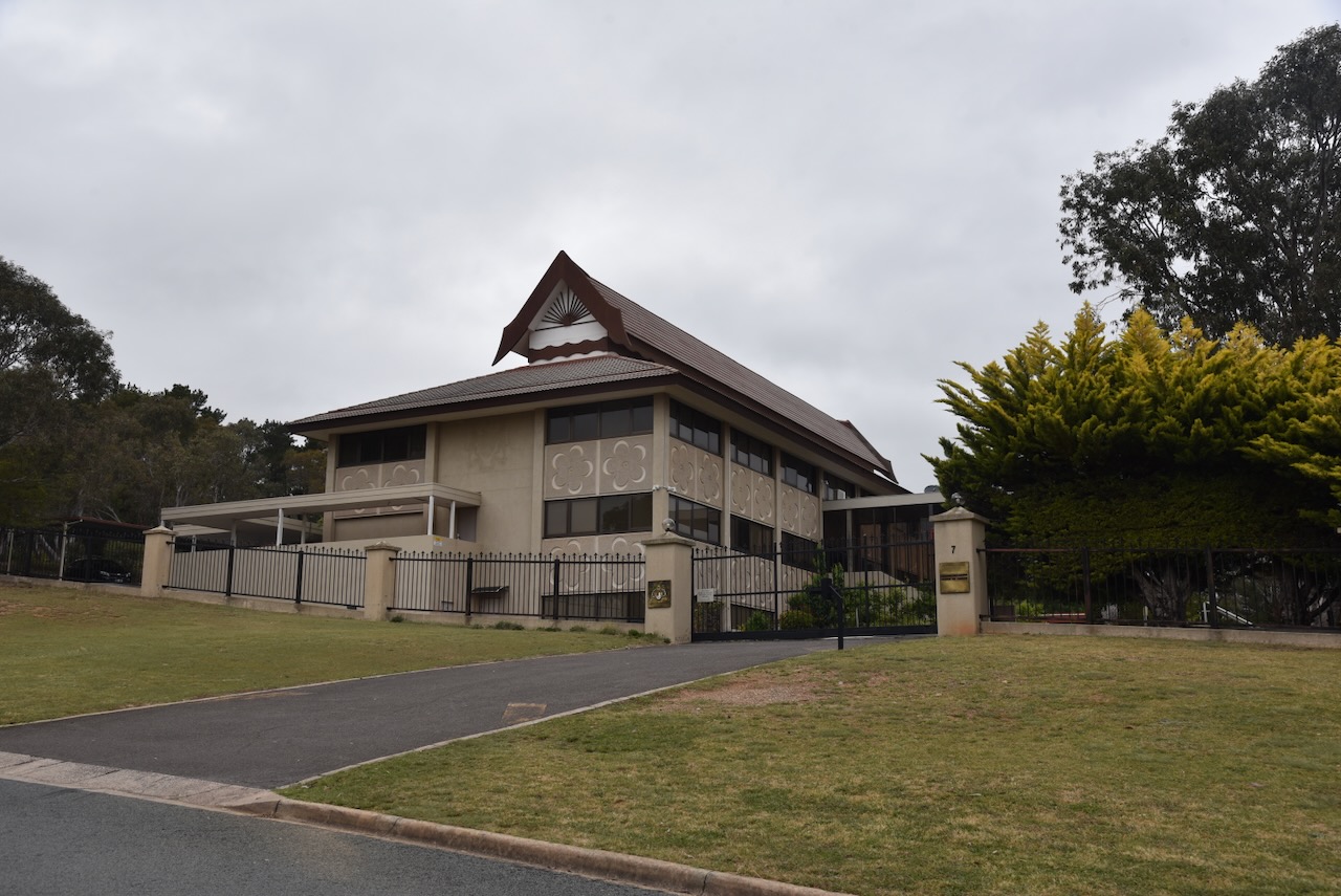
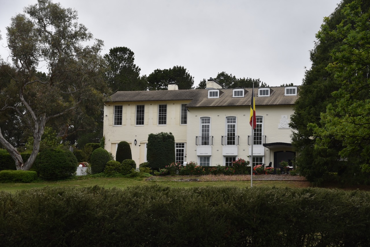
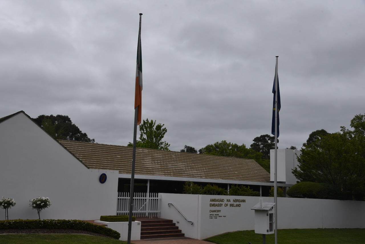
After breakfast, Marija and I took a brief drive around Canberra to have a look at some of the embassies. There is a Diplomatic Missions self-guided driving tour, but Marija and I just drove around admiring some of the amazing architecture and culture that the embassies represent.

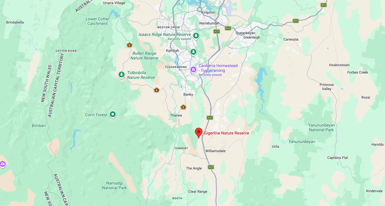
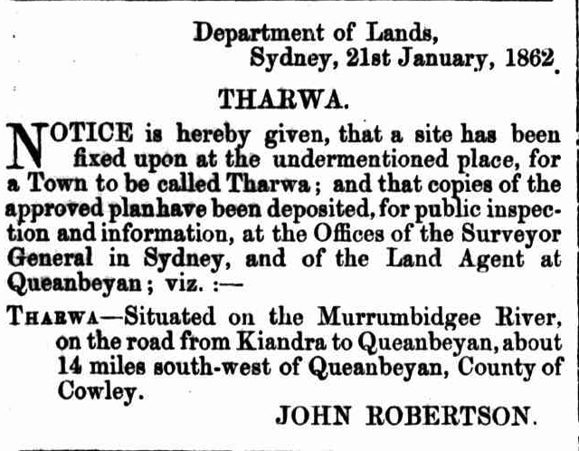
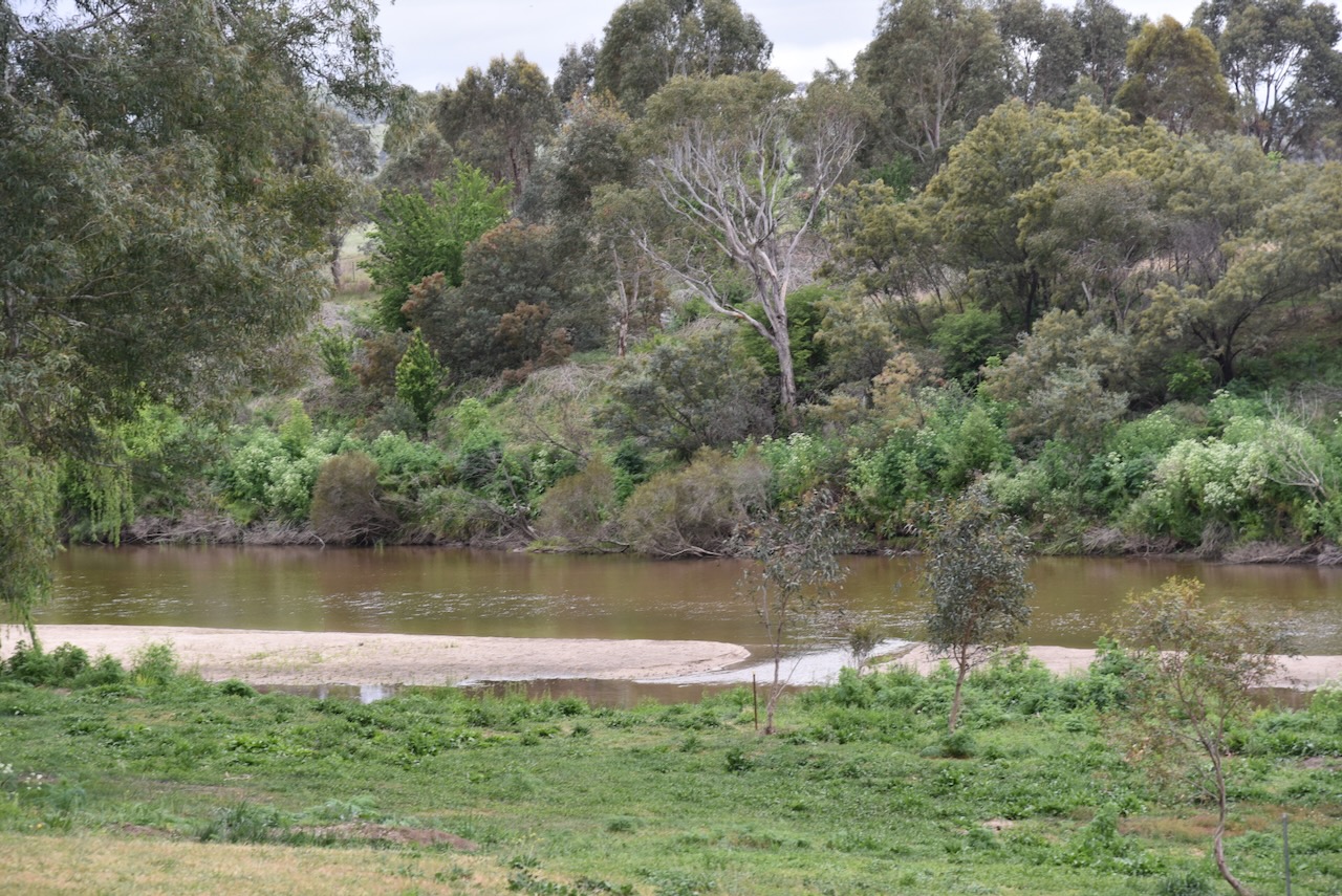
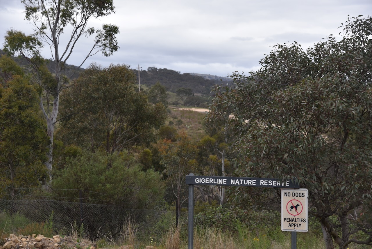
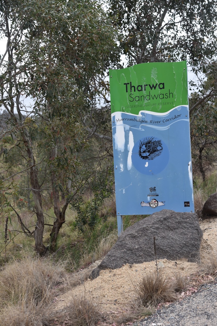
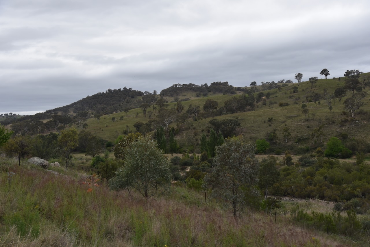
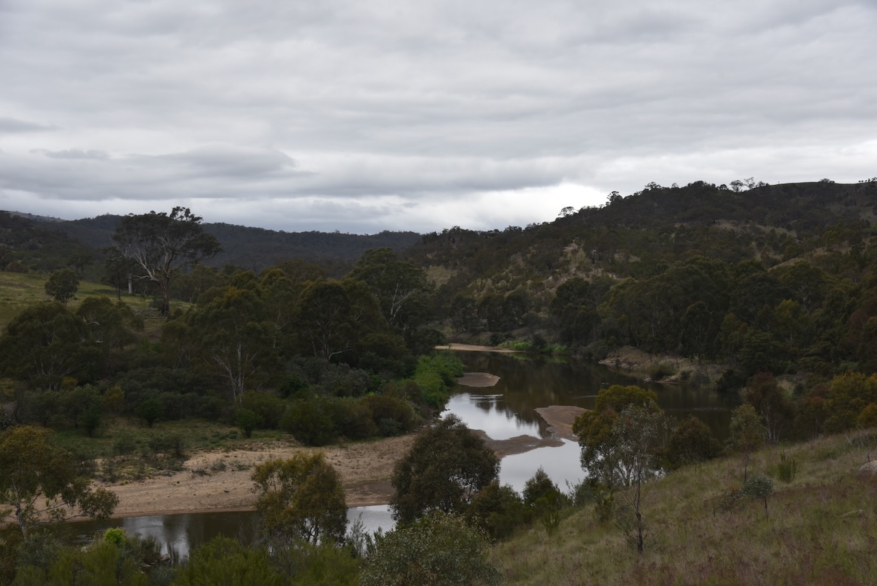
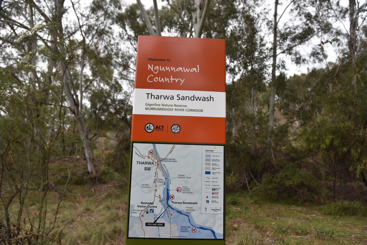
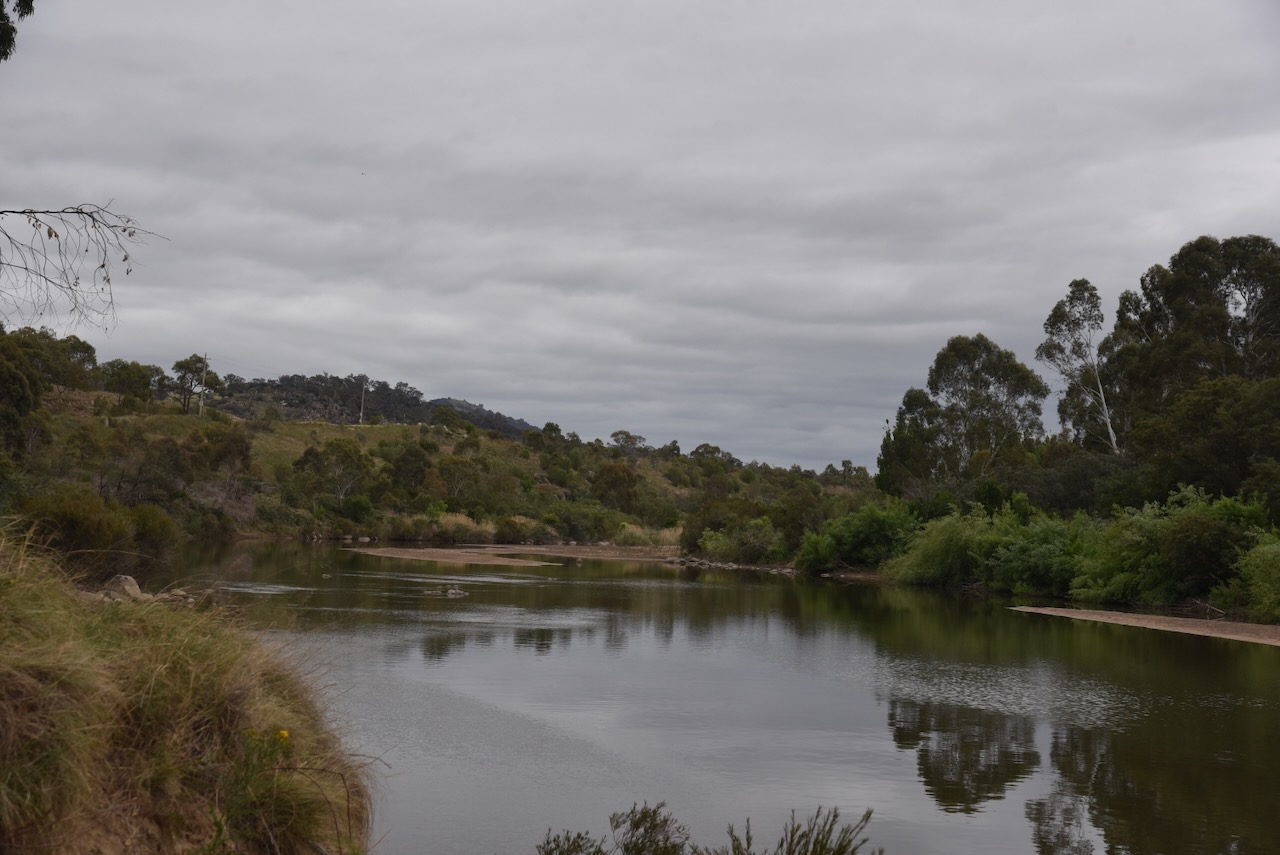
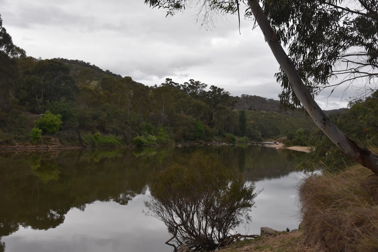
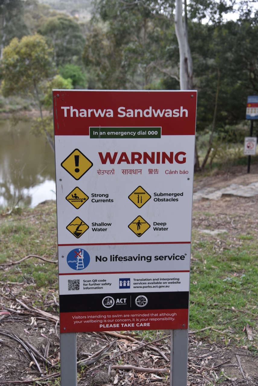
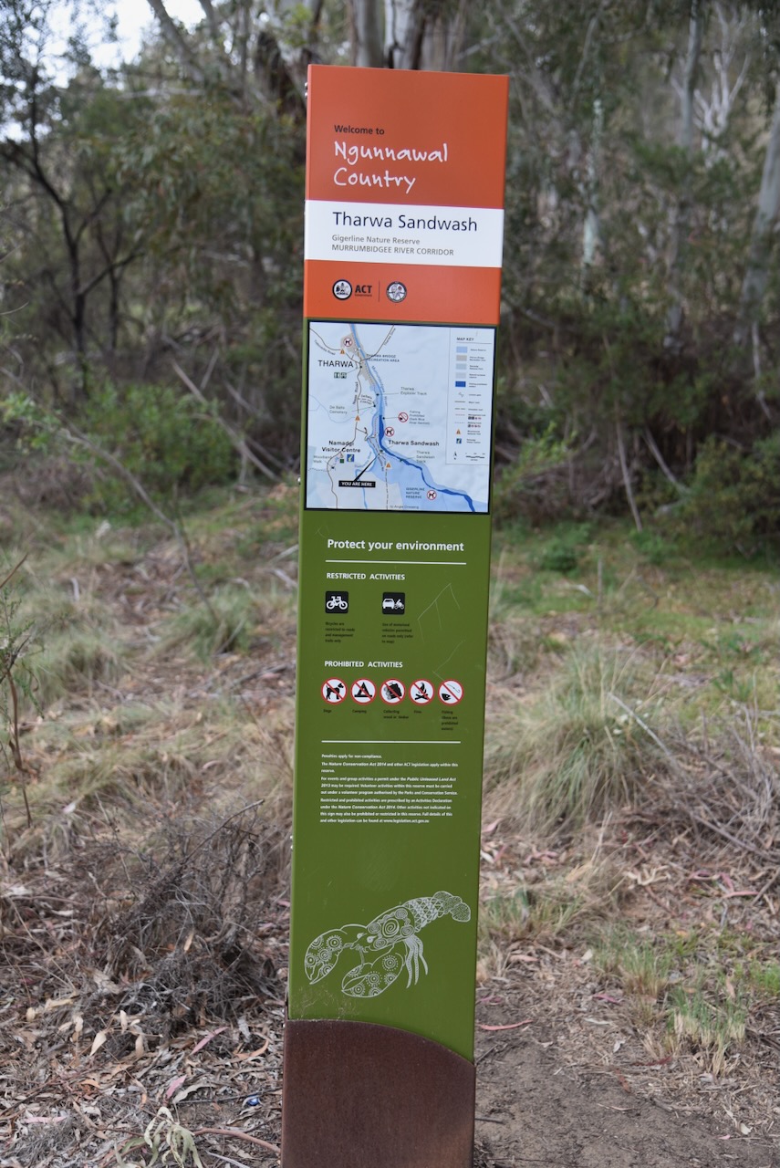
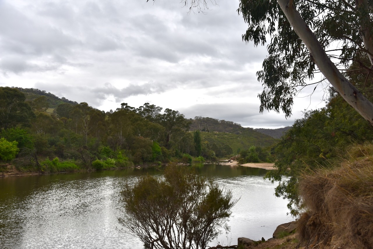
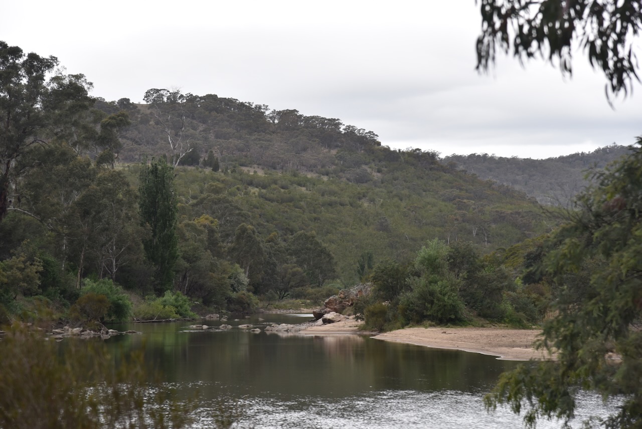
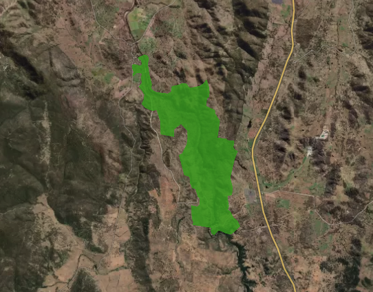
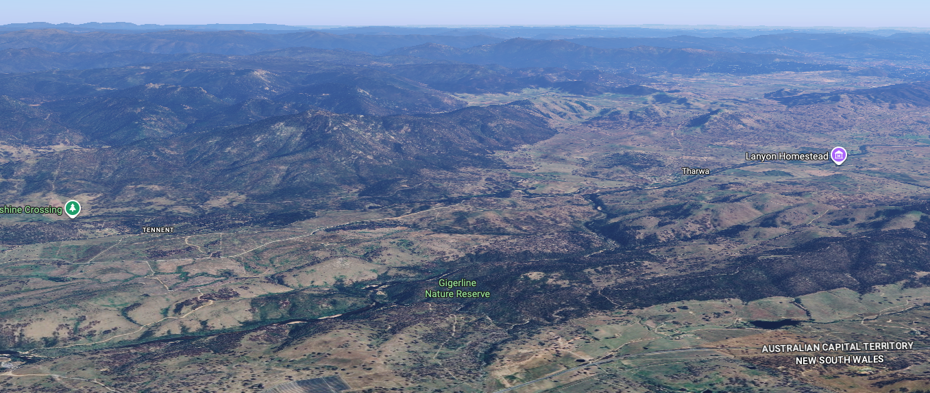
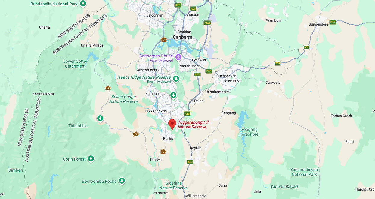
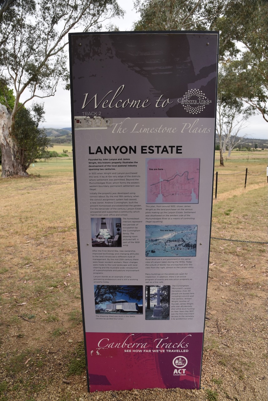
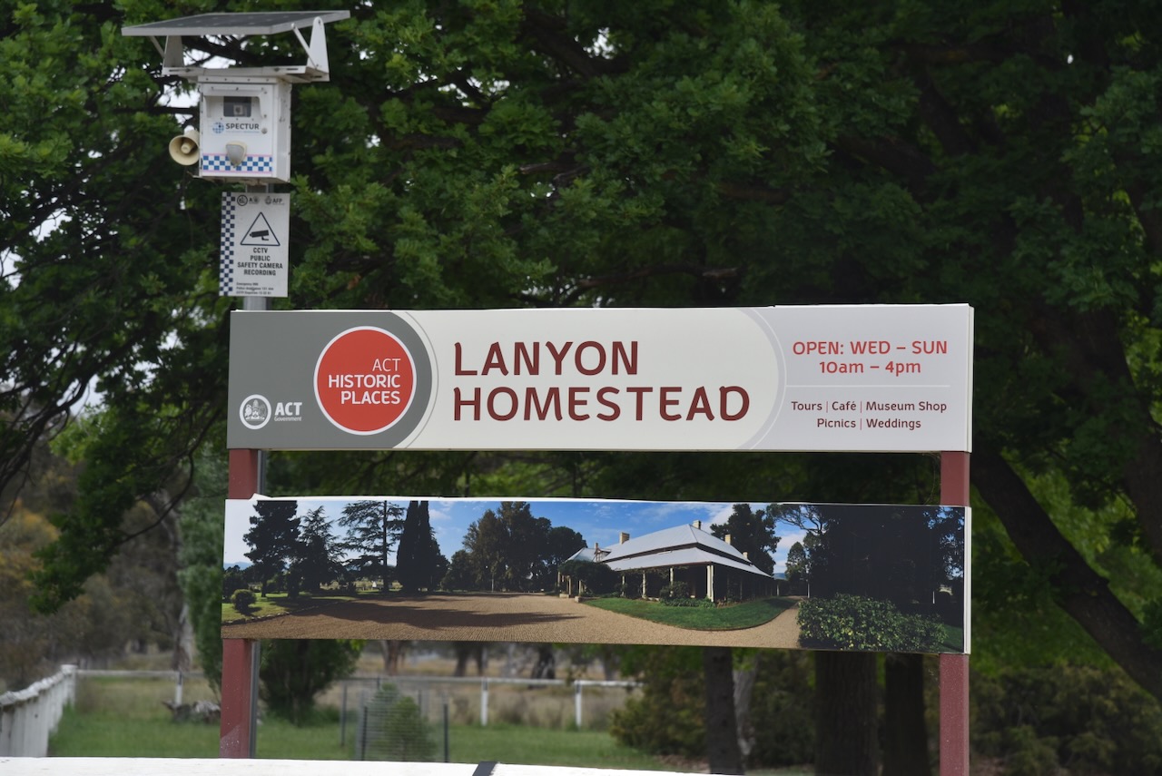
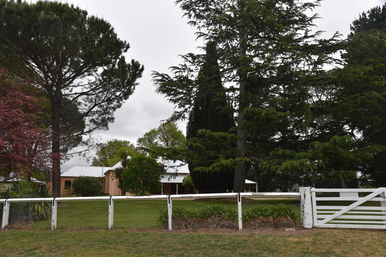
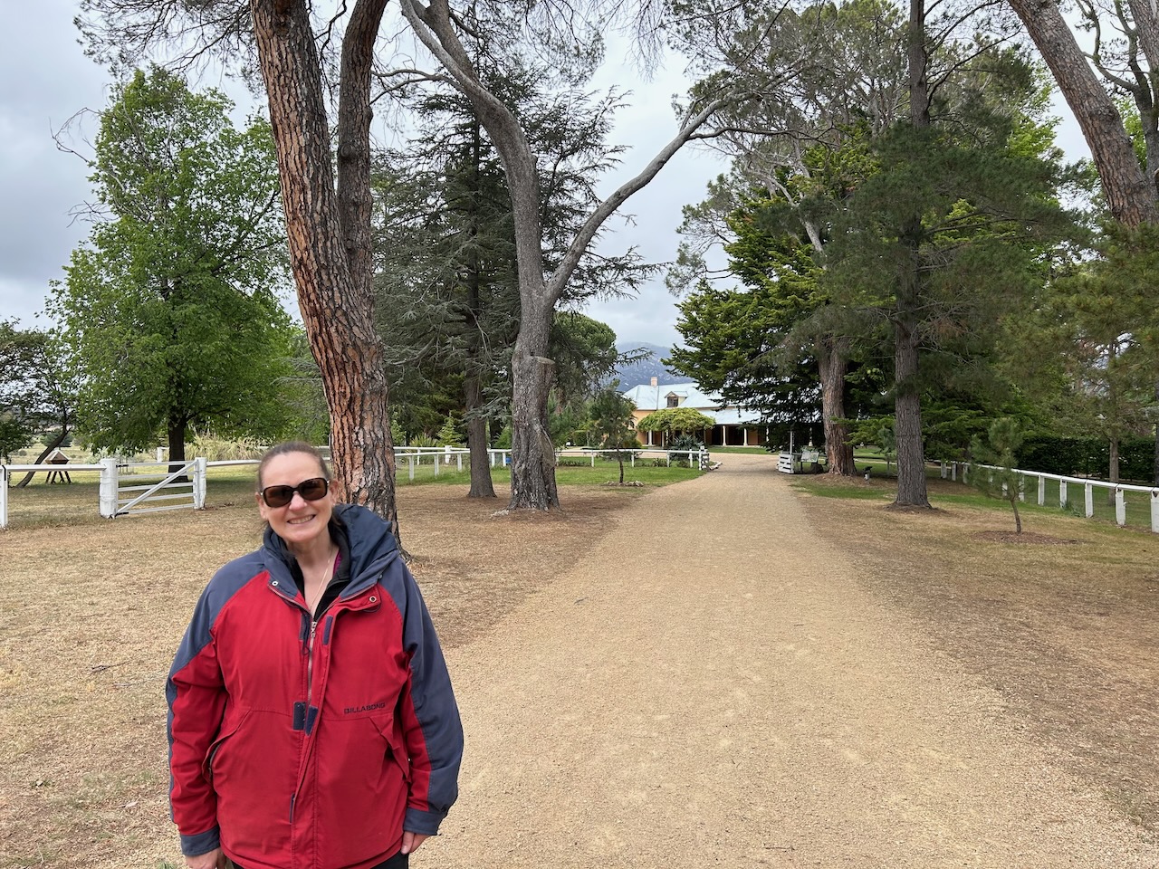
We then drove south out of Canberra to Lanyon Homestead at Tharwa. We had driven past the homestead the day prior during our visit to Gigerline Nature Reserve, and we were very keen to pay a visit.

The first European to settle on the land on which Lanyon is located was Timothy Beard. He depastured cattle on the Limestone Plains from c. 1829. Beard was born in 1764 and was a carpenter. In March 1805, he was convicted at Gloucester, England, for sheep stealing and sentenced to transportation to the colony of Australia for life. (ACT 2020) (ancestry 2016)

Above:. Prison record for Timothy Beard. Image c/o ancestry.com.au

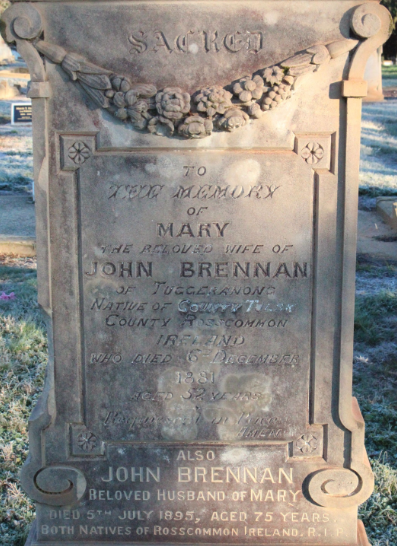
Beard arrived in the new colony in July 1806 aboard the Fortune and Alexander. He was assigned to Thomas Jamison, who was the Surgeon General for New South Wales. In 1818, Beard was conditionally pardoned. He became a squatter and ran a station called ‘Queenbeeann’. His huts were located on the Molonglo River on the site of the Lanyon homestead. In the late 1820s, he was forced out of the district and became an inkeeper. At the time of his death, the Beard family owned several acquisitions of land comprising nearly 100,00 acres. Timothy died in May 1848, aged 86 years. He is buried at the Liverpool Pioneer Cemetery. The suburb of Beard in Canberra is named after him. (ACT 2020) (ancestry 2016) (Convictrecords.com.au 2026)

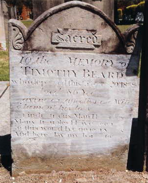
Above: headstone of Timothy Beard. Image c/o ancestry.com.au

About 7 years after Beard was forced from his land, along came James Wright and John Lanyon.

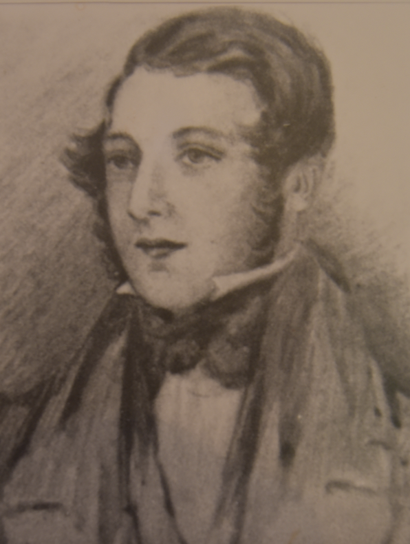
James Wright was born on the 21st day of January 1797 in Derbyshire, England. James elder brother, William Wright, was born in February 1795 in Middlesex, England. James emigrated to Australia in 1820 aboard the Enchantress. James died on the 22nd day of April 1879 at Bombala, New South Wales. (ancestry 2016)

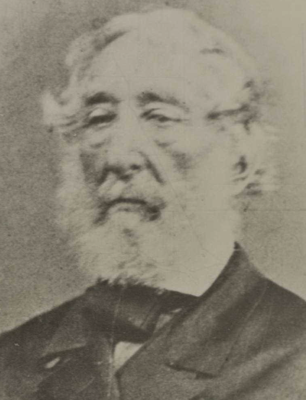
Above: James Wright. Image c/o ancestry.com.au

John Hamilton Mortimer Lanyon was born in May 1807 in Sussex, England. He emigrated to Australia in 1832, arriving in Hobart in May 1832 aboard the Medway. He then travelled to New South Wales in 1833 aboard the Susannah. (ancestry 2016) (Stuart 1999)

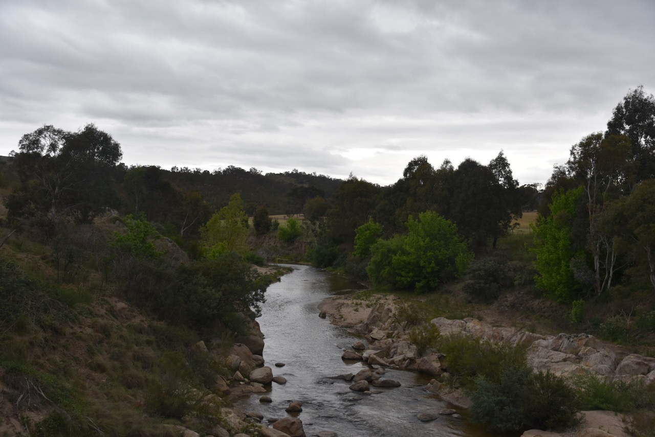
In April 1835, Lanyon acquired 640 acres of land along the Murrumbidgee River. Wright acquired 1,680 acres at the same location. (Davis 2021)

In 1838, James Wright married Mary June Davis in 1838 in Sydney. They had 8 children, some of whom were born at Lanyon. (ancestry 2016)

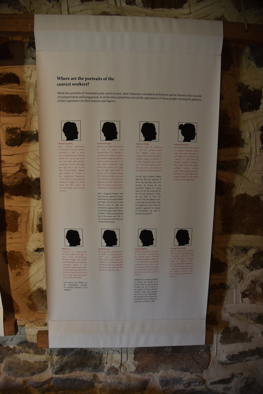
A total of 15 convicts were assigned to Wright and Lanyon. By 1837, this had increased to 30. Some of the convicts who worked for Wright on the Lanyon property included Joseph Oldfield, William Dawkins, and Thomas Warner. (Ancestry 2016) (Lanyon n.d.)

Joseph Matthew Oldfield was born in March 1805 in Norfolk, England. In 1834, he stole some turkeys and received 7 years’ transportation to the colony of Australia. He arrived in Sydney in June 1834 aboard the Hive. He was assigned to Wright at Lanyon Station. Oldfield was known as the ‘Farm Constable’ as he was responsible for the apprehension of runaway convicts and bushrangers. He died in August 1886 at Cuppacumbalong. (ancestry 2016) (Findagrave.com 2018) (Lanyon n.d.)

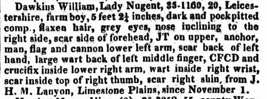
William Dawkins was born in 1816. He was transported to Australia in 1835 for burglary and was employed by Wright on the Lanyon property as a shepherd. He lost hundreds of Wright’s sheep. In 1839, he absconded from Lanyon’s property. He became the leader of a gang that robbed stores and outstations and was known as the ‘Harry Houdini’ of the Queanbeyan district. He was captured, and in 1840, he was tried and convicted for being at large with firearms. He was sentenced to penal settlement for Life and was transported to Norfolk Island. (Convictrecords.com.au 2026) (Lanyon n.d.)

Above: item from the NSW Govt Gazette, Wed 16 Nov 1836. Image c/o Trove

Thomas Warner. In 1838, Warner lost several of Wright’s bullocks and was involved in an altercation with Wright. Warner was charged and, in the Queanbeyan Magistrates Court, was found guilty and received 50 lashes. (Lanyon n.d.)

In mid 1835, Lanyon returned to England to see his dying father, John Lanyon, who died that year in June. Lanyon never returned to Australia, and he died on the 22nd day of June 1841 at Eastbourne, Sussex, England. (ancestry 2016) (Stuart 1999)

In 1836, William Wright, the elder brother of James, arrived in Australia aboard the Derwent. He purchased adjoining land. (ancestry 2016) (Stuart 1999)

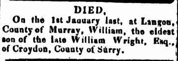
On the 1st day of January 1837, William Wright was accidentally shot while duck shooting. A messenger was sent to the three nearby homesteads seeking medical help. Dr Hayley subsequently attended, but Wright died from his gunshot wound. He was buried near the Lanyon homestead. It is reported that his grave was piled with rocks to prevent dingoes from unearthing the coffin following his burial. It is believed that he was the first ‘white man’ to die in the district. (ACT Govt 2025) (Nla.gov.au 2026) (Stuart 1999)

Above: Item from The Sydney Gazette, Sat 18 Feb 1837. Image c/o Trove

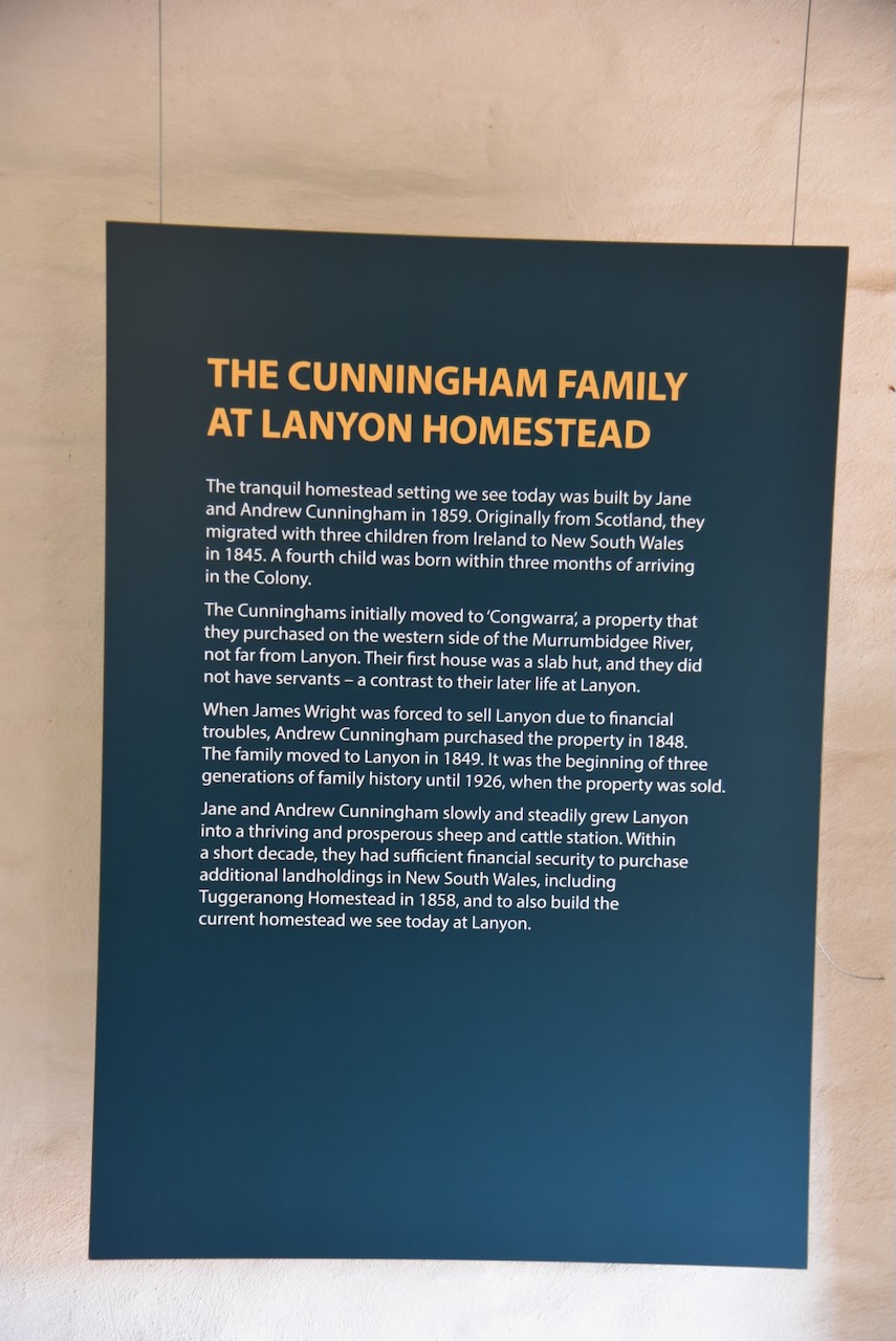
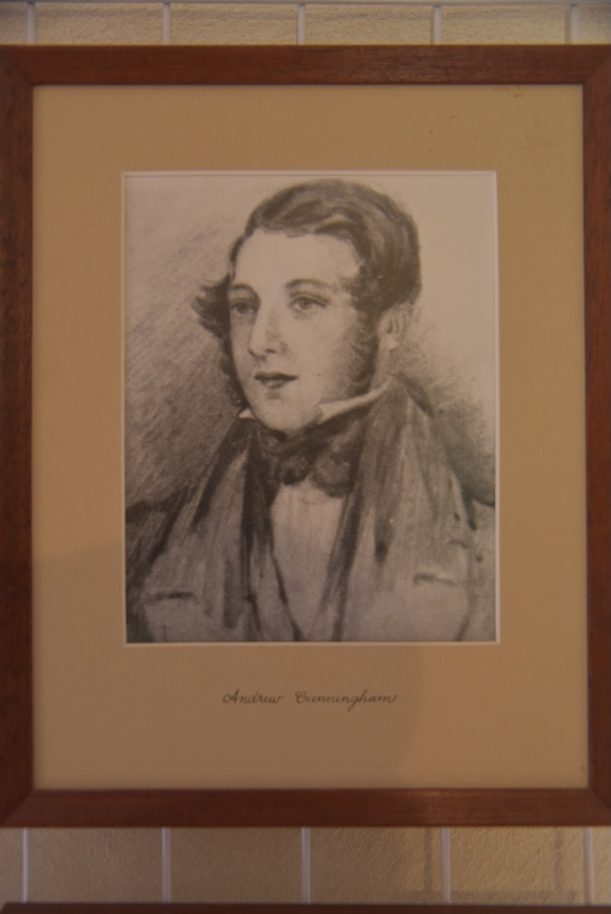
In 1841, James Wright encountered financial difficulties and was forced to sell the Lanyon property to Andrew Cunningham. Wright moved to nearby Cuppaccumbalong Station. (ancestry 2016)

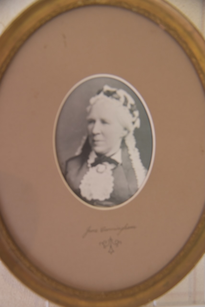
Andrew Cunningham was born in August 1814 in Fireshire, Scotland. He arrived in Sydney in 1845. They settled at Congwara, northwest of Lanyon. (ancestry 2016) (Wikipedia 2025)

Above: Andrew Cunningham. Photo c/o Lanyon Homestead.

In 1859, the current Lanyon homestead was built by Cunningham, using local fieldstone. (ancestry 2016)

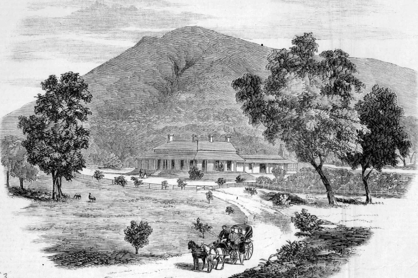
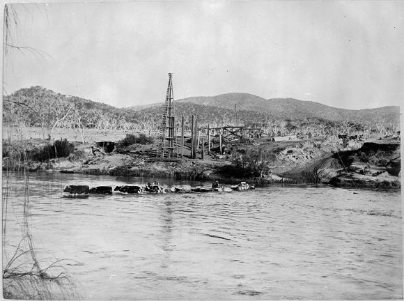
Above: Lanyon Station, c. 1865. Image c/o State Library Victoria.

Andrew died in March 1887. At the time of his death, Lanyon had 25,000 sheep. His sons James and Andrew continued to farm at Lanyon and other properties. In 1921, James Cunningham died. His son Andy oversaw Layon until 1926, when the Lanyon property was sold to Henry ‘Harry’ Osborne of Currandooley. He was the owner of Cowl Cowl Pastoral Company. (Wikipedia 2025)

In the early 1930s, the Cowl Cowl Pastoral Company sold the property to Mr Thomas Field, who had large land holdings throughout New South Wales and Queensland. (Wikipedia 2025)

During the late 1960s, large tracts of farming land south of Canberra were resumed to make way for the development of Tuggeranong, the second of Canberra’s urban satellites. The Australian Federal Government proceeded to acquire the Lanyon property, but Field refused an offer of $1.87m. He also sought compensation of $33m, which was the amount placed on the land when assessed by a private valuer. The matter eventually went to the Australian High Court. In 1974, the Federal Government acquired Lanyon for $3.7m in an out-of-court settlement. (Wikipedia 2025)

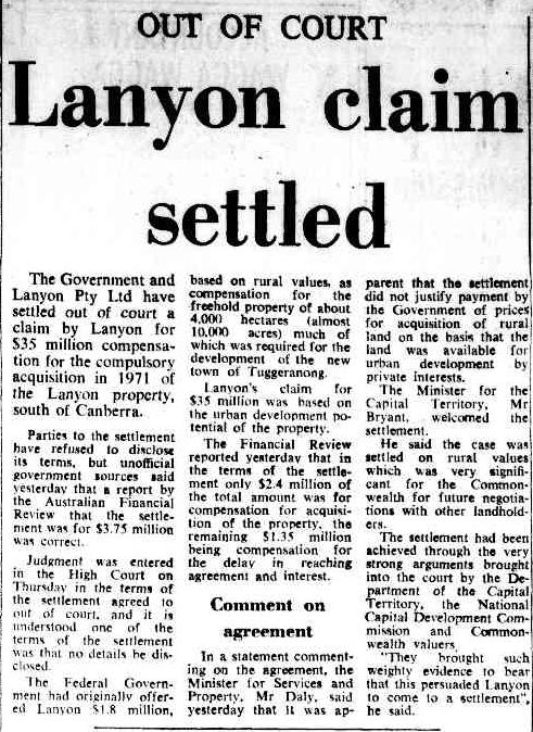
Above: article from The Canberra Times, Sat 6 Apr 1974. Image c/o Trove

Below is an excellent video on Lanyon Homestead.

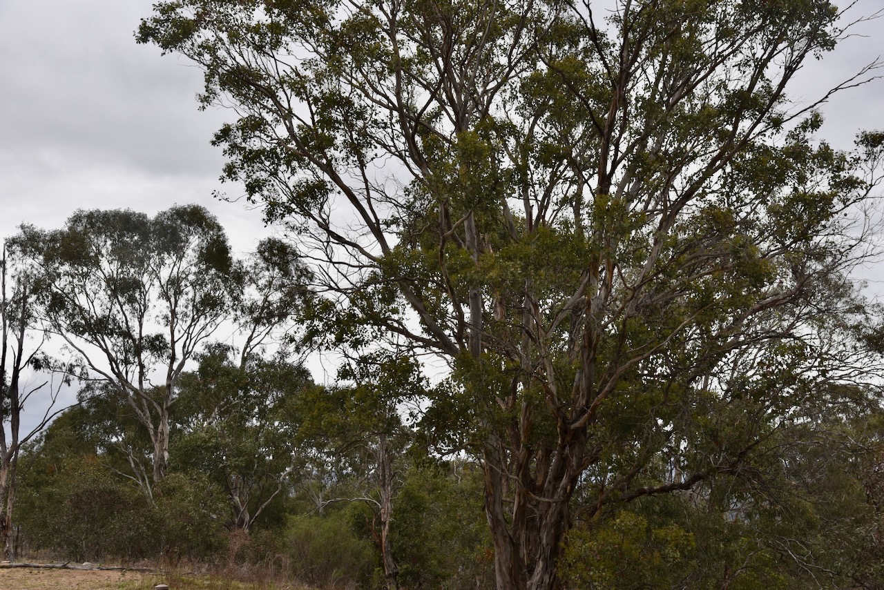
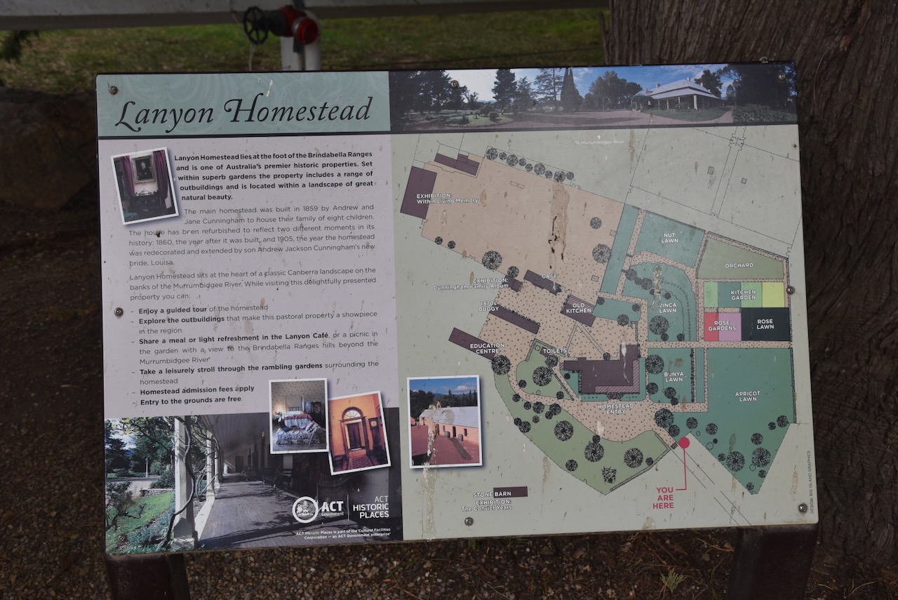
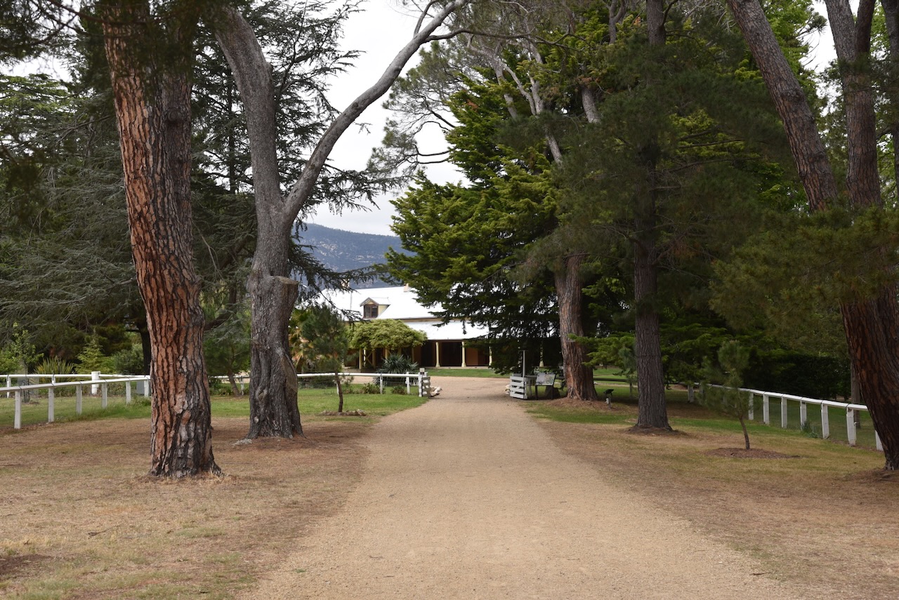
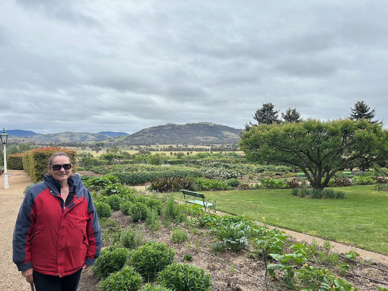
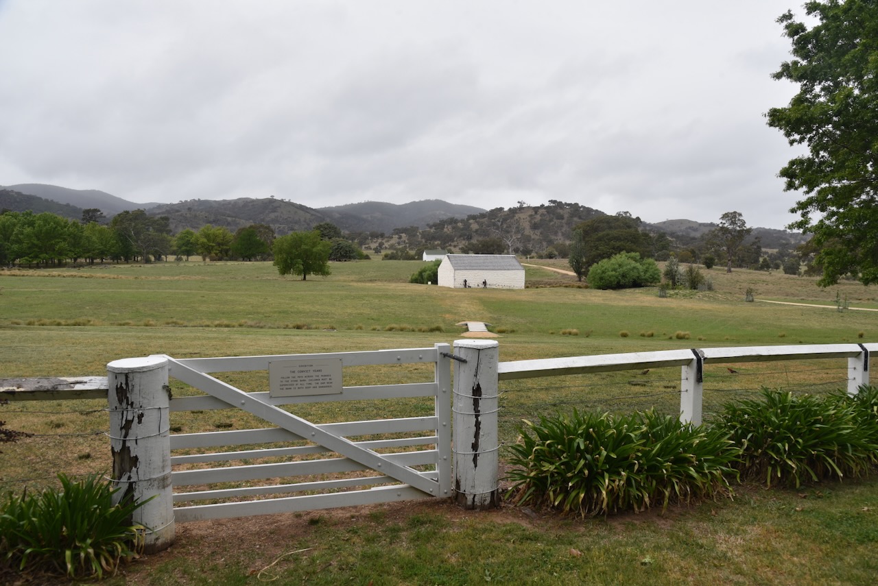
When you arrive at Lanyon Homestead, you are greeted by a beautiful tree-lined driveway that leads to the homestead.

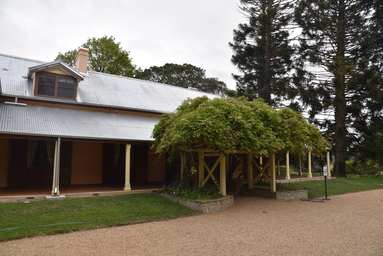
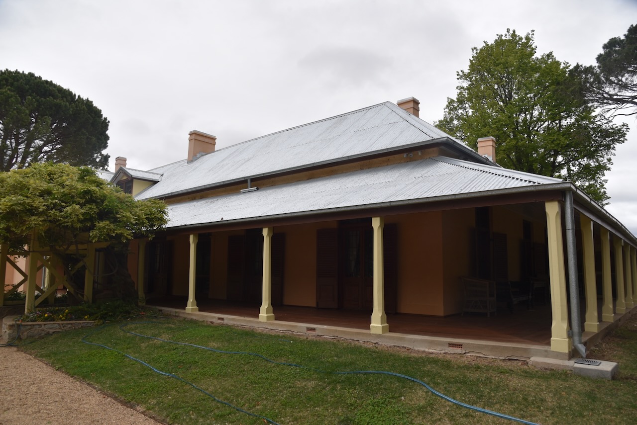
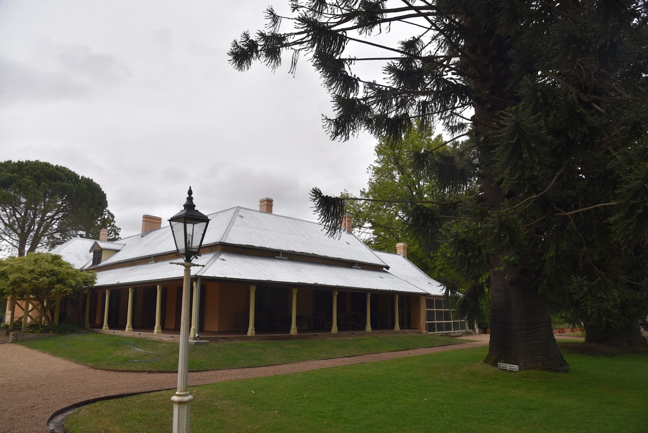
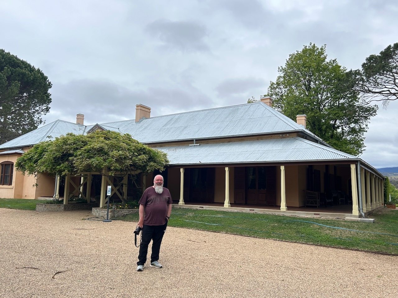
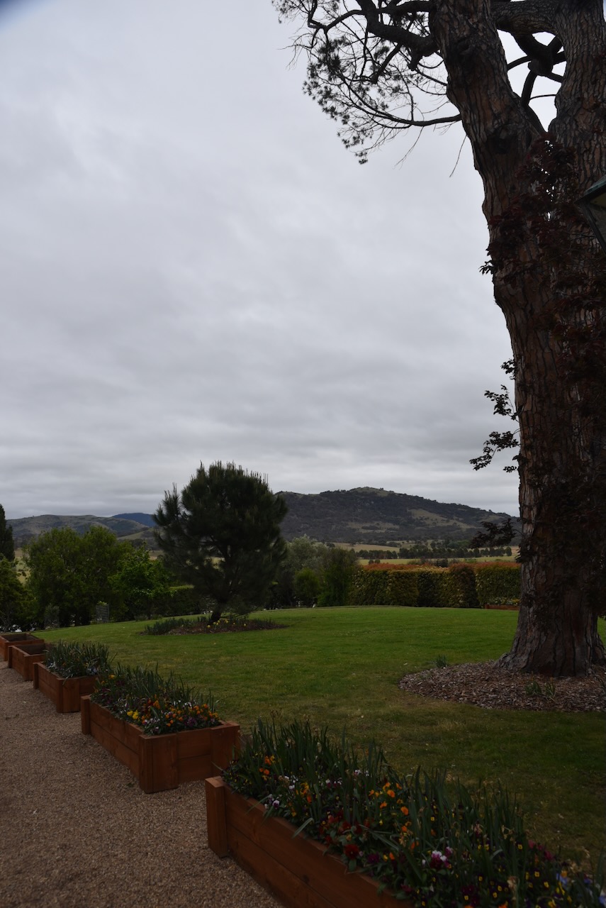
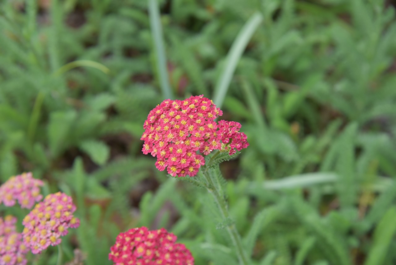
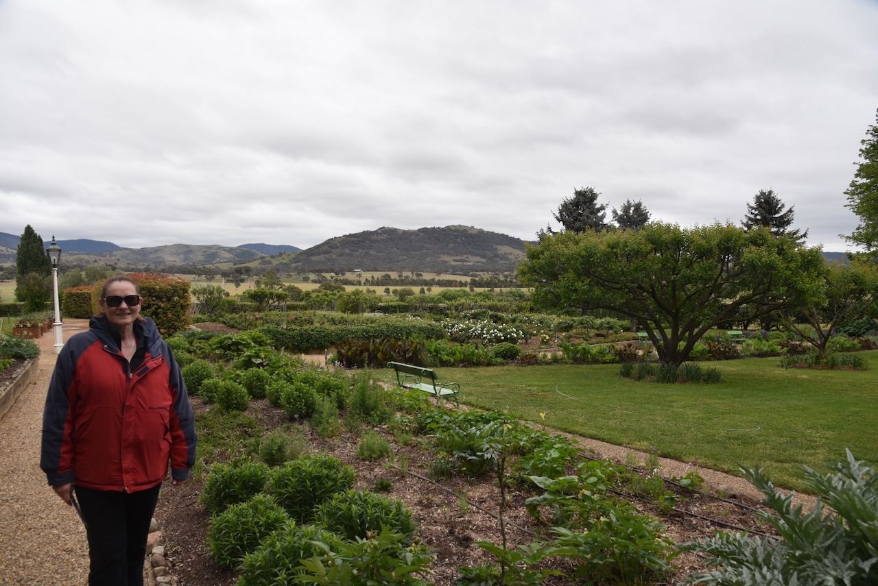
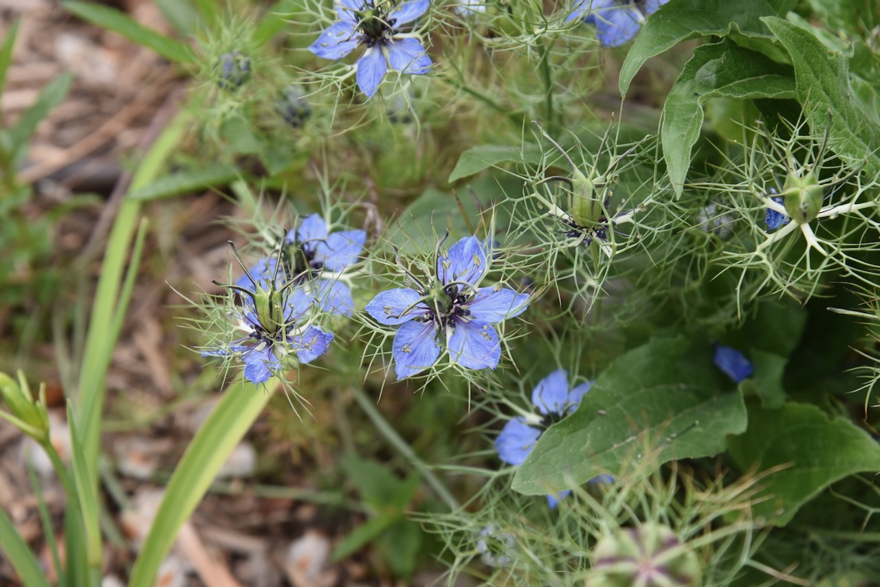
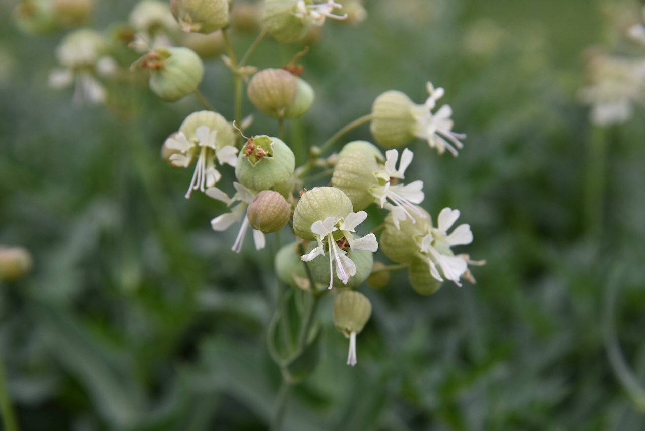
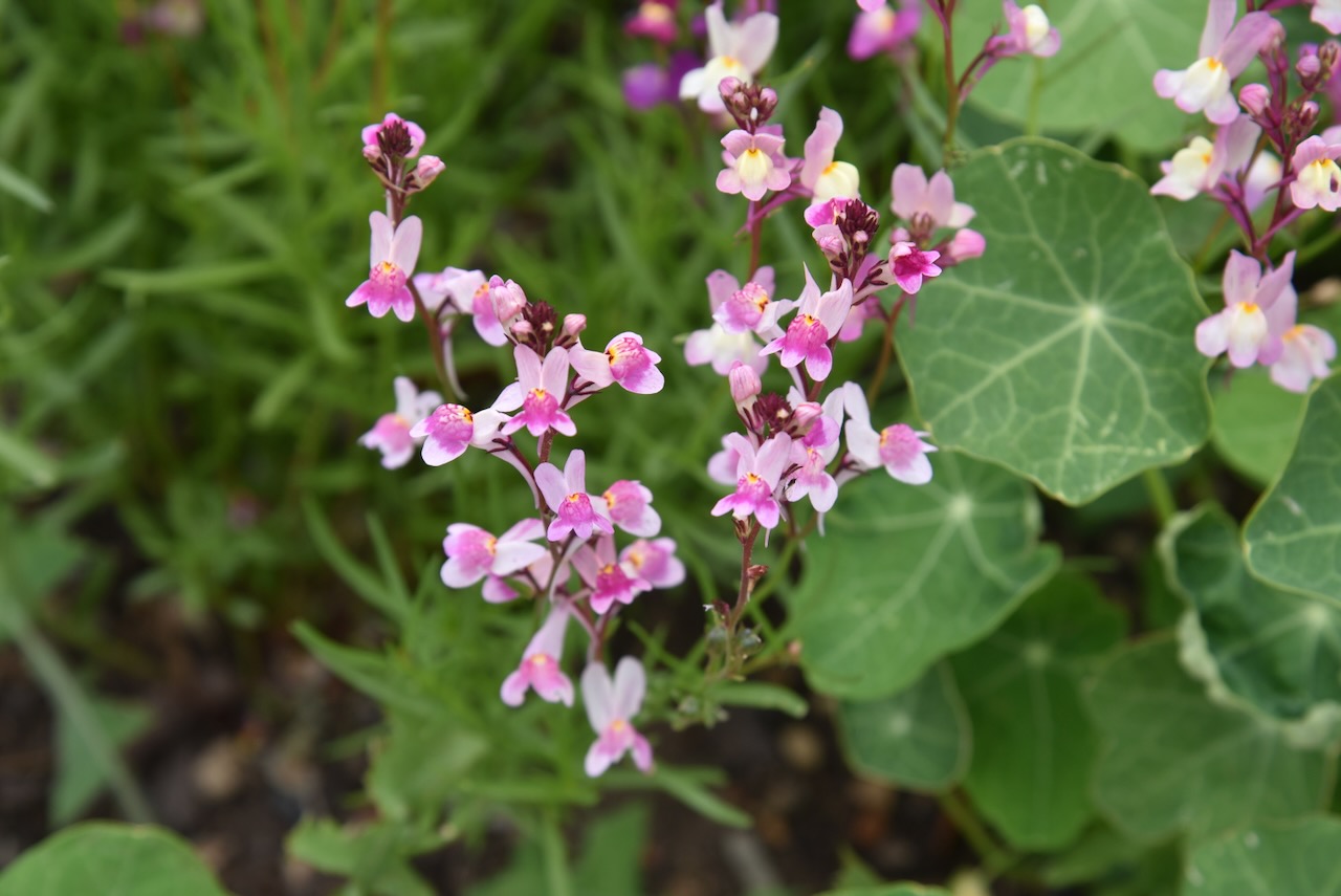
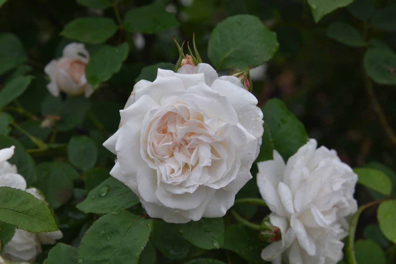
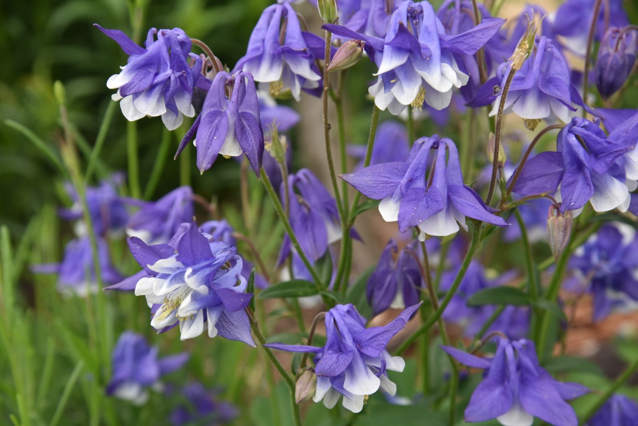
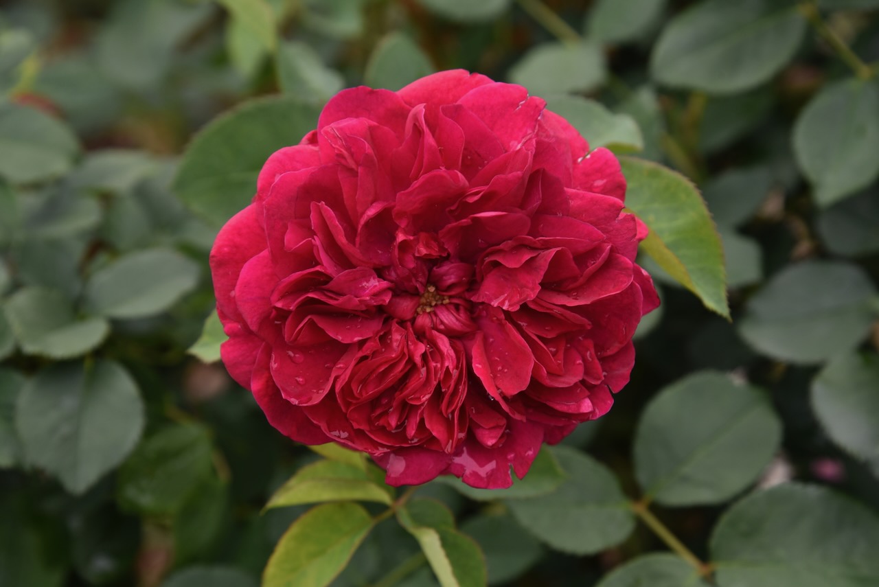
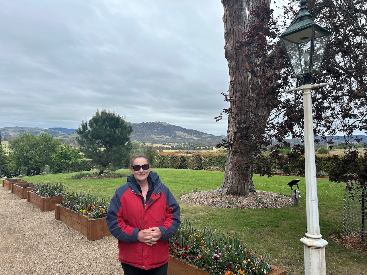
Prior to going inside the home, Marija and I strolled around the beautiful gardens.

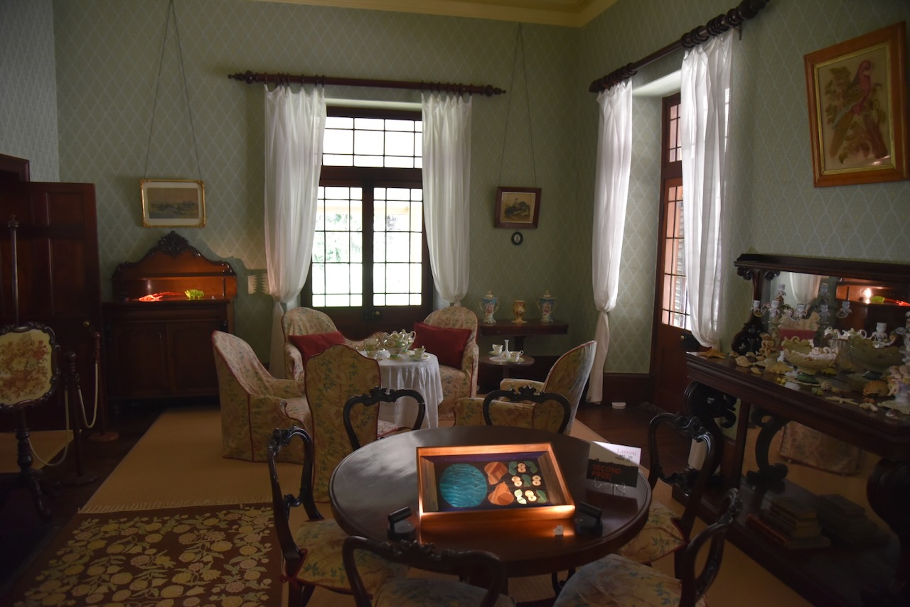
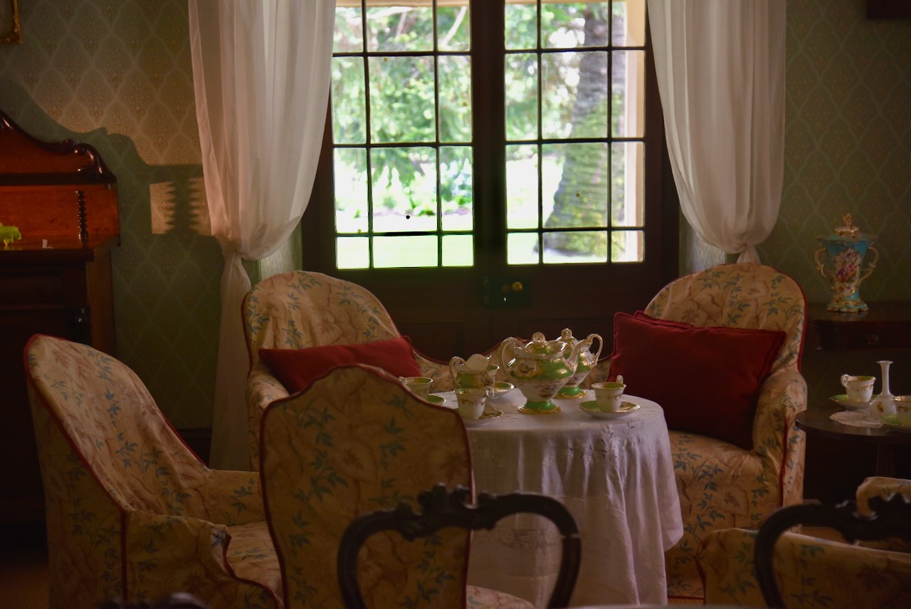
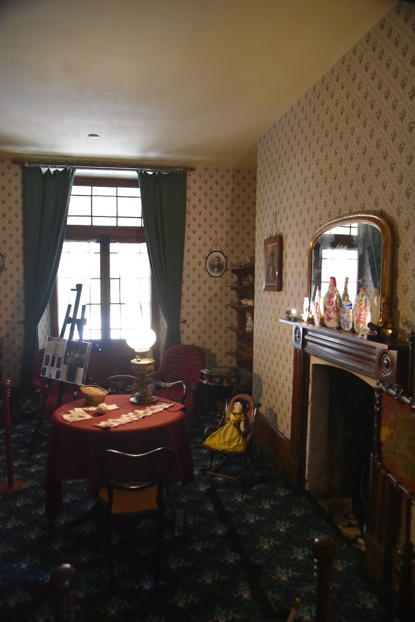
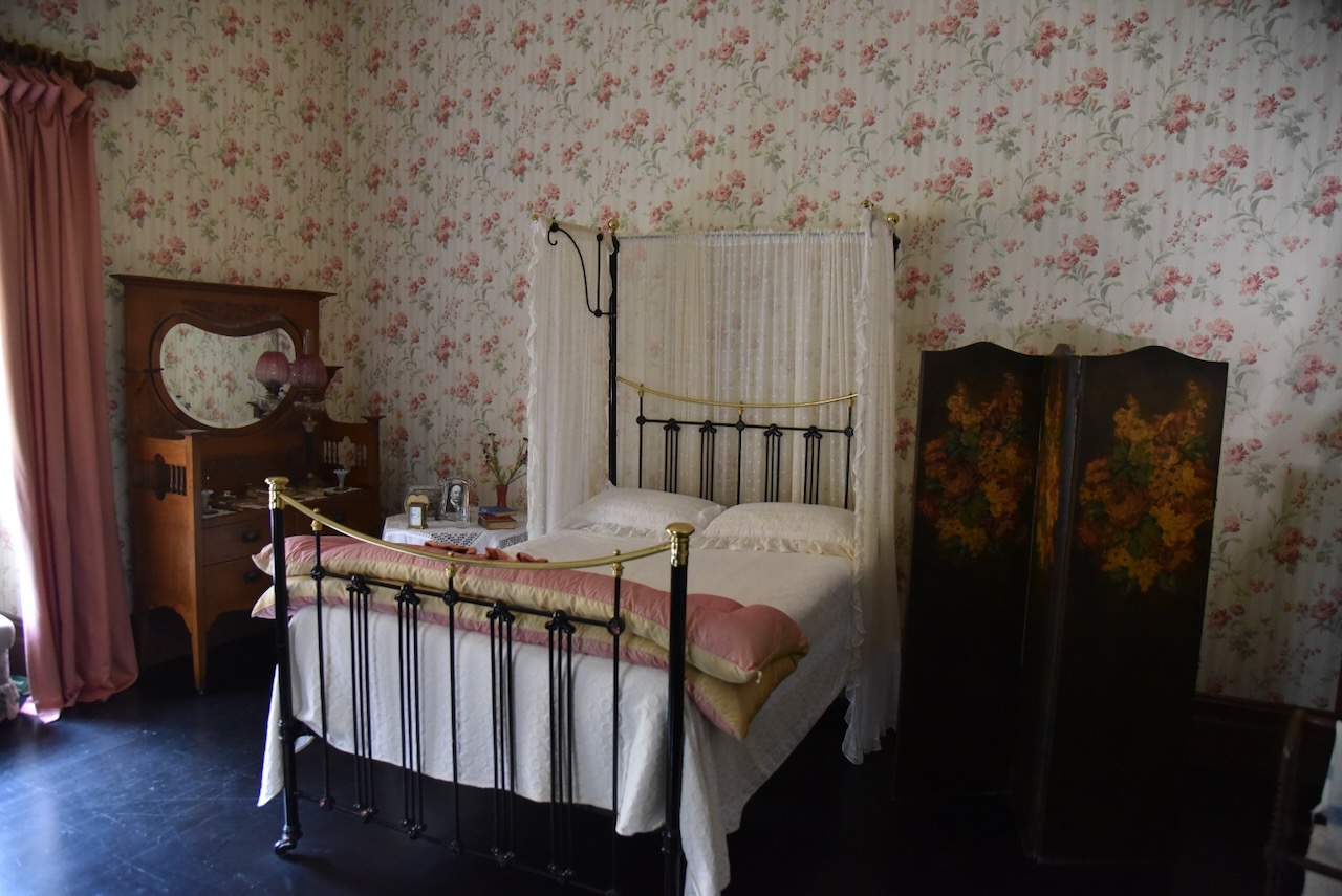
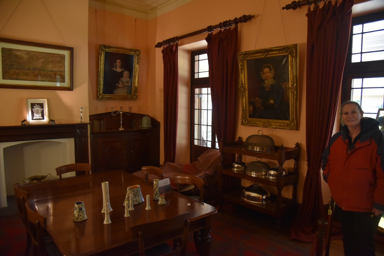
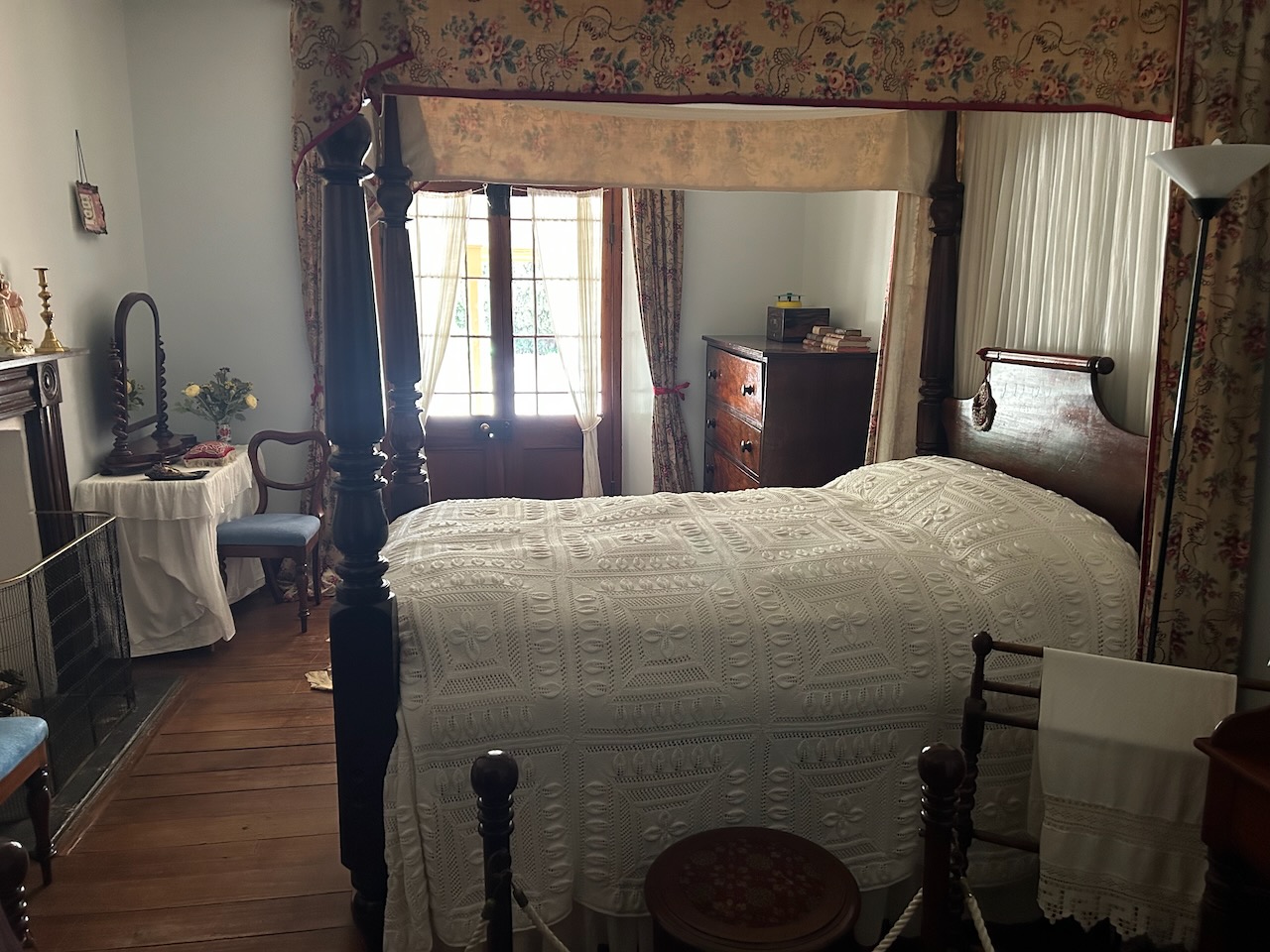
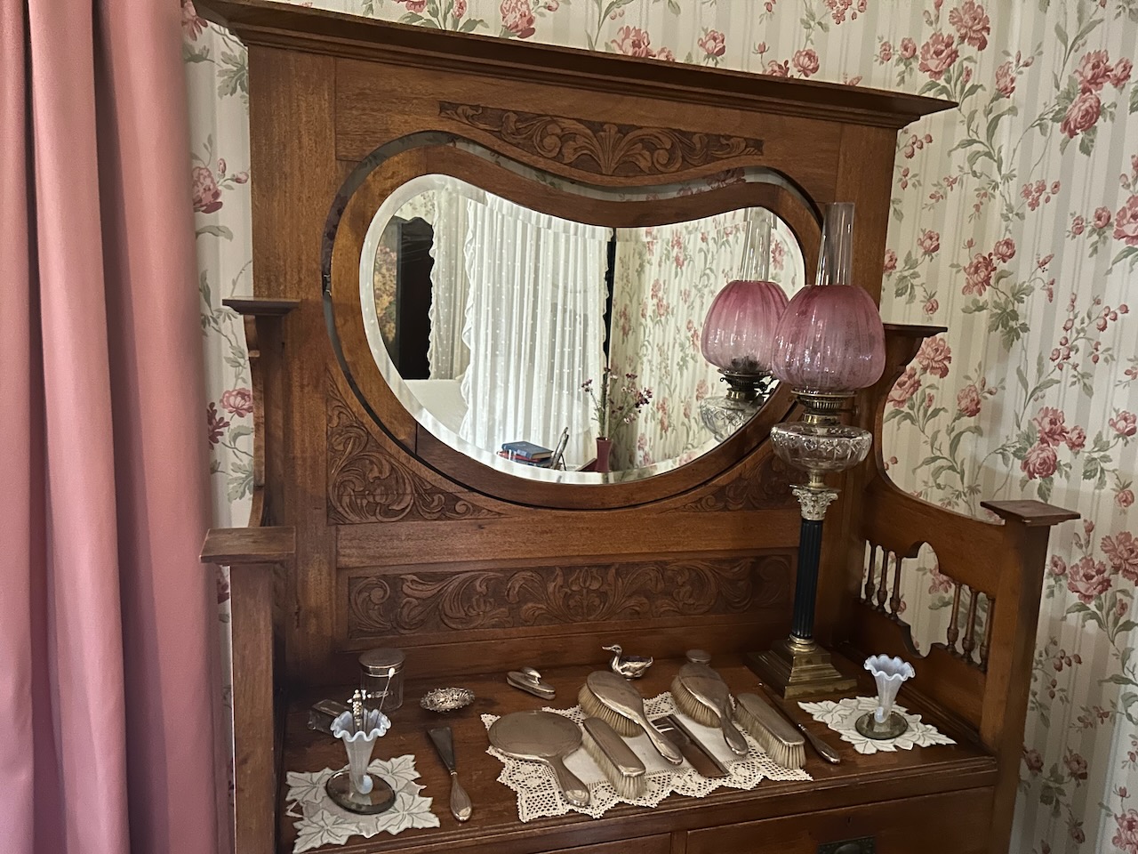
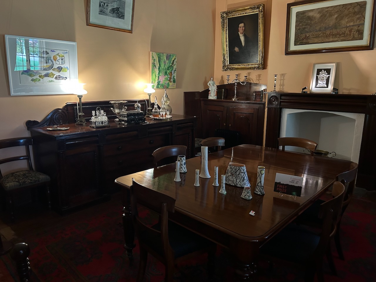
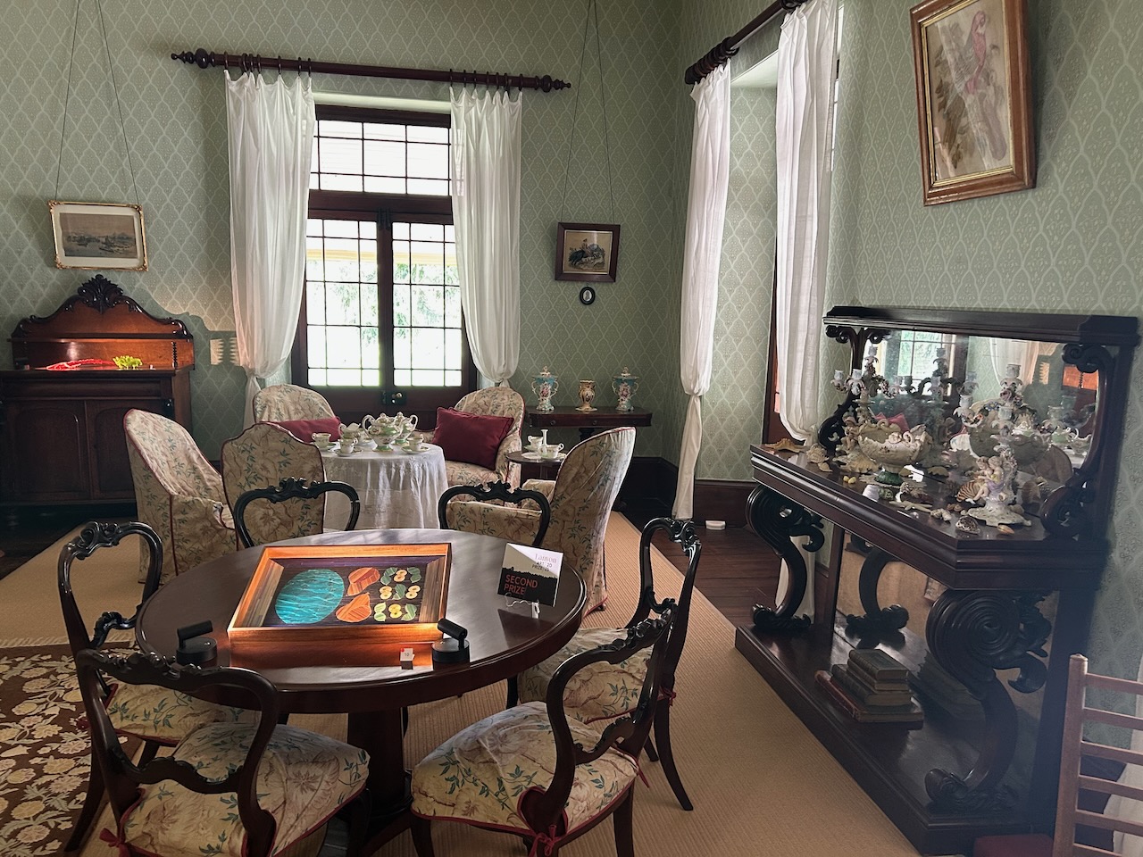
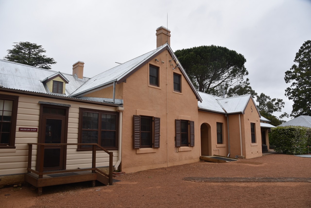
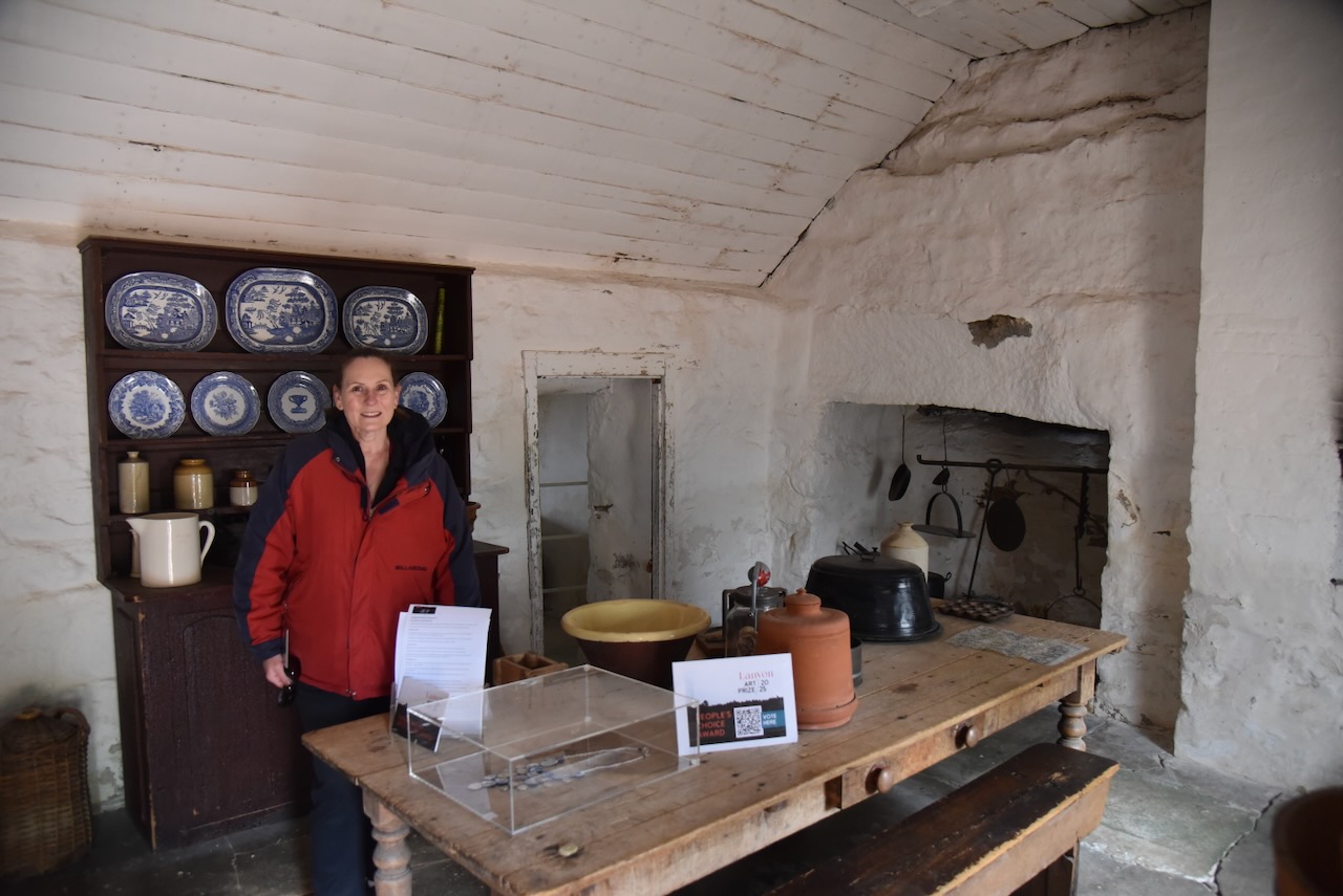
The interior of Lanyon is impressive to say the least.

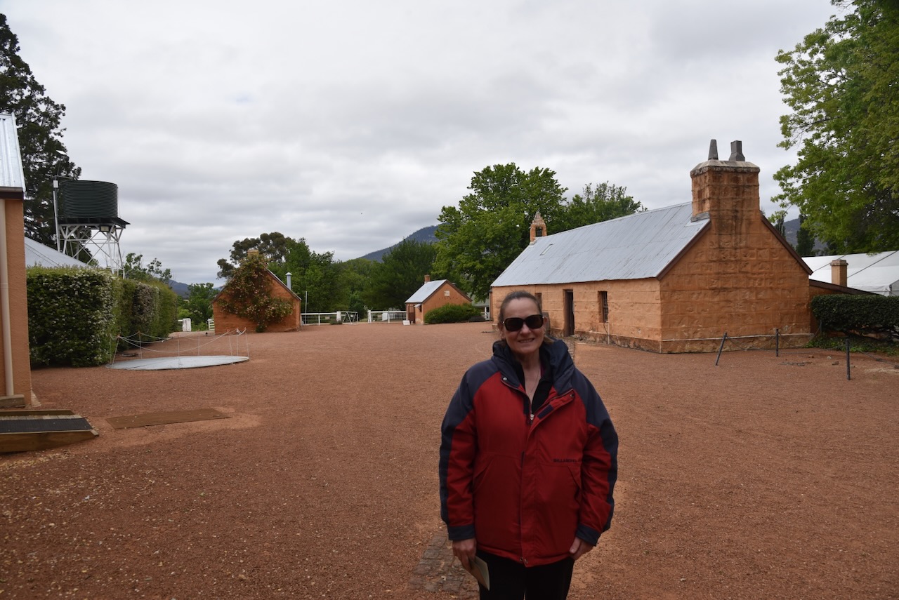
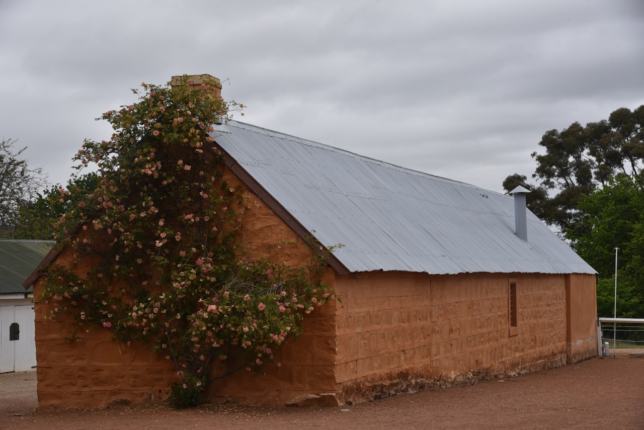
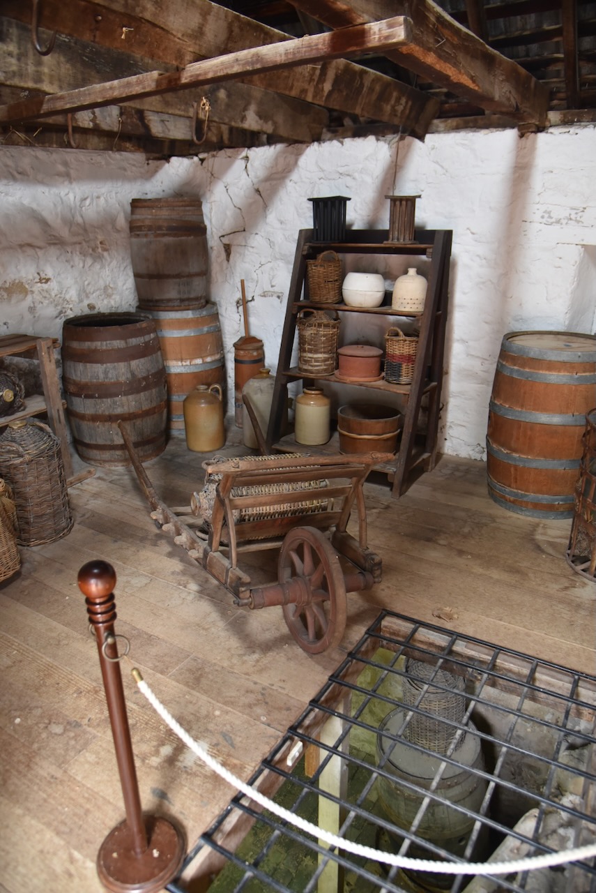
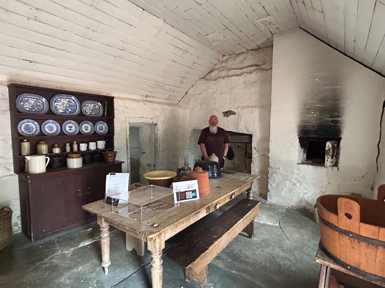
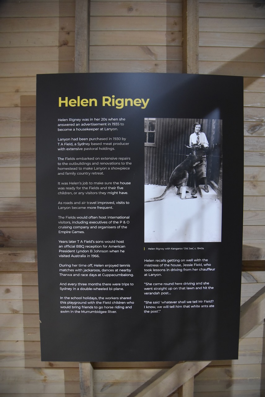
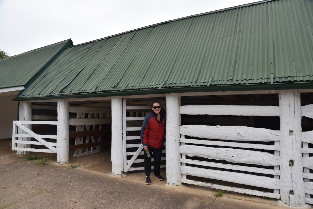
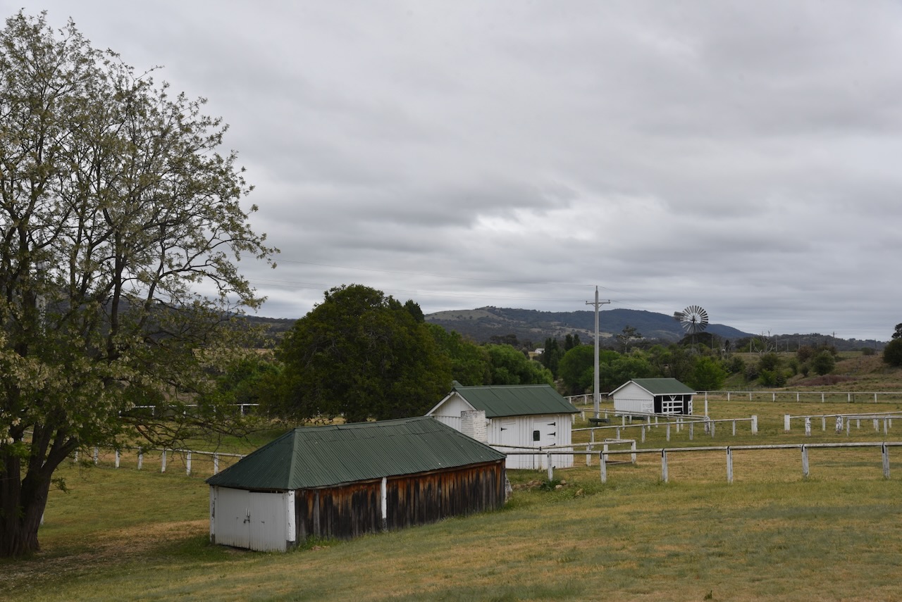
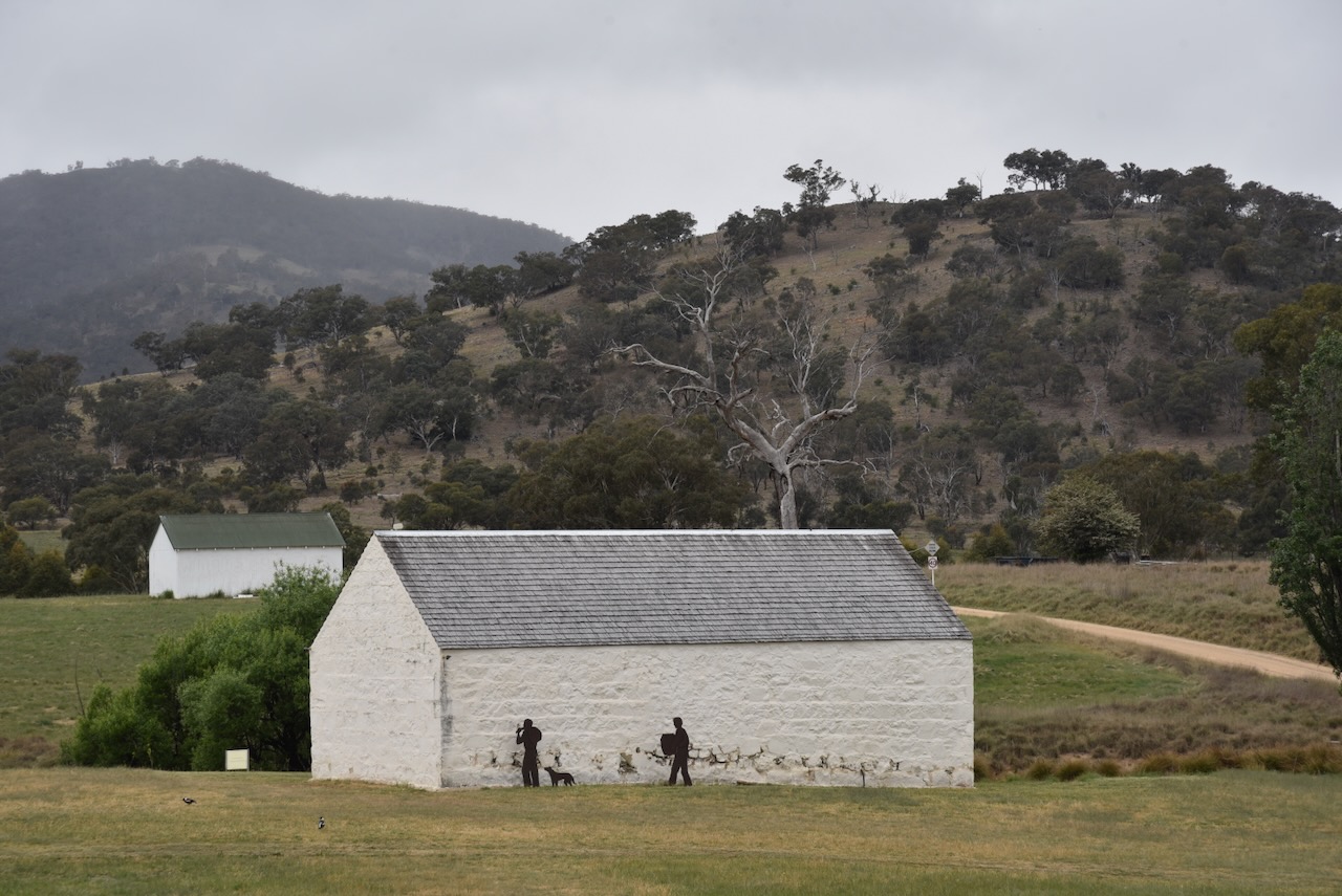
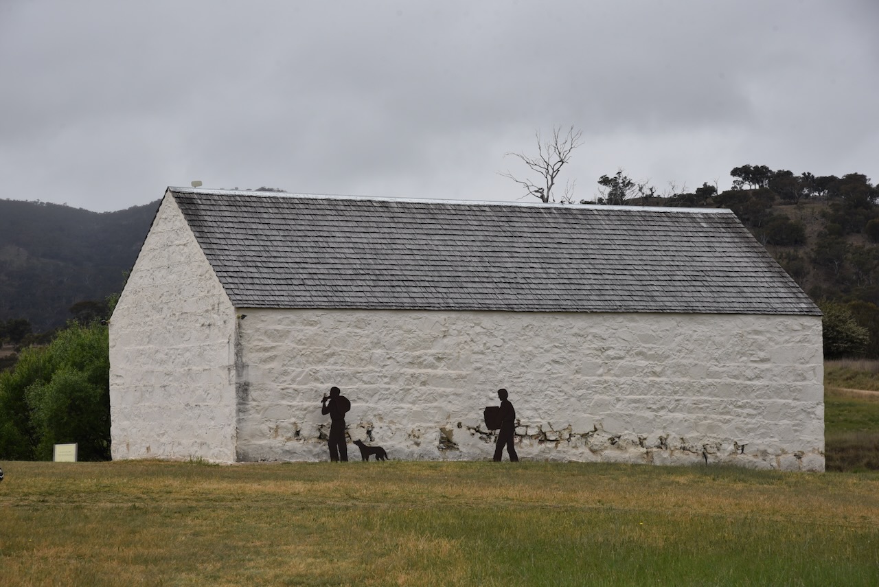
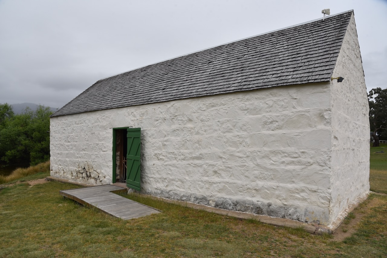
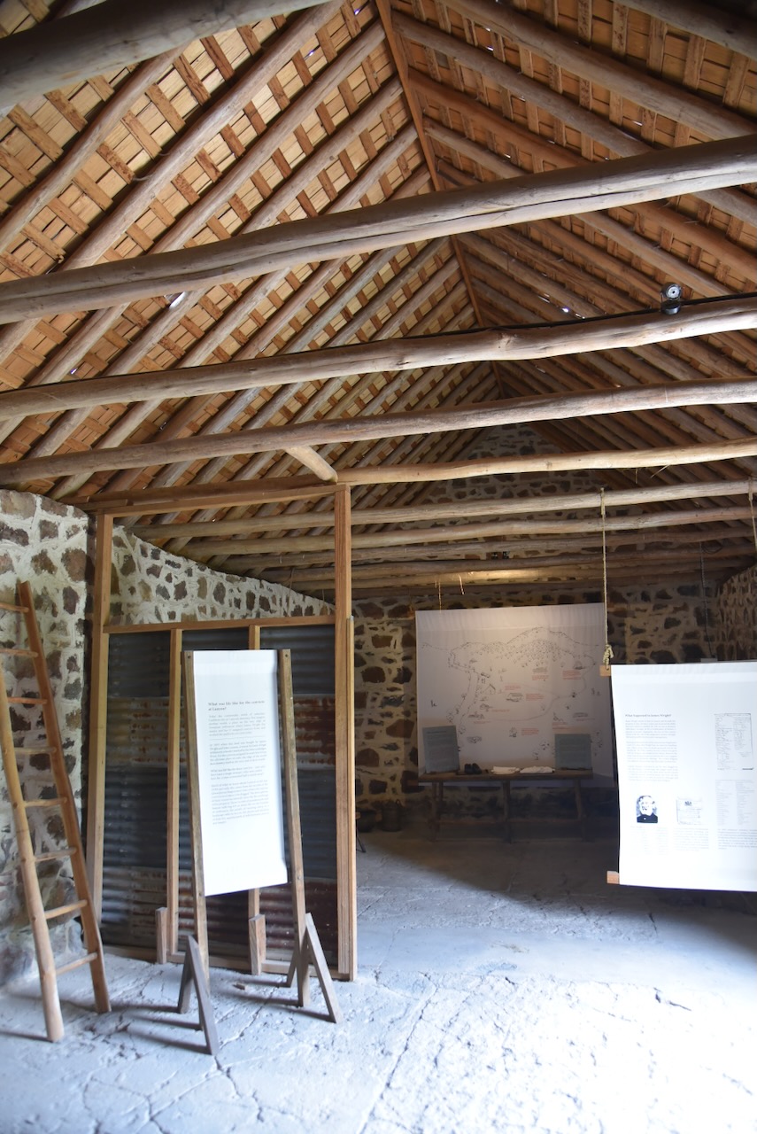
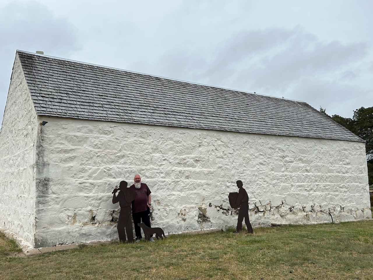
After leaving the homestead, Marija and I visited several historic outbuildings on the property.

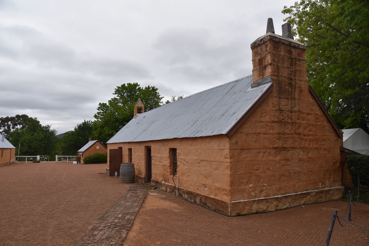
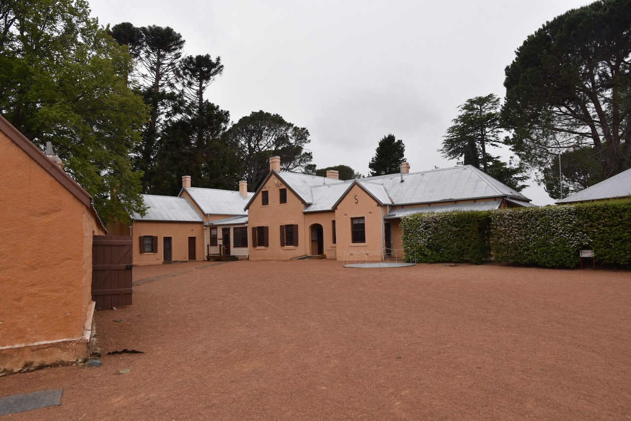
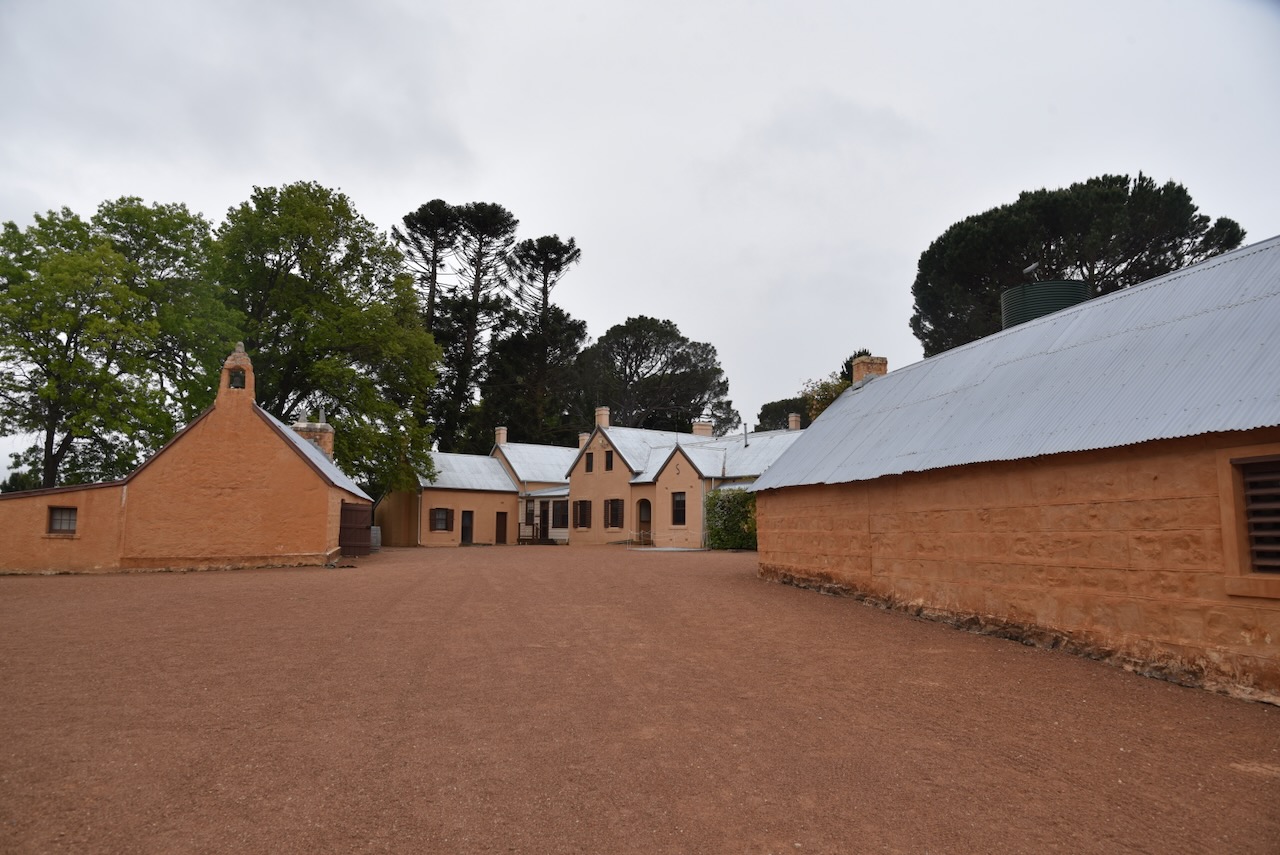
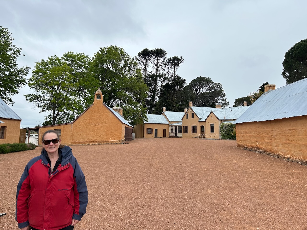
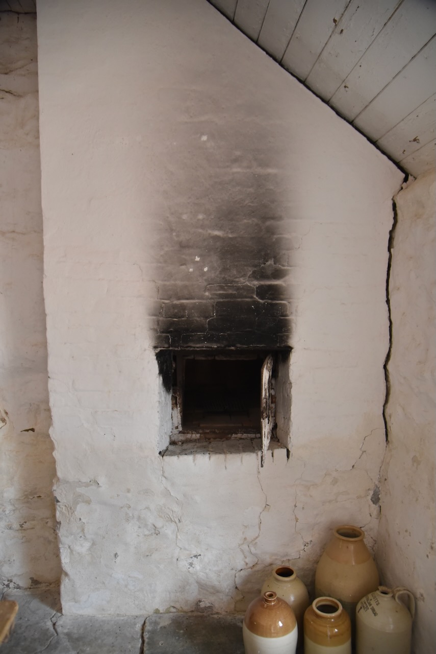
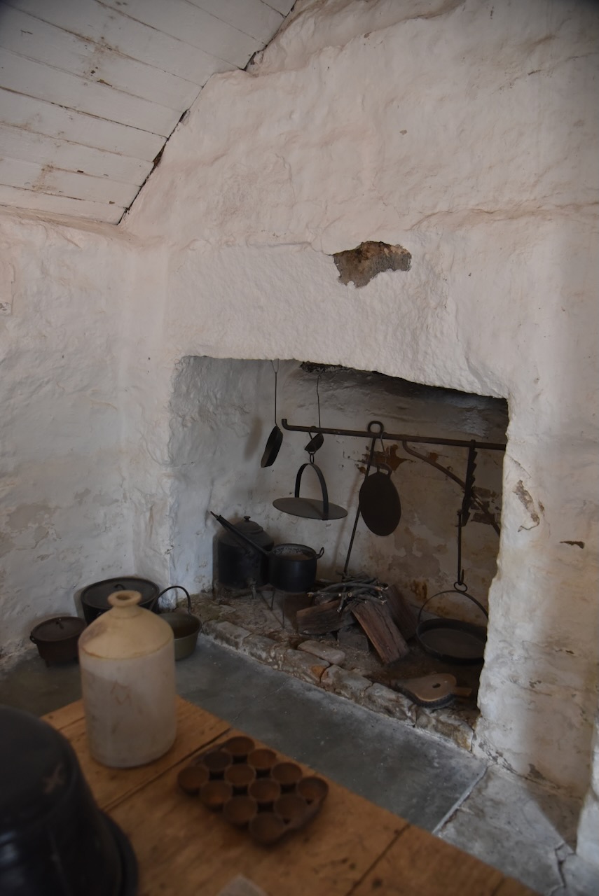
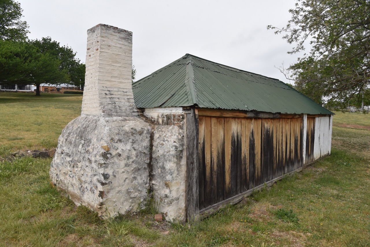
The old kitchen structure was built c. 1830s to 1850. It is built of rubble stone finished in limewashed roughcast with a gabled painted corrugated iron roof. (Marshall 2010)

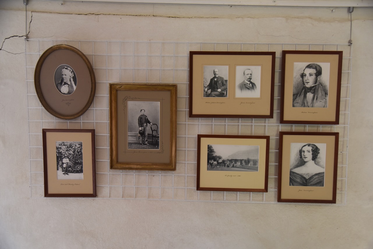
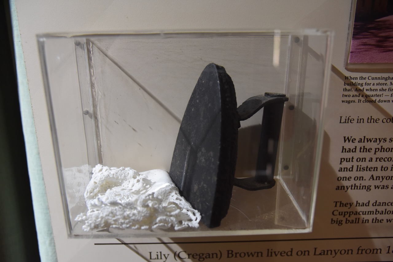
There are several photographs on display of the Cunningham family throughout the complex.

The dairy was built c. 1830s to 1850. It is timber framed with the gabled bark roof still visible underneath the corrugated iron. (Marshall 2010)

The slab hut was built c. 1830s-1850 and is a single-roomed timber structure with a hipped corrugated iron roof. (Marshall 2010)

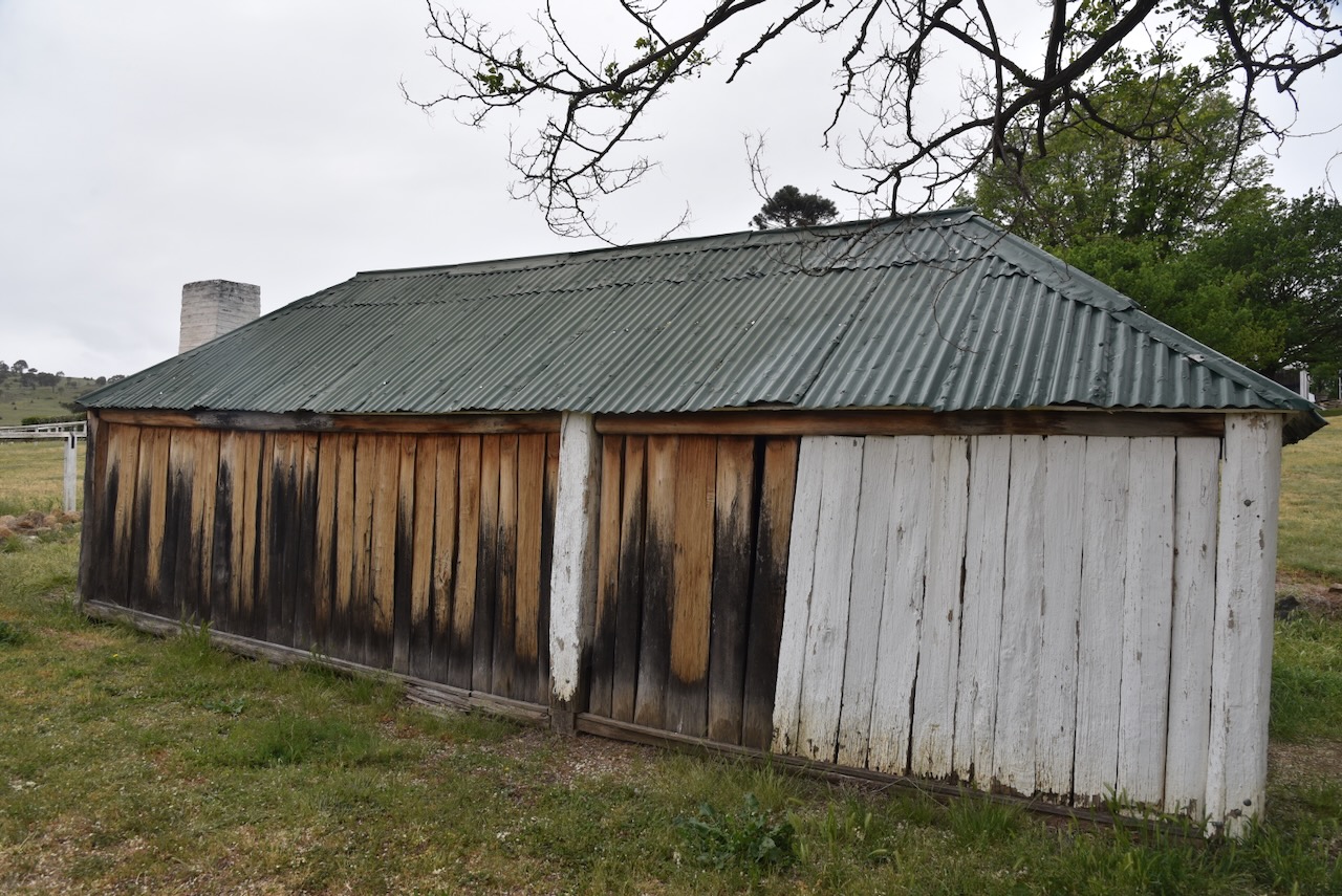
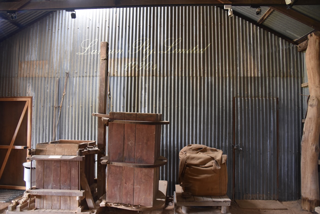
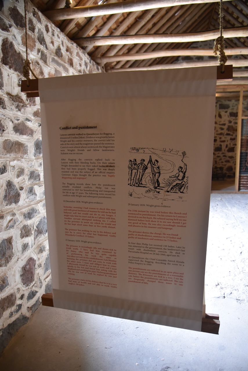
We then walked down to the convict barn, which was built c. 1830s-1850. It is constructed of limewashed coursed rubble walls and a gabled hardwood shake roof. It was initially used as a barn and later used as a wool store and for other storage. (Marshall 2010)

Unfortunately, we did not get to visit the Layon cemetery as it was not open to the public. The first recorded burial was that of William Wright in January 1837. The second burial was that of John Smith, aged 7 months, in December 1840. The last recorded burial was Mary Dumlop in May 1978, aged 85 years. (ACT Govt 2014)

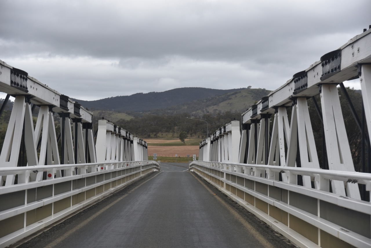
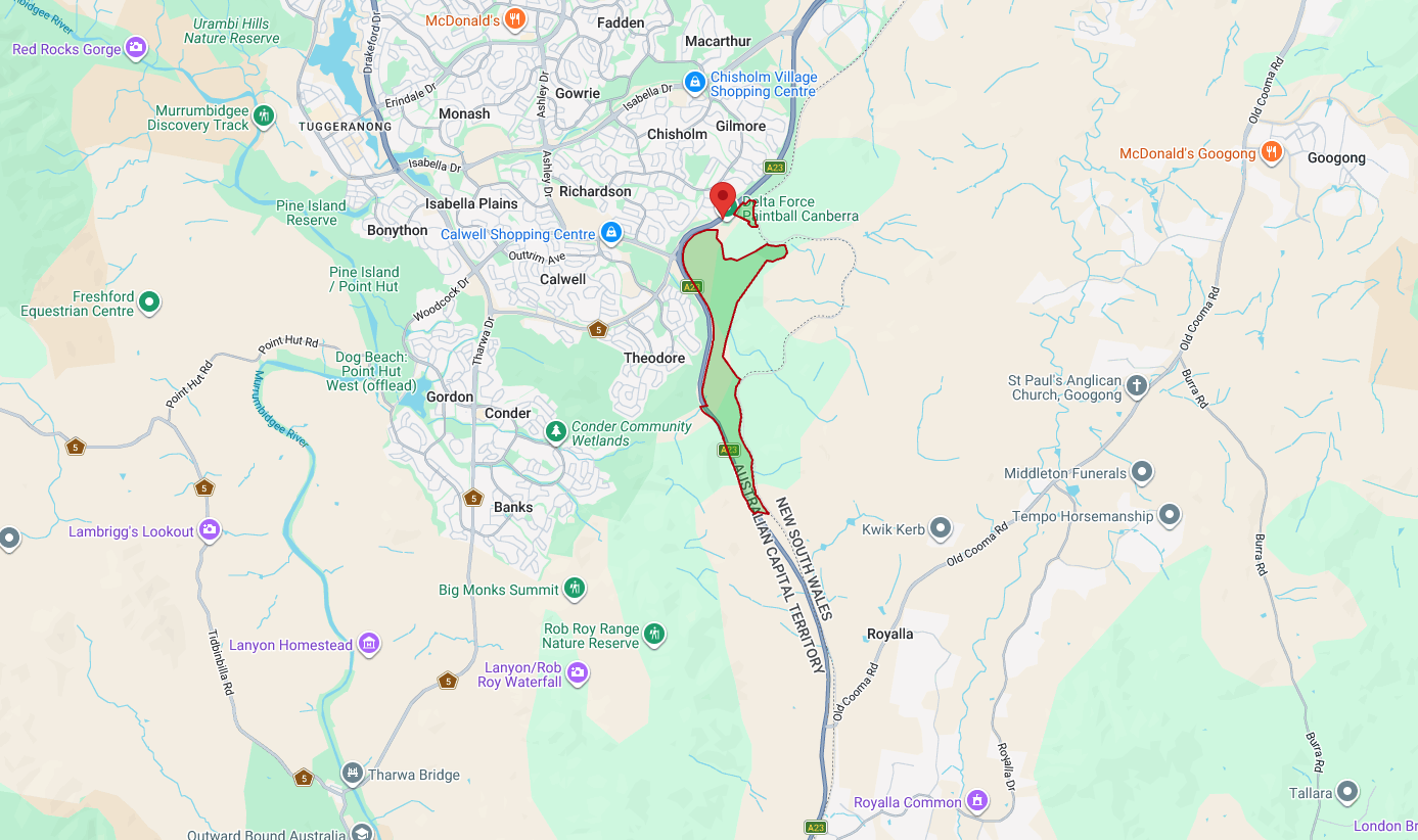
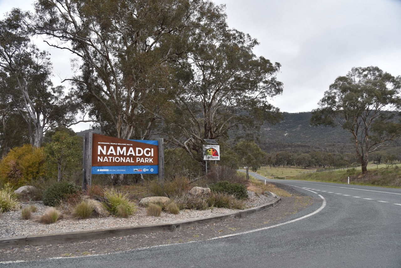
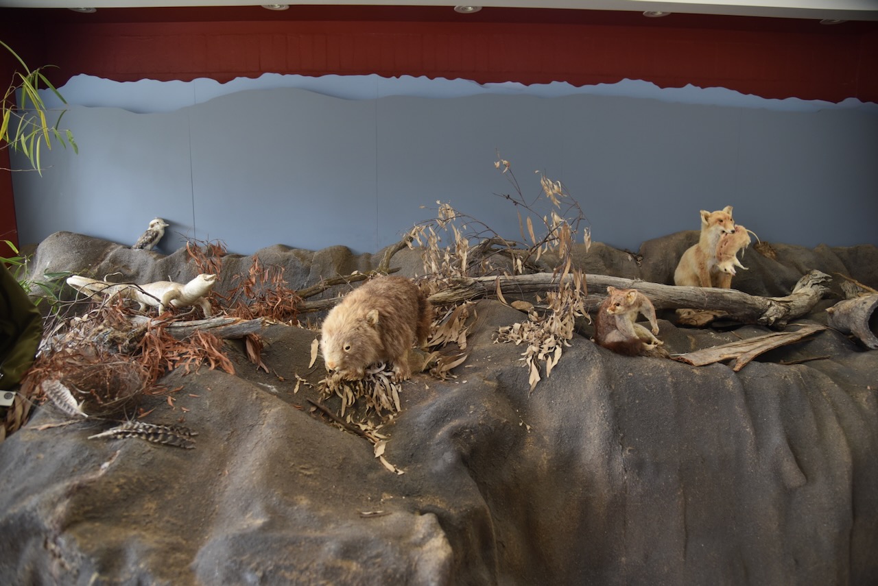
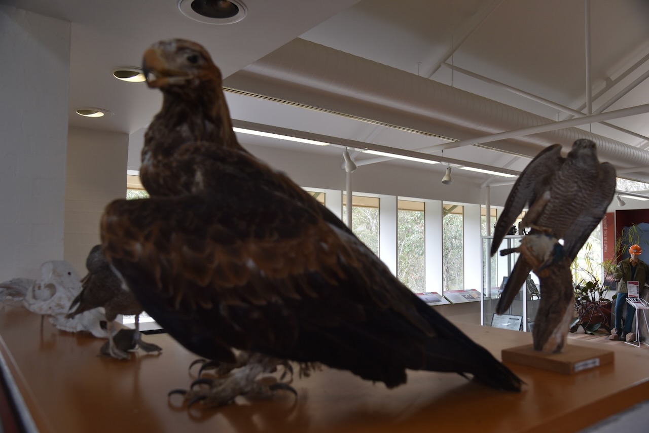
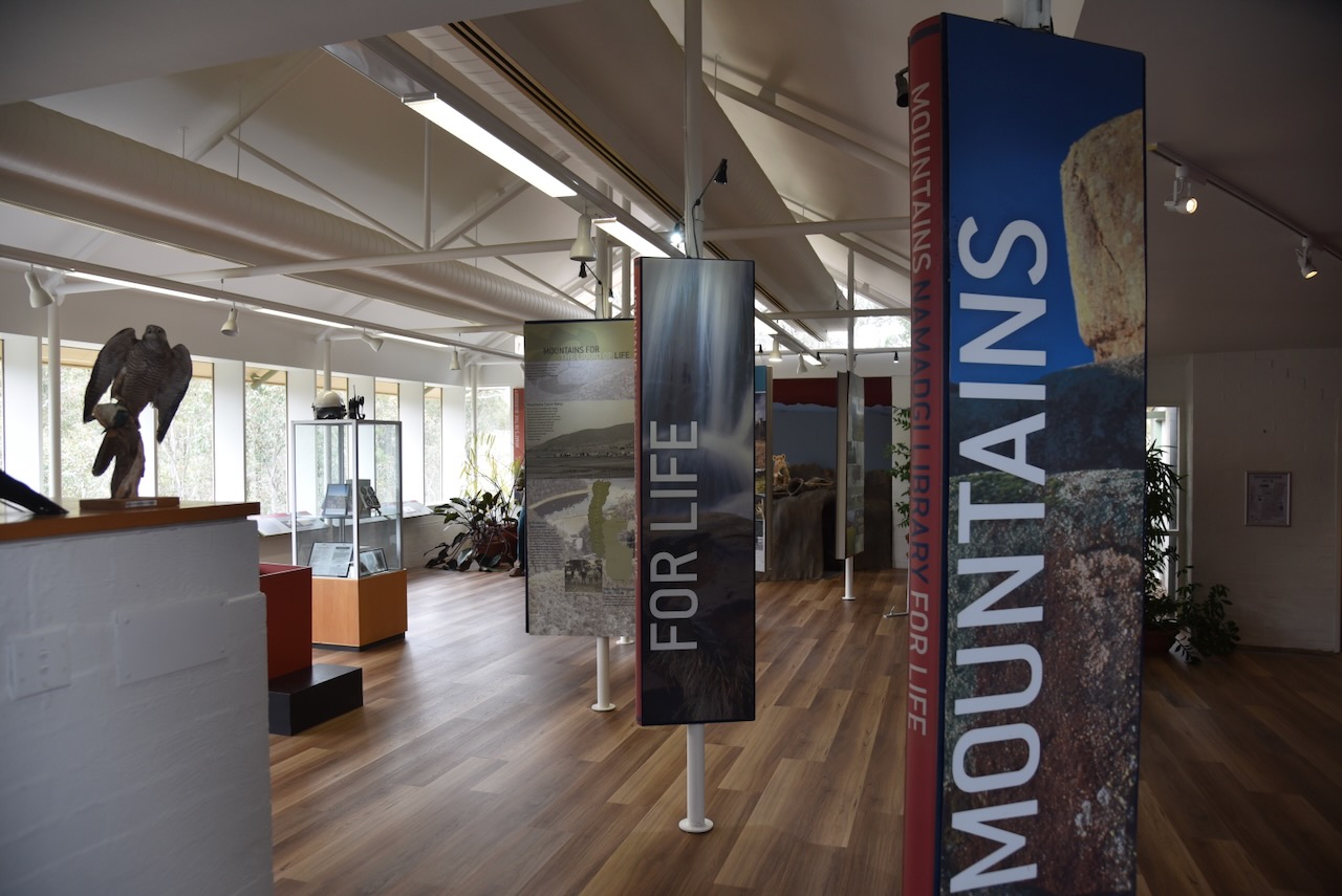
After leaving Lanyon, Marija and I headed to the Namadgi Visitor Centre just off Naas Road, south of Tharwa. We spoke to some of the rangers, obtained some maps, and had a look at the displays at the centre.

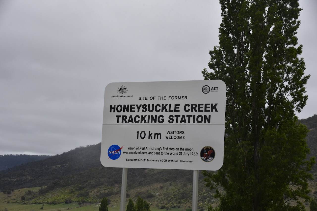
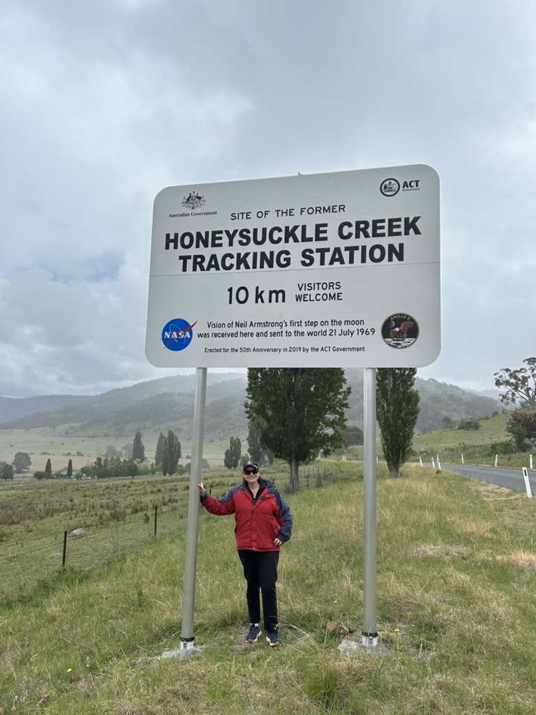
We then travelled south on Naas Road and turned onto Apollo Road heading towards the Honeysuckle Creek Tracking Station, which I will talk about shortly.

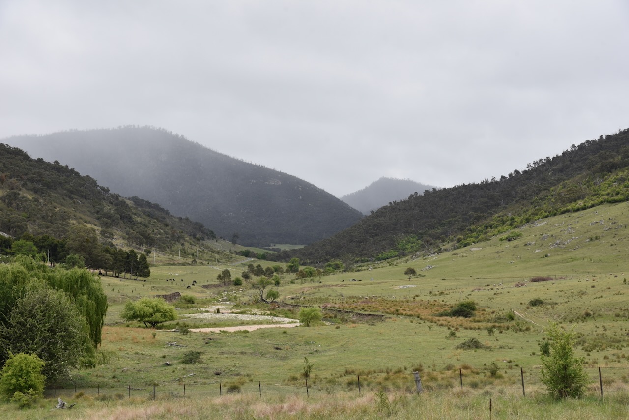
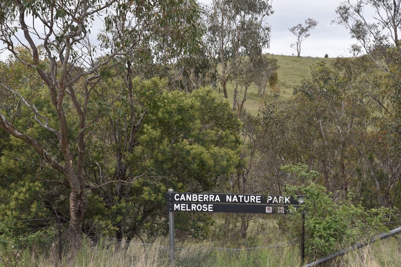
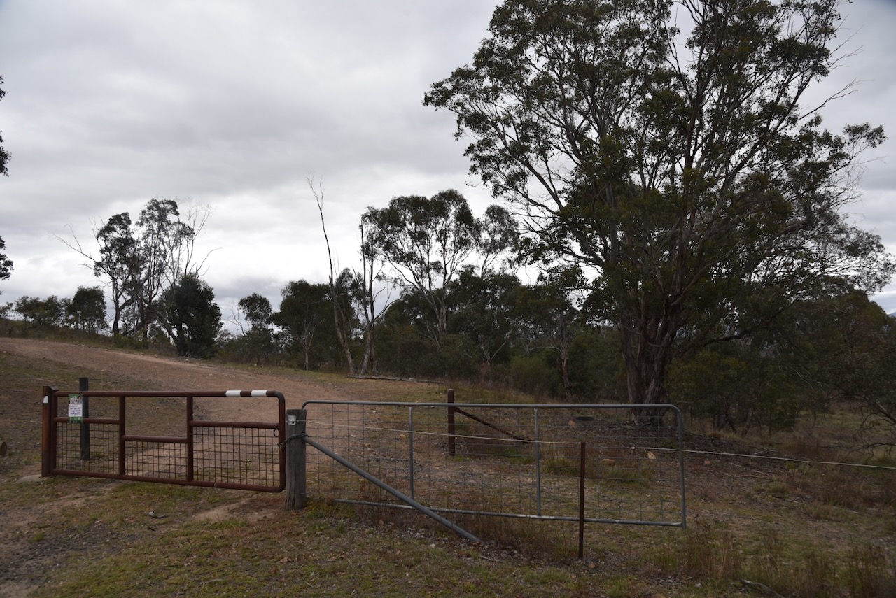
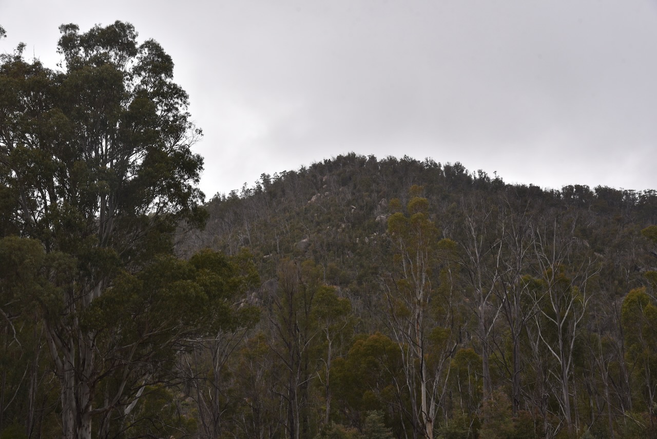
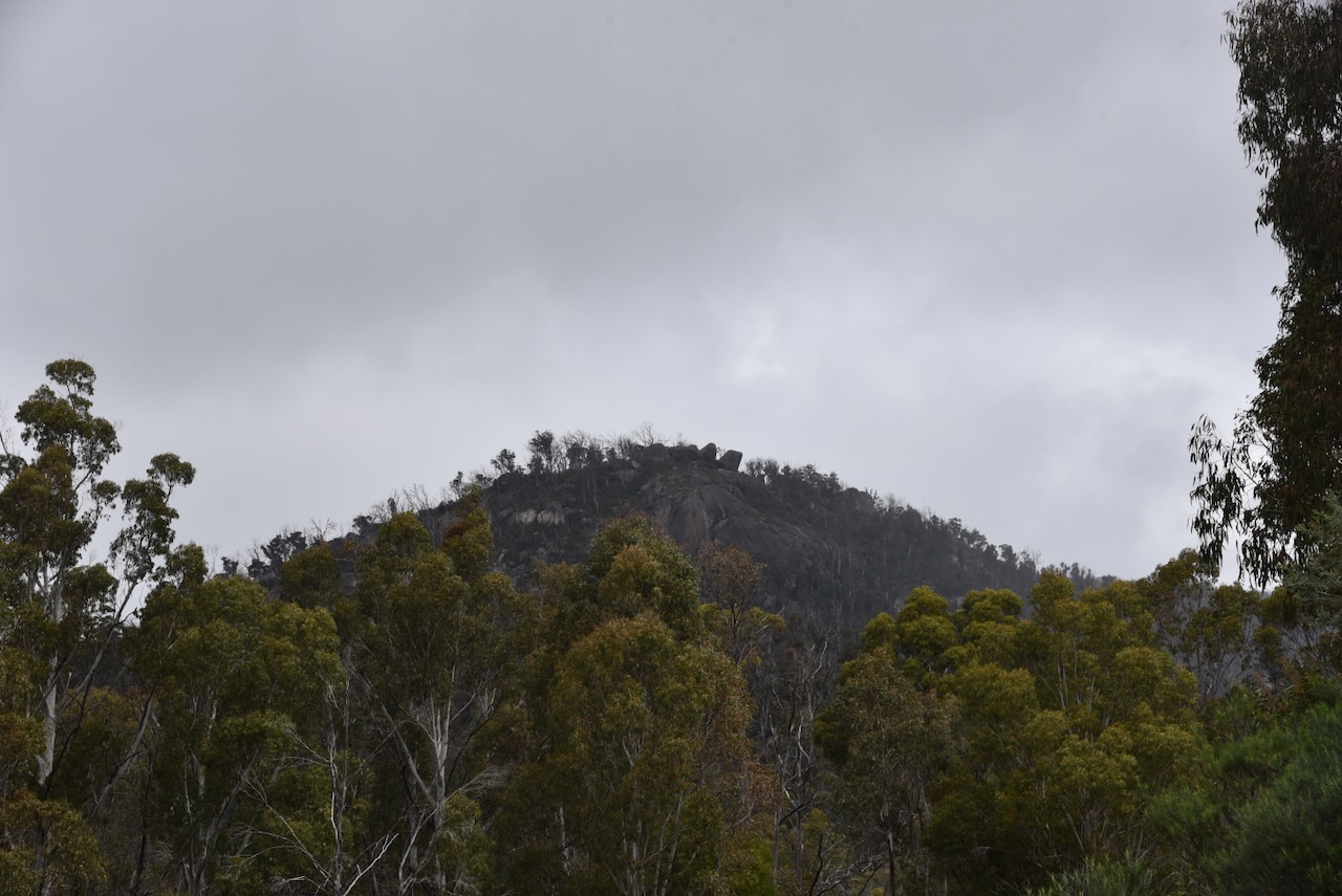
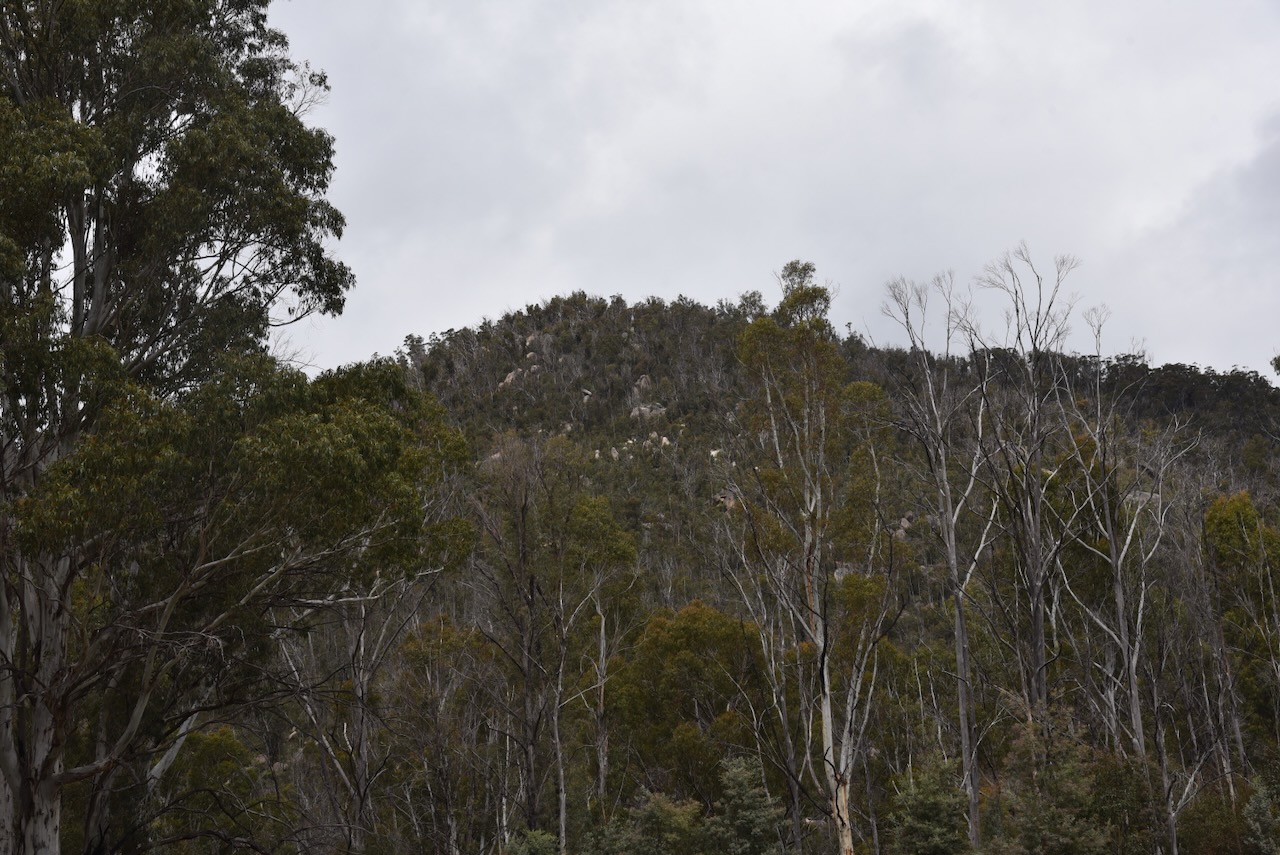
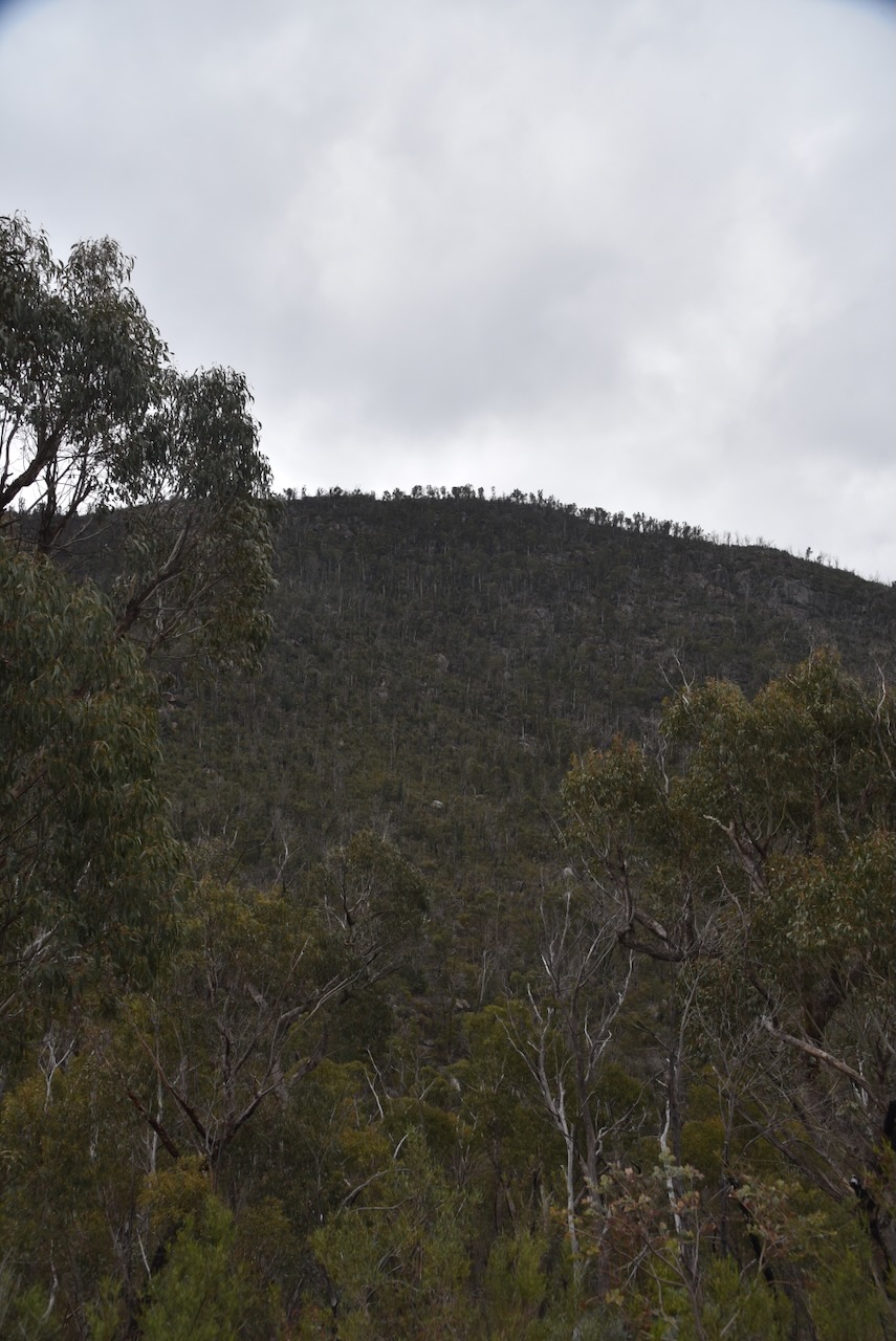
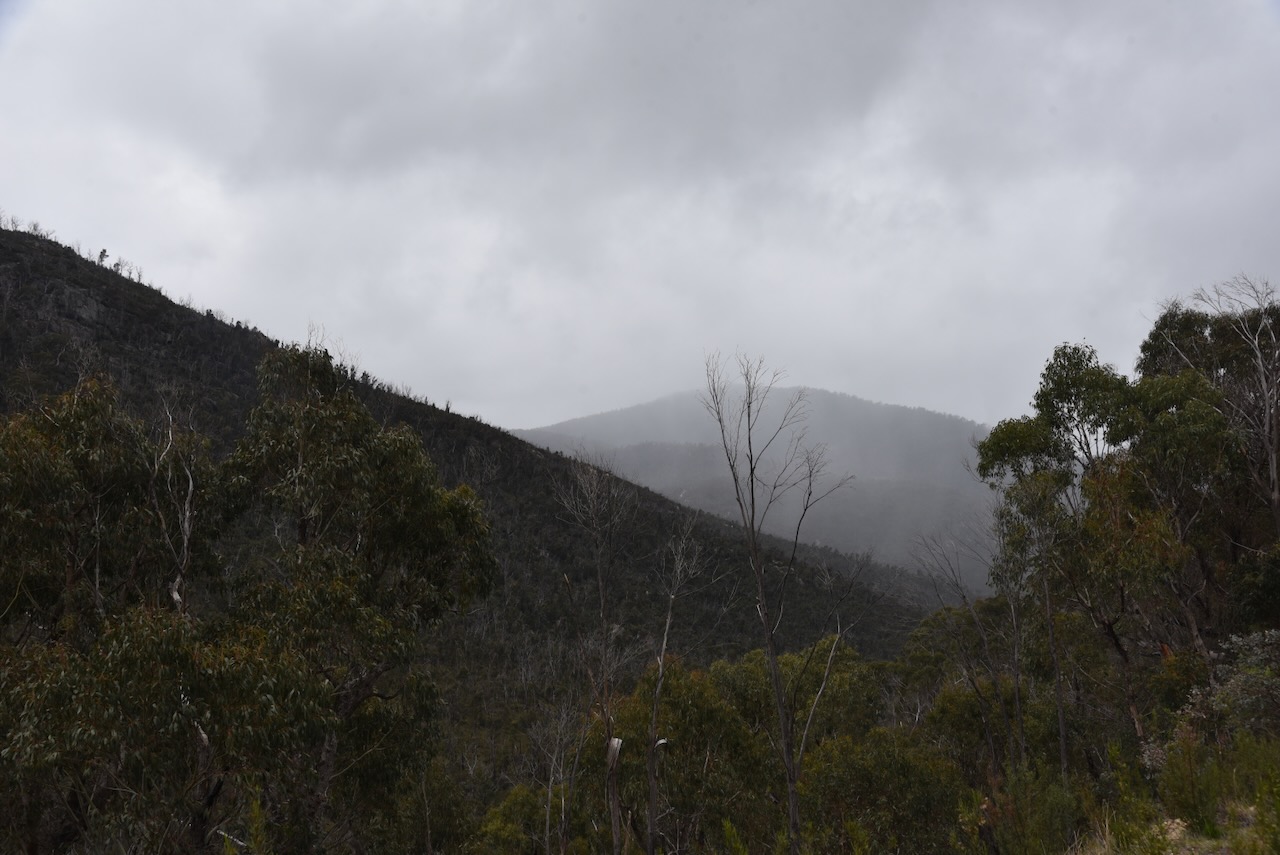
It was a beautiful drive along Apollo Road, which follows Honeysuckle Creek and Booroomba Creek. After about 4 km, we reached the Namadgi National Park.

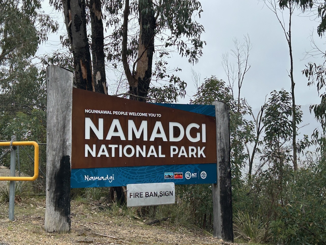
Namadgi National Park is about 106,095 hectares in size and was established in 1984. It is on the Australian National Heritage List. The park was expanded to its current size in 1991. Namadgi is the Aboriginal word for the mountains in the park. (and 2025) (Wikipedia 2022)

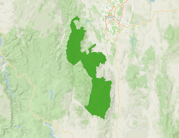
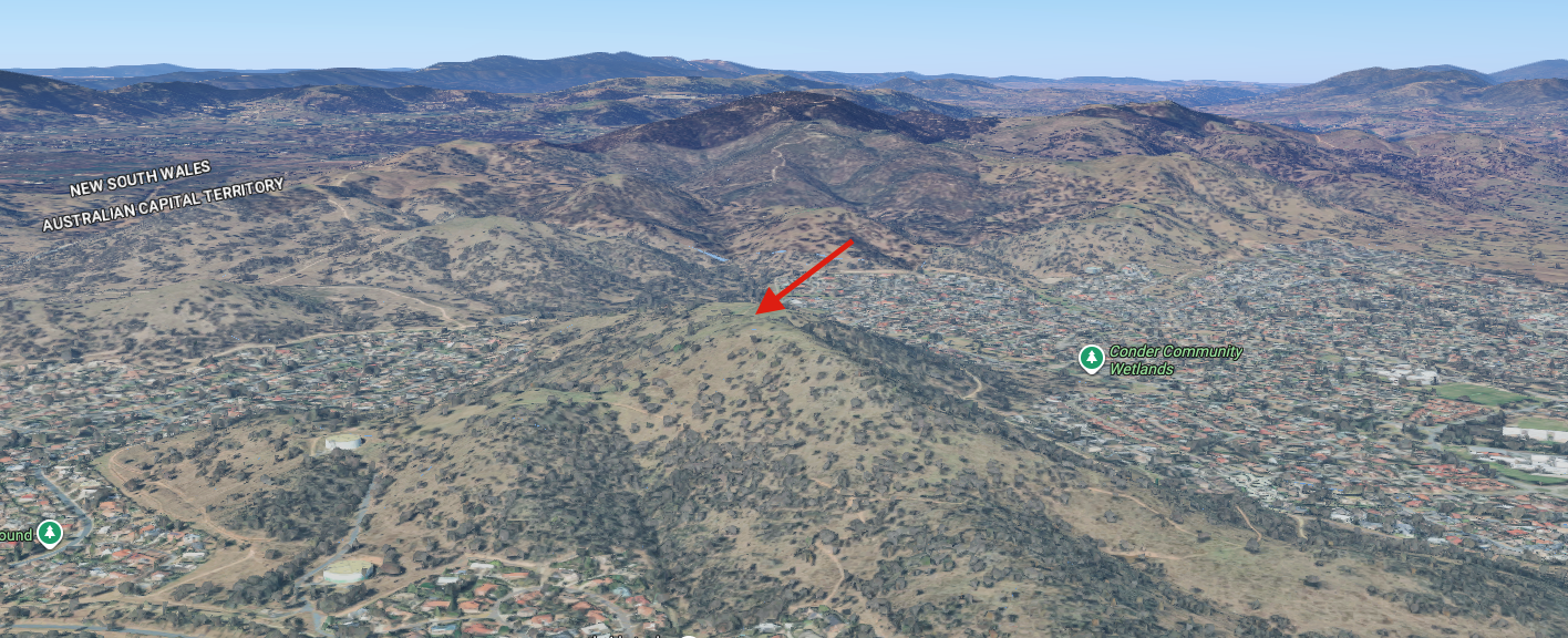
Above: The boundaries of the Namadgi National Park. Image c/o Protected Planet.

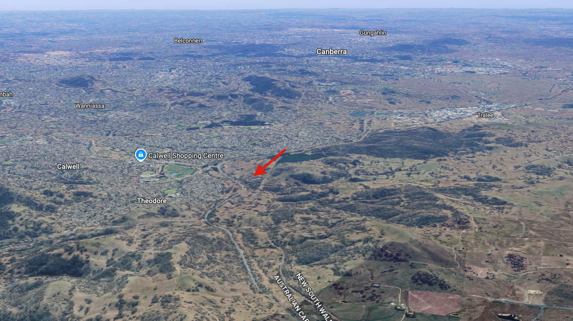
The park is about 40 km southwest of Canberra and borders the Kosciuszko National Park in New South Wales. Namadgi occupies about 46% of the land area of the Australian Capital Territory (ACT). The highest peak in the ACT, Bimben Peak at 1,911 metres, is located in the park. (Wikipedia 2022)

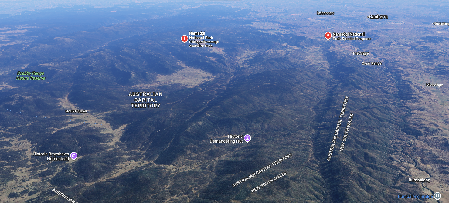
Above: an aerial view of the Namadgi National Park. Image c/o Google Maps

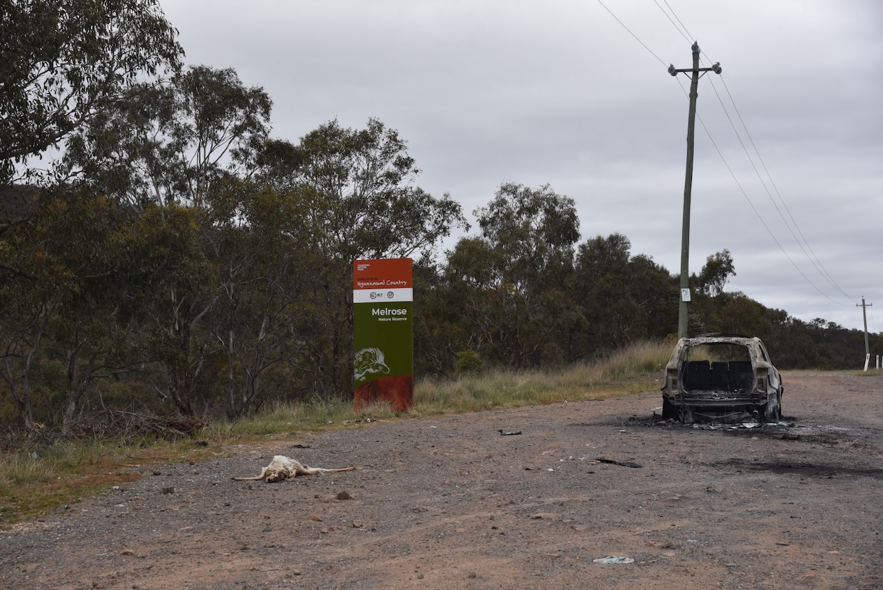
Unfortunately, about 80% of the park (86.562 hectares) was burnt during the Orroral Valley bushfire in January 2020. The 2019-2020 Australian bushfire season, which became known as Black Summer, was one of the most catastrophic fire seasons on record in Australia. The Orroral Valley fire was started by the landing light on an Australian Army MRH-90 Taipan helicopter while it was conducting routine aerial reconnaissance and ground clearance work, assisting local firefighters (and 2025) (Wikipedia 2020) ‌(Wikipedia 2022)

And then in January 2003, another devastating fire ripped through Namadgi National Park, burning more than 90% of the park and destroying several historic heritage sites in the park, including Mt Franklin Chalet, Tennent Homestead and Read’s Hut.. About 70% of the ACT’s pastures, pine plantations and nature parks were severely damaged in the fire. More than 500 homes were destroyed or severely damaged, four people died, and 490 were injured. (ACT 2010) (Wikipedia 2020)

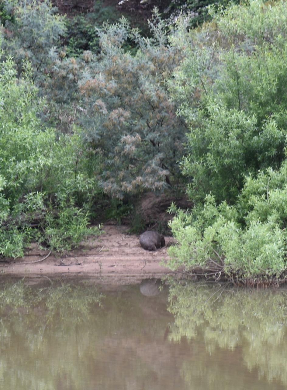
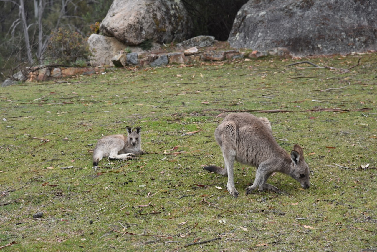
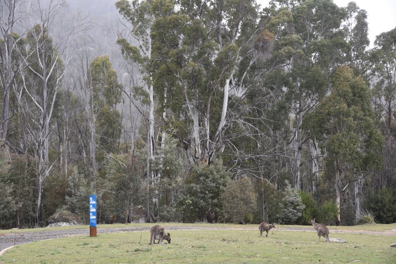
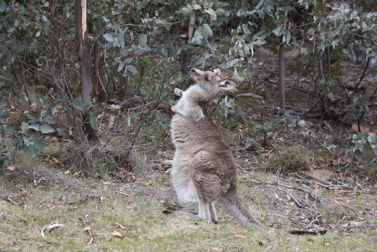
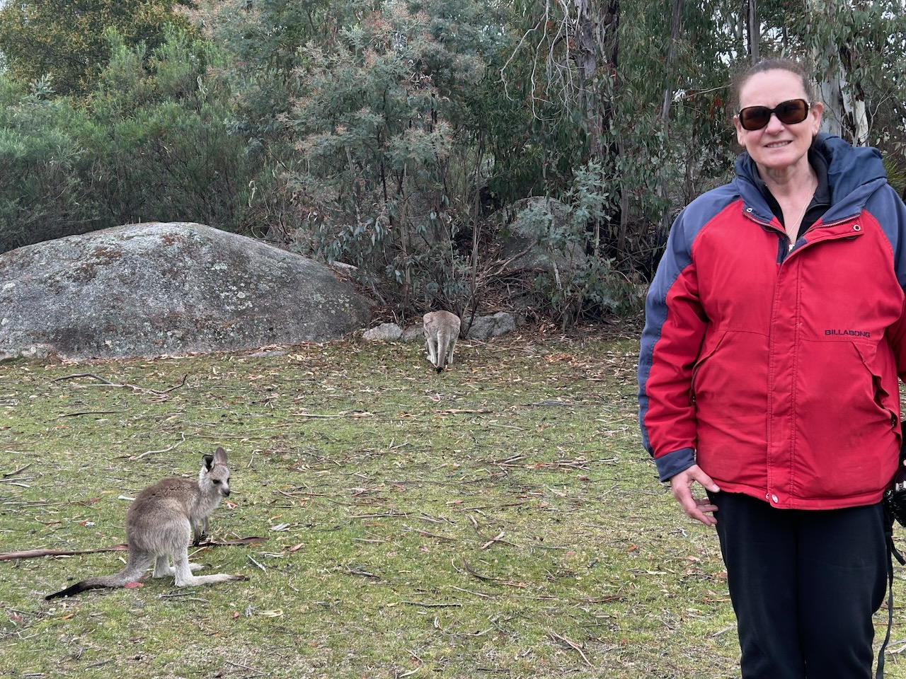
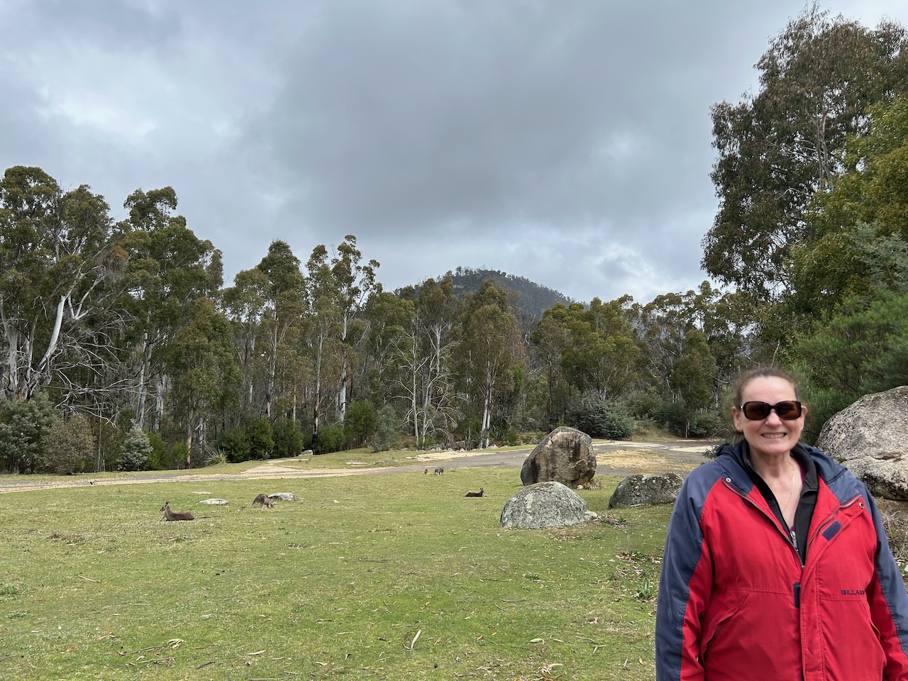
Namadgi National Park is home to a variety of native animals, birds, and reptiles. This includes Eastern Grey kangaroos, wallabies, and wombats. A total of 222 species of vertebrate animals, including 15 threatened species and 40 rare species, have been recorded in the park. The endangered Northern Corroboree frog can be found in the park. (and 2025) (Wikipedia 2022)

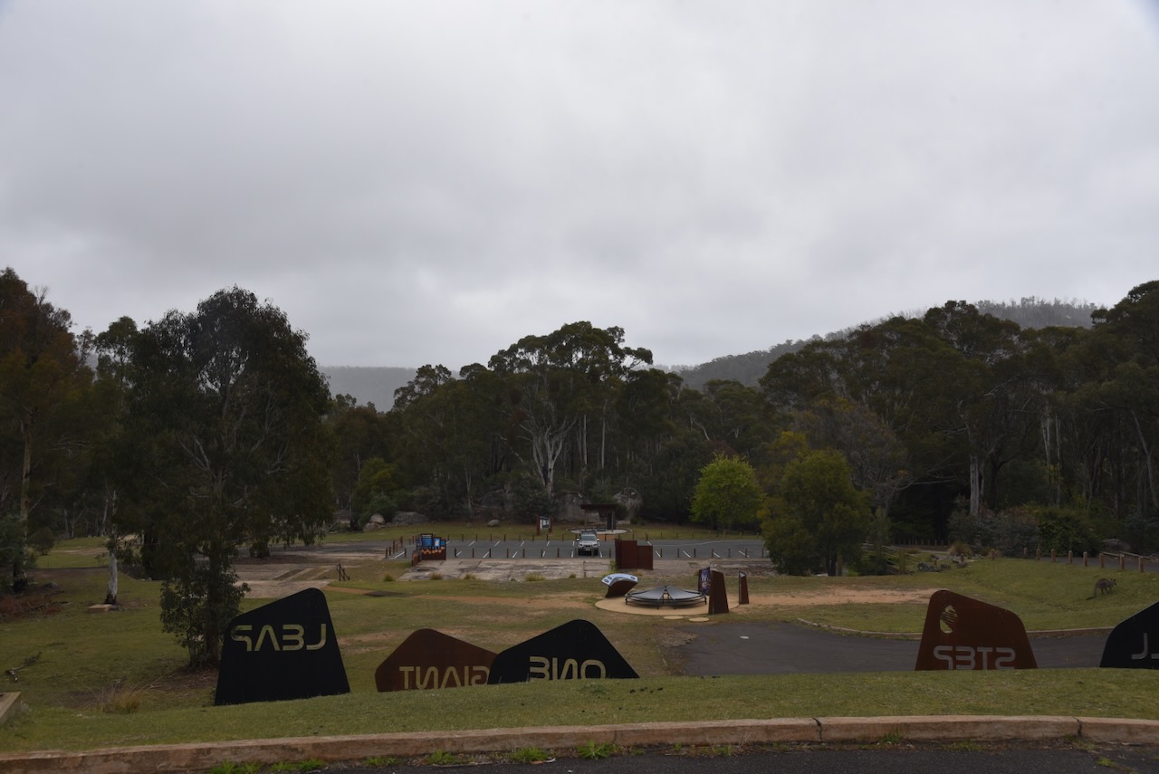
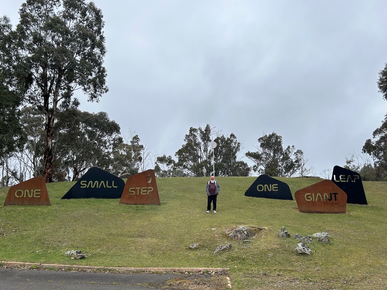
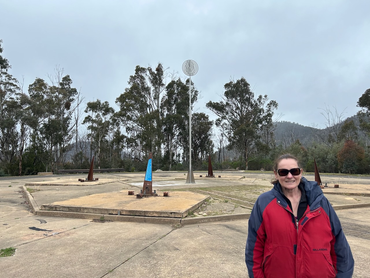
Marija and I continued along Apollo Road and soon reached the Honeysuckle campground.

What an amazing place this is!

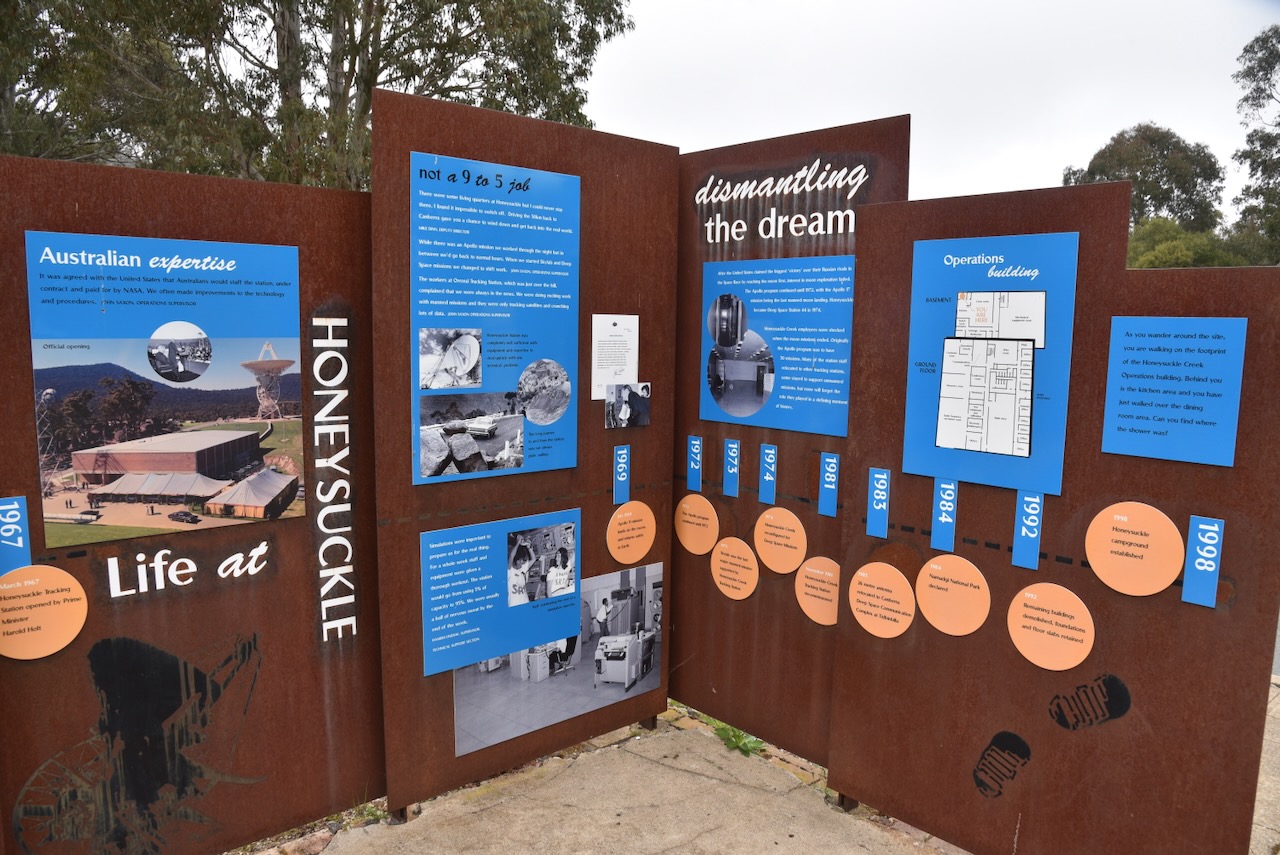
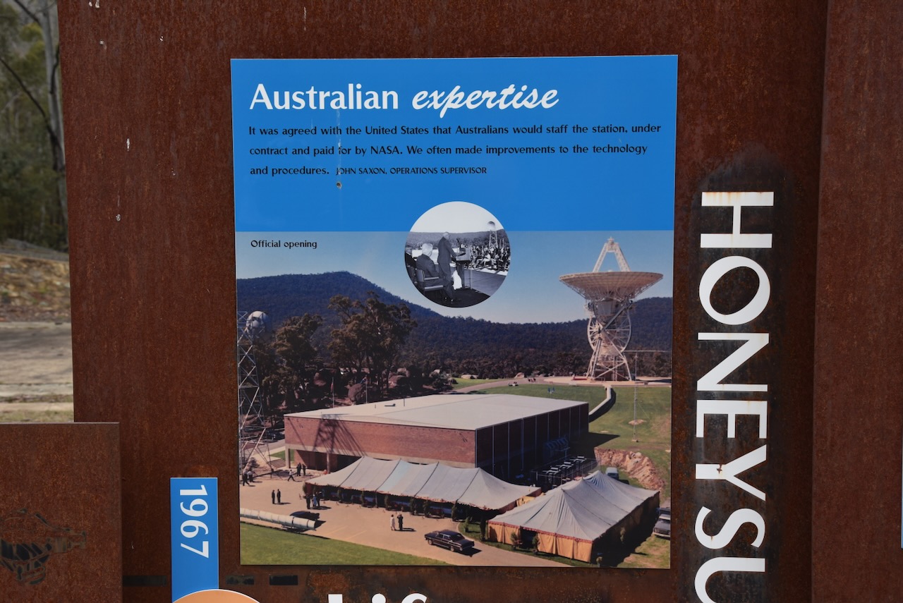
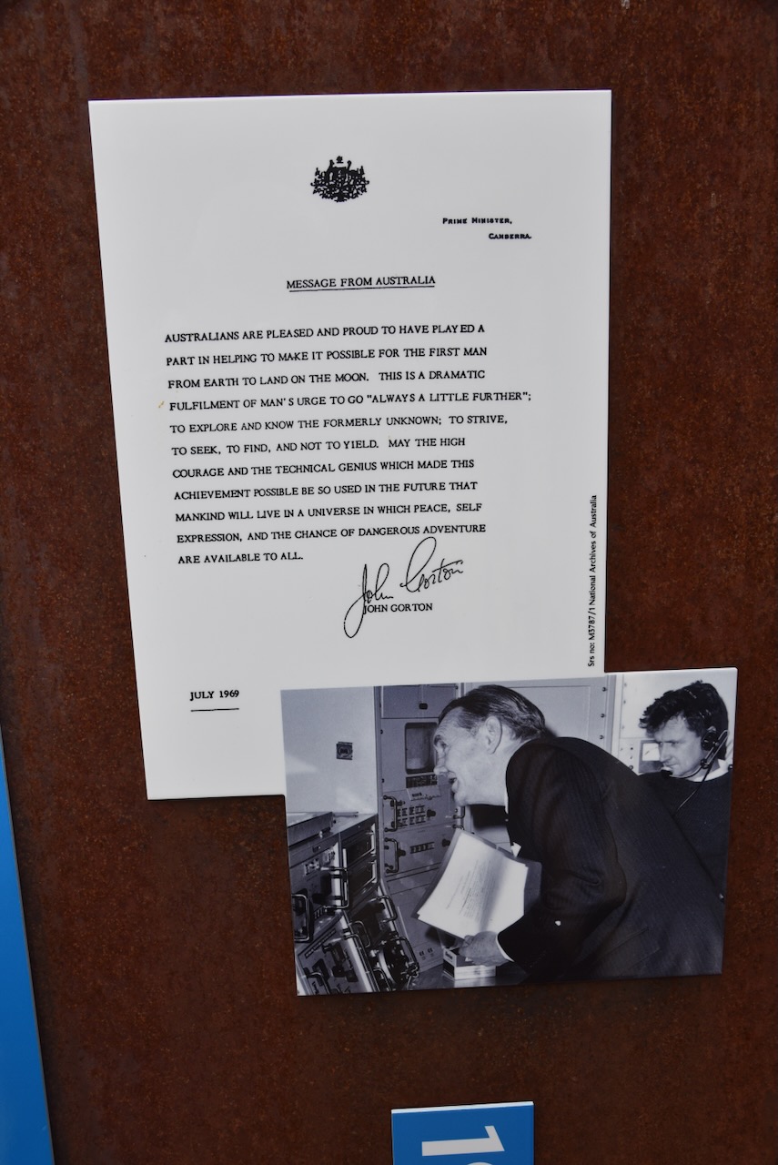
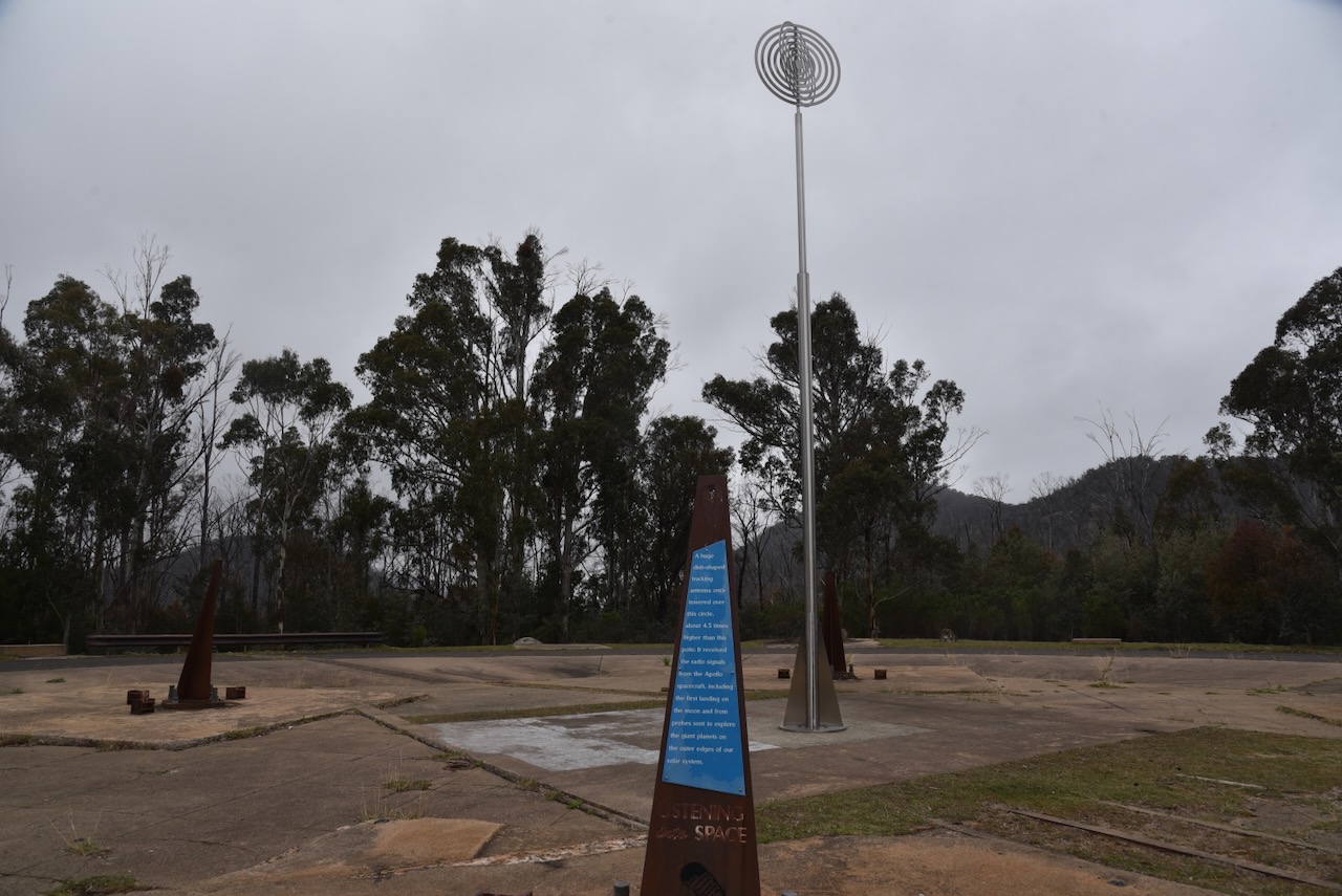
The Honeysuckle Creek Tracking Station was a National Aeronautics and Space Administration (NASA) Earth station that played a crucial role in the Apollo program, which led to the first humans landing on the moon in 1969. Honeysuckle Creek received and relayed to the world the first televised footage of Neil Armstrong setting foot on the moon in July 1969. Honeysuckle Creek and the Canberra Deep Space Communication Complex at Tidbinbilla also had communication and telemetry contact with both the Eagle lunar and Columbia command modules. (Wikipedia 2024)

The 2000 Australian movie, The Dish, dramatised these events as occurring at the Parkes Observatory. The pictures received at Parkes only came into play later in the moon landing. The Parkes antenna was more powerful than Honeysuckle Creek, however its angle and wind gusts did not allow it to receive signals for the first 7 minutes of the moon landing. (Wikipedia 2024)

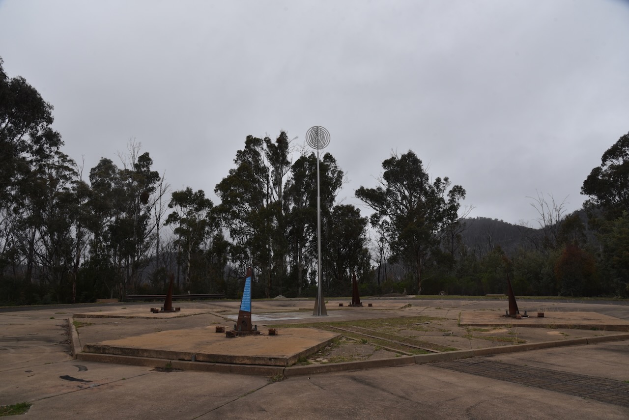
Honeysuckle Creek opened in 1967 and had a 26-metre dish. It was built and run by NASA, but was staffed by Australians. The station closed in December 1981. The dish was removed, and the buildings were demolished. (Wikipedia 2024)

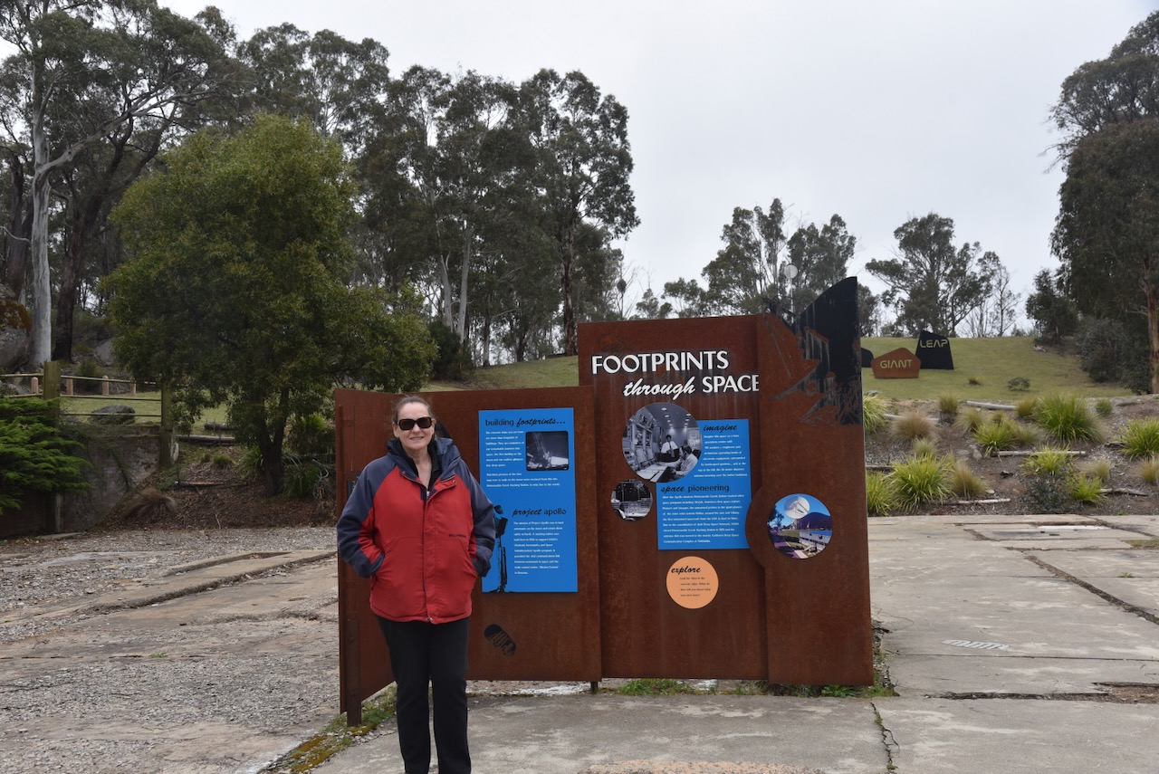
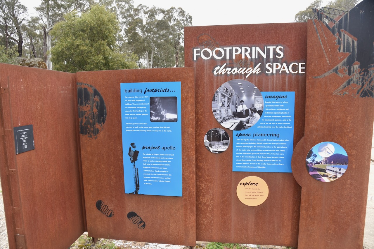
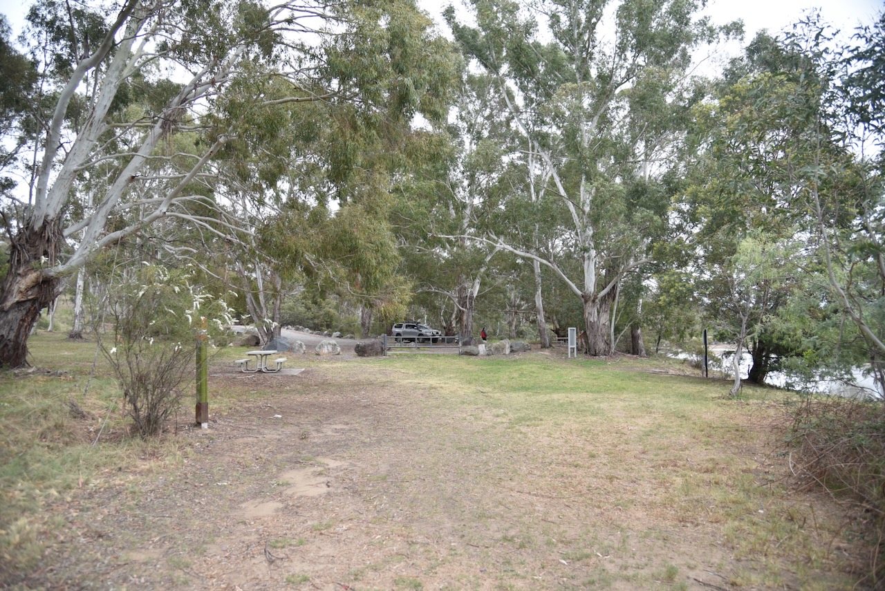
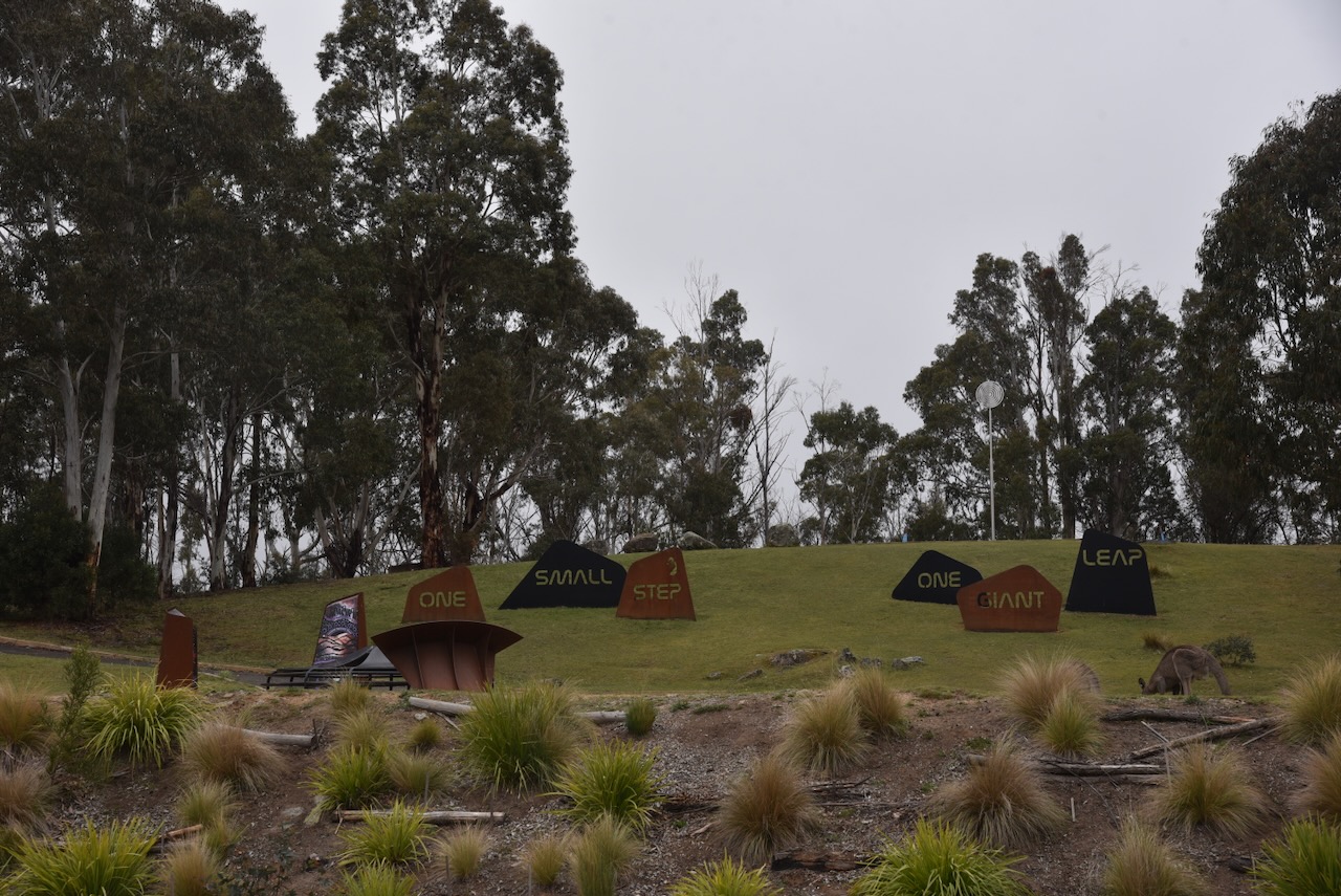
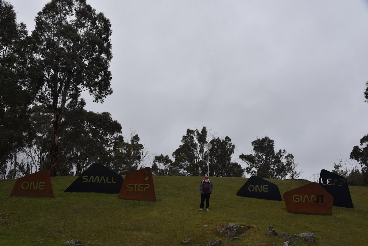
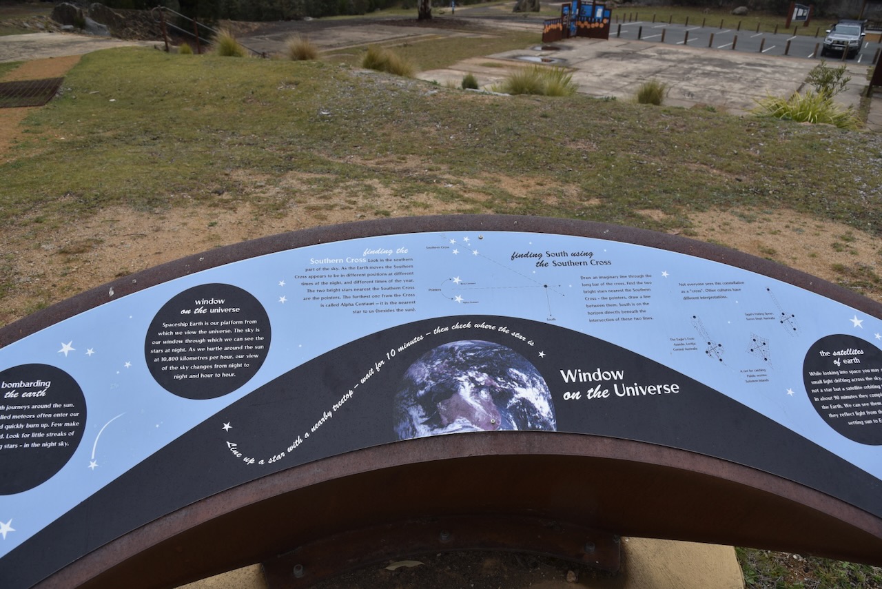
On the small hill above the interpretive signs, you can find the remains of the tracking station.

Below is an excellent video about the Honeysuckle Creek Tracking Station.

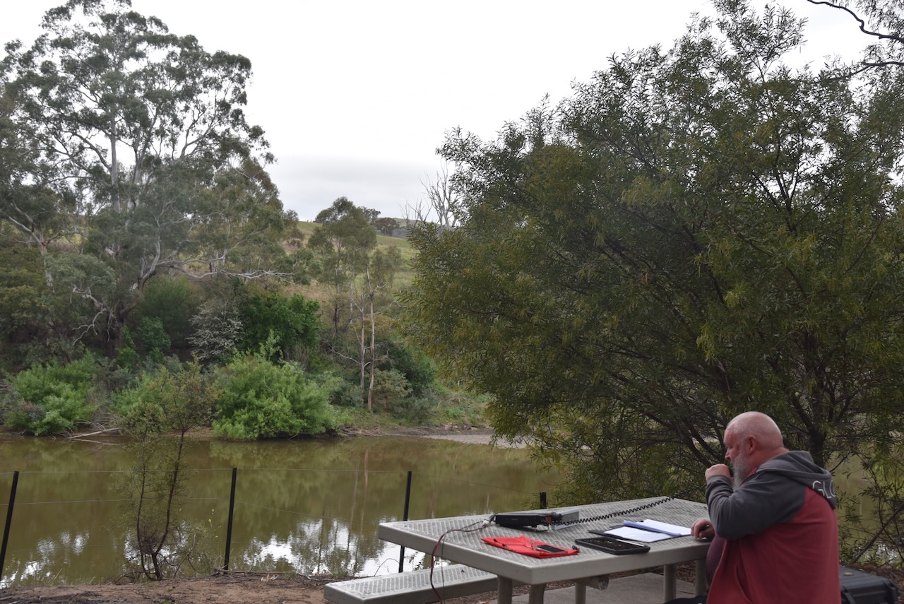
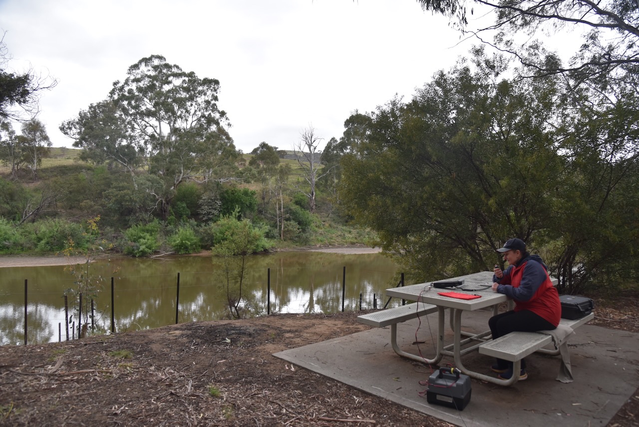
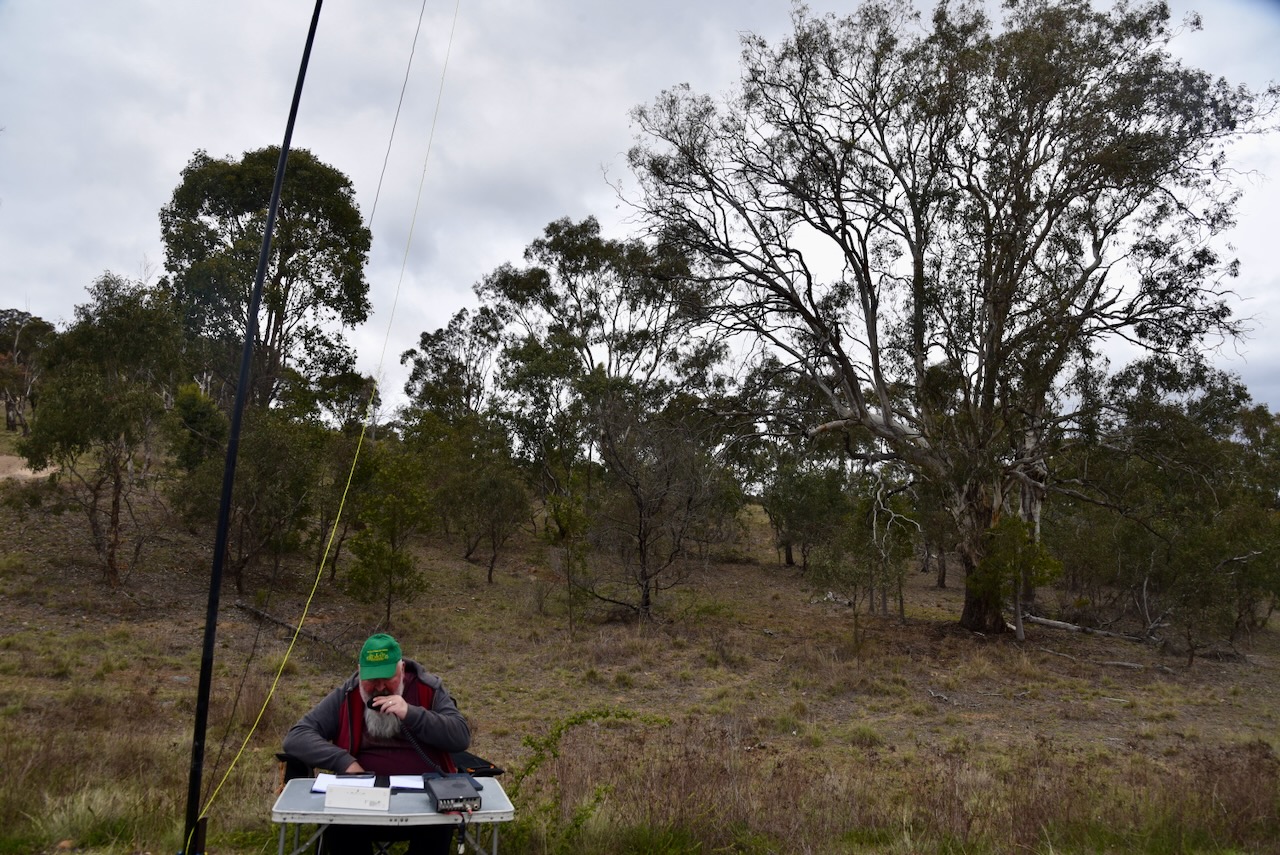
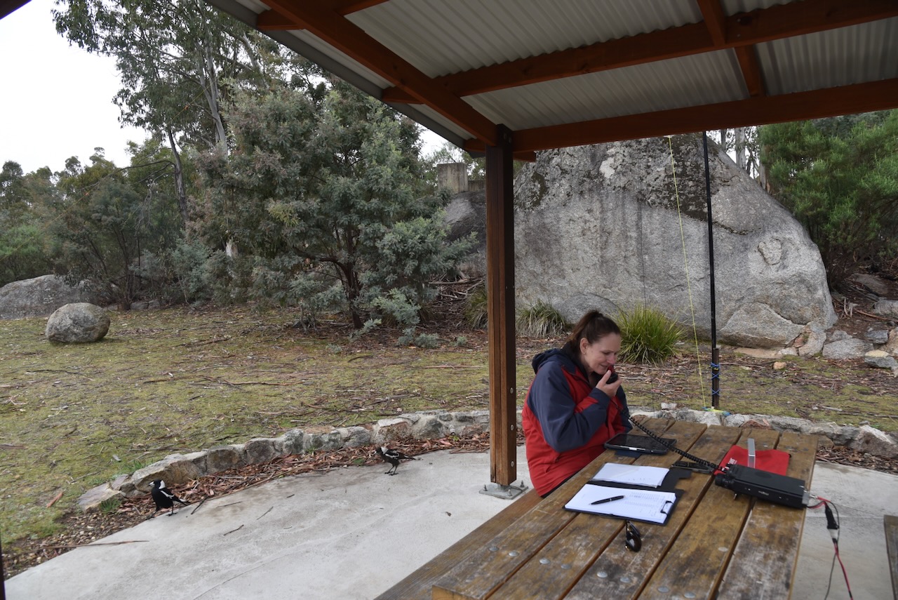
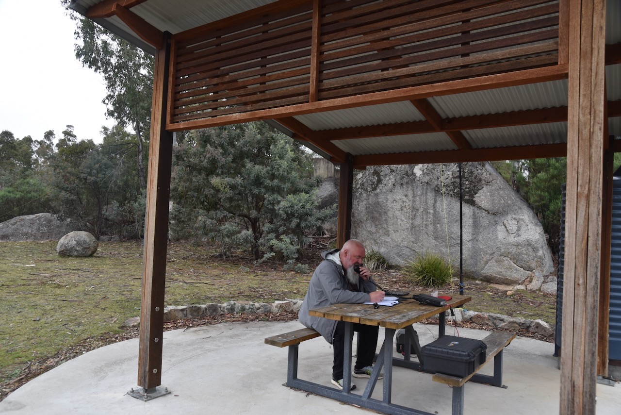
Our operating spot was very picturesque, although we did have intermittent drizzly rain and fog covering some of the higher points in the park.

We set up in a small shelter shed, which afforded us some protection from the drizzly rain. Marija and I ran the Yaseu FT857, 40 watts, and the 20/40/80m linked dipole.

Marija worked the following stations on 40m SSB:-

  1. VK2OZO/P (VKFF-0991)
  2. VK1AO
  3. VK2MET
  4. VK2HBR
  5. VK2IO/P (VKFF-0849)
  6. VK2GEZ/P (VKFF-0849)
  7. VK1AD
  8. VK1NAM
  9. VK5HS
  10. VK3SX
  11. VK2VW
  12. VK2HFI
  13. VK2AKA
  14. VK2BUG
  15. VK5WU
  16. VK3AKO
  17. VK3SQ
  18. VK3JT
  19. VK2BD
  20. VK3CEO
  21. VK2MOE/M
  22. VK1MO/M
  23. VK3PF/P (VKFF-2532)
  24. VK3KAI/P (VKFF-2532
  25. VK1CHW
  26. VK2CHW
  27. VK2FALL
  28. VK2ETI
  29. VK2AIT
  30. VK2AIQ
  31. VK2AIX
  32. VK2AIZ
  33. VK1RX/3
  34. VK7PJM
  35. VK3BWS
  36. VK2AIH
  37. VK3UH
  38. VK2MG
  39. VK7AN/P (VKFF-0028)
  40. VK7ZPE/P (VKFF-0028)
  41. VK7HAM/P (VKFF-0028)

Marija worked the following stations on 40m AM:-

  1. VK3PF/P (VKFF-2532)
  2. VK3KAI/P (VKFF-2532
  3. VK3BWS
  4. VK1AD
  5. VK1NAM

Marija worked the following stations on 20m SSB:-

  1. VK1AD
  2. VK1NAM

I worked the following stations on 40m SSB:-

  1. VK2OZO/P (VKFF-0991)
  2. VK1AO
  3. VK2MET
  4. VK2HBR
  5. VK2IO/P (VKFF-0849)
  6. VK2GEZ/P (VKFF-0849)
  7. VK1AD
  8. VK1NAM
  9. VK5HS
  10. VK3SX
  11. VK2VW
  12. VK2HFI
  13. VK2AKA
  14. VK2BUG
  15. VK5WU
  16. VK3AKO
  17. VK3SQ
  18. VK3JT
  19. VK2BD
  20. VK3CEO
  21. VK2MOE/M
  22. VK1MO/M
  23. VK3PF/P (VKFF-2532)
  24. VK3KAI/P (VKFF-2532
  25. VK1CHW
  26. VK2CHW
  27. VK2FALL
  28. VK2ETI
  29. VK2AIT
  30. VK2AIQ
  31. VK2AIX
  32. VK2AIZ
  33. VK1RX/3
  34. VK7PJM
  35. VK3BWS
  36. VK2AIH
  37. VK3UH
  38. VK2MG
  39. VK7AN/P (VKFF-0028)
  40. VK7ZPE/P (VKFF-0028)
  41. VK7HAM/P (VKFF-0028)

I worked the following stations on 40m AM:-

  1. VK3PF/P (VKFF-2532)
  2. VK3KAI/P (VKFF-2532
  3. VK3BWS
  4. VK1AD
  5. VK1NAM

I worked the following stations on 20m SSB:-

  1. VK1AD
  2. VK1NAM

References.

  1. ACT Government, 2010, Namadgi National Park Plan of Management 2010
  2. ACT Government (2014). Previous find of the month – 11/2011 – ArchivesACT. [online] Act.gov.au. Available at: https://www.archives.act.gov.au/find_of_the_month/2011/november/find_of_the_month [Accessed 14 Feb. 2026].
  3. ‌ACT Government (2025). Tharwa: Lanyon, Onyong and De Salis – Canberra Tracks. [online] Act.gov.au. Available at: https://www.canberratracks.act.gov.au/heritage-trails/track-4-act-pioneers-cemetery/tharwa-lanyon-onyong-and-de-salis [Accessed 13 Feb. 2026].
  4. ACT Heritage Council, 2020, Background Information Timothy Beard’s Station Site
  5. ancestry (2016). Ancestry® | Genealogy, Family Trees & Family History Records. [online] Ancestry.com.au. Available at: https://www.ancestry.com.au/. [Accessed 13 Feb. 2026].
  6. and, P. (2025). Namadgi National Park. [online] Act.gov.au. Available at: https://www.parks.act.gov.au/find-a-nature-park/namadgi-national-park. [Accessed 14 Feb. 2026]
  7. ‌‌‌Convictrecords.com.au. (2026). Available at: https://convictrecords.com.au/convicts/dawkins/william/16487 [Accessed 13 Feb. 2026].
  8. ‌Convictrecords.com.au. (2026). Available at: https://convictrecords.com.au/convicts/beard/timothy/108372 [Accessed 13 Feb. 2026].
  9. D‌avis, J, 2021, Politics in Queanbeyan – From the Counties to Federation
  10. Findagrave.com. (2018). Joseph Matthew Oldfield Sr. (1805-1886) – Find a… [online] Available at: https://www.findagrave.com/memorial/118998233/joseph-matthew-oldfield?_gl=1 [Accessed 13 Feb. 2026].
  11. ‌Lanyon Homestead Education Program, n.d., Convicts and Who were the Convicts?
  12. Nla.gov.au. (2026). Making sure you’re not a bot! [online] Available at: https://trove.nla.gov.au/newspaper/article/12859651?searchTerm=wright%20%2B%20lanyon [Accessed 13 Feb. 2026].‌
  13. Nla.gov.au. (2026). Making sure you’re not a bot! [online] Available at: https://trove.nla.gov.au/newspaper/article/31398152?searchTerm=lanyon%20%2B%20wright [Accessed 13 Feb. 2026].
  14. ‌Wikipedia. (2022). Namadgi National Park. [online] Available at: https://en.wikipedia.org/wiki/Namadgi_National_Park. [Accessed 13 Feb. 2026]‌
  15. Wikipedia Contributors (2020). 2019–20 Australian bushfire season. [online] Wikipedia. Available at: https://en.wikipedia.org/wiki/2019%E2%80%9320_Australian_bushfire_season. [Accessed 14 Feb. 2026]‌
  16. Wikipedia Contributors (2024). Honeysuckle Creek Tracking Station. Wikipedia.‌
  17. Wikipedia Contributors (2025). Lanyon Homestead. Wikipedia.‌
  18. Wikipedia. (2020). 2003 Canberra bushfires. [online] Available at: https://en.wikipedia.org/wiki/2003_Canberra_bushfires.‌ [Accessed 14 Feb. 2026]‌

WWA certificate for VK5COP

This morning, I downloaded my certificate for VK5COP for the 2026 World Wide Award (WWA).

During January, numerous special event stations around the world with the WWA suffix were on air. The WWA event will be back from 29th June to 5th July 2026. It is a lot of fun chasing these stations, so why not give it a go?

I worked 39 of the special event stations during January 2026 on 5 bands with 3 different modes.

I came 36th in Australia.

VKFF Activator 675

Here is my latest VKFF Activator certificate, issued for having activated 675 different VKFF reference areas.

Thank you to all of the WWFF Hunters, and thank you to Adam VK2YK, the VK5 VKFF State Rep.

I am yet to upload numerous logs from my Canberra trip, so this will take me above 725 VKFF references activated.

WWA certificate for VK5IPA

This morning, I downloaded my certificate for VK5IPA for the 2026 World Wide Award (WWA).

During January, numerous special event stations around the world with the WWA suffix were on air. The WWA event will be back from 29th June to 5th July 2026. It is a lot of fun chasing these stations, so why not give it a go?

I worked 38 of the special event stations during January 2026 on 5 bands with 3 different modes.

I came 30th in Australia.

Gigerline Nature Reserve VKFF-0985

Our final activation for Tuesday, 28th October 2025, was the Gigerline Nature Reserve VKFF-0985. The reserve is about 40 km south of Canberra.

Above: Map showing the location of Gigerline Nature Reserve. Map c/o Google Maps

Marija and I drove south on Tharwa Drive until we reached the little town of Tharwa. Tharwa is the oldest official settlement in the Australian Capital Territory. It was proclaimed a settlement in 1862.

Above: NSW Govt Gazette, Fri 24 Jan 1862. Image c/o Trove

Tharwa is the Aboriginal word for nearby Mount Tennent, which is located in the Namadgi National Park. Mount Tennant is named after the bushranger John Tennant. (Wikipedia n.d.)

I have posted a significant amount of information about John Tennant in my previous post about Mount Ainslie…….

The town of Tharwa has a population of about 82 people (at the 2021 census). It contains a general store, a church, a community hall, a cemetery, and tennis courts. (Wikipedia n.d.)

Marija and I stopped to admire the Tharwa Bridge, which was opened on the 27th day of March 1895, and crosses the Murrumbidgee River.

The Tharwa Bridge is a four-span Allan truss bridge and is the oldest surviving bridge in the Australian Capital Territory. A truss bridge is composed of a truss, which is a structure of connected elements, usually forming triangular units. The Allan truss was designed by Percy Allan, an Australian civil engineer who designed many public works, including the design of 583 bridges. (Wikipedia 2021) (Wikipedia 2026)

Above: Construction of Tharwa Bridge in 1893. Image c/o Wikipedia

When the bridge was opened in 1895, a public holiday was declared in the region. A parade was held in Tharwa, and about 1,500 people watched the official opening. The oldest resident of the district performed the christening ceremony In 1998, the bridge was entered in the ACT Heritage Register. It is also listed in the National Trust of Australia. (Wikipedia 2021)

Above: Article from the Goulburn Herald, Fri 29 Mar 1895. Image c/o Trove

Marija and I continued along Naas Road and then Smiths Road, crossing over Gudgenby River. Its confluence with the Murrumbidgee River is a short distance away.

We soon reached the western boundary of the Gigerline Nature Reserve.

Mount Tennent was clearly visible as we drove along Smiths Road.

Not far along Smiths Road, Marija and I reached the sign for Tharwa Sandwash. This is beautiful countryside, and we were rewarded with some very nice views of the Murrumbidgee River.

Tharwa Sandwash is located in the Gigerlone Nature Reserve. The Sandwash is a beautiful picnic spot on the banks of the Murrumbidgee River.

The Murrumbidgee River is a major tributary of the Murray River. The name originates from the Wiradjuri Aboriginal language, meaning ‘big water.’ The river flows for a distance of 1,485 km. The first European to see the river was the explorer Charles Throsby in April 1821. Two years later, Brigade-Major John Ovens and Captain Mark Currie reached the upper Murrumbidgee. In 1829, Captain Charles Sturt and his party rowed down the lower half of the Murrumbidgee River. (Wikipedia 2020)

Above: Captain Charles Sturt. Image c/o Wikipedia

The Gigerline Nature Reserve is located just to the west of the New South Wales & ACT State/Territory border.

Above: An aerial view of the reserve showing its boundaries. Image c/o Protected Planet.

The reserve is about 1,500 hectares in size and was established in 1993. (Protected Planet 2026)

Above: An aerial view of the Gigerline Nature Reserve. Image c/o Google Maps

Marija and I set up in the Tharwa Sandwash picnic grounds.

We ran the Yaesu FT857, 40 watts, and the 20/40/80m linked dipole.

During our activation, we watched a wombat on the opposite bank of the Murrumbidgee River.

Marija worked the following stations on 40m SSB:-

  1. VK2HAK
  2. VK1AO
  3. VK2MET
  4. VK3HJW
  5. VK3PF/M
  6. VK3SQ
  7. VK3JT
  8. VK2BD
  9. VK3GJG
  10. VK1CHW
  11. VK2CHW
  12. VK2IO/P (VKFF-0852)
  13. VK2GEZ/P (VKFF-0852)

I worked the following stations on 40m SSB:-

  1. VK2HAK
  2. VK1AO
  3. VK2MET
  4. VK3HJW
  5. VK3PF/M
  6. VK3SQ
  7. VK3JT
  8. VK2BD
  9. VK3GJG
  10. VK1CHW
  11. VK2CHW
  12. F5PYI
  13. VK1DI
  14. VK2YAK
  15. VK4YAK
  16. VK2VW
  17. VK2HFI
  18. VK2AKA
  19. VK2BUG
  20. VK4EMP
  21. VK4TI
  22. VK4GKO
  23. VK2KHA
  24. VK2JSW
  25. VK4CBT
  26. VK5NJ
  27. VK2MG
  28. VK3SMR/M
  29. VK5IS
  30. VK3TDX
  31. VK5AYL
  32. VK3LF
  33. VK3BWM
  34. ZL4NVW
  35. VK3WSG
  36. VK2NP
  37. VK2ZAA
  38. VK3DAC
  39. VK5WY
  40. VK2IO/P (VKFF-0852)
  41. VK2GEZ/P (VKFF-0852)
  42. ZL1GA
  43. VK4GAP
  44. VK7EV
  45. VK5DMO
  46. VK5HS
  47. VK3ACZ
  48. VK3ZGA
  49. VK2KJJ
  50. VK1ACE
  51. VK7MAT

References.

  1. Protected Planet. (2026). Protected Planet | Gigerline. [online] Available at: https://www.protectedplanet.net/64243 [Accessed 12 Feb. 2026].
  2. ‌Wikipedia Contributors (n.d.). Welcome To Zscaler Directory Authentication. Wikipedia.‌
  3. Wikipedia Contributors (2026). Truss bridge. Wikipedia.
  4. ‌Wikipedia. (2021). Tharwa Bridge. [online] Available at: https://en.wikipedia.org/wiki/Tharwa_Bridge. [Accessed 12 Feb. 2026]‌
  5. Wikipedia. (2021). Percy Allan. [online] Available at: https://en.wikipedia.org/wiki/Percy_Allan.
  6. Wikipedia Contributors (n.d.). Welcome To Zscaler Directory Authentication. Wikipedia.‌
  7. Wikipedia. (2020). Murrumbidgee River. [online] Available at: https://en.wikipedia.org/wiki/Murrumbidgee_River. [Accessed 12 Feb. 2026]‌

Passing of Sharon Taratula

This morning, I learnt of the passing of Sharon Taratula from the American Radio Relay League (ARRL). I am an official DXCC card checker here in Australia and have dealt with Sharon over several years in her capacity as an Administrative Manager at the ARRL.

Sharon was always incredibly friendly, very helpful and a pleasure to deal with.

Sharon was only 63 years old. It is a reminder that life is precious and that every moment should be cherished.

I pass on my condolences to Sharon’s family and friends.

For more information on Sharon, please have a look at legacy.com

RevolverMaps shut down

Tonight, I noticed that on my WordPress site, my RevolverMaps map was not visible. This was whilst using Chrome. I tried Safari, and it was visible.

I tried the RevolverMaps website and got the message below….

A little bit of searching on the web as to what the problem might be revealed that RevolverMaps shut down in November 2024. Clearly, I had not been paying enough attention to my WordPress site.

For about 16 years, RevolverMaps provided a service to thousands and thousands of websites around the world with a widget that could be placed on your website that tracked visitors to your site and showed a map and/or a revolving globe. And this was not just for amateur radio operators. Their widget appeared on thousands of other sites.

Below is the RevolverMaps map on my WordPress site.

The rotating globe on RevolverMaps was always interesting to watch live when working a pileup.

The reason why RevolverMaps shut down is not known. From reading various threads on the web, it just shut down without any alleged warning.

The other excellent site, called Flag Counter, is still working. Flag Counter’s free counter can be added to your website or blog and collects flags from around the world. Each time someone from a new country visits your website, a flag is added to your counter. Below are my flag counters from my QRZ.com page.

There are some other options as a replacement for RevolverMaps. They include:

Map My Visitors.

https://mapmyvisitors.com/

Here Interactive Map Tools.

https://www.geovisite.com/en/geoglobe.php

Melrose Nature Reserve VKFF-3183

After leaving Tuggeranong Hill on Tuesday, 28th October 2025, Marija and I headed to our next activation for the World Wide Flora Fauna (WWFF) program, the Melrose Nature Reserve VKFF-3183.

Above: Map showing the location and boundaries of Melrose Nature Reserve. Map c/o parks.act.gov.au

Over the years, Marija and I have activated some beautiful parks around Australia. I am saddened to report that this was not one of those. The rest area on the Monaro Highway, where the park sign is located, was littered with rubbish and a burnt-out car. In fact, the entire boundary of the park along Monaro Highway was full of rubbish. And the park itself was not much better, with discarded rubbish blowing over into the park. We even found discarded needles. This was one park which we were quick to activate and get out of asap.

Melrose Nature Reserve is about 193 hectares in size and was established in 1993. About 20% of the reserve contains the critically endangered Yellow Box-Blakely’s Red Gum Grassy woodland. (ACT Govt 2023)

Above: an aerial view of the reserve. Image c/o Google Maps

Grazing by European settlers has occurred in the area since the 1860s. In 1861, the NSW Crown Lands Alienation Act was enacted. This provided for the legal purchase and occupation of Crown land. The Brennan family established a house above Tuggeranong Creek. (ACT Govt 2023)

John Brennan was born c. 1820 in County Roscommon, Ireland. He married Mary Cunningham. Mary died in 1881. John died on the 5th day of July 1895 at Tuggeranong, ACT. They are buried at the Queanbeyan Riverside Cemetery, New South Wales. (ancestry 2016) (Chirp 2023) (Findagrave.com 2016)

Above: Headstone of John and Mary Brennan. Image c/o findagrave.com

In 1937, the majority of the land became part of the Melrose Valley Station. The ruins of the Brennan home can be found to the east of Tuggeranong Creek. (ACT Govt 2023)

In the northeast of the reserve is a former Travelling Stock Route (TSR), which is listed on the ACT Heritage Register. This TSR was 7 hectares in size and allowed cattle to be moved from properties located in the Tuggeranong Valley, along the Old Tuggeranong Road, to the Tuggeranong railway siding. The cattle were then transported by train to locations as far away as Sydney. (ACT Govt 2023)

The New South Wales State border is the eastern boundary of Melrose Nature Reserve. It is followed by the old Bombala Railway Line just inside New South Wales. From 1887 to 1921, sections of this railway line southward from Queanbeyan were completed in stages. In 1988, the last passenger service was run on the line. In the following year, 1989, the last freight train operated. (ACT Govt 2023)

Above: part of an article from The Manaro Mercury, Wed 6 Jan 1886. Image c/o Trove

Marija and I operated from the reserve using the Yaesu FT857, 40 watts, and the 20/40/80m linked dipole, supported on the 7 metre heavy duty telescopic squid pole.

Marija worked the following stations on 40m SSB:-

  1. VK2USH/P (VKFF-1170)
  2. VK3MCK
  3. VK3US
  4. VK3ACR
  5. VK3AQ
  6. VK3ZUG
  7. VK3PF/P (VKFF-3062)
  8. VK3KAI/P (VKFF-3062)
  9. VK3SMW
  10. VK3BWS
  11. VK2DA
  12. VK1DA
  13. VK5DG/2 (VKFF-0143 & SOTA VK2/ MN-081)
  14. VK3TUN/P (VKFF-0143 & SOTA VK2/ MN-081)
  15. VK5ANB/P (VKFF-0143 & SOTA VK2/ MN-081)

Marija worked the following stations on 20m SSB:-

  1. VK2IO/P (VKFF-0836)
  2. VK2GEZ/P 9VKFF-0836)

I worked the following stations on 40m SSB:-

  1. VK2USH/P (VKFF-1170)
  2. VK3MCK
  3. VK3US
  4. VK3ACR
  5. VK3AQ
  6. VK3ZUG
  7. VK3PF/P (VKFF-3062)
  8. VK3KAI/P (VKFF-3062)
  9. VK3SMW
  10. VK3BWS
  11. VK1AO
  12. VK2MET
  13. VK2DA
  14. VK1DA
  15. VK3FTOM
  16. VK2YAK
  17. VK4YAK
  18. VK2NP
  19. VK5DG/2 (VKFF-0143 & SOTA VK2/ MN-081)
  20. VK3TUN/P (VKFF-0143 & SOTA VK2/ MN-081)
  21. VK5ANB/P (VKFF-0143 & SOTA VK2/ MN-081)
  22. VK1AC
  23. VK1CHW
  24. VK2CHW
  25. VK3UH
  26. VK3SG
  27. VK3JT
  28. VK2BD
  29. VK3PAH
  30. VK2HAK
  31. VK2RB
  32. VK5WU
  33. VK3DCQ
  34. VK3EJ
  35. VK3BDW
  36. VK3KRL
  37. VK2BL
  38. VK3MGM
  39. VK3MCA

I worked the following stations on 20m SSB:-

  1. VK4EMP
  2. VK4TI
  3. VK4GKO
  4. KG5CIK
  5. VK4HHL
  6. VK2IO/P (VKFF-0836)
  7. VK2GEZ/P (VKFF-0836)
  8. ZL4NVW
  9. VK6HDY

References.

  1. ACT Government (2023). Melrose Nature Reserve. [online] Act.gov.au. Available at: https://www.parks.act.gov.au/find-a-nature-park/canberra-nature-park/melrose-nature-reserve [Accessed 11 Feb. 2026].
  2. ‌ancestry (2016). Ancestry® | Genealogy, Family Trees & Family History Records. [online] Ancestry.com.au. Available at: https://www.ancestry.com.au/. [Accessed 11 Feb. 2026].
  3. ‌Chirp Internet (2023). Paterson [nee Brennan], Mrs Bridget | Hall Heritage Centre. [online] Hall.act.au. Available at: https://heritage.hall.act.au/teacher/3210/paterson-nee-brennan-mrs-bridget.html [Accessed 11 Feb. 2026].
  4. ‌Findagrave.com. (2016). John Brennan (unknown-1895) – Find a Grave… [online] Available at: https://www.findagrave.com/memorial/159780291/john-brennan?_gl=1 [Accessed 11 Feb. 2026].‌

Tuggeranong Hill Nature Reserve VKFF-0863

After our activation of Wanniassa Hills on Tuesday, 28th October 2025, Marija and I headed to Officeworks to purchase a new mobile phone for Marija. Unfortunately, during our activation of Justice Robert Hope Reserve the day before, we were totally rained out with torrential rain. Marija’s phone was damaged and would not charge.

After leaving Oficeworks, we headed to the Tuggeranong Hill Nature Reserve VKFF-0863.

Above:- Map showing the location of the Tuggeranong Hill Nature Reserve. Map c/o Google Maps

The Tuggeranong Hill Nature Reserve is located in southern Canberra. Its northern boundary is Tharwa Avenue and the suburb of Calwell. Its eastern boundary is Monaro Highway. Its western boundary is Tharwa Drive and its southern boundary is the suburb of Conder.

Above: a view of the reserve showing its boundaries. Map c/o parks.act.gov.au

Tuggeranong is derived from the Aboriginal Ngunnawal language, meaning ‘cold place.’ (Wikipedia 2026)

The reserve lies on the boundary between the 2 historic heritage-listed farming estates, Lanyon and Tuggeranong. Much of the native vegetation in Tuggeranong Hill has survived as the land is steep and rocky, and as such was not ploughed and a smaller number of trees were cleared. (ACT Govt 2023)

Tuggeranong Hill Nature Reserve is about 365 hectares in size and was established in 1993. It protects the critically endangered Yellow Box-Blakely’s Red Gum Grassy Woodland. The reserve contains a large area of Dropping She-oak open forest, which provides a food source for the vulnerable Glossy Black-cockatoo. (ACT Govt 2023)

In 2004 and 2006, two areas of land totalling 22 hectares were added to the reserve on the lower slopes of Tuggeranong Hill above the suburb of Conder. These 2 areas were to become residential blocks. However, surveys revealed that they contained a high diversity of plants and the land was saved from development. (ACT Govt 2023)

The reserve contains Tuggeranong Hill, a summit which qualifies for the Summits On The Air (SOTA) program. The summit is 855 metres above sea level. The summit requires a walk to get to the top, and we were pressed for time.

Above: An aerial view of the park showing the summit (indicated with an arrow). Image c/o Google Maps

Marija and I operated with the Yaesu FT857, 40 watts, and the 20/40/80m linked dipole.

Marija worked the following stations on 40m SSB:-

  1. VK2IO/P (VKFF-0993)
  2. VK2GEZ/P (VKFF-0993)
  3. VK3PF/P (VKFF-3062)
  4. VK3KAI/P (VKFF-3062)
  5. VK1AD
  6. VK1NAM
  7. VK2DAA
  8. VK1AD
  9. VK1AO
  10. VK2MET
  11. VK3UH

I worked the following stations on 40m SSB:-

  1. VK2IO/P (VKFF-0993)
  2. VK2GEZ/P (VKFF-0993)
  3. VK1AD
  4. VK1NAM
  5. VK1CHW
  6. VK2CHW
  7. VK3PF/P (VKFF-3062)
  8. VK3KAI/P (VKFF-3062)
  9. VK3MGM
  10. VK3DCQ
  11. VK3UCD
  12. VK3UH
  13. VK3DAC
  14. VK3EJ
  15. VK1AO
  16. VK2MET
  17. VK6ASK/M
  18. VK7EE
  19. VK5WU
  20. VK3KRL
  21. VK2VW
  22. VK2HFI
  23. VK2AKA
  24. VK2BUG
  25. VK2DNI/M
  26. VK3SQ
  27. VK3JT
  28. VK2BD
  29. VK2DA
  30. VK1DA
  31. VK3FTOM
  32. VK3BCM
  33. VK2VIC
  34. VK1VIC
  35. VK2GOY
  36. VK3APJ
  37. VK2NP
  38. VK2XWB
  39. VK5AYL
  40. VK2YAK
  41. VK4YAK
  42. VK3AMO
  43. VK3GCM/P (SIOTA VK-SRN3)
  44. VK3BEL
  45. VK3BEB
  46. VK5FANA
  47. VK7PJM
  48. VK2MOE
  49. VK1MO
  50. VK3CLD
  51. VK5QA
  52. VK2DBF

I worked the following stations on 20m SSB:-

  1. VK2IO/P (VKFF-0993)
  2. VK2GEZ/P (VKFF-0993)
  3. VK6XL
  4. ZL4NVW

References.

  1. ACT Government (2023). Tuggeranong Hill Nature Reserve. [online] Act.gov.au. Available at: https://www.parks.act.gov.au/find-a-nature-park/canberra-nature-park/tuggeranong-hill-nature-reserve. [Accessed 11 Feb. 2026]
  2. ‌Wikipedia Contributors (2026). Tuggeranong. Wikipedia.‌