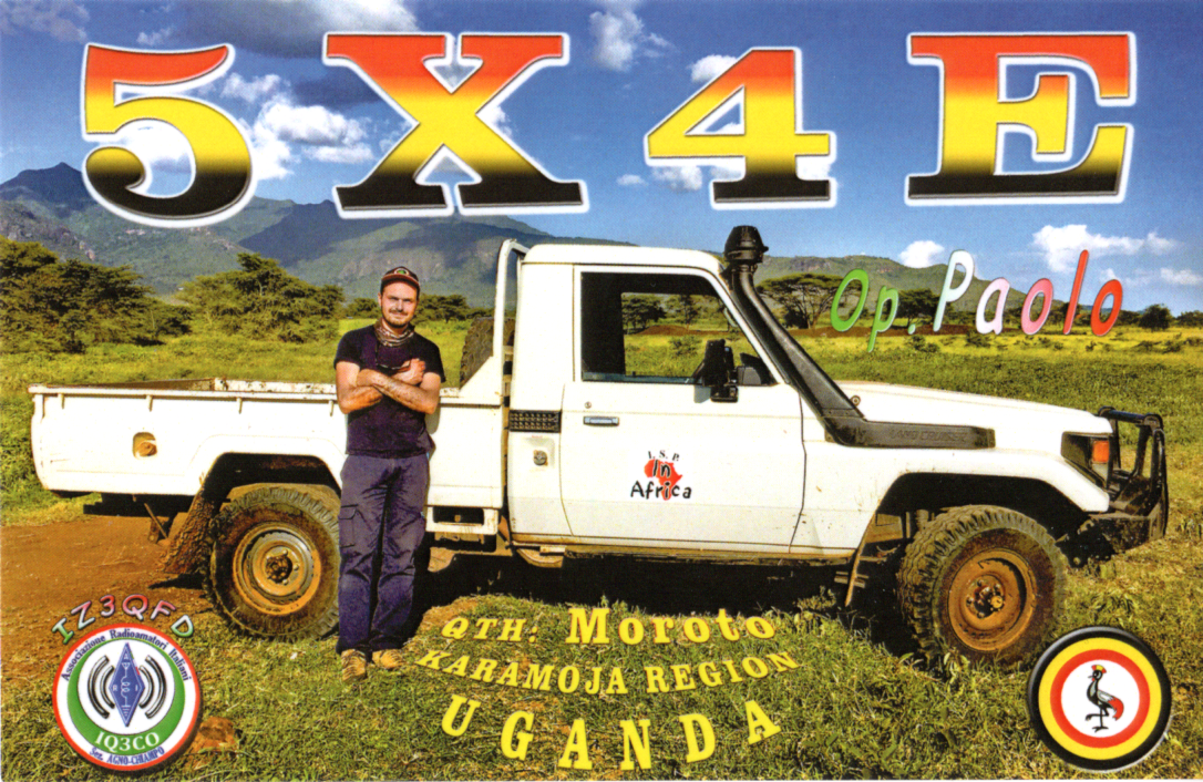
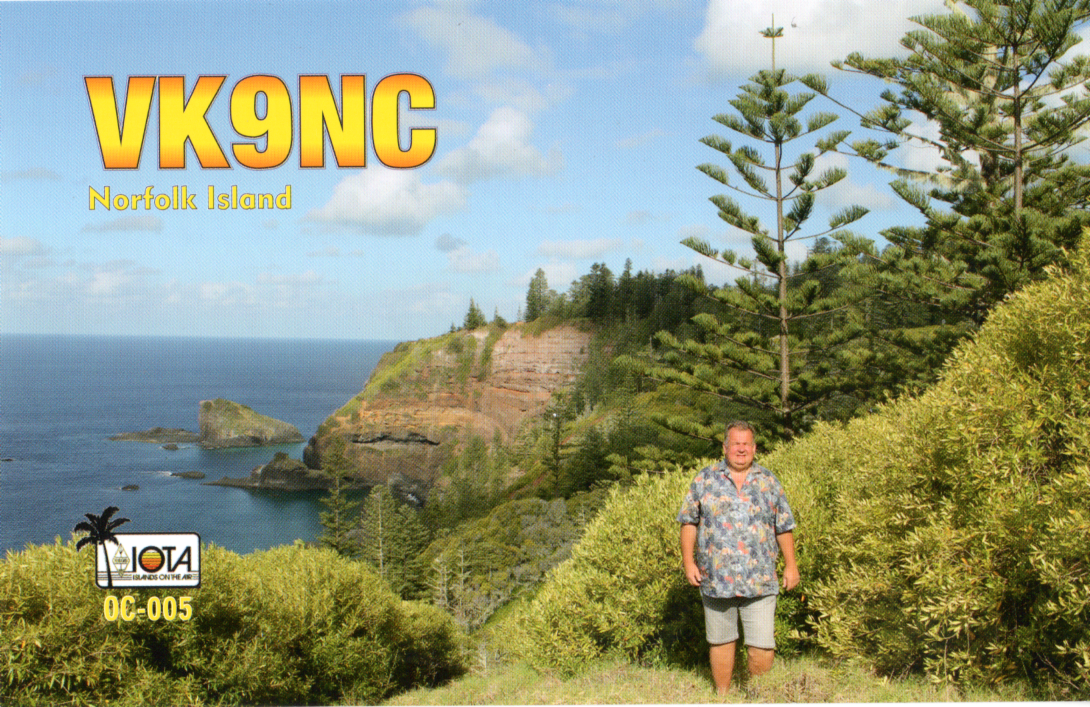
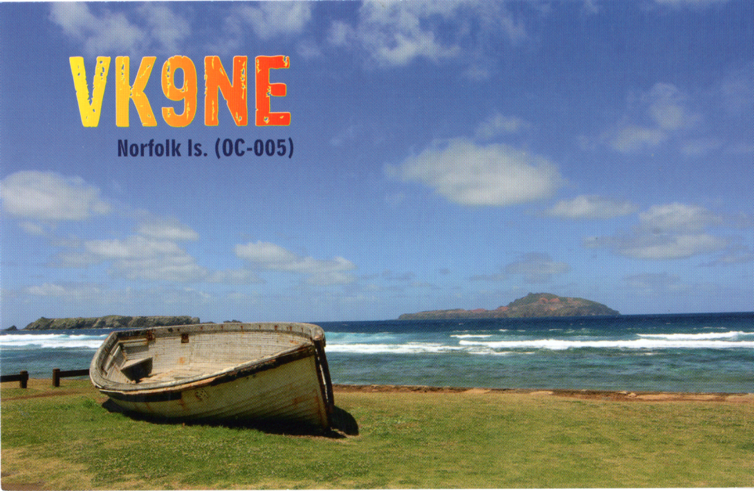
Here are the latest QSL cards received in the mail over the past couple of weeks for VK5MAZ & VK5PAS.

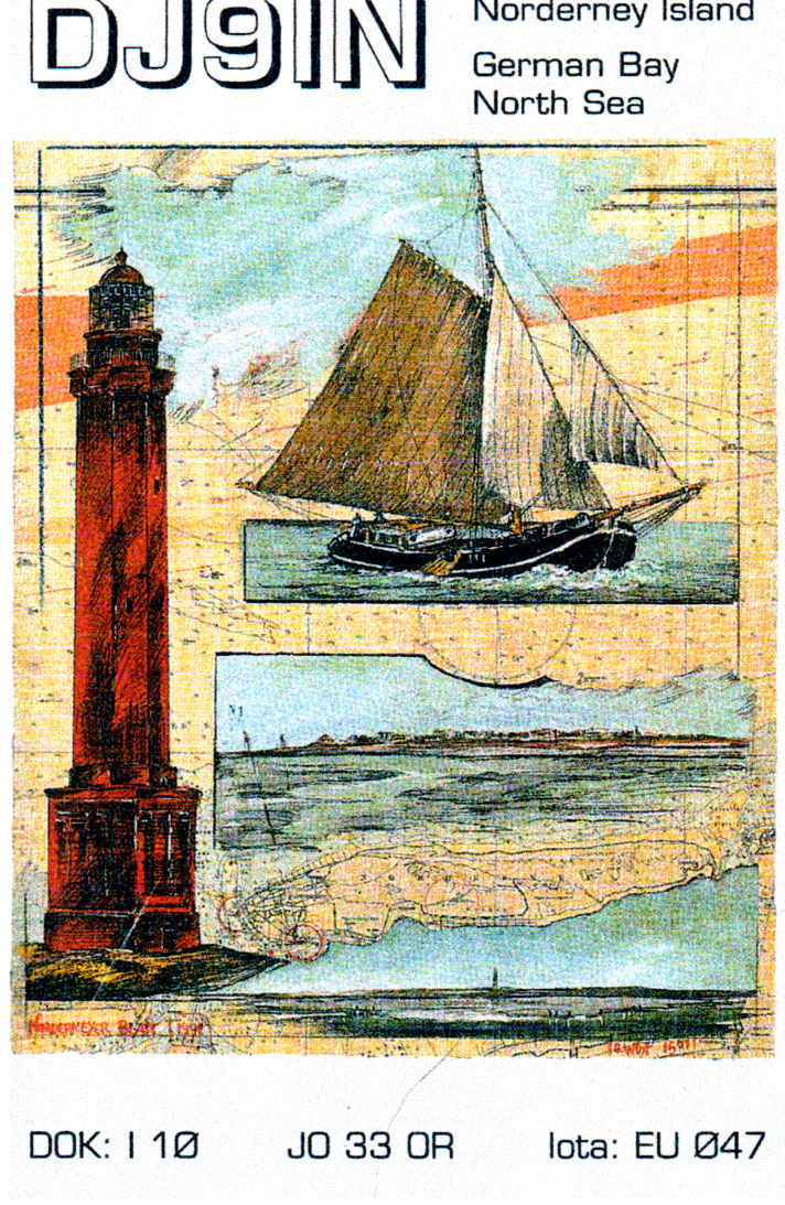
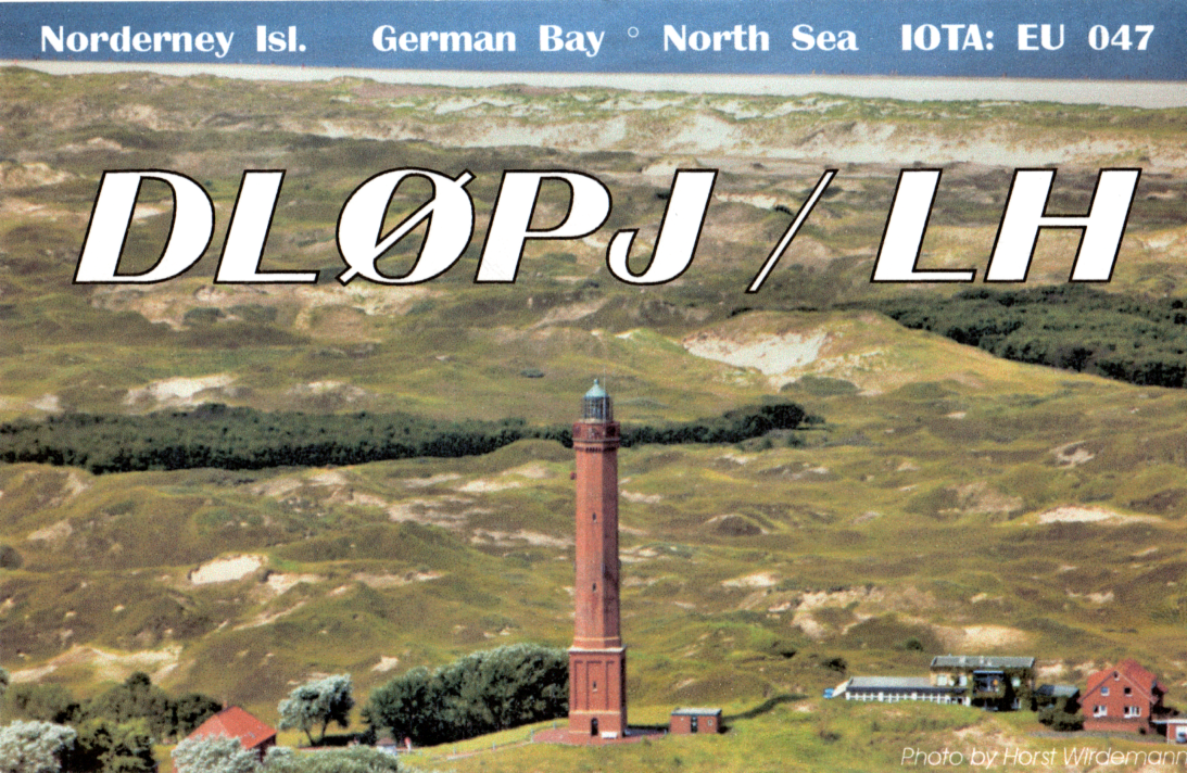


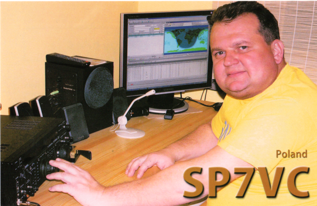
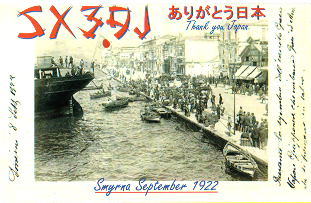
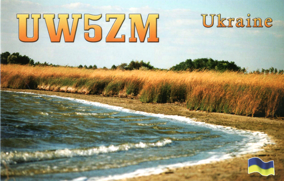
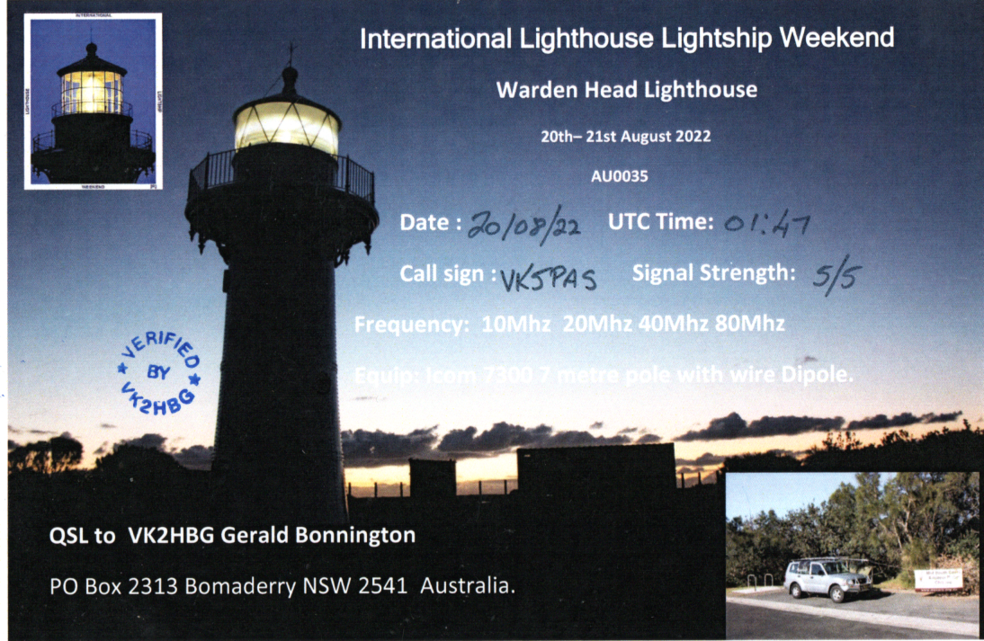


Here are the latest QSL cards received in the mail over the past couple of weeks for VK5MAZ & VK5PAS.
At about 1105 UTC on Wednesday 25th January 2023, I tuned in to China Radio International broadcasting in the English language on 17490kHz.

The broadcast was coming from the Kashi-Saibagh 2022 500 kW transmitter.
The overall reception of China Radio International was good.
| S | I | N | P | O |
| 4 | 4 | 4 | 4 | 4 |
Below is a short video of my reception of China Radio International.
At about 0425 UTC on Wednesday 25th January 2023, I tuned in to NHK World Japan broadcasting in the Japanese language on 17810 kHz.
The broadcast was coming from the Ibaragi-Koga-Yamata 300kW transmitter in Japan.
The overall reception of NHK World Japan was good.
| S | I | N | P | O |
| 4 | 5 | 4 | 4 | 4 |
Below is a short video of my reception of NHK World Japan.
At about 1540 UTC on Tuesday 24th January 2023, I tuned in to the Voice of America broadcasting in the English language on 17895 kHz.
The broadcast was coming from the Pinheira 1000kW transmitter in Sao Tome and Principe.
The overall reception of the VOA was good.
| S | I | N | P | O |
| 4 | 5 | 4 | 4 | 4 |
Below is a short video of my reception of the Voice of America.
At about 1228 UTC on Tuesday 24th January 2023, I tuned in to Radio Ergo broadcasting in the Somali language on 17845 kHz.
The broadcast was coming from the Al-Dhabbiya 250kW transmitter in the United Arab Emirates.
The overall reception of Radio Ergo was fair.
| S | I | N | P | O |
| 3 | 5 | 3 | 4 | 3 |
Below is a short video of my reception of Radio Ergo.
At about 1209 UTC on Tuesday 24th January 2023, I tuned in to Radio Romania International broadcasting in the English language on 17800 kHz.

The broadcast was coming from the Galbenia-Bacau 300kW transmitter in Romania.
The overall reception of Radio Romania International was fair.
| S | I | N | P | O |
| 3 | 4 | 3 | 4 | 3 |
Below is a short video of my reception of Radio Romania International.
At about 1146 UTC on Tuesday 24th January 2023, I tuned in to Mizzima Radio broadcasting in the Burmese language on 17730 kHz.
The broadcast was coming from the Al-Dhabbiya 2500kW in the United Arab Emirates.
The overall reception of Mizzima was fair.
| S | I | N | P | O |
| 3 | 4 | 3 | 4 | 3 |
Below is a short video of my reception of Mizzima Radio.
At about 1126 UTC on Tuesday 24th January 2023, I tuned in to Radio Algerienne Holy Quran broadcasting in the Arabic language on 17600 kHz.

The broadcast was coming from the Bechar 300kW transmitter in Algeria.
The overall reception of Radio Algerienne Holy Quran was fair.
| S | I | N | P | O |
| 3 | 5 | 3 | 4 | 3 |
Below is a short video of my reception of Radio Algerienne Holy Quran.
At about 1617 UTC on Tuesday 17th January 2023, I tuned in to Radio Ethiopia broadcasting in the Amharic language on 7110 kHz.
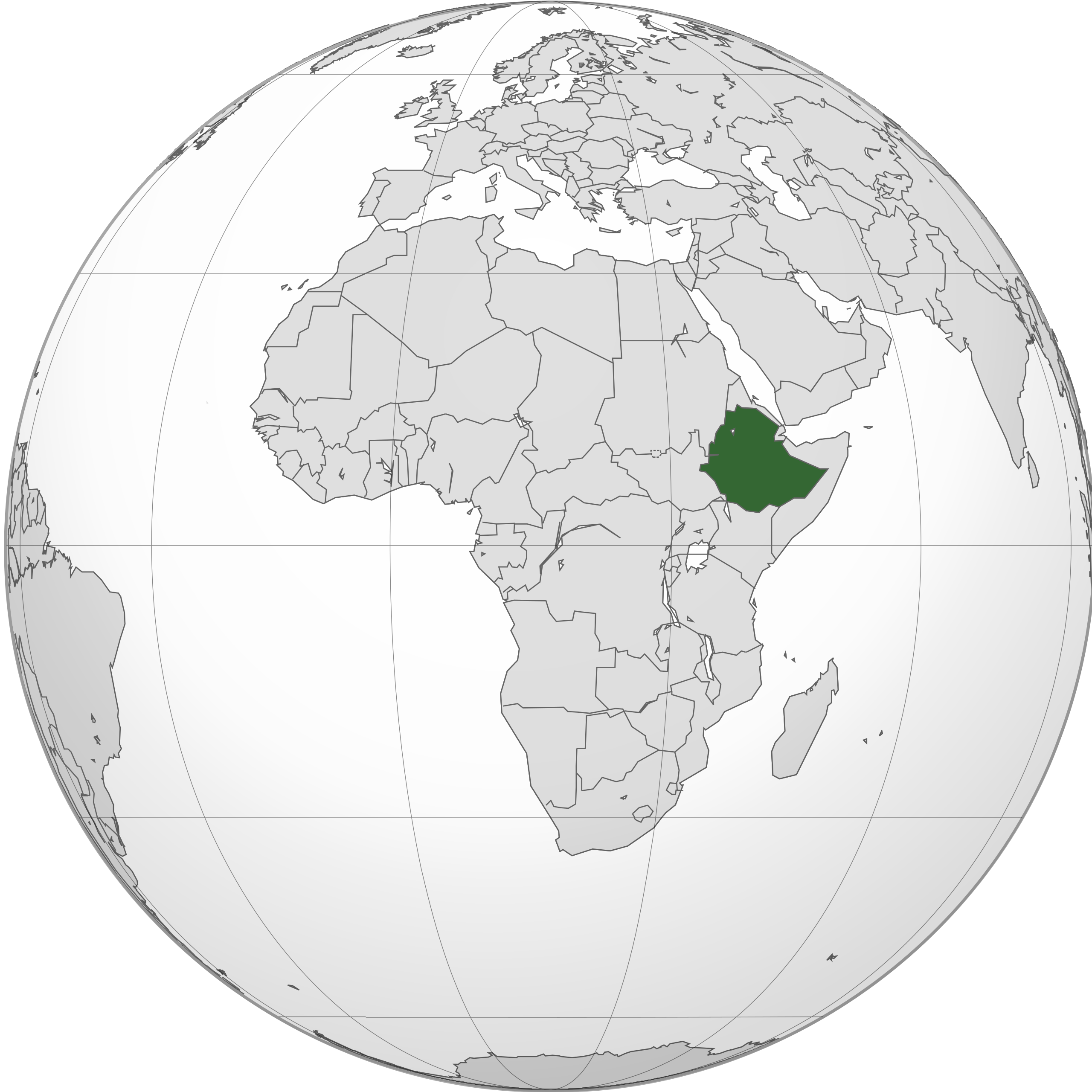
The overall reception of Radio Ethiopia was good. There was a slight screeching sound on the frequency.
| S | I | N | P | O |
| 4 | 4 | 4 | 4 | 4 |
Below is a short video of my reception of Radio Ethiopia.
At about 1312 UTC on 11th January 2023, I tuned in to Reach Beyond Australia broadcasting on 15380 kHz in the English language.
The broadcast was coming from the Kununurra 100kW transmitter in Western Australia.
The program consisted of music and religious content.
The overall reception of Reach Beyond Australia was excellent. The signal strength was excellent and there was no interference and no fading.
| S | I | N | P | O |
| 5 | 5 | 5 | 5 | 5 |
Below is a short video showing my reception of Reach Beyond Australia.
Amateur Radio, Short Wave Listening, travel and history
Amateur radio experiences with VK1DA
Brisbane - Australia
german amateur radio station
Summits On The Air
SOTA on the peaks, wilderness QRP and some bushwalking
A fine WordPress.com site
Amateur Radio Adventures
Summits on the Ai
Amateur radio station from Belgium
Radio craft, homebrew, QRP/SOTA, AM
Ego loqui ad viros super montes
My adventures with Amateur Radio and Geocaching!
The rantings of VK2GAZ on his SOTA experiences in Australia
A survivor, with minor cuts and abrasions.
The Art and Craft of Blogging
The latest news on WordPress.com and the WordPress community.
Blog of Justin Giles-Clark VK7TW's SOTA and amateur radio adventures.
Occasional SOTA & Microwave operation
