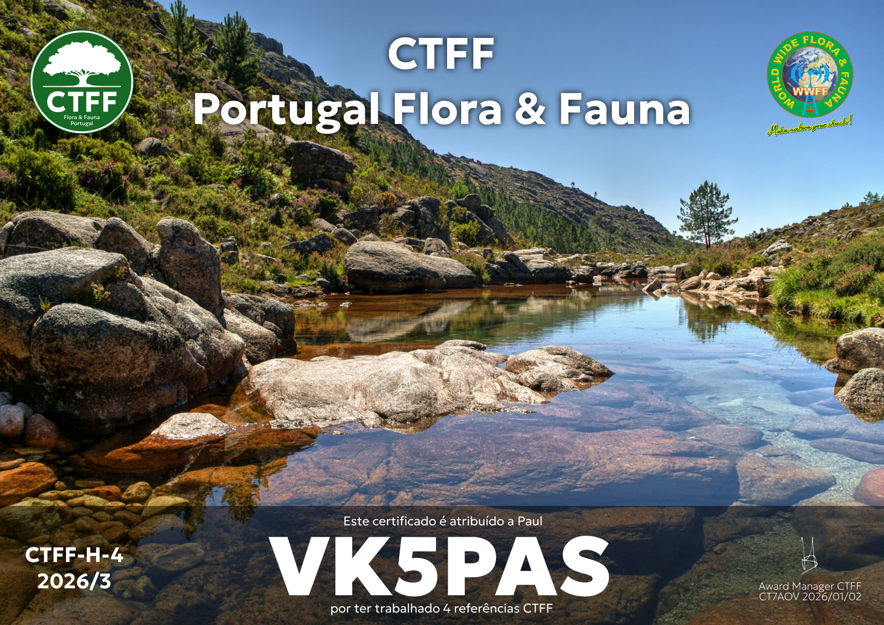
A few days ago, I received the certificate below from the CTFF Portugal team.
It is issued for having worked at least 4 CTFF references.
Thanks to all of the Portuguese activators, and thank you to Hugo CT7AOV, the Awards Manager.

A few days ago, I received the certificate below from the CTFF Portugal team.
It is issued for having worked at least 4 CTFF references.
Thanks to all of the Portuguese activators, and thank you to Hugo CT7AOV, the Awards Manager.
A few days ago, I received the following from Radio Taiwan International.

Dear Listener,
On the occasion of the Lunar New Year, the Vietnamese Section wishes you abundant health, peace, and happiness. We hope you will continue to support and accompany the Vietnamese Section.
Sincerely,
On behalf of the Vietnamese Section,
Le Phuong
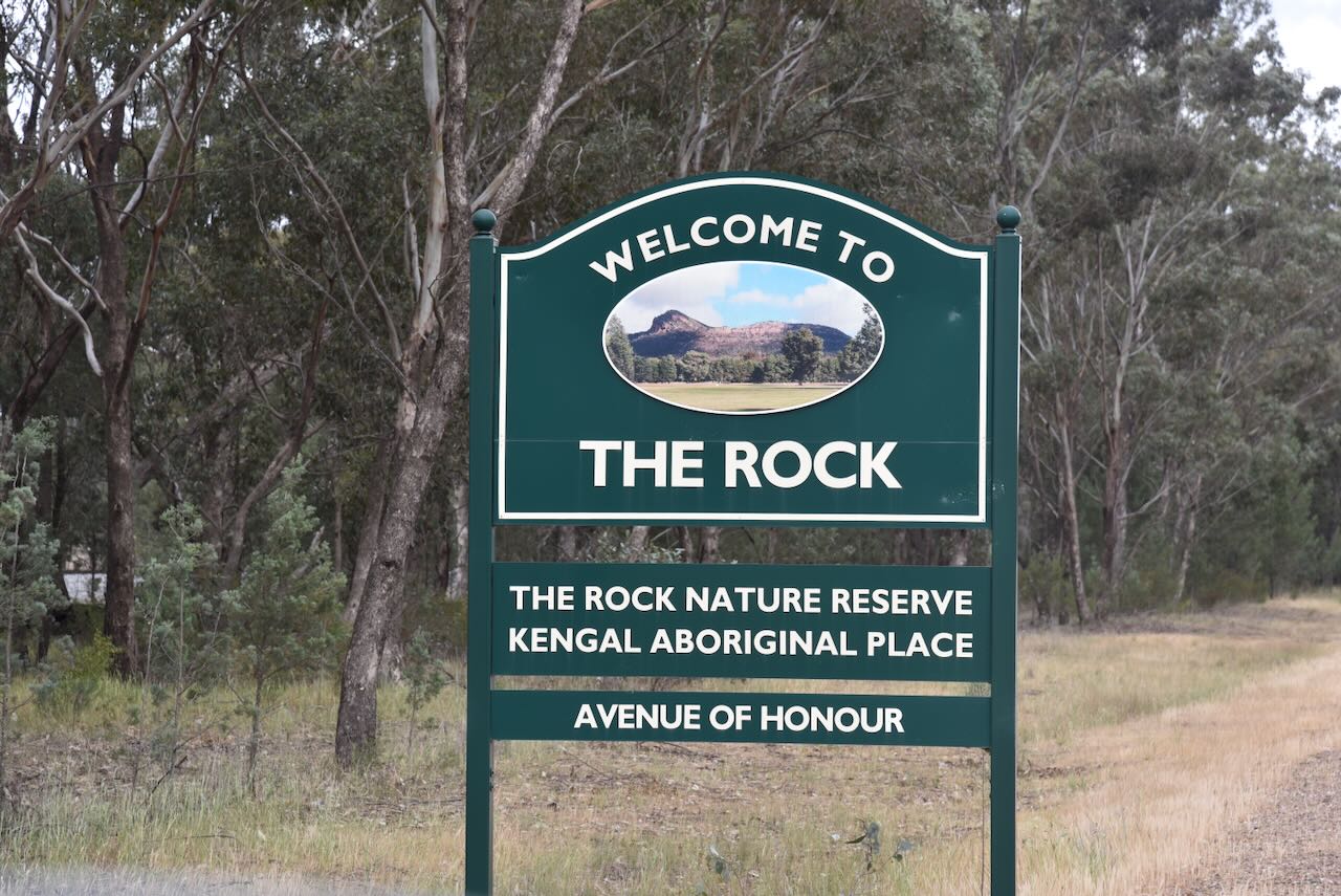
Our next activation for Wednesday, 22nd October 2025, was The Rock Nature Reserve VKFF-2002. The Rock is located in the southern Riverina of New South Wales, about 30 km southwest of Wagga Wagga, and about 482 km southwest of the city of Sydney.
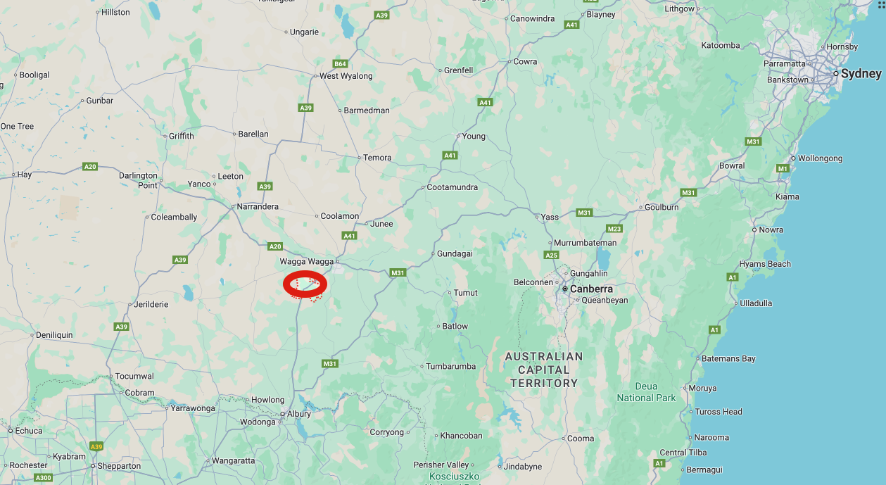
Above: Map showing the location of The Rock, NSW. Map c/o Google Maps
The township of The Rock takes its name from the large rocky hill that overlooks the town. The Rock is located in the traditional lands of the Wiradjuri Aboriginal people. The Aboriginal name for the summit is Kengol. The name of the creek just to the south of the reserve is known as Yerong, which is a corruption of the words ‘yirrang’ or ‘irang’ meaning ‘a place of initiation’ or ‘tooth’. It has been suggested that initiation ceremonies were held at The Rock, where young male Aboriginals had their front teeth knocked out. Tooth ablation has been recorded in several ancient and modern societies around the world. (NSW NPWS 2000) (Wikipedia 2022) (Wikipedia 2025)
The first known European in the district was the explorer Captain Charles Sturt, who in 1829, noticed a large overhanging rock on a summit. It became known as The Hanging Rock. On the eastern side of the summit was a spectacular overhang. (NSW NPWS 2000) (smh.com.au 2025)

Sturt wrote in his journal:
“ Sunday, December 7th: Passed at the base of some small hills shortly after leaving our encampment, the last of the elevations to the Westward – Altho’ of no great height, the view from them was extensive and enabled me to keep up my bearings. There was a broken and lofty country to the E.S.E. while to the North East and North it was comparatively flat, but from the last point to the Westward the eye wandered over woodland alone, if I except a solitary hill that bore by compass S 53 W. At about 12 miles distance, and a remarkable Mountain (Kengal) bearings S 32 W– travelled about ten miles on a W by N Course and halted on the Banks of the River………”.
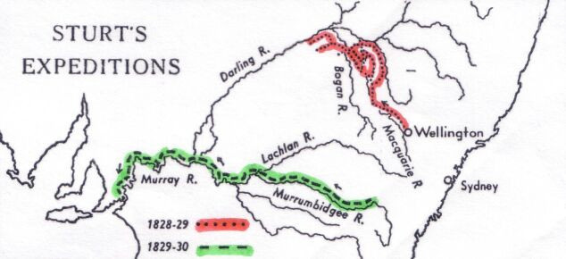
Above: Map showing the 1829 Charles Sturt expedition (in red). Image c/o Wikipedia
In 1847, James Eagan Wall held the licence for the Hanging Rock Run comprising about 60,000 acres. James was born in 1814 in Galway, Ireland. He emigrated to Australia in c. 1843, and in January 1845, he married Emma Anne Tooth. They initially lived at Tumut, and by 1847, they had moved to Hanging Rock Station, where they built a homestead. James was a mail contractor operating out of Wagga Wagga. He was a qualified chemist and also practised as a Doctor. (ancestry 2016) (NSW NPWS 2000) (smh.com.au 2025) (WWDHS 2025)
Many years after leaving Hanging Rock, Wall was arrested and charged with manslaughter in 1881. He carried out an abortion procedure on a young woman who died. He was subsequently found guilty in January 1882 and imprisoned for 12 months. (Trove 2026)
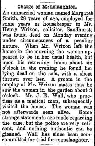
Above: article from the Newcastle Morning Herald, Mon 8 Aug 1881. Image c/o Trove
In October 1858, Wall had transferred his run to Susannah E Brown. Later that year, in December 1858, Wall was declared insolvent with debts of £997 and assets of £751. (WWDHS 2025)
In 1862, the area around The Rock was surveyed, and the immediate surrounds were gazetted as a crown reserve. (NSW NPWS 2000)
In 1863, the summit was recorded on a map as ‘Kengal’, although the European settlers referred to the summit as The Hanging Rock. (NSW NPWS 2000)
In February 1873, John King had purchased the Hanging Rock Run, along with 800 head of cattle. (WWDHS 2025)
John Thomas King was born in June 1825 in Cobbitty, New South Wales. In 1853, he married Isabella Elizabeth Cox in Albury, New South Wales. They had 11 children. (ancestry 2016)
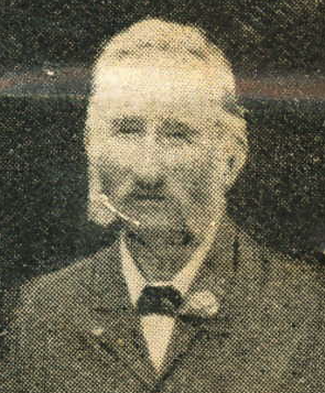
Above: John King. Image c/o ancestry.com.au
In 1874, the overhanging rock collapsed. The falling rock cut a swathe through the timber on the eastern side of the summit. Pieces of this large rock can still be seen today. (NSW NPWS 2000) (smh.com.au 2025)
The first known hotel was the Hanging Rock Hotel. The licence for the hotel was issued in December to Mary Ann Hines in 1879. Mary Ann Cox was born in 1837 in Sydney. She married Abraham Thomas Hines in 1854 in Sydney. They had 7 children. Abraham died in 1876, 3 years before the hotel licence was granted. By early 1880, Frederick ‘Fred’ Hines was managing the hotel for his mother. It appears the hotel ceased trading in the middle of 1880. (ancestry 2016) (WWDHS 2025)
In February 1880, Fred had left Wagga Wagga in a sprint cart loaded with goods and called in to the Hawkins Hotel. He spoke with a female at the bar who asked him for a ride. During the journey, the female asked to take the reins, and the cart subsequently rolled. The female was killed. An inquest was held before Mr District Coroner Tompson at the Drover’s Arms Hotel, Wagga Wagga. The jury returned the following verdict, exonerating Fred of any blame in the matter:
“that deceased met her death on the 12th of February instant, by the accidental upsetting of a loaded cart, which fell on her and caused her death by suffocation…’ (Trove 2026)
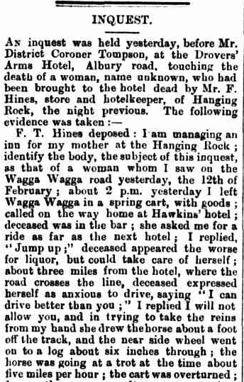
Above: part of an article from the Wagga Wagga Advertiser, Sat 14 Feb 1880. Image c/o Trove
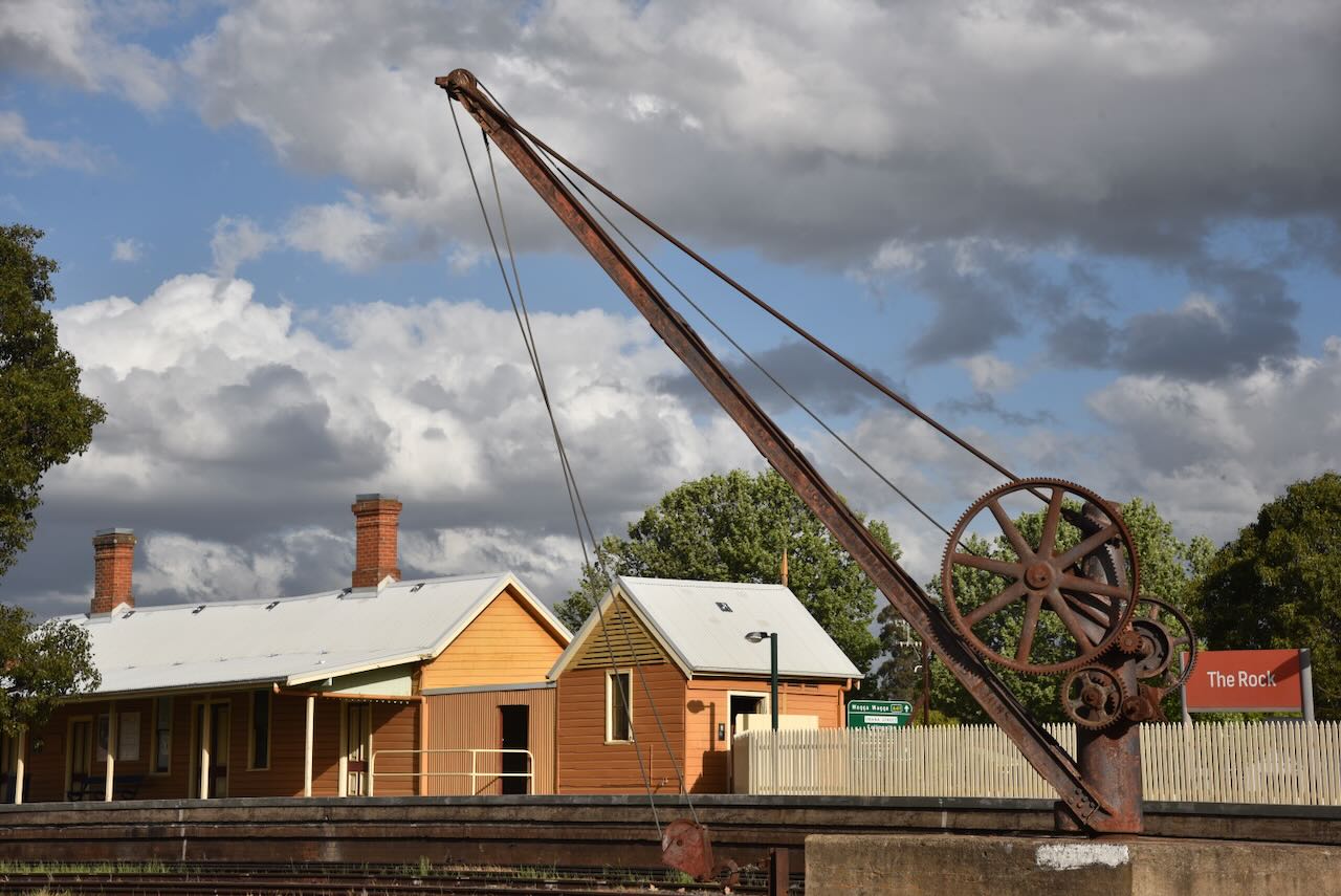
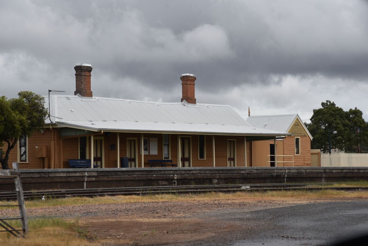
In 1880, the railway arrived. The railway station was opened on the 1st day of September 1880 and was initially known as Hanging Rock. It was renamed Kingston on the 28th day of December 1882, and The Rock on the 10th day of February 1883. In 1999, the railway station was added to the New South Wales State Heritage Register. (smh.com.au 2025) (Wikipedia 2025)
The King’s Own Hotel was established in 1881. But it was not without some opposition from the locals. In September 1881, a petition was delivered opposing the granting of the licence. (smh.com.au 2025)
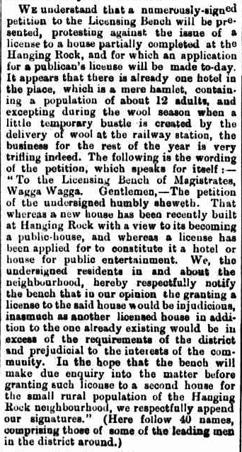
Above: an article from the Wagga Wagga Advertiser, Tue 13 Sept 1881. Image c/o Trove
The Licensing Bench subsequently sat and heard the application of John McDonough. Despite the objections of the locals, the licence was granted. (WWDHS 2025)
The current building, which no longer trades as a hotel, was built in the mid-1870s.
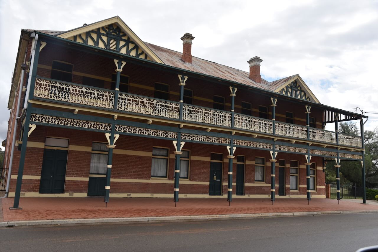
In 1882, the town was gazetted as Hanging Rock. (smh.com.au 2025)
The Rock Post Office opened on the 1st day of September 1890. Prior to 1919, the town was known as Kingston. (NSW NPWS 2000) (Wikipedia 2022)
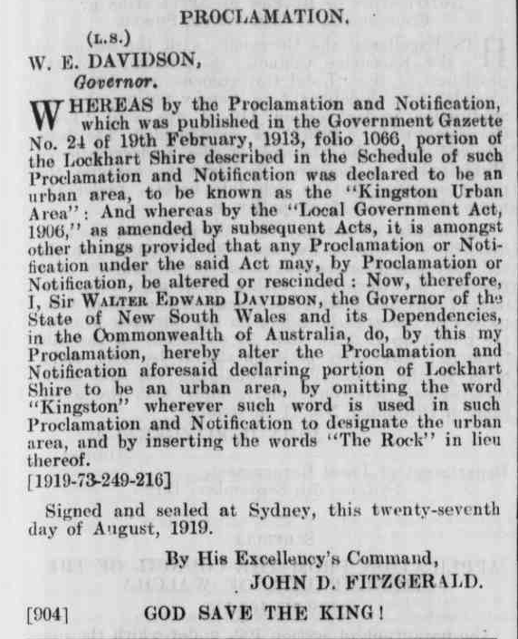
Above: Proclamation in the NSW Govt Gazette, 5th September 1919. Image c/o Trove
In 1891, quarrying commenced around the base of The Rock summit to provide ballast for the Sydney-Melbourne railway. Quarrying continued until about 1940. (NSW NPWS 2000)
By 1893, John King, the owner of the Hanging Rock run, had been declared bankrupt. His demise was due to the collapse of the Australian banks in 1893, which was a result of over-investing during the 1880s. (WWDHS 2025)
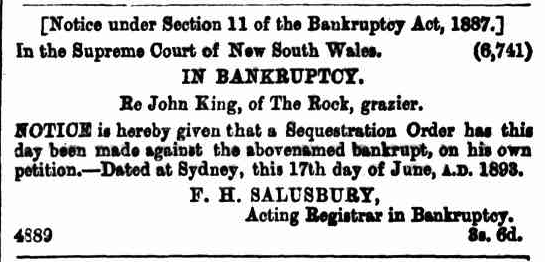
Above: Notice of bankruptcy, NSW Govt Gazette, Tue 20 Jun 1893. Image co Trove
John King died in August 1906 at Kingsleigh, The Rock. He was 81 years old. Upon his death, the Wagga Wagga Express newspaper reported:
“highly respected by all who knew him, and, in his old age, venerated as one foremost amongst the sturdy pioneers, who did so much to reclaim this rich district, and make it what it is…”
In 1911, the Hanging Rock Run, which had been renamed The Rock Estate, was broken up and sold into 47 blocks, which ranged from 68 to 500 acres. (NSW NPWS 2000)
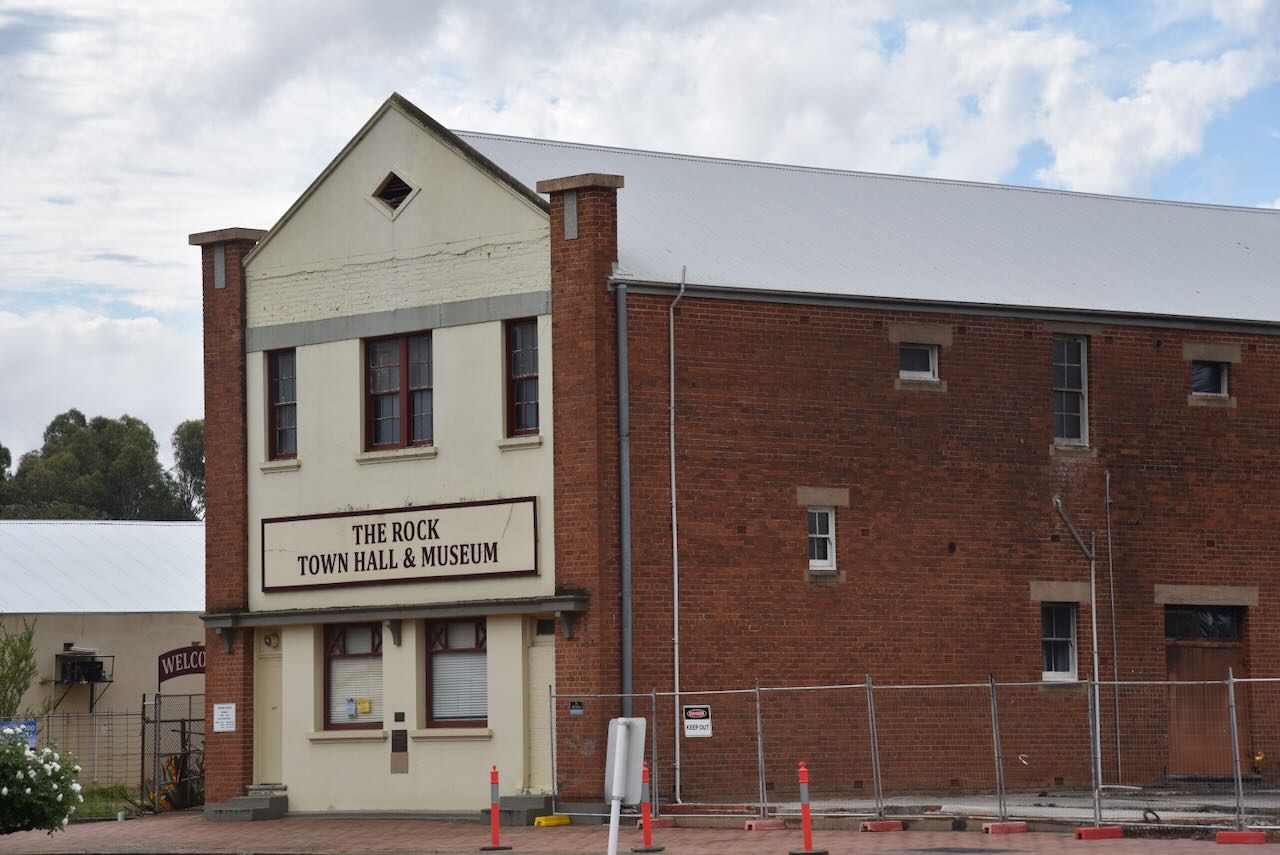
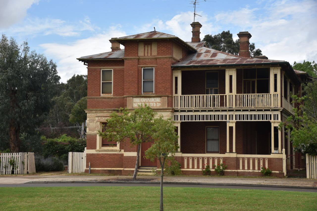
Other than some of the hotels I have already mentioned, several other historic buildings remain in The Rock.

The Rock Nature Reserve is located about 6 km west of the township of The Rock. The reserve is about 340 hectares in size. (NSW NPWS 2000)
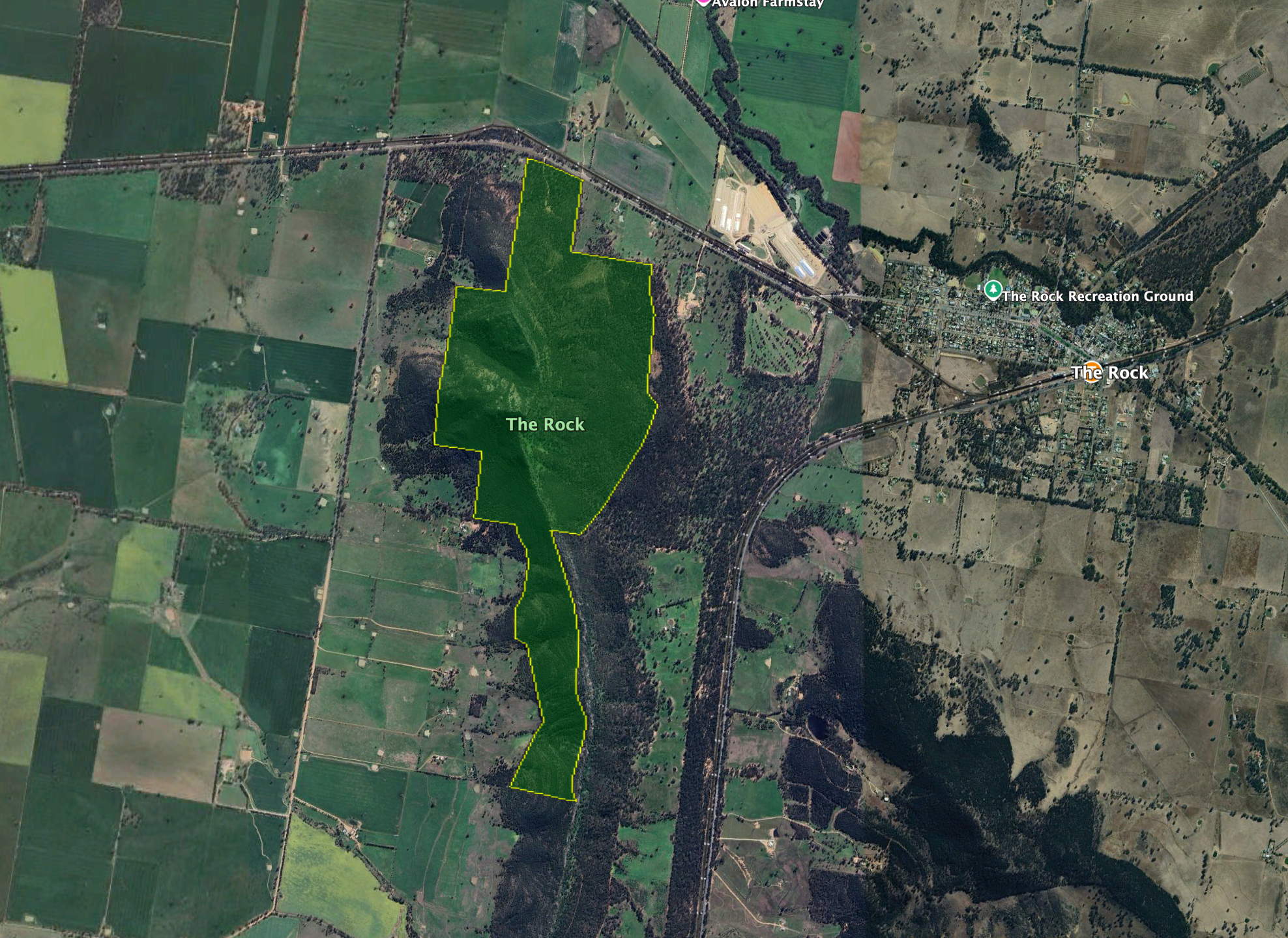
Above: the boundaries of The Rock Nature Reserve. Image c/o Google Earth
The Rock Nature Reserve was first gazetted in August 1962 with an area of about 271 hectares. In June 1970, an additional 70 hectares were added. (NSW NPWS 2000)
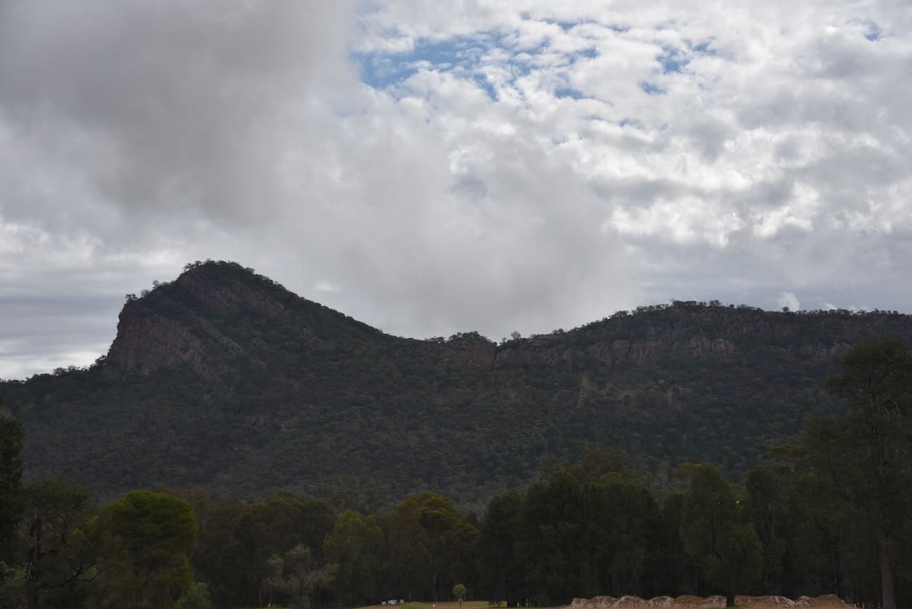
The Rock Nature Reserve is an important area for the protection of Senecio garlandii, which is a perennial shrub that is classified as vulnerable. It is one of the few protected areas where this species grows. The threatened plant species, the Woolly Ragwort, also grows in the reserve. (NSW NPWS 2000)


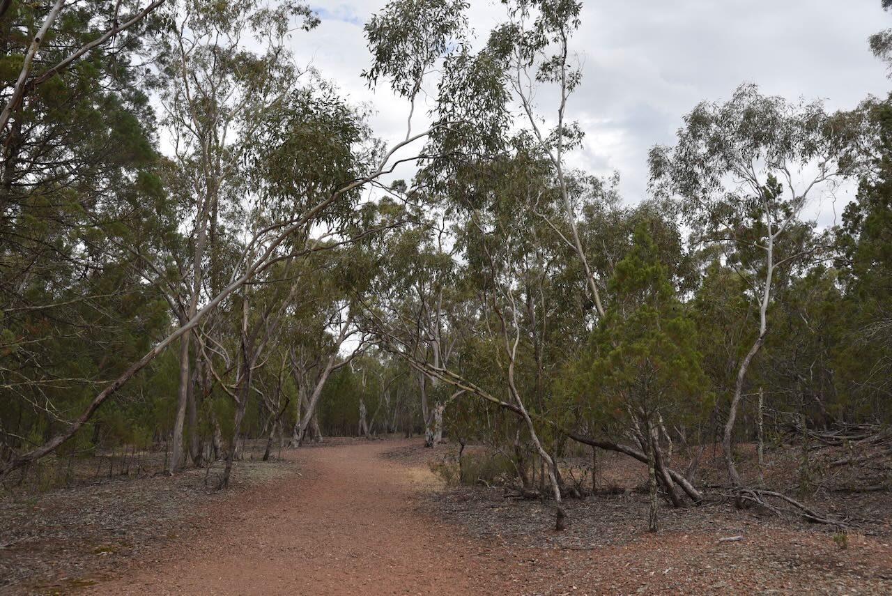
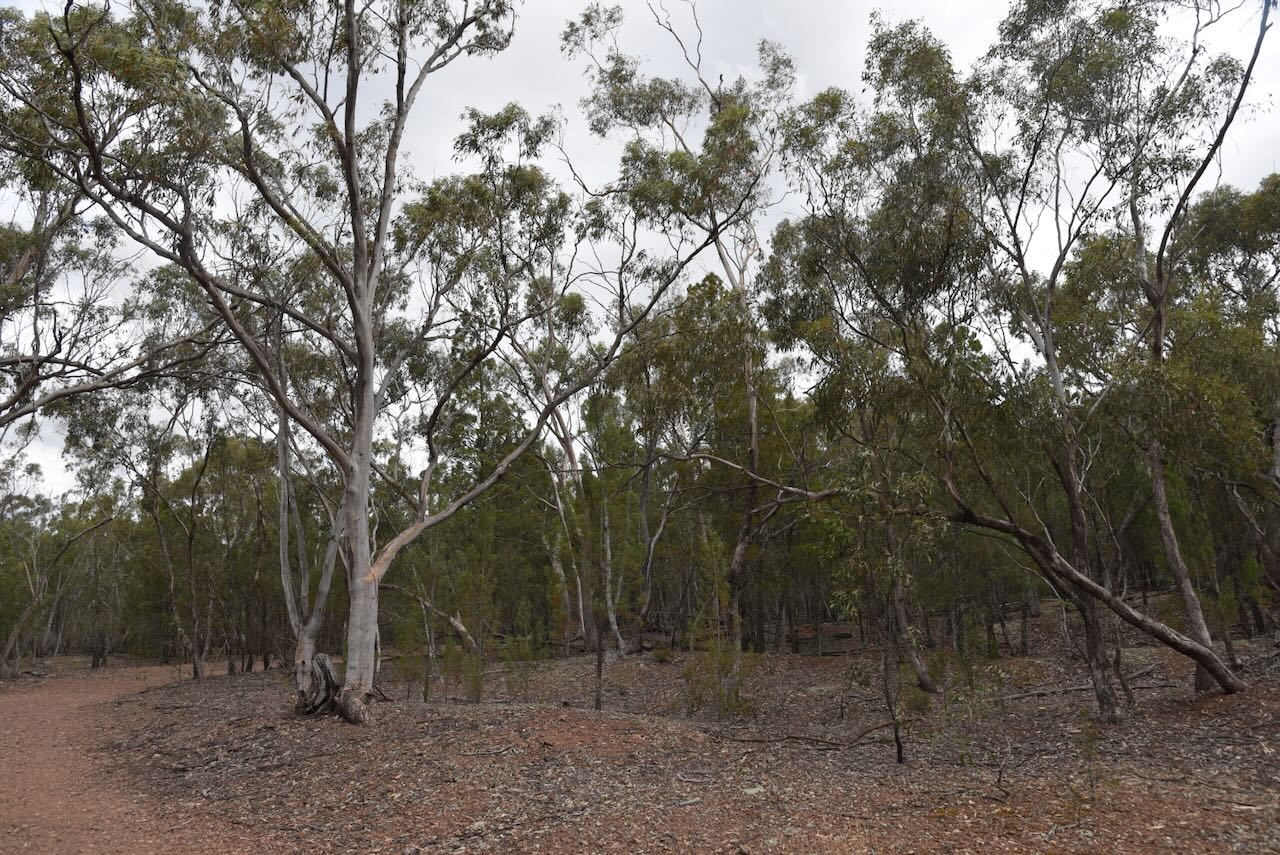

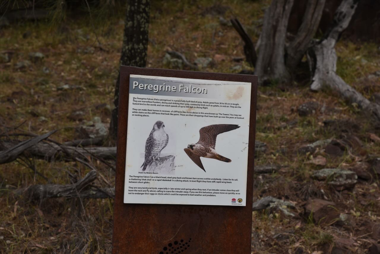
Over 100 species of birds have been recorded in the reserve. This includes the vulnerable listed Turquoise Parrot, the Pink Robin, and the Glossy Black-Cockatoo. Peregrine Falcons nest in the rocky outcrops. (NSW NPWS 2000)
The reserve is home to threatened mammal species, including the Squirrel Glider and the Greater Long-eared Bat. Other native mammals include the Grey Kangaroo, echidna, Common Ringtail possum, Common Brushtail possum, Yellow-footed Antechinus, and the Swamp Wallaby. (NSW NPWS 2000)
Reptiles include the Lace Monitor, Gould’s Goanna, Bearded Dragon, and several species of skinks and Geckos. (NSW NPWS 2000)
The Rock summit is about 364 metres above sea level. It qualifies for the Summits On The Air (SOTA) program. From the top, you can view Galore Hill, and on clear days, you can view Mount Kosciuszko, the Victorian Alps and the Bogong Range. (NSW NPWS 2000)
We set up in the picnic area. We ran the Yaesu FT857, 40 watts, and the 20/40/80m linked dipole.
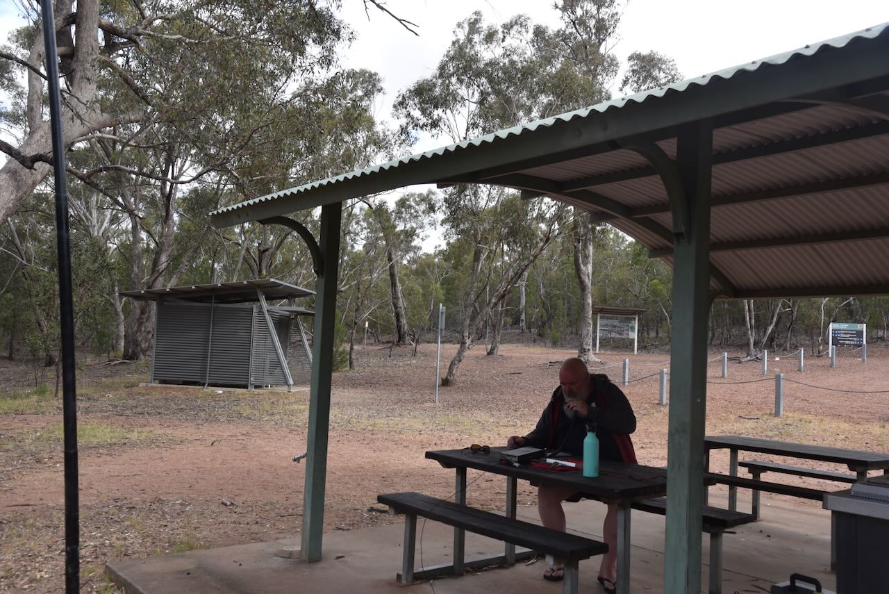
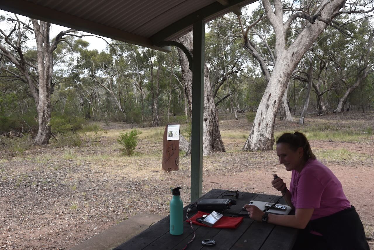
While I was activating, Marija went for a walk up the summit.
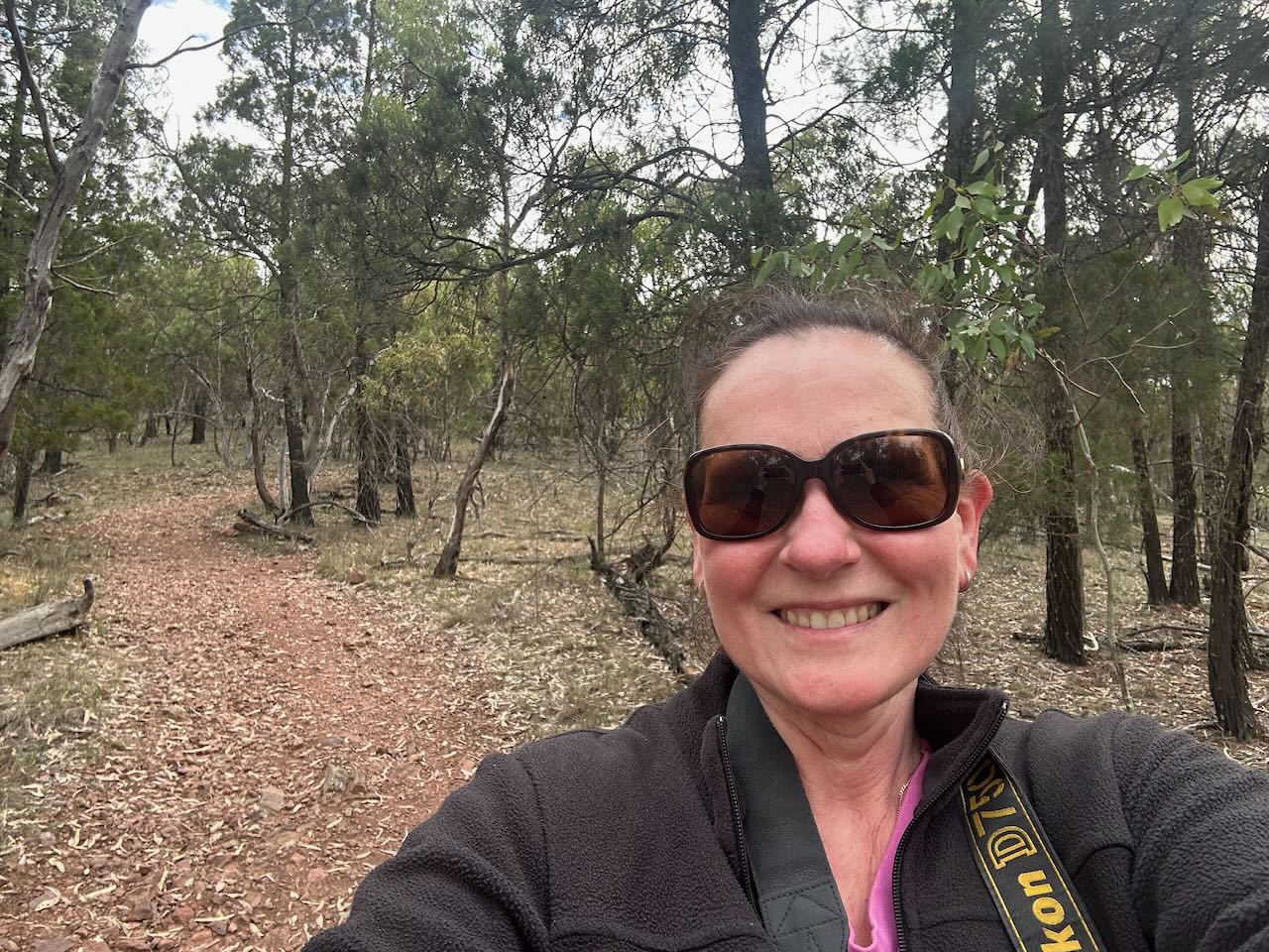
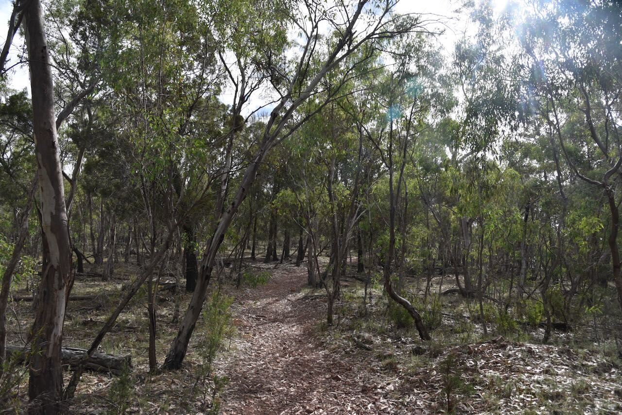
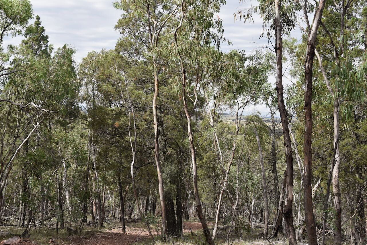
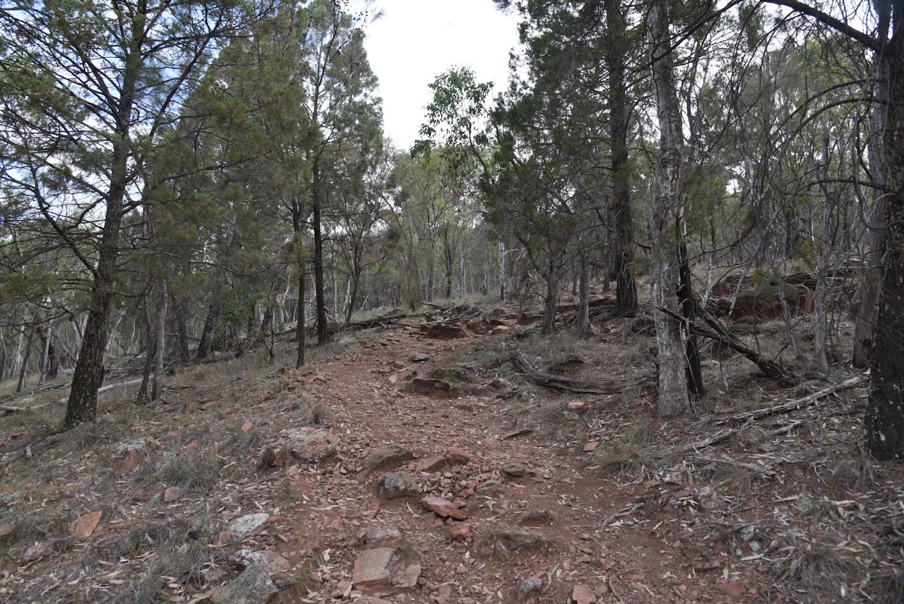
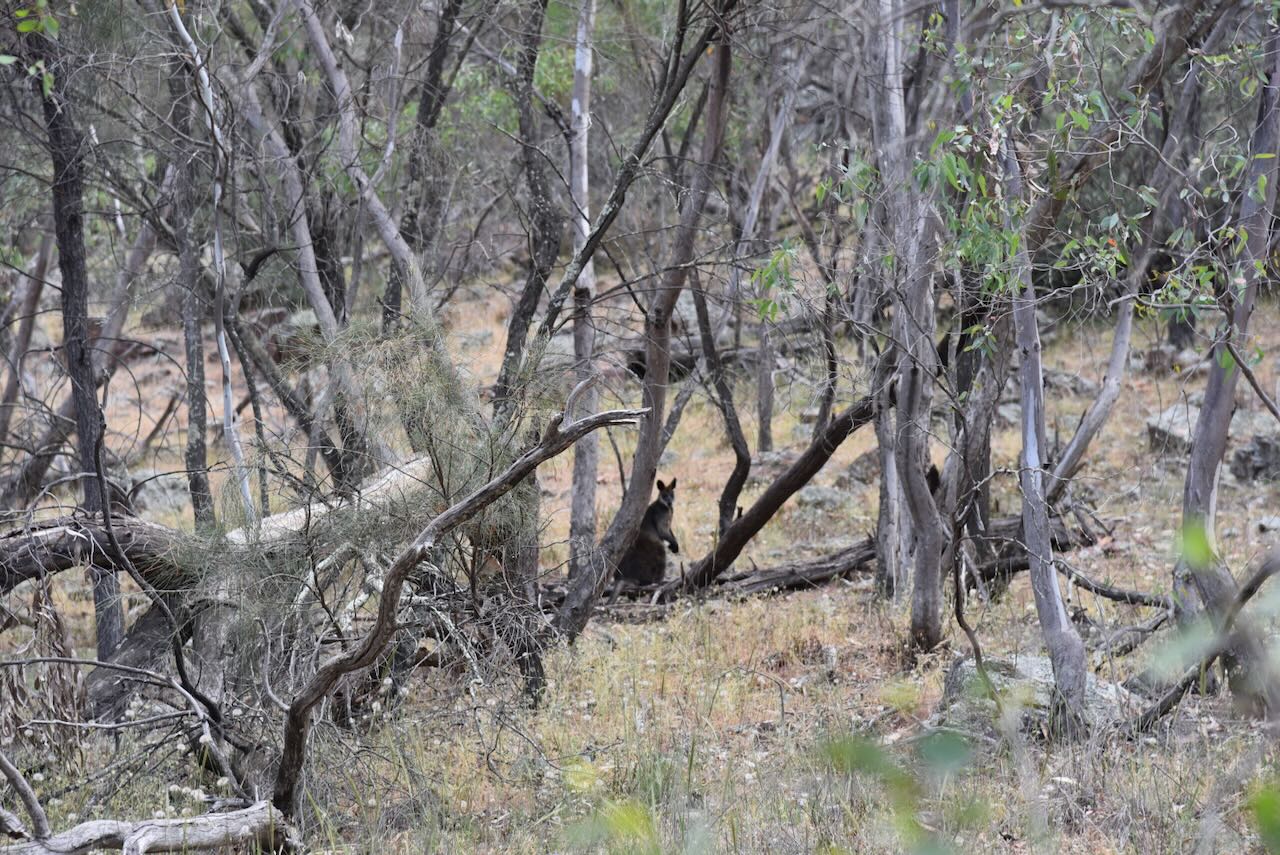
On the way up, Marija spotted several kangaroos and wallabies.
Marija informed me that the track got progressively harder, and she encountered an experienced local who informed her that the final stage was extremely difficult. As a result, Marija decided to turn back.
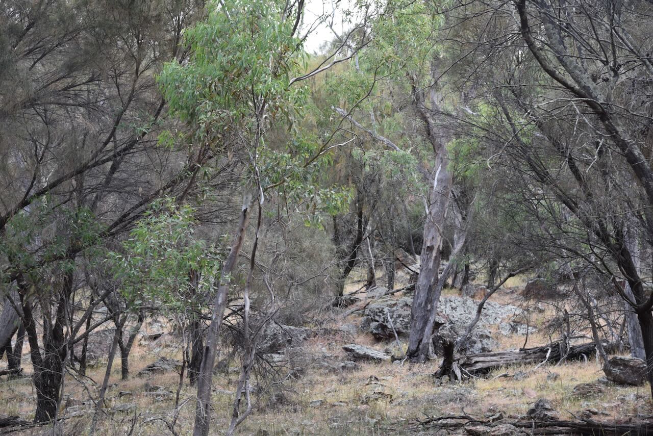
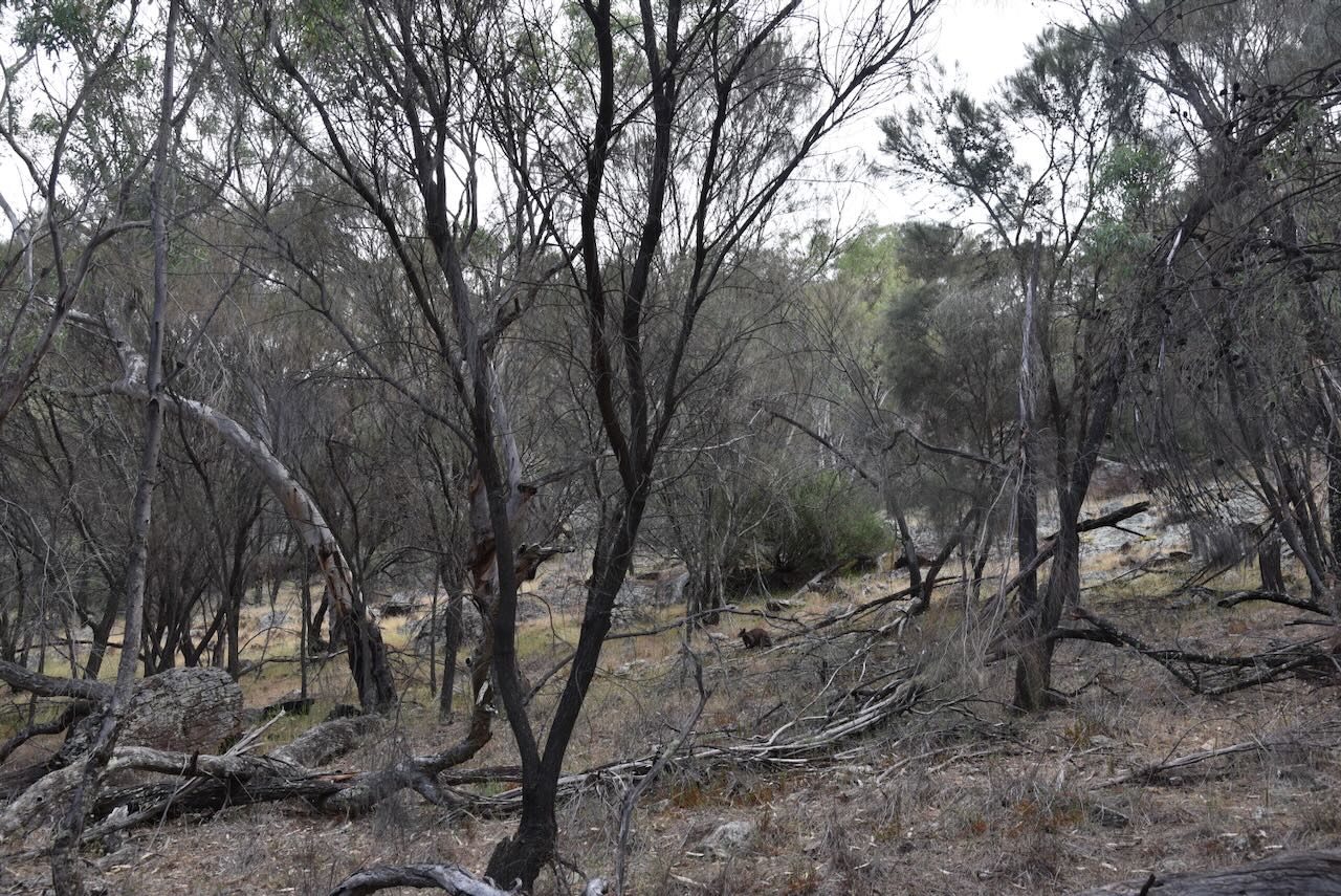
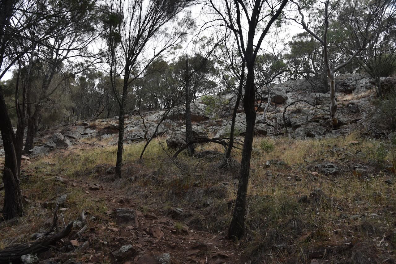
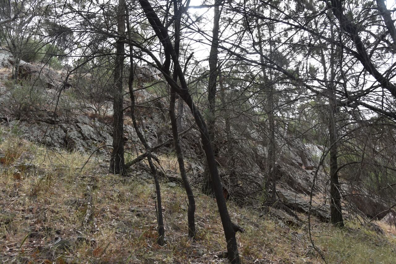
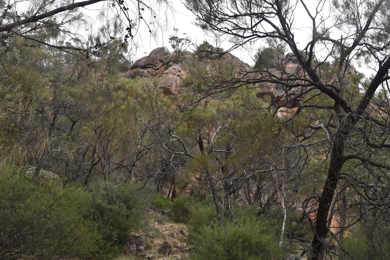

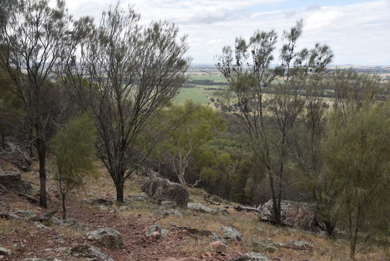
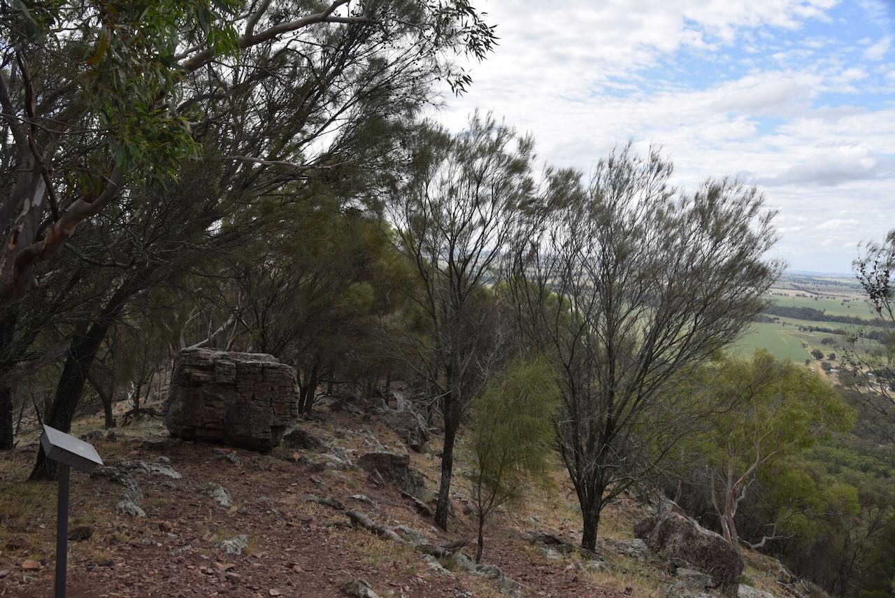


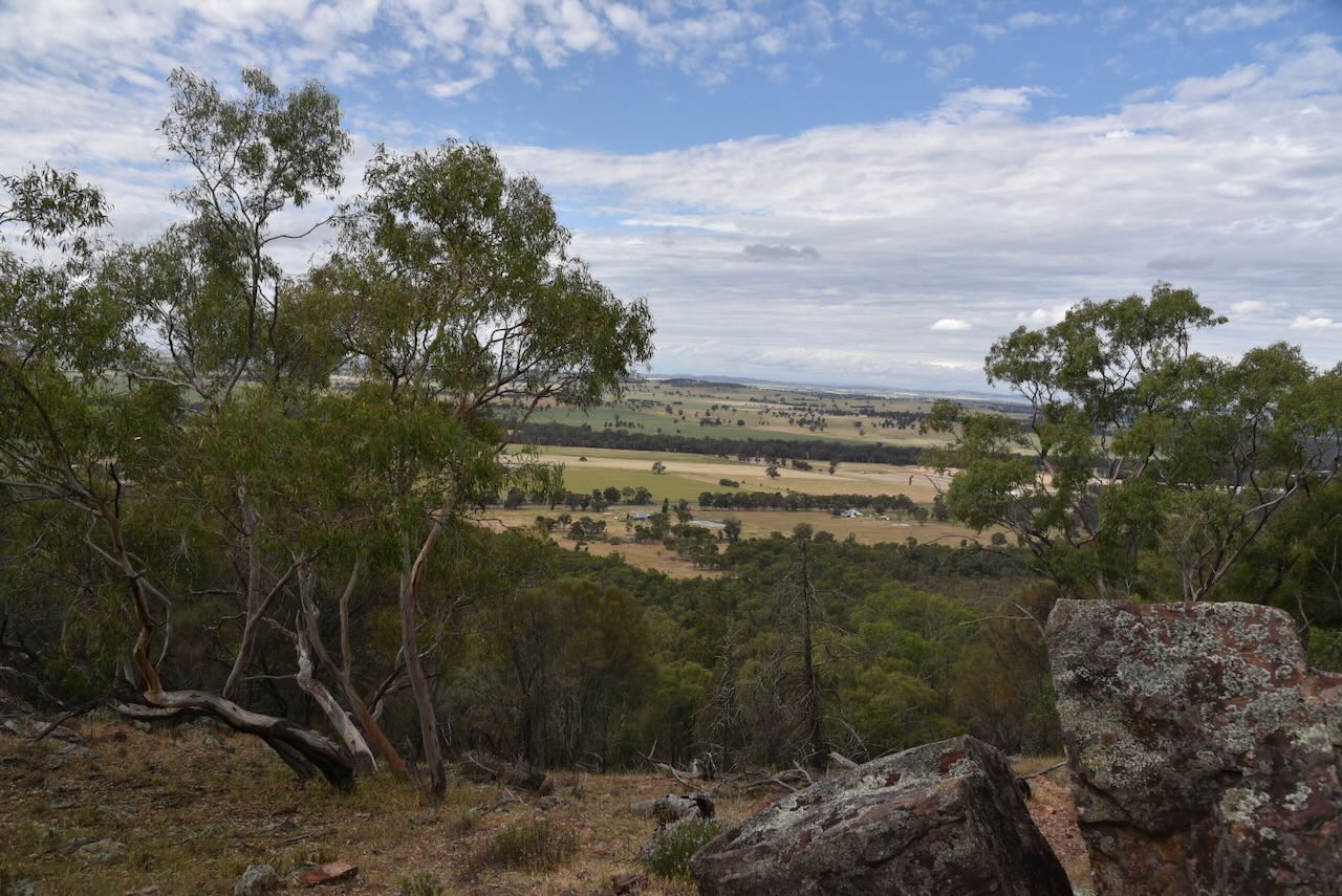
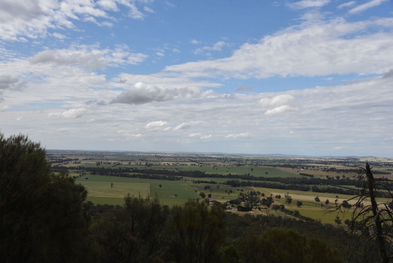
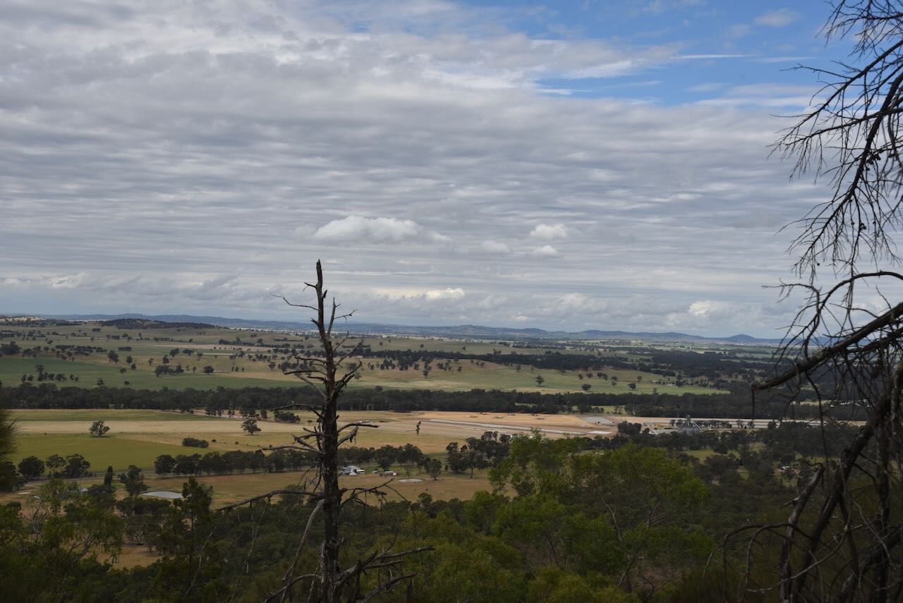
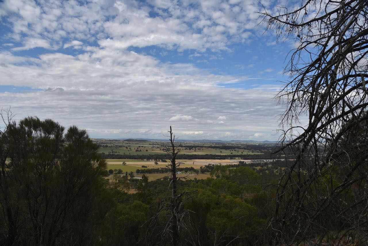
Despite not reaching the top, Marija did enjoy some amazing views of the surrounding countryside.
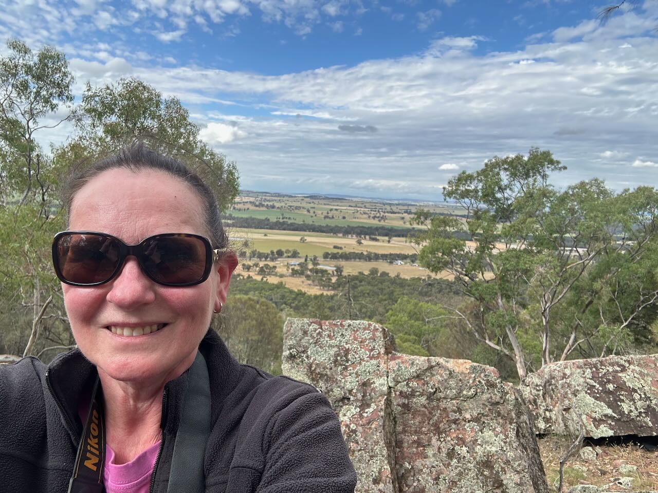
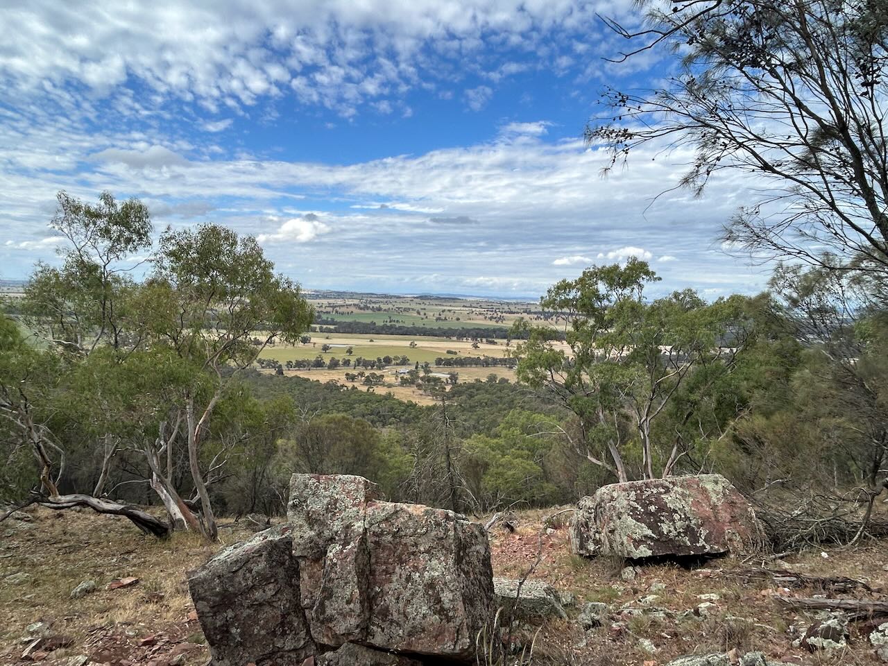

Marija worked the following stations on 40m SSB:-
I worked the following stations on 40m SSB:-
I worked the following stations on 20m SSB:-
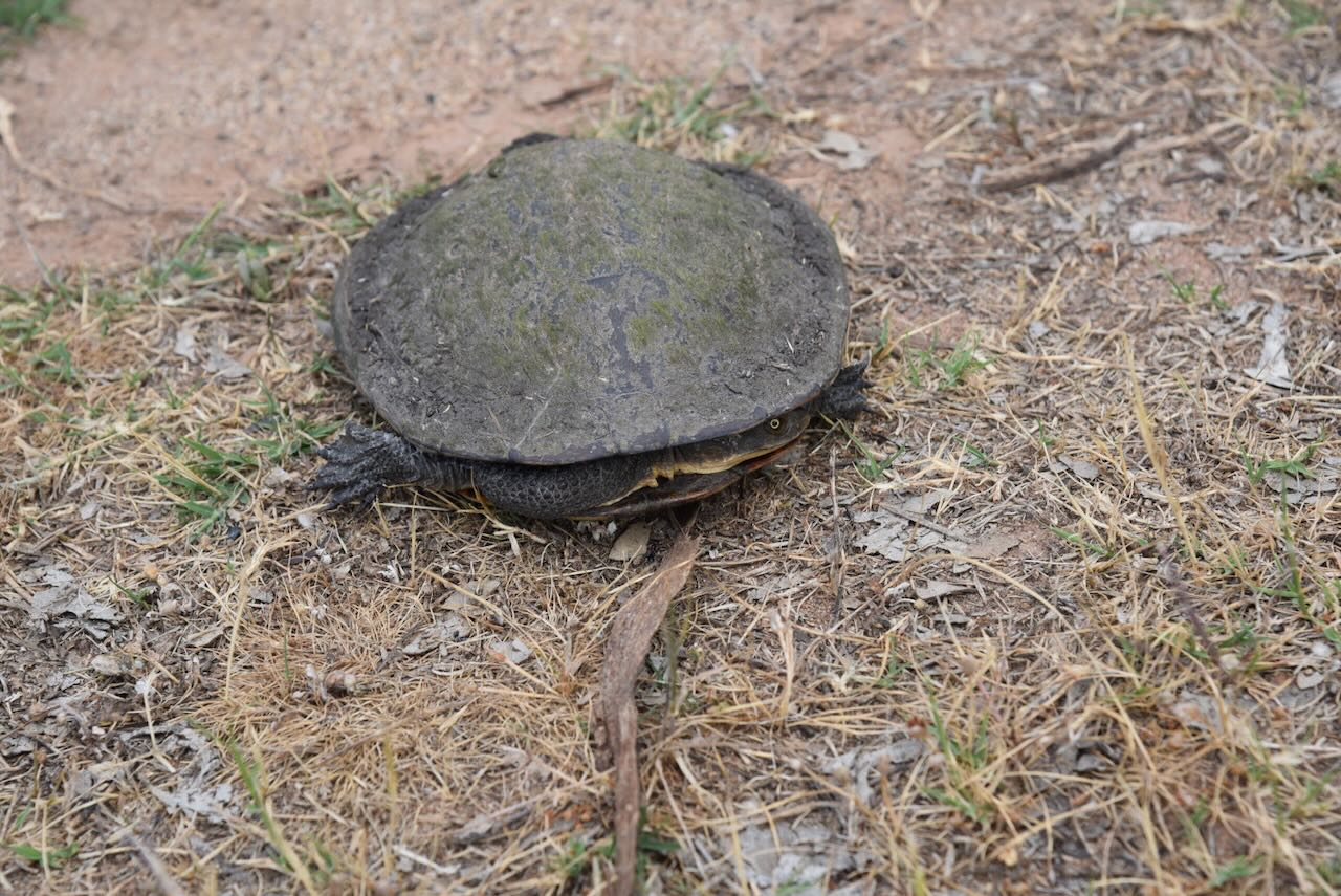
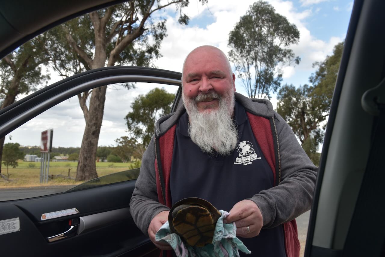
As we drove out of the reserve, we found this nappy little fella sitting in the middle of the road, so I picked him up and placed him out of harm’s way.
References.
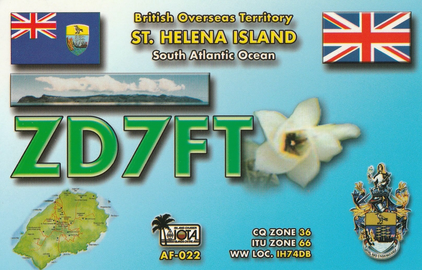
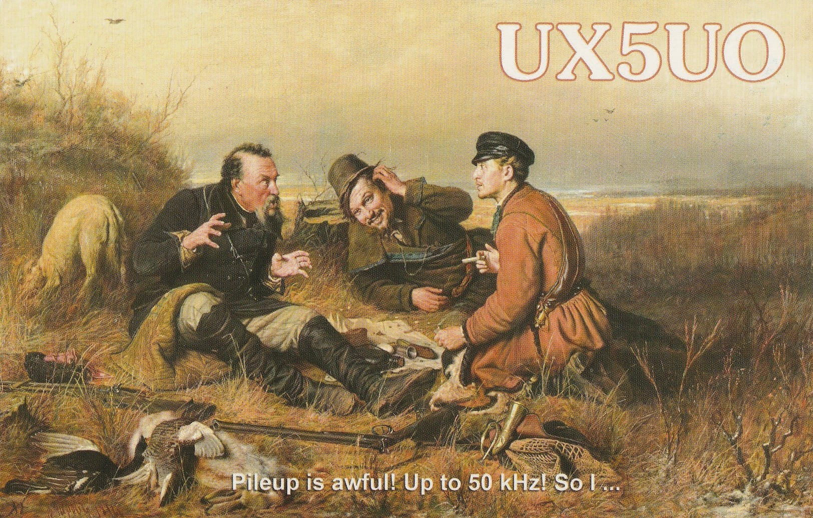
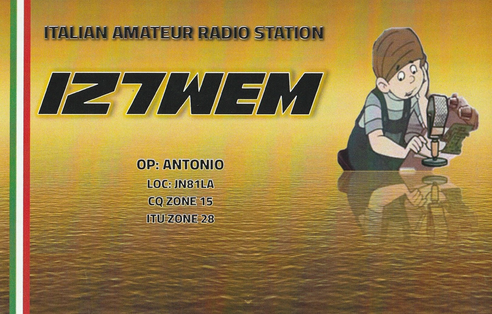
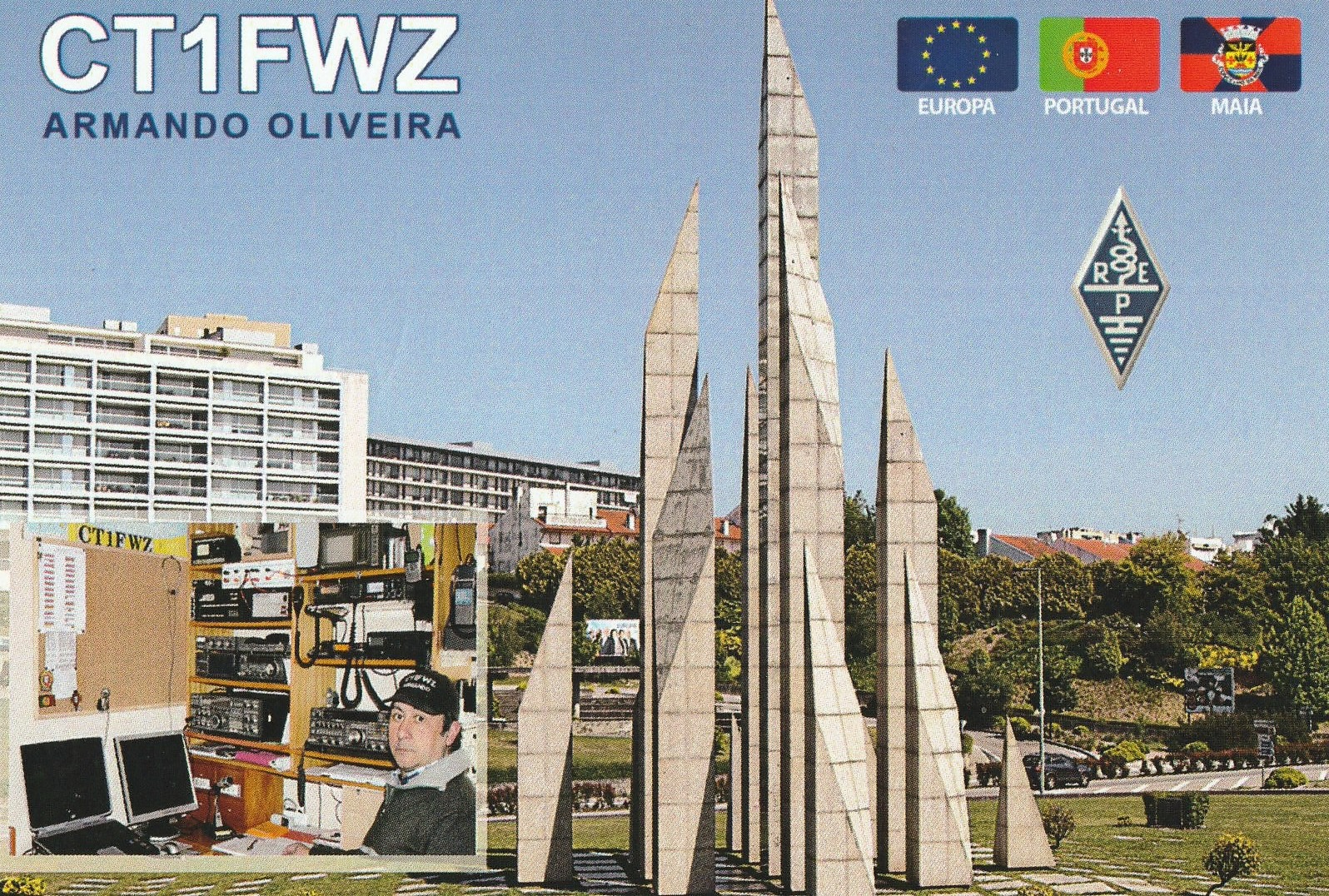
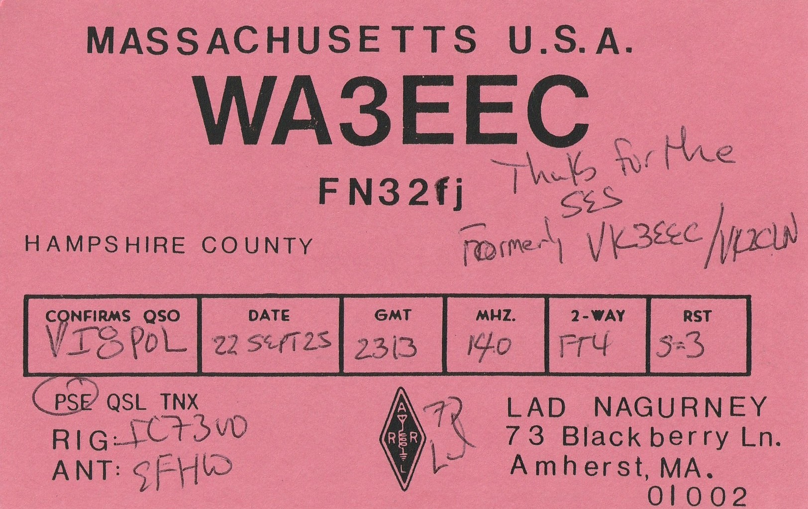
Below are a few QSL cards received direct in the past few weeks for VK5MAZ and VK5PAS.




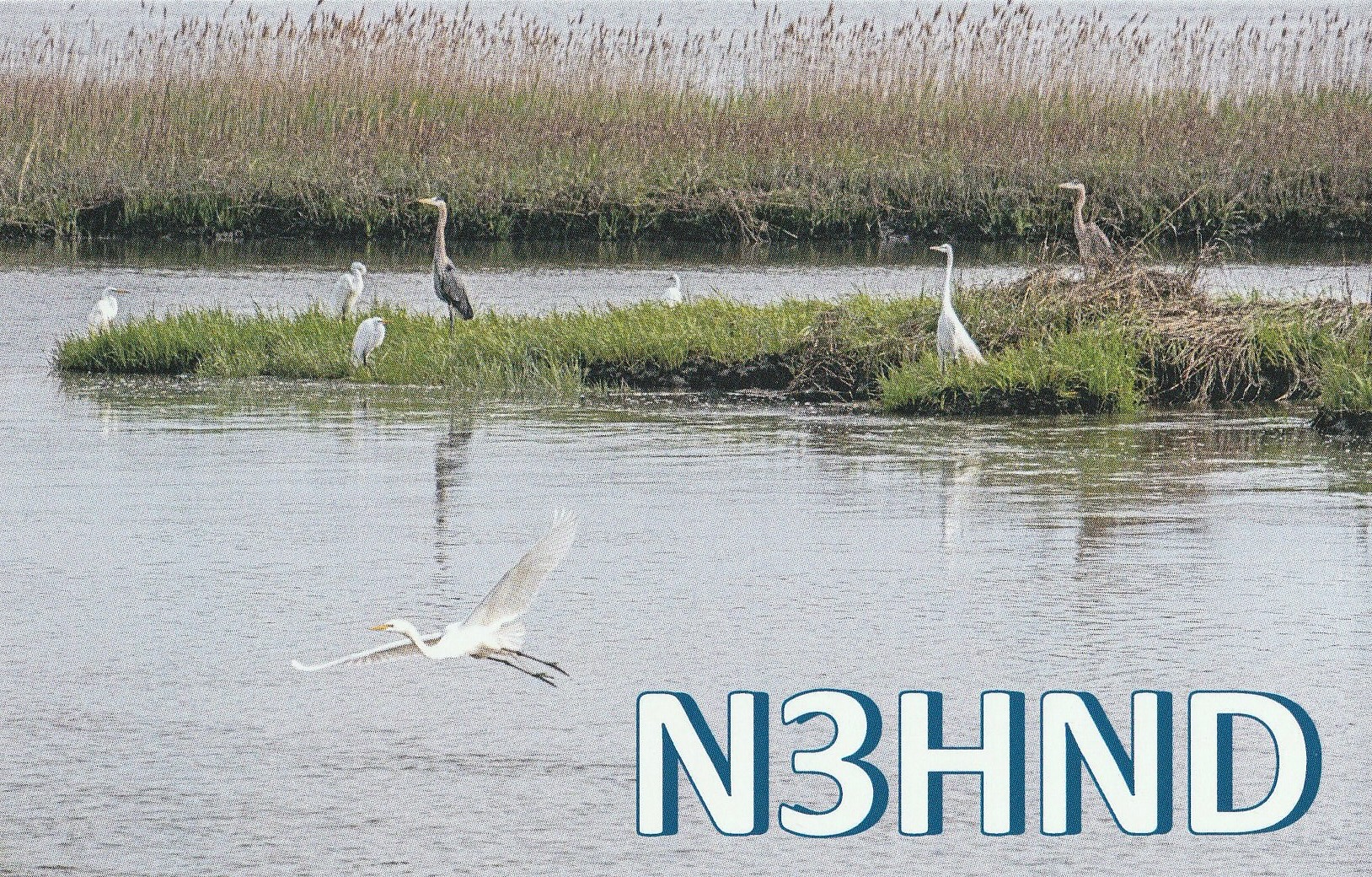
Here are a few VI8POL QSL cards recently received.


Following our beautiful lunch in Wagga Wagga at the Thirsty Crow on Wednesday, 22nd October 2025, Marija and I headed out to Kapooka.
Kapooka is an Aboriginal word meaning ‘place of winds.’ It is the home to the Department of Defence’s Blamey Barracks, from where the Army Recruit Training Centre conducts its operations. (Wikipedia 2025)
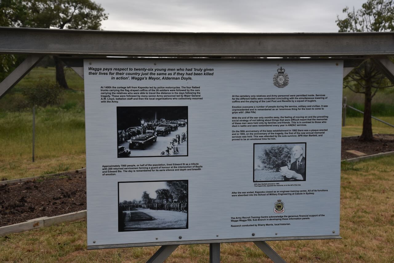
Not far from the barracks is the memorial for the Kapooka Tragedy.
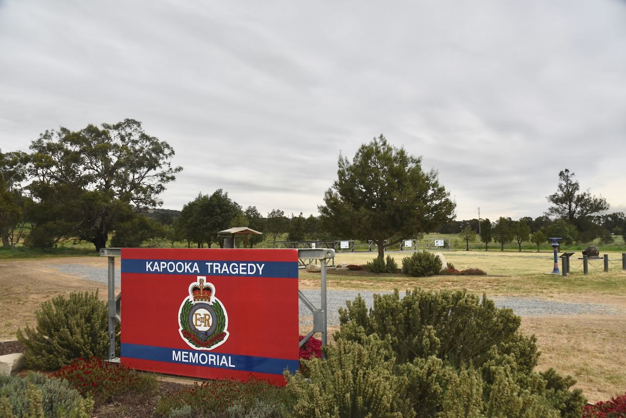
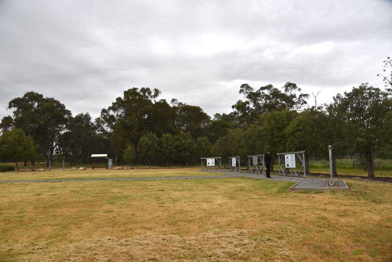
In the field opposite the memorial, at 2.45 p.m. on the 21st day of May 1945, 26 soldiers were killed in an explosion while training for the war in the Pacific, at what was then the Engineer Training Centre.
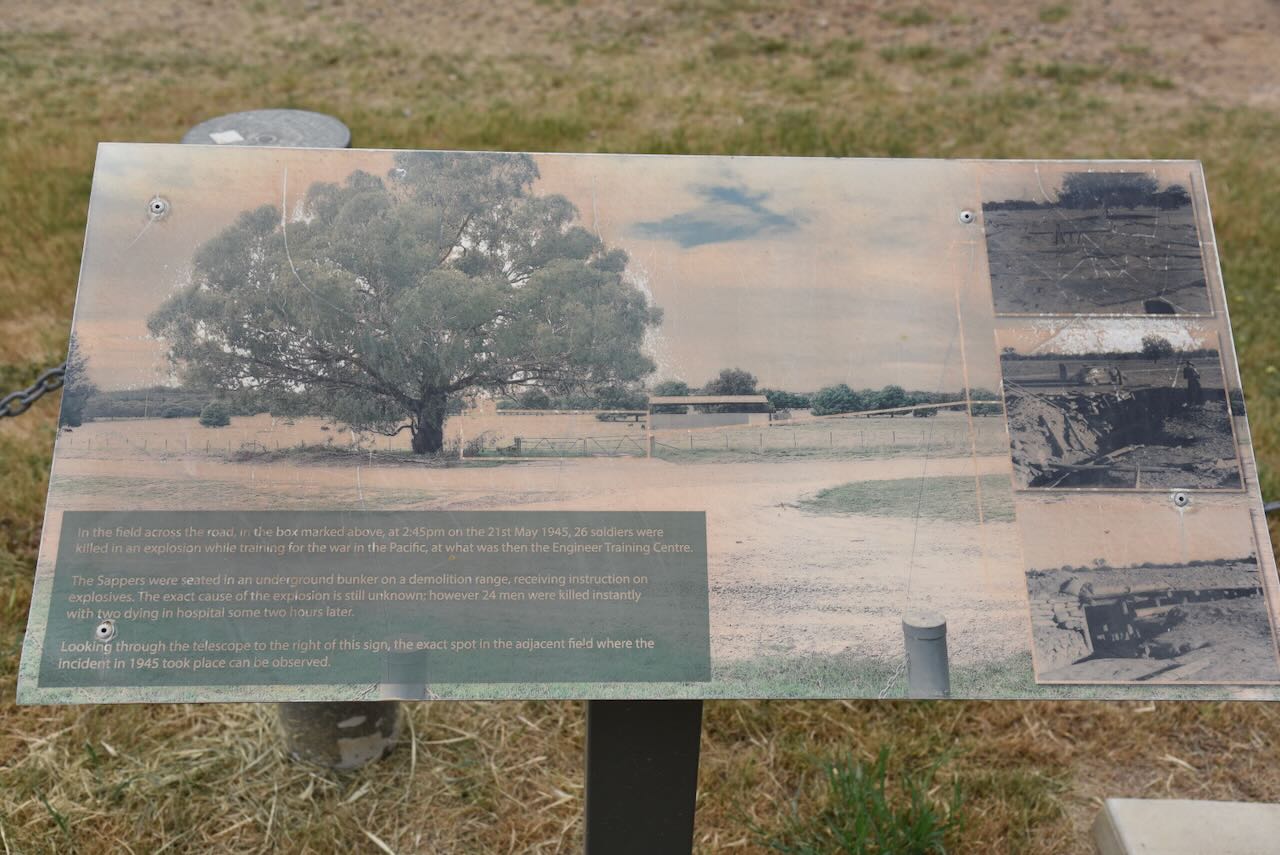
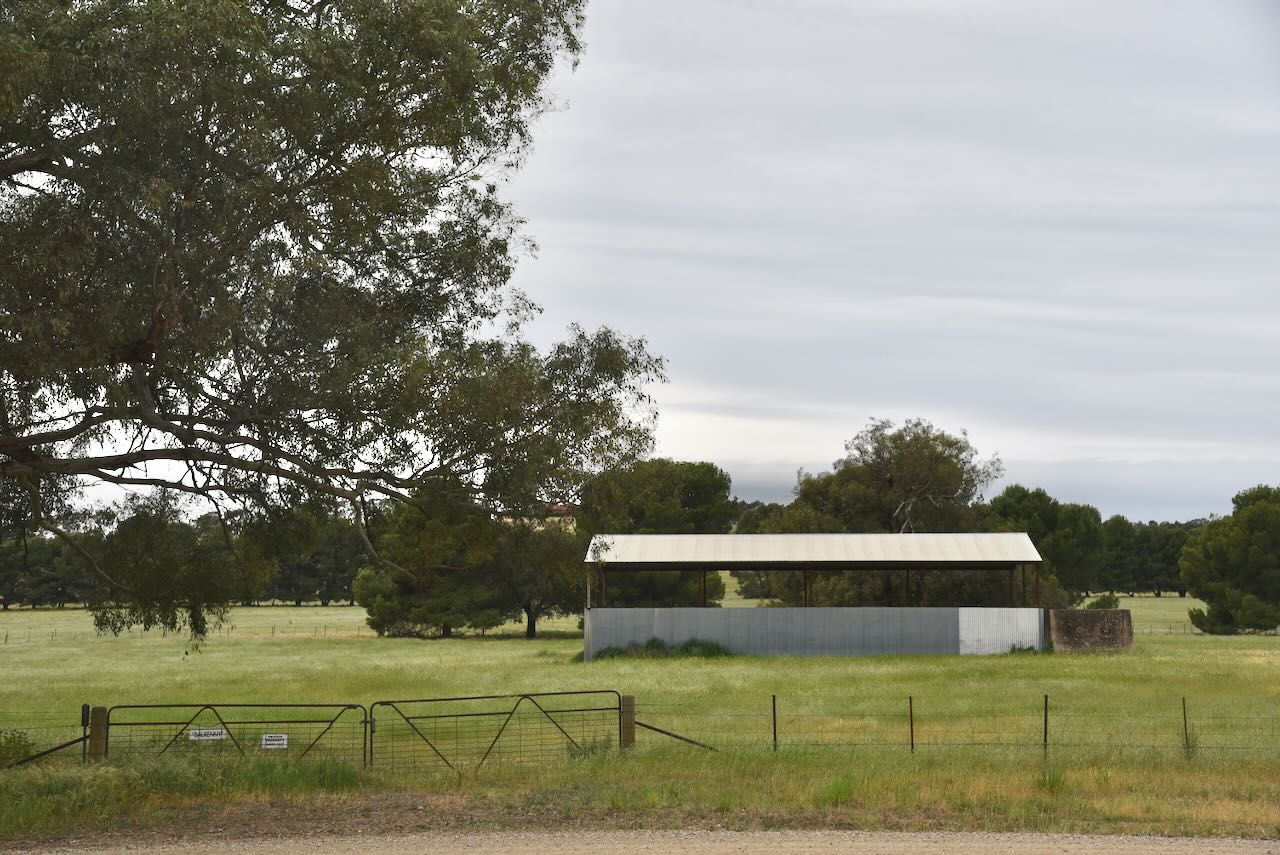
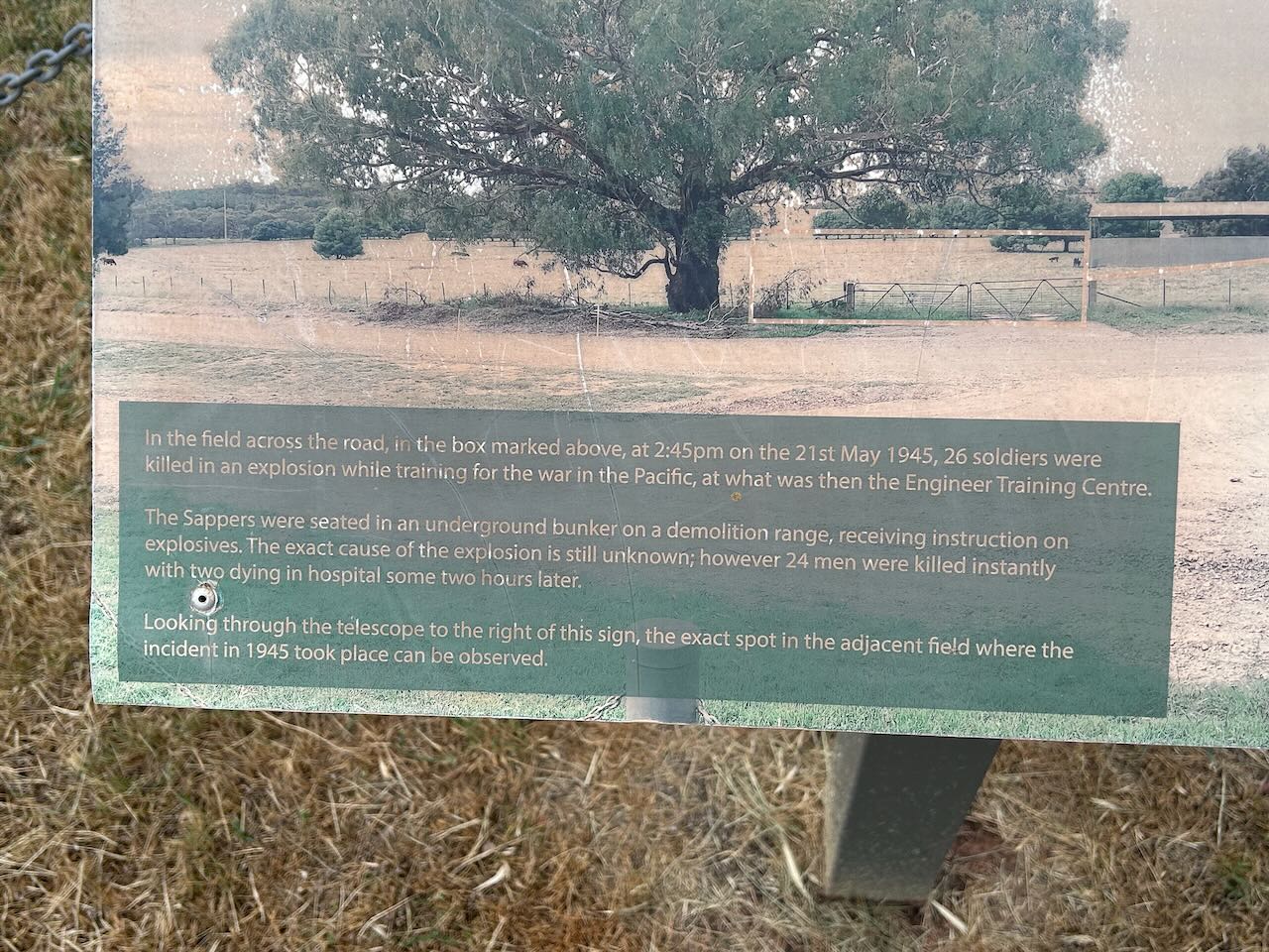
The Sappers were seated in an underground bunker on a demolition range, receiving instruction on explosives. The exact cause of the explosion is still unknown; however, 24 men were killed instantly, with 2 dying in the hospital following the explosion.
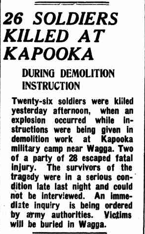
Above: article from The Murrumbidgee Irrigator, NSW, Tue 22 May 1945. Image /co Trove
It was the Australian Army’s worst accident.
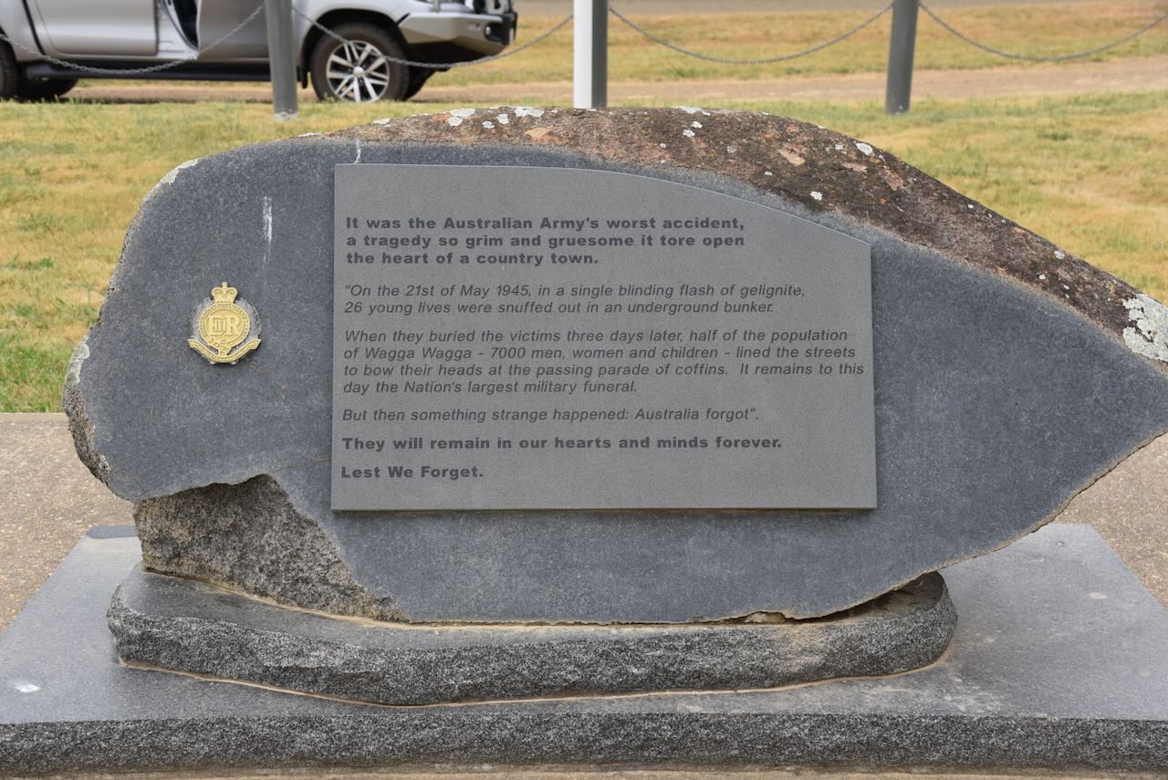
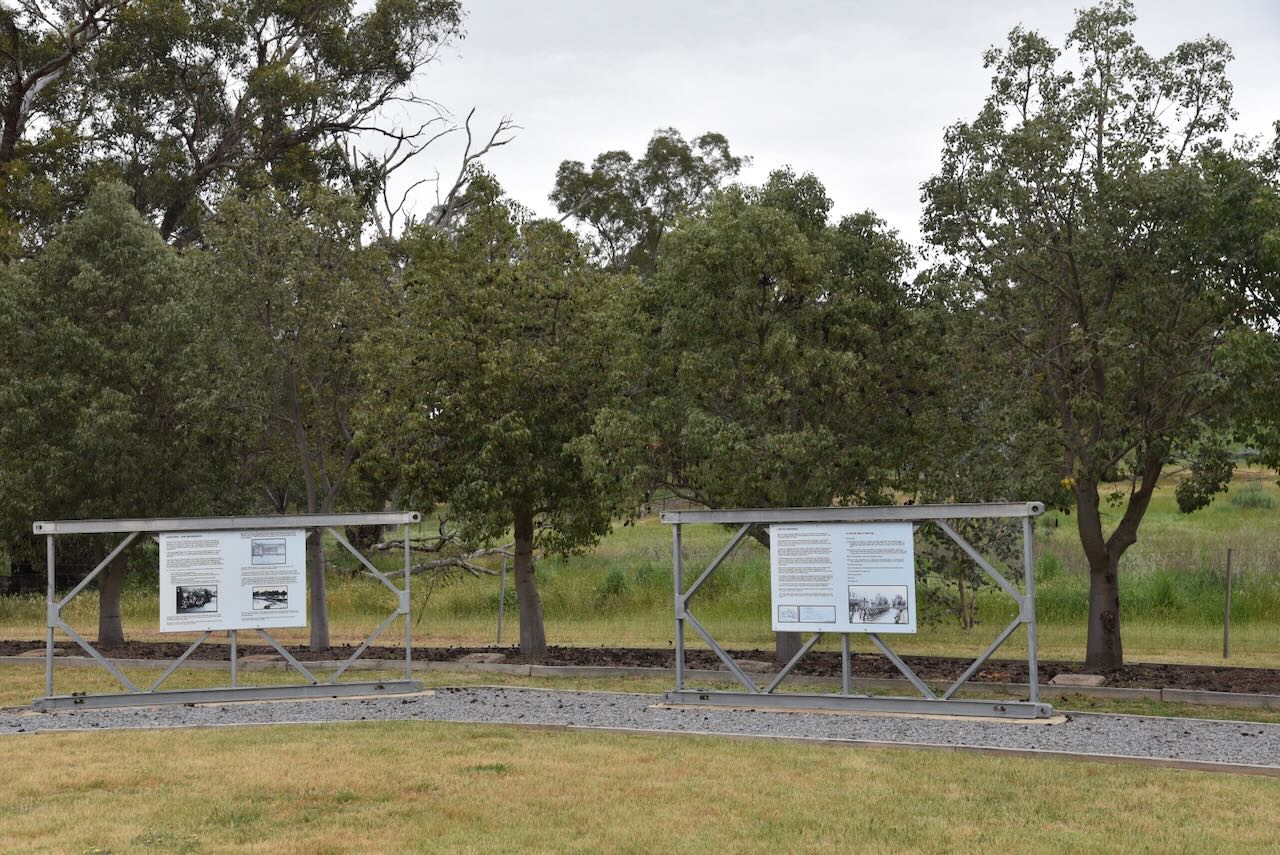
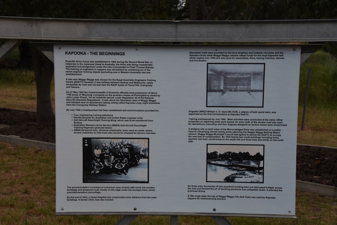
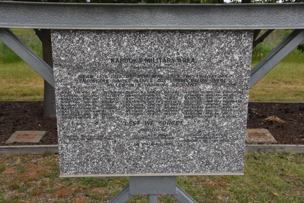
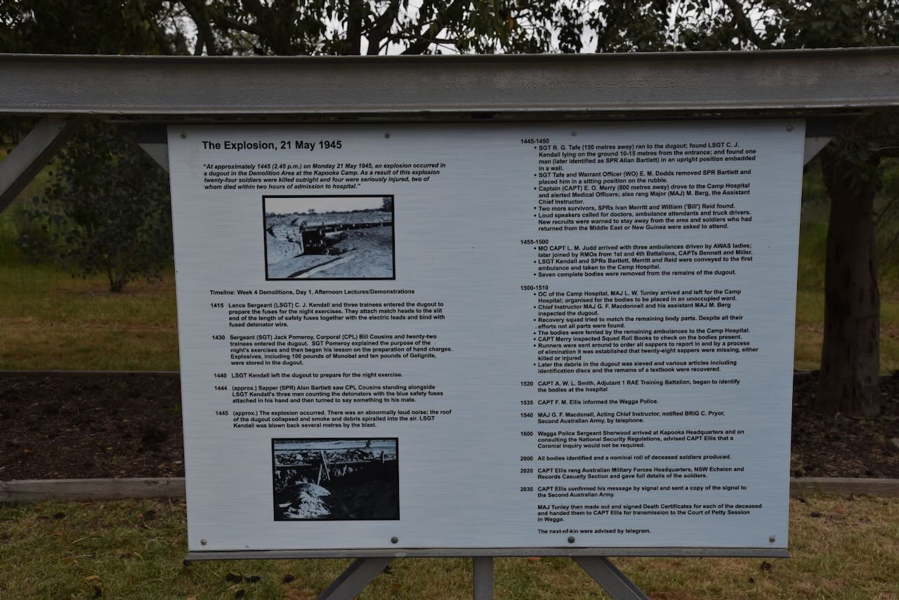
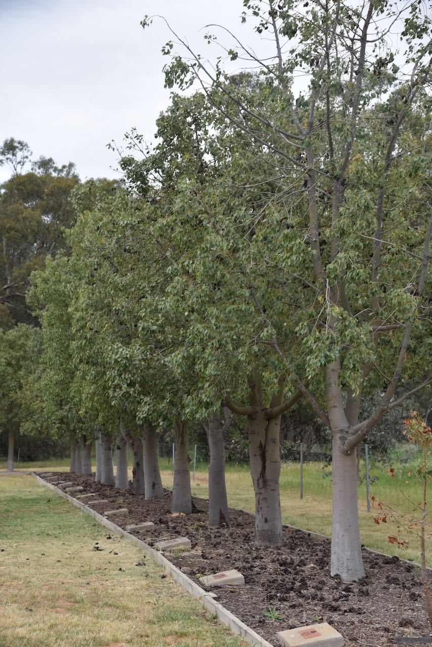
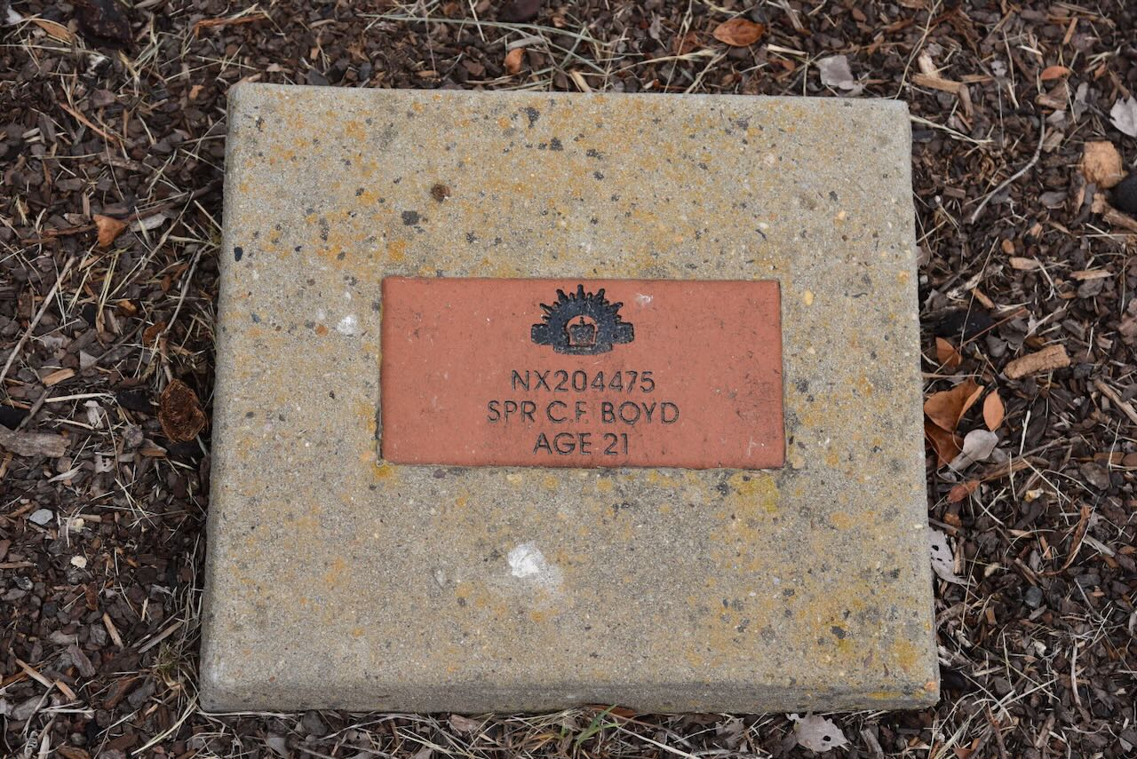
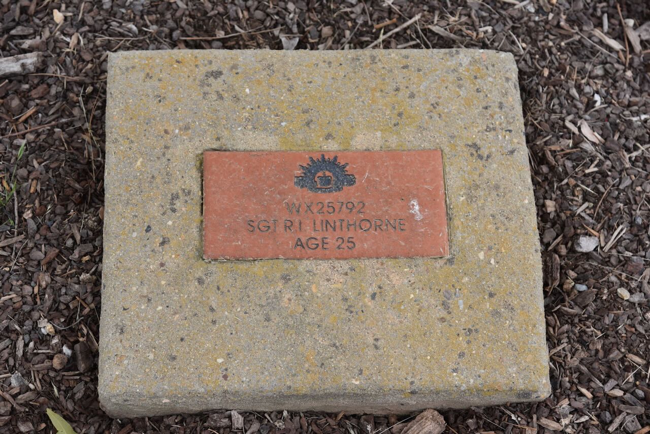
There is an avenue of trees with a plaque below with the name of each of the soldiers who were killed in the explosion.
Below is a video on the Kapooka tragedy.
Marija and I left Kapooka and travelled a short distance to Uranquinty, a small town located about 15 km south of Wagga Wagga.
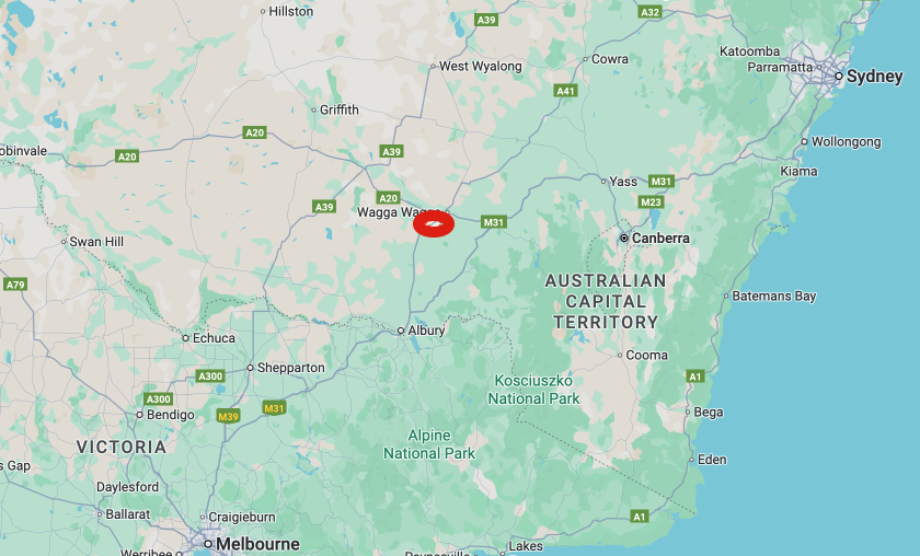
Above: Map showing the location of Uranquinty, NSW. Map c/o Google Maps
Uranqunity is an Aboriginal word meaning yellow box tree and plenty of rain. The town was originally called Glenrouth and proclaimed on the 22nd day of September 1888. The following year, in 1889, the name was changed to Uranquintry. (Uranquinty 2025)
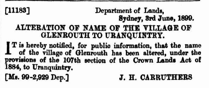
Above: article from the NSW Govt Gazette, Sat 3 Jun 1899. Image c/o Trove
In 1966, the name was officially changed to Uranquinty, although locals have referred to it as Uranquinty since the early 1900s. (Uranquinty 2025)
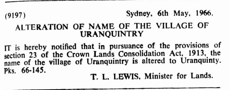
Above: article from the NSW Govt Gazette, Fri 6 May 1966. Image c/o Trove
The first permanent hotel, Hardiman’s Hotel, opened in 1890. In 1911, the name of the hotel was changed to the Uranquinty Hotel. In 1900, the Federal Hall was constructed, hosting numerous dances and various other special occasions. A new hall was built in 1910. It would appear from the newspaper article below that not all of the celebrations at the hall were of a quiet nature. (Uranquinty 2025)
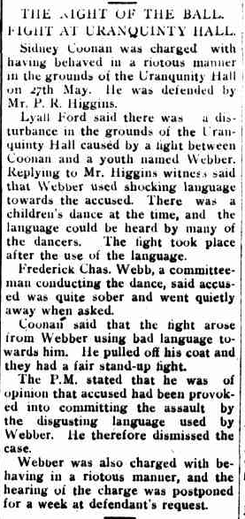
Above: article from the Daily Advertiser, Wagga Wagga, Tue 6 Jun 1911. Image c/o Trove
During the early 1900s, Uranqunity had several businesses, including bakeries, butchers, blacksmiths, hardware stores, and food stores. There was also a police station and a post office. (Uranquinty 2025)
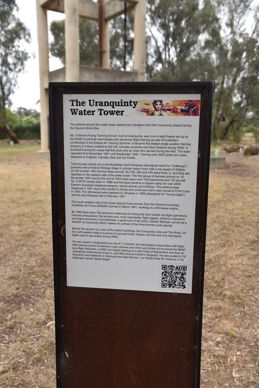
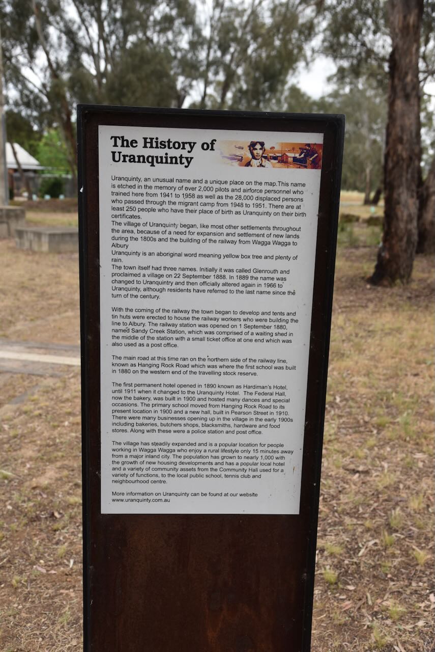
We visited the Uranquinty water tank art. The water tank was painted by artist Damien Mitchell in February 2003 and depicts Aboriginal fighter pilot Len Water, a Wirriway aircraft, and female mechanics working on an aircraft engine. (Australiansiloarttrail.com, 2023)
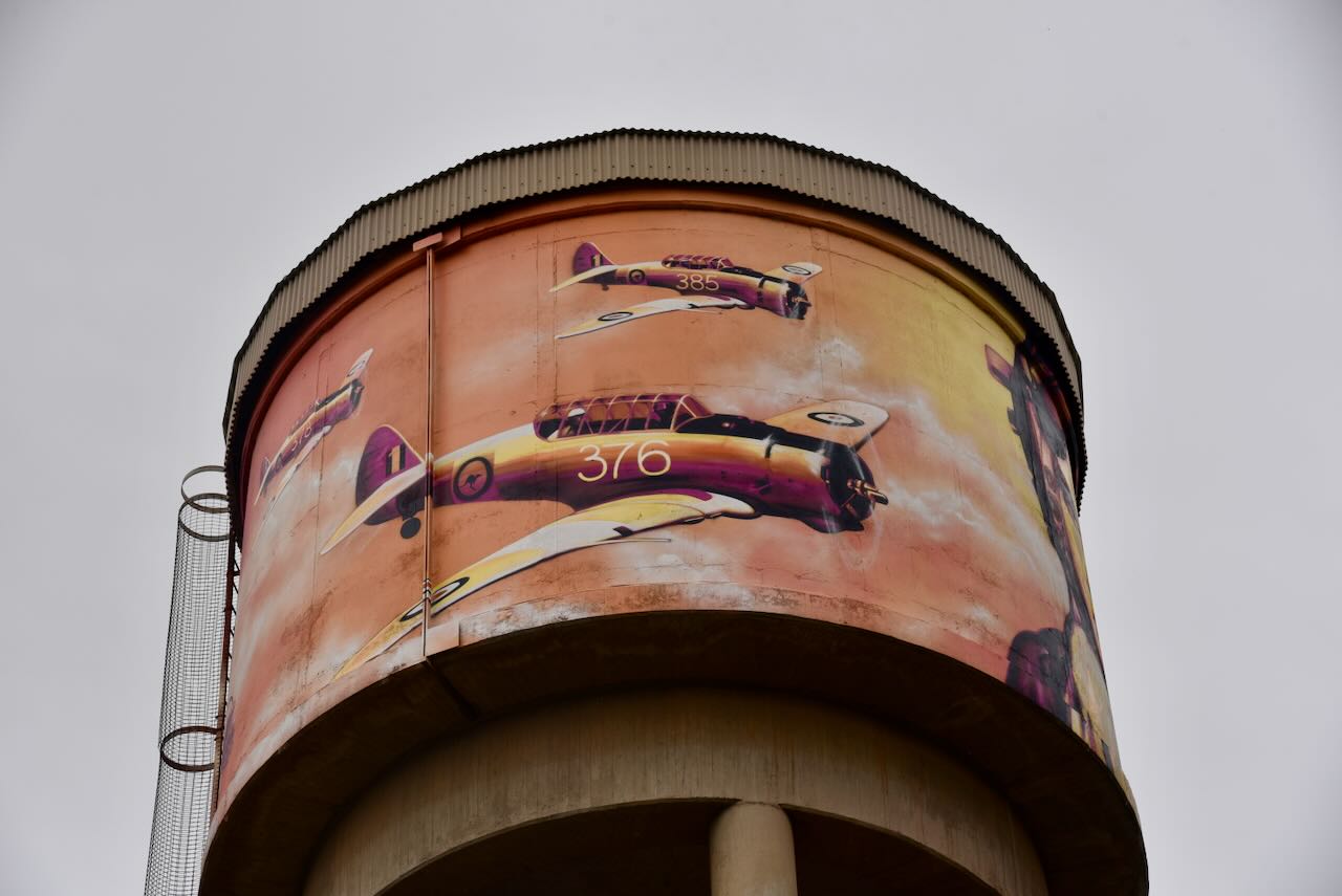
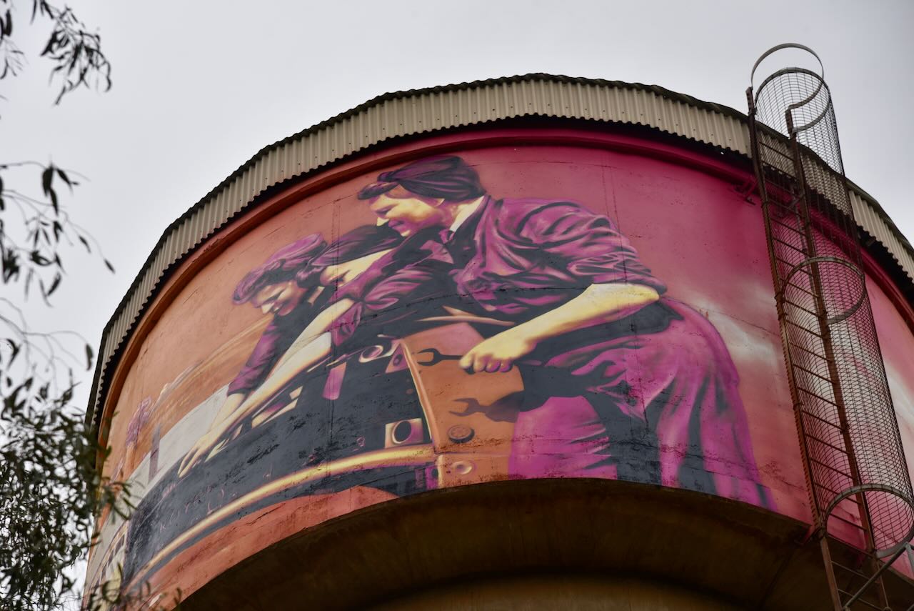
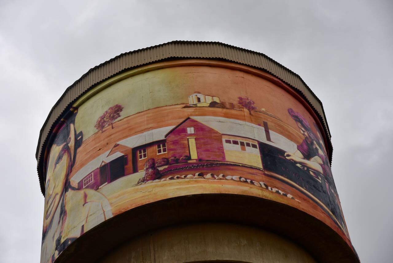
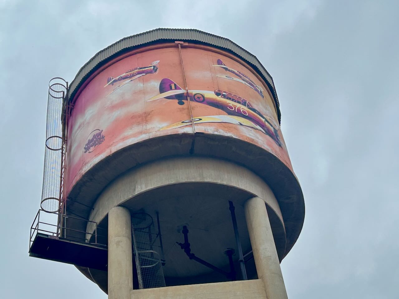
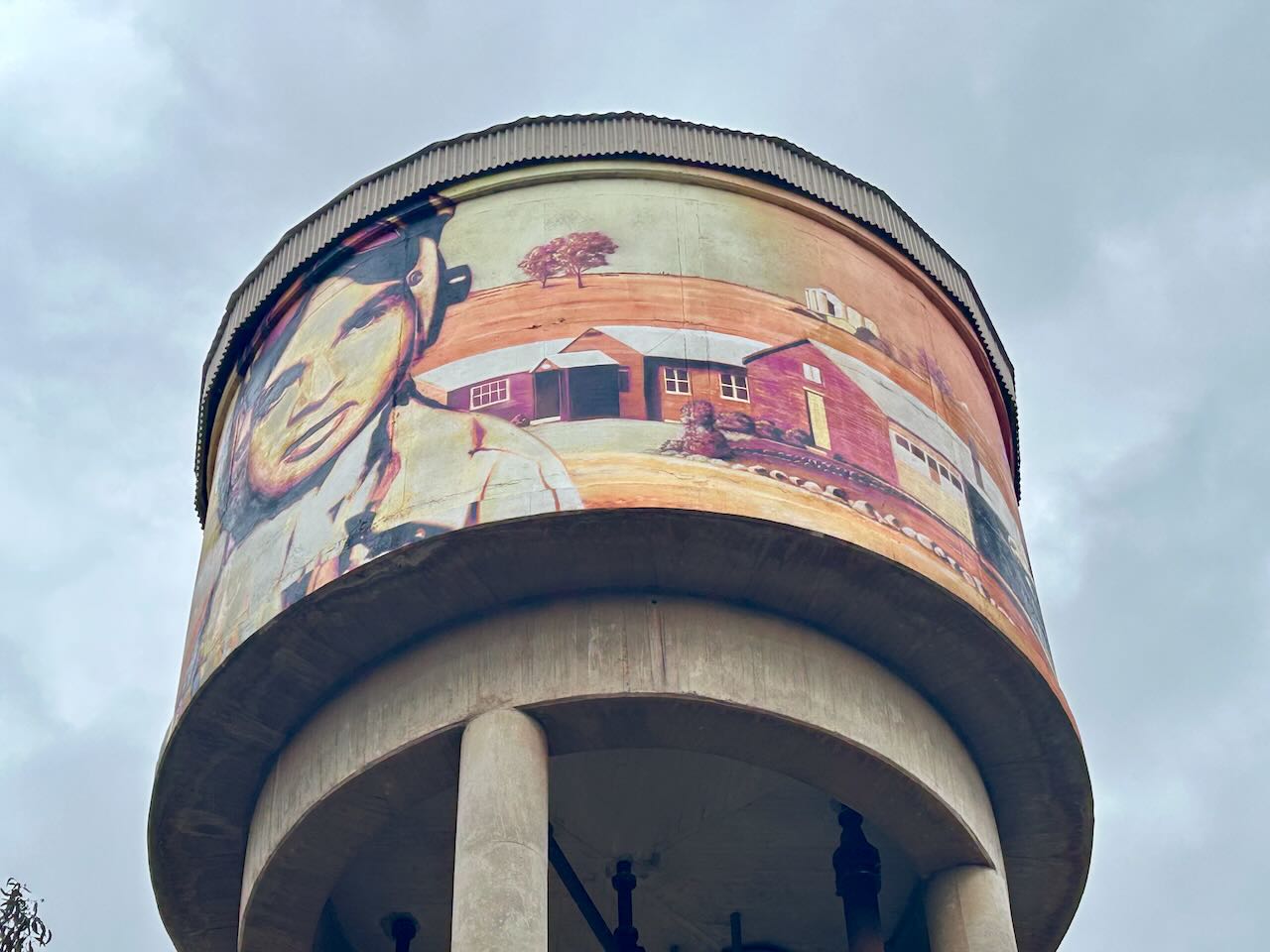
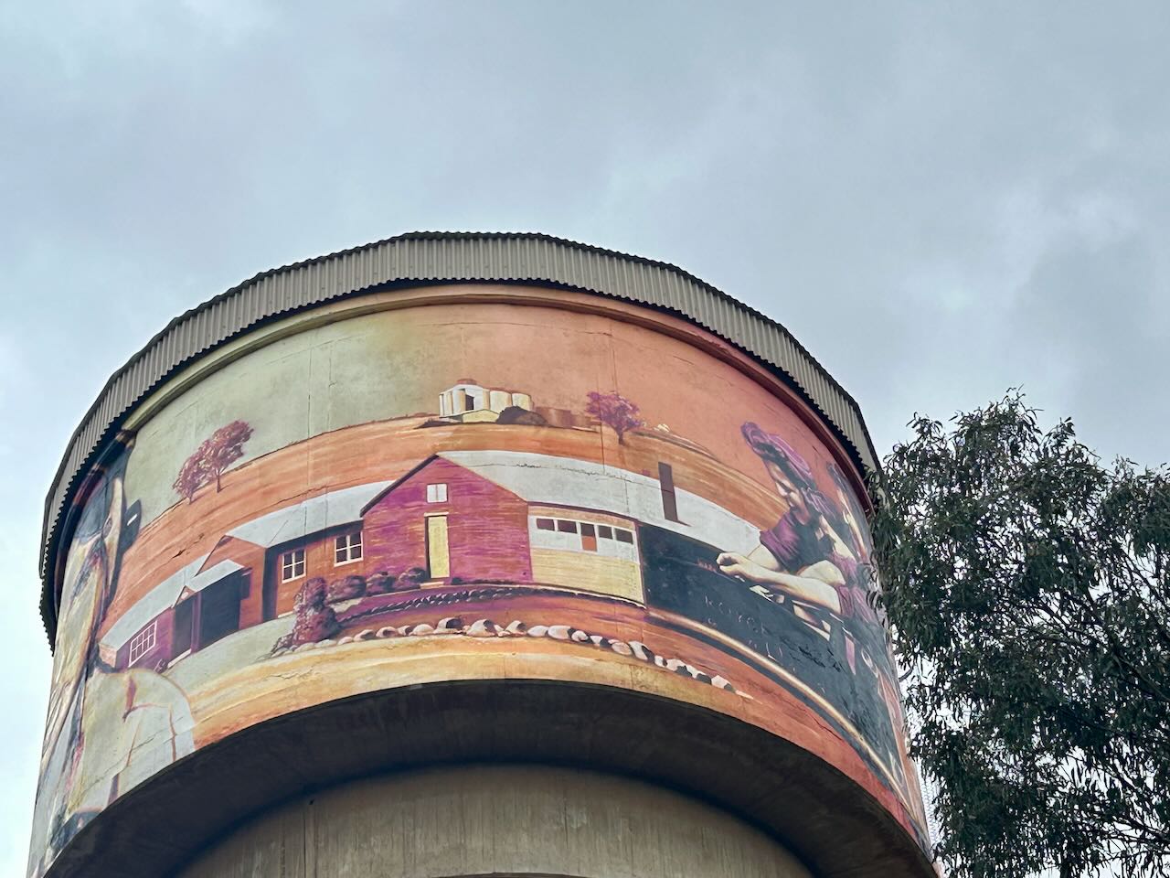
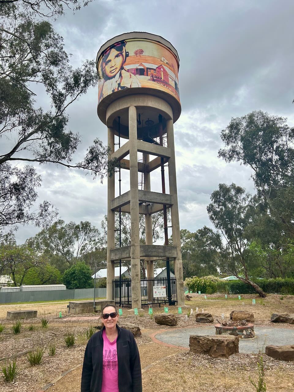
So why the aircraft and the defence theme on the water tower?
The No. 5 Service Flying Training School at Uranquinty was established by the Royal Australian Air Force (RAAF) during the Second World War. The school was developed as part of the Empire Training Scheme. It was established in October 1941 and would go on to train over 1,500 pilots up until February 1946, when it was disbanded. (Nsw.gov.au 2025)
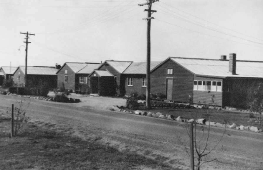
Above: View of the ‘main street’ at the Flying Training School, 1943. Image c/o Australian War Memorial.
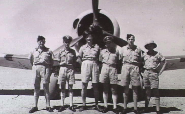
Above: RAAF personnel at the Flying Training School, 1944. Image c/o Australian War Memorial.
In 1951, following the outbreak of war in Korea, the Flying Training School was reopened to train pilots. The main aircraft used for training was the WInjeel, which is an Aboriginal word meaning ‘young eagle.’ (Uranquinty 2025)
Below is a video on the Winjeel.
The base continued until November 1958, when training was moved to Point Cook. (Uranquinty 2025)
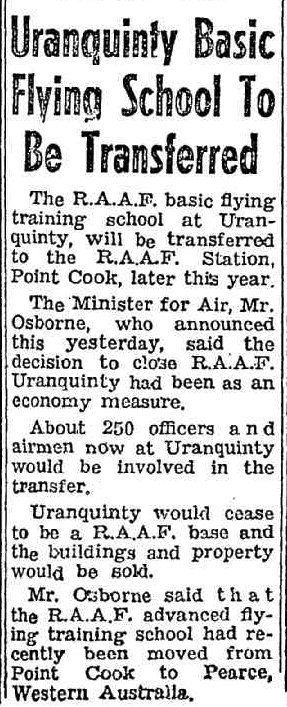
Above: article from The Canberra Times, Thu 31 Jul 1958. Image c/o Trove
There is a Flying Training School monument and an excellent display at the rest area on Olympic Highway in Uranquinty.
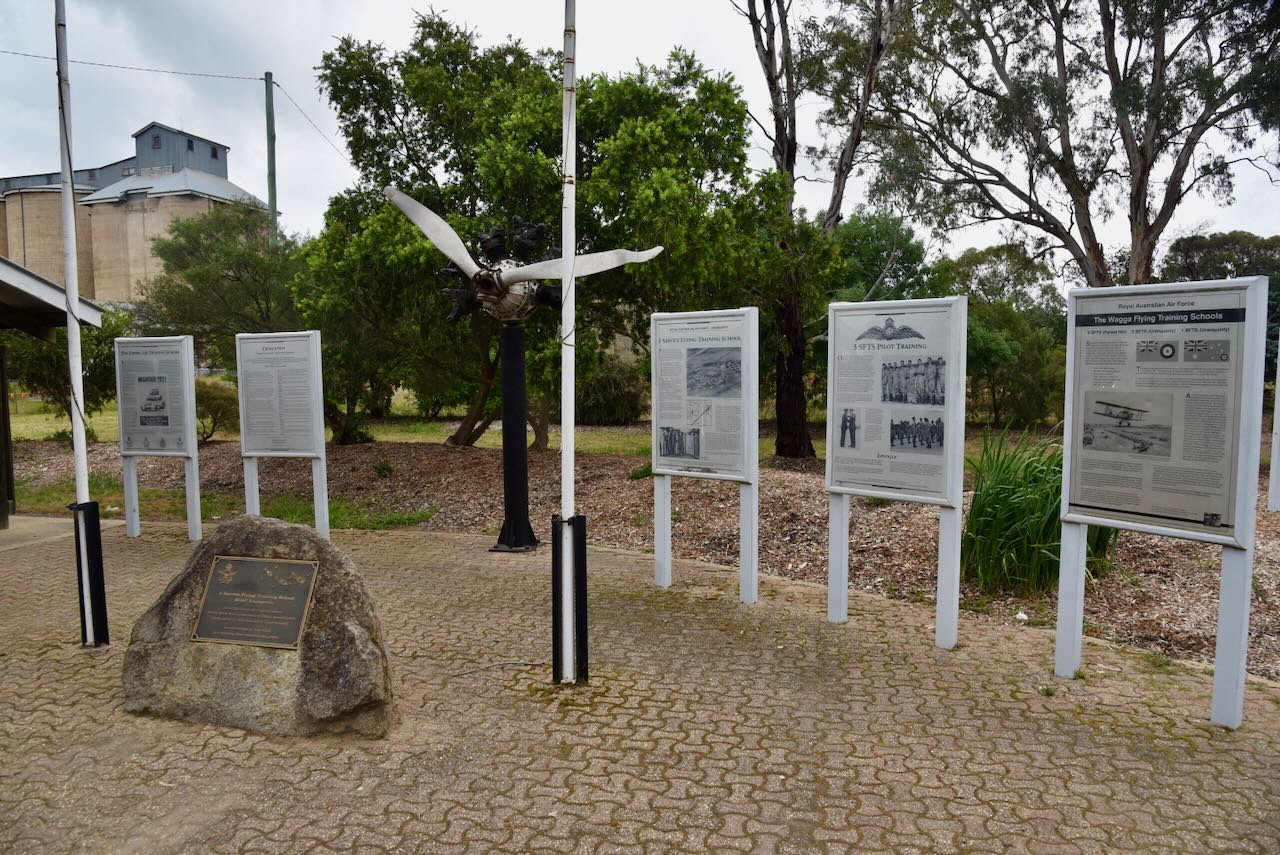
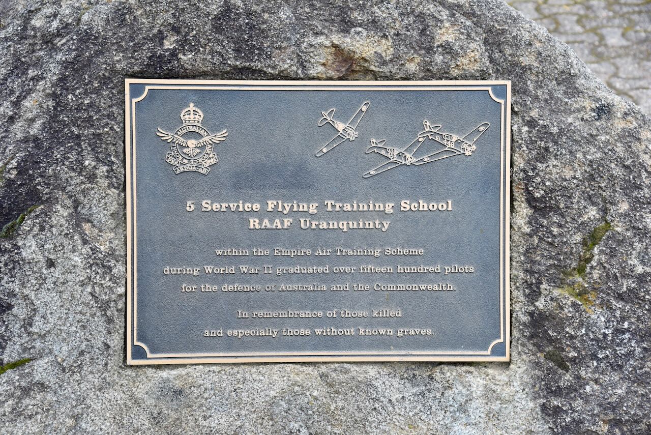
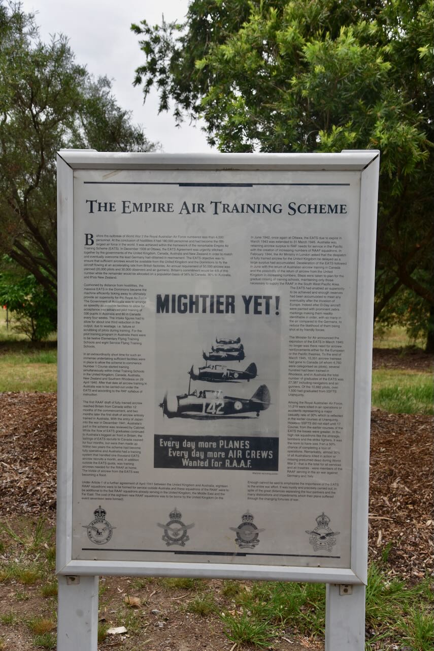
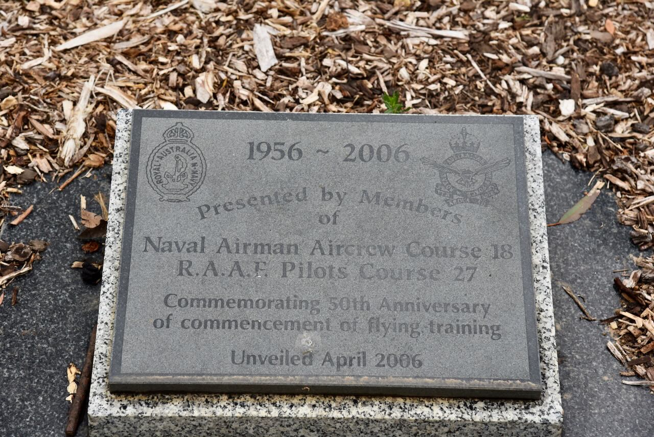
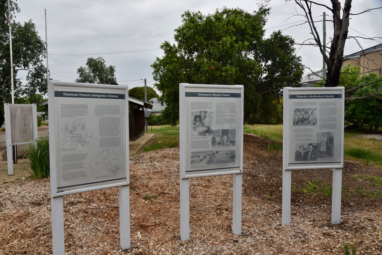
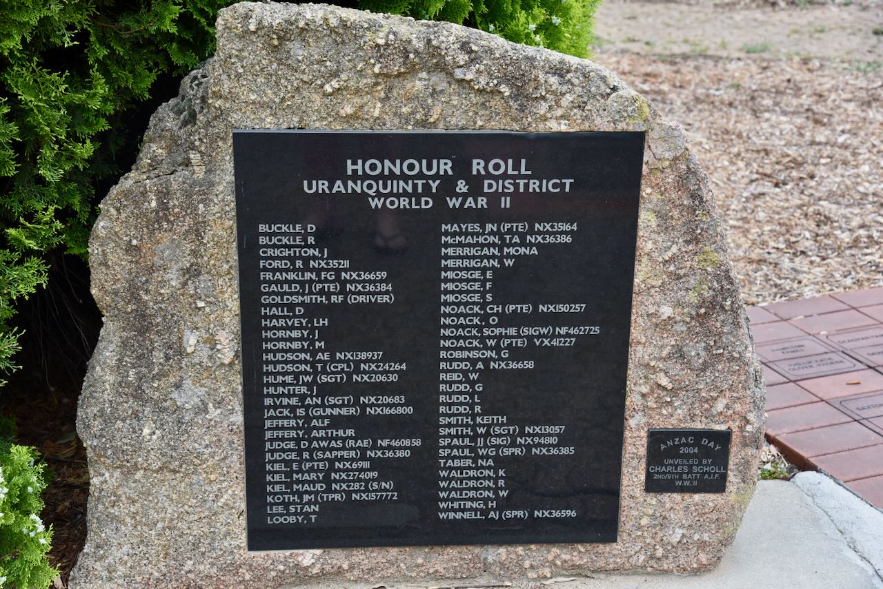
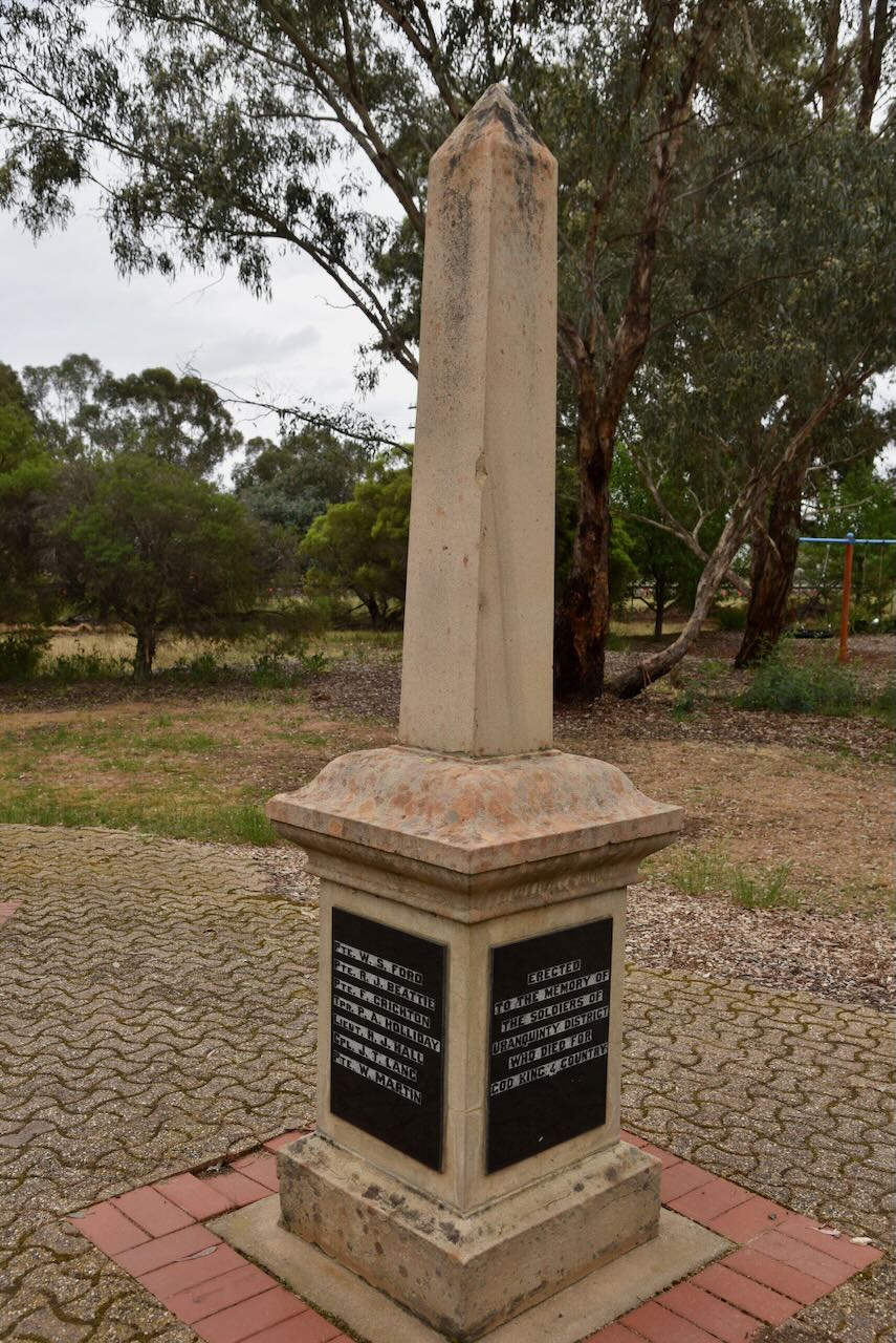
There are also monuments to those from Uranquinty and district who served in the World Wars.
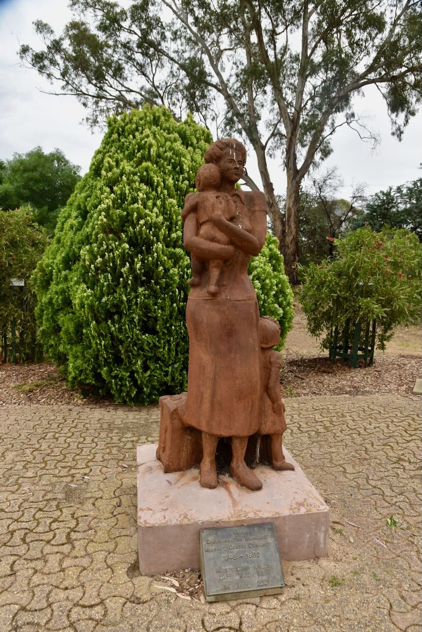
Also in the rest area is a monument to commemorate the Uranquinty Migrant Centre Community 1948-1952.
Following the Second World War, about one million Europeans were displaced from their country of origin. In July 1947, the Australian Government signed an agreement with the United Nations International Refugee Organisation in which about 4,000 displaced persons would travel to Australia, where accommodation and employment would be arranged. The program was encouraged by Australia’s first Minister for Immigration, Arthur Calwell. It was a way for Australia to rebuild its agricultural and industrial sectors following the war and to increase Australia’s population against any potential future attacks by aggressors. The slogan ‘populate or perish’ was used to promote the program. (National Archives of Australia 2023) (UBC Web Design 2022)
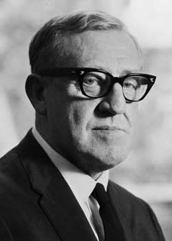
Above: Arthur Calwell. Image c/o Wikipedia
From 1945, there was a winding down of the Flying Training School, and in 1949, the living area of the base was relinquished to the Department of Immigration. The Uranquinty Migrant Centre was established and accepted people from Eastern Europe. They comprised mostly women and young children from Yugoslavia, Estonia, Latvia and Poland. (Uranquinty 2025)
In 1949, a school was established to teach English. Over 250 babies were born in the hospital over the following 4 years. In 1951, the migrants were transferred to Bonegilla. This was due to the outbreak of war in Korea and the reopening of the Flying Training School to train pilots. (Uranquinty, 2025)
Below is an excellent video explaining the ‘Populate or Perish’ policy.
Marija and I then activated the Uranquinty silo for the Silos On The Air (SiOTA) program.
The silos are located alongside the Main Southern railway line.
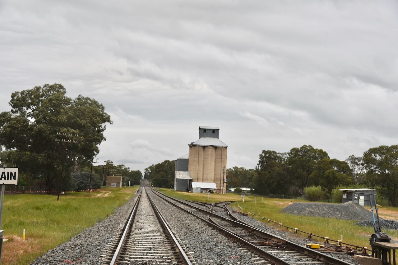
The silos were built in the 1920s with 4,100 tonnes capacity. In 1973, extra bins (8,500 tonnes) were added. The silos were last used in 2007. (NSW Silos 2014) (Uranquinty, 2025)
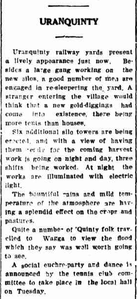
Above: article from The Daily Express, Wagga Wagga, Sat 5 Aug 1922. Image c/o Trove
The Uranquinty railway station was opened on the 1st day of September 1880 and was known as the Sandy Creek Station. It comprised a waiting shed in the middle of the station building and a small ticket office, which was also used as a post office. It was renamed Uranquinty on the 4th day of February 1891. (Uranquinty 2025) (Wikipedia 2025)
I found the newspaper articles below on Trove from 1882 regarding a robbery at the railway station.
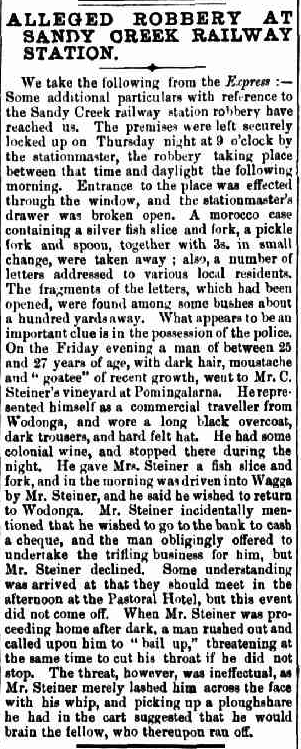
Above: article from The Albury Banner and Wodonga Express, Fri 1 Sept 1882. Image c/o Trove
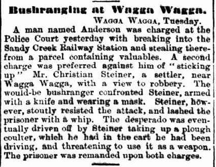
Above: article from the Evening News, Sydney, Tue 12 Sep 1882. Image c/o Trove
In October 1928, Uranquinty became a junction station following the opening of the railway line to Kywong. In June 1934, the Uranquinty railway station building was totally destroyed by fire and was rebuilt. (Wikipedia 2025)
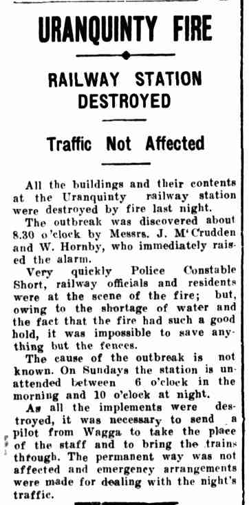
Above: article from the Daily Advertiser, Wagga Wagga, Mon 4 Jun 1934. Image c/o Trove
In May 1975, the Kywong line was closed. The Uranquinty railway station closed for all passenger services in 1984. In 1988, the buildings were demolished. (Uranquinty 2025) (Wikipedia 2025)
Marija and I parked in the rest area on the Olympic Highway, directly in front of the silos. We operated from the 4WD and ran the Icom IC-7000, 100 watts, and the Codan 9350 antenna with the 1.5 metre stainless steel whip.
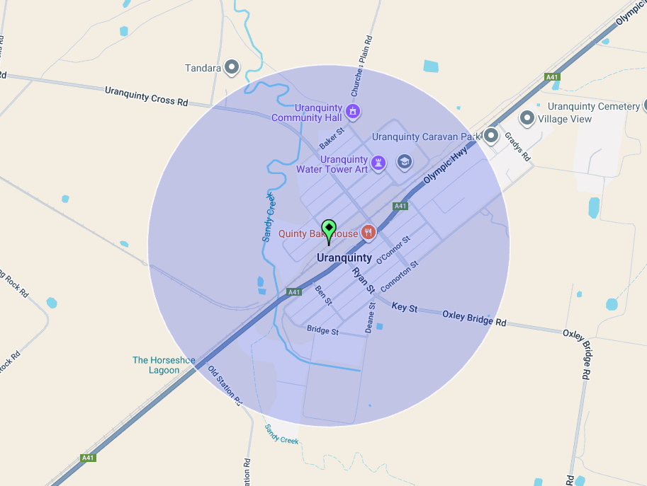
Above: the activation zone at the Uranquinty silos. Image c/o SiOTA website.
Marija worked the following stations on 40m SSB:-
I worked the following stations on 40m SSB:-
References.
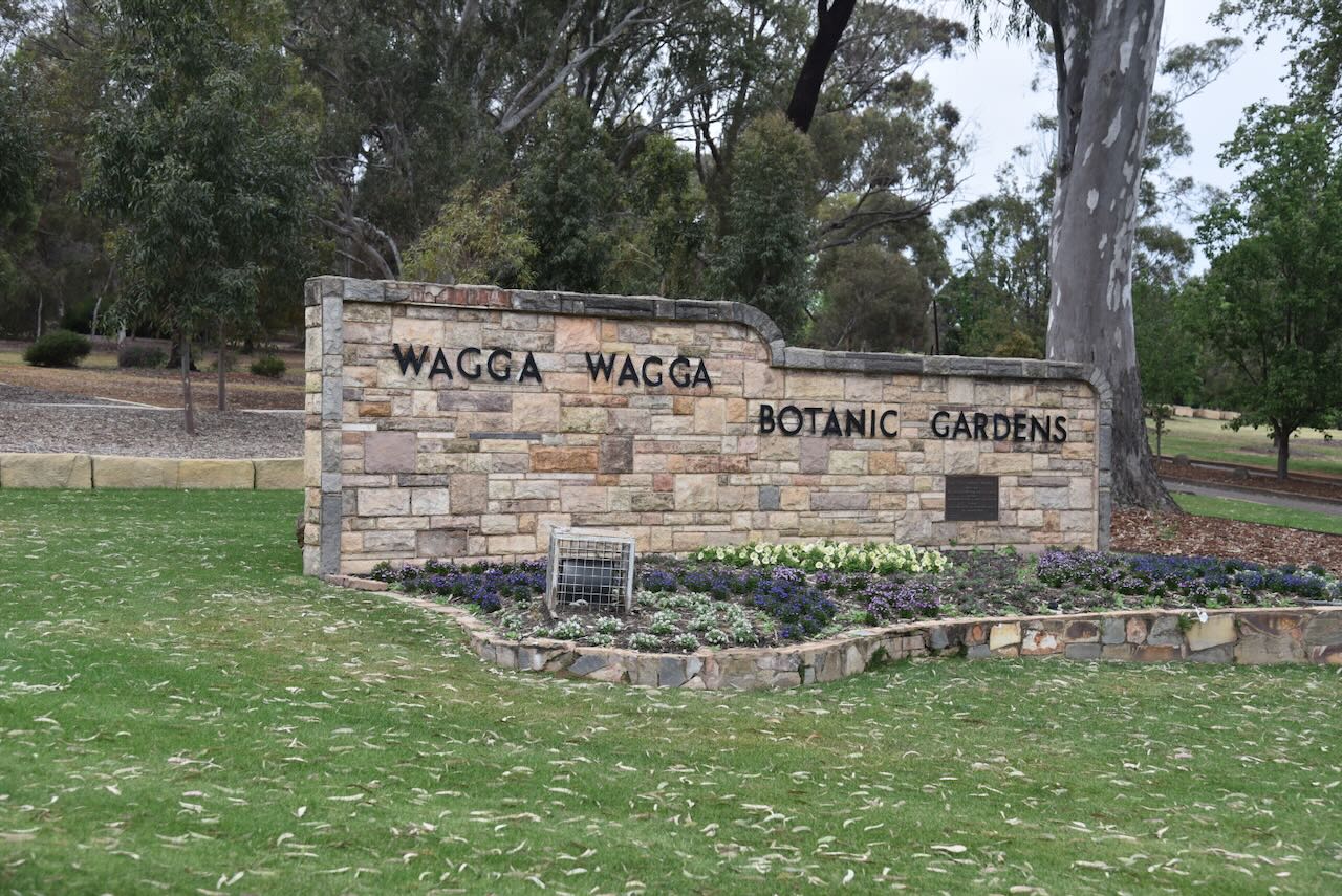
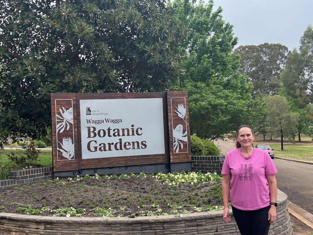
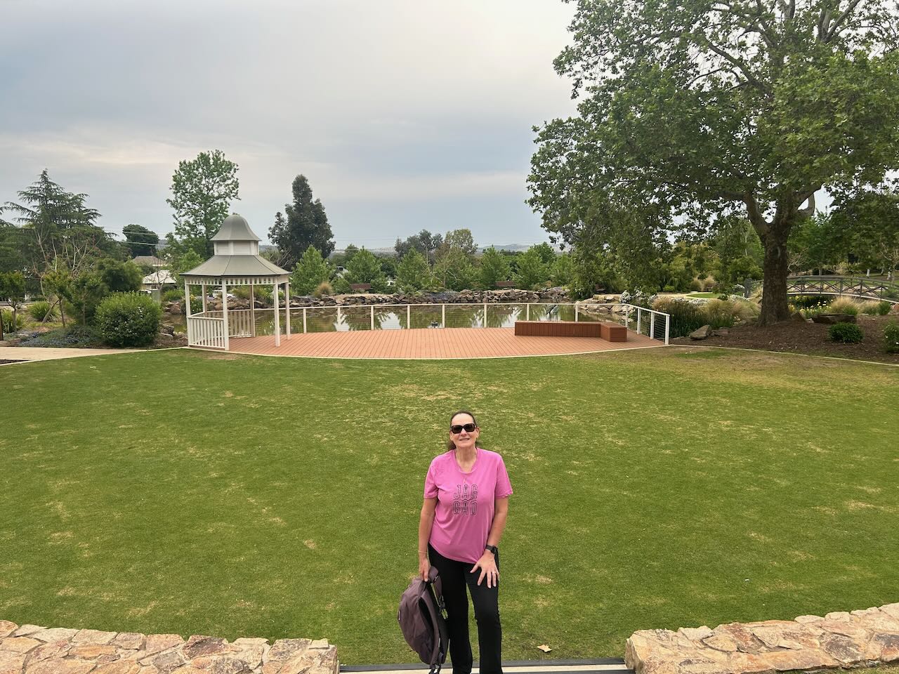
It was now Wednesday, 22nd October 2025, and our first morning in Wagga Wagga. After breakfast, we headed to the Wagga Wagga Botanic Gardens for a walk.
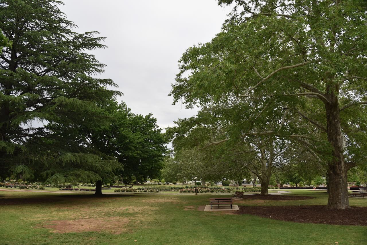
The Botanic Gardens are set over 22 acres and are located at Willans Hill. There is a mini zoo here and a flight aviary, but unfortunately, they were closed during our visit. Planning for the gardens commenced in 1969, and they were completed in 1969. (Wikipedia 2025)
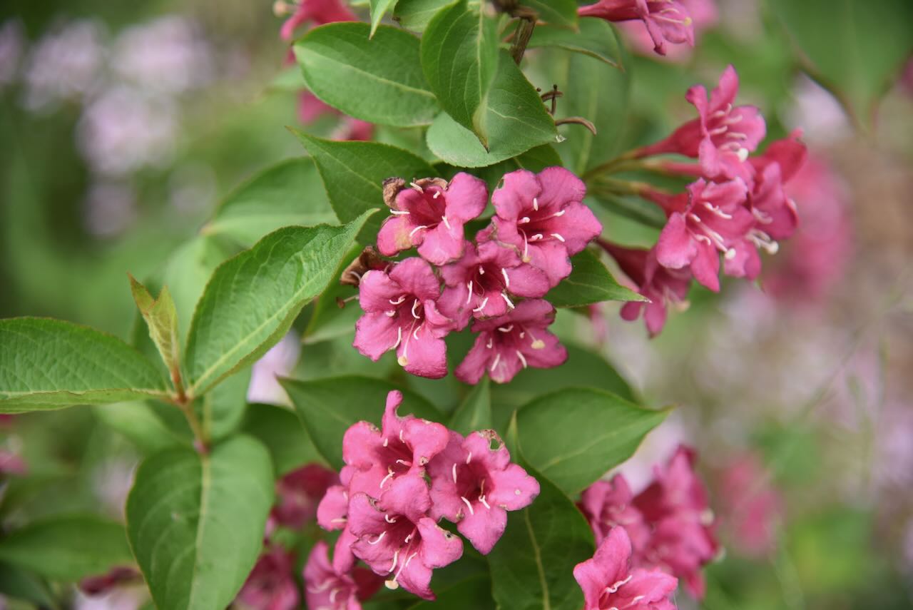
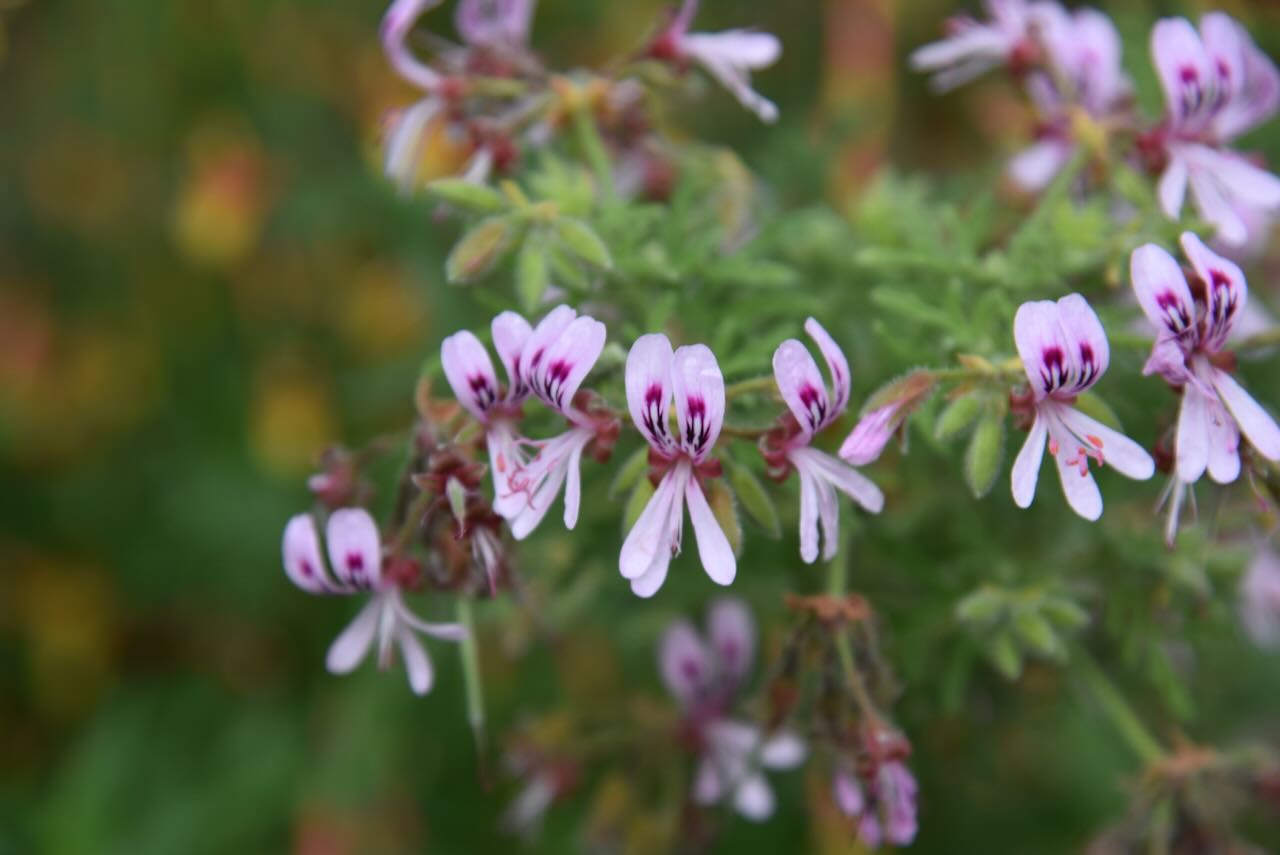
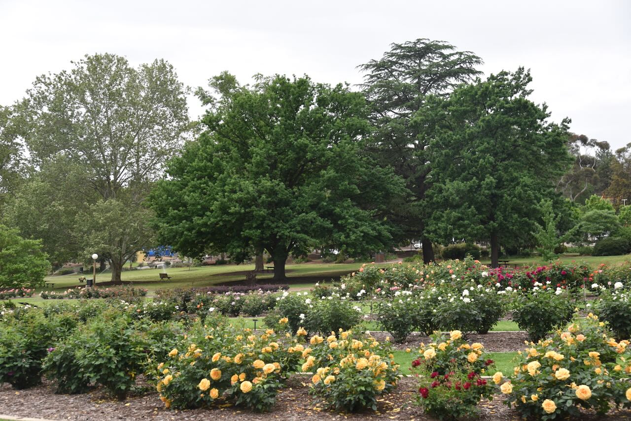
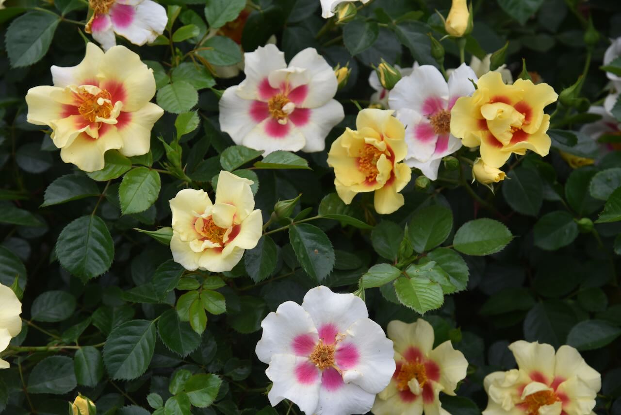
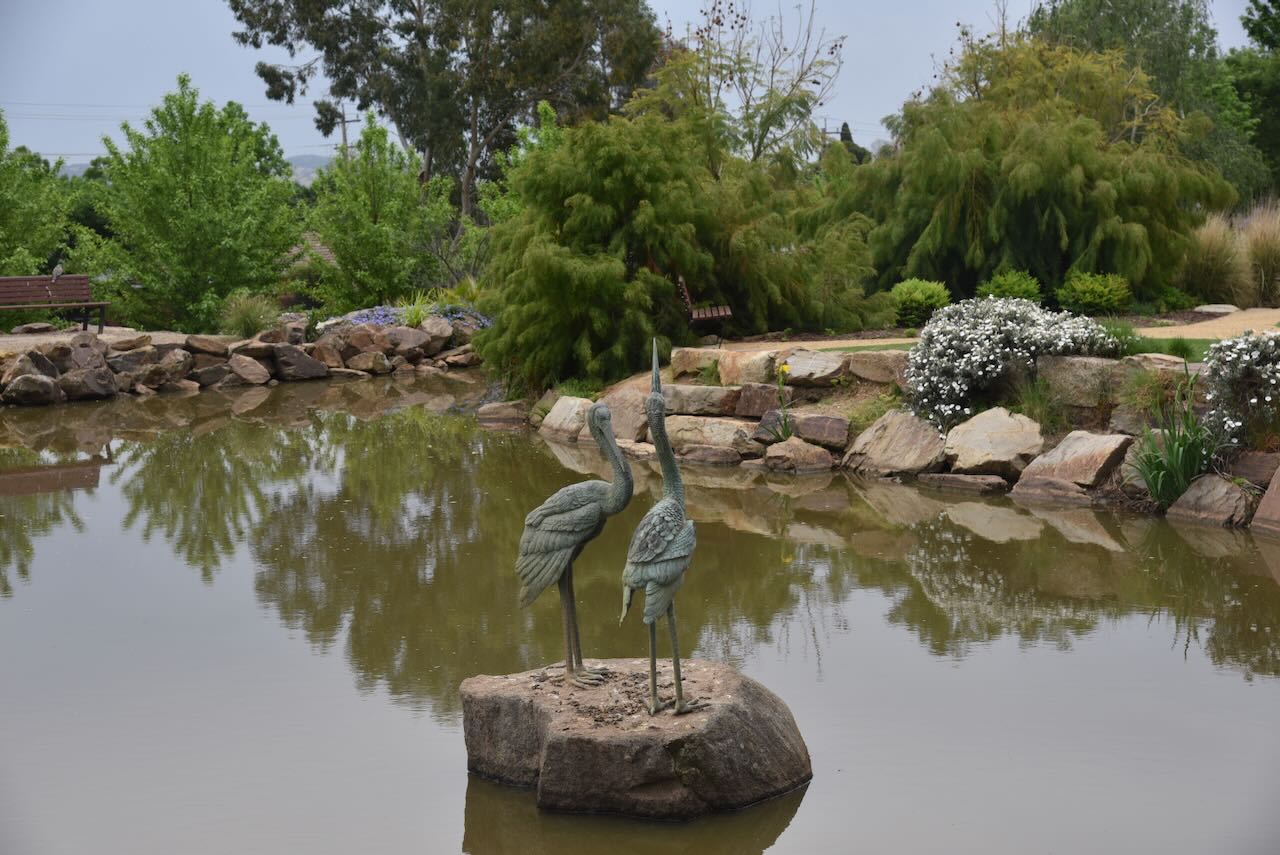
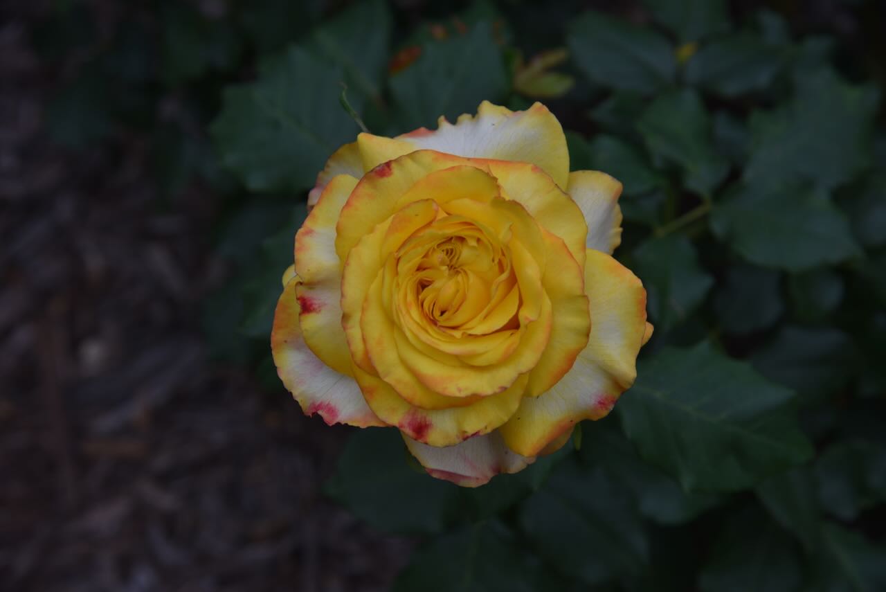
The roses in the rose garden were in full bloom and absolutely beautiful.
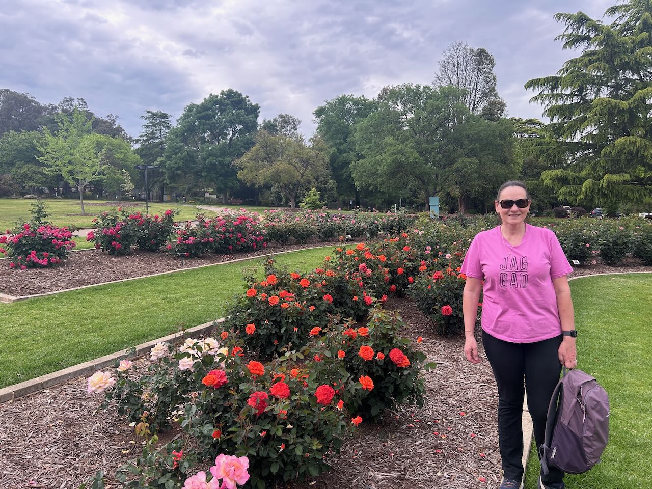

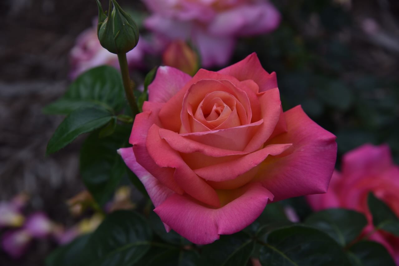
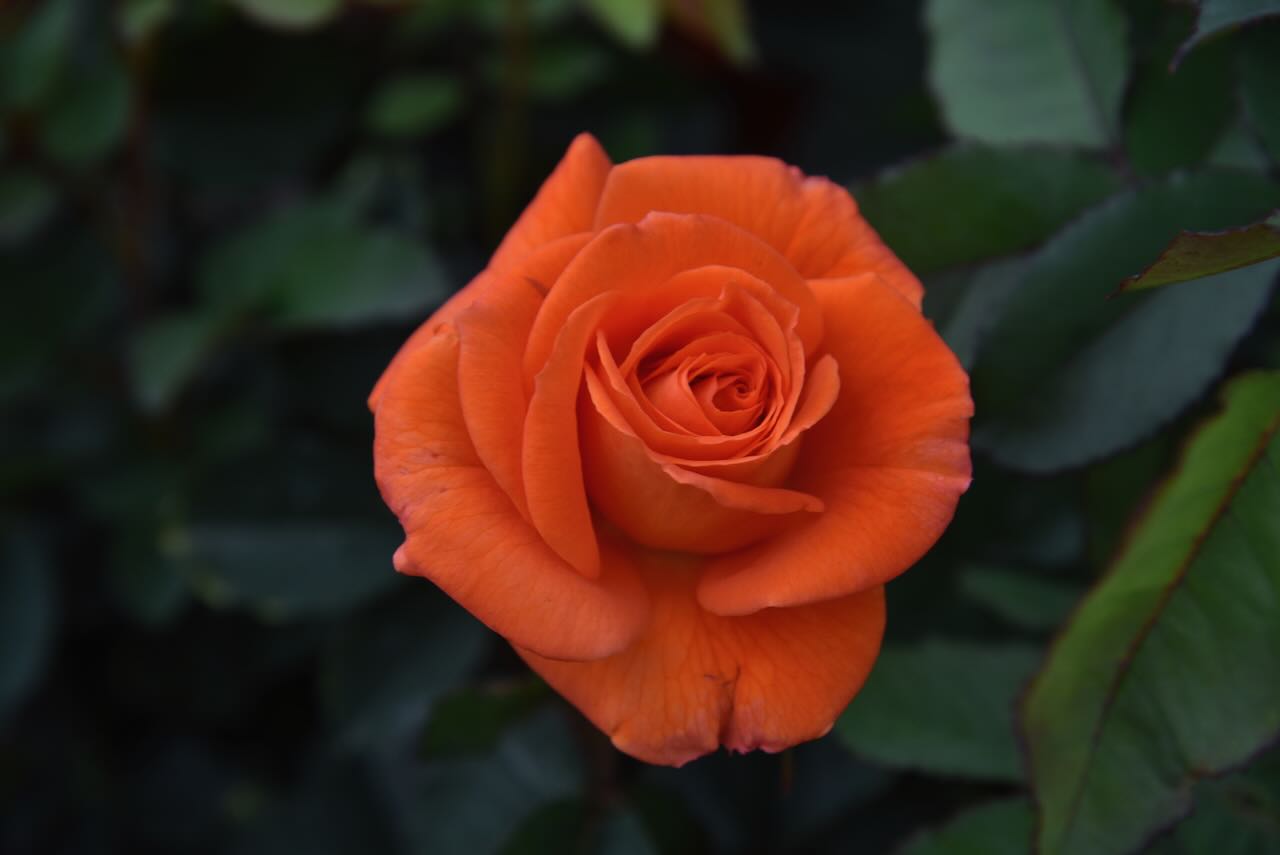
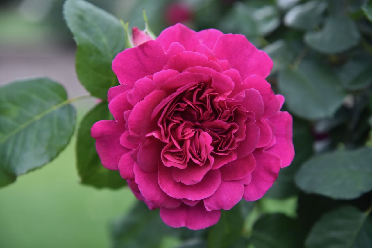
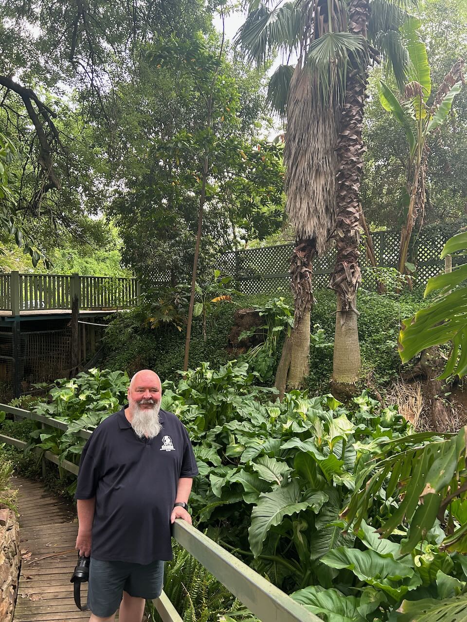
There is a beautiful rainforest section to walk through.

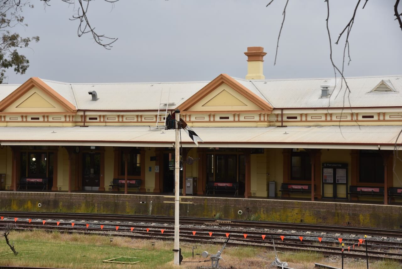
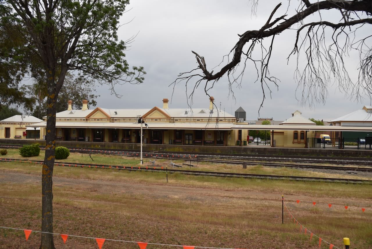
We then headed to the Wagga Wagga silo for an activation for the Silos On The Air (SiOTA) program. On the way, we stopped to admire the historic Wagga Wagga Railway Station. The station building was completed in 1879.
The Wagga Wagga silos are located on the southern side of Edward Street and are alongside the Main Southern railway line connecting Sydney and Melbourne.
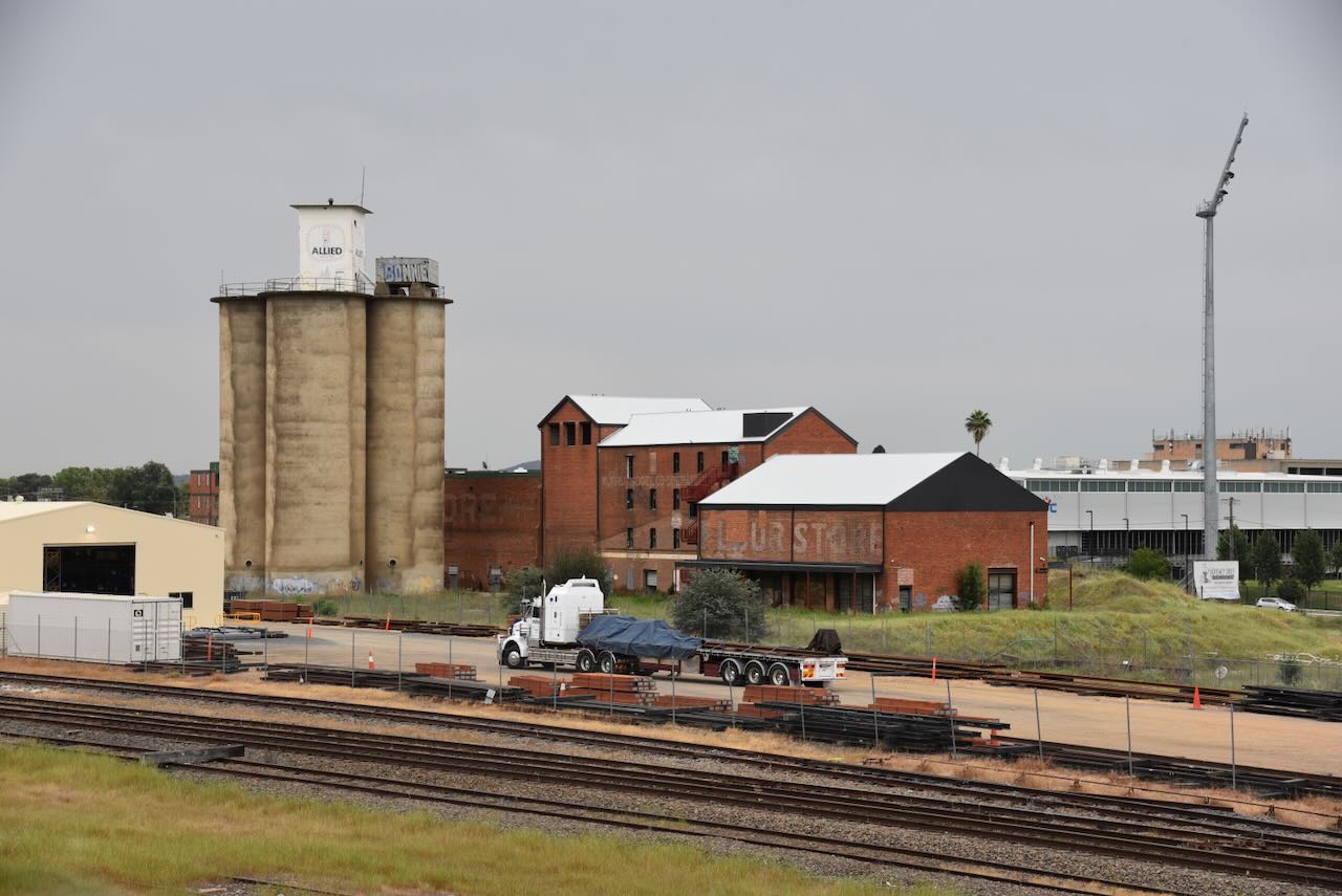
The silos are located alongside the old Murrumbidgee Co-operative Milling buildings.
On the 16th day of February 1889, a meeting was held at Monk’s Pastoral Hotel to discuss the establishment of a Co-operative Flour Mill. In August 1889, a general meeting of shareholders was held. A ballot resulted in the election of six gentlemen as directors to manage the Murrumbidgee Co-operative Milling business. (Trove 2025)
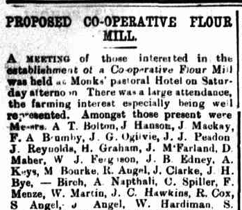
Above: part of an article from the Wagga Wagga Advertiser, Tue 19 Feb 1889. Image c/o Trove
A site for the mill was found alongside the railway line, and advertisements for tenders for the construction of the mill were circulated in newspapers in New South Wales and Victoria. (Trove 2025)
The mill was built in 1890 by Charles Hardy (b. 1864. d. 1934). The official opening of the mill took place on the 28th day of June 1890. One week later, the mill commenced operation. The mill initially had a 12 sack capacity plant. It was the second largest flour milling company in the state of New South Wales, outside of the city of Sydney. (Maddison 2023) (Nesbitt, 2025) (Trove 2025)
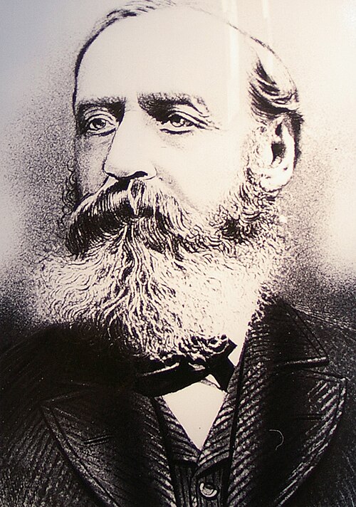
Above: Charles Hardy. Image c/o Wikipedia
The first managers were J.P. Adkins and his brother C.W. Adkins. They were members of a well-established English milling family. The trade name of ‘Wagga Lily Flour’ was adopted. With their expertise, the Wagga business rapidly expanded. Within 20 years, the mill was exporting flour around the world, including Europe, South Africa, and Egypt. (Maddison 2023)
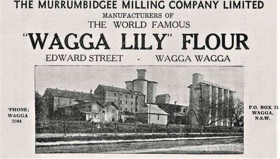
Above: An advertisement for the mill. Image c/o Lost Wagga Wagga Facebook page
In 1908, the mill gained a gold medal diploma at the Franco-British Exhibition that was held in London. (Trove 2025)
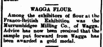
Above: article from the Wagga Wagga Advertiser, Sat 12 Dec 1908. Image c/o Trove
By 1913, the mill was producing about 12,000 to 13,000 tons of flour per year. A Wolfe compound condensing superheating steam engine was installed at a cost of £4000. (Maddison 2023)
Four concrete grain silos were constructed in 1918.
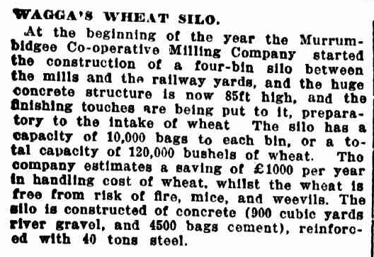
Above: article from Australian Town and Country Journal, Sydney, Wed 5 Jun 1918. Image c/o Trove
In 1927, a further 10 silos were constructed. During that same year, the mill was producing 20,000 to 22,000 tons of flour per year. The old steam engine was replaced with electric power. (Maddison 2023)
Sunicrust Bread established a bakery alongside the mill. It closed in May 2003, and the building was demolished in 2007. (Wikimedia.org, 2006)
The mill ceased operation in August 1978. (Maddison 2023)
In 1981, the former flour mill was listed by the National Trust. (Maddison 2023)
In 2014, the site was cleared of a substantial amount of infrastructure, including some of the silos. Fortunately, the historic mill buildings survived. (Nesbitt, 2025)
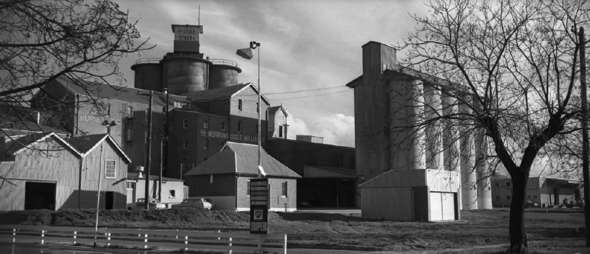
Above: A view of the mill and silos, showing the surviving silos and the destroyed silos. Image c/o Lost Wagga Wagga Facebook page
Marija and I operated from the 4WD in Bolton Park opposite the silos. We ran the Icom IC-7000, 100 watts, and the Codan 9350 antenna with the 1.5 metre stainless steel whip.
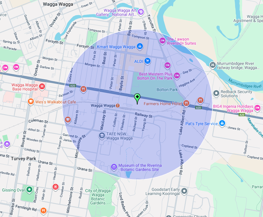
Above: the activation zone at the Wagga Wagga silos. Image c/o SiOTA website
Marija worked the following stations on 40m SSB:-
I worked the following stations on 40m SSB:-
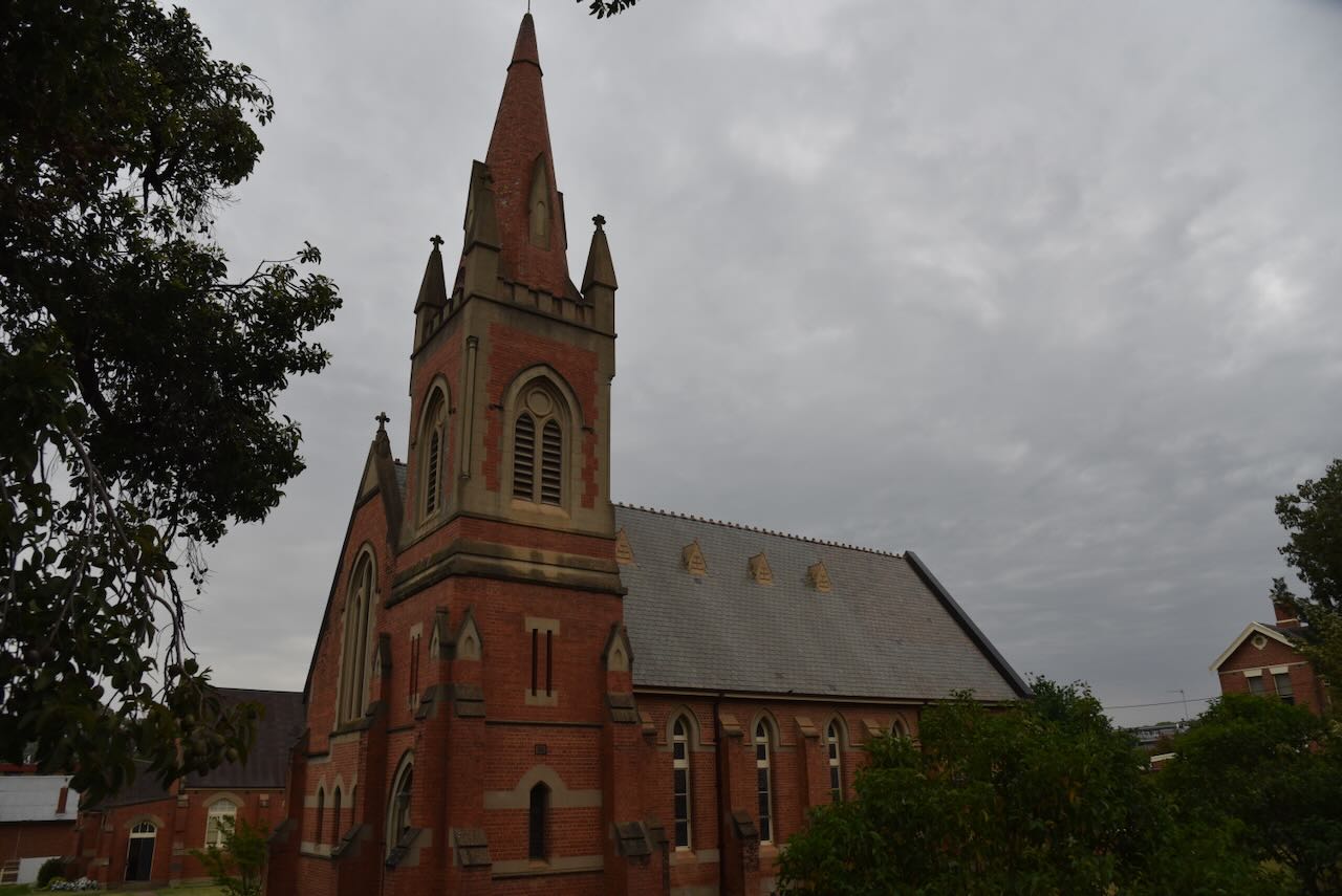
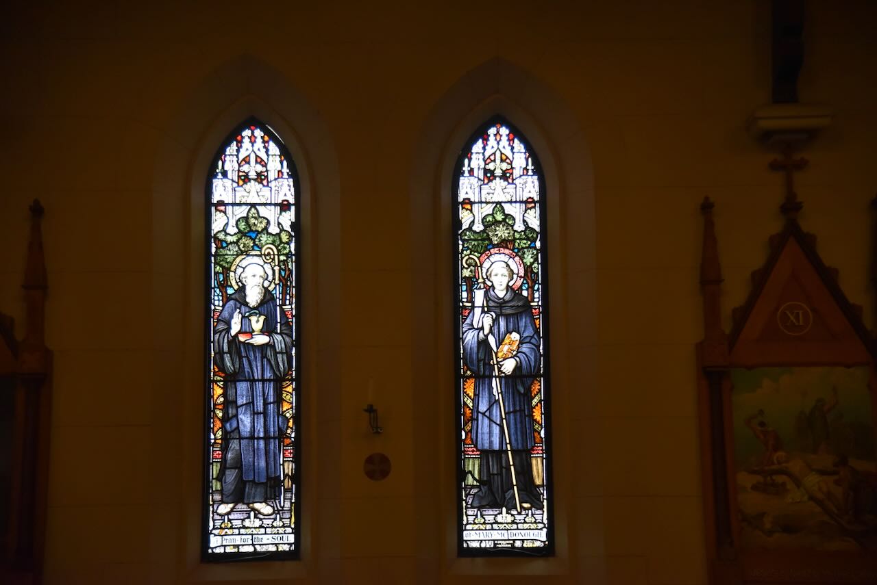
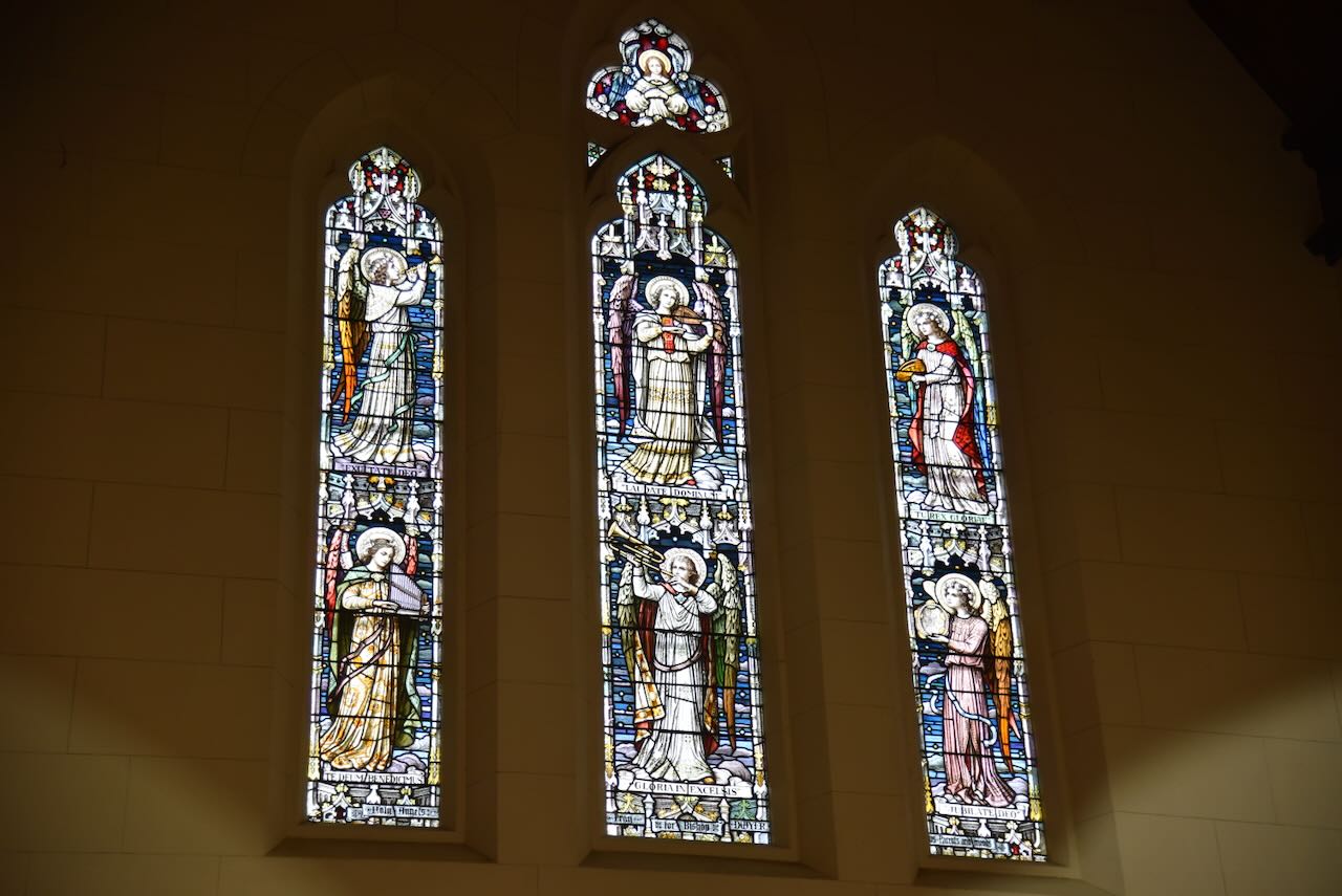
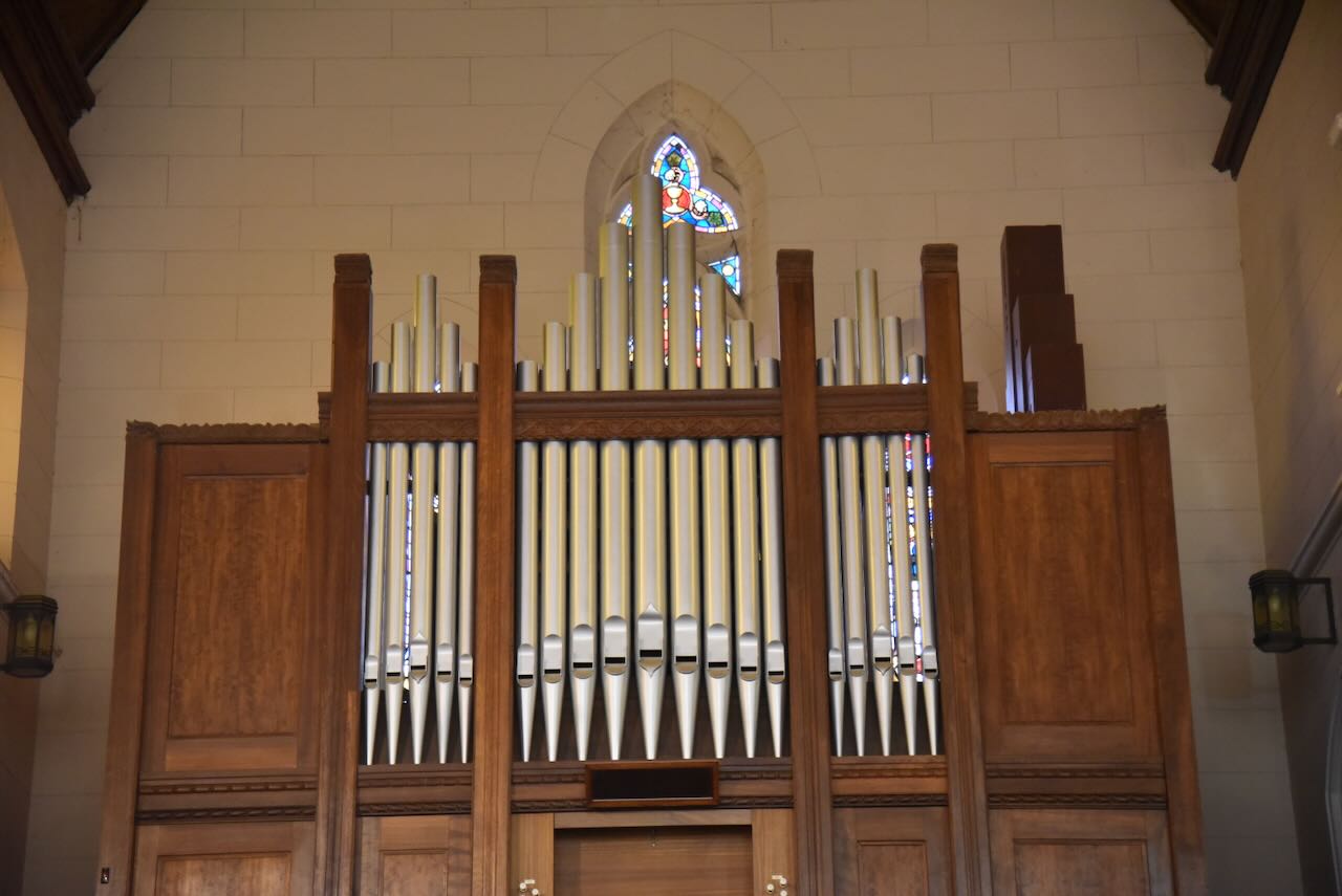
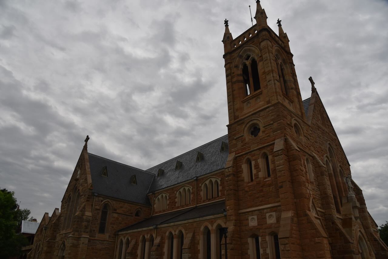
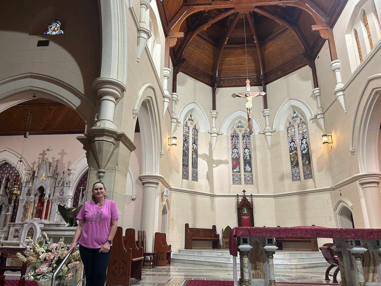
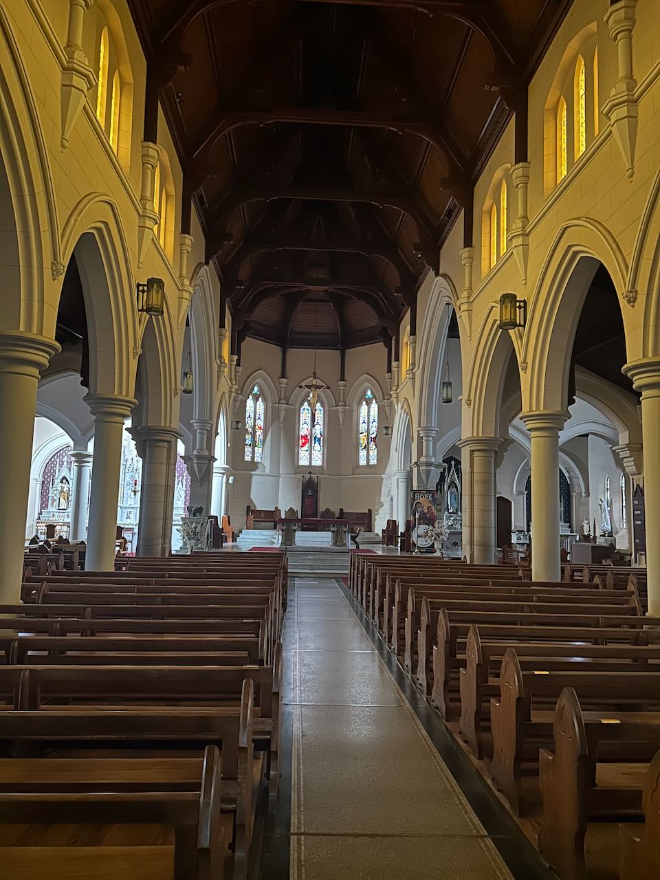
After the silo activation, we visited St Michael’s Cathedral at Wagga Wagga. The foundation stone was laid on the 26th day of April 1885, with the church opening in 1887. The architects were Tappin, Gilbert & Dennehy of Melbourne. A second stage of the church was built between 1922 to 1925 with the architect being W.J. Monks.
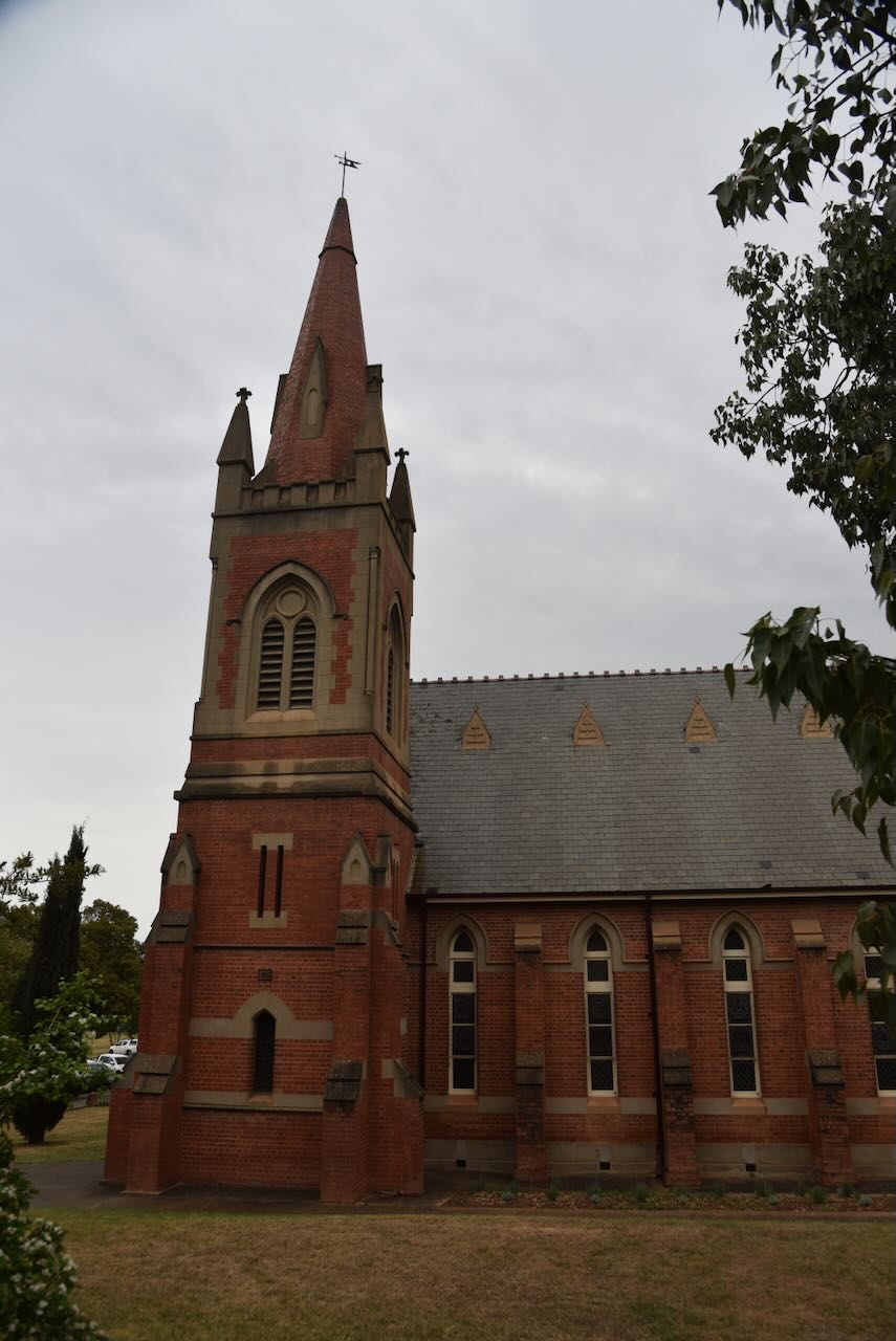
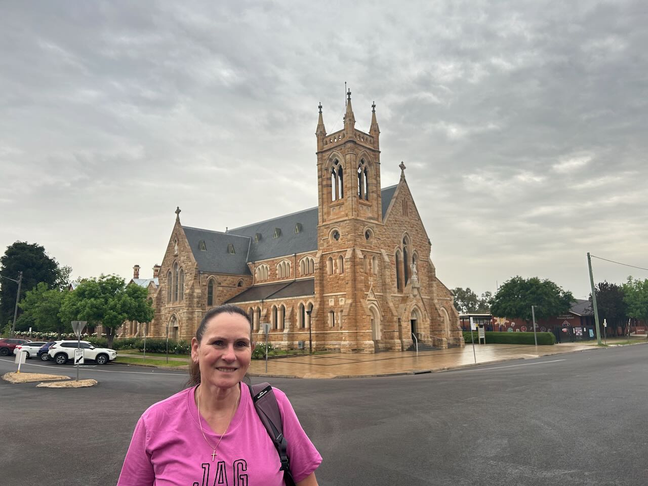
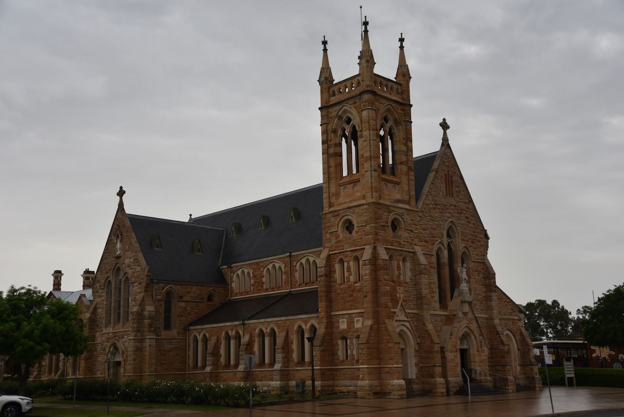
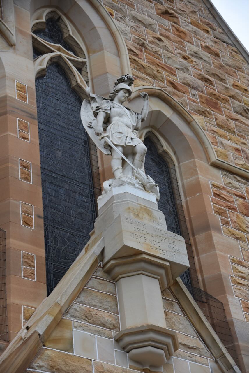
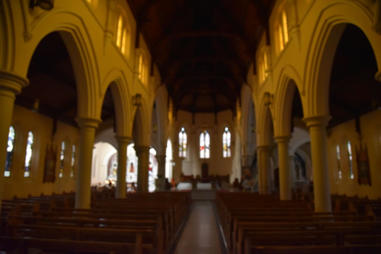
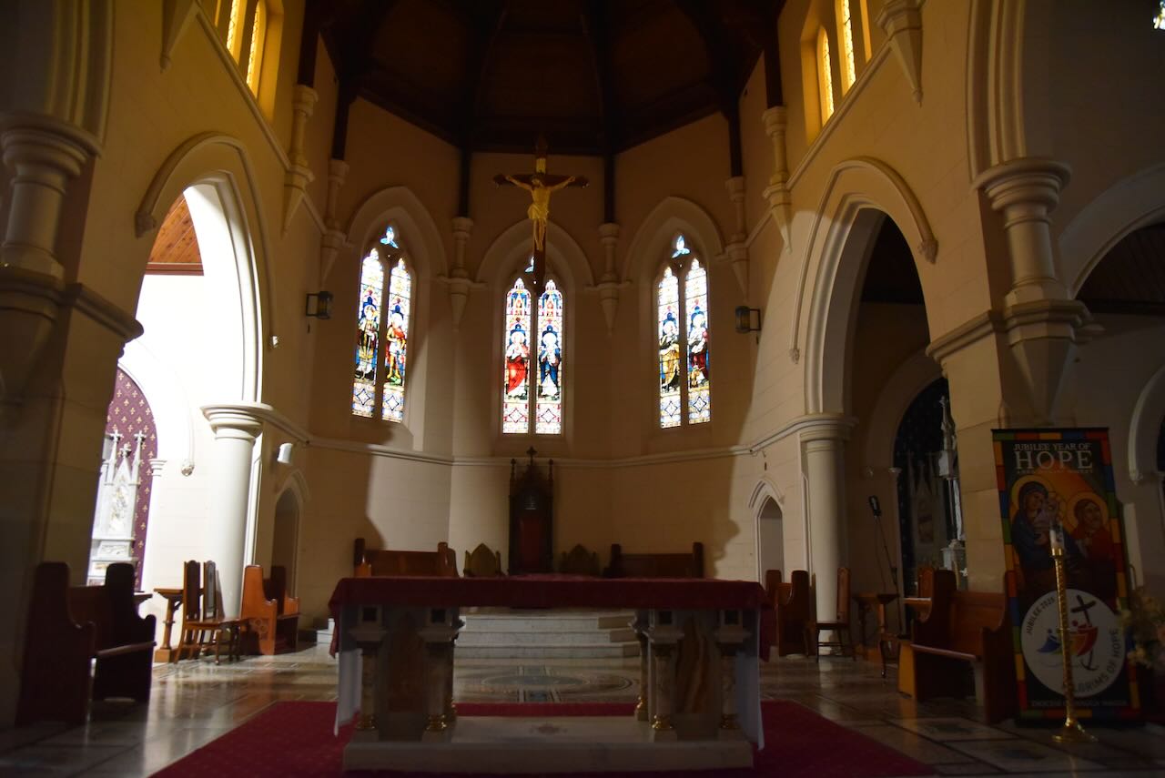
The internal roof timbers are exposed. The altars display some finely crafted marble.
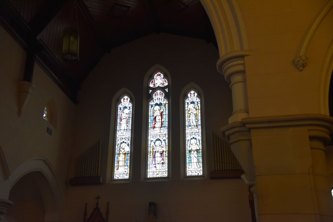
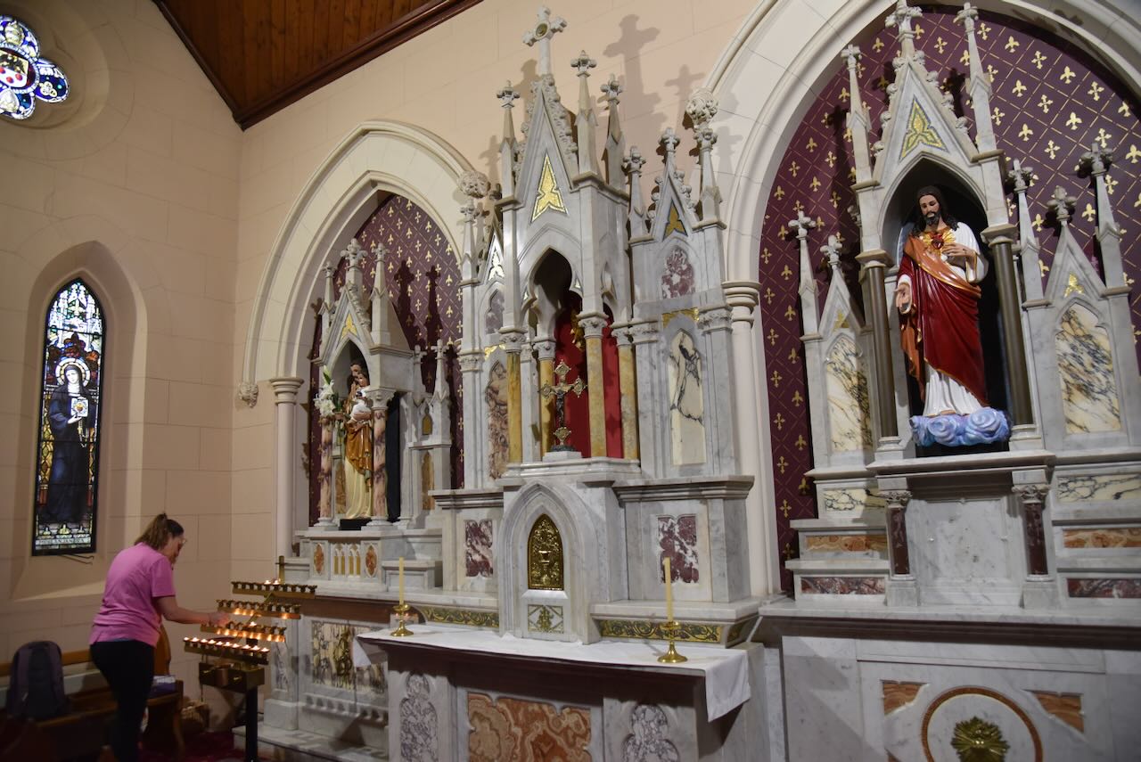
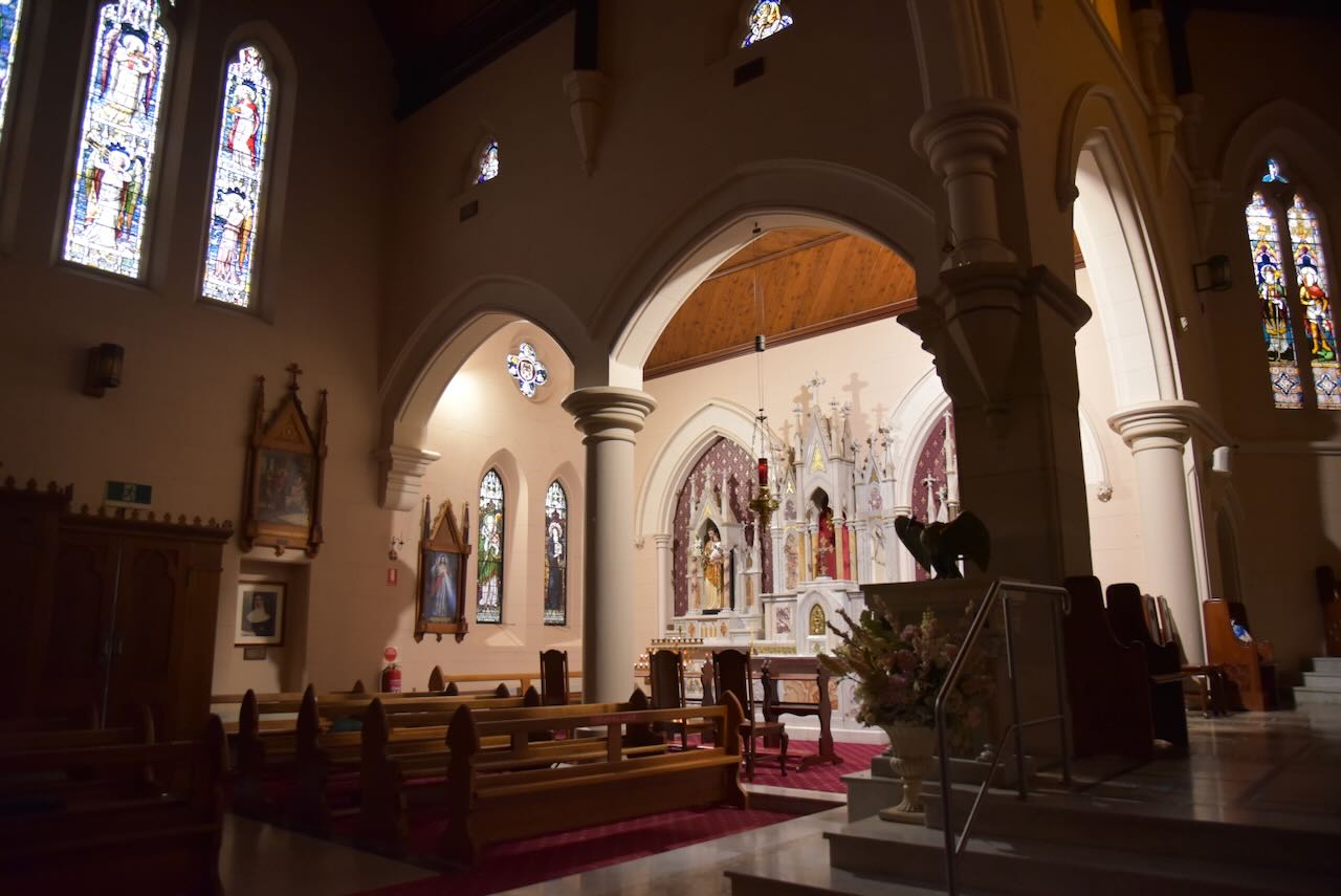
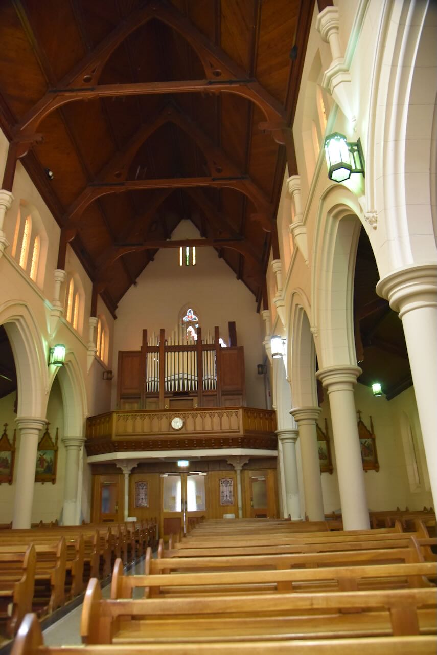
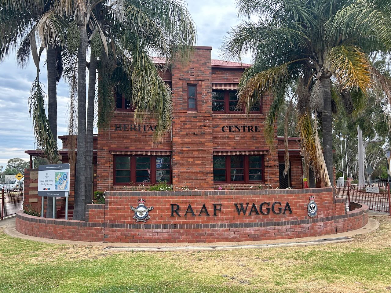
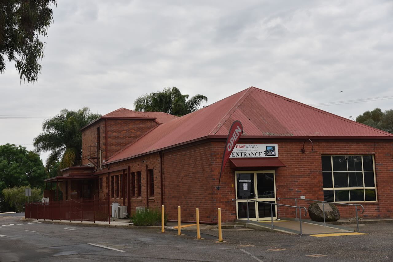
We then visited the Royal Australian Air Force (RAAF) museum at Wagga Wagga. The museum is housed in the original guardhouse at the entrance to the RAAF base.
Below is an excellent video explaining the history of the RAAF base at Wagga Wagga.
Before you enter the museum building, you are greeted by several former RAAF aircraft, which are on display.
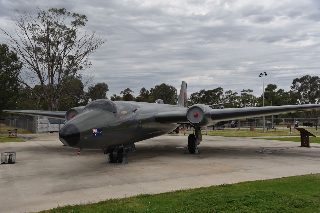
The first is a historic Canberra bomber. The Canberra was produced by the Australian manufacturing company, Government Aircraft Factories (GAF). They produced 48 Canberra aircraft, with the Commonwealth Aircraft Corporation producing the Avon engines. On the 19th day of January 1951, the Canberra aircraft was officially named after Canberra in the Australian Capital Territory. (Air Force 2023)
The Canberra aircraft on display at Wagga Wagga first flew on the 3rd day of September 1956 and was delivered to the RAAF in October 1956. It served with No 2 Squadron and was deployed to Butterworth in 1958 and Vietnam in 1967. It was used as a training aid from 1973 at the RAAF School of Technical Training, Wagga. (Air Force 2023)
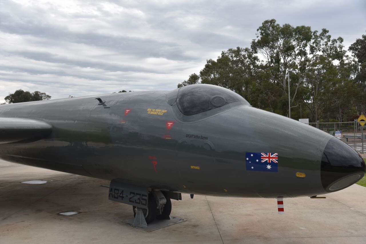
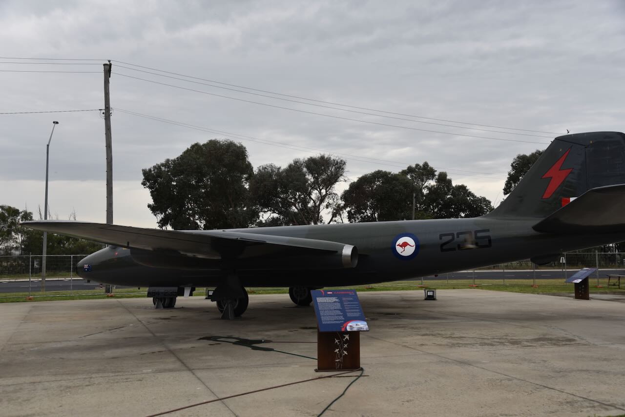
Another one of the legendary aircraft on display is a Mirage.
In March 1961, the Mirage was chosen as the replacement for the Sabre. On the 14th day of March 1963, the first RAAF Mirage flew in France. The following month, on the 9th day of April 1963, it was delivered to the RAAF. The Mirage became the RAAF’s frontline fighter for over 20 years. (Air Force 2023)
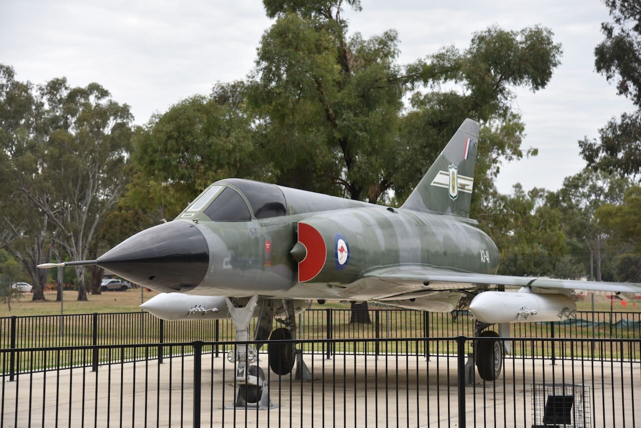
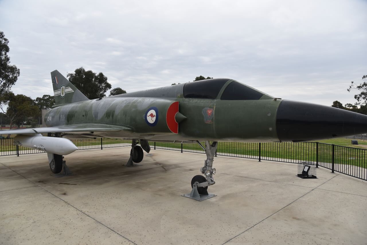
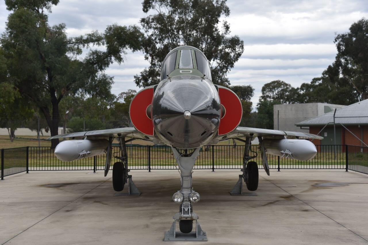
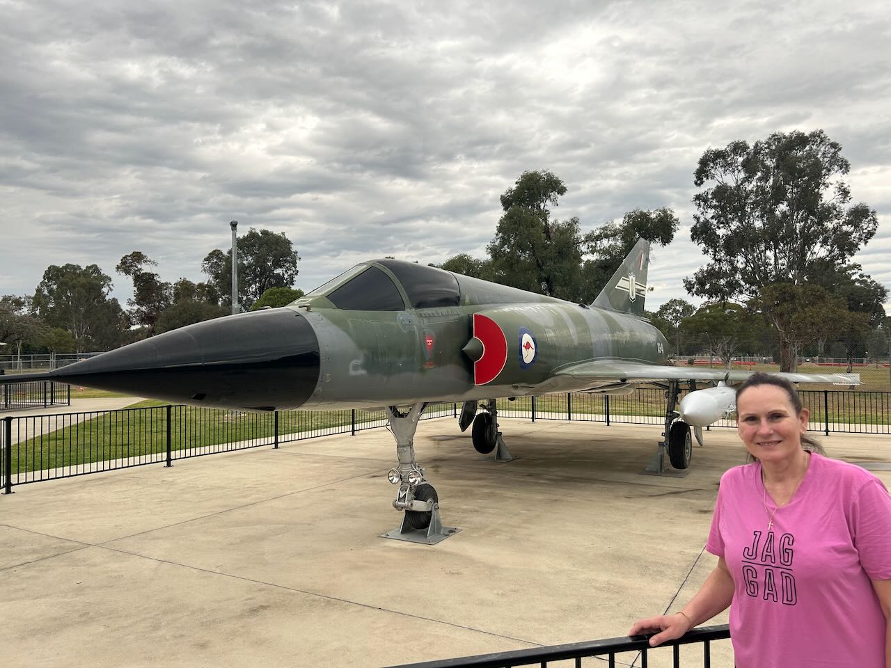
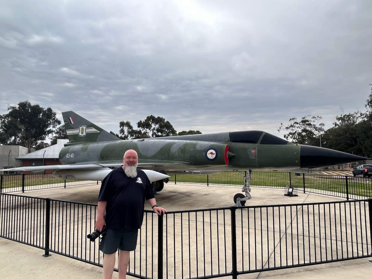
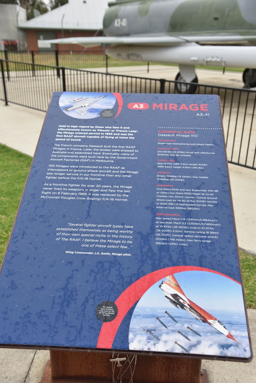
The aircraft on display, Mirage A3-41, was delivered to the RAAF on the 4th day of August 1966 and served with Nos 75, 76, and 77 Squadrons. It caught fire on the 6th day of April 1976 and was forced to make an emergency landing in Nowra, New South Wales. In April 1977, the RAAF School of Technical Training received approval to rebuild the aircraft. (Air Force 2023)
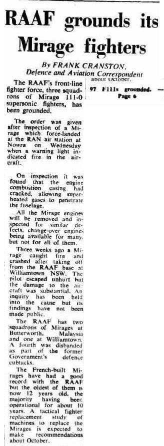
Above: article from The Canberra Times, Sat 10 Apr 1976. Image c/o Trove
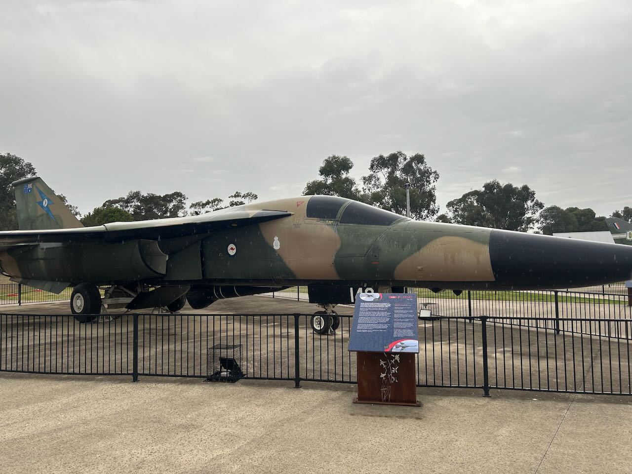
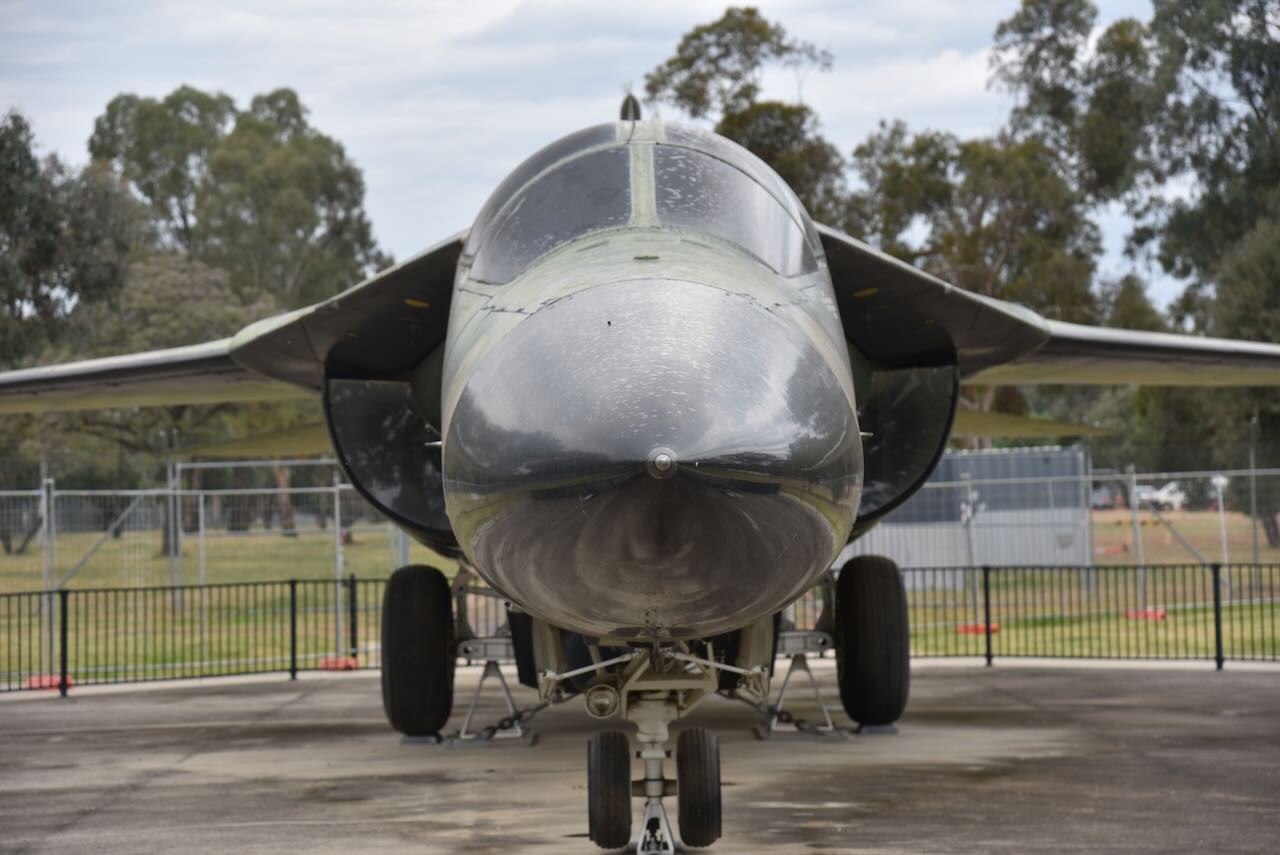
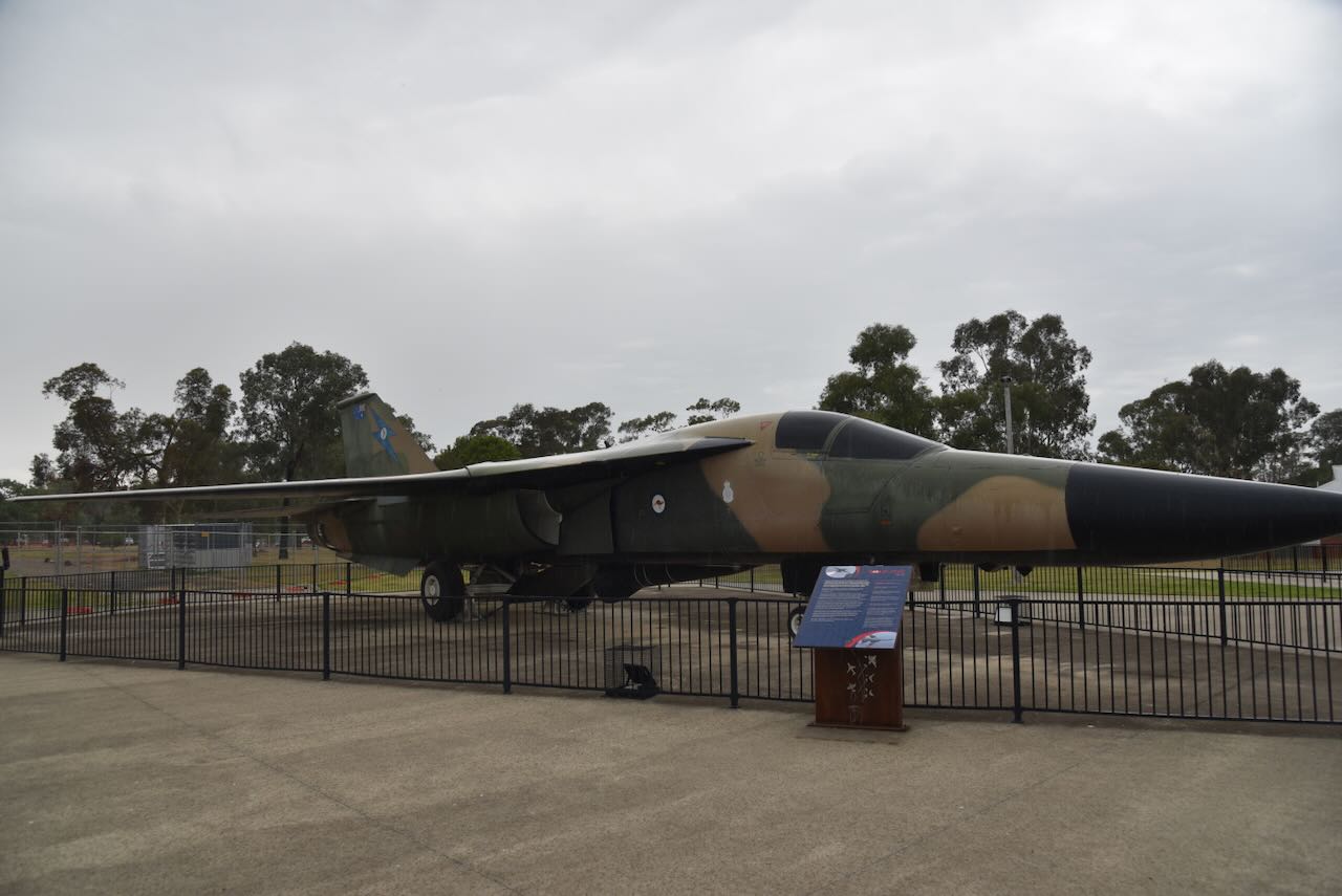
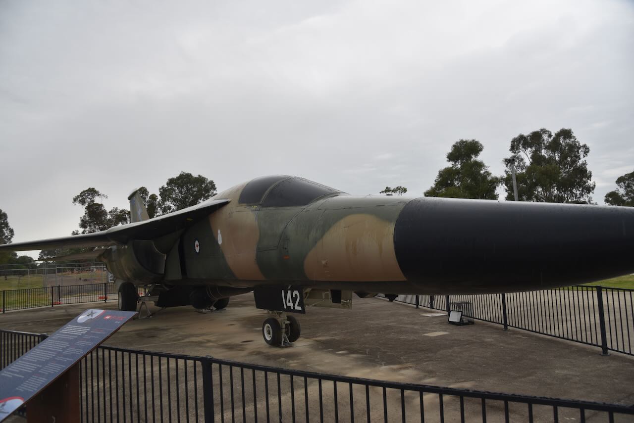
There is also an F-111 on display. This particular aircraft was chosen in 1963 to replace the Canberra. It took a further 10 years before the first F-111’s arrived in Australia. The F-111 served the RAAF for a total of 37 years.(Air Force 2023)
The F-111 on display is F-111 A8-142, which first flew on the 18th day of December 1968. It arrived in Australia on the 1st day of October 1973. It retired in 2010. (Air Force 2023)

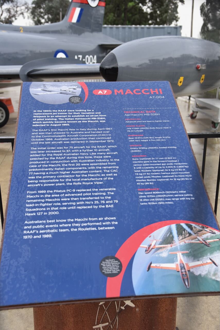
Another aircraft on display is an Aermacchi MB-326H (Machi). These were selected by the RAAF in 1965 as a replacement for the Vampire trainer in 1965. (Air Force 2023)
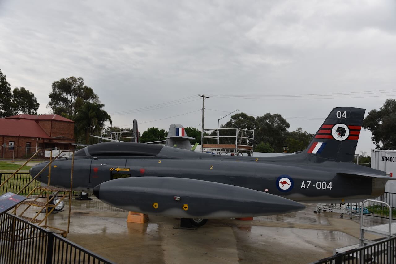
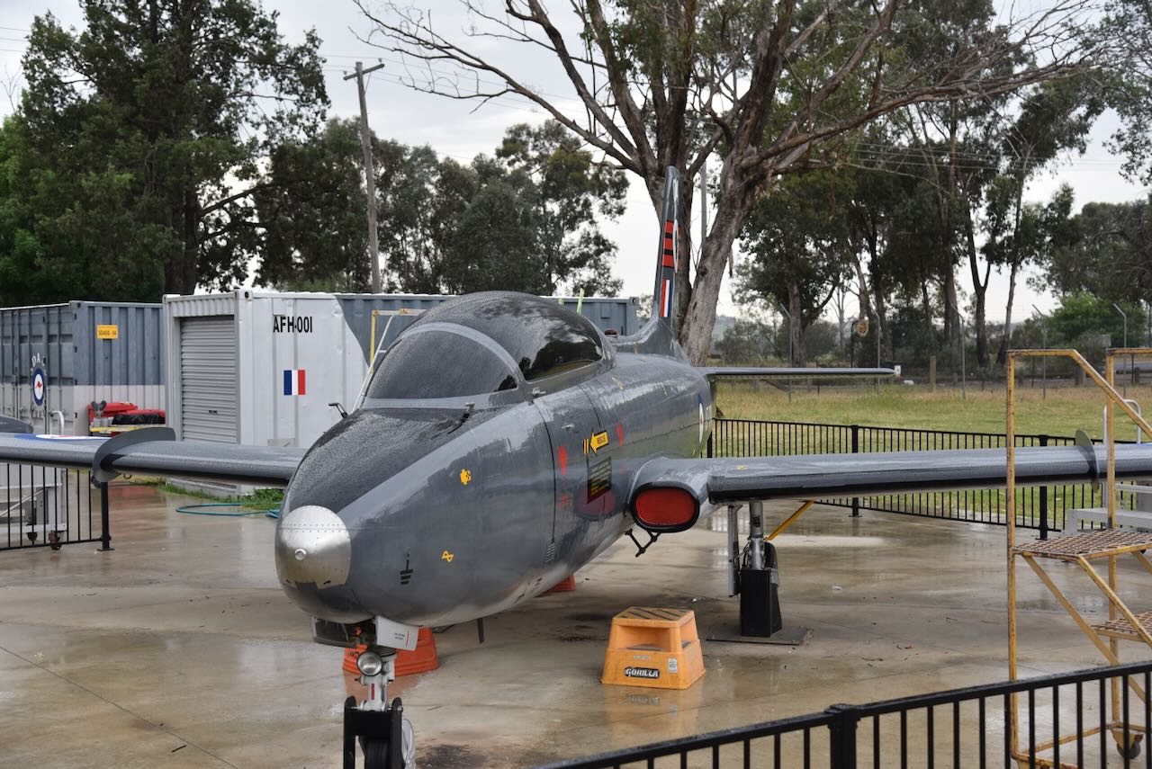
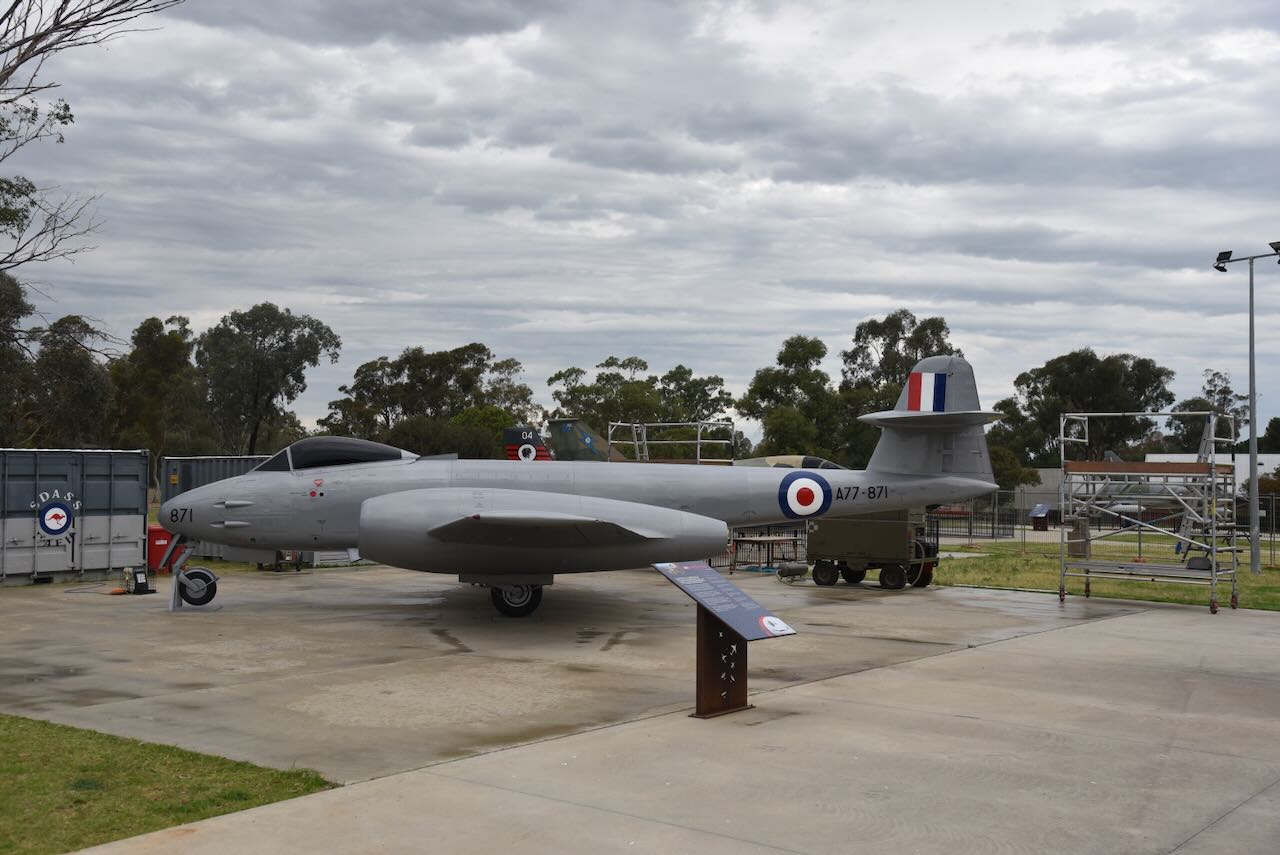
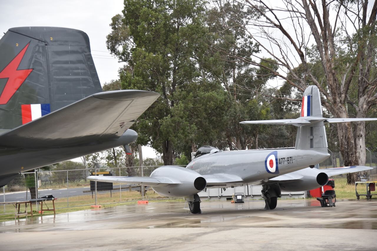
And finally, there is a Meteor Mk.8. This was the first RAAF jet to be deployed in a war, with a total of 93 Meteors delivered to the RAAF for service in Korea. (Air Force 2023)
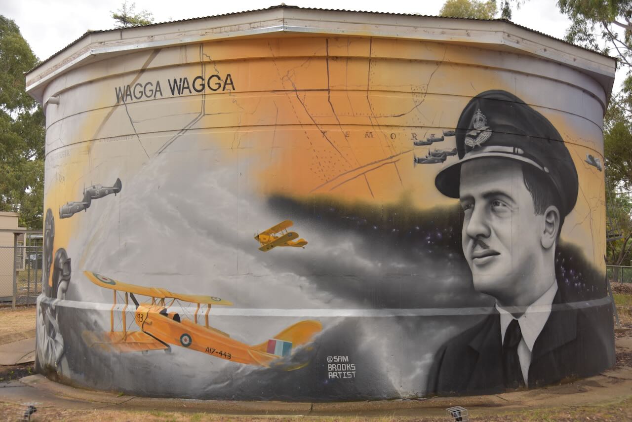
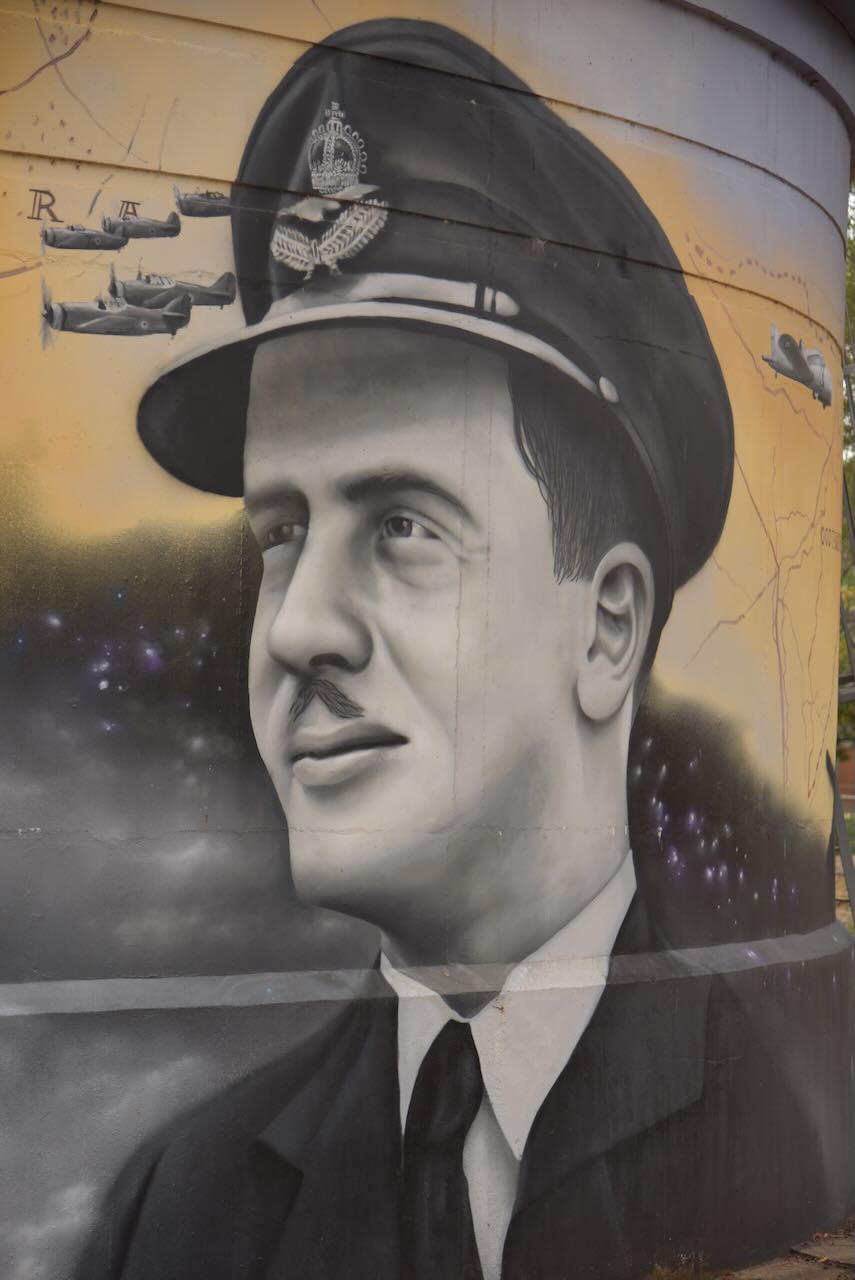
The museum also features a painted water tank. It is the work of artist Sam Brooks. The art features Norman Parry who was a famed pilot and instructor. You can also find a Tigermoth aircraft which was used as a training aircraft. Another person featured is Bill Newtown, a Victoria Cross recipient. (Australiansiloarttrail.com, 2025)
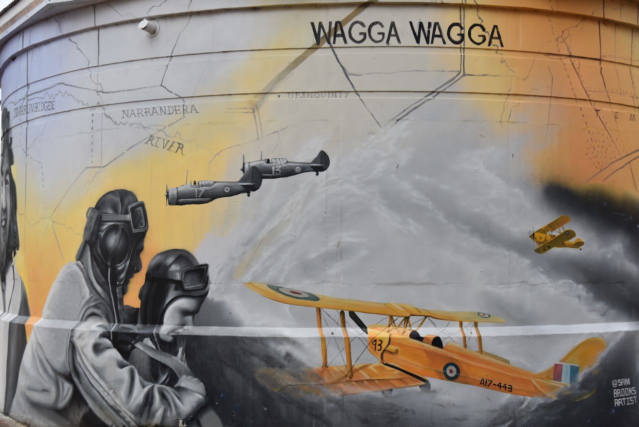

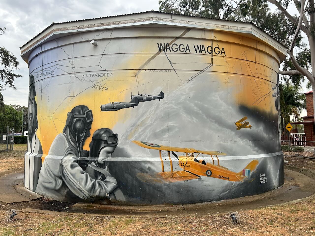
The museum features several rooms with very interesting displays.
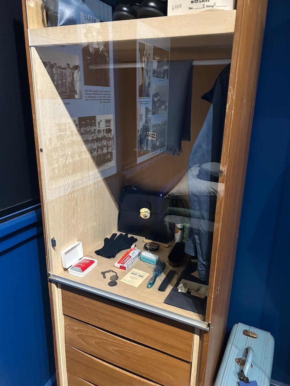

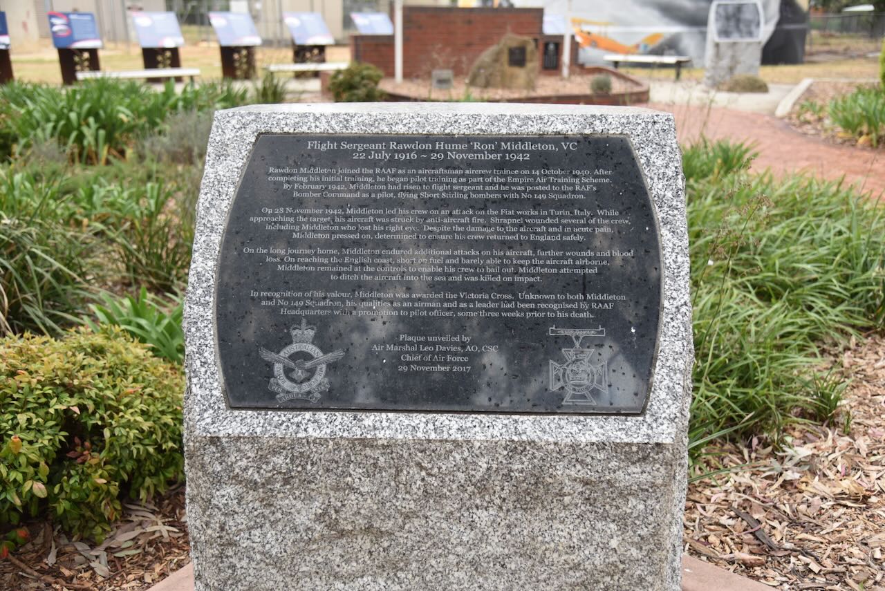
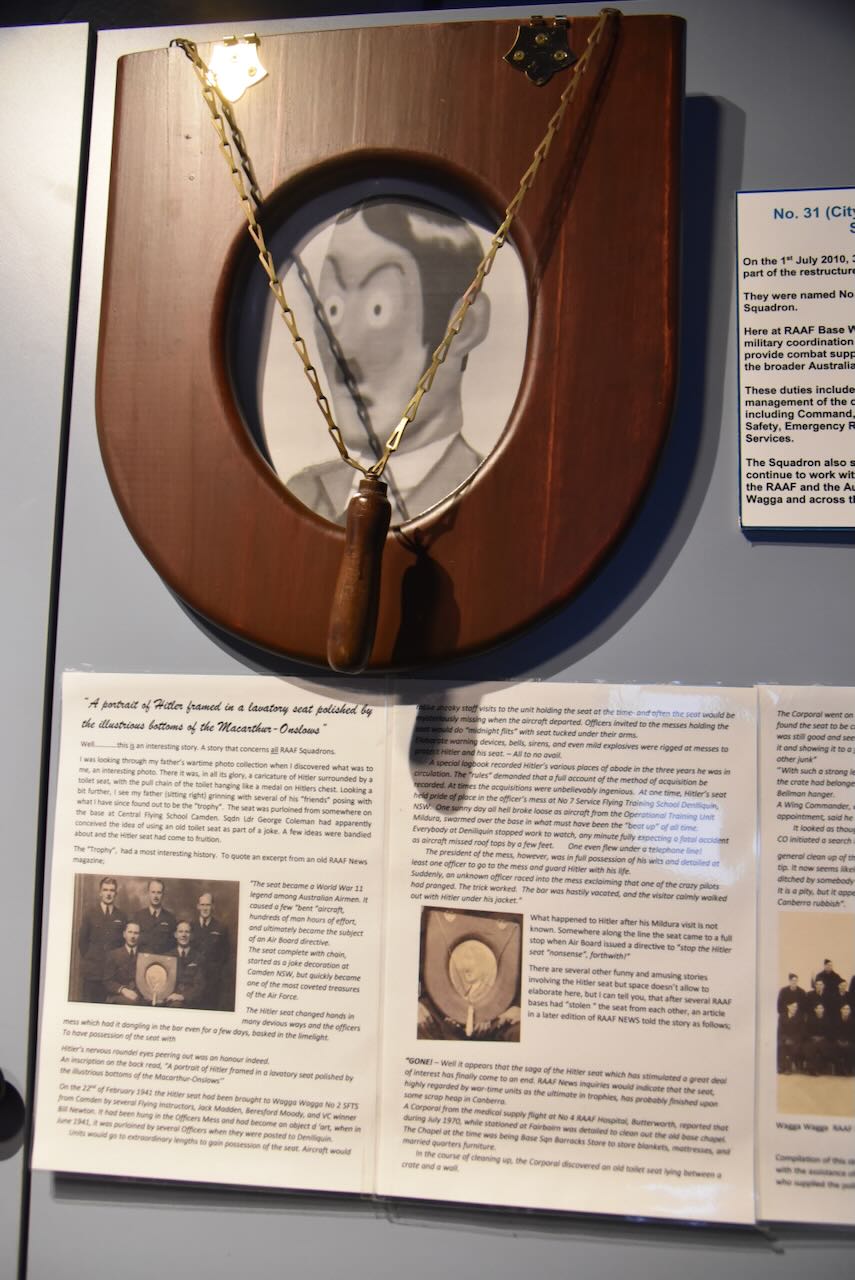
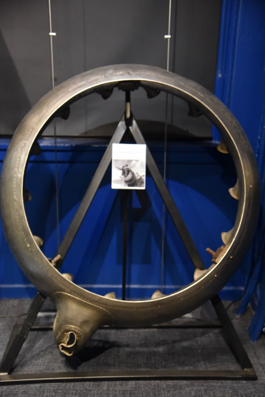
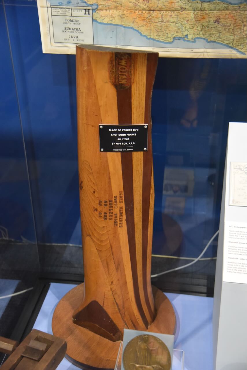
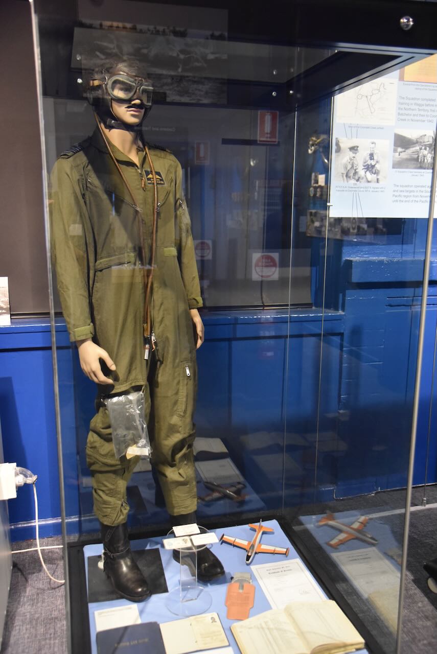
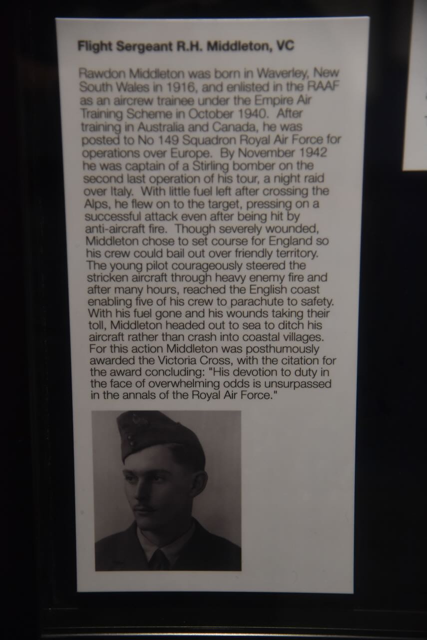
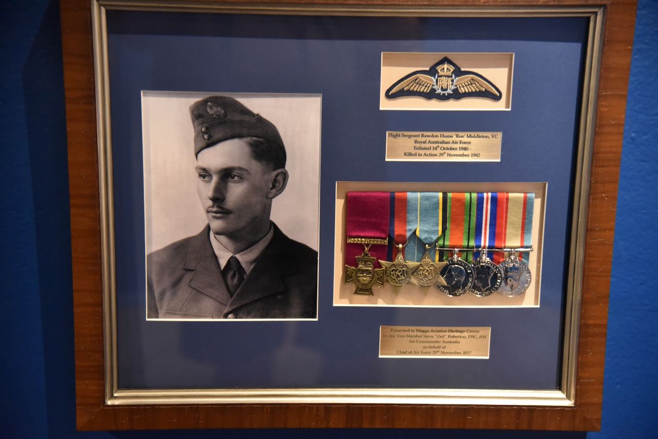
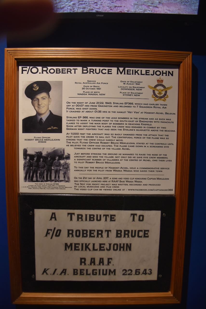
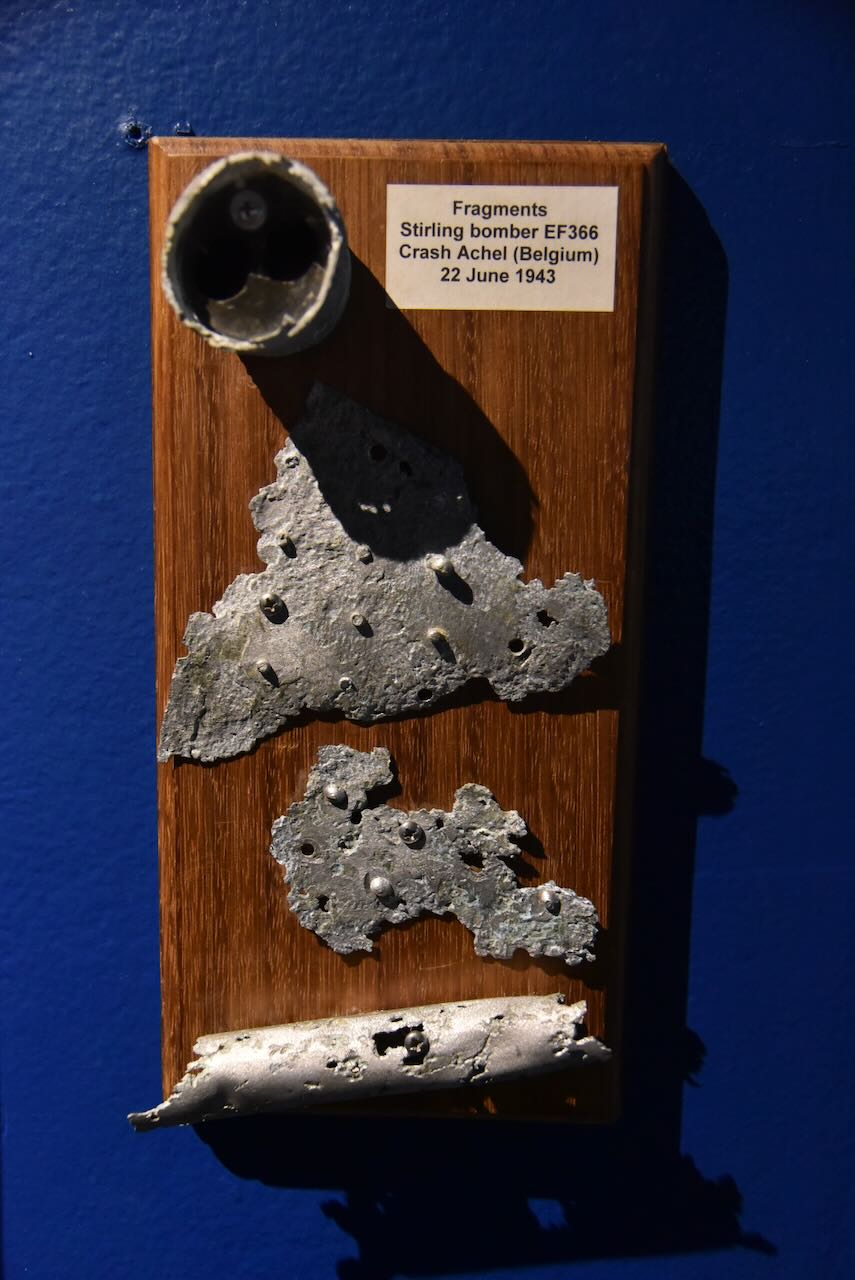
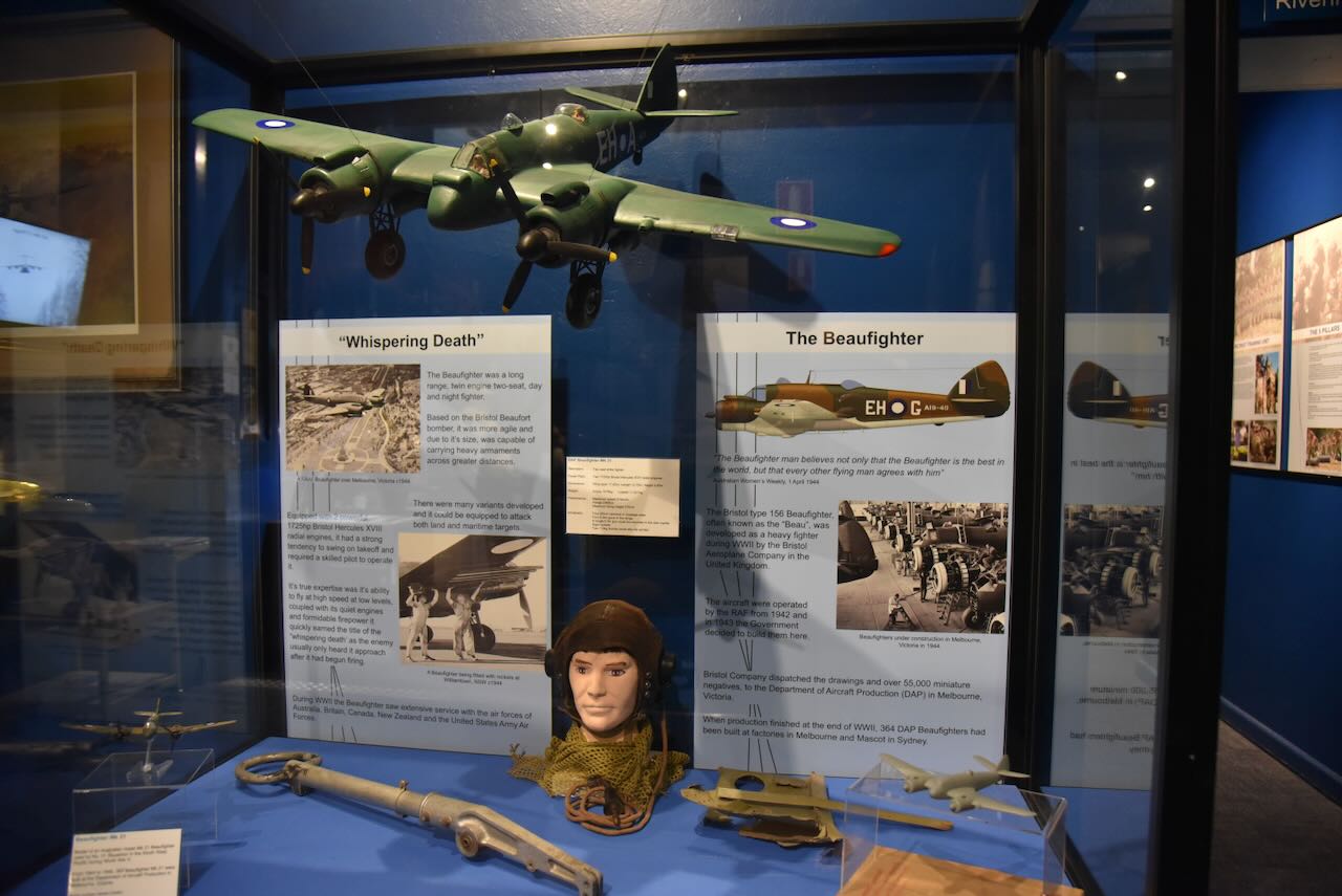
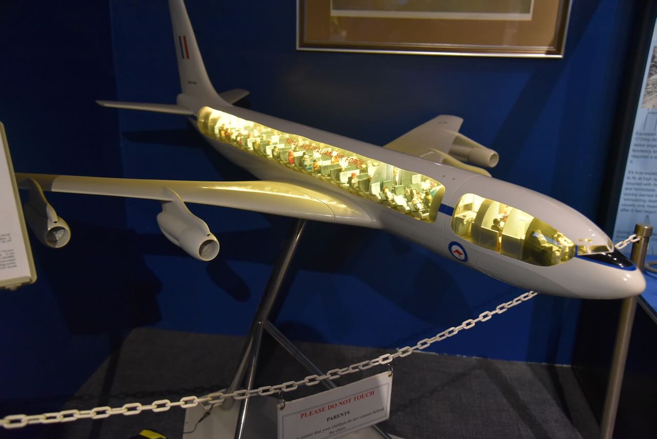
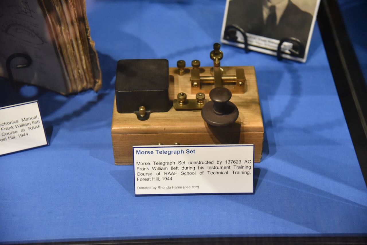
I even found an old Amalgamated Wireless Australasia Ltd (AWA) receiver, transmitter/ATU.


They had a Morse key set up, and I tried my luck. Below is a video showcasing my limited Morse Code skills.
We then headed back into Wagga Wagga. The photograph below shows Wollundry Lagoon.
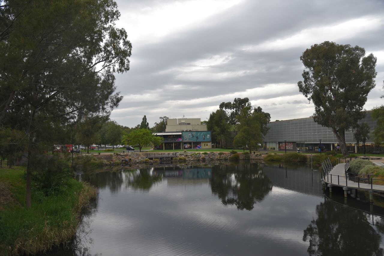
We drove past the old 2WG building in Fitzmaurice Street, Wagga Wagga, just over the bridge over Wollundry Lagoon.
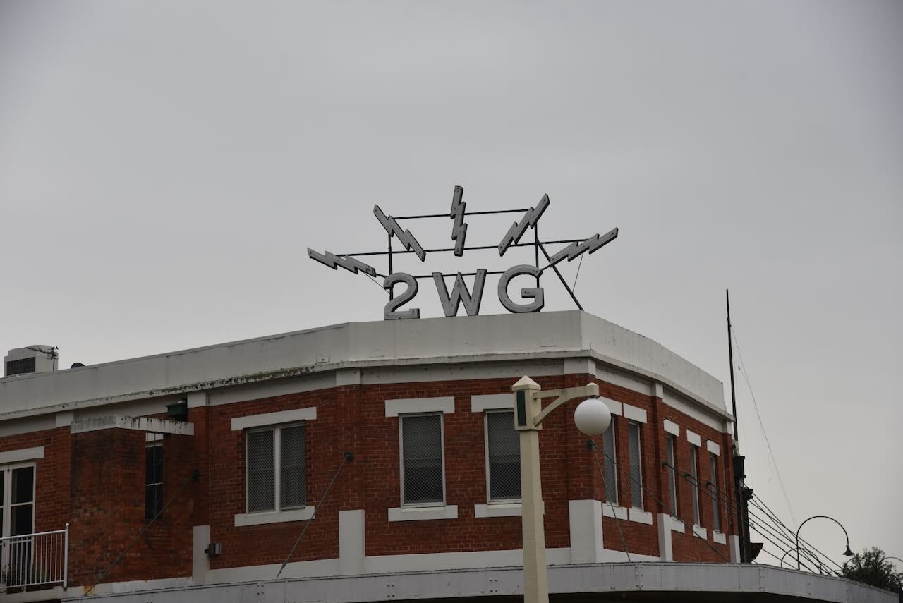
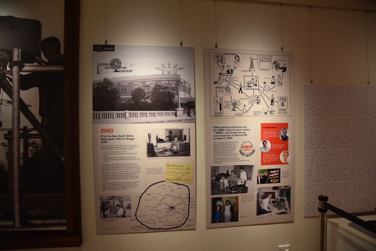
Radio station 2WG was launched on Wednesday, the 29th day of June 1932, by husband and wife team Eric and Nan Roberts. The station initially broadcast on the frequency of 1155 kHz, but by 1935 it had moved to 1150 kHz. Nearly 50 years later, in 1978, 2WG moved to 1152 kHz. (Facebook 2022) (Trove 2025)
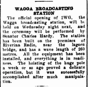
Above: article from the Daily Advertiser, Wagga Wagga, Sat 25 Jun 1932. Image c/o Trove
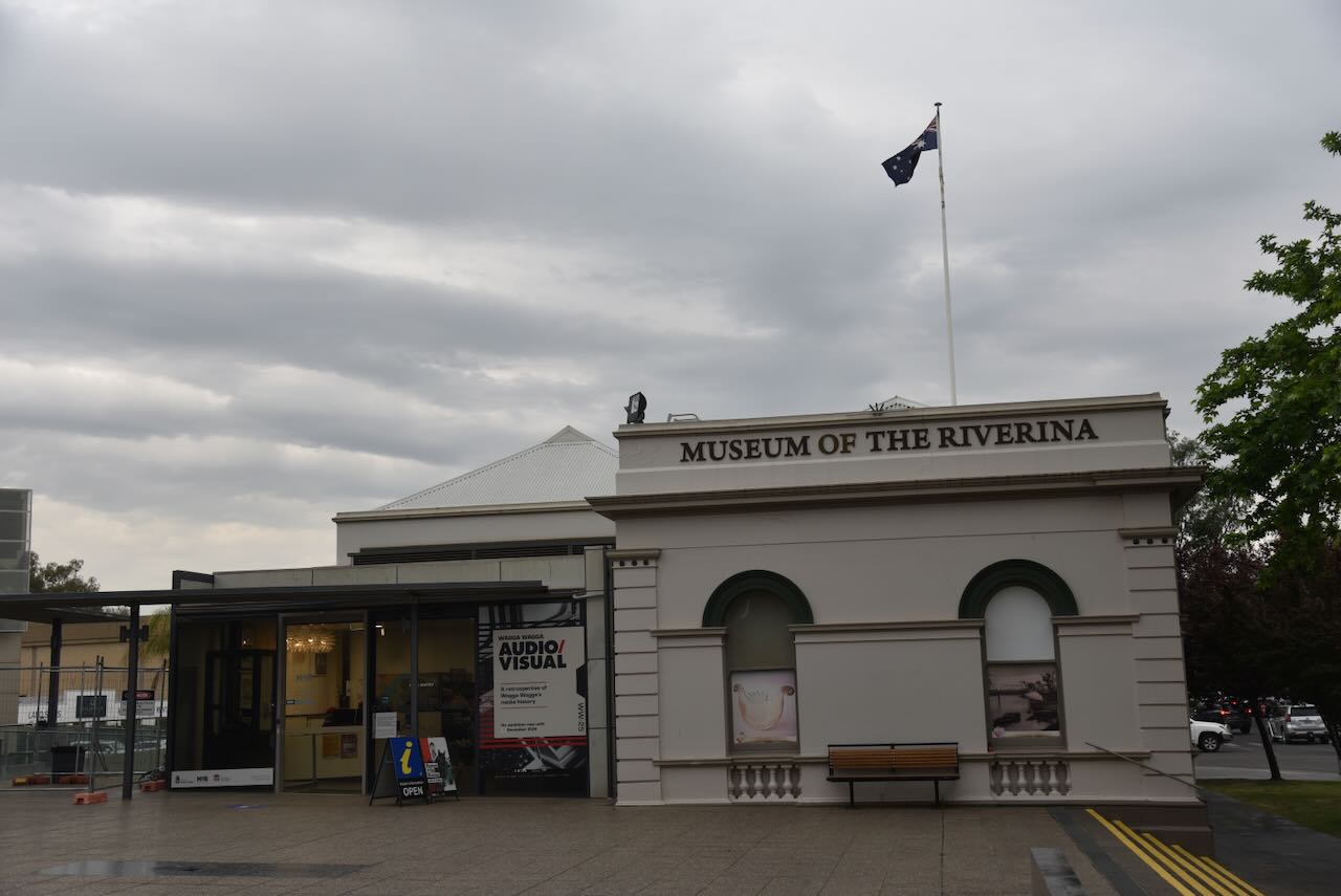
Our next stop was the Museum of the Riverina, which is contained in the historic Council Chambers building, which was constructed in 1881. In 1998, the building was converted to a museum. (Museum Riverina, 2025)
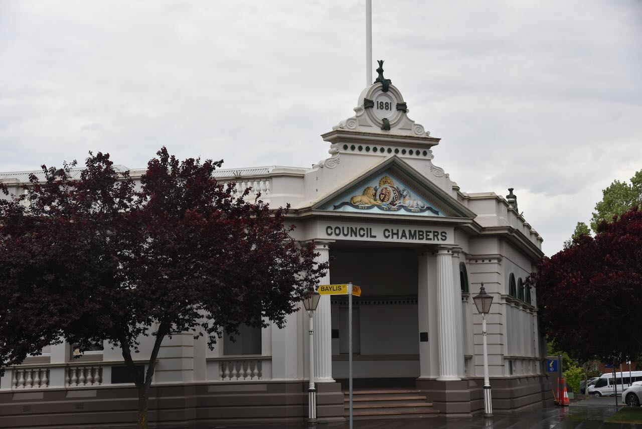
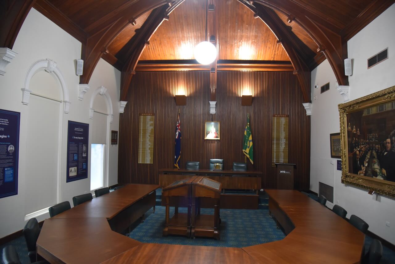
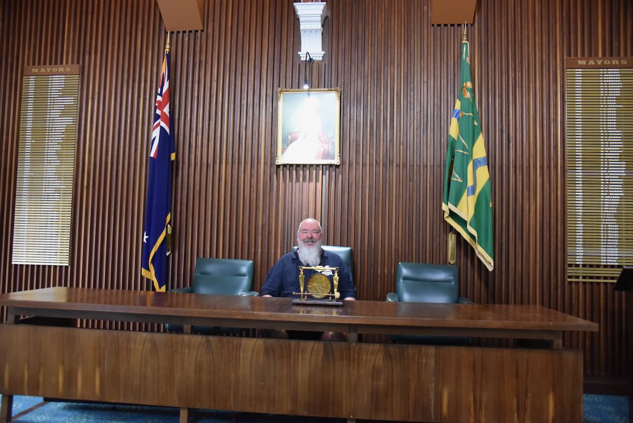
The old council meeting room is most impressive.
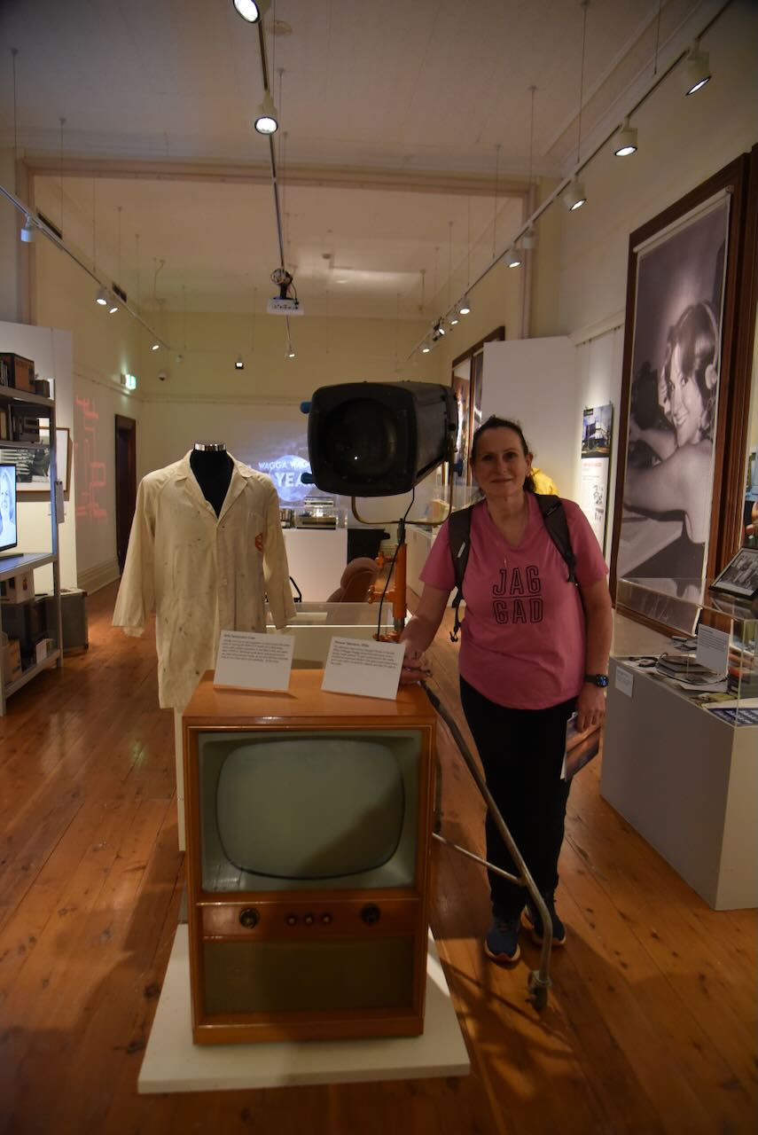
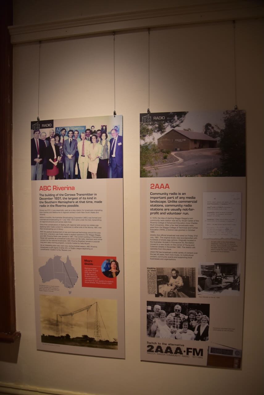
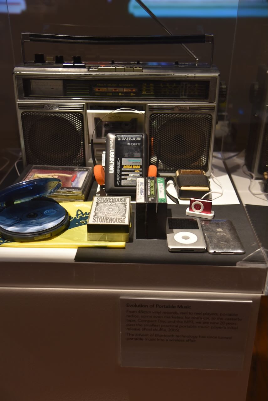
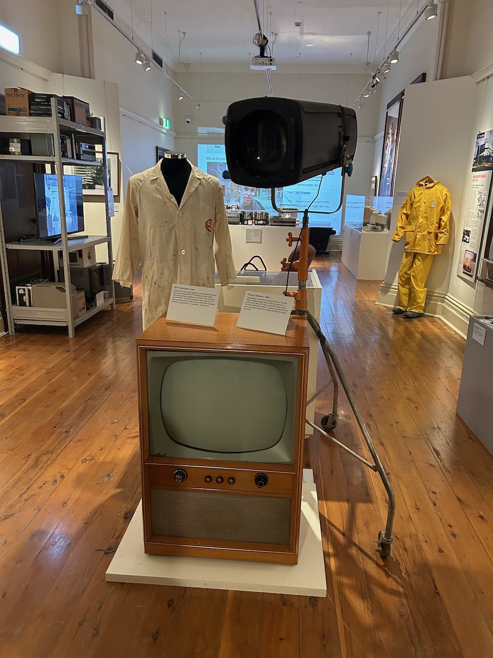
During our visit, there was a display on Wagga Wagga’s media history. This included quite a bit of information about 2WG.

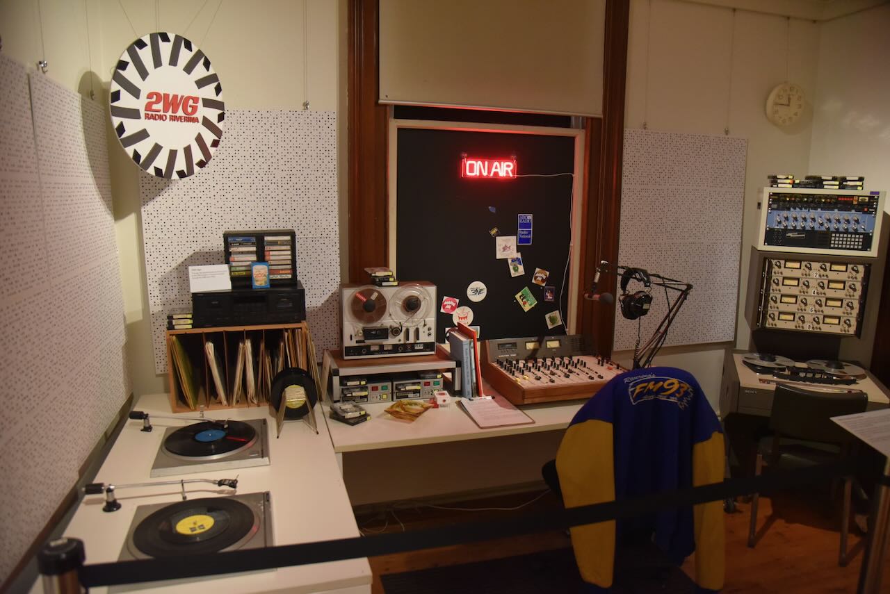
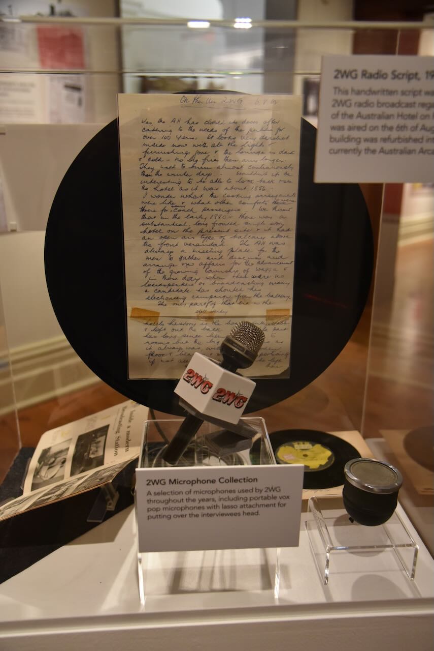
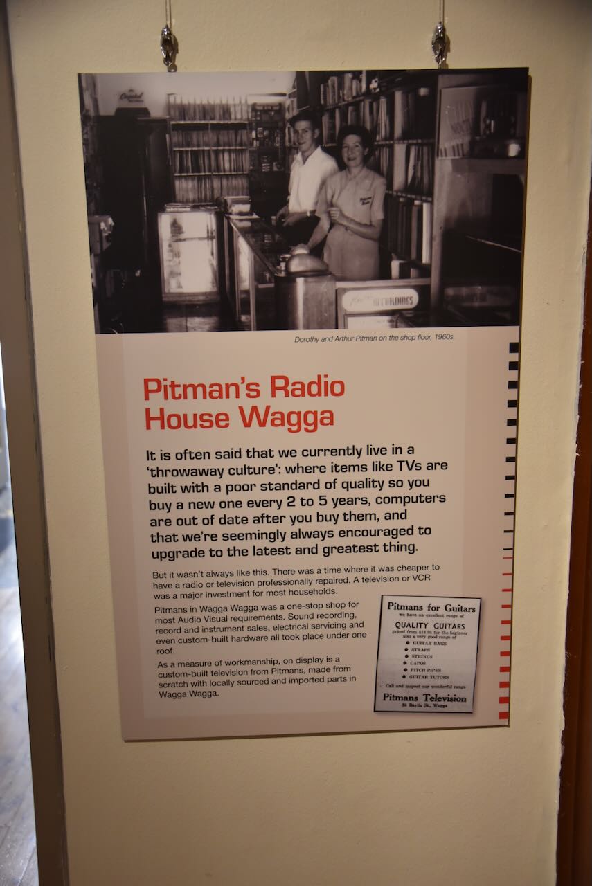
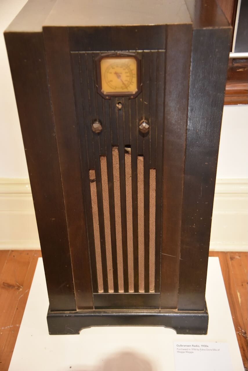


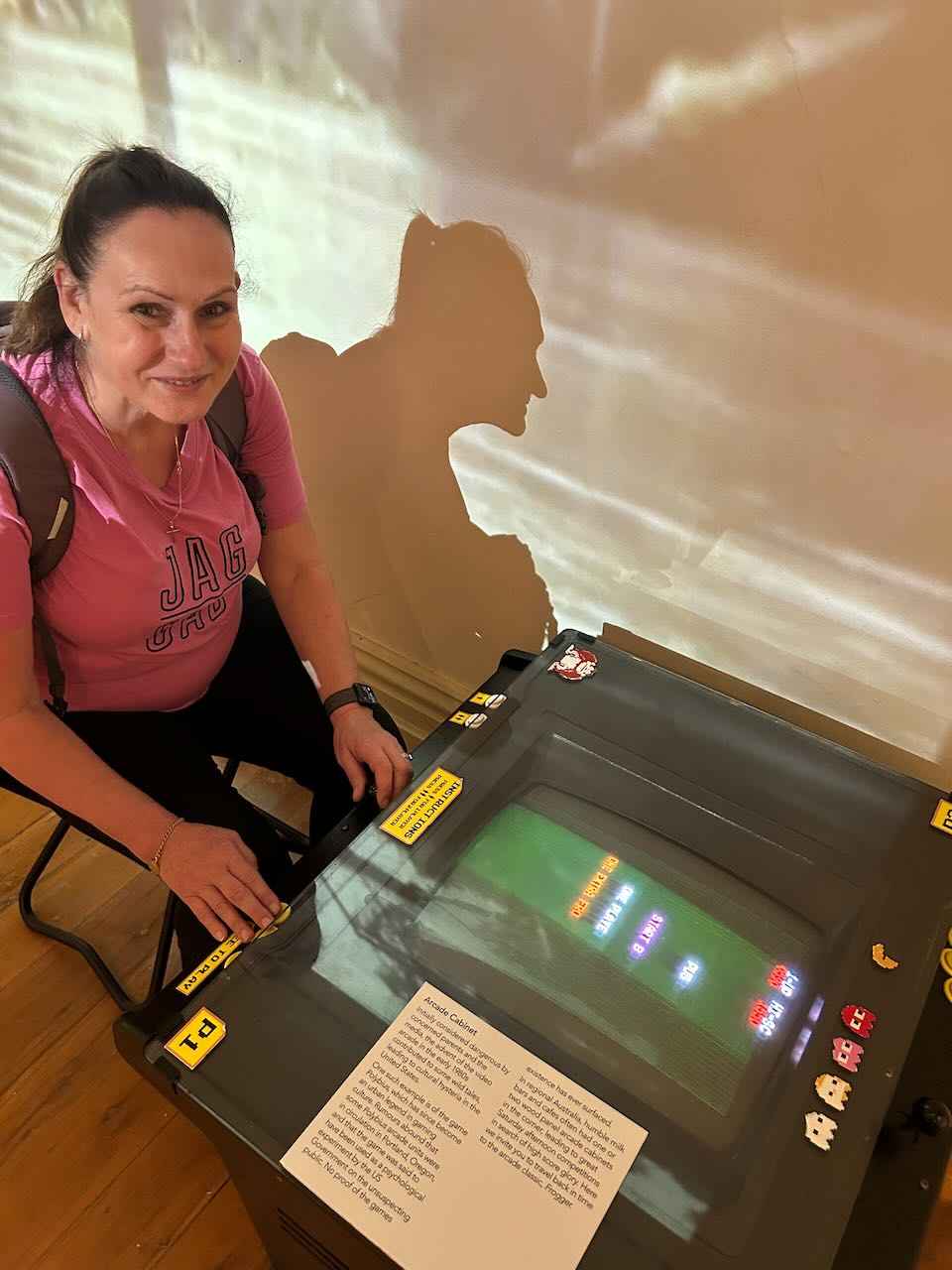
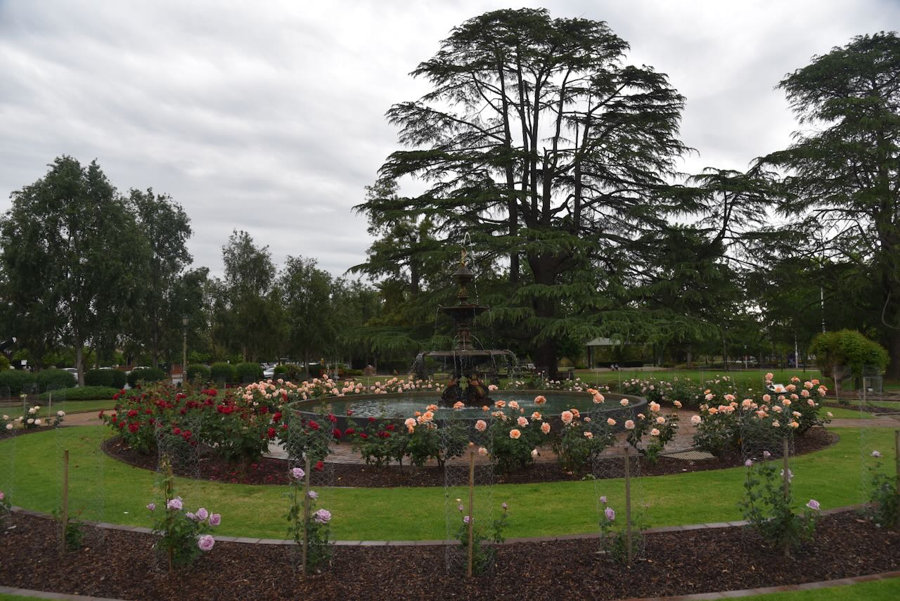
We then wandered over the road to the Victory Memorial Gardens on the corner of Baylis and Morrow Streets. The gardens were established as a memorial for those men and women who served during the First World War. The land on which the gardens are now located was formerly the site of the Old Police Barracks. (Waggawaggaaustralia.com.au 2025)
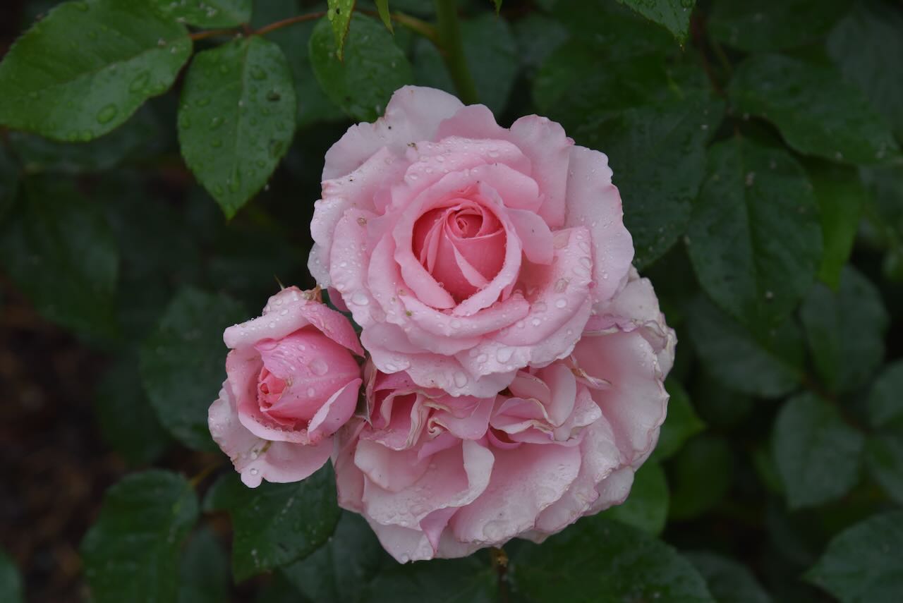

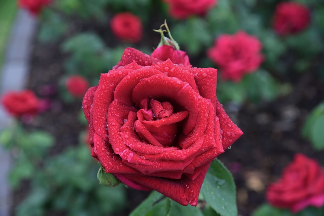
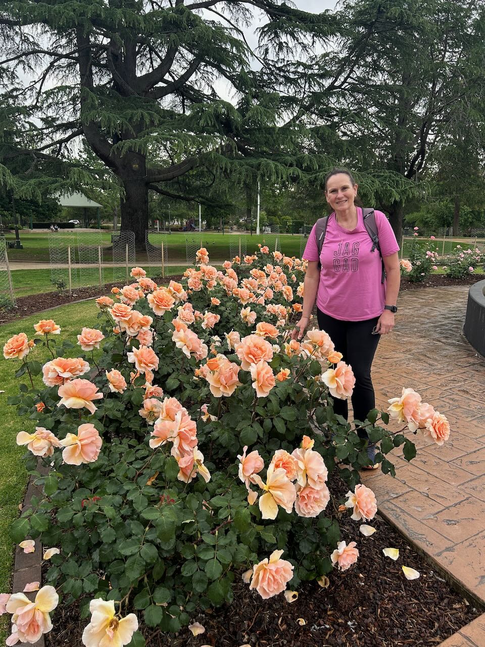
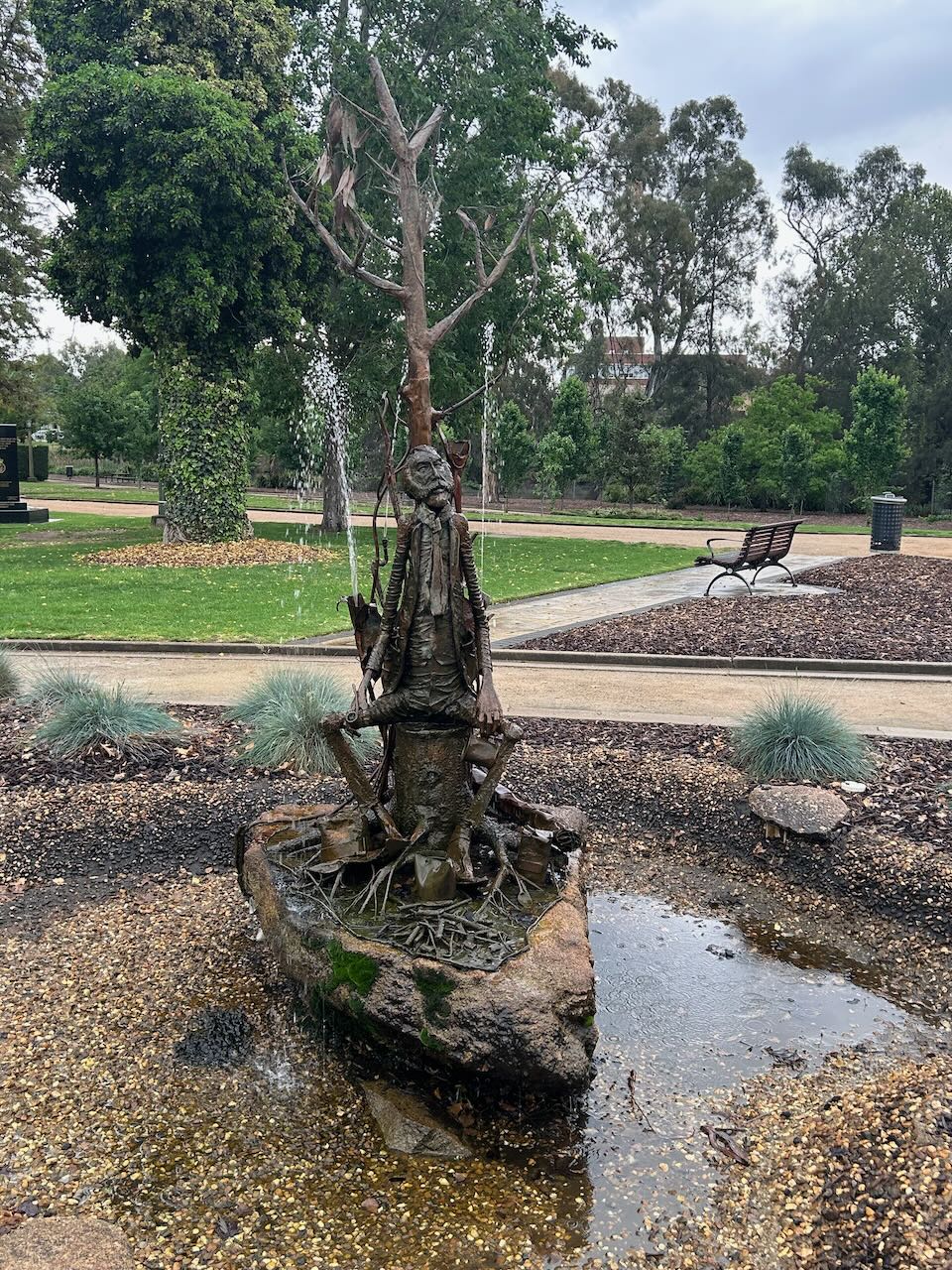
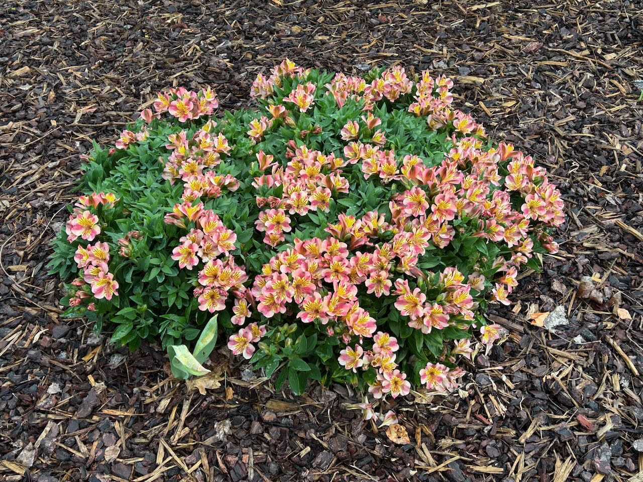

The Chisholm fountain in the gardens was donated to the City of Wagga Wagga in 1885. It was presented to the Wagga Wagga Hospital by Frederick Chisholm who was the Hospital President. (Gissing 2016) (Waggawaggaaustralia.com.au 2025)
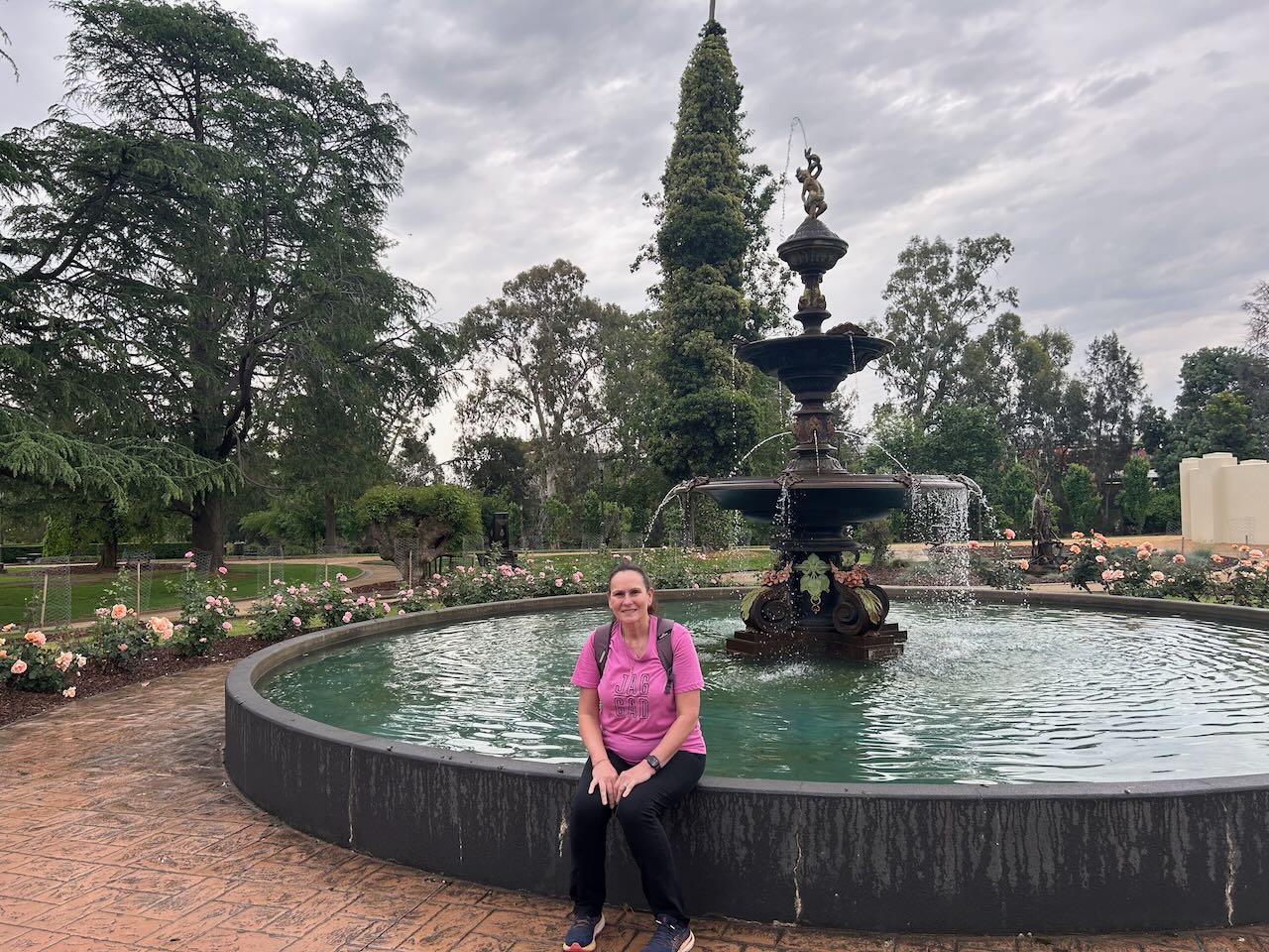
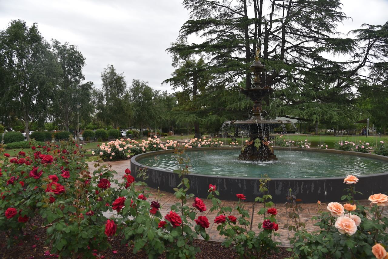
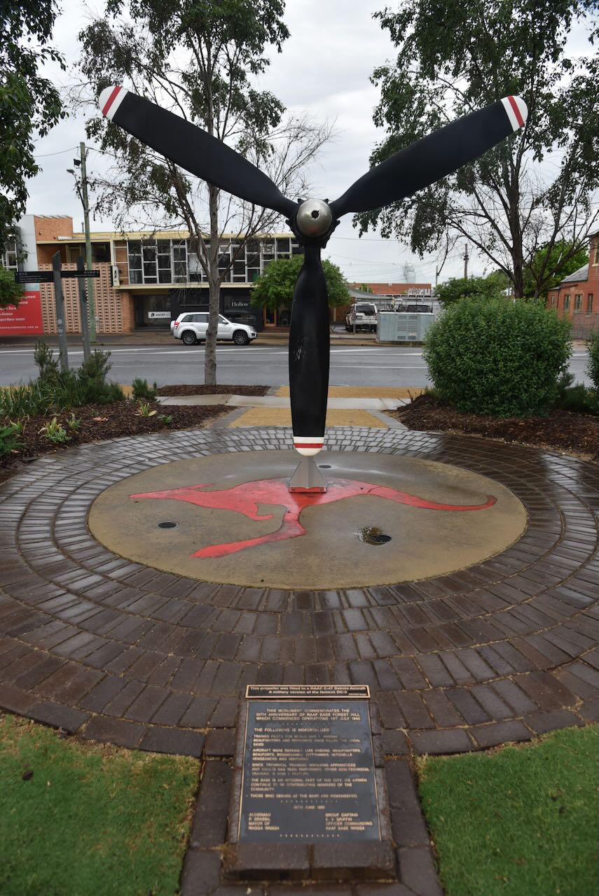
There are several military monuments in the park. The photo below is the monument to commemorate the 50th anniversary of RAAF base Forest Hill which commenced operations on the 1st day of July 1940.
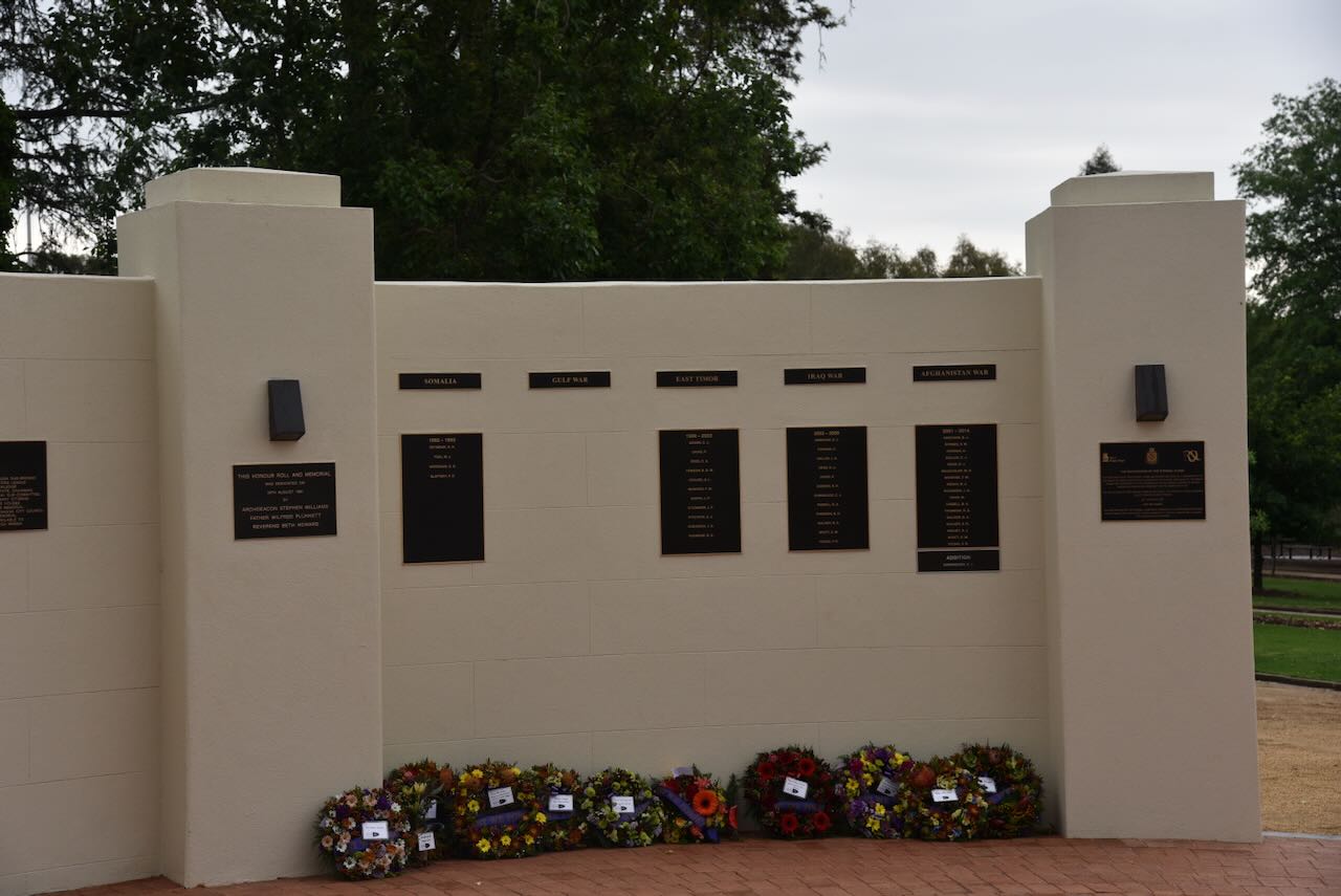
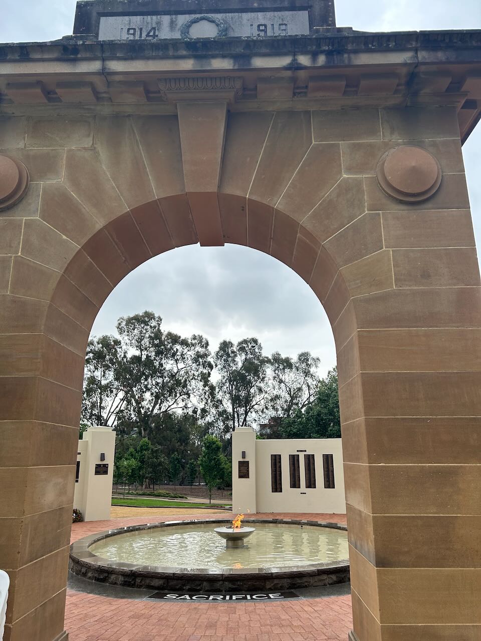
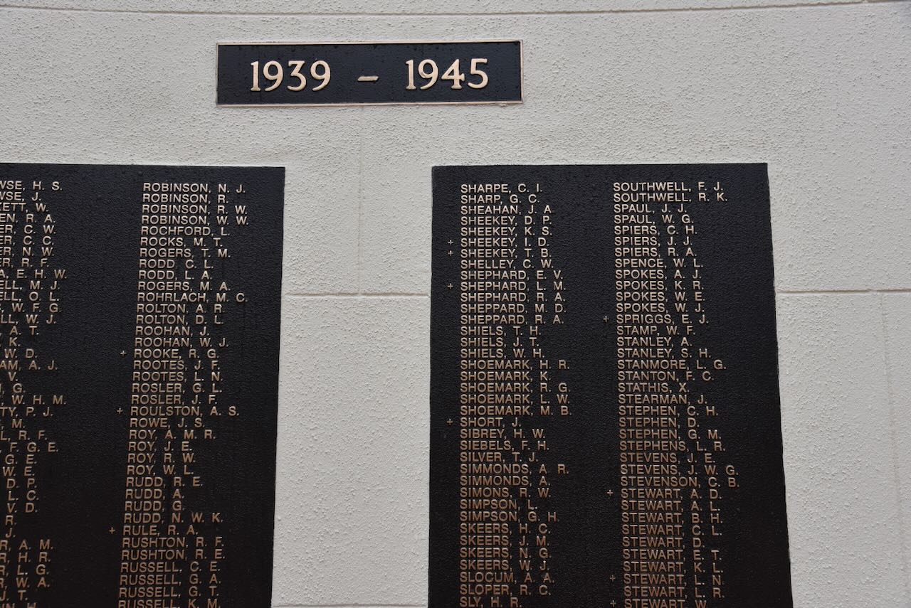
The World War II memorial contains the names of service men and women who enlisted from the Wagga Wagga district during the Second World War. The memorial contains the eternal flame which was officially lit in 1990 by Ted Drake, on the 75th anniversary of the ANZA landing at Gallipoli. Ted was a former WWI serviceman. (Waggawaggaaustralia.com.au 2025)


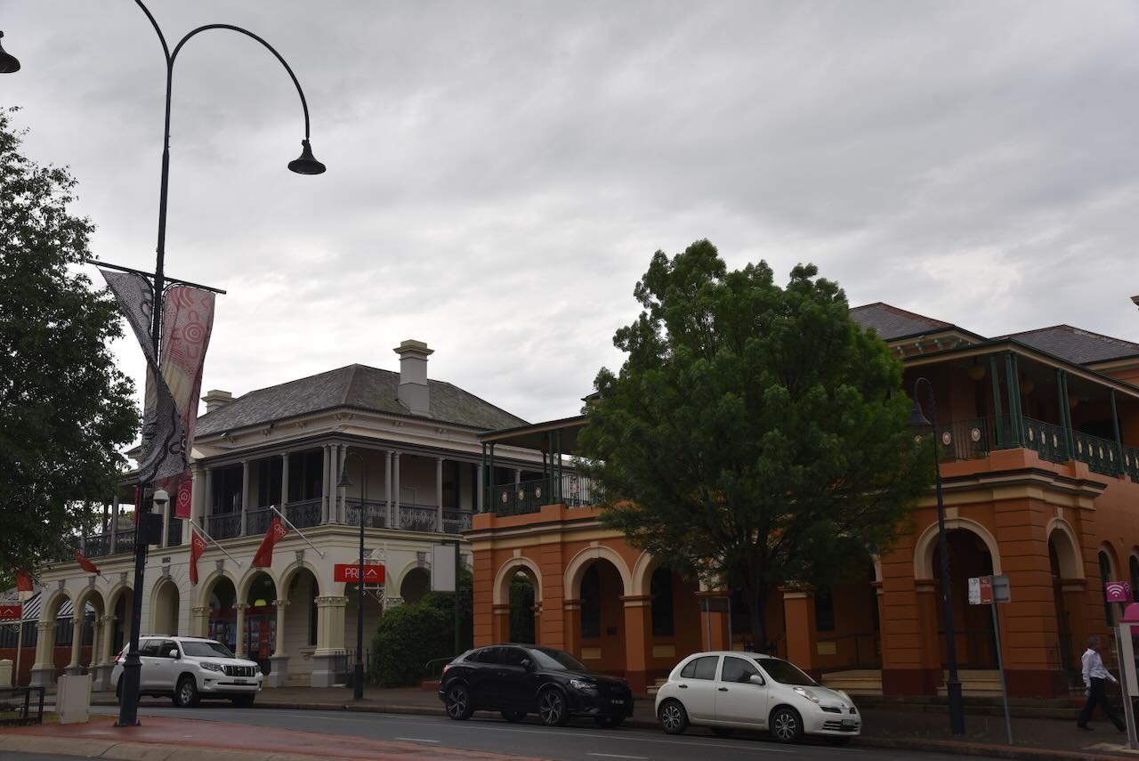
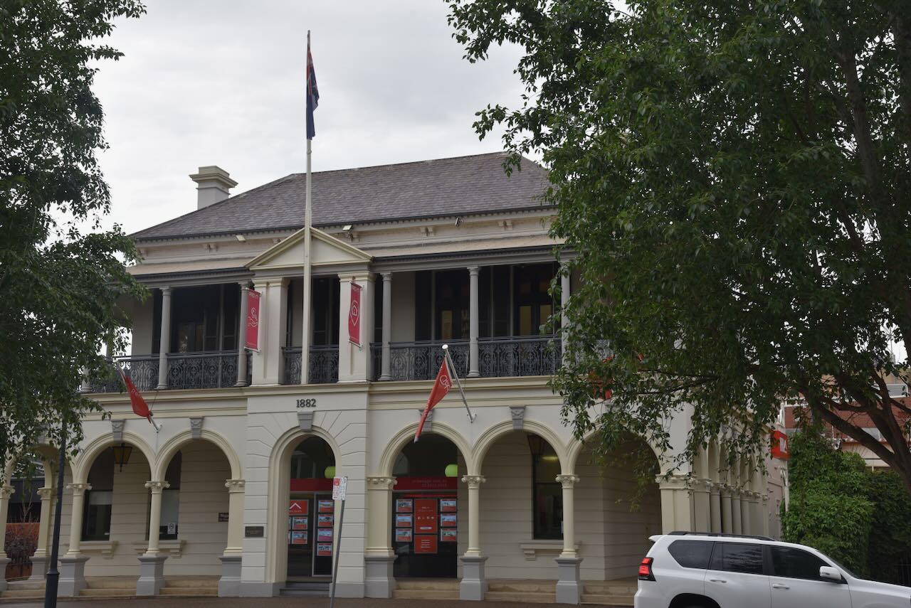
Marija and I then wandered around Wagga Wagga admiring the historic buildings.
The former Post office building was opened in 188. Two years earlier in 1886, plans commenced for the construction of a new Post office. (UBC Web Design 2025)
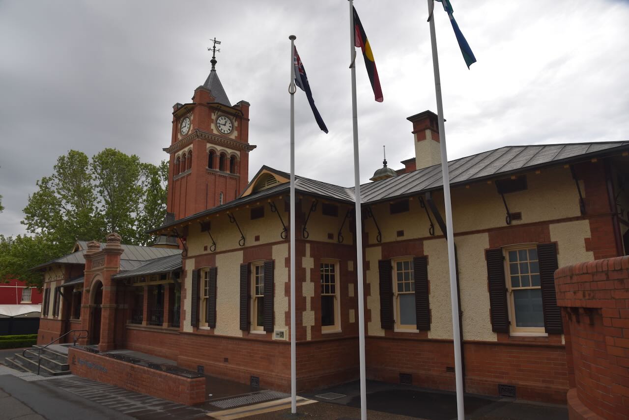
The old Wagga Wagga courthouse features an impressive clock tower.
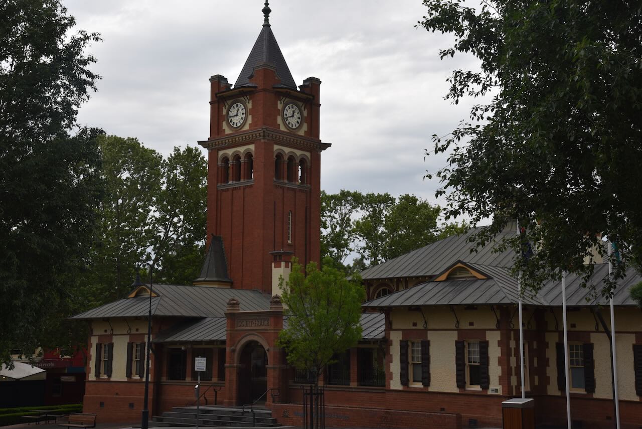
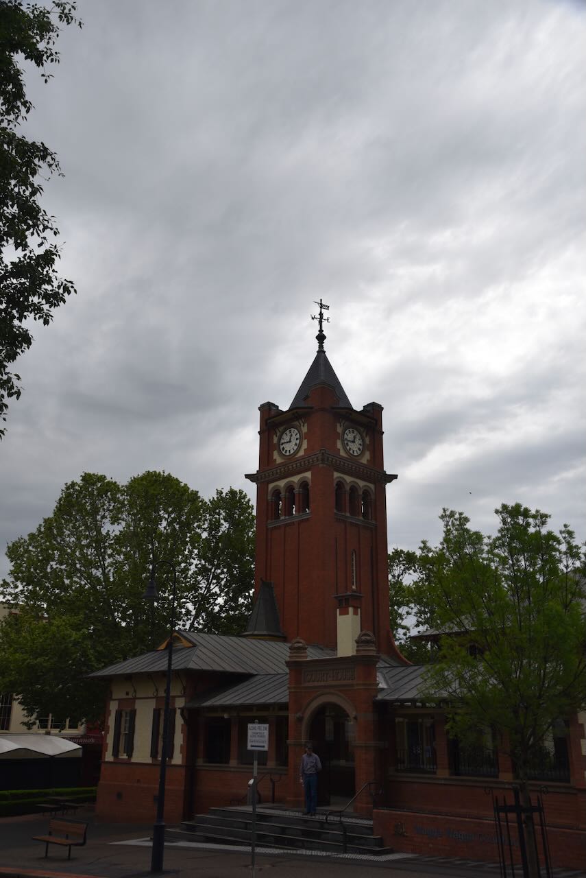
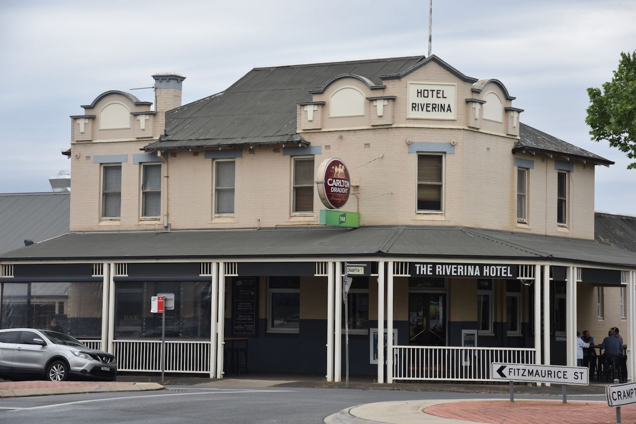
The Hotel Riverina is Wagga’s oldest hotel and is located on the corner of Fitzmaurice and Crampton Streets. The hotel was originally established as the Hope Inn in 1851. In 1865v the name changed to the Bridge Hotel. In 1925 it became the Riverina Hotel. (Facebook n.d.)
Hunters on the Hill has been in the same premises since 1872. The business was established in 1866 and is one of Wagga Wagga’s oldest and longest running businesses. It specialises in custom corporate uniforms, workwear and sporting apparel. (Hunters 1866, 2025)
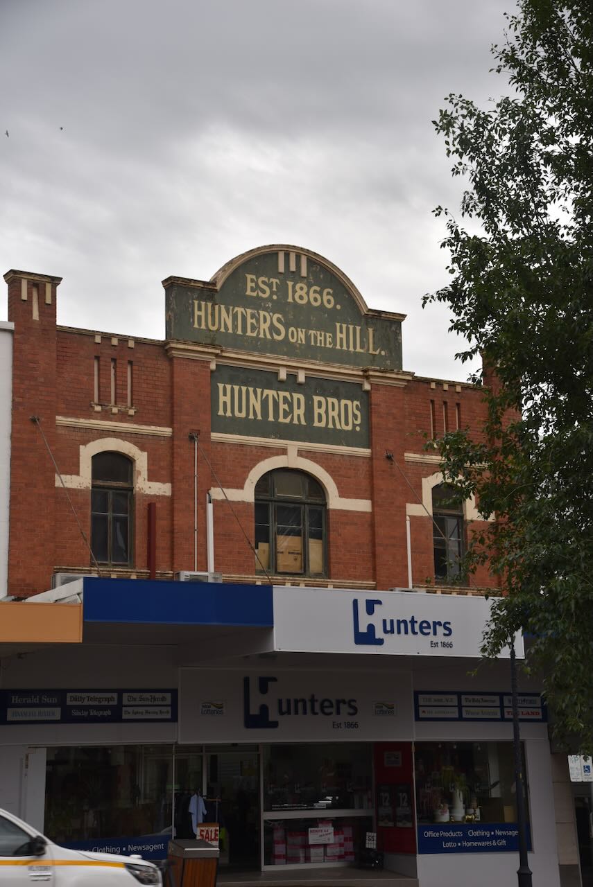
The business was established by William Cowan Hunter who was born in December 1823 in Derry, Ireland. He arrived in Australia in 1859 and in the following year he married Emily Hunter Bushell. They had 11 children. In 1866 he established Hunters. The business was originally located at 110 Fitzmaurice Street, and in 1872 it was relocated to the present site following the severe floods in 1870. (ancestry 2016) (Hunters 1866, 2025)
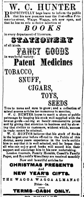
Above: 1866 advertisement for W.C. Hunter’s store. Image c/o Trove
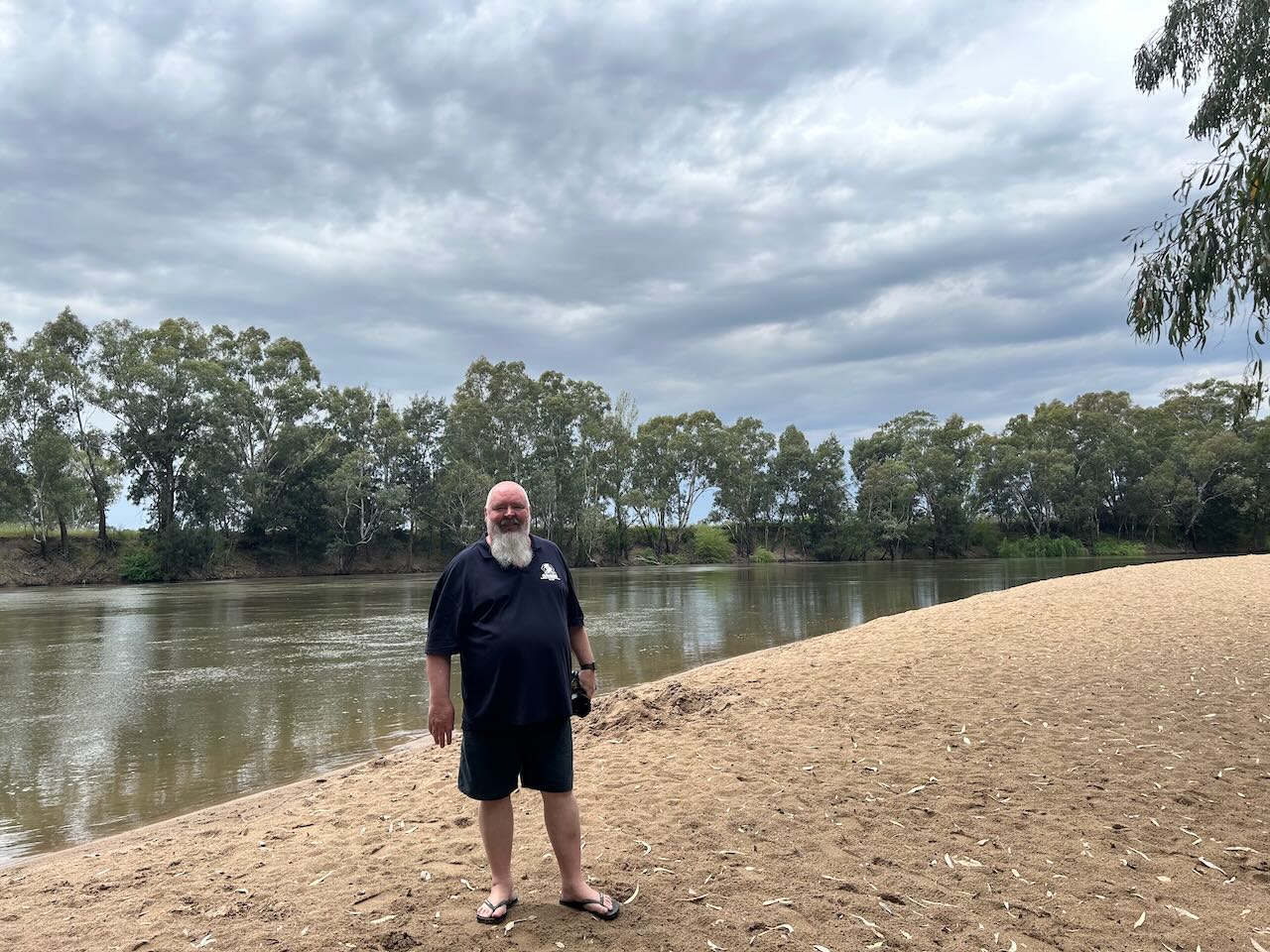
Marija and I then drove down to the Murrumbidgee River at Wagga Wagga. There is a monument to commemorate the discovery of the district in 1829 by Captain Charles Sturt. There are also sevreal information boards about Sturt and the river.


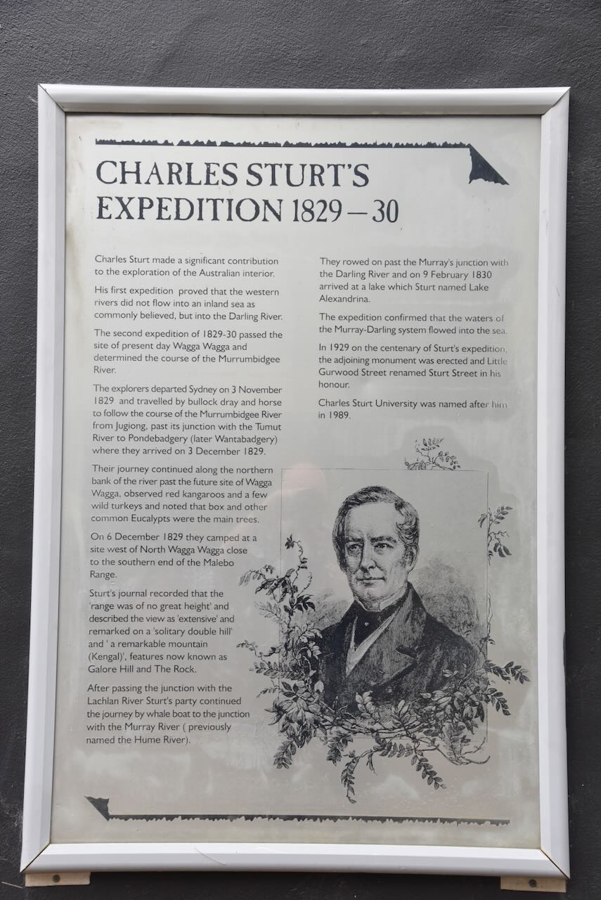
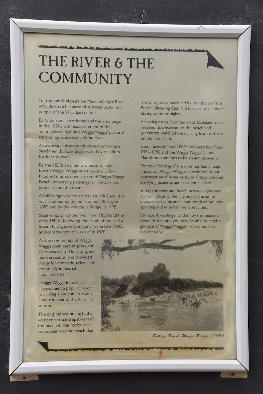
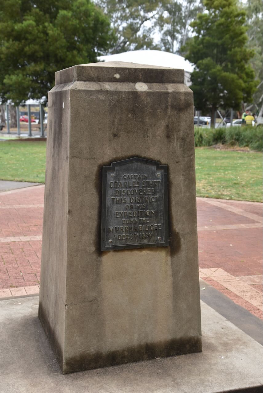
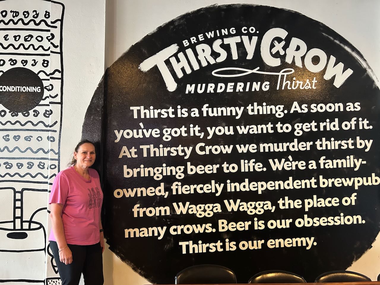
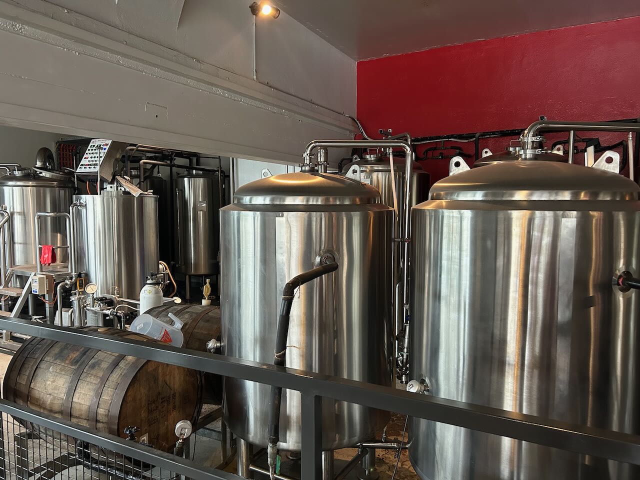
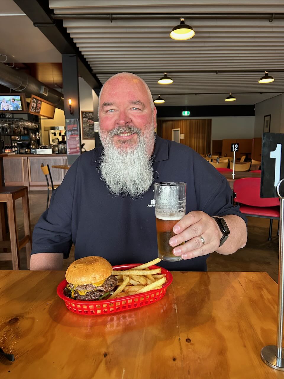
We then had lunch at the Thirsty Crow in Wagga Wagga. It was a very nice meal and the beer went down exceedingly well.
References.
After leaving Oolambeyan National Park on Tuesday, 21st October, 2025, Marija and I headed towards Wagga Wagga, where we planned to stay for 3 nights. As we drove along Conargo Road heading towards the Sturt Highway, we passed dozens of paddocks of cotton.


We then drove east on the Sturt Highway towards Darlington Point. We had hoped to see the historic Toganmain woolshed, but the internet said that it was temporarily closed. So we had to view the woolshed at a distance from the highway.
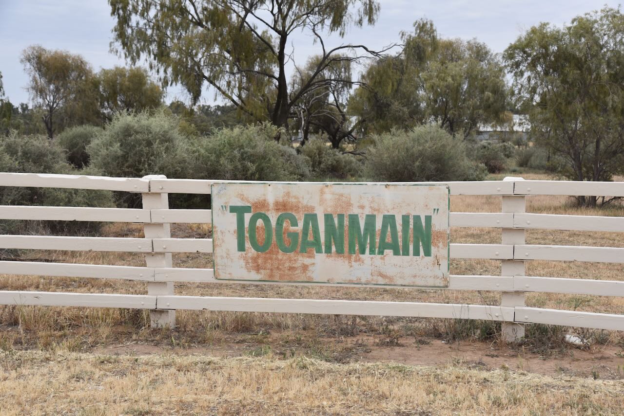
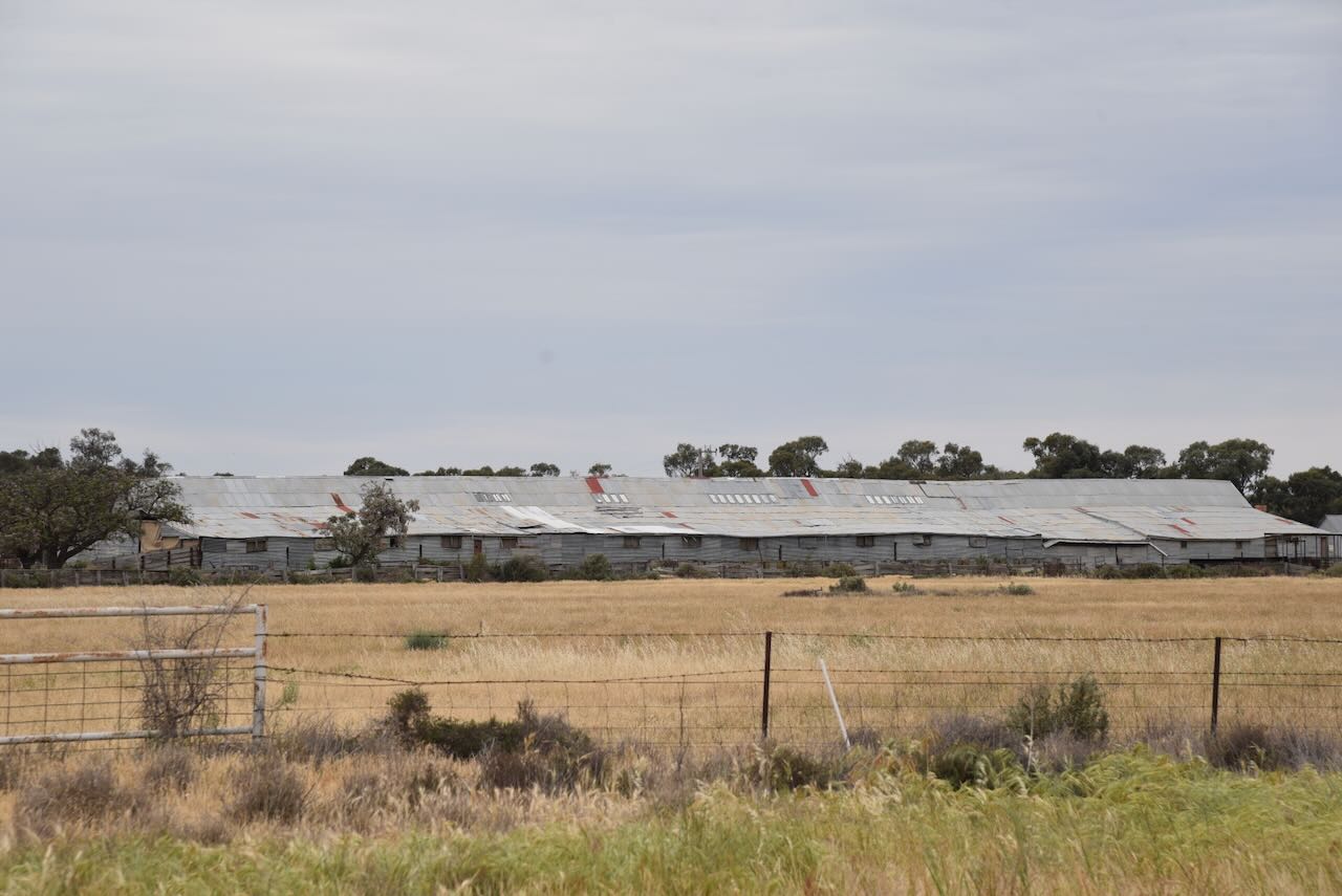
Toganmain Station was established in the 1840s by Sir Alexander MacLeay. He and his son George ran the pastoral property, which comprised 192,000 acres on the south bank of the lower Murrumbidgee. (Trove 2025)
Alexander MacLeay was born in 1767 in Ross-shire, Scotland. In 1791, he married Elizabeth Barkclay. He emigrated to Australia, arriving in Sydney in January 1826 with his wife and 9 children. He was appointed the Colonial Secretary for New South Wales. He owned several pastoral stations throughout New South Wales. (Wikipedia 2025)
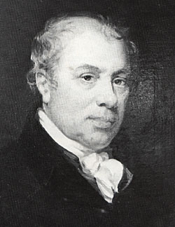
Sir George MacLeay was born in London and was the third son of Alexander MacLeay. He emigrated to Australia with his parents in 1826. Just 3 years later, he accompanied Captain Charles Sturt on his second expedition to the mouth of the Murray River and return. (Wikipedia 2025)
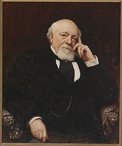
In 1876, Toganmain station was sold to Thomas Robertson. The station remained in the Robertson family until 1988. (Trove 2025)
The station was 167,000 acres in size and had a significant river frontage to the Murrumbidgee River. The woolshed is 75 by 25 metres in length and was equipped with 110 blade stands and later Wolseley machines. (Ian 2025)
In 1891, a total of 218,000 sheep were shorn at Toganmain. In 1893, Toganmain exceeded just over 300,000 acres. The property included the homestead, barracks, store, a carpenter shop, and a blacksmith’s shop. (masters n.d.)
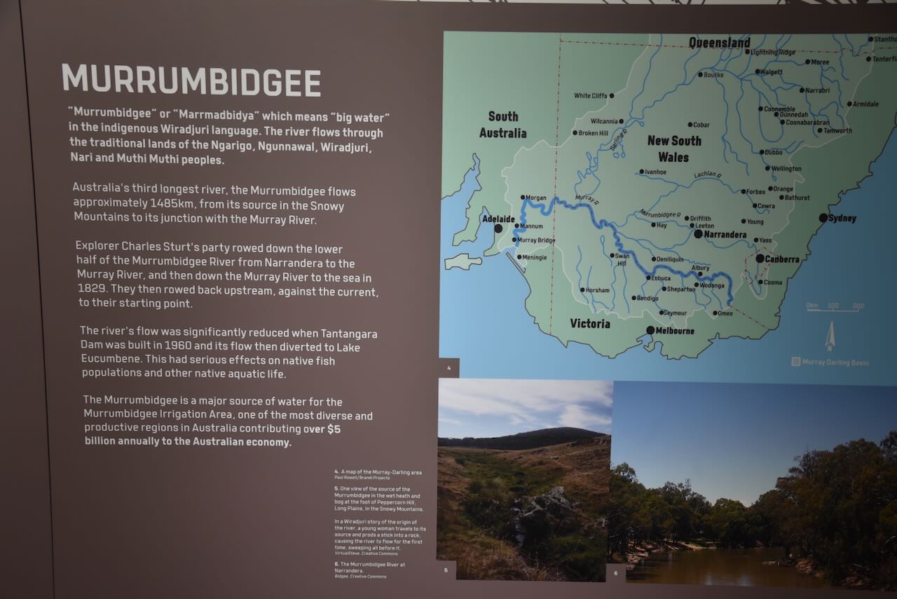
Marija and I continued east and soon reached the town of Narrandera. The name Narrandera is derived from the Wiradjuri Aboriginal word ‘nharrang’, meaning ‘frill-necked lizard’. The first Europeans in the area were those who occupied Narrandera Run in the 1840s. The property was held by Edward Flood and comprised about 76,800 acres. In 1850, surveyor James Larmer reserved a site which would later become the town of Narrandera. (Wikipedia 2025)
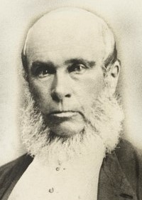
Above: James Larmer. Image c/o Wikipedia
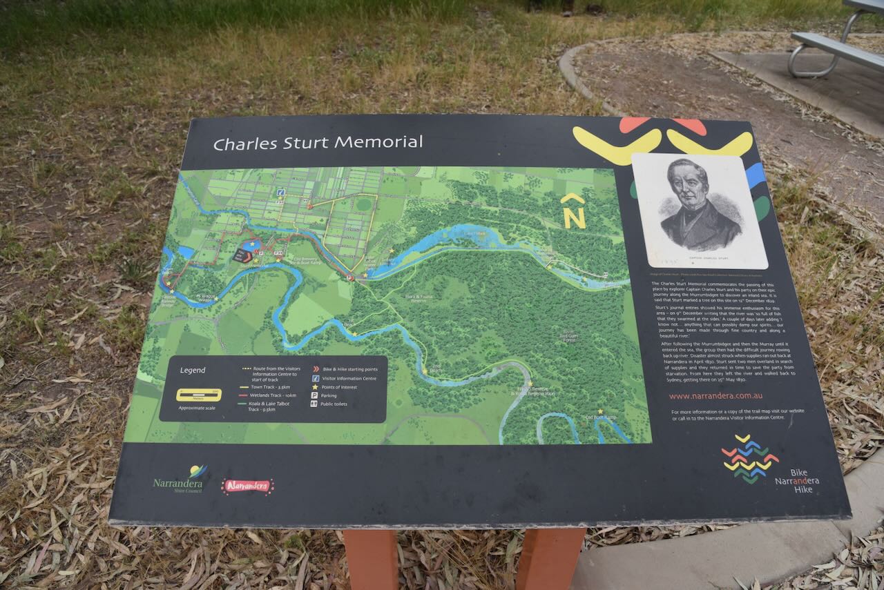
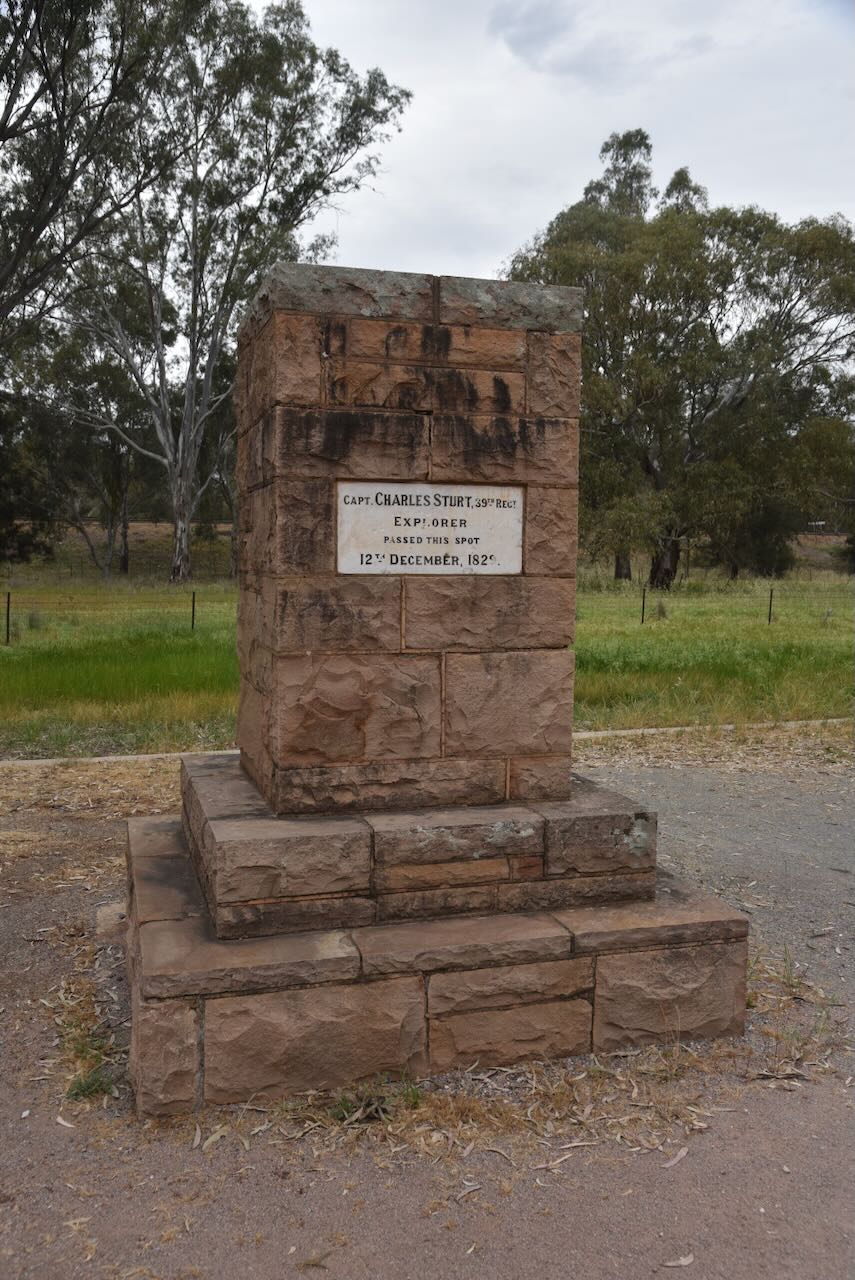
Our first stop was the Charles Sturt memorial on the banks of the Murrumbidgee River. It commemorates the explorer’s passing of this spot back on the 12th day of December 1829.
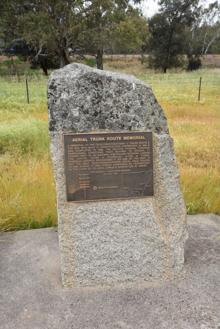
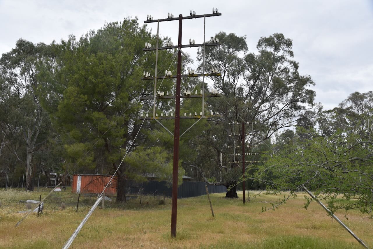
We then visited the Aerial Trunk Route memorial to commemorate the telecommunications “J” trunk route and the men who built it. Construction commenced in 1950 and was completed in 1965.
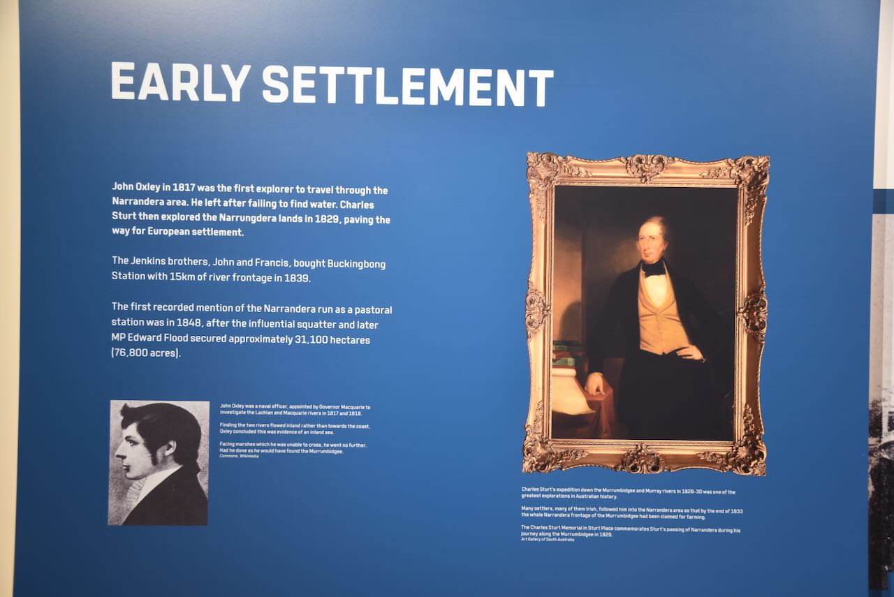
We then visited the Narrandera Visitor Information Centre. They have several information boards detailing the history of Narrandera.
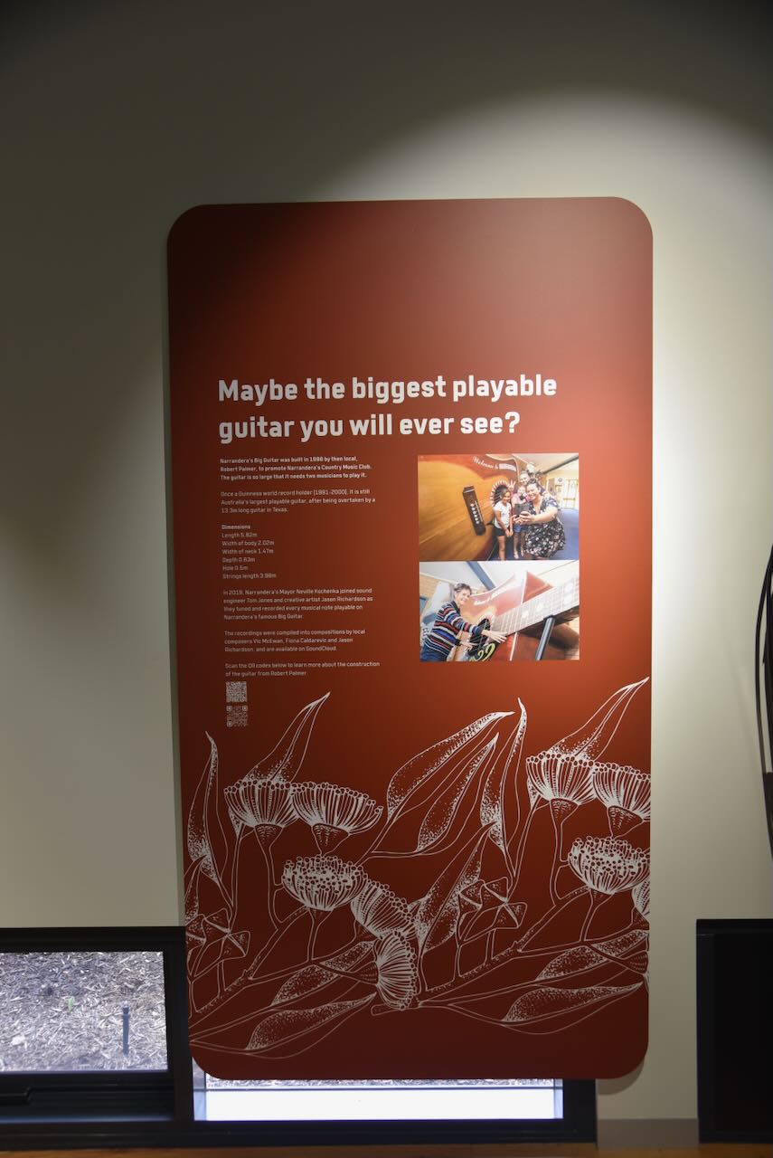
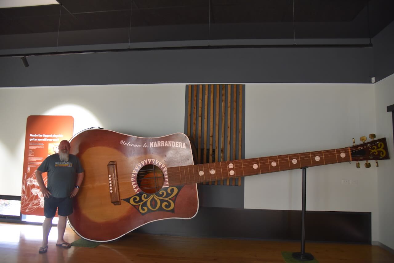
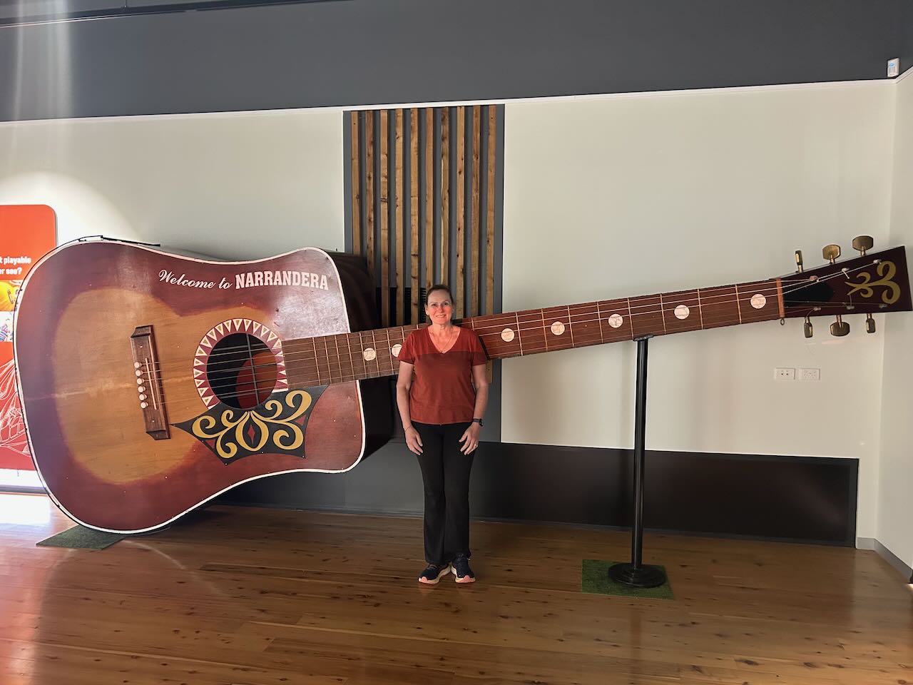
But the main reason for our visit was to see the ‘Big Guitar.’ It was built in 1988 by Robert Palmer, a Narrandera local, to help promote the Country Music Club of Narrandera. No, not the English singer and songwriter, but another Robert Palmer. The guitar measures 5.820 metres by 2.019 metres and took more than 300 hours to complete. Until the year 2000, it held the record as the largest playable guitar in the world. (Visitnsw.com 2015)
We then went next door to the Tiger Moth Memorial, which commemorates the Royal Australian Air Force (RAAF) No. 8 Elementary Flying School, which was established in August 1940 on the site of the present airport. (Visitnsw.com 2015)
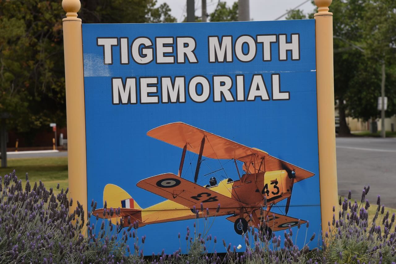
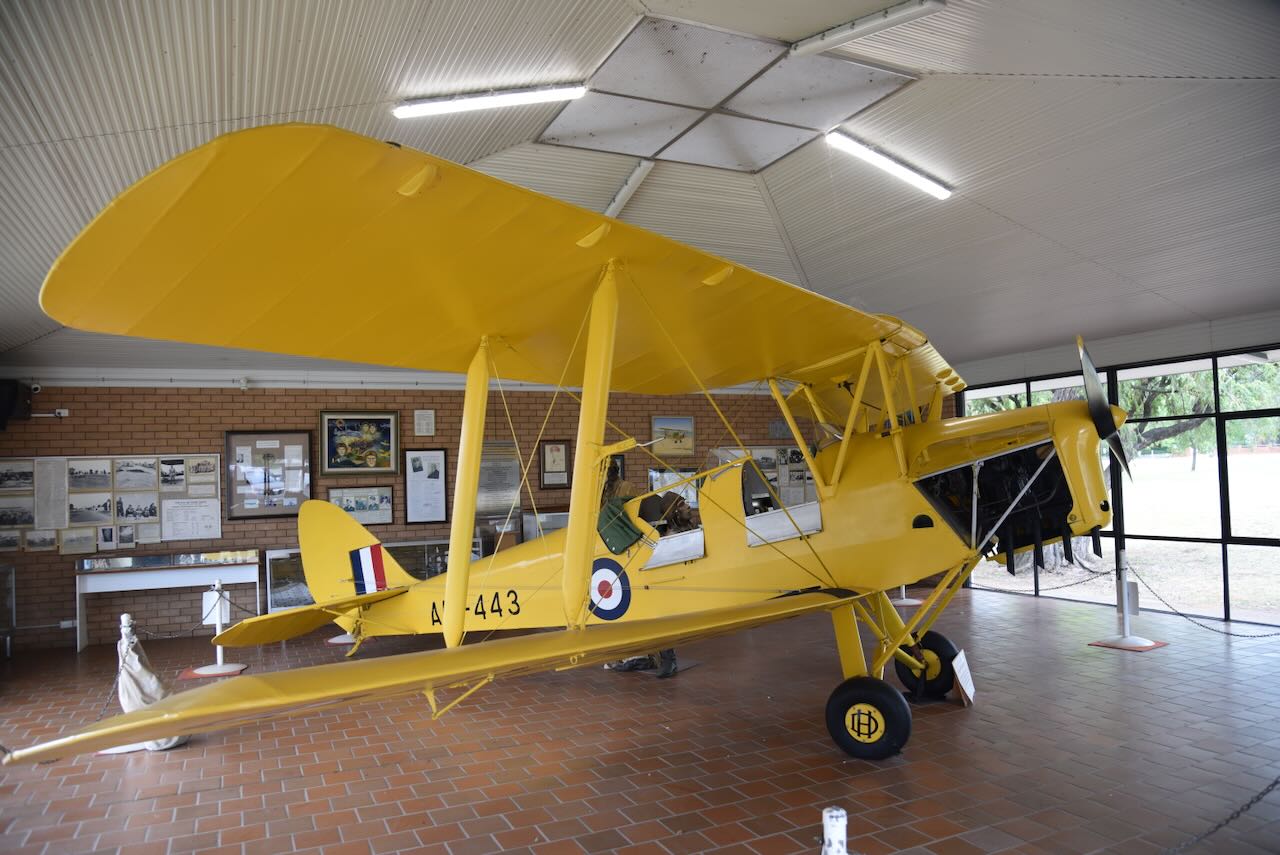
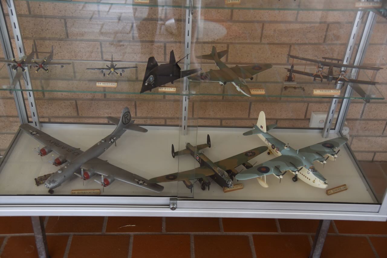

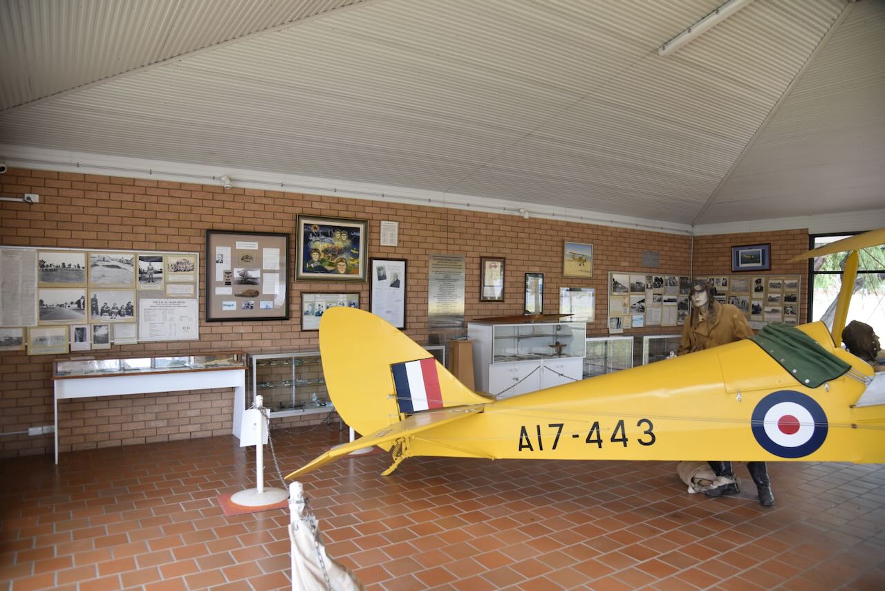
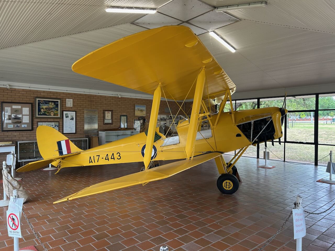
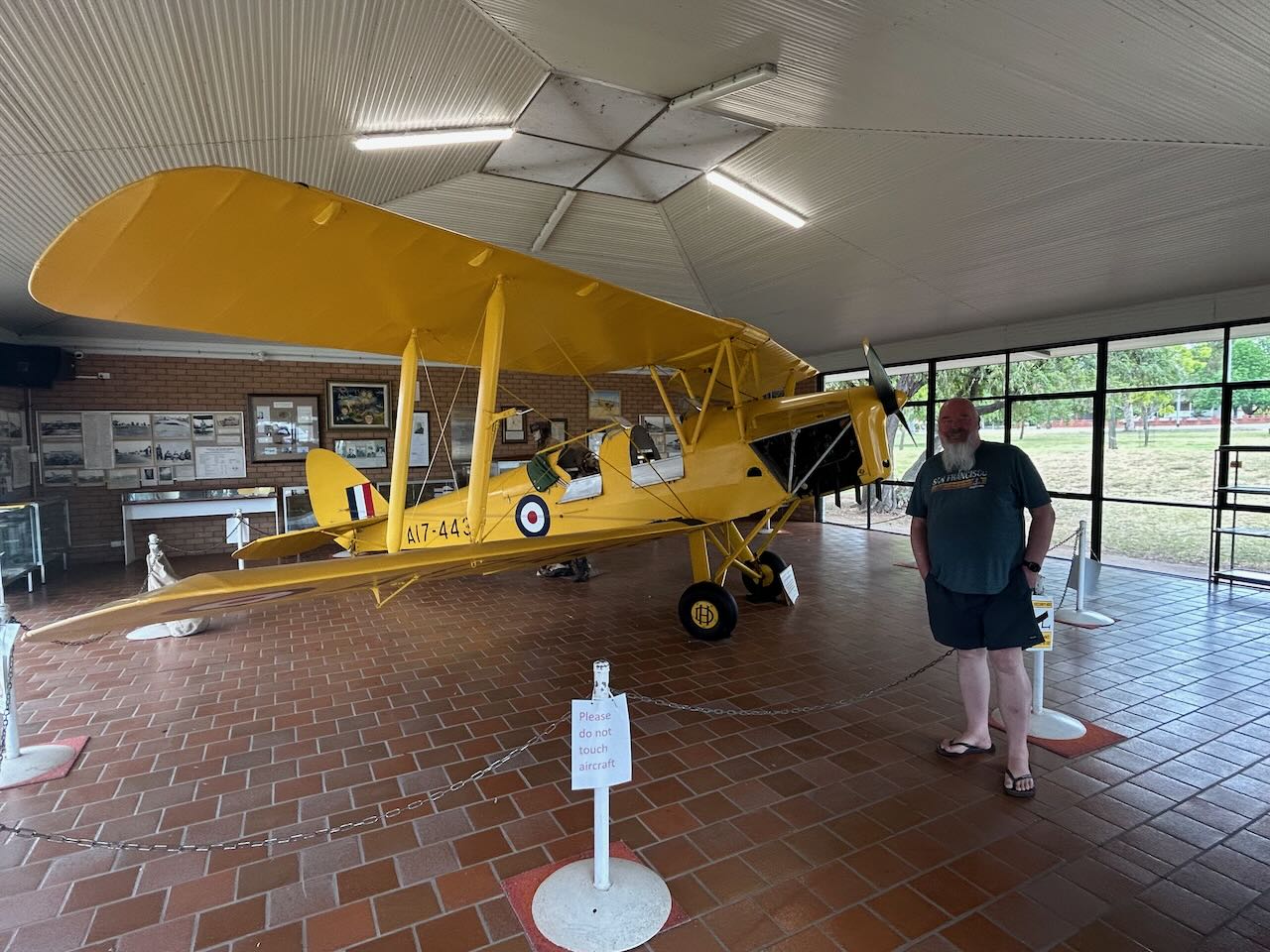
Over a period of 5 years, a total of 3,818 student pilots commenced their elementary flying training on DH82 Tiger Moth Aircraft. (Visitnsw.com 2015)
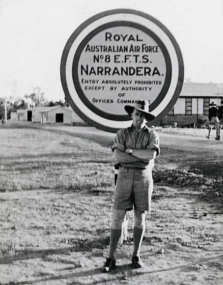
Above: Leading Aircraftman Eliot Barnfather in front of the sign of the flying school at Narrandera. Image c/o WIkipedia
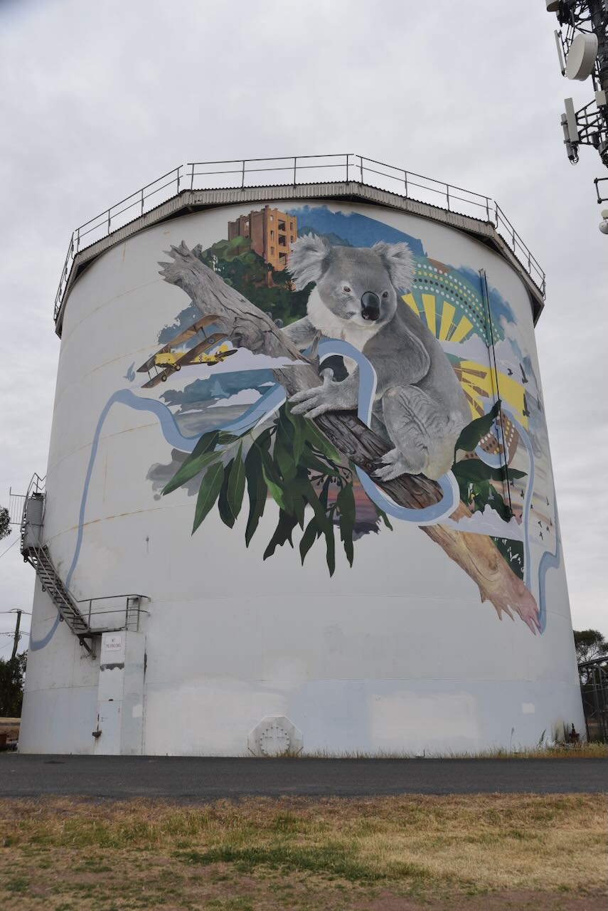
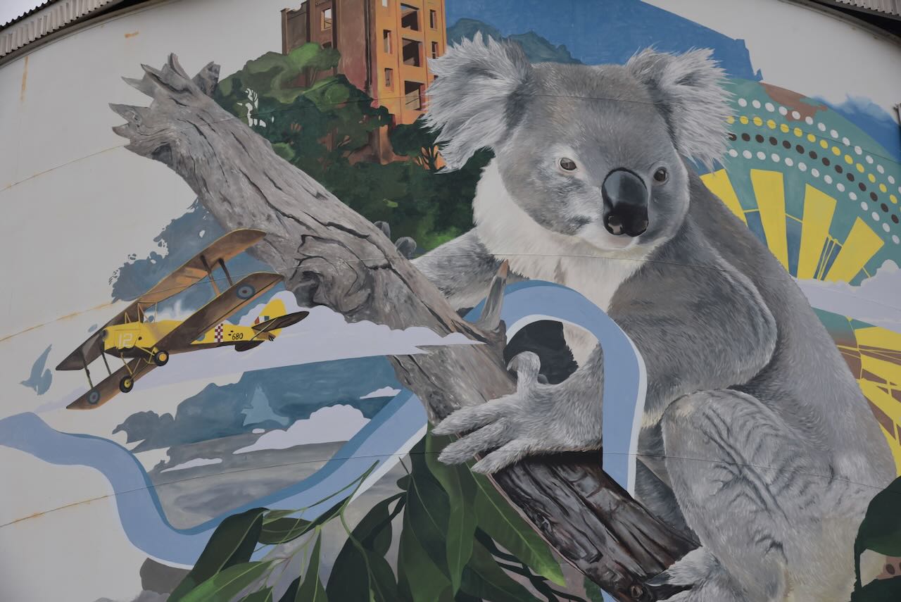
We then headed to the Narrandera Water Tower Art. It was completed in July 2019 and was the work of Geoff Filmer and his father. (Australiansiloarttrail.com 2025)
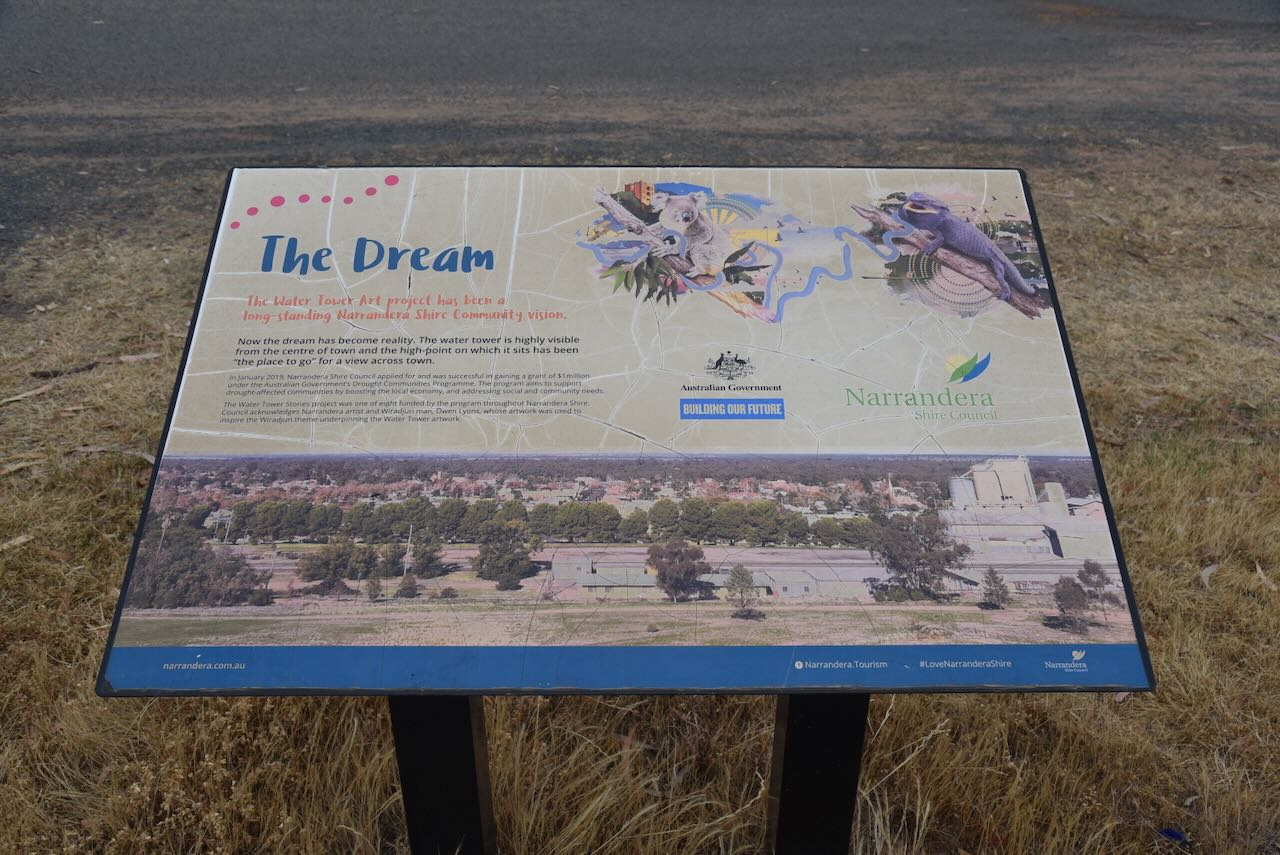
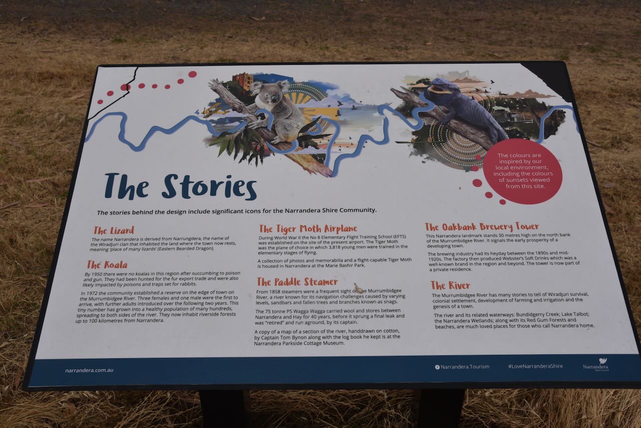
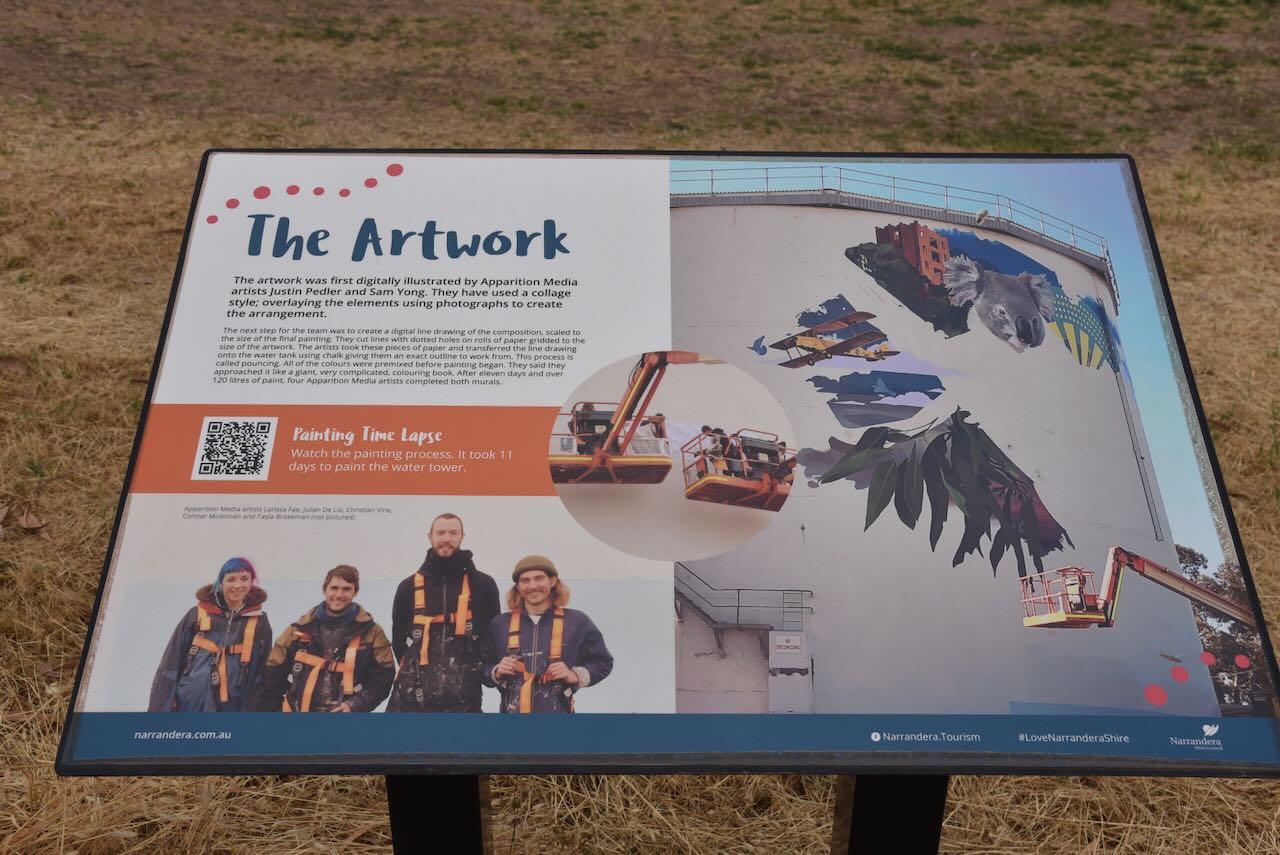
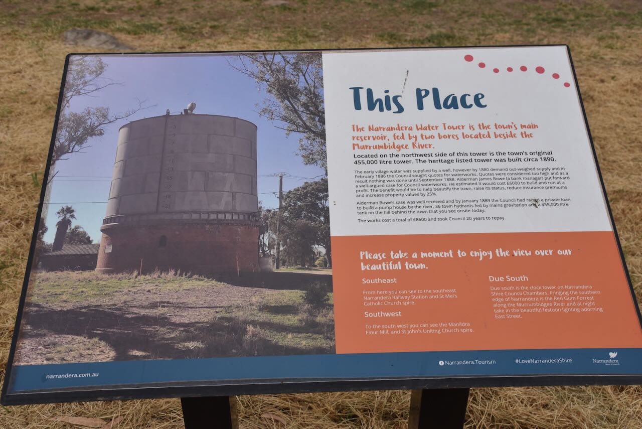
The water tower features the region’s natural beauty including koalas, banksias, an Eastern Bearded Dragon and a Murray Cod. They also feature the Tiger Moth, a paddle steamer, and the old Oakbank brewery.
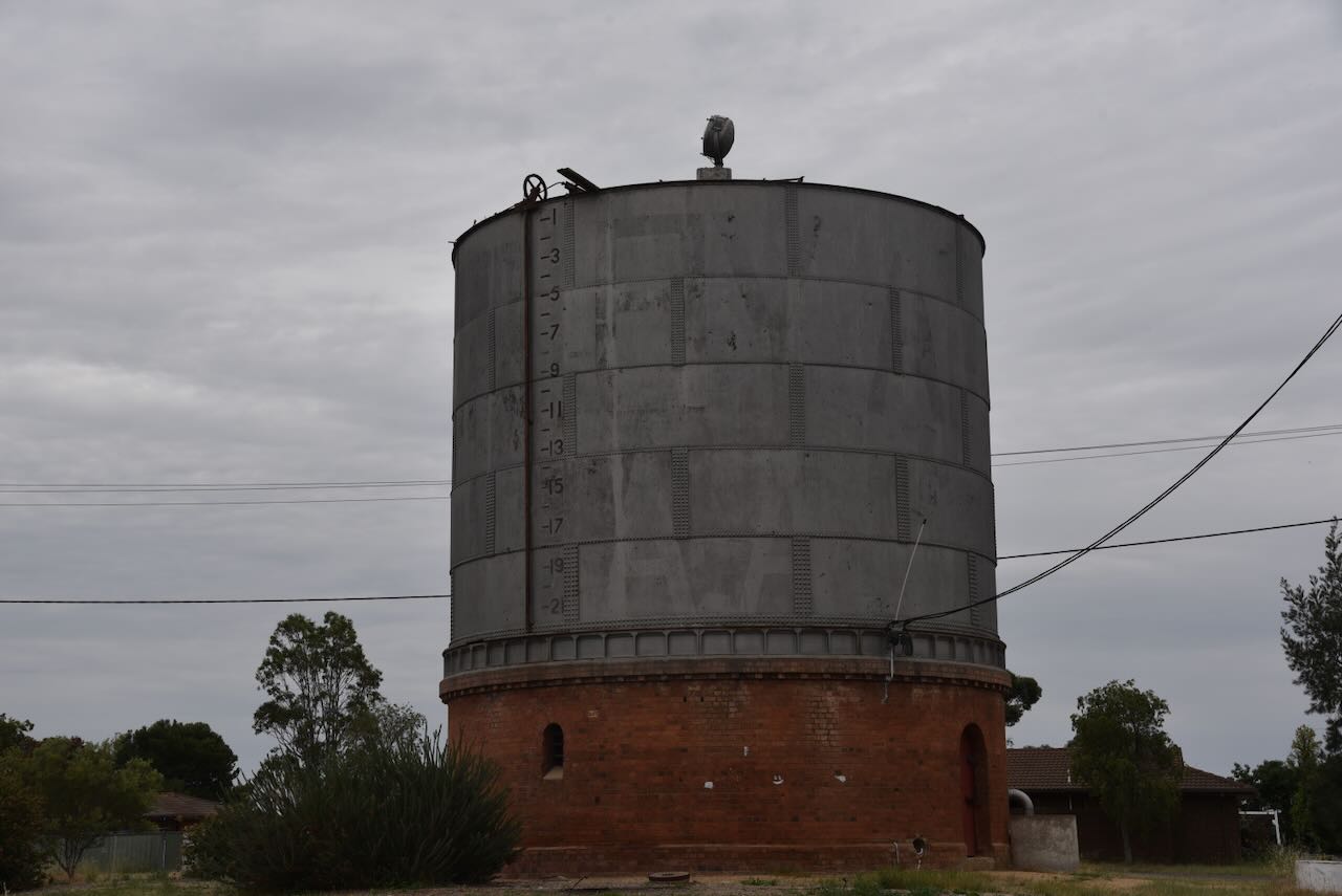
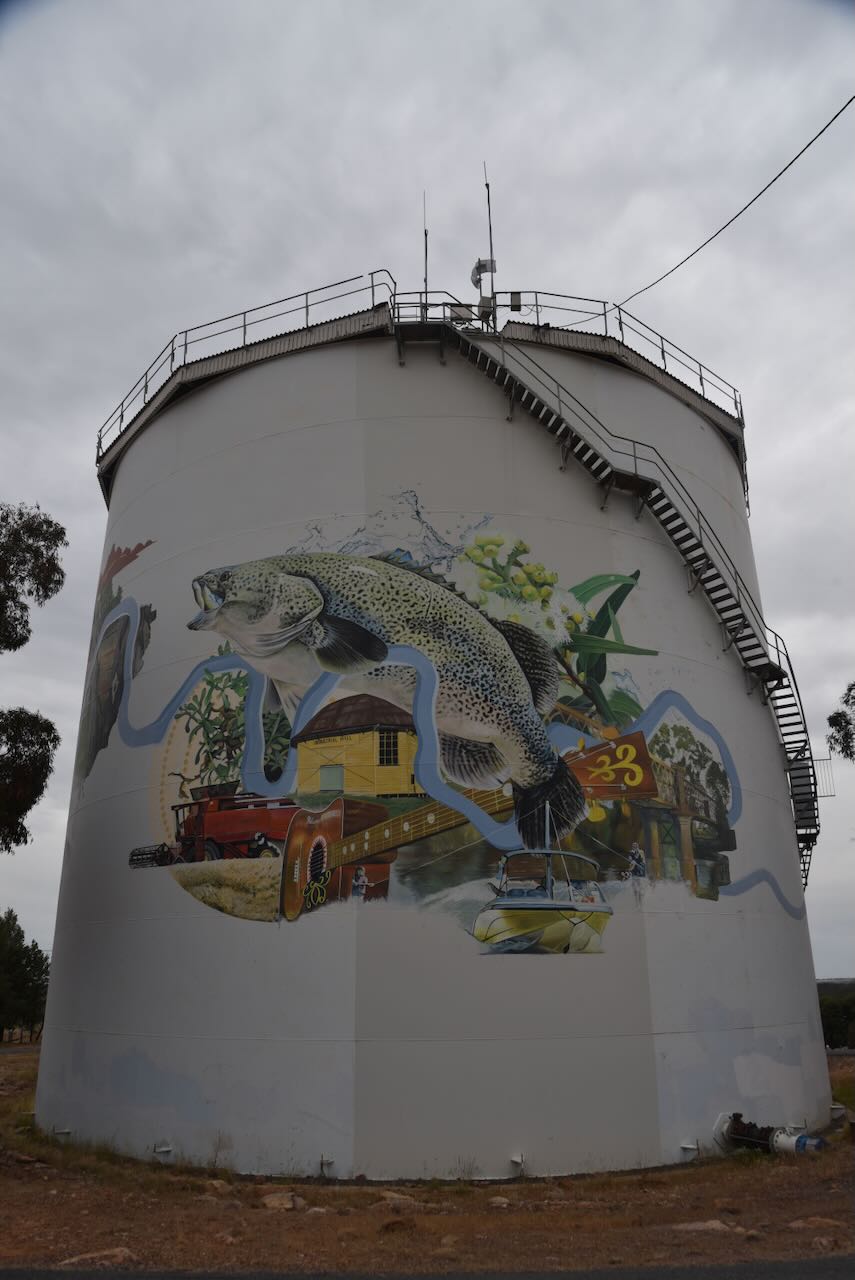
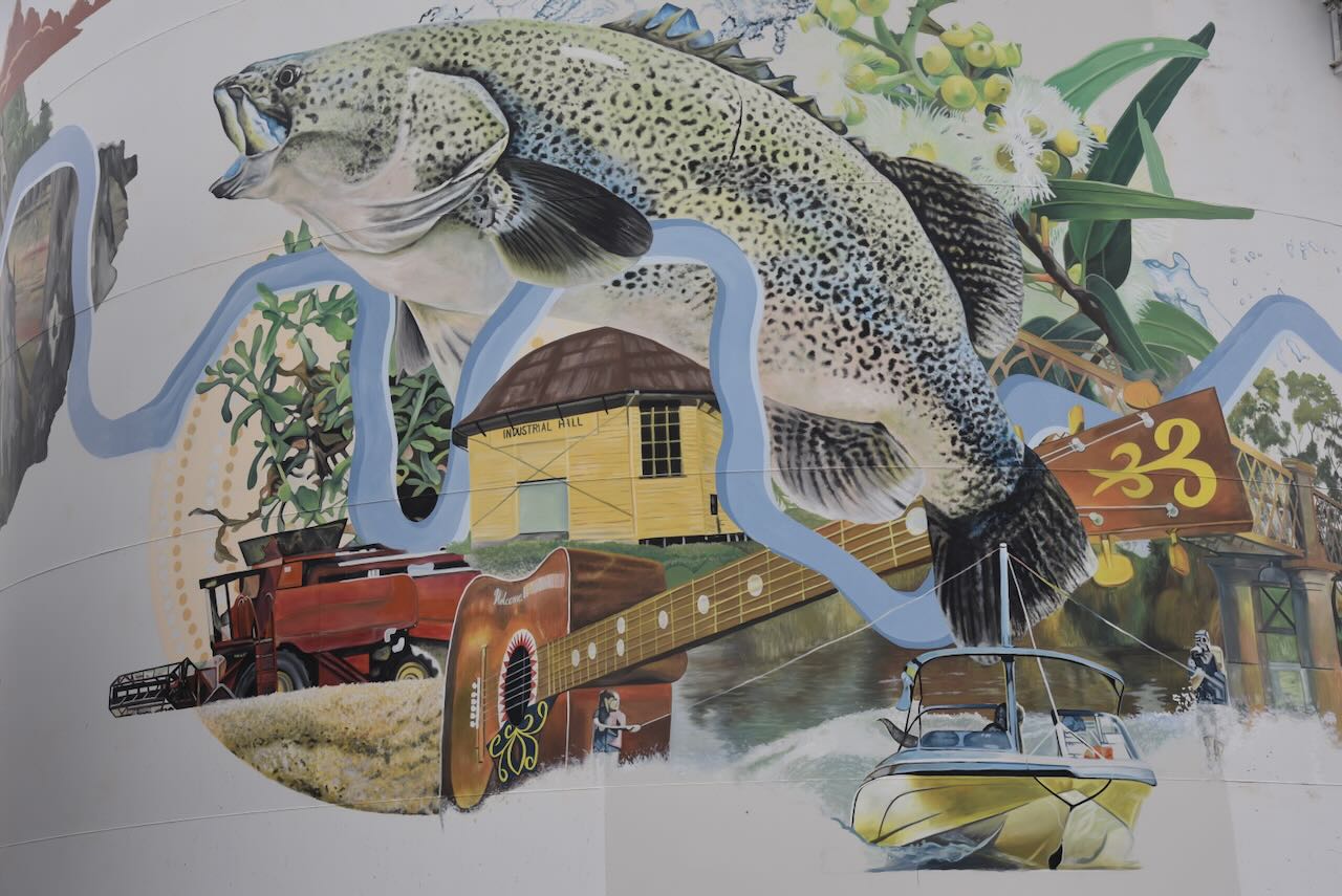
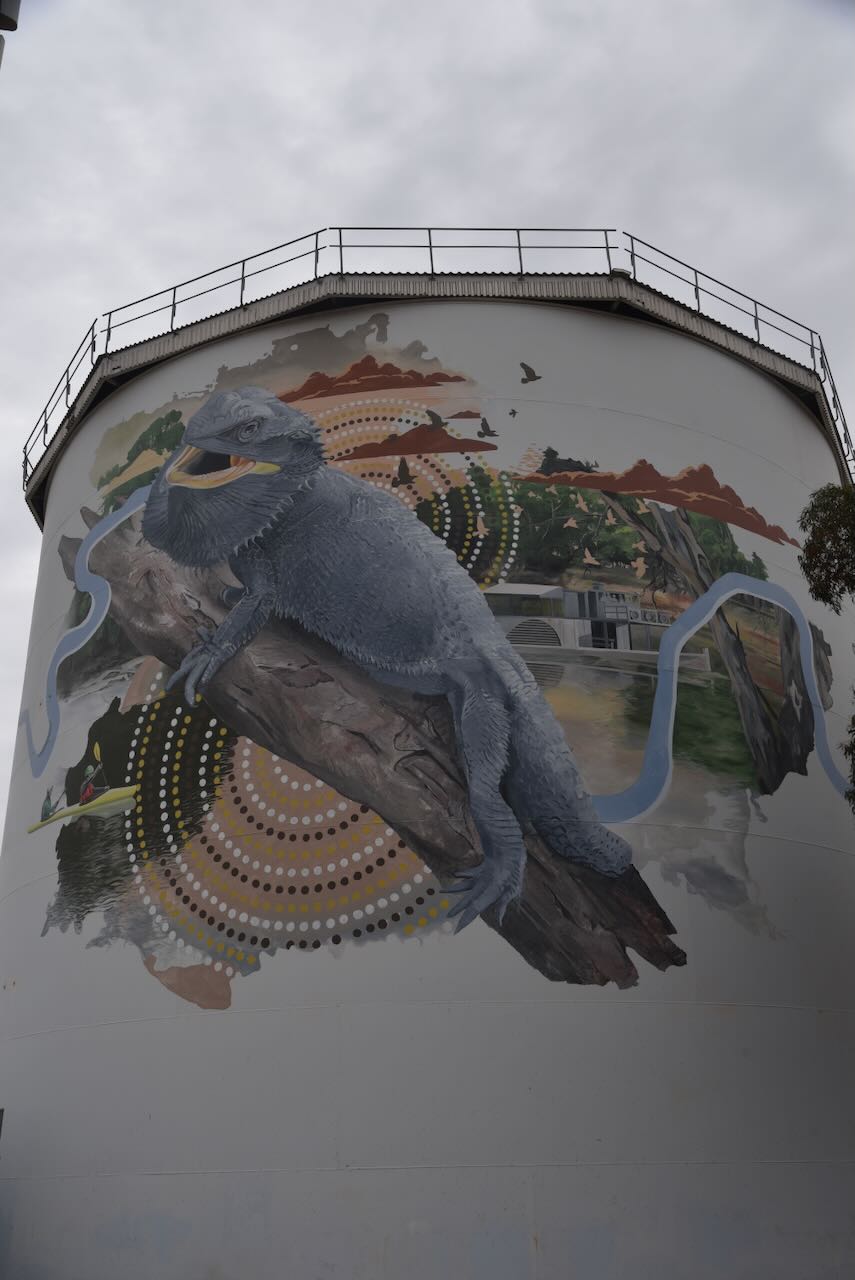

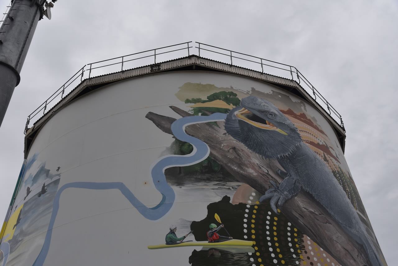
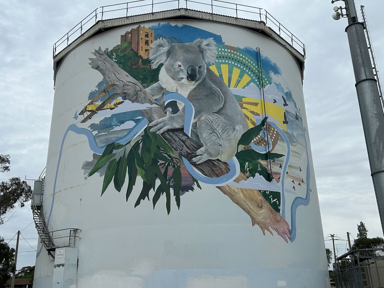
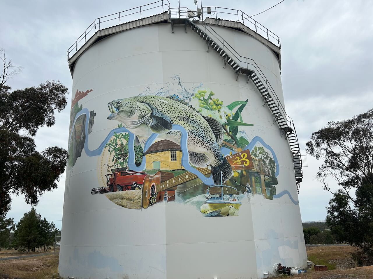
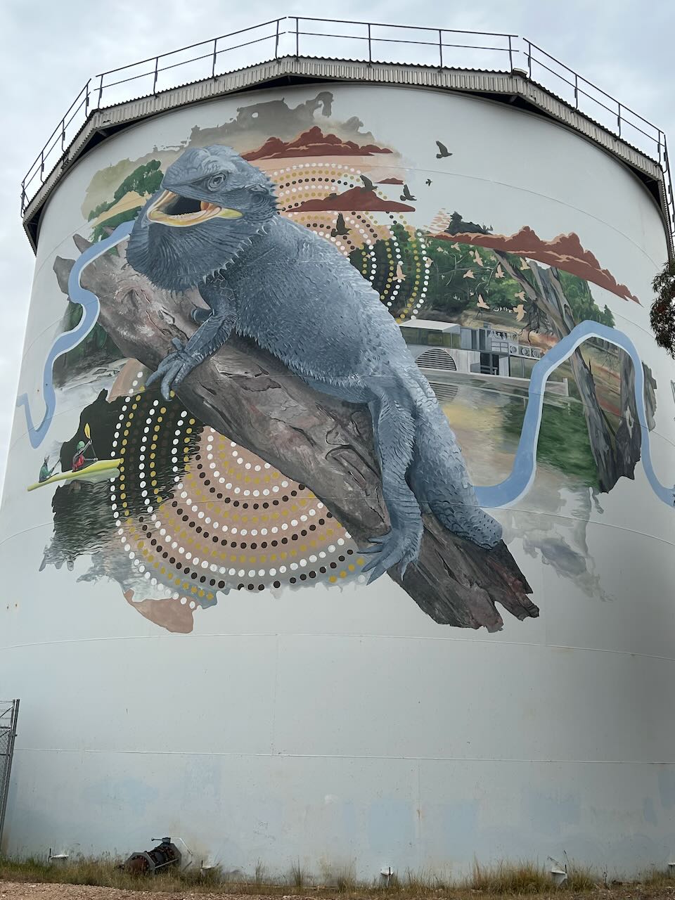
There is quite a nice view of Narrandera from the water towers.
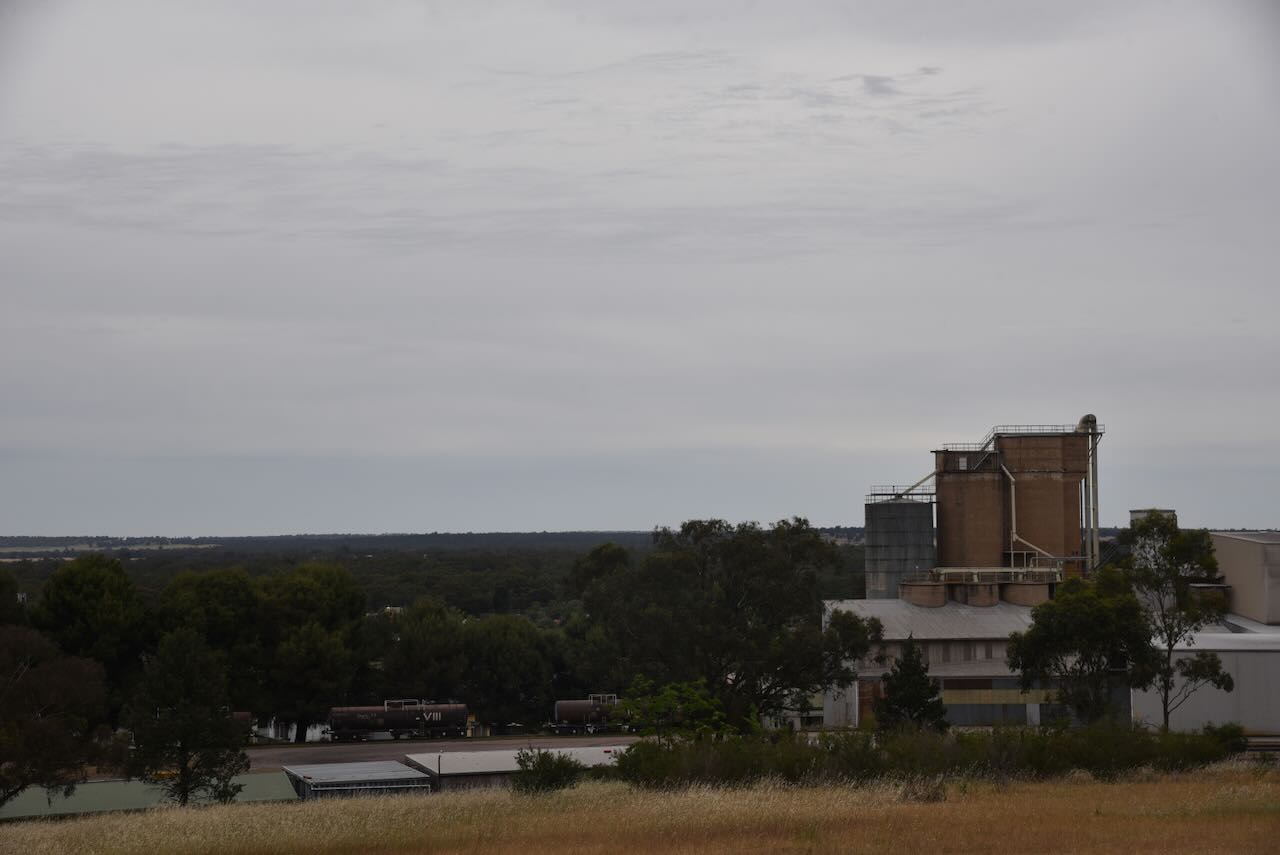
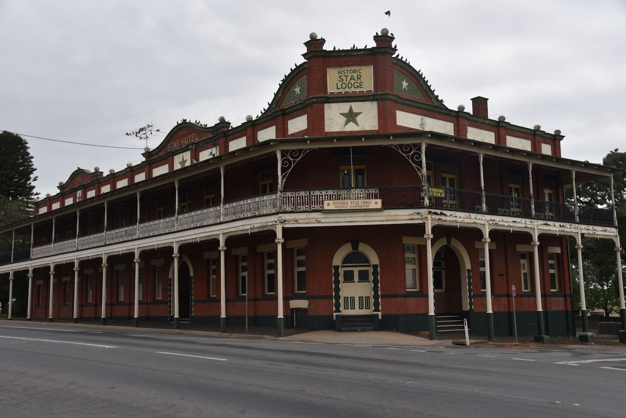
Just below the water tower is the historic Star Lodge Hotel. It was built in 1916 and closed in 1973. (Chirp 2025)
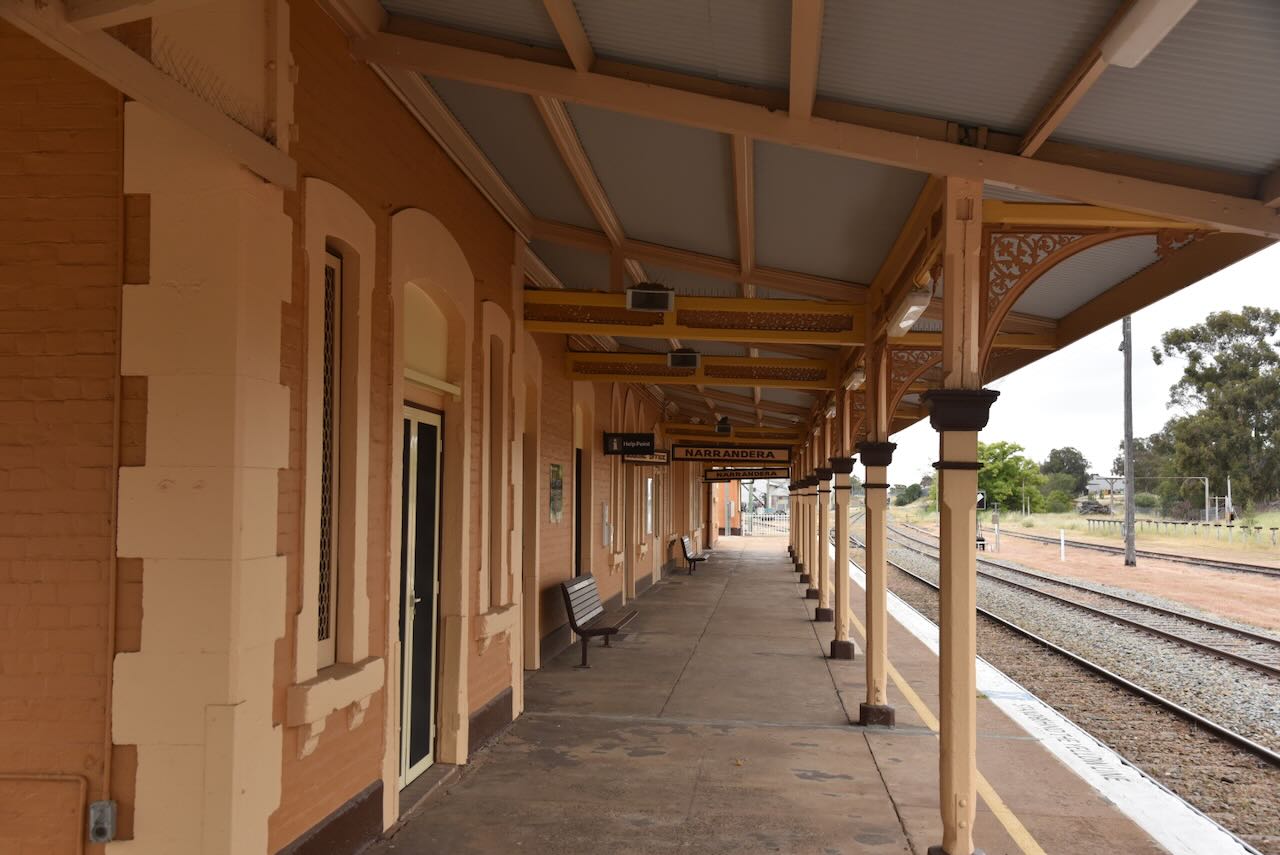
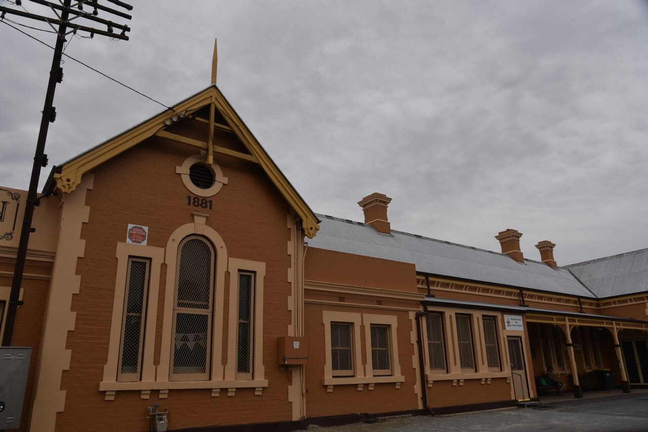
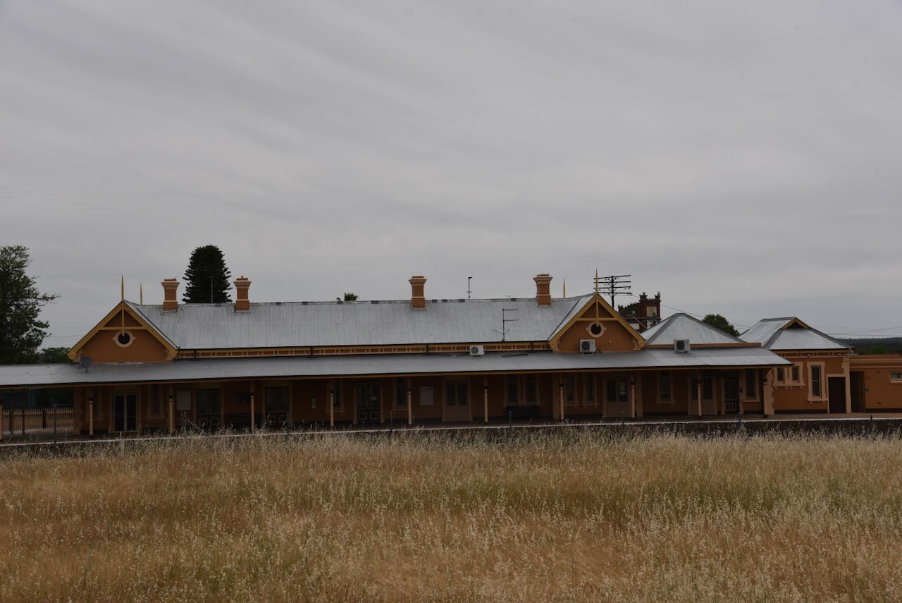
Our next stop was the Narrandera railway station, which is situated on the Hay railway line. It was formerly the junction station for the Tocumwal railway line. The station was built in 1880 by Charles Hardy to a design attributed to John Whitton. (Wikipedia 2025)

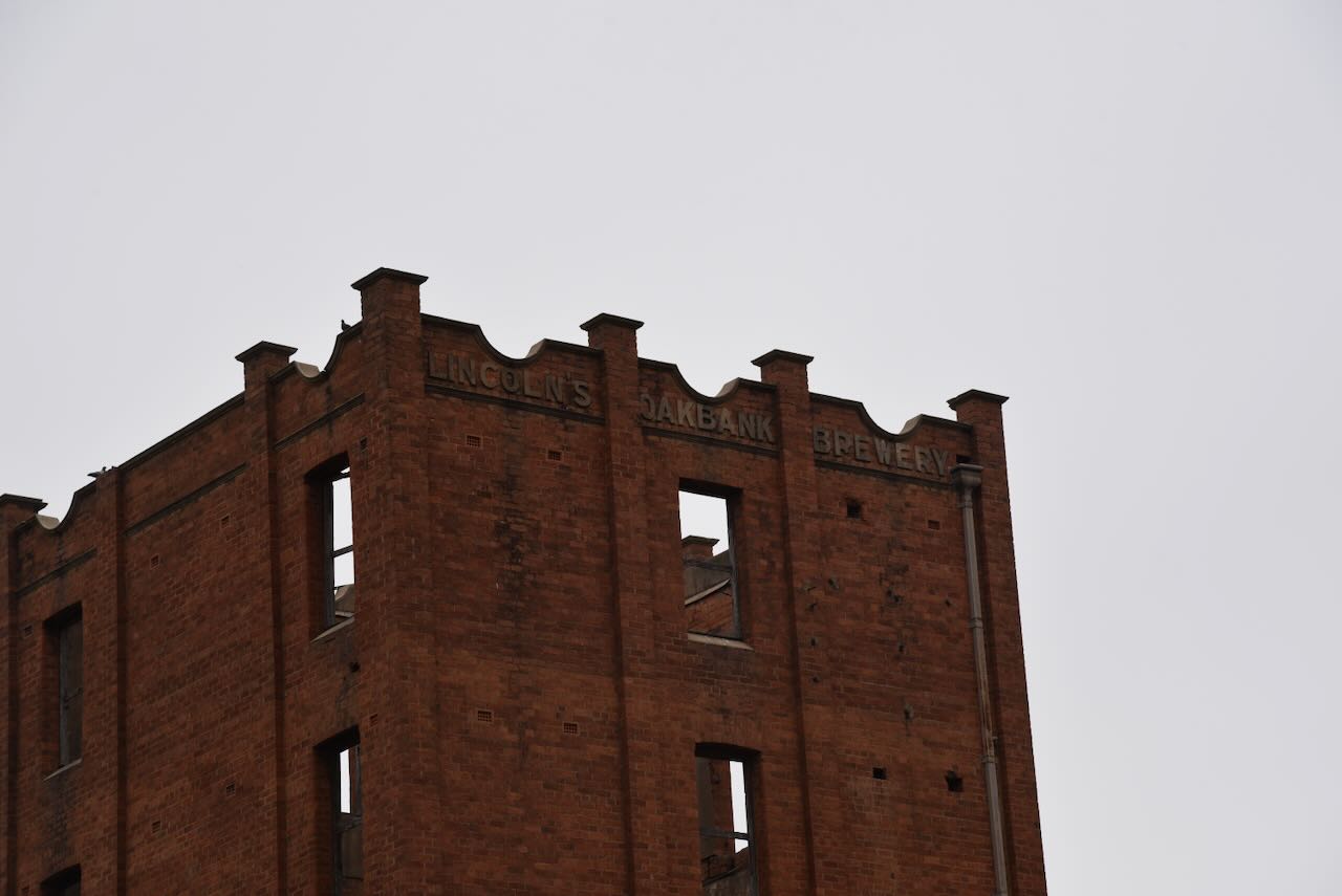
The old Oakbank brewery at Narrandera is a prominent landmark situated beside the Murrumbidgee River. In recent years, it has become part of a private residence.
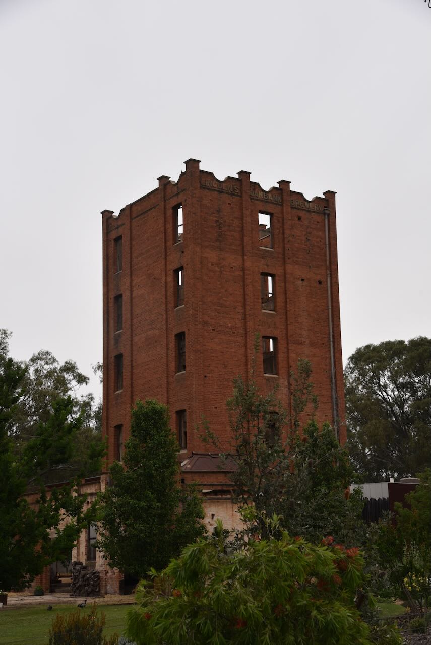

In 1879, George Wildman established the Narrandera Brewery and Cordial Works. He had established a brewery in nearby Wagga Wagga in August 1873. In 1880, Wildman sold the brewery to William Jones. (Facebook 2016)
In 1882, Richard Heath built the Oakbank Brewery in opposition to the Narrandera Brewery. In 1885, it was purchased by George Rogers, who renamed it the Crystal Fountain Brewery. The brewery was then taken over by George Young and John Ferrier, who changed the name back to the Oakbank brewery. (Facebook 2016)
In 1888, the brewery was purchased by William Jones and Thomas Lincoln. They closed the Oakbank brewery and renamed the Narrandera brewery to the Oakbank Brewery. (Facebook 2016)
In 1894, the brewery was purchased by McIntyre Lincoln & Co. The brewery’s capacity at this time was about 10,000 bottles per day. (Facebook 2016)
On Tuesday, the 25th day of September 1894, the brewery was destroyed by fire. An employee by the name of Sheppard, who was sleeping on the premises, had to be pulled to safety. (Trove 2025)
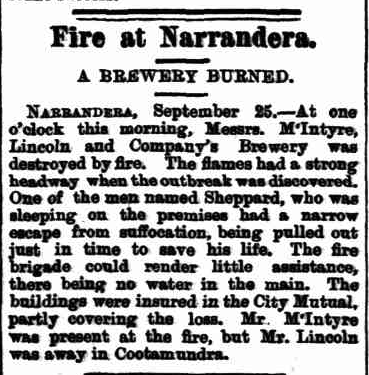
Above: article from the Evening News, Sydney, Tue 25 Sept 1894. Image c/o Trove
By 1903, Tom Lincoln had become the sole proprietor and was trading as Lincoln & Co. A 1910 newspaper article stated:
“The excellence of the preparations turned out by the firm is certified to throughout the country and the extent of the business done proves their quality.”
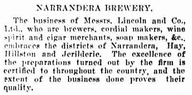
Above: article from The Catholic Press, Thu 30 Jun 1910. Image c/o Trove
The 5-storey tower was built in 1912. It was designed by John Hill Robertson, an architect from Narrandera. (Facebook 2016)
In June 1920, Tom Lincoln died, leaving his brother Henry ‘Harry’ to carry on the brewery. By 1921, the brewery was daily producing 20,000 gallons of draught beer and stout, 10,000 bottles of beer and 15,000 bottles of cordial. (ancestry 2016) (Service 2023)

Above: Horsedrawn wagon with cordial from Oakbank Brewery, outside hotel – Jerilderie, NSW. Image c/o State Library NSW
In October 1923, the brewery was sold to Mr J.M. Whelan of Wagga. The brewery was sold to Tooths & Co in late 1924 for a reported price of between £100,000 and £200,000. It was subsequently closed. (Service 2023) (Trove 2025)
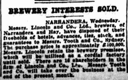
Above: article from The Sydney Morning Herald, Thu 20 Nov 1924. Image c/o Trove
However, cordial was manufactured by various companies up until the 1980s. The last company to operate there was Webster’s Cordials. (Service 2023)
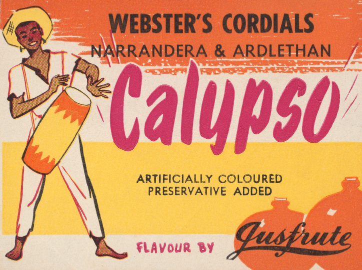
Above: Webster’s Cordials advertisement. Image c/o collections.monash.edu
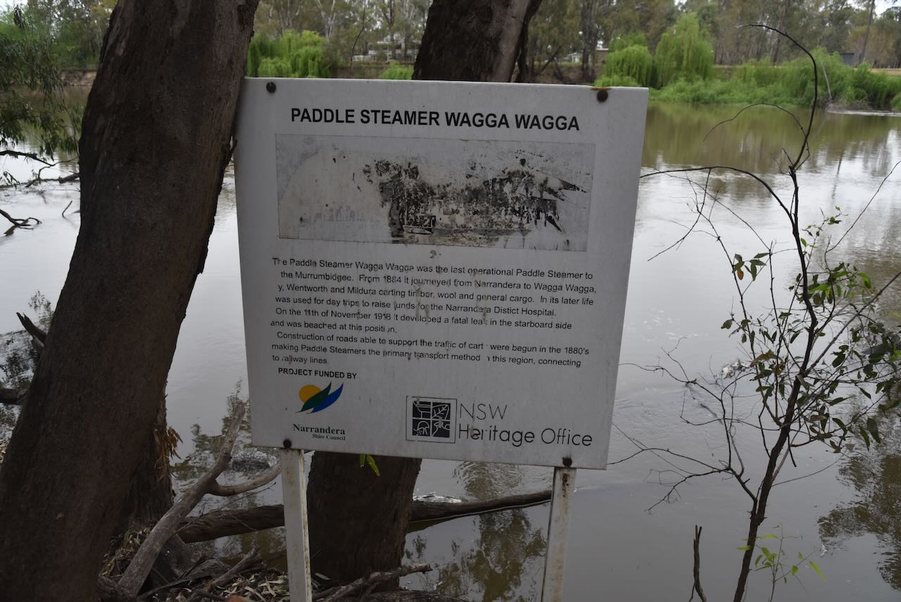
We then visited the site of the wreck of the PS Wagga Wagga. The paddle steamer Wagga Wagga was the last operational paddle steamer on the Murrumbidgee.
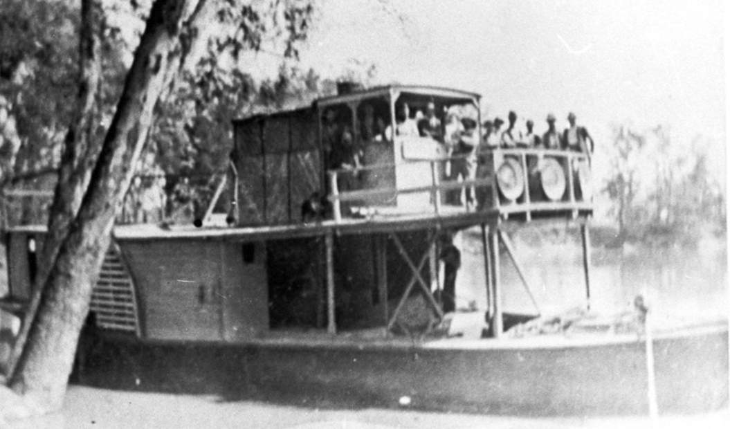
Above: the PS Wagga Wagga. Image c/o State Library SA
On the 11th day of November 1918, it developed a fatal leak in the starboard side and was beached. Not much remains, and what does can only be seen when the river is low.

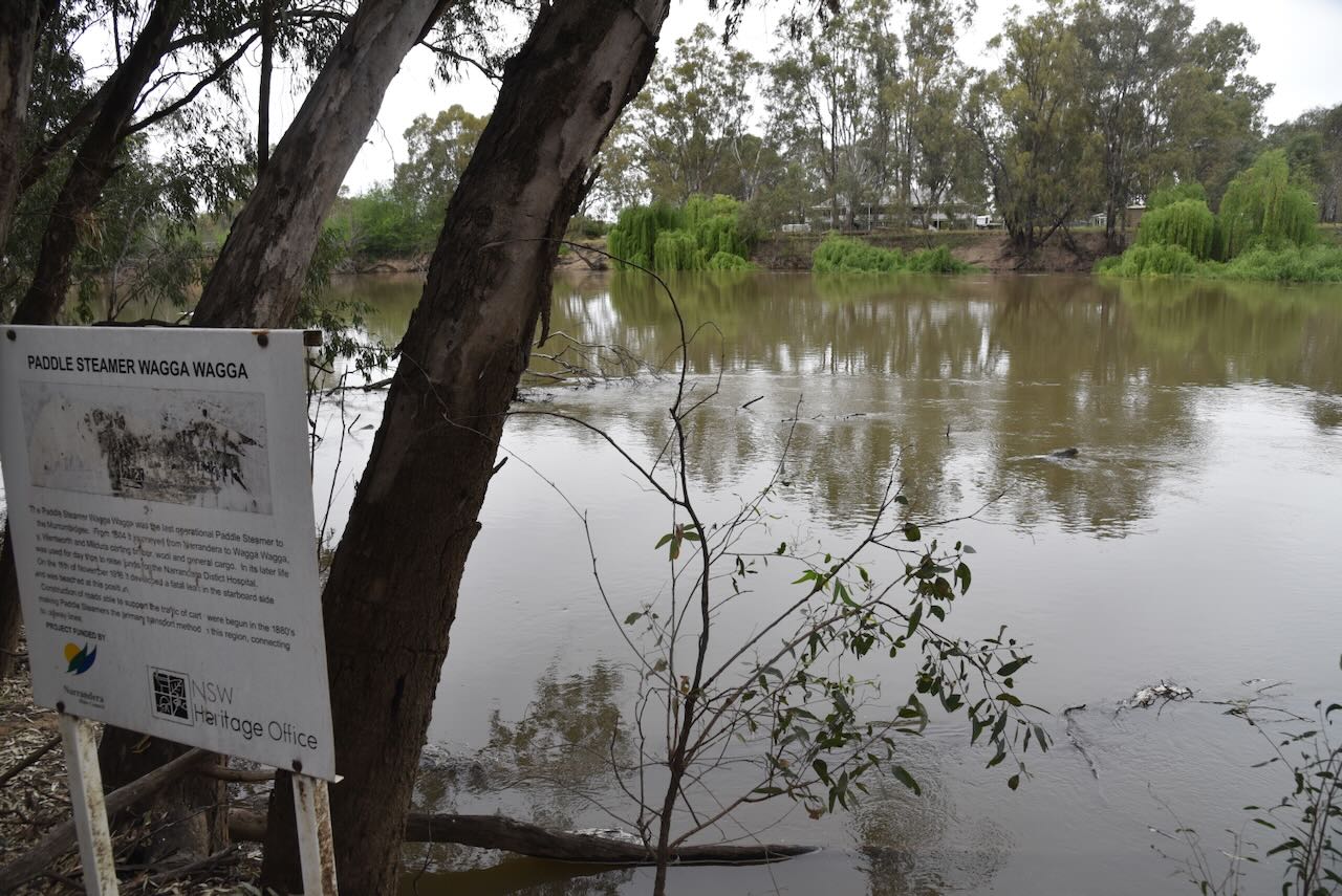
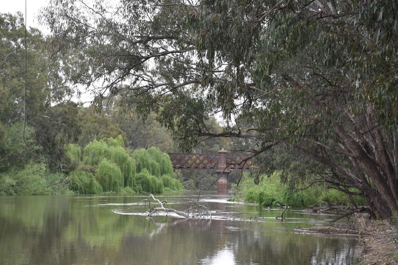
We then headed to the Murrumbidgee Valley Nature Reserve VKFF-1974. The park is located on the southeastern side of Narrandera.
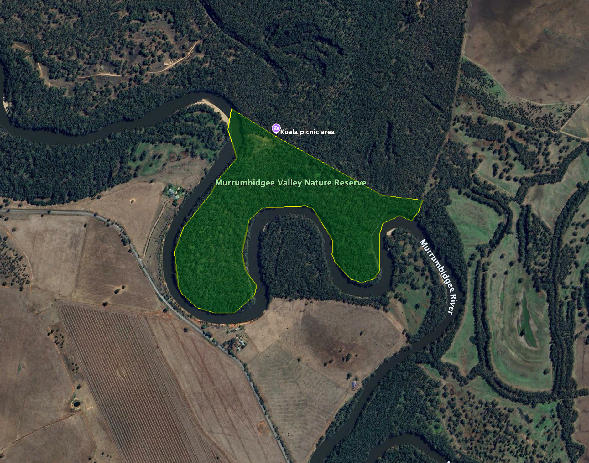
Above: the boundaries of the Murrumbidgee Valley Nature Reserve. Image c/o Google Earth
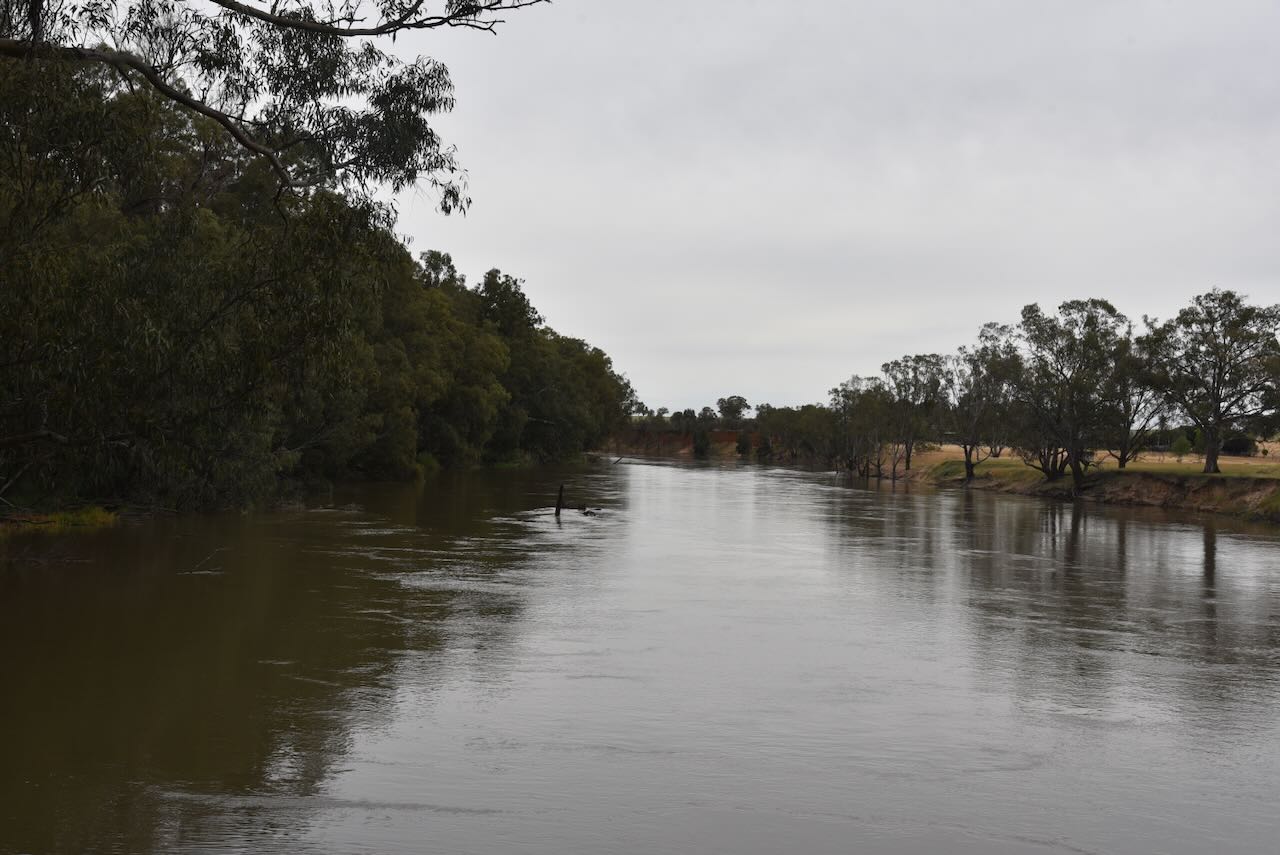
The southern boundary is the Murrumbidgee River.
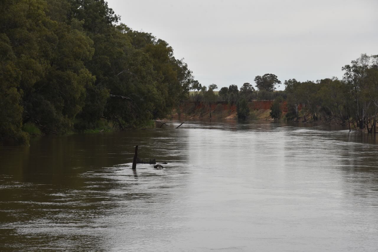
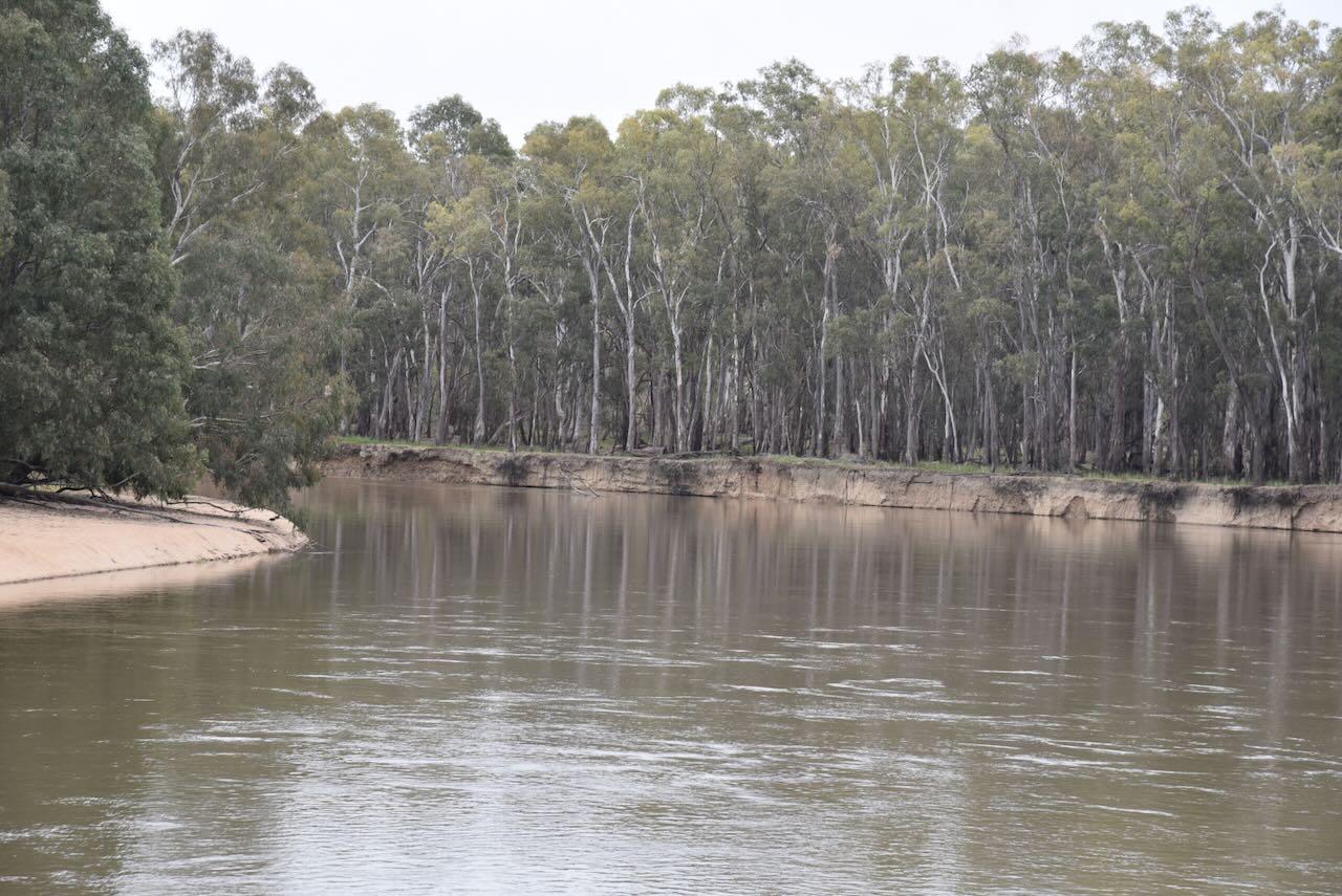
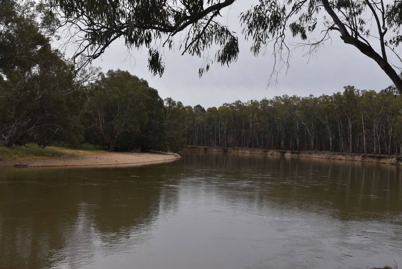
The park is about 1,998 hectares in size and was established in July 2010. It is part of the Murrumbidgee Parks, including the Murumbidgee Valley National Park, the Murrumbidgee Valley Regional Park, and the Nature Reserve. The Nature Reserve was originally reserved as Narrandera Nature Reserve in 1965 and changed its name under the Riverina Red Gum Reservations Act. (NSW NPWS n.d.) (NSW National Parks 2024)
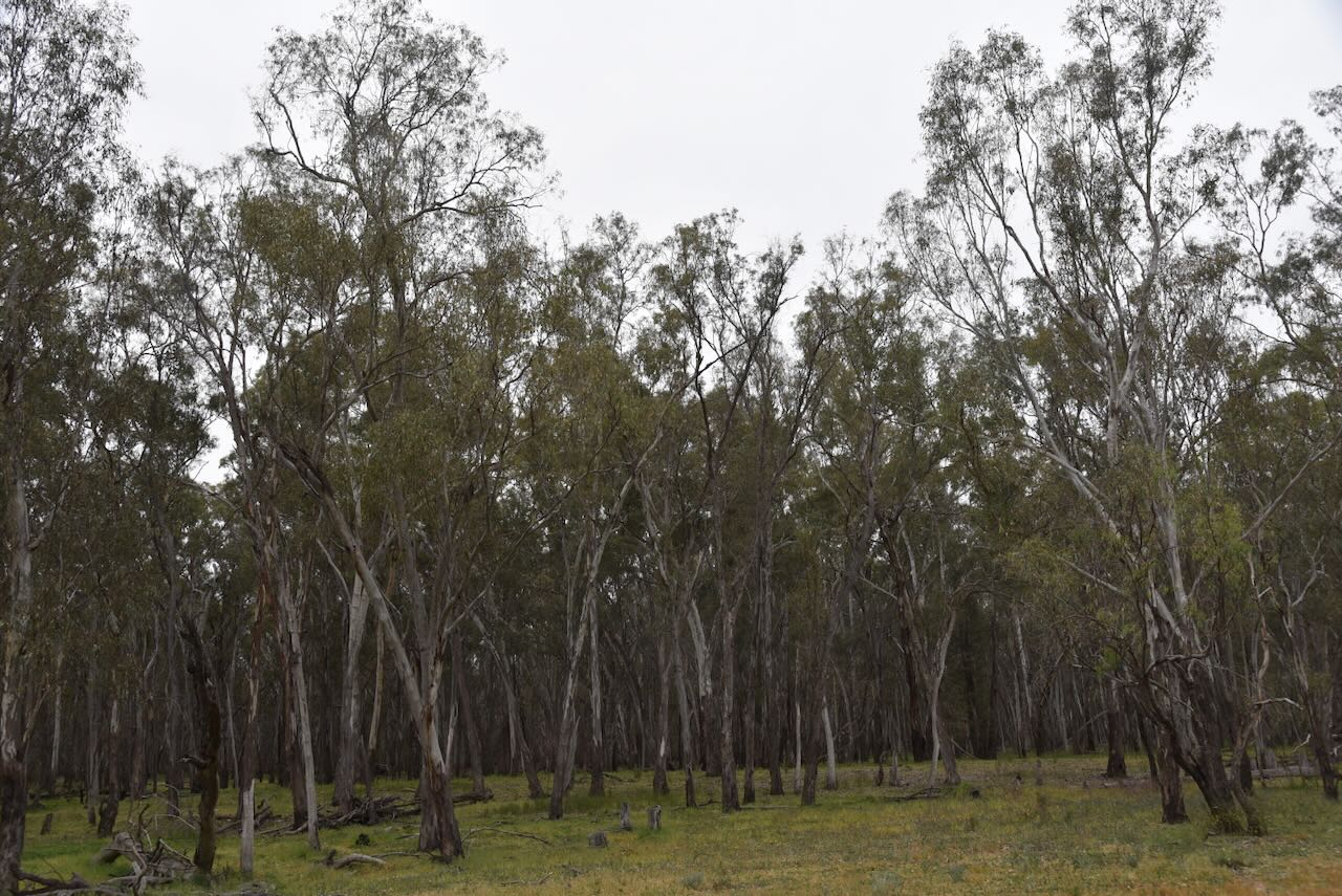
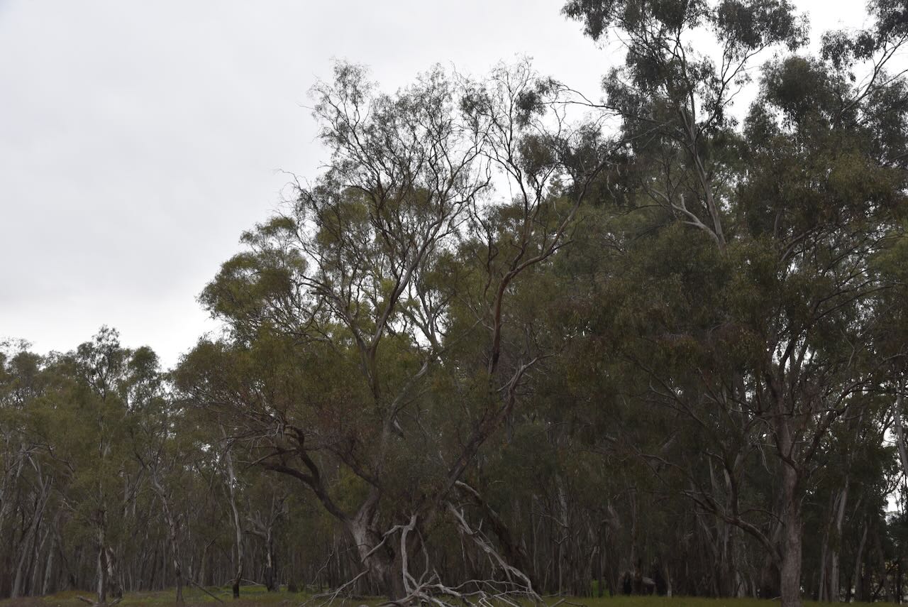
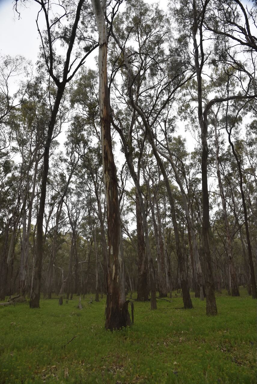
We accessed the park via the end of Oakbank Street.
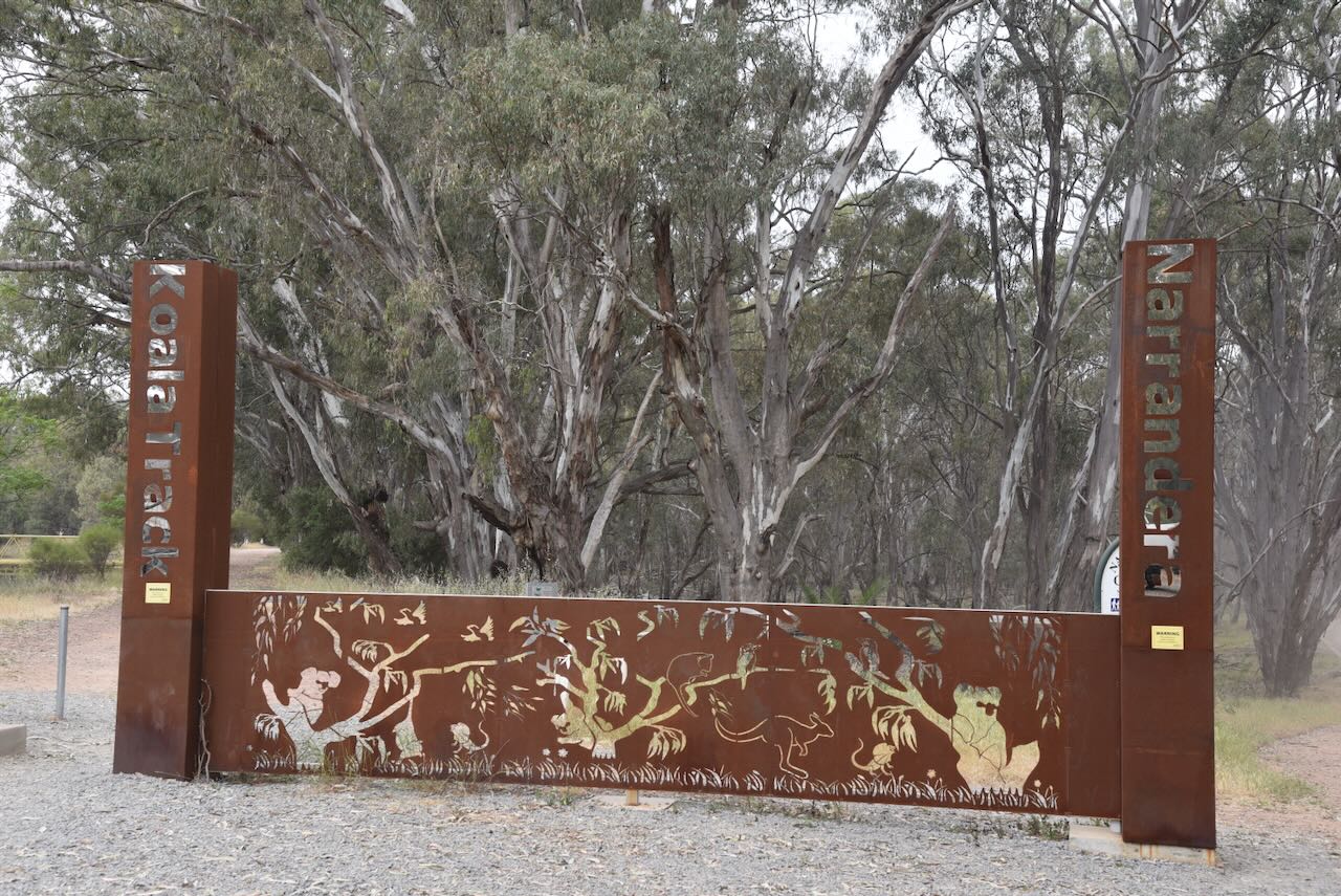
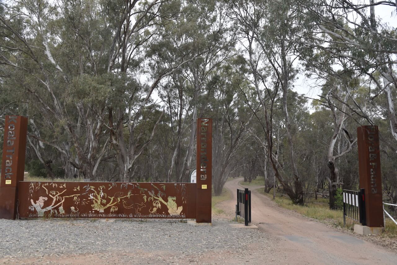
We travelled through the Narrandera Flora and Fauna Reserve, along the Buridgerry Track. The Flora and Fauna Reserve is managed by the Narrandera Shire Council. We soon reached the sign for the Nature Reserve. (NSW National Parks 2024)
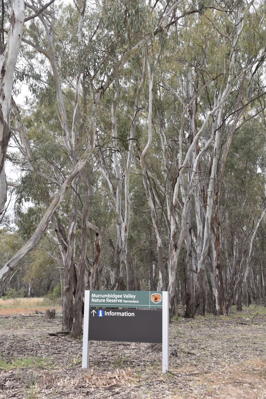
There is an excellent sign here detailing the Murrumbidgee Valley Nature Reserve.

We stopped at the Koala picnic area.

There is a monument for the release of koalas in the park and for Ken Kiesling, who was in the Narrandera Koala Committee.

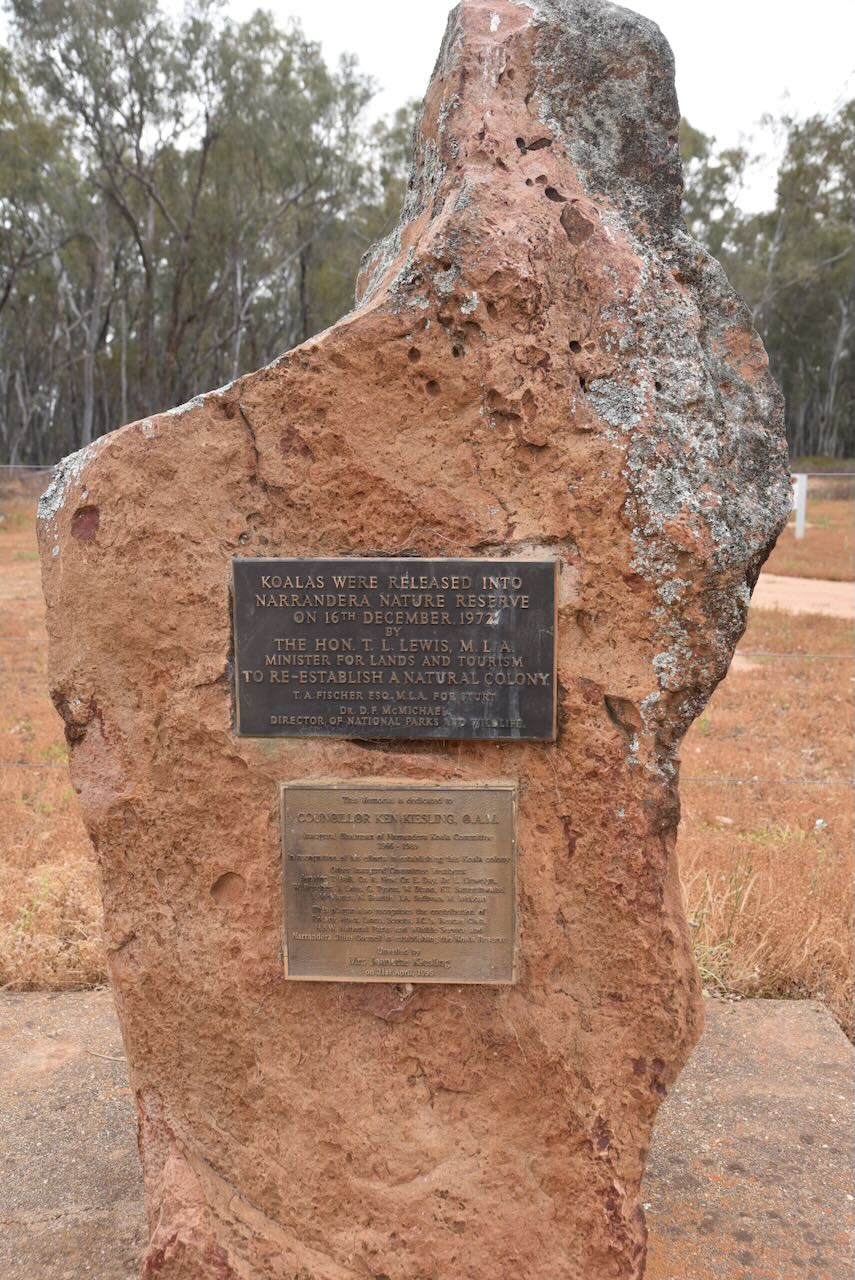
Koalas were released into Narrandera Nature Reserve on the 16th day of December 1972, to re-establish a natural colony. Koalas were found along the Murrumbidgee but became extinct during the early 1900s. The koalas came from Victoria and Queensland. More than 200 koalas live in the park’s river red gums and other habitat trees. (NSW NPWS 2008) (NSW National Parks 2024)
Councillor Ken Kiesling O.A.M. was the inaugural Chairman of Narrandera Koala Committee 1966-1989. Kenneth Lionel Kiesling was born in May 1920 at Narrandera. He served in the Royal Australian Air Force during the Second World War. He and his wife, Jeannette, owned Kiesling’s Jewellers in Narrandera for a number of decades. He also served two terms as Mayor of Narrandera Shire from 1973-1975 and 1977-1979. He died in July 1989 at Narrandera. (ancestry 2016) (Argus 2023)
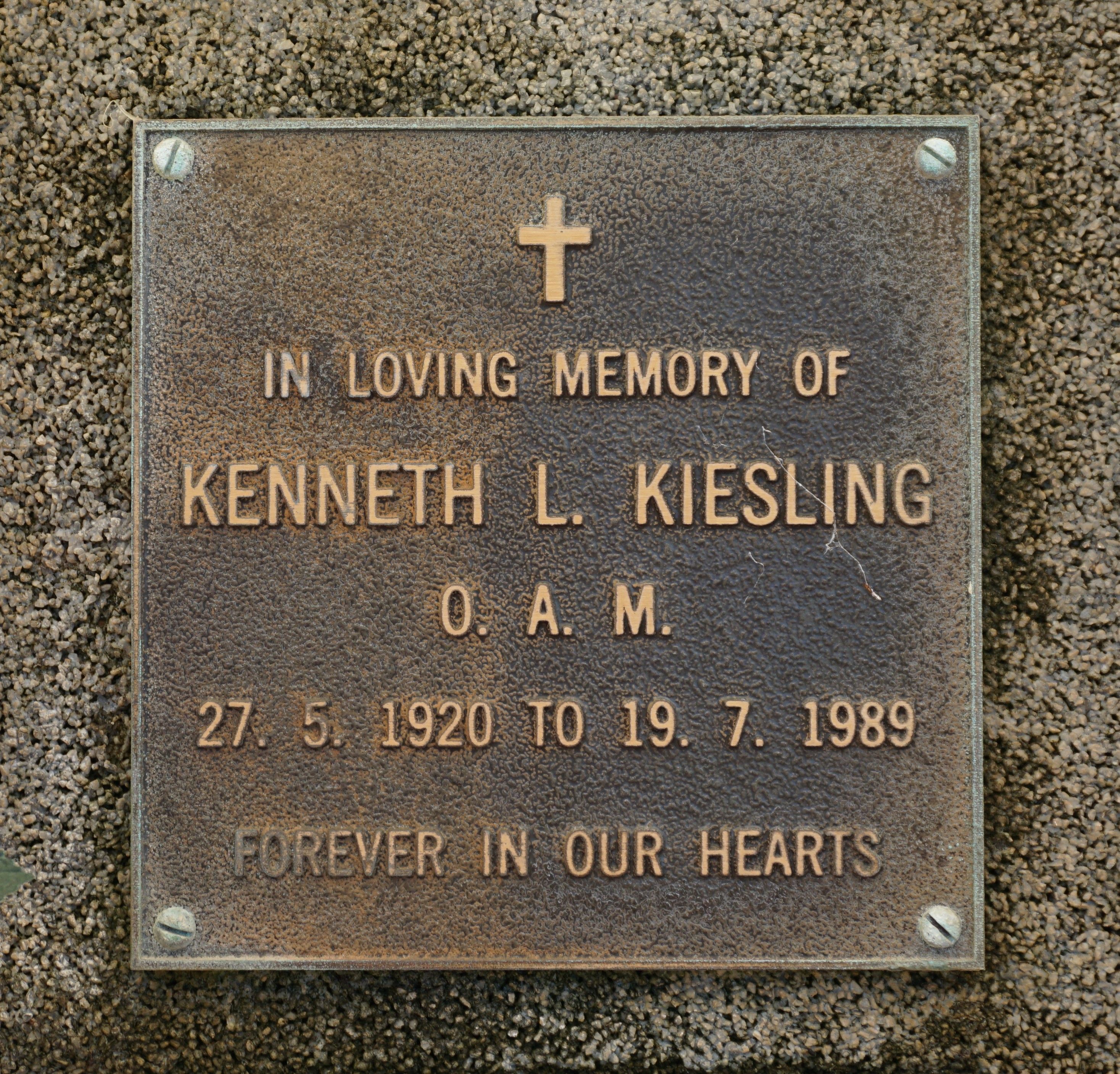
Above: the memorial plaque for Keneth Kiesling. Image c/o findagrave.com
Other wildlife in the park includes grey kangaroos, eastern rosellas, galahs and sulphur-crested cockatoos. (NSW National Parks 2024)
We ran the Yaesu FT857, 40 watts, and the 20/40/80m linked dipole for this activation.
Marija worked the following stations on 40m SSB:-
I worked the following stations on 40m SSB:-
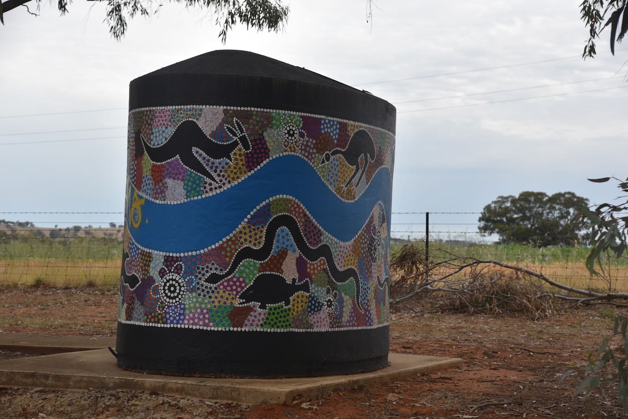
After packing up at the park, we drove towards Wagga Wagga. We stopped briefly to have a look at the Colingullie Water Tank Art. They are located on the Sturt Highway in a truck parking bay 3km on the Wagga Wagga side of Colingullie. The tanks were painted in May 2019 by Wiradjuri Aboriginal artist Owen Lyons. (Australiansiloarttrail.com, 2022)
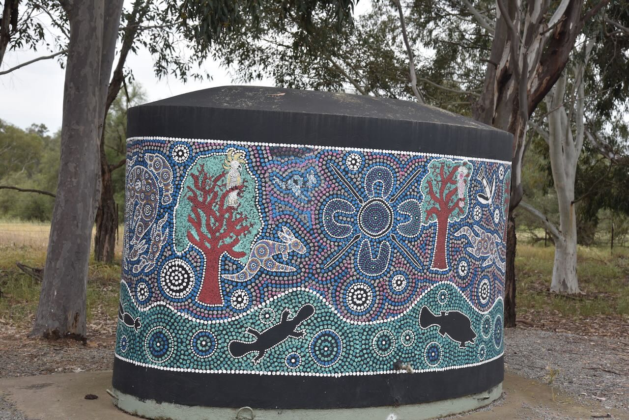
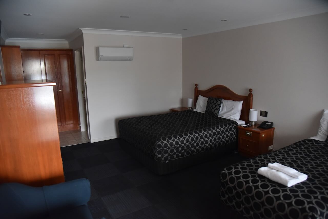
We continued into Wagga Wagga, where we booked into our accommodation, the Best Western Ambassador Motor Inn.
We then attended the Namaste restaurant for dinner. The meal was sensational and the staff were extremely friendly. And way too much to eat. We had to take away some of our meal in a ‘doggy bag.’

It was then back to the motel room for a good night’s sleep.
References.
Our next activation for Tuesday, 21st October 2025, was the Oolambeyan National Park VKFF-0403. I was last out here 10 years ago in 2015, and it was such an amazing park that I had to bring Marija out for a visit.
Oolambeyan National Park is located about 90 km (by road) southeast of Hay in the Western Riverina region of south-western New South Wales. (NSW NPWS 2014)

Above: Map showing the location of the Oolambeyan National Park, NSW. Map c/o Google Maps
After leaving Carrathool, we travelled south on Conargo Road, passing the large RivCott complex where cotton ginning takes place. Ginning is the first crucial step in processing raw cotton.

We soon reached the junction of Conargo Road and Gum Creek Road, where we found a sign for the Oolambeyan National Park.

We continued on Gum Creek Road and then turned right onto Oolambeyan Road. We soon reached the boundary of the park.

There is only one public access road into the park, and that is via Oolambeyan Road. Jerilderie Road passes some km to the west of the park, while N Boundary Road passes several km south of the park’s boundary.

Above: the boundaries of the Oolambeyan National Park. Image c/o Google Earth
Oolambeyan National Park is 22,231 hectares in size and was gazetted on the 25th day of October 2002. (NSW NPWS 2014)(Wikipedia 2025)
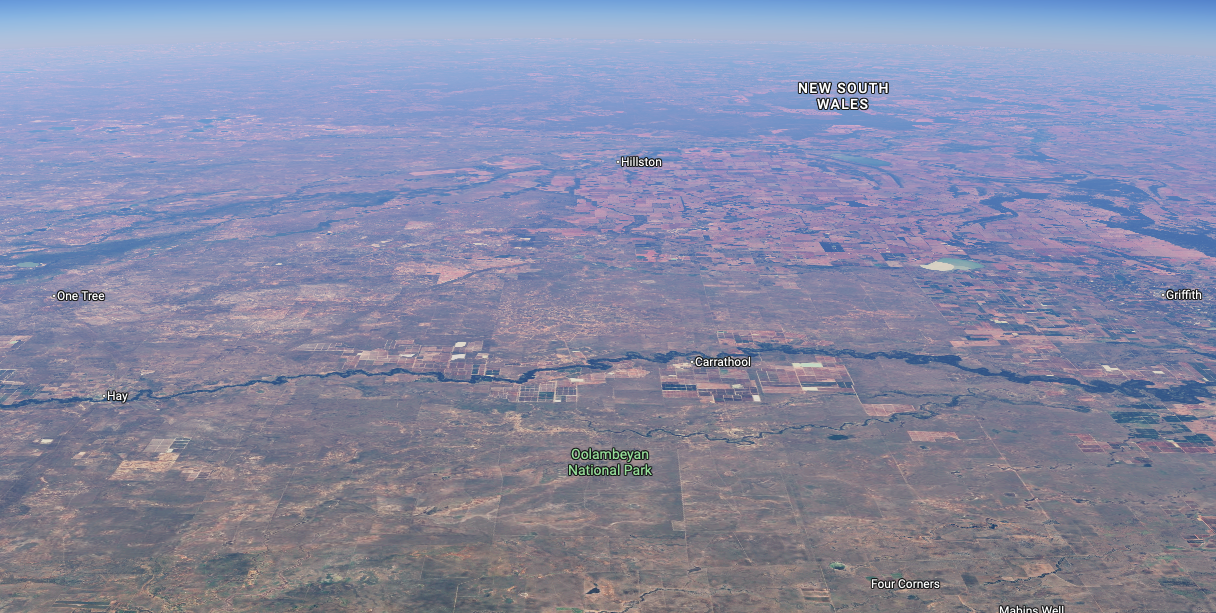
Above: an aerial view of the park looking north. Image c/o Google Maps
The former pastoral station ‘Oolambeyan’ was purchased in October 2001. Oolambeyan had operated as a working pastoral and cropping station for over 100 years. The old Ooolambeyan homestead can be found in the park (I will talk about this a little later), shearing shed, shearer’s quarters and other structures. (NSW NPWS 2014)

Above: part of an article from The Australasian, Melbourne, Sat 3 Sep 1927. Image c/o Trove
Oolambeyan is believed to originate from the Wiradjuri Aboriginal word ‘Wulambiyan’. Wulam means ‘to call or give voice to’, and biyan can be past tense or ‘always and continuous’. Thus the word’s full meaning is ‘have always been calling’, the ‘voice of the wind calling in the trees’ or the ‘song of the wind passing through the trees’. (NSW NPWS 2014)
Two threatened plant species have been found on Oolambeyan National Park: the vulnerable slender Darling pea and the endangered austral pillwort. (NSW NPWS 2014)


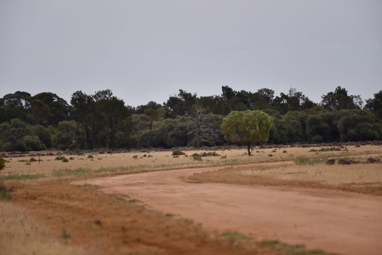
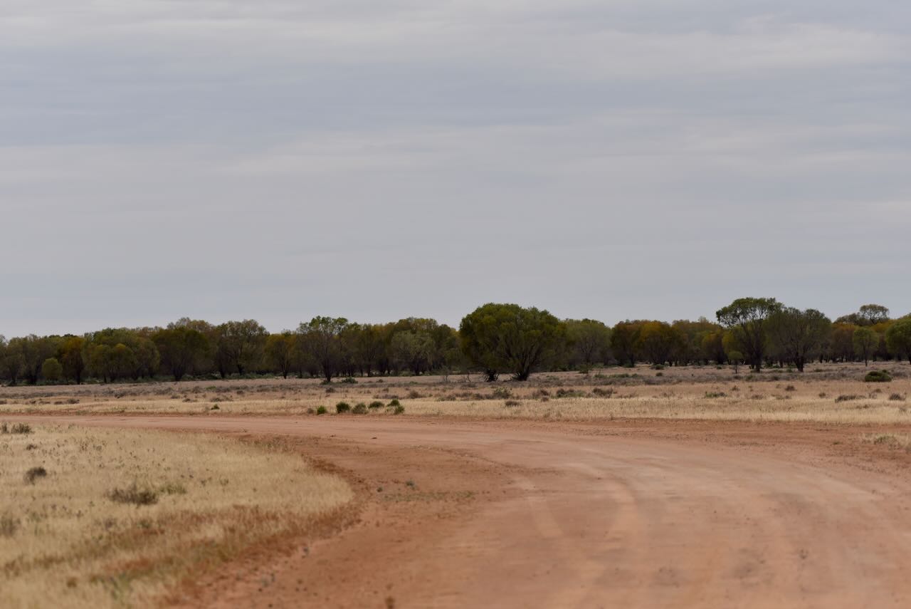

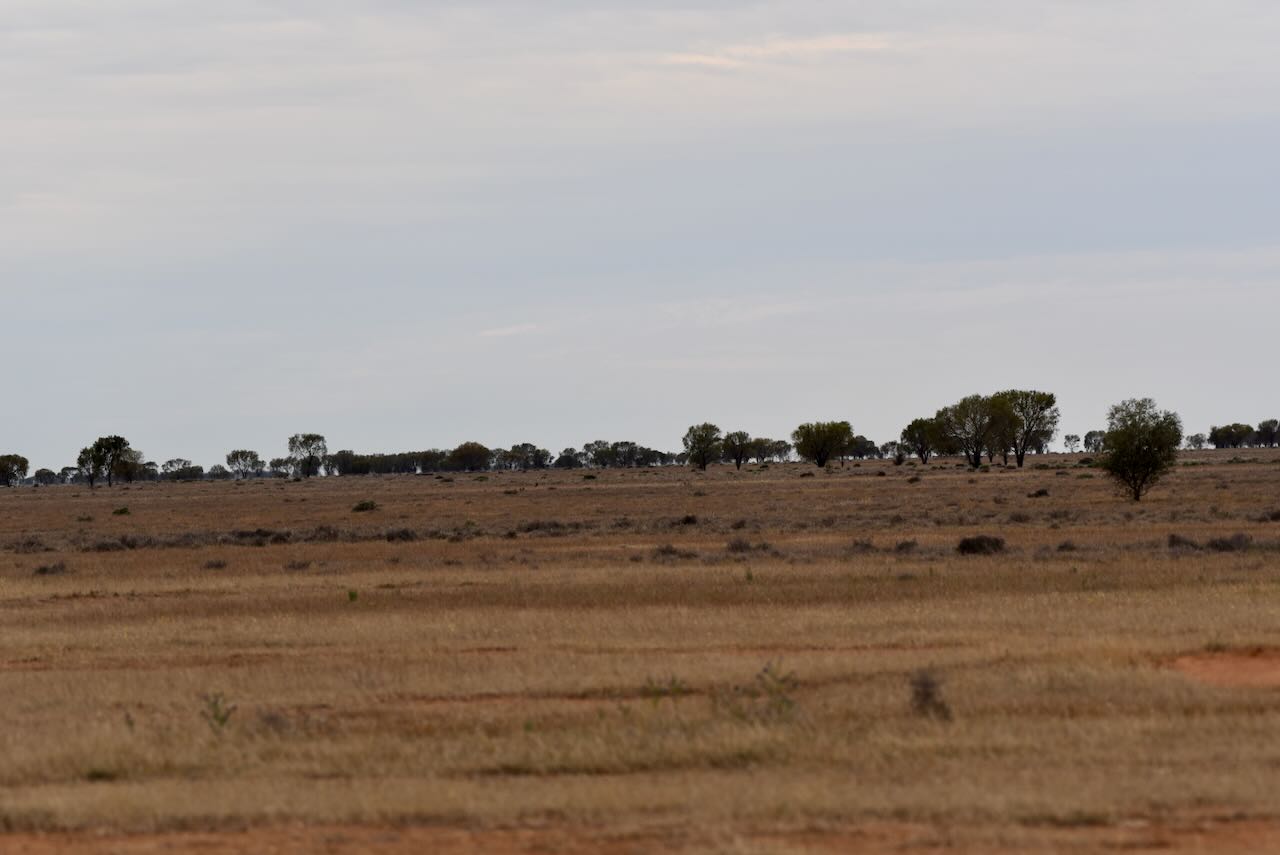
I had told Marija that during my last visit, the park was absolutely teeming with wildlife, including emus and kangaroos. And this visit did not disappoint. We encountered emus as soon as we entered the park.

And dozens and dozens of Red kangaroos, Eastern Grey kangaroos, and Western Grey kangaroos. A total of 13 species of mammals have been recorded in the park. (NSW NPWS 2014)
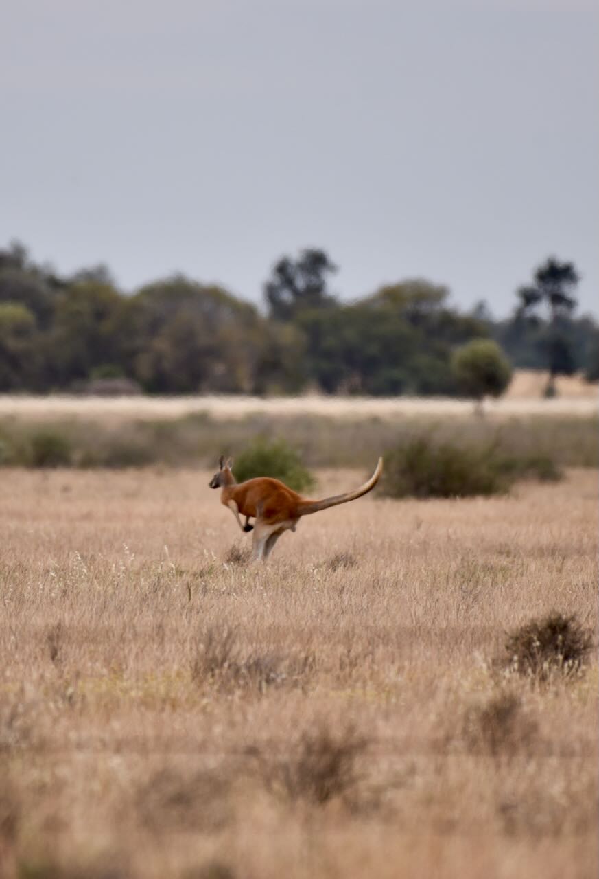
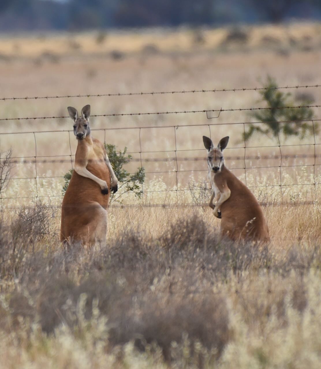


There was also a substantial amount of birdlife. About 155 species of birds have been recorded in the park. Two species of birds are recorded as vulnerable: the Superb Parrot and the Plains Wanderer. (NSW NPWS 2014)
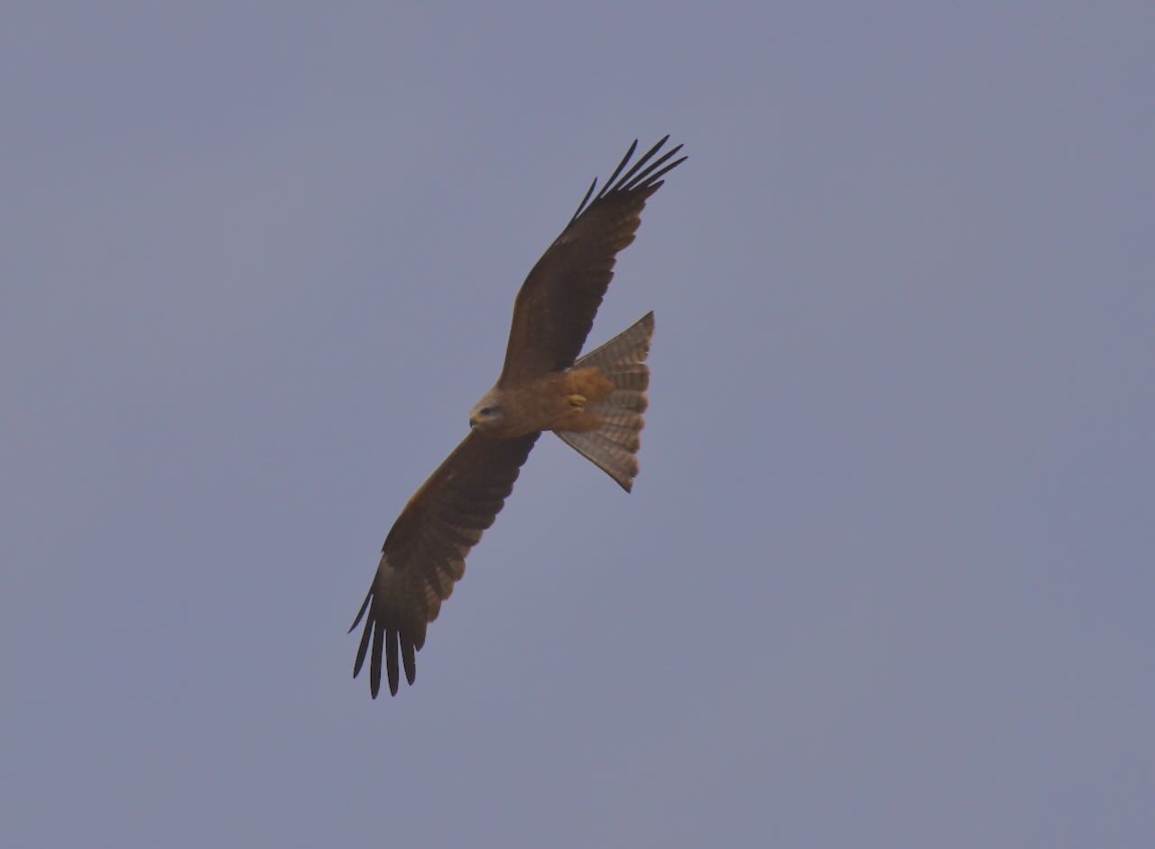


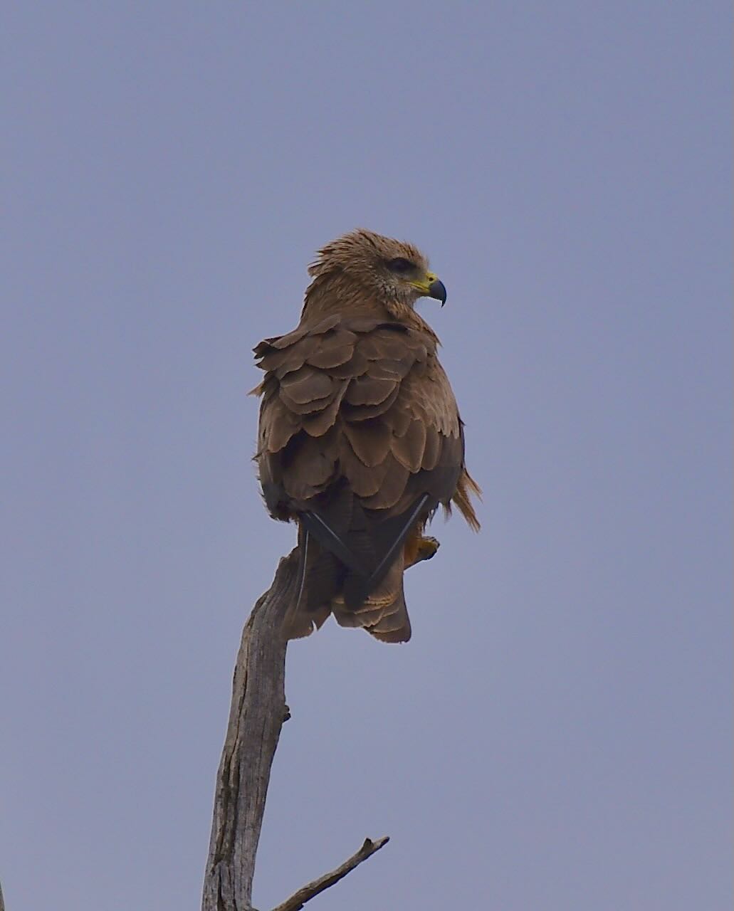

I was really keen to spot some Rainbow Bee Eaters, and it did not take long.


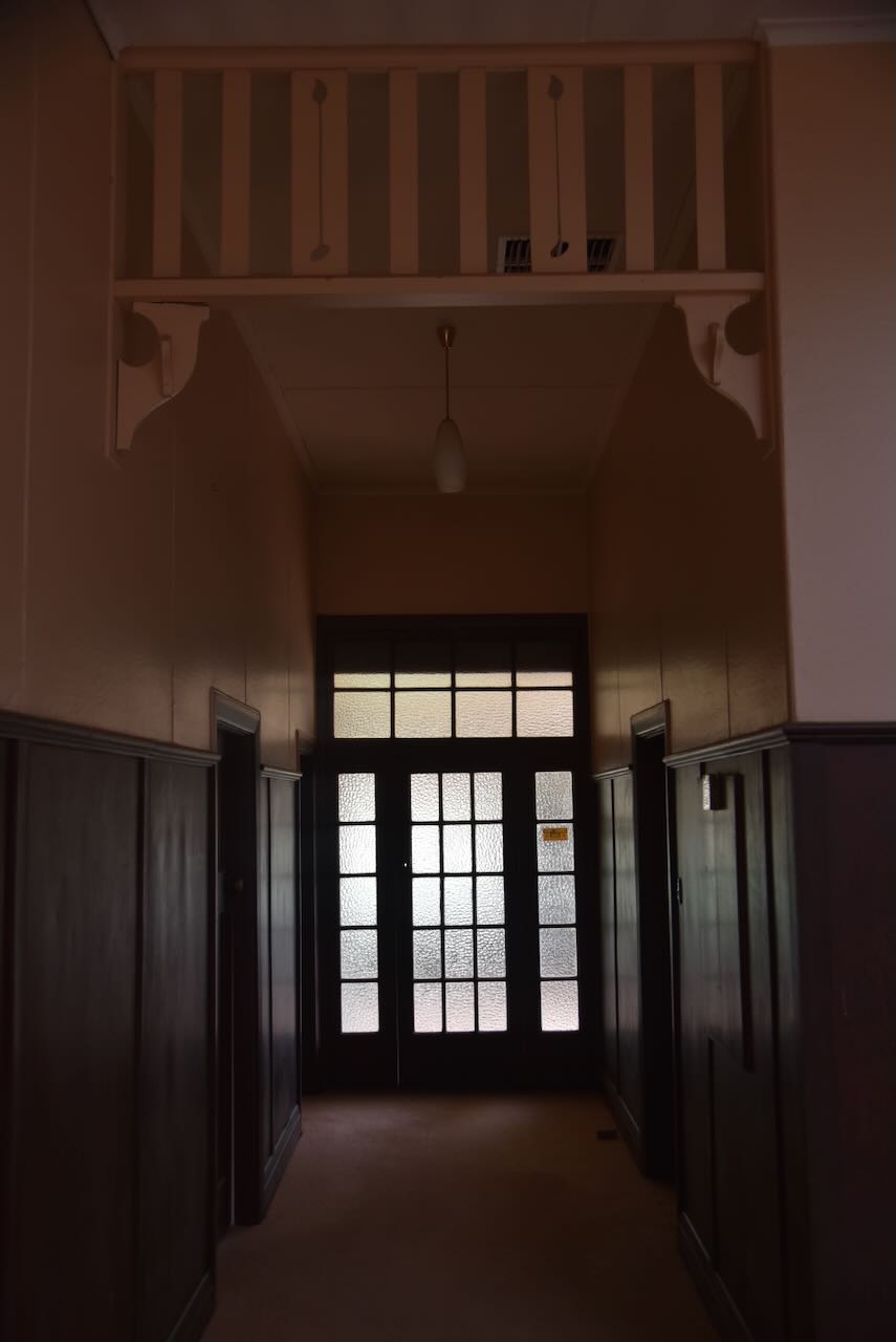
Marija and I were very fortunate to encounter an extremely friendly park ranger during our visit to Oolambeyan. He spent some time with us explaining the history of the park and took us through the old homestead.
Oolambeyan homestead was constructed in c. 1926. It has 2 separate areas, the kitchen wing and the manager’s wing. The exterior of the homestead features Federation Queen Anne and Federation Bungalow styles. (NSW NPWS 2014)




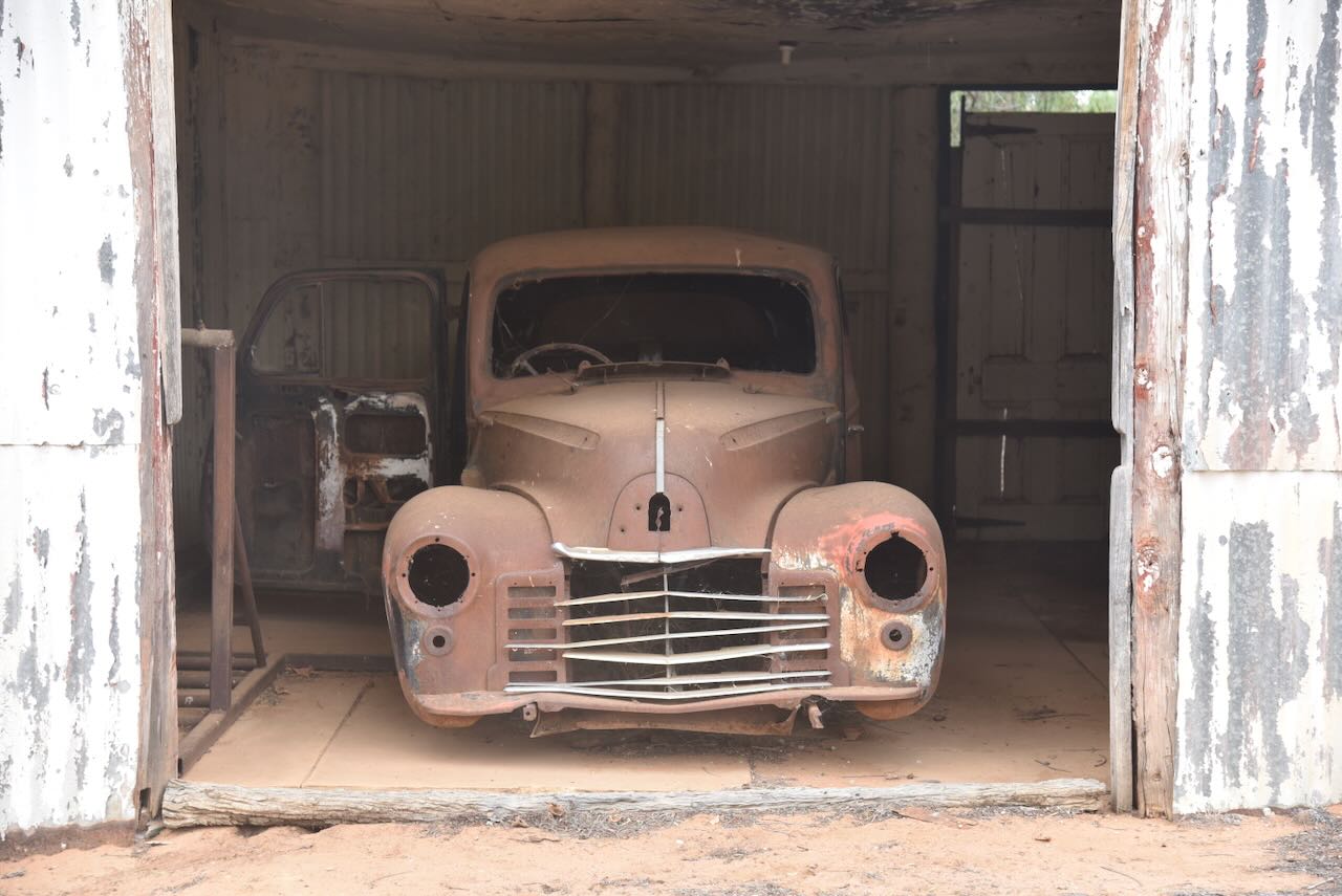
In 1924, Oolambeyan Station was sold for £84,000 to the Australian Estates and Mortgage Co. Ltd. (Trove 2025)

Above: Article from the Riverine Grazier, Hay, Fri 22 Aug 1924. Image c/o Trove
This was as a result of the death of Mr John ‘Jack’ Alexander Claude Kennedy Tyson. He was killed in France in April 1918 during the First World War. Jack was born in 1890 in Hay. His parents were Walter Searle Victor Tyson and Blanche Mary Tyson, nee Gwydir. Upon leaving school, Jack went to work on his father’s property at Oolambeyan. Upon his father’s death in 1902, Jack became the owner of Oolambeyan. (ancestry 2016) (Findagrave.com 2025) (Trove 2025)

The old shearing shed at Oolambeyan dates from the early 1920s. (NSW NPWS 2014)

It was a warm day, and the flies were out in force, so Marija and I operated from the comfort of the 4WD. We ran the Yaesu FT857, 40 watts, and the 20/40/80m linked dipole.

Marija worked the following stations on 40m SSB:-
Marija worked the following stations on 20m SSB:-
I worked the following stations on 40m SSB:-
References.
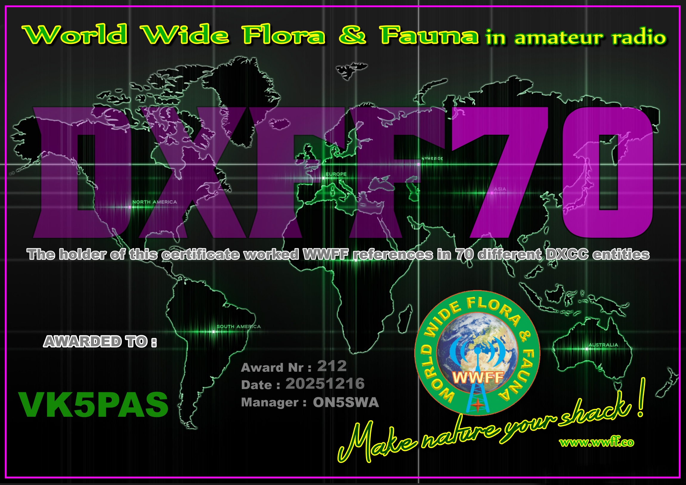
A few days ago, I received the DXFF70 certificate for the World Wide Flora Fauna (WWFF) program. It is issued for having worked WWFF references in 70 different DXCC entities.
Thank you to all of the WWFF activators, and thank you to Swa ON5SWA for the certificate.
Amateur Radio, Short Wave Listening, travel and history
Amateur radio experiences with VK1DA
Brisbane - Australia
german amateur radio station
Summits On The Air
SOTA on the peaks, wilderness QRP and some bushwalking
A fine WordPress.com site
Amateur Radio Adventures
Summits on the Ai
Radio craft, homebrew, QRP/SOTA, AM
Ego loqui ad viros super montes
My adventures with Amateur Radio and Geocaching!
The rantings of VK2GAZ on his SOTA experiences in Australia
A survivor, with minor cuts and abrasions.
The Art and Craft of Blogging
News, Tips & Website Tutorials
Blog of Justin Giles-Clark VK7TW's SOTA and amateur radio adventures.
Occasional SOTA & Microwave operation
Some accounts of SOTA and other radio outings


