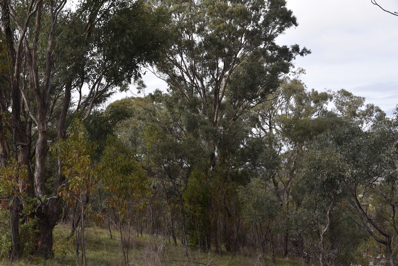
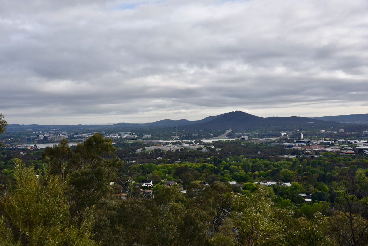
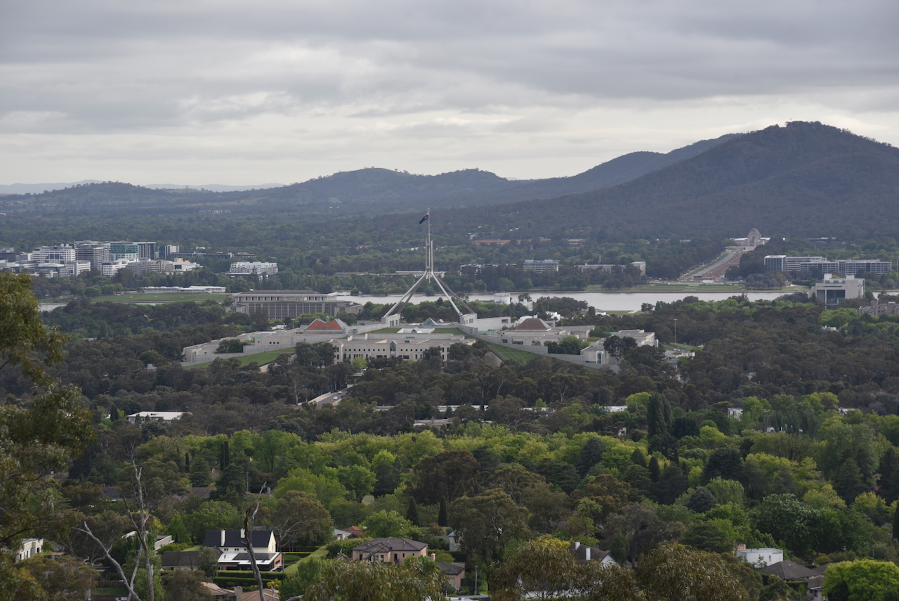
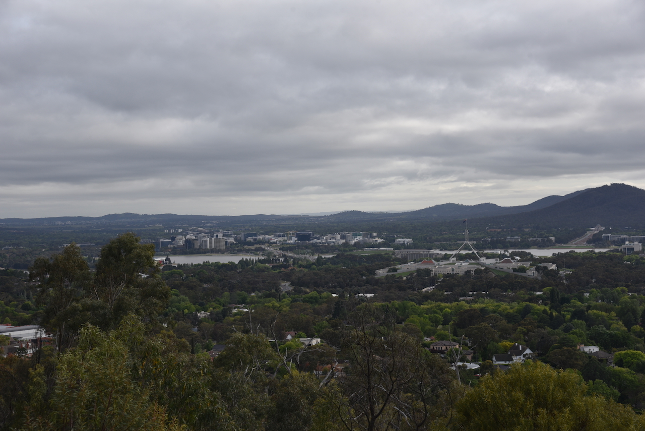
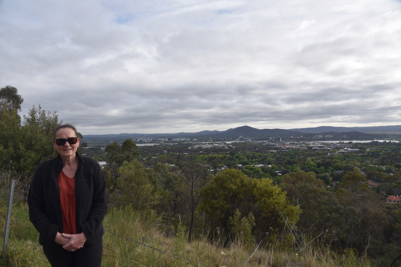
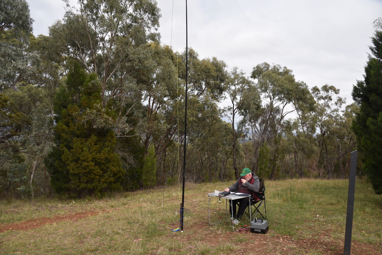
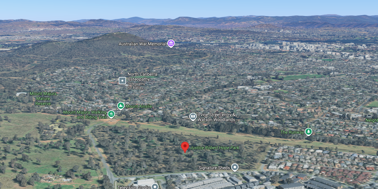
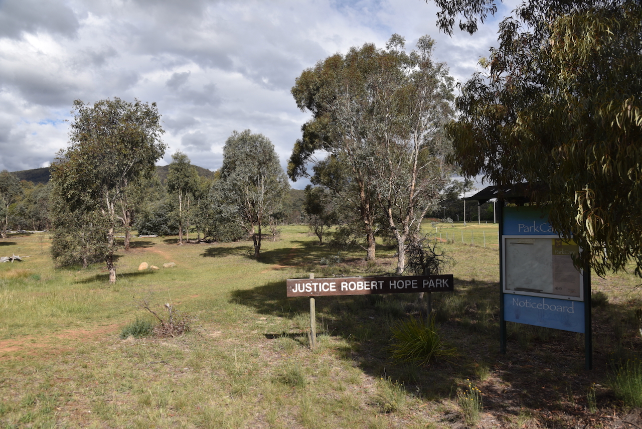
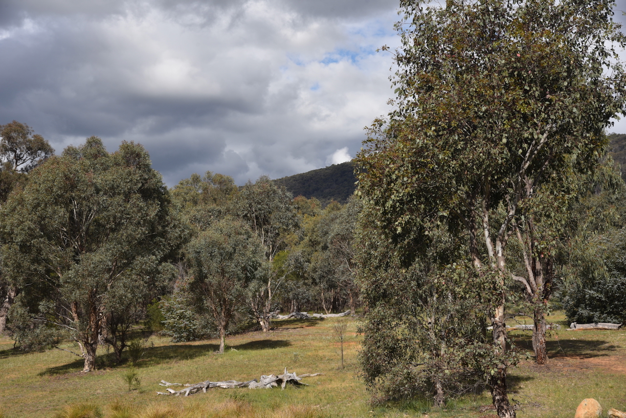
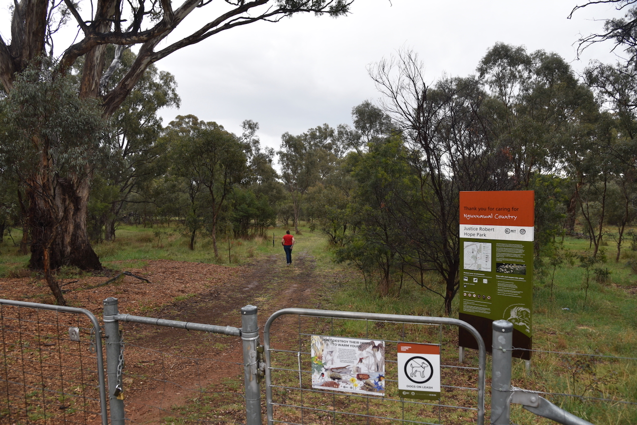
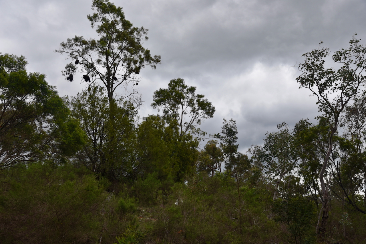
Our next activation for Monday, the 27th day of October 2025, was the Mount Majura Nature Reserve VKFF-0851. We found a few blocked roads using the GPS, but finally managed to get into the reserve.
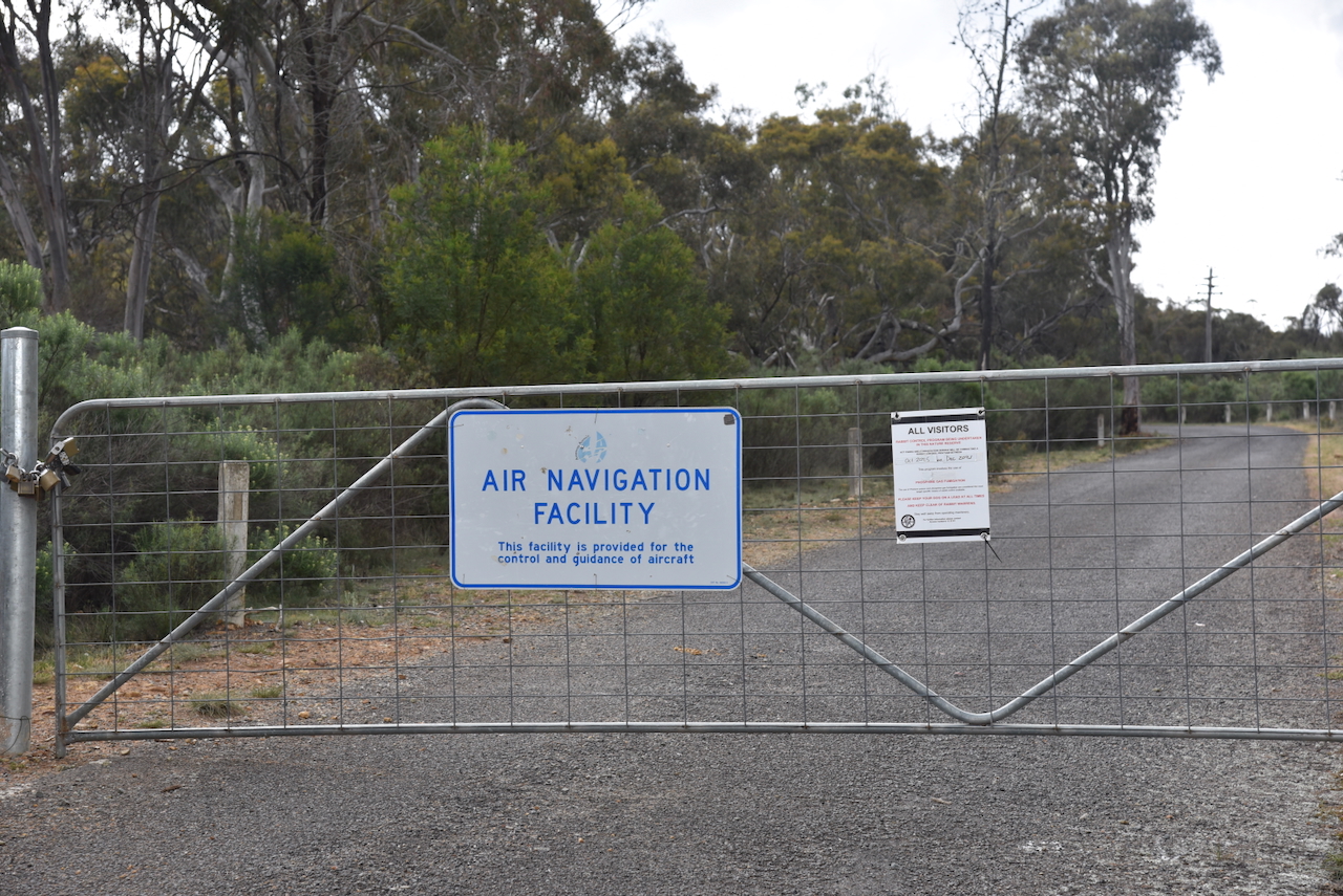
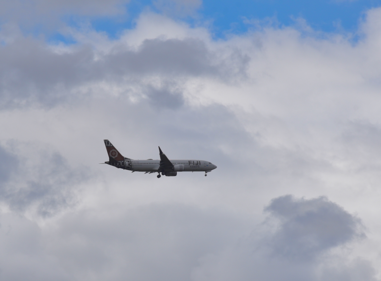
Mount Majura includes an Air Navigation facility for the Canberra Airport. We had a significant number of aircraft flying above us during the activation.
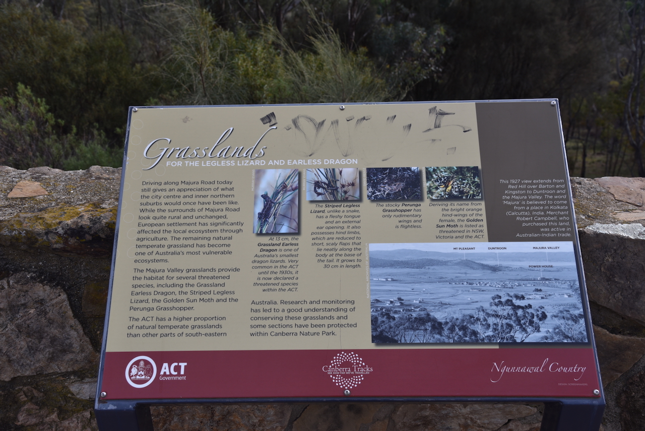
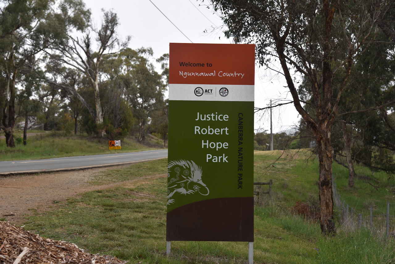
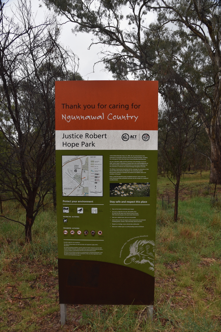
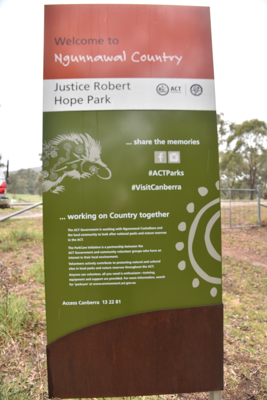
The traditional people of the region are the Ngunnawal Aboriginal people. Mount Majura is covered in a hard rock known as ‘chert’, which forms sharp shards when broken. It was used by Aboriginal people to produce tools.
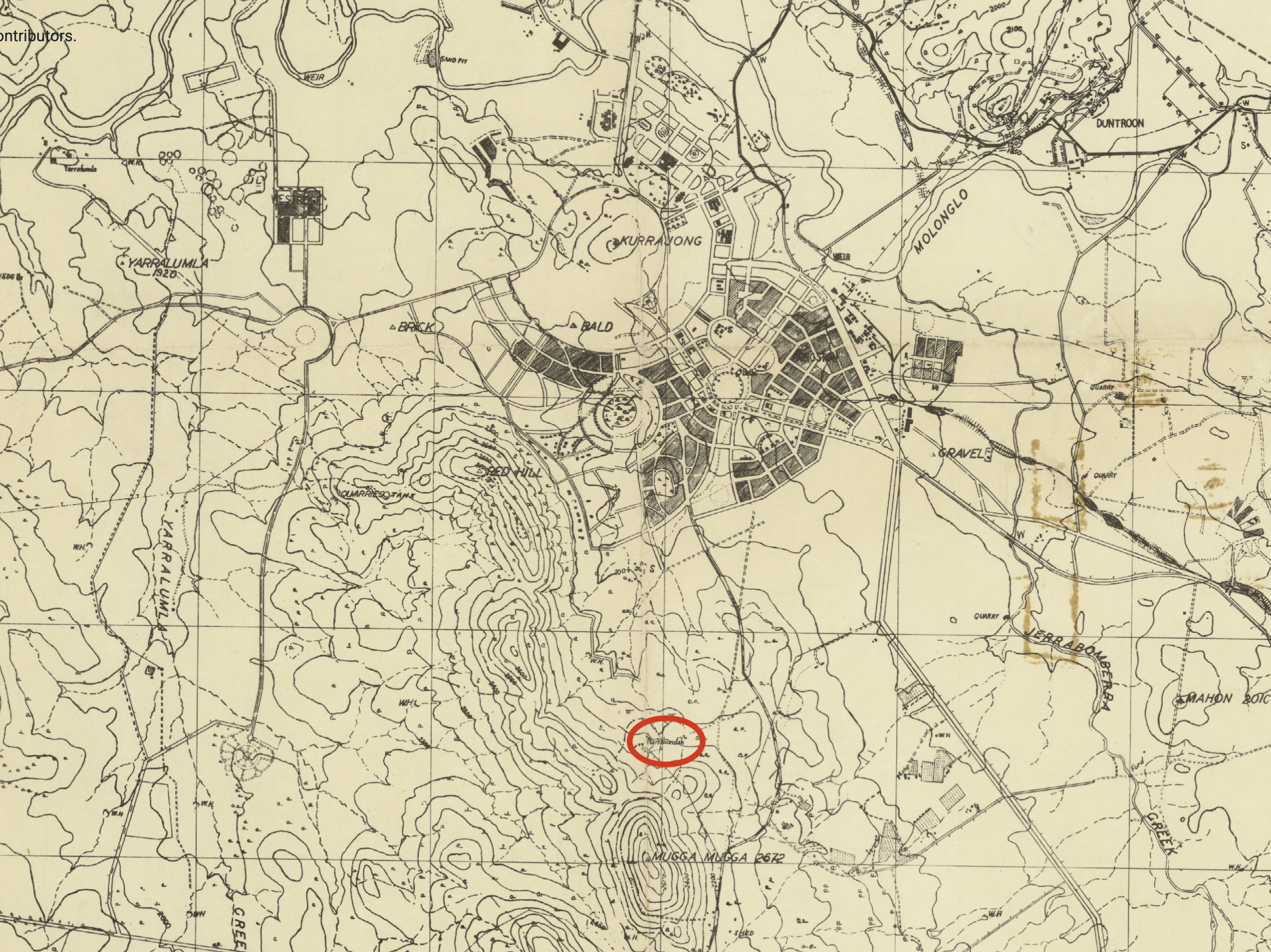
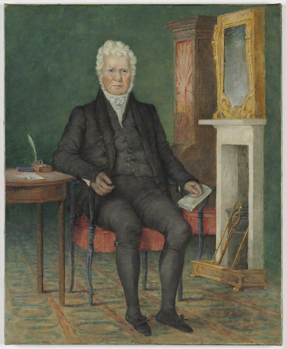
In 1825, the first European squatters and sheep graziers settled in the district that is now Canberra. Robert Campbell, a merchant and politician, established Pialligo Station, later known as Duntroon, on the Majura foothills. It is believed that Campbell named Mount Majura after a place in India that he had visited. (and 2023)
Above: Robert Campbell, c. 1835. Image c/o Wikipedia
By the 1860s, the Darmody family had purchased lease holdings on Mount Majura for one pound per acre.
John Darmody was born in County Offaly, Ireland, in c. 1817. He married Mary Carey in c. 1837. They emigrated to Australia in July 1853 aboard the Empire, with their four children, Michael, Thomas, James, and William. Following their arrival, they lived on the Campbell property Duntroon, where John was employed as a shepherd and farm worker. His eldest sons, Michael and Thomas, also worked on the property. The Darmody family lived on the Duntroon property in the convict cottage at Limekilns, Majura. (ancestry 2016)
Their daughter Margaret was born at Duntroon in May 1855. Sadly, she died aged 5 years in March 1861 of fever. She is believed to be buried in an unmarked grave in the ‘Volunteer’ paddock at Majura, although official records show her burial at the Queanbeyan Riverside Cemetery. (ancestry 2016)
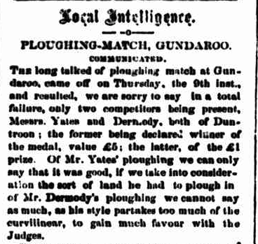
In 1863, a ploughing match was held at Gundaroo, northeast of Canberra. John Darmody and another male called Yates from Duntroon won the event and received a medal.
Above: item from The Golden Age, Queanbeyan, Thu 16 Jul 1863. Image c/o Trove
In 1861, the Crown Lands Act, also known as the Robertson Lands Act, was passed. New South Wales Premier John Robertson introduced the Acts to reform land holdings in New South Wales. They were specifically introduced to break the squattocracy’s domination of land tenure in New South Wales, and to allow free selection of Crown land. (Wikipedia 2024)
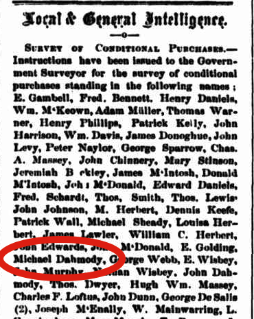
In August 1863, Michael purchased land at Majura. Over the following several years, additional land was purchased by John and Mary, and their sons Michael, Thomas, James, and William. (ancestry 2016)
Above: article from The Golden Age, Thu 13 Aug 1863. Image c/o Trove
Following the purchase of land in the early 1860s, the Darmody family ceased working at Duntroon, and moved from the Campbell property to a house at Turney Creek. (ancestry 2016)
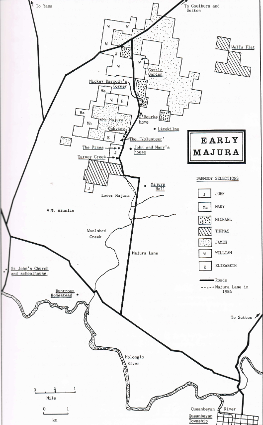
Above: Early Majura showing the Darmody holdings. Image c/o ancestry.com.au
John Darmody died in February 1877, aged 60 years. He is buried in the Catholic section of the Queanbeyan Riverside Cemetery. (ancestry 2016)
In March 1881, John and Mary’s home was destroyed by fire. It was caused by a member of the family striking a match on a bedpost, which caused a curtain to catch alight. (ancestry 2016)
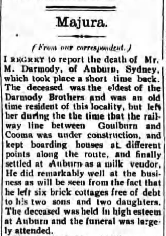
Mary died at her residence at Majura in June 1887, aged 72 years. She is buried at the Queanbeyan Riverside Cemetery. (ancestry 2016) (Trove 2026)
1st child
Michael Darmody was born in 1838 in Offaly, Ireland. In 1863, he married Bridget O’Rourke at Queanbeyan. They had eight children born at Majura. Bridget died in 1908 in Granville, New South Wales. Michael died in 1910 in Granville, New South Wales. (ancestry 2016)
Above: item from the Queanbeyan Observer, Fro Apr 22 1910. Image c/o newspapers.com
Michael and Bridget are buried at the Rookwood cemetery, New South Wales.
Above: the headstone of Michael and Bridget Darmody. Image c/o findagrave.com
2nd child
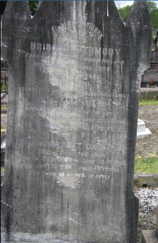
Thomas Patrick Darmody was born in 1841 in Offaly, Ireland. In 1869, he married Sarah Ryan in Queanbeyan. They had thirteen children. Their first eight children were born in Majura. In 1889 he obtained a licence for the Sutton Hotel in the village of Sutton, northeast of Canberra. Thomas died in 1904 at Arlington Park, New South Wales. Darah died in 1923 at Sutton, New South Wales. (ancestry 2016)
Above: Thomas and Sarah Darmody and their family, outside the Sutton Hotel. Image c/o ancestry.com
4th child
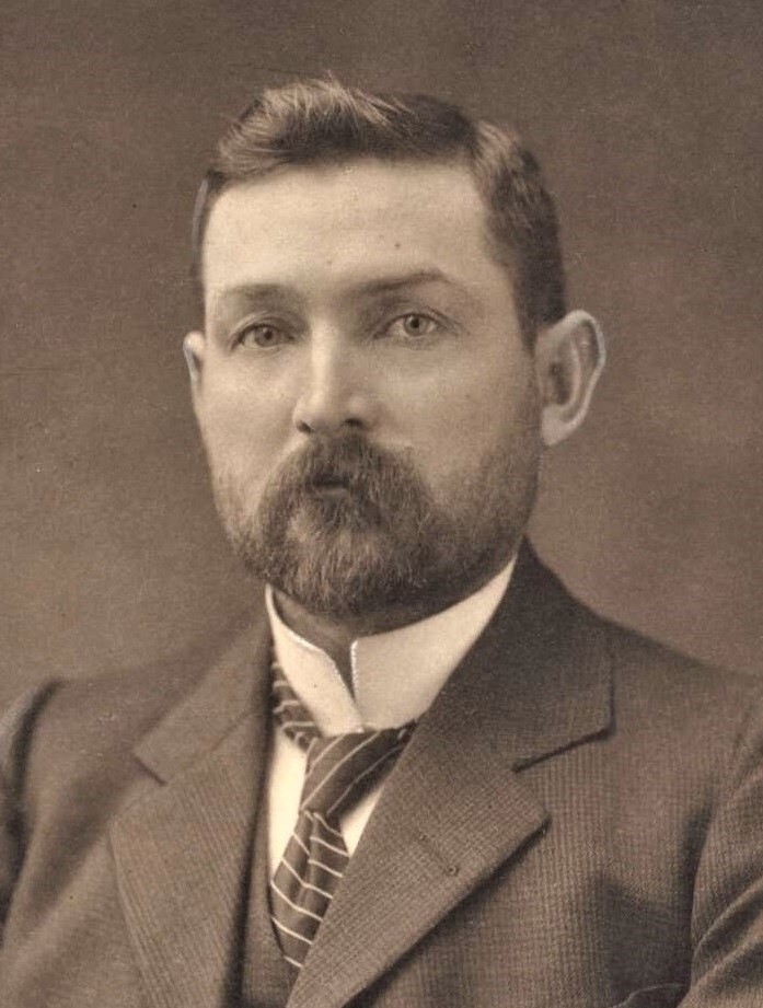
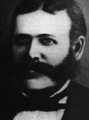
James Darmody was born in 1848 in Offaly, Ireland. In 1879, he married Ellen Hennessy at Yass, New South Wales. They had seven children. Their first five children were born at Mount Majura. James died in February 1921 at Mount Majura. Following the death of James, Ellen moved to Goulburn. His wife, Ellen, died in 1933 at Goulburn, New South Wales. (ancestry 2016) (Trove 2026)
Above: James Darmody. Image c/o ancestry.com.au
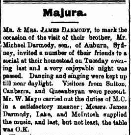
Social events were regularly held at James and Ellen’s property, called The Pines, at Majura.
Above: item from The Queanbeyan Observer, Fri 15 Sept 1899. Image c/o Trove
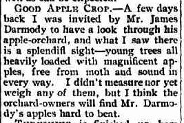
Above: article from the Queanbeyan Observer, Tue 23 Feb 1904. Image c/o Trove
5th child
William Darmody was born in 1851 in Offaly, Ireland. In January 1860, he married Maria Maloney at Queanbeyan, New South Wales. They had five children who were born at Majura. William died in 1916 at Cooma, New South Wales. Maria died in 1946 at Cooma. (ancestry 2016)
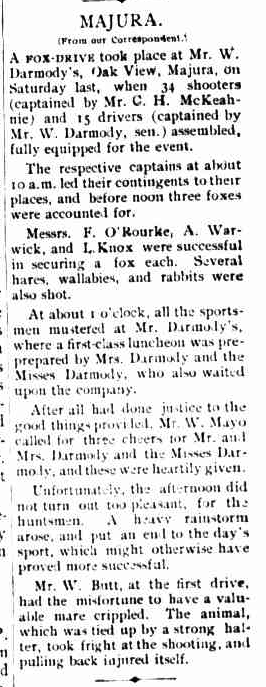
William and Maria owned a property known as Oak View at Majura. The property was just to the southeast of Mount Majura. Initially, the property was 600 acres in 1872, but further land was purchased over the years and the property expanded to 2,053 acres. Social events, including Fox drives, were held on the property. This included a social event following the completion of their ‘new and up-to-date woolshed.’ William and Maria left their property in 1914 due to the Federal Government resuming his property as part of the new Australian Capital Territory. (anon n.d.) (ancestry 2016) (Trove 2026)
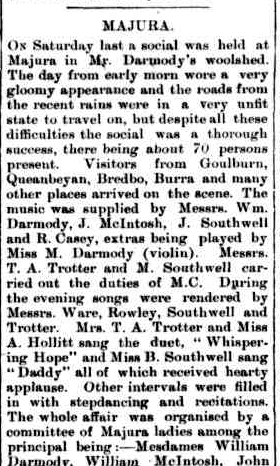
Above: article from The Queanbeyan Leader, Tue 31 Jul 1906. Image c/o Trove
Above: part of an article from The Age, Queanbeyan, Fri 5 Oct 1906. Image c/o Trove
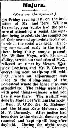
Above: part of an article from the Queanbeyan Observer, Tue 7 Nov 1905. Image c/o Trove
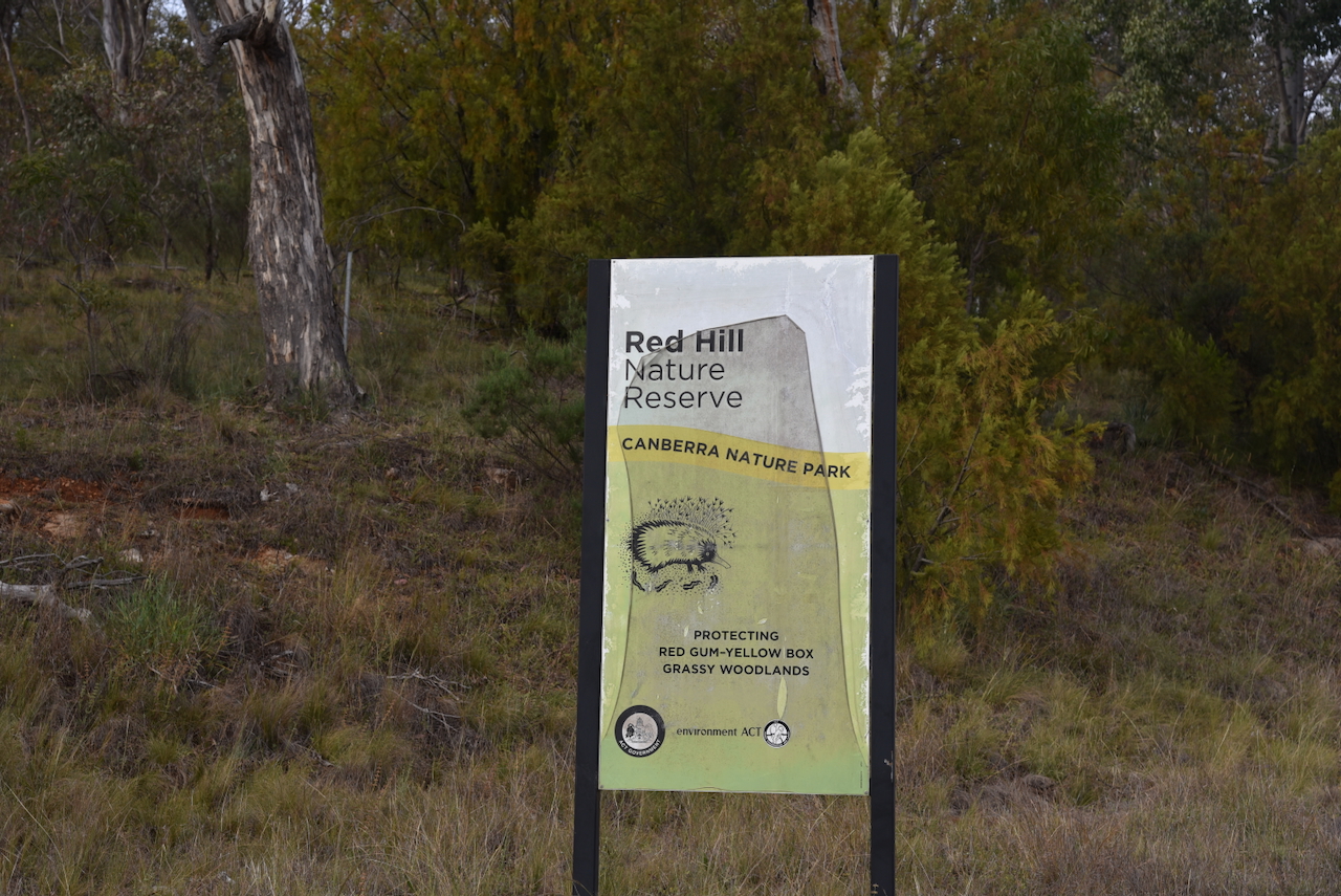
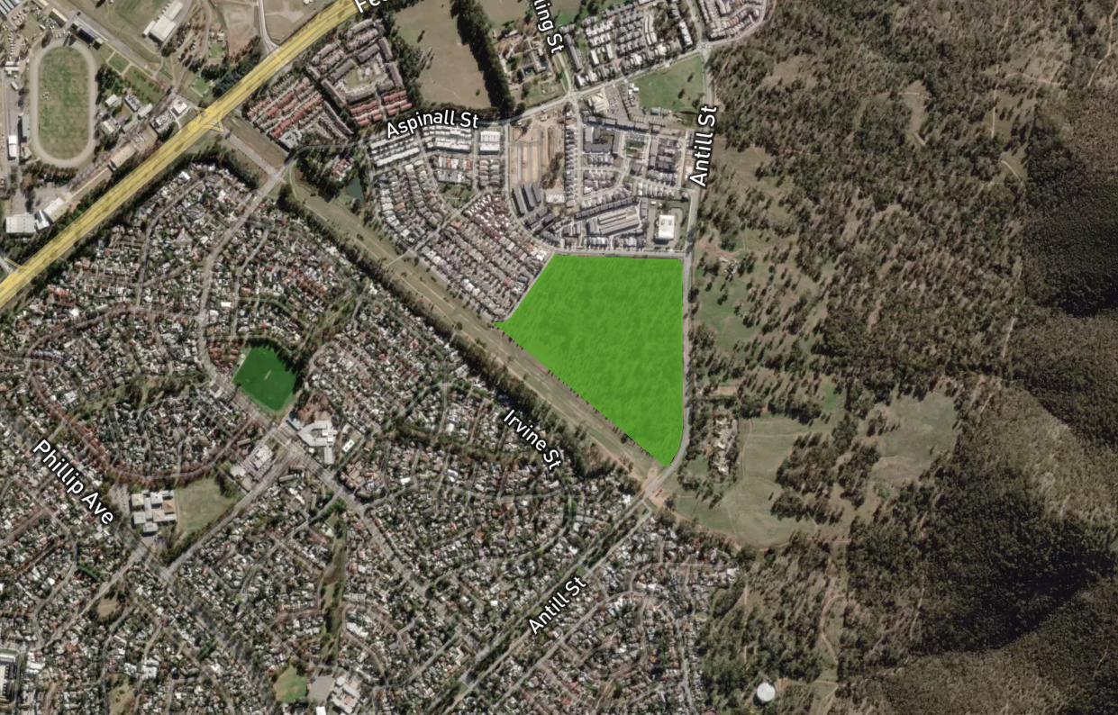
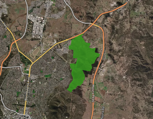
Mount Majura Nature Reserve is about 502 hectares in size and adjoins the Mount Ainslie Nature Reserve. It is part of the Canberra Nature Parks. (and 2023) (Anon, n.d.)
Above: an aerial view of the reserve showing its boundaries. Image c/o Protected Planet
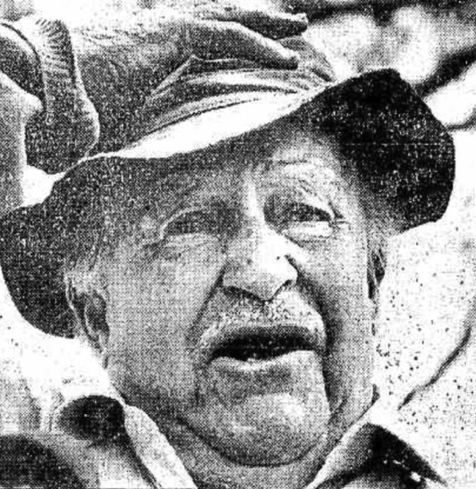
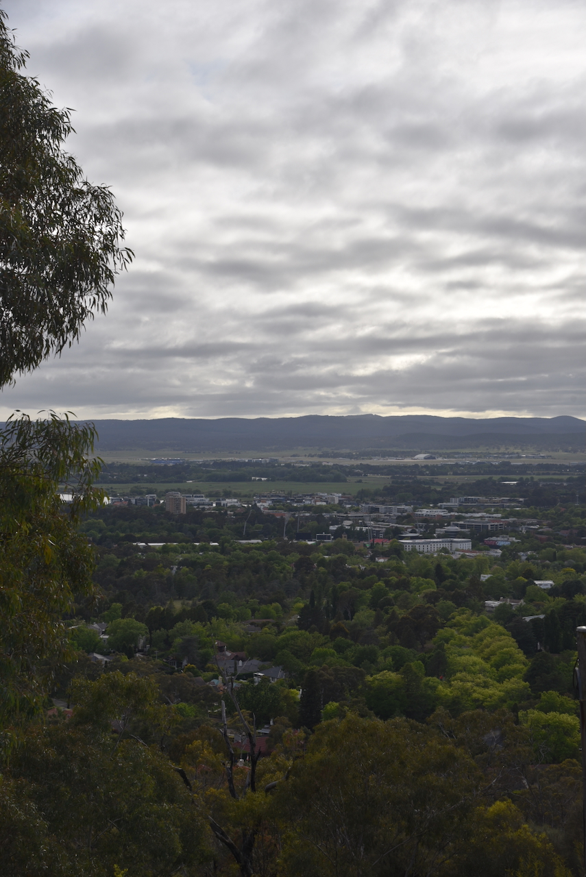
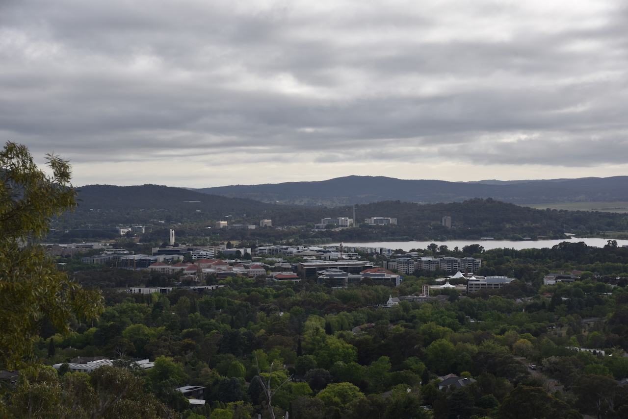
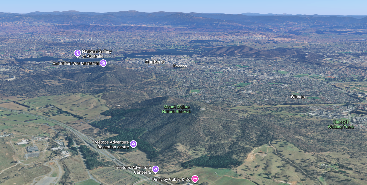
The reserve contains the summit of Mount Majura, which is 888 metres above sea level. The summit qualifies for the Summits On The Air (SOTA) program and is worth 1 point. It has been activated 92 times. The first SOTA activation was back in February 2013 by Ian VK1DI. (and 2023) (Sotadata.org.uk 2026)
Unfortunately, we did not have time to walk up to the summit.
Above: a view of Mount Majura. Image c/o Google Maps
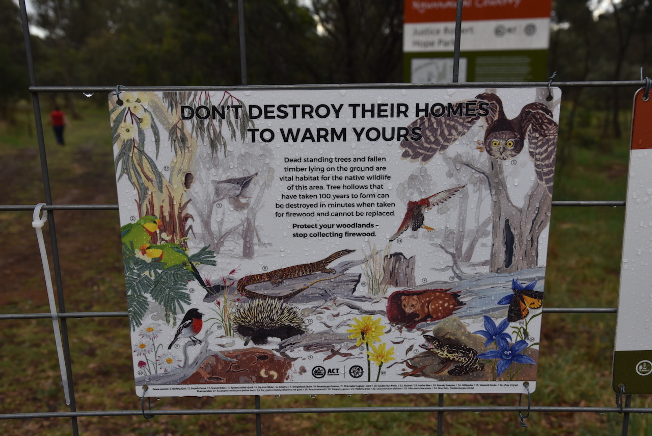
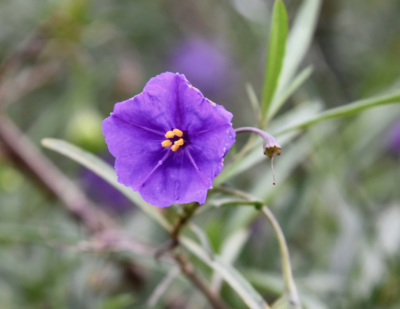
Then Mount Majura Nature Reserve protects stands of Drooping She-oak, which is an important foraging resource for the Glossy Black-cockatoo, which is listed as vulnerable. There is a large area of critically endangered Yellow Box-Blakely’s Red Gum on the lower slopes of the reserve. The critically endangered Canberra Spider Orchid can be found in the reserve. (and 2023)
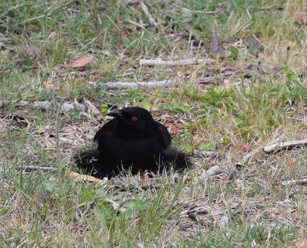
Endangered birds such as the Swift Parrot and Regent Honeyeater can be found in the reserve. Other birds include the Scarlet Robin, Speckled Warbler, Diamond Firetail, and Gang-gang Cockatoo. The rare Rosenberg’s Monitor can also be found in the park. Other reptiles include the Eastern Brown snake, Black snake, Shingleback lizard, and Bearded Dragon. Native mammals include the Ringtail Possum, Brushtail Possum, Sugar Glider, Eastern Grey Kangaroo, Swamp Wallaby, Echidna, and Red-necked Wallaby. (and 2023) (Anon, n.d.)
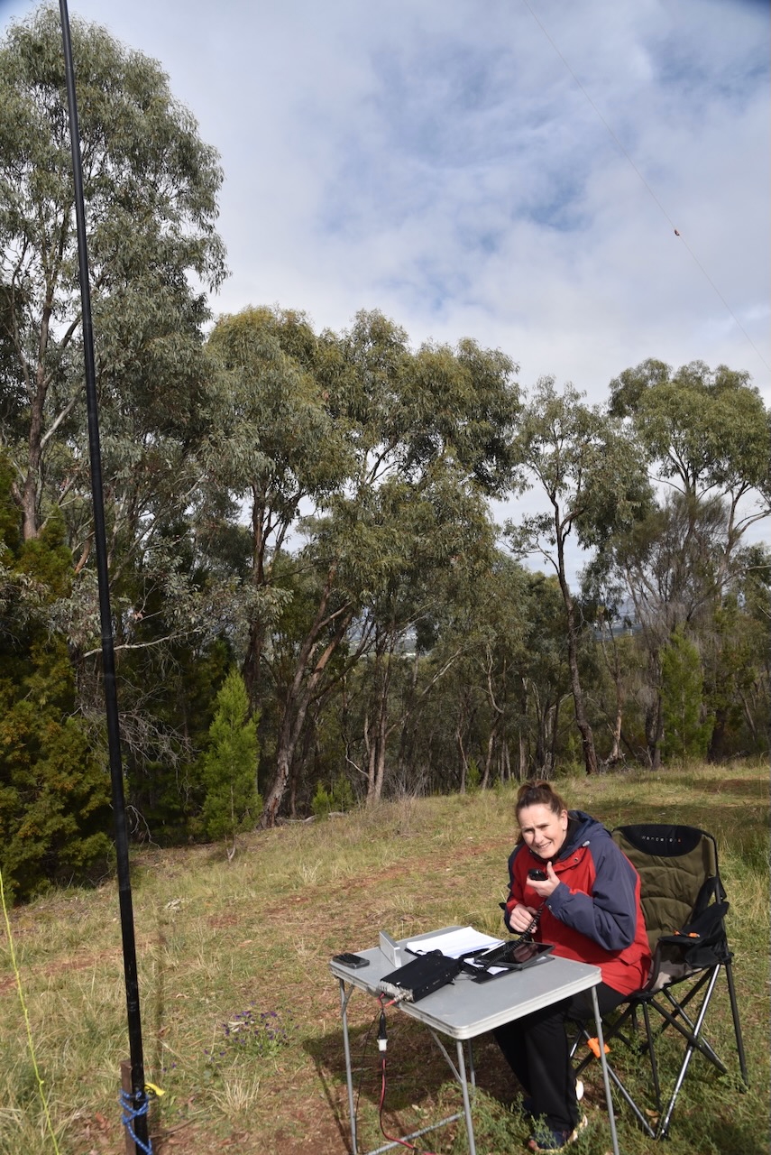
We ran the Yaesu FT857, 40 watts, and the 20/40/80m linked dipole for this activation.
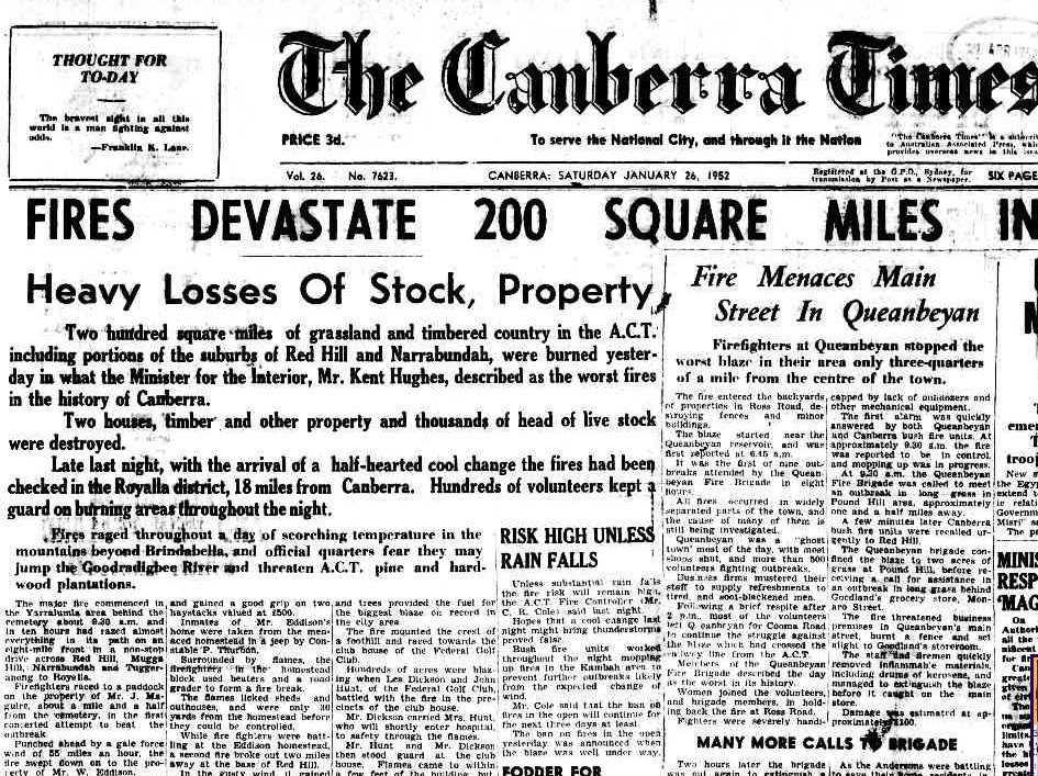
Unfortunately, it started to rain during our activation, and we were forced to pack up, well short of the required 44 QSOs for the WWFF program. However, we had qualified the park for the VKFF program.
Marija worked the following stations on 40m SSB:
- VK5DG
- VK3TUN
- VK5ANB
- VK2NP
- VK3HJW
- VK3ZPF/P (VKFF-0119)
- VK3PF/P (HEMA VK1/ HCT004 & VKFF-0377)
- VK3KAIP (HEMA VK1/HCT004 & VKFF-0377)
- VK1AO
- VK2MET
- VK3ACU
- VK2YK/P (VKFF-3181)
- VK5GA/P (VKFF-3181)
- VK2YL
- VK2XWB/P (VKFF-3932)
I worked the following stations on 40m SSB:
- VK5DG
- VK3TUN
- VK5ANB
- VK2NP
- VK3HJW
- VK3ZPF/P (VKFF-0119)
- VK3PF/P (HEMA VK1/ HCT004 & VKFF-0377)
- VK3KAIP (HEMA VK1/HCT004 & VKFF-0377)
- VK1AO
- VK2MET
- VK3ACU
- VK5DW
- VK1CHW
- VK2CHW
- VK2YK/P (VKFF-3181)
- VK5GA/P (VKFF-3181)
- VK2YL
- VK2HBR
- VK2XWB/P (VKFF-3932)
References.
- and, P. (2023). Mount Majura Nature Reserve. [online] Act.gov.au. Available at: https://www.parks.act.gov.au/find-a-nature-park/canberra-nature-park/mount-majura-nature-reserve. [Accessed 27 Jan. 2026].
- Anon, (n.d.). About Mt Majura – Friends of Mount Majura. [online] Available at: https://majura.org/about-mt-majura/. [Accessed 27 Jan. 2026].
- Trove. (2026). ELLEN DARMODY – Queanbeyan Age (NSW : 1927 – 1974) – 1 Aug 1933. [online] Available at: https://trove.nla.gov.au/newspaper/article/265216859?searchTerm=majura%20%2B%20darmody [Accessed 27 Jan. 2026].
- Trove. (2026). Family Notices – Queanbeyan Age (NSW : 1867 – 1904) – 15 Jun 1887. [online] Available at: https://trove.nla.gov.au/newspaper/article/30916392?searchTerm=william%20darmody%20%2B%20majura [Accessed 28 Jan. 2026].
- Trove. (2026). MAJURA. – The Queanbeyan Observer (NSW : 1894 – 1908; 1910 – 1915) – 17 Feb 1914. [online] Available at: https://trove.nla.gov.au/newspaper/article/235814322?searchTerm=darmody%20%2B%20majura [Accessed 28 Jan. 2026].
- Wikipedia Contributors (2024). Robertson Land Acts. Wikipedia.