Kalkee silo VK-KLE3

Our third activation for Sunday 3rd December 2024 was the Kakee silo VK-KLE3. Kalkee is located about 19 km north of Horsham and about 317 km northwest of the city of Melbourne.

Above:- Map showing the location of Kalkee. Map c/o Google Maps.

Kalkee is derived from an aboriginal word gulke or kalk meaning bone or wood. It has been suggested that the name came from a reference to the buloke and eucalyptus trees that grew on the surrounding plain. The Kalkee district was taken up for farm selections during the 1870s. In 1877 a school was opened and a Wesleyan chapel was built. (Victorian Places 2024)

There is a monument for the Kalkee Methodist Church that was erected in 1876 and closed in August 1975.

There is also a monument for the Kalkee Primary School No. 1840 which operated from 1877 to 1993.

The Kalkee silos are part of Blair Farms.

Marija and I parked on Finlaysons Road and operated from the 4WD. We ran the Icom IC-7000, 100 watts, and the Codan 9350 antenna with the 1.5 metre stainless steel whip.

Above:- Map showing the activation zone at the Kalkee silo. Image c/o SiOTA website.

Marija worked the following stations on 40m SSB:-

  1. VK3PF
  2. VK2EXA
  3. VK3ZPF

I worked the following stations on 40m SSB:-

  1. VK3PF
  2. VK2EXA
  3. VK3ZPF
  4. VK1CHW
  5. VK3ZK/p (Wilsons Promontory Marine National Park VKFF-0956)
  6. VK3TBR
  7. VK3CLD
  8. VK3OAK
  9. VK2USH

I worked the following stations on 20m SSB:-

  1. VK2IO
  2. VK4JJ

References.

  1. Leslie James Blake, 1978, Place Names of Victoria.‌
  2. http://www.victorianplaces.com.au. (n.d.). Kalkee | Victorian Places. [online] Available at: https://www.victorianplaces.com.au/kalkee [Accessed 3 May 2024].‌

Jung silo VK-JNG3

Our second silo activation for Sunday 3rd December 2023 was the Jung silo VK-JNG3. Jung is located about 24 km northeast of Horsham in the Wimmera district of western Victoria.

Above:- Map showing the location of Jung in western Victoria. Map c/o Google Maps.

Jung is derived from an aboriginal word jhung meaning chest or jung jung meaning ‘in a mess’. (Blake 1978)

The original Jung settlement was on the Yarriambiack Creek, about 3 km north of the present location. The settlement was known as Taylor’s Creek, Green Hills, and Jerro. Green Hills was the name of an adjacent livestock station. Jerro was a name given by surveyors when a township was laid out in 1877. In 1878 a school was opened. The railway line from Murtoa was extended in 1879 to Horsham and a railway station was opened at Jung. It became the nucleus of the present village. (Victorian Places 2024)

George James Coles was born in Jung in 1885. He was the second of ten children and eldest son of George and Elizabeth Coles. George Senior ran a store at Jung. George Junior went on to be a founder of G.J. Coles and Company. (Aust Dict of Biography 2024)

Above:- George Coles. Image c/o Trove.

Above:- Article from The Canberra Times, Tue 6 Dec 1977. Image c/o Trove.

The Jung silos are located at the end of Railway Street.

Marija VK5MAZ and I parked on Jung N Road and operated from the 4WD for this activation, running the Icom IC7000, 100 watts and the Codan 9350 with the 1.5 metre stainless steel whip.

Above:- The activation zone at the silo. Image c/o SiOTA website.

Marija worked the following stations on 40m SSB:-

  1. VK3PF
  2. VK3UAO
  3. Vk3CLD/p
  4. VK3YV

I worked the following stations on 40m SSB:-

  1. VK3PF
  2. VK3UAO
  3. VK3CLD/p
  4. VK3YV
  5. VK3BAI
  6. VK5NM
  7. VK2IO
  8. VK3APJ
  9. VK5DIK
  10. VK5UK
  11. VK2USH
  12. VK5BAD
  13. VK2EFM

I worked the following stations on 20m SSB:-

  1. VK1AO
  2. VK2MET
  3. VK2USH
  4. VK4JJ
  5. VK4SYD

References.

  1. Leslie James Blake, 1978, Place Names of Victoria.‌
  2. Sydenham, D. (n.d.). Coles, Sir George James (1885–1977). [online] Australian Dictionary of Biography. Available at: https://adb.anu.edu.au/biography/coles-sir-george-james-9788 [Accessed 3 May 2024].‌
  3. http://www.victorianplaces.com.au. (n.d.). Jung | Victorian Places. [online] Available at: https://www.victorianplaces.com.au/jung [Accessed 3 May 2024].‌

Dooen silo VK-DNE3

It was now Sunday 3rd December 2023 and time for Marija and me to leave Stawell and head back home. It had been another fantastic trip away, but we were looking forward to getting back home.

After breakfast, we headed out to view the monument at Drung for the soldier settlers and their wives and families who pioneered irrigation dairy farming at Drung. Drung is just a few km southeast of Horsham. Drung is an aboriginal word for ‘much spoiled’ and is the name of an Irish village in COunty Donegal. (Blake 1978)

We then visited Taylors Lake which is on the edge of my Uncle’s property, about 20 km southeast of Horsham. The lake is an off-stream reservoir and a water source for the district. It is popular with locals for camping, fishing and water skiing. (GWM Water 2024)

Our first activation for the day was the Dooen silo VK-DNE3 for the Silos On The Air (SiOTA) program. Dooen is an aboriginal word meaning ‘big swamp or a circle used in tribal rites. (Blake 1978)

Marija and I parked on Creamery Road

Above:- Map showing the activation zone at the Dooen silo. Image c/o SiOTA website.

Marija worked the following station on 40m SSB:-

  1. VK3VIN
  2. VK3APJ
  3. VK2VH
  4. VK4AAC
  5. VK3ZK/p (Wilsons Promontory Marine National Park VKFF-0956)

I worked the following stations on 40m SSB:-

  1. VK3VIN
  2. VK3APJ
  3. VK2VH
  4. VK4AAC
  5. VK3ZK/p (Wilsons Promontory Marine National Park VKFF-0956)
  6. VK2USH
  7. VK1AO
  8. VK2MET
  9. VK3AWA
  10. VK3ZPF
  11. VK2EXA
  12. VK2AX
  13. VK3UAO
  14. VK2RP/m
  15. VK2BDR/m
  16. VK7LJP

I worked the following stations on 20m SSB:-

  1. VK1AO
  2. VK2MET
  3. VK7AAE
  4. VK2IO

References.

  1. Leslie James Blake, 1978, Place Names of Victoria.‌
  2. http://www.gwmwater.org.au. (n.d.). Taylors Lake – GWMWater. [online] Available at: https://www.gwmwater.org.au/using-lakes-and-reservoirs/our-reservoirs/taylors-lake [Accessed 3 May 2024]‌

Lonsdale Nature Conservation Reserve VKFF-2132

Our final activation for Saturday 2nd December 2023 was the Lonsdale Nature Conservation Reserve VKFF-2132.

The reserve is located about 17 km northwest of Stawell and about 250 km northwest of the city of Melbourne.

Above:- Map showing the location of the Lonsdale NCR. Map c/o Google Maps.

The reserve’s northern boundary is the Western Highway, while its southern boundary is Sandbar Road.

Above:- An aerial view of the Lonsdale NCR. Image c/o Google Earth.

The reserve is named in honour of William Lonsdale (b. 1799. d. 1864). He supervised the founding of the official settlement at Port Phillip (later named Melbourne) and went on to serve under Superintendent La Trobe from 1839 to 1854.

Above:- William Lonsdale. Image c/o Wikipedia.

The reserve is about 686 hectares in size and was established on the 26th day of February 2002. (CAPAD 2022)

Marija worked the following stations on 40m SSB:-

  1. VK3TKK/p (Rise and Shine Bushland Reserve VKFF-4277)
  2. VK2BKT/p
  3. VK1AO
  4. VK2MET
  5. VK5FANA
  6. VK2YK
  7. VK5GA
  8. VK3PF
  9. VK3KAI
  10. VK4CZ

I worked the following stations on 40m SSB:-

  1. VK5HS
  2. VK3TKK/p (Rise and Shine Bushland Reserve VKFF-4277)
  3. VK2BKT/p
  4. VK1AO
  5. VK2MET
  6. VK5FANA
  7. VK2YK
  8. VK5GA
  9. VK3PF
  10. VK3KAI
  11. VK4CZ
  12. VK7AN
  13. VK4EW
  14. VK1AAF

After packing up Marija and I visited Lake Lonsdale. It is a popular spot for fishers and water sporting enthusiasts.

Marija and I then headed into Stwell where we booked into our accommodation.

That evening Marija and I went to my cousin’s house to catch up with the extended family including my Uncle Jack. Sadly my Aunty Dawn passed away during our trip. It was a sad occasion, but we shared many laughs and reflected on the good times.

References.

  1. Dcceew.gov.au. (2023). Collaborative Australian Protected Areas Database (CAPAD) 2022 – DCCEEW. [online] Available at: https://www.dcceew.gov.au/environment/land/nrs/science/capad/2022 [Accessed 3rd May 2024].‌

Black Range Natural Features Reserve VKFF-3601

Our next activation for Saturday 2nd December 2023 was the Black Range Natural Features Reserve VKFF-3601.

The park is about 14 km (by road) south of Stawell and about 246 km northwest of the city of Melbourne.

Above:- Map showing the location of Black Range NFR. Map c/o Google Maps.

The Black Range Natural Features Reserve comprises three separate sections.

Above:- An aerial view of the Black Range NFR. Image c/o Google Earth.

The reserve is about 527 hectares in size and was established on the 22nd day of November 1983 (CAPAD 2022)

Within the park is Bunjil Shelter. Bunjil is a principal legendary hero, the creator who provides for all and remains a protector of the natural world, his people and their beliefs. When Bunjil finished his creation works he transformed into an eagle, flying high in the sky, where he still lives today. This is the only knock rock art painting of Bunjil. The age of the painting is not known.

We set up on a wooden table and benches. We ran the Yaesu FT857, 40 watts and the 20/40/80m linked dipole. I used the special call of VI10VKFF.

Marija and I started on the 40m band, but just as we started calling CQ, 2 cars arrived and our noise floor went from strength 0 to strength 7-8. The minute the engines of both vehicles were switched off, our noise floor dropped to zero again.

Marija worked the following stations on 20m SSB:-

  1. VK1AO
  2. VK2MET

Marija worked the following stations on 40m SSB:-

  1. VK3SQ
  2. VK2BD
  3. VK5LA
  4. VK5KAW
  5. VK5HS
  6. VK5MK/p (Wapma Thura – Southern Flinders Ranges National Park VKFF-3189)
  7. VK2EXA
  8. VK3CLD
  9. VK5FANA

I worked the following stations on 20m SSB:-

  1. VK1AO
  2. VK2MET

I worked the following stations on 40m SSB:-

  1. VK3SQ
  2. VK2BD
  3. VK5LA
  4. VK5KAW
  5. VK5HS
  6. VK5MK/p (Wapma Thura – Southern Flinders Ranges National Park VKFF-3189)
  7. VK2EXA
  8. VK3CLD
  9. VK5FANA
  10. VK2YK
  11. VK5GA
  12. VK3FRC
  13. VK2USH
  14. VK3PF
  15. VK3KAI
  16. VK5AKB/p (Monarto Conservation Park VKFF-0828)

References.

  1. Dcceew.gov.au. (2023). Collaborative Australian Protected Areas Database (CAPAD) 2022 – DCCEEW. [online] Available at: https://www.dcceew.gov.au/environment/land/nrs/science/capad/2022 [Accessed 2nd May 2024].‌

Jallukar Nature Conservation Reserve VKFF-2115

Our third activation for Saturday 2nd December 2023 was the Jallukar Nature Conservation Reserve VKFF-2115.

The reserve is about 25 km (by road) west of Ararat and about 231 km northwest of the city of Melbourne.

Above:- Map showing the location of the Jallukar NCR. Map c/o Google Maps.

Before activating the park, Marija and I visited the Moyston cemetery.

One of the interesting headstones in the cemetery is that of Hugh McDonald. He was born in 1834 in Kilmahalmah, Ross-Shire, Scotland, and emigrated to Australia in 1854 aboard the Tasmania. Upon his arrival in Australia, he commenced gold mining in Victoria. He subsequently purchased land at Mount Ararat known as Mount Ararat Estate. McDonald died in 1917 at the age of 83 years. (Find a Grave 2024) 

The Jallukar Nature Conservation Reserve is located on the northern side of Ararat-Halls Gap Road.

Above:- An aerial view of the Jallukar NCR. Image c/o Google Earth.

Jallukar is an aboriginal word for the valley between the Sierra and Victoria Ranges. The reserve is about 1,207 hectares in size and was established on the 26th day of February 2002. (Blake 1978) (CAPAD 2022)

We accessed the park via Dufty Track. We ran the Yaesu FT857, 40 watts, and the 20/40/80m linked dipole. I used the special event callsign of VI10VKFF.

Marija worked the following stations on 40m SSB:-

  1. VK3PF
  2. VK3KAI
  3. VK3SQ
  4. VK2BD
  5. VK5HS
  6. VK2EM/p (Lake Innes State Conservation Area VKFF-1339)
  7. VK2OKR/p (Lake Innes State Conservation Area VKFF-1339)
  8. VK2AUS/p (Lake Innes State Conservation Area VKFF-1339)
  9. VK1AO
  10. VK2MET
  11. VK1ACE/p (Batemans Marine Park VKFF-1406)

I worked the following stations on 40m SSB:-

  1. VK3PF
  2. VK3KAI
  3. VK3SQ
  4. VK2BD
  5. VK5HS
  6. VK2EM/p (Lake Innes State Conservation Area VKFF-1339)
  7. VK2OKR/p (Lake Innes State Conservation Area VKFF-1339)
  8. VK2AUS/p (Lake Innes State Conservation Area VKFF-1339)
  9. VK5LA
  10. VK5KAW
  11. VK1AO
  12. VK2MET
  13. VK1ACE/p (Batemans Marine Park VKFF-1406)
  14. VK5FANA
  15. VK5DW
  16. VK2YK
  17. VK5GA
  18. VK2EXA
  19. VK2YAK
  20. VK4YAK
  21. VK4CEG/p
  22. VK1AAF
  23. VK3UH

I worked the following station on 20m SSB:-

  1. VK2IO/m

Marija and I packed up and headed to Pomonal. It was an overcast drizzly day, but there were still some nice views through the cloud of The Grampians National Park.

We stopped at Pomonal and had some lunch. Pomonal is a small town on the eastern side of the Grampians, about 21 km southwest of Stawell. During the 1890s orcharding became widespread in the area and the area was known as Pomona, the goddess of gardens and fruit. In 1927 the name was changed to Pomonal. (Victorian Places 2024)

Sadly, this town was absolutely devastated during the recent Victorian bushfires. Over 50 homes were destroyed in Pomonal. Marija and I were very saddened to hear about this tragedy, and know someone from Pomonal who lost their home.

After leaving Pomonal, Marija and I visited Lake Fyans. It is a man-made lake and was constructed in 1916. It has a capacity of 1840 megalitres.

References.

  1. Dcceew.gov.au. (2023). Collaborative Australian Protected Areas Database (CAPAD) 2022 – DCCEEW. [online] Available at: https://www.dcceew.gov.au/environment/land/nrs/science/capad/2022 [Accessed 3rd May 2024].‌
  2. Leslie James Blake, 1978, Place Names of Victoria.‌
  3. http://www.victorianplaces.com.au. (n.d.). Pomonal | Victorian Places. [online] Available at: https://www.victorianplaces.com.au/pomonal [Accessed 3 May 2024].‌
  4. http://www.findagrave.com. (n.d.). Hugh McDonald (1828-1917) – Find a Grave Memorial. [online] Available at: https://www.findagrave.com/memorial/147126211/hugh-mcdonald [Accessed 3 May 2024].‌

Rocky Point Bushland Reserve VKFF-4303

Our next activation for Saturday 2nd December 2023 was the Rocky Point Bushland Reserve VKFF-4303.

The reserve is located about 14 km (by road) southwest of Ararat and about 219 km northwest of the city of Melbourne.

Above:- Map showing the location of the Rocky Point Bushland Reserve. Map c/o Google Maps.

As we approached the park it was apparent why it was called Rocky Point. There were numerous large boulders in the area.

The reserve’s southern boundary is adjacent to Moyston-Rocky Point Road, while its western boundary is Rocky Point Road.

Above:- An aerial view of the Rocky Point Bushland Reserve. Image c/o Google Earth.

The reserve is about 42 hectares in size and was established on the 22nd day of November 1983. (CAPAD 2022)

Marija and I ran the Yaesu FT857, 40 watts, and the 20/40/80m linked dipole for this activation. I used the special event call of VI10VKFF. Unfortunately, it drizzled with rain for the entire activation, and we both got wet jumping out of the 4WD to change the links in the dipole.

Marija worked the following stations on 40m SSB before the UTC rollover:-

  1. VK3TKK/p (Chewton Bushland Reserve VKFF-4290)
  2. VK2YK
  3. VK5GA
  4. VK5IS
  5. VK5HAA
  6. VK5WWW
  7. VK3SQ
  8. VK2BD
  9. VK5TRM
  10. VK5FANA
  11. VK1AO
  12. VK2MET

I worked the following stations on 40m SSB before the UTC rollover:-

  1. VK3TKK/p (Chewton Bushland Reserve VKFF-4290)
  2. VK2YK
  3. VK5GA
  4. VK5IS
  5. VK5HAA
  6. VK5WWW
  7. VK3SQ
  8. VK2BD
  9. VK5TRM
  10. VK5FANA
  11. VK1AO
  12. VK2MET
  13. VK3BEL
  14. VK2EXA
  15. VK1AAF
  16. VK3PF
  17. VK3KAI
  18. VK3UH
  19. VK2IO/m
  20. VK5LA
  21. VK5KAW
  22. VK1RF
  23. VK2MK
  24. VK4CEE

I worked the following stations on 40m SSB after the UTC rollover:-

  1. VK1RF
  2. VK2MK
  3. VK4CEE
  4. VK2EXA
  5. VK3SQ
  6. Vk2BD
  7. VK5IS
  8. VK3TKK/p
  9. VK3UH
  10. VK5LA
  11. VK5KAW

I worked the following stations on 80m SSB before the UTC rollover:-

  1. VK3PF
  2. VK3KAI
  3. VK3ANL
  4. VK3DAC
  5. VK3BEL

I worked the following stations on 80m SSB after the UTC rollover:-

  1. VK3PF
  2. VK3KAI

I worked the following stations on 20m SSB:-

  1. VK1AO
  2. VK2MET
  3. VK4MWL

References.

  1. Dcceew.gov.au. (2023). Collaborative Australian Protected Areas Database (CAPAD) 2022 – DCCEEW. [online] Available at: https://www.dcceew.gov.au/environment/land/nrs/science/capad/2022 [Accessed 3rd May 2024].‌

Cathcart Bushland Reserve VKFF-4299

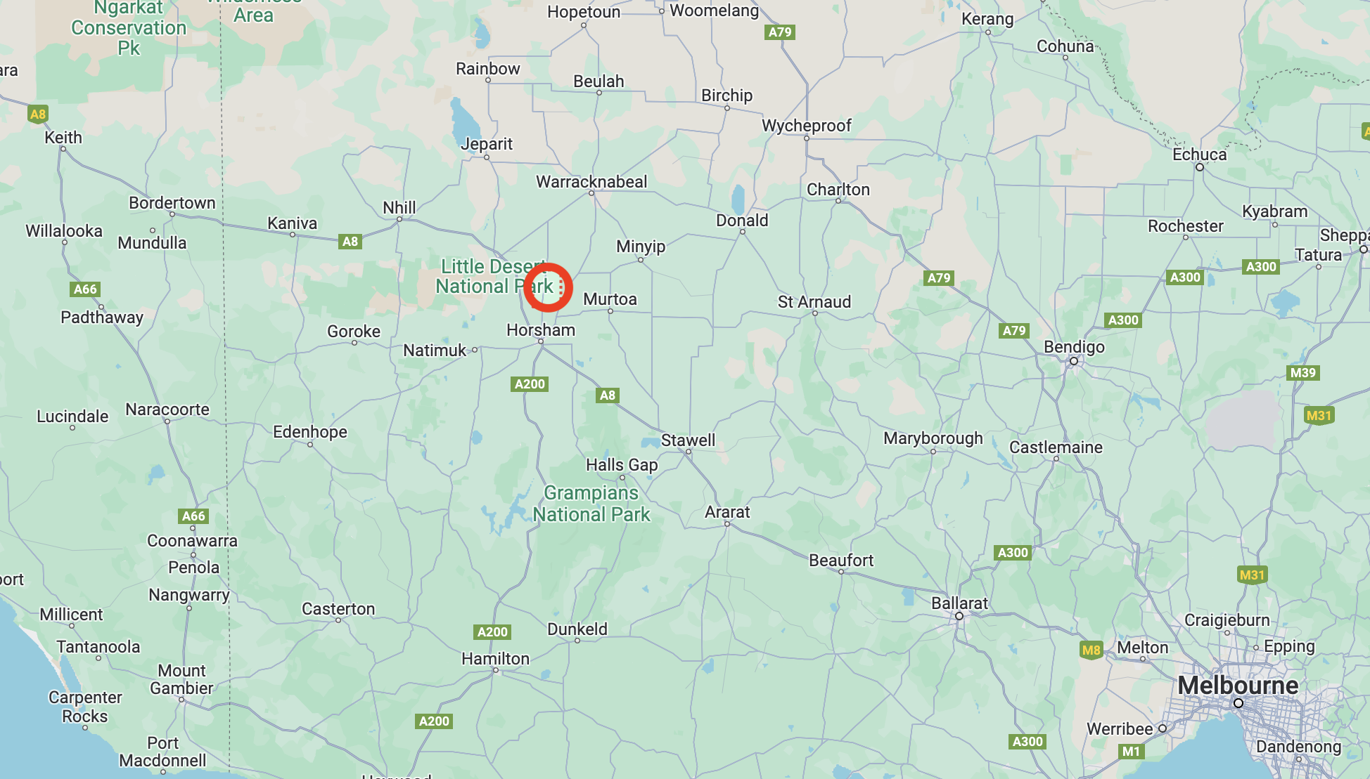
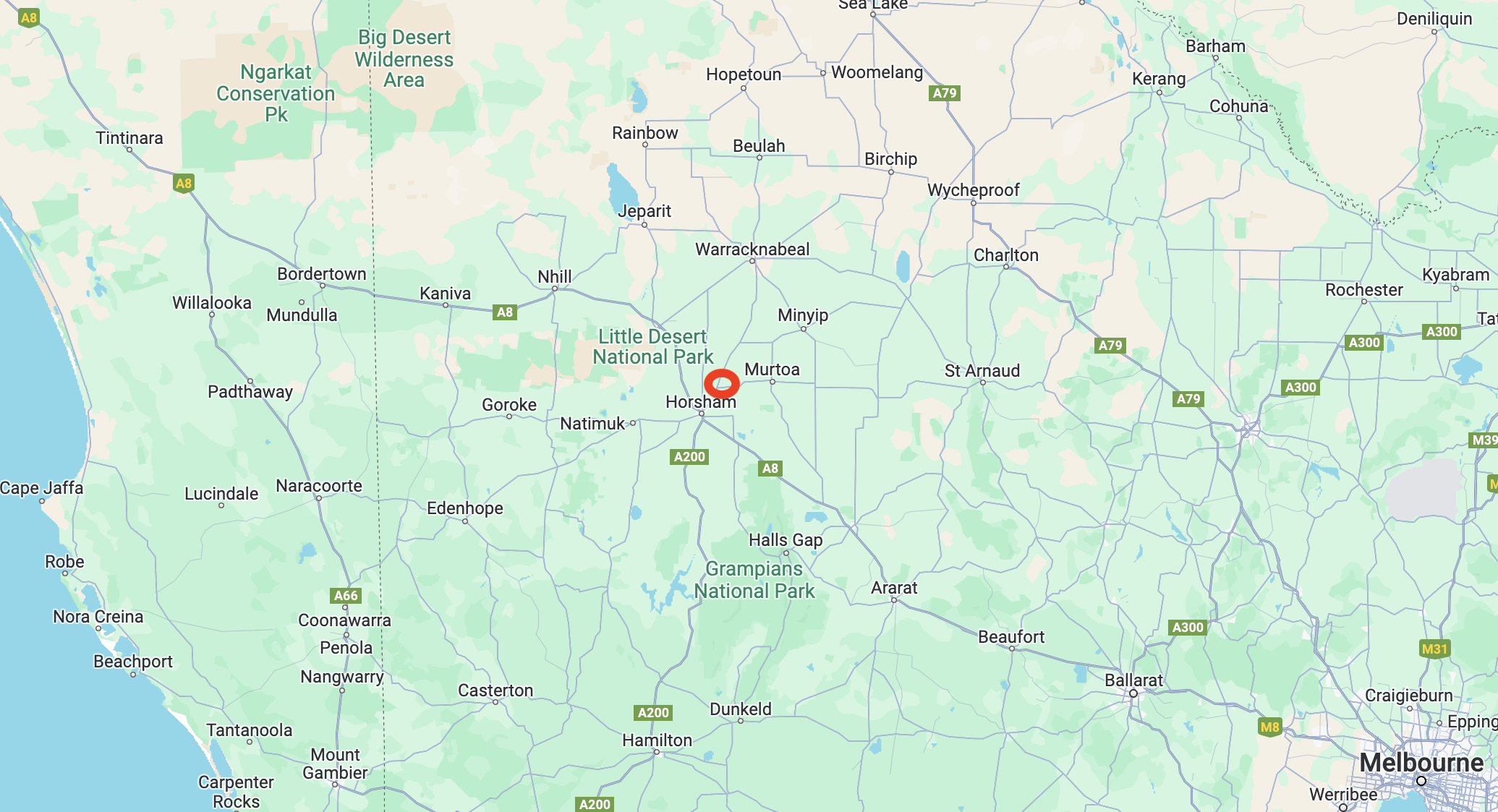
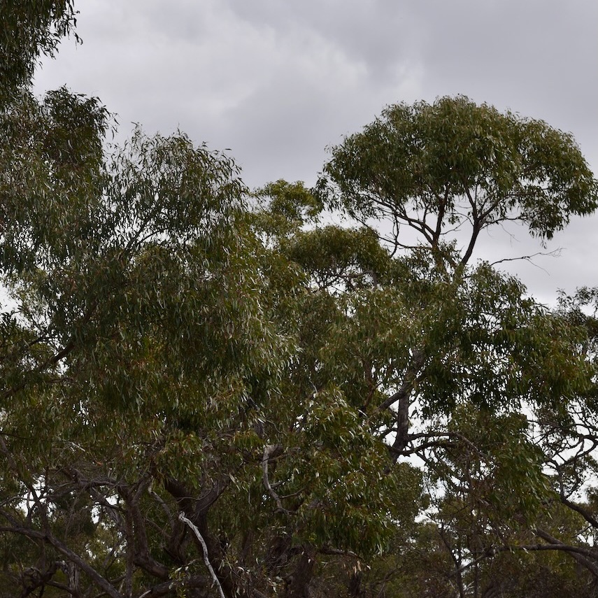
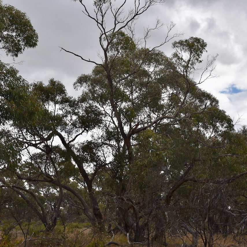
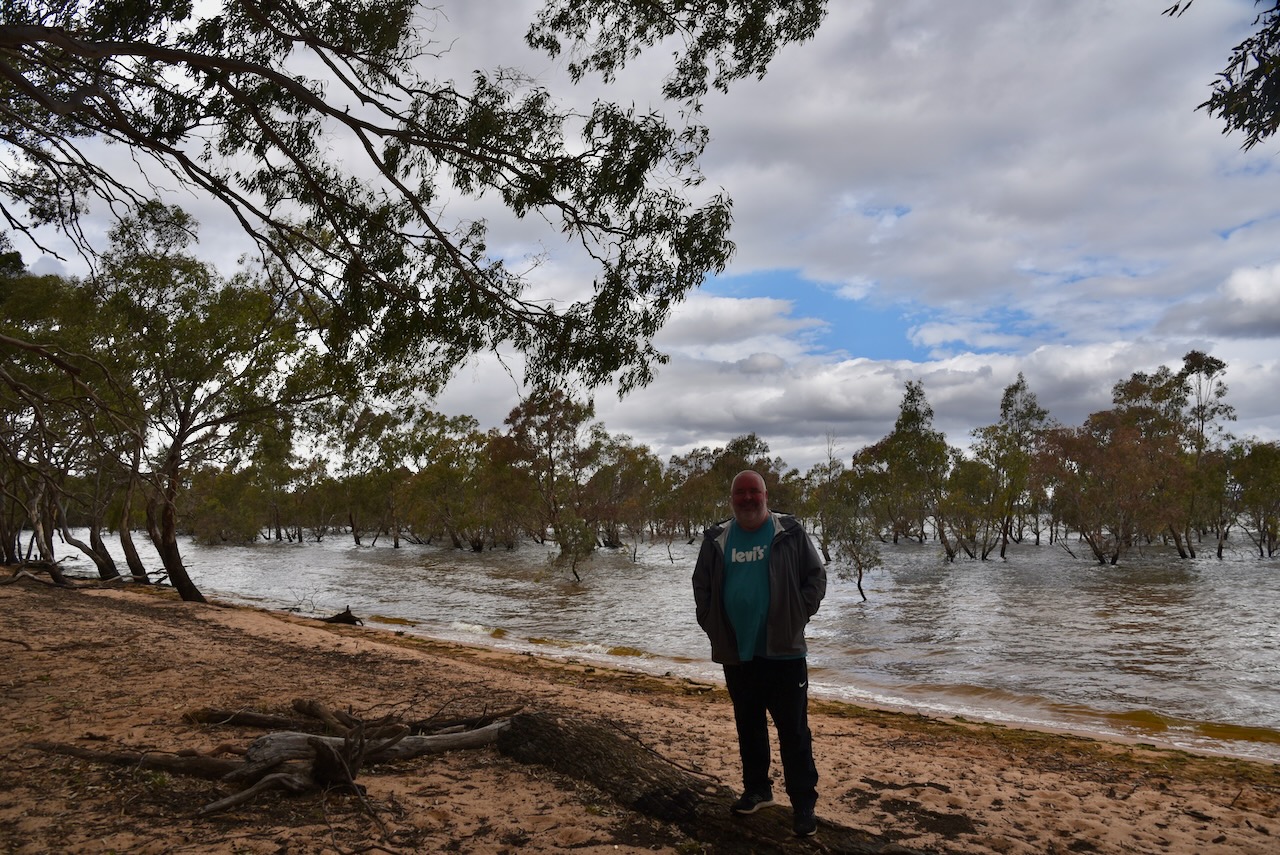
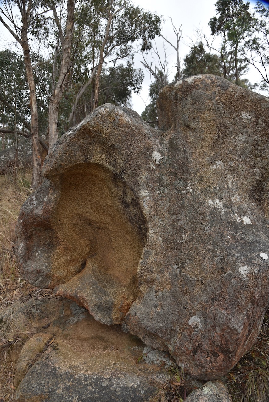
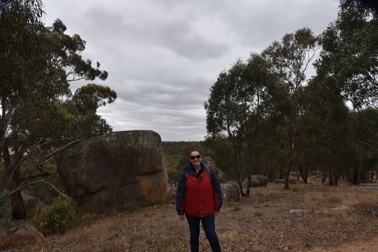
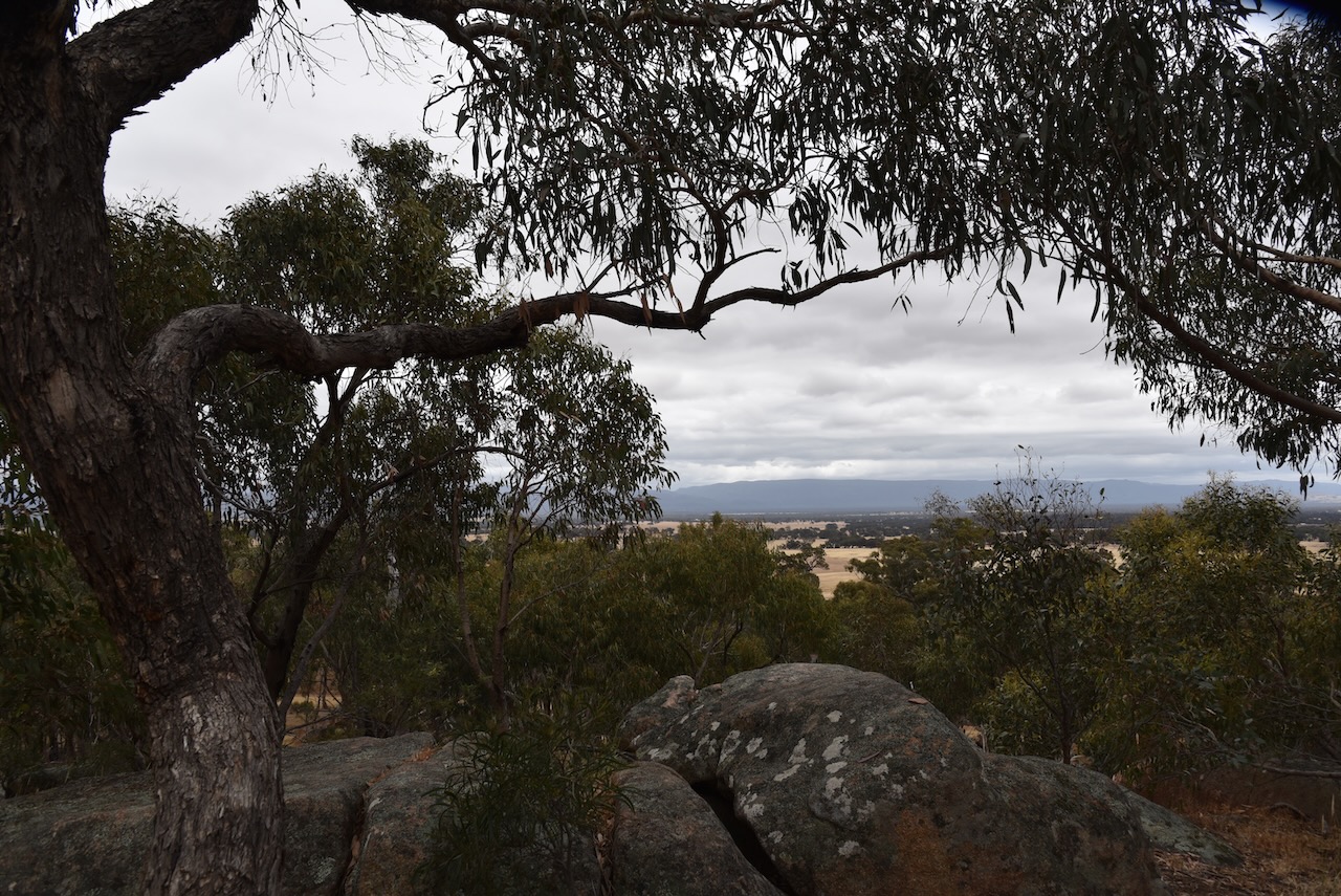
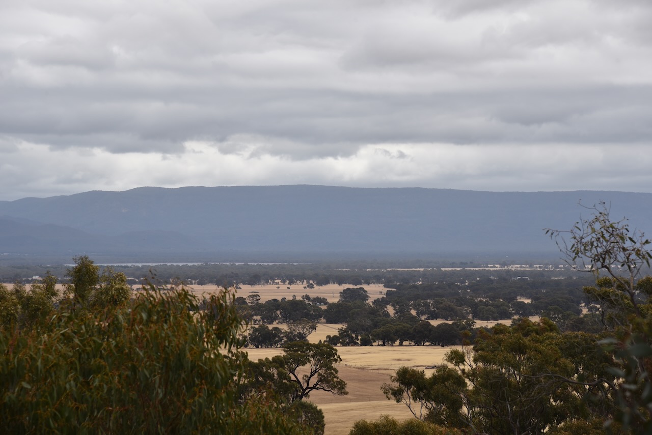
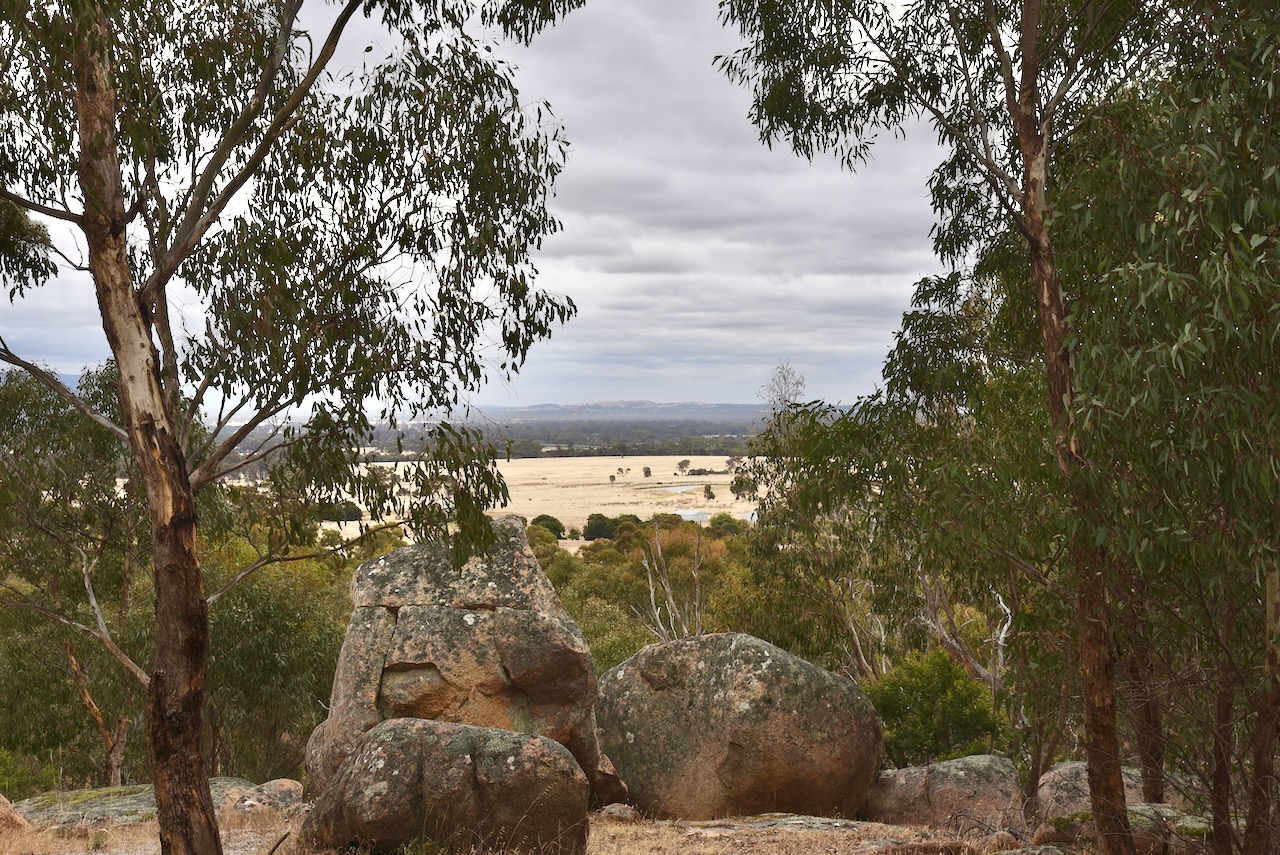
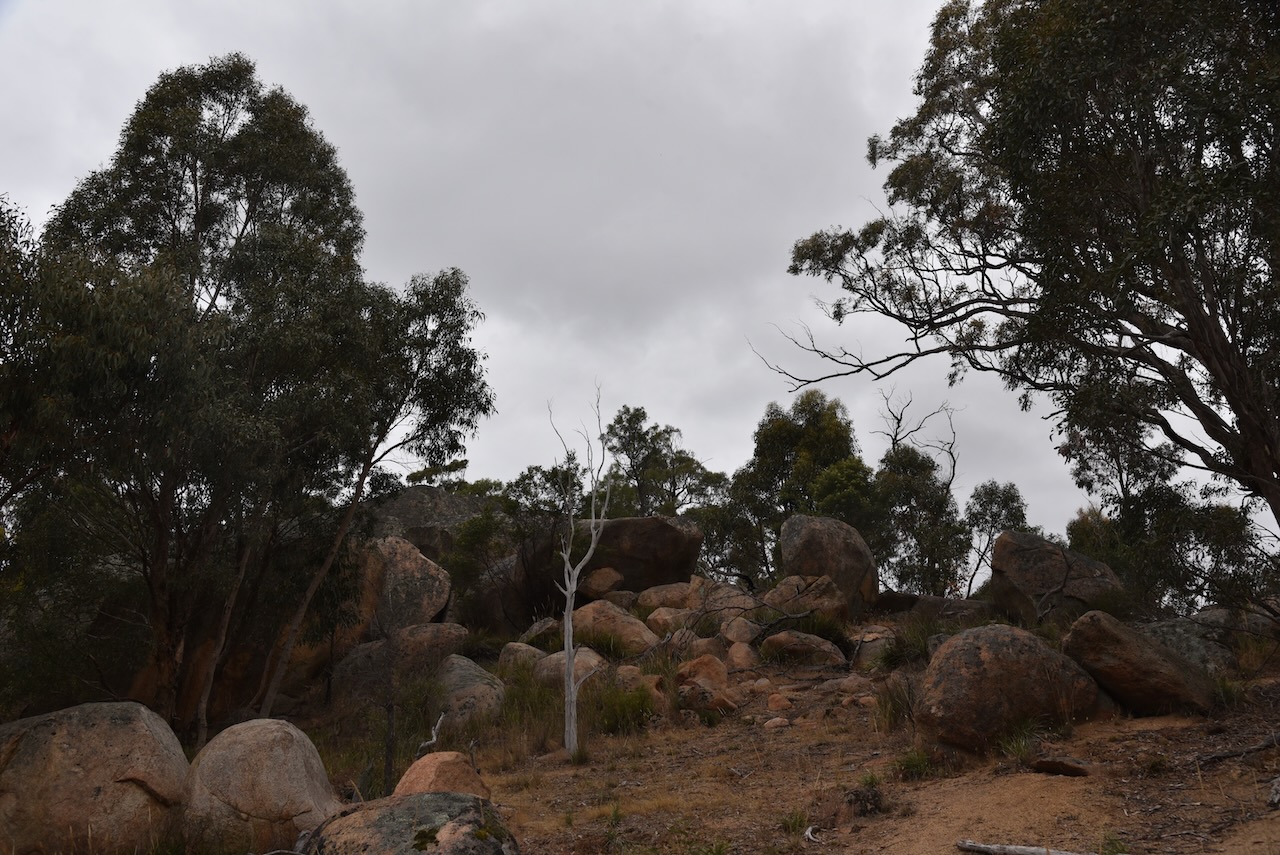
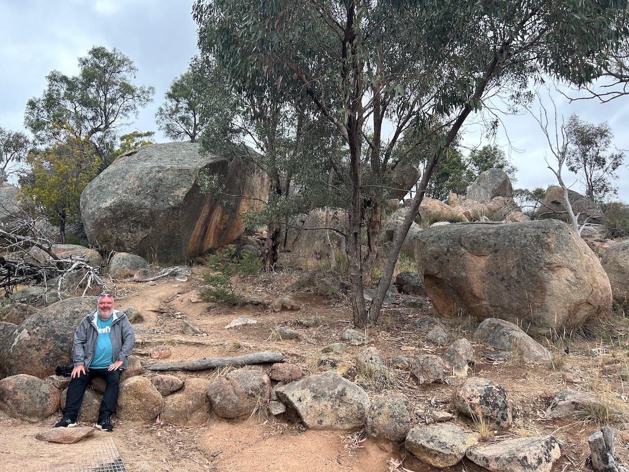
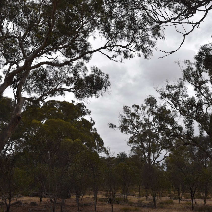
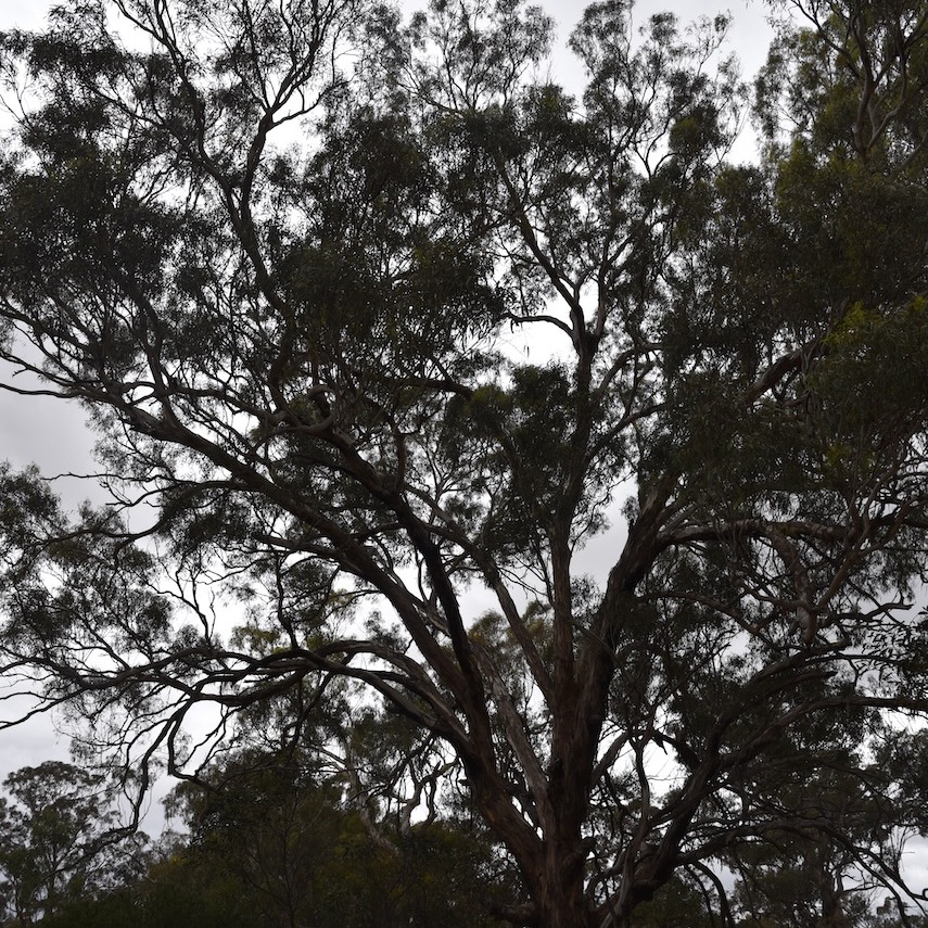
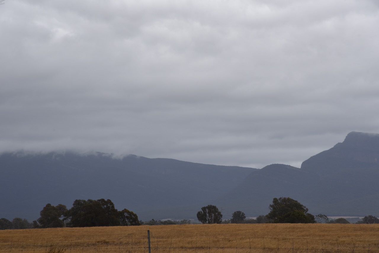
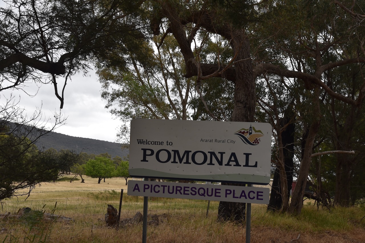
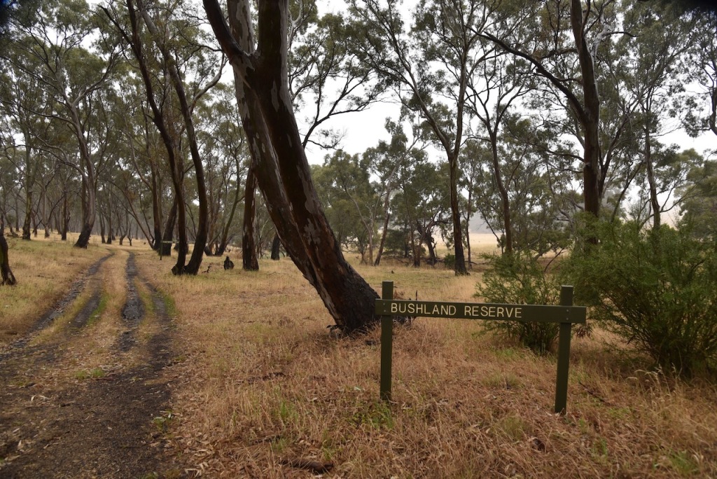
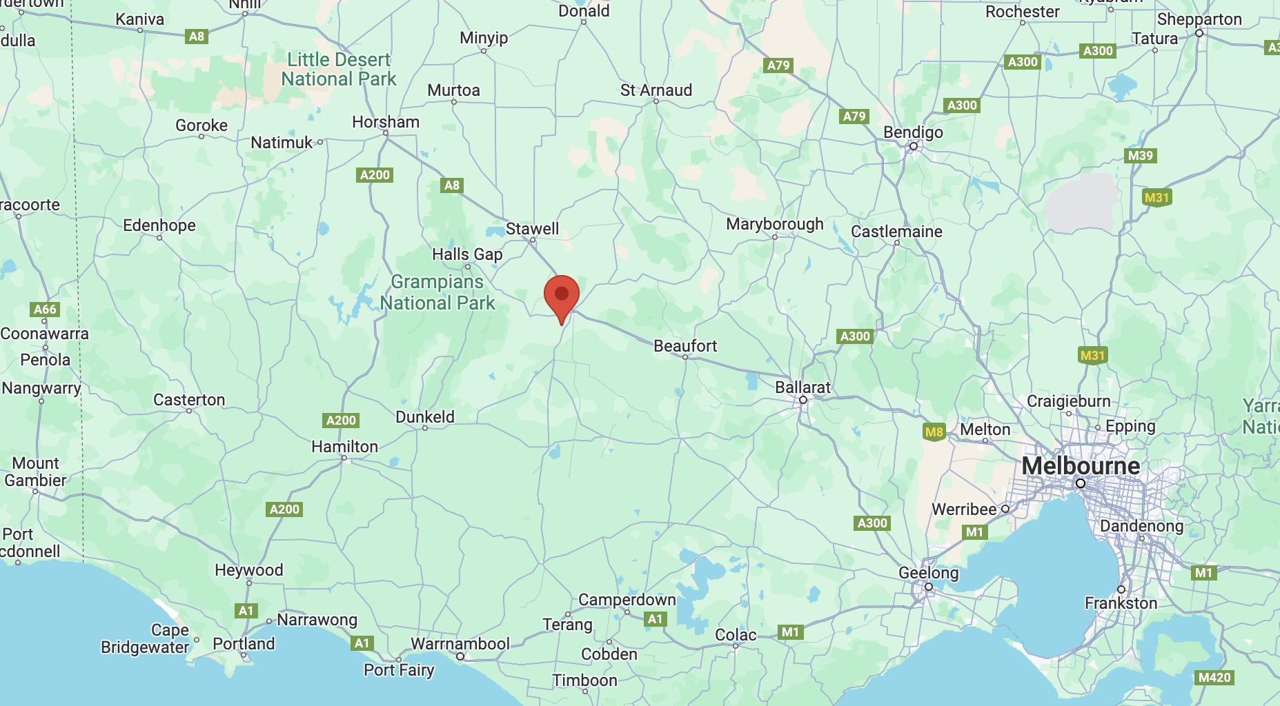
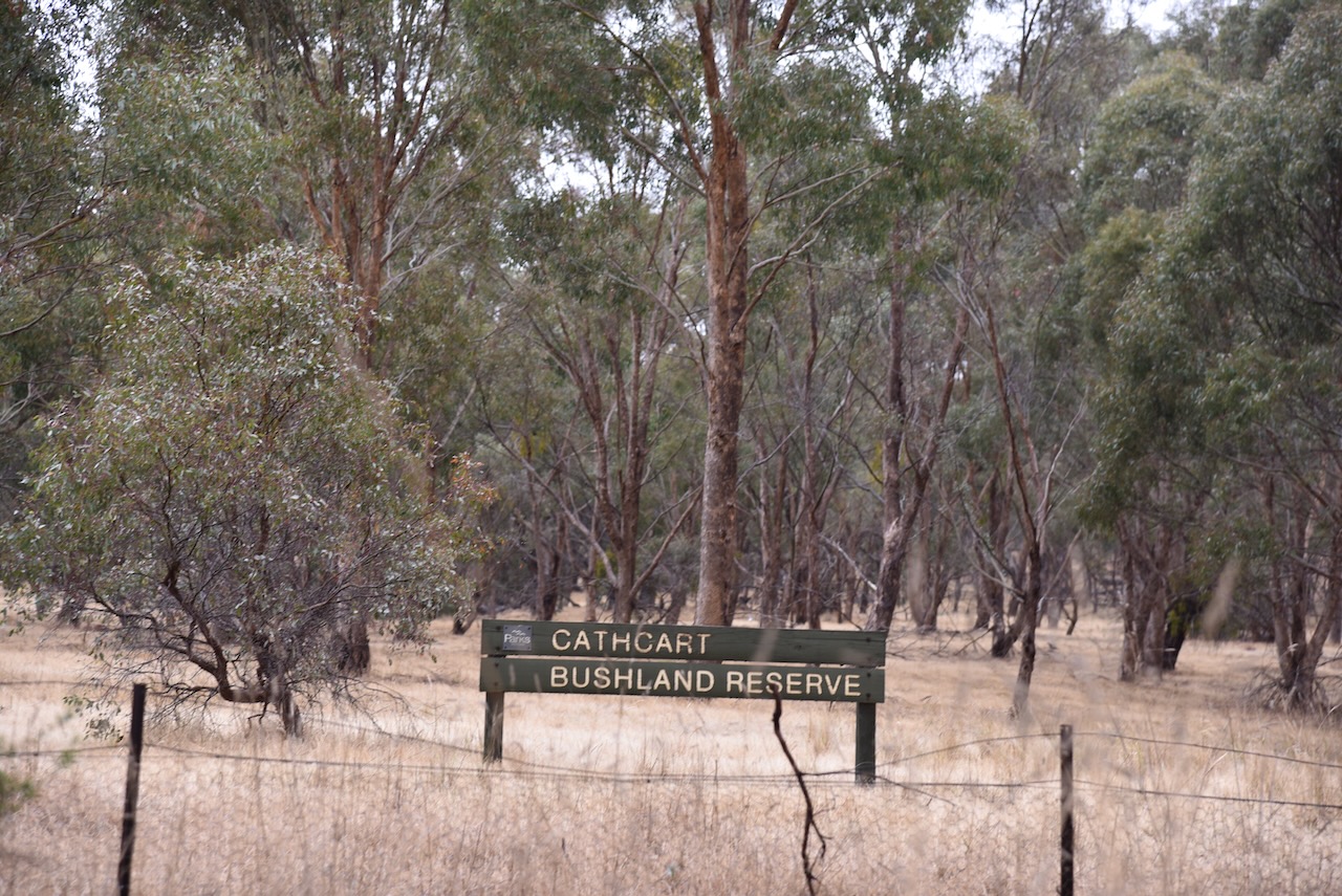
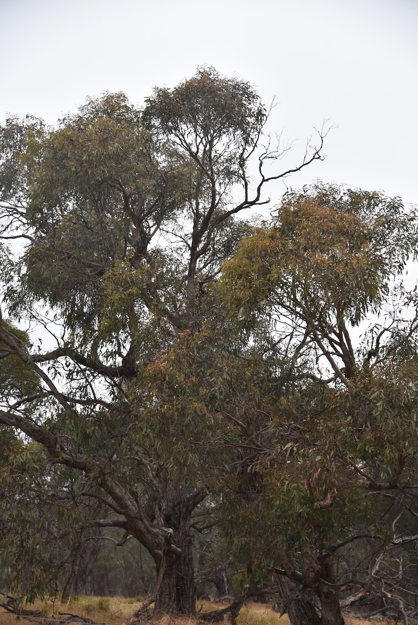
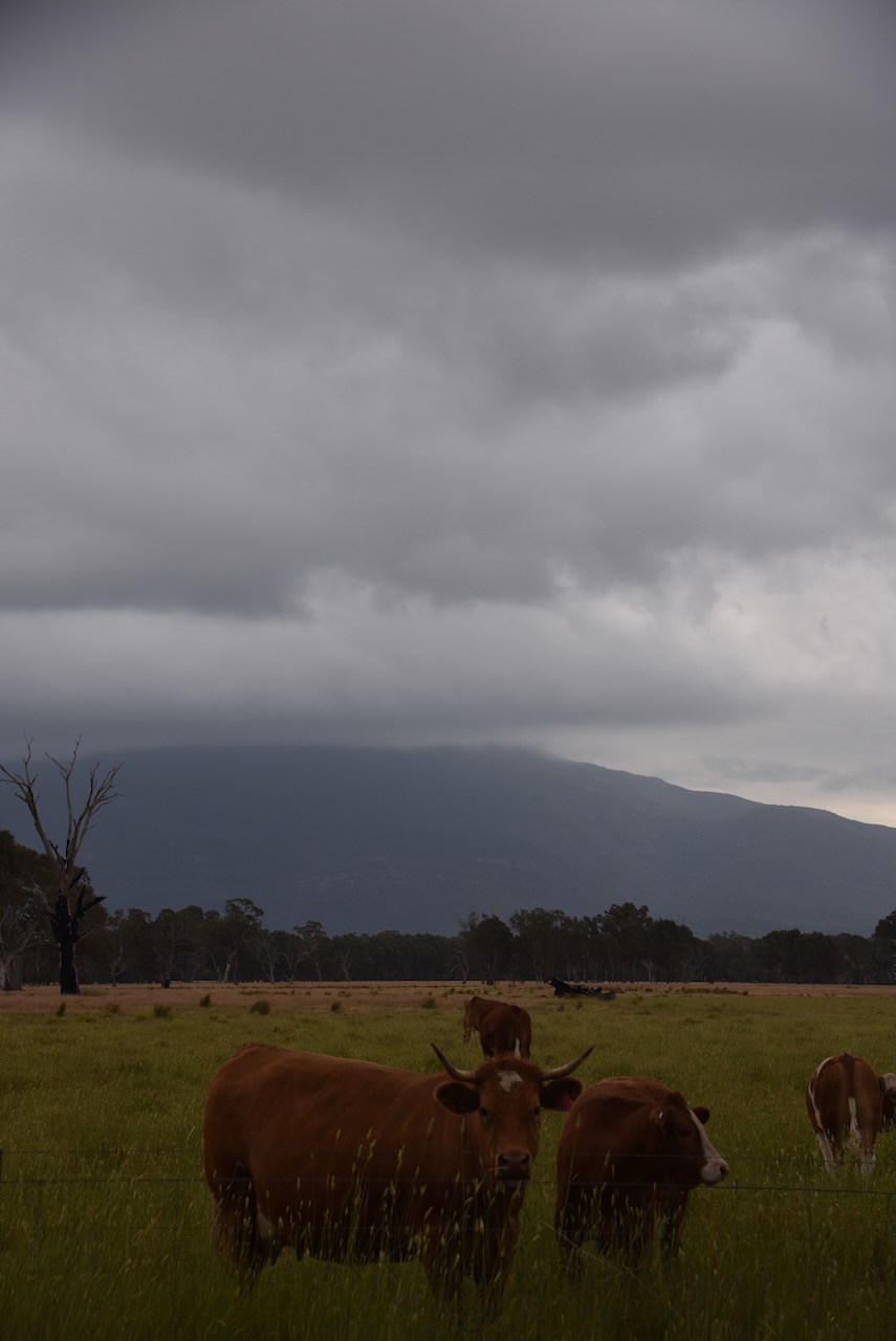
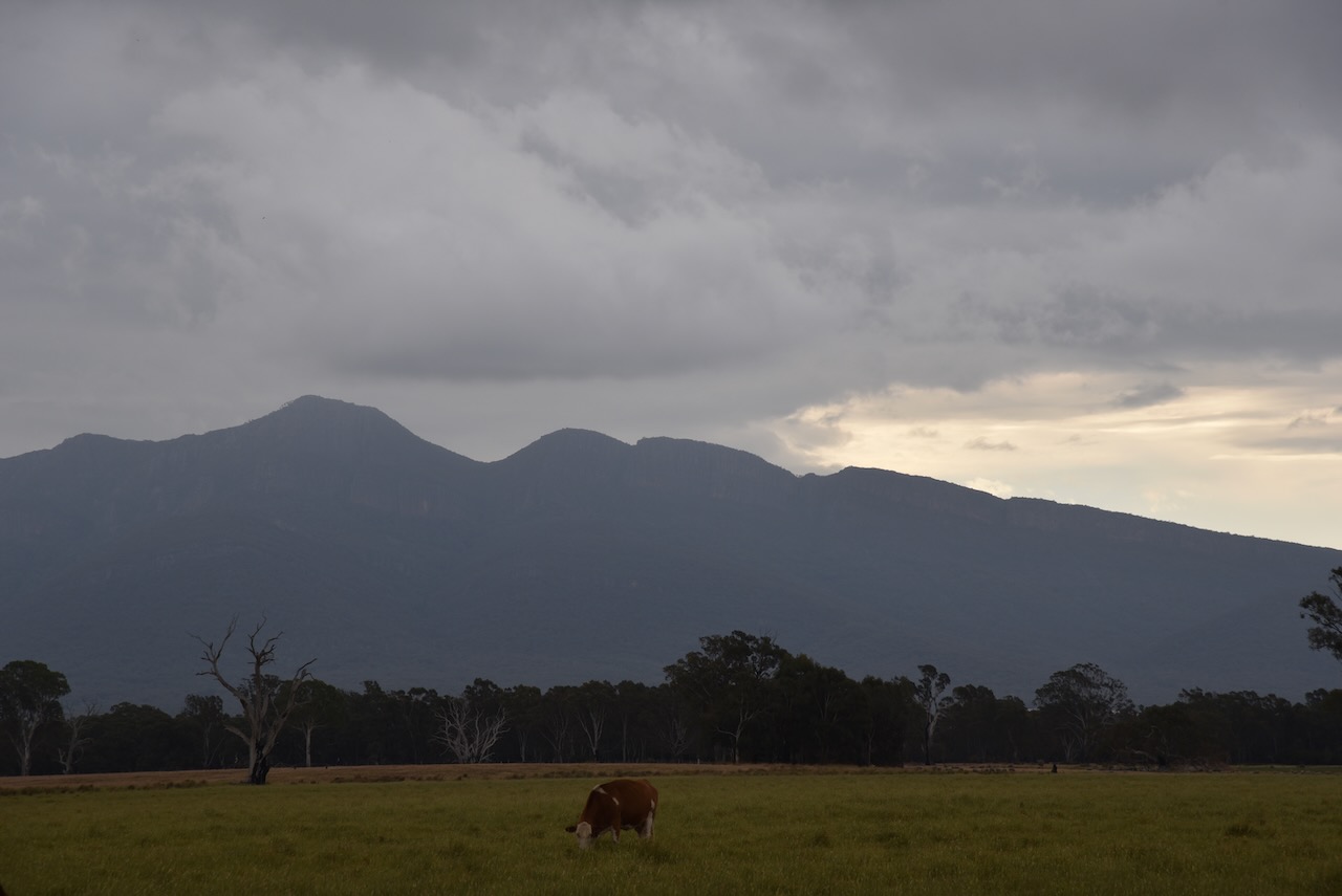
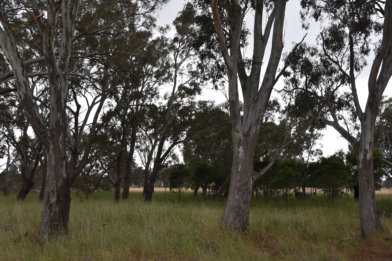
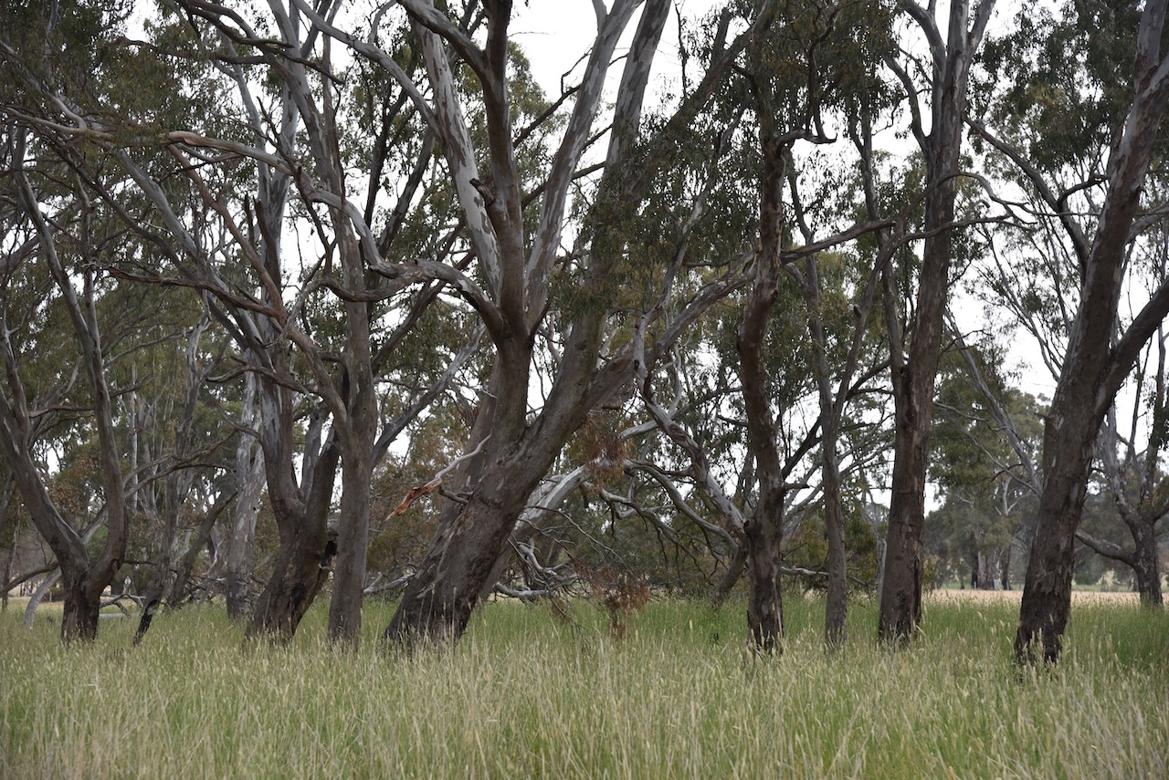
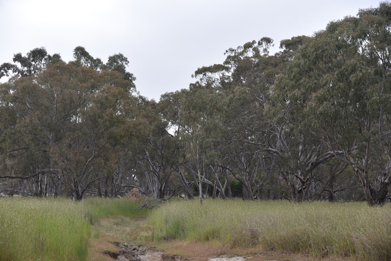
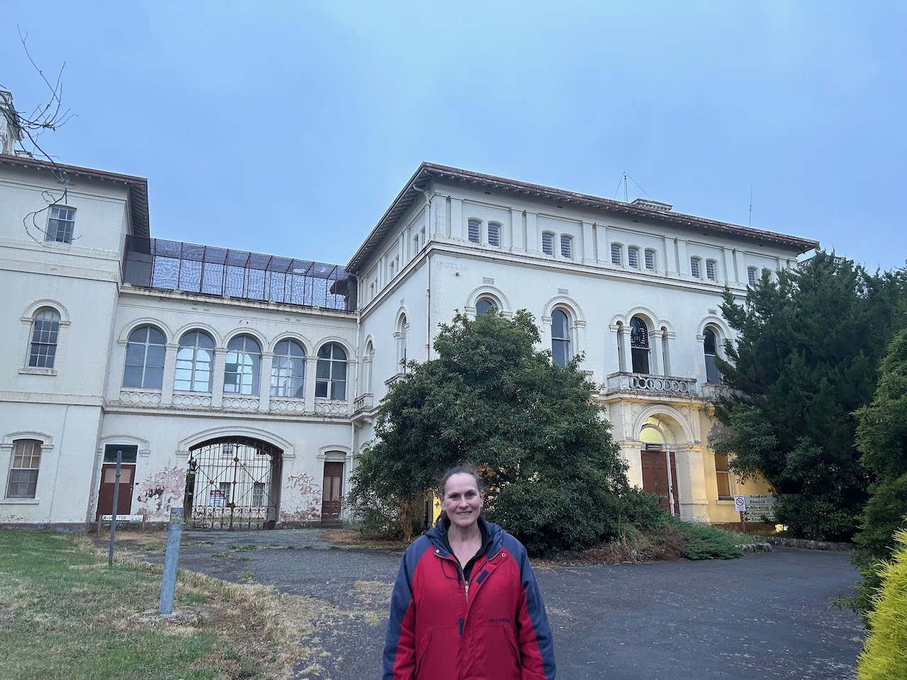
It was now Saturday 2nd December 2023. Marija and I had plans to activate several parks. Our first park for the day was the Cathcart Bushland Reserve VKFF-4299.

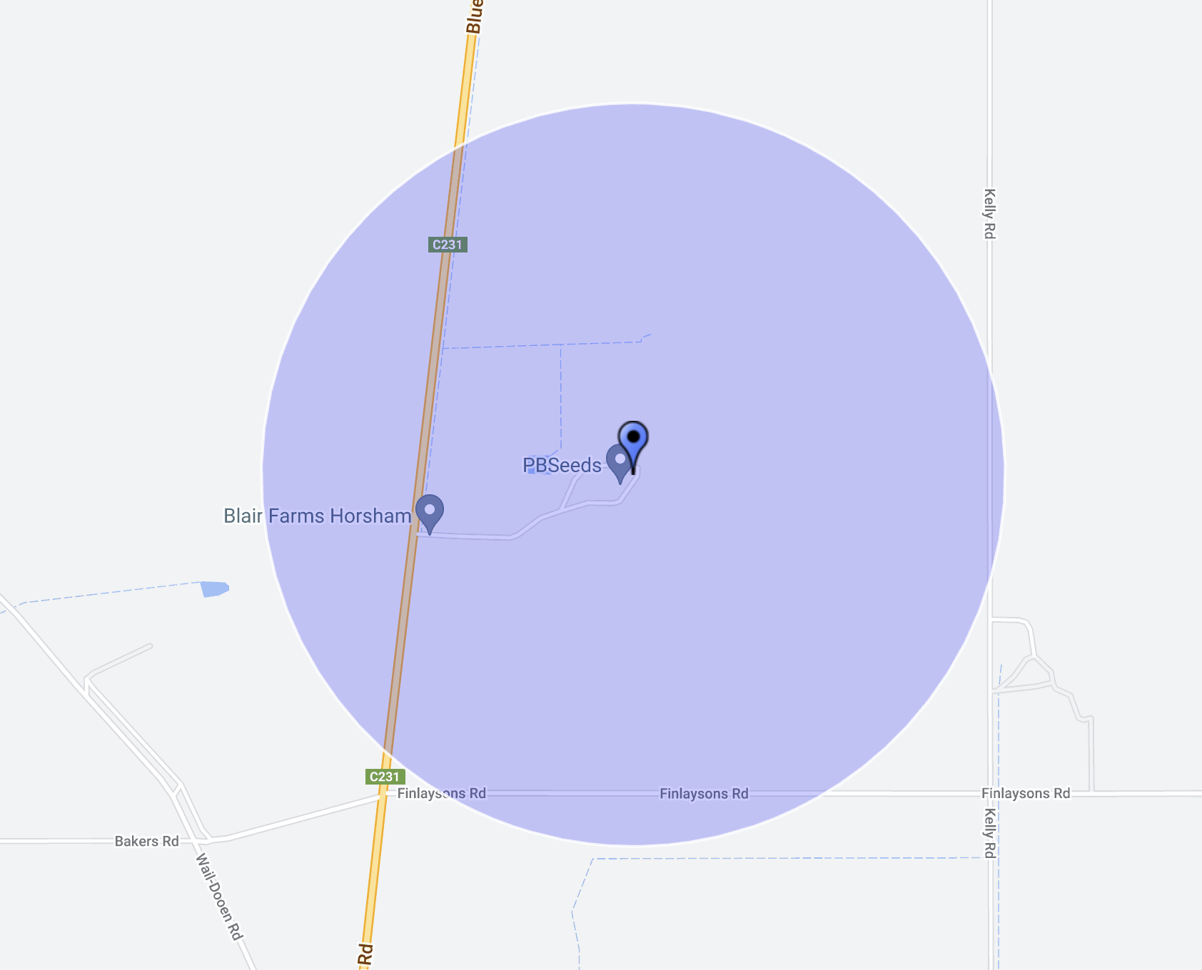
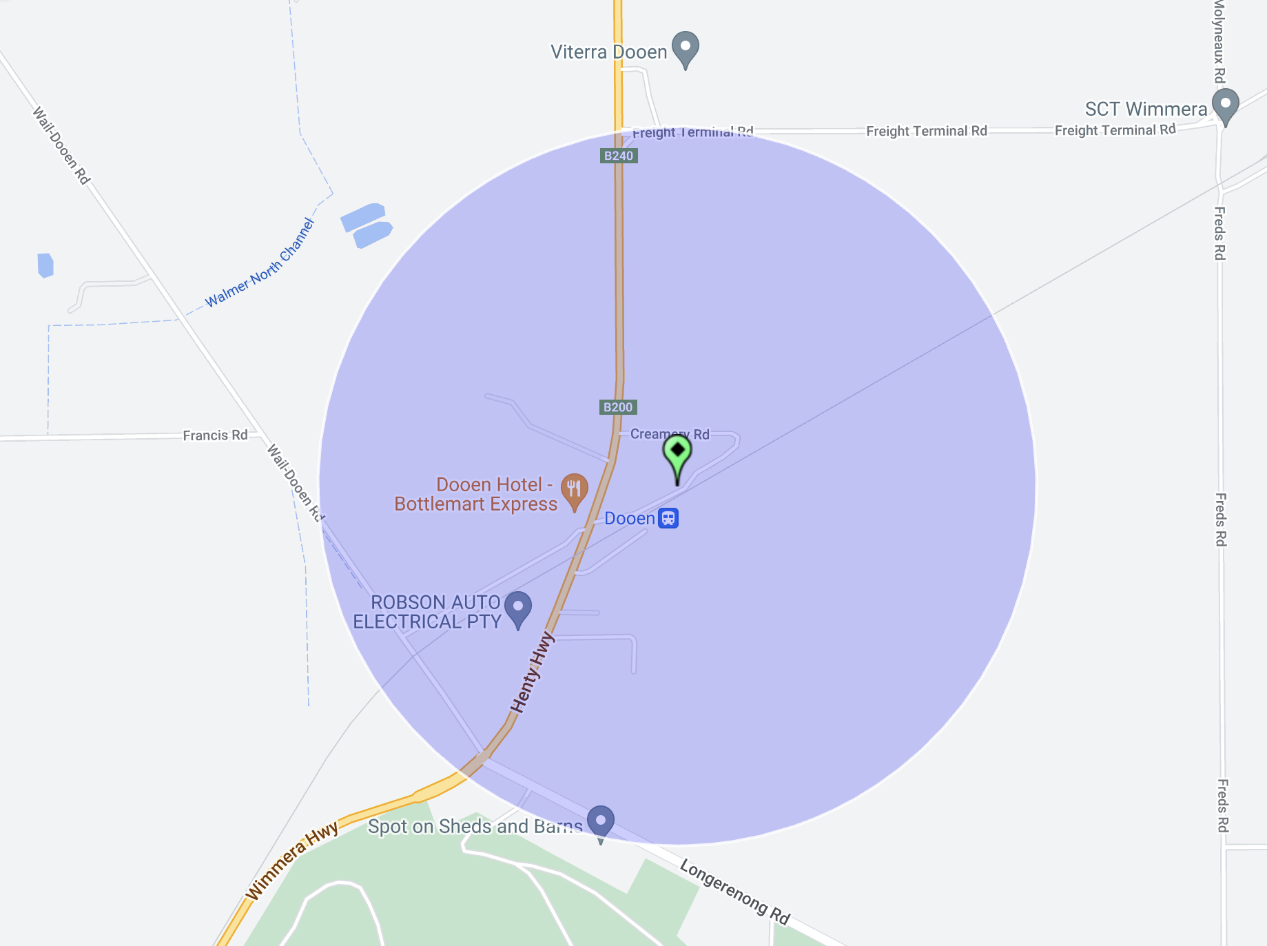
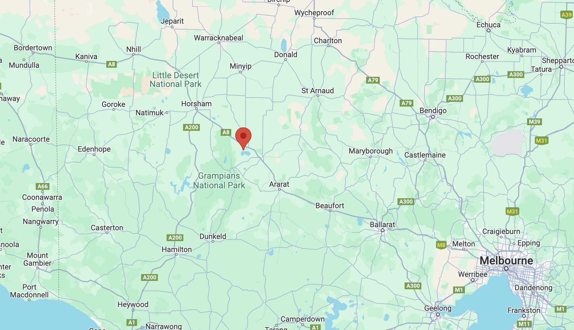
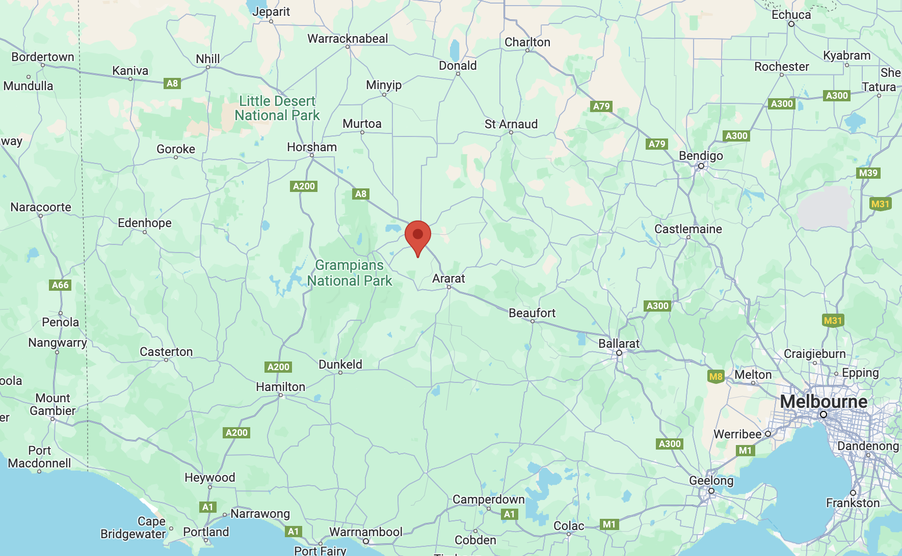
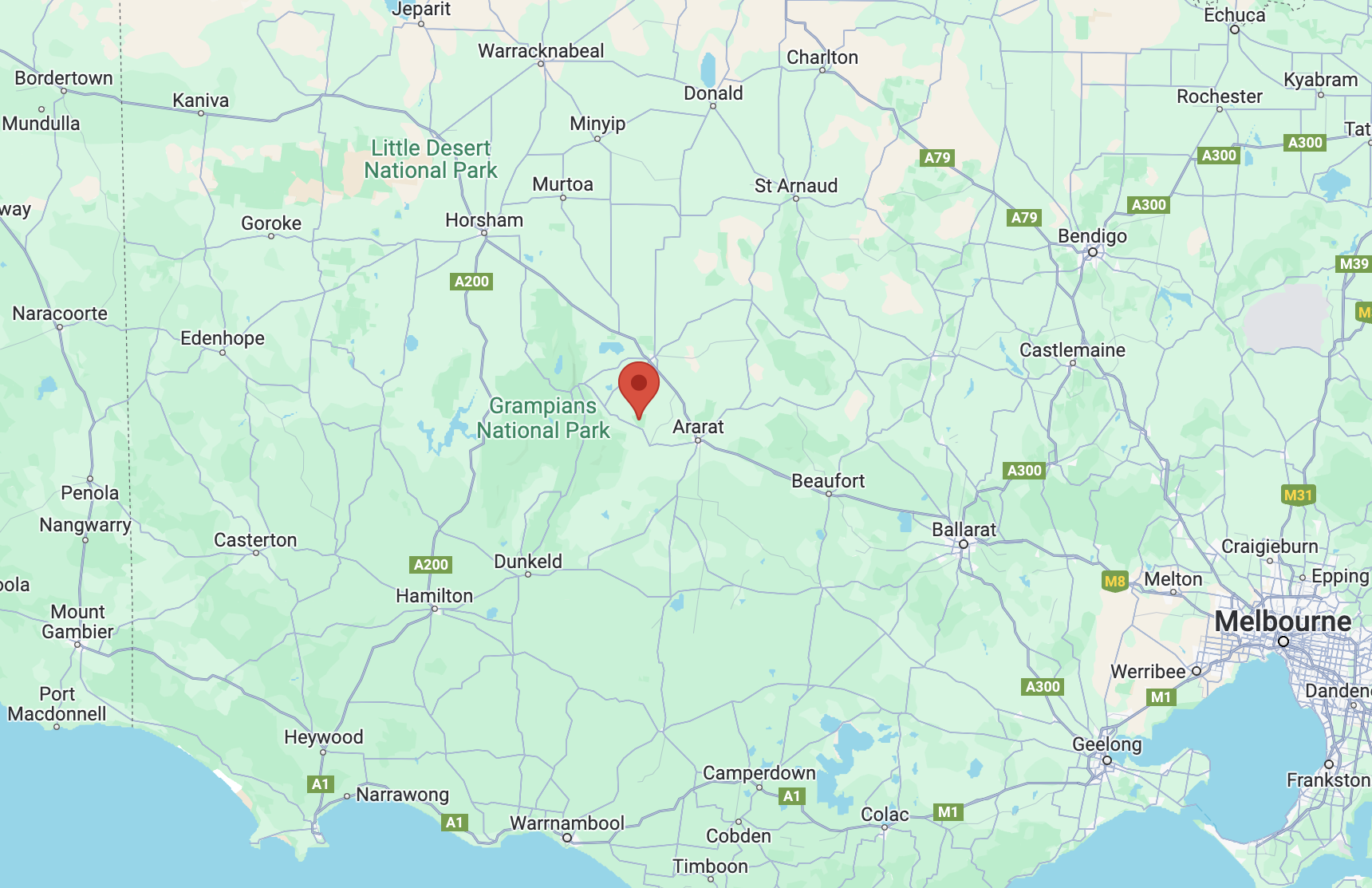
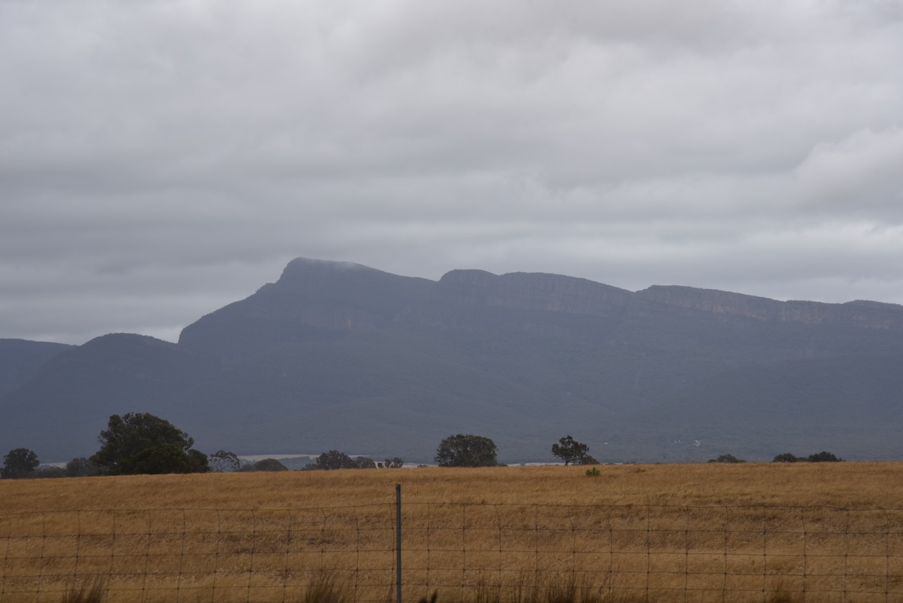
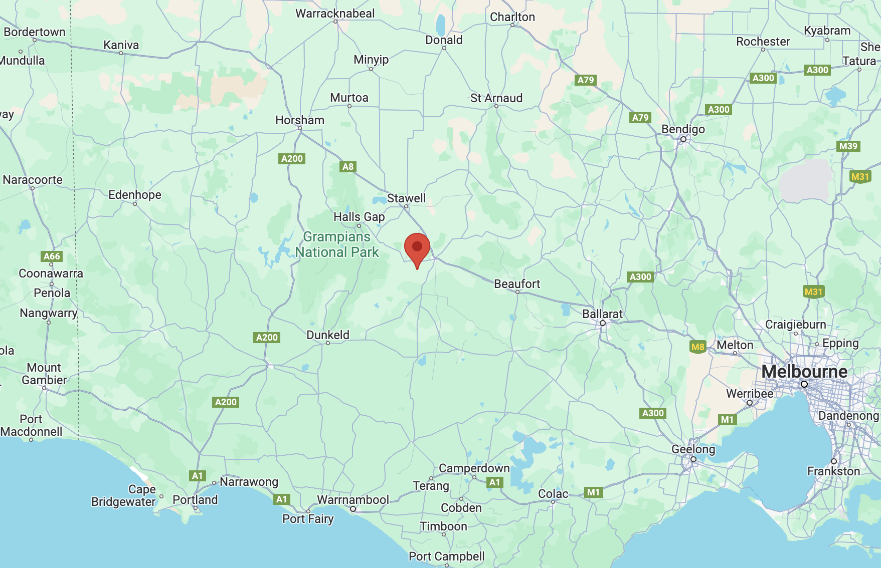
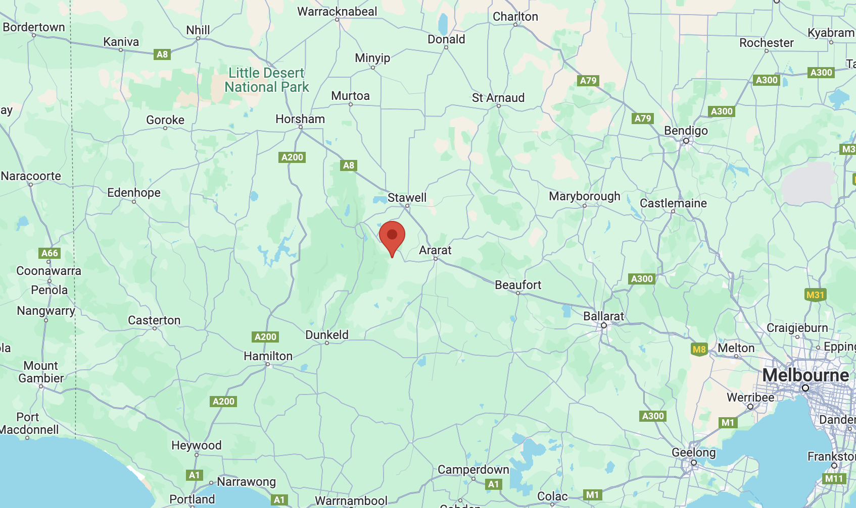
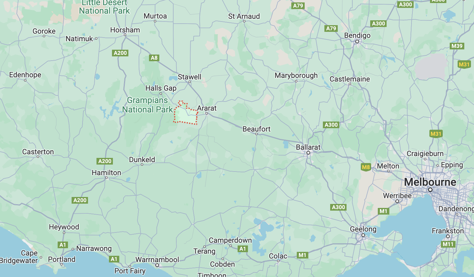
The reserve is located about 7 km south of Ararat and about 214 km northwest of the city of Melbourne.

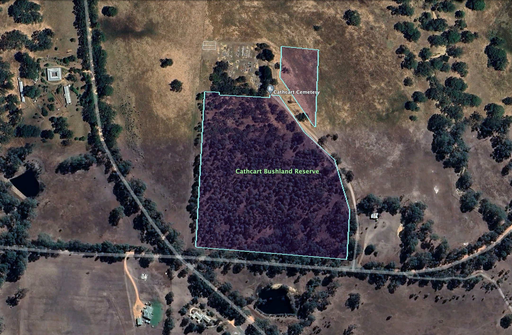
Above:- Map showing the location of the Cathcart Bushland Reserve. Map c/o Google Maps.

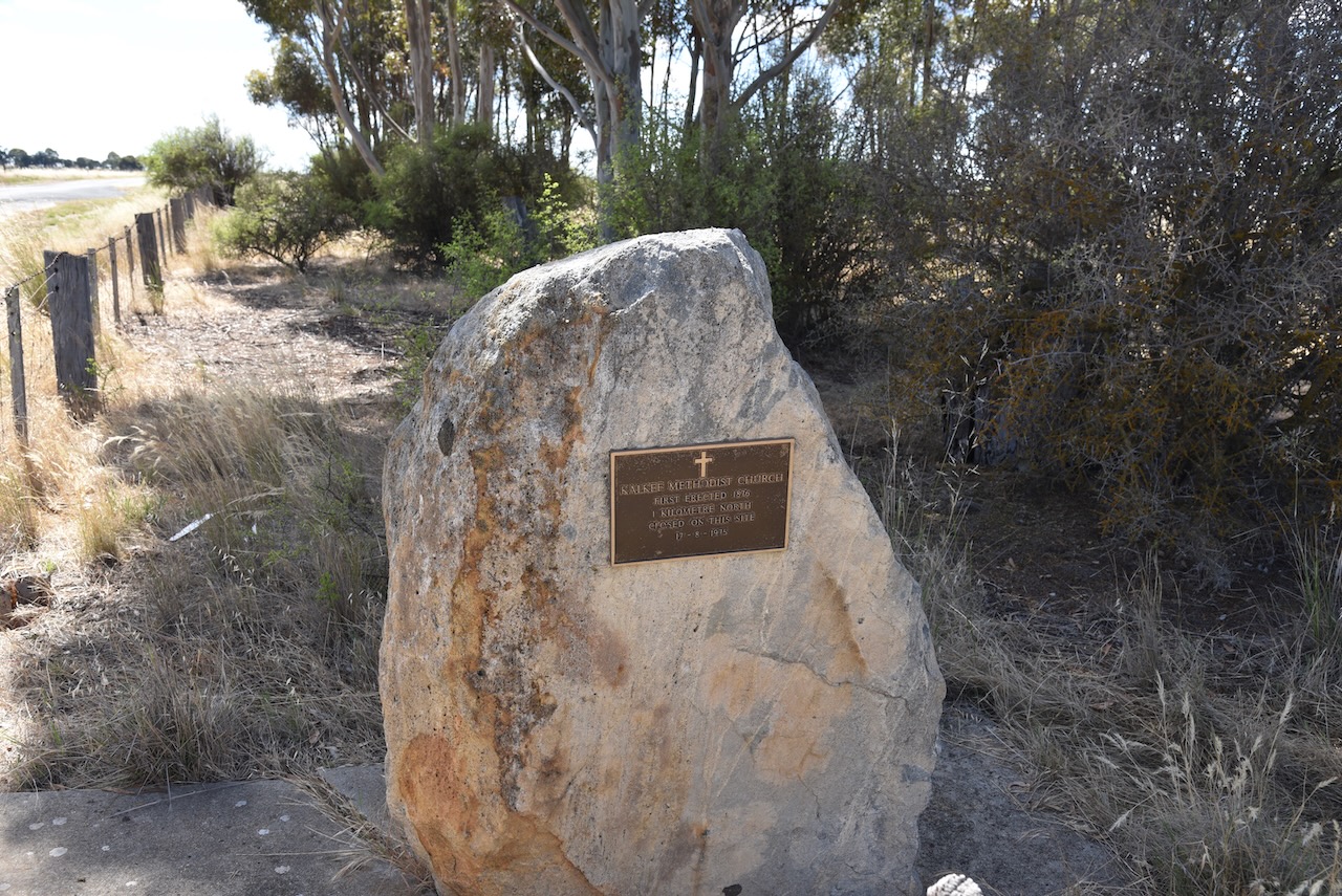
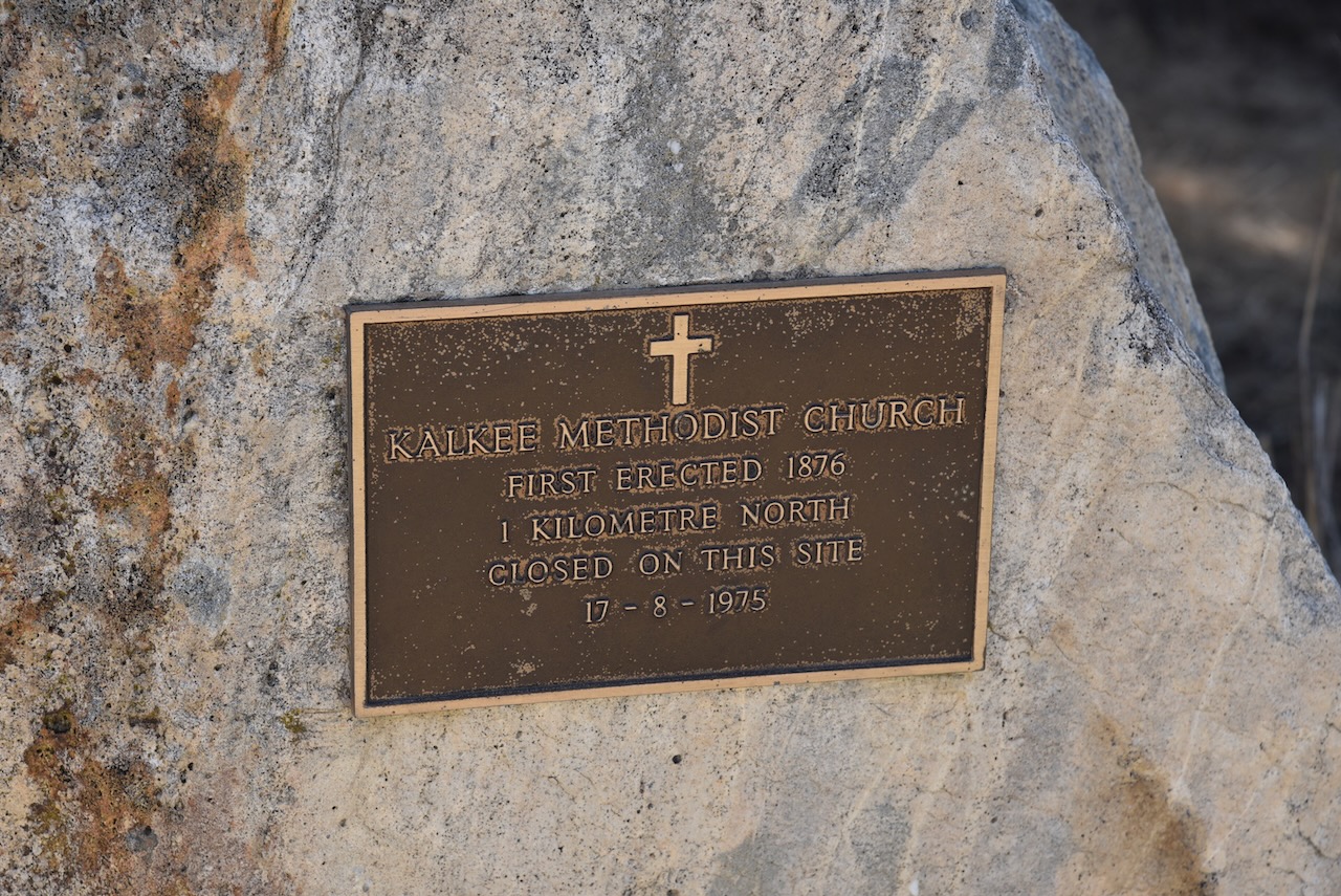
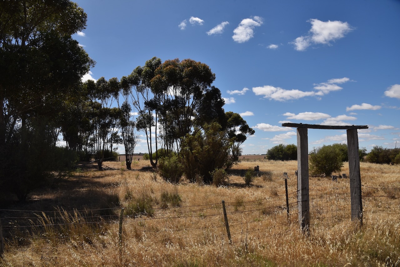
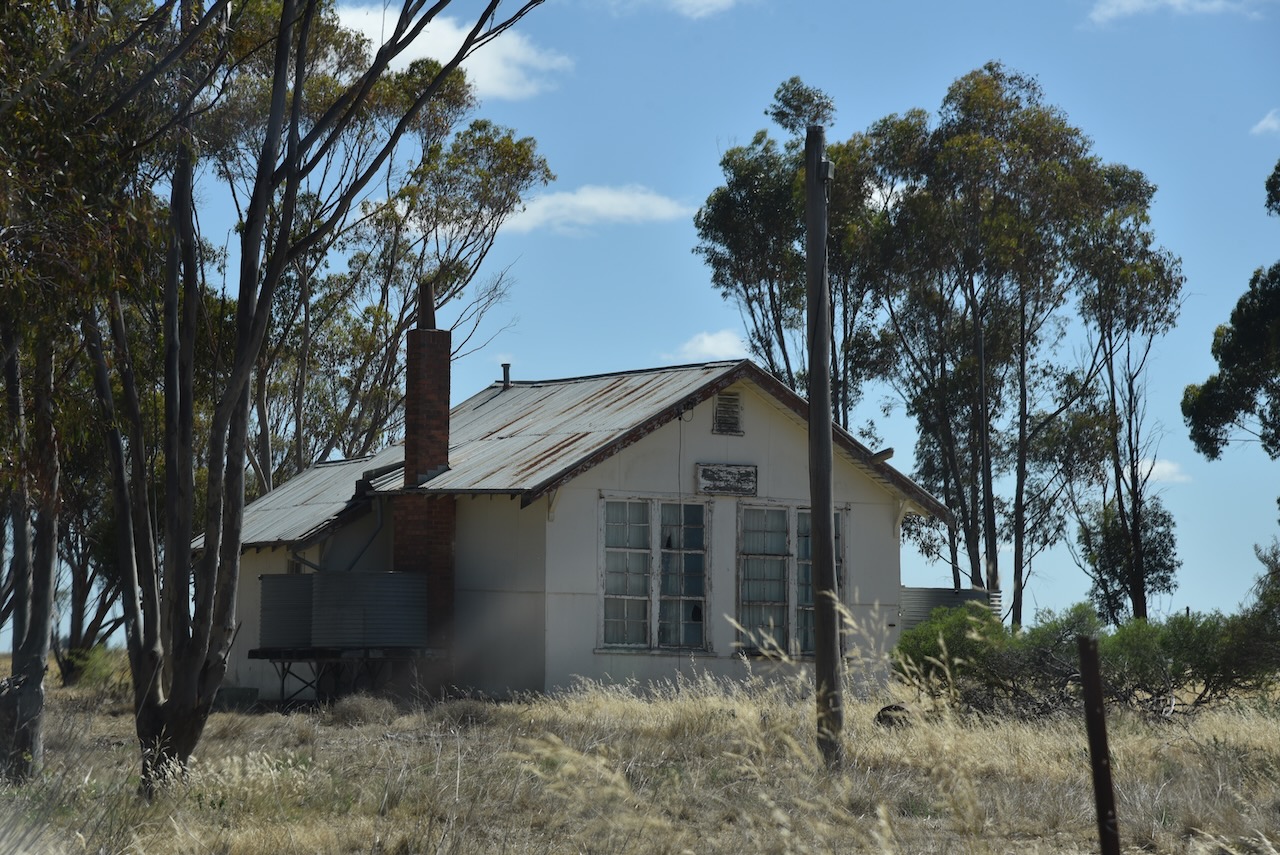
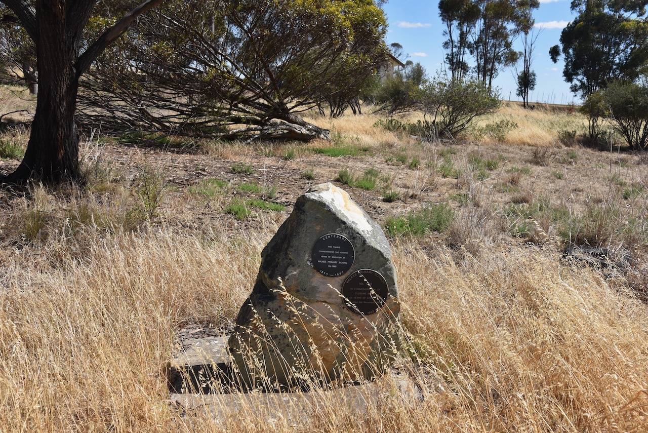
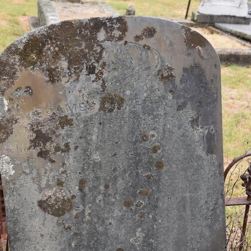
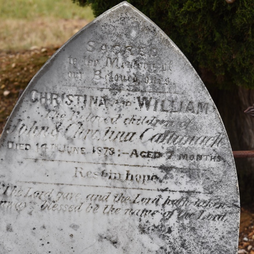
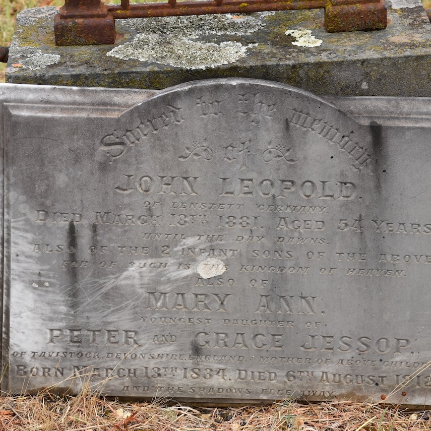
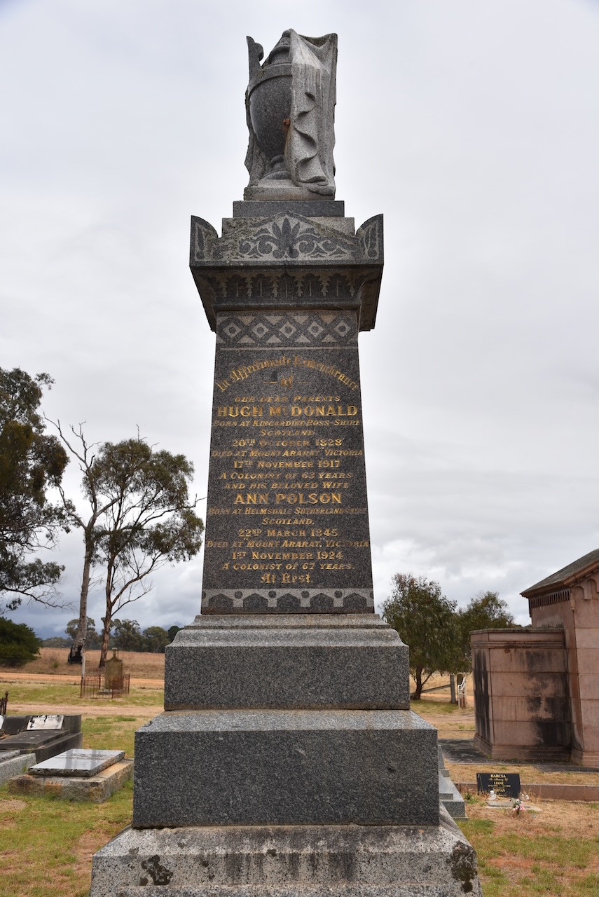
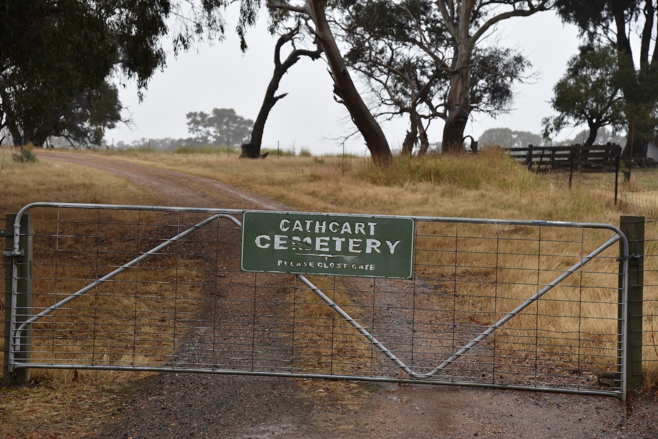
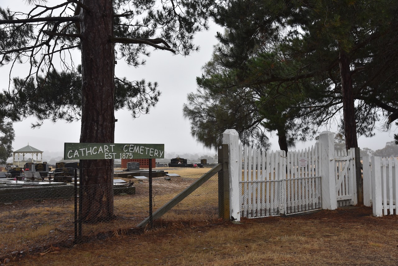
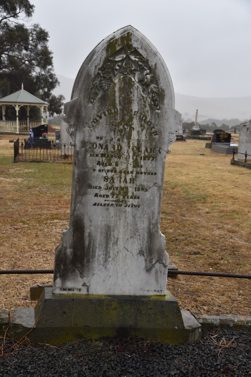
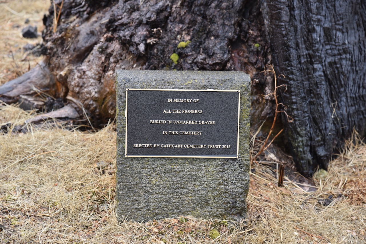
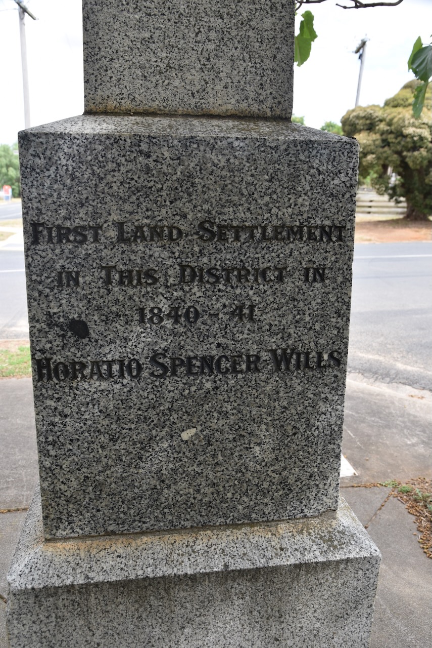
Before activating the reserve, Marija and I visited the Cathcart cemetery which dates back to 1875.

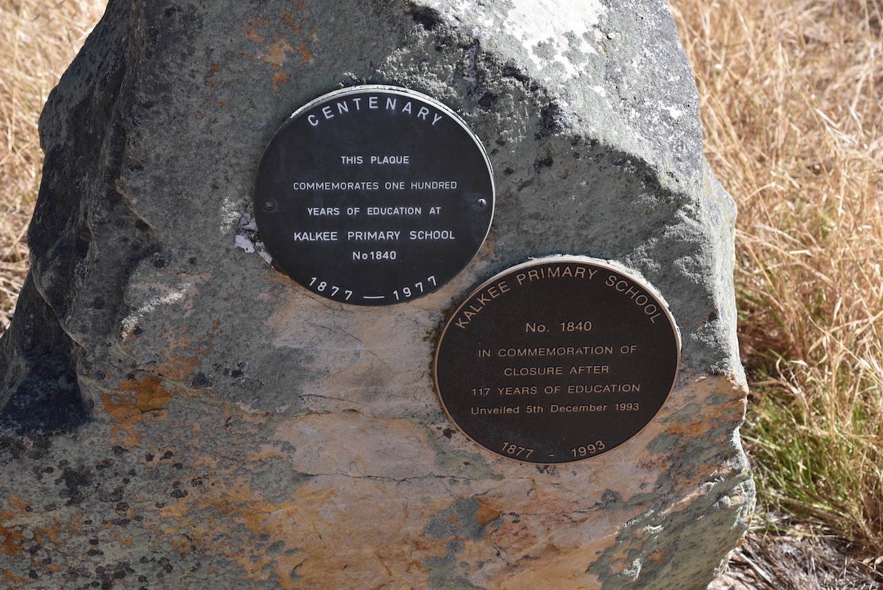
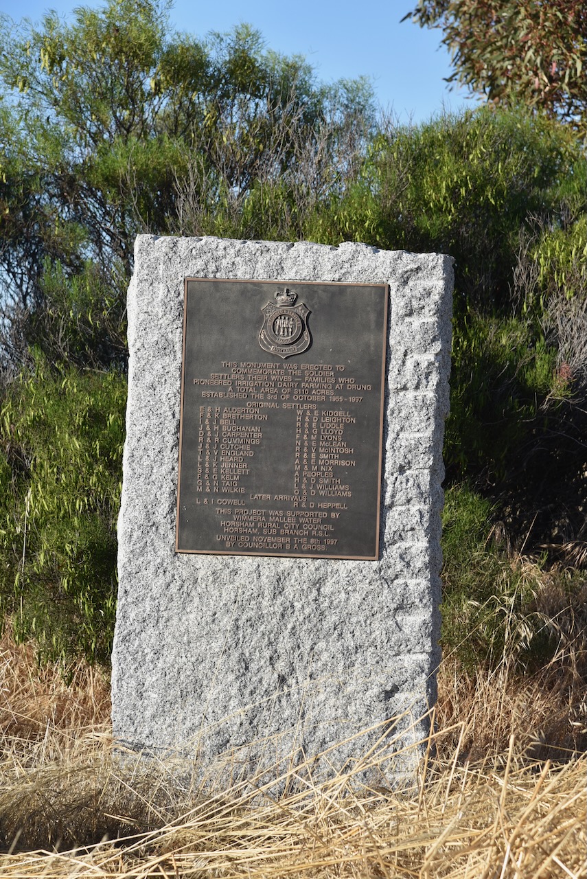
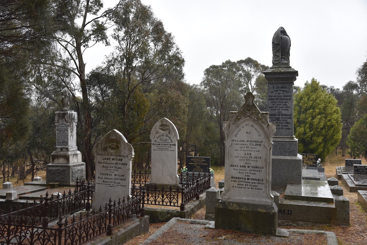
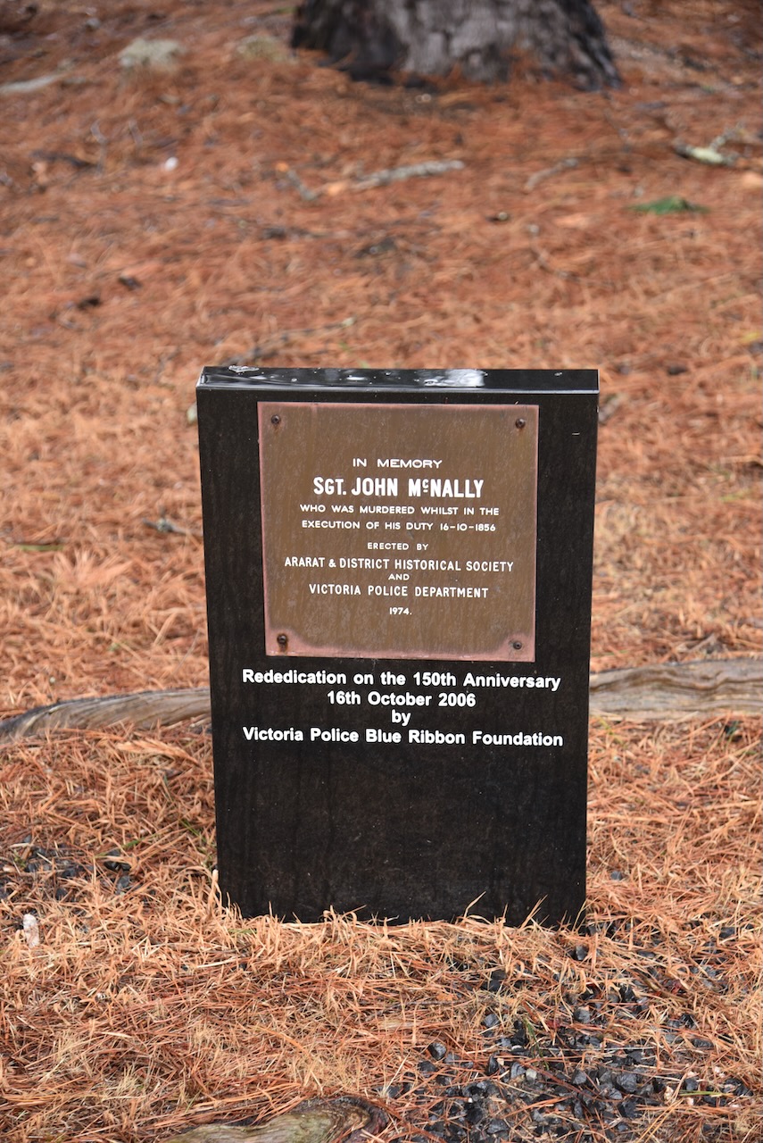
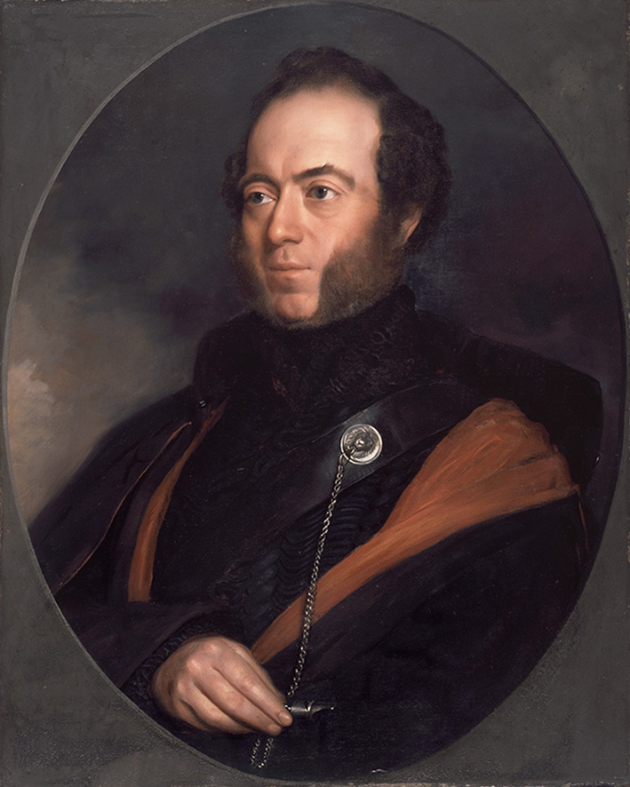
One of the interesting gravesites in the cemetery is that of St John McNally who was murdered while in the execution of his duty on the 16th day of October 1856. He was the first member of Victoria Police to be murdered in the line of duty. In 2006 a new memorial plaque was erected at the cemetery in his honour. (Monument Australia 2024)

Sergeant McNally joined the Victoria Police on the 18th day of June 1855, at the age of 29. He had previously served with the Royal Irish Constabulary in County Longford for eight years. (EGHS 2024) (Monument Australia 2024)

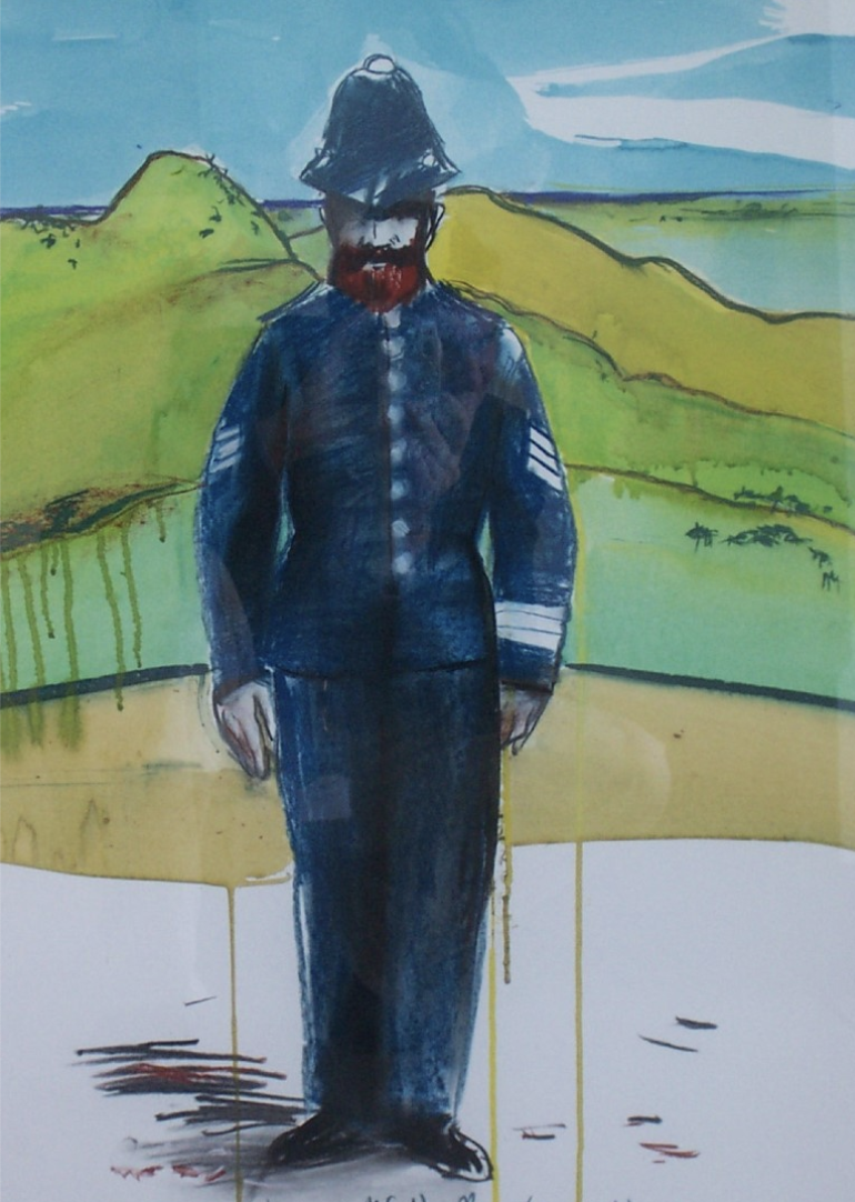
Above:- Painting of Sergeant John McNally by Ararat artist Geoff Todd. Image c/o Victoria Police Historical Society.

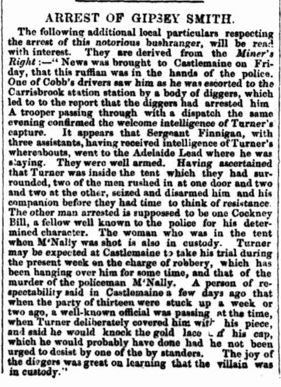
On the evening of Thursday the 16th day of October 1856, Sergeant McNally and his partner Constable John Moore, received information that two wanted men, William Turner @ ‘Gipsy Smith’ and William Twigham @ Twiffen, Twiggem, Laxton, Cockney Bill were at a miner’s tent at the Cathcart diggings. The two officers located Turner at the tent who made a desperate struggle to escape. He called upon his associate Twigham to assist. Twigaham produced a double-barrelled shotgun and fired at the two officers, killing Sergeant McNally and seriously injuring Constable Moore. (EGHS 2024)

Turner and Twigham fled the scene but were captured on the 23rd day of October 1856 at the Adelaide Lead diggings near Amherst. (EGHS 2024)

Above:- Article re the capture of Gipsy Smith, The Age, Tue 28 Oct 1856. Image c/o Trove.

Both men were charged with the murder of Sergeant McNally and they appeared in the Castlemaine Circuit Court. Twigham was convicted and sentenced to death. He was hanged on the 11th day of March 1857 at the Melbourne Gaol. He was asked at sentencing if he had anything to say, and only stated that the witness Adams by whose testimony he was convicted, was a perjured man and that his statements were false. The charge of murder was not proceeded with against Turner and he pleaded guilty to manslaughter and was sentenced to 15 years hard labour. At his sentencing in court, Turner was described as ‘one of the most hardened ruffians in the colony.‘ (EGHS 2024) (Monument Australia 2024) (Mount Ararat Murder 1857)

Above:- Article from Bell’s Life, Melbourne, Sat 14 Mar 1857. Image c/o Trove.

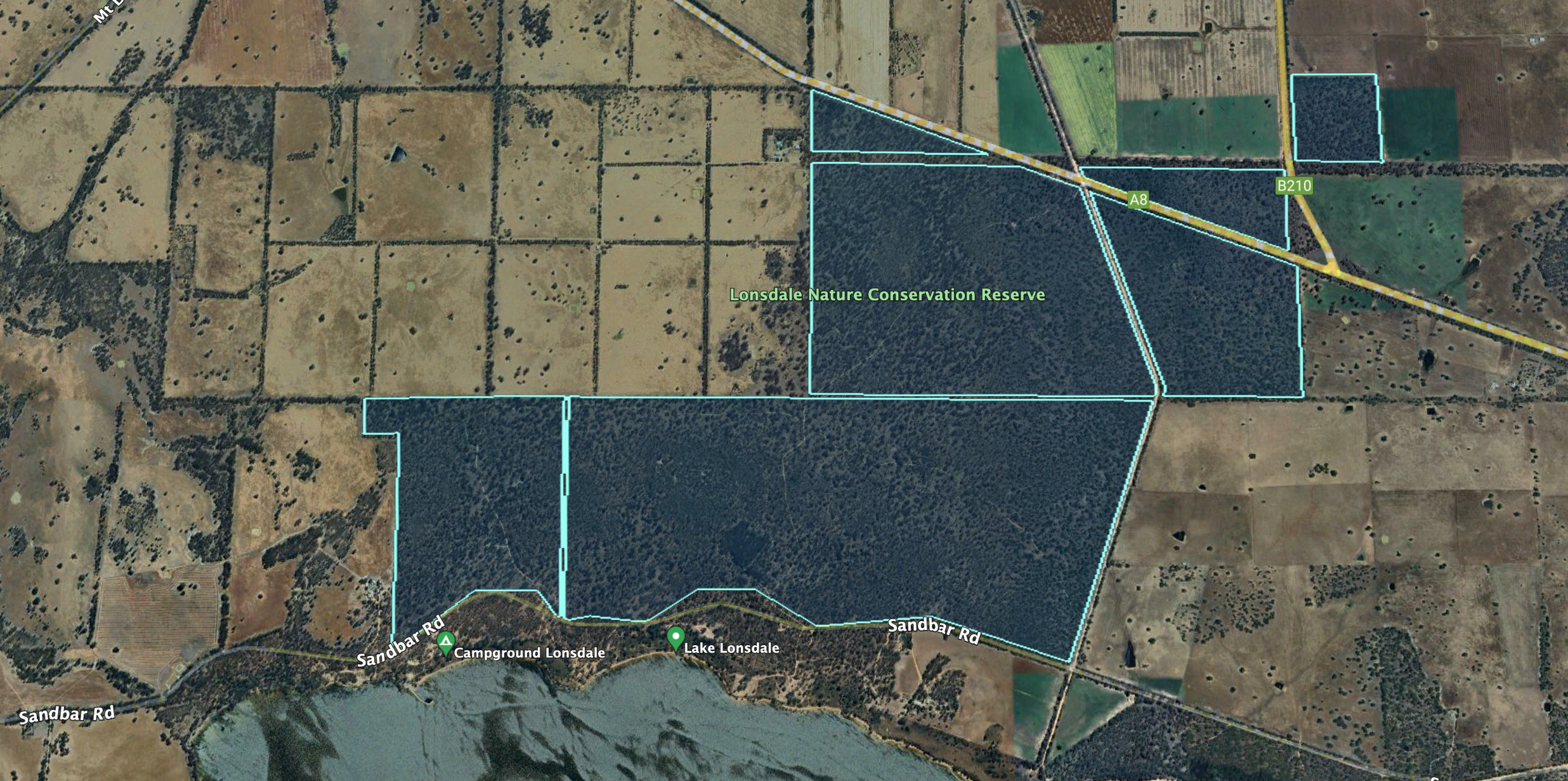
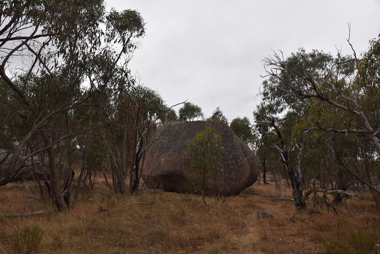
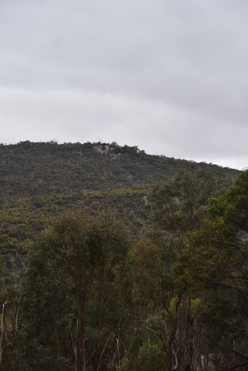
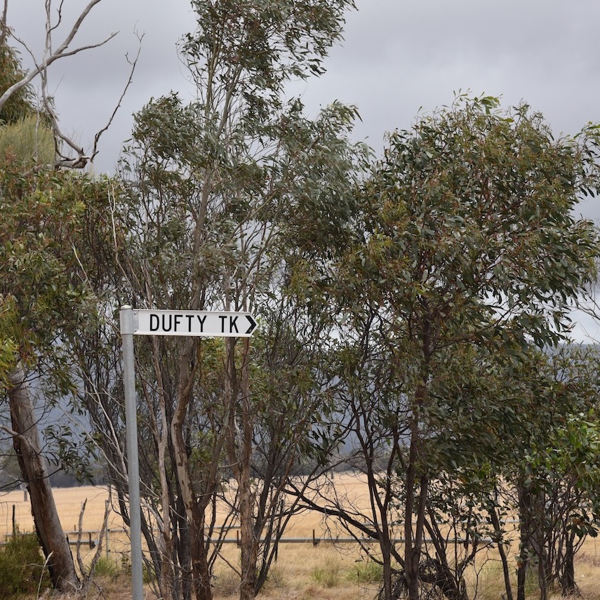
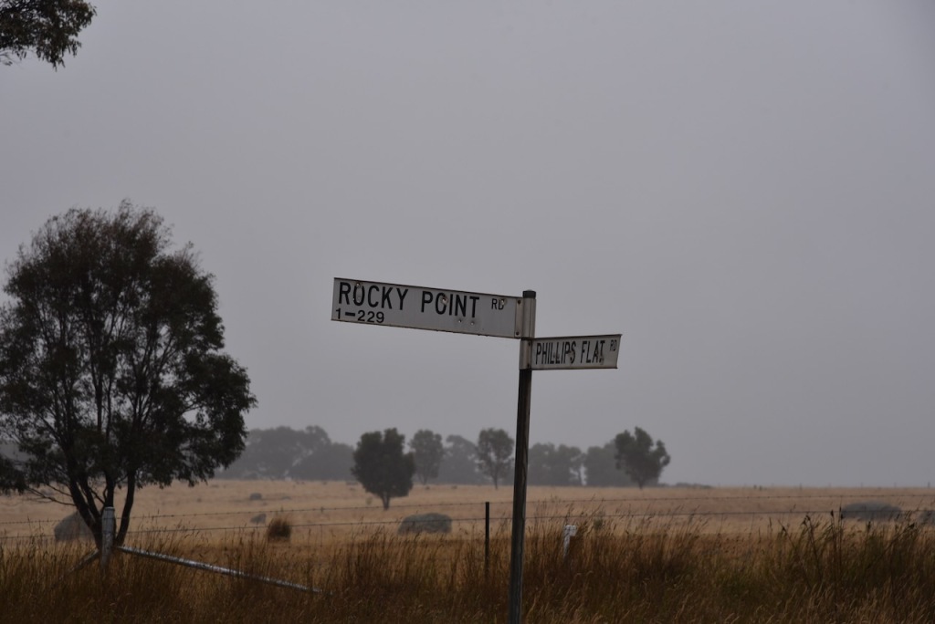
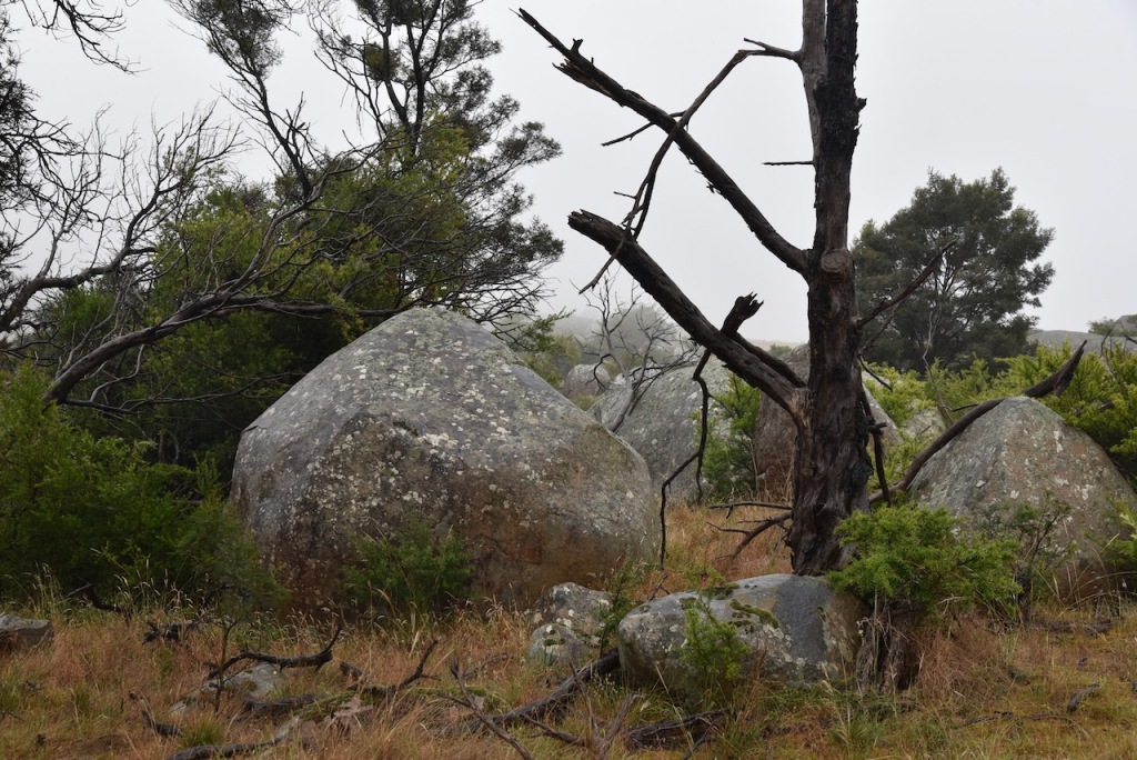
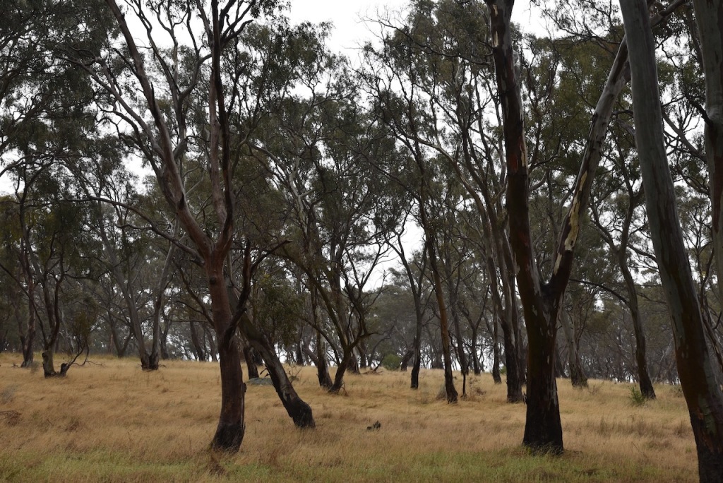
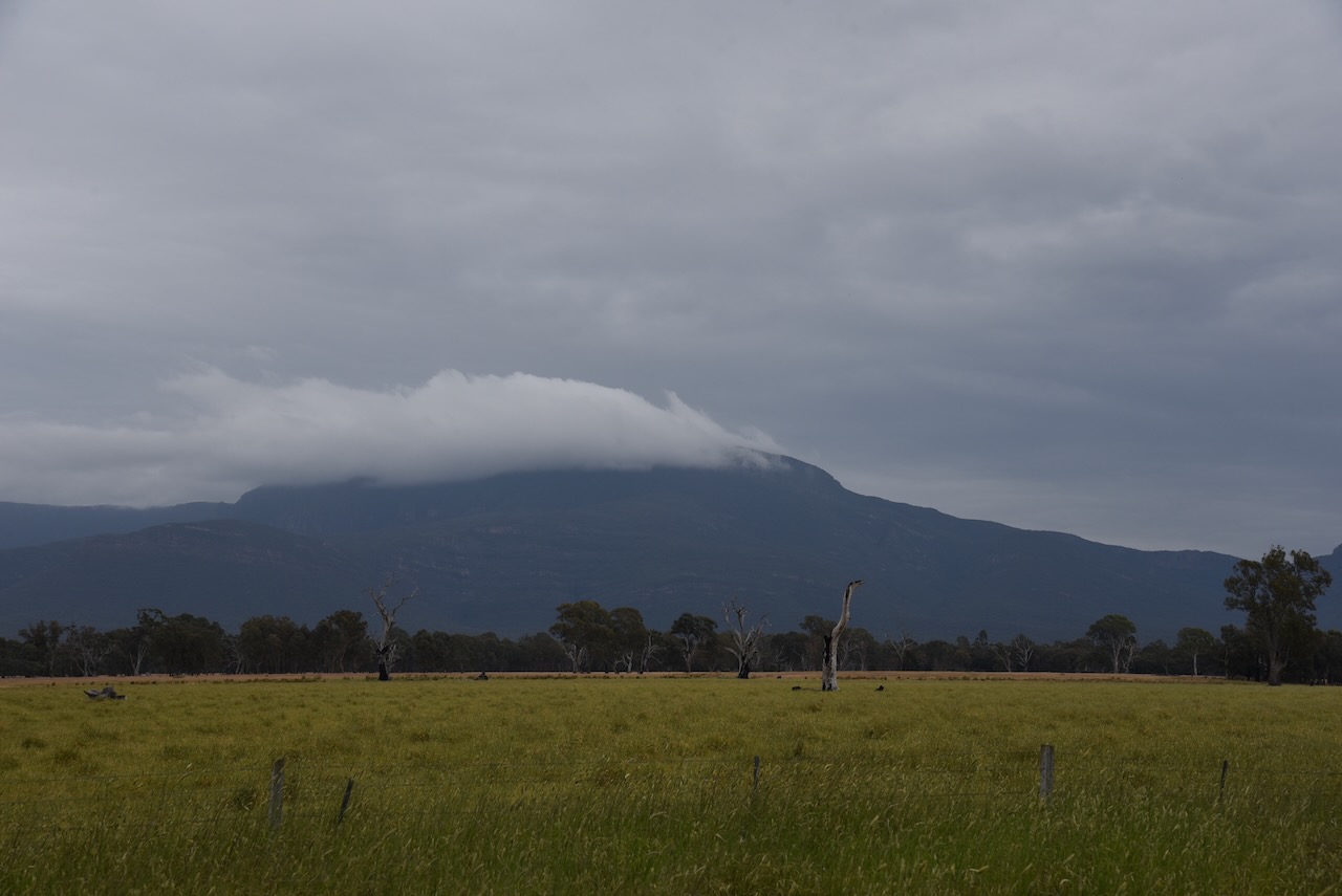
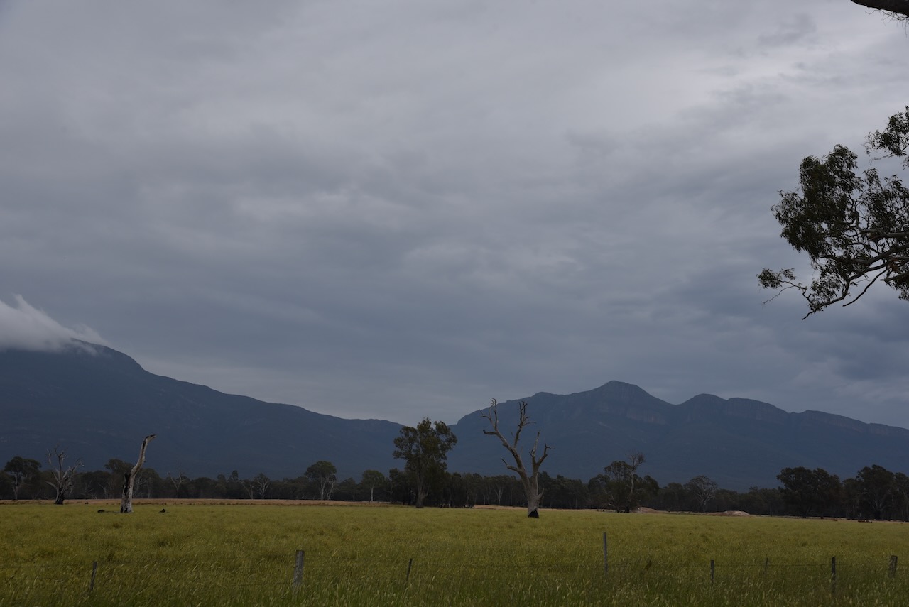
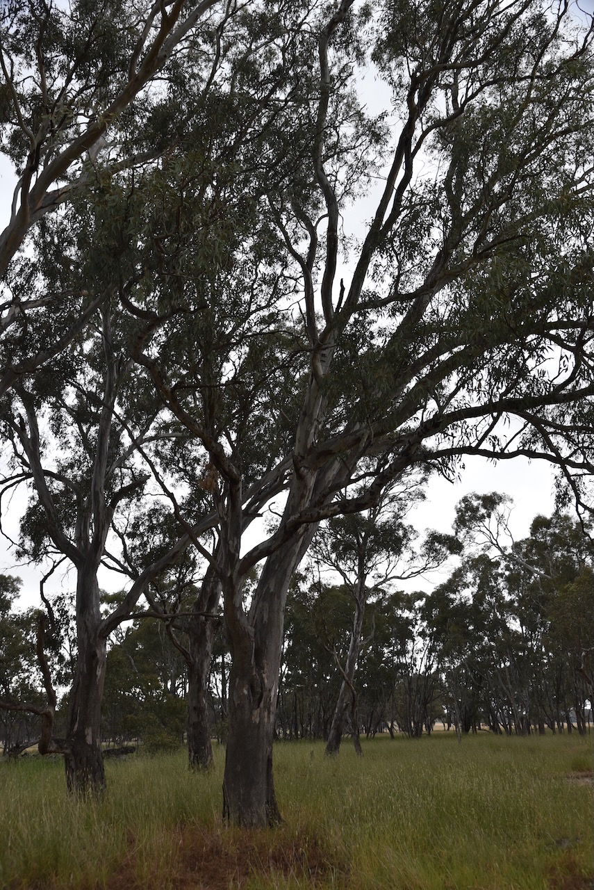
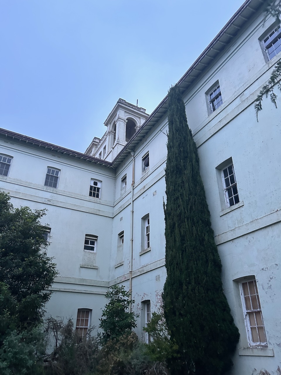
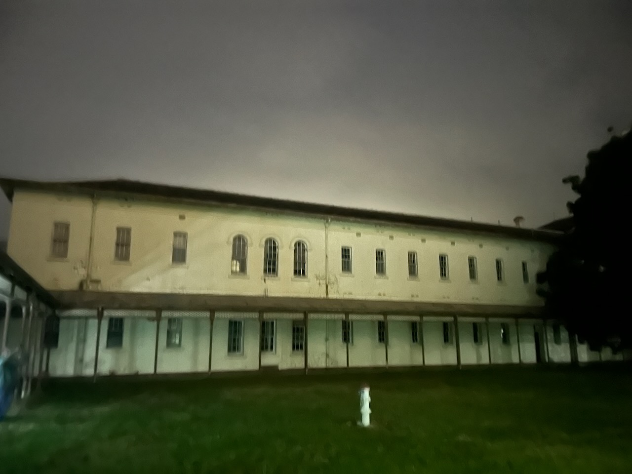
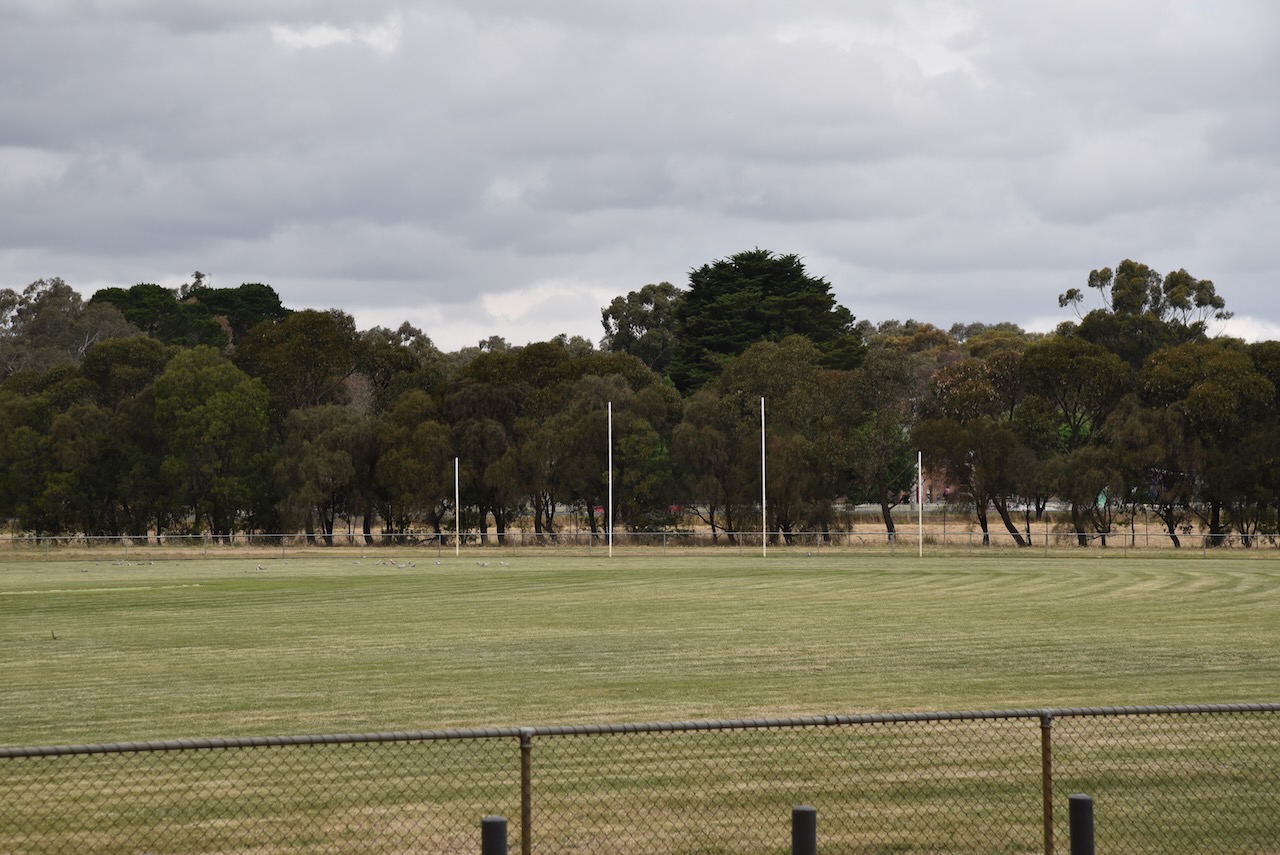
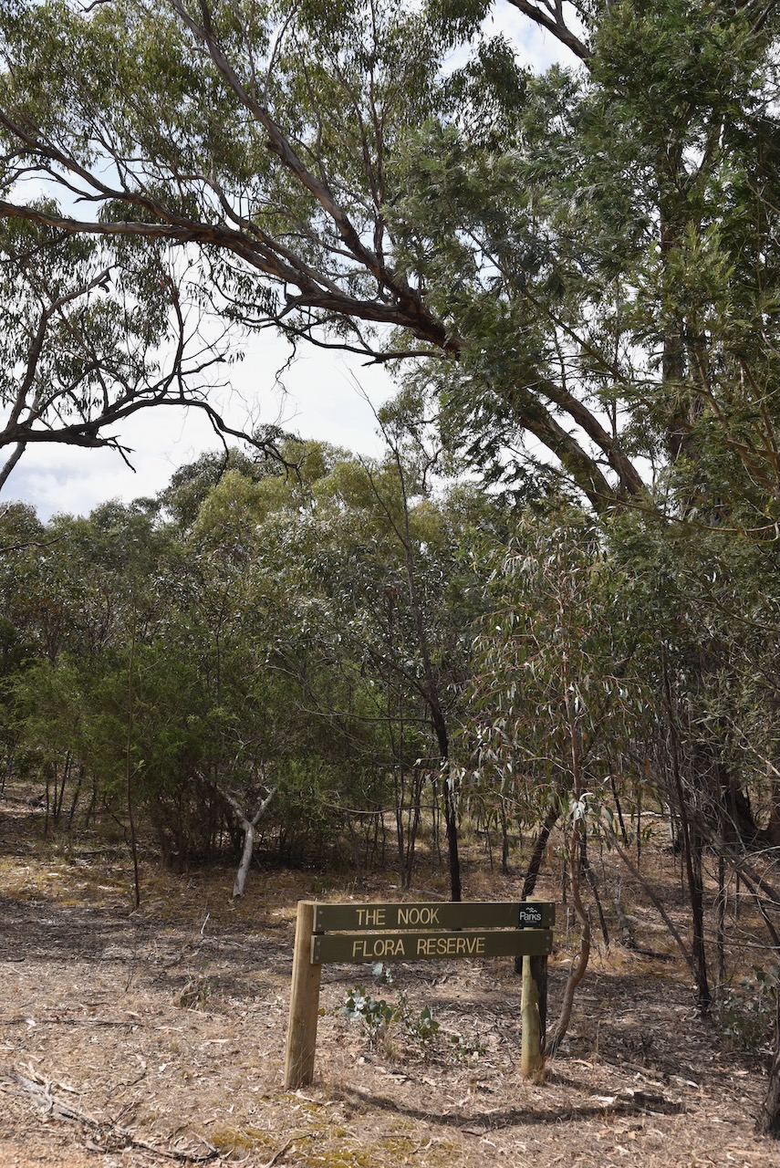
The Cathcart Bushland Reserve is located on the northern side of Phillips Flat Road.

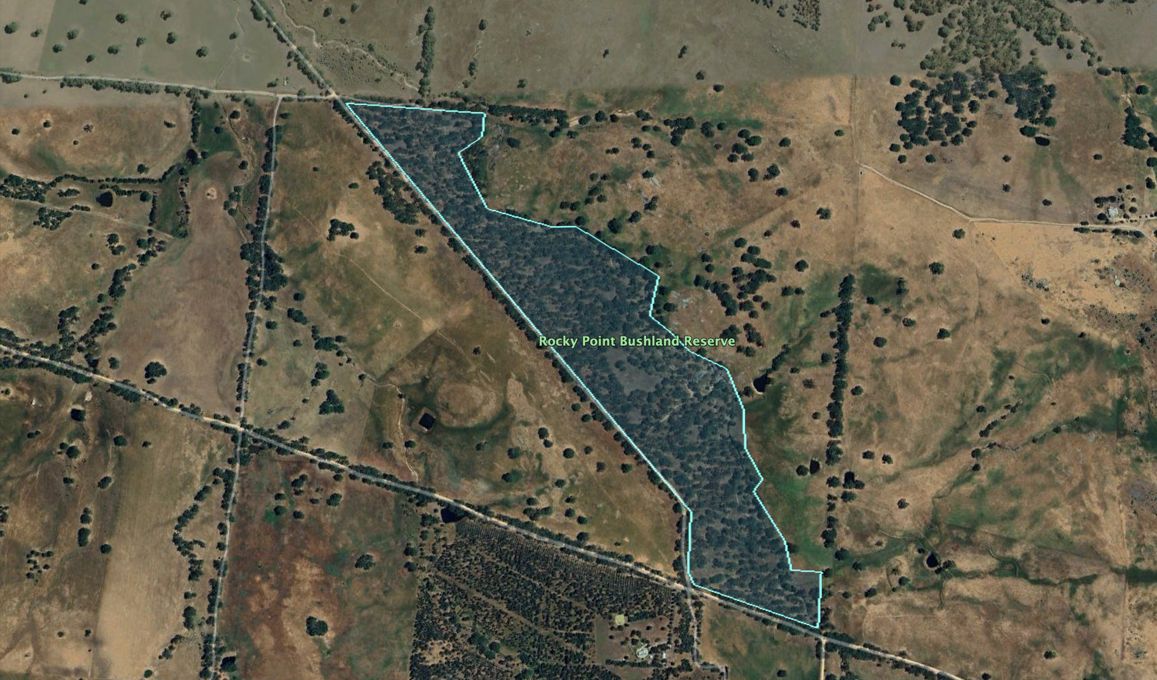
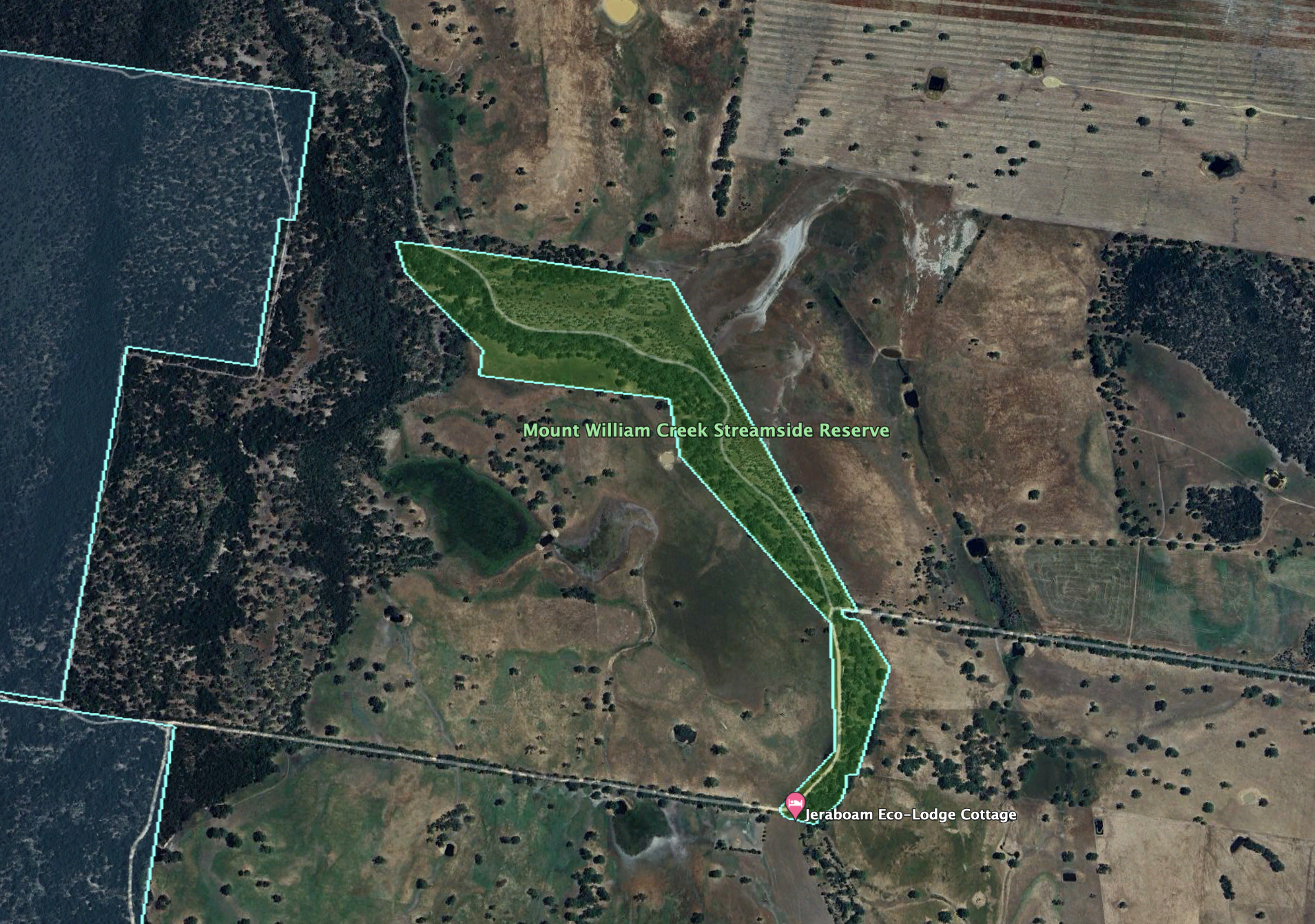
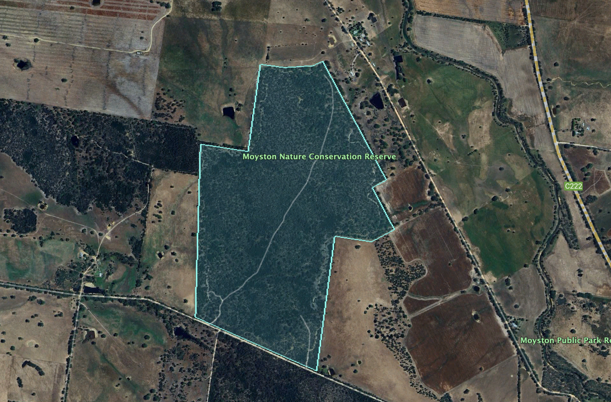
Above:- An aerial view of the reserve. Image c/o Google Earth.

The reserve is about 7 hectares in size and was established on the 22nd day of November 1983. (CAPAD 2022)

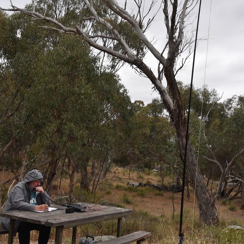
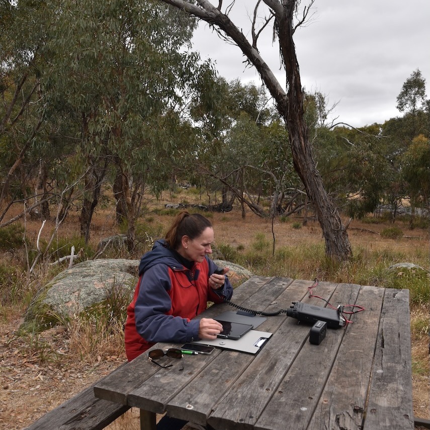
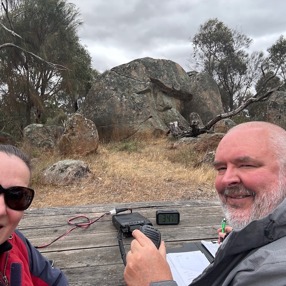
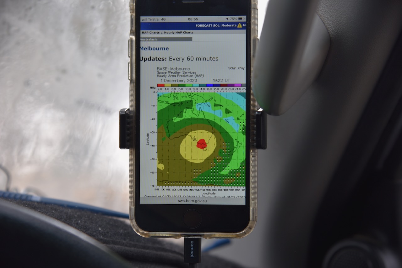
Marija and I ran the Yaesu FT857, 40 watts and the 20/40/80m linked dipole for this activation. I used the special event callsign of VI10VKFF. The band conditions were absolutely terrible as is indicated in the HAP chart screen shot below.

Marija worked the following stations on 80m SSB:-

  1. VK3APJ
  2. VK3PF
  3. VK3KAI

Marija worked the following stations on 40m SSB:-

  1. VK3APJ
  2. VK3PF
  3. VK3KAI

I worked the following stations on 80m SSB:-

  1. VK3APJ
  2. VK3PF
  3. VK3KAI

I worked the following stations on 40m SSB:-

  1. VK2YK
  2. VK5GA
  3. VK2IO/m
  4. VK1AO
  5. VK2MET
  6. VK2SLB
  7. VK1CHW

I worked the following station on 20m SSB:-

  1. VK2IO/m

References.

  1. Dcceew.gov.au. (2023). Collaborative Australian Protected Areas Database (CAPAD) 2022 – DCCEEW. [online] Available at: https://www.dcceew.gov.au/environment/land/nrs/science/capad/2022 [Accessed 3rd May 2024].‌
  2. East Grampians Health Services. (n.d.). 165th anniversary of the death of Sergeant John McNally. [online] Available at: https://eghs.net.au/news/165th-anniversary-of-the-death-of-sergeant-john-mcnally [Accessed 3 May 2024].‌
  3. monumentaustralia.org.au. (n.d.). Sergeant John McNally | Monument Australia. [online] Available at: https://monumentaustralia.org.au/themes/people/crime/display/30743-sergeant-john-mcnally [Accessed 3 May 2024].‌
  4. THE MOUNT ARARAT MURDER. (1857). Mount Alexander Mail. [online] 25 Feb. Available at: https://trove.nla.gov.au/newspaper/article/197084669?searchTerm=gipsy%20smith [Accessed 3 May 2024].‌

Mount William Creek Streamside Reserve VKFF-3801

Our next activation for 1st November 2023, was the Mount William Creek Streamside Reserve VKFF-3801. The reserve is about 7 km northwest of the town of Moyston and about 226 km northwest of the city of Melbourne.

Above:- Map showing the location of Mt William Creek Streamside Reserve. Map c/o Google Maps.

Mount William (Mount Duwul) is the highest point in the Grampians (Gariwerd) National Park at 1,167 metres. Explorer Major Thomas Mitchell climbed the mountain in July 1836 and named it Mount William in honour of King WIlliam IV. (Blake 1978) (Visit Grampians 2024)

The Grampians National Park is known by the Jardwadjali aboriginal people as Gariwerd. The park is 167,219 hectares in size and was proclaimed a national park on the 1st day of July 1984. Major Mitchell first referred to the Grampians as the Coast Mountains and in July 1836 he referred to them as the Gulielmian Mountains after William IV of the UK. Members of Mitchell’s party referred to the mountains as Gulielmean, Gulielman, and the Blue Gulielmean Mountains. Later in 1836 Mitchell referred to them as The Grampians after the Grampian Mountains in his native homeland of Scotland. (Places Names 2021) (Wilkie 2020)

Above:- Major Mitchell. Image c/o Wikipedia.

It was an overcast and stormy day, but Marija and I still enjoyed some nice views of Mount William and The Grampians from our operating spot in the reserve.

The reserve is located along the Moyston West Road.

Above:- An aerial view of the Mount William Creek Streamside Reserve. Image c/o Google Earth.

The reserve is about 38 hectares in size and was established on the 22nd day of November 1983. Although called the Mount William Creek Streamside Reserve, Mount William Creek does not flow through the park. Mount William Creek is just to the west. A tributary of Mount WIlliam Creek, Reservoir Creek flows through the reserve. (CAPAD 2022)

We ran the Yaesu FT857, 40 watts, and the 20/40/80m linked dipole for this activation. I used the special call of VI10VKFF to celebrate the 10 year anniversary of the World Wide Flora Fauna (WWFF) program in Australia.

Marija worked the following stations on 40m SSB:-

  1. VK3PF
  2. VK3KAI

Marija worked the following stations on 40m AM:-

  1. VK3PF
  2. VK3KAI
  3. VK3DJC
  4. VK5HS
  5. VK2EXA
  6. VK3SG
  7. VK3CLD/p
  8. VK3BWS

I worked the following stations on 40m SSB:-

  1. VK3PF
  2. VK3KAI
  3. VK2EXA
  4. VK7PSJ
  5. VK3SG
  6. VK3BBB
  7. VK2CCP
  8. VK2USH
  9. VK3CLD/p
  10. VK3OY/p
  11. VK5TN
  12. VK3DJC
  13. VK3PWG
  14. VK3VIN
  15. VK1AO
  16. VK22MET
  17. VK5KLV
  18. VK3BWS
  19. VK7EE
  20. VK3ABI
  21. KG5CIK
  22. VK4HMI
  23. VK4EMP
  24. VK4TWI
  25. VK3HQZ
  26. KG8P
  27. VK3UAO
  28. VK3SPG
  29. VK3CEO
  30. VK5AKB
  31. VK5AE

I worked the following stations on 40m AM:-

  1. VK3PF
  2. VK3KAI
  3. VK3DJC
  4. VK5HS
  5. VK2EXA
  6. VK3SG
  7. VK3CLD/p
  8. VK3BWS
  9. VK2USH
  10. VK3UAO

I worked the following stations on 20m SSB:-

  1. VK4EMP
  2. VK4TI
  3. SQ9CWO
  4. IK4IDF
  5. KG5CIK
  6. KG8P
  7. I4RHP
  8. IW2NXI
  9. OH6GAZ
  10. IK1GPG
  11. IW2BNA
  12. UT5PI
  13. IK4IDF

Later that evening Marija and I undertook a night time ghost tour at the old Aradale Lunatic Asylum. Aradale was commissioned to accommodate the growing number of “lunatics” in the colony of Victoria, with construction commencing in 1865. In 1867 it was opened for patients and was closed in 1993. AT its peak, Aradale had up to 1,000 patients. (Aradale 2024)

It was at night that Aradale took on a completely different feel.

We had an excellent guide who told some very interesting stories about Aradale and its patients.

This was a very enjoyable evening and Marija and I would highly recommend it for anyone visiting Ararat.

References.

  1. “Aboriginal Placenames 7. Reviving old Indigenous names for new purposes”. Australian National University. Retrieved 25 January 2021.
  2. Aradale.com.au. (2017). Aradale, Lunatic Asylum. [online] Available at: https://www.aradale.com.au/ [Accessed 2nd May 2024].‌
  3. ‌Dcceew.gov.au. (2023). Collaborative Australian Protected Areas Database (CAPAD) 2022 – DCCEEW. [online] Available at: https://www.dcceew.gov.au/environment/land/nrs/science/capad/2022 [Accessed 2nd May 2024].‌
  4. Leslie James Blake, 1978, Place Names of Victoria.‌
  5. Visit Grampians. (2019). Breadcrumbs. [online] Available at: https://www.visitgrampians.com.au/products/mount-william [Accessed 2nd May 2024].‌‌
  6. Wilkie, Benjamin (2020). Gariwerd: An Environmental History of the Grampians. Melbourne: CSIRO Publishing. pp. 43–44. ISBN 9781486307685.

Moyston Nature Conservation Reserve VKFF-2404

Our next activation for Friday 1st December 2023 was the Moyston Nature Conservation Reserve VKFF-2404. The reserve is located about 5 km northwest of the town of Moyston and about 234 km northwest of the city of Melbourne.

Above:- Map showing the location of the Moyston Bushland Reserve. Map c/o Google Maps.

Moyston developed following the discovery of gold in 1857 and then the rich Campbell’s Reef in 1858. By 1858 an Anglican school was opened and three years later the township of Moyston was surveyed. During the early 1860s, the name was changed from Campbell’s Reef to Moyston, named after Moystown in Country Tyrone, Ireland. This was due to the numerous Irish miners from that area. In 1865 Bailliere’s Victorian gazetteer recorded Moyston as having six quartz-crushing and pumping machines, and observed that the surrounding country was well-suited for agriculture. There were three hotels, and a Presbyterian church was built in 1865, along with a courthouse. (Victorian Places 2024)

There is a monument at Moyston for Major Thomas Mitchell who passed through the district in July 1836. The monument is also dedicated to the pioneers of Moyston and district.

There is also a monument to commemorate the life of Thomas Wentworth Wills (b. 1835. d. 1880), a talented cricketer and footballer who is credited with being a founder of Australian Rules Football. He was the Captain of the Melbourne Football Club in 1858 and was involved in forming the Geelong Football Club. He was captain of the Geelong Football Club in 1860 and played an estimated 172 games. He was Captain of an early team from Richmond. Wills lived at Lexington Station at Moyston. While playing as a child with aboriginal children in the area he developed a game that he later utilised in the formation of Australian Football.

Below is a short documentary on the life of Tom Wills.

The famous Moyston football oval is adjacent to the monument.

There are still some signs of the old gold mining history of the Moyston district.

Whilst in Moyston we saw some more hot rods towing their small caravans.

The Moyston Nature Conservation Reserve is located on the northern side of Moyston West Road.

Above:- An aerial view of the Moyston NCR showing its boundaries. Image c/o Google Earth.

The reserve is about 134 hectares in size and was established on the 22nd day of November 1983. (CAPAD 2022)

We ran the Yaesu FT857, 40 watts and the 20/40/80m linked dipole. I used the special call of VI10VKFF for this activation.

Marija worked the following stations on 40m SSB:-

  1. VK3SQ
  2. VK2BD
  3. VK3PF
  4. VK3KAI
  5. VK2EXA

Marija worked the following stations on 40m AM:-

  1. VK3SQ
  2. VK2BD
  3. VK3BEL
  4. VK5TN
  5. VK2EXA
  6. VK1CHW

I worked the following stations on 20m SSB:-

  1. VK1AO
  2. Vk2MET
  3. VK2IO/m
  4. ZL1HIM
  5. KG5CIK
  6. ZL3MR
  7. VK4EMP
  8. VK4TI

I worked the following stations on 40m SSB:-

  1. VK3SQ
  2. VK2BD
  3. VK3PF
  4. VK3KAI
  5. VK2EXA
  6. VK5TN
  7. Vk3BEL
  8. VK2USH
  9. VK1CHW
  10. VK2IO/m
  11. VK3CEO
  12. VK3APT
  13. VK5HS
  14. VK1AO
  15. VK2MET
  16. VK3SO
  17. VK7AAE
  18. VK3UAO
  19. VK3CJN
  20. VK2YK
  21. VK5GA
  22. VK3AG
  23. VK3MCK
  24. VK5BB
  25. VK3AMO
  26. VK3DJC
  27. VK5LA
  28. VK5KAW

I worked the following stations on 40m AM:-

  1. VK3SQ
  2. VK2BD
  3. VK3BEL
  4. VK5TN
  5. VK2EXA
  6. VK1CHW
  7. VK3UAO
  8. VK3PF
  9. VK3KAI
  10. VK5HS
  11. VK5LA
  12. VK3KAW

References.

  1. Dcceew.gov.au. (2023). Collaborative Australian Protected Areas Database (CAPAD) 2022 – DCCEEW. [online] Available at: https://www.dcceew.gov.au/environment/land/nrs/science/capad/2022 [Accessed 2nd May 2024].‌
  2. http://www.victorianplaces.com.au. (n.d.). Moyston | Victorian Places. [online] Available at: https://www.victorianplaces.com.au/moyston [Accessed 2 May 2024].‌