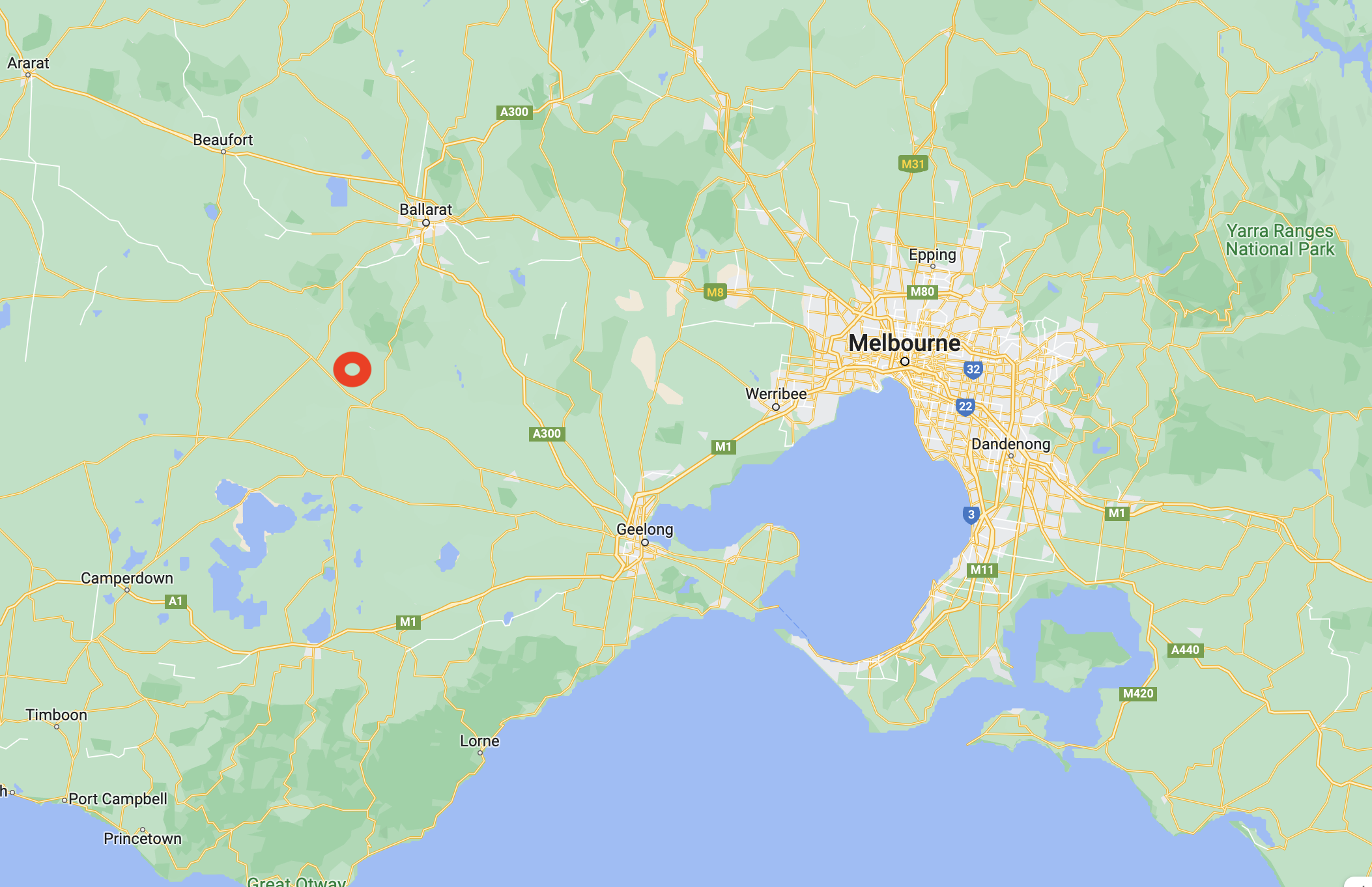
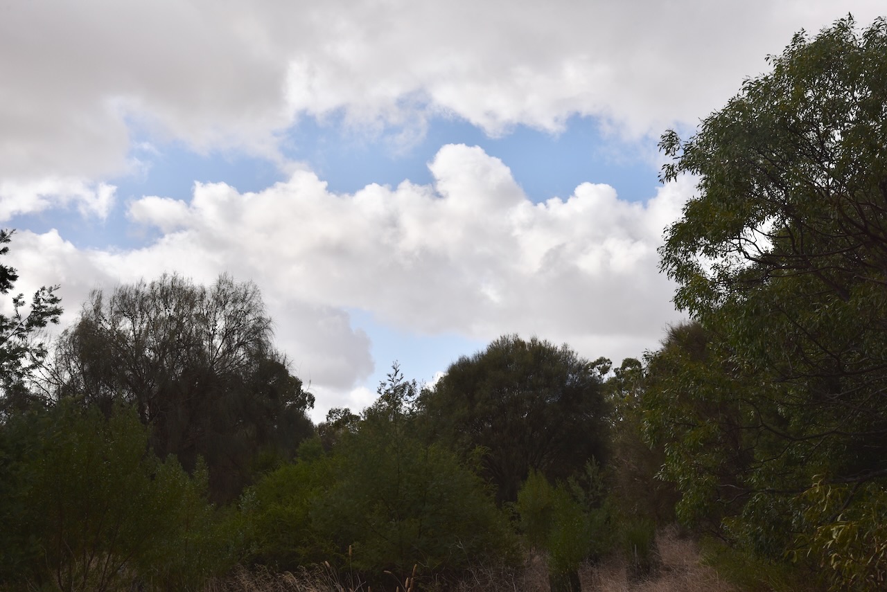
Our fifth park for 7th March 2023 was the Commeralghip Flora Reserve VKFF-2296. The park is about 143 km northwest of Melbourne and about 43 km southwest of Ballarat.
Above:- Map showing the location of the Commeralghip Flora Reserve. Map c/o Google Maps.
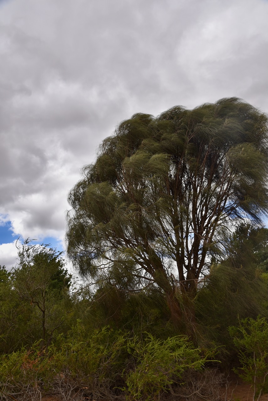
The Commeralghip Flora Reserve is a tiny reserve. It is only 3 hectares in size and was established on the 22nd day of April 1993.
The park is located on Chathams Road.
Above:- An aerial view of the park. Image c/o Google Earth.
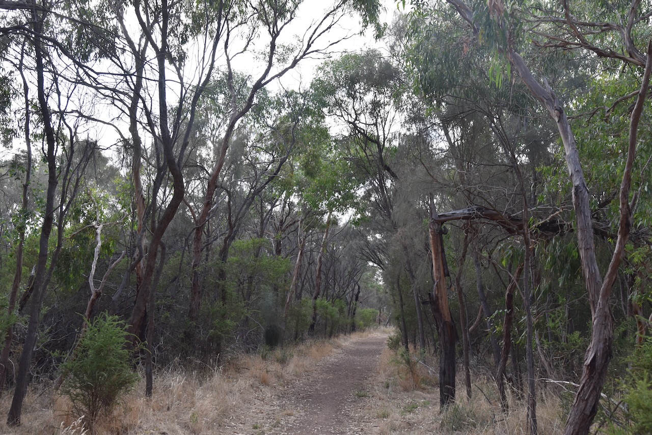
It was absolutely blowing a gale, so we decided to operate from the 4WD. Our antenna was the 20/40/80m linked dipole, inverted vee, supported on a 7-metre heavy duty squid pole.
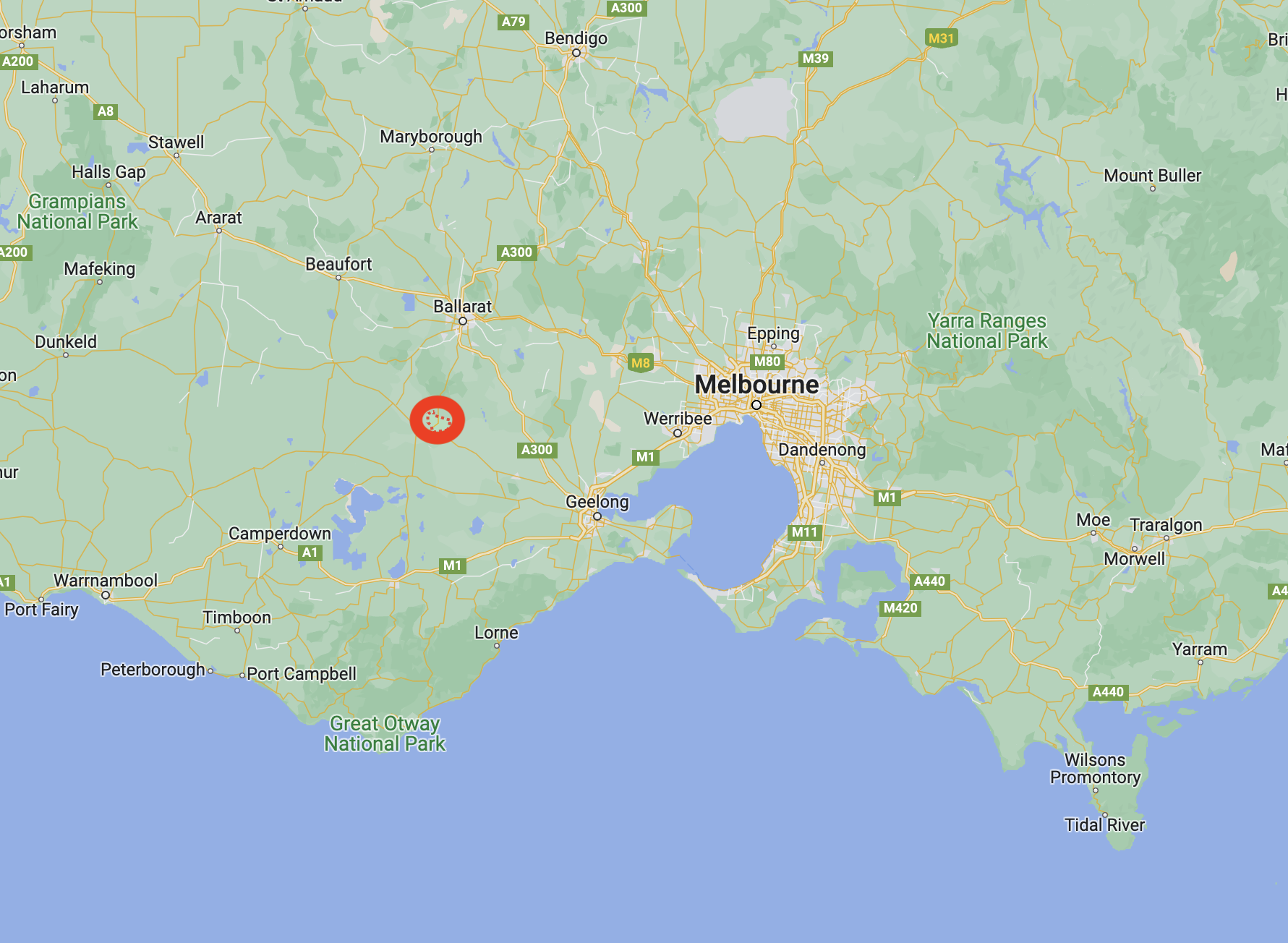
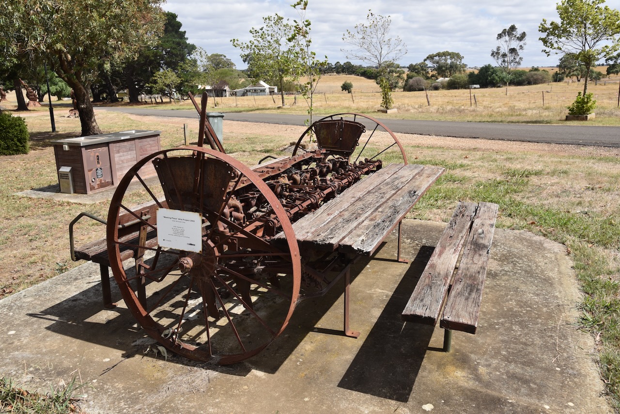
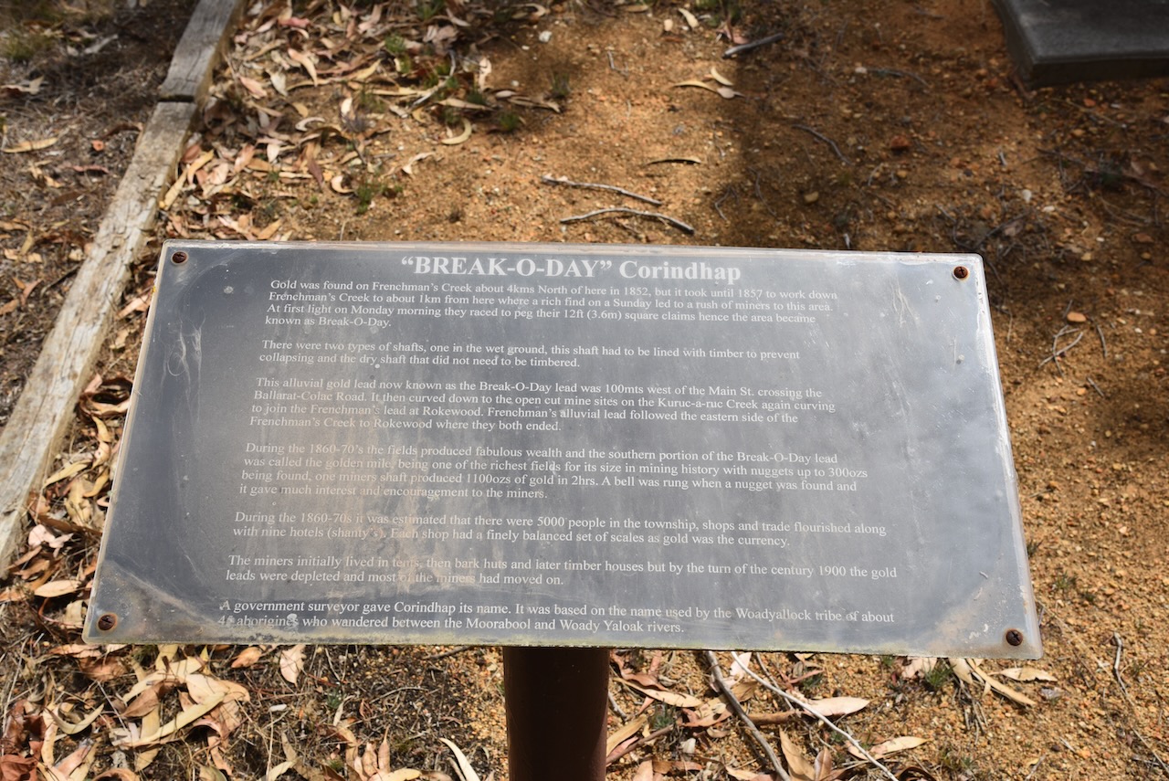
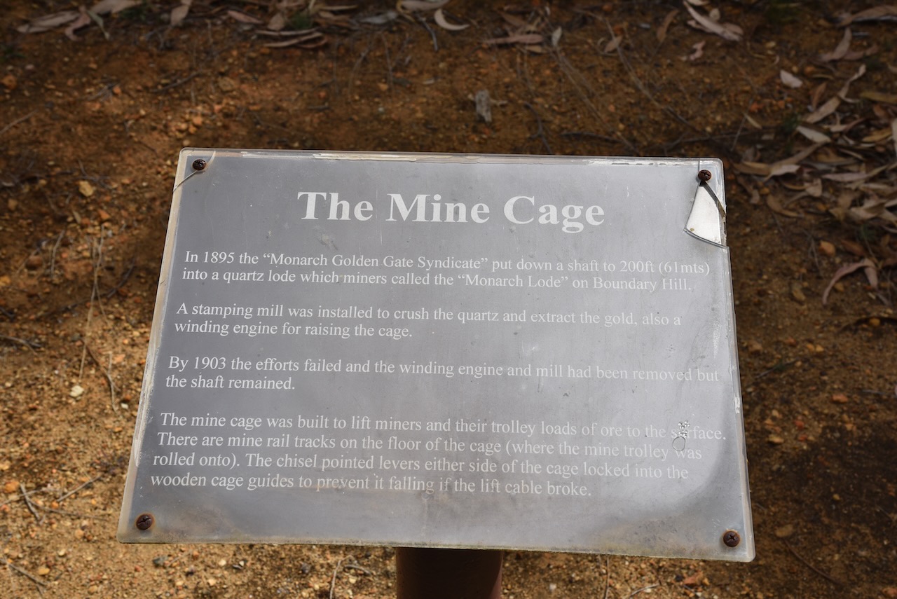
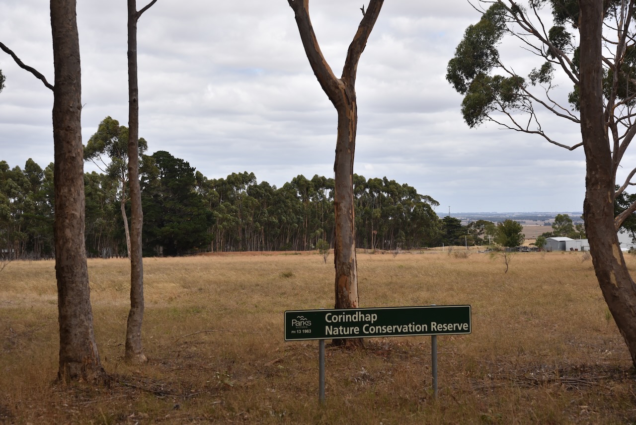
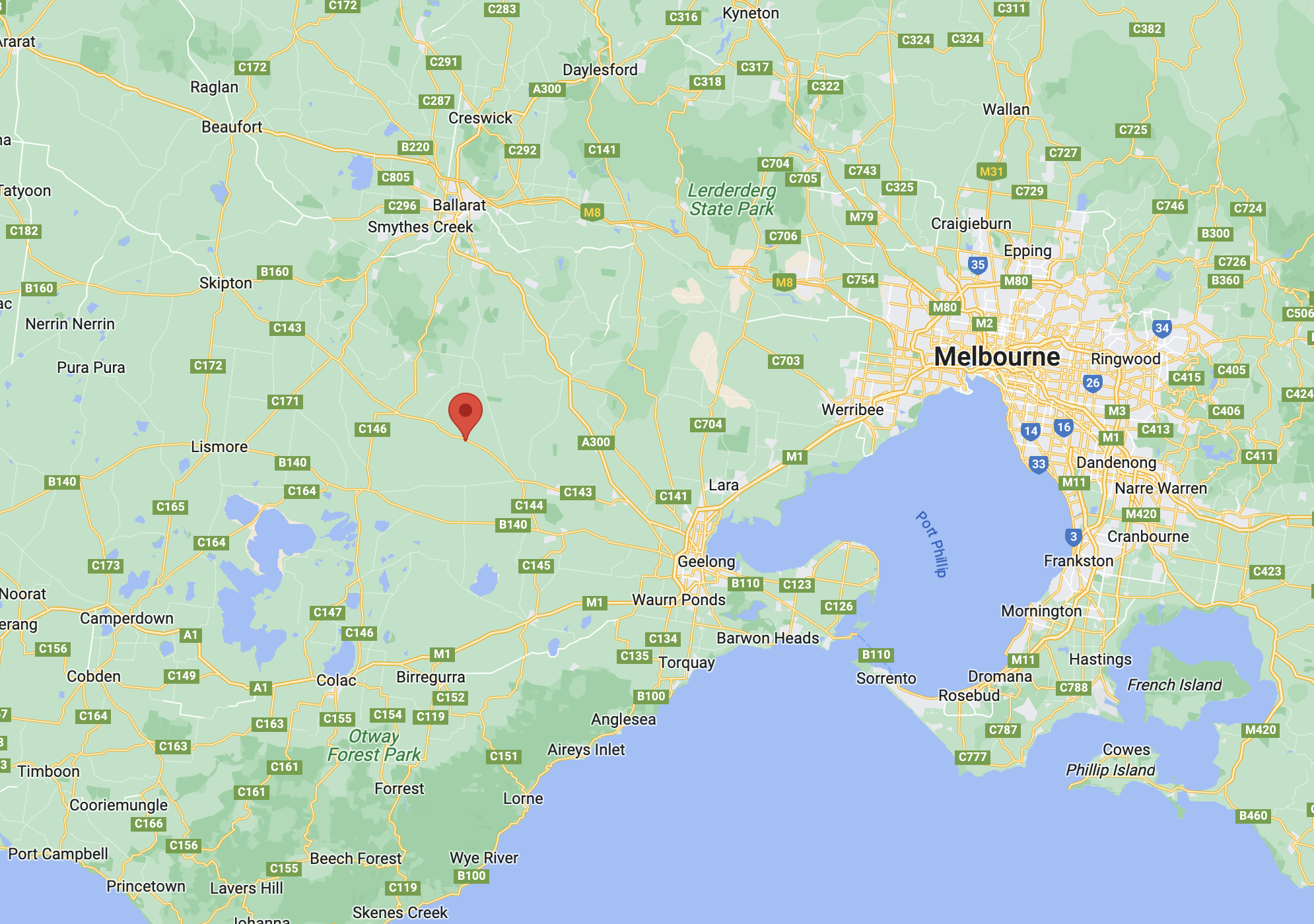
After packing up at Warrambine (7th March 2023), Marija and I made the short 18 km journey to our next park of the day, the Cordinhap Nature Conservation Reserve VKFF-2070. Corindhap is a small town about 35 km south of Ballarat
Above:- Map showing the location of the Cordinhap NCR. Map c/o Google Maps.
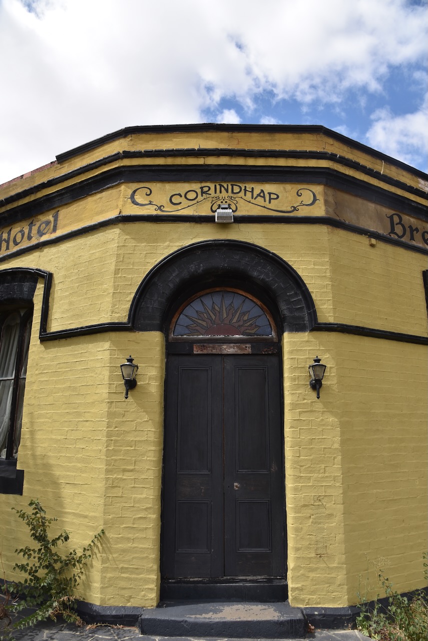
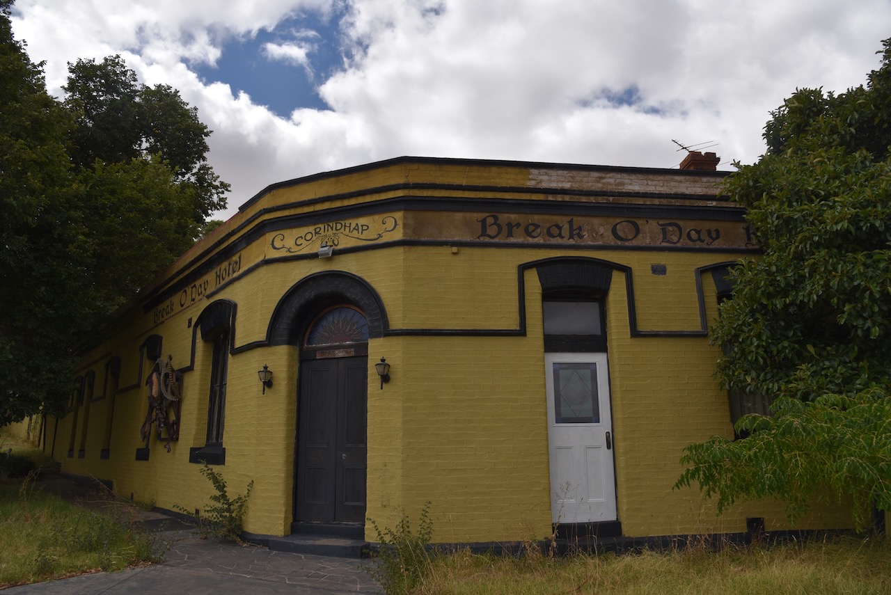
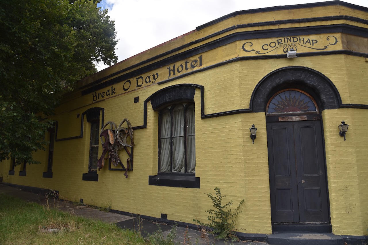
The town was established in 1852 after gold was discovered at Boundary Hill. It was initially known as Break O’Day. By 1857 the town had grown in population to about 5,000 people. The town had four hotels, three bakers, three tailors, two blacksmiths, two drapers, four butchers, two bootmakers, two grocers, two general storekeepers, a tobacconist, and numerous grog shanties. The town also had an Oddfellows Hall, two churches, and a school. The Post office opened on the 25th day of January 1868. It was known as Break O’Day until 1876 and was closed in 1993.
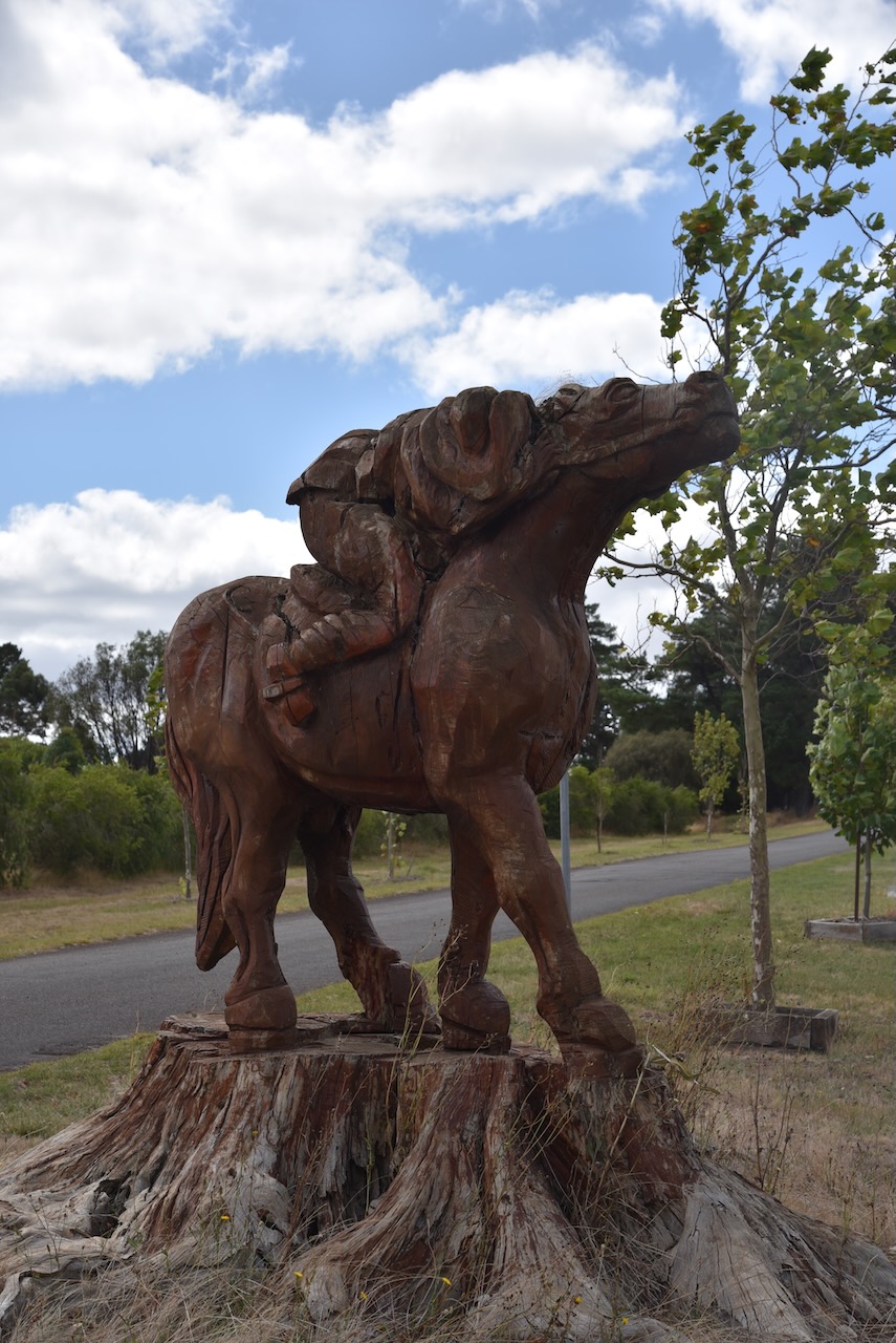
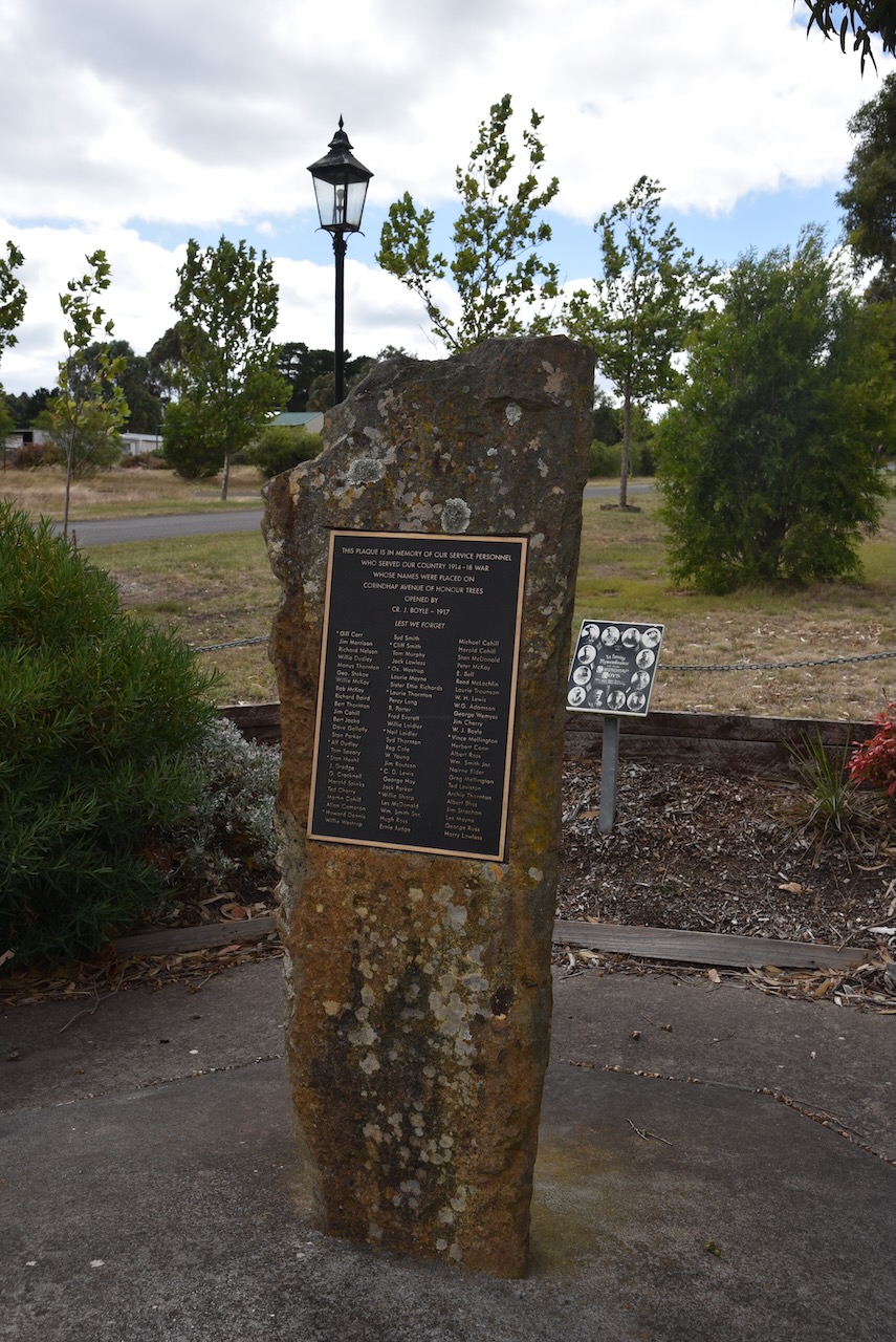
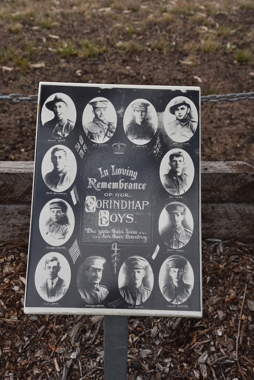
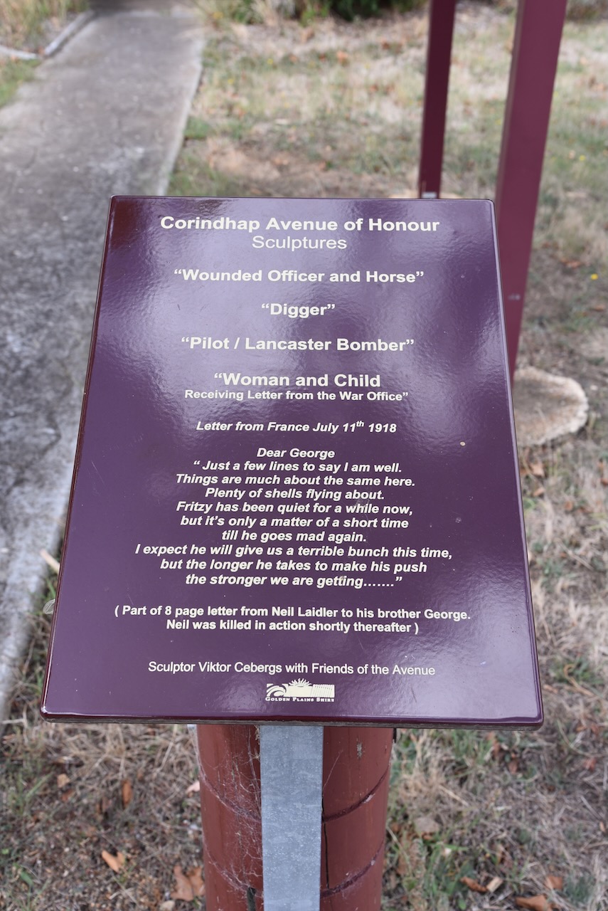
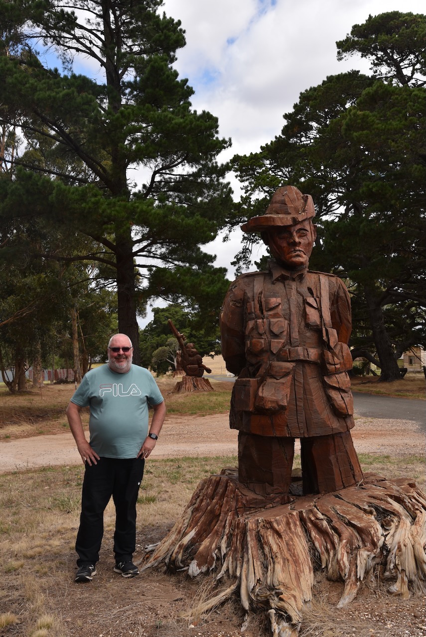
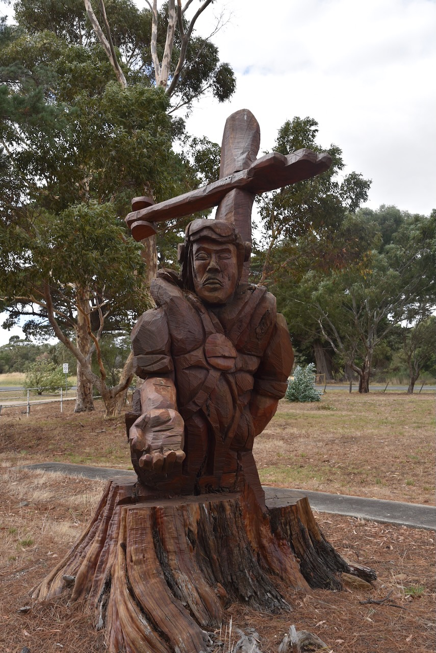
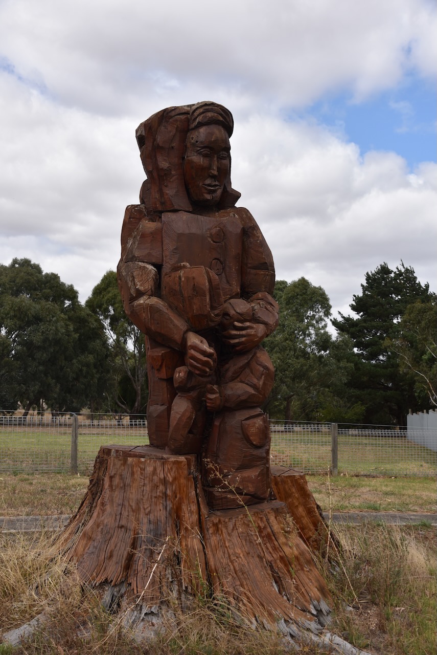
Cordinhap’s Avenue of Honour commemorates those who served in World War One. The Avenue contains a number of wood carvings that depict a wounded officer and horse, a digger, a pilot of a Lancaster bomber, and a woman and child. The carvings were made from Cypress and Radiata pine trees on the avenue which had started to die. Rather than cut the trees down, the lower trunks were kept and local artist Viktor Cebergs transformed the tree stumps into works of art.
The old Break O Day Hotel dates back to 1869. Over the years it has also been known as the Commercial Hotel.
The State School No.1906, at Corindhap officially opened in June 1877. A total of 203 students were enrolled at the school that year.
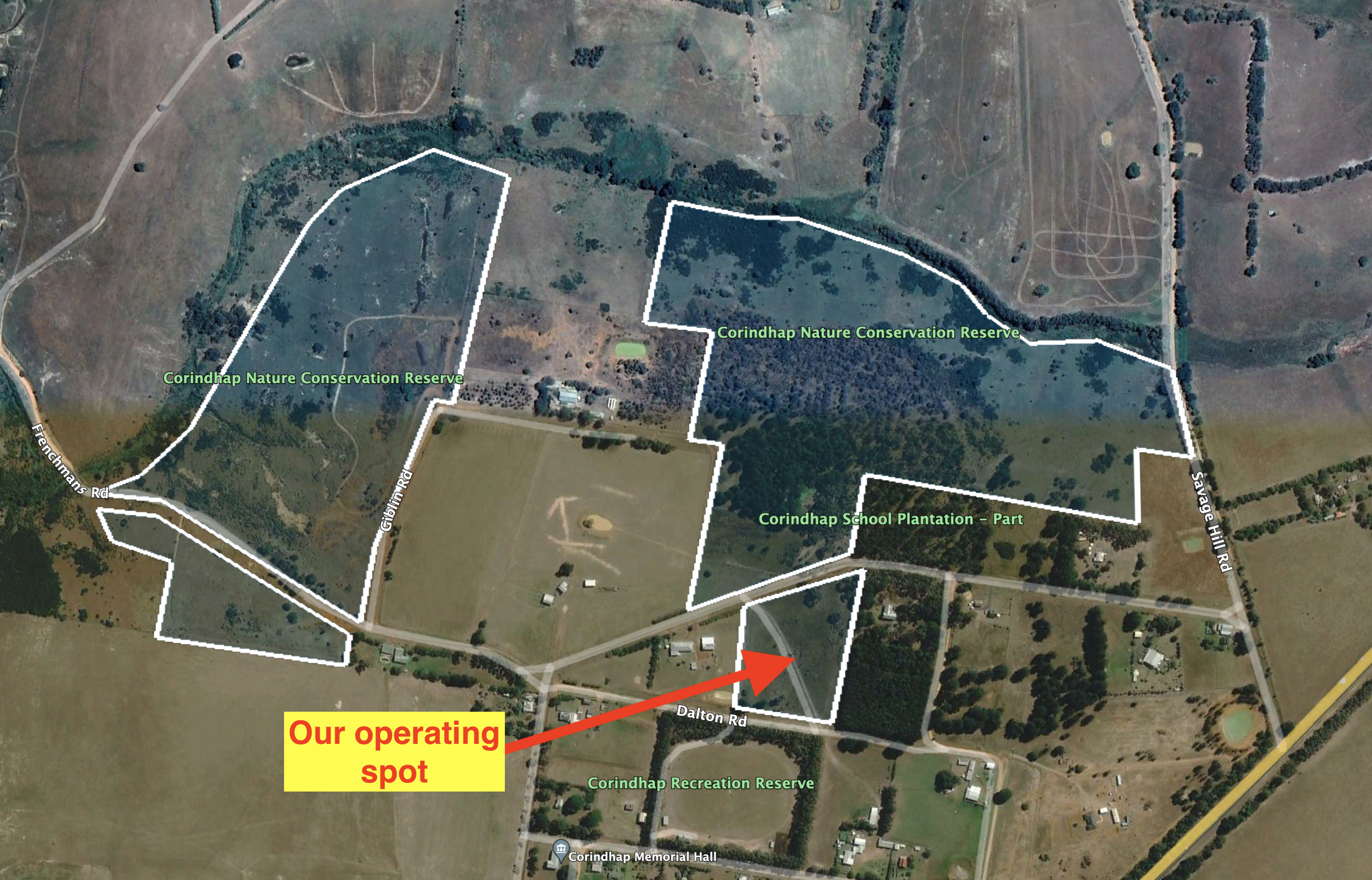
The park is divided into four distinct areas. The first is located north of School Road and west of Savage Hill Road. The second is south of School Road. The third is located north of Frenchmans Road and west of Giblin Road. And the fourth is south of Frenchmans Road.
The park is 39 hectares in size and was established on the 16th day of November 1999.
We set up off School Road and ran the Icom IC7000, 100 watts, and the Codan 9350 antenna (1.5 m stainless steel whip).
Above:- An aerial shot of the park showing our operating spot. Image c/o Google Earth.
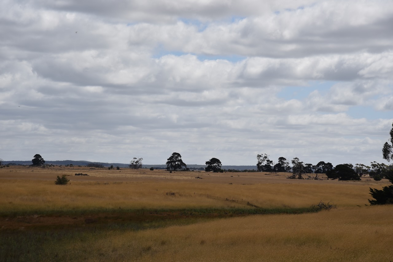
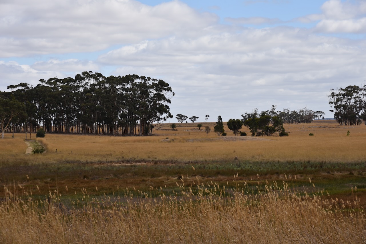
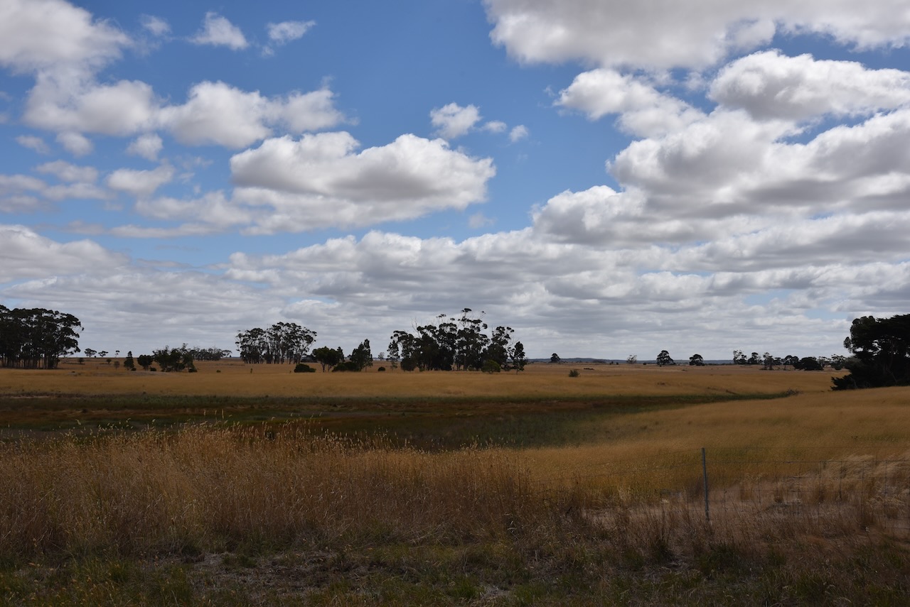
Our next park for 7th March 2023 was the Warrambine Flora Reserve VKFF-2479. It was only a short 12 km drive from Mount Mercer before reaching the park.
Above:- Map showing the location of the Warrambine Flora Reserve. Map c/o Google Maps.
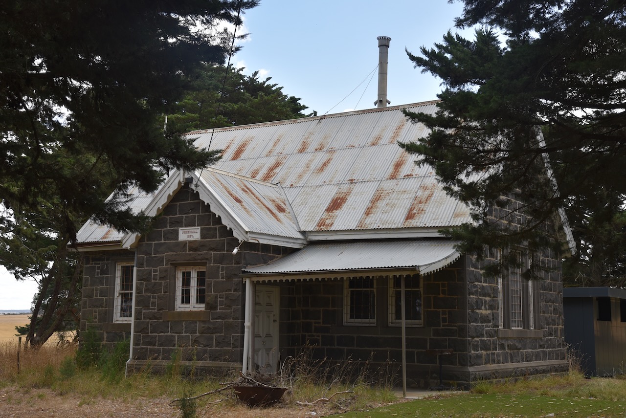
Right alongside the park is the old Warrambine Shire Hall, a beautiful bluestone building that was constructed in 1871. Despite its relatively small size, Warrambine in the late 1800s was the administrative centre for the Shire of Leigh and the site of its shire hall.
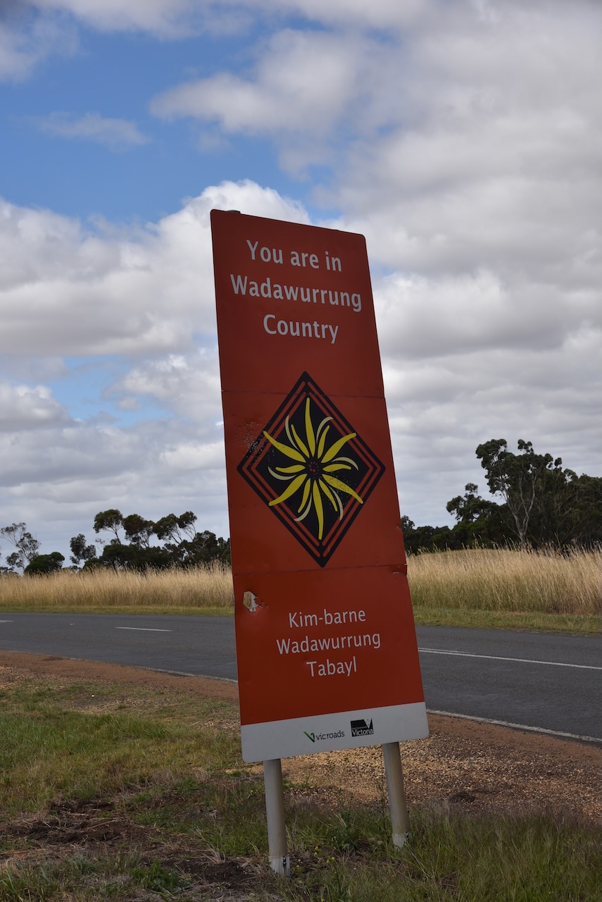
The Wadawurrung Aboriginal people are the traditional owners of the land around Warrambine.
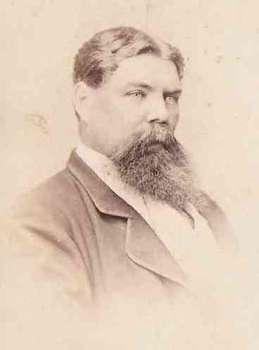
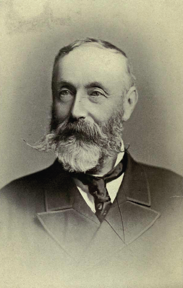
Warrambine takes its name from the Warrambeen pastoral run which was one of the early land leases in the Portland Bay District, Geelong. It had an estimated area of 26,301 acres. Major William Drummond Mercer (b. 1796. d. 1871) held the lease on the property from 1842-1846. It was then leased and owned by “Big John” Bell (b. 1821 d. 1867).
Above:- John Bell. Image c/o bellarmstrong.kohlstrom.com.au
The land was then taken up by Alexander Armstrong (b. 1823. d. 1890). His children attended the state school in the village. Following the closure of the school in 1883, Armstrong provided a hut on his property for a private school, paying the teacher £28 p.a. with lodging. In 1890 this was closed at the time of Armstrong’s death.
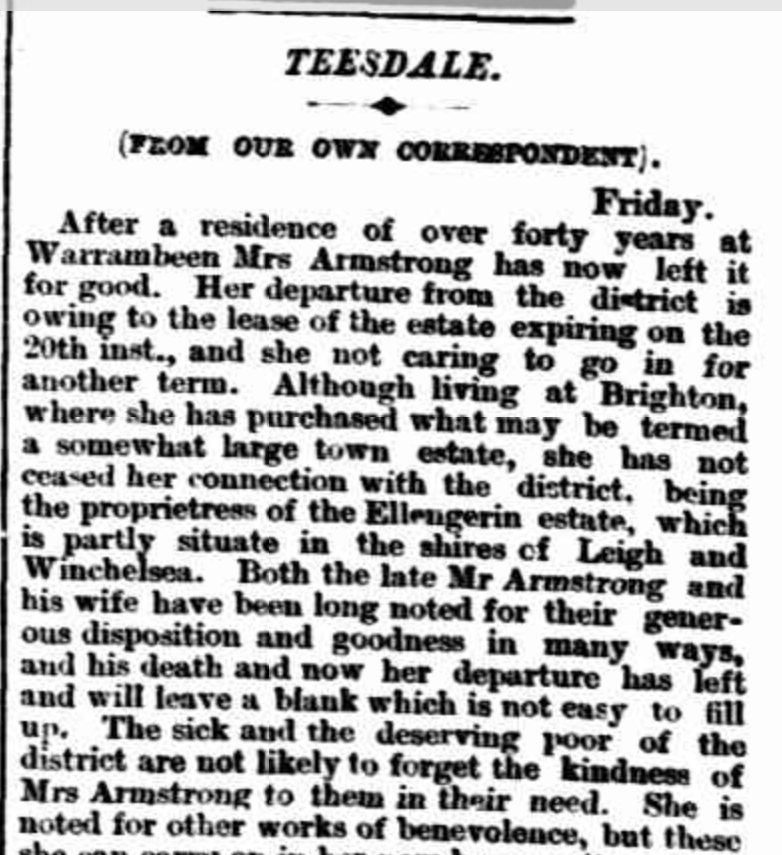
His wife Betsy remained on the property until December 1892 when the lease expired.
Above:- part of an article from the Geelong Advertiser, Sat 17 Dec 1892. Image c/o Trove.
In 1863 alongside the Warrambine Creek, Halfway House Inn was built. It was so named due to being located near the halfway point between Geelong and Ballarat on a Cobb & Co. coach route. It was located on the opposite side of the road to the Shire Hall.
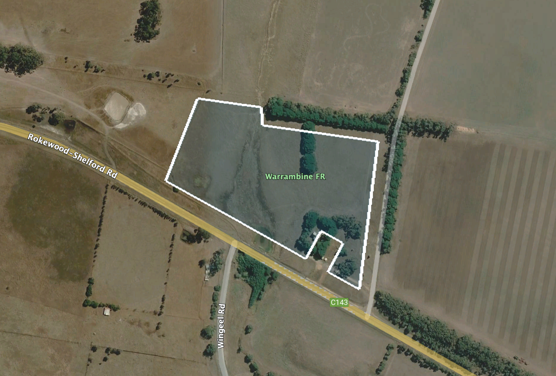
The Warrambine Flora Reserve is located on the northern side of the Rokewood-Shelford Road.
Above:- Aerial view of the park. Image c/o Google Earth.
The park is 6 hectares in size and was established on the 17th day of November 1988.
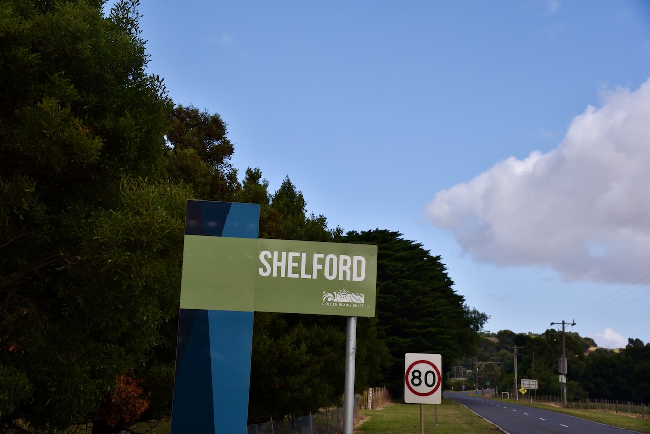
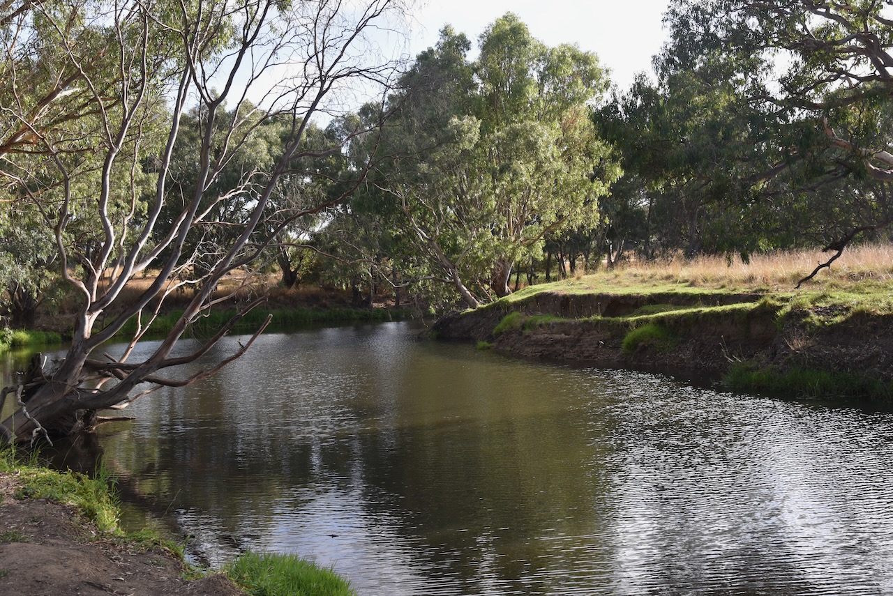
After leaving the Teesdale Flora Reserve, Marija and I travelled northwest on the Rokewood-Shelford Road and soon reached the little town of Shelford.
We last travelled through Shelford in November 2022, on our way home after a visit to Tasmania.
Shelford is about 52 km south of Ballarat. It is located at the intersection of the Leigh River and the road from Geelong to Rokewood. In 1836, Golf Hill Station was established on the bank of the Leigh River. The majority of the local squatters in the area originated from Scotland. In 1843 the Settlers Arms Inn was built at this location by Captain Francis Ormond (b. 1827. d. 1889). It was affectionately known as Ormond’s Inn and was the first Inn on the trade route between Geelong and Hamilton. By the late 1840s, a Presbyterian school had opened.
Above:- Francis Ormond. Image c/o Wikipedia.
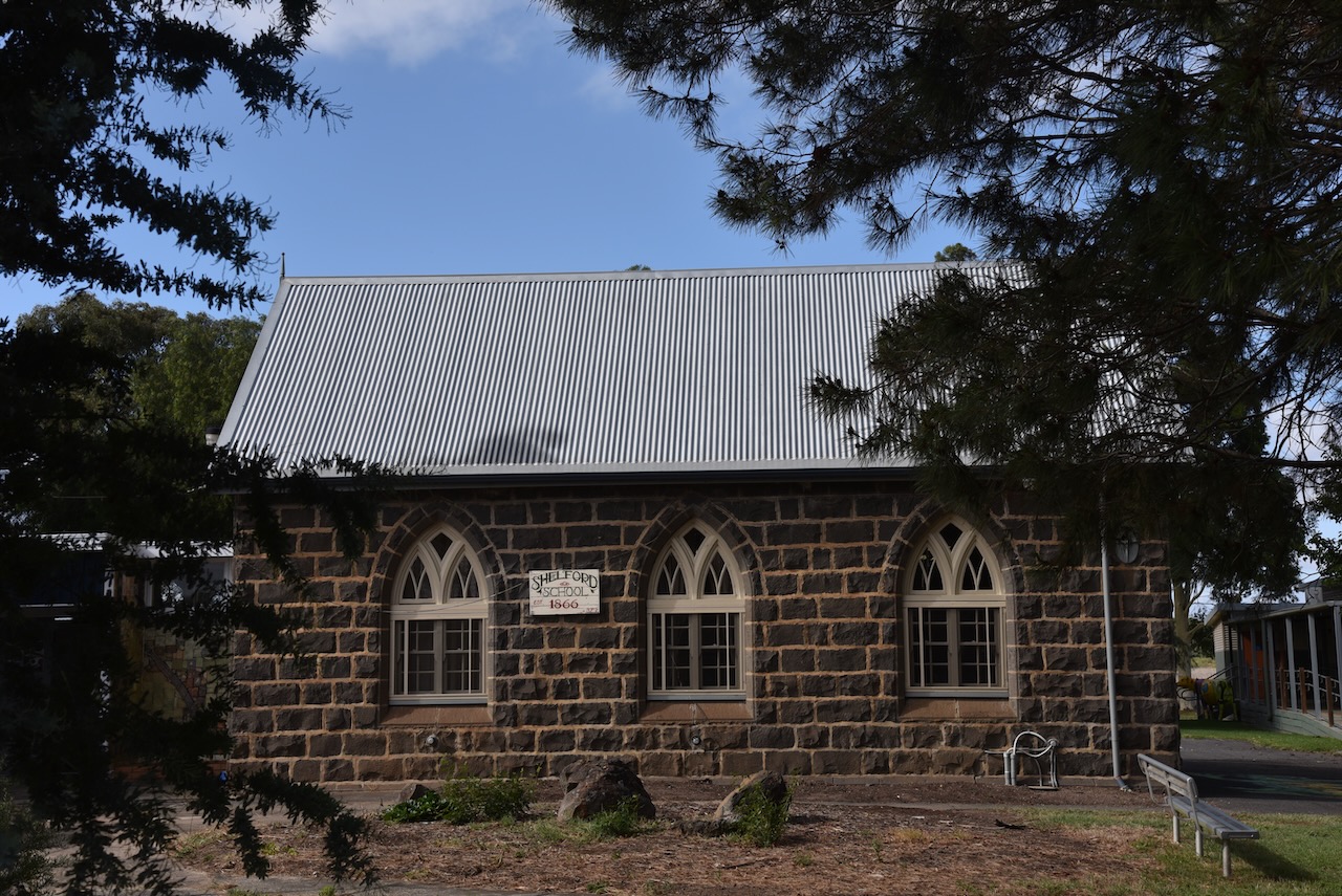
The Post Office opened on the 1st day of July 1847 and was known as The Leigh. In 1850 a Presbyterian church was established. In 1853 a Denominational School was opened. The name was then changed to Shelford in 1854. It is believed that the name comes from Shelford in England.
By the 1860s Shelford had become the district’s principal town. This prompted the establishment of the Shelford Road District in 1861, the predecessor of Leigh Shire. By 1864 Shelford had a mechanics institute and in 1865 a courthouse was established.
In 1859, the Mount Mercer Station was the scene of a murder. George Kennecke was charged with the shooting murder of George Crombie.
Above:- Part of an article from The Age, Thu 17 Nov 1859. Image c/o Trove.
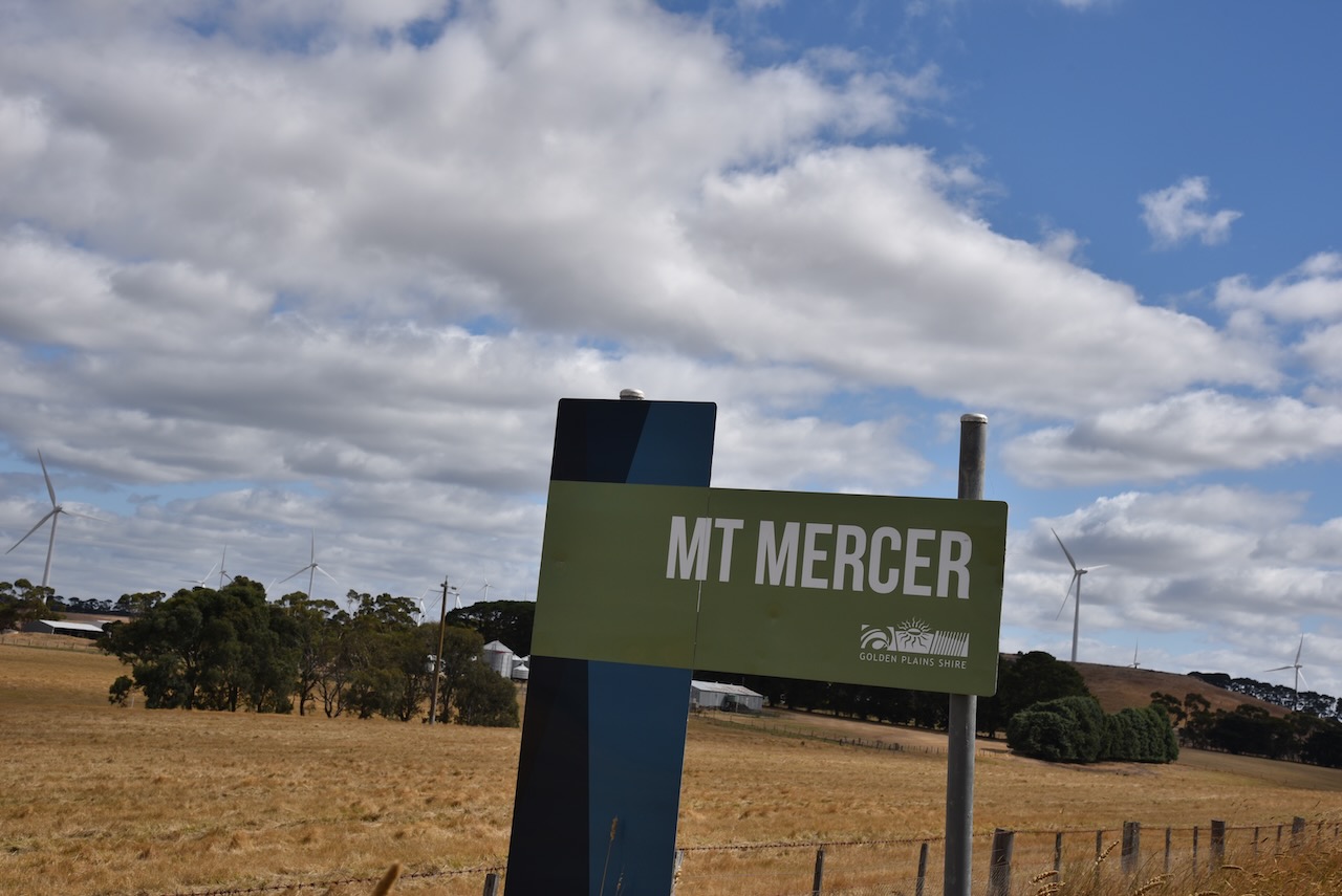
We continued north on the Shelford-Mercer Road and soon reached Mount Mercer. It is named after pastoralist George Duncan Mercer (b. 1815. d. 1884) who established the Mount Mercer Run.
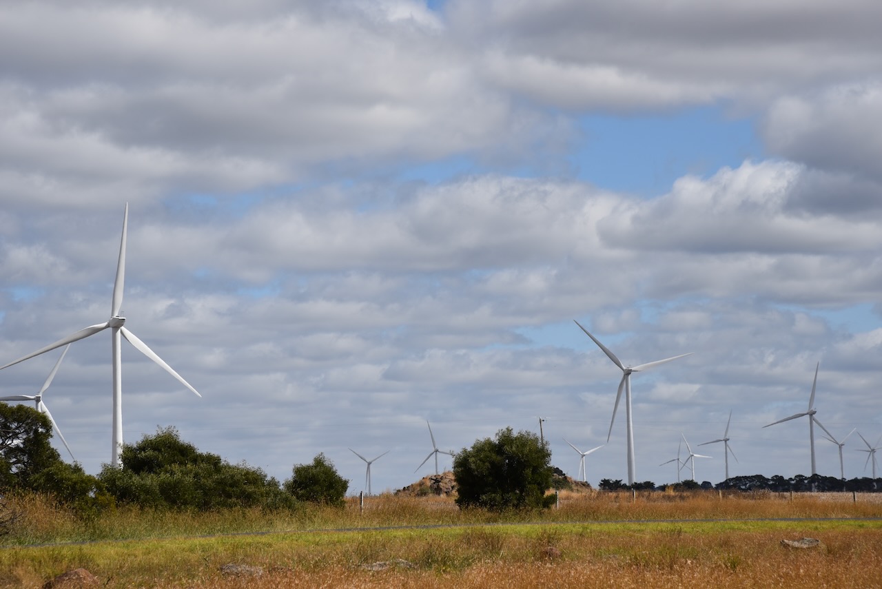
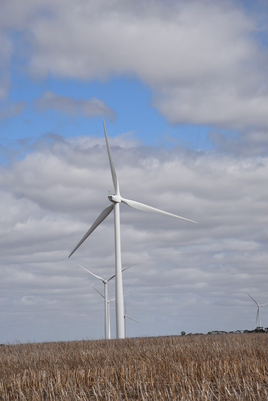
The Mount Mercer Wind Farm is located in one of the windiest regions of Victoria. It comprises 64 wind turbines with a rated capacity of 2.05 MW and produces over 390,000 MWh of clean electricity per year. This is equivalent to the annual consumption of more than 73,000 average Victorian households.
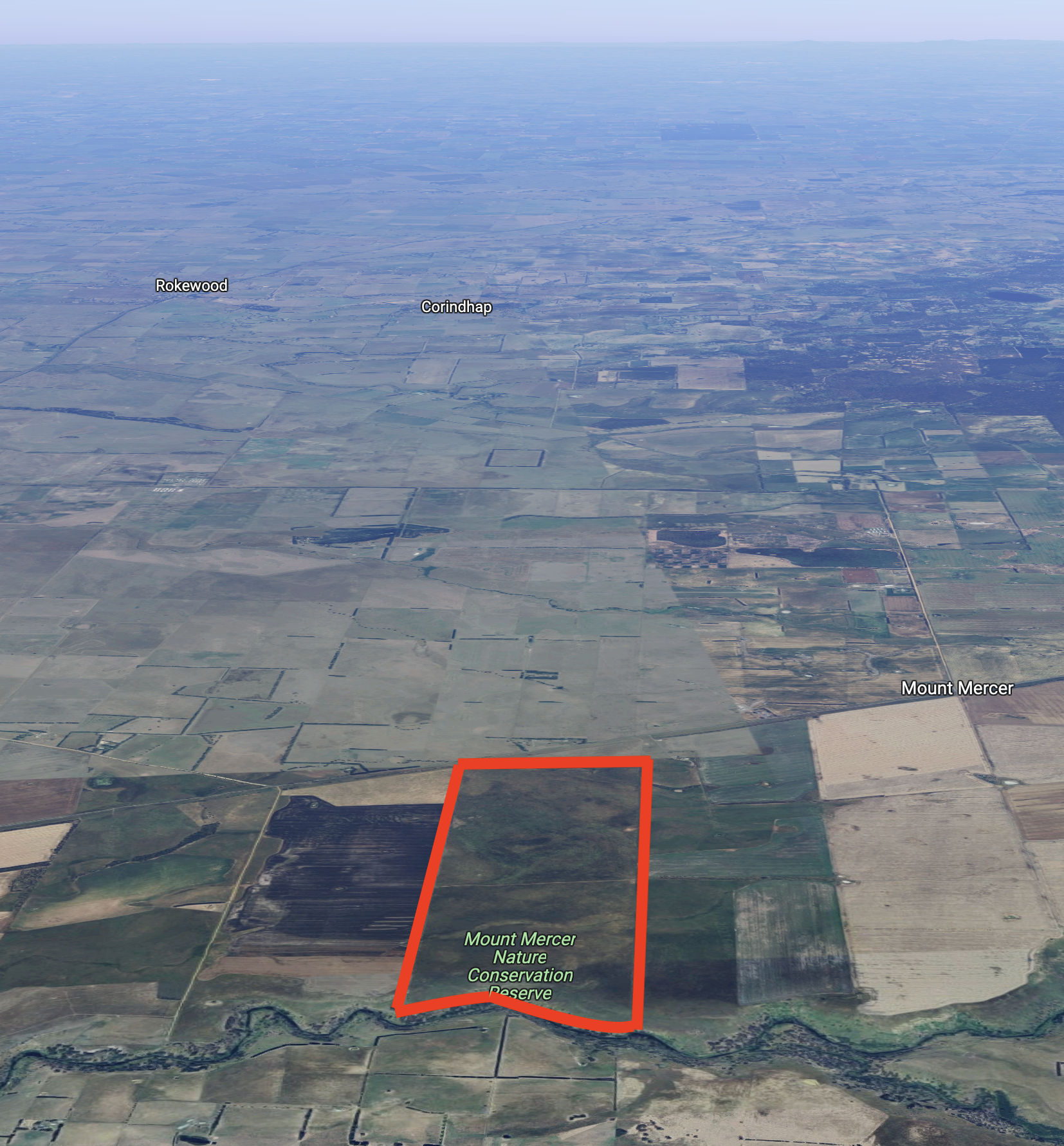
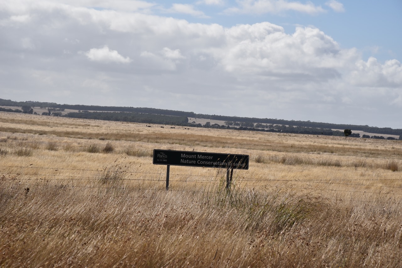
The Mount Mercer is about 215 hectares in size and located on the eastern side of the Shelford-Mount Mercer Road and backs on to the Leigh River.
Above:- An aerial view of the Mount Mercer NCR. Image c/o Google maps.
In 1999 a strategic assessment was conducted by the Department of Sustainability and Environment to identify Victoria’s most threatened ecosystems. This particularly included native grasslands and grassy woodlands. The Mount Mercer grasslands were identified and purchased due to their size and good condition. It was originally known as McNaughtons Paddock. The purchase of the Mount Mercer grasslands was completed on the 6th day of September 2002. On the 24th day of September 2002, the land was transferred to the Crown and on the 20th day of October 2003 it was assigned to Parks Victoria for management.
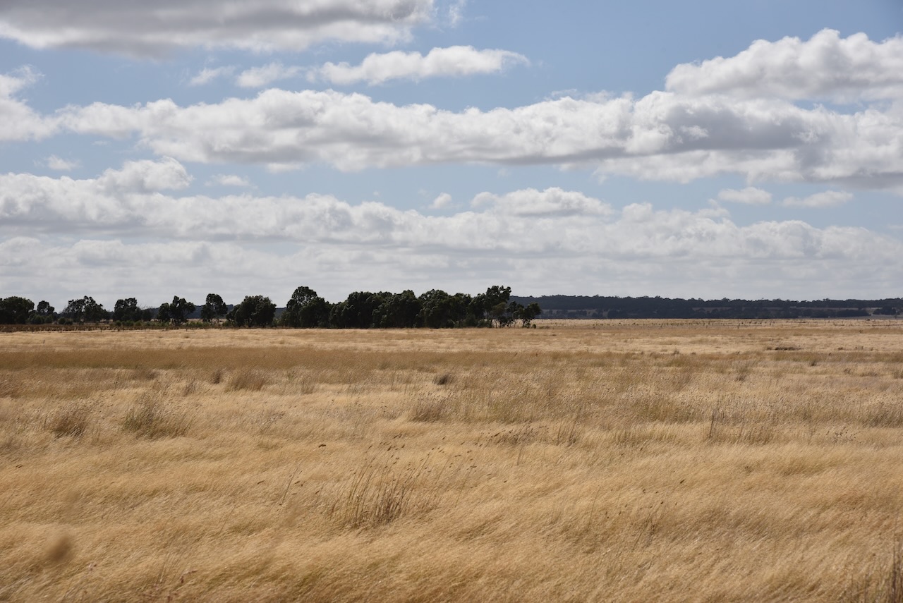
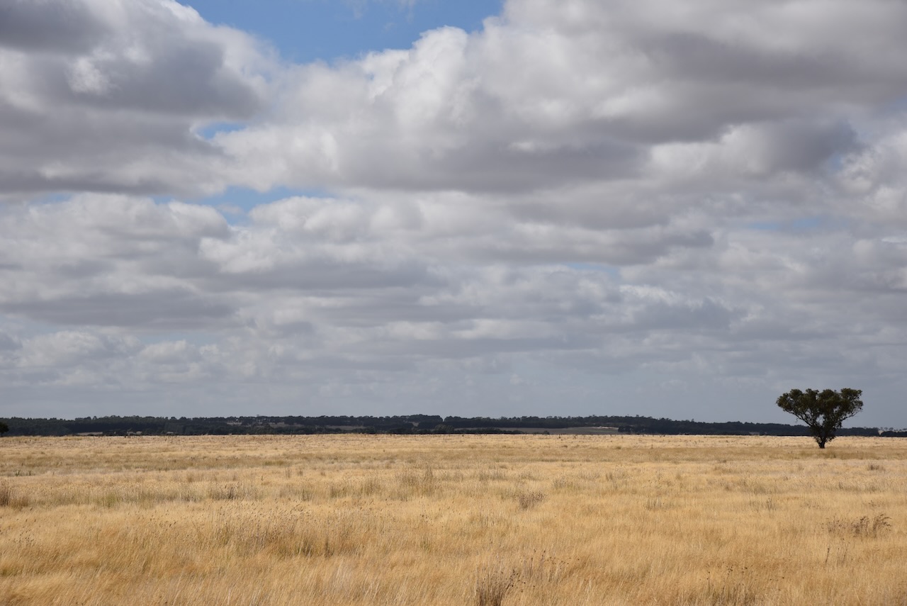
Plains Grassland is the main Ecological Vegetation Class represented in the Mount Mercer Nature Conservation Reserve. Plains Grassland is considered endangered in the Victorian Volcanic Plains bioregion and patches of the size present in Mount Mercer NCR are very rare.
The grasslands container in Mount Mercer NCR also fall within the definition for the Western (Basalt) Plains Grassland Community, which is listed as threatened under the Victorian Flora and Fauna Guarantee Act 1988. This community of grassland was recently nominated for listing as a threatened ecological community under the Environmental Protection and Biodiversity Conservation Act 1999 . It is estimated that only around 0.5% of the original extent of this community remains in the Victorian Volcanic Plain bioregion.
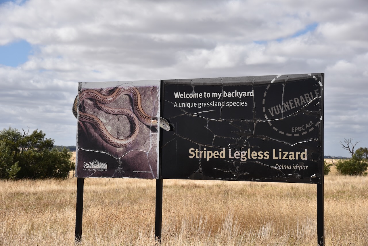
The park is home to the nationally significant Striped Legless Lizard. It is threatened with extinction, with few habitats left. The lizard is up to 30cm in length and is superficially similar to a snake. It is sometimes confused with the deadly Brown snake.
The park is also home to the Fat-Tailed Dunnart, a native mouse-like marsupial. It is from the same family that includes Quolls and the Tasmanian Devil.
This was a climb over-the-fence activation as there were no gates.
Marija worked the following stations on 40m SSB before the UTC rollover:-
VK3PF
VK7JFD
Marija worked the following stations on 40m SSB after the UTC rollover:-
VK5GY
VK1RF
VK3PF
VK5IS
VK7JFD
VK1AO
VK2MET
VK3ANL
VK5BJE
VK3APJ
VK5TN
Marija worked the following station on 20m SSB:-
VK2VAR/p (Bamarang Nature Reserve VKFF-2517)
I worked the following stations on 40m SSB before the UTC rollover:-
VK3PF
VK7JFD
I worked the following stations on 40m SSB after the UTC rollover:-
VK5GY
VK1RF
VK3PF
VK5IS
VK7JFD
VK1AO
VK2MET
VK3ANL
VK5BJE
VK3APJ
VK5TN
I worked the following stations on 20m SSB:-
VK2IO
VK4FW
VK8MM
VK5IS
VK2VAR/p (Bamarang Nature Reserve VKFF-2517)
We struggled with band conditions and fell well short of the 44 QSOs required to qualify the park for the global World Wide Flora Fauna (WWFF) program. But we did qualify the park for the VKKF Australian program.
References.
Mount Mercer Nature Conservation Reserve Management Statement, May 2005.
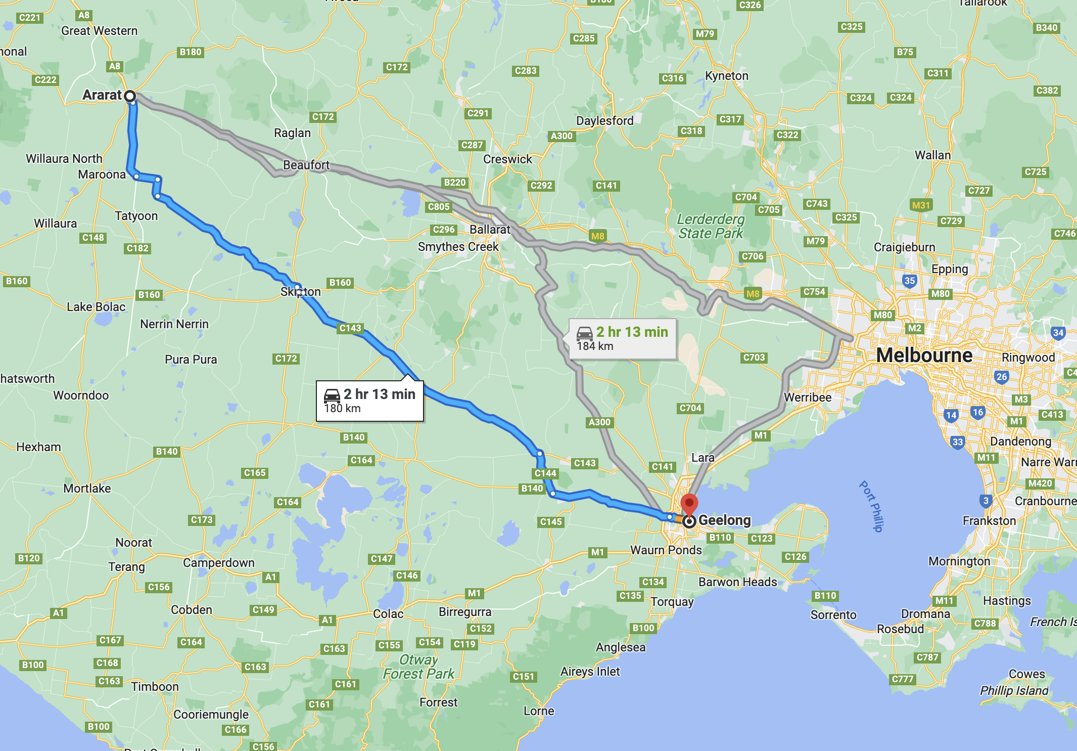
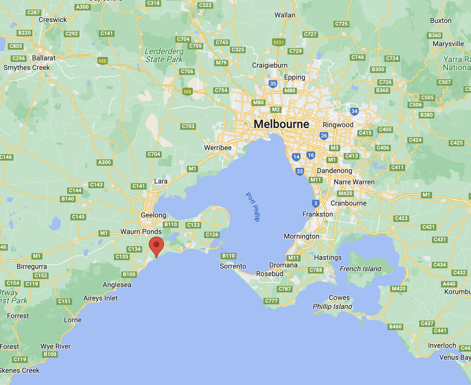
It was now Tuesday 7th March 2023, and it was time to leave Geelong. We had booked in to stay at Ararat for one night before heading back home. Today we had a 180km journey ahead of us, with some planned park activations.
Above:- Map showing the route between Geelong and Ararat. Map c/o Google Maps.
After breakfast, we headed to Fyansford, a small township on the western edge of Geelong. It was named after Captain Foster Fyans who came to Geelong as a Police magistrate in 1837. We wanted to have a look at the Fyansford cement silo which had silo art on it. Sadly, when we got to its location, there was nothing there. We sought some help from Google and sadly found that the silo had been demolished.
The Fyansford silos were the 14th silo to have been completed in the Australian Silo Art Trail. The silo artist was Rone, a world- renowned street artist who came from Geelong. The silos were demolished in April 2020.
Fortunately, Marija and I did get to see this silo art some years ago in 2018 when we were in Geelong.
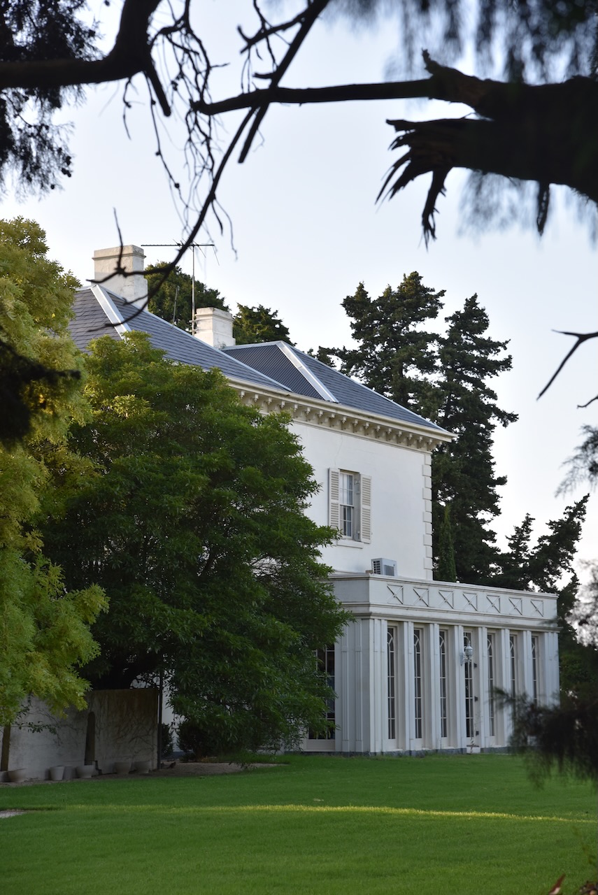
Just around the corner in McCurdy Road are some magnificent old homes. One of those is at 210 McCurdy Road. It is a beautiful stone mansion dating back to 1855.
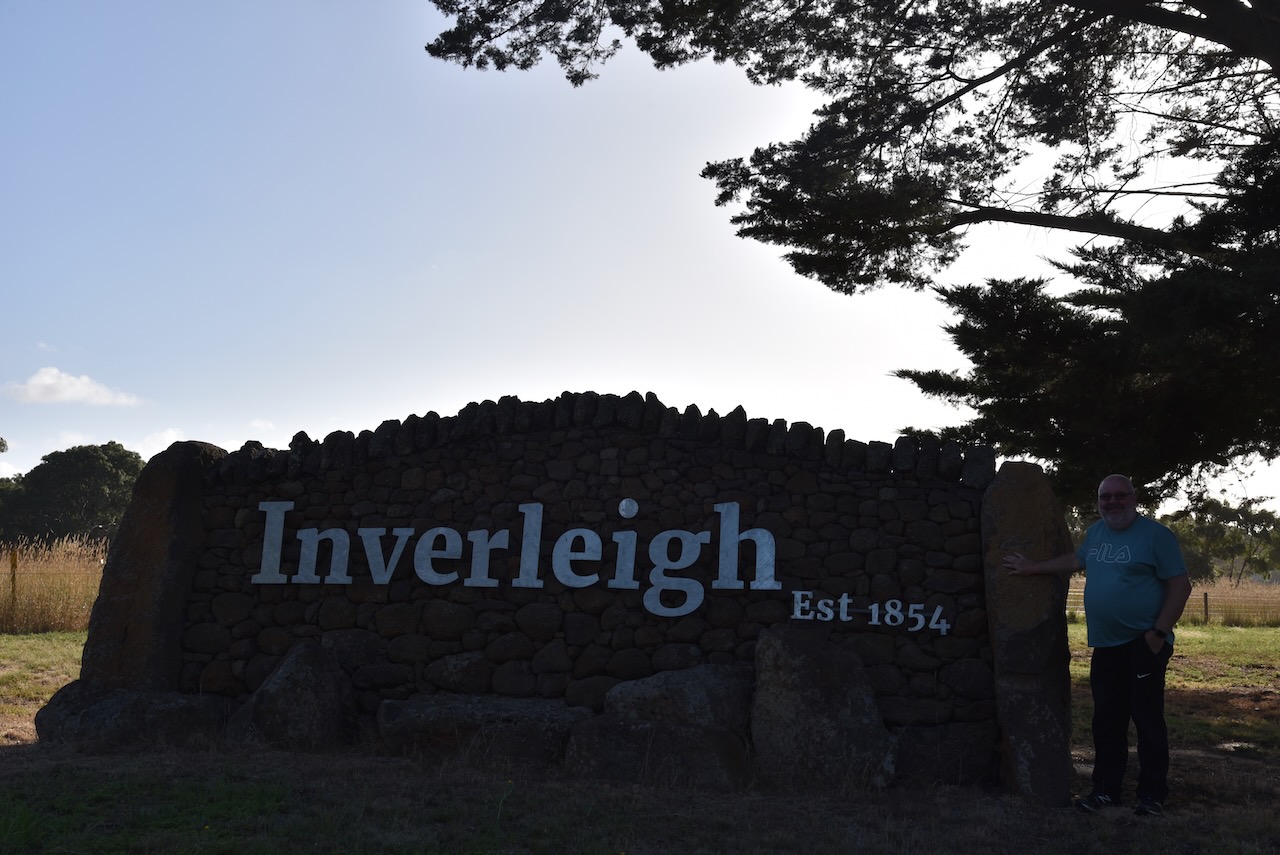
We left Geelong and headed to Inverleigh along the Hamilton Highway. This small town is about 30km east of Geelong. We have been to Inverleigh before and it is a beautiful little town with quite a bit to see.
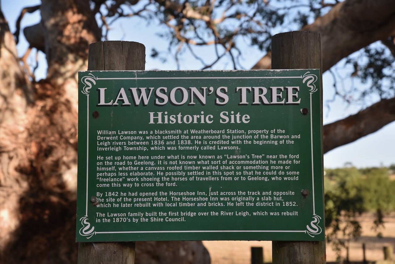
Prior to the construction of the Hamilton Highway, the road was known as the Lower Leigh Road and was an early track to the Western District of Victoria. An Inn was built in 1843 by William Lawson near a ford, across the Barwon River. The area was prone to flooding and due to the silt left by floodwaters, the land was perfect for farming.
Between 1851-1853 Lawson built a new hotel, the Horseshoe Inn. In 1853 the township of Inverleigh was proclaimed. In 1855 a bridge was built over the Barwon River at Inverleigh.
Inverleigh took its name from the Leigh River which had been named by the Colonial Surveyor, John Helder Wedge in 1835. Inverleigh is believed to mean ‘mouth of’ or ‘against’ the Leigh River.
Above:- John Helder Wedge. Image c/o Wikipedia.
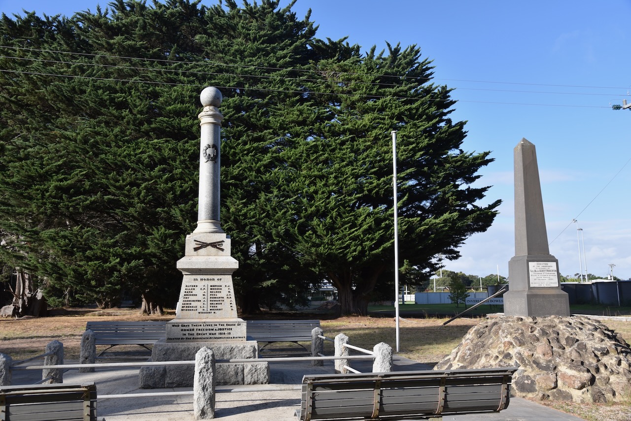
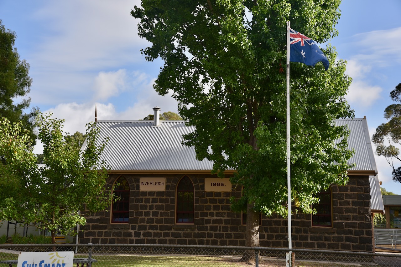
Inverleigh has a number of historic buildings. They include the Inverleigh Presbyterian church erected in c. 1861, and the Inverleigh school which is on the Victorian Heritage Register.
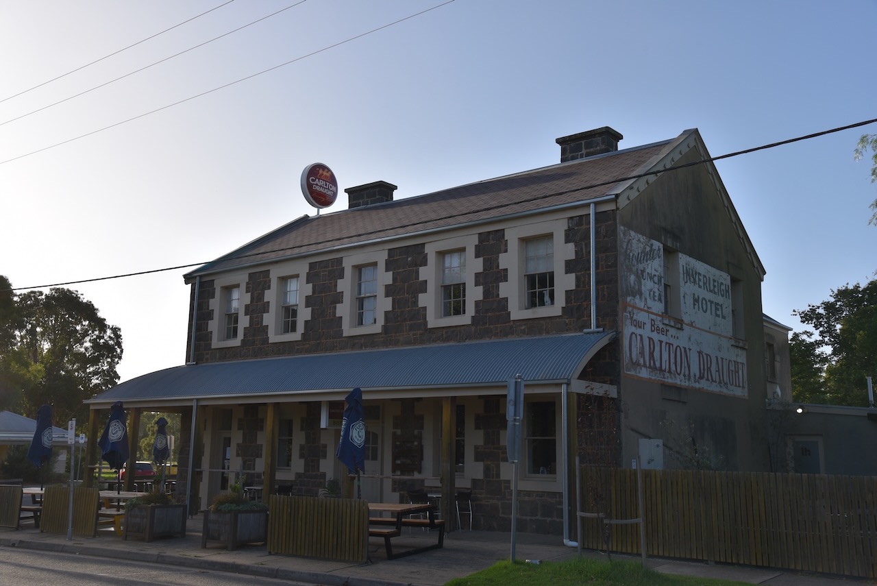
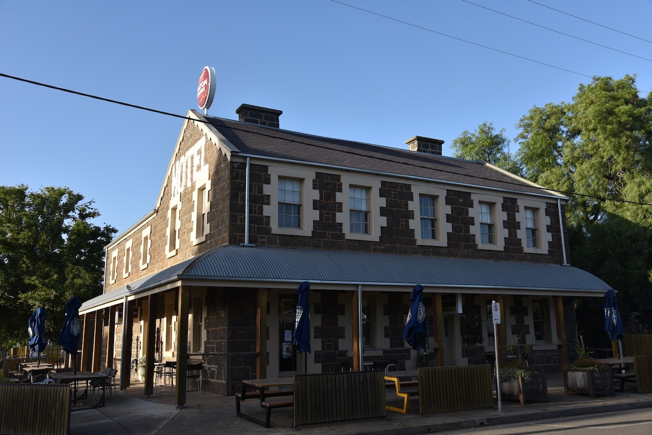
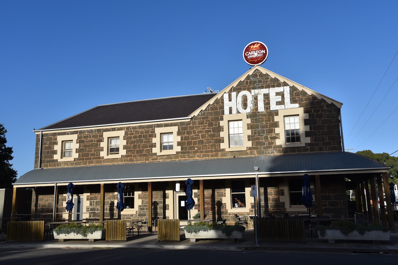
One of the most impressive buildings in Inverleigh is the Inverleigh Hotel. It is a magnificent bluestone building which dates back to 1856.
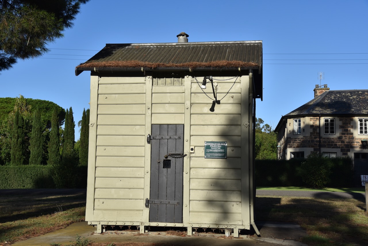
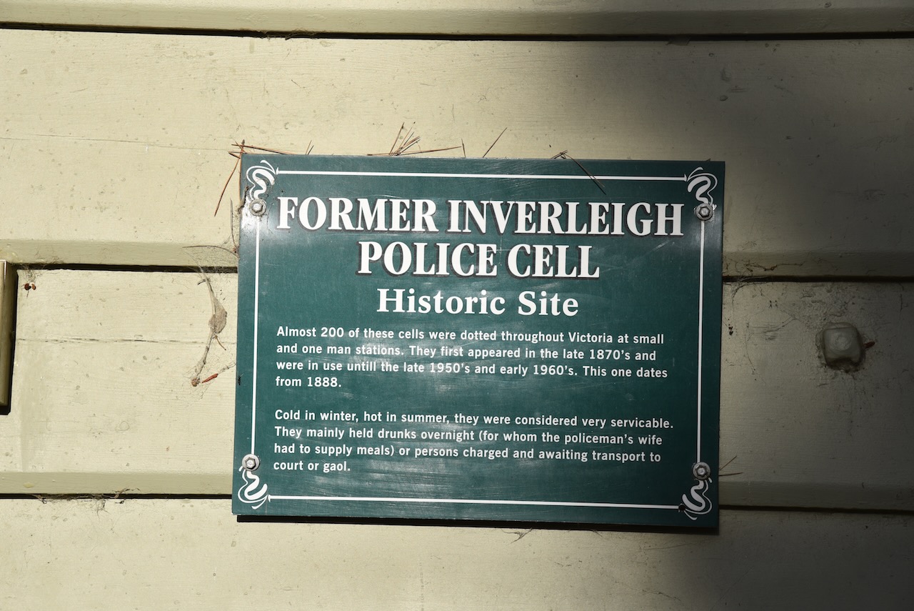
The former Inverleigh Police cell can be found in Lawsons Park. About 200 of these cells were located around Victoria at small and one-man police stations. They were first used from around the late 1870s until the early 1960s. The Inverleigh police cell dates from about 1888.
The former Lawson’s Horseshoe Hotel can also be found in Cambridge Street.
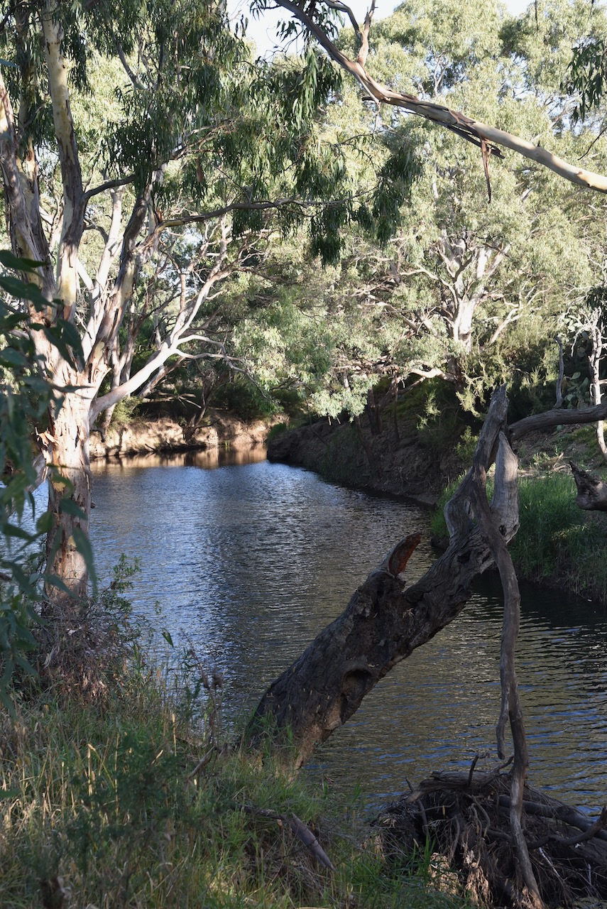
The Leigh River runs through Inverleigh. It is a major tributary and catchment of the Barwon River.
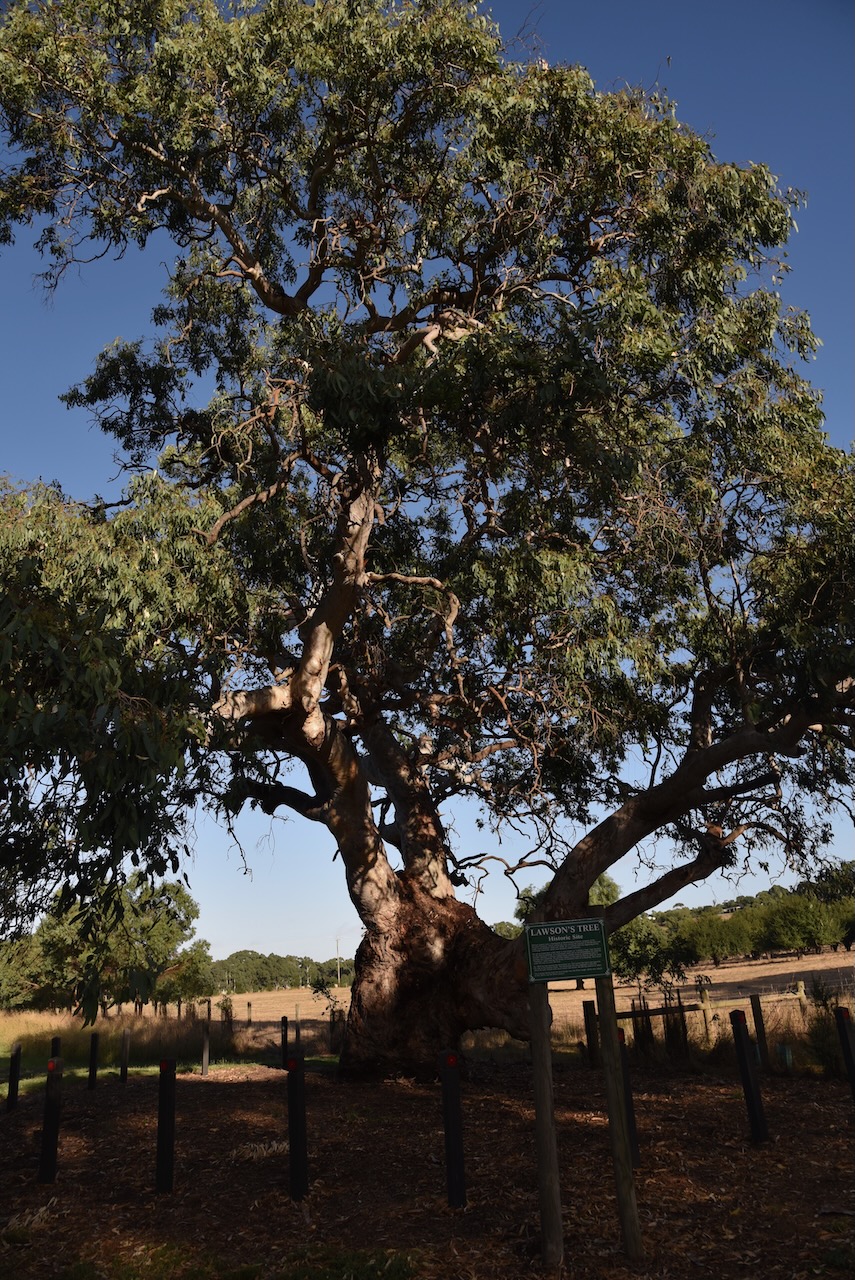
Another interesting site in Inverleigh is Lawsons Tree. It is a magnificent River Red Gum and is the site of William Lawson’s home.
Marija and I then took a short drive out to the confluence of the Barwon River and the Leigh River. It was a beautiful drive along the dirt track (River Track) following the river.
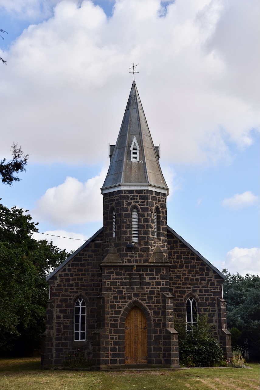
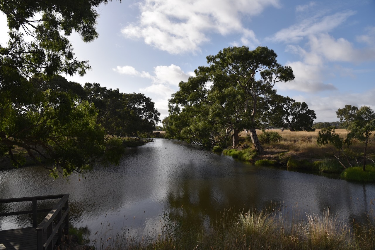
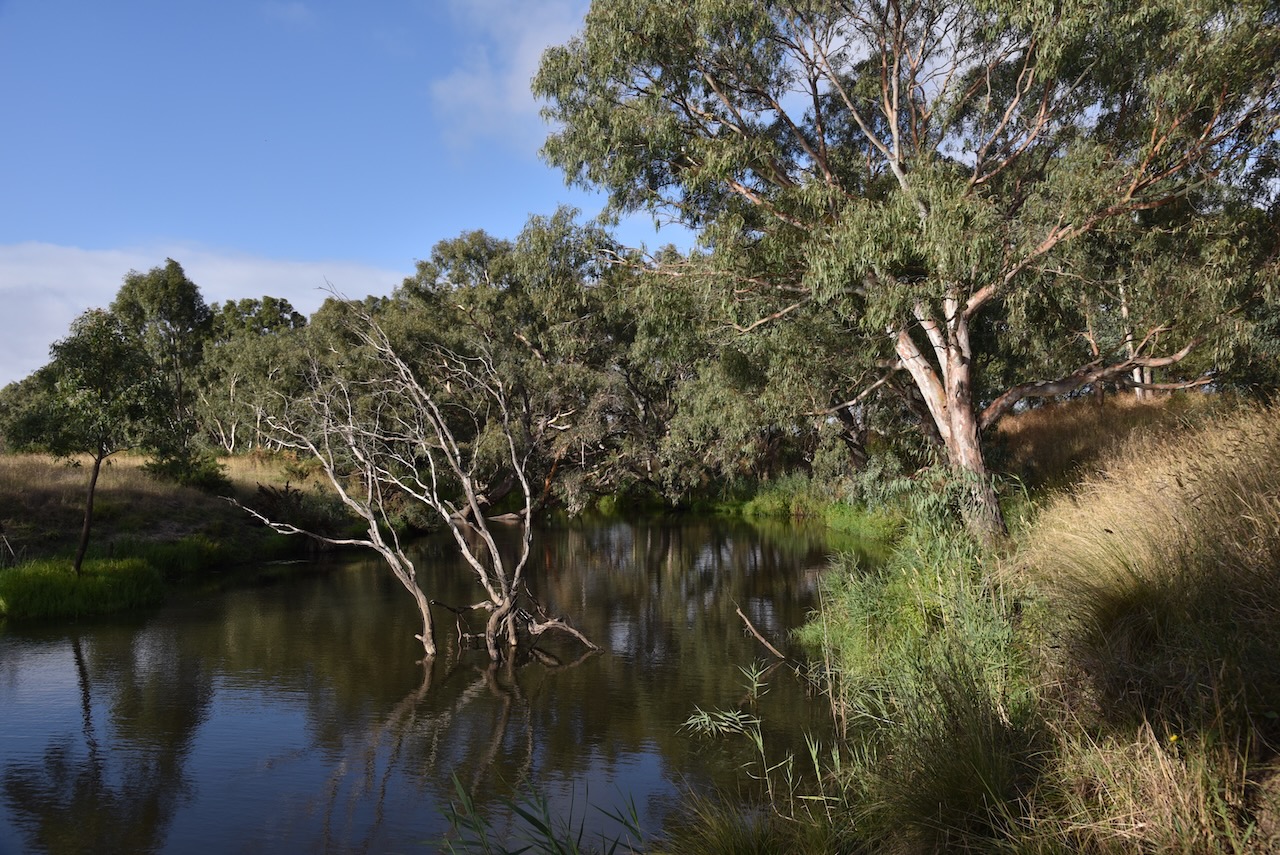
We left Inverleigh and headed to our first park activation for the day, the Teesdale Flora Reserve VKFF-2206.
Above:- Map showing the location of Teesdale. Map c/o Google Maps.
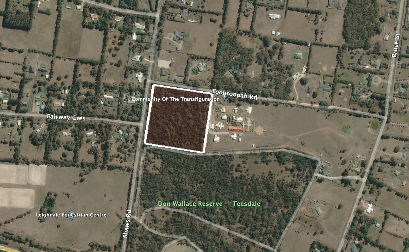
The park is located in the heart of the town of Teesdale. It is on the eastern side of Shaws Road, just to the north of Teesdale Grassy Woodlands Reserve and Don Wallace Reserve.
Above:- Aerial view showing the location of the park. Image c/o Google Earth.
The town of Teesdale was surveyed in 1852 on the Shelford-Bannockburn Road where it crosses Native Hut Creek. It takes its name from an outstation of T & S Learmonth, pastoralists, who occupied the Native Creek run in the mid-1830s. In 1852 a combined store/hotel/post office was built. In 1858 a Presbyterian church and school was built. By 1864 the Leigh Shire Council had an office in Teesdale. By 1874 a Mechanics Institute had been constructed.
In 1903 Teesdale was described in the Australian handbook:
The park is known as the Teesdale Sheaok Nature Conservation Reserve and is also referred to as the Teesdale Flora Reserve. The park is 4 hectares in size. It is a small piece of scrub to the north of the Teesdale Grassy Woodlands Reserve.
Marija worked the following stations on 40m SSB:-
VK3VIN
VK2IO
VK3QH
VK5HS
VK5IS
VK3ANL
VK5BJF
VK7JFD
VK2EXA
VK7HOB
VK3PF
VK1RF
Marija worked the following station on 20m SSB:-
VK2IO
I worked the following stations on 40m SSB:-
VK3VIN
VK2IO
VK3QH
VK5HS
VK5IS
VK3ANL
VK5BJF
VK7JFD
VK2EXA
VK7HOB
VK3PF
VK1RF
VK5HAA
I worked the following station on 20m SSB:-
VK2IO
We had both qualified the park for the VKFF program, with 10 QSOs each in the log. But we had fallen short of the 44 QSos required to qualify a park for the global WWFF program. This is a park we will have to return to.
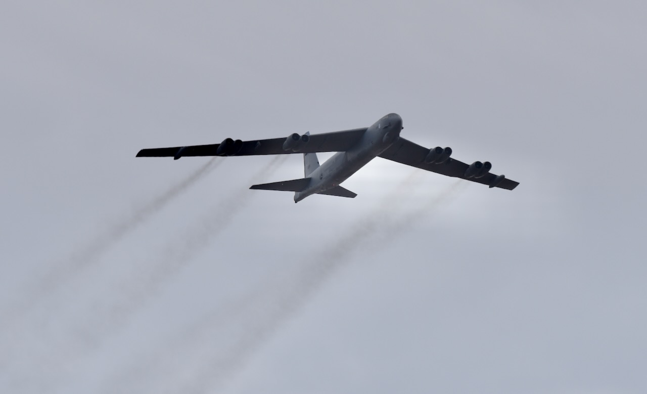
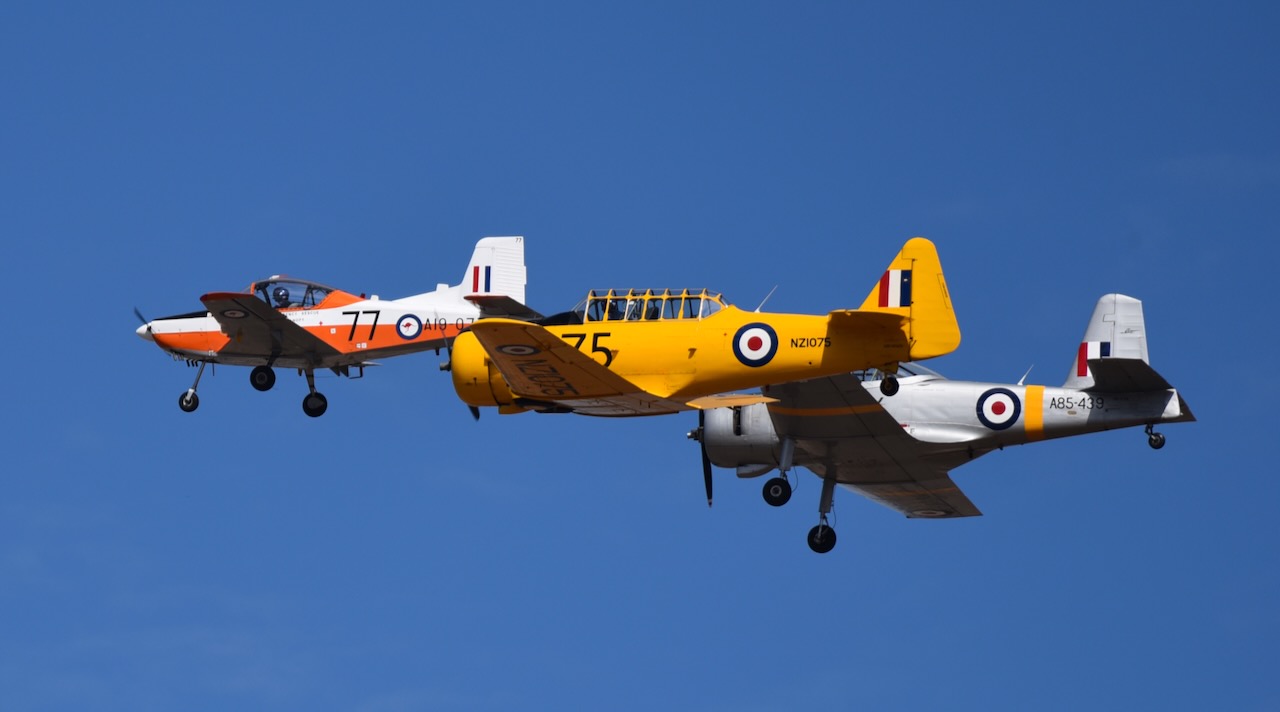
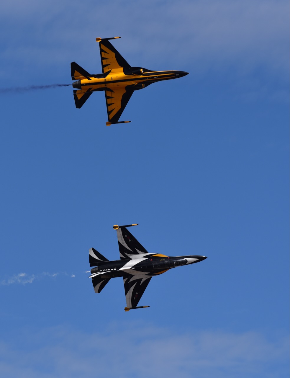
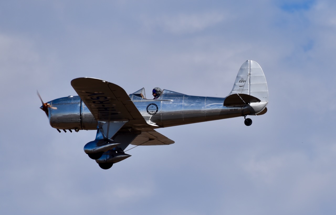
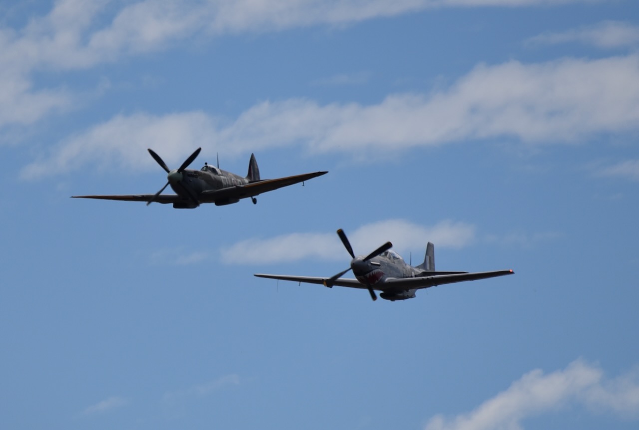
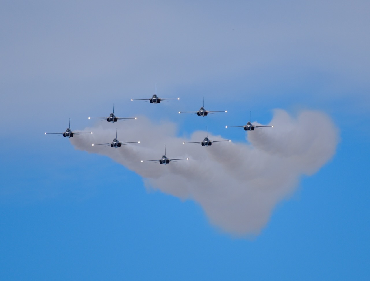
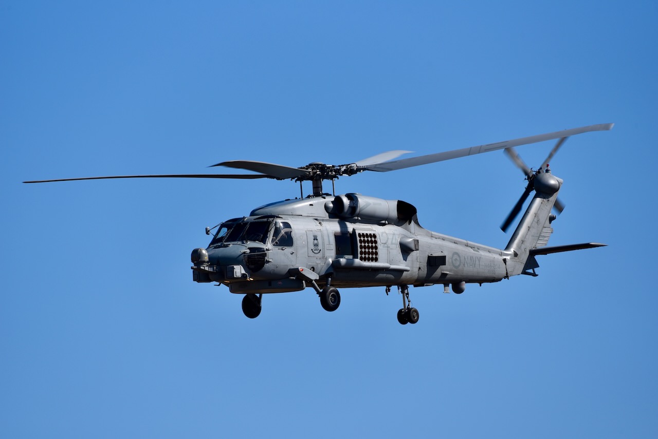
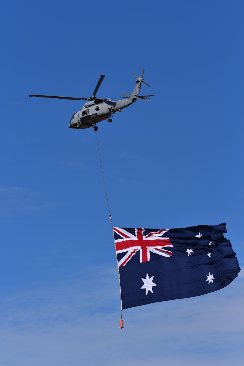
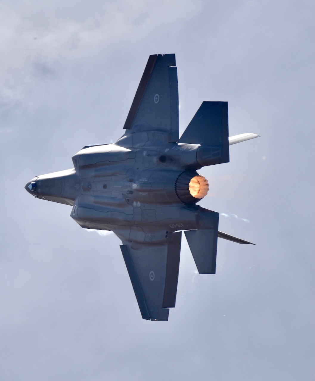
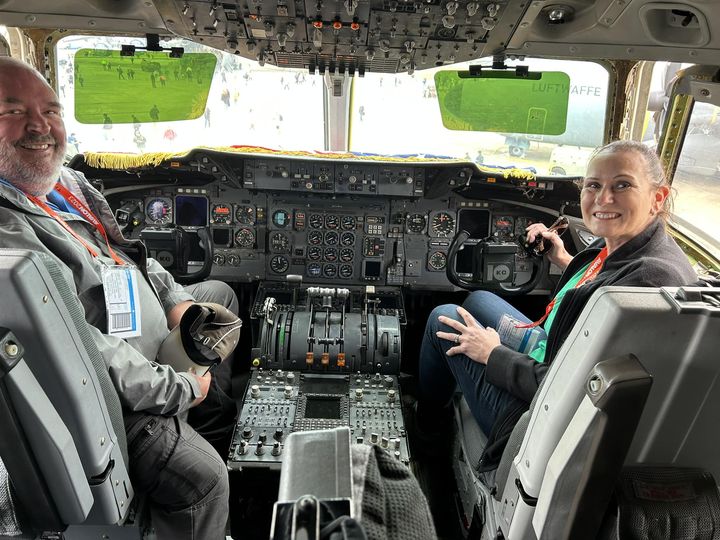
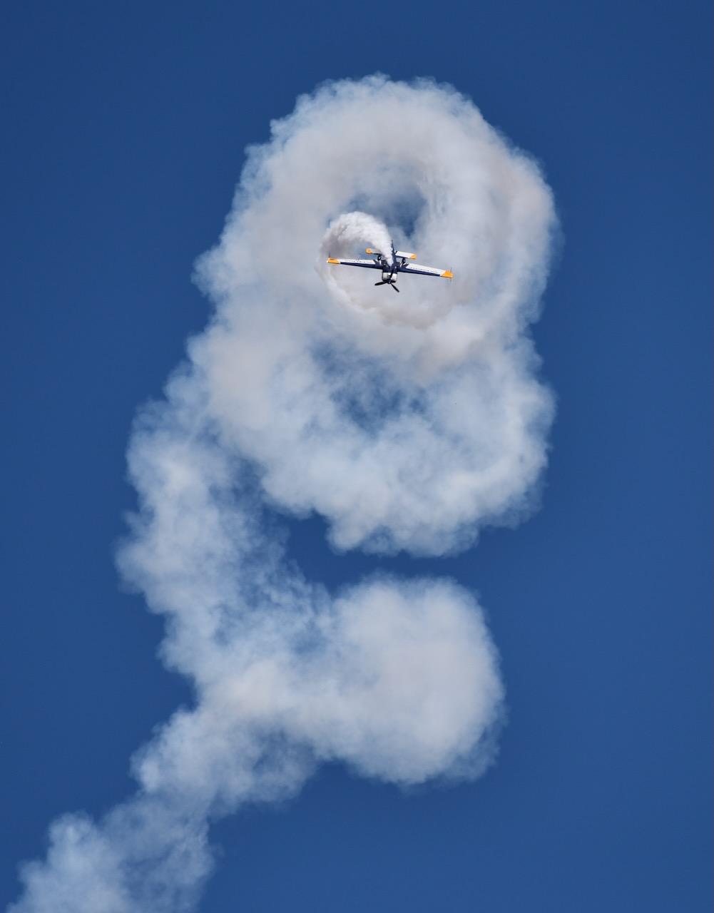
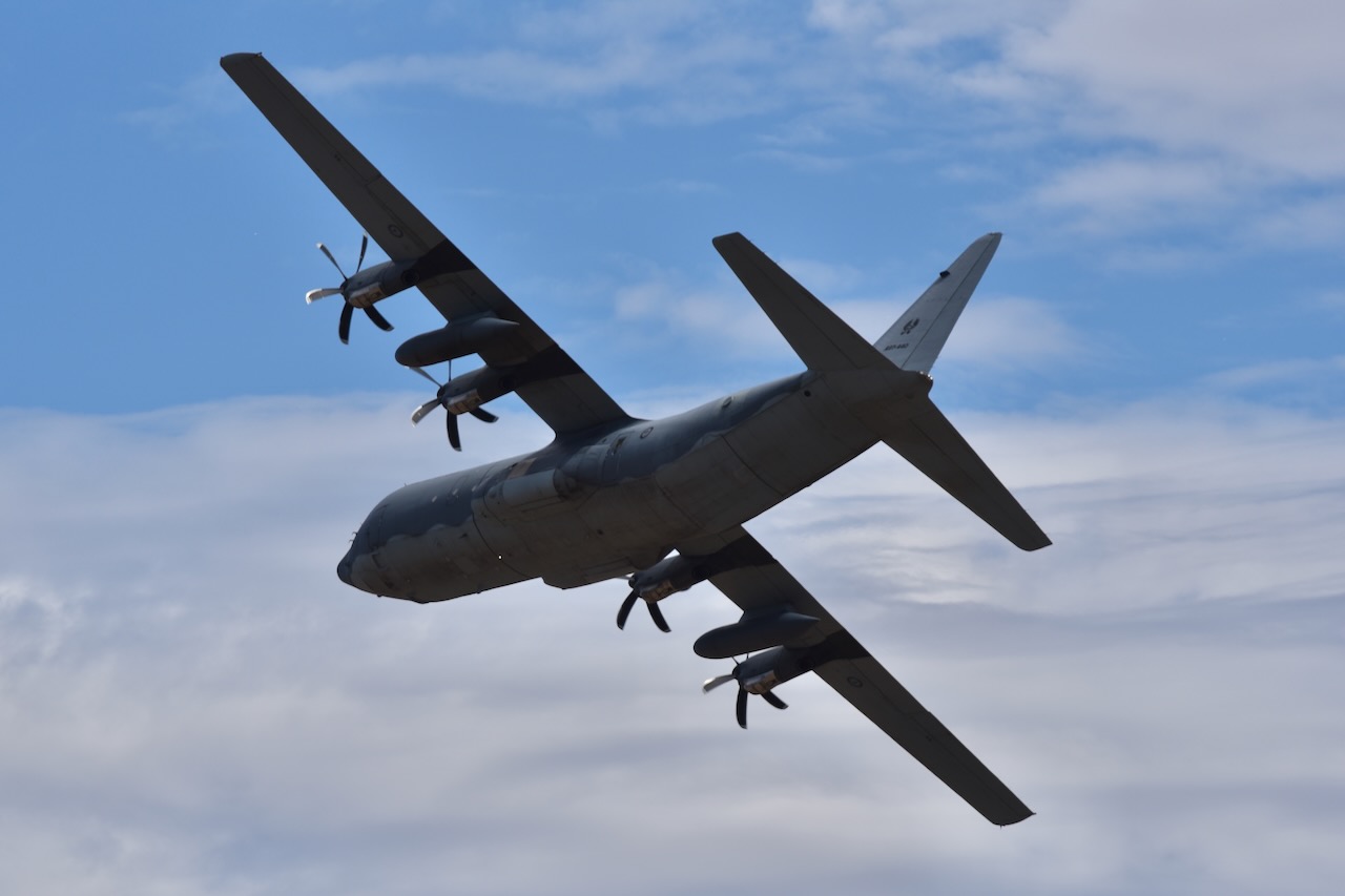
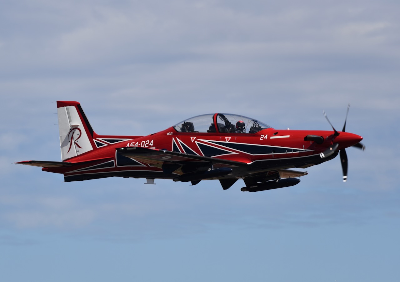
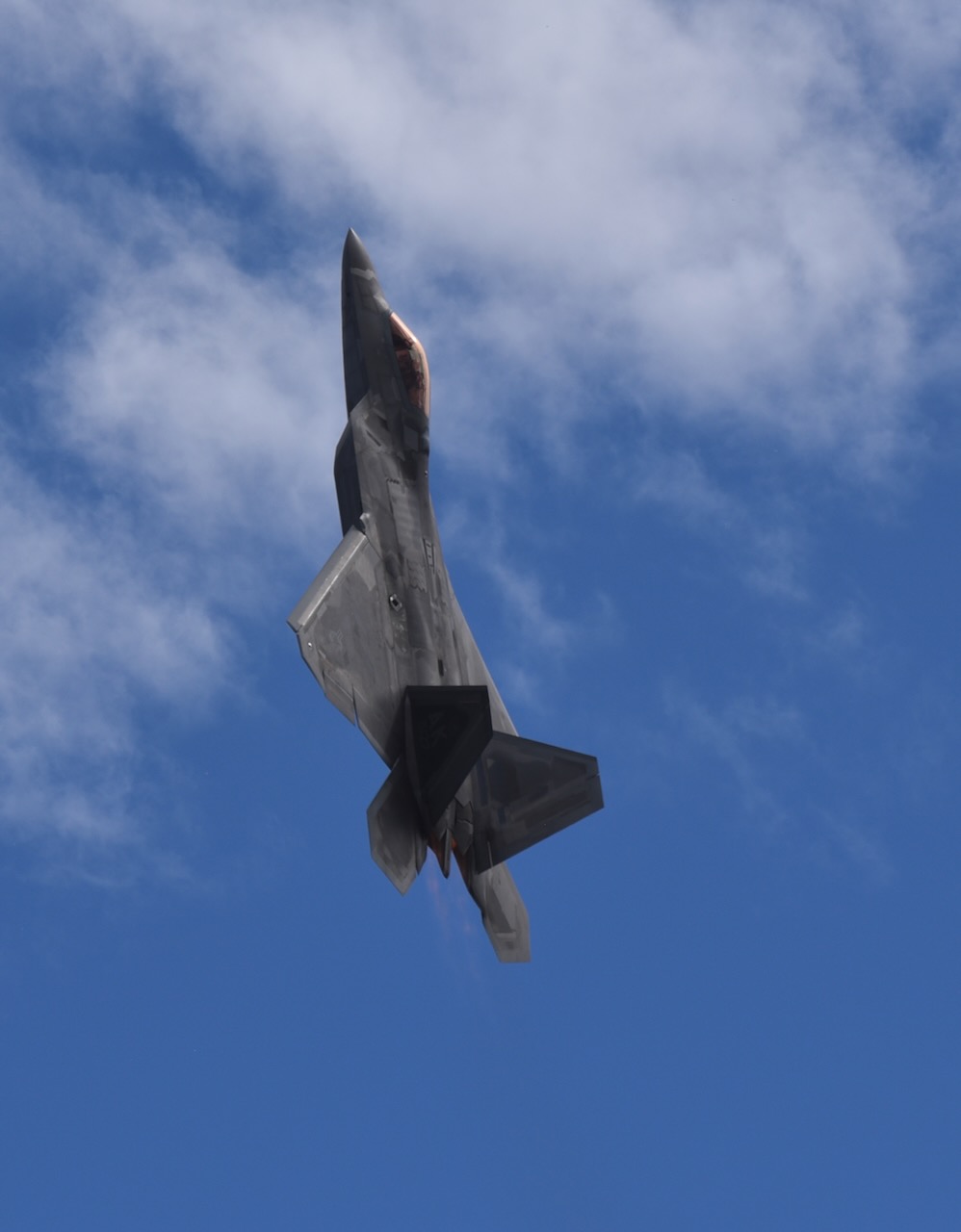
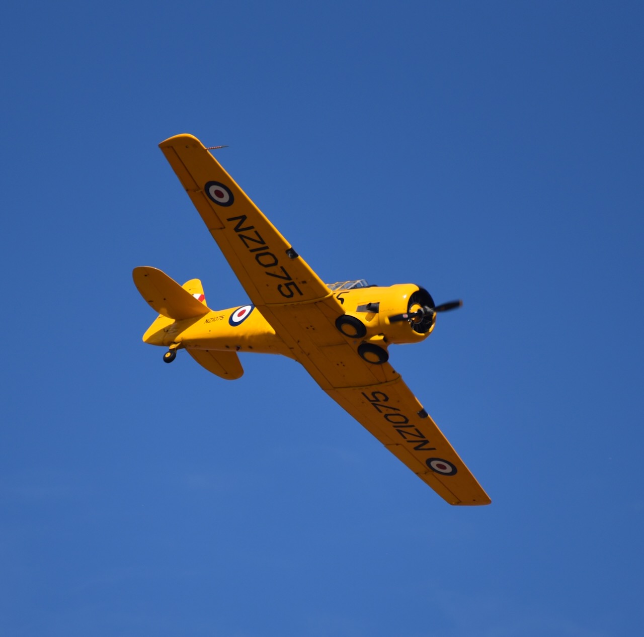
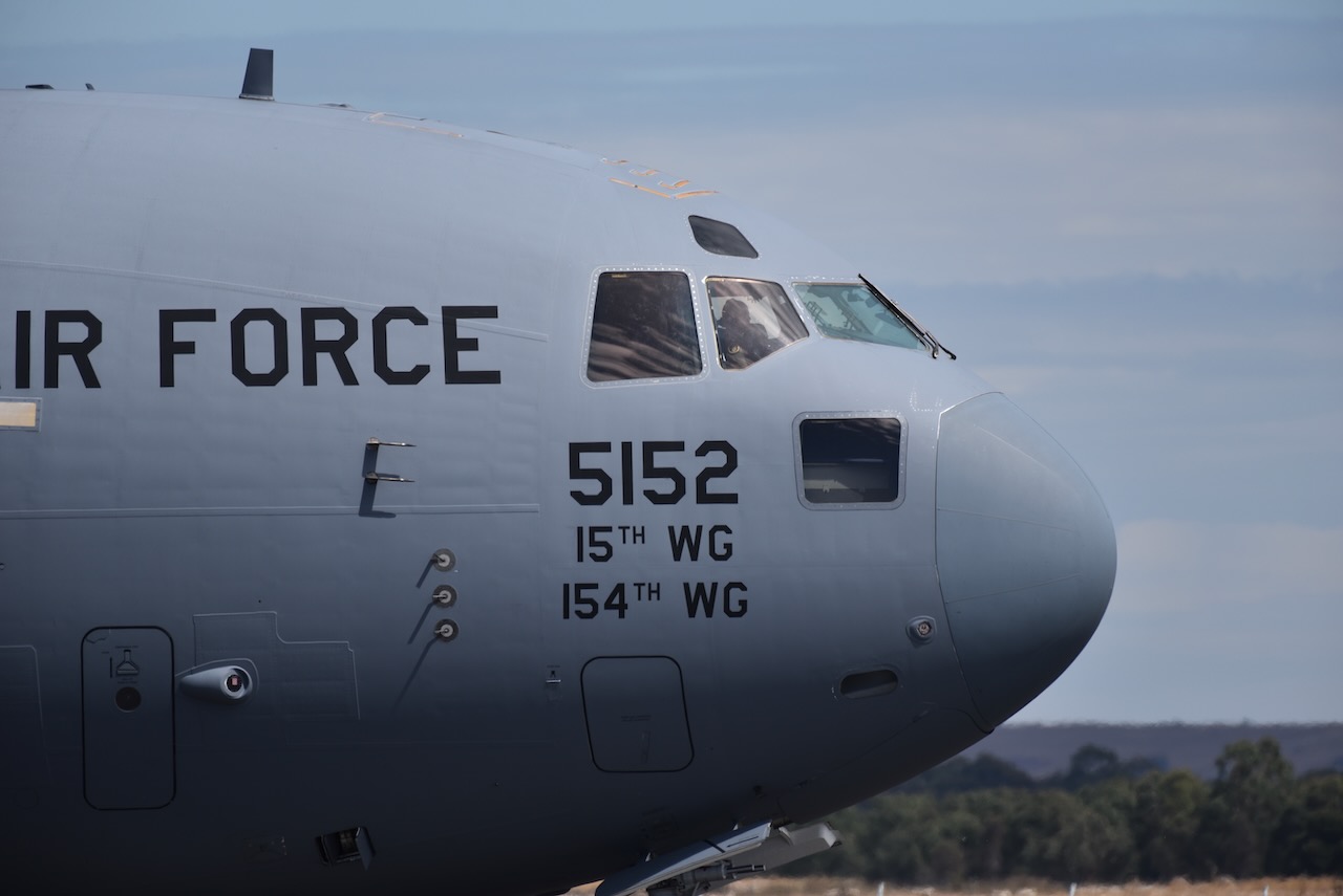
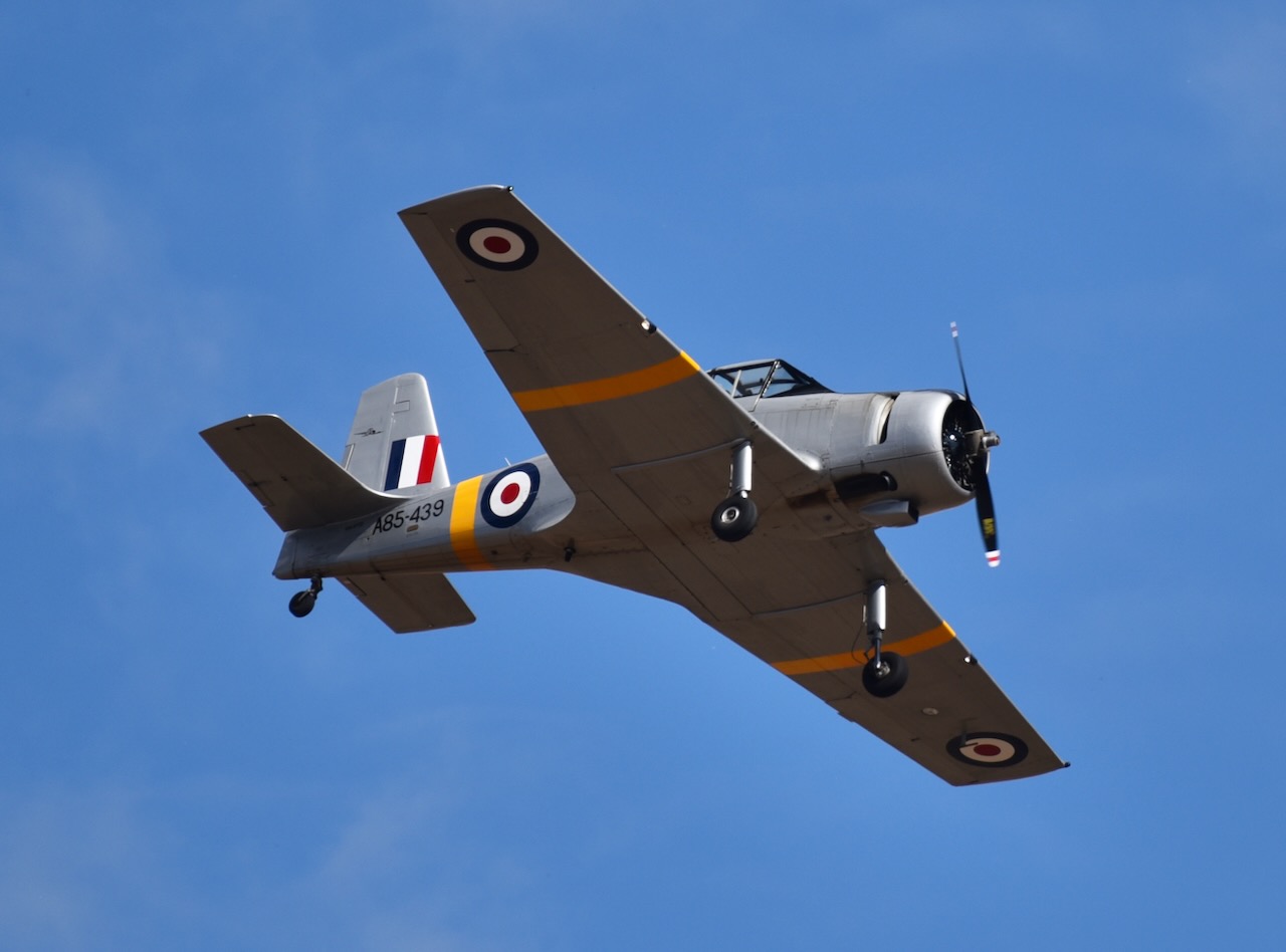
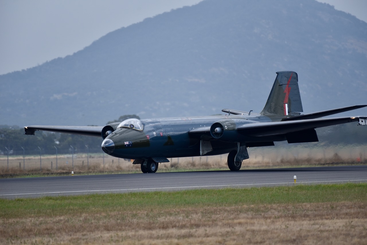
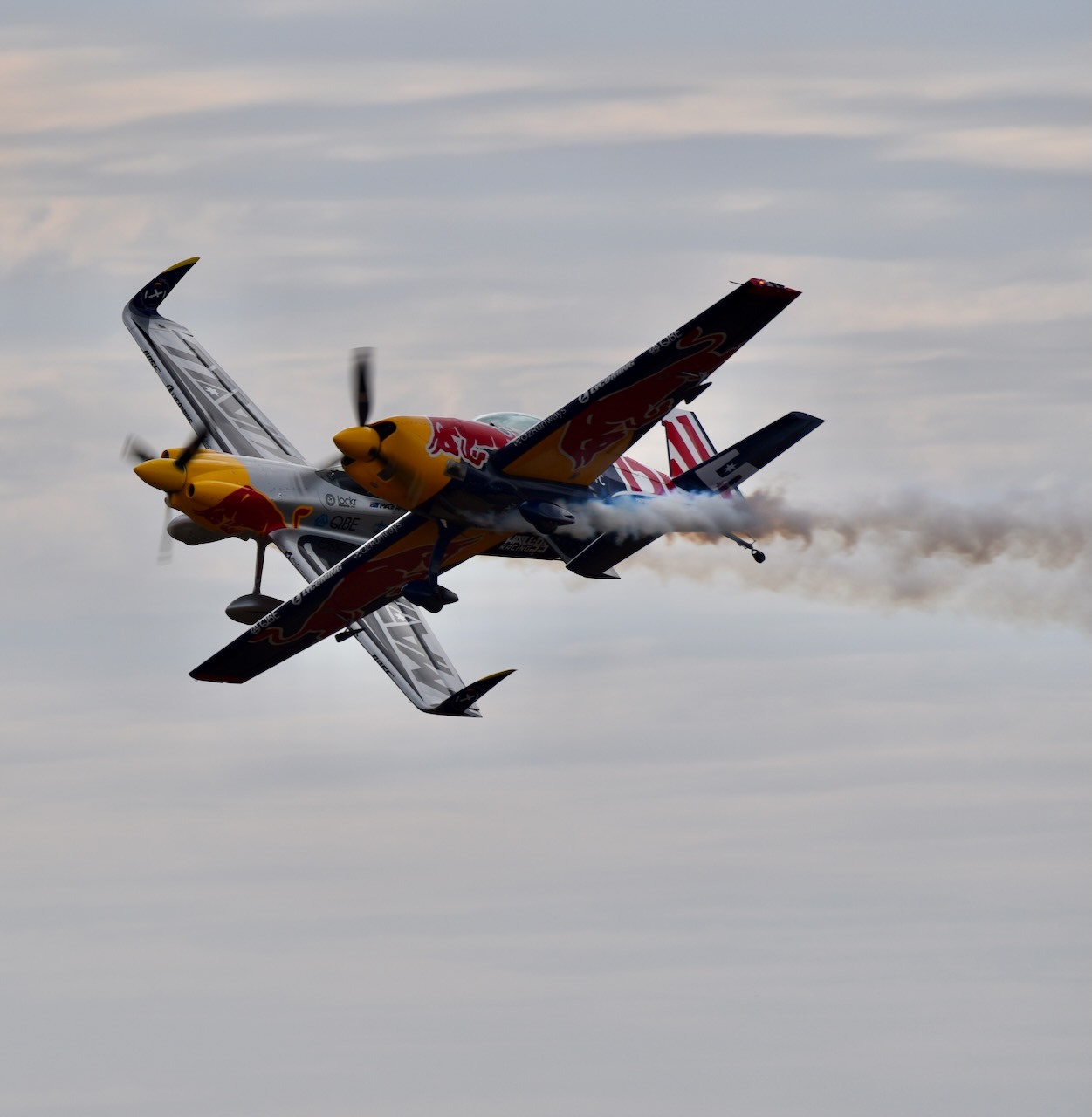
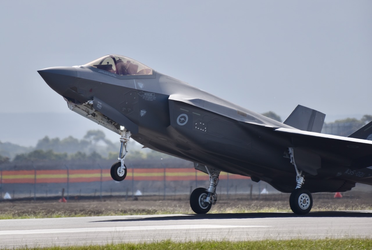
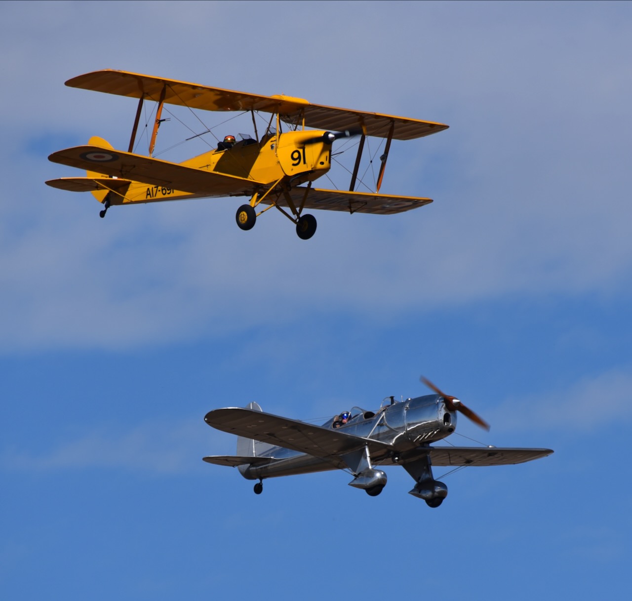
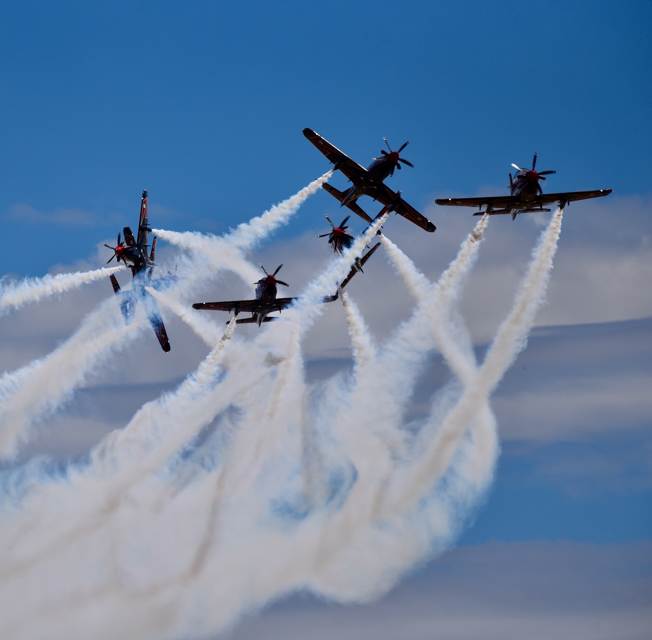
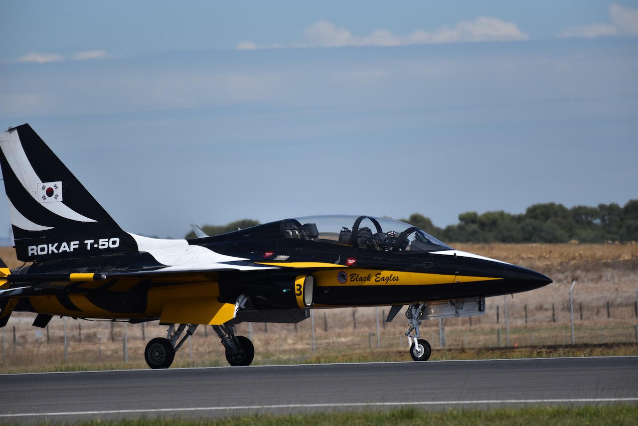
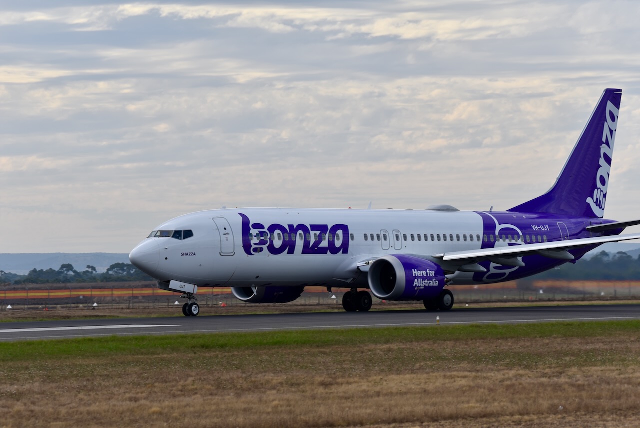
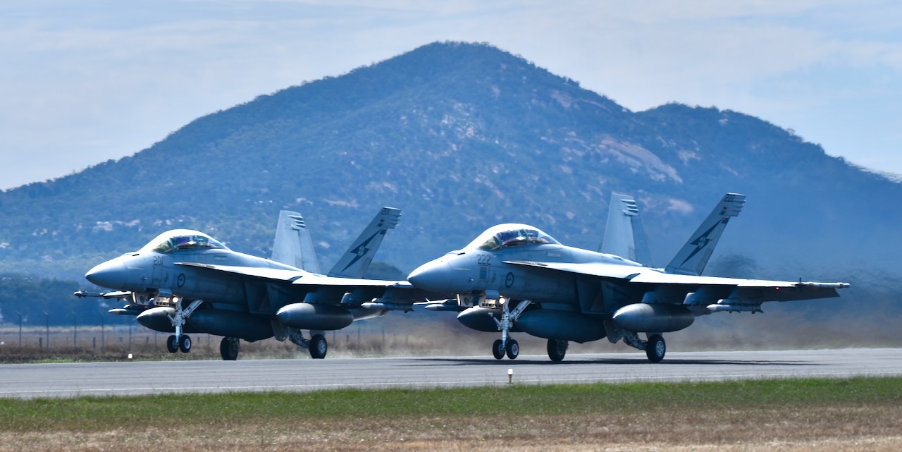
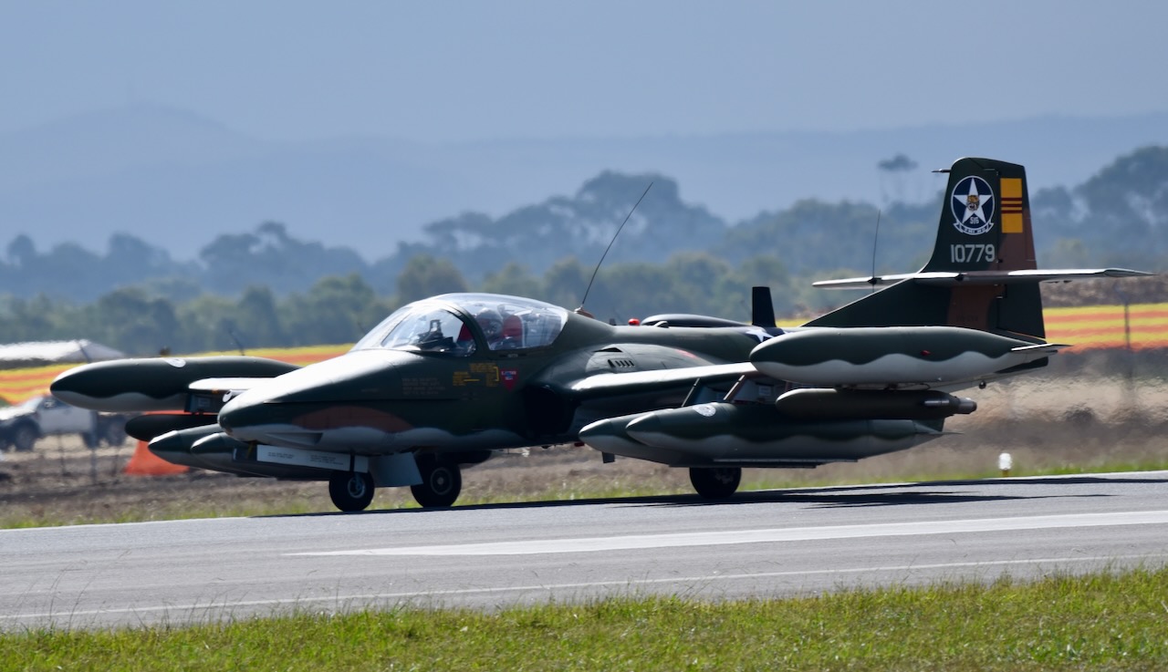
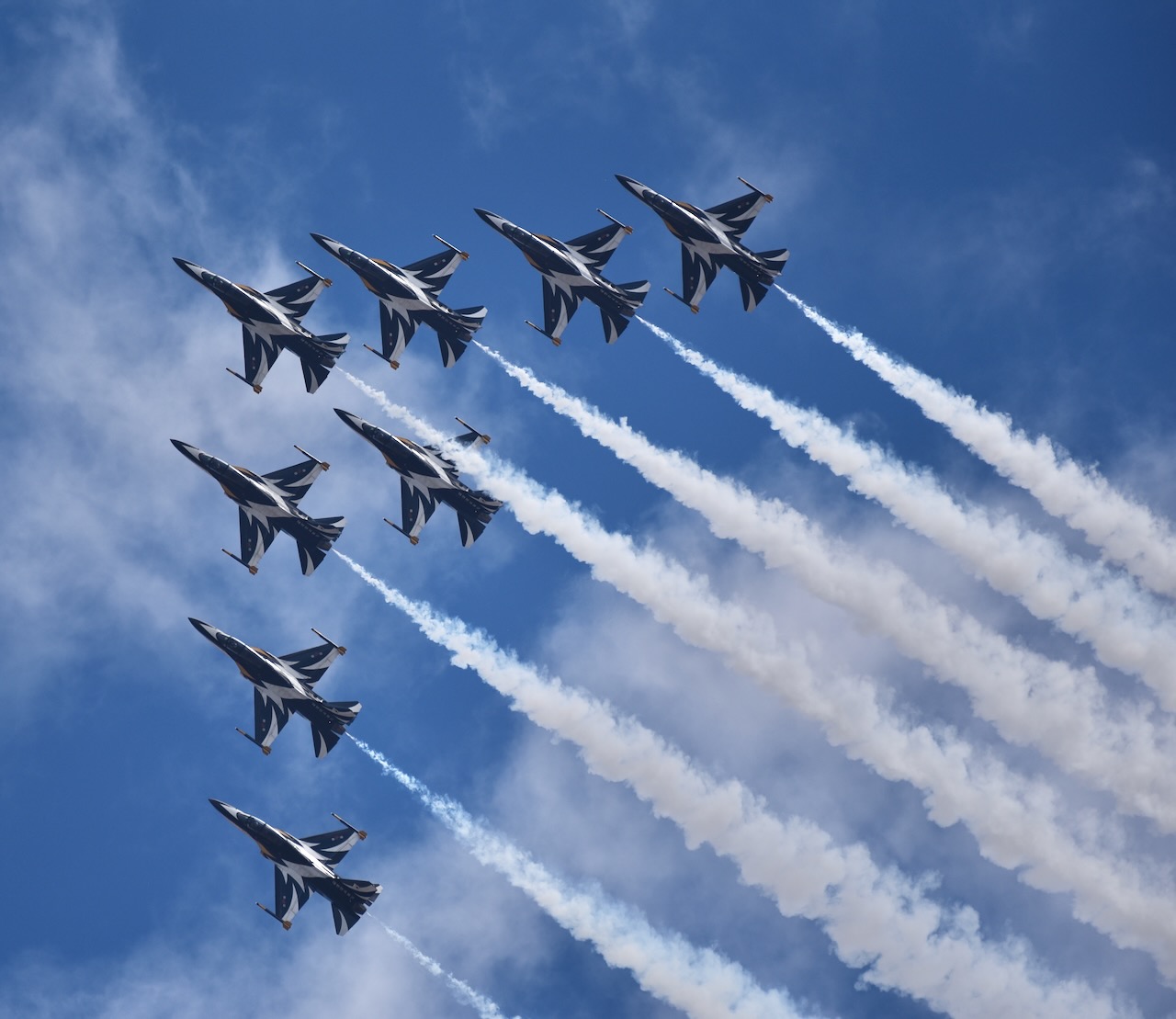
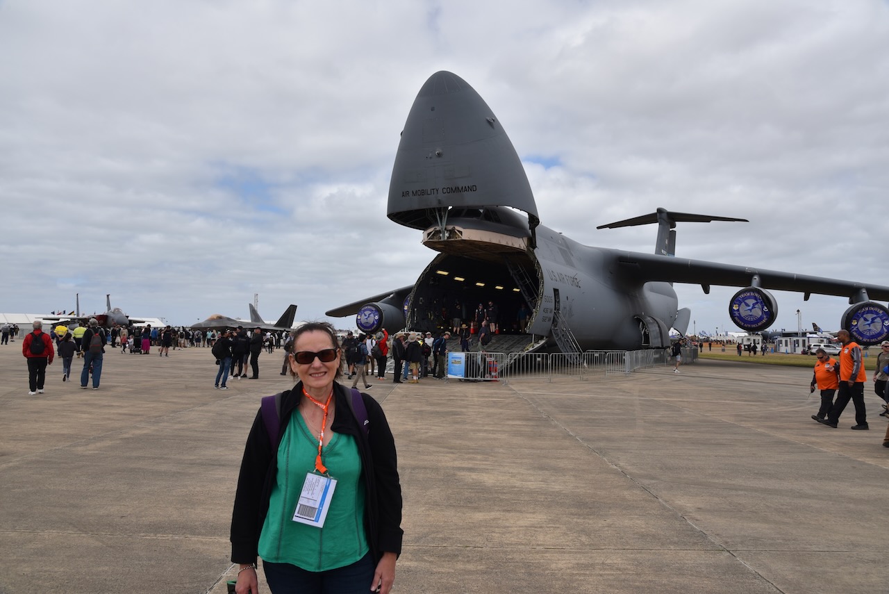
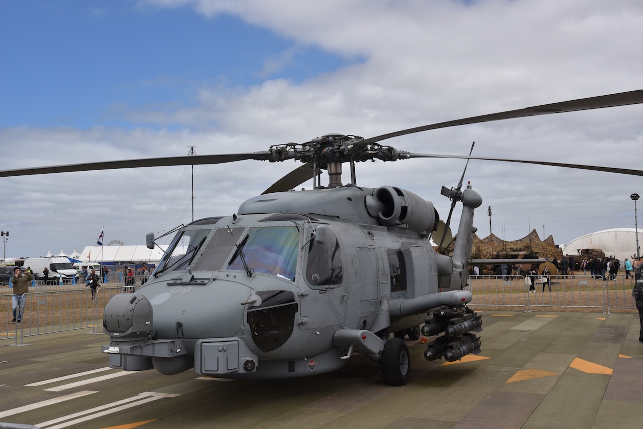
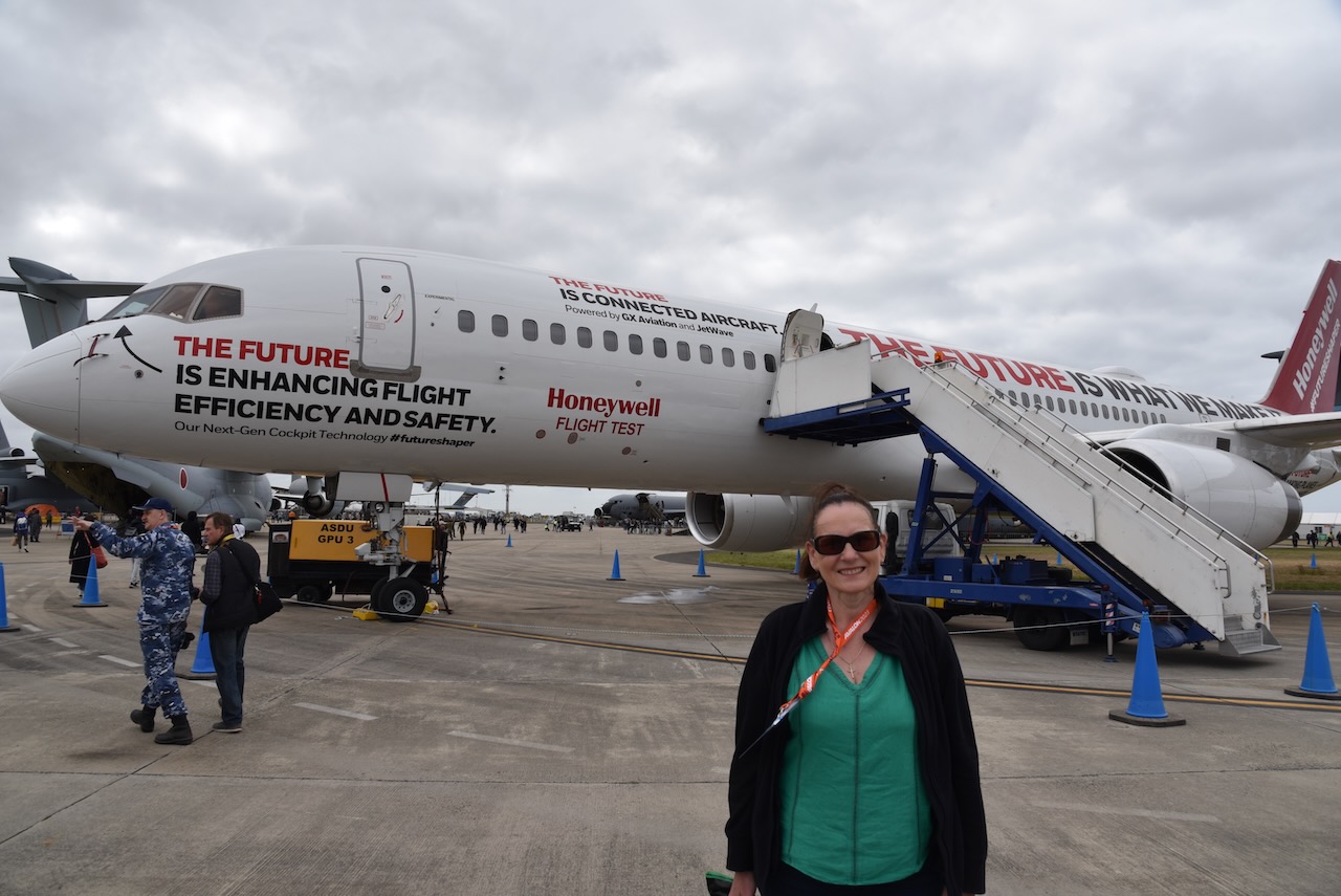
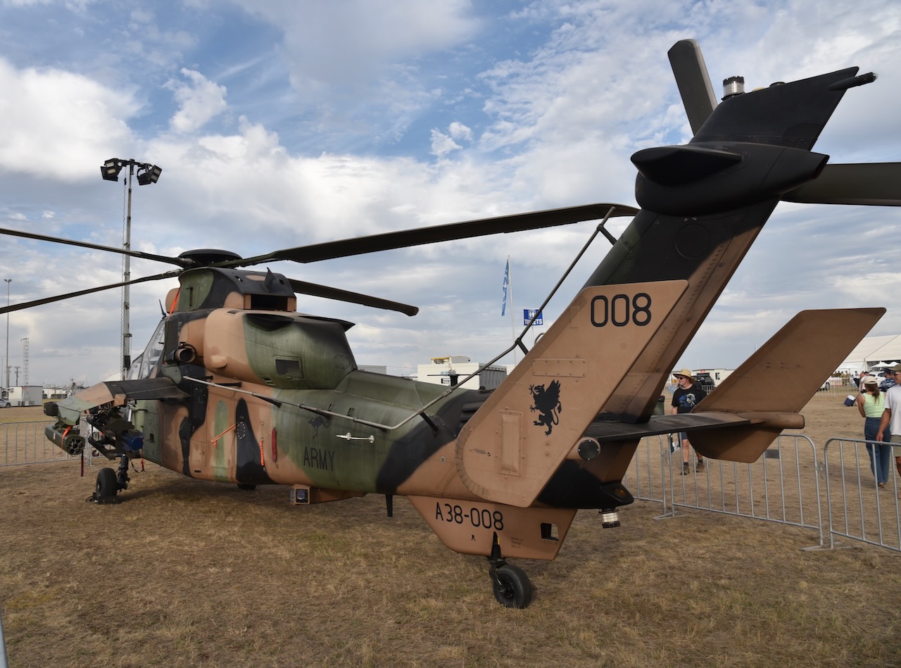
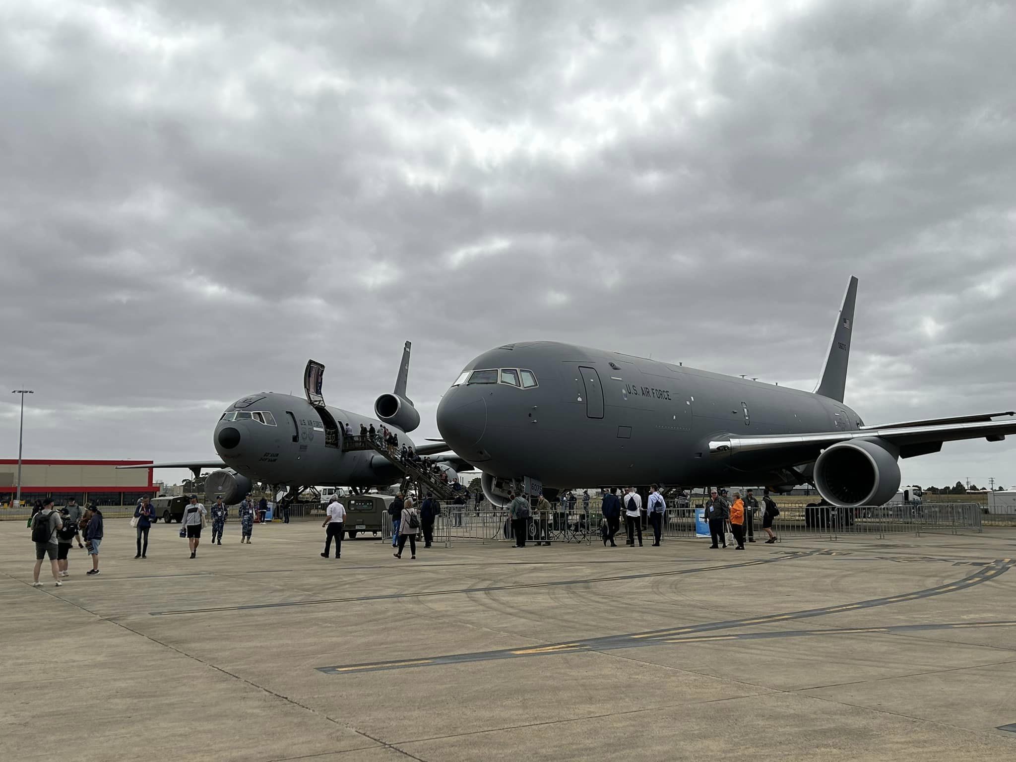
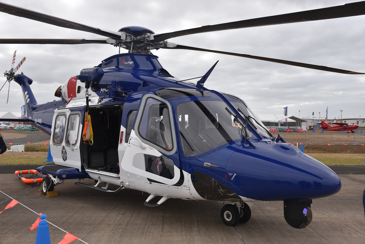
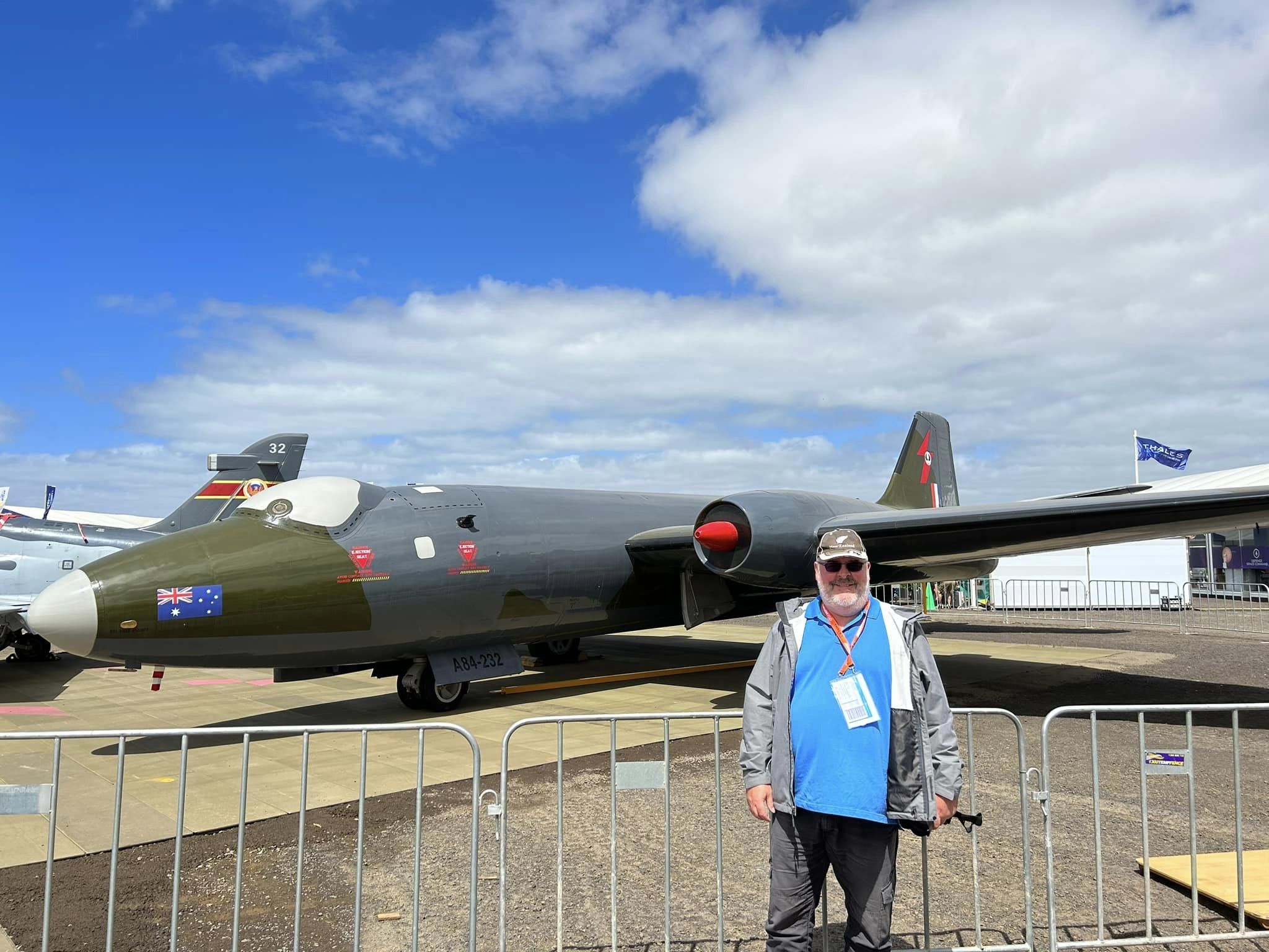
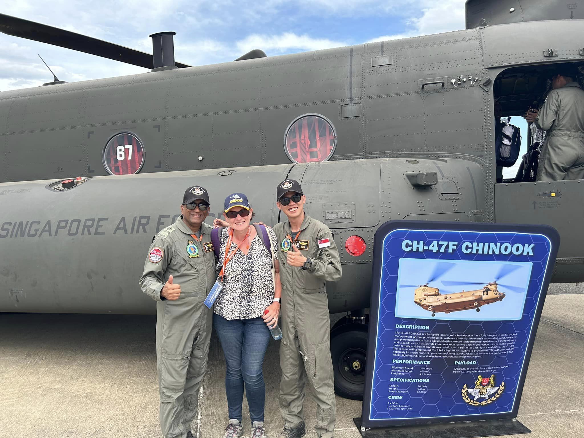
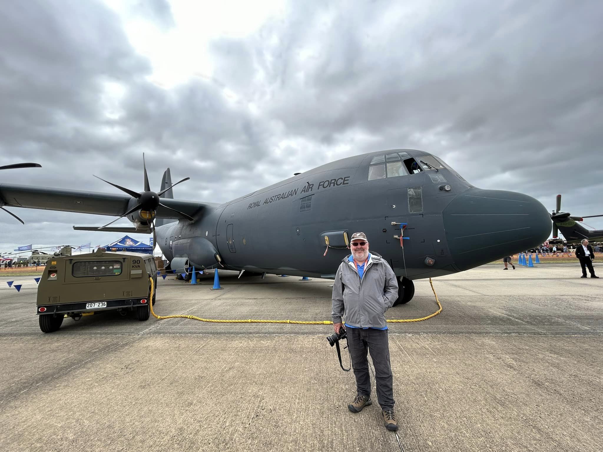
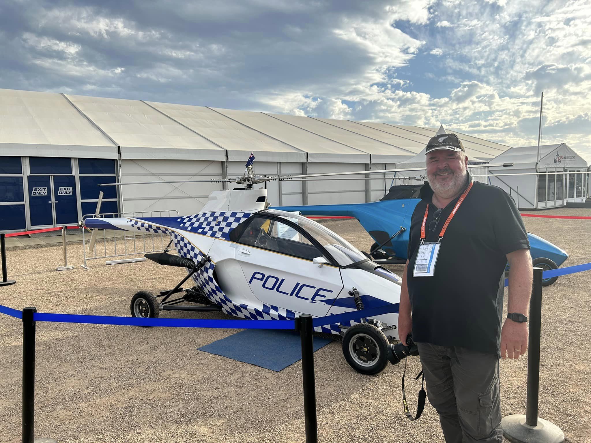
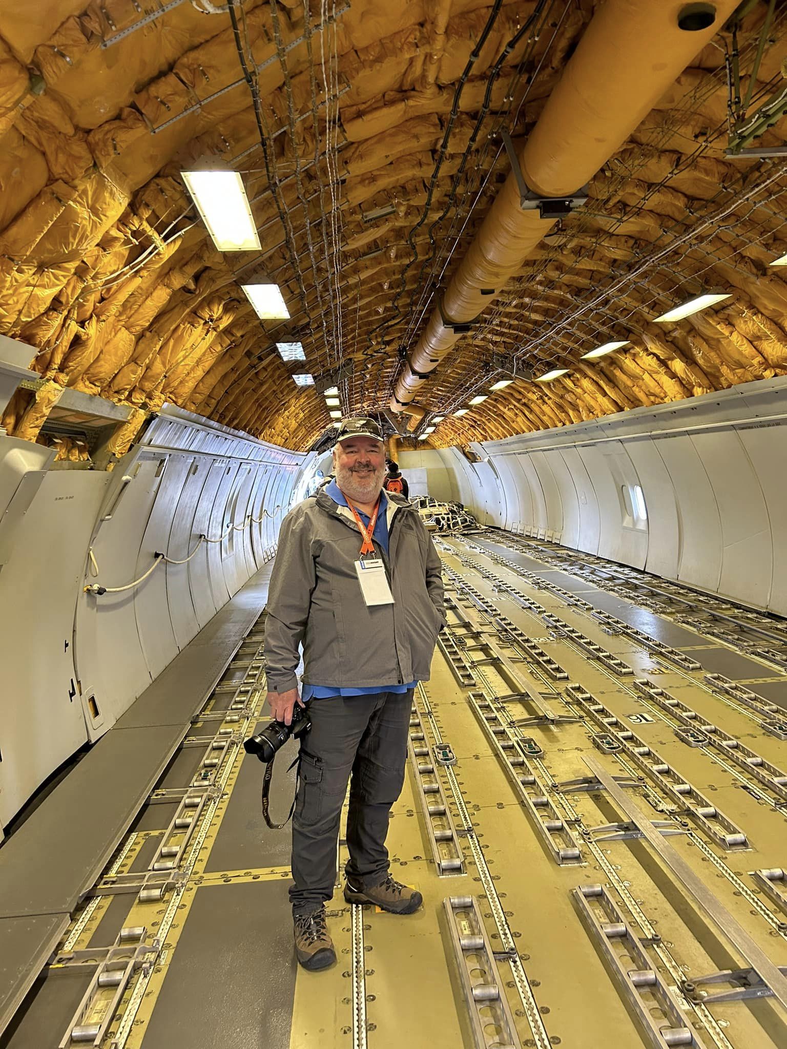
Marija and I spent all day Friday 3rd, Saturday 4th, and Sunday 5th March 2023, at the Australian International Air Show at Avalon. We lashed out and had Gold tickets and were in a grandstand right in front of the runway. It was a brilliant three days.
The highlights for me were the South Korean Black Eagles aerobatic team, the B52 bomber, and the Spitfire.
Below is a small selection of photos that I took.
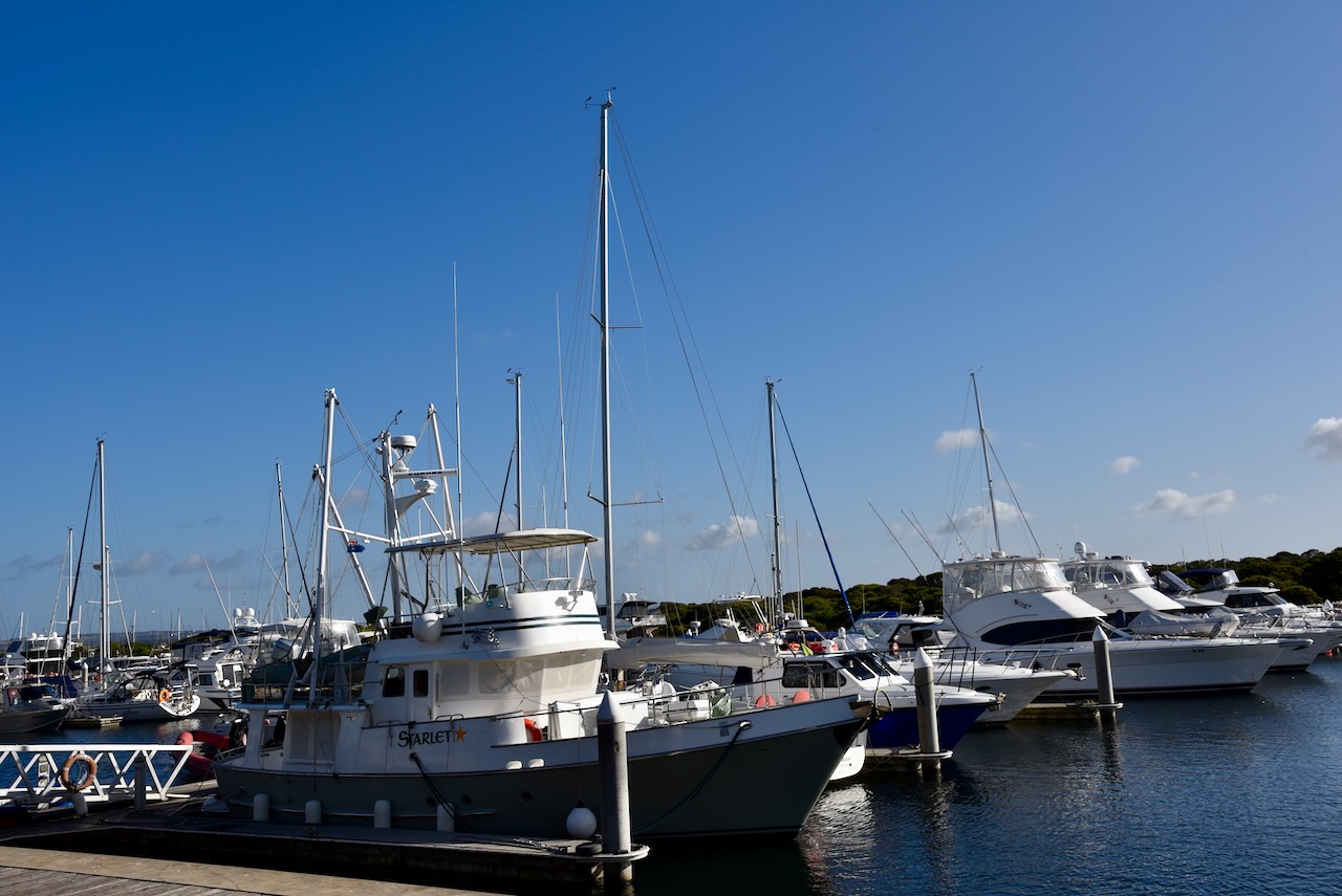
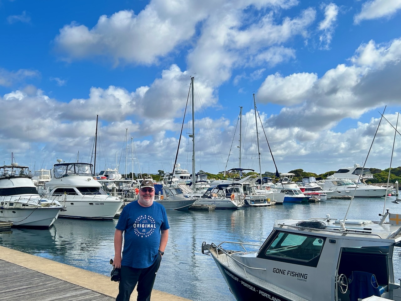
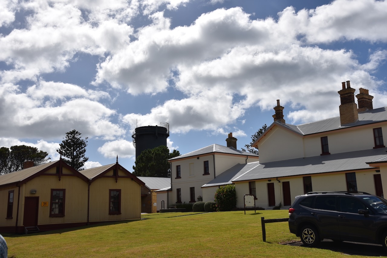
With three days at the Air Show now over, it was Monday 6th March 2023. We had booked in to do a tour of the old Queenscliff Fort on the Bellarine Peninsula. It was a beautiful sunny morning, so Marija and I headed to the Queenscliff Marina and had a beautiful breakfast overlooking the marina.
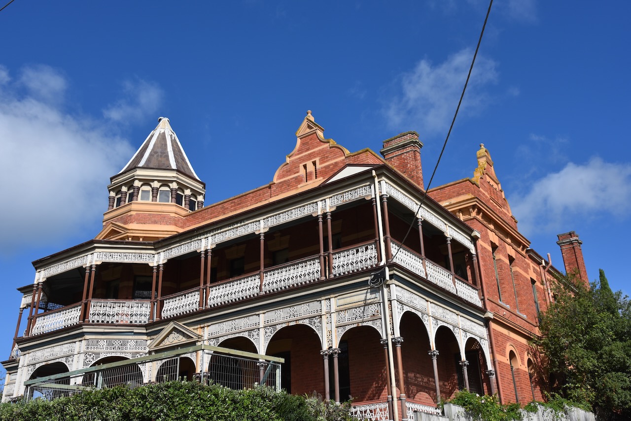
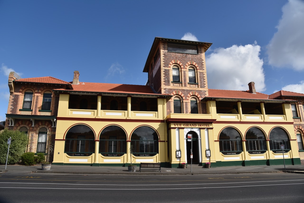
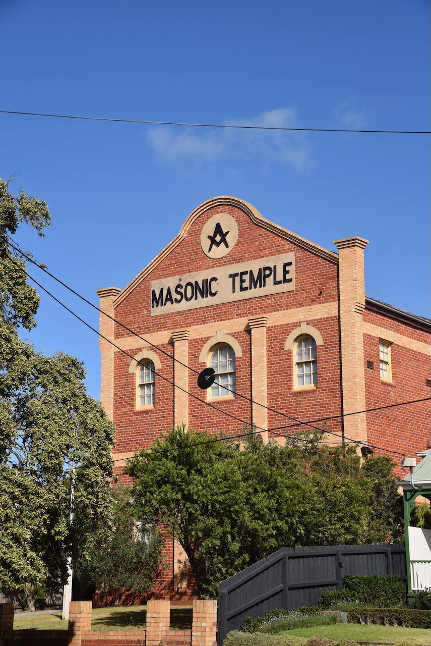
After breakfast, we still had a little spare time before our tour, so we drove around Queenscliff admiring some of the beautiful architecture in the town.
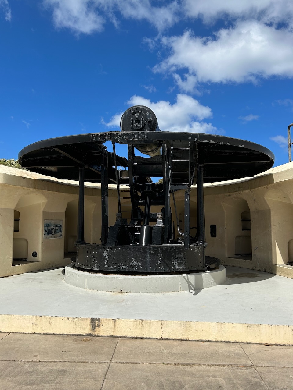
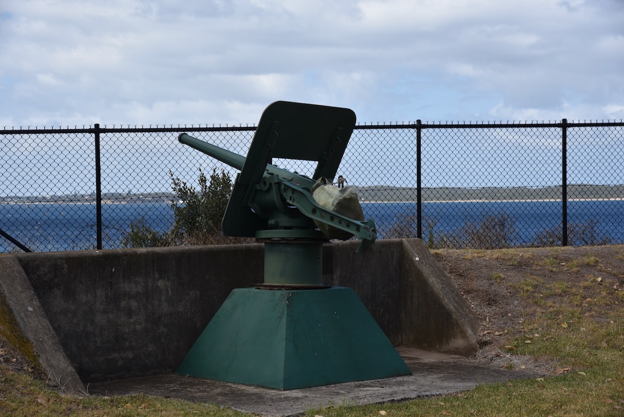
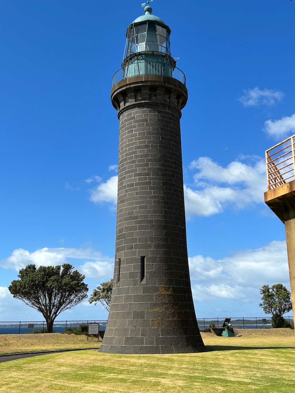
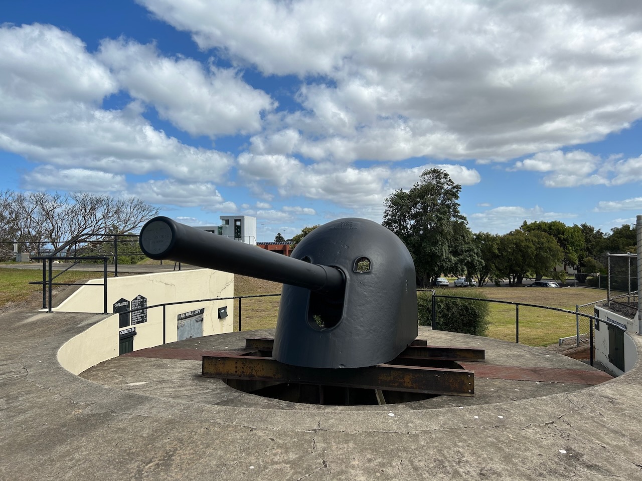
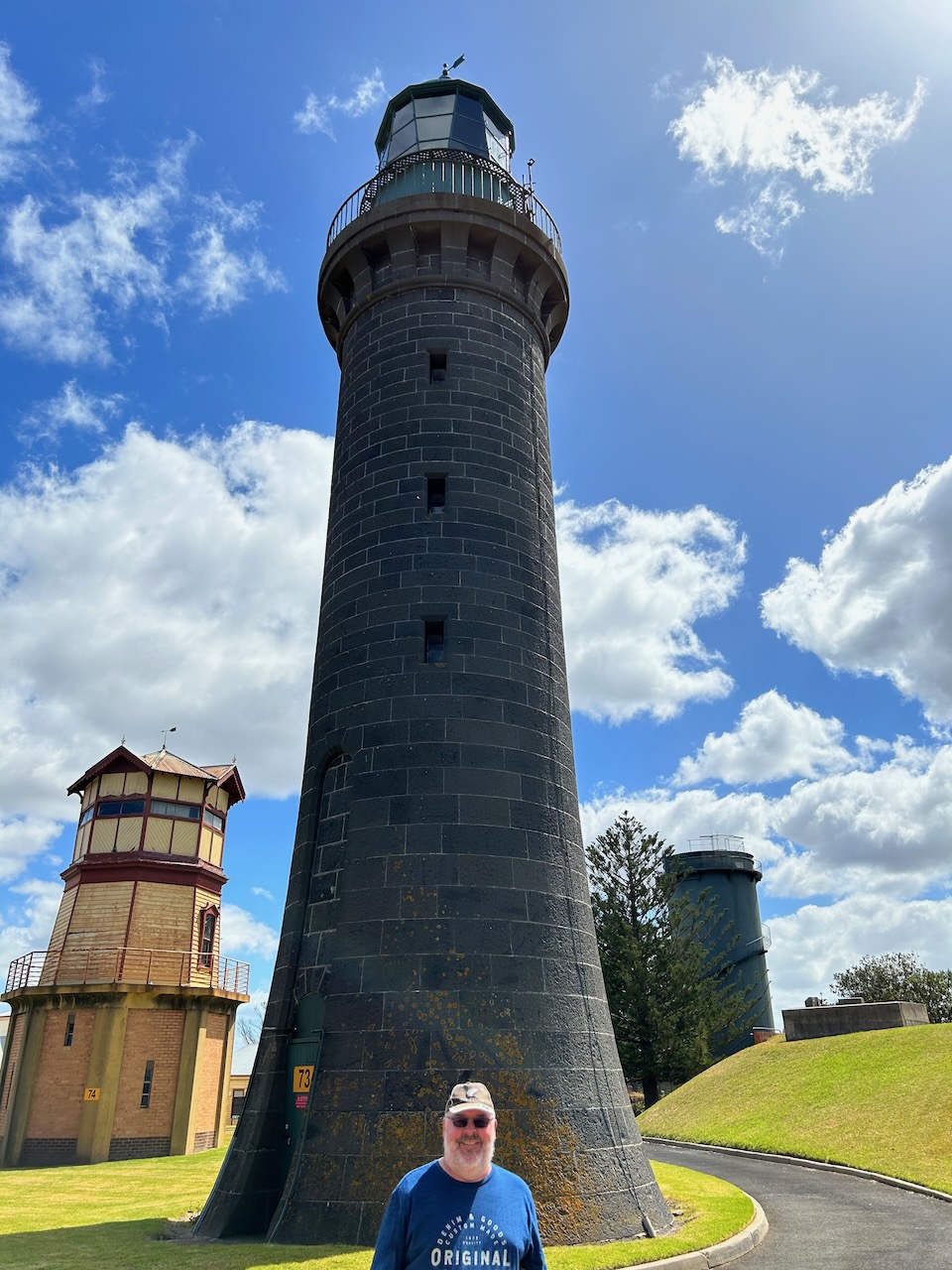
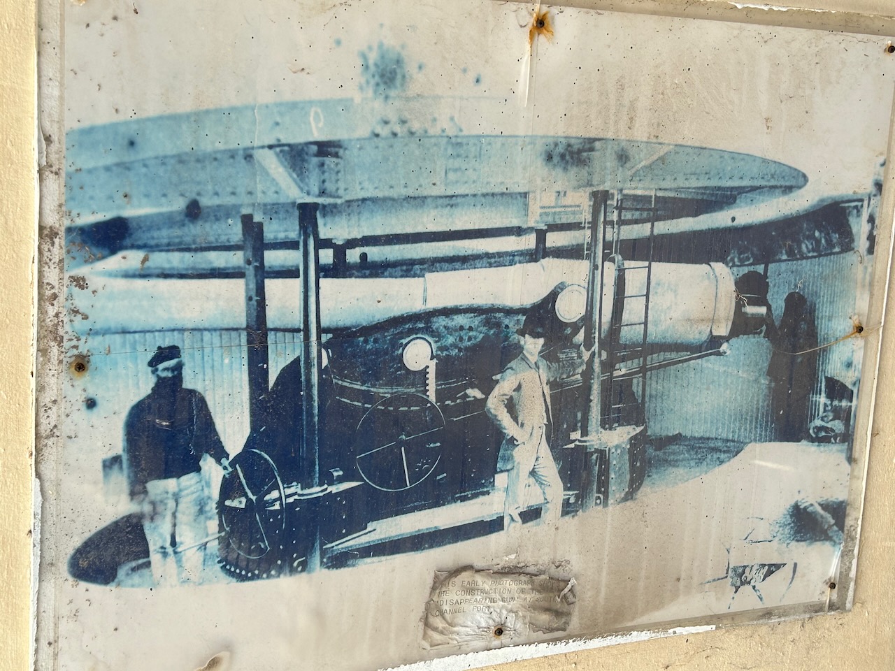
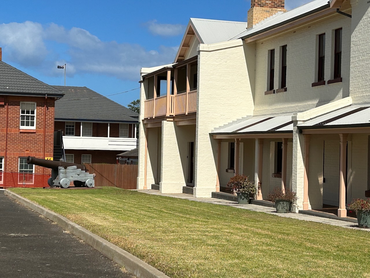
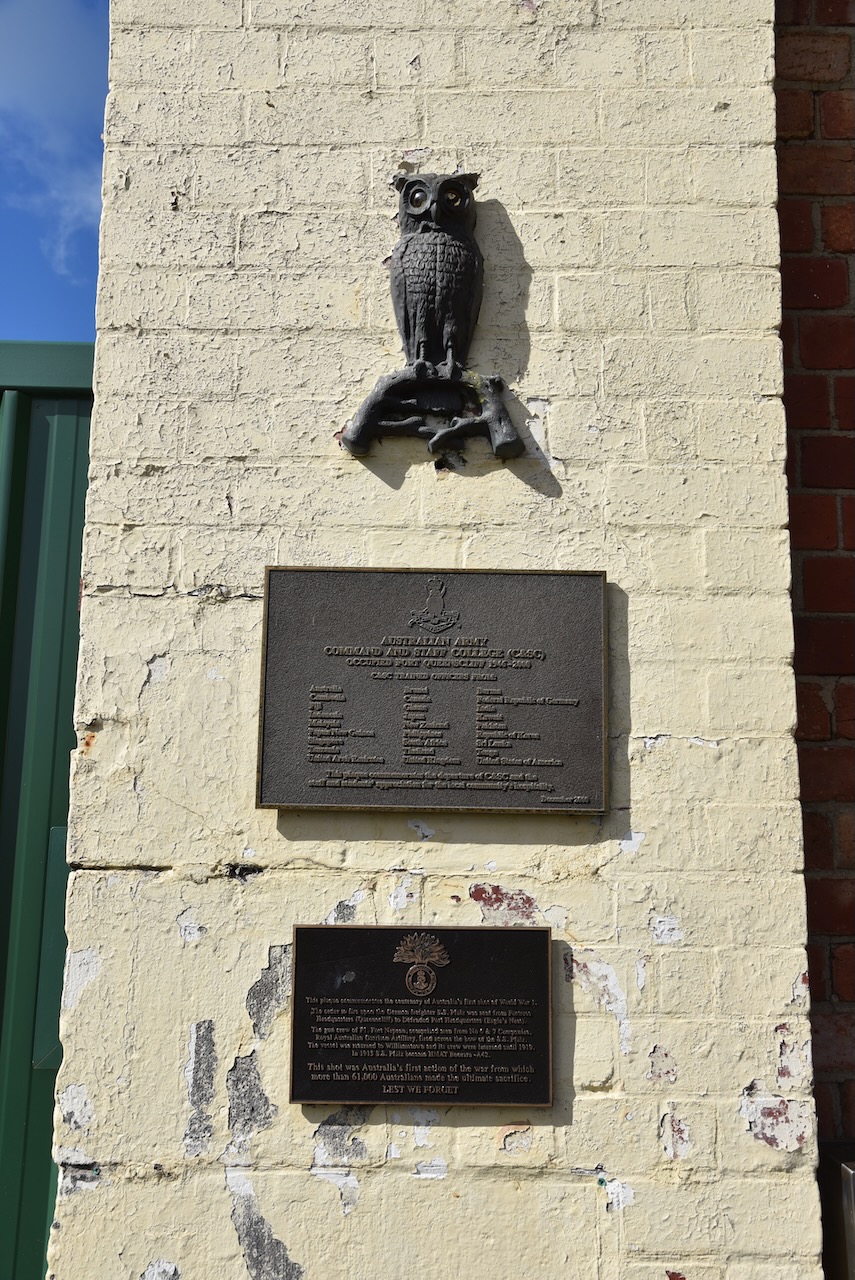
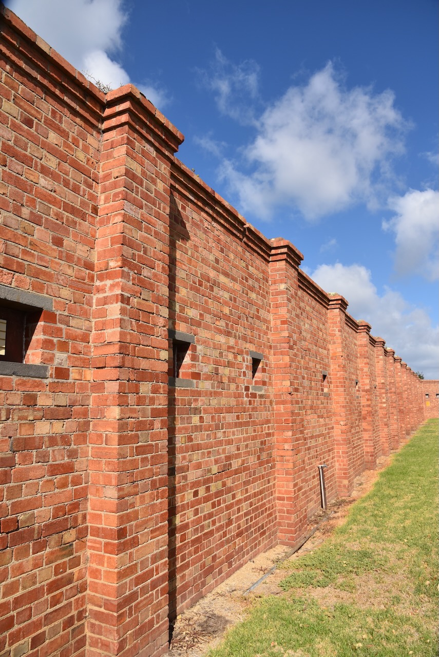
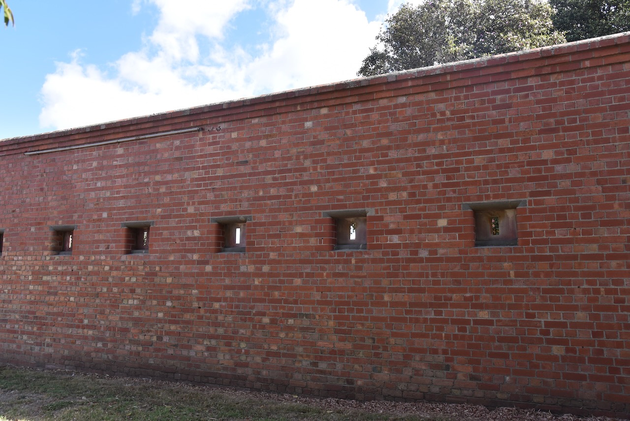
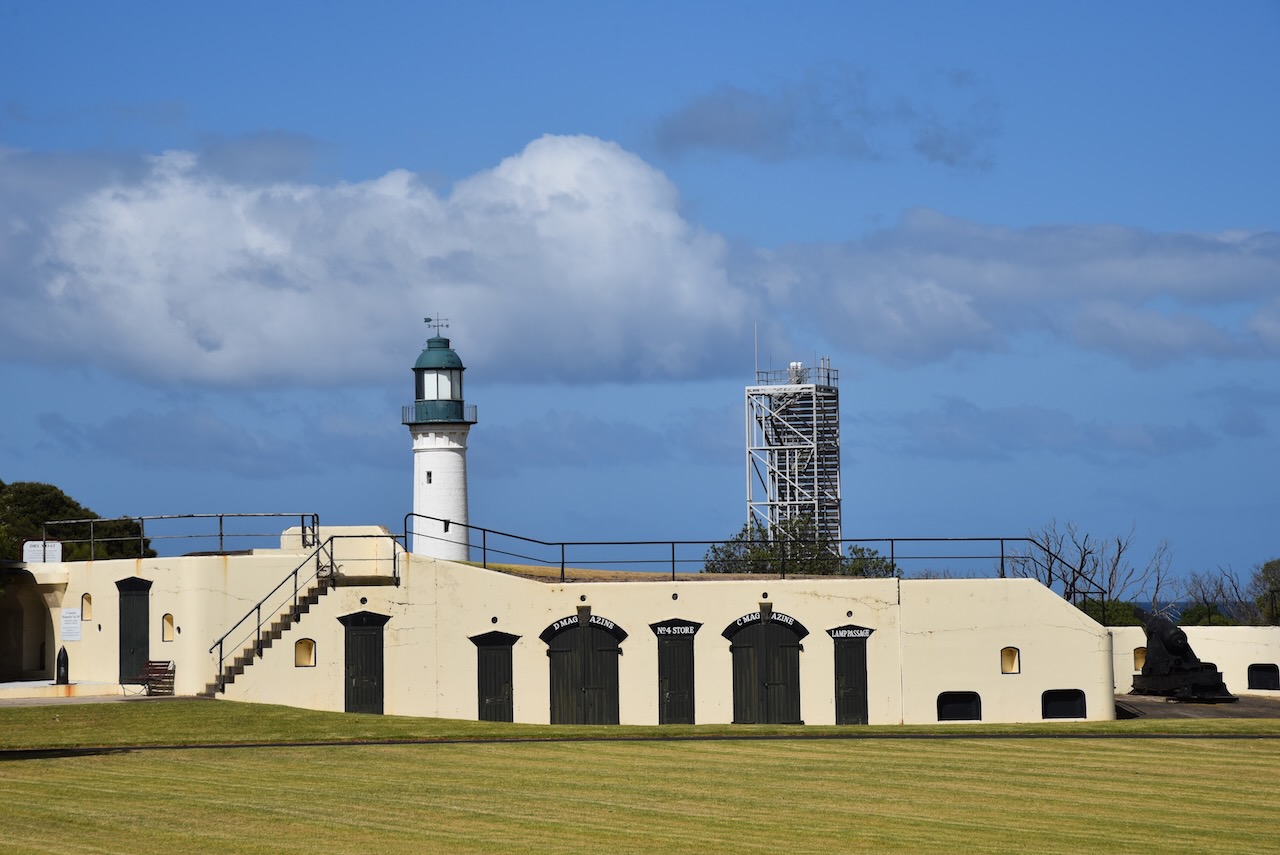
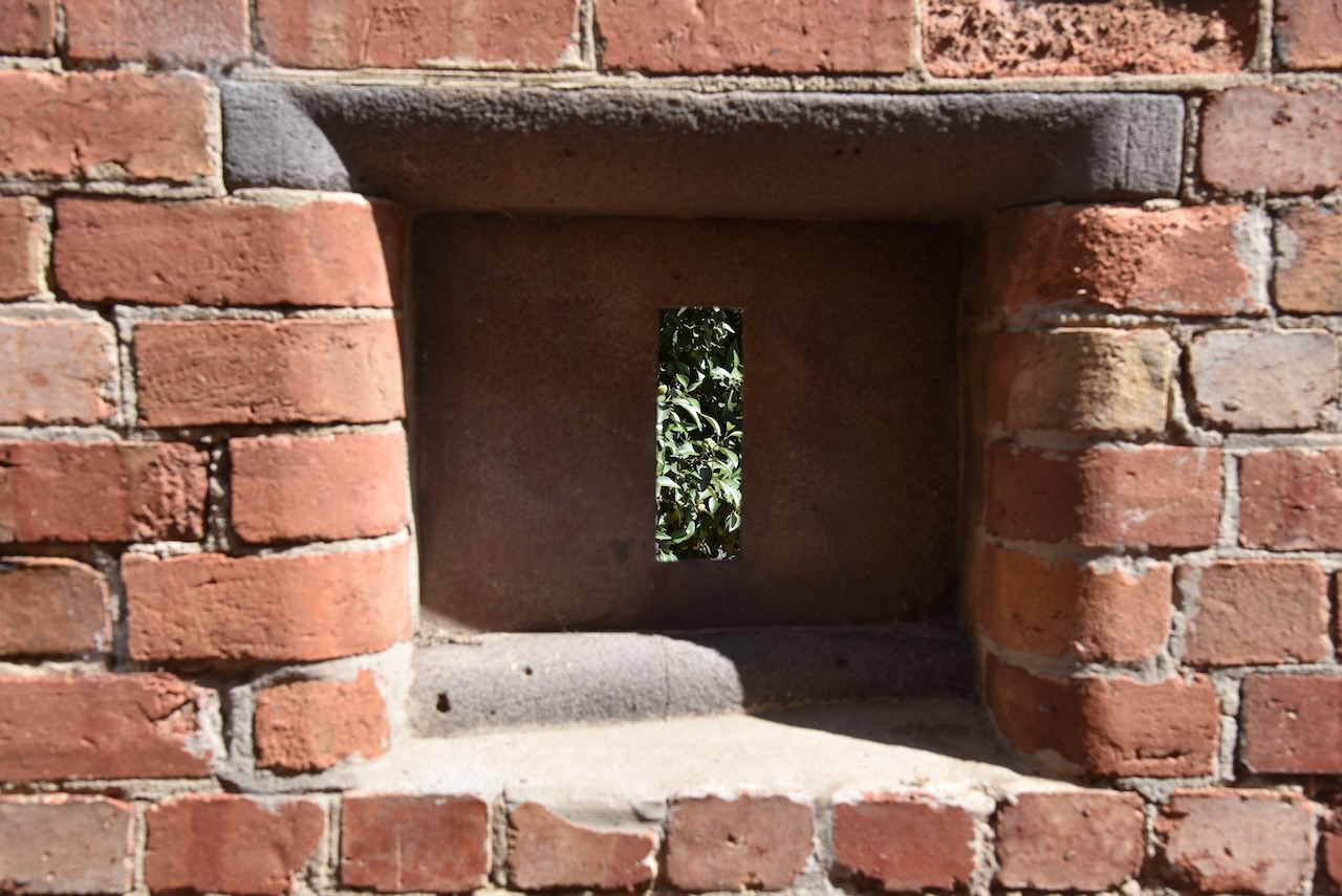
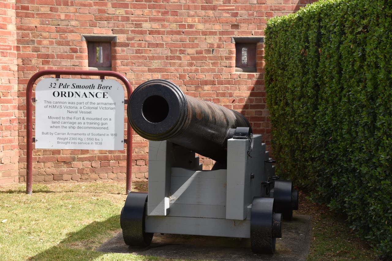
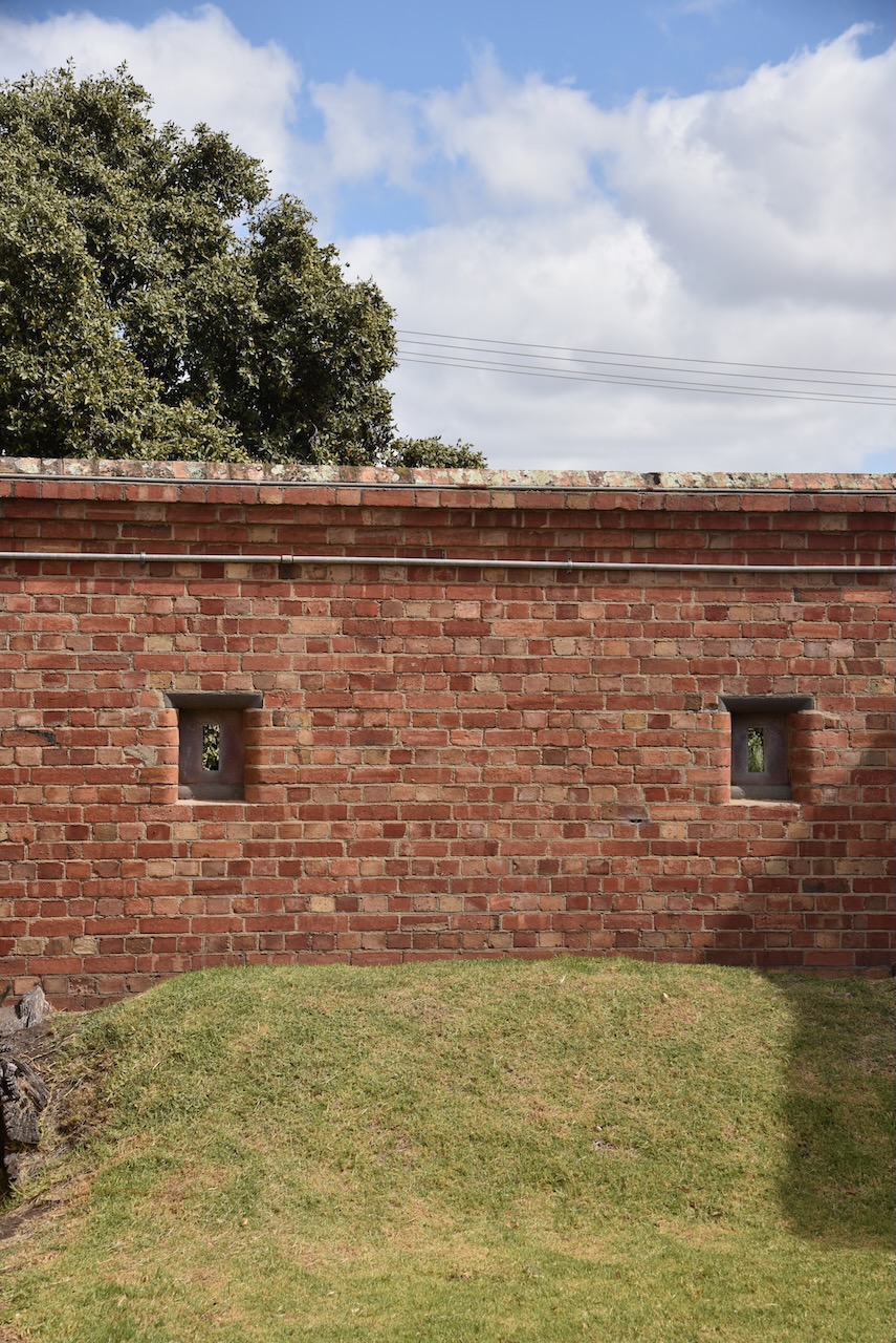
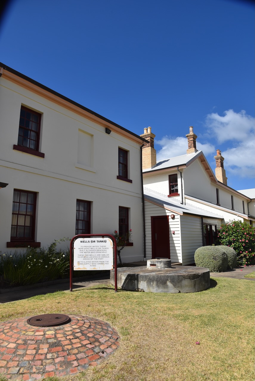
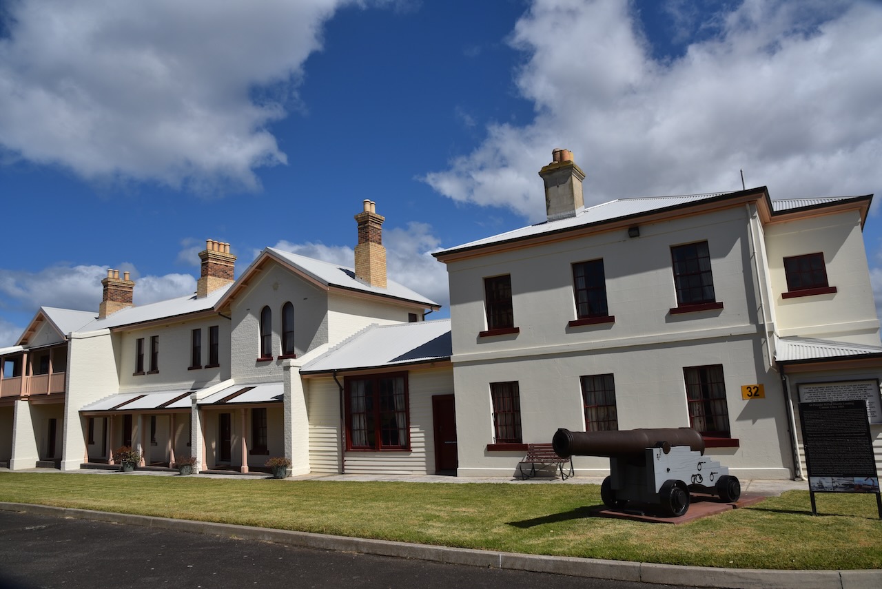
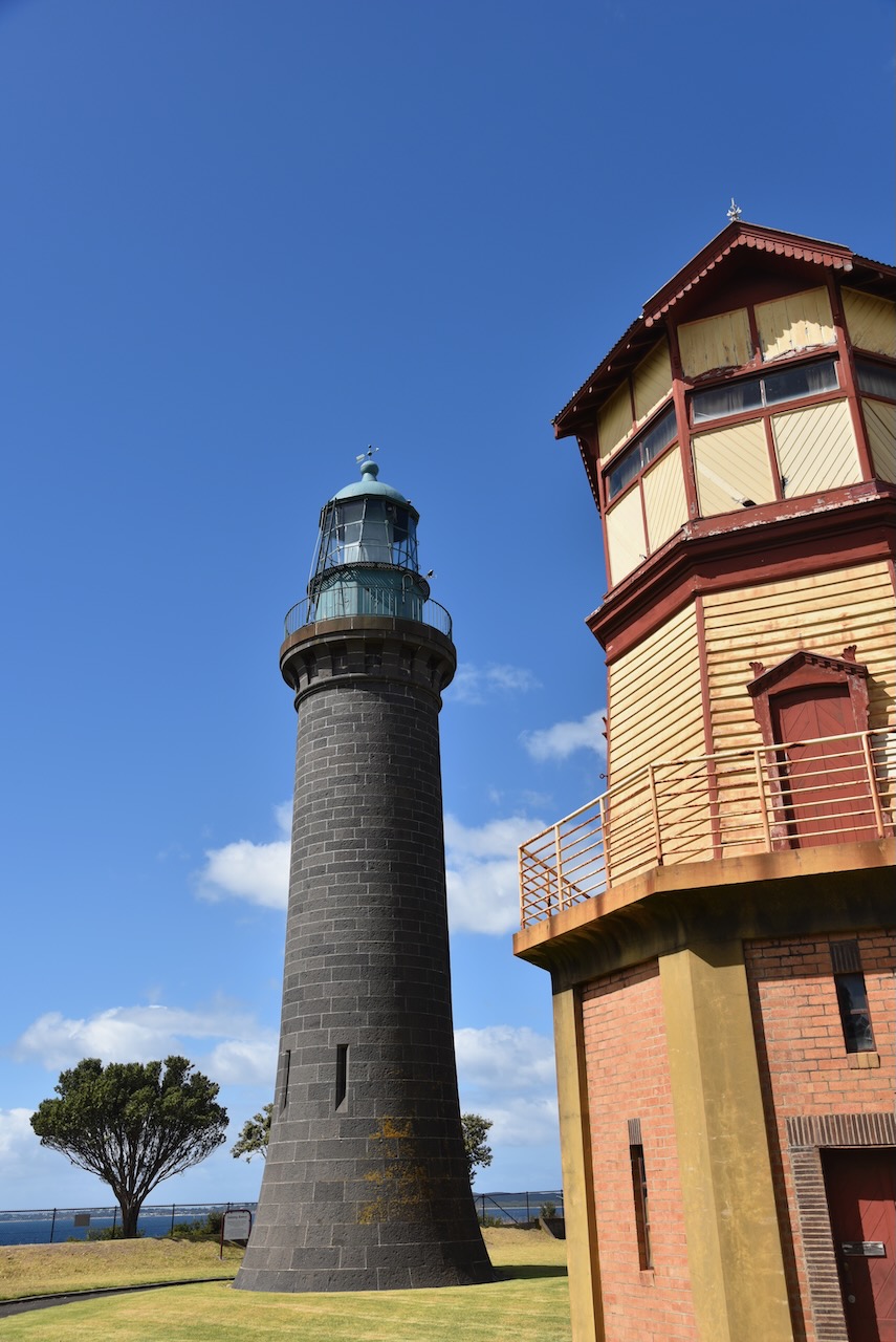
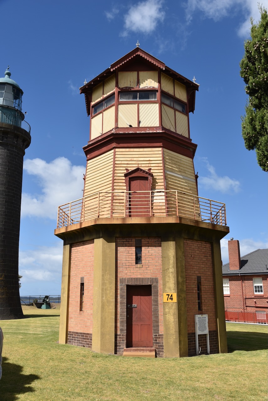
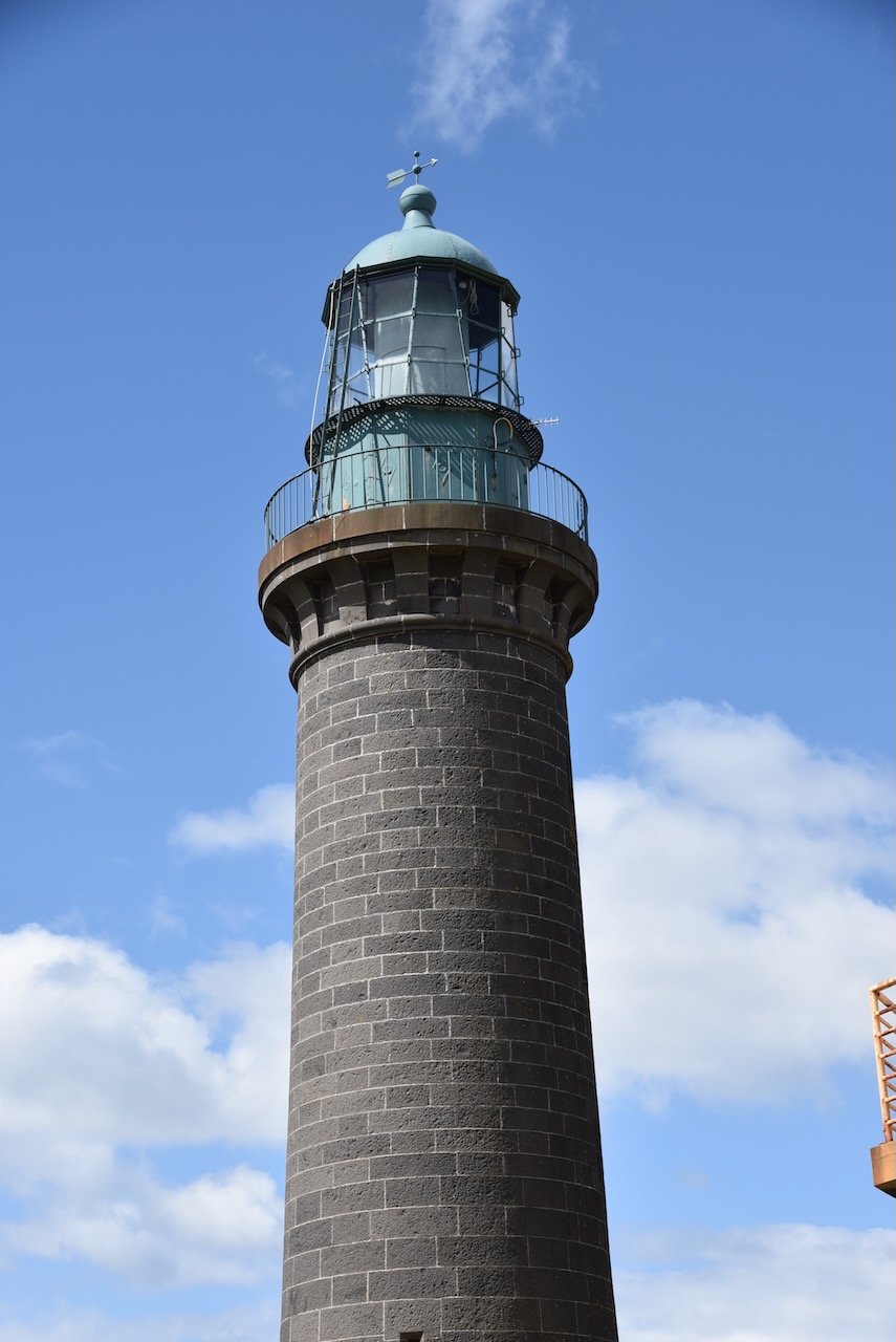
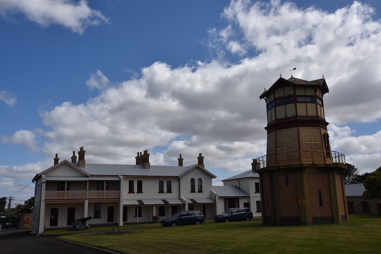
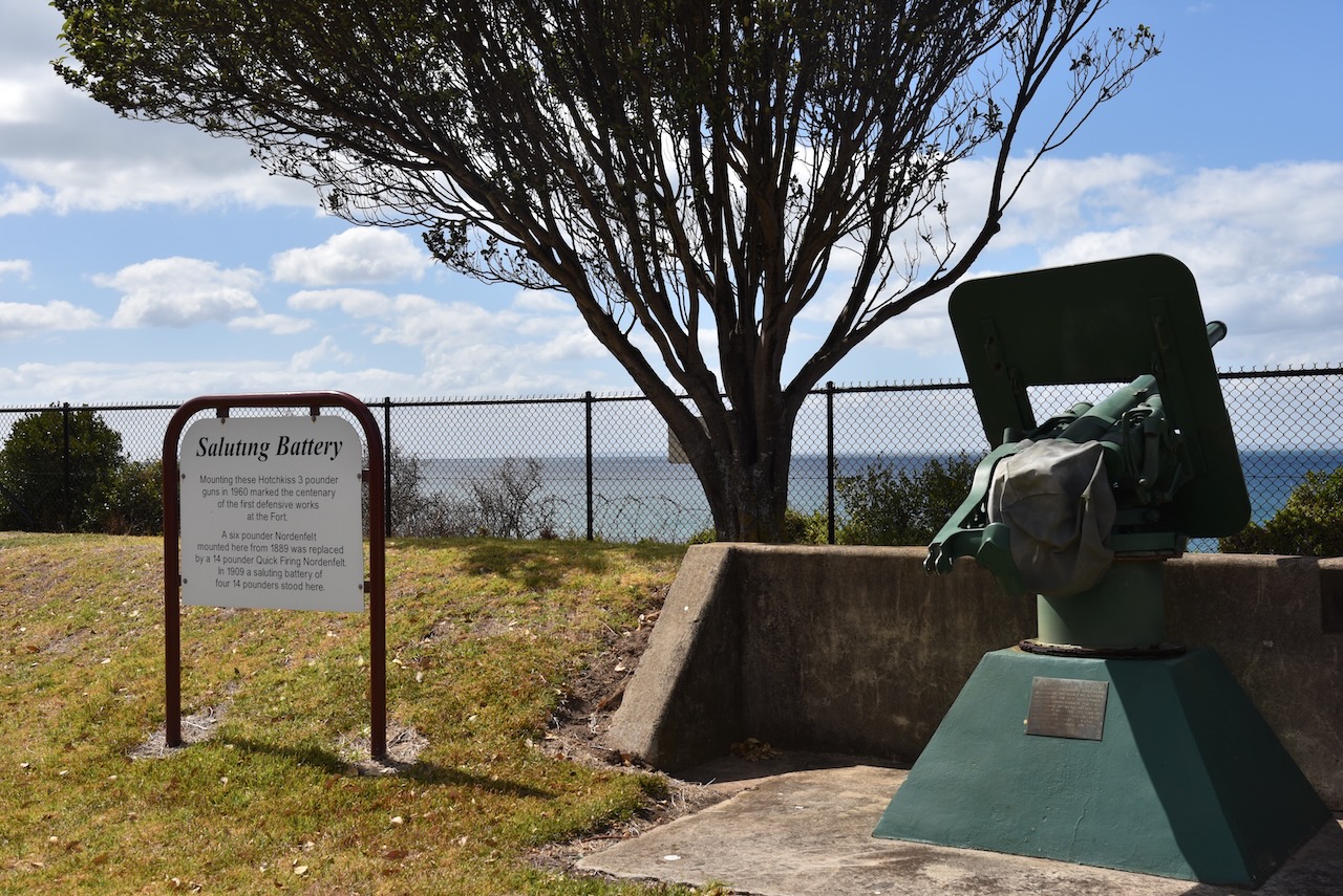
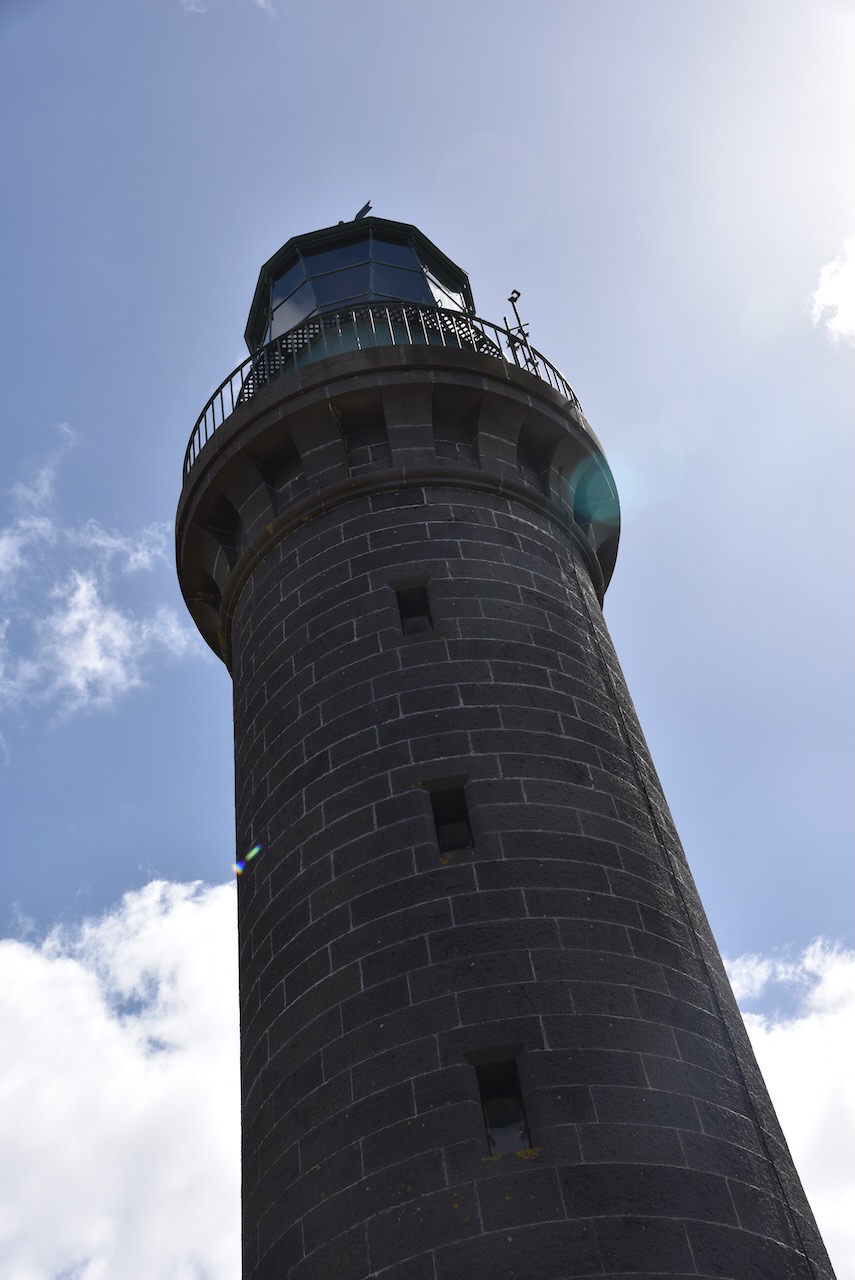
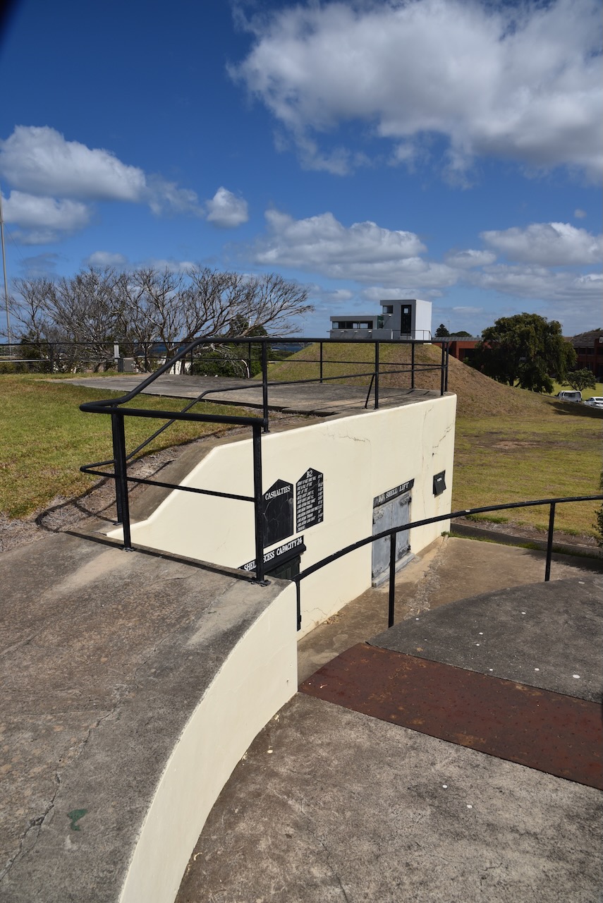
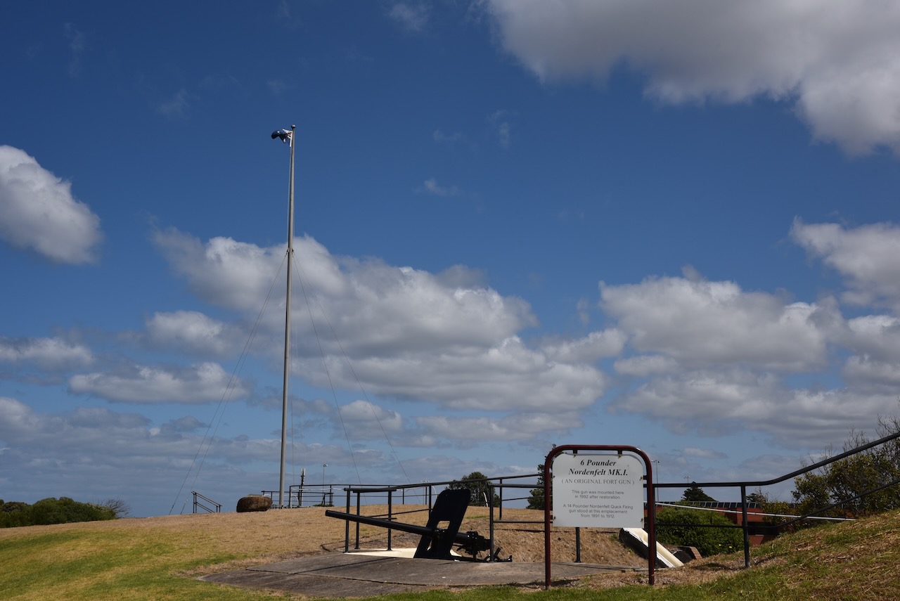
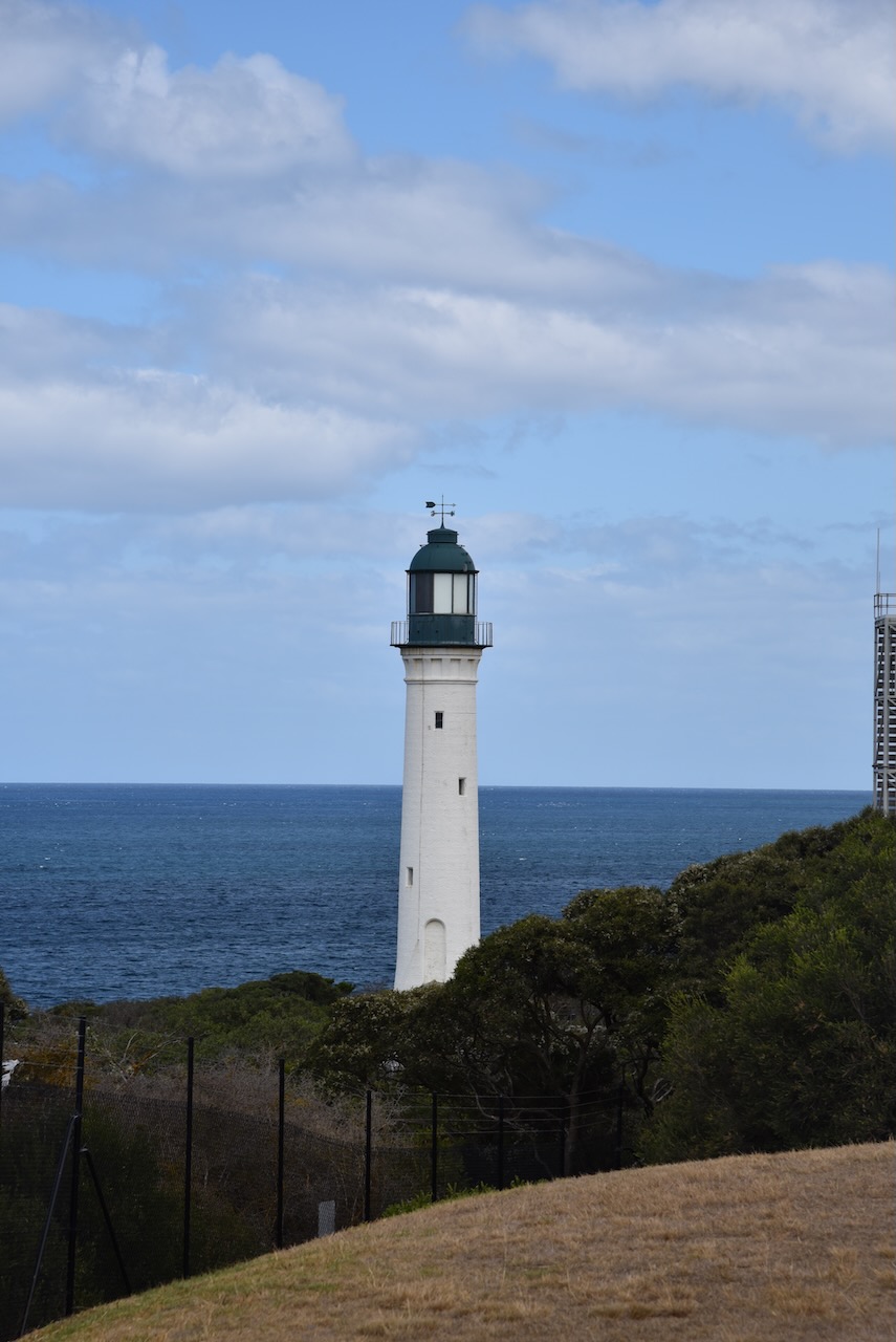
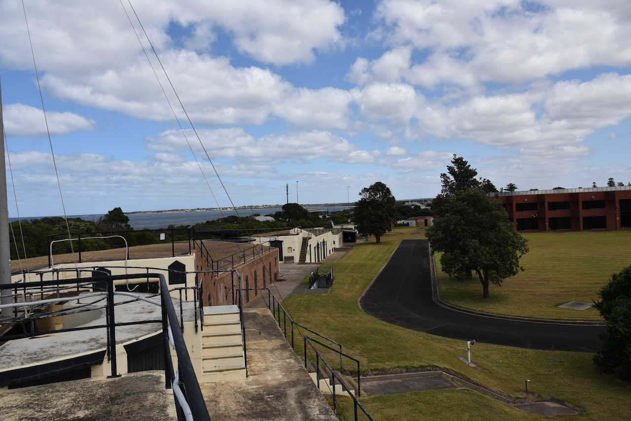
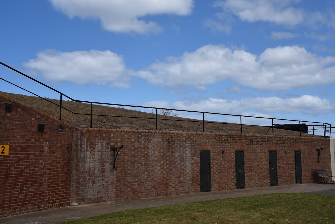
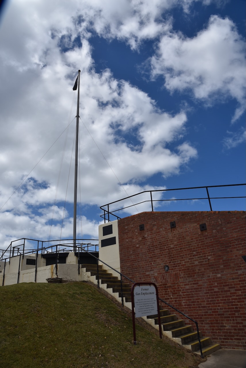
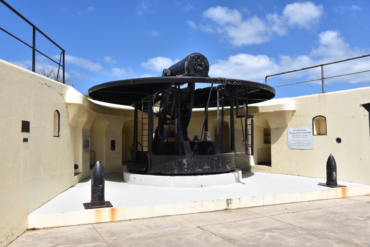
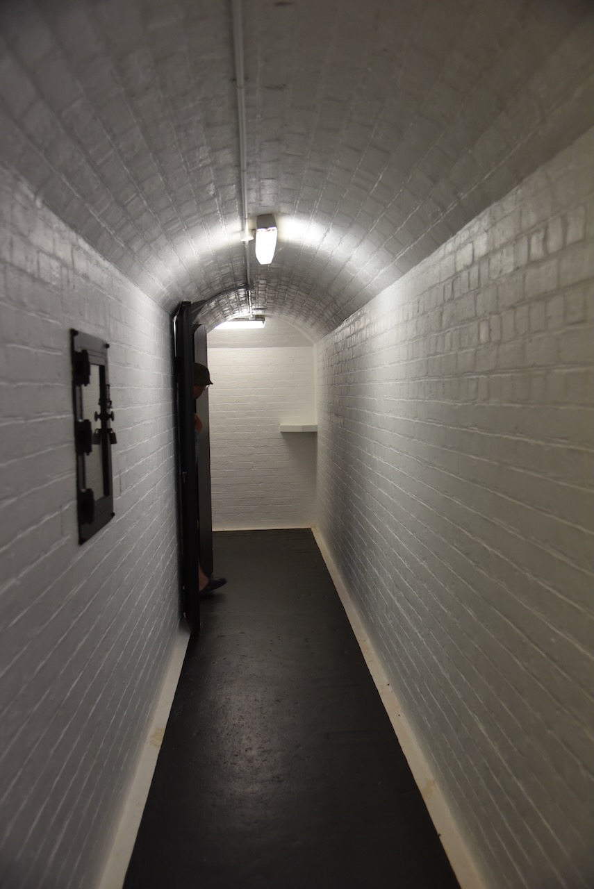
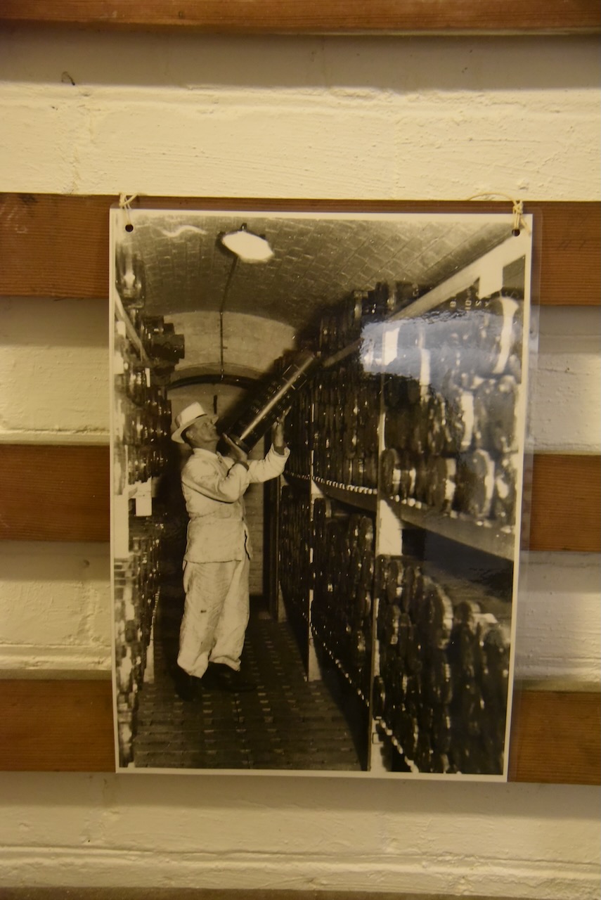
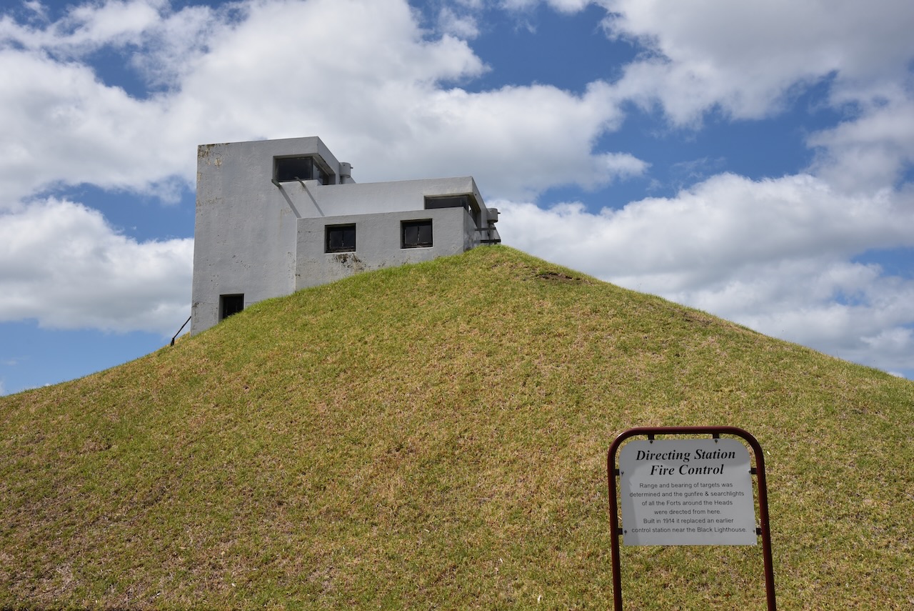
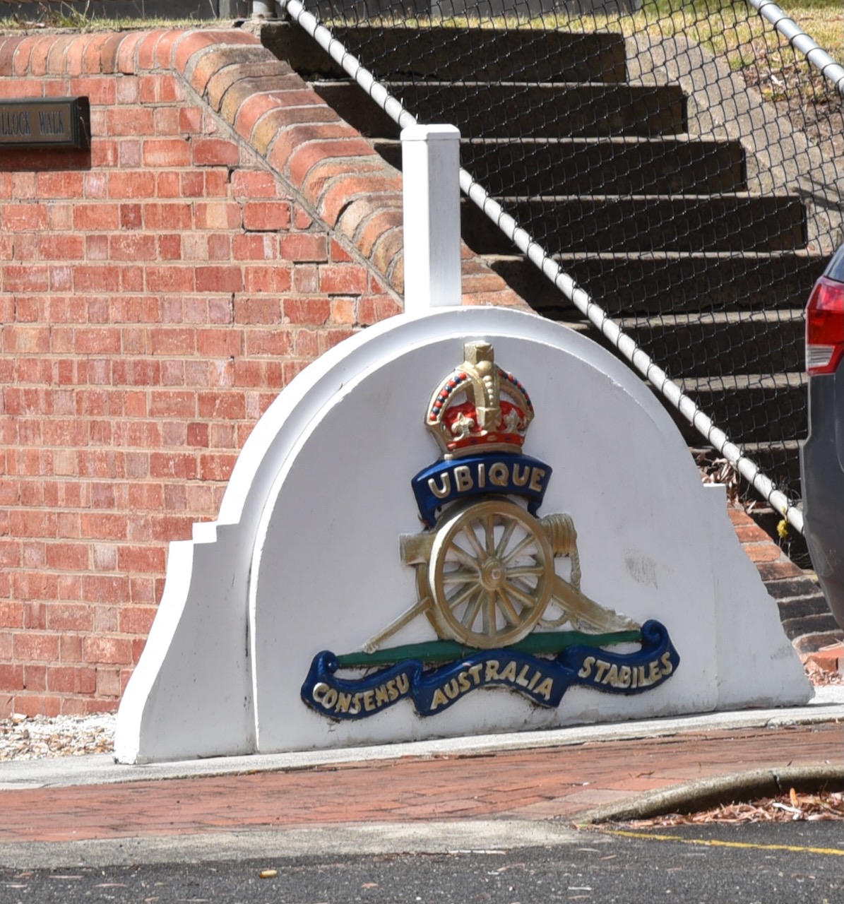
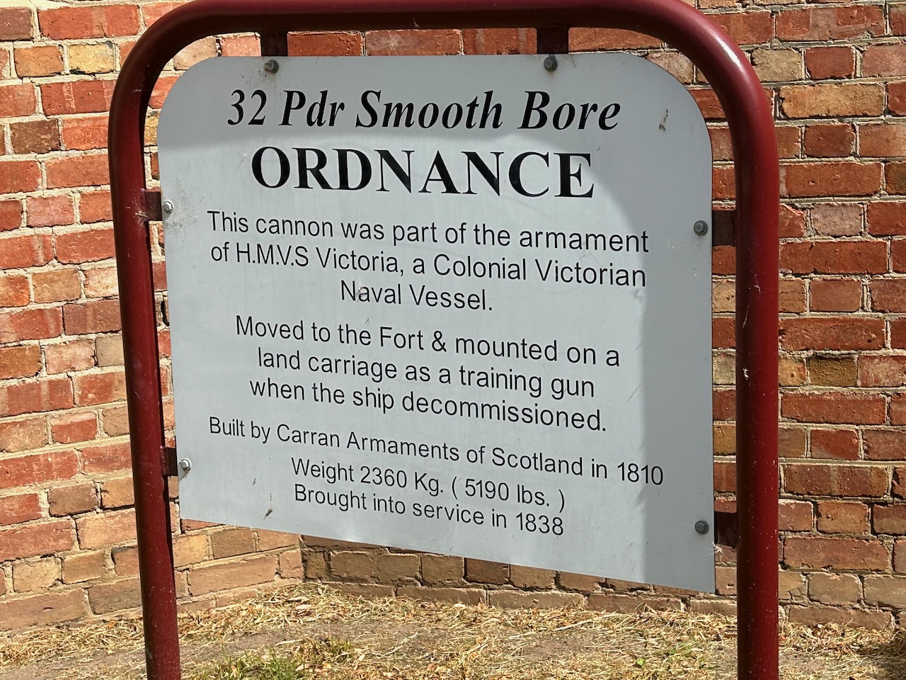
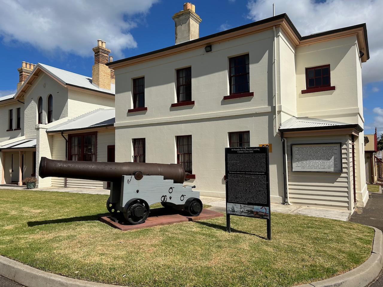
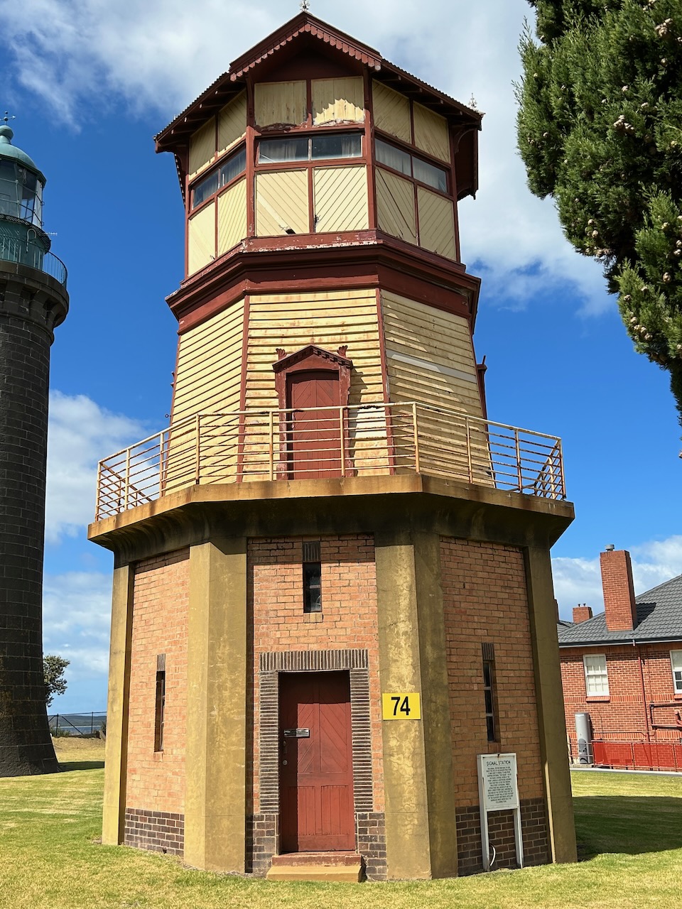
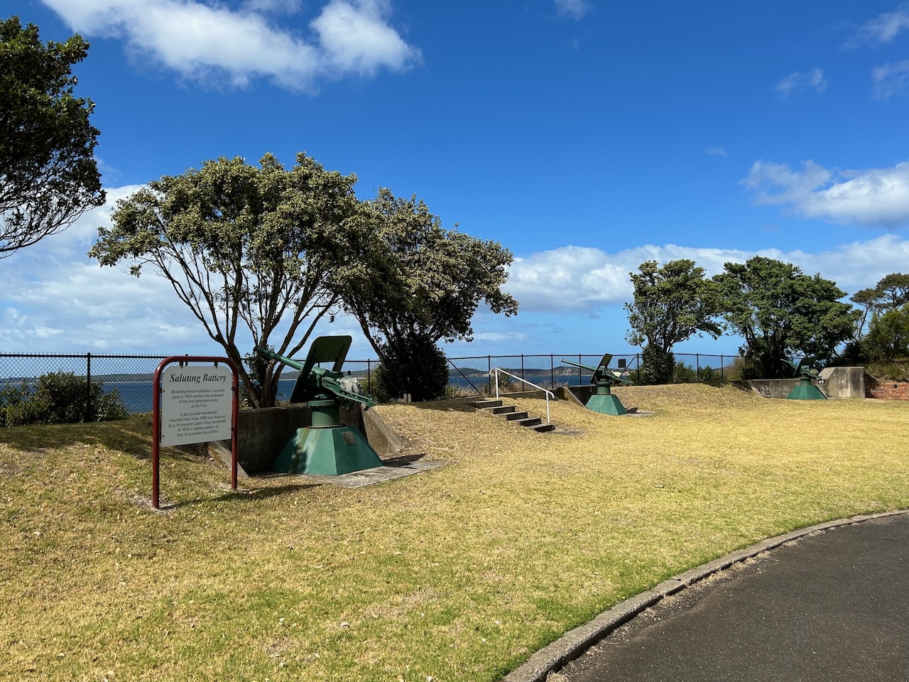
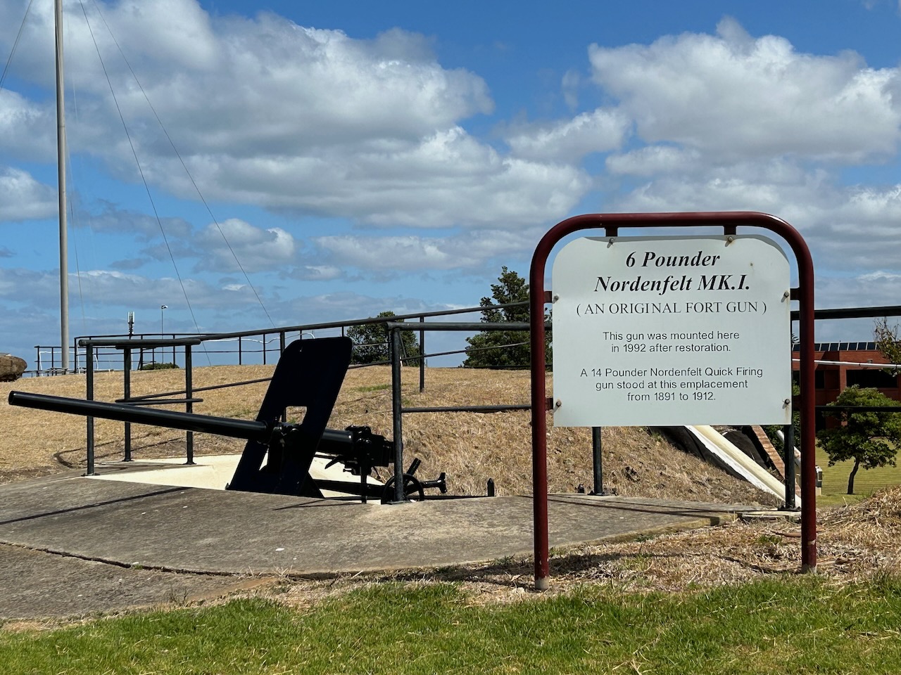
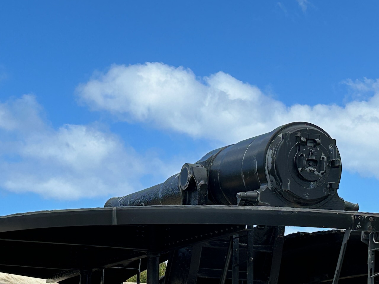
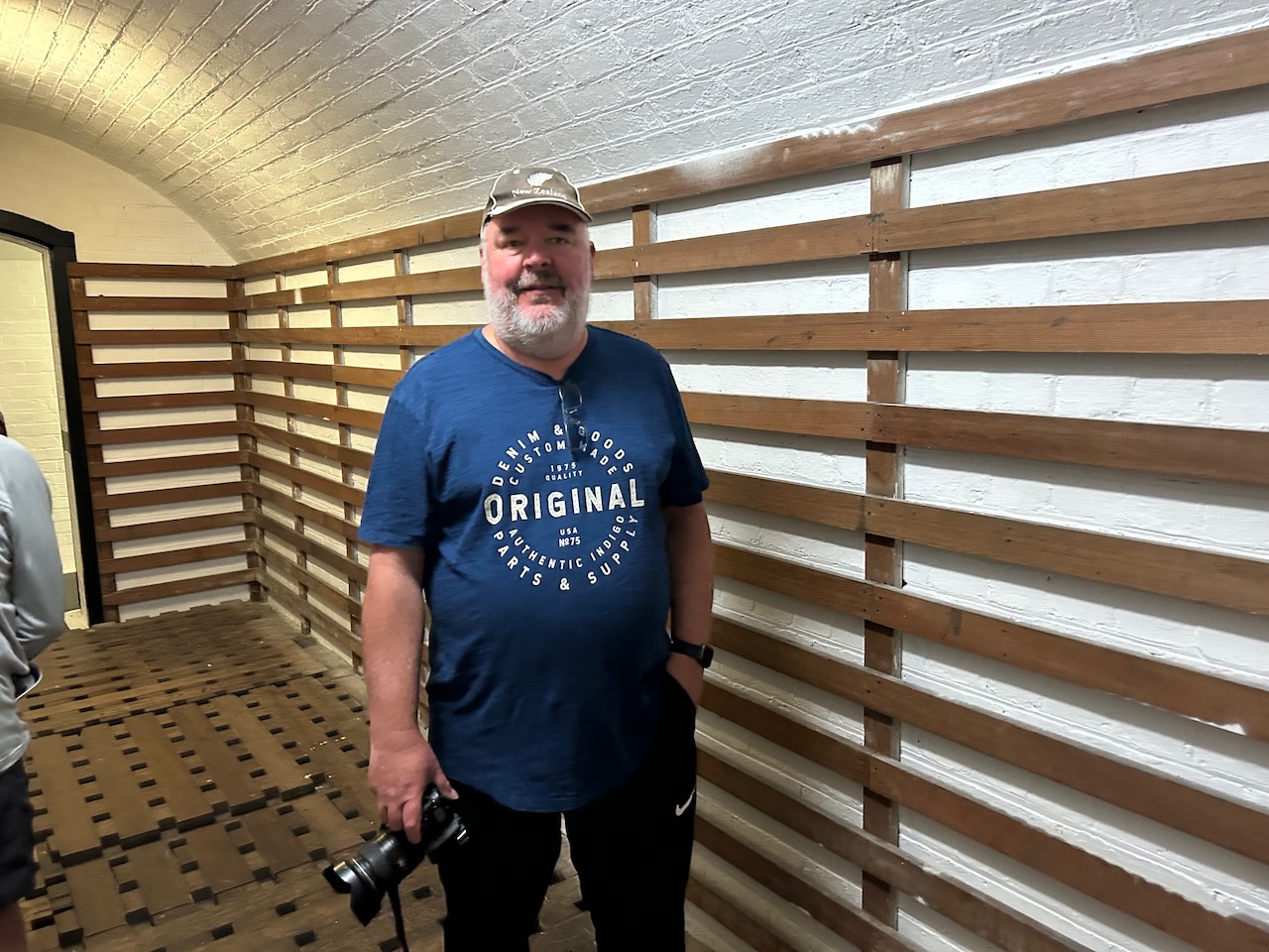
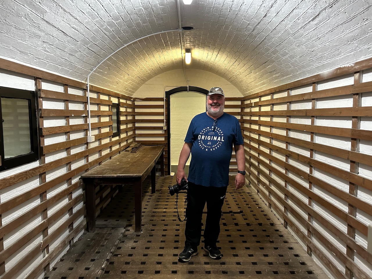
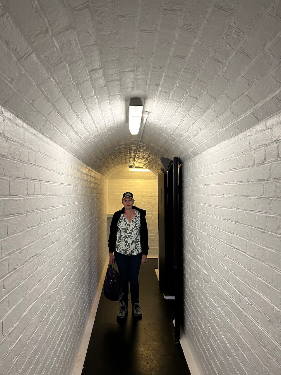
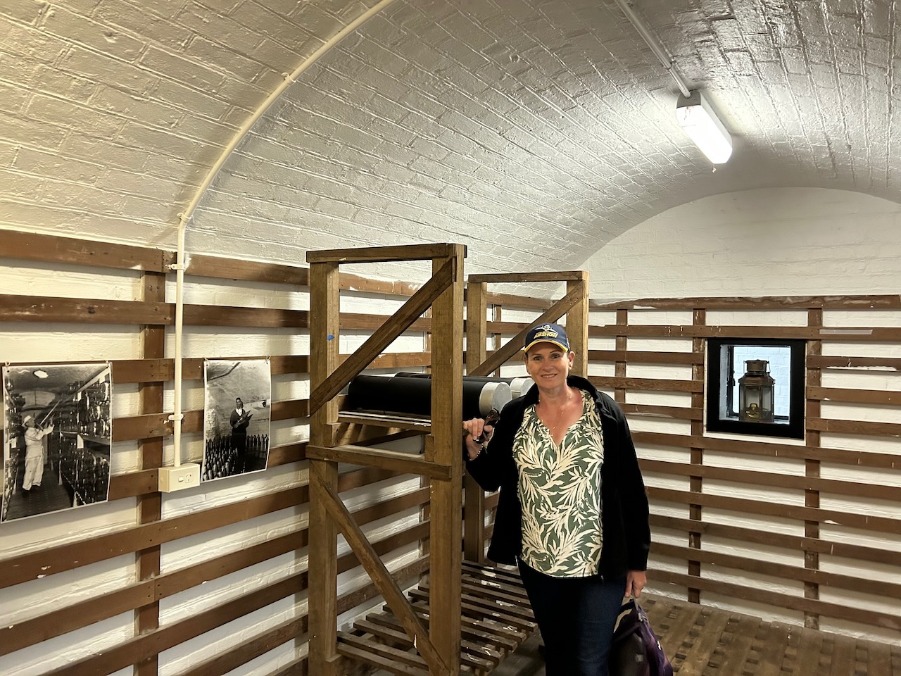
We then headed to Fort Queenscliff, one of Victoria’s most important historic sites and one of the largest and best-preserved forts in Australia. The Fort dates from 1860 when an open battery was constructed on Shortland’s Bluff to defend the entrance to Port Phillip. During the 1870s and 1880s, the Fort underwent major redevelopment and became the headquarters for an extensive chain of forts around Port Phillip Heads.
We had a brilliant volunteer guide who took us around the Fort and explained its fascinating history.
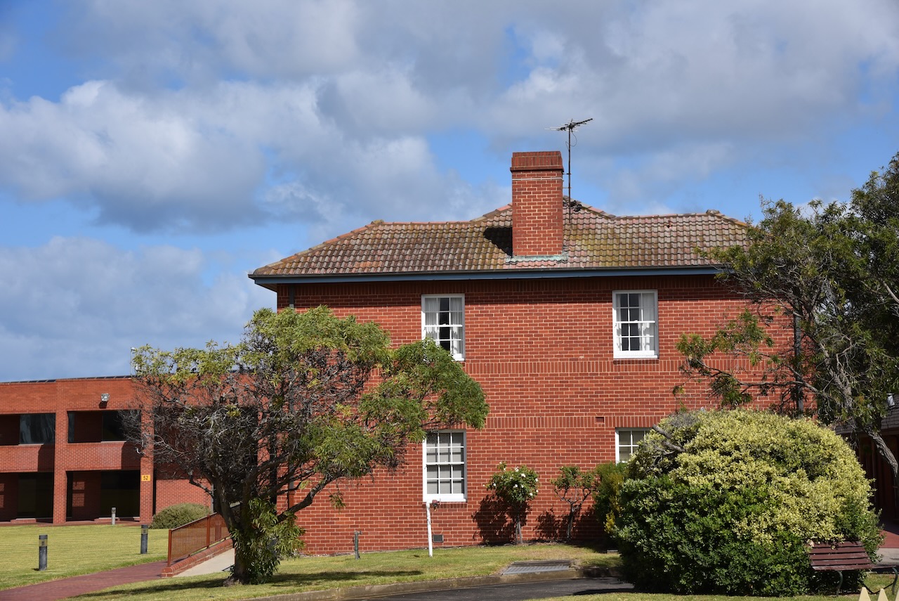
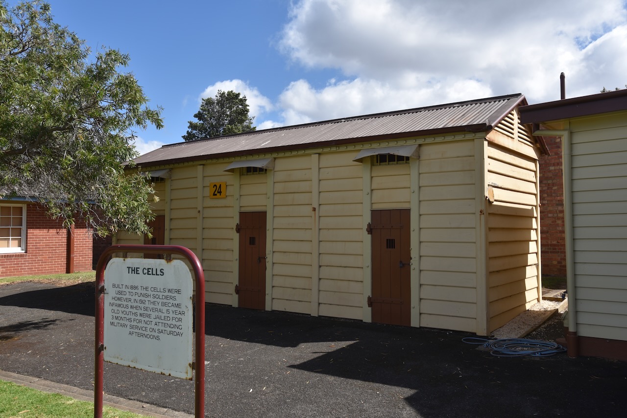
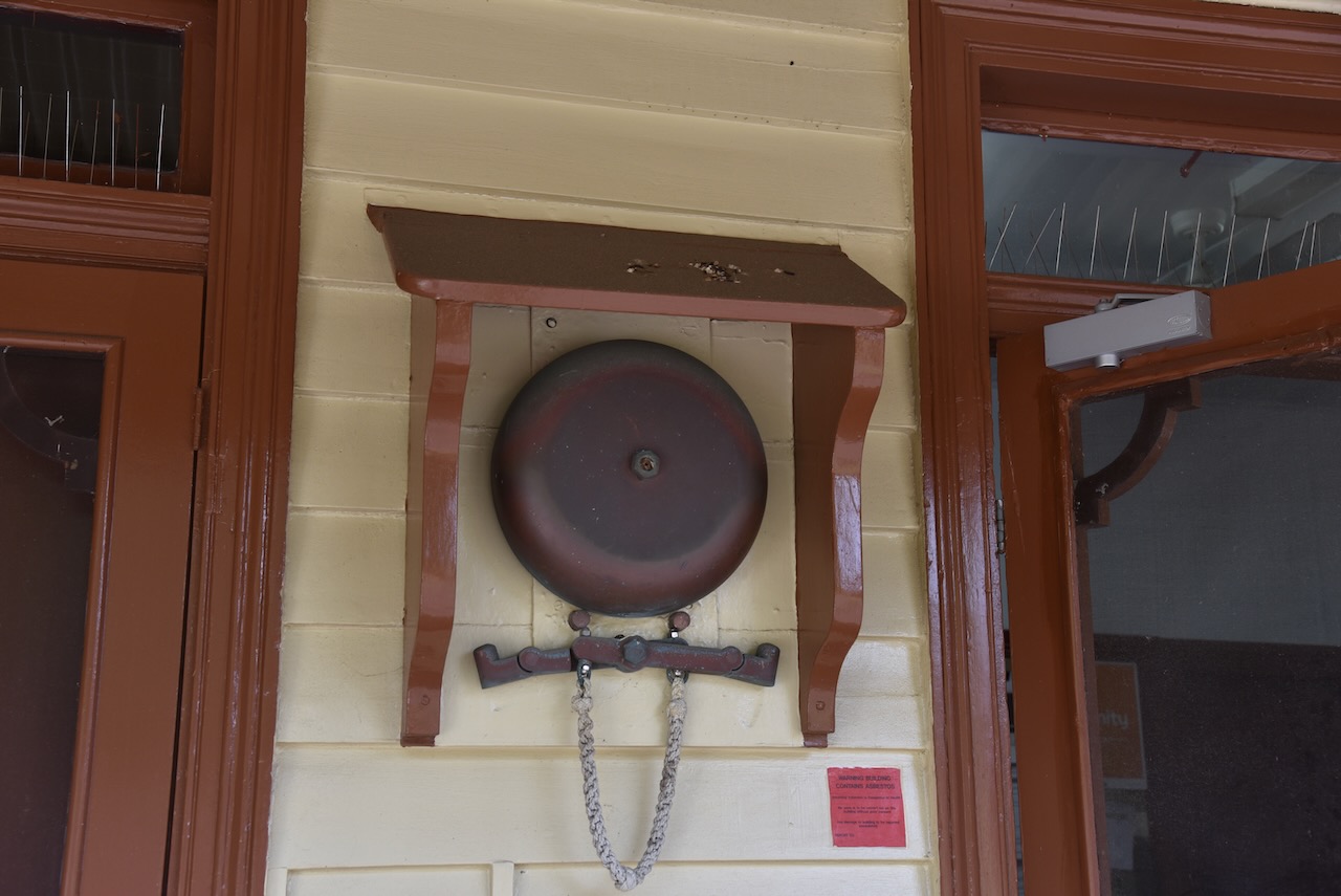
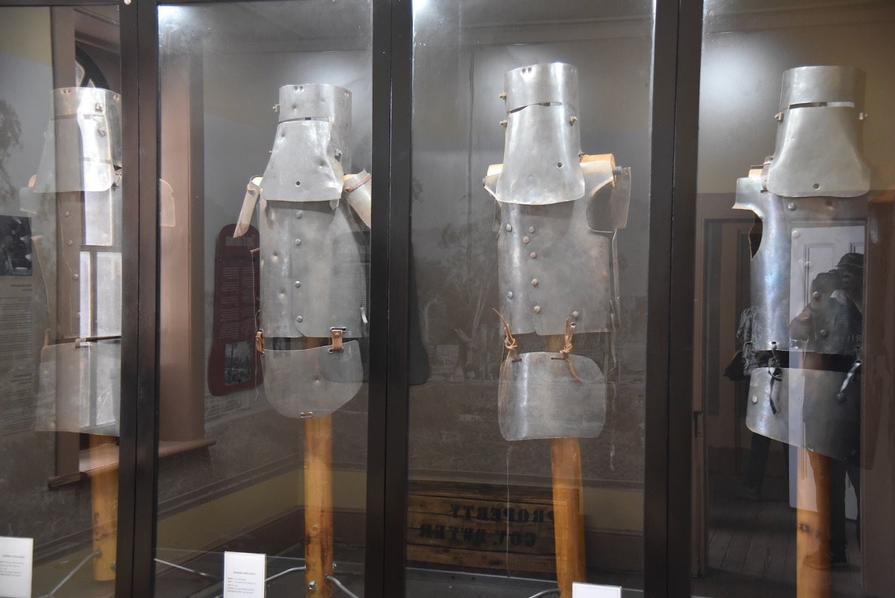
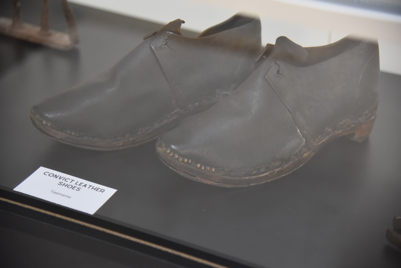
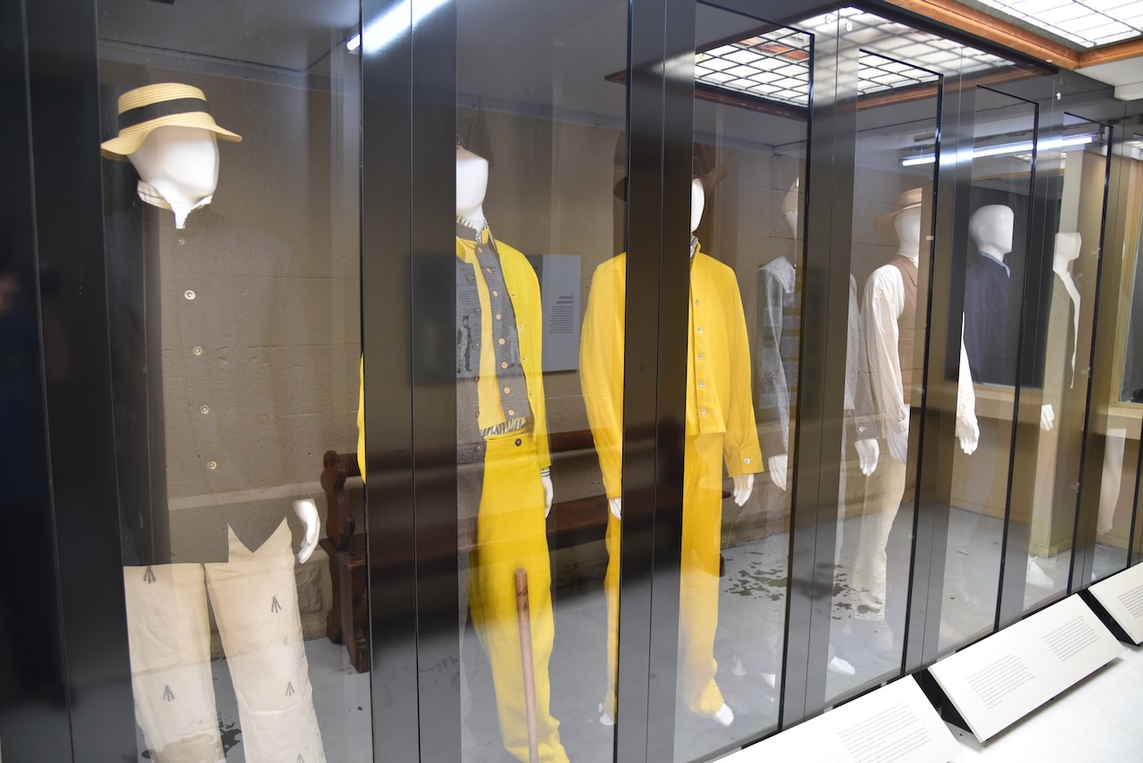
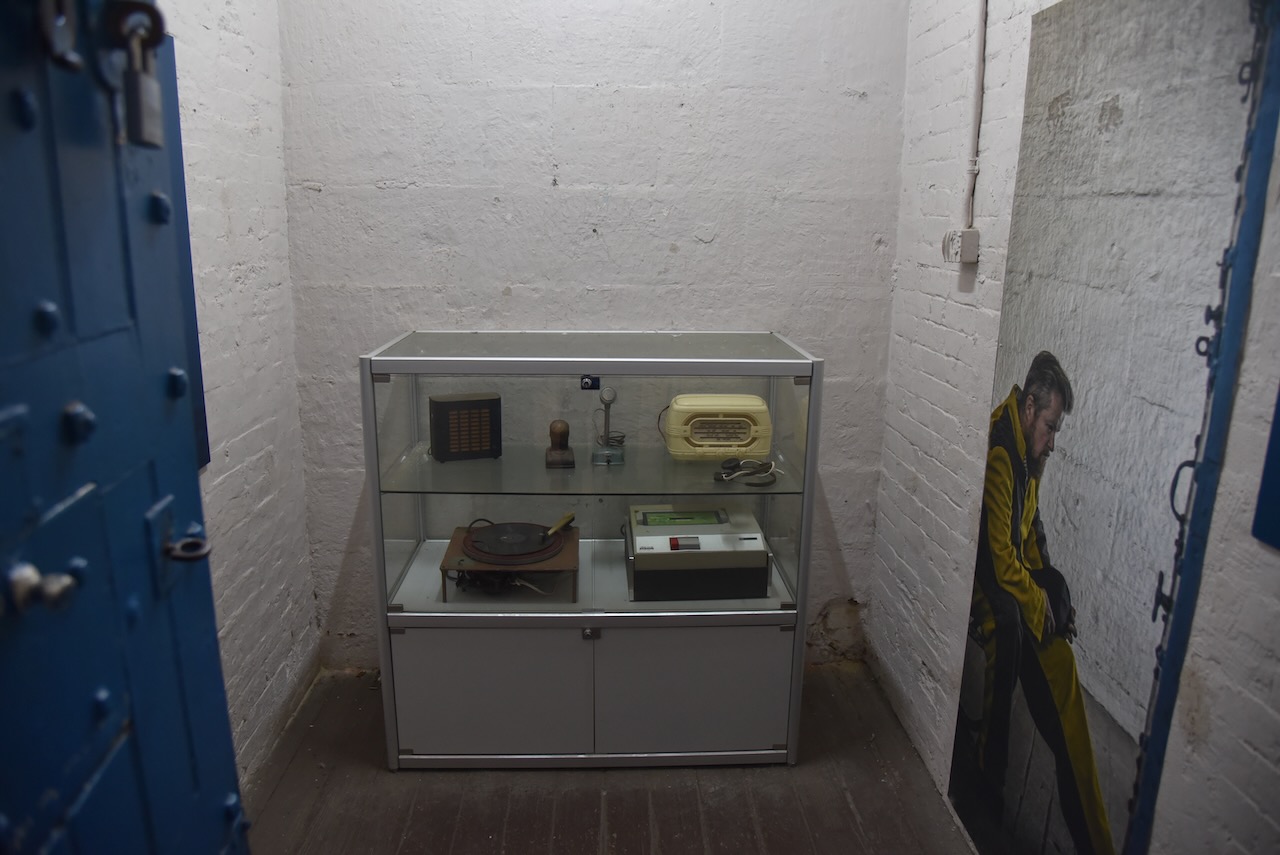
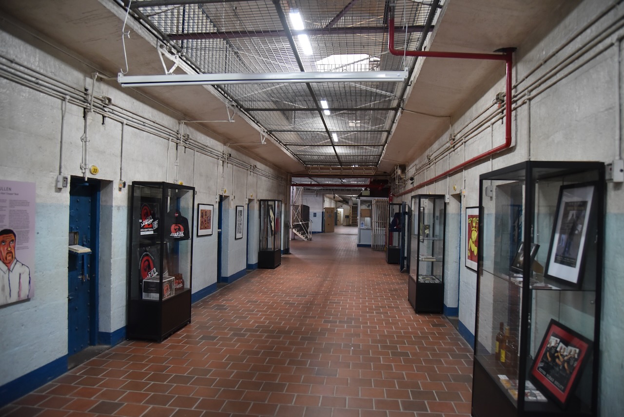
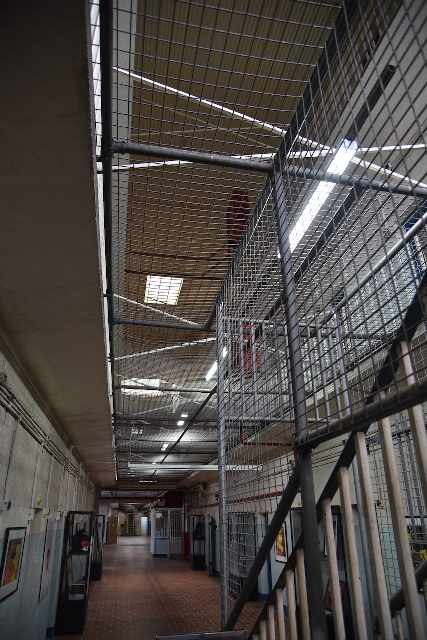
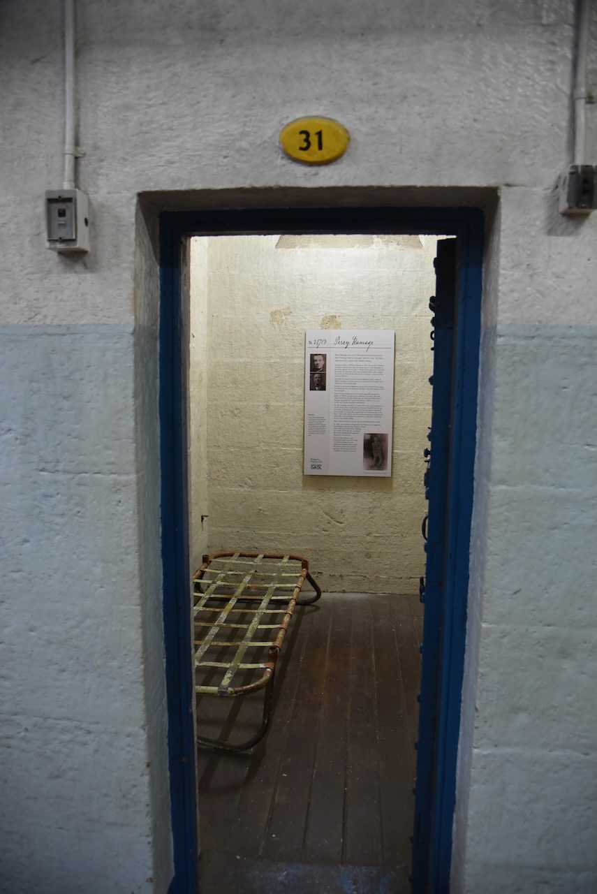
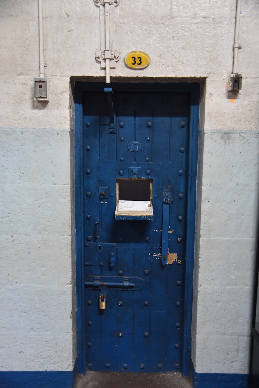
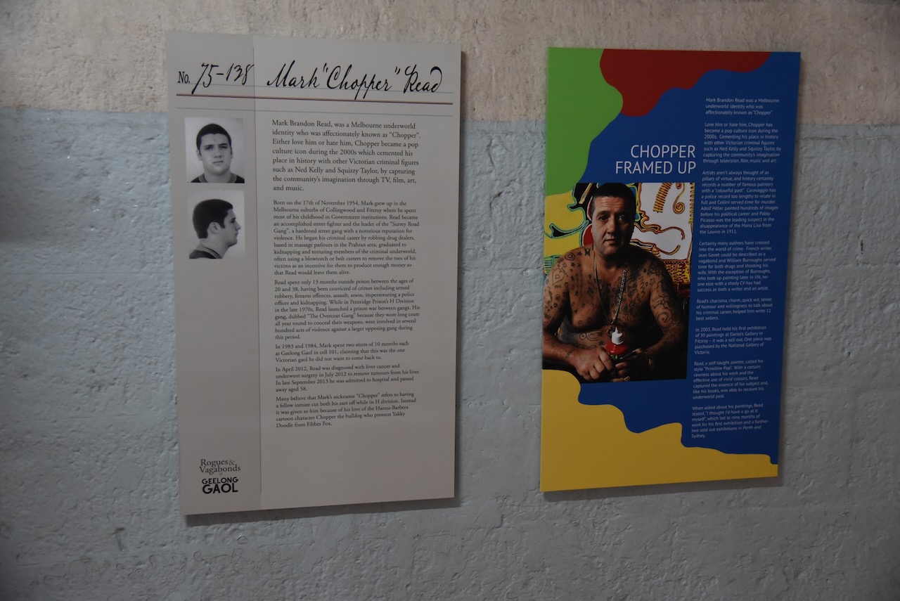
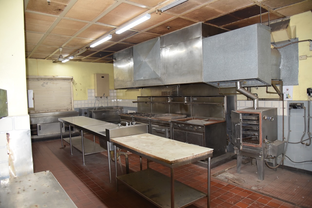
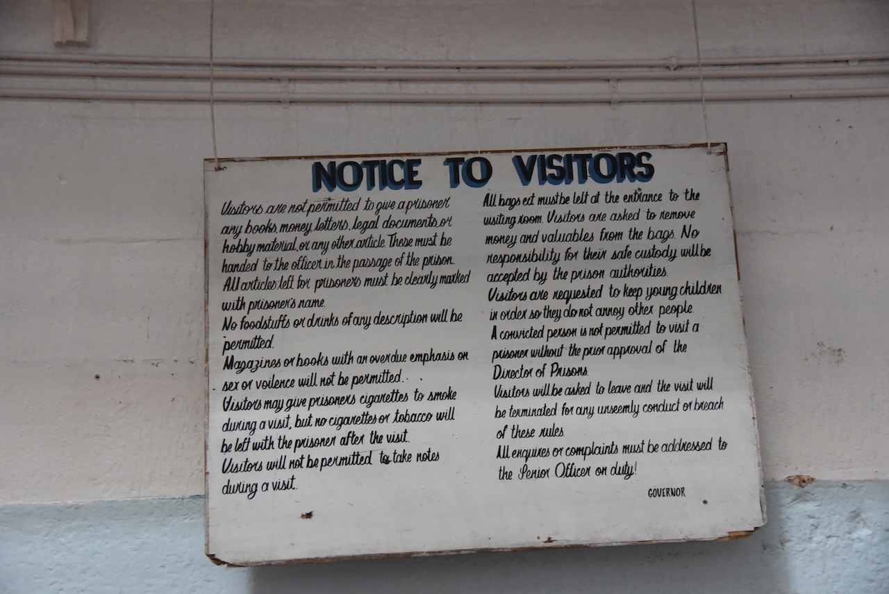
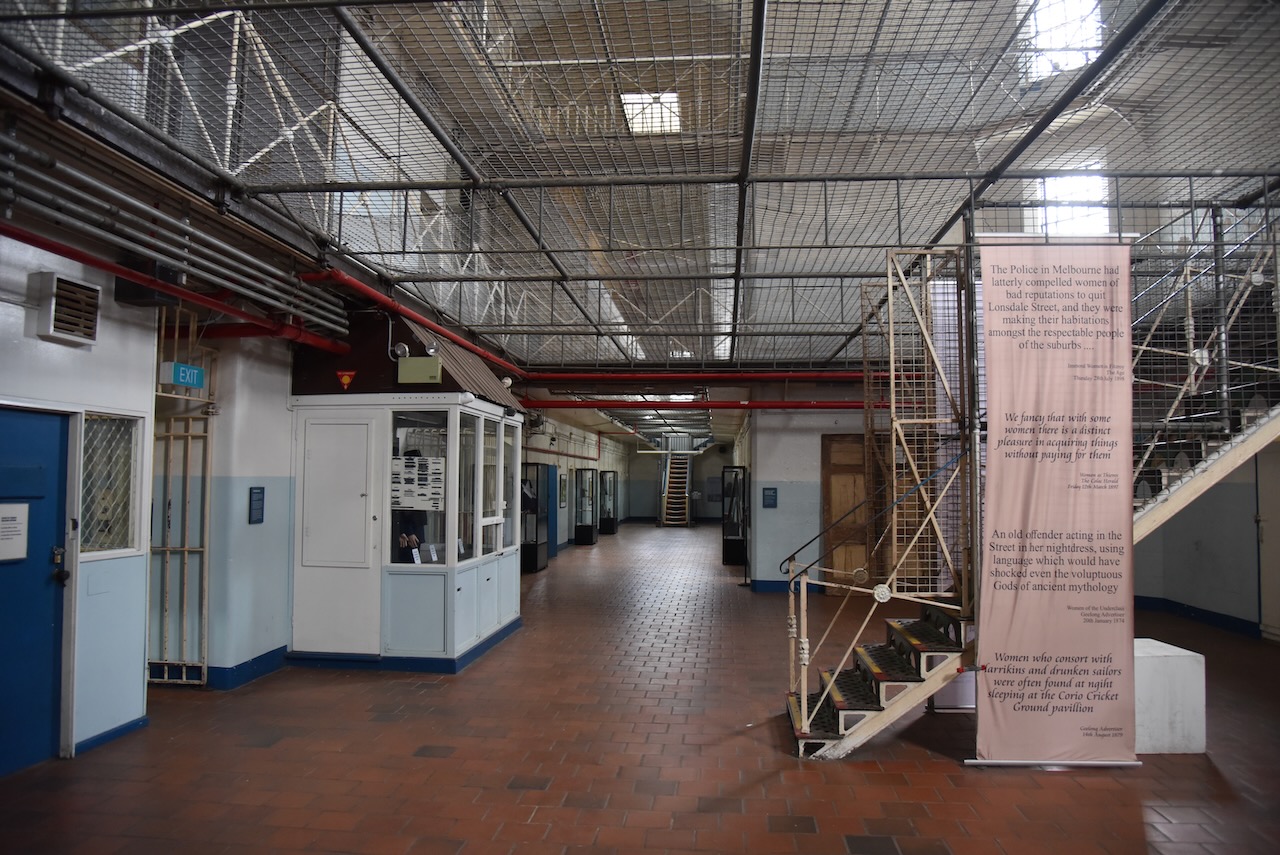
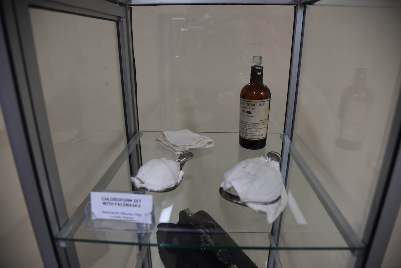
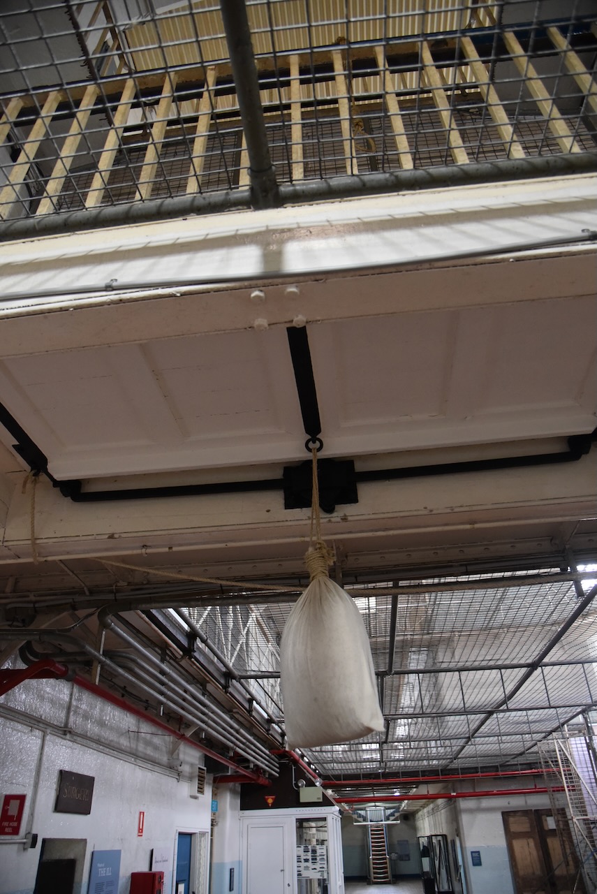
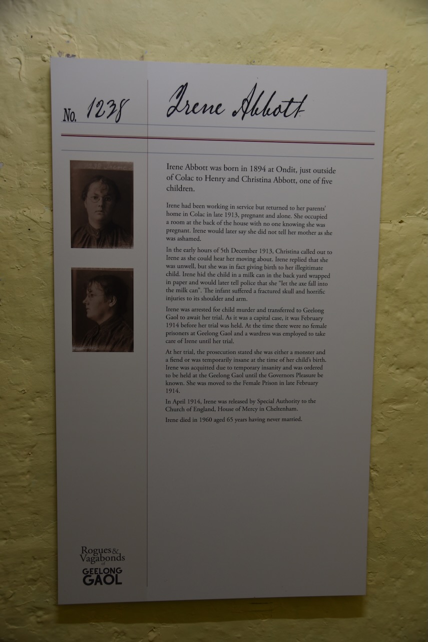
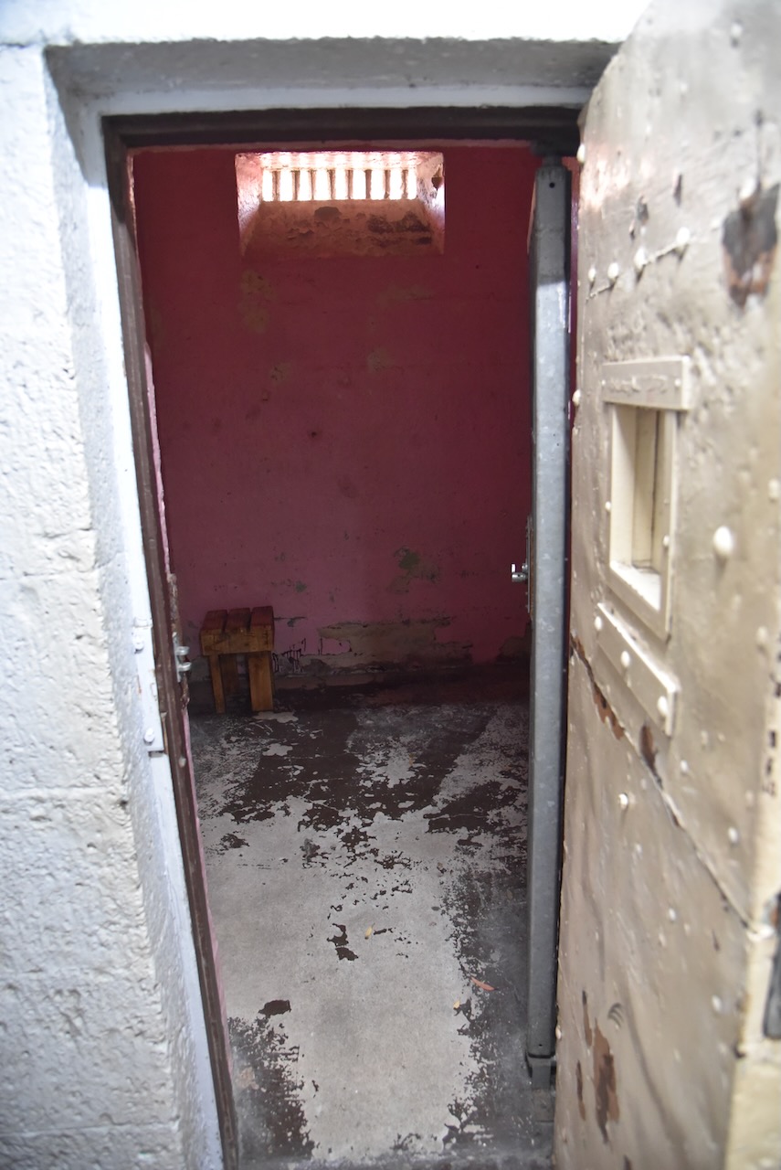
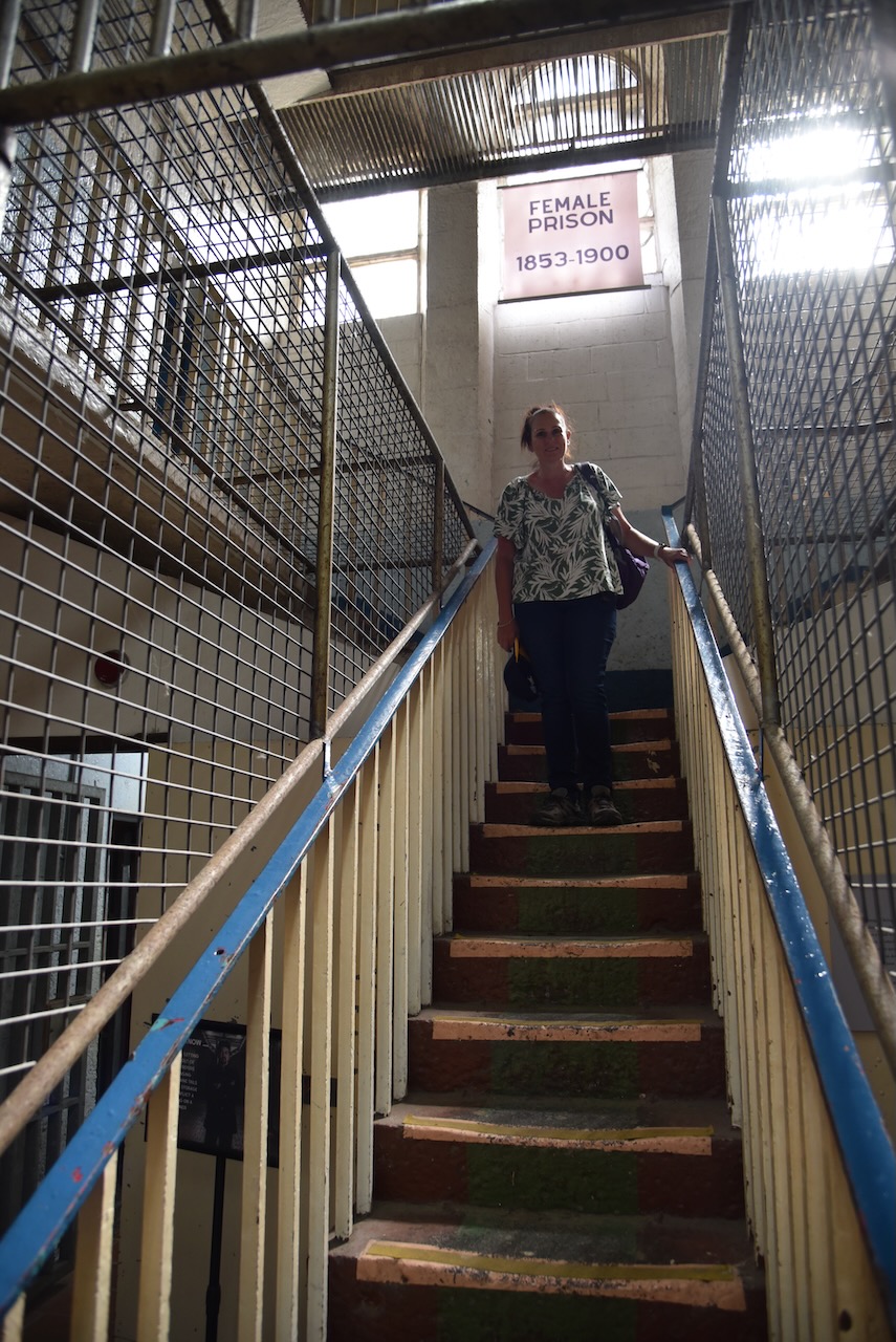
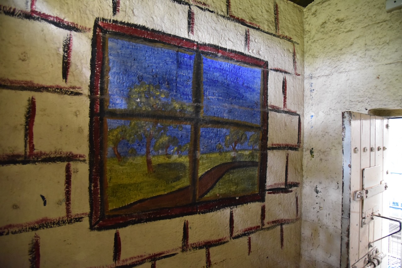
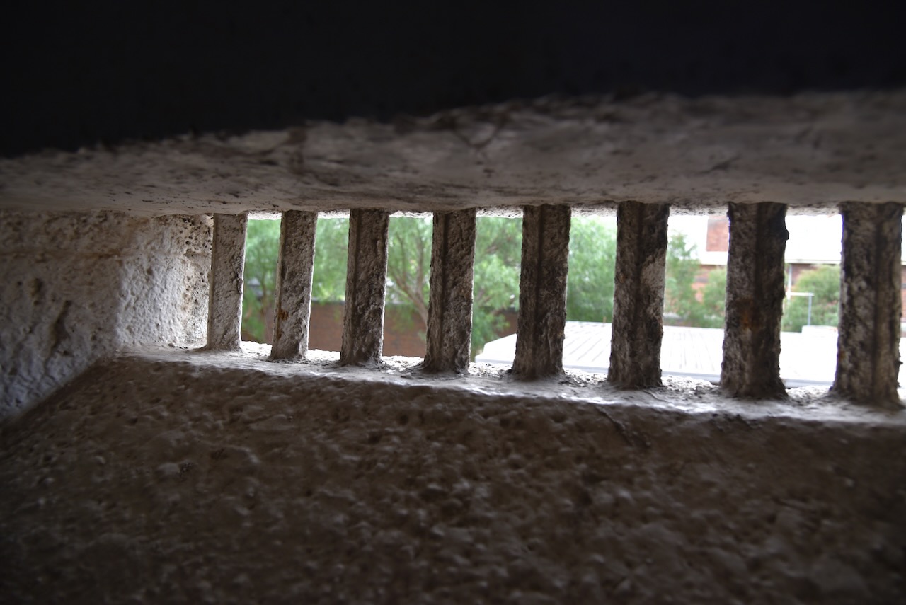
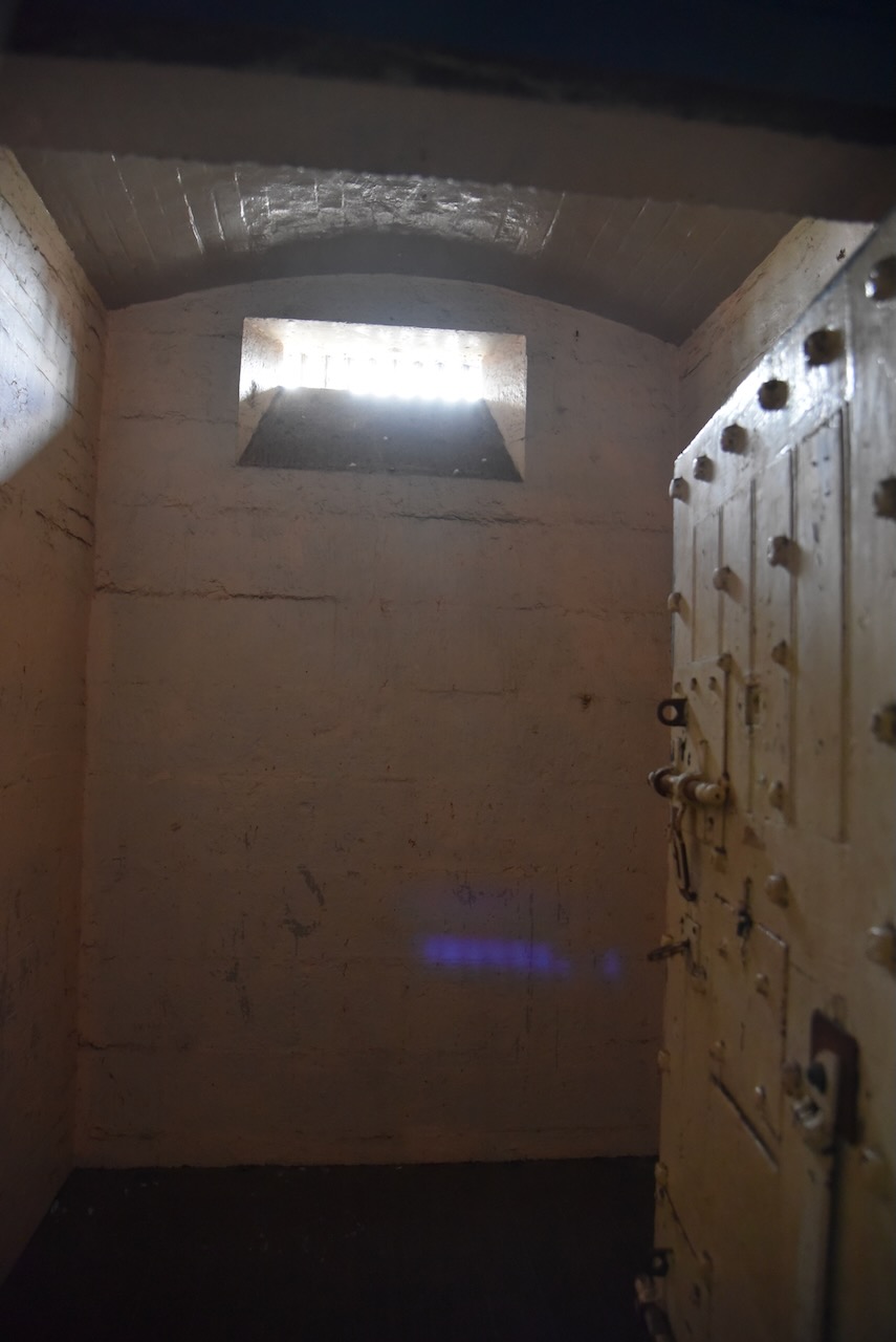
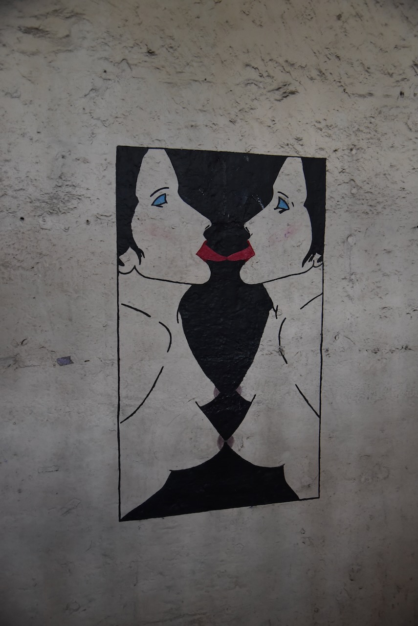
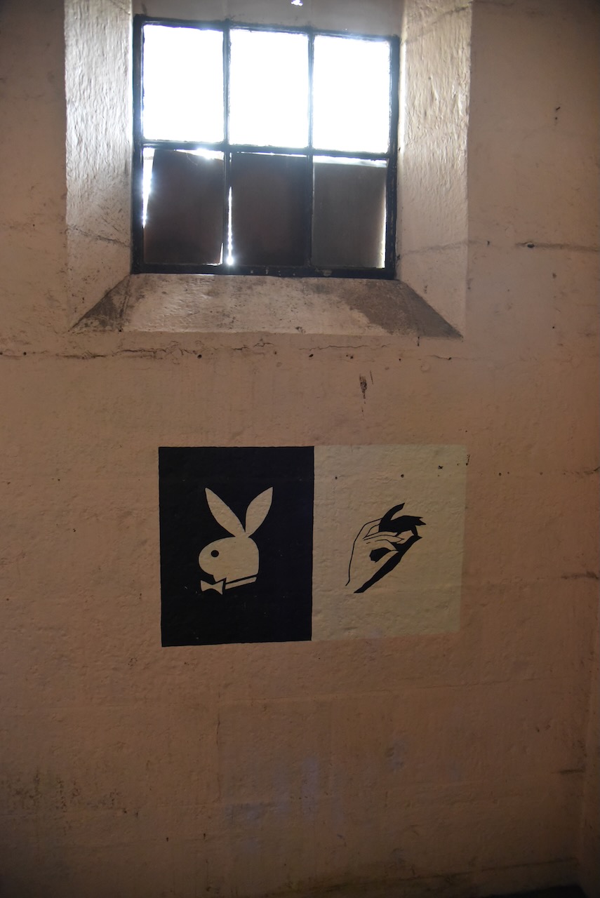
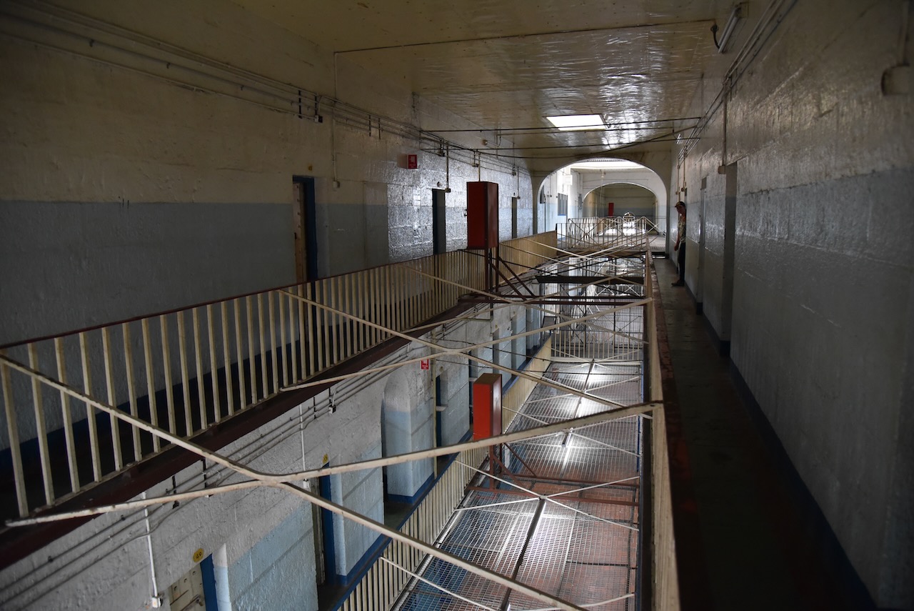
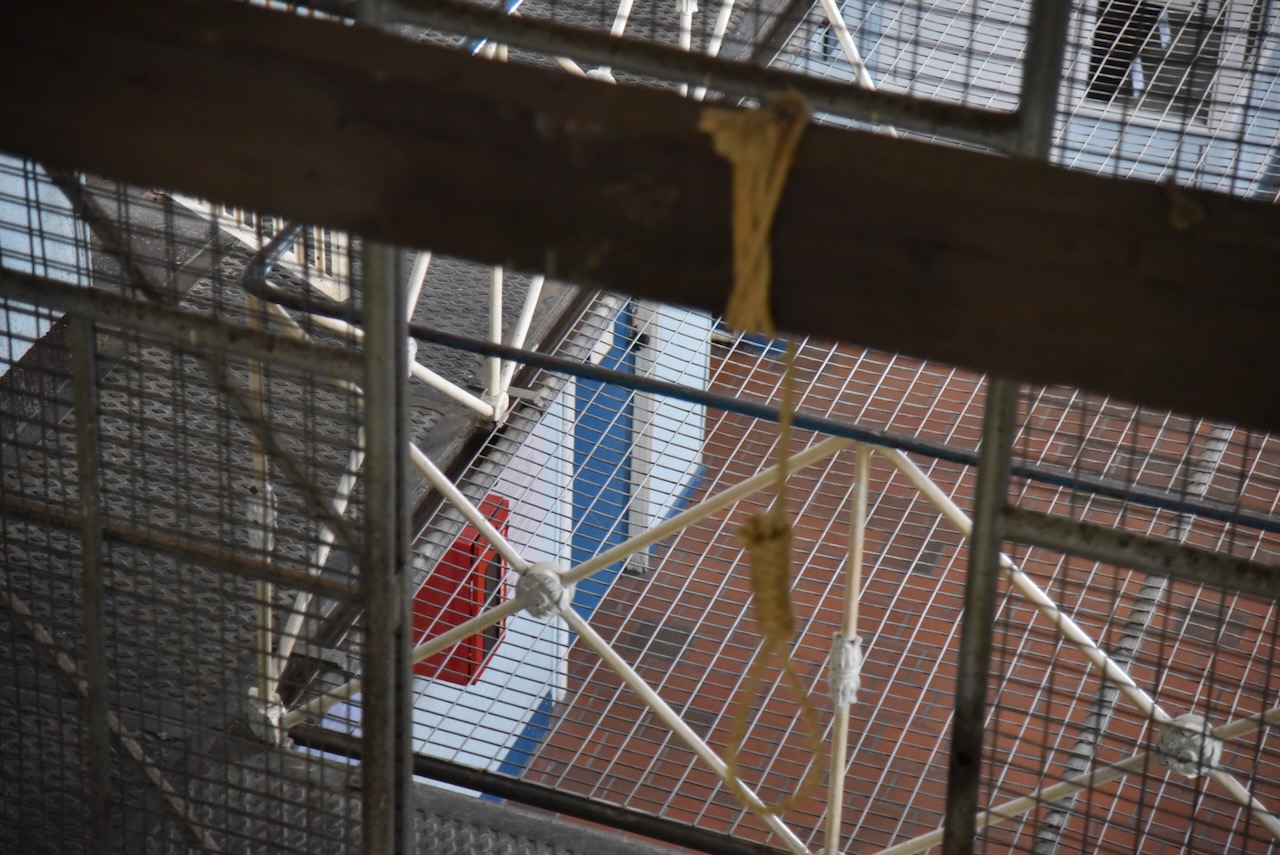
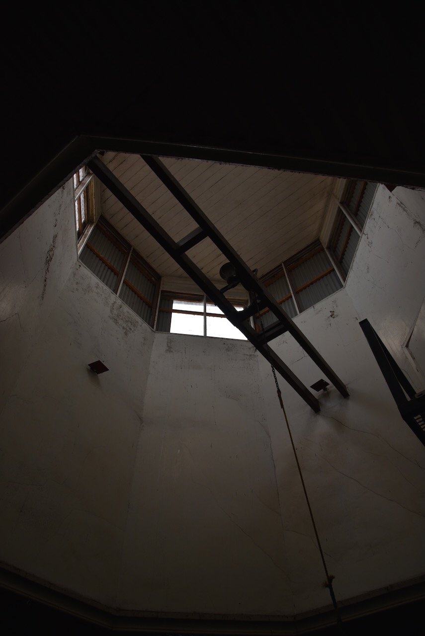
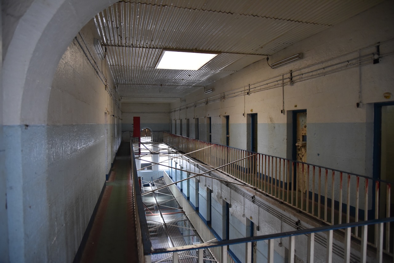
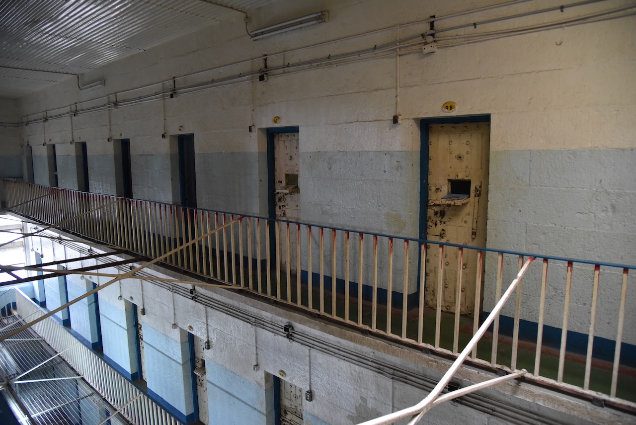
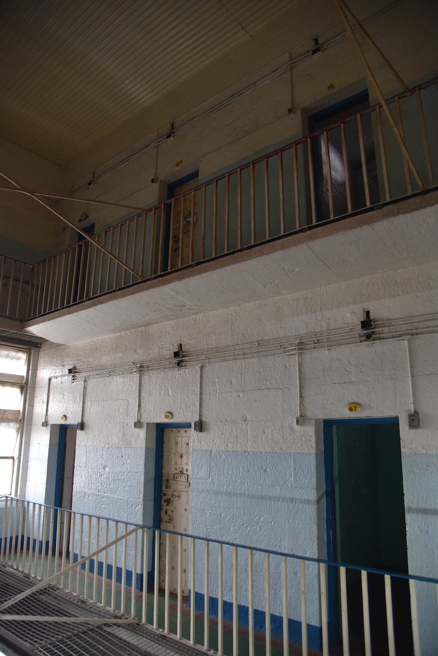
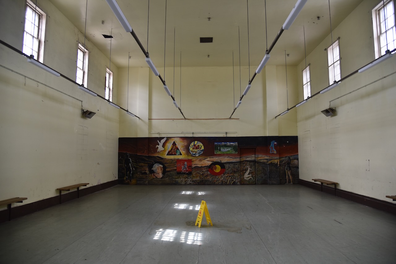
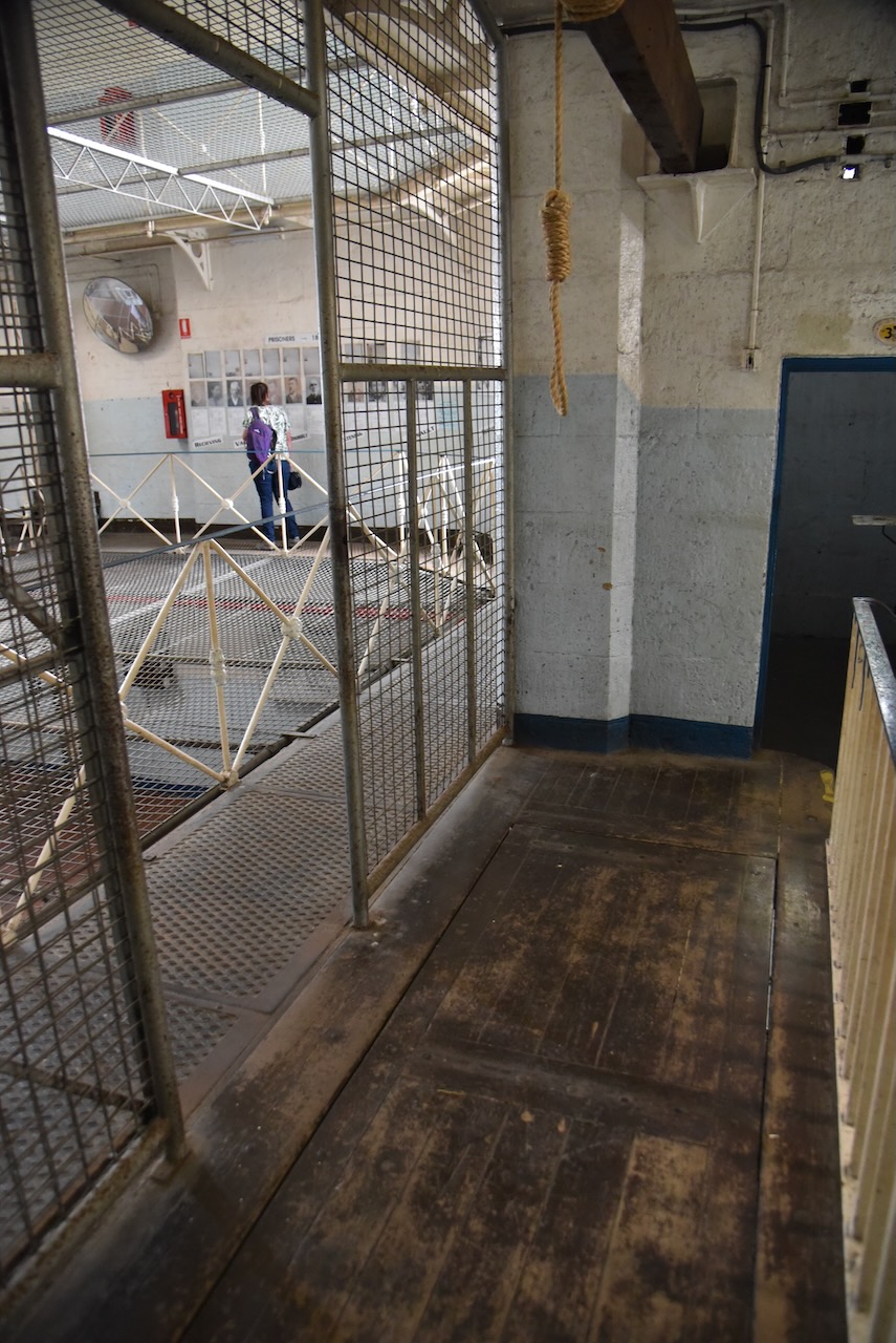
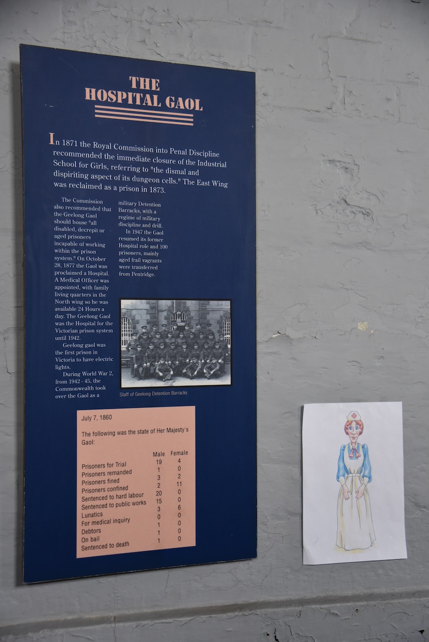
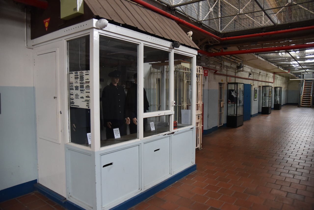
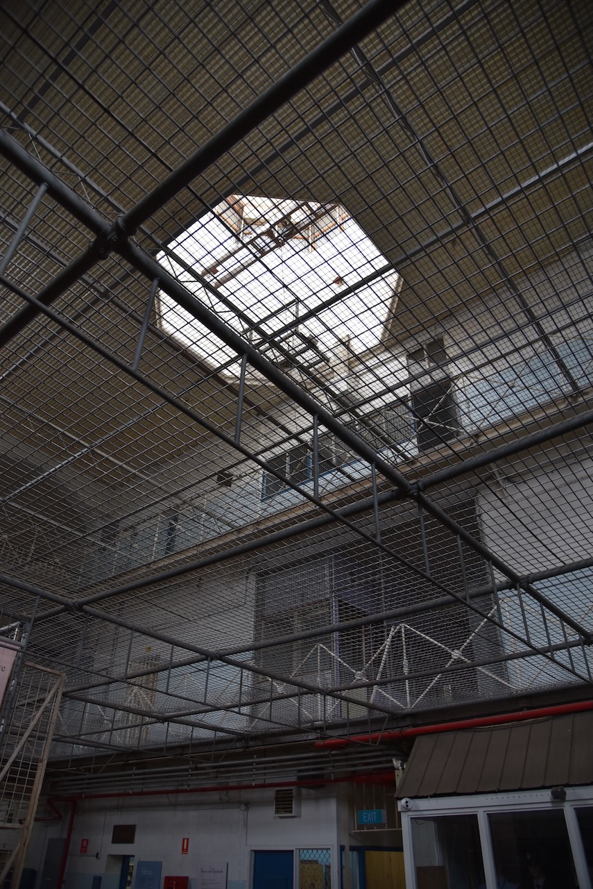
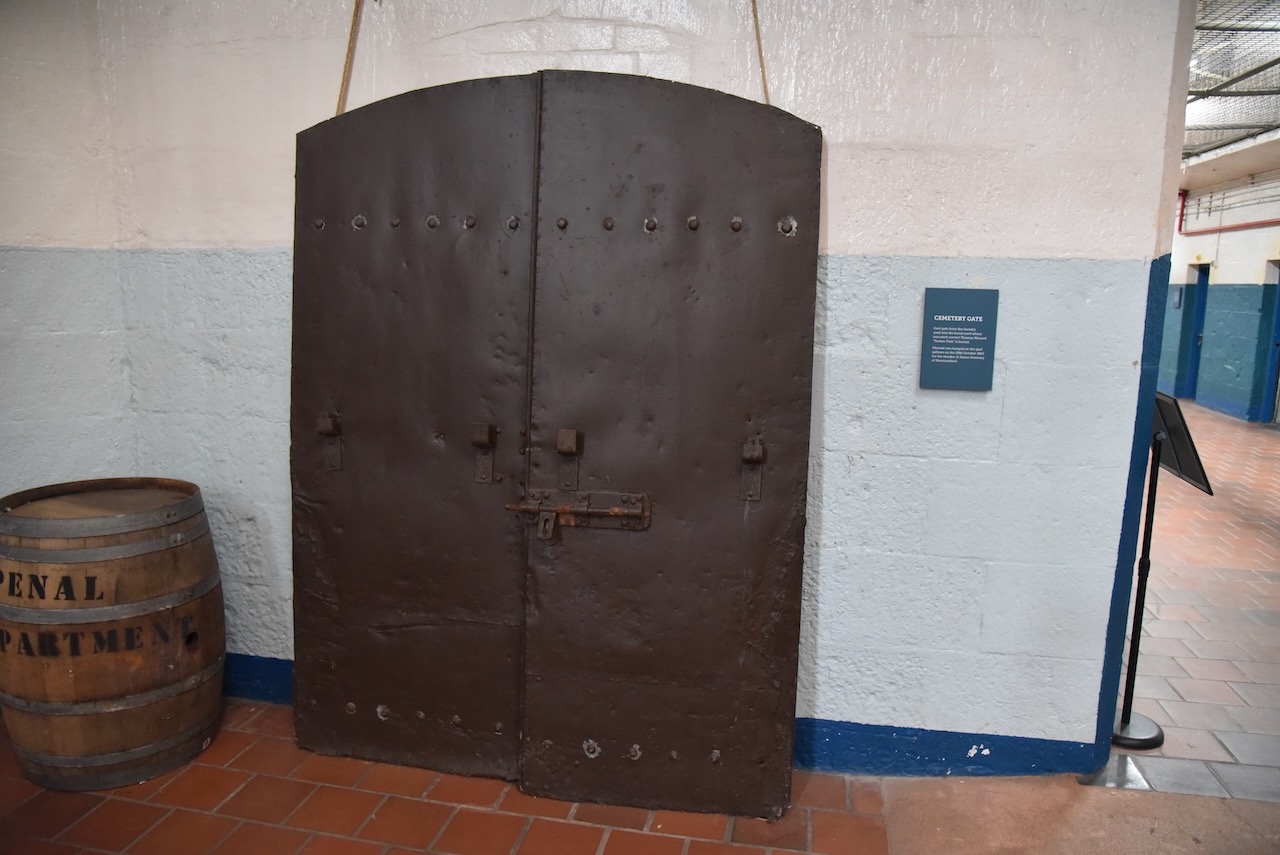
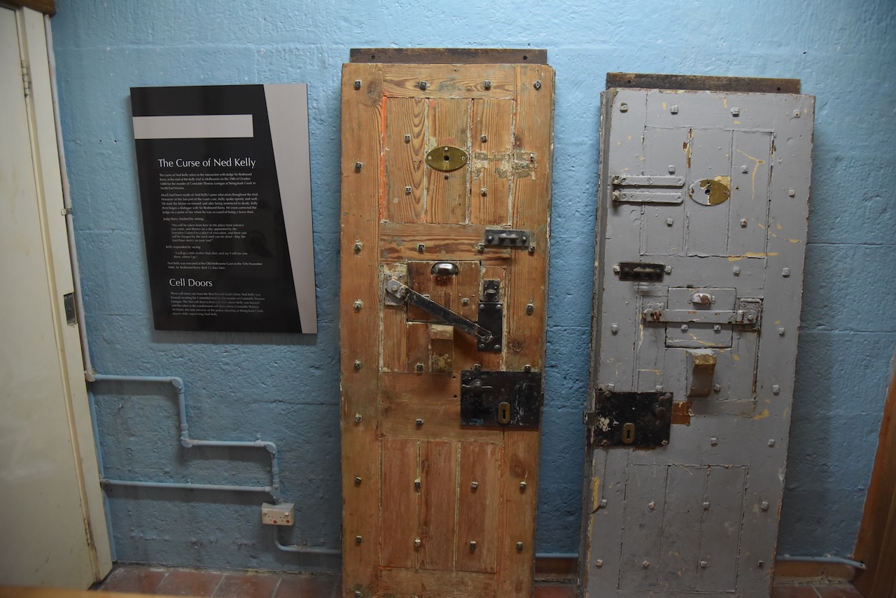
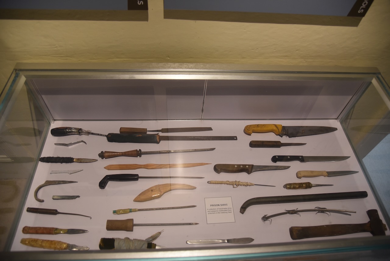
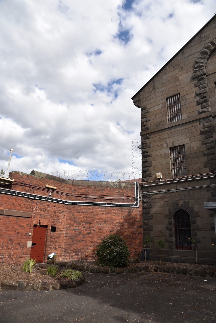
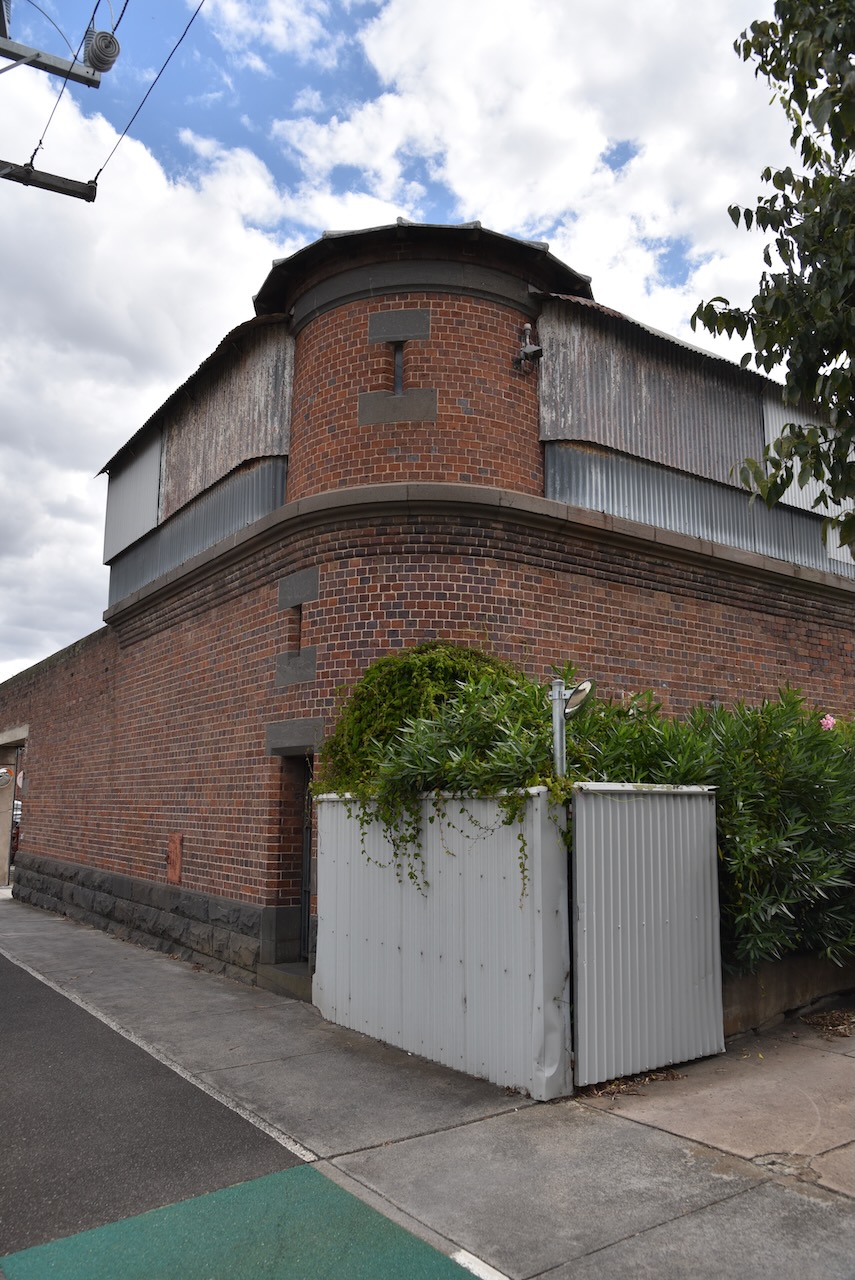
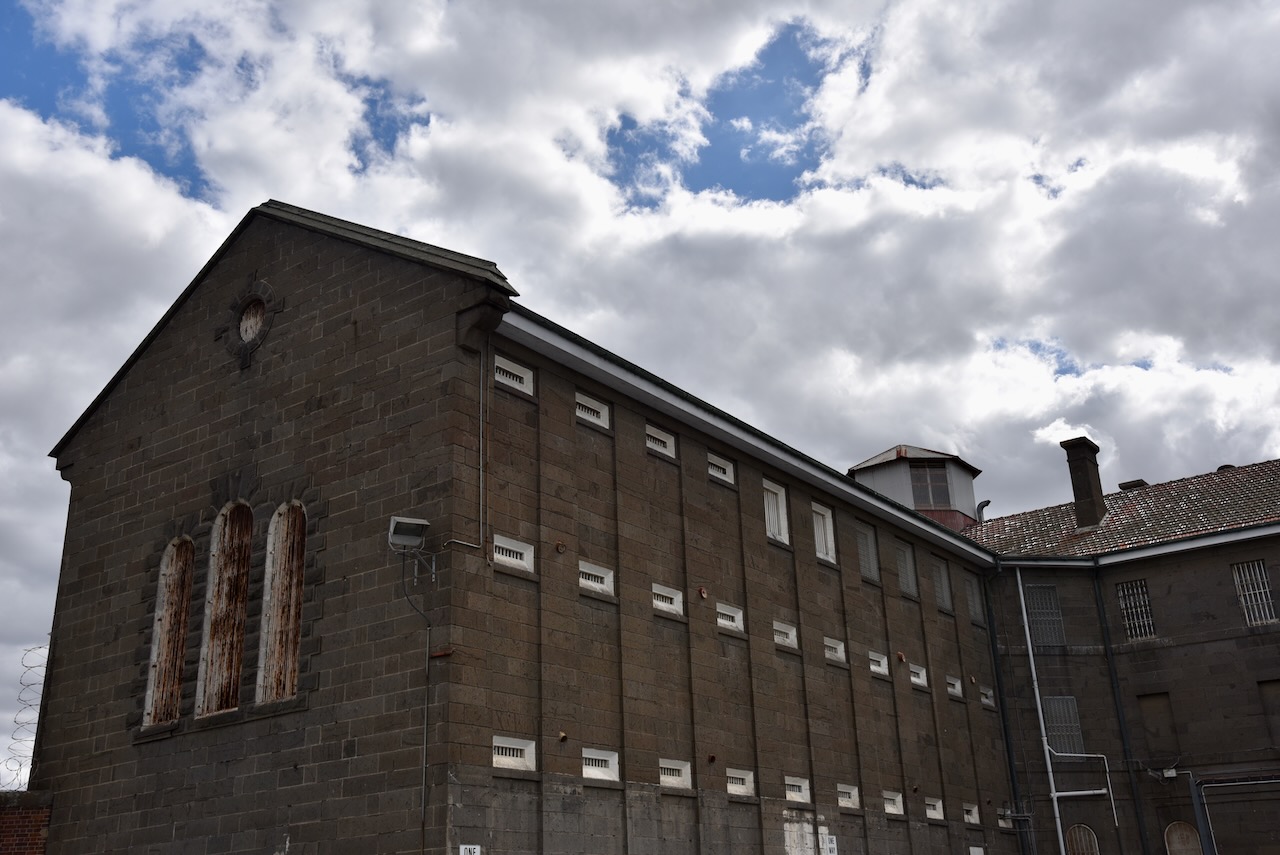
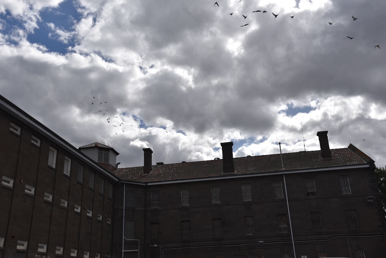
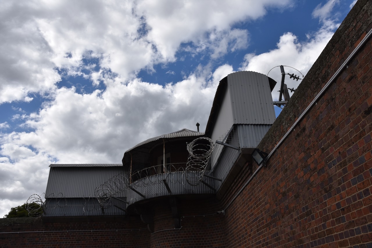
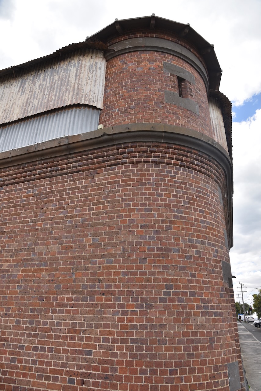
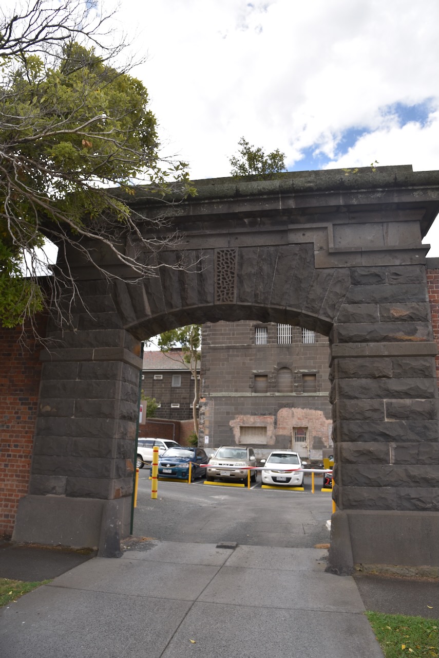
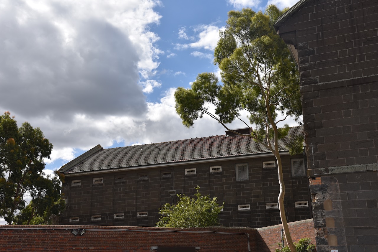
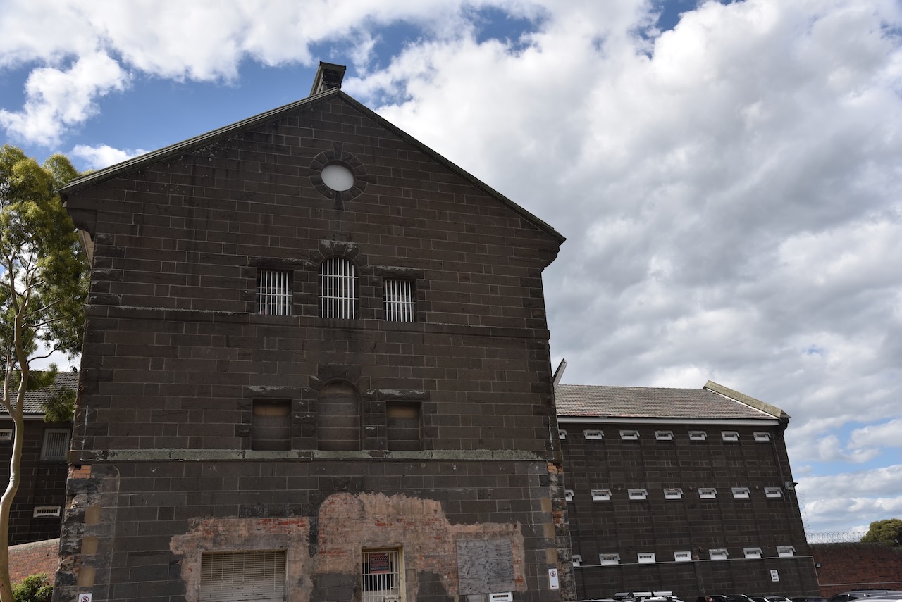
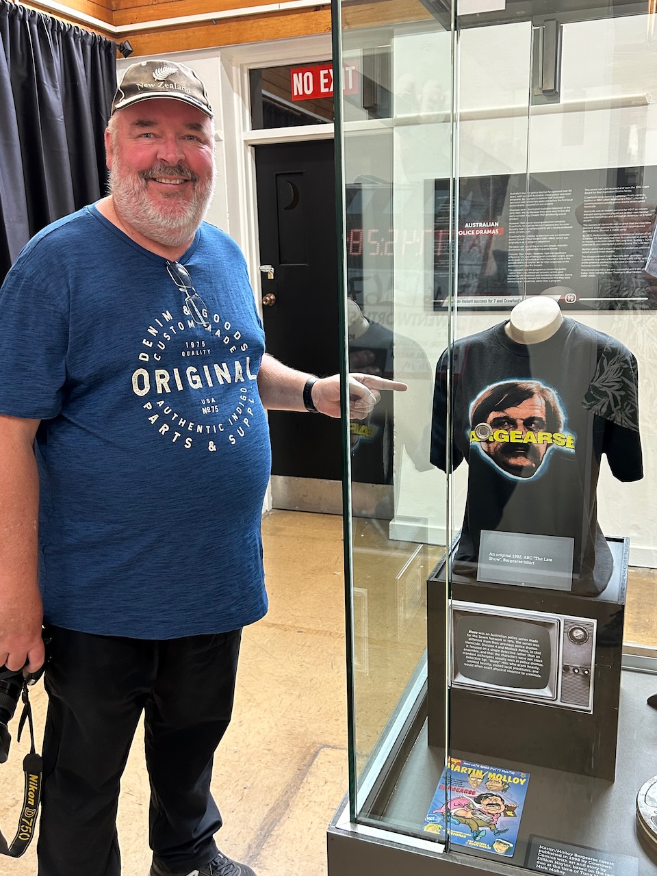
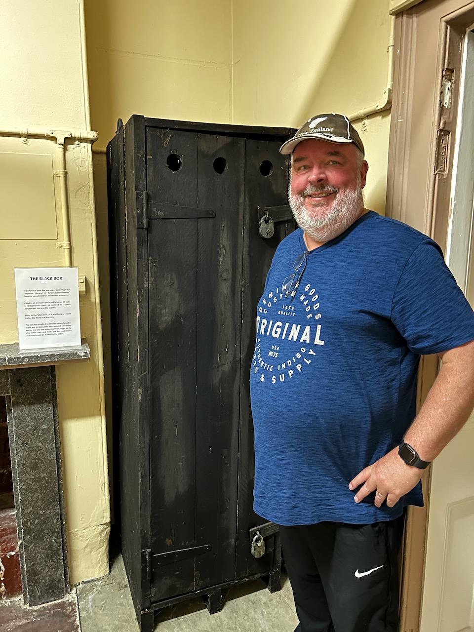
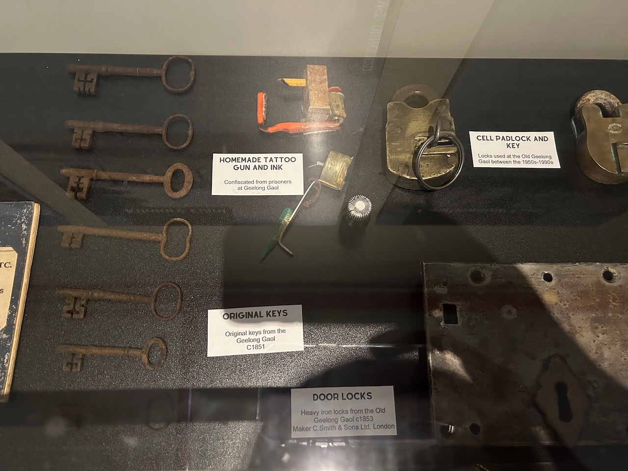
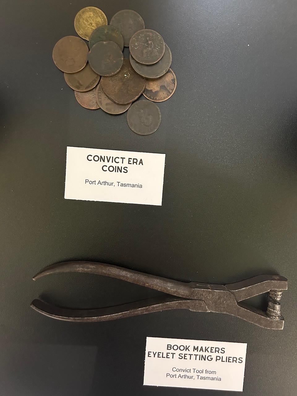
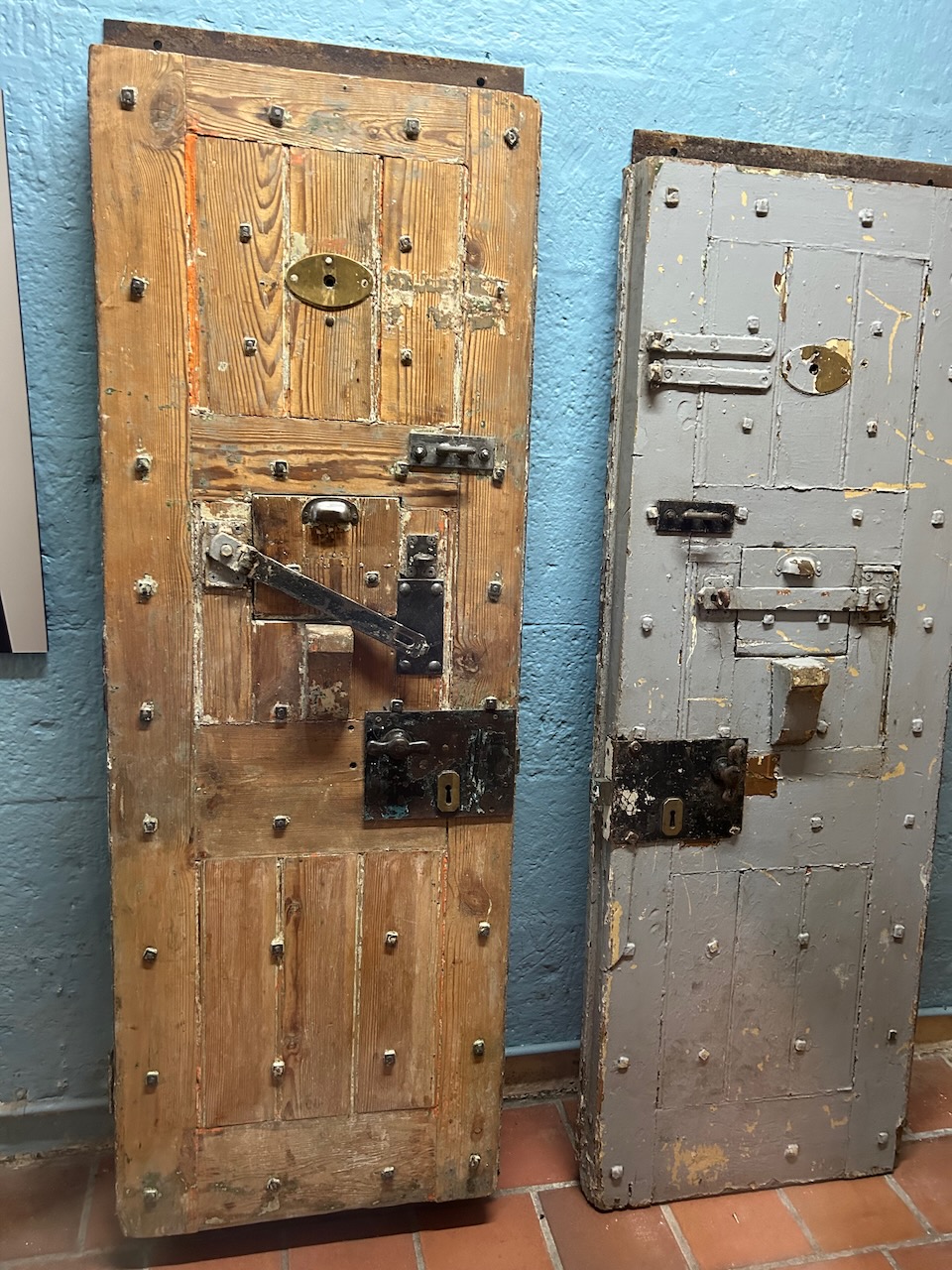
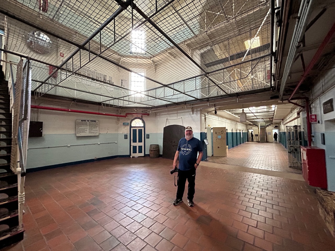
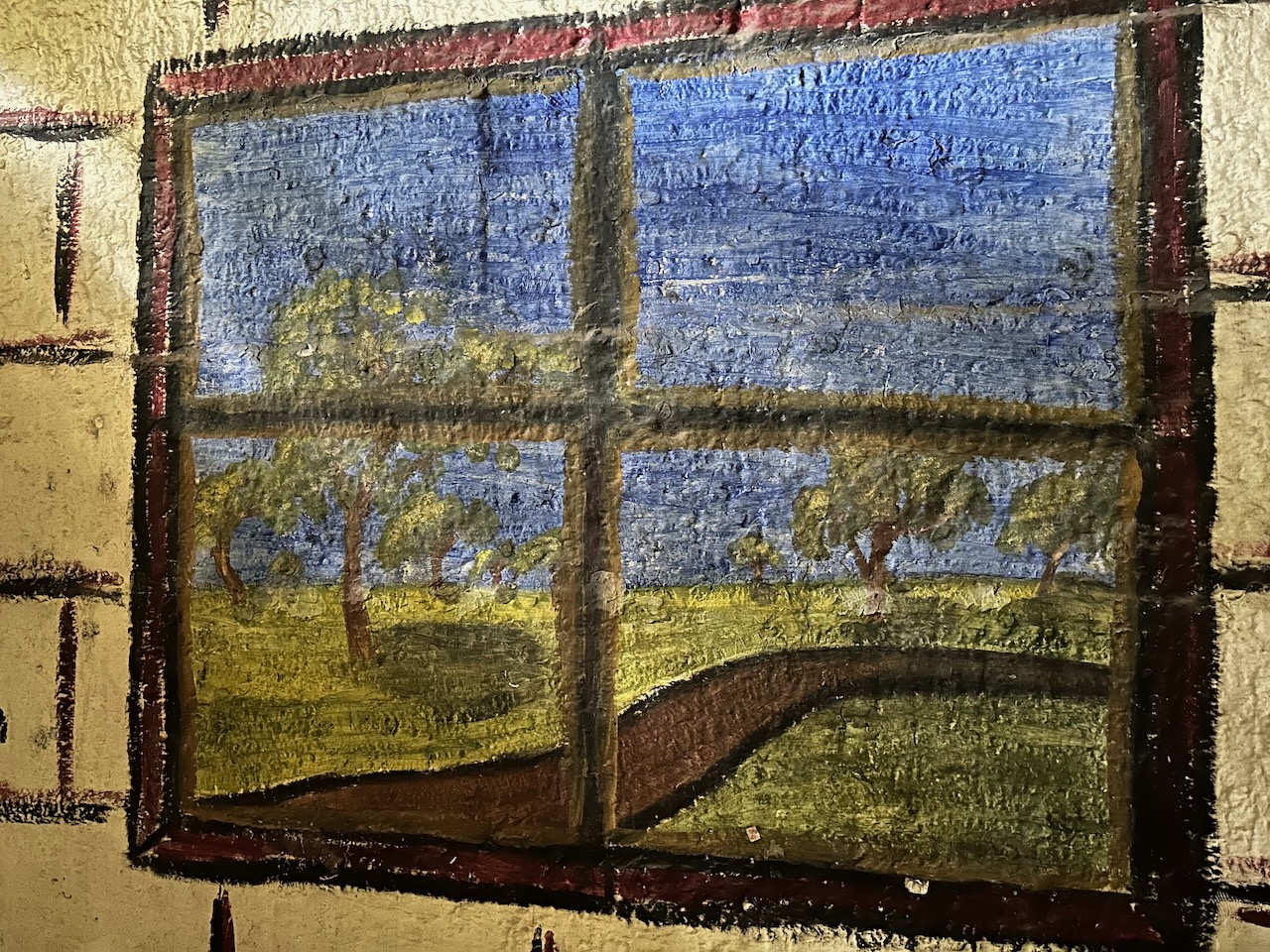
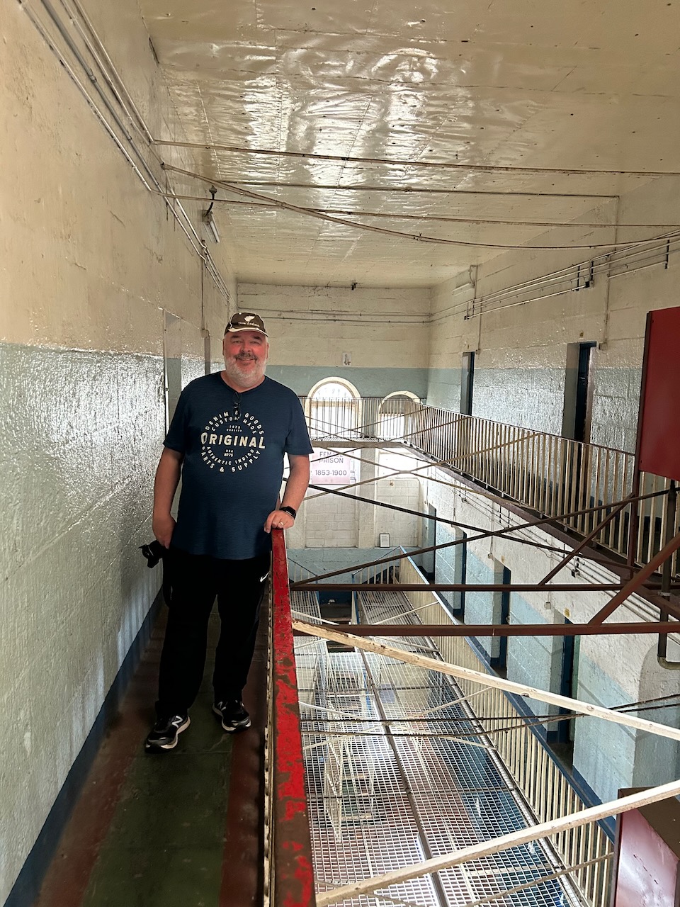
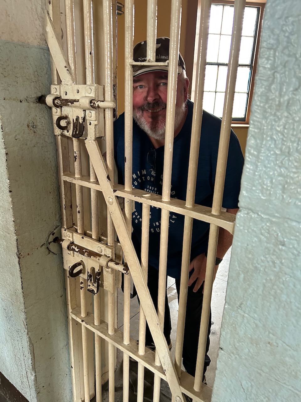
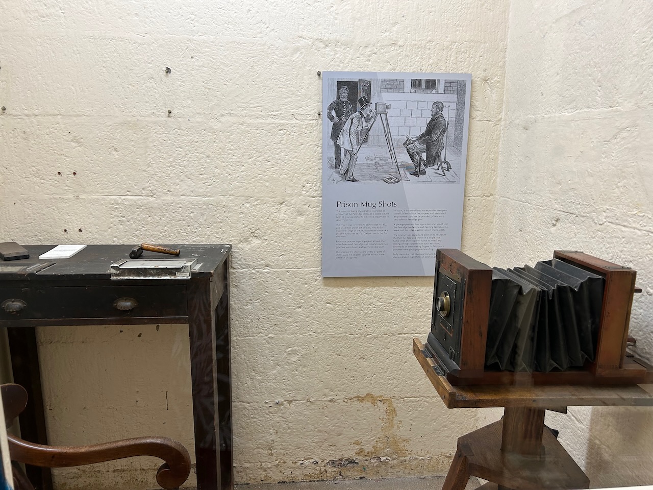
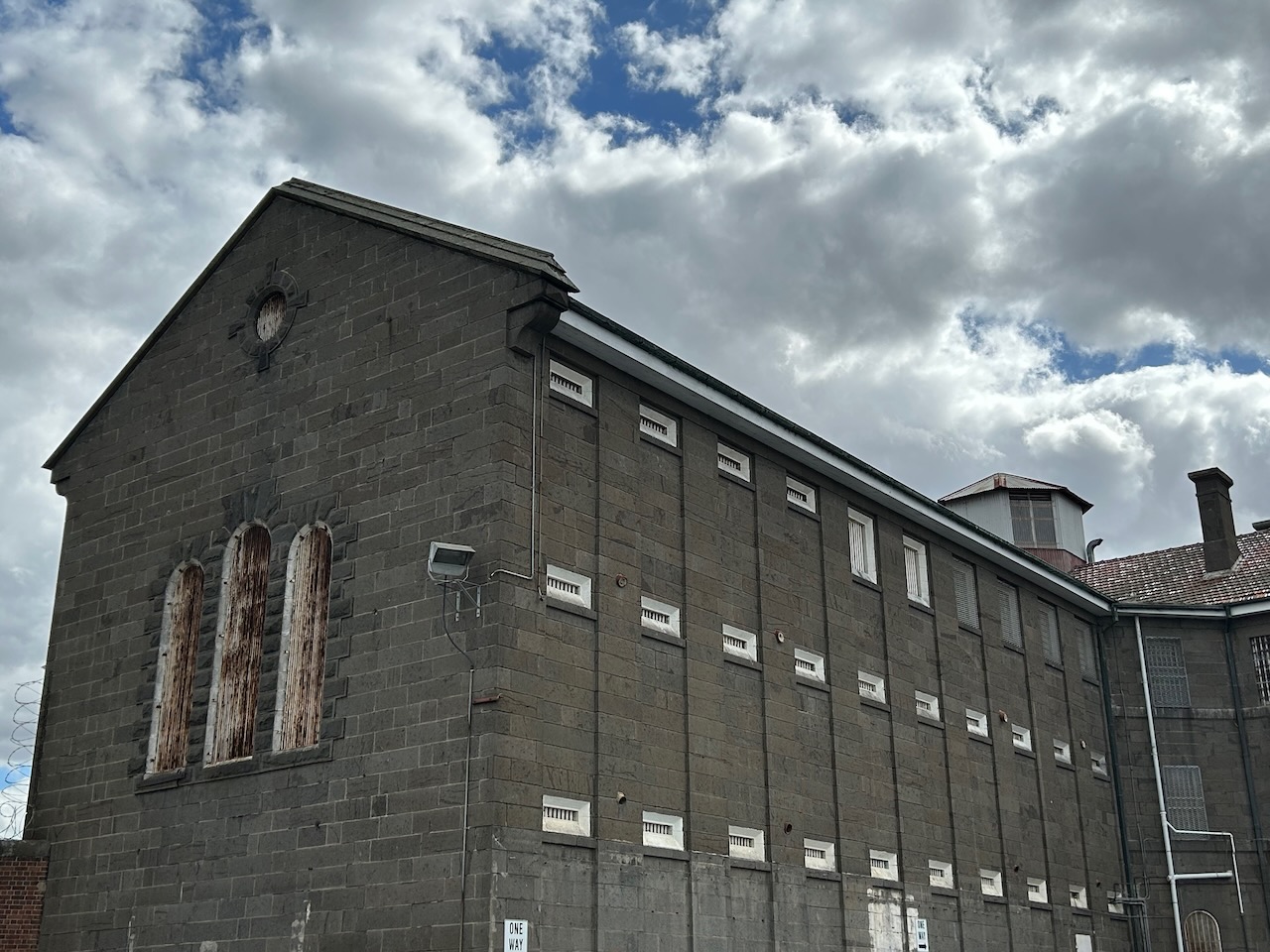
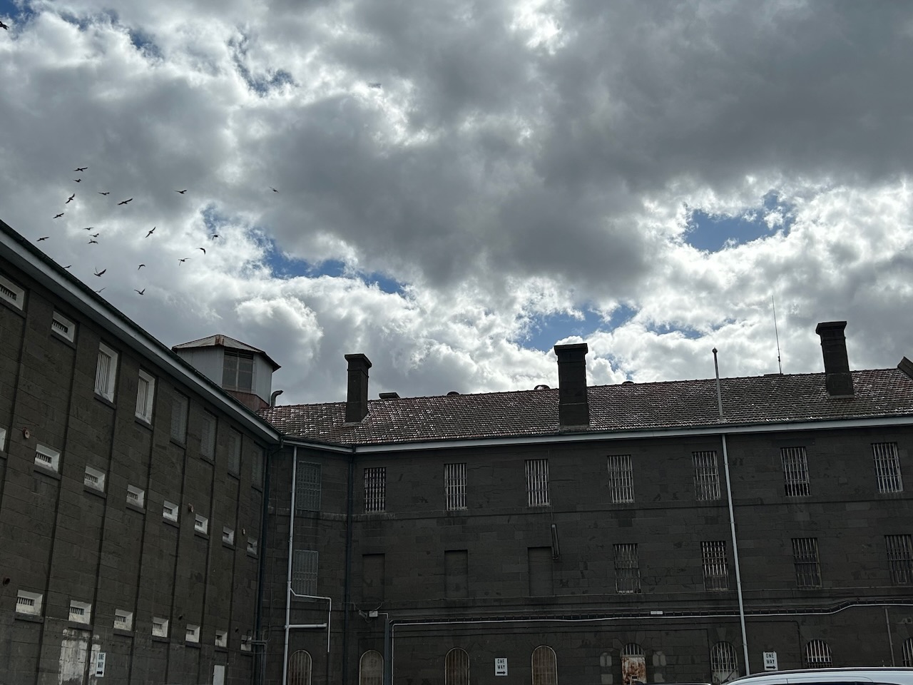
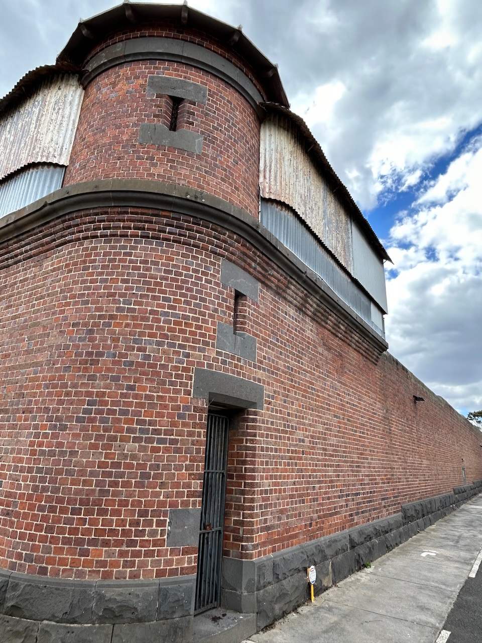
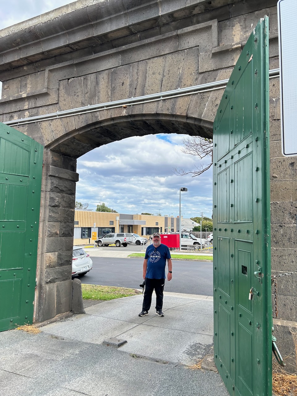
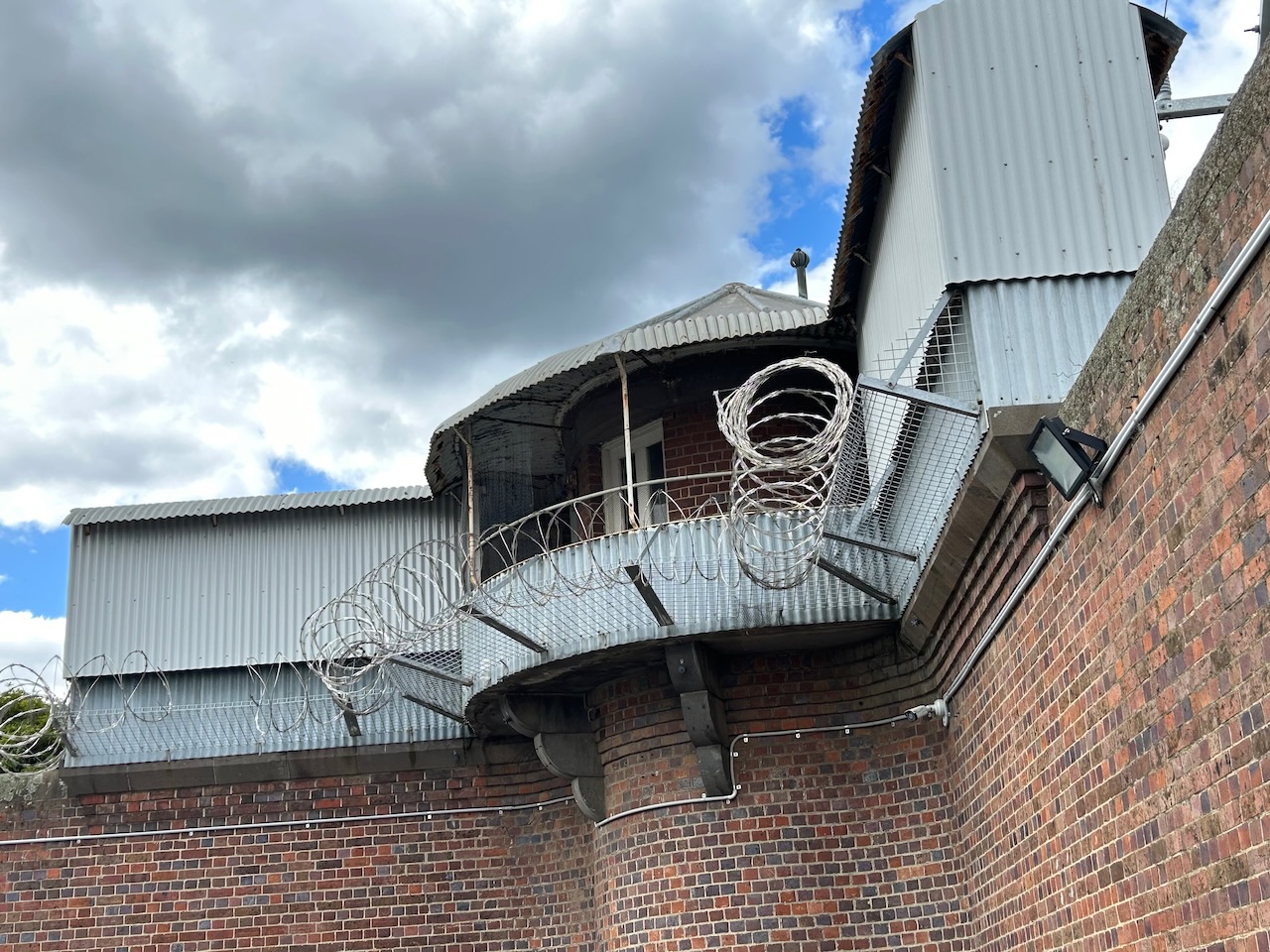
Marija and I then drove back to Geelong and visited the old HM Prison Geelong. The prison was constructed in stages from 1849 to 1864. The prison was officially closed in 1991 and prisoners were moved to the newly built HM Prison Barwon in Lara.
We took a self-guided tour around the old gaol. We can highly recommend a visit here if you are in Geelong.
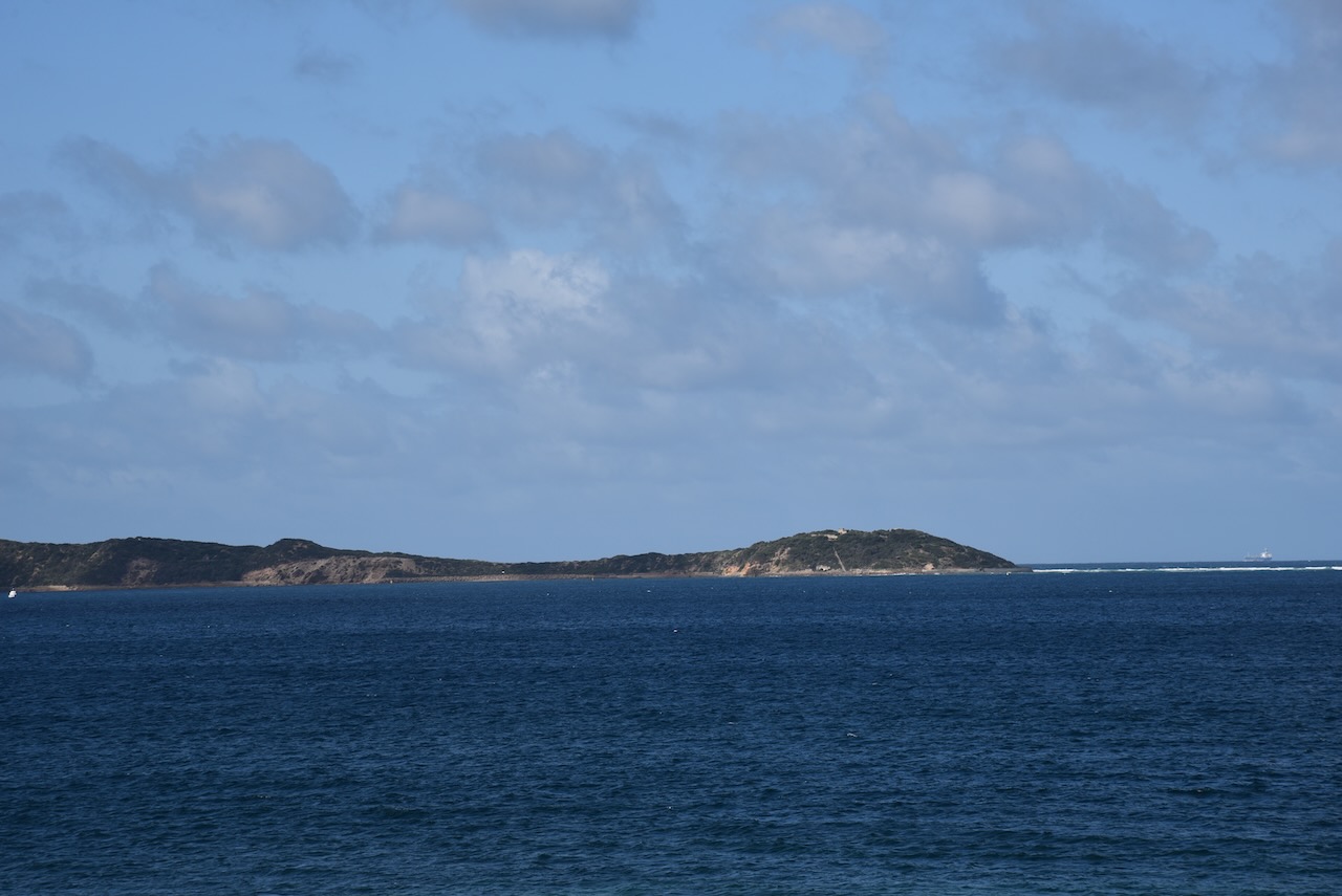
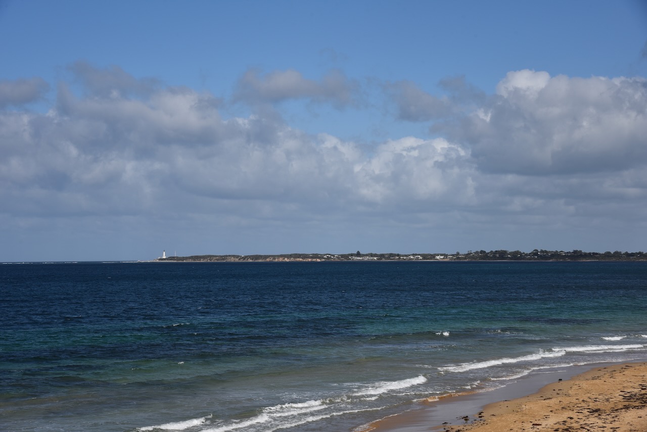
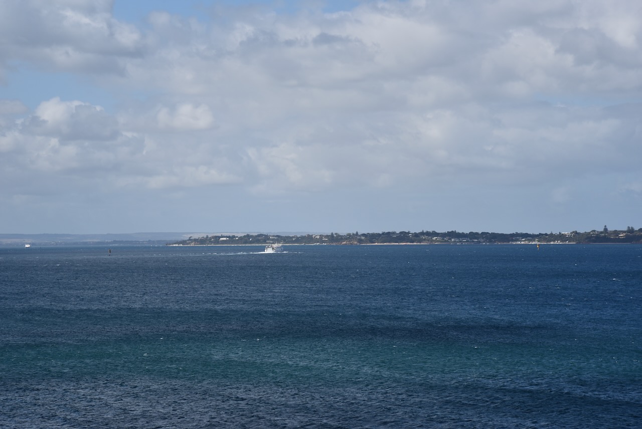
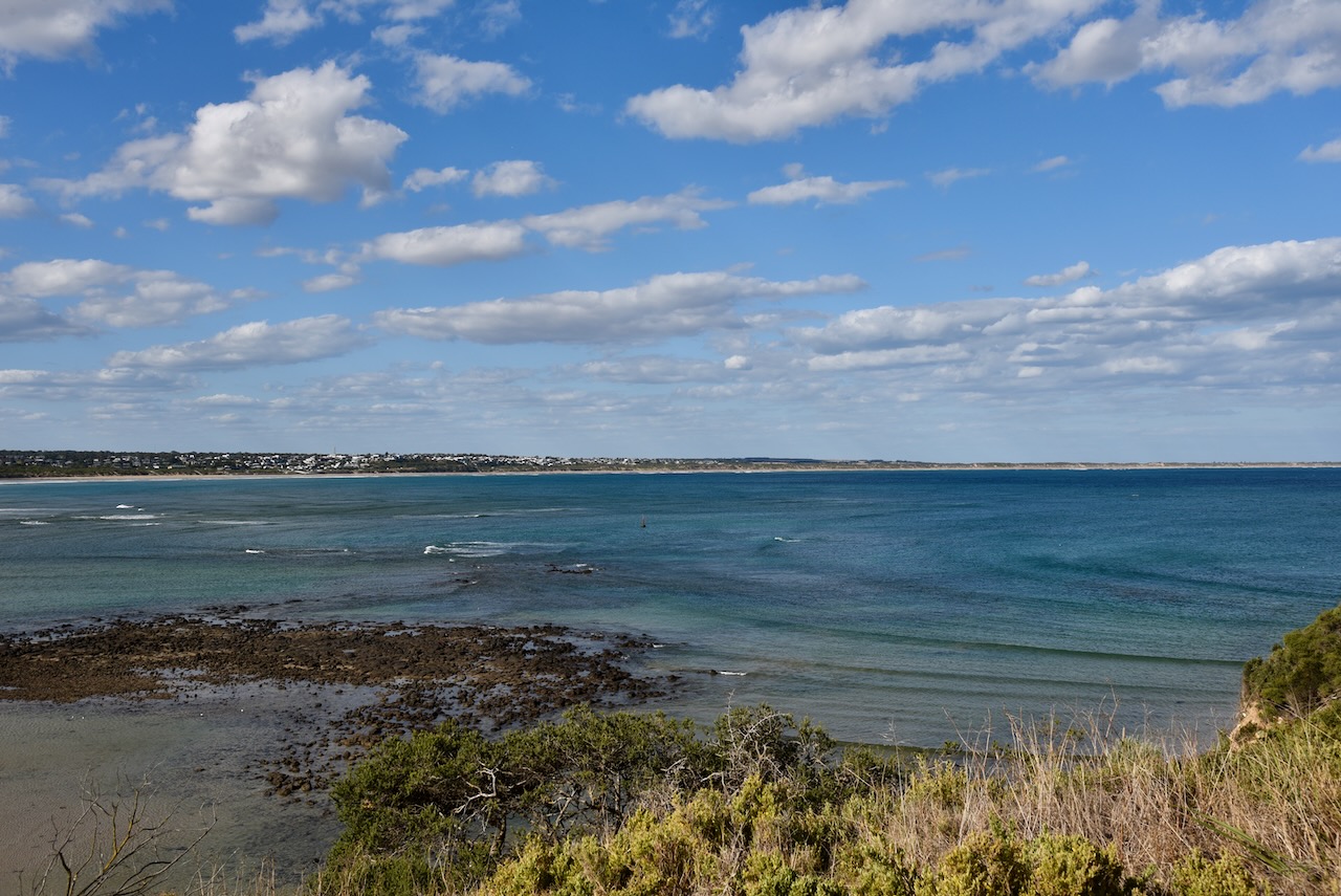
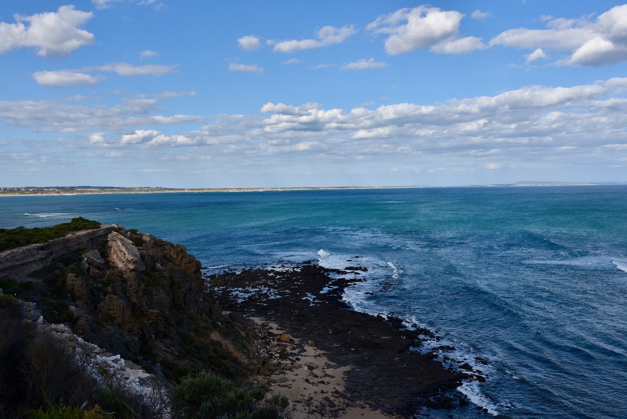
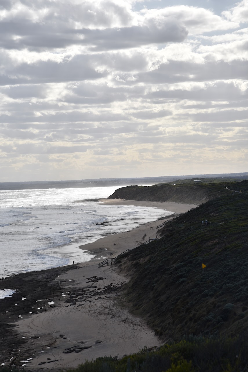
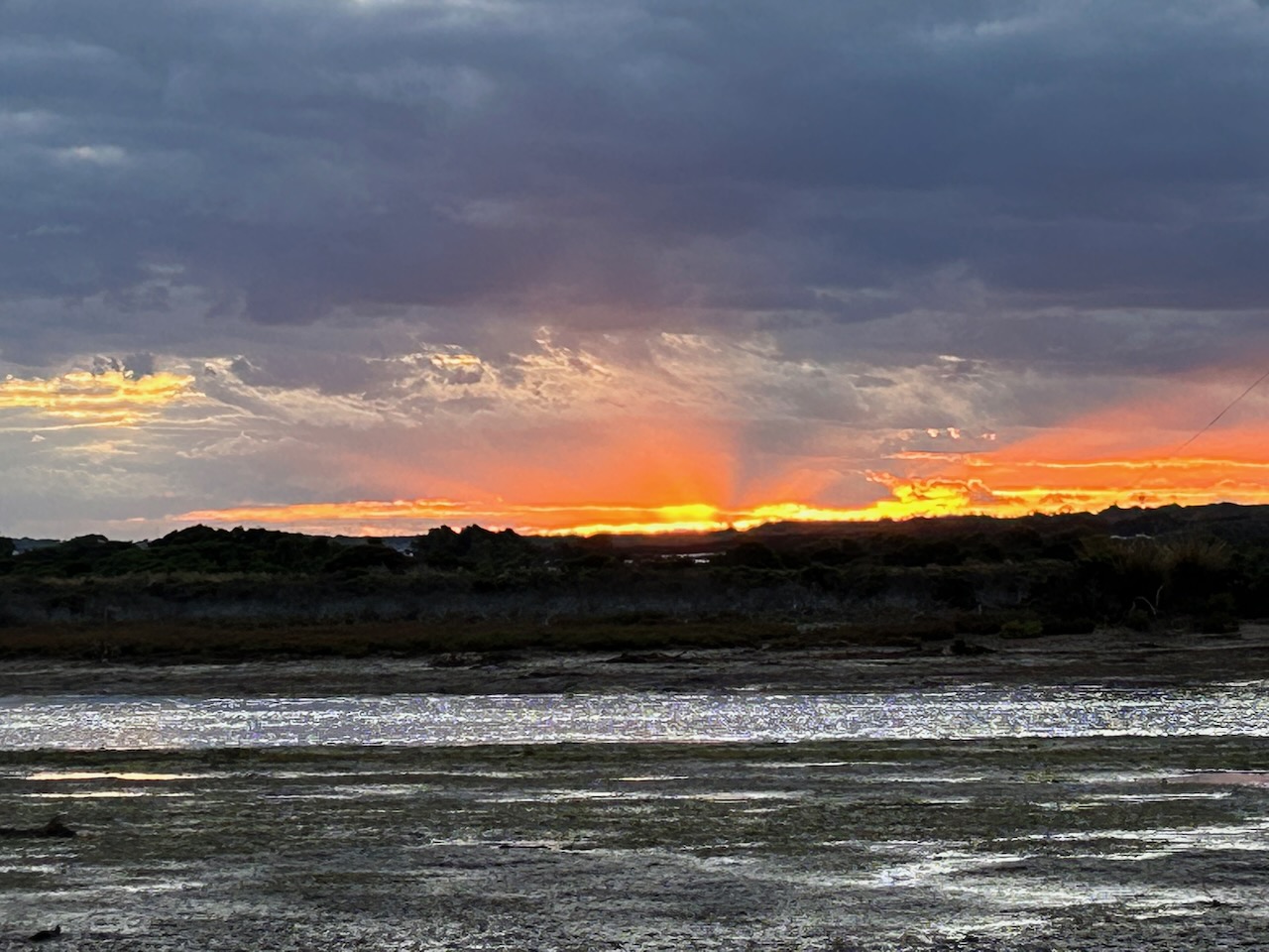
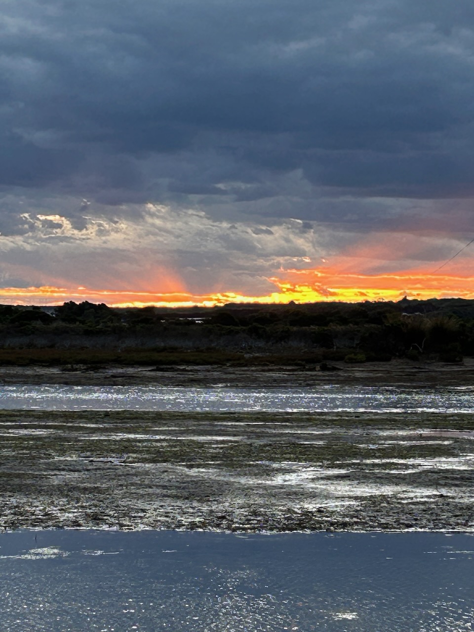
After leaving the old Geelong Gaol, Marija and I drove to Barwon Heads, a coastal township on the Bellarine Peninsula. It was originally known as Point Flinders. We went for a short walk along the walking trail which sits above the magnificent coastline.
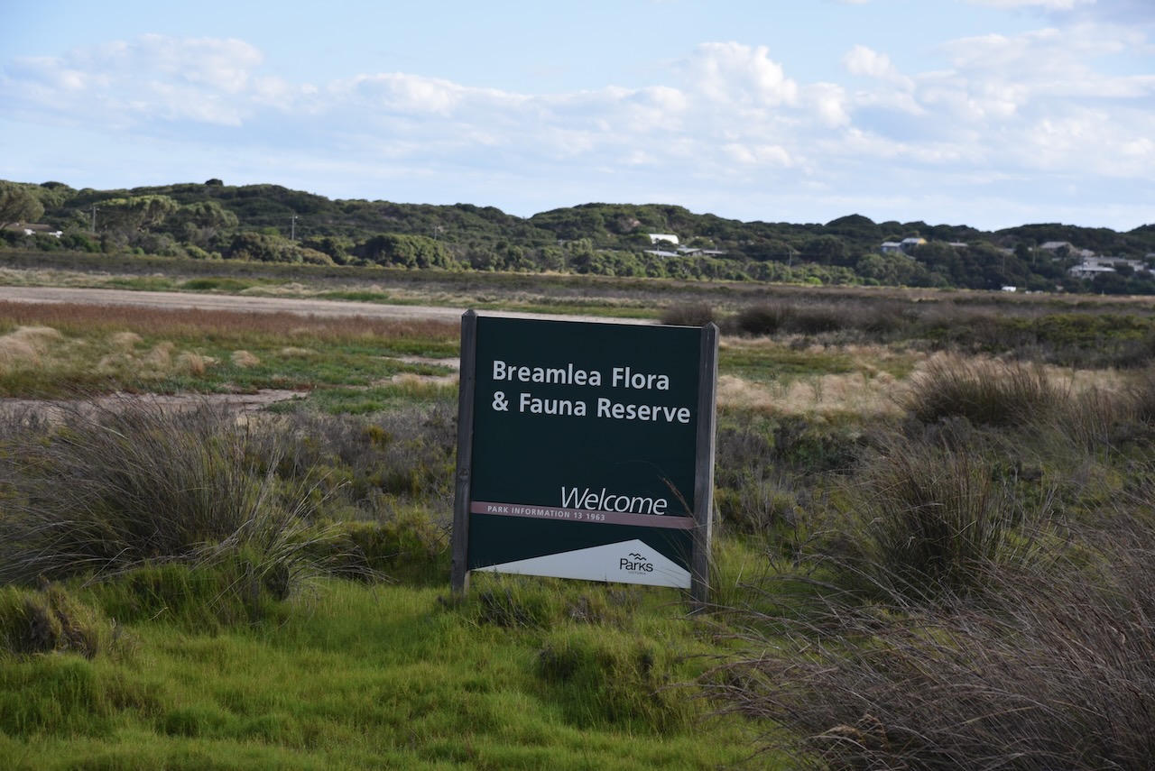
We then headed to the Breamlea Flora and Fauna Reserve VKFF-2276. We had arranged to meet our friend there, Craig VK3CRG, for a park activation for the World Wide Flora Fauna (WWFF) program.
Above:- Map showing the location of the Breamlea Flora & Fauna Reserve. Map c/o Google Maps.
Breamlea Flora and Fauna Reserve is divided into two sections. The first is located just to the west of the Black Rock Water Reclamation Plant stretching to Thompson Creek. The second part is located on the western side of Point Impossible Road and stretches to Point Impossible Beach.
The park is divided into these two sections by Thomsons Creek, also known as Bream Creek. At the mouth of the creek is Point Impossible which is a well-known longboard surfing break. The park was declared on the 1st day of May 1979 and is 214 hectares in size.
The critically endangered Orange Bellied Parrot can be found in the park. We were fortunate to see these parrots in captivity at the Werribee Zoo. There are fewer than 50 left in the wild. The Orange Bellied Parrot migrates annually to winter in South Australia from Tasmania, passing through Victoria en route.
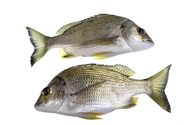
Other than Bream, Thompsons Creek is home to Big Headed or Flathead Gudgeon, Greenback Flounder, Long-snouted Flounder, Tommy Ruff, Yellow-eyed Mullet, and Australian Salmon.
The Breamlea area was once inhabited by the Mon Mart Clan of the Wathaurong aboriginal people. The area was rich in seafood for the aboriginal people. Large middens of discarded shellfish can be seen on the headland between Buckleys Bay and Stingray Bay.
The escaped convict William Buckley lived in the Breamlea area, and a well which is located across the road from the caravan park is reputed to have been used by Buckley.
In 1891 the SS Bancoora ran aground off Buckleys Beach. The crew came ashore and camped in the dunes at Breamlea. The area was known from that time on as Bancoora. The area was also known as Bream Creek due to the large number of Yellow Fin Bream located in Thompson Creek (formerly known as Bream Creek).
In 1912 the Committee of Management of the Bream Creek Recreation Reserve was formed. A campsite on the Crown Land could be acquired for a year for the price of two shillings and sixpence. Three years later in 1915, shacks commenced to be built. Many of these shacks were built with whatever could be found in the area, including debris from shipwrecks that had been washed ashore on the beach. During the Great Depression of the 1930s, these huts became home to numerous people who could not afford to rent premises in nearby Geelong.
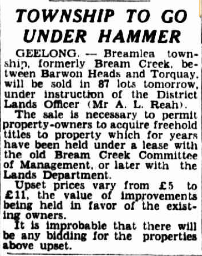
The Surveyor General subdivided the land at Breamlea for sale at a public auction. This included a Recreation Reserve of 5 acres (today the Breamlea Recreation Reserve), and a Municipal Reserve (Cahir Park).
It was not until October 1941 that the town of Breamlea was proclaimed in the Government Gazette.
Above:- Article from The Argus, Fri 17 Oct 1941. Image c/o Trove.
The Surveyor General subdivided the land at Breamlea for sale at a public auction. This included a Recreation Reserve of 5 acres (today the Breamlea Recreation Reserve), and a Municipal Reserve (Cahir Park).
Above:- Article from The Herald, Melbourne, Tues 24 Mar 1942. Image c/o Trove.
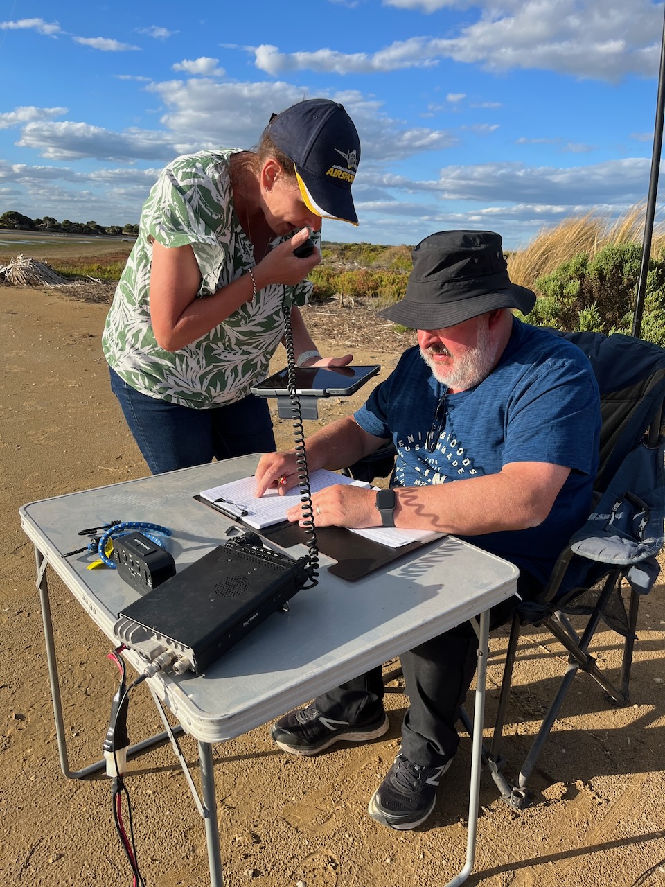
We set up at the end of Horwood Drive, on the banks of Thompsons Creek. There is a small narrow piece of land here which is within the park boundary.
We ran the Yaesu FT857, 40 watts, and the 20/40/80m linked dipole for this activation.
Myself, Marija, and Craig had all qualified the park, and it was starting to get cold as the sun set. So we decided to pack up after a successful and very enjoyable activation.
Marija worked the following stations on 40m SSB:-
VK2CPH
VK3PF
VK3VIN
VK2MOE
VK5HS
VK3APJ
VK2IJS
VK4VAW
VK5GY
VK3FTOM/p
VK5TN
I worked the following stations on 40m SSB:-
VK2CPH
VK3PF
VK3VIN
VK2MOE
VK5HS
VK3APJ
VK2IJS
VK4VAW
VK5GY
VK3FTOM/p
VK5TN
VK2LRD
VK5HW
KG5CIK
VK3AWA
VK3DL
VK2IO
VK3GJG
VK3SMW
VK5KRX
VK5MOS
VK2HJW/p
VK3SKT
VK3NIK/p
VK7HOB
VK3BEL
VK7DIK
VK3DA
VK2HOC/4
ZL4CEL
VK5FB
VK7AAE
VK3DX
VK3UAO
VK2BDS
VK3TDK
VK1AO
VK2MET
VK2CDB
VK2VMG
VK1RF
VK2BED
VK5KKT
VK2AMF
VK2LQ
VK2PCT
VK7ZPE
VK2WE
VK3NP
VK7PSJ
VK4TJ
VK7PAL
VK3MCK
VK3PDB
ZL2SP
I worked the following stations on 20m SSB:-
KG5CIK
VK6NU
I worked the following stations on 80m SSB:-
VK3CWF
VK3BBB
VK2CCP
VK3CMC
VK3PF
VK3ANL
VK5LKJ
VK5VK
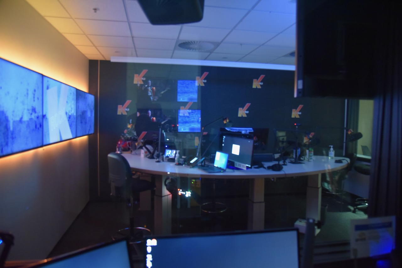
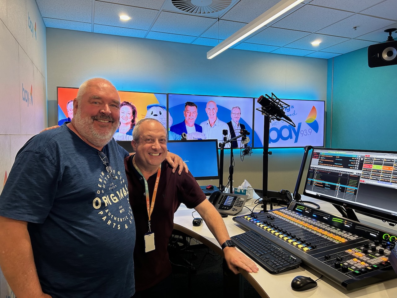
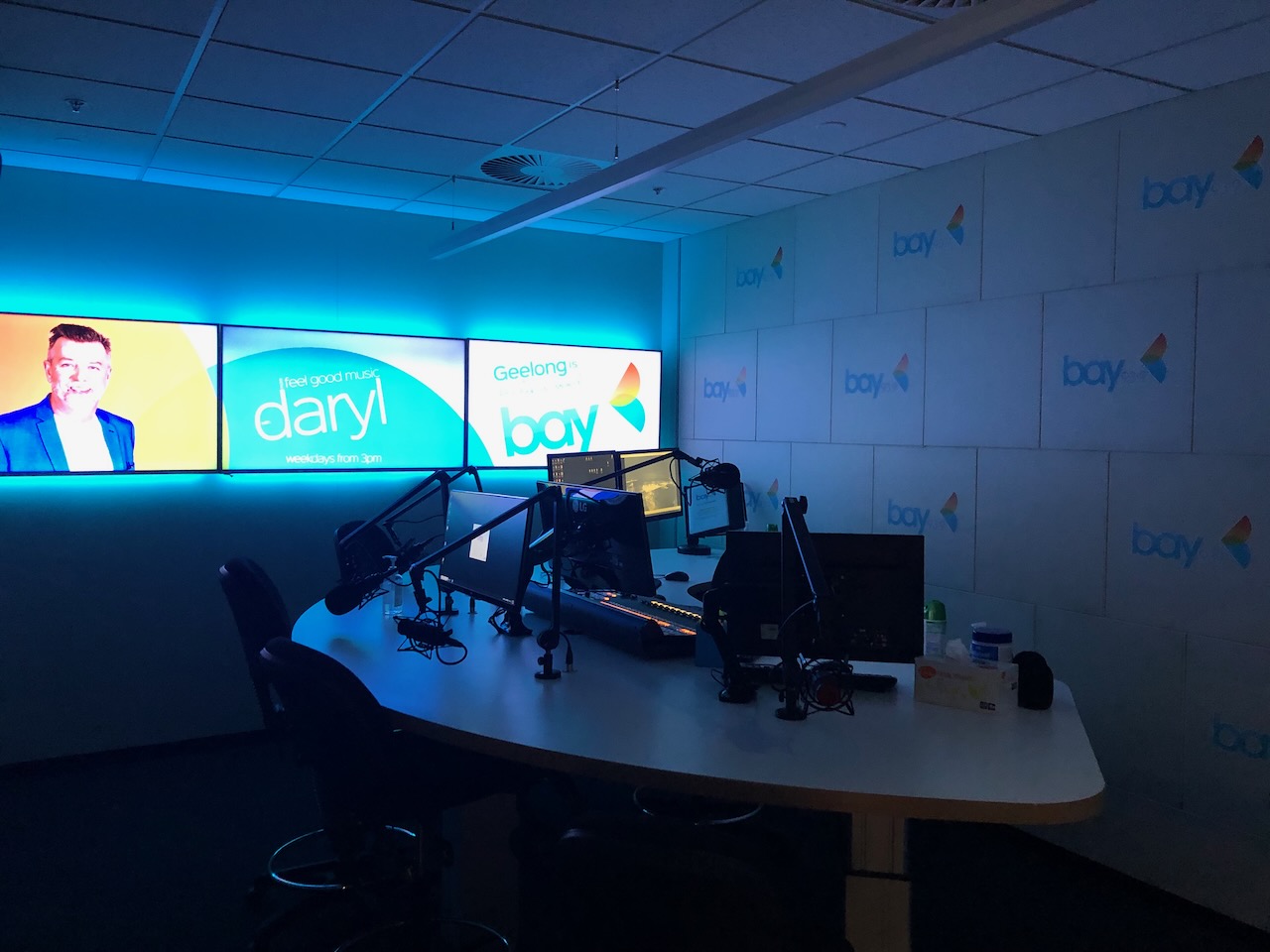
After leaving the Breamlea Flora & Fauna Reserve, Craig, Marija, and I went to get a bite to eat. We then drove back into Geelong where Craig took us for a tour around Bay FM where he works as a radio announcer. Thanks so much Craig, we really appreciated the tour which was extremely interesting.
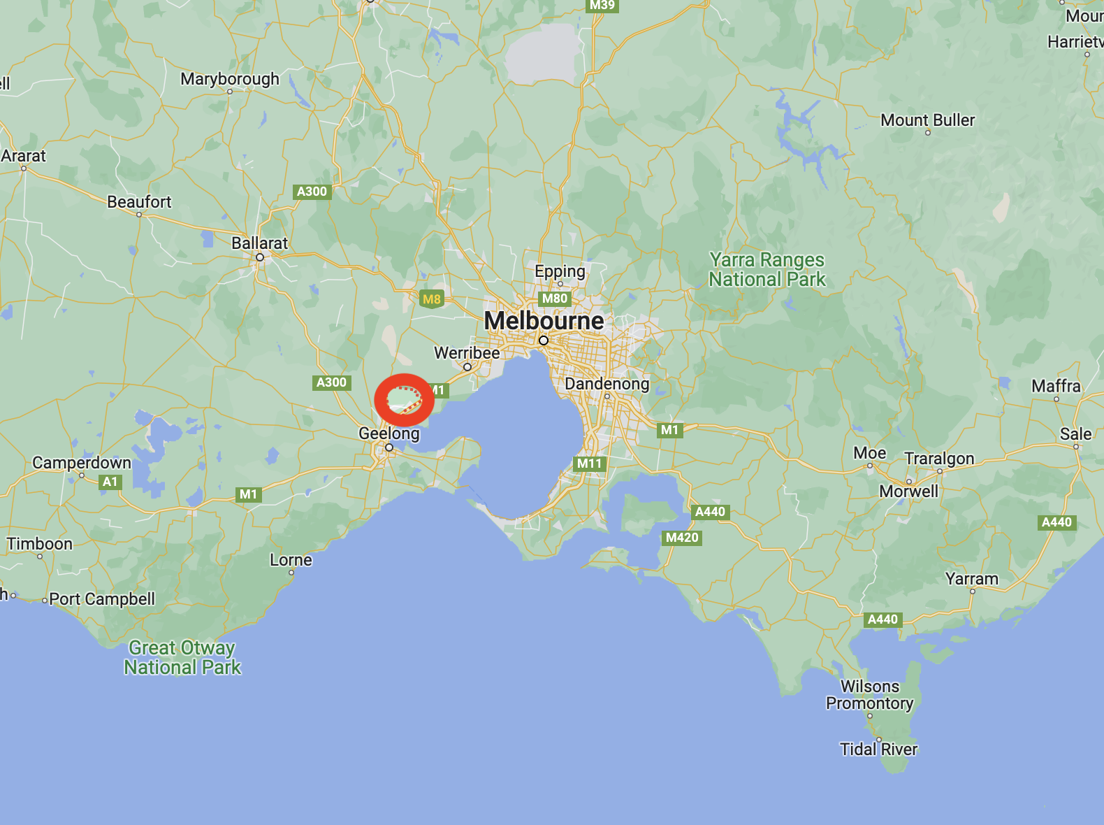
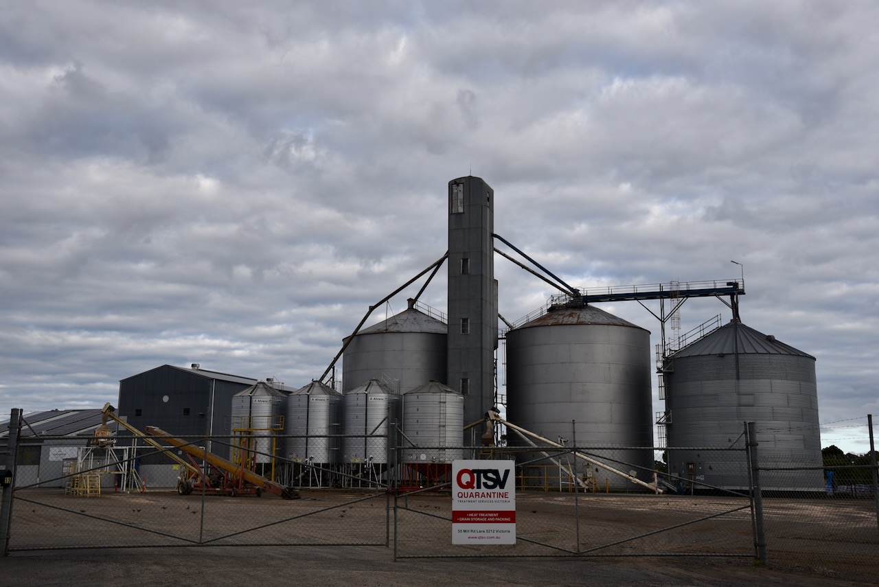
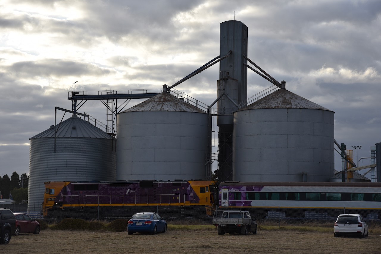
After leaving the Little River silo 2nd March 2023), Marija and I drove the short distance to the second silo in Lara, the Lara silo VK-LRR3.
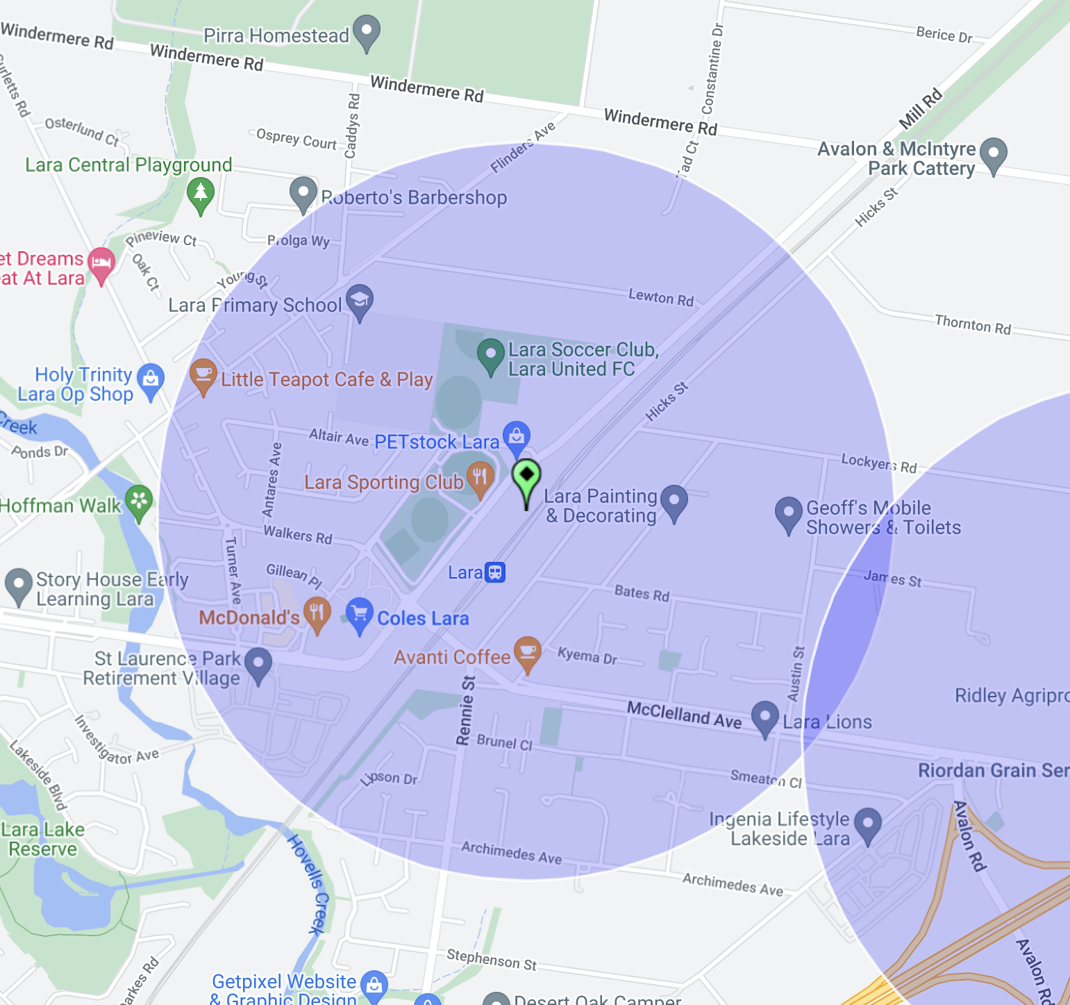
Above:- Map showing the location of Lara, north of Geelong. Map c/o Google Maps.
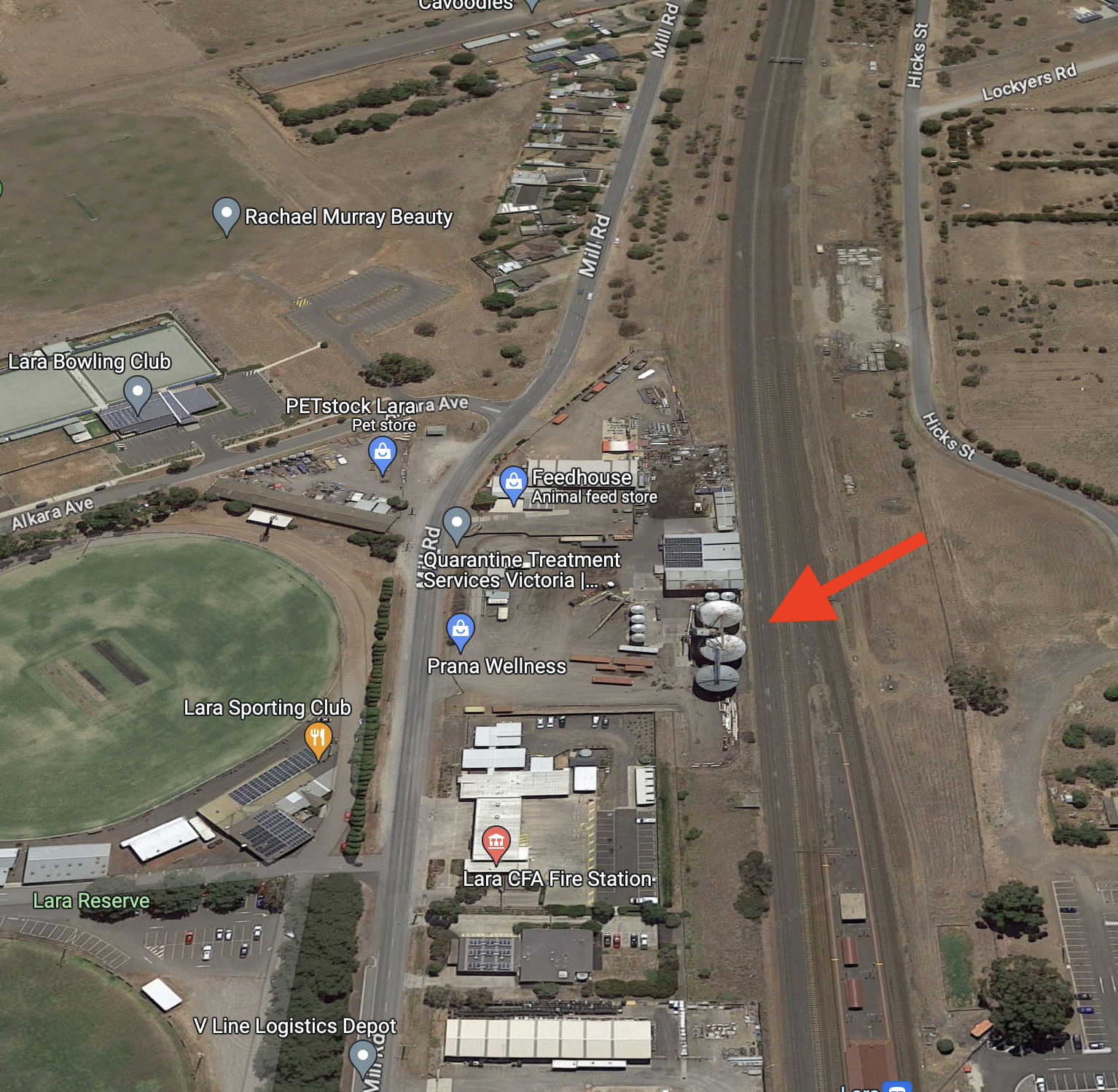
The Lara silo is located alongside the railway line on Mill Road in Lara. It is located opposite the Lara Sporting Club
Above:- Aerial view showing the location of the Lara silos. Image c/o Google Maps.
The Lara silos are operated by Quarantine Treatment Services Victoria (QTSV), Australia’s leading export of grain, barley, and pulses (grain legumes). There are five silos on the property:-
2 x 2200 tonne
1 x 1300 tonne
4 x 70 tonne
2 x 50 tonne
2 x 35 tonne
We parked on Mill Street, opposite the silos. Surprisingly the noise floor was not bad, considering we were right in the heart of busy Lara. We operated from the 4WD, running the Icom IC-7000, 100 watts, and the Codan 9350 (1.5 m stainless steel whip).
Above:- the activation zone at the Lara silo. Image c/o SiOTA website.