At about 1125 UTC on Friday, the 11th day of July 2025, I tuned in to WWCR USA, broadcasting on 4840 kHz in the English language.
The signal was coming from the 100 kW transmitter in Nashville, USA. The target audience was North America and Europe. (Short Wave Info 2024) (WRTH 2025)

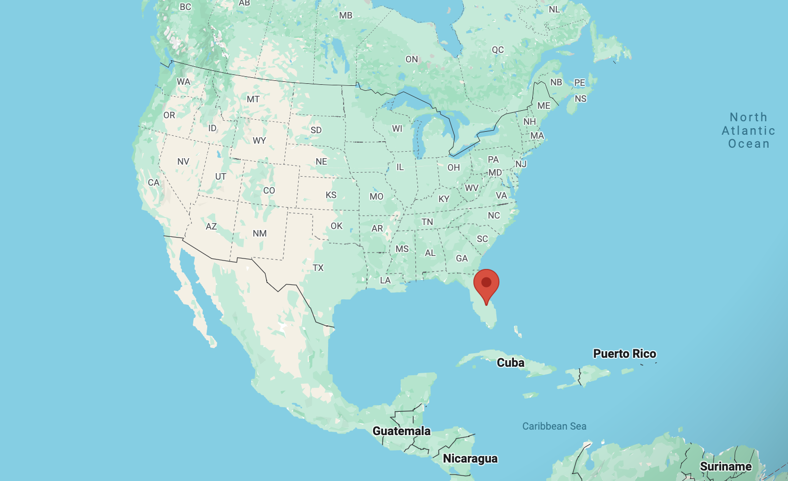
Above:- Map showing the location of Nashville. Map c/o Google Maps.
The overall reception of WWCR was good.
| S | I | N | P | O |
| 4 | 5 | 4 | 4 | 4 |
My equipment:-
- Yaesu FRG7
- Alpha Delta DX sloper antenna
Below is a short video showing my reception of WWCR.
References.
- Shortwaveschedule.com. (2024). ShortwaveSchedule.com. [online] Available at: https://shortwaveschedule.com/ [Accessed 11 Jul. 2025].
- Short-wave.info. (2023). Short-Wave Radio Frequency Schedule. [online] Available at: http://www.short-wave.info/index.php [Accessed 11 Jul. 2025].
- World Radio TV Handbook 2025