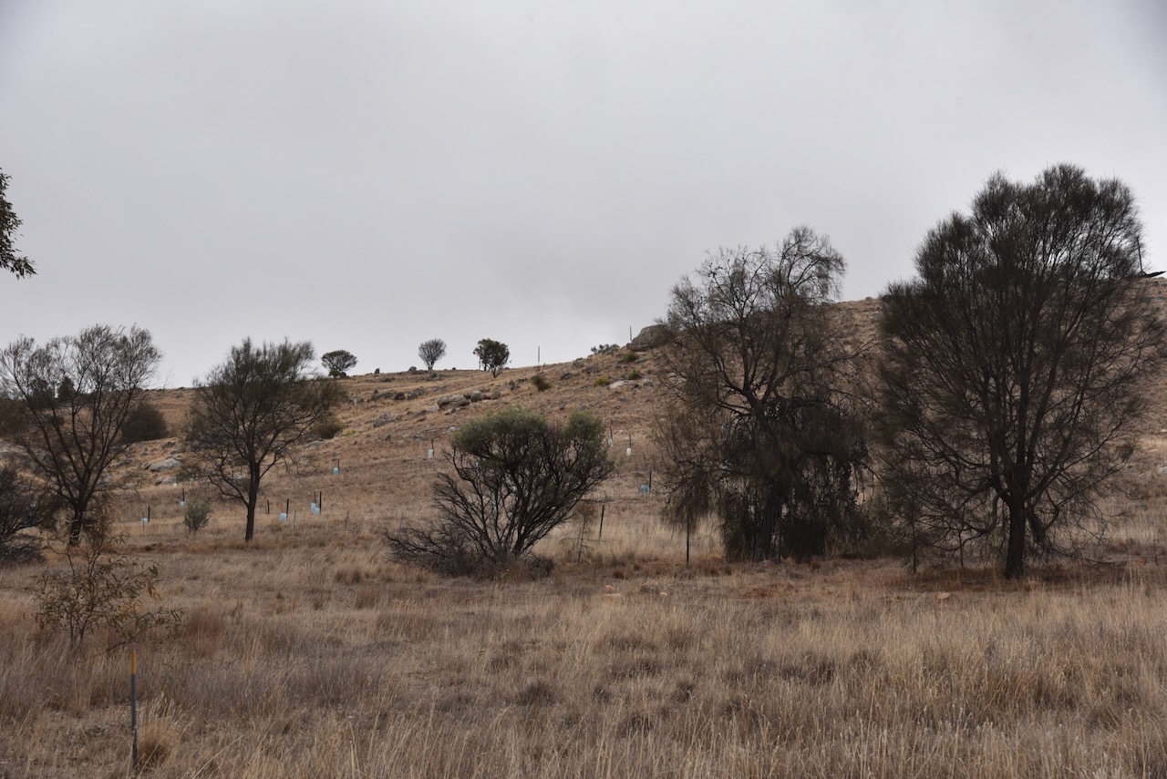
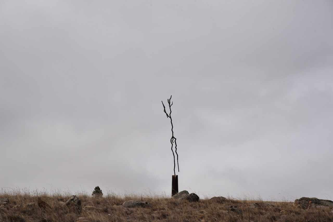
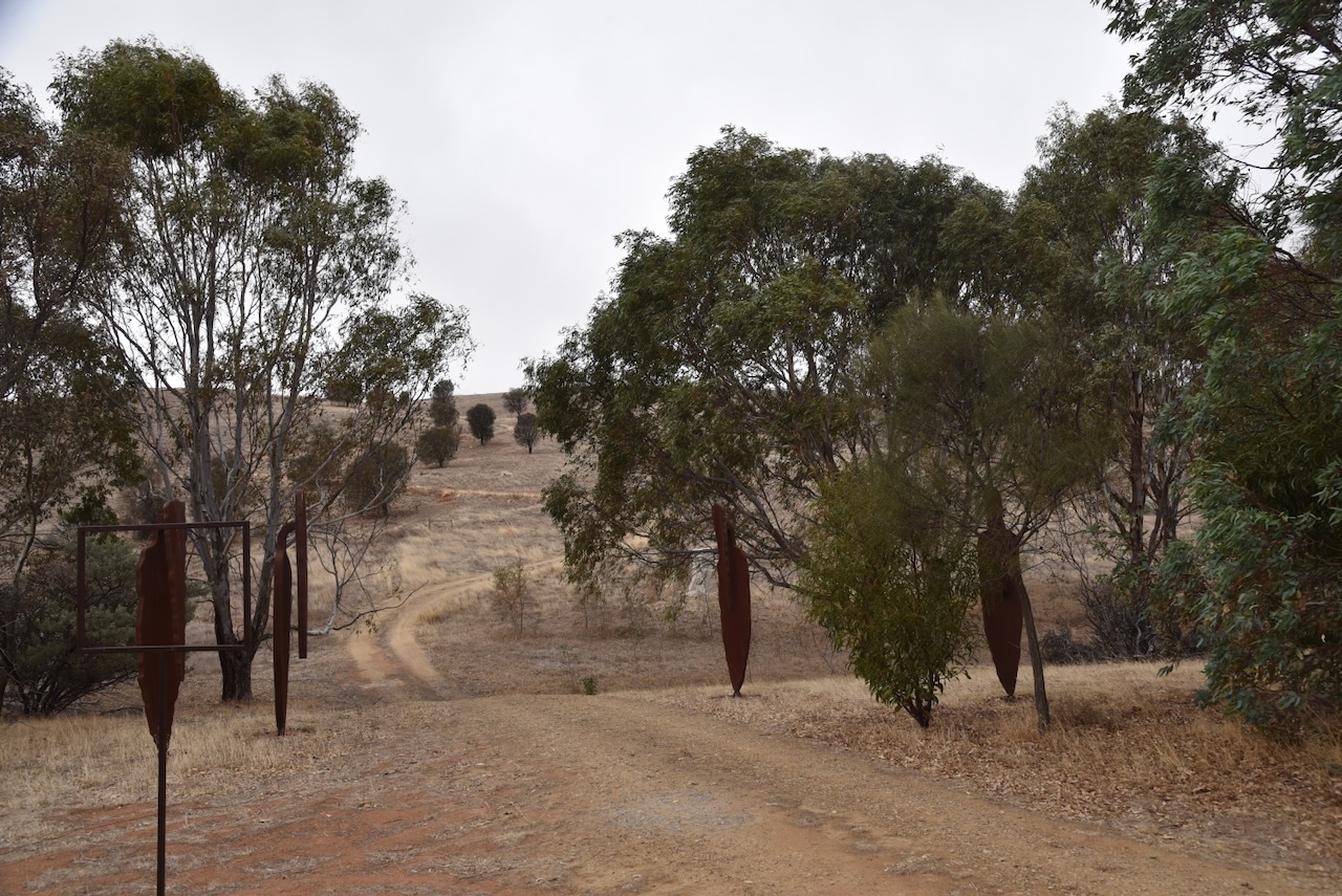
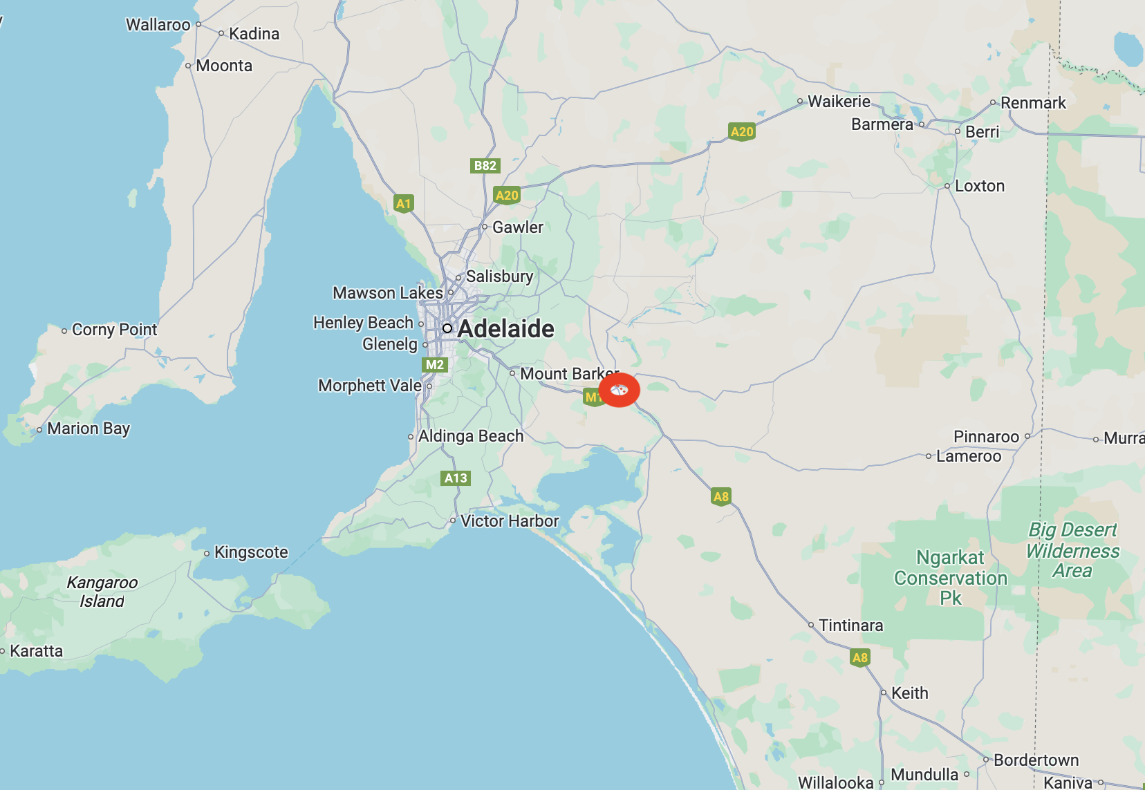
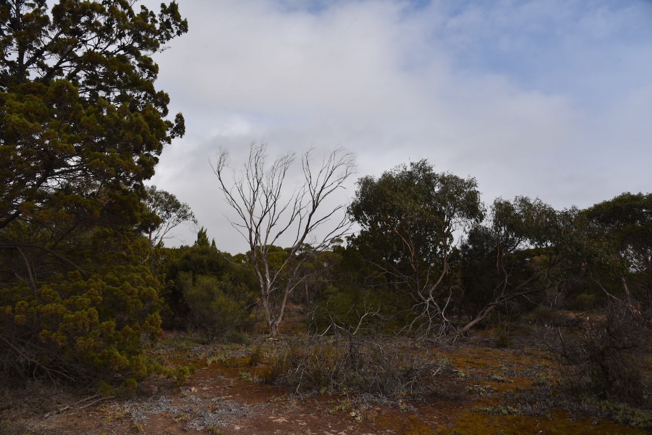
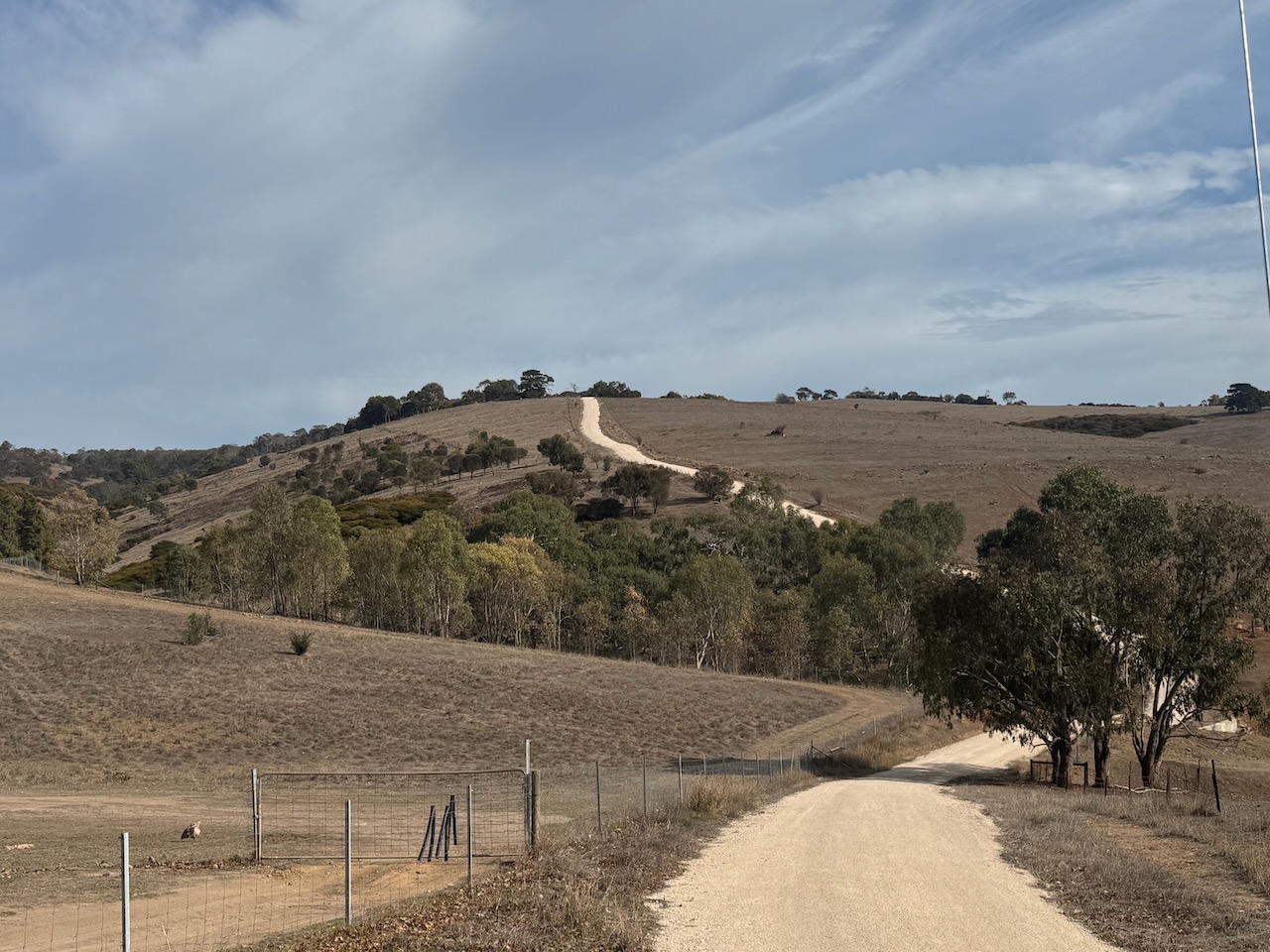
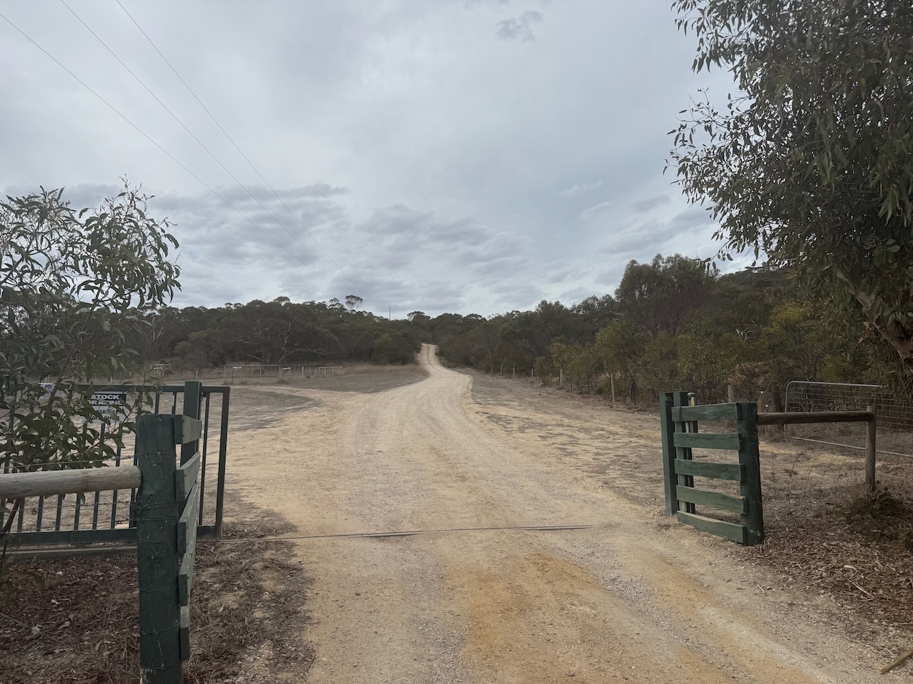
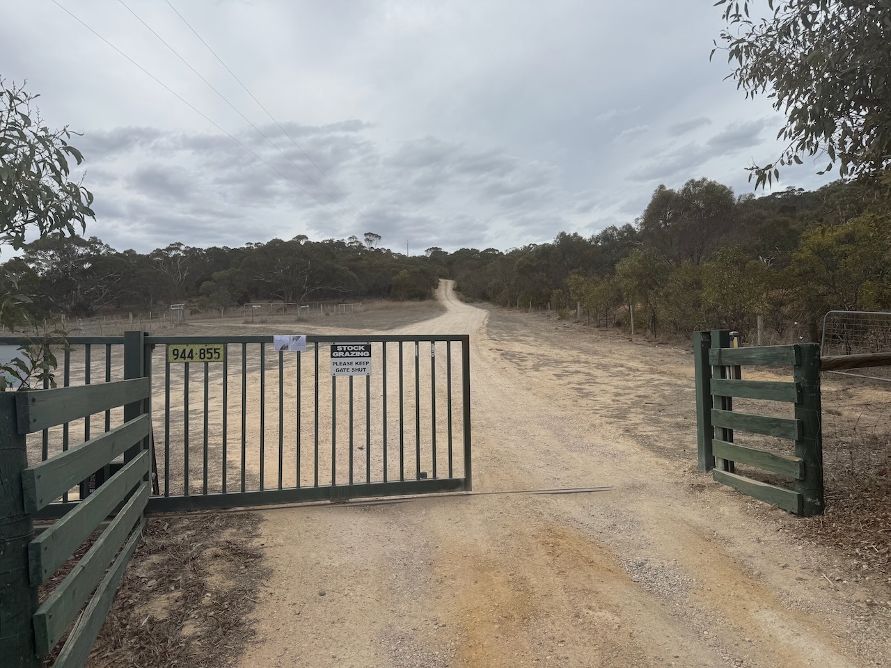
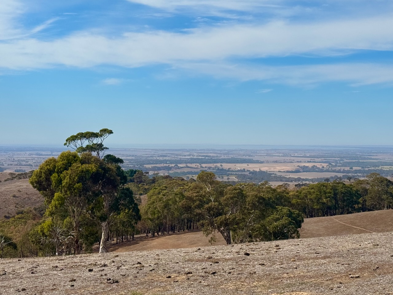
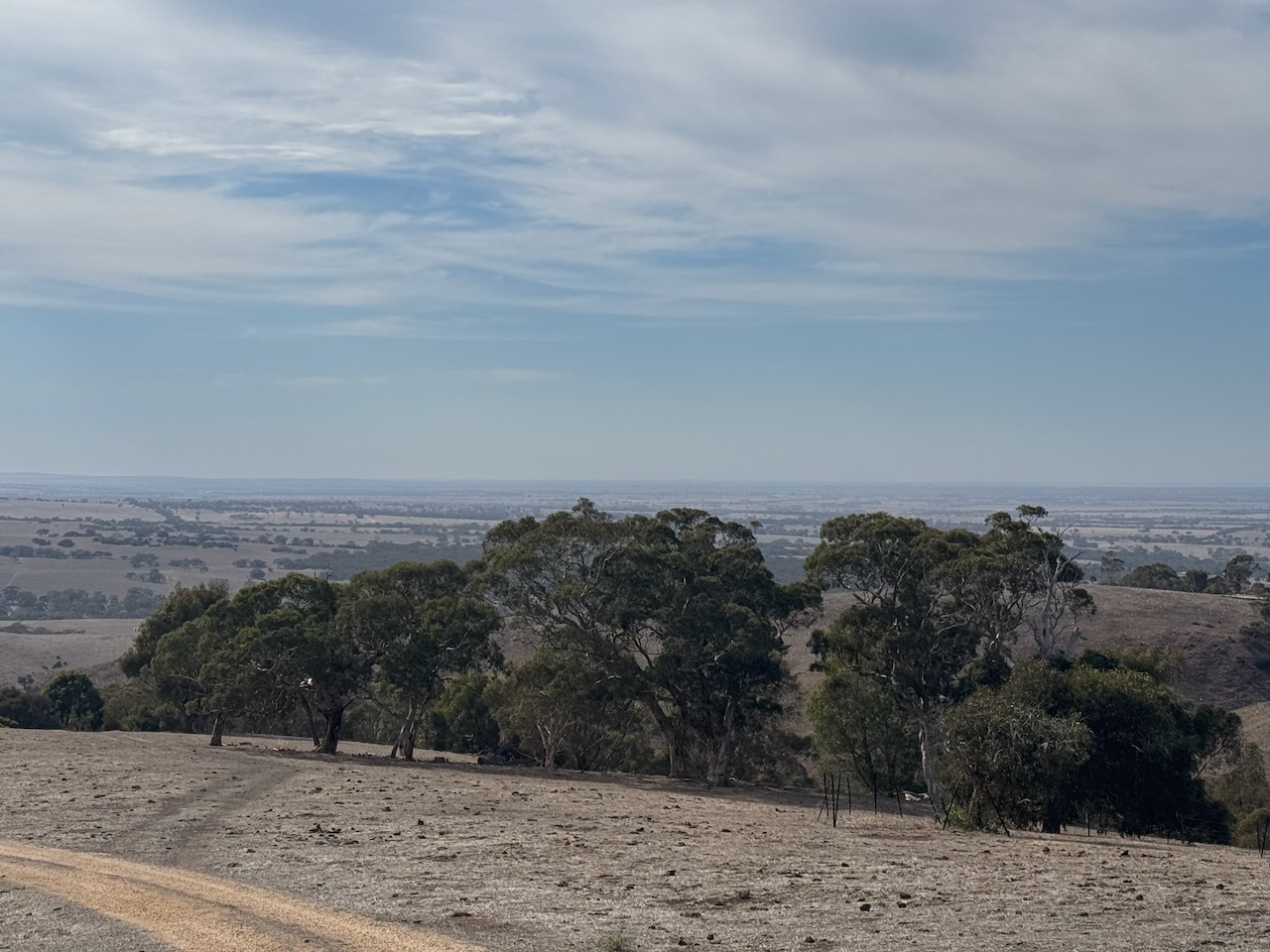
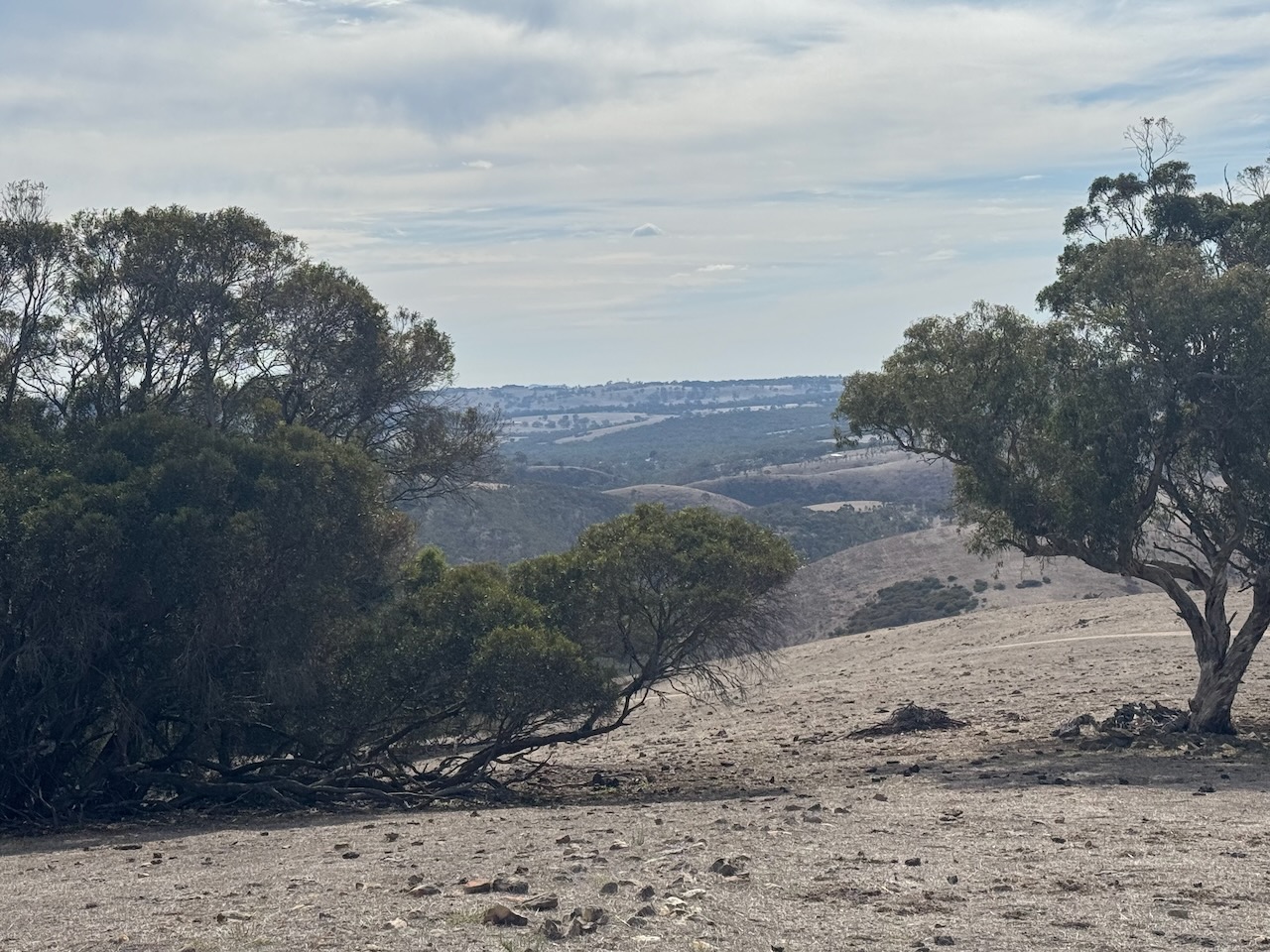
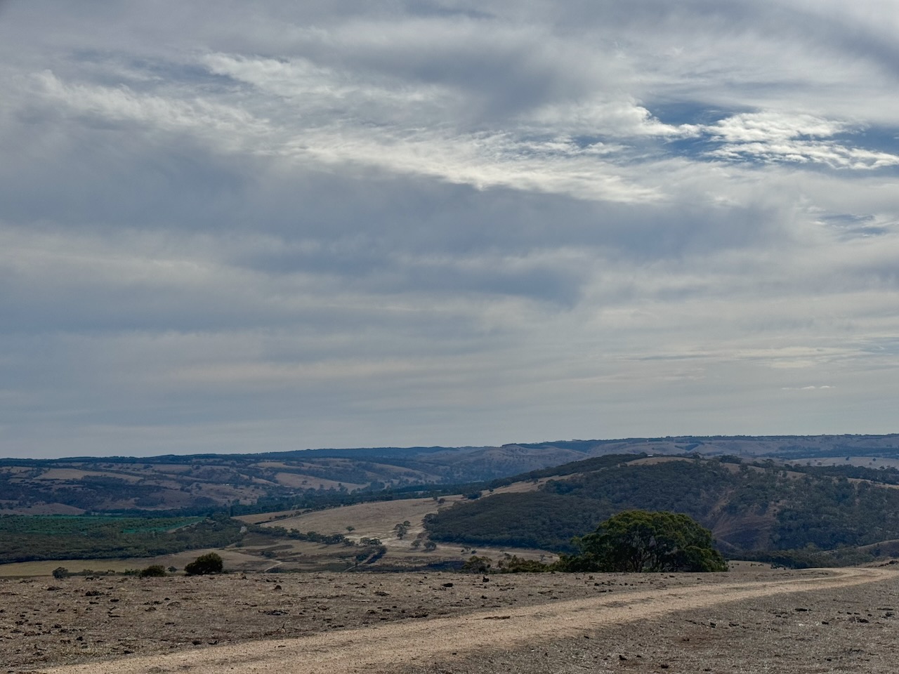
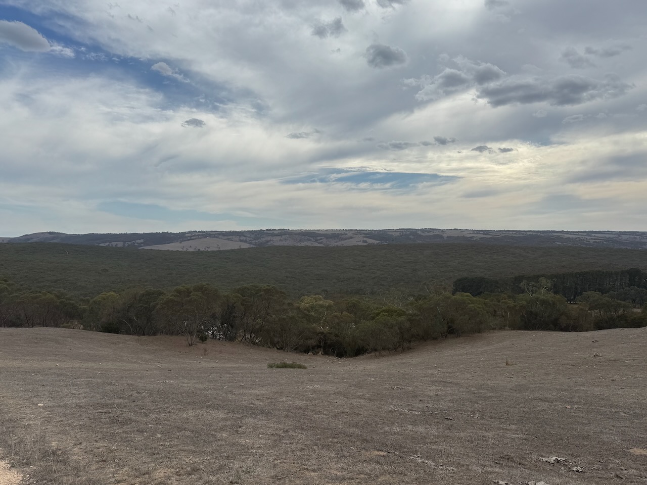
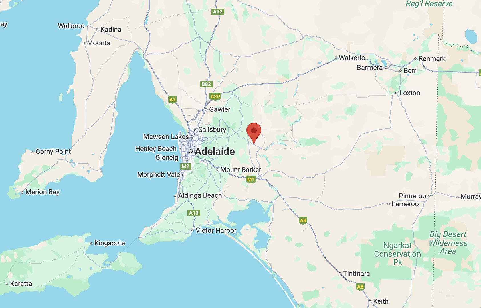
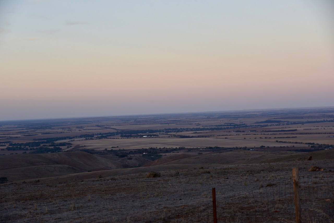
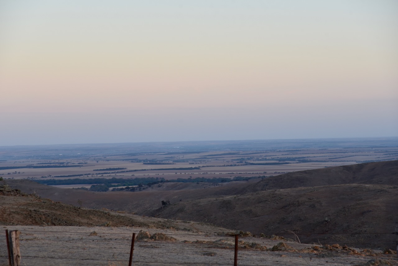
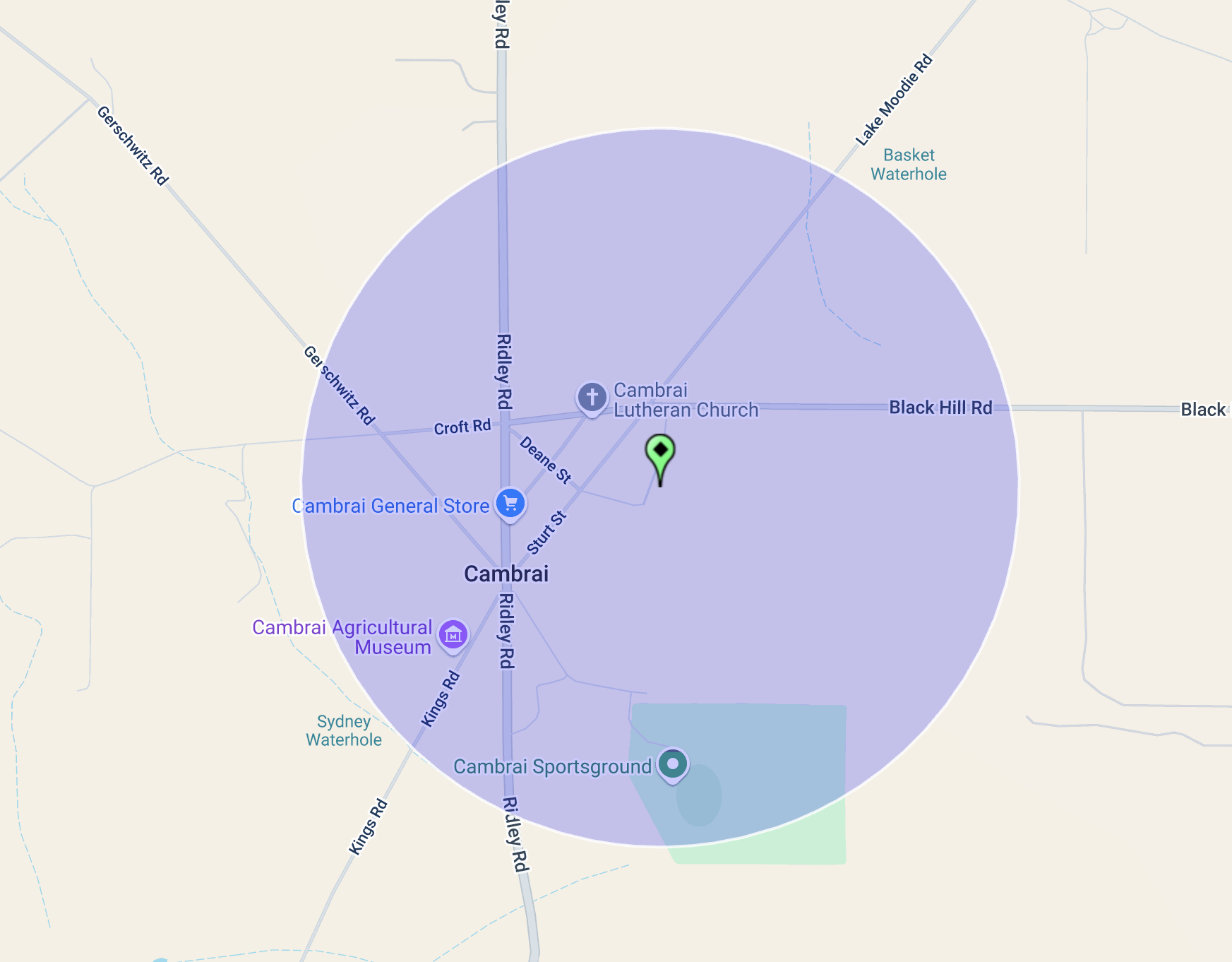
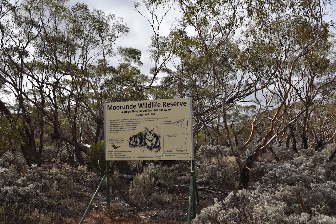
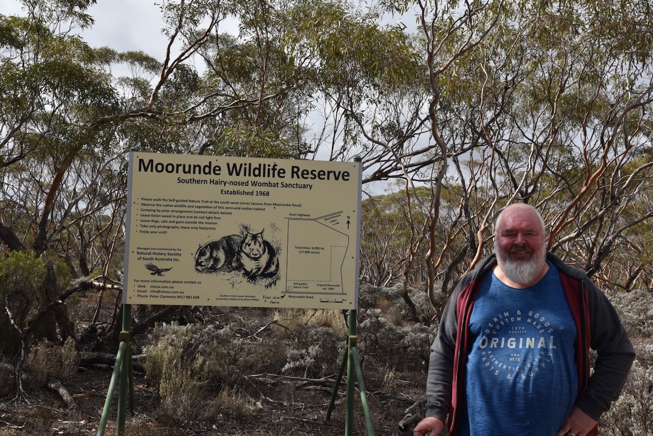
Our third park for Monday 21st April 2025, was the Moorunde Wildlife Reserve VKFF-4045. The reserve is located about 100 km northeast of Adelaide, between Blanchetown and Swan Reach.
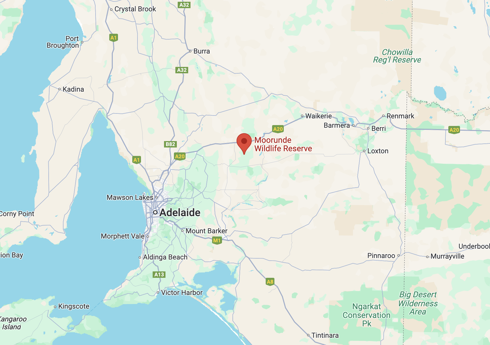
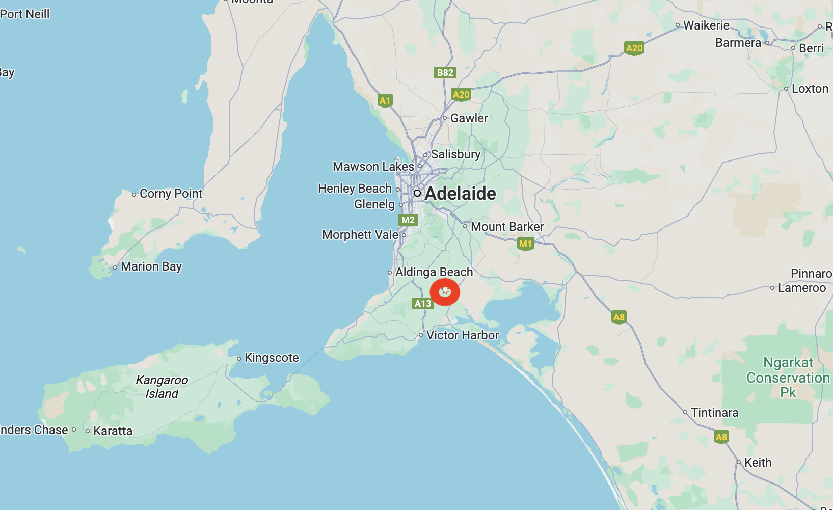
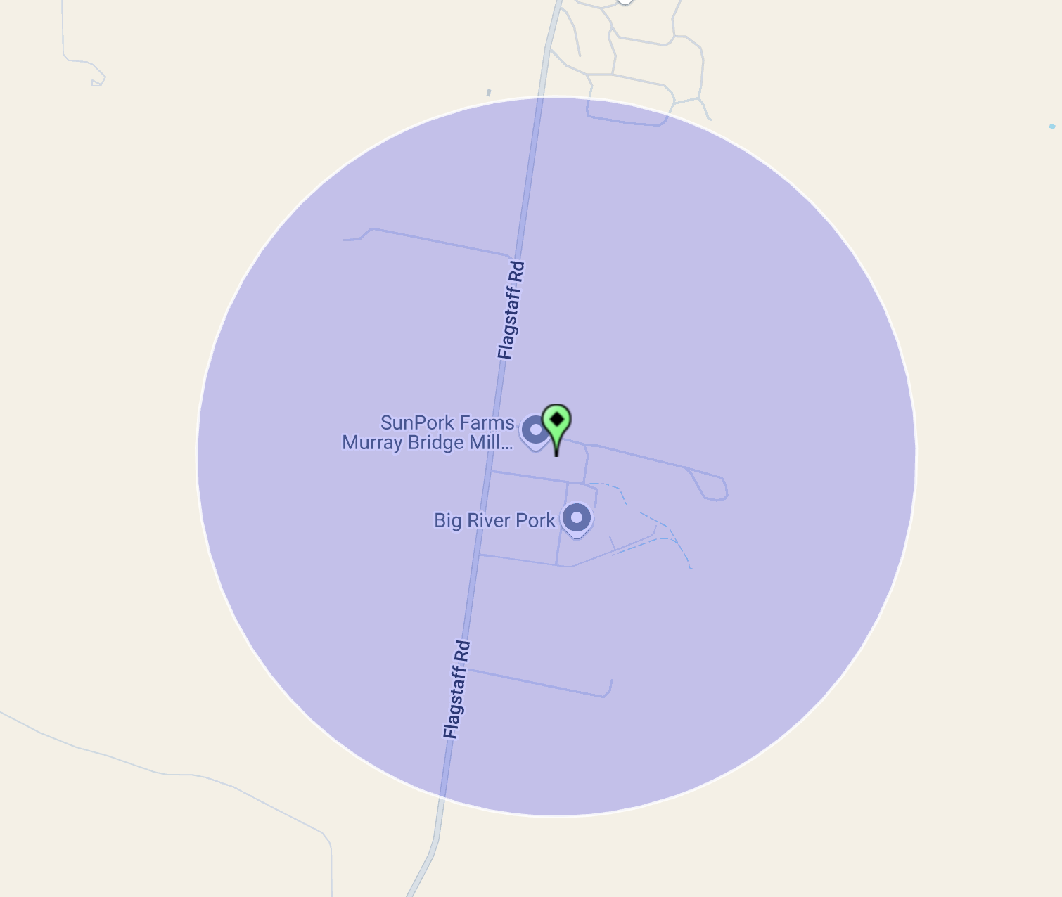
Above:- Map showing the location of the Moorunda Wildlife Reserve. Map c/o Google Maps.
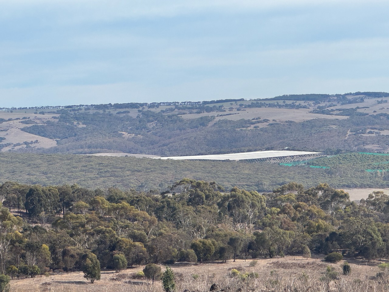
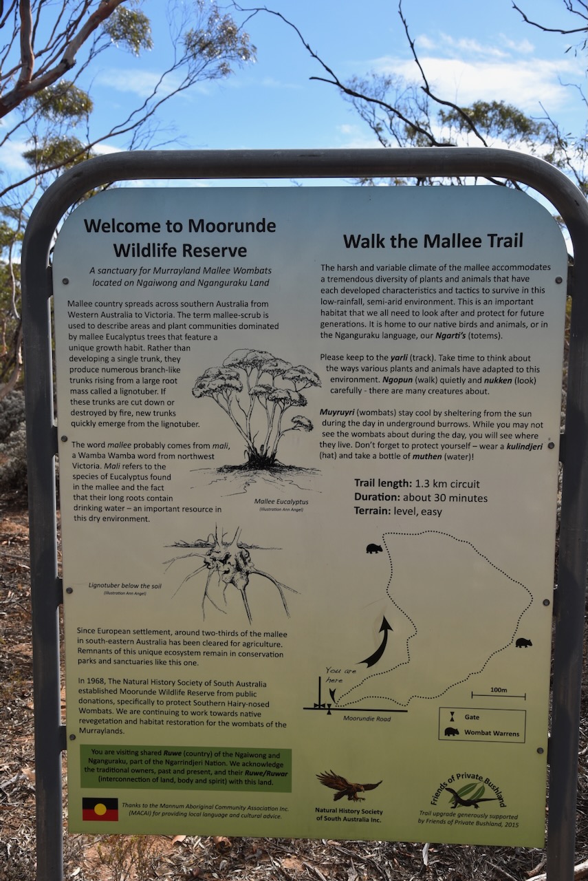
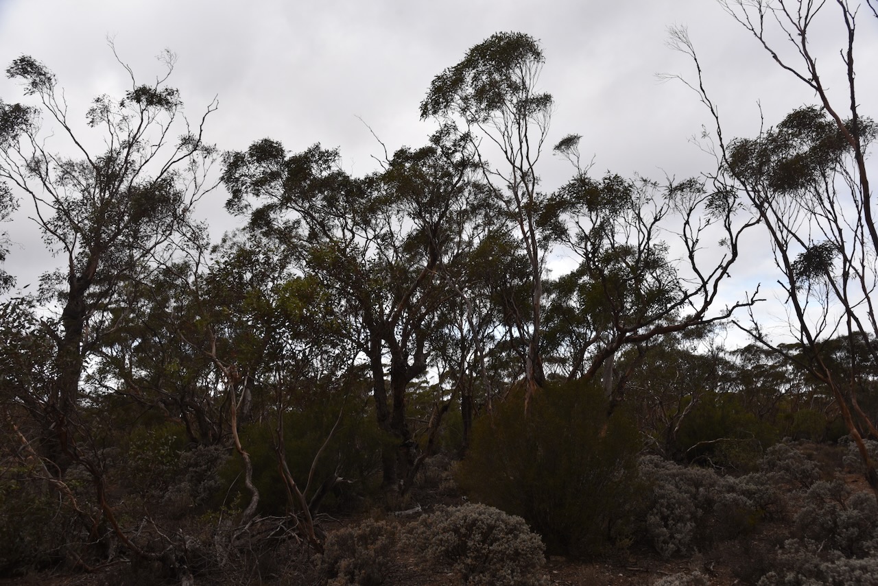
The Moorunde Wildlife Reserve is 6,900 hectares (17,000 acres) in size and comprises several Heritage Agreements of mallee country. The northern boundary of the reserve is Stury Highway. The southern boundary is Moorundie Road. To the north of the reserve is Brookfield Conservation Park, which was purchased by the Chicago Zoological Society in 1971 for the conservation of the Southern hairy-nosed wombat. (Nat Hist Soc SA 2014) (Wikipedia 2025)
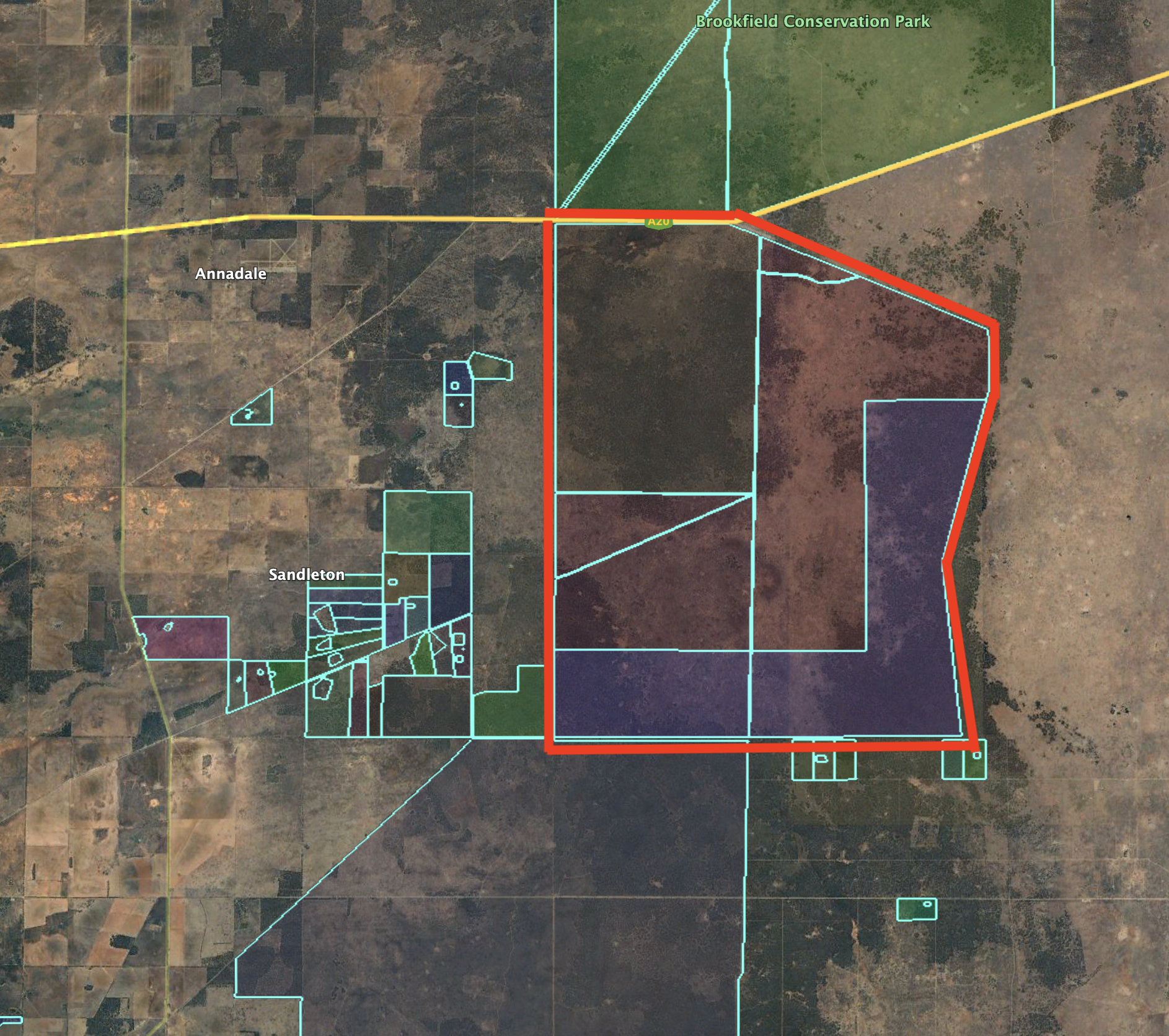
Above:- An aerial view of the Moorundde Wildlife Reserve. Image c/o Google Earth.
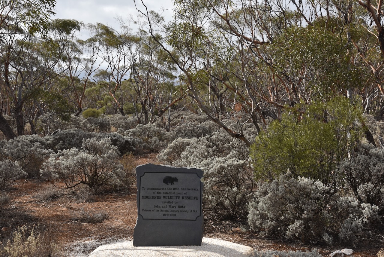
The Moorunde Wildlife Reserve was the first sanctuary established specifically to preserve the habitat of the Southern Hairy-nosed Wombat. It is one of the largest wombat sanctuaries in the world and is owned by the Natural History Society of South Australia. (Nat Hist Soc SA 2014)

Before the land was established as a Wildlife Sanctuary, it had been cleared for sheep grazing, wood fuel and charcoal production. (Wombats SA, 2020)
During the mid-1960s, the Natural History Society of South Australia lobbied the South Australian State Government to create a wombat sanctuary on the Nullabor Plains on the West Coast of South Australia. Sadly, this did not eventuate. In 1967, Jack and Peg Conquest approached the Natural History Society of South Australia. They were eager to establish a sanctuary for the Southern Hairy-nosed Wombat. (Nat Hist Soc SA 2014)
In 1968, the Society launched a public appeal to raise money to purchase land in the Murraylands. A total of $12,000 was required to purchase the property, and a further $6,000 for infrastructure. This appeal was very successful with the publicity and support of the Sunday Mail newspaper and the Adelaide Bank. The appeal also received donations from schools, community groups, private businesses and individuals. In the first week, a total of $4,000 had been raised. As a result of the appeal, the Society purchased 2,000 hectares of land near Blanchetown that was formerly part of Portee Station owned by Louis Power. (Adelaide AZ, 2025) (Nat Hist Soc SA 2014)
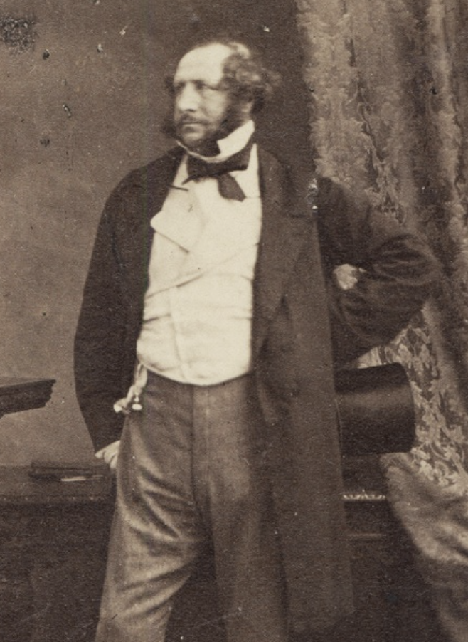
The name of the reserve was chosen as Moorunde to acknowledge the traditional owners of the land and the explorer Edward John Eyre (b. 1815. d. 1901). In 1841, he was appointed the ‘Protector of the Aborigines’. Near present-day Blanchetown, he established a station which he named Moorunde. Moorundi is an Aboriginal name for the Murray River. (Nat Hist Soc SA 2014)
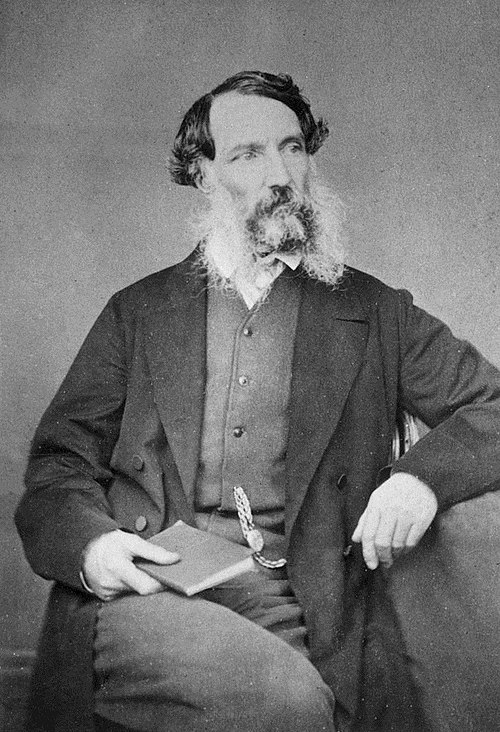
Above:- Edward John Eyre. Image c/o Wikipedia.
In 1973, the Chicago Zoological Society purchased land north of the reserve and established the Brookfield Conservation Park as a wombat sanctuary. (Nat Hist Soc SA 2014)
During the 1990s, Earth Sanctuaries established Yookamurra Sanctuary to the south of the Moorunde Reserve. (Nat Hist Soc SA 2014)
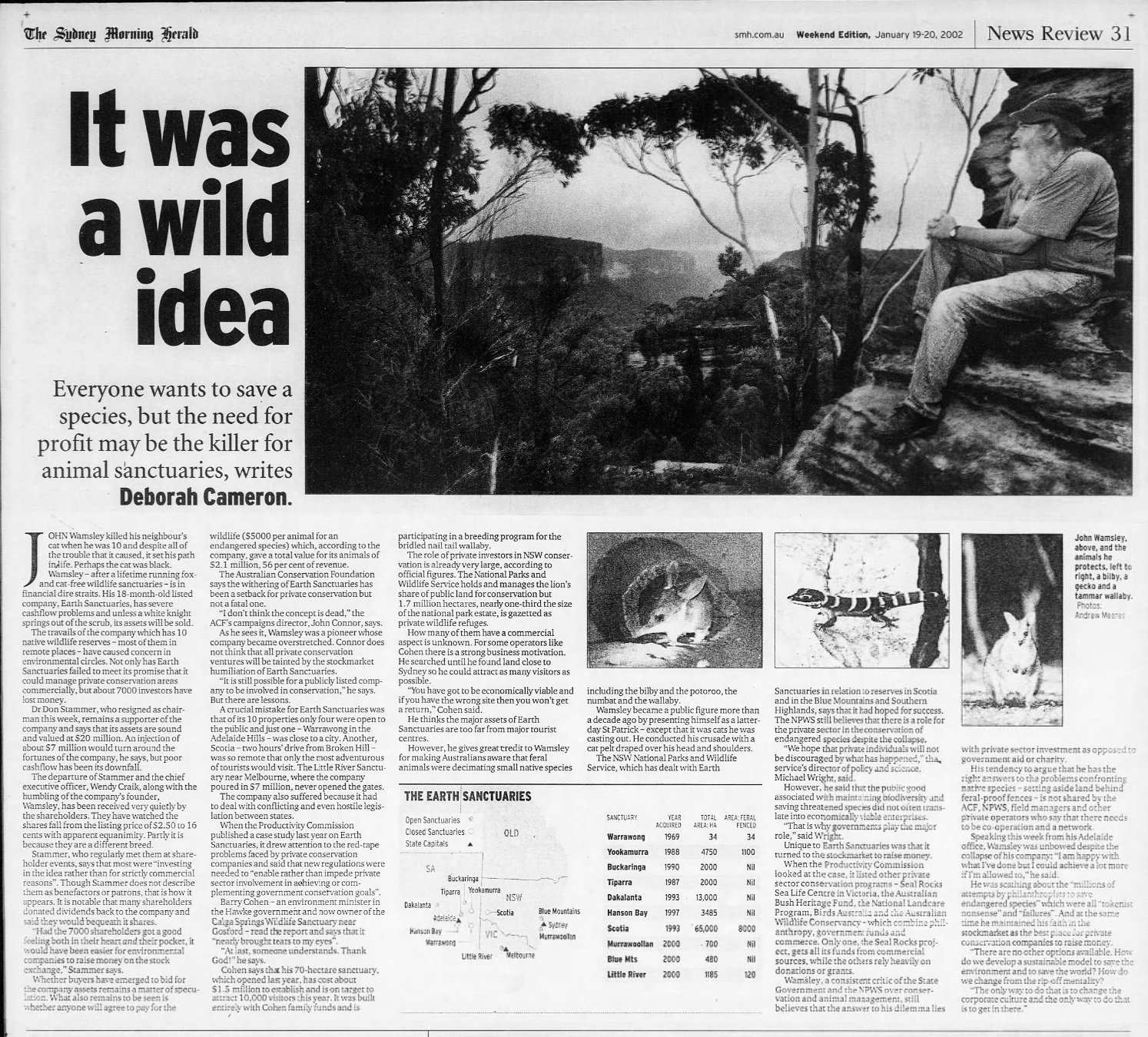
Above:- Article from The Sydney Morning Herald, 19 Jan 2002, re Earth Sanctuaries. Image c/o newspapers.com
In 2007, the Society purchased a further 4,900 hectares of adjacent land on Portee Station known as the Twelve Mile Plain. This brought the total area of the reserve to 6,900 hectares. This was made possible with some bequests in the bank and donations from the Society’s patrons, John and Mary Holt, other members and organisations. (Nat Hist Soc SA 2014) (Wombats SA, 2020)
The Southern Hairy-nosed Wombat is one of three species of wombat. It lives in semi-arid regions of South Australia. This particular species of wombat was adopted by the South Australian State Government in 1970 as the faunal emblem of South Australia. (Nat Hist Soc SA 2014)
It is estimated by Wombats SA that in 1968, there were 150 wombats on the reserve. Today, it is believed that about 2,000 southern hairy-nosed wombats call the reserve home. (Adelaide AZ, 2025) (Wombats SA, 2020)
Below is a video detailing the history of the Moorunde Wildlife Reserve.
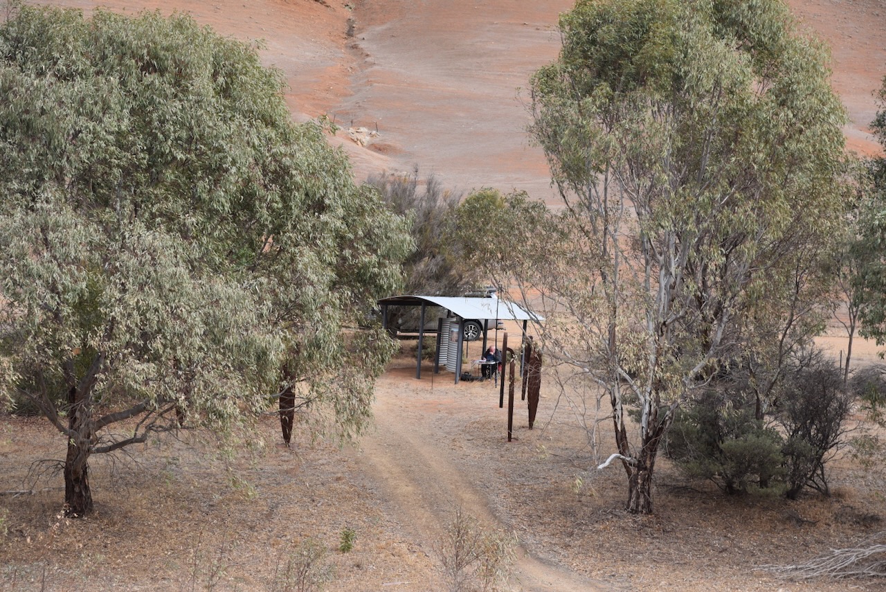
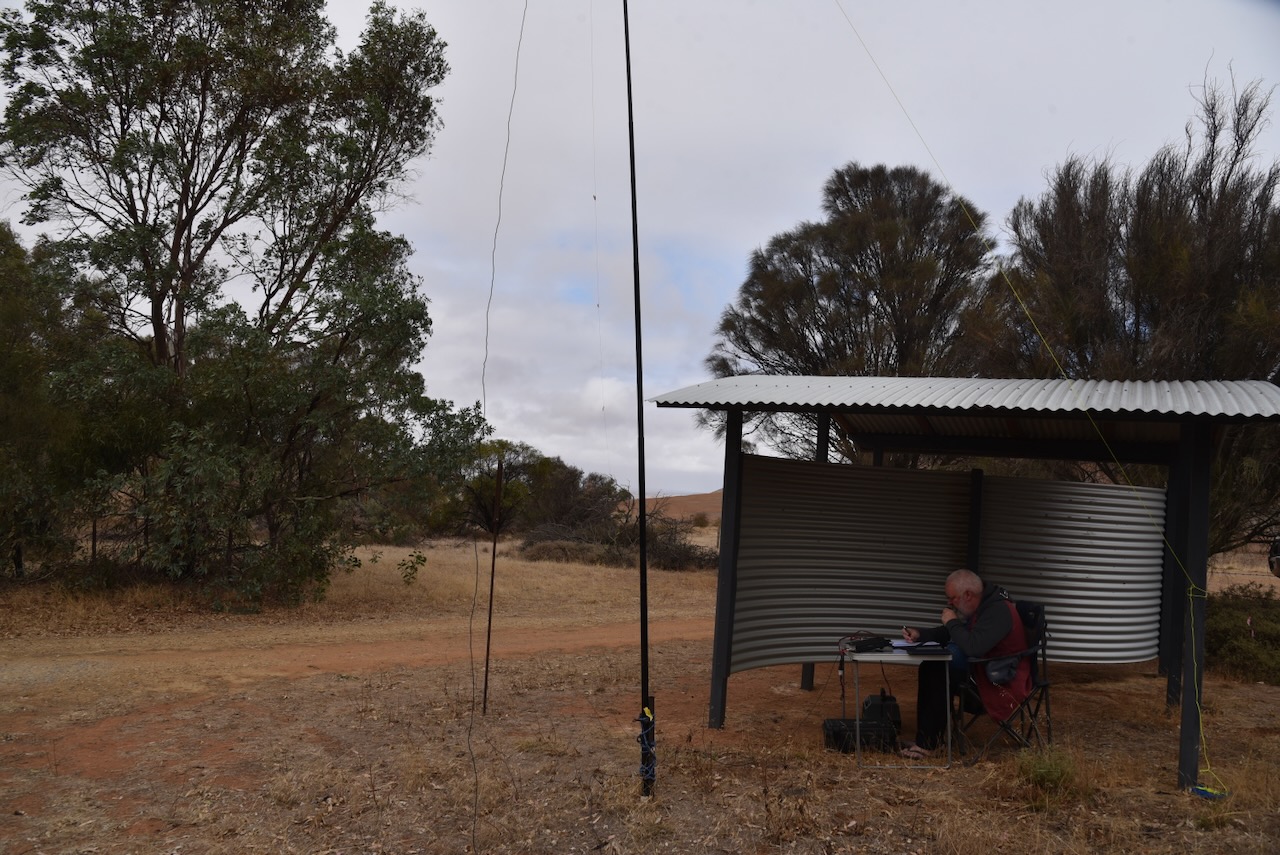
We ran the Yaesu FT857, 40 watts, and the 20/40/80m linked dipole for this activation.
Marija worked the following stations on 40m SSB:-
- VK3TKK/p (VKFF-5566)
- VK3PF/P (VKFF-4443)
- VK3KAI/P (VKFF-4443)
- VK3ZPF
- VK3JW
- VK3PJF
- VK5CZ
- VK3SQ
- VK2BD
- VK3JT
Marija worked the following stations on 20m SSB:-
- VK3YV/P (VKFF-5536)
- VK3TNL/P (VKFF-5536)
I worked the following stations on 40m SSB:-
- VK3TKK/p (VKFF-5566)
- VK3PF/P (VKFF-4443)
- VK3KAI/P (VKFF-4443)
- VK3ZPF
- VK3JW
- VK3PJF
- VK5CZ
- VK3SQ
- VK2BD
- VK3JT
- VK3AMO
- VK5WU
- VK2EXA
- VK3CEO
- VK3JV
- VK3PI
- VK3UH
- VK3GCM/P (SILO VK-LCT3)
- VK1AD
- VK1NAM
- VK3LBW
- VK5DW
- VK2PKT
- VK3SKS
- VK2YK
- VK5GA
- VK5HS
- VK5FL
- VK3APJ
- VK2VW
- VK2HFI
- VK2AKA
- VK2BUG
I worked the following stations on 20m SSB:-
- VK2HDT
- VK7XX
- VK4JT
- K55CIK
- VK1AO
- VK2MET
- VK3YV/P (VKFF-5536)
- VK3TNL/P (VKFF-5536)
- VK3CLD/P
- VK3CEO
- VK4SUN
- VK4NH
- VK4DXA
- ZL1CZ
- ZL1TM
- VK3OAK/P (VKFF-0010_
- VK3GUM/P (VKFF-0010)
- VK4HNS
- VK3AMO
- UT5PI
- OH1MM
- VK6JK
- VK2VW
- VK2HFI
- VK2AKA
- VK2BUG
- SP7MW
- VK2MOR
- VK1MDP
- VK2IO
- VK2GEZ
- VK2MG
- F5PYI
- VK3GTO
- VK3ANL
- VK3PF/P (VKFF-4443)
- VK7AAE
- OH5TQ
- VK4IQ
- VK4SMA
- VK3SQ
- VK2BD
- VK3JT
- VK2AGU
- ZL2BEJ
- VK4EW
- VK4MGL
References.
- Adelaide AZ. (2025). Starving wombats on mallee country spark 1968 South Australian community campaign for Moorunde reserve | Adelaide AZ. [online] Available at: https://adelaideaz.com/articles/starving-wombats-on-mallee-country-spark-south-australian-community-campaign-to-set-up-moorunde-wildlife-reserve-in-1968_copy [Accessed 16 Jun. 2025].
- Natural History Society SA, 2014, Moorunde Wildlife Reserve brochure
- Wikipedia Contributors (2025). Brookfield Conservation Park. Wikipedia.
- Wombats SA. (2020). Moorunde Wildlife Reserve – Wombats SA. [online] Available at: https://wombatssa.org.au/our-reserves/moorunde/ [Accessed 16 Jun. 2025].