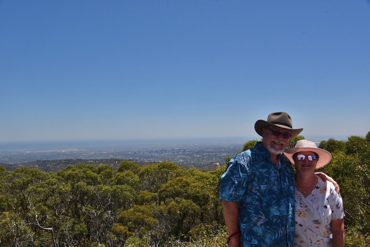
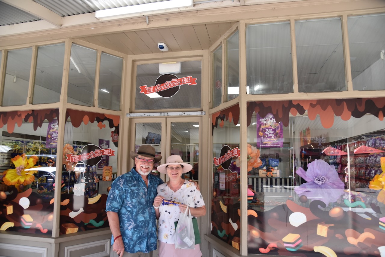
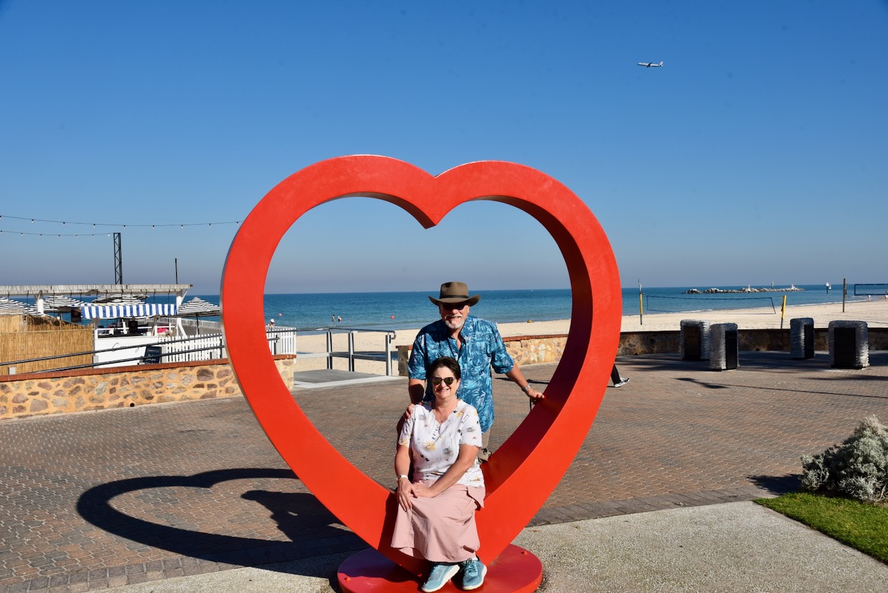
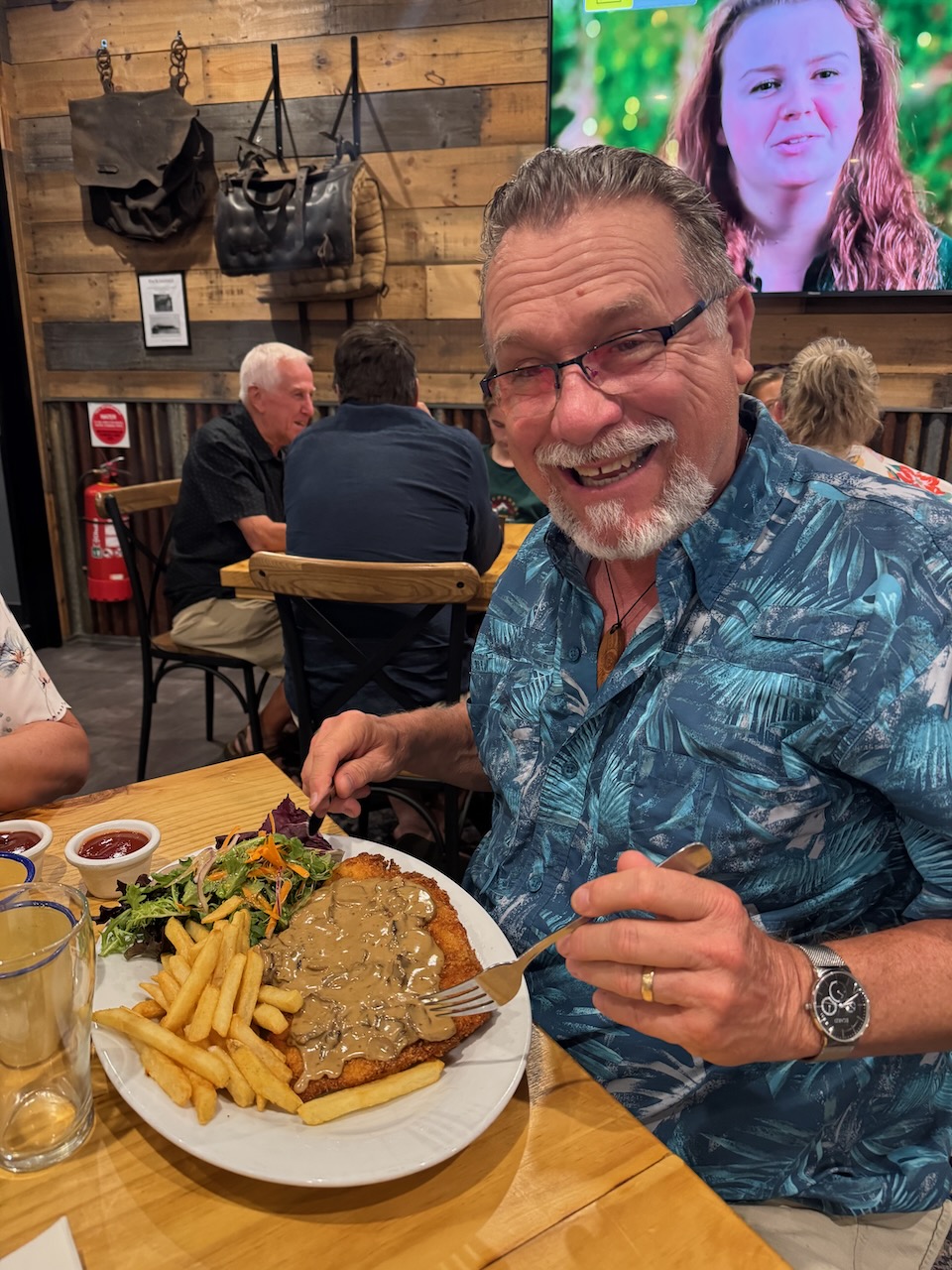
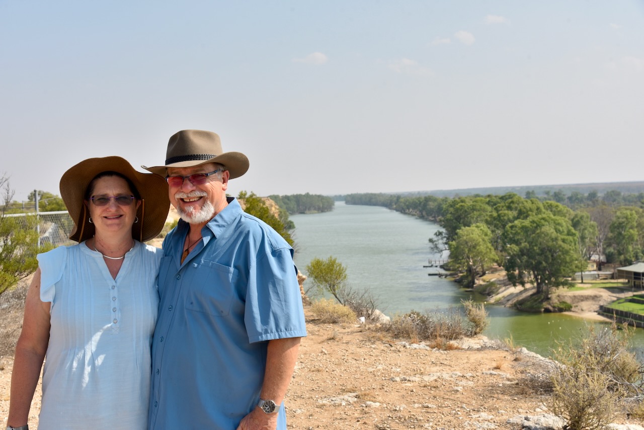
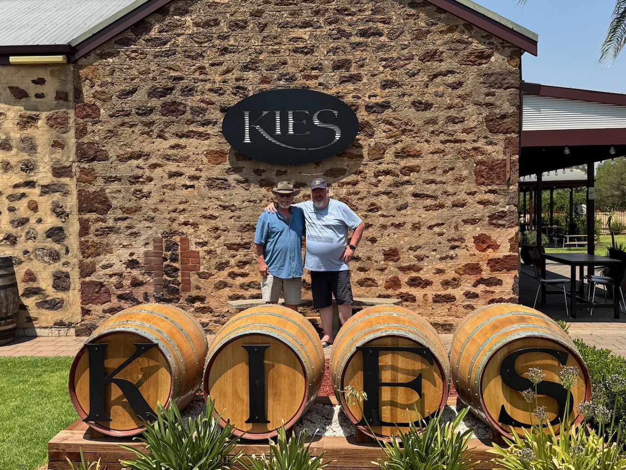
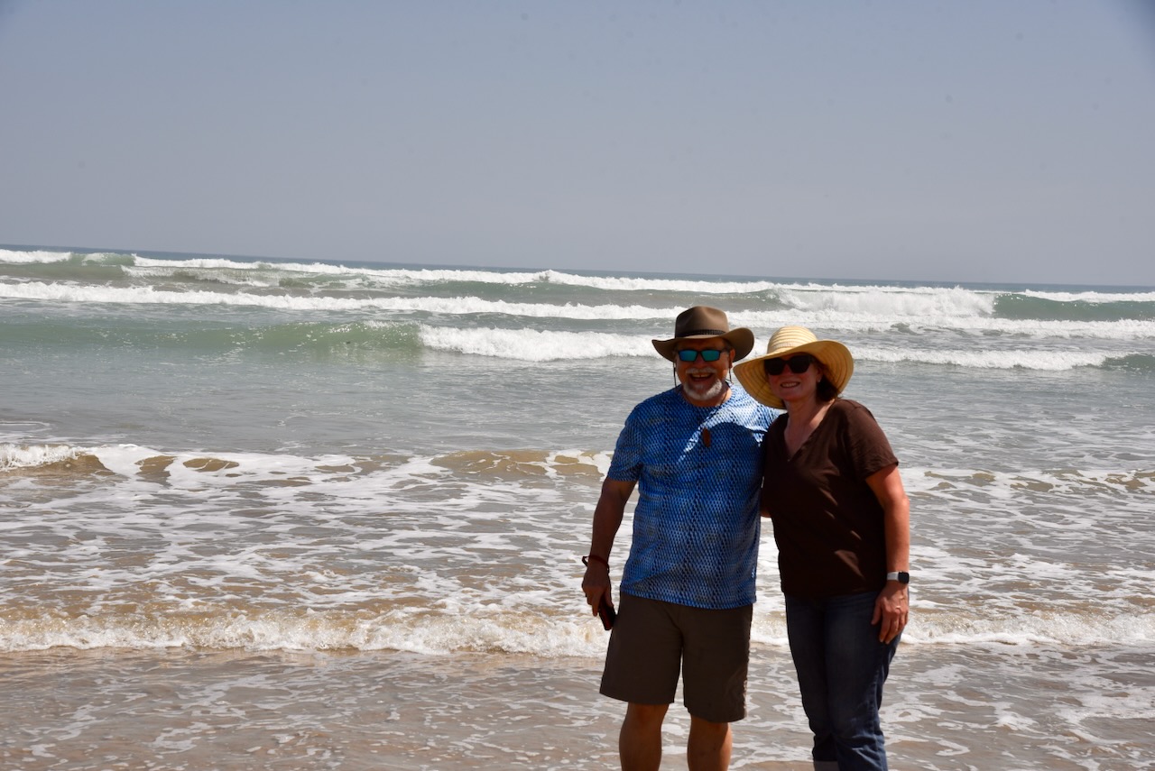
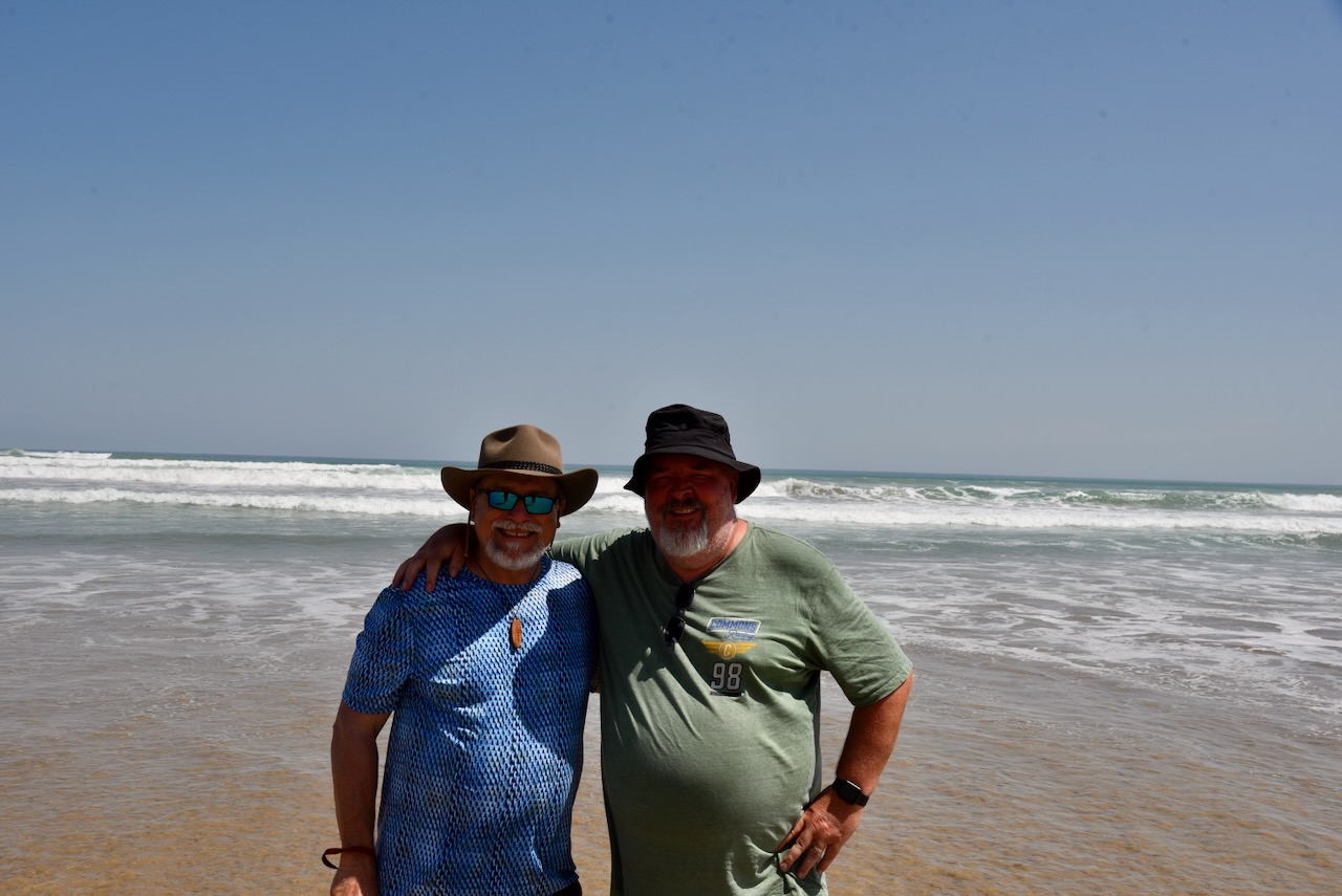
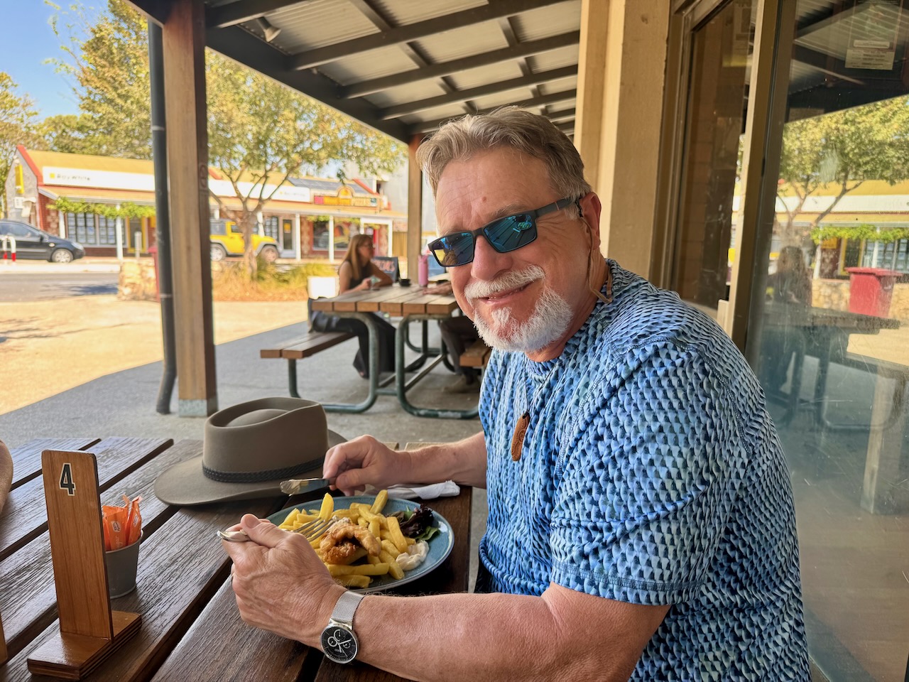
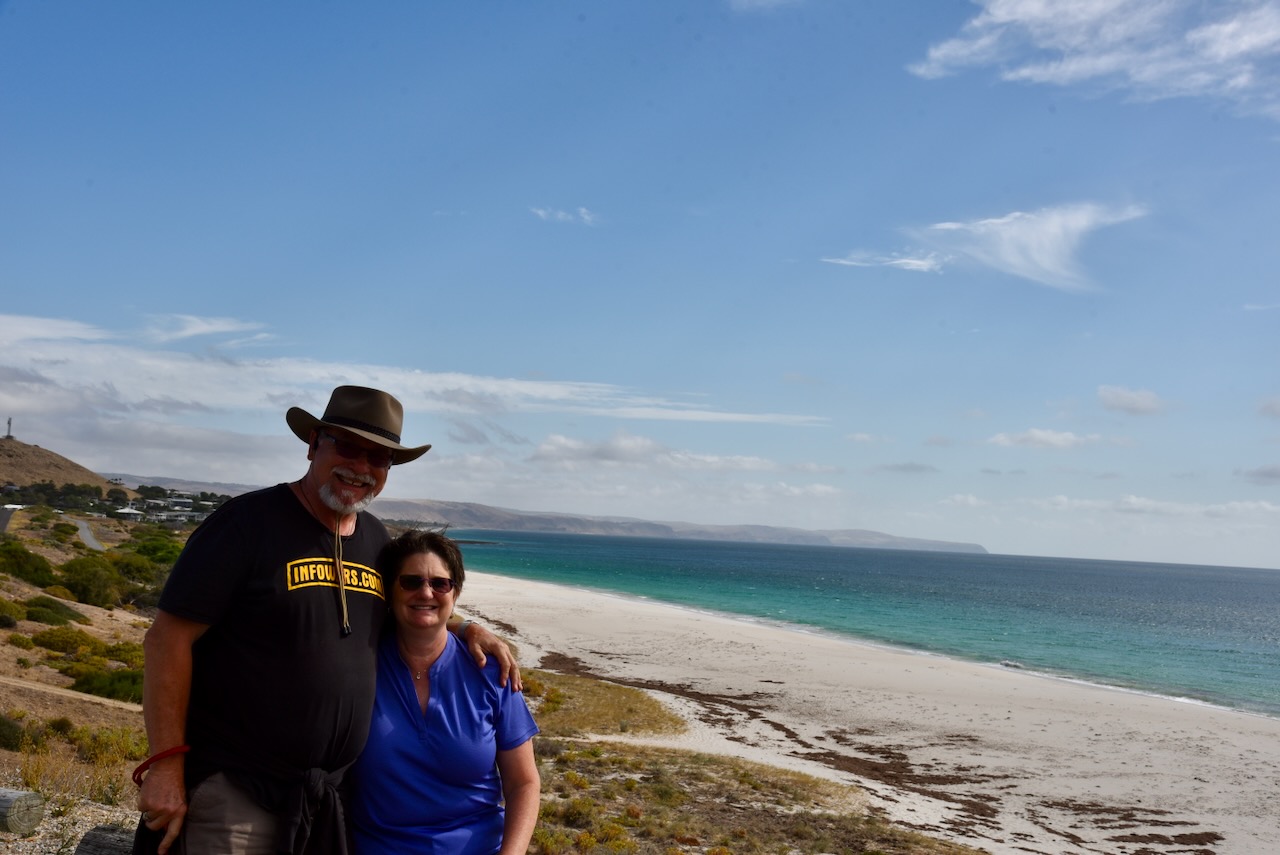
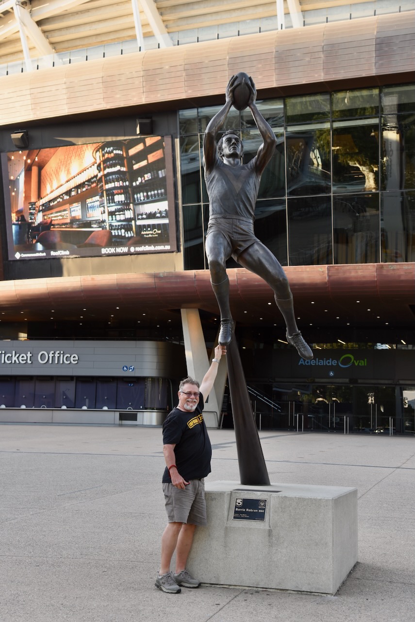
In February 2025, Marija and I were blessed with the company of Tim N4HOZ and his wife, Laurel, from Florida, USA. They stayed with us for 4 nights and we got to show them a little bit around South Australia.
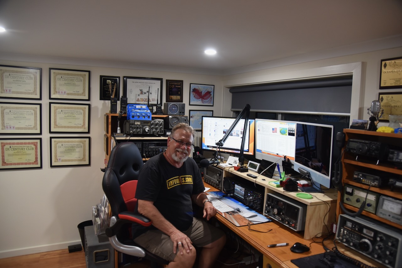
Tim made his way into my radio shack on 2 occasions and made contacts around Australia and back into North America.
Day 1.
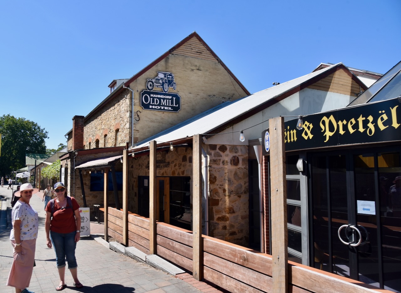
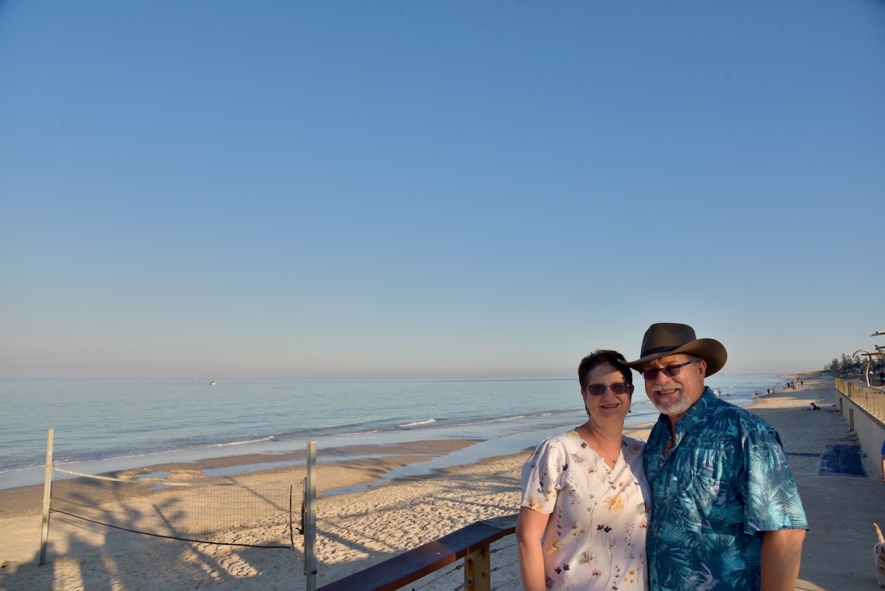
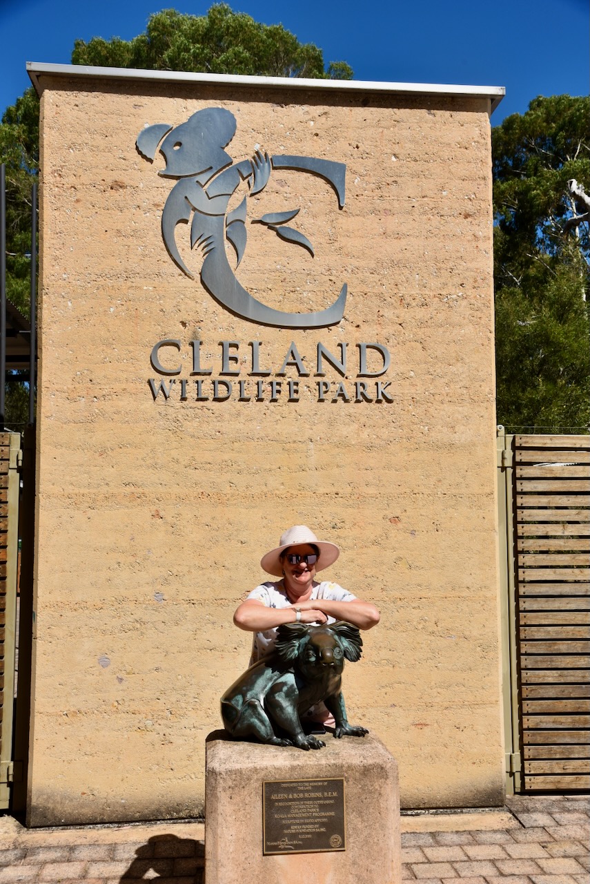
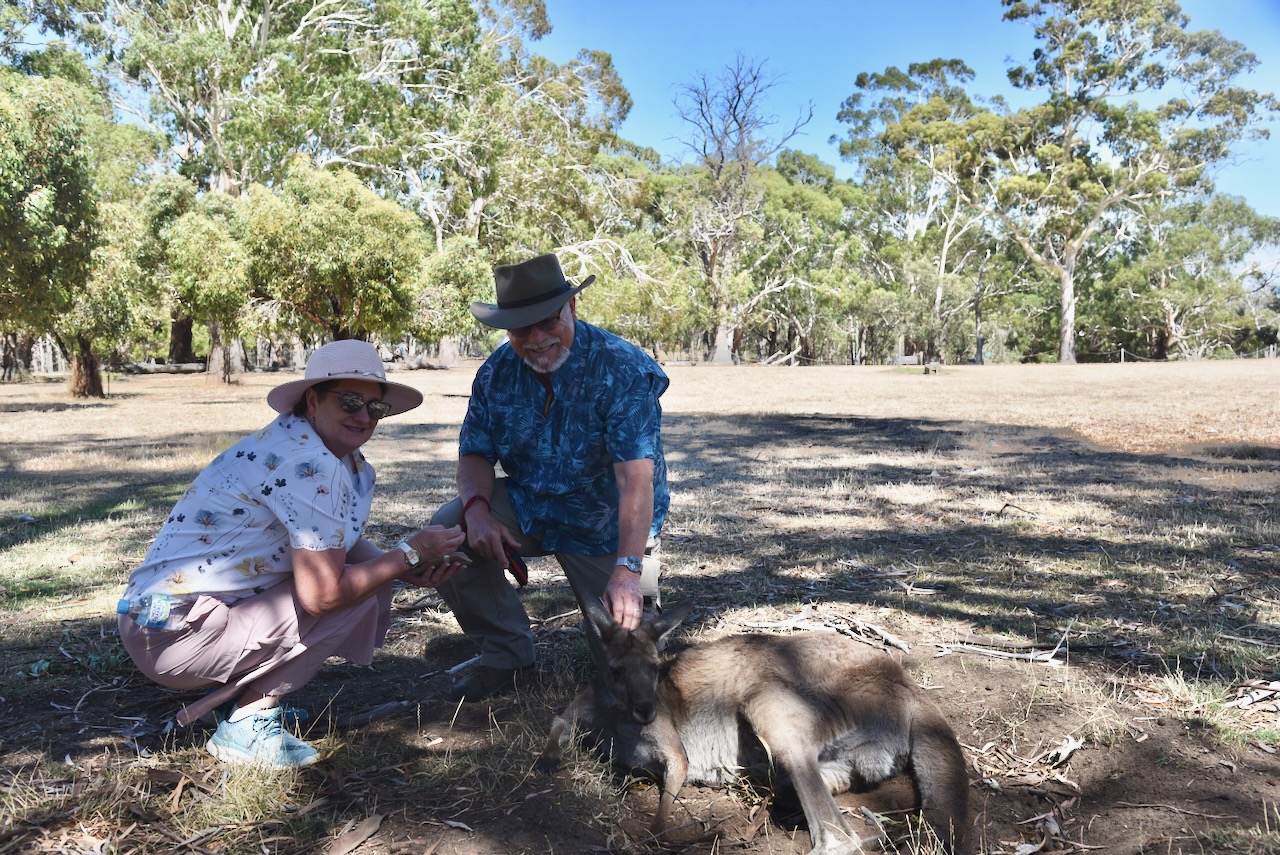
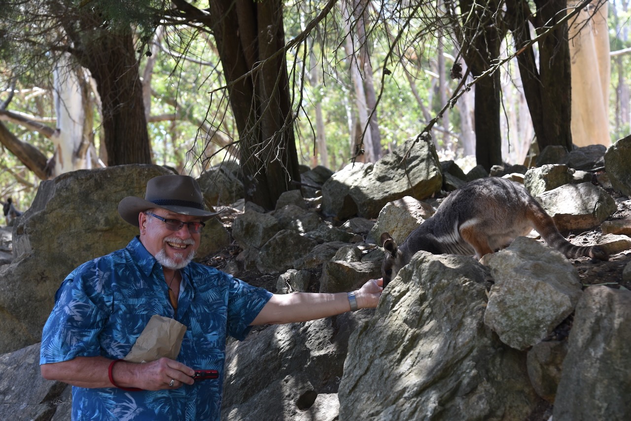
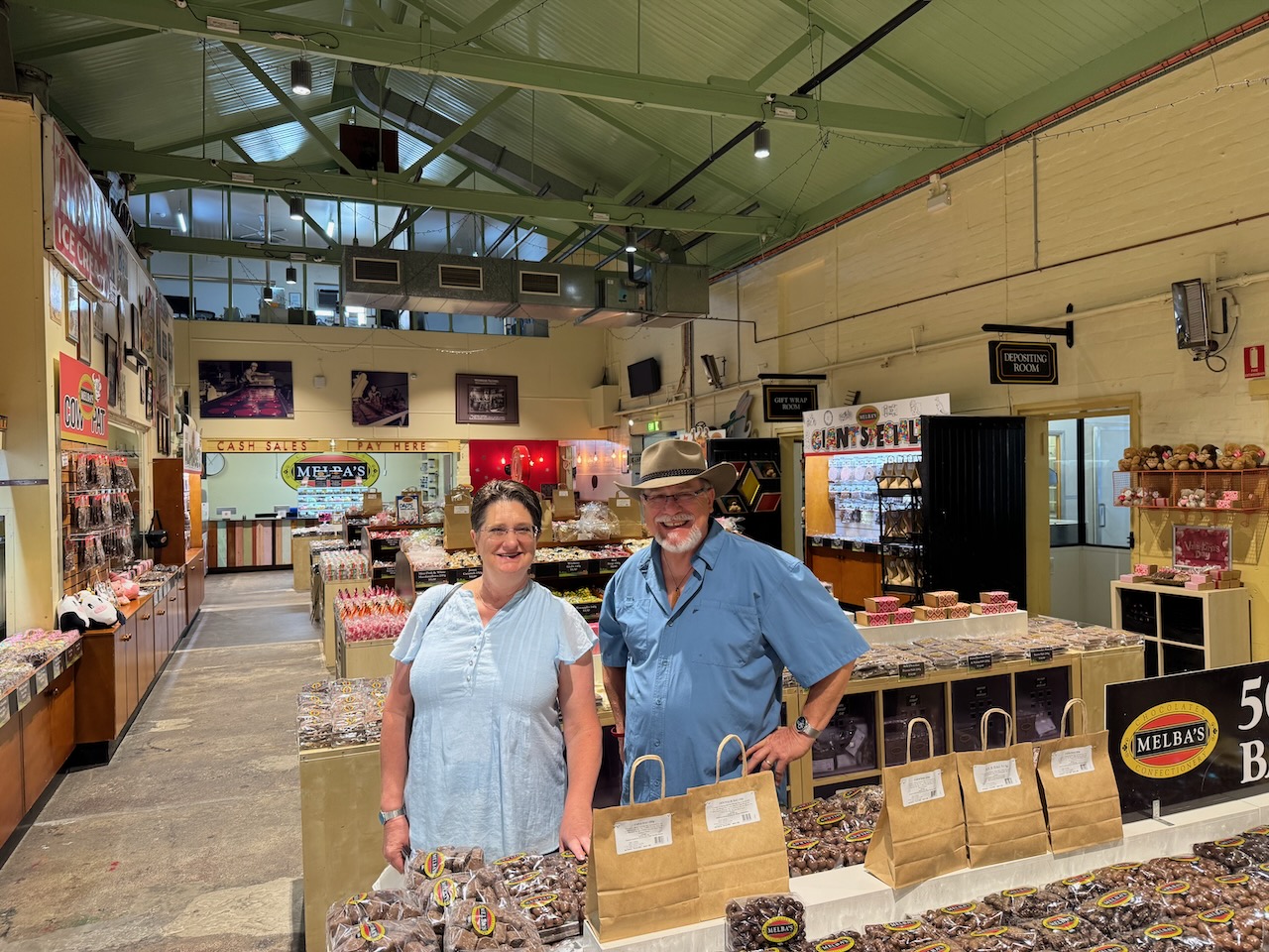
We picked Tim and Laurel up from the airport and then went for breakfast at Henley Beach. We drove along the coast and then up to the Cleland Wildlife Park. From there we visited Mount Lofty summit, and then to Melba’s Chocolate Factory at Woodside. We then walked around the German tourist town of Hahndorf. That evening, we headed to the Macclesfield Hotel for dinner.
Day 2.
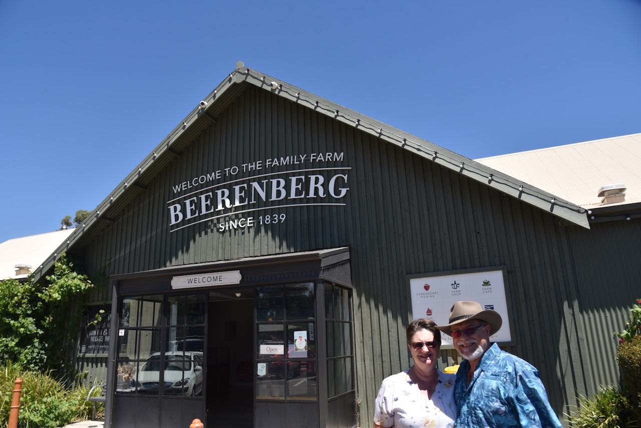
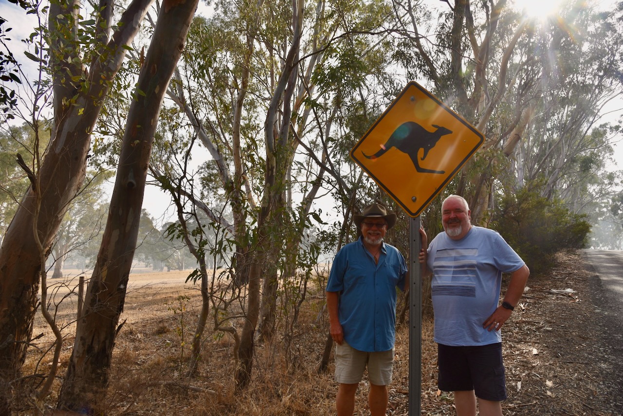
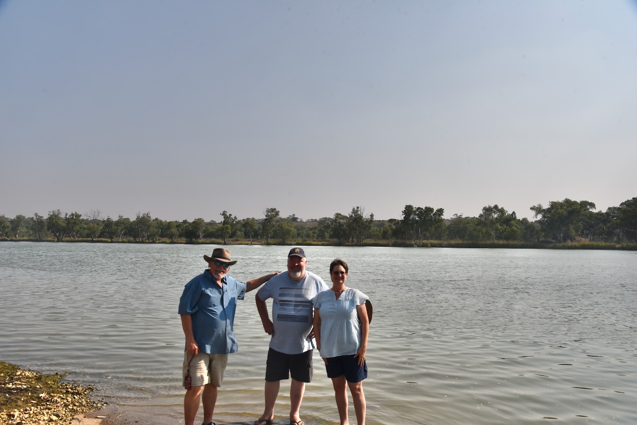
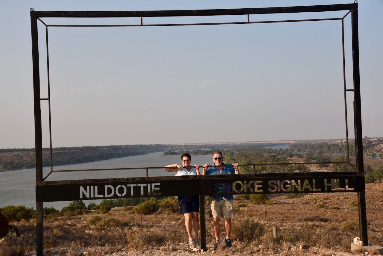
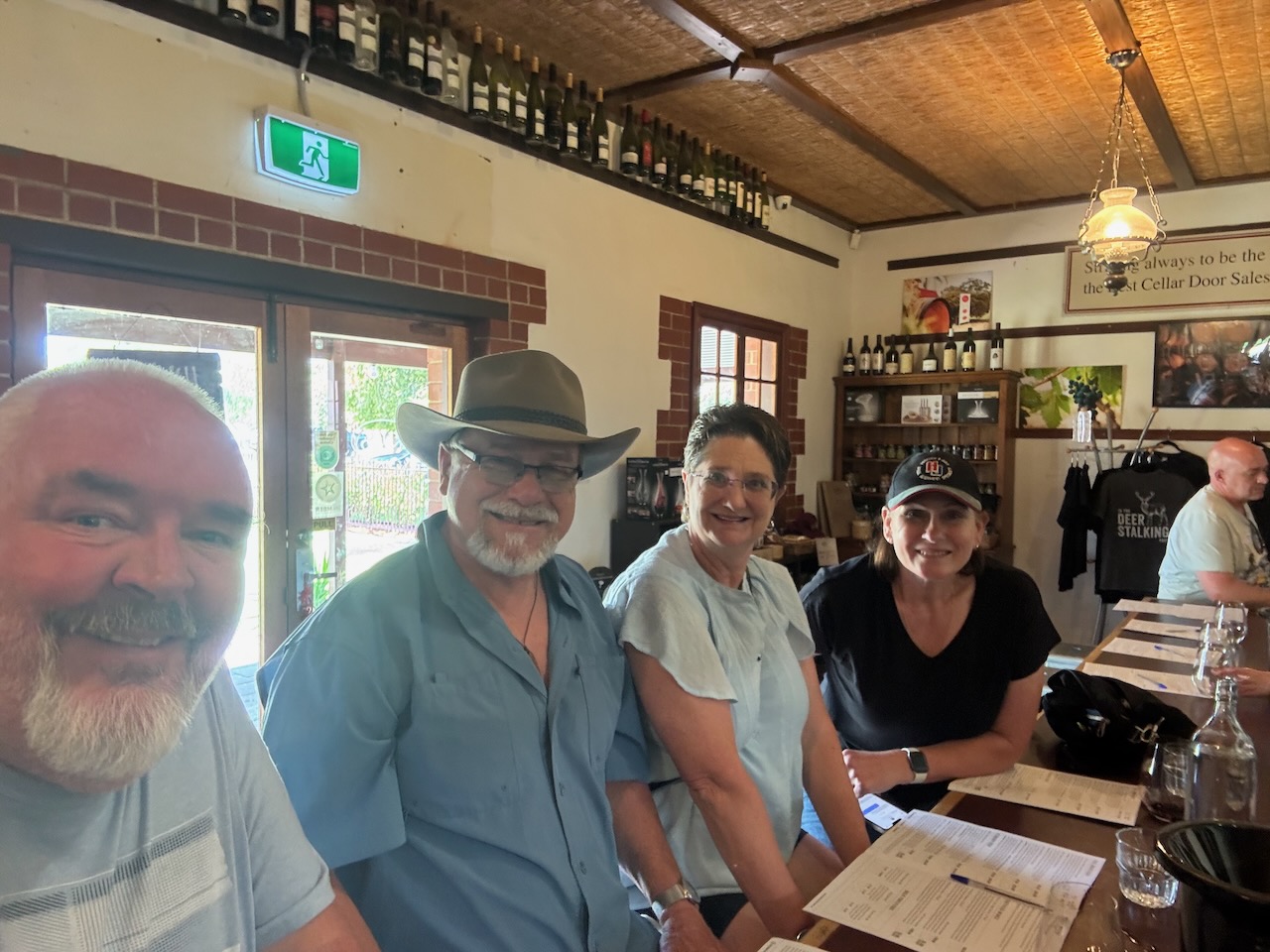
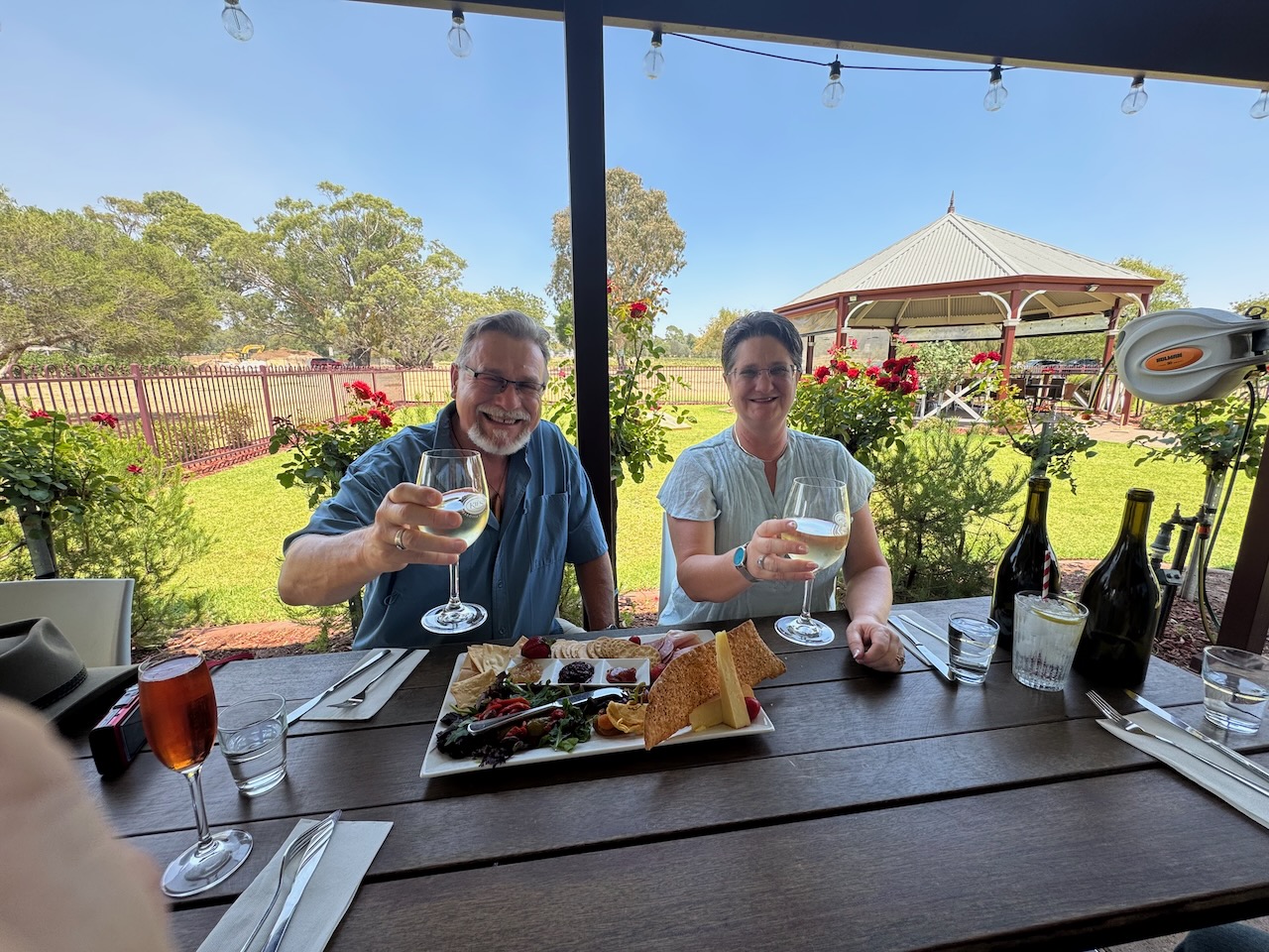
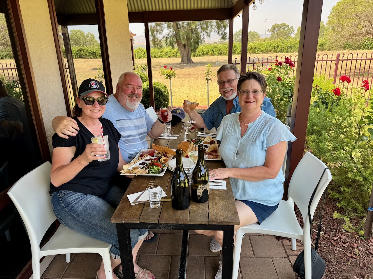
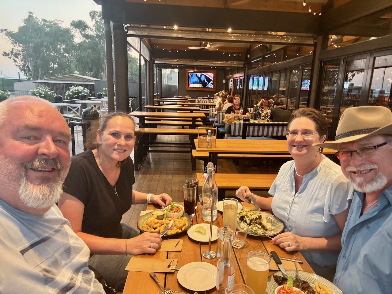
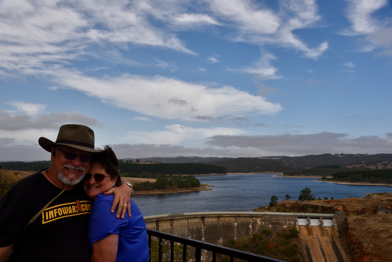
On day 2, we had a walk around the town of Strathalbyn and then headed to the world-famous Barossa Valley, where we had lunch at Kies Wines. We then showed Tim and Laurel around the Barossa and then drove up to Blanchetown. We then followed the mighty Murray River and had a look at some of the silo art. We travelled to the town of Mannum, where we had dinner. Tim even tried kangaroo and enjoyed it.
Day 3.
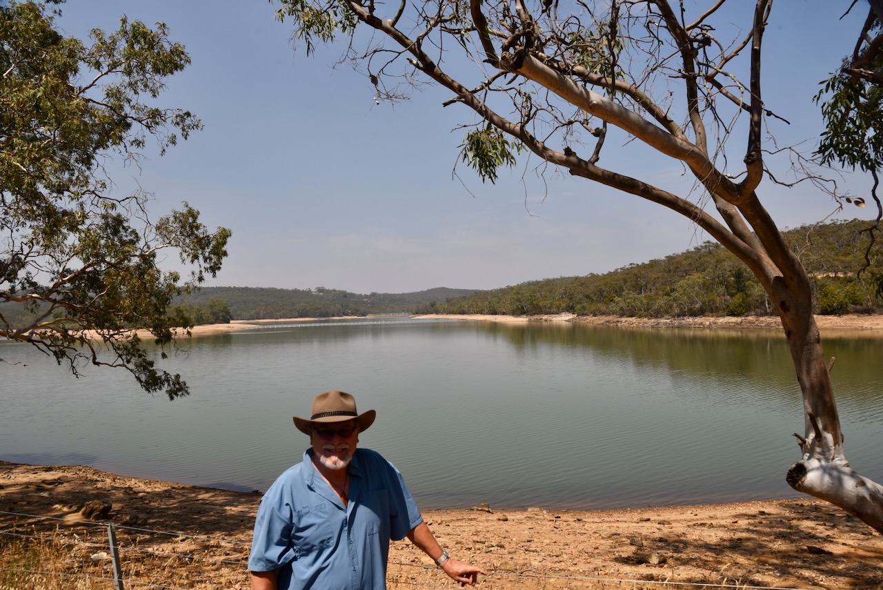
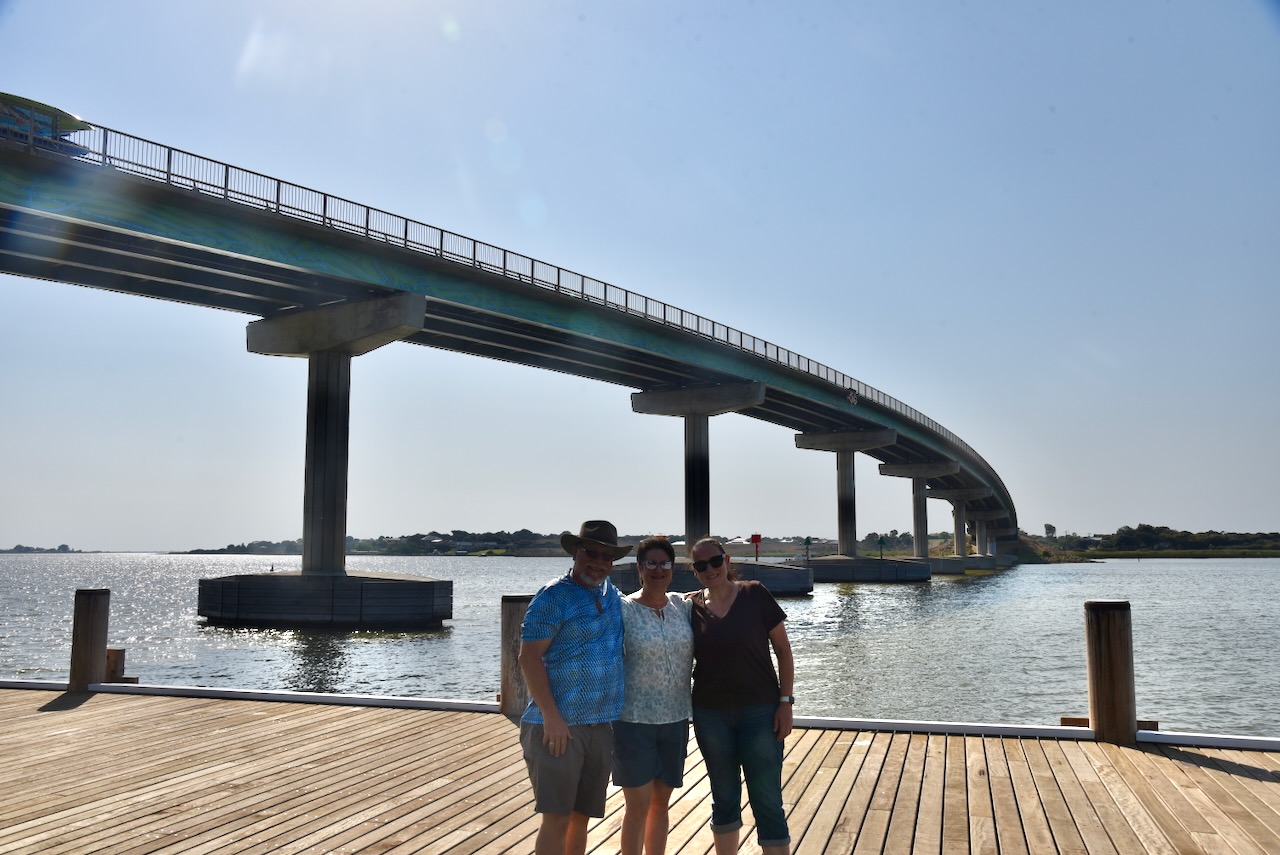
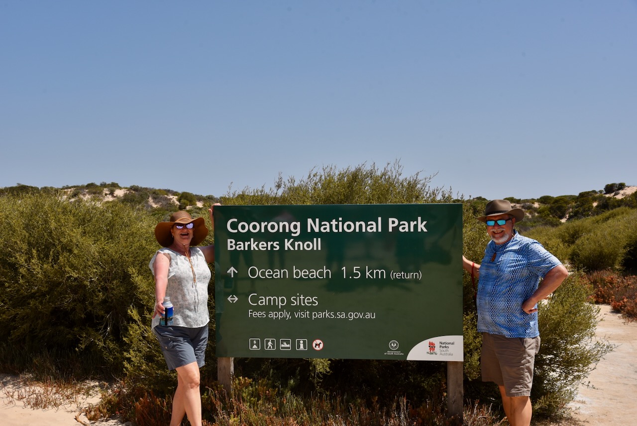
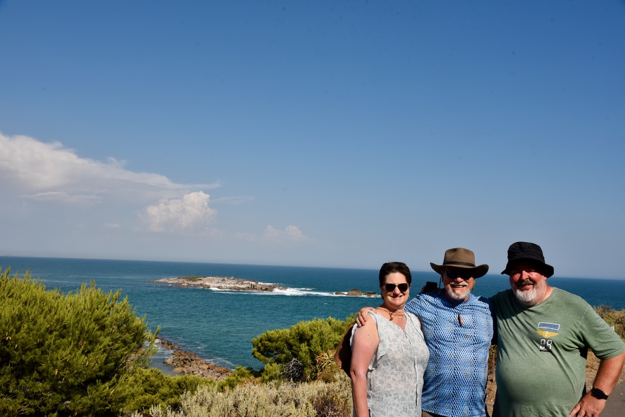
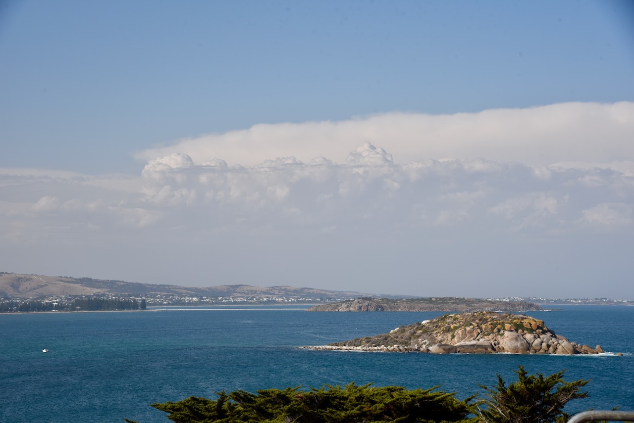
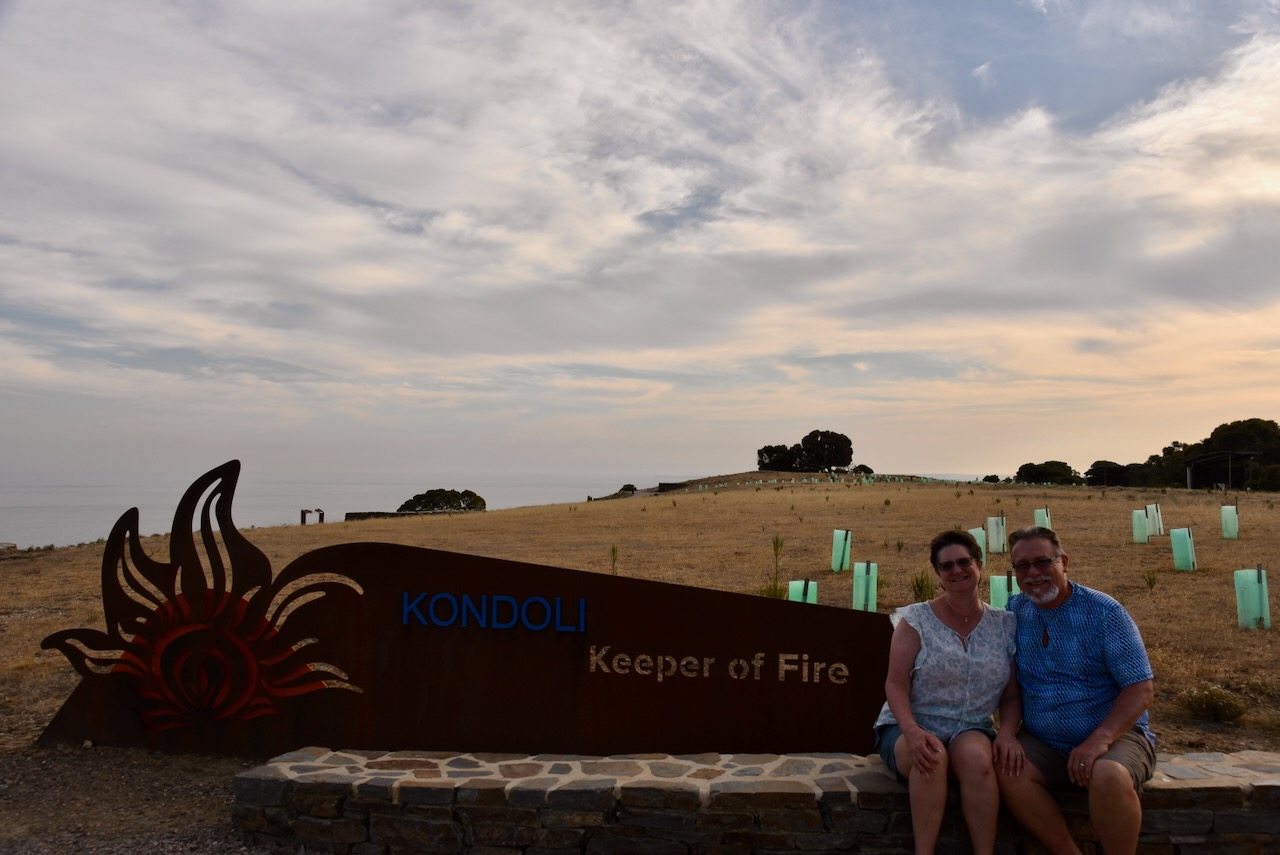
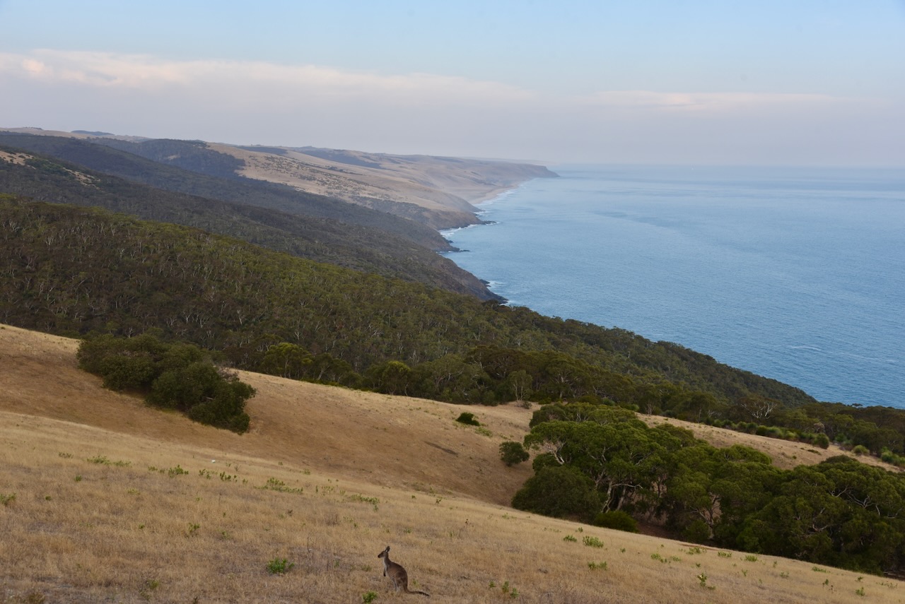
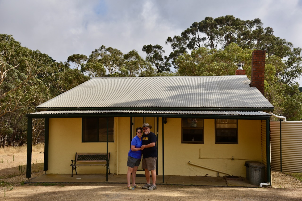
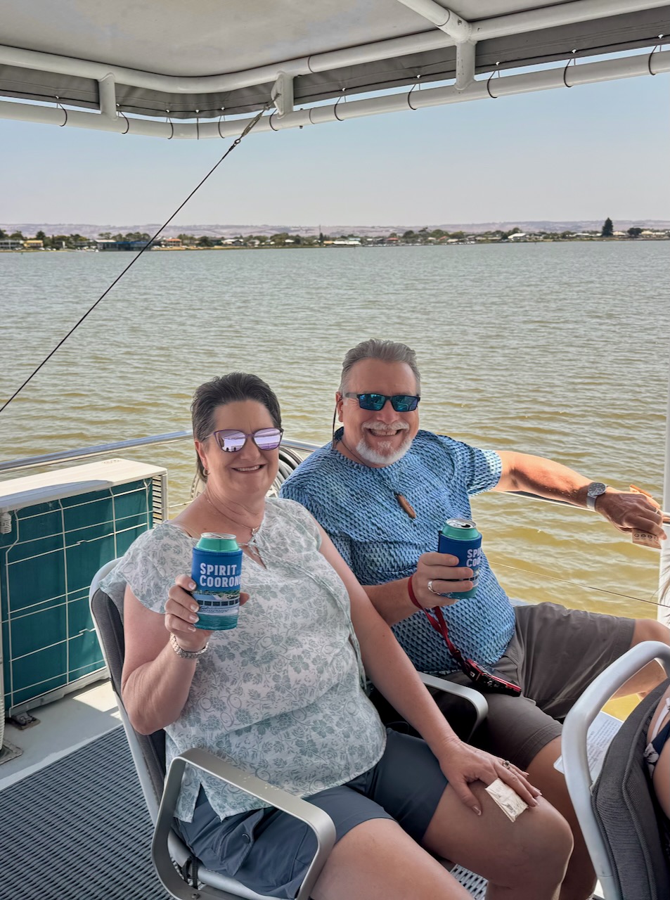
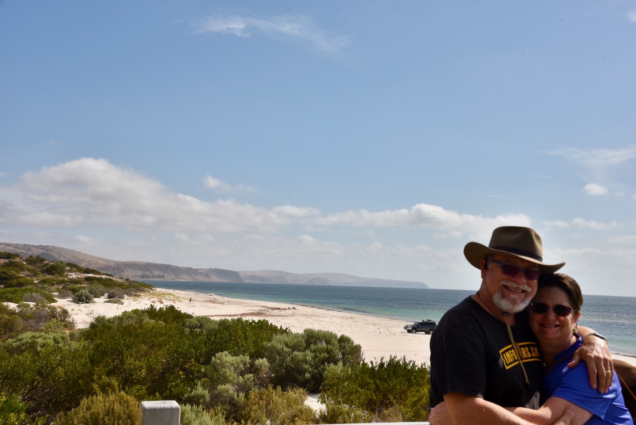
On day 3 we drove down to the coastal town of Goolwa and to the mouth of the Murray River and around Hindmarsh Island. We then did a Coorong cruise and then drove down to Victor Harbor. From there we drove down to the Deep Creek National Park to our overnight accommodation,
Day 4.
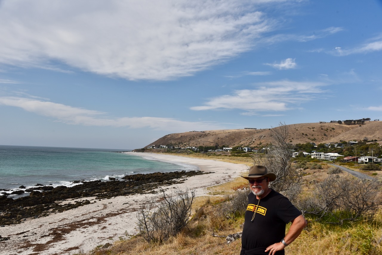
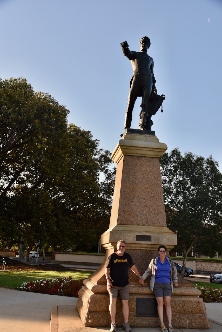
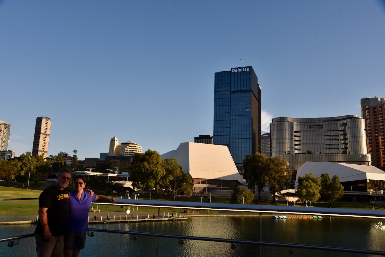
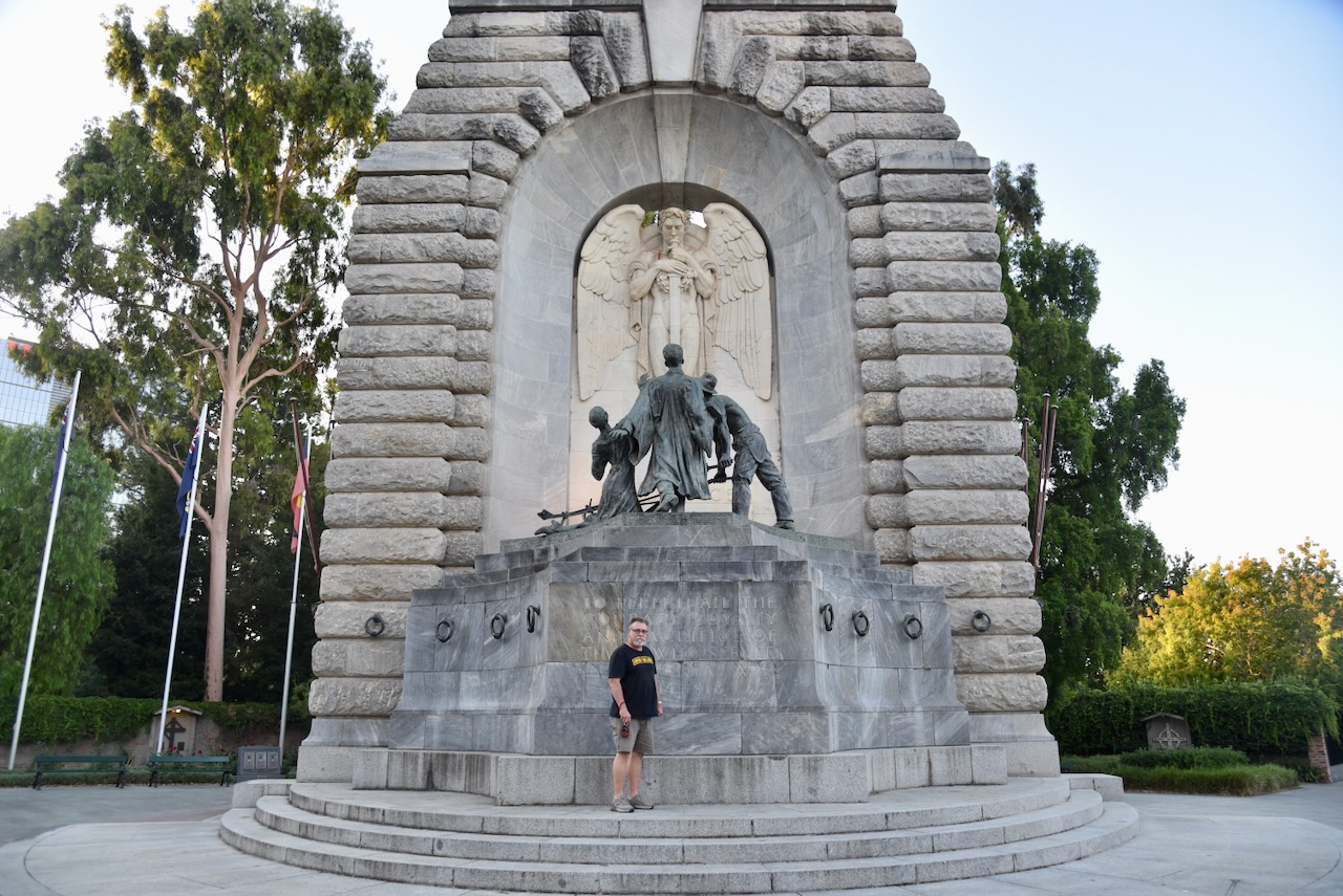
We left Deep Creek and travelled along the coast, showing Tim and Laurel the seaside towns of Normanville and Carrackalinga. We then headed into the city of Adelaide and showed them some of the highlights of the city.
It was a fantastic 4 days and we thoroughly enjoyed Tim and Laurel’s company.
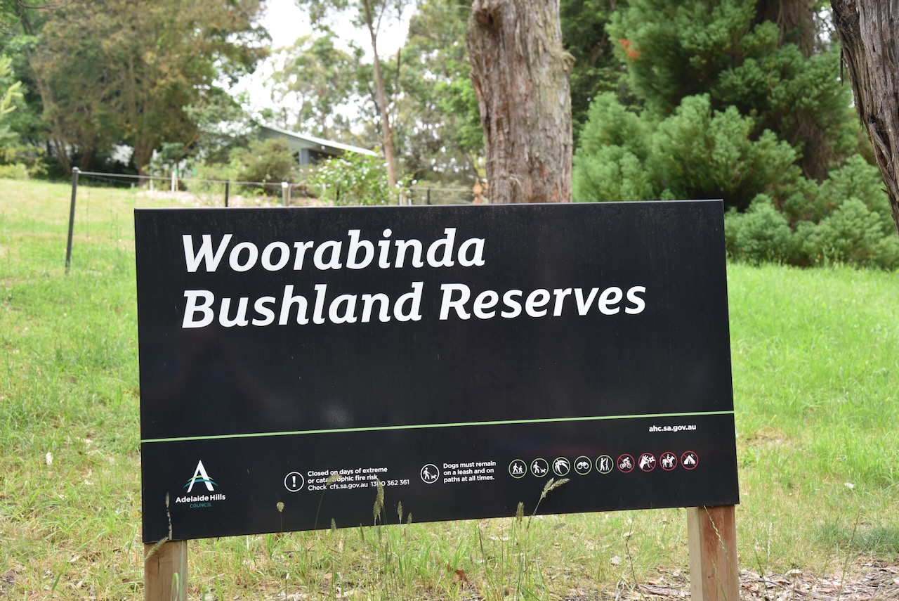
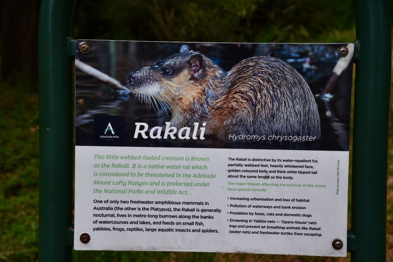
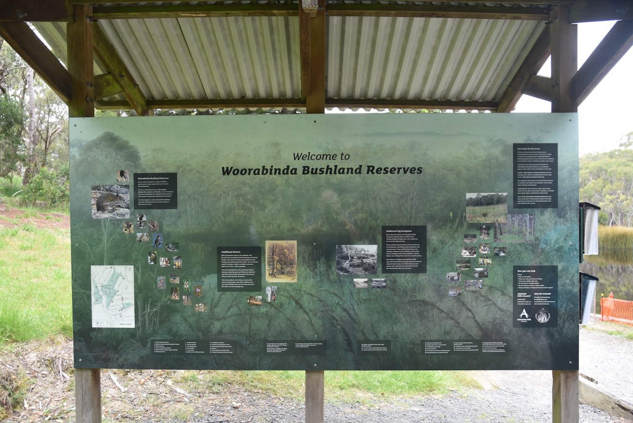
Our final activation for Sunday, 24th November 2024, and the 2024 VKFF Activation Weekend, was Woorabinda Bushland Reserves VKFF-4064.
The park is located in the Mount Lofty Ranges ‘Adelaide Hills’ and is about 20 km southeast of the city of Adelaide.
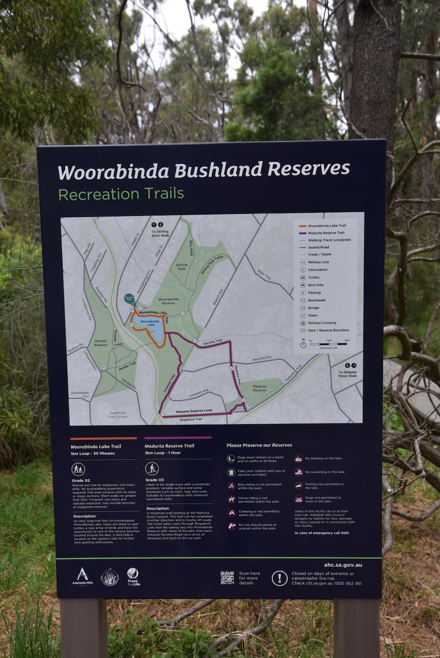
There are four areas of the Woorabinda Bushland Reserves: Hender Reserve, Stirling Park, Woorabinda, and Madurta Reserve.
Woorabinda Bushland Reserves was formerly known as the Stirling Linear Park. The park is about 34 hectares in size and comprises four sections. (Wikipedia 2022) (Woroabinda 2025)
Hender Park is the western section of Woorabinda Bushland Reserves. A pedestrian railway crossing connects Hender Park with Woorabinda. Hender Park contains some of the largest and oldest stringybark eucalypts in the area. The park was proclaimed as a large public reserve in 1879, however, it is only a fraction of its original size. Heathfield High School was built on the site in the 1960s. (Wikipedia 2022) (Woorabinda 2025)
Stirling Park was previously known as ‘Halliday’s Gully’. It was owned by the Halliday family from 1855 to about 1930, who had a market garden on the property. John Halliday was born in October 1827 in Gloucestershire, England. He emigrated to South Australia in 1849, and in 1850 he married Martha Williams. They had six children. He died in 1919 at Stirling West and is buried in the Stirling cemetery. (Wikipedia 2022) (Worrabinda 2025)
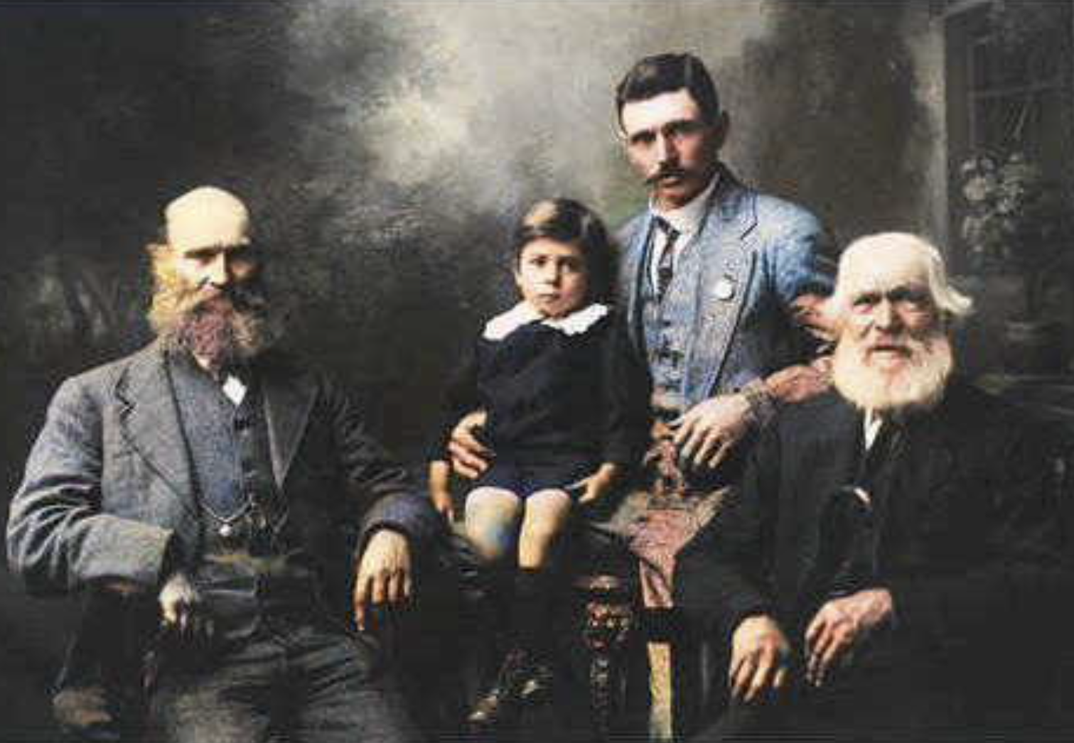
Above:- John Halliday (right), his son Charles Arthur Halliday (left), and his grandson Herbert Halliday and great-grandson Maurice. Photo c. 1918. Image c/o http://www.ancestry.com.au
Stirling Park was compulsorily acquired by the South Australian State Government in the early 1970s. It was proposed that a school be developed on the site; however, this did not take place, and the land was sold to the Stirling District Council in the mid-1980s. The council proposed that a sports park be developed on the site, but local opposition has seen the site remain as a community park. (Worrabinda 2025)
Woorabinda is the largest section of the bushland reserves. In 1922, land was purchased from the Halliday family by the South Australian Railways, and a large dam was constructed. A permanent water source to service the steam locomotives at the nearby Aldgate Railway Station was required. The dam became known as Woorabinda Lake. From about 1960 through to the mid-1990s, the area was used as a campsite for disadvantaged families. The area was threatened by development, and this resulted in public protests. The site was purchased by the Stirling Council in 1995. (Ancestry 2021) (Wikipedia 2022)
Madurta Reserve was established in 1972 for the preservation of open space. Since 1983, significant planting of trees has taken place in the reserve by volunteers. Prior to 1972, the Madurta Creek and surrounding areas were used for the grazing of cattle. (Wikipedia 2022) (Woorabinda 2025)
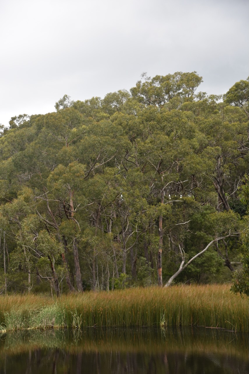
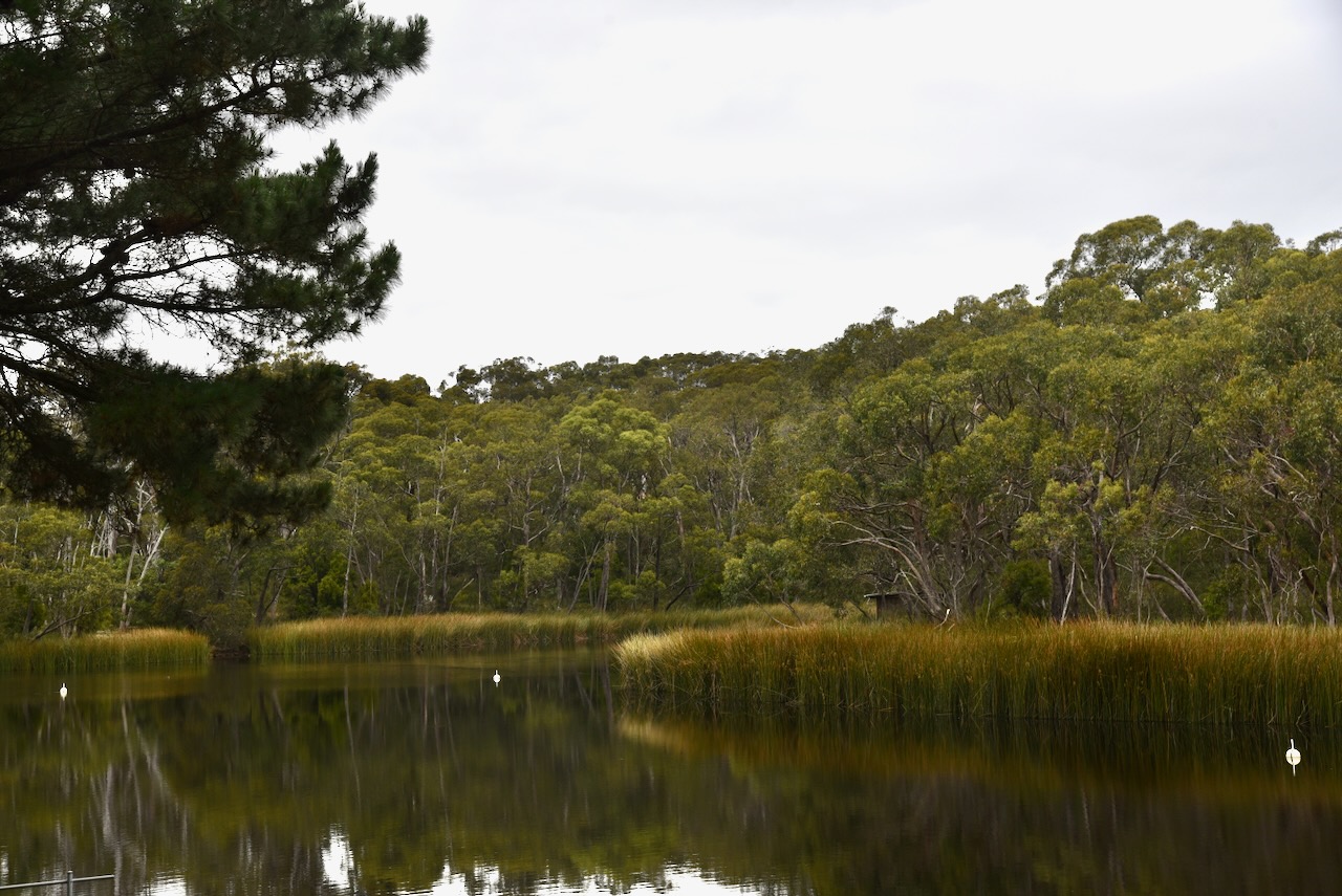
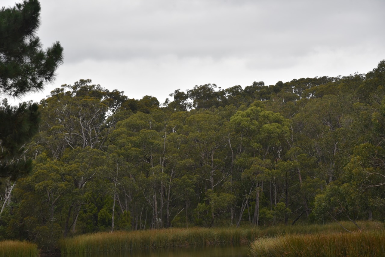
Below are some photos of the lake in Woorabinda.
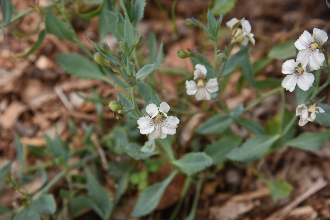
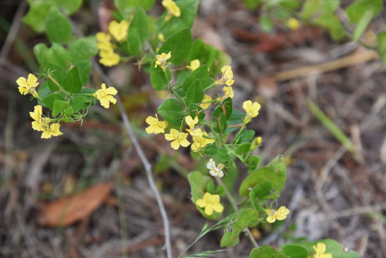
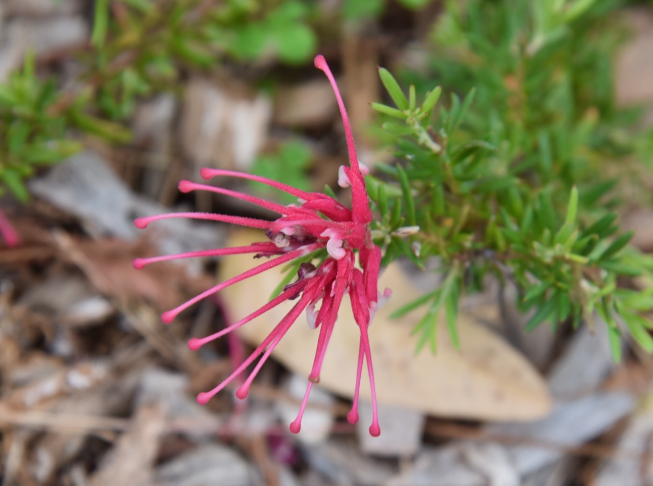
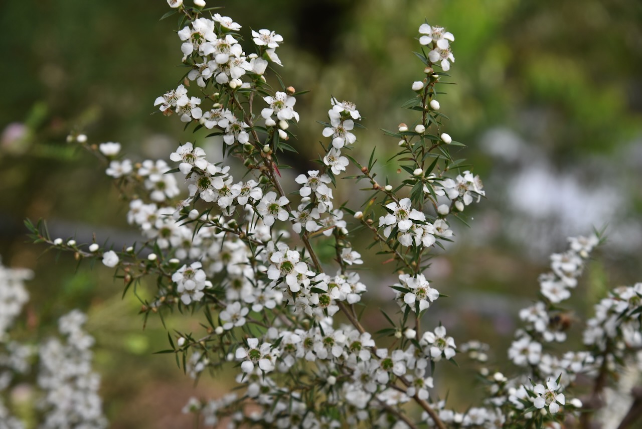
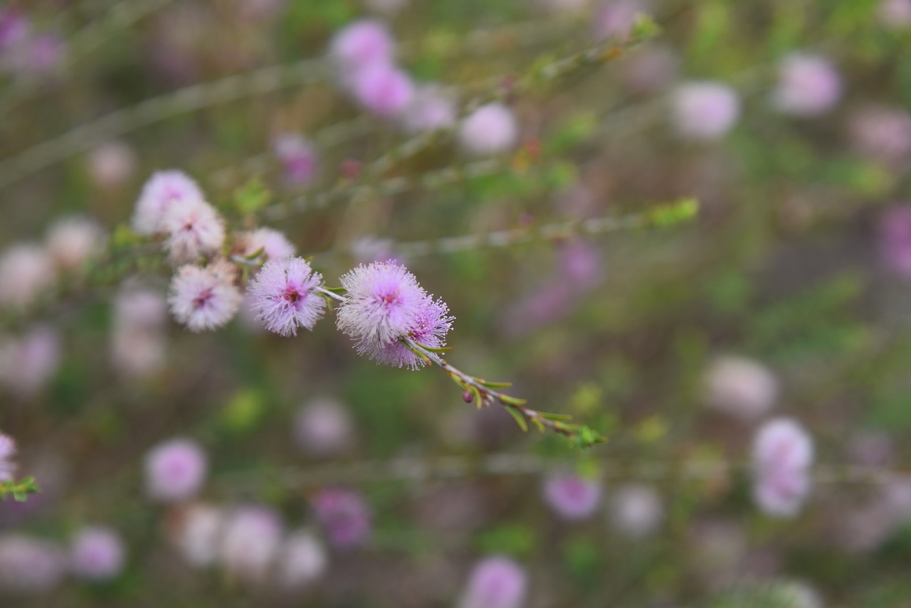
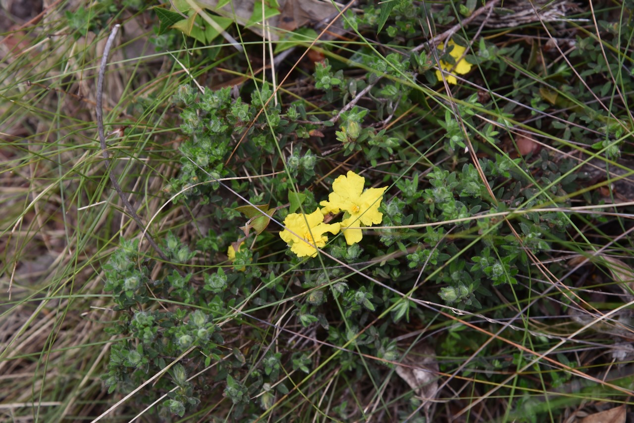
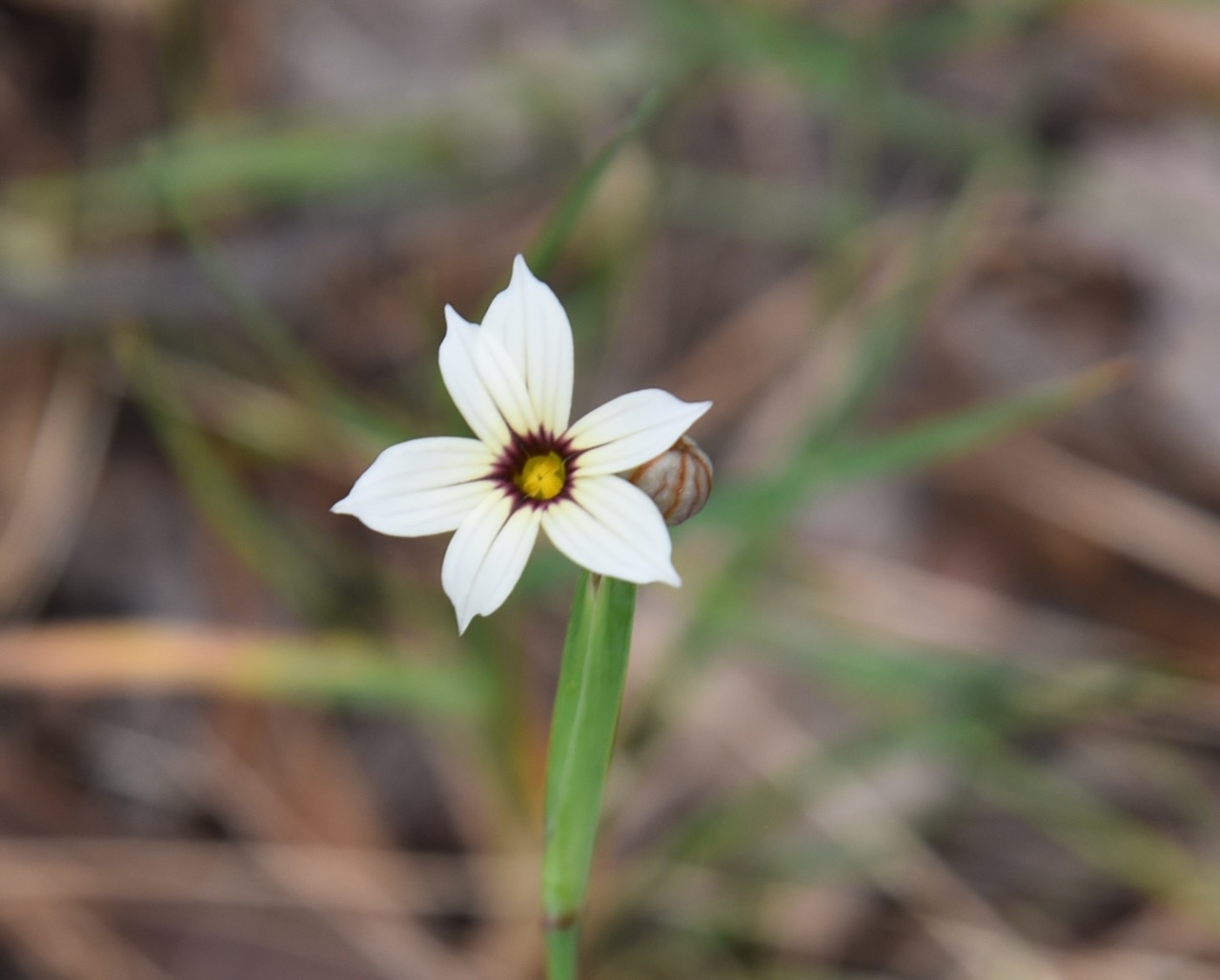
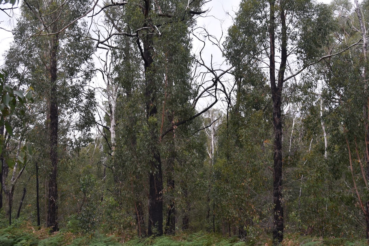
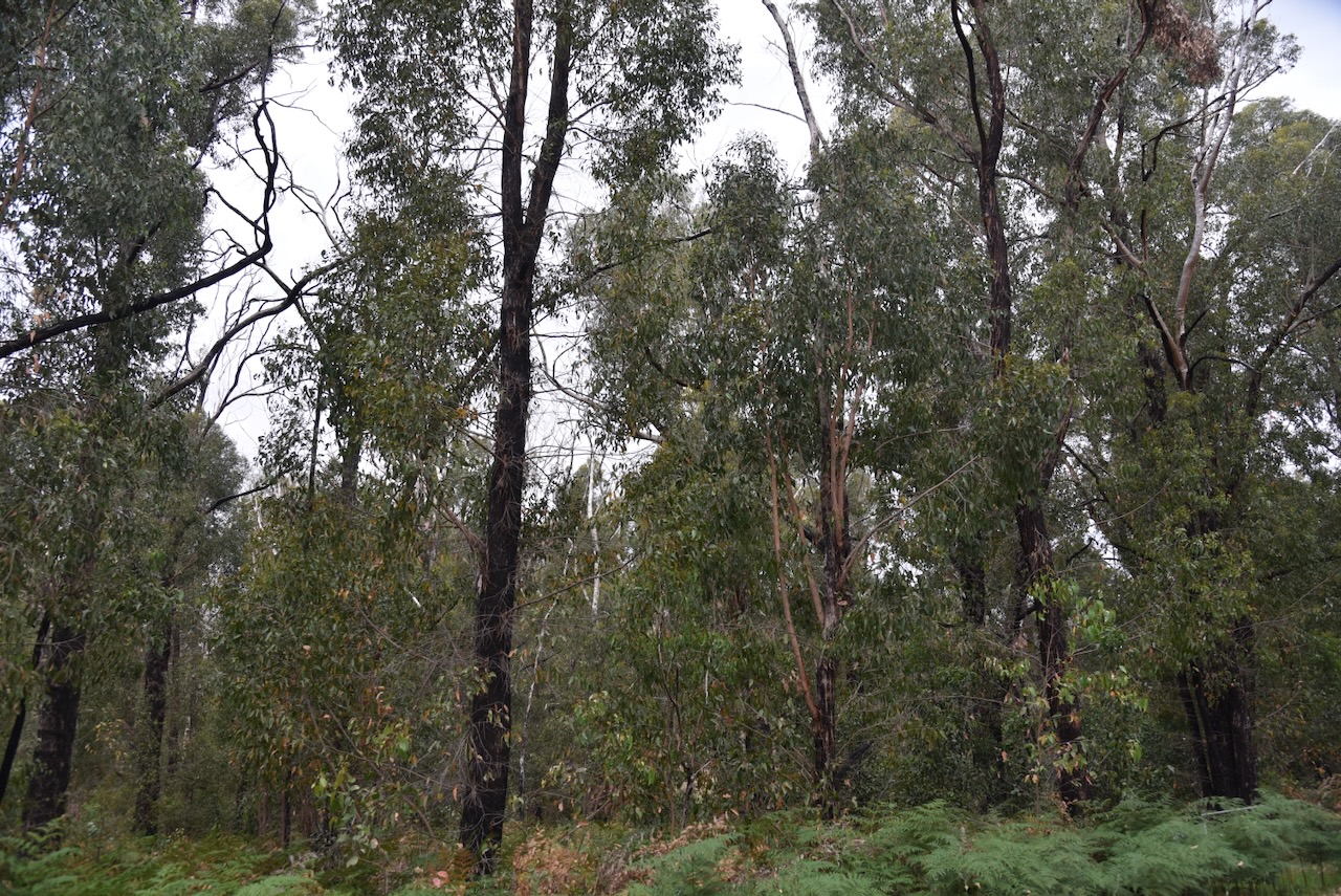
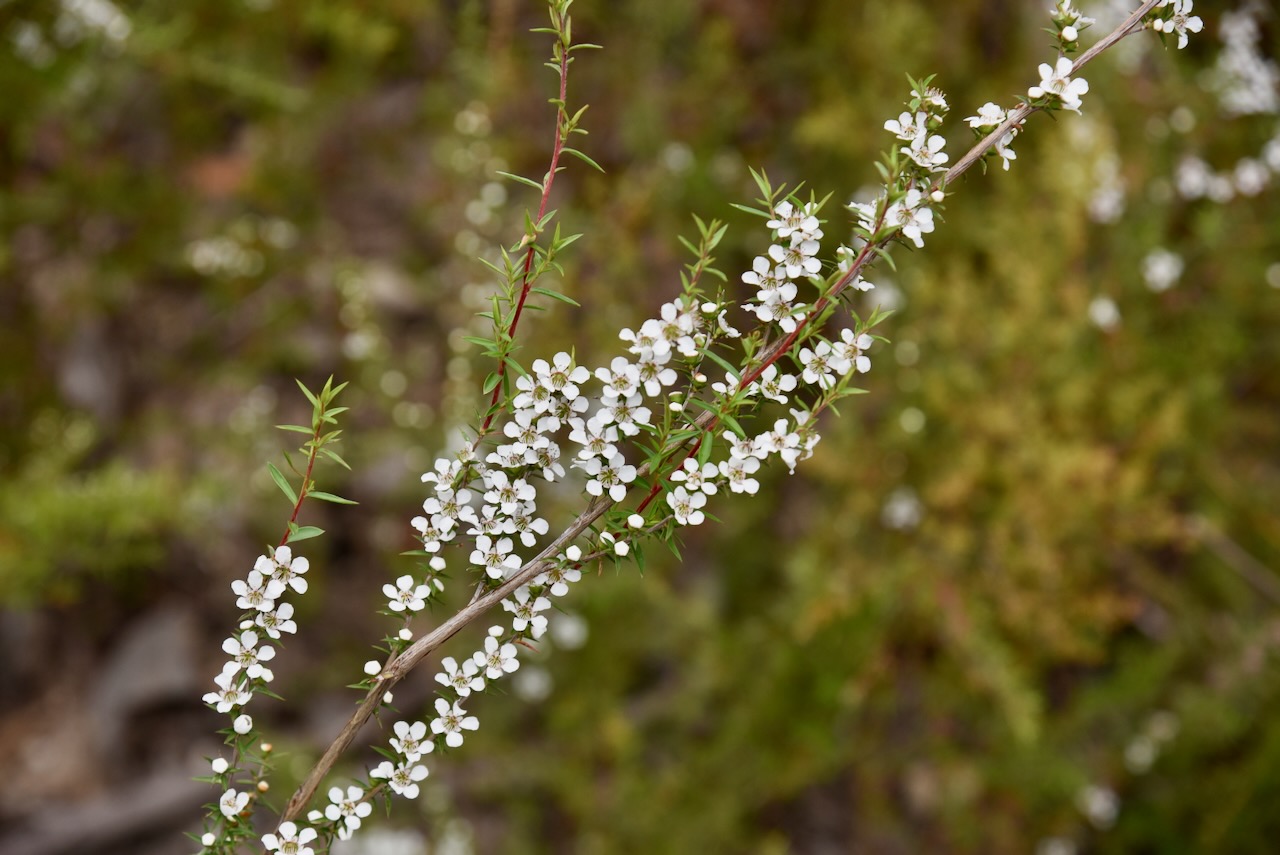
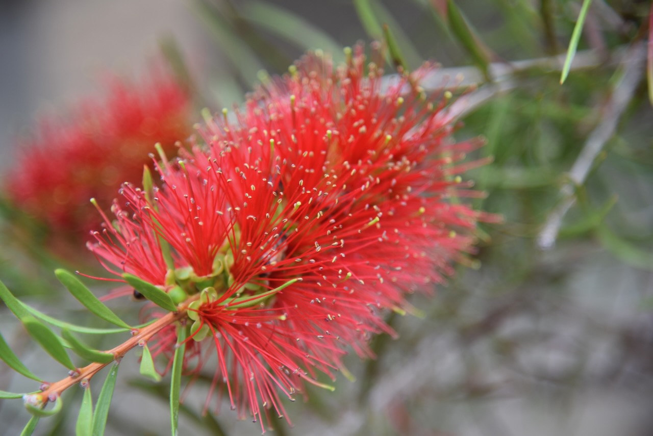
During our visit, there was plenty of flowering native vegetation.
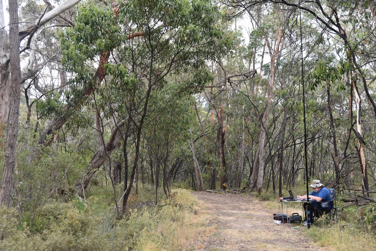
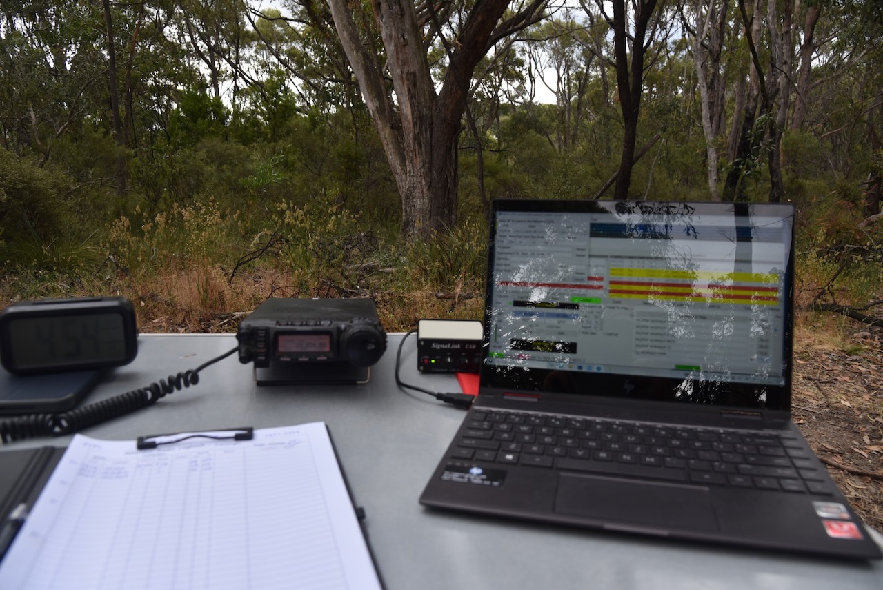
We set up in a cleared area just inside the gate leading into the park on Woorabinda Drive. We ran the Yaesu FT857, 40 watts, and the 20/40/80m linked dipole.
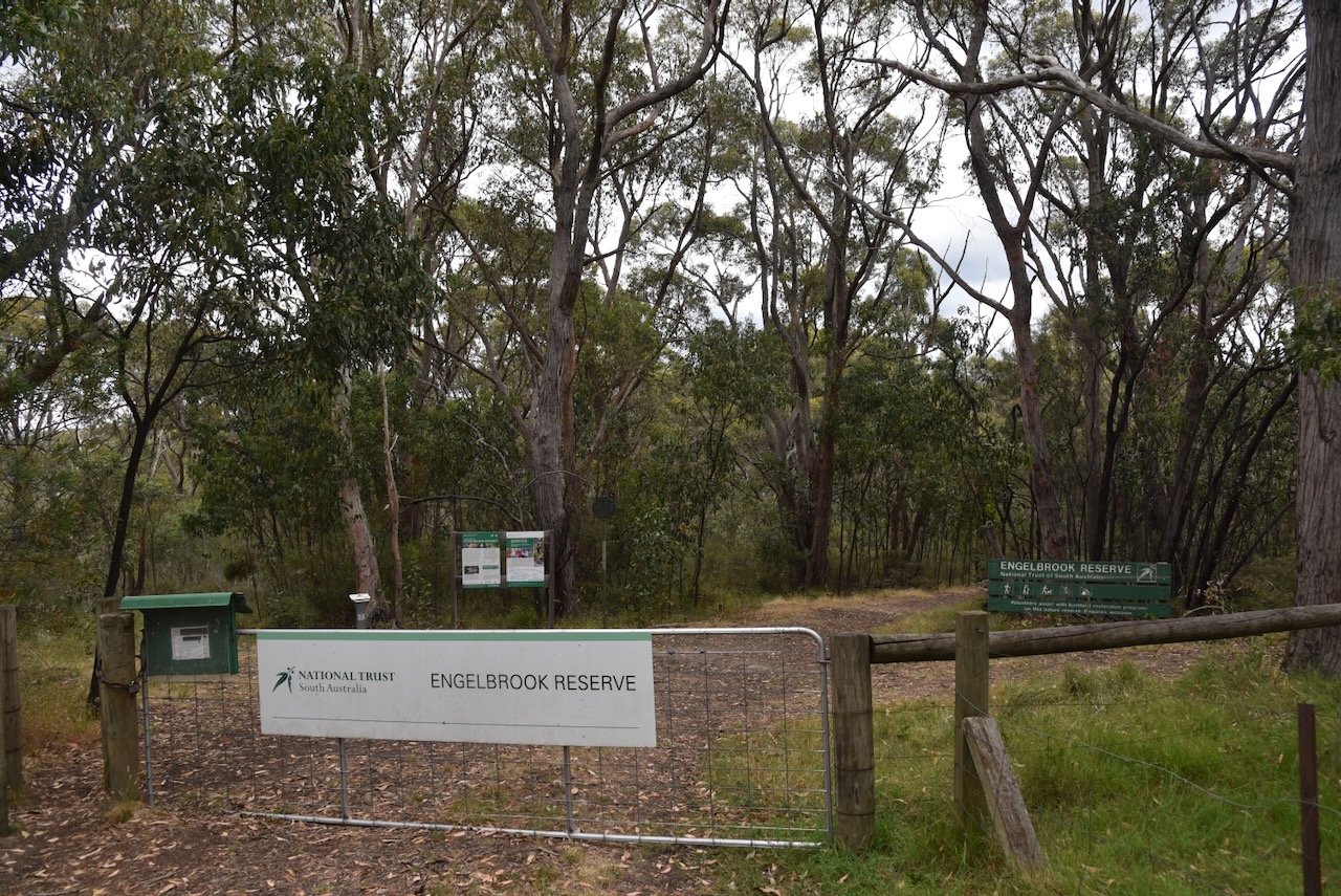
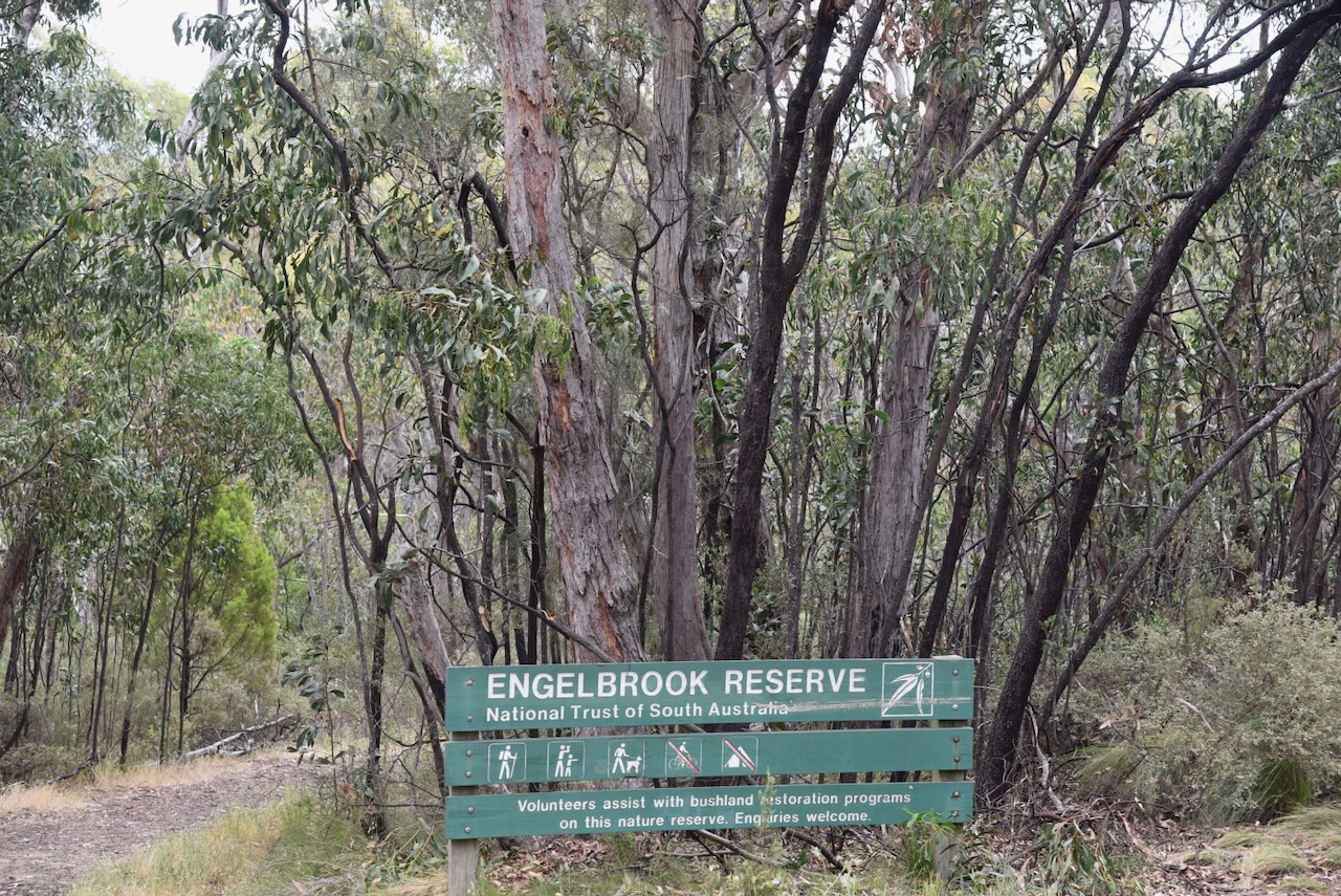
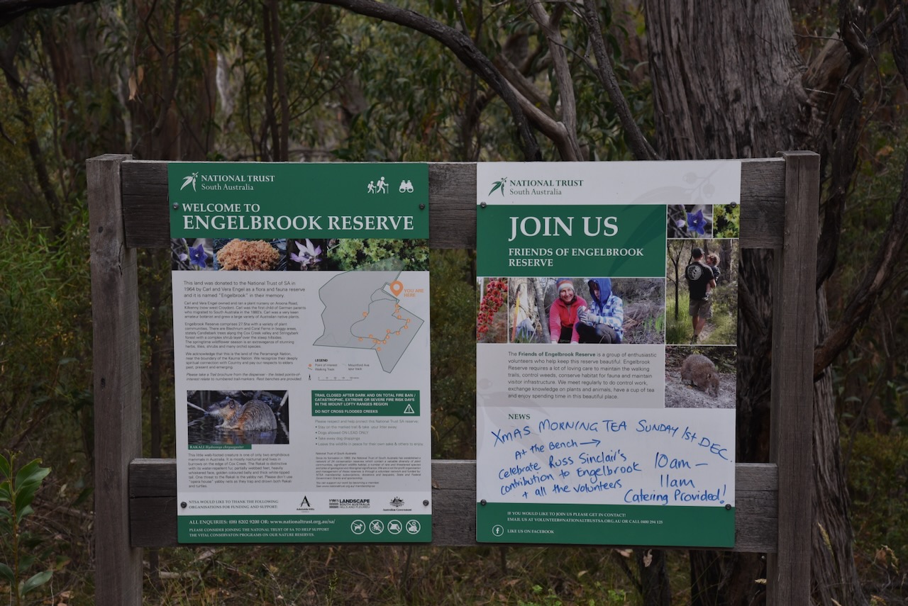
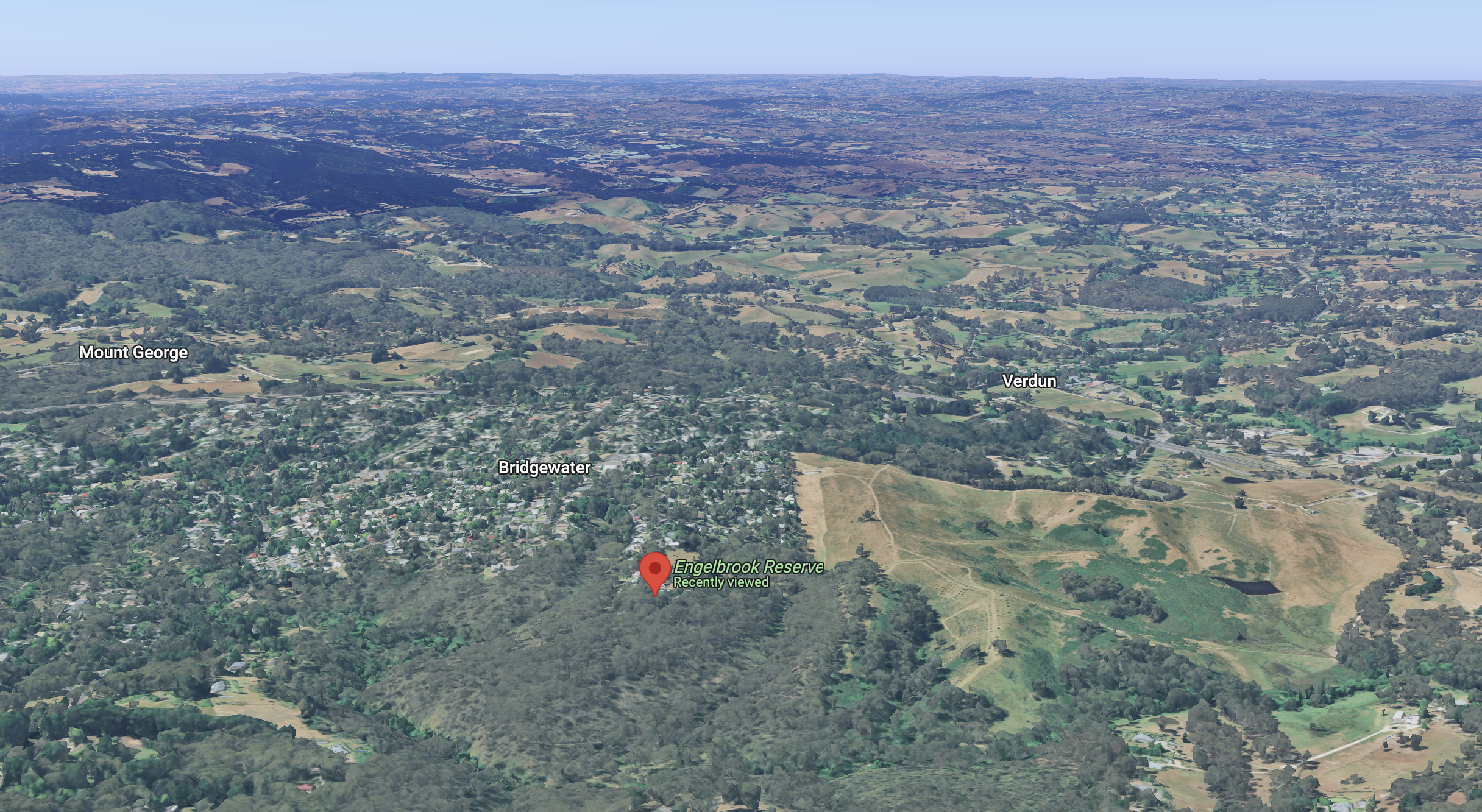
Our next activation for Sunday 24th November 2024, was Engelbrook Reserve VKFF-4034. The reserve is located in the Mount Lofty Ranges ‘Adelaide Hills’, about 25 km east of the city of Adelaide.
Above:- Map showing the location of Engelbrook Reserve. Map c/o Google Maps.
The reserve is located at the southern end of Wattle Street, Bridgewater.
Above:- An aerial view of Engelbrook Reserve. Image c/o Google Earth.
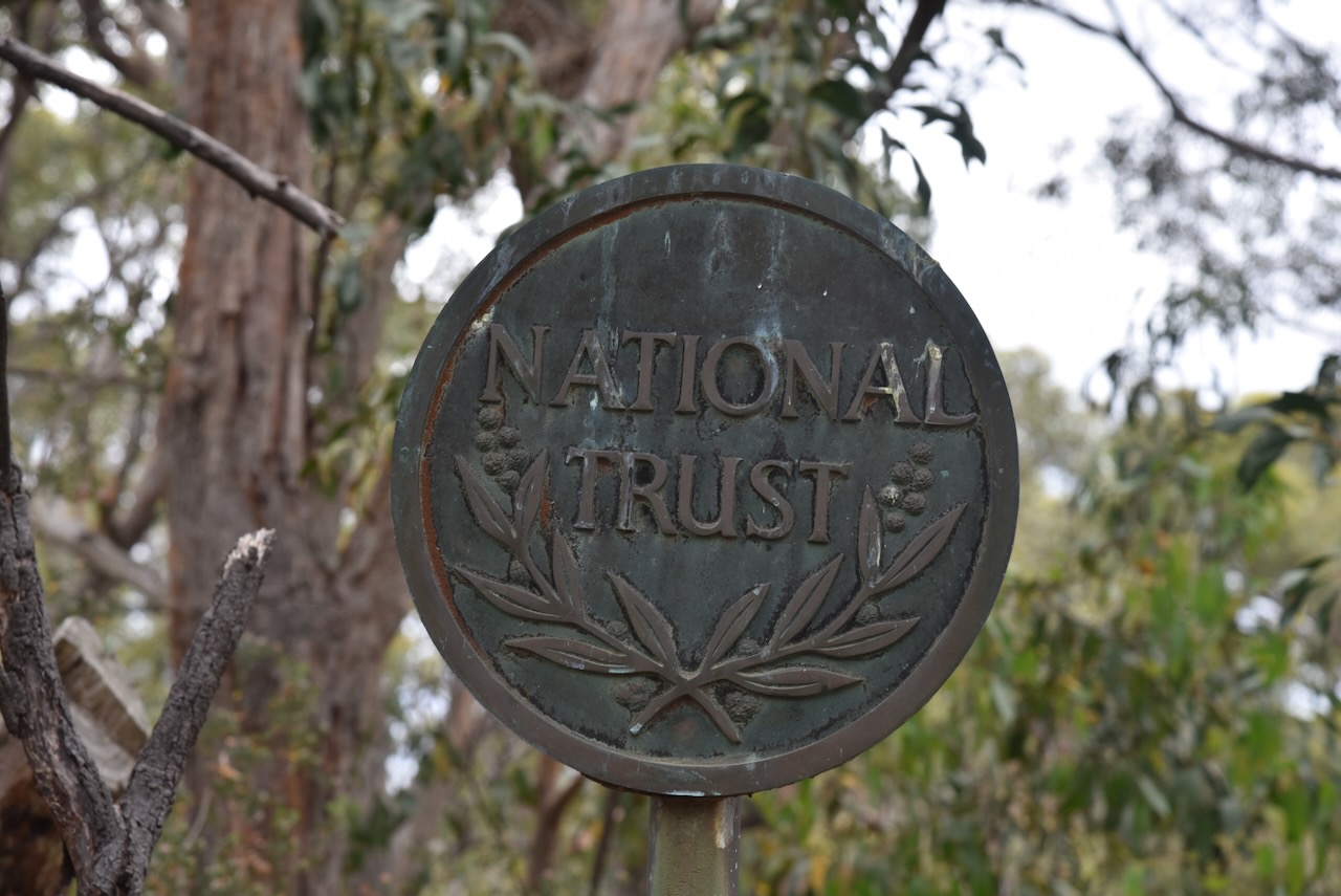
Engelbrook Reserve is a Heritage Agreement that is owned by the National Trust. The National Trust of South Australia was established in 1955 for the conservation of lands and buildings of beauty, historical, scientific, artistic, or architectural interest, the preservation of natural features in land and the protection of animal and plant life. (National Trust)
On the 14th day of January 1964, the Engelbrook property was donated to the National Trust by Karl and Vera Engel. Karl Gustav Oswald Engel was born on the 19th day of February 1896 at Adelaide, South Australia. In 1928, Karl married Vera Ethel Smith. Karl was a very keen botanist. For the majority of his life, he operated a nursery at Arrona Road, West Croydon. Karl died on the 20th day of August 1986 in Adelaide. (Ancestry.com.au 2021)
The reserve is about 27.5 hectares in size. Cox Creek flows through the park, along with Bog Creek, which is a peat bog that flows into Cox Creek. (National Trust 2025)
Above:- An aerial view of the park, looking north. Image c/o Google Maps.
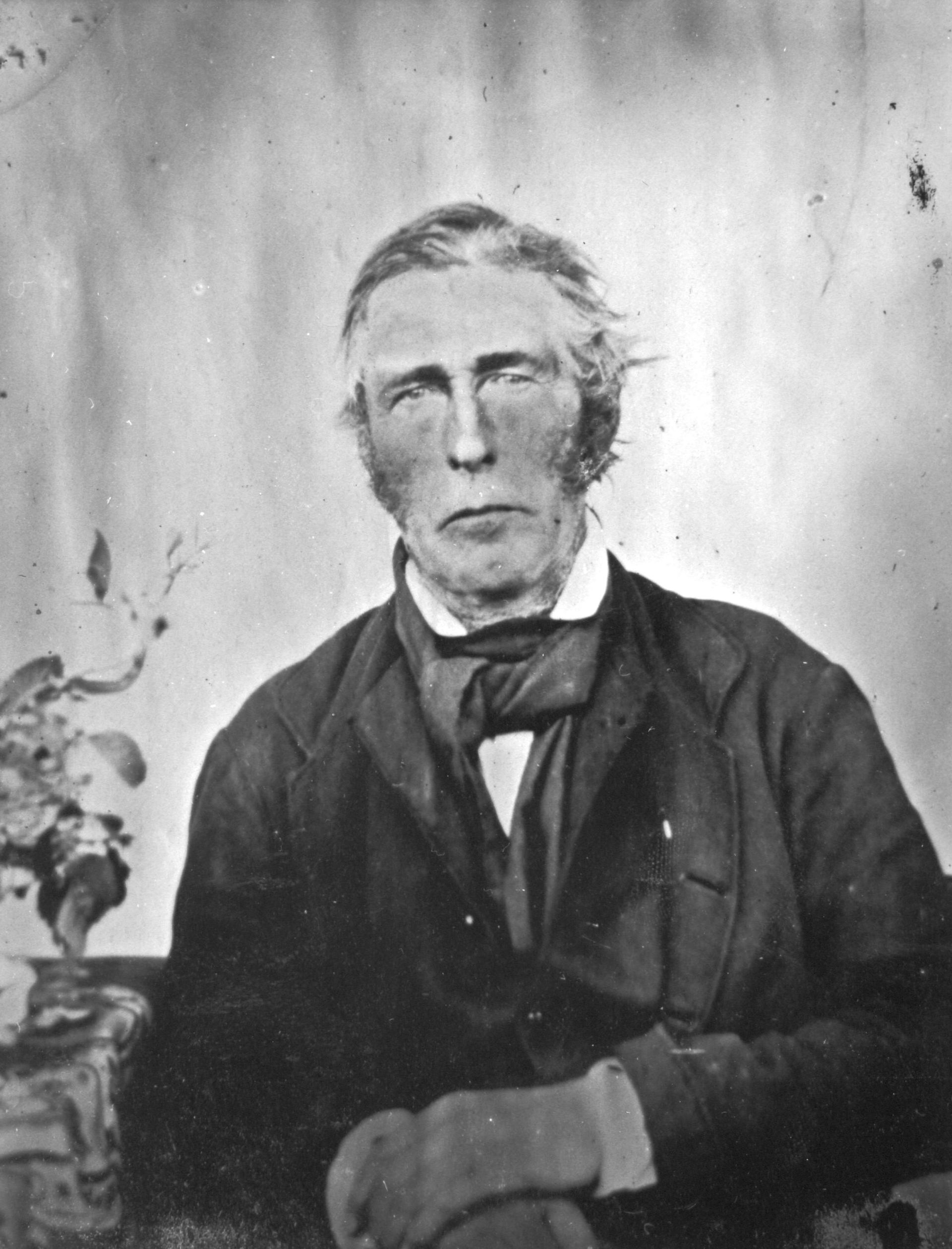
Cox Creek, also known as Cox’s Creek, is named after Robert Cock (b. 1801. d. 1871) who was one of the first European explorers of the Adelaide region following the establishment of the colony of South Australia in 1836. He emigrated to South Australia aboard the HMS Buffalo in 1836. In 1837, he led a small exploration party from Adelaide to Lake Alexandrina. On Christmas Day he camped at the creek, which was named in his honour. A settlement was subsequently established on the creek and was first known as ‘Cock’s Creek’, then ‘Cox’s Creek’ and then ‘Bridgewater’. (Wikipedia)
Above:- Robert Cock. Image c/o Wikipedia.
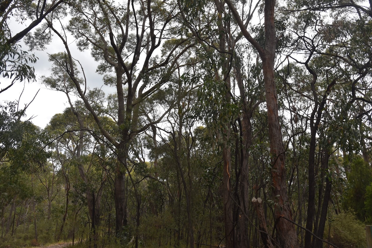
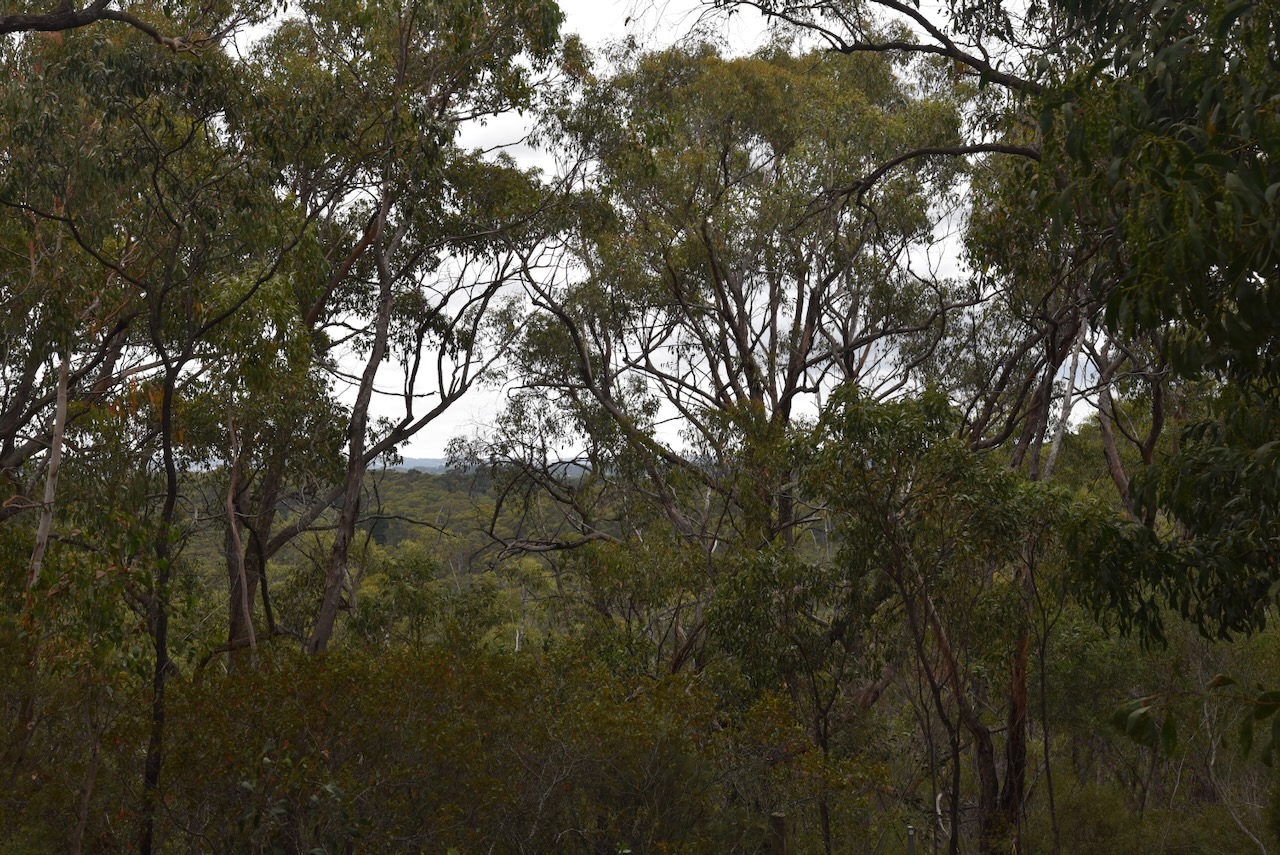
Engelbrook Reserve contains several vegetation types, including Blechnum and Coral Fern Bog areas, to Candlebark forest along the Cox Creek valley and steep hillsides with sclerophyll shrub layer under Messmate Stringy bark canopy. During springtime, the park is alive with wildflowers, herbs, lilies, and orchids. (National Trust, 2025)
We walked down the track from the entry gate and set up. We ran the Yaesu FT857, 40 watts, and the 20/40/80m linked dipole.
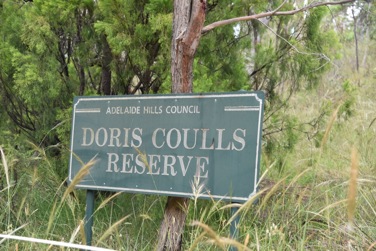
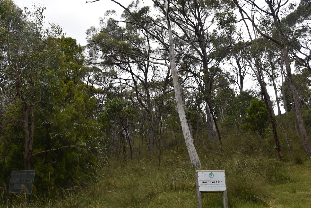
Our second park for Sunday 24th November 2024, was the Doris Coulls Reserve VKFF-4033. The reserve is located in the Mount Lofty Ranges ‘Adelaide Hills’, about 18 km southeast of the city of Adelaide.
Above:- Map showing the location of Doris Coulls Reserve. Map c/o Google Maps.
Doris Coulls Reserve is located on the southern side of Old Mount Barker Road, Aldgate.
Above:- An aerial view of Doris Coulls Reserve. Image c/o Google Earth.
Doris ‘Doll’ Sophia Harris was born on the 8th day of June 1901, at Brompton, South Australia. Her parents were Frederick Ernest Youngman Harris and Martha Harris, nee Taylor. Doris died in July 1994, aged 93 years. She is buried at Centennial Park Cemetery, South Australia. (www.genealogysa.org.au, n.d.)
The Doris Coulls Reserve is a heritage agreement (No. HA1610) managed by the Adelaide Hills Council. It is 1.7 hectares in size. (CAPAD 2022)
Our operating spot was on a slope in a clearing on the western side of the reserve. It was our only viable option. We ran the Yaesu FT857, 40 watts, and the 20/40/80m linked dipole.
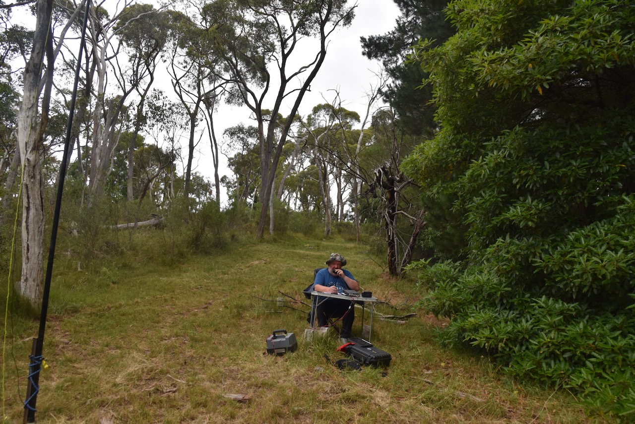
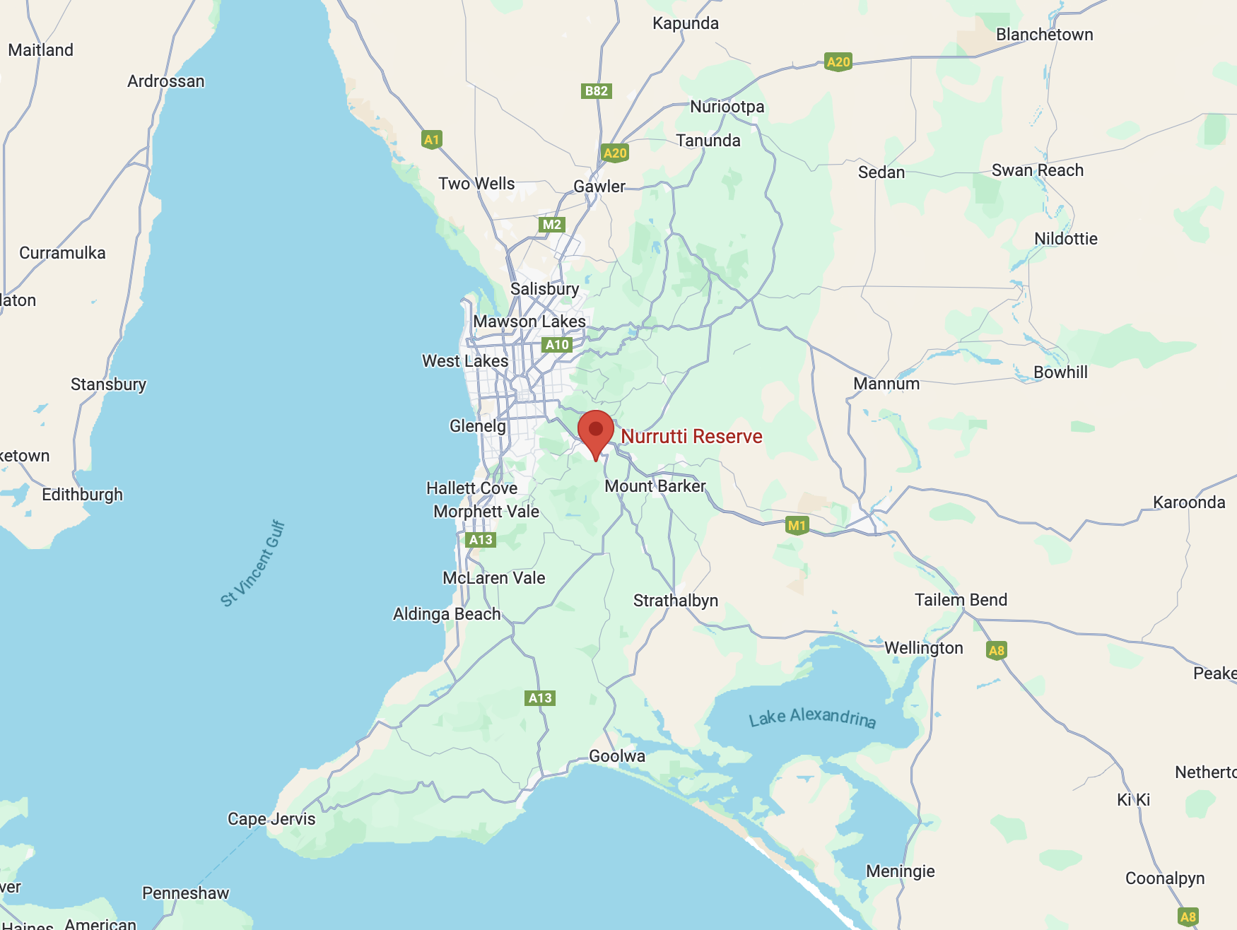
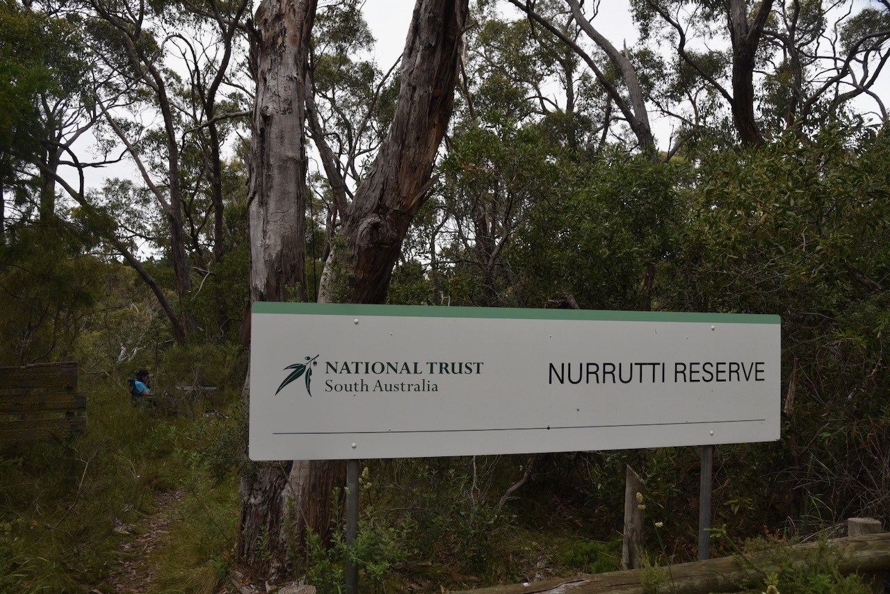
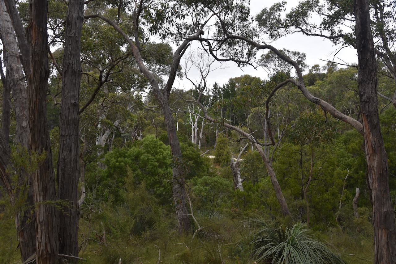
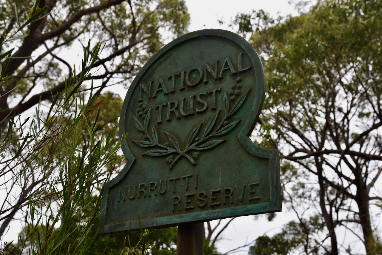
Our first park for Sunday 24th November 2024, and day two of the 2024 VKFF Activation Weekend, was the Nurrutti Reserve VKFF-4049. The park is located about 21 km southeast of the city of Adelaide, in the Mount Lofty Ranges ‘Adelaide Hills’.
Above:- Map showing the location of the Nurrutti Reserve. Map c/o Google Maps.
The reserve is located at the end of Kyle Road, Mylor.
Above:- An aerial view of the Nurrutti Reserve. Image c/o Google Earth.
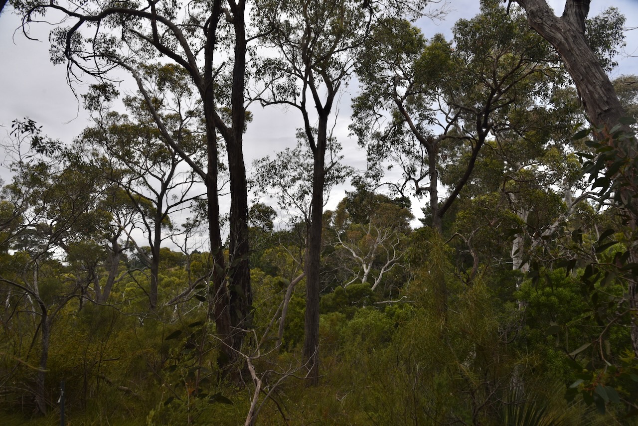
Nurrutti Reserve is a small reserve, comprising about 1.4 hectares of mixed Stringybark open forest on the banks of Aldgate Creek, which is part of the Onkaparinga catchment. More than 125 native plant species have been recorded in the park. This includes 16 species which are of State or Regional significance. (National Trust, 2025)
Nurrutti Reserve was gifted to the National Trust in 1964 by Miss Joyce Gibson. (National Trust, 2025)
“Nurrutti” is derived from the indigenous Kaurna language and means “spell” or “enchantment”. (Weekendnotes.com 2018)
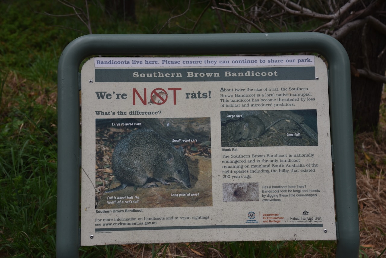
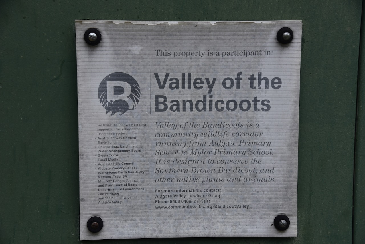
Nurrutti Reserve is part of the “Valley of the Bandicoots”. This is a project of the Aldgate Valley Landcare Group to help conserve an area of suitable habitat for the Southern Brown Bandicoot. (National Trust, 2025)
This was quite a difficult park to activate due to the thick scrub. We ran the Yaesu FT857, 40 watts, and the 20/40/80m linked dipole.
Marija worked the following stations on 40m SSB before the UTC rollover:-
VK2IO/P (VKFF-1809)
VK2GEZ/P (VKFF-1809)
VK3IFR
VK3TKU
VK3PF/P (VKFF-6086)
VK3GJG/P (VKFF-2339)
VK3WSG
VK5IC
VK5AAF
VK3BEL
VK3SPG
VK3UAO
VK5DM
VK2PKT/P (VKFF-0204)
VK2VW
VK2HFI
VK2AKA
VK2BUG
VK5FANA
VK3OAK/P (VKFF-6045)
VK5IS
VK3ZK/P (VKFF-2431)
VK5HS/P (VKFF-0831)
Marija worked the following stations on 40m SSB after the UTC rollover:-
VK5HS/P (VKFF-0831)
VK5LA
VK5KAW
VK3GJG/P (VKFF-2339)
VK2KPP
VK7LTD/P (VKFF-2929)
VK7AMP/P (VKFF-2929)
VK2EXA
VK3CEO
VK3SPG
VK3PF/P (VKFF-6086)
VK3HBG
VK3OAK/P (VKFF-6045)
VK3GUM/P (VKFF-6045)
VK7XX
VK3BEL
VK3PWG
VK5ZL
VK2IO/P (VKFF-1809)
VK2GEZ/P (VKFF-1809)
VK5DLZ
VK1RF/P (VKFF-0847)
VK3VIN
VK5DW
Marija worked the following stations on 20m SSB:-
VK4MGL/P (VKFF-0300)
VK7LTD/ P(VKFF-2929)
VK5MK/P (VKFF-1707)
VK2IO/P (VKFF-1809)
VK2GEZ/P (VKFF-1809)
VK3MCA/P (VKFF-3877)
I worked the following stations on 40m SSB before the UTC rollover:-
VK2IO/P (VKFF-1809)
VK2GEZ/P (VKFF-1809)
VK3IFR
VK3TKU
VK3PF/P (VKFF-6086)
VK3GJG/P (VKFF-2339)
VK3WSG
VK5IC
VK5AAF
VK3BEL
VK3SPG
VK3UAO
VK5DM
VK2PKT/P (VKFF-0204)
VK2VW
VK2HFI
VK2AKA
VK2BUG
VK5FANA
VK3OAK/P (VKFF-6045)
VK5IS
VK3ZK/P (VKFF-2431)
VK5HS/P (VKFF-0831)
I worked the following stations on 40m SSB after the UTC rollover:-
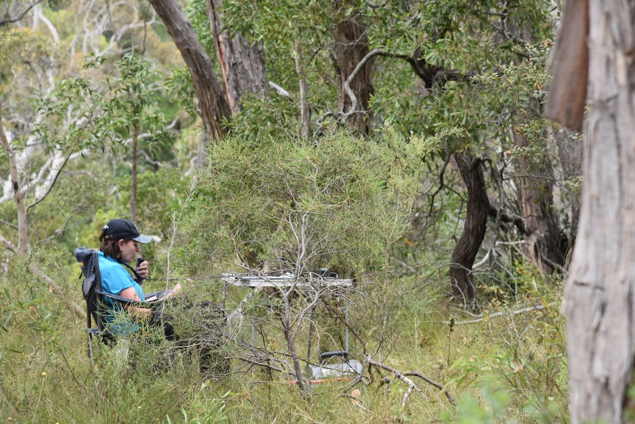
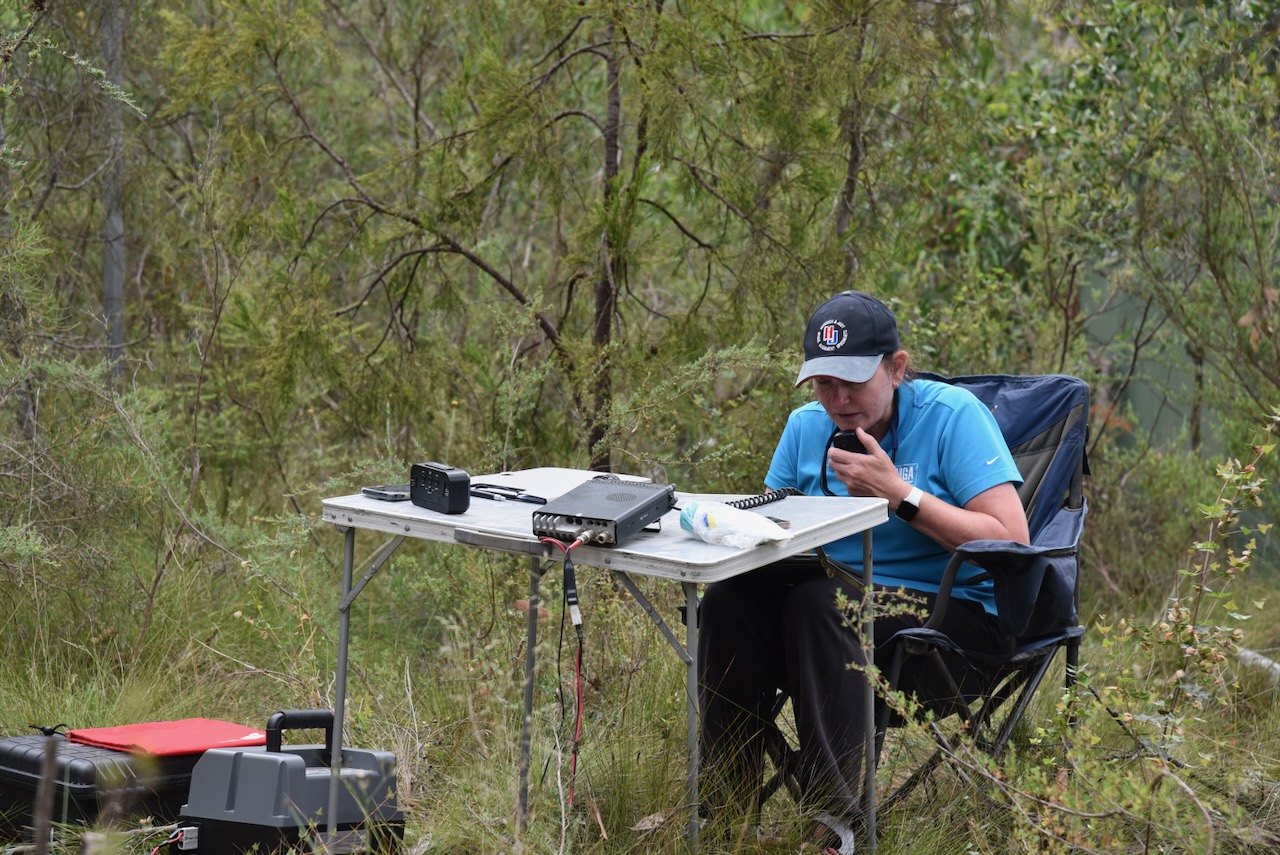
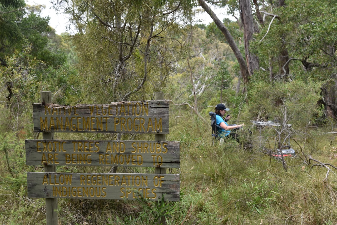
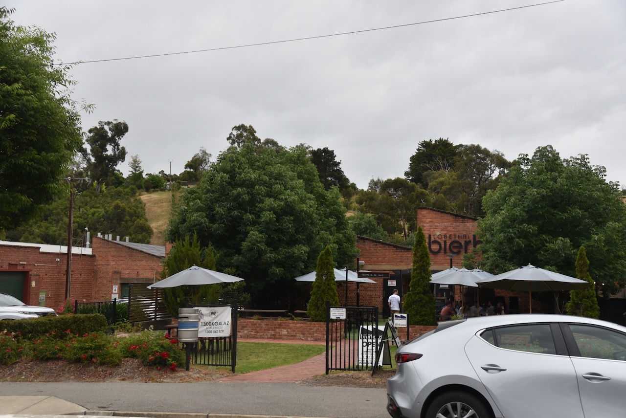
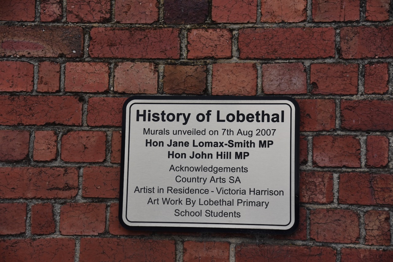
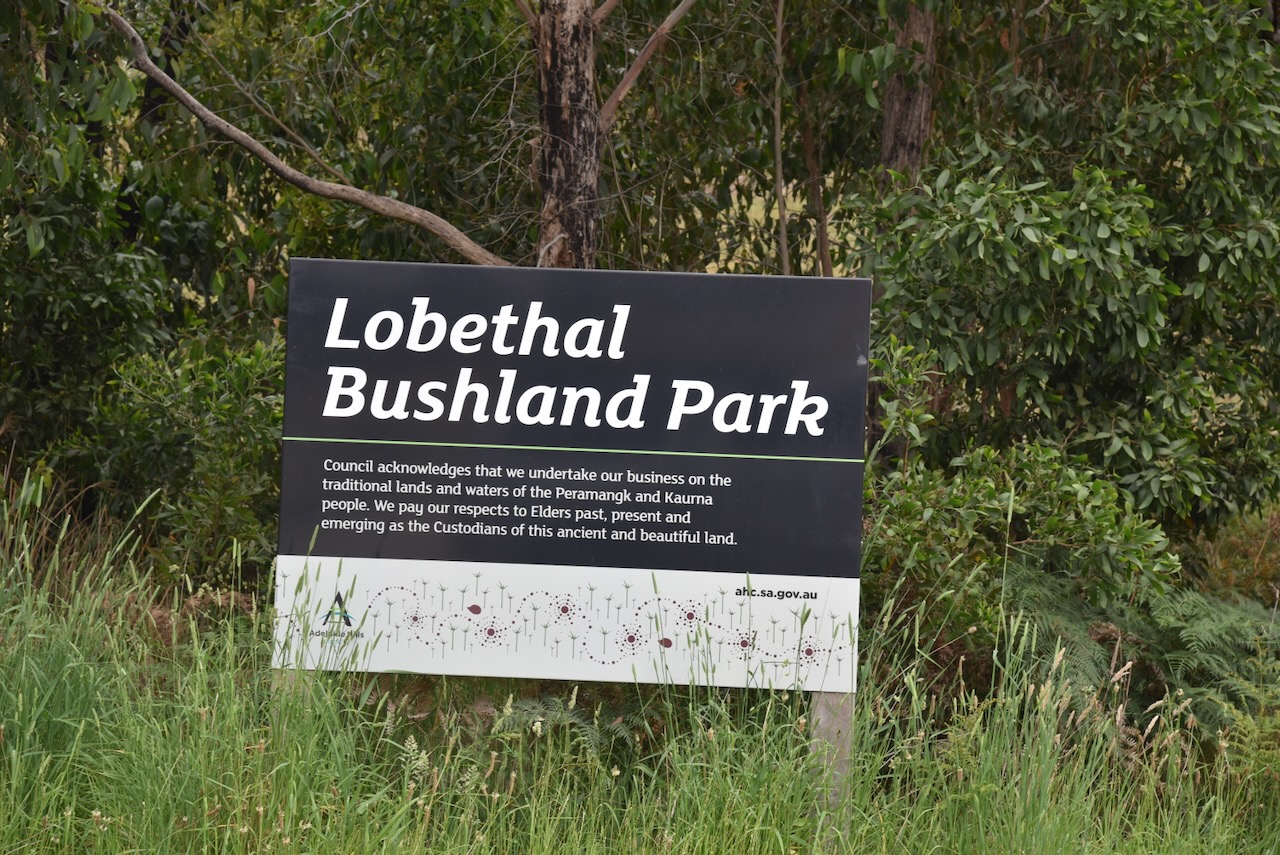
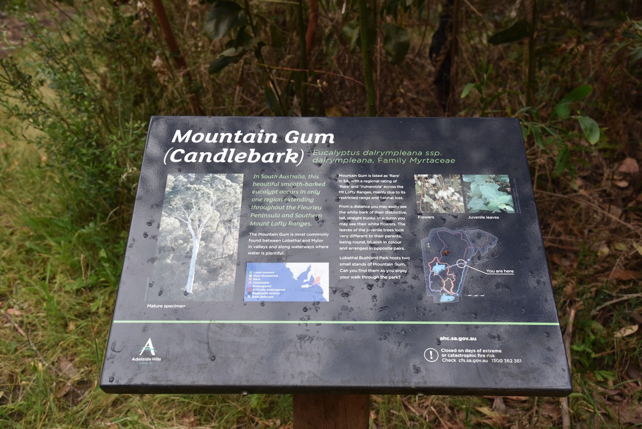
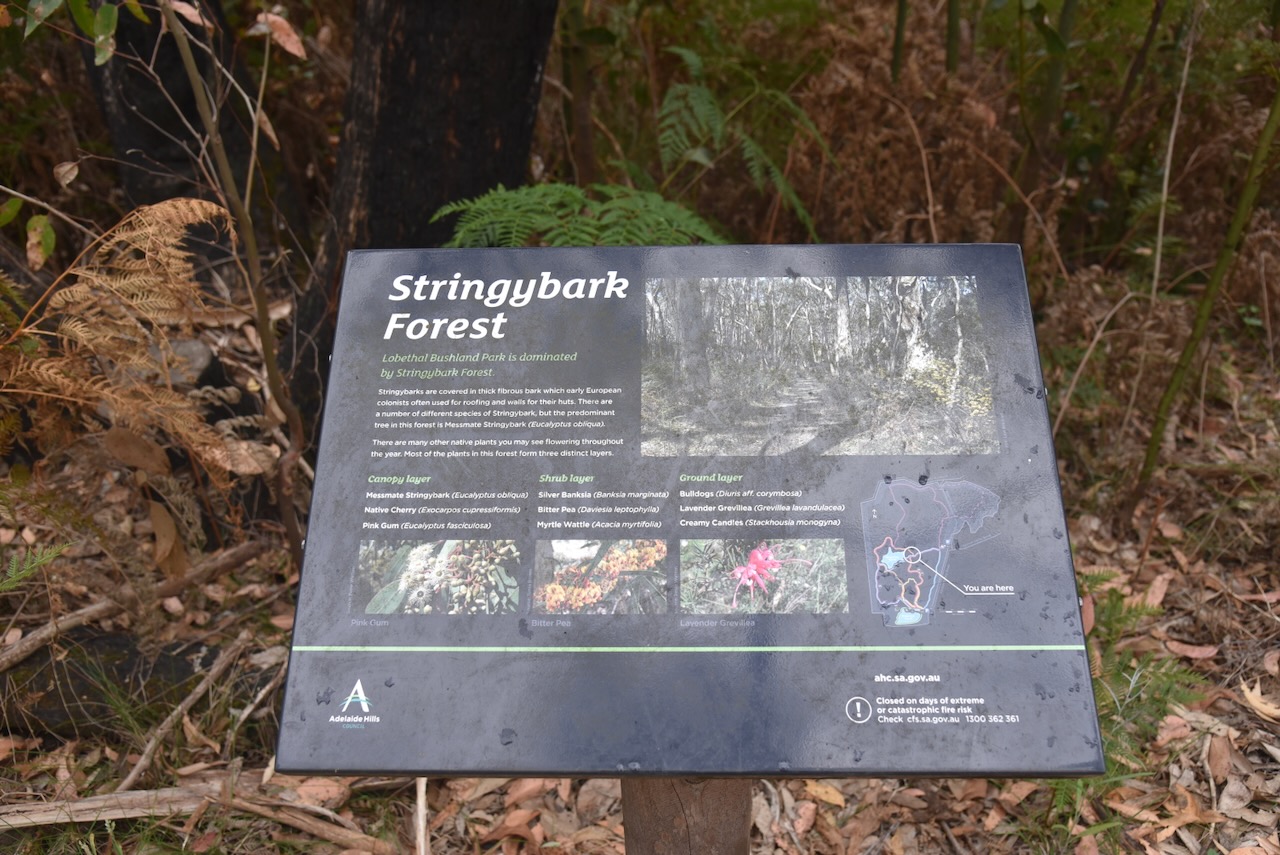
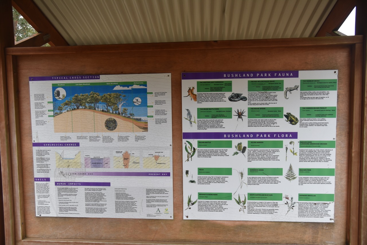
Our final activation for Saturday 23rd November 2024, was the Lobethal Bushland Park VKFF-4041. The park is located about 42 km (by road) east of Adelaide, in the Mount Lofty Ranges ‘Adelaide Hills’.
Above:- Map showing the location of the Lobethal Bushland Park. Map c/o Gogole Maps.
George Fife Angas was born in 1789 in England. He became a businessman and banker and played a significant role in the establishment of the Province of South Australia. He was the founder of the South Australian Company. In 1836, Angas met with Pastor August Ludwig Kavel, the Pastor in Klepsk (Klemzig) in Prussia in an attempt to promote emigration to South Australia. (Wikipedia)
Above:- George Fife Angas. Image c/ Wikipedia
Kavel and his Lutheran congregation were facing religious persecution by King Frederick William III. From 1807 he had made the decision to unite the Reformed “Calvanist” church with the Protestant Lutherans, which was against the wish of Kavel and his people. Many had already emigrated to the United States of America and Canada due to the persecution of the Lutherans. They were banned to use the word Lutheran, confiscated church property and fined congregations. By the 1830s Lutherans were being imprisoned for their faith. (Aussie Towns, 2019)
Above:- Pastor Augustus Kavel. Image c/o State Library South Australia.
Initially the Colonization Commission and the South Australia Company refused to assist with the migration of the Lutherans. As a result, Angas personally advanced about £8000 to the Lutherans to assist them in their migration to the colony of South Australia. (Australian Dictionary of Biography, n.d.)
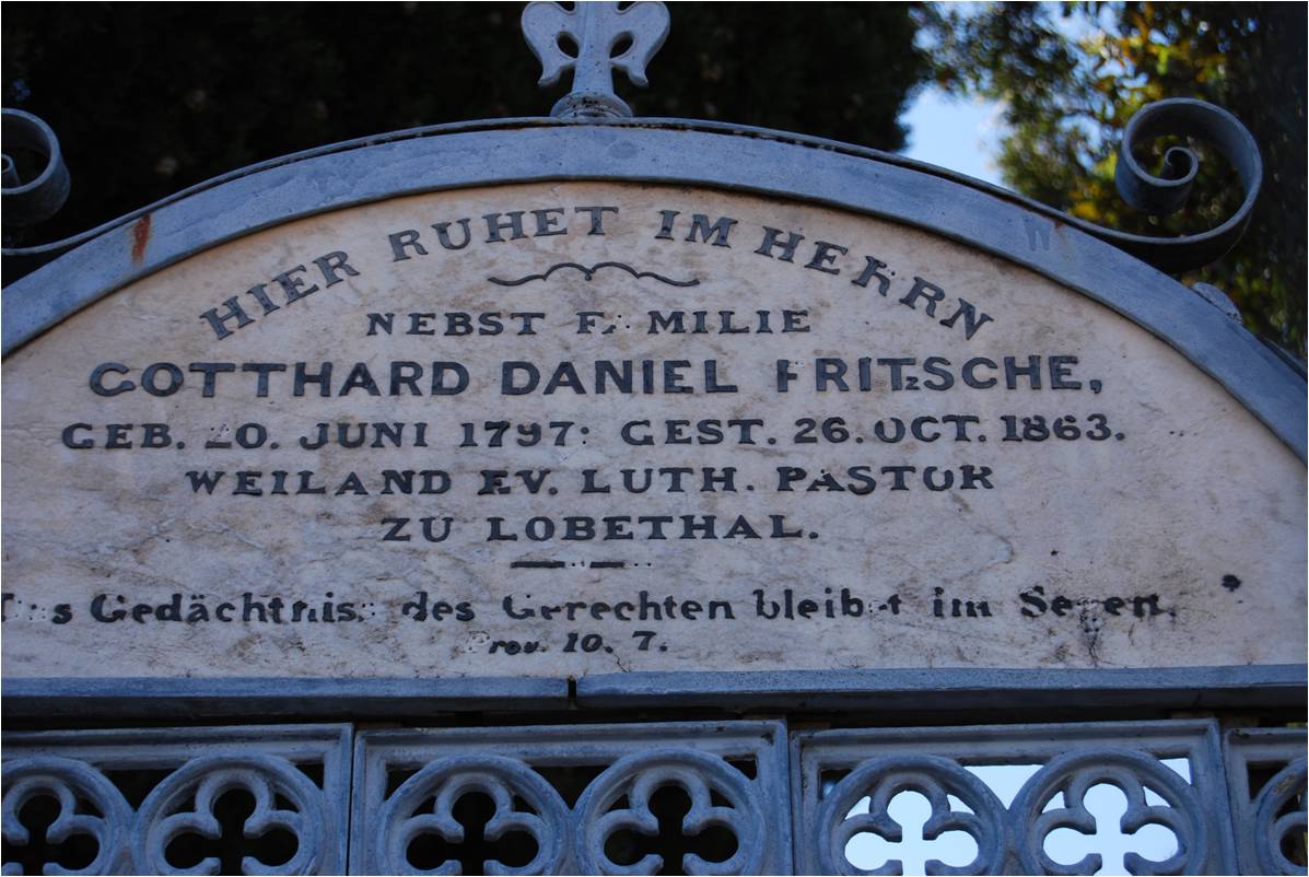
The first Prussian settlers arrived in South Australia in November 1838. Those who settled at Lobethal arrived in 1841, with the majority arriving aboard the Skjold with their pastor Gotthard Daniel Fritzsche. Their journey to Australia took 18 weeks and included 44 deaths aboard the ship. This group were initially welcomed by the other Lutherans at Klemzig and Hahndorf. (Aussie Towns 2019)
They were soon informed of good land in the upper region of the Onkaparinga River. In 1842, a total of 18 Prussian families made their way to the Onkaparinga River. On the 4th day of May 1842, Pastor Gotthard Daniel Fritzsche held an open air service of thanksgiving, duiring which he read out the following verse from the Bible:
“And on the fourth day they assembled themselves in Lobethal; for there they blessed the Lord. Therefore the name of the same place was called Lobethal unto this day.”
Pastor Fritzsche named the new settlement, Lobethal, meaning Valley of Praise. (Germanaustralia.com, 2025)
Above:- The headstone of Gotthard Fritzsche. Image c/o Sarah Lieschke, Lobethal (Süd-Australien), Wikipedia
The village of Lobethal was built in typical Silesian Hufendorf style with the settler’s cottages arranged in a line along the main street of Lobethal. Each family had a long narrow strip of land that was used for growing crops, which stretched from the front of the block to the rear where there was a village common that all villagers had access to, including their stock.
The oldest Lutheran church in Australia, St John’s Lutheran Church was built in Hahndorf in 1845. In 1850, a brewery was established by F.W. Kleinschmidt.
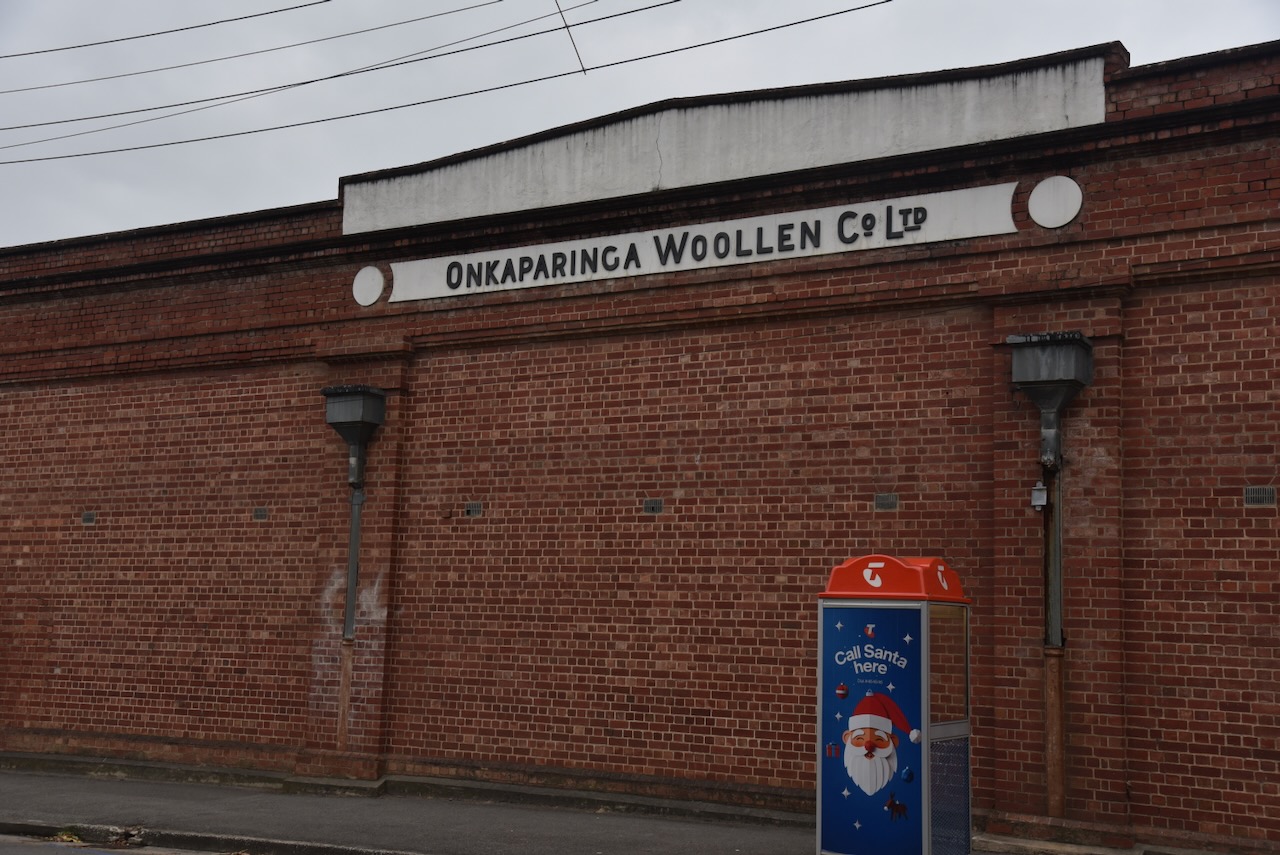
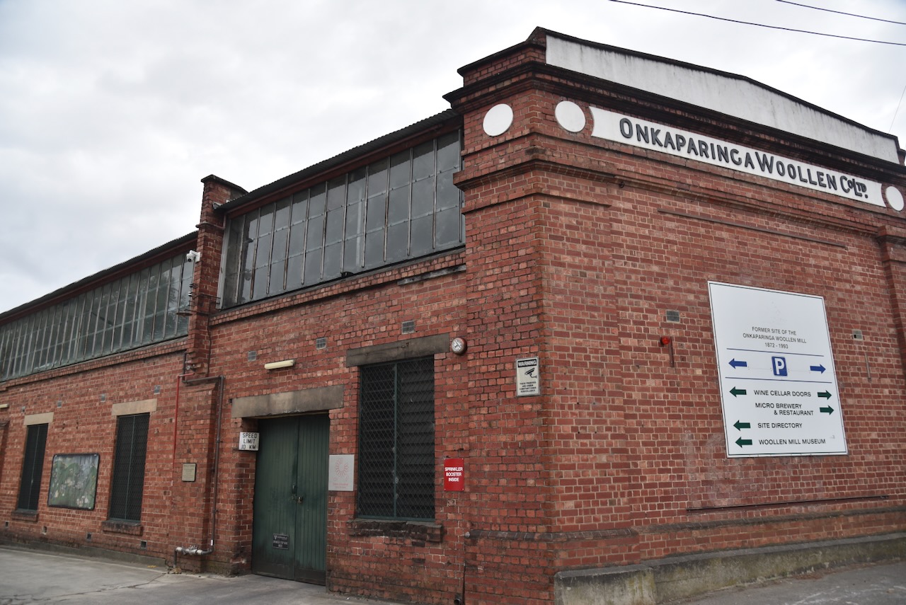
The old Onkaparinga Woolen Company buildings can be found on the corner of Woodside Road and Lobethal Road. The mill commenced in 1872 when two brothers established the Lobethal Tweed Facotry. In 1928 the mill became the Onkaparinga Woollen Mill Company. Other than their famous blankets, the company also produced car upholstery, army uniforms and airline blankets. The mill closed in 1993. It is said that at one time, almost every Australian household had an Onkaparinga blanket in the home. I certainly remember our family having these blankets in our home. (Fabrik, 2020) (Woollen, 2025)
Lobethal is also famous for the Lights of Lobethal, the largest community Christmas light display in the southern hemisphere.
The Lobethal Bushland Park is located on the northern side of the township of Lobethal, on the western side of Kenton Valley Road.
Above:- An aerial view of the Lobethal Bushland Park. Image c/o Google Earth.
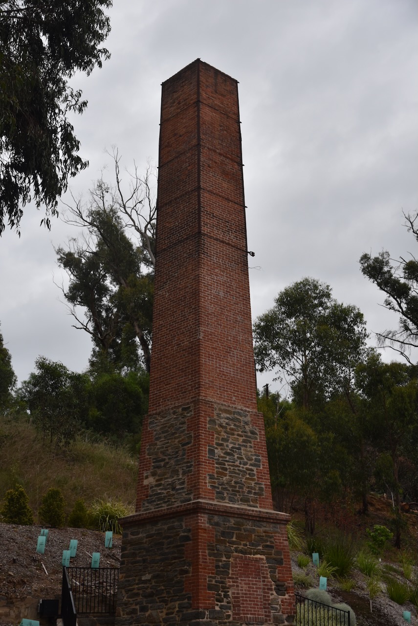
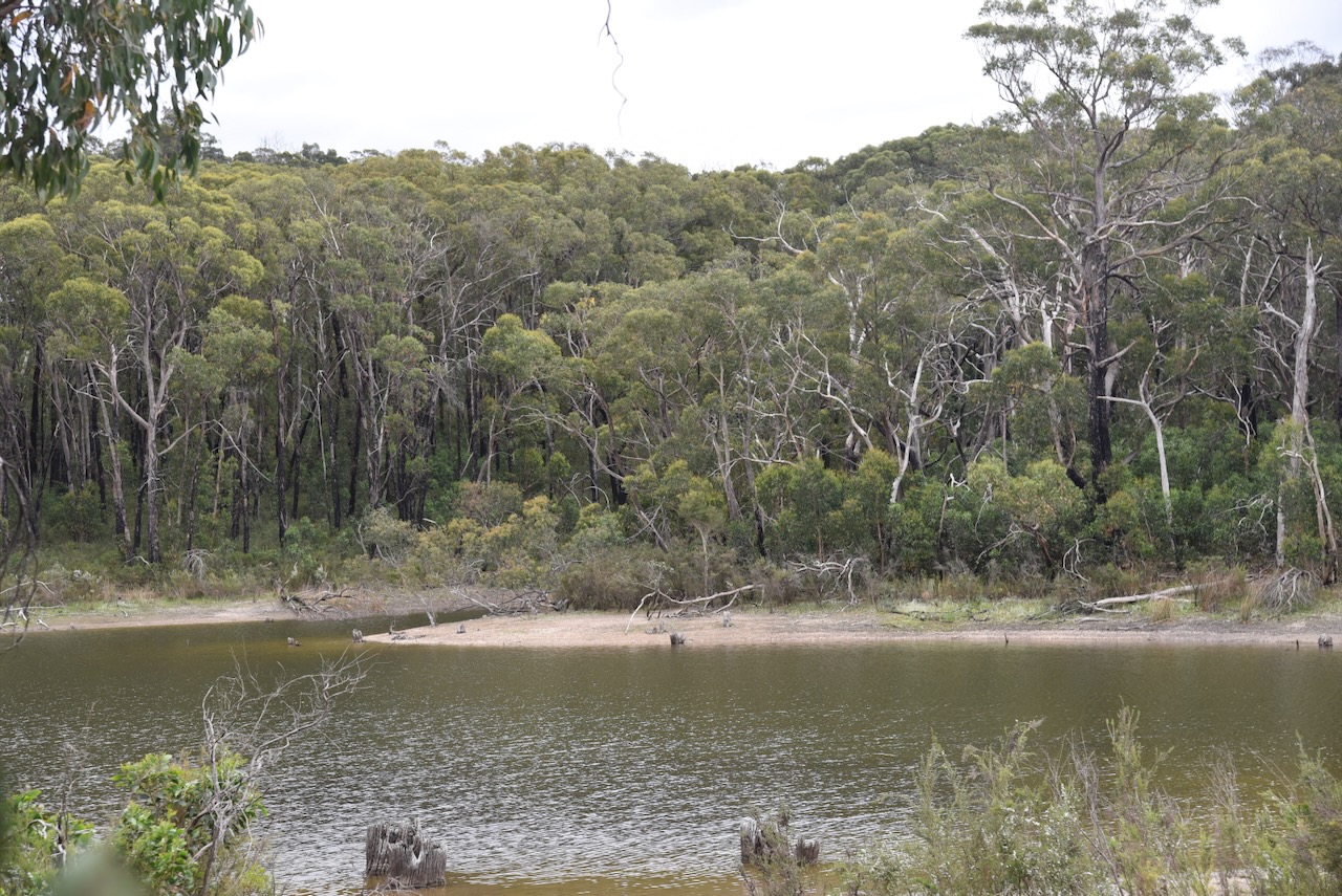
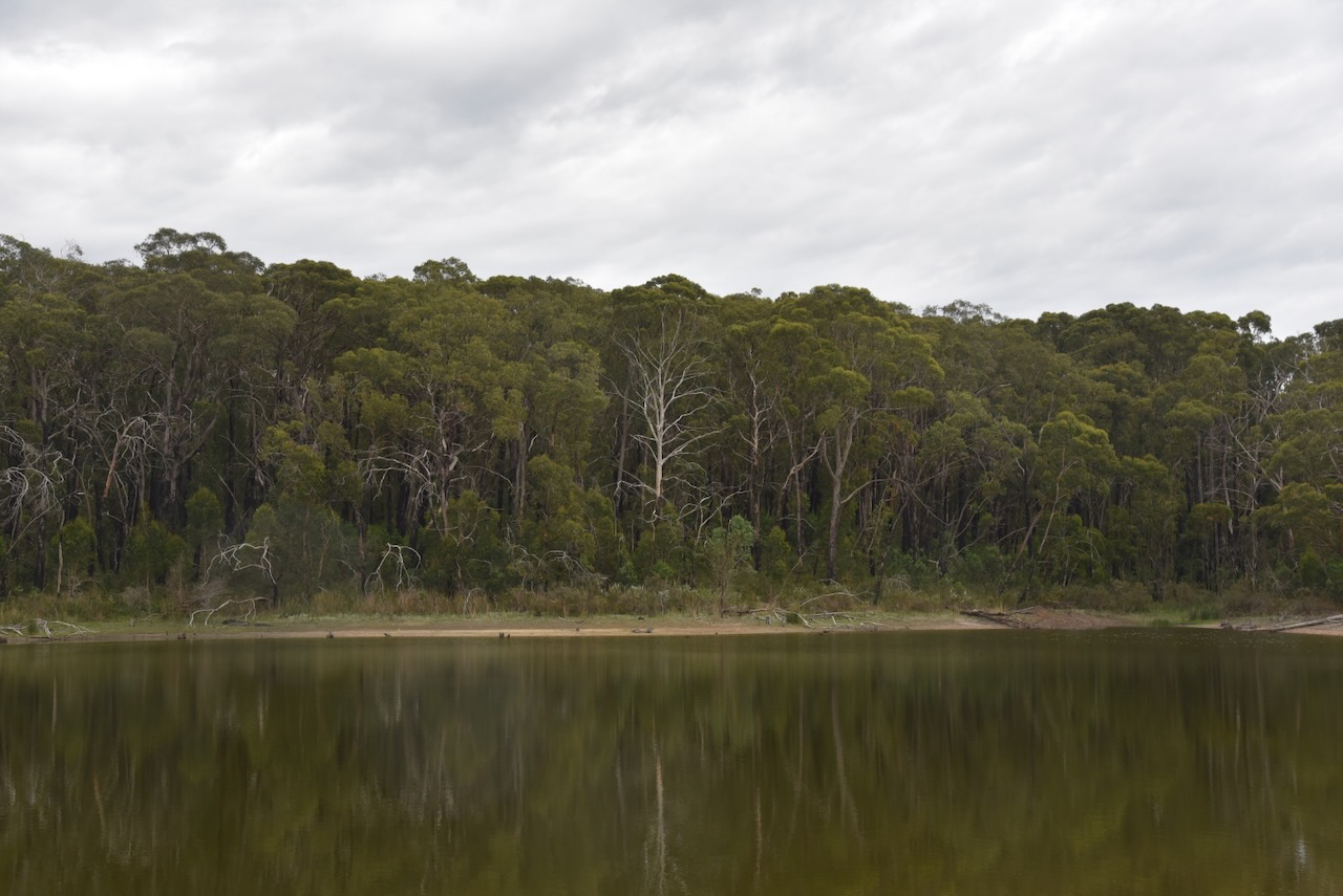
The land on which the park stands was mined for 120 years, while the two reservoirs in the park were constructed to supply water to the Onkaparinga Woollen Mill and the township of Lobethal. Logging was also undertaken during the First World War and for the construction of wharves in Murray Bridge and Morgan. (Community Engagement Hub, 2019)
During the early 1980’s the land was sold to the local Council. In 1986, the Onkaparinga St John Bushland Park was opened by the South Australian Governor, Sir Donald Dunstan, with support from St John Ambulance. (Community Engagement Hub, 2019)
The park was severely impacted by the Cudlee Creek bushfire in 2019. A total of 85 homes were lost in the fire which burnt about 23,295 hectares. One person was killed.
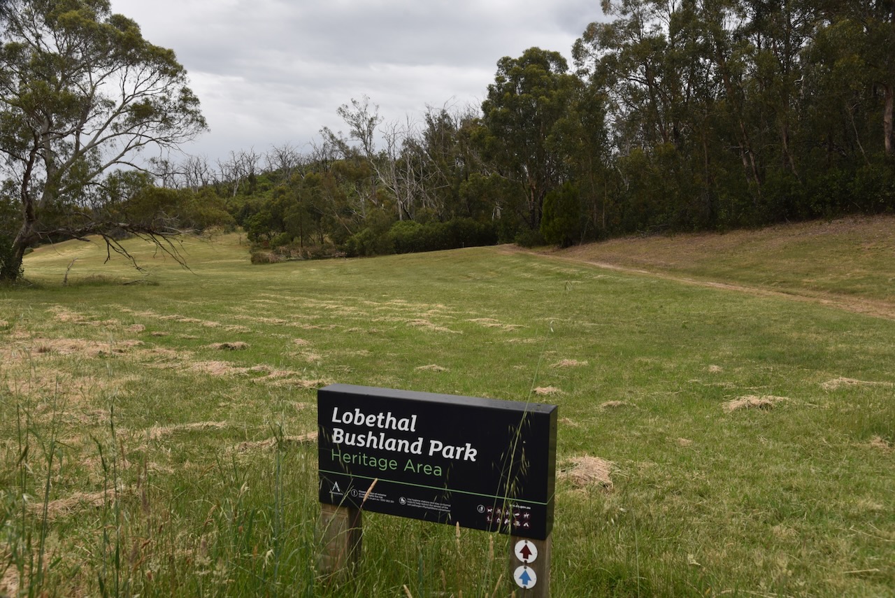
The park is about 83 hectares in size. (CAPAD 2022)
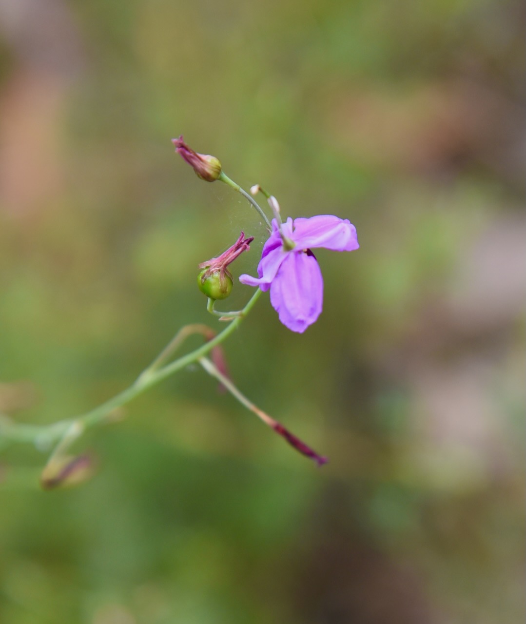
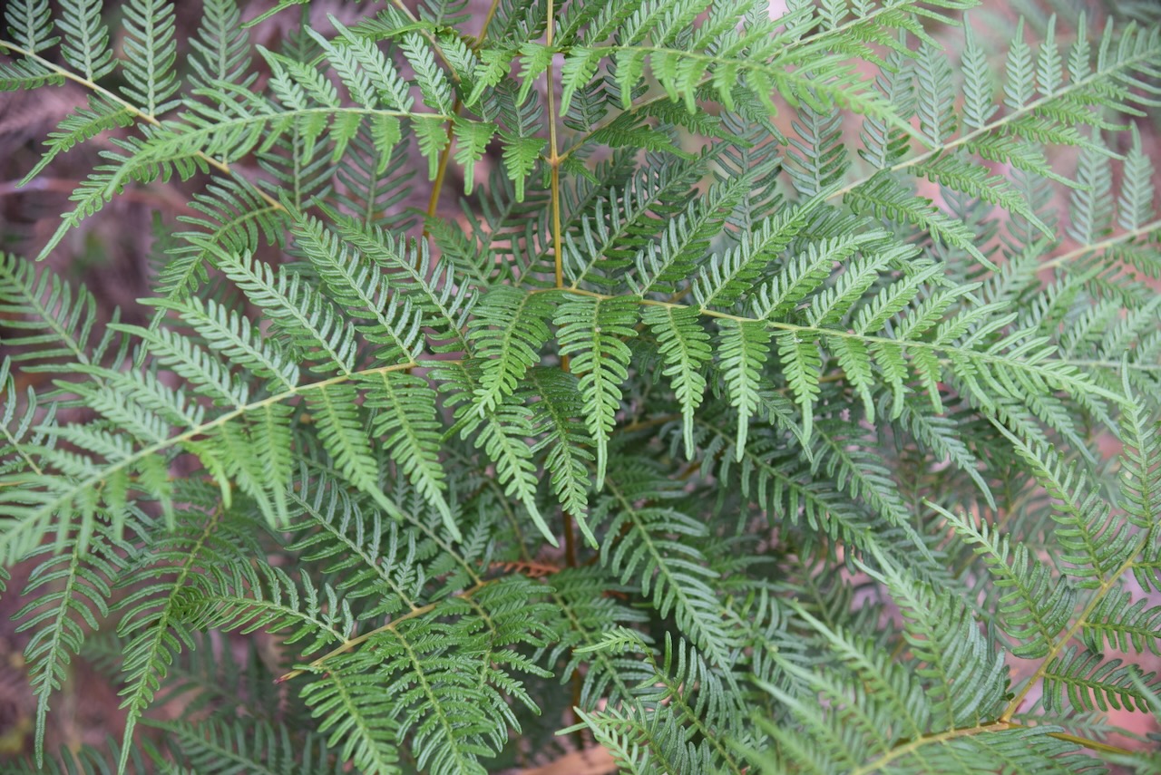
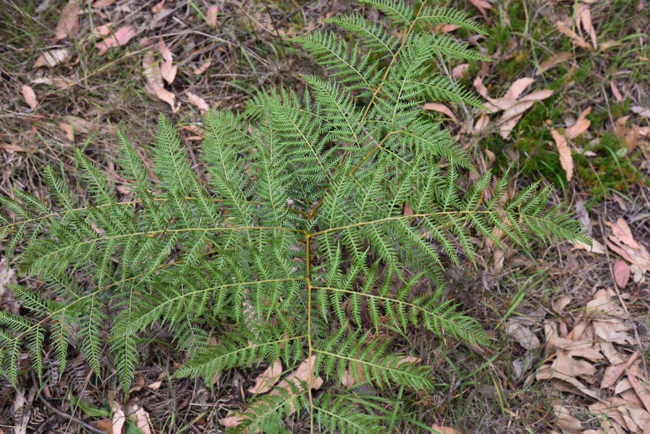
Although still showing the effects of the recent bushfire, there were lots of native plants in flower during our visit.
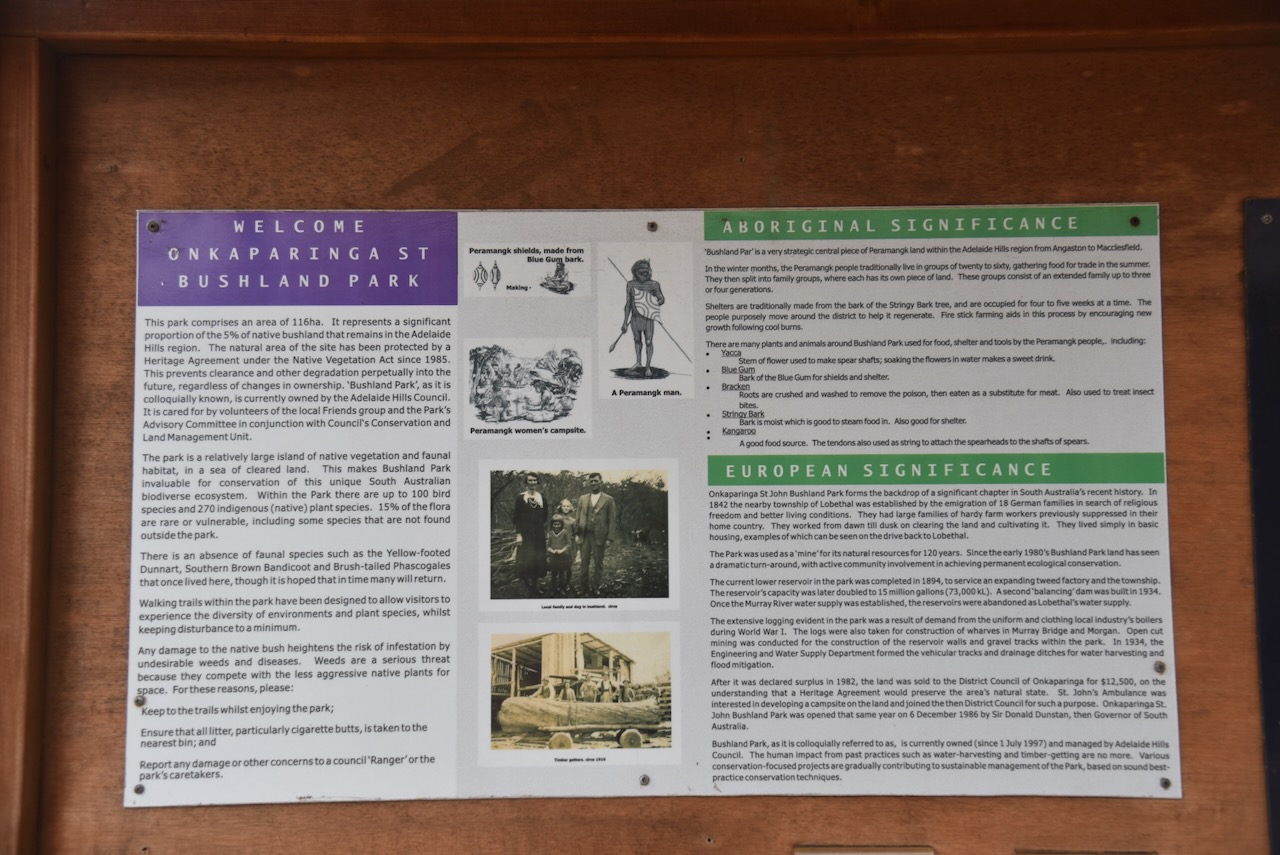
There are numerous interpretive signs in the park explaining some of the vegetation located in the park.
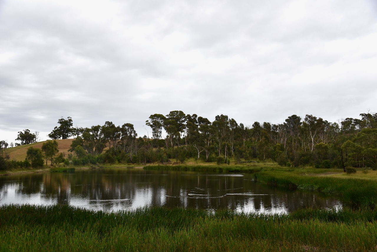
Marija and I visited both reservoirs that are located in the park.
There are several information signs in the park detailing interesting information about the park.
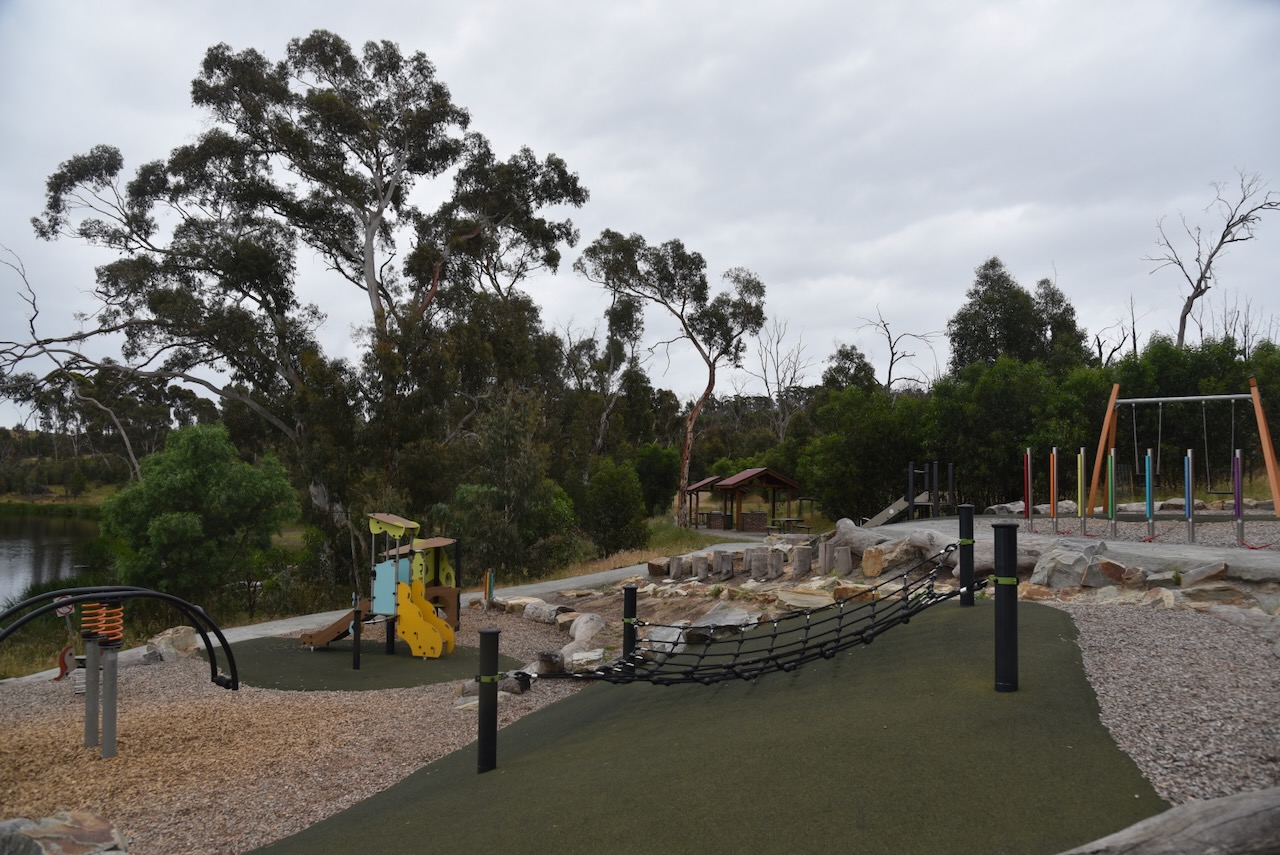
In the southern section of the park there is a children’s playground.
We ran the Yaesu FT857, 40 watts, and the 20/40/80m linked dipole.
Woollen, O. (2025). Onkaparinga Woollen Mill Museum Inc. – The Mill. [online] Millheritage.com.au. Available at: https://www.millheritage.com.au/the-mill [Accessed 12 Jun. 2025].
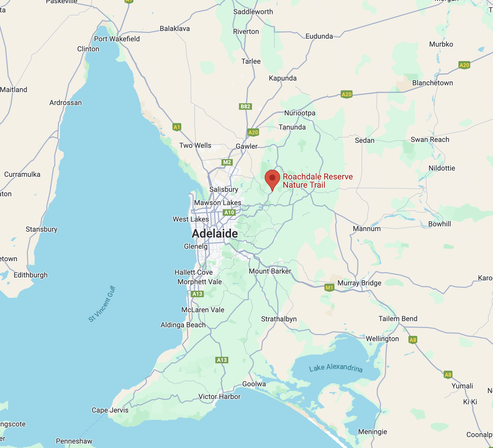
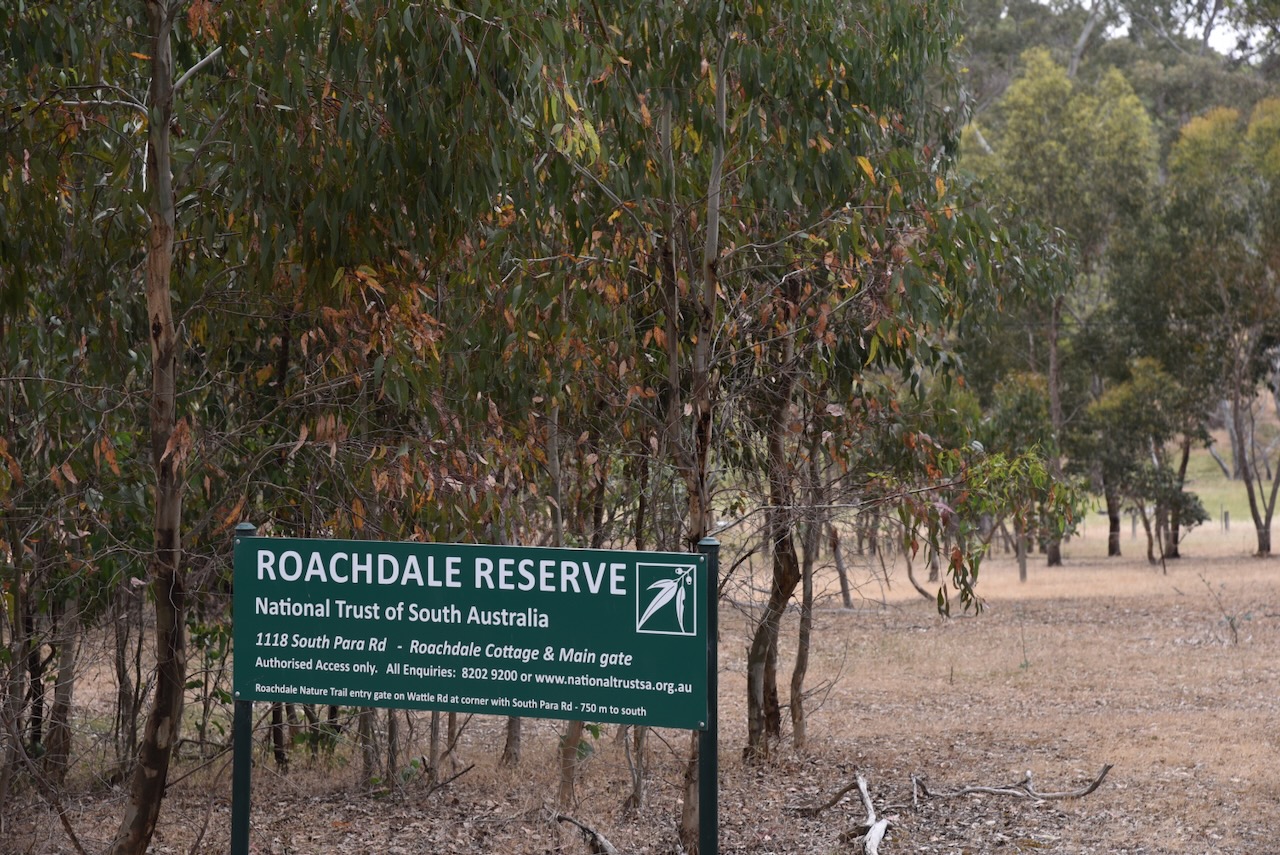
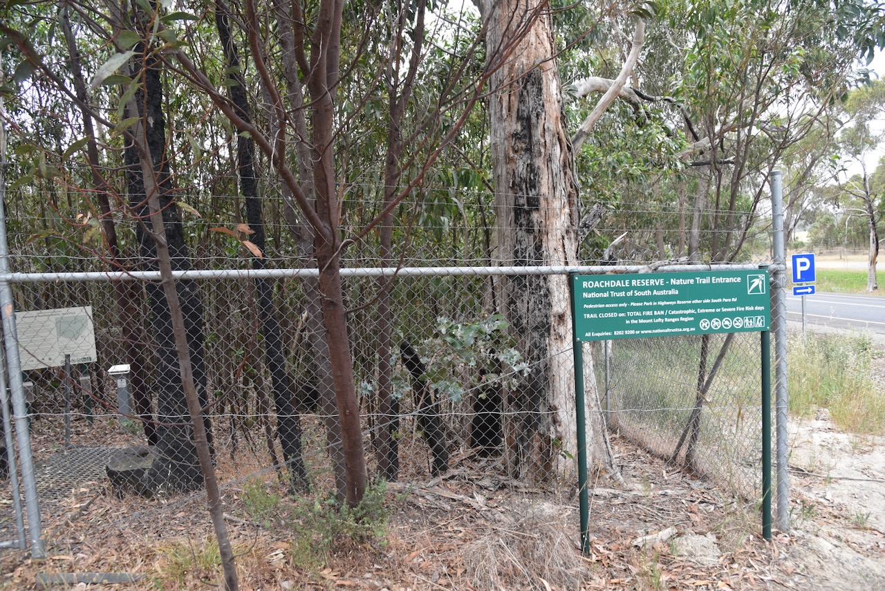
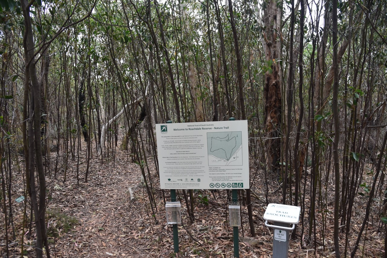
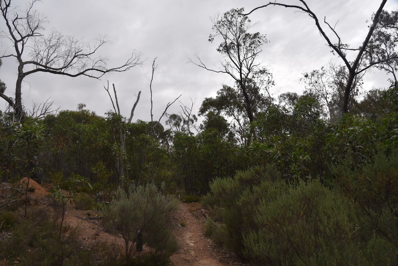
Our third park activation for Saturday, 23rd November 2024, was the Roachdale Reserve VKFF-4052. The park is located about 38 km northeast of the city of Adelaide.
Above:- Map showing the location of Roachdale Reserve. Map c/o Google Maps.
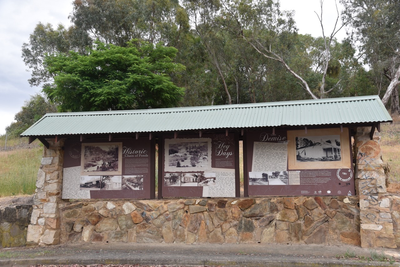
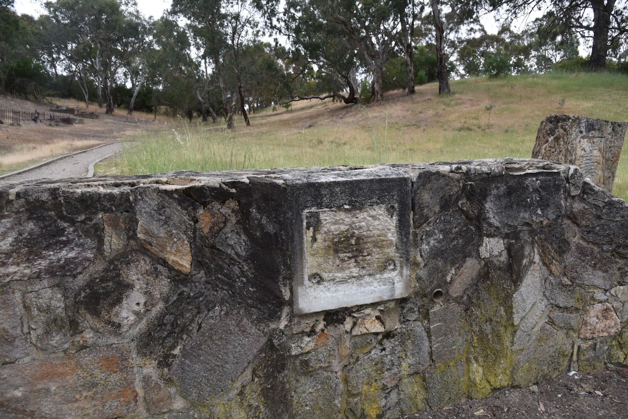
We then stopped at Chain of Ponds and the historic Philpton cemetery. Some mongrel had stolen the plaque outside the cemetery which listed those who were buried here.
We continued on to the Roachdale Reserve, which is located on the corner of South Para Road and Wattle Road.
Above:- An aerial view of Roachdale Reserve. Image c/o Google Earth.
Roachdale Reserve was the first property to be donated to the National Trust of South Australia. Miss Hilda Roach donated 45 hectares of Humbug Scrub in 1957. It was later named Roachdale. (National Trust, 2025)
Hilda was born on the 11th day of October 1885 at Burra, South Australia. She never married. Hilda died on the 26th day of September 1970 at Kersbrook, South Australia. Hilda is buried in the family plot at the North Road cemetery, Nailsworth, South Australia; however, her name is not inscribed on the headstone. (Ancestry.com.au 2021) (Findagrave.com 2025)
Roachdale Reserve protects one of the few remaining stands of Long-leafed Box forest, and during spring and summer, the park has magnificent displays of wildflowers, orchids and lilies. The majority of the land in the vicinity of the park has been cleared for agriculture. About 225 native plants have been recorded in the park, including 32 of conservation significance. (National Trust, 2025)
This was a difficult park to activate due to the very thick scrub and lack of any clearing. We ran the Yaesu FT857, 40 watts, and the 20/40/80m linked dipole, which had the 80m sections lying on the ground.
We qualified the park for VKFF with 10 contacts, but we had to pack up due to rain.
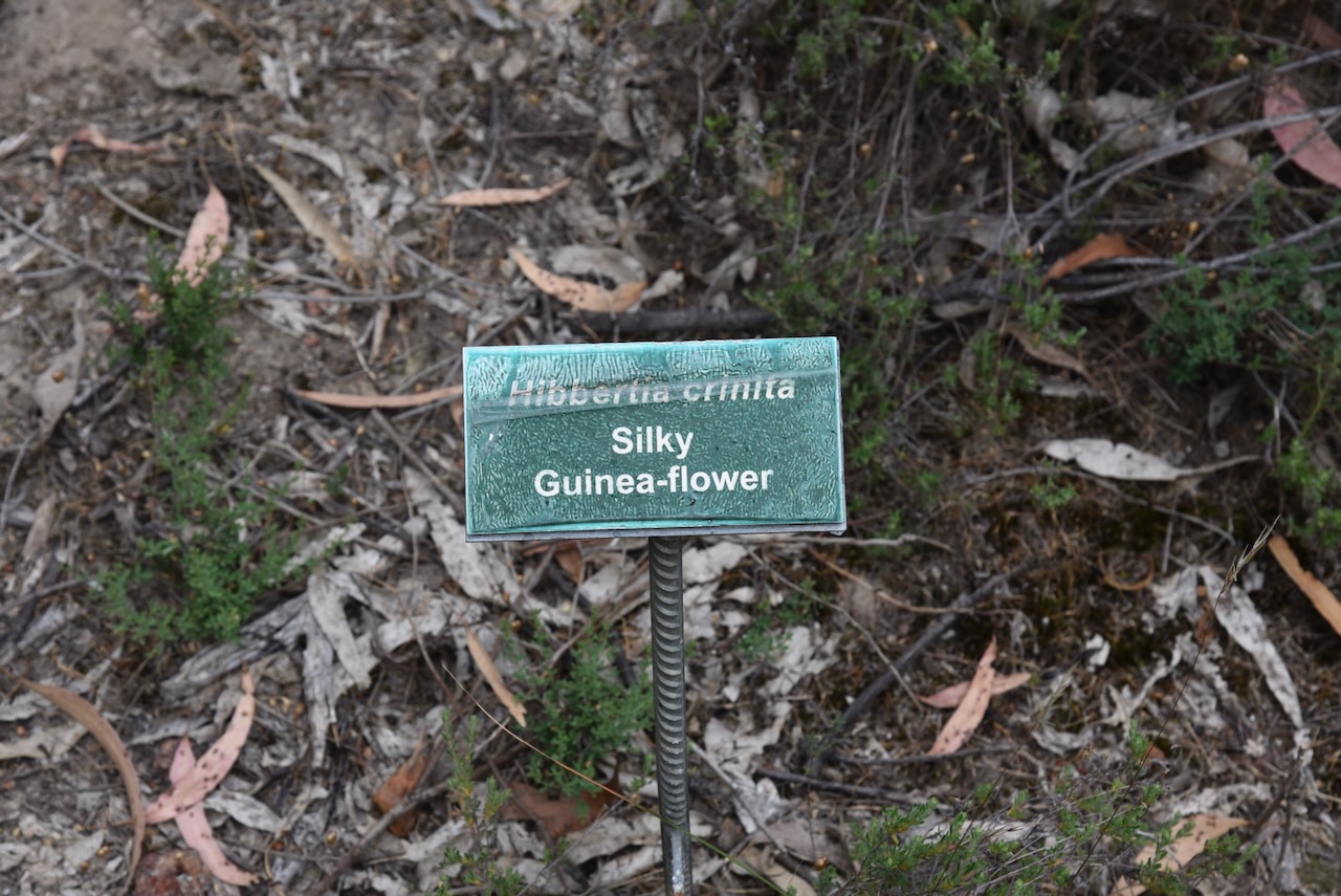
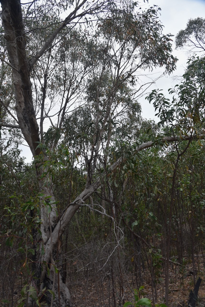
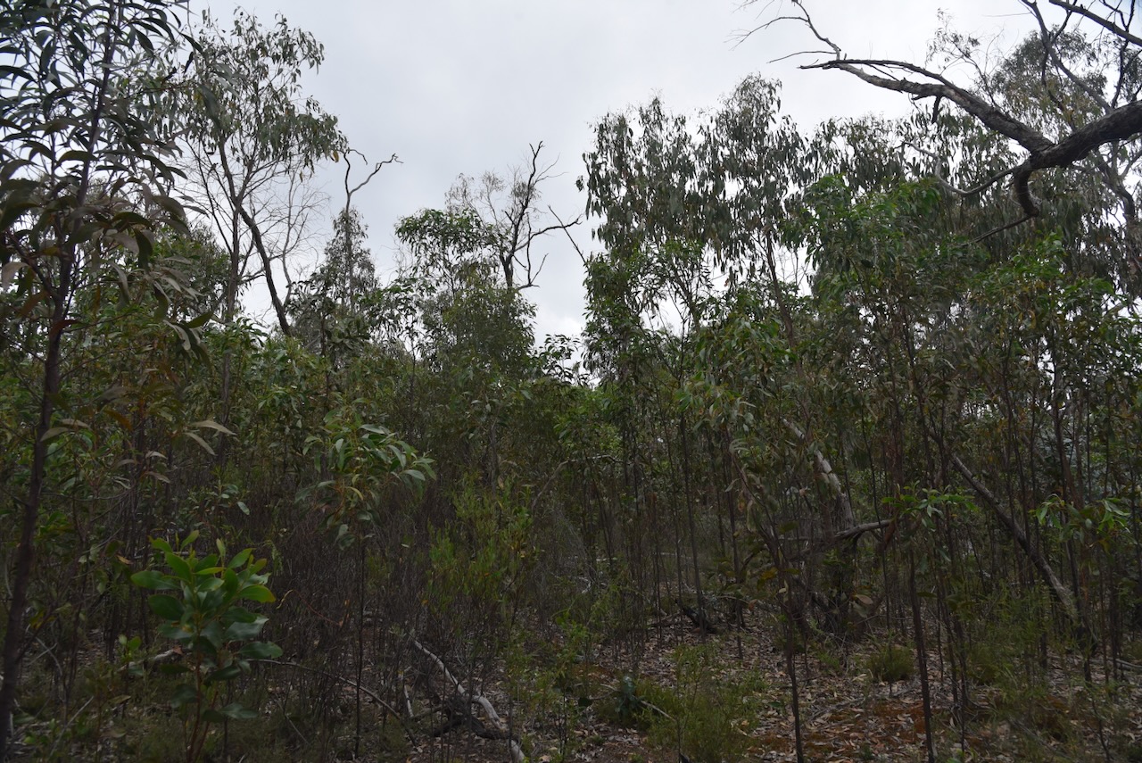
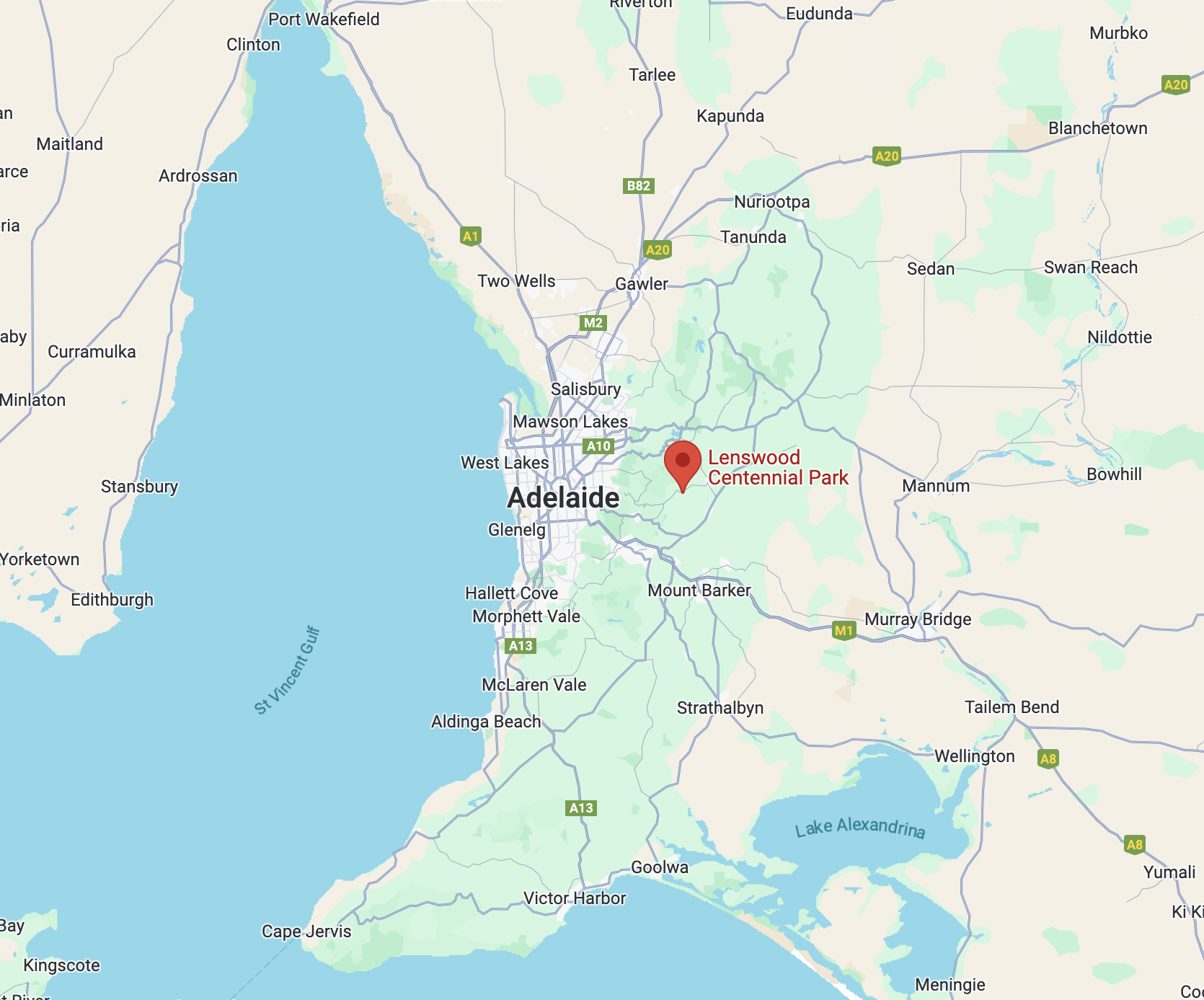
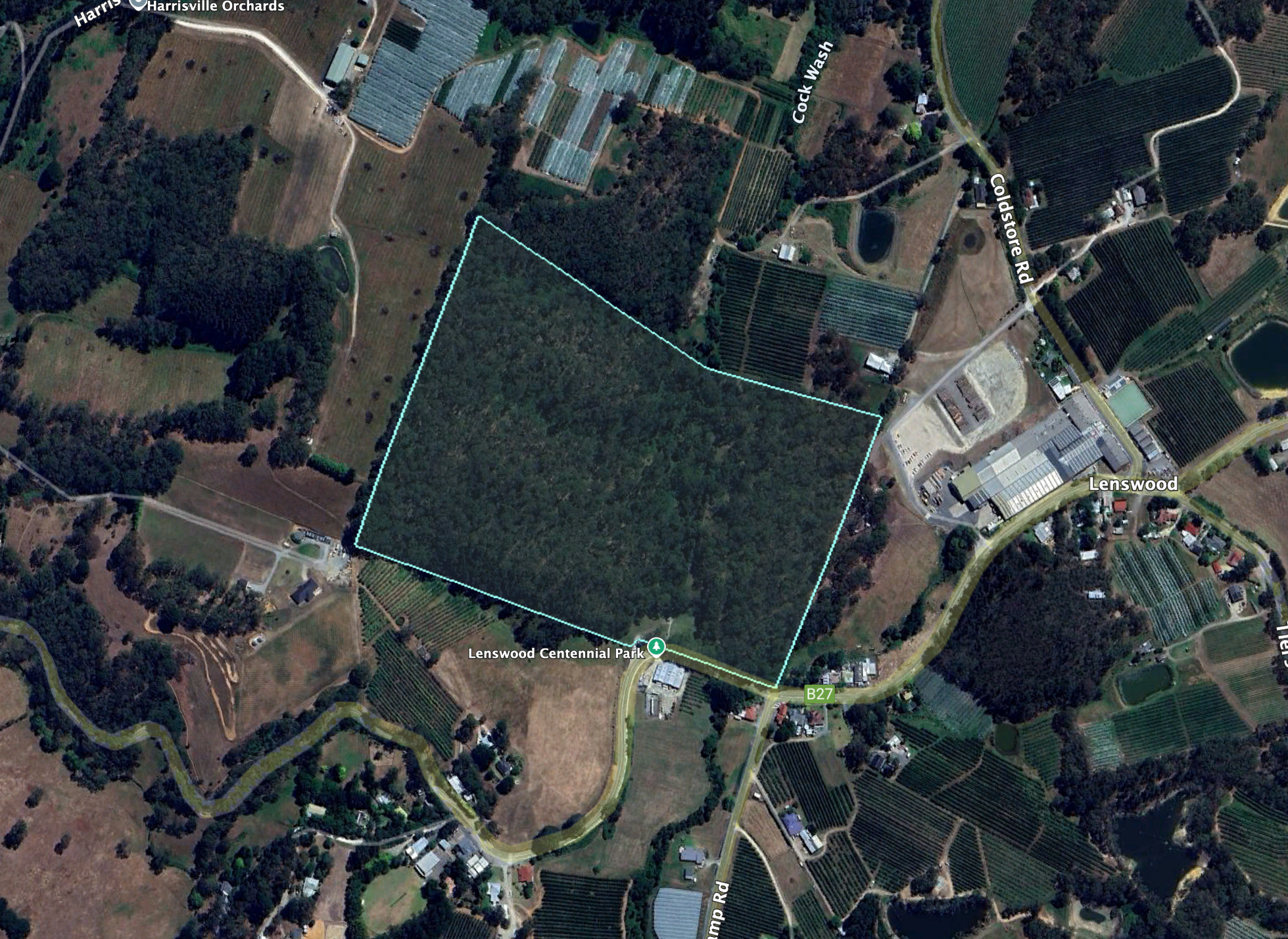
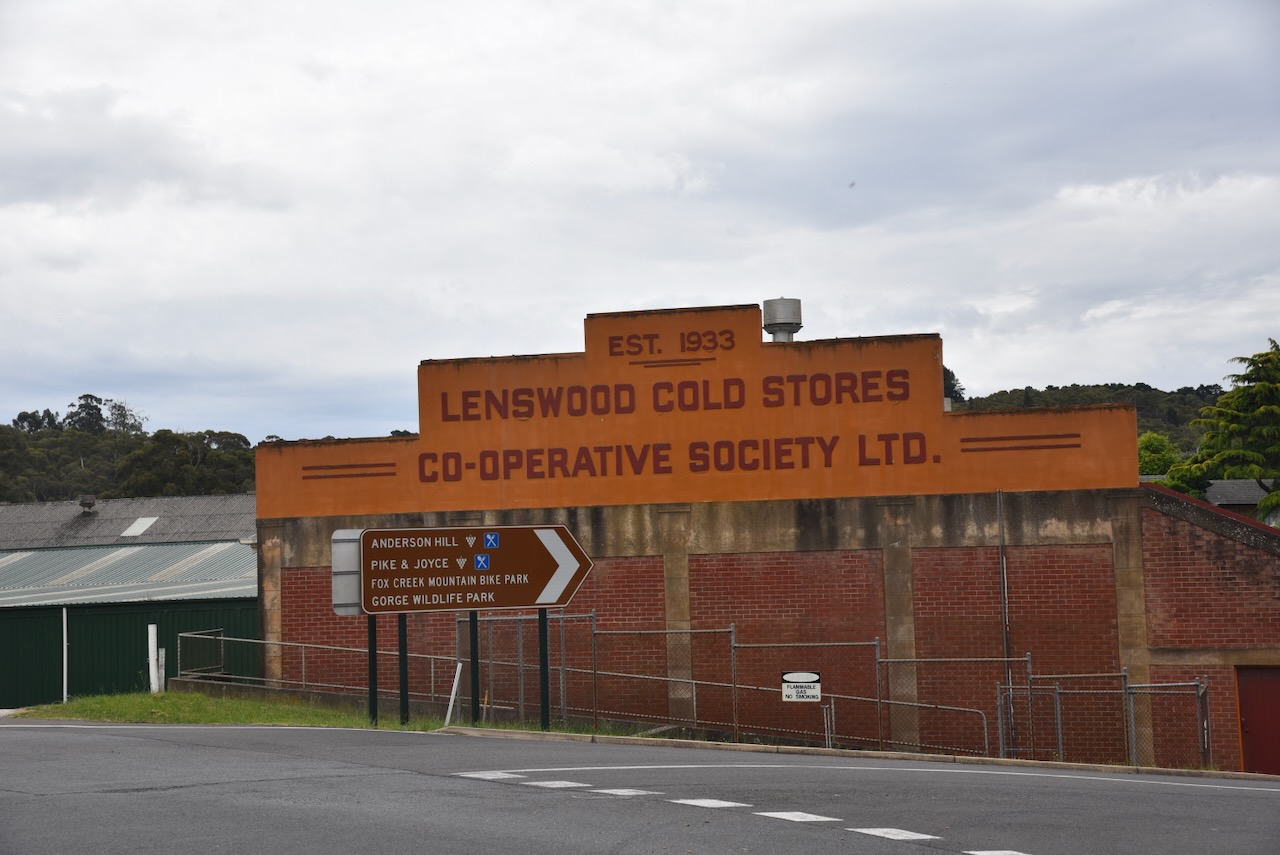
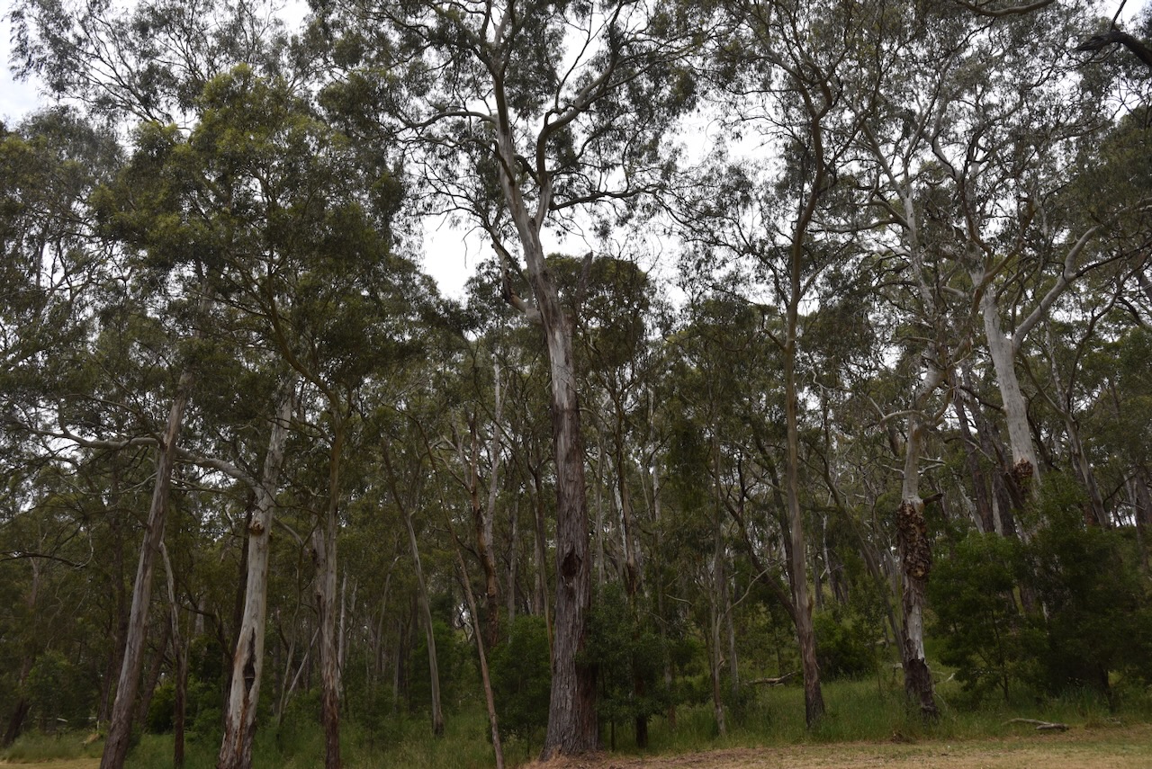
Our second park for Saturday, 23rd November 2024, was the Lenswood Centennial Park VKFF-4040. The park is located about 28 km east of Adelaide.
Above:- Map showing the location of the Lenswood Centennial Park. Map c/o Google Maps.
The park is located on the northern side of Lobethal Road at Lenswood.
Above:- An aerial view of the Lenswood Centennial Park. Image c/o Google Earth.
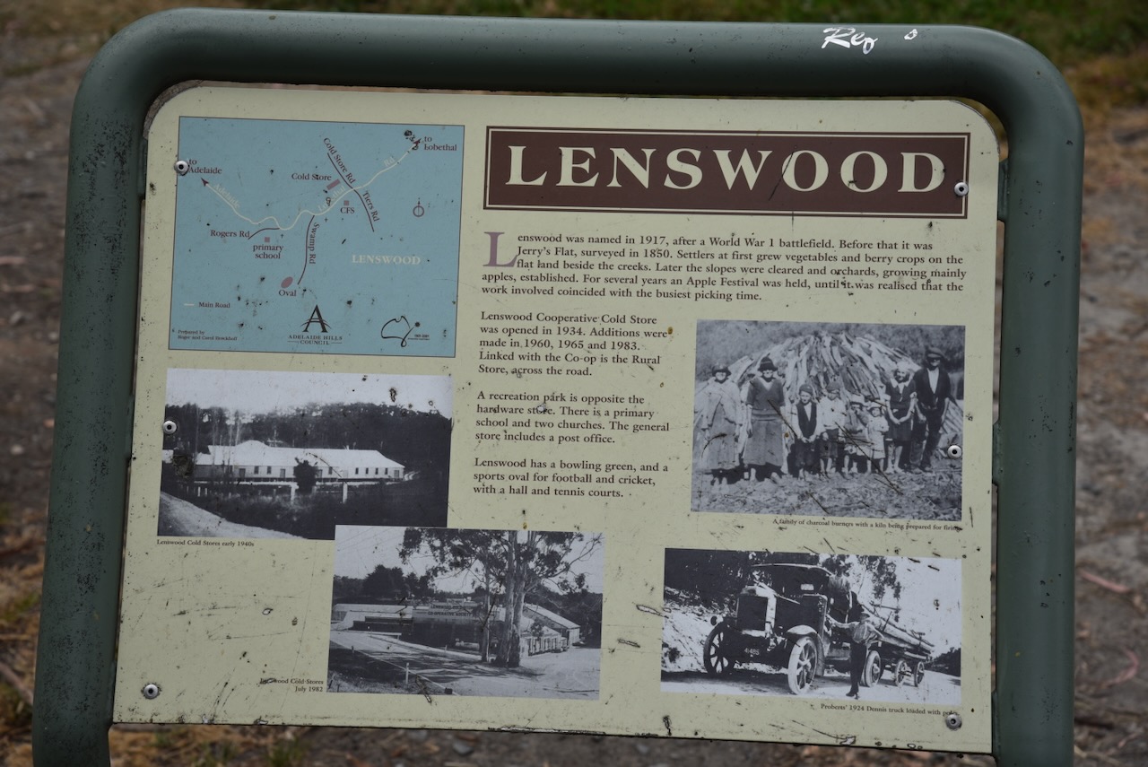
Prior to 1917, Lenswood was known as Jerry’s Flat, which was surveyed in 1850. Lenswood was named in 1917 after a World War One battlefield near the town of Lens in northwest France. (Wikipedia 2018)
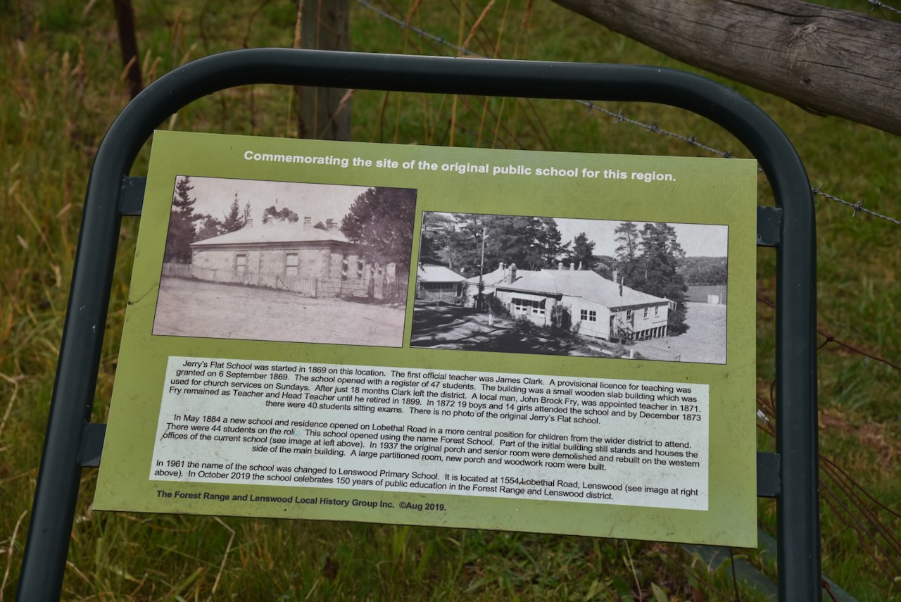
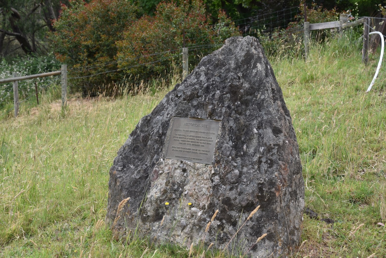
The site of Jerry’s Flat School, the original public school for the area, can be found just outside of Lenswood.
The Lenswood Cold Stores Co-operative Society was established in 1933.
The park is about 17 hectares in size and was established on the 26th day of June 1991. (CAPAD 2022)
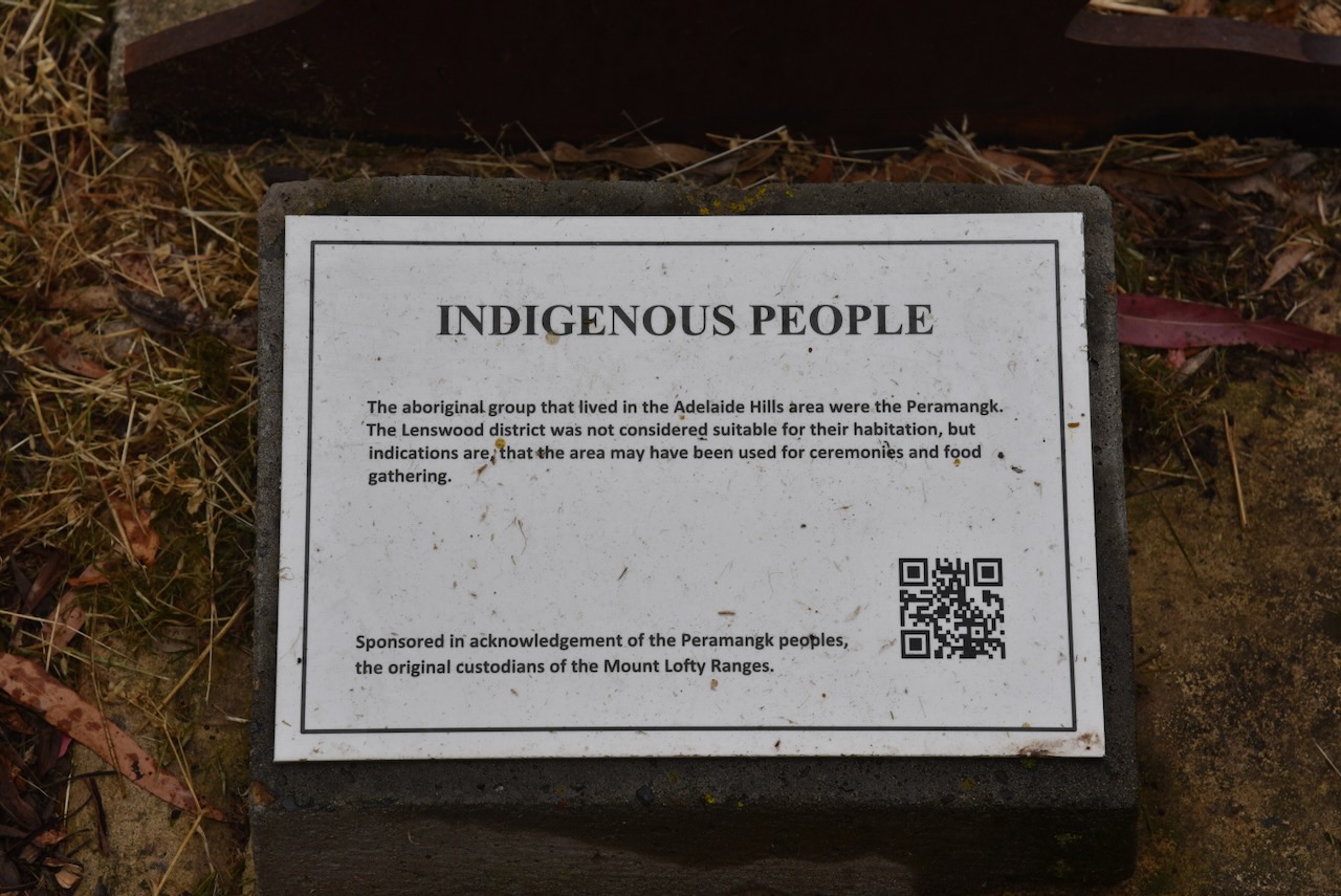
Prior to European occupation, the Peramangk Aboriginal people occupied the Lenswood area.
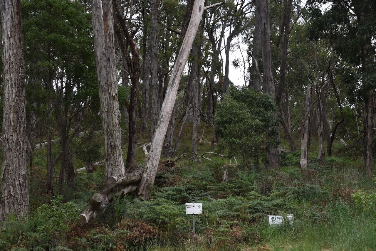
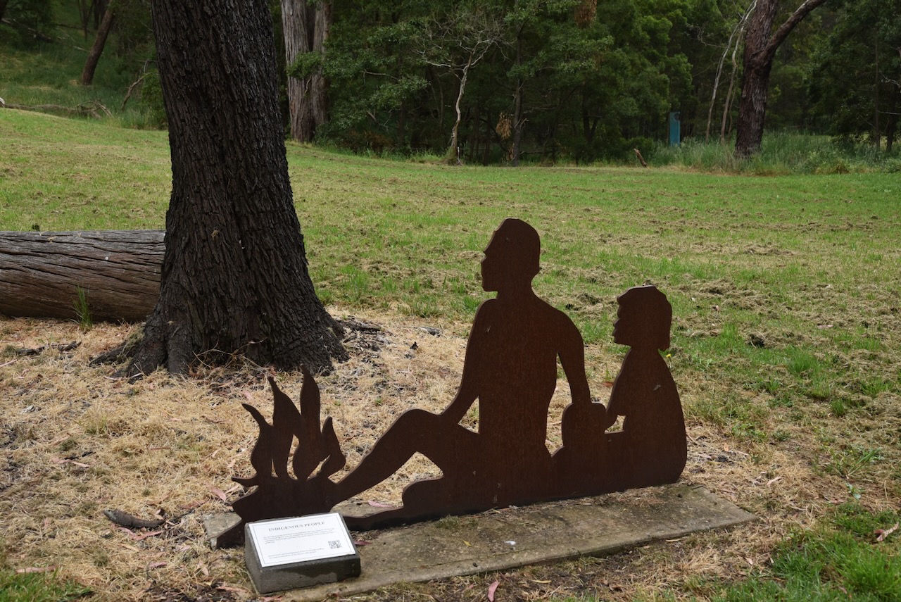
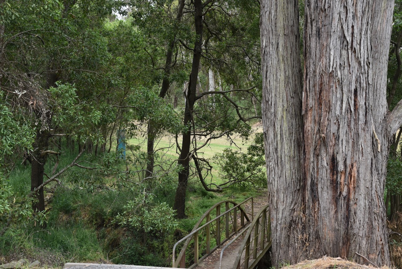
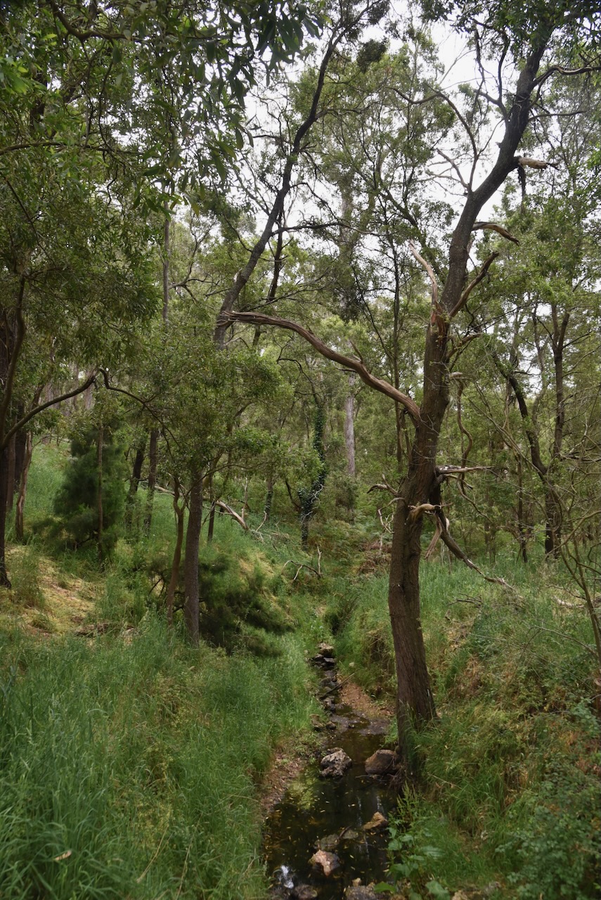
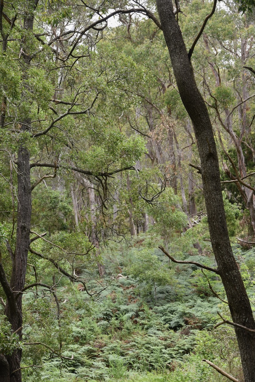
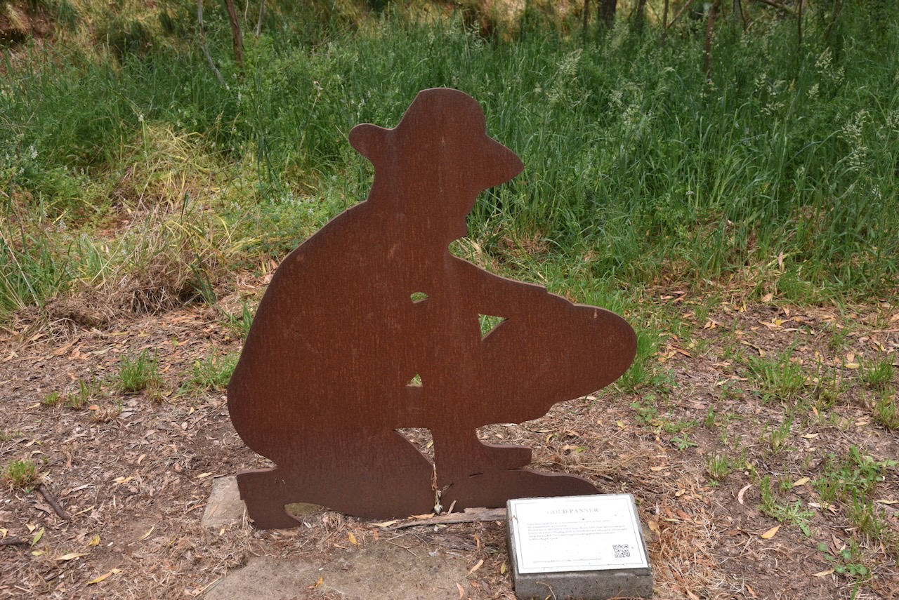
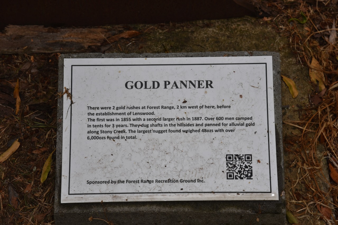
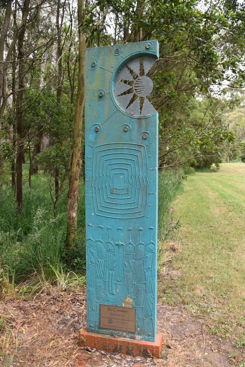
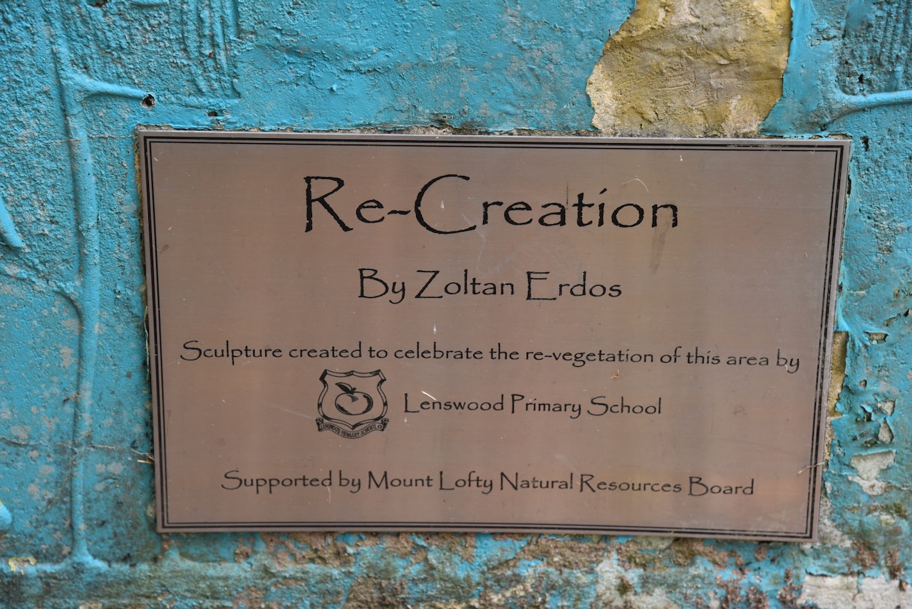
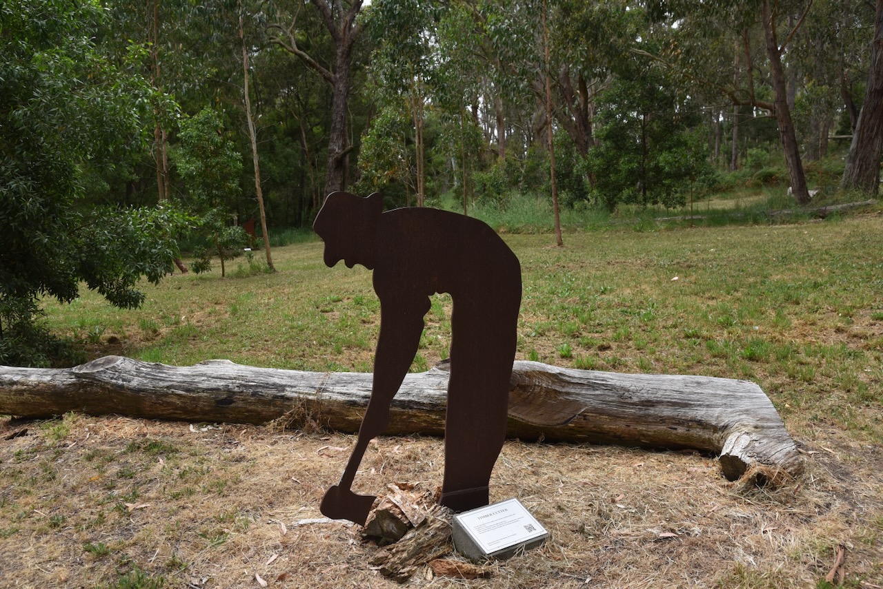
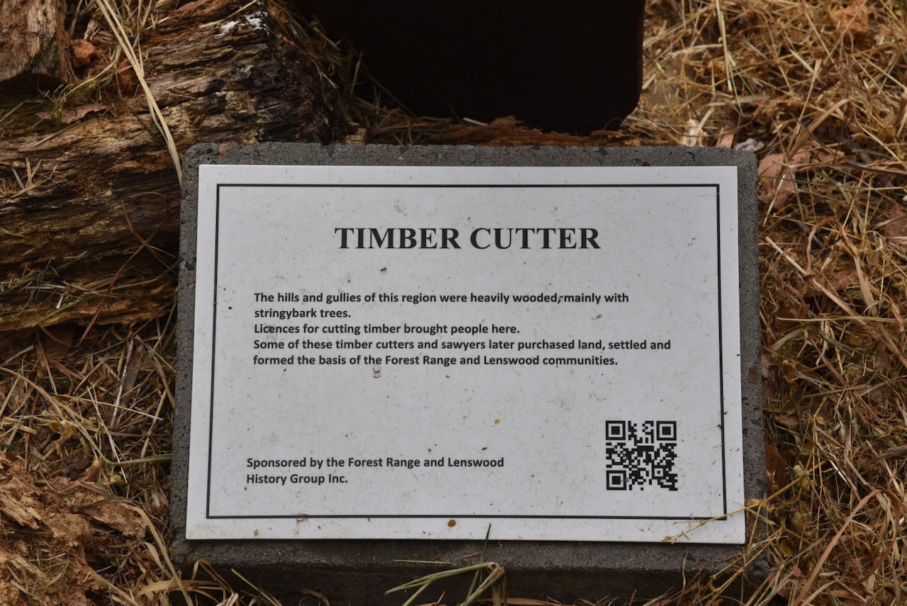
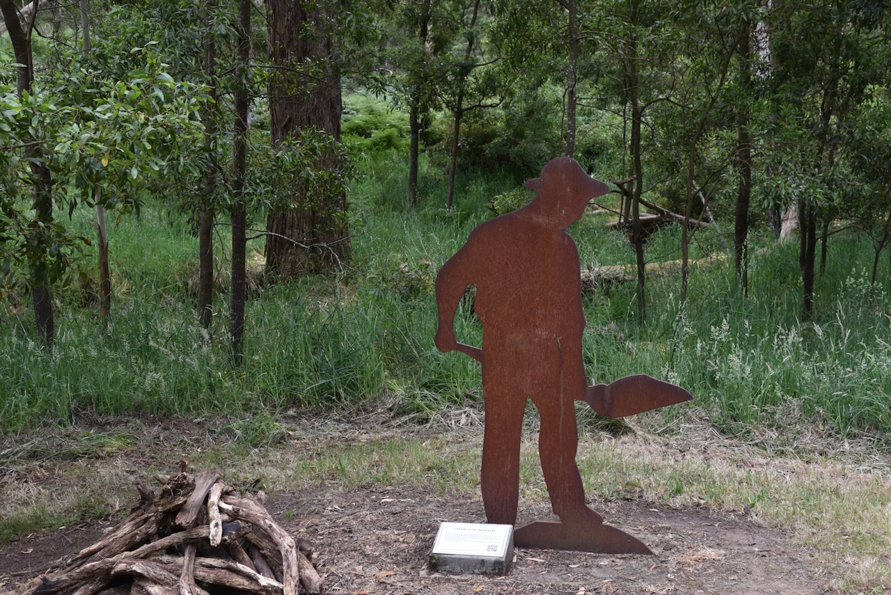
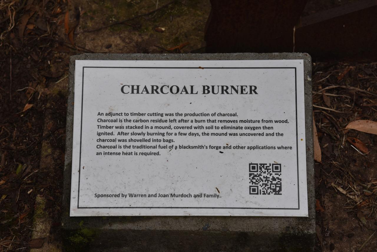
If you take the time to walk across the bridge over what is known as Cock Wash, you will be rewarded with some amazing bushland and a Heritage Trail featuring a series of interpretive signs and life size silhouettes.
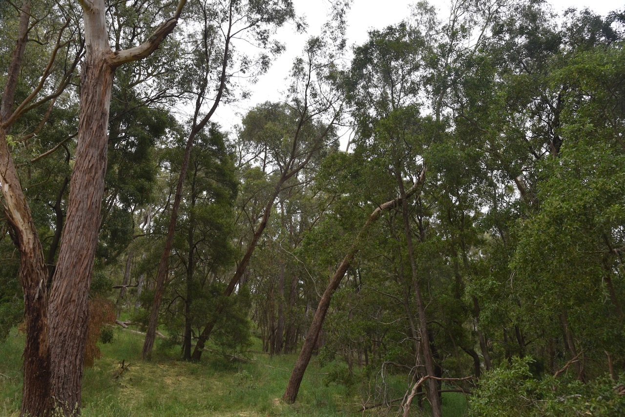
This is certainly a very pretty park.
This is an easy walk that takes about 20 minutes. Some of the interpretive signs relate to the gold panner, the timber cutter, and the Charcoal burner.
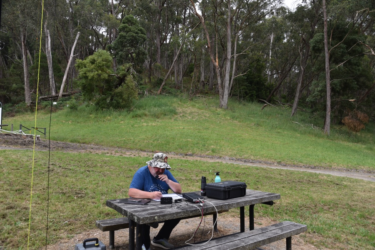
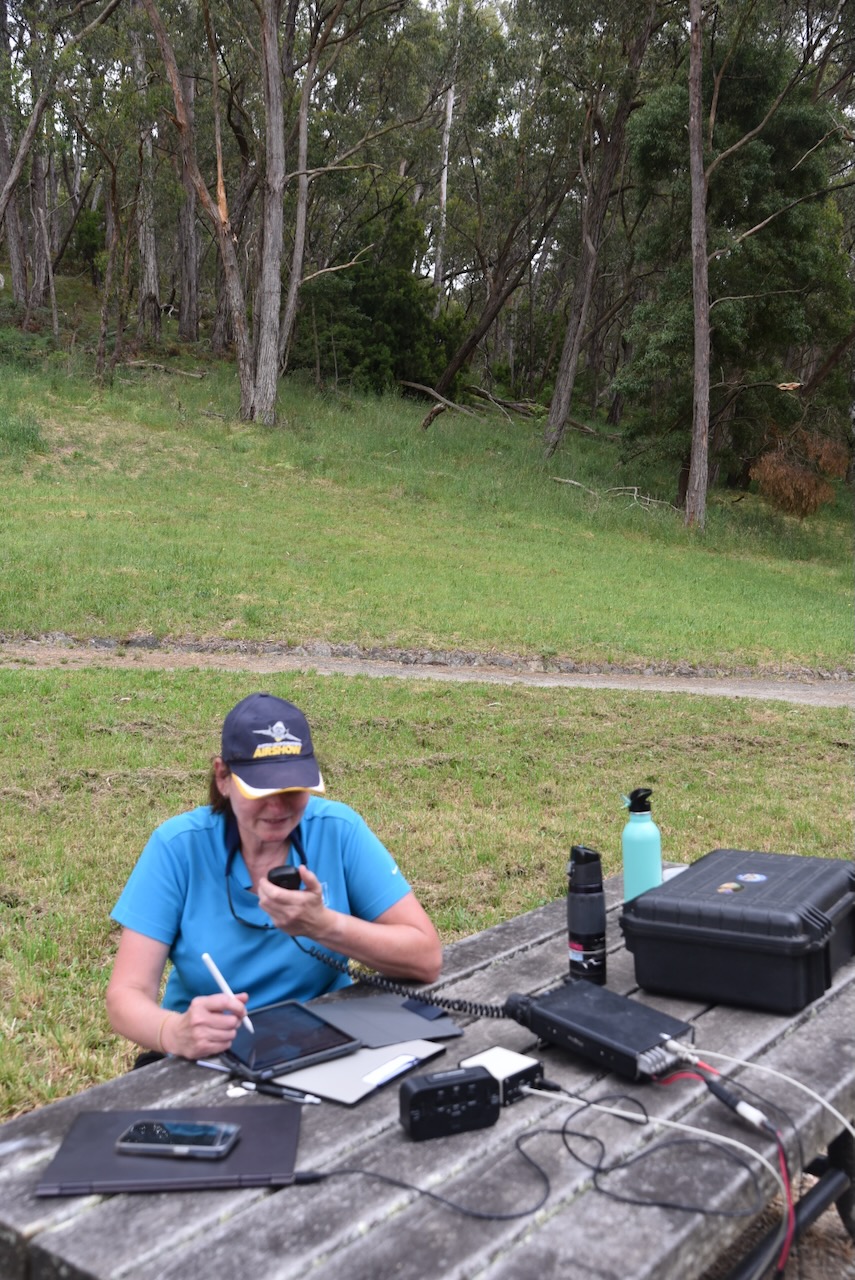
We set up on a wooden table and benches in the park. We ran the Yaesu FT857, 40 watts, and the 20/40/80m linked dipole.
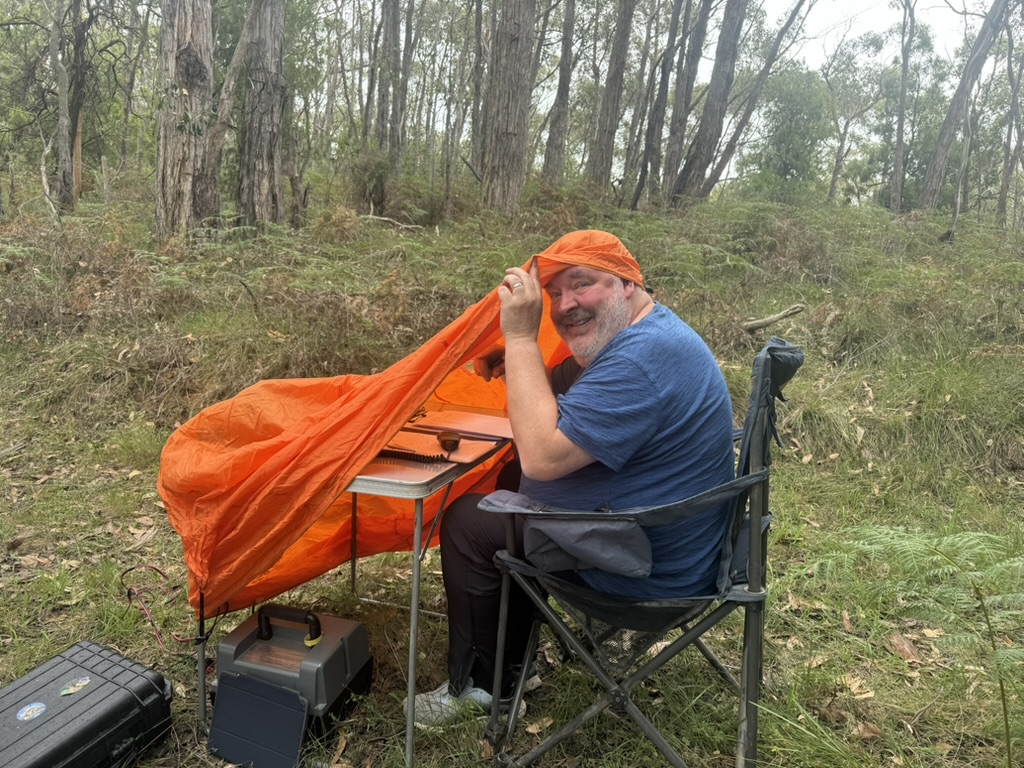
It started spitting with rain midway during our activation, so we had to deploy the bothy bag.
The weekend of Saturday 23rd November and Sunday 24th November 2024 was the annual VKFF Activation Weekend. After our big road trip to Bendigo in October, we decided to activate some parks close to home.
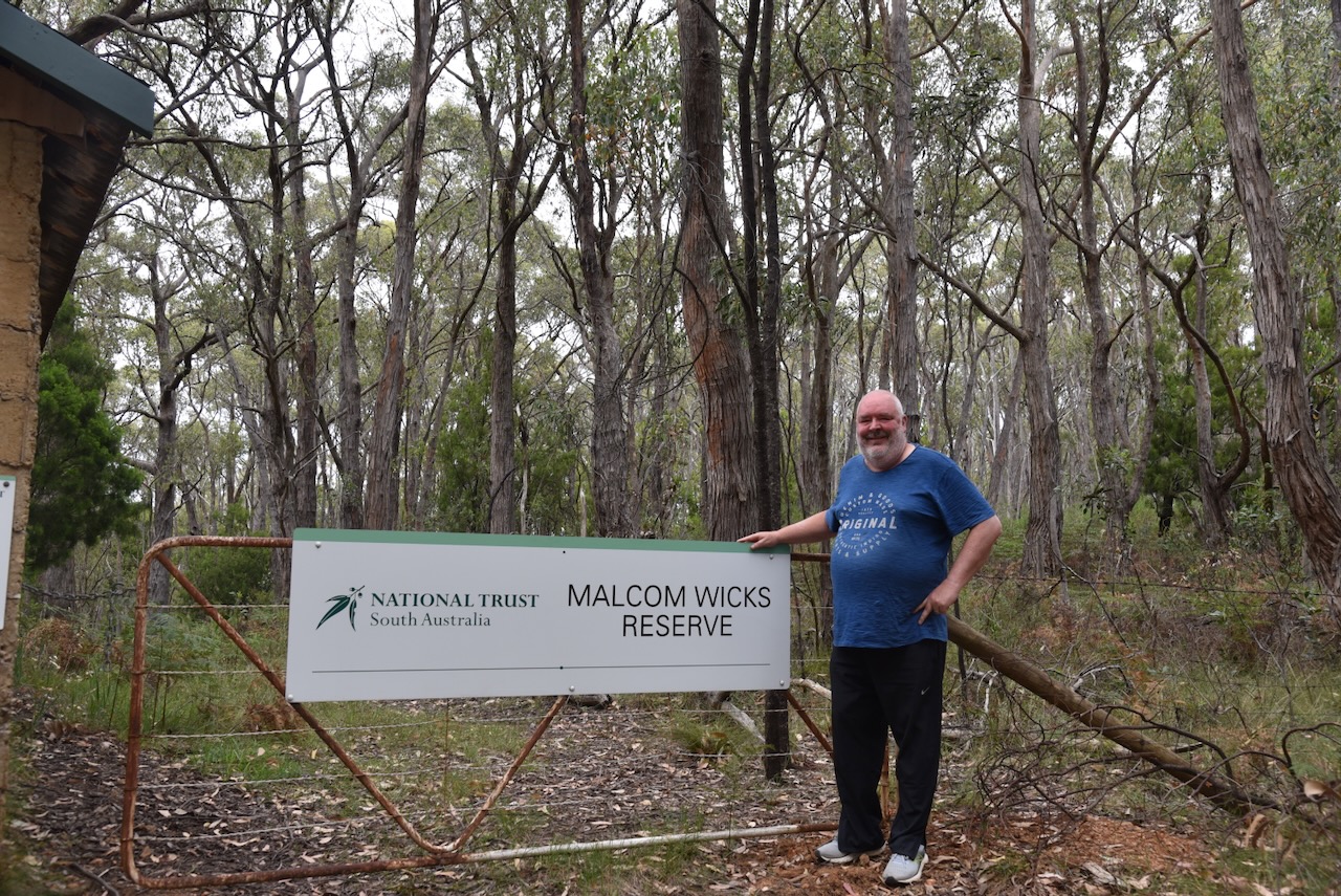
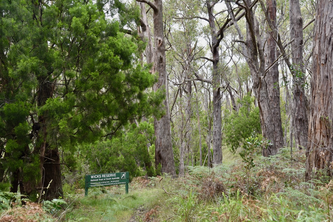
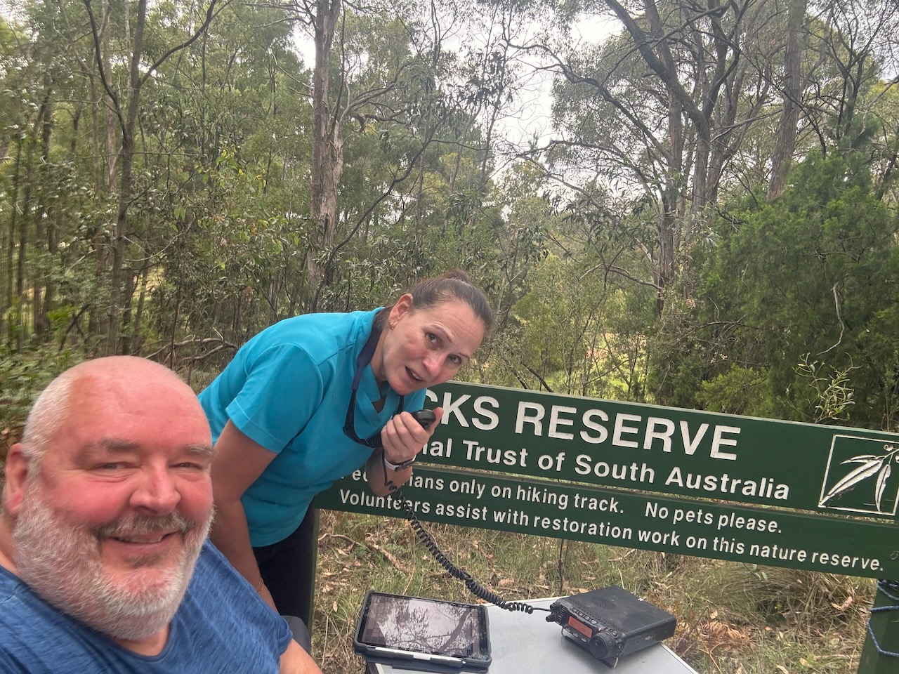
Our first park for Saturday was the Malcolm Wicks Reserve VKFF-4043. The reserve is located in the Mount Lofty Ranges ‘Adelaide Hills’, about 26 km east of the city of Adelaide.
Above:- Map showing the location of the Malcom Wicks Reserve. Map c/o Google Maps.
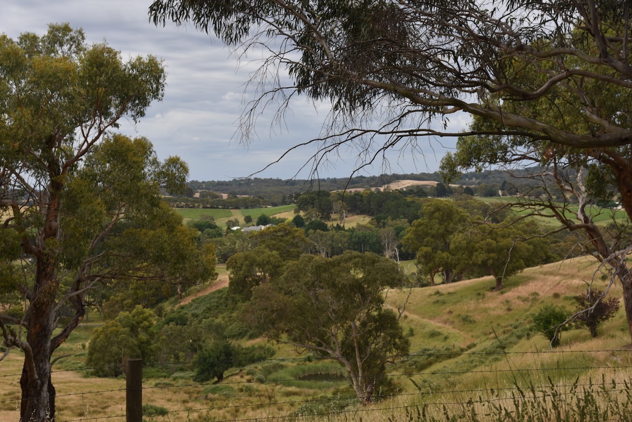
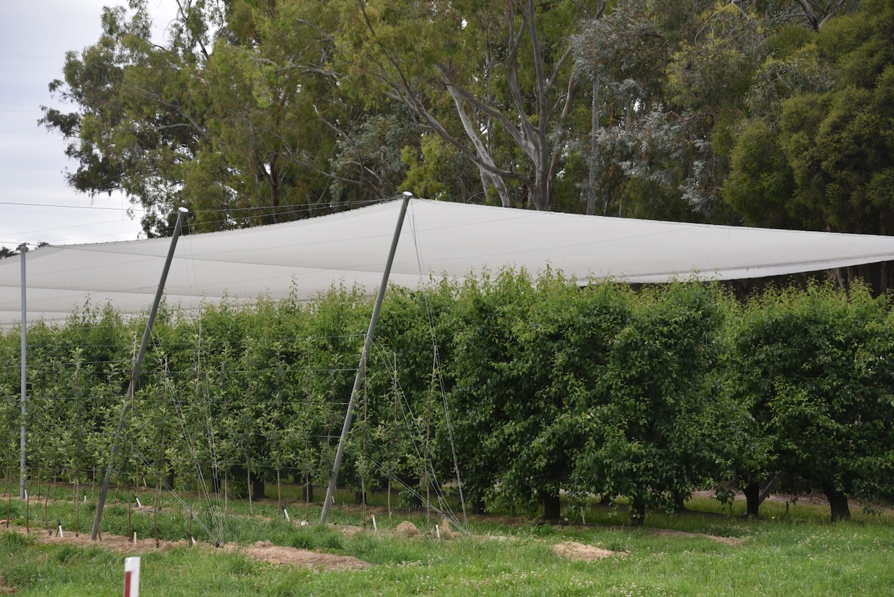
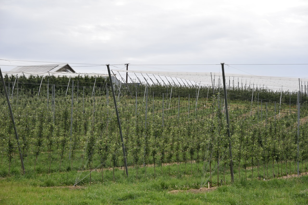
Our drive took us through beautiful countryside in the Adelaide Hills, including the apple, pear, and cherry-producing area of Lenswood.
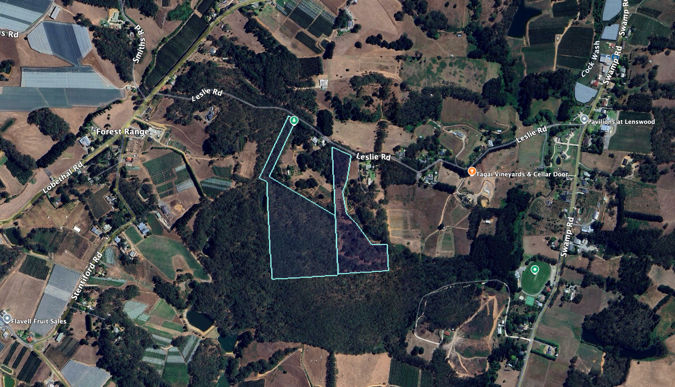
The Malcolm Wicks Reserve is located on the southern side of Leslie Road, Lenswood.
Above:- An aerial view of the Malcom Wicks Reserve. Image c/o Google Earth.
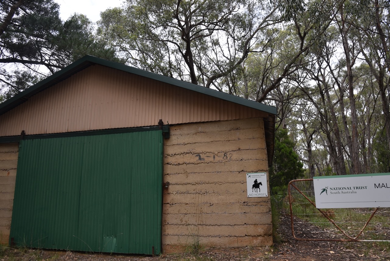
The park is signposted on Leslie Road. There is an old shed with a green door, and alongside that is a gate that leads into the park. There is no vehicular access; it is pedestrian only.
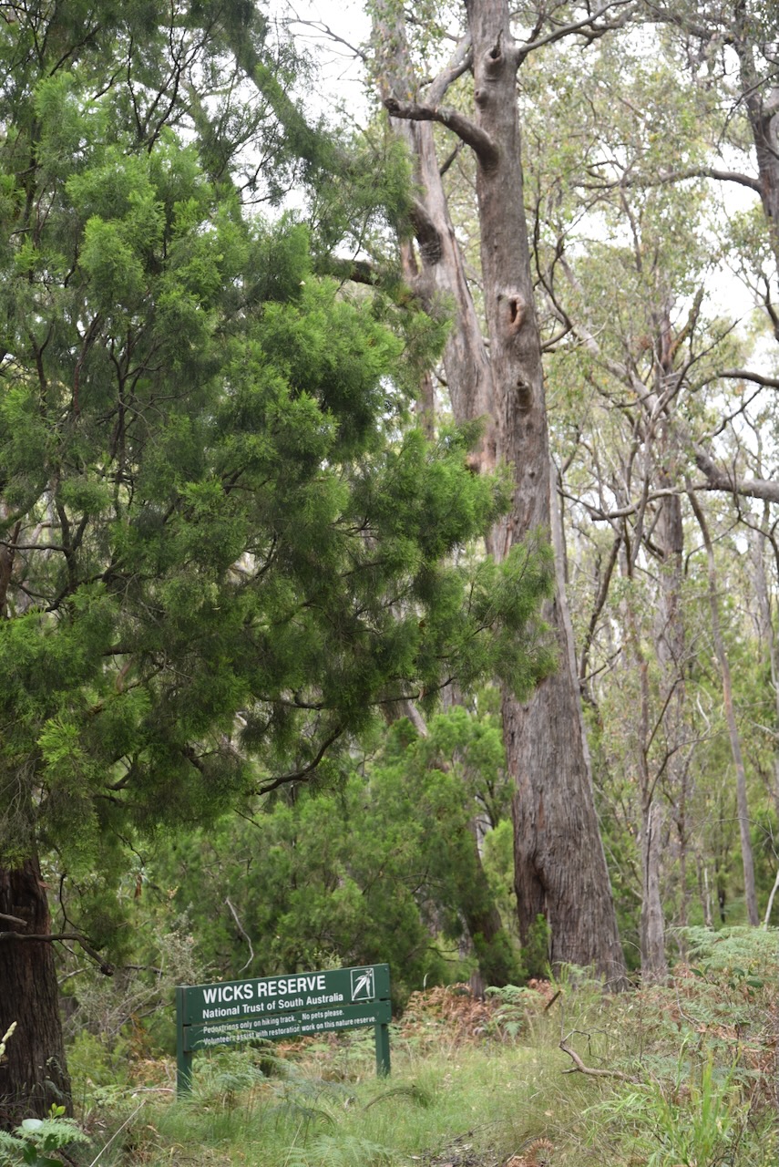
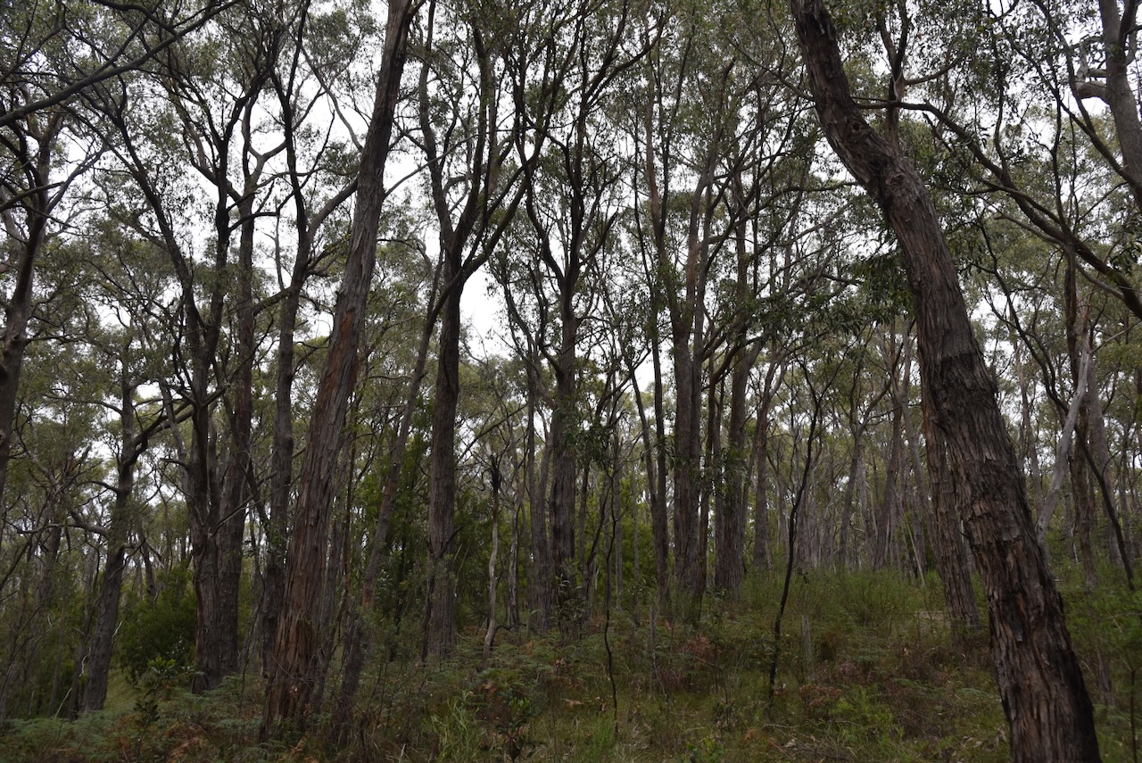
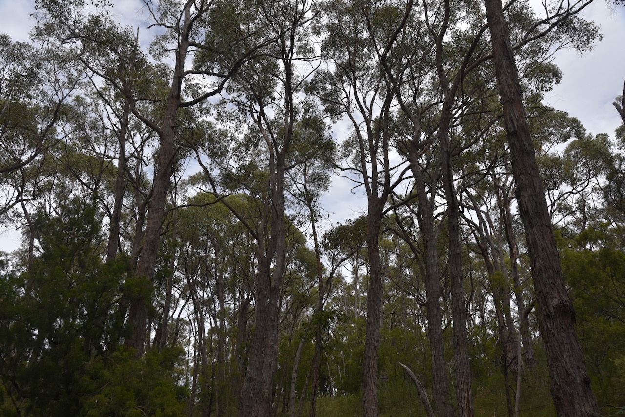
Malcolm Wicks Reserve is an excellent example of Stringybark Open Forest in the high rainfall area of the Mount Lofty Ranges. It is about 8 hectares in size and comprises undulating land. (National Trust, 2025)
Malcolm Wicks Reserve was donated to the National Trust of SA by Mr & Mrs M. Wicks and Mr & Mrs G. Nancarrow in 1979. The National Trust is a worldwide membership organisation that cares for natural and built heritage. (National Trust, 2025)
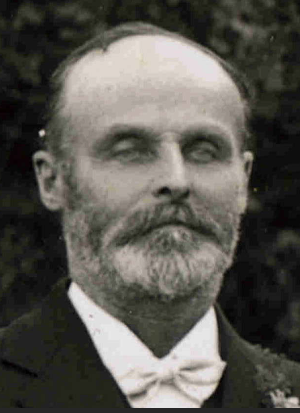
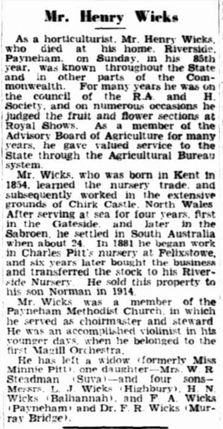
Malcolm Norman (Norman) Wicks OBE was born on the 15th day of May 1920 at College Town (Adelaide). His parents were Hubert Norman David Wicks and Vera June Wicks, nee James.
Malcom’s grandfather was Henry Wicks, who was born in 1854 in Berkshire, England. He emigrated to Australia in 1882 and married Emma Jane Pitt in 1884. Henry worked for Emma’s uncle Charles Pitt at a nursery at Felixstow (I grew up there as a child, not far from Wicks Avenue). In 1905, Henry purchased some land at Balhannah where he established an orchard, and in 1908, he commenced the business of Balhannah Nurseries. (Balhannahnurseries.com.au, 2025) (Trevenen Family in Australia, 2017)
Henry died in 1939 at his home in Payneham. He was 85 years old. Below is Henry’s obituary, which appeared in The Advertiser on Wednesday, 28th June 1939. (Trove, 2025)
Above:- Obituary of Henry ‘Norman’ Wicks, The Advertiser, Wed 28 Jun 1939. Image c/o Trove.
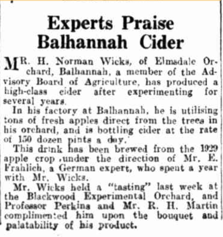
Henry’s son, ‘Norman’ Hicks, was born in October 1889 at Marden. Along with his brother Leonard ‘Len’, they traded as Wicks Brothers at Balhannah until 1917, when he purchased his father’s property. (Trevenen Family in Australia, 2017)
Norman subsequently established the Balhannah Cold Store Company with August Filsell. This was Australia’s first private cold store. Norman also established Elmsdale Cider, which was exhibited in 1935 in Japan at an Australian trade fair. (Trevenen Family in Australia, 2017)
Above:- Article from the Observer, Sat 8 Mar 1930. Image c/o Trove.
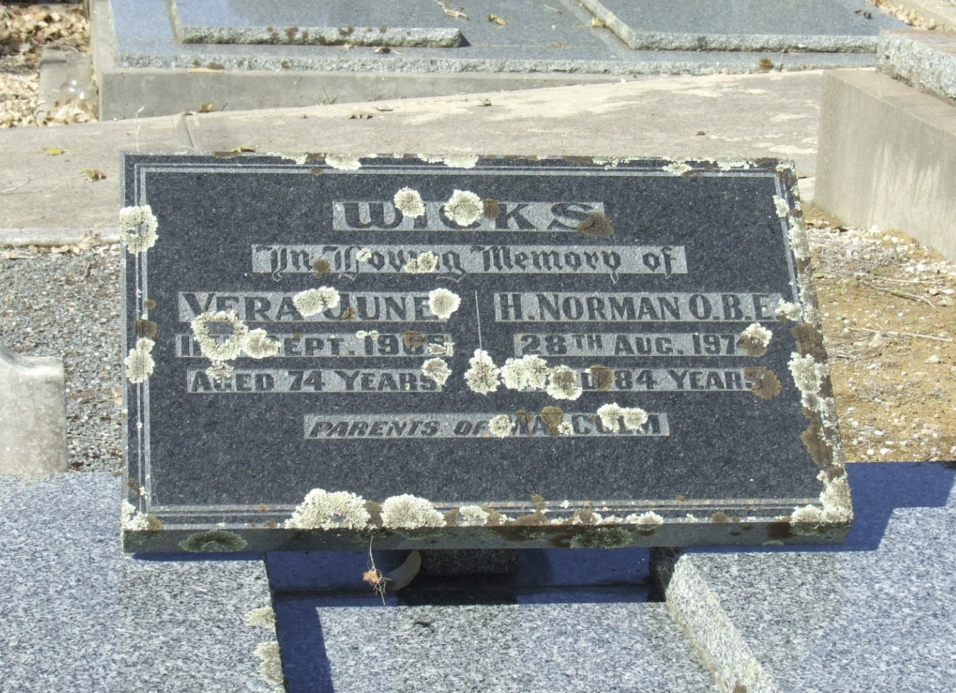
Norman died in August 1974 and is buried at the Bonney’s Flat Methodist Cemetery, Balhannah.
Norman’s son Malcolm continued his father’s nursery business and became the manager of Balhannah Nurseries in 1960. Malcom retired in 1981. He died on the 12th day of September 2009 and is buried at Bonney’s Flat Methodist Cemetery, Balhannah, with his parents.(Balhannahnurseries.com.au, 2025) (Trevenen Family in Australia, 2017)
Marija and I set up just inside the gate alongside the park sign. We ran the Yaesu FT857, 40 watts, and the 20/40/80m linked dipole.
It was a little drizzly at times, and as a result, we had to deploy the bothy bag to offer some protection. In the end, the rain won, and we had to go QRT. But not before we made a total of 144 QSOs and 54 Park-to-Park contacts. It was a brilliant activation.
Marija worked the following stations on 40m SSB before the UTC rollover:-
VK1DI/p (VKFF-3181)
VK2IO/P (VKFF-347)
VK2GEZ/P (VKFF-0347)
VK3PF/P (VKFF-5823)
VK3KAI/P (VKFF-5823)
VK3WSG
VK3CAL
VK5DU/P (VKFF-0826)
VK3XV/P (VKFF-2263)
VK3UAO
VK2GOM/P (VKFF-2698)
VK2VAR/P (VKFF-2698)
VK5QA/P
VK2DBF/P
VK3CLD/P
VK1AO/P (VKFF-1386)
VK2MET/P (VKFF-1386)
VK3ZK/P (VKFF-0747
VK1CHW/P (VKFF-0835)
VK7LTD/P (VKFF-3370)
VK7AMP/P (VKFF-3370)
VK3APJ
VK3CEO
VK2SLB
VK2BRN
VK2KBT
VK3MCA/P (VKFF-6004)
VK3SPG
VK2LQ
VK2PCT
VK3KLI
VK3BYD/P (VKFF-3791)
VK3GJG/P (VKFF-5033)
VK2VW
VK2HFI
VK2AKA
VK2BUG
VK5CZ
Marija worked the following stations on 40m SSB after the UTC rollover:-
VK5CZ
VK1RF/P (VKFF-047)
VK2EXA
VK5HS
VK3APJ
VK3UAO
VK3GJG/P (VKFF-5033)
VK1CHW/P (VKFF-0835)
VK2IO/P (VKFF-0347)
VK2GEZ/P (VKFF-0347)
VK3MCA/P (VKFF-6004)
VK2GOM/P (VKFF-2698)
VK2VAR/P (VKFF-2698)
VK1DI/P (VKFF-3181)
VK5AYL/P (VKFF-1005)
VK3PF/P (VKFF-5038)
Marija worked the following stations on 20m SSB:-
VK2GOM/P (VKFF-2698)
VK2VAR/P (VKFF-2698)
VK1AO/P (VKFF-1386)
VK2MET/P (VKFF-1386)
VK1RF/P (VKFF-0847)
VK2IO/P (VKFF-0347)
VK2GEZ/P (VKFF-0347)
I worked the following stations on 40m SSB after the UTC rollover:-
VK1DI/p (VKFF-3181)
VK2IO/P (VKFF-347)
VK2GEZ/P (VKFF-0347)
VK3PF/P (VKFF-5823)
VK3KAI/P (VKFF-5823)
VK3WSG
VK3CAL
VK5DU/P (VKFF-0826)
VK3XV/P (VKFF-2263)
VK3UAO
VK2GOM/P (VKFF-2698)
VK2VAR/P (VKFF-2698)
VK5QA/P
VK2DBF/P
VK3CLD/P
VK1AO/P (VKFF-1386)
VK2MET/P (VKFF-1386)
VK3ZK/P (VKFF-0747
VK1CHW/P (VKFF-0835)
VK7LTD/P (VKFF-3370)
VK7AMP/P (VKFF-3370)
VK3APJ
VK3CEO
VK2SLB
VK2BRN
VK2KBT
VK3MCA/P (VKFF-6004)
VK3SPG
VK2LQ
VK2PCT
VK3KLI
VK3BYD/P (VKFF-3791)
VK3GJG/P (VKFF-5033)
VK2VW
VK2HFI
VK2AKA
VK2BUG
VK5CZ
I worked the following stations on 40m SSB after the UTC rollover:-
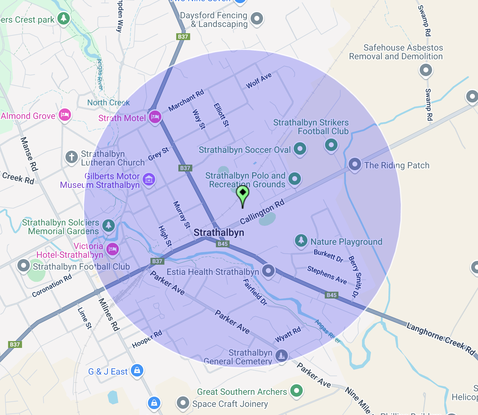
On Wednesday 13th November 2024, myself and other members of the Strathalbyn Amateur Radio Group, activated the Strathalbyn silo VK-STN5. Strathalbyn is about 55 km southeast of Adelaide.
Above:- Map showing the location of Strathalbyn. Map c/o Google Maps.
The town of Strathalbyn was founded in 1839. The first landholders were Dr. John Rankine (b. 1801. d. 1864) and Donald McLean (b. 1780. d. 1855).
Below is an excellent video on beautiful Strathalbyn.
The Strathalbyn silos are working silos and are located in Callington Road. The Strathalbyn silos are working silos and are part of the company Viterra, which is one of the largest buyers and exporters of Australian wheat, barley, canola, pulses, sorghum and cotton. It is also part of Laucke Flour Mills, the last of Australia’s industry founding family-owned and operated, independent Millers.
I have activated these silos several times previously, but this particular day was about having some fun out in the field, and for many of the fellas attending, this was their very first SiOTA activation.
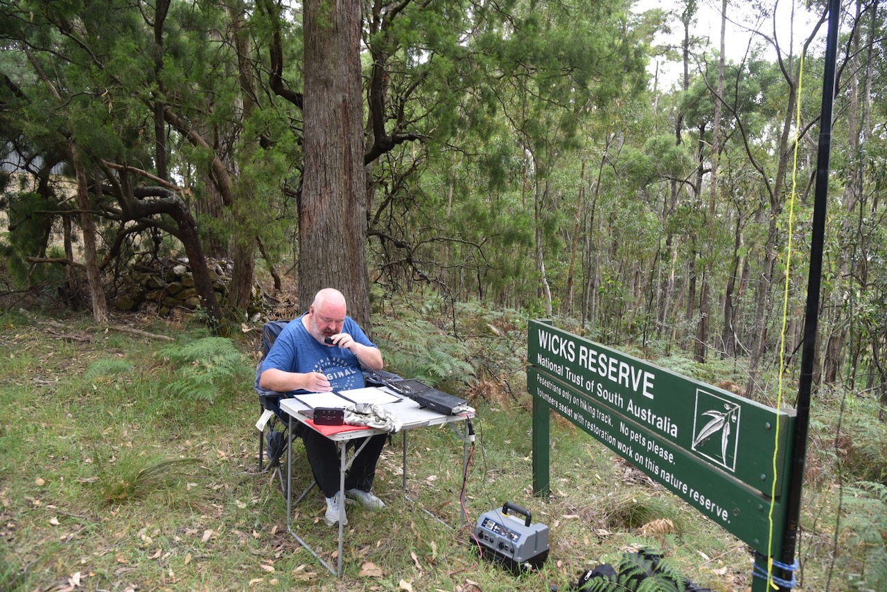
We set up on the Strathalbyn Strikers Football club oval, in the activation zone of the silo.
Above:- Map showing the activation zone at the Strathalbyn silo. Map c/o SiOTA website.
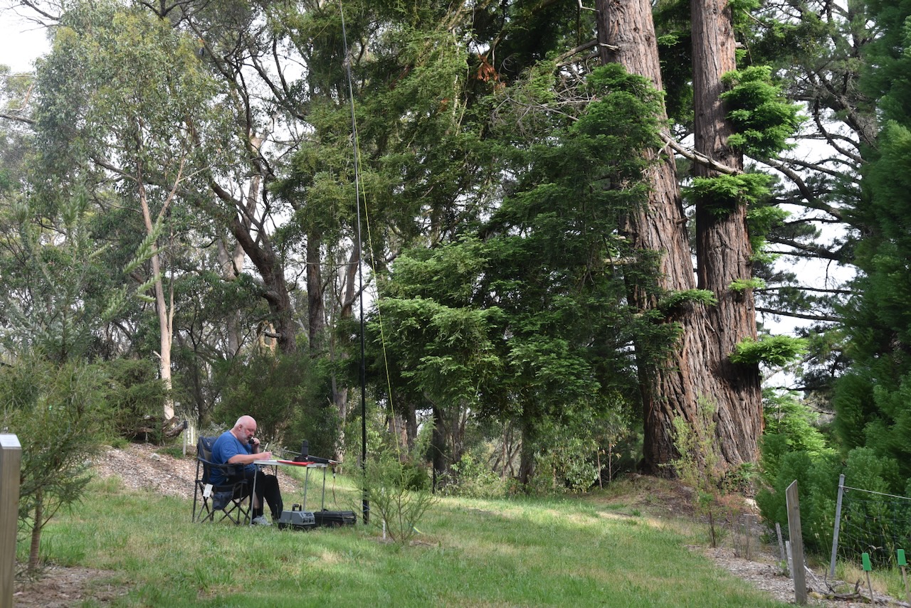
Our main station was my Yaesu FT857, running 40 watts, and the 20/40/80m linked dipole. Det VK5DET also brought along his military manpack.
We spent a few hours activating the silo, having lots of laughs, and all successfully activating the Strathalbyn silo.
I worked the following stations on 40m SSB:-
VK3WSG
VK3DX
VK5MAZ
VK5MRD
References.
Wikipedia Contributors (2019). Strathalbyn. Wikipedia.