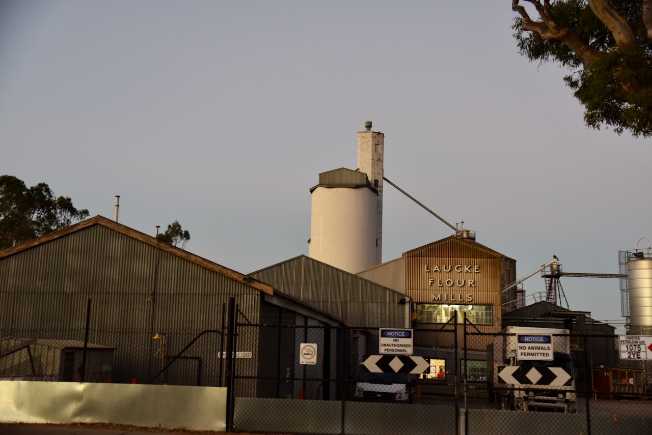
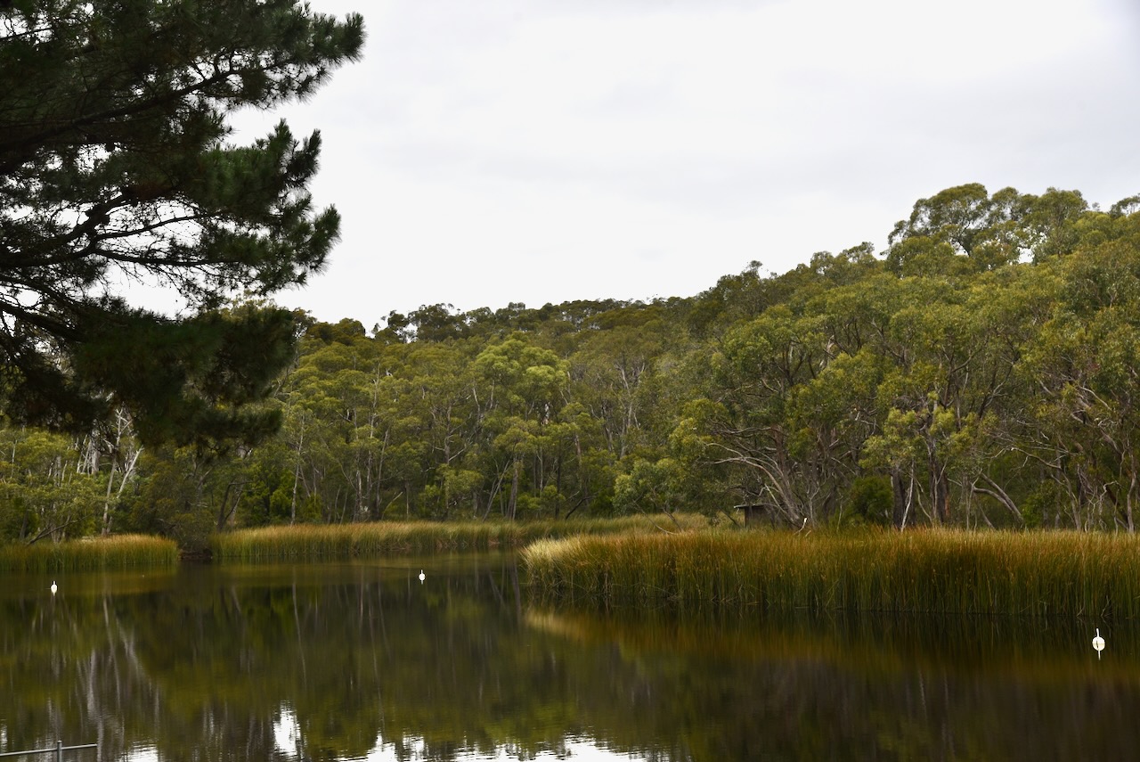
After leaving Hindmarsh Valley, I headed to the Hesperilla Conservation Park VKFF-1038. The park is located about 2 km south of Mount Compass and about 60 km south of Adelaide.
Above:- Map showing the location of the Hesperilla Conservation Park. Map c/o Google Maps.
The park is located on the western side of Victor Harbor Road.
Above:- An aerial view of the Hersperilla Conservation Park. Image c/o Google Earth.
The park is about 11 hectares in size and was established on the 18th day of February 2010. (CAPAD 2022)
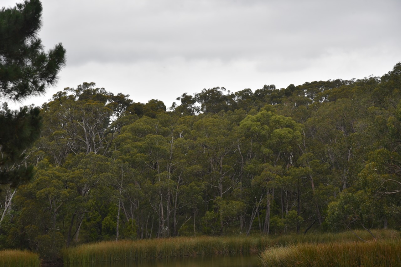
Hesperilla Conservation Park protects an important remnant of the critically endangered Fleurieu Peninsula Swamp ecological community. (Nature Glenelg Trust, 2024)
A total of seven bird species that are listed as threatened at State level can be found in the park, including the Southern emu-wren. The nationally threatened Mount Compass oak-bush, and 7 other plant species that are listed as threatened at the state level, are also found in the park. (NPWS 2023)
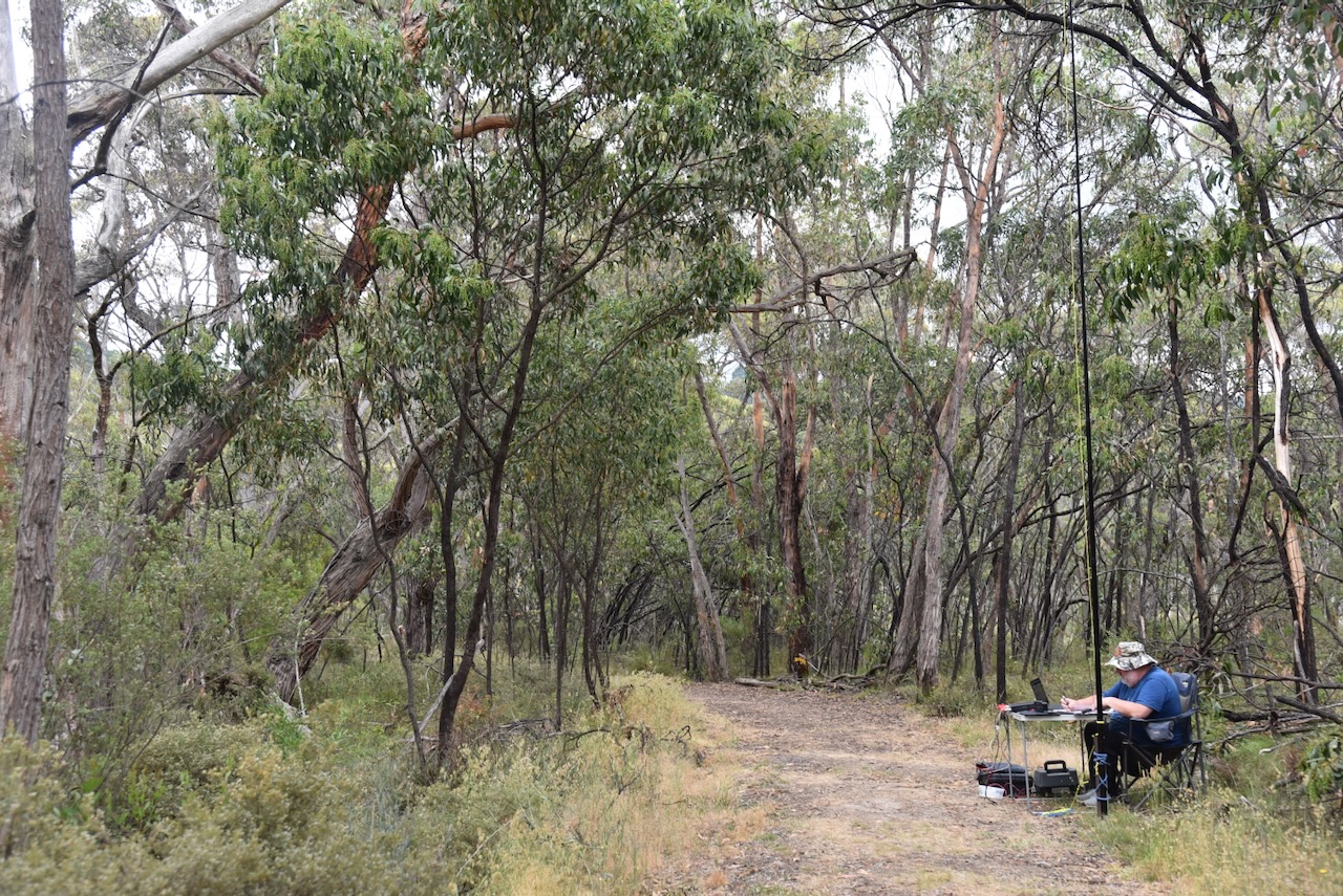
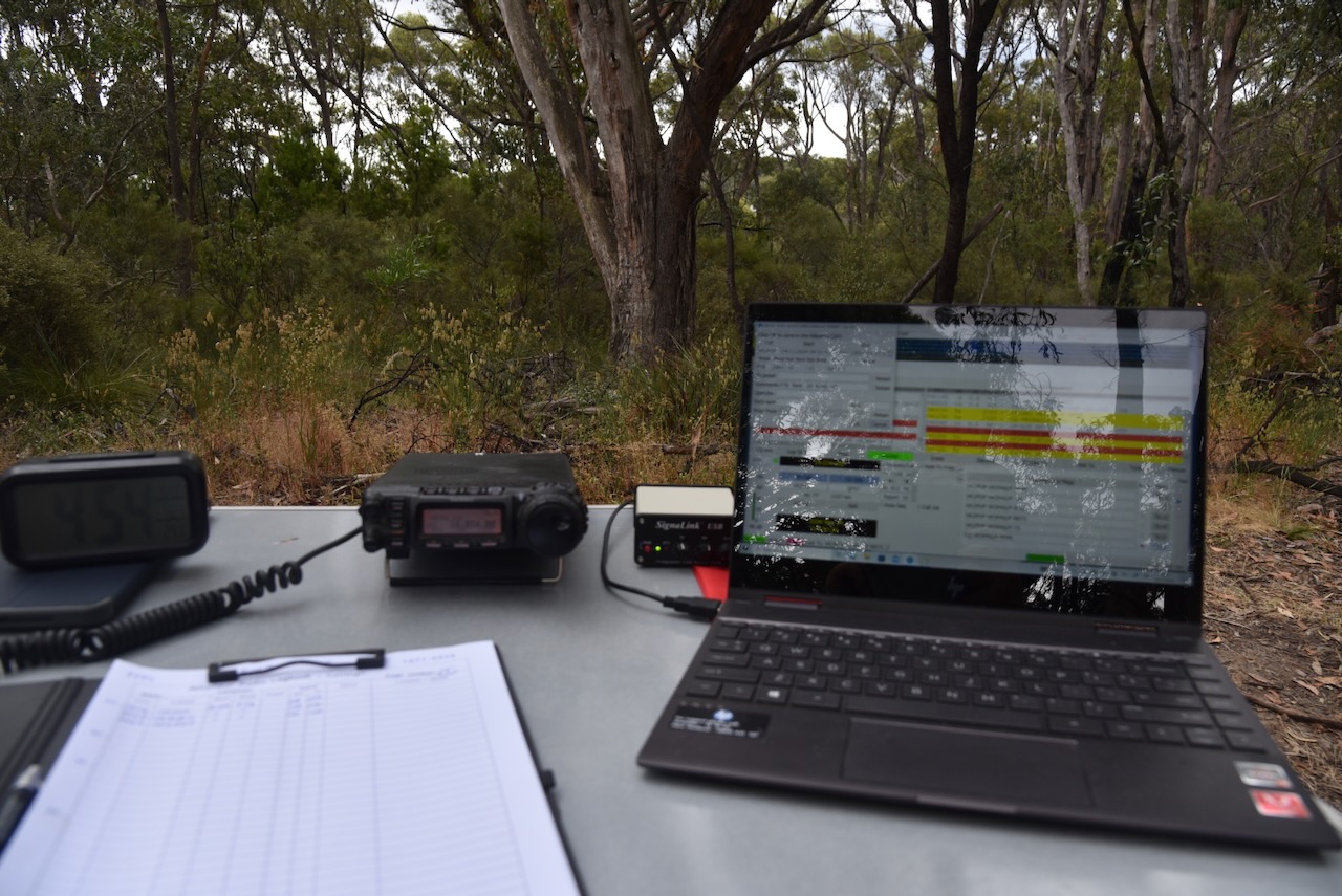
I ran the Yaesu FT857, 40 watts, and the 20/40/80m linked dipole.
My third activation for Monday 7th April 2025, as VI100IARU, was the Hindmarsh Valley National Park VKFF-3190. The park is located about 79 km south of the city of Adelaide. This was the first time the park had been activated for the World Wide Flora Fauna (WWFF) program.
Above:- Map showing the location of the Hindmarsh Valley National Park. Map c/o Google Maps.
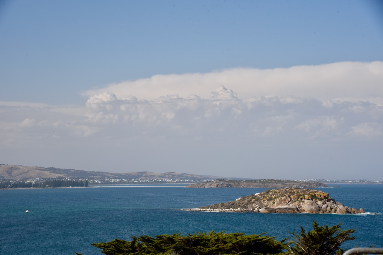
As I drove to the park from the Spring Mount Conservation Park, I was rewarded with some magnificent views of the Fleurieu Peninsula.
The Fleurieu Peninsula was named in honour of the French explorer and hydrographer Charles Pierre Claret de Fleurieu by the French explorer Nicolas Baudin during his 1802 exploration of the south coast of Australia. (Wikipedia 2023)
Above:- Nicolas Baudin (left) and Charles Pierre Claret de Fleurieu (right). Images c/o Wikipedia
Despite this being a new park with plenty of hype from the South Australian State Government, it was not easy to find. Access to this park is via a narrow strip of land on Nettle Hill Road. There is a gate at this location; however, there are no signs.
The National Parks brochure shows that there is a car park and picnic area here, but I could not find them. The aerial view also indicates that the park extends all the way to Hindmarsh Tiers Road, but this is not the case according to Location SA Map viewer and CAPAD data.
Above:- Map of the park. Image c/o NPWS SA.
The Hindmarsh Valley National Park is in close proximity to the Mount Billy Conservation Park, and has a handful of Heritage Agreements that surround the park.
Above:- An aerial view of the Hindmarsh Valley National Park. Image c/o Google Earth.
Hindmarsh Valley is named in honour of Rear Admiral Sir John Hindmarsh (b. 1785. d. 1860), the first Governor of South Australia. (Wikipedia 2022)
Above:- Sir John Hindmarsh. Image c/o Wikipedia.
The Hindmarsh Valley National Park is 423 hectares in size and was established in December 2021. The land was previously owned by SA Water and was transferred to the Department for Environment and Water in mid-2021. (National Parks and Wildlife Service South Australia,2025)
The park is home to the nationally endangered Southern Brown Bandicoot, the Chestnut Rumped Heath-wren, the nationally-vulnerable Bassian thrush and locally critically endangered western pygmy Possum. (National Parks and Wildlife Service South Australia,2025)
I ran the Yaesu FT857, 40 watts, and the 20/40/80m linked dipole for this activation.
I worked the following stations on 20m SSB:-
VK5MAZ
VK2TM
KG55CIK
VK3PF
VK3KAI
VK4NH
VK4DXA
VK7AAE
VK2GJC
VK1AO
VK2MET
VK1DI
VK2LEE
VK4XCS
VK7XX
VK4JT
ZL2BAQ
VK2MW
VK2HDT
VK4GRZ
VK5VR
ZL2GLG
VK2IO/M
VK3UH
WA6SZE
DL8NDG
VI100SIG
VK2COS
IW2BNA
F5PYI
VK6JK
UT5PI
I worked the following stations on 20m FT8:-
SP9W
IZ7HNO
VK3APJ
VK3PF
NJ3T
YU7NW
I3QDK
RU3GC
IS0ANW
PA0ABM
F4EIK
VK2EG
IK5UIS
OK2QA
F5RRS
I worked the following stations on 40m SSB:-
VK2HAK
VK5MAZ
VK7PJM
VK5CZ
VK5XE
VK3PF
VK3KAI
VK2VW
VK2HFI
VK2AKA
VK2BUG
VK1AD
VK1NAM
VK3UH
VK5LA
VK5KAW
VK3YV
VK3VIN
VK4NH
VK4DXA
VK2LEE
VK3ANL
VK2MOE
VK1MO
VK3HJV
VK2EXA
VK4HMI
VK2FALL
VK3OHM
VK3CEO
VK3ARD
VK7AN
VK5HS
VK3AEI
At the conclusion of the activation, I visited the Hindmarsh Falls, which are fed by the Hindmarsh River catchment area between Mt Cone and Spring Mount. (Victor Harbor 2022)
I left Hindmarsh Valley and headed towards home. I intended to activate on more park and a silo before reaching home. Despite it being a rather bleak day, I was still rewarded with some nice views of the Fleurieu as I made my way towards my next park.
My next activation for Monday 7th April 2025, was the Spring Mount Conservation Park VKFF-0789.
Above:- Map showing the location of Spring Mount Conservation Park. Map /o Google Maps.
I have activated Spring Mount several times previously. It is one of my favourite parks.
Mount Alma Road dissects the park. Springmount Road is the northern boundary of the park. There is a heritage agreement to the west of the park.
Above:- An aerial view of the Spring Mount Conservation Park. Image c/o Google Earth.
The park is about 279 hectares in size and mostly consists of Open Forest of Brown Stringybark and Messmate Stringybark with understorey plants including Myrtle Wattle, Beaked Hakea, and Yacca. Over 90 species of native birds have been recorded in the park, including Adelaide Rosella, White-throated Treecreeper, Superb Fairywren, Crescent Honeyeater, Grey Shrikethrush, Grey Fantail, and Scarlet Robin.(Birdssa.asn.au, 2016)
The Spring Mount Conservation Park was formerly known as the Spring Mount Wild-life Reserve, proclaimed on the 3rd day of February 1966. On the 27th day of April 1972, the Wild-life Reserve was reconstituted as the Spring Mount Conservation Park. (Wikipedia 2025).
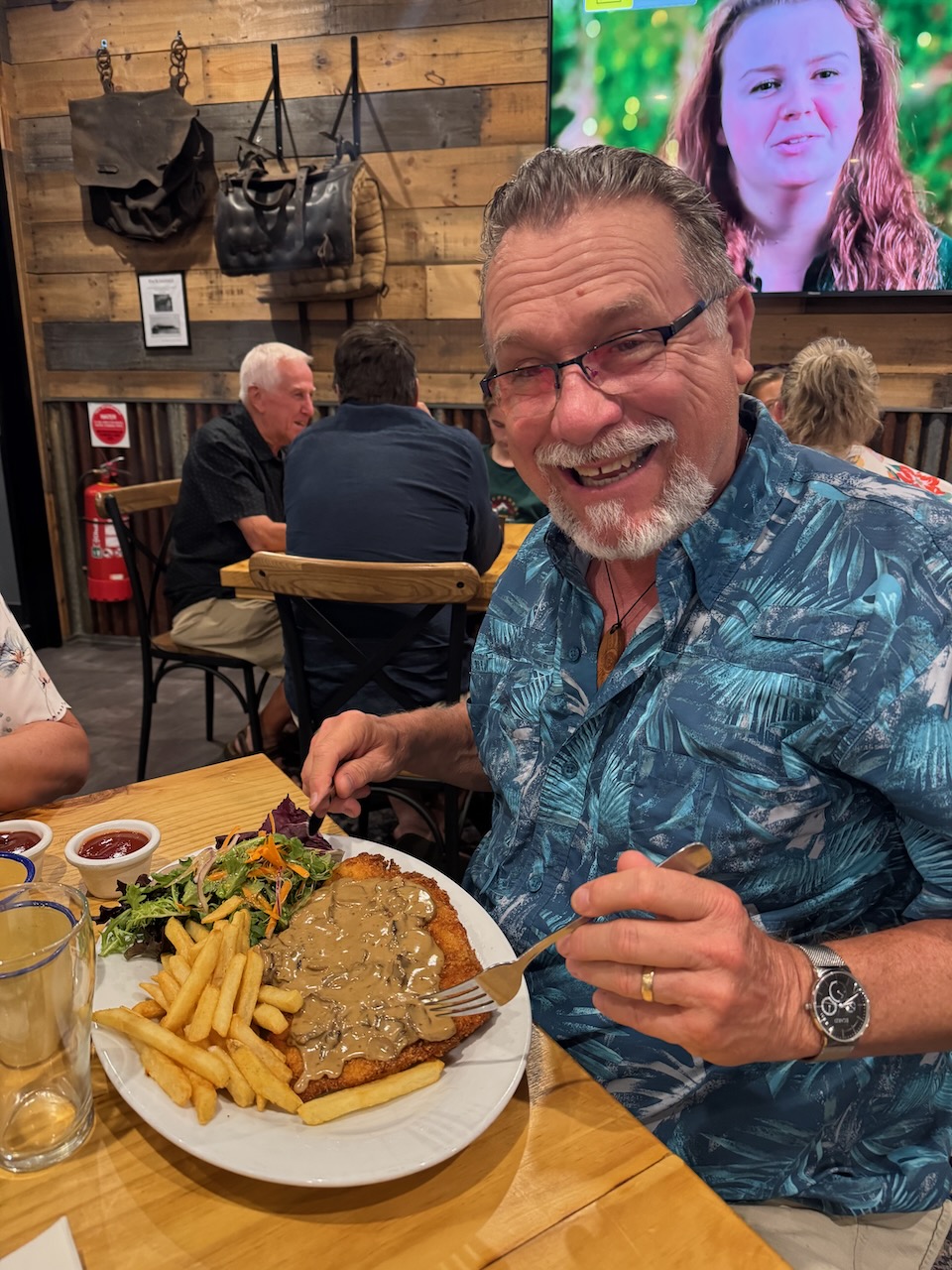
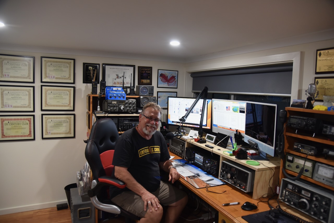
During April 2025, I had the pleasure of being able to use the special event callsign of VI100IARU to celebrate the centenary of the International Amateur Radio Union. I made a significant number of QSOs from home, so I decided to head out into the field with the call and do a bit of portable work.
Screenshot
On Monday 7th April 2025, I activated HEMA summit VK5/ HSE-042, near Myponga on the Fleurieu Peninsula, south of Adelaide.
Above:- Map showing the location of HEMA summit VK5/ HSE-042. Map c/o Google Maps.
What is HEMA? HEMA is the acronym for HuMPs Excluding Marilyns Award. A HuMP is a summit which has at least 100 metres of prominence. A Marilyn is a summit that has 150 metres of prominence. The HEMA program commenced in the British Isles. (Hema.org.uk, 2024)
I have activated this summit previously back in May 2021. It was my very first HEMA activation.
As I drove along Pages Flat Road towards Myponga, I could see the summit off in the distance with its communications towers atop it.
The summit is located at the end of Trig Point Road. It is easily accessible. The summit is 442 metres above sea level and has 148 metres of prominence. This means that it falls short of qualifying for the Summits On The Air (SOTA) program by just 2 metres. (Hema.org.uk, 2024)
The summit is referred to as Trig Point on the HEMA website, but it is also known as Myponga Hill on several communication tower sites.
Above:- An aerial view of the summit. Image c/o Google Maps.
There are towers with communication equipment on top of the summit, but they do not cause any RF interference.
There is a trig point on the summit which has seen better days.
And despite it being a rather cold and windy day, there were some fantastic views of the surrounding countryside. The Yulte Conservation Park VKFF-1128 is clearly visible from the summit, as is the town of Myponga. Myponga is derived from an Aboriginal word, maippunga, meaning divorced wife or high cliffs. You can also see another HEMA summit, Heatherdale Hill HSE-009 (readOctober 11 and comments )
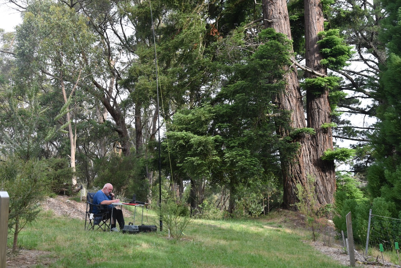
As this was an easy drive-up summit, I had the luxury of my fold-up table and deck chair. I set up on the side of the road just down from the trig point. I ran the Yaesu FT857, 40 watts, and the 20/40/80m linked dipole.
During my activation, I had one of the local farmers curiously ask me what I was doing. I stopped to explain the hobby of amateur radio. He was very interested.
I worked the following stations on 40m SSB:-
VK5MAZ
VK3HBG
VK5FANA
VK5IS
VK3CJN
VK3QHU
I worked the following stations on 40m AM:-
VK5MAZ
VK5ATQ
I worked the following stations on 20m SSB:-
VK5MAZ
VK4IJP
VK3PF
VK1AO
VK5HK
I worked the following stations on 20m FT8:-
VK5MAZ
VK4HDW
YC8PAD
VK2IO
VK1AO
VK3LV
VK3JV
I worked the following stations on 40m FT8:-
VK5MAZ
VK1AO
VK3PF
VK5CZ
VK2IO
VK4AEF
References.
Hema.org.uk. (2024). The HEMA Website. [online] Available at: http://www.hema.org.uk/. [Accessed 15 Jun 2025]
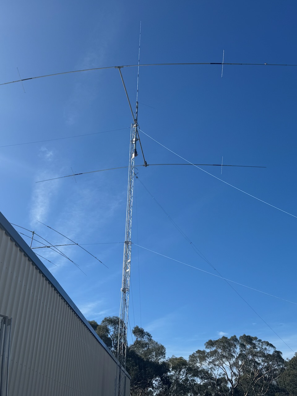
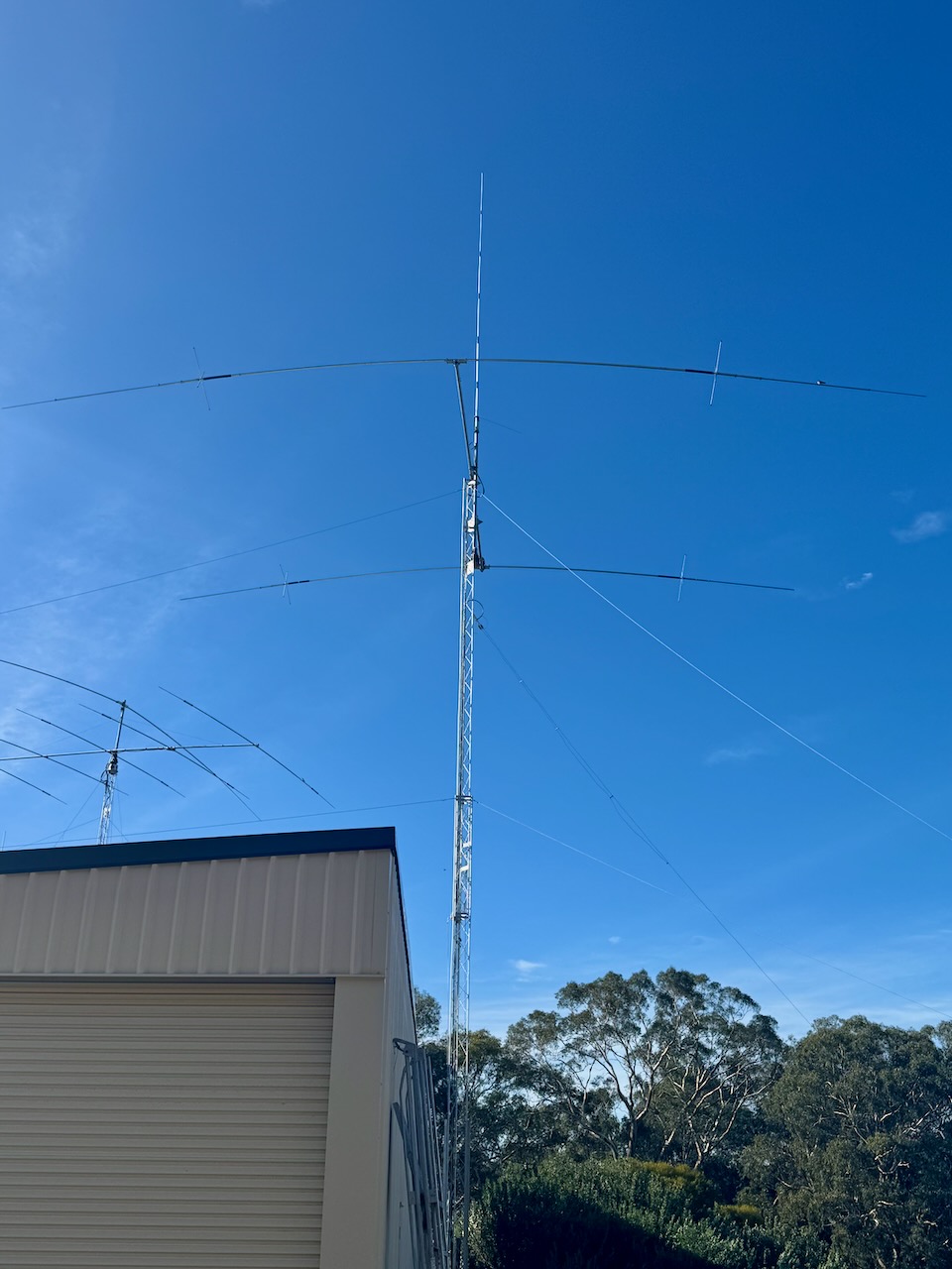
In early April 2025, I had my 3rd tower delivered to my home, courtesy of Det VK5DET. Once painted, this will be erected and will have my 6m, 2m, & 70cm beams on it.
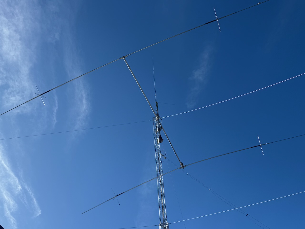
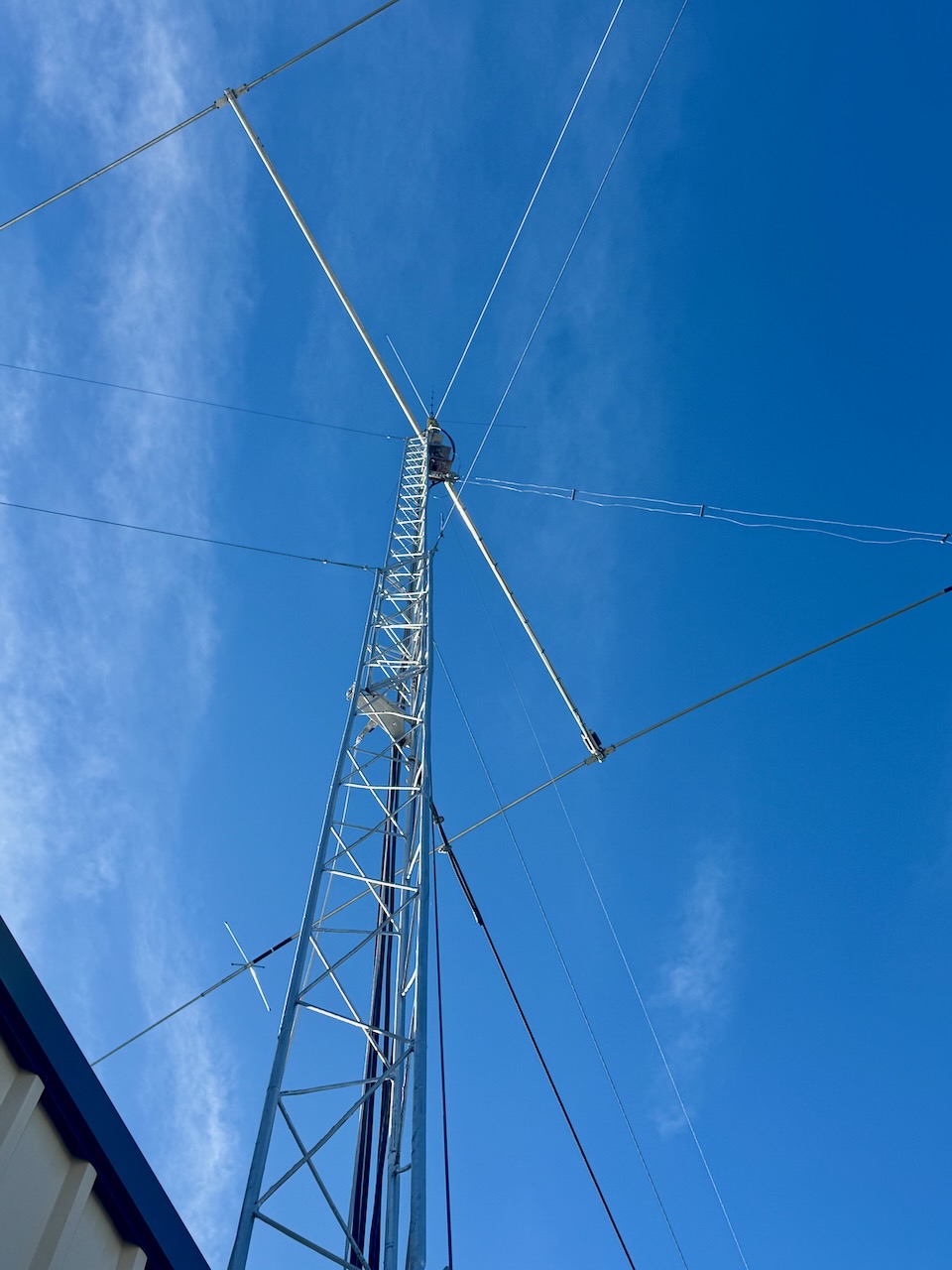
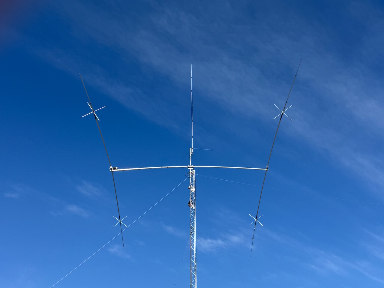
In March 2025, I finally got my 2-element 40m beam up in the air on tower number 2. Many thanks to Dean.
The antenna is an Andy Coman beam, similar to the Cushcraft XM240.
The antenna came from Bob VK3SX.
We also placed a CB vertical antenna above the yagi, and that afternoon, Dean and I could not believe 27 mhz, it was wide open all around Australia. We even spoke into New Zealand.
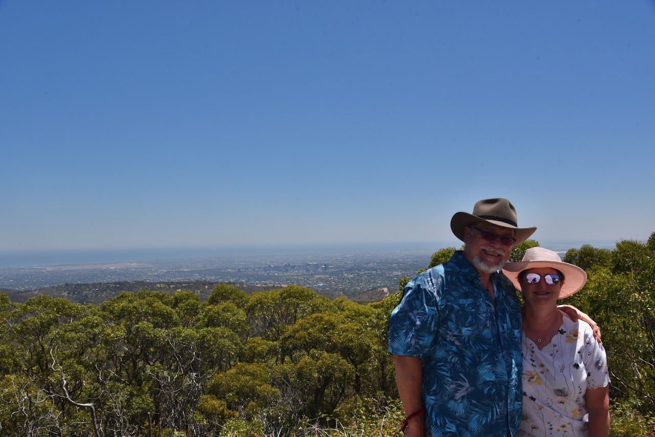
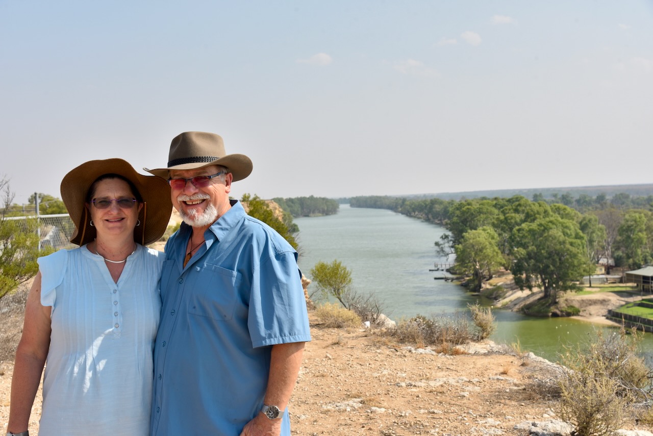
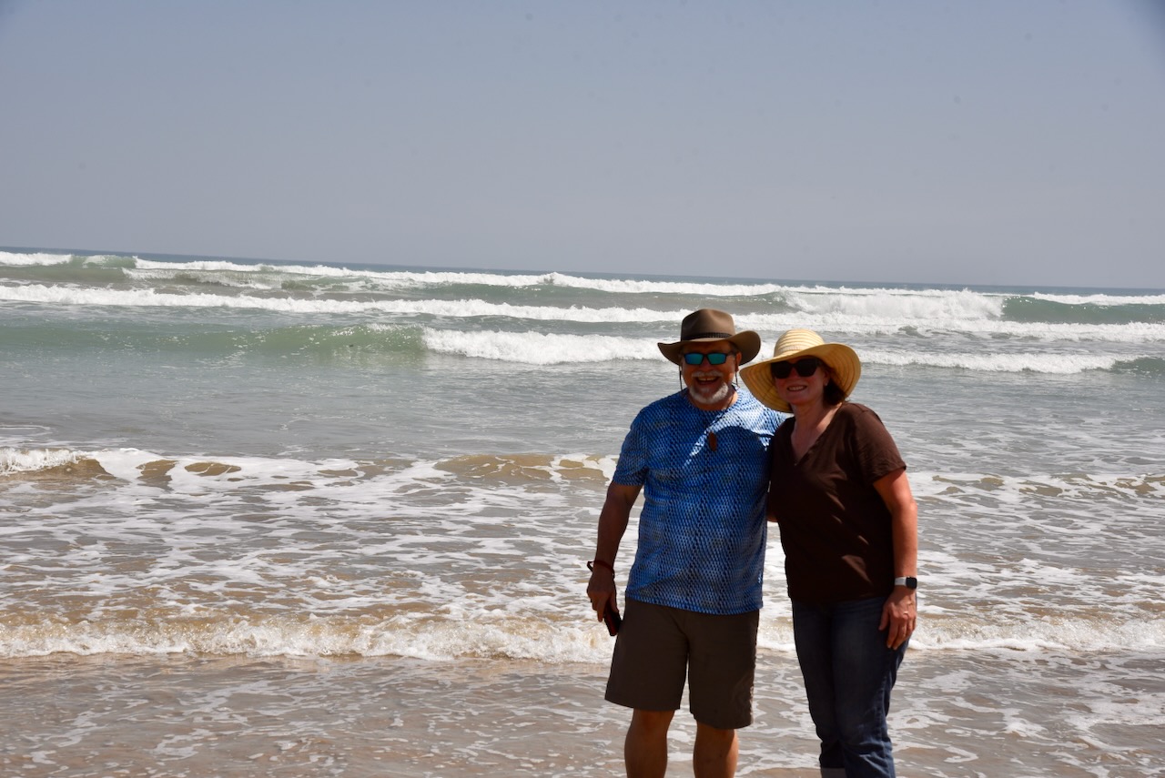
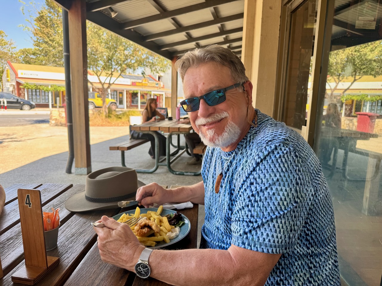
In February 2025, Marija and I were blessed with the company of Tim N4HOZ and his wife, Laurel, from Florida, USA. They stayed with us for 4 nights and we got to show them a little bit around South Australia.
Tim made his way into my radio shack on 2 occasions and made contacts around Australia and back into North America.
Day 1.
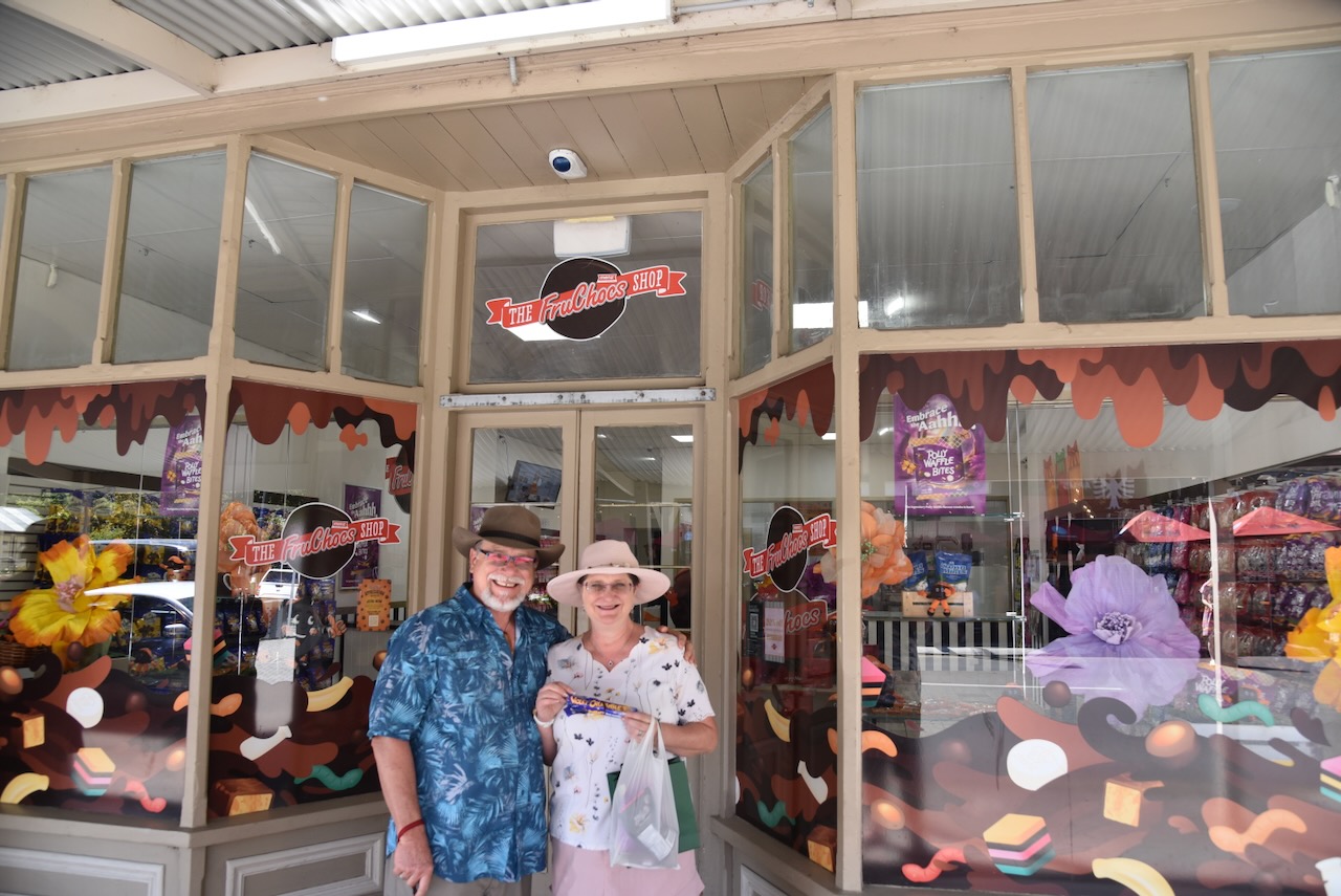
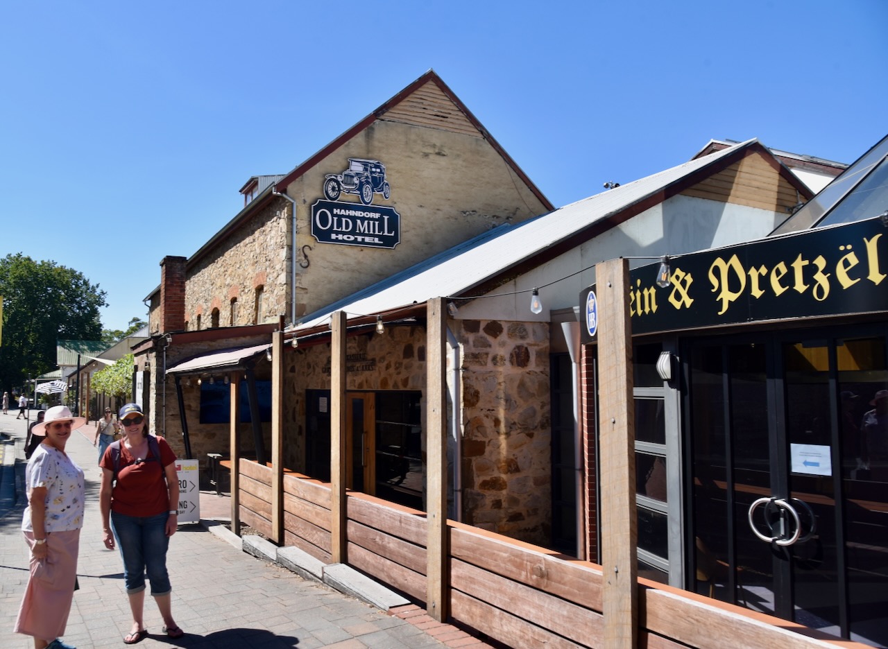
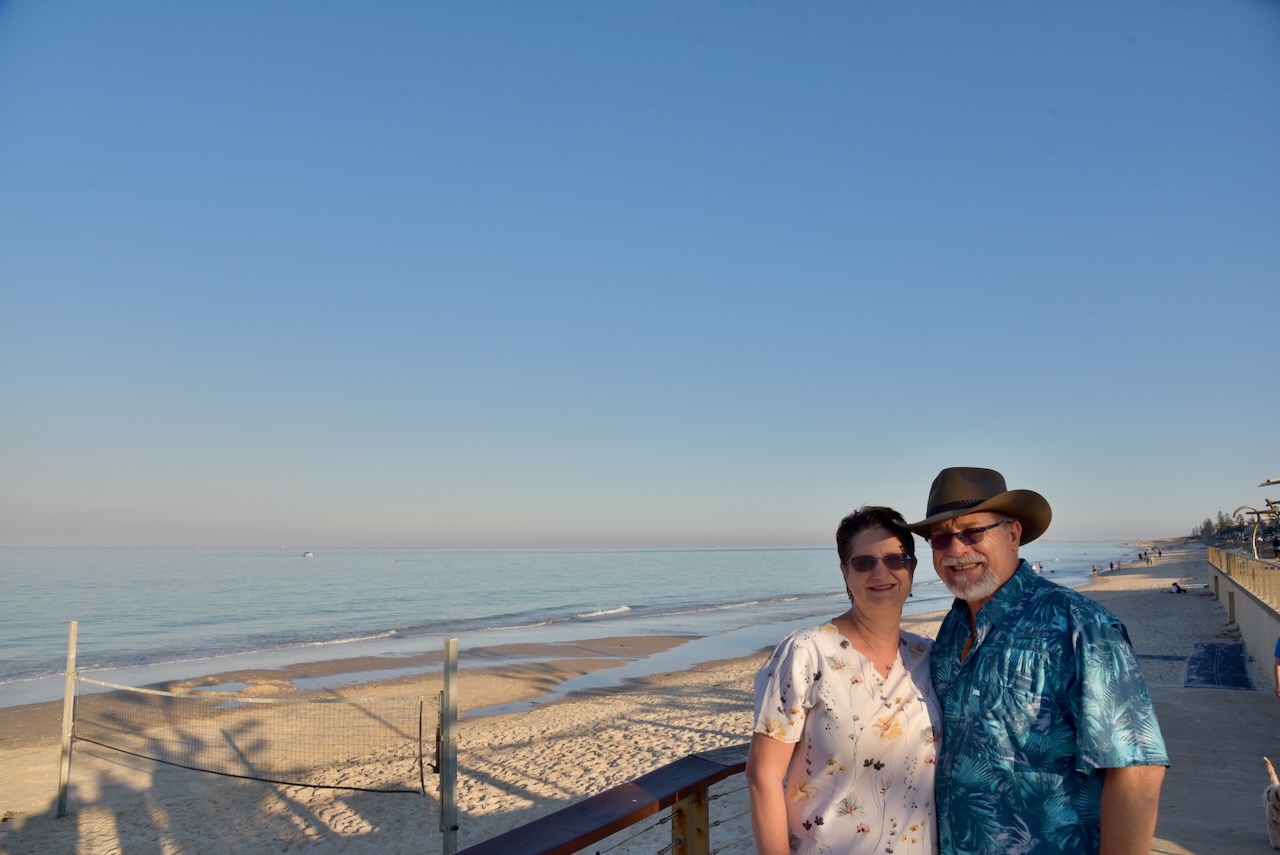
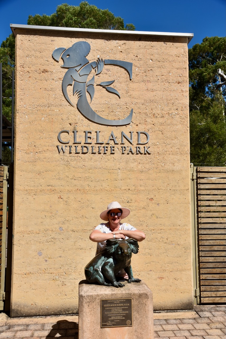
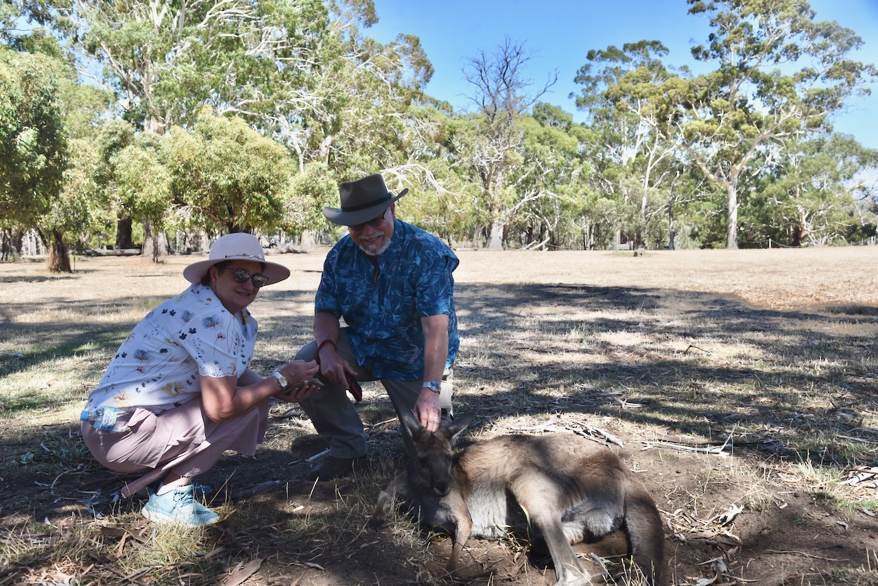
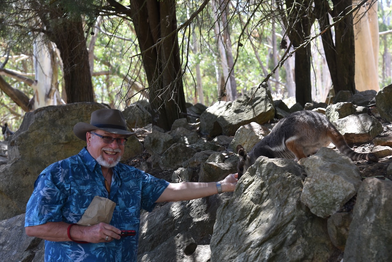
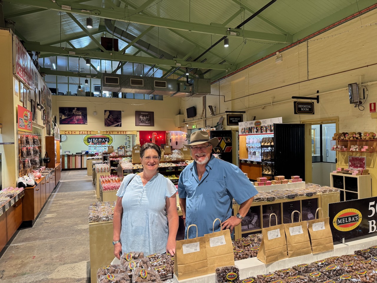
We picked Tim and Laurel up from the airport and then went for breakfast at Henley Beach. We drove along the coast and then up to the Cleland Wildlife Park. From there we visited Mount Lofty summit, and then to Melba’s Chocolate Factory at Woodside. We then walked around the German tourist town of Hahndorf. That evening, we headed to the Macclesfield Hotel for dinner.
Day 2.
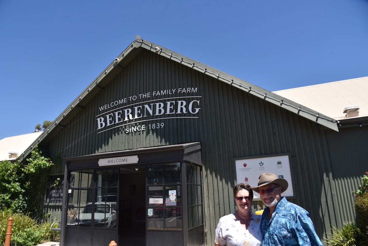
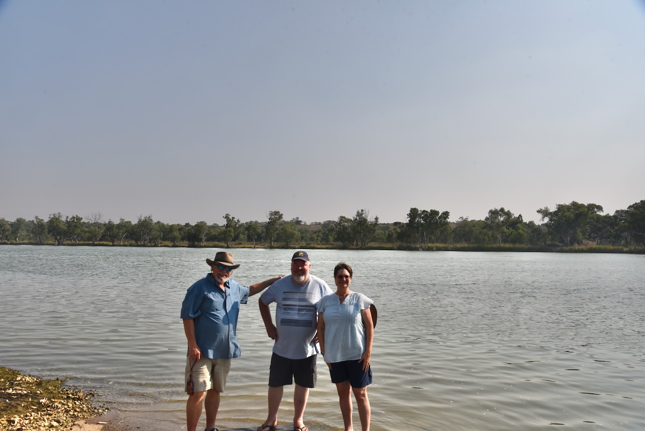
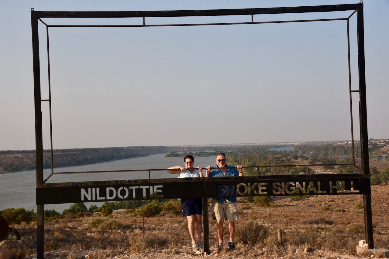
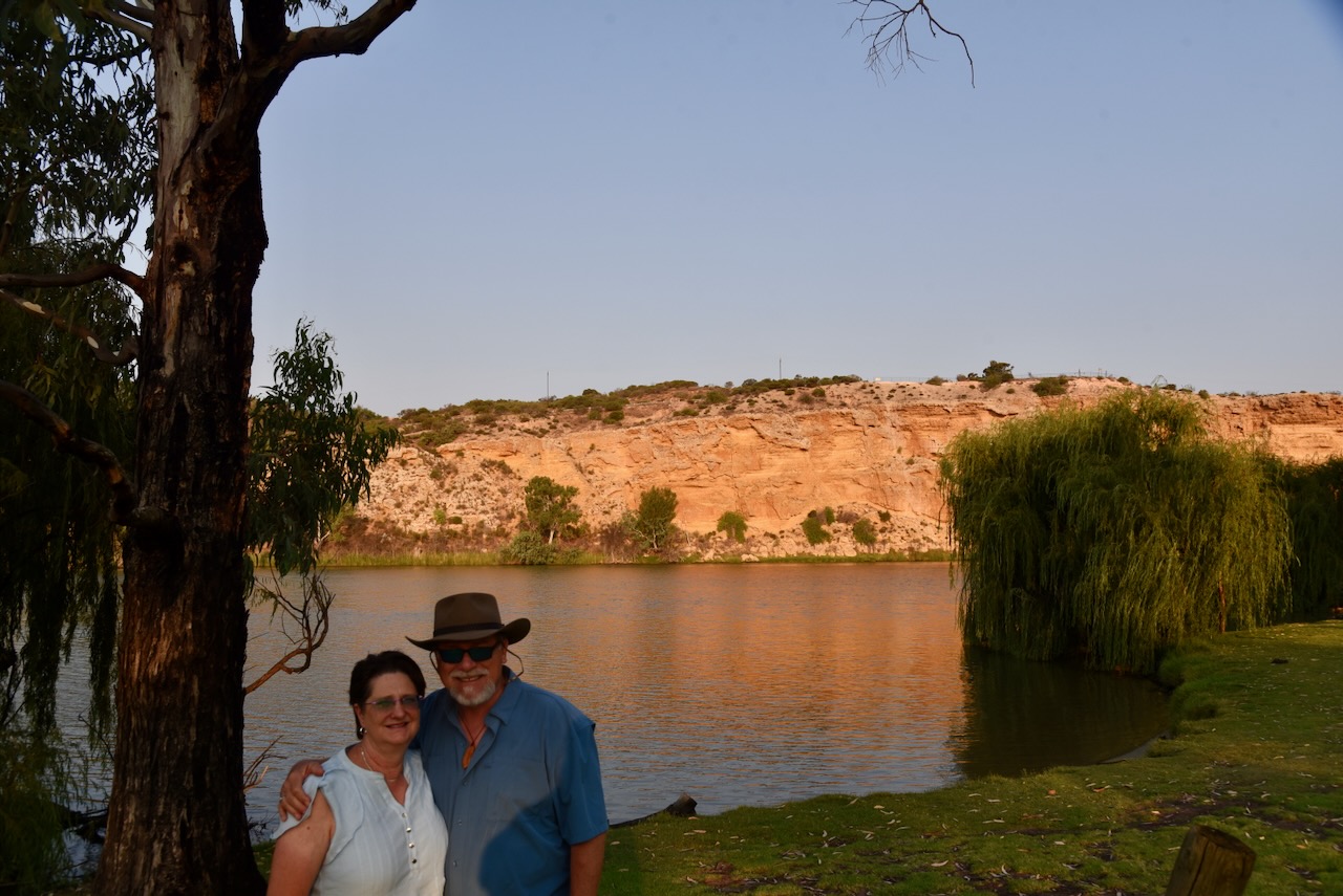
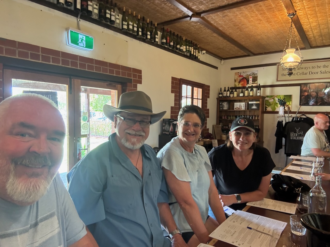
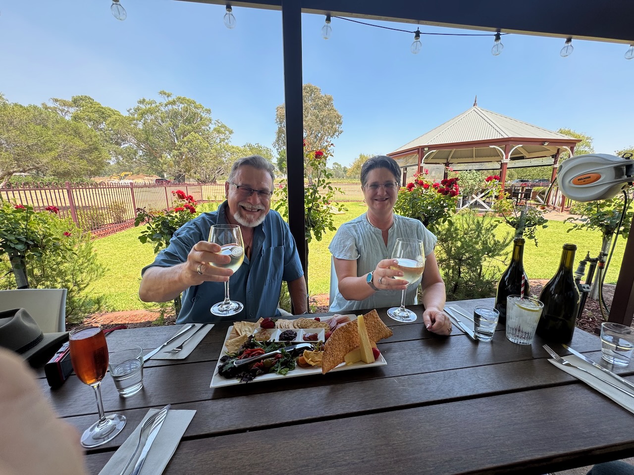
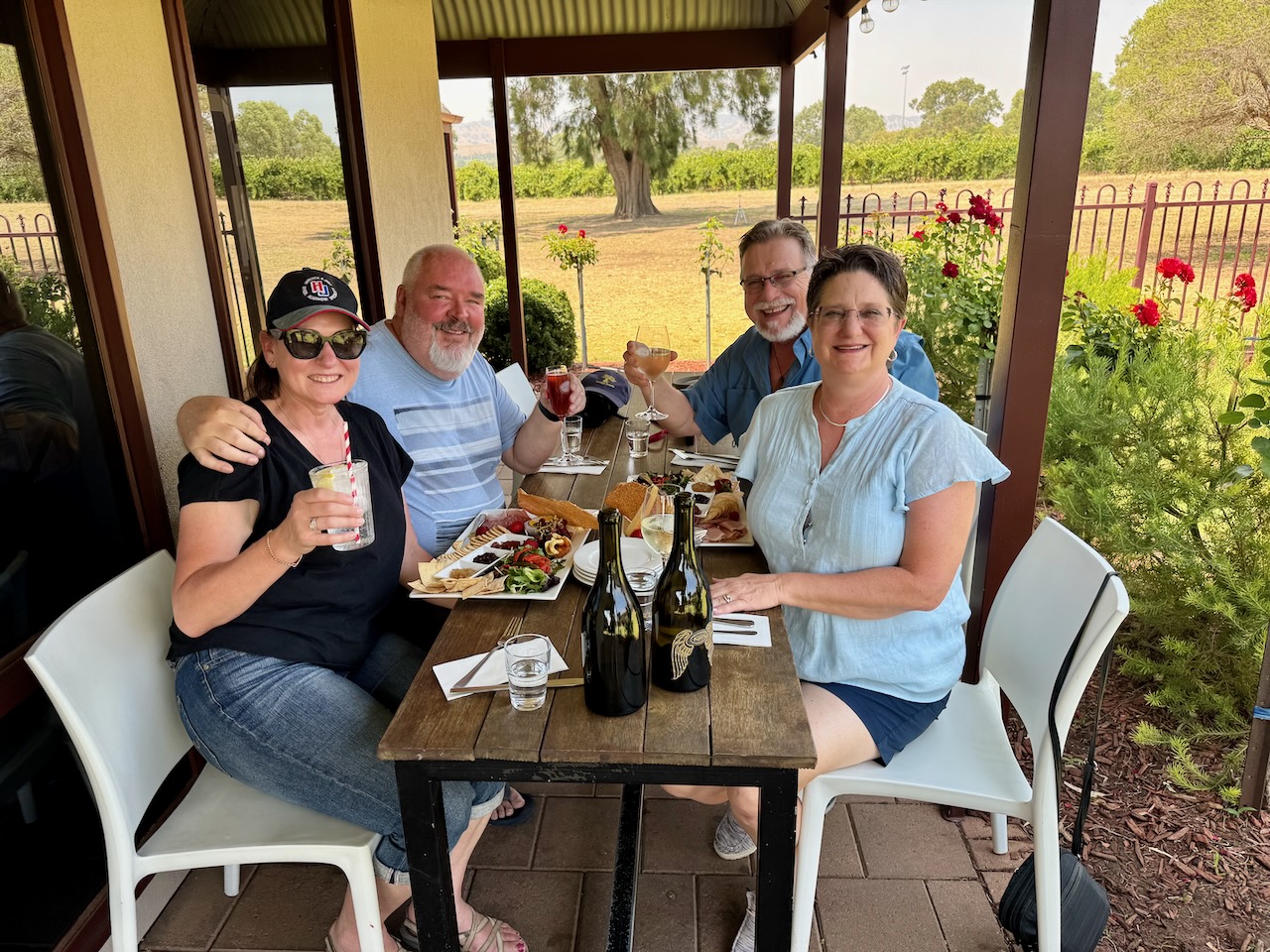
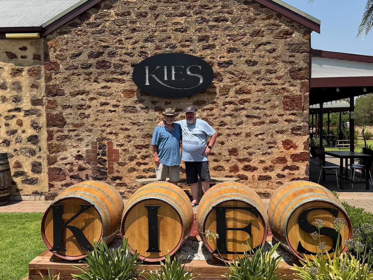
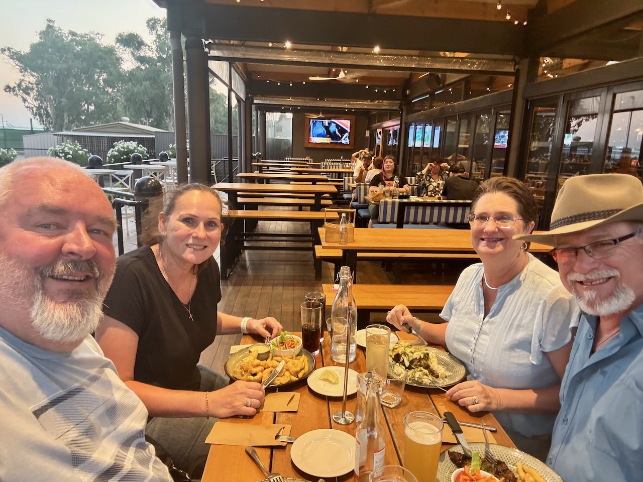
On day 2, we had a walk around the town of Strathalbyn and then headed to the world-famous Barossa Valley, where we had lunch at Kies Wines. We then showed Tim and Laurel around the Barossa and then drove up to Blanchetown. We then followed the mighty Murray River and had a look at some of the silo art. We travelled to the town of Mannum, where we had dinner. Tim even tried kangaroo and enjoyed it.
Day 3.
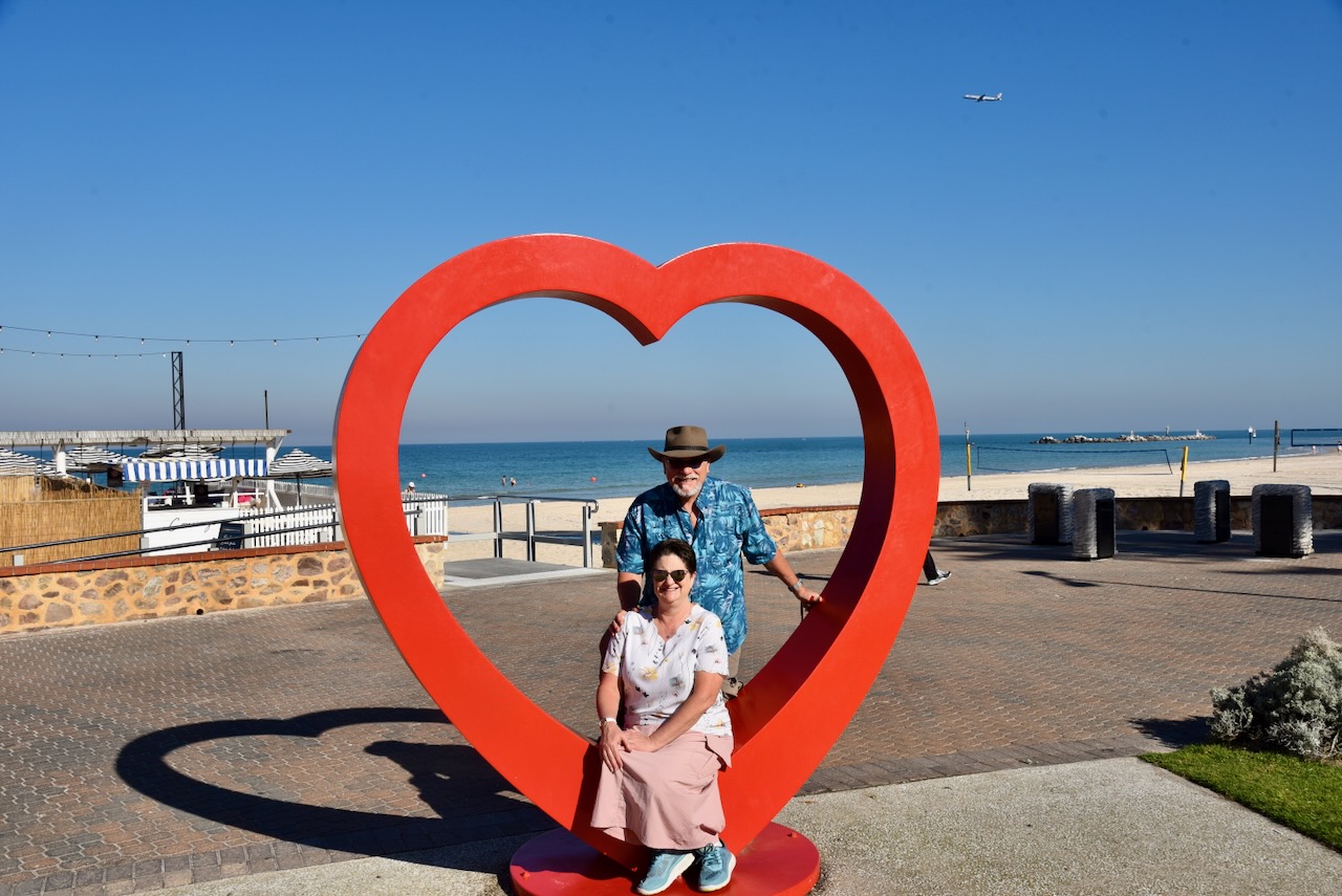
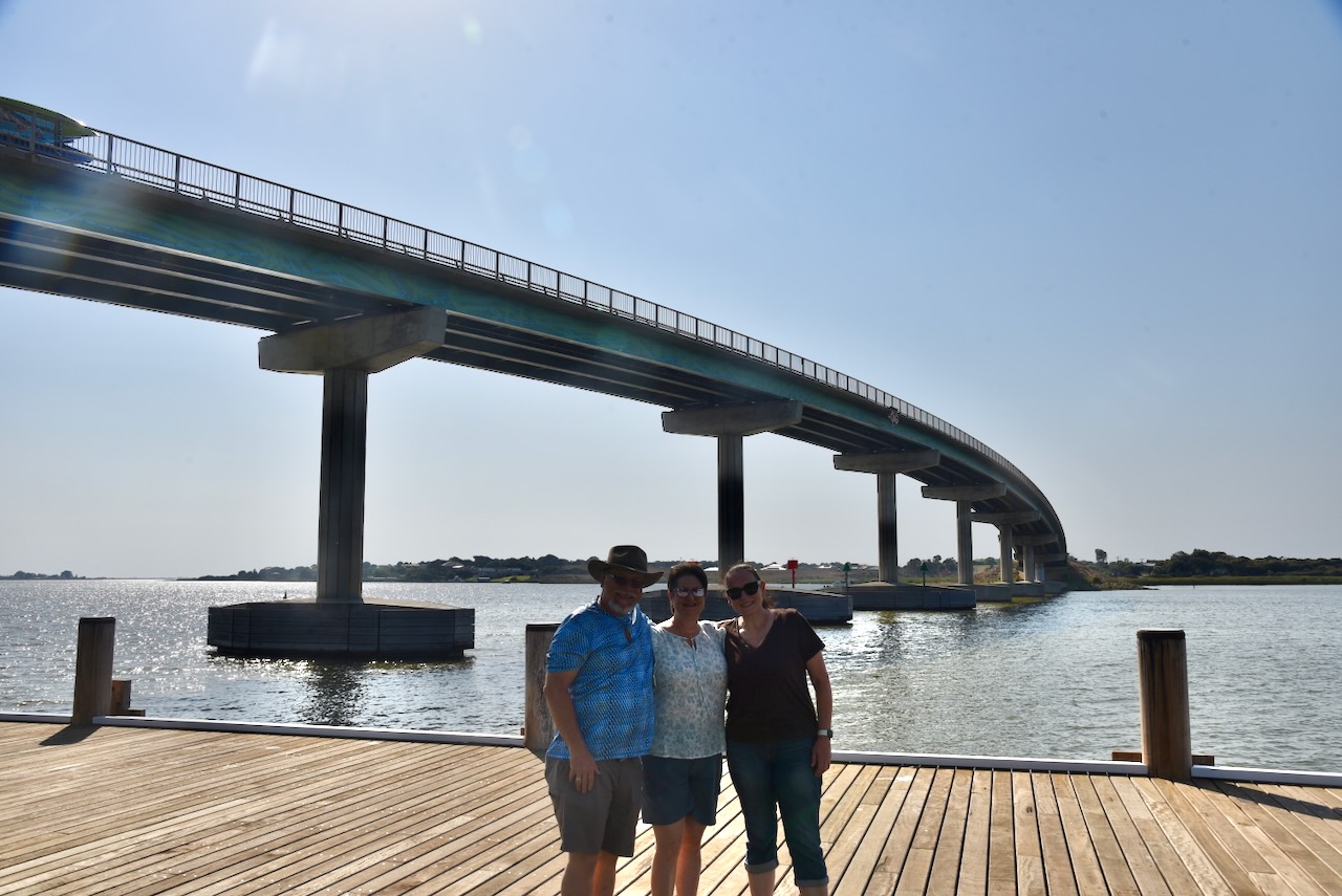
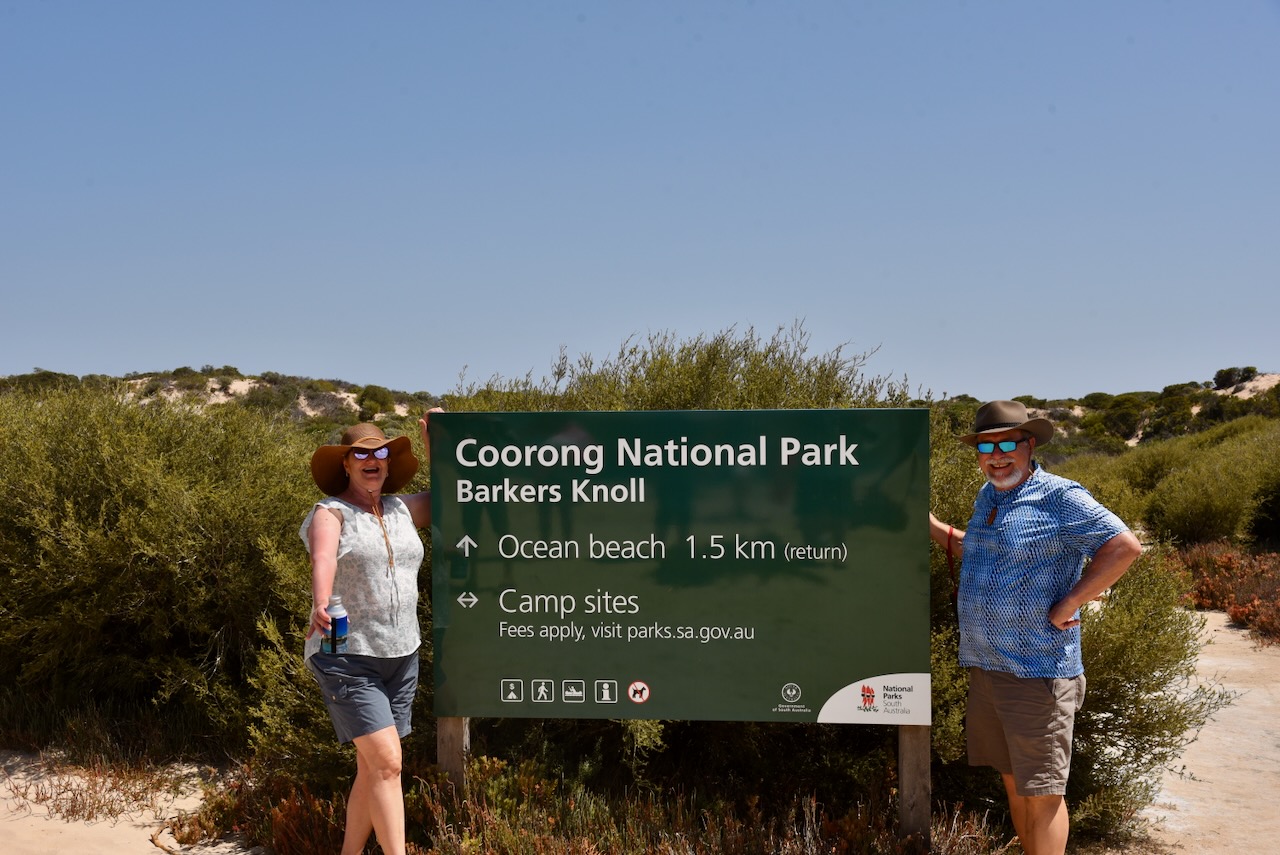
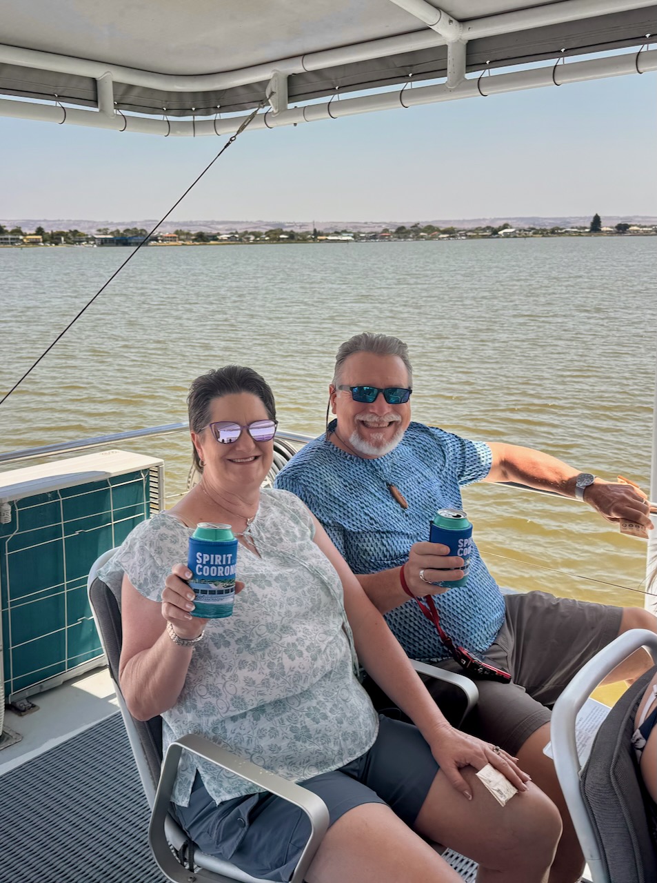
On day 3 we drove down to the coastal town of Goolwa and to the mouth of the Murray River and around Hindmarsh Island. We then did a Coorong cruise and then drove down to Victor Harbor. From there we drove down to the Deep Creek National Park to our overnight accommodation,
Day 4.
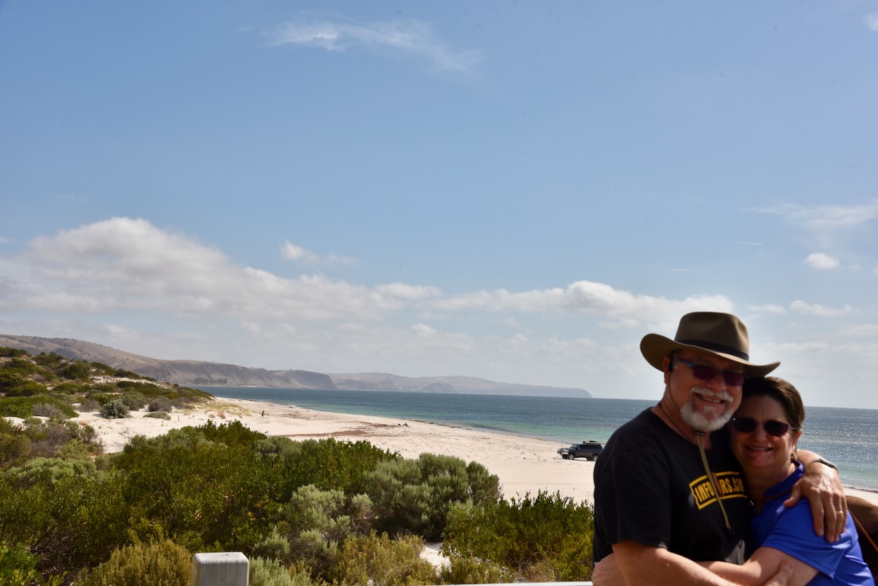
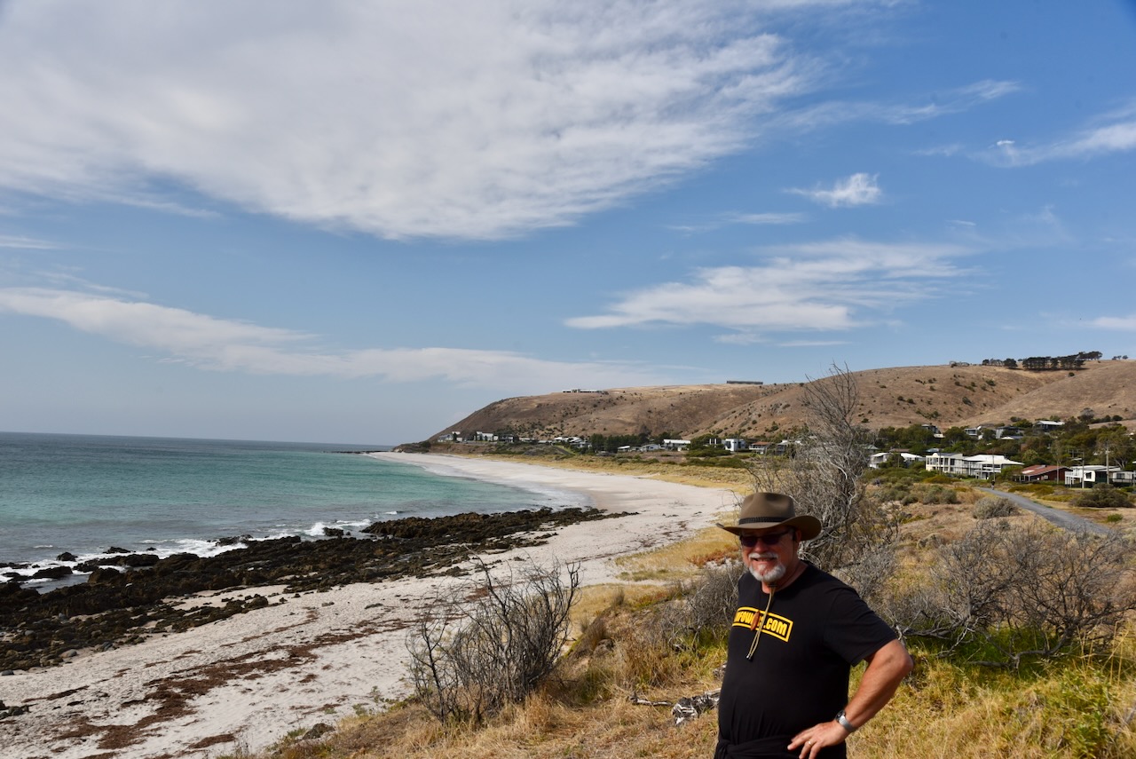
We left Deep Creek and travelled along the coast, showing Tim and Laurel the seaside towns of Normanville and Carrackalinga. We then headed into the city of Adelaide and showed them some of the highlights of the city.
It was a fantastic 4 days and we thoroughly enjoyed Tim and Laurel’s company.
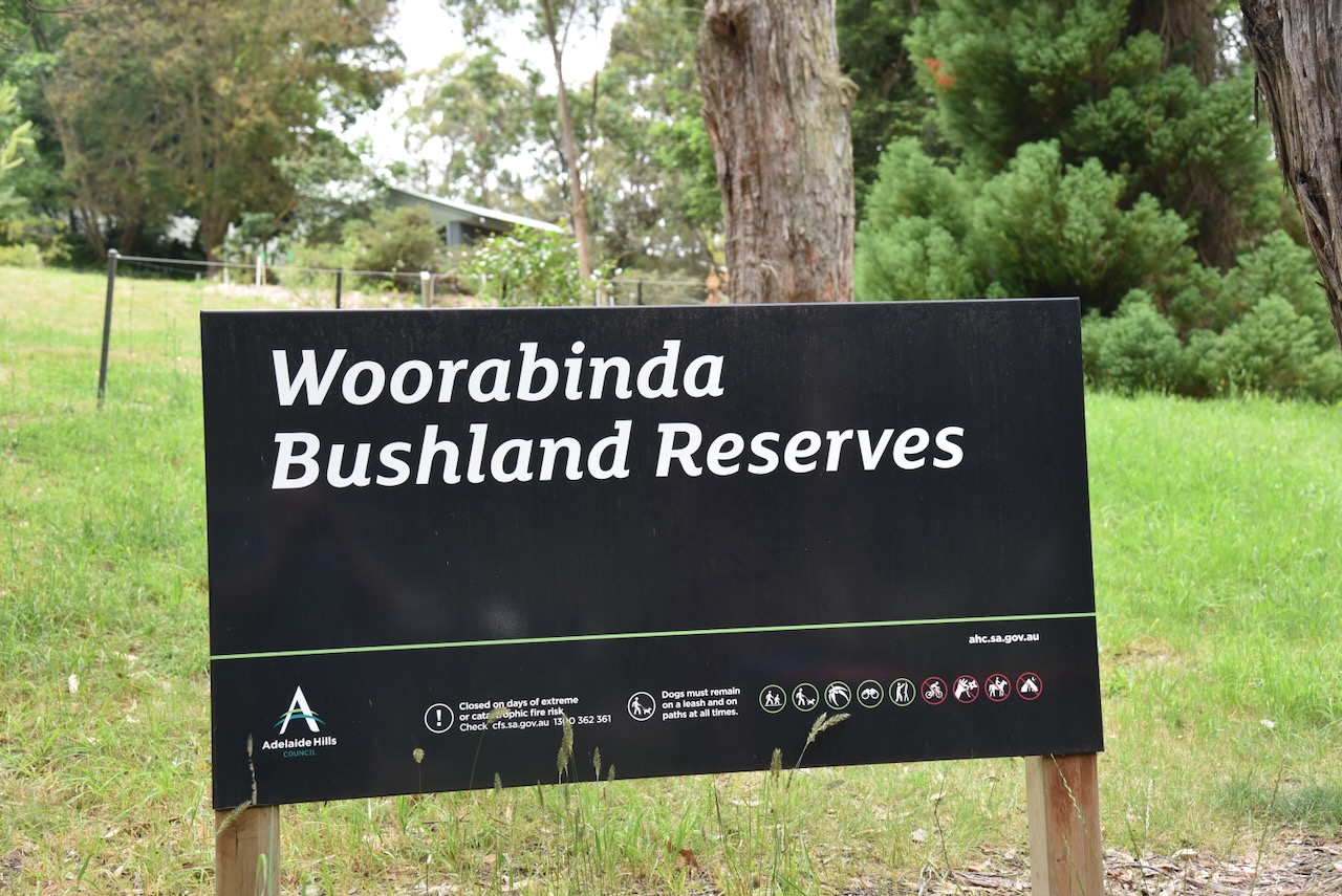
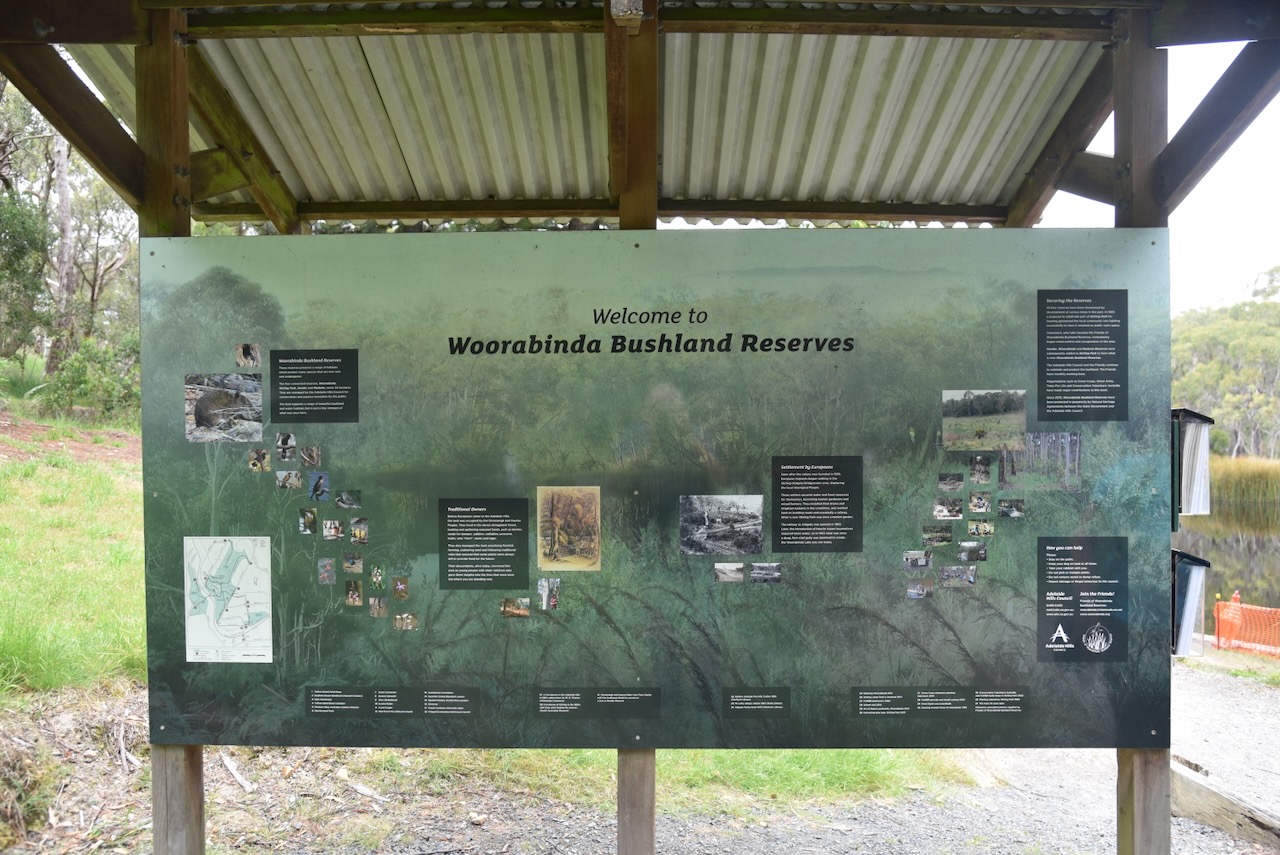
Our final activation for Sunday, 24th November 2024, and the 2024 VKFF Activation Weekend, was Woorabinda Bushland Reserves VKFF-4064.
The park is located in the Mount Lofty Ranges ‘Adelaide Hills’ and is about 20 km southeast of the city of Adelaide.
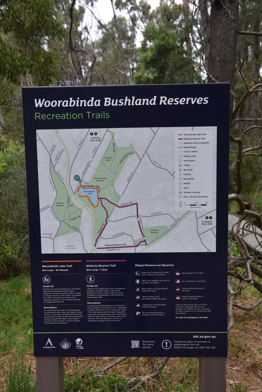
There are four areas of the Woorabinda Bushland Reserves: Hender Reserve, Stirling Park, Woorabinda, and Madurta Reserve.
Woorabinda Bushland Reserves was formerly known as the Stirling Linear Park. The park is about 34 hectares in size and comprises four sections. (Wikipedia 2022) (Woroabinda 2025)
Hender Park is the western section of Woorabinda Bushland Reserves. A pedestrian railway crossing connects Hender Park with Woorabinda. Hender Park contains some of the largest and oldest stringybark eucalypts in the area. The park was proclaimed as a large public reserve in 1879, however, it is only a fraction of its original size. Heathfield High School was built on the site in the 1960s. (Wikipedia 2022) (Woorabinda 2025)
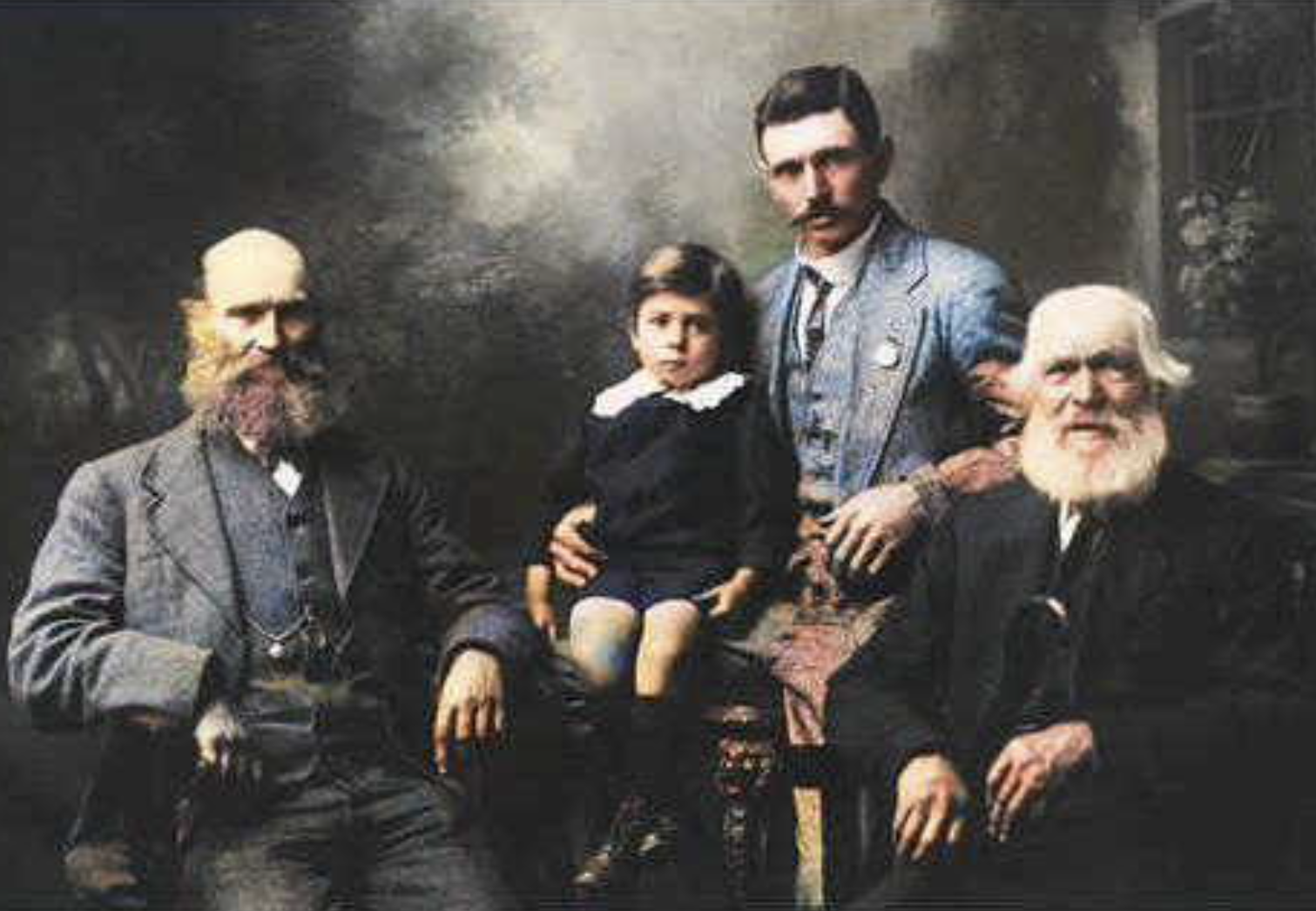
Stirling Park was previously known as ‘Halliday’s Gully’. It was owned by the Halliday family from 1855 to about 1930, who had a market garden on the property. John Halliday was born in October 1827 in Gloucestershire, England. He emigrated to South Australia in 1849, and in 1850 he married Martha Williams. They had six children. He died in 1919 at Stirling West and is buried in the Stirling cemetery. (Wikipedia 2022) (Worrabinda 2025)
Above:- John Halliday (right), his son Charles Arthur Halliday (left), and his grandson Herbert Halliday and great-grandson Maurice. Photo c. 1918. Image c/o http://www.ancestry.com.au
Stirling Park was compulsorily acquired by the South Australian State Government in the early 1970s. It was proposed that a school be developed on the site; however, this did not take place, and the land was sold to the Stirling District Council in the mid-1980s. The council proposed that a sports park be developed on the site, but local opposition has seen the site remain as a community park. (Worrabinda 2025)
Woorabinda is the largest section of the bushland reserves. In 1922, land was purchased from the Halliday family by the South Australian Railways, and a large dam was constructed. A permanent water source to service the steam locomotives at the nearby Aldgate Railway Station was required. The dam became known as Woorabinda Lake. From about 1960 through to the mid-1990s, the area was used as a campsite for disadvantaged families. The area was threatened by development, and this resulted in public protests. The site was purchased by the Stirling Council in 1995. (Ancestry 2021) (Wikipedia 2022)
Madurta Reserve was established in 1972 for the preservation of open space. Since 1983, significant planting of trees has taken place in the reserve by volunteers. Prior to 1972, the Madurta Creek and surrounding areas were used for the grazing of cattle. (Wikipedia 2022) (Woorabinda 2025)
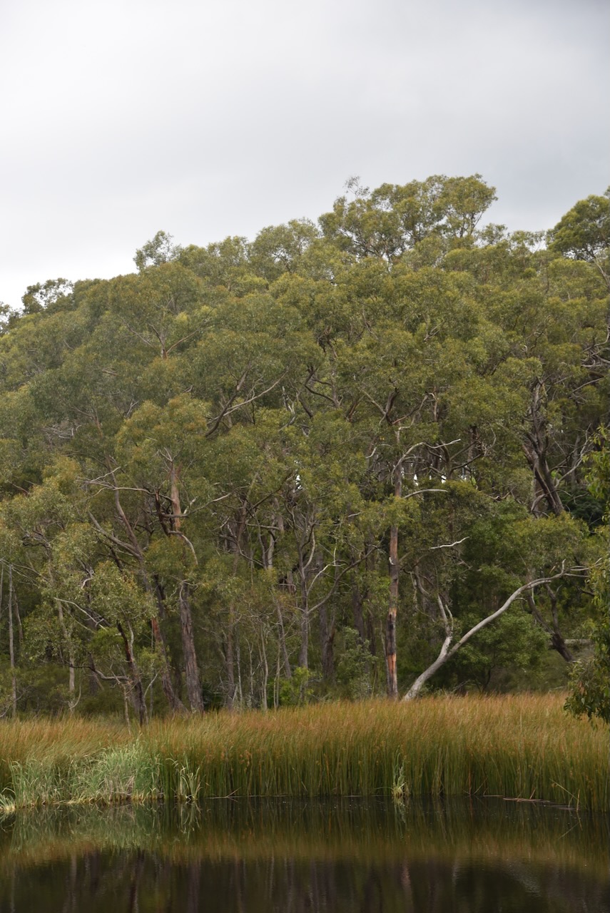
Below are some photos of the lake in Woorabinda.
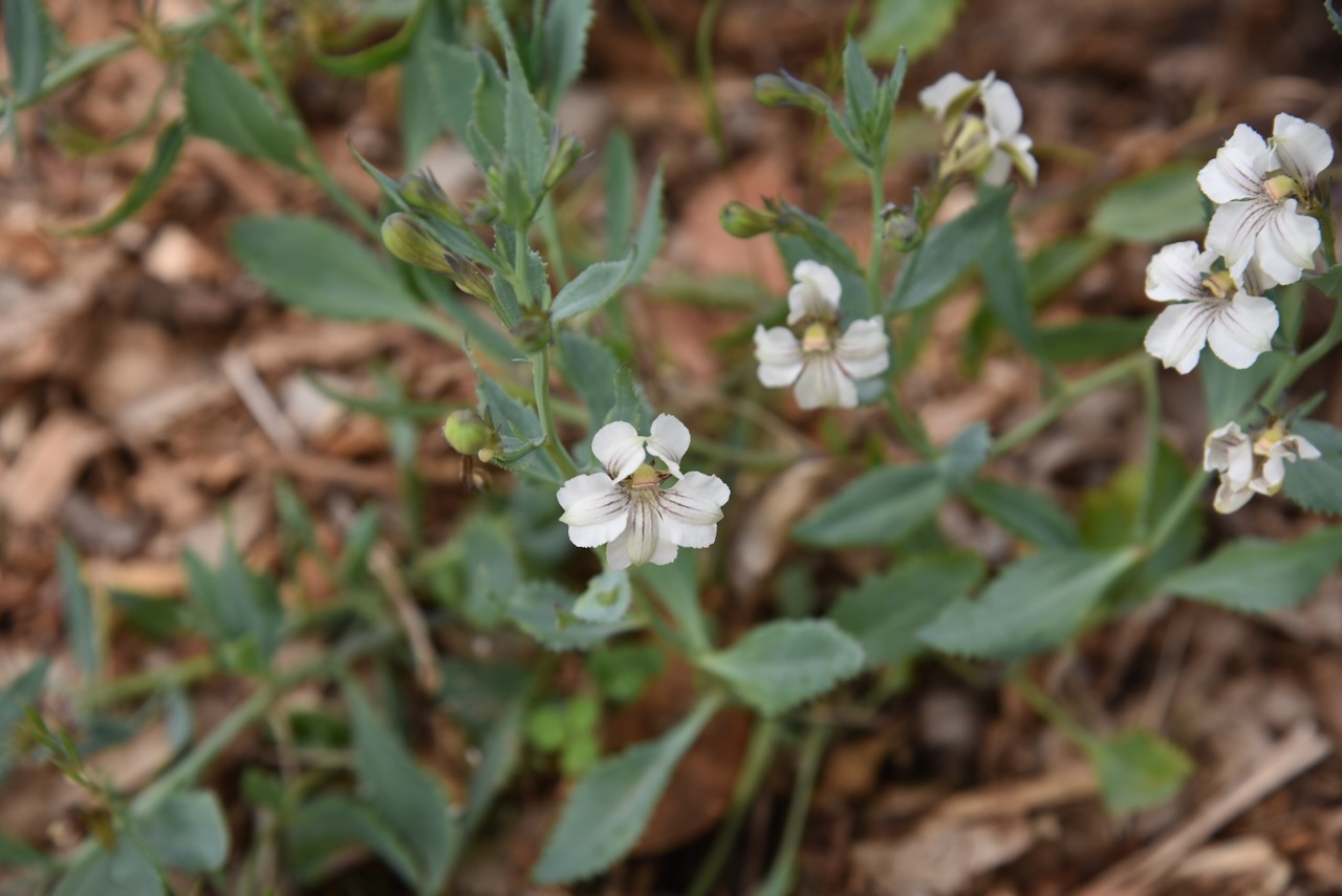
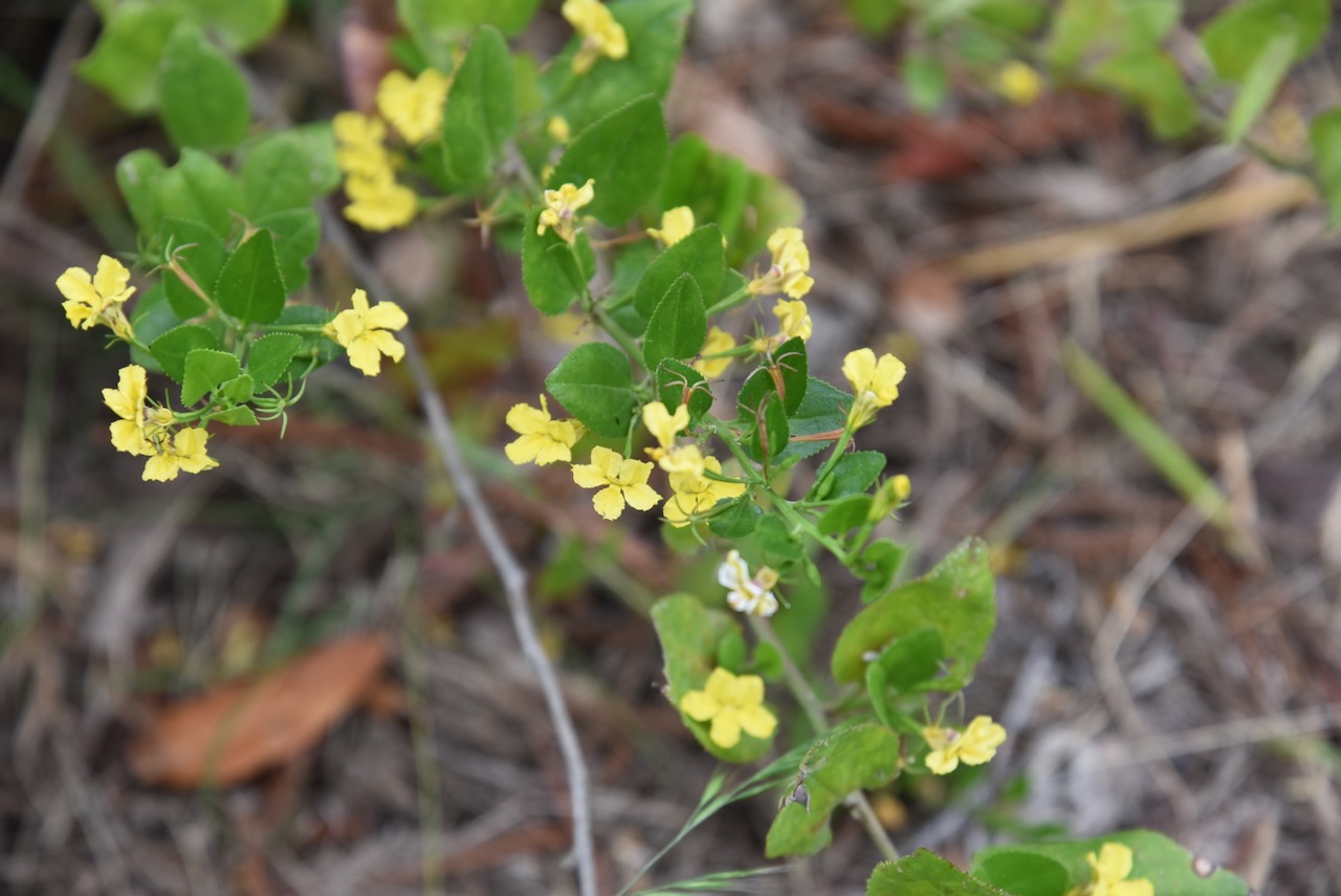
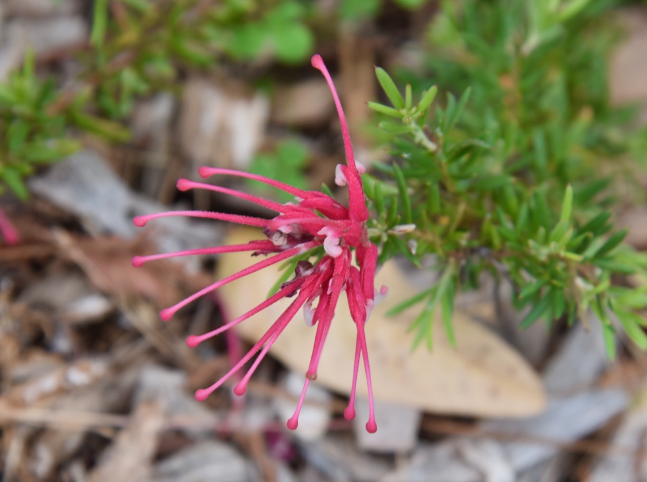
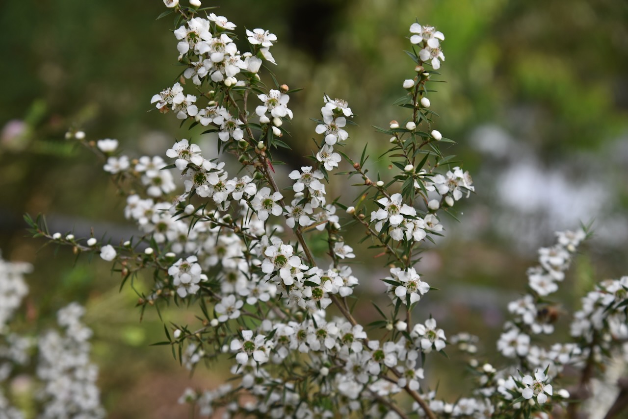
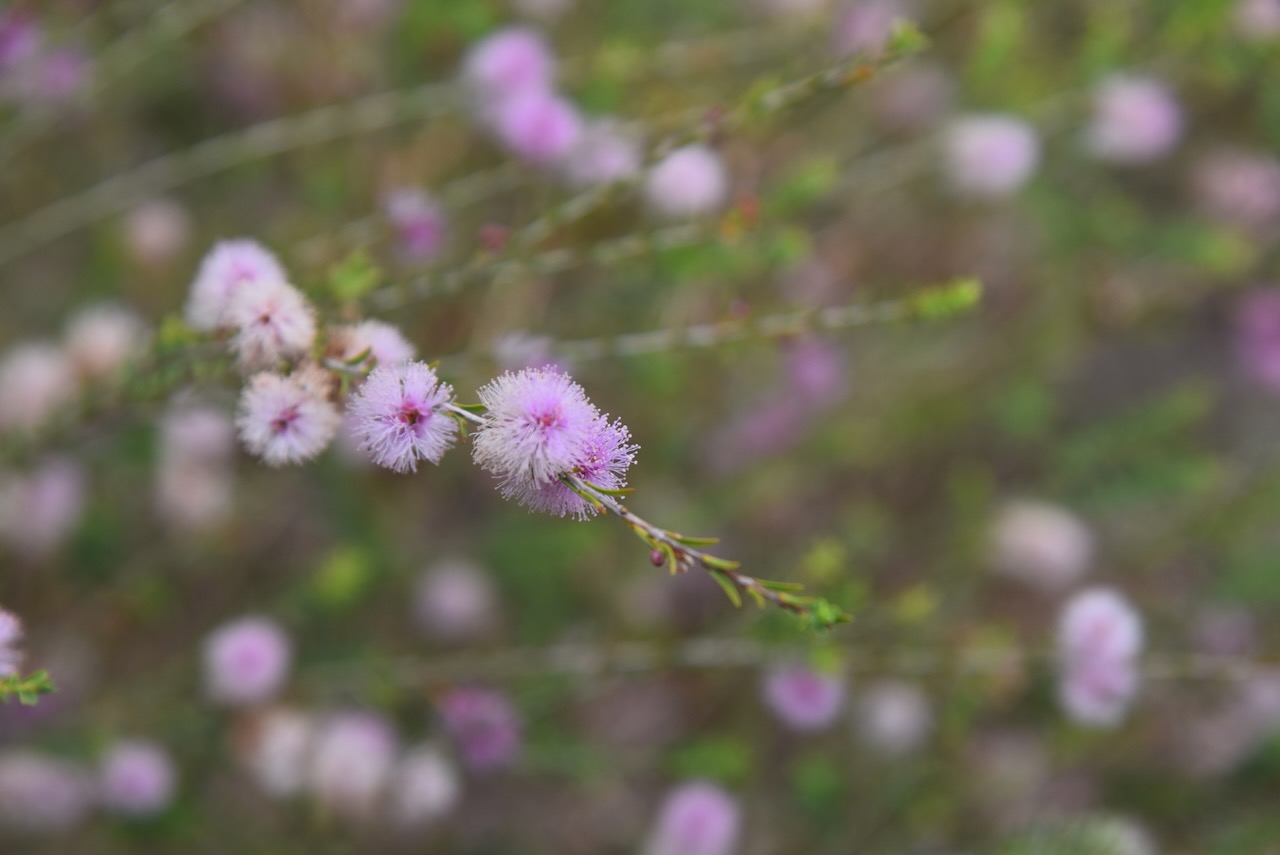
During our visit, there was plenty of flowering native vegetation.
We set up in a cleared area just inside the gate leading into the park on Woorabinda Drive. We ran the Yaesu FT857, 40 watts, and the 20/40/80m linked dipole.
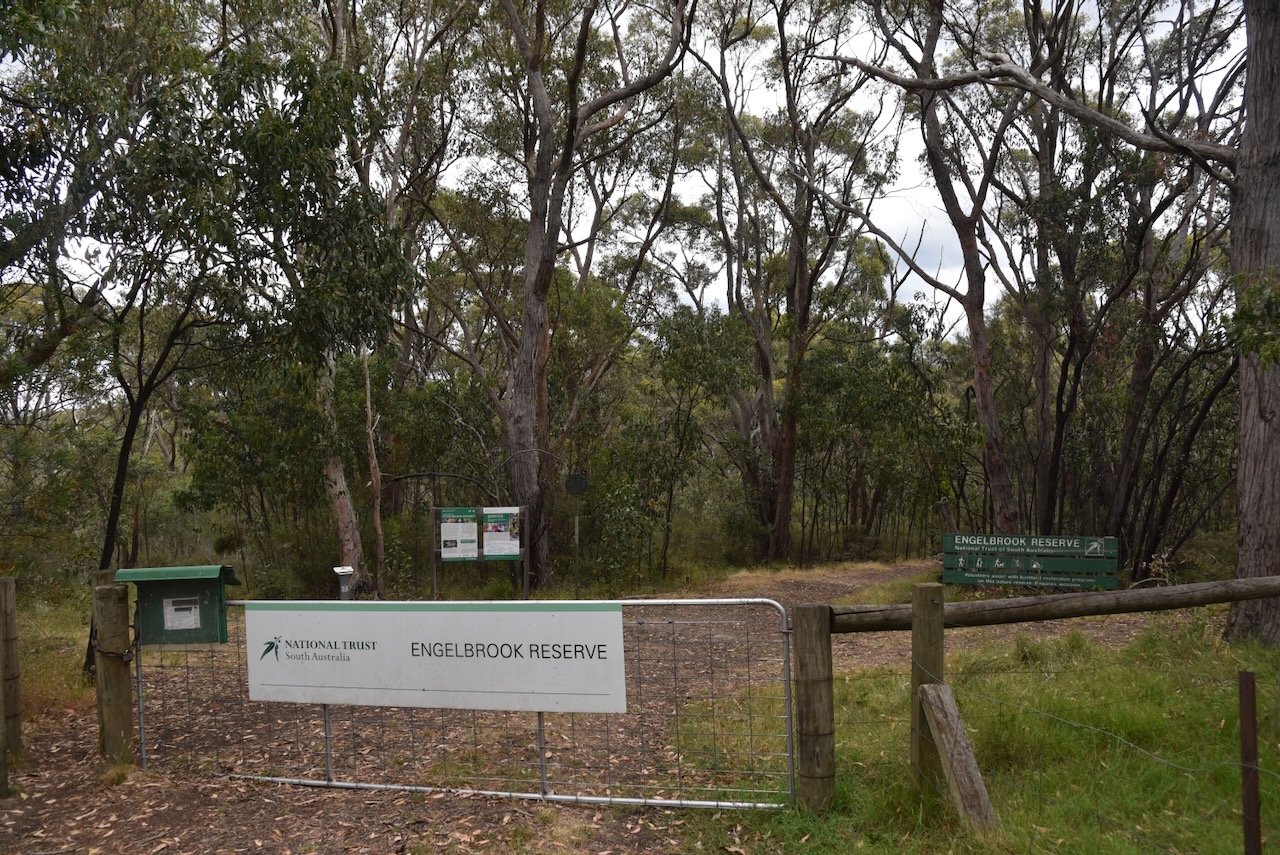
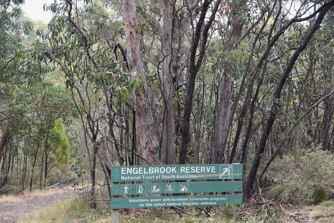
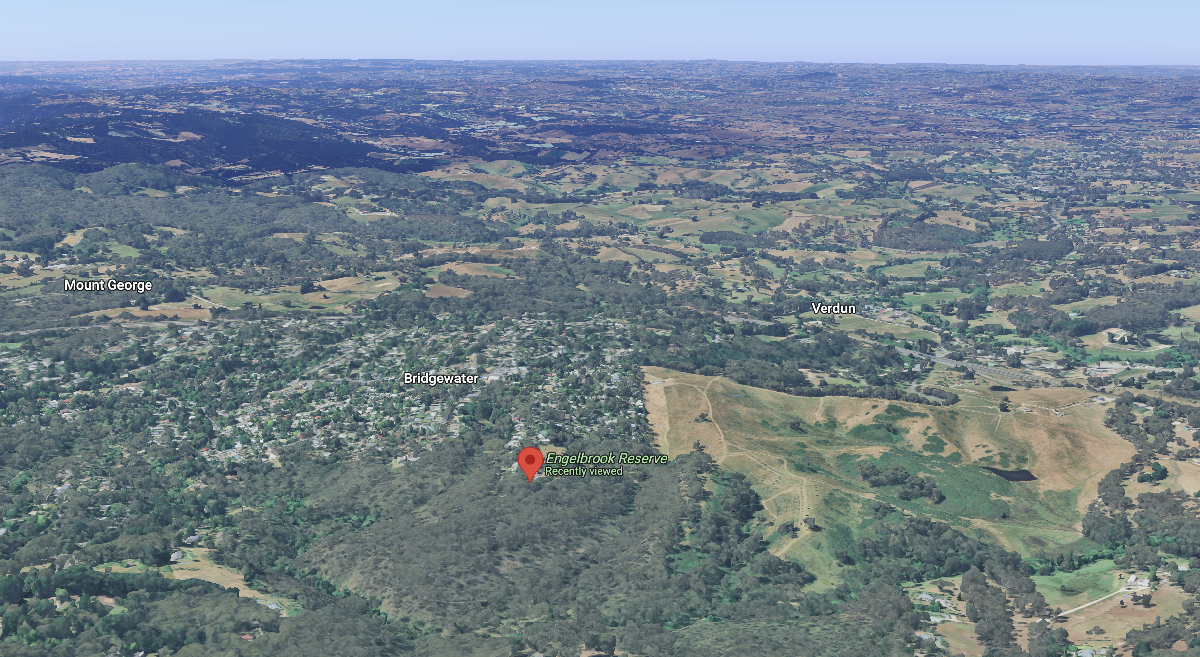
Our next activation for Sunday 24th November 2024, was Engelbrook Reserve VKFF-4034. The reserve is located in the Mount Lofty Ranges ‘Adelaide Hills’, about 25 km east of the city of Adelaide.
Above:- Map showing the location of Engelbrook Reserve. Map c/o Google Maps.
The reserve is located at the southern end of Wattle Street, Bridgewater.
Above:- An aerial view of Engelbrook Reserve. Image c/o Google Earth.
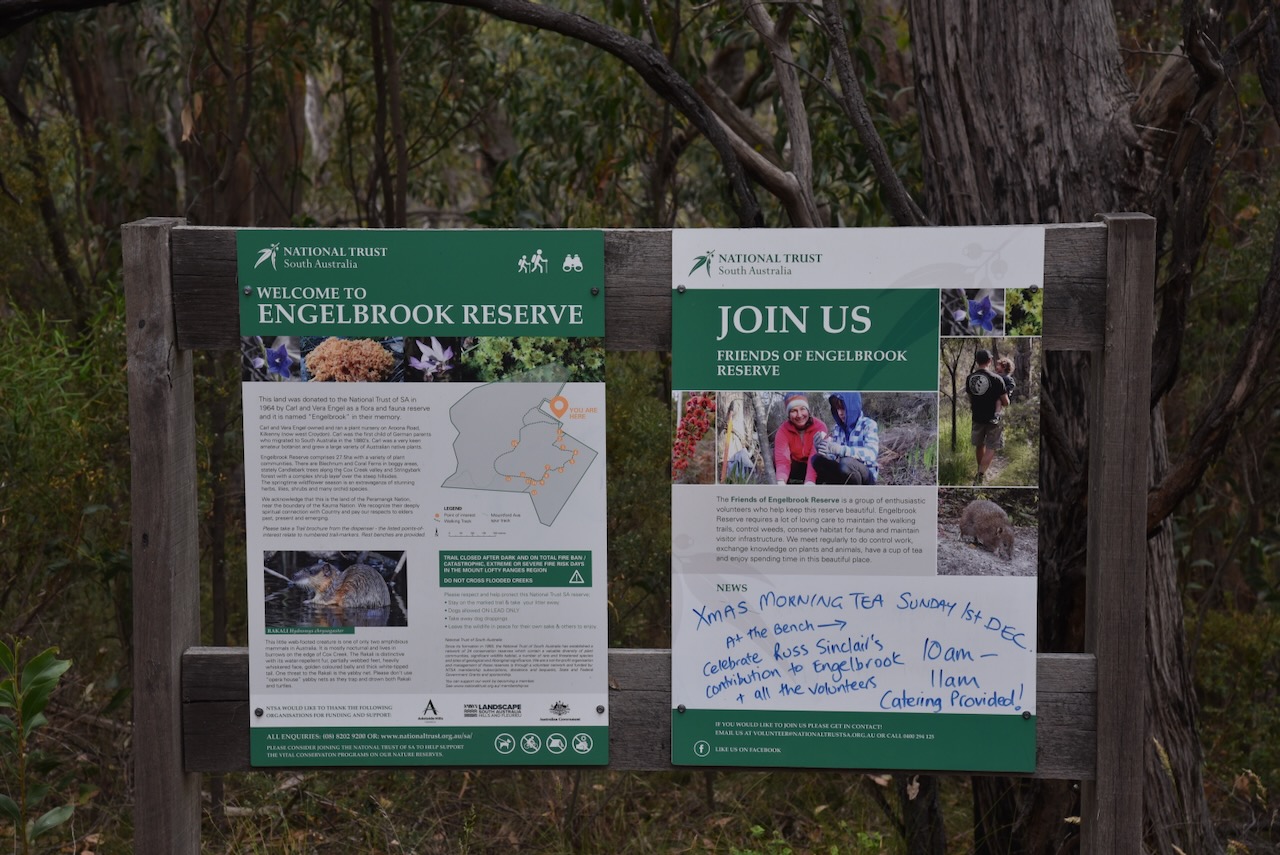
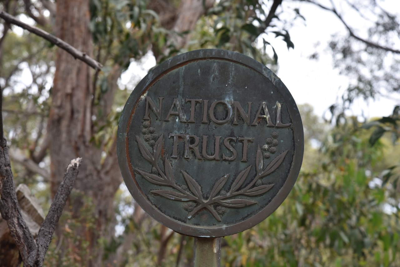
Engelbrook Reserve is a Heritage Agreement that is owned by the National Trust. The National Trust of South Australia was established in 1955 for the conservation of lands and buildings of beauty, historical, scientific, artistic, or architectural interest, the preservation of natural features in land and the protection of animal and plant life. (National Trust)
On the 14th day of January 1964, the Engelbrook property was donated to the National Trust by Karl and Vera Engel. Karl Gustav Oswald Engel was born on the 19th day of February 1896 at Adelaide, South Australia. In 1928, Karl married Vera Ethel Smith. Karl was a very keen botanist. For the majority of his life, he operated a nursery at Arrona Road, West Croydon. Karl died on the 20th day of August 1986 in Adelaide. (Ancestry.com.au 2021)
The reserve is about 27.5 hectares in size. Cox Creek flows through the park, along with Bog Creek, which is a peat bog that flows into Cox Creek. (National Trust 2025)
Above:- An aerial view of the park, looking north. Image c/o Google Maps.
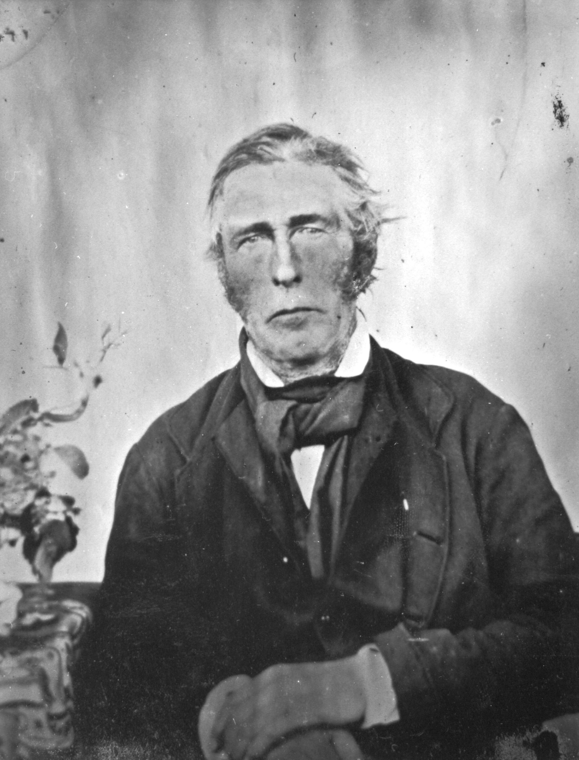
Cox Creek, also known as Cox’s Creek, is named after Robert Cock (b. 1801. d. 1871) who was one of the first European explorers of the Adelaide region following the establishment of the colony of South Australia in 1836. He emigrated to South Australia aboard the HMS Buffalo in 1836. In 1837, he led a small exploration party from Adelaide to Lake Alexandrina. On Christmas Day he camped at the creek, which was named in his honour. A settlement was subsequently established on the creek and was first known as ‘Cock’s Creek’, then ‘Cox’s Creek’ and then ‘Bridgewater’. (Wikipedia)
Above:- Robert Cock. Image c/o Wikipedia.
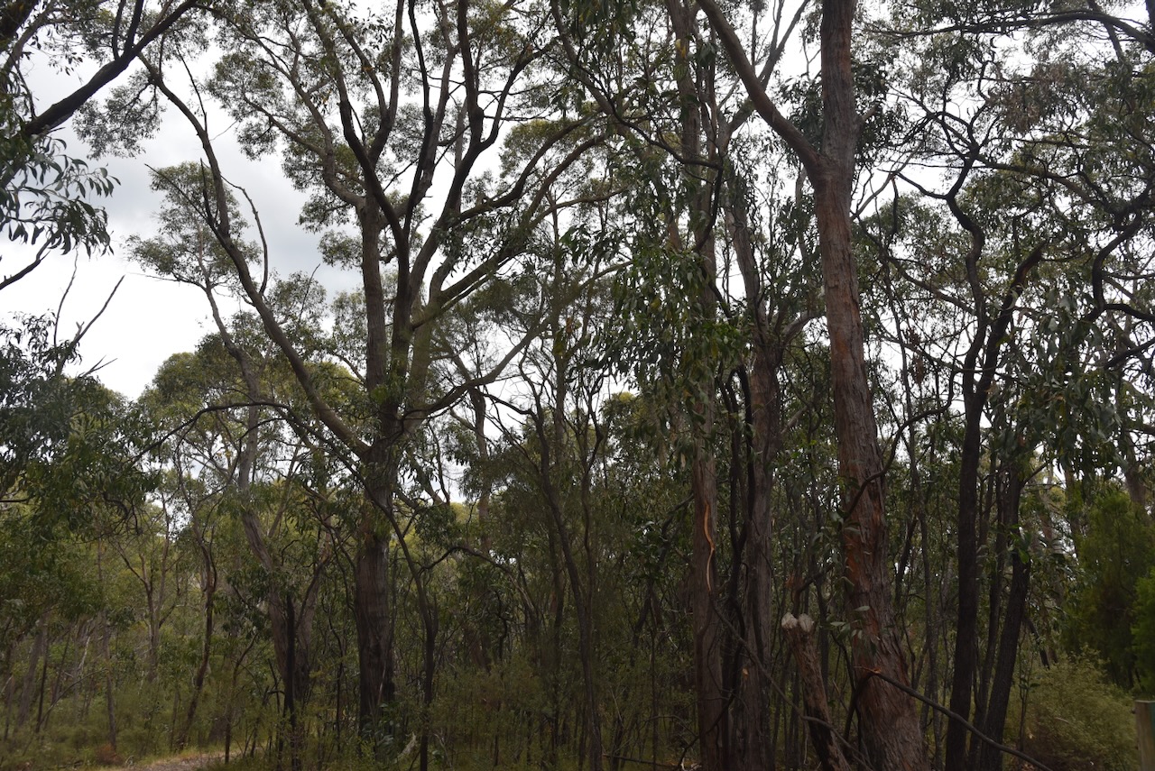
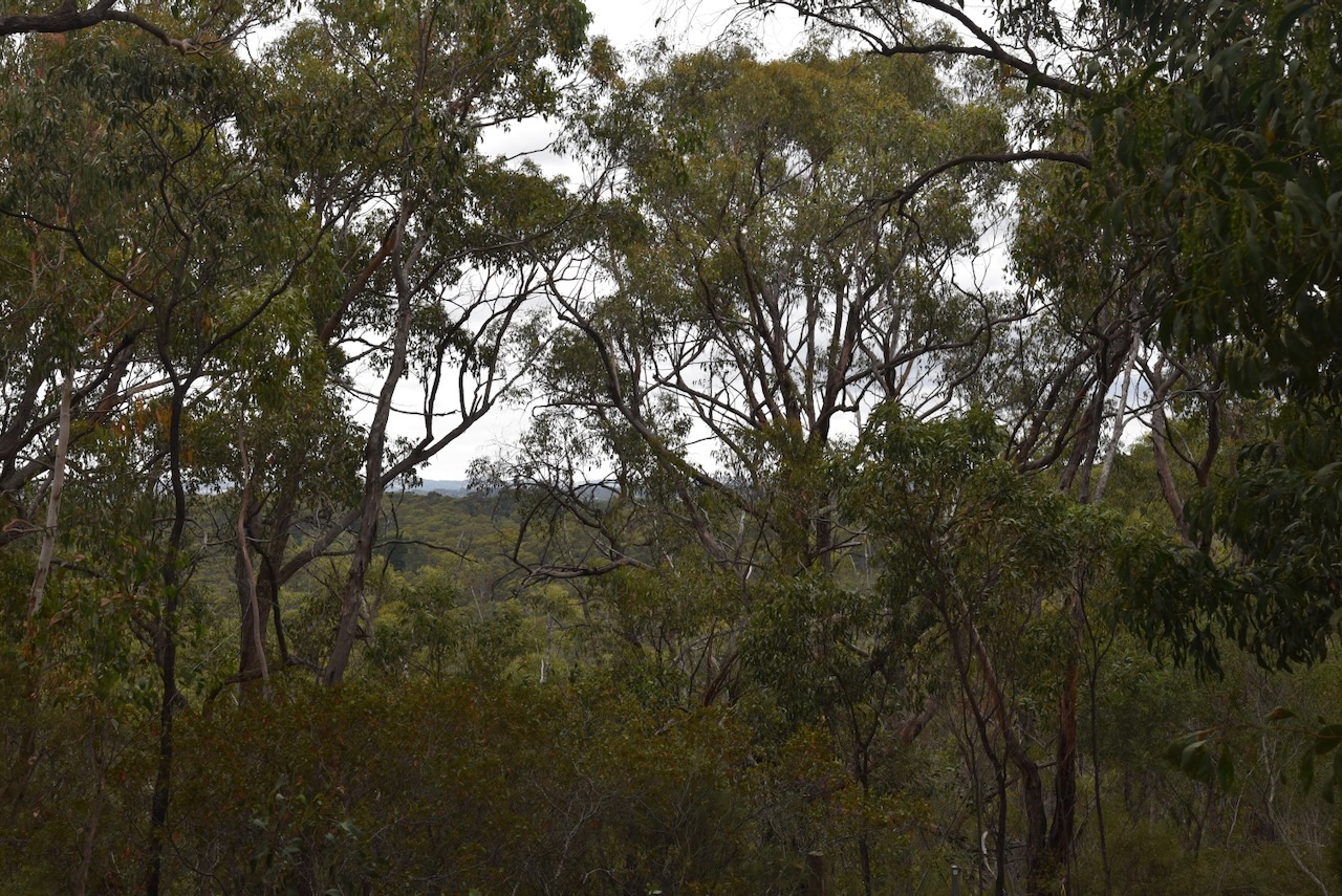
Engelbrook Reserve contains several vegetation types, including Blechnum and Coral Fern Bog areas, to Candlebark forest along the Cox Creek valley and steep hillsides with sclerophyll shrub layer under Messmate Stringy bark canopy. During springtime, the park is alive with wildflowers, herbs, lilies, and orchids. (National Trust, 2025)
We walked down the track from the entry gate and set up. We ran the Yaesu FT857, 40 watts, and the 20/40/80m linked dipole.