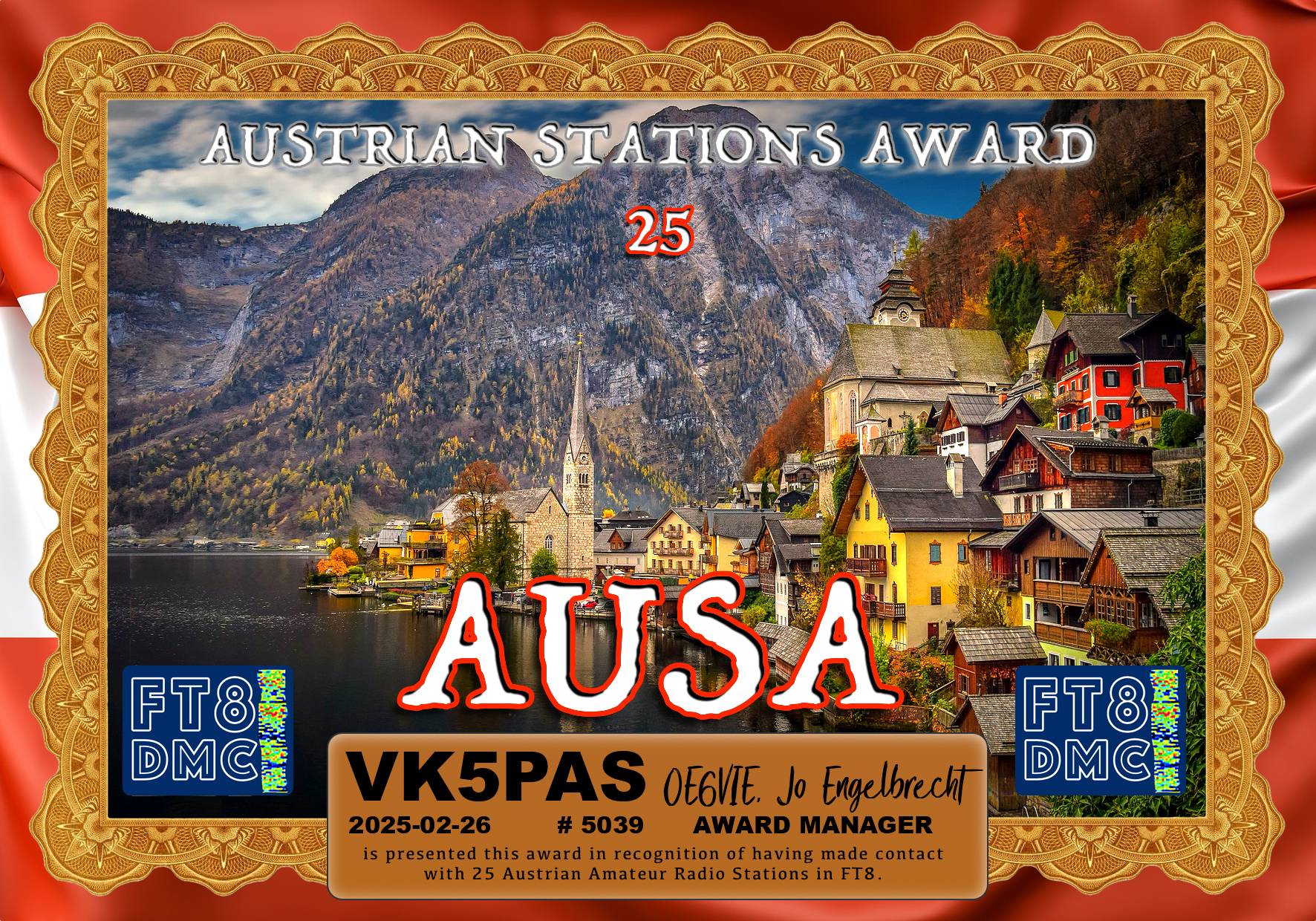
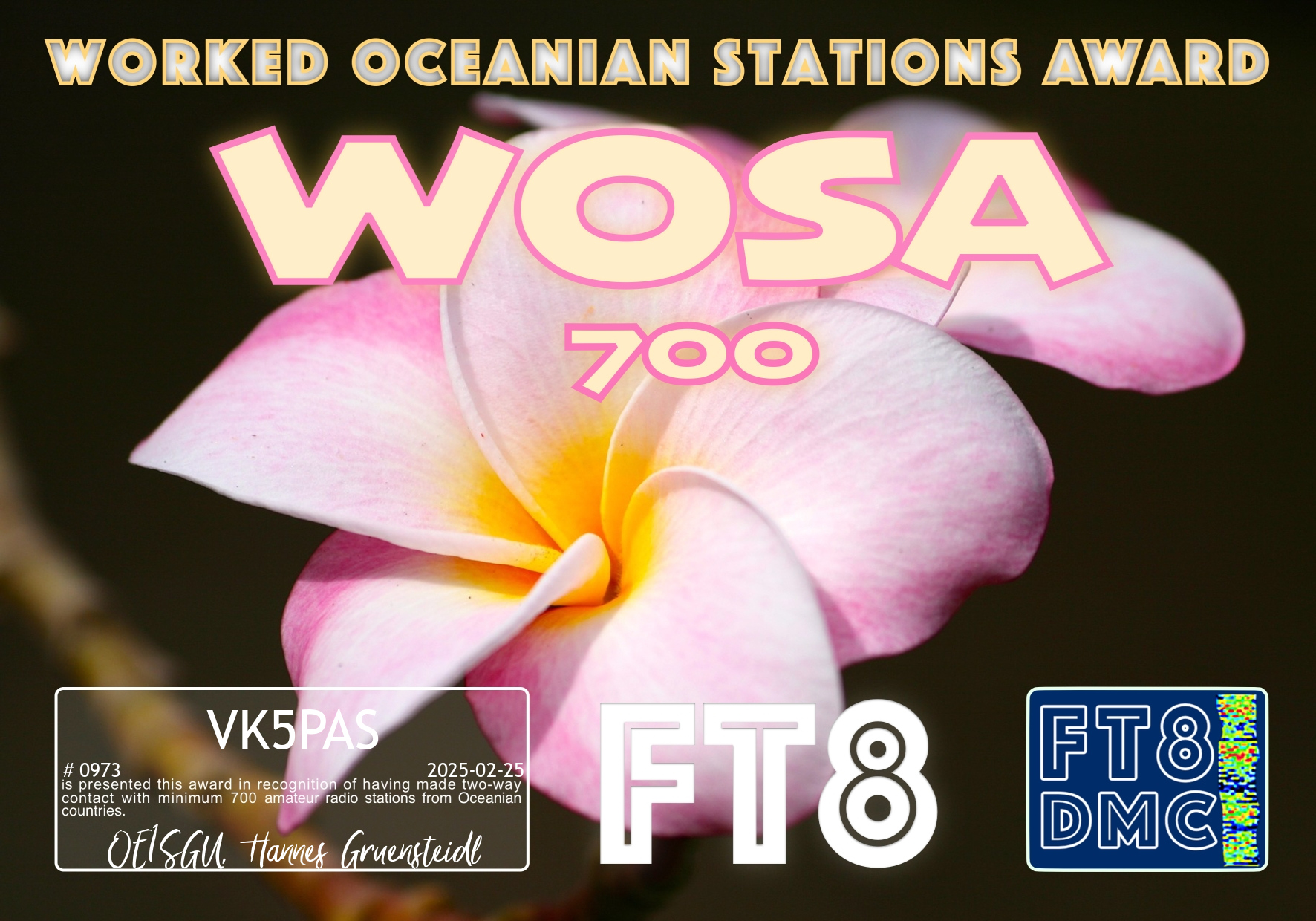
Here are my latest FT8 award certificates.
Thankyou to all of the FT8 operators around the world and the various Award Managers for this time.
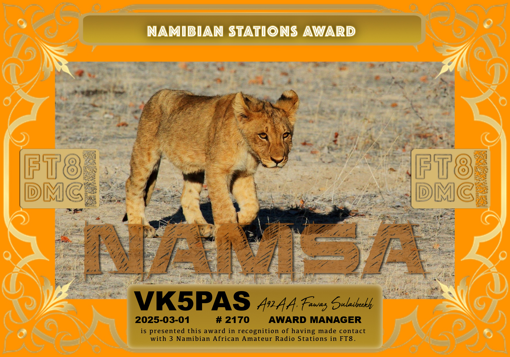


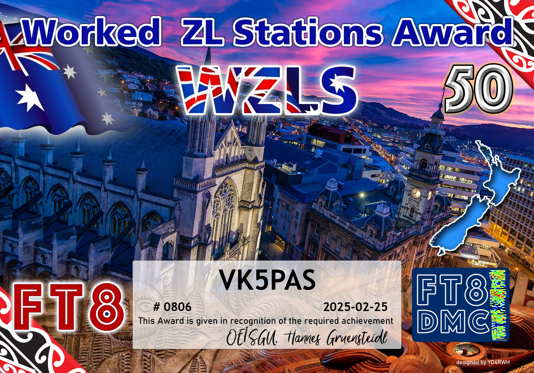
Here are my latest FT8 award certificates.
Thankyou to all of the FT8 operators around the world and the various Award Managers for this time.
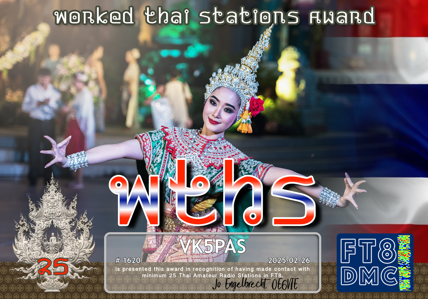
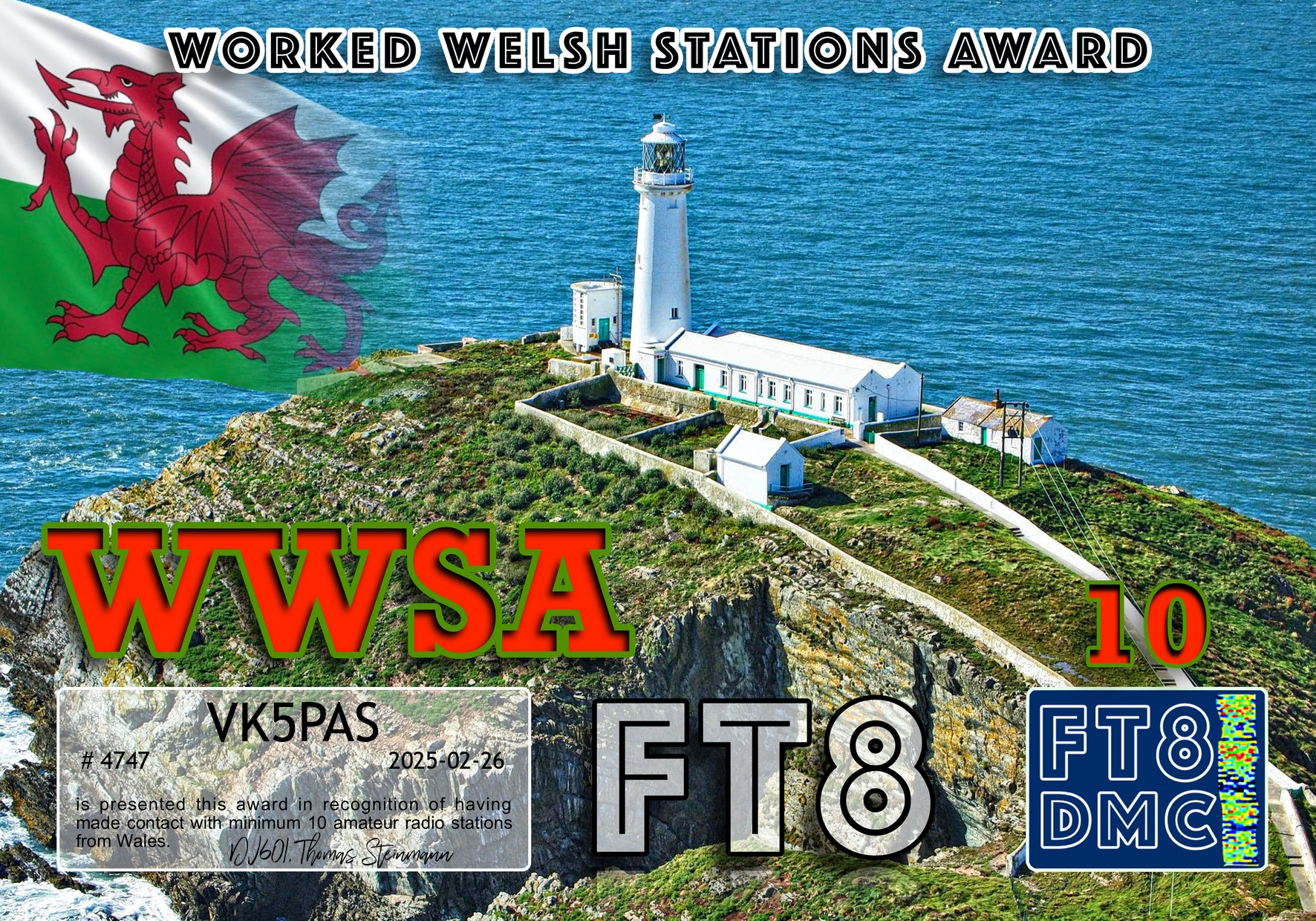
Here are my latest FT8 award certificates.
Thank you to all of the FT8 operators and the various Award Managers.


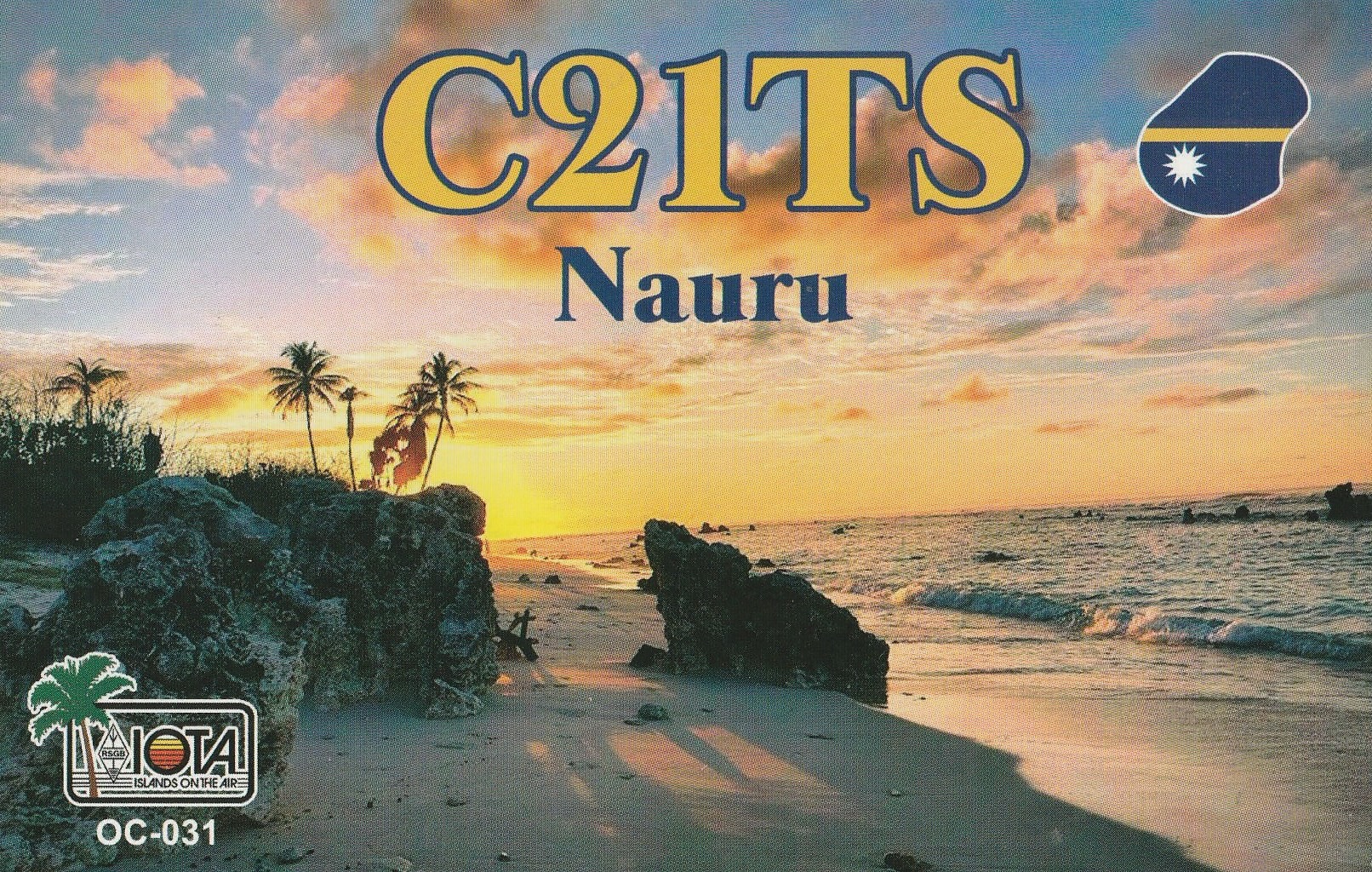
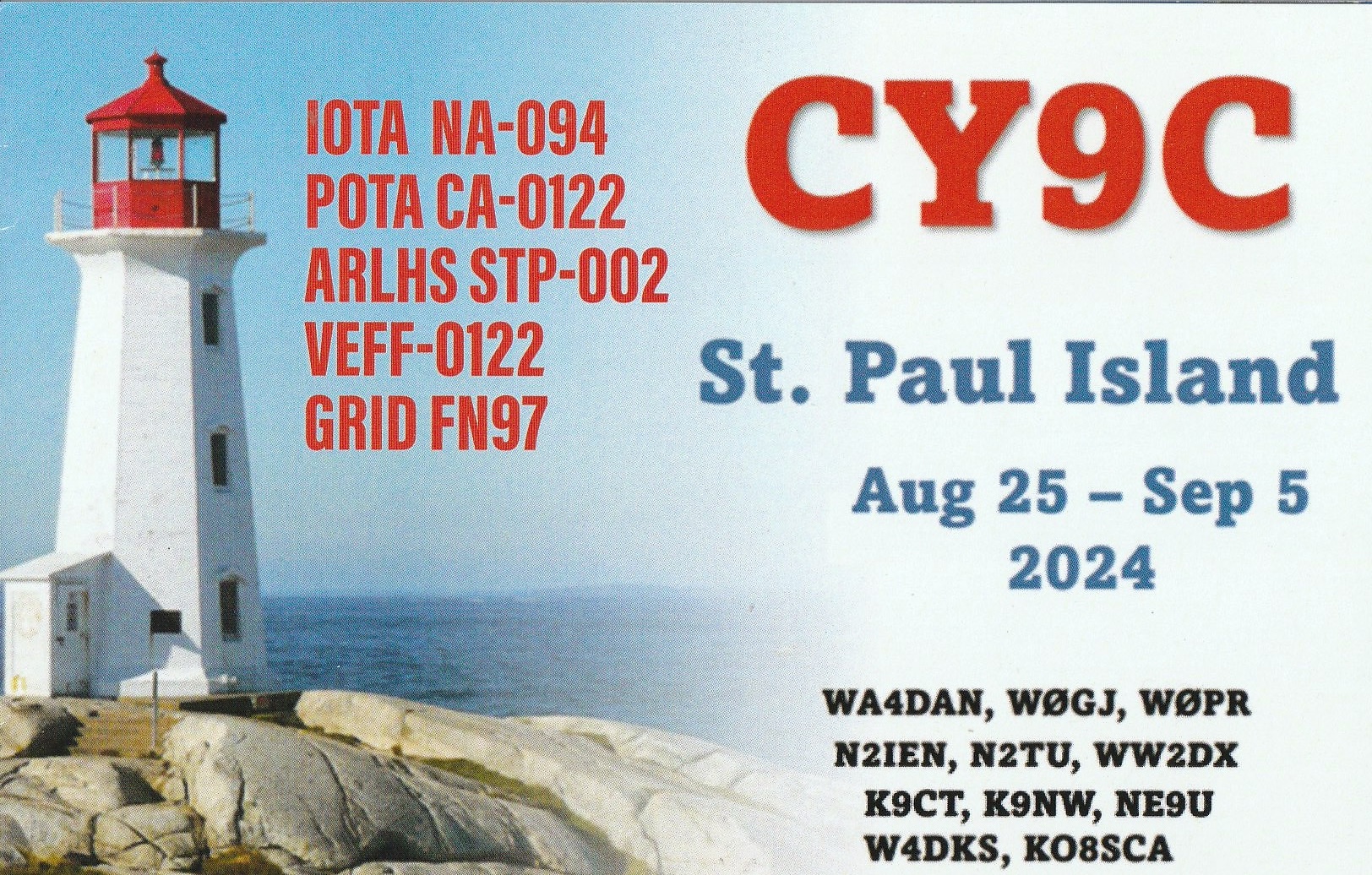
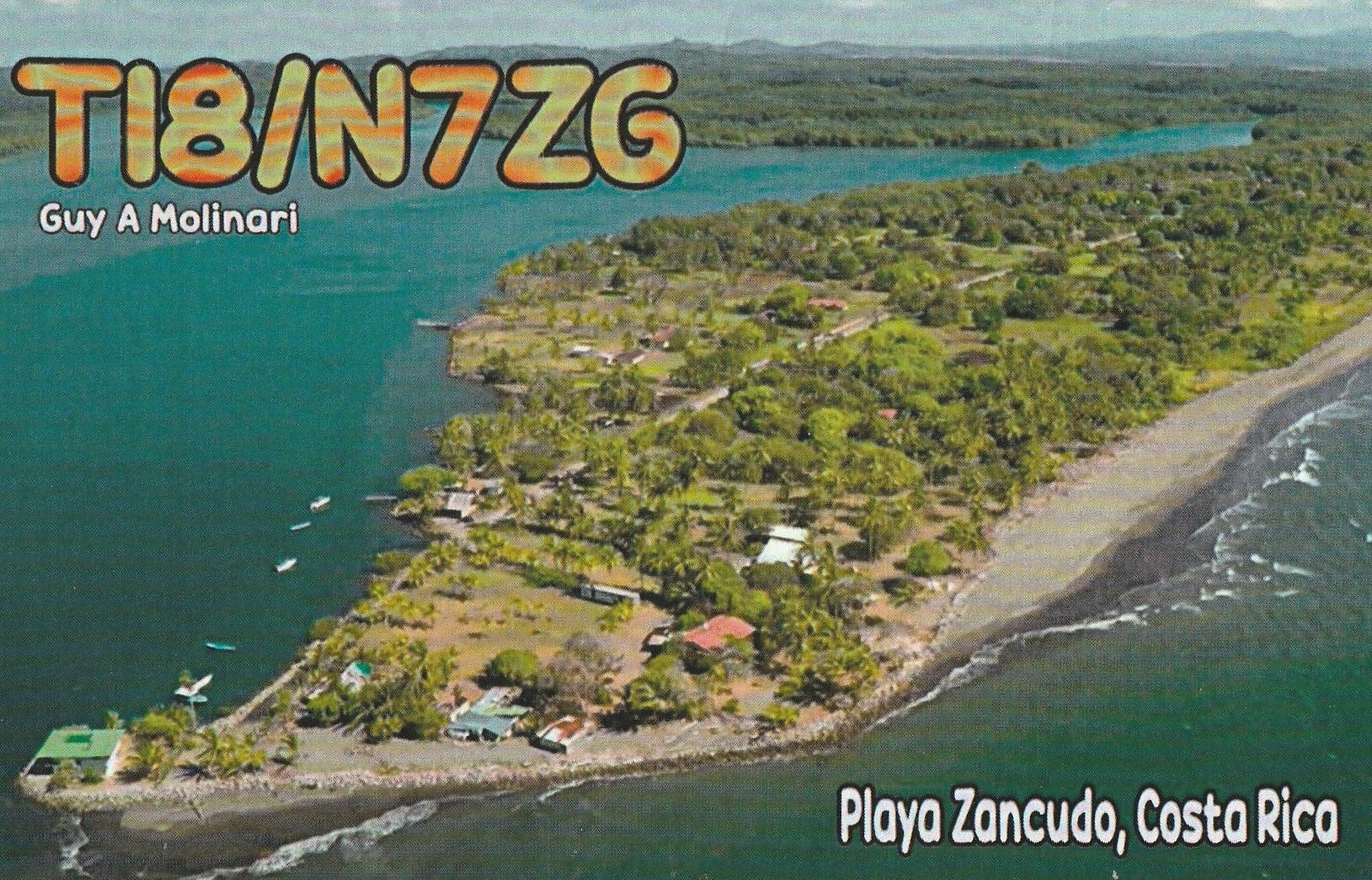
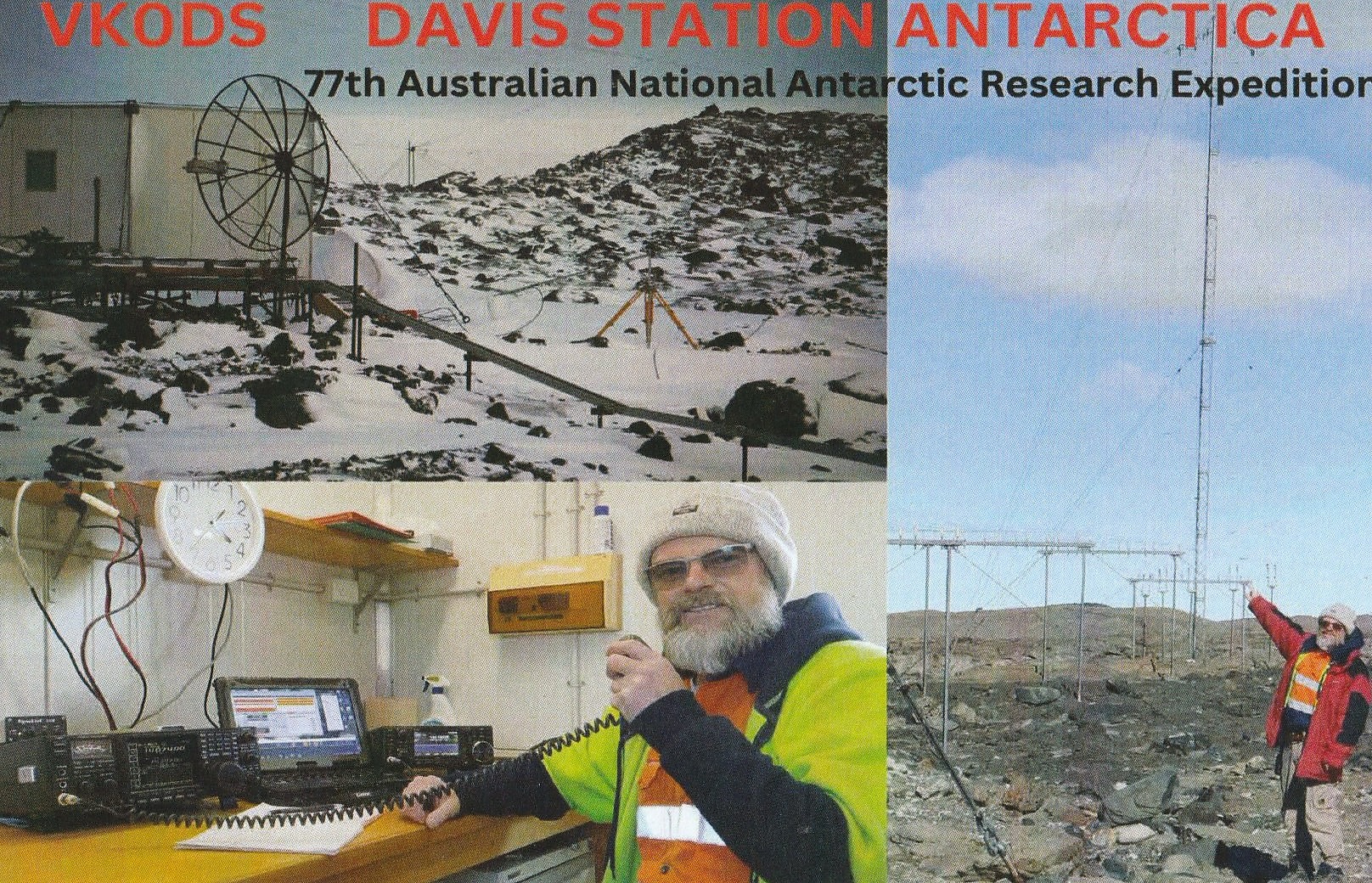
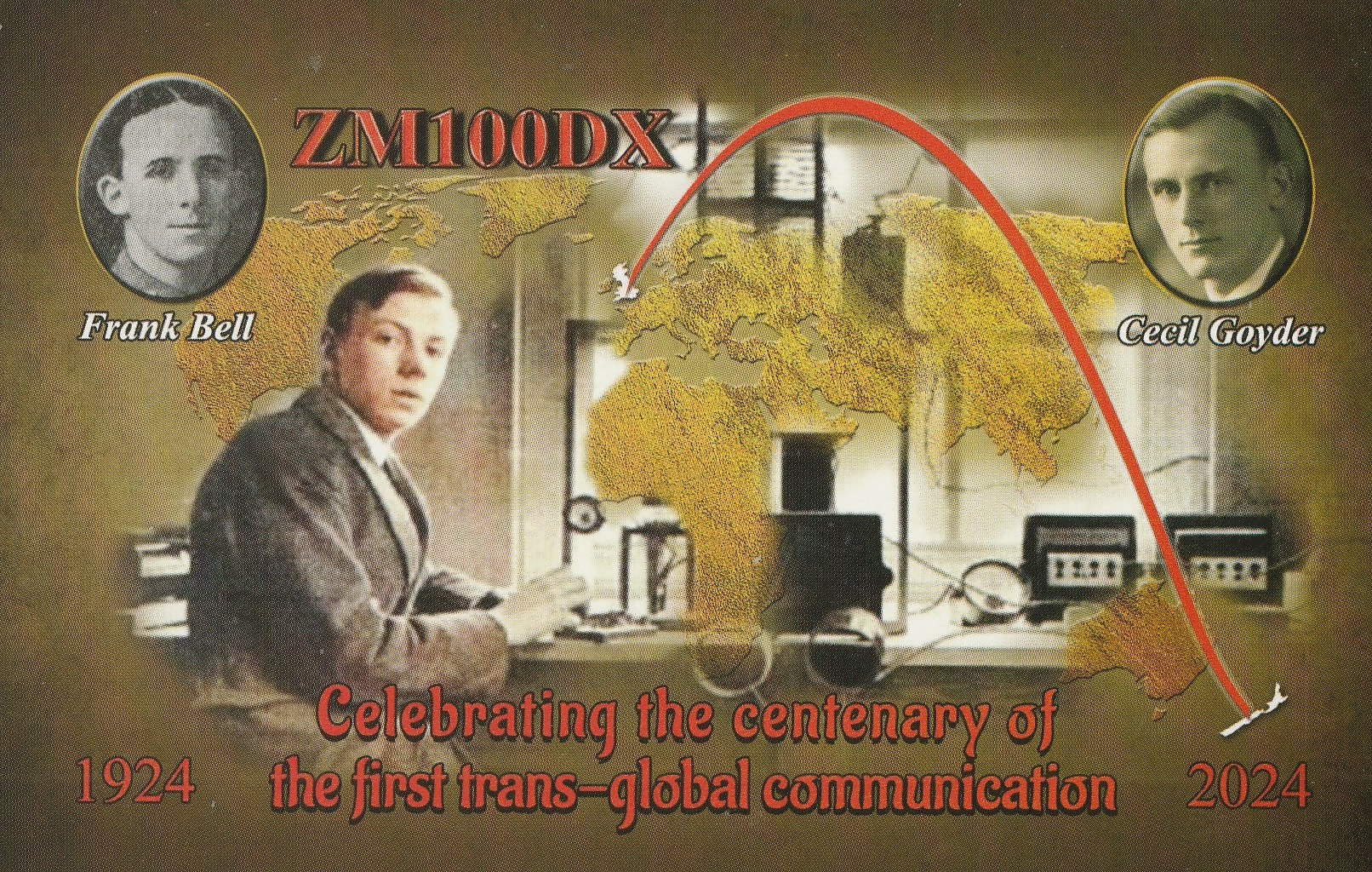
Here is a selection of QSL cards received in the past couple of weeks for VK5MAZ and VK5PAS.


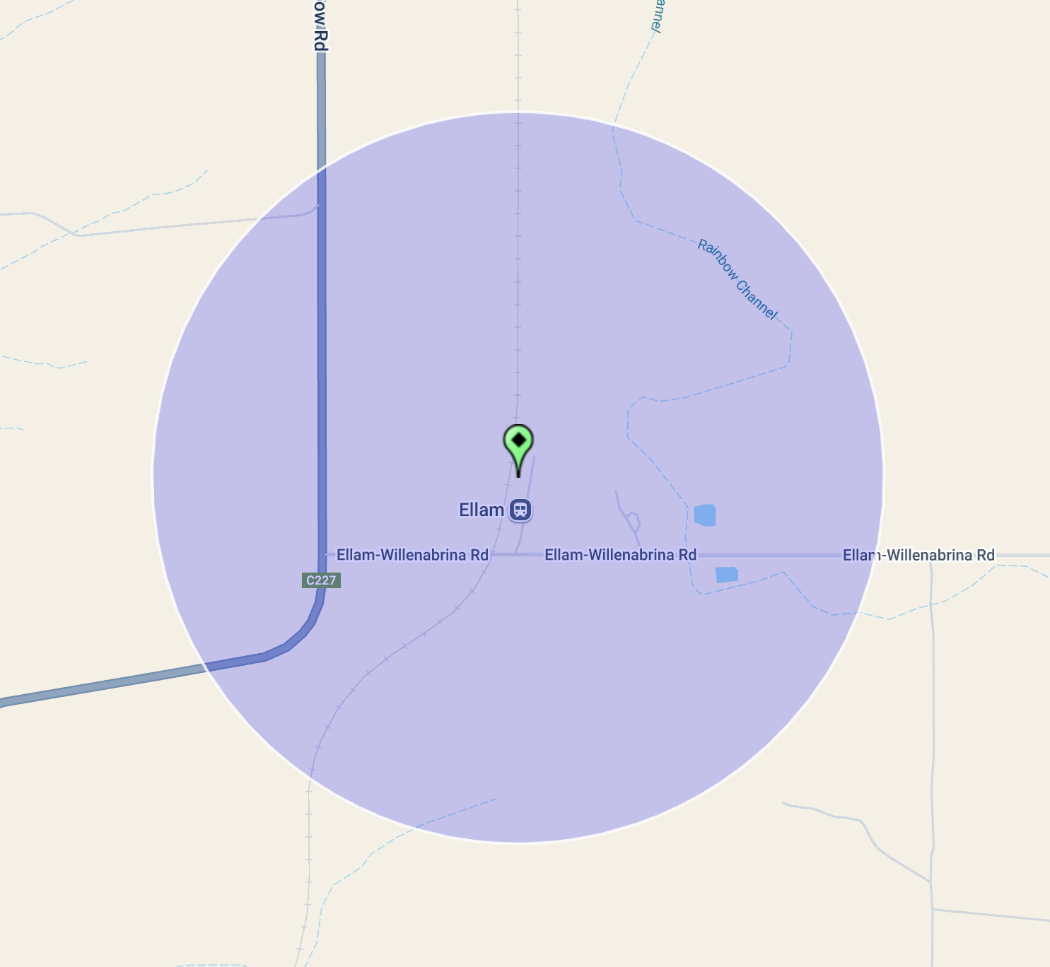
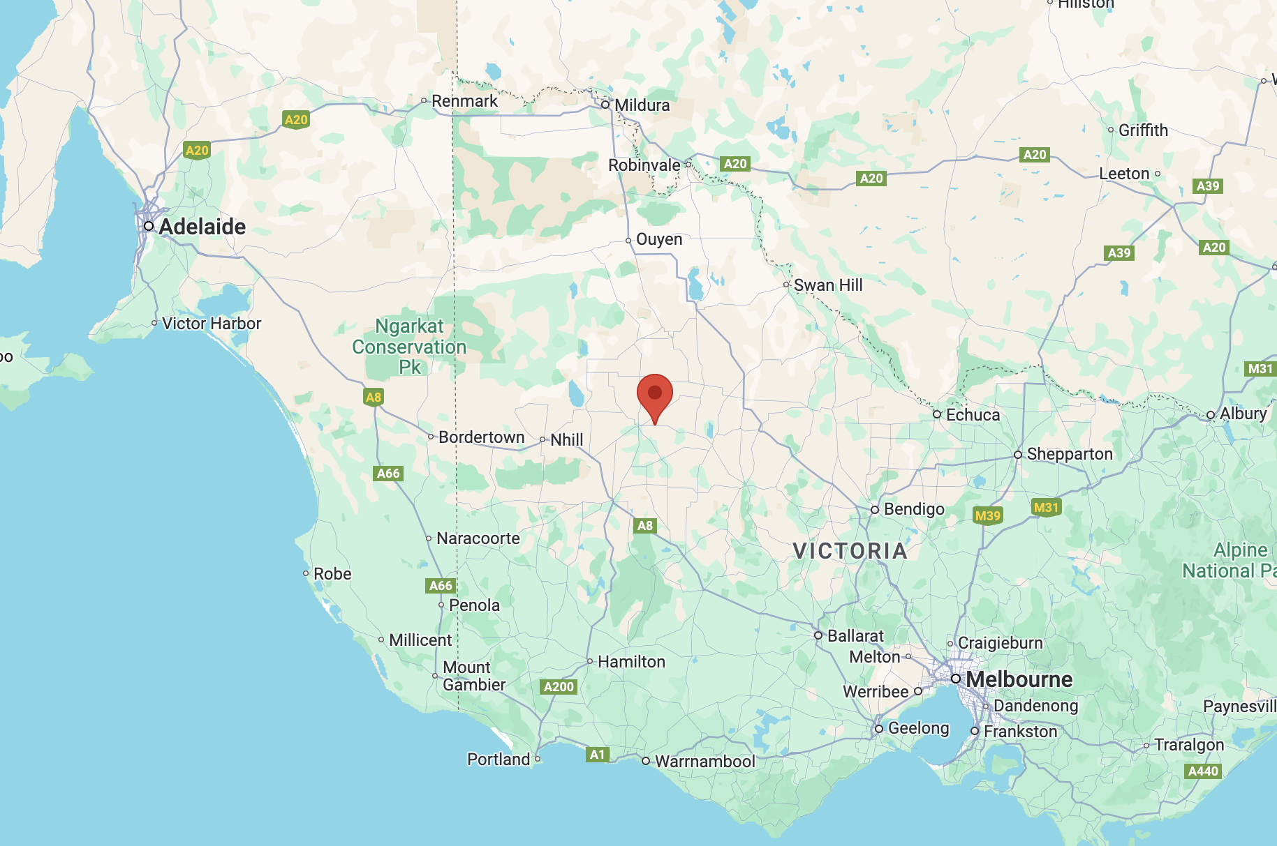
After leaving Jeparit, Marija and I drove a short distance north towards Ellam where we planned on activating the Ellam silo VK-ELM3.
Ellam is located about 384 km northwest of the city of Melbourne, and about 15 km north of the town of Jeparit.
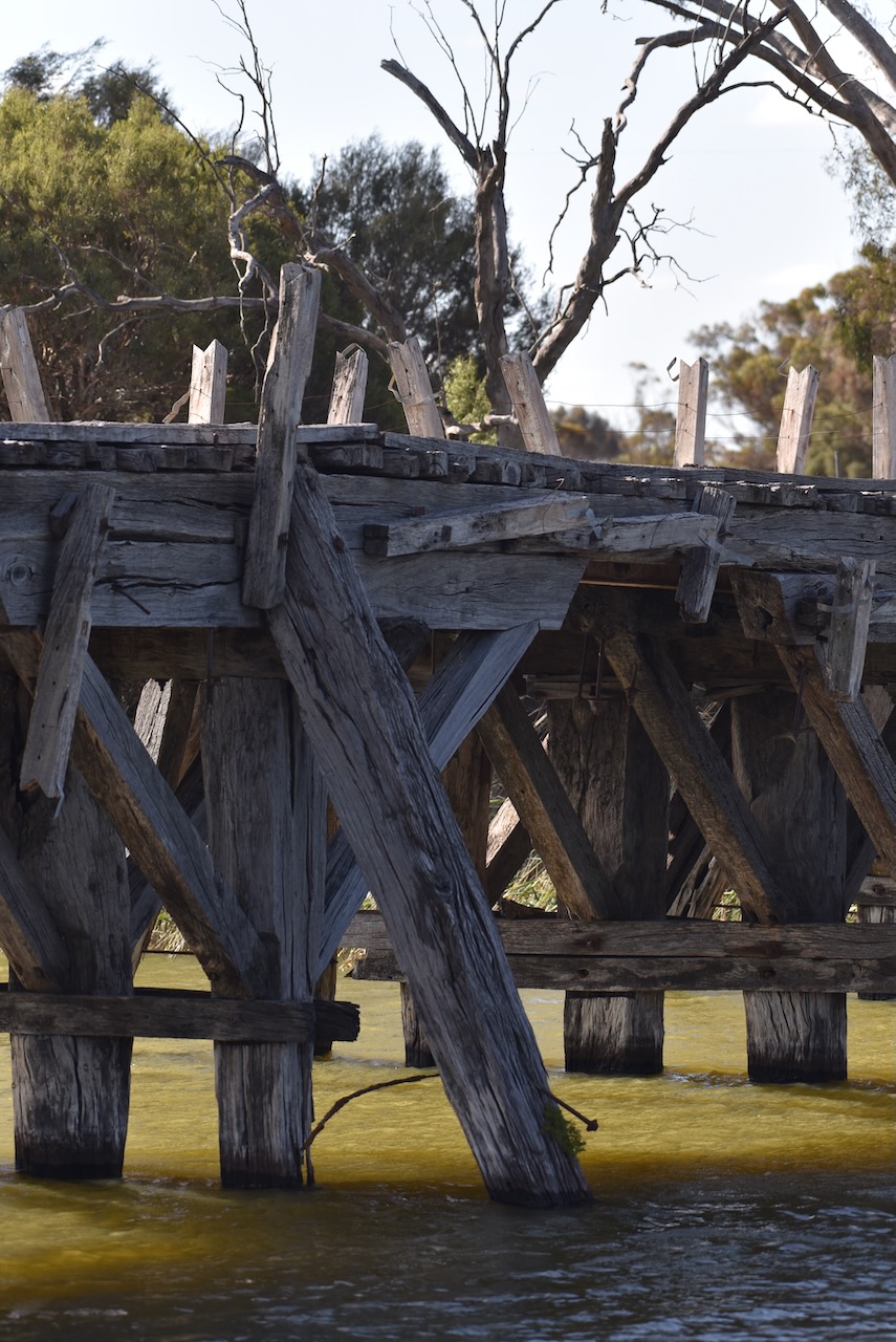
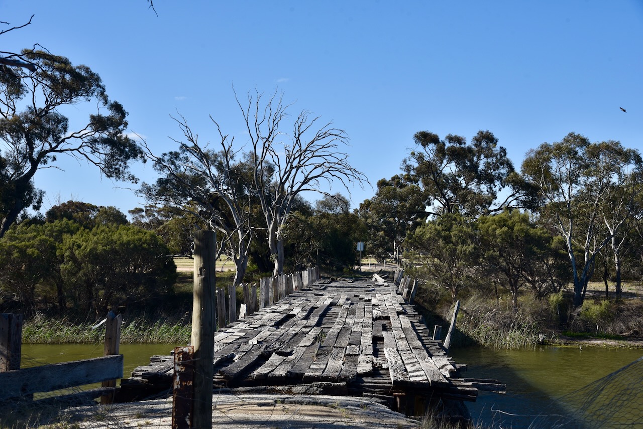
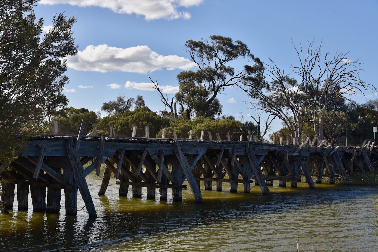
Marija and I drove down to the Wimmera River along the way to view the old bridge. The Wimmera River flows for a distance of about 278 km. It rises from the Great Dividing Range below Elmhurst and flows generally north and west before reaching its mouth at Lake Hindmarsh. The Wimmera River is joined by 14 minor tributaries. (Wikipedia 2023)
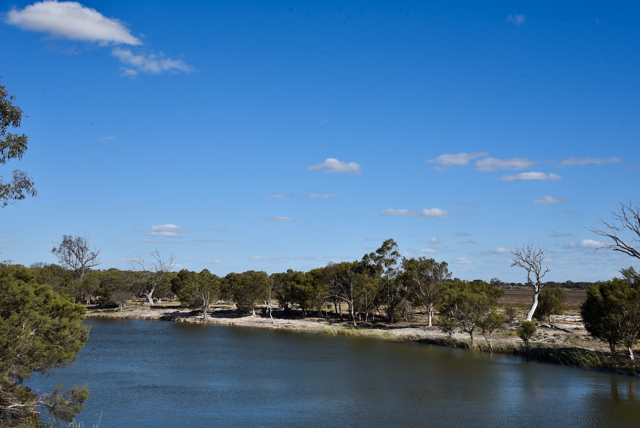
The Jeparit Bridge was constructed in 1891 and was opened the following year in 1892. It is one of Victoria’s oldest surviving timber road bridges. (Vic.gov.au, 2025)
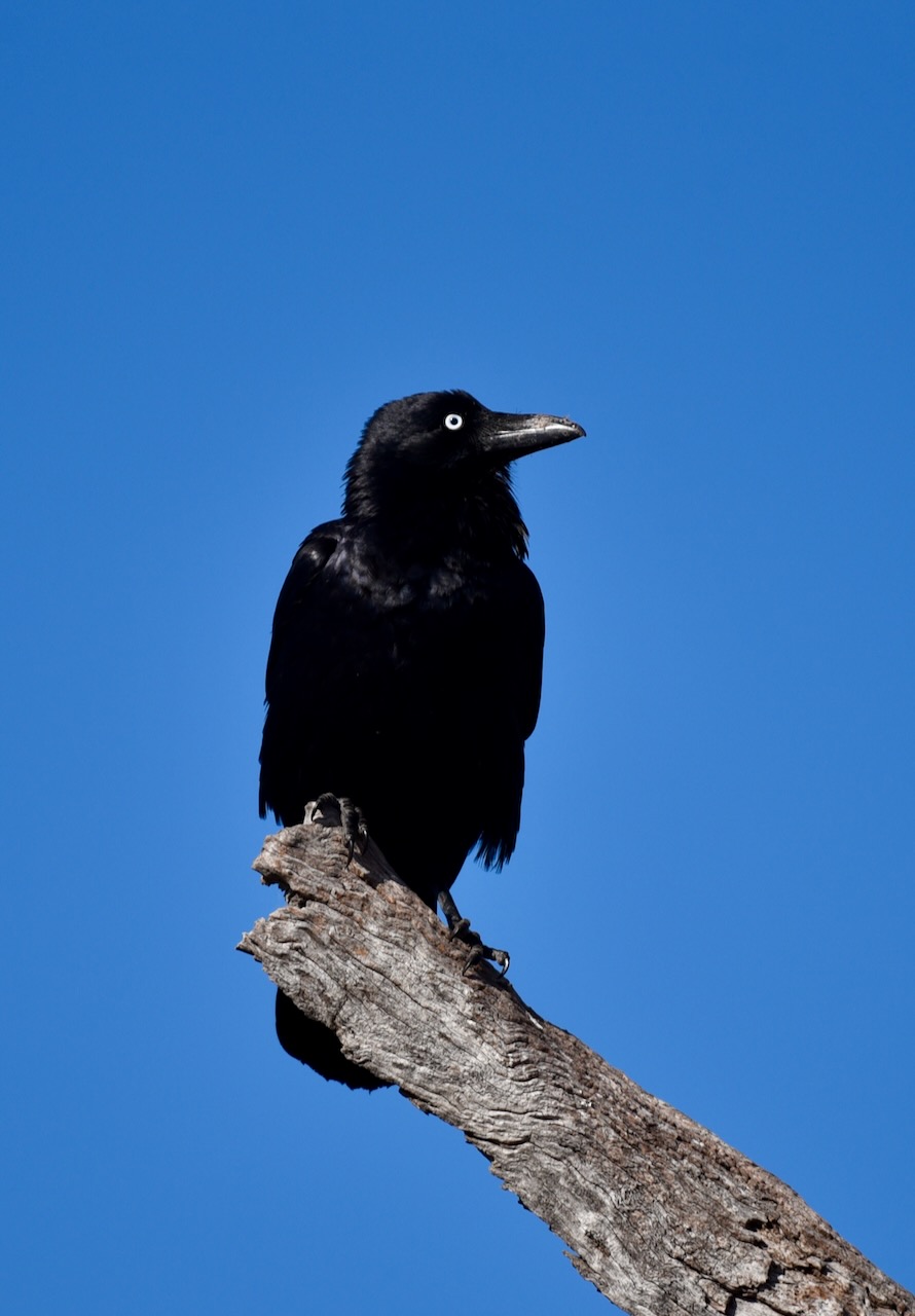
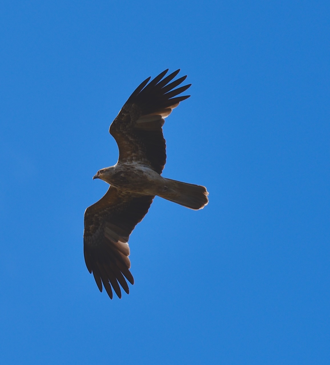
There was a variety of birdlife along this stretch of the Wimmera River.
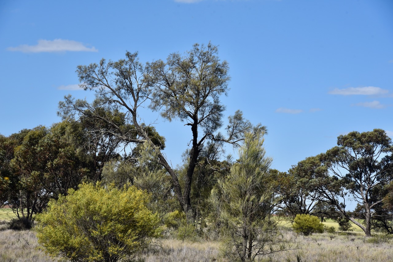
We then drove to the Ellam silos. They are located on the Ellam-Willenabrina Road. Ellam is Mallee spelt backwards. (Blake 1978)
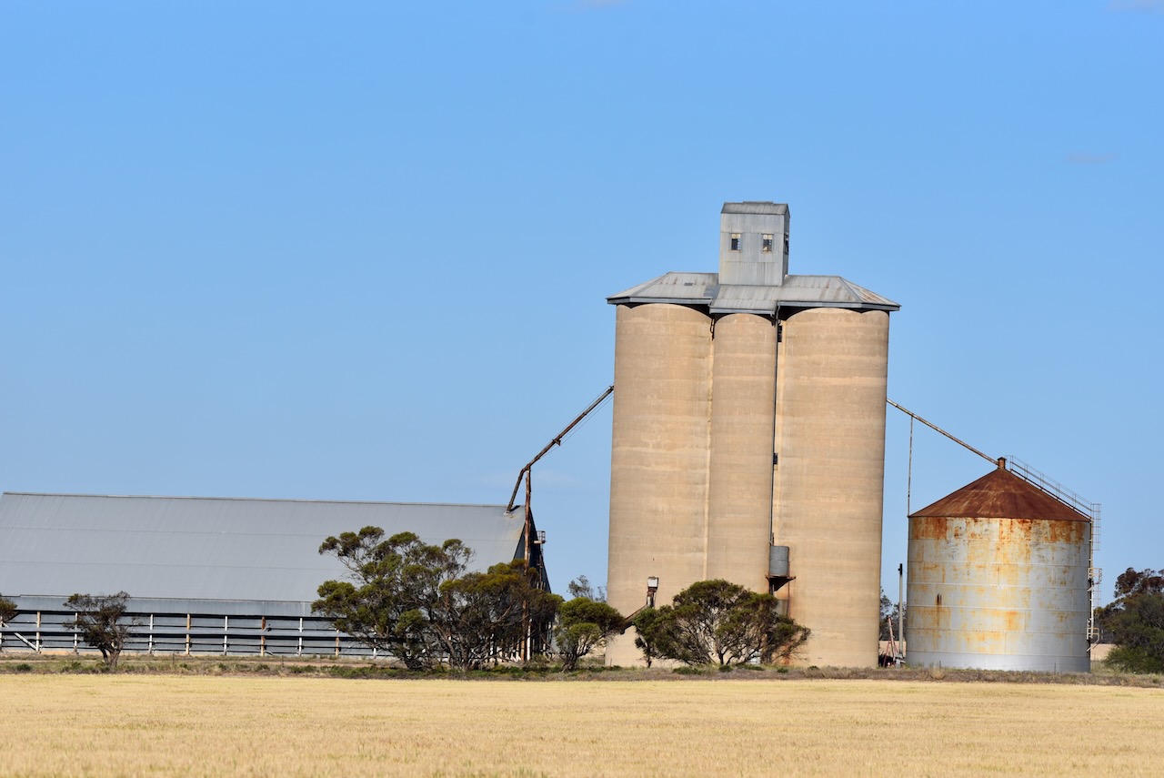
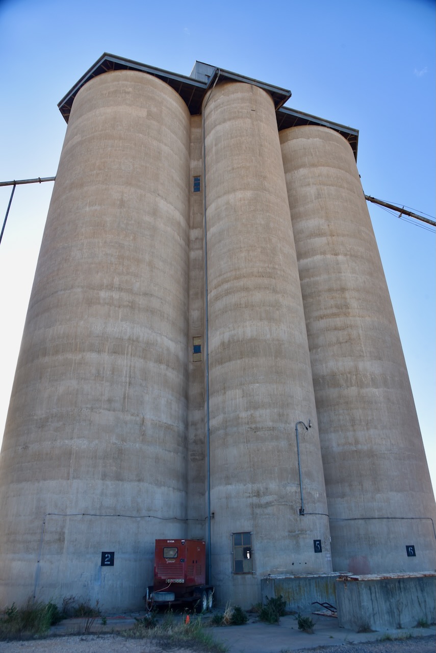
We parked right alongside the silos and operated from the 4WD. We ran the Icom IC-7000, 100 watts, and the Codan 9350 antenna with the 1.5 metre staineless steel whip.
Above:- the activation zone at the Ellam silo. Image c/o SiOTA website.
Marija worked the following stations on 40m SSB:-
I worked the following stations on 40m SSB:-
References.
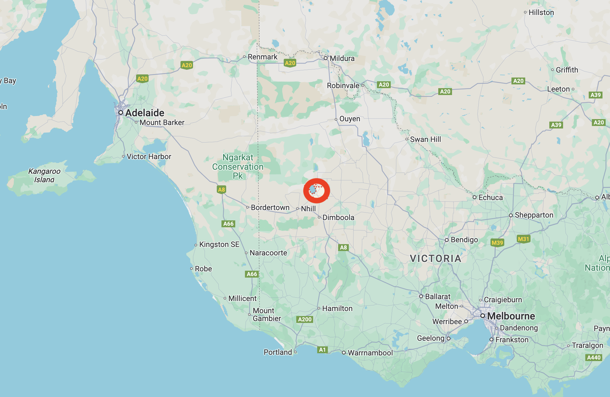
After leaving Crymelon on Wednesday 23rd October 2024, Marija and I headed to Jeparit, intending to activate the Jeparit silo for the Silos On The Air (SiOTA) program.
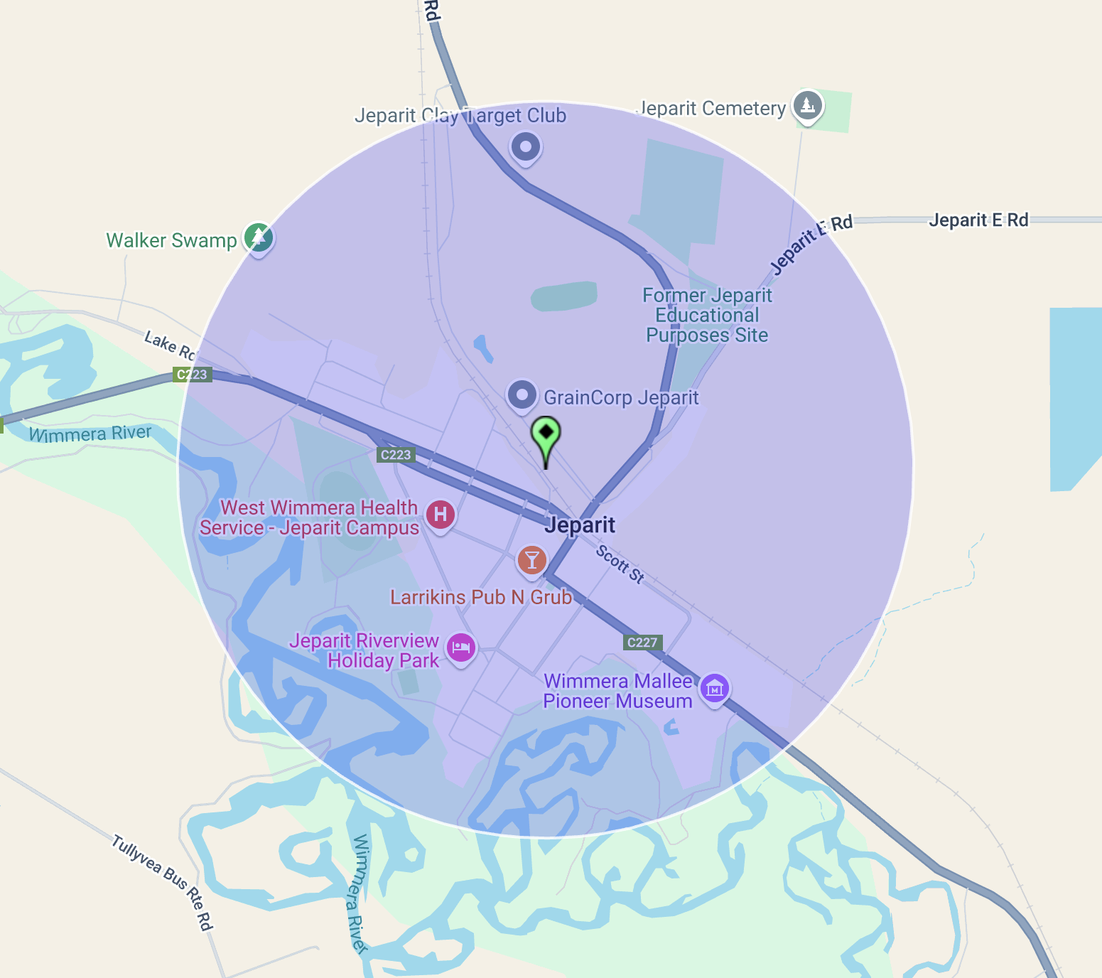
Above: The map shows the location of Jeparit in western Victoria. Map c/o Google Maps.
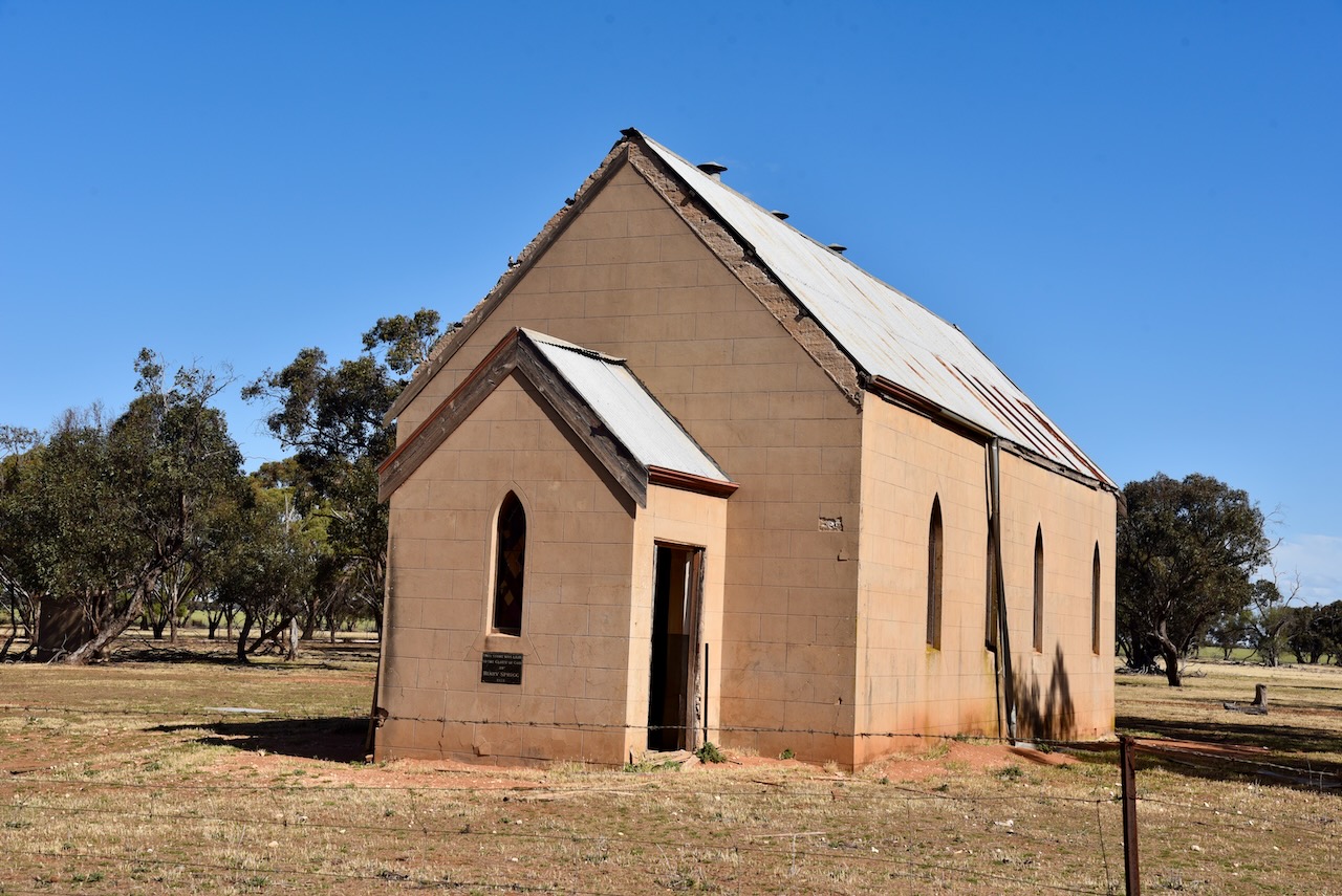
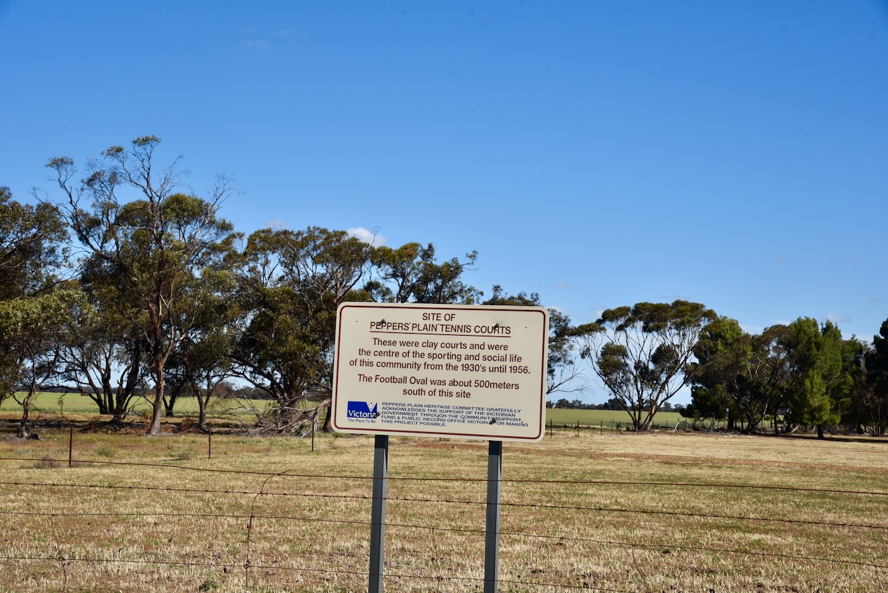
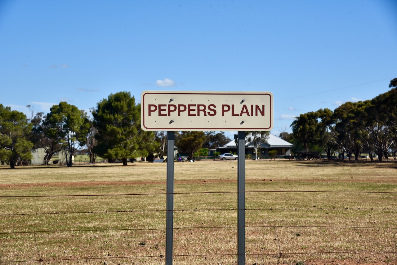
As we drove along the Jeparit-Warracknabeal Road, we passed through Peppers Plain. The area takes its name from John H. Pepper who held Coolanuck station in 1848.
Peppers Plain was once a thriving community. The old tennis courts are now an overgrown paddock. The clay tennis courts were the centre of the sporting and social life of the community from the 1930s until 1956. The Peppers Plain football oval was also located nearby.
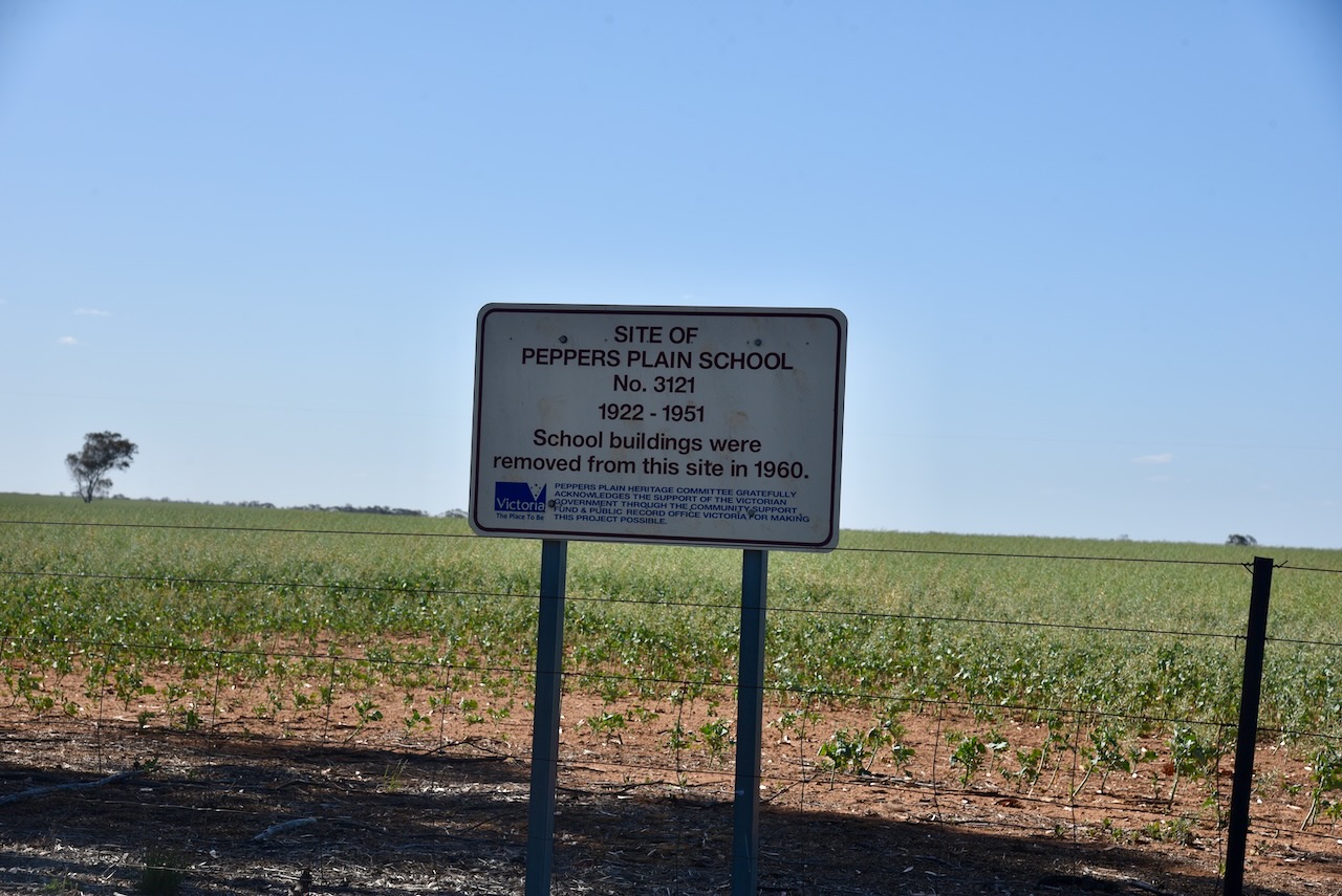
The Peppers Plain School No. 3121 operated from 1922 to 1951. The school buildings were removed from the site in 1960.
One building that does remain is the old Peppers Plain Baptist Church. The foundation stone was laid in 1924 by Henry Sprigg. (UBC Web Design, 2018)
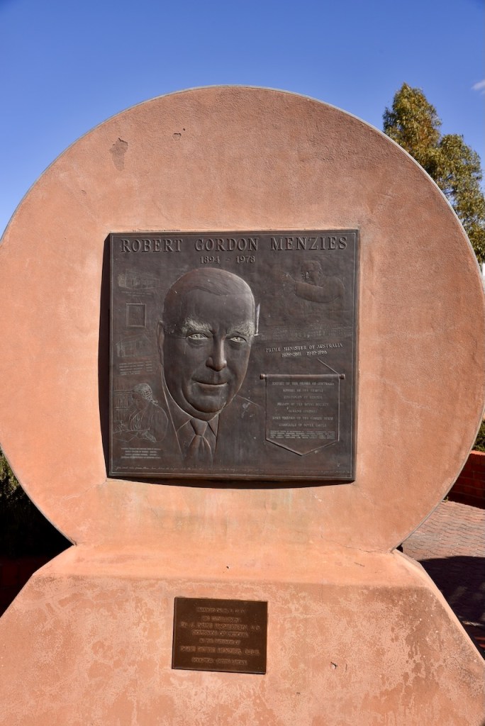
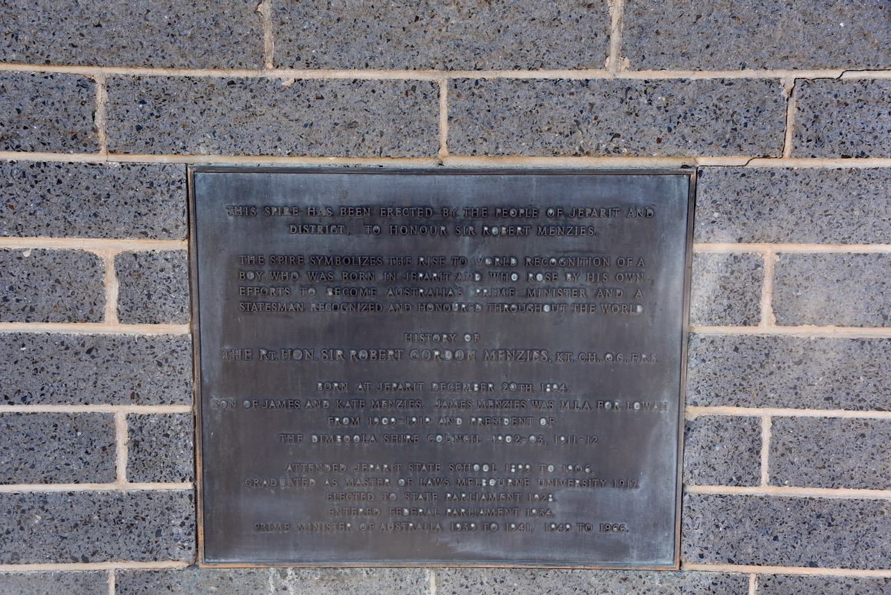
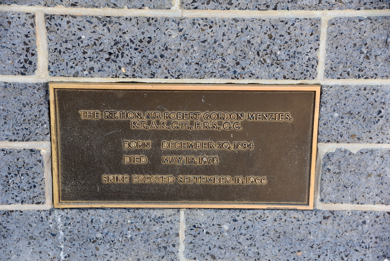
Marija and I soon reached the little town of Jeparit. It is famous for being the birthplace of Sir Robert Menzies. Jeparit is believed to be a corruption of an aboriginal word meaning ‘the home of small birds’. (Aussie Towns 2024)
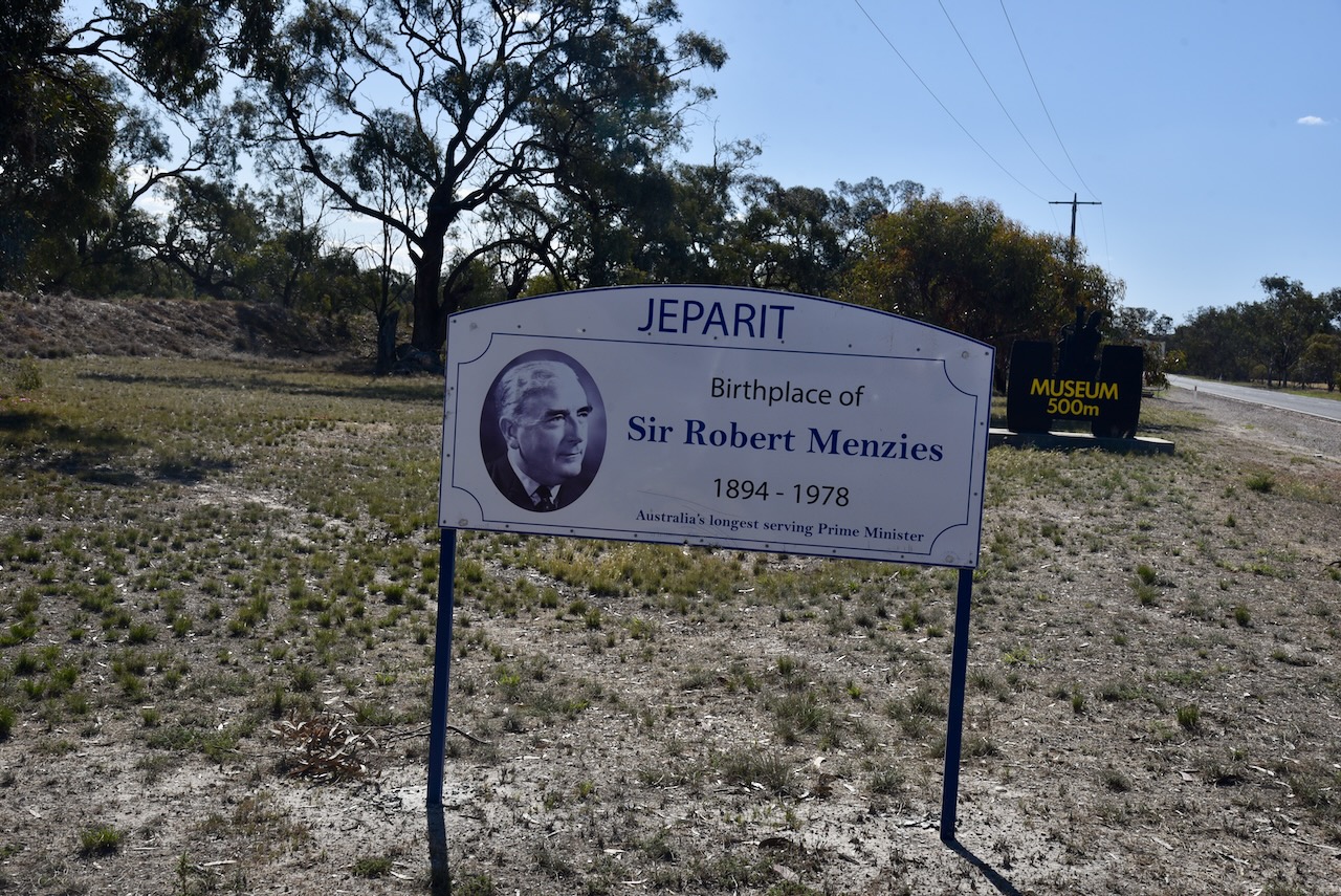
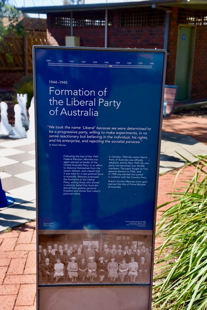
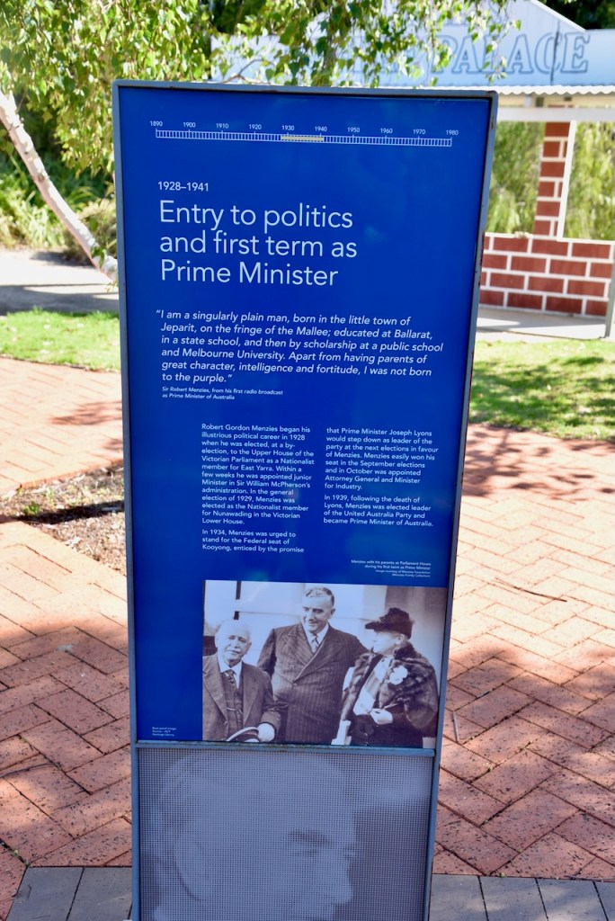
Robert Gordon Menzies (b. 1894. d. 1978) was Australia’s 12th and longest-serving Prime Minister. Menzies held the office of Prime Minister twice, from 1939 to 1941 and from 1949 to 1966. He held the office for over 18 years which to this day, is still the record term for an Australian Prime Minister. (National Archives of Australia, 2021)
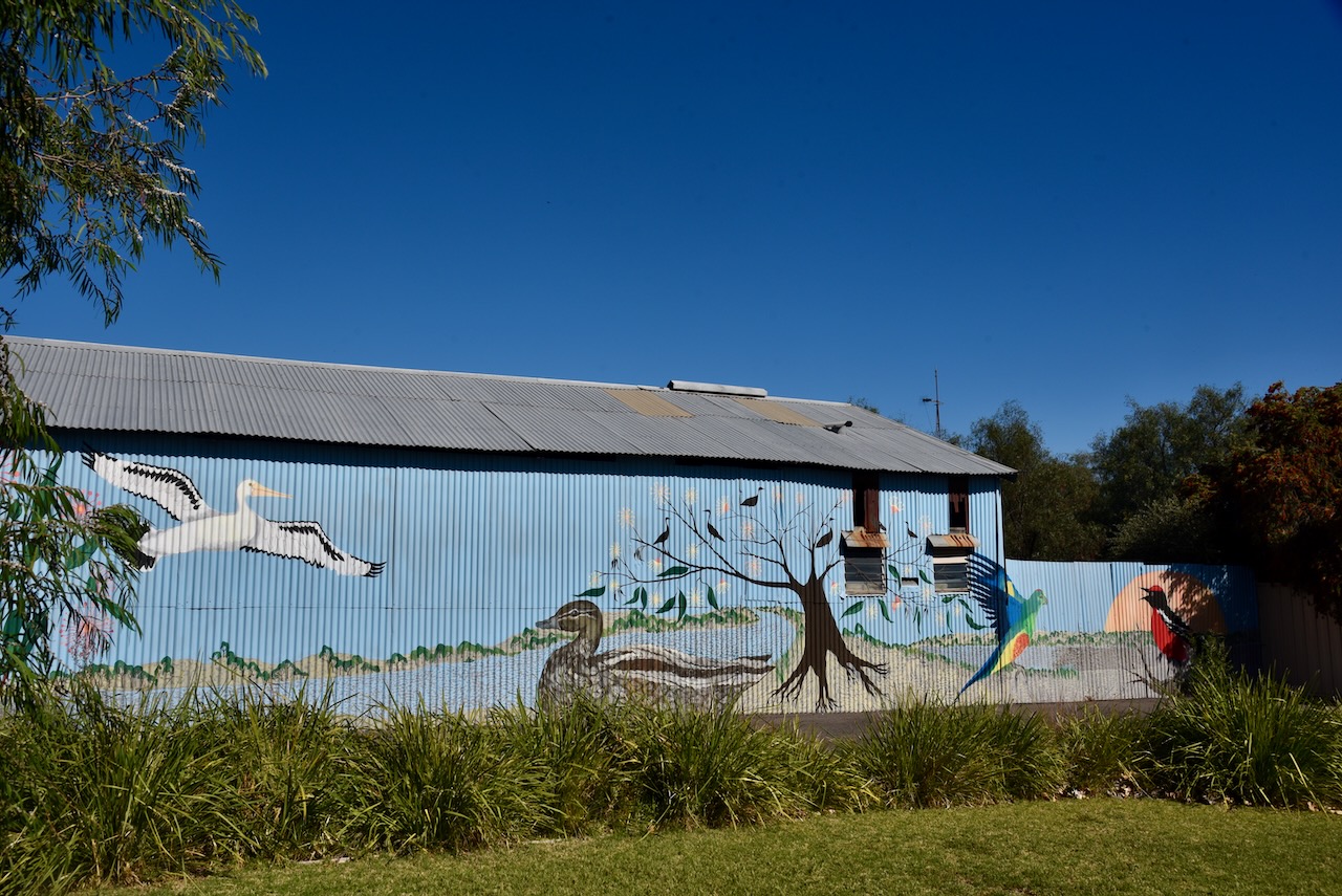
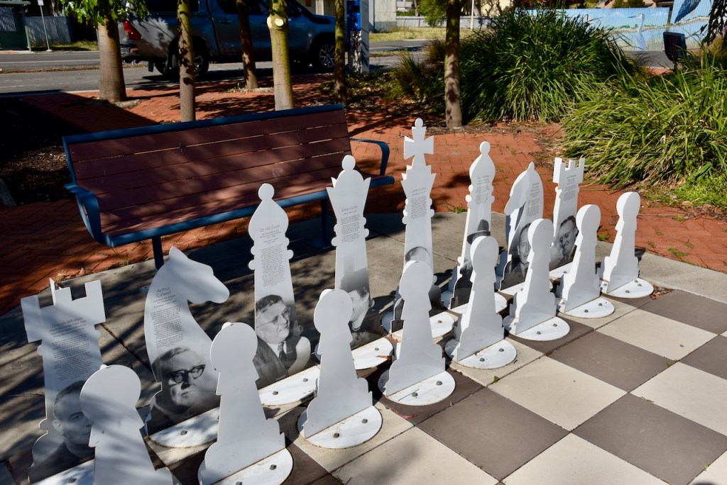
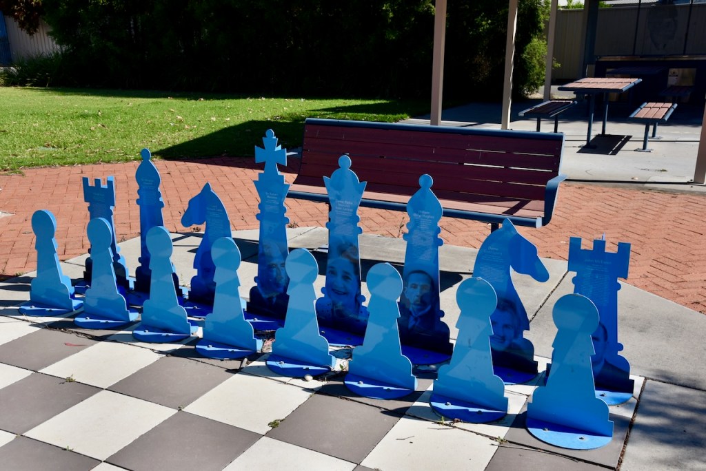
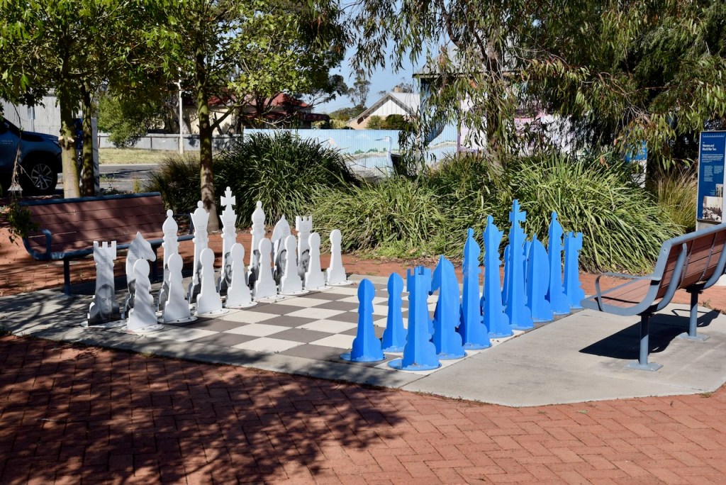
We stopped at Menzies Square on the corner of Roy Street and Dimboola-Rainbow Road. There is an impressive mural painted on the side of a shed which features several local bird species.
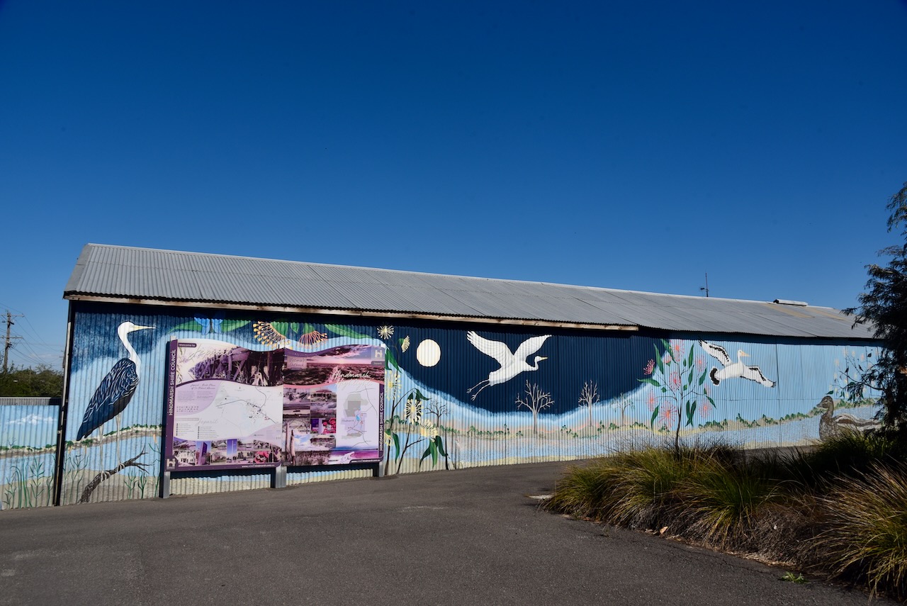
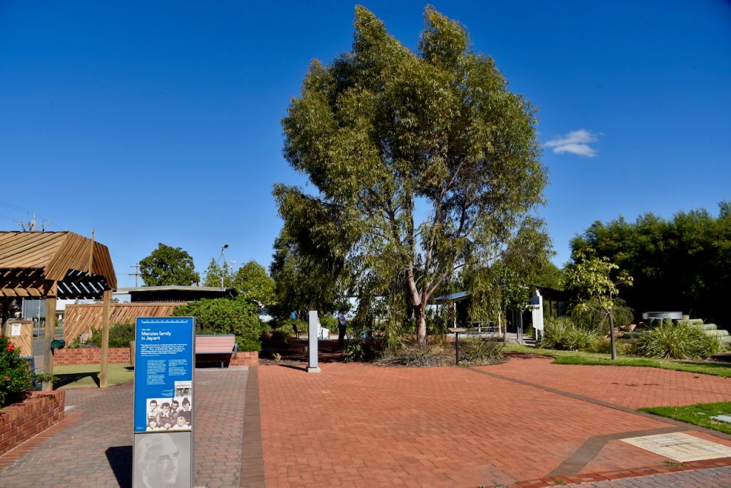
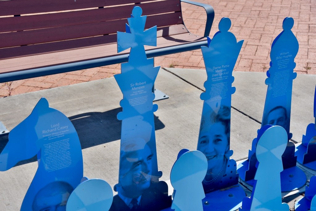
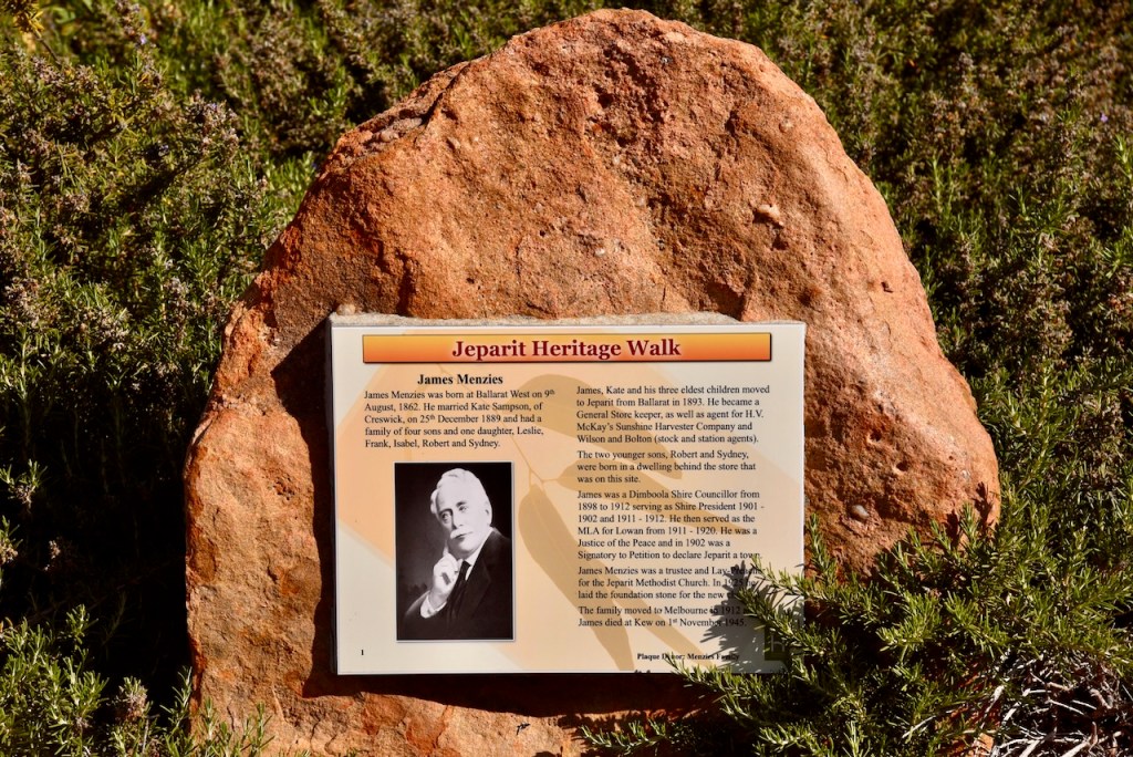
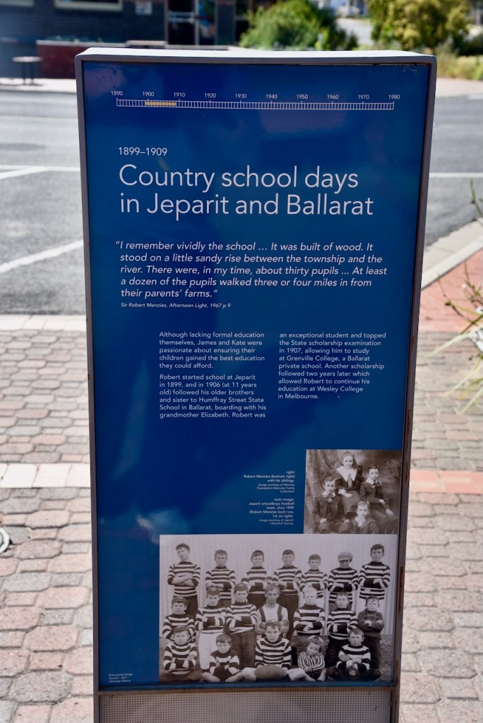
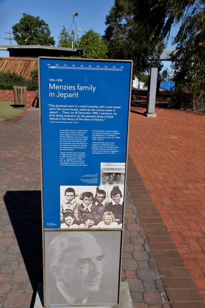
Menzies Square is a tribute to the Menzies family. Several information boards detail the life of Sir Robert Menzies and his family.
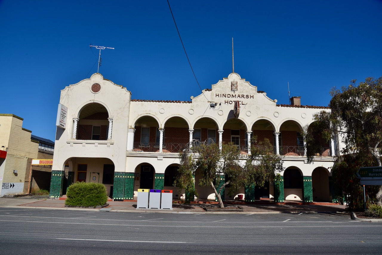
In 1894, Mr. J Jeffrey announced his intention of erecting a Coffee Palace in Roy Street, Jeparit. The Coffee Palace was intended to be a spot where travellers and the general public could find the best accommodation, ample yard room, and good stabling for horses. Jeffrey erected a weatherboard premises and soon afterwards, his wife applied for a licence for the sale of wine and the operation of a billiard room. Unfortunately, the success of the business was seasonal and the Jeffries ran into financial difficulty, forcing them to close the business. (Vic.gov.au, 2024)
In 1895, John Rae, a timber merchant and undertaken, took over the business. However his life as the proprietor of the business was short-lived, and Mrs. Ellen Sheil took over and became the owner of Shiell’s Coffee Palace. (Vic.gov.au, 2024)
In November 1928 the original building was totally destroyed by fire. Four motor vehicles were also destroyed and several horses perished in the fire. (Vic.gov.au, 2024)
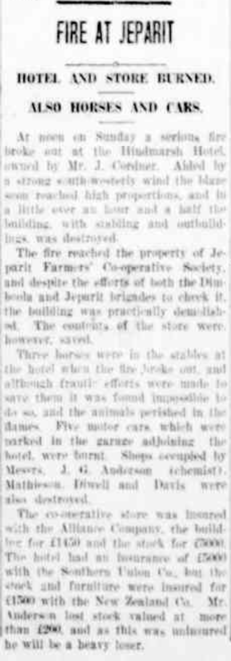
Above:- Article from The Horsham Times, Fri 9 Nov 1928. Trove.
In 1929 the current building was constructed in Spanish style. It is named after the first Governor of South Australia. (Vic.gov.au, 2024)
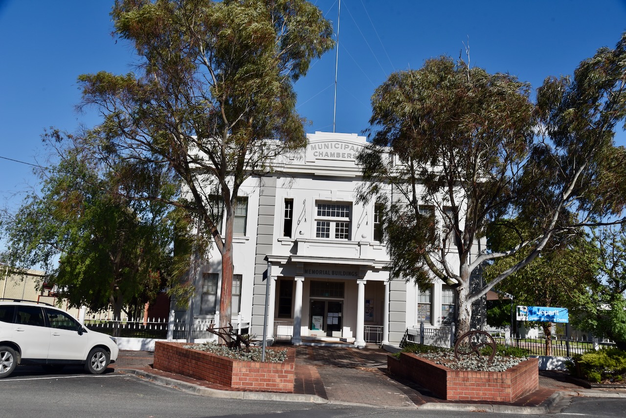
In 1925 the Jeparit Memorial Hall was opened with the dual purpose of being a public venue for the citizens of Jeparit and clubrooms for the Returned Soldiers League. (Vic.gov.au, 2024)
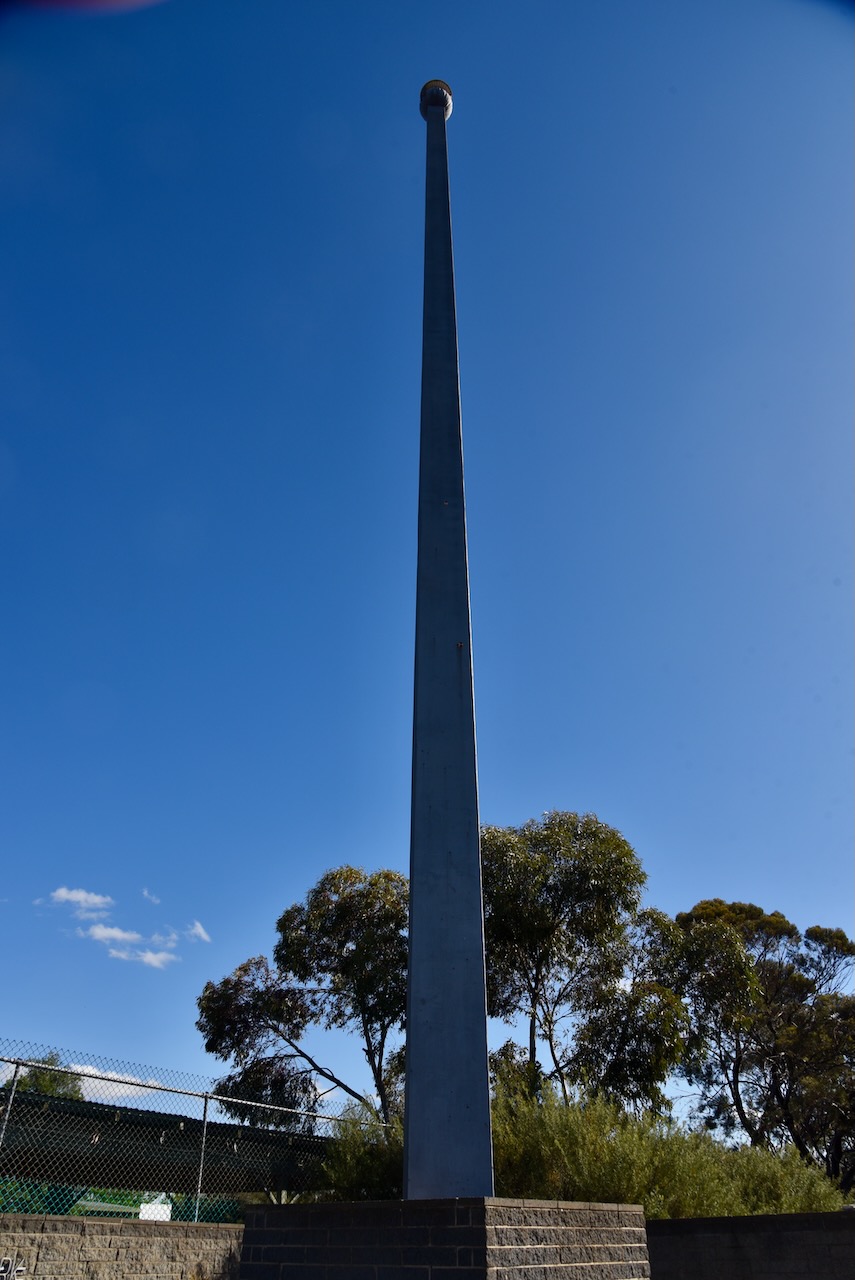
We then visited the Menzies Spire, an 18-metre-tall grey steel column with a thistle on the top. It is located at the corner of Charles Street and Sands Avenue at the entrance to Robert Menzies Park. (Aussie Towns 2024)
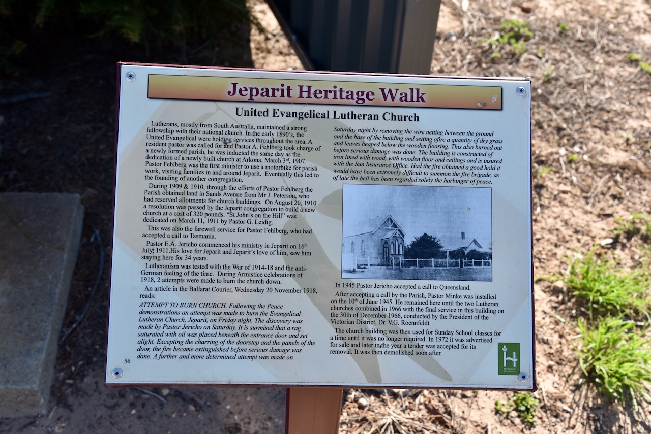
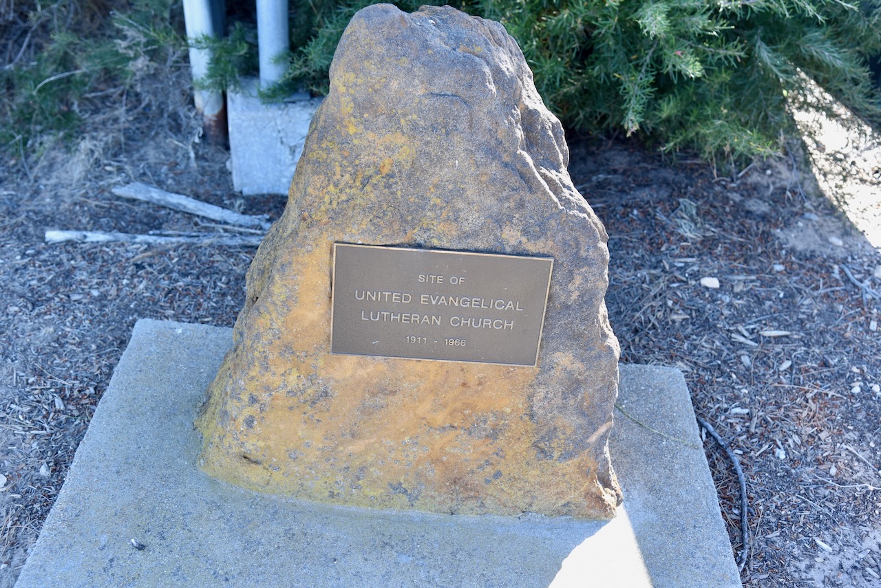
There is a lot of history in the town of Jeparit which is reflected in the many information boards along the Jeparit Heritage Walk.
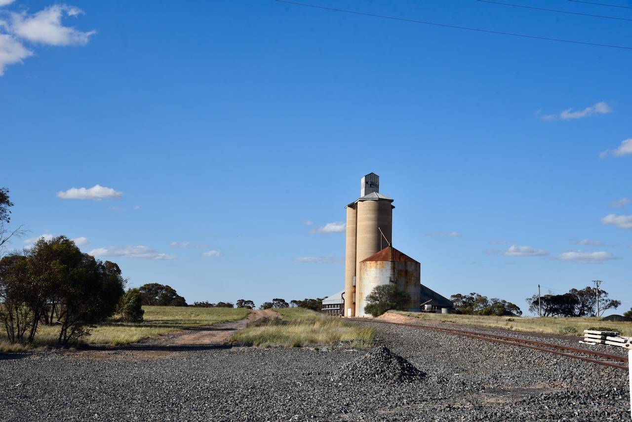
Marija and I then headed to the Jeparit silos, located on Mill Street.
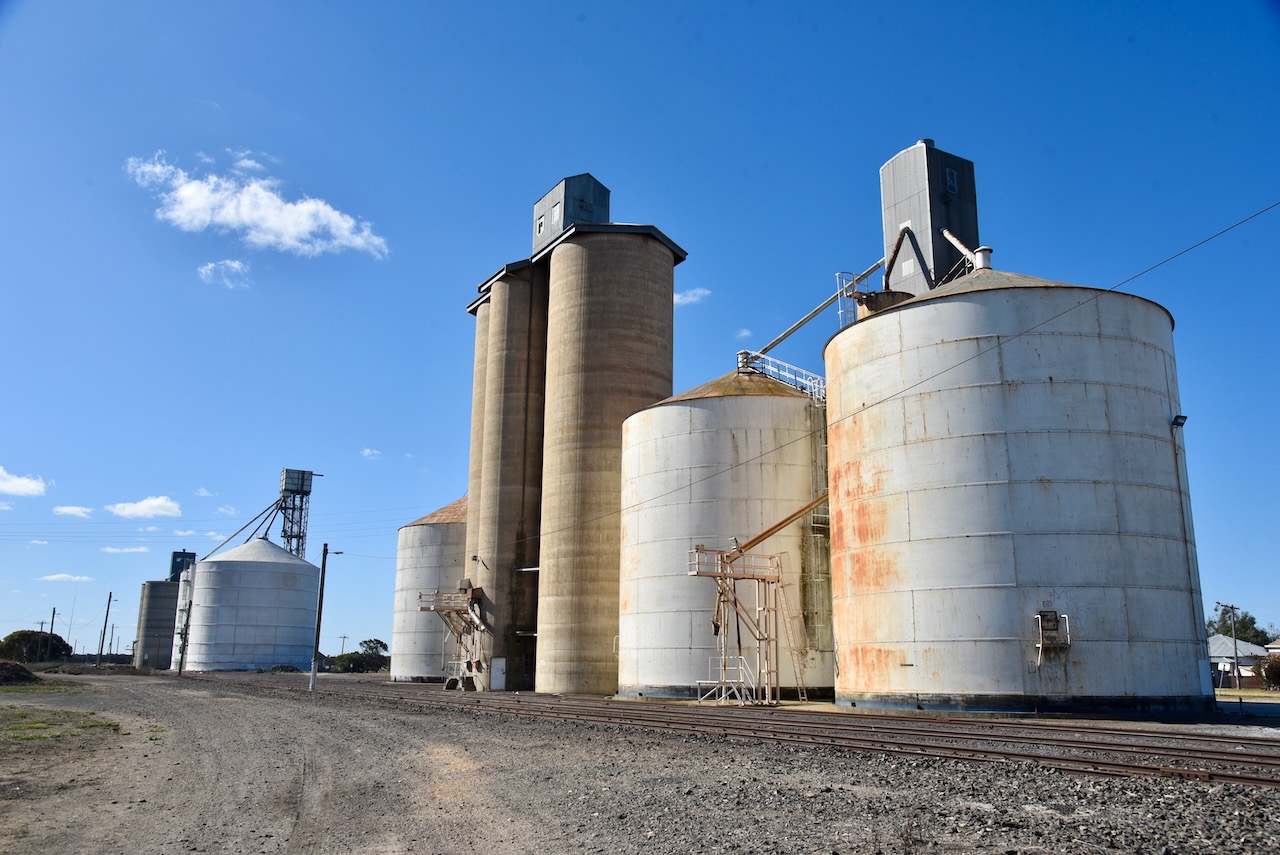
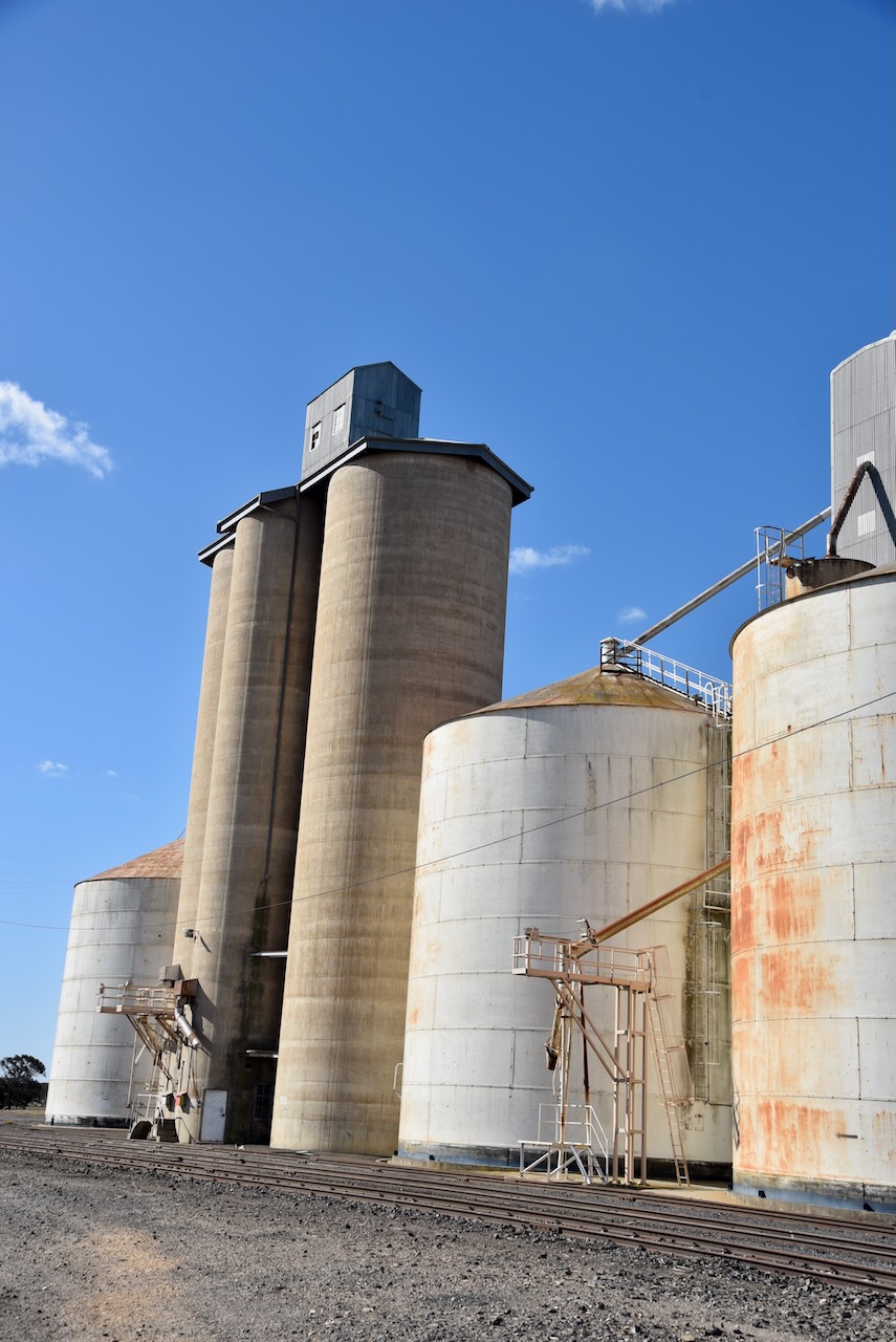
We operated from the 4WD, running the Icom IC7000, 100 watts, and the Codan 9350 antenna with the 1.5-metre stainless steel whip.
Above:- Map showing the activation zone at the Jeparit silo. Image c/o SiOTA website.
Marija worked the following stations on 40m SSB:-
I worked the following stations on 40m SSB:-
References.
Our next activation for Wednesday 23rd October 2024 was the Crymelon Bushland Reserve VKFF-4863.
The reserve is located about 18 km northwest of Warracknabeal and about 355 km northwest of the city of Melbourne.
Above:- Map showing the location of the Crymelon Bushland Reserve. Map c/o Google Maps.
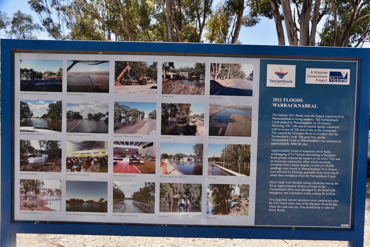
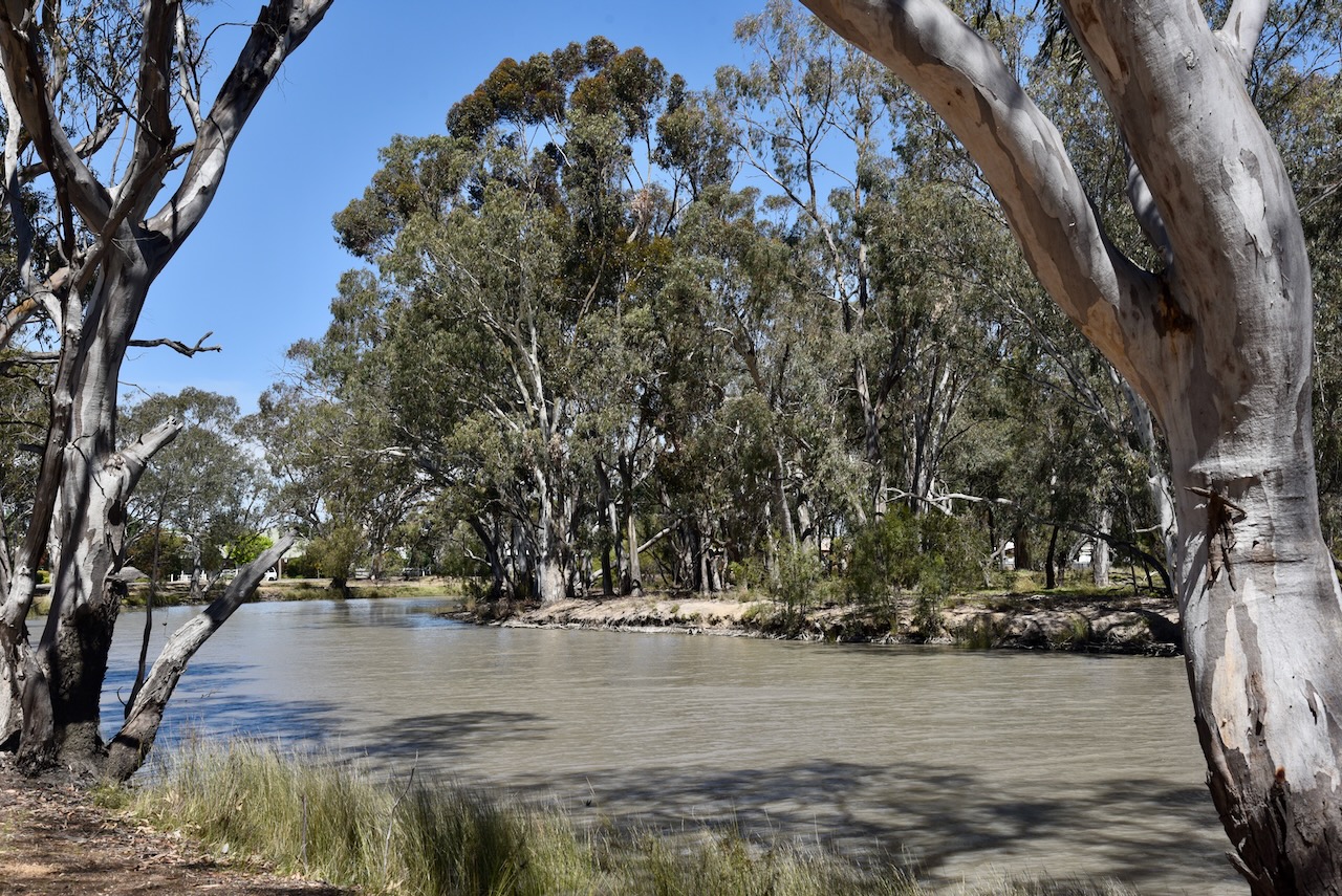
Prior to heading to the park, Marija and I took a stroll along Yarriambiack Creek in Warracknabeal.
The Yarriambiack Creek is a distributary of the Wimmera River. The creek leaves the Wimmera River near Drug Drung, about 20km east of Horsham, and then flows northward through Warracknabeal and empties into Lake Coorong near Hopetoun. Its name is believed to derive from Jarambuik, the name of a sub-group of the indigenous Wotjobaluk people. It was also once spelt Yarriambiac, Yarramberger and Yarrambeak. (Wikipedia 2023)
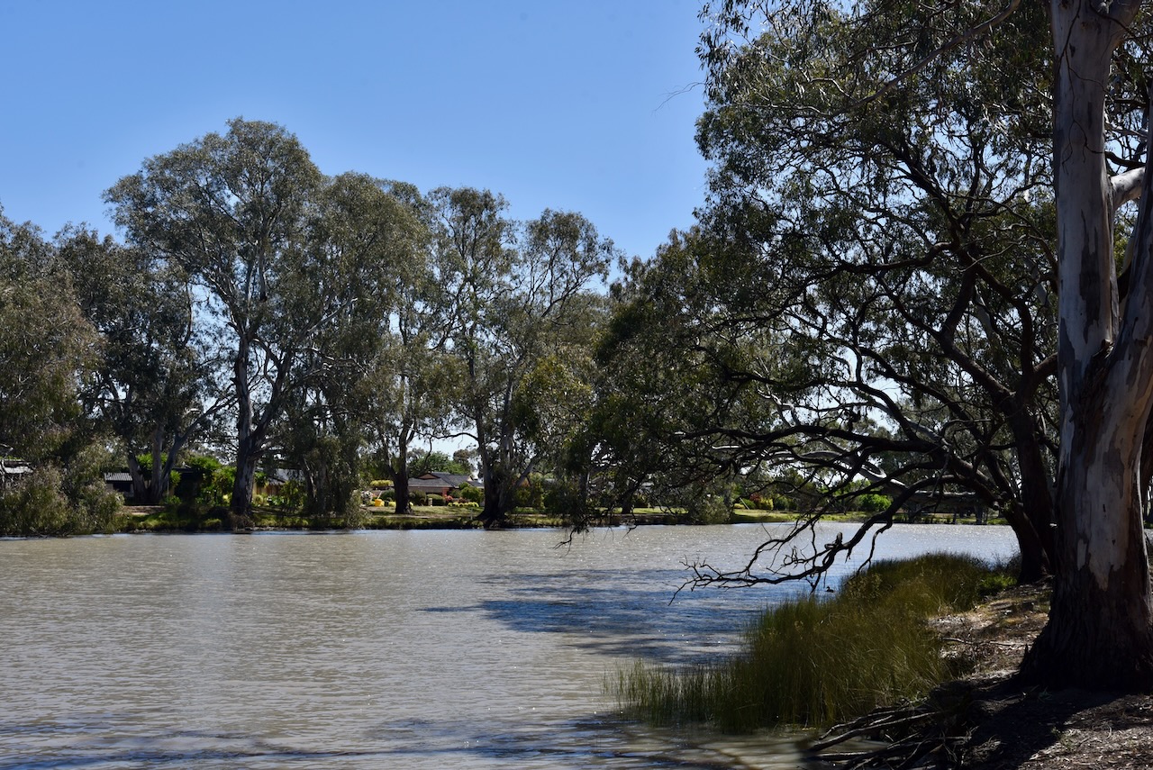
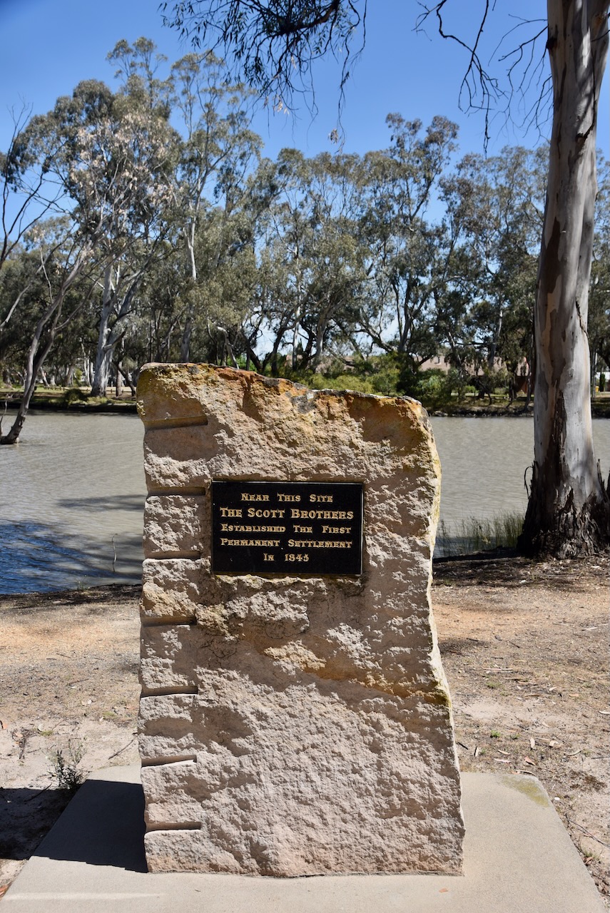
On the creek’s edge at Warracknabeal is the site of the Warracknabeal East Station, the first permanent structure built in the district.
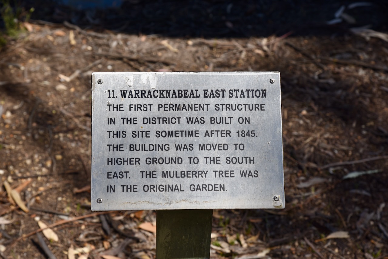
Nearby is a monument to commemorate the Scott Brothers, who established the first permanent settlement in the district in 1845.
Marija and I then headed towards Crymelon. We stopped to have a look at the site of the old Crymelon Baptist Church that operated from 1900 to 1968.
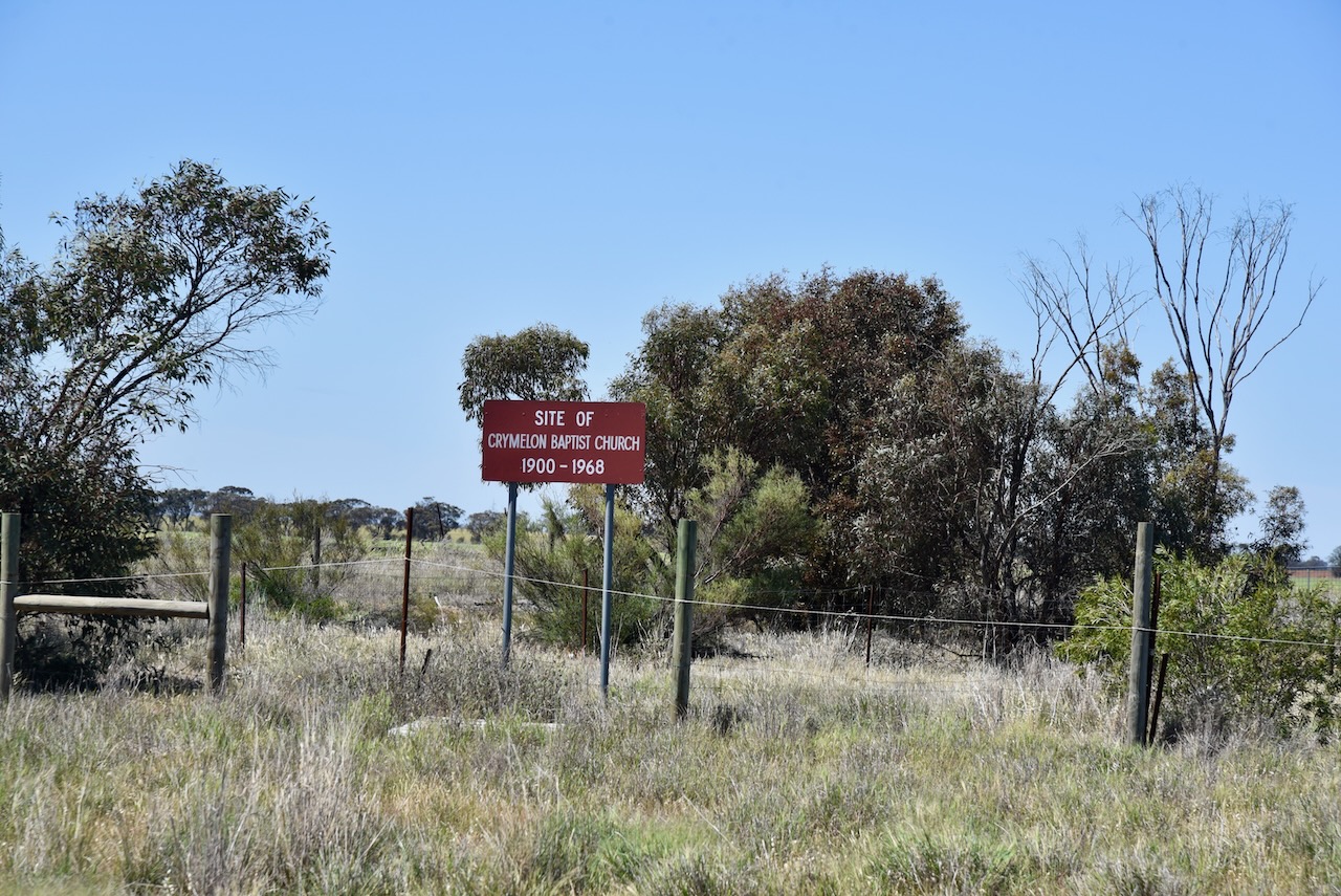
Crymelon was described as ‘an important Baptist stronghold’. (Trove 2025)
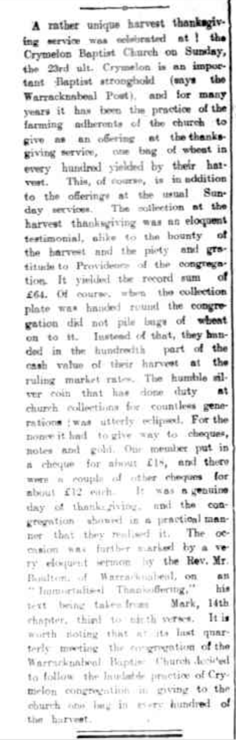
Above:- Article from The Horsham Times, Fri 5 Feb 1909. Image c/o Trove.
The reserve is located on the corner of Rainbow Road and Jeparit-Warracknabeal Road.
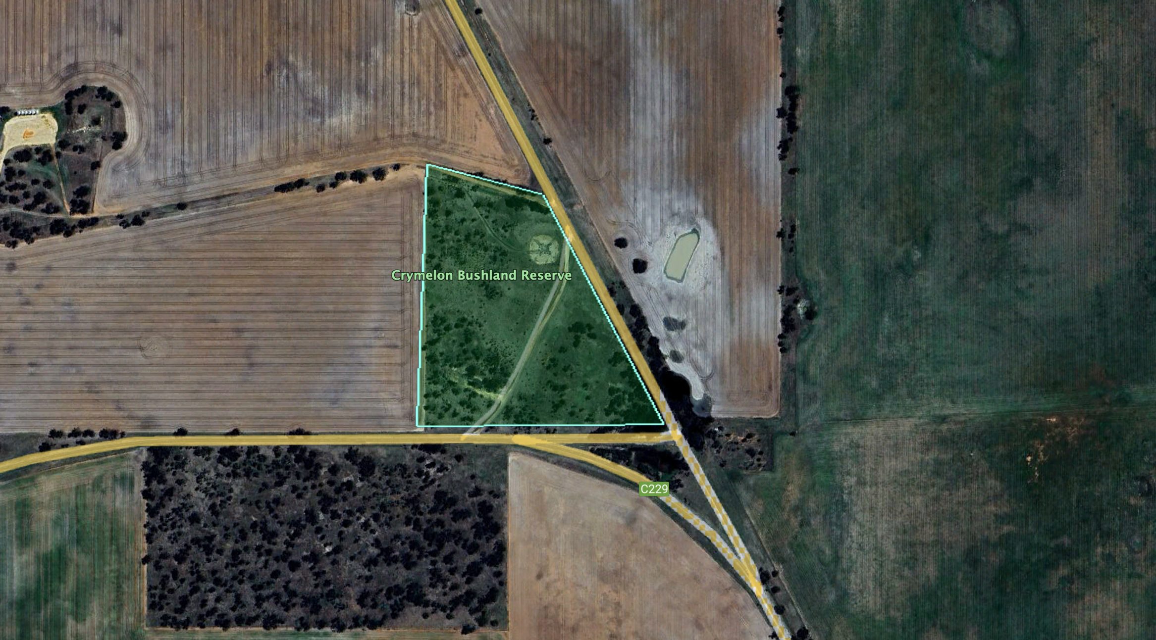
Above:- Aerial view of the Crymelon Bushland Reserve. Image c/o Google Earth.
The reserve is about 8 hectares in size and was established on the 22nd day of September 1987. (CAPAD 2022)
This was an easy park to access. It had no fences and there was a 4WD drive which we drove along. Marija and I ran the Yaesu FT857, 40 watts, and the 20/40/80m linked dipole for this activation.
Marija worked the following stations on 40m SSB:-
I worked the following stations on 40m SSB:-
I worked the following stations on 20m SSB:-
I worked the following stations on 20m FT8:-
References.
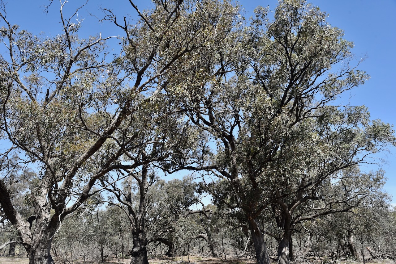
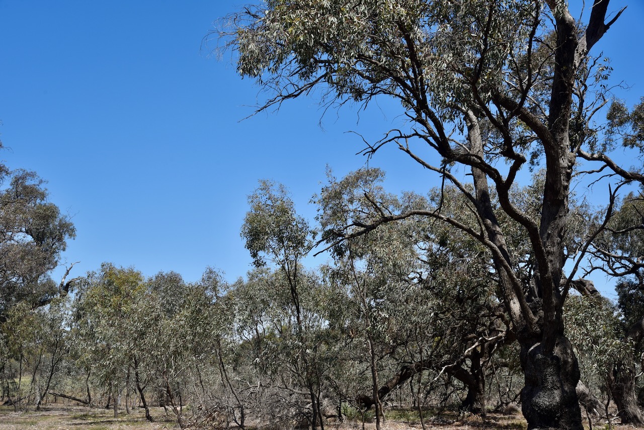
Our next activation for Wednesday 23rd October 2024 was the Bangerang I101 Bushland Reserve VKFF-4539.
The reserve is located about 15 km east of Warracknabeal and about 328 km northwest of the city of Melbourne.
Above:- Map showing the location of the Bangerang I101 Bushland Reserve. Map c/o Google Maps.
Before activating Bangerang I101 Bushland Reserve, we drove past the Kellalac Bushland Reserve to see if access was possible. However, after viewing the park on MapshareVic we found that the land was leased and we could not see a nearby farmhouse.
Above:- View of the Kellalac Bushland Reserve.
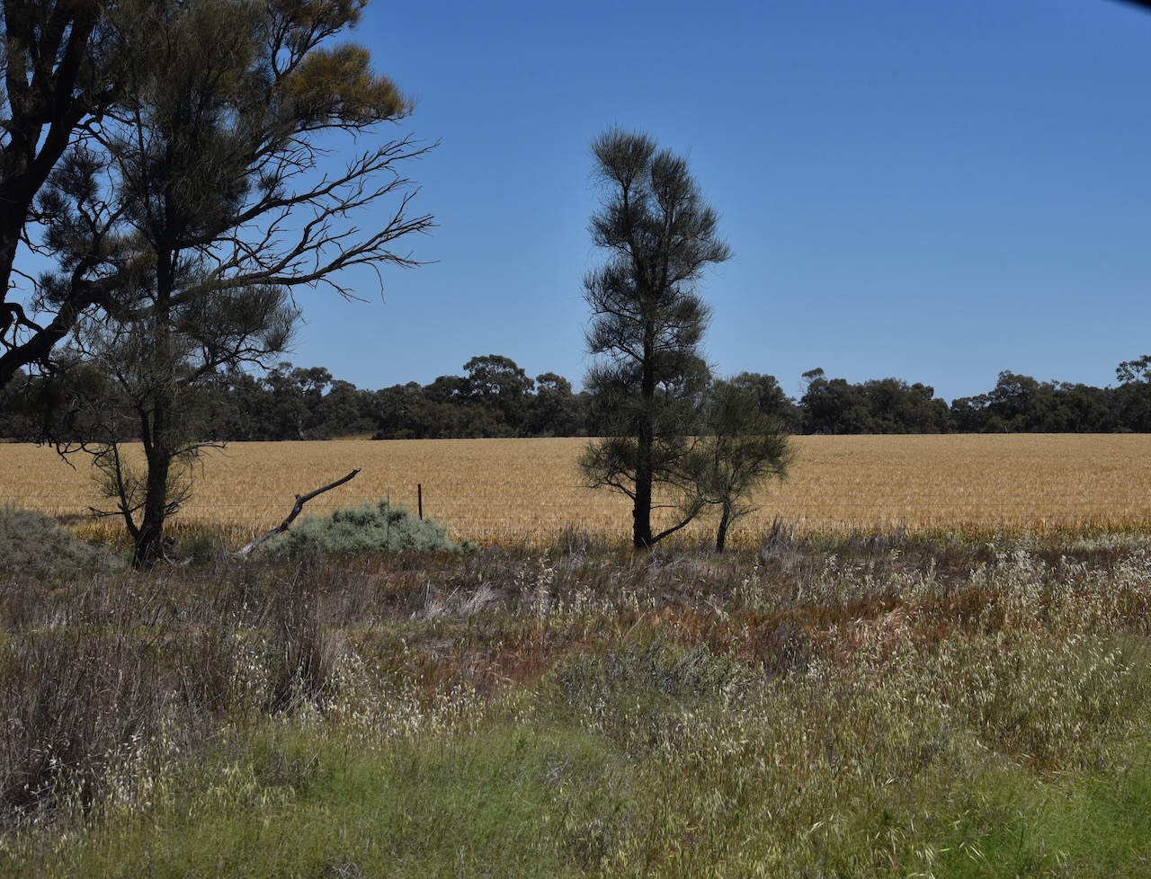
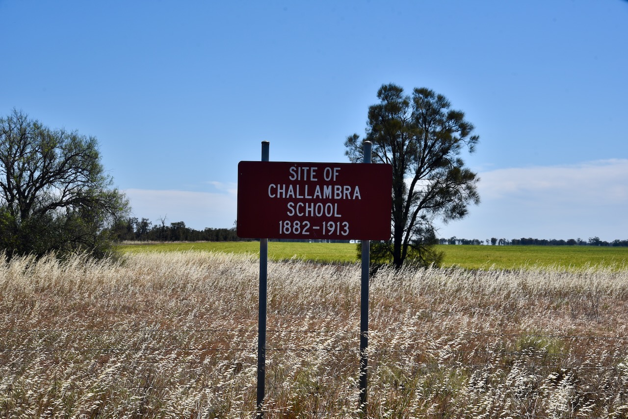
We then stopped briefly to look at the site of the old Challambra School which operated from 1882 to 1913. Challambra is derived from an aboriginal word allambee meaning to sit or recline. (Blake 1978)
The Bangerang I101 Bushland Reserve also showed as being leased on MapshareVic. However, we could see a nearby farmhouse so we decided to try our luck. Marija spoke with the extremely friendly landowner who allowed us access to the reserve.
Access to the reserve is via a dirt track running off the southern side of Borung Highway. The Highway is named after the Boorung aboriginal people. (Wikipedia 2024)
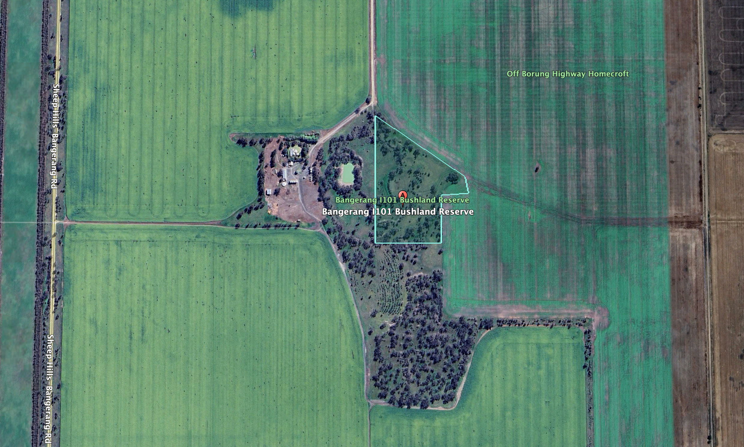
Above:- An aerial view of the Bangerang I101 Bushland Reserve. Image c/o Google Earth.
The reserve is about 7 hectares in size and was established on the 22nd day of September 1987. Bangerang is derived from the aboriginal words barn meaning bullock and gerang meaning leaf or branch. (Blake 1978) (CAPAD 2022)
We ran the Yaesu FT857, 40 watts, and the 20/40/80m linked dipole for this activation.
It was a pleasure to get Phillip in the log on 40m. It was Phillip’s first HF contact.
Marija worked the following stations on 40m SSB:-
I worked the following stations on 40m SSB:-
I worked the following station on 40m AM:-
I worked the following stations on 40m FT8:-
I worked the following stations on 20m SSB:-
References.
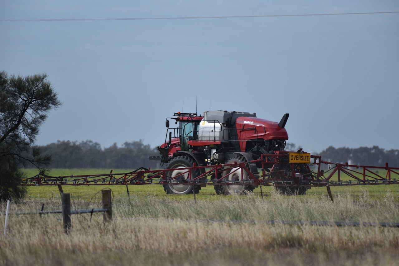
Our first activation for Wednesday 23rd October 2024 was the Bangerang I102 Bushland Reserve VKFF-4540.
The reserve is located about 15 km east of Warracknabeal and about 328 km northwest of Melbourne.
Above:- Map showing the location of the Bangerang I102 Bushland Reserve. Map c/o Google Maps.
Along the way, we saw several farmers out in their fields spraying their crops.
Bangerang is derived from the aboriginal words barn meaning bullock, and gerang meaning leaf or branch. (Blake 1978)
The township of Bangerang once had a Mutual Improvement Association, a Red Cross Society branch and a primary school Local Bangerang residents could join the Rifle Club, Cricket club or go to the public library. (Trove 2025)
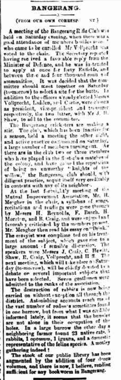
Above:- Article from The Horsham Times, Fri 19 Sept 1884. Image c/o Trove.
The Bangerang I102 Bushland Reserve is located at the corner of Sheep Hills-Bangerang Road and Vollprecht Road.
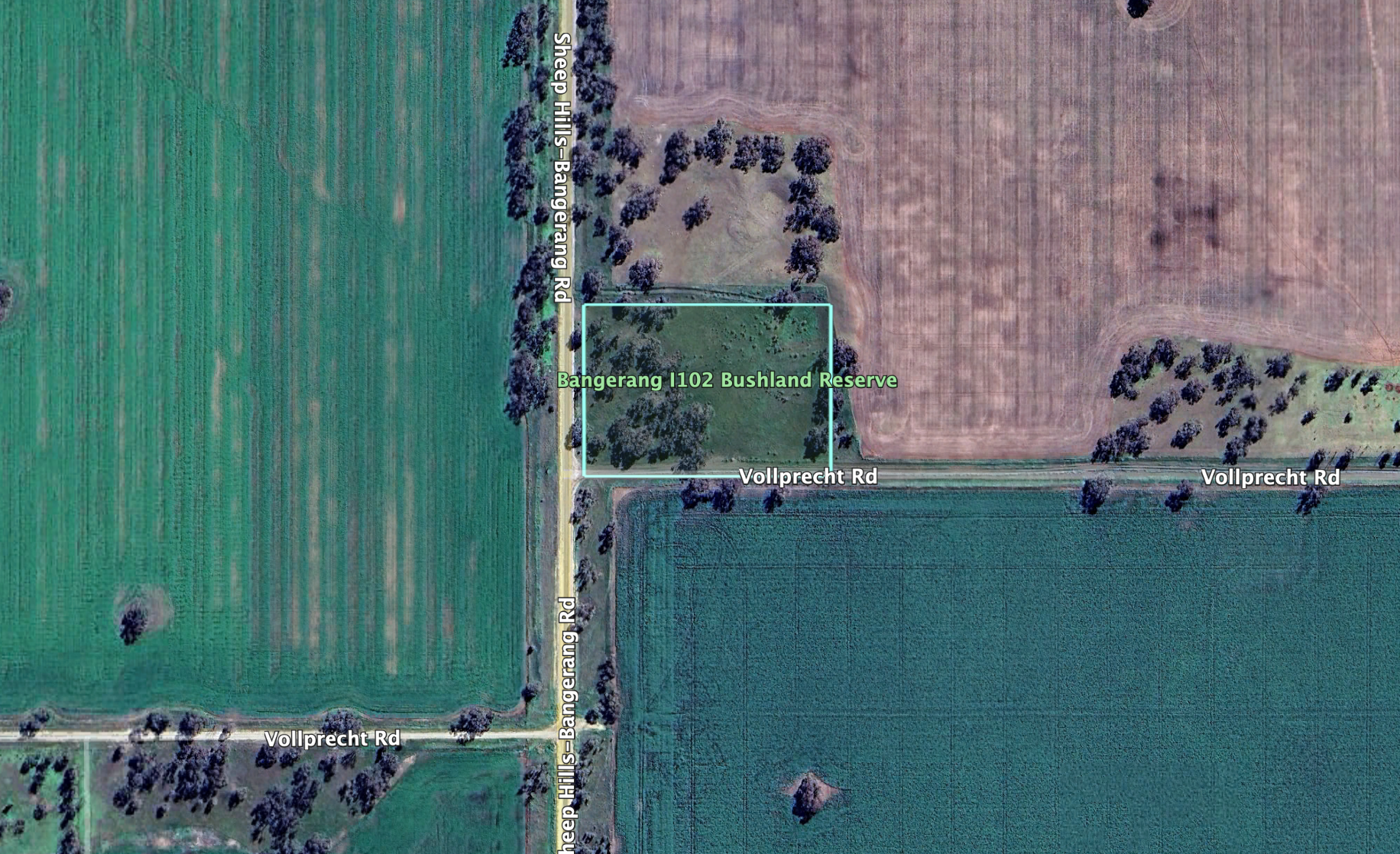
Above:- An aerial view of the reserve. Image c/o Google Earth.
The reserve is only small, about 2 hectares in size. It was established on the 22nd day of September 1987. (CAPAAD 2022)
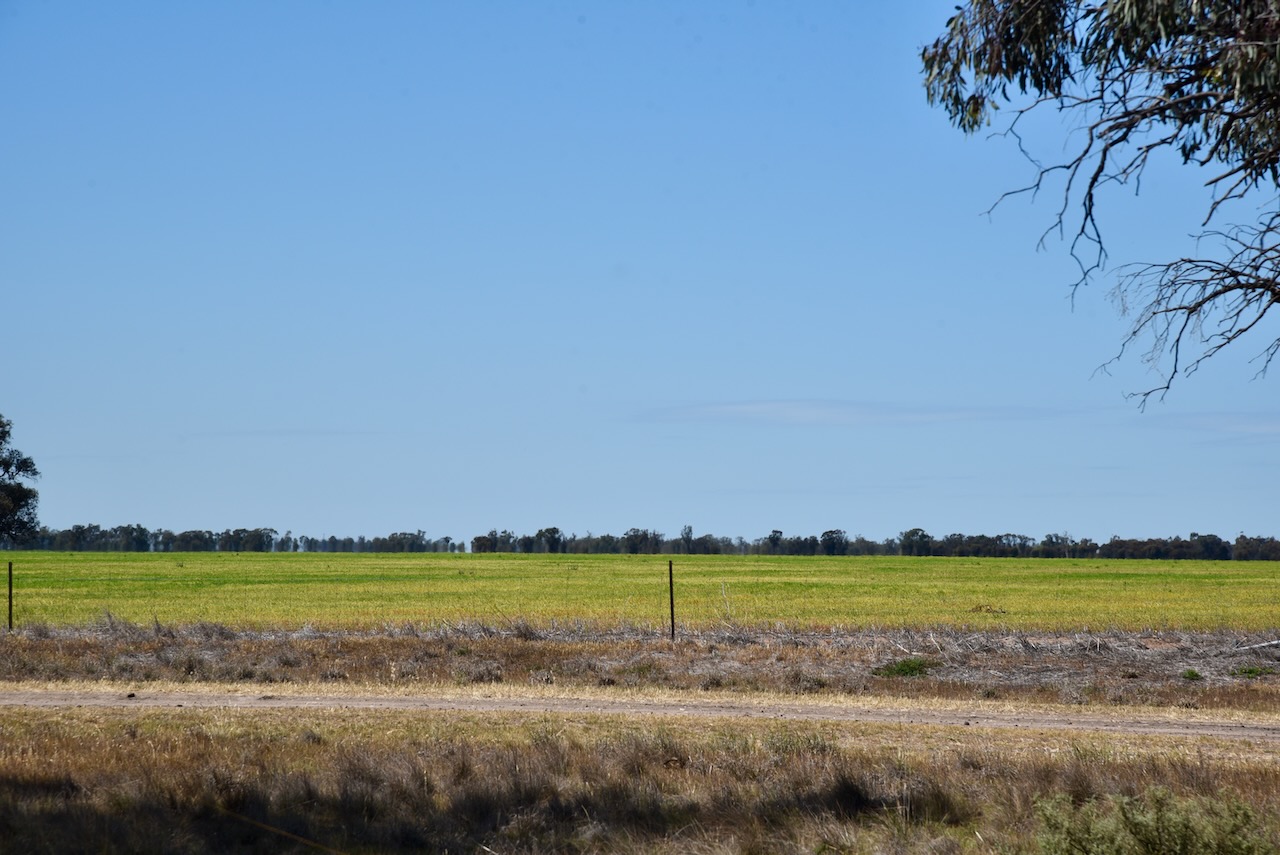
The reserve is surrounded by land cleared for cropping.
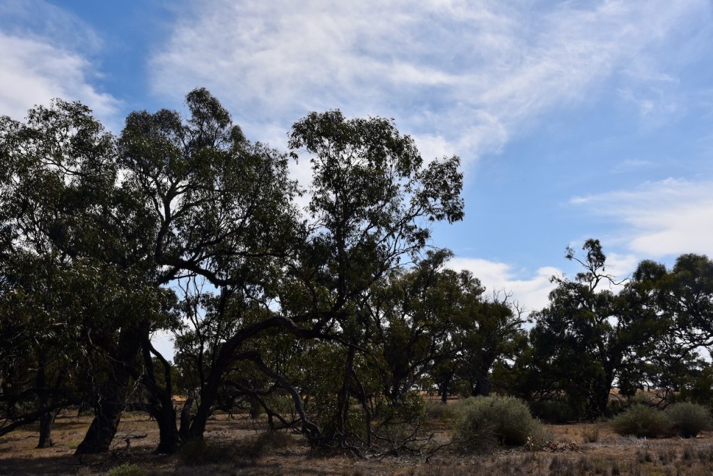
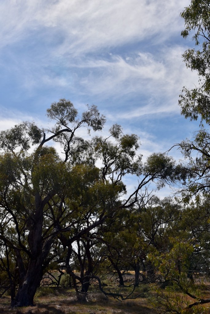
This was an easy park to access. Marija and I drove in and set up as there were no fences. We ran the Yaesu FT857, 40 watts, and the 20/40/80m linked dipole.
Marija worked the following stations on 40m SSB before the UTC rollover:-
Marija worked the following stations on 40m SSB after the UTC rollover:-
Marija worked the following stations on 20m SSB:-
I worked the following stations on 40m SSB:-
I worked the following stations on 40m FT8:-
I worked the following stations on 20m FT8
References.
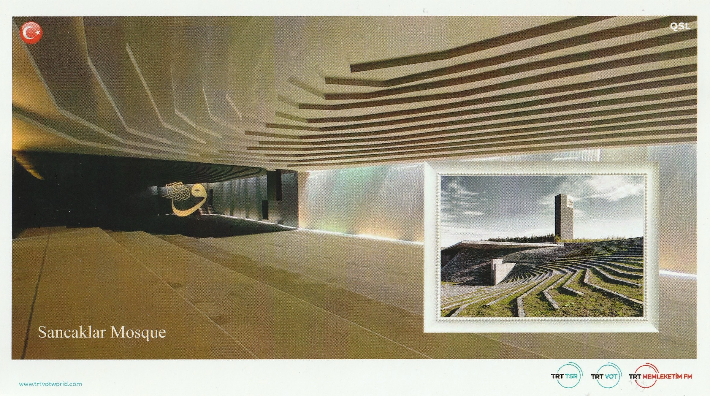
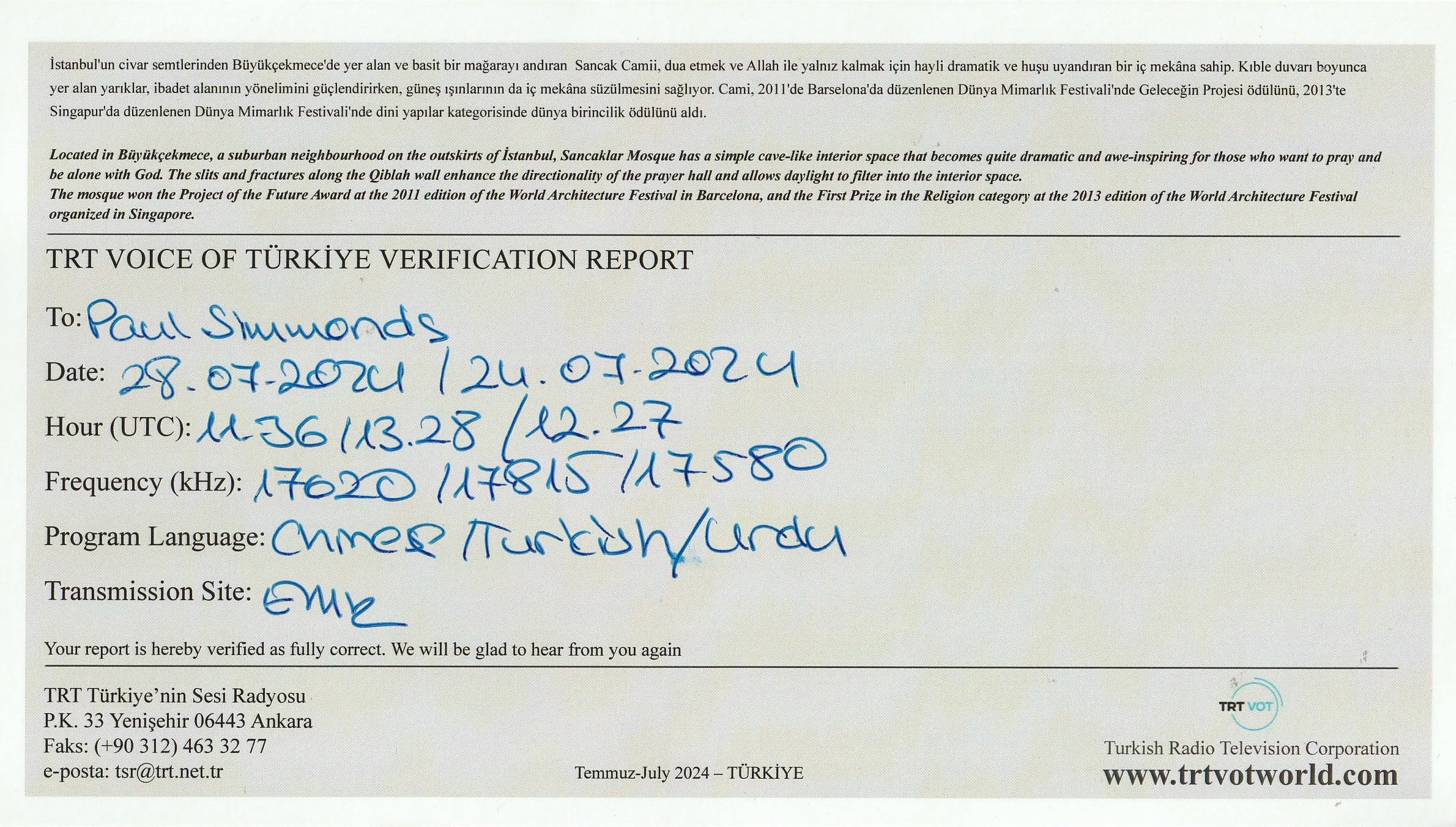
A few days ago in the mail, I received the QSL card below for my reception of the Voice of Turkey.
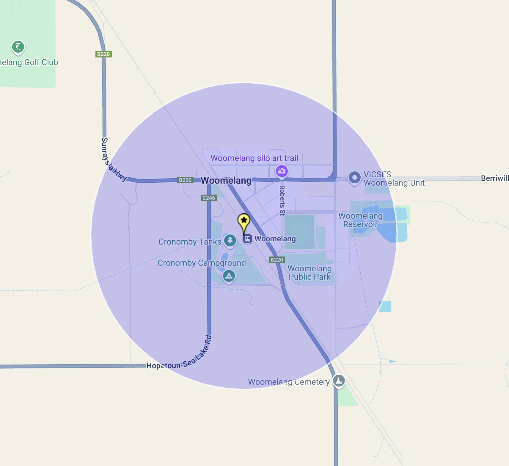
Our final activation for Tuesday 22nd October 2024, was the Woomelang Bushland Reserve VKFF-6135 and the Woomelang silo VK-WMG3.
Woomelang is a small town located about 363 km northwest of the city of Melbourne.
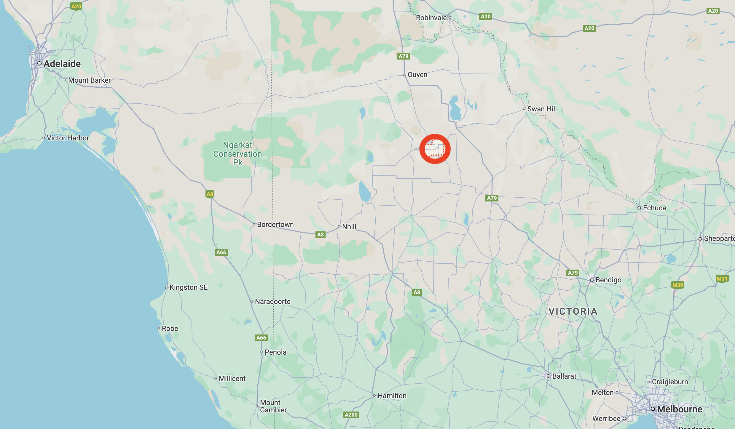
Above:- Map showing the location of Woomelang, Victoria. Map c/o Google Maps.
Woomelang is an aboriginal word for poor or miserable. It’s not a great name for a town. Perhaps they should have settled with the original name which was Cronomby Tanks. Despite the meaning of its name, Woomelang is a nice little town, well worth a visit. (Blake 1978)
Prior to European settlement, the Woomelang area was home to the Wegaiai and Wotjobaluk aboriginal people. By the 1870s Europeans had settled in the area and a settlement known as Cronomby Tanks was established. It had a hotel and a general store. Cronomby Tanks were farm water storages on the Lake Wilhelmina pastoral station. They were also used to fill visiting steam engines with water. (Aussie Towns 2024) (Victorian Places 2015)
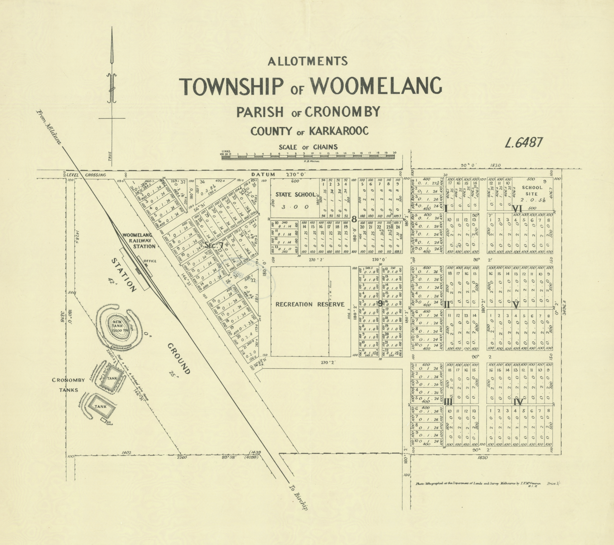
Above:- Plan of the township of Woomelang. Image c/o State Library Victoria.
In 1897 the name of the town was changed from Cronomby Tanks to Woomelang. It has been reported that a traveller riding a horse named Melang, said ‘Whoa Melang’ and thus the township became known as Woomelang. However, this is only local folklore and there is no apparent evidence to support the claim. In fact, the town was renamed to avoid confusion with another similar-sounding railway station. (Aussie Towns 2024) (Victorian Places 20215)
On the 10th day of August 1900, the Post office opened. In 1904 the Woomelang Football Club was established. They initially competed in the Woomelang District Football Association in 1911 and in 1912 there were undefeated premiers. In 1951 Woomerlang merged with the Lascelles Football Club. (Aussie Towns 2024) (Phoenix 2022) (Wikipedia 2023)
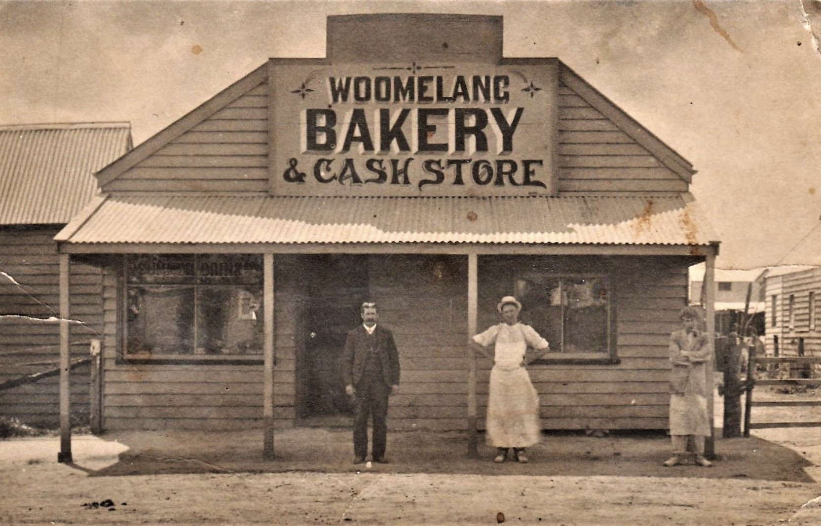
The Woomelang bakery, c. 1914. Image c/o flickr.
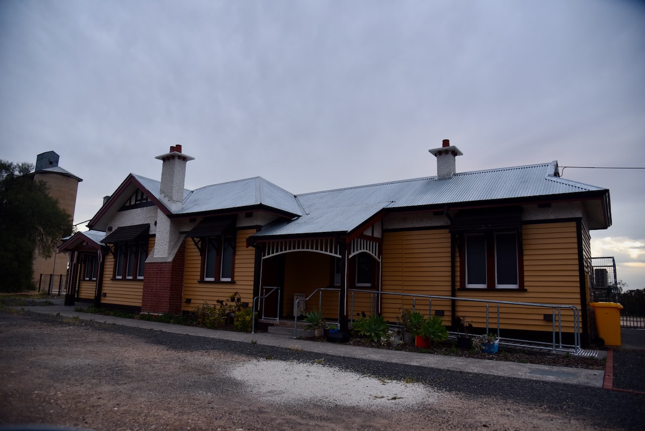
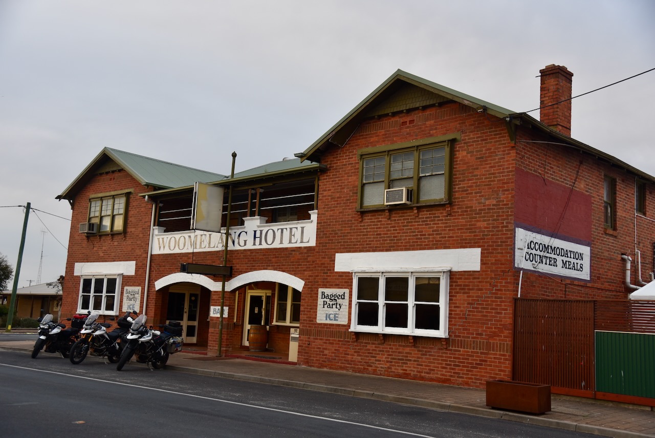
Two historic buildings in the town include the old railway station and the former hotel.
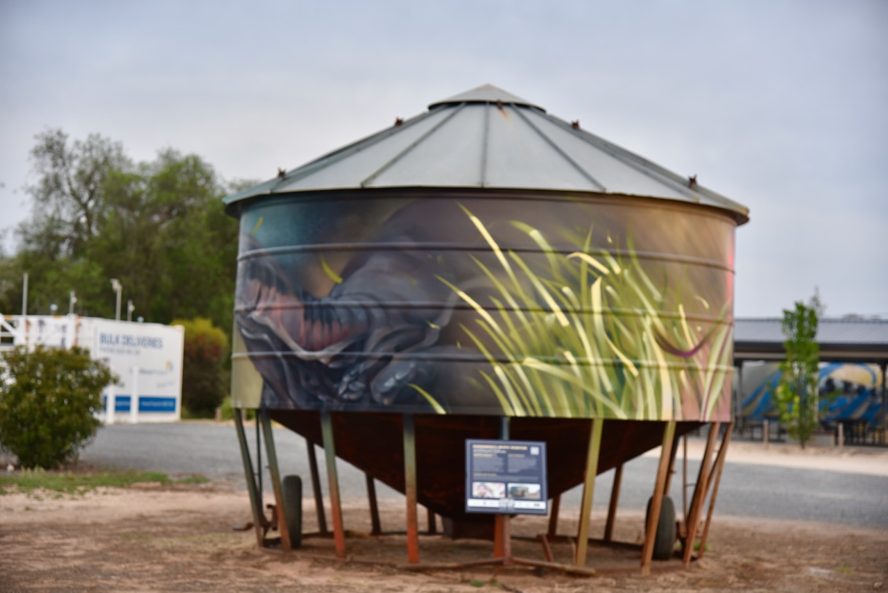
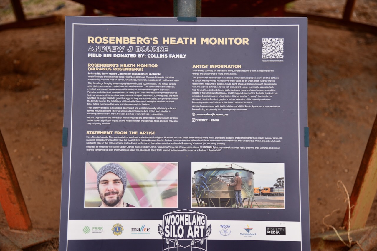
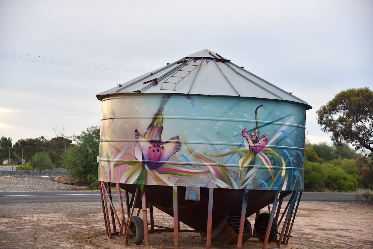
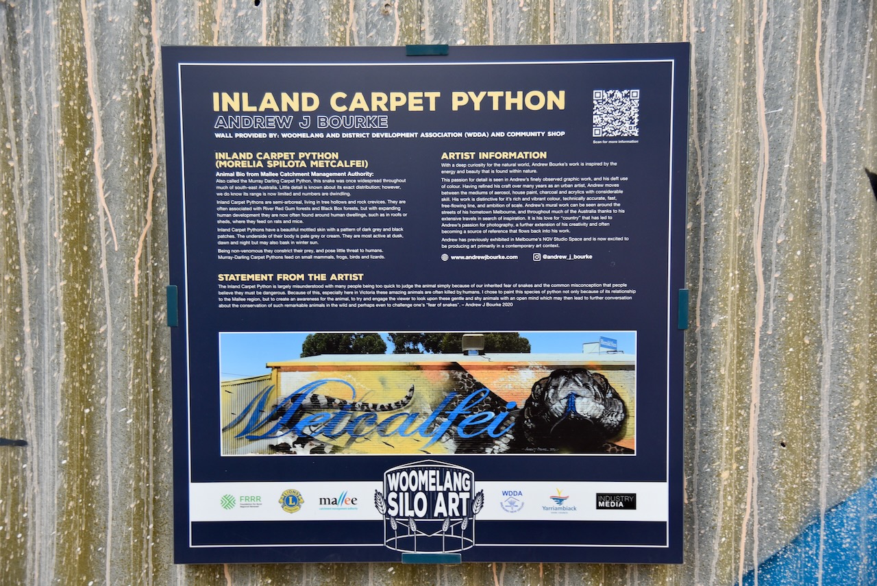
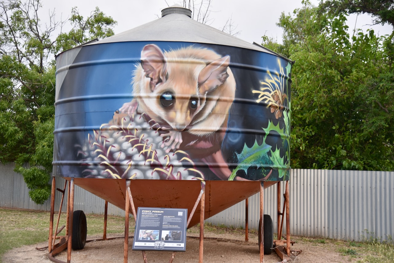
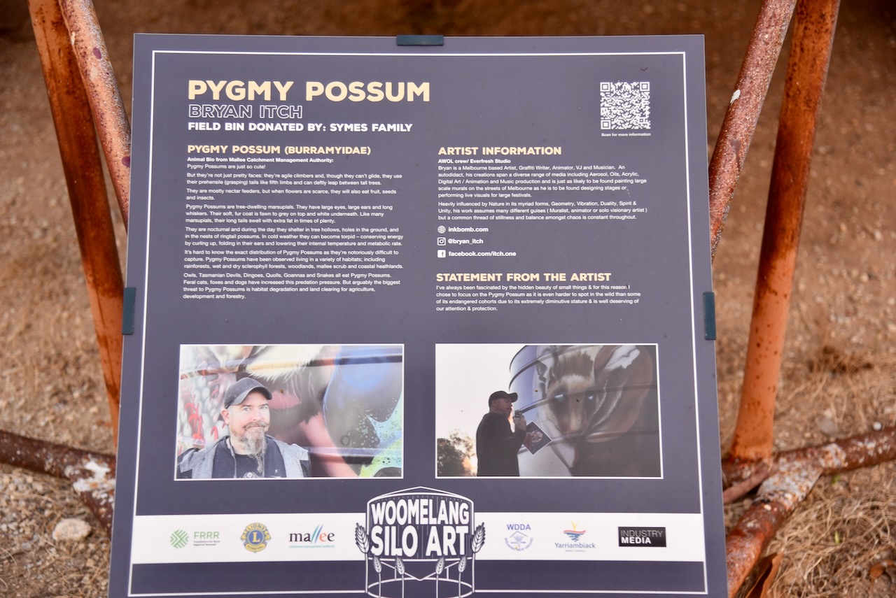
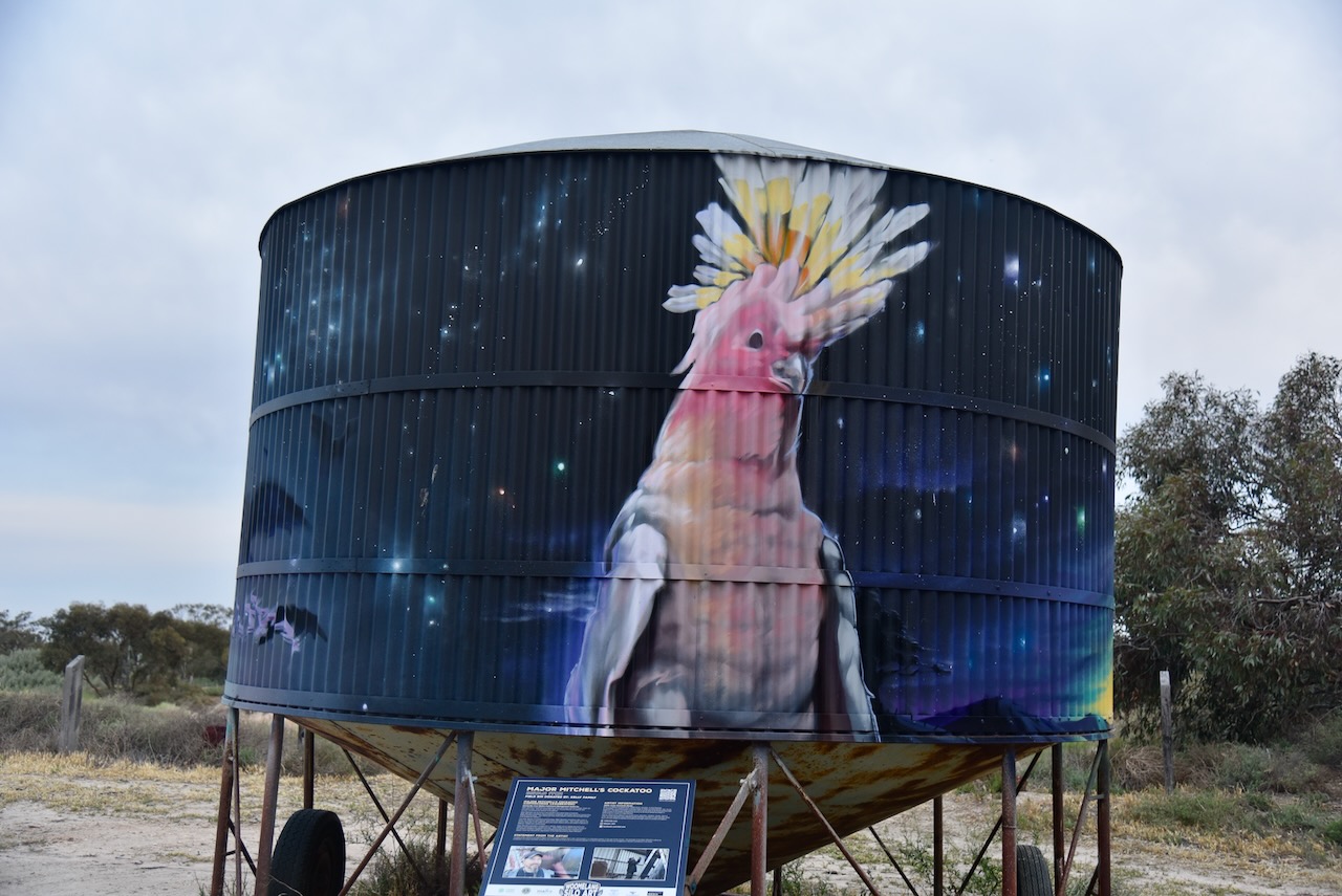
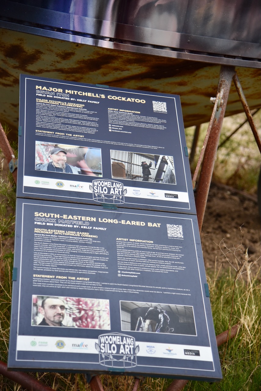
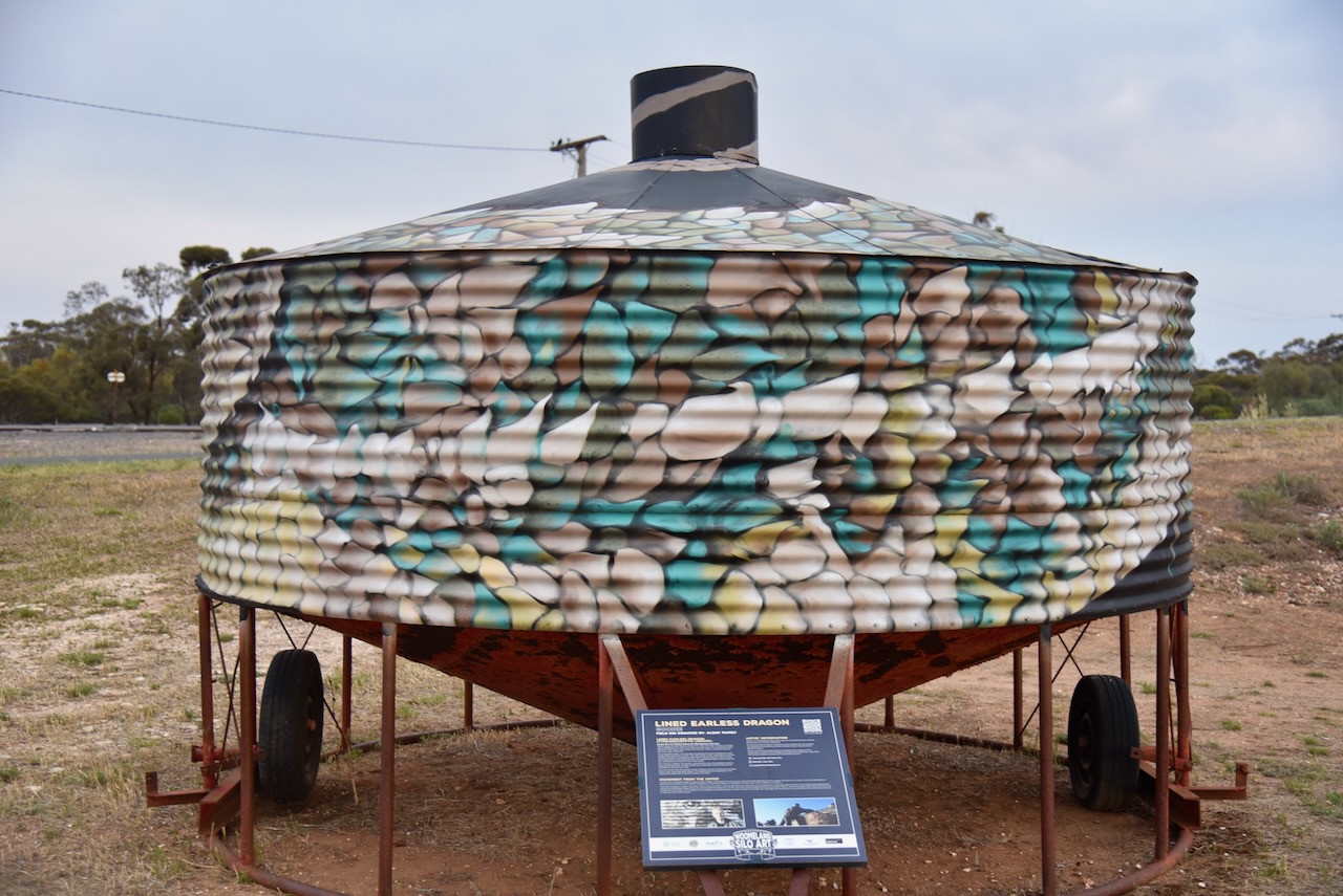
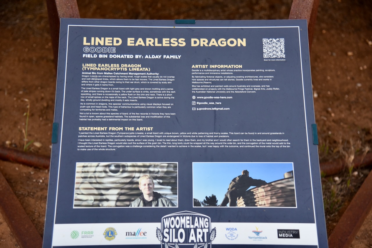
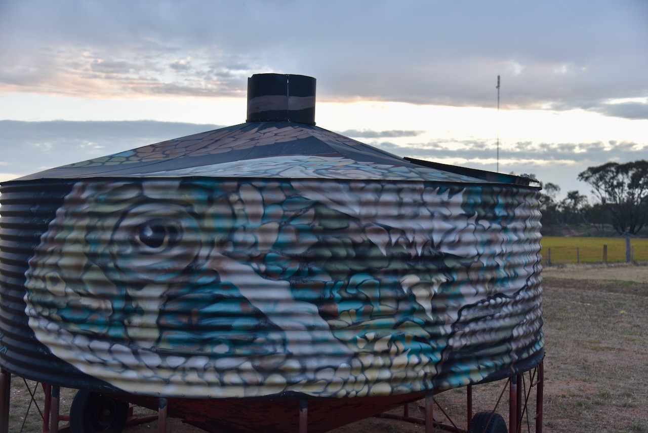
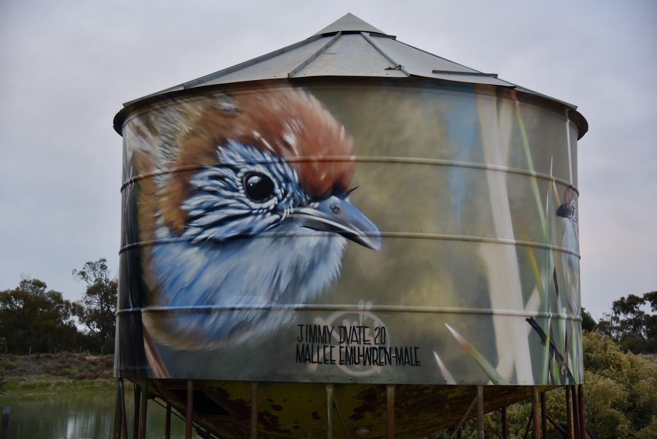
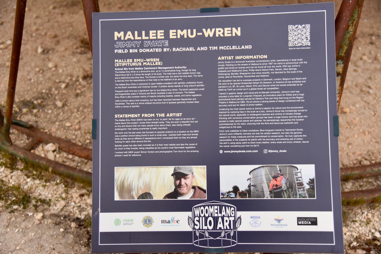
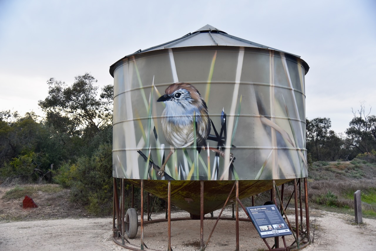
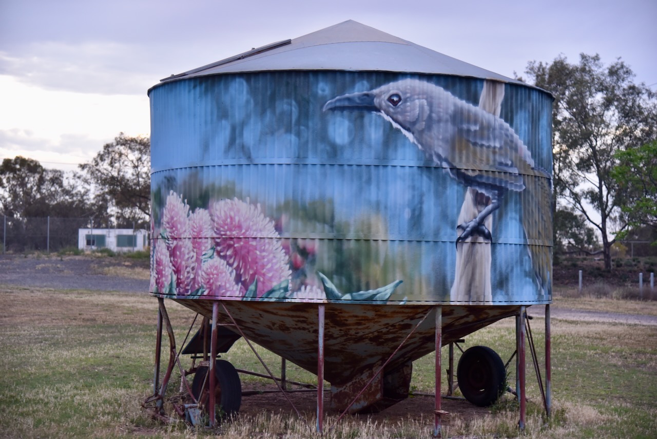
In June 2020, Woomelang invited seven artists to transform mini silo bins into pieces of art. Among the artists involved were Jimmy Dvate, Andrew J Bourke, and Kaffeine. Each bin features an endangered species that is native to the Woomelang area including the Spotted tail quoll. Other painted bins feature a pygmy possum, a Heath monitor, and a Mallee Emu-Wren. (Aussie Towns 2024) (Australian Silo Art n.d.)
Below is an excellent video on the idea of the Woomelang Silo Art Trail.
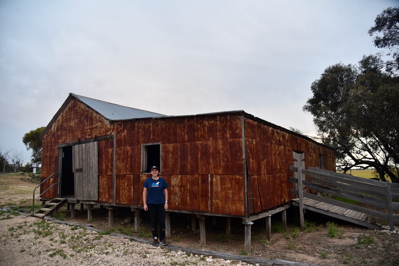
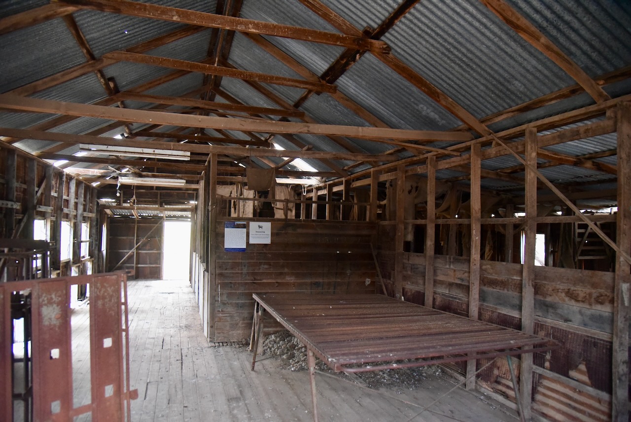
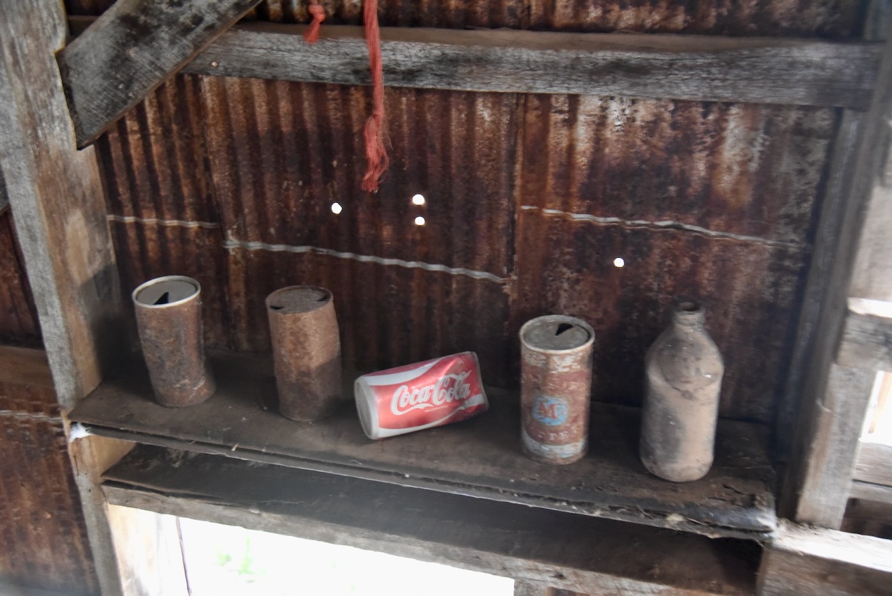
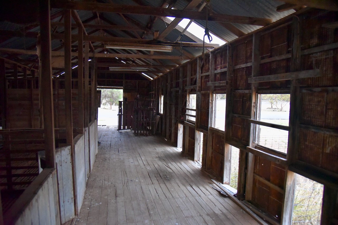
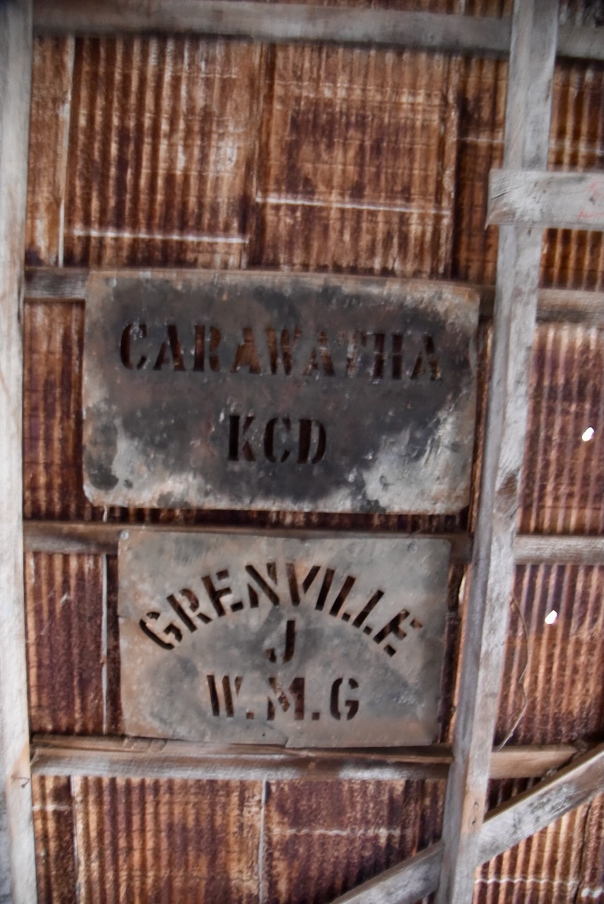
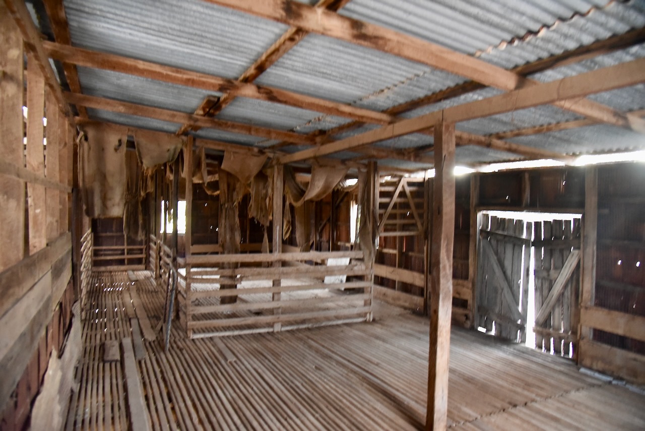
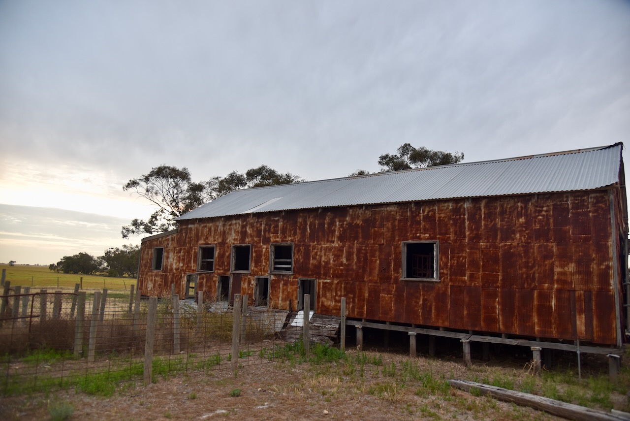
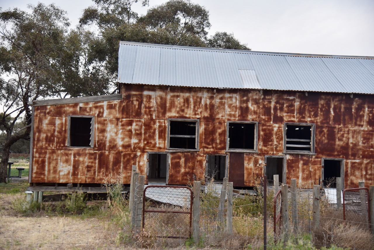
Marija and I had specifically driven out to this part of Victoria to visit the old Woomelang shearing shed. It was constructed during the Second World War and due to wartime shortages of materials, the shed is constructed of compacted egg tins. (Aussie Towns 2024) (Wikipedia 2023)
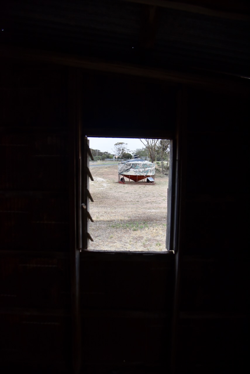
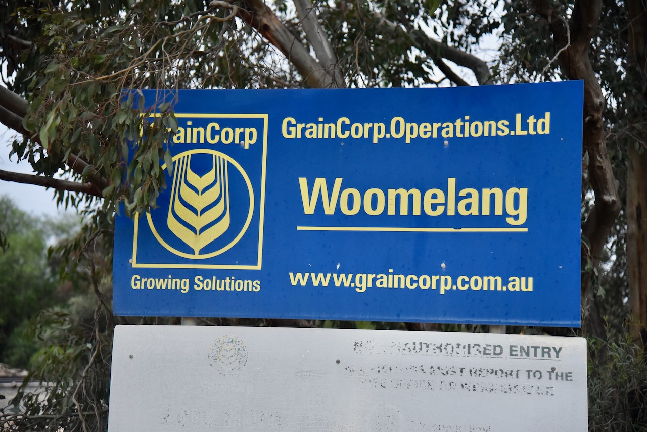
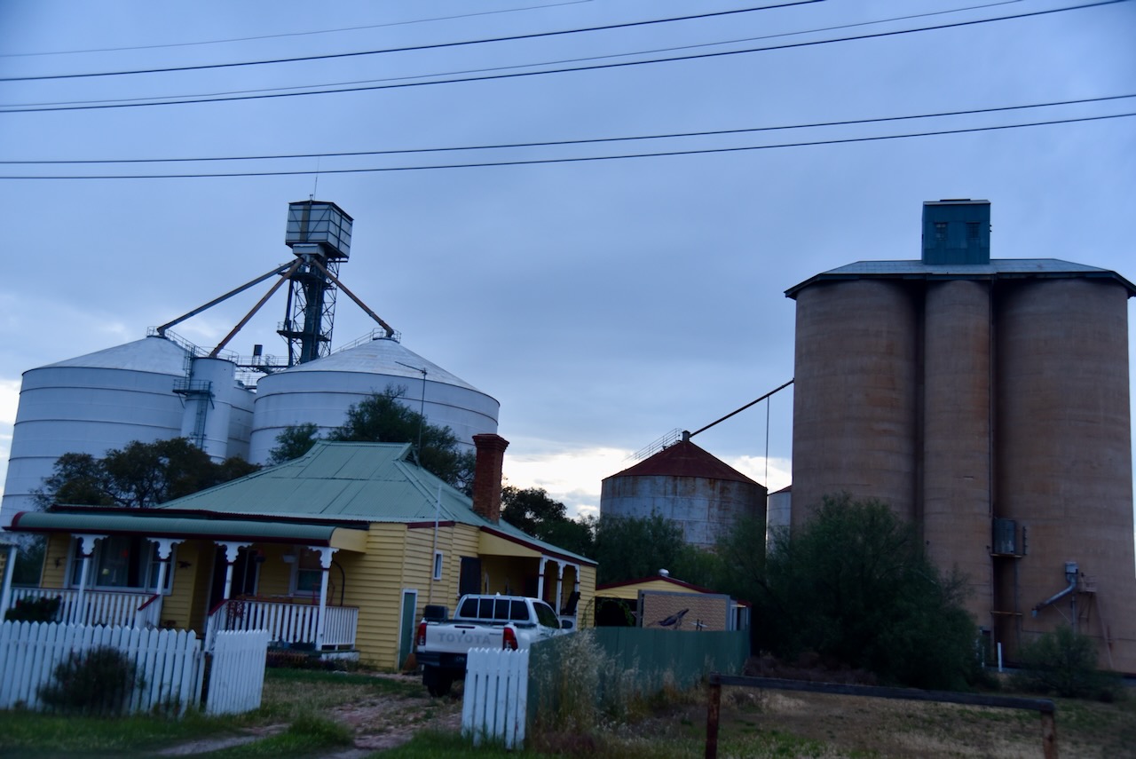
We then headed to the Woomelang silos which are located on the railway line. Access via the Cronomby campground. The silos were built in 1939. (Victorian Places 2015)
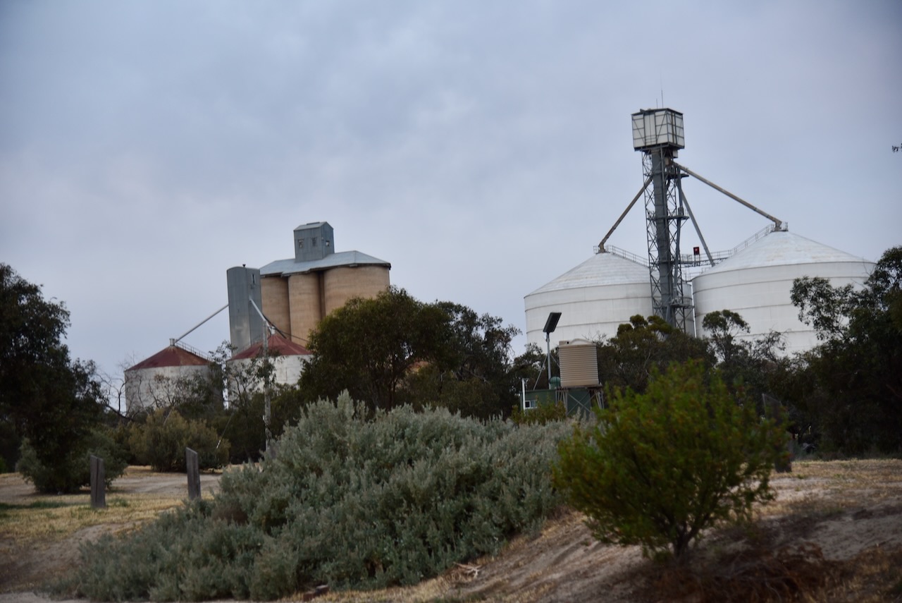
We also hoped to activate the Woomelang Bushland Reserve, which showed up on our mapping site as a tiny piece of scrub off the Hopetoun-Sea Lake Road and two other sections that were just to the southeast of the Woomelang Recreation Reserve.
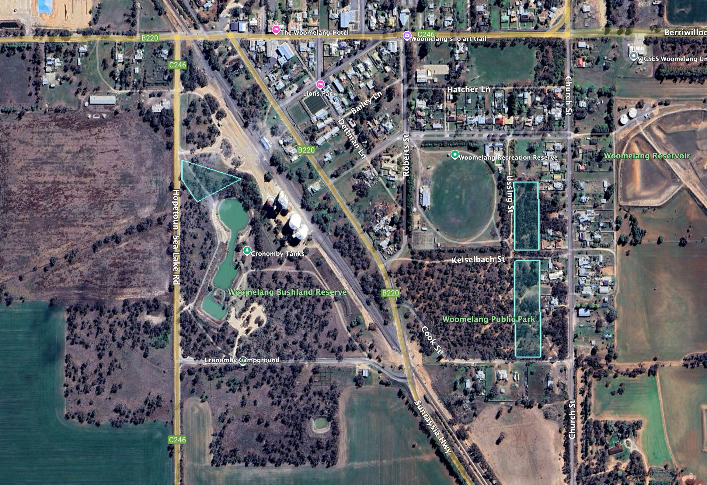
Above:- An aerial view of the Woomelang Bushland Reserve. Image c/o Google Earth.
The three sections of the reserve are about 9 hectares in size and the reserve was established on the 8th day of May 1990. (CAPAD 2022)
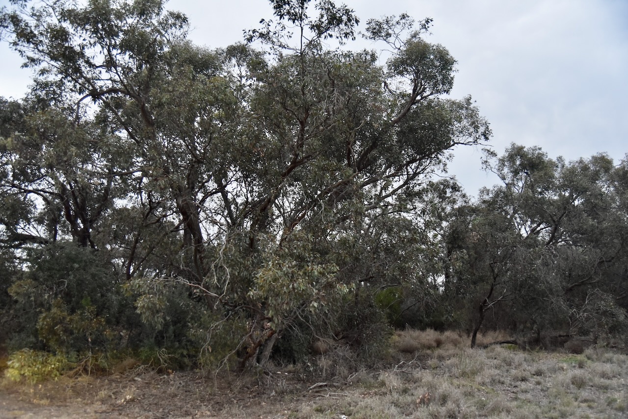
We opted to operate from the section of scrub off the Hopetoun-Sea Lake Road. But it wasn’t easy. It was getting dark and there was only just enough room to string out the dipole.
Above:- the activation zone at the Woomelang silos. Image c/o SiOTA website.
Marija worked the following stations on 40m SSB:-
I worked the following stations on 40m SSB:-
I worked the following stations on 80m SSB:-
We packed up and then drove back to Warracknabeal.
References.
Amateur Radio, Short Wave Listening, travel and history
Amateur radio experiences with VK1DA
Brisbane - Australia
german amateur radio station
Summits On The Air
SOTA on the peaks, wilderness QRP and some bushwalking
A fine WordPress.com site
Amateur Radio Adventures
Summits on the Ai
Amateur radio station from Belgium
Radio craft, homebrew, QRP/SOTA, AM
Ego loqui ad viros super montes
My adventures with Amateur Radio and Geocaching!
The rantings of VK2GAZ on his SOTA experiences in Australia
A survivor, with minor cuts and abrasions.
The Art and Craft of Blogging
The latest news on WordPress.com and the WordPress community.
Blog of Justin Giles-Clark VK7TW's SOTA and amateur radio adventures.
Occasional SOTA & Microwave operation
