Here is my latest VKFF Hunter Honour Roll certificate, issued for having hunted 2,150 VKFF references.
Thank you to all of the VKFF Activators and to Adam VK2YK the VK5 VKFF State Rep for the certificate.


Here is my latest VKFF Hunter Honour Roll certificate, issued for having hunted 2,150 VKFF references.
Thank you to all of the VKFF Activators and to Adam VK2YK the VK5 VKFF State Rep for the certificate.
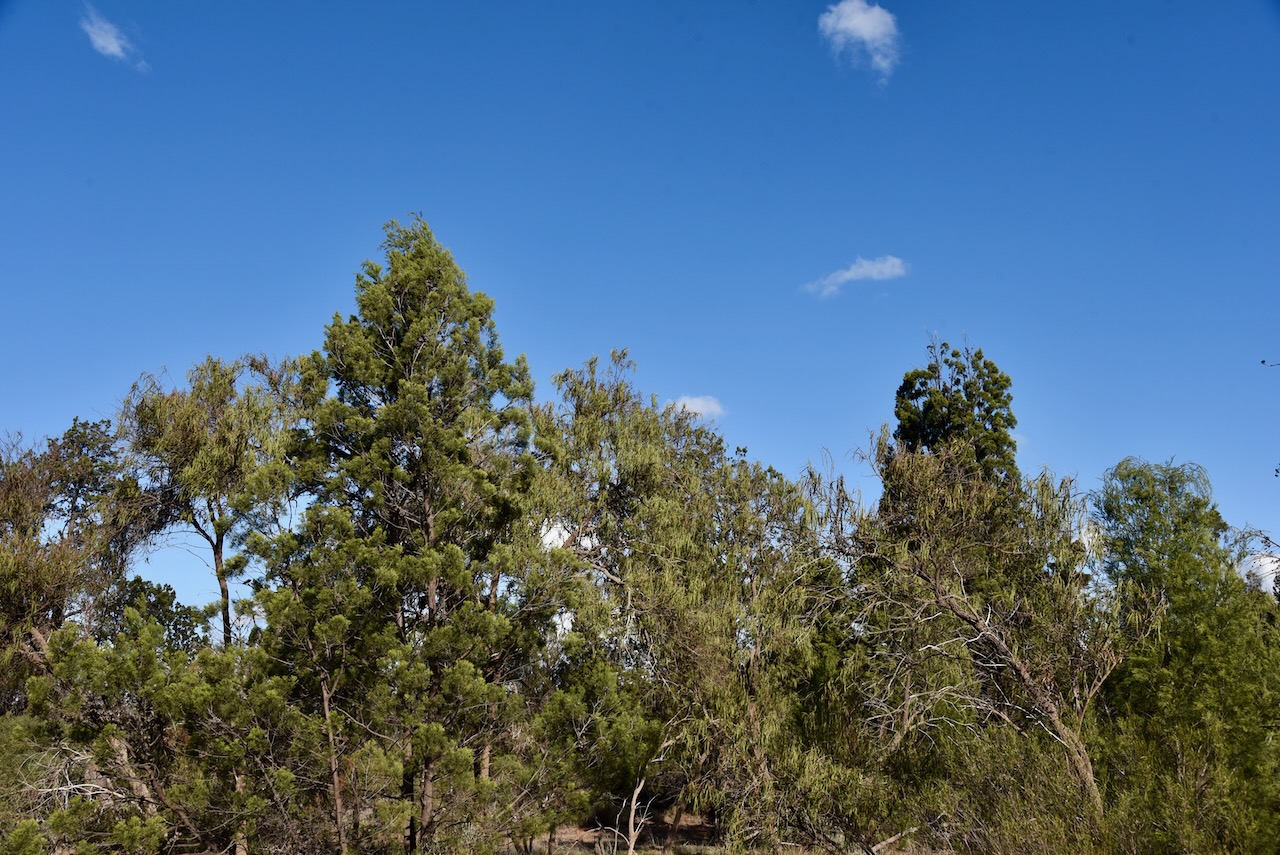
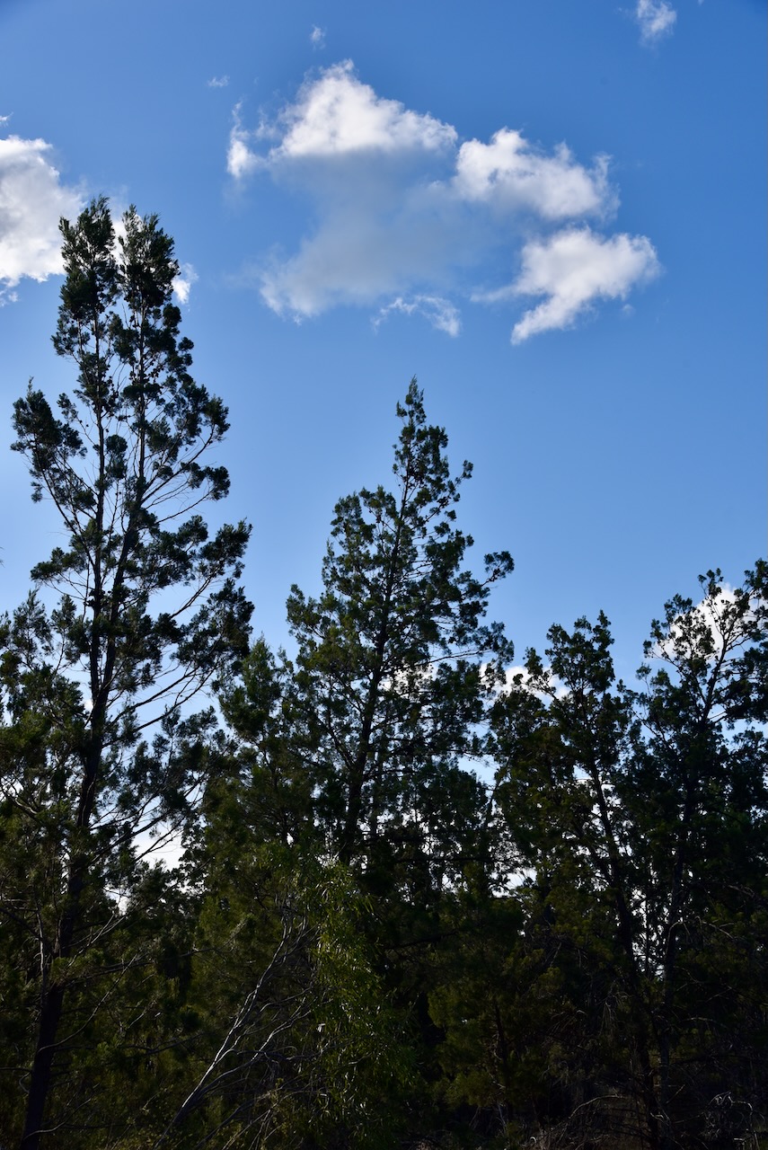
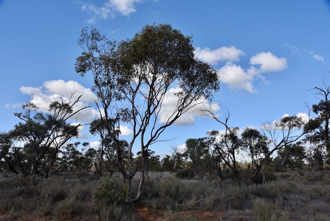
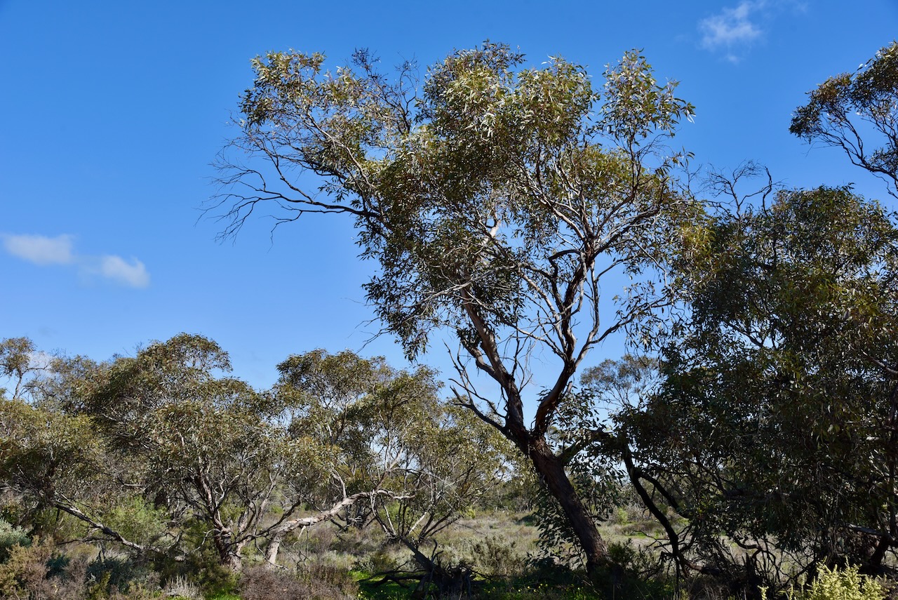
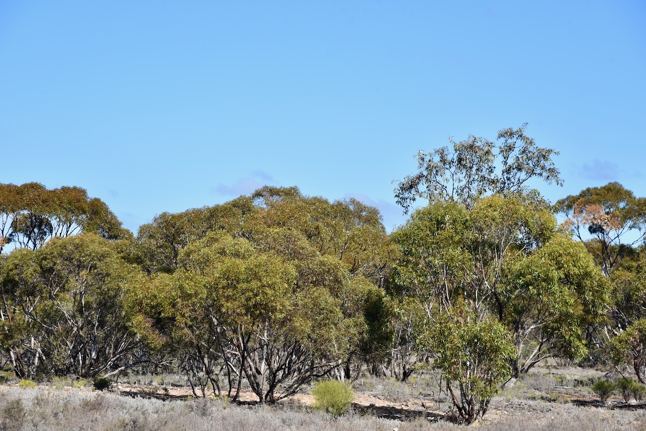
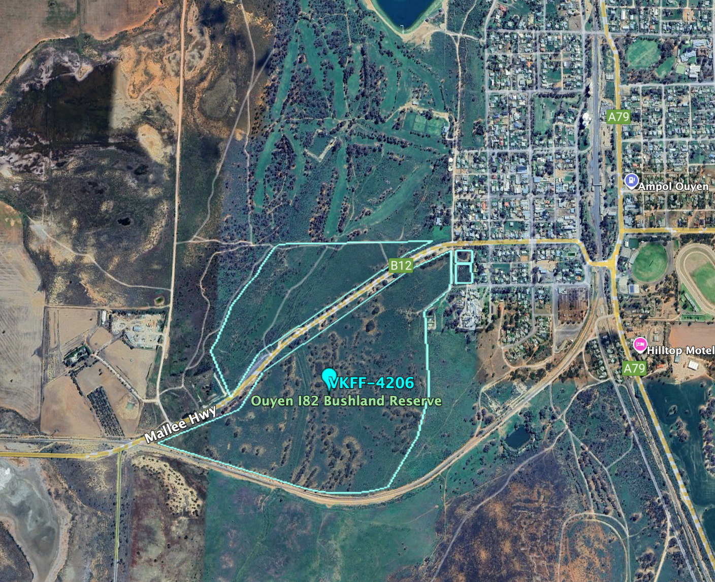
After leaving the Pidgeon Tank Bushland Reserve on Thursday 22nd August 2024, I drove a short distance to my next park activation, the Symes Bushland Reserve VKFF-4202.
The reserve is about 30 km southwest of Ouyen in northwest Victoria.
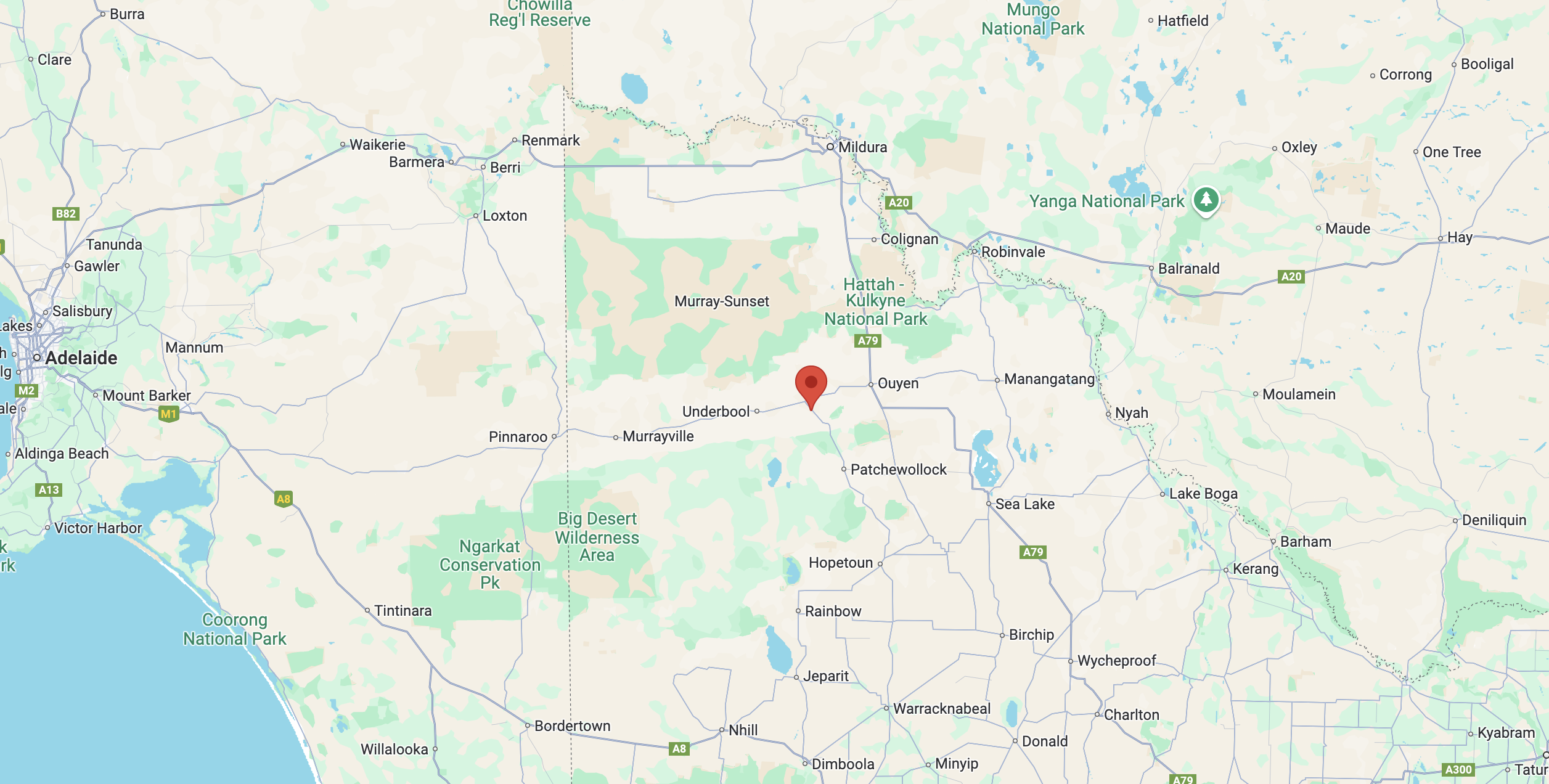
Above:- Map showing the location of the Symes Bushland Reserve. Map c/o Google Maps.
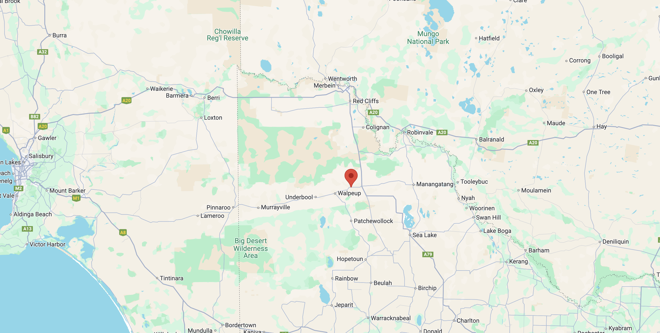
The reserve is located on the western side of Hopetoun-Walpeup Road at the junction of Munro Road.
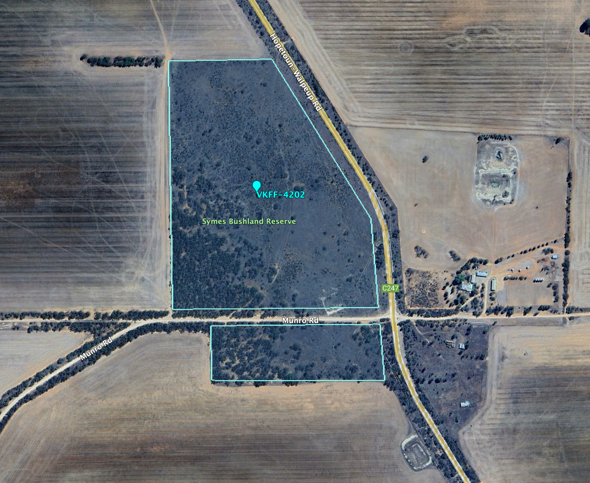
Above:- An aerial view of the Symes Bushland Reserve. Image c/o Google Earth.
The reserve is about 30 hectares in size and was established on the 1st day of May 1979. (CAPAD 2022)
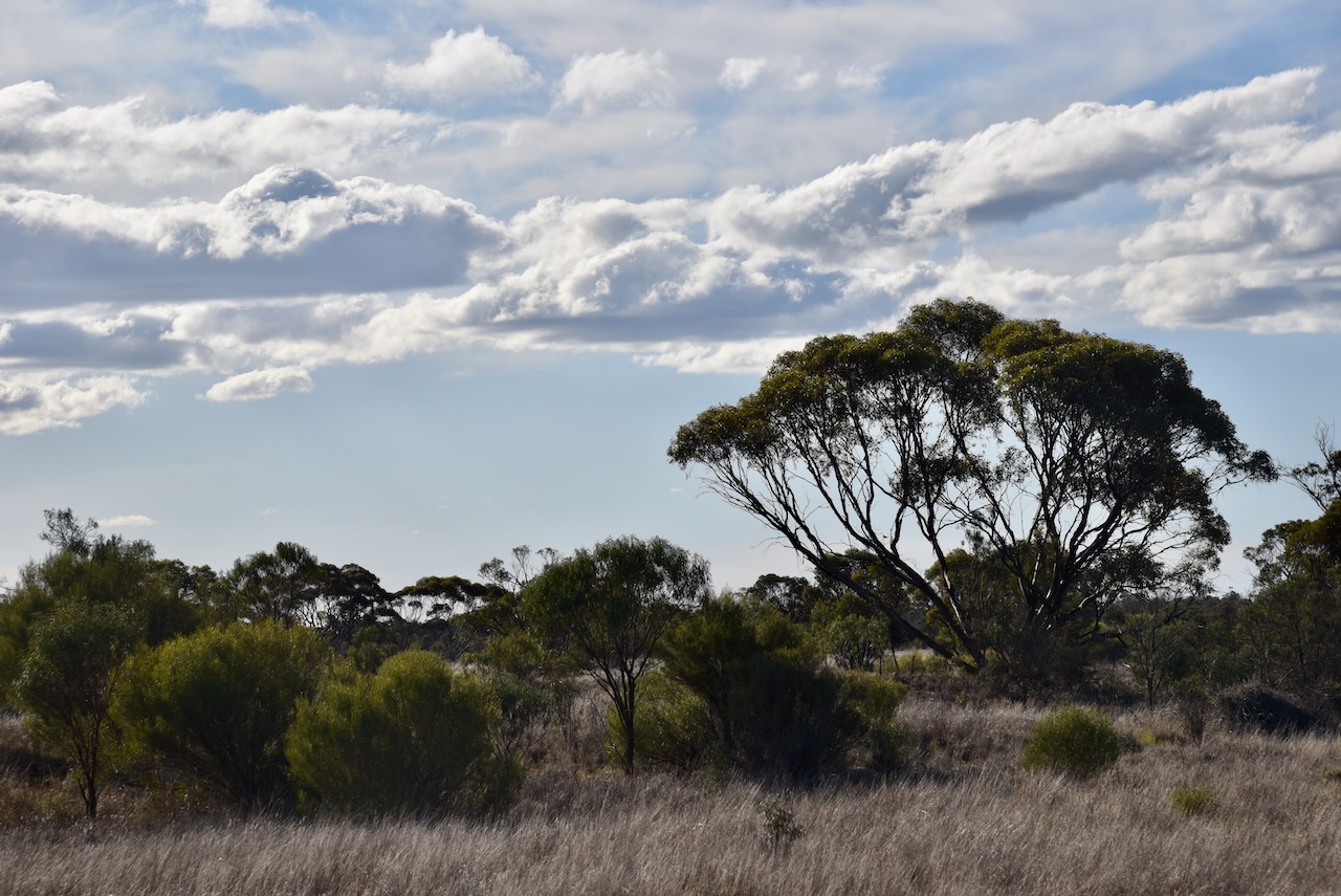
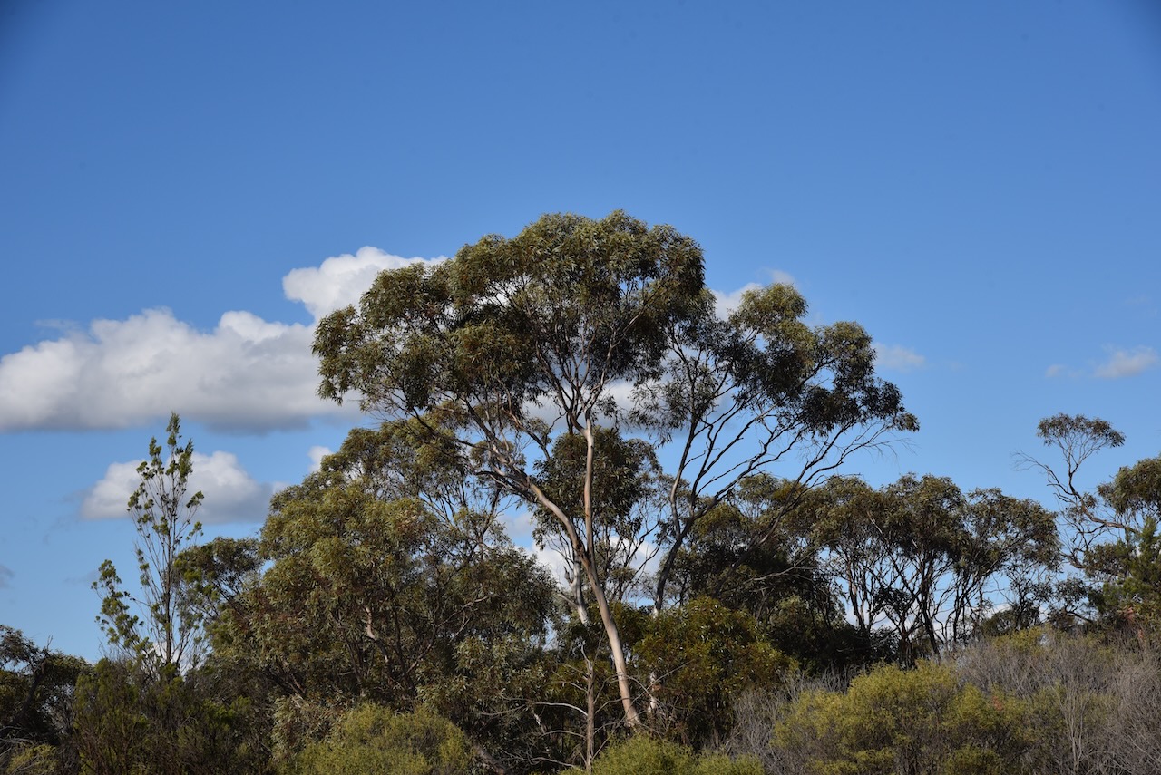
I ran the Yaesu FT857d, 40 watts, and the 20/40/80m linked dipole for this activation.
I worked the following stations on 20m SSB:-
I worked the following stations on 40m SSB:-
With 87 QSOs in the log, I packed up and headed west towards Murrayville where I planned on staying for a few nights.
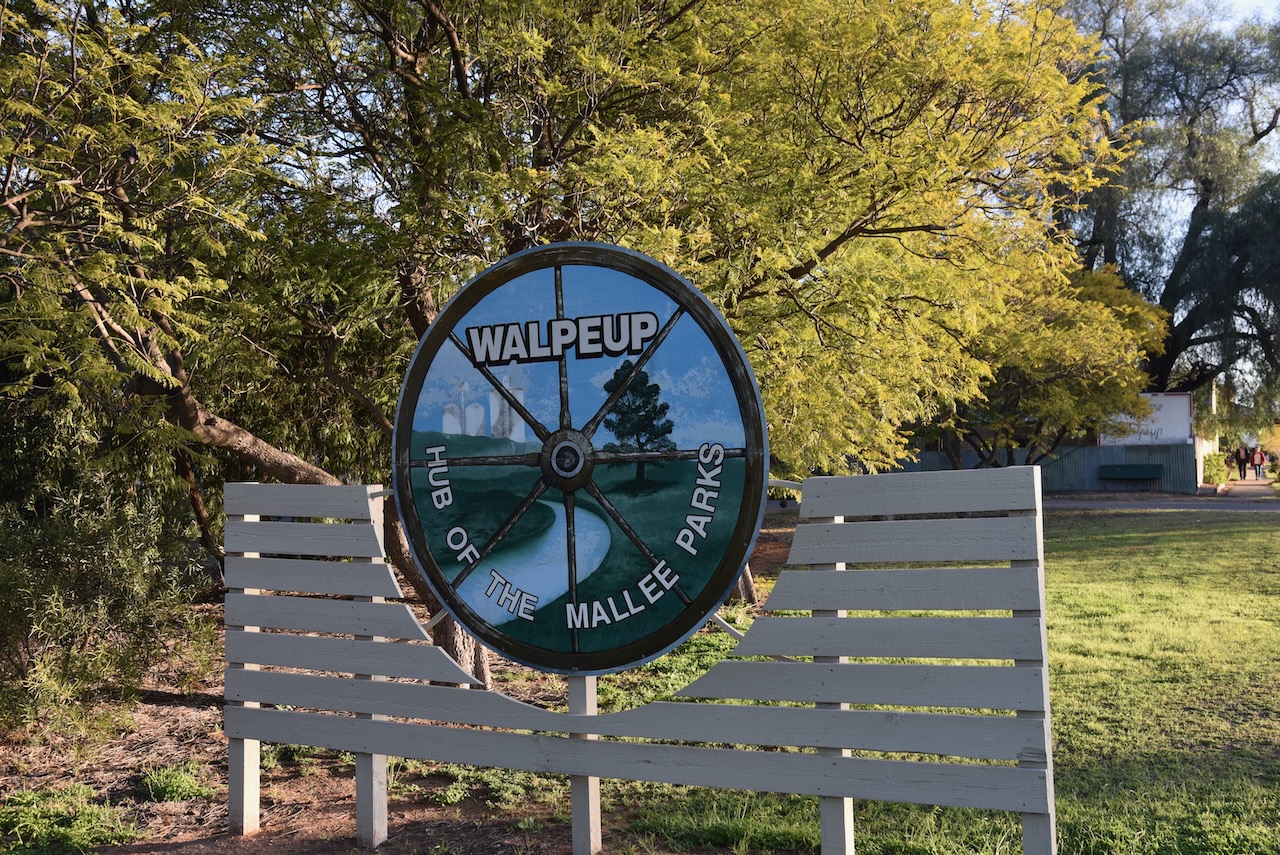
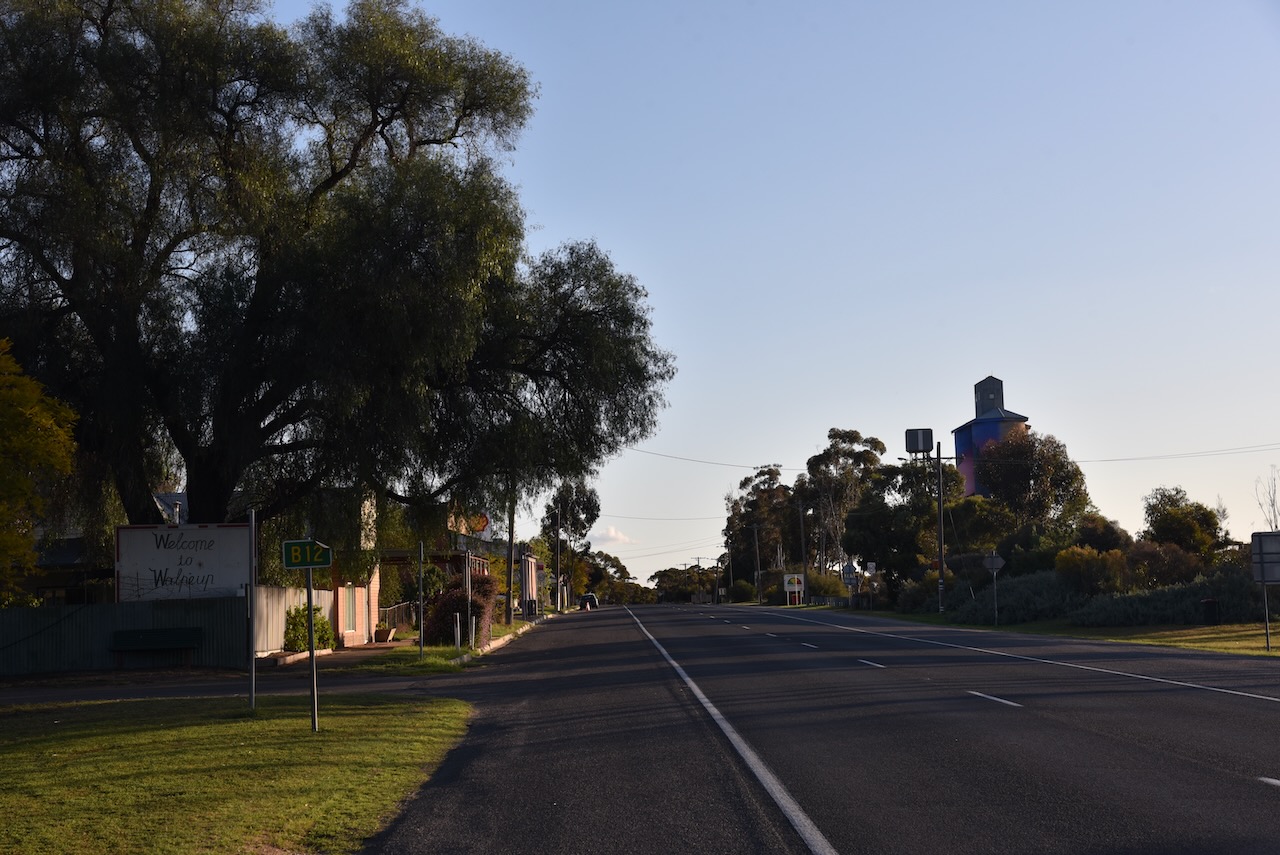
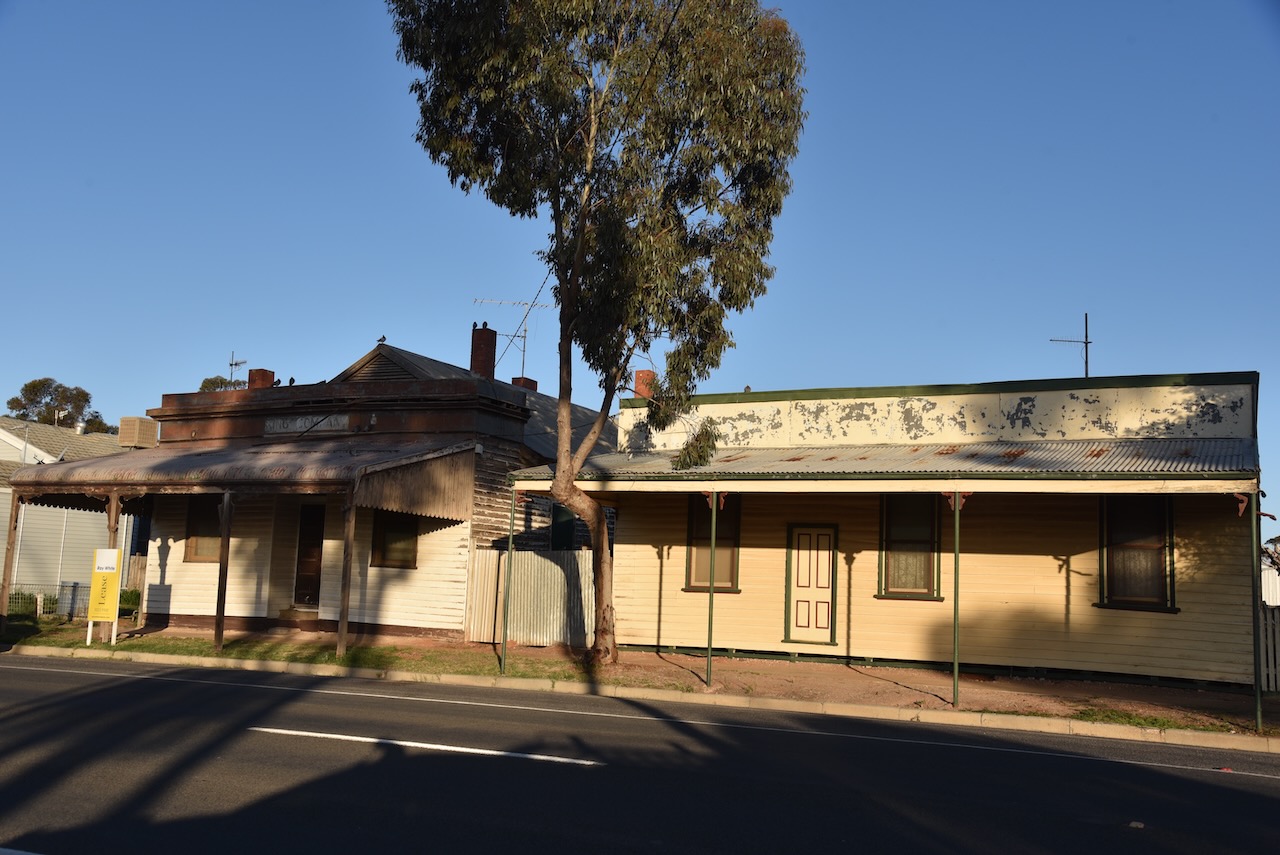
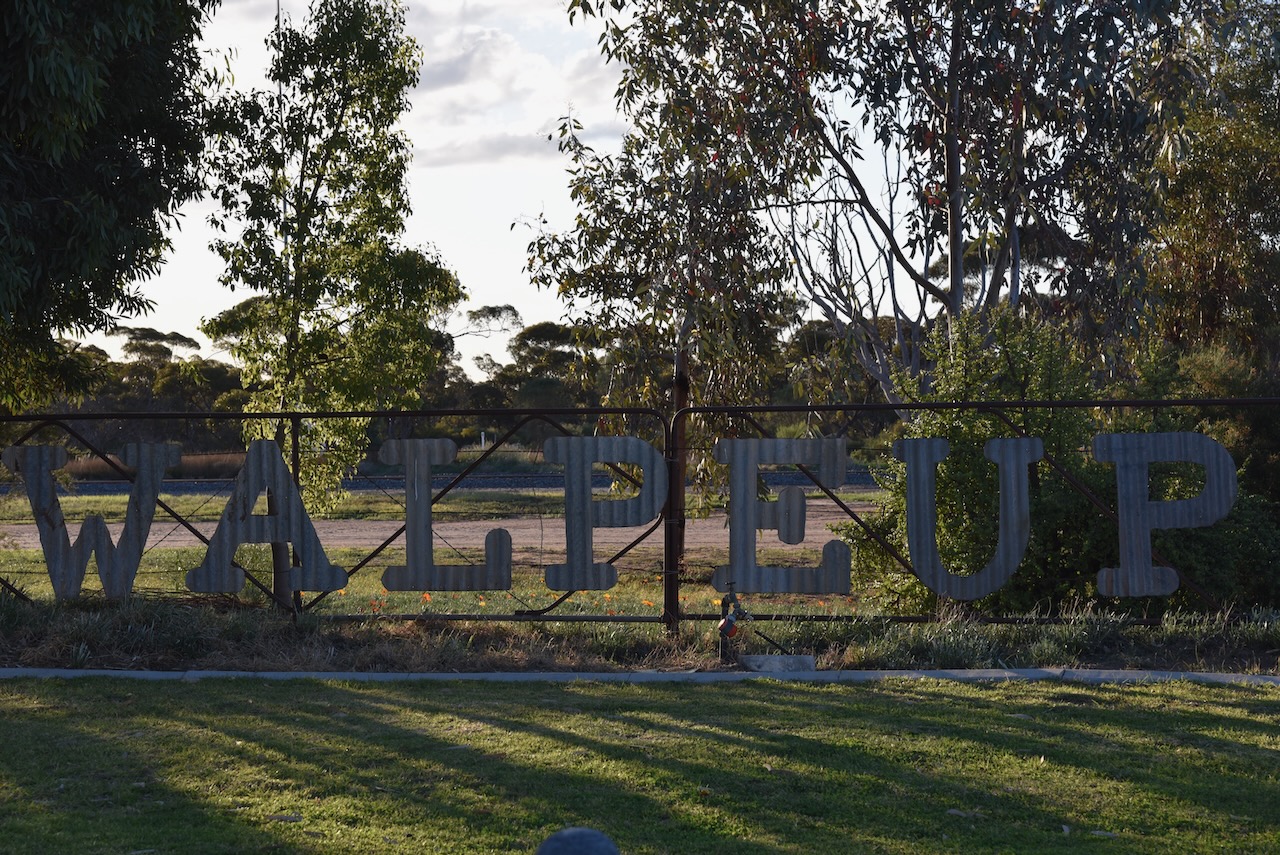
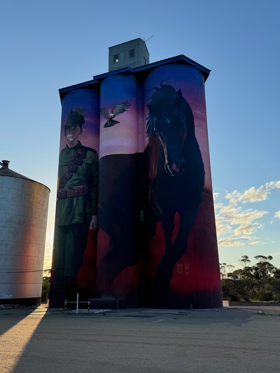
Along the way, I stopped briefly at Walpeup. I have been here dozens of times before, but I wanted to have another look at the silo art in the town.
There are various interpretations on the meaning of Walpeup. Some suggest it is derived from the aboriginal word wolpeep meaning a boil (body sore). Others state that Walpeup means stumpy-tailed lizard and others claim it is an aboriginal word for an indigenous acacia. (Blake 1978) (Victorian Places)
In 1861 German explorer and scientist George Neumayer named the Walpeup area Consolation Plains. Neumayer was a member of the Exploration Committee of the Royal Society of Victoria which organised the Burke and Wills Expedition. Neumayer joined the expedition at Swan Hill and remained with the expedition party until the Darling River at Bilbarka, before returning. (Wikipedia 2024)
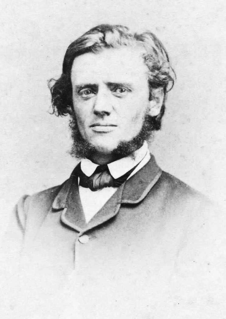
Above:- George Neumayer in c. 1860. Image c/o Trove.
In 1903 the railway line was extended northwards from Woomelang via Ouyen, finally joining with Mildura. There was a settlement at nearby Pinnaroo in South Australia with good farming land. A study revealed that the land between Pinnaroo and Ouyen was of similar good quality. The availability of water was confirmed by the sinking of test bores. Between 1910 to 1911 the State Rivers and Water Supply Commission constructed catchment tanks. In 1912 the railway line from Ouyen to Murrayville was completed. In 1909 the first farm selections were offered along the railway route. The post office was opened on the 16th day of December 1912. (Wikipedia) (Victorian Places)
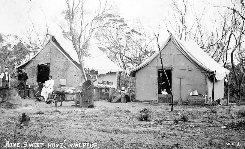
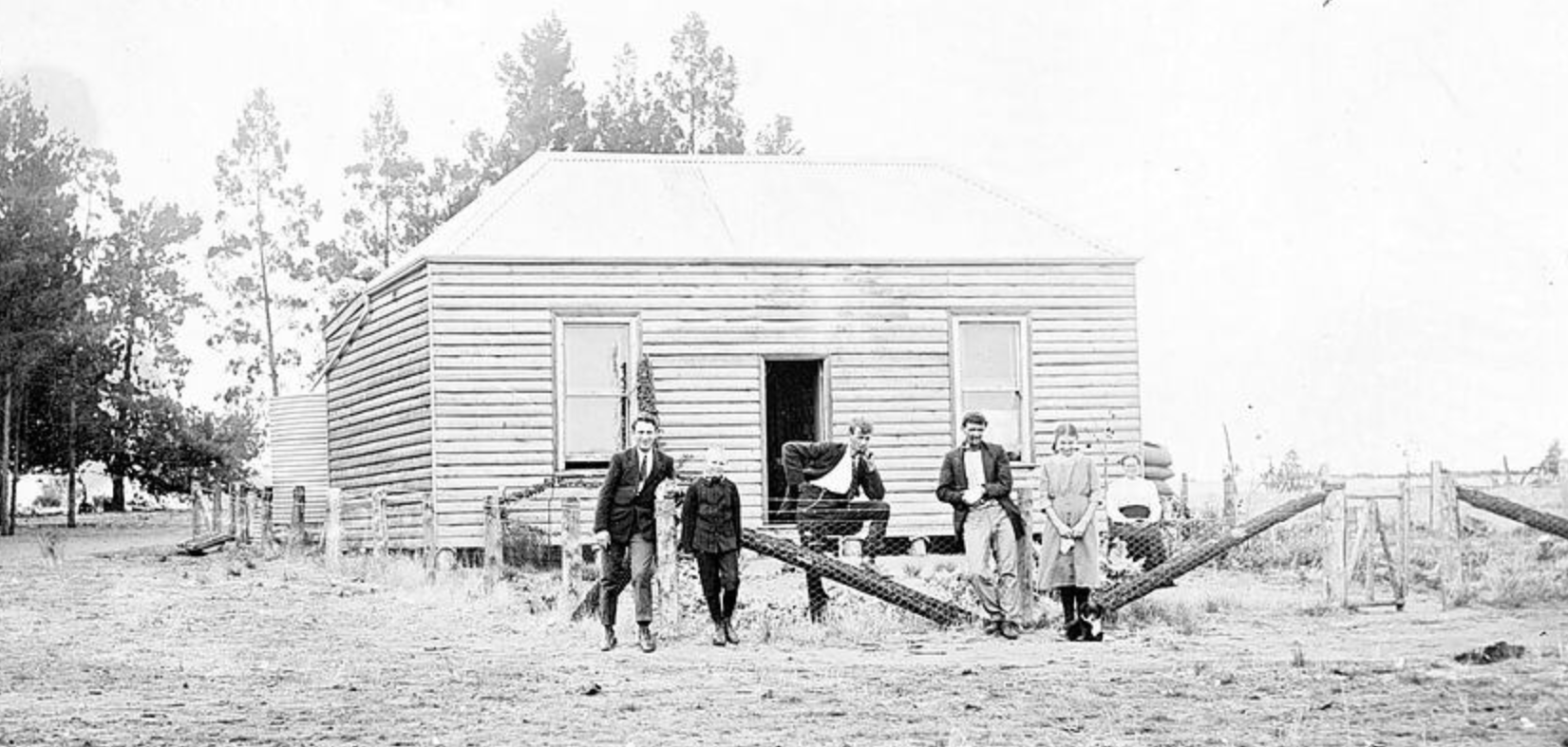
Above:- Homes in Walpeup. c. 1911. Image c/o Museums Victoria.
In 1909 a store was opened at Walpeup and this was followed by the Walpeup Primary School in 1912 which operated from the ‘Little White Hall.’ In 1911 the Shire of Walpeup was proclaimed, however, the administrative centre was at Ouyen. Council meetings alternated between Ouyen and Murrayville. The Walpeup South State School (No. 3939) also known as Hungry Hut, was opened in 1912 and closed in 1951. (Victorian Places) (Wikipedia)
Above:- The Walpeup School, c. 1911. Image c/o Museums Victoria.
By 1920 Walpeup had a population of about 400 people and had a general store, a blacksmith, a butcher, a bank branch and other businesses. The original public hall was replaced in 1923 with a brick memorial hall. (Victorian Places)
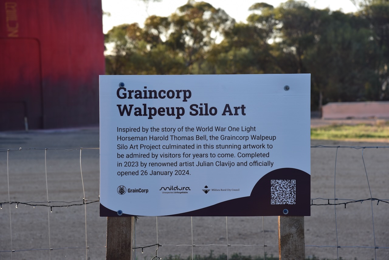
The Walpeup silo features World War One Light Horseman Harold Thomas Bell. The silo art is the work of artists Julian Clavijo and Camilo Delgardo. It was completed in 2023.

Below is a great video on the Walpeup silo.
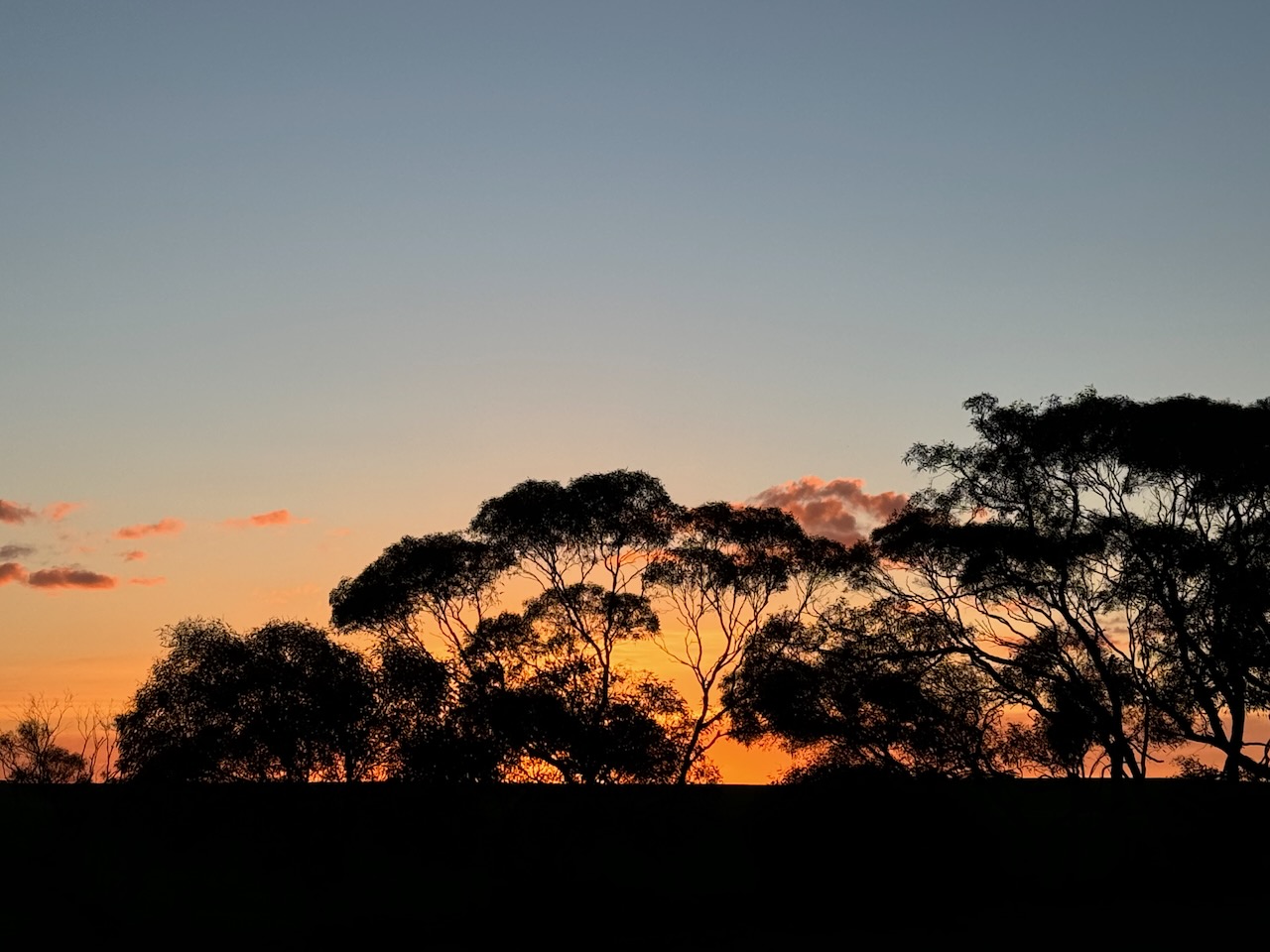
As I drove into Murrayville the sun was setting and I enjoyed a magnificent sunset.
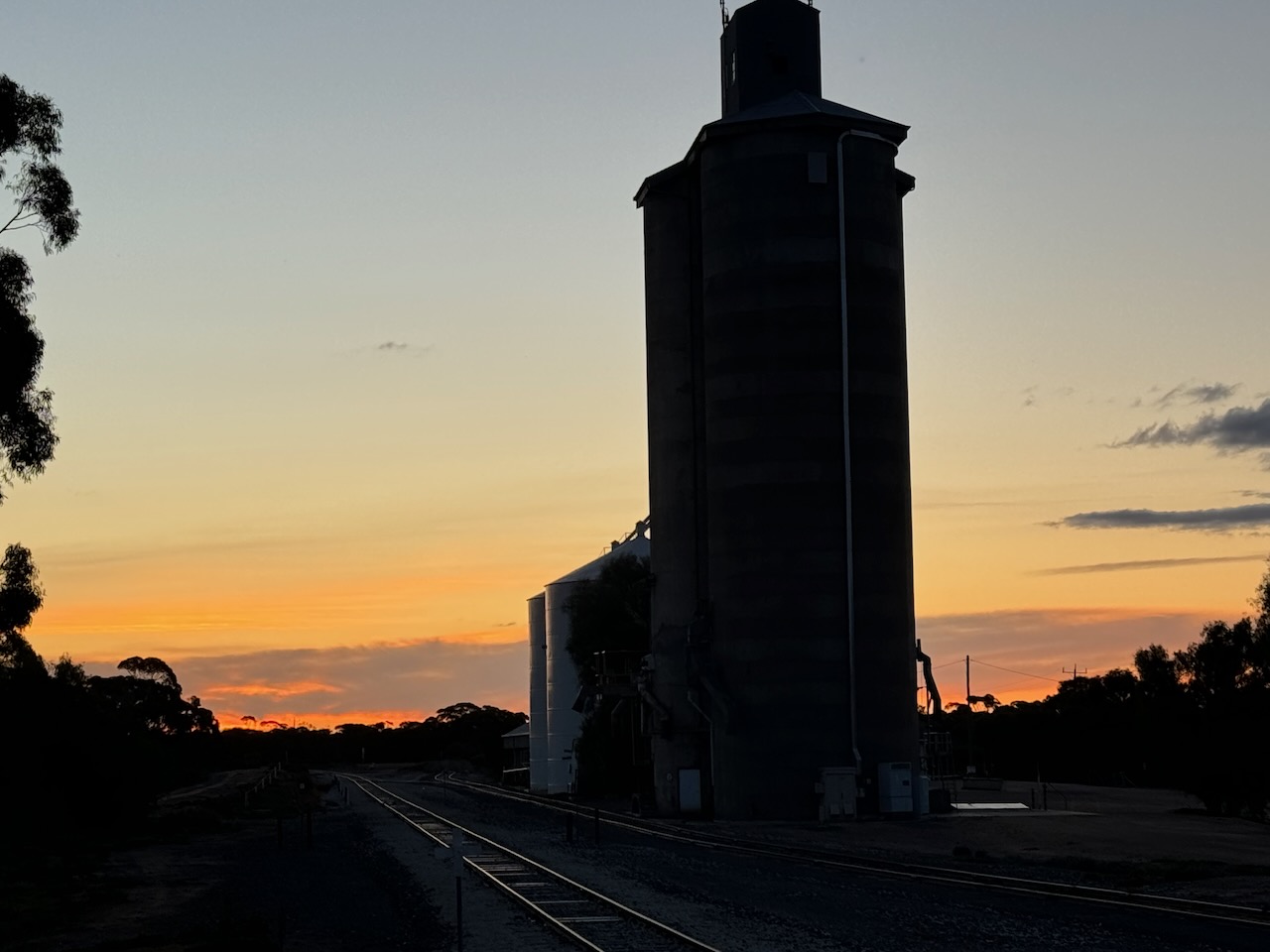
I then booked into my accommodation at the Murrayville Hotel.
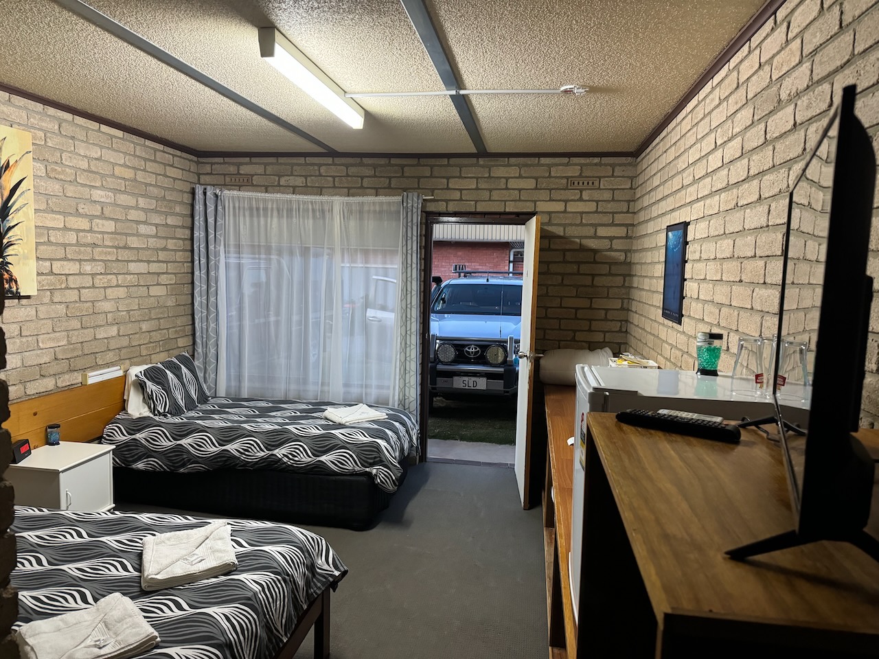
After heaving a bite to eat I decided to head out to activate a final park for the day.
References.
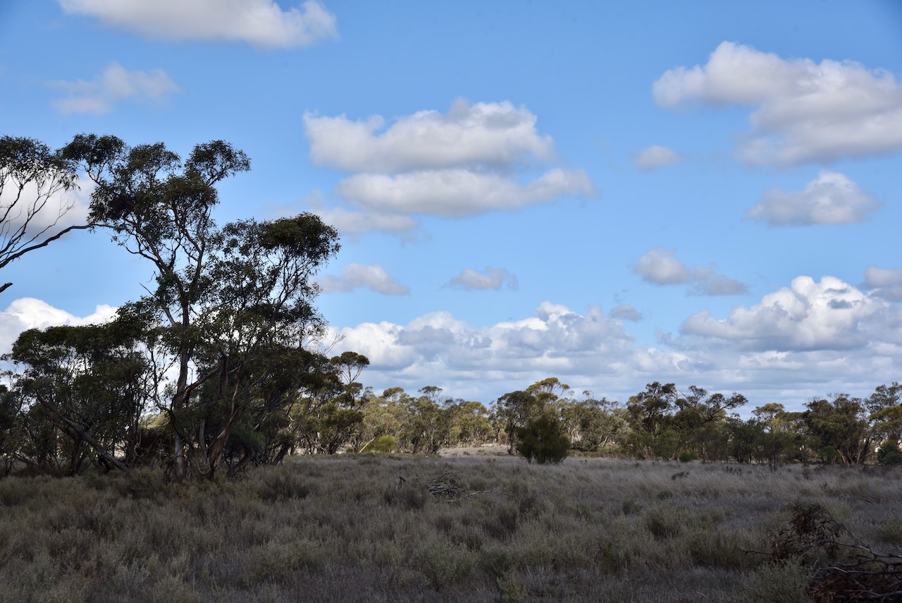
My next activation for Thursday 22nd August 2024 was the Pidgeon Tank Bushland Reserve VKFF-4193.
The reserve is about 29 km west of Ouyen in northwest Victoria.
Above:- Map showing the location of the Pidgeon Tank Bushland Reserve. Map c/o Google Maps.
The reserve is located on the western and eastern sides of Hopetoun-Walpeup Road at the intersection with Mead Road and Scott Road.
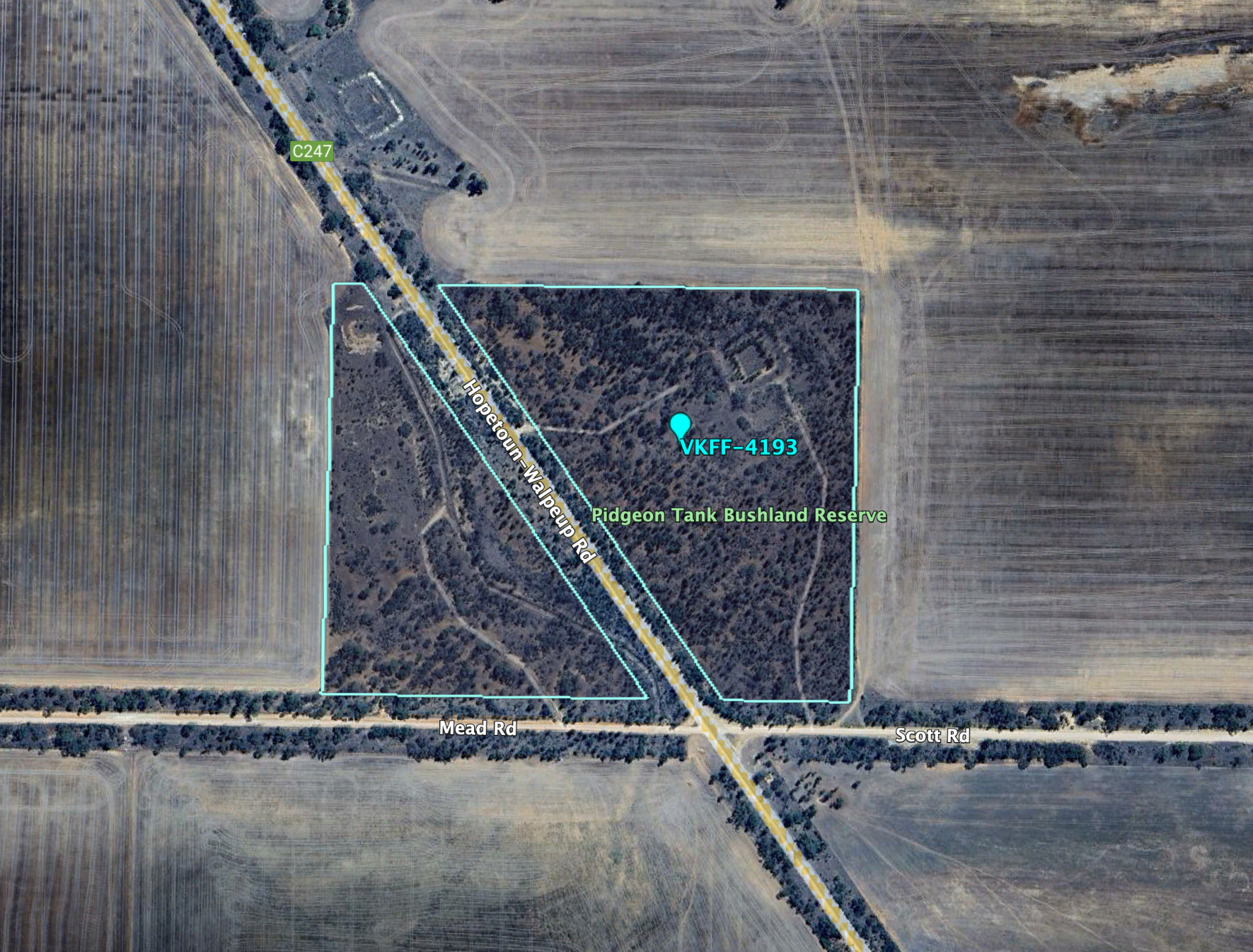
Above:- Aerial view of the Pidgeon Tank Bushland Reserve. Image c/o Google Earth.
The reserve is about 18 hectares in size and was established on the 1st day of May 1979. (CAPAD 2022)
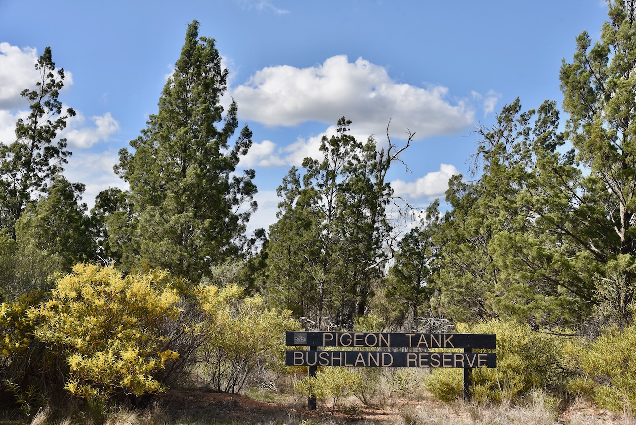
This was another easy park to access. There was no fence and I found a 4WD track to enter the eastern side of the park.
I ran the Yaesu FT857d, 40 watts, and the 20/40/80m linked dipole for this activation.
I worked the following stations on 40m SSB:-
I worked the following stations on 20m SSB:-
References.
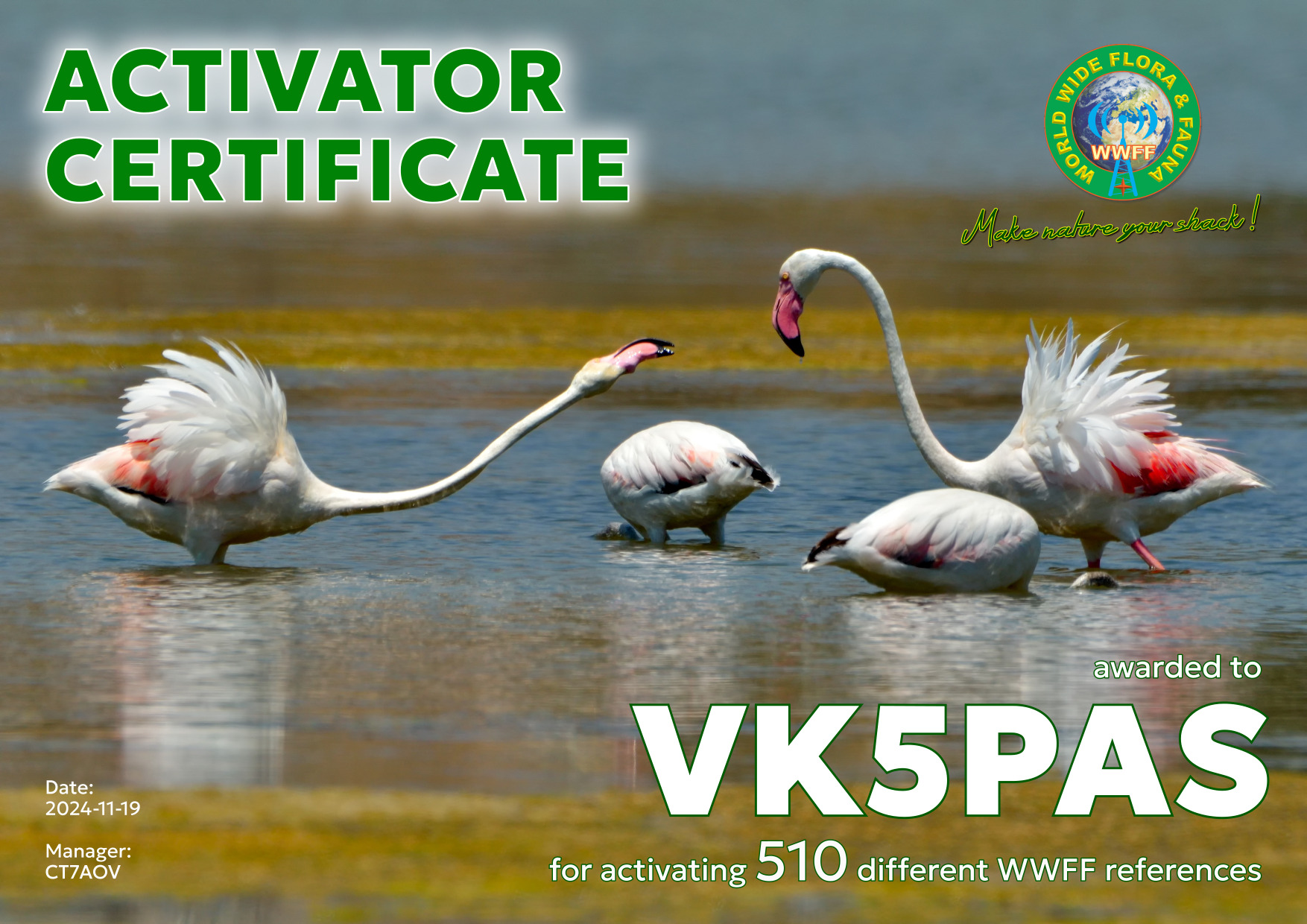
Today I downloaded my latest WWFF Activator certificate. It is issued for activating 510 different WWFF references and reaching 44 QSOs in each activation.
Thank you to all of the WWFF hunters and Hugo CT7AOV the Awards Manager.
After leaving the Tiega I80 Bushland Reserve on Thursday 22nd August 2024, I headed south to my next park activation, the Carters Tank Bushland Reserve VKFF-4198.
The reserve is about 15 km west of Ouyen in northwest Victoria.
Above:- Map showing the location of Carters Tank Bushland Reserve. Map c/o Google Maps.
The reserve is located at the intersection of Lodwick Road and Weston Road.
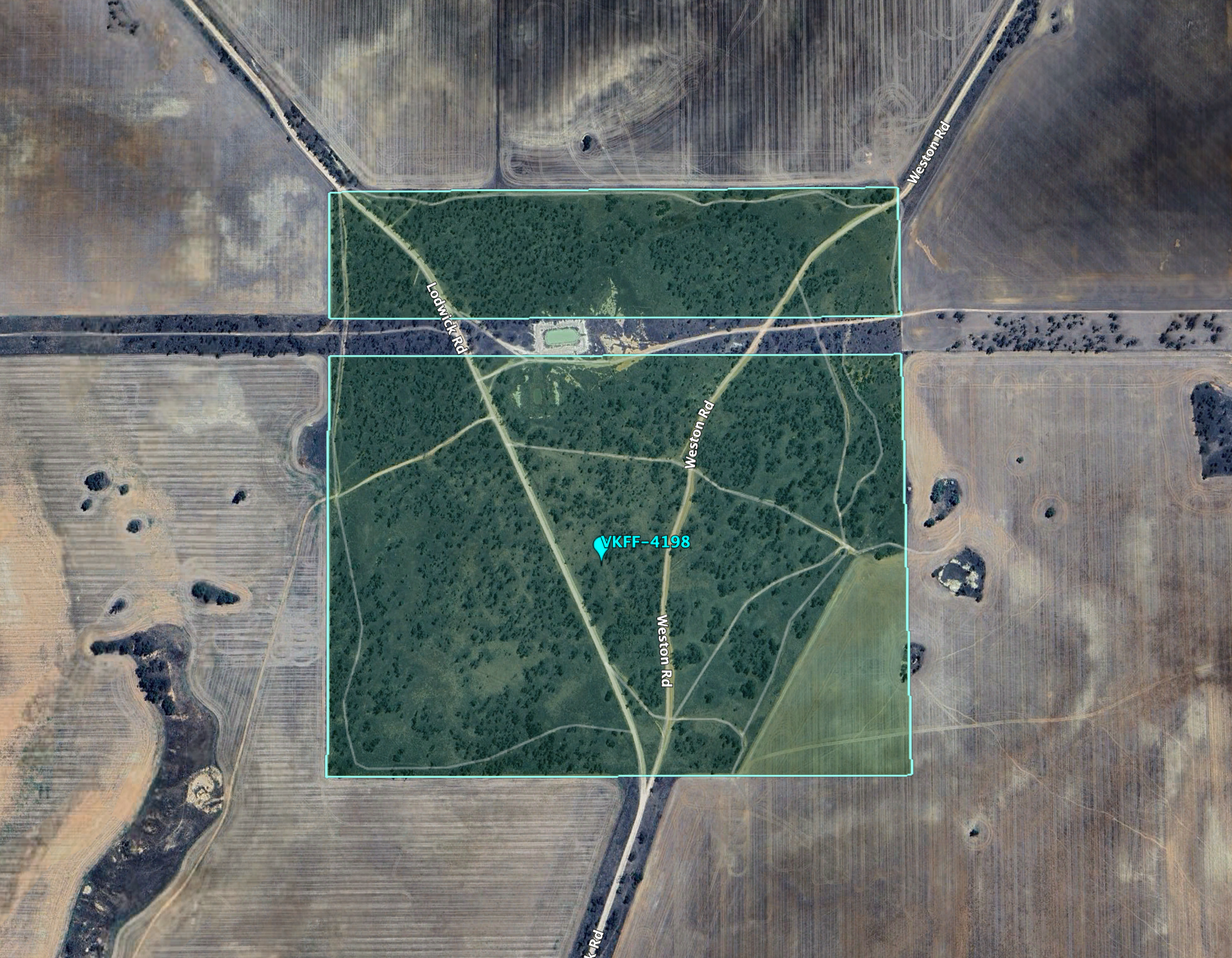
Above:- An aerial view of Carters Tank Bushland Reserve. Image c/o Google Earth.
The reserve is about 79 hectares in size and was established on the 1st day of May 1979. (CAPAD 2022)
I ran the Yaesu FT857d, 40 watts, and the 20/40/80m linked dipole for this activation.
I worked the following stations on 20m SSB:-
I worked the following stations on 40m SSB:-
References.
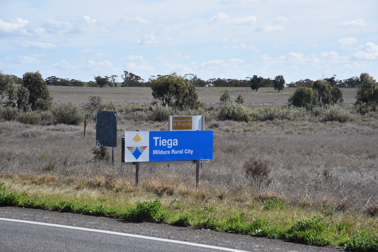
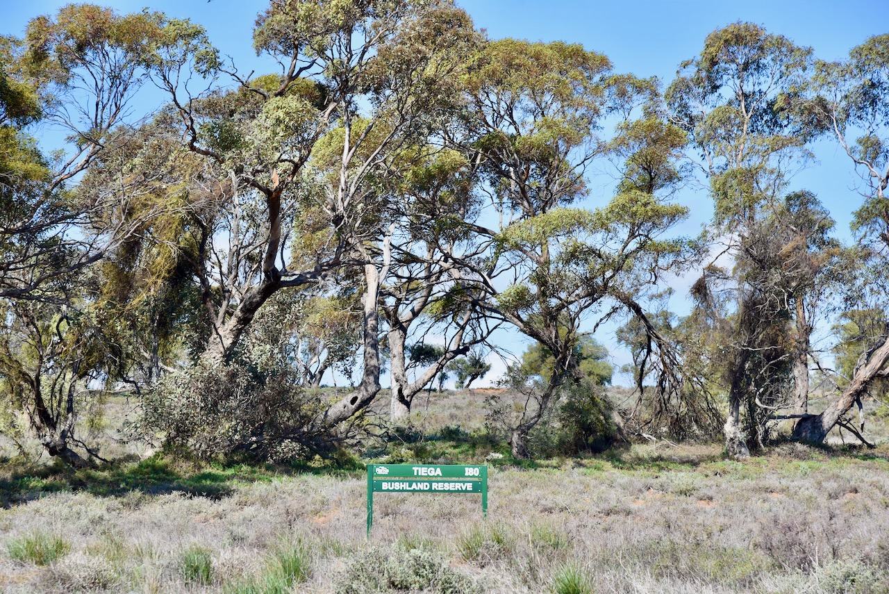
My next activation for Thursday 22nd August 2024 was the Tiega I80 Bushland Reserve VKFF-4204.
The reserve is about 11 km west of Ouyen in northwest Victoria.
Above:- Map showing the location of the Tiega I80 Bushland Reserve. Map c/o Google Maps.
I had been out here at Tiega the day before when I activated the Tiega I81 Bushland Reserve.
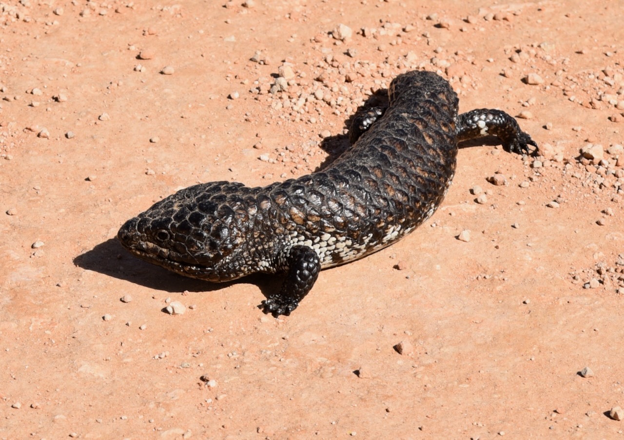
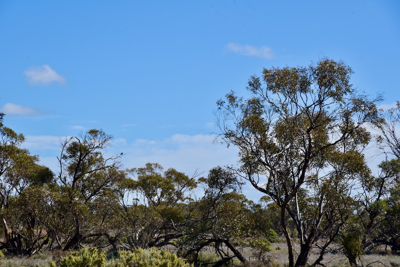
It was quite a warm day and as a result I saw several lizards enjoying the sunshine.
The Tiega I80 Bushland Reserve is located on the southern side of Mallee Highway opposite Le Couteur Road and the Tiega I81 Bushland Reserve.
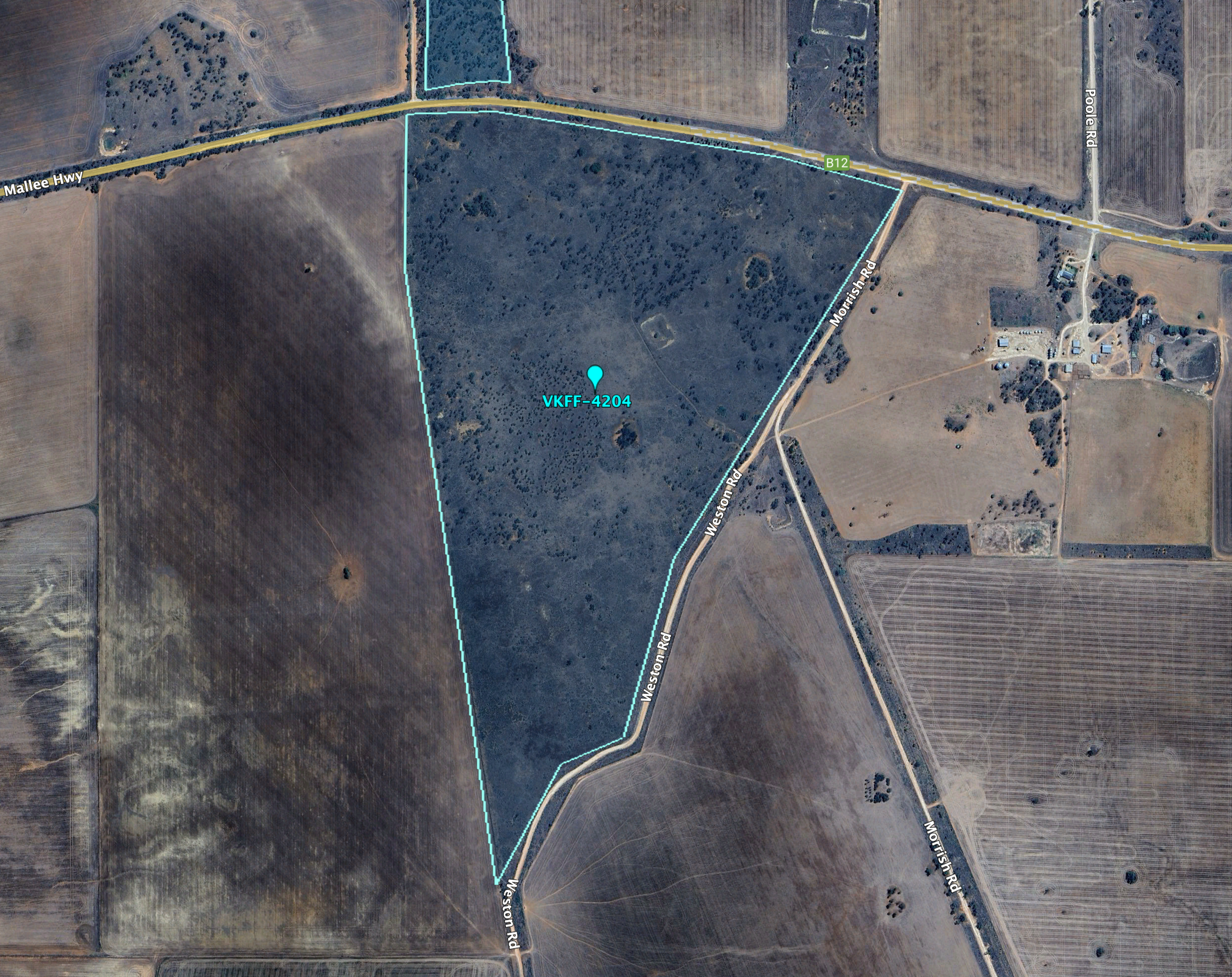
Above:- An aerial view of the Tiega I80 Bushland Reserve. Image c/o Google Earth.
The reserve is about 77 hectares in size and was established on the 1st day of May 1979. (CAPAD 2022)
I ran the Yaesu FT857d, 40 watts, and the 20/40/80m linked dipole for this activation.
I worked the following stations on 40m SSB:-
I worked the following stations on 40m AM:-
I worked the following stations on 40m FM:-
I worked the following stations on 20m SSB:-
References.
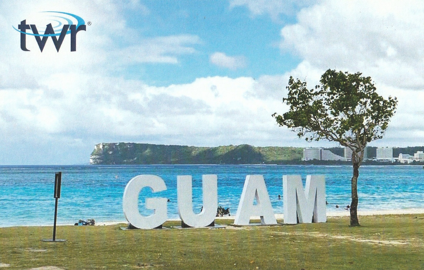
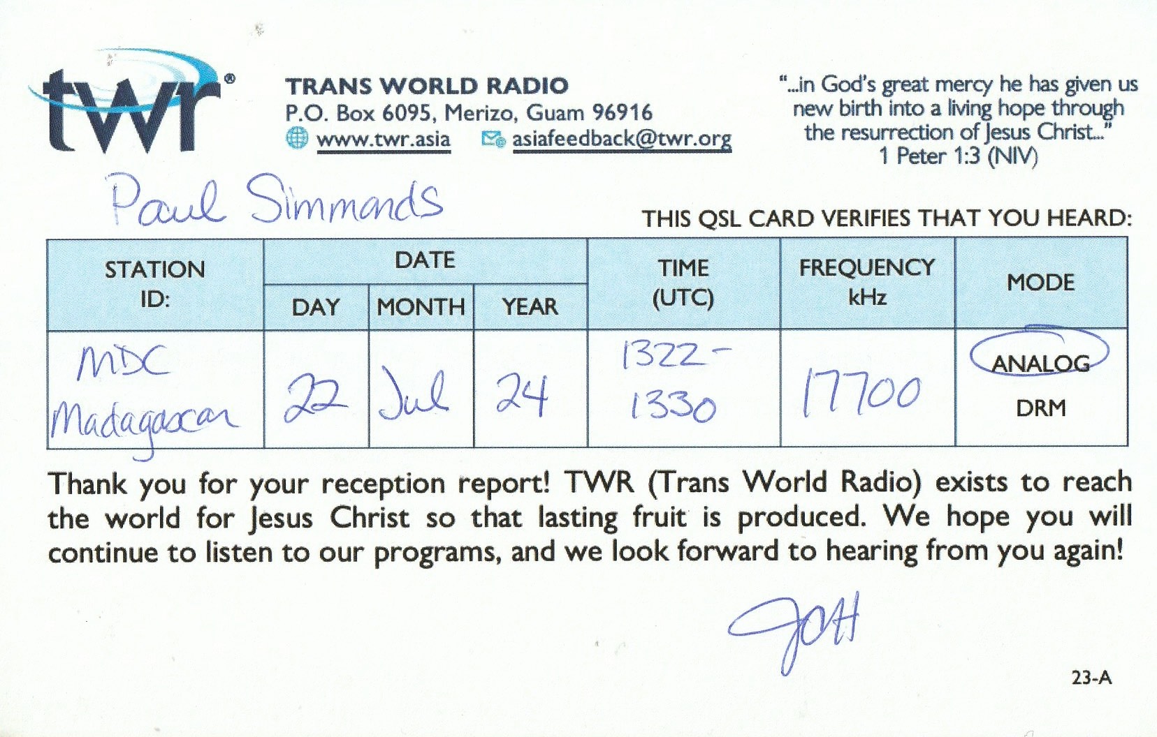
A week ago I received the QSL card below from Trans World Radio, Guam, for my reception of their station on 22nd July 2024 on 17700 kHz.
I activated a VKFF reference during 2024 National Bird Week and as such I became eligible for a special certificate.
The certificate features a photograph I took of a Singing Honeyeater during a park activation on the Eyre Peninsula, South Australia.

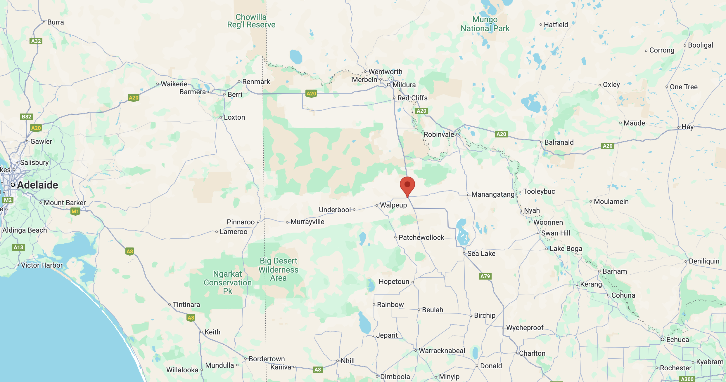
My second activation for Thursday 22nd August 2024 was the Ouyen I245 Bushland Reserve VKFF-4207.
But prior to heading to the park I had a look around the town of Ouyen.
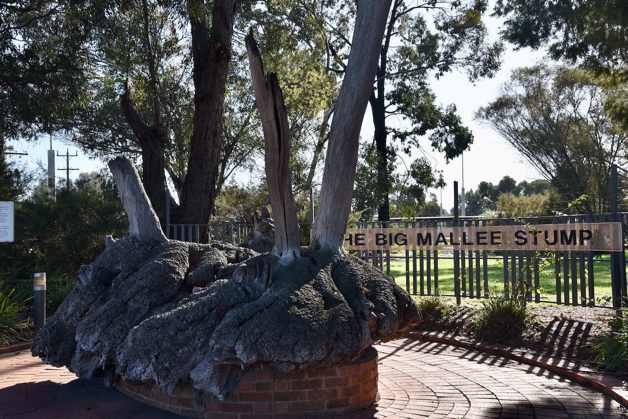
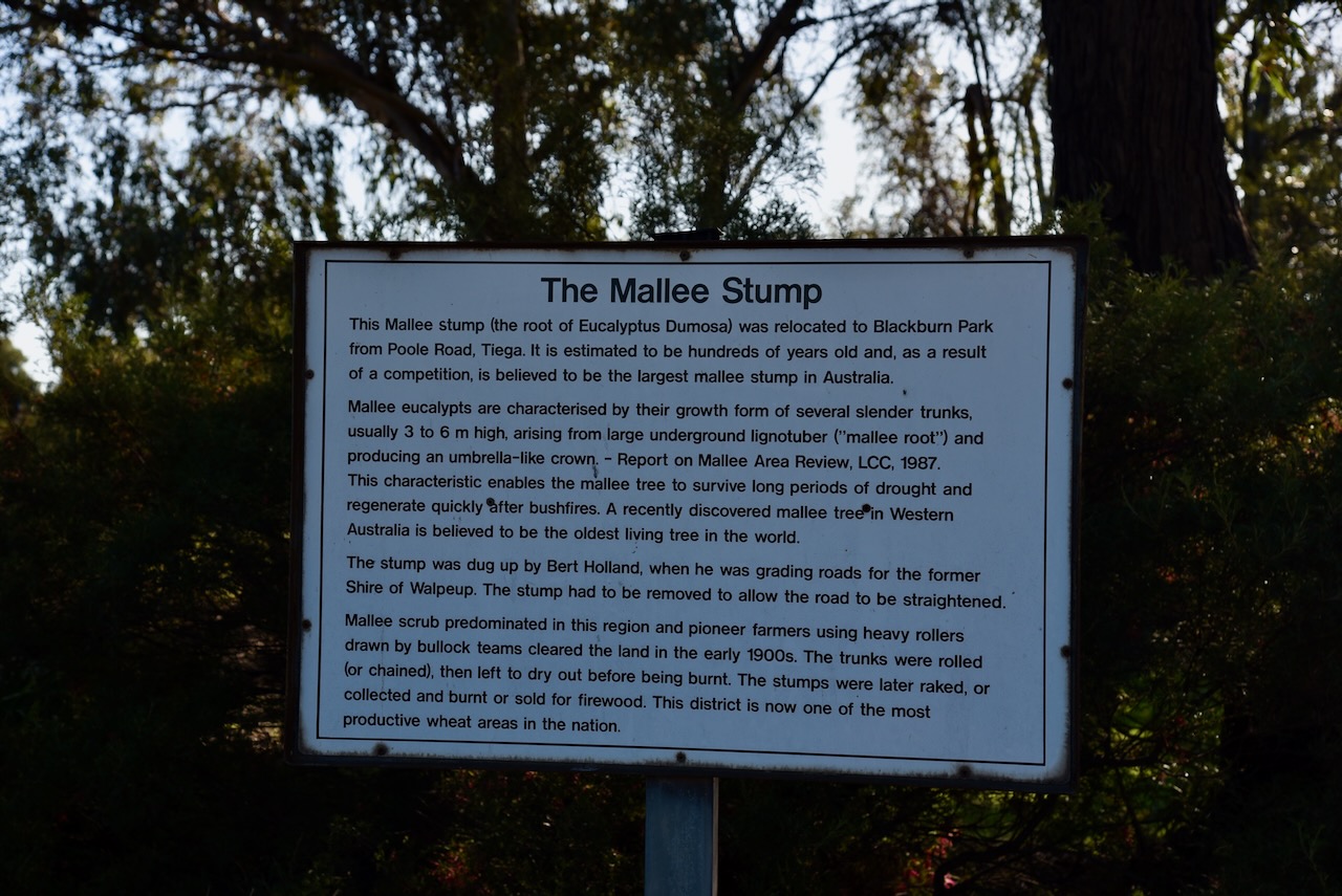
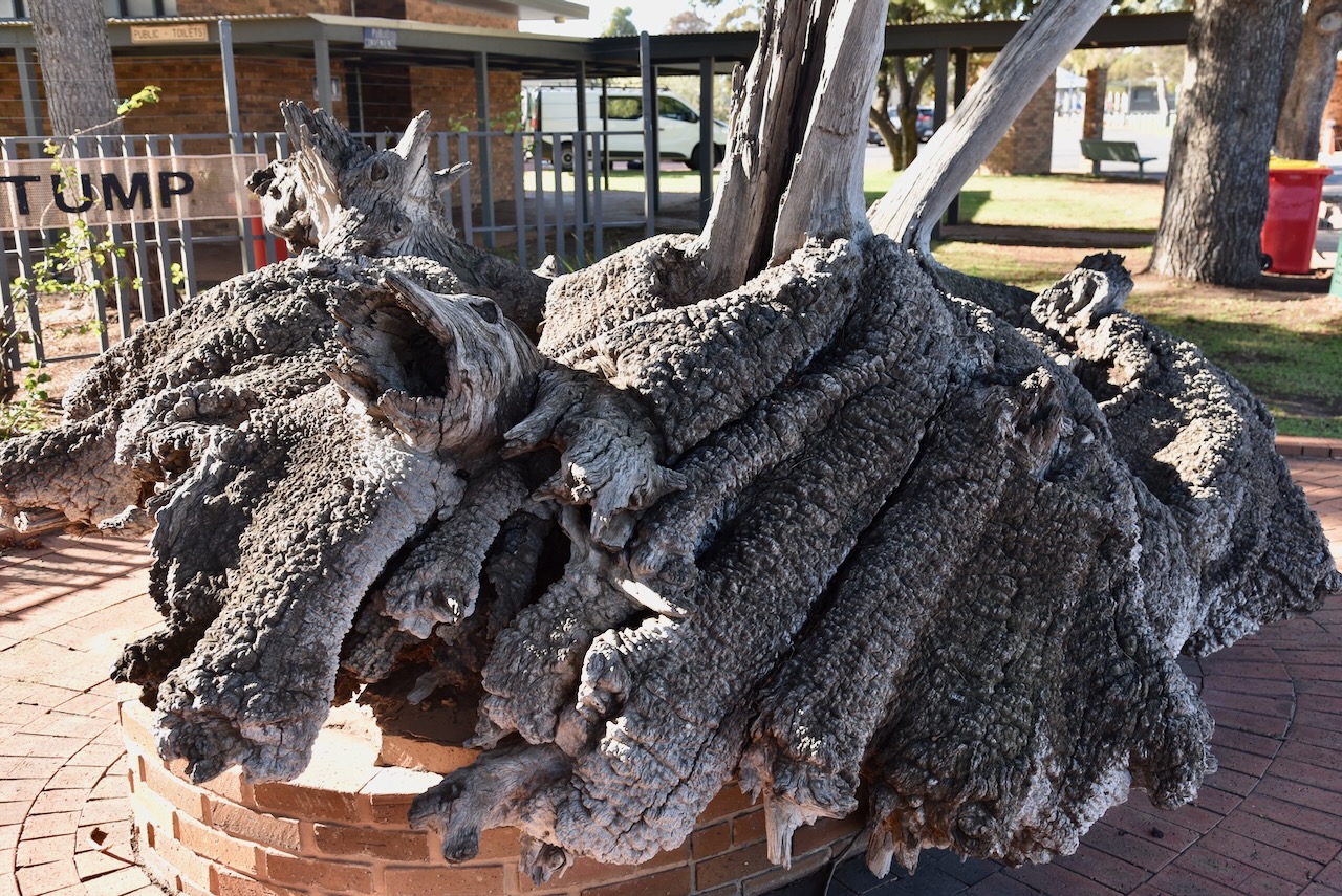
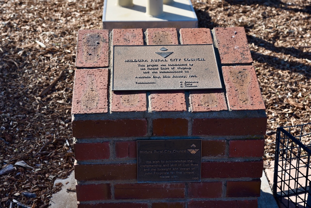
My first stop was the Big Mallee Stump at Blackburn Park. The mallee stump is estimated to be hundreds of years old and is believed to be the largest mallee stump in Australia. This particular stump was dug up by a gentleman called Bert Holland whilst he was grading roads for the former Shire of Walpeup.
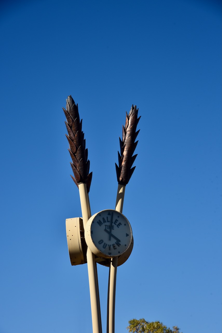
Adjacent is the unique clock with wheat sheafs.
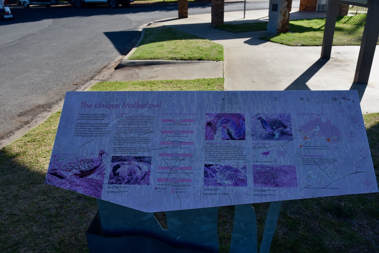
There is also an information board detailing all the facts about the Malleefowl, a ground dwelling bird about the size of a domestic chicken. Their conservation status is listed as vulnerable due to the clearing of land for farming and the introduced fox.
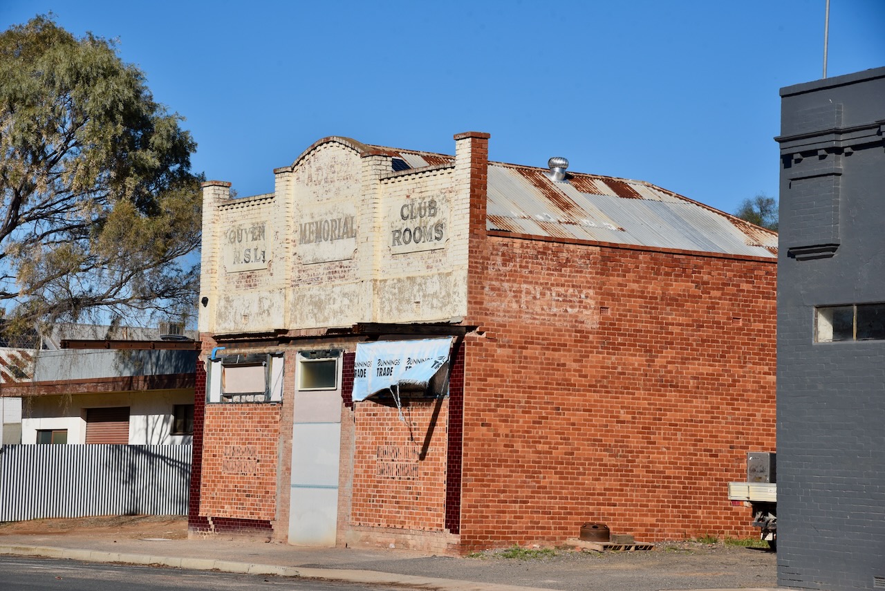
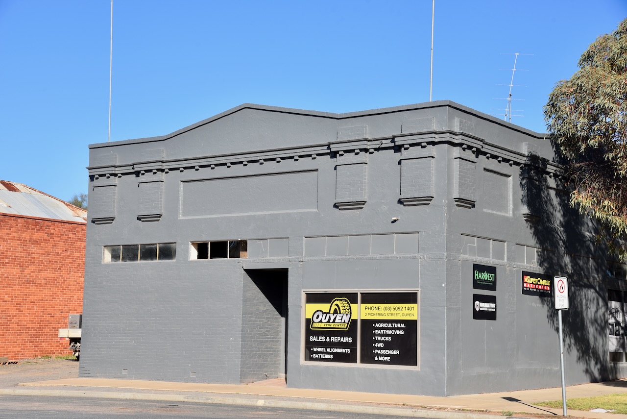
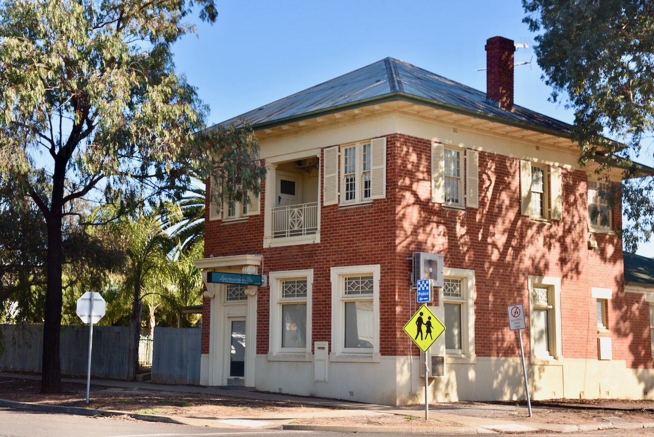
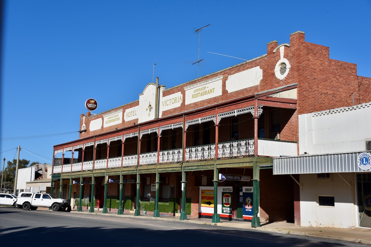
I then took a drive around Ouyen to look at some of the town’s historic buildings. This includes the former Savings Bank of Victoria building that was built in 1926 in Neo-Georgian style. The Victoria Hotel was built in 1918 and laid claim to being the best hotel between Adelaide and Melbourne. Sadly the old Ouyen RSL Memorial Club Rooms stands derelict. (Flickr)
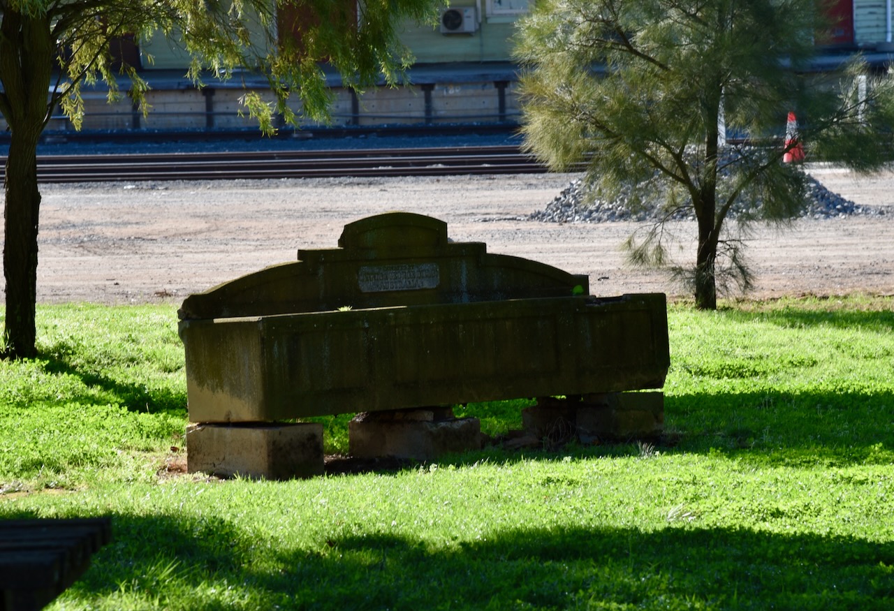
Virtually every town I go to has a ‘Bills’ horse trough. They were manufactured in Australia and were installed to provide relief for working horses during the early 1900s. They were financed by a trust fund that was established through the will of George Bills. About 700 of these troughs were distributed around Australia and about 50 in several other countries around the world. (Wikipedia 2024)
George Bills was born in Brighton Sussex England in 1859. With his family, he emigrated to New Zealand and in 1873 he emigrated to Australia. By 1882 he was operated a bird dealers shop in Brisbane Queensland. In 1885 George married Annis Elizabeth Swann and soon after they moved to Sydney where George opened a wire mattress manufacturing company with his brothers. In 1908 George retired. His wife Annis died in 1910 while the couple wrestled visiting England. In 1924 George became a Life Governor of the RSPCA. (Wikipedia)
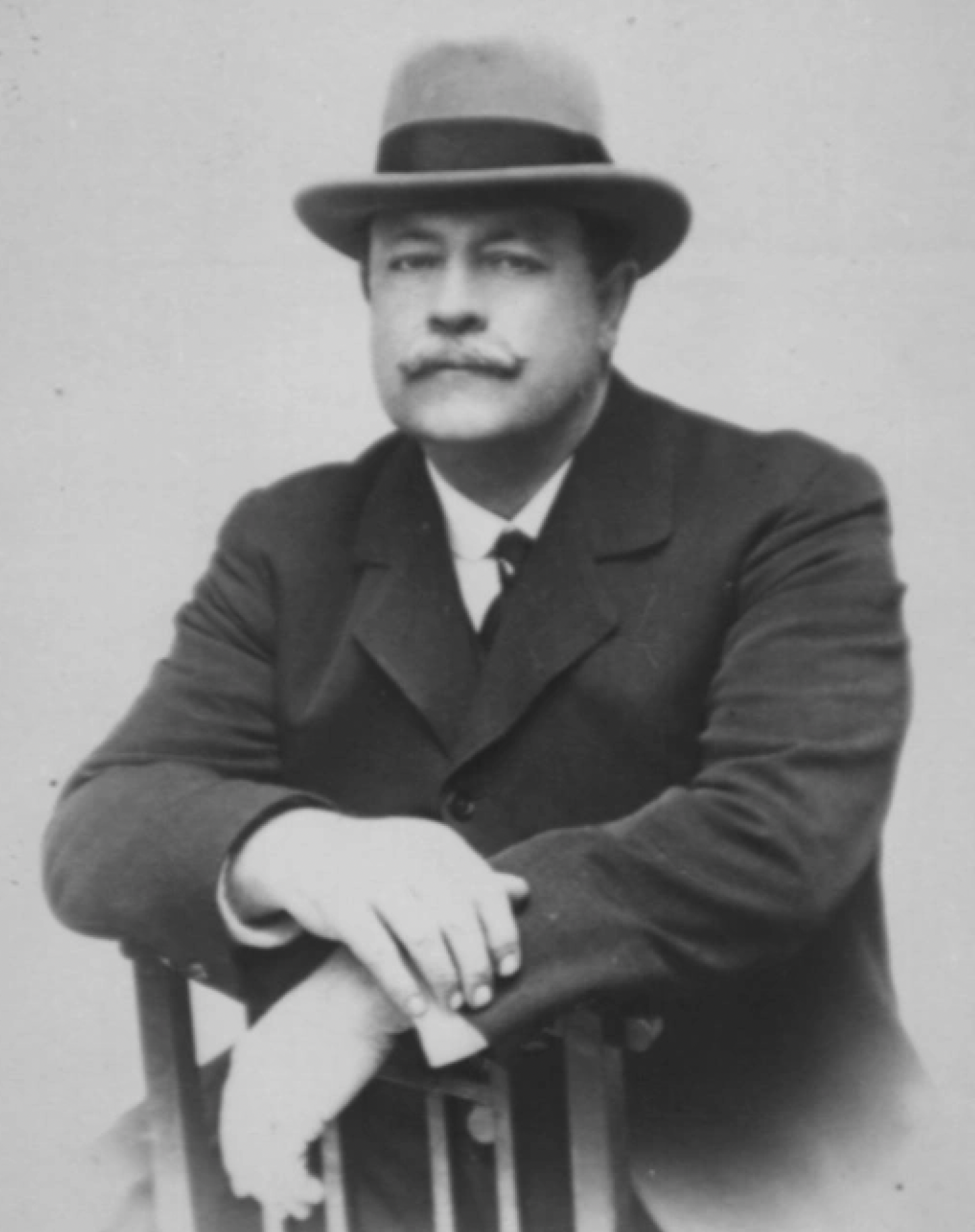
Above:- George Bills. Image c/o Billswatertroughs.wordpress.com
George died in 1927. Following his death a Trust fund was established valued at about £70-80,000 One of the purposes of the trust, as set out in the will of George Bill’s was:
“construct and erect and pay for horse troughs wherever they may be of the opinion that such horse troughs are desirable for the relief of horses and other dumb animals either in Australasia, in the British Islands or in any other part of the world subject to the consent of the proper authorities being obtained.“
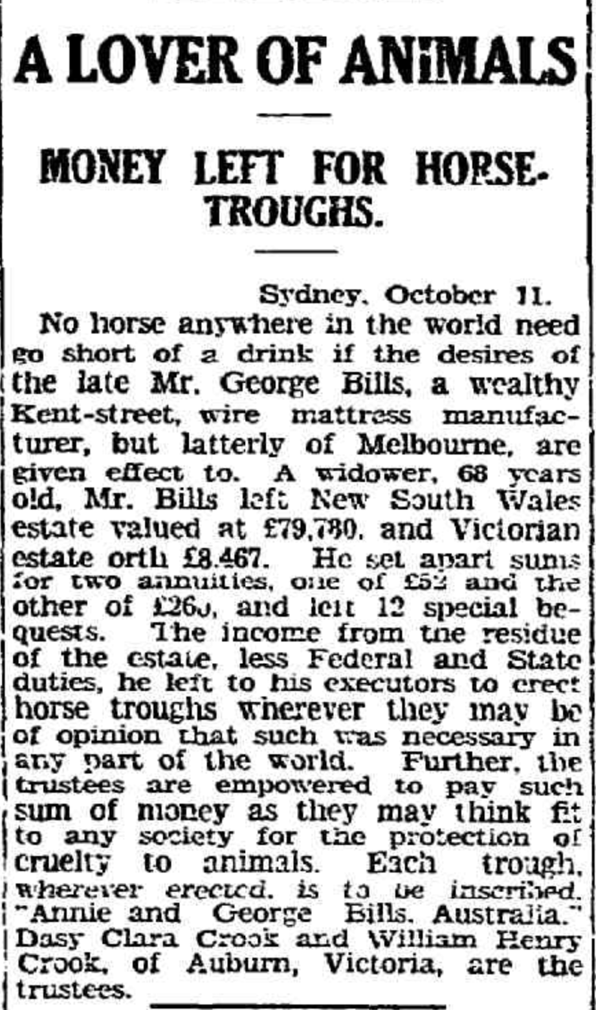
Above:- Article from The Advertiser, Fri 12 Oct 1928. Image c/o Trove.
Each Bill’s horse trough cost £13 including transport and installation. They were initially indivually designed and constructed. By the early 1930s, J.B. Phillips who was a relative of George and Annis, became the head contractor. He produced the troughs in Hawthorn Victoria to a standard design. The troughs were precast concrete and had the inscription of “Donated by Annis & George Bills Australia”. (Wikipedia)
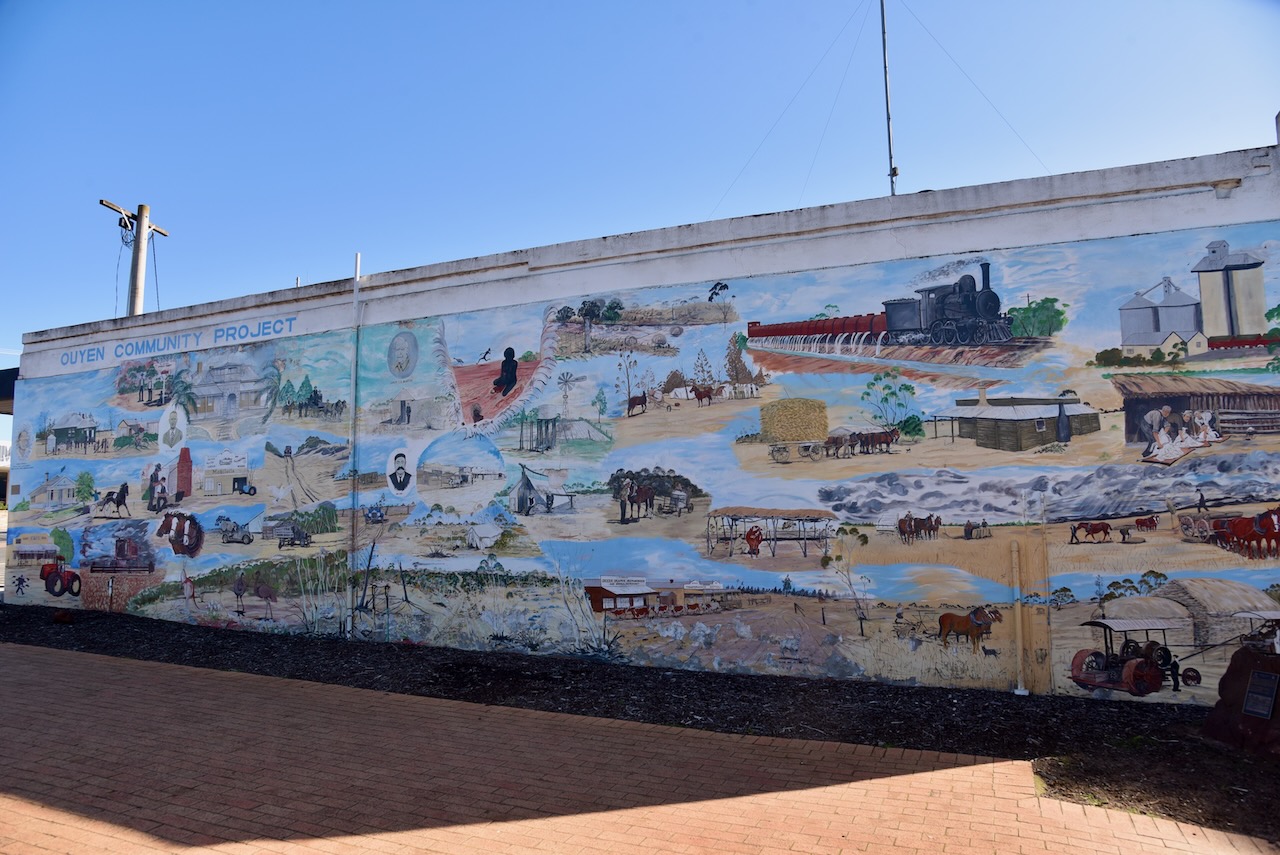
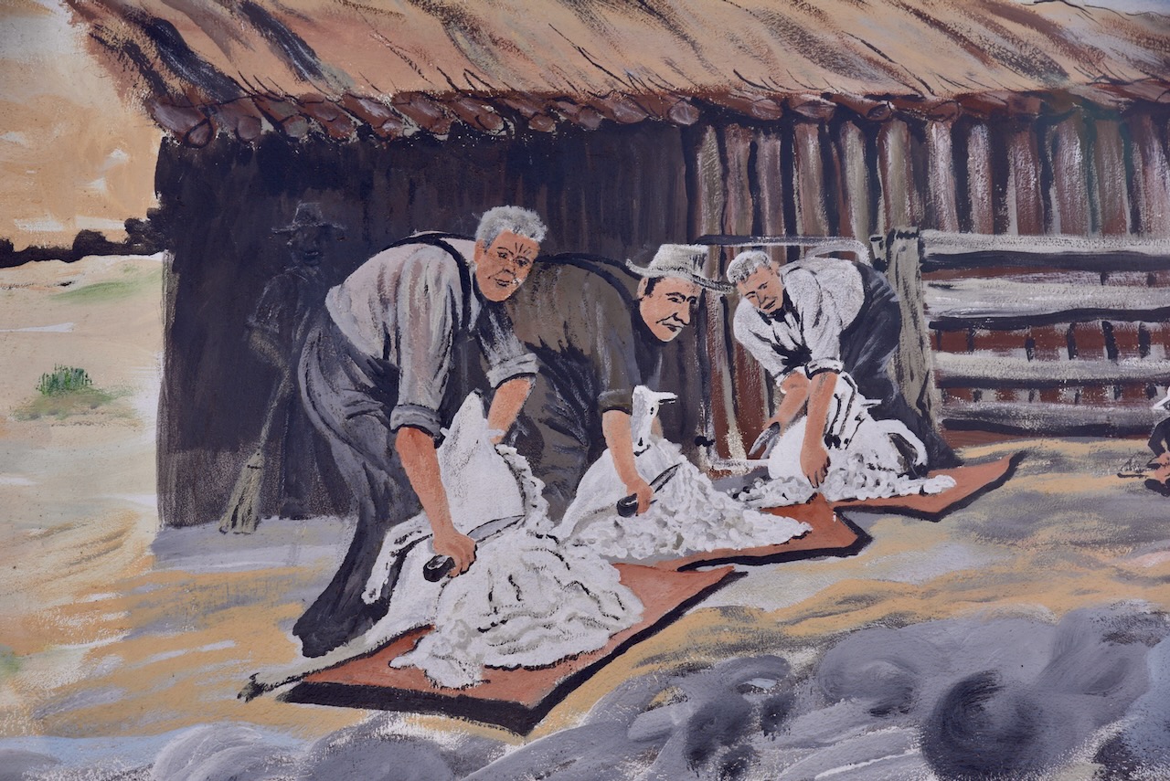
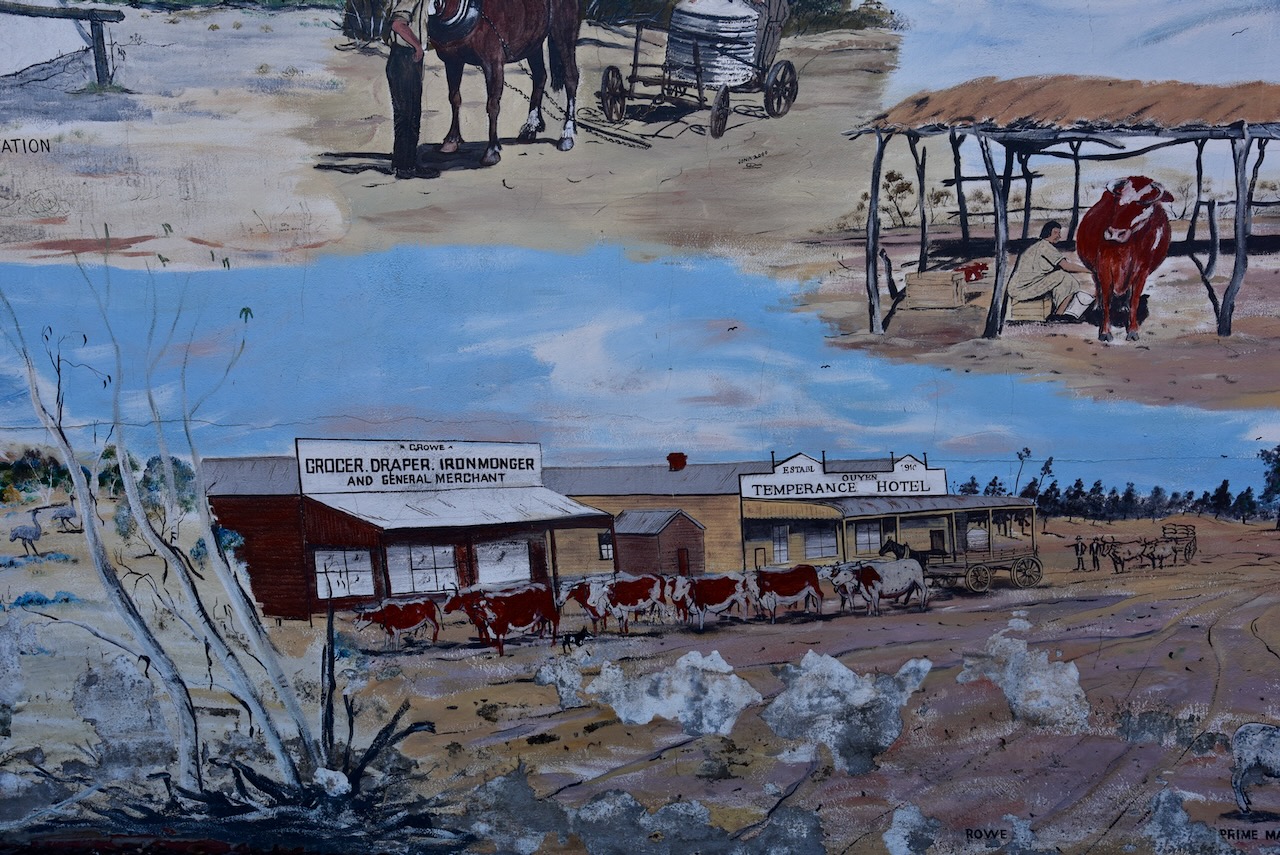
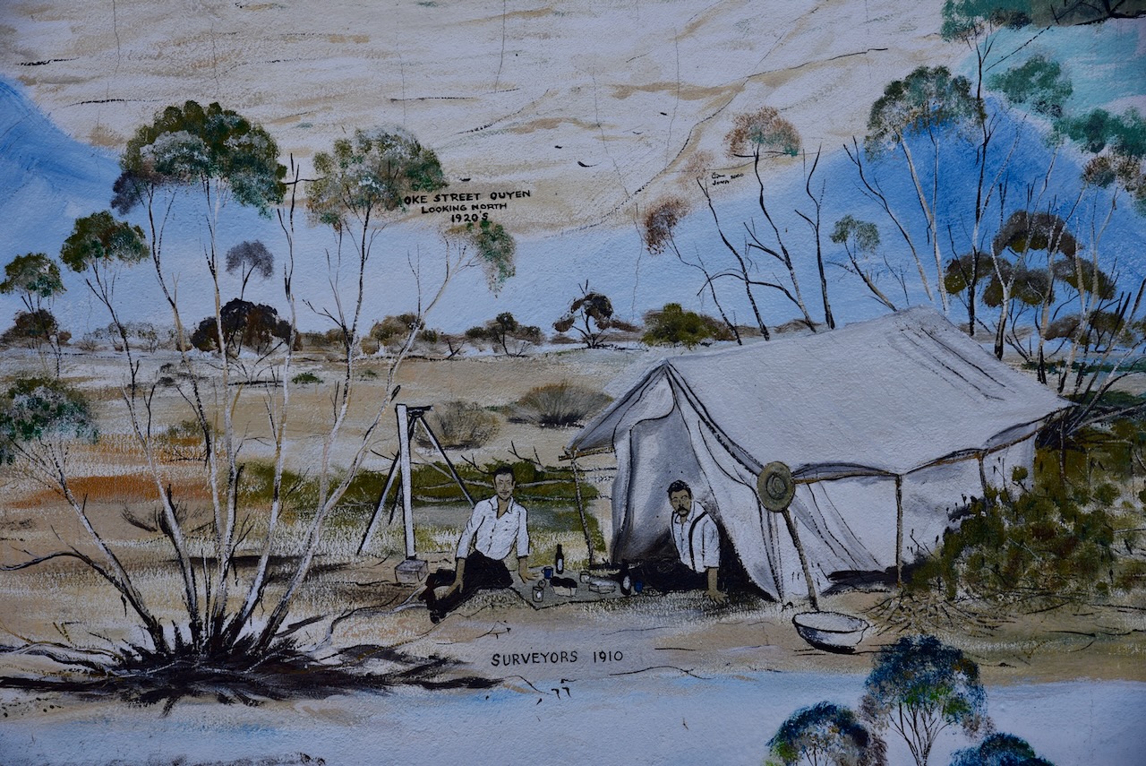
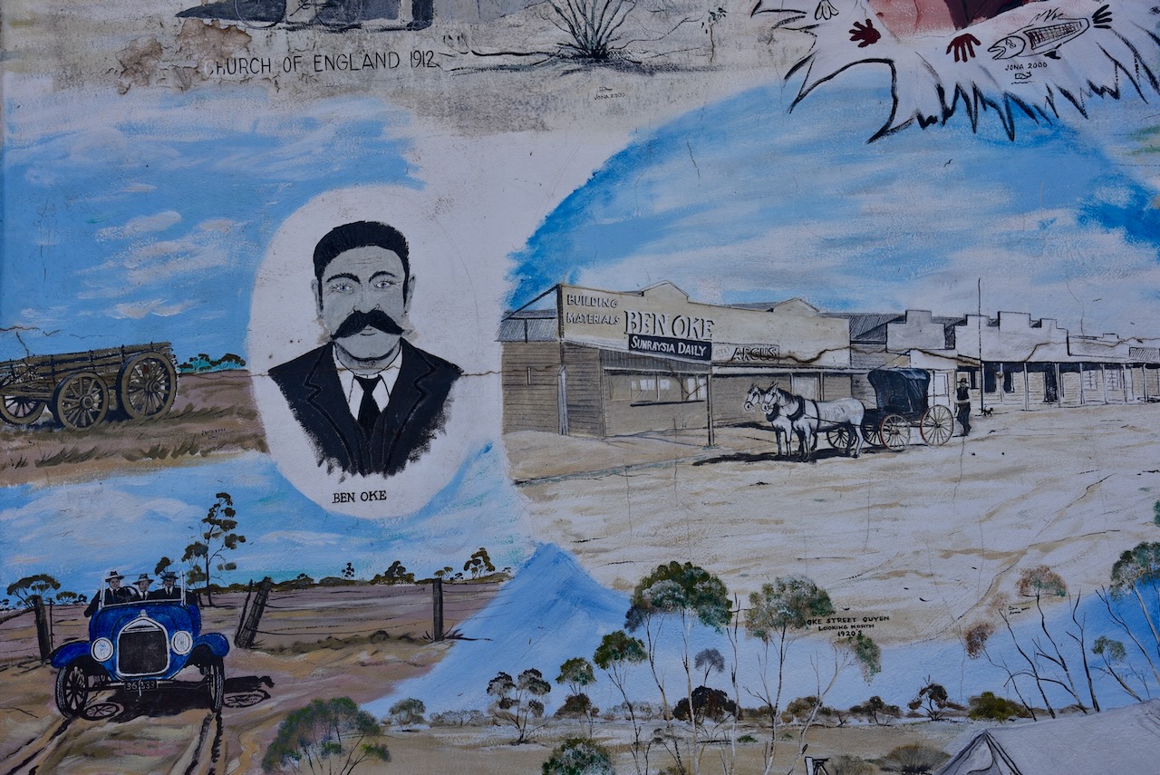
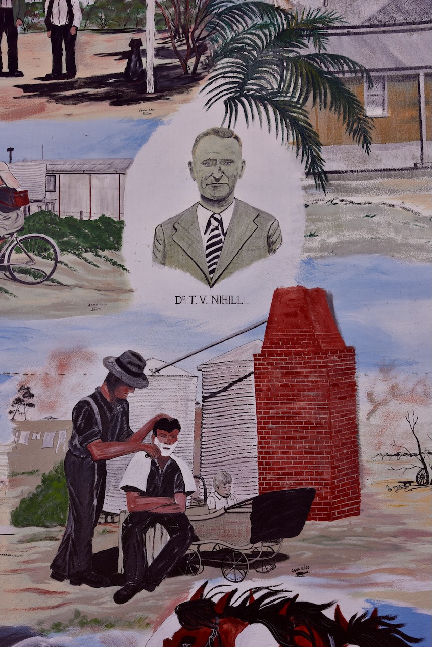
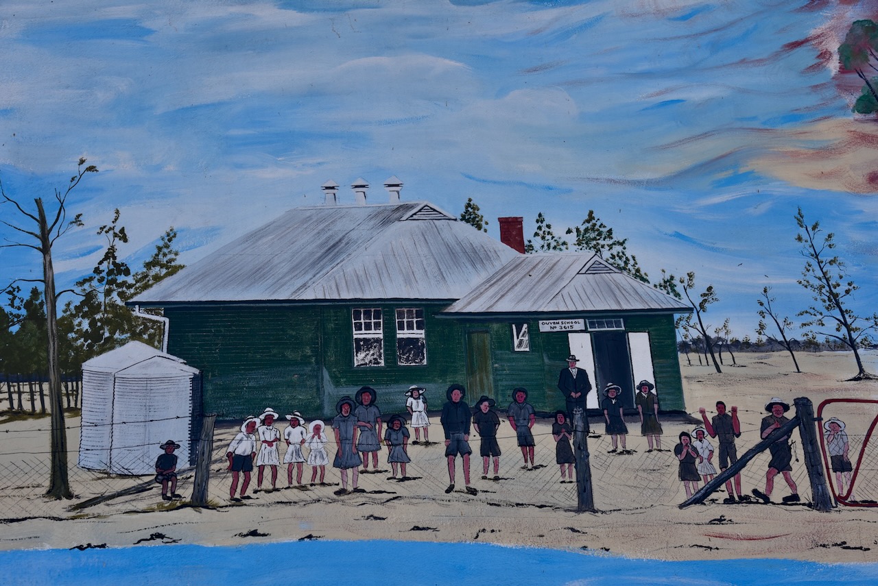
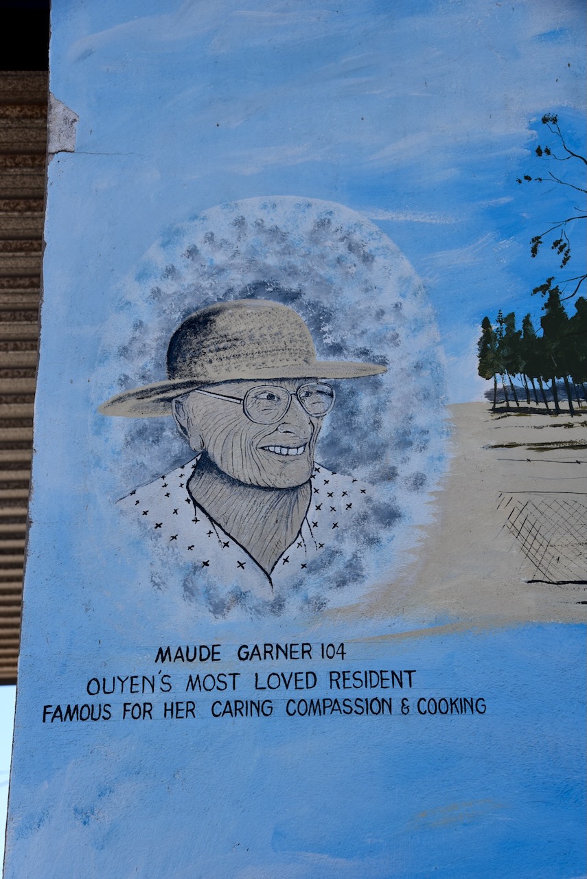
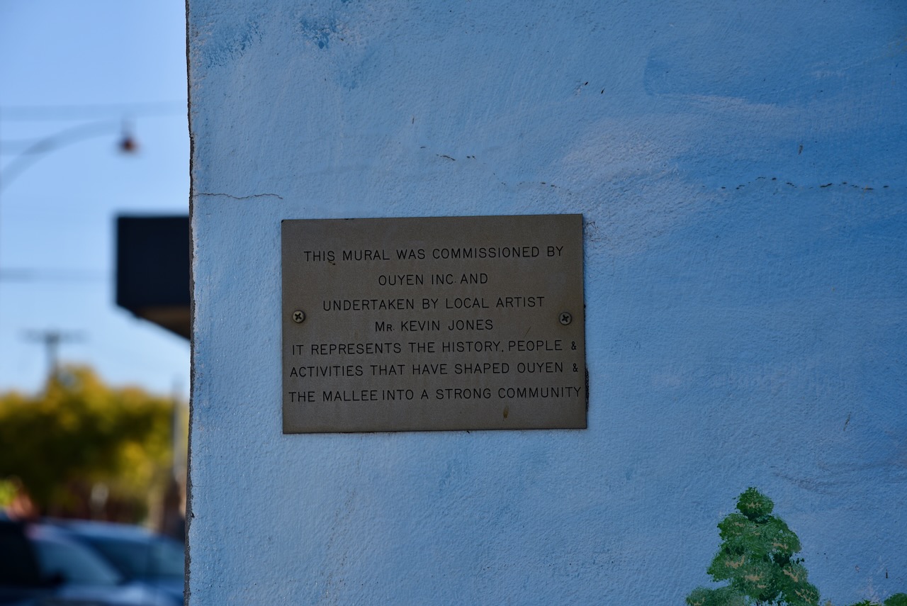
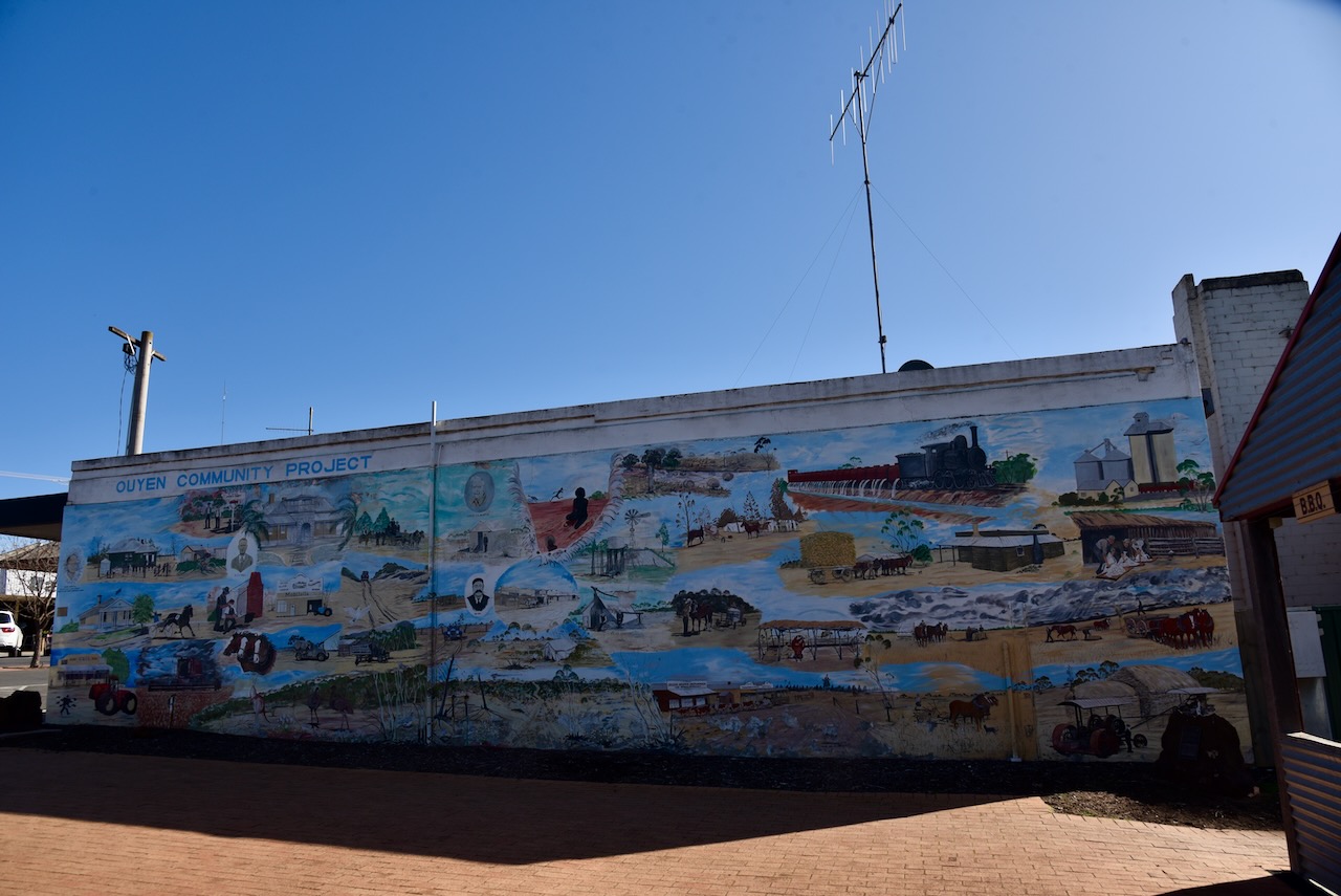
Ouyen also has an excellent mural. It was undertaken by local artist Kevin Jones and represents the history, people and activities that have shaped Ouyen.
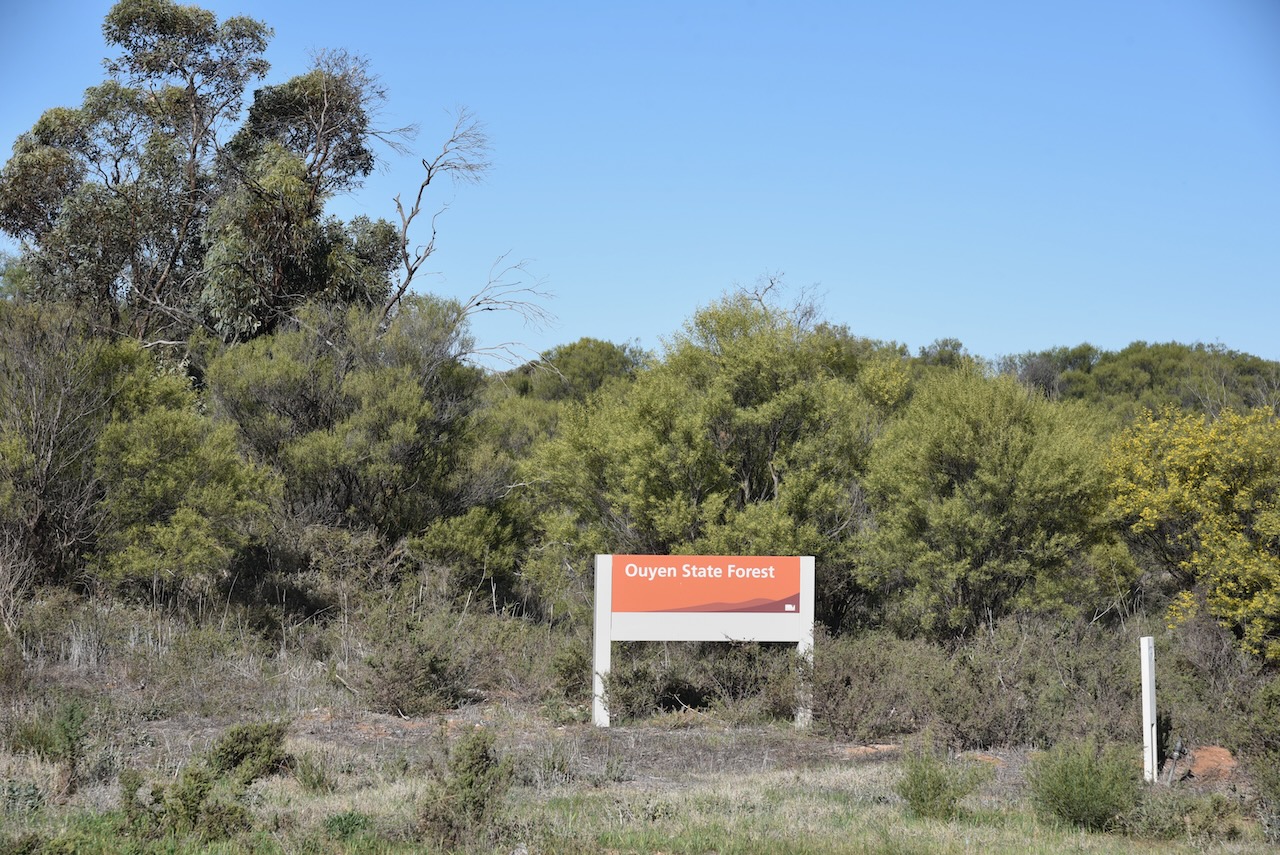
I then left Ouyen and headed to the Ouyen I245A Bushland Reserve. On the way I passed the Ouyen State Forest.
The reserve is located on the western side of Dunkley Road, in between the Ouyen Cemetery and the Ouyen Landfill site.
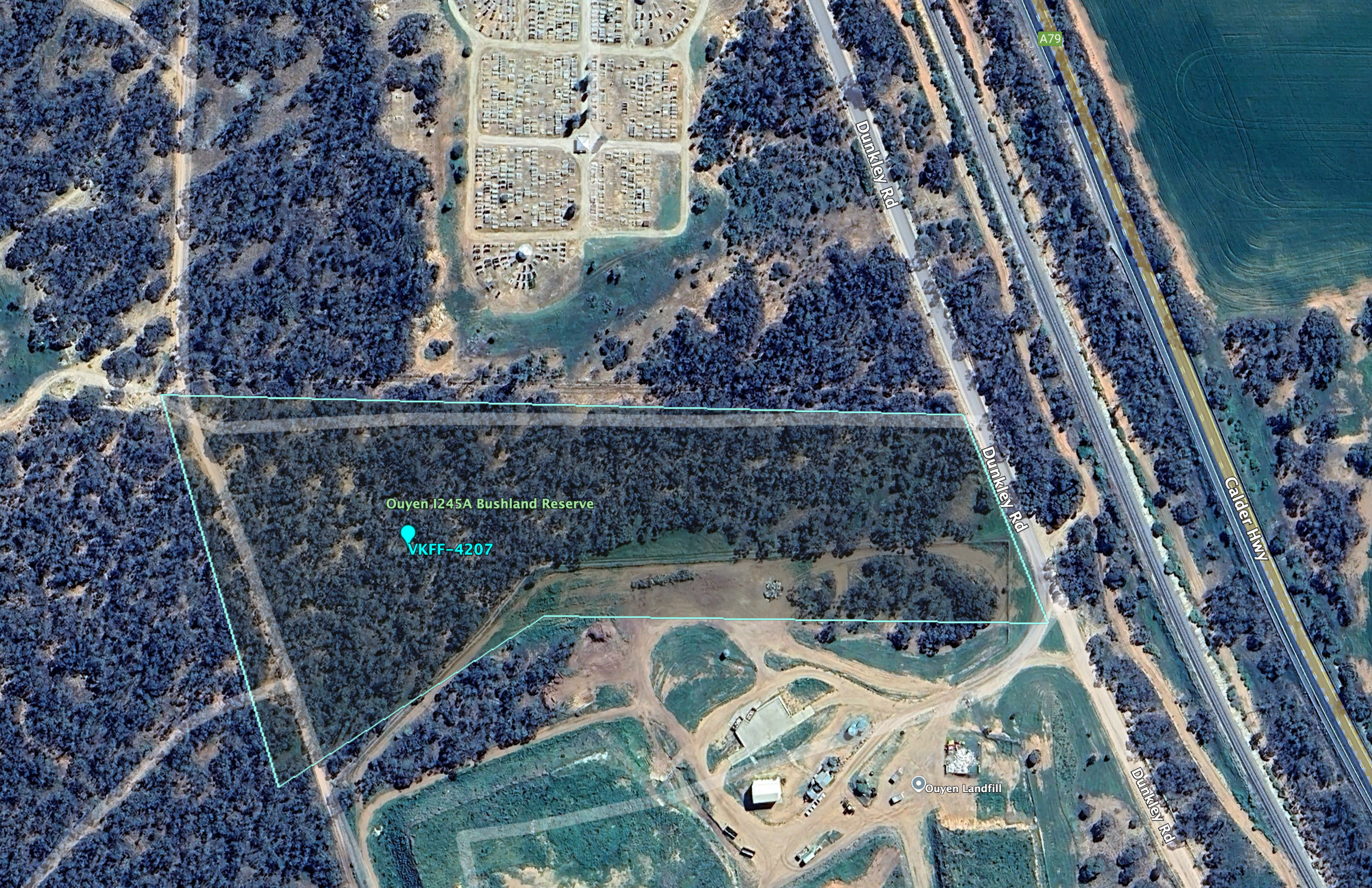
Above:- An aerial view of the Ouyen I245A Bushland Reserve. Image c/o Google Earth.
The reserve is about 4 hectares in size and was established on the 29th day of January 1992. (CAPAD 2022)
I ran the Yaesu FT857d, 40 watts, and the 20/40/80m linked dipole for this atcivation.
I worked the following stations on 40m SSB:-
I worked the following stations on 20m SSB:-
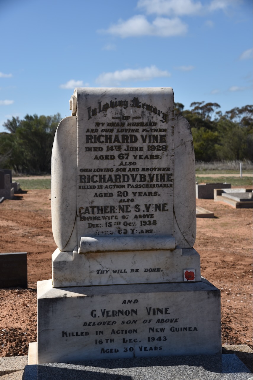
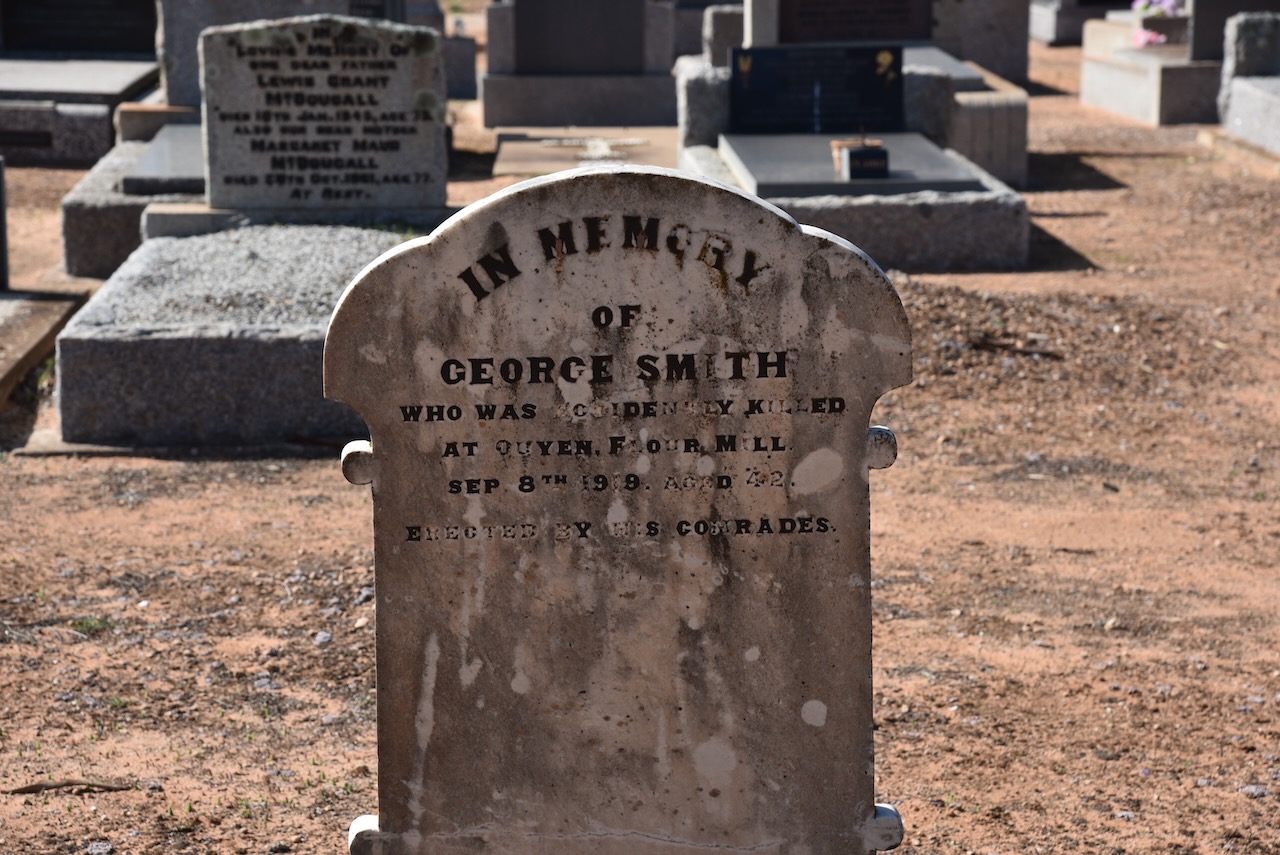
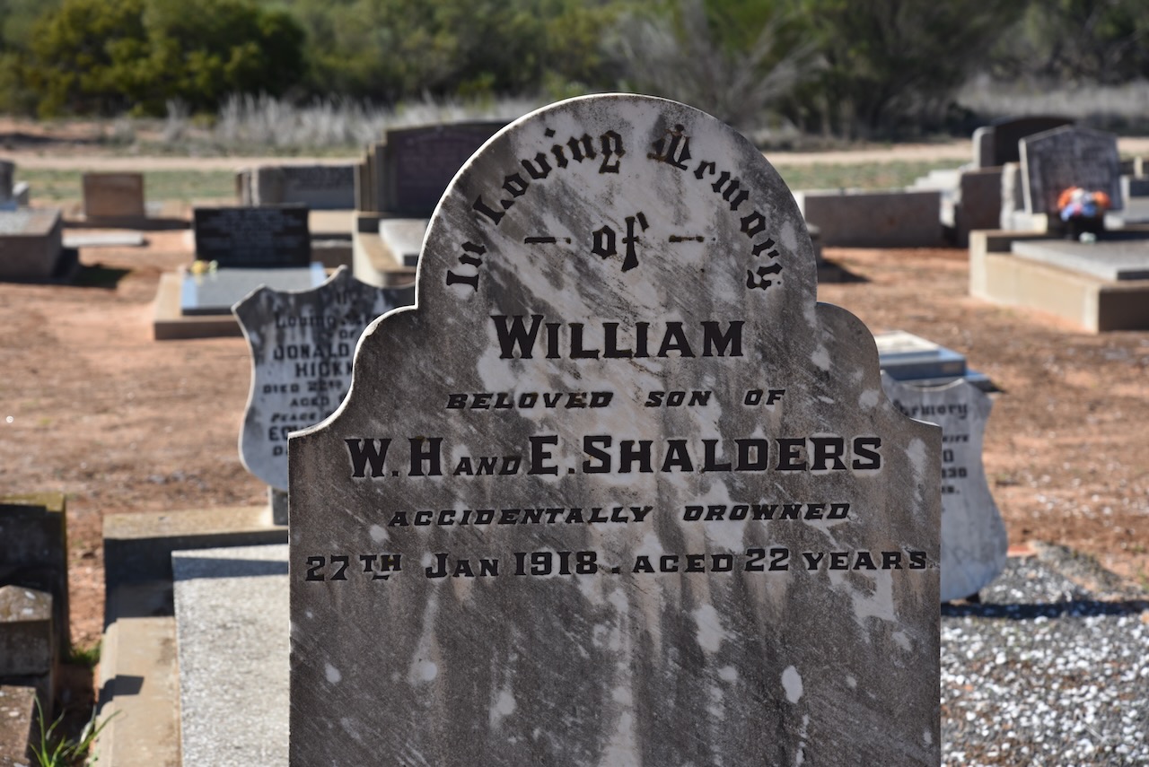
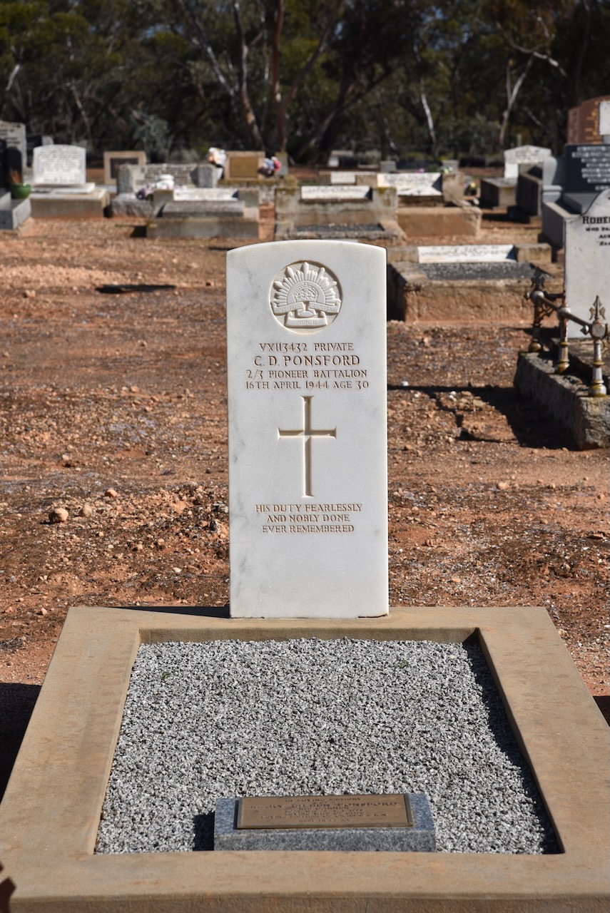
At the conclusion of the activation I paid a quick visit to the Ouyen cemetery.
References.
My first activation for Thursday 22nd August 2024 was the Ouyen I244 Bushland Reserve VKFF-4208 and the Ouyen silo VK-OYN3.
The reserve is located on the southwest edge of the town of Ouyen in northwest Victoria.
Above:- Map showing the location of the Ouyen I244 Bushland Reserve. Map c/o Google Maps.
The reserve is located on the northern and southern sides of the Mallee Highway.
Above:- An aerial view of the Ouyen I244 Bushland Reserve. Image c/o Google Earth.
The reserve is about 75 hectares in size and was established on the 1st day of May 1979. (CAPAD 2022)

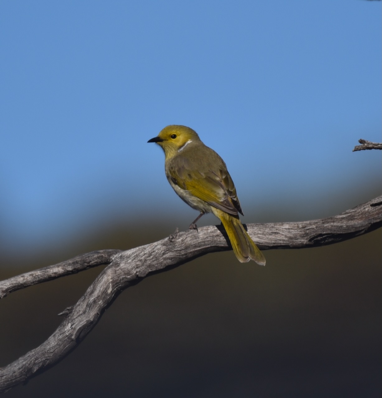
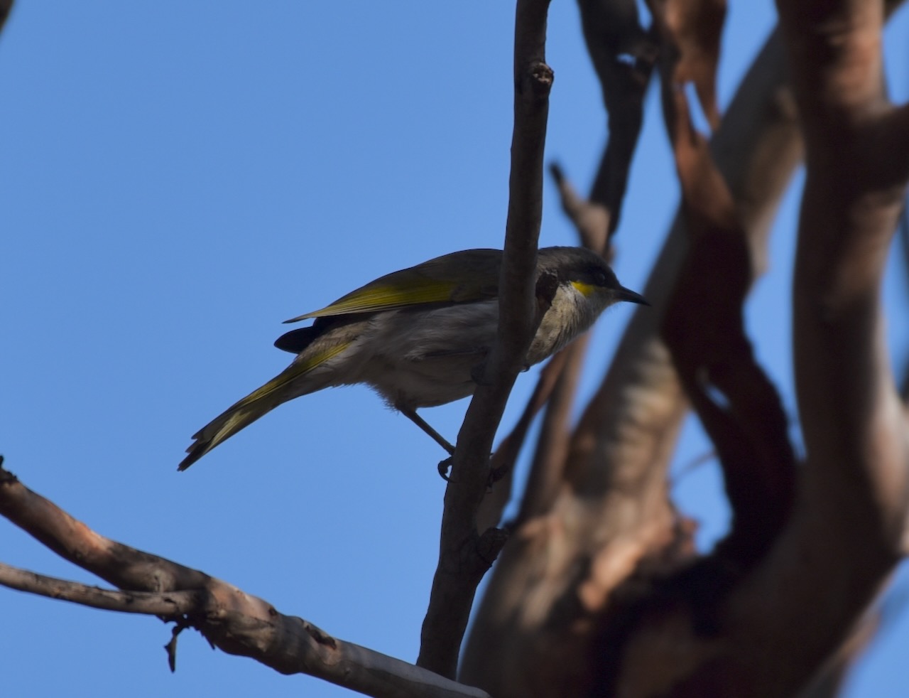
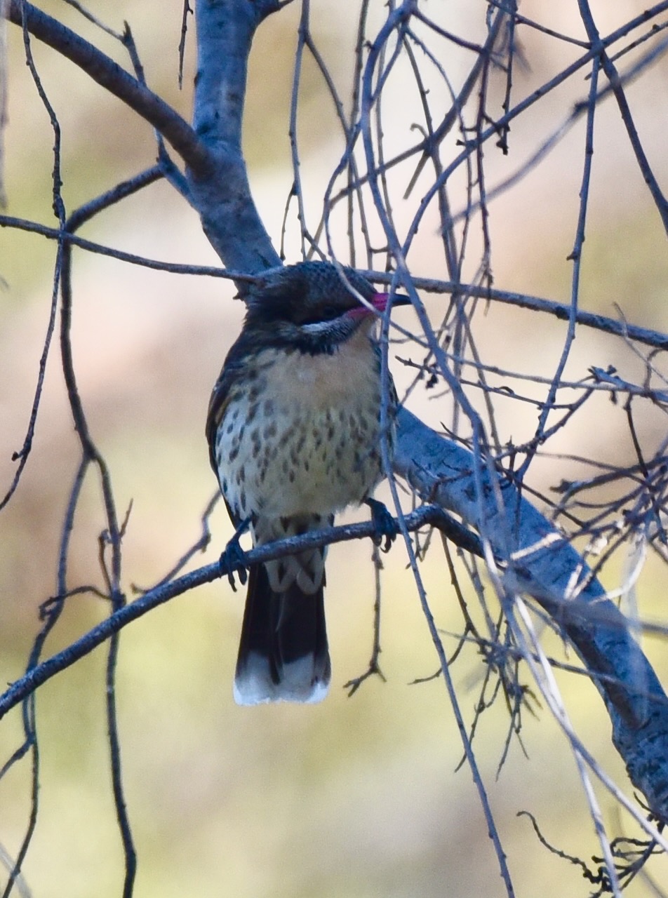
There was quite a bit of birdlife in the park, and in between activating I managed to get off a few snaps which can be seen below.
I set up in the very top northeast corner of the park which was in the activation zone of the Ouyen silo.
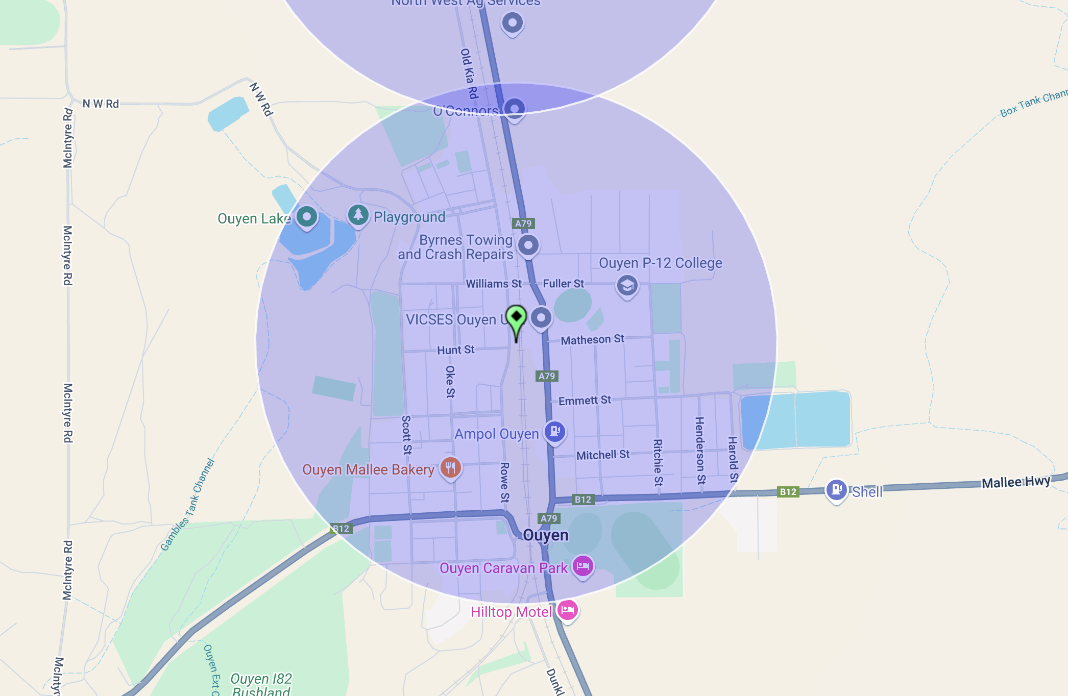
Above:- Map showing the activation zone at the Ouyen silo. Image c/o SiOTA website.
I ran the Yaesu FT857d, 40 watts, and the 20/40/80m linked dipole.
I worked the following stations on 40m SSB:-
I worked the following stations on 20m SSB:-
References.
Amateur Radio, Short Wave Listening, travel and history
Amateur radio experiences with VK1DA
Brisbane - Australia
german amateur radio station
Summits On The Air
SOTA on the peaks, wilderness QRP and some bushwalking
A fine WordPress.com site
Amateur Radio Adventures
Summits on the Ai
Amateur radio station from Belgium
Radio craft, homebrew, QRP/SOTA, AM
Ego loqui ad viros super montes
My adventures with Amateur Radio and Geocaching!
The rantings of VK2GAZ on his SOTA experiences in Australia
A survivor, with minor cuts and abrasions.
The Art and Craft of Blogging
The latest news on WordPress.com and the WordPress community.
Blog of Justin Giles-Clark VK7TW's SOTA and amateur radio adventures.
Occasional SOTA & Microwave operation
