I managed to recently acquire this….CB Action Vol. 1 No. 1 issued in 1977.
CB Action ran until May/June 1995, until its name was changed to ‘Radio and Communications.’
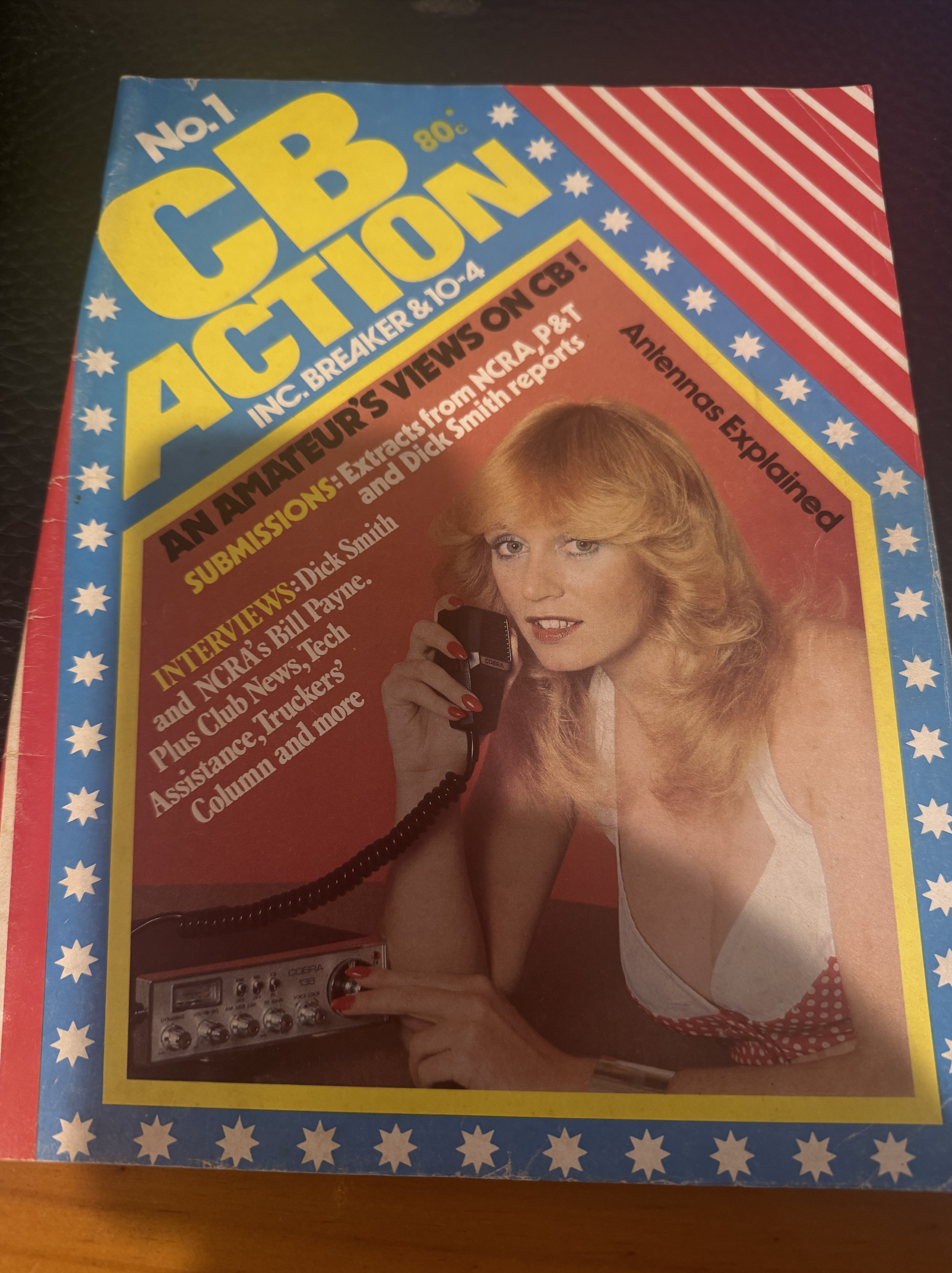

I managed to recently acquire this….CB Action Vol. 1 No. 1 issued in 1977.
CB Action ran until May/June 1995, until its name was changed to ‘Radio and Communications.’
Our final activation for 27th October 2024 was the Emu Valley Bushland Reserve VKFF-4969, which is located about 10 km southeast of Bendigo.
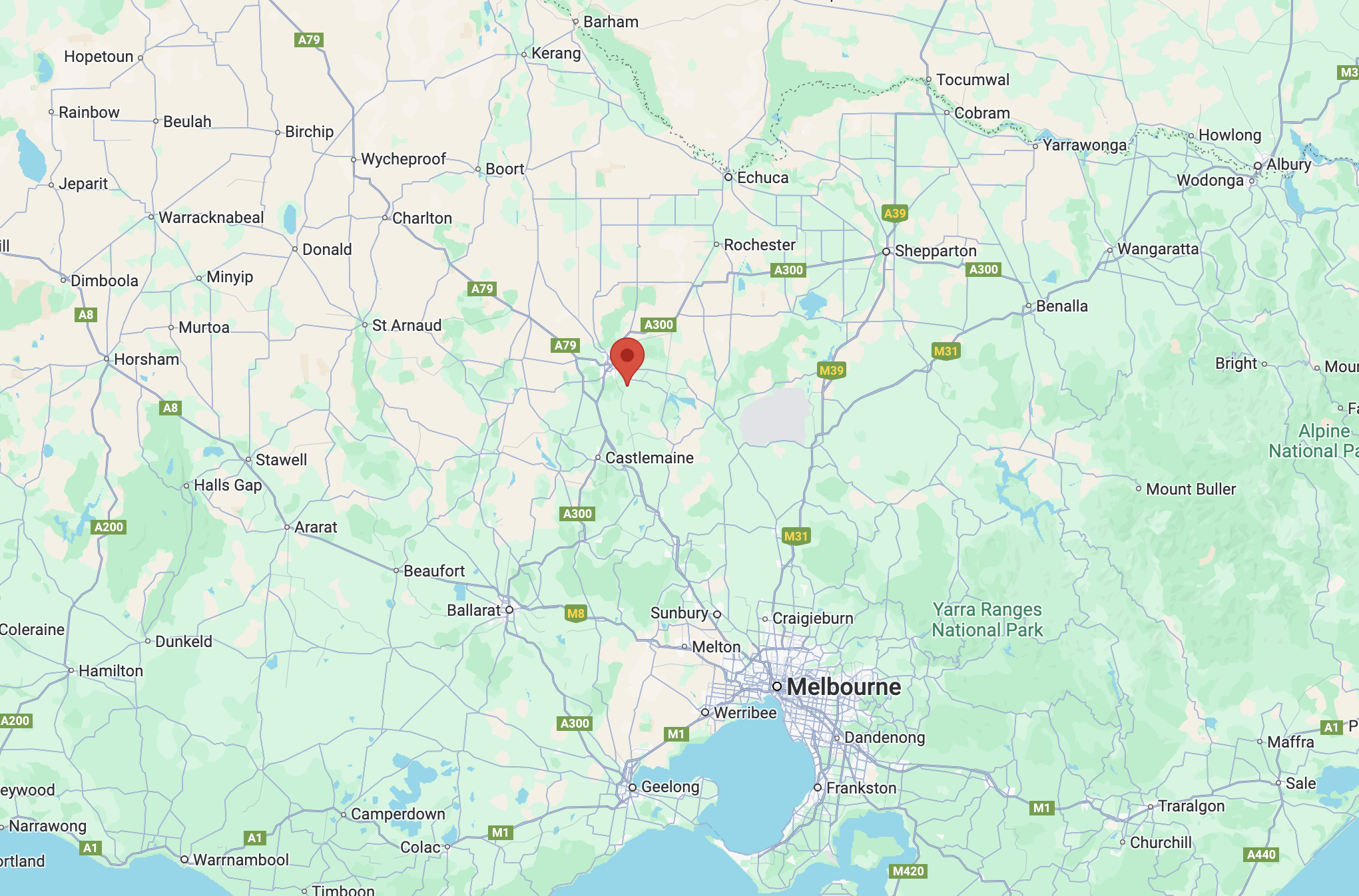
Above:- Map showing the location of Emu Valley Bushland Reserve. Map c/o Google Maps.
On the way, we stopped to have a look at the Sedgwick Hall built in 1959. Sedwick is a small town and rural district that was known as Upper Emu Creek until 1903. It was renamed Sedgwick after British geologist Professor Adam Sedgwick.
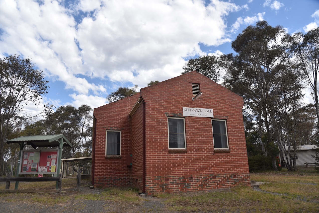
The Emu Valley Bushland Reserve is located on the southern side of Schilling Lane, Emu Creek.
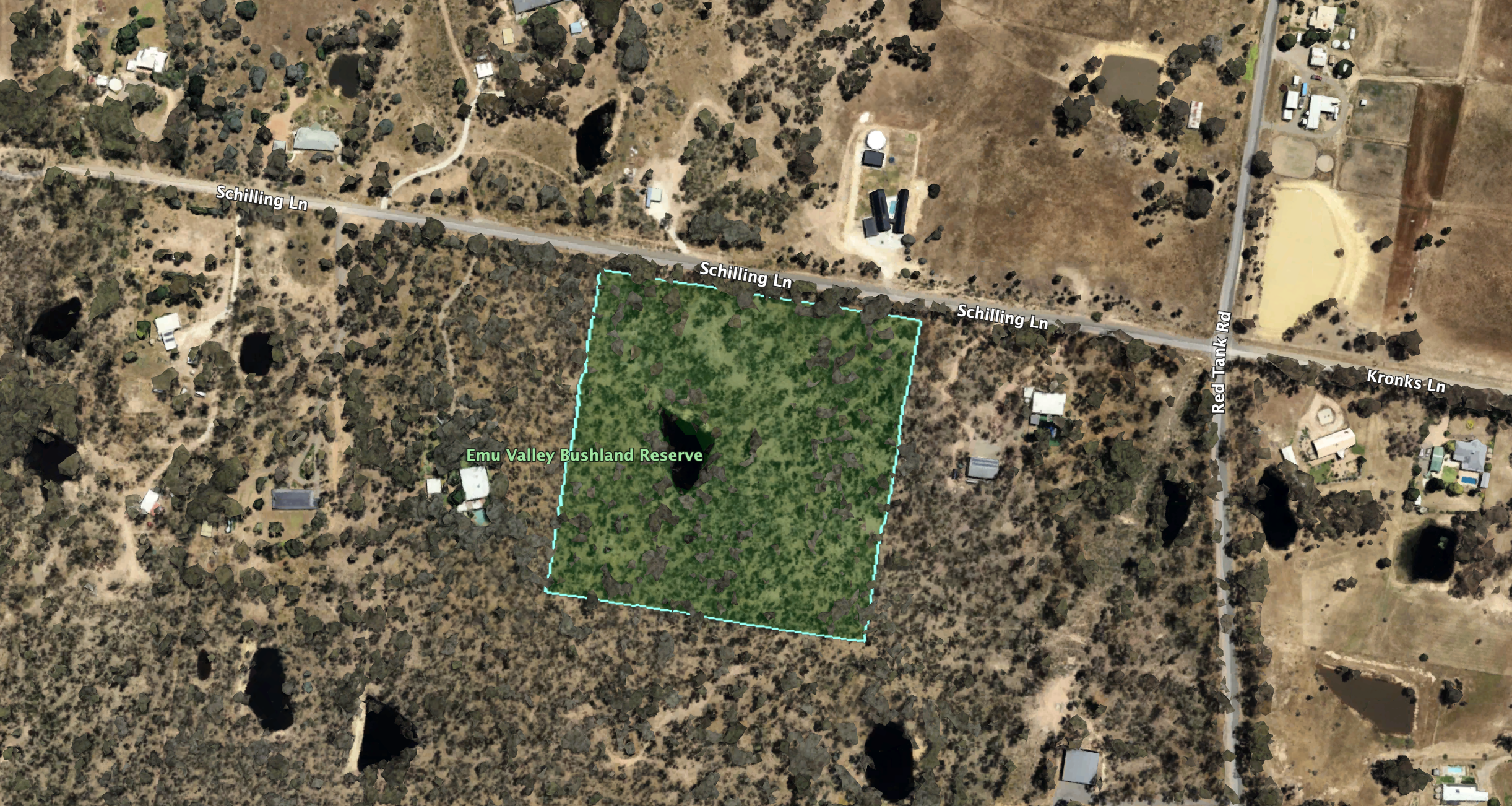
Above:- An aerial view of the reserve. Image c/o Google Earth.
Emu Creek consists of several creeks named after the flightless Australian bird, the Emu. The reserve is about 4 hectares in size and was established on the 26th day of February 2002. (Blake 1978) (CAPAD 2022)
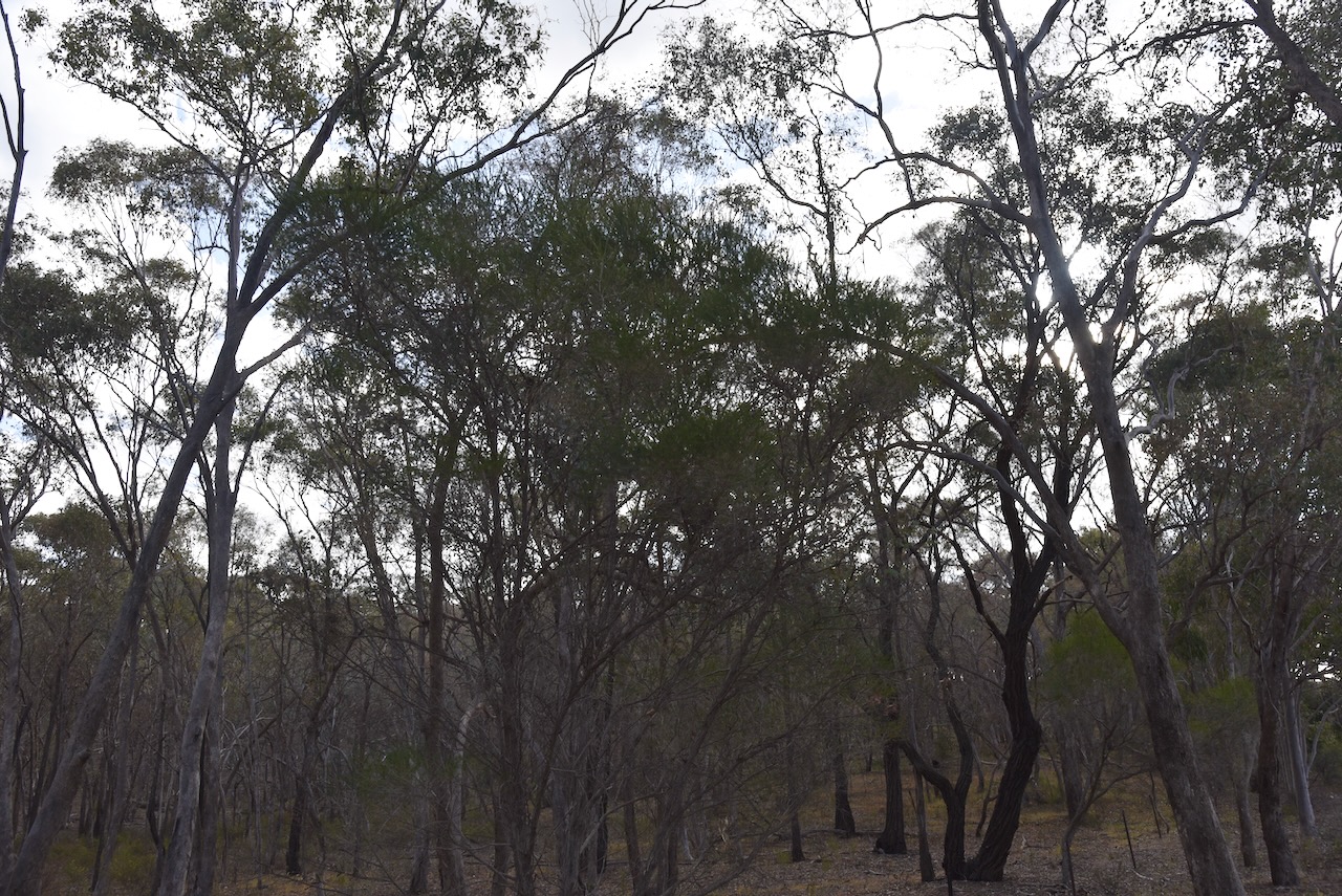
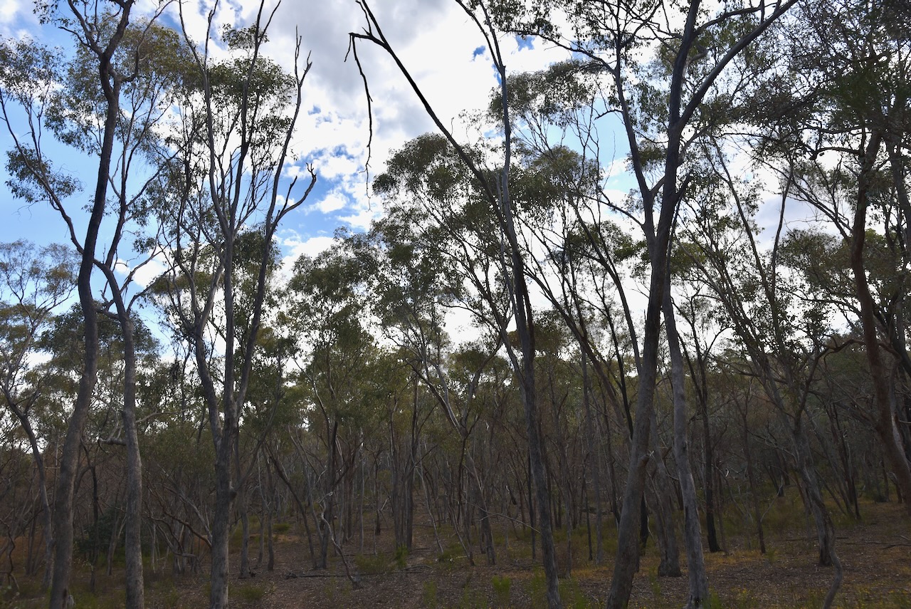
We parked the car and walked into the park, which did not have any fencing. We ran the Yaesu FT857, 40 watts, and the 20/40/80m linked dipole. The 20m band on SSB was pretty much a wipeout due to a contest, and as a result, the QRM was very high.
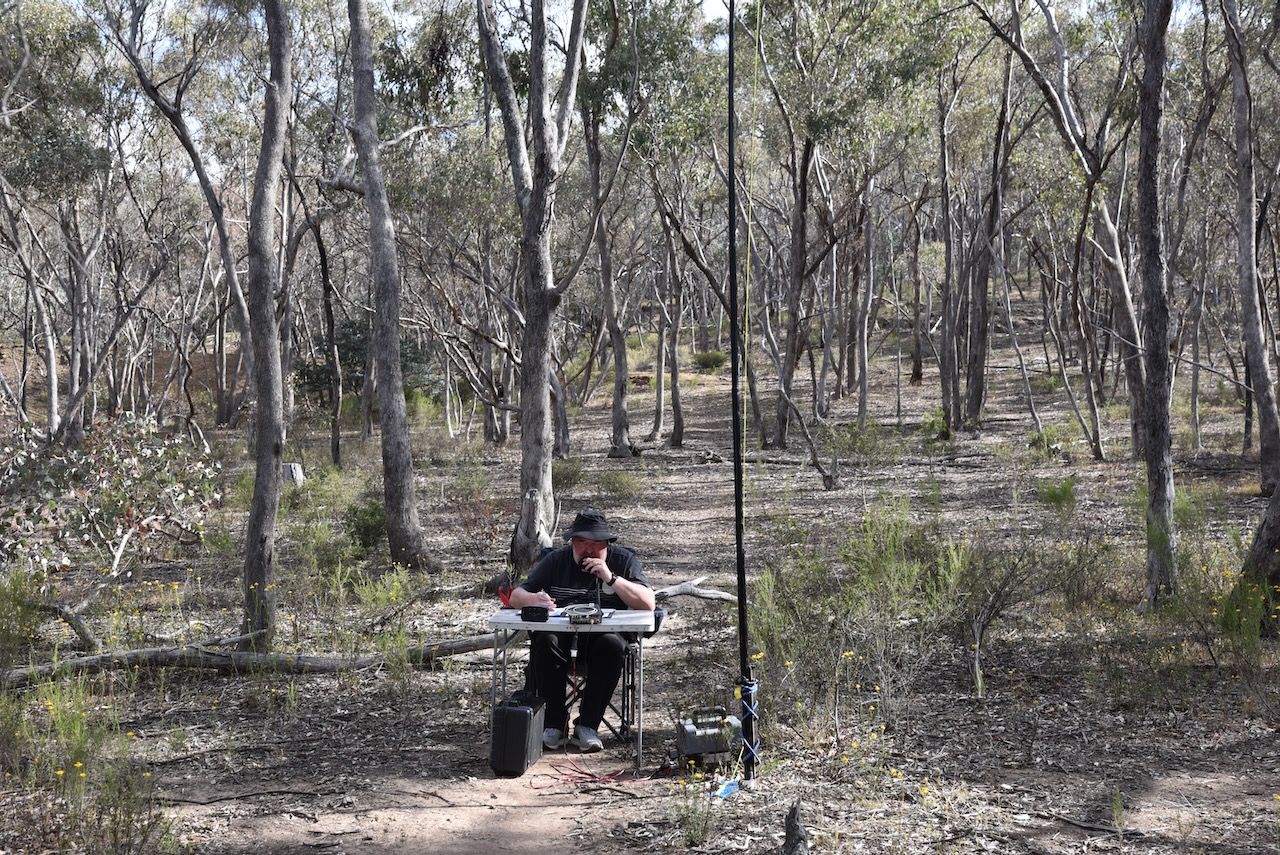
Marija worked the following stations on 40m SSB:-
Marija worked the following station on 20m SSB:-
I worked the following stations on 40m SSB:-
I worked the following stations on 20m SSB:-
I worked the following stations on 20m FT8:-
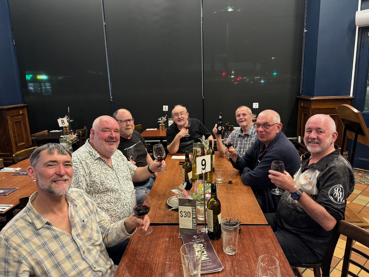
We packed up and headed back to the motel for a shower and then headed off to the historic Shamrock Hotel in Bendigo for an evening meal with some of those who were still around from the 2024 VKFF National Get Together.
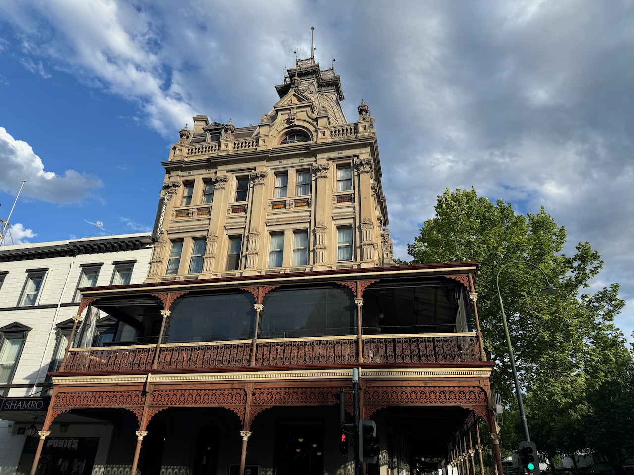
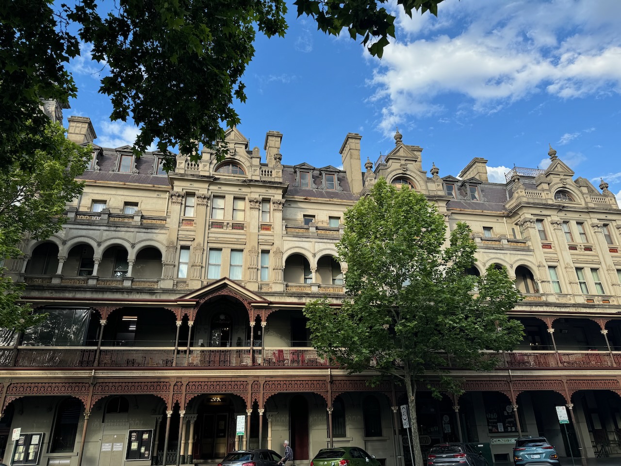
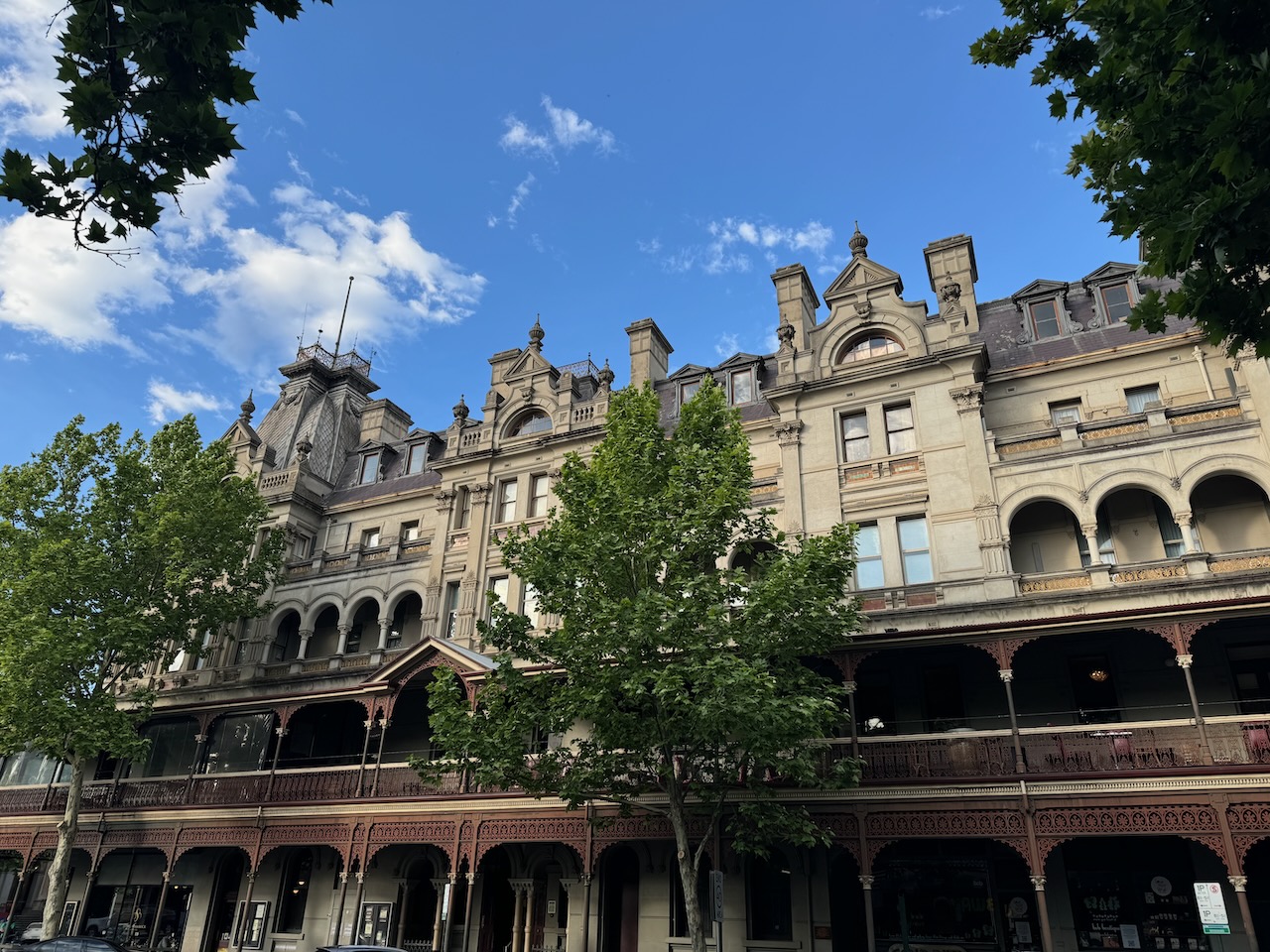
It was another great night of plenty of amateur radio tales, solving the world’s problems, and lots of laughs.
References.
Our next activation for 27th October 2024 was the Hawkestone Bushland Reserve VKFF-5113. The reserve is located about 37 km southeast of Bendigo and about 140 km northwest of Melbourne.
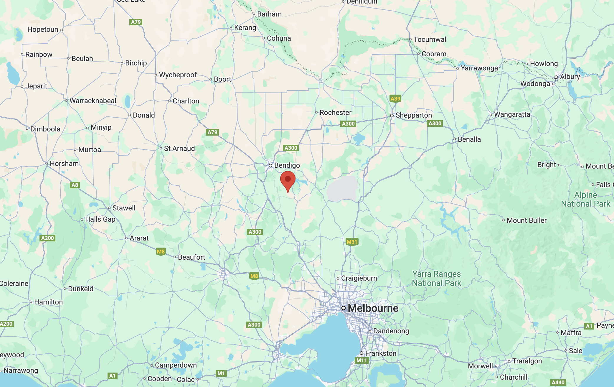
Above:- Map showing the location of the Hawkestone Bushland Reserve. Map c/o Google Maps.
The reserve is located on the southern side of Myrtle Creek between Pattersons Road and Bartys Road.
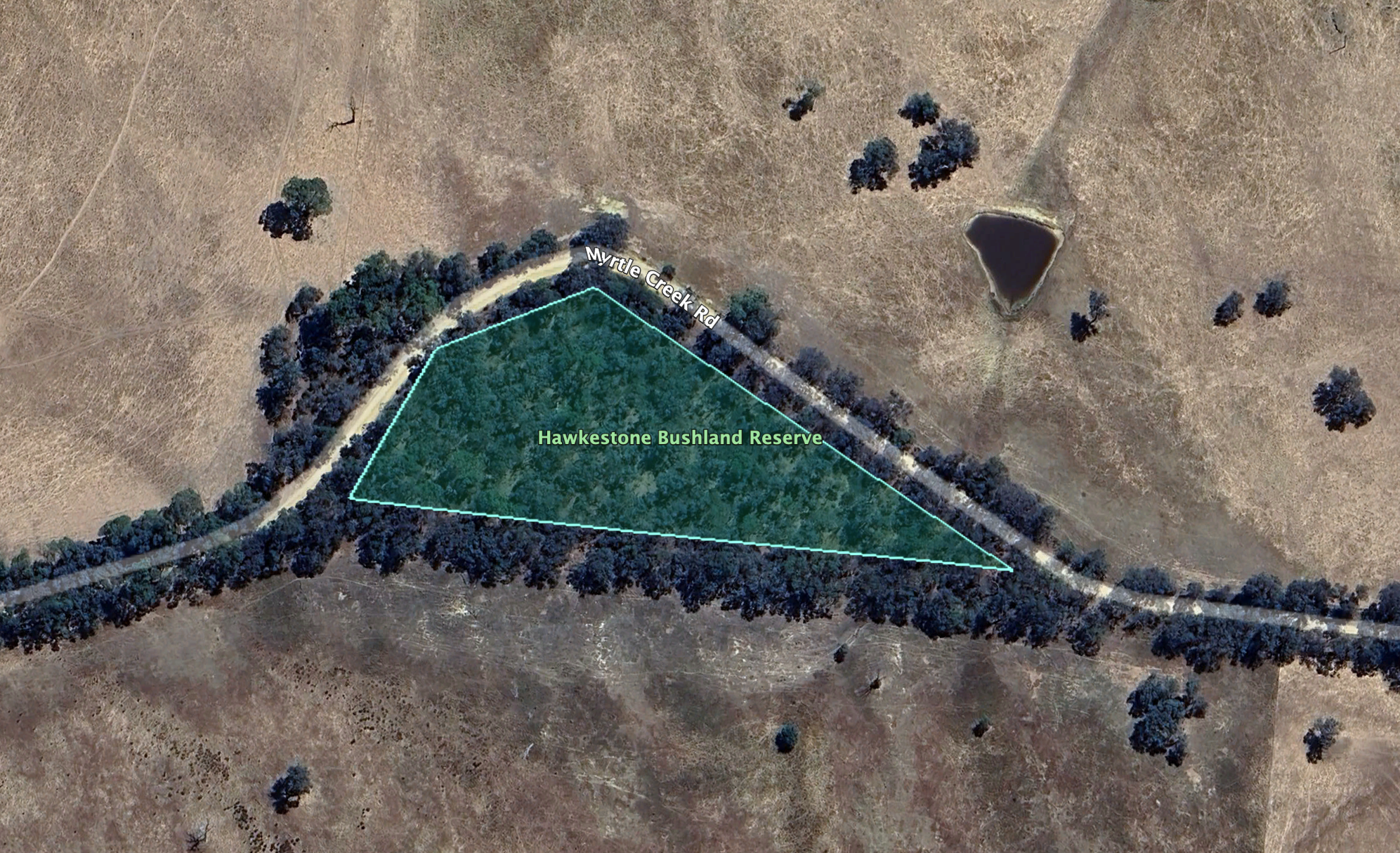
This is just a small park, being about 1.3 hectares in size. It was established on the 24th day of August 1982. (CAPAD 2022)
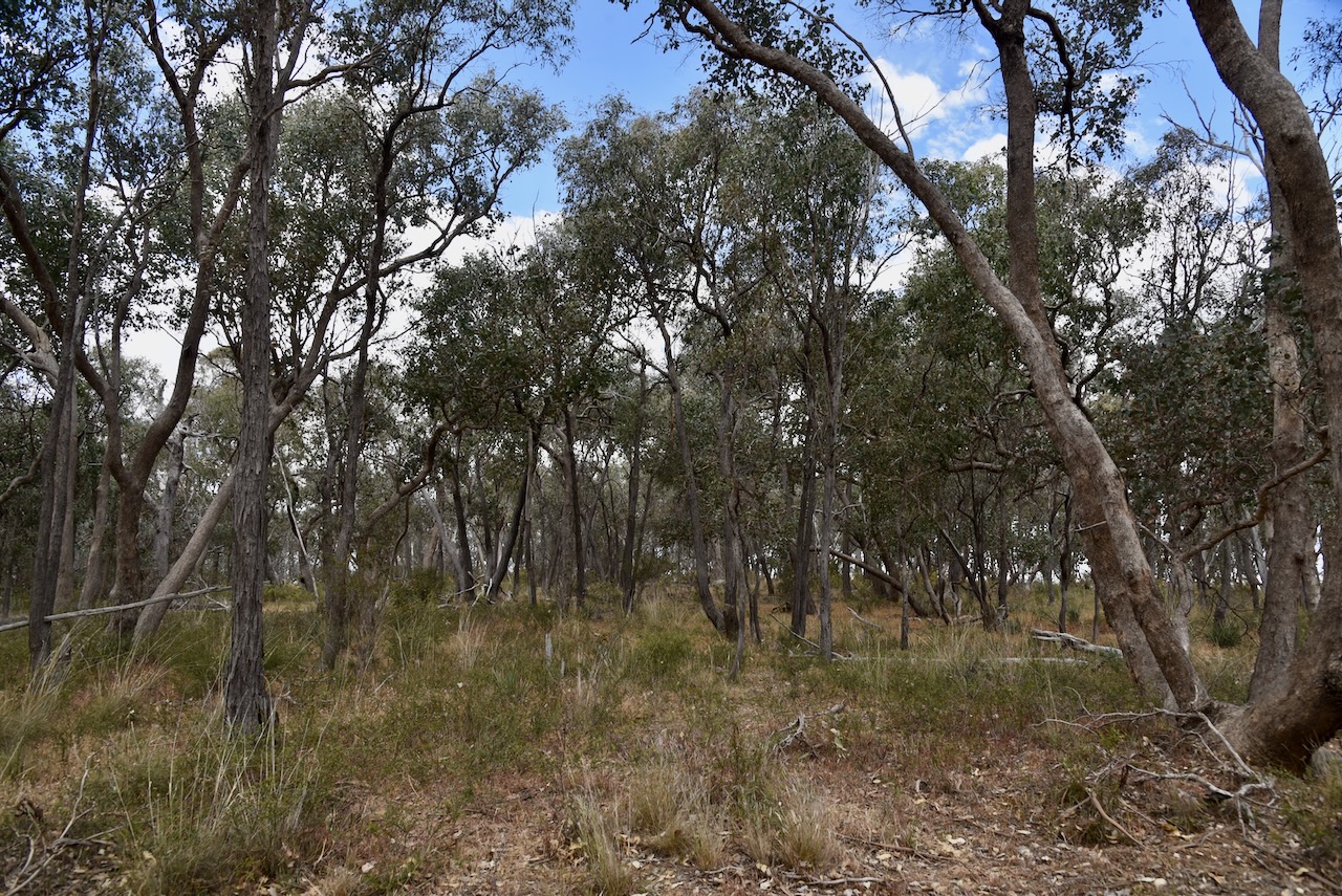
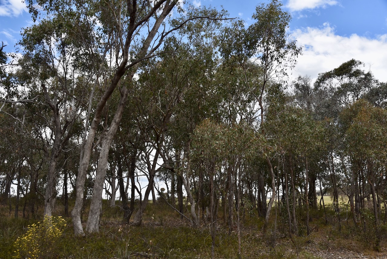
This was quite a difficult park to access due to the thick vegetation. Our 20/40/80m dipole was on all sorts of angles with the 80m sections lying on the ground. We ran the Yaesu FT857 and 40 watts.
The bands were alive with park activators from the 2024 VKFF National Get Together at Bendigo. We made a total of 41 Park to Park contacts during the activation.
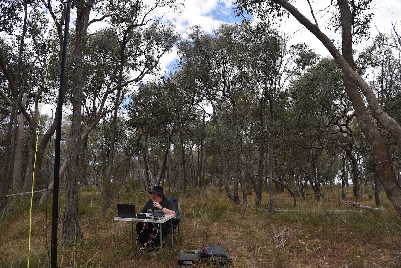
Marija worked the following stations on 40m SSB:-
I worked the following stations on 40m SSB:-
I worked the following stations on 20m SSB:-
I worked the following stations on 20m FT8:-
I worked the following stations on 40m FT8:-
References.
On Sunday, 27th October 2024, we attended the next stage of the 2024 VKFF National Get Together in Bendigo, Victoria. That was a morning breakfast at the clubrooms of the Bendigo Amateur Radio & Electronics Club.
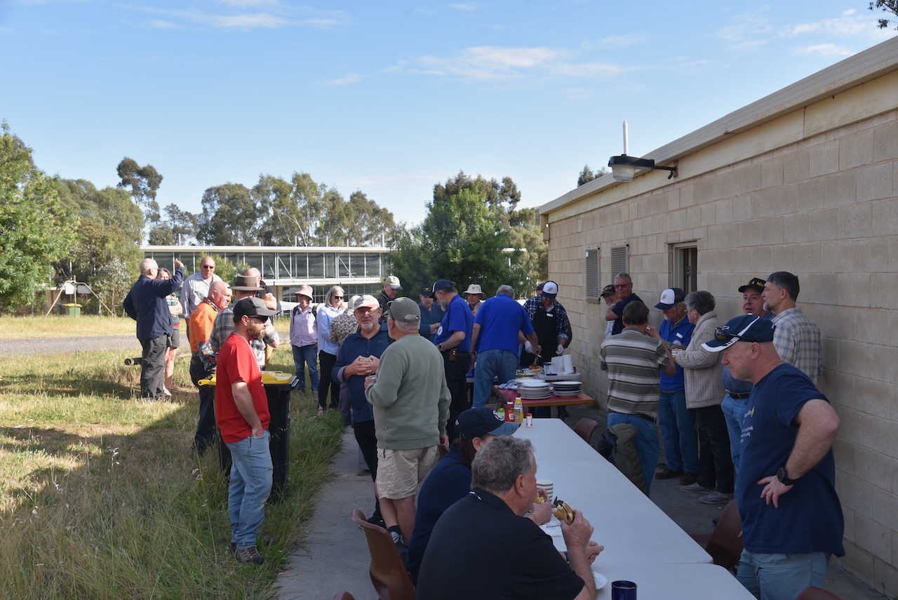
Following breakfast, everybody headed off for the final stage of the event, a series of park activations around the district.
Marija and I headed to Pilchers Bridge Nature Conservation Reserve VKFF-2176, which is located about 26 km south of Bendigo.

Above:- Map showing the location of Pilchers Bridge NCR. Map c/o Google Maps.
Pilcher’s Bridge is divided into a number of separate sections of protected land. The park is about 2,243 hectares in size and was established on the 24th day of August 1982. It was originally known as Lyell Forest. (CAPAD 2022) (AllTrails.com, 2025)
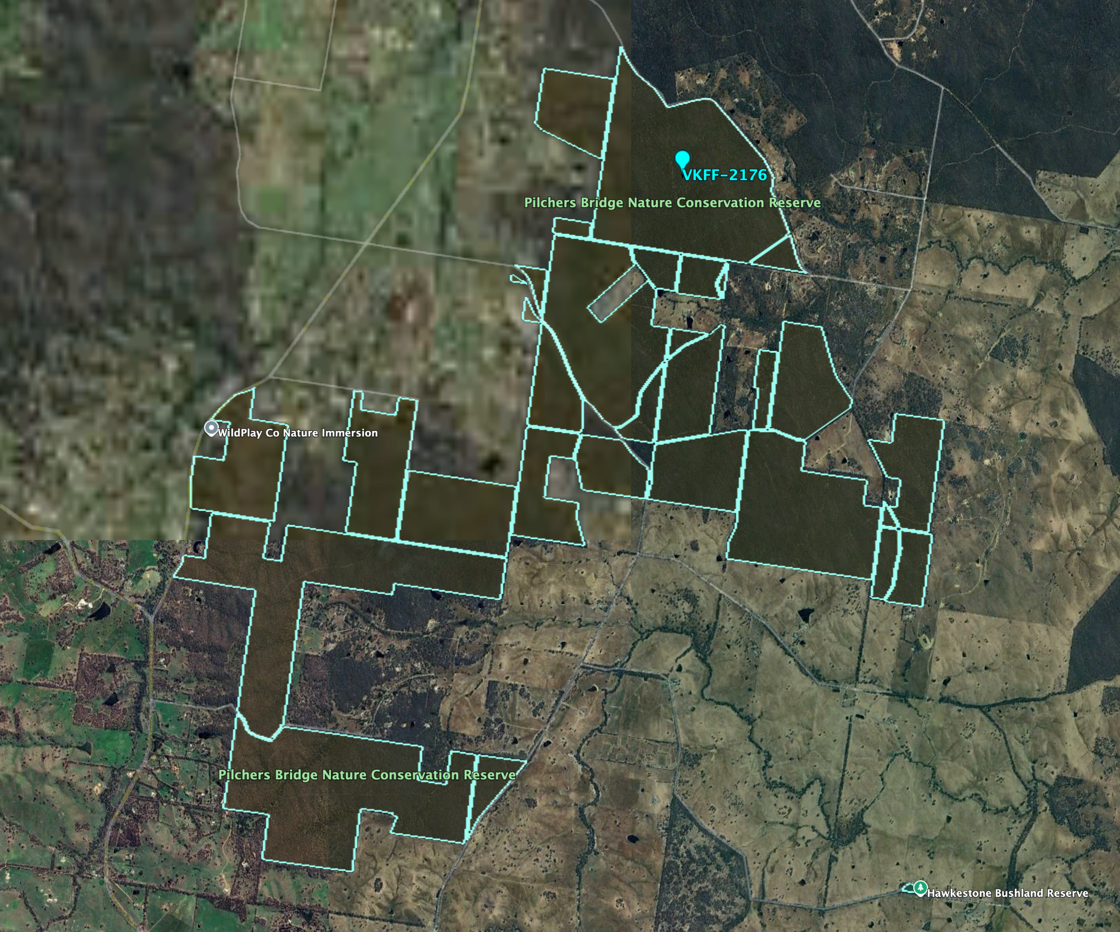
Above:- An aerial view of Pilchers Bridge NCR. Image c/o Google Earth.
The park is named in honour of the Pilcher family who lived in the district. The first to settle in the area was Stephen Pilcher in the 1880s. He was born in 1832 in Kent, England and emigrated to Australia in 1854. (ancestry 2016) (Heritage Vic 2017)
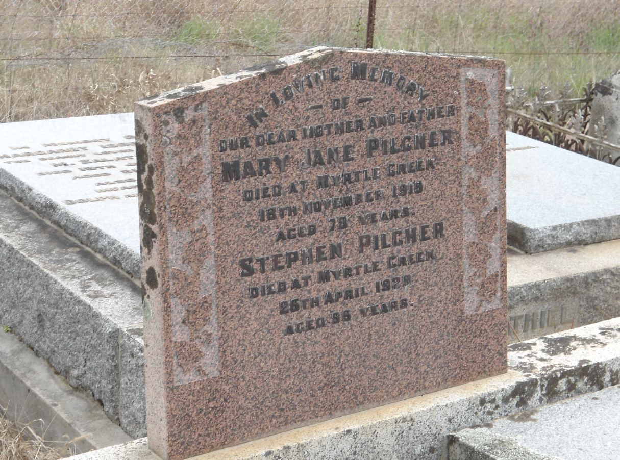
Above:- the headstone of Stephen Pilcher. Image c/o ancestry.com.au
Gold was discovered in the area at Myrtle Creek during the late 1880s.
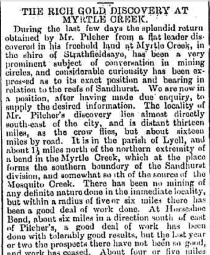
Above:- Part of an article from the Bendigo Advertiser, Wed 6 Aug 1884. Image c/o Trove
Pilchers Bridge Nature Conservation Reserve is a Box-Ironbark forest dominated by red ironbark, red stringybark, red box, grey box, and yellow gum. This entire area was cleared during the 1930s for timber and gold mining activities. (Harcourt.vic.au 2024)
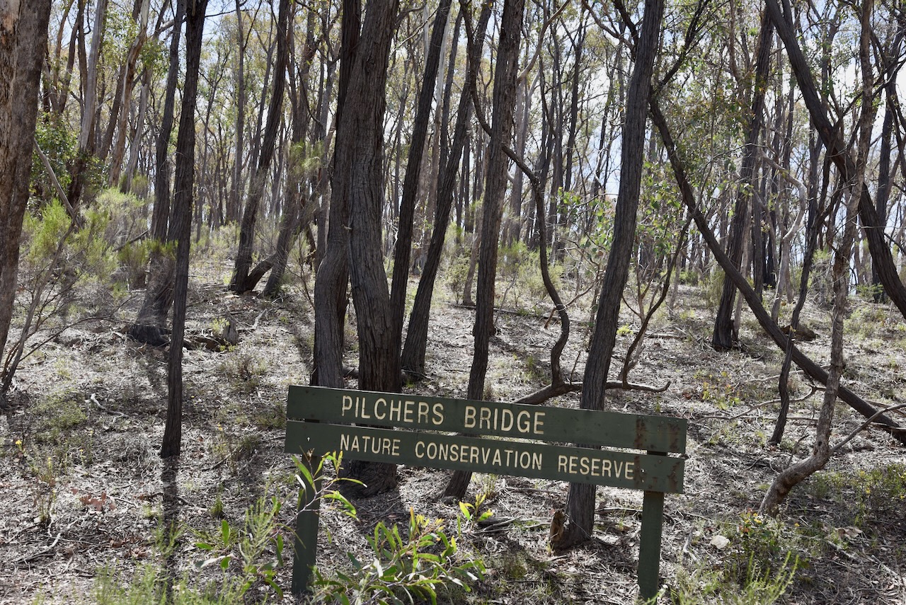
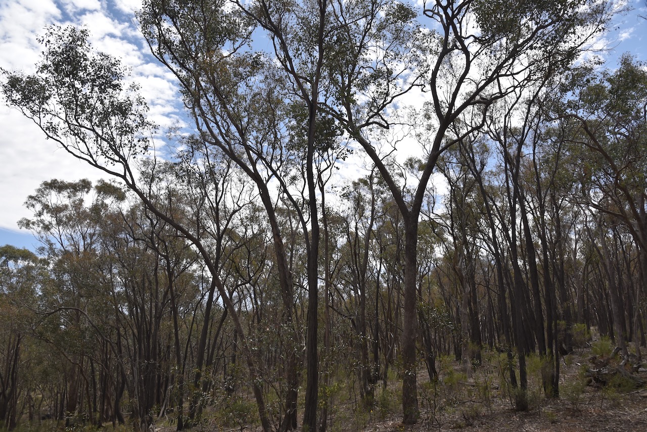
We ran the Yaesu FT857, 40 watts, and the 20/40/80m linked dipole for this activation.
Marija worked the following stations on 40m SSB:-
I worked the following stations on 40m SSB:-
I worked the following stations on 20m SSB:-
References.
On Saturday, 26th October 2024, Marija and I attended the 2024 VKFF National Get Together (which we organised). A total of 53 amateurs from around Australia were in attendance.
The day included ten presentations on various topics associated with portable activity.

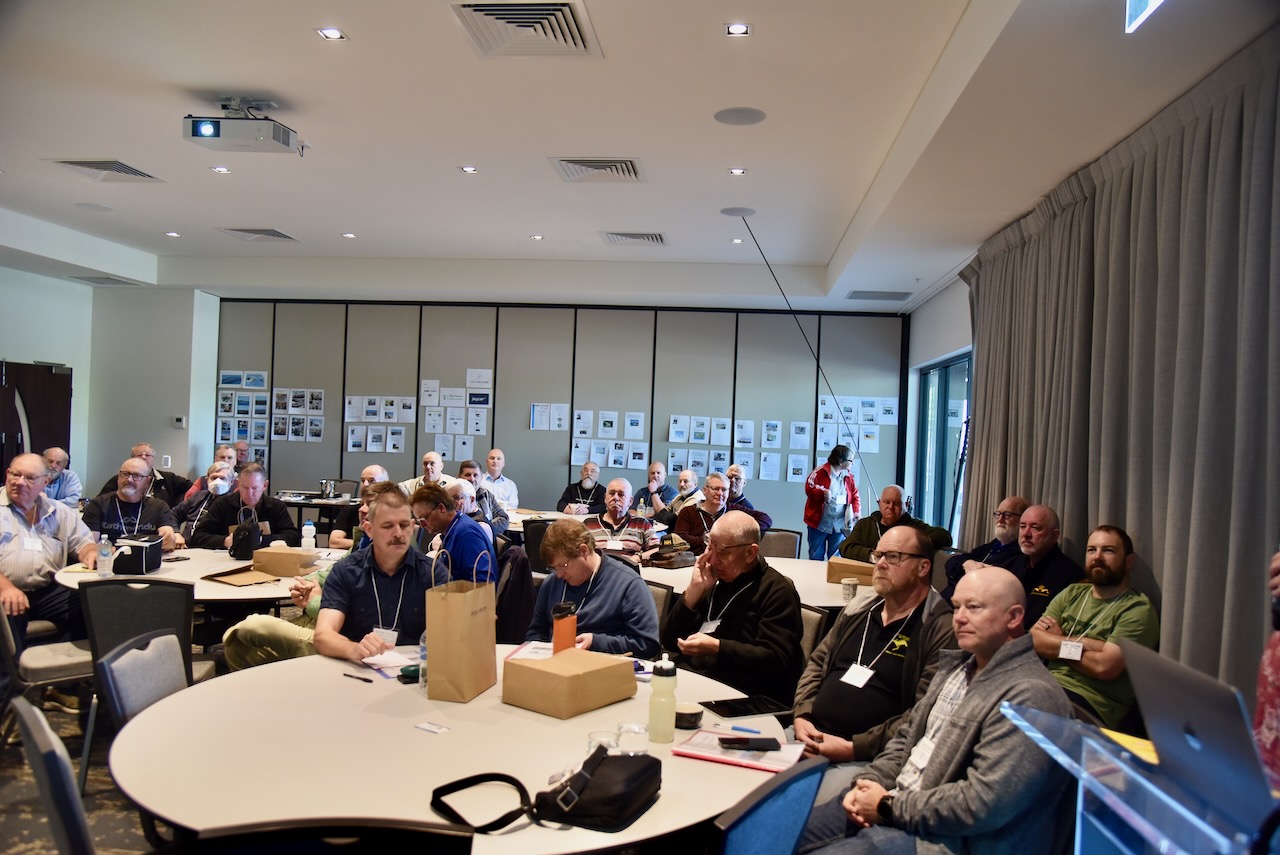
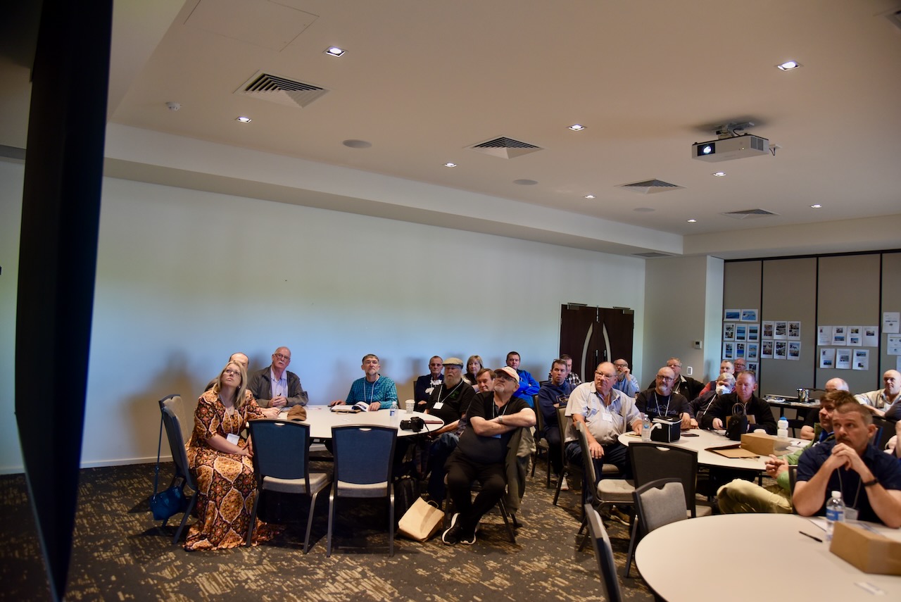
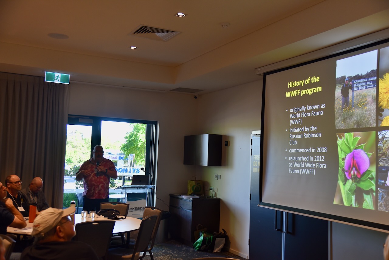
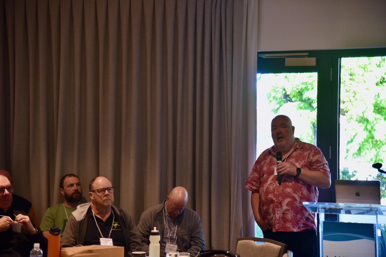
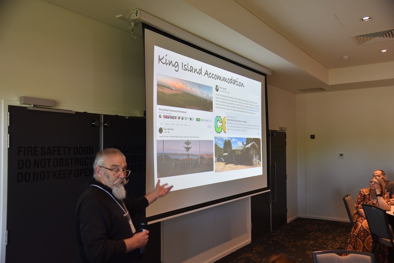
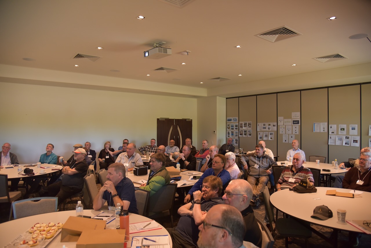
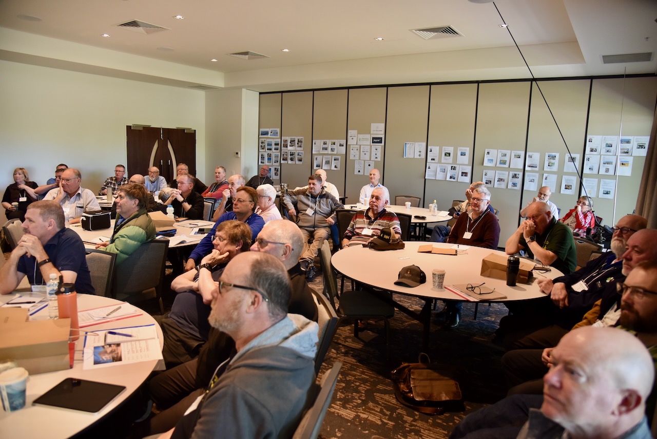
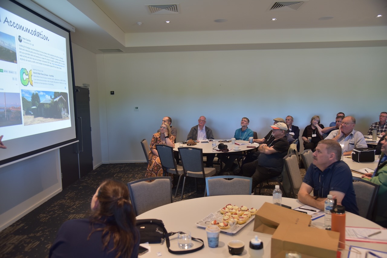
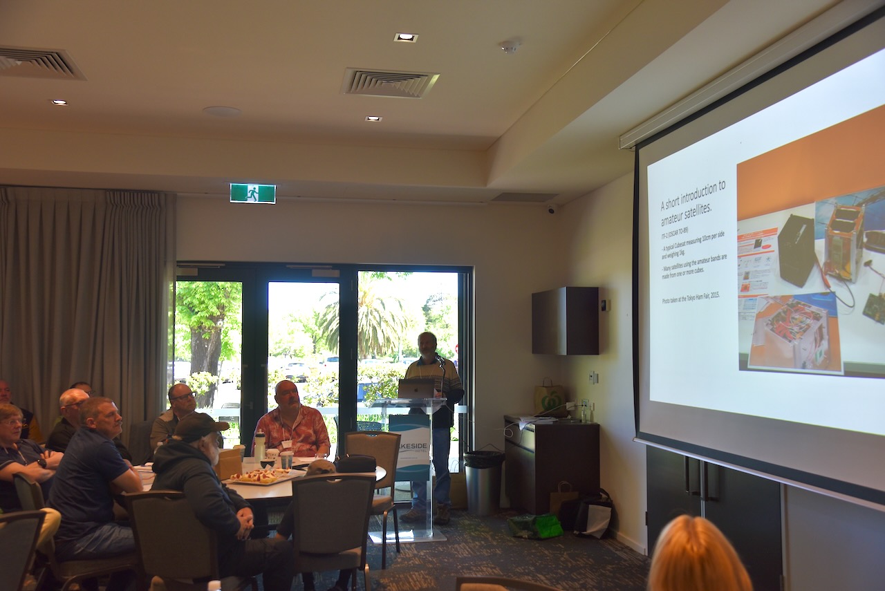
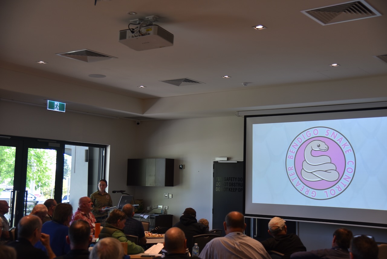
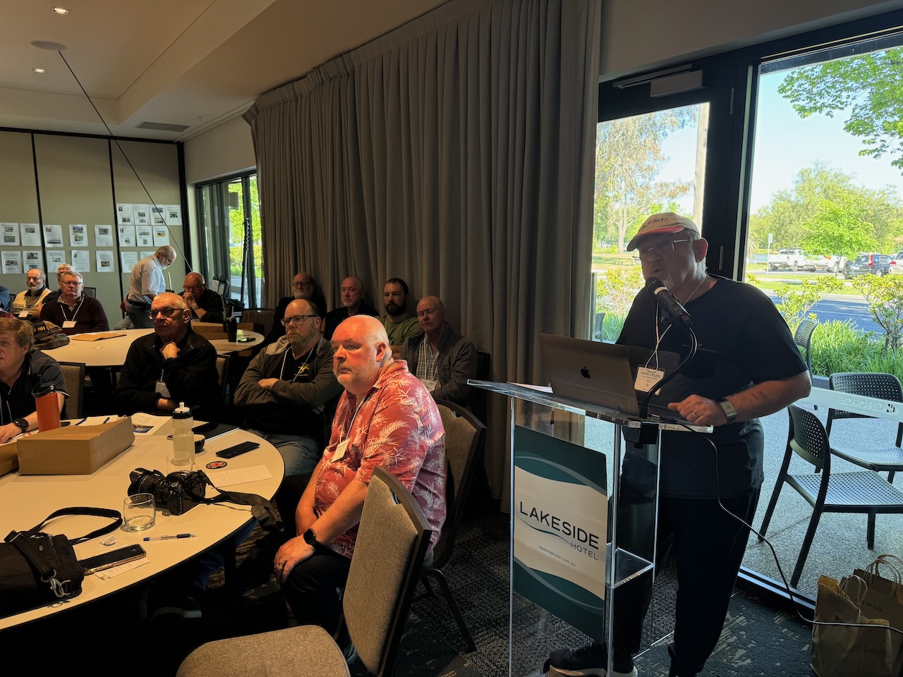
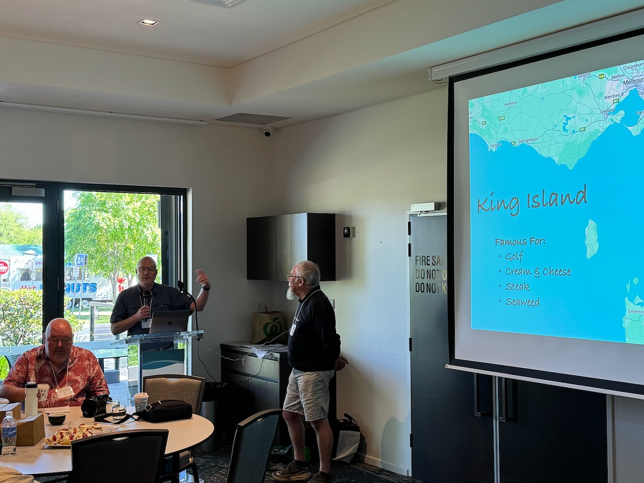
A raffle was held during the day with some fantastic prizes on offer from our very kind sponsors:
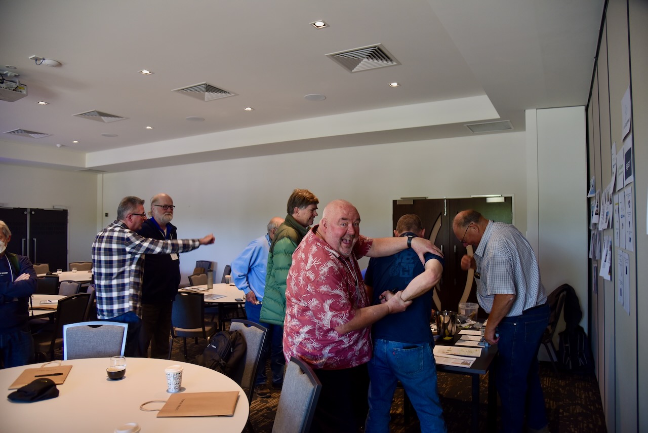
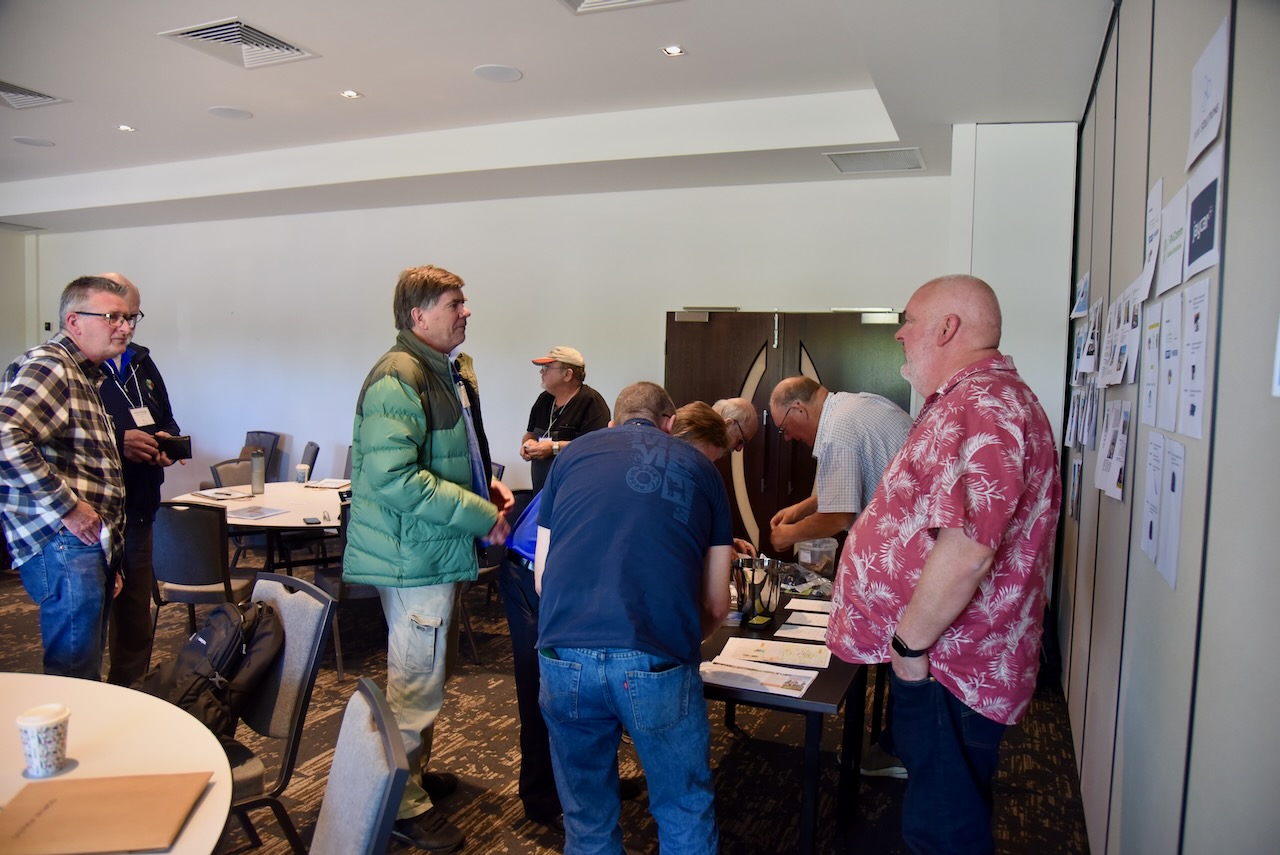
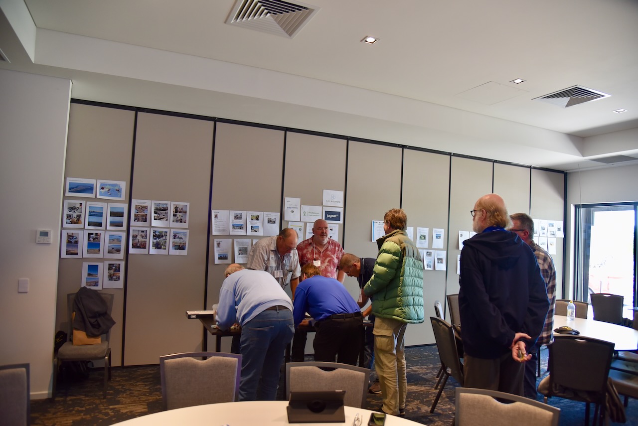
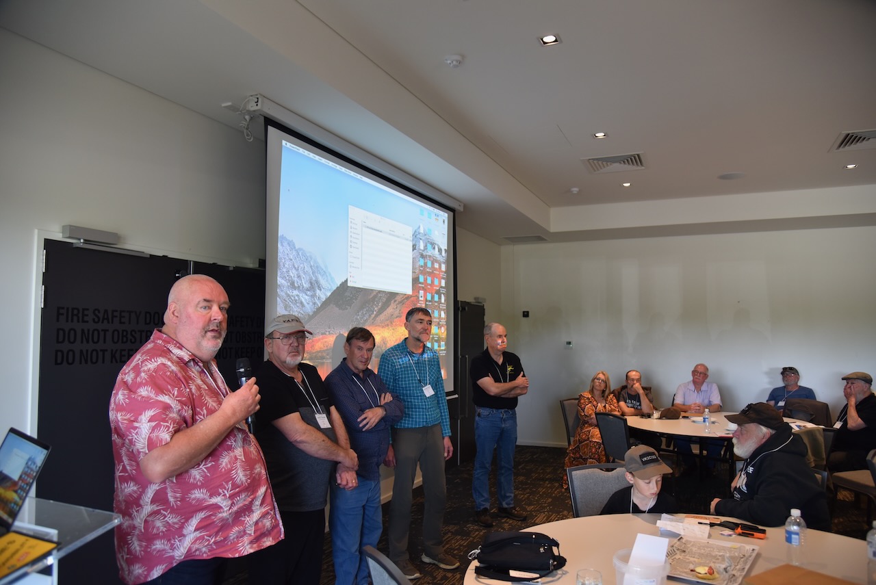
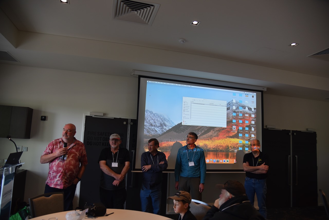
The VKFF Team members in attendance fielded a question-and-answer session. That included myself, Ian VK1DI, Gerard VK2IO, Hans VK6XN and Mark VK5MK
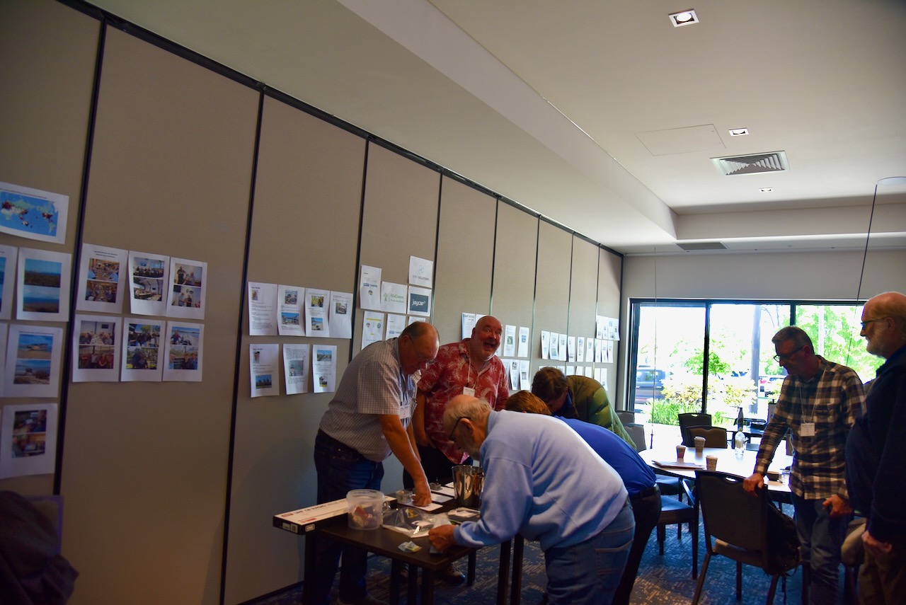
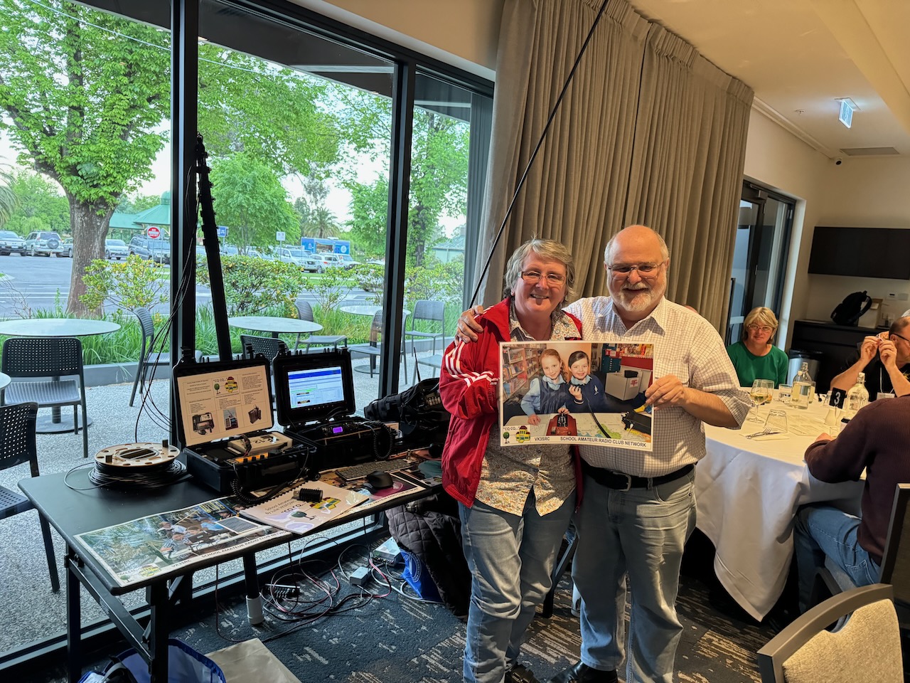
There were some static displays during the day and this included a display by Joe VK3YSP and Julie VK3FOWL.
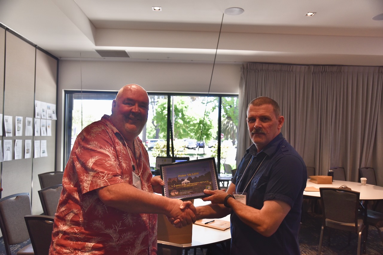
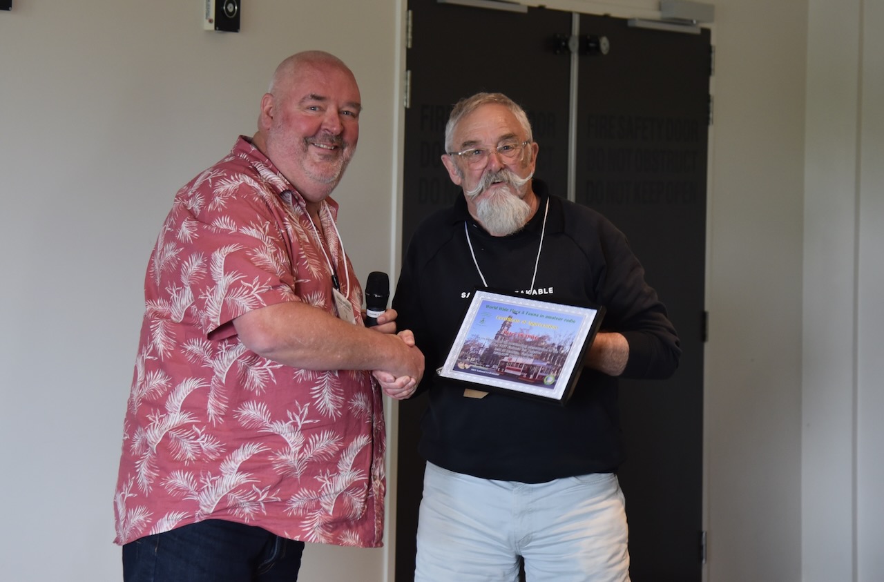
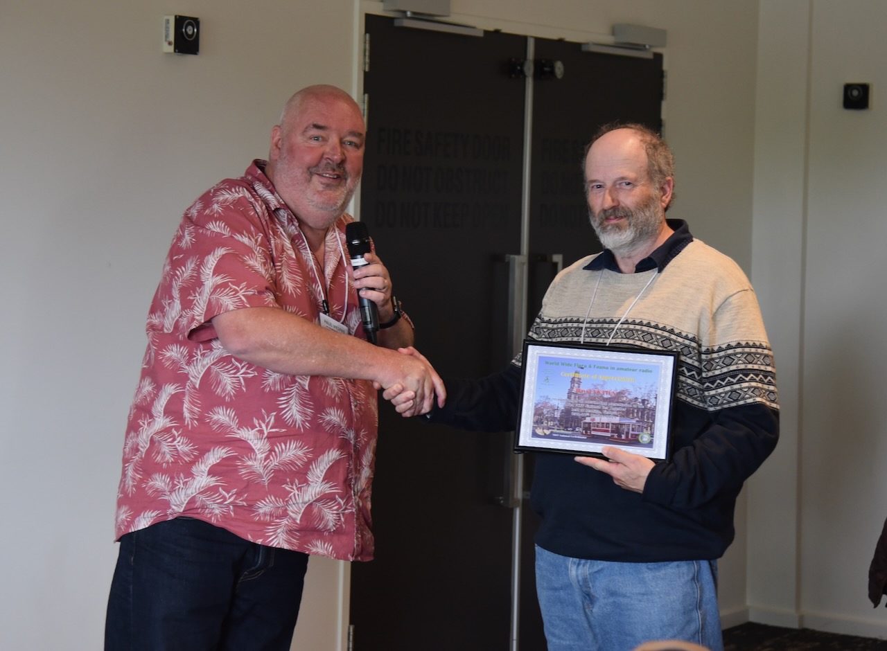
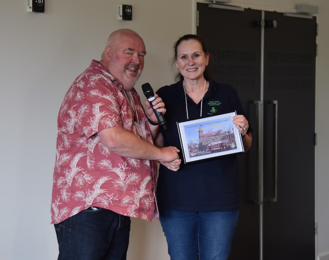
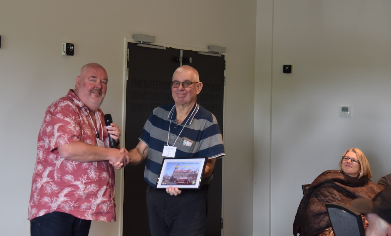
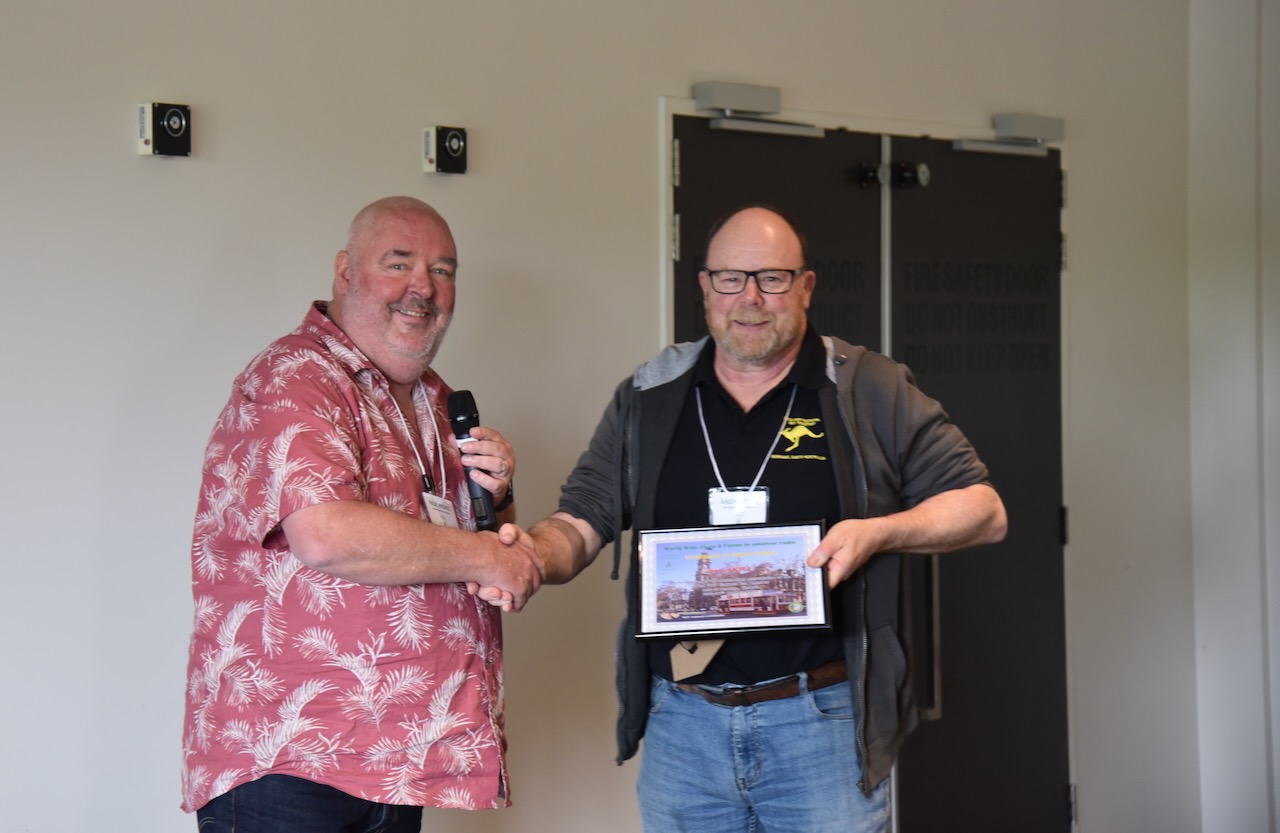
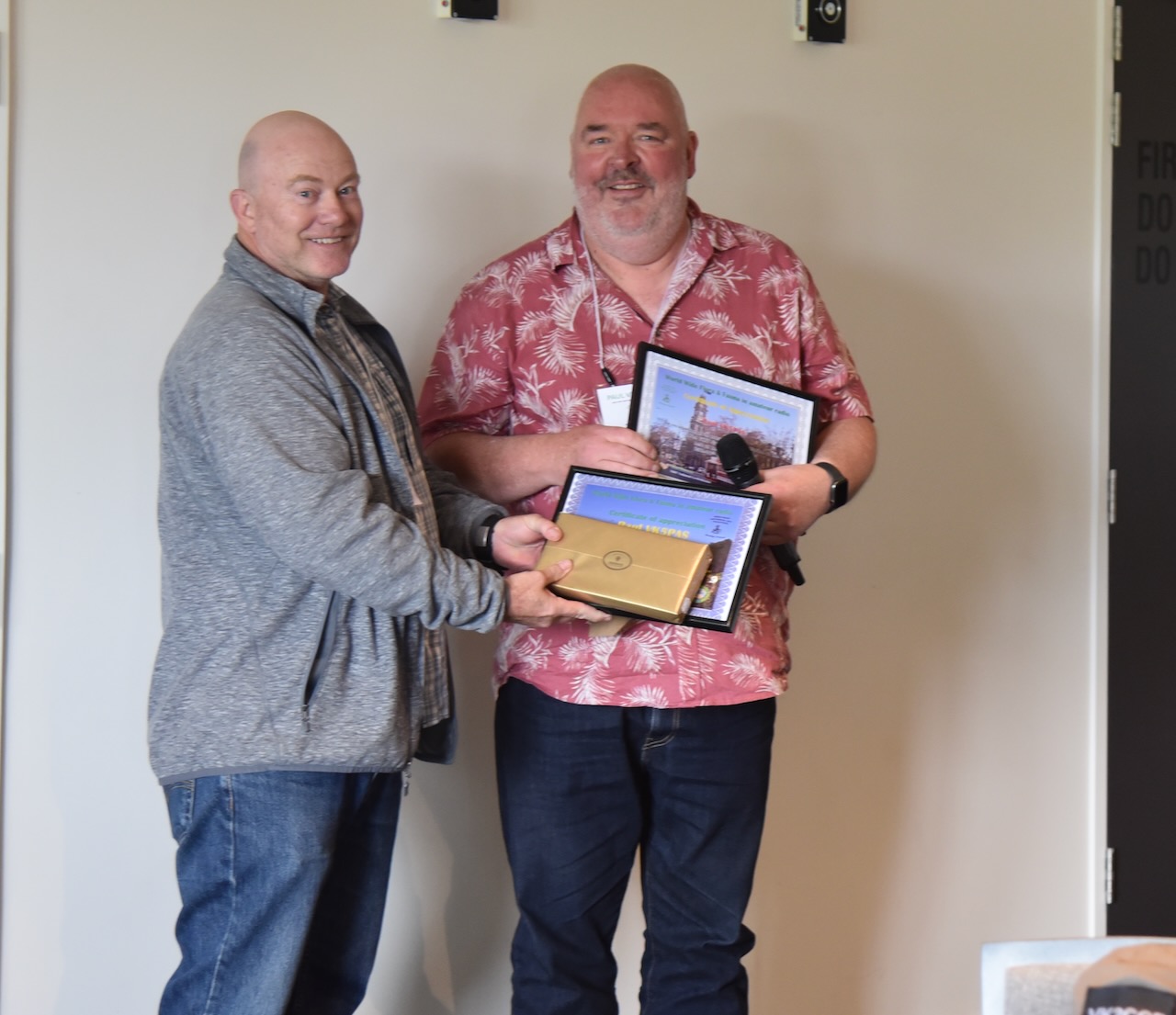
All of the presenters were issued with a certificate of appreciation. Our MC Chris VK5FR, who did a great job once again, was also issued a certificate of appreciation.
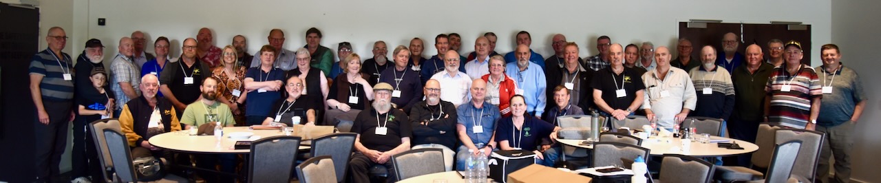
Below is a group photograph of those in attendance at the event.
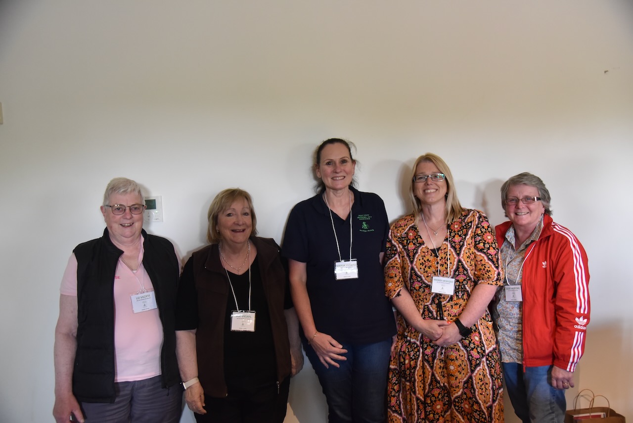
Below is a photo of the YL’s who attended the Get Together.
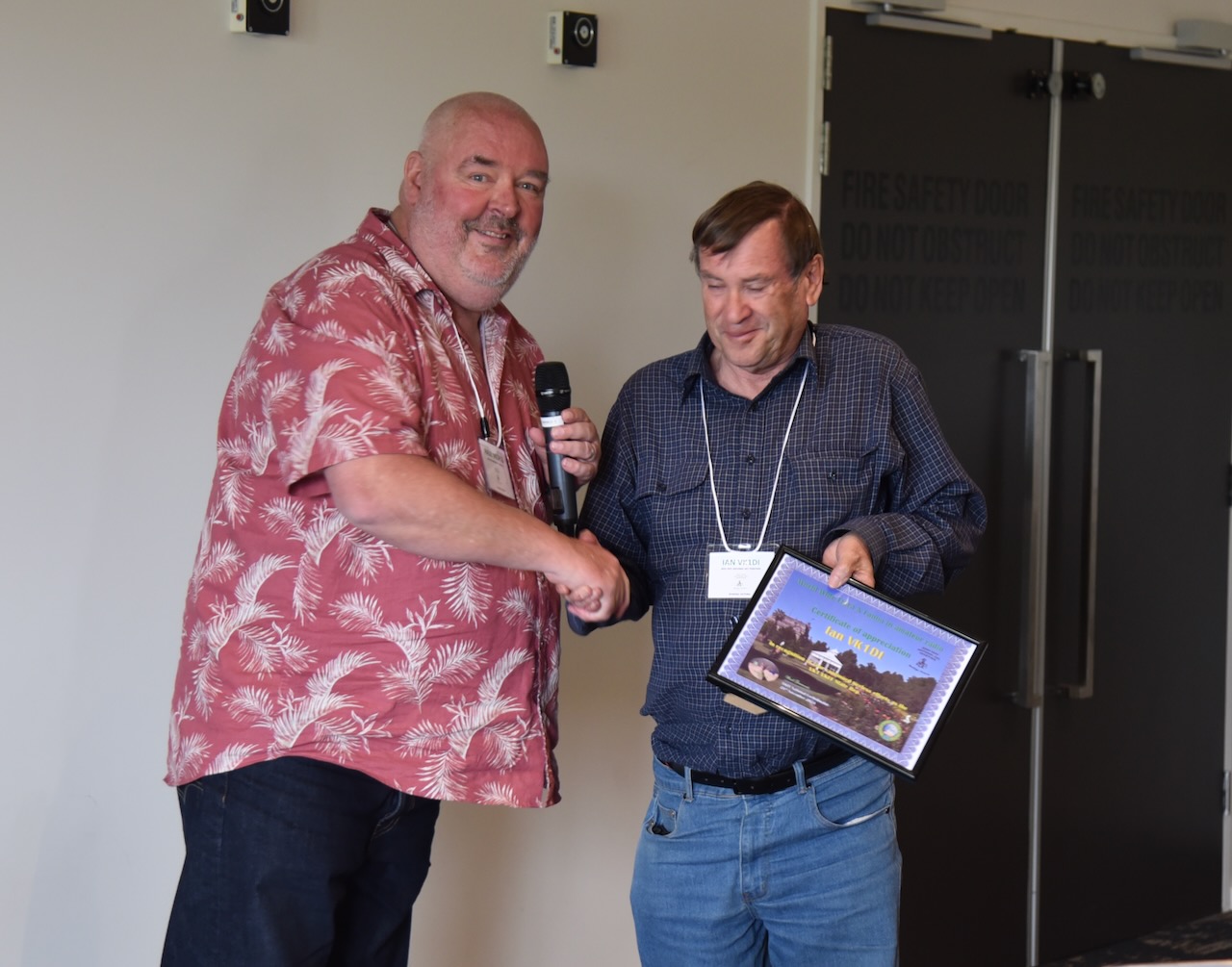
All of the VKFF Team that were in attendance were issued with certificates of appreciation for their ongoing efforts in keeping the VKFF program flourishing.
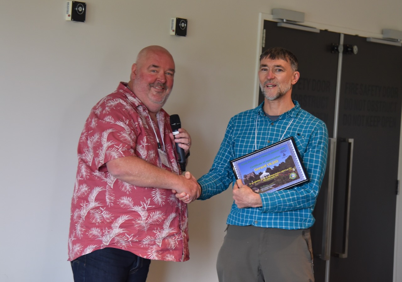
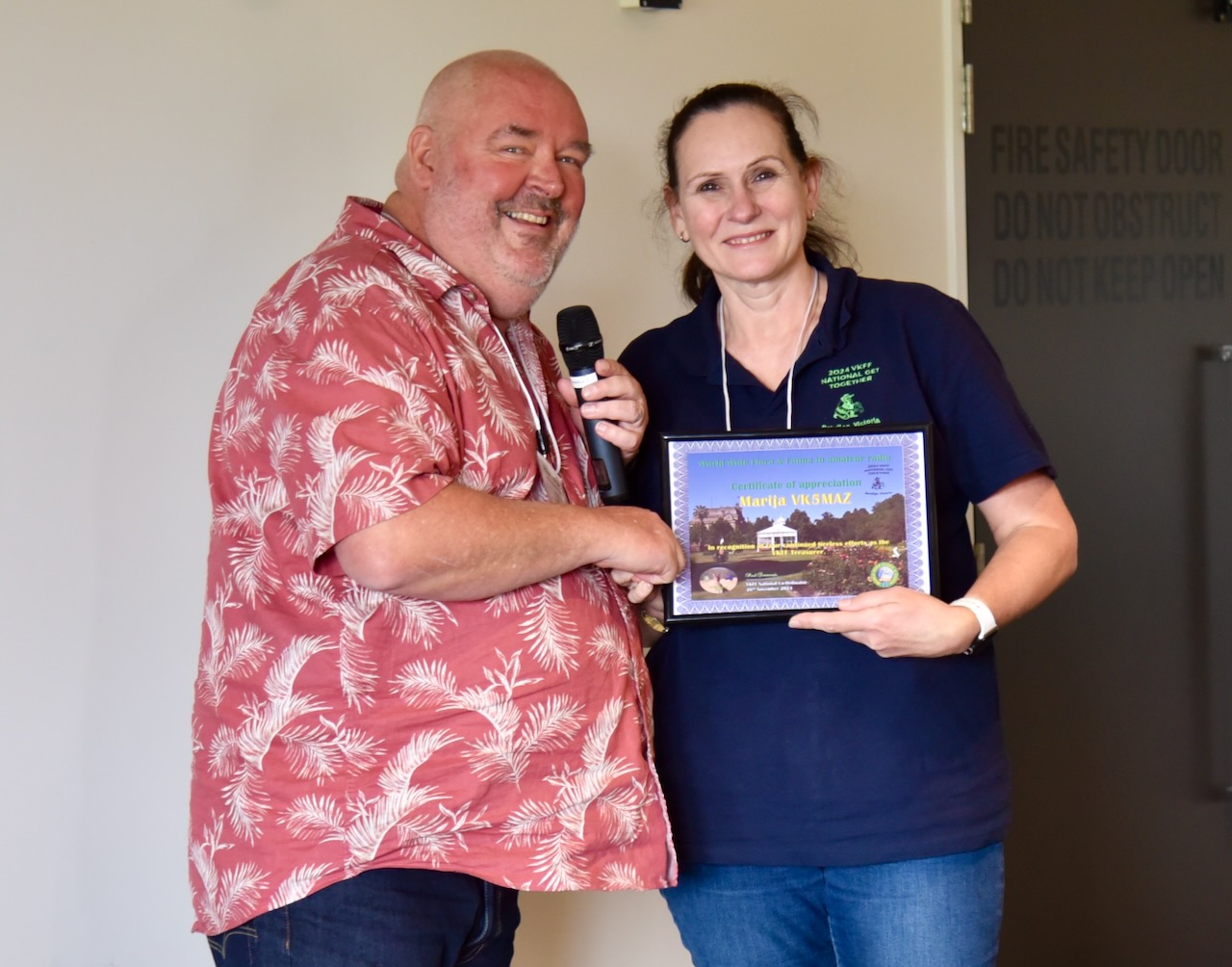
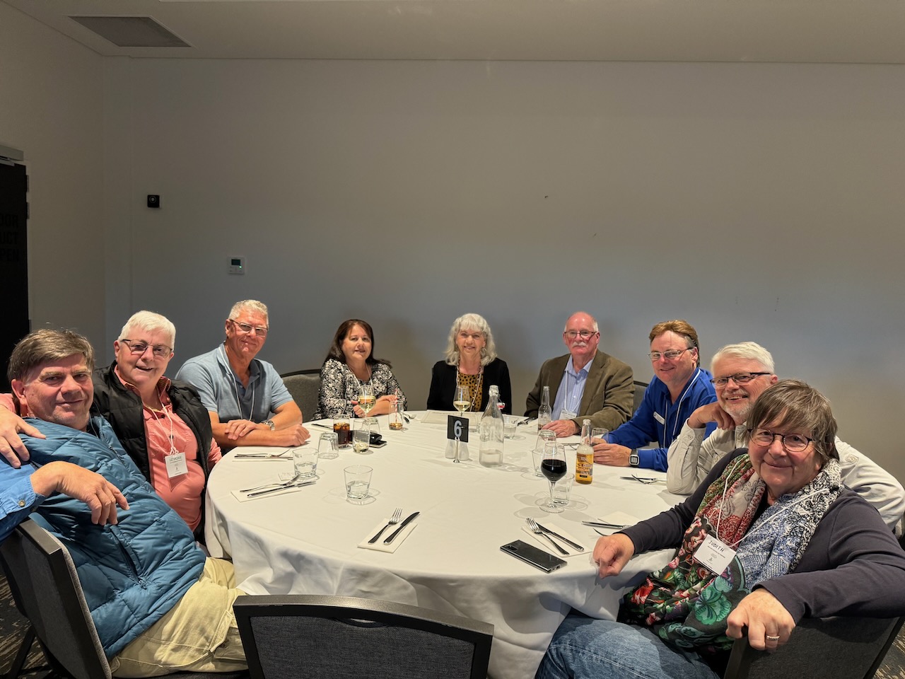
That evening, we enjoyed a very nice meal at the Quality Hotel Lakeside Bendigo.
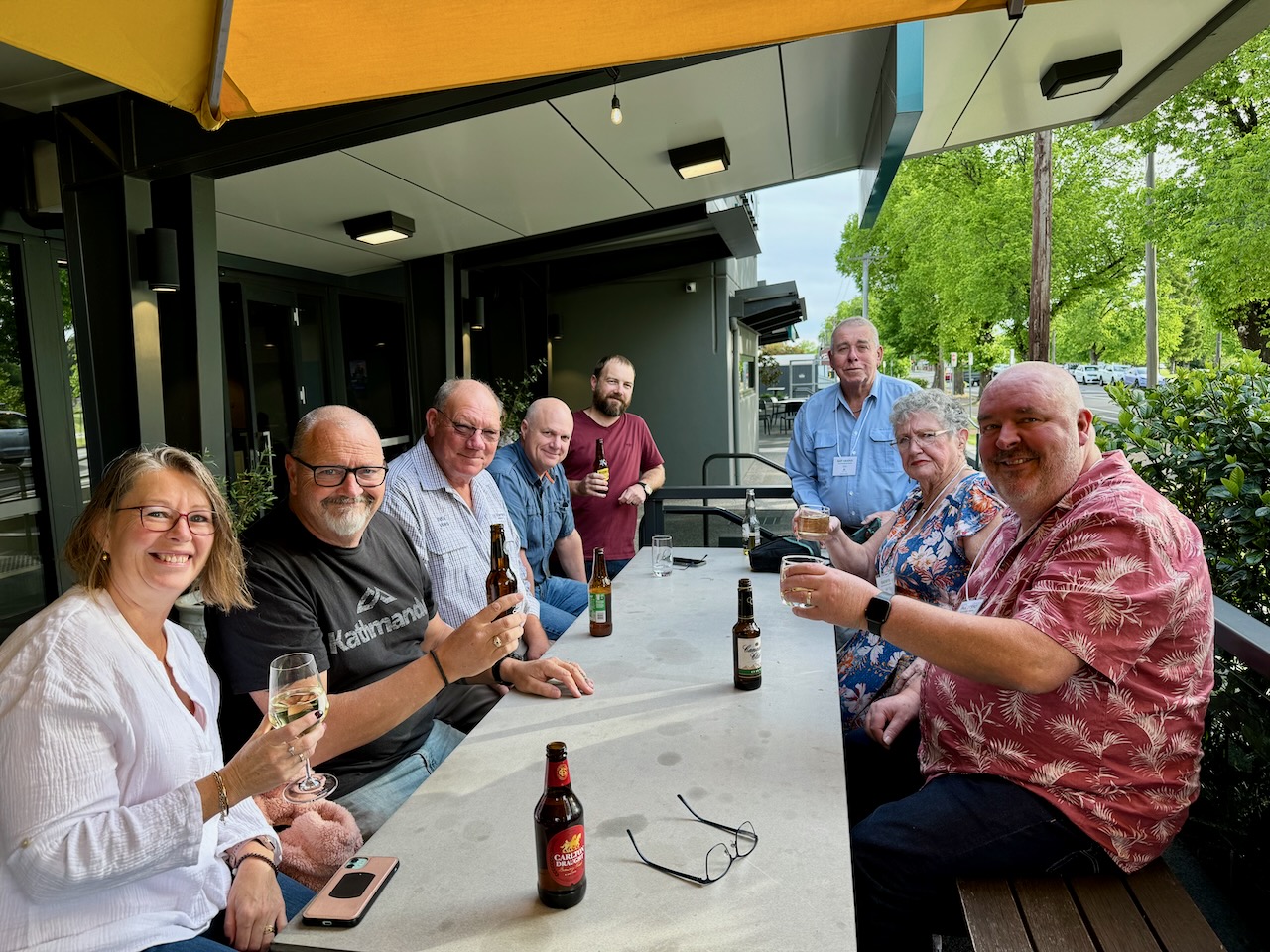
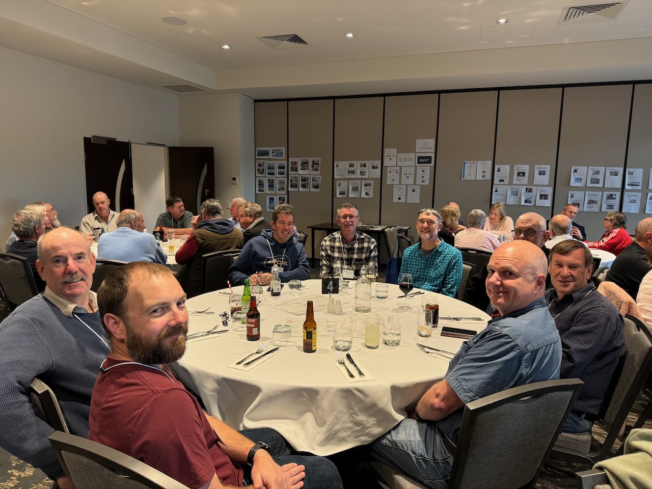
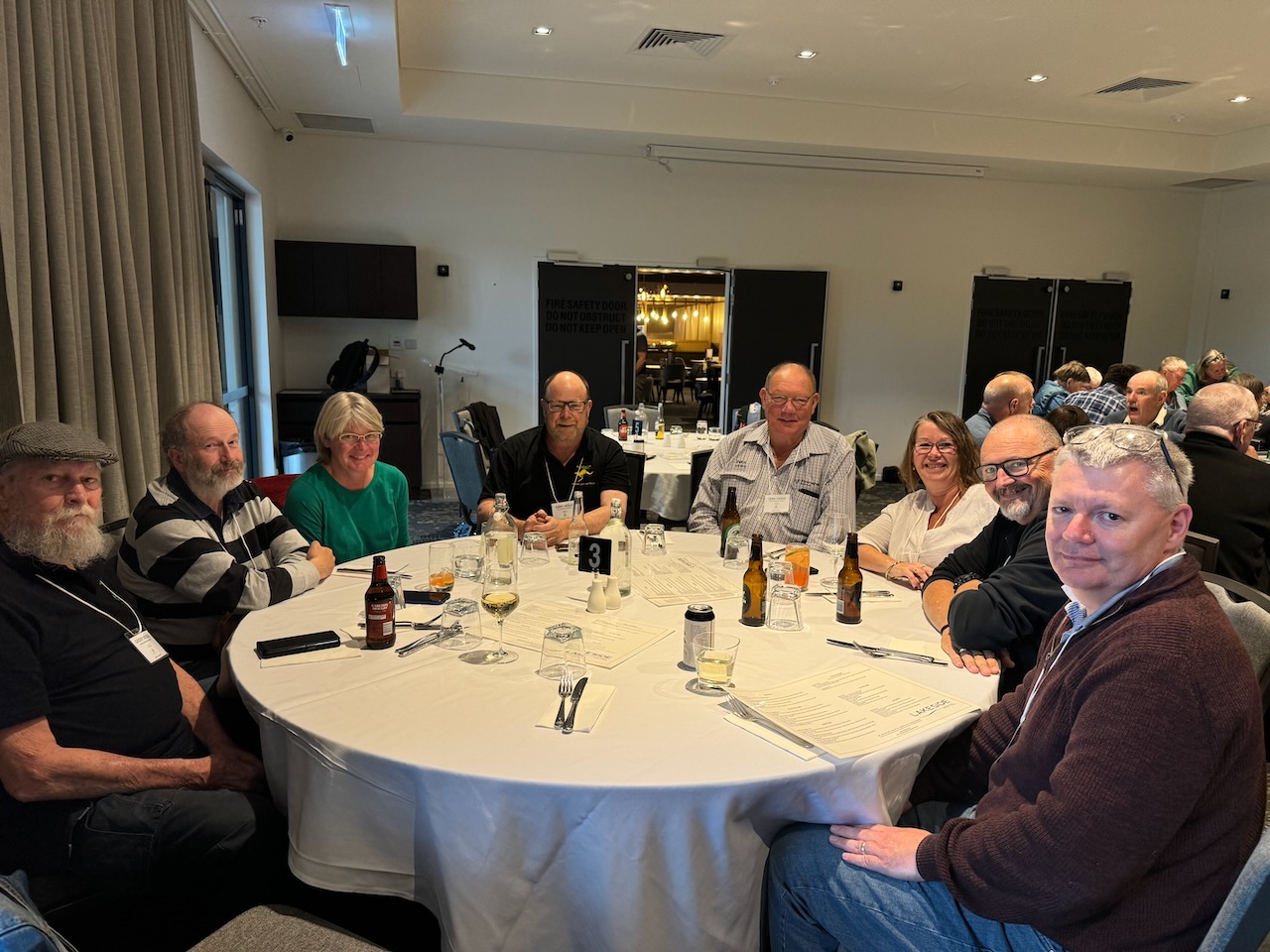
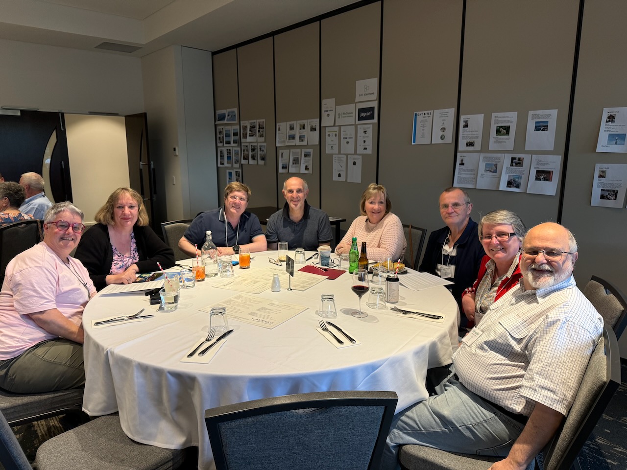
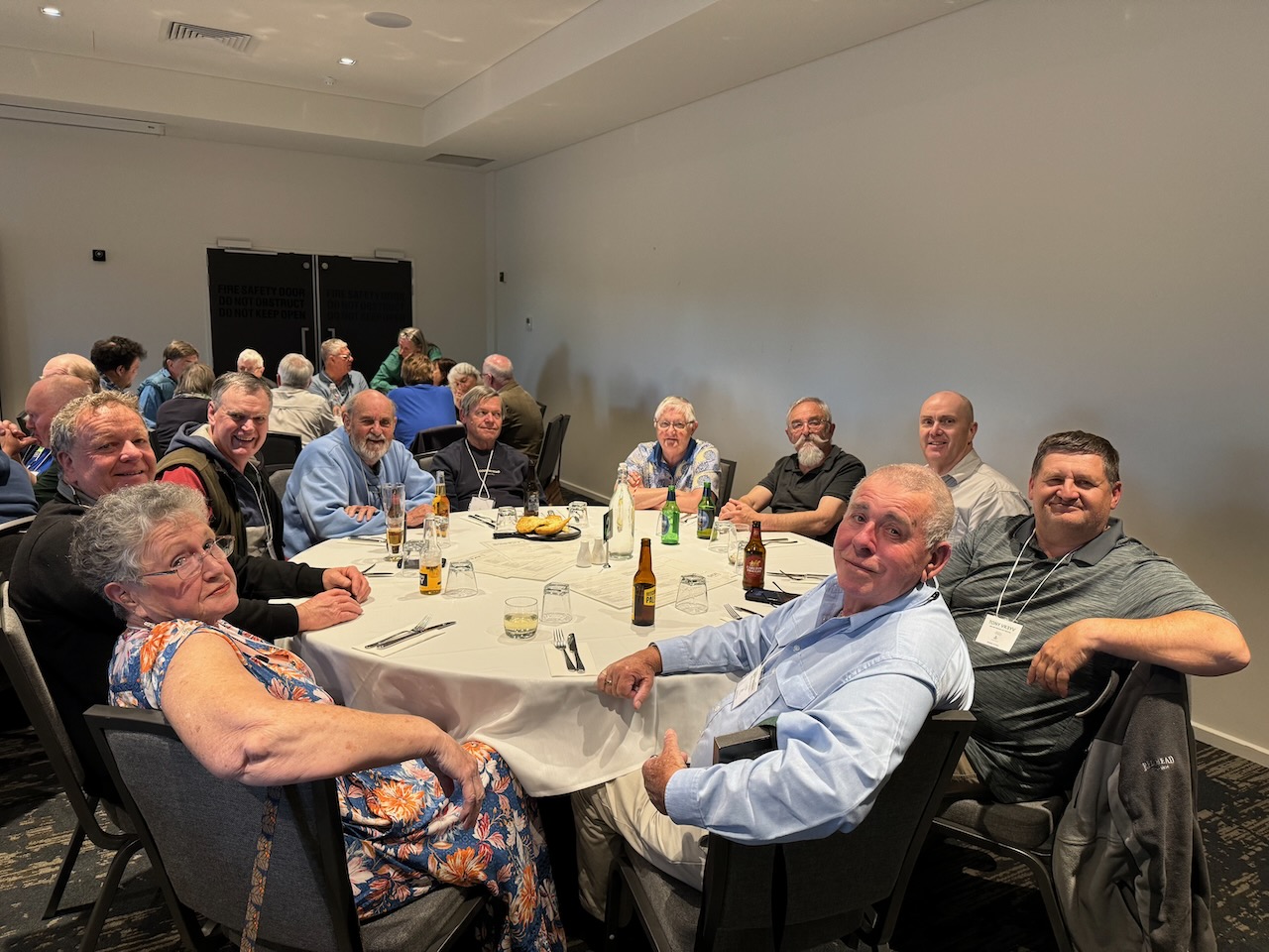
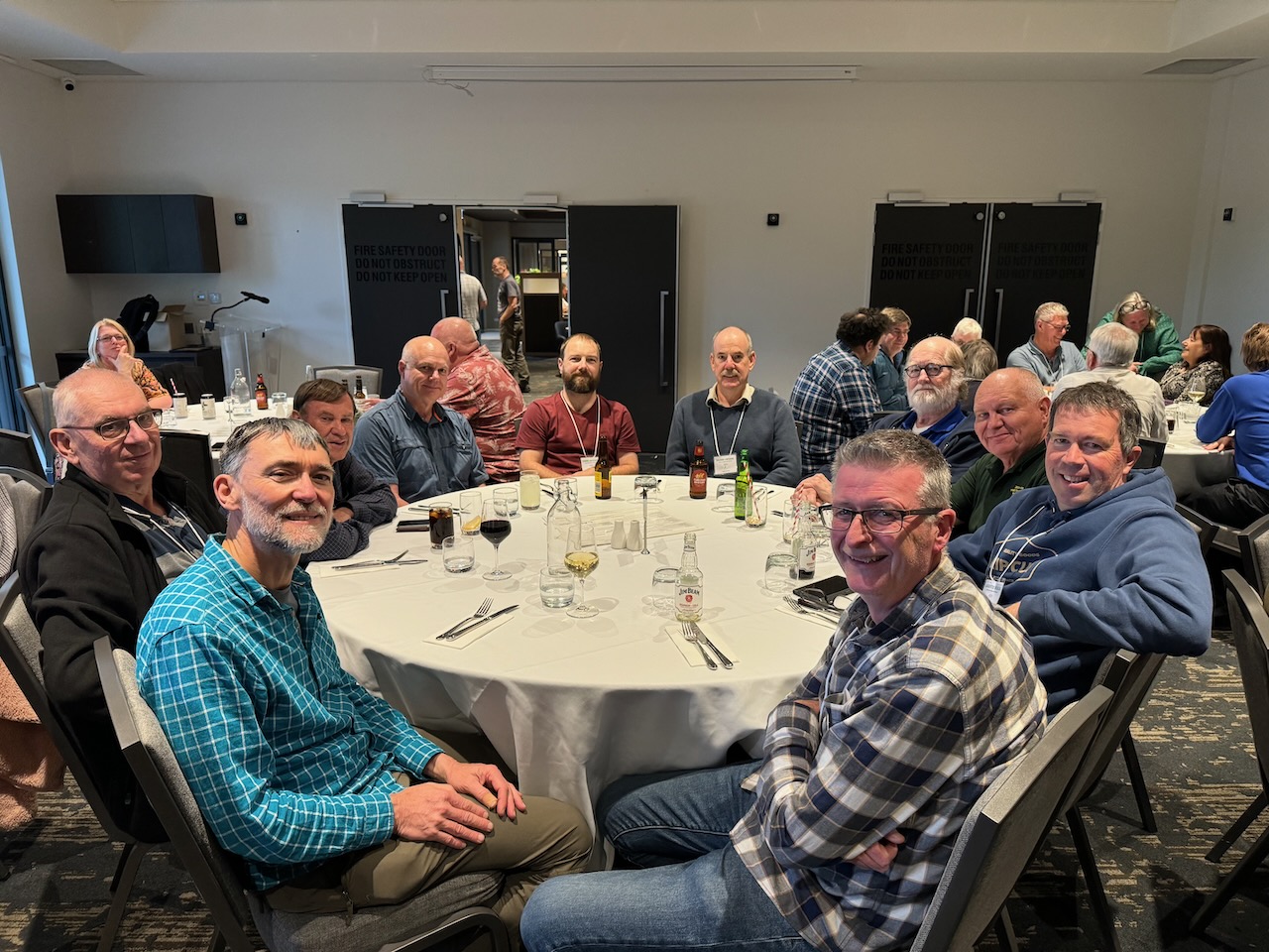
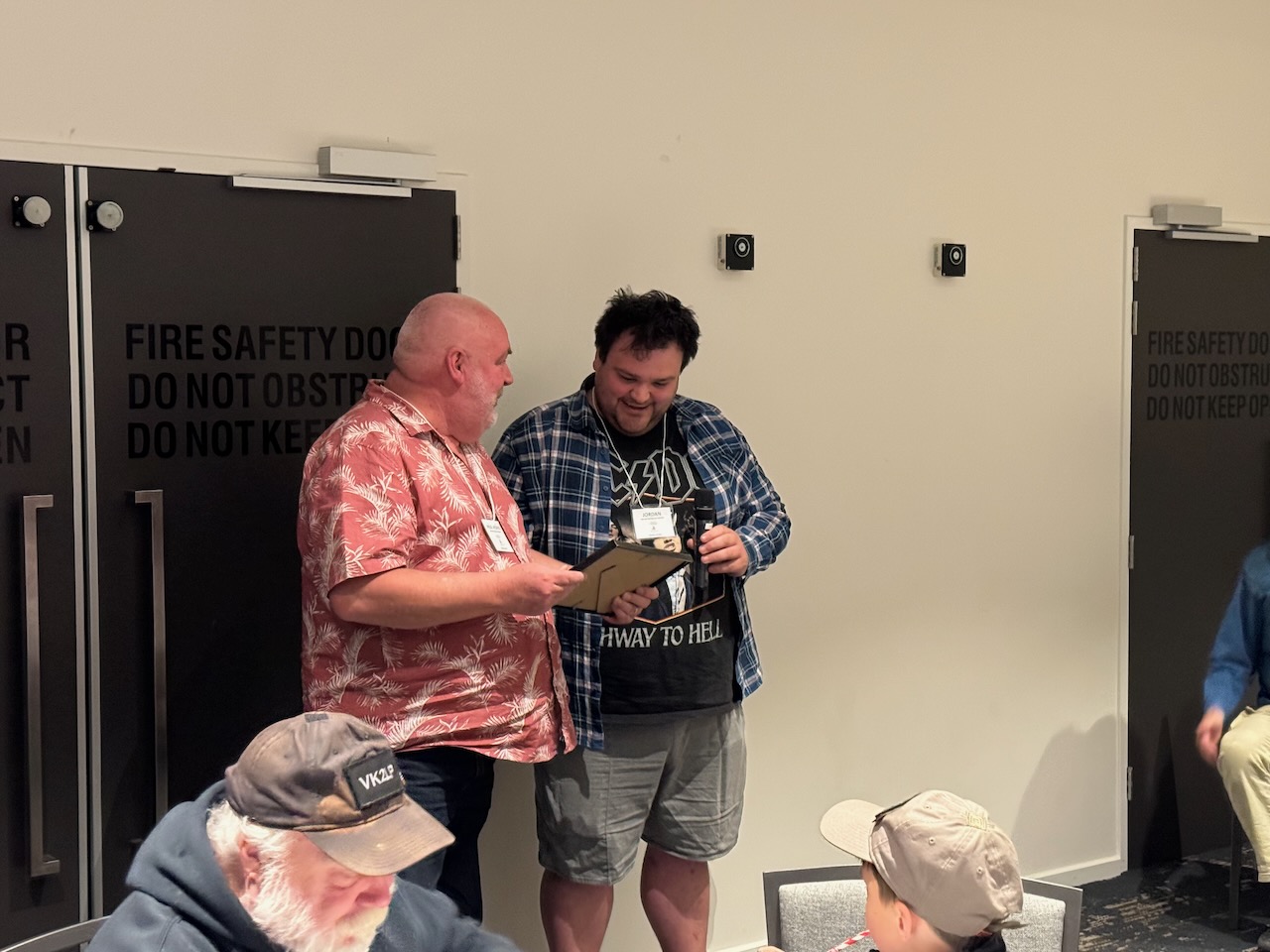
Our guest speaker on Saturday night was Jordan Crook from the Victorian National Parks Association.
More detailed information on the event can be found at……https://www.wwffaustralia.com/2024-vkff-national-get-together.html
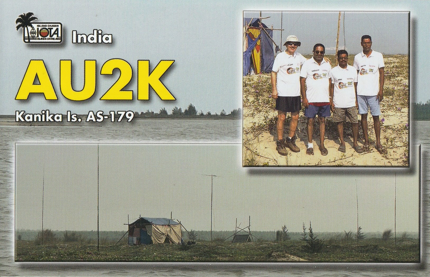
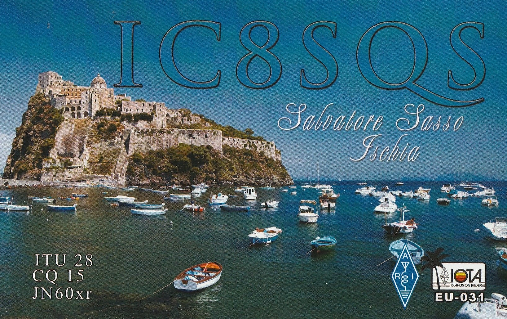
Here is a selection of some of the latest QSL cards received for VK5MAZ and VK5PAS.


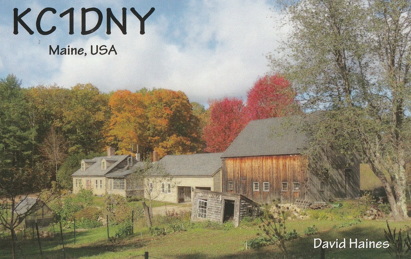

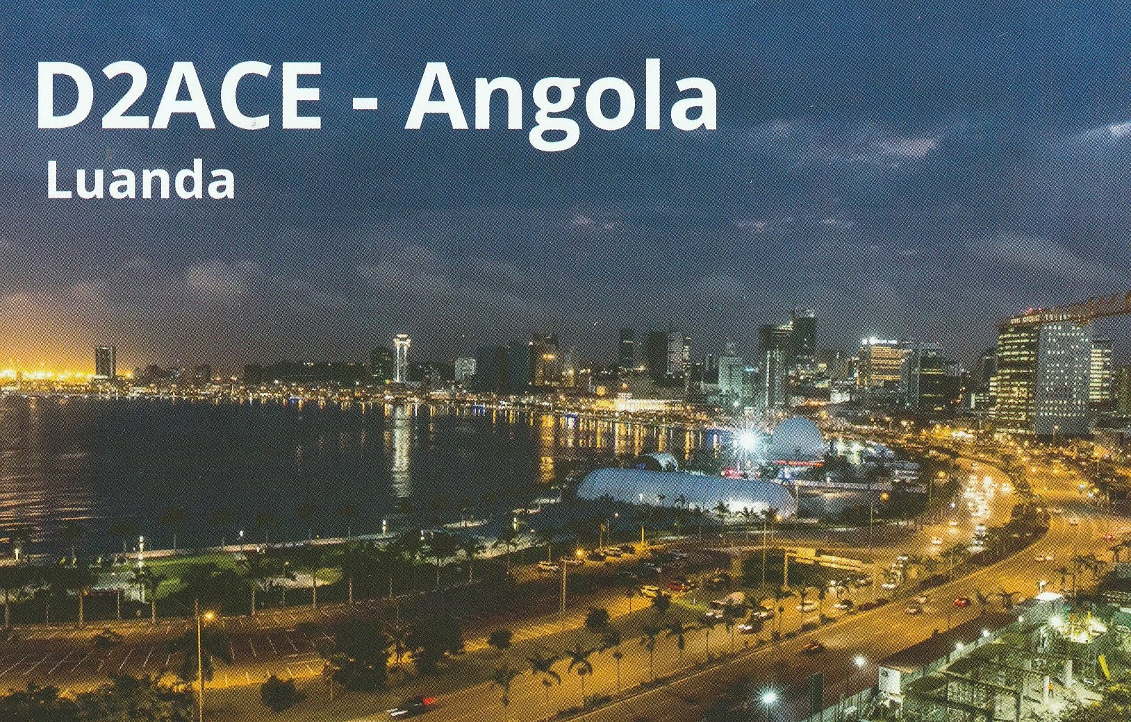
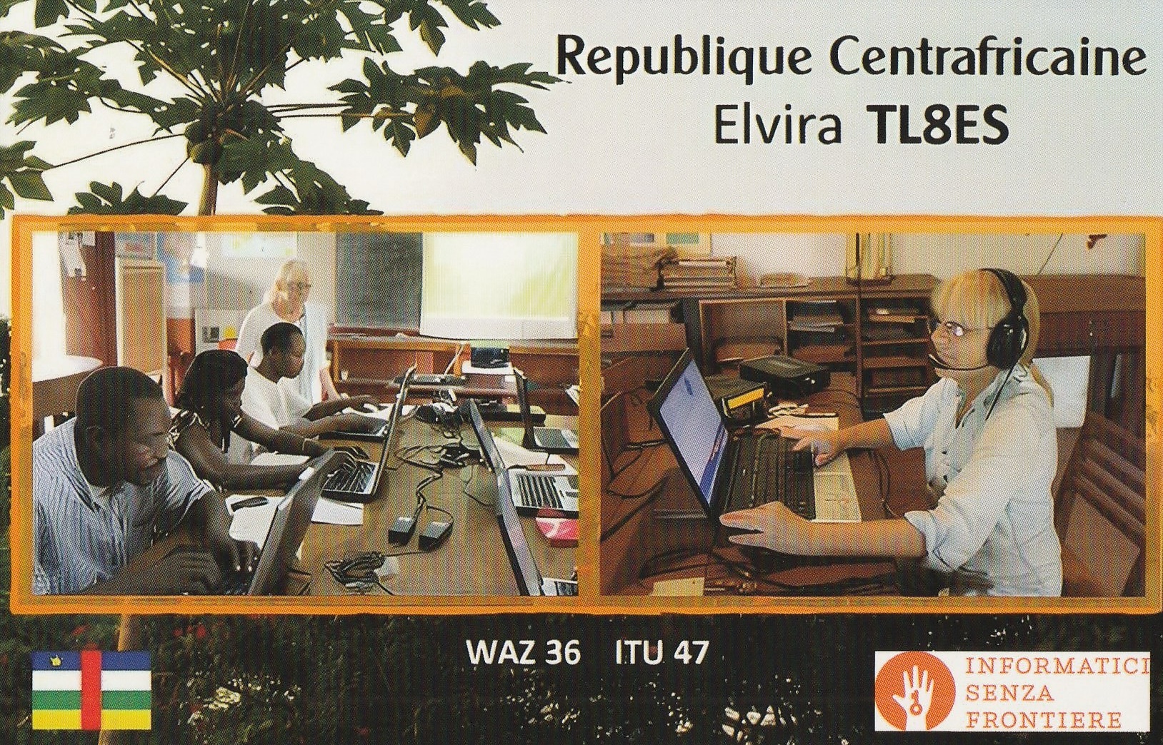
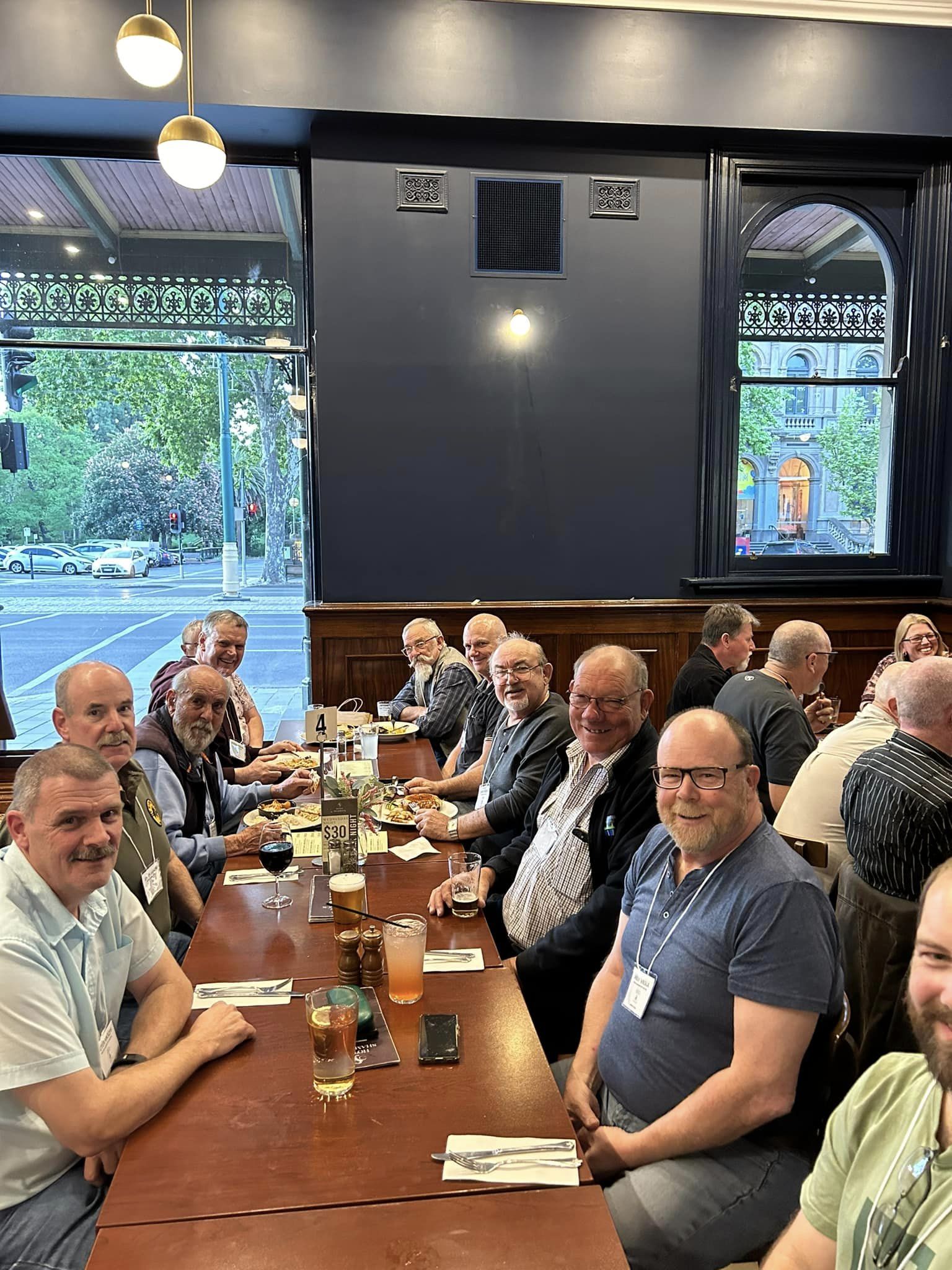
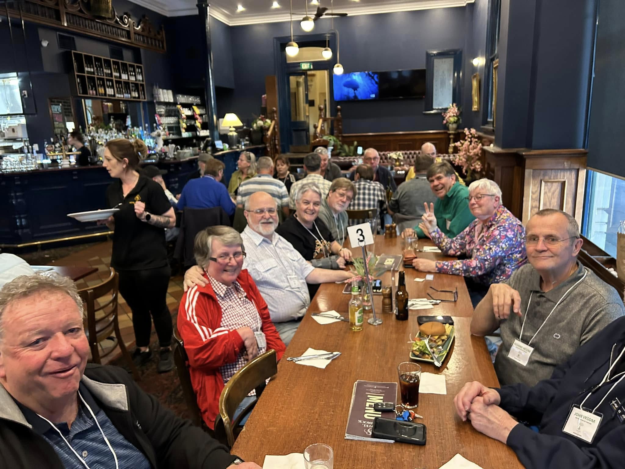
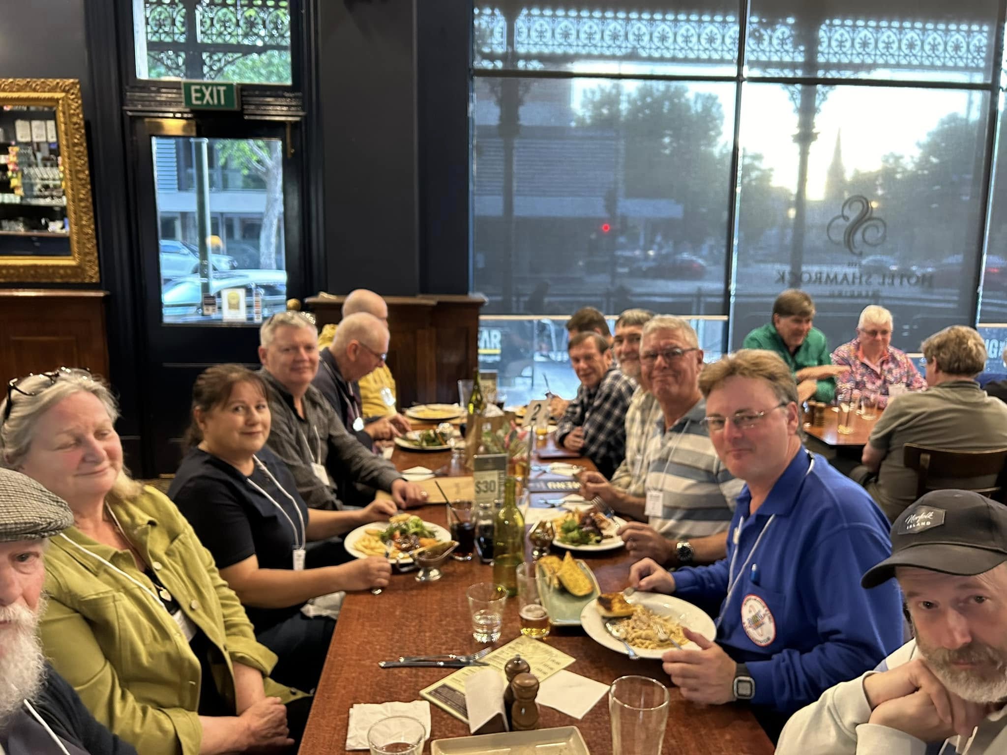
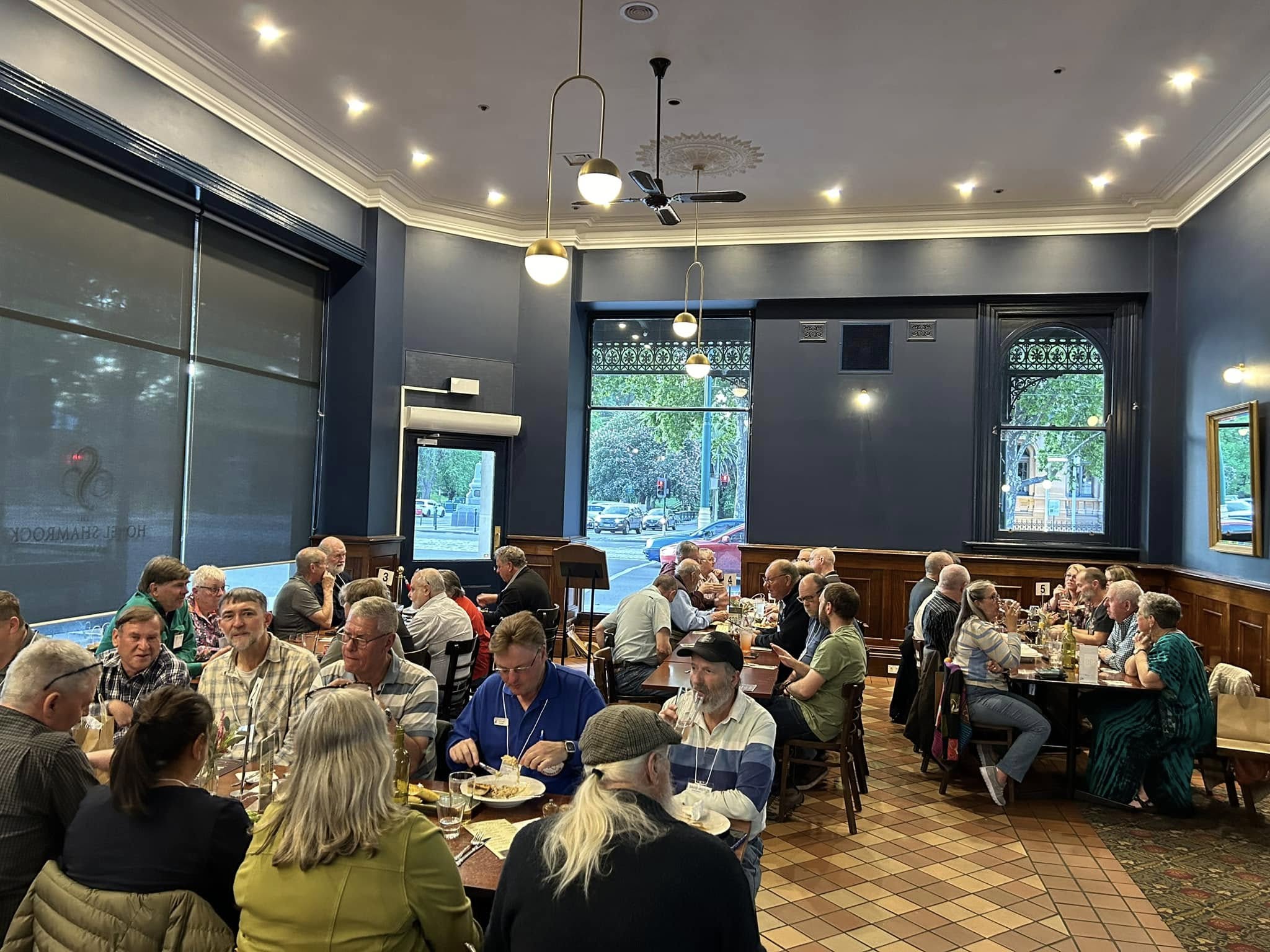
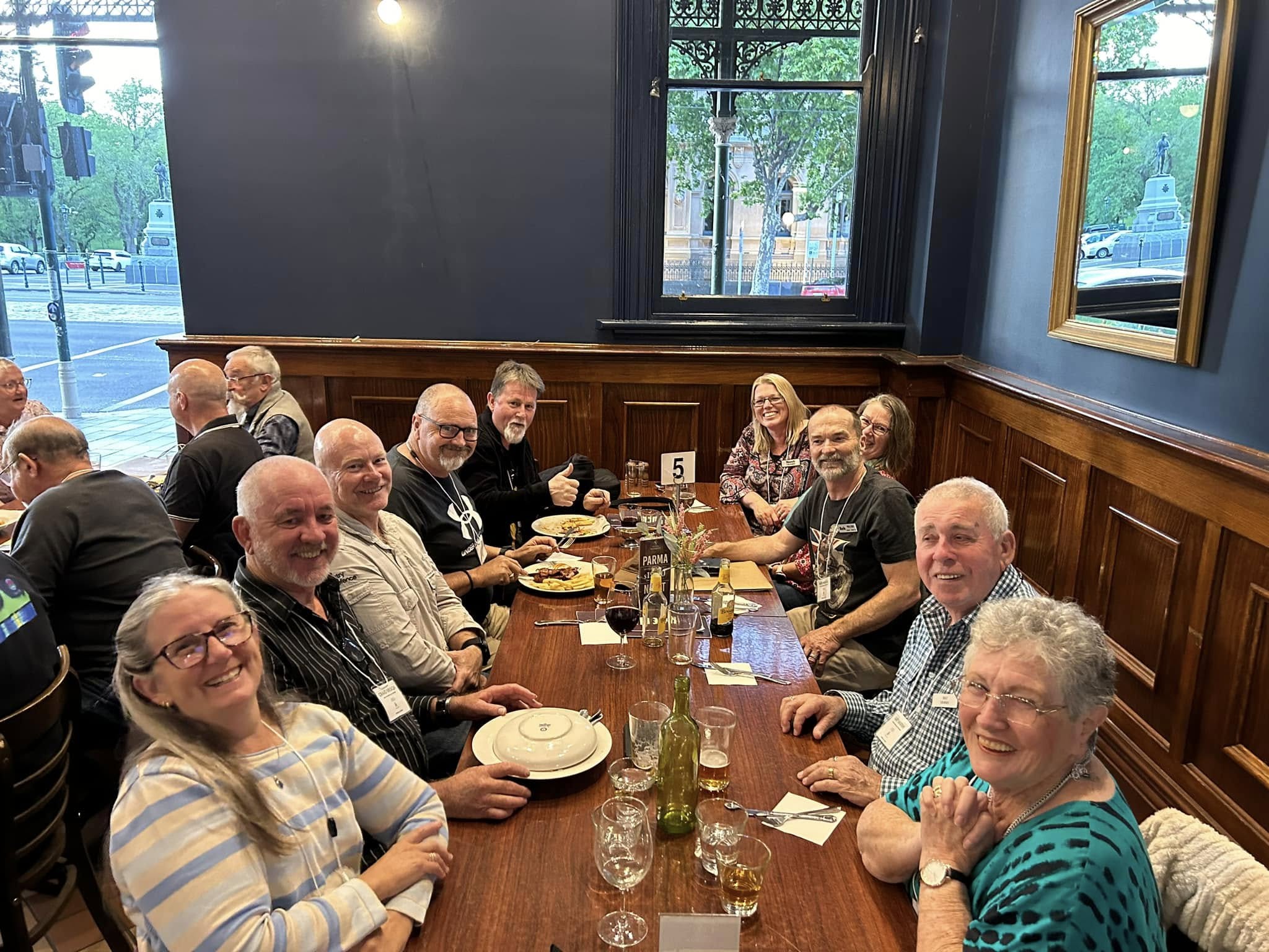
On Friday evening 25th October 2024, the 2024 VKFF National Get-Together kicked off with a dinner at the Hotel Shamrock in Bendigo.
There were about 50 people in attendance.
Those who attended were issued with their Welcome pack (a bag full of goodies) and the merchandise that they had previously ordered, e.g. VKFF Get Together caps, polo shirts, etc.
It was a great night, with a few of us kicking on after the meal.
My final activation for Friday 25th October 2024 was Jobs Gully Bushland Reserve VKFF-5172, located in Bendigo, Victoria.
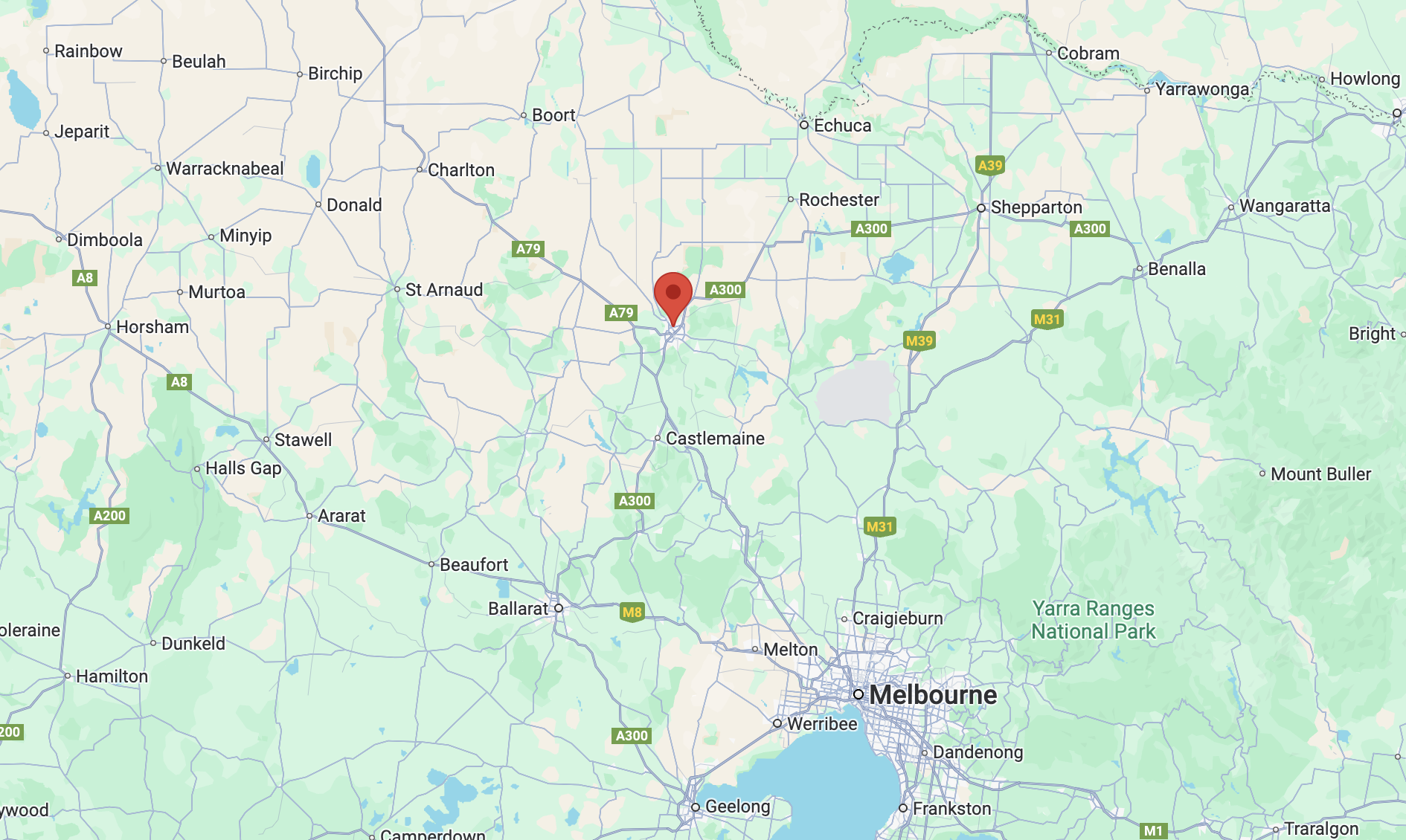
The reserve is located on the southern side of Jobs Gully Road, Eaglehawk, a suburb of Bendigo.
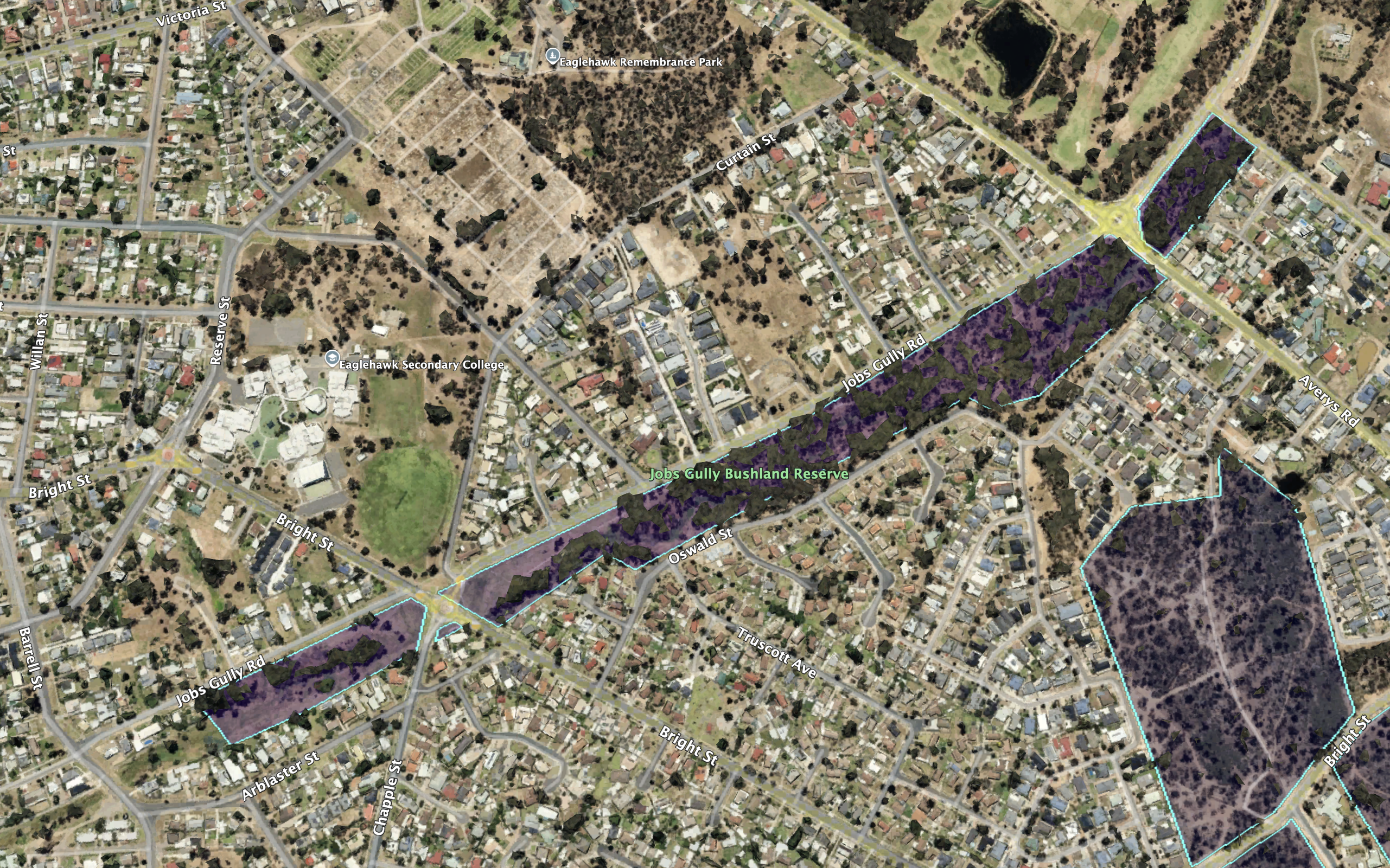
The reserve is about 11 hectares in size and was established on the 5th day of August 1980. (CAPAD 2022)
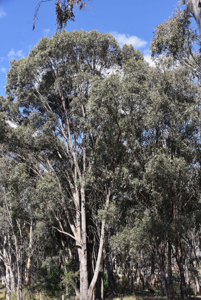
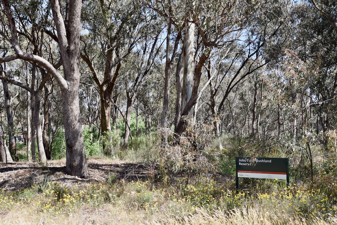
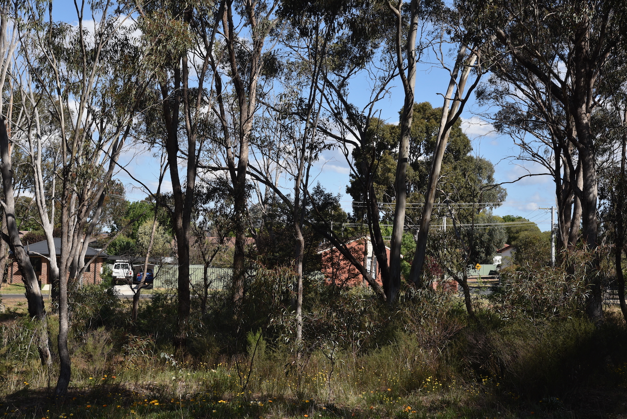
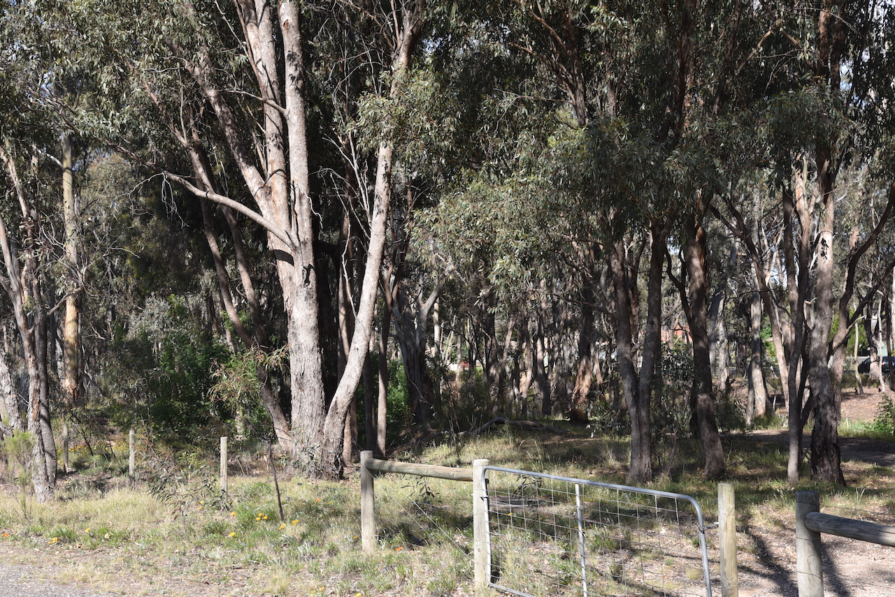
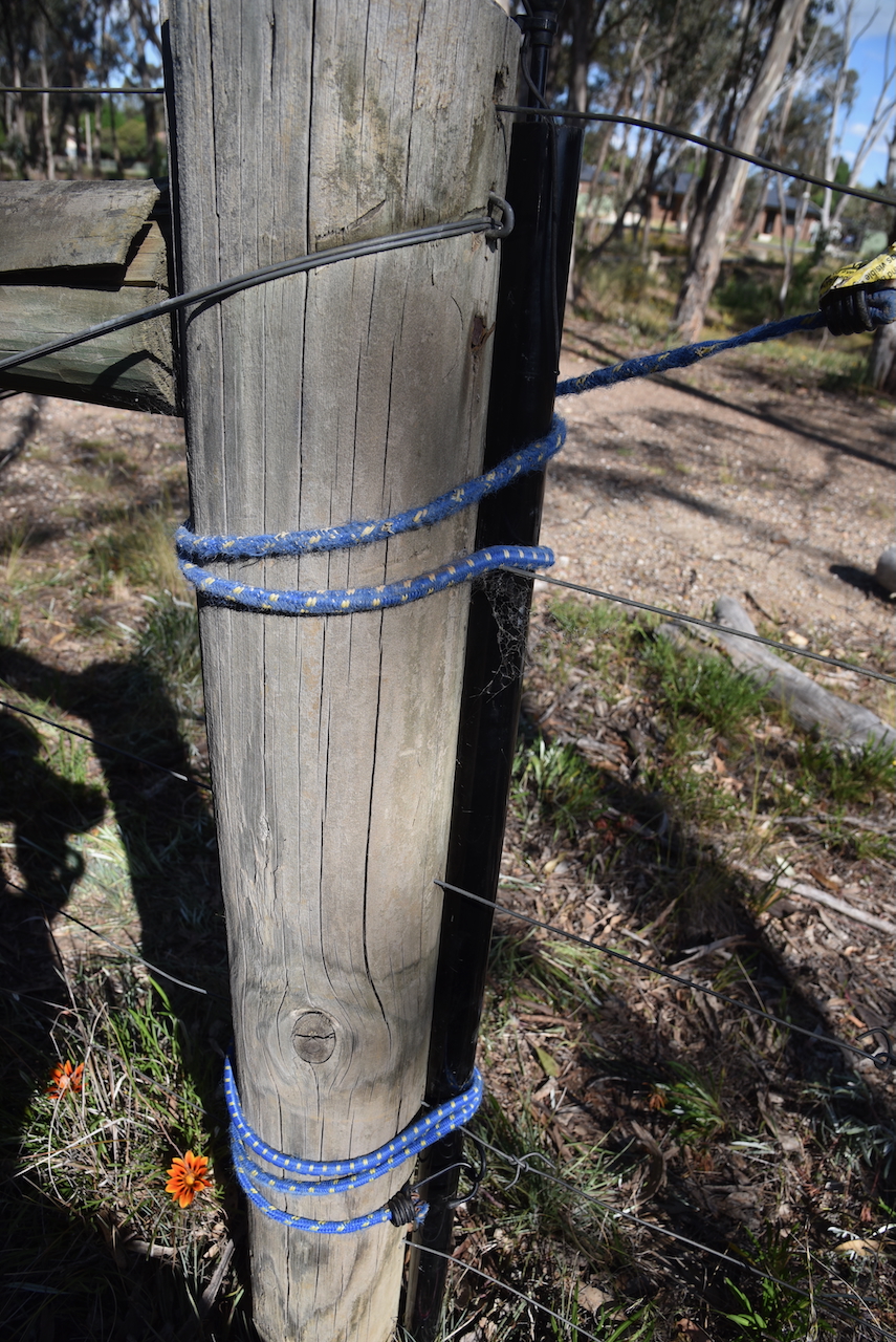
There was no vehicular access to this park. I set up just inside one of the access gates to the reserve. I strapped the 7-metre telescopic squid pole to a permapine fence post with an octopus strap. I ran the Yaesu FT857 and 40 watts and the 20/40/80m linked dipole.
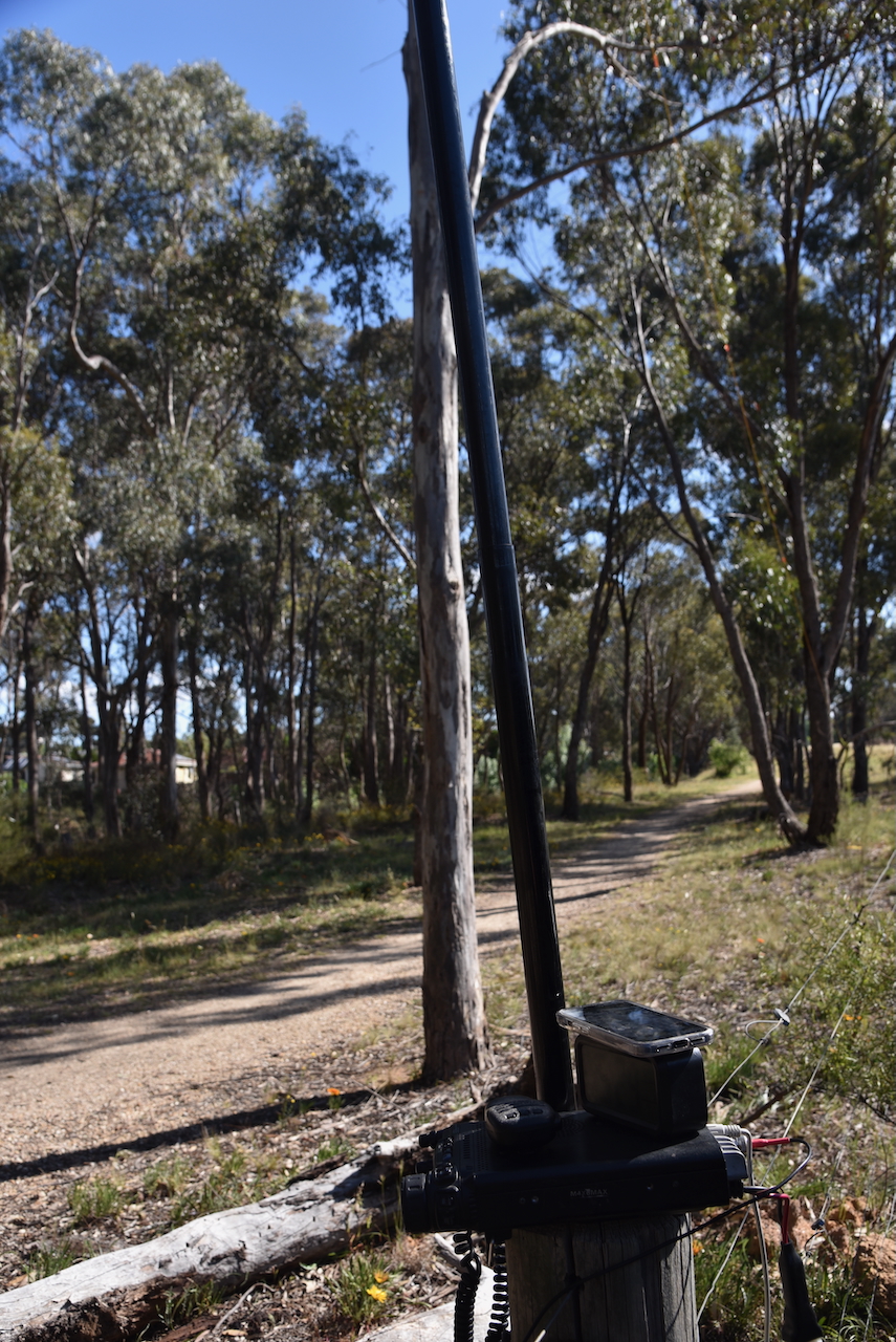
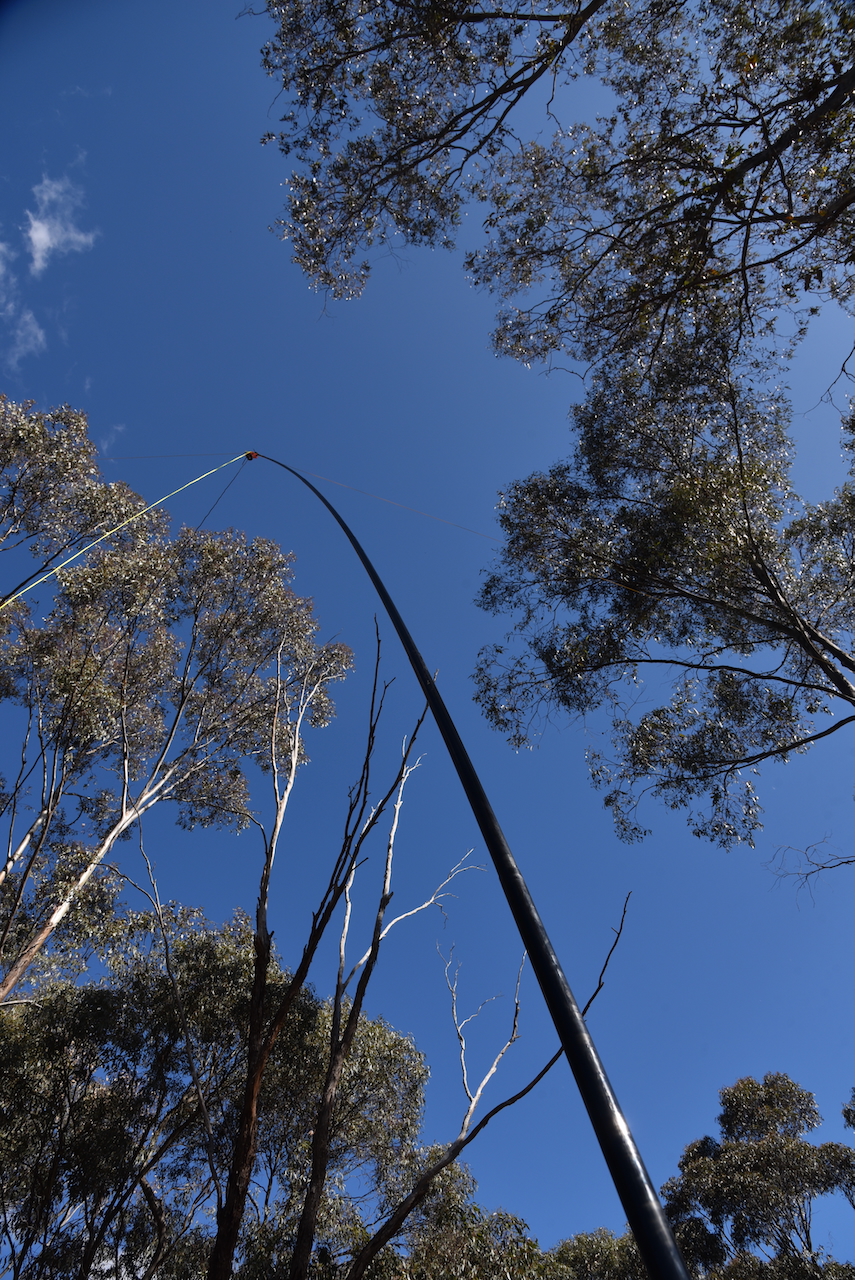
As this was a built-up residential area I received lots of unusual looks and was approached by a handful of people asking me what I was doing. It was a good opportunity to promote the hobby of amateur radio to those who spoke with me.
I worked the following stations on 40m SSB:-
I worked the following stations on 20m SSB:-
I packed up and headed back to the motel to have a shower and freshen up for the evening’s dinner at the Hotel Shamrock as part of the 2024 VKFF National Get-Together.
References.
After packing up at the California Gully Bushland Reserve on 25th October 2024, I drove the short distance to my next park activation at the Jackass Flat Nature Conservation Reserve VKFF-2114.
The park is located in Bendigo, Victoria.
Jackass Flat is a suburb of Bendigo, about 6.5 km north of the Bendigo CBD. The park is located between Crane Street, Prouses Road, and Holdsworth Road.
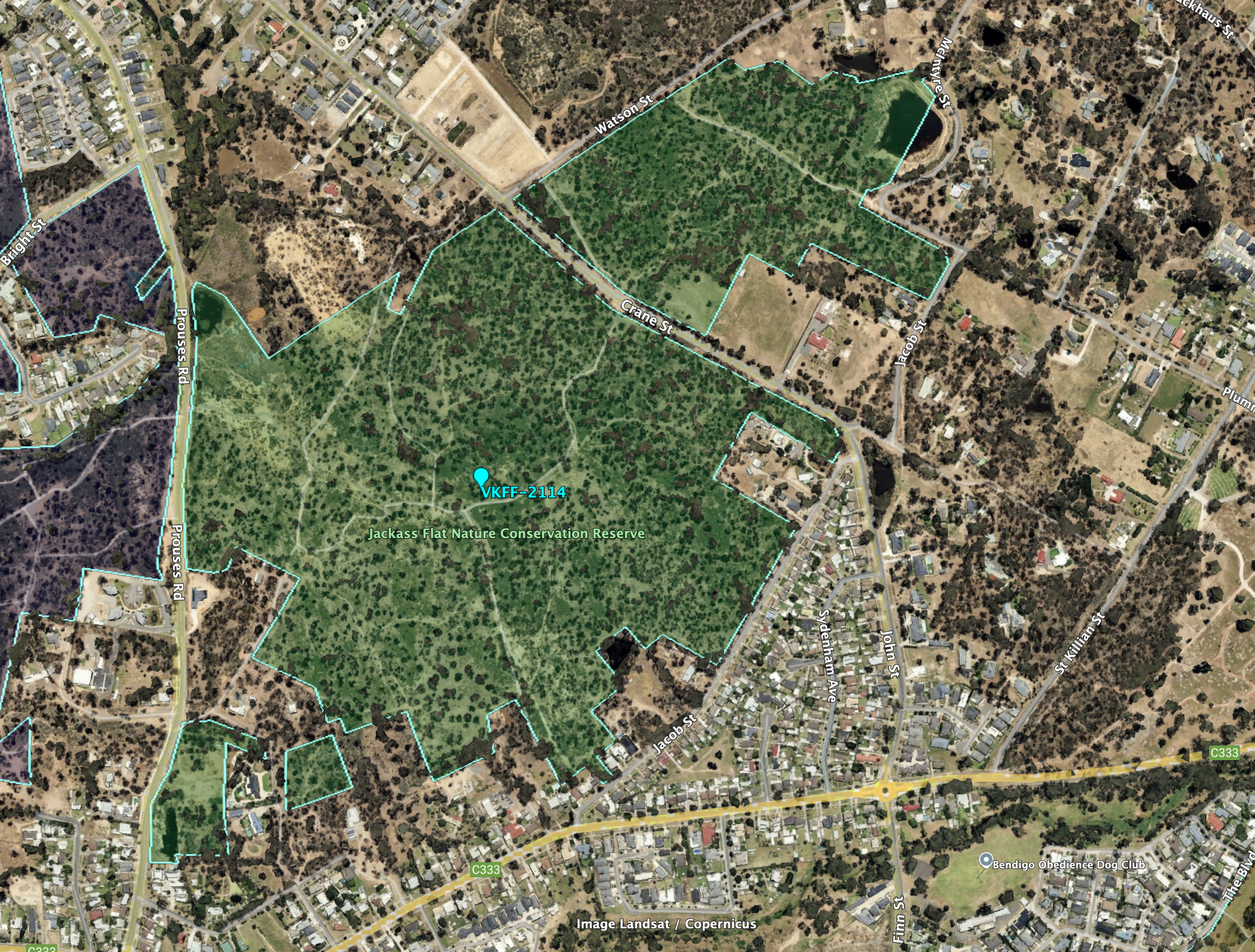
Above:- Aerial view of the Jackass Flat NCR. Image c/o Google Earth.
The reserve is about 73 hectares in size and was established on the 27th day of May 1980. (CAPAD 2022)
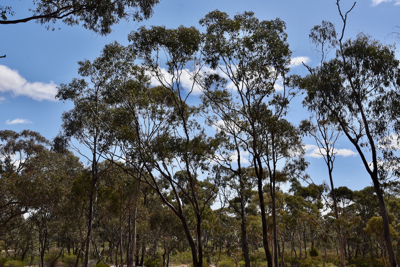
This was another easy park to access. I drove along a 4WD track and set up in a clearing amongst the scrub. I ran the Yaesu FT857, 40 watts, and the 20/40/80m linked dipole.
I worked the following stations on 40m SSB:-
I worked the following stations on 40m FT8:-
I worked the following stations on 20m SSB:-
References.
It was now Friday 25th October 2024, with the 2024 VKFF National Get-Together commencing with a Friday evening dinner.
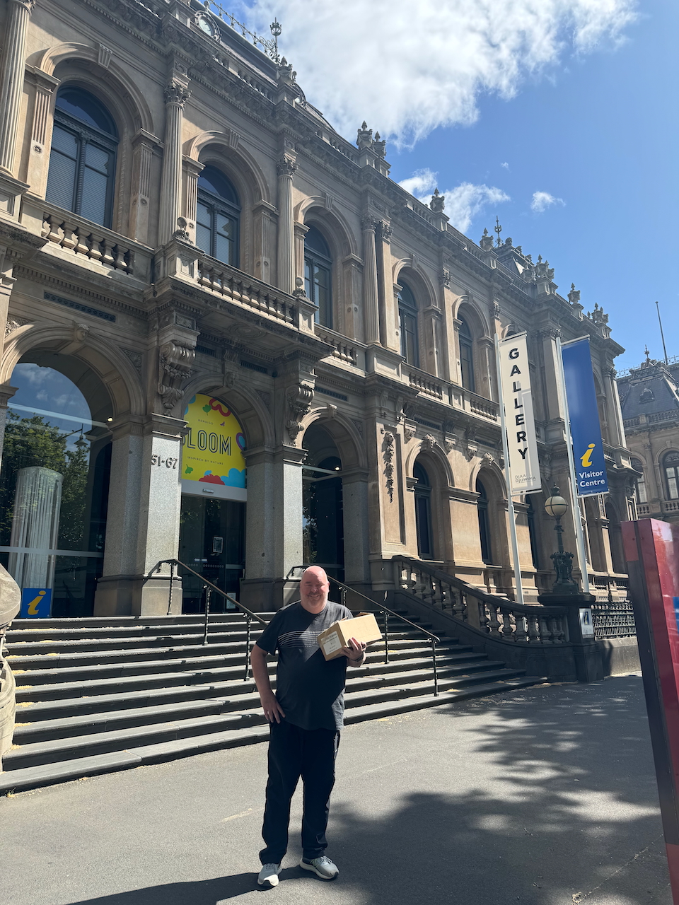
After breakfast Marija and I headed to the Bendigo Visitor Centre to collect some tourist brochures that we had arranged to pick up for the Get-Together attendee pack.
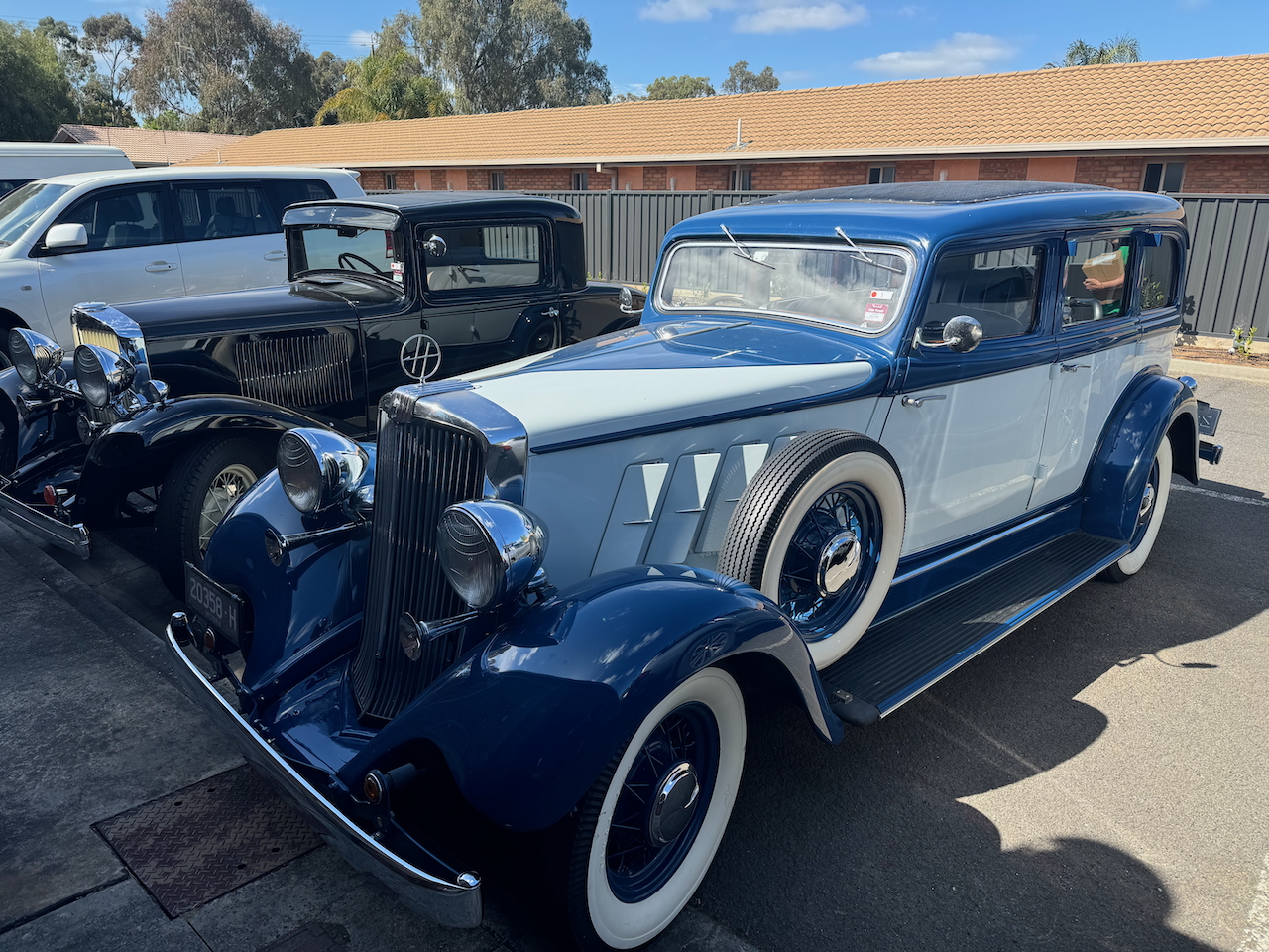
We headed back to the motel, admiring some of the collectable cars that were parked in the carpark.
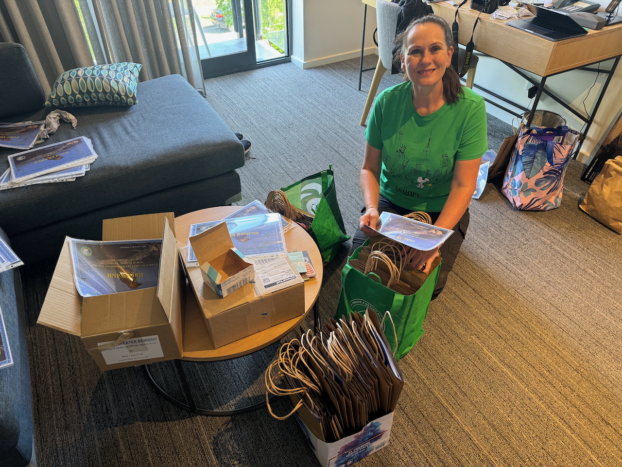
We then commenced to pack the welcome packs for all of the attendees.
Marija decided to stay back in the motel to rehearse her presentation, while I headed out to activate the California Gully Bushland Reserve VKFF-4723.
Above:- Map showing the location of the California Gully Bushland Reserve. Map c/o Google Maps.
The reserve is located in the Bendigo suburb of California Gully, about 4 km northwest of Bendigo city centre. In April 1852 gold was discovered in California Gully and a rush followed of miners from the Californian gold diggings. About 18,000 miners from California came to the area. As a result, the area was known as California Gully. (Victorianplaces.com.au, 2015)
By the 1870s the area saw a large influx of Cornish miners. A township was formed on Eaglehawk Road. The White Horse Hotel was built during the 1870s. In 1883 a large school was built on the west side of the town on an elevated site known as Bell Topper Hill. Its name comes from the English miners making a bonfire on their bell topper hats. (Victorianplaces.com.au, 2015)
The mines at California Gully had a long production period. One of those was the North Johnson group which operated from 1861 to 1920 and yielded over 320,000 oz. of gold and £334,020 dividends, after commencing in 1853. (Heritage, 2017) (Victorianplaces.com.au, 2015)
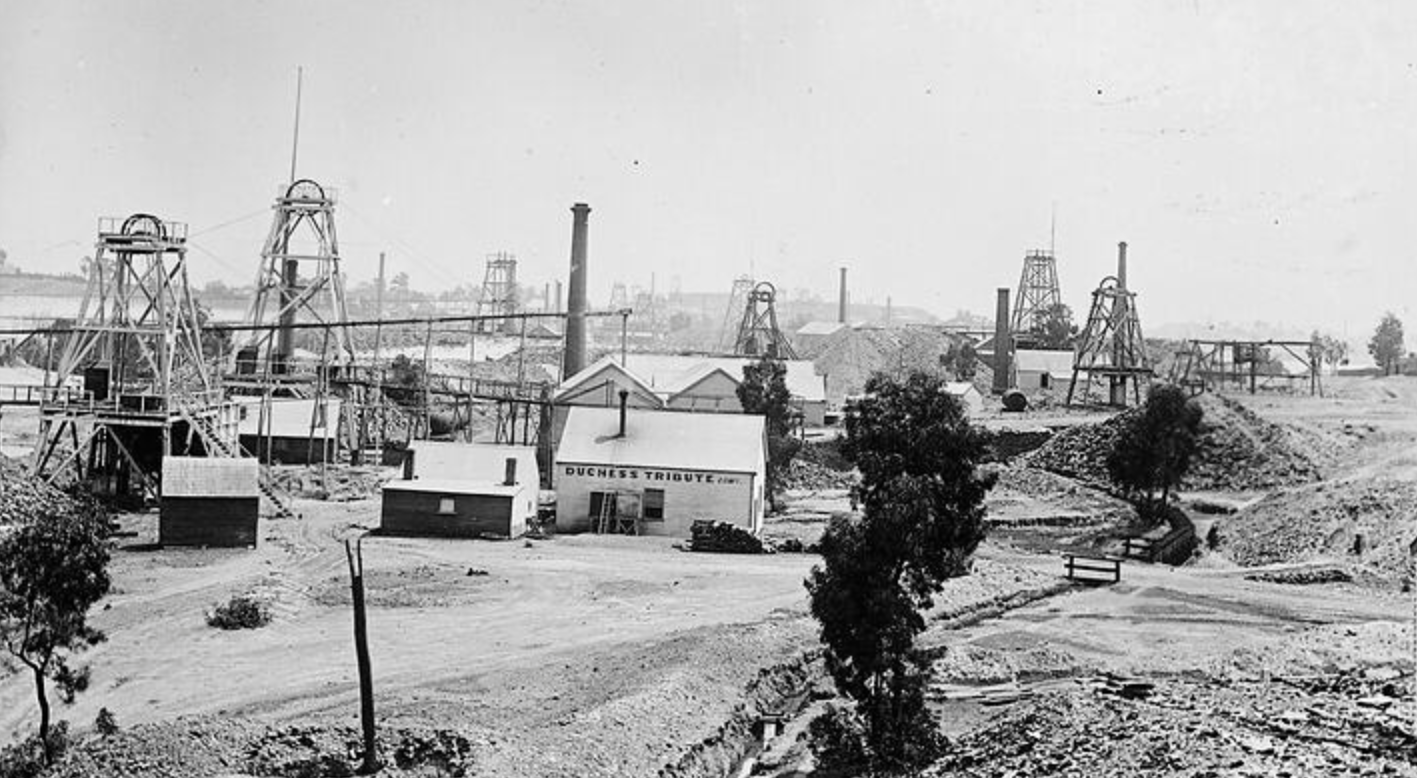
Above:- California Gully, c. 1895. Image c/o Museums Victoria.
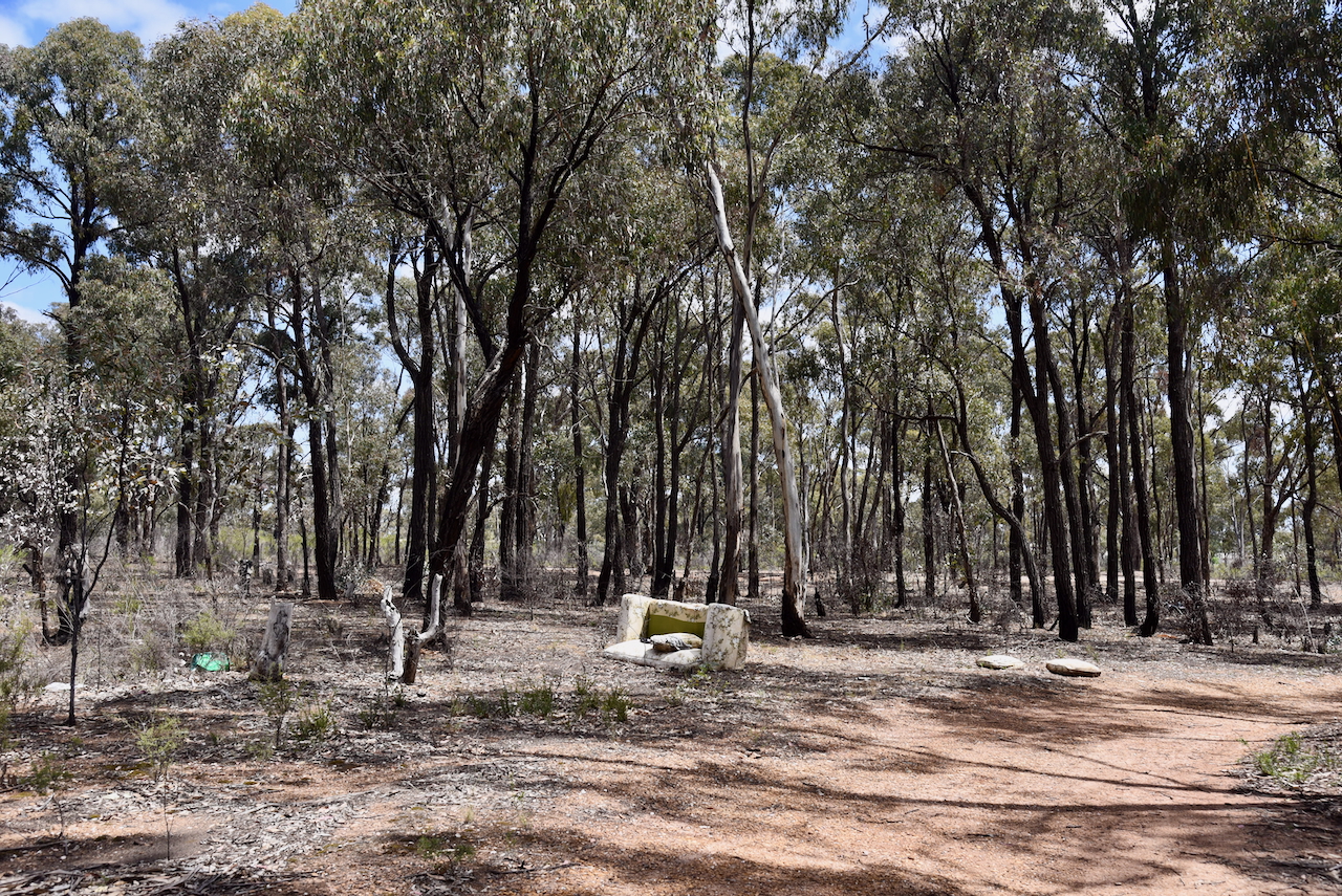
Sadly, as I drove into the reserve I noticed rubbish everywhere. Clearly some of the good people of Bendigo use the reserve as a dumping point for their rubbish.
The reserve is located between Prouses Road, Holdsworth Road, Sandhurst Road and Jobs Gully Road.
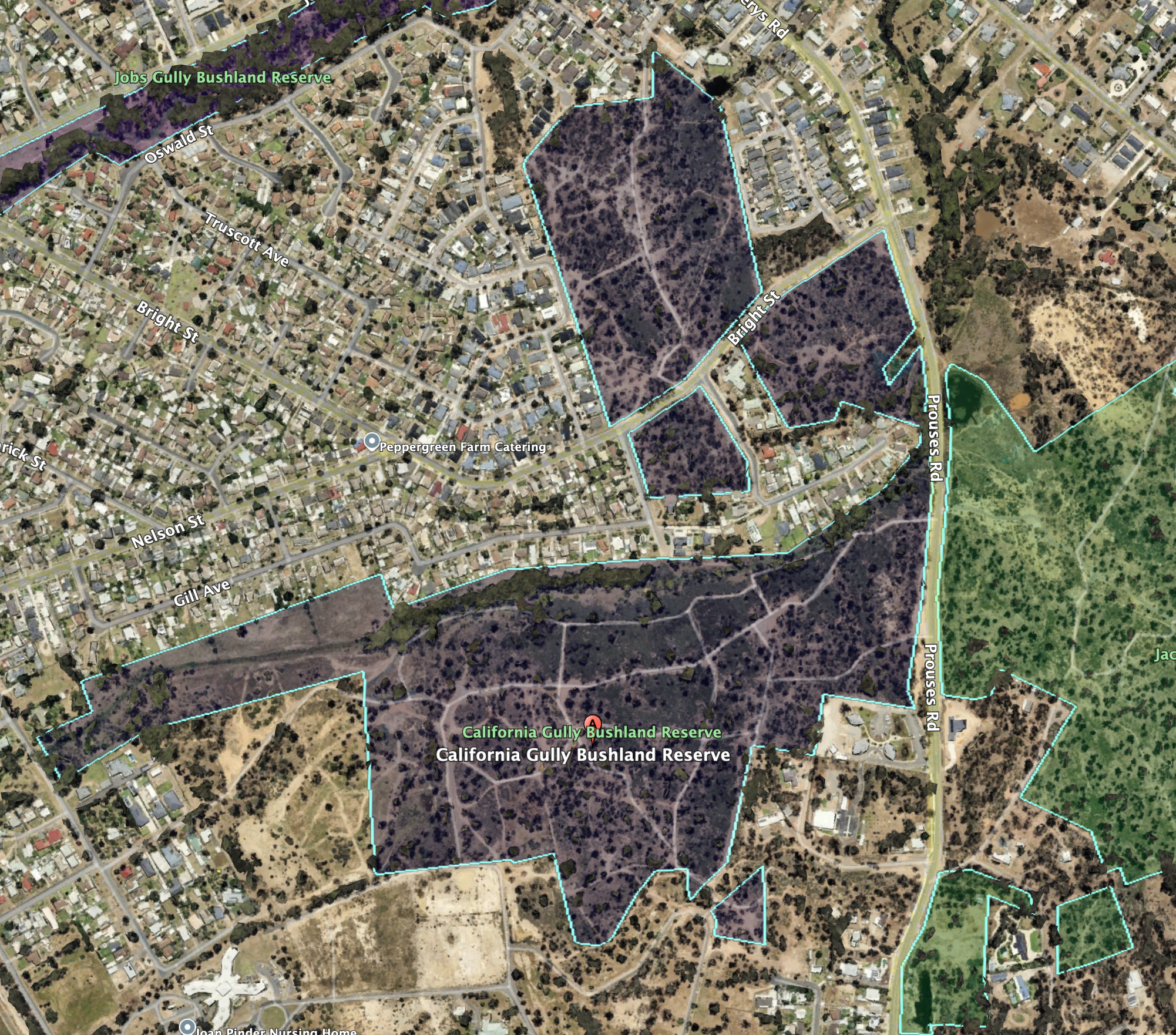
Above:- Aerial view of the California Gully Bushland Reserve. Image c/o Google Earth
The reserve is about 48 hectares in size and was established on the 26th day of February 2002. (CAPAD 2022)
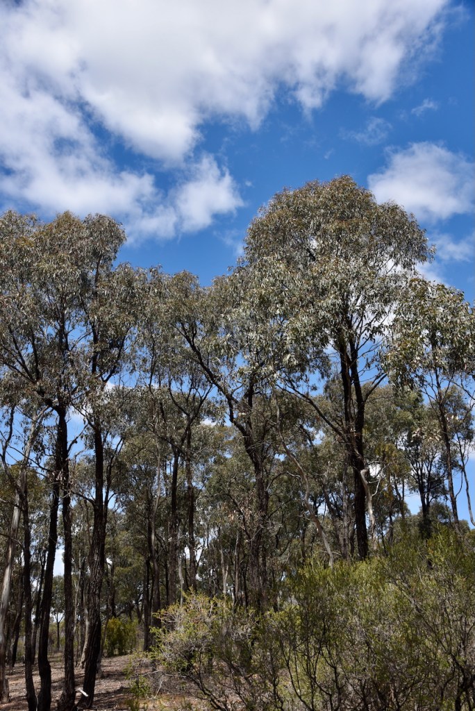
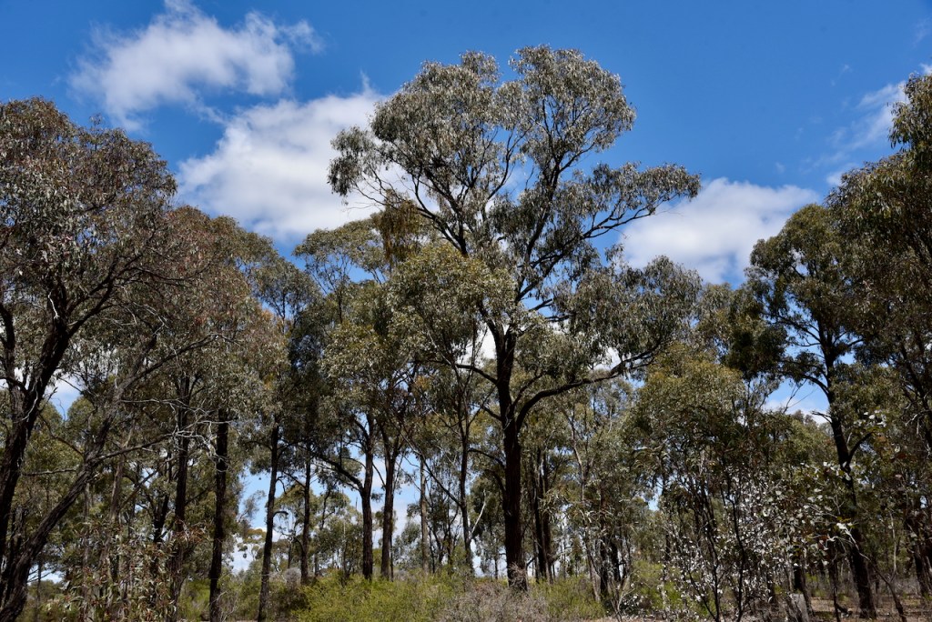
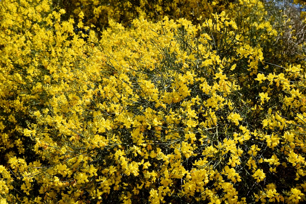
I drove into the park via a 4WD track. I ran the Yaesu FT857, 40 watts, and the 20/40/80m linked dipole for this activation.
I logged a total of 46 stations including 8 Park to Park QSOs.
It was a pleasure to log Lew VK5DU at his very first park activation.
I worked the following stations on 40m SSB:-
I worked the following stations on 40m AM:-
I worked the following stations on 40m FT8:-
I worked the following stations on 20m SSB:-
I worked the following station on 20m FT8:-
References.
Amateur Radio, Short Wave Listening, travel and history
Amateur radio experiences with VK1DA
Brisbane - Australia
german amateur radio station
Summits On The Air
SOTA on the peaks, wilderness QRP and some bushwalking
A fine WordPress.com site
Amateur Radio Adventures
Summits on the Ai
Radio craft, homebrew, QRP/SOTA, AM
Ego loqui ad viros super montes
My adventures with Amateur Radio and Geocaching!
The rantings of VK2GAZ on his SOTA experiences in Australia
A survivor, with minor cuts and abrasions.
The Art and Craft of Blogging
News, Tips & Website Tutorials
Blog of Justin Giles-Clark VK7TW's SOTA and amateur radio adventures.
Occasional SOTA & Microwave operation
Some accounts of SOTA and other radio outings

