At about 0116 UTC on the 28th day of July 2024, I tuned in to China Radio International, broadcasting on 17640 kHz in the English language.
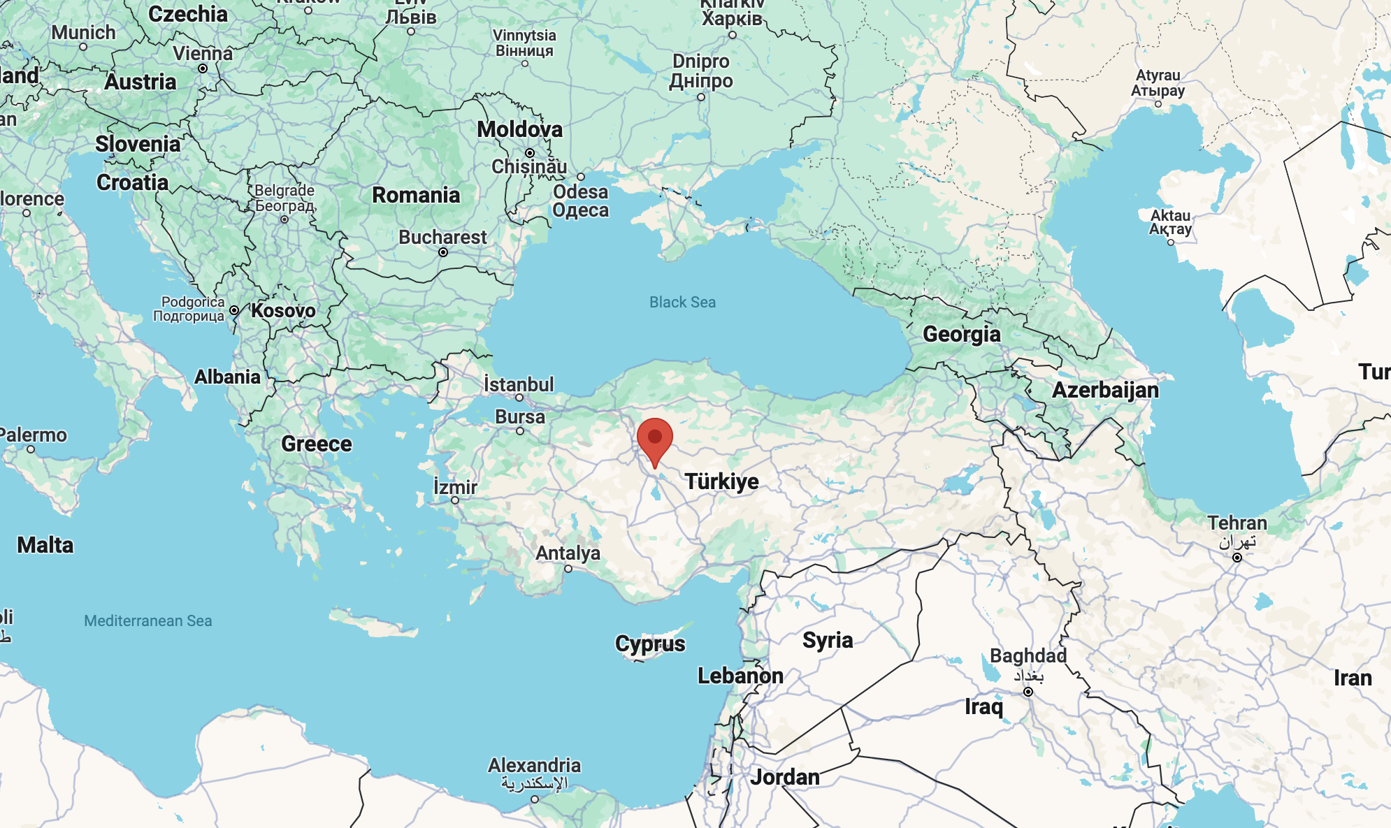
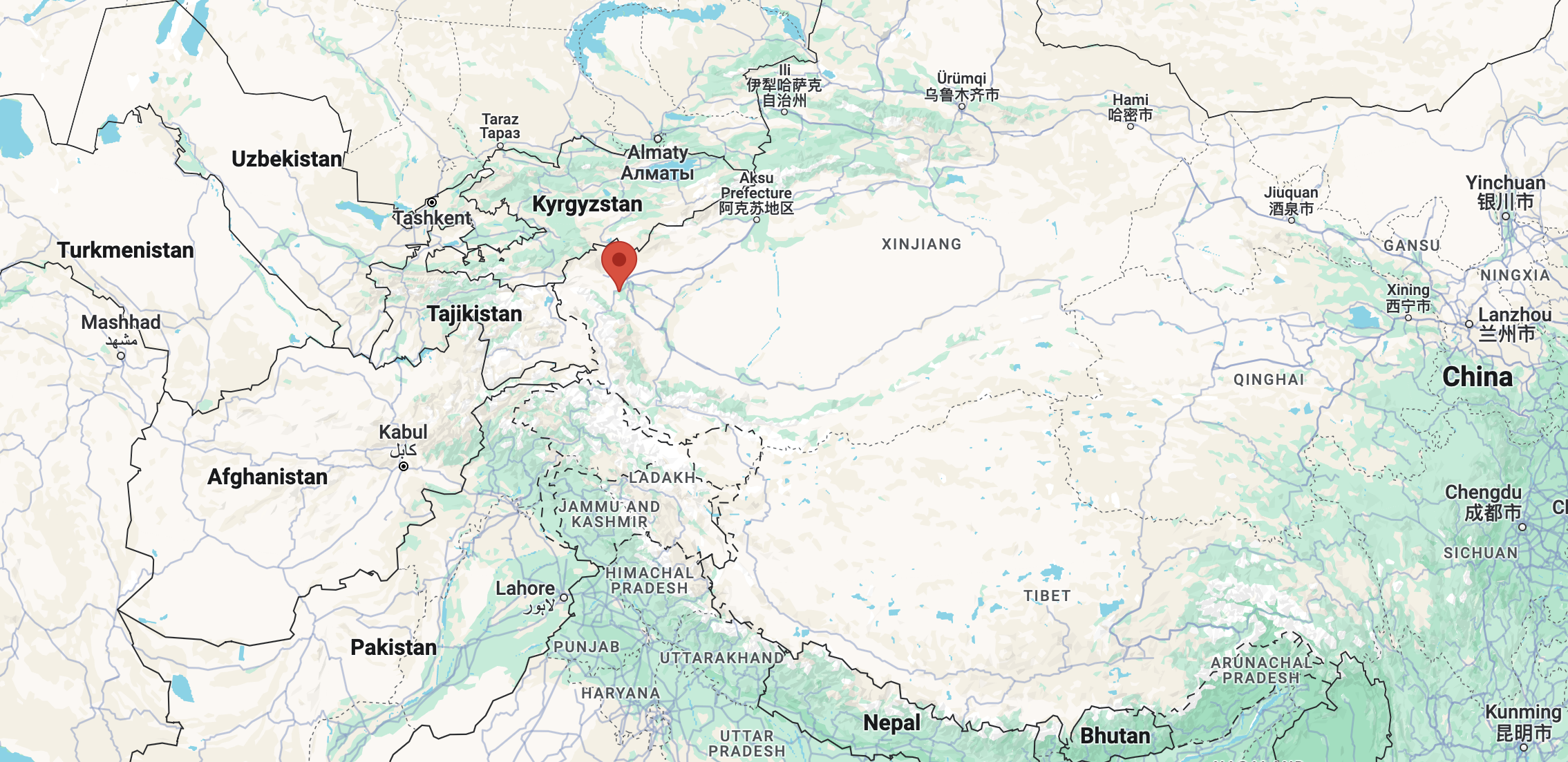
The signal was coming from the Kashi Saibagh 500kW transmitter in China. (Short Wave Info 2023)
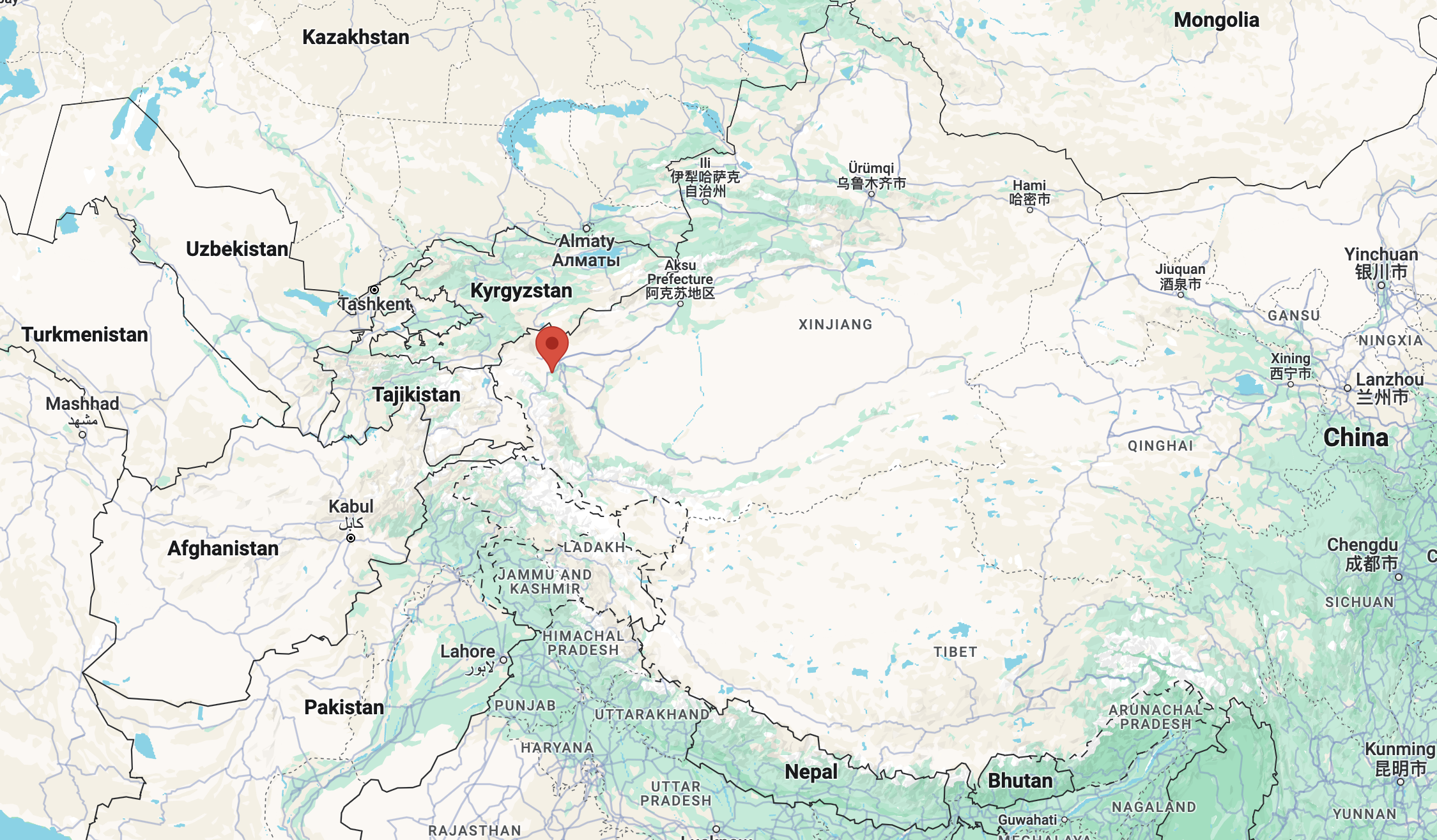
Above:- Map showing the location of Kashi Saibagh. Map c/o Google Maps.
The overall reception of China Radio International was excellent. The signal strength was very strong. There was no fading of the signal. There was no interference from other stations on the same frequency or on adjacent frequencies.
| S | I | N | P | O |
| 5 | 5 | 5 | 5 | 5 |
Below is a short video showing my reception of China Radio International.
References.
- Short-wave.info. (2023). Short-Wave Radio Frequency Schedule. [online] Available at: http://www.short-wave.info/index.php [Accessed 27 Jul. 2024].