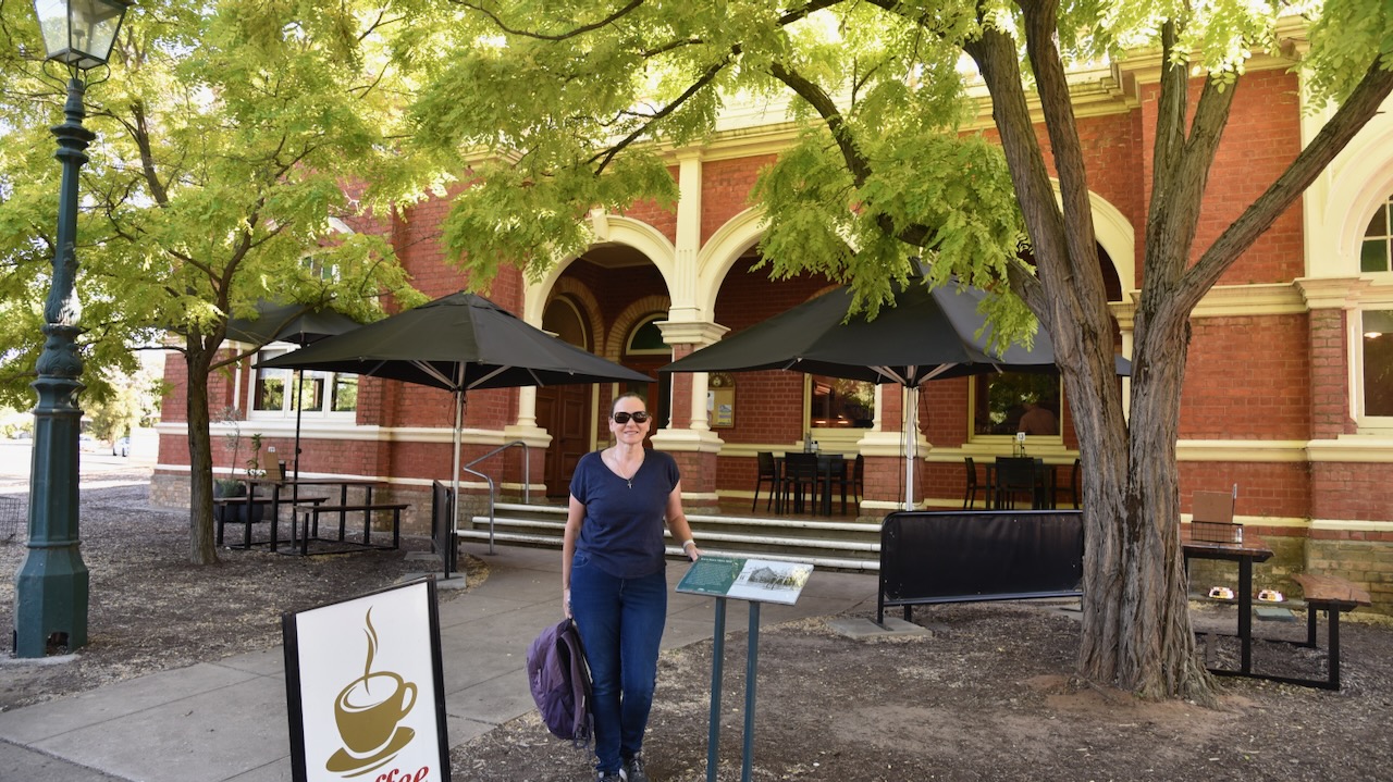
It was now day two of our trip, Saturday 18th November 2023. We had spent a very enjoyable night in St Arnaud and it was time to get stuck into another day of activities. Marija and I headed down the main street of St Arnaud and had a magnificent cooked breakfast at The Shire Cafe which is located in the old Kara Kara Shire Hall.
Kara Kara is an aboriginal word believed to mean gold and quartz. (Victorian Places 2024) The Shire Offices which are now the cafe, were built in 1902 and served as the administration centre of the Kara Kara Shire until 1996. The Federation era building contained the council chambers, a public office and smaller offices for the Shire Secretary and President. (Aussie Towns 2024)


In January 1855 gold was discovered at a sandy knoll which was called Bakery Hill, on the northern outskirts of St Arnaud. The goldfields became known as New Bendigo. (Victorian Places 2024)
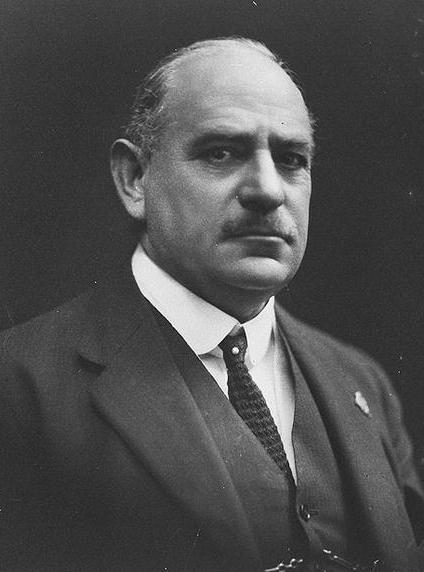
The township of St Arnaud was surveyed in 1856 and is named after Jacques Leroy de Saint-Arnaud (b. 1798. d. 1854), a French soldier and Marshal of France. He served as French Minister of War until the Crimean War when he became Commander-in-chief of the Army of the East and fought alongside the British as the Commander-in-Chief. (Aussie Towns 2024)
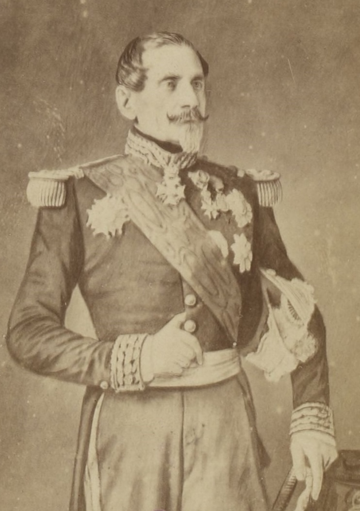
Above:- Jacques Leroy de Saint Arnaud. Image c/o Wikipedia.
Below is a very informative video on the township of St Arnaud and its gold mining history.
The St Arnaud Court House was constructed during the 1870s. The courthouse is built in what is known as the Victorian Free Classical style. It originally contained a single courtroom and three adjoining rooms. In 1882-1883 new rooms for the Judge, barristers and witnesses were added, along with a jury box and retiring room. A verandah and double entry were also added to the building. (Aussie Towns 2024)


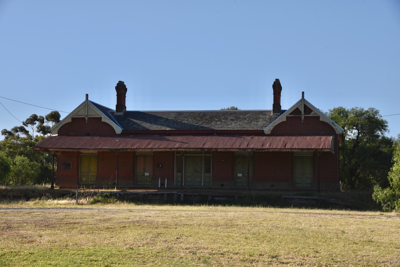
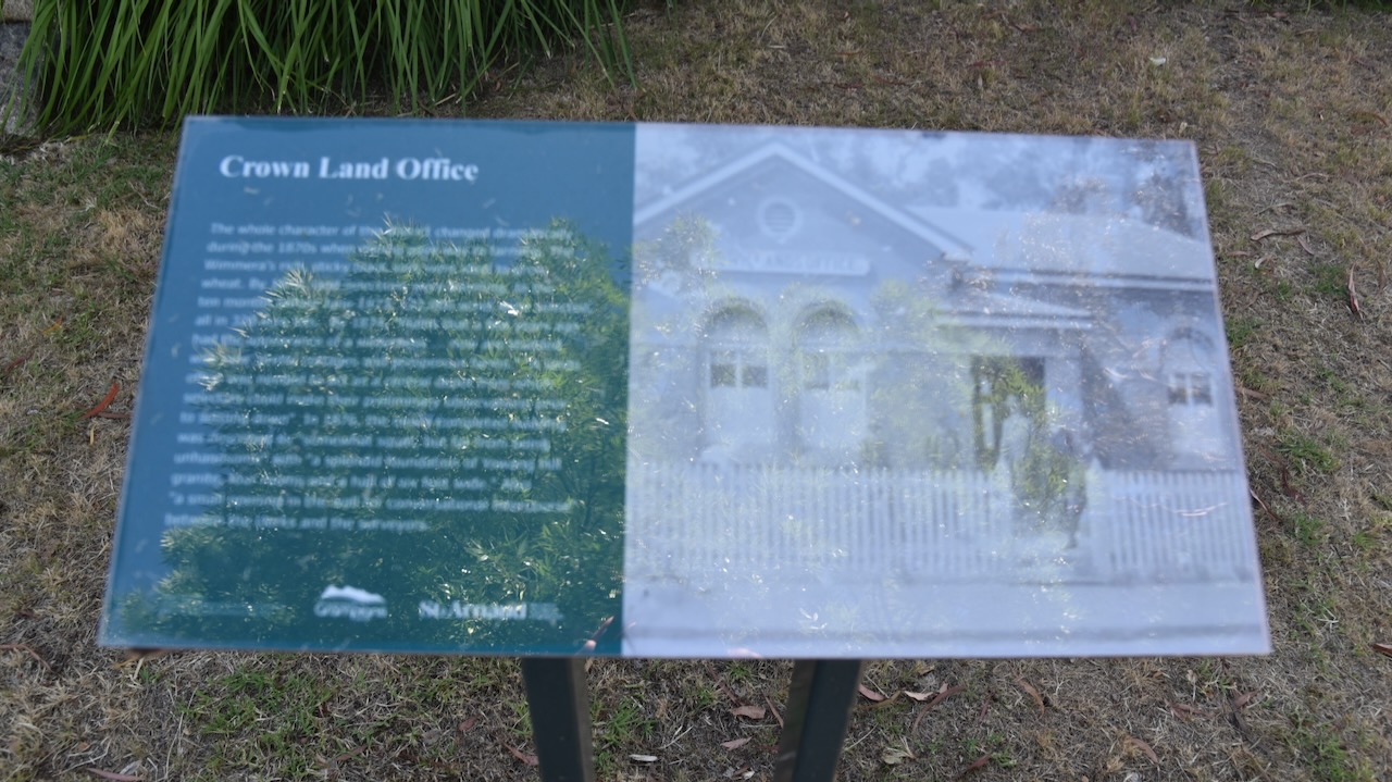
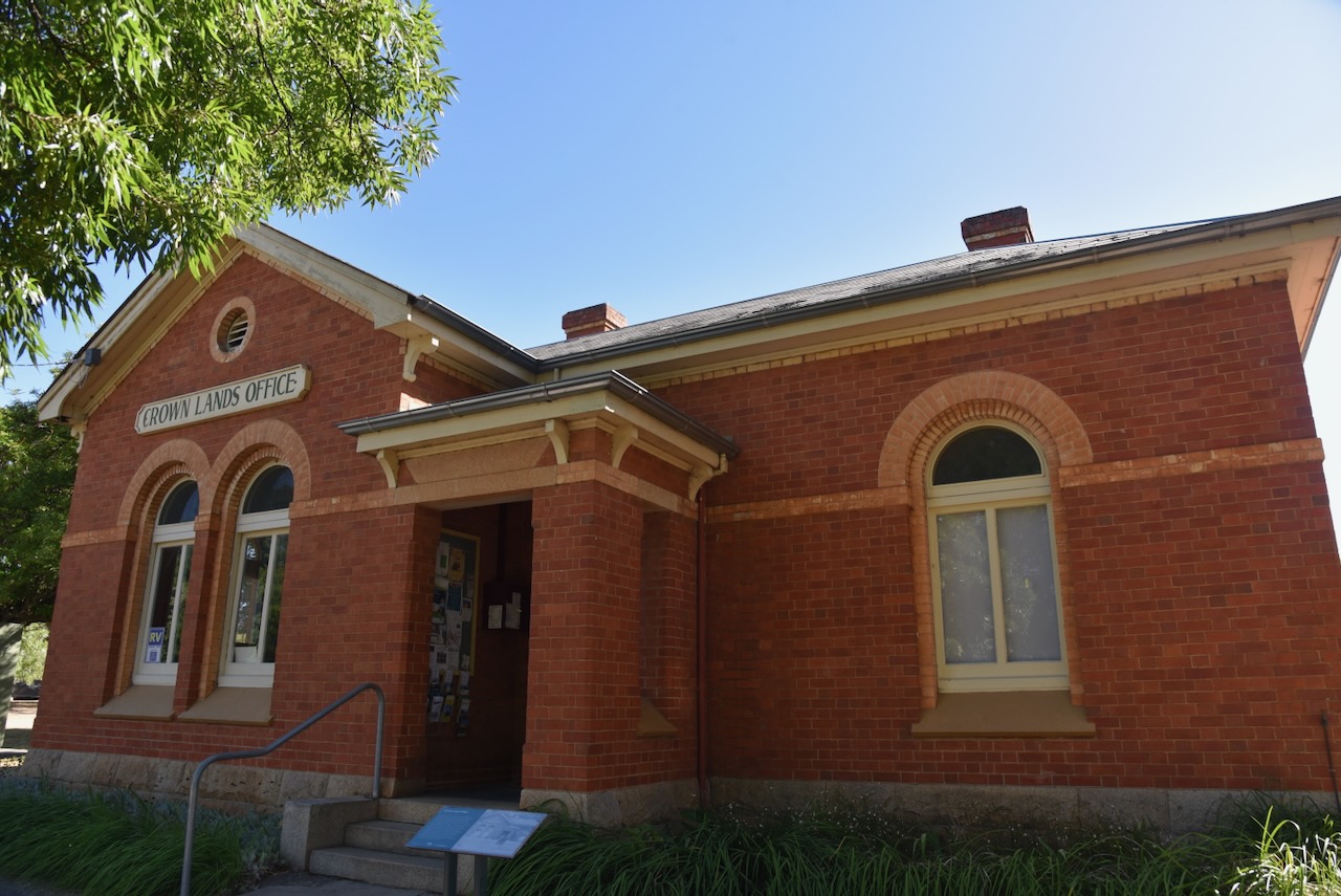
The old Crowns Lands Office is now the Visitor Information Centre. The building was completed in 1876 and at the time was described as ‘a splendid foundation of Yawong Hill granite, four rooms and a hall six feet wide.’ (Aussie Towns 2024)

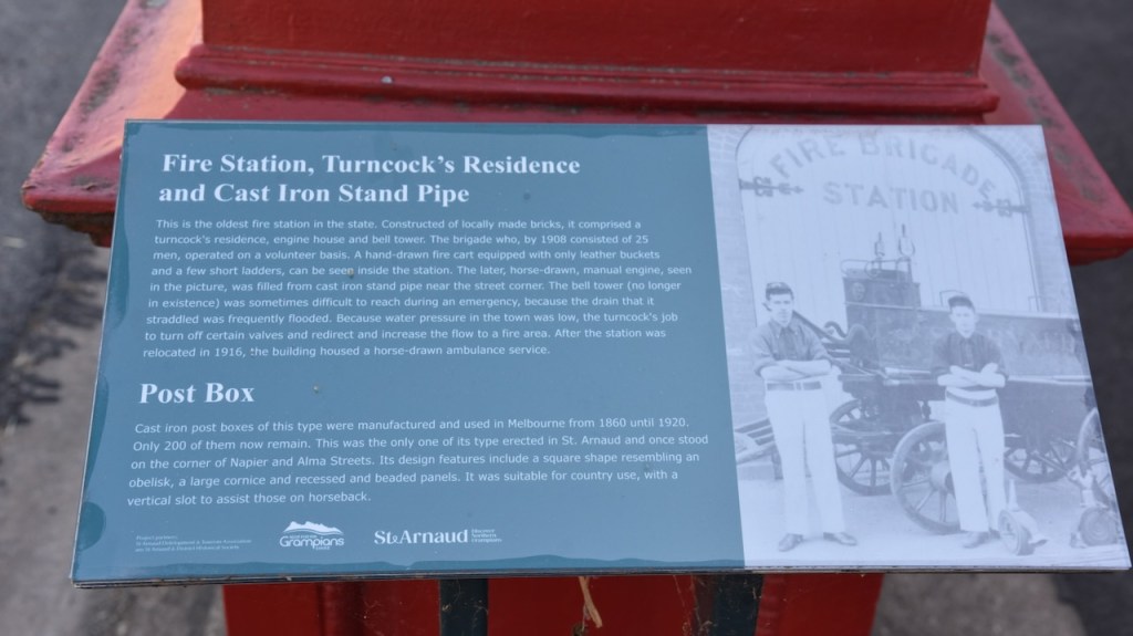
Adjacent to the old Fire Station is a historic cast rin post box which was built during the 1860s. There are only 200 of these historic post boxes remaining in Victoria. (Aussie Towns 2024)

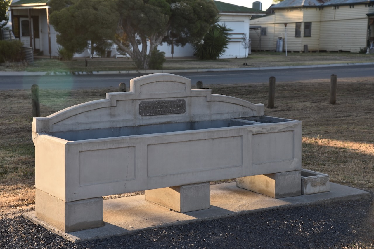
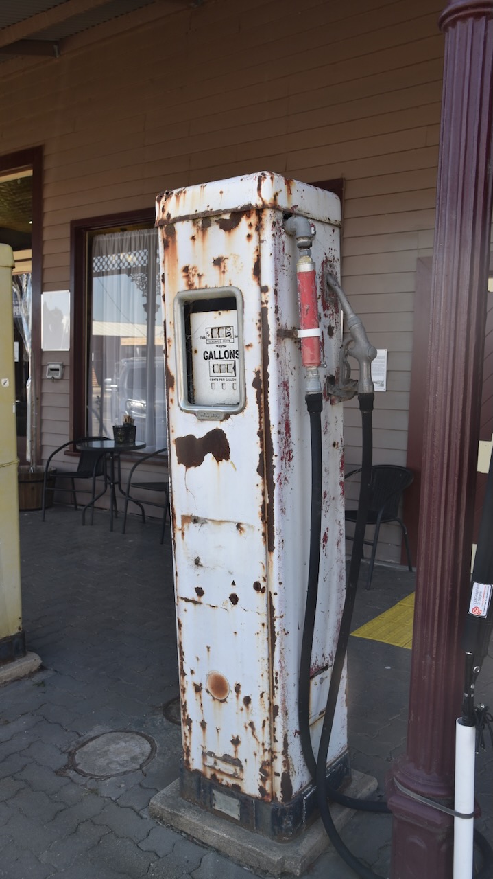
And of course St Arnaud has a Bills Horse Trough. See my previous post about these.

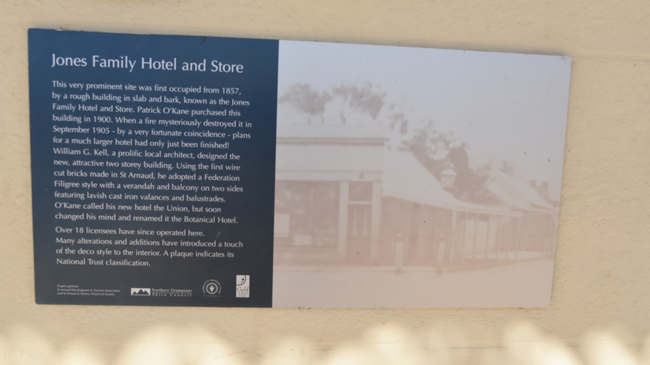
The Botanical Hotel is located adjacent to King Georges Park. The site on which the hotel now stands was first occupied from 1857 and consisted of a rough building in slab and bark and was known as the Jones Family Hotel and Store. It was destroyed by fire in September 1905. The current hotel was designed by William G. Kell, a prolific local architect. The hotel was initially known as the Union, but soon became known as the Botanical Hotel.

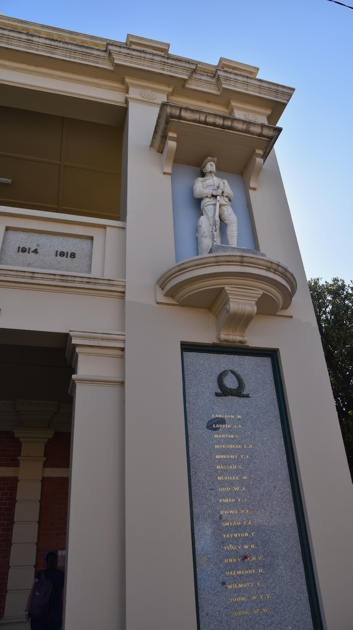
The Town Hall’s foundation stone was laid by Cr. James Stewart on the 28th day of August 1869. The formal opening was celebrated with a grand ball, including dancing until 6am the following day. (Aussie Towns 2024)


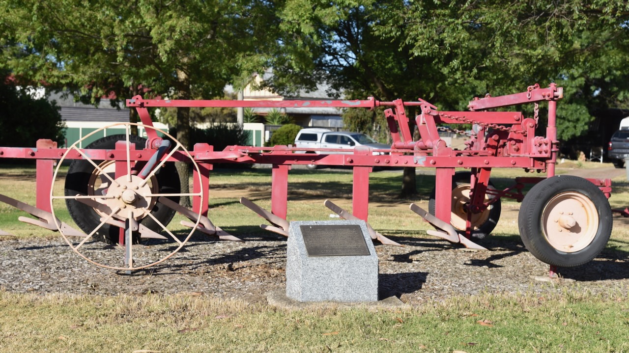
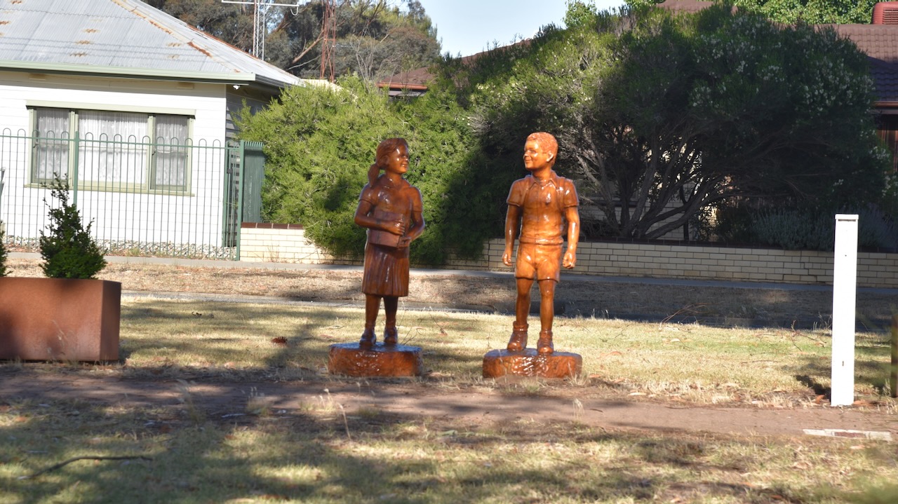
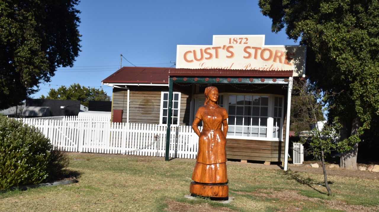
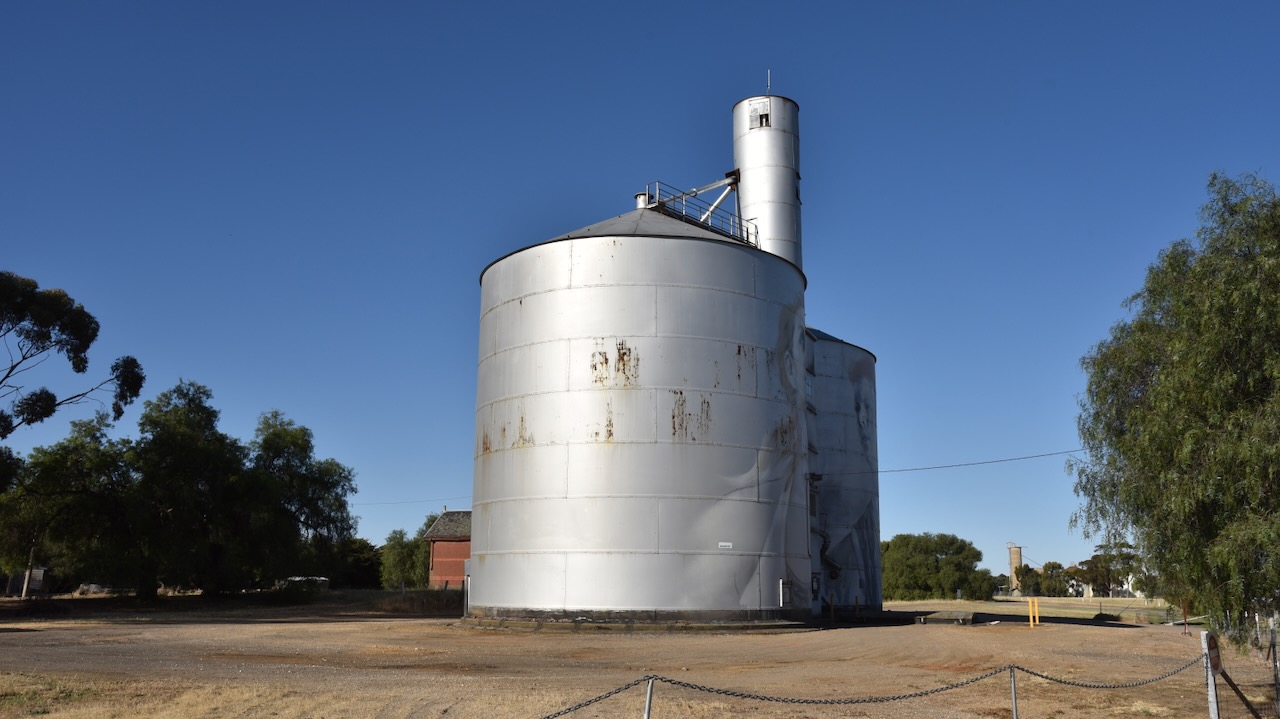
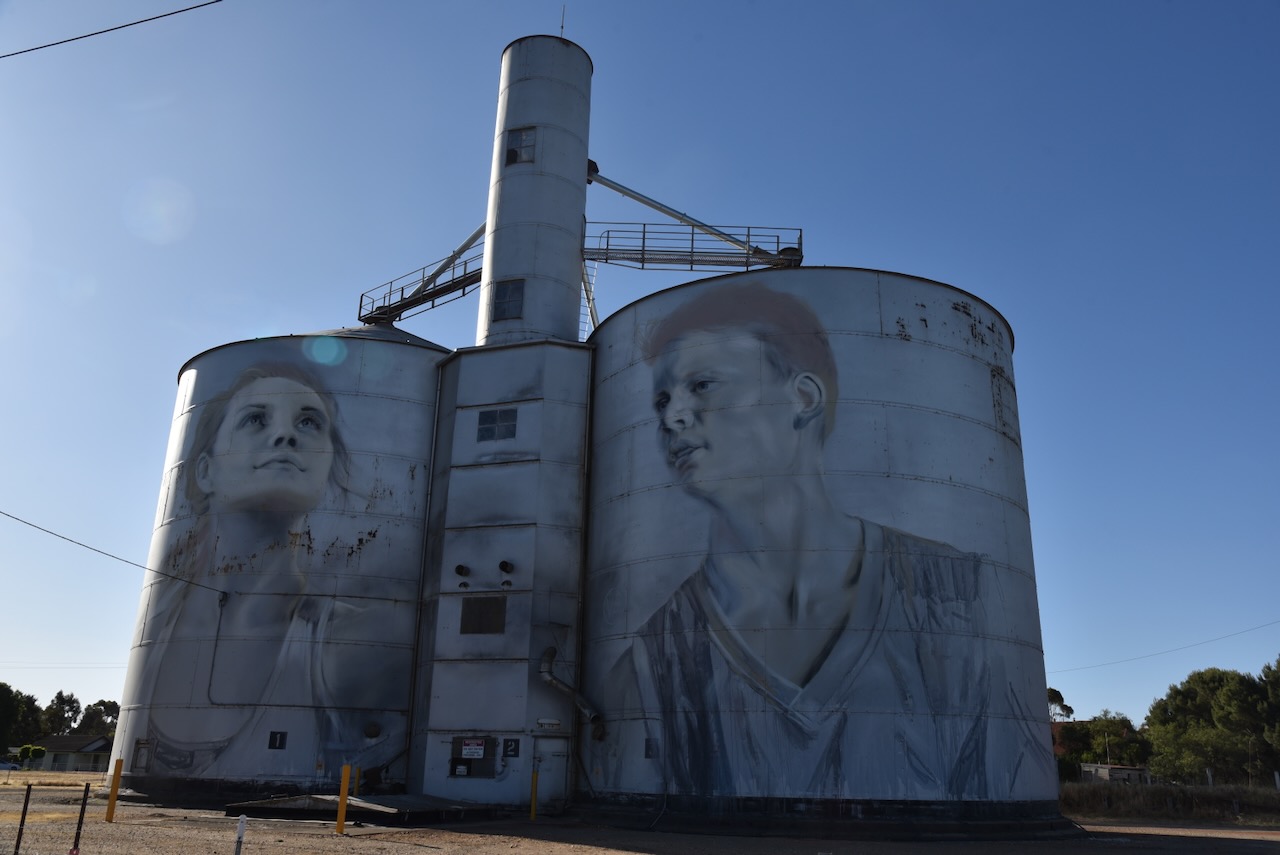
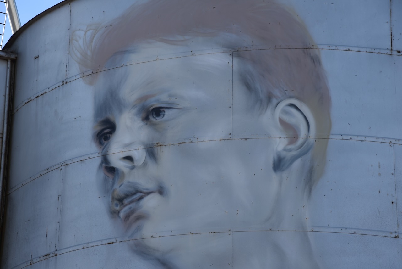
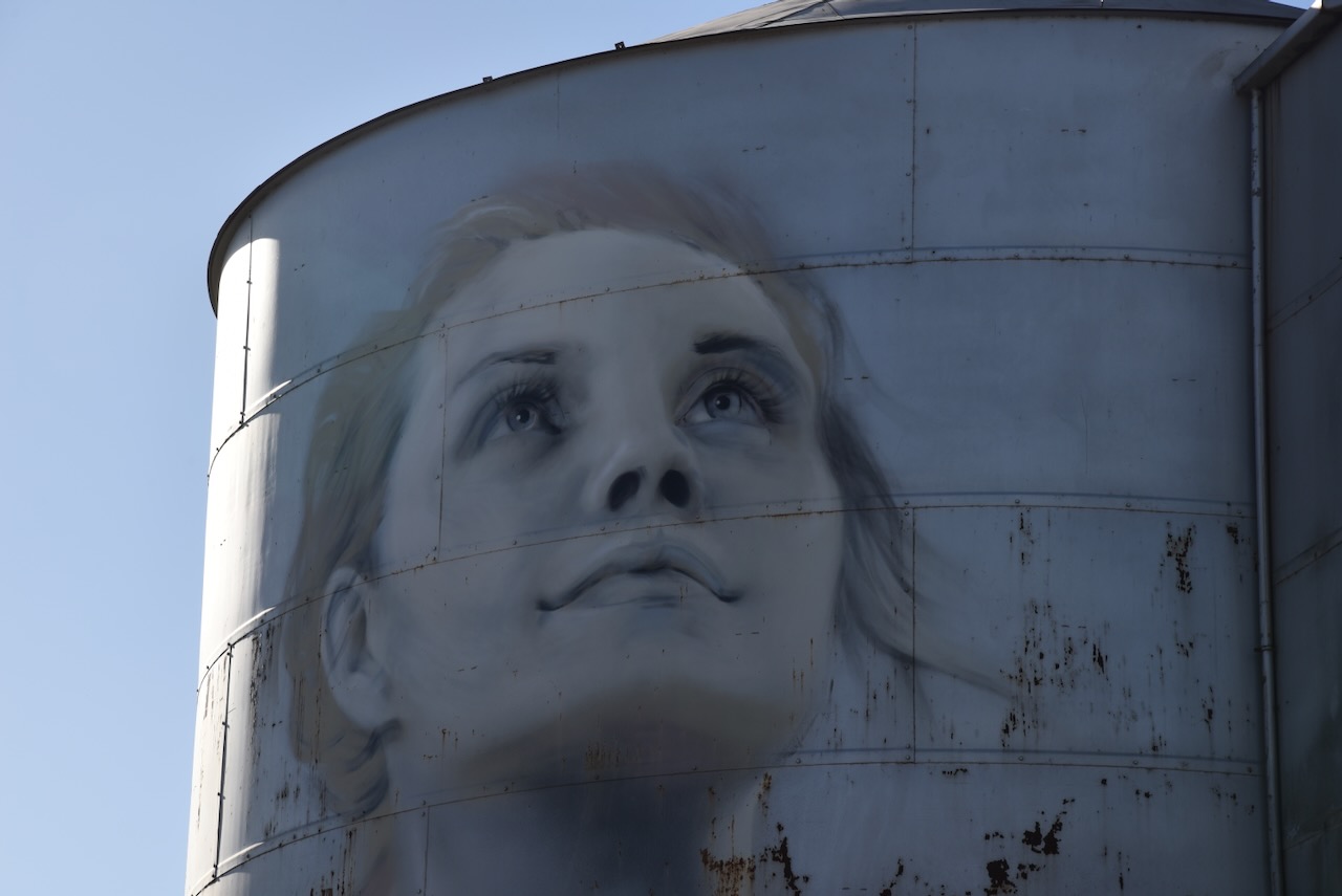
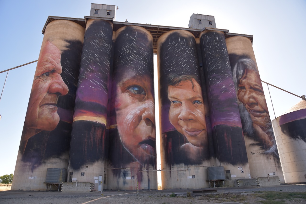
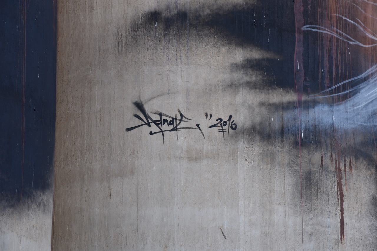
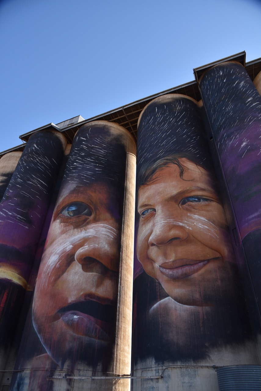
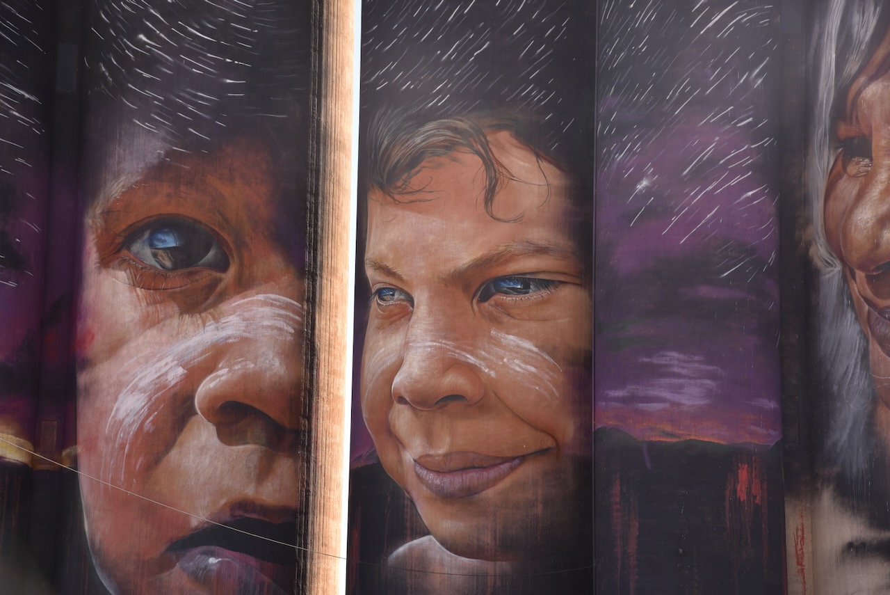
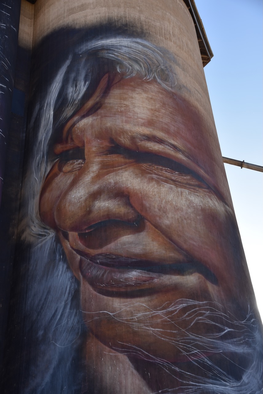
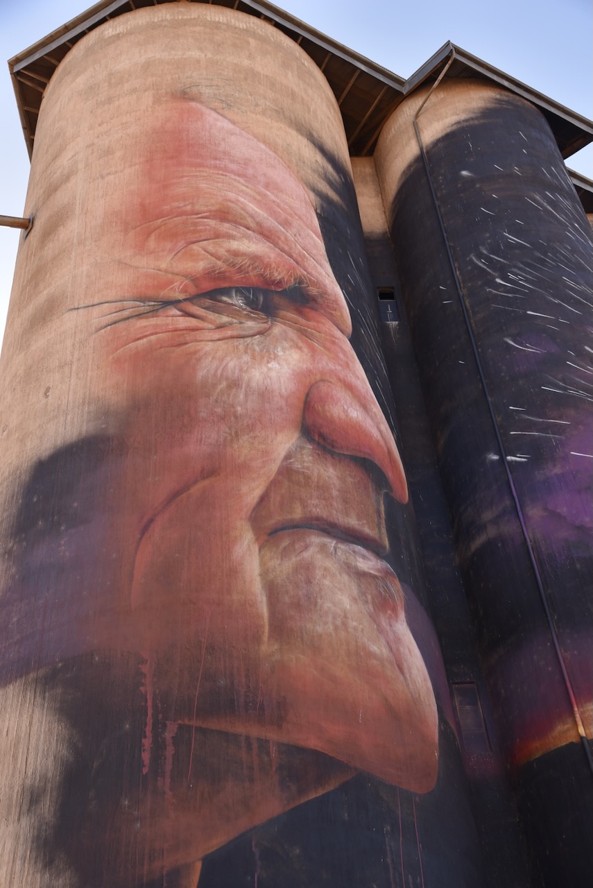
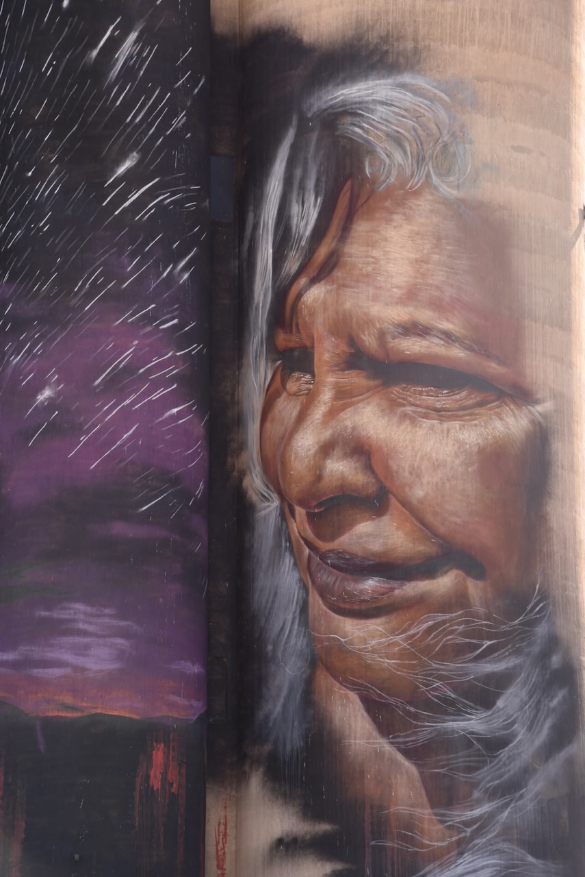
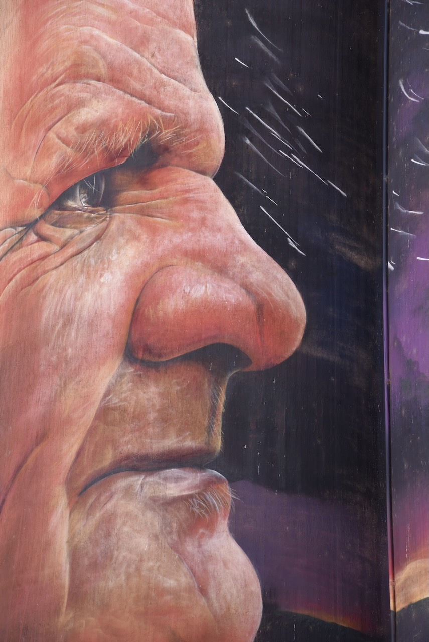
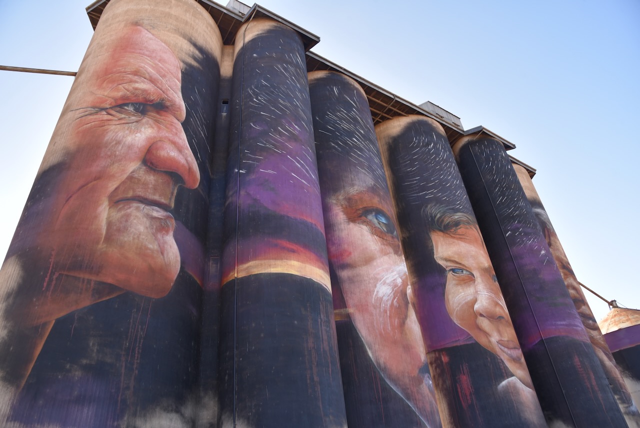
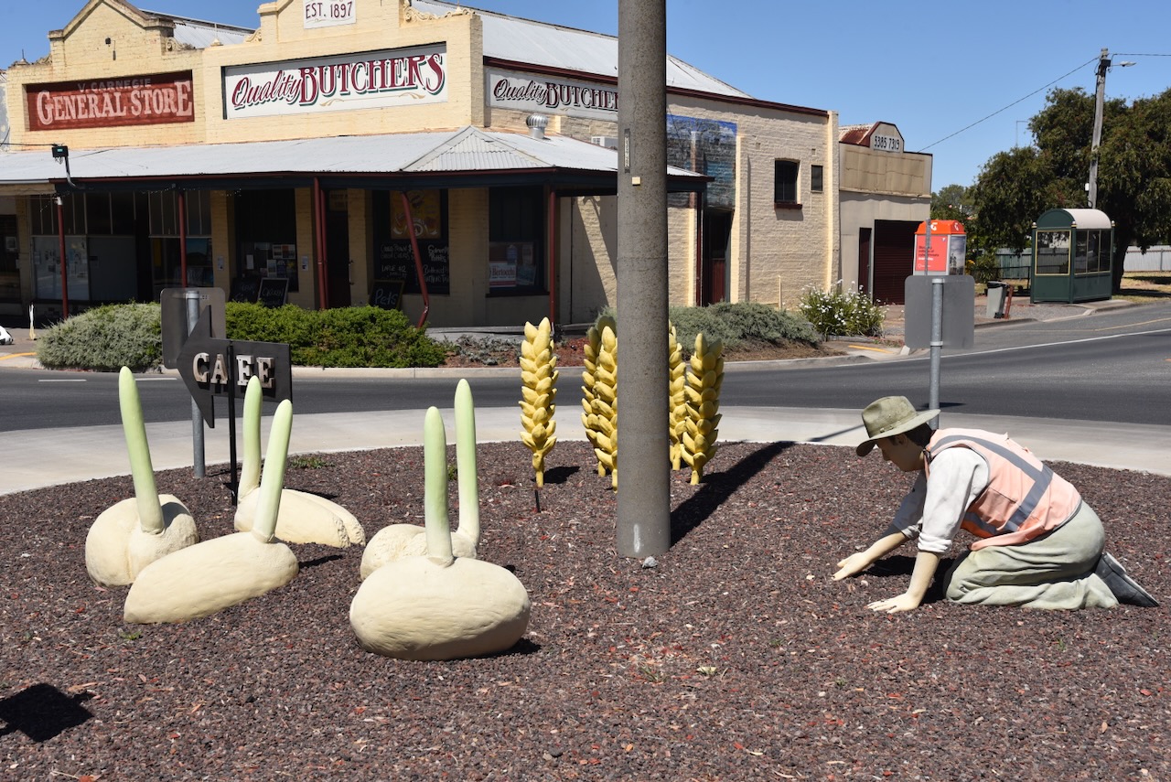
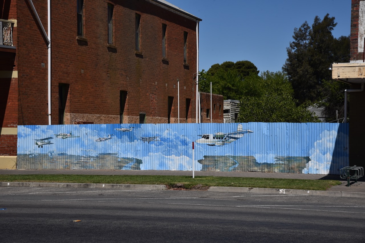
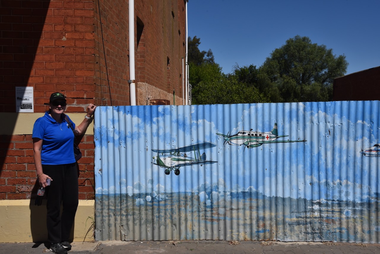
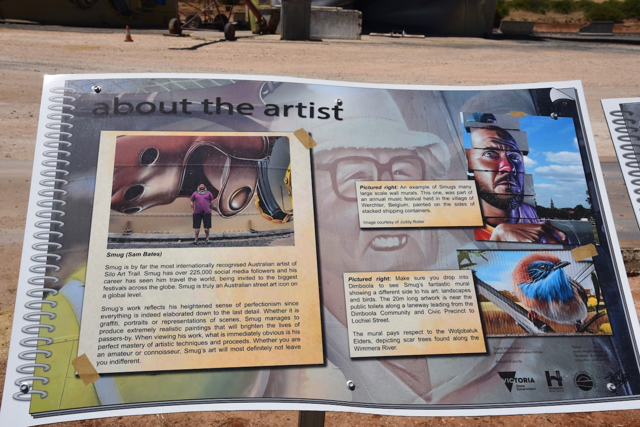
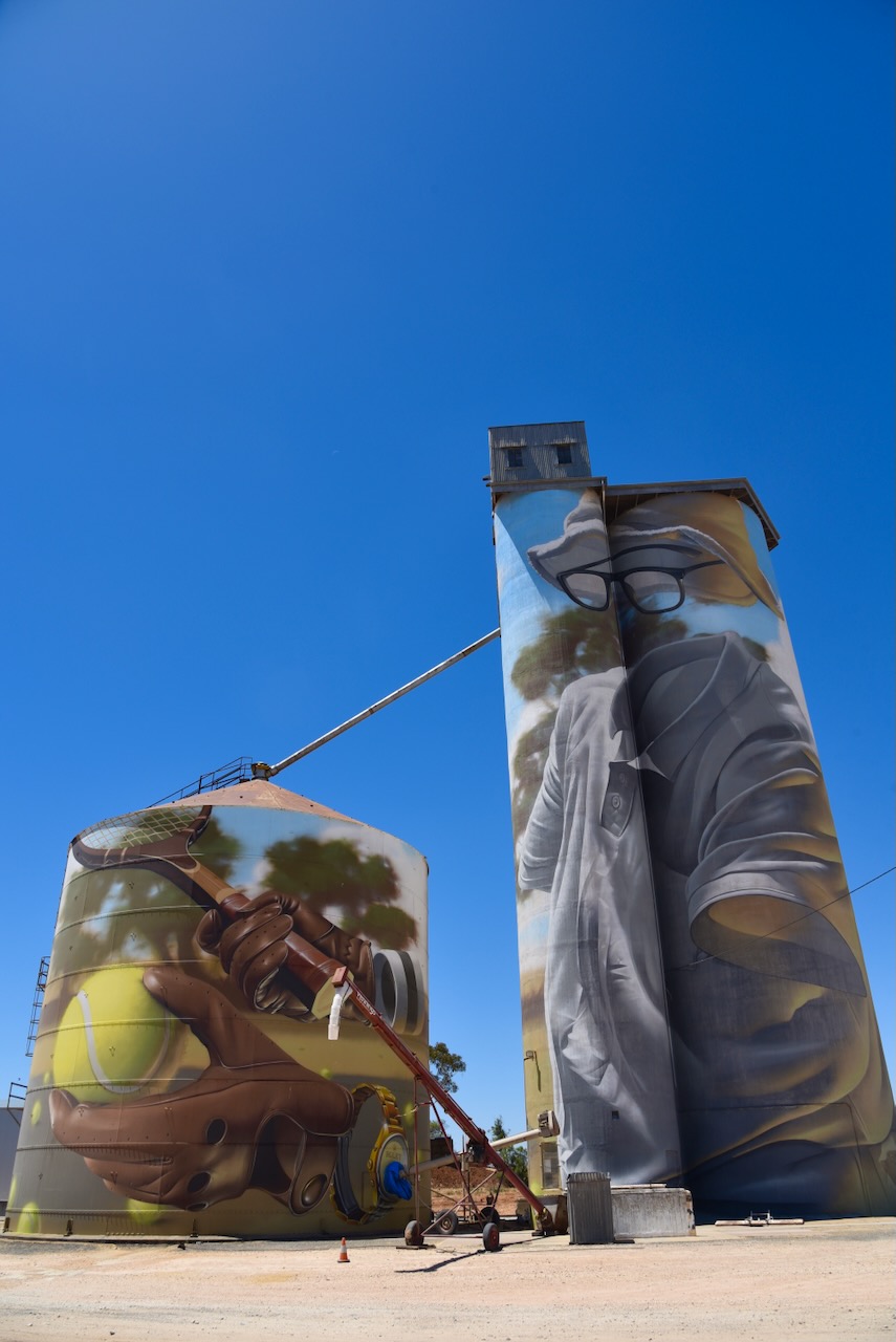
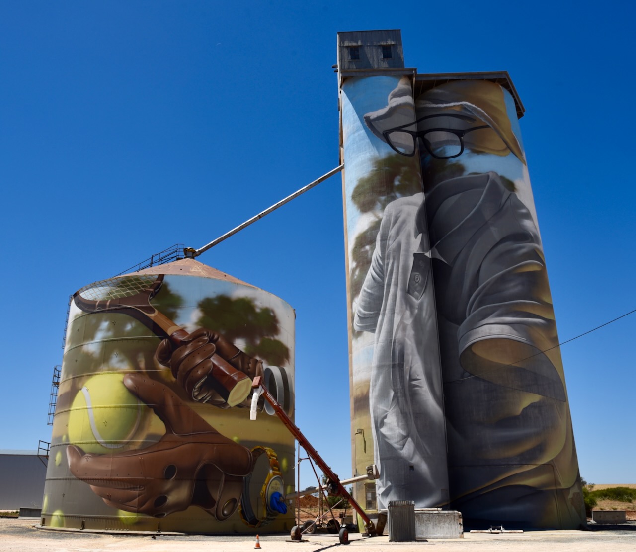
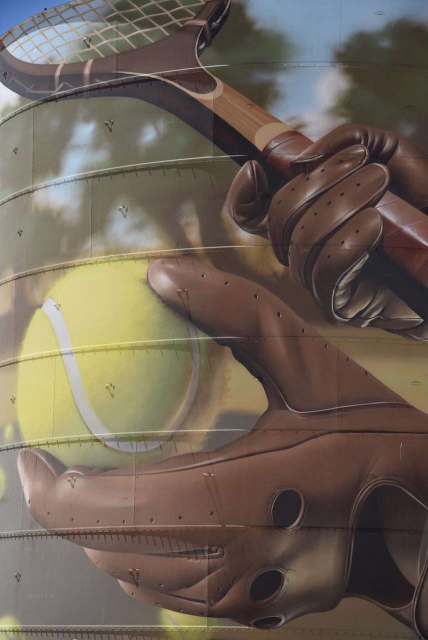
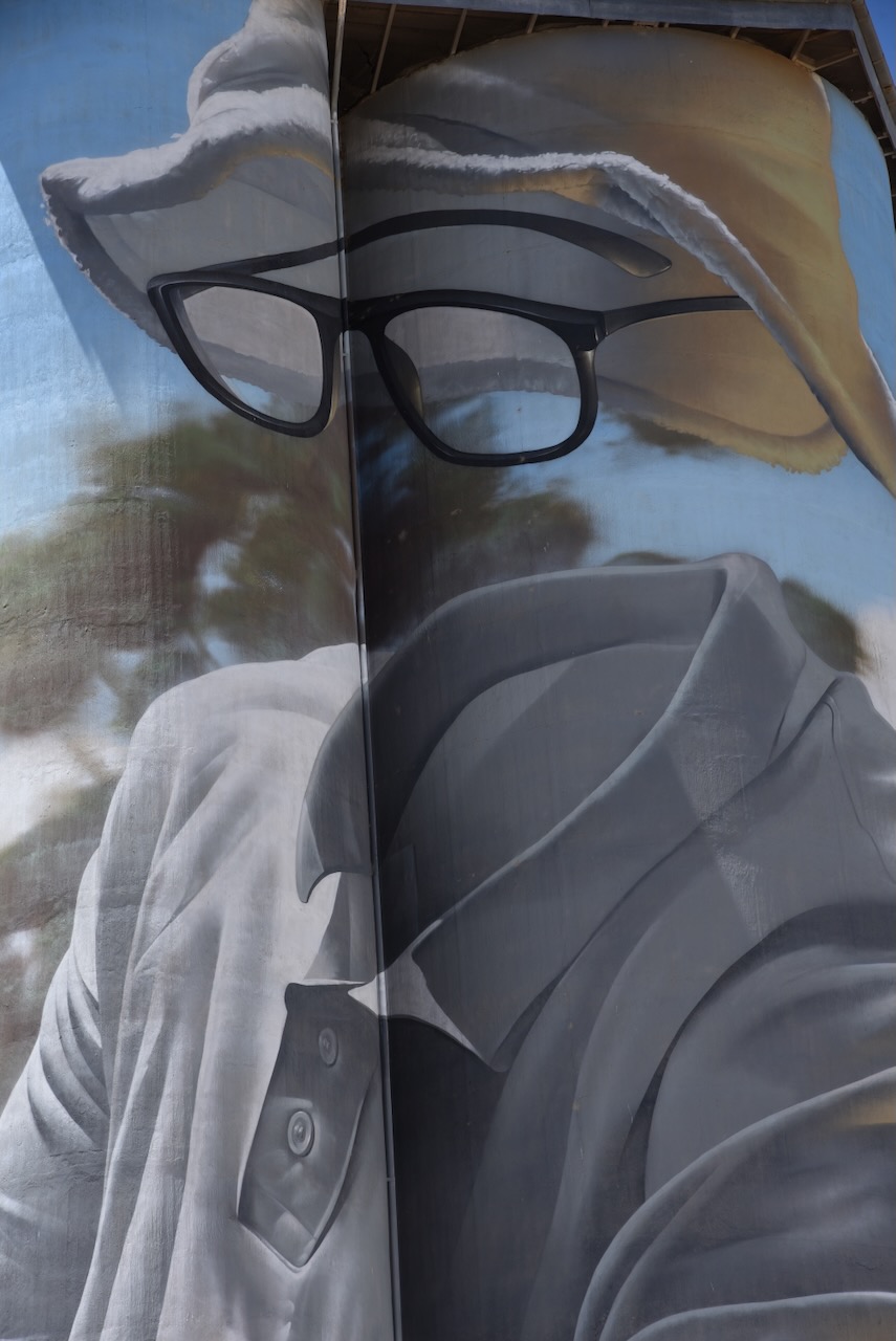
St Arnaud contains several murals, the work of St Arnaud based artist, Kyle Torney. The murals tell local stories with intricate detail. (Australian Silo Art Trail 2024)


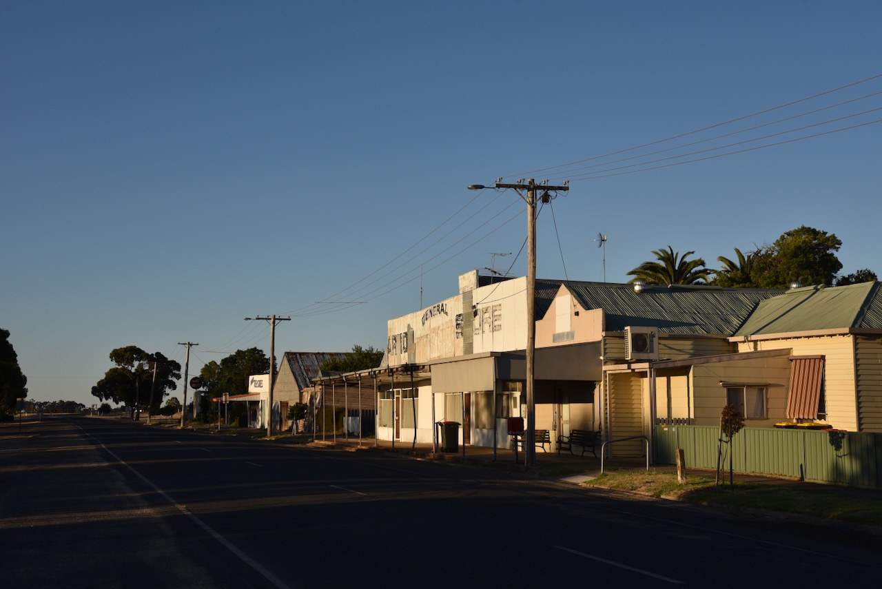
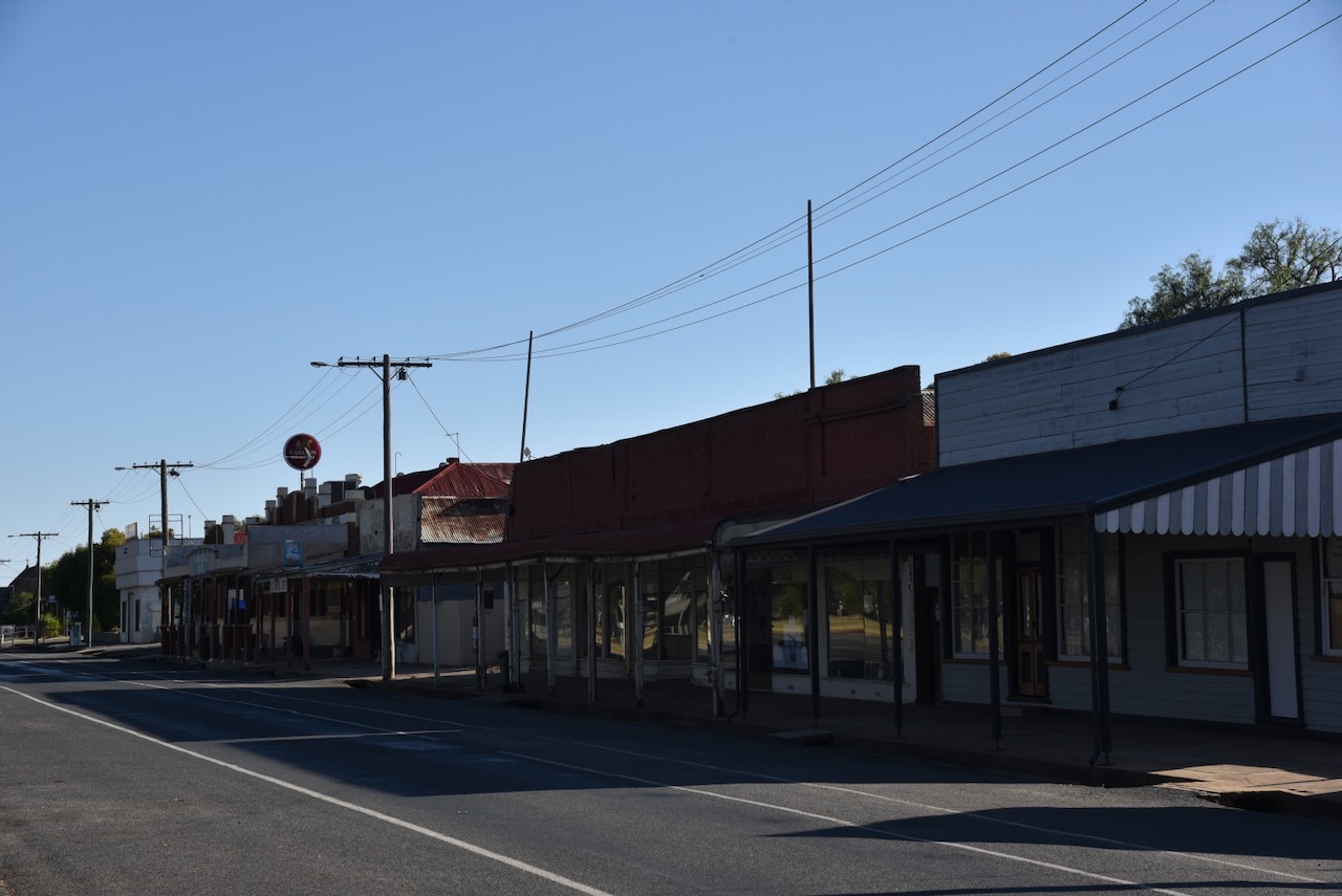
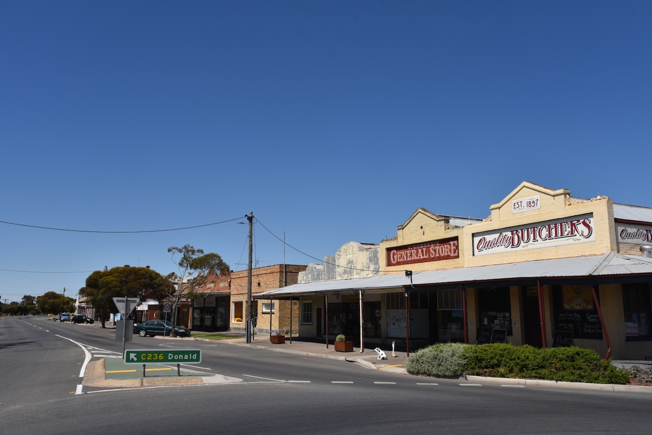
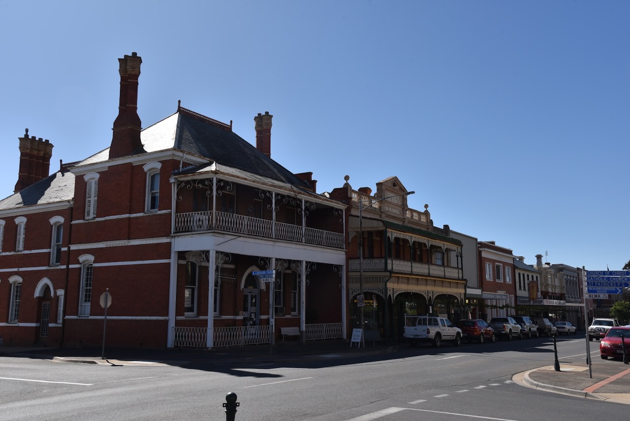
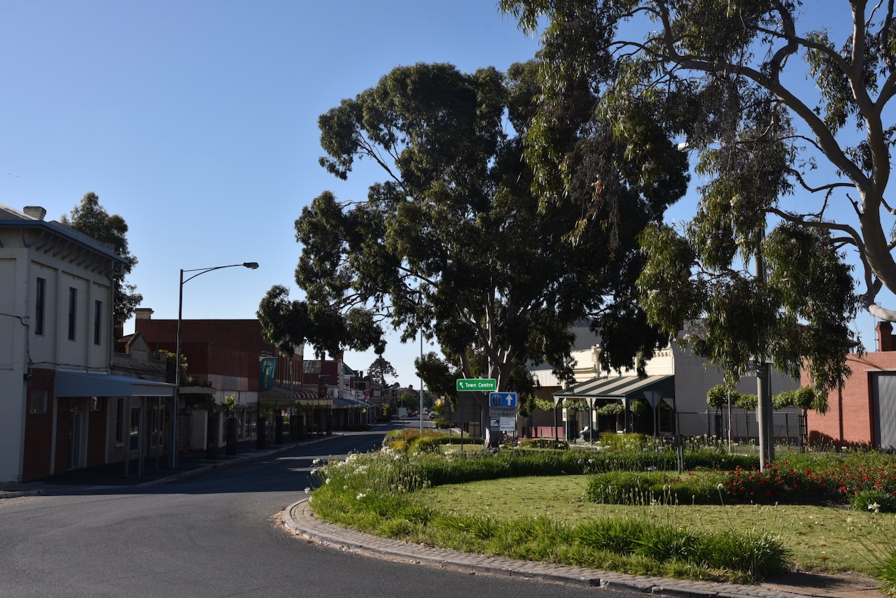
St Arnaud is one of my favourite towns. The main street has a magnificent feel and contains numerous historic buildings from the gold rush era.


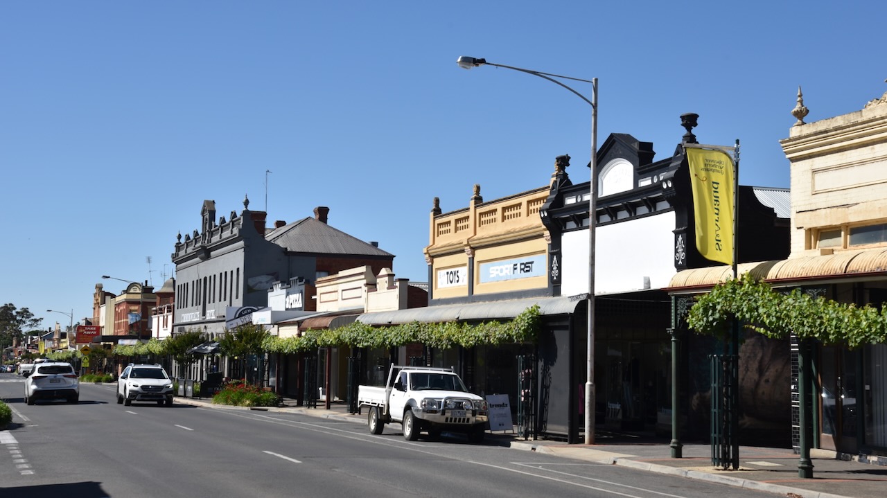


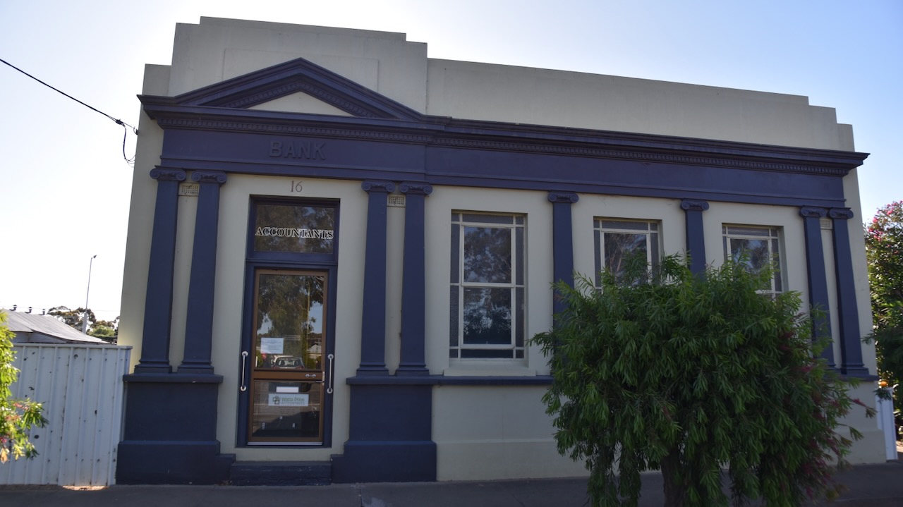
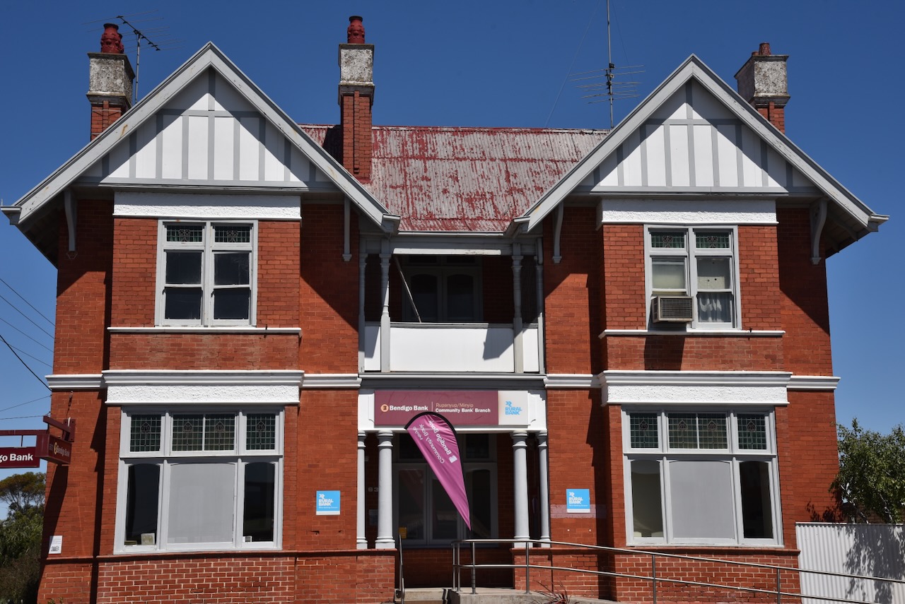
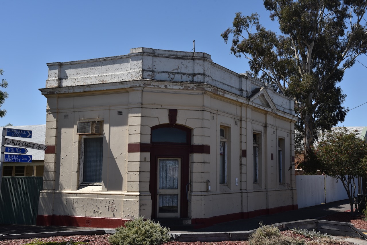
The former Bank of New South Wales building can be found in the main street. The building has Esdt 1817 above its entry doors, the year the bank was established. The building itself was built in 1873 and underwent rennovations in 1888. (Sydney Morning Herald 2024)


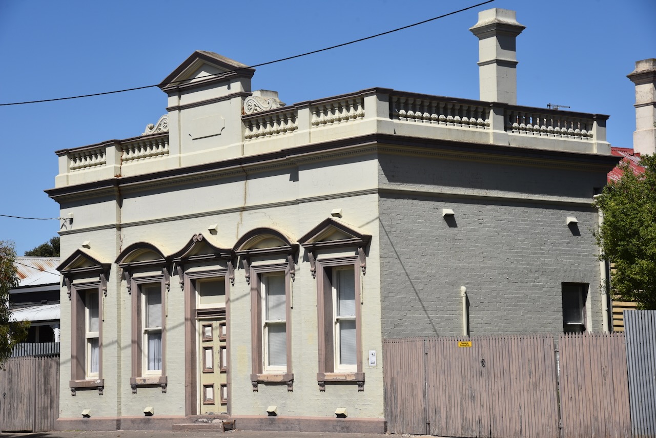
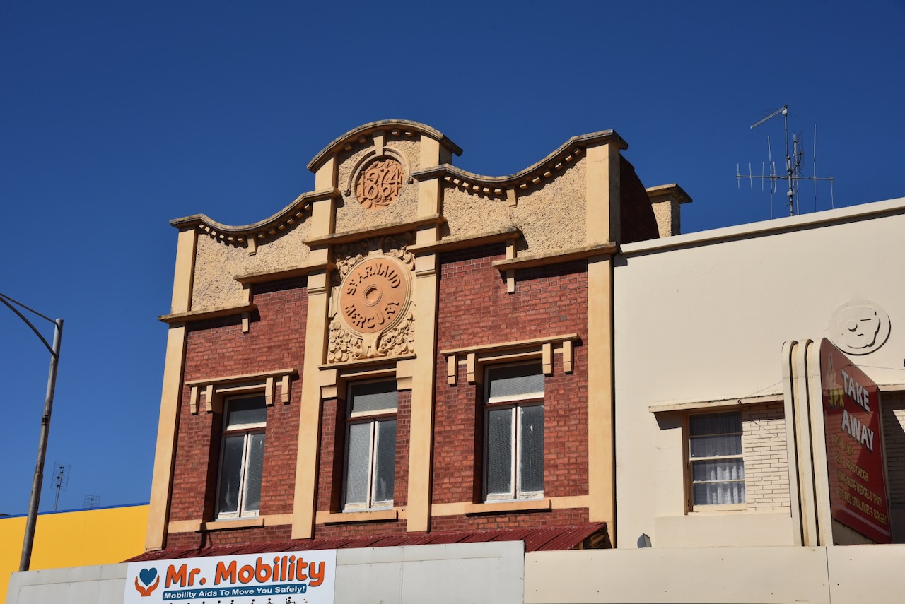
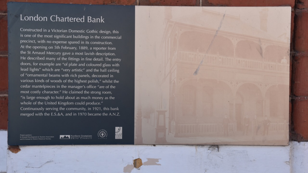
The London Chartered Bank was constructed in a Victorian Domestic Gothic design. It was opened on the 5th day of February 1889. At its opening a reporter from the St Arnaud Mercury newspaper described the entry doors as being ‘of plate and coloured glass with lead lights’ which are ‘very artistic.’
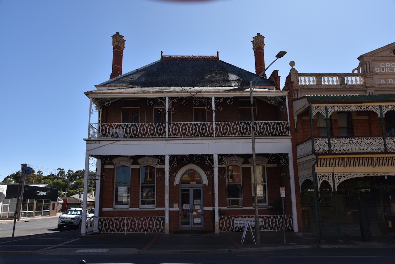
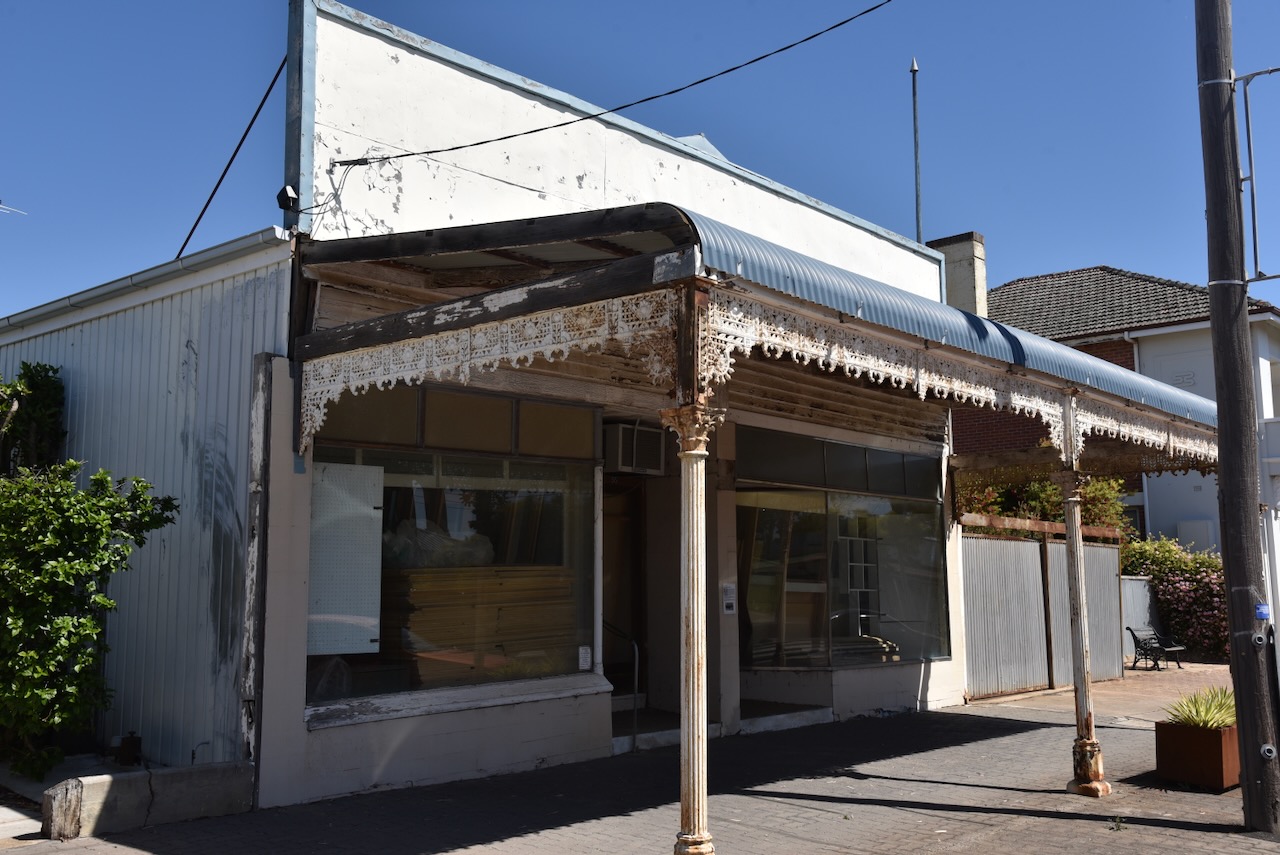
The Old Victoria Inn was and is noted for its original bullnosed verandah and magnificent cast iron lacework. The old Inn still has the original horse and carriage entrance with cast iron gates. (Aussie Towns 2024)


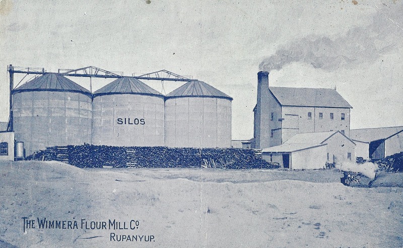
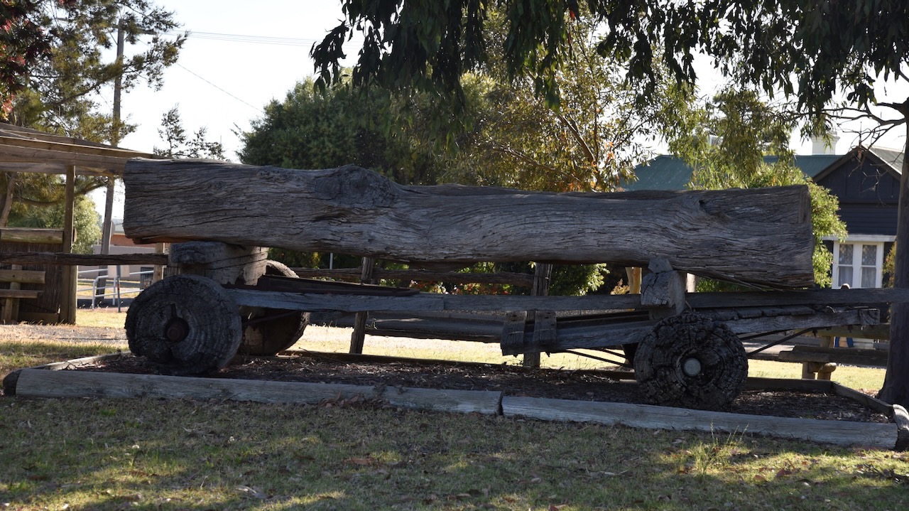
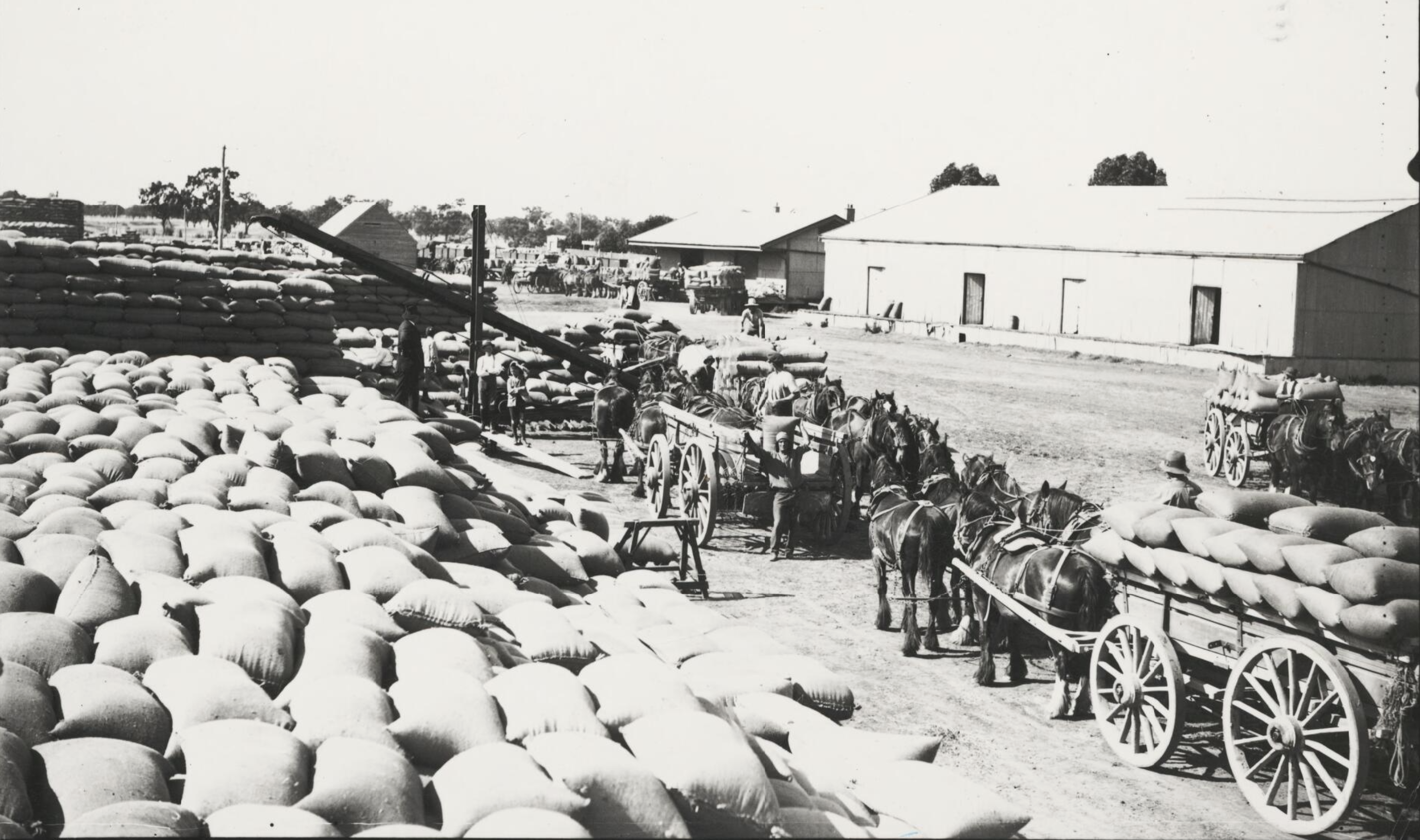
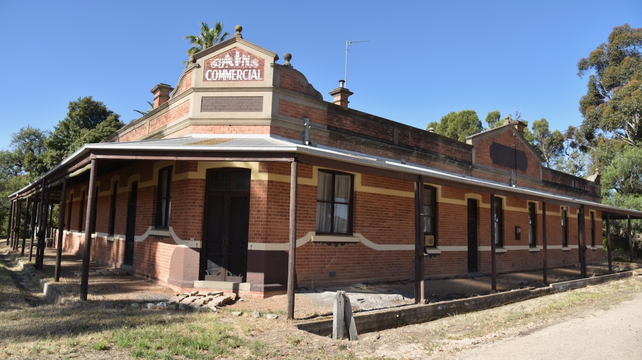
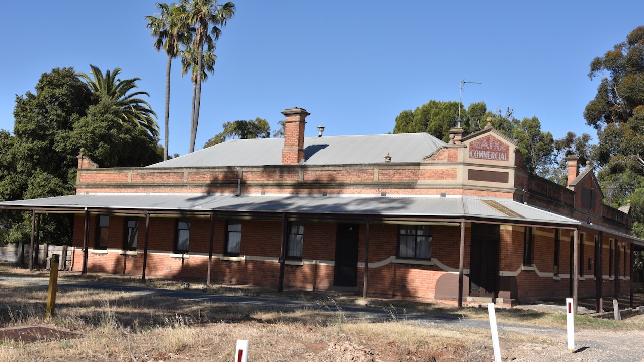
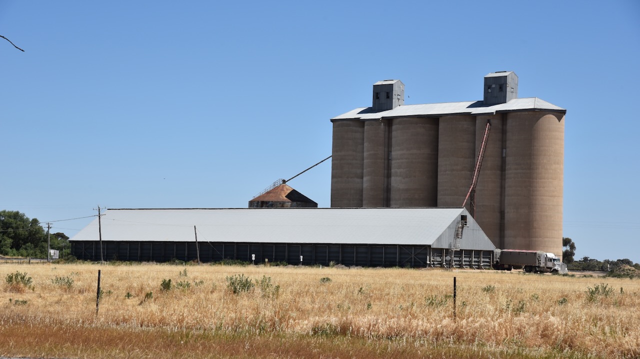
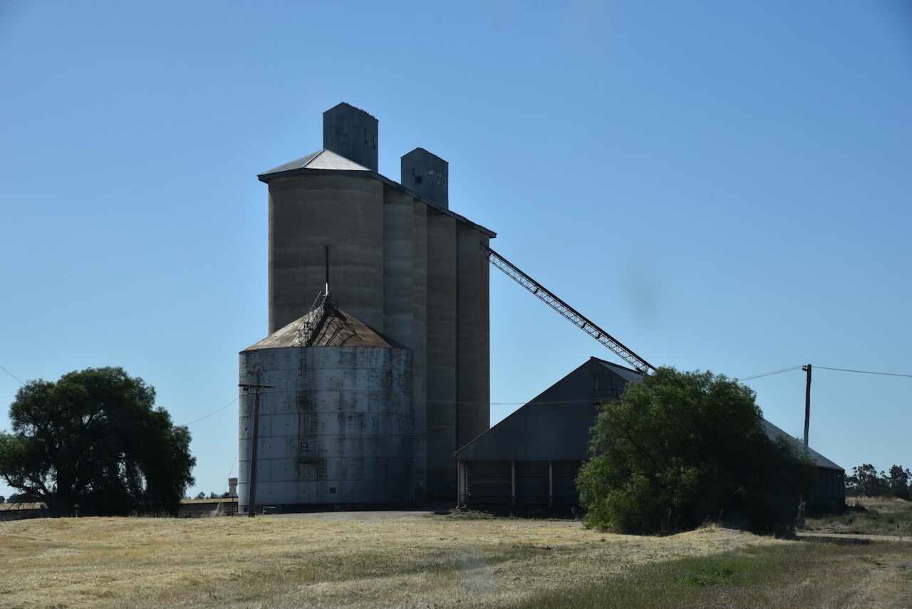
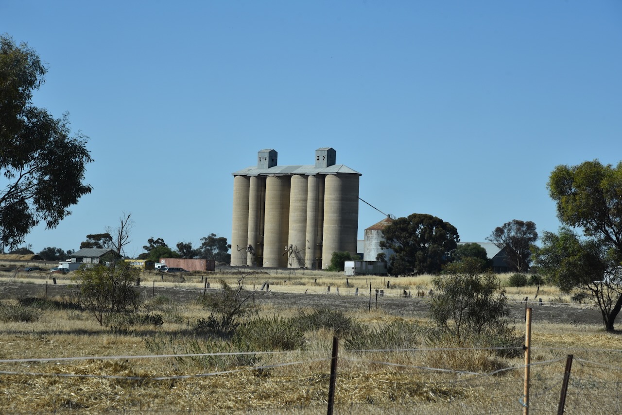
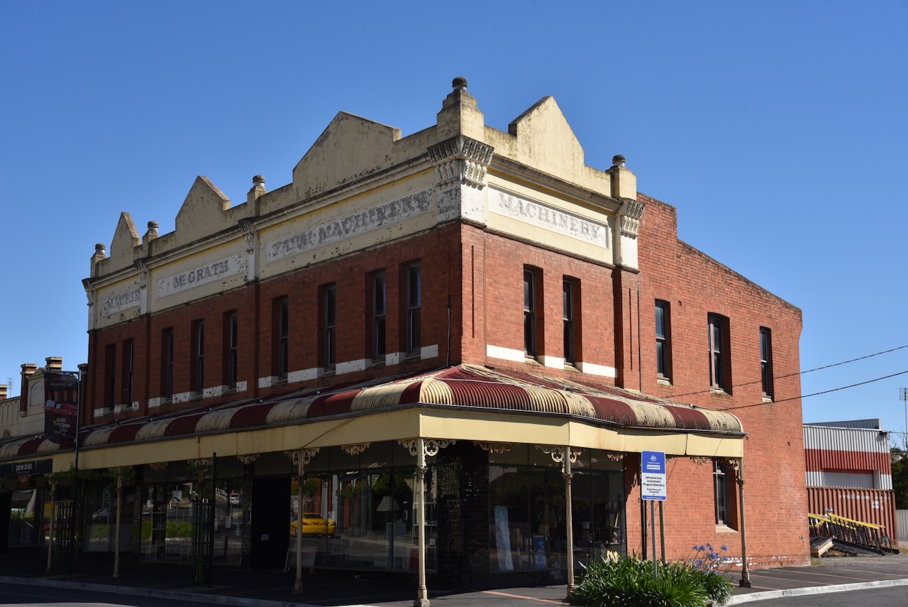
The grain store was built in 1879 by Joseph Read, an early pioneer of the district and distinguished councillor.


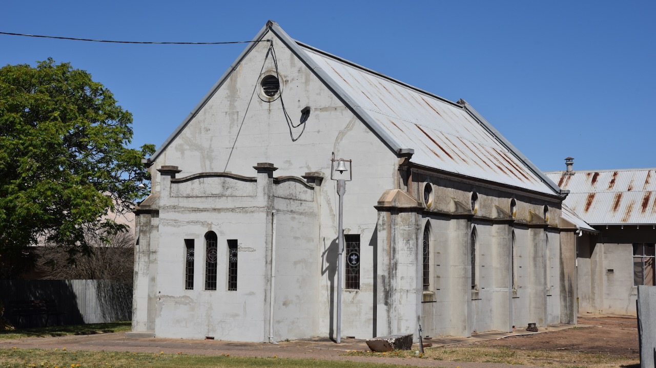
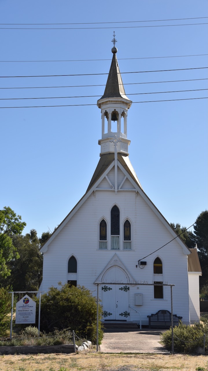
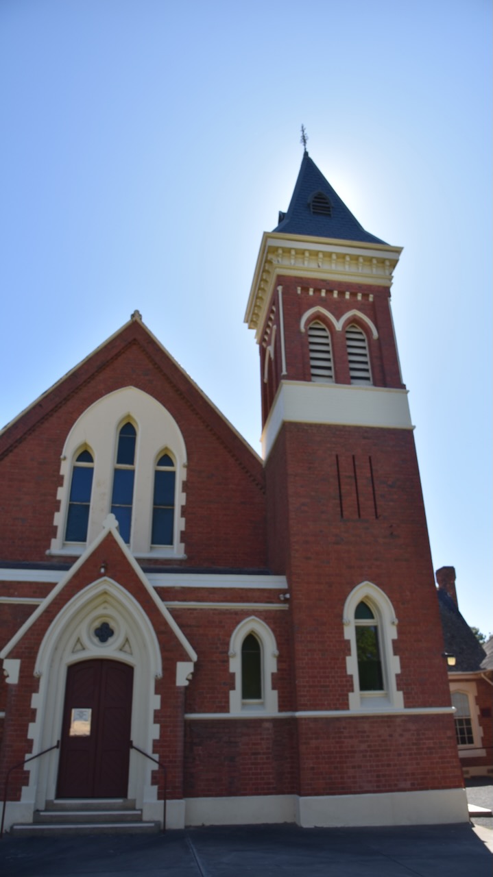
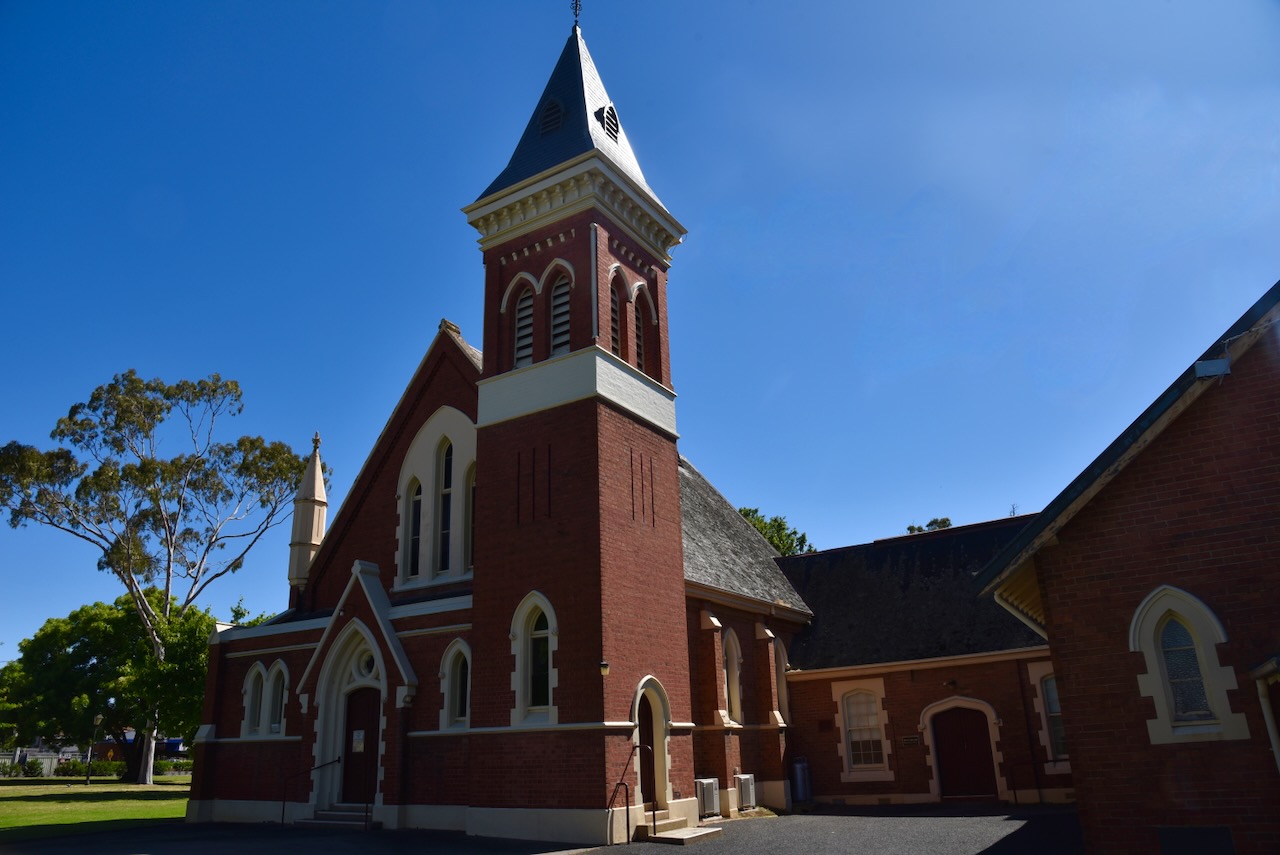
Scots Church was built as the local Presbyterian Church and was designed by Charles Vickers. It features an impressive bell tower and spire. In 1977 following the union of the Presbyterian, Methodist and Congregational Churches, the church became the St. Arnaud Uniting Church. (Aussie Towns 2024)


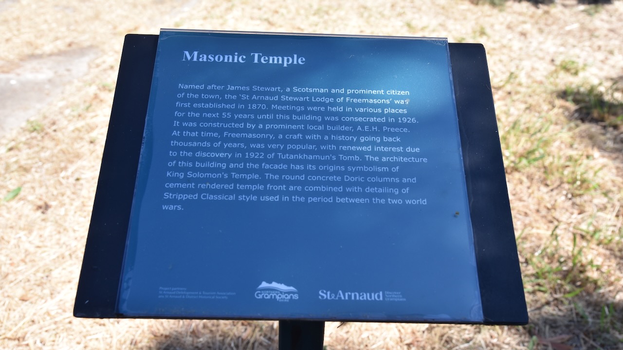
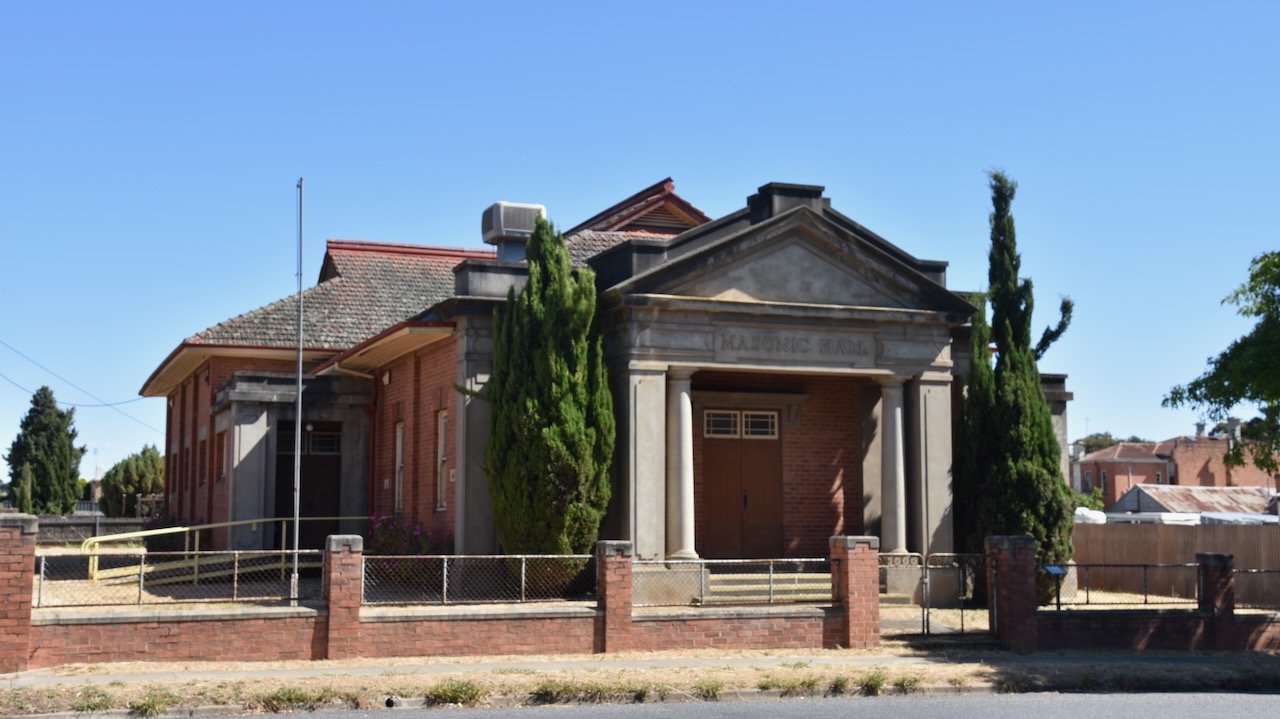
The St Arnaud Masonic Temple was constructed in 1926, however the Freemasons had been operating in St Arnaud since 1870. The St Arnaud Stewart Lodge of Freemasons was named after James Stewart, a Scotsman and prominent St Arnaud citizen. Prior to the construction of the building, meetings were held in various locations. The Masonic Temple waas constructed by A.E.H. Preece, a prominent local builder. The architecture of the building and the facade has its origins symbolism of King Solomon’s Temple. (Aussie Towns 2024)
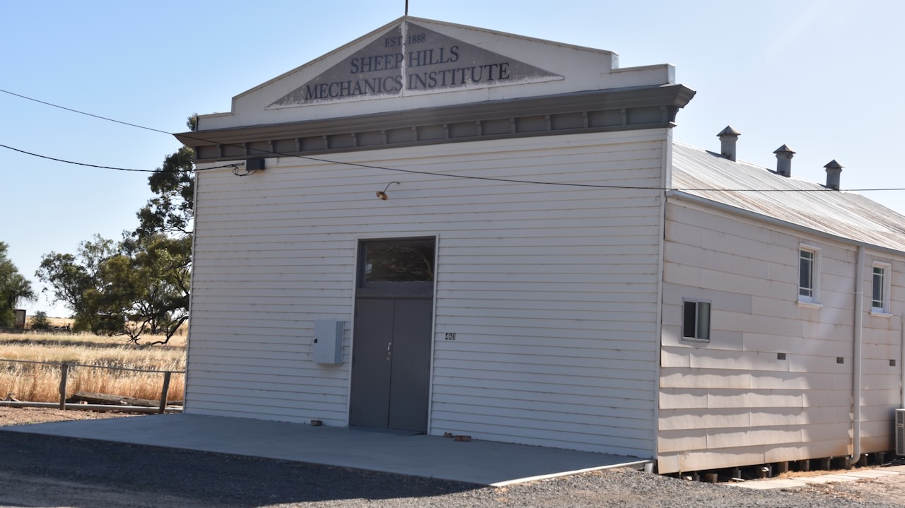
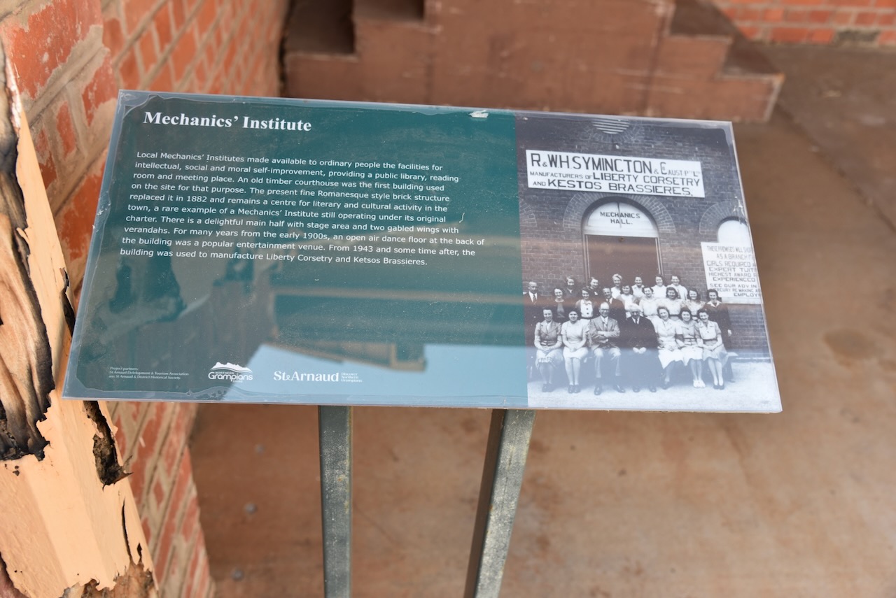
The St Arnauds Mechanics Institute was built in 1882. (Aussie Towns 2024)

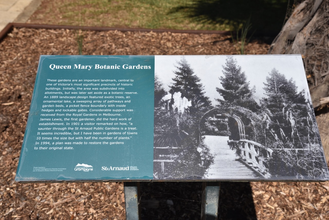
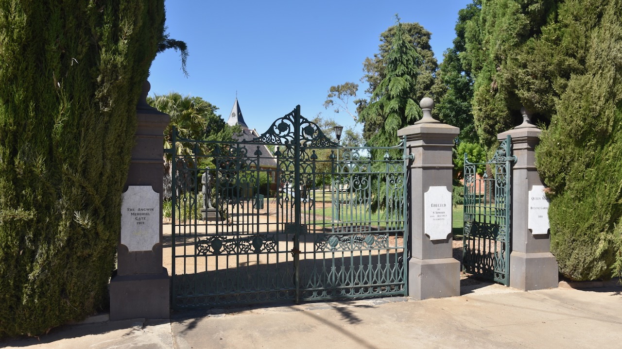
A beautiful area in St Arnaud is the Queen Mary Botanic Gardens and King Georges Park. Marija and I enjoyed a beautiful stroll around the gardens on this glorious sunny morning in St Arnaud.


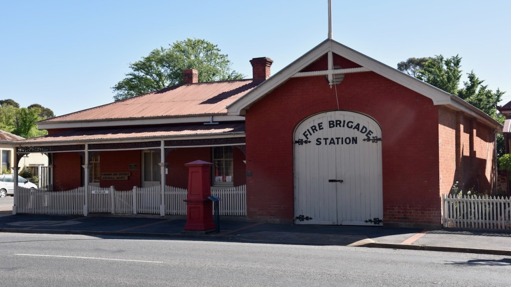
Victoria’s oldest Fire station can be found in St Arnaud. It dates from 1883 and is located on the corner of Napier and Inkerman Streets. The building includes the turnock’s residence. A turncock was employed to maintain the flow of water by adjusting the valves and controlling the flow of water. The original hand pulled ladder cart can be seen inside the station. (Aussie Towns 2024)

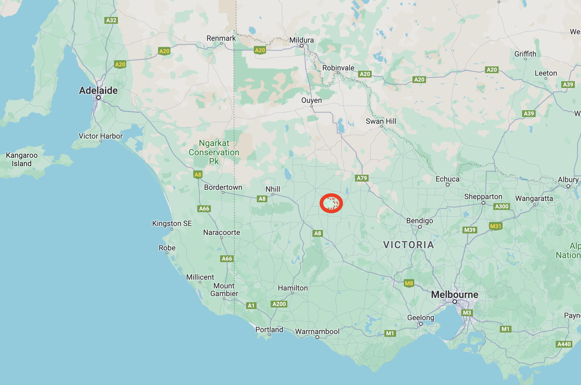
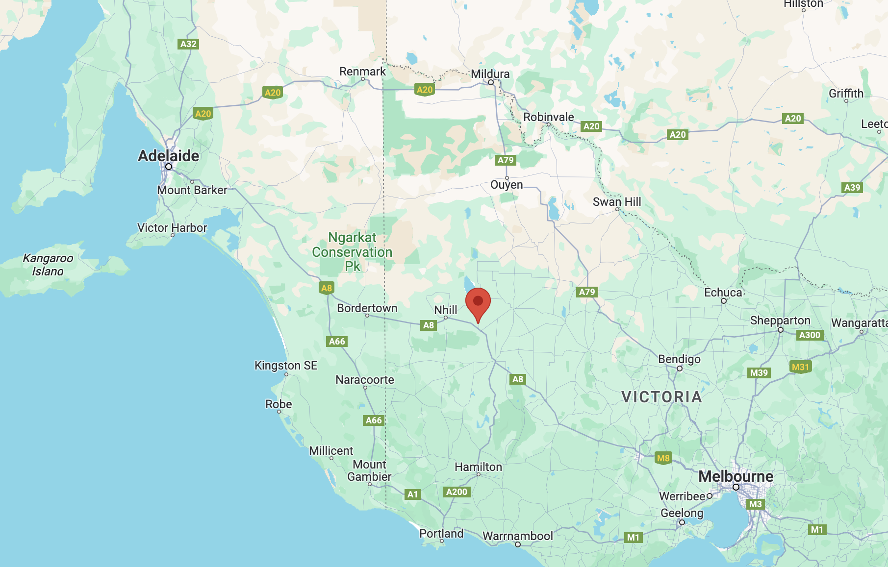
After spending a beautiful morning in St Arnaud, Marija and I headed to our first activation of the day, the Kara Kara National Park VKFF-0629 and the West of England Fire Tower summit VK3/ VW-016.

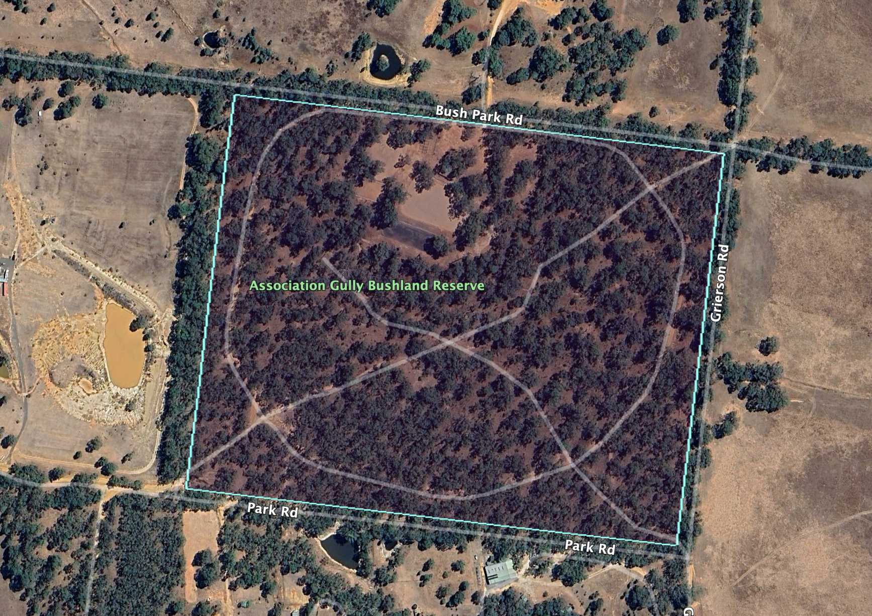
Above:- The Kara Kara National Park. Image c/o Google Earth.
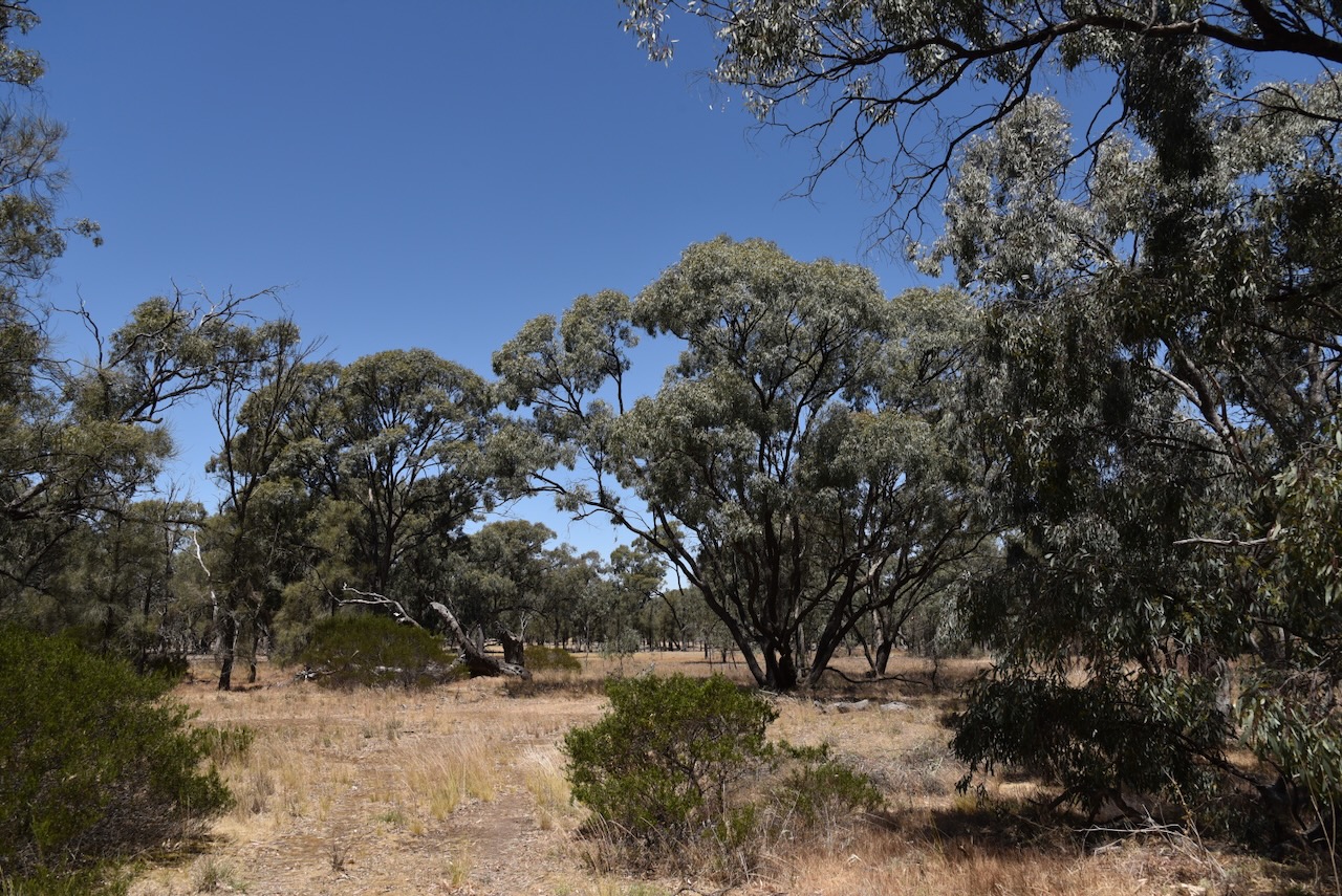
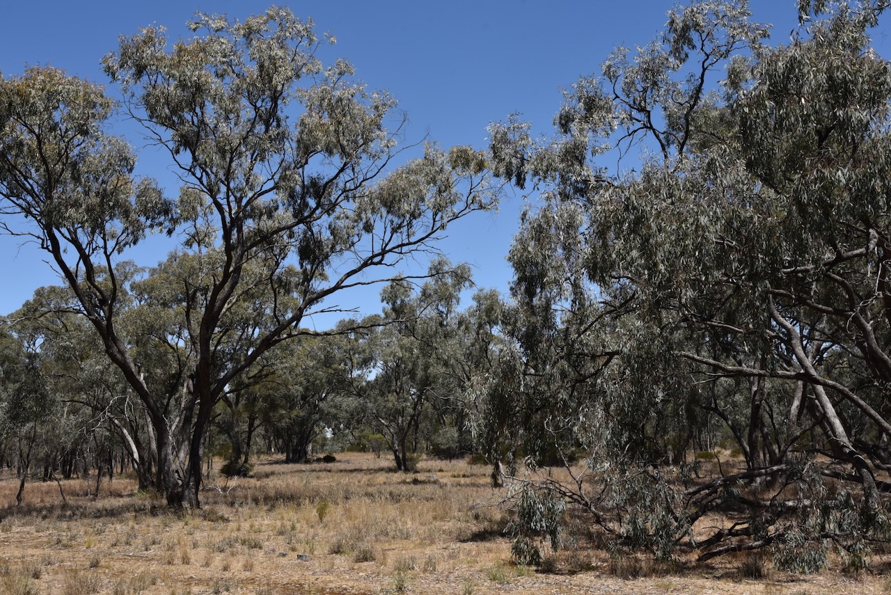
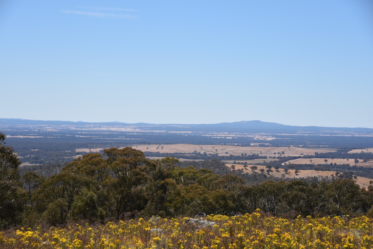
The Kara Kara National Park is about 13,990 hectares (34,600 acres) in size and was established on the 30th day of October 2002. It was original known as the St Arnaud Range National Park. The park consists of forest and open woodlands and contains about 275 species of native plants. (Parks Victoria 2024)
The Kara Kara National Park is within the St Arnaud Box-Ironbark Region Important Bird Area, which was identified by BirdLife International due to its importance for Swift parrots and other woodland birds. (BirdLife 2024)
Other birds and animals that call the park home include Barking Owls, Powerful Owls, kookaburras, Crimson Rosellas, Swift Parrots, possums, Yellow-footed Antechinus, Squirrel Gliders, Brush-tailed Phascogale and bats. (Parks Victoria 2024)

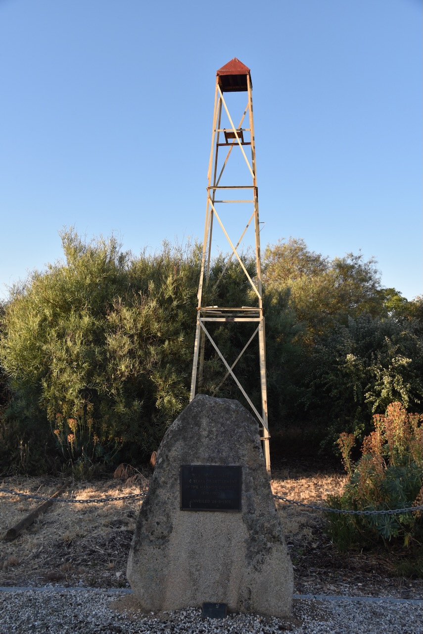
The West of England Fire Tower summit VK3/ VW-016 qualifies for the Summits On The Air (SOTA) program. It is 525 metres above sea level and is worth 2 points in the SOTA program. It has been activated a total of 20 times. It was first activated in March 2012 by Allen VK3HRA. (SOTA 2024)

Above:- An aerial view of the West of England Fire Tower summit. Image c/o Google Maps.
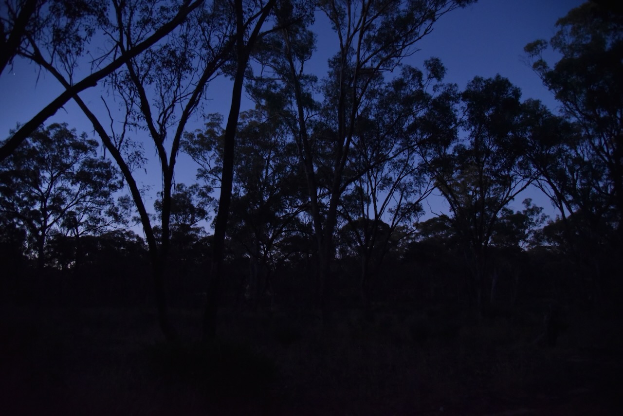
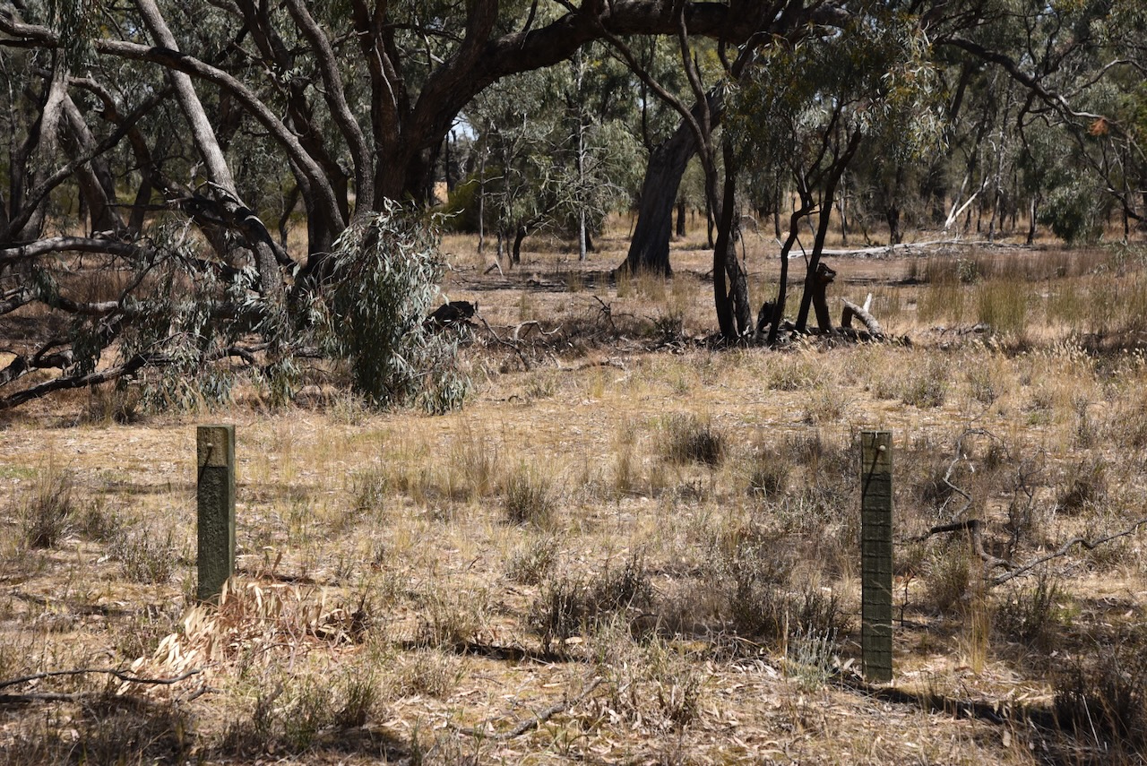
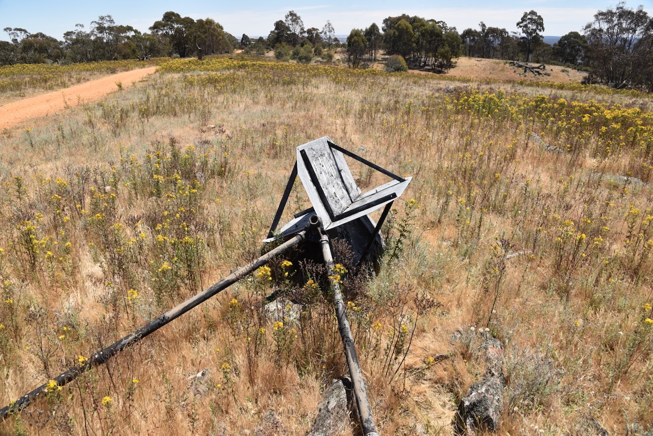
As the name implies, there is a fire tower at the summit.

There is a trig point at the summit, but it is in a poor state of repair and is lying on its side.

There are some very nice views to be enjoyed from the summit.


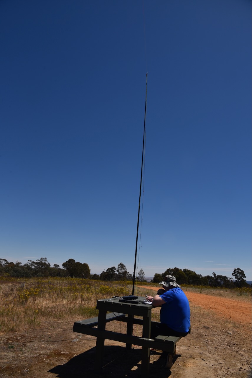
Conveniently there is a wooden table and benches at the summit. We ran the Yaesu FT857, 40 watts, and the 20/40/80 m linked dipole, supported by the 7-metre heavy-duty telescopic squid pole.
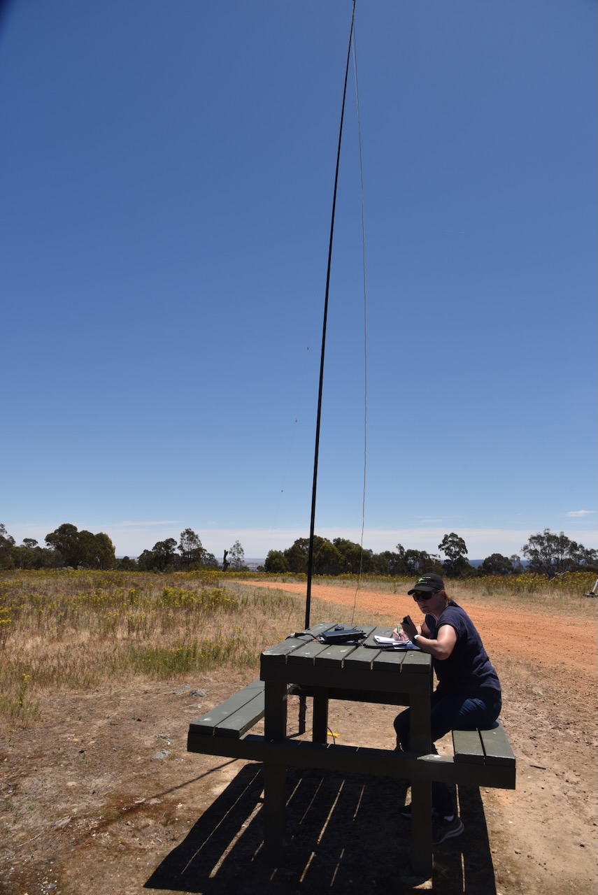
Marija worked the following stations on 40m SSB:-
- VK5HYZ/p (Lower Glenelg National Park VKFF-0296)
- VK3UAO
- VK2PKT
- VK3UH
- VK3PF
- VK3KAI
- VK3ZSC
- VK3CLD/p (Kosciuszko National Park VKFF-0269)
- VK2IO/m
- VK3PI
- VK3TKK/p (Castlemaine H84 Bushland Reserve VKFF-4289)
I worked the following stations on 40m SSB:-
- VK5HYZ/p (Lower Glenelg National Park VKFF-0296)
- VK3UAO
- VK2PKT
- VK3UH
- VK3PF
- VK3KAI
- VK3ZSC
- VK3CLD/p (Kosciuszko National Park VKFF-0269)
- VK2IO/m
- VK3PI
- VK2DG
- VK3PWG
- VK2KYO
- VK5HS
- VK3MIJ
- VK2WG
- VK3VIN
- VK3DAC
- VK3HEW
- VK3TKK/p (Castlemaine H84 Bushland Reserve VKFF-4289)
- VK3LTA
- VK3DCQ
- VK5DC
- VK3LOC/m
- VK7XX
- VK1RF
- VK2MK
- VK4CEE
- VK3CEO
- VK7HBR
- VK3TDX
- VK5DW
- VK3SO
I worked the following stations on 20m SSB:-
- VK4NH
- VK4DXA
- VK7XX
- ZL1KB
- ZL2EF/p
References.
- datazone.birdlife.org. (n.d.). BirdLife Data Zone. [online] Available at: https://datazone.birdlife.org/site/factsheet/st-arnaud-box-ironbark-region-iba-australia/text [Accessed 16 Feb. 2024].
- Francis, G. (n.d.). St Arnaud, VIC. [online] Aussie Towns. Available at: https://www.aussietowns.com.au/town/st-arnaud-vic [Accessed 16 Feb. 2024].
- The Sydney Morning Herald. (2008). St Arnaud – Places to See. [online] Available at: https://www.smh.com.au/traveller/inspiration/st-arnaud-places-to-see-20081124-6foy.html [Accessed 16 Feb. 2024].
- www.australiansiloarttrail.com. (n.d.). St Arnaud Street Art Town. [online] Available at: https://www.australiansiloarttrail.com/st-arnaud-street-art-town [Accessed 16 Feb. 2024].
- www.parks.vic.gov.au. (n.d.). Kara Kara National Park. [online] Available at: https://www.parks.vic.gov.au/places-to-see/parks/kara-kara-national-park [Accessed 16 Feb. 2024].
- www.sotadata.org.uk. (n.d.). Sotadata3. [online] Available at: https://www.sotadata.org.uk/en/summit/VK3/VW-016 [Accessed 16 Feb. 2024].
- www.victorianplaces.com.au. (n.d.). Kara Kara Shire | Victorian Places. [online] Available at: https://www.victorianplaces.com.au/kara-kara-shire [Accessed 16 Feb. 2024].